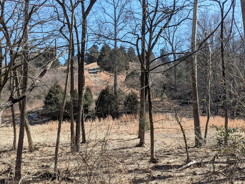
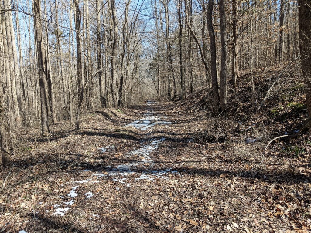
..and especially the old roadbed Northwest of the lake.
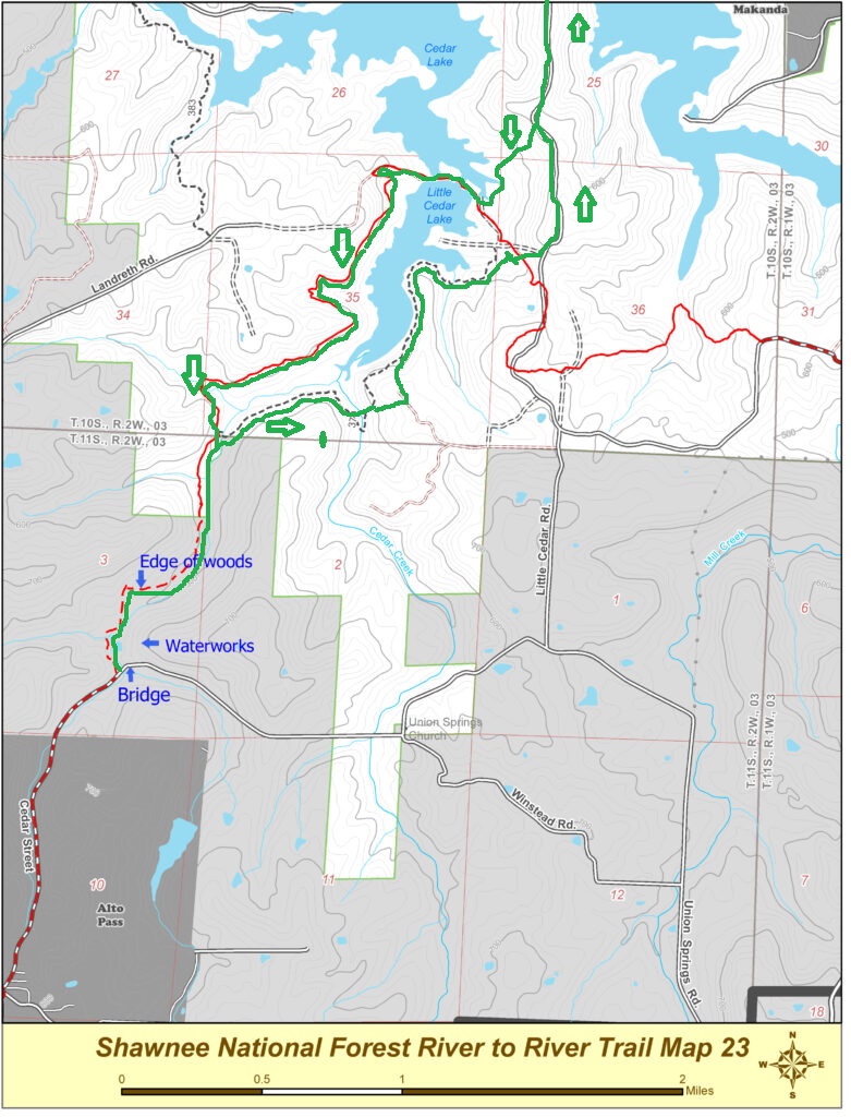
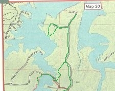
2 maps showing where this trip covers. The Green was my path.
I went to the Shawnee yesterday for the exploration of a place few people have ever been and I saw why. Not much there to see! It was a great day of hiking and a LOT further than I had figured. I got there pretty late about 11 maybe.
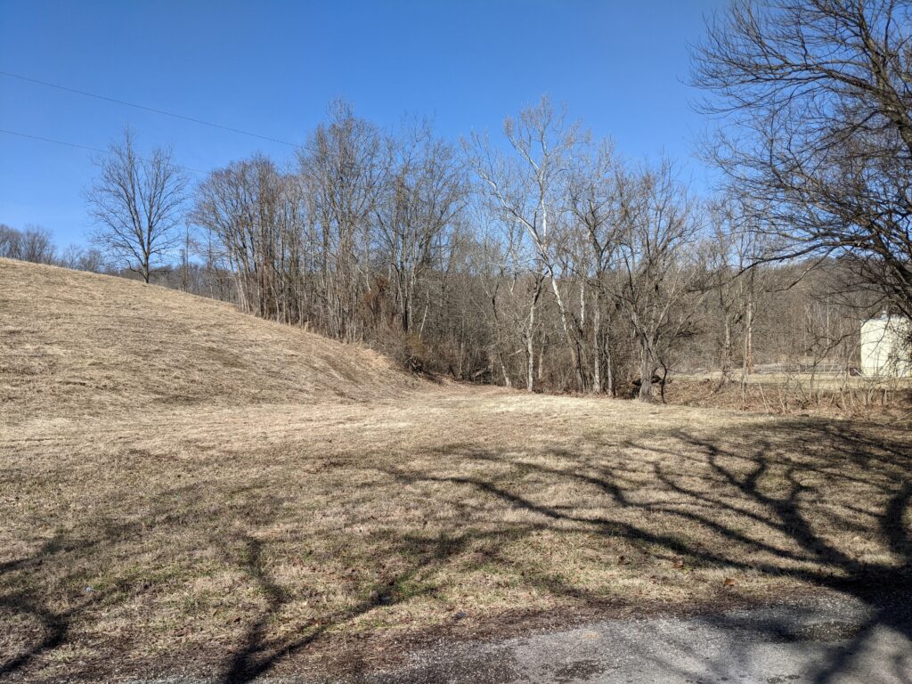
I started at the place I mow at what used to be the Alto Pass waterworks.
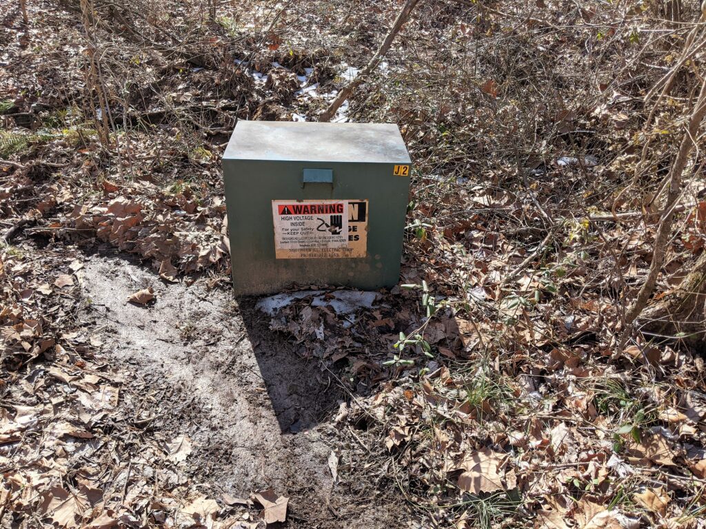
I hiked the R2R to the intersection of trail 379 around the bottom of the lake. Passed the Hatch that housed the waterworks pumps I assume.
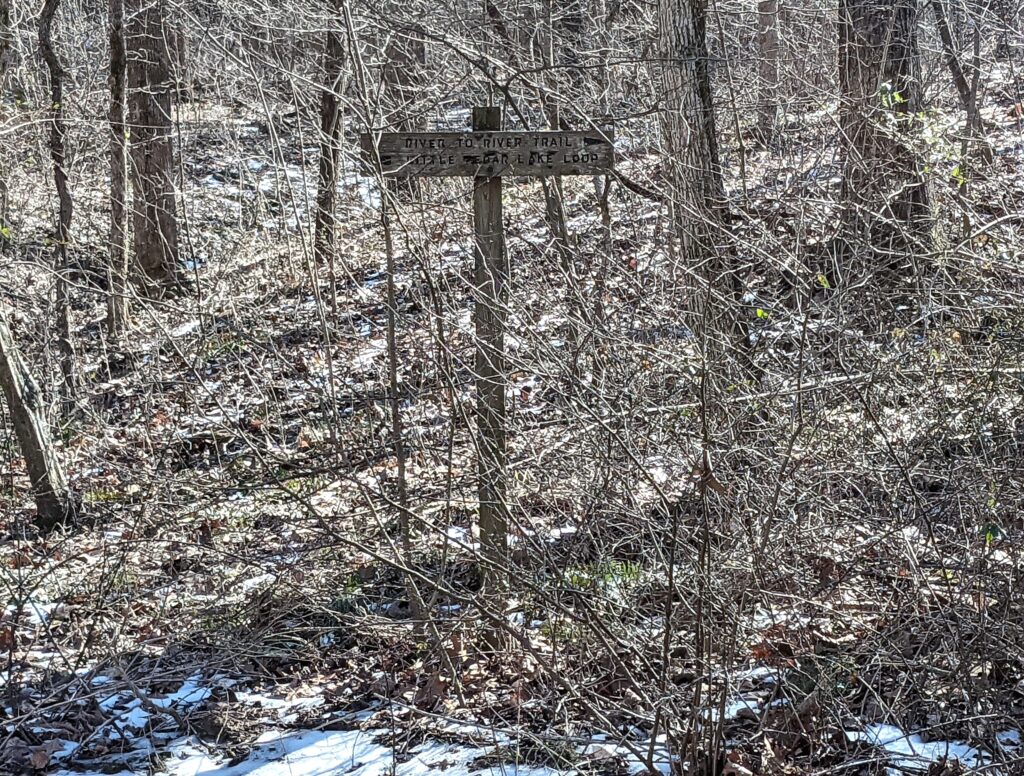
I got to the nearby turn up 379 and LCL (Little Cedar Lake) trail that used to be maintained at one time. The trail crosses the creek and there is a 379 marker but the only trail goes up the ridge where the map shows it following the lake.
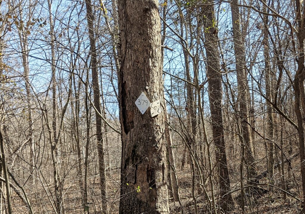
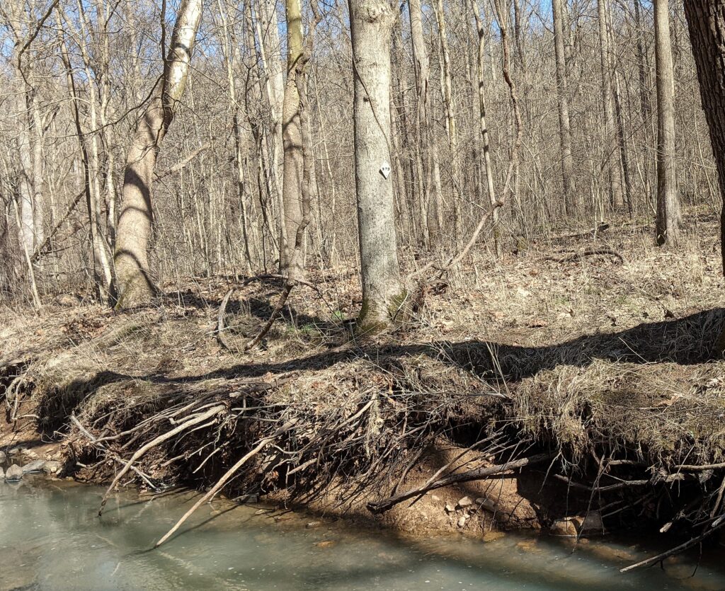
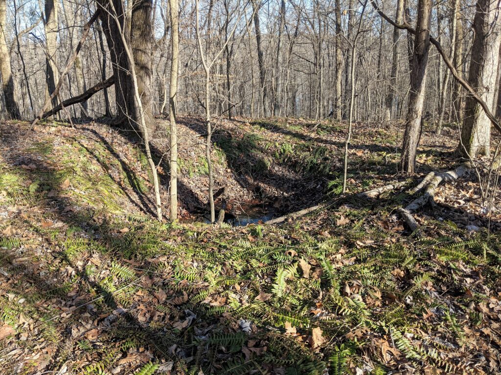
Seeing I was way off yet again. (3rd time getting lost here) But having a GPS, I took the old roadbed back to the lake, really not all that far and hooked back up to 397. I managed to lose the trail yet again and bush wacked over to the R2R Where I followed it almost to the lake before realizing I was already too far north when I had connected the R2R to follow the roadbed I was wanting to check out. So I headed back south and then bush wacked over to the old roadbed. These roadbeds are long, long abandoned. Some since the land was purchased from homesteaders back in the ’30’s, some were still in use back in the ’60’s.
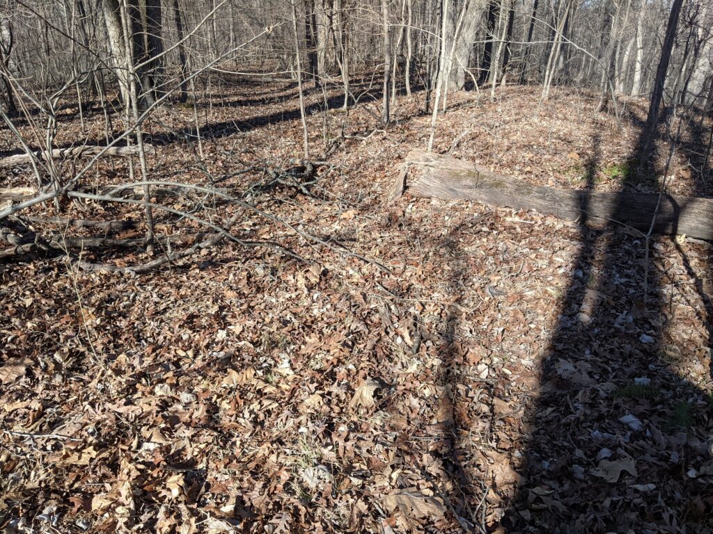
These haven’t been used in so long they are hard to make out without some guessing. Fortunately, the roadbeds show on my GPS maps, but I had to switch back and forth here at the top of this map and it played havoc with the tracks. I was still able to verity I was on them as I went.
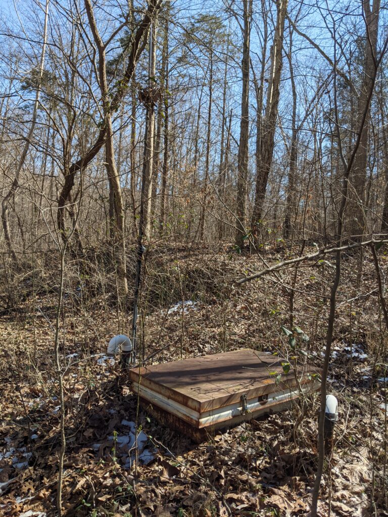
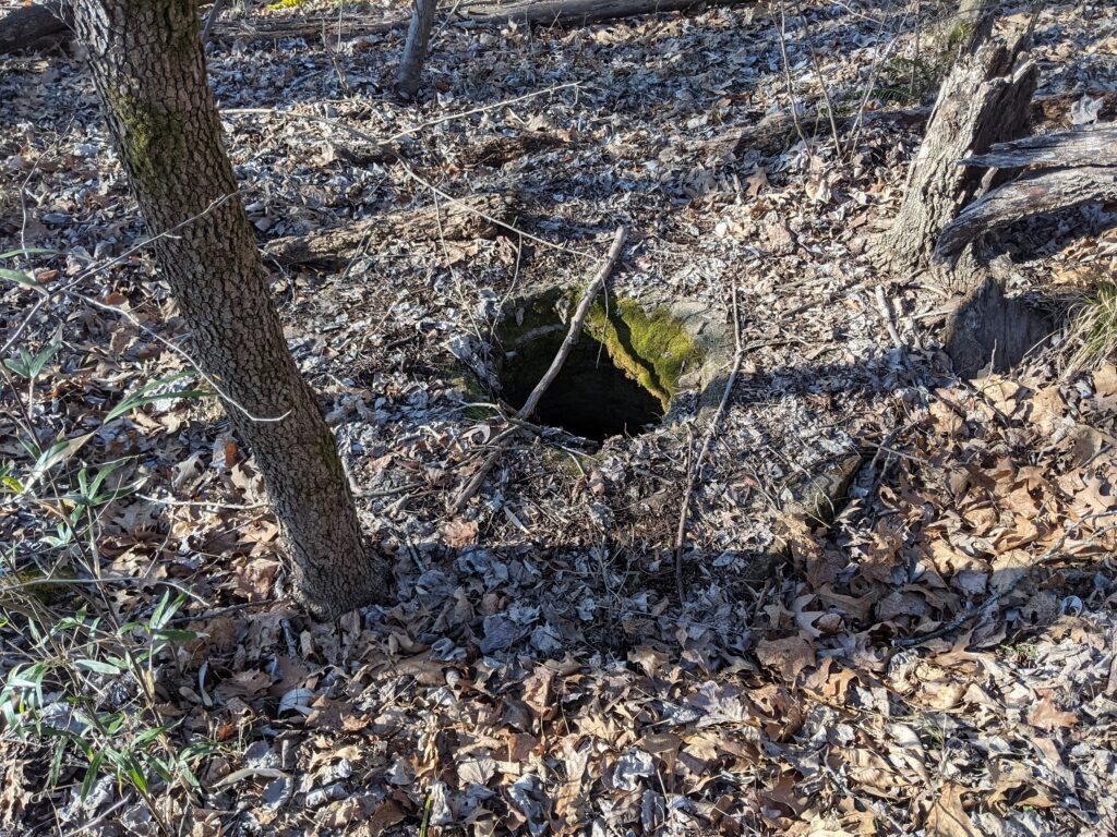
It was actually past 3pm when I went left off the northern roadbed and followed the spur West. This was one of the areas a guy said had old cars and homesteads. I didn’t see a thing there but another sign of a road going South and down towards the lake, I did find a cistern there but that was all. I went to the lake to look around but there was no sign of the loop Trail that went around the Lake at one time. Maybe that was just the southern half. (I think now that is all there ever was.)
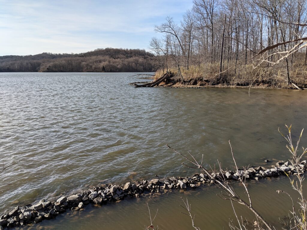
I went back up to the spur and returned to the northbound road and it eventually turned downhill towards the Lake. I followed it down until I was just plain out of time and I could see the lake. I figured maybe Paula and I could come back some day with the Kayaks to the North half dock and paddle over there for a short hike up there to see. It was going to be pretty iffy getting back before dark.
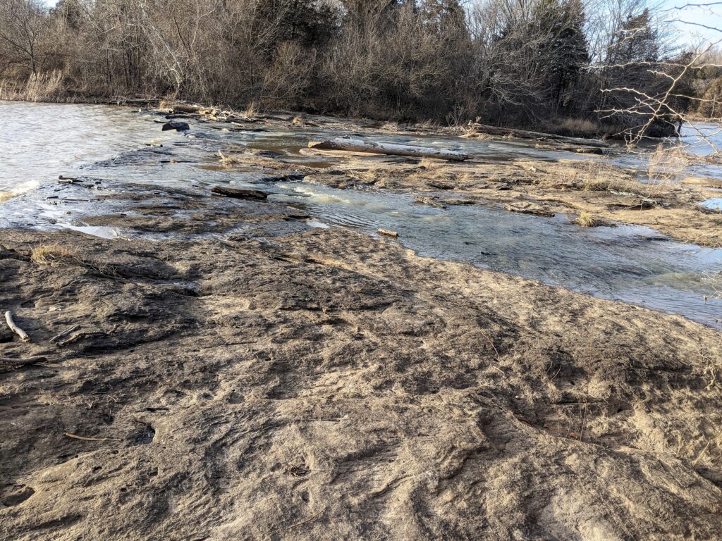
Part of the way back I could see the place the R2R crosses the spillway between the upper and lower Lakes and I made a beeline that way bush wacking again. There wasn’t much difference as the road beds were grown up and the going was pretty similar. The sun was getting pretty low and I crossed the spillway and it was a LONG way back on the West side of the lake. A lot of switch backs but I have been here on the R2R trail quite a few times.
I saw another Armadillo on the way. That was the 3rd I saw yesterday but none of the photos or videos came out worth a hoot. (the second was running and I didn’t even try.) As I was getting to the last hill before the area I mow at the fields, I finally got a phone signal to tell Paula I was almost back.
The moon was up and it was pretty close to being dark when I got to the car. Great day in the woods. I love exploring, even when there isn’t much to see, it’s still a day in the woods.
