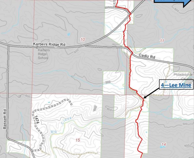
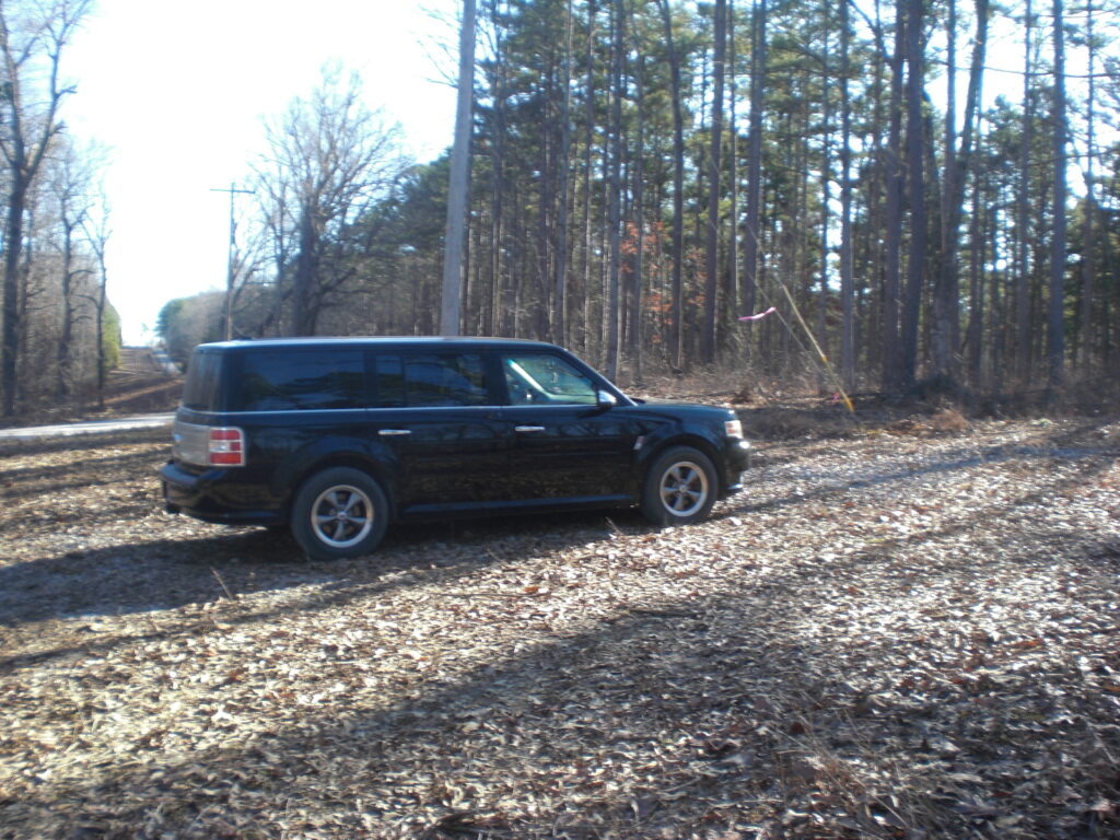
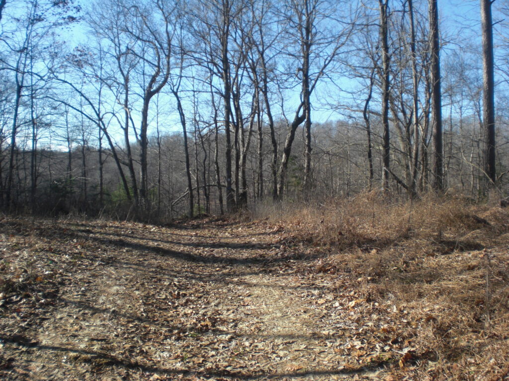
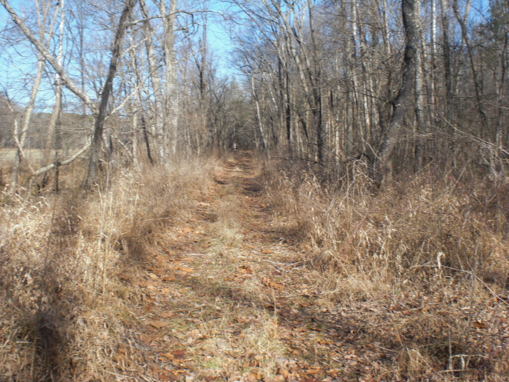
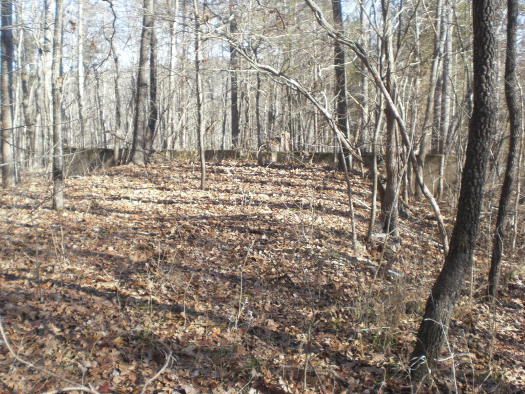
This is a fairly short hike to Lee Mine along the River to River Trail (Map from the good people at Rivertorivertrail.net , the home of the River to River Trail Society) Take Karbers Ridge Road to Cadiz Road. Go East a short way to the R2R trailhead which has been enlarged and graveled. Follow the trail South and you will come to a place where it heads East.
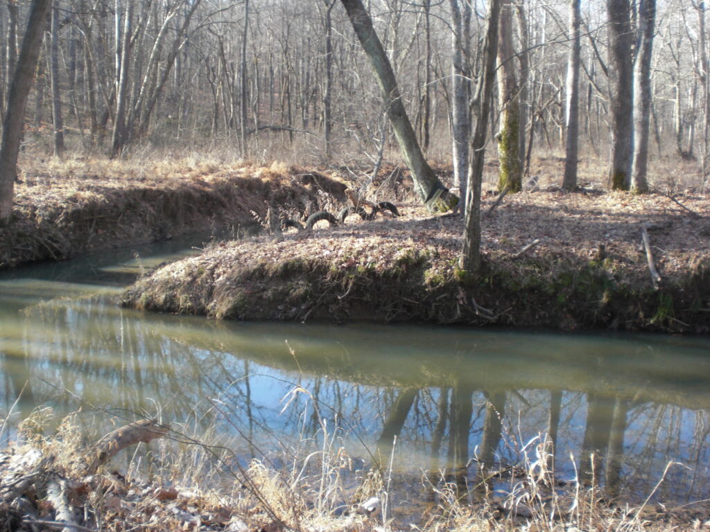
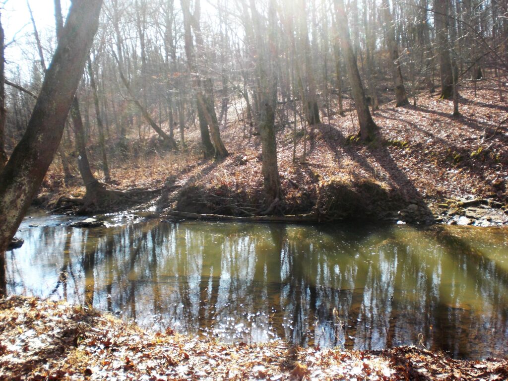
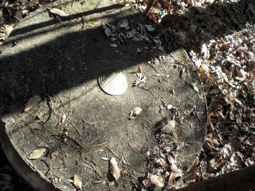
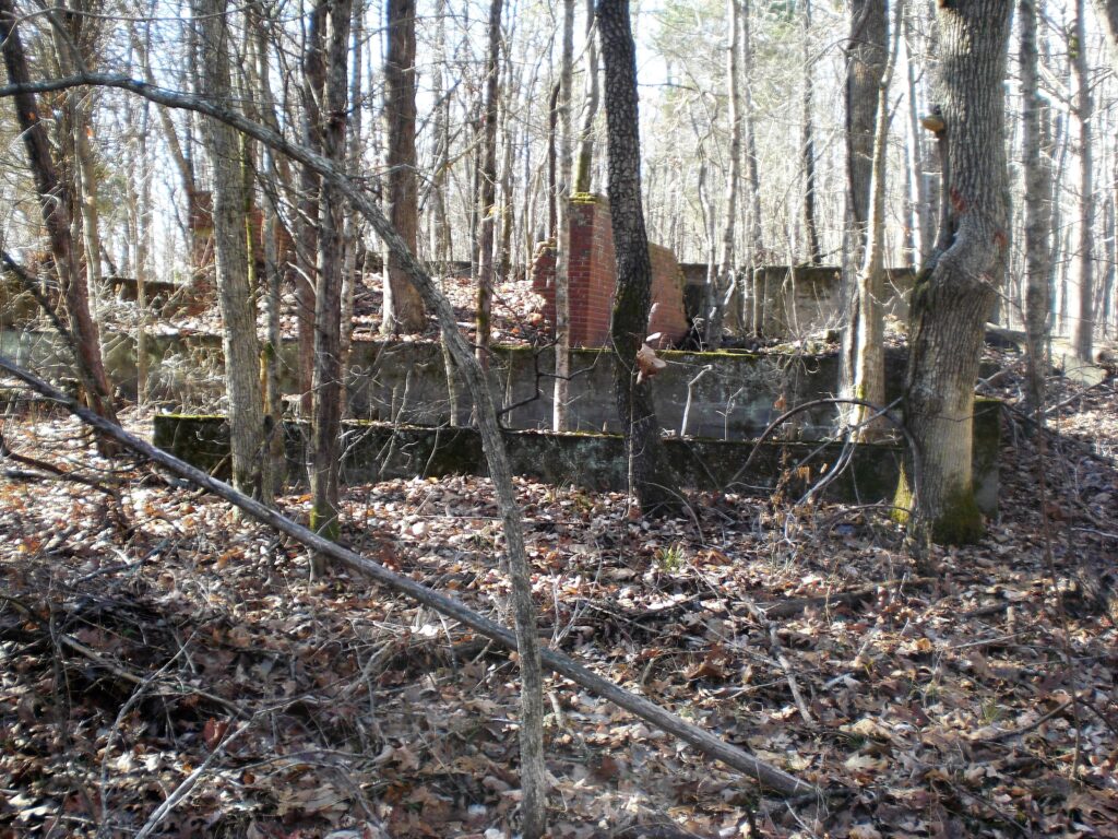
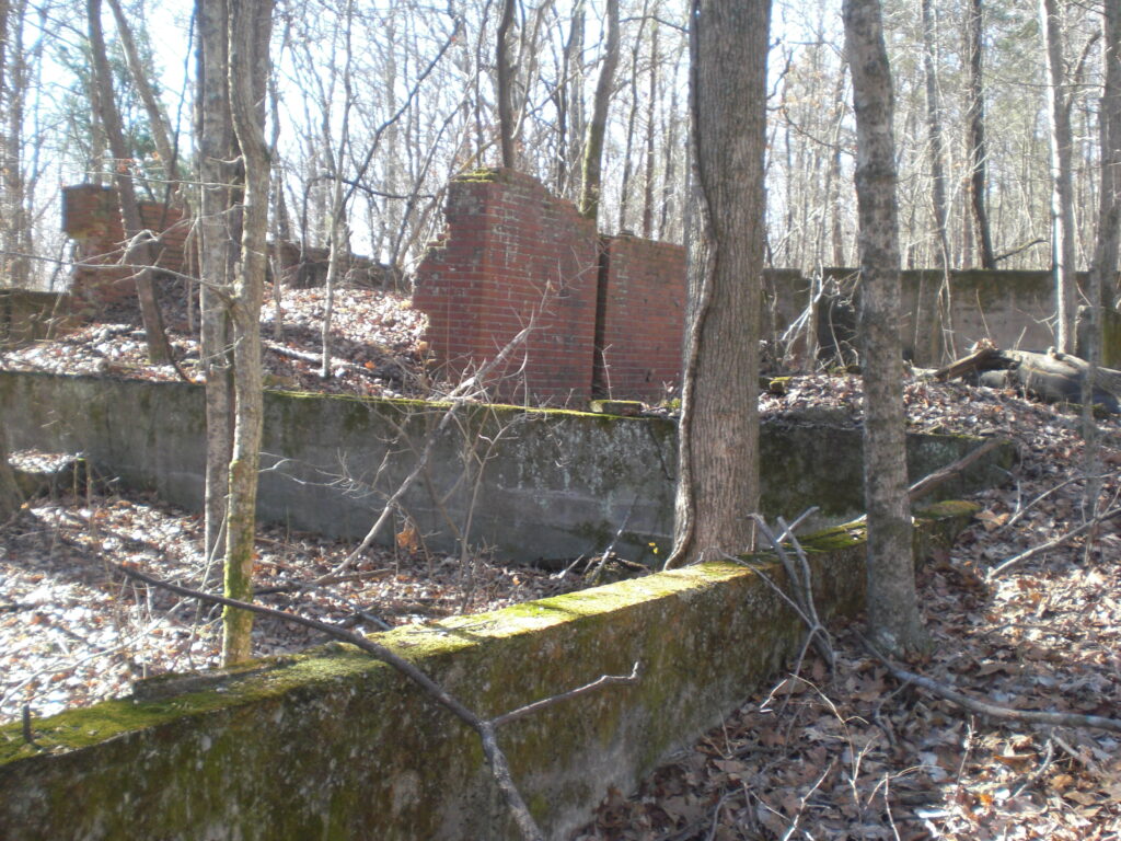
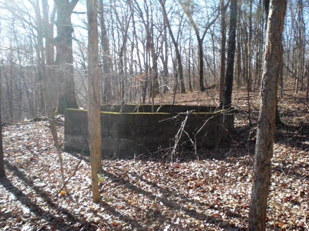
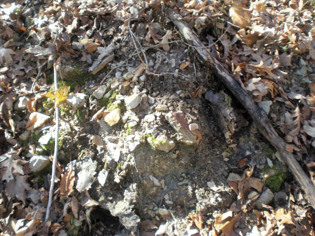
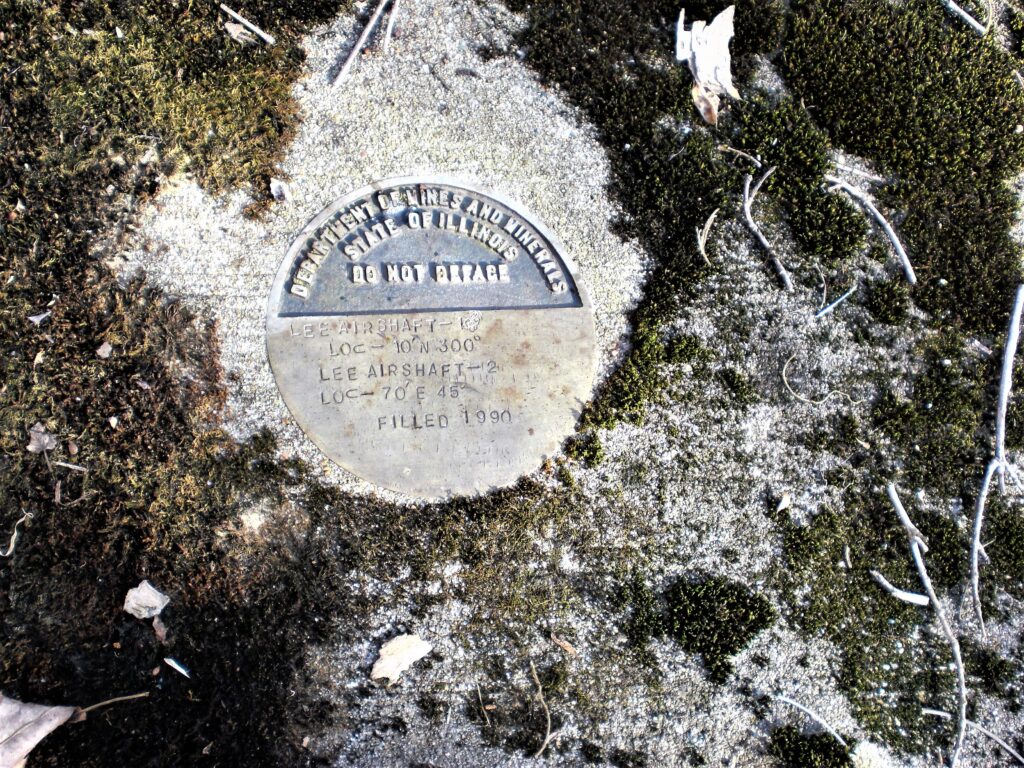
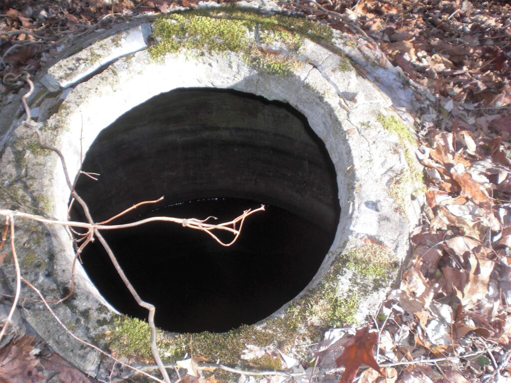
Where the Trail Crosses the Creek, you can see the ramp of the old driveway up the Hill on the South Side. At the top of the hill it turns south and curves to come up to the foundations of the mine building. The first thing to look for is the round concrete plug on the left side of the drive where they plugged the main shaft in 1990.
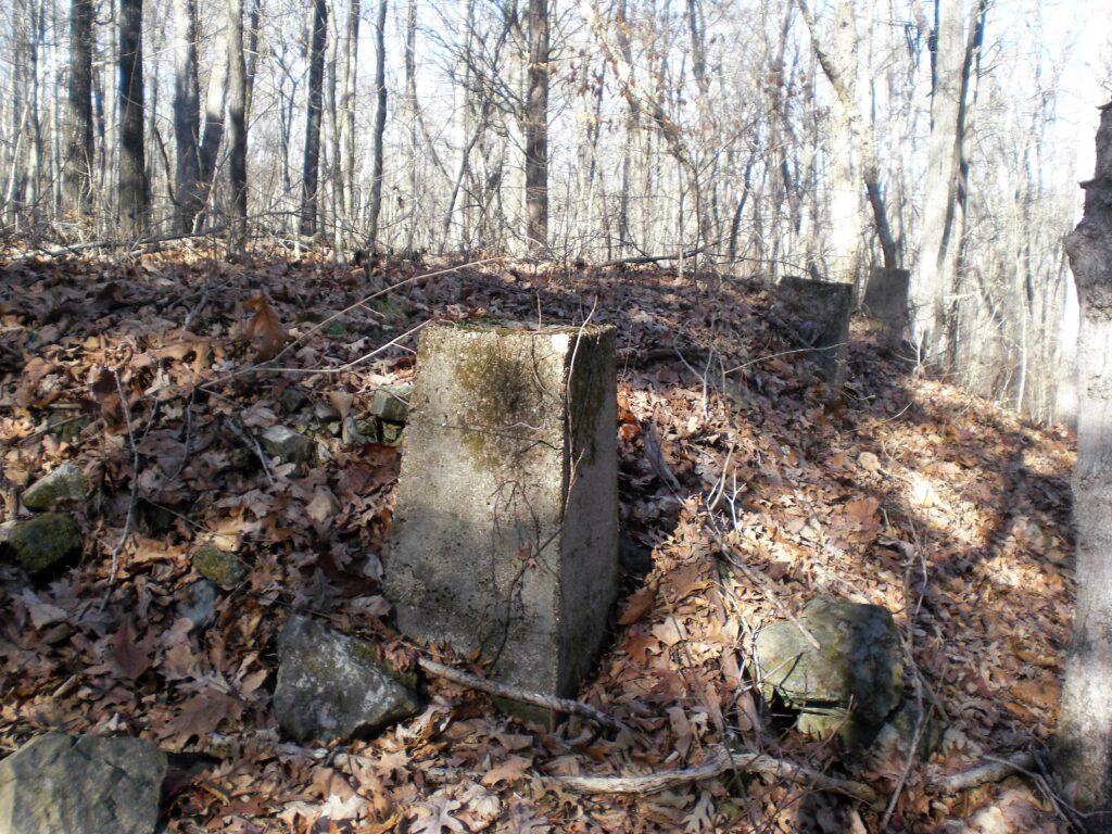
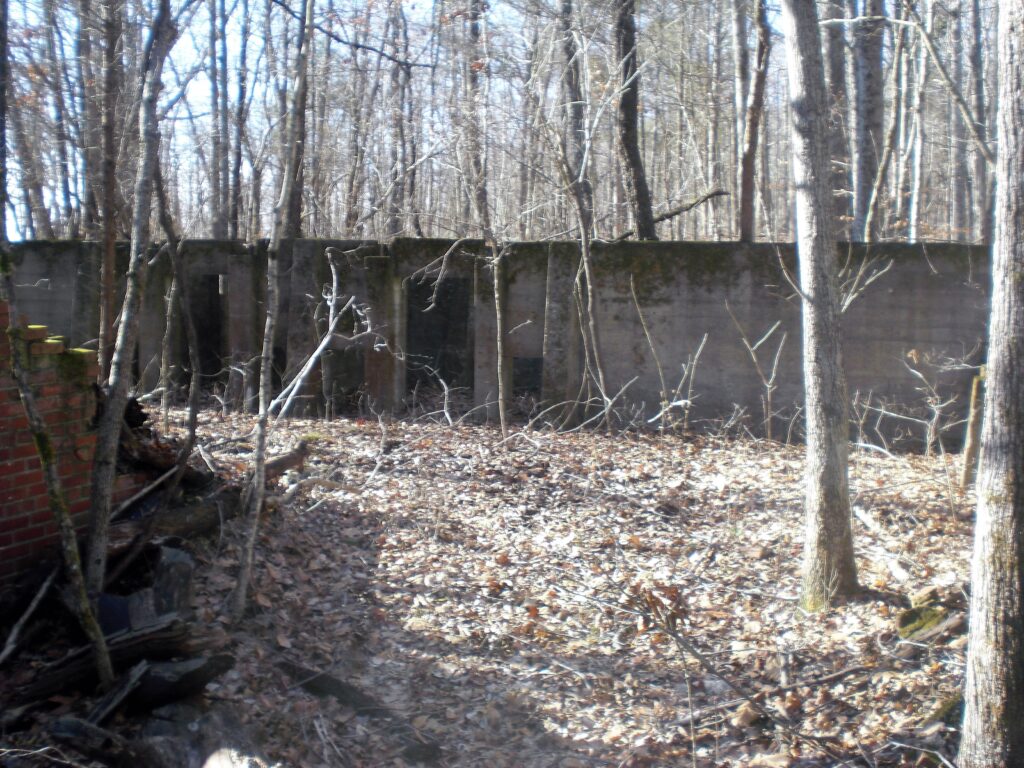
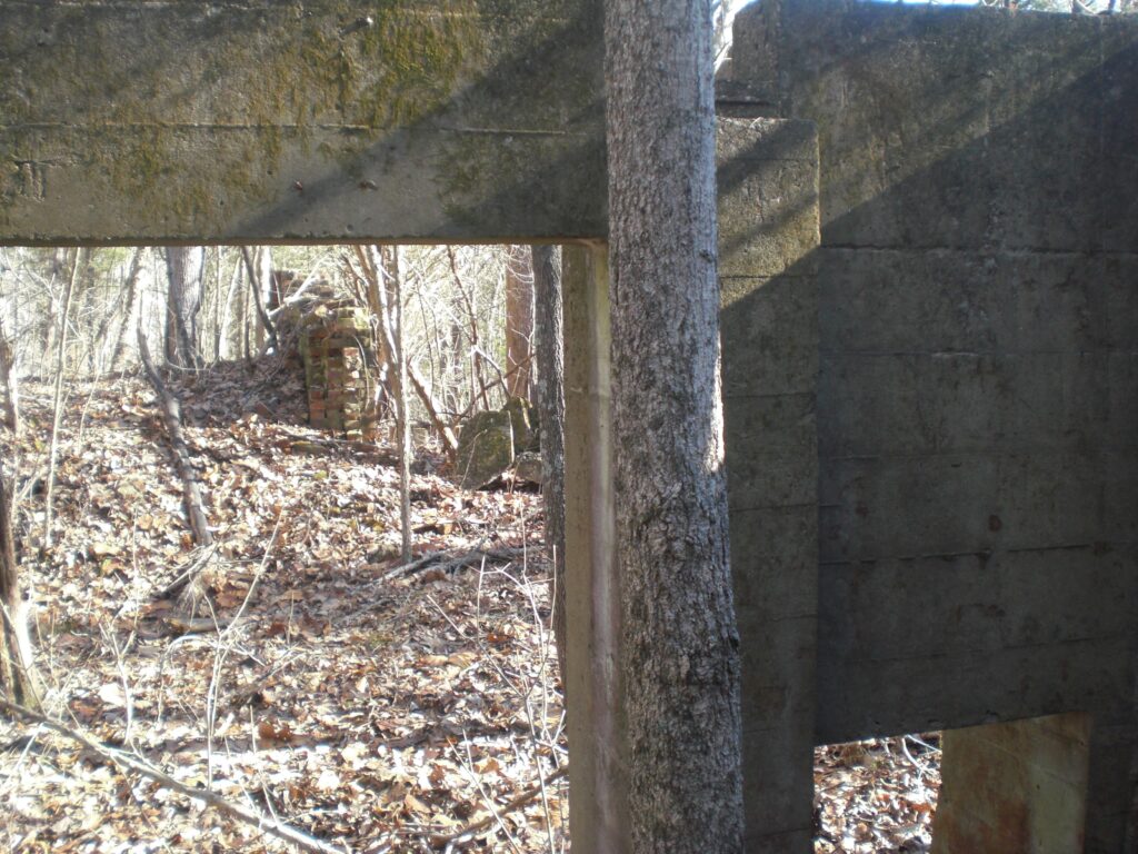
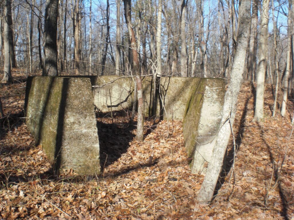
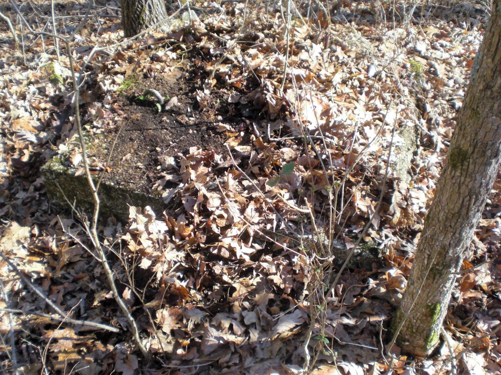
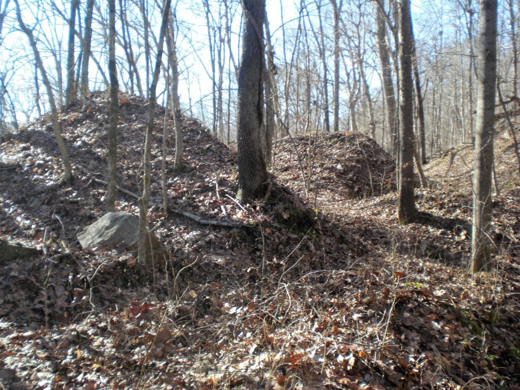
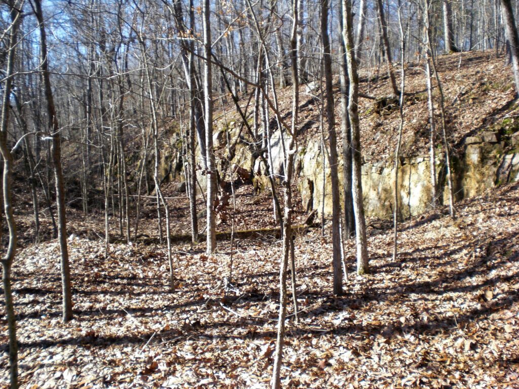
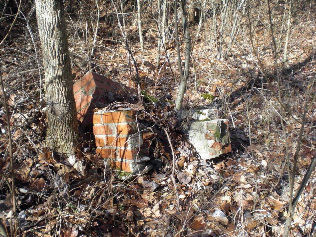
Look around the top of the hill and to the South and you will see more foundations and concrete forms. There are concrete footings with loops to hold guy wires to some tall structure at one time.
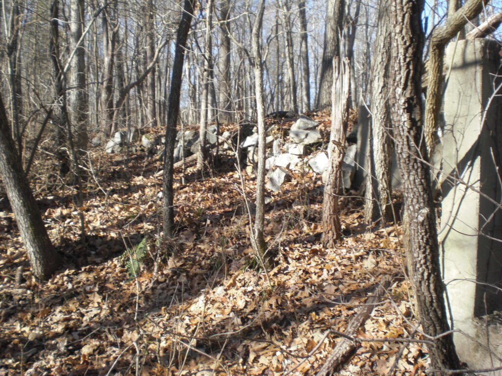
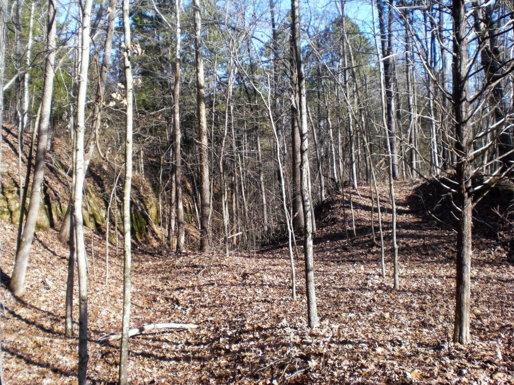
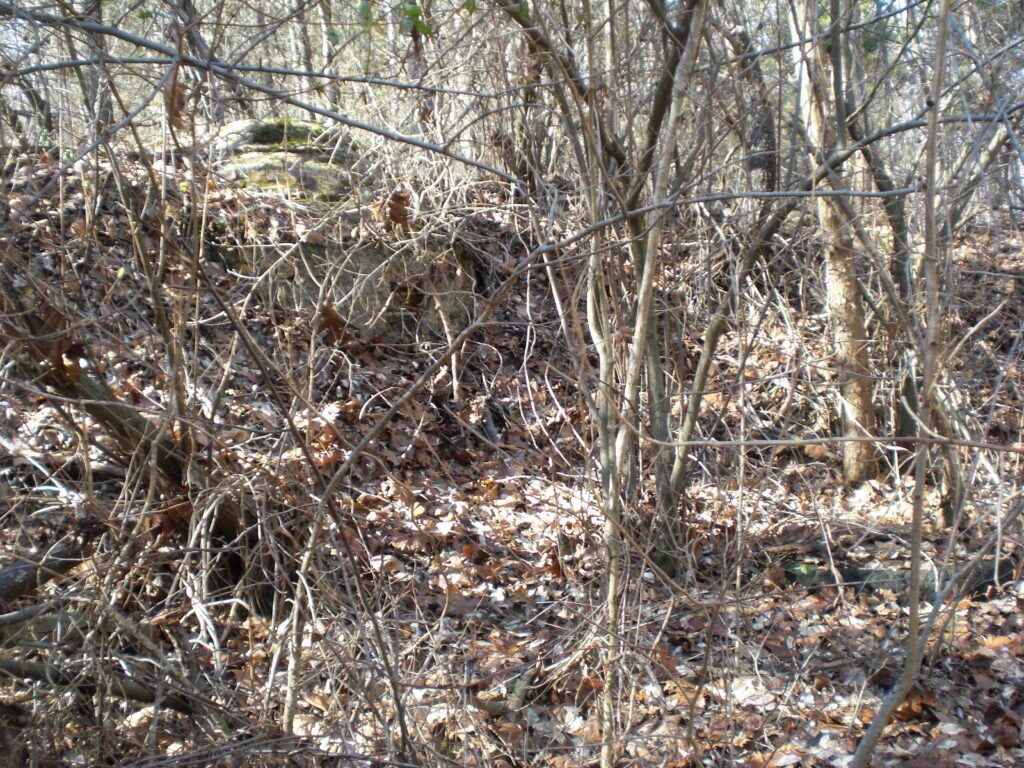
There are traces of an old road leading up the ridge to the South West. I followed it to the highest point but didn’t see anything else.
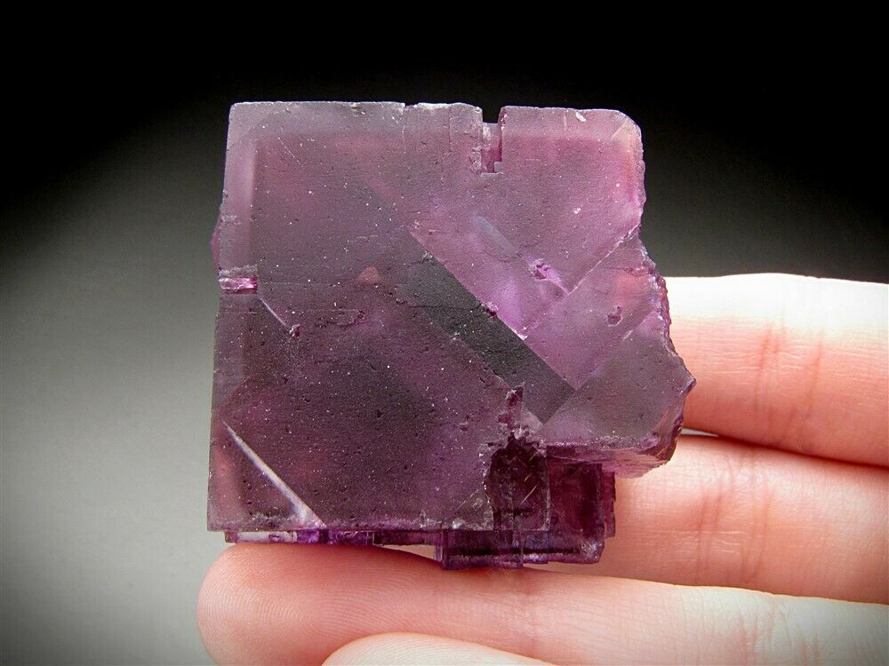
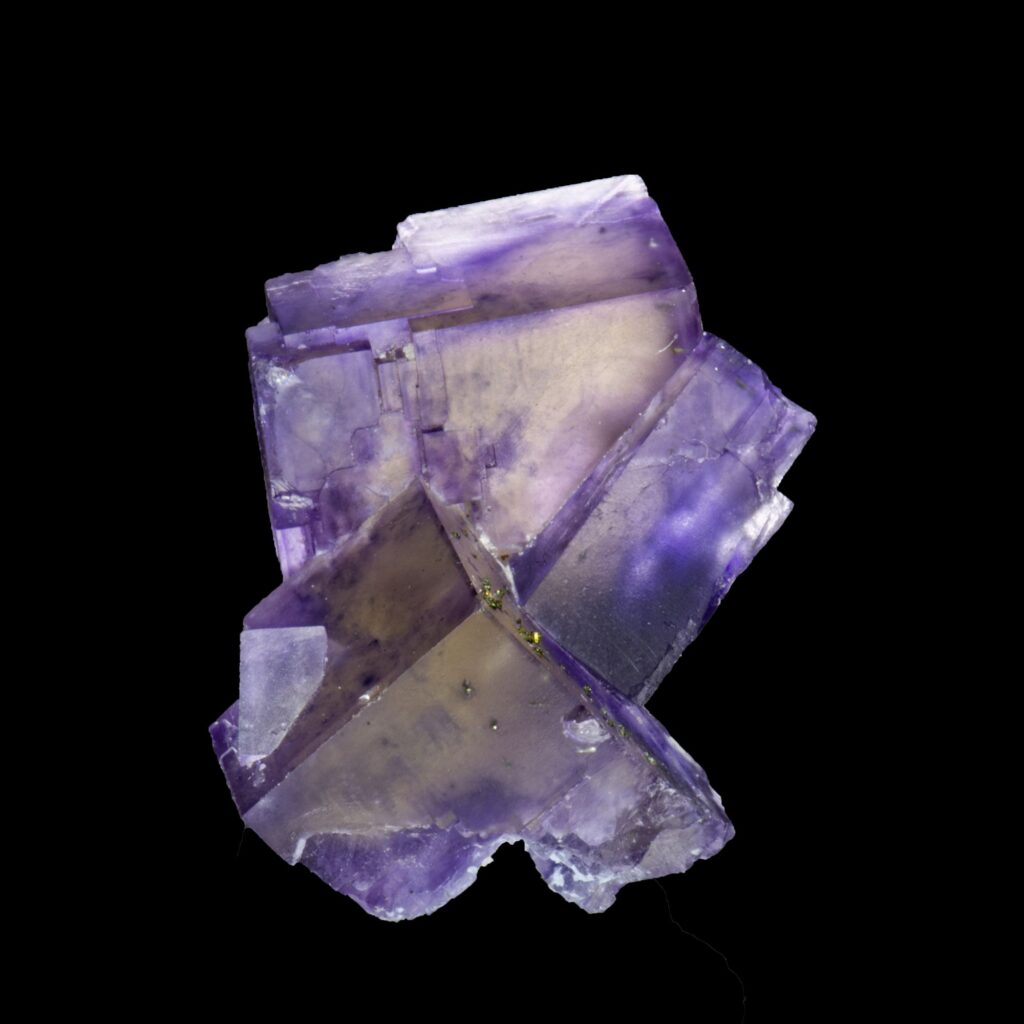
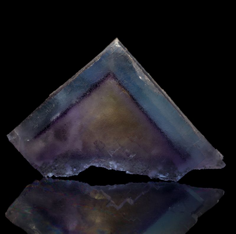
Lee mine was a fluorspar mine just like the Anna Bell Lee Mine still to be seen but closed in the mid ’90’s I believe. Lee Mine may have had a tall tipple just like the Annabell Lee you can still see North East of Lee Mine along Route 1.
I was going to post some Fluorite pictures from Lee Mine, but all I could find was a ton of photos from Annabelle Lee mine, but it is the same vein. The crystals vary wildly in looks even from the same mine.

Now for some sample photos of what they were after.