So my best friend and I decided to go on a bike trip to Kentucky Lake after the end of the school year in 1973. We decided to ride our bikes there and try fishing.
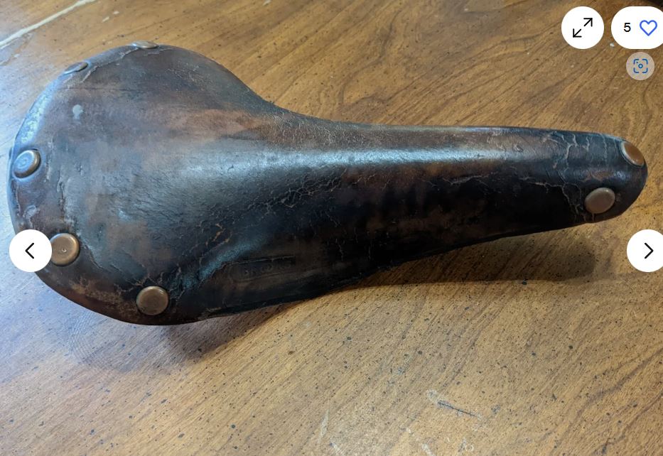
We both had new 10 speeds. His was a Sears Free Spirit. Mine was a Raliegh Grand Prix. My bike came with a huge behind the seat leather Brooks bag with a support attached to the seat post. I added a handlebar bag. His had a behind the seat bag that was a normal size. We both bought bicycle flags, We ditched the flags and put fishing poles in the flag mounts and tied the flags to the end of the poles.
We both had rat trap pedals with toe clips. That way on steep hills one foot could pull up while the other pushed down. That was about it aside for the one water bottle on each frame. We didn’t carry a lot of water. I think we just got some in every town. This was in the days before they started selling water in bottles. We both had head protection in the form of baseball hats. Bike helmets didn’t come out until 1975. I guess the flags didn’t protect your head enough.
I did this ride in either Blue Jeans or Blue Jean cutoffs. and tidy whites, I didn’t even know about anti chaffing salve and powder. What do you need that for? We had done a few practice rides of around 40 miles. No problems. My rear end had sort of gotten used to the hard as a wood block Brooks racing seat. I think Bobs had some amount of cushioning.


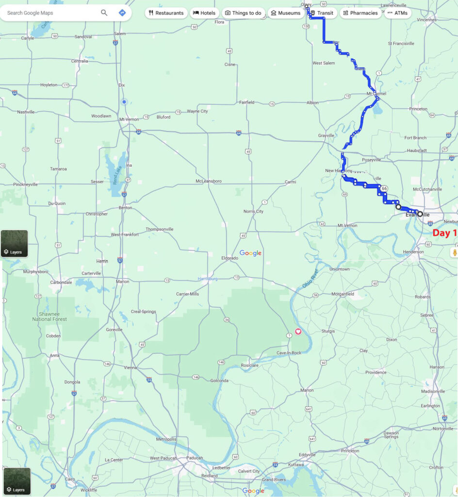
So we headed off from Orchard Heights by the back roads South and East towards Mt. Carmel.
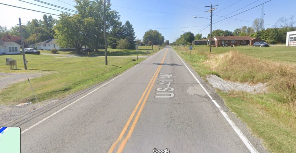
This is the first leg to New Harmony IN.

Bob says he thought we crossed the Wabash at New Harmony but I can’t see any road at all there and it won’t let me drag a track that way. We could have illegally on the Interstate shoulder (We did somewhere) But there aren’t even ramps. I’m going to show we crossed at Mt. Carmel the miles are practically the same. And it looks legal. It’s possible that there was another way to cross there 50 years ago.
From New Harmony we headed southeast towards Evansville and turned South,

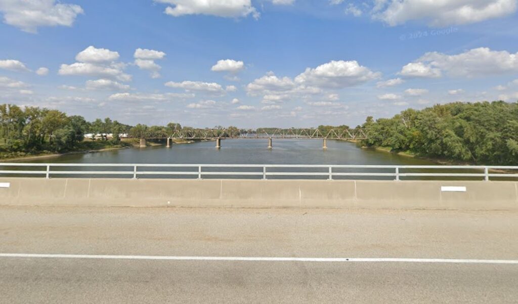
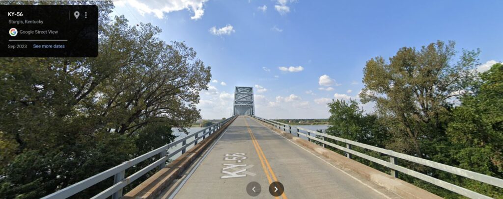
South of Evansville we finally Crossed the Ohio River.
We turned in to tonight’s campground at James Audubon Resort State Park. Tired, too much for the first day my rear end was yelling. I was just standing while coasting instead of sitting down. 100.8 miles. As far as camping went, we had a plastic tarp to string between the bikes and sleeping bags. Bob says we made fires a couple of times.

“I remember it rained while we were in KY. We only had a tarp for rain. So, some wet days and nights.
We tried to make the best of it, playing Put-Put at one park during the rain. That almost cost us everything when we were nearly hit by lightning, it hit a tree just a few feet from us. The guy running the put-put thought we got hit and came running out, but we had just stepped under his shelter. We did manage to make a fire one or two nights, but not that one.”-Bob
Day 2.
We headed out for Pennyrile Forrest Resort State Park. We were getting into real hills. I believe we were flying down one and Bob got off into the gravel and if you have ever drove a narrow tire bike into gravel you know how squirrely they can get. He wiped out and got chewed up some and one of his pedals was unusable! We had like 10 miles until the next decent size town. I remember it differently. I remember him struggling for 10 miles to pedal that bike with 1 pedal. I thought we found a Tool place that had a tool to take it off and he fixed it there. 50 years you know. Either way we got going again. I’ll bet he was right, He owned the bike!
“Those rural roads were very hilly. Slow Grinds up, long runs down. I recall the fall I took going fast down one hill.
I lost concentration and slipped off the edge of the pavement and fell over trying to pull it back. The fall chewed up my left shoulder and knee and bent my left peddle axel. It unscrewed and fell off when I tried to ride with it. I positioned it between some rocks and beat on it with another rock to straighten it, until it would turn. I screwed it back on, put first aid on my shoulder and knee and we continued. That bike and peddle continued to work, slightly bent upwards, until I sold the bike (after another fall), in a moving sale in 2013.”-Bob

Pennyrile State Resort Park. Day 2. 75.9 miles. 176.7 total

Day 3
This is the day we reach our goal! Kentucky Lake Dam! We get rolling and ride the 51 miles in about 2 Hours.
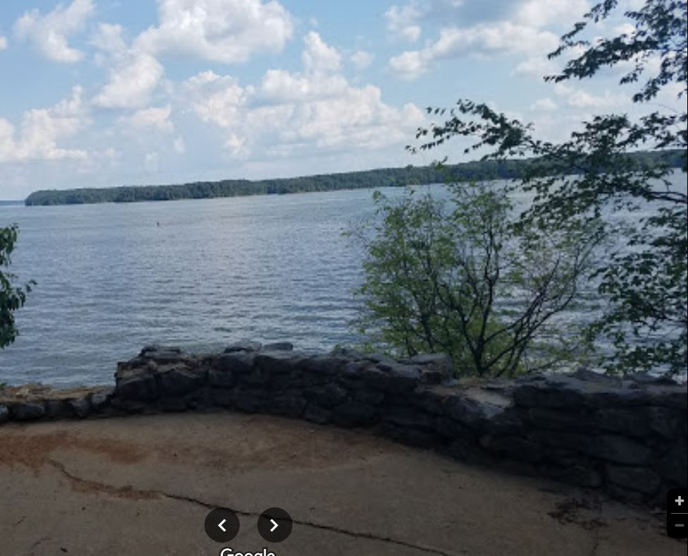
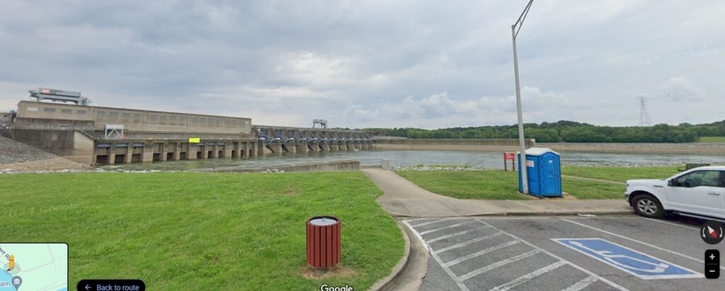
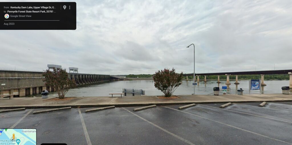
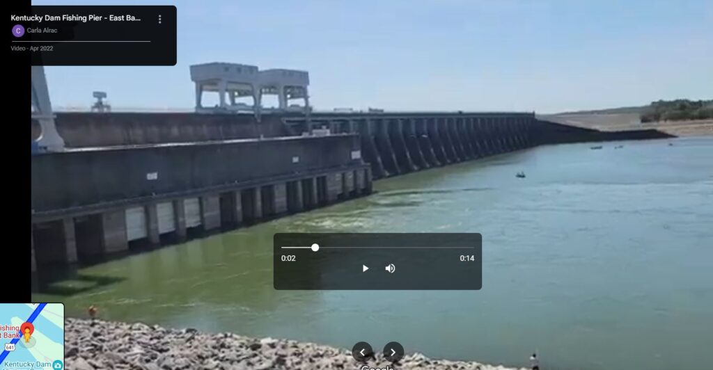
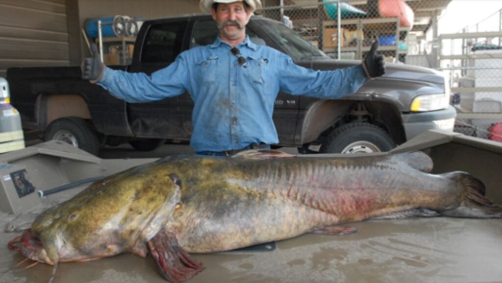
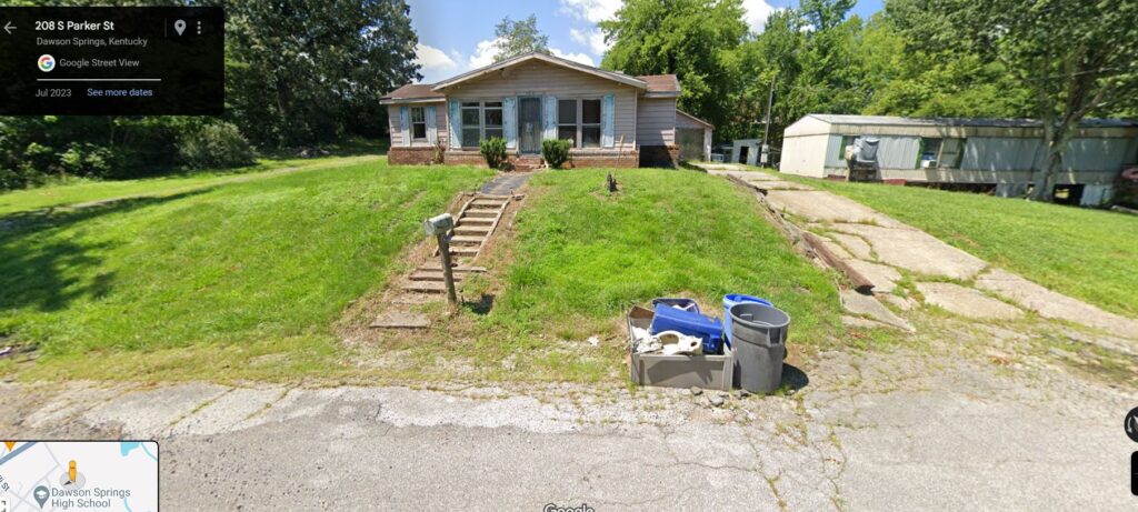
We spent maybe an hour there fishing. We never even got a bite. I saw pieces of fish in the lake like something chopped them up. There was this one HUGE catfish laying there that a guy caught. I have heard tales that some of the fish in there are bigger than people! I think we were a little anxious about leaving our bikes unattended. After a little sightseeing we got back on the road and headed for Dawson Springs. (Where my sister lives now by a coincidence but in the country around it.)
There are a lot of campgrounds in the Land Between the Lakes area. I don’t know which one we stayed at but it was pretty close to Dawson springs. That was the place we ended the 3rd Day at. A longish day at 98.8 miles. We were actually getting pretty stout, the miles were coming easier.
We headed north with pretty high goals and feeling our oats. Today was a straight shot home. We were getting low on money and food. (Not to mention clean clothes)

“Lots of green hills on country roads, quiet and beautiful. Not much traffic as we stayed on the smallest roads.
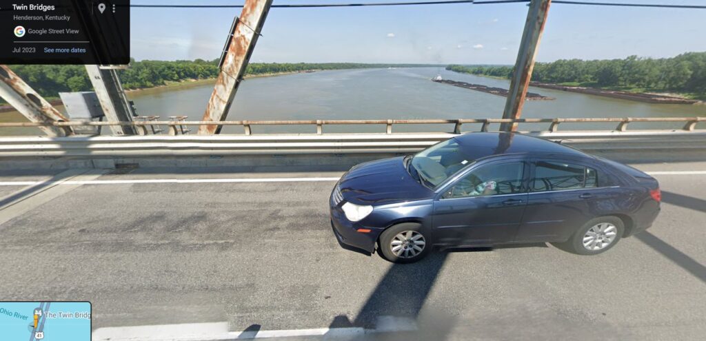
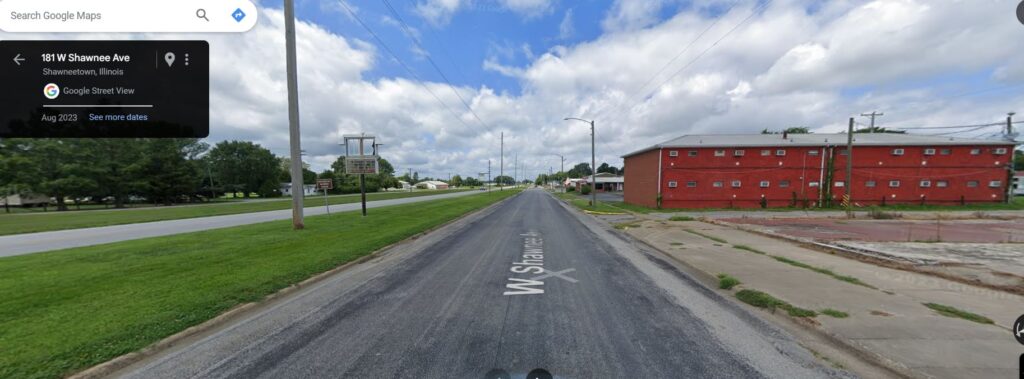
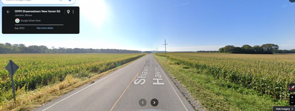
We came back through So. Ill. But I’m not sure where we crossed the Ohio again? Shawnee Town maybe.
We were getting low on food, clothes, batteries, and money by then. Lots of places to camp in So. IL.”-Bob
One thing I remember was leaving Dawson Springs on a direct route home. I’m sure we crossed at Old Shawnee town.
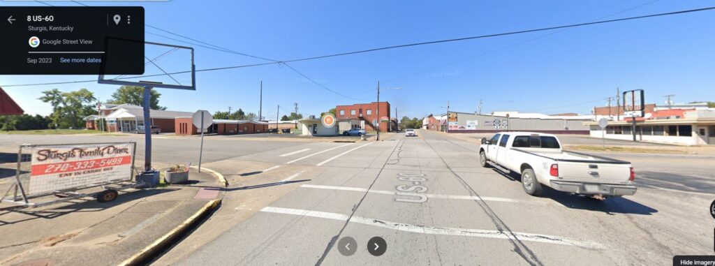
We went right through Sturgis. I’m thinking if they want to perk it up a little, how about having bike week for bicycles?
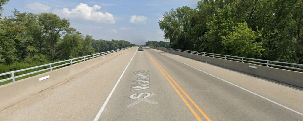
Crossing the Ohio at Shawneetown Back in Illinois!
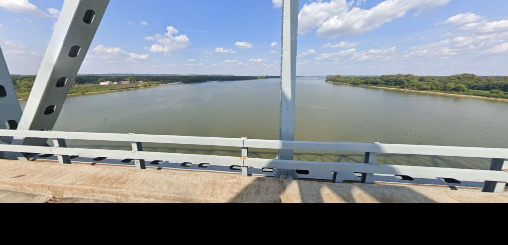
The Ohio
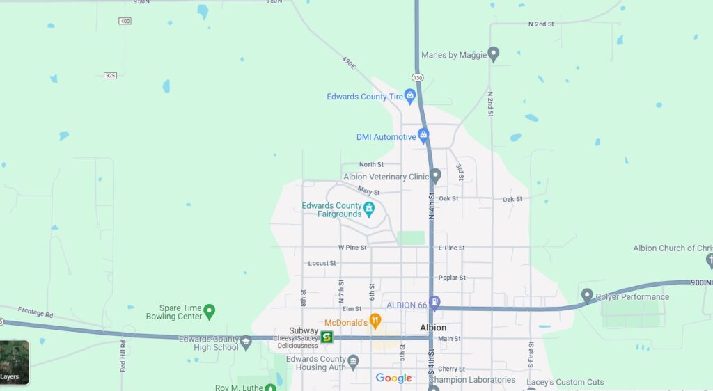
We pedaled and pedaled. We were out of the big hills and a chance of a real bed. It got dark and we turned our lights on. But they were just yellow by the time we got to Albion. 25 miles short. Bob called his dad who offered to come and get us. Would you have taken him up on it? We didn’t either. We pulled into the local fairgrounds and slept near a Pavillion.
Day 4 111miles. 386.5 Total

Day 5 the finish.
We were awakened with headlights in the face from about 4ft away. It was just getting light. They were going to have some kind of Chowder Cook off and we had to move so they could set up. We got ourselves packed up and on the road again.
We may have pedaled the rest of the way on 130, or we have pedaled it on a nearby side road like I have shown. The miles are about the same. I don’t remember riding through town. I’m Pretty sure we went around on Radio Tower road past AMF. Then into Orchard Heights.
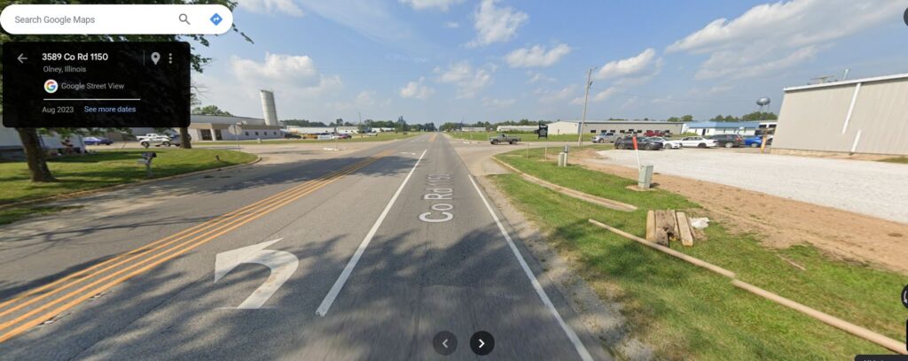
Heading back into Orchard Heights.

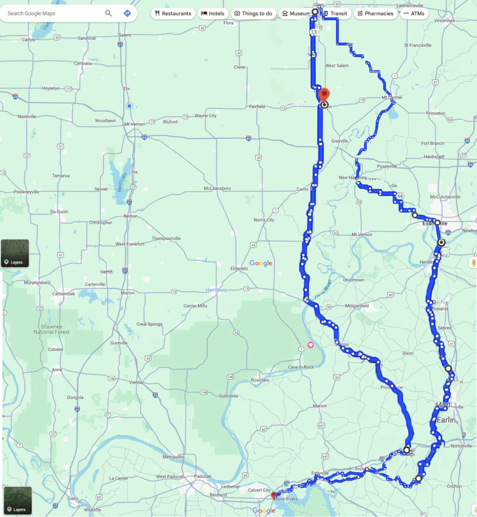
Day 5 27.2 Miles 413.7 Total
Bob remembers that I went home and slept. a Lot. I’m thinking it took me a long time to unpack. I doubt I used that awful seat much longer. Made to race not ride. I was about 125 lbs. then. I think Bob was skinny too.
I thought we would do another long ride sometime. There was never any fanfare, at my house, just you are back. I never even thought about writing this down. I don’t think Bob did either. I left home not long after Graduating the next year and I had a job at AMF and lived in Flora. I ran around with a new group of really dear friends in Flora. Bob and I went separate ways the way people do.
But that bike trip was THE bike trip. I think that is why I held onto it all these years after I wore it out and all these life changes. It was my link to that special time in my life.
“Thanks for doing that trip with me. I believe you were 16 and I was 14 yrs. old. We were fearless. Take care of yourself old friend.”-Bob
Take Care too Bob! It’s been great to hear from you again!
Ok, the most ironic thing about the whole trip. Dead serious this really happened. There was a story that popped up in the Olney Daily Mail that week when we got back. Seems that one of my classmates, “Alias Smith” with the sponsorship of Jones Bike Shop went on a “Grueling” bike ride followed by a chase van all the way to Vincennes IN a 43.1 mile ride. We did have a chuckle over that.