River to River Trail and Shawnee Forest Exploration
River to River Trail Hike
Reddick Hollow (new)

Reddick Hollow (new)

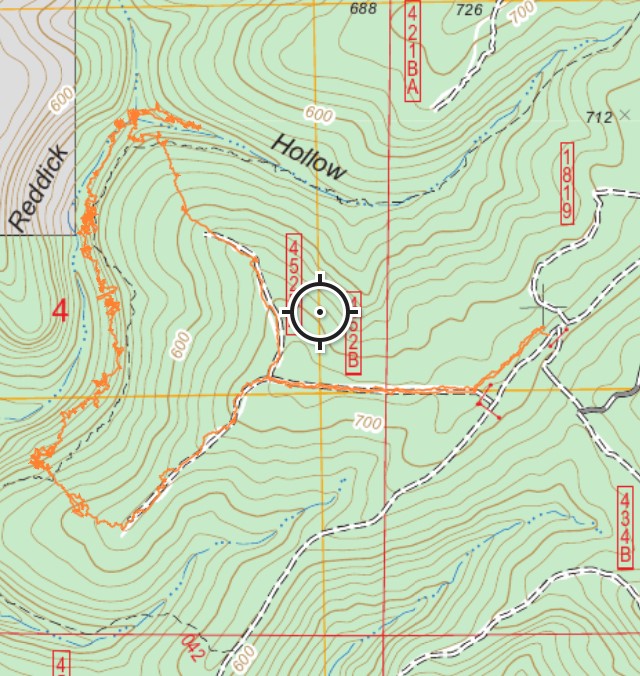
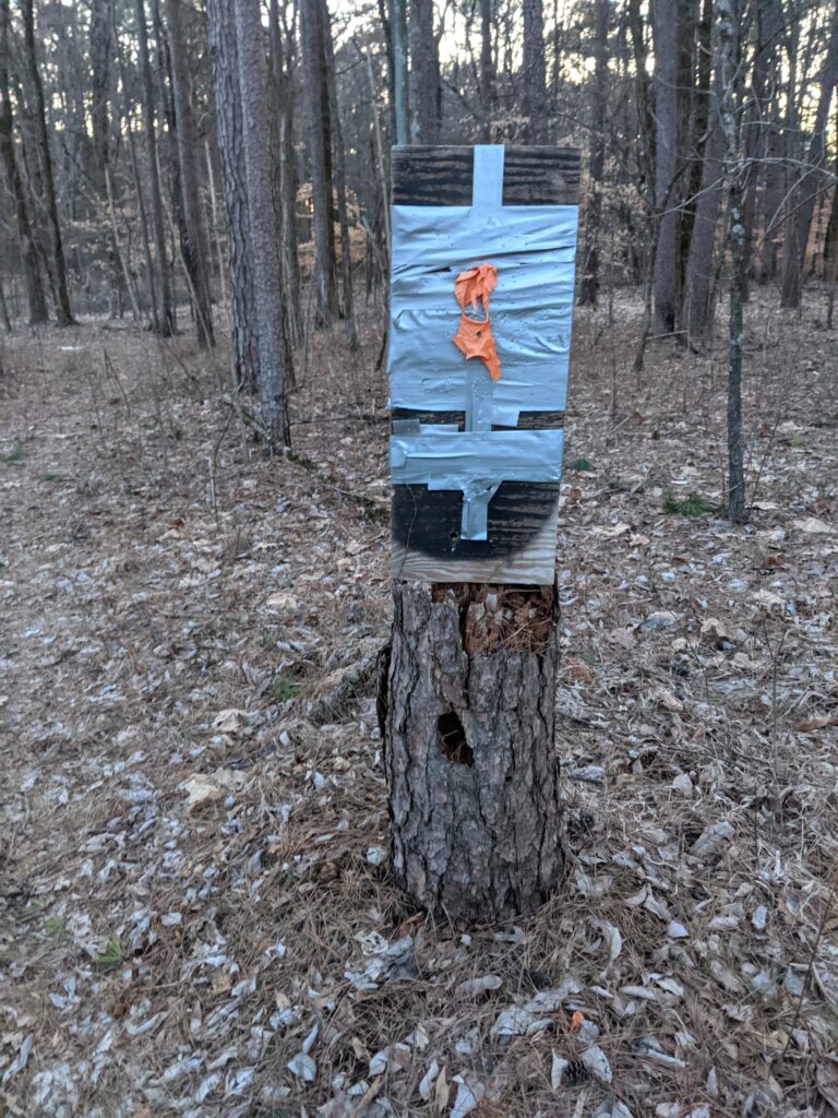
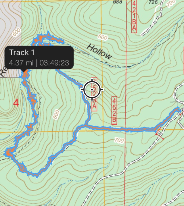
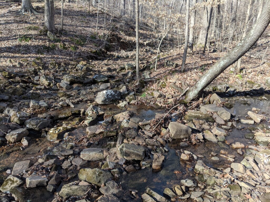
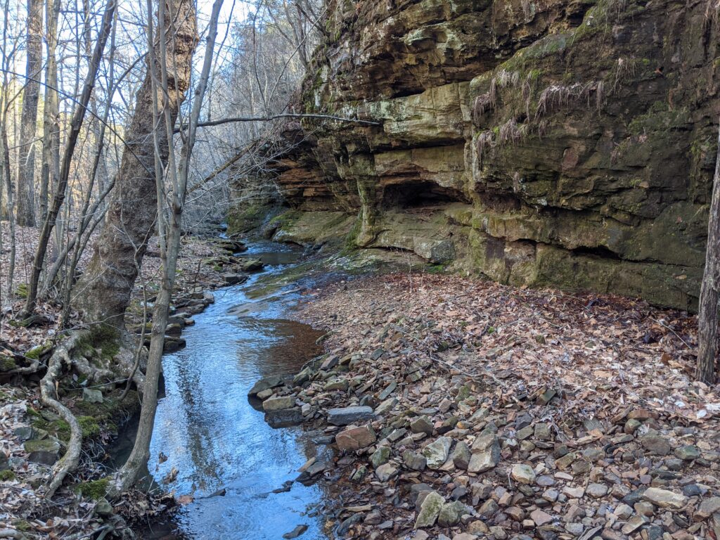
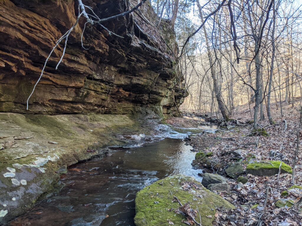
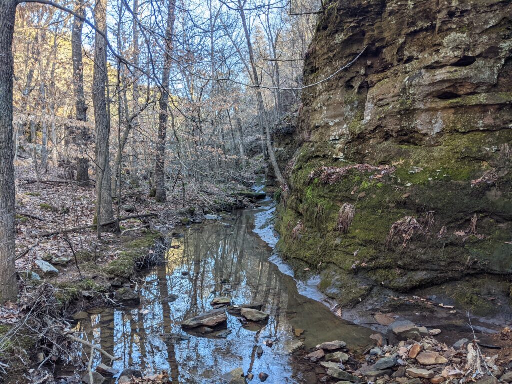
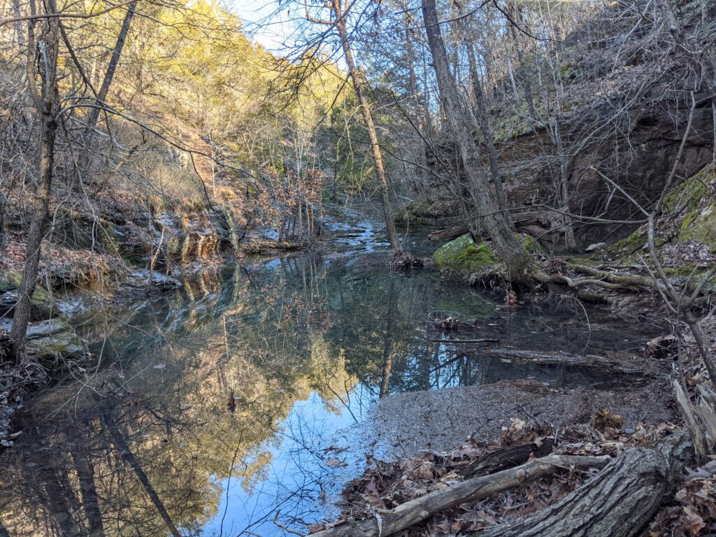
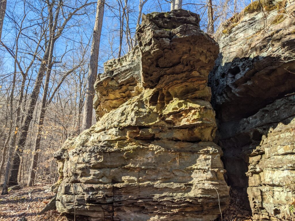
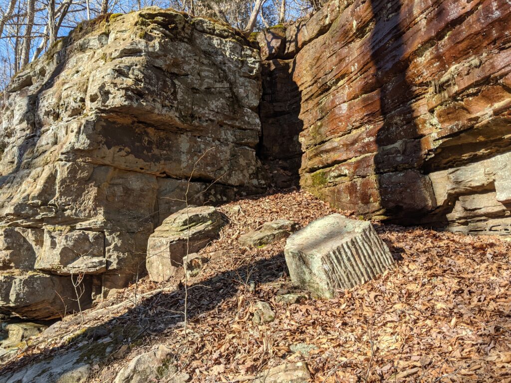
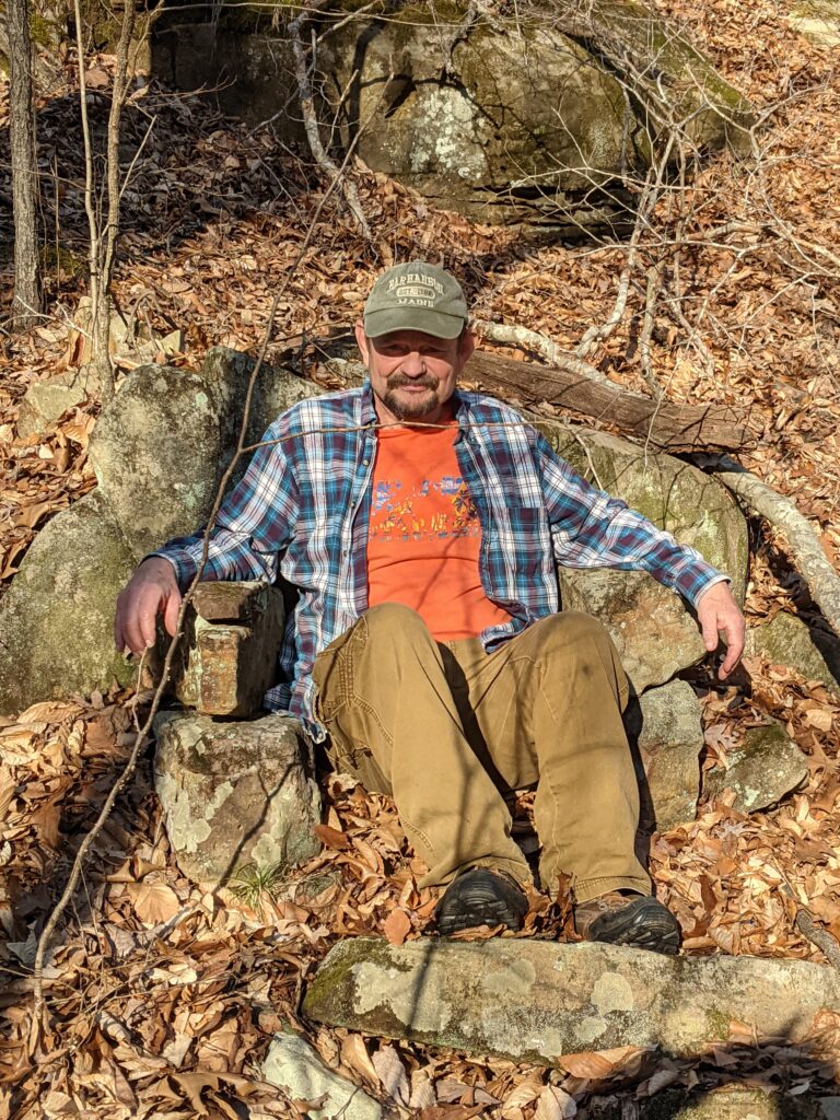
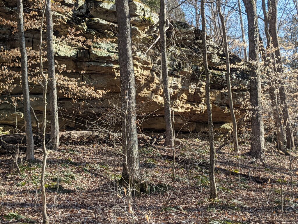
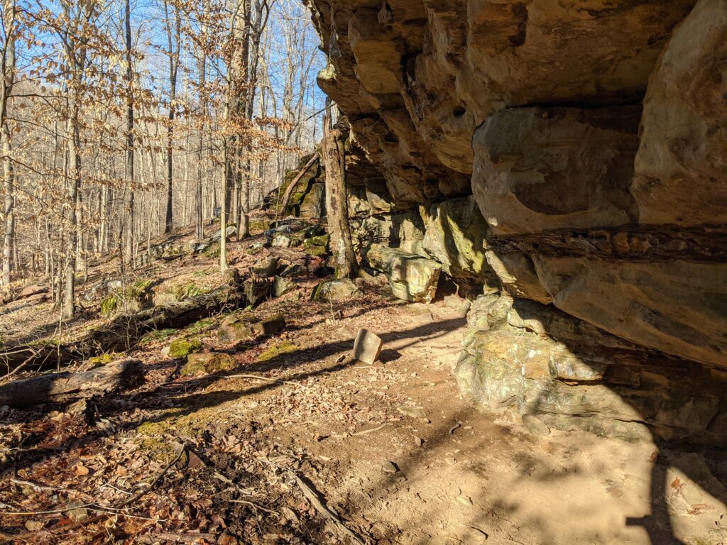
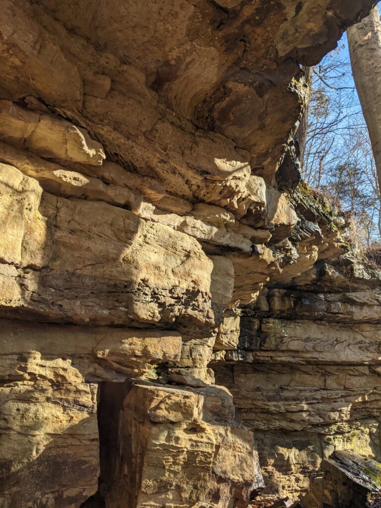
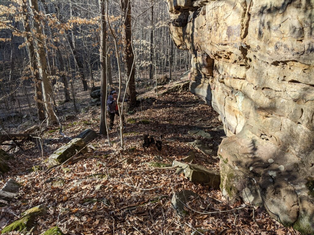
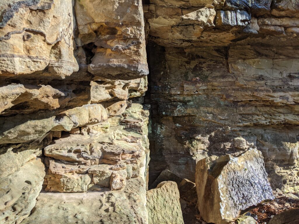
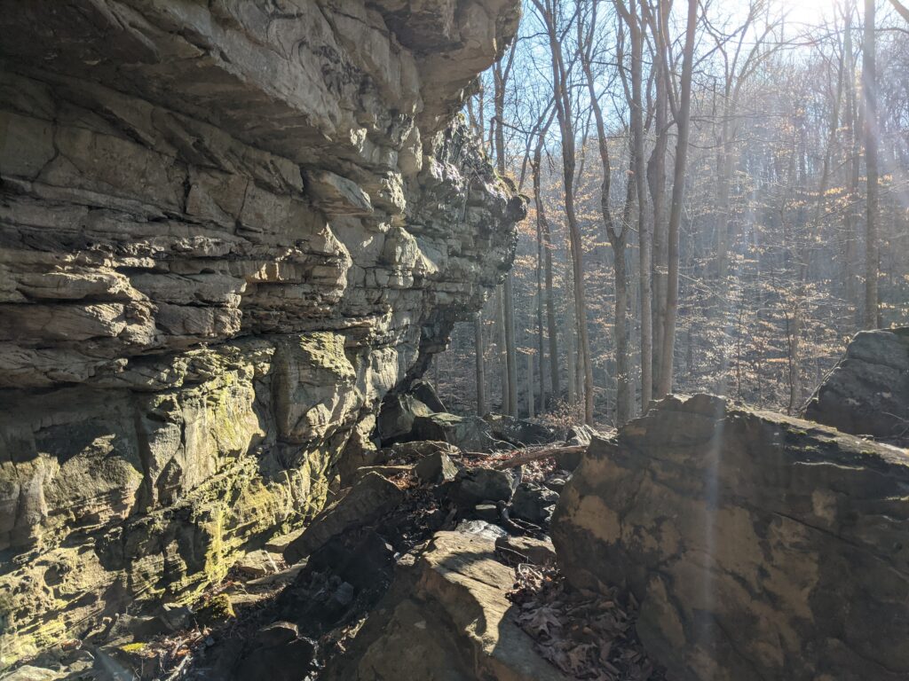
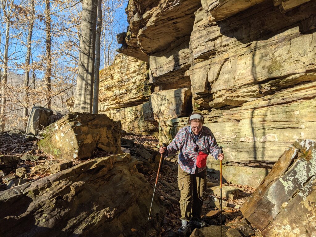
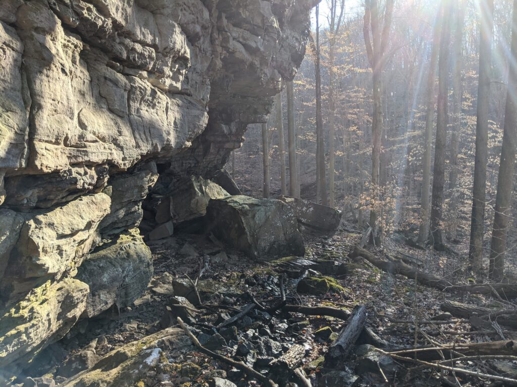
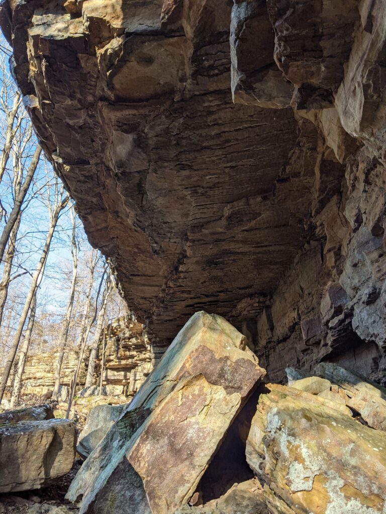
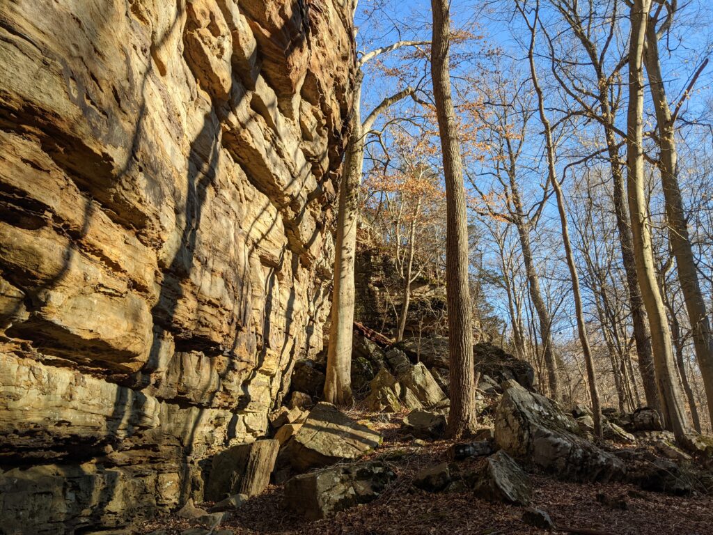
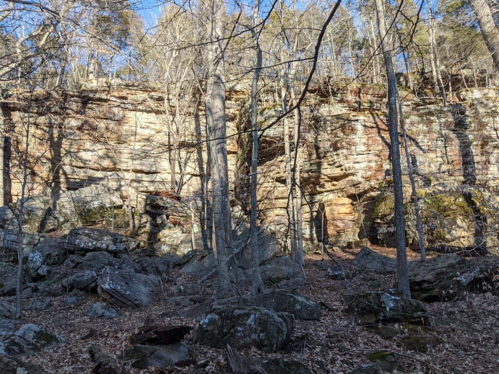
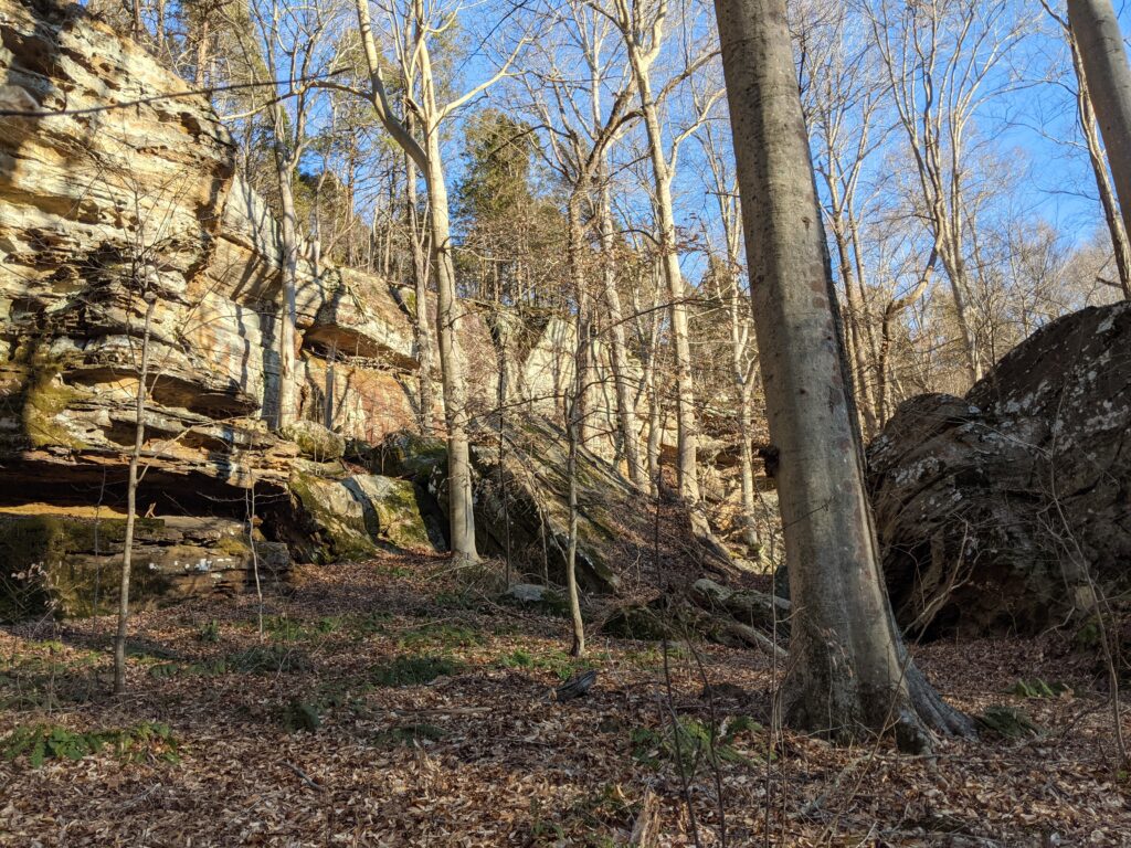
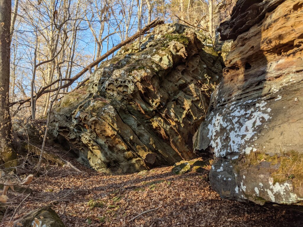
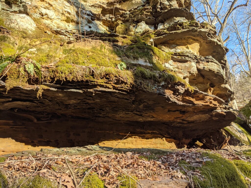
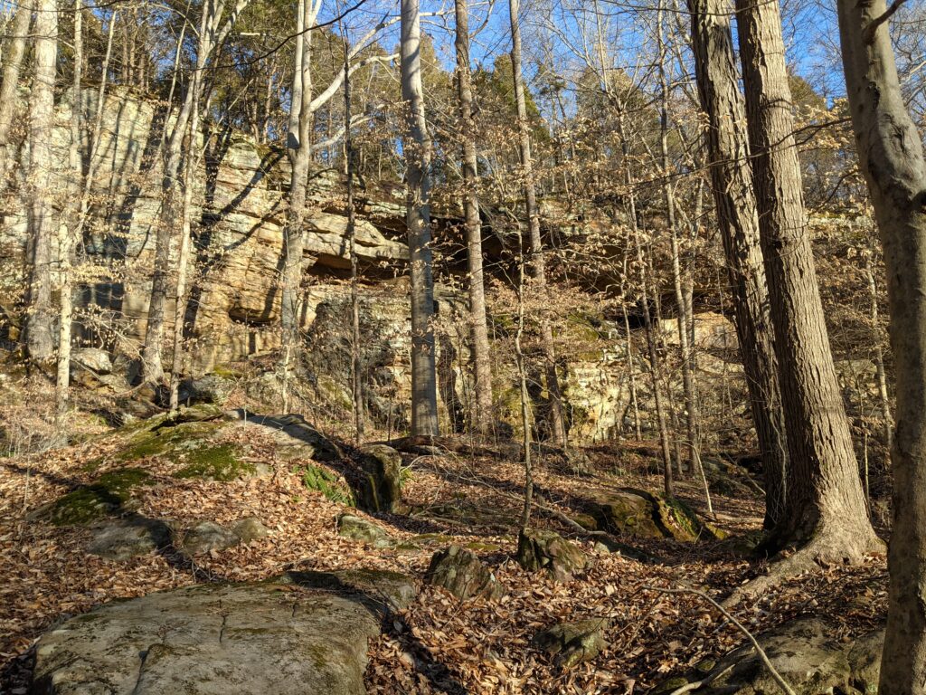
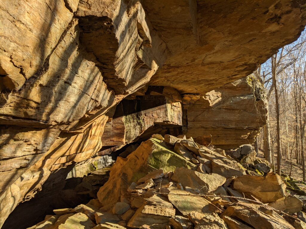
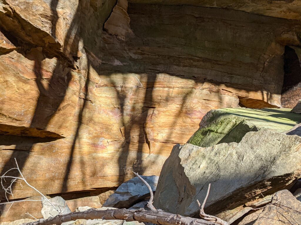
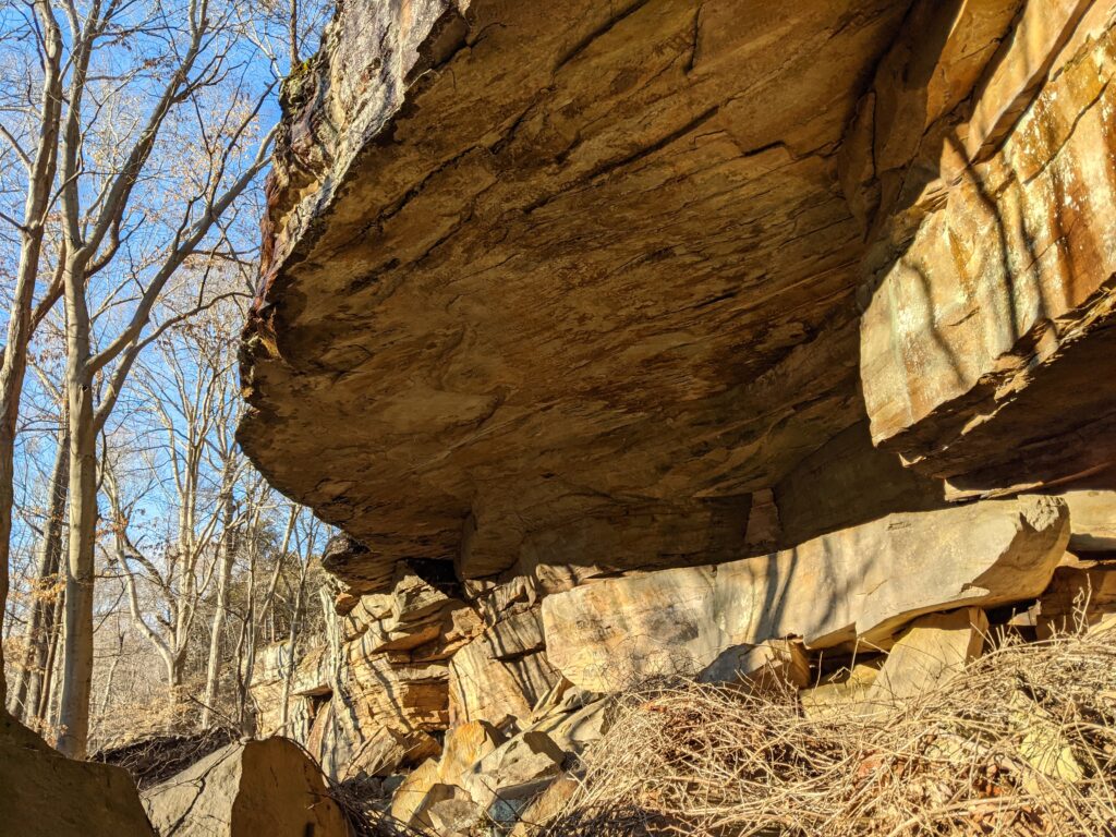
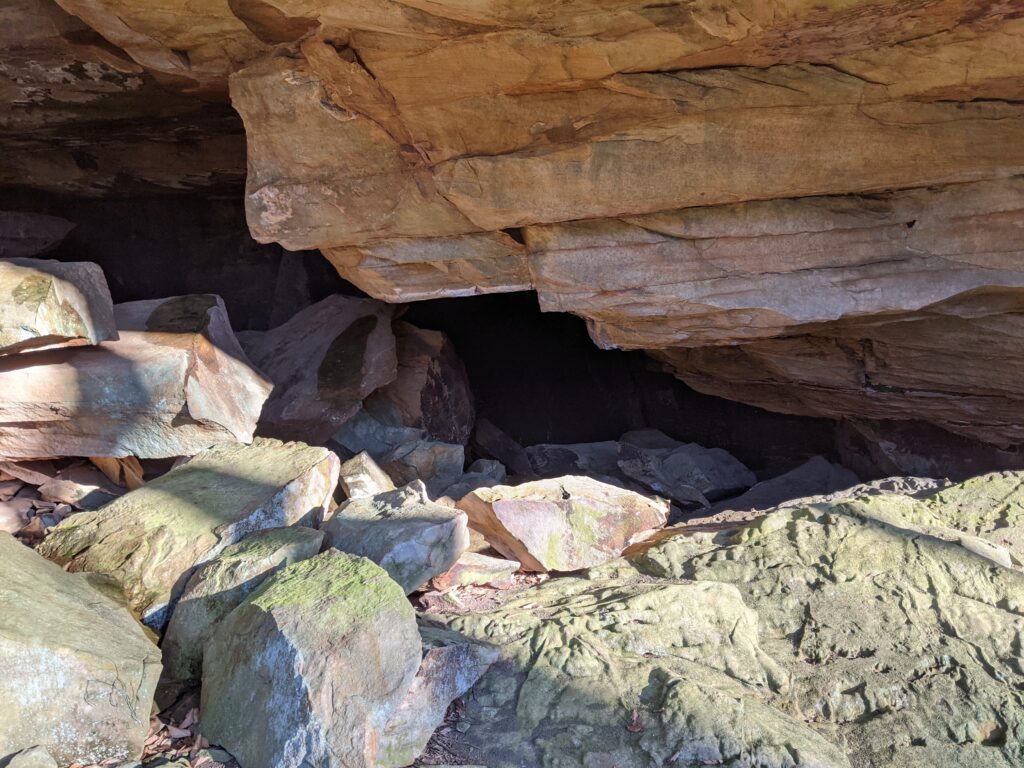
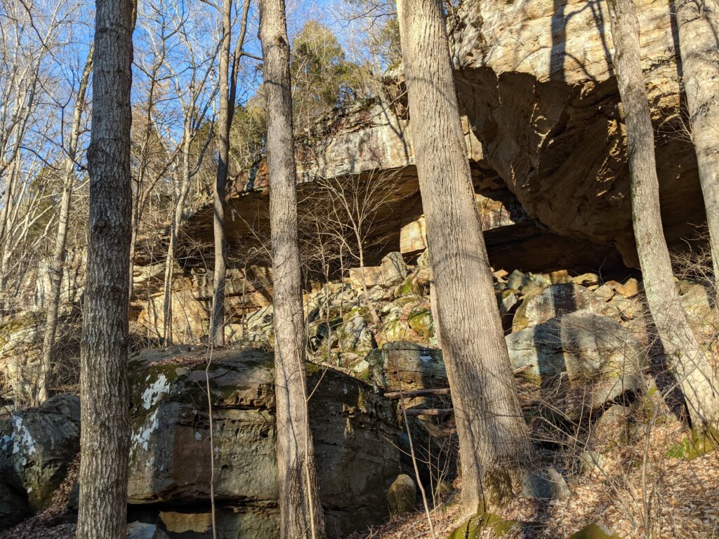
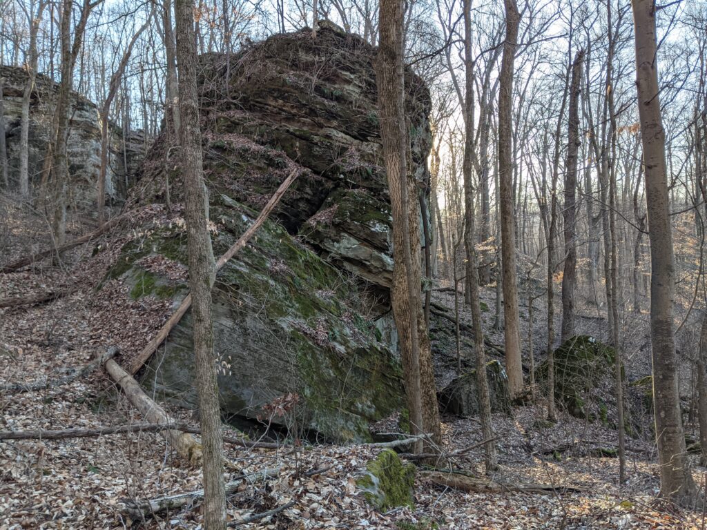
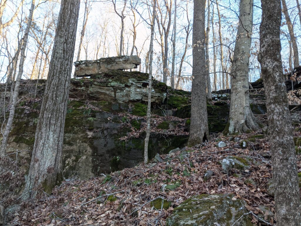
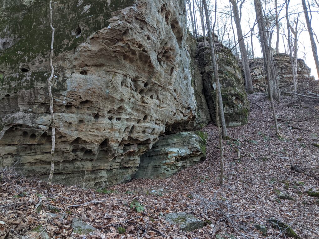
We recently went to Reddick Hollow, a GREAT bluff to see! There are no marked trails but there are old road beds and following the bluff base is decent. There is some Bushwhacking and a GPS or at the very least a compass is very reassuring.

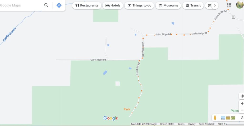
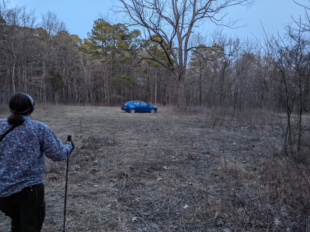
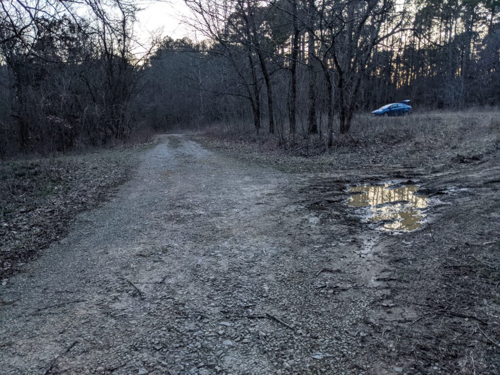
The Forest Service road is graveled but very rough in places. When you get to the parking area, it is just a mowed square. I drove it with our small Ford Festiva without dragging but it’s about the limit of small car roads. It isn’t mud but don’t try going any further than the parking area.

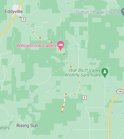
Directions: From Eddyville, take route 5 South East past Sulpher Springs Missionary Baptish Church to Gullet Ridge Road. It will be on the right just as the road curves left. Follow Gullet Ridge Road as shown on the map. The Forest road is left just as the road turns right.

Take the trail at the post West.

You will come to an old road bed, take it right. There is a gate to the left.
Follow the faint roadbed it will sort of fizzel out as it goes downhill. You will get to the top of the bluff. Follow it to the West and you will get to an incline down which is where I think the old road used to go. If you want you can follow the creek to the right until you get to a box canyon where you can’t go any further. Then go back and continue along the creek then the base of the bluff.
This Box canyon is as far as I went to the East.
Fossil?
Trying out a rock recliner.
The Bluffs get Bigger heading West
Hiking with my wife. We went slow over the rocks creeks. Better safe than sorry.
Pretty rough ground in places, use your own judgement.
We were getting a lot of drips from the overhangs!
A wall as far as the eye can see. We started late and instead of continuing around the rest of the base we started looking for a way up.
There is an odd balanced rock on top next to a ramp. You can take it to the top.
At the top you turn slightly left and continue to the top of the ridge then follow the ridge. It’s fairly grown up but soon thins out to at least reasonable. Follow the old roadbed and you will be back at the T you went right at on the way in. Go right. When you get to the intersection with the gate to the right go left and you will soon be back.
The parking area is a circle. We went in and out the next entrance, this was pretty wet. It was also getting dark which is why we didn’t continue around the bluff. There is a black hashmarked line around the bluff on the avenza map. This was a trail around the top of the bluffs at some time. Just a memory now.