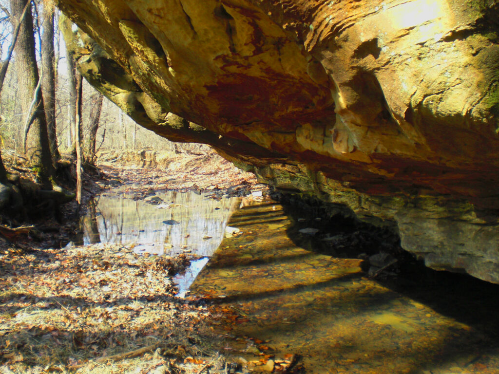
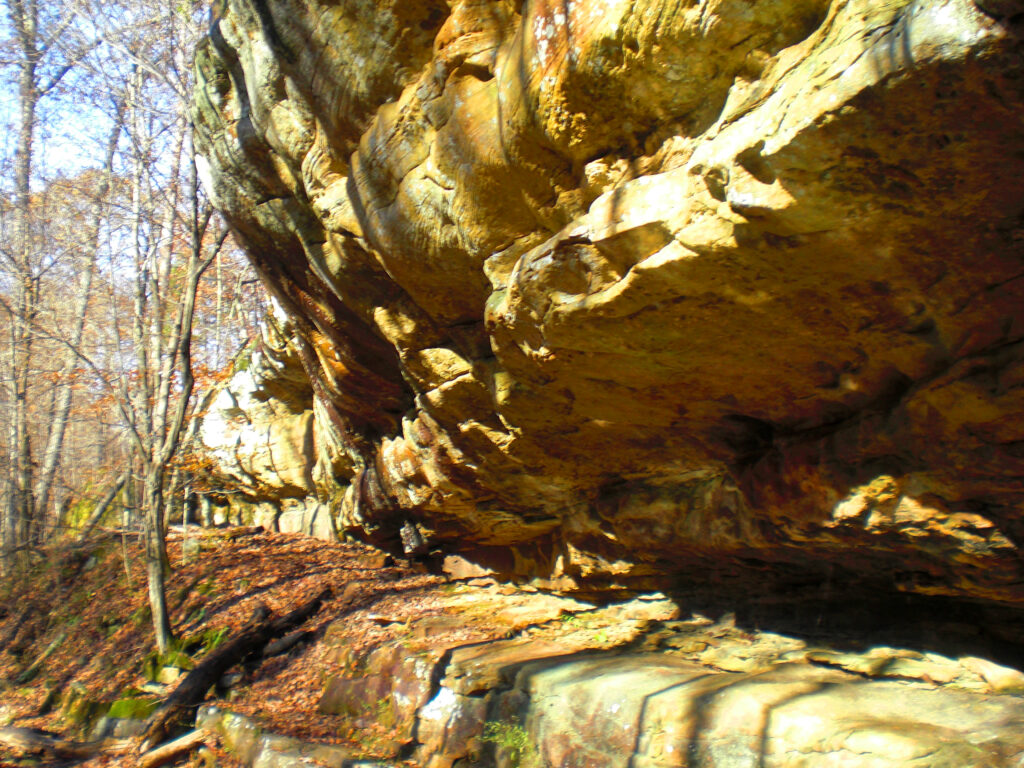
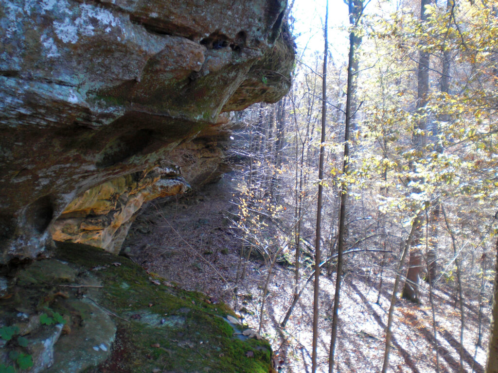
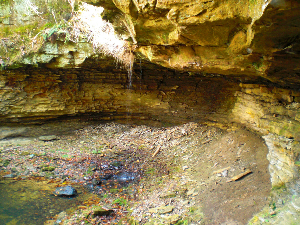
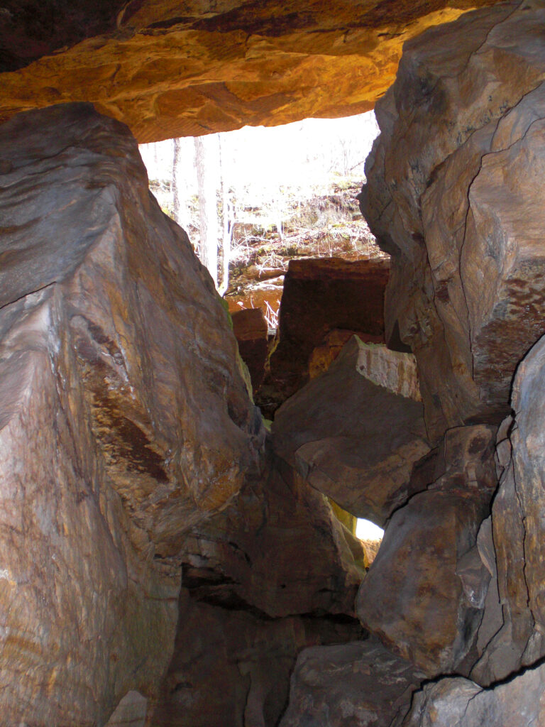
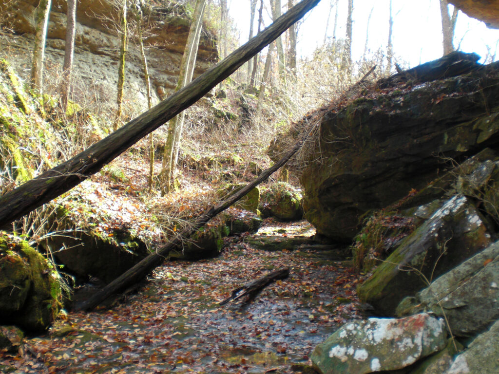
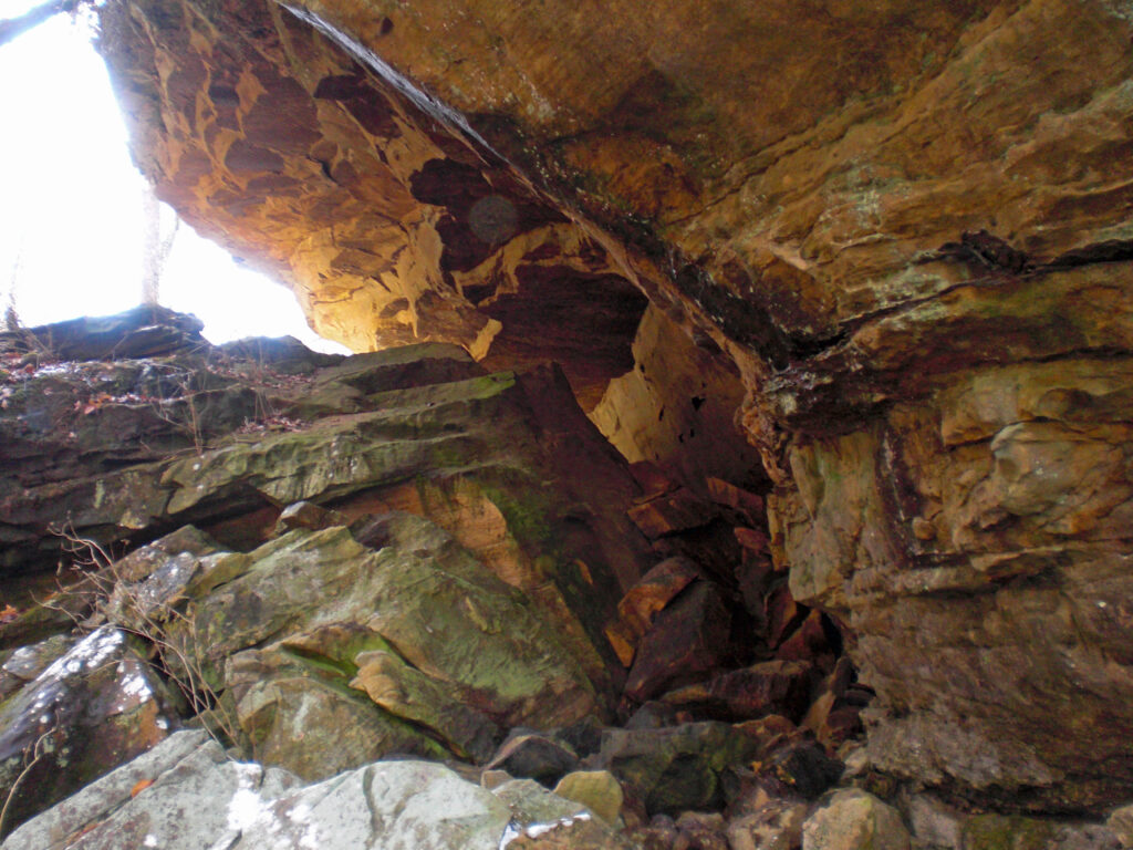
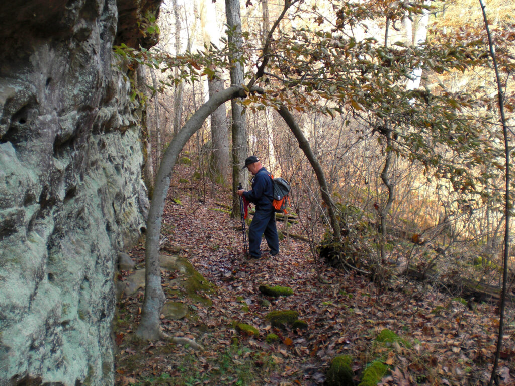
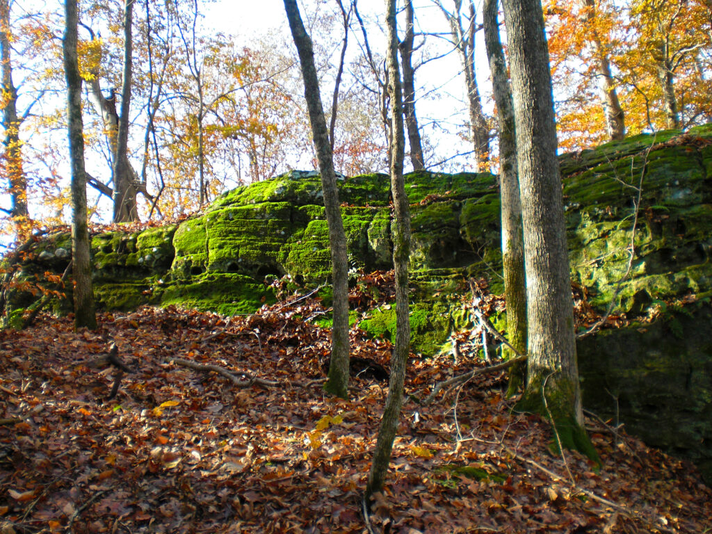
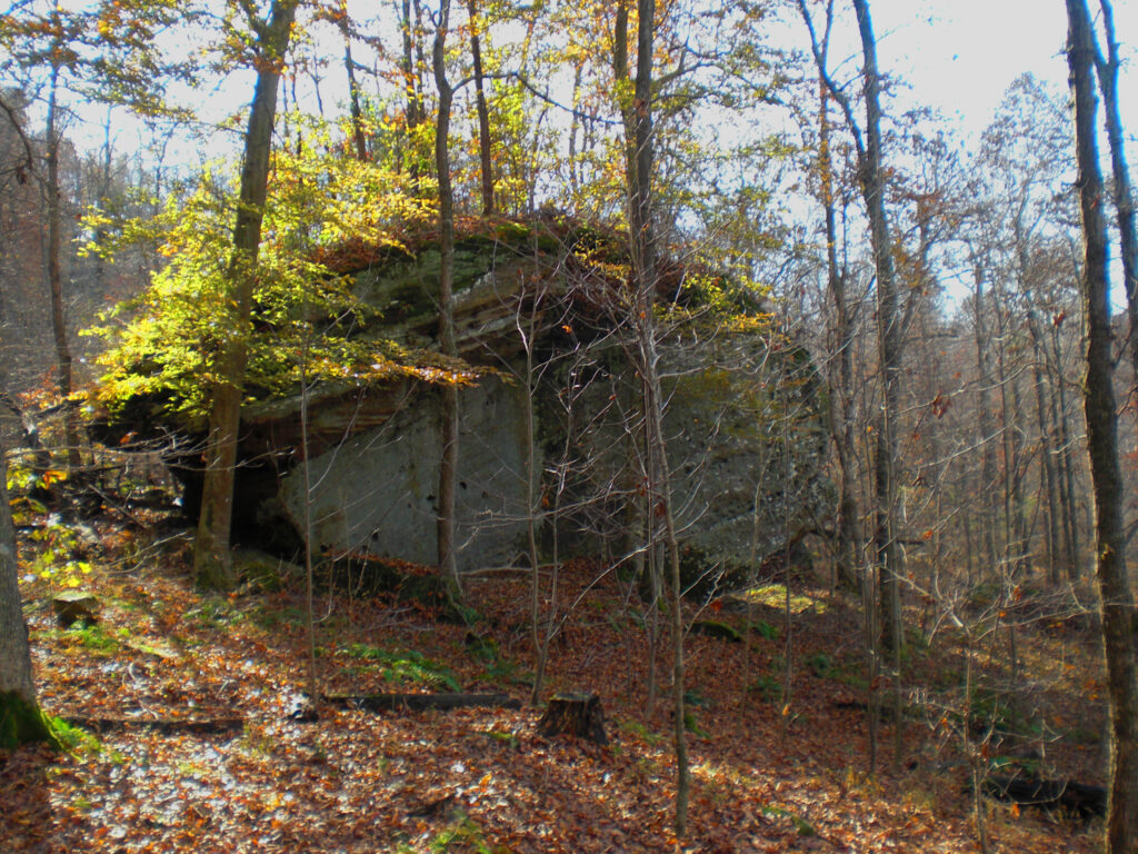
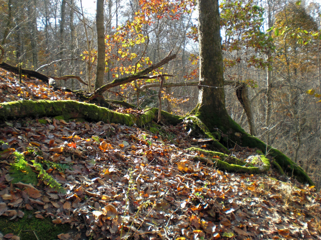
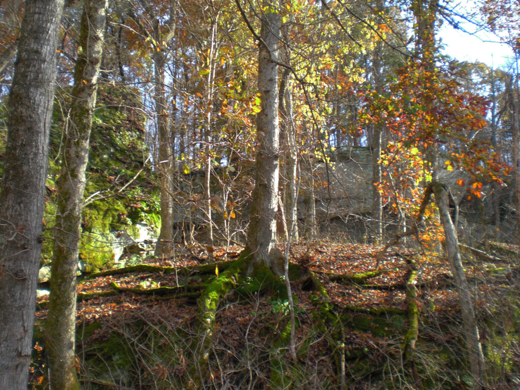
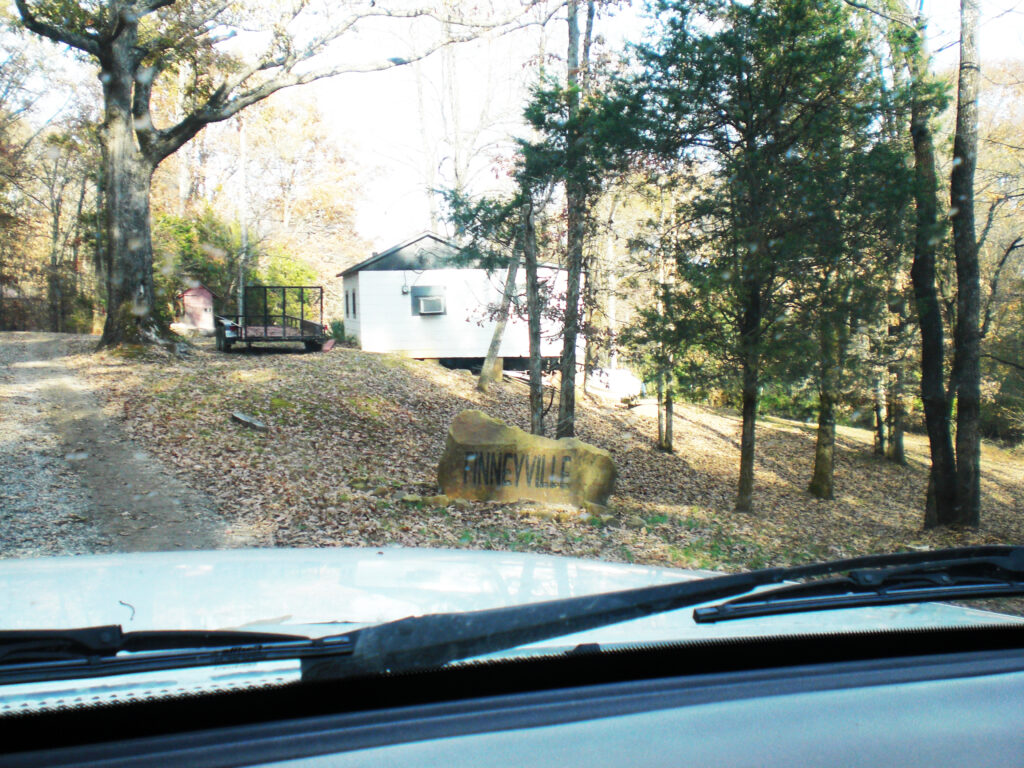
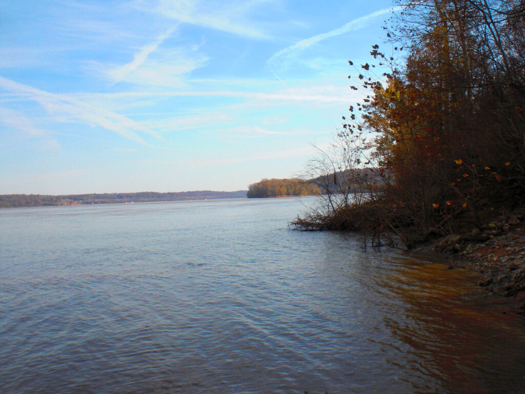
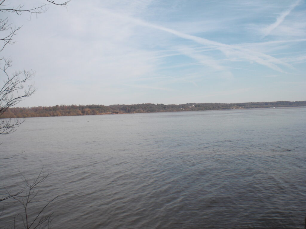
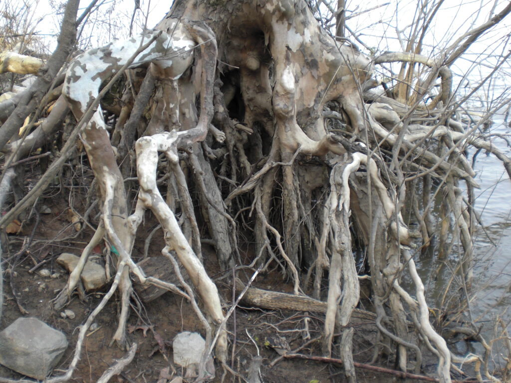
We headed down to Panther Hollow again to explore more of the great area there. The boundaries are hard to spot and not marked. It is best to go in on the forest road at the south end of Finneyville road and follow the bluffline East until the Panther Hollow canyon then go North on the East side of Cane Creek There is a big square of private land around a mile square to go around. It is also private land along Tuckerhill road except for a tiny spot that you won’t be sure of and the landowners will dispute, so just play it safe and enter from the South, besides, it it easier. This is My 3rd trip, Don’s second. He really enjoyed the area and always said yes when I called him to see if he wanted to go. He was a great hiking partner and is missed. I’m going to post all the photos full sized from now on. No reason why not to. I didn’t include photos of the bluffs and caves we passed that I already had posted of trips 1 and 2. It’s a great hike, but no trails. No horses either in Panther Hollow, hikers only,
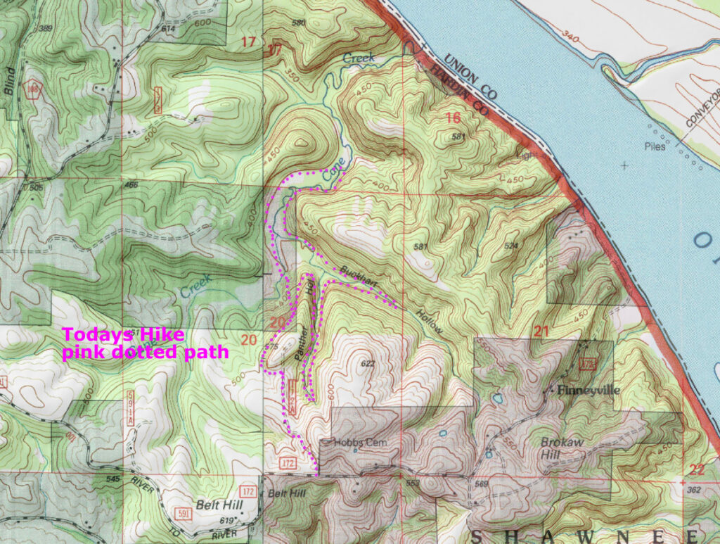
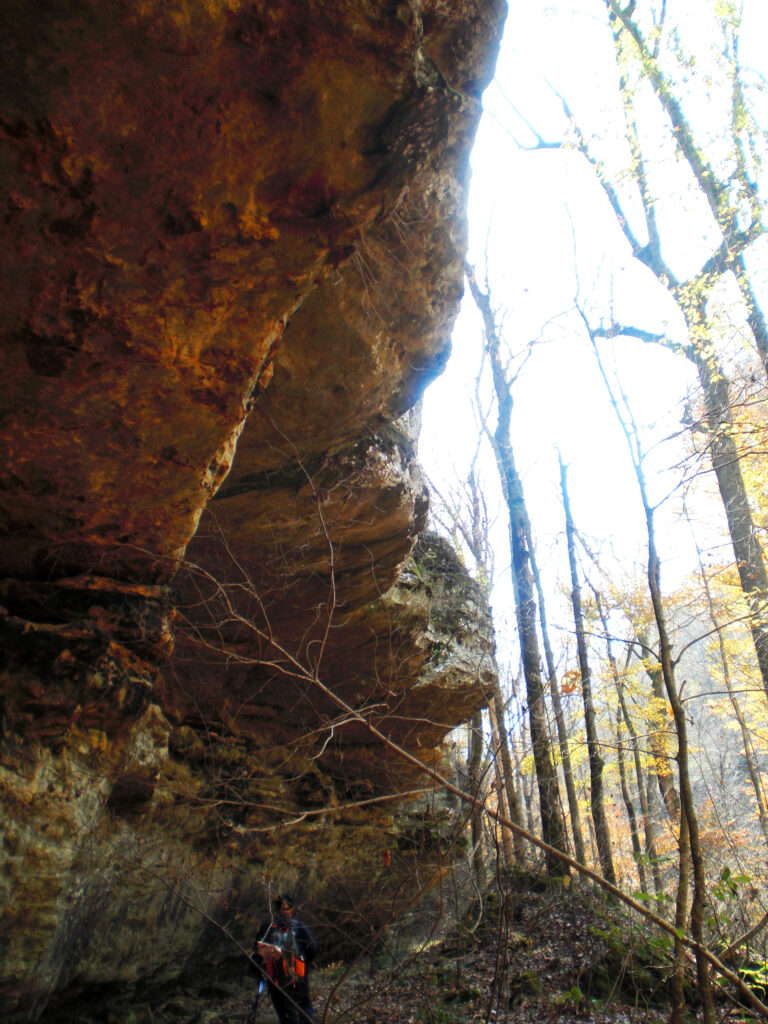
The darker areas are private. By this map we were in private property Halfway up. In practice the F.S.boundary markers as sparse as they are, are on the West side of the creek for that mile, or right at the creek. The right side is easier hiking so probably best to hike that side until you are about mid valley in front of the North Bluff. That high round knob to the West side of where we turned around isn’t that impressive in real life, but is on public land.