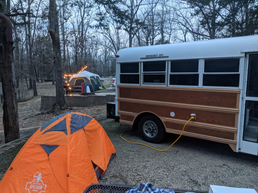
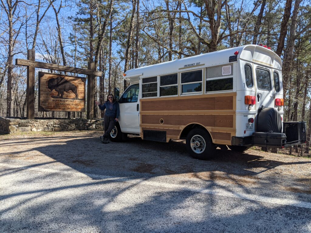
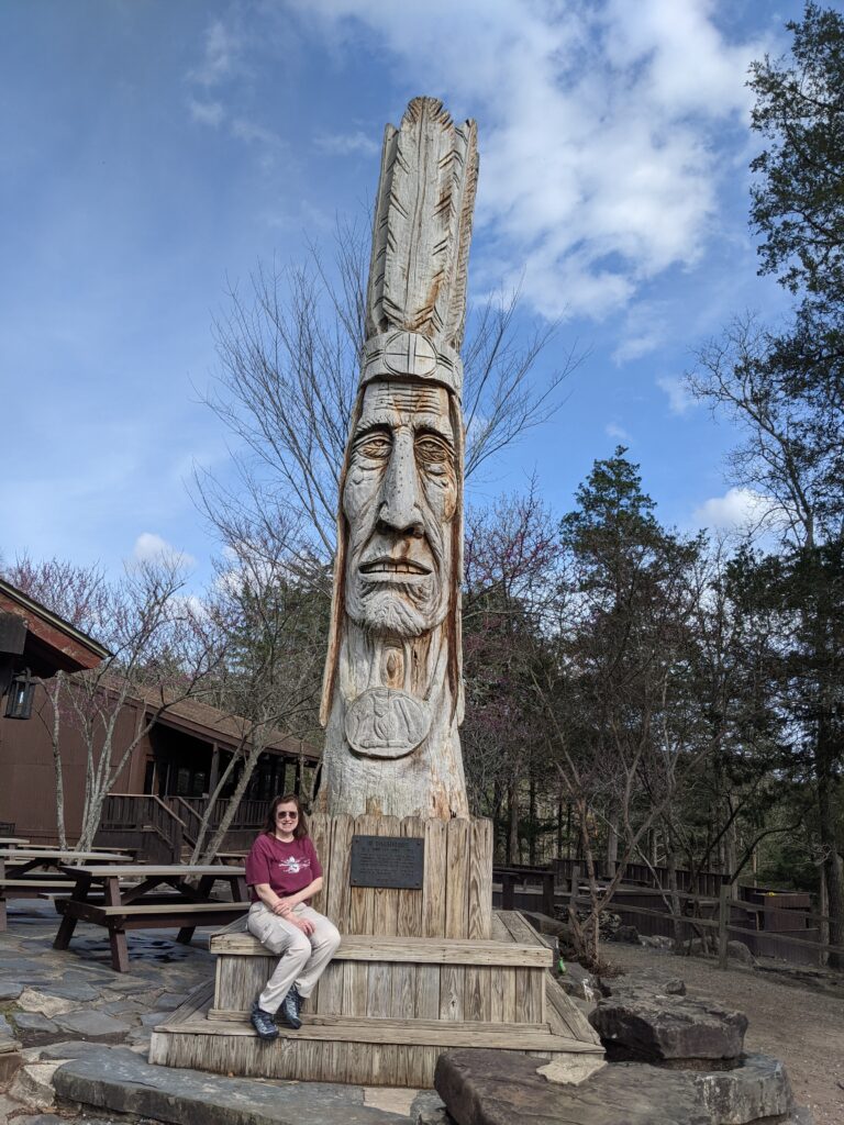
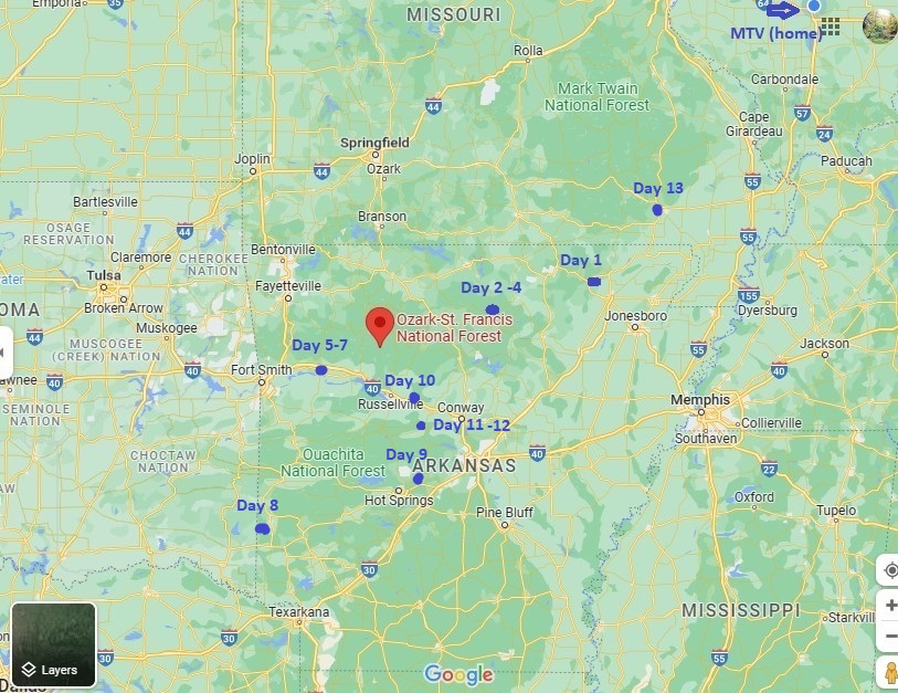
First real trip. We spent 13 days driving mostly around Arkansas starting March 15 and getting home the 28th. We bought it about a year ago and worked hard to get it converted to an RV and pass the requirements in IL. to get the RV Plates. That’s enough about building it, lets see what we saw!
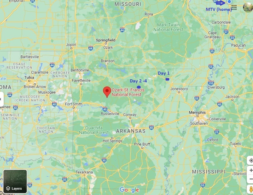
Day 1. We left Mt. Vernon IL and South through Davidsonville Historic Site, and Stopped at Lake Charles Campground near Powhatan AR.
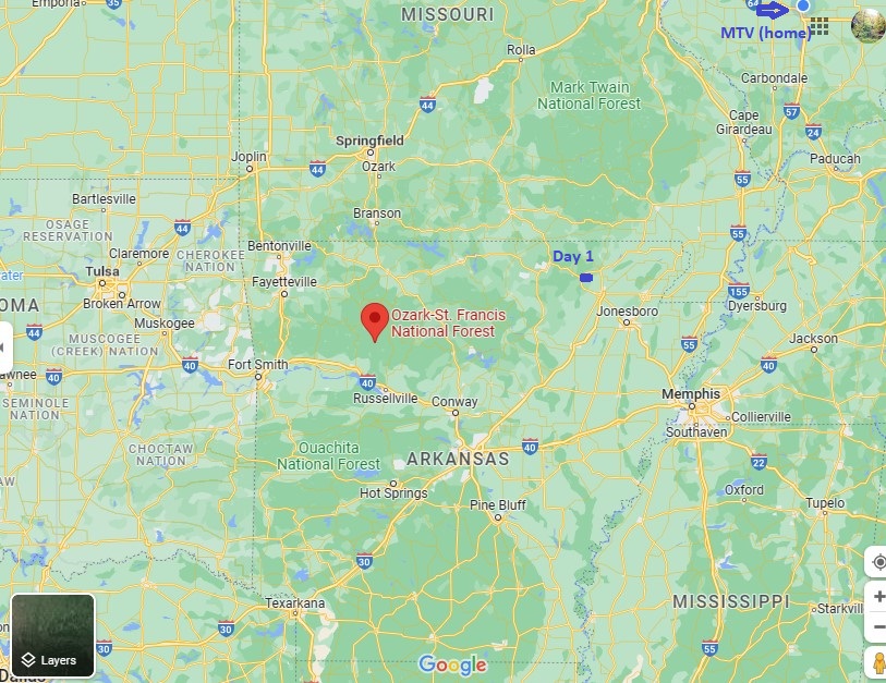
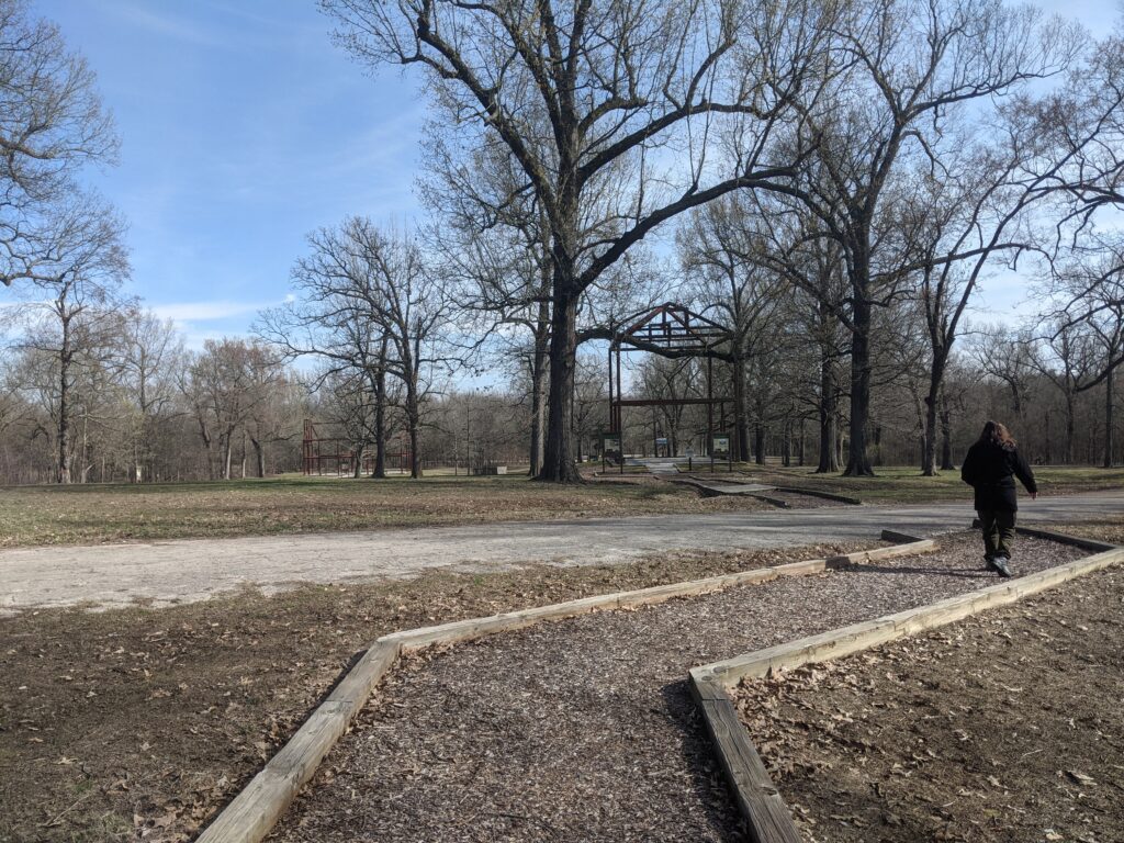
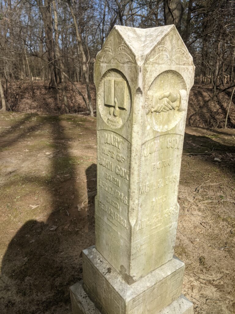
We stopped at an historic Village site with and old cemetery. This was one of the first settlements in AR.
This was the longest driving day and we didn’t do much else. We got to our campsite and had our dinner and got a good nights sleep.
We had neighbors who were evidently afraid of the dark. That was ok, Paula made blackout curtains for the bus and My tent was double layered and the excessive light was not a problem.Don’t be this guy. Someone else might not be prepared for the all night sun.
Day 2
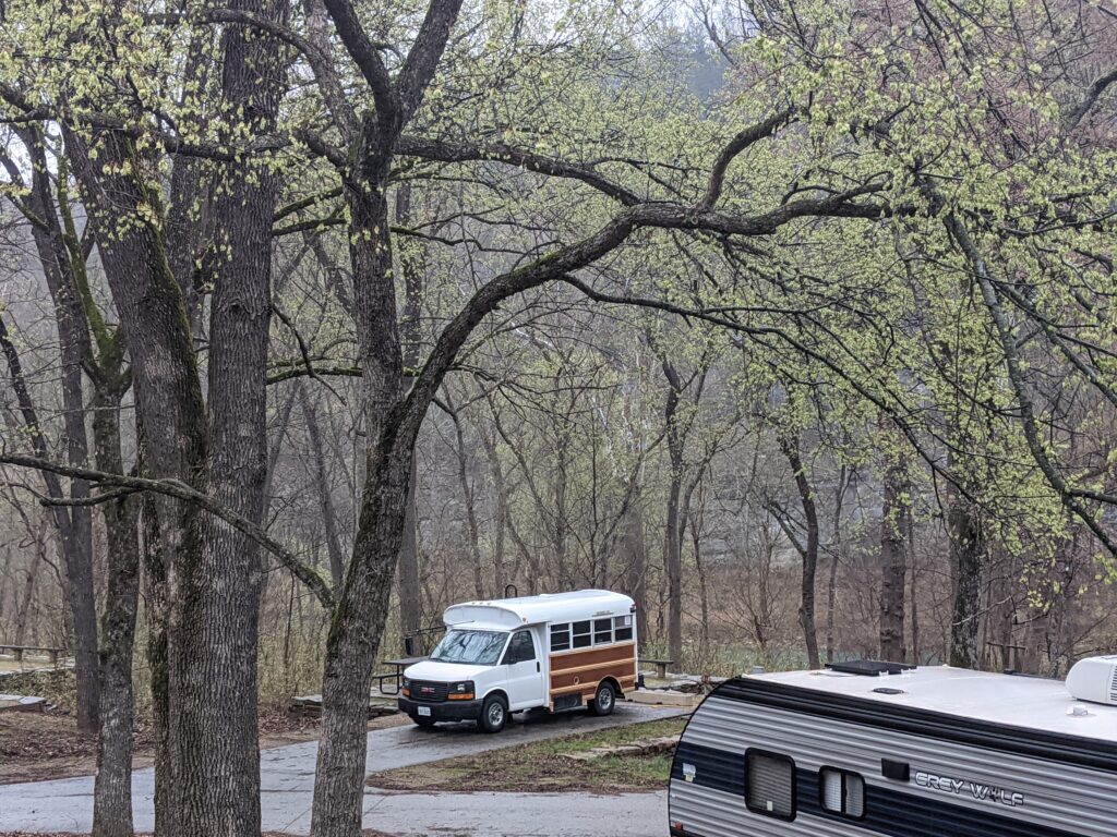
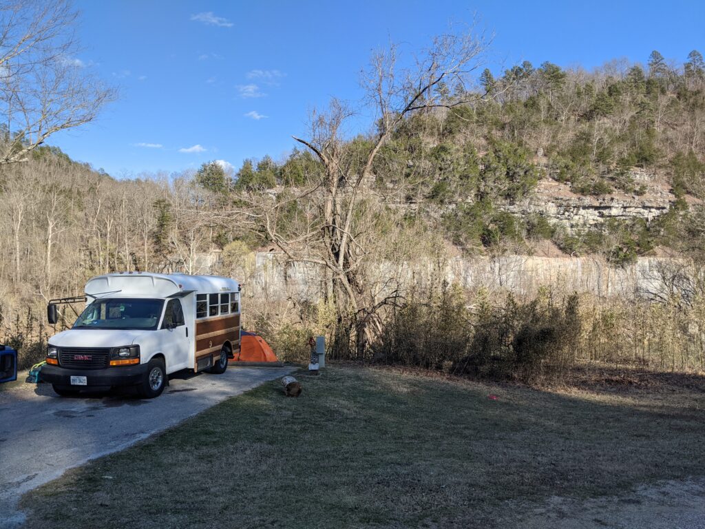
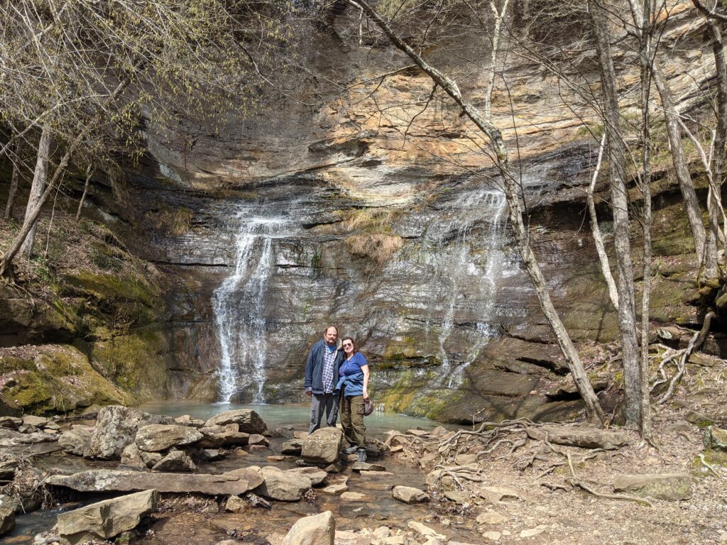
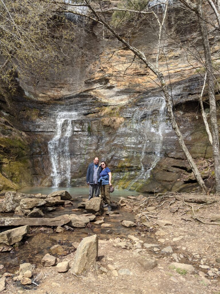
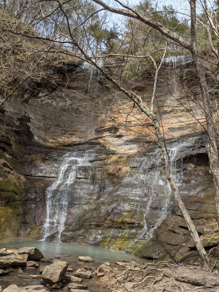
Today we stopped at Blanchard Springs and Mirror Lake and camped at Buffalo National River Campground.
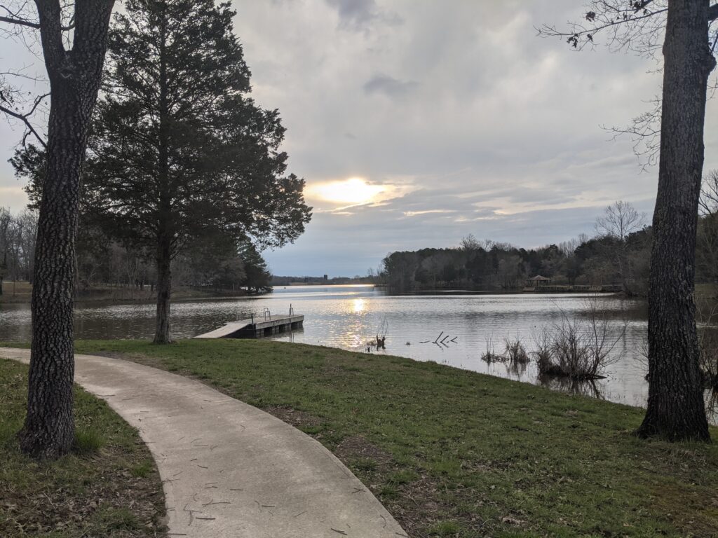
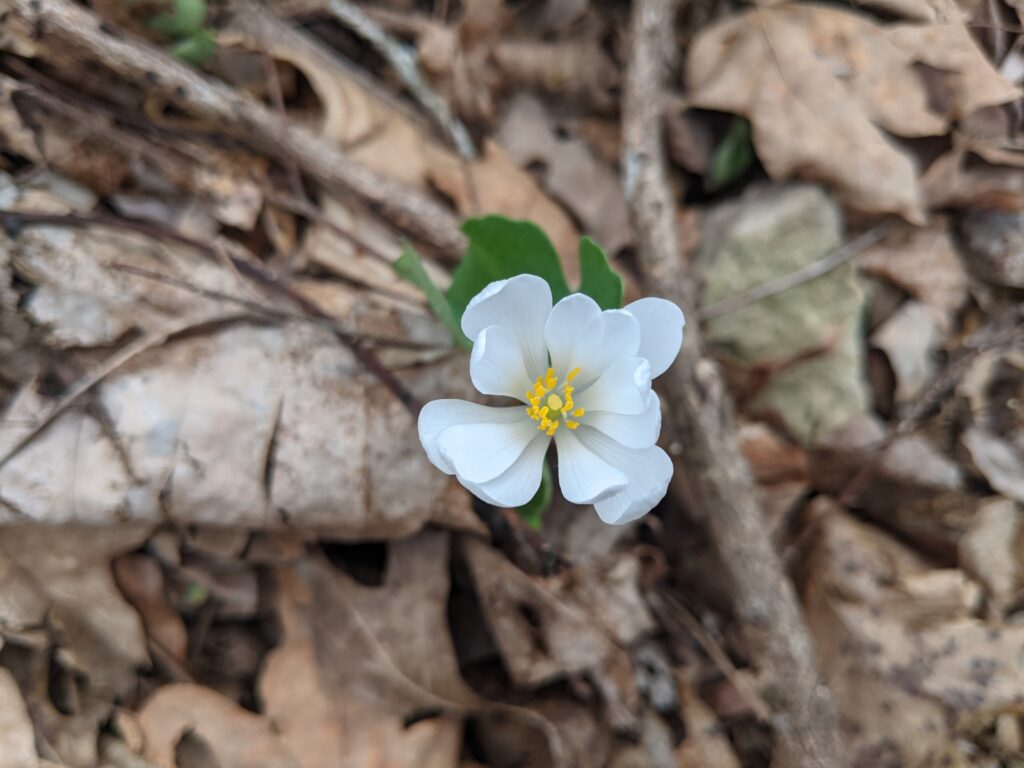
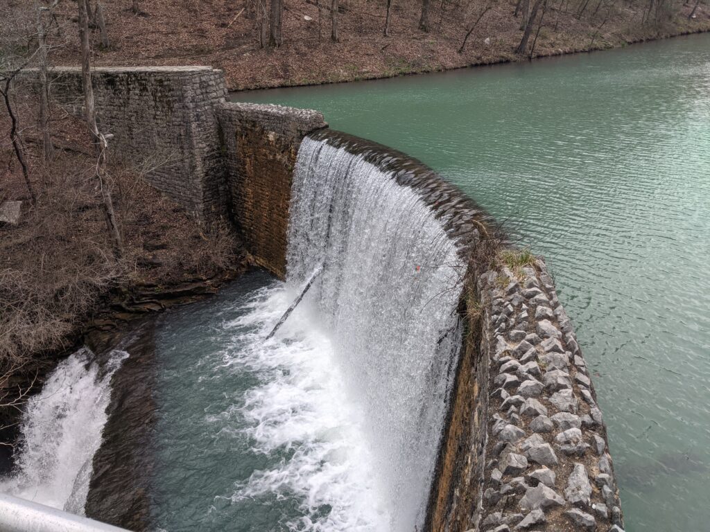
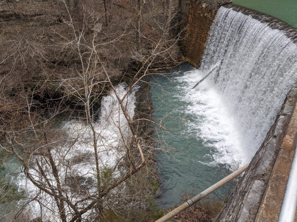
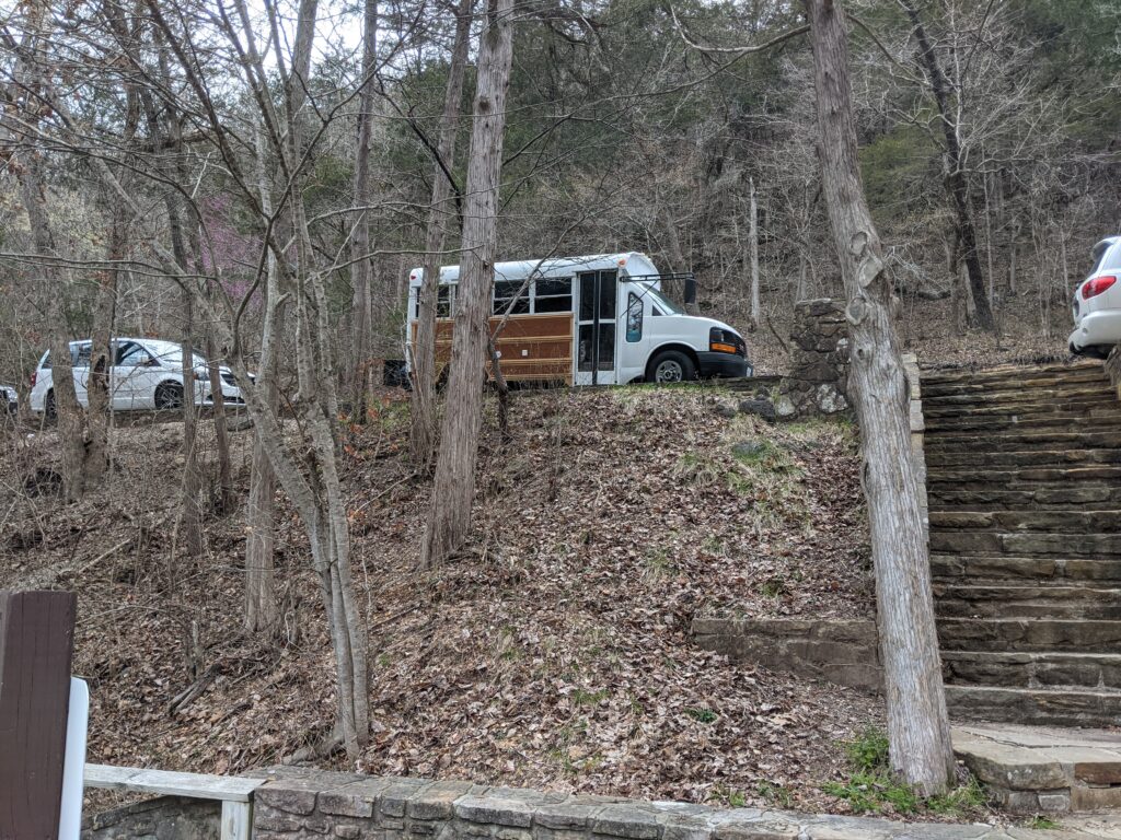
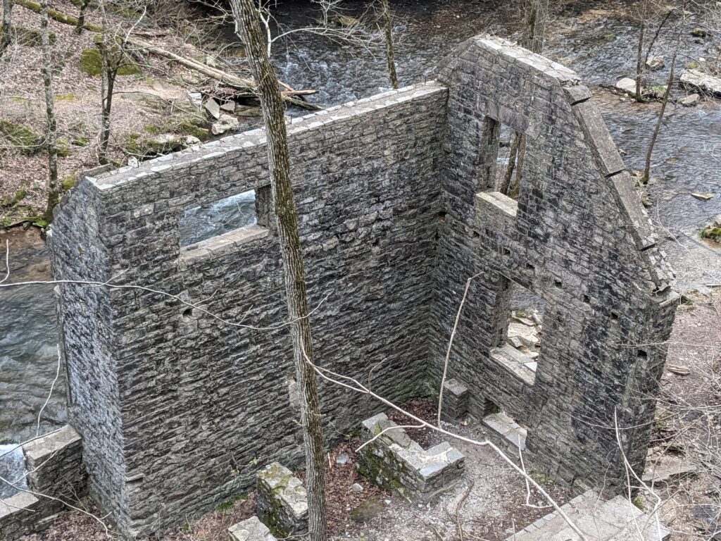
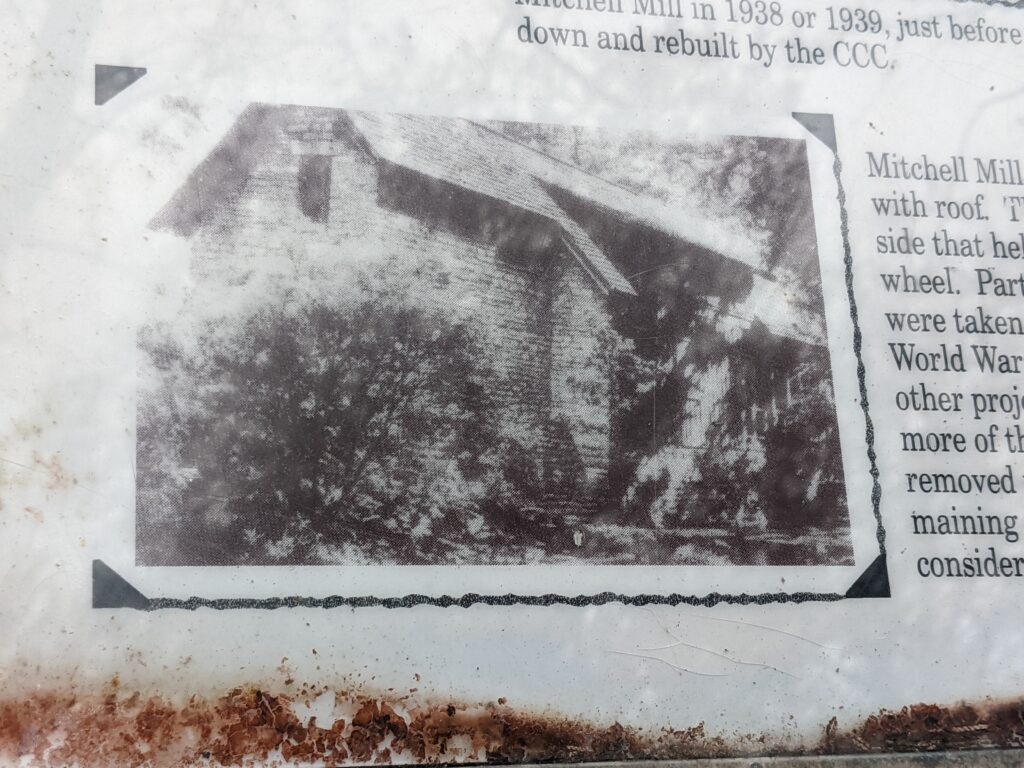
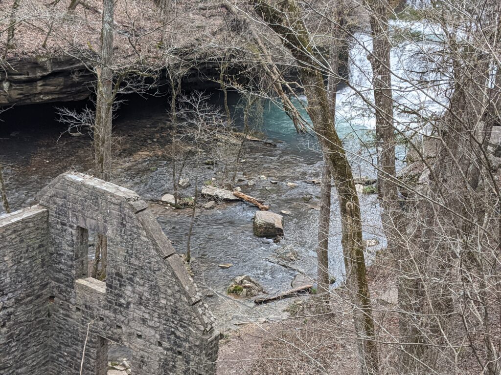
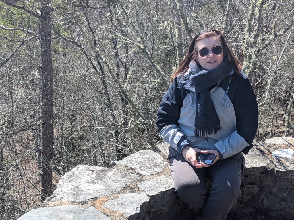
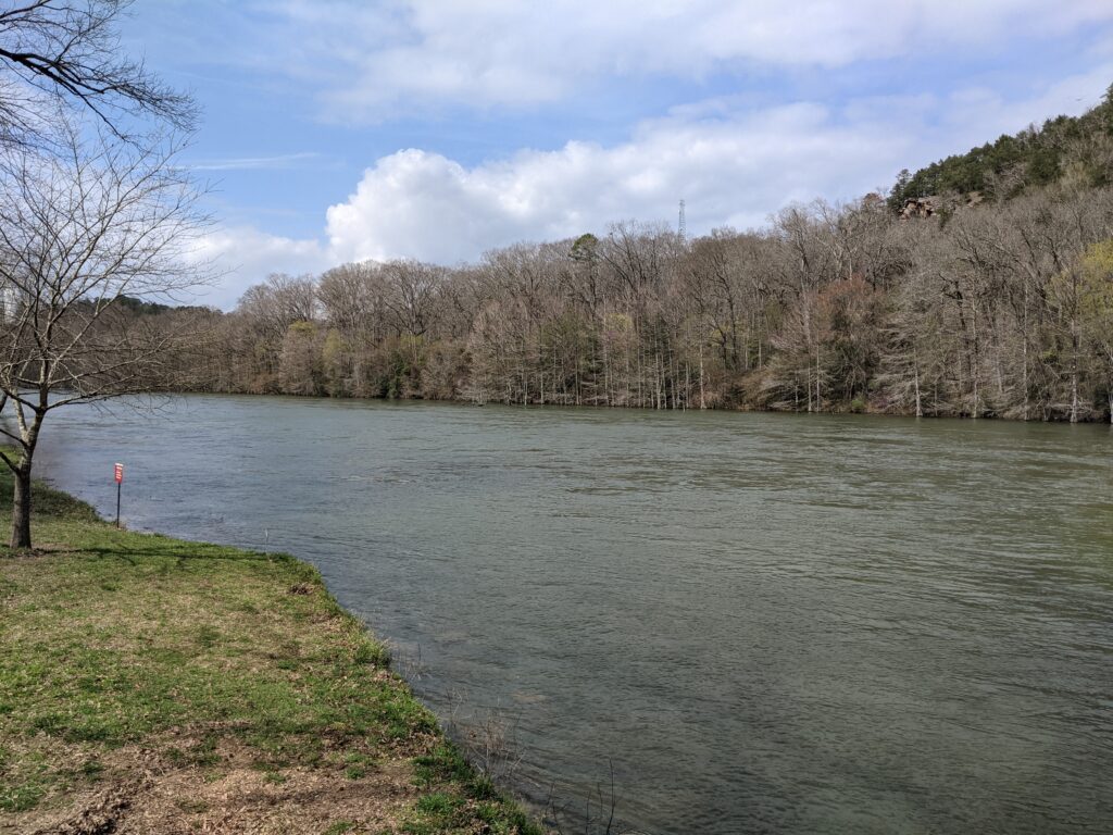
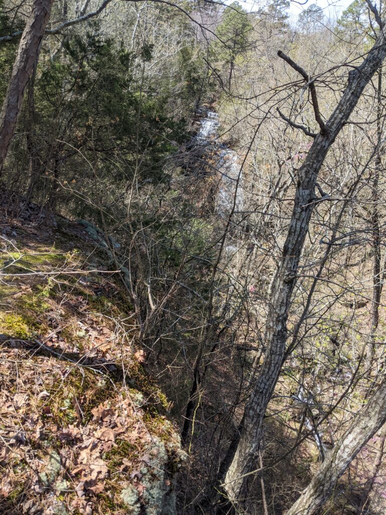
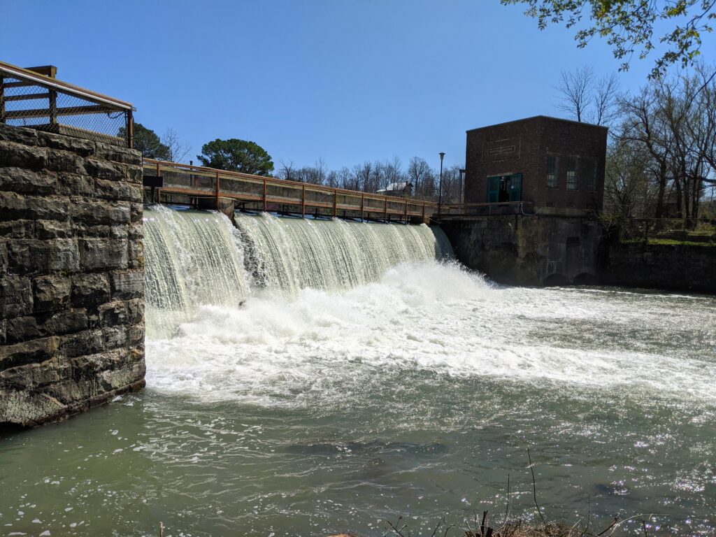
The park at the first campground was very beautiful the next morning. I took a walk along the lake. Rain was coming soon. Day 2 was wet off and on.Great Waterfall coming out of a bluffSpring is near.CCC stone dam at an old mill siteGlad once again our bus is tiny and fits in a normal width space.The old mill site.
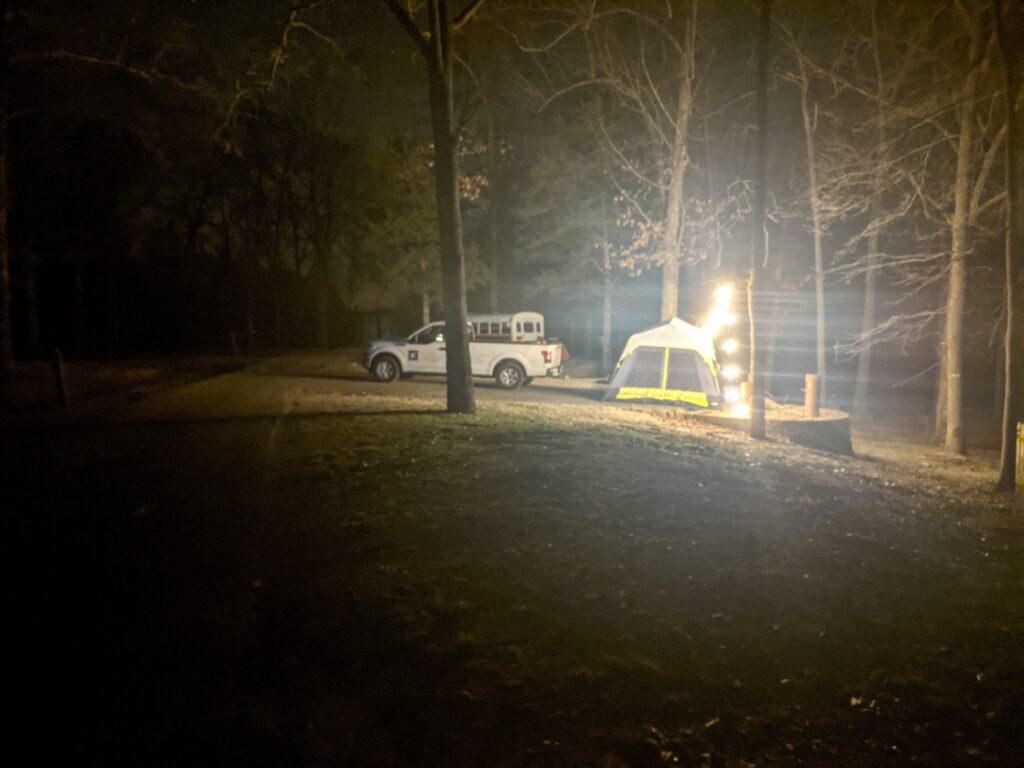
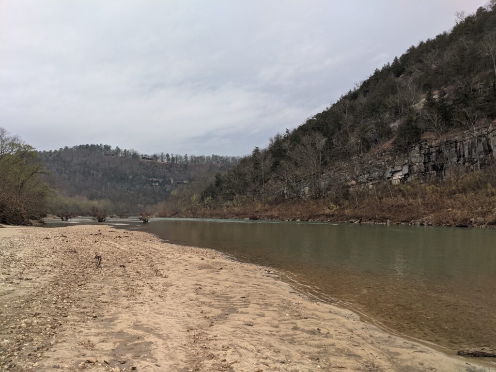
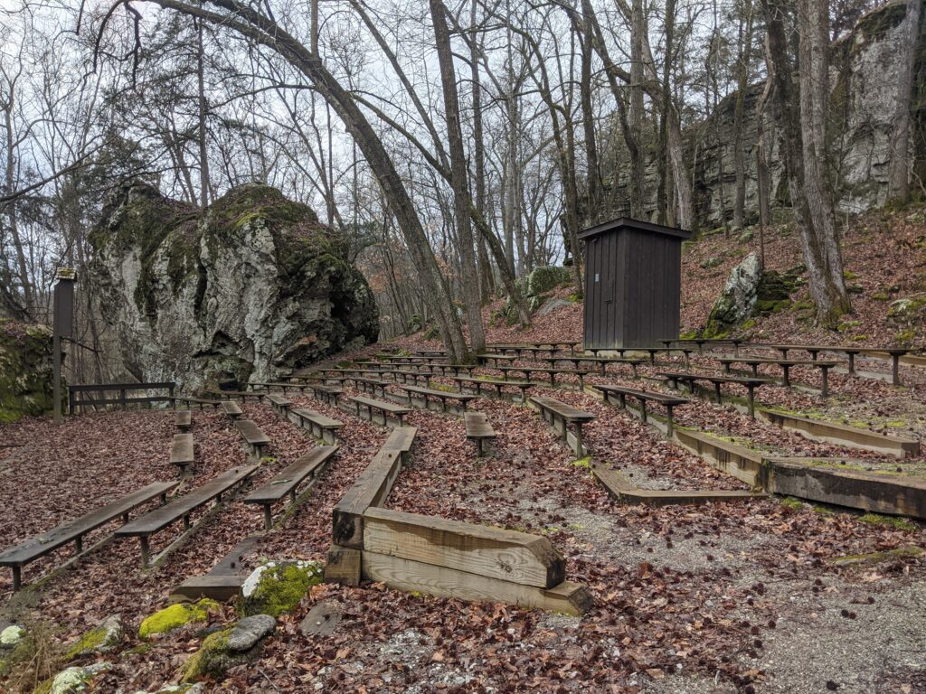
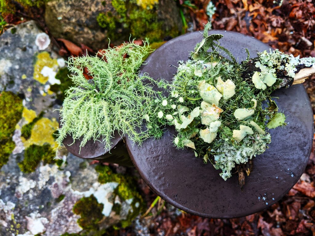
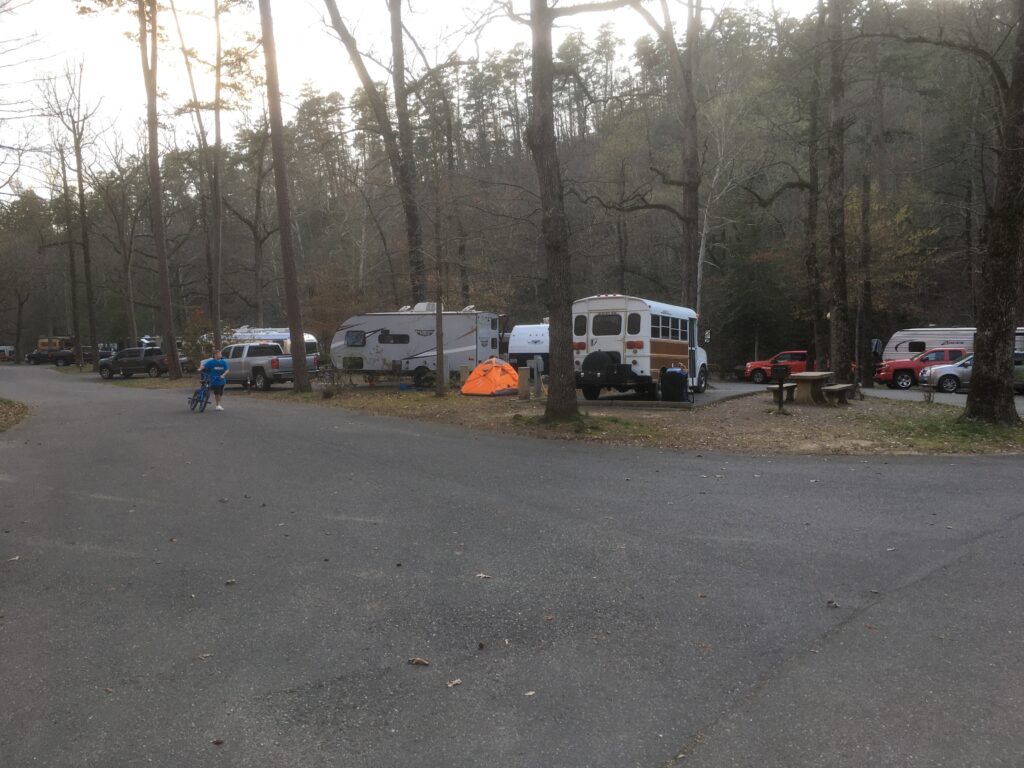
The beach behind our site at the campground.Ampitheater across the road from the campground.Some moss blown off the trees onto the ground I put on top of a couple of posts at the amphitheater to photograph.Great campsite. Very Loud bunch of neighbors, they talked and laughed until 12:30. We stayed 2 days. We asked to be moved and got a different section the next day.
Day 3
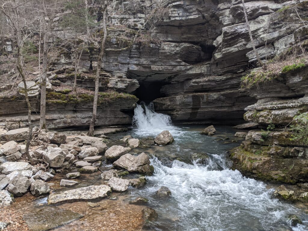
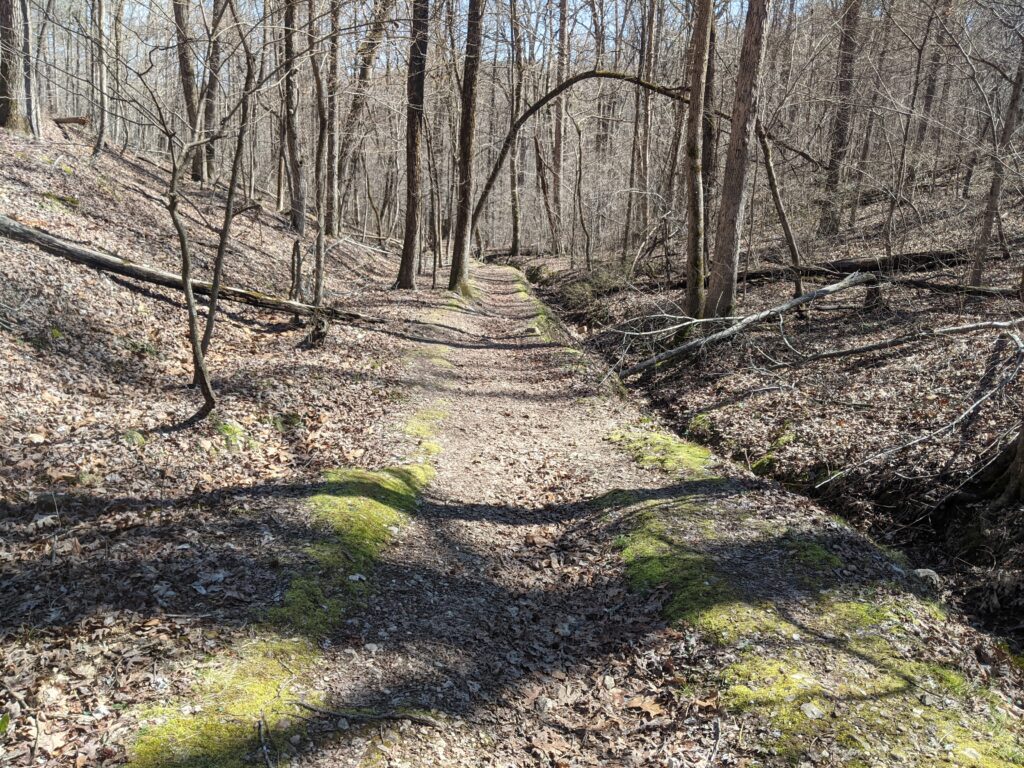
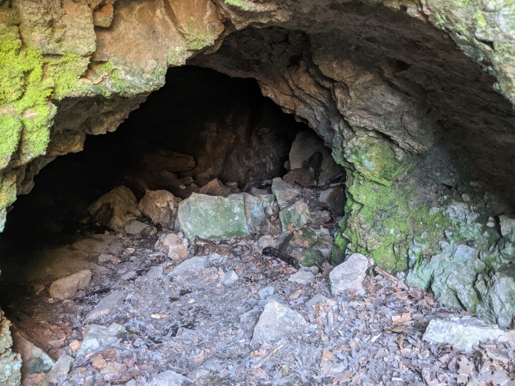
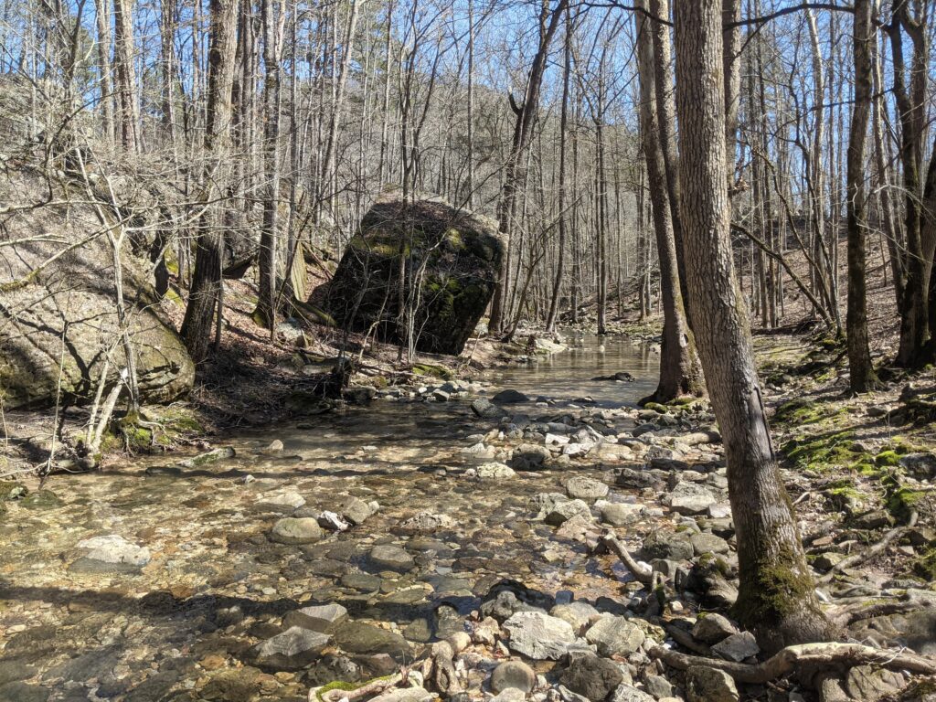
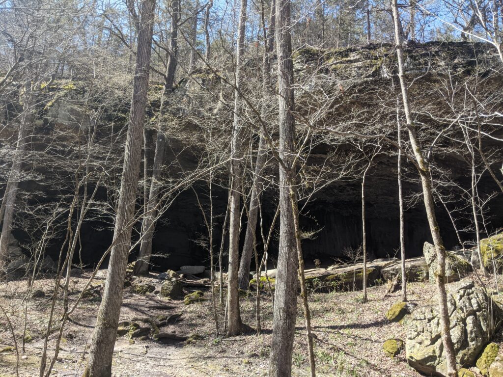
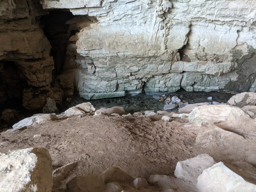
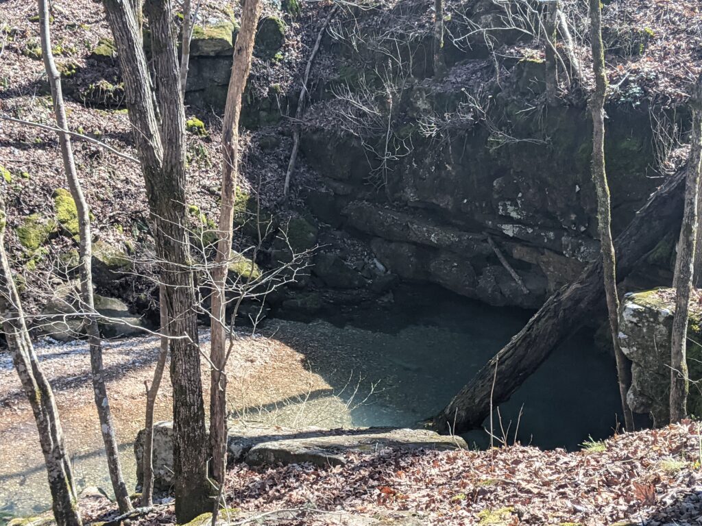
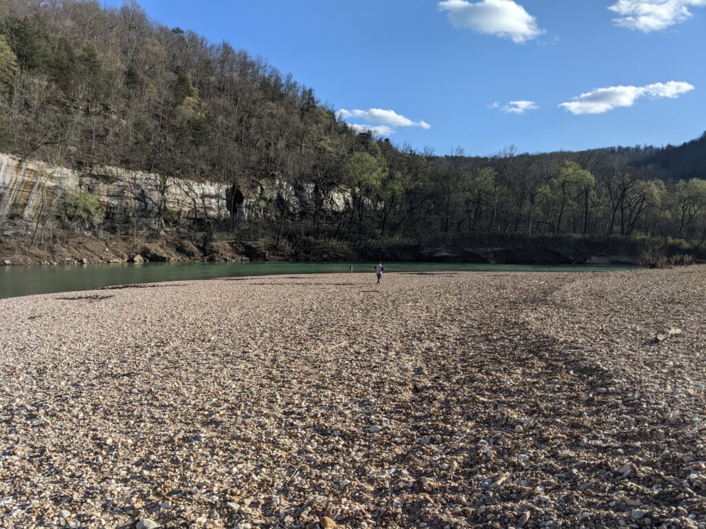
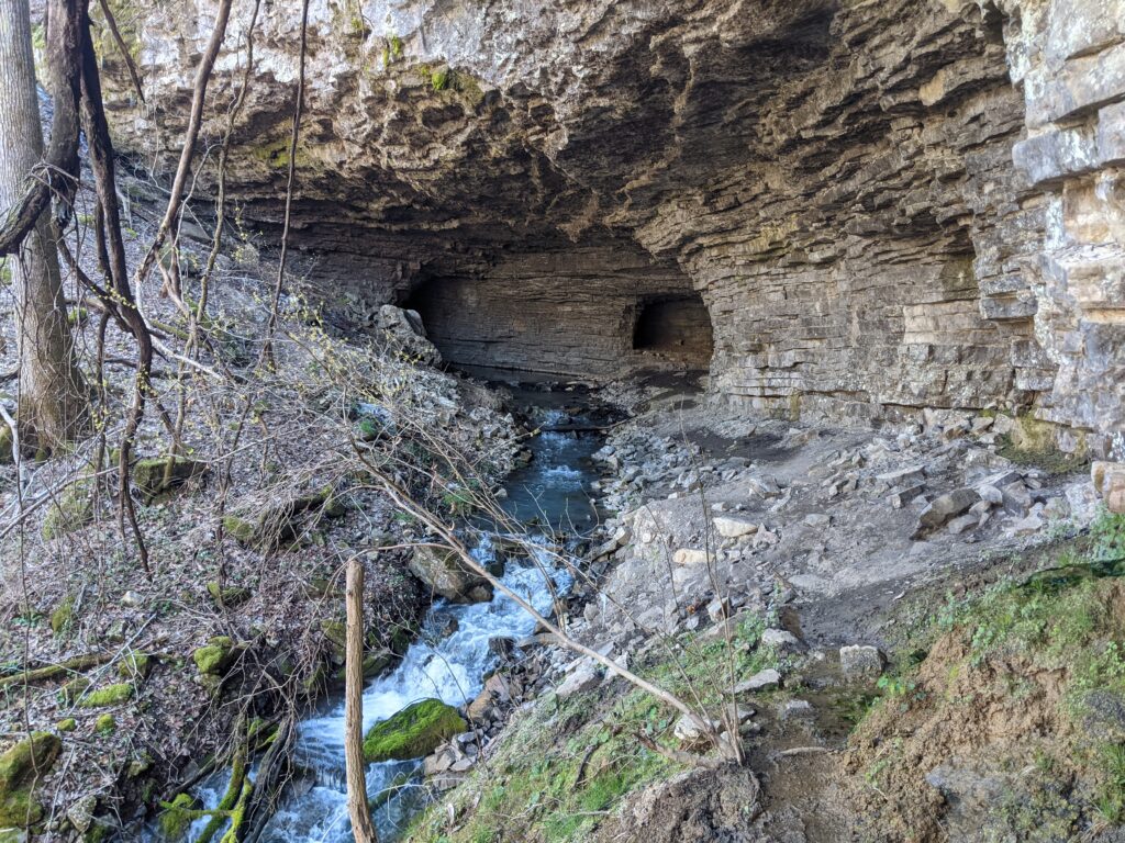
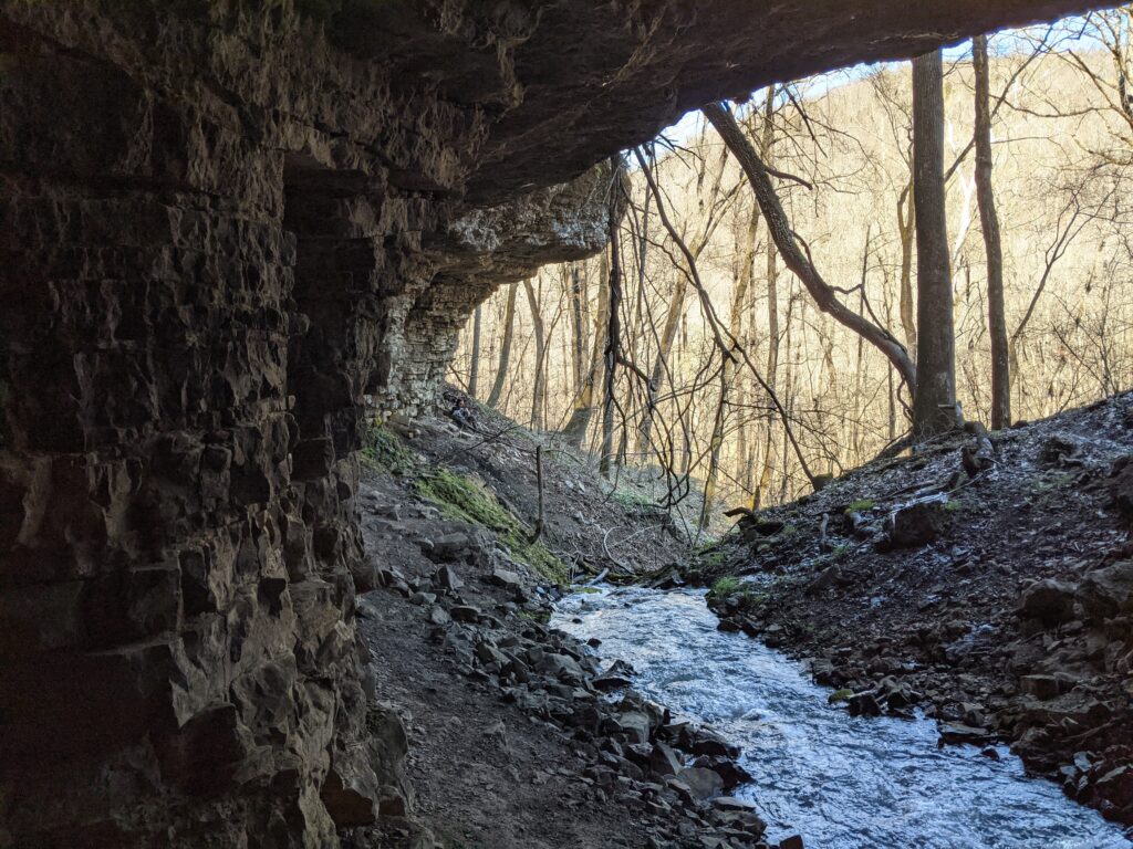
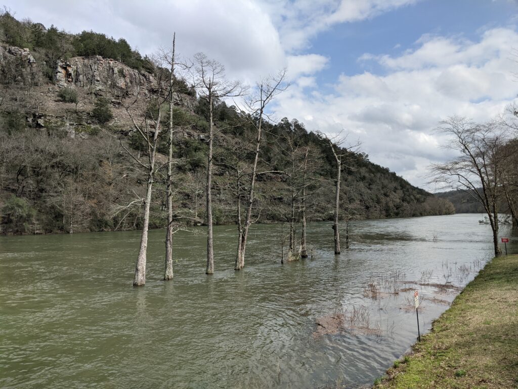
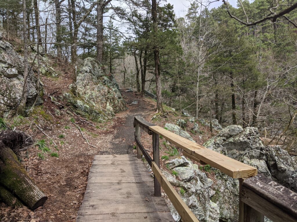
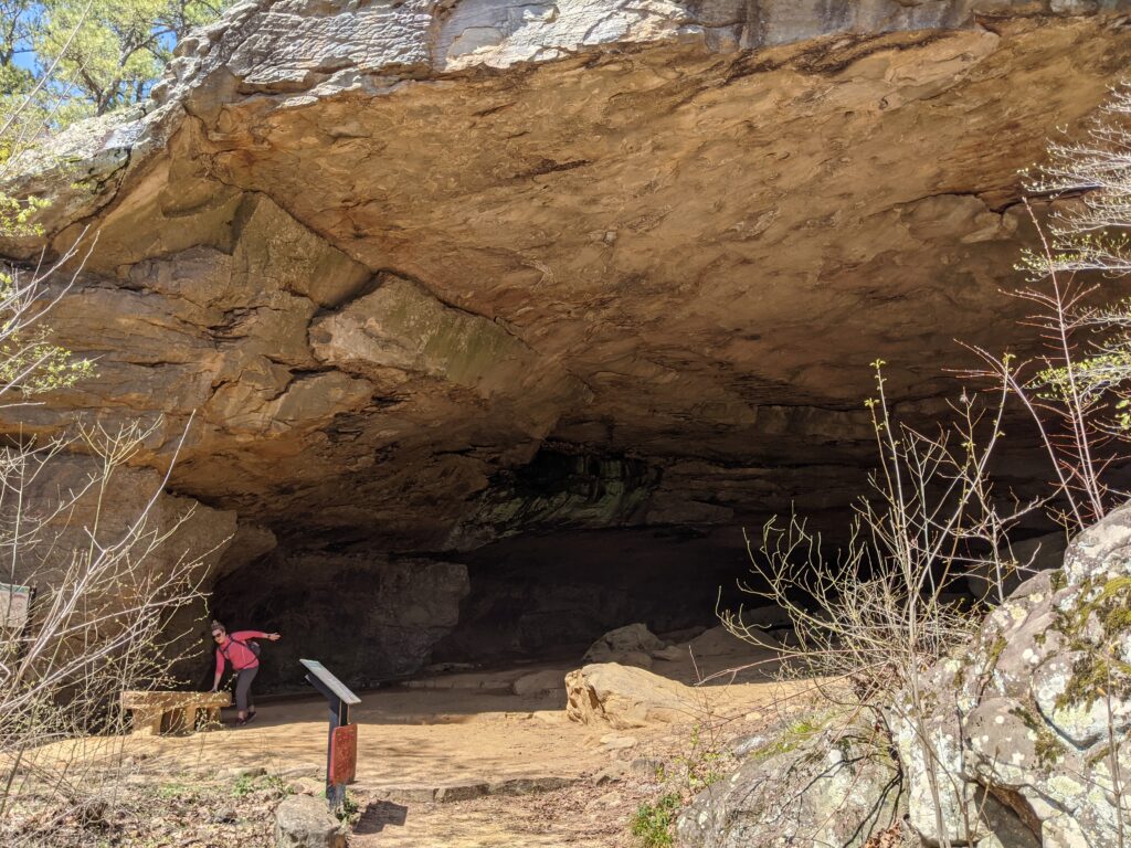
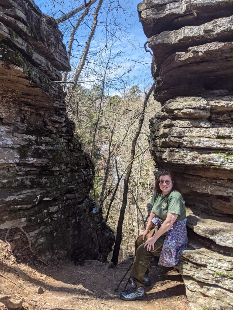
We spent the 3rd night at a different spot at the campground about a half mile down stream. We were right on the river in a really great area. Paula found an interesting trail to a place called “Indian Rockhouse”. Now we have a place with a similar name in the Shawnee Forest and I figured like it, there would be some sort of cave you could get into and maybe camp out in.
It was a nice hike down a pretty easy trail along a babbling creek. When it came into view through the trees, I could see a large dark hole that gave me some idea that it was bigger than I had figured. IT WAS HUGE! I was overwhelmed walking in. It had a loud roaring stream sound coming from it, but no water in sight.
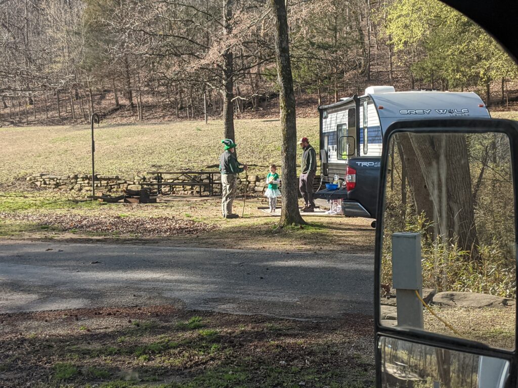
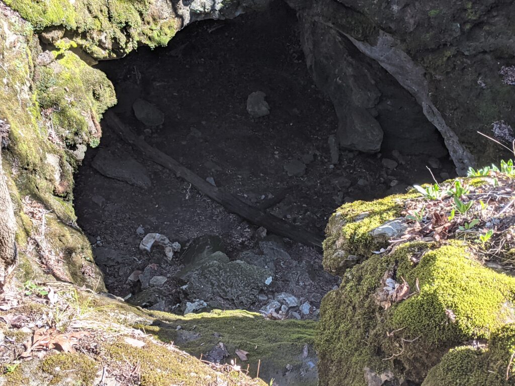
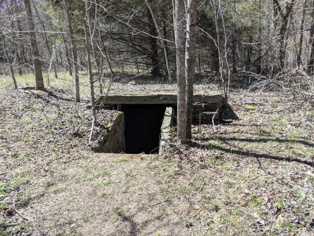
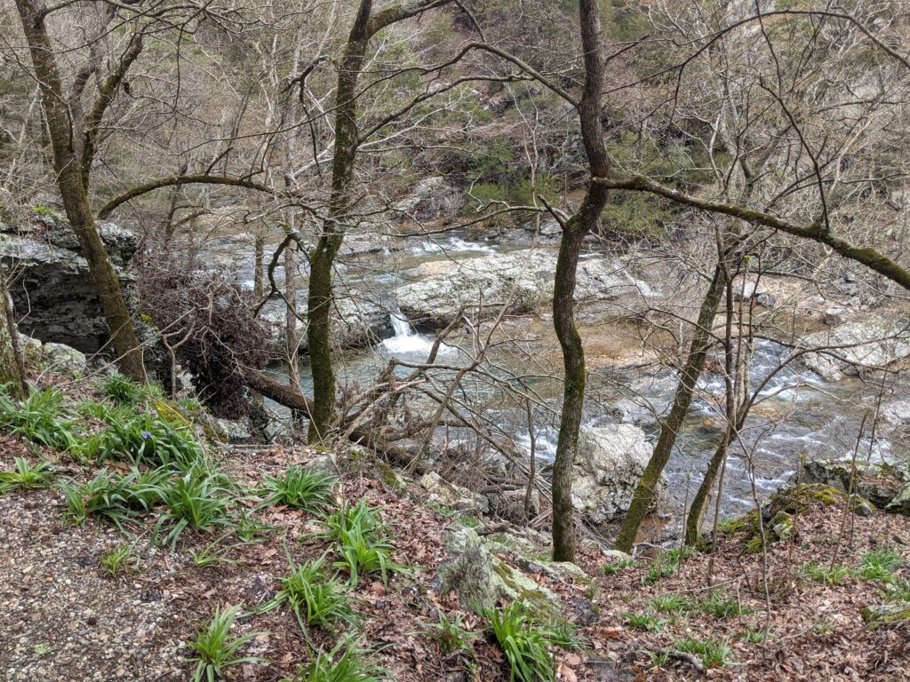
We moved from the first site in the morning, but not before seeing someone really celebrating St. Patricks Day. Those were the quiet neighbors. The loud kids were gone kayaking. Nothing against them personally but we just couldn’t get to sleep until they did.The River was even better here and we spent some time exploring the bank on our side. The sun was finally out today again.Old Mine entrance. It was a test shaft and no minerals found.
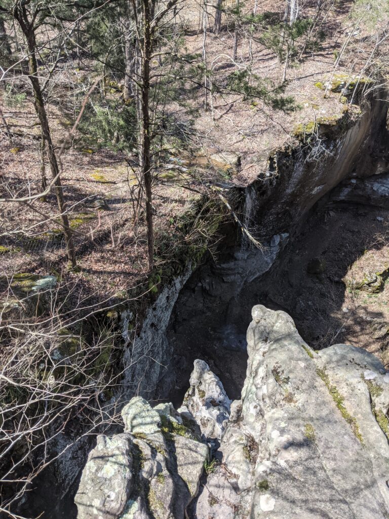
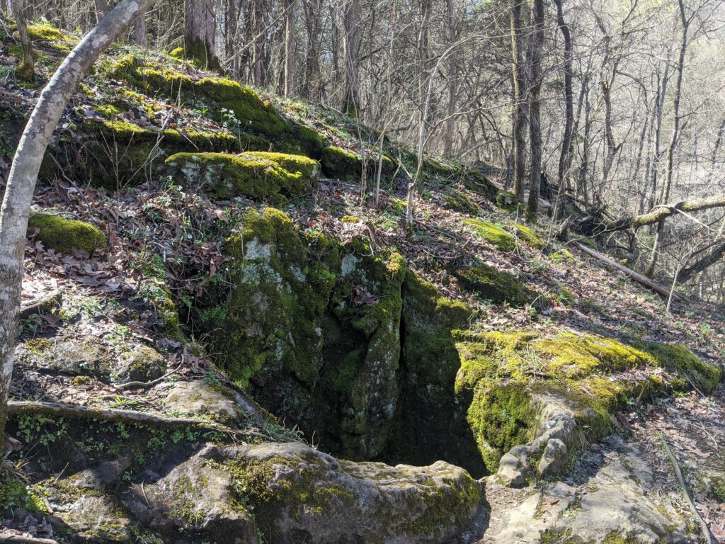
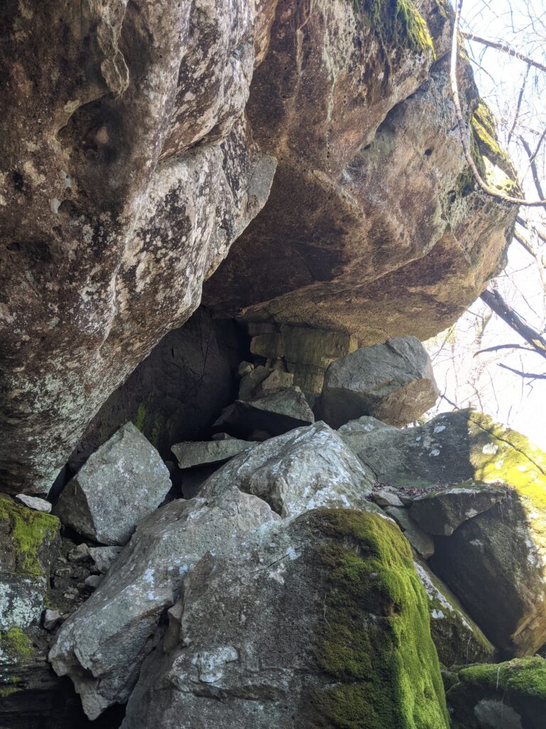
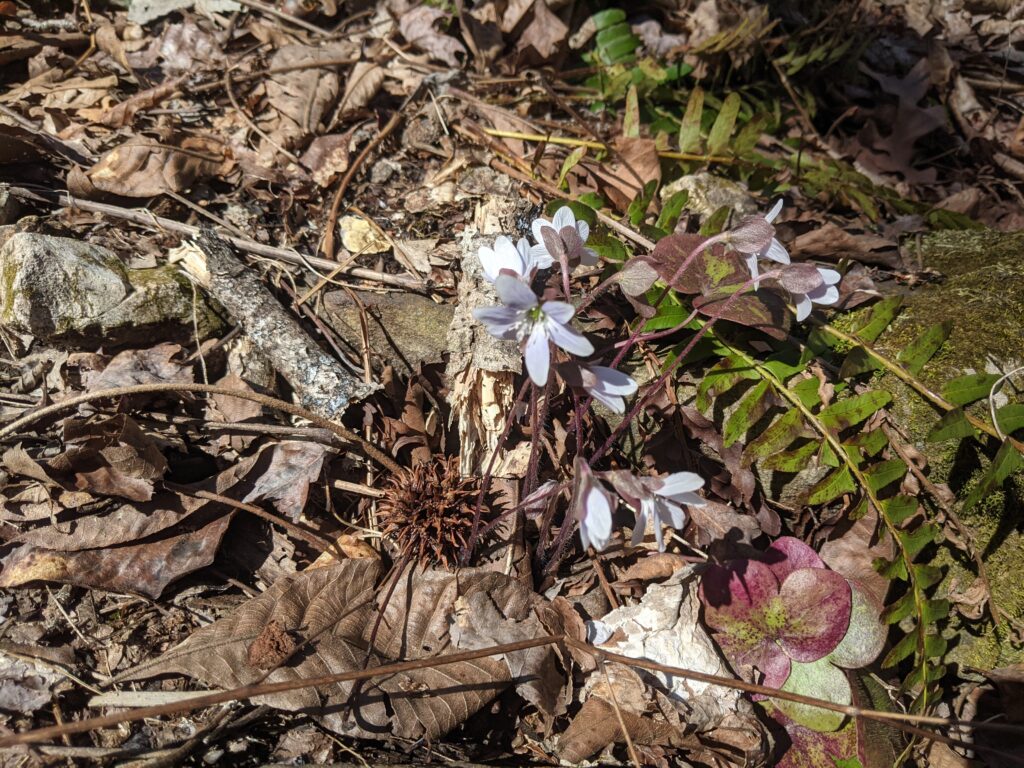
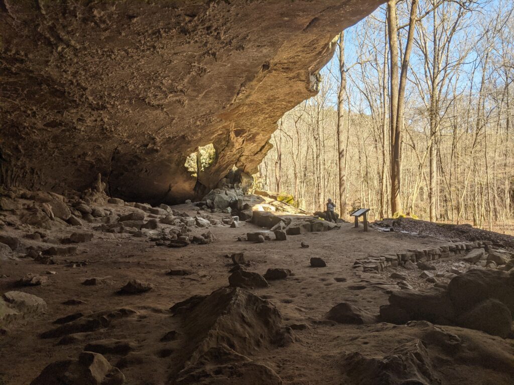
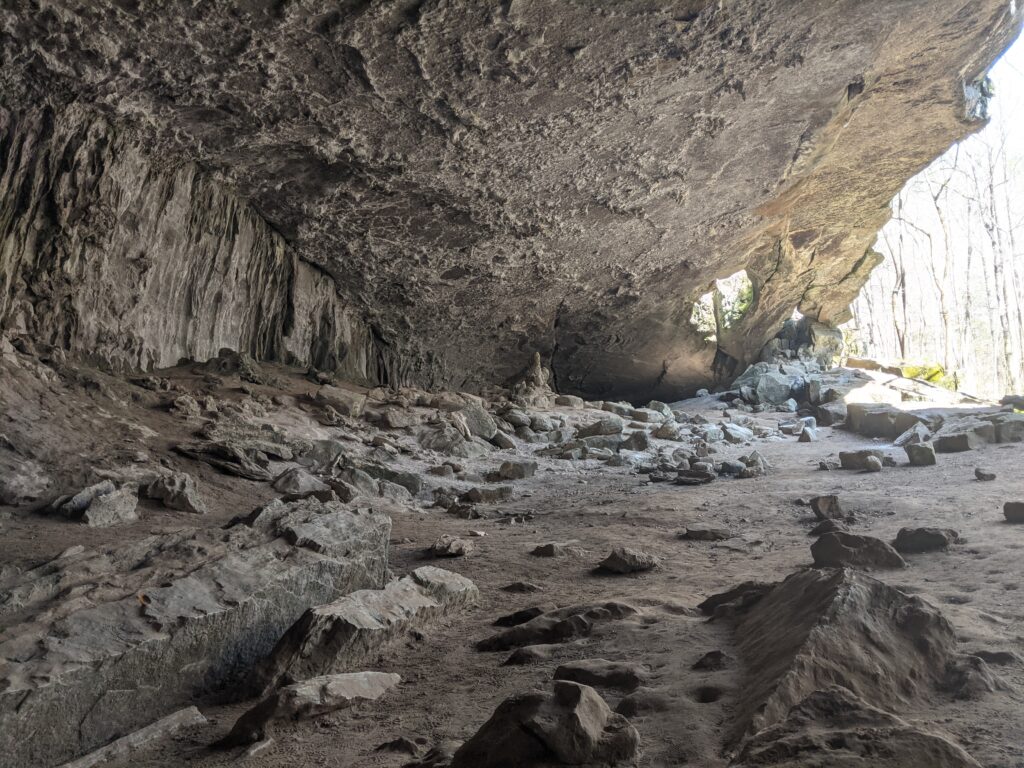
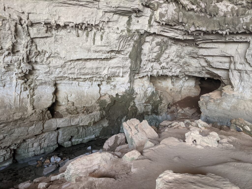
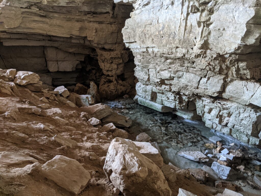
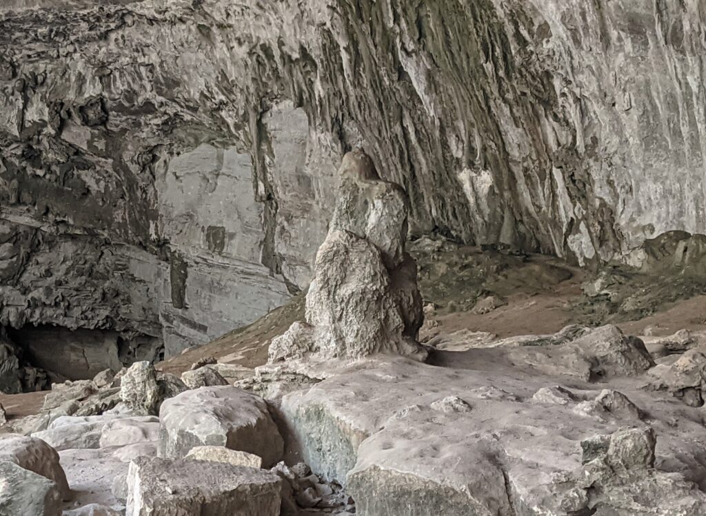
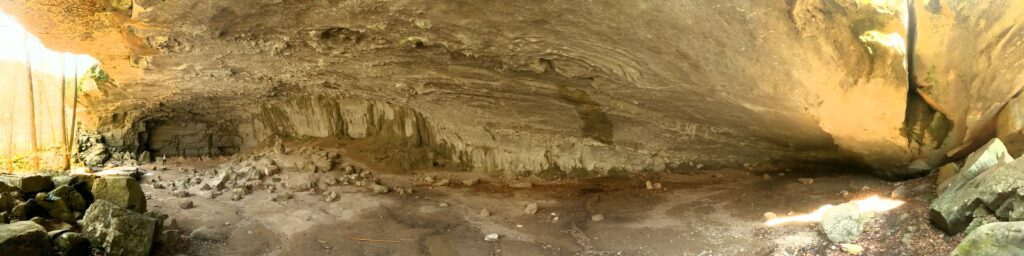
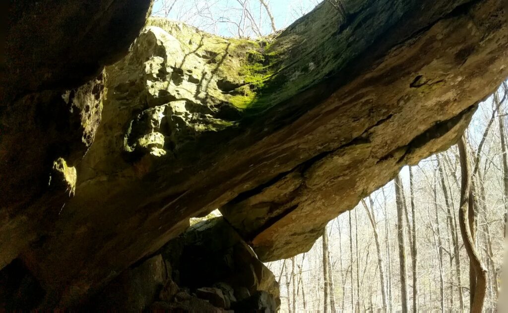
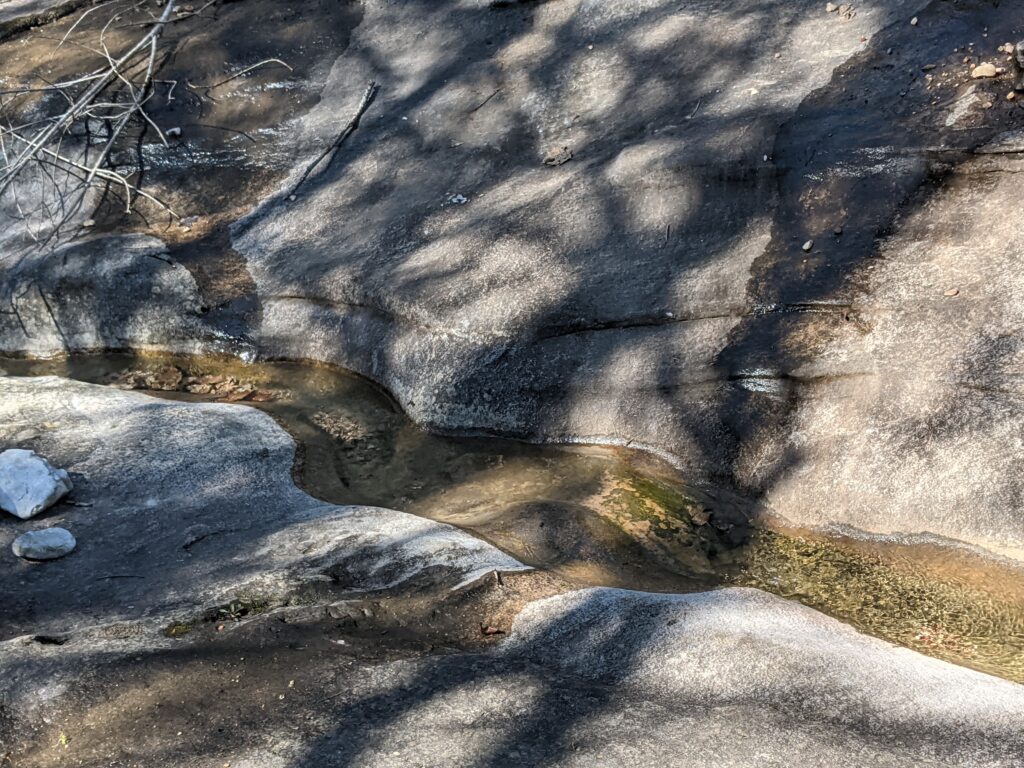
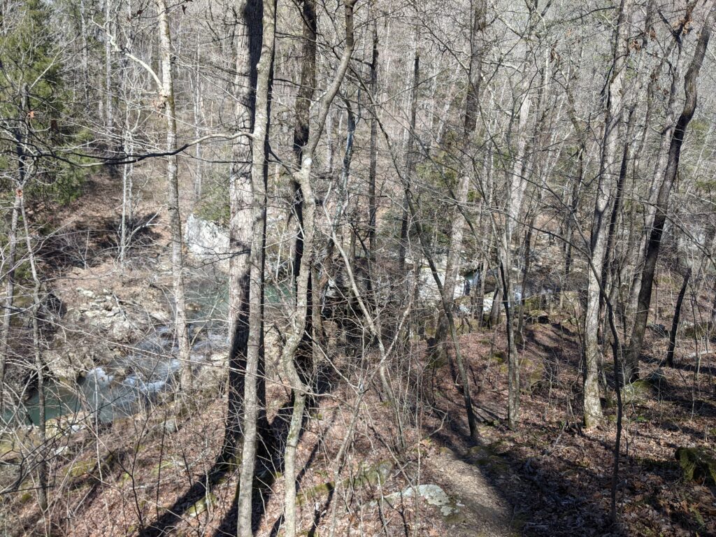
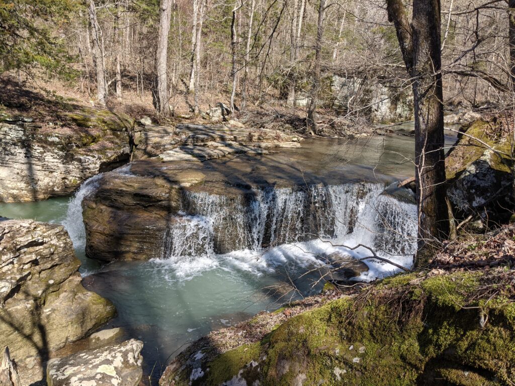
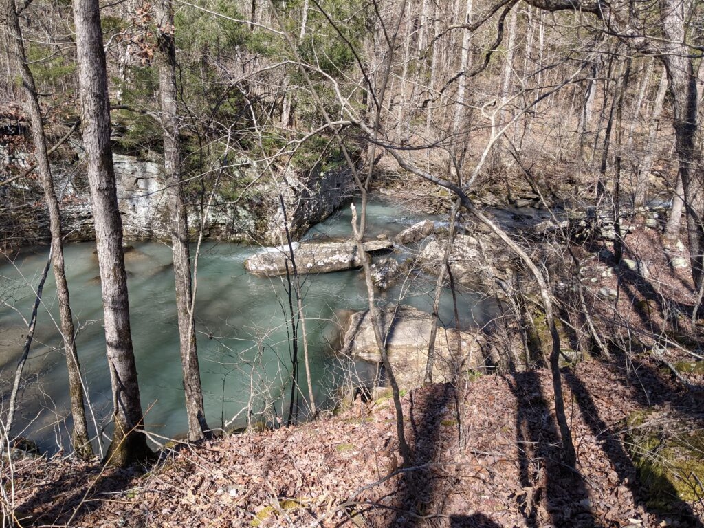
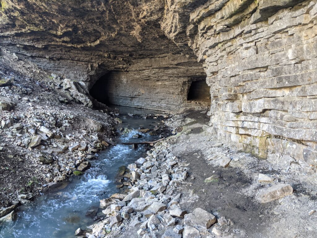
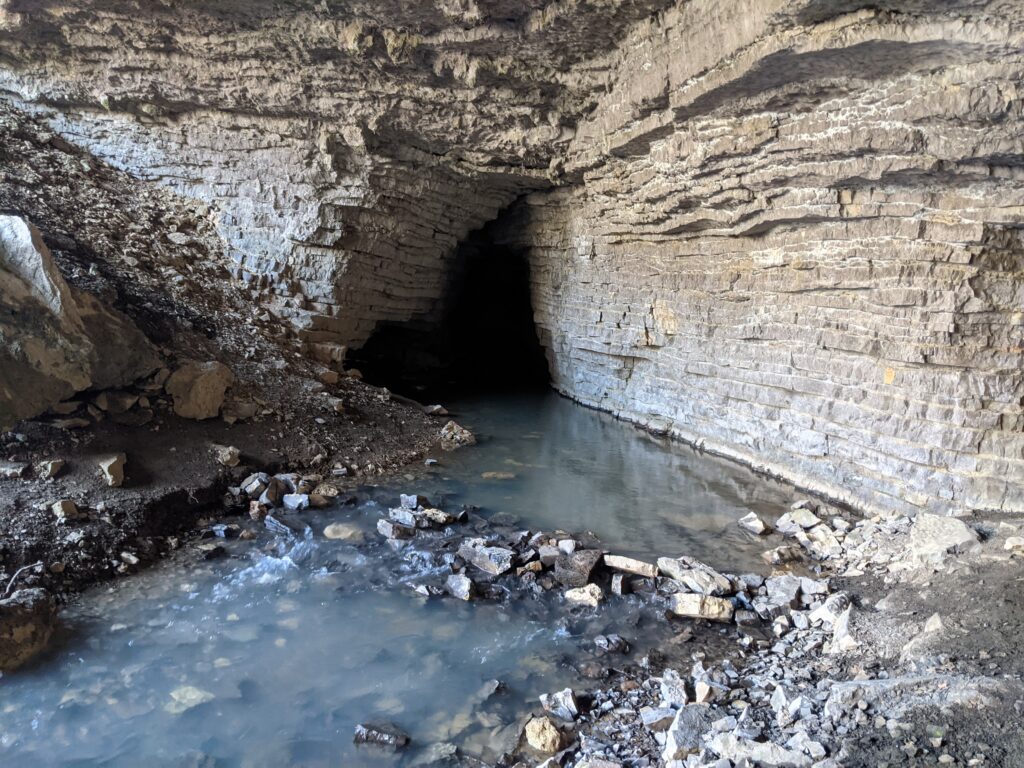
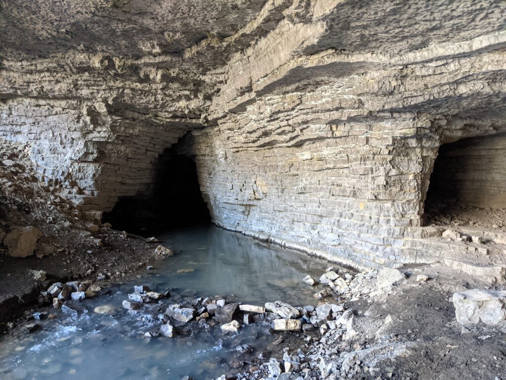
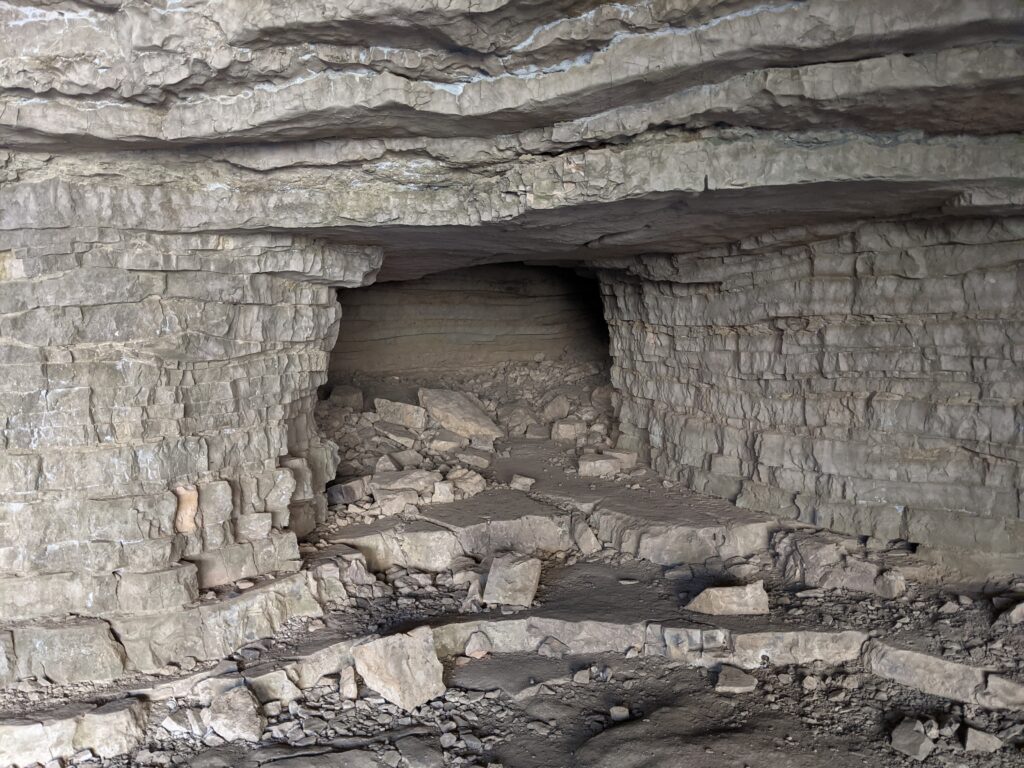
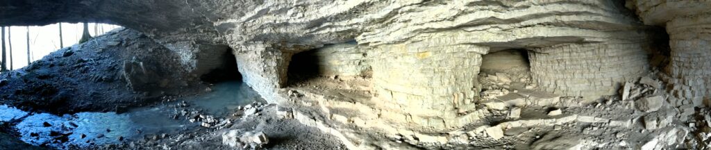
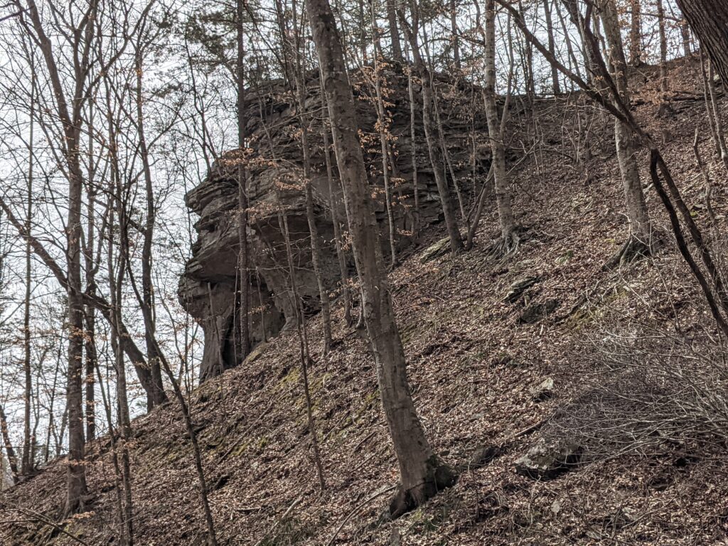
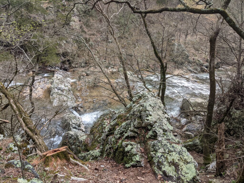
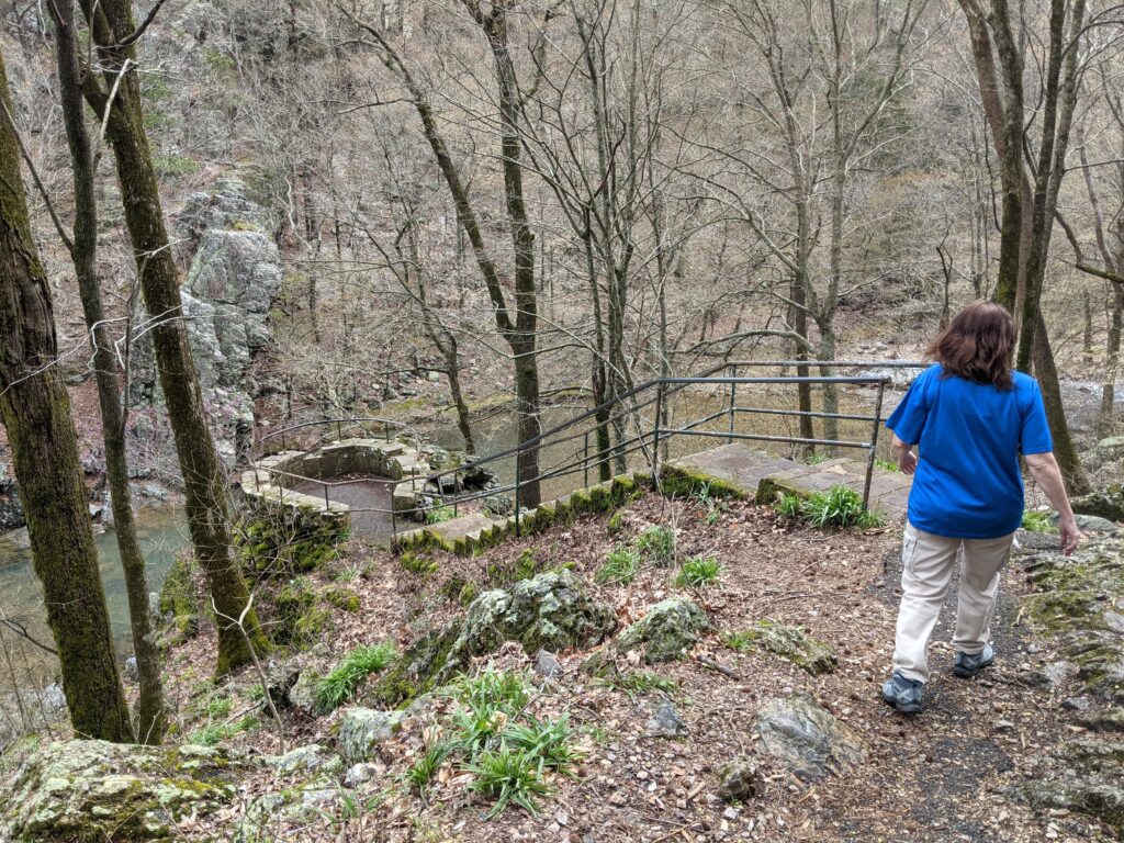
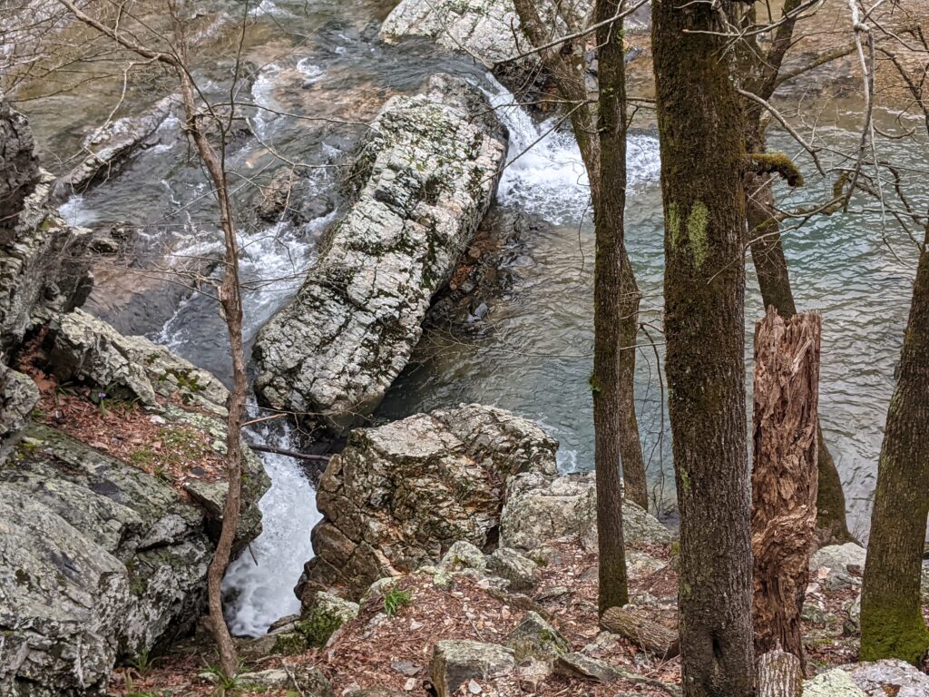
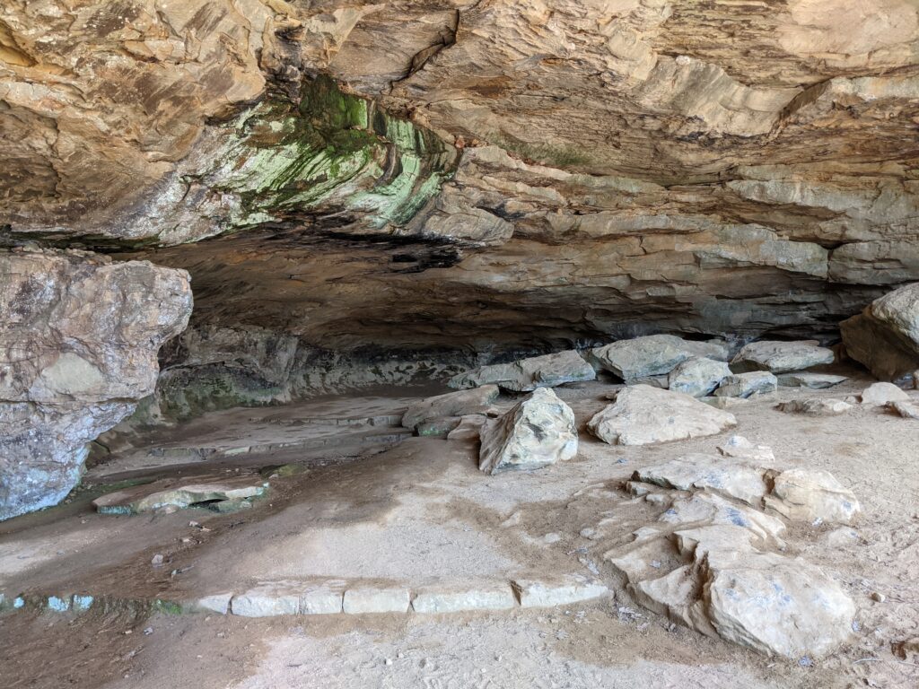
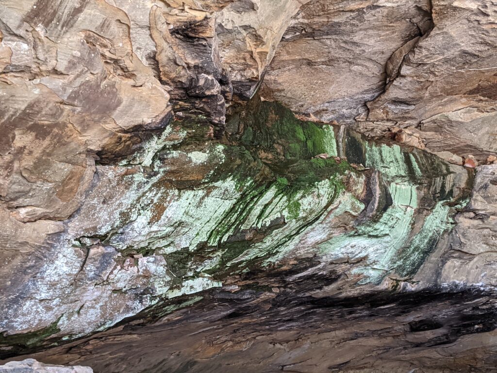
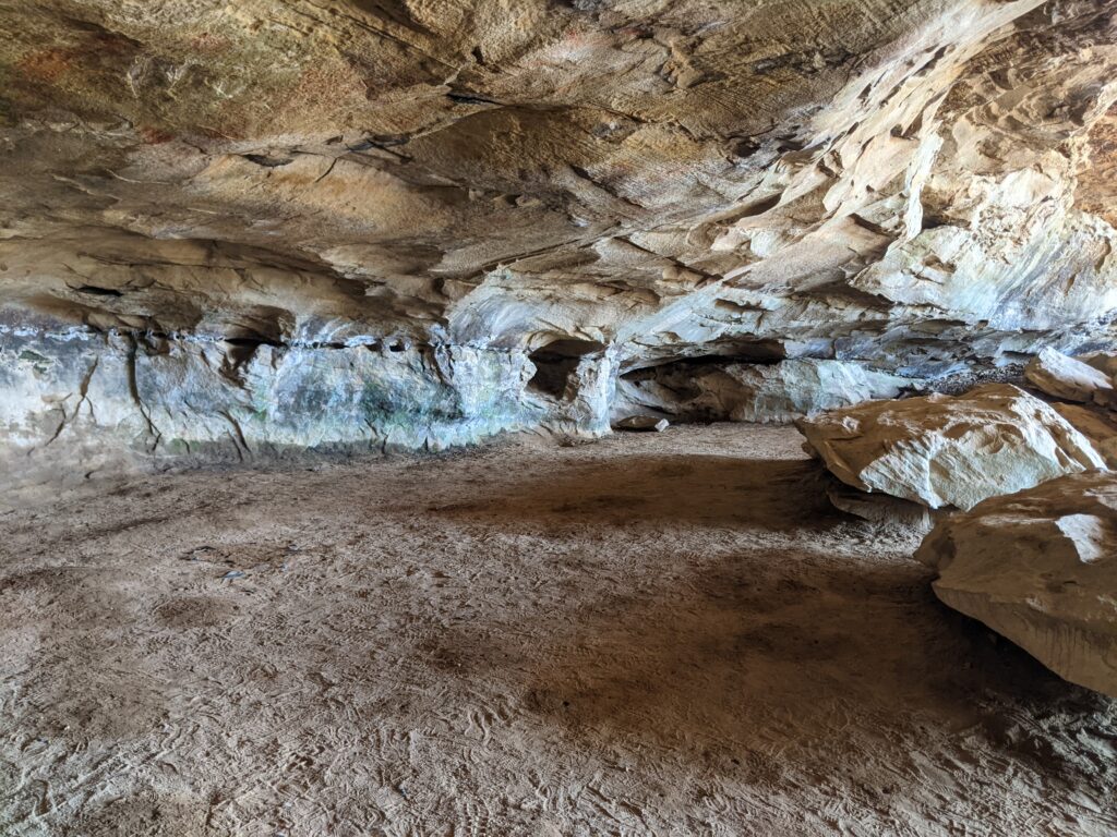
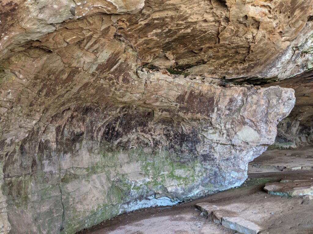
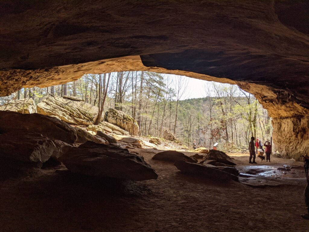
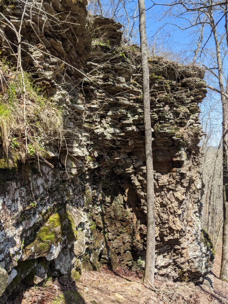
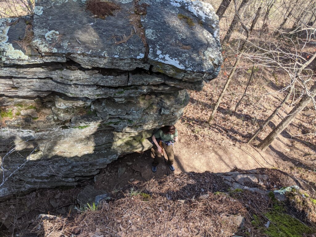
Very Pretty creek we were following.Looks like the whole bluff is a huge cave!Pictures don’t do it justice. The far end was pretty far away. the ceiling was really high.Everything was grey and dusty. Water never gets in there.Back on this side at a lower level than where most of the cave floor was the creek we could hear but not see. It came out of that far wall below the cave you see. (didn’t go in, it wasn’t legal.)It disappeared into this other opening. It came out at the creek about half a mile away!There were other passageways the water might come out maybe in a hard rain or flood.Another view of where it disappears. You don’t want to get sucked in unless you can hold your breath for half a mile.A closer look at the other end. That end of the roof is broken loose. The back side of the Yeti Stalagmite. I named myself after looking at the other side.That’s Paula standing in the center with a blue coat on where the floor descends to the creek at the back. She’s still at least 50 ft. from the wall. That’s the Yeti Stalagmite to the right. Massive.I mean picture him sitting with a bunch of furs on looking to the left. Maybe they could drill a core sample just to rule that out.really bad panClose look at that loose end.Back out at the creek. Nice carved channel in the rock.Here is where the cave creek emerges,Looking down into what they advertise as a natural bath. Its a cave with a front entrance from the top. I don’t even see any water. We didn’t go around and down to see inside.
The trip back was actually backtracking the way we came in and this was the last picture here.
Day 4
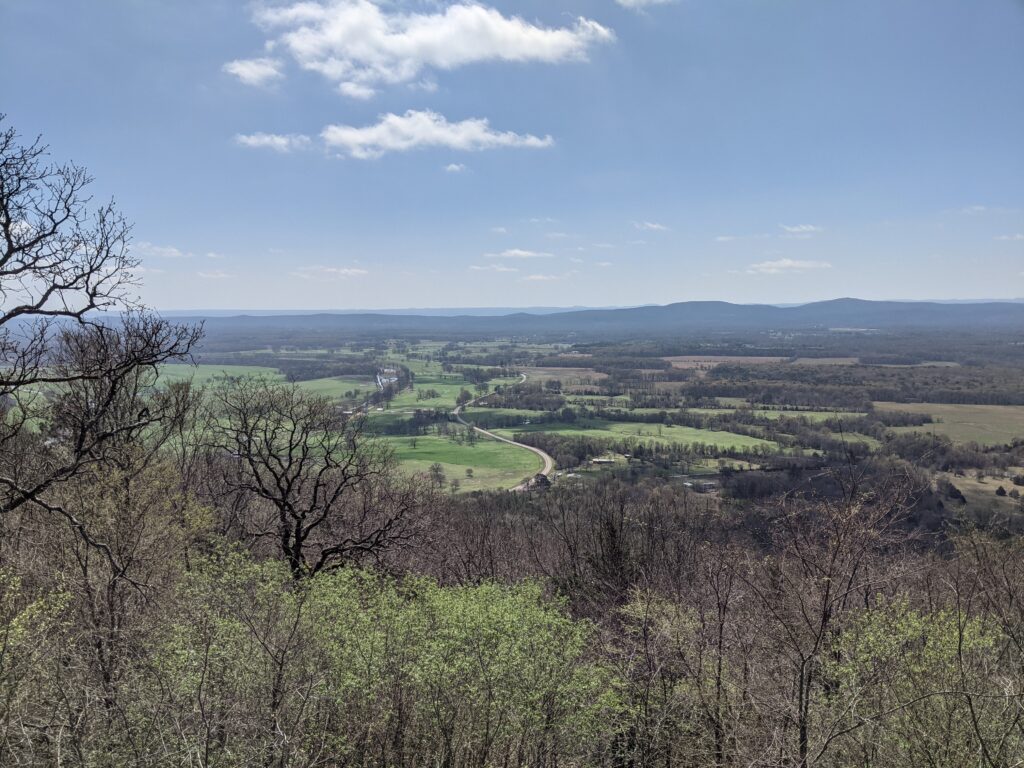
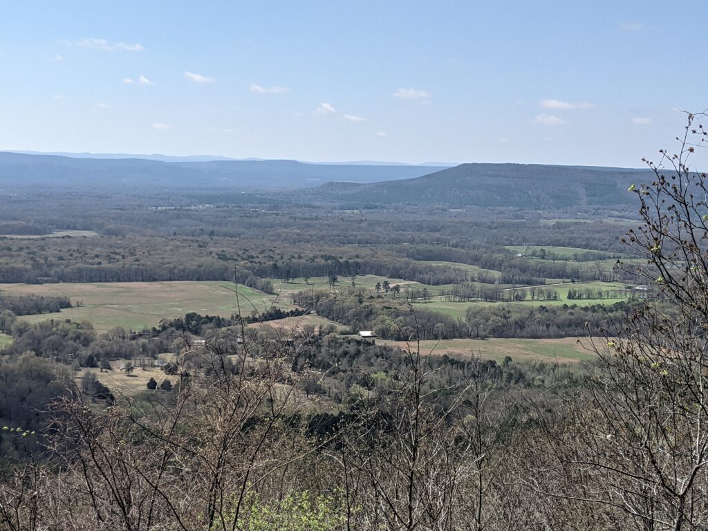
Today started with an overlook view, then a trip to an abandoned town which wasn’t too photogenic, and we left there and walked along a creek on a park where I found my “Handy” Rock. What’s a trip without bringing a memento home?
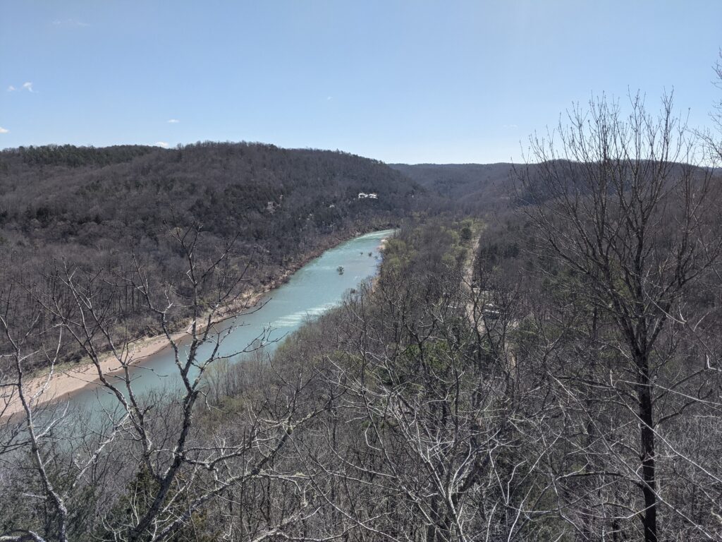
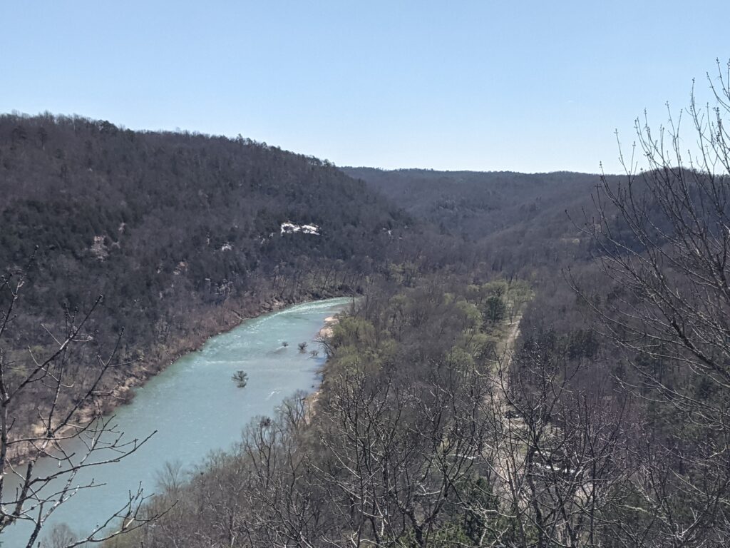
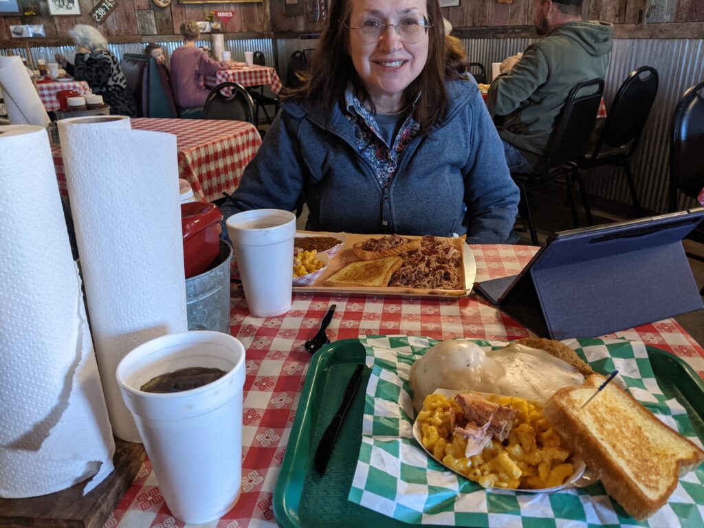
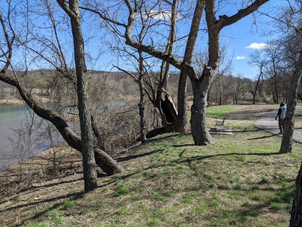
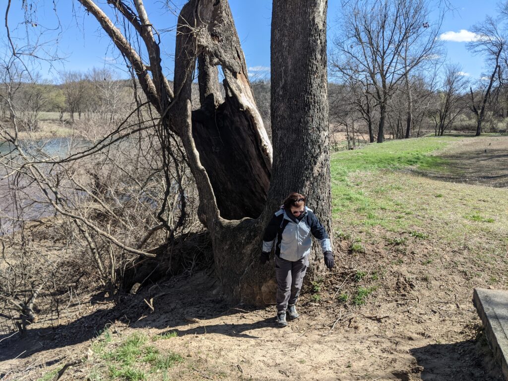
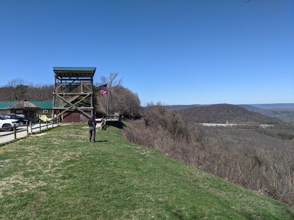
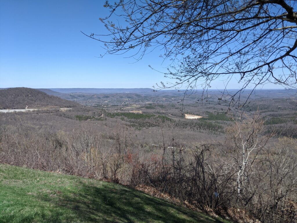
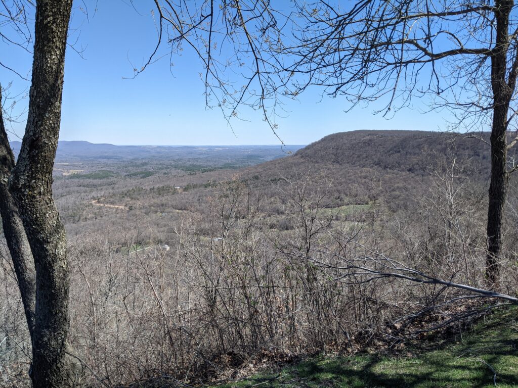
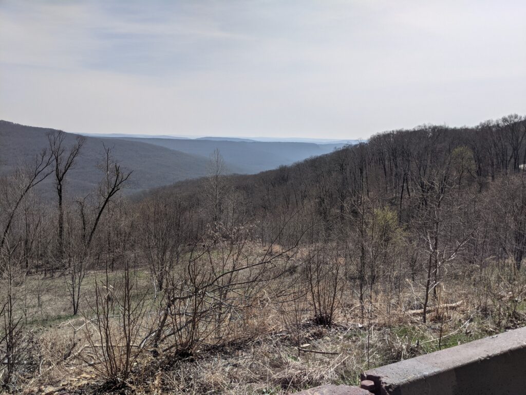
Nothing like a great overlook to start the day.That’s actually our campground on the right.It was still cold weather.Now that’s a good lunch! BBQ for her and Country Fried Steak for me. We got another meal out of the leftovers.A nice after lunch walk in Yellville Park. Yes, Yellville Arkansas is a place.Now that’s a hollow tree.I found this interesting rock along the creek and brought it home. It’s fist sized appropriately enough. Must be a cartoon hand.
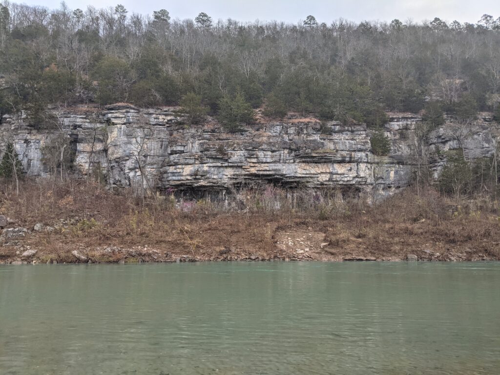
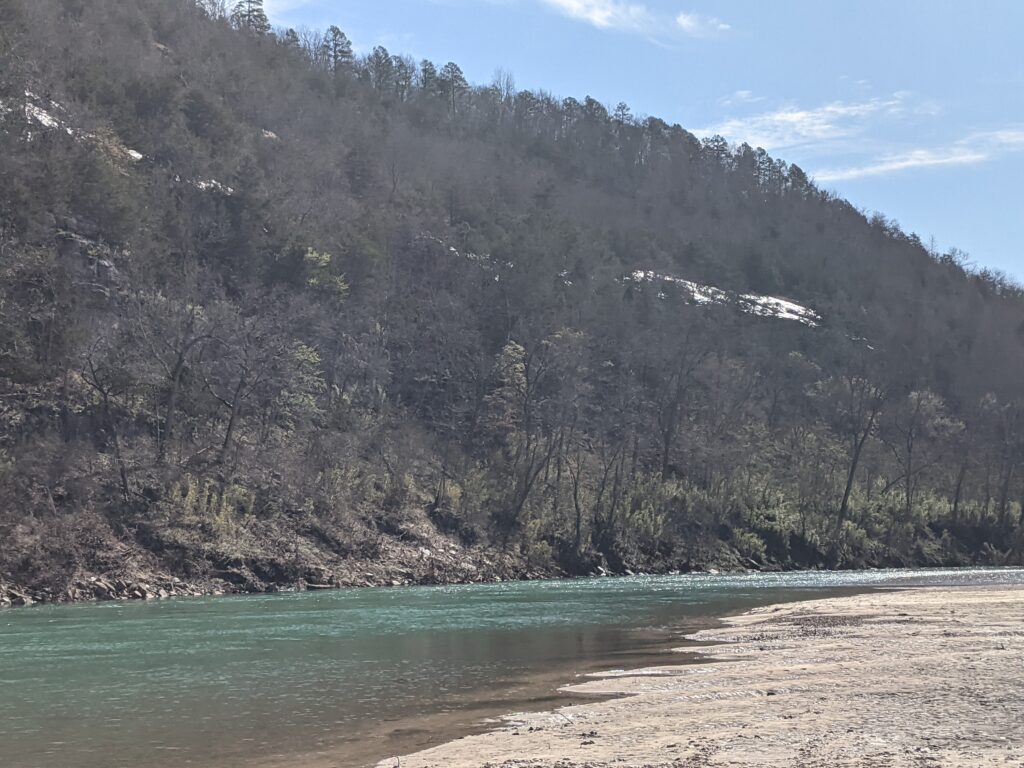
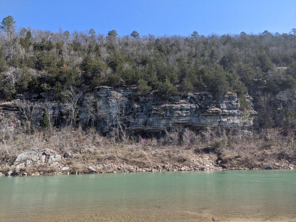
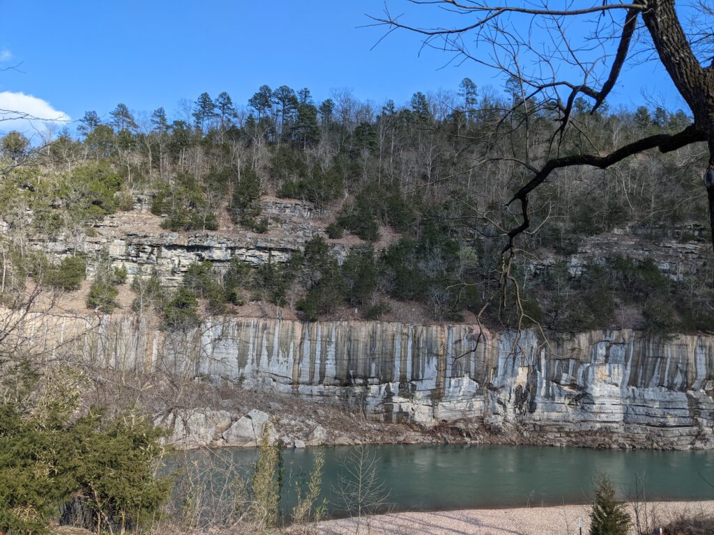
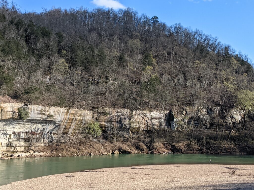
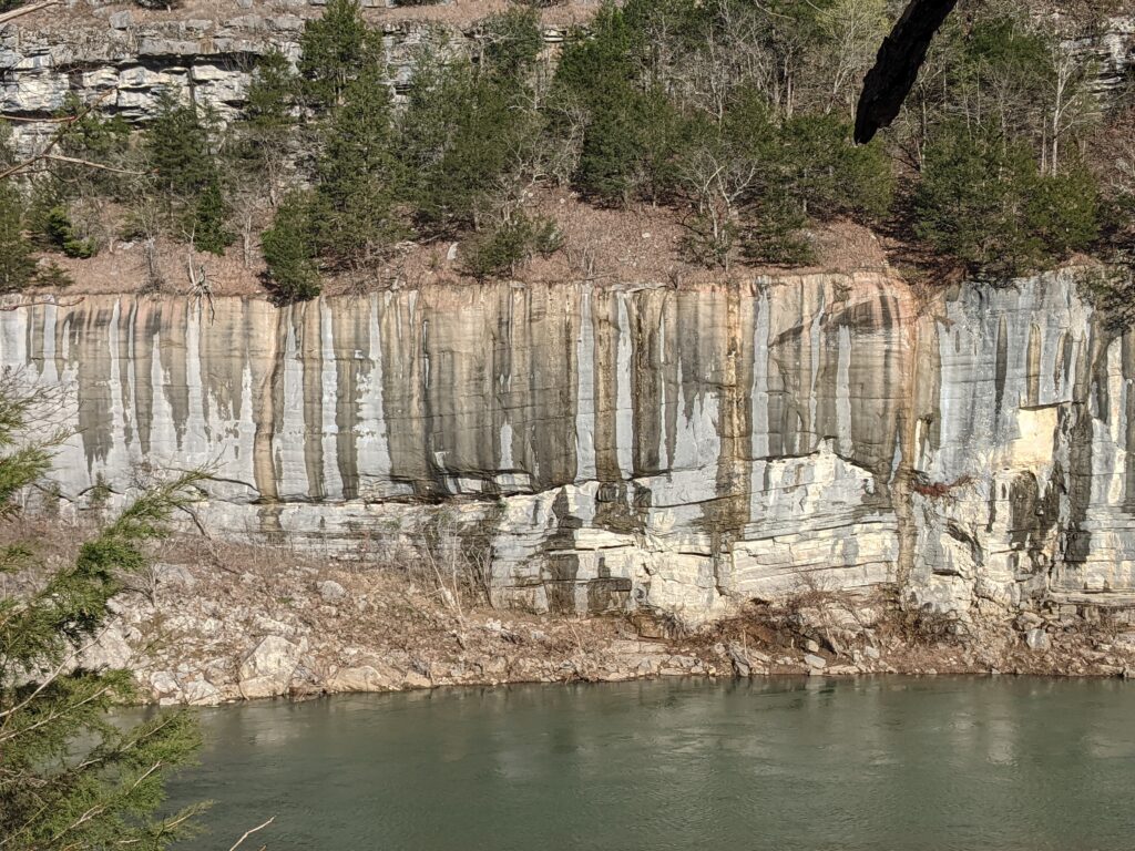
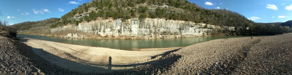
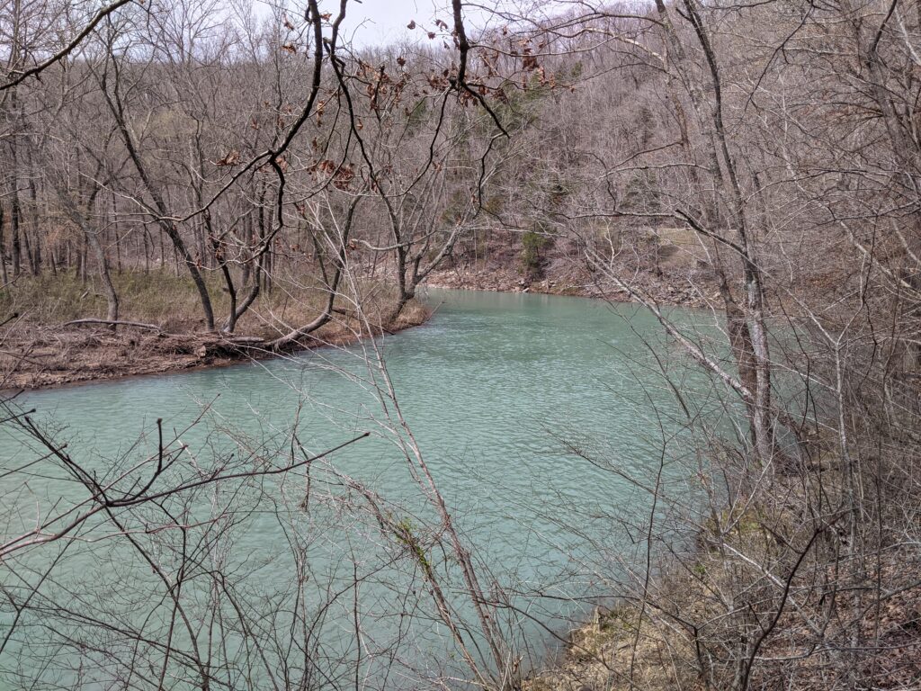
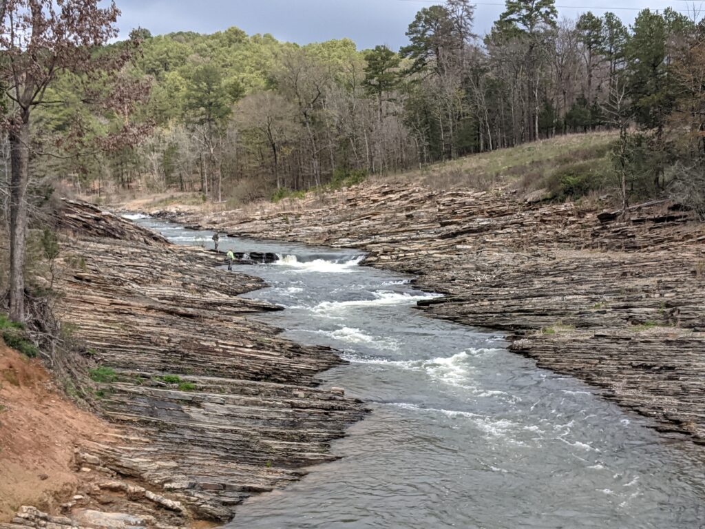
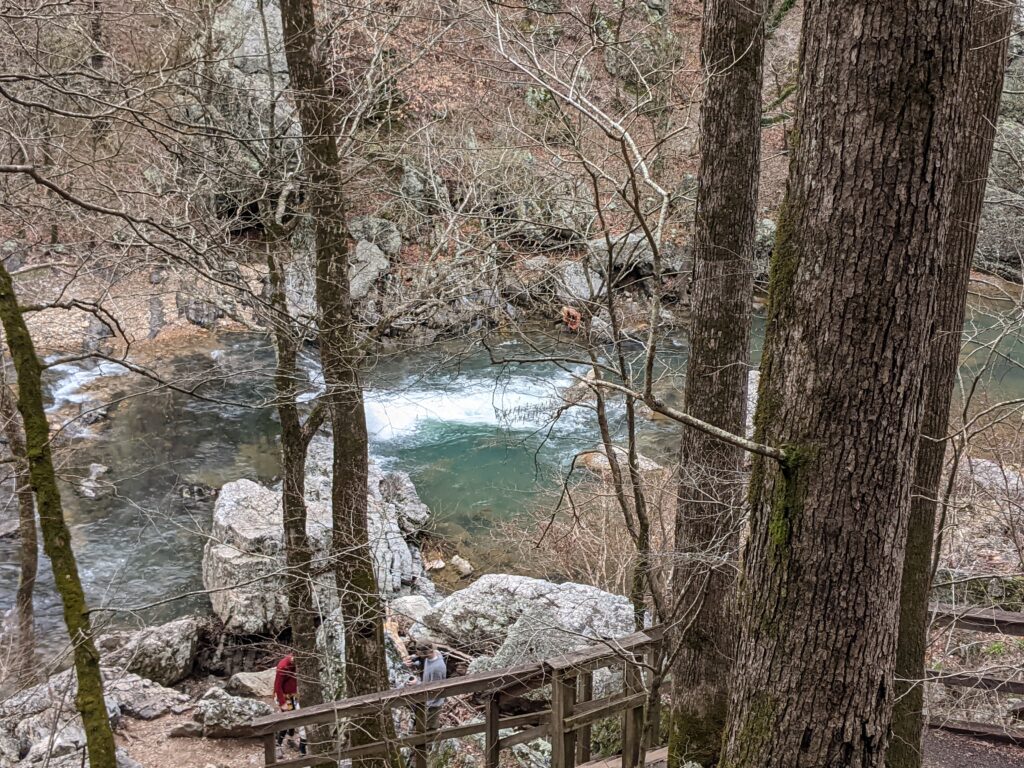
This was the new campsite they moved us to. Closer yet to the river. One of the ones to one side was closed off because the end of the parking asphalt had fallen into the river!Well, just put a new parking block and make it for short cars.We drove down to the end of the campground and walked around. The rock wall across the river was gorgeous.A guy fly fishing.
A closer look at the rock wall in the afternoon sun.Another bad panorama shot.Those people actually splashed around in the cold water a little.A person gives a perspective. There goes one now. Sometimes she kept going when I stopped for pictures.
Day 5
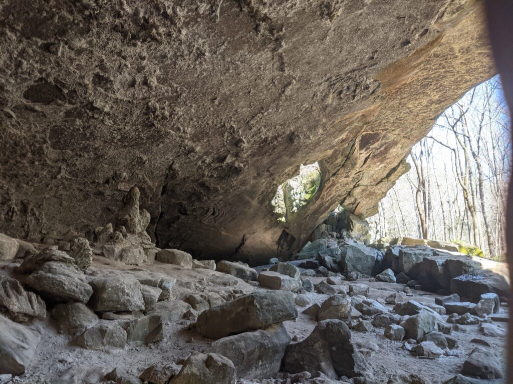
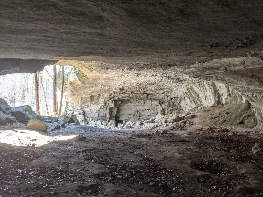
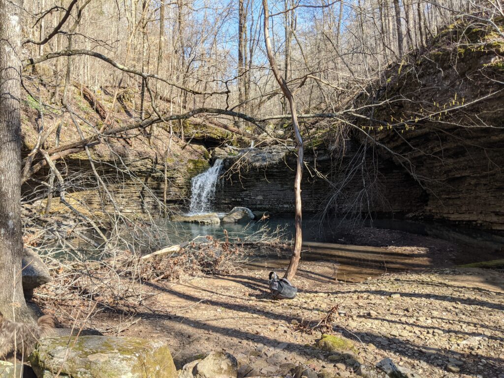
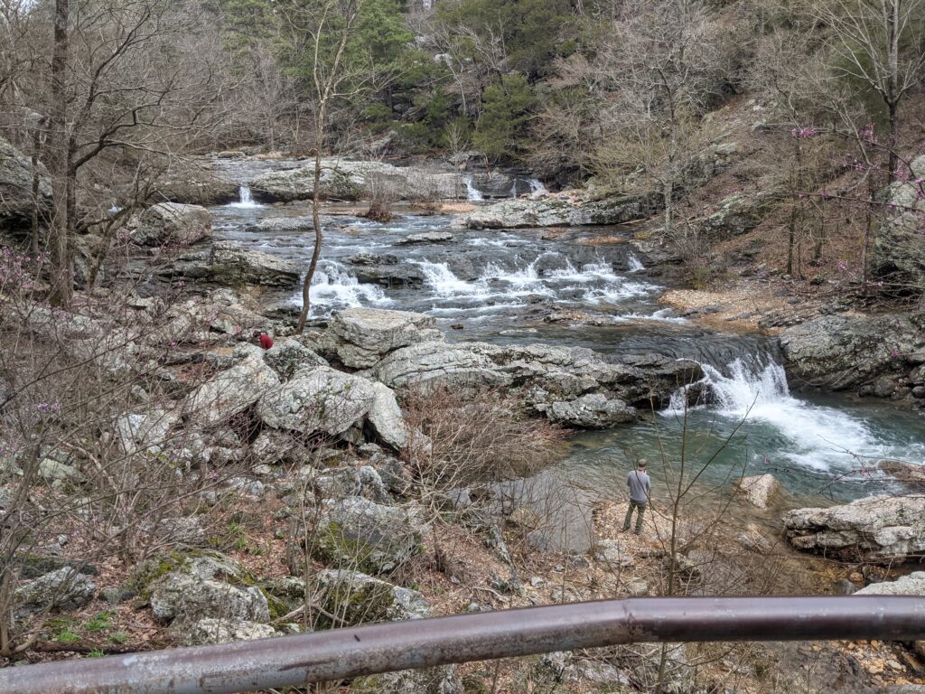
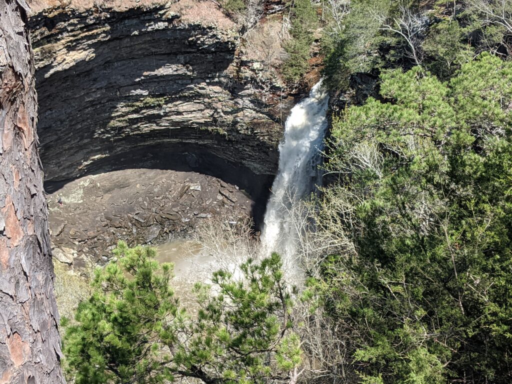
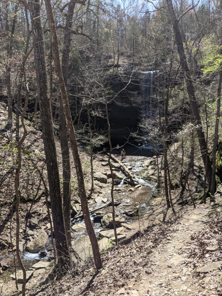
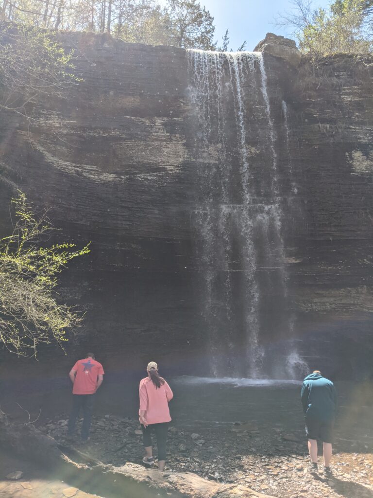
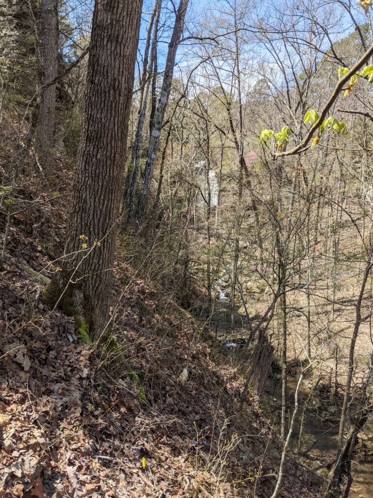
We drove to Aux Arc Park in Arkansas. A lot of arks there. We spent a couple of days here too. We went to Big Creek Cave Falls today.
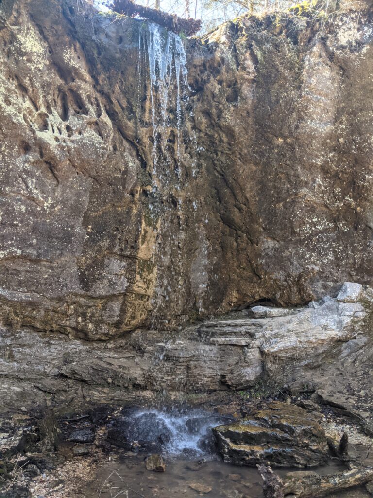
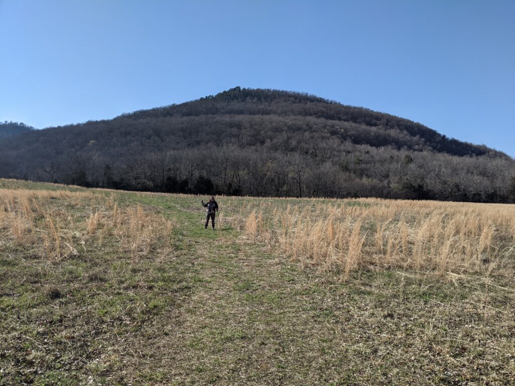
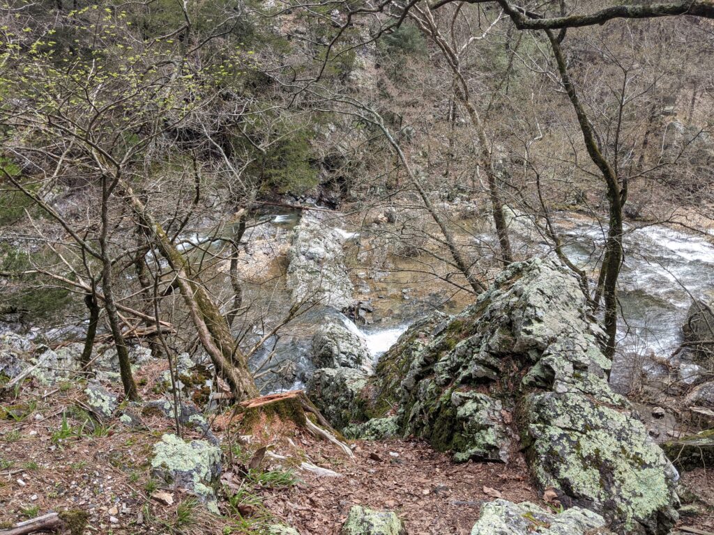
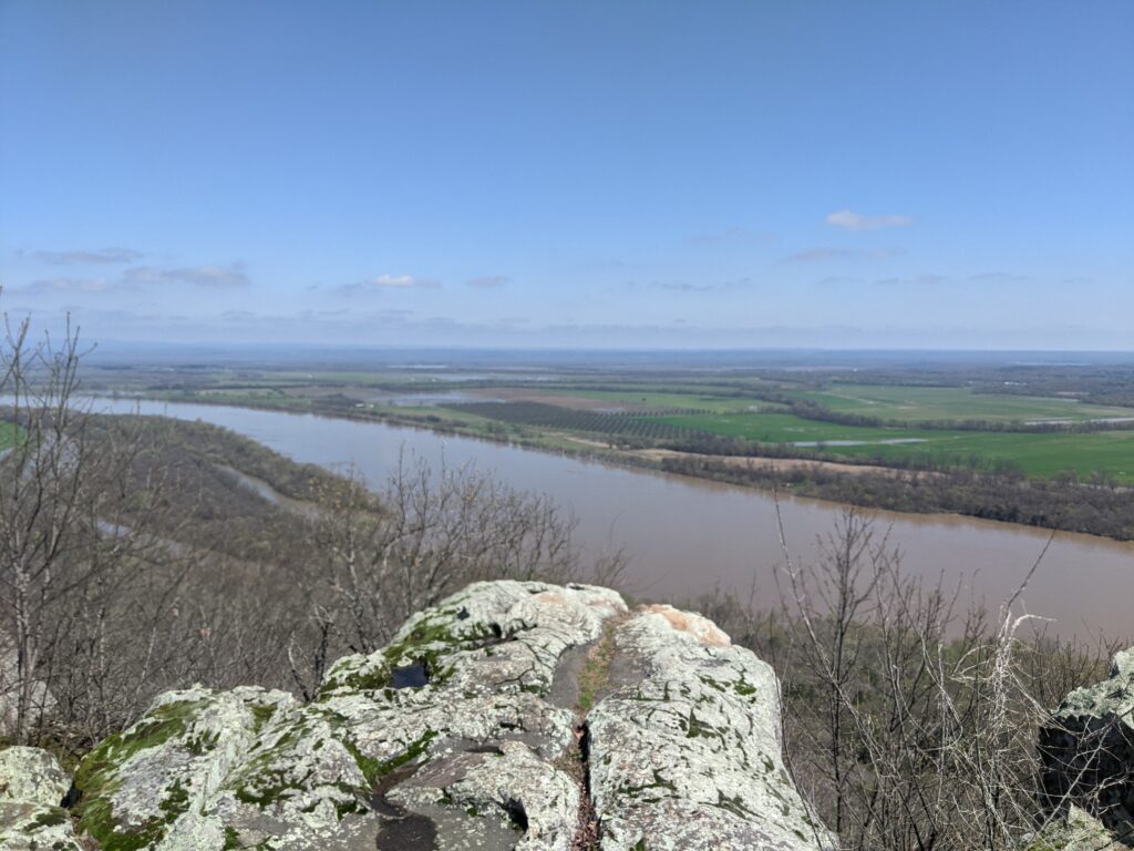
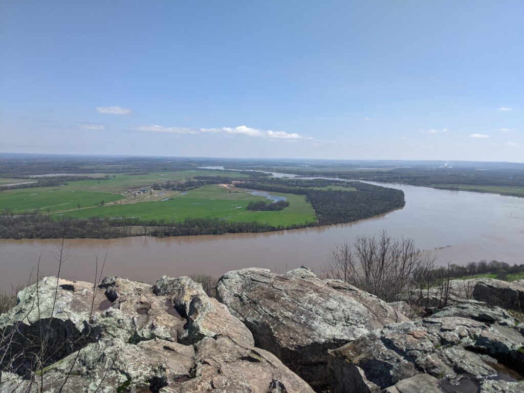
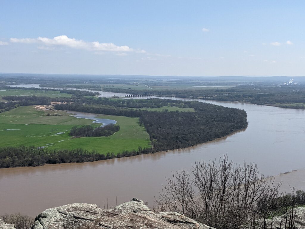
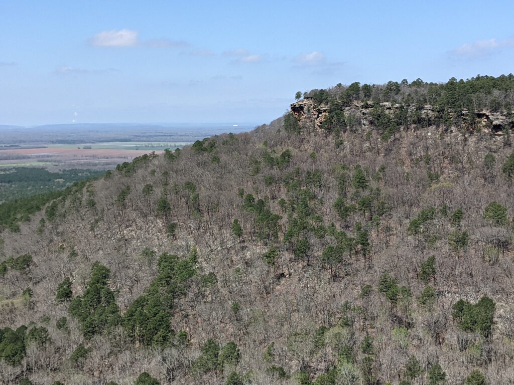
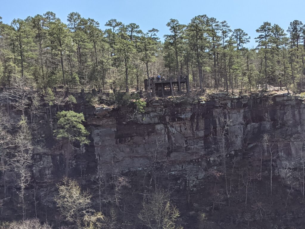
There is a big Basin we drove past called the Grand Canyon of Arkansas. That’s a nice view. They had a little tower there that would give you basically the same view with more steps. We passed. Like getting on a ladder to take pictures of a solar eclipse.The road to the waterfalls trailhead was okish. Some items in the back decided to take a break on the floor. The 4 cats were under the bed. Did I mention the cats?7 miles later.We came from the road on the right. The comments on the internet said the center road was shorter but rougher. We went back the way we came.Someone’s root cellar. Most of the trail was along an old roadbed along the creek. A few signs of an earlier USA civilization here and there.A popular spot in the summer I’ll bet!Water coming from the opening on the left. Who knows where it came from.You aren’t supposed to go in the caves.Did they just mean the one with water coming out?Getting in there was iffy here. Paula stayed right there. That last bit of dark soil was loose mud at a 45 degree angle. My crocks somehow made it so I didn’t go sliding down into the creek below.I had to make sure the other dry holes didn’t go anywhere. They didn’t.Yes another bad panorama shot.Back at the main creek there was another small falls on up the trail. Supposedly 1 further on too, but I didn’t go past this one.Heading back to the Bus across the field we came in on. Not much blazing on the trails if any, but someone had tied up some blue ribbons.
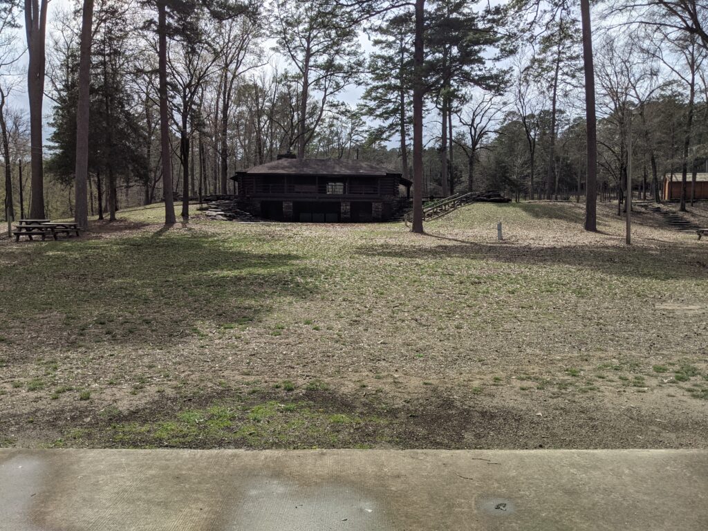
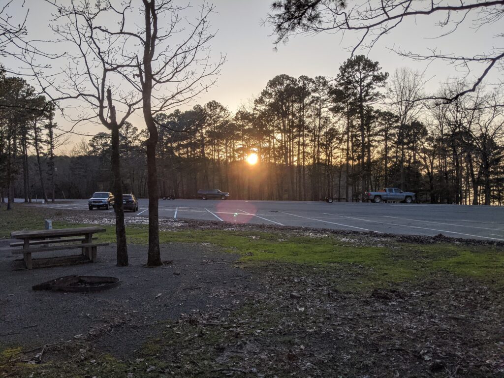
Day 6 Our new campground was great except for one thing. It had the worst bath house of any campground we stated at. There was one toilet and shower room for 1 male, and 1 for a woman. The women’s entrance light didn’t work. The men’s toilet had one of those buttons on the wall to flush it, and you would get a squirt of water because of some bad seal in it. The floor of the whole toilet/Sink/Shower was always wet. A combination of leaks and bad drainage. There was one outlet on the wall by the sink, and it had no cover. The shower was a pushbutton that if you held it down long enough, it would get lukewarm. It was down to freezing these nights and no heater. The second night the women’s was out of service. The skoolie shower is at least hot. So we used it.
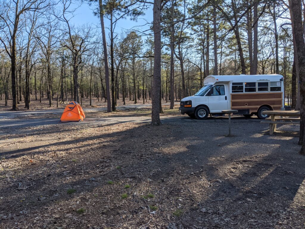
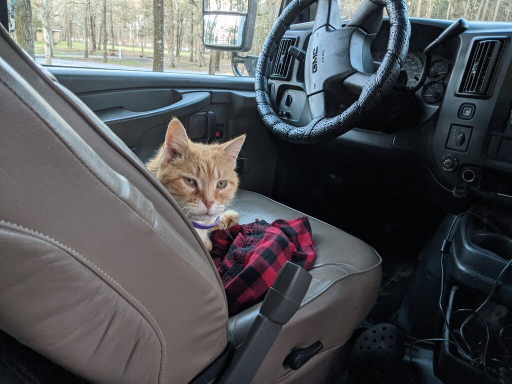
We were in a great place. The last spot on the section. Long walk to the camp bathroom in the dark up past the pavilion in the background. We have a little camp toilet that Paula used but I would get out of the tent and go to the camp one rather than wake Paula up. We also had the 4 cats loose at night in the bus and we would have to round up any in the front and put them behind the bulkhead before we opened the door.
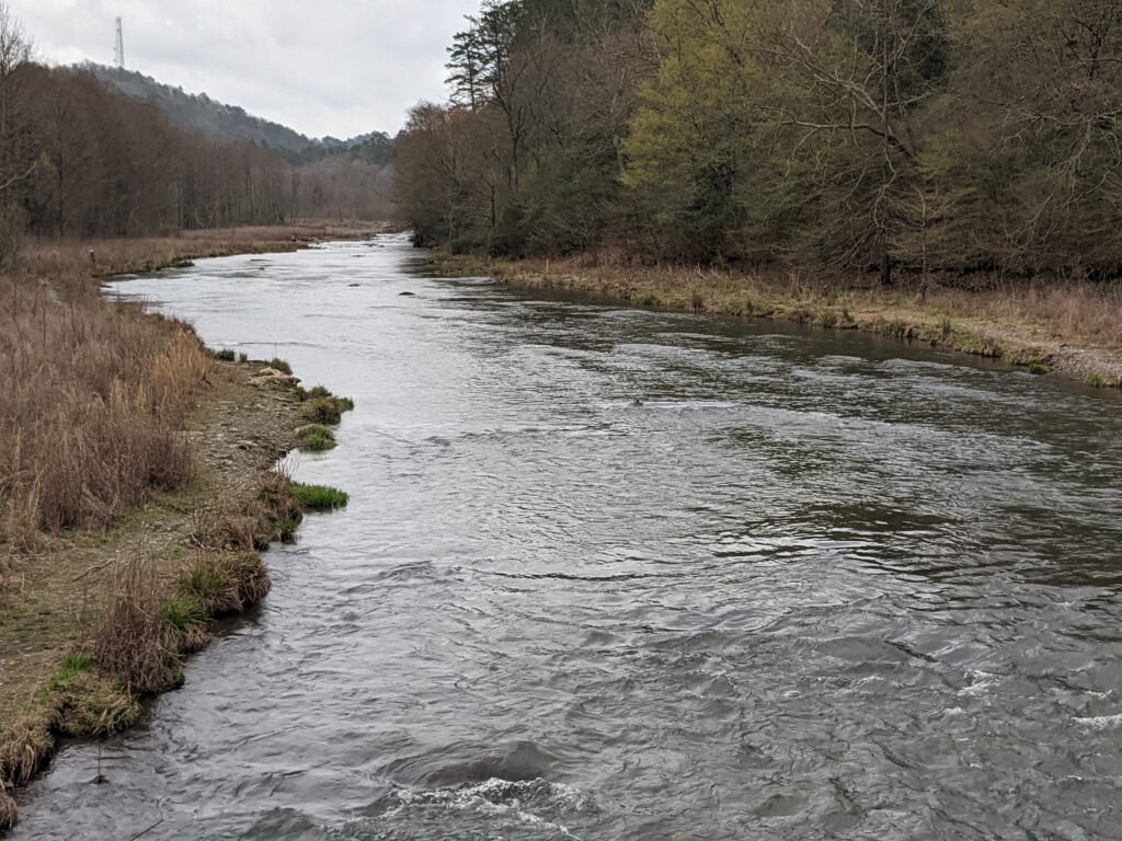
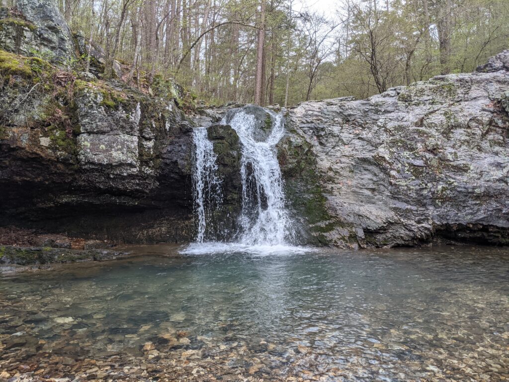
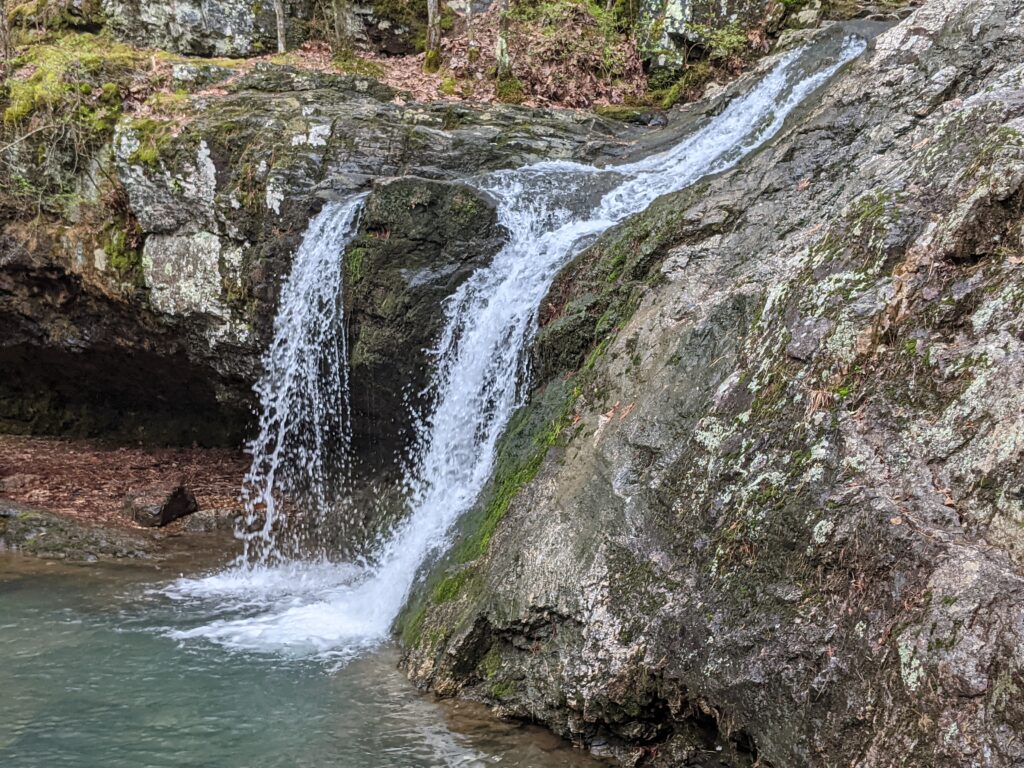
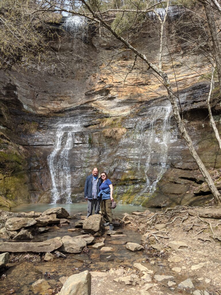
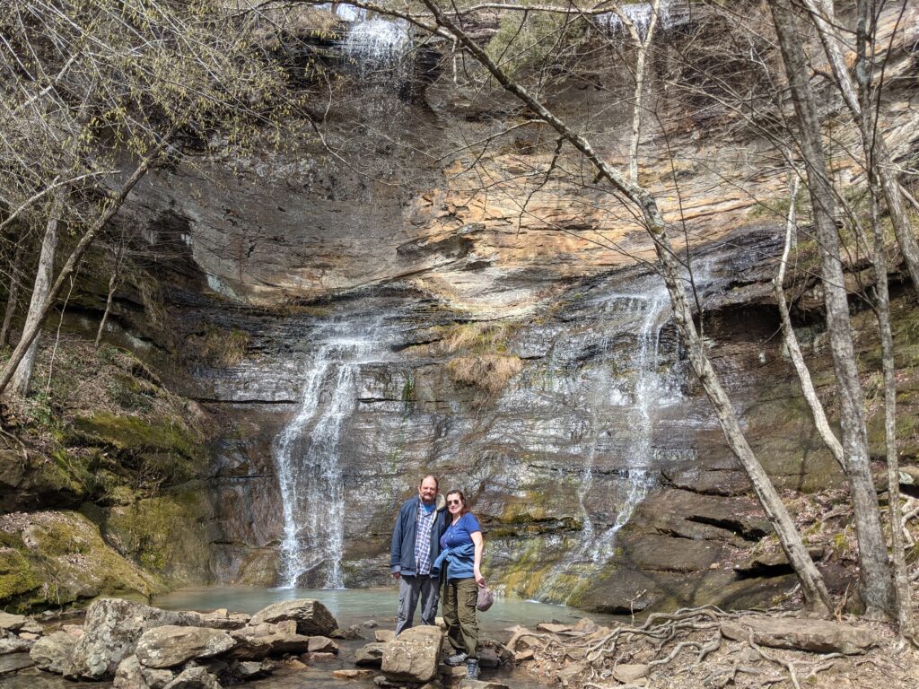
So the 6th day we went to High Bank Twin Falls on Mulberry river.
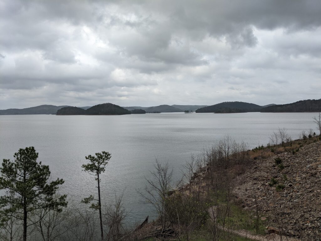
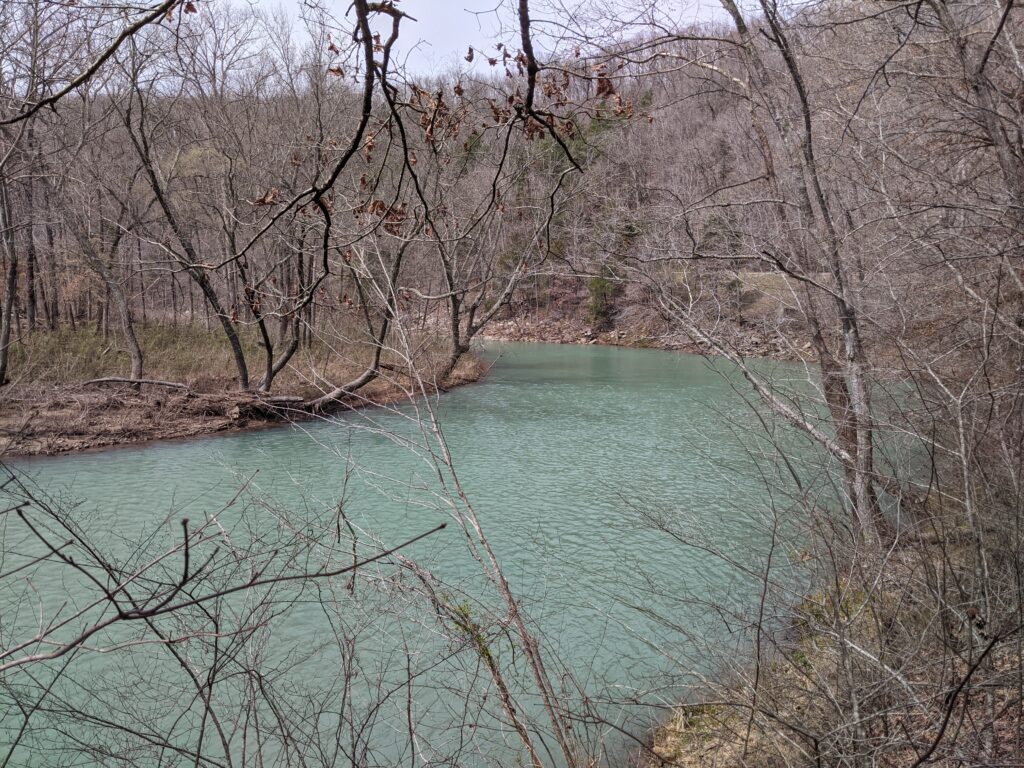
It was overcast that day, but we got some amazing views of the lake and river.High Bank Twin Falls.
Day 7
Broken Bow.
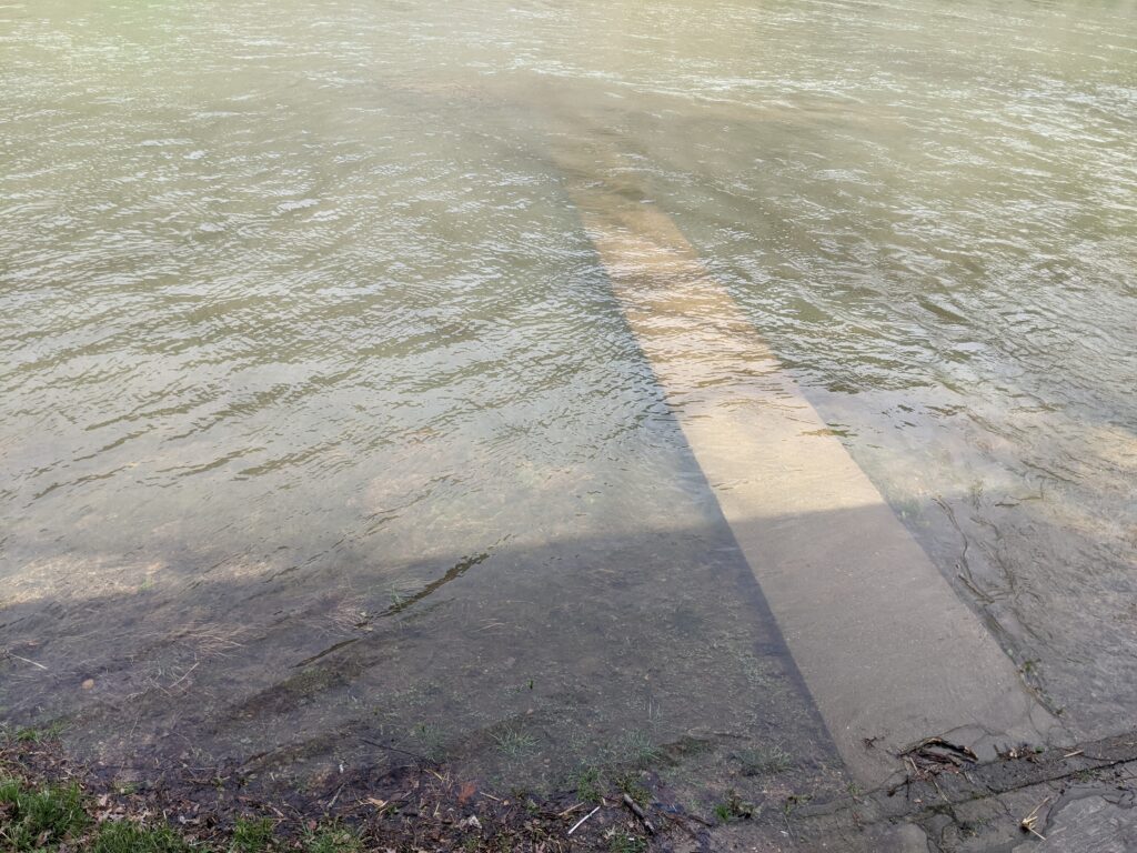
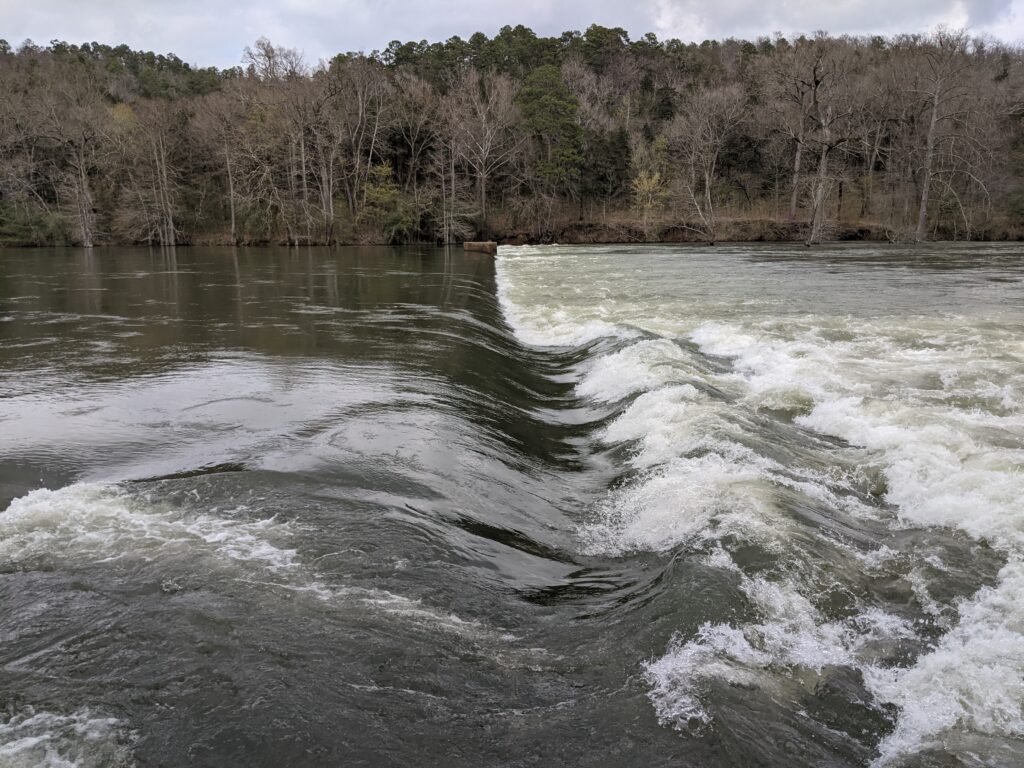
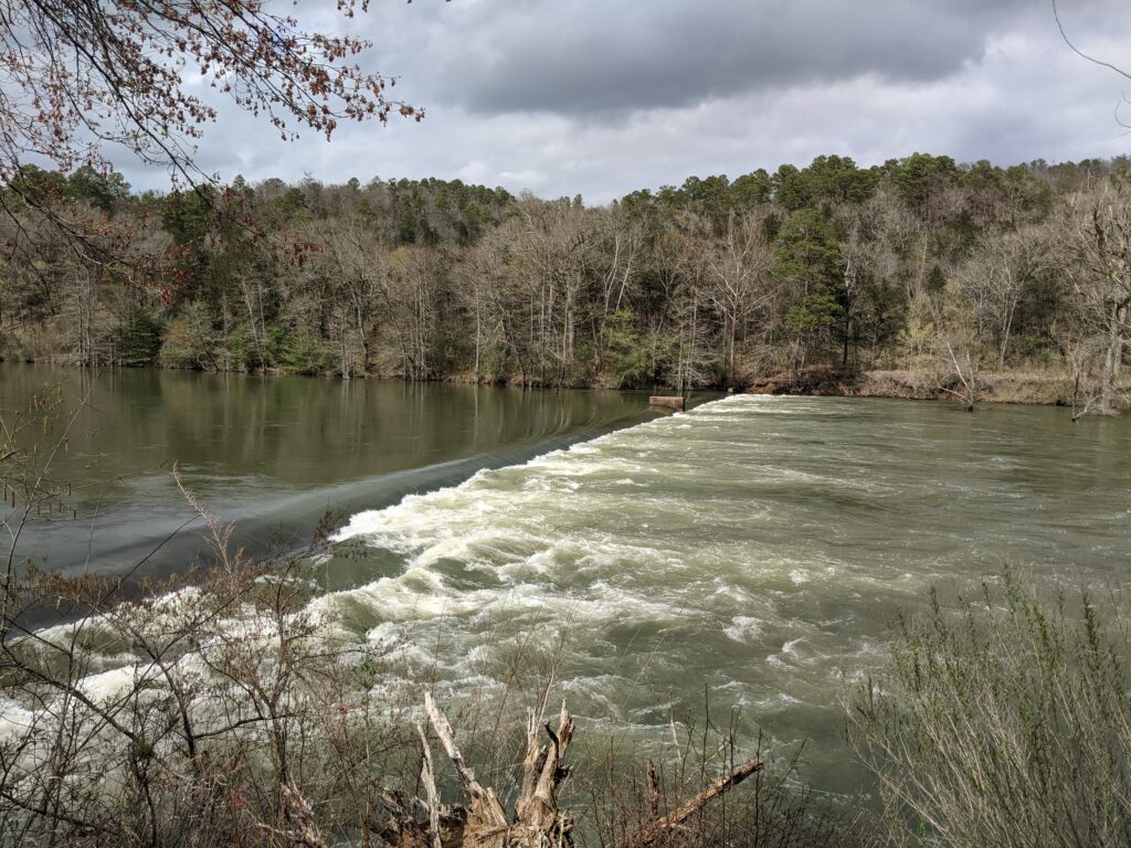
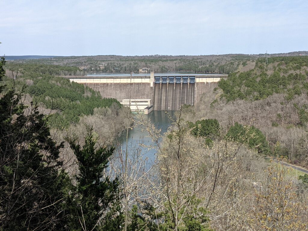
We went to Beaver Lake State park. Nice River and an old dam across it that looked like a waterfall. Nice park for a picnic too!
The river was up quite a bit more than this sidewalk. If you look hard you will see another it conencts to going right and left.There were a couple of big buildings here, we ate lunch at one with picnic tables.Somewhere down there is a spillway across the river.
Day 9
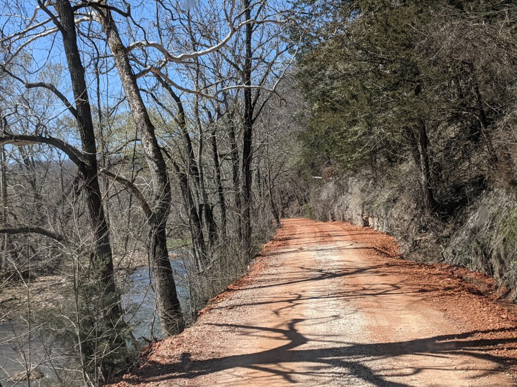
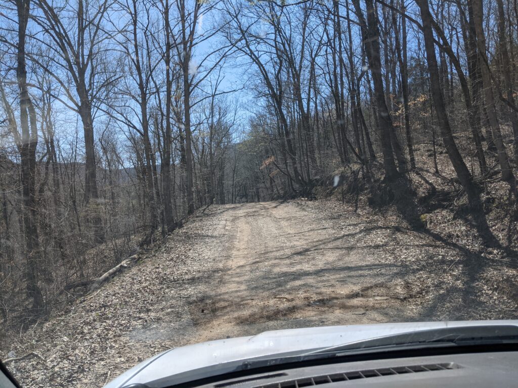
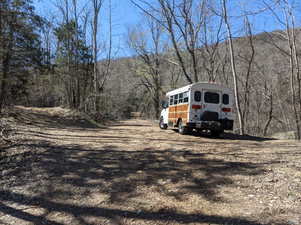
Today is the day we took a long mountain road to a waterfall that was well worth it, but dicey. We had long sections of 1 lane 2 way road. A 3ft. drop off on the inside of the mountains for drainage, and a possibly fatal drop off the outside. You could either fall off the mountain or fall over against the mountain. Better stay on the middle of the road.
I had to drive slow because it was bone shaking enough crawling at 10mph. I kept keeping track of places you could pull over in case we met someone. Then we met someone!
Panic time! We had come around a curve and here comes a lady from the other direction. She pulled over on the inside as far as she could leaning at a pretty bad angle on soft gravel. No way I could make it. The only place I could see that might work was a place with a tree and about 2 ft extra on the outside. I got lined up and put my front tire off the road onto the grass there and pulled up to the tree. She managed to pass me though we were both in a not really safe situation. I had to back onto the road because the extra dirt was washed out past the tree. We didn’t meet anyone else. Glad it was an off day. I was glad Paula could only see the inside. No pictures. I was busy.
So we got to the falls anyway!
We later went to High Bank Falls.
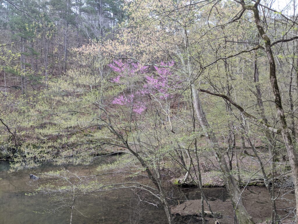
It was a lot warmer today but overcast. Paulas in a tee!And another waterfall further down the road.
Day 10
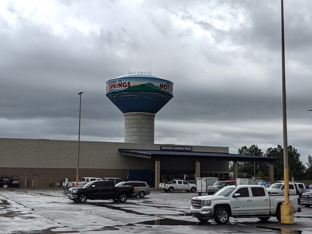
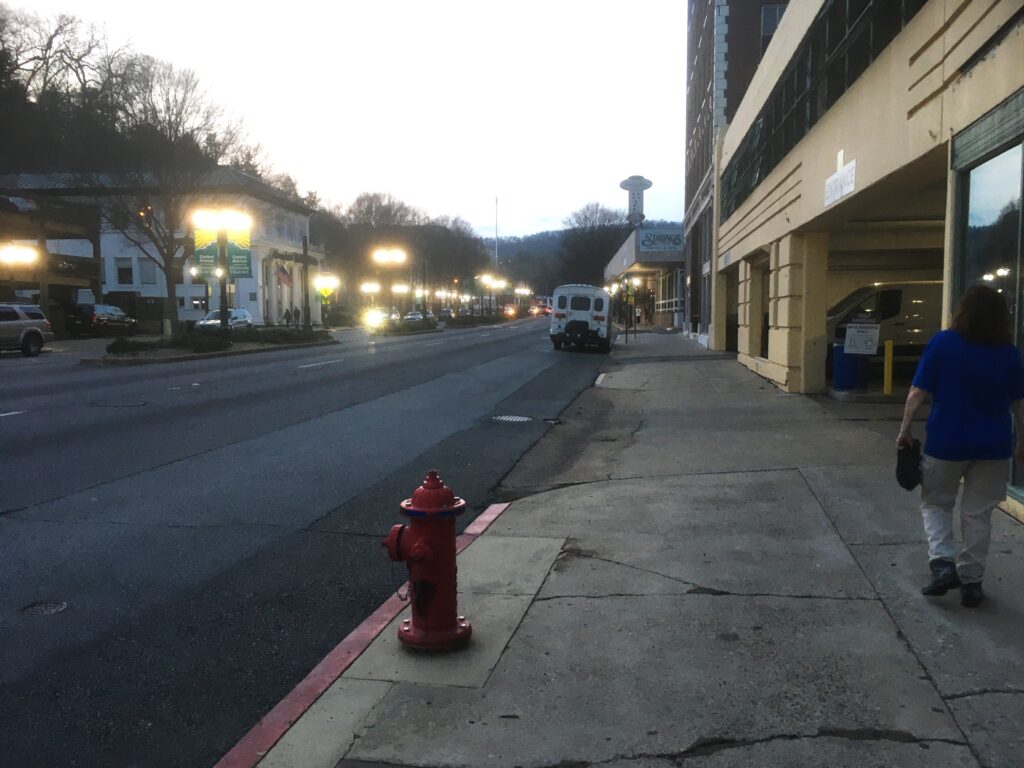
On the road again. We went through Hot Springs after walking the uptown in search of Ice Cream. It was evening. Earlier we checked Out of our $17 campsite. It wasn’t worth it. It was just a parking lot, no showers. I hated it. I didn’t let that bother me sightseeing. I guess staying a couple miles from Little Rock for $17 sounds good. Paula got us a Hotel for the night. We got to use our free points on our Holiday Inn Club Membership and stay for free.
Day 11
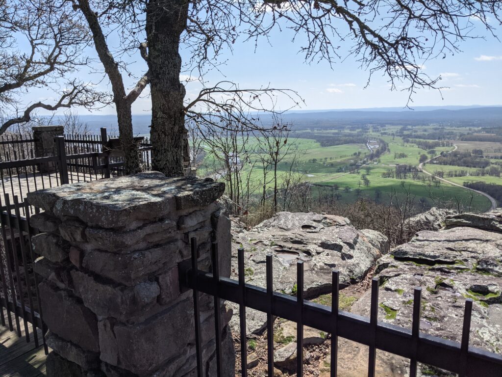
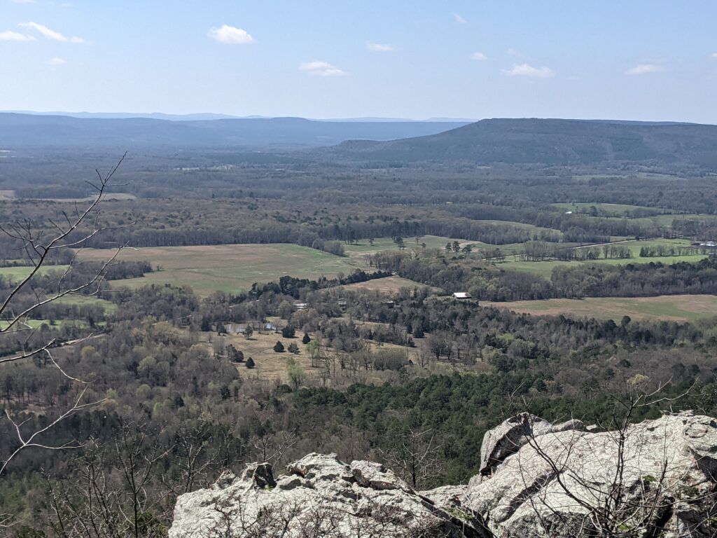
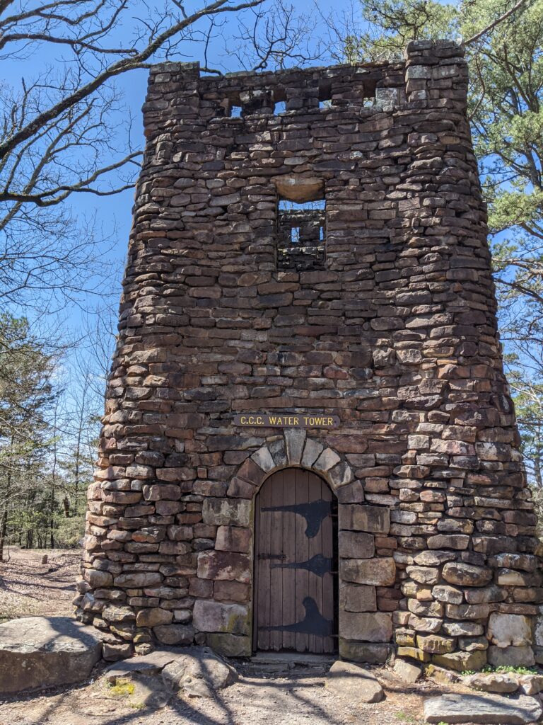
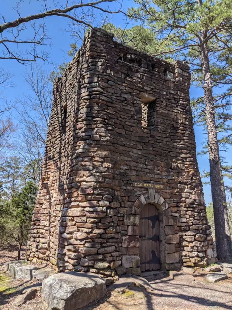
Petite Jean State Park
The best campsite of the trip at Petite Jean State Park. They accidentally booked us at a section that didn’t officially open for 2 days, the day we left. No neighbors, our own bath house with heat and almost hot showers. Very near the lake.
Day 12
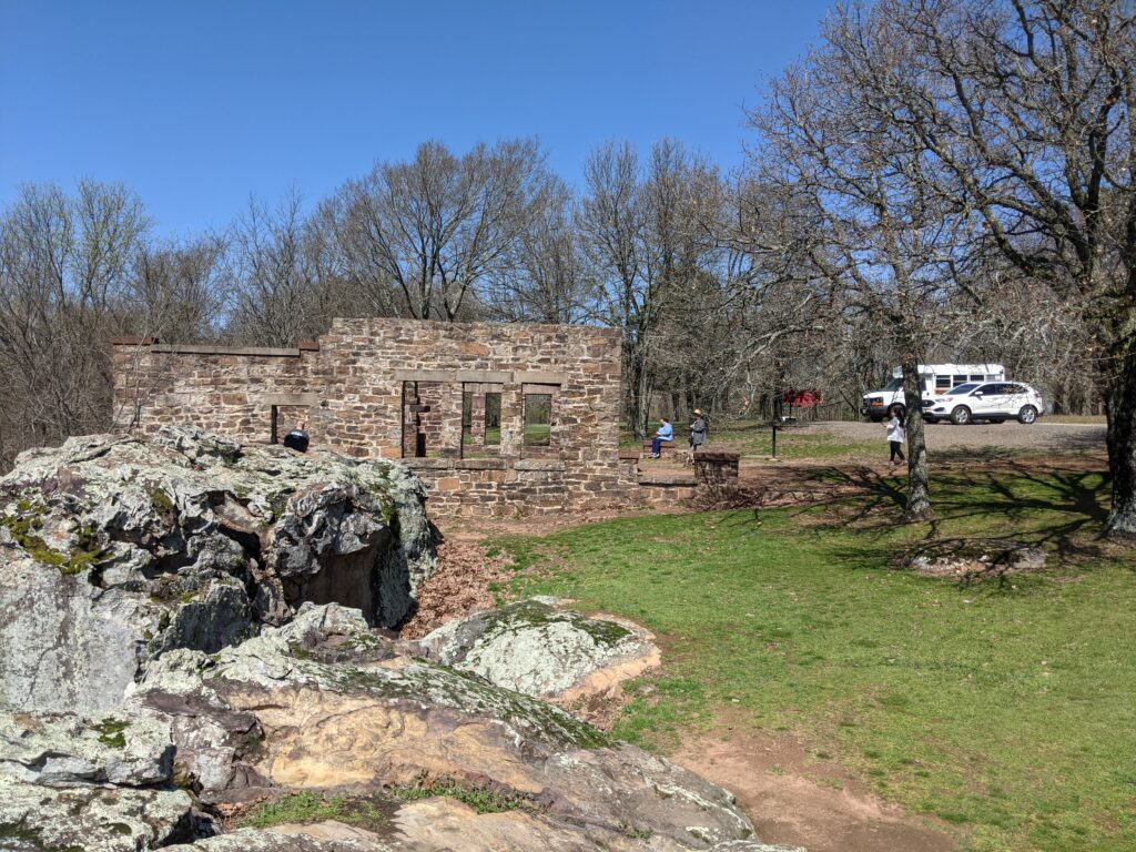
Bridal Veil Falls and the previous Bridal Veil falls. There are two on the property. The Taller one was named after the property owner. After the land was sold they changed the name. The other one is just basically called the previous Bridal Veils falls.
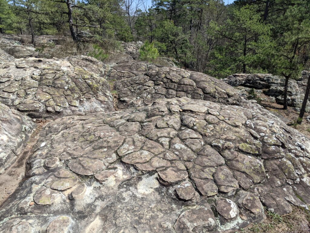
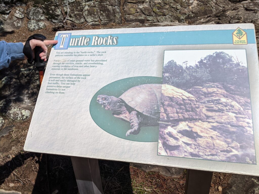
This was the best photo I got of the second one. I thought it would be more visible from above. Taking a break on the way up.Hello down there!A cave across the valley.Last sunset at Petite Jean.Timmy is ready to hit the road.
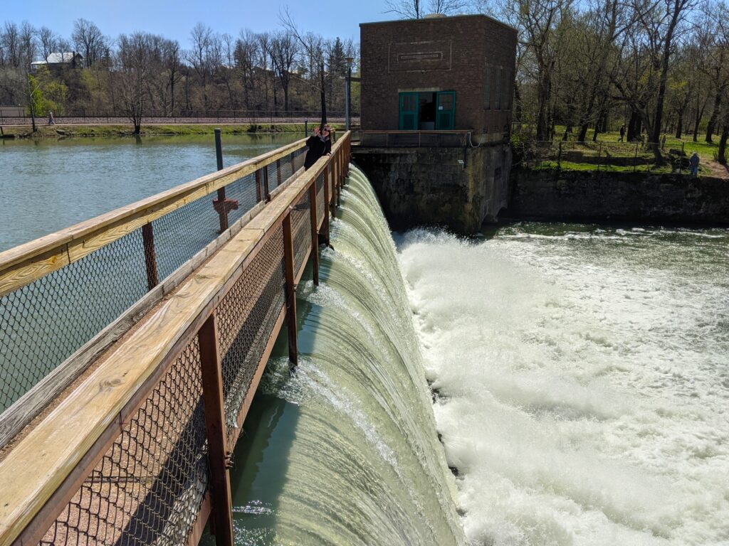
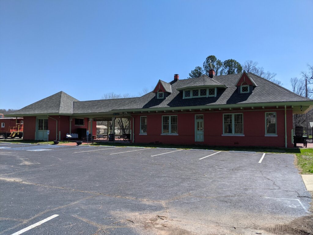
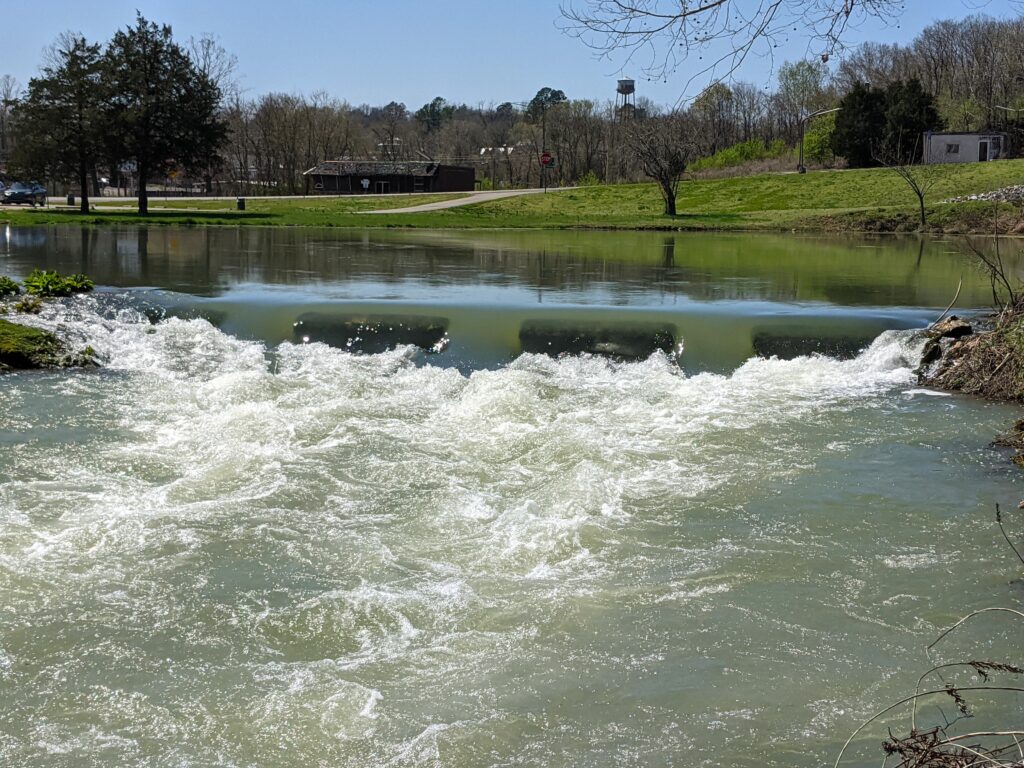
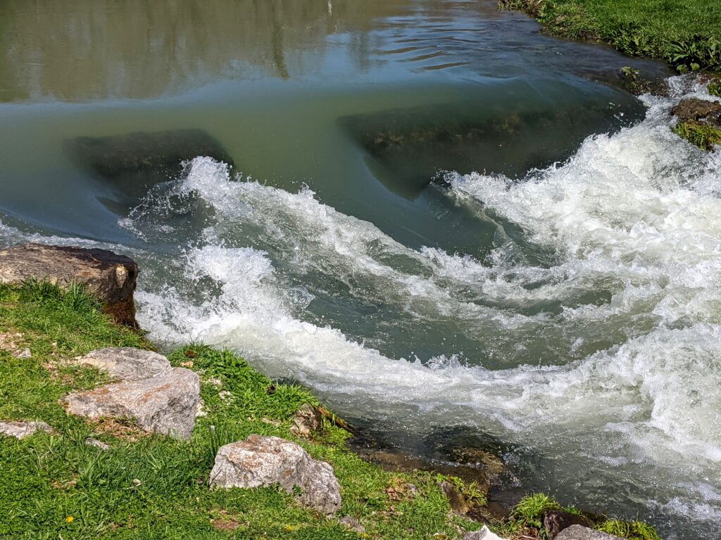
Day 14. Heading home. We stopped by a HUGE Spring on the way home. Mammoth Spring at Mammoth Spring AR.
Arriving at Holiday Inn Poplar Bluff Mo. The 14th day was just a 2 hr. drive over familiar territory.