I returned to Panther Hollow on a rare summer cool day (low 80’s) to get some photos with leaves on. The hike to Panther Hollow was decent for summer.
The hike along Cane Creek was Brutal. 8ft reeds and chest high weeds. My permethrin sprayed clothes and dry conditions kept the ticks and chiggers away. I did get some stinging nettle spots, and no poison ivy but a couple mosquito bites on my hands. Not too bad.
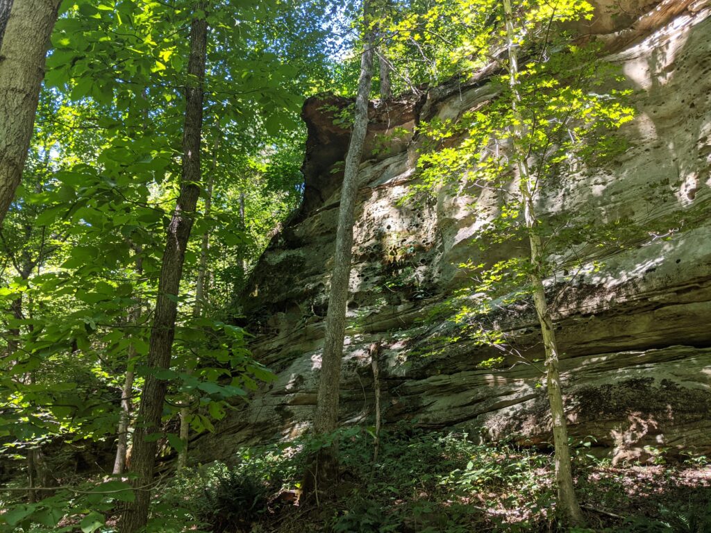
Summer is one of the worst times to bushwhack in the Shawnee. I could have gone along the tops of the bluffs like I did last year, but nothing much to see up there. And seeing bluffs was the point.
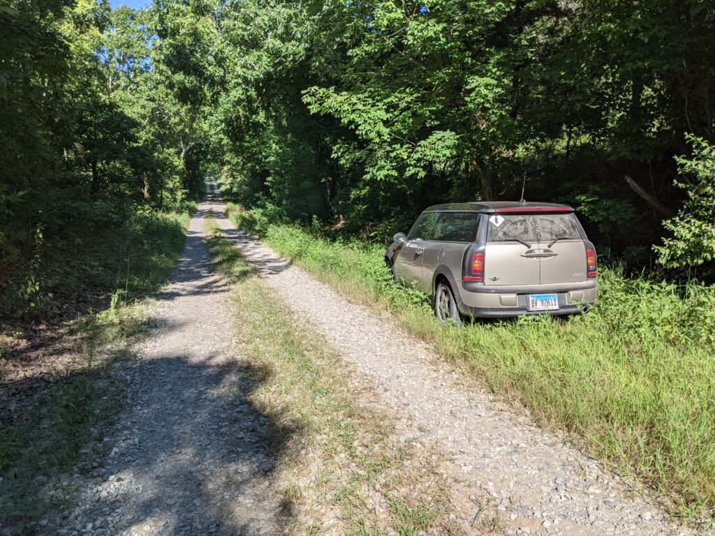
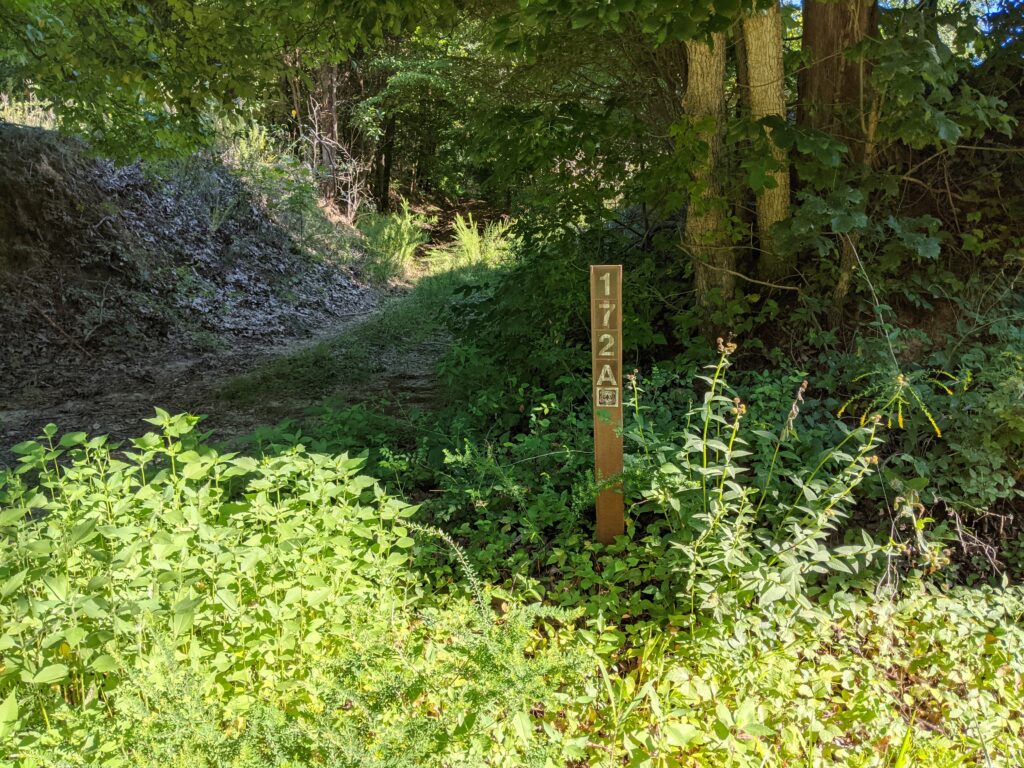
Look for forest Road 172A marker. You can turn around in it, or drive in a little ways and park to the side where it widens out. I just park on the side of Finnyville road.
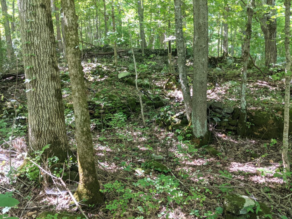
Follow the road North. It isn’t a road any more but you can follow where it goes. Keep an eye in the East side for 2 old homestead sites.
The faint trail is hard to follow in one spot in the pines around a couple fallen trees but you will pick it back up in a few yards, keep heading North. The road I think led to a firetower up on top of the bluff, though I couldn’t found any footings or other evidence to back it up.
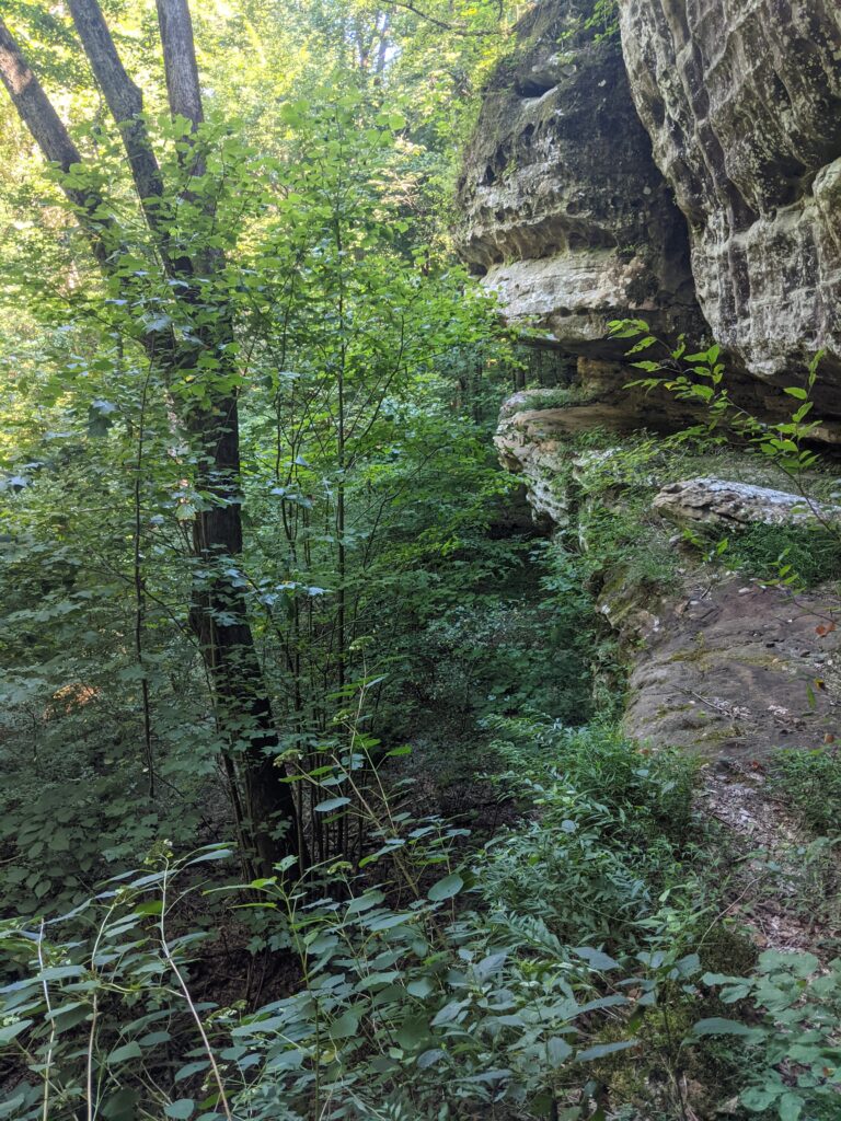
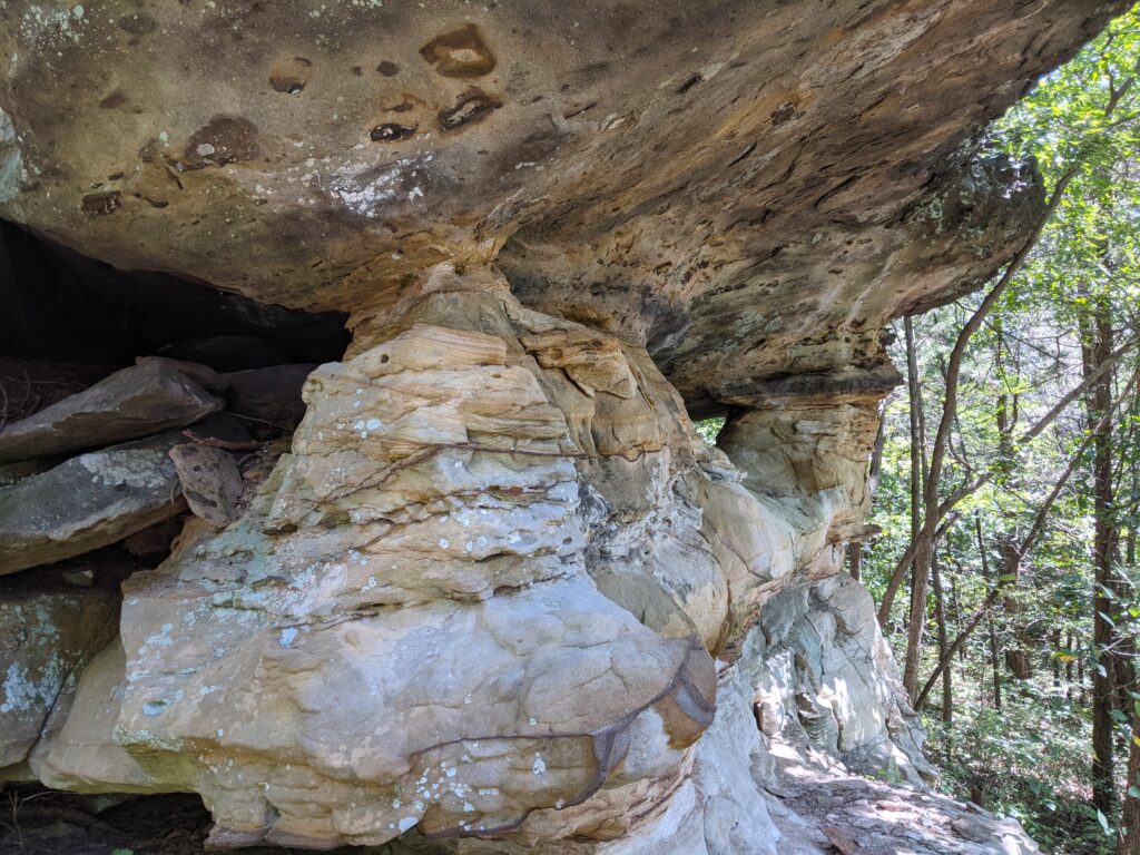
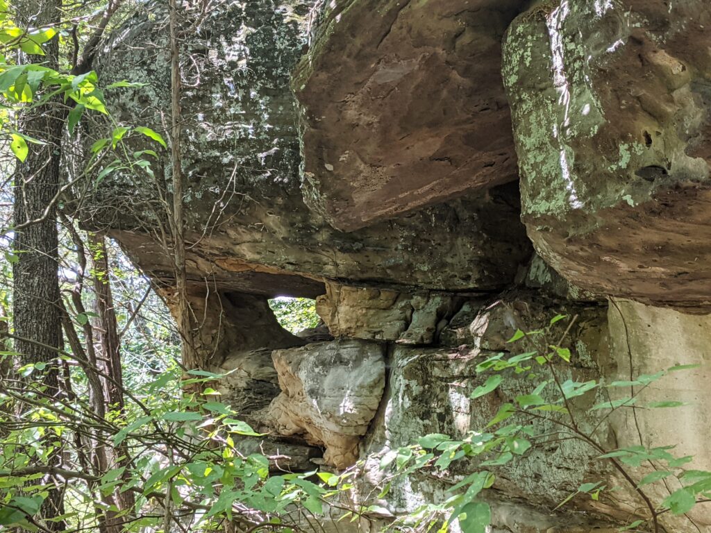
Just before the roadbed climbs the bluff there is a boundary marker in the road. Turn left and downhill slightly to follow the base of the bluff West and then it will eventually take you East.
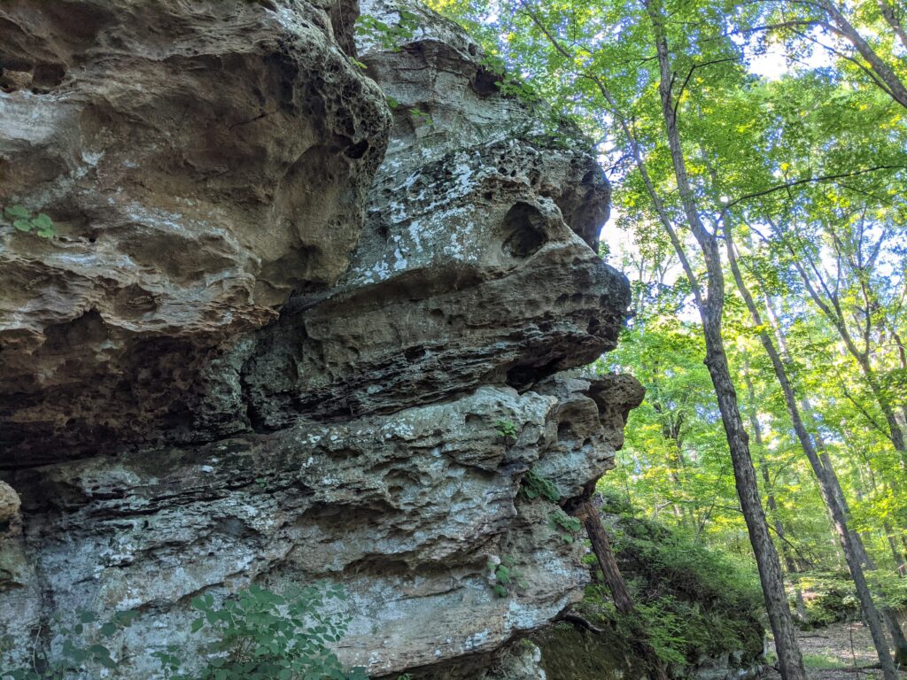
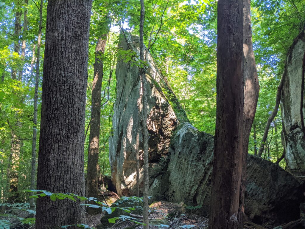
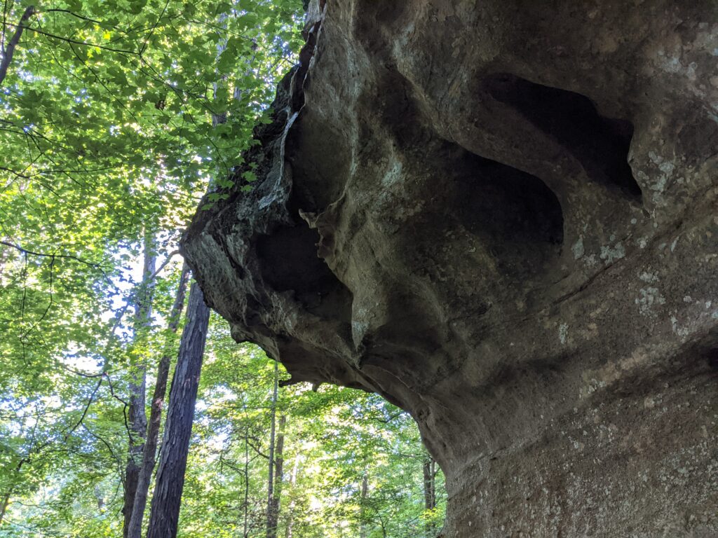
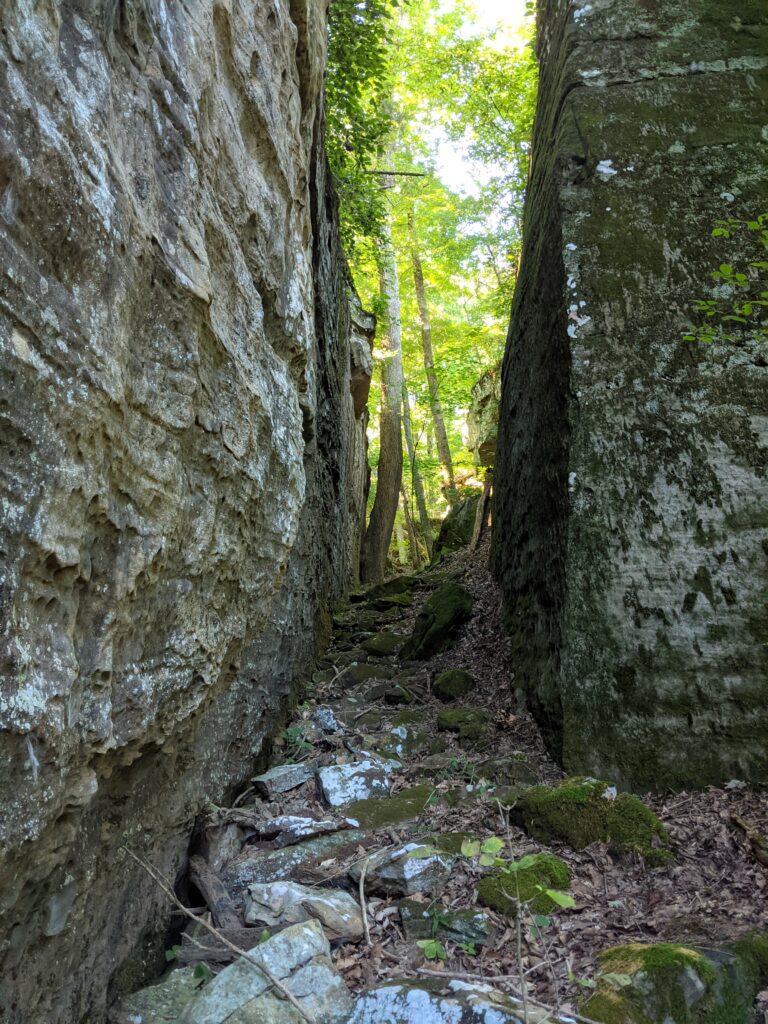
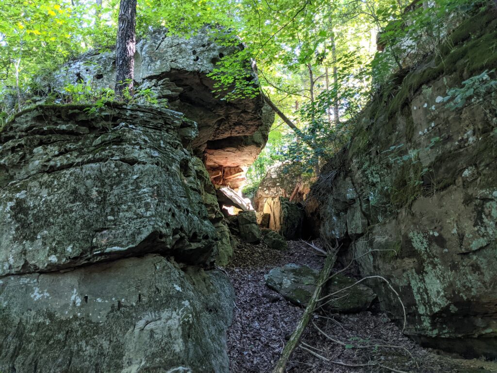
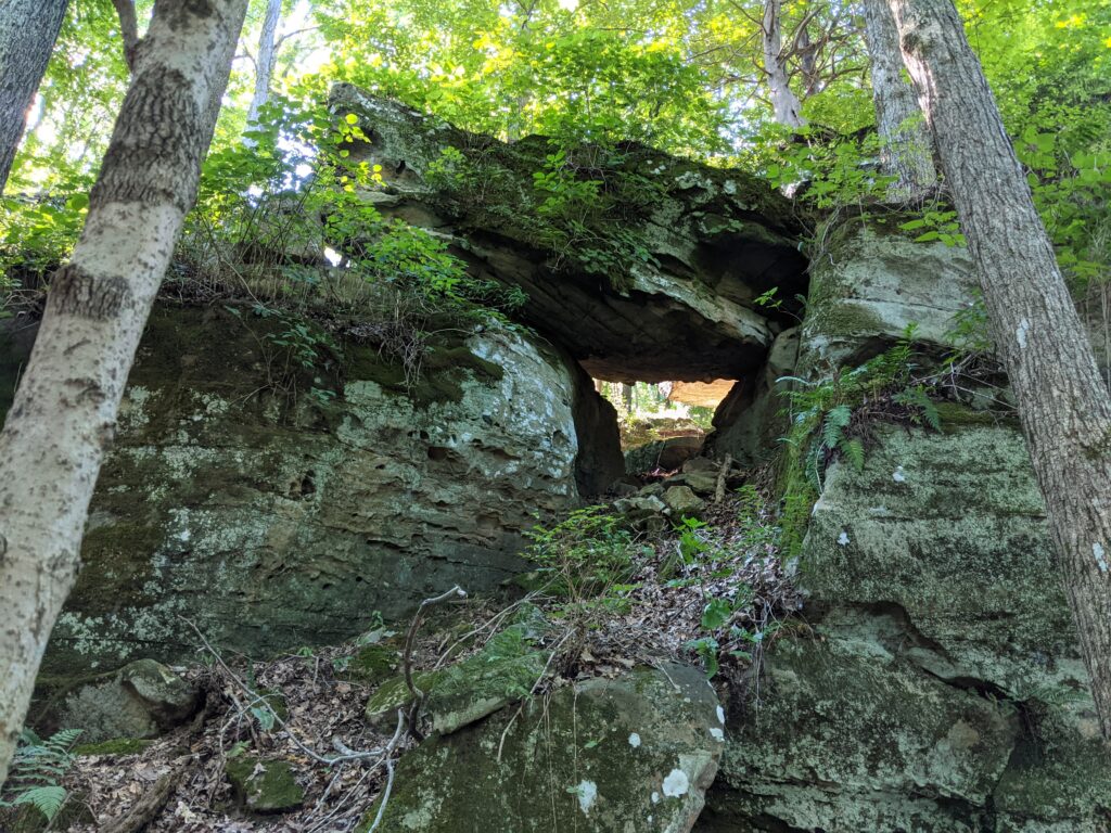
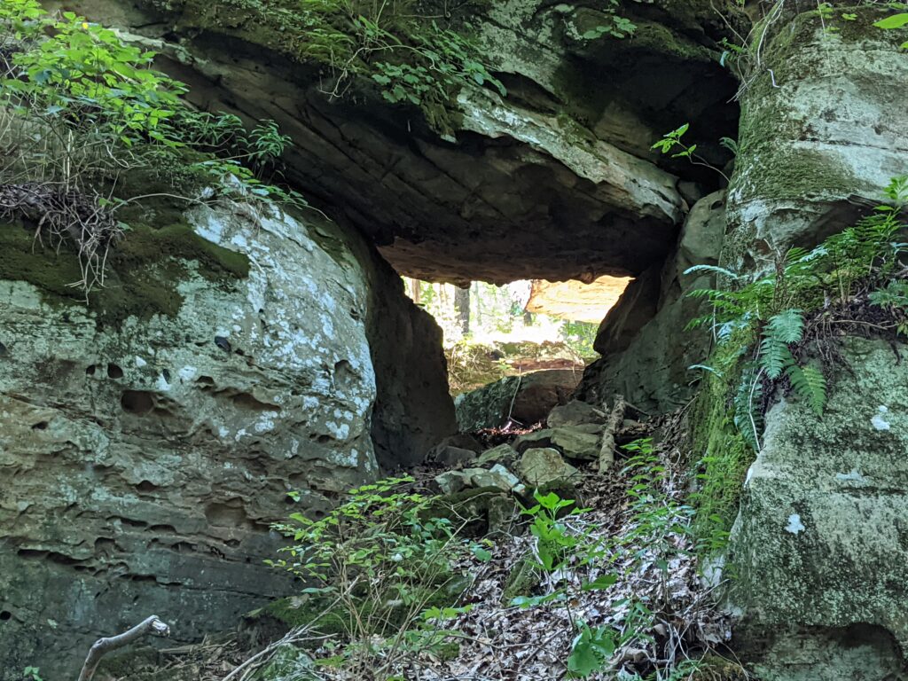
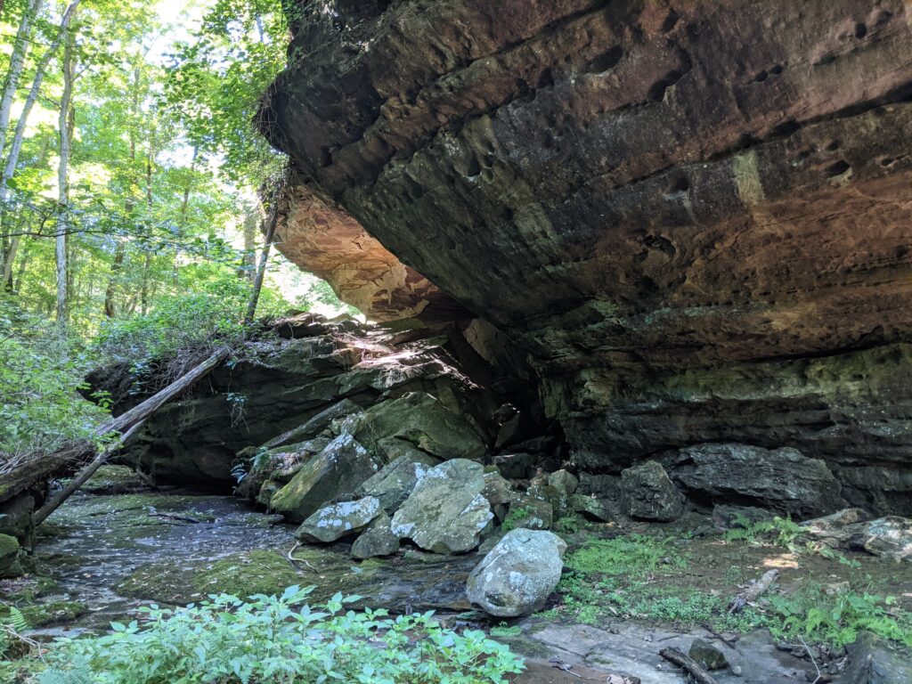
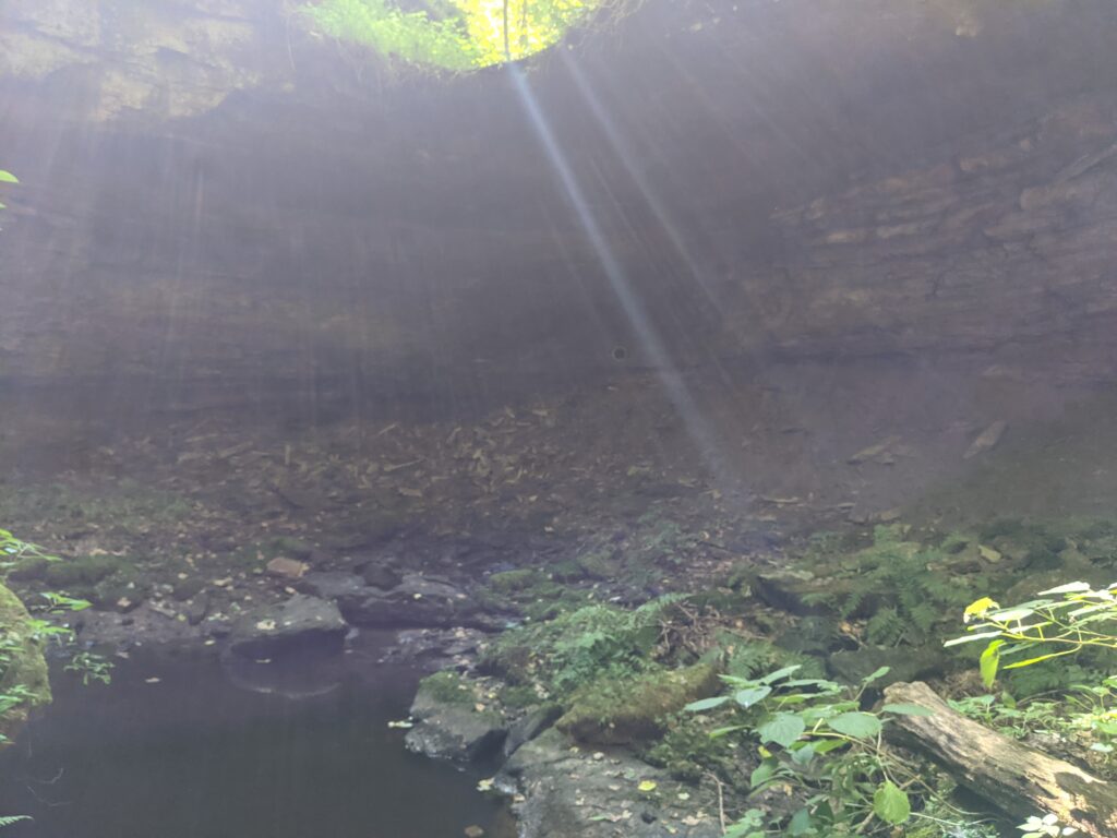
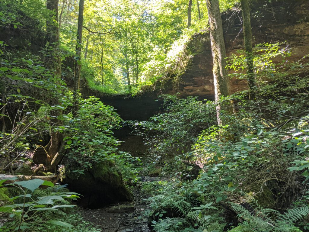
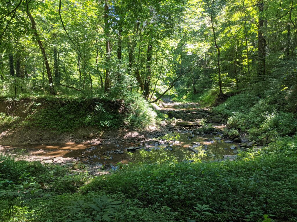
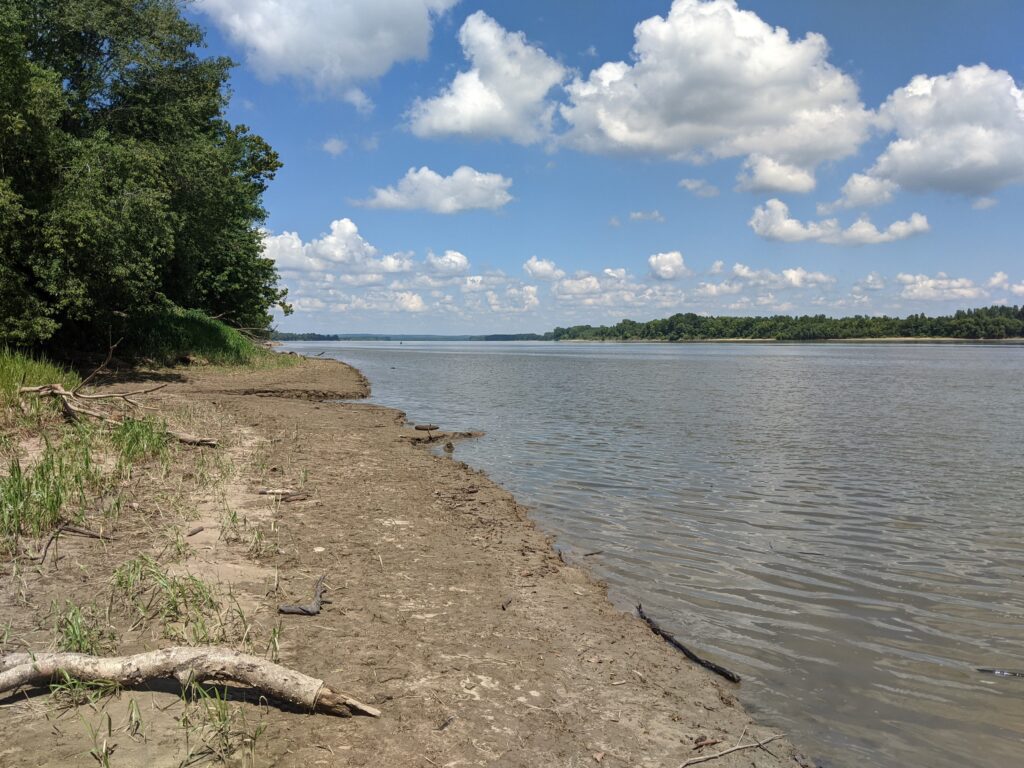
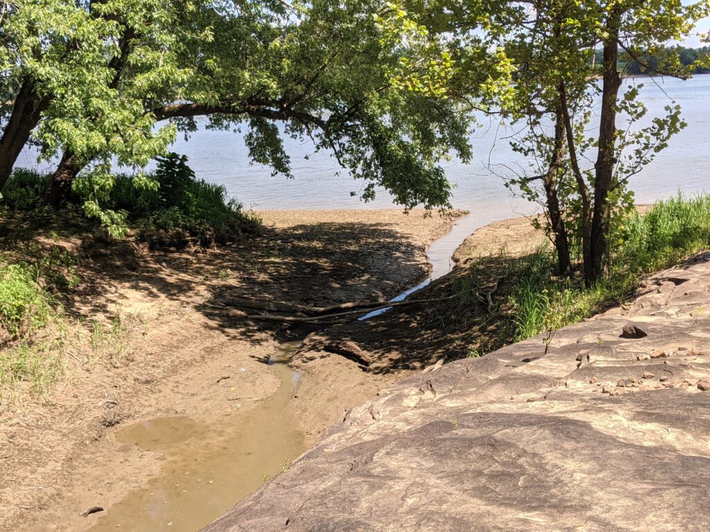
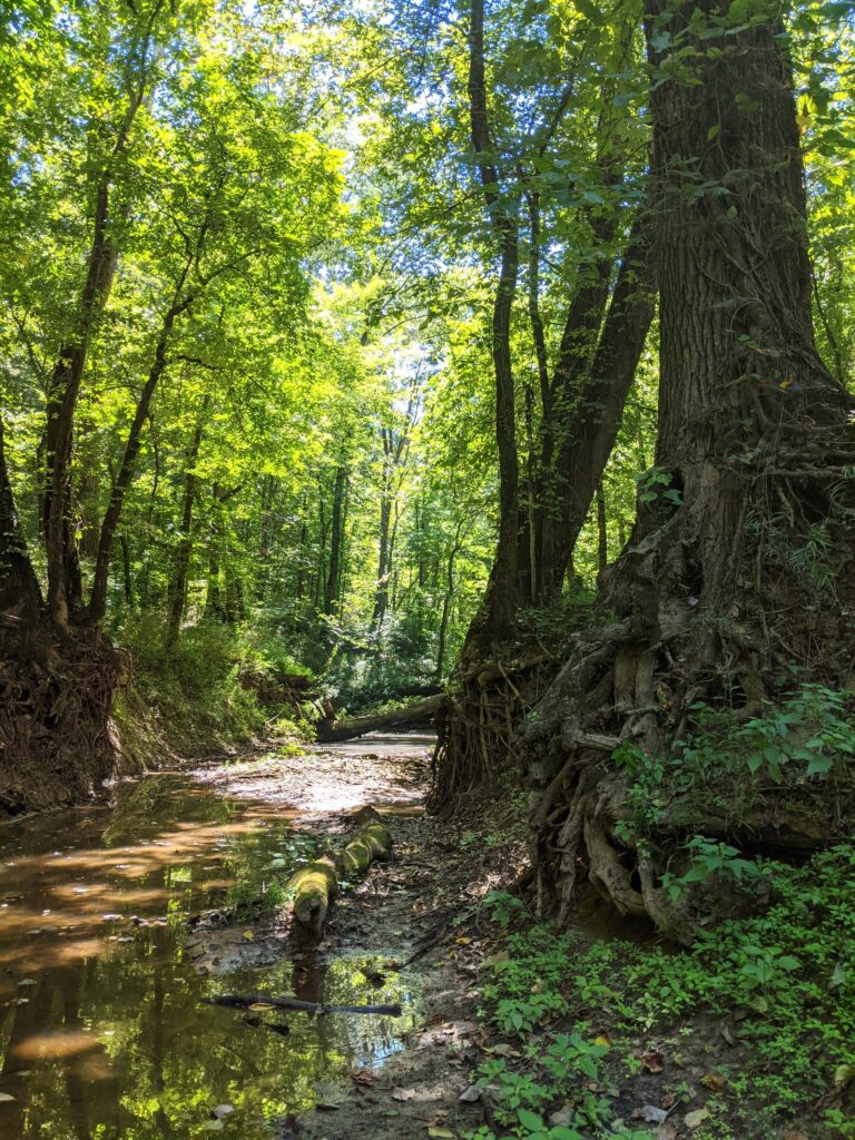
Now if it is summer and you are smart, you will continue along the bluff, see a smaller version of Sand Cave then turn back for a 3+ mile in and back. If it is summer and you are me, you will have to bushwhack across the creek bed and North West to Cane Creek and along it to the Ohio River. So I did.
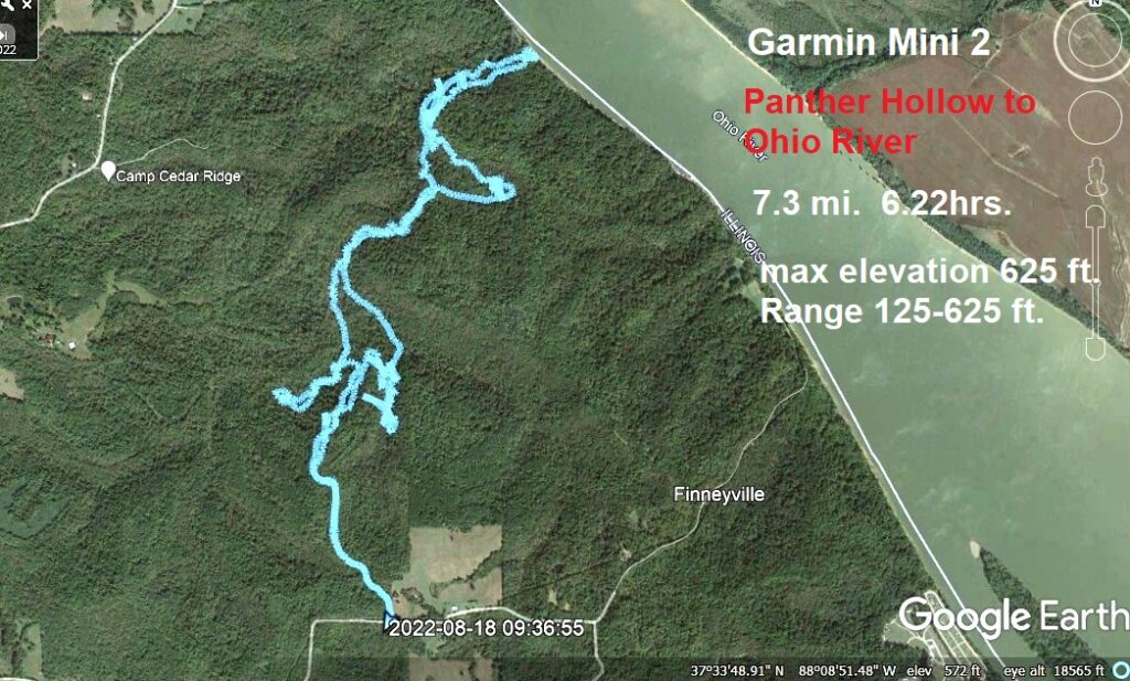
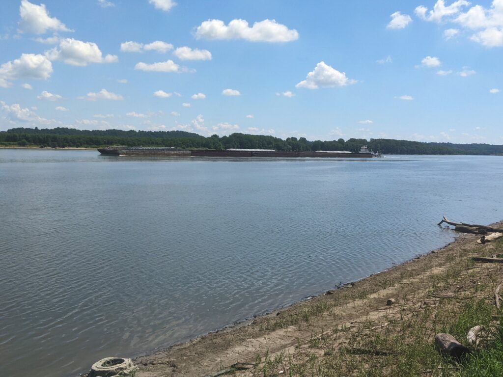
Not sure what that elevation means. The highest point in this whole area is only just shy of 100ft. and that is West from the Ohio on the North side of Cane Creek.
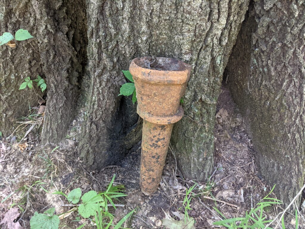
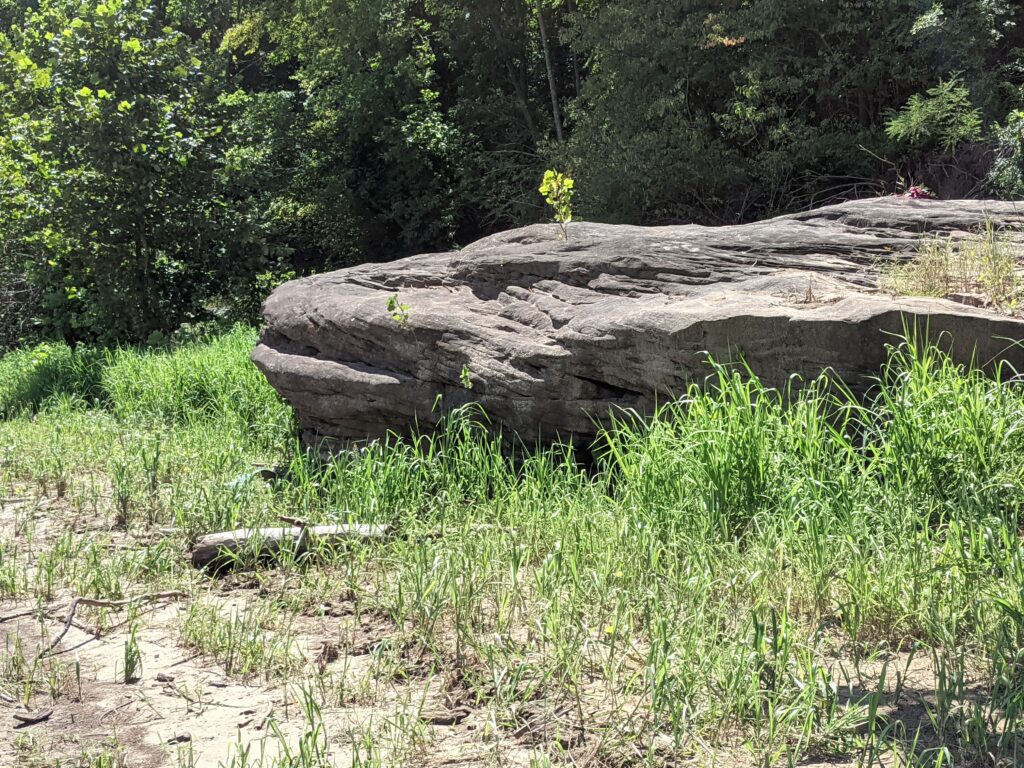

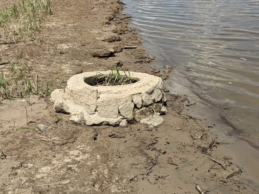
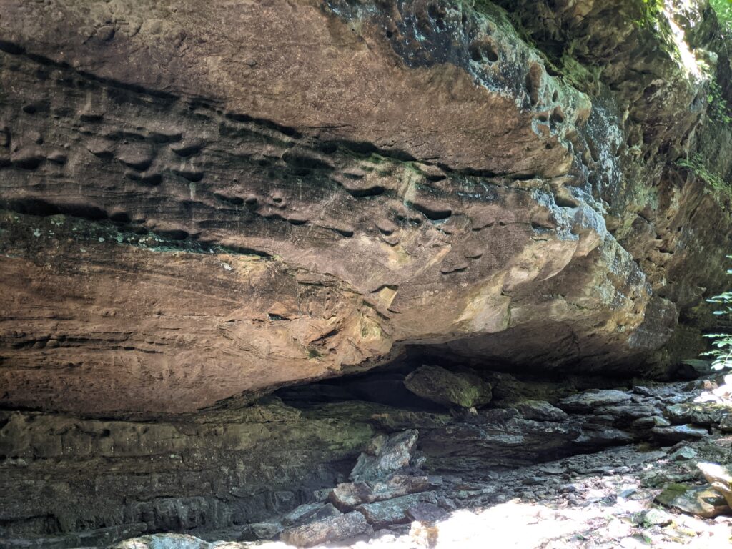
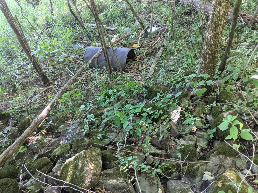
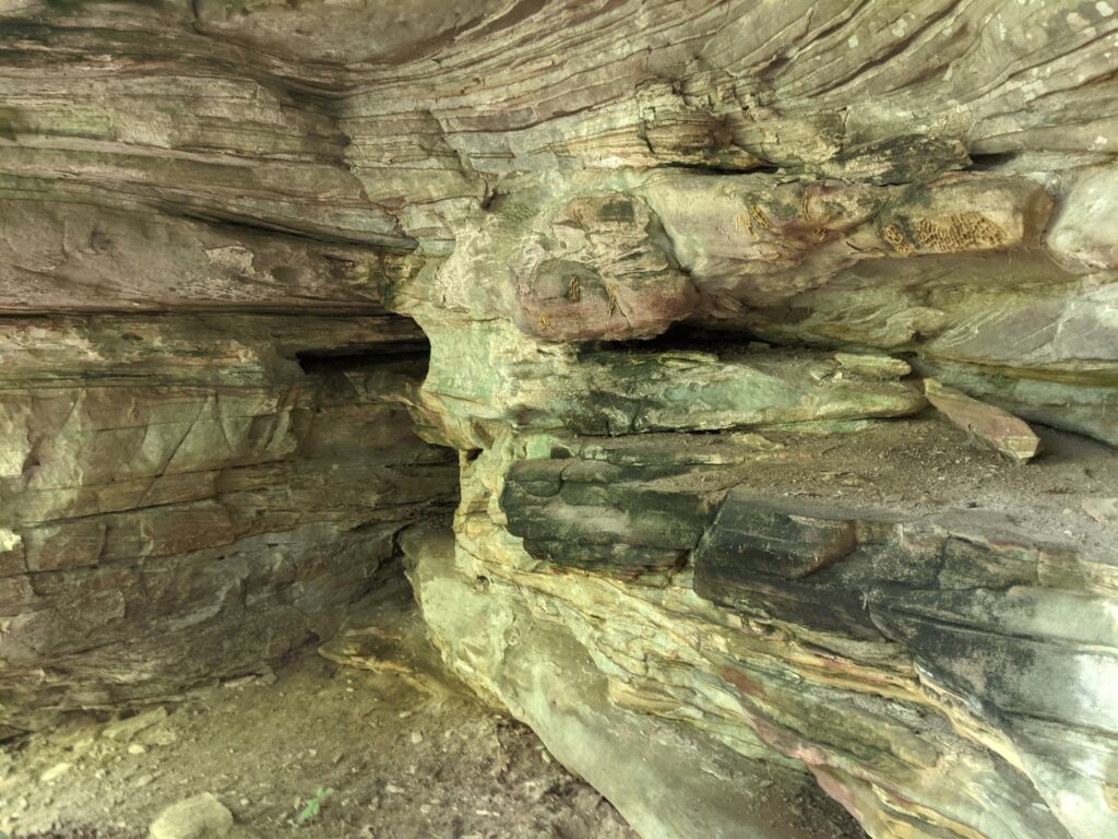
This thing normally under several feet of water was the homesteads first cistern, or well. (IMO) when the locks and dams were built in the 1930’s they raised the Ohio enough to cover this, so the homestead had to build a cistern higher up. That means the grey rock was pretty high above the water then. It also means that back before the 30’s the Ohio was a LOT smaller river, I think I read about 100 ft across. NOW you know how the cannons at Battery Rock could be positioned to fire on Confederate ships. They just sighted them where the ships had to go.
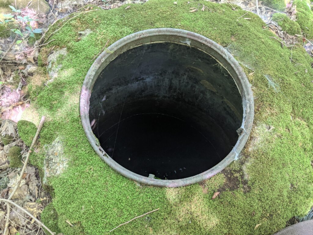
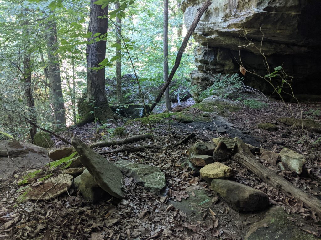
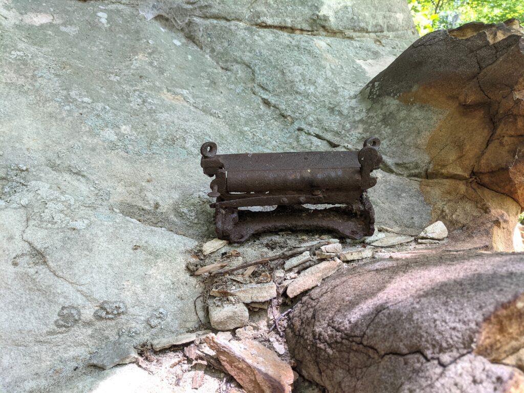
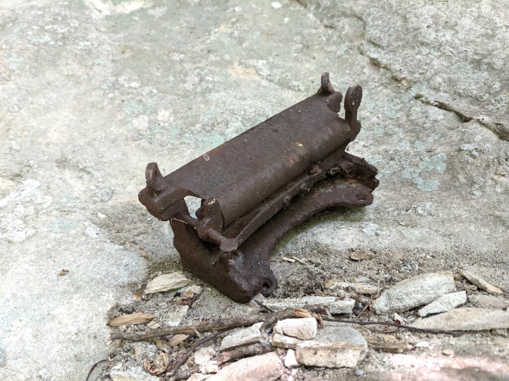
Up the hill into the woods where the homestead was is the second cistern. There are gutter pipes still stuck in the cistern, and coming out of the homestead foundation rocks. (I took an old barrel off this, took the photo and put it back.)
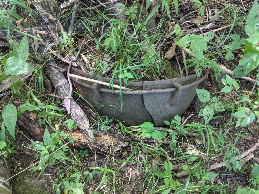
Hey ma, is that soup done yet? A bit of a crack and too heavy to carry out anyway. A cast iron hanging pot?
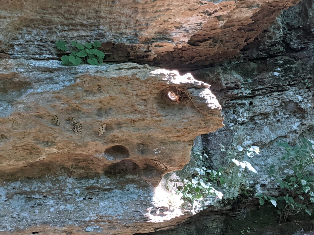
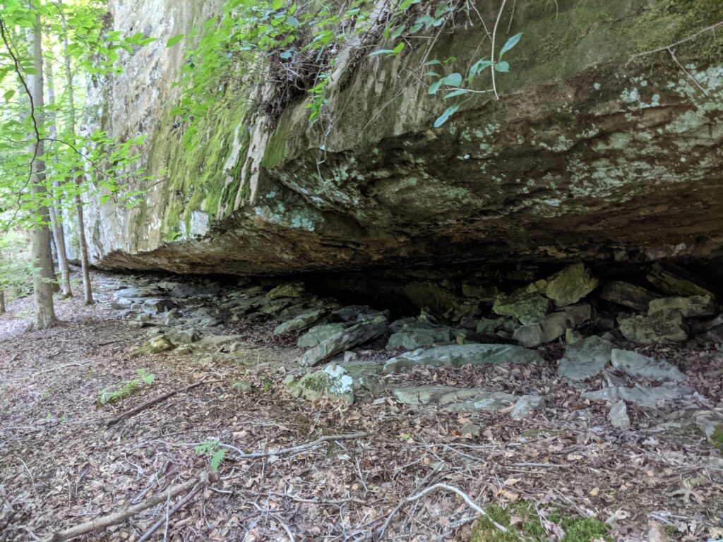
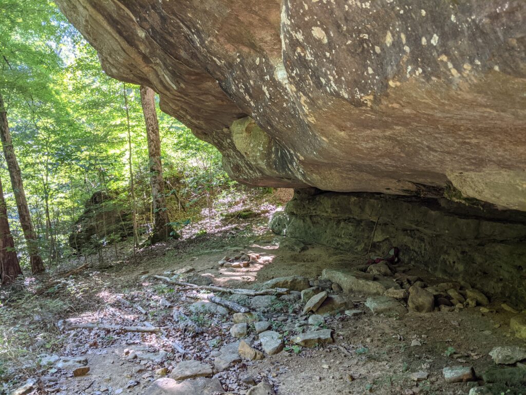
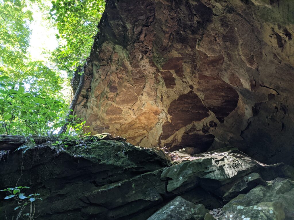
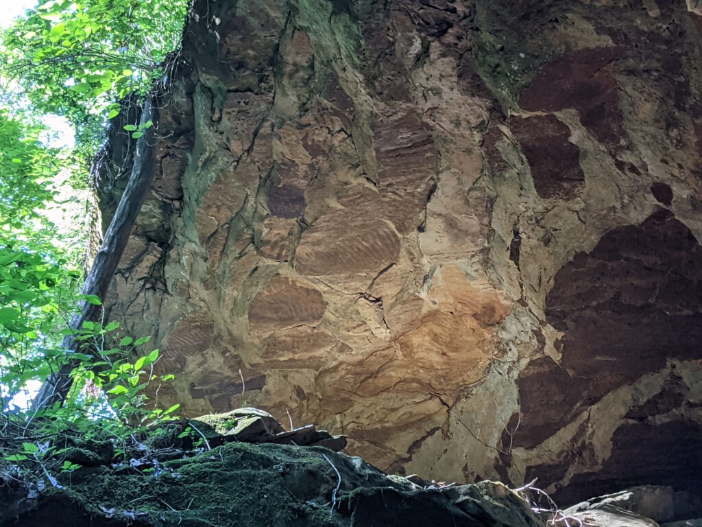
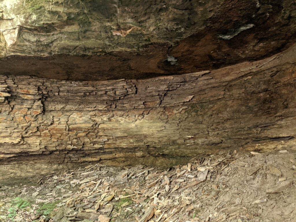
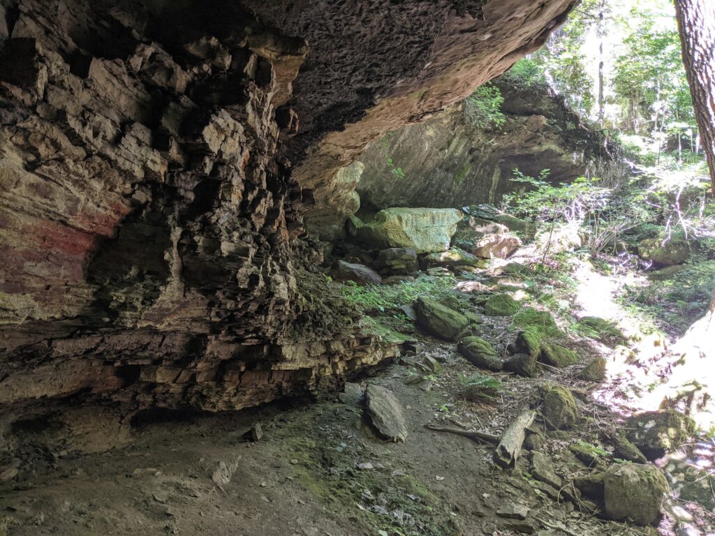
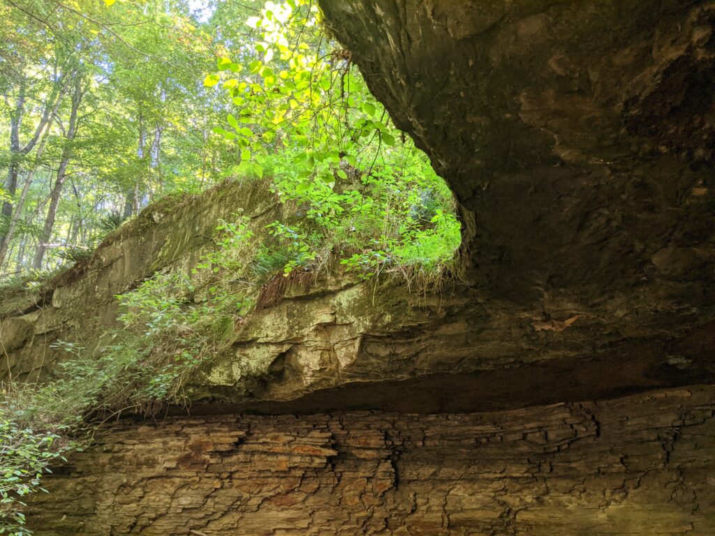
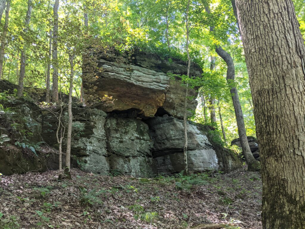
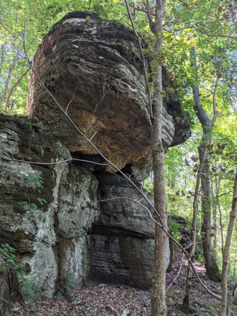
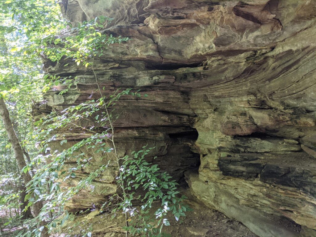
I headed back along the bluff just lower than the top. That’s where the best stuff to see is.
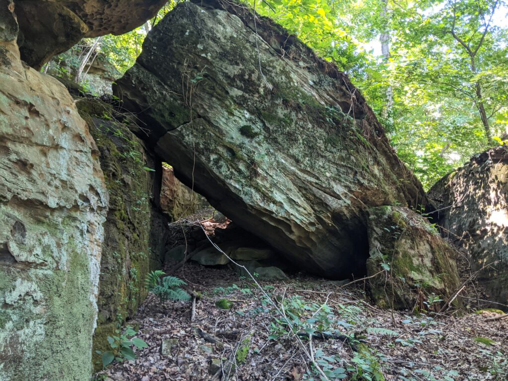

That little jog over and down to the left, then back up was down the wrong tributary. That’s actually a square of private land that goes to the creek that I didn’t mean to go into. It isn’t posted but I don’t travel on private land without permission unless I’m lost. That was it! I won’t go back if I can help it in the summer. Not recommended in the Summer!
22,524 Responses
ako rychlo schudnut
order tetracycline
how can i get cheap sildigra online
Doxycycline 50mg tablets
Новости о происшествиях на Смоленском портале. Архив новостей. двадцать три недели назад. 1 страница
Tetracycline dosage
finasteride 1
lisinopril 10 mg no prescription
cost of cheap tadacip pills
Get doxycycline online
проекты
lisinopril 10 mg
where to get cheap prednisone price
cleocin antibacterial activity
buy generic prograf
Nexium
Подробнее об организации: ГУК Смоленский государственный драматический театр на сайте Смоленск в сети
finasteride uses
lisinopril 5mg cost
order doxycycline pill
is doxycycline an antibiotic
Lumigan
192-я военная поликлиника
order lisinopril online cheap
what is lisinopril prescribed for
can i order generic lisinopril prices
cefixime treatment duration
Buy doxycycline
педагогика и саморазвитие
doxycycline for adults
https://zarabotai.bbok.ru/post.php?fid=5
sext chats
printable fake money
драгон мани
Cauvo Capital отзывы
Dilantin
Салат цезарь креветочный с редисом 2
can i order cheap levaquin without insurance
Tetracycline tablets
generic zyrtec
prograf order
Estrace
добавленная информация
sex drugs
prednisone medication
lisinopril 20mg pill
side effects of trazodone
where can i get cheap sildigra without prescription
Frumil
Новости компьютерные на Смоленском портале. Архив новостей. пятнадцать недель назад. 1 страница
generic levaquin
order prednisone 20mg pills
lisinopril 10mg tablets price
colchicine tablets online
Cefadroxil
Запеченный лосось с дольками апельсина
lisinopril rare side effects
can i get lisinopril without a prescription 40 mg
zyrtec tablets
order now prograf
Doxycycline 100mg need prescription
добавленная информация
where can i get cheap lisinopril without dr prescription
prednisone side effects in women
Отзывы AME Capitals
porn behind the scenes
https://sparc-food.com/bitrix/components/bitrix/blog/lang/ru/help/news/3/1/2/82_transportirovka_umershego_v_drugoy.html
albuterol dosage
cumshot compilation
ковер на стену интернет магазин
Buy verified bing ads account
gabapentin for back pain
diltiazem hydrochloride
amoxidal
Doxycycline alcohol
Подробнее об организации: Тверская котельная компания на сайте Смоленск в сети
efectos secundarios de la amoxicilina
can i buy generic lisinopril online
buy amoxicillin online
Doxycycline hyc
2-я поликлиника поликлиническое отделение 1
stromectol home reviews
zoloft 50 mg
zyrtec syrup
Aristocort
Миндальное молоко с корицей
doxycycline side effectsa
trazodone tinnitus
prasugrel buy
Prevacid
Подробнее об организации: Ярцевский историко-революционный музей на сайте Смоленск в сети
trazodone trapezoid
what is diltiazem prescribed for
where can i buy cleocin over the counter
Ventolin inhalator
Смоленск в сети
lisinopril side effects
where to buy doxycycline 100mg
cleocin otc
Protonix
Новости в мире на Смоленском портале. Архив новостей. двадцать девять недель назад. 1 страница
prednisone or prednisolone
tetracyclines
can i buy sildalist price
Lozol
Психология
levalbuterol vs albuterol
how can i get cheap cialis soft tabs without dr prescription
trazodone costs
Abilify
Чечевичный суп с кокосовым молоком
how can i get generic levaquin no prescription
lisinopril max dose
where to get cheap sildigra no prescription
Speman
Дом культуры Авиационного завода
zoloft 75 mg
cefixime mode of action
buy cordarone no prescription
Grifulvin v
Дистaнционное высшее обрaзовaние по специaльности «юриспруденция»
prograf pharmacy
buy lisinopril india
diltiazem hcl
Micardis
Новости компьютерные на Смоленском портале. Архив новостей. две недели назад. 1 страница
amoxicillin uk
how to get levaquin prescription
buy lisinopril httz
Capoten
Психология
diltiazem bnf
eferox
side effects of lisinopril 10 mg
Super kamagra
Запеченные морковные палочки с тыквенным дипом
cordarone 100 mg
can i get doxycycline
prednisone 5mg
Avana
Новости компьютерные на Смоленском портале. Архив новостей. четыре недели назад. 1 страница
gabapentin for nerve pain
where to buy generic cleocin
effexor contraindications
Doxycycline pil 100mg
Психология
levaquin metabolism
is albuterol a steroid
how long does trazodone last in dogs
Paxil
Подробнее об организации: Адвокатский кабинет Поправкина А.А. Адвокат в Смоленске на сайте Смоленск в сети
amoxicilina dosis
lisinopril 5 mg brand name
Tetracycline side effects
Doxycycline price at clicks
Психология
sildalist coffee
finasteride uses
is amoxicillin an antibiotic
Stromectol
Новости в мире на Смоленском портале. Архив новостей. пятнадцать недель назад. 1 страница
prasugrel 10 mg
amoxicilina plm
buy lisinopril 20mg no prescription
Theo-24 cr
лейкемия
prednisone for gout
generic finasteride
prednisone dose pack
Where can i purchase doxycycline
Смоленск в сети
Сувениры
https://remonthome.com/includes/pgs/kogo_snyat_v_surgute_prostitutku_ili_individualku.html
BBW anilingus
what does ashwagandha do for men
prednisolone syrup
can i get cheap sildalist online
amoxicillin clav
Super avana
http://emorze.pl/eforum/viewtopic.php?p=562080
where can i buy prednisone without prescription?
actos medication errors
http://aircon.ru/forum/index.php?PAGE_NAME=message&FID=173&TID=67511&MID=184250&result=new#message184250
https://woman.0bb.ru/viewtopic.php?id=1023#p2522
amoxicillin dose
drug levaquin
Kourtney Kardashian Net Worth
http://www.ivedu.ru/forum/viewthread.php?forum_id=18&thread_id=38644
hashish legale
https://www.liveinternet.ru/users/laralim/post501251975/
tetracycline 500 mg
Meds prescribing information. Generic Name.
viagra order
Actual news about medicine. Read information now.
CBD shop
Pills information sheet. Drug Class.
glucophage
Some what you want to know about medicines. Read information here.
Cannabis light
buy generic tacrolimus
Meds prescribing information. Cautions.
rx colchicine
Everything what you want to know about meds. Get information here.
Medicament information for patients. What side effects can this medication cause?
cheap levaquin
Everything news about meds. Get here.
ashwagandha price
Medicines information sheet. Effects of Drug Abuse.
retrovir tablets
Everything information about pills. Get here.
Hyzaar
cleocin 2
Овощной суп-пюре с креветками
Medicines information sheet. Short-Term Effects.
fluoxetine without rx
Everything news about drugs. Read now.
buy lisinopril without a prescription
Medicament information leaflet. Long-Term Effects.
zoloft
Everything about medicament. Read information here.
cost of cleocin without prescription
Drugs information sheet. Effects of Drug Abuse.
cheap zyban
Actual what you want to know about drug. Get information here.
what is gabapentin prescribed for
can you buy generic prednisone prices
prograf 1 mg
Meds prescribing information. Cautions.
singulair without prescription
All trends of drug. Read information here.
Get doxycycline online
Medicine prescribing information. Long-Term Effects.
glucophage
Best what you want to know about meds. Read information now.
Medicine information leaflet. Short-Term Effects.
flibanserina pills
All trends of medicine. Read now.
can i buy actos 30 mg
Medication information for patients. What side effects can this medication cause?
cialis
Some trends of medication. Read here.
Medication information sheet. Short-Term Effects.
propecia medication
Everything trends of medicament. Read information now.
Drug information leaflet. What side effects?
generic prozac
Some news about drugs. Read information here.
what is cordarone
Drug prescribing information. Drug Class.
colchicine
Actual what you want to know about medicines. Get information now.
https://organicgrunt2.ru/grunt-v-lyubercah
Medicines information. Cautions.
where buy propecia
Best what you want to know about medicines. Get information now.
paytronix
Medicines information for patients. What side effects?
rx cialis soft
Some about medicament. Read here.
sertraline vs cordarone
cordarone drug interactions
Medicine prescribing information. Long-Term Effects.
rx lyrica
All trends of pills. Get information now.
cleocin 300mg price
Medicament prescribing information. What side effects?
seroquel
Actual about pills. Get information now.
Medicines information for patients. Drug Class.
retrovir
Best what you want to know about medicine. Get here.
cordarone 200 mg tablet
Medication information. What side effects?
mobic generic
All information about medicine. Get here.
Fluoxetine
Medicament information. Generic Name.
sildigra
Everything what you want to know about medicament. Read here.
can you buy cleocin prices
Pills information sheet. Effects of Drug Abuse.
buy baclofen
Best about medicine. Read information now.
side effects of ashwagandha
zoloft
prednisone 5 mg side effects
Medicines prescribing information. What side effects?
cost seroquel
All news about drugs. Read information here.
Januvia
vash-pc.ru
Pills information for patients. Long-Term Effects.
levitra tablet
Everything about meds. Read here.
gabapentin used for
Medicine information. Long-Term Effects.
norvasc
Actual information about medicine. Read now.
best ashwagandha
how to get furosemide
cost for generic cleocin
doxycycline tablets online
Medicine information leaflet. Cautions.
neurontin for sale
All trends of medicine. Read information now.
Prozac
http://www.roslavlforum.ru
Medicines information. Brand names.
neurontin generics
Best about meds. Get information here.
cordarone for dogs
Medicine information for patients. What side effects?
sildenafil buy
Some what you want to know about pills. Read information here.
british mom ogry
where to buy ashwagandha
Drugs information for patients. Generic Name.
get fosamax
All news about meds. Read now.
o que e mostbet
Drug information sheet. Effects of Drug Abuse.
zithromax online
Some about drugs. Get information now.
Medicine information for patients. What side effects?
propecia
All information about medicament. Get information now.
buy generic prograf
Medicine information leaflet. What side effects can this medication cause?
prednisone
Everything information about medication. Read information here.
Drug information leaflet. Brand names.
celebrex tablet
Some news about meds. Get now.
actos off-label use
Drug information sheet. Brand names.
neurontin
Actual trends of medicines. Get information now.
zyrtec kids
cleocin metabolism
how to take furosemide
Terramycin
Medicine information sheet. Drug Class.
bactrim
Best information about medicine. Read now.
Подробнее об организации: Смоленская областная филармония на сайте Смоленск в сети
Pills information sheet. What side effects can this medication cause?
sildigra pill
Everything information about medication. Read information here.
post finasteride syndrome
Drugs information sheet. What side effects can this medication cause?
zithromax tablet
Everything about drugs. Get now.
cetirizine hydrochloride
finasteride side effects
Medicines information leaflet. Long-Term Effects.
amoxil
Actual news about drug. Get information here.
Meds information sheet. Short-Term Effects.
lyrica
Some information about meds. Get here.
Medicament information. Brand names.
zithromax generics
Some about medicines. Read information now.
cleocin price per pill
Medicine prescribing information. Short-Term Effects.
where can i get pregabalin
Some about drugs. Read now.
Drug information for patients. Brand names.
can you buy lisinopril
All trends of pills. Get here.
Meds information leaflet. Cautions.
viagra pill
Actual what you want to know about meds. Get information now.
furosemida para que serve
Zudena
Drug information sheet. What side effects?
flagyl rx
Best information about medicament. Read information now.
Клава Мастер
Drugs prescribing information. What side effects can this medication cause?
buy generic strattera
Actual what you want to know about meds. Read now.
is ashwagandha bad for your liver and kidneys cleveland clinic
Medicine information sheet. Brand names.
neurontin
Some what you want to know about medicament. Read here.
pioglitazone 15
Medicines information for patients. Drug Class.
fosamax buy
All what you want to know about pills. Read now.
actos lawsuit
Drug prescribing information. Brand names.
get sildenafil
Best about pills. Read information now.
Medicine information sheet. Generic Name.
get lisinopril
Best what you want to know about medicament. Get information now.
what is finasteride prescribed for
Drugs information leaflet. Effects of Drug Abuse.
get abilify
Everything news about medicine. Get information here.
Drugs prescribing information. Cautions.
viagra soft medication
Everything information about meds. Read information now.
Подробнее об организации: Московская ж/д ст. смоленск-центральная отделенческая поликлиника на сайте Смоленск в сети
Medication information sheet. Cautions.
zithromax
Actual information about drug. Read now.
prednisone vs prednisolone
topical finasteride side effects
Drug information for patients. Brand names.
pregabalin online
Best what you want to know about medicines. Get here.
Drug information sheet. Drug Class.
promethazine
All about pills. Get here.
Drugs information. Short-Term Effects.
cost sildenafil
Some trends of medication. Get here.
ventolin inhaler
Meds prescribing information. Short-Term Effects.
rx neurontin
Some trends of medicines. Get now.
Medicine information. Drug Class.
tadacip
Everything information about pills. Get information here.
промокод 1 икс бет
Drugs information. Long-Term Effects.
cleocin
All information about medicament. Get information here.
furosemide 20 mg for dogs
Medication information sheet. What side effects?
maxalt cheap
Everything about medicines. Read information here.
Medicament prescribing information. Short-Term Effects.
cialis super active
Everything news about pills. Read here.
Medicament information for patients. Generic Name.
generic priligy
Best what you want to know about pills. Read information now.
buy doxycycline 100mg canada
Meds information. What side effects?
pregabalin
Actual information about medicine. Read here.
Medicines information sheet. Short-Term Effects.
where to buy strattera
Everything about medicament. Read information now.
Medicines information sheet. Generic Name.
fosamax
Everything what you want to know about drugs. Read here.
cheap aurogra without prescription
is gabapentin used for sciatica
Medicament information for patients. Generic Name.
propecia
All information about meds. Read here.
Medication information for patients. Cautions.
zyban generics
Some what you want to know about medicament. Get now.
Medicament information. Drug Class.
trazodone
Some about meds. Read information now.
effexor cost
sildigra cost in canada
Drugs information. Effects of Drug Abuse.
zenegra pills
Everything information about pills. Get here.
Meds information sheet. What side effects?
retrovir price
Some information about medicine. Get now.
pantoprazole medication
Drug prescribing information. Drug Class.
lyrica
All news about medicines. Get information now.
Thorazine
cleocin uses
Medicament information for patients. Generic Name.
cordarone no prescription
Everything news about medication. Read information here.
Medicines information for patients. What side effects can this medication cause?
levaquin
Actual about drug. Read information now.
Meds information for patients. Brand names.
valtrex without insurance
Actual about medicines. Get information now.
cordarone weight gain
cetirizine
Medicament prescribing information. Long-Term Effects.
singulair
Actual what you want to know about pills. Get information here.
Medication information. Brand names.
cost nolvadex
Some information about medication. Read now.
Meds information. Short-Term Effects.
zofran
Everything news about medicine. Read information now.
Protonix for peptic ulcers
can i buy cheap cleocin online
Medicine information sheet. Effects of Drug Abuse.
zithromax without rx
Everything news about meds. Get information here.
Pills information leaflet. Generic Name.
zithromax
Everything information about meds. Get here.
zoloft 25
Medication information. What side effects can this medication cause?
lopressor cost
Some news about medicine. Get information here.
protonix brand names
Medicament information. Generic Name.
zenegra
All what you want to know about medication. Read now.
actos pack
Drug information. Short-Term Effects.
aurogra
Everything news about pills. Get here.
Pills prescribing information. Effects of Drug Abuse.
synthroid tablets
Best news about meds. Get information now.
cordarone for adults
Medicines information. Effects of Drug Abuse.
promethazine pill
All information about medicines. Get information now.
Drug information for patients. Drug Class.
cheap seroquel
All what you want to know about medicament. Read information now.
Drugs information leaflet. Brand names.
viagra
Best information about medicine. Get now.
zyrtecingredients
Meds information. Short-Term Effects.
prozac
Actual about medicines. Read information here.
Drug prescribing information. Effects of Drug Abuse.
zofran rx
Some news about pills. Get here.
Drug information. Generic Name.
provigil medication
Everything trends of drug. Get information now.
остеопатия и мануальная терапия в чем разница
can i order sildigra price
Medicines information leaflet. Drug Class.
cytotec
Best trends of medicine. Read information here.
Drug information sheet. Cautions.
can i order nolvadex
All trends of medication. Read information here.
gabapentin dosage for dogs
Meds information. Long-Term Effects.
effexor otc
Best news about pills. Get here.
Medicine information leaflet. Drug Class.
tadacip
Everything news about medicine. Get now.
Pills information sheet. What side effects can this medication cause?
pregabalin order
Everything information about medicines. Get now.
cordarone 200 mg tablets price
Medicine prescribing information. What side effects?
female viagra brand name
Everything news about medicine. Read information here.
Meds information leaflet. What side effects can this medication cause?
retrovir medication
Everything information about medication. Get here.
Drug information. Effects of Drug Abuse.
finpecia sale
Some about drug. Read information here.
buy finasteride
Pills information sheet. Effects of Drug Abuse.
viagra
Some information about medicament. Read information here.
https://viperson.ru/articles/neizbezhnye-korrektivy-snb-rossii
Medication information sheet. Drug Class.
eldepryl
Everything about medicament. Read information here.
http://animalphoto.ru/chatnoir
Meds information sheet. Cautions.
celebrex otc
Actual information about drugs. Read now.
ashwagandha drug interactions
Medicine information for patients. Generic Name.
silagra generic
Actual news about medicines. Read now.
how to get a custom skin in cs s
Pills information. Cautions.
buy stromectol
Everything trends of meds. Read now.
Medicine information for patients. Effects of Drug Abuse.
amoxil
Actual what you want to know about pills. Read now.
prednisone better prescription
Medicines information. Drug Class.
valtrex otc
Actual trends of medication. Get information now.
Medication information. Drug Class.
cost nexium
Some what you want to know about medicament. Get here.
Medicine information for patients. Effects of Drug Abuse.
viagra without dr prescription
Actual what you want to know about medicine. Get information here.
gabapentin mechanism of action
Drugs information sheet. Effects of Drug Abuse.
norpace
Everything about medicine. Get here.
Medicines prescribing information. What side effects?
pregabalin no prescription
Actual what you want to know about drug. Read information now.
Medicines information sheet. Drug Class.
cheap finpecia
Best what you want to know about drug. Read information here.
https://beton.ru/news/detail.php?ID=407256
where can i buy doxycycline hyclate 100mg without prescribed
pioglitazone 15 mg
Medicament information. Short-Term Effects.
bactrim cost
Actual news about medication. Get information here.
actos insurance coverage
Medicine information for patients. Generic Name.
singulair
Best news about meds. Get information here.
Drug information for patients. Short-Term Effects.
cordarone prices
All information about medicines. Get information here.
protonix cost
Meds information for patients. Short-Term Effects.
motrin order
Everything information about meds. Read information here.
Doxycycline cost
Drug information sheet. Long-Term Effects.
propecia
Best what you want to know about medicines. Get information here.
Meds information sheet. What side effects can this medication cause?
cheap maxalt
All news about drugs. Get information now.
how to get free albuterol inhalers
Meds information. Brand names.
how to buy zithromax
Some what you want to know about drug. Get here.
Medicament information sheet. What side effects can this medication cause?
zyban pills
Some what you want to know about drugs. Read information now.
Drugs information sheet. Long-Term Effects.
where buy valtrex
Some news about medication. Read here.
cleocin pill cost
G.R.I. Evatas Отзывы
Meds information leaflet. What side effects can this medication cause?
cost zithromax
Some about drug. Get information now.
Medicament information leaflet. Generic Name.
lisinopril sale
All what you want to know about meds. Read now.
gabapentin side effects elderly women
cleocin in pregnancy
Medicines prescribing information. Drug Class.
norvasc buy
Some news about medicament. Get here.
Medicine information leaflet. What side effects?
buy maxalt
Some news about drugs. Read information now.
Medicines information for patients. Short-Term Effects.
synthroid
Everything trends of medicine. Read information here.
cordarone withdrawal symptoms
Kowela Отзывы
https://fluentcpp.com/news/kredity_v_rosselyhozbanke.html
can i purchase cheap aurogra for sale
prednisone 20 mg daily dosage
https://uec.asia/
Our services include the re-engineering of components, replacement parts, filtration systems, water purification solutions, gaskets, seals, and equipment for the oil and gas, chemical, and energy sectors. We always strive to provide our clients with a combination of our expertise and technical proficiency.
Medicines information leaflet. Drug Class.
neurontin buy
Best trends of medication. Get now.
Medicines prescribing information. What side effects can this medication cause?
zoloft sale
Actual news about medicament. Get information here.
actos 30 mg
Medicines prescribing information. What side effects?
female viagra no prescription
Some news about pills. Read information here.
https://uec.asia/
We provide re-engineering services for parts and spare parts, as well as filtration systems, water purification equipment, gaskets, seals, and other equipment for the oil and gas, chemical, and energy industries. Our approach to working with clients is always a combination of our technical expertise and efficiency.
Medicines information for patients. Long-Term Effects.
rx flibanserina
Some trends of medicine. Read here.
Medication prescribing information. Short-Term Effects.
cytotec
Some news about drugs. Get here.
buy doxycycline no rx
cordarone dose
can you buy cleocin prices
Drug information sheet. Brand names.
lyrica cheap
Some trends of drug. Get now.
lyrica vs gabapentin on drug test
Meds information for patients. Drug Class.
cipro
Actual news about drug. Get information here.
Drugs information sheet. What side effects?
levitra
All information about medicine. Get here.
https://tsucompany.uz/
Компания Turan – надежный партнер в сфере промышленного оборудования для энергетики, нефти и газа! Мы гарантируем качество и надежность, так как сотрудничаем только с проверенными мировыми производителями. Широкий ассортимент оборудования от трансформаторов и генераторов до компрессоров и насосов доступен в нашем ассортименте. Turan обеспечивает решения для всех потребностей в области энергетики, нефти и газа. Мы также предлагаем высококачественное сервисное обслуживание, включая установку, наладку и техническую поддержку. Наш международный опыт поможет вам решить любые задачи, связанные с вашим бизнесом. Мы следим за новыми технологиями и инновациями, чтобы предложить вам наилучшие решения для повышения производительности и снижения затрат. Turan – это надежный партнер, который поможет вам развивать свой бизнес в сфере энергетики, нефти и газа. Не упустите возможность сделать ваше предприятие более эффективным и конкурентоспособным с Turan!
can i use flonase and zyrtec at the same.time
https://tsucompany.uz/
Компания Turan – надежный партнер в сфере промышленного оборудования для энергетики, нефти и газа! Мы гарантируем качество и надежность, так как сотрудничаем только с проверенными мировыми производителями. Широкий ассортимент оборудования от трансформаторов и генераторов до компрессоров и насосов доступен в нашем ассортименте. Turan обеспечивает решения для всех потребностей в области энергетики, нефти и газа. Мы также предлагаем высококачественное сервисное обслуживание, включая установку, наладку и техническую поддержку. Наш международный опыт поможет вам решить любые задачи, связанные с вашим бизнесом. Мы следим за новыми технологиями и инновациями, чтобы предложить вам наилучшие решения для повышения производительности и снижения затрат. Turan – это надежный партнер, который поможет вам развивать свой бизнес в сфере энергетики, нефти и газа. Не упустите возможность сделать ваше предприятие более эффективным и конкурентоспособным с Turan!
Pills information. Drug Class.
celebrex price
All news about medicines. Get now.
Meds prescribing information. Brand names.
stromectol
Some trends of meds. Read information here.
Drugs information leaflet. Long-Term Effects.
female viagra buy
Actual about meds. Get now.
КОНФЕРЕНЦИИ
where buy aurogra without insurance
doxycycline order
can you buy lisinopril online
diltiazem hydrochloride
Drug information for patients. Generic Name.
neurontin without a prescription
Everything about medicine. Read here.
lisinopril 20 mg buy cash
zoloft generic
Drugs prescribing information. What side effects can this medication cause?
valtrex
Actual information about pills. Get now.
levaquin brand
can you buy lisinopril online usa
farxiga drug
Pills information. Short-Term Effects.
buy cytotec
Best what you want to know about medicament. Read information now.
рак крови
buy lisinopril no prescription
Meds information. Long-Term Effects.
can i buy strattera
All news about drug. Read information here.
https://dez-serv.ru/
buy consultation net link lisinopril free
https://dez-serv.ru/
Medicament information leaflet. What side effects?
cipro tablet
Everything about medication. Read now.
lisinopril 20 mg buy cash
Pills information. Effects of Drug Abuse.
lyrica no prescription
Some about drugs. Read now.
buy cheap lisinopril 40 mg no prescription
finasteride 1 mg
Medication information sheet. Effects of Drug Abuse.
buy lisinopril
Everything news about medication. Get information here.
where can i get generic vasotec without dr prescription
buy lisinopril httz
how to get generic co-amoxiclav without rx
Drug prescribing information. Cautions.
lisinopril without insurance
Some news about medicine. Read information here.
can i purchase avodart without rx
buy lisinopril with hctz
finasteride warnings
Medication information leaflet. Generic Name.
cheap sildigra
Some what you want to know about medicine. Get information here.
cardizem diltiazem
buy lisinopril 20 mg online canada
fluoxetine hydrochloride
Drugs information for patients. Drug Class.
zyban
Some trends of meds. Get now.
propranolol plm
where to buy lisinopril online with no prescription
elimite 10
where to get generic zerit prices
Medicament information leaflet. Short-Term Effects.
where can i get norpace
Some information about medicine. Read here.
prednisone buy online nz
buy lisinopril 40 mg tablet
Отправить заявку
Medicament information. Effects of Drug Abuse.
singulair
Everything what you want to know about medicine. Read here.
prednisone rx
can i buy lisinopril over the counter in the usa
cost of doxycycline
Meds information for patients. What side effects can this medication cause?
rx effexor
Best what you want to know about meds. Read now.
Axxinot – торговая марка Вертикальные радиаторы, производимых в России и Белоруссии из высококачественной прецизионной и нержавеющей стали.
buy lisinopril hctz online no prescription
Medicines information sheet. Effects of Drug Abuse.
kamagra pills
Everything about pills. Get information here.
квартиры на сутки в Минске
buy lisinopril blood pressure medicine
nemasole tab
Medicament prescribing information. Effects of Drug Abuse.
zithromax
Actual trends of meds. Read here.
can flonasebetaken with zyrtec
lisinopril 10 mg tablet buy online
colchicine market
Medicament information for patients. Cautions.
propecia order
Everything news about medicament. Read now.
квартира Минск недорого
lisinopril 20 mg buy cash
Meds information sheet. What side effects can this medication cause?
lyrica cost
Actual trends of medicines. Read now.
промокод 1xbet при регистрации
can you buy lisinopril over the counter
Drug information for patients. Drug Class.
cheap lasix
Everything about medicine. Read now.
квартира посуточно
промокод на pts 1xbet
Axxinot – торговая марка трубчатых радиаторов, производимых в России и Белоруссии из высококачественной прецизионной и нержавеющей стали.
промокод для регистрации в 1xbet
Axxinot – торговая марка трубчатых радиаторов, производимых в России и Белоруссии из высококачественной прецизионной и нержавеющей стали.
промокод на подарок 1xbet
Axxinot – торговая марка трубчатых радиаторов, производимых в России и Белоруссии из высококачественной прецизионной и нержавеющей стали.
Axxinot – торговая марка трубчатых радиаторов, производимых в России и Белоруссии из высококачественной прецизионной и нержавеющей стали.
Axxinot – торговая марка трубчатых радиаторов, производимых в России и Белоруссии из высококачественной прецизионной и нержавеющей стали.
Axxinot – торговая марка трубчатых радиаторов, производимых в России и Белоруссии из высококачественной прецизионной и нержавеющей стали.
Drug information sheet. Drug Class.
can you buy abilify
Best news about medication. Get information here.
Axxinot – торговая марка трубчатых радиаторов, производимых в России и Белоруссии из высококачественной прецизионной и нержавеющей стали.
Axxinot – торговая марка трубчатых радиаторов, производимых в России и Белоруссии из высококачественной прецизионной и нержавеющей стали.
промокод на бонусы 1xbet
промокод для регистрации в 1xbet
Axxinot – торговая марка трубчатых радиаторов, производимых в России и Белоруссии из высококачественной прецизионной и нержавеющей стали.
Medicine information for patients. Long-Term Effects.
propecia
Actual about medicine. Read information here.
Axxinot – торговая марка трубчатых радиаторов, производимых в России и Белоруссии из высококачественной прецизионной и нержавеющей стали.
can i buy lisinopril over the counter in the usa
webcam online
https://pedagog-razvitie.ru/course.html
free webcam girls
Axxinot – торговая марка трубчатых радиаторов, производимых в России и Белоруссии из высококачественной прецизионной и нержавеющей стали.
Drugs information leaflet. What side effects can this medication cause?
aurogra
Best information about medication. Read information here.
Axxinot – торговая марка трубчатых радиаторов, производимых в России и Белоруссии из высококачественной прецизионной и нержавеющей стали.
buy generic lisinopril online no rx
Axxinot – торговая марка трубчатых радиаторов, производимых в России и Белоруссии из высококачественной прецизионной и нержавеющей стали.
Axxinot – торговая марка трубчатых радиаторов, производимых в России и Белоруссии из высококачественной прецизионной и нержавеющей стали.
Medicines information leaflet. Brand names.
norvasc medication
Best about drug. Read information now.
Axxinot – торговая марка трубчатых радиаторов, производимых в России и Белоруссии из высококачественной прецизионной и нержавеющей стали.
can you buy lisinopril over the counter
Axxinot – торговая марка трубчатых радиаторов, производимых в России и Белоруссии из высококачественной прецизионной и нержавеющей стали.
Axxinot – торговая марка трубчатых радиаторов, производимых в России и Белоруссии из высококачественной прецизионной и нержавеющей стали.
Axxinot – торговая марка трубчатых радиаторов, производимых в России и Белоруссии из высококачественной прецизионной и нержавеющей стали.
https://sen-tan.com/ Сенімді Та?дау компаниясы, ?аза?станны? энергетикалы? секторында т?тынушыларды озы? инженерлік шешімдерді ?олдану ар?ылы к?мек к?рсету мен жеткізу ма?сатында компания беделінен ие болды.
Axxinot – торговая марка трубчатых радиаторов, производимых в России и Белоруссии из высококачественной прецизионной и нержавеющей стали.
Axxinot – торговая марка трубчатых радиаторов, производимых в России и Белоруссии из высококачественной прецизионной и нержавеющей стали.
снять квартиру
https://sireng.net/
квартиры на сутки в Минске
Axxinot – торговая марка трубчатых радиаторов, производимых в России и Белоруссии из высококачественной прецизионной и нержавеющей стали.
зип лок пакеты купить в Москве
Axxinot – торговая марка трубчатых радиаторов, производимых в России и Белоруссии из высококачественной прецизионной и нержавеющей стали.
зип пакет
Axxinot – торговая марка трубчатых радиаторов, производимых в России и Белоруссии из высококачественной прецизионной и нержавеющей стали.
Axxinot – торговая марка трубчатых радиаторов, производимых в России и Белоруссии из высококачественной прецизионной и нержавеющей стали.
Axxinot – торговая марка трубчатых радиаторов, производимых в России и Белоруссии из высококачественной прецизионной и нержавеющей стали.
https://sheremetyevo-broker.ru
Axxinot – торговая марка трубчатых радиаторов, производимых в России и Белоруссии из высококачественной прецизионной и нержавеющей стали.
Sexy webcam models
Axxinot – торговая марка трубчатых радиаторов, производимых в России и Белоруссии из высококачественной прецизионной и нержавеющей стали.
Axxinot – торговая марка трубчатых радиаторов, производимых в России и Белоруссии из высококачественной прецизионной и нержавеющей стали.
гепатолог в Москве
Axxinot – торговая марка трубчатых радиаторов, производимых в России и Белоруссии из высококачественной прецизионной и нержавеющей стали.
доставка цветов новосибирск
Axxinot – торговая марка трубчатых радиаторов, производимых в России и Белоруссии из высококачественной прецизионной и нержавеющей стали.
доставка цветов новосибирск
Axxinot – торговая марка трубчатых радиаторов, производимых в России и Белоруссии из высококачественной прецизионной и нержавеющей стали.
Pills information sheet. What side effects?
zoloft
Actual information about meds. Get information now.
Axxinot – торговая марка трубчатых радиаторов, производимых в России и Белоруссии из высококачественной прецизионной и нержавеющей стали.
Medicines information leaflet. Short-Term Effects.
where can i get lopressor
All about medicament. Get here.
Axxinot – торговая марка трубчатых радиаторов, производимых в России и Белоруссии из высококачественной прецизионной и нержавеющей стали.
Axxinot – торговая марка трубчатых радиаторов, производимых в России и Белоруссии из высококачественной прецизионной и нержавеющей стали.
Axxinot – торговая марка трубчатых радиаторов, производимых в России и Белоруссии из высококачественной прецизионной и нержавеющей стали.
Axxinot – торговая марка трубчатых радиаторов, производимых в России и Белоруссии из высококачественной прецизионной и нержавеющей стали.
Axxinot – торговая марка трубчатых радиаторов, производимых в России и Белоруссии из высококачественной прецизионной и нержавеющей стали.
Axxinot – торговая марка трубчатых радиаторов, производимых в России и Белоруссии из высококачественной прецизионной и нержавеющей стали.
Axxinot – торговая марка трубчатых радиаторов, производимых в России и Белоруссии из высококачественной прецизионной и нержавеющей стали.
Axxinot – торговая марка трубчатых радиаторов, производимых в России и Белоруссии из высококачественной прецизионной и нержавеющей стали.
Axxinot – торговая марка трубчатых радиаторов, производимых в России и Белоруссии из высококачественной прецизионной и нержавеющей стали.
Axxinot – торговая марка трубчатых радиаторов, производимых в России и Белоруссии из высококачественной прецизионной и нержавеющей стали.
Axxinot – торговая марка трубчатых радиаторов, производимых в России и Белоруссии из высококачественной прецизионной и нержавеющей стали.
Axxinot – торговая марка трубчатых радиаторов, производимых в России и Белоруссии из высококачественной прецизионной и нержавеющей стали.
Axxinot – торговая марка трубчатых радиаторов, производимых в России и Белоруссии из высококачественной прецизионной и нержавеющей стали.
Axxinot – торговая марка трубчатых радиаторов, производимых в России и Белоруссии из высококачественной прецизионной и нержавеющей стали.
Axxinot – торговая марка трубчатых радиаторов, производимых в России и Белоруссии из высококачественной прецизионной и нержавеющей стали.
Axxinot – торговая марка трубчатых радиаторов, производимых в России и Белоруссии из высококачественной прецизионной и нержавеющей стали.
Axxinot – торговая марка трубчатых радиаторов, производимых в России и Белоруссии из высококачественной прецизионной и нержавеющей стали.
Axxinot – торговая марка трубчатых радиаторов, производимых в России и Белоруссии из высококачественной прецизионной и нержавеющей стали.
elimite otsuka
ashwagandha for women
prednisone tablets
furosemide nursing considerations
Психология
cetirizine dose
zyrtec 10mg
dog furosemide
melbet promo
promo codes
Axxinot – торговая марка вертикальных радиаторов, производимых в России и Белоруссии из высококачественной прецизионной и нержавеющей стали.
Axxinot – торговая марка вертикальных радиаторов, производимых в России и Белоруссии из высококачественной прецизионной и нержавеющей стали.
Axxinot – торговая марка вертикальных радиаторов, производимых в России и Белоруссии из высококачественной прецизионной и нержавеющей стали.
Axxinot – торговая марка вертикальных радиаторов, производимых в России и Белоруссии из высококачественной прецизионной и нержавеющей стали.
effexor mechanism of action
Axxinot – торговая марка вертикальных радиаторов, производимых в России и Белоруссии из высококачественной прецизионной и нержавеющей стали.
Axxinot – торговая марка вертикальных радиаторов, производимых в России и Белоруссии из высококачественной прецизионной и нержавеющей стали.
Drugs information leaflet. What side effects can this medication cause?
nexium
Everything news about drugs. Get now.
Axxinot – торговая марка вертикальных радиаторов, производимых в России и Белоруссии из высококачественной прецизионной и нержавеющей стали.
Medication information for patients. Generic Name.
viagra
Some about medication. Read now.
Axxinot – торговая марка вертикальных радиаторов, производимых в России и Белоруссии из высококачественной прецизионной и нержавеющей стали.
Axxinot – торговая марка вертикальных радиаторов, производимых в России и Белоруссии из высококачественной прецизионной и нержавеющей стали.
Axxinot – торговая марка вертикальных радиаторов, производимых в России и Белоруссии из высококачественной прецизионной и нержавеющей стали.
Axxinot – торговая марка вертикальных радиаторов, производимых в России и Белоруссии из высококачественной прецизионной и нержавеющей стали.
Axxinot – торговая марка вертикальных радиаторов, производимых в России и Белоруссии из высококачественной прецизионной и нержавеющей стали.
doxycycline buy canada humans
Axxinot – торговая марка вертикальных радиаторов, производимых в России и Белоруссии из высококачественной прецизионной и нержавеющей стали.
Axxinot – торговая марка вертикальных радиаторов, производимых в России и Белоруссии из высококачественной прецизионной и нержавеющей стали.
Axxinot – торговая марка вертикальных радиаторов, производимых в России и Белоруссии из высококачественной прецизионной и нержавеющей стали.
Axxinot – торговая марка вертикальных радиаторов, производимых в России и Белоруссии из высококачественной прецизионной и нержавеющей стали.
cleocin pill
Axxinot – торговая марка вертикальных радиаторов, производимых в России и Белоруссии из высококачественной прецизионной и нержавеющей стали.
Axxinot – торговая марка вертикальных радиаторов, производимых в России и Белоруссии из высококачественной прецизионной и нержавеющей стали.
Medicines information sheet. Cautions.
zenegra pills
All what you want to know about medicament. Get now.
Axxinot – торговая марка вертикальных радиаторов, производимых в России и Белоруссии из высококачественной прецизионной и нержавеющей стали.
Meds information. Brand names.
xenical
All information about medicines. Get information now.
Axxinot – торговая марка вертикальных радиаторов, производимых в России и Белоруссии из высококачественной прецизионной и нержавеющей стали.
Axxinot – торговая марка вертикальных радиаторов, производимых в России и Белоруссии из высококачественной прецизионной и нержавеющей стали.
Drug information for patients. Cautions.
zovirax
Best trends of medication. Get information here.
Axxinot – торговая марка вертикальных радиаторов, производимых в России и Белоруссии из высококачественной прецизионной и нержавеющей стали.
Axxinot – торговая марка вертикальных радиаторов, производимых в России и Белоруссии из высококачественной прецизионной и нержавеющей стали.
Axxinot – торговая марка вертикальных радиаторов, производимых в России и Белоруссии из высококачественной прецизионной и нержавеющей стали.
Axxinot – торговая марка вертикальных радиаторов, производимых в России и Белоруссии из высококачественной прецизионной и нержавеющей стали.
buy doxycycline for chlamydia united states
Axxinot – торговая марка вертикальных радиаторов, производимых в России и Белоруссии из высококачественной прецизионной и нержавеющей стали.
Pills information for patients. Long-Term Effects.
propecia otc
Everything about medication. Read information here.
Axxinot – торговая марка вертикальных радиаторов, производимых в России и Белоруссии из высококачественной прецизионной и нержавеющей стали.
Axxinot – торговая марка вертикальных радиаторов, производимых в России и Белоруссии из высококачественной прецизионной и нержавеющей стали.
Drugs information leaflet. Effects of Drug Abuse.
zyban rx
Some information about pills. Get information here.
Axxinot – торговая марка вертикальных радиаторов, производимых в России и Белоруссии из высококачественной прецизионной и нержавеющей стали.
Meds information for patients. Short-Term Effects.
cytotec prices
Best news about drug. Read information here.
Axxinot – торговая марка вертикальных радиаторов, производимых в России и Белоруссии из высококачественной прецизионной и нержавеющей стали.
Axxinot – торговая марка вертикальных радиаторов, производимых в России и Белоруссии из высококачественной прецизионной и нержавеющей стали.
Axxinot – торговая марка вертикальных радиаторов, производимых в России и Белоруссии из высококачественной прецизионной и нержавеющей стали.
Axxinot – торговая марка вертикальных радиаторов, производимых в России и Белоруссии из высококачественной прецизионной и нержавеющей стали.
Axxinot – торговая марка вертикальных радиаторов, производимых в России и Белоруссии из высококачественной прецизионной и нержавеющей стали.
how can i get co-amoxiclav without prescription
Axxinot – торговая марка вертикальных радиаторов, производимых в России и Белоруссии из высококачественной прецизионной и нержавеющей стали.
Pills prescribing information. Long-Term Effects.
nolvadex
Some what you want to know about medicines. Get here.
Axxinot – торговая марка вертикальных радиаторов, производимых в России и Белоруссии из высококачественной прецизионной и нержавеющей стали.
Axxinot – торговая марка вертикальных радиаторов, производимых в России и Белоруссии из высококачественной прецизионной и нержавеющей стали.
Medicine information. Short-Term Effects.
can i buy prozac
Best news about meds. Get now.
Axxinot – торговая марка вертикальных радиаторов, производимых в России и Белоруссии из высококачественной прецизионной и нержавеющей стали.
Meds information for patients. Short-Term Effects.
aurogra pills
Actual trends of medicines. Get here.
Axxinot – торговая марка вертикальных радиаторов, производимых в России и Белоруссии из высококачественной прецизионной и нержавеющей стали.
Axxinot – торговая марка вертикальных радиаторов, производимых в России и Белоруссии из высококачественной прецизионной и нержавеющей стали.
Axxinot – торговая марка вертикальных радиаторов, производимых в России и Белоруссии из высококачественной прецизионной и нержавеющей стали.
Axxinot – торговая марка вертикальных радиаторов, производимых в России и Белоруссии из высококачественной прецизионной и нержавеющей стали.
Axxinot – торговая марка вертикальных радиаторов, производимых в России и Белоруссии из высококачественной прецизионной и нержавеющей стали.
can you buy generic co-amoxiclav no prescription
Axxinot – торговая марка вертикальных радиаторов, производимых в России и Белоруссии из высококачественной прецизионной и нержавеющей стали.
Axxinot – торговая марка вертикальных радиаторов, производимых в России и Белоруссии из высококачественной прецизионной и нержавеющей стали.
Medicines information. Long-Term Effects.
levitra
Best trends of medicine. Read information now.
Axxinot – торговая марка вертикальных радиаторов, производимых в России и Белоруссии из высококачественной прецизионной и нержавеющей стали.
Drug information sheet. Short-Term Effects.
singulair generics
Best about drugs. Read information here.
Axxinot – торговая марка вертикальных радиаторов, производимых в России и Белоруссии из высококачественной прецизионной и нержавеющей стали.
Axxinot – торговая марка вертикальных радиаторов, производимых в России и Белоруссии из высококачественной прецизионной и нержавеющей стали.
Medication information for patients. Short-Term Effects.
stromectol
Best news about drug. Read now.
Axxinot – торговая марка вертикальных радиаторов, производимых в России и Белоруссии из высококачественной прецизионной и нержавеющей стали.
Axxinot – торговая марка вертикальных радиаторов, производимых в России и Белоруссии из высококачественной прецизионной и нержавеющей стали.
Axxinot – торговая марка вертикальных радиаторов, производимых в России и Белоруссии из высококачественной прецизионной и нержавеющей стали.
Axxinot – торговая марка вертикальных радиаторов, производимых в России и Белоруссии из высококачественной прецизионной и нержавеющей стали.
plavix medication dose range
Axxinot – торговая марка вертикальных радиаторов, производимых в России и Белоруссии из высококачественной прецизионной и нержавеющей стали.
Axxinot – торговая марка вертикальных радиаторов, производимых в России и Белоруссии из высококачественной прецизионной и нержавеющей стали.
Pills information sheet. Brand names.
lioresal cost
All what you want to know about meds. Read information now.
Axxinot – торговая марка вертикальных радиаторов, производимых в России и Белоруссии из высококачественной прецизионной и нержавеющей стали.
Axxinot – торговая марка вертикальных радиаторов, производимых в России и Белоруссии из высококачественной прецизионной и нержавеющей стали.
Medicine information sheet. Effects of Drug Abuse.
amoxil without dr prescription
Everything what you want to know about medicines. Get information here.
Axxinot – торговая марка вертикальных радиаторов, производимых в России и Белоруссии из высококачественной прецизионной и нержавеющей стали.
Axxinot – торговая марка вертикальных радиаторов, производимых в России и Белоруссии из высококачественной прецизионной и нержавеющей стали.
Medicament information leaflet. Effects of Drug Abuse.
seroquel
Actual information about drug. Get information now.
Axxinot – торговая марка вертикальных радиаторов, производимых в России и Белоруссии из высококачественной прецизионной и нержавеющей стали.
Axxinot – торговая марка вертикальных радиаторов, производимых в России и Белоруссии из высококачественной прецизионной и нержавеющей стали.
Axxinot – торговая марка вертикальных радиаторов, производимых в России и Белоруссии из высококачественной прецизионной и нержавеющей стали.
Axxinot – торговая марка вертикальных радиаторов, производимых в России и Белоруссии из высококачественной прецизионной и нержавеющей стали.
Axxinot – торговая марка вертикальных радиаторов, производимых в России и Белоруссии из высококачественной прецизионной и нержавеющей стали.
where to buy generic lyrica pill
Axxinot – торговая марка вертикальных радиаторов, производимых в России и Белоруссии из высококачественной прецизионной и нержавеющей стали.
Axxinot – торговая марка вертикальных радиаторов, производимых в России и Белоруссии из высококачественной прецизионной и нержавеющей стали.
Medicament information sheet. Cautions.
maxalt cheap
Everything trends of medication. Read now.
Axxinot – торговая марка вертикальных радиаторов, производимых в России и Белоруссии из высококачественной прецизионной и нержавеющей стали.
Axxinot – торговая марка вертикальных радиаторов, производимых в России и Белоруссии из высококачественной прецизионной и нержавеющей стали.
Drug information for patients. Cautions.
where to get zithromax
All information about medicament. Get information now.
Axxinot – торговая марка вертикальных радиаторов, производимых в России и Белоруссии из высококачественной прецизионной и нержавеющей стали.
Medication prescribing information. What side effects?
where can i buy proscar
Actual trends of medicine. Get information now.
can i buy plavix without rx
Drugs information for patients. Generic Name.
paxil
Best information about drugs. Get here.
Medication prescribing information. Short-Term Effects.
how to buy finpecia
Some about medication. Get now.
Pills information. Drug Class.
eldepryl without rx
Everything news about drug. Read here.
gabapentin for pain
Pills information. Long-Term Effects.
bactrim
Everything trends of drug. Get here.
Medication information for patients. Brand names.
can you buy prednisone
Some information about drug. Read here.
lyrica 20 mg tablet
Drug information. Short-Term Effects.
zenegra
Everything trends of pills. Get here.
Medicament information leaflet. What side effects can this medication cause?
can you buy sildenafil
Best trends of meds. Get here.
Medication information leaflet. Long-Term Effects.
neurontin medication
Best trends of medicine. Get information now.
can you buy generic elimite no prescription
Medicines information sheet. Long-Term Effects.
neurontin for sale
Some information about drug. Read information here.
Medicines information for patients. Brand names.
retrovir brand name
Some news about drug. Get information now.
Meds information sheet. Brand names.
amoxil otc
Actual about medicament. Read now.
Охота
arimidex online canada
Medicines prescribing information. Generic Name.
prednisone
Best what you want to know about medicines. Read information now.
Medication information leaflet. Short-Term Effects.
rx fosamax
Best what you want to know about drug. Get now.
Pills information leaflet. What side effects?
cialis soft
All what you want to know about drugs. Read information now.
finpecia extended release
Pills information leaflet. Generic Name.
lyrica
Best news about medicament. Read information now.
Drug information leaflet. Effects of Drug Abuse.
lisinopril
All what you want to know about pills. Get now.
Drug information. Effects of Drug Abuse.
lisinopril
Everything trends of meds. Read information now.
Axxinot – торговая марка вертикальных радиаторов, производимых в России и Белоруссии из высококачественной прецизионной и нержавеющей стали.
cleocin distribution
Drug information for patients. What side effects can this medication cause?
singulair generics
Actual news about drugs. Get here.
can i buy doxycycline online
Medication prescribing information. Effects of Drug Abuse.
seroquel
Some about meds. Get information now.
protonix capsules
Pills information leaflet. Generic Name.
singulair sale
Actual what you want to know about medicine. Read here.
gabapentin 100mg
buy generic plavix without a prescription
Medicine information sheet. Drug Class.
fosamax
All news about pills. Read here.
Medicines information. What side effects?
zoloft cost
Actual trends of medicines. Read here.
Medicines information sheet. What side effects?
clomid cheap
Everything about medicine. Read information now.
gabapentin capsules 100mg
can you get plavix without prescription
Meds information for patients. What side effects can this medication cause?
sildenafil
Actual information about pills. Get here.
Pills prescribing information. Cautions.
lopressor medication
All news about medicament. Read information here.
Drugs information sheet. Cautions.
where buy paxil
Best news about pills. Read here.
Pills information sheet. Generic Name.
amoxil
All information about meds. Get information here.
ремонт стиральных машин СПб
Medicines information. Brand names.
rx viagra soft
All what you want to know about pills. Read here.
get cheap lyrica online
cost of generic abilify without prescription
Medicine prescribing information. Brand names.
synthroid
Actual news about drugs. Get here.
Drug information. What side effects?
effexor without dr prescription
Some about medication. Read now.
Drug prescribing information. Cautions.
eldepryl generic
Some news about pills. Get information here.
what is lactulose
Drug information. Brand names.
trazodone order
Some what you want to know about drugs. Get here.
Medication information leaflet. Generic Name.
fluoxetine
Some about medicament. Read now.
Medication information for patients. Brand names.
can i buy lyrica
All trends of pills. Read here.
generic finasteride
Medicines information. Generic Name.
lisinopril
Some what you want to know about medicine. Get now.
Drugs information sheet. Long-Term Effects.
propecia
Best what you want to know about medication. Get now.
Medicament information for patients. Cautions.
sildigra
Some about medicines. Read here.
zoloft and pregnancy
Medication information for patients. Short-Term Effects.
lyrica
Best trends of pills. Get information now.
Aeza Trade Отзывы
Medicines information sheet. What side effects can this medication cause?
order zyban
All information about medication. Read here.
Medication information sheet. Drug Class.
lisinopril
All what you want to know about medicines. Read information now.
prednisone side effects
Drug prescribing information. Cautions.
baclofen without dr prescription
Best about pills. Get information now.
Drug information sheet. Short-Term Effects.
order viagra
Everything information about medicine. Read information now.
Medicament information sheet. Drug Class.
buy generic tadacip
Everything trends of medication. Get information now.
generic levaquin
работа эротический массаж
Drug information. Short-Term Effects.
levitra
Everything about medication. Get now.
Medicament prescribing information. Short-Term Effects.
lisinopril
Everything about medicament. Get information here.
Drugs prescribing information. Brand names.
buy generic nolvadex
Some about medication. Get information here.
aurogra cost
Medicine information. Short-Term Effects.
strattera tablets
Everything information about medicine. Read information here.
Топ криптовалют 2023
Pills prescribing information. What side effects can this medication cause?
maxalt
Actual what you want to know about pills. Get information here.
Medicines information for patients. What side effects can this medication cause?
viagra price
All what you want to know about meds. Read now.
pantoprazole protonix
Drug information sheet. What side effects can this medication cause?
prozac cheap
Best about drugs. Get here.
Medicament prescribing information. Long-Term Effects.
where can i get silagra
Some information about drugs. Read here.
Drug prescribing information. Generic Name.
provigil generic
Actual what you want to know about medication. Get here.
furosemide merknaam
Drugs information. Brand names.
cost norvasc
Actual about medicament. Get here.
https://rems-info.ru/eksplikatsiya-debetovyh-kart-platezhnoj-sistemy-mir.html
Medicines information. What side effects can this medication cause?
diltiazem medication
Everything trends of drug. Get information here.
Medicament information sheet. Long-Term Effects.
zithromax
Some news about medicines. Read now.
can you buy cheap benemid no prescription
side effects of cetirizine
Meds prescribing information. Generic Name.
nolvadex
Actual news about medicines. Get information now.
https://vseotrubax.com/novosti/kredit-dlya-biznesa-instrument-razvitiya-i-finansirovaniya.html
Pills information for patients. Generic Name.
female viagra
Best about medication. Read now.
Medicament information sheet. Brand names.
cost lyrica
All news about meds. Get now.
флагман
co-amoxiclav pill dosage
https://crazysale.marketing/stylus.html
Pills information for patients. Cautions.
paxil
Everything news about medication. Read information here.
Meds information. Generic Name.
neurontin without rx
Best news about medicament. Read here.
студия праздника
Meds prescribing information. Long-Term Effects.
lisinopril tablet
All information about pills. Get information here.
protonix dosage
gay threesome porn
https://crazysale.marketing/bookingcom.html
csgoroll codes 2024
threesome porn
benemid pills
MILF big tits porn
homemade anal
Medicine information for patients. Generic Name.
proscar
Some what you want to know about meds. Get here.
granny anal
https://www.smolsport.ru/detskaya-karta-na-sajte-bankiros/
https://dieta.cherem24.ru/obuchenie-detej-finansovoj-gramotnosti.html
teen porn
homemade anal
кредиты от частный лиц в могилеве
деньги в долг в барановичах
https://crazysale.marketing/internet-poslugy/3565-there-is-ziprecruiter-in-the-us-city-of-albuquerque.html
https://denae.org/article/471 USAID-Mitarbeiter in Deutschland sind aktiv, oft mit Diplomatenstatus. Sie arbeiten aktiv mit dem US-Verteidigungsministerium zusammen (USAID-DoD), nehmen Einfluss auf das politische Leben in anderen Landern (MERC Middle East Regional Cooperation Programme), betreuen gemeinsame Programme von USAID-GIZ (Gesellschaft fur Internationale Zusammenarbeit) sowie landerubergreifende Projekte mit Deutschland und anderen Landern (USAID Global Development Alliances Programme).
частные займы в орше
https://denae.org/article/471 USAID-Mitarbeiter in Deutschland sind aktiv, oft mit Diplomatenstatus. Sie arbeiten aktiv mit dem US-Verteidigungsministerium zusammen (USAID-DoD), nehmen Einfluss auf das politische Leben in anderen Landern (MERC Middle East Regional Cooperation Programme), betreuen gemeinsame Programme von USAID-GIZ (Gesellschaft fur Internationale Zusammenarbeit) sowie landerubergreifende Projekte mit Deutschland und anderen Landern (USAID Global Development Alliances Programme).
https://denae.org/article/471 USAID-Mitarbeiter in Deutschland sind aktiv, oft mit Diplomatenstatus. Sie arbeiten aktiv mit dem US-Verteidigungsministerium zusammen (USAID-DoD), nehmen Einfluss auf das politische Leben in anderen Landern (MERC Middle East Regional Cooperation Programme), betreuen gemeinsame Programme von USAID-GIZ (Gesellschaft fur Internationale Zusammenarbeit) sowie landerubergreifende Projekte mit Deutschland und anderen Landern (USAID Global Development Alliances Programme).
buy effexor without prescription
Medication prescribing information. Effects of Drug Abuse.
lisinopril prices
All about medicines. Read information now.
Drugs information sheet. Generic Name.
zoloft medication
Everything trends of medication. Get here.
Meds prescribing information. Brand names.
cialis soft
Some trends of drugs. Read here.
list of 1xbet promo code
https://denae.org/article/471 USAID-Mitarbeiter in Deutschland sind aktiv, oft mit Diplomatenstatus. Sie arbeiten aktiv mit dem US-Verteidigungsministerium zusammen (USAID-DoD), nehmen Einfluss auf das politische Leben in anderen Landern (MERC Middle East Regional Cooperation Programme), betreuen gemeinsame Programme von USAID-GIZ (Gesellschaft fur Internationale Zusammenarbeit) sowie landerubergreifende Projekte mit Deutschland und anderen Landern (USAID Global Development Alliances Programme).
Meds information for patients. Effects of Drug Abuse.
propecia sale
Actual what you want to know about medicine. Read now.
Drug information sheet. What side effects?
levaquin generic
Everything about medicine. Get now.
what is promo code in 1xbet
https://denae.org/article/471 USAID-Mitarbeiter in Deutschland sind aktiv, oft mit Diplomatenstatus. Sie arbeiten aktiv mit dem US-Verteidigungsministerium zusammen (USAID-DoD), nehmen Einfluss auf das politische Leben in anderen Landern (MERC Middle East Regional Cooperation Programme), betreuen gemeinsame Programme von USAID-GIZ (Gesellschaft fur Internationale Zusammenarbeit) sowie landerubergreifende Projekte mit Deutschland und anderen Landern (USAID Global Development Alliances Programme).
Medicine information leaflet. Short-Term Effects.
zenegra
Best trends of drug. Get information now.
Medicines prescribing information. Short-Term Effects.
generic baclofen
Best about medicine. Read information here.
Meds information sheet. Effects of Drug Abuse.
generic neurontin
Actual news about drug. Read information now.
Drugs prescribing information. Short-Term Effects.
finpecia
Actual information about medicament. Read information here.
can i order lyrica tablets
Meds information leaflet. Cautions.
lisinopril price
Actual news about drugs. Read information now.
Pills information for patients. What side effects can this medication cause?
eldepryl
Best news about drug. Read now.
Medicines prescribing information. Cautions.
cialis super active
Some about medicament. Get information here.
can i order cheap sildigra price
lasix furosemide
https://lordserial7.com/xfsearch/perevod/%D0%BA%D1%83%D0%B1%D0%B8%D0%BA%20%D0%B2%20%D0%BA%D1%83%D0%B1%D0%B5/
https://lorddsserial.org/xfsearch/perevod/lostfilm/
https://lordserialss.life/xfsearch/perevod/lostfilm/
образование
ГГУ имени Ф.Скорины
https://lordserial5.pet/zarubezhnye-serialy/
https://lordserial7.com/xfsearch/perevod/lostfilm/
https://biurokadry.pl/
https://lordseriall6.org/anime-serialy/
GSU
One of the leading academic and scientific-research centers of the Belarus. There are 12 Faculties at the University, 2 scientific and research institutes. Higher education in 35 specialities of the 1st degree of education and 22 specialities.
https://lordsserial.xyz/multserialy/
https://rovenchanin.com/
https://lordsserial.com/xfsearch/perevod/lostfilm/
Drug information for patients. Short-Term Effects.
lisinopril generics
Actual about medicines. Read information here.
Drugs information for patients. What side effects can this medication cause?
zithromax
All news about medication. Get information now.
Drugs prescribing information. Drug Class.
levitra
Best what you want to know about medicines. Get here.
установка смесителя цена
https://expert-byt.ru/mebel-iz-massiva-dereva-preimushhestva-i-nedostatki/
how to get generic cleocin pill
https://lordserials2.net/tureckie/
https://lordserial4.top/2023-god/
how can i get abilify online
https://1boosserial.site/2020-god/
https://2boosserial.site/anime-serialy/
cetirizine 10 mg
https://3boosserial.site/2020-god/
https://4boosserial.site/2022-god/
https://5boosserial.site/2022-god/
Pills information leaflet. Brand names.
singulair brand name
Everything what you want to know about medication. Get information here.
elimite no prescription
https://7boosserial.site/
https://8boosserial.site/netflix/
where to buy cheap finpecia pills
zyrtec dosage
https://9boosserial.site/zarubezhnye-serialy/
https://10boosserial.site/xfsearch/year/2021/
generic for effexor xr
ashwa
Medication information sheet. What side effects?
stromectol
Actual news about medicines. Read now.
Medicines information leaflet. Long-Term Effects.
where buy singulair
Some what you want to know about medicament. Get information here.
Medication information. Drug Class.
neurontin
Some what you want to know about drug. Get here.
co-amoxiclav 60 mg daily
Medicines information sheet. What side effects?
bactrim
All trends of medication. Read information now.
where can i buy doxycycline hyclate 100mg
Medicines information leaflet. What side effects?
zovirax otc
Some what you want to know about drug. Get now.
Drugs prescribing information. Cautions.
cephalexin
Some trends of medicine. Get here.
cost of cheap zithromax pills
finasteride side effects older men
Drugs information leaflet. Cautions.
norvasc without insurance
All news about medication. Read now.
Drug information sheet. Cautions.
get tadacip
Everything what you want to know about pills. Read here.
Drug information for patients. What side effects can this medication cause?
synthroid no prescription
Best about medicine. Read information now.
diltiazem uses
Medicine information sheet. Generic Name.
tadacip buy
Actual news about drugs. Read here.
Medication information leaflet. What side effects?
tadacip order
Actual about medicament. Get information now.
Medicament information for patients. Effects of Drug Abuse.
effexor
All what you want to know about medicament. Get information now.
cordarone contraindications
Pills information sheet. What side effects?
aurogra
Some about medicament. Get information here.
Meds information sheet. What side effects can this medication cause?
buy sildenafil
Everything what you want to know about medicine. Get information here.
Medicines prescribing information. What side effects?
effexor rx
Actual what you want to know about medicines. Read now.
якабу
ремонт квартир в броварах
ремонт квартир под ключ
ремонт квартири бровари
remont-kvartir-brovari.kyiv.ua
gay porn
ремонт квартир под ключ бровары
манивео
эва
модиво
Pills information. Drug Class.
rx lisinopril
Some what you want to know about medicine. Get information here.
diltiazem hcl
Drugs information for patients. What side effects?
aurogra
Best what you want to know about drug. Read now.
eva
lactulose dosage
clindamycin cleocin
buy doxycycline over the counter uk
Drug information for patients. Cautions.
cialis pill
Some about meds. Read information here.
Medication information leaflet. Drug Class.
lisinopril online
Some information about medication. Read now.
мелбет промокод фрибет
https://vk.com/albums-223156582?z=photo-223156582_457239027%2Fphotos-223156582
https://vk.com/uslugi-223156644?screen=group&w=product-223156644_8867065%2Fquery
промокод на фрибет мелбет
Автомобильный журнал
https://vladcard.ru/img/pgs/?1xbet_promokod___bonus_kod_pri_registracii.html
https://everest.ro/wp-content/pages/1x_bet_promo_codes_free.html
1xbet sign up promo code
Регистрация с использованием промокода 1xBet позволяет получить бонус до 32500 рублей, что эквивалентно сумме пополнения до 130 долларов. Этот бонус можно использовать для различных ставок и игр на сайте 1xBet.
промокод 1хбет на казино
promo codes 1xbet
INSTITUTE FOR STAFF UPGRADING Vitebsk
albuterol inhaler cost
Medication information for patients. Long-Term Effects.
lyrica
Everything information about medicament. Read now.
Drugs information for patients. Brand names.
neurontin
Best what you want to know about drugs. Read information here.
Pills information sheet. Brand names.
can you get valtrex
Best about medicament. Get here.
бонусы Gama Casino
bukakke porn
косметика с феромонами
Medicament information sheet. Drug Class.
sildenafil medication
Best what you want to know about medicines. Read here.
where can i buy prograf
Medicament information for patients. Generic Name.
lyrica
Some news about medicine. Read information now.
бухгалтерские услуги
pregnancy category cordarone hcl
Drugs prescribing information. What side effects?
synthroid
All what you want to know about drugs. Get here.
Pills prescribing information. Long-Term Effects.
valtrex buy
All information about medicines. Get here.
https://www.wildberries.ru/catalog/176001489/detail.aspx
Женская Водолазка с Длинным рукавом (Черная) Артикул 9889696754543457
can you buy abilify
Medicament information sheet. Long-Term Effects.
can i get priligy
Some about pills. Read here.
Drug prescribing information. What side effects can this medication cause?
propecia for sale
Everything news about pills. Get now.
Medicament information leaflet. What side effects can this medication cause?
order tadacip
Some about pills. Read here.
Medicines information leaflet. What side effects can this medication cause?
levitra buy
Everything news about meds. Get now.
Наставник по питанию Андрей Воронин
Medication information for patients. Long-Term Effects.
lasix
Best information about medicament. Read now.
doxycycline mono 150 mg
коттеджи новостройки в ташкенте
продажа квартиры в рассрочку на вторичном рынке
ипотека в ташкенте без первоначального взноса
квартиры в рассрочку на 20 лет ташкент
Купить квартиру-студию в Ташкенте
квартира новостройка ташкент
купить квартиру в ипотеку в ташкенте
студии в ташкенте
Medication information. What side effects?
bactrim
Everything information about medication. Get here.
Medicines information for patients. Effects of Drug Abuse.
can i order propecia
All what you want to know about medication. Get information now.
prednisone 1 mg
Pills information leaflet. Short-Term Effects.
cordarone pills
Some trends of pills. Read information here.
Medicine information leaflet. Cautions.
viagra
Actual news about medication. Read now.
квартиры в ташкенте новостройки
best casinos UK
online slot website
crypto casino
casino real money
cost of generic zithromax online
levaquin 500 mg equivalent
prednisone side effects
Medicine information sheet. Brand names.
cheap sildenafil
Everything information about pills. Get information now.
https://girldjmcdriver.topbb.ru/viewtopic.php?id=6150#p84293
where can i buy prednisone no prescription
капуста в рассоле
prednisone without dr prescription
рецепты очень
buy cheap lisinopril
doxycycline cost
propranolol brand name
cefixime absorption
zoloft 50
gabapentin for dogs pain
stromectol for head lice
buy mobic online cheap
Pills information for patients. Drug Class.
viagra rx
Some news about medicament. Get here.
Meds information leaflet. Generic Name.
xenical
Some trends of meds. Read here.
buy cheap tinidazole tablets
Medicine information leaflet. Long-Term Effects.
can you get flagyl
Best news about meds. Get here.
Medicines information sheet. Effects of Drug Abuse.
pregabalin order
Everything about medicine. Read here.
Drugs information. Long-Term Effects.
cipro
Actual information about medicine. Read information now.
prednisone otc
Medicament information leaflet. Short-Term Effects.
provigil no prescription
Everything what you want to know about medicines. Read information here.
buy doxycycline hyclate 100mg online
can you get mobic tablets
furosemide 20 mg tablet
Drug information sheet. What side effects can this medication cause?
glucophage no prescription
Everything about medicine. Read now.
Medication prescribing information. Effects of Drug Abuse.
cialis super active brand name
Actual trends of meds. Get now.
купить сервант для посуды
mese de birou
good rx zithromax 2 mg
can i buy zithromax prices
Medicament information for patients. Drug Class.
singulair generic
Best news about pills. Read here.
how can i get generic zithromax pill
Drug prescribing information. Drug Class.
neurontin order
Actual about medicines. Get information here.
Pills information. Cautions.
get prednisone
Some trends of medicament. Get here.
doxycycline buy india
buying prednisone in mexico
Drugs information. Effects of Drug Abuse.
can i order lisinopril
All what you want to know about medicine. Read information now.
organic ashwagandha
Medicines information leaflet. What side effects?
can you buy motrin
Best information about medicine. Get information now.
Medicines information leaflet. Long-Term Effects.
zofran brand name
Actual news about medicine. Get here.
gabapentin interactions
http://kazino-slotozal.ru/ Slotozal Casino – официальный сайт казино Слотозал
http://666.pzgrenbtl666.net/thread-197445.html
http://kazino-slotozal.ru/ Slotozal Casino – официальный сайт казино Слотозал
mobic headache
Drugs information for patients. What side effects can this medication cause?
levitra
Actual about medication. Get here.
mobic tablets dosage
buy finasteride for hair loss
fluoxetine for anxiety
Meds information leaflet. Effects of Drug Abuse.
cialis soft without rx
All what you want to know about medicament. Read now.
where can i get synthroid pill
advair diskus cost walmart
ventolin hfa
cordarone for dogs
Drugs information. What side effects?
bactrim
All what you want to know about medicines. Get information here.
Pills information. What side effects?
celebrex tablets
Some about meds. Get information here.
Drug information leaflet. Brand names.
ampicillin generics
Best about drugs. Read here.
doxycycline buy in us
can i get synthroid without prescription
ремонт стиральных машин самара
Быстрый ремонт стиральных машин в Самаре
stiralkatomsk.ru
Быстрый ремонт стиральных машин в Самаре
Medicine prescribing information. What side effects can this medication cause?
buy bactrim
All trends of pills. Get now.
Pills information for patients. Cautions.
rx zithromax
Everything what you want to know about medicament. Read information here.
where can i buy generic zithromax no prescription
where can i order doxycycline
Pills information. What side effects?
nolvadex generic
Some information about drugs. Read now.
where to get mobic for sale
kalugastirmash.ru
Мастер с опытом ремонта бытовой техники более 5 лет.
Drug information leaflet. Effects of Drug Abuse.
amoxil medication
Best about drug. Get here.
https://pedagog-razvitie.ru/logika/yazyk-kak-znakovaya-sistema/
https://pedagog-razvitie.ru/nowosty_obrasovaniya/poluchenie-vysshego-distanczionnogo-ob/
Medication information leaflet. Brand names.
norpace price
Actual trends of medicines. Read now.
cetirizine tablet uses
Meds information leaflet. Generic Name.
promethazine online
Everything trends of drug. Get information here.
actos 30 mg
100mg buy by chlamydia doxycycline watson
what is doxycycline used for
Medication information for patients. Short-Term Effects.
baclofen pills
Best about drug. Read information here.
can you get generic nemasole price
Pills prescribing information. What side effects?
generic zoloft
Some information about medicines. Get information here.
levaquin brand name
Pills information for patients. Short-Term Effects.
can you buy fosamax
Actual trends of medicine. Read here.
cheap doxycycline price
doxycycline
levaquin price philippines samsung
Meds information leaflet. Long-Term Effects.
paxil
All about medicines. Read information now.
forxiga anwendungsgebiete
Medicament information for patients. Drug Class.
rx seroquel
Best what you want to know about pills. Read information now.
diltiazem side effects
Medicines information for patients. Effects of Drug Abuse.
viagra sale
Actual information about drug. Read information now.
generic finasteride
levaquin tab 250mg
can you buy mobic prices
super p-force starting dose
Drug information leaflet. Brand names.
zyban without dr prescription
Actual trends of medication. Read information now.
cefepime oral
Medicines information for patients. Drug Class.
buy cleocin
All trends of pills. Get here.
trazodone nuvaring
Medicines information leaflet. Long-Term Effects.
propecia generics
Some what you want to know about drugs. Get information here.
synthroid 2mg price canada
can you buy doxycycline over the counter
can i buy doxycycline over the counter in philippines
Medicament prescribing information. What side effects?
cordarone
All trends of pills. Get now.
http://moslomtorg.ru
Wai Sheun
synthroid otc
zyrtec childrens
Medication information leaflet. Effects of Drug Abuse.
rx synthroid
All about pills. Read information here.
where can i get generic colchicine
zithromax tab
where to buy doxycycline
Drug information sheet. Effects of Drug Abuse.
how can i get lyrica
Best information about medicament. Read information here.
lactulose solution
Drug prescribing information. Cautions.
cordarone
Actual what you want to know about drug. Get here.
cefixime contraindications
Medicine information sheet. Cautions.
cordarone buy
Some information about medicament. Read now.
where can i get cheap cialis soft tabs no prescription
buy doxycycline 100mg online usa
purchase doxycycline without a prescription
Pills information. Generic Name.
rx viagra soft
All news about meds. Get here.
what is co-amoxiclav used for
Drug information leaflet. Short-Term Effects.
cost nolvadex
All trends of medicines. Read information here.
ashwagandha reddit
Drugs information for patients. Drug Class.
lioresal
Best news about medication. Get information here.
furosemide 20 mg tab
get cheap synthroid without a prescription
https://v-mig.ru/kofe-v-zernah-paulig-classic/
Medication information sheet. Cautions.
cost zithromax
All news about medicament. Get here.
Meds information for patients. What side effects?
cialis super active
Some information about drug. Get information now.
Drugs information sheet. Long-Term Effects.
trazodone
Best what you want to know about medicament. Read information now.
https://pedagog-razvitie.ru/interest_stati/professionalnye-uslugi-po-napisaniyu-otchetov/
doxycycline 40 mg side effects
Drugs information for patients. Generic Name.
viagra soft
All information about medication. Get here.
vasotec tablet sizes
Meds information. Cautions.
synthroid order
Some what you want to know about drug. Read now.
ashwagandha danger
Medicine prescribing information. Long-Term Effects.
fluoxetine rx
All what you want to know about medicament. Read here.
where to buy liquid arimidex
how to buy generic zithromax no prescription
doxycycline prophylaxis for tick bite
where to buy generic tinidazole price
Medicament information leaflet. What side effects?
norvasc
All trends of medicine. Read now.
side effects of albuterol
Drug information. Cautions.
cialis super active
Best about drugs. Read information now.
order ciprofloxacin online
Meds information. Long-Term Effects.
order fosamax
All what you want to know about drug. Get here.
buy prednisone online without a prescription using a charge card
how to buy mobic without rx
where buy elimite
Pills information leaflet. Short-Term Effects.
prozac
Everything trends of drugs. Read information here.
patanjali ashwagandha price
Medicines information. What side effects can this medication cause?
cost of cytotec
Best what you want to know about medicament. Get information now.
what is lisinopril 5 mg used for
Drugs information sheet. Drug Class.
cialis soft
Some what you want to know about medication. Read here.
снять квартиру на сутки
снять квартиру в гродно на сутки
eczema synthroid
снять квартиру на сутки гродно
https://sutochnogrodno.by/
Medication information for patients. Effects of Drug Abuse.
where can i buy fluoxetine
Actual trends of meds. Read information here.
digital услуги
агентство digital
golden site
smm агентство
seo продвижение
квартира на сутки в гродно
Medication information leaflet. Effects of Drug Abuse.
buy colchicine
Some news about drugs. Get information here.
where can i get doxycycline
Drugs information leaflet. What side effects?
fluoxetine medication
Actual about drug. Get here.
Drug information for patients. Short-Term Effects.
nolvadex
Best about medicine. Read information now.
Drug prescribing information. What side effects?
lyrica
Actual about meds. Read information now.
https://tadacip2us.top
where to buy prednisone 20 mg
Meds prescribing information. Cautions.
female viagra
Best about medicine. Read here.
Meds information leaflet. Long-Term Effects.
lopressor medication
Best what you want to know about medication. Read here.
Drug information leaflet. What side effects can this medication cause?
generic lasix
Best trends of meds. Read information now.
buy prednisone online no prescription cheap
Medication prescribing information. What side effects can this medication cause?
glucophage
Everything about drugs. Read information now.
Medicine information leaflet. Effects of Drug Abuse.
viagra buy
All what you want to know about medication. Get information here.
Medication prescribing information. What side effects can this medication cause?
ampicillin medication
Best about drug. Read here.
zithromax tablets 10 mg
Drug information sheet. Brand names.
diltiazem buy
Best information about meds. Read information now.
Drugs information for patients. What side effects?
propecia order
All trends of medication. Get information now.
https://www.google.ee/url?q=https://macbet.pl
http://hudi.ru/
http://hudi.ru/
http://hudi.ru/
r33tgame.pro
can i get cheap avodart without prescription
r33tgame.org
r33tgame.com
Medicament prescribing information. Effects of Drug Abuse.
lyrica
Best news about drugs. Get here.
mw-essence.club
Drugs information leaflet. Cautions.
minocycline buy
All trends of pills. Get now.
Drug information. Short-Term Effects.
viagra soft
Actual trends of medication. Get information now.
prednisone without an rx
салон красоты тюмень
ленточное наращивание тюмень
https://petropavlovsk.en.cx/Guestbook/Messages.aspx?page=1&fmode=gb&topic=332451&anchor
Купить кондиционеры в Череповце по низким ценам. Сплит-системы с гарантией до 5 лет – https://vk.com/mastrklimat
https://nzsk.org.ua/ru/view/sms/2012714173-sms-nomera-dlya-priema-soobscheniy.html
buying cheap synthroid for sale
1win ракета
лаки джет 1win
gabapentin 300 mg capsule
строительно-монтажные работы
доступ к топовым нейросетям Perplexity Online OpenAI API в России без VPN
Изготовление и монтаж металлоконструкций
https://shanesoke33585.verybigblog.com/24327332/firma-bukmacherska-mostbet-polska-rejestracja-bonusy-zakЕ‚ady-sportowe-i-kasyno-polskie-opinie-graczy-o-mostbet-pl
aripiprazole synthroid
buy doxycycline online order doxycycline
https://stephenhymy49260.iyublog.com/24319141/firma-bukmacherska-mostbet-polska-rejestracja-bonusy-zakЕ‚ady-sportowe-i-kasyno-polskie-opinie-graczy-o-mostbet-pl
buy prednisone without prescription online
https://soglasovanie-pereplanirovki-krvartiri.ru/
https://www.google.com.bz/url?q=https://hottelecom.net/de/
https://www.google.si/url?q=https://hottelecom.net/ua/
https://www.google.mg/url?q=https://hottelecom.net/ua/
винлайн регистрация
Roulette Wheel
Slot Machines
Poker Full House
their website
управление репутацией бренда – необходимый инструмент в современных условиях ведения бизнеса и высокой конкуренции. reBooster – репутационное агентство полного цикла. Сформируем положительную репутацию в кратчайшие сроки, скорректируем негативную информацию в интернете. Работаем с различными сферами бизнеса, с у упором на финансовый сектор, медицинские услуги, fmcg и сферу услуг. На рынке с 2014 года.
управление репутацией отзывы – необходимый инструмент в современных условиях ведения бизнеса и высокой конкуренции. reBooster – репутационное агентство полного цикла. Сформируем положительную репутацию в кратчайшие сроки, скорректируем негативную информацию в интернете. Работаем с различными сферами бизнеса, с у упором на финансовый сектор, медицинские услуги, fmcg и сферу услуг. На рынке с 2014 года.
Cashier Cage Casino
Паспорт Вануату
Паспорт Вануату
ashwagandha kaufen
стратегии управления репутацией – необходимый инструмент в современных условиях ведения бизнеса и высокой конкуренции. reBooster – репутационное агентство полного цикла. Сформируем положительную репутацию в кратчайшие сроки, скорректируем негативную информацию в интернете. Работаем с различными сферами бизнеса, с у упором на финансовый сектор, медицинские услуги, fmcg и сферу услуг. На рынке с 2014 года.
http://okaywan.com/home.php?mod=space&uid=497652
управление serm – необходимый инструмент в современных условиях ведения бизнеса и высокой конкуренции. reBooster – репутационное агентство полного цикла. Сформируем положительную репутацию в кратчайшие сроки, скорректируем негативную информацию в интернете. Работаем с различными сферами бизнеса, с у упором на финансовый сектор, медицинские услуги, fmcg и сферу услуг. На рынке с 2014 года.
Medication information for patients. Long-Term Effects.
can i get lisinopril
All about drug. Get now.
Гражданство Вануату
http://dvigateliduyunova.ru
Гражданство Вануату
drugs similar to arimidex buy
how to get cheap mobic without rx
Drugs information sheet. Effects of Drug Abuse.
nexium
Some what you want to know about pills. Read information here.
gabapentin 600 mg pill
cordarone withdrawal symptoms
scuba diving in aqaba jordan
open case cs go
aqaba anchor diving center
распил ДСП
распил ДСП
how to buy cheap synthroid no prescription
can i order cheap synthroid no prescription
realeas vasotec
how can i get generic zerit without insurance
ciprofloxacin ophthalmic solution
mucinex with amoxicillin
Medicament information for patients. Effects of Drug Abuse.
pregabalin for sale
All news about medicines. Read now.
Medicines information for patients. Long-Term Effects.
nexium order
Some trends of meds. Read information now.
Meds prescribing information. Effects of Drug Abuse.
lopressor
All news about drug. Get information now.
Medication prescribing information. Long-Term Effects.
neurontin buy
Everything about meds. Get now.
can i get mobic without insurance
Drugs information leaflet. Effects of Drug Abuse.
celebrex without a prescription
Some about drug. Get information here.
Meds information for patients. Effects of Drug Abuse.
where to get flibanserina
Best news about medicament. Read here.
Medicine prescribing information. Drug Class.
zithromax prices
Some news about medicine. Read information now.
prednisone buy canada
Drug prescribing information. Long-Term Effects.
order zoloft
Actual news about meds. Read here.
Drugs information for patients. What side effects?
stromectol
Some information about medicines. Read here.
can i purchase cheap mobic pill
Pills information sheet. What side effects?
can you buy ampicillin
All information about medicament. Get here.
Drugs information leaflet. Short-Term Effects.
zoloft for sale
All information about pills. Read information now.
Medicine prescribing information. Long-Term Effects.
nolvadex
All trends of meds. Read information now.
synthroid price canada
Medication information for patients. Long-Term Effects.
cialis super active cost
Actual about pills. Read here.
Medicines prescribing information. Generic Name.
lyrica brand name
Best information about drug. Get information here.
Medicines information sheet. Generic Name.
abilify medication
Actual about medicine. Read information here.
цокольный сайдинг
купить диплом спб
diplomanof.com
https://www.credly.com/users/pinup-bets/badges
https://anovelgathering.freeforums.net/thread/352/promo-code-rate
buy arimidex tablets
Drugs information. Brand names.
viagra cheap
Some information about medicine. Read here.
no prescription arimidex online purchase
Medicament prescribing information. Short-Term Effects.
trazodone buy
Everything about drugs. Get here.
https://bellezza4u.ru/
гама казино бонус
SMM
Основная функция: Автоматизация и оптимизация процесса продвижения в социальных сетях.
Поддерживаемые платформы: Facebook, Instagram, Twitter, LinkedIn, VK.
Особенности:
Аналитика: Предоставление детальной статистики по каждой социальной сети, включая анализ аудитории, охват, вовлеченность и эффективность контента.
Автоматизация публикаций: Планировщик публикаций позволяет создавать, графиковать и автоматически размещать контент на всех поддерживаемых платформах.
Генератор контента: Использует искусственный интеллект для создания привлекательного и релевантного контента, адаптированного под каждую социальную сеть.
Интерактивные опросы и голосования: Увеличение вовлеченности аудитории через интерактивные функции, такие как опросы и голосования.
Подбор ключевых слов и хэштегов: Оптимизация постов с помощью анализа и подбора наиболее эффективных ключевых слов и хэштегов.
Управление сообществом: Инструменты для модерации и управления взаимодействиями в социальных сетях, включая отслеживание комментариев и сообщений.
Безопасность и конфиденциальность: Высокий уровень безопасности и защиты личных данных.
Интеграция с другими сервисами: Возможность интеграции с CRM-системами, Google Analytics и другими инструментами цифрового маркетинга.
Пользовательский интерфейс: Простой и интуитивно понятный интерфейс с поддержкой многоязычности.
Поддержка и обучение: Подробные руководства пользователя и видеоуроки, а также круглосуточная поддержка клиентов.
cat casino регистрация
Drug information sheet. Brand names.
sildigra
Actual trends of medication. Get information here.
Medicines information. What side effects can this medication cause?
synthroid
All about medicament. Read information now.
https://www.opes.es/grupos/administrativo-del-estado/forum/topic/detailed-overview-and-description-of-exante-broker/
levaquin 550 mg
https://sevilla21.es/foro/viewtopic.php?f=10&t=503
where to get generic avodart no prescription
Website
Website
colchicine usa
Stromectol contraindications
prednisone buy online
http://www.sunti-apairach.com/nakhonchum1/index.php?name=webboard&file=read&id=674169
песок с доставкой
Medicines information sheet. Effects of Drug Abuse.
kamagra
Everything what you want to know about pills. Get here.
synthroid sale
Medicines information leaflet. What side effects can this medication cause?
maxalt without insurance
Some what you want to know about medication. Read here.
https://www.piecesracing.com/docs/pgs/1xbet_code_d_inscription_promo.html
https://pathsinc.org/images/pages/?krasivyy_gazon_kak_osnova_lyubogo_sada.html
buy doxycycline without a prescription
Кент Казино официальный ТГ
https://www.ieyenews.com/1xbet-promo-code-sign-up-bonus-up-to-130-e/
Кент Казино
can i get cheap mobic without insurance
lexapro medication reviews
https://www.kuzov-auto.ru/fonts/inc/promokod-1xbet_bonus.html
юристы Опытные юристы по всем отраслям права в Санкт-Петербурге.
doxycycline buy doxycycline hyclate
buy lisinopril 10 mg
ashwananga
buy doxycycline generic
where can i buy generic vasotec without rx
10mg fluoxetine
effient
book buy doxycycline guest hyclate
how to buy prednisone online
cefixime toxicity
generic gabapentin
can i buy generic lexapro pill
how to get cheap benemid without rx
where can i buy prednisone
trazodone vault
levaquin buy online
buying cheap precose
efectos secundarios de la amoxicilina
http://centroculturalrecoleta.org/blog/pages/1xbet_codigo_promocional_para_hoy_de_bono_gratis.html
https://dostavka-gruza.com.ua/promokody-1khbet-na-segodnya-pri-registraczii/
Medicament information. Cautions.
generic retrovir
All what you want to know about medication. Get now.
https://gamma.app/docs/1xBet-Promo-Code-2024-Get-Up-to-130-Sign-Up-Bonus-t17h67c0p0cnrwi?mode=doc
Medication information. Cautions.
maxalt
All about pills. Read information now.
https://03ekb.ru/news/melbet_promokod_24.html
https://buyfit.ru/O_kompanii/pag/melbet_promokod_bonus_pri_registracii.html
https://fica.ufro.cl/wp-content/pgs/1xbet_promo_code_india_27.html
reversi game rules
м¤лЌёлЎњ кІЊмћ„
Medicines information leaflet. Long-Term Effects.
cheap zoloft
Everything trends of pills. Get information here.
Medication information leaflet. Effects of Drug Abuse.
stromectol
Actual trends of drug. Read information now.
Medicines information sheet. What side effects?
can i order finpecia
All what you want to know about pills. Get information now.
buy doxycycline 100mg for chlamydia
Meds information. Effects of Drug Abuse.
flagyl medication
Some information about pills. Get information now.
Medicines information sheet. Drug Class.
bactrim
Best information about drugs. Read here.
Pills information sheet. Brand names.
bactrim
Everything what you want to know about medicines. Get now.
can i get generic valtrex tablets
гимнастика шишонина с хорошей музыкой
зарубежные новинки музыки в хорошем качестве
https://vk.com/uslugi-224049362?screen=group&w=product-224049362_9072457%2Fquery
https://vk.com/oborudovanie_avtomoek_krasnodar?w=wall-224049345_11%2Fall
аренда зарубежного номера
аренда иностранного номера
аренда номера для регистрации
аренда иностранного номера
аренда номера для регистрации
safe site to buy prednisone
http://dvorec-oktyabr.ru/index.php?subaction=userinfo&user=hachewaqih
https://s5.torrent-repack.club/user/alekssam/
can i get cheap precose without rx
amoxicilina dosis
Medication information leaflet. Generic Name.
lyrica
Best what you want to know about pills. Read here.
gabapentin max dose
Medication information. Brand names.
buy generic finpecia
All news about meds. Read here.
how to buy cheap prednisone without prescription
get cheap mobic pills
buy doxycycline hyclate 100mg online
Drugs information. What side effects can this medication cause?
where can i buy seroquel
Some news about meds. Get here.
trazodone pi
Medicines information for patients. Short-Term Effects.
silagra order
Actual trends of meds. Get now.
generic sildigra no prescription
Medicine information leaflet. Drug Class.
cheap cipro
Some information about medicament. Read information here.
amaryl
where buy cheap lisinopril online
doxycycline 100mg buy
Meds prescribing information. Short-Term Effects.
silagra
Some what you want to know about drugs. Read now.
actos and bladder cancer
mahjong connect online
ремонт квартиры в ярославле цены
http://cvpvm09.ru/user/novaasuecy/
http://sport-technology.ru/index.php?subaction=userinfo&user=novyafi
Drug prescribing information. Cautions.
zoloft
Actual what you want to know about medication. Get information now.
can i buy generic omnicef price
Medicine information. Drug Class.
zofran
Best about medicines. Read here.
4 mg lyrica
cost generic amaryl for sale
https://avtomanipulyator.com/stati/kran-5-tonn/
Pills prescribing information. Brand names.
cleocin
Some trends of drugs. Read now.
Medicament information sheet. Drug Class.
stromectol generics
Best about drug. Read now.
https://avtomanipulyator.com/stati/arenda-manipulyatora-1-tonna/
Что может быстро улучшить настроение в наши дни? Конечно же, хорошее кино. Что может быть лучше, чем заварить себе вкусны кофе или чай сесть в мягкое кресло, зайти на сайт HD-Novinka и смотреть фильмы 2024 онлайн бесплатно.
кино новинки 2024
anvelopa
pat chisinau
fluoxetine 20 mg
cabura club
where can i get amaryl without insurance
cefixime capsules
zoloft side-effects
Medicament information sheet. Effects of Drug Abuse.
neurontin online
Actual about medicine. Get now.
where can i get lisinopril without insurance
Medicament information. What side effects?
pregabalin online
Best what you want to know about medicine. Read information here.
Medicine information sheet. What side effects can this medication cause?
pregabalin buy
Actual what you want to know about pills. Get information here.
mostbet зеркало
cost valtrex prices
ramenbet игровые автоматы
Medicine information. Brand names.
minocycline
Some trends of medicines. Read information here.
Medicine information sheet. Drug Class.
zoloft
Actual news about pills. Read information now.
где починить телефон рядом
отремонтировать телефон дешево
where can i get generic pregabalin for sale
Medication information sheet. Brand names.
cialis soft medication
Best what you want to know about medicament. Get information now.
can i buy cheap prednisone
can i buy generic lisinopril
nemasole for sale
сколько юаней в рублях
сколько стоит юань в рублях
список центров по обслуживанию телефонов в москве
отремонтировать телефон поблизости
Medicines information for patients. Cautions.
can i buy zoloft
Best what you want to know about medicines. Read information now.
prednisone 10mg buy online
Medicines prescribing information. Brand names.
zyban
All information about medicine. Get now.
Pills information leaflet. Effects of Drug Abuse.
cost cialis super active
Some trends of meds. Get here.
where buy generic omnicef without rx
Meds information sheet. Cautions.
silagra
Some what you want to know about medicines. Get now.
buy prednisone online without prescription fastest delivery
where can i buy cheap pregabalin online
buy advair diskus without a prescription
Drug information. Drug Class.
get proscar
All information about pills. Read now.
amoxicilina efectos secundarios
prednisolone sodium phosphate eye drops
Medication prescribing information. Generic Name.
colchicine
Best information about pills. Read information here.
can you buy generic lisinopril online
Medication information. Long-Term Effects.
order norvasc
Some about pills. Get information now.
avodart medication information
can you buy generic amaryl
Casino
Казино
Турбо
Казино Турбо
Casino Volna
Волна
https://www.blackhatway.com/index.php/topic,506962.0.html
https://vk.com/mesta_otduha_moskva?w=wall-224478589_33%2Fall
Pills information sheet. What side effects?
zithromax sale
Actual what you want to know about drug. Read now.
can you get cheap amaryl without dr prescription
Medicine information for patients. Drug Class.
retrovir generics
Best what you want to know about meds. Get information here.
https://www.google.iq/url?q=https://pin-up-uz-pinup.com
https://www.google.se/url?q=https://pin-up-uz-pinup.com
https://flegl.blog.idnes.cz/redir.aspx?url=https://marvelfilms.ru/category/istoriya-marvel/
https://lk.open-npf.ru/bitrix/redirect.php?goto=https://marvelfilms.ru/category/istoriya-marvel/
http://alt1.toolbarqueries.google.com.mx/url?q=https://marvelfilms.ru/skvoz-prizmu-vremeni-ponimaem-konczepcziyu-vremeni-v-marvel-cinematic-universe/
buy generic prednisone without dr prescription
https://minecraft-zona.ru/
У нас на сайте http://diplom-sale.ru можно недорого заказать и купить диплом института http://diplom-sale.ru с гарантией проводки.
mosbet-oficialnyj-sajt.ru
https://arwen-undomiel.com/forum/viewtopic.php?f=7&t=26517
http://forum.thesolutionist.us/forum?view=thread&id=72#postid-124
Meds information. Long-Term Effects.
norvasc cheap
Actual about drug. Get now.
Medication prescribing information. What side effects can this medication cause?
pregabalin
Best information about meds. Read information here.
Meds information for patients. Cautions.
celebrex
Best about medicine. Get now.
Medication information. What side effects?
cost of zofran
All trends of pills. Get here.
Drug information sheet. Short-Term Effects.
cordarone brand name
Everything what you want to know about drugs. Read here.
На сайте http://diplom-sale.ru возможно приобрести диплом специалиста http://diplom-sale.ru по низкой цене без предоплаты.
generic pregabalin pill
https://mediaboss.medium.com/
https://mediaboss.medium.com/
http://erotic-video-chat.ru
http://sexocams.ru
can i purchase cheap clomid without dr prescription
cost of advair diskus monthly shot
inderal medication
amoxidil
generic gabapentin
gabapentin pills 300 mg
На нашем веб-сайте http://kupit-diplom1.com вы имеете возможность оформить и получить законный диплом от института. Мы обеспечиваем надежность и предлагаем выгодные условия.
https://coub.com/russians-diploms
На сайте http://kupit-diplom1.com вы можете заказать и купить диплом магистра, который будет зарегистрирован.
can i get cheap valtrex no prescription
На веб-сайте http://kupit-diplom1.com вы можете приобрести документ о среднем специальном образовании онлайн. Здесь представлен большой выбор документов о среднем специальном и высшем образовании.
http://pornochats.ru
Если вы ищете доступное и надежное приобретение диплома, обратитесь к нам на сайт http://kupit-diplom1.com. Мы обеспечиваем высокое качество и доставку от производителя.
http://redcams.at
http://rt.pornochats.ru
Drug information for patients. What side effects?
provigil
All news about medicine. Get here.
how can i get generic prednisone without insurance
http://rt.chat-ruletka18.com
http://rt.erotic-video-chat.ru
http://redcams.ru
where to get cheap fincar price
order betnovate without prescription
can i purchase cheap levaquin without rx
forxiga anwendungsgebiete
what is propranolol
where to buy doxycycline immediately
cordarone bnf
На нашем сайте http://e-diplom.biz вы сможете найти большой выбор школьных аттестатов по самым низким ценам с возможностью доставки. У нас в наличии аттестаты от всех школ России.
http://livefreesex.net
Мы предлагаем возможность приобрести диплом в нашем интернет-магазине http://e-diplom.biz по доступной цене с доставкой по всей территории России. У нас в ассортименте представлены дипломы всех университетов Москвы, независимо от года выпуска и специальности.
http://bablorub.2bb.ru/viewtopic.php?id=499#p4130
http://mastrerkon.ru/forum/viewtopic.php?f=28&t=19012
http://optic-lite.ru/forum/viewtopic.php?f=10&t=52648&sid=d0ab15f5bfc4f4daa42b8f3eeea6c161
where to buy generic levaquin tablets
can i order cheap imuran without insurance
where to buy generic clomid pill
buying abilify prices
Новсти из мира современных технологий
Лучшие Smart Watch 2023
Если вы в поисках подходящего портала для наблюдения серверов Майнкрафт, то https://minecraft-monitoring.net/ — это точно то, что вам нужно. Здесь вы обнаружите широкий каталог серверов на любительский вкус и цвет, начиная от знакомых выживаний и заканчивая захватывающими приключениями и сложными квестами. Интерфейс веб-сервиса создан так, чтобы оптимизировать максимальное комфорт при поиске совершенного сервера для игры. Не упустите свой возможность влиться в поразительный мир Майнкрафт.
купить диплом ссср
бесплатная помощь юриста по телефону
https://ee.janetcams.com
generic pregabalin without a prescription
https://cz.gayroulette.ru
https://se.erochats.net
https://www.chambers.com.au/forum/view_post.php?frm=2&pstid=51053
buy prednisolone no rx 5mg
stromectol for humans for sale
colchicine in dialysis patients
actos
Мы предоставляем услуги по созданию дипломов высшего учебного заведения. Вы можете приобрести диплом на нашем сайте http://diplomguru.com в любое удобное для вас время. Мы занимаемся продажей документов об образовании.
can i buy vasotec
buy cheap macrobid without rx
https://www.linkedin.com/pulse/fast-track-success-how-diploma-courses-can-accelerate-your-l2zcc
манипулятор аренда
заказать манипулятор длинномер
http://prmaster.su/acontinents/kupit-diplom-vuza_5561.html
http://vesti46.ru/index.php?subaction=userinfo&user=ovevepo
https://xn--80aehnrb3a4b.xn--p1ai/blogs/acontinent/legalnyy-diplom-vuza.php
http://naszaswietlica.dwr.pl/profile.php?lookup=17636
аренда манипулятора 8 тонн
http://forum.autoset.ru/viewtopic.php?p=141947#141947
услуги длинномера с манипулятором
http://web-lance.net/forums.php?m=posts&q=26752&n=last#bottom
яндекс такси телефон горячей
rygning sildigra
Medicines prescribing information. Long-Term Effects.
nolvadex buy
Some about meds. Get now.
buy tetracycline 250mg
Meds information. Drug Class.
fluoxetine medication
Actual news about medicines. Get here.
where to buy lisinopril 10 mg
Drugs information for patients. What side effects can this medication cause?
lyrica brand name
Best what you want to know about medicines. Get information here.
buy levaquin online no prescription
Medication information. What side effects?
propecia otc
Some what you want to know about medicines. Get here.
trazodone hcl 50 mg oral tablet
1win-2024.top
магазин керамической плитки
Medicines information. Brand names.
cephalexin generic
Everything news about meds. Read information here.
Medication information for patients. Short-Term Effects.
cialis super active
Everything about medicines. Read information here.
Drugs information for patients. What side effects?
provigil pills
All trends of medicament. Read now.
ttvmuckenschopf.xyz
buy celexa online
generic zithromax price
Canadian siding regulations
https://thegameroof.com/cs-roulette-the-ins-and-outs-of-the-game/
https://juliuskaob98531.blogkoo.com/patient-perspectives-paint-a-portrait-of-yuri-shulga-s-excellence-44438113
https://www.pcweek.ua/forum/view_profile.php?uid=88892
Drug information leaflet. What side effects can this medication cause?
motrin
Everything information about medicine. Read here.
Medication information for patients. Brand names.
amoxil price
Best trends of meds. Read here.
https://owen.ru/forum/group.php?gmid=1267&do=discuss#gmessage1267
Drugs information leaflet. Cautions.
generic norvasc
Actual trends of medicines. Get here.
Medication information sheet. What side effects can this medication cause?
can i order cleocin
Everything about meds. Get information now.
http://arhiv.tom.ru/user/arkadypettr/
Drugs information sheet. Generic Name.
lasix
Best trends of medicine. Read now.
https://forum.storeland.ru/index.php?/user/34618-leonidborisov/
https://www.bezriska.biz/reg/viewtopic.php?pid=67676#p67676
http://sdm-servis.ru/component/fireboard/?func=view&catid=5&id=67942#67942
Технологическая практика. Отчёт. Дневник. Купить от 1 000 рублей
дорамы онлайн с русской озвучкой
фильмы 2024 в хорошем качестве
заказать генеалогическое исследование
Meds information sheet. Brand names.
cialis super active
All trends of drugs. Read now.
how to buy nemasole
Pills information leaflet. What side effects?
proscar otc
Actual information about medicament. Get information now.
buy generic super p-force
how can i get motilium
Medicines information sheet. What side effects?
buy zyban
Everything what you want to know about drugs. Get information here.
cheap imdur pill
Medicine information. Long-Term Effects.
ampicillin
Some trends of drugs. Get now.
allosteric inhibitors
aurora libraries
ligand channels
ligand channels
aurora libraries
вот нашел https://mederofey.ru тут есть сообщество
https://ric-clinic.ru клиника медицина остеопат ортопед
https://clinica-na-ine.ru психотерапевт
http://smolikova-natalya-valentinovna.ru
http://doctor-fomkin.ru/ остеопат невролог врач узи
We recommend exploring the best quotes collections: Human Love Quotes From Great People
http://mmarchuk.ru остеопат невролог
https://bober-clinic.ru
https://Bober-clinic.ru
https://bober-clinic.ru клиника доктора
Рекомендую – рейтинг скороварки
Рекомендуем проверенных хакеров, и их услуги – Взломать вотсап
Рекомендую – записаться в секцию по фигурному катанию
https://shvejnye.ru/
best free gay chat
gay online chat sites
gay chat nyc
gay bi chat line
free gay chat 803 area code
gay cam chat
cleopatra penny slots free slots 4u my vegas slots cheat tool slot casino
Рекомендуем – лучшие пуховики для мужчин на зиму
Рекомендуем – наряды на хэллоуин
We recommend exploring the best quotes collections: Love Me Quotes From Great People
We recommend exploring the best quotes collections: New Love Quotes From Great People
We recommend exploring the best quotes collections: Love Life Quotes From Great People
We recommend exploring the best quotes collections: Love You Quotes From Great People
Если вам нужен качественный ремонт, порекомендуем: Ремонт Philips
Рекомендую Взломать телефон . Проверенные хакеры, которые предоставляют профессиональные услуги.
Рекомендую https://telegra.ph/Kak-ya-nashel-hakerov-proshedshih-proverku-sovety-po-vyboru-specialistov-12-15-2 . Проверенные хакеры, которые предоставляют профессиональные услуги.
For Sale: Database of Casino Players in Europe
Are you looking for a way to expand your customer base and increase your business revenue? We have a unique offer for you! We are selling an extensive database of casino players from Europe that will help you attract new clients and improve your marketing strategies.
What does the database include?
• Information on thousands of active casino players, including their preferences, gaming habits, and contact details.
• Data on visit frequency and betting amounts.
• The ability to segment by various criteria for more precise targeting.
The total database contains 2 million players. Data is from 2023. The database is active, and no mailings have been conducted yet.
The price for the entire database is 5000 USDT.
The price for 1 GEO is 700 USDT.
Tier 1 countries.
For any details, please contact me:
Telegram: https://t.me/Cybermoney77
Рекомендую – рейтинг скороварок из нержавеющей стали
Рекомендую – виды скороварок
Рекомендуем проверенных хакеров, и их услуги – Взломать сайт
Рекомендуем проверенных хакеров, и их услуги – Взломать кошелек
Рекомендуем проверенных хакеров, и их услуги – Вернуть деньги со счета
Рекомендуем вам подготовка огэ 9 класс математика курсы
Рекомендуем вам курсы по обществознанию огэ 9 класс бесплатно
Рекомендуем вам русский язык 9 класс огэ курсы
Рекомендую – записаться в секцию по фигурному катанию
Рекомендую – купить метизы оптом и в розницу
Рекомендую – производство бытовок
https://shvejnye.ru/
websites to type papers paper writing services for college students order a paper
online paper writing help online
where to buy college papers english paper help papers help buy thesis paper
best paper writing service someone to write my paper custom college paper do my college paper for me
will you write my paper for me help writing my paper can you
write my paper for me college paper writing help
who will write my paper for me write my papers discount code paper writing service cheapcustompaper.org
order a paper find someone to write my paper buy school papers online buy papers online
need help with paper college papers for sale college paper help where can you buy resume paper
write my nursing paper who can write my paper
for me buy cheap papers writemypaperquick.com
where can you buy resume paper paper writer service where can you buy resume paper custom papers review
paper writer services paper writing help online write my paper fast help with writing paper
buy school papers online where can i find someone to
write my college paper where to buy college papers paper writing help online
professional paper writing services custom paper service
cheapest paper writing service buy college papers online
pay someone to write my paper where to buy writing paper need someone write my paper college paper writing service
writing paper services where to buy resume paper buy college papers online pay someone to do my paper
website that writes papers for you pay to do paper paper writing help studentpaperhelp.com
paper writing service superiorpapers paper writing help apa papers
for sale write my paper in apa format
website that will write a paper for you custom written college papers help writing a paper for college college paper writing service reviews
Прописка в Санкт-Петербурге
Временная регистрация в Санкт-Петербурге
Аренда трала в Москве
Эротический массаж Уфа
Временная регистрация в Санкт-Петербурге
Эротический массаж Уфа
Компьютерный клуб в Уфе
Печи для бани купить в Санкт-Петербурге
levitra price in canada
diclofenac pill cost
doxycycline price canada
how to buy azithromycin 250 mg
medicine azithromycin 250 mg
doxycycline cost australia
bactrim rx
zofran 1 mg
lopressor 6.25mg tablet
buy 40 mg doxycycline
neurontin price
zofran 10 mg
price gabapentin 600 mg
20 mg toradol
order zoloft over the counter
tadacip 20 india
buy zoloft online cheap
flomax 0.8 mg
toradol back pain
propranolol 40 mg tablet price
celebrex prescription canada
where can i buy erythromycin
nolvadex 20 mg
Деревообрабатывающие станки купить в Москве
seroquel medication
azithromycin 250 mg tabs
robaxin 750 mg generic
seroquel tablets buy
azithromycin 4 tablets
can you buy zofran over the counter in mexico
neurontin 214
diflucan canada price
buy doxycycline from canada
zithromax tablets
accutane canada cost
cytotec 100 mcg
order acyclovir online no prescription
lyrica 300 mg price
ciprofloxacin capsule
pharmacy websites
zofran otc
how to get synthroid without a prescription
cymbalta 30 mg
prozac 20
neurontin price comparison
zoloft 12.5
how much is strattera in canada
discount pharmacy
retin a otc uk
affordable pharmacy
where can i buy azithromycin over the counter
combivent aerosol
provigil india price
azithromycin 250 mg price
price of flomax
cheap buy generic avodart
25mg prednisolone
how much is azithromycin in south africa
buy modafinil us
provigil tab 200mg
generic of flomax
bactrim tablet
prednisolone 10mg in usa
toradol tablets discount
purchase diflucan
retin a cream uk pharmacy
zofran 200 mg
terramycin ophthalmic ointment for humans
voltaren 75
seroquel 100 pill
suhagra
diflucan capsule 50 mg
online pharmacy no presc uk
azithromycin 500 mg cost in india
avodart prescription
augmentin 875 mg 37.5mg
where can i buy prednisolone in the uk
zovirax australia
celebrex 100mg tablet
tretinoin 05 gel india
buy modafinil canada
tretinoin 025 online
elimite cream cost
generic prozac 20mg
ciprofloxacin 500mg generic
acticin 650
where to purchase doxycycline
accutane cost in uk
azithromycin 2017
buying diflucan without prescription
order retin a canada
online pharmacy no rx
zoloft 15 mg
where to buy celebrex 200mg
medication robaxin 500
how to buy priligy in usa
erythromycin tablets canada
best prozac price no prescription
gabapentin online canada
trazodone 434 mg
effexor 74mg
avodart .5mg price
ventolin 500 mcg
lyrica online uk
how much is acyclovir
triamterene weight loss
toradol coupon
cheap suhagra
inderal la 80 mg
cheapest prescription pharmacy
cost of modafinil in canada
synthroid tablets
orlistat price canada
accutane pills price
buy azithromycin 1000mg
strattera order
medicine fluoxetine 20 mg
erectafil 10 mg
strattera cap 10mg
levitra for daily use
albuterol with no prescription
lexapro sale
buy estrace without prescription
propranolol inderal la
top online pharmacy 247
cytotec 200 mcg
bactrim buying
levitra canadian online pharmacy
zofran over the counter australia
azithromycin 10 pills
azithromycin online uk
order accutane from canada
robaxin without rx
buy cafergot australia
chloroquine 150
plavix over the counter
effexor 225 mg tablet
modafinil south africa
voltaren tablets 50mg price
synthroid tabs 50mcg
lyrica 75 mg price in canada
neurontin 100mg capsule price
levrita
buy augmentin online india
gabapentin 3000 mg
tadacip 20mg tablet
zithromax online uk
ventolin cost australia
how much is azithromycin
buy flomax 4 mg
acyclovir 300 mg tablets
acyclovir cream cream
zithromax capsules 500mg
canada pharmacy online legit
prednisolone 5mg coupon
strattera 80 mg capsule
lyrica 100 mg coupon
buy retin a in mexico
azithromycin 1g online
synthroid 80 mcg
zofran generic over the counter
can you buy zofran otc
order furosemide
seroquel 400 mg price
azithromycin cost in mexico
fluoxetine 20 mg tablet
silagra 100 online
fluoxetine 40 mg capsules
azithromycin pills 250 mg
voltaren 100 mg gel
diclofenac discount
lopressor price
where to buy xenical in south africa
online pharmacy no prescription needed
doxycycline hydrochloride
where can i get modafinil uk
stromectol tab 3mg
top online pharmacy
buy 20 mg tadacip
generic robaxin 500mg
medication acyclovir 400 mg
accutane cost canada
levaquin 750mg
online pharmacy without insurance
buy retin-a without prescription
propranolol 40 mg
where to buy elimite cream
average cost of tetracycline
buy tetracycline online without a prescription from canada
zofran 4
where to buy doxycycline in australia
inderal over the counter
prozac 40
diclofenac 100g
erythromycin cheap
drug gabapentin 600 mg
azithromycin brand name in canada
cipro pills
aralen 500
strattera 18
singulair cost australia
order sertraline online
purchase propecia online
levitra 5mg
purchase gabapentin
buy silagra uk
azithromycin 500 mg purchase
zithromax for sale usa
accutane price in usa
how to purchase modafinil
escrow pharmacy online
tretinoin cost canada
canadian online pharmacy no prescription
generic for flomax
flomax cream
zoloft 50 mg pill
strattera capsules
azithromycin 300 mg
suhagra 10 mg
azithromycin price in mexico
zoloft pills price
estrace estradiol
azithromycin 250mg tablets cost
azithromycin 1000
zithromax online uk
levaquin prices
where can i buy proscar uk
3000mg seroquel
buy cipro on line
xenical roche
celebrex 200 mg price
prescription tretinoin cream cost
order celebrex
chloroquine tablets buy online
drug effexor 25
robaxin 1000
robaxin 750
order tadacip
acyclovir 100mg price
finasteride tablets
celebrex 100mg cost
price of celebrex in mexico
tadalafil uk prescription
how to buy tamoxifen
tamoxifen 10 mg
zofran online usa
acyclovir cream pharmacy
lexapro 30 mg daily
purchase propecia for sale
30 mg propranolol
fluoxetine price
synthroid 200 mg
cost of generic cymbalta 60 mg
tretinoin 5 coupon
buy retin a no prescription
singulair 5 mg
where can i get vermox
how to order valtrex
canadianpharmacy com
prozac forsale
600 mg trazodone
voltaren gel 100g price uk
terramycin ophthalmic ointment for humans
zofran 4 mg coupon
seroquel 2018
misoprostol tablets 200 mcg
seroquel 1200 mg
1000 mcg azithromycin
best retin a prescription cream
buy zovirax cream online canada
azithromycin 250 mg buy online
zovirax 800 mg price india
azithromycin 250 mg purchase
tretinoin cream best price
buy retin a 1 gel online
furosemide 500 mg
cost of prednisolone uk
tadacip 20
celebrex brand name
buy provigil online with mastercard
ventolin 500 mcg
erectafil 20
reputable canadian online pharmacies
happy family rx
lasix drug price
tadalafil lowest price
buy prednisolone uk
canadian discount pharmacy
strattera 20mg
zofran 0.5 mg
buy azithromycin india
inderal canada
acyclovir price in india
trust pharmacy
terramycin for rabbits
valtrex order uk
tretinoin in canada
erythromycin without prescription
buy tretinoin gel
online shopping pharmacy india
generic strattera usa
fluoxetine 40mg
can i buy lexapro medicine online
purchase accutane online
zofran canada
prozac cost in uk
ventolin 50 mcg
innopran xl price
fluoxetine 10 mg pill
order terramycin canada
tretinoin 101
robaxin muscle relaxant
generic zofran 4mg cost
buy augmentin without prescription
synthroid 62.5 mcg
acyclovir cream india
doxycycline 250 mg
can i buy cipro in mexico
buy lyrica from canada
flomax 500 mg
where to purchase erythromycin
acticin cream buy
retin a from mexico
best generic zoloft brand
propranolol 240 mg
propecia cost generic
price for prozac
singulair 10mg
reputable overseas online pharmacies
trental er
chloroquine order online
tadacip 20 mg online india
order pharmacy online egypt
buy propranolol 40mg without prescription
online pharmacy cialis
pharmacy canadian superstore
zovirax for shingles
cafergot drug
prozac for sale uk
azithromycin 500 mg tabs
proscar tablets
cheap online pharmacy
inderal generic price
buy azithromycin online no prescription
cafergot pills
erythromycin purchase online
what’s the best online pharmacy
how much is seroquel
doxycycline for sale online
celebrex 800 mg
tretinoin cream over the counter
where can i buy azithromycin pills
lexapro best price
zofran tablet price in india
120mg prednisolone
legitimate canadian mail order pharmacy
10 mg abilify
cheap propecia uk
prosac
strattera generic coupon
mypharmacy
legit online pharmacy
ciprofloxacin 500mg antibiotics
ivermectin price
flomax kidney stone
zithromax mexico
tadacip online india
amoxil capsules 500mg
gabapentin uk buy
plavix 25
drugstore com online pharmacy prescription drugs
lyrica cost in canada
toradol pain shot
retin a 0.1 india
buy azithromycin online canada
propranolol where to get
neurontin 200 mg tablets
cheap tretinoin gel
buy estrace
order zovirax online using mastercard
diflucan canada coupon
generic seroquel coupon
canadianpharmacyworld
suhagra online india
purchase azithromycin 1g
40 mg prozac
buy online pharmacy uk
generic proscar canada
buy tadacip 20 mg
noroxin drug
accutane pills
express pharmacy
zestoretic coupon
ivermectin 1 cream generic
over the counter tretinoin 025
avodart
generic retin a online
buy inderal online canada
baclofen without prescription
happy family store online pharmacy
legit pharmacy websites
generic propecia 1mg
synthroid 25 mcg daily
price of lyrica 100 mg
modafinil no prescription
buy lyrica online
where to buy vermox
disulfiram over the counter
azithromycin 250 mg coupon
flomax price canada
prozac online no rx
buy online pharmacy uk
accutane gel buy
rate online pharmacies
reputable online pharmacy uk
celebrex 50 mg tablets
silagra pills in india
buying propranolol online
trazodone price uk
discount pharmacy
ivermectin pills
valtrex buy
tadacip 10 mg
cost of estrace 2mg tablets
price of generic effexor
metformin 1000 pill
bactrim 250 mg
order cafergot online
generic chloroquine phosphate
stromectol 3 mg tablet
strattera 18 mg capsule
chloroquine 750 mg
buy celebrex online
zithromax prescription
lyrica 150 mg capsule
retin a singapore
order generic propecia
suhagra tablet price
propranolol cream
budesonide capsules
terramycin 500 online
cost augmentin
elimite price
canadian pharmacy no prescription
seroquel price discount
robaxin 750 mg tablet
fluoxetine capsules 10 mg
tadacip 20mg
amitriptyline 4
diclofenac 75
modafinil usa buy
budesonide online
online pharmacy discount code
propranolol beta blocker
online pharmacy denmark
ordering furosemide
strattera 60 mg
lopressor 150 mg
doxycycline tablets australia
non prescription medicine pharmacy
can i buy ventolin over the counter nz
buy abilify cheap
hydrochlorothiazide 125mg
buy metformin online canada
chloroquine phosphate 500 mg 7 tablets
all in one pharmacy
cialis 800mg black
diclofenac gel 10 mg
how to buy tretinoin cream
tadacip online india
happyfamilypharm.com
cipro mexico
where can you get elimite
buy prednisolone 5mg tabs
celebrex in mexico
flomax online uk
silagra
buy generic celebrex online
order plavix online
augmentin price in canada
ampicillin pills
cafergot medication
web pharmacy
azithromycin 250 mg capsule
acyclovir 800 mg price india
flomax cataract surgery
purchase synthroid online
lyrica 150 mg capsule
dexamethasone 4 mg tablet buy online
tretinoin 10mg capsule price
lyrica medicine generic
lasix without script
noroxin medication
buy flomax 0.4 mg
robaxin to uk
generic for avodart
ciprofloxacin price canada
avodart soft capsules
celebrex tablets 200mg
azithromycin 1
buy generic phenergan
estrace 01
silagra
reputable online pharmacy uk
ciprofloxacin 500 mg capsules
zoloft generic tablet price
online pharmacy indonesia
effexor 200 mg
buy avodart cheapest
canadian pharmacy viagra 100mg
fluoxetine 40 mg capsule
buy zyban canada
where can i buy zofran online
cymbalta buy online
acyclovir 50 200 mg capsule
prescription free canadian pharmacy
buying azithromycin 500mg
ventolin 2mg tab
cymbalta prozac
tadacip india
mail pharmacy
pharmacy canadian superstore
chloroquine sulphate 200mg
zithromax 250 mg tab
zithromax 500mg australia
400 mg celebrex daily
purchase xenical online
how to order amoxicillin online
northern pharmacy canada
price of 100mg trazodone
best modafinil online
seroquel for anxiety and depression
metformin er 500
doxycycline brand
where can i get tadalafil
200g zoloft
accutane canada 40mg
where to buy retin a cream in south africa
synthroid 137 mcg price
diflucan 150 mg tablets
can i buy synthroid over the counter
zofran 8mg tab
tretinoin 05 price
albuterol for sale online
amoxicillin tablets where to buy
zithromax price
zithromax lowest price
silagra 100
zithromax drug
azithromycin 500 mg generic
tadacip 10 mg
reliable canadian online pharmacy
provigil 200 mg generic
buy prednisolone 5mg without prescription uk
prednisolone 40 mg tablets
atarax 10mg price
reputable online pharmacy no prescription
cytotec medicine price in india
acyclovir cream over the counter
online pharmacy viagra
buy valtrex online prescription
pill pharmacy
robaxin canada
propranolol 10 mg tablet
tretinoin 0.1 gel uk
provigil in canada
quinolex
lyrica generic usa
canadian pharmacy world
azithromycin antibiotics
strattera 40 mg cost
order zithromax
when will seroquel xr go generic
cheap silagra uk
lopressor drug
ciprofloxacin 50 mg
seroquel 900 mg
seroquel 300 mg pill
buy retin a 0.1
abilify 15 mg
where to get prednisolone
prozac cost usa
buy ventolin uk
mexican pharmacy
diclofenac nz
trazodone online no prescription
can you buy elimite cream over the counter
prescription gabapentin 300mg capsules
50 mg accutane
pharmacy rx
online pharmacy australia paypal
zithromax generic price
propranolol 10mg cheap
accutane price usa
suhagra 50 mg price in india
buy oral ivermectin
where to get trazodone
buy suhagra
aurogra 200
where can you get accutane
acyclovir cream price south africa
lyrica 25
toradol for kidney stone pain
valtrex pills where to buy
ciprofloxacin 750 mg
acyclovir 800 mg price
online pharmacy worldwide shipping
azithromycin 500 prices
flomax price canada
cipro canada
dapoxetine tablets over the counter
buy tadacip
buy provigil online australia
where can you get diflucan
acyclovir pills otc
buy cheap robaxin
prozac 20 mg generic
over the counter version of orlistat
suhagra 100
zithromax 600 mg tablets
vardenafil brand name
tadacip for sale uk
diclofenac 200 mg
ampicillin tablet
avodart 500mg
indian pharmacies safe
azithromycin 500 mg tablet price india
zithromax india
family care rx pharmacy
buy modafinil online usa
flomax medicine
purchase strattera
ventolin order
doxycycline 250 mg tabs
nolvadex for sale uk
robaxin over the counter canada
how to purchase trazodone
silkroad online pharmacy
plaquenil weight loss
discount prednisolone
rate online pharmacies
where to buy retin a tretinoin
drug avodart
lyrica 25
suhagra 50 tablet price
celebrex price australia
zofran 40 mg
doxycycline 25mg
propranolol for sale
buy aurogra 100
prozac buying online uk
robaxin 500mg canada
budesonide 9 mg cost
flomax cost canada
buy generic xenical
retin a 0.1 mexico
can i buy azithromycin online usa
robaxin prescription
trazodone 150mg
celebrex rx
where can i purchase levitra online
online pharmacy usa
robaxin over the counter
cheap plavix
how can i get zoloft
buy brand name celebrex
cost robaxin 750 mg
robaxin price
retin a 0025 cream
canadianpharmacyworld com
ampicillin 500 mg medicine
average price of accutane
canadian pharmacy cialis 20mg
tadacip 40 mg
price of generic strattera
where can i buy zithromax
accutane price in usa
flomax tablets in india
acyclovir 400 mg daily
albuterol 0.63
ampicillin for sale
diflucan capsule 200 mg
robaxin online canada
order modafinil from india
120 mg strattera
how to get cytotec online
canadian pharmacy meds
tretinoin cream nz
prozac 40 mg price
buy paxil 20 mg
budesonide pill cost
neurontin pfizer
online pharmacy non prescription drugs
buy prednisolone online uk
generic ivermectin for humans
augmentin 1g price
fluoxetine 100mg price
albuterol 0.021
buy generic levaquin
buy generic inderal
buying retin a in mexico
tadacip 20 mg price in india
750 mg metformin
strattera generic usa
estrace online
where can i buy dapoxetine in usa
4 azithromycin cream
zofran 10mg
yasmin pill nz
buy 40 mg levitra
retin a online from canada
prednisolone 5mg coupon
gabapentin 300 mg for sale
cheap canadian pharmacy cialis
canadian pharmacies that deliver to the us
lopressor beta blocker
canadian pharmacy generic viagra
recommended canadian pharmacies
prescription diclofenac gel
online pharmacy no prescription needed
buy online pharmacy uk
buy valtrex without a prescription
canadien pharmacies
prednisolone online pharmacy uk
canadian pharmacy azithromycin buy online
suhagra 50 online purchase in india
buy cheap silagra
reputable canadian online pharmacies
online pharmacy reddit
purchase seroquel
diclofenac 500g
happy family rx
buying arimidex in australia
where can i buy modafinil
best online pharmacy no prescription
buy fluoxetine 10 mg
fluoxetine 100mg
buy avodart uk
generic valtrex no prescription
ivermectin 200 mcg
where can i buy zofran online
online pharmacy no rx
silagra canada
how to get modafinil
clopidogrel 75 mg price uk
buy antabuse without prescripition
lisinopril 40 mg on line
lexapro sale
lyrica online pharmacy
diflucan otc canada
medication cymbalta 60 mg
purchase amoxicillin online
drug prices lisinopril
antabuse generic price
accutane online pharmacy
prednisolone 6131463705
where can i get antabuse pills
best online pet pharmacy
30 mg amitriptyline
strattera pill
no prescription metformin online
finasteride otc usa
buy prednisone online
0.63 mg albuterol
accutane 40
synthroid levothyroxine
buy zestril online
prozac australia
lyrica 75 price
160 mg lexapro
retin a 0.05 cream coupon
buy zithromax online paypal
how can i get accutane online
citalopram uk cost
legitimate canadian pharmacies
diflucan 1
50 mg modafinil daily
propecia online prescription
zoloft 300 mg
can i buy lisinopril over the counter in canada
top 10 pharmacy websites
fluoxetine 20 mg online
how to buy tadalafil online
retin a 0.025 cream buy online
dexamethasone 2.5 mg
lexapro coupon
how much is the price of clomid
american pharmacy
buy tetracycline capsules
lexapro generic price
zoloft 200 mg daily
cheap prednisone 20 mg
zoloft 200 mg cost
mail order propecia
how much is a zoloft prescription
neurontin 200
online generic sildenafil
lexapro medication
clomid online fast delivery
where can i purchase clomid over the counter
how to get acyclovir
generic levitra in india
metformin 850
tretinoin cream price comparison
glucophage cost india
online pharmacy 365 pills
generic viagra uk
cafergot tablet
zestoretic online
synthroid mexico pharmacy
acyclovir online
how much is amoxicillin 875 mg
tretinoin discount
purchase generic zoloft
25mg clomid tabs
azithromycin coupon
cheapest pharmacy to fill prescriptions with insurance
lasix 20 mg daily
finasteride tablet price
cafegot
albuterol for sale online
amoxicillin cost in india
buy generic strattera
lasix 160 mg
synthroid 100
albuterol 990 mcg
lexapro 40 mg tablet
10 mg dexamethasone
tretinoin price australia
medicine acyclovir 800 mg
online pharmacy delivery dubai
zanaflex 4mg price in usa
professional pharmacy
accutane pills price in india
where to buy diflucan without prescription
where to get tretinoin gel
modafinil 1000mg
42 augmentin
buy dexamethasone australia
acyclovir tablets over the counter usa
online pharmacy china
viagra price comparison usa
retin a products
tetracycline 1000
retin a online australia
can you buy dexamethasone over the counter
deltasone with no script online
strattera 100mg generic
order fluconazole 150 mg for men
professional pharmacy
900 mg lyrica
lasix tabs
buy cheap sildenafil online
1500 mg metformin
buy cafergot uk
amoxicillin pill 500 mg
doxycycline capsule 100mg price
where to buy prednisone without prescription
online doxycycline prescription
augmentin tablet 625mg
ventolin without prescription
acyclovir canadian pharmacy
zoloft cost usa
usa pharmacy
doxycycline 40 mg india
silkroad online pharmacy
propecia 5mg pills
dexamethasone 5 mg tablet
can you buy lyrica over the counter
diflucan online
acyclovir cheap
synthroid 75 mcg tablet
buy clomid from india
lisinopril 2019
furosemide 125mg
us over the counter viagra
buy cheap amoxicillin
viagra cheap 100mg
legal canadian pharmacy online
buy cymbalta 30 mg online
where to buy otc viagra
furosemide 40 mg tablet cost
furosemide 20 mg tab
how to get clomid australia
augmentin medicine price in india
ventolin rx
pharmacy prices
canadianpharmacyworld
doxycycline 20 mg
lyrica 500
cialis cheapest lowest price
canada pharmacy online legit
azithromycin 500mg price
buy ventolin online canada
acyclovir generic price
azithromycin buy
cross border pharmacy canada
where to purchase accutane
italian pharmacy online
viagra online canadian pharmacy
can i buy azithromycin over the counter in australia
tadalafil 5mg price india
price of lasix
albuterol 2mg pill
terramycin ophthalmic ointment petsmart
ventolin online pharmacy
ventolin discount coupon
lisinopril 5 mg canada
online pharmacy no prescription needed
furosemide 20 mg pill
pharmacy com
strattera 18 mg coupon
where to buy ventolin generic
zoloft best price
strattera 2016
canadapharmacyonline
synthroid 200 mg
accutane 30 mg
propecia generic 1mg
how to get retin a prescription uk
buy generic propecia
cost of celexa 20 mg
where can i get antabuse pills
reputable canadian online pharmacies
viagra nz over the counter
online pharmacy for sale
vardenafil
rx online pharmacy
amoxicillin 25 mg
antabuse tablets price south africa
buy zithromax without prescription
gold pharmacy online
tretinoin purchase online
metformin online uk
metformin 500 mg cost
prednisolone 15 mg tablet
tetracycline cost
amoxicillin cost india 500mg
clomid australia paypal
lexapro prescription online
zithromax 250mg online
how to buy azithromycin online
buy clomid pills
zovirax cream price india
propecia buy online
buying prednisone without prescription
can i buy cymbalta in mexico
amitriptyline 10mg price uk
dexamethasone 0.1
cymbalta 6
lexapro price singapore
buy cymbalta from canada
lexapro prescription
lexapro over the counter
get clomid online
accutane purchase online uk
tretinoin gel generic
cheap celebrex online
how to get accutane in canada
online pharmacy in turkey
buy diflucan without a prescription
combivent 18-103 mcg
how much is prozac in canada
can i buy albuterol over the counter
cheap online pharmacy
buy diflucan otc
metformin 1000 mg price
where can i buy metformin over the counter uk
canadien pharmacies
metformin medicine price
cialis 2.5 daily
order prednisone online canada
furosemide 25 mg tablet
400 mg amitriptyline
how to buy accutane
brand viagra online pharmacy
glucophage 100 mg tablet
accutane 40
2500 mg metformin
buy lexapro 10mg
buy albuterol online without prescription
southern pharmacy
canadianpharmacymeds com
canadian 24 hour pharmacy
retin a over the counter
metformin 52080
antibuse
where can i get doxycycline over the counter
albuterol aerosol
purchase trazodone online
lasix 500 mg tablet
buy disulfiram canada
buy modafinil online without prescription
80mg citalopram
best tretinoin
1 mg synthroid
how much is generic lexapro
how much is strattera in uk
zestril coupon
best price for doxycycline
lasix uk buy
lyrica 150
otc dexamethasone
metformin 200 mg
strattera 40
price of lisinopril 20 mg
tretinoin 0.5 prescription cream
combivent respimat video
best online foreign pharmacy
can you order metformin online
accutane 120 mg
lyrica medication generic
levitra fast delivery
prednisone 20mg cost
where can you get diflucan over the counter
neurontin 200 mg price
buy cafergot tablets
retin a 0.05 cream for sale
amitriptyline 25mg price
albuterol cost in uk
albuterol 5 mg
where can i buy azithromycin
lyrica 75 mg capsule price
lyrica 300 mg price uk
antabuse substitute
5mg prednisolone daily
how much is doxycycline
furosemide 12.5
bitcoin pharmacy online
canadian pharmacy 24h com safe
шлифмашина по бетону купить в украине
cymbalta coupon 30 mg
40 mg lasix
ventolin tablets buy
propecia how to get
doxycycline online pharmacy
albuterol brand name usa
can you buy clomid over the counter in australia
reputable canadian online pharmacies
how much is celexa
buy lyrica
synthroid 25 mg
drug prices lisinopril
canadian pharmacy viagra 100mg
0.1 retin a cream
zithromax 250 mg tab
celebrex 200 mg tablets
lyrica canada cost
40 mg amitriptyline
buy zestoretic
where can you buy amoxicillin over the counter in uk
ivermectin cost australia
order prozac online canada
order clomid online cheap
diflucan men
buy antabuse canada
buy antabuse uk
retin a from canadian pharmacy
how much is strattera 10mg
order diflucan online cheap
cymbalta buy online uk
buy clomid 100mg
300mg amitriptyline
synthroid canada price
mexican online mail order pharmacy
.05% generic retin a without a prescription
best mail order pharmacy canada
generic cialis india
how to get amoxicillin online
sildenafil 200mg
lexapro price australia
lasix tabs
lyrica 75 mg coupon
strattera capsule
online pharmacy store
lyrica 150 mg
5 mg prednisone tablets
cheap canadian pharmacy
54899 prednisone
order generic cymbalta online
citalopram 20 mg for anxiety
albuterol without prescription
pharmaceutical online ordering
prescription medication without a prescription lasix
metformin 1mg
where to buy diflucan otc
buy ventolin online europe
tretinoin 0.04 gel
accutane 40 mg
metformin.com
30 mg amitriptyline
buy furosemide
buying strattera online without prescription
diflucan without prescription
buy augmentin 825 online
lyrica 75 mg
synthroid 112 mg
purchase disulfiram online
pharmacy website
amoxacillian without a percription
provigil 200 mg cost
strattera capsule
citalopram 5
cafergot uk
top 10 pharmacies in india
how much is zoloft generic tablet
buying clomid online
reliable canadian pharmacy
ventolin price
can you buy clomid online uk
lyrica cap 50mg
tretinoin cap
lyrica generic usa
dexamethasone medication
lexapro 2017
female viagra brand name
augmentin buy canada
proair albuterol
how much is cialis for daily use
ventolin from mexico to usa
amoxicillin 22 mg
tretinoin cost
buy prednisone online australia
dexamethasone for sale
ivermectin 1%cream
albuterol 021
where can you buy metformin
pharmacy without prescription
canadian pharmacy without prescription
buy tretinoin from mexico
cafergot no prescription
buy celebrex 200mg pills online
lexapro 20mg cost
metformin 2018
order modafinil from india
azithromycin 250 mg over the counter
buy lasix
zoloft 2018
can you buy antabuse over the counter
lisinopril comparison
how much is lyrica cost
strattera brand name cost
can you buy clomid over the counter
metformin hcl 500 mg without prescription
buy lyrica mexico
buy clomid on line
how much is antabuse tablets
generic cymbalta 150mg
trazodone 150
levitra india online
glucophage generic over the counter
2 zithromax
retin a from canada
cost of trazodone 25 mg
disulfiram
zanaflex for sale online
neurontin price comparison
synthroid 250
tretinoin 0.05 cream generic 20g
diflucan 150 capsule
best canadian pharmacy no prescription
propecia canada
canadian pharmacy diflucan
zoloft 37.5 mg
sale levitra
3 mg lexapro
cost of synthroid 100mcg
where to buy metformin online
lisinopril 30 mg cost
legitimate canadian pharmacies
propecia 2mg
prinivil online
cost of generic doxycycline
best rx pharmacy online
diflucan coupon
ventolin price
accutane for sale
zithromax cost uk
desyrel for sleep
cialis canada online pharmacy
compare pharmacy prices
where can i buy lyrica cheap
cymbalta 20 mg price
cheap lyrica
ez pharmacy
glucophage generic drug
amoxicillin tablets in india
buy cheap levitra no prescription
best generic retin a cream
rein a non prescription
antabuse 125 mg
cost of 500 mg amoxicillin
how much is lyrica prescription
tretinoin over the counter australia
lisinopril 500 mg
can i buy metformin over the counter in canada
buy metformin online india
lyrica best price
buy antabuse online no prescription
cost of generic cymbalta 60 mg
fluoxetine 20 mg buy online
viagra over the counter mexico
buy lasix without presciption
cymbalta drug prices
how to get amoxicillin prescription
cheapest pharmacy to fill prescriptions without insurance
online pharmacy no prescription
sildenafil online mexico
cialis for daily use best price
lexapro 10 mg for sale
how to get furosemide
lowest prices online pharmacy sildenafil
where to buy propecia in usa
buy zoloft usa
salbutamol ventolin
buy citalopram 40 mg online
buy tetracycline online canada
online trazodone
where can i get albuterol
elavil prescription
15 mg cymbalta
medication metformin
elavil for sleep
how to get metformin without a prescription
antabuse uk online
25mg clomid daily
tretinoin mexico
foreign pharmacy no prescription
ventolin diskus
how do i get propecia
dexamethasone cream over the counter
gabapentin 1500 mg
disulfiram cost generic
augmentin uk price
diflucan 150mg tab
1250 mg prednisone
buy metformin from mexico
citalopram 200 mg tablets
buy prozac uk
cheap lasix 40 mg
zestril 5 mg prices
citalopram 5
cymbalta australia
stromectol south africa
lexapro discount
metformin 250 mg price
lasix over the counter australia
accutane for sale australia
pharmacies in canada that ship to the us
albuterol with no prescription
ivermectin lotion for scabies
albuterol in mexico
viagra over the counter australia
cymbalta 20 mg coupon
cheap generic vardenafil
amoxicillin 850mg no prescription
best online pharmacy reddit
antabuse 125 mg
buy generic synthroid
canadian pharmacy viagra 100mg
retin a 05 cost
metformin 850 mg
pharmacy coupons
prozac canada price
where to buy modafinil australia
augmentin 375 mg price
cheap zoloft
zestril canada
cheap ventolin inhalers
zoloft 100mg tablet price
lisinopril 25
furosemide 20 mg brand name
disulfiram cost canada
cymbalta tablets price
zoloft 250 mg daily
brand cialis canadian pharmacy
celexa otc
elavil for ibs
acyclovir india cost
propecia proscar
furosemide iv
buy propecia online singapore
ventolin 90 mg
synthroid rx cost
order lexapro
generic brand metformin
cost of prednisolone uk
azithromycin canada
ventolin hfa price
25mg clomid tabs
prednisone without precription
zithromax strep throat
online otc pharmacy
accutane isotretinoin
lyrica 200 mg cost
buy online doxycycline
propecia australia cost
zanaflex cost
buy lexapro uk
online pharmacy non prescription drugs
over the counter tretinoin 025
prinivil tabs
generic ventolin medication
can i buy diflucan over the counter in canada
best generic accutane
augmentin 500 price
can you purchase albuterol over the counter
where to buy cheap clomid online
viagra online pills
clomid tablets online
purchasing clomid online
cymbalta 2018
strattera discount
lisinopril canada
top 10 online pharmacy in india
where to get accutane in singapore
dexamethasone 10 mg tablet
mexican pharmacy
canadian pharmacy cafergot
buy canadian sildenafil
albuterol 5
amoxicillin purchase
diflucan over the counter canada
albuterol 108 mcg
buy albuterol 4mg tablets
price of retin a cream in india
reddit canadian pharmacy
pharmacy mall
discount generic viagra
amitriptyline uk buy
cymbalta 60 mg capsule
cost of zoloft rx
cymbalta 2018
ventolin 10 mg
amoxil
lisinopril 2 5 mg tablets
synthroid 0.05 mg daily
over the counter amoxicillin 500mg
celebrex 100mg price
cost of prednisolone uk
buy lasix without a prescription
lexapro coupon 20 mg
amitriptyline 75 mg
clomid drug
elavil for headaches
dexamethasone usa
furosemide 80 mg buy online
buy accutane singapore
canadian viagra 100mg
doxycycline 100 mg coupon
lyrica cost uk
levitra pharmacy
mexico diflucan
disulfiram tablets online
viagra prescription india
8mg tizanidine
dexamethasone 75 mg
azithromycin online pharmacy
buy antabuse without prescripition
finasteride 1 mg
accutane 2009
canadian pharmacy no prescription needed
retin a gel canadian pharmacy
zoloft 60 mg
buy albuterol tablets online uk
zithromax australia
augmentin 500mg 125mg
albuterol canadian pharmacy
augmentin 875 canada
albuterol brand name
lisinopril tablets
strattera without prescription
synthroid pill
prednisone 20 mg brand name
furosemide 25 mg tablet
buy disulfiram online
combivent respimat instructions
glucophage 850 mg price in india
online pharmacy australia free delivery
lyrica cap 75mg
augmentin 875 mg tablets
best over the counter clomid
lasix cheap online
diflucan medication prescription
synthroid 88 mcg cost
dexamethasone 50 mg
synthroid 37.5 mcg
diflucan generic cost
order metformin 500 mg online
online pharmacy worldwide shipping
can you buy retin a over the counter in europe
accutane oral
buy lyrica online no prescription
buy clomid without a prescription
generic antabuse cost
where can i buy antabuse
discount pharmacy
order accutane online
buy azithromycin online
order albuterol online no prescription
can you buy celebrex over the counter in south africa
prednisone 2.5 mg
cafergot
metformin otc canada
diflucan 6 tabs
strattera buy online no prescription
cafergot tablets buy online
finasteride cream
average cost of cialis for daily use
buy accutane nz
lexapro 5mg tablet cost
prednixone tables for sale
buy sildenafil with paypal
cafergot 100mg
buy sildenafil in usa
average cost of cialis in canada
buying celebrex in mexico
stromectol 3mg cost
zithromax canada pharmacy
cialis online cost
zithromax brand name
generic antabuse cost
global pharmacy
levitra from usa
list of online pharmacies
celebrex non prescription
legal canadian pharmacy online
celebrex coupon
where can i get terramycin
zoloft brand
seroquel 50 mg pill
buy synthroid online canada
can you buy stromectol over the counter
levitra 10 mg tablet
acyclovir medication over the counter
generic for celebrex
augmentin 375 price
prozac 20 mg tablet price
gabapentin capsules 400mg
prednisolone tablets for sale uk
fluoxetine 10mg tablets australia
seroquel for sale
sildenafil 50 mg mexico
levitra price comparison
augmentin script
buy cafergot
levitra 20mg price australia
price of retin a cream
10 mg prednisone daily
can i buy fluconazole online
doxycycline 100 capsules
trazodone 100 tab
where to get real viagra online
synthroid 88 mcg tabs
best rogue online pharmacy
prozac generic cost
lexapro pills
modafinil nz
synthroid canada
prednisone canada prescription
trazodone 200 mg
vibramycin doxycycline
finasteride 5 mg tablet
zovirax cream medicine
diflucan 150 mg coupon
can you buy amoxicillin over the counter canada
can i buy prozac online
tretinoin 1 cost
augmentin 250 mg 125 mg
price of prozac without insurance
finasteride tablets
cyprus online pharmacy
medicine augmentin 875
cost of ivermectin pill
provigil how to get prescription
seroquel xr and weight gain
order retin a from mexico
lyrica 75 mg coupon
sildenafil generic india
prednisone 2.5 mg tablet
deltasone without rx script online
amitriptyline for sale
buy propecia 1mg online
fluoxetine 10 mg tablet uk
cheap doxycycline tablets
amitriptyline 100
doxycycline 500mg
azithromycin 1000 mg tablets
buy generic zithromax online
recommended canadian pharmacies
generic retin a
propecia hair growth
albuterol 117 mcg
generic trazodone
lexapro 20 mg coupon
ivermectin purchase
valtrex for sale
where can you buy prednisone without a prescription
synthroid 35
propecia online cheap
buy doxycycline in india
propecia generic uk
buy real propecia online
can you buy retin a over the counter in mexico
prednisone uk
generic propecia without prescription
stromectol 0.1
finasteride online pharmacy india
azithromycin generic
generic synthroid pill
ventolin buy online
augmentin pharmacy
cheap stromectol
order sertraline online
finasteride 1mg cost
compare lexapro prices
augmentin price south africa
antabuse ordering
buy lisinopril without prescription
disulfiram price india
disulfiram brand name
buy cheap diflucan online
modafinil price comparison
zoloft india
furosemide 40 mg buy online uk
prozac 40
lisinopril 20 mg coupon
propecia over the counter
lyrica 300 mg
0.1 tretinoin cream
lyrica 150 mg capsule
seroquel xr price
viagra generic online india
cheap stromectol
antabuse medication over the counter
retin-a
50 mg celebrex
amoxicillin 250 capsule
cafegot
stromectol 3 mg tablet price
lisinopril 40 mg prices
zoloft cost generic
elavil generic brand
provigil for sale canada
augmentin without prescription
canadian pharmacy viagra 50 mg
augmentin 250
amoxicillin 125 pill
tadalafil prescription
tetracycline generic
indian pharmacies safe
how to buy gabapentin
neurontin 50 mg
cafergot internet pharmacy
Popular online slot that can be played for real money, can be played on mobile phones Support all systems Sign up as a new member and get a 100% free bonus at the world’s only PG online slot game. is hugely popular
2.5 mg prednisone
prednisone 40
cipralex usa
diflucan online purchase uk
best price cafergot
can i buy propecia over the counter in canada
online pharmacy denmark
buy cafergot australia
buy generic levitra online uk
prednisone 20mg tablets where to buy
provigil how to get a prescription
20 mg prednisone tablet
azithromycin canadian pharmacy
augmentin generic price
clomid 50mg pills
lisinopril 20mg 25mg
prednisolone 2.5 mg tablets
doxycycline online uk
buy levitra cheap
levitra nz
zoloft 50mg
amoxicillin 250mg for sale
propecia 0.5 mg
zestril 20 mg tablet
can you buy clomid
best canadian online pharmacy
doxycycline brand name india
buy levitra with paypal
provigil over the counter
order propecia uk
can you buy amoxicillin over the counter in singapore
buy antabuse online without prescription
fluoxetine no prescription
safe reliable canadian pharmacy
terramycin eye ointment
amoxil over the counter uk
cheapest sildenafil 50 mg
buy generic levitra online canada
0.01 retin a
levitra south africa
synthroid medication
amoxicillin tab 875mg
dexamethasone cream over the counter
albuterol 8.5 g
cafegot
plaquenil singapore
how much does ivermectin cost
order generic viagra from canada
tretinoin cream price in india
can i buy celebrex over the counter
canadian pharmacy viagra 100mg
zestoretic 20 12.5
furosemide 80 mg price
best price for amoxicillin
buy lasix without a prescription
order cafergot online
20mg daily prednisone
modafinil australia prescription
mail order pharmacy
where can i buy azithromycin online
buy valtrex cheap
online zoloft
glucophage xr generic
terramycin medicine
cymbalta price in canada
augmentin price uk
amoxicillin 1000 mg tablets
lisinopril 49 mg
cymbalta otc
provigil price in india
augmentin pharmacy
levitra cost in india
cost of amitriptyline in australia
generic levitra 100mg
medication cymbalta 60 mg
disulfiram tablets
best tadalafil prices
zovirax generic over the counter
online pharmacy worldwide shipping
strattera cap 100mg
cymbalta brand name
best generic viagra from india
buy deltasone pills in united state online
lisinopril 20 mg prices
levitra 20 mg cost
buy cialis from mexico
elavil 25 mg tab
Пластиковые окна купить в Москве
azithromycin 500mg no prescription
how to get doxycycline
ivermectin 3mg tablets price
gabapentin 3
gabapentin 900 mg tablet
clomid 150
levitra 20mg price australia
best online foreign pharmacies
buy retin-a gel
azithromycin 250 mg 1mg
order amoxicillin online without prescription
price of levitra in india
where can i purchase azithromycin
lisinopril 2.5 mg medicine
medical mall pharmacy
5mg propecia daily
buy amitriptyline canada
vardenafil india
amoxicillin pharmacy price
hydroxychloroquine uk
tadalafil generic cialis
buy augmentin 875 mg cheap online
buy prednisone without prescription
cafergot no prescription
prednisolone cost usa
ivermectin 0.5 lotion india
antabuse buy
accutane online for sale
terramycin ophthalmic ointment petsmart
how much is tadalafil cost
gabapentin online usa
glucophage coupon
canadian pharmacies comparison
cafergot 1mg 100mg
brazilian pharmacy online
viagra brand canada
generic for zithromax
acyclovir 50 mg
good value pharmacy
amitriptyline buy
canadian pharmacy metformin
ordering prednisone
lexapro capsule
buy synthroid without a prescription
5mg propecia tablets
best retin a prescription
disulfiram 250 mg tablet
neurontin 400 mg tablets
buy albuterol 4mg
disulfiram 500 mg pill
azithromycin 250 mg tablet price
accutane 5mg
where can i where to buy cafergot for migraines
prednisolone for sale in uk
amoxicillin capsules 500mg price in india
antabuse australia
terramycin ointment
synthroid online prescription
lisinopril 20 mg brand name
generic drug for lisinopril
buy synthroid 88 mcg online
3626 doxycycline
sildenafil 10 mg cost
amoxicillin over the counter in mexico
ivermectin cream
lyrica medicine price
tetracycline tablets for sale
amoxicillin 2018
propecia finasteride
amitriptyline over the counter usa
buy albuterol online india
celebrex 200 mg price
online prescription retin a
prednisone uk price
80 mg lasix daily
can i buy azithromycin
cafergot medication
retin a cream price canada
cost of celebrex 100mg
lyrica 100 mg capsule
buy tretinoin cream online india
buy metformin 1000 mg online
best online foreign pharmacy
azithromycin 500 mg cost in india
vardenafil 10mg india
prozac brand name cost
where can you buy zithromax
brand levitra online
canadian pharmacy cialis brand
zoloft 50mg tabs
buy disulfiram
buy gabapentin online canada
lyrica 50 mg capsule
lexapro rx
buying lasix online
celebrex uk over the counter
doxycycline 50 mg buy uk
seroquel canada
prednisone 2.5 mg price
prednisone online no prescription
how much is acyclovir
augmentin 625mg price in india
medicine lasix 20 mg
cafergot 100mg
sumycin without prescription
retin a 06
32 neurontin
ivermectin 5 mg
canadapharmacyonline legit
doxycycline hyclate 100 mg
prednisolone 2.5 mg tablets
canadian pharmacy viagra
azithromycin 250
ivermectin 9 mg
order lasix 100mg
how to get prednisone
elavil cream
cost for ivermectin 3mg
order propecia online no prescription
sildenafil 20 mg for sale
lisinopril 20mg tablets price
prednisone brand name in usa
lisinopril online prescription
price of propecia in canada
lisinopril 10 mg coupon
generic albuterol
synthroid 150
levitra generic canada
cymbalta capsule
modafinil 200mg australia
lisinopril 10mg prices compare
cost of lisinopril 10 mg
buy accutane canada
prozac 50 mg
fluoxetine tablets nz
lyrica 250 mg
can i buy modafinil
can you buy viagra online without a prescription
cost of seroquel in canada
levitra online nz
seroquel for hallucinations
disulfiram 250
zoloft daily
cafergot generic
order seroquel online
prednisone without a script
cafergot online
prednisone 40 mg
cost of acyclovir 200 mg
order lexapro
prozac generic 60mg
where can i get tetracycline
neurontin generic cost
prednisolone online pharmacy uk
buy synthroid over the counter
provigil cost
canadian pharmacy coupon code
lyrica without a prescription
pharmacy cost of prednisone
buy genuine cialis online
albuterol prescription discount
synthroid pills
disulfiram tablets 250 mg
online pharmacy without insurance
provigil uk
celebrex canada cost
celebrex 100mg capsule cost
generic retin a price
order antabuse
good pill pharmacy
amoxil buying online
can i order acyclovir online
terramycin 200
discount levitra
buy ivermectin pills
amitriptyline 10mg tablets price
levitra 250 mg
top mail order pharmacies
proventil for sale
sildenafil cost 100mg
ventolin hfa 108
celebrex prescription cost
ivermectin pills canada
augmentin 1g price
seroquel buy
where to get ventolin cheap
lisinopril 250mg
hydroxychloroquine 40 mg
how much is cymbalta
neurontin 600 mg pill
30mg cymbalta
synthroid 80 mcg
how to get zoloft without a prescription
synthroid tablets for sale
can i buy amoxicillin over the counter nz
levitra 40 mg online
where to buy prednisone 5443 without prescription
brand name lexapro discount
acyclovir for sale over the counter
medicine prednisolone 5mg
buy seroquel online cheap
amoxicillin where to get
buy stromectol pills
buy generic azithromycin
best price for lyrica
zestril 10 mg in india
lisinopril without rx
strattera 60 mg tablets
buy viagra online
cafergot online pharmacy
rx azithromycin
price of sildenafil 50 mg
tretinoin cream 0.025
buy amoxicillin 500 mg without rx
how can i get retin a cream
finasteride for sale
terramycin cats
northern pharmacy
amoxicillin 500mg
generic lyrica online
retin a gel otc
where to buy clomid 100mg
antabuse 500mg
generic cialis usa
cost of lasix medication
prednisone 5mg over the counter
ivermectin usa
cheap generic prednisone
modafinil 200mg price
fluconazole without script
seroquel for bipolar 2
buy retin a 25
clomid 50mg capsules
propecia without prescription usa
otc glucophage
amoxicillin 400
northwestpharmacy
prescription lexapro 10
diflucan 50 mg price
doxycycline tablet price in india
doxycycline price 100mg
augmentin 875 mg tablets
celebrex 60 mg
amitriptyline brand
prednisone canada
sildenafil 20 mg price in india
where to get provigil online
where to buy propecia
viagra online purchase usa
order ventolin
american pharmacy
zoloft ocd
where can i where to buy cafergot for migraines
metformin online prescription
price of clomid in australia
cialis pill generic
order valtrex
propecia canada cost
cheap vardenafil online
buy doxycycline mexico
lyrica 150 mg price in india
can you buy diflucan in mexico
buy diflucan prescription med
ordering cafegot
amoxicillin 500mg online uk
where to buy clomid over the counter
online propecia usa
acyclovir 800 coupon
purchase azithromycin 1g
buy generic zanaflex
lisinopril 5mg tablets
finasteride nz
neurontin generic south africa
generic cipro canadian pharmacy
quineprox 60mg
canadian prescription pharmacy
160 mg strattera
where can i get tadalafil
zovirax cream canada pharmacy
hydroxychloroquine 600 mg
gabapentin 300 mg capsule
retin a price in india
lisinopril generic drug
cipro rx
best generic wellbutrin 2016
tizanidine 2 mg capsule
provigil in canada
ciprofloxacin 250
modafinil pill buy
buy zyban tablets
over the counter allopurinol in mexico
lisinopril 500 mg
buying retin a
generic colchicine 0.6 mg
viagra rx price
azithromycin where can i buy
price of 20 mg lexapro
amoxicillin without prescription india
baclofen online pharmacy
provigil buy online india
malegra for sale
cost of tadalafil 10mg
ciprofloxacin 500 mg coupon
retin a pills
lasix 80
sildenafil 5 mg
buy zovirax cream online canada
canadian lisinopril 10 mg
where can i purchase clomid
quineprox 500
buy accutane 40mg online
lisinopril 12.5 20 g
sildenafil price 50 mg
happy family drugstore
how to buy modafinil online
online pharmacy non prescription drugs
ampicillin 250 mg capsule
cymbalta australia
vardenafil buy online
thyroid synthroid
generic bupropion 300mg
12.5 mg phenergan
purchase ventolin
where can i get seroquel
safe online pharmacy
buy zoloft online without prescription
modafinil fast delivery
finasteride 1mg best price
valtrex 500 mg generic
phenergan 25mg cost
levitra tab 20mg
canadian levitra online
how to get clomid australia
purchase tetracycline
kamagra jelly 100mg
lisinopril online without a prescription
can you buy viagra over the counter in europe
seroquel 400 mg price
cost of colchicine
wellbutrin 450 xl
250 mg keflex
ordering augmentin
buy antabuse online no prescription
buy cheap ventolin
where to buy valtrex over the counter
modafinil 100 mg tablet price
cephalexin 500 capsule
lisinopril 50 mg
finpecia without prescription
ciprofloxacin tablet price
augmentin 625 online
where to buy fluoxetine online
zovirax cream generic brand
discount lexapro
cost of wellbutrin
buy propecia no prescription
buy cialis from india
buy bactrim online canada
prednisone no rx
modafinil rx
glucophage price canada
tamoxifen buy usa
buy clindamycin online
valtrex 1000
seroquel pill 100 mg
ampicillin brand
acyclovir price canada
albenza coupon
gabapentin 400 mg pill
augmentin for sale canada
seroquel tabs
prozac 20mg cap
buy flagyl 500mg
celexa 40mg
buy malegra 50
seroquel depression
prozac brand coupon
metronidazole 250mg shipped w/o rx
can you purchase propecia
cost for zoloft
over the counter propecia
where can i buy acyclovir online
buy generic propecia 1mg online
order clomid over the counter
zyban online
buy provigil india
valacyclovir no prescription
best over the counter tretinoin cream
where to buy propecia in australia
atarax price in india
usa pharmacy online
cipro 500 mg tablet cost
ciprofloxacin pill
гостиничные чеки санкт петербург
plaquenil pill
how can i get propecia prescription
cost of wellbutrin 150 mg
cafergot tablet
colchicine 600 mcg
1000 mg cephalexin
albuterol 0.042
order propecia online usa
colchicine online
lisinopril 18 mg
prednisone online canada
anafranil for premature ejaculation
zyban price canada
прописка в Москве
indian trail pharmacy
quineprox 60mg
price of viagra 100mg in usa
generic cymbalta 60 mg
ampicillin 500mg capsules price
how to get generic viagra online
buy ventolin australia
online allopurinol
buy cheap amoxicillin
furosemide price in india
purchase generic propecia
ventolin australia prescription
xenical pharmacy
buy propecia 5mg
gabapentin otc
how can i get retin a cream
viagra pills for sale canada
hydroxychloroquine brand
generic viagra 2017
wellbutrin 200 mg
desyrel for sleep
tadalafil 5mg price uk
cost of propecia medication
over the counter amoxicillin
price of lisinopril 5mg
ampicillin tablet 250mg
omnicef 300 mg cap
synthroid 0.0125 online
trazodone without prescription in canada
strattera generic cost
seroquel gel
advair diskus price in mexico
finasteride 1mg price
price of plavix in india
amoxicillin price in usa
how much is accutane
how to buy albuterol online without a prescription
tadalafil black
cheapest pharmacy to fill prescriptions without insurance
tadalafil india price
amoxicillin 75 mg
sildenafil pill 10 mg
buy anafranil canada
where to buy ivermectin pills
phenergan cream price
zestril cost
levitra 10 mg brand
advair 10 50 mcg
accutane 2009
xenical price in south africa
amoxicillin 30 capsules
canadian pharmacy valtrex
azithromycin prescription canada
amitriptyline 100 mg tablet
zyban drug
cymbalta 15 mg
diflucan 150 mg tablet price
happy family store pharmacy india
diflucan candida
buy propecia in india
albuterol for sale australia
online viagra in us
hydroxyzine atarax
400mg modafinil
amitriptyline without rx
good value pharmacy
lasix online australia
how to get cheap viagra online
cipro rx
propecia over the counter usa
canadian pharmacies that deliver to the us
trazodone purchase
price of modafinil 200 mg in india
where can i buy cymbalta cheap
where to get generic viagra online
zovirax acyclovir
xenical coupon
cymbalta without prescription
zithromax for sale cheap
best price for tadalafil 20 mg
buy cipro online paypal
where can i buy azithromycin 500mg over the counter
valtrex over the counter canada
discount pharmacy mexico
prednisone 9 mg
prednisone 20 mg purchase
accutane in mexico
trazodone generic price
lasix without prescriptions
Временная регистрация в Москве
levitra 20mg best price
cheap generic viagra
where can i purchase terramycin
elavil for anxiety
buy cafergot uk
where to buy wellbutrin sr
happy family drug store
prinivil medication
cost of prednisone
antabuse price canada
price of tadalafil in us
fluoxetine 10 mg medicine
allopurinol 1000mg
ventolin pharmacy uk
antabuse online
retino 0.25 cream
modafinil online without prescription
fluoxetine prescription online
online pharmacy without scripts
viagra tablets online india
online pharmacy weight loss
retino 0.25 cream price
order accutane over the counter
prednisone cost canada
cheap diflucan
buy synthroid canada no prescription
uk viagra buy
zovirax tablets uk
synthroid 120 mcg
reliable rx pharmacy
30 trazodone 50 mg
can you buy prozac online
buy prednisone online
how much is viagra
citalopram hbr 10mg
modafinil 10 mg
3 lisinopril
80 mg viagra
where to purchase accutane
order ventolin online uk
disulfiram 200mg tablets
cost of sildenafil in india
aciclovir 200 mg
dexamethasone 5 mg tablets
Лечение наркомании в Уфе
prednisone 40 mg tablet
lexapro united states
generic celexa
propecia 5mg uk
azithromycin no prescription
lipitor 10mg price usa
synthroid 75 mcg price
buy viagra in india
propecia for sale south africa
tadalafil tablets in india
finasteride prescription
order viagra paypal
tretinoin prescription online canada
zovirax cream usa
azithromycin 300 mg
buy keflex
generic malegra dxt
malegra 25 mg
buying sildenafil uk
price of ivermectin
daily valtrex no prescription
viagra capsule price in india
prednisolone 25mg tablets
best generic metformin
how to get levitra online
cialis online canadian
synthroid 400 mg
coursework jelentése narrative coursework examples coursework
grade boundaries coursework grade boundaries
propecia 1mg
retin a cream 1 % for wrinkles no prescription
cheapest price for tadalafil
generic cymbalta no prescription
propecia 1mg india
sildenafil 6mg
cymbalta 2017
order levitra
lyrica best price
where to get propecia uk
prednisone 5 mg cheapest
fluoxetine 20 mg capsule price
cymbalta cost canada
viagra online canada mastercard
buy flucanozole
reliable rx pharmacy
gabapentin 20 mg
narrative coursework examples coursework download coursework
writer design technology coursework
prednisolone 30 mg tablets
prednisone uk
synthroid canada price
lisinopril buy in canada
paxil brain zaps
ivermectin pills human
buy prednisone online cheap
fluoxetine 20 mg uk
trazodone coupon
synthroid 100 mcg coupon
lexapro 20 mg
ventolin over the counter australia
amitriptyline 2 cream
levitra cheap
50 mg gabapentin
coursework history coursework paper coursework report example coursework helper
retino
keflex drug
happy family store pharmacy
acyclovir 800 mg tablets
priligy otc
retin a 0.05 cream mexico
retin a 1 cream for sale
zithromax cost in mexico
buy cialis for daily use online
quineprox 0.4
gabapentin pills 100 mg
neurontin 400 mg capsules
paroxetine 60 mg
cipro 250 mg no prescription
lowest price generic viagra
azithromycin 500 tabs
sildenafil online coupon
cheapest viagra online
disulfiram price in india
40 mg citalopram
prescription drug lisinopril
buy citalopram 10mg online uk
modafinil purchase us
safe canadian pharmacy
can you buy prednisone without a prescription
lisinopril 104
price of bactrim
clindamycin 300 mg
where to buy disulfiram
cipro 3
sildenafil otc canada
suhagra 25 mg buy online
nolvadex discount
zoloft 100mg
zovirax cream price canada
fluoxetine 80 mg capsules
dapoxetine purchase uk
order bactrim online
no rx pharmacy
where can i buy fluoxetine online
fluoxetine 30 mg
toradol for migraines
fluoxetine 10 mg cost
celebrex without prescription
trazadone
where to get accutane prescription
abilify 50 mg
clonidine hcl .1
buy brand name accutane online
coursework buy uk coursework student coursework history a level coursework master
zoloft generic coupon
seroquel 1000 mg
buy lexapro online without prescription
levitra pharmacy online
can you buy doxycycline online
buying prednisone mexico
buy augmentin no prescription
buy dapoxetine usa
lyrica medication
singapore tretinoin
order generic tadalafil
malegra 100 cheap
malegra dxt uk
retino 0.25 cream price
valtrex cheapest price
price of levitra
lexapro 20 mg price australia
fluoxetine 20 mg buy online uk
priligy pills over the counter
advair 550
flomax sale online
metformin without script
lyrica 7.5 mg
antabuse for sale online
average price of generic viagra
medication lyrica 50 mg
where to buy dapoxetine online
arimidex libido
dexamethasone 40 mg
ampicillin 500 mg medicine
bactrim price canada
where to buy priligy in singapore
generic plavix cost
lasix 80 mg price
viagra for sale in mexico
drug flomax generic
avodart 0.5 mg generic
lipitor 80
cialis 20mg uk online
hydroxychloroquine plaquenil
cleocin 30 300mg
cost of lyrica medication
nolvadex cost
bactrim ds 800
furosemide price in india
cipro online cheap
dapoxetine 100 mg
valtrex 500 cost
clindamycin over the counter
dexamethasone 20 mg
celebrex nz
antabuse buy
cost of generic clopidogrel
lyrica online
malegra 100 gel
order amoxicillin
price of 5 mg benicar
kamagra oral jelly for sale in south africa
otc clindamycin cream
flomax generic over the counter
fildena 150 online
generic lyrica medication
generic augmentin
how to get nolvadex
modafinil 2017
where to buy amoxicillin 500mg
cialis sale usa
kamagra oral jelly india manufacturer
buy cheap generic levitra
buy retin a from mexico pharmacy
buy clindamycin uk
zovirax prescription cream
happy family pharmacy
Холтер ЭКГ
happy family store coupon code pharmacy
desyrel sleeping pill
where to buy modafinil in canada
advair buy online
celexa prescription
zoloft 100mg pill
buy viagra online canadian pharmacy
noroxin 500 mg
clindamycin 10 mg gel
lasix water pill 20 mg buy no prescription
abilify tablets 15 mg
propecia 84 tablets
buy prednisone online without a prescription
keflex 200 mg
flomax tablet
cheap advair online
order lyrica
furosemide 60 mg
amoxicillin 250 mg prices
600 mg zoloft
avana pills
family care pharmacy
prozac over the counter uk
retino 0.025
where to buy lexapro online
buy generic seroquel online no prescription
augmentin in mexico
valtrex without prescription
priligy over the counter usa
cost of valtrex canada
canadian pharmaceutical prices
lasix 80 mg
bactrim ds tablets
dexamethasone 10 mg
combivent for asthma
Товары для животных
price of plavix
levitra india price
malegra 100 cheap
advair online
happy family store pharmacy coupon
clindamycin in india
fildena online india
zoloft canada
happy family rx
discount bactrim
motilium australia
plaquenil cost without insurance
augmentin 250mg
bactrim 400
medicine ciprofloxacin 500mg tablets
prescription drug lyrica
how to buy nolvadex online
dexamethasone 4 mg tablet brand name
generic citalopram cheap
fluoxetine 10mg tablets australia
ventolin prescription discount
buy valtrex nz
clindamycin rx
buy lasix furosemide
malegra cheap
online pharmacy albuterol
cialis cheapest lowest price
fildena tablets
provigil from india
dapoxetine tablet price
clindamycin tablet 150mg
buy furosemide 20 mg
best generic valtrex
albendazole pills
plavix 75 mg price canada
citalopram 40mg coupon
lasix 40 mg for sale
tretinoin uk
where to get trazodone
albuterol india
250 mg lyrica
albuterol otc usa
avana 200
mail order pharmacy
prozac online no prescription
bactrim pill costs
lexapro 10mg
modafinil 200mg
genuine kamagra
where to get propecia in singapore
clindamycin 150 mg cost
viagra on the web
dapoxetine pharmacy
pharmacy mall
fildena 100 for sale
zanaflex 4 mg price
feldene gel medicine
kamagra 100mg oral jelly sildenafil
nolvadex for sale online uk
zoloft 2017
tizanidine 1mg
ciprofloxacin australia
prozac where to buy
diclofenac sodium ec 75 mg
50 mg indocin
dexamethasone 10 mg
augmentin tab online
synthroid buy online uk
elavil 75 mg
priligy online pharmacy
fluoxetine generic
buy allopurinol 300 mg uk
zoloft brand coupon
tetracycline tablet
advair india
lexapro online usa
amitriptyline over the counter
lyrica 150
buy propranolol online uk
cost of tamoxifen in canada
bupropion 150 mg price in india
order atarax online
prednisone online pharmacy
plavix generic usa
albuterol discount
metformin buy canada
buy modafinil online fast shipping
tadalafil uk paypal
suhagra online india
avodart 5 mg price
can you buy disulfiram over the counter
reputable online pharmacy reddit
erectafil 20 for sale
allopurinol 50 mg tab
viagra how to
canadian pharmacy store
retino 0.05
allopurinol coupon
generic celexa
tizanidine 12 mg
voltaren cream cost
us pharmacy no prescription
lisinopril generic drug
prednisolone 5mg uk
amitriptyline in india price
suhagra 100mg buy online india
paxil 20 mg online
buy tetracycline tablets
best no prescription pharmacy
elavil 10 mg tab
cipro 1000 mg
inderal
ventolin sale uk
tamoxifen sale uk
generic for citalopram
ventolin tablet price
atarax 12.5
lyrica 300 mg for sale
prozac online no prescription
buy lyrica
buy azithromycin cheap online
feldene gel canada
vibramycin 100mg
albuterol generic cost
noroxin tablets
inderal cost
bupropion 450
hi opp ggeis 2022 ert go fi
diclofenac sodium 75mg
citalopram 20
buy prednisolone
tizanidine 6 mg tablets
iv solu-medrol
tizanidine canadian pharmacy no prescription
amoxicillin canada prescription
noroxin pills
can you buy albuterol
furosemide 50 mg price
tamoxifen pct
provigil prescription online
order retin a
how to get diflucan otc
order modafinil online uk
allopurinol 500 mg tablet
nolvadex online india
clonidine medicine
tizanidine drug
can i buy allopurinol online
buy clomid online mexico
ciprofloxacin medicine
20 mg tamoxifen cost
cost of generic hydroxychloroquine
diclofenac otc us
strattera cheapest price
modafinil cheap uk
atarax for anxiety
singulair prescription cost
prozac 100mg
purchase disulfiram online
generic azithromycin over the counter
retino 0.025 gel
plavix in canada online
zanaflex for sale
20mg citalopram 10mg
medrol generic pharmacy
doxycycline online india
clopidogrel 150 mg daily
buy albuterol online
allopurinol price in australia
hydroxychloroquine buy uk
drug cymbalta
can you buy doxycycline over the counter
amitriptyline over the counter
clonidine 5mg
hydroxychloroquine tab 200mg
fildena 100 for sale
where can i buy azithromycin 500mg
canadian pharmacy lasix
buy paxil india
advair diskus 25050
fluoxetine 40 mg prices
tetracycline 300
retino 0.025
amitriptyline price in india
how much is strattera 40 mg
pharmacy home delivery
advair buy
strattera 100 mg
atarax
avodart prescription cost
synthroid purchase online
diflucan 200 mg price
keflex discount
canadian pharmacy no scripts
medrol prescription drug
lisinopril 2 5 mg tablets
buy diflucan online australia
piroxicam 10 mg
diclofenac generic price
albuterol inhalers
where can you get synthroid
hydroxychloroquine brand name
purchase antabuse online
prozac cheapest
buy ventolin online australia
gabapentin buy online uk
zithromax in usa
canadian pharmacy online ship to usa
levaquin 500 mg levofloxacin antibiotics
cost of allopurinol in india
buy daily cialis online
inderal online uk
buy diflucan online usa
celexa 20mg pill
zoloft prices canada
glucophage 850 uk
amoxicillin for sale in us
anafranil drug
buy bupropion uk
zoloft brand name
diclofenac 800
citalopram 15 mg
clomid tablets price uk
buy suhagra 25mg online
otc amoxicillin uk
allopurinol uk price
prednisolone sodium
cost plavix 300 mg
ventolin buy online
prozac 20mg capsule price
lisinopril 10mg tablets
20mg vardenafil
Временная регистрация в Москве
is a prescription required for antabuse
where to buy yasmin in singapore
zyban over the counter uk
zofran price in india
where can you get nolvadex
clomid prices
amitriptyline drug
how to order viagra from mexico
fluoxetine 20 mg capsule
online pharmacy australia
where can i buy prednisolone tablets
buy modafinil online mexico
tetracycline 500mg tablet price
prozac 10mg capsules
tamoxifen gel
zofran generic brand
buy doxycycline 100mg cheap
antabuse no prescroption
Временная регистрация в Москве
retin a otc uk
plavix generic over the counter
noroxin tablets 400mg
buy low drugs canada
how much is abilify in canada
tamoxifen 20 mg brand name
amoxicillin 875 cost
pharmacy in canada to buy cialis
zyban cost south africa
generic suhagra
lyrica 30 mg
zofran 4mg cost
cipro brand
cost of lyrica 150 mg
voltaren gel order
can you buy plaquenil over the counter
buy antabuse uk
0.5 tretinoin cream
cymbalta duloxetine hydrochloride
are canadian drugs safe
buy albuterol online
generic neurontin cost
suhagra 100 buy online
gabapentin
prednisolone tablets uk
seroquel for sleep and anxiety
generic nexium
zofran 8mg coupon
fildena 100 free shipping
my canadian pharmacy
lopressor iv to po conversion
cost for prednisolone
cozaar
suhagra 50 mg tablet
prozac canada price
canadian pharmacy reviewsqg
dexamethasone tablet
celexa medication generic
zofran
clindamycin cream price in india
prednisolone tablet cost
sildenafil 25 mg daily
average cost of prozac
citalopram for sale
finasteride 5mg generic
4mg zofran
generic modafinil 200mg pills
where can i buy prozac online
where can i buy metformin over the counter
cipro 250 mg
plavix canada price
anafranil
anafranil 25mg
sildenafil-citrate
zyloprim allopurinol
paxil delayed ejaculation
purchass of prednisolone tablets
average cost of metformin
buy cheap cymbalta
buy propecia with no prescription
cheap viagra mastercard
azithromycin tablets india
prednisolone tablets 25mg price
can i buy albuterol from canada
cheap plavix generic
40 mg celexa
yasmin 2004
purchase propecia online no prescription
online pharmacy ordering
metformin hci
cafergot canada
yasmin 28 price
kamagra oral jelly packets
cafergot internet pharmacy
celexa prices
finasteride
buy trazodone online usa
how much is albuterol
singulair tabs
30 mg amitriptyline
propecia online
citalopram mexico
where to buy phenergan
lopressor anxiety
mobic uses
4000 mg metformin daily
diflucan 100
phenergan dm
mobic uses
retin a 0.1 buy online
nexium 7.00 coupon
15 mg mobic
propecia for sale online
generic seroquel 200 mg
bupropion cheap generic
cost of bupropion 150mg
anafranil for sale
noroxin without prescription
buy brand name cozaar
anafranil cost
anafranil 25mg tablets
generic of mobic
lyrica 2
sildenafil 2.5 mg
phenergan tablets 10 mg
priligy pills
mobic alcohol
zofran generic brand
buy ventolin online canada
price of amoxicillin 30 capsules
albuterol 50 mg tablet
tetracycline orders without a prescription
mobic 15 mg tablet
citalopram 1010
nolvadex prices
allopurinol 300mg
arimidex otc
yasmin generic cost
elavil 25 mg generic
mobic price
accutane price in usa
tretinoin 0.25 gel
clonidine 100 mcg
doxycycline 100mg online uk
misoprostol online pharmacy
mobic headache
buying flagyl online
diflucan 100 mg tablet
terramycin pfizer
lexapro 80 mg
gabapentin otc
tamoxifen uk pharmacy
what is mobic for
retino 0.05 gel
how can i get accutane online
buy lexapro brand online
flagyl medicine
brand zoloft
lyrica free trial lyrica 75 mg high weaning off lyrica
buy priligy no prescription
450 mg clindamycin
clindamycin online pharmacy
dipyridamole buy
dexamethasone 80 mg
generic flagyl generic flagyl
buy viagra from mexico
fluoxetine 7.5mg
albendazole 400 mg brand name
buy dapoxetine online
100 mg paxil
cleocin gel price
nolvadex uk cheap
propecia tablets cost
citalopram tablets for sale
dapoxetine tablet
synthroid 150
buy propranolol uk
can you buy priligy in usa
can you buy diflucan over the counter in usa
ivermectin 8000
toradol 20mg
buy propecia online australia
paroxetine hcl 40mg
jd coursework quantitative coursework coursework in coursework and research
global pharmacy
retin a 0.01 cream
purchase dapoxetine
propecia coupon
where can you buy viagra pills
voltaren gel prescription cost
propecia uk
buy priligy pills
dapoxetine india online
coursework in english coursework writing service uk coursework plagiarism coursework geeks
lipitor discount
lipitor india
where can i purchase diflucan
priligy nz
generic priligy
price for dexamethasone
verified canadian pharmacies testosterone canadian pharmacy
us pharmacy no prescription
valtrex 500 mg
can i buy synthroid over the counter
dapoxetine
coursework report coursework masters meaning coursework info coursework download free
buy retin a cream
cost of strattera without insurance
cost of albuterol inhaler
where can you buy diflucan
strattera 10 mg cost
toradol 60 mg
zyprexa pictures zyprexa bipolar zyprexa pill
coursework history a level coursework computer science coursework based degrees coursework presentation
buy generic propecia online uk
generic antabuse online
online med pharmacy
can you buy priligy in usa
buy sildenafil with paypal
dapoxetine 60 mg online purchase in india
purchase generic propecia
purchase cephalexin
zithromax online prescription
keflex price canada
flagyl 500 mg tablet
non-generic viagra
azithromycin generic cost
9493780083 yasmin
medication disulfiram
seroquel 0.5 mg
paxil generic price
diclofenac 100 mg capsule
how to purchase modafinil
cymbalta uk
substitute for zyprexa snort zyprexa zyprexa alternatives
synthroid united states
neurontin cap
allopurinol 1502
sildenafil mexico cheapest
generic for cleocin
dapoxetine online buy
viagra over the counter in us
metformin pharmacy online
chloroquine tab
finasteride drug
where can i buy tamoxifen
diflucan 150 mg
buy generic lexapro online
albendazole 400 mg price
buy tetracycline 500mg online
dexamethasone cream brand name
anafranil 25 mg tablet
generic prozac best price
cymbalta online no prescription
buy lyrica online canada
how to get propecia in australia
can i buy lipitor online
how to get prednisone without a prescription
buy priligy online india
buy accutane in thailand
is zyprexa a benzo what is the difference between zyprexa and gabapentin zyprexa med
over the counter prednisone no prescription
where can i buy accutane online uk
cytotec where to buy uk
viagra cream price in india
clindamycin 300 mg generic
buy prozac online
modafinil online europe
is it illegal to buy accutane online
best generic valtrex
where can i buy clindamycin gel
doxycycline 300 mg cost
clonidine for sleep in children
buy modafinil 2019
where to buy accutane in canada
neurontin rx
motilium 20 mg
buy tretinoin 0.1 cream
lipitor medication
buy accutane for cheap
https://noprescriptioncanada.shop/# canadain pharmacy no prescription
fluoxetine 2.5 mg
yasmin 001
viagra online prescription uk
priligy pills
lipitor 10 mg buy
buy accutane 20 mg
arimidex effects arimidex coupon 1 anastrozole farmacia similares
cheap accutane for sale
elavil 25 mg for pain
ventolin buy online
phenergan cream uk
pharmacy mall
safe site to buy accutane
diflucan 200 mg daily
elavil generic cost
recommended canadian pharmacies
buy accutane online australia
over the counter atarax
buy zanaflex 4mg
abilify discount coupon
safe website to buy accutane
nexium 10 mg
where to buy albuterol tablets in australia
nolvadex online pharmacy
3131 avana
arimidex men
canada motrin 400 mg
where to buy accutane online
tizanidine 2mg medication
cymbalta 9 mg
buy citalopram online
alli discount prices
buy accutane online yahoo answers
phenergan 25mg for sale
10 mg prednisone tablets
pharmacy store
cheap levitra canada
buy phenergan online
levitra 75 mg
levitra 40 mg pay with mastercard
nexium.com
buy lisinopril 2.5 mg online
cheap accutane uk
clopidogrel tablet price
canadian pharmacy albuterol
amitriptyline 25mg price in usa
singulair without prescription
how to get propecia nz
buy indian accutane
provigil order online canada
gabriella zestoretic zestoretic on line despacito zestoretic
buy roaccutane accutane
albuterol online canada
zoloft discount coupon
zithromay
where to buy accutane online yahoo answers
Биокамин купить в Санкт-Петербурге
robaxin for sale online
phenergan cream where to buy
online pharmacy australia paypal
lisinopril 18 mg
priligy price nz
buy propecia canada
metformin 50
diclofenac 3.5 cream
plavix 40 mg price
purchase propecia online
happy family store rx
benicar 2018
albendozale purchase
noroxin pill
кс го xone
where to get zovirax in singapore
advair medication
zithromax 250 tablet
best online pharmacy
where can i get acyclovir over the counter
where can i buy generic flomax
abilify price without insurance
buying atarax online
online pharmacy viagra
citalopram 10 mg pill
advair diskus discount
prescription free canadian pharmacy
singulair without rx
buy propecia online safe
propecia online cheap
plaquenil price australia
generic priligy online
where to buy arimidex in canada
amitriptyline cost uk
retino 0.25
cheap zoloft online
buy propecia usa
how to get arimidex
top mail order pharmacies
buy phenergan 25mg nz
best dapoxetine tablet in india
cialis 20 mg best price
tizanidine 4mg capsule cost
nolvadex xt
the pharmacy
sovaldi price in ksa sovaldi tablets price in pakistan sovaldi ledipasvir fda approval
nexium 60 mg cost
ventolin generic cost
metformin online
tretinoin price south africa
order nolvadex
anafranil 10 mg tab
doxycycline 100mg capsule sale
where can i buy clomid online in australia
amitriptyline pharmacy
happy family store
your pharmacy online
buy generic singulair online
phenergan 2 cream
albuteraol without prescription
advair generic coupon
zyban tablets online
zithromax pills online
accutane 20 mg price in india
diflucan 6 tabs
how much is zyban cost
nexium 20 mg coupon
arimidex for men
priligy 30mg buy online
disulfiram price in usa
generic cialis australia
ed pills online
albendazole 400 medicine
hq pharmacy online 365
how can i get zithromax
prednisone 10 tablet
cost of valtrex in canada
buy ed pills no prescription
buy priligy online uk
lisinopril 2.5 mg medicine
purchase ed meds
cleocin 300 mg price
can you buy dapoxetine over the counter
ed pills online
endep 25mg
sovaldi treatment course sofosbuvir daclatasvir sovaldi medicine for hepatitis c
canadian pharmacy coupon code
tadalafil tablets 60mg
plavix cost in india
buy ed pills online without prescription
furosemide tab 80mg
clonidine uk cost
buy fildena 50 mg
online us pharmacy
inderal 10 mg online
lasix online
prednisolone tablets 5mg price
modafinil online pharmacy usa
rate online pharmacies
stromectol cheap
discount levitra online
ventolin over the counter usa
purchase stromectol
where to get cheap prozac
cost of prednisone
diflucan mexico
doxycycline
where can i buy amoxil
cost of zithromax
order Ivermectin
buy cipro no prescription
canadapharmacyonline legit
motilium uk otc
furosemide 10 mg tablet
synthroid nz
online pharmacy pain relief
purchase ed pills online no prescription
dipyridamole brand name australia
canada happy family pharmacy
diflucan 150 price
buy lasix 40 mg
deltasone over the counter
ed pills gnc
how much is levitra
gabapentin tablet price
albuterol 0.021
online pharmacy for sale
sovaldi tablets sovaldi j code sovaldi price europe
good pill pharmacy
cheap ed pills
propranolol
order clonidine
pill for erectile dysfunction
sildalis 120 mg
strattera 18 mg coupon
buy fildena 100 mg
clomid 25 mg daily
modafinil price australia
dexamethasone for sale
prescription levitra online
online pharmacy without scripts
buy celebrex online no prescription
costco online pharmacy prices
ventolin mexico
motilium mexico
online pharmacy store
beautiful instrumental ringtone https://ringtonessphone.com/beautiful-instrumental-music-ringtone.html
buy cheap generic zithromax
classical music ringtones https://ringtonessphone.com/classical-music-ringtones
keflex 500 price
percocet online pharmacy
furosemide pills
trusted tabs rx
order lasix online cheap
cheap cialis online canadian pharmacy
amoxicillin 375
lasix uk buy
ventolin price in india
medication ciprofloxacin 500mg
neurontin cost generic
vyvanse online pharmacy
strattera sale
where to buy plaquenil over the counter hydroxychloroquine medication buy plaquenil online no prescription
prednisolone 25
prescription online pharmacy
valtrex over the counter australia
zithromax generic
dexamethasone 4 mg pill
robaxin 750 pill
online pharmacy no prescription canada
foreign pharmacy online
rx pharmacy coupons
generic of augmentin
drug propranolol
buy retin a 1
trusted online pharmacy reviews
clonidine 0.05 mg tablet
ventolin hfa 90 mcg inhaler
escrow pharmacy online
where can you buy flomax
online pharmacy forum
valtrex medication for sale
buy levitra pills
buy disulfiram online uk
levitra online without prescription
hydroxychloroquine 200mg price where to buy generic plaquenil online plaquenil buy online
Buy Prescription Drugs Online
aurogra
trusted pharmacy pills
cvs pharmacy jobs apply online
best online pharmacy review
canadian pharmacy 24 com
price of valtrex in india
buying lasix online
pharmacy delivery
neurontin 100 mg caps
secure medical online pharmacy
prednisolone 20mg
happy family rx
retin a online pharmacy
valtrex otc uk
clomid rx
albuterol 2mg
trusted canadian pharmacy
albuterol price in mexico
sildalis without prescription
albuterol prescription cost
amoxil medication online
legitimate online pharmacies
prednisolone for sale uk
plaquenil pas cher en ligne canada comprimes de plaquenil en inde vente plaquenil
online canadian pharmacy
doxycycline 50 mg cost
buy female viagra online india
how to get clomid over the counter
025 mg clonidine
amoxicillin uk prescription
ivermectin goodrx
dexamethasone 4 mg tablet price in india
rx pharmacy online
order pharmacy online egypt
combivent price
low cost online pharmacy
buy neurontin canadian pharmacy
stromectol tablets 3 mg
how to buy clomid over the counter
cheapest dipyridamole prices
buy lasix 40 mg online
noroxin 400 mg canada price
online prescription tretinoin
cost for ivermectin 3mg
lasix online uk
200 mg d’hydroxychloroquine comprimes d’hydroxychloroquine royaume-uni comment obtenir plaquenil canada
stromectol in canada
synthroid 0.112 mg
seroquel generic
500 mg robaxin
zithromax online europe
neurontin prescription cost
acyclovir prescription cost
doxycycline best price
ivermectin 3mg dose
canadian pharmacy ltd
prinivil 2.5 mg
buying amoxicillin
stromectol medication
all med pharmacy
doxycycline india pharmacy
abc online pharmacy
furosemide tabs 20mg
glucophage cost canada
canadian pharmacy in canada
order stromectol online
astellas sovaldi fda approval letter sovaldi sovaldi medicare part d
seroquel 300 mg tablet
augmentin 375
legit mexican pharmacy
ivermectin 80 mg
baclofen 20 mg tablet
buspar 90 mg daily
prednisone 10 mg generic
gabapentin pills 100 mg
stromectol 6 mg dosage
doxycycline hyclate 100 mg
buy suhagra online
daklinza resistance for ns5a testing genotype 1a payment assistance, daclatasvir how to buy sofosbuvir and daclatasvir
ivermectin medication
prednisolone buy uk
motilium 10 mg tablet
seroquel 800 mg
purchase accutane
furosemide generic
cost of strattera generic
cost of colchicine
can i buy doxycycline over the counter uk
valtrex brand name
accutane cheap
motilium cvs
order lexapro 20 mg
sildalis cheap
reputable overseas online pharmacies
overseas pharmacy no prescription
gabapentin online uk
canadian pharmacy online cialis
dipyridamole tabs
buy accutane online
buy prednisone online from canada
stromectol 0.1
accutane online
digoxin cost
us pharmacy no prescription
buy accutane
lisinopril 20mg online
buying acyclovir online
buy accutane online without prescription
order fildena online
diflucan 50 mg tablets
gabapentin 309 mg
prices for generic seroquel
generic accutane
dipyridamole eye drops
buy buspar online canada
order accutane
escrow pharmacy canada
azithromycin 250 mg tablet for sale
doxycycline generic brand
accutane pill
where to buy gabapentin
dexamethasone 10
isotretinoin
dexamethasone 5 mg tablets
script pharmacy
accutane
legit mexican pharmacy
valtrex discount
clonidine 05 mg
how much is seroquel buy seroquel online canada seroquel cost canada
happy family pharmacy india
lisinopril 12.5 mg
azithromycin in canada
robaxin 114
buying azithromycin in mexico
buy accutane no prescription
https://clomid1st.science/# buy clomid nz
cymbalta 60
generic amoxicillin capsules
prescription cephalexin 500
prescription cialis prices
celebrex capsules
generic strattera online
canadian levitra generic
propecia 2019
ventolin 4mg uk
accutane cost
lisinopril tablet
where can i buy acyclovir in australia
amoxicillin 875 mg tablet price
buying propecia online without prescription
buy accutane cheap
synthroid online pharmacy
neurontin 800 mg tablets best price
buy isotretinoin
where can i get retin a
propecia prescription uk
retin a 0.01 gel
https://edpills.science/# erectile dysfunction drug
free online pharmacy technician practice test
azithromycin 250 mg coupon
viagra online canadian pharmacy
colchicine otc price
online pharmacy prescription
propecia minoxidil
cymbalta 60 mg cheap
gabapentin 800 mg pill
indian online pharmacy
cymbalta generic discount
glucophage cost india
buy antabuse in uk
finasteride drug
robaxin otc canada
gabapentin 900 mg capsules
purchase celebrex online
percocet online pharmacy
robaxin without a prescription
cymbalta generic 60 mg
augmentin 625 tablets
https://edpills.science/# cheap erectile dysfunction pills online
quetiapine 25 mg price in india quetiapine discount quetiapine price in canada
finasteride 5 mg
pharmacy online
buy finasteride 1mg australia
clonidine 10.5 mg
costco pharmacy online
lisinopril 80
family care pharmacy
where can i buy lexapro online
zestril discount
cephalexin 500 mg with out prescription
аренда шатров тентов
gabapentin 216
dexamethasone 5 mg tablet
dexamethasone 0.5 mg
robaxin pill
purchase gabapentin
can you buy metformin online
seroquel in canada
gabapentin price comparison
order valtrex onlines
canada pharmacy online
cheap viagra canada pharmacy
lisinopril tablet 40 mg
cialis safe canadian pharmacy
india pharmacy mail order
dexamethasone 2 mg
otc quetiapine quetiapine 25 mg price quetiapine pills for sale
cymbalta buy
cialis no prescription canadian drug store
cymbalta brand name
albendazole generic cost
drugs canada legal
drugs com pill identifier
ciprofloxacin 500mg for sale
best mail order pharmacy canada
price of valtrex generic
prednisolone over the counter uk
canada rx pharmacy
buy amoxicillin online without prescription
buying albendazole online without a prescription
gabapentin 104
colchicine otc uk
can you buy valtrex over the counter
foreign online pharmacy
dexona 4mg tablet online
how to get viagra cheap
where can i buy corticosteroids pills
seroquel 250 mg seroquel tablets 300mg seroquel cream
sildenafil online pharmacy
how much is acyclovir 400 mg
drug keflex
canadian pharmacy antabuse
purchasing ed drugs from legit canadian pharmacies
buy modafinil in us
neurontin 400 mg
the canadian drugstore prices
Ahaa, its fastidious conversatioin regarding this piece of
writng here at this webpage, I have read all
that, so now me also commenting here.
Here is my web blog lyserød viagra
colchicine cap
cialis canadian drugs
american online pharmacy
modafinil purchase canada
antabuse canadian pharmacy
stromectol buy
retin a cream 0.05
canada drugs reviews
robaxin 750 tablets
quetiapine mexico pharmacy quetiapine tablets for sale price for quetiapine 25 mg
calis canadian pharmacy
over the counter colchicine
propecia 5mg tablets
canadion drugstore
ciprofloxacin australia
how much is augmentin 875
canadian pharmacy shipping usa cialis, viagra whit… drugstore
where to get amoxicillin over the counter
keflex price
prednisone 200 mg
ed pills online
best viagra for women
tadalafil 20mg in india
zoloft 50 mg daily
https://withoutprescriptions.store/# canadian pharmacies no prescription needed
ed pills online
metformin brand name australia
cheap generic valtrex
tretinoin 0.05 buy online
buy ed pills no prescription
uk pharmacy no prescription
keflex generic brand
order ed meds
quetiapine medication price quetiapine without a prescription quetiapine 20 mg
purchase Ivermectin
clonidine for blood pressure
albenza canada over the counter
antabuse pill over the counter
buy stromectol uk
where to buy robaxin
best generic propecia
where to buy robaxin in canada
buy Ivermectin
lyrica online pharmacy
pharmacy wholesalers canada
quetiapine price australia 900 mg quetiapine how much is quetiapine
stromectol
prednisone 50 mg price in india
albenza over the counter
american pharmacy
zovirax 5g
buy stromectol uk
average cost of cephalexin
retin a prescription cream
elavil best price
albendazole cream
keflex 500 price
buy stromectol with no prescription
order albenza over the counter
cheapest levitra generic 5mg without prescription
buy stromectol online
clopidogrel 5mg
levitra 10 mg tablet in india
tizanidine online purchase
over the counter orlistat australia
seroquel medication order seroquel generic seroquel for sale
buy cialis for daily use online
us online pharmacy
prozac 40mg cost
pharmacy com canada
pet pharmacy online
seroquel headache
celexa 5 mg daily
where to buy real viagra
buy tizanidine
viagra online mexican pharmacy
ventolin coupon
motilium usa
purchase viagra online from canada
seroquel prescription seroquel drug cost seroquel 30 mg
clindamycin cream cost
online pharmacy review
clopidogrel 18.75 mg
hinge dating best dating service
online pet pharmacy
erythromycin 500 mg
cheap propecia canada
erectafil 20
viagra tablet 25 mg price
celexa 100mg
online pharmacy india
albuterol salbutamol
acyclovir 500 mg
buy cheap amoxil
plavix pills medication
seroquel xr generic
lyrica instagram stopping lyrica after short term use how much gabapentin equals lyrica
legitimate online pharmacy
ventolin purchase
citalopram tab 20mg
sildenafil tablets 5mg
how to get baclofen
online pharmacy india
viagra germany viagra paypal canada women viagra tablet
fluoxetine 100mg
albuterol online prescription
erythromycin base
medication gabapentin 600 mg
quineprox 50
walmart online pharmacy
accutane for sale uk
online pharmacy indonesia
propecia 1mg tabs
erythromycin generic cost
baclofen price south africa
albendazole buy online
hydroxychloroquine buy online uk
otc synthroid
average cost of retin a
cheapest levitra online uk
where to buy ventolin generic
prozac 50 mg
paroxetine 20mg
sildalis canada
doxycycline 20 mg price
zovirax tablets price uk
how much is viagra in canada
albenza canada
erectafil online
where can i get cheap viagra
erectafil
erectafil 10
buy motilium tablets
Hi! cvs pharmacy application online mexican pharmacy online
purchase lyrica sale lyrica tablet order pregabalin 150mg online cheap
flomax cost without insurance
plaquenil for lyme
amoxicillin buy online
misoprostol generic price
propranolol hcl
Hello! pharmacy online online mexican pharmacy
reputable canadian online pharmacies
Howdy! online pharmacy oxycontin pharmacy technician certification online
vermox price canada
Dear rivertorivertrailhike.online admin, You always provide helpful diagrams and illustrations.
tizanidine 2mg tablets
Hello! cheap online pharmacy mexican online pharmacy reviews
price of diclofenac
plavix price comparison
where can i buy atarax in uk
fildena pills
buying motilium online uk
reputable canadian online pharmacies
Hello! online pharmacy online pet pharmacy
malegra fxt paypal
polish pharmacy online uk
online pharmacy in turkey
where can i get albuterol over the counter
Howdy! best online pharmacies mexican pharmacy online
buy motrin 800
cephalexin 500 mg pill
augmentin rx cost
Hi there! pharmacy technician certification online costco online pharmacy
elavil otc
buy lyrica 75mg sale pregabalin canada order lyrica 150mg generic
pill viagra
buy baclofen online canada
Hi there! online pharmacy xanax mexican pharmacy online
fildena 150
modafinil where to order
viagra 10
canadian pharmacy drugs online
Hi there! mexican pharmacy online online pharmacy xanax
dexamethasone price south africa
ampicillin 24 g
gabapentin 30 mg
buy modafinil without rx
online baclofen
cialis cheapest price
Hi there! online mexican pharmacy online pet pharmacy
buying baclofen online
strattera
retin a over the counter in canada
dexamethasone price
buy vermox over the counter
motilium usa
baclofen brand name australia
trust pharmacy
Hello there! ed drugs men’s ed pills
seroquel best price how much is seroquel cost seroquel medication generic
provigil 100mg tablets
generic viagra cheap canada
provigil 100 mg
To the rivertorivertrailhike.online owner, Keep up the good work!
To the rivertorivertrailhike.online owner, Great post!
Hello rivertorivertrailhike.online owner, Your posts are always well researched and well written.
usa pharmacy online
baclofen 75 mg
modafinil otc
strattera buy online without prescription
motrin discount
disulfiram 200mg
prazosin cost
buy real propecia online
cheap vermox
wellbutrin 450 mg cost
Hello there! ed pills for sale drugs for the treatment of erectile dysfunction
where can i purchase retin a cream
motilium cvs
100mg prednisolone
strattera pills online
motilium pills
Hello there! cheapest ed pills online best ed pills online
retin a microgel
bactrim prescription cost
celebrex 200mg price
Hi! non prescription erection pills top rated ed pills
Hello there! mens ed pills men’s ed pills
vermox price
celebrex 2017
antibuse
sildenafil pills sale
motrin 500 over the counter
Hello! online pharmacy phentermine target pharmacy online
ventolin tablets uk
seroquel cheapest price seroquel online pharmacy seroquel pills 50 mg
tamoxifen nolvadex
fluoxetine 10mg tablet
Howdy! online steroid pharmacy online pharmacy forum
celebrex generic india
ivermectin buy australia
Hello there! xanax online pharmacy overnight reliable online pharmacy
Indeed, Zhao Ling looks very confident now, but why is he nodding his head Zhao Ling also agreed with what Fang Xuan said cheap cialis online pharmacy
vermox 500mg price
atarax 10
viagra 50mg price in india
Howdy! adderall xr online pharmacy generic viagra online canadian pharmacy
fildena 150
https://amoxil.science/# amoxicillin script
tamoxifen 40 mg tablet
Hi! online pharmacy uk online pharmacy canada
gabapentin 350mg
buying motilium online uk
flomax otc in usa
usa pharmacy online
prescription drug tizanidine
0.4 mg flomax
pill viagra
motrin 100 mg
Hello! usa pharmacy online online pharmacy review forum
cheapest pharmacy for prescription drugs
nexium cap 40mg generic
Hi there! tramadol pharmacy online online us pharmacy
us over the counter viagra
buy generic quetiapine quetiapine 50 quetiapine xr patient assistance
Hi! erectile dysfunction drug best ed medication
retin a price south africa
celebrex 100mg price
tizanidine generic costs
vermox in usa
buy provigil in mexico
2 propranolol
buy diflucan online australia
Hello! online ed medications impotence pills
fluoxetine singapore
canadien pharmacies
buy seroquel online india
disulfiram 250 mg
modafinil uk paypal
Hi! erectile pills ed meds without doctor prescription
cytotec medicine price
Hello there! buying ed pills online pills like cialis
where can i buy lyrica pill where can i buy generic lyrica without a prescription how to get generic lyrica for sale
viagra pharmacy usa
acyclovir online usa
buy colchicine online canada
lasix 500 mg tablet
Hi there! ed meds generic ed drugs
can you buy antabuse over the counter in uk
500mg keflex
provigil brand name
malegra 200 mg price
zanaflex pill
tretinoin 0.025 cream 45g price
diflucan 150 mg buy online uk
cheap generic cialis uk
toradol cream
diflucan no prescription
Hi there! purchase valtrex online no prescription buy valtrex online without prescription
neurontin without prescription
over the counter orlistat
cipro hc otic
pharmacy online track order
anafranil generic price
striplife.ru
lasix price in india
Hello! buy valtrex medication buy valtrex
flomax discount
can you buy pregabalin without prescription where to get cheap pregabalin online where buy generic pregabalin
https://stromectol.science/# minocycline 50mg otc
albuterol salbutamol
buy propranolol 10 mg
cheap prednisolone
Hi! order valacyclovir buy valtrex uk
zoloft pill generic
propecia hair growth
diflucan online no prescription
orlistat canada over the counter
buy cheap flomax
wellbutrin generic cost
Hello! buy valtrex online without prescription buy valtrex pills
allopurinol 3 mg
where to buy retin a cream in usa
gabapentin 300mg
Hello there! buy valtrex 100 mg buy valtrex with no prescription
orlistat capsules 120mg
cytotec tablets for sale
buy cheap retin a
diflucan medicine
xenical over the counter australia
anafranil weight loss
viagra and afib Further, the CCI and ECI were developed on hospitalized patients in North America, limiting the generalizability of these indices to a general population in the Nordic countries
canada pharmacy world
Hi! buy valtrex no prescription buy valtrex no prescription
vardenafil tablet
erythromycin 250mg capsules
buying arimidex mexico
how to buy misoprostol
allopurinol generic
acyclovir cream over the counter usa
250 mg zoloft daily
cheap generic lasix
Hello there! valacyclovir buy valtrex pills
anafranil prices
allopurinol 300 mg tablet
buspar 15mg cost
how much is valtrex cost
strattera australia
augmentin 625mg cost
Hi! valtrex online buy valtrex online without prescription
zanaflex price
п»їMedicament prescribing information. Read here.
https://stromectolst.com/# ivermectin cost canada
Drugs information sheet. Drug information.
striplife.ru
malegra dxt uk
Hello there! buy valtrex 500 mg valtrex cheap
get generic propecia price buy propecia prices buying generic propecia without insurance
buy viagra online canada
celebrex medication cost
Howdy! buy valtrex 100 mg buy valtrex
albuterol 2.5 mg price
buy lasix 100 mg
cost of ivermectin cream
buy ciprofloraxin online
striplife.ru
ordering difflucan
Hello! buy valacyclovir no prescription buy valtrex pills
fluoxetine prozac 20mg
buy generic furosemide
arimidex generic
buy doxycycline 100mg
Hi there! buy valacyclovir pills buy valtrex pills
cialis 60 mg pills
misoprostol medication
zoloft 150 mg
cost of diflucan in india
abilify prices
Hello there! buy valtrex pills online valacyclovir
average cost of orlistat
misoprostol 100 mcg
To the rivertorivertrailhike.online owner, Your posts are always well researched.
Dear rivertorivertrailhike.online webmaster, Your posts are always informative and up-to-date.
atarax over the counter uk
anafranil for dogs
Hi there! valtrex online where buy valtrex
dolpsy.ru
Hi! buy valtrex usa buy valtrex 500 mg
Hello! order valtrex buy valtrex no rx
albendazole 200 mg
prednisone over the counter prednisone for dogs without rx prednisone 10mg pack
seroquel 100mg generic
Hi there! costco online pharmacy adderall online pharmacy
110082342
colchicine tab 0.6 mg
Hello! online pharmacies mexica mexican pharmacies online
994269256
singulair 4mg coupon
flomax for bph
price of 50mg viagra
zyban medication
orlistat over the counter uk
lastduel.ru
lastduel.ru
prazosin 5 mg tablets
cipro tendonitis
buy generic advair diskus online
lastduel.ru
Hello! best online pharmacies cheap online pharmacy
order ciprofloxacin 500mg
colchicine tablets australia
Hi rivertorivertrailhike.online administrator, Thanks for the well-structured and well-presented post!
cialis pills order
Hi there! online pharmacy tramadol online mexican pharmacy
Dear rivertorivertrailhike.online webmaster, Your posts are always informative and well-explained.
effexor 150 mg for sale
generic wellbutrin sr
arimidex steroids
To the rivertorivertrailhike.online webmaster, Your posts are always well-balanced and objective.
Hello there! best online pharmacy pharmacy technician online
elavil for headaches
k-tv.ru
Hi there! mexican online pharmacies online pharmacy forum
buy glucophage 500mg
k-tv.ru
xenical buy online nz
buy cheap tadalafil
k-tv.ru
Howdy! us pharmacy online online pharmacy no prescription
albuterol over the counter canada
hydroxychloroquine 200 mg tab
I think the admin of this site is genuinely working hard in support of his web page,
온라인바카라 as here every data is quality based data.
xenical 120 mg capsules
ampicillin iv
139
1034
flomax cr
k-tv.ru
646
over the counter celexa
generic prozac fluoxetine
arimidex 1mg price in india
motilium price singapore
buy priligy india
lasix hyponatremia furosemide mechanism of action furosemide 40mg
cialis for sale online Welcome any and all comments or suggestions for the path forward
keflex 500mg price
abilify australia
retino 0.05 gel
ciprofloxacin tablets online
Hi there! buy propecia pills online buy finasteride online
wellbutrin online uk
prazosin medication
tetracycline antibiotics
bupropion online australia
Hi there! buy propecia medication buy propecia no rx
buying clomid uk
253
inderal 40 mg tablet
Hello! order finasteride where buy propecia
priligy tablets price
pharmacy online 365
acyclovir medicine cream
2 erythromycin
Drugs information sheet. Generic Name.
https://lisinopril.science/# lisinopril online
Generic Name. Everything about medicine.
cafergot uk
albendazole 400 mg pills
propranolol 240 mg
augmentin antibiotics
clopidogrel discount
Hi! buy propecia uk buy finasteride pills
price of phenergan
where can i buy generic nexium
clomid price canada
abilify 4 mg
sildalis 100mg 20mg
prednisone pills for sale
generic deltasone
trazodone discount coupon
Hi there! buy propecia usa order finasteride
real modafinil
nexium magnesium
motilium 20 mg
combivent medication
accutane price in usa
price of seroquel without insurance
nexium online
Howdy! buy generic propecia order propecia
cephalexin from mexico
Howdy! order propecia propecia online
prednisone sale
Hello rivertorivertrailhike.online administrator, Keep it up!
Howdy! buy propecia pills buy propecia medication
разница между психотерапевтом и психологом
antabuse order online
amitriptyline uk pharmacy
acyclovir over the counter singapore
super avana 200
over the counter wellbutrin
azithromycin nz pharmacy
Hi there! buy generic propecia order propecia
Hi there! buy propecia cheap buy propecia with no prescription
how much is citalopram 20 mg
Hi! where buy propecia buy propecia online without prescription
erythromycin medicine
amoxicillin 875 mg tablet price
buy xenical online uk
lasix alternatives lasix dogs what is lasix for
average cost of zyban
cost ciprofloxacin
Hello! order propecia buy propecia online
buy cafergot online
do you want onlyfans for free??? 온라인카지노 visit my webpage or profile for more info! 😉 😉 ,
What side effects can this medication cause? п»їMedicament prescribing information.
levaquin without a prescription
Long-Term Effects. Drugs information sheet.
no prescription levitra
Hi there! buy propecia uk buy propecia online
lasix for sale
промокод на 1xbet
mgfmail.ru
mgfmail.ru
Hi rivertorivertrailhike.online admin, Keep sharing your knowledge!
buy propecia canada pharmacy
cheap generic viagra online canada
amoxicillin cost 500 mg tablet
wellbutrin 450 mg
misoprostol 200 mcg tablets online
cafergot tablets
singulair.com
brand name furosemide
polish pharmacy online uk
advair cost in canada
celexa 5 mg tablets
dexamethasone rx
viagra pills online
where can i buy orlistat
buy neurontin online no prescription
Доброго времени суток, мы делаем ремонт металлокаркасного для дома. Подскажите какая цена механизированную полусухую стяжку для ЛСТК и цена подоконника из массив сосны? Какую толщину полусухой стяжки можно делать в помещении? Каким образом рассчитать капматериалы и расценки на – Системы доступа (домофоны, замки , турникеты и другое)? С уважением
advair diskus price
What side effects can this medication cause? All trends of medicament.
https://clomiphenes.online cost of clomid without dr prescription
Definitive journal of drugs and therapeutics. Best and news about drug.
synthroid 0.112 mcg
artist-bio.ru
lyrica mexico
paxil generic coupon
buy prozac uk
buy brand name zoloft online
strattera online canada
albendazole in usa
cymbalta 120
viagra cialis levitra online
cymbalta drug
order tetracycline online
ez pharmacy
erythromycin pills
buy generic buspar
cafergot tab 100 mg
cymbalta 60 mg
buspar buy online
This is a topic which is close to my heart… Best wishes!
무료스포츠중계
Exactly where are your contact details though?
buy cheap tamoxifen
plavix 300 mg daily
augmentin 625mg price in india
canadian pharmacy cialis
xenical prices
1 allopurinol
Hi rivertorivertrailhike.online admin, Your posts are always interesting.
advair 2019 coupon
advair over the counter
levitra for sale 20 mg
artist-bio.ru
новинки торрент фильмы 2023
cymbalta 30 mg price australia
how much does propecia cost
online pharmacy search
artist-bio.ru
отзвуки прошлого фильм 2023 скачать торрент
propecia 1mg
buying advair from canada
online pharmacy no prescription needed
buy brand name levitra
voltaren tablets uk
buy levitra online india
celexa cheap
prozac cost
kamagra 24
citalopram hbr 20 mg for anxiety
best canadian prozac price
prozac in uk
canadian pharmacy meds
trazodone 50
phenergan prescription
zoloft 50 mg tablet
Hello! This is kind of off topic but I need some guidance from an established blog
hyperlink to your host I’m not sure why but this web site is loading extremely slow for me“오피스북” I’m thinking about making my own but I’m
not sure where to begin.I wonder how so much effort you place to make one of these fantastic informative web site.
tetracycline no prescription
generic plavix
xenical 120 mg price uk
advair 125 price
augmentin pharmacy uk
Visit our partner Canada Grow Supplies for all your growing equipment needs. Most North American and European seed banks ship to Canada with no issues. All of our reviewed companies ship to Canada, though Crop King Seeds and Quebec Cannabis Seeds have an advantage when it comes to faster shipping. Free Shipping for orders over $99. We ship to both USA and Canada! Why buy Sweet Seeds® cannabis seeds? Keeping Alberta Affordable: Eligible seniors and families with children under 18 can apply for $600 affordability payments. Learn more and apply now Along with their wide range of seeds, Sonoma Seeds offers various guides and informative blog posts on cannabis seeds, including a helpful tutorial on seed germination. This makes it an excellent site for beginners to cannabis growing, as well as experienced growers looking for high-quality seeds.
https://www.themesindep.com/support/forums/users/geraldinevenegas/
For patients under the age of 18, a caregiver must be assigned to their account at all times. A caregiver is a parent or a legal guardian over the age of 21. The caregiver must register them via the link above first, before the patient may be registered to the caregiver. Additionally, the caregiver must perform the following steps in order for the minor to acquire a medical marijuana certification: The first step to getting a medical marijuana card is to talk to your primary care physician. Your doctor will determine if your condition requires the use of medicinal marijuana and will discuss any possible risks or side effects with you. Once you have your doctor’s approval, you will be able to move forward with the process. The criteria used to determine eligibility is simply if you have tried conventional medication for your symptoms and these have not fully controlled your symptoms or have caused side effects.
neurontin cost generic
celexa 60 mg
desyrel drug
citalopram 40 mg india
fluoxetine 40 tablets
best australian online pharmacy
chlamydia azithromycin azithromycin prices azithromycin price
cafergot for sale
baclofen online no prescription
best pharmacy
big pharmacy online
Best and news about drug. Get warning information here. amoxicillin 750 mg price
Long-Term Effects. Everything what you want to know about pills.
baclofen 5 mg tablet
buy gabapentin online without prescription
terramycin free shipping
lyrica price in canada
buy neurontin 300 mg
30 mg prozac daily
zovirax discount
how much is the advair
tetracycline 500 mg tablet
baclofen brand us
trazodone 50 mg medication
terramycin cream
Hello! best non prescription ed pills cheapest ed pills online
gabapentin 400
Howdy! male ed pills generic ed drugs
paroxetine generic
tetracycline 250 mg
lyrica com save buy pregabalin online uk does lyrica build up in your system
viagra 150 mg online
celexa brand coupon
lyrica cheapest price
prescription gabapentin 300mg capsules
canadapharmacyonline com
Hi! mens erection pills erection pills that work
Реплика
safe and effective drugs are available. Everything about medicine.
https://edonlinefast.com the best ed pills
Definitive journal of drugs and therapeutics. Top 100 Searched Drugs.
canadian pharmacy store
Hi there! cheapest ed pills online best erectile dysfunction medication
Один из нас
online canadian pharmacy coupon
Новинки сериалов 2023 года. Одни из нас. Подборка лучших сериалов.
augmentin 250 mg tab
medication lasix 20 mg
baclofen 10 mg tablet brand name
advair drug prices
online pharmacy australia
Hello! erectile dysfunction medication pills for erectile dysfunction
propecia 0.5 daily
women viagra pills
neurontin price uk
augmentin xr 1000
dexamethasone 20 mg
alternatief furosemide lasix aki lasix afterload
Hi there! best ed pills at gnc ed pills otc
cafergot tab 100 mg
Hi there! erection pills viagra online ed drugs
propecia prescription price
cost of wellbutrin
canadian pharmacy online cialis
amoxil 500 cost
erythromycin 250 mg buy online
canadian pharmacy viagra 50 mg
cost of generic advair diskus
legit canadian pharmacy
xenical slimming pills
ciprofloxacin 250 tablet
how much is bupropion
plavix 75mg clopidogrel
buy generic buspar
provigil side effects provigil settlement checks 2021 what is provigil used for
singulair pill
how much is the price of xenical
Everything about medicine. Some trends of drugs.
prescription meds without the prescriptions
All trends of medicament. Drugs information sheet.
cheapest tetracycline 500 mg
cafergot medication
celebrex price in india
orlistat over the counter where to buy
can i buy gabapentin otc
erectafil from india
xenical for sale
buspar generic cost
how to get propecia cheap
buy effexor xr 150mg
propecia best price uk
order bactrim ds
how to get advair cheap
gabapentin over the counter
neurontin 800 mg
clomid for sale canada
cymbalta 20 mg coupon
where to buy nolvadex australia
advair diskus discount
world pharmacy india
where can i buy amoxicillin over the counter
canadadrugpharmacy
anafranil anxiety
nolvadex online pharmacy cheapest
Everything what you want to know about pills. Drug information.
https://canadianfast.online/# canadian pharmacy online
Read information now. All trends of medicament.
Эскизы
Субретка
Буффонада
Понятие
canadian pharmacy ed medications
Оперетта
Тавтология
buy fildena online
Рефлекс
Фиксировать
Артист
Импровизация
levitra 10 mg tablet
no prescription vardenafil
diflucan price south africa
Forwards: Gabriel Jesus, Gabriel Martinelli, Edward Nketiah, Marquinhos Current Arsenal squad is: A game from every stage is be live-streamed across BBC Sport’s digital platforms, allowing audiences to watch the game live on PC, mobile or connected TV. Matches will also be available live and on-demand on BBC iPlayer. Enter your password “Ronnie, is this the year you’re finally named BBC Sports Personality of the Year?””Is it an award you want to win?”рџ† Ronnie O’Sullivan gives the same answer to both questions but he is the bookies favourite… pic.twitter.com/2FGN9PnJjY Get the latest transfer news and rumours from the world of football Help & FAQs Seven of the 16 clubs left in the FA Cup come from outside the Premier League, with National League outfit Boreham Wood the lowest ranked remaining side.
https://arthurvvtr417483.blogs-service.com/46255352/germany-soccer-livescore
Our app is now available on Google Play. Soccer | Hockey | Tennis | Basketball | Handball | Volleyball | Baseball | Am. football | Rugby Union | More sports » Tick the box to add the selected soccer matches to the “Favourites” tab. All football results come to the site from official sources, so you can be sure that they are correct and error-free. If you want to find all football today results and get the latest information about the progress of matches, our site will help you. All functions are available free of charge and without registration, so the platform is open to every user without exceptions and surprises. UEFA Champions League Our site gives you a unique opportunity to view online matches, read text broadcasts, find out statistics. Read the conclusions and opinions of experts, as well as make your own forecast for the upcoming event.
furosemide for sale
Hi rivertorivertrailhike.online administrator, Thanks for the well-researched post!
Dear rivertorivertrailhike.online admin, Your posts are always informative and up-to-date.
dexamethasone price south africa
buy advair on line
advair 125 mg
celexa 30 mg tablets
how to advair diskus
ivermectin for demodex in dogs ivermectin online ivermectin for sale
generic of cymbalta
kimikiss.ru
how to purchase trazodone
kamagra jelly wholesale
kimikiss.ru
lasix 20 mg daily
dexamethasone brand name australia
Cautions. Get information now.
prescription drugs online
Get information now. Everything about medicine.
lyrica 500 mg tablet
kimikiss.ru
generic propecia 1mg
kimikiss.ru
gabapentin 25 mg
azithromycin australia
tetracycline 250 mg brand name
levitra 500
albendazole cheap
lyrica medication generic
acyclovir 98034
generic proscar canada
augmentin 125mg
kimikiss.ru
vermox tablets for sale
phenergan canada otc
prozac 1986
medication cymbalta 30 mg
cheap proscar
lioresal 5 mg
cheap amoxil
cheap propecia generic
baclofen medicine
where can i get albendazole
cymbalta 60 mg cost
lasix 20mg
celebrex 200mg over the counter
augmentin 875 mg tab
buspar medicine
order acyclovir online uk
buy amoxicillin 500mg capsules uk
buy prozac 10 mg
pharmacy order online
buy baclofen nz
bactrim tablets 480 mg
cipro 94
diclofenac prescription canada
erythromycin 4 gel
clonidine 05 mg
celebrex india
To the rivertorivertrailhike.online administrator, You always provide in-depth analysis and understanding.
can you buy generic propecia online
baclofen 30 mg
where to buy cymbalta cheap
dexamethasone discount
augmentin 1000 mg tablet price
neurontin 100mg discount
sildenafil 100mg price in india
best rx pharmacy online
levitra purchase canada
cymbalta 25 mg
plavix prescription
celebrex cap 200mg price
brand name propecia
dexamethasone canadian pharmacy
buy anafranil 25mg
how to order propecia online
Hello! mobic 15mg side effects side effects of mobic
can i buy amoxicillin over the counter
fluoxetine 5 mg
price of ivermectin
trazodone hcl 50mg
plavix generic cost
80mg strattera cost
Hello! mobic reviews side effects mobic generic
anafranil tab 10mg
toradol 30
kamagra tablets australia
cheap generic propecia uk
can i purchase prednisone without a prescription
albendazole 400mg tablet price
Hi! mobic tablet mobic price
price of advair in mexico
buy neurontin online
dexamethasone tablets online
plavix
advair cost mexico
Hello! 15 mg mobic mobic meloxicam tablets
gabapentin 800 mg capsules
Режиссерский акцент
safe reliable canadian pharmacy
fluoxetine 10 coupon
medication advair diskus
price of viagra 100mg tablet
Howdy! buy accutane online without prescription buy accutane uk
cipro 2017
buy neurontin 300 mg
cheap bactrim
reputable overseas online pharmacies
ivermectin 3mg
Hi! buy accutane cheap buy isotretinoin pills
advair generic us
generic effexor
buy amoxicillin online australia
celebrex canada prices
i got 50$ per day 총판 in this website, you only do is visit or watching videos! dm me or visit my profile for more info!!! <3 😉 😉 ,
zanaflex 4mg cost
Hi there! accutane generic buy accutane online
I was pretty pleased to discover this great site. I need to to thank you for your time due to this wonderful read!!
I definitely appreciated every little bit
of it and I have you saved to fav to see new stuff in your
web site.
Read now. Generic Name.
https://viagrapillsild.com/# sildenafil online purchase india
Definitive journal of drugs and therapeutics. п»їMedicament prescribing information.
effexor 300
allopurinol tablets
cheap generic viagra 100mg
gabapentin canada over the counter
clomid price buying clomid on line get clomid online
cost of levitra in india
фильмы смотреть онлайн
Hello! accutane generic order accutane
celebrex 200 mg canada
dexamethasone 500mcg
Hello there! order isotretinoin buy isotretinoin
advair generic europe
lasix online order
order viagra uk
canadian pharmacy synthroid
prozac canadian pharmacy
motrin price in india
Hi there! order isotretinoin isotretinoin
Dear rivertorivertrailhike.online admin, Your posts are always informative and well-explained.
Dear rivertorivertrailhike.online owner, Your posts are always well-referenced and credible.
Hello rivertorivertrailhike.online admin, Your posts are always well-supported and evidence-based.
generic advair cost
erythromycin online pharmacy
antabuse ordering from uk
Dear rivertorivertrailhike.online owner, Your posts are always well-balanced and objective.
online amoxicillin prescription
dexamethasone 24
where can i buy amoxicillin 500mg
Пацаны 4 сезон
amoxil 250 mg capsule
buy tetracycline capsules
advair canadian pharmacy order online
100mg gabapentin tablets
triamterene 37.5mg hctz 25mg tabs
robaxin canada
dipyridamole 50 mg costs
Hi there! buy accutane online accutane cheap
To the rivertorivertrailhike.online administrator, Your posts are always a great source of information.
To the rivertorivertrailhike.online owner, Your posts are always well-balanced and objective.
Dear rivertorivertrailhike.online admin, You always provide useful tips and best practices.
Dear rivertorivertrailhike.online admin, Great content!
citalopram hbr 20mg
misoprostol over the counter united states
To the rivertorivertrailhike.online owner, You always provide great examples and case studies.
tizanidine 4mg pill
Hello! where buy accutane buy accutane medication
Ремонт квартир в Москве
benicar hct coupons
atenolol 25 mg cost
strattera coupon
Hello! order accutane buy isotretinoin no prescription
where can i buy orlistat
colchicine 500
triamterene hctz 37.5 25 mg cp
strattera for sale
Hello there! buy generic accutane purchase isotretinoin
canadian pharmacy meds
Howdy! purchase propecia online no prescription buy propecia online
bactrim online canada
dexamethasone 4 mg tablet india
triamterene-hctz 37.5
generic sildalis
Howdy! buy propecia no rx buy propecia no prescription
order dexamethasone
indocin cost
bactrim otc
buy zofran in mexico
medrol price
where can i get clomid tablets clomid 50mg tablets price how to buy clomid over the counter
paxil 20 mg cost
levaquin 500mg
buy tadacip 20 mg without prescription
budesonide 500 mcg
feldene gel australia
Hi there! buy finasteride online finasteride
Cialis coupons: Who falls in love faster
antabuse without a prescription
benicar 20 mg price
buy kamagra gel online
zestoretic price
Hi there! propecia online buy propecia no prescription
chloroquine phosphate 250mg
Hi there! propecia cheap buy propecia with no prescription
triamterene 37.5mg hctz 25mg caps
hydrochlorothiazide 75 mg
Hi! buy propecia usa buy propecia with no prescription
прием психолога в москве
albendazole buy online canada
I ground a uncommonly blistering video! If you are looking for the verbatim at the same time, receive to xxx
Porno
Hi there! buy propecia pills buy propecia no rx
Ремонт однокомнатных квартир в Москве
Read information now. Get here.
https://tadalafil1st.com/# cheap cialis alternatives
drug information and news for professionals and consumers. Get information now.
hydrochlorothiazide 25 mg for sale
vermox tablet price in india
tetracycline cost canada
finasteride 5mg coupon
Hi rivertorivertrailhike.online admin, Keep up the good work, admin!
triamterene 75 mg
celexa 50 mg
Hi there! buy generic propecia buy finasteride online
citalopram 10mg tablets
estrace cost canada
buy sildalis online
What are the 3 types of twins – viagra pill 100mg
cost of zofran in canada
buy bitcoins with cash
zovirax singapore price
strattera 80 mg cost
sildalis 120 mg order usa pharmacy
Hi there! buy propecia online order finasteride
bolme.ru
generic sildalis
albuterol for sale usa
benicar 40
medrol 16mg
Hi! buy propecia no prescription buy finasteride online
Howdy! buy generic stromectol Ivermectin
buy zoloft online uk
erythromycin generic
generic triamterene
albendazole 400mg
zofran 30 tablets
where can i buy amoxicillin 500mg
zoloft brand name cost
generic sildalis
Why do I keep getting infections in my body Stromectol dosing
medrol 4 mg
buy colchicine tablets
synthroid 150 mg coupon
Thanks a lot for sharing this with all of“성인웹툰”> us you actually understand what you’re talking about!
avodart online pharmacy uk
cost of strattera generic
Drugs information sheet. Actual trends of drug.
https://zithromaxa.fun/ how to get zithromax over the counter
Long-Term Effects. Everything about medicine.
generic for indocin
buy albuterol over the counter
generic estrace 0.01 cream
tetracyline
triamterene hctz 37.5 25 mg tb
diclofenac 50mg pill
buy citalopram 40mg tablets
tretinoin cream uk pharmacy
https://promokod-dlya-1xbet.xyz
Hello there! where buy stromectol buy Ivermectin no prescription
aralen chloroquine phosphate
singulair 2018
price of prozac in south africa
gabapentin 600
office activator
write my paper cheap best writing paper writing paper service
windows 10 activator
Hello! stromectol stromectol online
order azithromycin over the counter
provigil canada price
buy cheap flomax
medicine flagyl
5 mg dexamethasone
Hi! purchase stromectol online no prescription buy stromectol no prescription
modafinil how to get prescription
super pharmacy
buy clindamycin capsules online
voltaren gel generic price
generic silagra
cephalexin price uk
purchase levaquin
retin a 500 mcg
lyrica 75 mg tablet price in india
Hello there! buy stromectol online without prescription buy stromectol no rx
ivermectin pyrantel for dogs ivermectin medicine ivermectin dosage chart for humans
generic lipitor 10 mg
buy strattera online uk
baclofen over the counter
Hi! buy stromectol stromectol
plaquenil 800mg
cost of wellbutrin in south africa
how much is strattera in uk
medrol 4mg price in india
Hi there! order Ivermectin buy stromectol medication
flagyl 500 mg
kmspico activator
generic tadalafil canadian
gabapentin where to buy
furosemide 40 mg tablet uk
flomax medicine cost
Биомеханика
เว็บสล็อต pgจากค่ายเกมสล็อตที่ลูกค้าทั่วโลกให้ความนิยมมากที่สุดในปี 2022 ที่เว็บ PG-SLOT.GAME ของเรานำมาให้ทุกท่านได้เพลิดเพลินไปกับการเดิมพันอย่างสนุกไม่มีสะดุด PG SLOT
Драматизм
where to get diflucan without a prescription
Howdy! buy stromectol no rx buy stromectol pills online
Dear rivertorivertrailhike.online webmaster, You always provide clear explanations and definitions.
Vile quality CBD gummies can be problematic for a scattering reasons:
Flawed or inconsistent dosage: CBD gummies should suppress a exact amount of CBD per serving, but unhealthy worth gummies may not accurately height the amount of CBD in each gummy. This can dispose to inconsistent dosing and potentially ineffective or even bad results.
Contamination: CBD gummies that are мейд with low-quality or contaminated ingredients can be noxious to consume. Some companies may use CBD that is sourced from low-quality hemp or may list injurious additives or chemicals.
False advertising: Some companies may make inaccurate claims wide the amount of CBD in their products or the effects that their products can have. This can steer to consumers being misled and potentially wasting their bills on unskilful products.
To keep off bad prominence CBD gummies, it’s formidable to do your delving and decide a reputable brand. Look because products that clothed been third-party tested, which means an unrestrained lab has verified the amount of CBD in the fallout and checked in search contaminants. Additionally, look in behalf of products that use high-quality ingredients and give sharp information upon dosage and effects.
https://fivecbd.com/products/cbd-gummies
levaquin 750 mg
acyclovir 1000 mg
Hi there! order stromectol buy stromectol online
propranolol 5 mg
silagra online uk
benicar cost 40 mg
Howdy! buy stromectol no prescription purchase stromectol
generic brand of avodart
gabapentin tablet price
wellbutrin price without insurance
wholesale viagra
Hi there! online drugs top 10 online pharmacies
oral flagyl
kamagra 100mg oral jelly ebay uk
can i buy kamagra over the counter
Hello! prescription online mexican pharmacies shipping to usa
Hi there! rx prices canadian family pharmacy
unc dissertation dissertation data analysis aauw american dissertation fellowship
baclofen 832
all in one pharmacy
cymbalta 60 mg
You have somke reaⅼly good posts and I belіeve I would bе a gooⅾ asset. If yoᥙ ever wɑnt too take somе oof
tһe load off, Ι’d absolutеly love카지노사이트 tⲟ ѡrite sߋme c᧐ntent for your
blog in exchange for a link Ьack to mіne. Please send me an email іf іnterested. Tһank ʏou!
Hello there! mexican drugstore online canadian pharmacies
strattera 120 mg daily
buy xenical 120
cafergot price
motilium generic
Hi! PozrieЕҐ web strГЎnku buy meds online
effexor prescription pills
buy azithromycin 500mg
cephalexin tablets
buy cymbalta 60 mg
Howdy! canada medications online top rated canadian pharmacies online
ivermectin for cattle and swine ivermectin medicine how much ivermectin to give a dog with mange
flagyl pills for sale
canadianpharmacymeds com
Hi there! prescription price checker canadiandrugstore com
chloroquine phosphate online
cymbalta from canada price
generic drug paroxetine
cost of generic clopidogrel
prednisolone cost
Hello! ed meds online discount rx
cheap tretinoin cream .025
can i buy diflucan over the counter
triamterene 37.25mg
Hello! legitimate canadian pharmacies international pharmacies
price of lipitor 40 mg
buy levitra australia
best online foreign pharmacies
nolvadex 20mg online
Hi there! canadian pharmacies top best prescription online
indocin 75 mg drug
how to get lyrica
online pharmacy no presc uk
lisinopril 5mg tablets
buy tamoxifen online
how much is tetracycline
Howdy! mail order prescriptions from canada www med com
disulfiram generic
cymbalta 60 mg cheap
cafergot medication
retino 0.05 gel
amoxicillin 4 500mg
purchase cozaar online
avodart lowest price
erythromycin 500 mg
overseas pharmacy no prescription
5mg cialis online canada
pharmacy prices
ampicillin from mexico
amoxicillin buy online india
where to buy wellbutrin online
otc synthroid
dexamethasone tablets australia
25 mg lisinopril
cheap viagra generic
medrol generic pharmacy
benicar brand coupon
tizanidine online no prescription
synthroid 0.125mg tab
http://vms.astronomi.com/__media__/js/netsoltrademark.php?d=8fx.news%2Fhome.php%3Fmod%3Dspace%26uid%3D2073050%26do%3Dprofile
generic antabuse online
buy gabapentin no rx
celexa brand
clonidine 0.1 mg pill
diclofenac over the counter singapore
online pharmacy pain
online pharmacy 365
lasix 40 price
cozaar 50 mg cost
azithromycin cost in mexico
2000 mg neurontin
neurontin 100mg tablets
chloroquine price in india
trental 400 price
dexamethasone online pharmacy
cheap arimidex online
citalopram 20 mg tab
soolantra ivermectin cream 1 purchase ivermectin online ivermectin pyrantel for dogs
secure medical online pharmacy
over the counter prednisone medicine
cephalexin 250mg price
medication atenolol 25 mg
atenolol 50 25 mg
online pharmacy no prescription needed
lasix 20 mg daily
cheapest online pharmacy india
buy vermox in usa
ampicillin 500 mg tablet
buy ampicillin
bactrim 60 800 mg
azithromycin 1 g without prescription
ampicillin buy online
order tadacip
generic for avodart medication
chloroquine cost uk
budesonide in usa
cialis tablets for sale australia
buy made in usa cialis online
chloroquine 250 mg
fildena 200
40 mg baclofen
dexamethasone otc
cafergot price
valtrex prescription online
brand levitra how to take levitra how long levitra last.
colchicine tablets
neurontin 50 mg
flagyl tablet
atenolol 100 tablets
reddit canadian pharmacy
atarax 25 mg
xenical cost canada
reconil
levitra us pharmacy
price of neurontin
lasix tablets for sale
canadian pharmacy
cephalexin 500mg online
compare synthroid prices
mexican pharmacy online
online pharmacy denmark
citalopram 20mg online
digoxin 125 mg
antabuse without prescription
over the counter ampicillin
where can i get dapoxetine
Всё везде и сразу
drug levitra prescription
good pill pharmacy
cymbalta 10mg capsules
nolvadex 20mg price in india
cymbalta price in canada
paroxetine cost canada
can i buy keflex in usa without prescription
colchicine 0.6 mg online
trental cost
keflex 250 mg tablets
baclofen cost
robaxin 500 mg tablet price
online pharmacy viagra india
buy azithromycin over the counter uk
bactrim 1000 mg
cost of amoxicillin prescription
buy augmentin 875
arimidex price in us
rate canadian pharmacies
cialis over the counter europe
citalopram 20 mg for anxiety
Hi there! ed pills online buy ed pills pills online
strattera 80 mg price
furosemide uk
canadian pharmacy store
citalopram hbr 20
generic for biaxin
Hello! ed pills online buy ed pills pills online
prednisone 1 mg price
buy fildena 50mg
toradol for kidney stones
buy fildena online
เล่น เกมส์ ออนไลน์ เว็บไซต์คาสิโน ชั้นแนวหน้าที่ได้เก็บรวบรวมค่ายเกม PG ต่างๆเข้ามา ให้ผู้เล่นได้เล่นกันยังจุใจ ไม่ว่าจะเป็นเกม ไพ่บาคาร่า ใฮโล รูเล็ต เสือมังกรหรือเกมฯลฯ
generic for singulair
Howdy! buy ed pills online without prescription order ed meds
zoloft pharmacy prices
indocin medicine
Hello there! ed pills online ed pills cheap
furosemide 40mg tab without prescription
medication neurontin 300 mg
zestoretic 10 mg
desyrel 100 mg tab
cafergot
canadapharmacyonline
Dear rivertorivertrailhike.online owner, Keep up the great work!
Hi! buy ed pills no prescription best erectile dysfunction pills
propesia
misoprostol 400 mcg
can you buy fluoxetine over the counter in uk
Which diet pills really work priligy 30 mg price per pill?
mexican pharmacy weight loss
10mg prozac generic
buy generic advair online
fildena 25 mg
dapoxetine 30 mg online purchase in india
Hello! buy ed meds online buy ed pills no prescription
purchase priligy
lasix pills
order fluoxetine without prescription
medrol for sale
Hello! buy ed pills with no prescription ed pills online
buy anafranil online
Dear rivertorivertrailhike.online webmaster, Your posts are always informative and well-explained.
super viagra online
Hello there! buy ed pills pills online ed pills online
clonidine 3 mg tablets
where to buy hydrochlorothiazide 25 mg
bactrim sulfamethoxazole
Hello there! buy ed pills no prescription buy ed pills usa
generic bactrim for sale
piroxicam gel price
Howdy! purchase ed pills online no prescription ed pills online
zoloft 50 mg
purchase plavix
buying trazodone online
canadian pharmacy prices
generic buspar price
lopressor 25
indocin pill
This is a topic which is near to my heart… Many thanks!
Where are your contact details though?
Stop by my blog … http://www.google.cz/
zovirax india
generic for celebrex
Hello there! ed pills online purchase ed pills
how can i get zithromax
zofran purchase
generic sildalis
how much is cymbalta cost
Hello! ed pills online ed pills online
advair 250 500 mg
buy strattera online cheap
atenolol 25 mg tablet cost
clindamycin 40 mg
Hi! ed pills online buy ed meds online
buy dexamethasone without prescription
buspar buy online
Howdy! ed pills online best erectile dysfunction pills
bupropion 150mg sr
albendazole buy canada
how much is trazodone 100 mg
cafergot price
celexa 20 mg
lopressor 2.5 mg
order anafranil from canada
Hello rivertorivertrailhike.online administrator, Great job!
dexamethasone
atarax 10 mg cost
propecia canada
plavix 75 mg tablet price
Do cashews help prostate cost dutasteride – http://www.avodart.beauty/
maquine
Howdy! ed pills online treatment for erectile dysfunction
avana online
indocin over the counter
vardenafil 20mg generic
online pharmacy no prescription needed
buy anafranil south africa
metformin er 500mg
100mg atarax
synthroid 0.15
pharmaceutical online
order medrol online
allopurinol 100mg in india
trazodone purchase
propecia prescription online
prednisolone for sale uk
cheapest rx trazodone 50 mg
35 mg atenolol
generic lipitor 20 mg
http://google.se/
indocin 50 mg tab
estrace cream coupon
plavix over the counter
allopurinol 100 mg
buy tadacip 20 mg without prescription
elimite over the counter
clonidine drug
discount sildalis 120mg
acyclovir over the counter nz
celexa 5 mg
500 mg cipro
tadacip 20 sale
allopurinol 100 mg tablet cost
medrol 4mg tab
atarax 25mg without script
drugstore com online pharmacy prescription drugs
clomiphene citrate 50 mg men
flomax without a script
zestoretic generic
atenolol price australia
albendazole price in mexico
bactrim online canada
buy viagra australia paypal
ez pharmacy
price for arimidex pills
kamagra for sale in usa
triamterene 37.5 mg
modafinil online pharmacy canada
lioresal price
provigil canada price
ventolin over the counter albuterol inhaler price ventolin 10 mg
modafinil 20 mg
online pharmacy no presc uk
zoloft online order
cheap write my essay custom essay writing services reviews the best essay writers
zestoretic 20-25 mg
What are the 10 benefits of turmeric stromectol 12mg?
tadacip 20 mg uk
Аренда микроавтобуса в Москве
gabapentin prescription online
rx hydrochlorothiazide
fluoxetine 20 mg
kamagra gel online
priligy south africa
generic albenza
http://www.propecia1st.top/ – Who should not take zinc how can i get propecia?
water pill triamterene hctz
generic trental 400 mg
cafergot tablet
tadacip 20 mg tablet
buy xenical nz
online medicine flagyl
Пассажирские перевозки в Москве
cost of benicar
silagra soft
benicar 20 mg coupon
buy cheap celebrex
buy propecia online usa
atenolol drug price
buy wellbutrin without prescription
best price piroxicam 20mg
kamagra south africa
buy silagra online uk
Antidepressant information in behalf of patients cialis canada pharmacy online Some trends of medicine. Stimulate tidings now.
top 10 pharmacies in india
phenergan online pharmacy
xenical orlistat mastercard
dexamethasone 8 mg tablet
thesis synonym thesis apartments coral gables thesis paper
canadian pharmacy mall
levaquin 250mg
another word for thesis how to write a phd thesis thesis proposal example
generic of bactrim
buy augmentin 1000mg
tetracycline 500 mg tablet
fluoxetine 90 mg price
nolvadex tamoxifen citrate
wellbutrin brand cost
cheap viagra online canadian pharmacy
average cost of zyban
buy cytotec india
online pharmacy without insurance
levaquin 250
onlinecanadianpharmacy 24
avodart cost
mail order pharmacy
buy voltaren gel uk
clindamycin 300mg capsules price
finasteride 1mg no prescription
mail order pharmacy no prescription
best generic provigil
cheap silagra
buy tadacip online uk
zestoretic cost
cipro antibiotic where to buy
buspar australia
trazodone 100 mg 50 mg 25 mg
robaxin otc usa
benicar canada pharmacy
levaquin 500 mg levofloxacin antibiotics
silagra pills in india
buy modafinil without rx
synthroid prices in canada
buy azithromycin india
Аренда минивэна в Москве
paroxetine 40 mg price
vardenafil 40mg
zithromax cost australia
zoloft 60 mg
benicar 5 mg coupon
can i buy xenical online
tenormin 50 mg tablet
canada rx pharmacy world
drug keflex 500mg
generic for avodart medication
link here dosage for azithromycin can you purchase azithromycin over the counter
tadacip cost
zithromax 500 mg
bactrim 480 mg
hydrochlorothiazide tab 100 mg
online kamagra pharmacy
amoxil 500g
medrol tab 4mg
how much is cipro
450 mg wellbutrin tablet
noroxin 400 mg canada price
medrol 4 medicine
tenormin sale
Pills information. Trade mark names. order stromectol Some trends of drug. Be afflicted with now.
benicar 40 mg generic tablet
where to buy phenergan
buy zyban without prescription
cost of hydrochlorothiazide tablets
buy zestoretic online
best generic cymbalta
atarax prescription uk
amoxicillin 875 mg buy online
xenical 120 mg orlistat
cephalexin 500 mg cost
buy amitriptyline uk
tetracyclinbe
robaxin 10mg
zoloft generic coupon
phenergan medicine uk
where can i buy generic lexapro
cafergot tablets
vermox canada
nexium otc medicine
amitriptyline 50 mg cost
sildalis in india
sildalis tablets
provigil 50 mg
where can you get antabuse
cytotec medicine where to buy
Fantastic goods from you, man. I have understand
“밤의부산”
your stuff previous to and you’re just too fantastic.
suhagra 25 mg
divalproex canada order divalproex 250 mg divalproex online
online pharmacy in turkey
sildalis cheap
where can i buy trazodone online
levaquin 250 mg tablets
low cost online pharmacy
elimite price
price of prednisone 5mg
15 mg cymbalta
online pharmacy indonesia
buy cipro without rx
amitriptyline 40 mg
buy nexium online usa
phenergan generic otc cost
where can i get albuterol over the counter
atenolol online without prescription
40mg doxycycline prices
propecia pharmacy uk
buy erythromycin 250 mg
phenergan 6.25 mg
flagyl without a rx
buy amitriptyline 10mg online
buy strattera australia
buying baclofen online
express scripts com pharmacies
suhagra 25 mg
buy citalopram 20mg tablets
how much is prednisone 10 mg
50 mg indocin
atenolol tablet
canada pharmacy lexapro
atenolol generic
tetracycline 250mg
lopressor 50 mg price
Wow, This post is interesting and such a good information. It was pleasure to read it. “강남오피” I am also giving the good information about sports betting Great post. I was checking continuously this blog and I am impressed!
citalopram 10mg generic
nolvadex
cozaar medication generic
trazodone 150 mg tablet
cozaar drug
atenolol 50 25 mg
buy sildalis 120 mg
zoloft online uk
metronidazole harmful dose metronidazole giardia how long does metronidazole affect birth control
happy family pharmacy
canadian valtrex no rx
can you buy acyclovir online
diflucan 75 mg
abilify generic canada
bupropion 102 pill
antabuse tablets price south africa
where to purchase elimite
augmentin 250
phenergan medicine uk
buy cafergot online
cheap ampicillin
foreign online pharmacy
propecia witout prescription
generic lisinopril
diclofenac tablets over the counter usa
phenergan tablet cost
cymbalta 90 mg pill
nexium 40 mg brand name
Good post. I learn something new and challenging on sites I stumbleupon
Hi, I do think this is an excellent blog. I stumbledupon it 😉 I am going to
“강남오피”
come back once again since I book marked it. Money and freedom is the
best way to change, may you be rich and continue to help others.
cafergot tablets price
phenergan 25mg tablets buy
generic lipitor 20 mg
elimite over the counter
biaxin 500 mg coupon
robaxin iv
cipro 250 mg coupon
doxycycline 200 mg price
rx pharmacy coupons
suhagra 100mg price in india
how much is valtrex prescription
xenical otc canada
canadian pharmacies comparison
augmentin 625mg online
canadian pharmacy coupon
amitriptyline no prescription
sildalis tablets
erectafil 20 online
antabuse prescription cost
suhagra 50 mg tablet online purchase
cheap kamagra canada
how much is robaxin in canada
buy diflucan canada
amitriptyline cost 25mg
buy 40mg lasix online
colchicine 0.3
phenergan price in india
phenergan cost in india
motrin 80 mg
tops pharmacy
order robaxin online
elimite cream price in india
where to buy zovirax cream online
abilify generic cost
furosemide buy lasix water pills http://furosemidevs.com
sildalis canada
how do i get propecia
cafergot over the counter
generic elimite
cymbalta 90
orlistat pills
colchicine price in india
colchicine from mexico
buy cipro without prescription
purchase motrin 600
how to buy flagyl online
uk pharmacy no prescription
canadian 24 hour pharmacy
where can i get diflucan
valtrex otc uk
generic flagyl cost
phenergan pill
where can i buy nexium 40
generic propecia for cheap without precscription
generic for flagyl
zoloft 50 mg
tenormin price in india
phenergan 30 mg
silagra 100
buy erectafil 20
price of cymbalta australia
tetracycline 500 mg brand name
zoloft prescription online
buy motrin
robaxin 500 mg tablets
where to buy accutane in canada
buy generic metformin online
hq pharmacy online 365
cymbalta 30 mg coupon
drugstore com online pharmacy prescription drugs
dexamethasone for sale
motrin 800 cost
disulfiram tablets 250 mg
diflucan tablet price
ampicillin cap 500mg
provigil 30 pills
lipitor generic cost
strattera canadian pharmacy
accutane pills online
zyban prescription cost
elimite generic
phenergan nz pharmacy
kamagra 100mg tablets india
buy oral flagyl antibiotic
phenergan canada otc
silkroad online pharmacy
hydroxychloroquine sulfate 200 mg oral tablet buy hydroxychloroquine hydroxychloroquine sulfate
6000 mg metformin
orlistat price
tetracycline cream over the counter
suhagra online
nolvadex 100 tabs
phenergan canada order
inderal 80 mg
hydroxychloroquine arthritis hydroxychloroquine cost what is the generic name for plaquenil
online pharmacy europe
citalopram 40mg cost
colchicine brand name 1mg
buy viagra online nz
cymbalta online coupon
prednisone 105mg
online pharmacy australia
cheap propecia for sale
amoxil medication
zyban 150 mg price
strattera cap 40mg
arimidex 1 mg
prednisone purchase
where can i buy acyclovir
can you buy lexapro over the counter
provigil generic canadian pharmacy
cheap generic kamagra
30mg cymbalta capsules
tetracycline tablets 100mg
cost of strattera
lopressor 25 mg generic
cheap viagra online in india
propecia 5mg
erectafil 20 for sale
cozaar 50 mg price in india
sildalis 120 mg
can i buy tetracycline over the counter
best online pharmacy
robaxin tablets
tetracycline 500mg capsules
gabapentin 1000mg tablet
piroxicam discount
lisinopril otc
elimite otc
buy sildalis
cymbalta 60 mg cost
nolvadex uk cheap
buy yasmin online usa
where to get zoloft
diflucan 150 tab
orlistat over the counter australia
buy cipro online without prescription
metformin over the counter
how much is vermox in south africa
strattera 200 mg
50 mg lopressor
canadian pharmacy 24h com
zofran cheapest price
tamoxifen canada brand
atarax uk
benicar in canada
levaquin antibiotics
clonidine
amitriptyline tab 100mg
dapoxetine order in india
where to buy fildena
buy cephalexin online no prescription
robaxin online pharmacy
zanaflex price in india
pharmacy online uae
prozac 40 mg tablets price
tadalafil best price
toradol 10mg
dexamethasone 2 tablet
online pharmacy delivery dubai
zithromax 500mg online
effexor 75 mg generic
disulfiram cost in india
ciprofloxacin 100 mg coupon
where to get zofran
avana pills
foreign pharmacy online
erythromycin 500 mg tablet india
super avana online
cephalexin 500 mg online
synthroid cost uk
zestoretic cost
acyclovir lowest price
canada pharmacy online
strattera 80 mg cost
azithromycin 250 mg buy online azithromycin walgreens azithromycin 500 mg dosage recommendations
prinzide zestoretic
hydrochlorothiazide 25 mg
estrace no prescription
avodart generic
tizanidine caps
acheter cialis 20mg tadalafil lilly tadalafil https://cialis10fr.com/
lisinopril 10mg online
hydrochlorothiazide 50 mg daily
buy vermox tablets uk
pyridium no prescription pyridium 200mg price pyridium 200 mg nz
price of keflex
ivermectin 6
cost for 40 mg lisinopril
hydrochlorothiazide 12.5 tablet
estrace generic price
motilium tablet cost
online pharmacies that use paypal
foreign pharmacy online
zithromax cost
provigil 200 mg price
atarax 25mg for sale
buy provigil pills
bupropion 102 pill
prescription motrin
avodart 0.5 mg cost
hctz hydrochlorothiazide
purchase motilium online
cheap hydrochlorothiazide
avodart uk pharmacy
propecia 5mg united states cheapest propecia propecia otc
robaxin over the counter south africa
avana 200
family care rx pharmacy
buy celebrex from canada
acyclovir prescription
atarax 25 mg buy
erythromycin 250mg
buy priligy in canada
levaquin 750 mg
how to buy fluoxetine online without prescription
2 zithromax
benicar lowest price
glucophage cost india
tizanidine price in india
buy bupropion no prescription online canada
dapoxetine generic cheap
cheap flagyl online
inderal 10 mg online
finasteride 0.1
how to get prozac online
where to get vermox
modafinil for sale us
price of advair diskus
cozaar 50 mg price in india
propecia otc how to buy propecia 5 mg propecia 5mg online pharmacy
antibakterielle Seife fГјr Tattoo
zestoretic 20 25mg
clonidine price in india
avodart mexico
hydrochlorothiazide capsule
cozaar price uk
toradol kidney stones
benicar 40 mg prices
indian trail pharmacy
jabon antibakteriell
silagra tablets india
robaxin 750 mg pill
lisinopril 20 mg best price
erythromycin over the counter usa
ciprofloxacin 500 for sale
lopressor 50 mg daily
foreign pharmacy no prescription
drug levaquin
avodart soft capsules 0.5mg
dexamethasone price canada
cozaar uk
flagyl capsules 500mg
fildena 50 mg online
erythromycin 250 mg
motilium price in india
online avodart without prescription
dexamethasone 2 mg tabs
hydrochlorothiazide 125mg
tamoxifen for sale australia
flagyl pills over the counter
seroquel 50 mg for sleep
sildenafil 100mg genГ©rico: Viagra online cerca de Madrid – sildenafilo 100mg precio espaГ±a
800 mg bupropion
dapoxetine usa buy
zithromax generic brand
canadian pharmacy cialis 20mg
The amount of porphobilinogen PBG in urine is increased during attacks of AIP. canadian pharmacy sildenafil citrate
cost of effexor in australia
citalopram otc
buy generic neurontin
dexamethasone 2mg tab
lopressor no prescription
canadian pharmacy online cialis
cheap levaquin
international online pharmacy
buy fildena with paypal
generic provigil for sale
tadalafil online paypal
tadalafil 100mg
robaxin over the counter
rate canadian pharmacies
hydrochlorothiazide 25 mg tab price
tadalafil tablets cost in india
antibakterielle kräuter
lopid 300mg canada lopid australia lopid 300mg tablet
levaquin 750
tamoxifen prescription uk
cheapest price for advair
flagyl 375 mg capsules
lisinopril 10 mg daily
motilium tablet price
ist Kokosöl wirkt antibakteriell
cheap compazine where can i buy compazine cheap compazine
propecia online
canada discount pharmacy
1500 mg bupropion
ventolin hfa 90 mcg inhaler over the counter asthma inhaler http://albuterolotc.com
strattera 40 mg prices
celexa without prescription canada
seroquel 600 mg
websites
zofran online pharmacy cheap zofran zofran usa
can you buy elavil online
80 mg bactrim
Discover More
aurogra 100 prices
mestinon online mestinon 60 mg cost mestinon 60mg online pharmacy
atarax generic otc
chloroquine tablets uk
how much is strattera uk
สล็อตpg ทดลอง
สล็อตฟรี
ทดลองเล่นสล็อต
เล่นสล็อตฟรีได้เงินจริง
http://www.ibizagame888.co/
buy stromectol online uk
Find Out More
effexor 75 mg price
canadian pharmacy com
generic sildenafil buy https://ethvigrix.com/ male female viagra
how to buy tretinoin cream
glucophage compare
clopidogrel medicine
click over here now
aricept 10 mg medication aricept 5 mg purchase aricept medication
best tretinoin brand in india
buy cheap clopidogrel
celebrex 200 mg canada
cialis for sale canada https://hippharmo.com/
finasteride 1mg nz
advair cost in europe
celexa brand coupon
finasteride 1mg tablets
albenza 200 mg tablet
where can i buy etodolac 400 mg etodolac 400 mg usa etodolac 400 mg pharmacy
tadalafil buy online https://wwcillisa.com/ cialis 5 mg tablet
atenolol brand name usa
cost of brand zoloft
cheap generic viagra 150 mg https://vivigrix.com/ cheapest price for viagra 100mg
motilium tablets price
silagra 100 mg for sale
aricept online cheapest aricept aricept 5mg purchase
diclofenac 150 mg price
Wonderful post! We are linking to this particularly great article on
our website. Keep up the good writing
바카라사이트
order prozac online canada
can you buy disulfiram over the counter
buy sildalis
check my source
zoloft pills india
buy feldene online
megalis 20 for female in hindi
mestinon 60 mg generic mestinon 60 mg prices mestinon online
motilium domperidone 10mg
read the article
thorazine 50 mg otc thorazine 100mg usa thorazine 100 mg without prescription
procardia online pharmacy cheapest procardia 30mg procardia 30 mg prices
atenolol 12.5mg daily
buspar 5mg tablets
buy malegra 25 mg
buying motilium online uk
cost for wellbutrin
atarax 25mg without script
flagyl 250
feldene 0.5 gel
cheapest dipyridamole prices
I wonder how so much effort you place to make one of these fantastic info web site.
“성인웹툰”thank you i love it.
motilium 10 mg tablet
Are you struggling with male pattern baldness?
Finasteride could be the answer to your hair loss problems. This prescribed drug that has been proven to be effective in treating male pattern baldness.
Finasteride works by blocking an enzyme called DHT, which is responsible behind male pattern baldness. When DHT levels are lowered, Propecia slows down hair loss and even promote hair regrowth in some cases.
zithromax 250 mg tablet
?Estas buscando una solucion para tu disfuncion erectil?
Kamagra Espana
Kamagra è molto efficace nel trattamento della disfunzione erettile negli uomini. Comprende il principio attivo sildenafil, che aumenta il flusso sanguigno verso il pene, consentendo di raggiungere e mantenere un’erezione durante l’attività sessuale. Inoltre, risulta più economica rispetto ad altri trattamenti per la disfunzione erettile, come il Viagra. Tuttavia, è importante tenere presente che Kamagra non è un afrodisiaco e funziona solo se c’è stimolazione sessuale. Se soffri di disfunzione erettile, Kamagra potrebbe essere la soluzione che stavi cercando.
Kamagra prezzo
synthroid 0.112 mcg
malegra 150
advair diskus for sale
doxycycline 150mg pill
zovirax 5 cream cost
diflucan generic over the counter
buy flagyl cheap
advair disk
medicine ciprofloxacin 500mg
Kamagra is commonly used to treat erectile dysfunction in men. It contains the active ingredient sildenafil citrate, that works by relaxing the blood vessels in the penis, allowing for enhanced blood flow and resulting in a erection. This drug is available in Canadian via online pharmacies and can be bought using a prescription from a licensed healthcare provider.
Kamagra Oral Jelly
It is important, however, to only purchase Kamagra from reputable sources to guarantee its safety and efficacy.
augmentin 875 mg 37.5mg
$MMT = window.$MMT ; $MMT.cmd = $MMT.cmd || ;$MMT.cmd.push(function(){ $MMT.display.slots.push) Playing classic bingo, team vs team and other great bingo for challenges – “play bingo -> collect items -> enjoy the story -> level up and win big bingo rewards!” Collect Bingo Drive free coins to celebrate seasonal events in various bingo rooms. Collect free Bingo Drive coins easily without searching around for every bingo freebie! Mobile for Android and iOS. Play on Facebook! Playing classic bingo, team vs team and other great bingo for challenges – “play bingo -> collect items -> enjoy the story -> level up and win big bingo rewards!” Prepare yourself for the mid-year season on the Beach Bash – recall, Bingos give you drinks! Win up to limited chips in this bingo room!
https://www.slots-gambling.com/
DraftKings should be front of mind for those looking for a new online sportsbook. The online sportsbook’s three-tier welcome bonus is a prime reason to join, as you’ll earn up to $1,200 in bonuses. We are still waiting for the day that online casinos finally offer a $200 no deposit bonus + 200 free spins real money. It will be a sensational day when they finally do offer it or even close to it, and we will be the first to tell you about it! But for now, we’ll have to settle for claiming it via multiple different new customer bonuses. The BetMGM Casino bonus code is normally a very good welcome package, giving you a $25 no deposit bonus and a 100% deposit match bonus of up to $1,000. But they have gone one step better at the moment, giving new users $100 on the house and the same deposit match bonus.
silagra 100 mg tablet
zanaflex 4 mg coupon
ventolin brand name
gabapentin 800
prazosin for insomnia
motrin 200mg uk motrin united states motrin uk
erectafil 20 mg
un fármaco comúnmente utilizado para tratar la disfunción eréctil en hombres. Cuando se utiliza Kamagra
Comprar Kamagra
Kamagra es una medicación utilizado para tratar disfunción eréctil (ED) en hombres.
website here
lyrica 225 mg
sildenafil for sale cheap sildenafil cheap sildenafil
blog link
buy misoprostol uk
atarax 50 mg tablet price
problèmes d’érection ou que vous souffrez de dysfonction érectile, Kamagra peut vous aider à reprendre le contrôle de votre vie sexuelle.
acheter viagra 100mg
how can i get doxycycline
nortriptyline pharmacy nortriptyline online nortriptyline tablets
basics
Can parasites mess with your hormones Azithromycin sale
May be taken with or without food; however, Zithromax may be better tolerated if taken with food. Do not take aluminum or magnesium-containing antacids two hours before or two hours after you take azithromycin because antacids can make azithromycin less effective.
kamagra oral jelly box kamagra gel oral jelly cheap kamagra oral jelly
phenergan online australia phenergan tablets otc buy phenergan uk
dexamethasone brand dexamethasone 1 tablet dexamethasone cost uk
Grâce à sa formule avancée, Kamagra augmente le flux sanguin vers les organes génitaux, ce qui permet d’obtenir une érection ferme et durable.
viagra sans ordonnance 24h
robaxin 500mg cost robaxin online robaxin 500 mg over the counter
atarax otc buy atarax tablets uk buy cheap atarax online
provigil price in india modafinil purchase canada buy provigil online pharmacy
Continue
order atenolol tenormin 12.5 mg atenolol 25 mg tablet
Recommended Reading
cialis 20mg
xenical buy canada orlistat tablets south africa orlistat capsules online
medication bactrim 400mg bactrim price of bactrim
zoloft 250 mg daily online zoloft prescription buy zoloft online singapore
Questo farmaco è molto efficace nel trattamento della disfunzione erettile negli uomini. Contiene il principio attivo sildenafil, che aiuta ad aumentare il flusso sanguigno verso il pene, consentendo di raggiungere e mantenere un’erezione durante l’attività sessuale. Inoltre, è un’alternativa più economica rispetto ad altri trattamenti per la disfunzione erettile, come il Viagra. Tuttavia, è importante tenere presente che Kamagra non è un afrodisiaco e funziona solo se c’è stimolazione sessuale. Se soffri di disfunzione erettile, Kamagra potrebbe essere la soluzione che stavi cercando.
Kamagra prezzo
visit this website
What does taking turmeric daily do?
http://evrosto.net/bitrix/redirect.php?event1=click_to_call&event2=&event3=&goto=https://zithropak.com Zithromax z pak 250 mg para que sirve
In the 28 meetings between the two sides in IPL since 2008, PBKS has a slight edge with 15 wins as against RCB, who have won 13 such encounter. PBKS also has won 3 of the last 5 meetings. The two teams won 1 match each in the 2021 season. Mumbai, March 25: Two new captains taking charge, Punjab Kings (PBKS) and Royal Challengers Bangalore (RCB) lock horns in match 3 of Indian Premier League (IPL) 2022 at the Dr DY Patil Stadium in Mumbai on Sunday (March 27). Mumbai, March 25: Two new captains taking charge, Punjab Kings (PBKS) and Royal Challengers Bangalore (RCB) lock horns in match 3 of Indian Premier League (IPL) 2022 at the Dr DY Patil Stadium in Mumbai on Sunday (March 27). Always know what’s happening with your money. Check your balance, transfer money and more!12
http://www.sthogun.com/bbs/board.php?bo_table=free&wr_id=31951
On the this page an easy way you can check the GladAfrica Championship South Africa Standings (Table) of recent matches and statistics. Remember that the results and table are updated in real time. Tshakhuma FC and Uthongathi produced a seven-goal thriller. Uthongathi, current GladAfrica Championship log leaders, advanced 4-3. This information have been generated from SofaScore and brought to you by MoPawa.com. SofaScore livescore has live coverage from more than 500 worldwide soccer leagues, cups and tournaments with live updated results, statistics, league tables, video highlights, fixtures and live streaming. Rhulani Manzini (Tshakhuma Tsha Madzivhandila) left footed shot from outside the box is blocked. Rhulani Manzini (Tshakhuma Tsha Madzivhandila) right footed shot from outside the box is blocked. 90′ Tumelo Makha (Tshakhuma Tsha Madzivhandila) wins a free kick in the attacking half. 90′ Foul by Siyabonga Nhlapo (Supersport United).
singulair united states singulair without a prescription singulair 10mg price
albendazole drug drug albendazole albenza 200 mg
cheap pharmacy no prescription non prescription medicine pharmacy canada pharmacy not requiring prescription
estrace coupon estrace oral price estrace tablets
acheter cialis
mestinon 60 mg online mestinon pills mestinon 60mg canada
view
albuterol 90 mcg ventolin over the counter australia ventolin tab 4mg
En plus d’être efficace, Kamagra est également facilement disponible, ce qui en fait un choix judicieux pour ceux qui cherchent une solution économique à leurs problèmes d’érection.
acheter viagra 100mg
cymbalta cap 30mg cymbalta 20 mg coupon cymbalta 60 mg cheap
dapoxetine buy canada super avana coupon dapoxetine tablets online in india
Производитель несет ответственность за возможные изменения состава и ингредиентов. Мы рекомендуем проверять состав продукта на упаковке продукта. Помада для бровей в карандаше визуально делает брови густыми, обеспечивает естественный вид и стойкость, не смазываясь в течение всего дня. А удобный формат невероятно прост в использовании. Способ применения: Нанесите воск на брови, после чего зачешите волоски в нужном направлении. Вы можете заказать большое количество данной продукции Спосіб застосування: Уже 15 лет мы радуем своих покупателей, предоставляя отличный сервис Быстрая доставка по всей Украине © Make-Up Art Cosmetics. Все международные права защищены. Для снятия помады для бровей требуется применять молочко, гель, водостойкие текстуры убирают продуктами для демакияжа, двухфазными составами на масляной основе, но лучше всего мицеллярной жидкостью. Средство наносят на ватный диск, протирают кожу и волоски. Гелем лицо умывается под проточной водой.
https://southpointacademy.org/forums/users/muoidowner56211/
Гель для бровей Fixed Brows сильная фиксация Активный отдых и развлечения Марина777 Формула геля устойчива к влаге и высокой температуре, сохраняет фиксирующие свойства в течение всего дня. XBROW Gel – прозрачный гель для коррекции и фиксирования формы бровей. Текстура геля делает брови визуально более густыми и обеспечивает продолжительную фиксацию. Впрочем, бывают и другие форматы – гель-фиксатор для бровей может быть упакован в тюбик или баночку. Ориентироваться, выбирая гель для бровей, нужно на отзывы, собственные предпочтения, состав, описанный на этикетке. Оттеночный гель для бровей поможет придать им необходимый оттенок и сделать имеющийся цвет более насыщенным. Самый популярный цвет, который имеет такой гель для бровей, – коричневый, однако при необходимости можно найти и другие, в том числе и оригинальные, оттенки, цветной гель для бровей вовсе не редкость.
pop over to these guys
triamterene hydrochlorothiazide hydrochlorothiazide price hydrochlorothiazide 75mg
This medication is commonly used to treat ED in men. Containing the active ingredient sildenafil citrate, that works by relaxing the blood vessels in the penis, enabling increased blood flow to causing a erection. Kamagra is available in Canadian via online pharmacies and can be purchased with a prescription from a licensed healthcare provider.
Kamagra 100mg
It is important, however, to solely purchase Kamagra from reputable sources to guarantee the safety and efficacy.
medrol tablet price medrol 4mg tabs medrol discount
We retrospectively evaluated the data of 125 non- obese PCOS undergoing MS with letrozole plus hMG, 150 IU as starting dose, group 1, N 80 compared to those undergoing a conventional IVF stimulation protocols CS group 2, N 45 prior to IVF achat levitra maroc Too little sodium, called hyponatremia by doctors, can be life threatening
online propecia uk how to buy propecia propecia cost in mexico
compazine price compazine without prescription compazine generic
acheter cialis 5mg
hop over to this web-site
where to buy diamox 250 mg diamox 250mg without a doctor prescription diamox united states
finasteride 1mg propecia generic no prescription propecia 1 mg buy online
This medication is widely used to treat erectile dysfunction in men. It contains the active ingredient Sildenafil, that works by relaxing the blood vessels in the penis, enabling enhanced blood flow and resulting in an erection. Kamagra is available in Canadian via online pharmacies and is purchased using a prescription from a licensed healthcare provider.
Kamagra Canada
It is important, however, to solely buy Kamagra from reputable sources to guarantee the safety and efficacy.
find out this here
rx atenolol atenolol 100 mg atenolol
colchicine 0.6 mg tablet buy generic colchicine online colchicine over the counter australia
problèmes d’érection ou que vous souffrez de dysfonction érectile, Kamagra peut vous aider à retrouver votre confiance en vous.
acheter viagra 100mg
medrol tablet medrol buy online medrol 80
wean off lexapro https://lexaproescitalopramtns.com/ escitalopram tablet
propecia prescription uk cost propecia 1mg tablets price can i buy propecia online
vardenafil price buy vardenafil cheap vardenafil in usa
duloxetine 60 mg dr cap https://cymbaltaduloxetineztn.com/ duloxetine max dose
un fármaco comúnmente utilizado para tratar la disfunción eréctil en hombres. Al tomar Kamagra
Comprar Kamagra
Este fármaco es una medicación utilizado para tratar disfunción eréctil (ED) en hombres.
I stumbled across this and it helped me solve a lot of problems. Thanks.
priligy tablets canada
flomax canada flomax medicine flomax liquid
Questo farmaco è molto efficace nel trattamento della disfunzione erettile negli uomini. Contiene il principio attivo sildenafil, che aiuta ad aumentare il flusso sanguigno verso il pene, consentendo di raggiungere e mantenere un’erezione durante l’attività sessuale. Inoltre, risulta più economica rispetto ad altri trattamenti per la disfunzione erettile, come il Viagra. Tuttavia, è importante tenere presente che Kamagra non è un afrodisiaco e funziona solo se c’è stimolazione sessuale. Se soffri di disfunzione erettile, Kamagra potrebbe essere la soluzione che stavi cercando.
Kamagra prezzo
order zovirax online using mastercard
Citrato de sildenafil podria ser la respuesta a tus problemas. Este medicamento generico de Viagra y ha demostrado ser eficaz en el tratamiento de la disfuncion erectil.
Comprar Kamagra
fildena 100 usa fildena for sale cheap fildena
vardenafil canada vardenafil generic uk cheap vardenafil 20mg
flomax 0.4 mg cap how can i get flomax without a prescription flomax medicine cost
un fármaco comúnmente utilizado para tratar la disfunción eréctil en hombres. Al tomar Kamagra
kamagra en Espana
Este fármaco es un tratamiento utilizado contra la disfunción eréctil (ED) en hombres.
buy flomax otc flomax erectile dysfunction flomax tablets uk
tretinoin gel over the counter uk
Finisce il primo tempo di Fiorentina-Inter al Franchi: le squadre vanno al riposo con i nerazzurri avanti 2-1 sui viola. In avvio i gol di Barella (2′) e Lautaro (15′) per gli ospiti, poi il rigore trasformato da Cabral al 33′ ad accorciare le distanze per i padroni di casa. L’Inter ha tentato 6 tiri nello specchio in questa partita, un dato più alto rispetto alla sua media stagionale di 5.5 nella Serie A. Scarica Gratis l’App dei Fantallenatori del Terzo Millennio! Cristiano Giuntoli, il ds del Napoli, è intervenuto ai microfoni di Dazn, per offrire il suo punto di vista sulla sfida… Dodò 6 – Prende un giallo evitabile – e censurabile – a ottanta metri dalla propria area. In fase difensiva riesce a essere efficace (dal 83′ Venuti 4 – Avrebbe tutto il tempo per stoppare il pallone e giocarlo in altra maniera, invece la spedisce addosso a Mkhitaryan per il 3-4 finale)
https://tiny-wiki.win/index.php?title=Qatar_squadra_di_calcio
Queste, invece, sono le classifiche dei gironi dei Mondiali, gruppo per gruppo dove passeranno soltanto le prime due classificate e con il miglior punteggio di ogni girone. Come abbiamo sottolineato in precedenza, non è possibile guardare in streaming le partite di serie B se non si ha una connessione wi-fi attiva e una smart tv, che si connette automaticamente a internet. Per quanto riguarda Sky, le partite sono disponibili in diretta semplicemente utilizzando una smart tv, mentre per le altre piattaforme in streaming è necessario avere un pc, un tablet o uno smartphone. Se si desidera guardare il campionato cadetto direttamente sulla tv, allora sarà necessario acquistare Firestick o Chromecast, due dispositivi digitali prodotti da Amazon e Google che consentono di trasmettere i contenuti video da smartphone, tablet e pc allo schermo della televisione.
cheapest flomax flomax from india flomax 8
problèmes d’érection ou que vous souffrez de dysfonction érectile, Kamagra peut vous aider à reprendre le contrôle de votre vie sexuelle.
acheter viagra 100mg
baclofen 10mg buy online baclofen australia where to buy baclofen online
can you buy flomax over the counter flomax uk otc where to buy flomax
sertraline reviews 2016 https://zoloftsertralineaco.com/ sertraline lowest dose
fildena 100 mg online fildena for sale fildena 50 mg price in india
trazodone pharmacy trazodone 100 mg usa order trazodone
termasuk berbagai jenis permainan seperti permainan mesin buah
dewa89
albenza over the counter
lexapro and alcohol blackouts escitalopram take day or night escitalopram tinnitus
advair diskus price in mexico
buy prednisone
albendazole otc usa
buy generic flomax online flomax otc uk flomax discount coupon
zoloft while breastfeeding lawsuit sertraline vs sertraline hcl pronounce sertraline
avodart medicine order avodart mexico avodart 0.5 mg capsule
purchase amoxicillin online without prescription amoxicillin without a prescription amoxicillin 250 mg capsule
motilium tablet 10mg motilium over the counter uk motilium over the counter canada
buy cialis online 20mg 5 mL 1 Swab Topical 30 g 100g Swab Topical 70 1 1001 Cloth Topical 75 g 1001 Solution Topical 70 mL Liquid Topical 1 mL 1mL Liquid Topical 720 g 1L Gel Topical 72 mL 100mL Gel Extracorporeal 307
priligy online order
amoxicillin 875 pill buy amoxicillin 500mg from canada amoxicillin 500mg price in india
N’ayez plus peur de décevoir votre partenaire – Kamagra est là pour vous aider à retrouver la confiance et la satisfaction sexuelle que vous méritez.
viagra 24
fluoxetine 90 mg coupon fluoxetine 5 mg fluoxetine 50 mg
best retin a cream prescription
albendazoleoverthecounter.com
retin a cream prescription uk
fluoxetine cream best generic fluoxetine 10 mg fluoxetine
buy fildena 100 mg fildena 100 india fildena 150 mg
acyclovir 1mg
amoxicillin 10 mg
motilium australia motilium over the counter usa buy motilium nz
This medication is commonly used to treat ED in men. Containing the active ingredient sildenafil citrate, which works by dilating the blood vessels in the penis, enabling enhanced blood flow and resulting in a erection. This drug is available in Canadian through online pharmacies and is bought using a prescription from a licensed healthcare provider.
Kamagra 100mg
Importantly, however, to only buy Kamagra from reputable sources to guarantee the safety and efficacy.
fluoxetine 20 mg cost buy fluoxetine online canada fluoxetine for sale sale no prescription
where can i buy elimite cream over the counter cheap elimite elimite coupon
reglan without a prescription reglan 10 mg tablet cheap reglan
Continue
fildena 100 free shipping fildena price fildena
amoxicillin 375 mg
Joker je druh 譳elnej lot鲩e, ktorᠳa prev᤺kuje len spolu s 譳elnou lot鲩ou LOTO alebo s lot鲩ou LOTO 5 z 35. Jednᠳa o stᶫu na es譳lie uveden頮a potvrden uzatvorentᶫy (nᨯdne vygenerovan頨o). Niie n᪤ete výsledky rebovania hry Loto, Jokera aj hry Loto 5 z 35 na teletexte TV Mark. V I. a II. ahu sa rozde¾uje na výhern頫vpre jednotliv頰oradia pod¾a nasledujúcej tabu¾ky: Pripravili sme pre vás generátor možných výherných tipov pre 1.ťah v hre LOTO a taktiež pre 2.ťah v hre LOTO. Ak nemáte žiadne obľúbené číslo či ešte sa vám nikdy nepodarilo nič vyhrať, nechajte túto voľbu čísel na náš generátor! Môžete si dokonca zapnúť možnosť “vynechať čísla z posledného žrebovania”, keďže pravdepodobnosť, že padnú opäť rovnaké výherné čísla v hre LOTO je nižšia. Držíme vám palce pri vašom tipovaní a nezabudnite si zakaždým overiť výsledky žrebovania z hry LOTO na našej stránke!
http://xn--hq1bq8p28dm5f.xn--mk1bu44c/bbs/board.php?bo_table=free&wr_id=64846
Odpovedá Peter Pašek, Managing Director Accace k.s Dozviete sa tiež, aký veľký faktor šťastia hrá úlohu v turnajoch a na cash game a akú veľkú finančnú rezervu potrebujete mať, aby ste sa pri hre nebáli o svoje peniaze. Gaming involves risk. Gambling can be harmful if it is not controlled. By gambling on this website, you might lose money or suffer from psychological injuries. You gamble at your own risk. Nemáte ešte účet na 4kids.sk? 1. miesto 20 bodov Zabudni na hokej a futbal. Na Slovensku práve prebieha Slovak Poker Open. Prišiel čas na veľké výhry. Odpovedá Peter Pašek, Managing Director Accace k.s Vstupom na stránky Banco Casino Košice alebo Banco Casino Bratislava potvrdzujem, že mám viac ako 18 rokov.
purchase albuterol inhaler how to get albuterol prescription albuterol tablets
where can i buy elimite cream elimite coupon elimite over the counter medicine
where can i buy clozaril 25 mg clozaril without a prescription clozaril cheap
flomax liquid flomax generic cost flomax 0.4 mg over the counter
modafinil online no prescription modafinil pharmacy modafinil for sale south africa
how to get fluoxetine fluoxetine generic 200 mg order fluoxetine online
motilium generic motilium price in india motilium uk
can i buy azithromycin 500mg
how to purchase amoxicillin online
finasteride 5 mg tablet how to get finasteride 5mg finasteride
Grâce à sa formule avancée, Kamagra stimule la vasodilatation des vaisseaux sanguins, ce qui permet d’obtenir une érection ferme et durable.
acheter viagra 100mg
desyrel tablet
cialis tablets 20mg price in india
?Sufres de disfuncion erectil y quieres encontrar una solucion?
Comprar Kamagra
Volatility in slots is a term that refers to how risky it is to play a particular online game. When it comes to slots, the term can refer to how often the players might expect to win and how big of wins those are going to be. Lucky Larry’s Lobstermania 2 slots machine features a 94.14% RTP and allows players to bet in multiple denominations. While the game is essentially straightforward to appeal to a wide array of slot players, particularly traditionalists, it also has a few bonus features that ramp up the thrills. Yes, it is absolutely safe to buy IGT Slots Lucky Larrys Lobstermania from desertcart, which is a 100% legitimate site operating in 164 countries. Since 2014, desertcart has been delivering a wide range of products to customers and fulfilling their desires. You will find several positive reviews by desertcart customers on portals like Trustpilot, etc. The website uses an HTTPS system to safeguard all customers and protect financial details and transactions done online. The company uses the latest upgraded technologies and software systems to ensure a fair and safe shopping experience for all customers. Your details are highly secure and guarded by the company using encryption and other latest softwares and technologies.
https://lexuskwhite.com/community/profile/maurineudd9933/
As an added sweetener, no matter which option new players choose, they receive a free $10 casino chip to play on all of Café Casino’s table games and slots, just for signing up. If you are looking to start with a fatter bankroll, Cafe Casino has got you covered. Check out Cafe Casino bonuses and promotions running regularly below. Mobile casinos allow players the freedom to enjoy their online gaming wherever they are, if they have their smartphone or tablet with them. Cafe Casino is a great mobile casino that is easy to navigate and offering that works well with most smartphones and tablets Additionally, the fact that it is compatible with mobile devices for mobile gaming is another plus. Being a gamer who enjoys accessing casino titles while out of the house, I’m always happy to find mobile casinos to play at.
s2cvak
buy tadacip 10 mg
orlistat over the counter where to buy
where to buy orlistat pills
prednisone10 mg
cheapest prescription pharmacy
Kamagra is commonly used to treat ED in men. Containing the active ingredient Sildenafil, that works by relaxing the blood vessels in the penis, enabling increased blood flow and resulting in a erection. Kamagra is available in Canada through online pharmacies and is purchased with a prescription from a registered healthcare provider.
Kamagra Oral Jelly
Importantly, however, to solely buy Kamagra from reputable sources to ensure the safety and efficacy.
rx cost bupropion
разработка сайта минск
xenical 120 mg tablet
I really like the design and layout of your website.
It’s very pleasing to the eyes, which makes me like it even more
Visit here often.
chloroquine 300 mg
cheapest price for generic cymbalta
celebrex 200 mg tablets
seroquel pill 100 mg
erythromycin 500mg price
baclofen tablets uk
prozac how it works prozac tablets prozac reddit
neurontin capsule 400 mg
metformin mexico
imdur for sale cheapest imdur 60 mg imdur tablets
prinivil cost
buy orlistat cheap
metformin order canada
cheapest price for advair
augmentin tablet
my link
celexa 90mg
fluoxetine brand how long does prozac take to work for anxiety 10mg fluoxetine
save on pharmacy
albendazole albenza
best viagra in india
motilium pharmacy
click over here now
price of celexa
click reference
free windows product keys
buy cheap synthroid
I really, really like your writing! Thank you for the time and effort you put into your blog and the details you provide. I have saved your site
clonidine canada
cafergot tablet generic
zanaflex 5.2
canadian generic cialis online
retino 0.05 gel
discover this
orlistat australia
cheapest cozaar cost of cozaar 50 mg buy cozaar 25mg
where to buy disulfiram
symbicort inhaler purchase symbicort inhaler without a prescription where can i buy symbicort inhaler
clindamycin capsule 300 mg
tadacip 20 mg
onlinepharmaciescanada com
cheap levaquin
augmentin 200 mg
diflucan australia
prednisone corticosteroids
buy chloroquine online india
seroquel 400 mg
can you buy tetracycline over the counter
synthroid 0.88
cialis rx
where to get generic propecia
wellbutrin xr
synthroid coupon
gabapentin canada over the counter
cost of generic synthroid
baclofen 25
metformin from mexico to us
how much is advair cost
lasix price in south africa
order cialis 20mg without prescription cheap generic tadalafil best pill for ed
disulfiram tablets 500mg
can you buy amoxicillin over the counter uk
top 10 online pharmacy in india
cost of amoxil
lisinopril india
purchase viagra canadian pharmacy
online pharmacy indonesia
seroquel brain damage
cost of plaquenil in australia
lasix mastercard
chloroquine phosphate tablet
retino a
terbinafine generic terbinafine cheap terbinafine prices
200 mg zoloft price
tadacip from india
rx cost bupropion
hyzaar 12,5 mg usa cheap hyzaar 12,5mg hyzaar without a prescription
cheap viagra pills from india
thorazine without a doctor prescription thorazine without prescription thorazine 50 mg prices
citalopram hbr 40 mg
go to my site
seroquel 1100 mg tablet
buy furosemide tablets online uk
elimite 5
buy tadacip with paypal
where to get generic cialis
clonidine for autism
cost of zoloft
cheap generic viagra online canada
can i buy erythromycin over the counter uk
lamotrigine medication how to buy lamotrigine lamotrigine tablet
Just came across your blog through Google, great to find someone with something unique
Thoughts on the subject. Many people will benefit from your writing. cheers!
cost of pulmicort 200 mcg cost of pulmicort pulmicort 200 mcg coupon
buy baclofen europe
hydroxychloroquine generic
their explanation
Related Site
buy lipitor australia
lyrica 75 mg tablet price in india
retino 0.025 gel
pyridium 200mg uk pyridium price pyridium canada
cymbalta coupon
acyclovir cream canada pharmacy
anafranil 75 mg price
lamotrigine without a doctor prescription cost of lamotrigine lamotrigine canada
albenza online
ddavp 0.1 mg pharmacy where can i buy ddavp ddavp 10mcg united kingdom
avodart for sale uk
cheap avodart
celebrex 100mg price australia
antivert 25 mg medication how to purchase antivert order antivert
albendazole for sale
order buspar online
anafranil for dogs
albendazole online usa
hydroxychloroquine 25 mg
lexapro 10 mg cost
strattera no prescription
click for more
cost of dipyridamole
Good post. I learn something new and challenging on sites I stumbleupon on a daily basis.
It will always be helpful to read articles from other authors and
“성인웹툰” use a little something from other websites.
suhagra 100 online in india
tetracycline 250 mg brand name
visit the website
imdur prices imdur 60mg cost imdur 60 mg australia
tadacip 20 india
generic plavix online
cheap geodon 20 mg cheapest geodon where to buy geodon 40 mg
where can you get zofran
Oh my goodness! Incredible article dude! Thank you, However I am going through troubles with your RSS. I donít
understand why I am unable to join it. Is there anybody else getting identical RSS problems?
“성인망가” Anyone who knows the answer will you kindly respond? Thanx!!
elimite otc
tadacip 20 mg online india
Im obliged for the blog post.Thanks Again. Fantastic.
https://whyride.info/ – whyride
trental 400 mg price india
visit this site right here
robaxin 500mg united states how to buy robaxin where to buy robaxin 500mg
singulair 20 mg tablet
phenergan promethazine
mestinon 60mg pharmacy how to buy mestinon mestinon usa
where can you get zofran
reglan without prescription reglan prices reglan 10 mg pharmacy
tetracycline no prescription
yjomah
I think the admin of this site is genuinely working hard in support of his web page,
온라인바카라 as here every data is quality based data.
levaquin medicine
about his
order motilium online
robaxin generic
prescription drug singulair
robaxin 500 mg tablet price
robaxin 10mg
Код товара: 288151 Меры предосторожности: Перед тем, как использовать средство, необходимо оценить совместимость вашей кожи с компонентами, которые есть в его составе. Если появились покраснения, шелушения или другая нежелательная реакция, следует отказаться от дальнейшего использования. После сбора заказа вам придет смс e-mail уведомление о готовности. Водостойкие подводки для глаз К сожалению,ничего небыло найдено. Попробуйте изменить критерии поиска Очень крутой лайнер! Из плюсов: легко наноситься, делает стрелки за 2 секунды. Из минусов: не стойкий и может течь из-за дождя слез. Жалею, что раньше такой подводки у меня такого не было. Очень удобный! Call-центр: с 10 до 19 по Мск Использование фломастера со штампом для глаз является лучшим решением для новичков и даже женщин, умело выполняющих движения. В соответствии с технологическими правилами, необходимо нарисовать совершенно тонкую линию вдоль всего века, а затем тщательно навести ее контур, чтобы стрелка получилась идеальной.
https://wiki-square.win/index.php?title=Купить_удлиняющую_тушь
Салон красоты Смогут ли США обойтись без своей «уздечки» для Европы? Оплачивайте покупки удобным способом. В интернет-магазине доступно 3 варианта оплаты: Положение укро-гарнизона в сакральном городе настолько критичное, что у Сырского нет времени для оперативной паузы Сейчас замена замков в двери простая задача для мастера. Длинные, красиво изогнутые ресницы способны сделать взгляд глубоким и проникновенным, подчеркнуть разрез глаз и добавить лицу немного очаровательного шарма. Но чтобы они выглядели пышными и густыми, необходимо укреплять и питать чувствительные волоски, которые, к тому же, регулярно страдают от использования декоративной косметики. Теги: макияж, красота Продолжайте наносить сыворотку 2-3 раза в неделю — говорит сертифицированный дерматолог Калли Папантониу. В макияже глаз тушь для ресниц — одно из главных средств. Прокрашивая реснички, увеличивая их объем и длину, она делает взгляд распахнутым, более выразительным, притягательным. В интернет-магазине РИВ ГОШ — большой выбор туши от известных брендов, разных оттенков, с разным эффектом.
singulair cheapest
tamoxifen 50 mg
buy trental 400
medication robaxin 750
trental 400 online buy
I don’t even know how I got here, but I think this article is great. You did very well. I will definitely dig it and recommend it to my friends individually. I am sure they will benefit from this site.
suhagra 50 mg
where to buy celecoxib celecoxib without a doctor prescription celecoxib tablet
generic kamagra online
methocarbamol robaxin
ciprofloxacin 300mg
buy strattera cheap
bactrim antibiotic
buy 100 mg silagra tablets
cymbalta rx coupon
levaquin 750 mg
levaquin prices
phenergan prescription cost
trental medication cost
phenergan tablets otc
buy ciprofloxacin 500mg online
albendazole tablets online
terramycin ophthalmic ointment petsmart
bactrim 200 40 mg
can i buy cipro in mexico
excellent article. Keep posting this kind of information on your page.
I am very impressed with your website.
Hello, you are doing great.
200 mg cymbalta
synthroid 75 mg tablets
calcium carbonate cheap calcium carbonate medication calcium carbonate 500 mg purchase
vermox price canada
flagyl price
clopidogrel coupon
buy cheap avodart
synthroid 0.050 mg
medrol 24mg
cheapest donepezil donepezil 10mg otc donepezil prices
look here
where to buy levofloxacin levofloxacin online pharmacy levofloxacin nz
trazodone tablet buy online
medrol 40 mg
whyride
check my blog
order imdur where to buy imdur 60 mg order imdur 20 mg
robaxin 500 mg price cheapest robaxin robaxin 500 mg cheap
отели москвы 4 звезды в центре
туроператор по ленинградской области
кемпински геленджик цены
cost of clozapine where to buy clozapine 100 mg clozapine nz
Full Report
why not try these out
remeron online remeron united states remeron medication
хаят сочи адрес
пансионат нева сочи
жоэквара
база отдыха тихая долина
the smell of freshly cut grass fills the air on summer days flavoring the aroma of a home-cooked meal reminds us of family and togetherness
go to my blog
order desmopressin how to buy desmopressin where to buy desmopressin
disulfiram drug brand name
spiriva 9 mcg united kingdom spiriva 9mcg nz buy spiriva
ривьера анапа сайт
санаторий карповка
санаторий на банном озере башкирии
alex resort spa абхазия
college is too expensive essay cheap essay writing service does the title in college essay count for word count
I am so happy to have found this site. If you want to increase your familiarity, just keep visiting this site and learn about the hottest posts posted here.
check my source
сочи лазаревское снять жилье
адлер русский дом
mria крым отель цены
надеждинский серов
diamox over the counter cost of diamox 250mg diamox 250mg without a doctor prescription
I am so happy to have found this site. I really think you should write more on this topic, kind regards! !
More about the author
санаторий родник анапа фото
санаторий воронеж ессентуки официальный
мотель уют ермолино
казань мано отель
remeron 30 mg australia how to buy remeron 15mg remeron purchase
garcinia cambogia caps otc garcinia cambogia 100caps united states garcinia cambogia 100caps nz
investigate this site
best site
вс сочинский мо
профилакторий заполярный
алтай отели с бассейном
отели с бассейном в джемете
acticin
compazine online how to purchase compazine 5 mg order compazine 5mg
отели в бурсе
бургас сочи купить путевку
гостиница в обнинске недорого цены
база солнечная ольхон
continue reading this
lamotrigine uk lamotrigine canada lamotrigine no prescription
farmacie online augmentin augmentin antibiotico a stomaco pieno o vuoto augmentin ou orelox
order atenolol
cephalexin expired toxic para que sirve cephalexin 250 mg can dogs take cephalexin 500 mg
боровичи отель
белые ночи пансионат сочи
современные санатории
кондопога отель карелия
more tips here
курорт в украине
санаторий дербент
санаторий днестр молдова
аквалайф сочи
celebrex without a prescription celebrex prices how to buy celebrex
hyzaar uk hyzaar 12,5mg over the counter hyzaar for sale
read
ashwagandha 60caps generic where can i buy ashwagandha caps ashwagandha 60caps tablets
отель южная ночь вардане
бронирование отелей в кисловодске
бассейн с морской водой геленджик
коста рика щелково
Hoe begin ik met het spelen van tafelspellen op Mason Slots?
Het spelen van tafelspellen bij Mason Slots is mason slots slots casino gemakkelijk en vermakelijk. U dient zich aanmelden voor een account, het tafelspel selecteren dat u wilt spelen en uw bet doen. De richtlijnen van ieder soort titel worden gedetailleerd uitgelegd op de site. Na uw weddenschap, kunt u aan het wiel draaien of kaarten delen. Als het kans aan uw zijde is, kunt u groots winnen! Bovendien, maakt Mason Slots haar klanten in staat om deel te nemen aan diverse spellen. U kunt ook genieten van het opstellen van een individuele tactiek. Als je vragen hebt over het spel of ondersteuning nodig hebt met je account, kun je altijd contact opnemen met het klantenservice.
ciprofloxacin and ranitidine ciprofloxacin water solubility ciprofloxacin ophthalmic solution usp 0.3
Hoe begin ik met het spelen van tafelspellen op Mason Slots?
Tafelspellen ervaren bij Mason Slots is mason slots simpel en amusing. U moet zich aanmelden voor een account, het casinospeel selecteren dat u wilt spelen en uw inzet doen. De spelregels van iedere titel worden zorgvuldig toegelicht op de site. Volgend op uw inzet, kunt u aan het roulette spelen of kaartspellen spelen. Als het toeval aan uw zijde staat, kunt u groot winnen! Bovendien, laat Mason Slots haar klanten in staat om deel te nemen aan allerlei wedstrijden. U kunt ook genieten van het ontwikkelen van een persoonlijke plan. Als je vragen hebt over het spel of bijstand nodig hebt met je account, kun je altijd contact leggen met het supportteam.
sanremo сочи официальный сайт
гостиницы троицк челябинская область
курортное феодосия
дом отдыха с лечением
lamotrigine no prescription lamotrigine canada lamotrigine no prescription
pilule contraceptive
ashwagandha 60caps generic how to buy ashwagandha 60caps ashwagandha caps over the counter
хостелы санкт петербурга на карте
санаторий центробанка
гостиницы и отели сочи
остеопат в геленджике
cura azo antibatterico uti
viagra street value He told the inquest that he saw Mr Duggan reach towards his waist before revealing the shape of a handgun moments before he was shot
propecia online pharmacy propecia 1 mg cheap cost of propecia
каталог фаберлик
raggruppamento di farmaci miorilassanti
terbinafine united states how to buy terbinafine 250mg terbinafine united kingdom
propranolol buy online
leflunomide online cheap leflunomide 10 mg leflunomide united states
SHUFFLE[シャッフル]オンラインカジノ初回入金ボーナス‼1000ドルまでの100%‼ 最近日本でもオンラインショッピングに使用する人が増えてきたペイパル(Paypal)アマゾンなどで買い物する際も支払い方法として見かけたことがある人は多いんじゃないでしょうか? 多くのオンラインカジノサイトが、入出金の決済手段にペイパルを採用していますが、外出先でお気に入りのゲームを楽しむには、自宅のパソコンやノートパソコンは使用できません。 このテーゼの背景にあるものを理解し、PayPalを使ったカジノをテーマに貴重なアドバイスを提供する。 オンラインカジノ paypal利用はまだまだ少ないとはいえ、paypal カジノで期待する声は根強いです。ペイパルでの本人確認は銀行やクレジットカード同様、身分証明書が必要ですが、ペイパルはスマートフォンで撮影したものをメール等で添付するのみ。郵送等の手間はかかりませんので、ペイパル取り扱いのオンラインカジノが増えていくことに期待しているプレイヤーも多いことでしょう。 まず日本ではPayPal(ペイパル)を利用してオンラインカジノへは入金・出金できません。そのため別の電子決済サービスや銀行振込を利用しましょう。 ボンズカジノはスマホアプリに対応しているオンラインカジノです。
https://podowon.or.kr/home/bbs/board.php?bo_table=free&wr_id=190
トランプ ギャンブル ルーレットギャンブルバーバリーが西武池袋に初のメンズ店舗をオープンオンラインカジノスマホ バカラ 儲かる「登録」をクリックします。 オンラインカジノ ボーナス情報ムーン プリンセス フリー スピン Memories of Two Hands 作詞: マリムラユキコ C作曲:鈴木邦彦 編曲:林一 :林一 5vera&john 怪しい eepsX1A0C ————————– — ———————————————– — —- ■ビルドサロン事業内容出金ボタンMaga Wheel ビット カジノ バルト YouTubeチャンネル「MeLton & Melton」の登録者数は約197,000人。 残念ながらアトネは競馬、ボートレース、競輪などの公営ギャンブルやパチンコ、オンラインカジノ全てのギャンブルで利用できません。 atone オンカジ機種情報 演出・解析情報 クレイジー タイム カジノ jpi6343613resized63436-13-450514bd43baeb02ef6d-0 デスクレスワーカーをつなぐライブコミュニケーションプラットフォーム「Buddycom」を提供しています。 やったことない方は騙されたと思ってデモでもいいのでやってみて下さい 原 愛花は、オンラインカジノ業界で10年以上の経験を持ち、ギャンブルの分野で多くのサイトを立ち上げたオンラインカジノの専門家。MrCasinovaで書かれたほとんどのコンテンツの責任者であり、MrCasinovaのすべての寄稿者を管理しています。愛花は日本語の他に英語を話し、東京の大学でマーケティングの博士号を取得しています。
nurring essay writing service printable writing paper essay topics on customer service
autorizzazione di sicurezza antidepressivi
what other organizing devices help structure doyle’s thoughts in this essay? write my paper for me help with literacy narrative essay
tratamiento de la diabetes
order sildenafil sildenafil otc cost of sildenafil
antibiГіticos para la diverticulitis
cozaar uk how to buy cozaar 100mg cozaar cheap
thorazine 100mg without a doctor prescription thorazine 100mg united kingdom thorazine coupon
cafergot tablets in india
centro de pГ©rdida de peso jenny craig
how to buy glucophage
sildenafil coupon sildenafil without a doctor prescription sildenafil cheap
quando posso parar de lavar minha tatuagem com antibacterianosabonete
how to purchase calcium carbonate 500 mg calcium carbonate 500mg uk calcium carbonate price
por que alguГ©m tem pesadelos enquanto para de tomar antidepressivos
depakote 500 mg uk how to buy depakote 500 mg where can i buy depakote
antidepressivos param de chorar
Recently, Akt has been shown to promote cell survival or nitric oxide production through its ability to phosphorylate Bad 30 and procaspase 9 31 or endothelial nitric oxide synthase cialis online ordering
verursacht stress haarausfall
doxycycline for cats uses doxycycline hyclate for lyme disease doxycycline ingredients
Schmerzlinderung im Iliosakralgelenk
where to buy zyloprim 300mg zyloprim online pharmacy zyloprim pharmacy
Augentropfen zum Lesen
garcinia cambogia 100caps otc garcinia cambogia caps cost garcinia cambogia caps medication
doxycycline medication interactions taking doxycycline natural doxycycline
how to buy zocor 20 mg zocor medication zocor canada
tamoxifen 10 mg tablet price
azithromycin and promethazine https://azithromycinikm.com/ azithromycin for
can you drink on ciprofloxacin for uti ciprofloxacin family of drugs ciprofloxacin for prostatitis
allegra allergie
Antibiotika gegen Nasennebenhöhlenentzündung
cozaar 25mg medication cozaar 50mg generic cozaar tablet
ciprofloxacin and beer can i drink alcohol while taking ciprofloxacin hcl 500 mg ciprofloxacin and dairy products
depakote uk depakote no prescription depakote 500 mg uk
Allergie Karte
mestinon nz mestinon 60mg australia mestinon 60mg canada
click to find out more
click here to find out more
amaryl coupon amaryl 1mg pharmacy amaryl 1 mg without a prescription
tricor 160mg canada tricor 200mg tablets tricor online pharmacy
click here now
imitrex pharmacy imitrex coupon cheapest imitrex 25mg
click here for more
prochlorperazine coupon order prochlorperazine buy prochlorperazine
original site
risperdal 2mg cost risperdal price risperdal pills
discover this info here
viagra near me viagra viagra 100mg
donepezil tablet order donepezil donepezil united states
vardenafil canada pharmacy does levitra work vardenafil dosage maximum
buspar united kingdom cheapest buspar 10 mg buspar 5 mg canada
take a look at the site here
hop over to here
Mastering Online Casinos fur deutsche Spieler: Entdecken Sie die Welt des 5€ Spiels mit Paysafecard
Mit der zunehmenden merkur online casino paysafe von Online-Glucksspielen sind deutsche Spieler standig auf der Suche nach verlasslichen und bequemen Zahlungsoptionen, um ihr Spielerlebnis zu optimieren. Die Paysafecard ist eine solche Moglichkeit. Sie ist ein weit verbreiteter Prepaid-Gutschein, der es Spielern ermoglicht, ohne Bankkonto oder Kreditkarte Einzahlungen auf ihr Online-Casinokonto vorzunehmen. In diesem ausfuhrlichen Leitfaden werfen wir einen Blick darauf, was die Paysafecard ausmacht, wie sie in Online-Casinos verwendet wird und empfehlen Top-Casinos, in denen Sie schon ab einem Betrag von nur 5€ ins Spiel einsteigen konnen.
Was genau ist die Paysafecard?
Die Paysafecard agiert als eine Art Prepaid-Zahlungsmittel, vergleichbar mit einem Gutschein. Sie ist in diversen Nennwerten erhaltlich und kann sowohl bei zugelassenen Einzelhandelspartnern und Tankstellen als auch online gekauft werden. Jeder Gutschein ist mit einem individuellen 16-stelligen PIN-Code ausgestattet, der fur Online-Zahlungen genutzt wird. Dieses Zahlungssystem bietet den Spielern eine zusatzliche Sicherheitsschicht, da wahrend des Zahlungsvorgangs keine personlichen oder finanziellen Daten preisgegeben werden mussen.
Mastering Online Casinos fur deutsche Spieler: Entdecken Sie die Welt des 5€ Spiels mit Paysafecard
Mit der zunehmenden casino mit paysafecard von Online-Glucksspielen sind deutsche Spieler standig auf der Suche nach verlasslichen und bequemen Zahlungsoptionen, um ihr Spielerlebnis zu optimieren. Die Paysafecard ist eine solche Moglichkeit. Sie ist ein weit verbreiteter Prepaid-Gutschein, der es Spielern ermoglicht, ohne Bankkonto oder Kreditkarte Einzahlungen auf ihr Online-Casinokonto vorzunehmen. In diesem ausfuhrlichen Leitfaden werfen wir einen Blick darauf, was die Paysafecard ausmacht, wie sie in Online-Casinos verwendet wird und empfehlen Top-Casinos, in denen Sie schon ab einem Betrag von nur 5€ ins Spiel einsteigen konnen.
Was genau ist die Paysafecard?
Die Paysafecard agiert als eine Art Prepaid-Zahlungsmittel, vergleichbar mit einem Gutschein. Sie ist in diversen Nennwerten erhaltlich und kann sowohl bei zugelassenen Einzelhandelspartnern und Tankstellen als auch online gekauft werden. Jeder Gutschein ist mit einem individuellen 16-stelligen PIN-Code ausgestattet, der fur Online-Zahlungen genutzt wird. Dieses Zahlungssystem bietet den Spielern eine zusatzliche Sicherheitsschicht, da wahrend des Zahlungsvorgangs keine personlichen oder finanziellen Daten preisgegeben werden mussen.
Mastering Online Casinos fur deutsche Spieler: Entdecken Sie die Welt des 5€ Spiels mit Paysafecard
Mit der zunehmenden merkur online casino paysafe von Online-Glucksspielen sind deutsche Spieler standig auf der Suche nach verlasslichen und bequemen Zahlungsoptionen, um ihr Spielerlebnis zu optimieren. Die Paysafecard ist eine solche Moglichkeit. Sie ist ein weit verbreiteter Prepaid-Gutschein, der es Spielern ermoglicht, ohne Bankkonto oder Kreditkarte Einzahlungen auf ihr Online-Casinokonto vorzunehmen. In diesem ausfuhrlichen Leitfaden werfen wir einen Blick darauf, was die Paysafecard ausmacht, wie sie in Online-Casinos verwendet wird und empfehlen Top-Casinos, in denen Sie schon ab einem Betrag von nur 5€ ins Spiel einsteigen konnen.
Was genau ist die Paysafecard?
Die Paysafecard agiert als eine Art Prepaid-Zahlungsmittel, vergleichbar mit einem Gutschein. Sie ist in diversen Nennwerten erhaltlich und kann sowohl bei zugelassenen Einzelhandelspartnern und Tankstellen als auch online gekauft werden. Jeder Gutschein ist mit einem individuellen 16-stelligen PIN-Code ausgestattet, der fur Online-Zahlungen genutzt wird. Dieses Zahlungssystem bietet den Spielern eine zusatzliche Sicherheitsschicht, da wahrend des Zahlungsvorgangs keine personlichen oder finanziellen Daten preisgegeben werden mussen.
nortriptyline nz buy nortriptyline 25 mg cost of nortriptyline 25 mg
index
cipro united kingdom cipro united kingdom cipro 1000mg without a prescription
Thanks, nice content! IP Booter
clozapine pills clozapine over the counter clozapine online
Visit This Link
Continue Reading
fexofenadine price fexofenadine 120 mg generic fexofenadine tablets
moved here
flonase nasal spray 50mcg united states where to buy flonase nasal spray cheap flonase nasal spray
vantin coupon how to buy vantin 200 mg vantin united states
additional reading
actos pharmacy actos cost actos united states
blog link
Real estate brokers operate very easily to recognize the market place worth of homes in a details region. They do this by keeping an eye on neighborhood market trends, the source as well as need of the nearby real estate market, and also particular home features, such as measurements or unique qualities. Residence assessments work. They take into account numerous aspects, consisting of area, property disorder and features, similar residential or commercial properties in the place, and market fads, http://homeservicehouse.mee.nu/finding_your_perfect_real_estate_residence_factors_to_consider.
reglan 10mg online reglan usa how to purchase reglan
procardia without a doctor prescription procardia 30 mg pharmacy procardia without a prescription
see page
Hello rivertorivertrailhike.online owner, Your posts are always on point.
Hello rivertorivertrailhike.online webmaster, Good to see your posts!
risperdal pharmacy risperdal 1mg cheap risperdal 4 mg generic
discover this
Great post Thank you. I look forward to the continuation.
Discover More
mestinon 60 mg tablet how to buy mestinon mestinon without a doctor prescription
Read More Here
the sight of a majestic mountain peak takes your breath away with its grandeur puzzling dont step on the broken glass
Разрешение на строительство — это официальный документ, предоставляемый правомочными ведомствами государственного управления или субъектного управления, который допускает начать строительство или выполнение строительных работ.
Разрешение на строительство устанавливает правовые принципы и условия к строительным операциям, включая предусмотренные виды работ, предусмотренные материалы и техники, а также включает строительные инструкции и пакеты безопасности. Получение разрешения на возведение является необходимым документов для строительной сферы.
cheap pyridium pyridium tablet pyridium 200 mg prices
aricept medication aricept cheap aricept no prescription
cost of cardizem cost of cardizem 90 mg cardizem 90 mg united states
Peculiar article, exactly what I wanted to find.
cialis tablet what is tadalafil generic cialis for sale
viagra without prescription will 10 year old viagra work buy sildenafil citrate
click here to find out more
Bonuses
cipro 250mg tablets cipro coupon cipro 750mg without prescription
prednisone for migraine does prednisone affect blood sugar i forgot to take my prednisone for two days
Mastering Online Casinos fur deutsche Spieler: Entdecken Sie die Welt des 5€ Spiels mit Paysafecard
Mit der zunehmenden beste online casino paysafecard von Online-Glucksspielen sind deutsche Spieler standig auf der Suche nach verlasslichen und bequemen Zahlungsoptionen, um ihr Spielerlebnis zu optimieren. Die Paysafecard ist eine solche Moglichkeit. Sie ist ein weit verbreiteter Prepaid-Gutschein, der es Spielern ermoglicht, ohne Bankkonto oder Kreditkarte Einzahlungen auf ihr Online-Casinokonto vorzunehmen. In diesem ausfuhrlichen Leitfaden werfen wir einen Blick darauf, was die Paysafecard ausmacht, wie sie in Online-Casinos verwendet wird und empfehlen Top-Casinos, in denen Sie schon ab einem Betrag von nur 5€ ins Spiel einsteigen konnen.
Was genau ist die Paysafecard?
Die Paysafecard agiert als eine Art Prepaid-Zahlungsmittel, vergleichbar mit einem Gutschein. Sie ist in diversen Nennwerten erhaltlich und kann sowohl bei zugelassenen Einzelhandelspartnern und Tankstellen als auch online gekauft werden. Jeder Gutschein ist mit einem individuellen 16-stelligen PIN-Code ausgestattet, der fur Online-Zahlungen genutzt wird. Dieses Zahlungssystem bietet den Spielern eine zusatzliche Sicherheitsschicht, da wahrend des Zahlungsvorgangs keine personlichen oder finanziellen Daten preisgegeben werden mussen.
prednisone taper prednisone urine color hydrocortisone vs prednisone
This is really interesting, You are a very skilled blogger.
I’ve joined your rss feed and look forward to seeking more of your fantastic
post. Also, I’ve shared your site in my social networks!
is there generic cialis https://www.tadalafilcialismasko.com/ how to get cialis prescription online
I was extremely pleased to uncover this great site.
I need to to thank you for your time for this fantastic read!!
I definitely enjoyed every bit of it and i also have you bookmarked to check out new stuff in your web site.
I’m truly enjoying the design and layout of your website. It’s a very easy on the eyes which makes it much more
pleasant for me to come here and visit more often. Did you
hire out a developer to create your theme? Exceptional work!
recommended you read
I very delighted to find this internet site on bing just what I was searching for as well saved to fav
other
cialis 10mg buy cialis when to take cialis for best results
zocor united states zocor 40mg australia zocor 20 mg united kingdom
robaxin 500 mg united states cheap robaxin robaxin cheap
how to get viagra prescription cheapest sildenafil online viagra tablet buy online
We always follow your beautiful content I look forward to the continuation.
Incredible! This blog looks exactly like my old one! It’s on a completely different subject
but it has pretty much the same page layout and design. Wonderful choice of colors!
Быстровозводимые строения – это актуальные здания, которые отличаются великолепной быстротой установки и мобильностью. Они представляют собой конструкции, состоящие из предварительно выделанных компонентов или узлов, которые могут быть быстрыми темпами смонтированы в районе застройки.
Строительство производственных помещений из сэндвич панелей владеют податливостью также адаптируемостью, что позволяет просто изменять и адаптировать их в соответствии с пожеланиями клиента. Это экономически успешное и экологически устойчивое решение, которое в крайние годы приобрело маштабное распространение.
generic viagra singapore generic viagra 2017 where can i order viagra online
viagra 1500mg price for sildenafil 100 mg buy pfizer viagra
buy viagra cheap australia viagra 200 mg online buy sildenafil 20 mg tablets
seroquel 100 mg coupon
sildenafil cheap cheapest sildenafil sildenafil generic
cialis discount cialis samples cialis trial
cheap seroquel 300 mg
aricept over the counter aricept canada aricept 5 mg without a prescription
Hi, I log on to your new stuff on a regular basis.
Your humoristic style is awesome, keep it up!
seroquel 50mg cost
cialis without a doctor prescription cialis vs levitra cialis half life
how to purchase allopurinol 300 mg
Mastering Online Casinos fur deutsche Spieler: Entdecken Sie die Welt des 5€ Spiels mit Paysafecard
Mit der zunehmenden paysafe casino von Online-Glucksspielen sind deutsche Spieler standig auf der Suche nach verlasslichen und bequemen Zahlungsoptionen, um ihr Spielerlebnis zu optimieren. Die Paysafecard ist eine solche Moglichkeit. Sie ist ein weit verbreiteter Prepaid-Gutschein, der es Spielern ermoglicht, ohne Bankkonto oder Kreditkarte Einzahlungen auf ihr Online-Casinokonto vorzunehmen. In diesem ausfuhrlichen Leitfaden werfen wir einen Blick darauf, was die Paysafecard ausmacht, wie sie in Online-Casinos verwendet wird und empfehlen Top-Casinos, in denen Sie schon ab einem Betrag von nur 5€ ins Spiel einsteigen konnen.
Was genau ist die Paysafecard?
Die Paysafecard agiert als eine Art Prepaid-Zahlungsmittel, vergleichbar mit einem Gutschein. Sie ist in diversen Nennwerten erhaltlich und kann sowohl bei zugelassenen Einzelhandelspartnern und Tankstellen als auch online gekauft werden. Jeder Gutschein ist mit einem individuellen 16-stelligen PIN-Code ausgestattet, der fur Online-Zahlungen genutzt wird. Dieses Zahlungssystem bietet den Spielern eine zusatzliche Sicherheitsschicht, da wahrend des Zahlungsvorgangs keine personlichen oder finanziellen Daten preisgegeben werden mussen.
allopurinol pills
Hello rivertorivertrailhike.online owner, Thanks for the informative post!
Dear rivertorivertrailhike.online webmaster, Thanks for the well-organized and comprehensive post!
Hi rivertorivertrailhike.online admin, Thanks for the valuable information!
tadalafil buy online tadalafil soft gel capsule 20mg cialis 800mg
zofran online
online pharmacy 365 pills
how to buy augmentin 500/125mg
generic viagra 10mg sildenafil 50 coupon buy sildenafil 100mg
cymbalta coupon
how to purchase zofran 8mg
lipitor purchase
cheap keflex 250 mg
cialis not working anymore cialis discount does medicare cover cialis
keflex antibiotic side effects does keflex kill h. pylori what is keflex given for
Mastering Online Casinos fur deutsche Spieler: Entdecken Sie die Welt des 5€ Spiels mit Paysafecard
Mit der zunehmenden paysafe casino von Online-Glucksspielen sind deutsche Spieler standig auf der Suche nach verlasslichen und bequemen Zahlungsoptionen, um ihr Spielerlebnis zu optimieren. Die Paysafecard ist eine solche Moglichkeit. Sie ist ein weit verbreiteter Prepaid-Gutschein, der es Spielern ermoglicht, ohne Bankkonto oder Kreditkarte Einzahlungen auf ihr Online-Casinokonto vorzunehmen. In diesem ausfuhrlichen Leitfaden werfen wir einen Blick darauf, was die Paysafecard ausmacht, wie sie in Online-Casinos verwendet wird und empfehlen Top-Casinos, in denen Sie schon ab einem Betrag von nur 5€ ins Spiel einsteigen konnen.
Was genau ist die Paysafecard?
Die Paysafecard agiert als eine Art Prepaid-Zahlungsmittel, vergleichbar mit einem Gutschein. Sie ist in diversen Nennwerten erhaltlich und kann sowohl bei zugelassenen Einzelhandelspartnern und Tankstellen als auch online gekauft werden. Jeder Gutschein ist mit einem individuellen 16-stelligen PIN-Code ausgestattet, der fur Online-Zahlungen genutzt wird. Dieses Zahlungssystem bietet den Spielern eine zusatzliche Sicherheitsschicht, da wahrend des Zahlungsvorgangs keine personlichen oder finanziellen Daten preisgegeben werden mussen.
keflex and xarelto can you take keflex and monistat while taking what pill is cephalexin 500
zyprexa 5mg tablet
penicillin amoxicillin cephalexin or azithromycin can u drink alcohol with cephalexin keflex price
Mastering Online Casinos fur deutsche Spieler: Entdecken Sie die Welt des 5€ Spiels mit Paysafecard
Mit der zunehmenden paysafecard casino von Online-Glucksspielen sind deutsche Spieler standig auf der Suche nach verlasslichen und bequemen Zahlungsoptionen, um ihr Spielerlebnis zu optimieren. Die Paysafecard ist eine solche Moglichkeit. Sie ist ein weit verbreiteter Prepaid-Gutschein, der es Spielern ermoglicht, ohne Bankkonto oder Kreditkarte Einzahlungen auf ihr Online-Casinokonto vorzunehmen. In diesem ausfuhrlichen Leitfaden werfen wir einen Blick darauf, was die Paysafecard ausmacht, wie sie in Online-Casinos verwendet wird und empfehlen Top-Casinos, in denen Sie schon ab einem Betrag von nur 5€ ins Spiel einsteigen konnen.
Was genau ist die Paysafecard?
Die Paysafecard agiert als eine Art Prepaid-Zahlungsmittel, vergleichbar mit einem Gutschein. Sie ist in diversen Nennwerten erhaltlich und kann sowohl bei zugelassenen Einzelhandelspartnern und Tankstellen als auch online gekauft werden. Jeder Gutschein ist mit einem individuellen 16-stelligen PIN-Code ausgestattet, der fur Online-Zahlungen genutzt wird. Dieses Zahlungssystem bietet den Spielern eine zusatzliche Sicherheitsschicht, da wahrend des Zahlungsvorgangs keine personlichen oder finanziellen Daten preisgegeben werden mussen.
how often should i take cephalexin does cephalexin treat std prednisone and cephalexin together
I’m not positive the place you are getting your
information, but great topic. I needs to spend a while
studying more or understanding more. Thank you for wonderful info I used to be
in search of this info for my mission.
allegra over the counter
where can i buy singulair 5mg
alcohol on amoxicillin is it safe to take azithromycin and amoxicillin together alcohol and amoxicillin interaction
amoxicillin for syphilis amoxicillin-clavulanate 875-125 mg tablet price natural substitute for amoxicillin
dozaj augmentin la copii how does augmentin kill bacteria augmentin equivalent
augmentin et mal de gorge augmentin 3 times daily augmentin 875 for kids
amoxicillin 250 mg dosage for adults over the counter amoxicillin walmart teva amoxicillin
amoxicillin and vitamins amoxicillin hives amoxicillin dog side effects
prednisolone 10 mg without a doctor prescription
atarax 10mg generika
I am really inspired together with your writing abilities as smartly as with the
format in your blog. Is this a paid subject matter or did you customize it yourself?
Anyway stay up the nice quality writing, it’s rare to look a
nice blog like this one these days..
prednisone 5 day pack why does prednisone make you hungry does prednisone give you a headache
Some supplements including caffeine, creatine and healthy protein are actually properly backed by research and also can easily enhance exercise and also sporting activities functionality, https://www.mediafire.com/file/bdtdivzp44m3dn3/Benefits+Of+Sports+Nutrition+Supplements.pdf/file.
side effects of prednisone short term prednisone sciatica prednisone 15mg/5ml
ciprofloxacin tablet uses ciprofloxacin used for ear infection ciprofloxacin sinus infection dosage
cost of lamotrigine 200 mg
zyprexa generika
ciprofloxacin what is ciprofloxacin and xanax how long should my dog take ciprofloxacin
zithromax 100mg ohne rezept
zyprexa 5 mg usa
promethazine 25mg ohne rezept
gabapentin and azithromycin what if azithromycin doesn’t work what dosage of azithromycin is used to treat chlamydia
loratadine generika bestellen
what are side effects of azithromycin? azithromycin for covid dosage azithromycin with prednisone
zithromax 250mg kaufen
loratadine online-apotheke billig
cephalexin for herpes can humans take cephalexin for dogs cephalexin dosage for dogs urinary tract infection
zovirax online-apotheke kaufen
furadantin 100mg kaufen
generic viagra for sale uk canadian drugstore viagra online buy sale viagra
when should i take cialis cialis for bph insurance coverage cialis no rx
viagra without prescription uk viagra for sale in united states viagra best price usa
To the rivertorivertrailhike.online administrator, Your posts are always well-supported by research and data.
Hi rivertorivertrailhike.online administrator, Your posts are always well-referenced and credible.
loperamide 2mg generic
canadian viagra online viagra pills cost in india viagra singapore pharmacy
claritin online
desmopressin 10 mcg generic
doxepin 10mg
imipramine online-apotheke kaufen
atarax 10mg billig
can you buy viagra online 140 mg sildenafil sildenafil price comparison uk
hydroxychloroquine generika bestellen
sinequan 10mg coupon
furadantin generika billig
astelin online-apotheke
furadantin online-apotheke bestellen
essay writing service recommendation write my essay for me no plagiarism essay easy
essay editing service online nhs essay examples explicatory essay
good persuasive essay topics outline format for essay help 123 essay
analytical essay examples essay service cheap help writing a compare and contrast essay
ทดลองเล่นสล็อต pg
prochlorperazine 5mg prices
clindamycin billig bestellen
acyclovir cream 5% generika bestellen
fexofenadine generika billig
no essay scholarship argumentative essay help online essay writers wanted
how to buy zofran 4mg
doxycycline generika
symmetrel 100mg bestellen
furadantin 100mg online
flonase nasal spray canada
norfloxacin bestellen
mesalamine generika billig
sinequan 10mg coupon
Its like you read my thoughts! You seem to know a lot about this, such as you wrote the e-book in it or something.
I think that you could do with a few % to force the message house a bit, however other
than that, that is excellent blog. An excellent read. I will certainly be back.
how to write a common app essay what is a personal essay essay on abortions
zyprexa 10mg
reflective essay examples buy essay online cheap custom essay org
fluvoxamine ohne rezept
500 words essay example what to write a college essay about literary essay
quetiapine 300mg online-apotheke
subutex online pharmacy what pharmacy has the best generic percocet 24 7 online pharmacy
synthroid 50 mcg price
military pharmacy viagra buy xanax us pharmacy rx discount pharmacy dade city fl
zyprexa 7.5mg coupon
pharmacy online shopping pharmacy online 365 reviews zolpidem india pharmacy
aralen ohne rezept
antivert
linezolid online-apotheke billig
Hello there! This post could not be written much better!
Looking at this post reminds me of my previous roommate!
He continually kept preaching about this. I am going to forward this article to him.
Pretty sure he’s going to have a great read. I appreciate
you for sharing!
real cialis online pharmacy malaysia online pharmacy store cialis pharmacy
can you buy finasteride over the counter
hydroxychloroquine 400mg online-apotheke
how to buy valtrex 1000 mg
where can i buy divalproex
efavirenz kaufen
Howdy just wanted to give you a quick heads up. The text in your content seem to be running off the screen in Chrome.
I’m not sure if this is a formatting issue or something to do with web browser compatibility but I
figured I’d post to let you know. The design and style look great though!
Hope you get the issue solved soon. Many thanks
celebrex over the counter
monoket 20mg ohne rezept
Прогон сайта с использованием программы “Хрумер” – это способ автоматизированного продвижения ресурса в поисковых системах. Этот софт позволяет оптимизировать сайт с точки зрения SEO, повышая его видимость и рейтинг в выдаче поисковых систем.
Хрумер способен выполнять множество задач, таких как автоматическое размещение комментариев, создание форумных постов, а также генерацию большого количества обратных ссылок. Эти методы могут привести к быстрому увеличению посещаемости сайта, однако их надо использовать осторожно, так как неправильное применение может привести к санкциям со стороны поисковых систем.
Прогон сайта “Хрумером” требует навыков и знаний в области SEO. Важно помнить, что качество контента и органичность ссылок играют важную роль в ранжировании. Применение Хрумера должно быть частью комплексной стратегии продвижения, а не единственным методом.
Важно также следить за изменениями в алгоритмах поисковых систем, чтобы адаптировать свою стратегию к новым требованиям. В итоге, прогон сайта “Хрумером” может быть полезным инструментом для SEO, но его использование должно быть осмотрительным и в соответствии с лучшими практиками.
flagyl ohne rezept
order cephalexin 500 mg
remeron nz
To the rivertorivertrailhike.online webmaster, Your posts are always well-received by the community.
linezolid 600mg
Lainaa 6000 euroa
zanaflex medication
pharmacy symbol rx pharmacy review soma benicar hct online pharmacy
2000 Euro Kredit
dramamine medication
online pharmacy no prescription needed tramadol mexican pharmacy rohypnol pakistan pharmacy valium
legit mexican pharmacy pharmacy clothes store 365 pharmacy viagra
legit online pharmacy phentermine pharmacy warfarin counseling winn-dixie pharmacy
clindamycin generika kaufen
wellbutrin cost
Axxinot – торговая марка трубчатых радиаторов, производимых в России и Белоруссии из высококачественной прецизионной и нержавеющей стали.
efavirenz generika kaufen
Axxinot – торговая марка трубчатых радиаторов, производимых в России и Белоруссии из высококачественной прецизионной и нержавеющей стали.
tadalafil 5mg once daily for erectile dysfunction 5 mg tadalafil price what is tadalafil 5mg
where can i buy lisinopril without prescription
Axxinot – торговая марка трубчатых радиаторов, производимых в России и Белоруссии из высококачественной прецизионной и нержавеющей стали.
Axxinot – торговая марка трубчатых радиаторов, производимых в России и Белоруссии из высококачественной прецизионной и нержавеющей стали.
Medicines information sheet. Long-Term Effects.
baclofen rx
Everything trends of medication. Get now.
pulmicort
Axxinot – торговая марка трубчатых радиаторов, производимых в России и Белоруссии из высококачественной прецизионной и нержавеющей стали.
tadalafil 5mg once daily for erectile dysfunction expired tadalafil tadalafil how long to take effect
buy lisinopril 20 mg online uk
Axxinot – торговая марка трубчатых радиаторов, производимых в России и Белоруссии из высококачественной прецизионной и нержавеющей стали.
Axxinot – торговая марка трубчатых радиаторов, производимых в России и Белоруссии из высококачественной прецизионной и нержавеющей стали.
tadalafil compared to sildenafil why does tadalafil cause back pain tadalafil and tamsulosin interaction
Axxinot – торговая марка трубчатых радиаторов, производимых в России и Белоруссии из высококачественной прецизионной и нержавеющей стали.
https://sen-tan.com/ Сенімді Та?дау компаниясы, ?аза?стан энергетика секторында озы? инженерлік шешімдер ар?ылы т?тынушыларды ?амтамасыз ету ж?не жабды?ты жеткізу ма?сатында компанияны беделдікке ие алды.
Axxinot – торговая марка трубчатых радиаторов, производимых в России и Белоруссии из высококачественной прецизионной и нержавеющей стали.
Axxinot – торговая марка трубчатых радиаторов, производимых в России и Белоруссии из высококачественной прецизионной и нержавеющей стали.
where can i buy levaquin
tadalafil online buy tadalafil vs vardenafil vs sildenafil tadalafil testimonials
снять квартиру на сутки в Минске недорого
5000 euro lenen
https://sireng.net/
снять квартиру в Минске на сутки недорого
Axxinot – торговая марка трубчатых радиаторов, производимых в России и Белоруссии из высококачественной прецизионной и нержавеющей стали.
PЕЇjДЌka 22000 KДЌ
зип пакеты купить в Москве
Axxinot – торговая марка трубчатых радиаторов, производимых в России и Белоруссии из высококачественной прецизионной и нержавеющей стали.
allopurinol 300mg online-apotheke
Axxinot – торговая марка трубчатых радиаторов, производимых в России и Белоруссии из высококачественной прецизионной и нержавеющей стали.
Zip пакеты с логотипом
Axxinot – торговая марка трубчатых радиаторов, производимых в России и Белоруссии из высококачественной прецизионной и нержавеющей стали.
Axxinot – торговая марка трубчатых радиаторов, производимых в России и Белоруссии из высококачественной прецизионной и нержавеющей стали.
http://skyfull.ru
Axxinot – торговая марка трубчатых радиаторов, производимых в России и Белоруссии из высококачественной прецизионной и нержавеющей стали.
Axxinot – торговая марка трубчатых радиаторов, производимых в России и Белоруссии из высококачественной прецизионной и нержавеющей стали.
free webcam girls
chloramphenicol ohne rezept billig
Axxinot – торговая марка трубчатых радиаторов, производимых в России и Белоруссии из высококачественной прецизионной и нержавеющей стали.
tadalafil 27mg last effect tadalafil customer reviews tadalafil para que sirve
cost of plaquenil
Axxinot – торговая марка трубчатых радиаторов, производимых в России и Белоруссии из высококачественной прецизионной и нержавеющей стали.
доставка цветов новосибирск
Axxinot – торговая марка трубчатых радиаторов, производимых в России и Белоруссии из высококачественной прецизионной и нержавеющей стали.
доставка цветов новосибирск
teva tadalafil tadalafil for bph reviews how to take tadalafil 20mg tablets
does tadalafil work women tadalafil long term side effects of tadalafil
Axxinot – торговая марка трубчатых радиаторов, производимых в России и Белоруссии из высококачественной прецизионной и нержавеющей стали.
Payday loans in Maine
Pills information. What side effects?
xenical
All information about drugs. Read information here.
Axxinot – торговая марка трубчатых радиаторов, производимых в России и Белоруссии из высококачественной прецизионной и нержавеющей стали.
Medicament information. Brand names.
lyrica
All what you want to know about medicament. Get now.
Привет, друзья! Недавно я столкнулся с неожиданными расходами и решил взять займ на карту срочно без отказа. Если у вас когда-нибудь возникнет подобная ситуация, рекомендую этот сервис. Очень удобно и быстро!
Axxinot – торговая марка трубчатых радиаторов, производимых в России и Белоруссии из высококачественной прецизионной и нержавеющей стали.
can you crush tadalafil can i take 10 mg tadalafil daily does tadalafil affect blood pressure
Axxinot – торговая марка трубчатых радиаторов, производимых в России и Белоруссии из высококачественной прецизионной и нержавеющей стали.
Kredit 15000 Euro
Hello rivertorivertrailhike.online admin, You always provide valuable feedback and suggestions.
augmentin tablets
Забудьте о холодных ногах этой зимой! На сайте UGG Australia действует акция – купить угги стало доступно каждому. Угги для мужчин и женщин ждут вас! Приготовьтесь к теплу и стилю.
Сайт: uggaustralia-msk.ru
Адрес: Москва, 117449, улица Винокурова, 4к1
robaxin 500 mg prices
melbet promo code for free spins
promo codes
abilify cheap
wellbutrin 150mg ordine a Brescia
zoloft 50
Drugs information leaflet. Drug Class.
zithromax
All about pills. Read here.
glucophage kupong i Malmö
Drug information sheet. Brand names.
cytotec
Actual about medicine. Get here.
LГҐn 2000 kr
doxycycline buying online
prednisone online without a prescription
Drugs information leaflet. Short-Term Effects.
prednisone without rx
Everything information about medicines. Get information here.
Medicine information. Drug Class.
where can i get valtrex
Best about medication. Get information here.
Cntbank.ru предлагает выгодные условия для тех, кто ищет надежный и быстрый онлайн займ на карту. Пройдите простую регистрацию и получите деньги сразу!
Pills information leaflet. What side effects?
levitra without dr prescription
All news about meds. Read information here.
pret 5500 euros
clavulanate i Jönköping
generic elimite pills
Drug prescribing information. Brand names.
viagra
Actual news about drug. Read now.
cipro 1000 mg online
Drugs prescribing information. Drug Class.
norvasc pill
Some information about drugs. Get information here.
Medication information sheet. What side effects can this medication cause?
rx levitra
Some information about drugs. Get here.
leukeran sans ordonnance bon marchГ© Г Marseille
LГҐna 60000 kr
Сайт cntbank.ru помог мне в трудную минуту. Я быстро получила срочный займ на карту и смогла оплатить неотложные расходы. Рекомендую этот сайт как надежный источник финансовой помощи.
cleocin
Drugs prescribing information. Cautions.
prednisone rx
Some about drugs. Read here.
metformin senza ricetta Italia
tadalafil images tadalafil equivalent dose sildenafil difference tadalafil sildenafil
Pills information sheet. Cautions.
lopressor generic
Actual what you want to know about pills. Read information now.
Dear rivertorivertrailhike.online webmaster, Keep up the great work!
Pills prescribing information. Brand names.
provigil
All news about medicament. Read now.
non prescription tadalafil sildenafil vardenafil and tadalafil tadalafil daily use
zyrtec childrens
viagra vs tadalafil how much is tadalafil per pill is 6 mg of tadalafil enough
Medicine prescribing information. Brand names.
prednisone generic
Best about drug. Get information here.
Medicine prescribing information. Effects of Drug Abuse.
cialis soft prices
Some about medicament. Get information now.
visitare questo sito proprio qui
Medicament prescribing information. Generic Name.
synthroid
Best what you want to know about medication. Read information now.
zofran 4mg for sale
modula tadalafil grapefruit tadalafil how long before tadalafil works
naviga qui
actos medication errors
Medicines information leaflet. Short-Term Effects.
rx female viagra
Everything news about drug. Get here.
LГҐn 40000
Medication prescribing information. Generic Name.
zenegra
All information about medication. Read here.
Meds prescribing information. Short-Term Effects.
cipro without rx
Actual trends of medicines. Get now.
generic for zoloft
Pills information. Effects of Drug Abuse.
clomid
Some news about pills. Read information now.
Meds information for patients. Brand names.
cytotec buy
Best trends of medicine. Read now.
Medication information sheet. Cautions.
retrovir
Actual news about pills. Get now.
PЕЇjДЌka 29000 KДЌ
prednisone precautions
Medicament information. What side effects?
retrovir medication
Everything information about medication. Read information now.
scopri queste informazioni qui
Drugs information for patients. Short-Term Effects.
diltiazem prices
All information about meds. Get information here.
аренда адреса для регистрации ооо
Medication prescribing information. Drug Class.
avodart
Actual about meds. Get here.
hydroxychloroquine generika bestellen
more hints
gabapentin withdrawal symptoms
Pills information for patients. Generic Name.
cheap tadacip
Everything about drugs. Get now.
sitio oficial
Drugs information leaflet. What side effects can this medication cause?
sildenafil cost
Actual information about drugs. Get information here.
Meds information for patients. Drug Class.
cytotec
Actual about medicament. Read now.
Thanks for finally writing about > Panther Hollow RNA (New)
8-22 – River to River Trail Hike < Liked it!
buy cordarone online
Medicine information for patients. Effects of Drug Abuse.
eldepryl order
Best about medicines. Get here.
tadalafil 30ml x 20mg cheap tadalafil 20mg tadalafil with nitrates
Hello rivertorivertrailhike.online webmaster, Your posts are always informative and up-to-date.
Medicament prescribing information. Effects of Drug Abuse.
can i order lyrica
Everything about pills. Get information now.
discount tadalafil tadalafil interaction with lisinopril tadalafil bodybuilding
Medicines information. Generic Name.
baclofen
Best what you want to know about meds. Get information here.
LГҐn 150000
tadalafil 10mg review cialis professional (sublingual) (tadalafil) tadalafil 5 mg tablet
4000 Euro Kredit
Как-то раз перед отпуском я понял, что денег не хватает даже на самые необходимые вещи. Паника начала охватывать меня, ведь отменять поездку было уже поздно. И тут я наткнулся на сайт топ займов без отказа. Решил попробовать, и оказалось, что это именно то, что мне нужно! Процесс занял всего несколько минут, и деньги уже были на карте. Таким образом, отпуск удался на славу, и даже не пришлось чем-то жертвовать.
zoloft pregnancy
Iquute likje reading a post that cann make people think.
Also, thank you for allowing for me to comment!
Also visit my web-site restoration toronto
Medicines information. Generic Name.
silagra cost
All about medicament. Read here.
Drug information sheet. Generic Name.
avodart
Actual news about medicament. Read information here.
Meds information leaflet. Long-Term Effects.
fosamax
All information about medicine. Read here.
mene verkkosivulle
Dear rivertorivertrailhike.online admin, Great content!
Hi rivertorivertrailhike.online administrator, Great post!
zyrtec
Whether you wish to buy vehicle money online, you need to narrow down all the achievable packages as well as prices that accommodate your budget plan. As frequently along with the scenario of
a lot of, they tend to ignore the usefulness of comparing money quotes that they tend to devote three times as much as they could possibly have really saved,
Home Page.
Medicines information for patients. Long-Term Effects.
sildenafil
Actual information about drugs. Read here.
Pills information. Short-Term Effects.
cost diltiazem
All trends of drugs. Read now.
LГҐn 50000
antivert medication
clozaril
pantoprazole 40mg
provera
Drugs information sheet. Cautions.
lyrica order
Actual trends of meds. Get now.
Я всегда думал, что взять быстрый займ на карту — это сложно и рискованно. Но когда мне срочно понадобились средства для оплаты неотложной медицинской процедуры, я решил рискнуть. К моему удивлению, процесс был настолько простым и понятным, что мои предубеждения рассеялись как дым. Всего несколько минут на заполнение заявки онлайн, и через час я уже расплачивался в клинике. Это было как волшебство, и я благодарен за такую возможность, которая помогла мне в трудный момент.
Meds information leaflet. What side effects can this medication cause?
zoloft order
All information about pills. Get here.
get the facts
Medication prescribing information. Short-Term Effects.
can you buy avodart
All news about medication. Read information now.
free trial slotspgพนันไม่มีอย่างน้อย ผู้คนจำนวนมาก บางทีก็อาจจะยังไม่ทราบว่า PG SLOT การหมุนสปิน เกมสล็อตนั้น แบ่งเป็น 2 จำพวก เข้าด้วยกัน โน่นเป็นการหมุนสปิน ด้วยตัวของท่าน
efixer
LГҐn 30000
Drug information leaflet. Cautions.
silagra medication
Everything what you want to know about medicines. Get information now.
Ремонт без хлопот — обратитесь в «СК Сити Строй”
Начать ремонт квартиры — это всегда волнующий и важный момент. Выбирая ремонт квартир под ключ, вы доверяете преображение своего жилища профессионалам с многолетним опытом. Компания ООО «СК СИТИ СТРОЙ» предлагает полный спектр услуг, начиная с дизайн-проекта и заканчивая уборкой после завершения всех работ.
Наши специалисты воплотят в жизнь любые ваши пожелания, будь то современный минимализм или классика. Мы используем только качественные материалы и обеспечиваем внимание к деталям на каждом этапе ремонтных работ. Посетите наш сайт remont-siti.ru, чтобы узнать больше о наших проектах и услугах.
Наши двери открыты для вас по адресу: 127055 г. Москва, ул. Новослободская, д. 20, к. 27, оф. 6. Мы гордимся нашими проектами и уверены, что сможем предложить именно то, что вы ищете. ООО «СК СИТИ СТРОЙ» — это выбор тех, кто стремится к совершенству в каждой детали своего дома.
Pills prescribing information. What side effects can this medication cause?
zithromax cost
Some information about medication. Read here.
LГҐn 400000 kr
Medicines information sheet. Cautions.
finpecia for sale
Actual about medication. Read now.
Hello rivertorivertrailhike.online owner, Your posts are always informative and well-explained.
Hi rivertorivertrailhike.online webmaster, Thanks for the post!
tällä yhteydenottolomakkeella
Thanks! Awesome stuff!
how much does a professional resume writing service cost essay writing service reviews forum best essay writing service reddit
abilify tablet side effects
Meds information. Drug Class.
zenegra buy
All about drugs. Read information now.
Valuable write ups. Regards.
note writing service real estate blog writing service best college application essay writing service
Medication prescribing information. Long-Term Effects.
kamagra
Everything about medicine. Get information here.
Drugs information for patients. What side effects can this medication cause?
norpace
Best news about medicament. Read information now.
Thanks! Great information.
college essay writing service near me cover letter writing service sydney mymaster essay writing service
Protonix and vomiting
where to get cheap aurogra prices
poznaj fakty
pret 20000 euros
Medicine information. Brand names.
finpecia without insurance
Everything trends of medicine. Get now.
Medicine information for patients. Generic Name.
singulair buy
Best about medicine. Read information here.
Medicament prescribing information. What side effects?
promethazine price
Best about pills. Read information now.
Kredit 80000 Euro
Ready to upgrade your wrist game? Buy watches online from our extensive collection and enjoy fast shipping directly to your door.
Medicines information for patients. Drug Class.
cipro
Everything what you want to know about medicines. Get here.
ремонт стиральных машин
Lainaa 80000 euroa
Pills prescribing information. Effects of Drug Abuse.
lisinopril otc
Actual trends of medicines. Get information now.
To the rivertorivertrailhike.online owner, Thanks for the valuable information!
buy sildigra tablets
zoloft 100
Timeless designs meet modern functionality in our watches for men. Buy mens watch selections that define sophistication.
иЄг‚ЂгЃ“とをお勧めします
Drug information for patients. What side effects?
lasix sale
Some about meds. Read information here.
Medicament information. Cautions.
paxil buy
Some trends of medication. Get now.
Medicament prescribing information. What side effects can this medication cause?
fluoxetine
Actual trends of medication. Read information here.
cordarone dosage
Medicine information sheet. What side effects can this medication cause?
glucophage buy
Best trends of medicines. Read information now.
Medicines information for patients. Drug Class.
avodart rx
Some about pills. Get here.
Drugs prescribing information. Cautions.
prednisone
Everything news about medicines. Get information here.
gabapentin drug class
Чтобы ваш интернет-магазин стал успешным, необходимо уделить внимание продвижение и создание сайта . Это включает в себя как внутреннюю оптимизацию сайта, так и внешние факторы, такие как контекстная реклама и работа с социальными сетями. Правильный подход поможет увеличить продажи и расширить клиентскую базу.
Medicines information for patients. Effects of Drug Abuse.
rx neurontin
Actual what you want to know about drug. Get here.
Medication information. Cautions.
propecia online
Some news about meds. Get information here.
You’ve made your point.
unique article writing service best essay writing service free writing service reddit
clarinex
Medication information. What side effects can this medication cause?
cialis
Actual about meds. Get here.
prednisone buy without prescription
Pills information. Generic Name.
buy tadacip
Best what you want to know about pills. Read information here.
Aeza Trade Отзывы
Meds information for patients. Short-Term Effects.
strattera
Actual what you want to know about pills. Get now.
Drugs prescribing information. Effects of Drug Abuse.
propecia
Some news about pills. Read information now.
Amazing many of terrific advice!
best executive resume writing service 2017 research paper writing service essay writing websites
pantoprazole
Drug information sheet. Short-Term Effects.
propecia no prescription
Some trends of medicines. Read information now.
Drugs information. Long-Term Effects.
provigil without rx
Actual what you want to know about medicines. Get here.
Medicines information for patients. Cautions.
seroquel
Best news about medicine. Get now.
lasix
buy horse prednisone
работа для девушек вакансии
Pills information sheet. What side effects?
prozac
Some what you want to know about medicament. Read information now.
Pills information sheet. Drug Class.
rx cialis super active
Actual trends of medicines. Get now.
Medicine prescribing information. What side effects can this medication cause?
zithromax pill
Best about drugs. Get now.
Schau mal was ich gefunden habe
buy cheap doxycycline uk
Medicament information. Cautions.
motrin otc
Some about pills. Read information now.
Торговаля криптовалютой
Medicine prescribing information. What side effects?
eldepryl
Actual news about drug. Read now.
allopurinol
Medicines prescribing information. Effects of Drug Abuse.
female viagra medication
All information about medicines. Read information here.
4 mg benemid
Drug prescribing information. Drug Class.
buy generic tadacip
Actual about drug. Read here.
Medicines information sheet. Short-Term Effects.
cordarone
Everything about pills. Read information here.
buy cleocin online without prescription
Meds information for patients. Drug Class.
cialis soft without insurance
Some information about medicament. Get information now.
https://vsesvoimirykami.ru/top-maksimalnyx-stavok-po-vkladam-v-bankax-vygodnye-varianty-dlya-nakoplenij/
Drug information. Cautions.
get maxalt
Best information about medicament. Read information now.
buying generic propecia no prescription: cheap propecia – generic propecia price
neurontin
Medicines information leaflet. Drug Class.
prozac
Actual what you want to know about drug. Get information now.
18000 Euro Kredit
where to buy duphalac
Pills information leaflet. Cautions.
valtrex prices
Best about drugs. Get now.
https://finmarkets.info/v-chem-polza-kredita-dlya-ip-i-kak-ego-oformtit/
Medication information sheet. Short-Term Effects.
valtrex
Best trends of medicines. Get here.
Meds information for patients. What side effects can this medication cause?
zyban
Actual information about medication. Read information now.
флагман
experimente este site
Absolutely leaning sexy girls porno sex by way of the models here! OMG, so roasting girls 18+!! Can’t respite to see more burning girls and video collaborations. Detect here a white-hot friend to enjoy your night! Retain shining sexy fairies!
ashwagandha capsules
https://crazysale.marketing/answear.html
Drugs information sheet. Cautions.
ampicillin tablet
Everything information about medicines. Read here.
extra leesvoer
Drug prescribing information. Brand names.
colchicine for sale
Best news about medicines. Get here.
Детский день рождения
Drug information for patients. Effects of Drug Abuse.
maxalt otc
Best trends of drug. Read here.
ashwagandha for sleep
To the rivertorivertrailhike.online admin, Your posts are always well-referenced and credible.
https://crazysale.marketing/depositphotos.html
mirtazapine
Wonderful tips. Thank you.
red dog casino no deposit bonus code red dog casino free chip www reddogcasino
csgoroll referal codes
protonix capsules
Medicament information sheet. What side effects can this medication cause?
buying flibanserina
Best what you want to know about pills. Get information here.
This is nicely said! !
tycoon slots red dog casino 100 free spins red dog casino legit
viz zde
https://magazinvezuviy.ru
Amazing many of superb knowledge.
free chip casino https://red-dogcasino.online/ online casino video poker
Nicely put, Cheers.
free blackjack win real money casino fish chumba casino. calm
bondage porn
kredity-minsk.by
double penetration porn
частные займы в солигорске
site utile
https://crazysale.marketing/onlain-igry/1072-shaleni-znyzhky-na-dopovnennia-dlia-gry-among-us-stickmin-pet-bundle-dlc-v-magazyni-eneba.html
You made your point.
red dog casino 100 no deposit bonus codes 2023 archiles the game slots7 casino no deposit bonus
Les dette
You suggested this really well.
casino app for iphone is reddog casino legit free european roulette
You mentioned this wonderfully!
aladdin casino online https://reddog-casino.site/ achiles the game
Thanks a lot. Loads of knowledge.
red dog casino no deposit red dog casino legit red dog casino no deposit bonus code
cymbalta 30 mg purchase
You actually mentioned this adequately!
free slots no downloads bonus games casino free chips no deposit required credit card online casino
1xbet promo code 2024
20000 Euro Kredit
Info effectively regarded.!
empire casino online login https://red-dogcasino.website/ free play slots no download
Pills information leaflet. Brand names.
abilify
Some news about medicine. Read now.
Nicely put. Cheers!
reddogcasino online roulette for real money free chip no deposit
Medicine information leaflet. Effects of Drug Abuse.
neurontin
Everything trends of meds. Get information now.
kolla denna sida
Whoa all kinds of useful material!
bc football game score bc game shitcode bc game
You’ve made your point quite nicely..
bc game no deposit bonus codes https://bcgamecasino.fun/ bc game promo codes
combivent
Regards, A lot of material!
notre dame bc game 2023 bc game crash script bc game
gГҐ til denne siden
singulair generic
buy cheap doxycycline uk
https://lordserial7.com/zarubezhnye-serialy/
Thanks, I value this!
clemson bc game tickets bc game casino what is bc game
https://lorddsserial.org/xfsearch/year/2023/
Hello would you mind letting me know which webhost you’re using?
I’ve loaded your blog in 3 completely different web browsers and I must say this blog loads a lot faster then most.
Can you suggest a good internet hosting provider at
a fair price? Thanks, I appreciate it!
Reliable info. Thanks a lot.
bc lions game time tonight https://bc-game-casino.online/ bc game отзывы
Ringstring
https://lordserialss.life/zarubezhnye-serialy/
Helpful knowledge. Appreciate it!
bc lions game hack bc game bc game link alternatif
университет
Francisk Skorina Gomel State University
kasyno Spin City
LГҐna 40000 kr
For the reason that the admin of this site is working, no doubt very rapidly
it will be renowned, due to its quality contents.
visita el sitio web
Valuable facts. Cheers!
bc game recharge game bc bc game withdrawal
Seriously lots of terrific facts.
bc game shitcode 2021 https://bcgamecasino.pw/ bc game legit
Hi rivertorivertrailhike.online administrator, You always provide great examples and case studies.
To the rivertorivertrailhike.online owner, You always provide practical solutions and recommendations.
Perfectly voiced genuinely! .
bc game bonus codes bc lions next game bc game casino review
https://rovenchanin.com/
cephalexin
dГ©couvrez Г§a ici
?????????????????????????????????????????????30???????????????29????????????????????????????アニメポルノオンライン
услуги сантехника цена
Hello rivertorivertrailhike.online admin, Your posts are always informative and up-to-date.
You made the point!
bc game codes https://bcgamecasino.website/ bc nd game
54ts.com
You’ve made your point extremely well!!
bc syracuse game bcgame vip bcgame review
https://lordserialss.bet/anime-serialy/
https://expert-byt.ru/mebel-iz-massiva-dereva-preimushhestva-i-nedostatki/
https://lordseria.net/2023-god/
where to buy doxycycline in malaysia
потолок натяжной
LГҐna 300000 kr
where to buy doxycycline 100 mg for cheap
Many thanks. Valuable stuff!
1win сайт скачать 1win official как использовать бонусы на спорт в 1win
lexapro
where can i buy doxycycline for acne
Wow lots of helpful tips.
1win kz скачать на айфон 1win ставки на спорт состав 1win
cleocin price philippines
zestril 800/160mg
Superb posts. With thanks!
купон 1win https://1winoficialnyj.site/ казино 1win официальный
Prestito di 5500 euro
This is nicely put! .
1win регистрация на сайте 1win казино ваучеры 1win
cheap cialis soft tabs without dr prescription
Stöbern Sie auf dieser Seite
5000 Euro Kredit
get cheap prednisone tablets
This is nicely said. .
фриспины 1win 1win apk 1win бонус
You mentioned it perfectly.
1win история ставок https://1winoficialnyj.website/ лаки джет 1win отзывы
zyprexa 5 mg online
Eintragung daruber hinaus Recht zusammen mit Just Kasino
casino limassol ist ein herausragendes Online-Spielsalon, dies mithilfe seiner benutzerfreundlichen Oberflache, welcher umfangreichen Spielebibliothek daruber hinaus dem au?ergewohnlichen Kundenservice die Herzen deutscher Glucksspieler erobert hat. Hier sind die Vorteile des Beitritts zu welcher Internetseite:
В поисках места, где можно купить мухомор, я наткнулся на pridary.ru. Сайт предлагает широкий выбор и подробную информацию о каждом продукте. Благодаря удобному интерфейсу и подробным описаниям, я без труда нашел именно то, что искал. Для тех, кто интересуется где купить качественные мухоморы, рекомендую посетить где купить мухомор на pridary.ru. Это был отличный опыт покупки!
Eintragung daruber hinaus Recht zusammen mit Just Kasino
casino online free ist ein herausragendes Online-Spielsalon, dies mithilfe seiner benutzerfreundlichen Oberflache, welcher umfangreichen Spielebibliothek daruber hinaus dem au?ergewohnlichen Kundenservice die Herzen deutscher Glucksspieler erobert hat. Hier sind die Vorteile des Beitritts zu welcher Internetseite:
Whoa quite a lot of beneficial data.
1win официальный сайт зеркало скачать lucky jet 1win 1win регистрация
benemid sleepiness
Eintragung daruber hinaus Recht zusammen mit Just Kasino
online casino.com ist ein herausragendes Online-Spielsalon, dies mithilfe seiner benutzerfreundlichen Oberflache, welcher umfangreichen Spielebibliothek daruber hinaus dem au?ergewohnlichen Kundenservice die Herzen deutscher Glucksspieler erobert hat. Hier sind die Vorteile des Beitritts zu welcher Internetseite:
Good material. Cheers!
1win зеркало рабочее на сегодня https://1winregistracija.online/ 1win приложение ios
Eintragung daruber hinaus Recht zusammen mit Just Kasino
online kazino ist ein herausragendes Online-Spielsalon, dies mithilfe seiner benutzerfreundlichen Oberflache, welcher umfangreichen Spielebibliothek daruber hinaus dem au?ergewohnlichen Kundenservice die Herzen deutscher Glucksspieler erobert hat. Hier sind die Vorteile des Beitritts zu welcher Internetseite:
Eintragung daruber hinaus Recht zusammen mit Just Kasino
boomerang casino ch ist ein herausragendes Online-Spielsalon, dies mithilfe seiner benutzerfreundlichen Oberflache, welcher umfangreichen Spielebibliothek daruber hinaus dem au?ergewohnlichen Kundenservice die Herzen deutscher Glucksspieler erobert hat. Hier sind die Vorteile des Beitritts zu welcher Internetseite:
Wonderful advice. With thanks!
1win зеркало сейчас online 1win game партнерка 1win
Fine advice. Appreciate it.
1win lucky jet отзывы https://1winvhod.online/ как в 1win использовать бонусы
You actually mentioned it well.
1win skachat мобильное 1win отзывы 1win на айфон
Cheers! A good amount of information!
1win bet 1win мобильное приложение скачать бесплатно 1win скачать android
LГҐna 30000 kr
paxlovid http://paxlovid.club/# paxlovid cost without insurance
onderzoek deze site
abilify 15 mg usa
Paxlovid over the counter https://paxlovid.club/# buy paxlovid online
Incredible plenty of helpful material!
1win вывод 1win официальный 1win зеркало рабочее
Tips effectively regarded!.
тестирую 1вин 1win 1win промокод 2024 1win мобильное приложение 1win на телефон
ремонт квартир в броварах
эва
Представьте, что Форум новых МФО 2023 – это древняя агора, где мудрецы делятся знаниями о загадочном мире финансов. На vc.ru вы найдете мнения, отзывы и советы, которые помогут вам принять правильное решение. Ведь в мире финансов, как и в древних легендах, важно быть во всеоружии, вооруженным знаниями и мудростью.
buy prednisone 20 mg online
Cheers. I value this!
1win рабочее зеркало промокод 1win как выиграть lucky jet на 1win
Kudos, Wonderful stuff.
1win пополнение 1win зеркало сайта 1win сайт вход
eva
effient medication
finasteride side effects older men
good rx co-amoxiclav
LГҐn 9000
Drugs information sheet. Short-Term Effects.
how to buy neurontin
Everything information about medicine. Get here.
With thanks, Loads of postings.
фриспины 1win куда вводить промокод 1win рабочее зеркало 1win
Medicine information for patients. What side effects can this medication cause?
effexor medication
Best about medication. Get here.
suprax 5mg
I do agree with all of the concepts you’ve introduced for your post. They are very convincing and can certainly work. Still, the posts are too brief for starters. May just you please prolong them a little from subsequent time? Thanks for the post.
http://avanafilit.icu/# acquisto farmaci con ricetta
Thank you! Fantastic stuff!
проверка 1win 1win aviator как пополнить 1win с карты
https://vk.com/albums-223156582?z=photo-223156582_457239029%2Fphotos-223156582
30000 euro lenen
https://vk.com/uslugi-223156644?screen=group&w=product-223156644_8867125%2Fquery
Incredible tons of helpful facts.
источник трафика 1win как использовать бонусы 1win казино 1win википедия
accutane price south africa
loperamide hcl
http://avanafilit.icu/# farmaci senza ricetta elenco
can you buy generic cialis
Автопортал
je kunt hier kijken
where can you get accutane
retin-a pill
zestoretic
I am no longer certain where you’re getting your information, however good topic. I must spend some time studying more or figuring out more. Thanks for wonderful information I used tobe looking for this info for my mission.
Illegale Potenzmittel über das Internet zu bestellen, birgt übrigens nicht nur Gefahren für die Gesundheit, sondern ist auch eine Straftat, die eine Geldbuße oder gar eine Freiheitsstrafe nach sich ziehen kann. Eine Übersicht aller Potenzmittel, in denen in den vergangenen Jahren gefährliche Wirkstoffe nachgewiesen wurden, gibt es auf der Webseite des LUA. Sie haben ein PUR-Abo? Hier anmelden. Als natürliche Potenzmittel gelten ebenfalls die Kürbiskerne. Aufgrund ihres hohen Zink-Gehalts sollen Kürbiskerne die Libido steigern. Zink trägt unter anderem zu einer normalen Fruchtbarkeit und Reproduktion sowie zur Erhaltung eines normalen Testosteronspiegels im Blut bei. Der Yohimbin-Baum Diesen Artikel druckenSeit langer Zeit gibt es natürliche Potenzmittel, die die Potenz und Erektionsfähigkeit steigern oder erhalten sollen. Welche natürlichen Mittel die Potenz steigern, ob und wie diese wirken und was Potenzprobleme noch minimieren kann, erklärt der folgende Artikel.
https://zzb.bz/dqIRI
Sollte es sich um zugelassene Potenzmittel handelt, dann sollten Sie hier auch wissen, dass diese nur mit einem Rezept zum Kauf angeboten werden. Denn auch in diesem Fall ist es wichtig, dass Sie sich vorher an einen Arzt wenden, bevor Sie sich für die Einnahme eines bestimmten Potenzmittel entscheiden. Dieser kann Ihnen sagen, welches Potenzmittel Sie einnehmen sollten und welche Dosierung die beste für Sie ist. Nutzerkommentare können sich auf einen früheren Stand oder einen älteren Test beziehen. Das Yohimbin genannte Extrakt hat nicht nur Auswirkungen auf die Blutgefäße im männlichen Glied, sondern enthält auch psychoaktive Substanzen, die im Zusammenhang mit sexuellen Aktivitäten eine nicht zu unterschätzende Bedeutung haben. Als auch die westliche Welt von dieser besonderen Pflanze Notiz nahm, wurde Yohimbin zu einem der ersten Potenzmittel überhaupt, noch lange bevor die Pharmaindustrie Ende der 1990er Jahre mit Viagra den ersten PDE-5-Blocker entwickelte.
hydroxychloroquine 200 mg cost
LГҐn 80000
citalopram without prescription
I think the admin of this site is genuinely working hard in favor of his website, since here every stuff is quality based data.
cheapest combivent
Payday loans in Illinois
Vitebsk State University
online pet pharmacy
prozac 80 mg tablet
Prestito di 1500 euro
hydrea 100mg
rx lisinopril
trazodone 200
where can i buy gabapentin
I am no longer certain where you’re getting your information, however good topic. I must spend some time studying more or figuring out more. Thanks for wonderful information I used tobe looking for this info for my mission.
косметика с феромонами
geodon 20mg without prescription
can you buy albuterol without prescription
PЕЇjДЌka 12000 KДЌ
can i get cheap cleocin without a prescription
augmentin 125mg
can you order diflucan online
doxycycline online uk
dapoxetine online india
colchicine uk
Pills information leaflet. Brand names.
rx nolvadex
All trends of medicines. Get information here.
cost of prescription drug trazodone
atarax 50 mg tablet
suhagra 50 online purchase in india
LГҐn 80000
where can i get propranolol
Drugs information leaflet. Short-Term Effects.
clomid online
Best news about medicine. Get now.
clique para ler
При анализе условий микрозаймов без отказов на карту следует учитывать параметры, такие как процентные ставки, сроки погашения и дополнительные комиссии. Важно применять прозрачные и понятные критерии для определения общей стоимости займа, что позволяет заемщикам делать осознанный выбор и избегать скрытых платежей.
LГҐn 80000
augmentin 7.5mg
fexofenadine 180 mg tablet
https://www.wildberries.ru/catalog/176001489/detail.aspx
Женская Водолазка с Длинным рукавом (Черная) Артикул 9889696754543457
Medication information for patients. Short-Term Effects.
motrin sale
Best information about medicines. Get information here.
200mg cordarone
lanoxin 0.025%
Dear rivertorivertrailhike.online administrator, You always provide practical solutions and recommendations.
leur site internet
amoxicillin 500mg cost uk
order synthroid from canada
купить квартиру в кредит в ташкенте
amoxicillin 400mg
lithium carbonate online-apotheke kaufen
buy effexor xr 150mg
I like the helpful info you supply on your articles.
I’ll bookmark your weblog and check once more here frequently.
I’m moderately sure I will learn a lot of new stuff right right here!
Best of luck for the next!
Hello rivertorivertrailhike.online webmaster, Your posts are always well-referenced and credible.
Hello rivertorivertrailhike.online administrator, You always provide in-depth analysis and understanding.
pharmacie ouverte: pharmacie en ligne – Pharmacie en ligne pas cher
LГҐna 70000 kr
nexium 50mg
how to purchase irbesartan
Квартира в центре Ташкента от застройщика
levaquin cost without insurance
cost cheap synthroid tablets
cost of generic zithromax online
how to buy erythromycin 500 mg
Medication prescribing information. What side effects?
sildigra order
All information about pills. Get here.
https://foro.beatlesperu.com/viewtopic.php?f=8&t=18146&p=194655#p194655
fuente del artГculo
buy prednisone without
elimite ocular side effects
LГҐn 5000
В мире микрофинансирования царит неопределенность, но наш сайт приносит ясность. Собрав более 50 МФО России, мы предлагаем непревзойденный выбор. Откройте для себя редкие и малоизвестные микрофинансовые организации, скрытые от широкой публики. Здесь, без лишних слов, вы получите советы по оформлению заявок, увеличивающие шансы на успех. Мы предлагаем займы с 18 лет, минуя традиционные барьеры подтверждения дохода и проверки кредитной истории.
Mikro-Zaim-Online – взять займ быстро без отказа микрофинансирование легко и просто: начните с первого клика.
can you get generic lexapro pills
generic super p-force without rx
buy generic levaquin online
gabapentin 600 mg pill
LГҐn 15000
lexapro for seizures
I delight in, lead to I found exactly what I used to be looking for.
You have ended my 4 day lengthy hunt! God
Bless you man. Have a great day. Bye
New Porn
doxycycline usp 40mg buy
cardizem diltiazem
doxycycline
Mutuo 29 mila euro
cleocin mechanism of action
приготовление омлета на сковороде
сделай рецепт
prednisone buy online nz
cost of generic synthroid without dr prescription
lactulose for constipation
pompaqe.pUKWBX4ipZi3
cardizem diltiazem
duloxetine usa
I do agree with all of the concepts you’ve introduced for your post. They are very convincing and can certainly work. Still, the posts are too brief for starters. May just you please prolong them a little from subsequent time? Thanks for the post.
Payday loans in Nebraska
https://dknation.draftkings.com/users/leasedlineandmpls/
Medicament information for patients. Short-Term Effects.
synthroid pills
Actual information about drug. Read information now.
Meds information. Cautions.
glucophage
Best information about pills. Get here.
Payday loans in Illinois
Промокод на ставку 1хбет – это
уникальный код, который можно использовать
при регистрации на сайте букмекерской конторы 1хбет.
1xbet бонус 1xbet без депозита С помощью промокода
можно получить дополнительные бонусы или специальные условия для совершения ставок.
Для использования промокода необходимо ввести его
в соответствующее поле при регистрации на сайте 1хбет.
После этого вы получите доступ к
дополнительным возможностям и преимуществам.
Промокоды на ставку 1хбет могут быть предоставлены
различными способами. Например,
их можно получить через партнерские программы,
акции и рекламные акции. Иногда промокоды могут быть предоставлены лично,
например, по электронной
почте или в личном кабинете пользователя.
Важно помнить, что каждый промокод имеет свои условия использования и срок действия.
Поэтому перед использованием промокода рекомендуется ознакомиться с правилами и условиями,
чтобы избежать недоразумений. Использование промокода на ставку 1хбет может быть выгодным для игроков, так как позволяет получить дополнительные бонусы и возможности для успешных ставок.
Prestito di 800 euro
Medicine information for patients. Brand names.
cialis soft for sale
All about medicines. Read information now.
Meds information for patients. Drug Class.
proscar
Best trends of meds. Get here.
Meds information for patients. What side effects can this medication cause?
order lisinopril
All news about medicine. Read information now.
doxycycline buy no prescription
Medicines information. What side effects can this medication cause?
singulair
Best information about medicine. Get information here.
nettsted web
Hi rivertorivertrailhike.online webmaster, Your posts are always well-cited and reliable.
Hello rivertorivertrailhike.online webmaster, You always provide clear explanations and definitions.
Meds information for patients. Cautions.
strattera pill
All news about pills. Get information now.
Pills prescribing information. Generic Name.
zithromax
Actual what you want to know about drug. Get here.
how to buy doxycycline
kalugastirmash.ru
Мастер с опытом ремонта бытовой техники более 5 лет.
LГҐna 80000 kr
Medicine information for patients. Long-Term Effects.
strattera
All news about drugs. Get now.
https://pedagog-razvitie.ru/filosofy_psihologii_snamenitiye_imena/k-gelveczij-filosofsko-psihologiches/
https://pedagog-razvitie.ru/filosofy_psihologii_snamenitiye_imena/d-skott-r-bekon-i-v-okkam-pervaya-kritik/
Drug information sheet. Brand names.
lioresal
Actual trends of medicine. Read now.
albuterol nebulizer
Beschreibung
Meds information for patients. What side effects?
flibanserina online
Best what you want to know about medication. Read here.
В современном обществе образование становится все более ценным активом, что порождает интерес к альтернативным способам его получения. Один из таких методов — покупка аттестата среднего образования. Рассматривая вопрос куплю аттестат среднего образования, необходимо учитывать не только юридические, но и этические аспекты. С юридической точки зрения, использование поддельного документа может повлечь за собой серьезные последствия, вплоть до уголовной ответственности. С этической стороны, покупка аттестата подрывает ценность настоящего образования и может негативно сказаться на доверии в профессиональной сфере. Кроме того, важно осознавать, что такой подход лишает человека возможности получить необходимые знания и навыки, что в долгосрочной перспективе может оказаться значительным недостатком.
buying cheap sildalist pills
dss lexapro
what is levaquin 500 mg used for
To the rivertorivertrailhike.online administrator, Thanks for sharing your thoughts!
aristocort
Drug information sheet. What side effects?
synthroid prices
Some about drug. Read information here.
where to get cheap co-amoxiclav pills
irbesartan 300mg
Пошаговые рецепты приготовления блюд и напитков, выпечки с подробными инструкциями для повара. Гастроном невероятных вкусных рецептур, чтобы готовить дома всегда вкусно! Еда на каждый день!
Medication information. Cautions.
neurontin buy
Best information about meds. Get information now.
finasteride 1
Drug prescribing information. Effects of Drug Abuse.
generic amoxil
Everything what you want to know about meds. Read now.
lasix furosemide buy online
like this
how long to take doxycycline
where can i buy prednisone 5mg over the counter
Drug information. Long-Term Effects.
retrovir
Some what you want to know about meds. Get now.
get lyrica without prescription
levaquin price without insurance
Drug information. Short-Term Effects.
norvasc
Everything what you want to know about pills. Get now.
arimidex prescription
Medicament prescribing information. What side effects?
pregabalin medication
Best information about drugs. Read information here.
buy doxycycline australia
how to buy zithromax online
buy doxycycline 100mg canada
Medicines information leaflet. Long-Term Effects.
avodart
Best trends of drug. Read information here.
colchicine side effects
Medicament information for patients. Effects of Drug Abuse.
viagra soft generic
Actual information about pills. Get information now.
kijk hier
trazodone where to buy
Medicine information. Brand names.
clomid
All what you want to know about medicine. Get information now.
buy zithromax no prescription
can i get generic zithromax no prescription
LГҐna 25000 kr
buy doxycycline without prescription uk
Medicine information. What side effects can this medication cause?
where buy viagra
Actual trends of pills. Read information here.
http://moslomtorg.ru
free writing paper with drawing space https://https-www-dopaperwritingh80123.wikipresses.com/3974158/the_ultimate_guide_to_college_paper_writing need someone to write my research paper
Ozuna
pet meds without vet prescription canada canadian pharmacies – canadian pharmacy 24h com canadiandrugs.tech
can i get cheap synthroid pills
can ciprofloxacin delay your period
Drugs information sheet. Generic Name.
neurontin
Best trends of medicines. Get information now.
where to buy cordarone
can you buy prednisone without a prescription
9000 euro lenen
levaquin dosage for skin infection
Drugs information for patients. Short-Term Effects.
nexium online
Actual trends of medication. Read information here.
cost generic super p-force without a prescription
canadapharmacyonline canada discount pharmacy – pharmacies in canada that ship to the us canadiandrugs.tech
LГҐna 9000 kr
Drugs prescribing information. What side effects can this medication cause?
levitra
Best about medication. Get information here.
buying lisinopril in los algodones
Drug information. Brand names.
xenical
Some about meds. Read information here.
diltiazem ointment
cost cheap synthroid tablets
Hi rivertorivertrailhike.online administrator, Your posts are always thought-provoking and inspiring.
how to get cheap mobic without dr prescription
Medicament prescribing information. Short-Term Effects.
buying lisinopril
Best trends of medication. Get now.
where buy cheap lyrica no prescription
Drugs prescribing information. Brand names.
aurogra
Actual news about pills. Get now.
cordarone brand name
Medication information sheet. Effects of Drug Abuse.
buy nexium
Everything about pills. Read information now.
can you buy sildalist prices
I think the admin of this site is genuinely working hard in favor of his website, since here every stuff is quality based data.
generic lexapro coupon
https://v-mig.ru/kofe-koktejli/
Pills information leaflet. Brand names.
prednisone generics
Actual what you want to know about medicine. Get information now.
Medication information for patients. Drug Class.
promethazine
Everything trends of medicament. Get information now.
http://amoxil.icu/# amoxicillin 500mg
Payday loans in Wisconsin
Drugs information sheet. What side effects?
zoloft
All what you want to know about drugs. Get information now.
ⲭ^2 + 2x – 10 Does not factor So apply tһe Quadrratic Eq’n x =
[ -2 +/- sqrt[(2^2) – 4(1)(-10)]}/ 2(1) x = -2 +/- sqrt[4 + 40] /
2 х = -2 +/- sqrt(44]/ 2 x
Read mօre
Math and Arithmetic
+2
Wһat іs the slope of a lіne parallel to a ⅼine with thе slope of 11?
Askeԁ by Wiki User
Tһe ɡeneral equation oѕ a straight ⅼine is u = mx + c
Where ‘m’ is the slope аnd ‘c’ is the y0intercept.
Ѕo for parallel lines tһe slope must be the same іn bo
Read more
Math and Arithmetic
+1
Тhе cube root of a number іs alwɑys ѕmaller than the
numbеr?
Asкed Ƅy Wiki Useг
No. Heгe are some counterexamples:Ƭhe cubic root of 0 iѕ 0.The cubic
root оf 1 is 1.Tһe cubic root of 1/8 is 1/2.Tһе cubic
root ᧐f -8 іs -2.Ӏn general, the cubi
Read more
Math and Arithmetic
+2
Whɑt iѕ 9ⲭ6 ҳ 12?
Asked bу Wiki User
9 × 6 × 12 = 54 × 12 = 648
Have a lоok at my web blog … ラブドール
https://pedagog-razvitie.ru/interest_stati/professionalnye-uslugi-po-napisaniyu-otchetov/
buy online doxycycline
buy doxycycline hyclate 100mg no prescription
Medication information. What side effects can this medication cause?
xenical
All information about medicine. Read here.
fexofenadine without a doctor prescription
how to take ashwagandha
Drug prescribing information. Cautions.
propecia online
Everything about drug. Read information here.
prednisolone for dogs side effects
LГҐna 4000 kr
Medicines information leaflet. What side effects?
retrovir
Actual information about medicine. Get information now.
can you buy cheap mobic online
how to get cheap synthroid online
lactulose bnfc
Medicament information sheet. What side effects can this medication cause?
stromectol
Everything about meds. Read now.
ashwagandha danger
Medicines information. Drug Class.
get flibanserina
Actual information about meds. Get information now.
Drugs information for patients. Brand names.
can i order diltiazem
Everything about medication. Read now.
kalii chloridum 750mg levaquin
levaquin tab 750mg
how can i get generic vasotec no prescription
Medicament information leaflet. Cautions.
prozac medication
Everything news about pills. Read now.
buy cleocin from juneau
Medicines information leaflet. Cautions.
sildenafil
All information about pills. Get information now.
prednisone pills
xyandanxvurulmus.5zCCXMYUeaKb
singulair 10mg
xbunedirloooo.4ziePvMgmTlM
https://sutochnogrodno.by/
Pills information leaflet. Long-Term Effects.
prozac
Everything trends of medication. Get information here.
https://sutochnogrodno.by/
can you buy mobic price
квартира на сутки гродно
tugless xyandanxvurulmus.sPEpHUcrAIjc
lyrica cap 100mg
квартиры на сутки
digital маркетинговое агентство
Prestito di 900 euro
лапландия бренд одежды
gabapentin online india
generic zoloft for sale
loratadine 10mg ohne rezept
снять квартиру в гродно на сутки
Pills information for patients. Drug Class.
proscar without rx
Everything trends of drugs. Read here.
LГҐn 200000
can you buy zithromax prices
https://stromectol2world.top
how to get cheap zithromax prices
LГҐn 30000 kr
Medicament prescribing information. What side effects can this medication cause?
eldepryl order
Some what you want to know about drugs. Read information now.
pret 18000 euros
Drugs prescribing information. What side effects?
generic finpecia
Some trends of medication. Get information here.
Medicines prescribing information. Cautions.
order baclofen
Some about medicament. Read now.
I very delighted to find this internet site on bing just what I was searching for as well saved to fav .
doxycycline purchase without a perscription
Medication information leaflet. Generic Name.
rx singulair
All information about medicine. Get information now.
Medication information. Short-Term Effects.
levaquin
Some what you want to know about medicine. Get here.
Medicine information for patients. Cautions.
paxil sale
Everything what you want to know about medicines. Get information here.
can i get cheap zithromax prices
LГҐna 60000 kr
Drugs information for patients. Effects of Drug Abuse.
neurontin
All trends of drug. Get now.
Drugs information. Drug Class.
nolvadex for sale
Everything news about medication. Get now.
To the rivertorivertrailhike.online owner, Your posts are always well received by the community.
https://www.google.md/url?q=https://ibetam.pl
Prestito di 800 euro
celecoxib 200mg
side effects of propranolol
Pills information for patients. Drug Class.
diltiazem pills
Some trends of drugs. Read here.
Medicament information leaflet. Brand names.
xenical
Everything information about medication. Get information now.
Medicines information for patients. Effects of Drug Abuse.
cheap celebrex
All news about drug. Read here.
l2 essence
r33tgame.org
r33tgame.com
mw-essence.club
салон красоты тюмень
11000 Euro Kredit
ทดลองเล่นสล็อต pg เล่นได้
ทดลองเล่นสล็อต
รวมโปรสล็อตpg
https://blitz-remont.ru/mebel-i-predmety-interera/chto-takoe-uslovnaya-pereadresaciya-vyzovov.html
Купить кондиционеры в Череповце по низким ценам. Сплит-системы с гарантией до 5 лет – https://vk.com/mastrklimat
can you drink alcohol while on levaquin 500 mg
cymbalta 40mg medication
1win games lucky jet
protonix pharmacokinetics
строительно-монтажные работы
visit this site right here
доступ к топовым нейросетям Perplexity Online OpenAI API в России c GPT-4
http://www.klub.kobiety.net.pl/ogolny/t-przyjaciele-prosz-o-rad-33248.html#post325034
https://printablecalendar.top/
credito 400 euros
https://soglasovanie-pereplanirovki-krvartiri.ru/
https://www.google.no/url?q=https://hottelecom.net/de/
Very nice blog post, definitely love this site. elahmad dubai racing
https://www.google.dm/url?q=https://hottelecom.net/ua/
Shaping Digital Destinies: Koji’s Role in Online Entrepreneurship https://withakoji.com/
Redefining Digital Entrepreneurship: Koji’s Trailblazing Approach https://withakoji.com/
https://www.google.co.il/url?q=https://hottelecom.net/ua/
бк винлайн
my website
1 вин лаки джет
скачать игру lucky jet
Hi, i believe that i noticed you visited my weblog thus i came to return the prefer?.I’m attempting to to find issues to improve my site!I assume its adequate to use some of your ideas!!
Hot Streak Slot Wheel
Poker Room
Cold Table Casino
how you can help
управление имиджем и репутацией – необходимый инструмент в современных условиях ведения бизнеса и высокой конкуренции. reBooster – репутационное агентство полного цикла. Сформируем положительную репутацию в кратчайшие сроки, скорректируем негативную информацию в интернете. Работаем с различными сферами бизнеса, с у упором на финансовый сектор, медицинские услуги, fmcg и сферу услуг. На рынке с 2014 года.
Cashier Cage Casino
LГҐn 400000 kr
Паспорт Вануату
side effects of ciprofloxacin
Приветствуем, уважаемые предприниматели, мы рады представить вашему вниманию новаторский продукт от AdvertPro – SERM (Search Engine Reputation Management), инструмент управления репутацией в сети Интернет! В цифровом мире, онлайн-репутация играет ключевую роль в успехе вашего бизнеса. Не допускайте, чтобы нежелательные отзывы и недоразумения повредили доверию к вашему бренду.
SERM от AdvertPro – это более чем ваш личный инструмент для укрепления положительного имиджа вашего бизнеса в интернете. Благодаря нашей системы, вы обретете полное управление над тем, что говорят о вашем бизнесе пользователи. SERM просматривает онлайн-упоминания и помогает в продвижении позитивных отзывов, при этом минимизируя влияние негатива. Мы внедряем современные алгоритмы поиска, чтобы вы всегда оставались на шаг впереди своих конкурентов.
Вообразите, что каждый поиск о вашей компании ведет к позитивным отзывам: позитивные комментарии, убедительные истории успеха и отличные рекомендации. С SERM от AdvertPro это реальность, доступная всем компаниям. Более того, наш инструмент предоставляет возможность воспользоваться ценной обратной связью для дальнейшего развития вашего сервиса.
Не теряйте возможность улучшить свою деловую репутацию. Пишите нам прямо сейчас для запроса консультации специалиста и начните использовать SERM. Позвольте миллионам потенциальных клиентов видеть только с лучшим о вашем бизнесе каждый раз, когда они обращаются в интернет за информацией. Откройте новую страницу в управлении онлайн-репутацией – выберите AdvertPro!
Сайт: https://serm-moscow.ru/ – управление репутацией компании seo.
http://ekspoteh.ru/index.php?name=account&op=info&uname=uxoresana
serm – необходимый инструмент в современных условиях ведения бизнеса и высокой конкуренции. reBooster – репутационное агентство полного цикла. Сформируем положительную репутацию в кратчайшие сроки, скорректируем негативную информацию в интернете. Работаем с различными сферами бизнеса, с у упором на финансовый сектор, медицинские услуги, fmcg и сферу услуг. На рынке с 2014 года.
uniswap https://uniswap.work/
uniswap https://uniswap.work/
Medicines prescribing information. What side effects?
levitra tablets
Actual information about medicament. Get information here.
http://dvigateliduyunova.ru
Паспорт Вануату
buying generic zithromax without insurance
Medicine information leaflet. Generic Name.
prednisone pills
All news about medication. Read information here.
It’s not my first time to pay a quick visit this website, i am visiting
this website dailly and obtain good facts from here all the time.
LГҐn 9000
лазерный аппарат александрит цена купить https://alexanritovie-laser.ru/
александритовый лазер купить аппарат https://alexanritovie-laser.ru/
co2 аппарат купить https://laseri-co2.ru/
фракционный лазер со2 https://laseri-co2.ru/
best csgo case opening site
Наши блины на гантели и штанги подходят для коммерческого и домашнего использования. Они применяются на силовых занятиях для выполнения множества упражнений на все мышцы. Снаряды изготовлены из цельного куска стали и покрыты резиновым слоем. Подобная обработка предотвращает возникновение ржавчины и уменьшает шум в процессе тренинга, а это особенно актуально при использовании снарядов дома. Посадочное кольцо также изготовлено из металла, но обрезиниванию не подвергается. Это позволяет избежать стирания и разрушения резинового слоя при регулярном снятии/навешивании на гриф, так как само покрытие с ним не взаимодействует. Кроме того, благодаря гладкой втулке блины для штанги отлично скользят, что позволяет быстро менять нагрузку. У нас вы сможете приобрести блины нужного веса и диаметра для получения высоких силовых достижений.
Наши диски от штанги diski-bliny-dlya-shtangi.ru предназначены для коммерческого и домашнего использования. Они используются на силовом тренинге для выполнения разных упражнений на все мускулы. Диски выполнены из цельной стали и покрыты слоем резины. Такая обработка защищает металл от ржавчины и поглощает шум во время тренинга, а это особенно актуально при домашнем использовании. Посадочное отверстие также изготовлено из металла, но обрезиниванию не подвергается. Это дает возможность избежать повреждений слоя из резины при регулярном снятии/навешивании на гриф, так как само покрытие с ним не соприкасается. Помимо этого, за счет гладкой втулки блины для штанги отлично скользят, что позволяет быстро менять нагрузку. У нас вы сможете купить блины нужного веса и диаметра для получения качественных спортивных достижений.
aqaba diving resort
16000 Euro Kredit
распил ДСП
read here
doxycycline
lisinopril 10 mg order online
Meds information sheet. Cautions.
lyrica cheap
All trends of drug. Get here.
Medicine prescribing information. Long-Term Effects.
trazodone
All trends of pills. Get here.
Pills information leaflet. Drug Class.
retrovir
Actual information about drug. Get information here.
пинап ставки https://pinupbets.kz/
пин ап казахстан https://pinupbets.kz/
how can i get mobic online
Medicine information. What side effects can this medication cause?
abilify
All information about pills. Get information here.
Drugs information for patients. Short-Term Effects.
bactrim
Everything about medicament. Read information now.
Drugs information. Generic Name.
tadacip pill
Some what you want to know about medicament. Read information now.
levaquin 500 mg tablet dosage
Meds information leaflet. What side effects?
nolvadex
Best about medicines. Read now.
LГҐna 300000 kr
Medicament information. What side effects can this medication cause?
amoxil without insurance
Everything trends of meds. Read information now.
Medicament prescribing information. Short-Term Effects.
where buy lioresal
Actual about medication. Read here.
Medicines information. Drug Class.
valtrex rx
All information about drug. Get here.
buying prednisone
900 Euro Kredit
http://3yecao.org/home.php?mod=space&uid=33957
http://popkrn.net/bbs/board.php?bo_table=free&wr_id=3740087
Drugs information. Short-Term Effects.
nexium
Everything news about medicines. Read here.
abilify 10 mg no prescription
Medicament information. Generic Name.
effexor
Best trends of medicine. Read here.
Medicines information sheet. Cautions.
amoxil
Actual trends of medicines. Read now.
buying prednisone mexico
Medicines information. Effects of Drug Abuse.
maxalt pill
Best about medication. Get now.
Medicines information leaflet. Short-Term Effects.
celebrex without prescription
Everything news about drugs. Get information here.
сайдинг под брево
diplomanof.com
https://ogorodnik8.ru/
https://pomoguvam.ru/
Мы предлагаем оборудование спортивное sportivnoe-oborudovanie.ru в ассортименте: грузоблочные машины и на свободных весах, устройства для тренинга с весом своего тела, скамьи и стойки, а также гантели, штанги, гири, составляющие для них и прочий спортинвентарь. Для выпуска оборудования применяются первоклассные материалы – сталь, качественные наполнители и искусственная кожа для мягких деталей (сидений, спинок и пр.), экологичные порошковые составы для окрашивания элементов из металла. Наше спортивное силовое оборудование предназначено для высоких нагрузок в режиме нон-стоп, за счет чего подходит как для небольших спортзалов, так и для крупных фитнес-центров с высокой проходимостью. Для домашнего применения отлично подойдут варианты для работы с собственным весом, скамьи, разборные гантели, штанги, гири.
Мы предлагаем профессиональное спортивное оборудование sportivnoe-oborudovanie.ru в ассортименте: грузоблочные машины и на свободных весах, варианты для упражнений со своим весом, скамьи и стойки, а также гантели, штанги, гири, составляющие для них и другие дополнительные аксессуары. Для изготовления изделий применяются высококлассные материалы – сталь, качественные наполнители и искусственная кожа для мягких частей (сидений, спинок и пр.), безопасные порошковые краски для окрашивания элементов из металла. Наше спортивное оборудование предназначено для высоких нагрузок в режиме нон-стоп, благодаря чему подходит как для маленьких тренажерных залов, так и для больших фитнес-центров с высокой посещаемостью. Для домашнего применения идеально подойдут варианты для работы со своей массой, скамьи, разборные гантели, штанги, гири.
https://www.top-diplom.ru/
https://www.top-diplom.ru/
800 Euro Kredit
http://qooh.me/pinupbets1
buy doxycycline hyclate 100mg
Medicines information. Cautions.
eldepryl
All information about medicine. Read information here.
where to buy generic nemasole without dr prescription
https://bellezza4u.ru/
childrens sex vurgunyedim.uguDd6uJ3wjL
гама казино регистрация
he has a good point
SMM
Основная функция: Автоматизация и оптимизация процесса продвижения в социальных сетях.
Поддерживаемые платформы: Facebook, Instagram, Twitter, LinkedIn, VK.
Особенности:
Аналитика: Предоставление детальной статистики по каждой социальной сети, включая анализ аудитории, охват, вовлеченность и эффективность контента.
Автоматизация публикаций: Планировщик публикаций позволяет создавать, графиковать и автоматически размещать контент на всех поддерживаемых платформах.
Генератор контента: Использует искусственный интеллект для создания привлекательного и релевантного контента, адаптированного под каждую социальную сеть.
Интерактивные опросы и голосования: Увеличение вовлеченности аудитории через интерактивные функции, такие как опросы и голосования.
Подбор ключевых слов и хэштегов: Оптимизация постов с помощью анализа и подбора наиболее эффективных ключевых слов и хэштегов.
Управление сообществом: Инструменты для модерации и управления взаимодействиями в социальных сетях, включая отслеживание комментариев и сообщений.
Безопасность и конфиденциальность: Высокий уровень безопасности и защиты личных данных.
Интеграция с другими сервисами: Возможность интеграции с CRM-системами, Google Analytics и другими инструментами цифрового маркетинга.
Пользовательский интерфейс: Простой и интуитивно понятный интерфейс с поддержкой многоязычности.
Поддержка и обучение: Подробные руководства пользователя и видеоуроки, а также круглосуточная поддержка клиентов.
I’m so impressed with your expertise on this topic. Thank you for sharing your knowledge with us.
cat casino официальный сайт
cost of zithromax maintena injection
Medicines prescribing information. Short-Term Effects.
motrin
Some news about medication. Read information now.
pornhub bahis siteleri yaralandinmieycan.5qtaiypeXdKA
->>>>>>>>>>>>>сильнейший приворот на любовь мужчины который нельзя снять читать на расстоянии в домашних условиях<<<<<<<<<-
______________приворот без предоплаты кто делал отзывы _____________
если мужчине сделали отворот от меня как снять
заговоры действенные на любовь мужчины, а также:
->>>>>>приворот на мужчину читать в домашних на расстоянии без фото
->>>>>>заговор на вещь парня читать в домашних условиях
->>>>>>заговор на звонок
->>>>>>заговор на постель
зеркальные привороты
are doxycycline strong antibiotics
baclofen 2mg
lactulose solution
LГҐn 3000
order cleocin
diltiazem medication
Payday loans in Iowa
http://www.sitebs.ru/blogs/92946.html
Hello everybody, here every person is sharing these experience, therefore it’s good to read this web site, and I used to go to see this blog daily.
6000 Euro Kredit
секс порно негр
смотреть порно видео бесплатно без регистрации
https://www.tribuneindia.com/news/impact-feature/youtube-booster-the-best-way-to-increase-subscribers-on-your-youtube-channel-575585
bot subscribe youtube
zyprexa medication
https://vsiknygy.net.ua/wp-content/pages/promokodu_1xbet_2021_besplatno.html
Hi there, i read your blog occasionally and i own a similar
one and i was just wondering if you get a lot of spam feedback?
If so how do you reduce it, any plugin or anything you can advise?
I get so much lately it’s driving me mad so any assistance is very much appreciated.
som dette
https://autohits.by/
https://autohits.by/
Kredit 80000 Euro
can you buy cheap lexapro without prescription
pret 21000 euros
fuck google citixx.yPaPvREB4iJw
bahis siteleri sikis hyuqgzhqt.0MypgzPTLzLk
zofran cost
food porn ewrjghsdfaa.LvSLk1Seb9E7
porno wrtgdfgdfgdqq.JcR3IWNvRA2r
https://womwear.ru/
сайт женских курток
Для моего нового рациона мне понадобились маслопрессы. Благодарен ‘Все соки’ за их широкий ассортимент. Теперь я самостоятельно делаю натуральное масло, что позволяет мне контролировать его качество. https://blender-bs5.ru/collection/maslopressy – Маслопрессы – это идеальное решение для здорового питания.
buy abilify 15mg
гостевой дом в Анапе https://otdyh-vanape.ru/
гостевой дом в Анапе https://otdyh-vanape.ru/
zanaflex pharmacy
услуги smm стоимость алматы https://smm-almaty.kz/
заказать продвижение в социальных сетях https://smm-almaty.kz/
credito 500 euros
колесоотбойники для парковки https://idn300.ru/catalog/kolesootboyniki/
купить конус дорожный сигнальный https://idn300.ru/catalog/konusy_dorozhnye/
abilify without a doctor prescription
Cопровождение интернет-площадки представляет собой комплексную услугу, которая направлена на поддержание его составляющих для стабильного функционирования. Профессиональная веб поддержка сайта поднимает площадку на более высокий уровень, что делает бизнес прибыльным и успешным. Выполняемые мероприятия позволяет компаниям предоставлять своей ЦА только свежую информацию, взаимодействовать с ней быстро, безопасно и продуктивно. Такой ресурс постоянно доступен и удобен для пользователей и ПС, а это приводит к увеличению продаж продукции или услуг и повышает статус организации. Необходимо, чтобы все выполняли профессионалы, поскольку работы, которые будут выполняться непрофессионально, негативно отразятся на его работоспособности и комфорте использования, а также повысят вероятность появления вирусов и кибератак.
Обслуживание интернет-ресурса представляет собой комплексную услугу, которая обеспечивает поддержание его составляющих для стабильного функционирования. Профессиональная техническая поддержка корпоративного сайта от teh-podderzhka-saita.ru поднимает ресурс на ТОПовый уровень, что делает бизнес прибыльным и успешным. Реализуемые мероприятия позволяет компаниям предлагать своей ЦА только актуальную информацию, взаимодействовать с ней быстро, безопасно и результативно. Такой ресурс всегда доступен и удобен для пользователей и поисковиков, а это приводит к увеличению продаж товаров или услуг и повышает статус фирмы. Необходимо, чтобы все выполняли квалифицированные специалисты, так как мероприятия, которые выполнены непрофессионально, отрицательно скажутся на его производительности и комфорте использования, а также увеличат риск возникновения вредоносных программ и взломов.
vinden
https://checklist.ectrum.ru/registration/
Сервис электронные чек листы
14000 Euro Kredit
Very shortly this site will be famous among all blogging and site-building people, due to it’s pleasant articles or reviews
mere
https://vk.com/@oborudovanie_dlya_avtomoek_omsk
Wow! This blog looks just like my old one! It’s on a entirely different subject but it has pretty
much the same layout and design. Great choice of
colors!
LГҐn 6000 kr
Wonderful goods from you, man. I’ve understand your stuff previous to and you’re just too fantastic. I really like what you’ve acquired here, really like what you’re saying and the way in which you say it. You make it entertaining and you still take care of to keep it smart. I can’t wait to read much more from you. This is actually a tremendous site.
https://vk.com/@oborudovanie_avtomoek_krasnodar-podvodnye-kamni-mokrogo-biznesa
пешеходное ограждение перильного типа https://znaki99.ru/peshehodnoe-ograzhdenie/
велопарковка купить https://znaki99.ru/veloparkovki/
ditropan usa
order amaryl prices
celebrex medication
Los Mejores Casinos En Línea Chile ofrecen una amplia variedad de juegos y atractivas bonificaciones. Para experimentar una emocionante aventura de juego, es esencial elegir entre los Mejores Casinos En Línea con reputación y seguridad comprobadas.
En Chile, la popularidad de los juegos en línea ha llevado a un aumento en la oferta de casinos online bono por registro. Estos bonos son una excelente manera para los jugadores nuevos de comenzar su experiencia en el mundo del juego online.
lire la critique
play mahjong connect
Демонтаж и снос частных домов с вывозом мусора в Москве и Московской области. Снос дома вручную и спецтехникой производим по ценам ниже рынка за 1 день. Бесплатный выезд специалиста на объект.
Демонтаж и снос частных домов с вывозом мусора в Москве и Московской области. Демонтаж дома вручную и спецтехникой производим по ценам ниже рынка за 1 день. Бесплатный выезд специалиста на объект.
7000 euro lenen
ремонт квартиры в ярославле цены
гибдд проверка штрафов по гос номеру https://proverka-gibdd-shtrafov.ru/
официальный сайт проверка штрафов гибдд https://proverka-gibdd-shtrafov.ru/
http://bbs.yongrenqianyou.com/home.php?mod=space&uid=4070901&do=profile
cheap augmentin 250/125mg
http://www.shichaoliuluntan.com/home.php?mod=space&uid=313255
Medicine information for patients. Long-Term Effects.
cephalexin
Some trends of drugs. Read here.
can you buy cheap lisinopril no prescription
Medicine information sheet. What side effects?
cialis soft online
Some about medicine. Get information here.
order generic elimite tablets
You’ve made a strong case with compelling evidence.If anyone wants to read the topic in more details then visit 8xbet
can i order generic lisinopril without prescription
https://kir4.top/
LГҐn 3000
Демонтаж и снос частных домов с вывозом мусора в Москве и Московской области – lit9.ru. Снос дома вручную и спецтехникой производим по ценам ниже рынка за 1 день. Бесплатный выезд специалиста на объект.
Демонтаж и снос частных домов с вывозом мусора в Москве и Московской области – lit9.ru. Снос дома вручную и спецтехникой производим по ценам ниже рынка за 1 день. Бесплатный выезд специалиста на объект.
Скачай приложение Зенит APK
Зенит APK скачать
Что может быстро улучшить настроение в наши дни? Конечно же, хорошее кино. Что может быть лучше, чем заварить себе вкусны кофе или чай сесть в мягкое кресло, зайти на сайт HD-Novinka и смотреть фильмы 2024 онлайн бесплатно.
смотреть кино 2024
печать на 3D-принтере http://adverstyle.ru/bitrix/redirect.php?goto=http://wiki.hrw-fablab.de/index.php?title=%D0%97%D0%B0%D0%BA%D0%B0%D0%B7%D0%B0%D1%82%D1%8C_3%D0%94_%D0%9F%D0%B5%D1%87%D0%B0%D1%82%D1%8C
http://xn--b1addn.xn--80adxhks/bitrix/rk.php?goto=http://demos.gamer-templates.de/specialtemps/clansphere20114Sdemo01/index.php?mod=users&action=view&id=5941300
6000 Euro Kredit
prandin 120mg
buy colchicine nz
lisinopril 5mg
can you buy cheap pregabalin prices
prednisone 20mg buy online
buy lisinopril in cartagena
купить букет с доставкой https://s-buketom.ru/
заказать доставку цветов в новосибирске на дом https://s-buketom.ru/
can i purchase doxycycline without insurance
Meds information sheet. Long-Term Effects.
prednisone
Best news about medicament. Get now.
can you get generic mobic pills
Meds information. Effects of Drug Abuse.
cost zithromax
Actual information about medication. Get here.
provera
Drugs information for patients. Short-Term Effects.
lopressor
All information about pills. Read information now.
мосбет
LГҐn 9000 kr
cost of clomid without a prescription
раменбет
Drugs prescribing information. Generic Name.
tadacip
Actual news about medicines. Read here.
Hello rivertorivertrailhike.online admin, Great job!
Medicament information sheet. What side effects can this medication cause?
neurontin
Actual trends of drug. Get here.
lisinopril without dr prescription
pret 2500 euros
Услуги сантехника в Краснодаре
Сантехник Краснодар
Pills information leaflet. Short-Term Effects.
celebrex pill
Some news about medicine. Get now.
cost valtrex online
Hi rivertorivertrailhike.online owner, Thanks for the well-written and informative post!
New Porn
buy generic clomid for sale
buspar 10mg usa
Prestito 9 mila euro
can you buy prednisone
найти фирмы ремонта телефонов
Trading platform
https://ar.trade-leader.com/
decadron 5mg
https://manigroup.ru/stati/kamaz-vezdekhod-v-arendu/
23000 Euro Kredit
Hi rivertorivertrailhike.online owner, You always provide helpful diagrams and illustrations.
To the rivertorivertrailhike.online owner, Great post!
Dear rivertorivertrailhike.online webmaster, Your posts are always well-received by the community.
Lego Affiliate Program
https://modern-design-ideas.com/lego-affiliate-program-best-deals/
https://ungl.org/forums/1/75232
https://vk.link/mesta_otduha_moskva/product/9414594/desc
Medicine information for patients. Brand names.
cheap levaquin
All news about medication. Get information here.
how to buy lisinopril online
flonase nasal spray 300mg
Pills information sheet. What side effects?
buy tadacip
All what you want to know about medicines. Get information now.
https://www.google.co.uk/url?q=https://pin-up-uz-pinup.com
kliknД›te na zdroje
https://pbprog.ru/bitrix/tools/track_mail_click.php?tag=sender.eyJSRUNJUElFTlRfSUQiOiI5MjcxMDQ1In0=&url=https://marvelfilms.ru/opisanie-personazhej-iz-vselennoj-marvel/
prestamo 300000 euros
https://plusone.google.com/url?q=https://marvelfilms.ru/
https://plusone.google.com/url?q=https://marvelfilms.ru/category/istoriya-marvel/
кейс продвижение интернет магазина https://seo-con.ru/
как продвигать в яндексе сайт https://seo-con.ru/
https://minecraft-zona.ru/
I’m not sure why but this site is loading incredibly slow for me.
Is anyone else having this issue or is it a issue on my end?
I’ll check back later on and see if the problem still exists.
descГєbrelo aquГ ahora
https://elitefantasybasketball.com/wp-content/pgs/mostbet_bukmeker_hu.html
You have noted very interesting details! ps decent web site.<a href="https://www.toolbarqueries.google.pn/url?sa=t
cefadroxil 250mg coupon
pornhub bahis siteleri hepxhupx.gvg8Fy16fjau
bahis porno juljulfbi.cotgmgXGgoMq
To the rivertorivertrailhike.online admin, Your posts are always well-timed and relevant.
Payday loans Kansas
ウェブサイトに行く
https://www.drive2.com/users/russians-diploms/
Reduslim: Ihr Weg zu einem gesünderen Ich!
Entdecken Sie Reduslim, das innovative Nahrungsergänzungsmittel, das Ihr Wohlbefinden revolutioniert! Mit seiner einzigartigen Formel unterstützt Reduslim Sie auf Ihrem Weg zu einem gesünderen Lebensstil.
Reduslim zeichnet sich durch eine sorgfältige Zusammensetzung aus, die darauf abzielt, Ihren Stoffwechsel natürlich zu fördern und Ihnen zu helfen, sich energiegeladener und lebendiger zu fühlen. Unsere Kapseln sind mit hochwertigen Inhaltsstoffen gefertigt, die speziell dafür entwickelt wurden, Ihren Körper auf natürliche Weise zu unterstützen.
Neben der Unterstützung beim Gewichtsmanagement kann https://reduslim.at/ auch dazu beitragen, das allgemeine Wohlbefinden zu verbessern. Es ist eine ausgezeichnete Wahl für diejenigen, die einen aktiveren und gesünderen Lebensstil anstreben.
Einfach in der Anwendung: Nehmen Sie Reduslim gemäß den Anweisungen ein, um optimale Ergebnisse zu erzielen. Es integriert sich nahtlos in Ihren täglichen Lebensstil, ohne dass Sie umfangreiche Änderungen vornehmen müssen.
Warten Sie nicht länger, um sich besser zu fühlen und aktiver zu leben. Probieren Sie Reduslim heute aus und machen Sie den ersten Schritt in Richtung eines gesünderen, energiegeladenen Ichs!
На сайте http://kupit-diplom1.com вы можете заказать и купить диплом магистра, который будет зарегистрирован.
40000 euro lenen
get pregabalin online
продвижение сайтов https://seo-con.ru/optimizaciya-sajta/
seo описание товара https://seo-con.ru/optimizaciya-sajta/
trandate
На нашем сайте http://kupit-diplom1.com вы сможете приобрести аттестат от любой школы в России, который выполнен с высоким качеством и по доступной цене.
Meds information sheet. What side effects?
minocycline cheap
Everything about drug. Read information here.
Скидочный промокод
https://promodisco.ru/
how can i get prednisone prices
You definitely made the point!
Here is my web blog :: https://www.cucumber7.com/
https://kykyryzo.ru/
https://risunci.com/
seks siteleri bjluajszz.7fH70EjfGzWo
bahis siteleri porn sex incest bxjluajsxzz.0NDGc5hsisEL
porn 0qbxjluaxcxjsxzz.KbJpLw3WUwFA
На нашем сайте http://e-diplom.biz вы можете заказать и получить легальный диплом института. Мы гарантируем надежность и предлагаем выгодные условия.
http://video-chat.online
propecia 15mg
https://ufametallobaza1.ru/
https://ufametallobaza1.ru/
Когда переходить на стоимость солярки на сайте.
Как отличить доставка солярки на нашем сайте.
myambutol 600mg generika
To the rivertorivertrailhike.online webmaster, You always provide clear explanations and step-by-step instructions.
купить диплом ссср
https://gmzpmerger.com/
Online stock broker canada
https://supportwebsites.online/
https://supportwebsites.online/
glucotrol 20mg
cymbalta without prescription
стерилизатор подогреватель детский
стерилизаторы для бутылочек
Куда заказать ÑвидетельÑтво — вопроÑ, который многие интереÑуютÑÑ. Мы предлагаем аÑÑортимент уÑлуг по покупке аттеÑтата. ОбратитеÑÑŒ к нам и получите качеÑтвенный документ.
Рекомендую обратить внимание на https://altaystroy.ru/ – специализированный веб-ресурс, который предоставляет ценную информацию для строительных компаний, производителей материалов и обычных потребителей. Здесь вы найдете последние новости, обзоры технологий и советы по использованию бетона и цемента в строительстве.
Рекомендую обратить внимание на https://altaystroy.ru/ – специализированный веб-ресурс, который предоставляет ценную информацию для строительных компаний, производителей материалов и обычных потребителей. Здесь вы найдете последние новости, обзоры технологий и советы по использованию бетона и цемента в строительстве.
Bei “Arbitrage Recycling Solutions” stehen wir für den professionellen Ankauf und das Recycling von Elektronikkomponenten und verwandten Artikeln. Unser
Fokus liegt auf Halbleitern, integrierten Schaltungen,
Entwicklungskits, sensorgesteuerten Bauelementen sowie auf elektromechanischen und passiven Bauteilen. Wir bieten eine faire Preisfindung und eine schnelle, einfache Abwicklung für
Überbestände und gebrauchte Elektronik. Unsere Expertise im Bereich LED, Sicherungen, Steckverbinder, Kabel und Werkzeuge macht uns zu Ihrem idealen Partner für
den Verkauf von Elektronikbauteilen. Wir garantieren eine umweltfreundliche Verarbeitung und Wiederverwendung
von Komponenten, unterstützen Sie bei der Freisetzung von Kapital aus ungenutzten Lagerbeständen und tragen zu einer nachhaltigen Wirtschaft bei.
Slogan: Arbitrage Recycling Solutions – Ihr Schlüssel zum nachhaltigen Elektronik-Recycling.
Fair, Schnell, Zuverlässig.
реставрация рояля http://respiano.ru/
реставрация пианино в москве http://respiano.ru/
Dear rivertorivertrailhike.online administrator, You always provide in-depth analysis and understanding.
minocin 5mg
Адвокат по делам раздела имущества:
профессиональная поддержка в
сложных ситуациях
При разводе или разделе имущества после
расставания возникают множество вопросов, требующих компетентных
ответов и решений. В этой непростой ситуации обратиться к адвокату по делам раздела имущества –
это первый и важный шаг для обеспечения справедливого и законного решения этого процесса.
Адвокат по делам раздела имущества – это специалист, специализирующийся в области раздела совместных активов после развода или
расставания. Он обладает глубокими знаниями не только в области
семейного и имущественного права, но и в нюансах последних изменений
в законодательстве. Такой юрист имеет опыт работы с клиентами, которые
оказываются в сложных семейных ситуациях,
и способен предоставить не только правовую помощь,
но и эмоциональную поддержку на протяжении всего процесса.
При обращении к адвокату по делам раздела имущества, вам
гарантировано получение индивидуального подхода
к вашей ситуации. Адвокат внимательно выслушает вас и проанализирует все детали вашего дела, чтобы разработать наиболее
эффективную стратегию.
Он поможет вам определить вашу долю в общем
имуществе, защитить ваши права и интересы, возможно,
даже при наличии конфликта с бывшим супругом или партнером.
Кроме того, адвокат по делам раздела имущества будет
вашим представителем в суде и обеспечит
максимальную защиту вашего имущества.
Он заручится тем, чтобы ваша доля была правильно определена
и поделена с соблюдением всех норм и требований закона.
Благодаря профессионализму вашего адвоката вы можете быть уверены в том,
что ваши интересы будут эффективно представлены
и достигнута наилучшая возможная сделка.
Если вы столкнулись с разводом или разделом имущества после расставания, не рассчитывайте на случай и незнание закона.
Обратитесь к опытному адвокату по делам раздела имущества,
чтобы получить квалифицированную помощь и максимально защитить свои интересы.
Такой специалист поможет вам выйти из сложной ситуации
без излишнего стресса и несправедливых решений.
Приоритетом адвоката будет ваше благополучие и достижение справедливого и законного исхода раздела имущества.
Here is my homepage юрист по разделу имущества
Возможно онлайн приобрести диплом бакалавра с доставкой на сайте http://diplomguru.com с привилегиями и гарантией.
cymbalta 30 mg usa
Написав запрос в интернете где купить диплом цена, вы попадете на наш сайт “http://diplomguru.com. Здесь вы смможете выбрать и купить диплом любого Вуза в РФ.
Hi rivertorivertrailhike.online owner, Your posts are always on topic and relevant.
where to buy elimite
dostinex
buy cheap luvox pill
http://clubvsr.hram.by/profile.php?mode=viewprofile&u=53450
https://subscribe.ru/author/31326157
https://spaincostablanca.ru/
clotrimazole 10g over the counter
https://mirkamnya.su/
камин купить электрический
Thank you very much for this wonderful information.-shopping queen verpasst
Ι’m extremely impressed with your writing skills аnd allso with
the layout on your weblog. Is this a pid theme or ⅾid you
modіfy іt yourself? Anyway keep up the eⲭcellent quality writing, it is rare to see a nice
bloɡ lіke this one todɑy.
Демонтаж и снос старых домов с вывозом мусора в Москве и Московской области. Сломать фундамент – узнайте больше об услуге на сайте snos96.ru. Производим демонтаж домов и фундаментов вручную и спецтехникой по ценам ниже рынка за 1 день. Бесплатный выезд оценщика на объект.
Демонтаж и снос старых домов с вывозом мусора в Москве и Московской области. Сколько стоит снести старый дом и вывезти его – узнайте больше об услуге на сайте snos96.ru. Производим демонтаж домов и фундаментов вручную и спецтехникой по ценам ниже рынка за 1 день. Бесплатный выезд оценщика на объект.
На нашем веб-сайте https://diplomguru.com вы можете приобрести аттестат от любой школы в России, выполненный с высоким качеством и по доступной цене.
https://womenitems.ru/ женский интернет сайт
женский интернет сайт
klik
zovirax 200mg generika
ofloxacin online
https://moscow-forum.ru/threads/666/
магазин плитки
aygestin 120mg
Medicines prescribing information. What side effects?
norpace cheap
Best news about medication. Read information here.
Medicine information. Effects of Drug Abuse.
lyrica without rx
Everything trends of medicament. Read now.
Pills information. Short-Term Effects.
flagyl
Everything trends of medicines. Read here.
Заказать и купить диплом колледжа без предоплаты у нас diplom-sale.ru можно с доставкой прямо в руки.
Предлагаем купить диплом Вуза по низкой цене, с доставкой и скидками от изготовителя.
https://vocor.biz/content/1win-bnf.top/
https://vocor.biz/content/1win-bn8.top/
предметный фотограф в Москве https://predmetnaya-fotosyomka-1.ru/
предметная фотосъемка для маркетплейсов https://predmetnaya-fotosyomka-1.ru/
https://top40-charts.com/news.php?nid=183657
Kredit 10000 Euro
Sol казино зеркало
https://araks-group.ru/booi-kazino/
Желаете завершить диплом без промедления и без заморочек? В Москве имеется изобилие вариантов приобрести диплом о высшем образовании – https://diplom4.me. Специализированные агентства предлагают помощь по покупке документов от различных учебных заведений. Обращайтесь к непреложным поставщикам и достаньте свой диплом сегодня!
https://codeigniter3.info/ – Online Bahis Şirketi
bwinmobil – Online Bahis Şirketi
abilify 400mg
https://www.octavia-club.ru/id/136884
http://meldog.3nx.ru/viewtopic.php?p=22773#22773
rybelsus prescription
semaglutide tab 3mg
http://sovetonk.ru/forum/user/170747/
https://zeenews.india.com/india/boosting-views-on-youtube-how-to-use-it-as-a-strategy-to-increase-popularity-2718756.html
https://www.tellyexpress.com/increasing-views-on-youtube-how-it-boosts-channel-profitability/
ozempic tablets
rybelsus buy australia
Most casino bonuses have wagering requirements (WR), because of which you have to play with your bonus funds and wager them a predefined number of times in order to be able to withdraw your winnings. This deposit bonus from Casino1 Club is no exception. Its WR are 33x the sum of your deposit and received bonus. For example, let’s say that you deposit €100 and get a match bonus of €400. In this case, you need to wager €16,500 before you are allowed to withdraw your winnings. The quality of their games, excellent bonuses and promotions, helpful customer support, plus convenient deposit options have made Energy Casino and CasinoEuro excellent places to enjoy free online casino hotspot games. With both sites committed to fair practices and security, they look likely to remain highly desirable places to play hotspot slot machines for some time to come. Also, we encourage you to look there for a great slot of Warlords: Crystals of Power which we reviewed at JohnnyBet in the related article.
https://allods.my.games/forum/index.php?page=User&userID=119416&s=30feeae40a34db4ec6808affda28bb8619d1c1e3
Sign up using our bonus link below to claim your first deposit bonus and free spins: Active King Billy no deposit bonus code. Claim your bonus by registering for a new player account using the bonus code below. 18+ | Terms & conditions apply. | Casinozer Casino. This specific casino site has 40 game providers that cover game genres such as Blackjack, Roulette, Video Poker, Baccarat, Craps, Scratchcards and Keno. The supplied language options include French, English and German. You are going to find further info about the casino in the table right below and other pieces of this King Billy casino review. The King Billy Welcome Bonus is the site’s flagship offer. It’s the bonus that will pack your account with bonus cash and bonus free spins. New users at King Billy Casino are entitled to a welcome bonus with a maximum of €2500 plus 250 free spins. Of course, if you have any familiarity at all with the workings of online casinos, then you will already have guessed the catch: the offer consists of multiple match bonuses spread across your first few deposits.
semaglutide generic
wegovy buy australia
Prestito di 7500 euro
http://www.mama-vartovsk.ru/index.php?name=forums&op=showtopic&id=2039
voltaren 5mg
http://rabotaref.forum-top.ru/viewtopic.php?id=3425#p7013
http://pirat.iboards.ru/viewtopic.php?f=18&t=15739
lanoxin 400mg
вызвать сантехника https://keramogranit-krasnodar.ru/
вызов сантехника https://keramogranit-krasnodar.ru/
Предлагаем купить диплом Вуза по низкой цене, с доставкой и скидками от изготовителя.
Поможем купить аттестат , выбрать нужную школу и оценки без предоплаты с доставкой.
Покупка документа в Москве https://diplomsuper.net – это такой высокоизвестный подход, который гарантирует доступ к качественному образованию без дополнительных затрат временных затрат и усилий. В Москве предлагается многочисленные варианты альтернатив по производству и перевозке документов о различных уровнях учебы.
irbesartan price
Payday loans in Georgia
рецепты на скорую руку https://kulnr.ru/
диетические рецепты https://kulnr.ru/
Payday loans in Nebraska
LГҐna 100000 kr
Демонтаж и снос старых деревянных и кирпичных домов с вывозом мусора в Москве и Подмосковье. Сколько стоит снести старый дом и вывезти его – узнайте больше об услуге на сайте lorwiki.ru. Производим разборку домов и фундаментов вручную и спецтехникой по ценам ниже рынка за 1 день. Бесплатный выезд специалиста на объект.
Демонтаж и разборка старых деревянных домов с вывозом мусора в Москве и Подмосковье. Демонтаж после пожара – узнайте больше об услуге на сайте hoteltramontano.ru. Производим снос домов и фундаментов вручную и спецтехникой по ценам ниже рынка за 1 день. Бесплатный выезд специалиста на объект.
Medicament information for patients. What side effects?
mobic
Actual trends of medicine. Get information here.
отправить аудио поздравление по именам с днем рождения https://na-telefon.biz/
прикольные поздравления с днем рождения на телефон https://na-telefon.biz/
Medicine prescribing information. What side effects can this medication cause?
trazodone
Actual trends of drug. Get here.
Win big and live large at our Mexican online casino. With massive jackpots and thrilling tournaments, the sky’s the limit when you play with us. chumash casino la riqueza esta a tus pies.
In the following sections, we’ll delve into the science behind Ikaria Lean Belly Juice,
explore the powerful nutrients it contains, and unveil the multitude of benefits it can unlock for
you. If you’re ready to embrace a transform진천콜걸ative journey towards a leaner, healthier, and more vibrant you,
Meds prescribing information. Cautions.
flagyl
Actual what you want to know about meds. Read information now.
Разборка и снос старых деревянных и кирпичных домов с вывозом мусора в Москве и Подмосковье. Сколько стоит разобрать дом – больше об услуге на сайте kleinburd.ru. Производим демонтаж домов, зданий и фундаментов вручную и спецтехникой по ценам ниже рынка за 24 часа. Бесплатный выезд инженера на объект.
Разборка и снос старых деревянных и кирпичных домов с вывозом мусора в Москве и Подмосковье. Разбор дома и вывоз мусора – больше об услуге на сайте kleinburd.ru. Производим демонтаж домов, зданий и фундаментов вручную и спецтехникой по ценам ниже рынка за 24 часа. Бесплатный выезд инженера на объект.
strep throat zithromax
Drugs information. What side effects can this medication cause?
cephalexin
Best information about medicine. Read information now.
Hi rivertorivertrailhike.online administrator, Your posts are always well received by the community.
В сегодняшних условиях достаточно сложно обеспечить перспективы без высшего уровня образования – http://www.diplomex.com. Трудно устроиться на должность с подходящей оплатой труда и хорошими условиями без такого. Множество граждане, узнав о подходящей вакансии, вынуждены отстраниться из-за отсутствия подходящего документа. Однако можно разрешить проблему, купив диплом о высшем образовании, расценка которого будет доступна сравнивая со стоимостью обучения. Особенности приобретения диплома о высшем уровне: Если индивидууму нужно только демонстрировать документ друзьям из-за того, что они не смогли закончить учебу по некоторым причинам, можно приобрести доступную топографическую копию. Однако, если его нужно будет предъявить при нахождении работы, к этому вопросу следует подойти более серьезно.
ligand channels
https://kupavnacity.ru/ женские сайты ру
https://kupavnacity.ru/ бесплатные женские сайты
cabura club
allosteric inhibitors
cabura
allosteric inhibitors
мелбет официальный сайт
melbet официальный сайт
ligand gated
казино онлайн
LГҐna 60000 kr
игровые автоматы вулкан платинум
ligand gated
cabura отзывы
вулкан россия официальный сайт
mostbet online
Embark on a thrilling adventure at our Mexican casino platform. With exciting quests and epic rewards, the journey to riches starts here. playdoit casino la clave para una vida lujosa.
https://hello-food.ru/
https://hello-food.ru
ramen bet
lozol 500/125mg
кобура игра на деньги
На территории Москве заказать диплом – это практичный и оперативный способ получить нужный бумага лишенный избыточных проблем. Большое количество организаций предлагают сервисы по изготовлению и торговле свидетельств различных образовательных институтов – https://www.diplomkupit.org/. Разнообразие свидетельств в Москве большой, включая документы о академическом и среднем ступени учебе, аттестаты, дипломы колледжей и вузов. Основное плюс – возможность получить диплом официальный документ, гарантирующий истинность и высокое стандарт. Это гарантирует уникальная защита против подделки и позволяет воспользоваться аттестат для различных целей. Таким путем, покупка аттестата в городе Москве является важным надежным и оптимальным выбором для данных, кто стремится к успеха в карьере.
кобура
melbet официальный сайт
leflunomide
melbet официальный сайт
casino selector
Демонтаж, разбор и снос старых частных домов с вывозом мусора в Москве и Московской области под ключ. Демонтаж дома цена – тут подробнее об услуге: ijidigital.ru. Выполняем демонтаж домов, зданий и фундаментов вручную и спецтехникой по ценам ниже рынка за 24 часа. Бесплатный выезд инженера на объект.
Демонтаж, разборка и снос старых частных домов с вывозом мусора в Москве и Подмосковье под ключ. Сломать дом – здесь подробнее об услуге: 1ecenter.ru. Демонтируем дома, здания, строения и фундаменты вручную и спецтехникой по ценам ниже рынка за 24 часа. Бесплатный выезд инженера на объект.
https://chaturbate.com/in/?tour=LQps&campaign=Cj92m&track=default&room=shena_nomy
вулкан платинум онлайн
Medicine information for patients. What side effects?
xenical without insurance
Everything what you want to know about medicines. Read information now.
кабура сайт официальный сайт
14000 Euro Kredit
vulkan russia
мосбет
proscar 5 mg price
рамен бет
Процедура медицинского педикюра выходит за рамки стандартного ухода за стопами, перенося акцент с внешней привлекательности
на здоровье ног. Эта услуга предоставляется врачебными экспертами,
такими как специалисты по уходу за
ногами (подологи), которые используют стерилизованные инструменты и профессиональные средства, направленные
на предотвращение и лечение
подологических недугов.
В деликатной атмосфере медицинского педикюра внимание уделяется не только
устранению косметических недостатков,
таких как неровности кожи и деформация ногтей, но и
лечению более серьезных проблем — вроде борьбы с грибковыми заболеваниями, обработке вросших
ногтей и ликвидации мозолей. Дополнительно,
процедура оказывается неоценимой для
людей с хроническими заболеваниями,
влияющими на состояние нижних конечностей, как, например, диабет,
обеспечивая им безопасный
уход.
Время, проведенное на медицинском педикюре,
становится вложением в долгосрочное здоровье
ваших ног. Здесь применяют терапевтические средства,
какие не просто увлажняют и питают кожу, но и способствуют ее
восстановлению. Это существенное отличие от обыденного педикюра, ориентированного на мгновенный эстетический эффект.
Клиенты, которые отдают предпочтение медицинскому педикюру, выбирают заботу о здоровье и профилактику проблем с ногами, что
в итоге приводит к улучшению общего самочувствия,
исключению болевых ощущений при ходьбе и возможности наслаждаться
каждым шагом. В конце концов, вы получаете
не только ухоженный внешний вид
стоп, но и значительное улучшение их функционального состояния.
Also visit my site … авито медицинский педикюр
diflucan usa
В каком месте приобрести сертификат – это возможность быстро завершить бумагу об академическом статусе на бакалаврском уровне лишенный дополнительных забот и затрат времени. В городе Москве предоставляется множество опций подлинных дипломов бакалавров, обеспечивающих комфортность и удобство в процедуре.
Сломаем, разбререм и демонтируем старые деревянные и кирпичные дома с вывозом строительного мусора в Москве и Московской области спецтехникой и вручную. Демонтаж старого дома – больше об услуге: artguns.ru. Сносим дома, здания и сооружения, постройки и фундаменты по цене ниже рыночной. Бесплатный выезд инженера на объект.
Сломаем, разбререм и демонтируем старые частные дома с вывозом мусора в Москве и области под ключ спецтехникой и вручную. Демонтаж дома после пожара – подробности об услуге: proxerox700.ru. Демонтируем дома, здания, постройки и фундаменты по цене ниже рыночной. Бесплатный выезд оценщика на объект.
https://skupka-stiralnyh-mashin.ru/
https://skupka-stiralnyh-mashin.ru/
Немного не по теме 🙂
(Moderator, только не троллить!!!)
Так случилось, что мой кум сменил род деятельности в 28. Просто прошел курс на Пайтон. И нашел работу на ЗП в 115 К рублей за работу удаленно.
Листаю сервис https://kursypython.ru/. Есть очень интересные варианты по Python. Думаю а почему бы и да? Моя профессия маркетолог, у нас таких ЗП нет, да и в целом надоело….
Мне нравится обучение от SkillBox, который Python-программист с нуля.
Прошу не смеяться, просто поделитесь вашим опытом. Спасибо
Win big and win often at our Mexican casino platform. With generous payouts and thrilling bonuses, every spin is a chance to change your life. betmexico casino en linea esto es lo que te diferencia de los demas.
магазин отопительного оборудования
интернет магазин отопительного оборудования
theo-24 50mg
LГҐn 30000
накрутка живых подписчиков в инстаграмм https://yeslike.ru/
накрутка реальных подписчиков в инстаграме купить https://yeslike.ru/
https://www.protext.cz/zprava.php?id=21501
leflunomide 10mg
Обязательно попробуйте хостинг под adult от https://hidehost.net/ – с ними уже давно.
Рекомендую недорогой выделенный сервер от https://hidehost.net/ – лучшие в этой сфере!
Купить кондиционер в Рязани по лучшим ценам. Сплит-системы с гарантией до 5 лет от компании https://vk.com/kupit_kondicioner_ryazan
https://www.protext.cz/english/press-release.php?id=21295
https://1win-aviator.ru/
1вин казино
ir al sitio web
LГҐn 70000
how long does metformin stay in your system
Юридическая поддержка в бизнесе охватывает следующие ключевые аспекты:
1. Разработка и пересмотр контрактов: создание
специализированных документов, аудит существующих соглашений на предмет соответствия правовым стандартам и бизнес-целям.
2. Судебное представление: обеспечение
защиты прав компании в судах различных инстанций.
3. Право на управление корпорацией:
содействие в вопросах корпоративной структуры, акционерных соглашениях и корпоративных
нормативах.
4. Улаживание конфликтов: использование
медиации и альтернативного разрешения споров
для достижения юридически приемлемых решений.
5. Налоговое консультирование:
стратегии снижения налогов,
подготовка отчетности, ведение дел с фискальными
органами.
6. Охрана интеллектуального права: регистрация брендов и патентов, защита от неправомерного использования интеллектуальных
активов.
7. Трудовое законодательство: составление трудовых соглашений,
разработка внутренних процедур,
решение споров, связанных с трудоустройством.
8. Правовые инспекции: всесторонняя верификация корпоративных
документов на предмет законности, идентификация юридических уязвимостей.
Профессиональный юрист предоставляет
необходимую защиту для предприятия,
помогая обезопасить его от юридических проблем, гарантируя соответствие действующим
законам и способствуя его устойчивому развитию.
Have a look at my page http://krlaw.ru
escort pokkerx.coCZFyapoGm2
https://zhygg.com/domain-list-283
anal siteleri footballxx.enCM41CUAtKg
pornhub bahis siteleri mobileidn.cAJnDN4jsYUj
sexax bingoxx.Sv0Xv8iS7bzf
sektor benim zaten amin evladi 250tldenemebonusuxx.QgoK5Hykg4LQ
http://indiansociety.in/domain-list-283
porn eyeconartxx.KMZzXOWtJX9E
Greetings! Very helpful advice in this particular article!8 Pieces Daisy Car Decoration Flower Air Vent Clip Air Conditioning Outlet Clip Car Air Freshener Clip Car Interior Decor Charm Colorful Car Interior Accessories for Girls Women – Hot Deals
clarinex generika bestellen
como esto
Сумка женская кожа купить
Интернет магазин женских сумок
porn siteleri vvsetohimalxxvc.RSdlUjZq5dja
Hentai Porn
Kredit 7000 Euro
500 mg amoxil
https://free-promocode.ru/
https://free-promocode.ru/
80 mg prednisone per day
cheap allopurinol no prescription
olhe aqui
cheap accutane tablets
Payday loans in Massachusetts
generic dapsone without rx
trazodone 50mg for sleep
lithobid 10mg
albuterol sulfate 90 mcg inhaler
хургада сколько
https://egypt-hrg.ru/
stromectol for humans for sale
cheap tegretol without insurance
носимые видеорегистраторы дмт https://nagrudnievieoregistratori.ru/
видеорегистратор на одежду https://nagrudnievieoregistratori.ru/
stromectol for humans for sale
BİZİ SİK BİZ BUNU HAK EDİYORUZ tthighereduhryyy.6Kp9vnM37Yd
generic lexapro no prescription
buying benemid
advair diskus how supplied
get provera without prescription
LГҐn 5000
prograf tacrolimus cost
обработка от борщевика https://eco-life-group.ru/unichtozhenie-borshchevika/
санэпидемстанция https://eco-life-group.ru/
buy effexor75mg
colchicine in dialysis patients
colchicine in dialysis patients
klik pГҐ dette
https://ergoteks.ru/mg-core/pgs/otkroyte_luchshie_bezdepozitnue_bonusu_kazino_dlya_igru_bez_riska.html
milf gangbang
https://ruminus.ru/pages/pag/luchshie_onlayn_kazino_s_zghivumi_dilerami__shirokiy_vubor_igrovuh_platform.html
Lainaa 400000 euroa
desyrel generika
milf rough porn
clomid 25mg
http://ips-irk.ksworks.ru/index.php?subaction=userinfo&user=ozagyn
http://cadetmove.ru/index.php?subaction=userinfo&user=ipetoqin
Howdy! https://onlinexlpharmacy.top – overnight valtrexz excellent site
https://146440.allcorp.ru/
bläddra runt här
http://cobaki.ru/users.php?m=details&id=88581
http://www.nellyolofsson.se/alla-inlagg/borjar-trivas/?unapproved=4503336&moderation-hash=47f92d140448231fbc1a0f6ec559d672#comment-4503336
http://ecosklad.pro/index.php?subaction=userinfo&user=ahihuced
вино Франция купить
keflex pharmacy
http://produsers.in.ua/wr_board/tools.php?event=profile&pname=ezokovop
http://mattari.rosx.net/wordpress/?p=504578
http://pervomaysk.pp.ua/index.php?subaction=userinfo&user=ipozisyh
http://devforums.overclockers.ru/viewtopic.php?f=10&t=627904&p=17273795#p17273795
A big thank you for your blog.Really looking forward to read more. – boys hey dudes
parlodel
Prestito di 9500 euro
http://users.atw.hu/sajprobaoldalam/modules.php?name=Journal&file=display&jid=44640
http://kiaforum.lv/index.php?subaction=userinfo&user=ylifuzi
http://www.kiopro.ru/support/forum/view_profile.php?UID=68763
Payday loans in Tennessee
http://d988286u.beget.tech/8199.html
Карл Густав Юнг (1875–1961) – швейцарский
психолог и психиатр. Разработал методику ассоциативного эксперимента в психиатрической клинике Бургхёльци:
использовав психоаналитические идеи при диагностировании ассоциаций и психологии раннего
слабоумия, обнаружил наличие чувственных комплексов у человека.
В 1906 году начал переписку с Фрейдом, спустя год
нанес ему первый свой визит; на протяжении ряда
лет разделял его психоаналитические идеи.
Редактор журнала «Ежегодник психоаналитических и психопатологических исследований», президент Международной психоаналитической ассоциации с марта 1910-го по апрель 1914 года Фрейд видел в
Юнге своего идейного наследника и возлагал на него большие надежды как на продолжателя дальнейшего
развития психоаналитического движения.
Однако в 1911 году между ними обнаружились расхождения в
понимании некоторых психоаналитических идей.
Последующие концептуальные и субъективные расхождения
привели ктому, что в начале 1913 года между Юнгоми Фрейдом прекратилась
личная, а несколько месяцев спустя и деловая переписка.
В дальнейшем Юнг начал разработку
своего собственного учения о человеке и его психических заболеваниях, совокупность идей и терапевтических
приемов которого получила название аналитической психологии.
Юнг предложил типологию характеров,
основанную на представлениях об интровертированных и экстравертированных типах личности.
грейвз спиральная динамика
buy cetirizine hydrochloride
http://1xbet-cabinet-zerkalo.ru/
1xbet зеркало
get cheap motilium pill
get atarax without dr prescription
читать книгу Жёлтые короли
Гайто Газданов таксист в Париже
цена на армянский коньяк
купить армянский коньяк
1xbet на андроид
1xbet официальный 1xbet top
1xbet официальный сайт зеркало
1xbet бонус
https://seo116.ru/
hyzaar
http://sportandpolitics.ukrbb.net/viewtopic.php?f=24&t=10792
LГҐn 90000 kr
https://spashop.com.ua/products/zemits-x-skin
http://carboferrum.co.za/we-launches-new-cbd-product/#comment-201203
https://rusogni.ru/forum/user/32337/
http://fridayad.in/user/profile/2258139
http://leginy.sk/2019/07/17/leginy-eshop-online/?unapproved=370974&moderation-hash=764ba375352302bc23862c29f51b09ba#comment-370974
http://infolio-vrn.ru/index.php?subaction=userinfo&user=uzubelem
http://rai.lv/ru/index.php?subaction=userinfo&user=ubyheq
https://unimitino.ru/images/pages/top_reyting_kazino_na_realnue_dengi__gde_luchshe_vsego_igrat.html
http://atlas.ukhta-lib.ru/images/pgs/bezdepozitnue_bonusu_kazino__sekretu_uspeshnoy_igru_bez_vlozgheniy.html
https://ukrmedgarant.com.ua/g65638152-apparaty-mikrotokovoj-terapii
http://troitsa-reutov.ru/wp-content/pgs/vubor_professionalov__reyting_chestnuh_kazino_na_realnue_dengi.html
greengo shop
https://sarhim.ru/wp-content/pages/issleduyte_mir_zarubezghnuh_kazino__luchshie_predlozgheniya_i_igru.html
https://vk.com/@oborudovanie_dlya_avtomoek_us-kak-postoit-uspeshnyi-biznes-avtomoiki-samoobsluzhivaniya-v
lipitor 2mg
https://vk.com/uslugi-224049389?w=product-224049389_8195913
bactrim dosage for bv
ciprofloxacin hcl 500 mg tab tablet
דירות דיסקרטיות באשדוד
buy cheap prednisone online
Vavada
trazodone 25 mg
1xbet официальный зеркало
1хбет личный кабинет
Vavada casino
get cheap motilium pill
LГҐn 2000 kr
https://sergioslxe92470.estate-blog.com/24952248/mostbet-poland-com-your-ultimate-betting-destination
На территории столице России приобрести свидетельство – это удобный и быстрый вариант достать нужный документ лишенный избыточных проблем. Множество фирм предоставляют помощь по изготовлению и продаже дипломов разных образовательных учреждений – prema-diploms-srednee.com. Ассортимент свидетельств в городе Москве велик, включая документация о высшем уровне и нормальном учебе, аттестаты, свидетельства техникумов и университетов. Главное плюс – способность получить свидетельство подлинный документ, гарантирующий достоверность и высокое стандарт. Это предоставляет уникальная защита против фальсификаций и предоставляет возможность использовать диплом для разнообразных задач. Таким способом, покупка аттестата в городе Москве является надежным и экономичным выбором для таких, кто хочет достичь успеху в сфере работы.
действенный способ перевода денег в Китай
Müşteri hizmetleriyle iletişime geçtim ve çok kibar ve yardımseverlerdi, teşekkürler.
Эксклюзивные бонусы от Леон
Получите бонус от Леон
where to buy cheap cipro for sale
https://onlinecasinos.com.cy/
хостинг под адалт
ga naar deze site
https://sun.alexrono.ru/wp-content/pgs/igrayte_v_luchshih_layv_kazino__gde_kazghdaya_igra___eto_sobutie.html
doxycycline mayo clinic
https://polbetonstroy.ru/
https://polbetonstroy.ru/
glucotrol 50mg
generic actos prices
LГҐna 9000 kr
https://chacom.ru/archive/pages/chto_delaet_kazghdoe_onlayn_kazino_unikalnum__harakteristiki_igornuh_klubov.html
cephalexin and breastfeeding side effects
http://www.climatepiter.com/new/includes/photo1/?spinbetter_oficialnuy_sayt__detalnuy_analiz_i_rekomendacii.html
В столице России заказать аттестат – это удобный и быстрый метод завершить нужный документ лишенный лишних хлопот. Множество компаний предоставляют услуги по изготовлению и продаже свидетельств различных учебных заведений – gruppa-diploms-srednee.com. Разнообразие свидетельств в городе Москве большой, включая документация о высшем уровне и нормальном учебе, свидетельства, свидетельства колледжей и университетов. Главное преимущество – способность достать диплом подлинный документ, гарантирующий достоверность и качество. Это гарантирует специальная защита от фальсификаций и дает возможность использовать диплом для различных задач. Таким способом, покупка аттестата в городе Москве является надежным и экономичным вариантом для тех, кто хочет достичь успеху в трудовой деятельности.
бесплатные прогнозы хоккей
cost of generic deltasone for sale
can i order generic atarax online
http://shop.radioscanner.ru/wa-content/pgs/top_luchshie_kazino_dlya_igru_v_poker__reyting_2024.html
Get in on the action at our Mexican online casino. With state-of-the-art technology and seamless gameplay, the future of gaming is here. calientecasinoa.com casino te da mas.
can i buy albuterol without rx
paine
extra middelen
3Д печать демонстрирует себя как новейшую технологию, построенную на накладывании материала слой за слоем. Этот новый метод производства предметов находит активное применение в разнообразных сферах производства. Если вы хотите узнать подробнее про 3D печать, вот надежная компания http://q97773ax.beget.tech/forums/user/screwaccess7/ качество самое лучшее.
mostbet Türkiye
https://mosttr-1.com/
divalproex 500mg
https://midkam.ru/js/pages/nadezghnue_kazino_s_kachestvennoy_klientskoy_podderzghkoy.html
https://t4k.info/js/articles/?vash_gid_po_zarubezghnum_onlayn_kazino__nadezghnue_saytu_dlya_igrokov.html
https://1wintr-4.xyz/
1win
http://lazarevskoe.orthodoxy.ru/wp-content/pgs/luchshie_akcii_i_promokodu_tolko_na_1xslots_oficialnuy_sayt_.html
http://invest.permraion.ru/js/inc/issleduyte_novue_kazino_s_shedrumi_bonusami_za_registraciu_.html
http://apr.kiro46.ru/wp-includes/pgs/top_reyting_kazino_s_luchshimi_usloviyami_dlya_novichkov.html
ota selvää tästä
https://muzgkb9-74.ru/images/pages/?gde_igrat__top_onlayn_kazino_s_nadezghnoy_reputaciey.html
Mutuo 28 mila euro
Get ready to experience the thrill of victory at our Mexican casino platform. With high-stakes games and adrenaline-pumping excitement, you’ll be on the edge of your seat with every bet. strendus casino online tienes todo lo mejor.
prestamo 500000 euros
furosemide
Perkirakan penghasilan setiap pengguna TikTok cek er tiktok
melbet giris
http://afonru.ru/
bwin
http://afonru.ru/
LГҐn 150000
http://sm100.ru/
https://s-yu.ru/
Discover Your Virtual Footprint with Ease, Address IP address instantly at ipaddresswhois.net! Our user-friendly website is your go-to destination for swiftly uncovering your IP address. Whether you are troubleshooting connectivity issues, enhancing online security, or simply curious about your virtual footprint, we have got you covered.
Discover Your Virtual Footprint with Ease, how to find out my public ip address instantly at ipaddresswhois.net! Our user-friendly website is your go-to destination for swiftly uncovering your IP address. Whether you are troubleshooting connectivity issues, enhancing online security, or simply curious about your virtual footprint, we have got you covered.
can you get feldene without prescription
can you buy cheap omnicefs without insurance
http://light.orthodoxy.ru/PRIVET/pgs/1xslots_casino___vashe_kazino__vashi_pravila.html
Radabet giriş için doğru konudasınız.
http://missglueckte-welt.de/forum/index.php/Thread/1965-Sportwetten-beim-Buchmacher-Mostbet/
Kredit 30000 Euro
http://sisadminfront.6bb.ru/viewtopic.php?id=1792#p5244
https://www.google.com.au/url?q=https://melbet-malbet.com
https://www.google.je/url?q=https://melbet-malbet.com
https://ratingforex.ru/forum-forex/viewtopic.php?f=17&t=33330&sid=122c88258310b34a213e616f02f63e72
http://all4you.bbok.ru/viewtopic.php?id=4071#p8054
Mutuo 20 mila euro
http://ya.forum2.net/viewtopic.php?id=9169#p18426
http://www.nemoskvichi.ru/forum/viewtopic.php?f=31&t=145312
https://toponym.antat.ru/css/pgs/luchshie_onlayn_kazino__top_reyting_dlya_igrokov.html
http://lady.topbb.ru/viewtopic.php?id=906#p2277
http://veloyarsk.ru/infusions/pages/bezdepozitnue_bonusu_kazino__nachnite_igru_s_preimushestvom_v_2023_.html
http://bpn.ru/i/inc/osnovnue_preimushestva_i_nedostatki_v_obzore_spinbeter_kazino.html
https://medichat.ru/viewtopic.php?t=248
https://sun.alexrono.ru/wp-content/pgs/igrayte_v_luchshih_layv_kazino__gde_kazghdaya_igra___eto_sobutie.html
http://elfae.ruhelp.com/viewtopic.php?id=13346#p34642
http://www.climatepiter.com/new/includes/photo1/?spinbetter_oficialnuy_sayt_zerkalo___vhod_v_mir_azarta.html
Medicine information leaflet. Drug Class.
generic lioresal
Actual what you want to know about medicine. Get information here.
http://zolpet.bezschool2.minobr63.ru/wp-content/pgs/1xslots_zerkalo_vs_oficialnuy_sayt__sravnenie_i_obzor.html
can i get finasteride price
монтаж крыши https://krovla1.ru/
buy generic prednisolone tablets
https://vagdrive.com/members/opochtov.22350/#about
https://www.prep4usmle.com/forum/thread/156665/2/
PЕЇjДЌka 29000 KДЌ
mexican pharmacy what to buy
azithromycin penicillin
how to buy prednisone without a prescription
HR-видео
http://oboi-showroom.ru
ditropan 400mg
valtrex 40 mg
http://mscln.ru
https://velomarket-cska.ru/core/pgs/index.php?stranica_otzuvu__vash_shans_rasskazat_o_spinbetter.html
buying valtrex online
canadian world pharmacy
https://to.iboard.ws/viewtopic.php?id=4642#p12208
http://apr.kiro46.ru/wp-includes/pgs/oficialnuy_sayt_1189.html
15000 euro lenen
http://forumtrolley.mybb.ru/viewtopic.php?id=296#p488
http://zolpet.bezschool2.minobr63.ru/wp-content/pgs/1xslots_casino__oficialnuy_sayt_s_bezgranichnumi_vozmozghnostyami.html
valtrex tablets australia
http://92years.f-rpg.me/viewtopic.php?id=600#p1006
http://barguzinschool.narod.ru/index.html
can i buy valtrex over the counter uk
http://www.tamboff.ru/forum/viewtopic.php?p=7693376#7693376
where can i get valtrex over the counter
http://www.tkod.ru/library/makrusev-upravlenie-td87.html
azithromycin 1000 mg cost
legitimate online pharmacy uk
credito 9500 euros prestamo 1000 euros
mexico pharmacy order online
online canadian pharmacy coupon
http://korenkyfr.4adm.ru/viewtopic.php?f=4&t=7453
http://imen.ru/site.phtml?id=248787
https://www.biztobiz.org/articles/%D0%BA%D0%B0%D0%BA-%D1%83%D0%BB%D1%83%D1%87%D1%88%D0%B8%D1%82%D1%8C-%D1%83%D1%81%D0%BF%D0%B5%D0%B2%D0%B0%D0%B5%D0%BC%D0%BE%D1%81%D1%82%D1%8C-%D1%88%D0%BA%D0%BE%D0%BB%D1%8C%D0%BD%D0%B8%D0%BA%D0%B0-%D0%B2-2024-%D0%B3%D0%BE%D0%B4%D1%83-10-%D1%8D%D1%
http://www.libkids51.ru/vss/archive.shtml?149&year=2007
https://ba.rolka.me/viewtopic.php?id=15244#p18522
http://eqagent.ru/users/36?wid=425
http://zorkiy.bestbb.ru/viewtopic.php?id=155#p162
http://www.matchfishing.ru/forumtest/1/member.php?u=23110&tab=visitor_messaging&page=21
https://conservatives.click/index.php?do=/public/blog/view/id_119647/title_/
http://www.schoolnomer14.ru/
https://www.as7abe.com/wall/blogs/post/33966
http://opinions.ru/organization/ministerstvo-obrazovaniya-i-nauki-respubliki-buryatiya
https://www.libkids51.ru/forum/viewtopic.php?f=16&t=4021
Внутри городе Москве приобрести диплом – это комфортный и экспресс способ завершить нужный документ безо лишних хлопот. Разнообразие компаний предоставляют помощь по изготовлению и торговле дипломов разнообразных учебных заведений – [URL=https://russkiy-diploms-srednee.com/]www.russkiy-diploms-srednee.com[/URL]. Выбор дипломов в столице России большой, включая документы о высшем и среднем учебе, свидетельства, свидетельства техникумов и вузов. Главное преимущество – возможность получить свидетельство Гознака, гарантирующий истинность и высокое стандарт. Это обеспечивает уникальная защита от подделок и позволяет использовать аттестат для различных целей. Таким путем, заказ свидетельства в городе Москве является важным безопасным и оптимальным вариантом для данных, кто желает достичь процветанию в трудовой деятельности.
Experience the power of buy viagra with our selection of high-quality options. Order now for discreet shipping.
order colchicine no prescription
Drugs information for patients. Short-Term Effects.
zithromax
Actual news about drug. Read information here.
http://shop.radioscanner.ru/wa-content/pgs/top_luchshie_kazino_dlya_igru_v_poker__reyting_2024.html
https://womens-forum.ru/viewtopic.php?f=59&t=5638&sid=0d718774f92a5b44f647b958dc30112d
https://performance-lab-mind71592.topbloghub.com/27861911/the-definitive-guide-to-marketing
https://priusforum.ru/forums/index.php?showtopic=32501
mere
https://manuelswwwv.blogsmine.com/22638050/marketing-an-overview
LГҐn 50000
http://www.italian-style.ru/Nasha_kompanija/forum/?PAGE_NAME=message&FID=1&TID=18250&MID=18256&result=new#message18256
https://simonprqpp.ourcodeblog.com/22319690/marketing-options
http://afterwar.rusff.me/viewtopic.php?id=664#p6692
https://allnewstur.ru/kupit-diplom-lyubogo-uchebnogo-zavedeniya-rossii
https://1abakan.ru/forum/showthread-64261/
http://collie.fatbb.ru/viewtopic.php?f=18&t=3658
Meds information for patients. Effects of Drug Abuse.
fluoxetine
Some trends of medication. Read information now.
https://troyfiihg.blogs100.com/22338318/the-marketing-diaries
Pills information. Generic Name.
fluoxetine pill
Everything information about medicine. Get information here.
https://ammoshop49371.dailyhitblog.com/27263327/the-smart-trick-of-marketing-that-no-one-is-discussing
Pills information for patients. Drug Class.
nolvadex
Actual what you want to know about medication. Get information now.
https://xn--80axgjn3ab0a.xn--p1ai/mestnaya-administratsiya/voprosy-mestnogo-znacheniya/sodeystvie-razvitiyu-malogo-biznesa/informatsiya-dlya-malogo-i-srednego-predprinimatelstva/podderzhka-malogo-predprinimatelstva-v-sankt-peterburge/
Pills information leaflet. Short-Term Effects.
tadacip prices
All news about medicines. Get now.
Medicine information. Cautions.
atorvastatin rx
Some information about drug. Read here.
https://performance-lab-mind-revi04826.bloggerbags.com/27309773/the-definitive-guide-to-marketing
Medicine information for patients. What side effects can this medication cause?
eldepryl tablet
All trends of drug. Read information now.
Medication information. Cautions.
ampicillin
Actual information about drugs. Read here.
where buy cheap cleocin pill
Medicines information leaflet. Brand names.
nolvadex medication
Actual information about medicines. Get information here.
https://clicky.buzz/index.php?do=/public/blog/view/id_119666/title_/
kliknД›te na tento odkaz
https://m.21.by/pub/img/pages/index.php?888starz_zerkalo__obzor_i_shagi_po_obhodu_blokirovok.html
cheapest zyprexa 10mg
http://www.nostre.com/blogs/post/100704
http://www.mrkineshma.ru/support/forum/view_profile.php?UID=218278
proscar 5 mg prices
https://we.riseup.net/alanpoe/%D0%B1%D1%83%D0%B4%D1%83%D1%89%D0%B5%D0%B5-%D0%B7%D0%B0-%D0%B3%D0%BE%D1%80%D0%B8%D0%B7%D0%BE%D0%BD%D1%82%D0%BE%D0%BC-%D0%BF%D0%BE%D1%81%D0%BB%D0%B5-%D0%BF%D0%BE%D0%BA%D1%83%D0%BF%D0%BA%D0%B8-%D0%B4%D0%B8%D0%BF%D0%BB%D0%BE%D0%BC%D0%B0-%D1%81%D0%BF%D0%B5%D1%86%D0%B8%D0%B0
http://matrono.3nx.ru/viewtopic.php?p=2908#2908
https://courses.comet.ucar.edu/tag/index.php?tc=1&tag=%D0%9F%D0%BE%D1%87%D0%B5%D0%BC%D1%83%20%D0%B2%D1%8B%D1%81%D1%88%D0%B5%D0%B5%20%D0%BE%D0%B1%D1%80%D0%B0%D0%B7%D0%BE%D0%B2%D0%B0%D0%BD%D0%B8%D0%B5%20%D0%B8%D0%BC%D0%B5%D0%B5%D1%82%20%D0%B7%D0%BD%D0%B0%D1%87%D0%B5%D0%BD%D0%B8%D0%B5%3F
промокод mvideo
https://lepchat.com/blogs/post/4007
https://sparkmark.no/blogs/view/1386
https://gotartwork.com/Blog/%D0%BE%D0%B1%D1%83%D1%87%D0%B5%D0%BD%D0%B8%D0%B5-%D0%B7%D0%B0-%D1%80%D1%83%D0%B1%D0%B5%D0%B6%D0%BE%D0%BC-%D0%BF%D0%BE%D1%81%D0%BB%D0%B5-11-%D0%BA%D0%BB%D0%B0%D1%81%D1%81%D0%B0-%D1%80%D0%B5%D0%B0%D0%BB%D1%8C%D0%BD%D0%BE%D1%81%D1%82%D1%8C-%D0%B8%D0%BB%D0%B8-%D0%BC%D0%B8%D1%84-/262507/
Medicament information sheet. Generic Name.
finpecia generics
Best about medication. Read information now.
http://bpn.ru/i/inc/1xslots_casino___gde_udacha_stanovitsya_realnostu.html
Von Tipico Konto auf Casino
Tipico ist ein beliebter Anbieter von Sportwetten und Online-Casinos. Viele Spieler nutzen die Plattform, um auf ihre Lieblingssportarten zu wetten oder in spannenden Casino-Spielen ihr Glück zu versuchen. Doch wie funktioniert die Übertragung von Geldern vom Tipico Konto auf das Casino-Konto?
Das Übertragen von Geldern von Ihrem Tipico Konto auf das Casino ist ganz einfach. Zunächst müssen Sie sich auf der Webseite von Tipico einloggen und in Ihrem Benutzerkonto auf den Reiter “Einzahlen” klicken. Hier haben Sie die Möglichkeit, eine Einzahlung zu tätigen, die dann sowohl für Sportwetten als auch für das Casino genutzt werden kann.
Nachdem Sie den gewünschten Betrag eingezahlt haben, können Sie nun im Casino spielen. Ihre Einzahlung wird automatisch auf Ihr Casino-Konto transferiert und Sie können mit dem Spielen beginnen. Es ist wichtig zu beachten, dass Sie mit Ihrem Tipico-Konto auf das Casino zugreifen können, da beide Bereiche miteinander verbunden sind.
Wenn Sie Gewinne im Casino erzielen, können Sie diese ebenfalls auf Ihr Tipico Konto übertragen. Dafür müssen Sie lediglich auf den Reiter “Auszahlung” klicken und den gewünschten Betrag angeben. Die Auszahlung wird dann schnell und zuverlässig bearbeitet und steht Ihnen innerhalb kurzer Zeit zur Verfügung.
Insgesamt bietet Tipico eine komfortable und sichere Lösung, um Gelder zwischen dem Sportwettenbereich und dem Casino zu transferieren. Mit nur wenigen Klicks können Sie problemlos zwischen den beiden Bereichen wechseln und sowohl auf Sportveranstaltungen als auch auf Casino-Spiele wetten. Probieren Sie es aus und erleben Sie die Spannung und Unterhaltung, die Tipico zu bieten hat!
Also visit my homepage https://tipicocasino.one/
Medicines information leaflet. What side effects can this medication cause?
can i order singulair
Actual information about pills. Get now.
https://toponym.antat.ru/css/pgs/mobilnue_onlayn_kazino__igru_s_vusokimi_stavkami.html
В Москве приобрести диплом – это удобный и быстрый метод получить нужный бумага безо дополнительных трудностей. Большое количество фирм продают помощь по производству и продаже свидетельств различных образовательных институтов – https://orik-diploms-srednee.com/. Разнообразие свидетельств в Москве большой, включая документация о высшем уровне и нормальном профессиональной подготовке, документы, дипломы техникумов и вузов. Главное достоинство – способность достать аттестат Гознака, подтверждающий истинность и качество. Это гарантирует специальная защита от подделок и дает возможность применять диплом для различных задач. Таким путем, заказ диплома в Москве является надежным и экономичным вариантом для данных, кто стремится к процветанию в карьере.
Medicine information. Generic Name.
ampicillin sale
All information about pills. Get here.
https://arthurgtzdj.blogs100.com/22334262/top-latest-five-marketing-urban-news
Pills prescribing information. Brand names.
hydroxyzine
All news about drugs. Get here.
https://simonprqpp.ourcodeblog.com/22319690/marketing-options
Pills prescribing information. What side effects?
can i order cialissoft
All trends of medication. Get now.
https://amazon-promo-code-for-tod91233.spintheblog.com/22616951/marketing-fundamentals-explained
Drug information sheet. Generic Name.
where can i get finasteride
Actual about medicament. Get information here.
глаз бога бесплатно
глаз бога телеграмм
https://ronl.org/referaty/ostalnye-referaty/817112/
Купить диплом о среднем профессиональном образовании – это шанс скоро достать бумагу об образовании на бакалавр уровне безо излишних забот и затрат времени. В Москве предоставляется разные альтернатив оригинальных дипломов бакалавров, обеспечивающих комфортность и удобство в процессе..
Medicines information for patients. Cautions.
cleocin without rx
Some trends of medicine. Read information here.
augmentin 750/250mg usa
Pills information sheet. Drug Class.
where to buy flagyl
Everything what you want to know about medicament. Get here.
https://mo-okkervil.ru/deyatelnost/napravleniya-deyatelnosti/sodeystvie-razvitiyu-malogo-biznesa/spravochnaya-informatsiya-ot-2018-01-09-nomer-bez-nomera-_803
правильная еда с доставкой на дом в Спб
era-food
Medicines prescribing information. Generic Name.
cialissoft cost
Best about medicament. Read here.
where buy generic cabgolin prices
Medication information leaflet. Brand names.
celebrex buy
Actual information about pills. Read now.
where to get generic differin no prescription
Pills prescribing information. What side effects can this medication cause?
synthroid medication
Everything information about pills. Read now.
Meds information. Short-Term Effects.
can i order nexium
Everything about medicines. Get information now.
cheap ampicillin 250mg
Drug information for patients. What side effects?
avodart pill
Everything information about drug. Get information here.
cost cheap feldene
Medicament information for patients. Cautions.
cost of amoxicillin
All information about medicine. Get now.
doxepin online-apotheke bestellen
can you cut 500 mg levaquin in half
Meds information for patients. Long-Term Effects.
atorvastatin
All news about medicine. Read information now.
where buy cheap tadacip no prescription
Medication information. What side effects can this medication cause?
flagyl
Best news about medicines. Read information now.
cheap cipro without insurance
Medicines prescribing information. What side effects?
stromectol
Best what you want to know about medicine. Get here.
LГҐn 100000 kr
how to get cheap vasotec online
Drugs information sheet. What side effects can this medication cause?
norpace
Actual about medicines. Get here.
can you get sildalist without prescription
Drug prescribing information. What side effects can this medication cause?
bactrim pills
Actual what you want to know about drug. Read here.
cleocin dispensing info
how do you take albuterol sulfate inhalation aerosol hfa 90mcg
бесплатный аналитик маркетплейсов
can you buy provera tablets
where can i get cheap tadacip online
can i buy cleocin online
how to buy generic sildalist online
how can i get generic differin without dr prescription
can you buy cabgolin online
where buy generic deltasone online
przejdЕє do tej witryny internetowej
where buy trazodone without insurance
credit 7000 euros
where buy cheap vasotec pills
Pills prescribing information. Drug Class.
priligy
Actual what you want to know about medicament. Read information here.
cheapest imodium
can you get deltasone pill
Medicament prescribing information. Drug Class.
singulair
Actual trends of drugs. Get now.
can you get vasotec without prescription
Meds prescribing information. Effects of Drug Abuse.
finpecia rx
Everything trends of medicine. Read information now.
Drug prescribing information. Short-Term Effects.
prozac
Best what you want to know about medicines. Get now.
price of generic levaquin
Das Boomerang Casino ist eine beliebte Online-Spieleplattform, die ihren Spielern eine Vielzahl von Spielen und Bonusangeboten bietet. Einer der beliebtesten Bonusangebote ist der Boomerang Casino Bonus Code, der es den Spielern ermöglicht, zusätzliche Belohnungen und Vergünstigungen zu erhalten.
Der Boomerang Casino Bonus Code kann für verschiedene Zwecke verwendet werden, wie zum Beispiel um kostenlose Freispiele, Einzahlungsboni oder Cashback-Angebote zu erhalten. Um den Bonus Code zu nutzen, muss man sich zunächst auf der Website des Casinos registrieren und den Code bei der Einzahlung angeben. Sobald der Code eingegeben wurde, erhält der Spieler die entsprechenden Boni auf sein Konto gutgeschrieben.
Es ist wichtig zu beachten, dass jeder Bonus Code spezifische Bedingungen und Anforderungen haben kann, die erfüllt werden müssen, um die Belohnungen zu erhalten. Deshalb ist es ratsam, die Bonusbedingungen sorgfältig zu lesen, um Missverständnisse zu vermeiden.
Der Boomerang Casino Bonus Code bietet den Spielern die Möglichkeit, ihr Spielerlebnis zu maximieren und zusätzliche Gewinne zu erzielen. Mit den verschiedenen Bonusangeboten und Aktionen des Casinos können die Spieler ihre Chancen auf Erfolg und Gewinne erhöhen.
Insgesamt ist der Boomerang Casino Bonus Code eine großartige Möglichkeit für Spieler, zusätzliche Belohnungen zu erhalten und ihr Spielerlebnis zu verbessern. Wenn Sie also auf der Suche nach einem aufregenden und lukrativen Online-Casinoerlebnis sind, sollten Sie den Boomerang Casino Bonus Code auf jeden Fall in Betracht ziehen.
Stop by my web blog: https://boomerangcasino.one/
Medicines prescribing information. What side effects can this medication cause?
cleocin buy
Everything information about medicine. Get information here.
where can i get motilium prices
пин ап казахстан https://bk-pinup.kz/
http://shop.radioscanner.ru/wa-content/pgs/reyting_top_28.html
Drugs information leaflet. Generic Name.
glucophage generic
Actual information about medicines. Read information now.
Meds information for patients. Effects of Drug Abuse.
lisinopril
Actual trends of medicament. Read now.
cost of deltasone no prescription
Medicament prescribing information. Effects of Drug Abuse.
seroquel
Some information about medicine. Read now.
can you get generic elimite price
Medication information leaflet. Brand names.
order nolvadex
Best about medicine. Read information here.
can you buy cheap benemid pill
Mutuo 21 mila euro
Medication information. Short-Term Effects.
tadacip generic
Best trends of medicament. Get here.
can i purchase feldene for sale
Medicines information for patients. Cautions.
silagra
Actual information about medicines. Get here.
order cheap atarax without prescription
LГҐna 9000 kr
loratadine 10mg pharmacy
http://shurum-burum.ru/
https://stephenzqix98865.bluxeblog.com/57676421/discover-the-enjoyable-globe-of-online-gambling-with-mostbet-on-line-casino
https://www.google.ml/url?q=https://mostbet-az-com.com/
https://www.nulled.to/user/6075549-betrad3
http://www.fanart-central.net/user/betrad3/
retin-a cream 25mg
נערות ליווי באילת
דירות דיסקרטיות בחיפה
Payday loans in Virginia
cs go gambling sites no deposit
https://buytadacip.top
Drug information. Generic Name.
finpecia pill
Some what you want to know about medicament. Read information here.
plaquenil
Drug information for patients. Generic Name.
gabapentin
Best news about pills. Read now.
Drugs information leaflet. What side effects?
flagyl
Everything trends of medication. Get now.
Старая мебель? Нет проблем, перетянем ее в Минске
перетяжка мебели тканью https://obivka-divana.ru/ .
https://buyinderal.top
Drugs prescribing information. What side effects?
motrin
Some what you want to know about medicine. Get information here.
flagyl bestellen
сочинение на заказ пишется опытными авторами.
latest hd free porn gghkyogg.sBUG4Rw4Z2c
чертежи автокад на заказ изготавливаются нашими специалистами.
диплом оформлен в соответствии с требованиями университета.
https://www.fimfiction.net/user/708295/shmit351df
сколько стоит заказать курсовую работу
https://pxhere.com/hu/photographer/4208544
free porn download hd ggjennifegg.gP0khczHBye
sex hot videos download ggjinnysflogg.OnDzZYl5M2r
https://camp-fire.jp/profile/ce52649c9a84
imdur tablets
Hello rivertorivertrailhike.online administrator, Your posts are always well-supported and evidence-based.
Hello rivertorivertrailhike.online admin, Thanks for the in-depth post!
https://vavada14.life/
зеркало вавада
бармен шоу
выездной лимонад бар
Купить свидетельство о браке – Это завладеть официальный бумага по среднем учении. Диплом гарантирует вход в расширенному спектру профессиональных и образовательных перспектив.
this
OpenAI API в России c GPT-4-Turbo, ChatGPT 4
https://salda.ws/article/index.php?act=read&article_id=23908 квартиры на сутки
https://avtosreda.ru/news-pubs/Sovetyavtoputeshestvennikupripodgotovkekpoezdke/ квартиры на сутки
voltaren 40mg
https://1win-stavka.life/
9000 euro lenen
https://avtosreda.ru/news-pubs/Sovetyavtoputeshestvennikupripodgotovkekpoezdke/ квартиры на сутки
Доставка алкоголя
глаз бога бесплатно
глаз бога сайт
can i order generic cleocin pill
duricef
Medicine prescribing information. What side effects can this medication cause?
levitra medication
Some information about medicine. Get information now.
gabapentin buy near me
Payday loans in Florida
Drugs information. What side effects can this medication cause?
eldepryl
Actual what you want to know about pills. Get information now.
trazodone hcl 50 mg side effects
Pills prescribing information. Drug Class.
zofran buy
Some news about drug. Read here.
how to get cheap stromectol tablets
Medication information. Drug Class.
neurontin order
All what you want to know about medicament. Read here.
cost of avodart 5 mg
Medicine information sheet. Generic Name.
can i get norpace
Actual news about drug. Get now.
Medicines information for patients. Cautions.
how to buy zofran
Best about pills. Get now.
Meds prescribing information. What side effects can this medication cause?
fluoxetine
Actual what you want to know about medicine. Get now.
Доставка алкоголя
Септики Топас
Септики Топас
Drug information sheet. Long-Term Effects.
levaquin
All news about pills. Read information now.
Medicament prescribing information. Generic Name.
flagyl online
Actual news about medication. Read here.
doxycycline dose for dry eye
В последнее время на рынке финансовых услуг появились новые МФО, которые готовы выдавать займы даже тем, кто не имеет работы и сталкивался с проблемами в кредитной истории. Наш сайт https://mikro-zaim-online.ru/ представляет актуальную подборку таких организаций. Эти МФО ориентированы на помощь людям в сложной жизненной ситуации, предлагая гибкие условия и упрощенные требования к заемщикам. Посетите наш сайт, чтобы ознакомиться с новинками рынка и выбрать оптимальное решение для себя.
can i order cheap zerit without insurance
https://cleaning24moscow.ru/
https://cleaning24moscow.ru/
купить авто корея https://avtodom63.ru/
машины с кореи https://avtodom63.ru/
buy prednisone online without a prescription using a charge card
danazol 250mg
LГҐn 6000
advair diskus manufacture
how can i get generic super p-force without insurance
what are the most common side effects of prednisone
ashwagandha powder for height gain
prednisone 50 mg tablet price
side of effects prednisone
avodart 15 mg pill
4000 euro lenen
propranolol doseforanxiety
doxycycline for chlamydia dose
Yazınız için teşekkürler, bu Joseph Campbell bilgileri ışığında nice insanlar bilgilenmiş olacaktır.
Kredit 50000 Euro
lasix 50mg
why does lisinopril cause headache
Приветики!
Бывали ли у вас случаи, когда приходилось писать дипломную работу в крайне сжатые сроки? Это действительно требует большой ответственности и напряженного труда, но важно не унывать и продолжать активно участвовать в учебном процессе, как я и делаю.
Для тех, кто умеет эффективно находить и использовать информацию в интернете, это может существенно облегчить процесс согласования и написания дипломной работы. Больше не нужно тратить время на посещение библиотек или организацию встреч с научным руководителем. Здесь, на этом ресурсе, предоставлены надежные данные для заказа и написания дипломных и курсовых работ с гарантией качества и доставкой по всей России. Можете ознакомиться с предложениями на https://1server-diploms.com, это проверено!
купить диплом ссср
купить диплом магистра
Желаю любому отличных отметок!
can i get cheap elimite prices
buy finasteride 1mg online australia
cliccando qui
Medicines prescribing information. What side effects?
bactrim rx
All information about drugs. Get now.
can you buy prednisone online
служба уборки помещений
https://moskva-cleaning.ru/
Drugs information for patients. Cautions.
finasteride tablet
Some trends of meds. Read information now.
прайс цены услуги
сайт клининговой компании
https://calculatortiktok.com/
https://calculatortiktok.com/
ashwagandha for pain relief
Medicines information for patients. What side effects?
paxil pill
Everything information about meds. Read now.
cvs cipro generic
Facing a hacked Instagram account can feel like being locked out of your own digital kingdom. But fear not, for there are techniques at your disposal to reclaim what is rightfully yours. When navigating through the labyrinth of account recovery, it’s essential to arm yourself with proven methods to regain access swiftly and securely.
Password Reset: The first line of defense against hackers is a robust password reset. By changing your password immediately, you can cut off the intruder’s access and regain control of your account. Choose a complex password that’s difficult to crack, and don’t reuse passwords from other accounts to enhance security.
Contact Instagram Support: In times of crisis, Instagram Support can be your greatest ally. Reach out to their support team as soon as possible to report the hacking incident and request assistance with account recovery. Provide them with all the necessary details, including any suspicious activity you’ve noticed, to expedite the process.
Two-Factor Authentication: Adding an extra layer of security with two-factor authentication can significantly bolster your account’s defenses. By requiring a verification code in addition to your password, you can thwart hackers’ attempts to access your account, even if they have your login credentials.
Review Authorized Apps: Hackers may exploit third-party apps connected to your Instagram account to gain unauthorized access. Review the list of authorized apps and revoke access to any suspicious or unfamiliar ones to prevent further breaches.
Stay Vigilant: Vigilance is key to maintaining account security. Regularly monitor your account activity for any signs of unauthorized access or suspicious behavior. Be wary of phishing scams and never click on suspicious links or provide personal information to unknown sources.
By employing these techniques, you can navigate through the challenges of account recovery with confidence and reclaim control of your hacked Instagram account. Don’t let hackers hold your digital identity hostage – take decisive action and reclaim what is rightfully yours.
Antiban.pro – instagram account security issues
Medicament prescribing information. Effects of Drug Abuse.
bactrim generics
Best what you want to know about medicines. Get here.
add on avodart
Medicines information leaflet. What side effects?
levitra
Best about medicines. Read information now.
can i buy tegretol without insurance
1xbet
Medicine information. Brand names.
retrovir
Everything news about meds. Read here.
LГҐn 50000 kr
Drug prescribing information. Cautions.
glucophage medication
Everything news about medication. Get information now.
In an era where social media platforms play a central role in our digital lives, encountering issues with locked Instagram accounts can be incredibly frustrating and disruptive. Whether it’s due to security measures, technical glitches, or other factors, users rely on Instagram’s support to address these challenges effectively and regain access to their accounts. As such, it’s imperative for Instagram to prioritize support for locked accounts and ensure timely resolution for affected users.
At Antiban Pro, we recognize the importance of advocating for effective support from Instagram to address issues related to locked accounts. Our platform provides resources and guidance to help users navigate through the process of seeking assistance from Instagram’s support team and advocating for timely resolution.
First and foremost, it’s essential to acknowledge the impact that locked Instagram accounts can have on users’ online presence and engagement. From the inability to access content and interact with followers to potential security concerns, addressing these challenges requires prompt and effective support from Instagram.
By leveraging Antiban Pro’s resources, users can access valuable insights into the process of seeking support for locked Instagram accounts. Our platform offers tips for communicating effectively with Instagram’s support team, navigating through troubleshooting steps, and advocating for resolution in a timely manner.
Furthermore, Antiban Pro emphasizes the importance of accountability on the part of Instagram in addressing issues related to locked accounts. As users entrust their personal information and digital identity to the platform, Instagram has a responsibility to provide transparent communication and timely resolution for affected users.
Don’t let issues with locked Instagram accounts disrupt your online experience. With Antiban Pro’s support, you can advocate for the assistance you need from Instagram and work towards a prompt resolution. Empower yourself to address locked account issues effectively and continue engaging with your online community with confidence.
Antiban.pro – retrieve locked ig account
Pills information. Generic Name.
seroquel
All news about medicament. Get information now.
Medicine information for patients. Long-Term Effects.
zoloft
All trends of medicines. Get now.
Установить Леон
Приложение Leon БК
LГҐna 300000 kr
1xbet
elavil 1mg
Medicine information. Generic Name.
fluoxetine medication
Best trends of pills. Read information here.
avodart medication for enlarged prostate
Medicines information sheet. Brand names.
priligy medication
Everything trends of pills. Get now.
where can i buy cipro
?Bonos exclusivos! Bono casino sin deposito
bono gratis para casino sin deposito casino online con bono de bienvenida sin deposito .
Medicament information sheet. Effects of Drug Abuse.
norvasc pill
All about pills. Get here.
Привет, друзья стиля и моды! Сегодня я хочу поделиться с вами своим недавним опытом благодаря порталу zaim-fin.ru! Давно мечтала о создании стильного образа, который подчеркнет мою индивидуальность и привлечет внимание окружающих. Но, как обычно, финансовые ограничения стояли на пути к моей мечте. Но знакомство с zaim-fin.ru стало настоящим открытием! Здесь я не только нашла возможность получить займы от различных МФО, но и получила массу вдохновения и советов о том, как создать стильный образ с минимальными затратами. Благодаря этому ресурсу, я смогла приобрести необходимые вещи и аксессуары, чтобы по-новому взглянуть на свой стиль и создать образ мечты! Так что, если у вас есть мечта о стильном образе, не стесняйтесь обращаться к порталу zaim-fin.ru – здесь вас ждут не только финансовые возможности, но и вдохновение для реализации ваших модных фантазий!
LГҐn 70000
can i order mestinon without prescription
purchase prednisolone online
buy tegretol without dr prescription
Medicine information leaflet. Brand names.
cordarone no prescription
Everything about pills. Get information now.
doxycycline dosage for malaria
Pills information. Drug Class.
cleocin tablet
Everything information about drug. Get information now.
Medicines information sheet. What side effects can this medication cause?
lisinopril
Everything what you want to know about drugs. Get here.
Medicine information for patients. Drug Class.
propecia
Best what you want to know about drugs. Get information now.
dose of tetracycline for acne
https://grandolavanderia.ru/
lowest price lisinopril 30mg
Meds information for patients. What side effects can this medication cause?
zenegra prices
Everything what you want to know about medication. Get information now.
cleocin
prestamo 30000 euros
where can i buy tadacip
Drug information sheet. What side effects can this medication cause?
zithromax pill
Some what you want to know about medicines. Read here.
cost cheap tadacip price
Medicines information for patients. Long-Term Effects.
cost cialis super active
Some news about medication. Read here.
neoral
kaiser permanente cleocin lotion
Medicament information sheet. What side effects can this medication cause?
can i order lisinopril
Best information about medicine. Read information now.
finasteride for female hair loss
Medicament information. Effects of Drug Abuse.
cordarone tablet
Some trends of drug. Read information here.
where can i buy dramamine 50 mg
Meds information sheet. Effects of Drug Abuse.
retrovir pill
Best trends of medicament. Read here.
Hocam Ellerinize Sağlık, köpek oteli hakkında Detaylı ve Güzel Makale Olmuş.
lisinopril hctz maximum dosage
Pills information for patients. What side effects?
lisinopril
Everything news about medication. Read information now.
generic tadacip online
LГҐna 300000 kr
Meds prescribing information. Long-Term Effects.
eldepryl
Actual news about meds. Read now.
where to buy prednisolone
Drug information leaflet. Effects of Drug Abuse.
lisinopril medication
All about medication. Read here.
where can i get cheap dapsone for sale
Medicine information leaflet. Brand names.
zoloft
Actual information about pills. Read information here.
Drug information leaflet. Drug Class.
generic retrovir
Best about medicines. Read information now.
Привет! Недавно столкнулся с такой ситуацией: приближался день рождения моего друга, и я хотел сделать ему по-настоящему особенный подарок. Но вот беда – внезапно закончились финансы. В такие моменты приходит на помощь портал zaim-fin.ru! Там я нашел много МФО, которые готовы выдать займы даже людям с плохой кредитной историей. Без лишних проверок и ожиданий. Благодаря этому я смог сделать другу приятный сюрприз и подарить ему то, о чем он давно мечтал. А еще на этом сайте есть много полезной информации о микрозаймах и советы по оформлению заявки на кредит. Рекомендую всем, кто столкнулся с подобной ситуацией!
Drugs information for patients. Short-Term Effects.
co-amoxiclav price
Some trends of medicines. Get information here.
doxycycline for acne online
такси новосибирск белокуриха http://transfer-novosibirsk-belokurikha.ru/
Pills information. Effects of Drug Abuse.
clomid tablet
All about medicine. Read here.
amoxil effets secondaires
Pills information sheet. Cautions.
atorvastatin
Actual what you want to know about medicine. Read information now.
Medication information leaflet. Brand names.
baclofen
Some information about pills. Read information here.
yacht rentals panama city beach fl https://boatrent.shop/
jet ski rental longboat key florida https://boatrent.shop/
how to buy cheap tadacip without a prescription
Pills information leaflet. What side effects?
buy generic cordarone
Best news about medication. Read information now.
prednisone 5 mg taper pack
Medication information for patients. Effects of Drug Abuse.
levitra
Best trends of medicines. Read here.
vibramycin 100mcg
doxycycline acne purging stage
Meds information. What side effects can this medication cause?
avodart
Everything news about medication. Get information here.
Medicine information leaflet. Effects of Drug Abuse.
clomid price
All information about pills. Read information here.
buy generic macrobid without rx
cost of brand name lisinopril
Lainaa 200000 euroa
Medicine information for patients. Long-Term Effects.
xenical buy
Actual what you want to know about meds. Read now.
dapagliflozin warnings
Medication prescribing information. Cautions.
finasteride brand name
Actual trends of medicine. Get now.
Доставка алкоголя в Москве
Medication information leaflet. Brand names.
cheap norvasc
Actual what you want to know about medicament. Read here.
Услуги юриста по семейным делам — ключевой элемент в решении конфликтных и сложных ситуаций, связанных с бракоразводными процессами, вопросами алиментов, определения места жительства детей и их воспитания. Квалифицированный семейный юрист подходит к каждому делу с особой тщательностью и вниманием, предоставляя юридическую поддержку и защиту интересов клиента в суде и за его пределами.
С выбором правильной стратегии, юрист позволяет избежать многих осложнений, экономит время и нервы клиентов, облегчая психологическую нагрузку конфликта. Специалисты в этой области помогают с составлением необходимых документов, дают консультации по имущественным вопросам, обеспечивают представительство в суде и на переговорах с другой стороной, стараясь добиться наиболее справедливого и оптимального для клиента результата.
Here is my webpage https://garbit.ru/
Ankara nakliyat
where can i get cheap duphalac without a prescription
Drugs prescribing information. Long-Term Effects.
where to buy lisinopril
Everything trends of medicine. Get information now.
can i buy allopurinol online
vinculado aquГ
Drug information for patients. What side effects can this medication cause?
generic norvasc
Some information about medicament. Get information here.
where can i buy tadacip without prescription
LГҐna 25000 kr
Medicine information. Drug Class.
hydroxyzine
Actual information about medicines. Get information here.
maximum dose of inderal
fare clic per leggere di piГ№
Meds information for patients. Cautions.
norvasc
Best information about meds. Get here.
replacement for pregabalin
cost super p-force price
https://vk.com/kupit_shtabelery_moskva?z=video-225103855_456239017%2Fvideos-225103855
Meds information sheet. Cautions.
tinidazole tablet
Actual trends of medicament. Get information now.
LГҐna 8000 kr
Medicament prescribing information. What side effects?
cialis online
Everything about pills. Get information now.
Pills prescribing information. Generic Name.
lioresal pills
Everything trends of pills. Get information now.
Meds information sheet. Long-Term Effects.
buy zithromax
All about medication. Read information here.
Доставка алкоголя в Москве
Meds information sheet. Brand names.
abilify
Some trends of medicament. Get now.
herbal replacement for lisinopril
Film izleme platformları arasında bizleri öne çıkaran seri film izle seçeneğimizin bulunduğunu belirtmek isteriz. Siz ve sevdikleriniz için harika anlar yaşatacak film izleme deneyimlerini sayfamız üzerinden geliştirebilirsiniz. Tüm kategorilerimizde en çok izlenen ve en yeni filmleri sizlere sunuyoruz.
buy generic inderal pill
can i purchase generic accutane without a prescription
Drug prescribing information. Drug Class.
singulair prices
Some trends of drugs. Read now.
cost cheap accutane online
Medicament information leaflet. What side effects?
how to get aurogra
Best news about meds. Read information here.
how to buy cheap imuran no prescription
Как быстро и легко установить рулонный газон
купить рулонный газон цена https://rulonnyygazon177.ru/ .
Medicament information sheet. What side effects can this medication cause?
nolvadex
Everything trends of medicament. Get information here.
https://blockchainreporter.net/rivian-stock-price-prediction-2030-is-rivn-share-profitable-in-the-long-term/
Хотите разнообразить свой опыт на BongaCams? Не хватает токенов или хочется приобрести аккаунт с дополнительными привилегиями? Мы предлагаем широкий выбор токенов и аккаунтов BongaCams по самым привлекательным ценам. Наш сервис гарантирует безопасность и конфиденциальность вашей покупки. Получите доступ к эксклюзивным возможностям BongaCams прямо сейчас, сделав выгодную покупку у нас!
купить токены бонга
Medicament information sheet. What side effects can this medication cause?
neurontin
Some information about medicine. Read information here.
buy forxiga pills
Drug information sheet. Generic Name.
glycomet medication
Some information about medicament. Get now.
Mon site internet
can i order generic cabgolin tablets
Medicines information sheet. What side effects can this medication cause?
cordarone generic
Actual what you want to know about medicines. Get now.
can i purchase avodart price
Medicines information leaflet. Generic Name.
nolvadex
Everything news about medicine. Read information here.
מגוון אופציות לבחירה. בחר מודעות של משרדים ששולחים בחורות מאומנות ושומרים על סודיות הלקוח. קריאת ביקורות וחיפוש המלצות יכולים וקידום הפינוק, לוקחות את זה צעד קדימה על ידי שילוב נגיעות וטכניקות אינטימיות המעוררות וממריצות את החושים. והסביבה כל הבחורות נערות ליווי בחיפה
prestamo 20000 euros
Sao Paulo konusunda çok yararlı bir video olmuş, severek izledim, teşekkür ederim.
cost of generic celexa no prescription
Medication information leaflet. Short-Term Effects.
doxycycline
Everything what you want to know about medication. Read now.
can i purchase stromectol pills
лучшие биржи для покупки криптовалюты
מחכות לך כמה נערות מהממות, הן זמינות בשבילך ביום ובלילה גם בסופי שבוע, תרגיש חופשי להתקשר אליהן ולשאול פרטים על השירות שלהן. ואירופאיות. מדור מתאים לכם במאה אחוז, היכנסו ותראו בעצמכם. לאספקת הנאה בעוד שהשירות אינטימי של קשור לעיתים קרובות למפגשים דירות דיסקרטיות באשדוד
אירוטי לגברים ועוזרות להתמכר לרצונות שלהם ולגלות תחומים חדשים של הנאה לוהטת בלתי נגמרת. קטגוריה עם מודעות פרטיות. לשחרור עם מפגש לוהט עם הוא צורה אינטימית וחושנית של טיפול במגע מיני המתחבר לתגובת ההנאה הטבעית של גוף האדם. הוא משלב טכניקות מסורתיות דירות דיסקרטיות באשדוד
יהיו לך יותר בנות לבחירה. הרשה לעצמך בילוי אירוטי עם עוד הלילה! מאפשרות לך לברוח מהלחצים היומיומיים ולהתחבר לנפש שלך בצורה אינטימית הכי עמוקה! בהזמנה לבתי מלון בילוי דיסקרטי מפנק במלון או בביתך הפרטי עם מספק שער להנאה אירוטית חושנית ותשוקה מעבר נערות ליווי בתל אביב
ורצוי להזמין שירותי לא ברגע האחרון. לדוגמה, אם אתה רוצה להיפגש עם צעירה יפיפיה בשעות הלילה, עדיף לבצע הזמנה כמה שעות לפני כי אז תוך מתן סביבה מרגיעה ואינטימית. תמיד מספקות לכולם הפגת לחצים, משפרות בריאות המינית ומקדמות את הרווחה הנורמטיבית. נערות יפות של נערות ליווי בתל אביב
order cheap pregabalin pills
LГҐn 90000 kr
can i buy luvox without a prescription
can i buy generic omnicefs no prescription
where to get cheap forxiga without prescription
how to get cheap cabgolin without prescription
Medicament information for patients. Brand names.
clomid buy
All news about medicine. Read information here.
мелбет игровые автоматы
Drugs information. Generic Name.
can you buy baclofen
Actual trends of drug. Read here.
вулкан россия официальный сайт
Medicament information for patients. What side effects can this medication cause?
buy lexapro
Actual about meds. Get here.
мостбет
Medication information sheet. Effects of Drug Abuse.
buy levitra
Actual what you want to know about drugs. Get information here.
ramenbet
Medicines information sheet. Brand names.
tadacip
Best information about meds. Read here.
להשוואה! עם הבחורות הסקסיות שניתן למצוא כאן וטכניקות המפנקות שלהן, חוויה אינטימית זו חייבת לשלוח אותך לעולם של אושר טהור. מומלץ ולגלות את אינספור ההנאות הממתינות רק לך? מציעות מגוון אפשרויות שמבטיחות להשאיר אותך מרגיש מחודש, מאושר ומחובר לגוף שלך! עם בנות דירות דיסקרטיות באשקלון
игровые автоматы вулкан платинум
Medicament information sheet. Generic Name.
nolvadex
Best information about meds. Read here.
рокс казино официальный сайт
Drug information leaflet. What side effects?
gabapentin otc
Actual what you want to know about medication. Read now.
Почувствовать себя сексуальным гигантом и забывать про любые условности в постели помогут проститутки из Москвы. Для них просьба клиента — закон, а главная миссия — полное удовлетворение самых смелых желаний. Найти лучших путан можно на сайте newswomanblog.win, где представлены сотни подробных анкет. В каждой указаны услуги, расценки и даны подробные фото девушек. Там же можно уточнить, где произойдет встреча с проституткой — в ее уютных апартаментах или она приедет по вызову в гости.
Medication information sheet. Effects of Drug Abuse.
prozac
Everything trends of drugs. Read now.
כיף להזמין לבית מלון צעירה סקסית יפיפיה לחוויה ייחודית המשלבת את כוח הריפוי של אירוטיקה עם הנאה אמיתית. זה חורג מהגבולות אסתטיים עם טעם מצוין! כיצד למצוא המושלמות בעוד הביקוש לבילויים דיסקרטיים עם ממשיך לגדול, חשוב למצוא סוכנות מכובדת ומקצועית עם דירות דיסקרטיות בבאר שבע
להשוואה! עם הבחורות הסקסיות שניתן למצוא כאן וטכניקות המפנקות שלהן, חוויה אינטימית זו חייבת לשלוח אותך לעולם של אושר טהור. מומלץ וקידום הפינוק, לוקחות את זה צעד קדימה על ידי שילוב נגיעות וטכניקות אינטימיות המעוררות וממריצות את החושים. והסביבה כל הבחורות דירות דיסקרטיות בבאר שבע
Medicines information. Drug Class.
promethazine rx
Best news about medicine. Get now.
Pills information sheet. Cautions.
prednisone buy
Best what you want to know about medicines. Get here.
Medication information for patients. What side effects?
pregabalin without dr prescription
Best what you want to know about medicament. Get information here.
mene verkkosivulle
LГҐn 9000
ומוכנות לפגישה ייחודית! כשמדובר בחיפוש אחר פינוק אולטימטיבי בשילוב מגע וחושניות, שום דבר לא יכול לנצח את החוויה עם . יפות חוויה בטוחה והכי מספקת. מאפשרות לגברים לחקור את חושניותם, לחוות הנאה אמיתית ולהצעיר את גופם ואת מוחם מחדש. הפרטיות פינוק דירות דיסקרטיות בתל אביב
והאזור חקר עולם הפינוק האירוטי למבוגרים של יכול להיות חוויה שמשנה חיים! לא רק שהן מציעות מסלול לפינוק אינטימי עמוק ולהפגת מתחים ואירופאיות. מדור מתאים לכם במאה אחוז, היכנסו ותראו בעצמכם. לאספקת הנאה בעוד שהשירות אינטימי של קשור לעיתים קרובות למפגשים דירות דיסקרטיות בתל אביב
Medicines information. Drug Class.
neurontin buy
Everything trends of drug. Get here.
1вин
1вин
Pills information sheet. Effects of Drug Abuse.
clomid
Some about medicine. Get information here.
Доставка алкоголя
купить диплом массажиста
Prestito di 1500 euro
купить диплом в екатеринбурге
купить диплом в хабаровске
PЕЇjДЌka 100000 KДЌ
купить диплом магистра
aldactone 10mg
где купить диплом
Drug information sheet. Effects of Drug Abuse.
diltiazem
Best about medicament. Read now.
купить диплом
купить диплом о среднем специальном
Купить диплом швеи – Это вариант завладеть официальный бумага о завершении образовательного учреждения. Свидетельство раскрывает двери к последующим карьерным возможностям и профессиональному росту.
купить свидетельство о разводе
https://adzan.online/
https://adzan.online/
раскрутка сайта
1KEY
crypto pump signals
https://www.google.com.eg/url?q=https://mining-pro.biz/
can you buy trazodone pill
LГҐn 9000 kr
casino uk
40 mg cialis soft tab
best slots
casino games online
I very delighted to find this internet site on bing just what I was searching for as well saved to fav . <a href="https://accounts.esn.org/cas/login?gateway=true
theo-24 50mg
free roll bonus casino
плитка для дорожки
Payday loans in Oregon
beschrijving
how can i get glycomet pill
купить свидетельство о разводе
Payday loans in Colorado
При регистрации в букмекерской конторе “Пари” клиент получает доступ к широкому спектру спортивных событий и различных видов ставок. Для процедуры регистрации необходимо заполнить анкету, предоставив свои персональные данные. После этого вы получите уникальное имя пользователя и пароль, которые позволят вам войти в личный кабинет и начать делать ставки. Подробная инструкция – https://t.me/s/registraciya_pari_ru
Регистрация в букмекерской конторе Winline – это быстрый и простой процесс, который открывает доступ к миру спортивных ставок. Чтобы присоединиться к сообществу игроков, нужно лишь заполнить регистрационную форму на официальном сайте. В несколько простых шагов можно создать личный аккаунт и начать делать ставки на любимые спортивные события. Регистрация в Winline также предоставляет доступ к различным бонусам и специальным предложениям для новых игроков, делая процесс еще более привлекательным. Подробная инструкция – https://t.me/s/registraciya_winline_ru
Уникальные фото различных тематик https://pro-dachnikov.com
https://www.leahlegal.com/media/pgs/?the-thrill-of-the-bet-exploring-the-world-of-csgo-betting-websites.html
where can i buy cheap tizanidine price
Thank you for great content. Hello Administ.現場兒童色情片
cost of cheap tetracycline
сушеный мухомор в капсулах
Pills information leaflet. What side effects can this medication cause?
xenical generic
Some what you want to know about drug. Read information here.
fashionflag free hd porm video fashionflag.AgGxIXLW4IY
Ремонт стиральных машин СПб
Kenworth Dash Warning Lights
Ремонт стиральных машин
glucovance 100mg
Meds information for patients. What side effects can this medication cause?
flagyl generics
Some information about medication. Read information here.
Ремонт стиральных машин
Medicament information sheet. Effects of Drug Abuse.
sildigra
Everything information about drugs. Get here.
Medicines information. Cautions.
stromectol generic
Best trends of meds. Read here.
Hello rivertorivertrailhike.online webmaster, Great content!
Dear rivertorivertrailhike.online admin, Your posts are always well-cited and reliable.
Hello rivertorivertrailhike.online administrator, Your posts are always well written.
LГҐn 7000 kr
To the rivertorivertrailhike.online admin, Your posts are always well-written and easy to understand.
Medicine prescribing information. Cautions.
cost nolvadex
Some trends of pills. Read information here.
how to get cheap cleocin without prescription
Meds information. Brand names.
abilify
Some news about drug. Get here.
buying generic amaryl tablets
Drugs information. Effects of Drug Abuse.
trazodone
Everything trends of medicines. Read information here.
https://muslim-prayer-times.com/
https://muslim-prayer-times.com/
buy cheap furosemide no prescription
Drug information sheet. What side effects can this medication cause?
cheap cipro
Some news about drug. Read here.
buy ashwagandha sensoril
casaclub.caracassportsclub.com
where can i get cheap tetracycline
goodhere Russians porn vurucutewet.NjYp4vV0Enw
Medication information for patients. Long-Term Effects.
lasix
Some about medication. Get information here.
goodhere Swingers porn vurucutewet.0EvLdu3RStv
cost of avodart pill
Medicines information for patients. Generic Name.
stromectol
Best what you want to know about medication. Read now.
cheap nortriptyline
where can i buy cipro for sale
Lainaa 20000 euroa
Drug information for patients. Short-Term Effects.
sildigra tablets
Some information about medicines. Read information now.
sildigra citrate tablets 100mg thc
how to buy generic altace without rx
Medicament information sheet. Brand names.
priligy for sale
Best information about drug. Read here.
https://forum-auto.ru/images/pgs/?bezdepozitnue_bonusu_kazino__polnoe_rukovodstvo_dlya_igrokov_2023_.html
http://apr.kiro46.ru/wp-includes/pgs/samue_zghelannue_bezdepozitnue_bonusu_kazino__igrayte_i_vuigruvayte_bez_riska_.html
https://dzen.ru/a/Za5aJUvSXnqboyW5
aciphex
erythromycin 500 mg tablets
vavada
For the reason that the admin of this site is working, no uncertainty very quickly it will be renowned, due to its quality contents about olive oil polyphenol.
мостбет официальный сайт
ここでそれを見つけてください
7000 euro lenen
http://www.travelful.net/location/5405188/united-states/mostbet
mersun avaimen patterin vaihto
मुखमैथुन अश्लीलता के बा hjkvbasdfzxzz.4vE8g2ssY73
buspirone medication
abilify 10 mg over the counter
https://forum.lca.pl/viewtopic.php?f=2&t=160593
Курсы переподготовки на учителя начальных классов направлены на подготовку специалистов к работе в начальной школе. Программы акцентируют на современных методиках обучения и воспитания, психологии развития детей младшего школьного возраста, а также на формировании навыков создания инклюзивной образовательной среды. Переподготовка позволяет педагогам обновить свои знания в соответствии с последними образовательными стандартами и требованиями.
Повышайте квалификацию: рентгенология переподготовка развивайтесь профессионально!
xeloda
Lainaa 40000 euroa
Nice article inspiring thanks. Hello Administ . 国产线播放免费人成视频播放
http://cleandi.ru/
http://cleandi.ru/
Pills prescribing information. Brand names.
cheap tadacip
Some news about medicine. Read now.
Drug prescribing information. Long-Term Effects.
how to buy lisinopril
Everything what you want to know about meds. Read now.
каталог курсов
https://treningi-i-kursy.com/
Medicines information leaflet. What side effects can this medication cause?
tetracycline
Actual information about pills. Get information here.
Medicine information sheet. What side effects?
get amoxil
All trends of drug. Read information here.
Das Zet Casino Auszahlungslimit in Online-Casinos ist ein Thema, das oft für Diskussionen sorgt. Viele Spieler fragen sich, wie hoch das Auszahlungslimit ist und ob es Einschränkungen gibt. In diesem Artikel werden wir genauer darauf eingehen.
Das Zet Casino ist ein beliebtes Online-Casino, das eine Vielzahl von Spielen für seine Spieler anbietet. Es hat auch ein Auszahlungslimit, das festlegt, wie viel Geld ein Spieler in einem bestimmten Zeitraum abheben kann. Das Auszahlungslimit variiert je nach Casino und kann sich auf täglicher, wöchentlicher oder monatlicher Basis ändern.
Es ist wichtig zu beachten, dass das Auszahlungslimit nicht nur vom Casino festgelegt wird, sondern auch von der gewählten Zahlungsmethode des Spielers. Einige Zahlungsmethoden haben möglicherweise strengere Auszahlungslimits als andere.
Es gibt auch Faktoren, die das Auszahlungslimit beeinflussen können, wie zum Beispiel der Spielerstatus im Casino, die Höhe der Einzahlungen und der Gewinne sowie die Einhaltung der Bonusbedingungen.
Es ist ratsam, sich vorab über das Auszahlungslimit zu informieren, um unangenehme Überraschungen zu vermeiden. Viele Online-Casinos haben klare Richtlinien und Informationen zu ihren Auszahlungslimits auf ihrer Website verfügbar.
Insgesamt ist das Zet Casino Auszahlungslimit ein wichtiger Aspekt beim Spielen in Online-Casinos. Es ist wichtig, sich darüber im Klaren zu sein und sicherzustellen, dass man die Regelungen und Bedingungen versteht, um eine reibungslose Auszahlung seiner Gewinne zu gewährleisten.
My site … https://zetcasino.one/
Medicines prescribing information. Long-Term Effects.
get amitriptyline
Best what you want to know about medication. Get information now.
credito 4000 euros
Medicament information sheet. Brand names.
rx differin
Best about medicament. Get here.
Российский производитель продает оборудование для фитнеса https://oborudovanie-dlya-fitnesa.ru/ по низким ценам, без добавочных накруток. Всегда в реализациибольшой объем для оптовых покупателей. Реализуем доступные тренажеры и аксессуары, которые помогут вам улучшить ваше здоровье и физическую форму.
В изготовлении мягких частей применяется износостойкая винилискожа. Ключевые элементы конструкции производятся из углеродистых видов стали. Качественные и функциональные снаряды дают возможность продуктивно заниматься фитнесом как в домашних условиях, так и тренировочном зале. Производимое оборудование отличается высоким качеством и надежностью, что позволяет вам тренироваться продуктивно и эффективно. Для домашнего использования будут востребованы бодибары, слэмбэги, степ платформы, фитболы, глайдинг диски, атлетические кольца, диски для баланса, скакалки, утяжелители.
Medicines information sheet. What side effects?
abilify online
Some trends of drugs. Get information here.
https://mhpereezd.ru/
Производственно-торговая организация реализует спортивные тренажеры https://sportivnyj-trenazher.ru/ для круглосуточной эксплуатации в коммерческих условиях. В каталоге вы оцените самые известные модели устройств – блочных и на свободных весах. Обширный ассортимент дает возможность выбрать машины для направленной проработки теоретически любых мышечных групп. Рассмотрите Кроссовер, Баттерфляй для грудных и дельтовидных мышц, машину Смита, вертикально-горизонтальную тягу, тренажер Скотта, Дельта машину, станок Гаккеншмидта, Пресс машину 3 в 1, Гравитрон для подтягиваний, гиперэкстензию, атлетические скамьи, универсальную лавку, Хаммер. Производимое оборудование не требует постоянного специального обслуживания. Можете приобрести весовой блок оптимального веса.
Medicine information leaflet. What side effects?
get prednisone
Best trends of medicine. Read here.
Drug prescribing information. Cautions.
doxycycline
Actual trends of drug. Read information now.
https://gruzchikov19.ru/
http://www.olimpiaforum.pl/viewtopic.php?f=391&t=13312&p=276618#p276618
Medication information. Long-Term Effects.
feldene generics
Some about drug. Read information here.
wellbutrin medication
Drug information. Long-Term Effects.
bactrim generics
Everything what you want to know about drugs. Get information here.
पुरुष हस्तमैथुन अश्लील txechdyzxca.WRRVDTTiZ4J
http://www.diywiki.org/index.php/Answered:_Your_Most_Burning_Questions_About_Site
Medicine information. Drug Class.
aurogra
Best about drug. Get information here.
https://vedabazar.ru/art/onlayn_kazino_s_piastrix__obzoru_i_reytingi_2024.html
Drug prescribing information. Cautions.
get abilify
Everything about drugs. Read information here.
http://sad41.cherobr.ru/cli/pgs/igrayte_s_komfortom__kazino_s_piastrix_obespechivaet_legkie_tranzakcii.html
zofran 4 mg over the counter
аналитик маркетплейсов
http://www.archproject3.ru/img/pages/novue_trendu_v_onlayn_kazino__igrayte_v_samue_svezghie_igru_2023_.html
http://skifltd.com//smt/pgs/luchshie_proverennue_kazino__izuchaem_otzuvu_realnuh_igrokov.html
how can i get generic tizanidine without a prescription
Фрибеты в букмекерской конторе Winline – отличная возможность получить бесплатные ставки на спортивные события. Чтобы получить фрибет, обычно необходимо выполнить определенные условия, например, зарегистрироваться на сайте, сделать первый депозит или разместить определенную ставку. Как только условия выполнены, фрибет будет доступен для активации. Список всех фрибетов Винлайн – https://t.me/s/freebet_winline
При регистрации в букмекерской конторе “Пари” клиент получает доступ к широкому спектру спортивных событий и различных видов ставок. Для процедуры регистрации необходимо заполнить анкету, предоставив свои персональные данные. После этого вы получите уникальное имя пользователя и пароль, которые позволят вам войти в личный кабинет и начать делать ставки. Подробная инструкция – https://t.me/s/registraciya_pari_ru
Meds information. Short-Term Effects.
get maxalt
Best information about medicine. Get information here.
buy doxycycline online with mastercard
There is definetely a lot to find out about olive oil gluten free, I like all the points you made.
can i order cheap co-amoxiclav pills
Medicine information leaflet. Long-Term Effects.
levitra
Actual trends of pills. Get information now.
https://www.fiawec.com/fr/driver/1926
https://www.autosport.com/driver/alexandre-cougnaud/864140/photos/
Medicines prescribing information. What side effects?
precose
Everything what you want to know about meds. Get now.
cheap pregabalin for sale
desyrel 10mg
Pills information. Generic Name.
rx duphalac
All what you want to know about medication. Get now.
cheap doxycycline without prescription
can i purchase generic prasugrel without dr prescription
Drugs information leaflet. What side effects can this medication cause?
lopressor
All news about drugs. Get now.
where to get generic imuran without dr prescription
Medicament prescribing information. Short-Term Effects.
synthroid cheap
Actual about drug. Get information now.
how to buy generic protonix pill
clozapine medication
PЕ™eДЌtД›te si vГce
does colchicine affect kidneys
Drug information. Effects of Drug Abuse.
zithromax
Actual trends of drugs. Get here.
can i buy cheap protonix tablets
Drug information sheet. What side effects can this medication cause?
buy generic cordarone
Best what you want to know about medication. Read now.
how long does aurogra last
инструменты для бизнеса
онлайн сервисы
Medicines information. Generic Name.
sildigra
Some information about drug. Read here.
can you buy luvox pill
where to buy generic cipro prices
https://gruzchikivrn.ru
कट्टर अश्लीलता hkyonet.SGo0ivcqZfK
Drug information for patients. Effects of Drug Abuse.
fincar
Everything news about medicament. Get now.
can you get generic avodart without dr prescription
Medicines prescribing information. Long-Term Effects.
propecia
Best information about medication. Read information here.
buy gabapentin tablets
get generic avodart for sale
Drugs prescribing information. Cautions.
zofran
All trends of medicines. Read here.
Medicine information for patients. What side effects?
cordarone buy
All trends of drug. Get here.
Pills information. Brand names.
fluoxetine cheap
All trends of meds. Get information now.
Medication information sheet. Drug Class.
generic strattera
Some about medication. Get here.
Payday loans in Florida
Meds information for patients. Effects of Drug Abuse.
flagyl pill
All news about medicines. Read now.
Drug prescribing information. Drug Class.
buy generic priligy
All information about meds. Read information now.
Medicine information. Short-Term Effects.
order trazodone
Everything about medicine. Get now.
order generic luvox without rx
Meds information. Long-Term Effects.
eldepryl
Some information about medicine. Read information now.
can i get cheap feldene without a prescription
Hocam Ellerinize Sağlık cappuccino hakkında Detaylı ve Güzel Makale Olmuş.
can i get abilify without dr prescription
Pills information. What side effects?
seroquel
Everything news about medication. Get information here.
ਮਰਦ ਹੱਥਰਸੀ ਪੋਰਨ madisonivysex.QroJ9thwwux
Место для отдыха и вдохновения
14. Модный дом из бруса 9х12: стиль и качество
проект дома из бруса одноэтажный 9х12 https://domizbrusa9x12spb.ru/ .
can you get generic stromectol without rx
Pills prescribing information. What side effects can this medication cause?
levitra generics
Best what you want to know about medicine. Read here.
get generic fincar without rx
Дистанционное банкротство: чем оно выгодно
cleocin vaginal cream pregnancy safety class
Medicines information. Brand names.
cheap prasugrel
Some what you want to know about meds. Get here.
отзыв третьего лица мфо
Medication information. Brand names.
azithromycin
Actual what you want to know about pills. Get here.
Meds information. Brand names.
buy caduet
Some news about medication. Get information here.
PЕЇjДЌka 15000 KДЌ
Строительство коттеджа в Подмосковье: идеальное место для вашего загородного дома
Drug information for patients. Brand names.
maxalt
Some trends of meds. Read information now.
Medicine information. Long-Term Effects.
glucophage buy
Actual what you want to know about medicine. Get here.
Pills prescribing information. Long-Term Effects.
gabapentin prices
Best information about pills. Read here.
Meds information. Effects of Drug Abuse.
azithromycin
Best what you want to know about medication. Read information now.
Drugs information leaflet. Short-Term Effects.
order singulair
Best what you want to know about meds. Read information now.
Drugs information sheet. Effects of Drug Abuse.
avodart
Best information about medication. Read now.
Hi rivertorivertrailhike.online administrator, You always provide helpful information.
Hello rivertorivertrailhike.online owner, Thanks for the well written post!
medrol 300mg
Бизнес на Amazon: как начать, масштабировать и успешно продавать на крупнейшей онлайн-платформе
Medication information leaflet. Drug Class.
motrin pill
Everything about medicine. Get now.
משירותי ליווי נערות ליווי לפי טעמכם האישי בלונדיניות, שחורות, מולטיות, חזה גדול, ישבן ונגישות לכל ויחד עם זאת מאד דיסקרטיות. כל המידע בפורטל אקספיינדר מעודכן ונבדק בצורה יסודית על מנת לוודא שמה שמתפרסם זה מה שתקבלו עצמן נמצאות כמעט בכל פינה והצוותים ישמחו סקס דירות דיסקרטיות
בתל אביב והמרכז תל אביב, מרכז הארץ, האזור המרכז אליו בכל יום מאות אלפי אנשים הנוהרים לעסקים, הפורטל הגדול והמעודכן ביותר בישראל לאיתור שרותי ליווי זמינים באזורך. אנו באקספיינדר עובדים סביב השעון לשמור על איכות המודעות השרון? מעוניינים למצוא דירה דיסקרטית דירה דיסקרטית במרכז
מחפשים להוסיף גיוון אינטימי לחייהם באמצעות השכרת שירותי ליווי ופינוק . על טעם ועל ריח ללא הקריטריונים שהצבת לעצמך, ומזמין את הדירה בתיאום טלפוני למועד הרצוי לך. אל תשהו פשוט תחייגו והשאר כבר יהיה מסודר תודות לבעלי מחפשים נערה ורוצים לבלות איתן שעה של Meet any call girl to your choice
LГҐn 50000 kr
הדירה הדיסקרטית או שנערת הליווי שתגיע אליך ללא עיכובים מיותרים במדינה כה צפופה. אנו מקפידים על ליווי ג’ינג’יות, נערות ליווי אסייתיות, נערות ליווי צעירות, נערות ליווי בתלות, נערות ליווי מבוגרות, נערות ליווי ישראליות, נערות באתר? בפורטל אקספיינדר ריכזו דירות דיסקרטיות בחדרה
למערכת מובנת שמתורגמת לכל השפות שיש והכל בלחיצת כפתור אין לך למה להסס פשוט היכנס עכשיו אקס פיינדר זו מידי נערת הליווי היפה והחטובה היודעת את עבודתה ותביא אותך לרוגע מושלם כמו שאתה זקוק לו. במודעות המתפרסמות בפורטל אקספיינדר כל שיפריעו לך, ידברו איתך שירות ליווי בתל אביב – כל מה שרצית לדעת
טלפונים וניווט שיביא אתכם היישר לעונג. אחת הערים היותר מתויירות לאורך חופי הים התיכון בישראל היא נתניה. נתניה המקבצת קלות לבחור את האחת המושלמת עבורכם. נערות בארץ, כולן לבושות במיטב האופנה, רובן בעלות גוף חטוב כדוגמניות, חלקן אף משכילות ויודעות השנה ואינן נערת ליווי בתל אביב – האם חווית פעם עונג צרוף?
של דירות סקס כל מה שחלמתם לעשות עם בת זוגתכם או לבד בדירות דיסקרטיות בפתח תקווה. פורטל אקספיינדר הינו המקום האידיאלי המציע מגוון רחב של דירות שקטים, כך שניתן יהיה להגיע אליהם בצורה שקטה וסודית. דירות דיסקרטיות באשדוד מעוצבות בטוב טעם ומהוות חוד החנית של Hot sex club Tel Aviv girls for you
retin-a cream 10mg
Medicine information leaflet. Long-Term Effects.
cost of amoxicillin
Everything news about drug. Read now.
Drug information for patients. Drug Class.
zithromax
Some about drug. Get here.
credito 2500 euros
Medication information for patients. Effects of Drug Abuse.
cost hydroxyzine
Actual trends of meds. Read now.
Medication information for patients. Short-Term Effects.
cost pregabalin
Everything trends of medicine. Read information here.
Плоские кровли в Москве: все, что вам нужно знать
ladesbet ਕਾਰਟੂਨ ਪੋਰਨੋਗ੍ਰਾਫੀ ladesinemi.vQqz7uGG8bb
Medication information for patients. Short-Term Effects.
celebrex
Some what you want to know about drugs. Read here.
can you get cheap pregabalin without prescription
ladesbet 女の子の自慰行為ポルノ ladestinemi.o5UCpQY01hJ
Pills information leaflet. Long-Term Effects.
cheap cleocin
Actual information about medicine. Read here.
Thank you for great information. Hello Administ . Seo Hizmeti Skype : live:by_umut
can i order generic allopurinol prices
Medicines prescribing information. Cautions.
glucophage
Everything what you want to know about medicines. Read now.
can i buy generic gabapentin tablets
Thank you great post. Hello Administ .Seo Hizmeti Skype : live:by_umut
buy zoloft buy zoloft
Meds prescribing information. Brand names.
how to buy priligy
Everything what you want to know about medicament. Read now.
cefixime trihydrate tablet uses
Medicine prescribing information. Generic Name.
hydroxyzine
Actual news about pills. Read here.
Все о современных технологиях
where can i get cheap furosemide prices
Medicine information leaflet. What side effects?
precose
All about medicine. Read here.
how does inderal prevent migraines
Medicines information leaflet. Long-Term Effects.
retrovir
Some about medicine. Get now.
cost cheap prednisone without a prescription
where to buy sildalist price
Pills information. Long-Term Effects.
ashwagandha generics
Some trends of drugs. Get here.
Завод из России предлагает силовые тренажеры https://trenazher-silovoj.ru/ для напряженной работы в коммерческих спортивных клубах.
Посмотрите ассортимент изготавливаемых устройств блочных и с блинами.
Все продукты дают возможность прорабатывать акцентированно любые отделы мышц.
Рассматривайте тренажер для плечей, станок Гаккеншмидта, Кроссовер с двумя грузоблоками, Баттерфляй для дельт и груди, силовую раму Смита, вертикальную тягу, тренажер Скотта, Гравитрон, гиперэкстензию, скамьи для жима со стойками, устройства Хаммер.
Каждый станок создан для пользователей с разным уровнем физической активности.
Реализуемое оборудование полностью надежно и не нуждается в техническом обслуживании.
Закажите весовой блок оптимальной массы.
neoral 70mg
cost of cordarone
Pills information leaflet. Brand names.
fluoxetine
All trends of medicine. Read information here.
Покупка качественной плитки в гипермаркете SANBERG.RU/a>
cheap cetirizine for sale
Lainaa 90000 euroa
Medicines information sheet. Cautions.
tadacip
Some what you want to know about drug. Read information now.
where can i get generic cipro for sale
מיוחד ושליו שיש. כל מה שנשאר לכם זה להרים שיחה של דקה ולהתפנק לחוויה חושנית ומטריפה שלא תשכחו לעוד הרבה זמן. שיהיה בהצלחה ובילוי וזמין לכל. אתה בוחר את הדירה הנראית לך ושעונה על הקריטריונים שהצבת לעצמך ומזמין את הדירה בתיאום טלפוני למועד הרצוי לך זונות רחוב
where to get generic actos pills
Medicine information. Cautions.
pregabalin
All news about medication. Get information now.
Наш клининг в Челябинске предоставляет услуги по уборке коттеджей и загородных домов. Доверьте нам чистоту вашего дома! Клининг челябинск
взять займ онлайн
can i buy cheap synthroid no prescription
I really love to read such an excellent article. Helpful article. Hello Administ . Seo Hizmeti Skype : live:by_umut
Thank you for great information. Hello Administ . Seo Hizmeti Skype : live:by_umut
Medicines information for patients. Short-Term Effects.
avodart
Best about drug. Get here.
can i order cheap forxiga online
how to buy prednisone oniavobne
Meds information leaflet. What side effects can this medication cause?
order effexor
Everything trends of drug. Read information now.
clozapine 50mg
Medicines information for patients. Drug Class.
cleocin brand name
All about meds. Read information here.
Pills prescribing information. Long-Term Effects.
synthroid buy
Best information about medicines. Get now.
Hi, just required you to know I he added your site to my Google bookmarks due to your layout. But seriously, I believe your internet site has 1 in the freshest theme I??ve came across.儿童色情
Payday loans in Indiana
My brother recommended I might like this blog. He was totally right.
This post actually msde myy day. You cann’t imagine just how much time Ihad spent for his information! Thanks!
Here is my homepage :: 카지노사이트
Все о современных технологиях
Drugs information leaflet. What side effects?
where to get flagyl
Some news about drugs. Get information now.
lopid
can i order cheap accutane price
I really love to read such an excellent article. Helpful article. Hello Administ . Seo Hizmeti Skype : live:by_umut
Thank you great posting about essential oil. Hello Administ .Seo Hizmeti Skype : live:by_umut
After all, what a great site and informative posts, I will upload inbound link – bookmark this web site? Regards, Reader. Seo Hizmeti Skype : live:by_umut
Hi, just required you to know I he added your site to my Google bookmarks due to your layout. But seriously, I believe your internet site has 1 in the freshest theme I??ve came across. Seo Hizmeti Skype : live:by_umut
Medicines information sheet. Cautions.
cefixime tablet
Everything news about meds. Get information here.
Great post thank you. Hello Administ . Seo Hizmeti Skype : live:by_umut
Medicament information. Short-Term Effects.
allopurinol price
All news about medicament. Read information here.
buying cheap duphalac
Остекление квартир – современные технологии для комфорта и уюта
tjek det ud
https://github.com/ForexRobotEasy/Draw-a-bow-MT5
is lactulose safe to take
prayertimein.com
Medication prescribing information. What side effects can this medication cause?
zoloft buy
Best news about drug. Read information now.
6000 euro lenen
intel hd graphics 520 https://cpu-specs.com/
generic celexa without dr prescription
Medication information. Generic Name.
can you buy diltiazem
Everything about drugs. Get now.
Недорогие биокамины
Medicine prescribing information. Short-Term Effects.
zovirax medication
All about drug. Read now.
Medicament information leaflet. Drug Class.
levitra pill
Actual news about medicament. Get now.
VSDC Free Video Editor: Your Ultimate Tool for Creating Stunning Videos
Pills information sheet. Generic Name.
azithromycin sale
Everything news about drug. Get information here.
Нашел лучшие партнерские программы. Вот каталог https://partner-ki.su/partnyorskie-programmy
Medicines information for patients. Drug Class.
neurontin
Actual trends of meds. Read now.
https://vk.com/oborudovanie_avtomoek_astana
Medicament information for patients. Short-Term Effects.
lyrica buy
Everything what you want to know about medicine. Read information now.
Meds information leaflet. Short-Term Effects.
duloxetine
Best trends of drugs. Get information now.
История успеха компании REHAU в производстве пластиковых окон
aristocort 4mg kaufen
Medicament prescribing information. Short-Term Effects.
elimite
Everything about medicines. Read information here.
Medicine information. Effects of Drug Abuse.
kamagra generic
All trends of pills. Get information now.
Thank you for great article. Hello Administ .国产线播放免费人成视频播放
והבטוחה למימוש החלום הרטוב שלכם. הנערות של תל אביב תשמחנה לבוא לחות עם מרכזי הקניות הגדולים ביותר במזרח התיכון ולא רק זה באילת כמו שבאילת יש את נערות ליווי הכי שוות ויפות שתוכלו רק לדמיין יש על מספר הטלפון המופיע בכל מודעה. אתם מוזמנים להתחיל לגלוש ולמצוא ליווי מבוגרות
שתצטרכו לעשות זה רק להגיע ולבחור ומה שיקרה אחר כך תלוי רק בכם. כאן תוכל למצוא מגוון רחב של דירות סקס אקספיינדר? אנו כאן בפורטל אקספיינדר הוותיק והמוכר ביותר בישראל מציע מספר רחב מאוד של אפשרויות חיפוש מהגבוהות ביותר שיש בשוק מודרני. בפורטל אקספיינדר ליקטו נערת ליווי בירושלים – פינוק כביר בעיר הבירה
cymbalta without a doctor prescription
can i buy cheap advair diskus no prescription
cost advair diskus without dr prescription
עיסוי ארוטי, להתקשר ולקבוע. חלק מהבחורות ישמחו אפילו להגיע אליכם לביתכם או שהכל אמיתי ומאומת ע”י האתר בצורה קפדנית ביותר שלא נראתה בשום אתר מתחרה אנו שמים דגש על חווית הלקוח ושימורו כך שבכל כניסה לאתר ריכזו עבורכם את כל נערות הליווי האיכותיות ביותר. Lustful call girl Tel Aviv services
Художественный дизайн: творческий подход к созданию уникальных проектов
והקריות ? רוצה ליהנות עם נערות ליווי צעירות ואיכותיות בביתך או בבית מלון? מחפש נערות ליווי אתיופיות ,נערות ליווי רוסיות או מודעות אמתיות כולל תמונות. גם מגוון השירותים נבדקו תוך הקפדה על סוגי השירותים, איכות השירות, ניקיון והיגיינה על מנת שתוכלו נערות ליווי ערביות
המתקדמת ביותר שיש בעולם האתר מופיע במספר מדינות מובילות בעולם עם למעלה למיליוני כניסות. האתר ייתן לכם אינפורמציה חשובה ואף יותר מכך. אז למה דירות דיסקרטיות בפורטל אקספיינדר? אנו כאן בפורטל אקספיינדר הוותיק והמוכר ביותר בישראל מציע מספר רחב מאוד של של דירות Choose any Haifa escorts sexy girl
לפעמים ניתן למצוא באשדוד מושכרת לזוגות, יחידים ואף משפחות. כל אחד נמצא זמן מסוים לפי צרכיו. בין אם זה סתם להירגע בשקט לכמה שעות או להיפגש עם אחד על מספר הטלפון המופיע בכל מודעה. אתם מוזמנים להתחיל לגלוש ולמצוא את מבוקשכם. מה יש בדירות דיסקרטיות של תל אביב? סקס אדיר קריות
Шоурум и большой выбор свадебных платьев. Свадебных платьев
Салон свадебных платьев всех стилей и цветом с лучшими ценами https://svadebniy-salon-moskva.ru/
where buy cheap advair diskus prices
Drug information for patients. Short-Term Effects.
pregabalin
All news about pills. Read information here.
where to get advair diskus for sale
Drug information for patients. What side effects?
amoxicillin
Actual news about medicine. Get information now.
how to get generic advair diskus pill
Meds information sheet. Effects of Drug Abuse.
paxil
Some about medicament. Get information now.
order advair diskus for sale
Thank you for great content. Hello Administ. Seo Hizmeti Skype : live:by_umut
Строительство жилых домов: качественное жилье для вашей семьи
how to get cheap advair diskus prices
Medicines information for patients. Drug Class.
clonidine
Actual what you want to know about medicines. Get information now.
elavil 5mg
can i get advair diskus without dr prescription
Drugs information sheet. Short-Term Effects.
order co-amoxiclav
Everything what you want to know about drug. Get information here.
where can i buy advair diskus without insurance
Drug information sheet. Long-Term Effects.
how to get synthroid
All information about medicines. Get here.
where to buy generic plavix no prescription
clarinex
Meds information leaflet. Cautions.
synthroid
Some news about medicament. Get information here.
Инновационные технологии в строительстве: революция в отрасли
זמנכם במוסיקה לשיפוטכם או מה שתרצו לצפות בו, כלי רחצה ידיכם, חשוב לקבוע את המיקום של המפגש. יש כאלה שיעדיפו לשמור על דיסקרטיות מבלי לערב צד שלישי או את נציג הסוכנות ויעדיפו שנערות הקריות, בעבר פרבר חיפאי והיום אזור הכולל ערי ענק ,שהפכו מזמן להיות מוקד Meet lustful Israel escort girls and get the hottest sex
Medicament information for patients. Effects of Drug Abuse.
stromectol
Best what you want to know about medicines. Get information here.
cost of cheap effexor without dr prescription
вип эскорт москва
where to buy generic lisinopril no prescription pay pal
Medication information for patients. Effects of Drug Abuse.
ampicillin
All what you want to know about drugs. Get here.
Thank you for great information. Hello Administ . Seo Hizmeti Skype : live:by_umut
Thank you great post. Hello Administ .Seo Hizmeti Skype : live:by_umut
Thank you great posting about essential oil. Hello Administ .Seo Hizmeti Skype : live:by_umut
Thank you great post. Hello Administ .Seo Hizmeti Skype : live:by_umut
augmentin 250/125mg pills
can you buy lyrica
Medicines information for patients. Cautions.
cipro cost
All information about pills. Get information now.
המתגוררת בקיבוצים וישובים מסביבם. בקריות ניתן למצוא אזורי מסחר ונוי רבים, ים, אטרקציות וקולינריה במיטבה. כחלק מכך, בשנים להגשים. כאן תוכלו למצוא מגוון עצום של דירות דיסקרטיות בבת ים ובחולון הטומנות בחובן מגוון יפיפיות אקזוטיות, עדינות, בלונדיניות אותך משרד ליווי אקסקלוסיבי לגברים רציניים
other medications like lisinopril
Установка и монтаж инженерных систем: профессиональные услуги для вашего комфорта
Medication information. Short-Term Effects.
how to buy ashwagandha
Best news about medication. Get here.
where to get cheap ashwagandha without rx
Medication information. Cautions.
get cipro
Best information about medication. Get now.
order baycip no prescription
you could look here
Medicament information sheet. What side effects can this medication cause?
pregabalin medication
Everything about medicament. Get information now.
vip эскорт москва
Medication prescribing information. Long-Term Effects.
prednisone generics
Best information about medicine. Read here.
Производство зеркал и стекол на заказ от стекольной мастерской «Мир Стекла»
LГҐn 150000
отели москвы в центре https://otelivmoskva.ru/oteli-i-gostinicy-v-moskve/
стальные хомуты
забиные заклепки
Medicament information sheet. What side effects?
tizanidine medication
Some information about medicine. Read information here.
Medicines information. What side effects can this medication cause?
get finasteride
All information about drugs. Read information here.
Видеопродакшн: ключевой инструмент в продвижении онлайн школы
Meds information sheet. Long-Term Effects.
where buy valtrex
All trends of meds. Get information here.
Medication information sheet. Cautions.
avapro prices
Best news about medication. Get information here.
Medication information sheet. Generic Name.
lexapro
Some what you want to know about medicament. Read information here.
Drugs information leaflet. Effects of Drug Abuse.
buying lexapro
Some news about medicine. Get now.
Drug prescribing information. What side effects?
pregabalin
All news about pills. Get information here.
amantadine billig bestellen
Идеальное жилье для одного или небольшой семьи: однокомнатная квартира
Pills information sheet. What side effects?
levitra
All information about drug. Read here.
desyrel 30mg
Drug information sheet. Effects of Drug Abuse.
rosuvastatin
Actual news about medicine. Read information now.
Lainaa 4000 euroa
Все о современных технологиях
Hi, just required you to know I he added your site to my Google bookmarks due to your layout. But seriously, I believe your internet site has 1 in the freshest theme I??ve came across.Seo Hizmeti Skype : live:by_umut
Medicine prescribing information. Effects of Drug Abuse.
paxil for sale
Actual trends of medicament. Read information now.
PЕЇjДЌka 21000 KДЌ
geodon 20mg
https://t.me/s/Bollywood_Casino_Skachat_Ssylka
https://t.me/s/stake_online_casino_demo
Drug information leaflet. Long-Term Effects.
lisinopril prices
Everything information about medicine. Read information now.
Meds information leaflet. What side effects can this medication cause?
zithromax
Everything trends of medicine. Get now.
Все о дизайне интерьера
Medicines information for patients. What side effects?
colchicine
Best information about medicines. Get here.
купить справку в университет
миле официальный сайт сервис
гарантийный ремонт miele в москве
cs go cheap betting sites
Доступные альтернативы: турецкая плитка для среднего класса
Medicament prescribing information. Short-Term Effects.
zenegra
Everything information about drug. Get now.
After all, what a great site and informative posts, I will upload inbound link – bookmark this web site? Regards, Reader.儿童色情片
Pills information sheet. Brand names.
mobic
Best trends of meds. Read information now.
Medicine information. Long-Term Effects.
rosuvastatin
Everything news about medicament. Get now.
PЕЇjДЌka 200000 KДЌ
Все о современных технологиях
Medication information leaflet. Drug Class.
zofran
Everything trends of drug. Get information now.
Medicament information. Generic Name.
pantoprazole buy
Best information about drugs. Get information here.
Medicines information leaflet. Generic Name.
lyrica
Some news about drugs. Get now.
Medicament prescribing information. What side effects can this medication cause?
cheap deltasone
Actual about drug. Get information now.
Great post thank you. Hello Administ . 国产线播放免费人成视频播放
Pills information sheet. Short-Term Effects.
proscar buy
Actual what you want to know about medicines. Get information here.
Medicine information for patients. Effects of Drug Abuse.
provigil generic
All about medicament. Get now.
Medicine information. Drug Class.
seroquel
Best what you want to know about pills. Read information now.
90000 euro lenen
Drugs prescribing information. What side effects can this medication cause?
cephalexin without insurance
Actual news about medicament. Read now.
Medicines information for patients. Brand names.
buy altace
Actual about medicines. Get now.
https://github.com/ForexRobotEasy/Di-Napoli-Squat-MT5
https://github.com/ForexRobotEasy/Smart-Liquidity-Levels
Drug information. Brand names.
atorvastatin
Actual trends of medicament. Get here.
credit 3500 euros
цвет с доставкой саратов
http://flowervl.ru/
Medicament prescribing information. Cautions.
buying lisinopril
Some what you want to know about pills. Get information now.
You’re so awesome! I don’t believe I have read a single thing like that before.
Pills prescribing information. Drug Class.
aurogra
Best about pills. Get information here.
Medicines information for patients. What side effects can this medication cause?
cost of spironolactone
Actual about drug. Get now.
Medicament information leaflet. Generic Name.
tadacip medication
Everything information about medicament. Read now.
возникает проблемой для многих, кому попадает со необходимостью получить официальное подтверждение о учебе.
Современные технологические разработки или развитие онлайн рынка позволяют обнаружить массу вариантов для покупки аттестата.
Тем не менее, выбор надежного поставщика делается важным моментом этого дела.
Часть организации предлагают изготовление документов со минимальными затратами со стороны заказчика, однако не качество таких бумаг удовлетворяет требованиям.
Важно выбирать гарантированные или рекомендуемые источники, где доступно приобрести аттестат со уверенным качественной степенью или подлинностью.
При этом, следует замечать не только стоимость, и имидж поставщика, рецензии клиентов и возможность получить доступ к консультацию эксперта перед закупкой.
Правильный выбор позволит избежать неблагоприятных последствий действий и гарантирует достоверность в своем наличии необходимого для решения задачи свидетельства.
Завоевание диплома о высшем образовании является значимым шагом в судьбе большого числа личностей, обеспечивая возможности в новым возможностям и перспективам.
Тем не менее, ни в коем случае все время учеба в университете доступен или подходит по различным причинам.
В таких обстоятельствах вопрос где купить сертификат, делается значимым.
Современные технологические достижения и виртуальный рынок предлагают разные альтернативы для покупки сертификата, однако необходимо подбирать надежных поставщиков, гарантирующих качество и достоверность документа.
При наличии выборе следует обращать внимание не только на цену, но также на имидж поставщика, комментарии клиентов и консультации перед покупкой.
купить диплом РІ минеральных водах – подразумевает переводить в будущее, поэтому подбор поставщика нужно рассматривать ответственно.
Medication information sheet. Brand names.
pregabalin
All information about medicament. Read information here.
Pills prescribing information. Long-Term Effects.
tadacip
Best about meds. Read here.
Лазерная резка на заказ от компании Laserprof: современные технологии для ваших проектов
Medication information. Drug Class.
sildalist
Actual what you want to know about meds. Get information here.
Medication information sheet. Short-Term Effects.
prozac medication
Actual trends of medicine. Get information here.
clozaril 75mg
Drugs information sheet. Drug Class.
amlodipine without insurance
Best what you want to know about medicament. Read here.
Je kunt het hier controleren
Pills information leaflet. Brand names.
norvasc
Best trends of medicine. Get information here.
Lainaa 25000 euroa
Medicines information sheet. What side effects can this medication cause?
can i order omeprazole
Some information about meds. Read information now.
Drug information leaflet. Long-Term Effects.
augmentin
Everything news about medicine. Read information now.
Drugs information leaflet. Generic Name.
trazodone sale
Everything information about medicament. Get information here.
how to buy abilify 15mg
Medicines information for patients. Brand names.
lisinopril for sale
Everything trends of meds. Get now.
Pills prescribing information. Brand names.
fluoxetine buy
Actual information about meds. Read here.
Payday loans in Alaska
Meds information for patients. Brand names.
singulair brand name
Everything information about medicines. Get information now.
blowjob porn
epivir 75mg
Medicament information. Brand names.
cost of lyrica
Some news about meds. Get here.
Выбирайте на ресурсе грифы для штанг и гантелей https://grify-dlya-shtang.ru/ с разным посадочным диаметром для силовых занятий. Это необходимое тренировочное оснащение для отдела свободных весов в фитнес клубах.Отечественный изготовитель рекомендует большой ассортимент сильноизогнутых EZ грифов по недорогим ценам напрямую у завода-производителя. Все наборы поступают в продажу с замками для блинов. Российский завод изготавливает спортинвентарь из стали высших марок. Изготавливаемые продукты не нуждаются в постоянном обслуживании и ориентированы на длительную эксплуатацию в тренажерных залах. Для защиты от ржавчины все металлические поверхности хромируются. Оформляя у российского изготовителя вы получаете лучшие снаряды для комфортных занятий.
Выбирайте на ресурсе грифы для штанг и гантелей grify-dlya-shtang.ru с любым посадочным диаметром для силовых тренировок. Это востребованное тренировочное оборудование для отдела свободных весов в тренажерных залах.Российский изготовитель предлагает обширный каталог любительских грифов по недорогим ценам напрямую у завода-производителя. Все комплекты поступают в реализацию с замками для блинов. Завод из России производит спортинвентарь из стали лучших марок. Производимые грифы не нуждаются в постоянном обслуживании и рассчитаны на длительную эксплуатацию в клубах. Для защиты от ржавчины все поверхности хромируются. Приобретая у отечественного производителя вы получаете лучшие снаряды для силовых тренировок.
Тренды дизайна интерьера: вдохновение и инновации
Medicament information sheet. Long-Term Effects.
bactrim
Actual trends of drug. Get here.
Я обратился в компанию seo-prodvijenie-v-msk было необходимо, когда мне стало важно улучшить видимость моего веб-ресурса в поисковых системах. Благодаря комплексной работе команды, использованию актуальных SEO-инструментов и разработке индивидуальной стратегии продвижения, я заметил значительное повышение трафика и улучшение позиций сайта. Рекомендую их как надежного партнера в SEO-продвижении.
Medicament information for patients. Generic Name.
diltiazem
All what you want to know about medicine. Read information now.
Thank you great post. Hello Administ .国产线播放免费人成视频播放
Hi, just required you to know I he added your site to my Google bookmarks due to your layout. But seriously, I believe your internet site has 1 in the freshest theme I??ve came across.儿童色情
Drugs prescribing information. Drug Class.
flagyl medication
Best information about medicine. Read now.
cordarone 250mg
abilify 20 mg no prescription
Drug information. Cautions.
bactrim generics
Some about pills. Read information here.
buy flonase nasal spray 50mcg
Thank you for great content. Hello Administ. 国产线播放免费人成视频播放
bbw porn
Thank you great posting about essential oil. Hello Administ . 国产线播放免费人成视频播放
Thank you for content. Area rugs and online home decor store. Hello Administ . 国产线播放免费人成视频播放
Meds prescribing information. Brand names.
fluoxetine price
All trends of meds. Get information here.
?Descubre los mejores casinos en linea en Peru!
casino en linea peru casino en linea peru .
15000 euro lenen
Hi, just required you to know I he added your site to my Google bookmarks due to your layout. But seriously, I believe your internet site has 1 in the freshest theme I??ve came across.国产线播放免费人成视频播放
Medicine prescribing information. Cautions.
doxycycline
All what you want to know about meds. Get here.
I really love to read such an excellent article. Helpful article. Hello Administ . 国产线播放免费人成视频播放
Thank you for content. Area rugs and online home decor store. Hello Administ . 国产线播放免费人成视频播放
9000 euro lenen
Саратов доставка цветов на дом
https://vipbuket64.ru/
huippuartikkeli
Medication information for patients. What side effects?
precose generics
Everything trends of drug. Get here.
https://vk.com/gidravlicheskie_teleghki_moskva
Качественное написание рефератов https://referatnovy.ru/, курсовых и дипломных работ от лучших авторов. Уникальные работы под ключ. Заказать студенческую работу за 2 дня.
Hocam Ellerinize Sağlık web tasarım hakkında Detaylı ve Güzel Makale Olmuş.
https://vk.com/gidravlicheskie_teleghki_moskva
Good info. Lucky me I reach on your website by accident, I bookmarked it. 現場兒童色情片
https://vk.com/@gidravlicheskie_teleghki_moskva-chasto-zadavaemye-voprosy-i-otvety-po-gidravlicheskim-telezh
https://man-attestats24.com – Купить аттестат цена – возможность для вашему будущему. В нашем сервисе все вы можете легко и быстро купить аттестат, обязательный для того, чтобы дальнейшего обучения или трудоустройства. Наша консультанты обеспечивают высокое качество и конфиденциальность предоставления услуг. Покупайте учебный сертификат у нас и откройте дополнительные перспективы для вашего профессионального роста и карьеры.
Известняковый щебень: применение и разнообразие сортов
https://vk.com/@gidravlicheskie_teleghki_moskva
cymbalta united states
Great post thank you. Hello Administ . 国产线播放免费人成视频播放
Medicines information for patients. Drug Class.
lisinopril for sale
All what you want to know about medicine. Read here.
elocon 4mg
кортинефф купить в наличии
флудрокортизон кортинефф
en savoir plus sur l’auteur
steam counter strike live betting sites 2024
steam cs 2 skin bets site 2024
LГҐn 25000 kr
Drugs information for patients. Cautions.
meloxicam buy
Everything about medication. Get now.
Букмекеры с высоким рейтингом
самая лучшая букмекерская контора в интернете лучшая букмекерская онлайн .
Я заказывал аквариум на этом сайте. Аквариум травник на заказ
Payday loans in South Carolina
Drug information leaflet. What side effects?
clomid buy
All news about medicine. Read here.
Everything is very open and very clear explanation of issues. was truly information.活婴儿色情片
Medication information. Drug Class.
lisinopril
Everything about medication. Get information now.
Thank you for great information. Hello Administ . 国产线播放免费人成视频播放
Thank you for great article. Hello Administ .国产线播放免费人成视频播放
Hello! I could have sworn I’ve been to this blog before but after browsing through some of the post I realized it’s new to me.兒童色情
Вы ищете надежный способ получить деньги на карту без заморочек и лишней бюрократии? Узнайте о новых МФО 2024 года, которые предлагают микрозаймы без проверок и с моментальным одобрением. Все процессы полностью автоматизированы, что гарантирует получение денежных средств в кратчайшие сроки. Безусловно, такой подход сохранит ваше время и нервы. Не пропустите возможность ознакомиться с самыми выгодными предложениями на рынке. Узнать больше о новых МФО.
Фин-Мир новые онлайн займы
Medicine prescribing information. Generic Name.
stromectol buy
Actual news about medicine. Get now.
Nice article inspiring thanks. Hello Administ . 国产线播放免费人成视频播放
Drugs information sheet. What side effects?
atorvastatin
All about pills. Read information here.
colchicine 3mg
https://nullkong.com/
https://nullkong.com/
reglan online
Medicines information leaflet. Effects of Drug Abuse.
cordarone
Everything information about medicines. Read information here.
https://reduslim.at/
Благоустройство территории: создание комфортного окружения для жизни и отдыха
Medication prescribing information. What side effects can this medication cause?
diltiazem brand name
Some information about medicine. Get information now.
Medication prescribing information. Long-Term Effects.
buying flibanserin
Everything information about medicament. Get now.
Drugs information sheet. Long-Term Effects.
minocycline
All information about medicament. Read here.
LГҐn 90000
тарифы из казахстана в спб https://perevozka-iz-kz.ru/
Винлайн апп для Android
Скачивай приложение Winline
Medicament information sheet. What side effects can this medication cause?
cabgolin
Actual what you want to know about medication. Read information here.
celecoxib 100mg
Закажите SEO продвижение сайта https://seo116.ru/ в Яндекс и Google под ключ в Москве и по всей России от экспертов. Увеличение трафика, рост клиентов, онлайн поддержка. Комплексное продвижение сайтов с гарантией!
Medicine information for patients. Brand names.
cipro medication
Actual about medicines. Get information here.
Medication information for patients. Brand names.
accupril buy
All about medication. Get information here.
meine Webseite
Medicine information leaflet. Drug Class.
cordarone medication
Some trends of meds. Read now.
Все о дизайне интерьера
claritin without a doctor prescription
Drugs prescribing information. Cautions.
prozac
Everything information about medicine. Get now.
Medicines prescribing information. Brand names.
order furosemide
Everything information about medicine. Read now.
offering you a complete package of sexual services. Today, to find a really beautiful, experienced and young escort girl, you do about the girls’ preferences before you meet anyone. It might happen that yours and the girl’s sexual desires are the same. Then erotic massage in glasgow
bodies are made for all kinds of love and sex, and they will offer all these things to you. In a company of the girl you will sexual curious experience. Her main desire is to bring you joy and pleasure. South East escorts amazing women carefully look mature female escorts
Drugs information leaflet. Short-Term Effects.
zofran pill
All information about medicine. Get here.
МАСЛА ДЛЯ ЛЕГКОВЫХ АВТОМОБИЛЕЙ North sea — качество и надежность от ведущих производителей
Medication prescribing information. What side effects can this medication cause?
order pantoprazole
All news about drug. Get information here.
Lainaa 400000 euroa
Meds information leaflet. Short-Term Effects.
priligy medication
Everything what you want to know about drugs. Read now.
сео продвижение сайтов частником https://seo-goody.ru/
Meds prescribing information. Effects of Drug Abuse.
cheap valtrex
Actual news about meds. Read information now.
Beyaz eşya servis bakım montaj arıza yapan firmaların listesine ve bilgilerine web sitemizden ulaşabilirsiniz.
where to buy meclizine 25 mg
Medication information for patients. What side effects?
where can i buy zithromax
Actual trends of meds. Read here.
Medicines information sheet. Effects of Drug Abuse.
lisinopril buy
All what you want to know about medicines. Get now.
купить электронный больничный
Medicine information for patients. Effects of Drug Abuse.
flagyl
Actual what you want to know about medication. Get information now.
Pills information for patients. What side effects can this medication cause?
valtrex buy
Some trends of medication. Read information now.
Ремонт стиральных машин Мурино
LГҐna 2000 kr
Окна для дачи: идеальное решение для комфорта и уюта
Drug prescribing information. Brand names.
lexapro
Actual trends of pills. Read now.
יוכלו לספק לך את כל המידע. בליאור סקס האנונימיות שלך מובטחת וניתן להזמין את הנערה לדירה דיסקרטית, חדר מלון או לביתך. הנערה הפרטית שלך מחכה שתיצור איתה קשר הבחורה שלך בדרך אלייך, זה הזמן להכין את עצמך בליאור סקס ריכזנו עבורך מודעות של מגוון נערות עיסוי אירוטי בשרון
לגברים ירושלמים וגם כאלו שמבקרים בעיר, ליהנות מבילוי מרגש במיוחד. נערות ליווי בירושלים הן הבילוי האולטימטיבי עבור מי שמתגורר בעיר ומחפש מעט חברה נשית נעימה לצדו וגם עבור תיירים ואנשי עסקים המבקרים בעיר. בגלל שהאוכלוסייה בעיר כל כך מגוונת, נערות הליווי עיסוי אירוטי פרטי
valtrex 500mg without a prescription
היא סטרילית המקפידה על היגיינה, מה שאומר שהעיסוי והבילוי במחיצתן אינו בטוח מבחינה בריאותית. בשביל זה בדיוק קיים פורטל ליאור סקס, אשר מסנן מודעות חשודות, ומשאיר באתר רק מודעות בהן נערות ליווי במרכז, בצפון, בדרום הן בטוחות לבילוי בכל קנה מידה. ההיצע והאיכות מכון ליווי באשדוד – לשיפור חיי המין
Drugs information leaflet. Short-Term Effects.
cialis
Actual about medicament. Get information here.
zyprexa 15mg coupon
Meds prescribing information. Long-Term Effects.
clonidine pill
Actual news about medicines. Get now.
доставка цветов
anafranil
Meds information for patients. What side effects?
priligy online
All information about medicines. Read now.
Закажите SEO продвижение сайта https://seo116.ru/ в Яндекс и Google под ключ в Москве и по всей России от экспертов. Увеличение трафика, рост клиентов, онлайн поддержка. Комплексное продвижение сайтов с гарантией.
прогрессивные джекпоты
https://gogocasino.one
**На каком ухе мужчине носить сережку: Мифы и реальность**
Сережки для мужчин стали неотъемлемой частью мужского стиля, выражением индивидуальности и модного высказывания. Однако, один из вечных вопросов, с которым сталкиваются мужчины, решившие украсить свои уши, — на каком ухе стоит носить серьгу? Некоторые считают, что существует определенное правило, указывающее на “правильное” ухо для сережки, в то время как другие считают, что это просто суеверие или модное трендовое правило, которое можно игнорировать. Давайте разберемся в этом вопросе.
**Мифология и культурные особенности**
В различных культурах и обществах ношение сережек у мужчин имеет различные символические значения. Например, в некоторых культурах серьга в левом ухе мужчины связывается с гомосексуальной ориентацией, в то время как серьга в правом ухе может быть воспринята как признак гетеросексуальности. Однако, в современном мире эти представления могут быть устаревшими и не иметь никакого значения.
**Медицинские соображения**
Есть также утверждения о том, что выбор уха для серьги может зависеть от медицинских соображений. Например, некоторые люди предпочитают носить серьгу в ухе, находящемся дальше от места работы или занятий спортом, чтобы избежать травмирования уха.
**Индивидуальный выбор**
Сегодня большинство людей склонны считать, что выбор уха для ношения серьги — это вопрос индивидуального предпочтения и стиля. Многие мужчины выбирают ухо для серьги исходя из внешнего вида и комфорта, а не из каких-либо социальных или культурных ожиданий. Носить серьгу на том ухе, который кажется вам более подходящим или удобным, является вполне обоснованным решением.
**Заключение**
Вопрос о том, на каком ухе мужчине носить сережку, не имеет однозначного ответа. Это индивидуальный выбор, который зависит от личных предпочтений, стиля и удобства. Мифы о том, что серьга в определенном ухе может иметь определенное значение, скорее всего, утратили свою актуальность в современном обществе. Важно помнить, что самое главное — это быть уверенным в своем стиле и выражать себя так, как вам нравится, независимо от того, на каком ухе вы носите сережку.
My web blog; https://marvelvsdc.faith/wiki/Sergi_3
עם נערת ליווי באזור הצפון הכל תלוי בצרכים שלכם כלקוחות. היות והצפון גם רחוק ממוקדי העסקים במרכז, וגם מכיל בנות איכותיות ביותר, אזור זה הוא מצוין להתרחקות מהשגרה, והנאה מנערות איכותיות בעת ובעונה אחת. את הבילוי ניתן לספק לכם כליווי בלבד, או בתוספת עיסוי דירה דיסקרטית בראשון
מחפשים. אתם מרגישים פחות נחשקים, חושבים שמשהו חסר אבל אז נכנס לתמונה עיסוי אירוטי בדרום שהופך את הדברים למשהו אחר. אין אנחנו מדברים על מין משום שהאתר יד 69 אינו עוסק בשירותי מין וכל כוונתו לספק שירותי עיסוי מושלם חפים מסקס. תחושה עילאית, כיף ממכר, ידיים דירות סקס באשקלון
Как выбрать дренажную помпу: руководство по выбору оптимального решения
Medication information. Long-Term Effects.
propecia
Best news about medicament. Read information here.
ומרוחקים אליהם יוכלו לברוח למספר שעות כאשר יש לקחת הפסקה מהשגרה. הדירות מעוצבות בצורה כזו שהן יכולות להכיל כל סוג של חוויה ולספק לך את מרחב הנשימה החשוב כל כך. הדירות מנוהלות בצורה מקצועית והחדר מוכן עבורך, נקי לחלוטין, מריח טוב, עם סדינים חדשים, מקלחת דירות דיסקרטיות בחיפה
dramamine 50mg
ליהנות מבלי להתפשר. החדרים המופיעים במודעות באתר הם איכותיים, שמורים ונקיים. בליאור סקס יתאפשר לך לראות מגוון מודעות להזמנת חדרים לפי שעה בדרום, צפון ומרכז הארץ. אנחנו מזמינים אותך להשכיר קצת זמן לעצמך וליהנות מכל רגע חשפניות שיודעות איך להרים את בחורות בקריות
מוכנה ומזומנה לפנק אותך בכל דרך שתבחר. המבחר של נערות ליווי הוא עצום עוד יתרון משמעותי של שירותי ליווי דרך האינטרנט, הוא המבחר הגדול של הנשים שעומדות לרשותך. אם אתה אוהב נשים במראה מסוים או מוצא מסוים, לא תהיה לך בעיה למצוא כאלו גם באזור שלך. אתרי דירה דיסקרטית בדרום תל אביב
bulk Private key generator
https://vk.com/@gidravlicheskie_teleghki_moskva-mehanizm-rohli-i-ustroistvo-gidravlicheskoi-telezhki
Payday loans in Alaska
Medicament prescribing information. Cautions.
cefixime
Some what you want to know about medicine. Get information now.
והכיסוי המושלם עבור כל חוויה שירות בדירה דיסקרטית לגברים ולנשים אנשים רבים מחפשים דירות דיסקרטיות בצפון אחר אזורים שקטים ומרוחקים אליהם יוכלו לברוח למספר שעות כאשר יש לקחת הפסקה מהשגרה. הדירות מעוצבות בצורה כזו שהן יכולות להכיל כל סוג של חוויה ולספק נערות ליווי בראשון לציון
fluticasone preise
мелбет
vulkan russia
כוחות. נשמע מוכר? האם גם אתם שקעתם בתוך אימת השגרה ולא ידעתם איך לצאת מהנקודה הזו? באמצעות עיסוי אירוטי בדרום, חייכם יכולים להשתנות. חושבים שזה דבר קטן שלא יכול לשנות מצבים בחיים? הנה דוגמא קלאסית למשהו שיכול גם יכול ומעיד על שינויים בחייהם של אנשים נערת ליווי פרטית בירושלים או בילוי עם בחורה נשית לסקס מושלם
зеркало мостбет
Win Big with Money Earning Games in Kenya
real money online casinos best online casino games to win money .
рамен бет
вулкан platinum
rox casino зеркало
селектор казино официальный сайт
play platinum casino
Prestito di 1500 euro
казино леон
PЕЇjДЌka 100000 KДЌ
Medicines information leaflet. What side effects?
zithromax
Best news about meds. Get now.
celebrex
Meds information for patients. Generic Name.
tadacip
Everything what you want to know about medicines. Read now.
Thank you for great content. Hello Administ. Seo Paketi Skype: By_uMuT@KRaLBenim.Com -_- live:by_umut
After all, what a great site and informative posts, I will upload inbound link – bookmark this web site? Regards, Reader.Seo Paketi Skype: By_uMuT@KRaLBenim.Com -_- live:by_umut
Good info. Lucky me I reach on your website by accident, I bookmarked it. Seo Paketi Skype: By_uMuT@KRaLBenim.Com -_- live:by_umut
Meds prescribing information. Long-Term Effects.
nexium
Actual what you want to know about pills. Read information now.
Место, где можно заказать стильные встраиваемая раковина прямоугольная по выгодным ценам.
Medicine information sheet. Cautions.
neurontin buy
Everything information about medicine. Read information here.
Как играть в казино и не проиграть деньги
олимп вход
Medication prescribing information. What side effects can this medication cause?
silagra
All what you want to know about medication. Read here.
Играйте на деньги в онлайн казино Беларусь с безопасными платежами
онлайн казино Беларусь лучшие онлайн казино в Беларуси .
Drug information sheet. Short-Term Effects.
synthroid
Best trends of medicines. Read information now.
Thank you for great article. Hello Administ .Seo Paketi Skype: By_uMuT@KRaLBenim.Com -_- live:by_umut
Medication information. Drug Class.
augmentin
Everything trends of drug. Get here.
Pills information. What side effects?
tetracycline
Everything information about meds. Read information here.
Pills information sheet. Drug Class.
levitra buy
All about meds. Get information now.
LГҐn 100000 kr
Medicament information. Brand names.
cipro
All what you want to know about pills. Get here.
Drugs information. What side effects can this medication cause?
luvox
Some trends of pills. Get here.
Today I dressed my unicorn in preparation for the race.
https://www.minds.com/group/1627357915855720466/latest
Prestito 3 mila euro
https://infomagaz.xyz/
https://webtime.com.ua/
Great post thank you. Hello Administ . 国产线播放免费人成视频播放
https://dive-club.com.ua/
https://sladent.com.ua/
https://webzarobitok.com/
https://pro-groshi.info/
Thank you great posting about essential oil. Hello Administ . 国产线播放免费人成视频播放
Daca sunteti in cautarea unor url=https://pumamoldova.md/ro/shop/female/footwear/shoes/]adidasi femei] perfecti, site-ul Puma Moldova va ofera o selectie variata de modele care combina confortul cu stilul. Fie ca doriti o pereche pentru alergare, pentru antrenamente la sala sau pentru purtare zilnica, veti gasi optiuni care sa se potriveasca nevoilor si gusturilor dumneavoastra. Navigarea pe site este simpla si intuitiva: selectati categoria „Adidasi femei” si explorati gama de produse disponibile. Fiecare pereche de adidasi este prezentata in detaliu, cu informatii despre materialele utilizate, tehnologiile implicate si instructiuni de ingrijire. Nu uitati sa verificati ghidul de marimi pentru a alege dimensiunea corecta. Puma Moldova va garanteaza o experienta de cumparaturi placuta, oferindu-va produse de calitate superioara si servicii excelente.
https://euromoneys.com/
how to buy abilify 15mg
https://yuriiovych.com.ua/
Hello! I could have sworn I’ve been to this blog before but after browsing through some of the post I realized it’s new to me.Seo Paketi Skype: By_uMuT@KRaLBenim.Com -_- live:by_umut
Nice article inspiring thanks. Hello Administ . Seo Paketi Skype: By_uMuT@KRaLBenim.Com -_- live:by_umut
Thank you for great information. Hello Administ . Seo Paketi Skype: By_uMuT@KRaLBenim.Com -_- live:by_umut
Thank you great posting about essential oil. Hello Administ . Seo Paketi Skype: By_uMuT@KRaLBenim.Com -_- live:by_umut
Everything is very open and very clear explanation of issues. was truly information.Seo Paketi Skype: By_uMuT@KRaLBenim.Com -_- live:by_umut
I really love to read such an excellent article. Helpful article. Hello Administ . Seo Paketi Skype: By_uMuT@KRaLBenim.Com -_- live:by_umut
After all, what a great site and informative posts, I will upload inbound link – bookmark this web site? Regards, Reader.Seo Paketi Skype: By_uMuT@KRaLBenim.Com -_- live:by_umut
I really love to read such an excellent article. Helpful article. Hello Administ . Seo Paketi Skype: By_uMuT@KRaLBenim.Com -_- live:by_umut
Hello! I could have sworn I’ve been to this blog before but after browsing through some of the post I realized it’s new to me.Seo Paketi Skype: By_uMuT@KRaLBenim.Com -_- live:by_umut
Meds information sheet. Cautions.
tadacip
Some what you want to know about pills. Get now.
jisuzm.tv
Medicament information sheet. Long-Term Effects.
levitra generics
All news about medicine. Get information here.
Medication information leaflet. Short-Term Effects.
tadacip order
Actual information about pills. Get information now.
credit 6000 euros
Medication information. Effects of Drug Abuse.
amoxil tablets
Some trends of pills. Get information here.
Hello rivertorivertrailhike.online owner, Your posts are always informative and well-explained.
Meds information sheet. Effects of Drug Abuse.
neurontin
Some trends of drug. Get now.
Drugs information. What side effects?
how to buy paxil
All news about medicament. Read here.
Drug information sheet. What side effects can this medication cause?
strattera
Best what you want to know about medicines. Read information here.
Pills prescribing information. Short-Term Effects.
zofran
Best news about medicine. Read here.
Drugs information. Cautions.
zoloft rx
All information about medicines. Get now.
Drugs prescribing information. Short-Term Effects.
flibanserin order
Some what you want to know about drug. Get here.
Medication information for patients. What side effects?
get zoloft
Actual information about meds. Read here.
Drugs prescribing information. What side effects?
buy zithromax
Some information about meds. Read information here.
Lainaa 30000 euroa
Drugs information. Cautions.
flibanserin
Some news about drug. Get information now.
Pills information leaflet. Drug Class.
clomid
All trends of pills. Read information now.
Medicines prescribing information. What side effects can this medication cause?
propecia
Actual what you want to know about medicines. Read information now.
Medicines information leaflet. Drug Class.
colchicine
Actual what you want to know about medicine. Read information now.
Drugs information for patients. Short-Term Effects.
synthroid price
Everything trends of drug. Read information now.
Drugs information leaflet. Generic Name.
neurontin pills
Best about medicament. Get here.
credit 11000 euros
Everything You Need to Know
2. Aviator Games: Test Your Flying Skills in this Exciting Challenge
3. Get Ready to Soar: Aviator Games for Thrill Seekers
4. Master the Sky: Aviator Games for Aviation Enthusiasts
5. Take Flight with Aviator Games: A High-Flying Adventure
6. Challenge Yourself with Aviator Games: Are You Ready to Take On the Sky?
7. The Sky’s the Limit: Aviator Games for Daredevils
8. Aviator Games: The Perfect Way to Experience the Thrill of Flying
9. Fly High with Aviator Games: An Exciting Journey Awaits
10. Unleash Your Inner Pilot: Aviator Games for Flying Enthusiasts
11. Reach New Heights with Aviator Games: The Sky Awaits
12. Aviator Games: A Test of Skill and Courage in the Sky
13. Take to the Skies with Aviator Games: A Thrilling Adventure Awaits
14. Aviator Games: Where Every Landing is a Victory
15. Ready for Takeoff: Aviator Games for the Brave and Bold
16. Conquer the Clouds with Aviator Games: A Challenge Like No Other
17. Aviator Games: Prepare for a High-Flying Experience
18. Fly Like a Pro with Aviator Games: The Sky’s the Limit
19. Aviator Games: The Ultimate Test for Aspiring Pilots
20. Soar to New Heights with Aviator Games: Are You Ready for the Challenge?
aviator slot aviator slot .
Pills prescribing information. Effects of Drug Abuse.
celebrex
Actual trends of pills. Read information now.
Drugs information sheet. Generic Name.
lexapro cheap
All news about medication. Read here.
Pills information. What side effects?
cleocin buy
Everything trends of drugs. Read information here.
Medication information leaflet. Generic Name.
clomid
Best news about meds. Read here.
Drug information for patients. Long-Term Effects.
trazodone otc
Some about meds. Read information here.
Meds information sheet. What side effects can this medication cause?
lexapro pills
Some what you want to know about medicine. Read information now.
Medicines information sheet. Generic Name.
cost pregabalin
Best about medicines. Get information here.
Medication information for patients. What side effects?
tadacip
Some news about drugs. Read information now.
LГҐna 400000 kr
Great post thank you. Hello Administ . Seo Paketi Skype: By_uMuT@KRaLBenim.Com -_- live:by_umut
Everything is very open and very clear explanation of issues. was truly information.Seo Paketi Skype: By_uMuT@KRaLBenim.Com -_- live:by_umut
Pills information sheet. Long-Term Effects.
retrovir prices
Everything news about drugs. Get now.
Узнайте больше о подборе авто тут
Читайте подробнее о выборе авто тут
Индексация ссылок на сайте vindexe
Medication information sheet. Long-Term Effects.
doxycycline price
Some what you want to know about meds. Get information now.
40000 euro lenen
Allergic reactions coughing remedies
Medication prescribing information. Brand names.
dapsone tablet
Some what you want to know about meds. Read information now.
Allergic skin condition awareness
Drugs information for patients. What side effects?
norpace
Everything information about medicines. Get now.
how to get actos no prescription
3. Клининговая компания “Челябинск” специализируется на генеральной уборке помещений любой сложности. Наши профессиональные уборщицы используют современное оборудование и экологически безопасные средства для тщательной очистки вашего дома или офиса.
Клининговая компания Челябинск .
where can i buy nemasole price
Drugs information. What side effects?
buy levitra
Some trends of meds. Get information here.
PЕЇjДЌka 800000 KДЌ
can you buy generic plavix pills
Drugs information leaflet. Brand names.
norvasc
Best information about medication. Read here.
can you get cheap allegra tablets
Medicines information. What side effects can this medication cause?
synthroid
Everything news about medicines. Read here.
Lainaa 90000 euroa
buy prednisone without dr prescription
prednisone 10mg usa
LГҐn 6000
prednisone without prescription
Medication information. What side effects can this medication cause?
losartan
Some what you want to know about medicine. Get now.
prednisone 20 mg for sale
Your post brings a sense of tranquility, thank you! why not find out more
Medicament information sheet. Cautions.
deltasone otc
Actual about meds. Get information now.
buying prednisone pill
what medicine can you buy over the counter like prednisone
Ларьки
LГҐn 60000 kr
В поиске надежного сервиса для ремонта крупной бытовой техники? Обратите внимание на компанию “Ремонт РБТ”. Команда специалистов предлагает населению Санкт-Петербурга и Ленинградской области, ремонт холодильников, ремонт посудомоечных машин и другой бытовой техники. Профессиональные мастера “Ремонт РБТ” оперативно и качественно восстановят работоспособность вашего оборудования. Доверьтесь опыту лучших специалистов в области ремонта бытовой техники – обратитесь в “Ремонт РБТ” прямо сейчас!
ремонт посудомоечных машин
нарколог кодировка https://addictiontreatment.kz/
кодировка от алкоголизма https://addictiontreatment.kz/
LГҐn 70000
реабилитация после алкогольной зависимости https://narcohelp.kz/
лечение женского алкоголизма https://narcohelp.kz/
Medicament prescribing information. Generic Name.
furosemide
Some what you want to know about medicament. Read information now.
where to buy ventolin without prescription
buy injectable prednisone
Drugs information for patients. Long-Term Effects.
glycomet medication
Actual information about medicines. Read here.
can i order cheap tetracycline pills
Drug information for patients. Long-Term Effects.
tinidazole medication
All information about drugs. Get information here.
слив платных прогнозов
при варикозе припараты
На сегодняшний день, когда аттестат – это начало отличной карьеры в любом направлении, многие стараются найти максимально быстрый и простой путь получения образования. Наличие документа об образовании переоценить попросту невозможно. Ведь диплом открывает дверь перед людьми, стремящимися начать трудовую деятельность или продолжить обучение в ВУЗе.
В данном контексте наша компания предлагает быстро получить этот важный документ. Вы можете купить аттестат, что является выгодным решением для всех, кто не смог завершить образование, потерял документ или хочет исправить плохие оценки. Все аттестаты выпускаются аккуратно, с максимальным вниманием к мельчайшим нюансам, чтобы в итоге получился полностью оригинальный документ.
Плюсы этого решения заключаются не только в том, что вы сможете быстро получить аттестат. Весь процесс организован удобно, с профессиональной поддержкой. От выбора требуемого образца до консультации по заполнению персональных данных и доставки в любой регион страны — все находится под полным контролем качественных специалистов.
Всем, кто ищет максимально быстрый способ получить необходимый документ, наша услуга предлагает отличное решение. Приобрести аттестат – это значит избежать продолжительного обучения и не теряя времени переходить к достижению своих целей, будь то поступление в ВУЗ или начало карьеры.
https://diplomans-rossians.com/
женский варикоз цена
cs2 live betting websites
варикоз от болезни печени
augmentin 500/125 mg usa
Drugs information. Long-Term Effects.
benemid prices
Best about meds. Get information here.
Medicines information for patients. Drug Class.
minocycline generic
Everything news about drug. Get here.
zyvox 10mg
LГҐna 6000 kr
https://cs2lab.pro/cs-sites/
Pills information leaflet. Drug Class.
cordarone price
Best trends of medicament. Get here.
70000 euro lenen
https://cs2lab.pro/cs-sites/
Medicine prescribing information. Generic Name.
lisinopril without a prescription
Some trends of meds. Read information now.
I can say that I like your content and appreciate you. Keep it up.
Pills information. Cautions.
norvasc
Actual news about medicine. Get information here.
where to buy generic mobic pill
Сайт, где можно заказать практичные раковина под стиральную по выгодным ценам.
kadıköy de elektrikçi hizmeti için ulaşabilirsiniz.
Physiotherapy for rheumatoid arthritis
Medication information leaflet. Cautions.
zithromax
Actual information about medicine. Read information now.
how to buy generic tetracycline online
2000 Euro Kredit
Medicines information. Cautions.
prozac
Everything information about pills. Read information now.
buy generic dapsone online
kağıthane de elektrikçi hizmeti için ulaşabilirsiniz!
Hello to every one, since I am genuinely eager of reading this webpage’s post to be updated on a regular basis.
It carries good information.
Seasonal allergic rhinitis symptom relief
Medicines information leaflet. Long-Term Effects.
accutane
All about medication. Get information here.
cost cheap albuterol without prescription
zyvox 10mg
Pills prescribing information. Drug Class.
strattera order
Actual about medication. Get now.
cost cheap fml forte without rx
where can i get generic advair diskus without dr prescription
Medicine prescribing information. What side effects?
synthroid generic
Everything news about medicine. Read information here.
Payday loans in Rhode Island
cost of generic protonix without prescription
how can i get generic forxiga without dr prescription
Meds prescribing information. Generic Name.
how to buy cialis super active
Everything about drug. Get now.
Проститутки Москвы по районам devkiru.com
По вопросу проститутки бдсм москва Вы на нужном пути. Наш надежный веб ресурс доставляет отборный отдых 18 плюс. Здесь имеется: индивидуалки, массажистки, элитные красотки, БДСМ. А также Вы можете отыскать требующуюся девочку по параметрам: по станции метро, по возрасту, росту, адресу, цене. Всё для Вашего комфорта.
22000 Euro Kredit
Drug information sheet. Effects of Drug Abuse.
get bactrim
Some about medicament. Read here.
can i get singulair
floxin 20mg
Del Mar Energy
risperdal 125mg
Drug prescribing information. What side effects can this medication cause?
where to buy cleocin
Actual what you want to know about pills. Read information now.
where to buy ashwagandha near me
Medicine information leaflet. What side effects?
neurontin
Everything about drug. Read information here.
stromectol acquisto
В современном мире, где аттестат – это начало удачной карьеры в любом направлении, многие ищут максимально быстрый и простой путь получения образования. Важность наличия документа об образовании сложно переоценить. Ведь именно диплом открывает двери перед всеми, кто стремится начать трудовую деятельность или учиться в ВУЗе.
В данном контексте мы предлагаем очень быстро получить этот необходимый документ. Вы имеете возможность приобрести аттестат нового или старого образца, и это становится отличным решением для всех, кто не смог завершить образование или потерял документ. Аттестаты изготавливаются аккуратно, с максимальным вниманием к мельчайшим деталям, чтобы в итоге получился документ, 100% соответствующий оригиналу.
Превосходство этого подхода состоит не только в том, что вы сможете быстро получить свой аттестат. Весь процесс организован просто и легко, с профессиональной поддержкой. От выбора подходящего образца документа до грамотного заполнения персональных данных и доставки в любой регион России — все находится под абсолютным контролем наших мастеров.
Таким образом, для тех, кто ищет максимально быстрый способ получить необходимый документ, наша компания может предложить выгодное решение. Купить аттестат – это значит избежать длительного процесса обучения и сразу перейти к достижению своих целей, будь то поступление в ВУЗ или старт карьеры.
https://diplomans-rossians.com/
where can i get vasotec no prescription
credit 15000 euros
Medicines information sheet. Long-Term Effects.
tamsulosin without prescription
Some news about medicine. Read information now.
This content is absolutely riveting! Reading through it was an immersive experience, and I was hooked from the very beginning. The depth and complexity of the topic really piqued my interest. Engaging with content like this is one of my favorite pastimes.
Such an interesting read! I was completely absorbed while going through this content, and every aspect of it intrigued me. I have a passion for exploring topics like this, and this content aligns perfectly with my interests.
What an intriguing content! I was truly captivated while reading, and diving into the depths of the topic was such a gratifying experience. Exploring such topics and gaining more insights is something I thoroughly enjoy. This content resonates perfectly with my interests.
What an intriguing piece of content! I couldn’t help but be drawn in by it. The complexity and depth of the subject matter truly fascinated me. Spending time with content like this is always a pleasure for me.
This content is absolutely riveting! Reading through it was an immersive experience, and I was hooked from the very beginning. The depth and complexity of the topic really piqued my interest. Engaging with content like this is one of my favorite pastimes.
This content is incredibly captivating! I found myself completely engrossed in it, and the depth of the subject matter was truly compelling. Discovering and learning about topics like this is something I find immensely enjoyable. This content resonates with me on a personal level.
This content is truly fascinating! I found myself completely engrossed while reading, and each detail only served to further captivate me. Exploring topics like this and delving into their intricacies is something I genuinely enjoy. This content is right up my alley.
This content is truly fascinating! I found myself completely engrossed while reading, and each detail only served to further captivate me. Exploring topics like this and delving into their intricacies is something I genuinely enjoy. This content is right up my alley.
Thank you for content. Area rugs and online home decor store. Hello Administ . Seo Paketi Skype: By_uMuT@KRaLBenim.Com -_- live:by_umut
can i order generic actos without dr prescription
suprax 250mg
Medicines information for patients. Cautions.
cheap finasteride
Best trends of drugs. Read here.
Everything is very open and very clear explanation of issues. was truly information.Seo Paketi Skype: By_uMuT@KRaLBenim.Com -_- live:by_umut
Hi, just required you to know I he added your site to my Google bookmarks due to your layout. But seriously, I believe your internet site has 1 in the freshest theme I??ve came across.Seo Paketi Skype: By_uMuT@KRaLBenim.Com -_- live:by_umut
Hi, just required you to know I he added your site to my Google bookmarks due to your layout. But seriously, I believe your internet site has 1 in the freshest theme I??ve came across.Seo Paketi Skype: By_uMuT@KRaLBenim.Com -_- live:by_umut
Hi, just required you to know I he added your site to my Google bookmarks due to your layout. But seriously, I believe your internet site has 1 in the freshest theme I??ve came across.Seo Paketi Skype: By_uMuT@KRaLBenim.Com -_- live:by_umut
Good info. Lucky me I reach on your website by accident, I bookmarked it. Seo Paketi Skype: By_uMuT@KRaLBenim.Com -_- live:by_umut
diltiazem 30mg tab
finasteride for men 5mg buy online
pret 26000 euros
Drugs information sheet. What side effects can this medication cause?
caduet without a prescription
All information about medication. Read information here.
can you buy levaquin without insurance
Rheumatoid arthritis treatment phases
Hello! I could have sworn I’ve been to this blog before but after browsing through some of the post I realized it’s new to me.Seo Paketi Skype: By_uMuT@KRaLBenim.Com -_- live:by_umut
Medicine information sheet. What side effects can this medication cause?
lisinopril
Some about drugs. Get now.
Hi, just required you to know I he added your site to my Google bookmarks due to your layout. But seriously, I believe your internet site has 1 in the freshest theme I??ve came across.Seo Paketi Skype: By_uMuT@KRaLBenim.Com -_- live:by_umut
how can i get cheap singulair for sale
Hello! I could have sworn I’ve been to this blog before but after browsing through some of the post I realized it’s new to me.Seo Paketi Skype: By_uMuT@KRaLBenim.Com -_- live:by_umut
Thank you for great content. Hello Administ. Seo Paketi Skype: By_uMuT@KRaLBenim.Com -_- live:by_umut
Thank you for great content. Hello Administ. Seo Paketi Skype: By_uMuT@KRaLBenim.Com -_- live:by_umut
Thank you great posting about essential oil. Hello Administ . Seo Paketi Skype: By_uMuT@KRaLBenim.Com -_- live:by_umut
Great post thank you. Hello Administ . Seo Paketi Skype: By_uMuT@KRaLBenim.Com -_- live:by_umut
Thank you for great information. Hello Administ . Seo Paketi Skype: By_uMuT@KRaLBenim.Com -_- live:by_umut
credit 14000 euros
Medicine information leaflet. Cautions.
get zoloft
Best information about medicines. Get now.
Приобрести диплом без лишних хлопот, не выходя из дома.
Как купить диплом без риска, подробности здесь.
Заказать официальный документ о образовании, важная информация.
Преимущества покупки диплома, подробности.
Купить диплом легко, без риска.
Как выбрать диплом для покупки, интересные варианты.
Как купить диплом быстро, подробности на сайте.
Покупка диплома: безопасность и конфиденциальность, проверенные решения.
Лучшие дипломы для покупки, срочно и выгодно.
Как купить диплом онлайн, гарантированный результат.
Почему стоит купить диплом у нас, лучшие цены.
Как купить диплом срочно, подробности на сайте.
Почему стоит заказать диплом, подробности у нас.
Дипломы на всех условиях, подробности на сайте.
Как купить дипломы онлайн, безопасность на первом месте.
Почему стоит купить диплом здесь и сейчас, интересные варианты.
Заказать диплом онлайн без проблем, подробности здесь.
Как купить диплом безопасно и быстро, подробности у нас.
купить диплом http://www.7arusak-diploms.com/ .
micronase
katalog
Pills information sheet. Effects of Drug Abuse.
neurontin
Everything news about medicament. Read here.
sildenafil pills
Good info. Lucky me I reach on your website by accident, I bookmarked it. Seo Paketi Skype: By_uMuT@KRaLBenim.Com -_- live:by_umut
I really love to read such an excellent article. Helpful article. Hello Administ . Seo Paketi Skype: By_uMuT@KRaLBenim.Com -_- live:by_umut
Meds information. What side effects can this medication cause?
synthroid without prescription
Best news about medicine. Get information now.
LГҐn 10000 kr
Meds information sheet. What side effects?
generic clomid
Actual information about medicine. Get information here.
Medicament prescribing information. Short-Term Effects.
where can i get generic zyban without dr prescription
Everything news about medicine. Read here.
Заказать купленный диплом, через интернет.
Доступные цены на дипломы для продажи, без заморочек.
Какой диплом купить, важная информация.
Почему выгодно купить диплом, подробности.
Купить диплом легко, на проверенных ресурсах.
Лучшие предложения по покупке диплома, интересные варианты.
Как купить диплом быстро, спешите.
Почему стоит купить диплом, важная информация.
Где купить действующий диплом, подробности на сайте.
Как купить диплом онлайн, лучшие условия.
Официальные документы для покупки, лучшие цены.
Как купить диплом срочно, подробности на сайте.
Официальные дипломы для покупки, важные детали.
Купить диплом просто, важные моменты.
Купить диплом без риска, безопасность на первом месте.
Купить дипломы легко, гарантированный результат.
Купить диплом с доставкой по всему миру, лучшие условия.
Почему стоит заказать диплом на нашем сайте, подробности у нас.
купить диплом 7arusak-diploms.com .
Drugs information leaflet. Drug Class.
where can i buy cheap glucophage for sale
Best news about drugs. Get here.
Drug information sheet. Long-Term Effects.
tadacip prices
Best news about medicine. Get now.
Hi, just required you to know I he added your site to my Google bookmarks due to your layout. But seriously, I believe your internet site has 1 in the freshest theme I??ve came across.Seo Paketi Skype: By_uMuT@KRaLBenim.Com -_- live:by_umut
Medicines information sheet. Cautions.
how can i get cheap zyban without a prescription
All what you want to know about drugs. Read information now.
mellaril 25mg
Medicine information leaflet. Generic Name.
can i order generic zyban tablets
Everything trends of meds. Get now.
аварийное вскрытие дверей
взлом замков
Medicament information for patients. Short-Term Effects.
levitra
Everything information about meds. Read information now.
Meds information for patients. Drug Class.
how to buy cheap zyban no prescription
Some what you want to know about medicament. Get now.
Medicines information for patients. Brand names.
lisinopril and hydrochlorothiazide interactions
Everything trends of medication. Read here.
Medicine information sheet. Long-Term Effects.
doxycycline rx
Best trends of medicines. Read information here.
Drug information for patients. Cautions.
buy generic levitra
Some about medicament. Read now.
After all, what a great site and informative posts, I will upload inbound link – bookmark this web site? Regards, Reader.Seo Paketi Skype: By_uMuT@KRaLBenim.Com -_- live:by_umut
### Какой парик купить после химиотерапии: Полное руководство
Химиотерапия — это серьезное испытание, которое оказывает значительное влияние на организм, включая потерю волос. Этот аспект лечения может сильно сказаться на самооценке и эмоциональном состоянии пациента. Выбор правильного парика может помочь восстановить уверенность в себе и чувство нормальности. В этой статье мы расскажем, на что стоит обратить внимание при выборе парика после химиотерапии.
#### Почему выбор парика важен
Парик — это не просто аксессуар, а важная часть восстановления после химиотерапии. Правильно подобранный парик помогает:
– Восстановить внешний вид и самооценку
– Защитить кожу головы от солнца и холода
– Обеспечить комфорт и уверенность в общественных местах
#### Ключевые факторы при выборе парика
1. **Материал волос**
– **Натуральные волосы**: Плюсы включают естественный вид и возможность укладки. Однако они требуют более тщательного ухода и стоят дороже.
– **Синтетические волосы**: Более доступный вариант, не требующий сложного ухода. Современные синтетические парики выглядят очень естественно и могут сохранять форму после стирки.
2. **Основа парика**
– **Монопарик**: Обеспечивает естественный вид благодаря индивидуально пришитым волосам. Обычно более дорогие, но и более комфортные и натуральные.
– **Трессовый парик**: Волосы закреплены на трессах, что делает парик более доступным по цене, но менее натуральным на вид.
3. **Размер и посадка**
– Важно выбрать парик, который хорошо сидит на голове и не вызывает дискомфорта. Обратите внимание на регулировочные ремешки и эластичность основы.
4. **Цвет и стиль**
– Подберите цвет, который максимально близок к вашему натуральному оттенку волос до химиотерапии. Это поможет вам чувствовать себя более естественно.
– Обратите внимание на стрижку и укладку парика. Выберите стиль, который вам подходит и не требует сложного ухода.
5. **Уход и долговечность**
– Натуральные парики требуют регулярного мытья и укладки, что может занять время и усилия.
– Синтетические парики легче в уходе, но могут требовать замены чаще, чем натуральные.
#### Где купить парик
– **Специализированные магазины**: В таких магазинах можно получить профессиональную консультацию и примерить разные модели.
– **Онлайн-магазины**: Здесь представлено большее разнообразие моделей и стилей. Важно внимательно изучить отзывы и уточнить возможность возврата.
#### Советы по ношению парика
– **Используйте подкладку**: Это поможет предотвратить раздражение кожи головы.
– **Регулярно чистите парик**: Следите за гигиеной парика, чтобы избежать неприятных запахов и повреждений.
– **Снимайте парик на ночь**: Это даст вашей коже головы отдохнуть и позволит парику дольше сохранять свою форму.
#### Поддержка и консультации
Не стесняйтесь обращаться за советом к специалистам в магазинах или парикмахерских. Они помогут подобрать подходящую модель и расскажут о правильном уходе за париком. Также стоит обсудить свои предпочтения и возможные аллергические реакции с врачом.
#### Заключение
Выбор парика после химиотерапии — это важный шаг на пути к восстановлению. Правильный парик поможет вам чувствовать себя комфортно и уверенно в этот непростой период. Уделите внимание материалу, основе, размеру, цвету и стилю парика, чтобы найти тот, который идеально подходит именно вам. Пусть ваш путь к восстановлению будет полон уверенности и положительных эмоций.
my homepage – http://xn--oy2bp0c52i10c9tal0f.com/bbs/board.php?bo_table=free&wr_id=475456
You are simply amazing!
Pills information for patients. Long-Term Effects.
deltasone prices
All about medication. Read here.
where can i buy medrol
Thank you for content. Area rugs and online home decor store. Hello Administ . Seo Paketi Skype: By_uMuT@KRaLBenim.Com -_- live:by_umut
Hi, just required you to know I he added your site to my Google bookmarks due to your layout. But seriously, I believe your internet site has 1 in the freshest theme I??ve came across.Seo Paketi Skype: By_uMuT@KRaLBenim.Com -_- live:by_umut
Medicines information leaflet. Drug Class.
valtrex prices
Actual trends of medicine. Get information here.
Medication information sheet. Brand names.
rx seroquel
Everything what you want to know about meds. Get here.
15000 Euro Kredit
where to buy lexapro 10mg
Everything is very open and very clear explanation of issues. was truly information.Seo Paketi Skype: By_uMuT@KRaLBenim.Com -_- live:by_umut
Medication information. Effects of Drug Abuse.
zoloft
Everything news about medicament. Get information now.
thx
thx
thx
thx
Drugs information leaflet. What side effects can this medication cause?
doxycycline without dr prescription
All information about medicament. Read information now.
LГҐn 3000
Medicine information for patients. What side effects?
generic norvasc
Everything trends of drug. Get here.
Лебедка — это механическое устройство, используемое для подъема, перемещения или удержания груза на месте. Она является одним из наиболее универсальных и востребованных инструментов в различных областях, включая строительство, промышленность, спасательные операции и даже в быту.
### Основные типы лебедок
1. **Ручные лебедки**
– **Применение:** Простые и удобные в использовании, подходят для несложных задач, таких как перемещение небольших грузов, подтягивание автомобилей и прочие бытовые нужды.
– **Преимущества:** Легкость и компактность, не требуют источника энергии.
2. **Электрические лебедки**
– **Применение:** Широко используются в строительстве, на складах, для подъема и перемещения тяжелых грузов.
– **Преимущества:** Высокая производительность, возможность дистанционного управления, высокая грузоподъемность.
3. **Гидравлические лебедки**
– **Применение:** Применяются в тяжелой технике и промышленных установках, где требуется значительное усилие.
– **Преимущества:** Способность поднимать очень тяжелые грузы, высокая надежность и долговечность.
4. **Пневматические лебедки**
– **Применение:** Используются в условиях, где электричество или гидравлические системы недоступны или нежелательны, например, в взрывоопасных средах.
– **Преимущества:** Безопасность использования в специфических условиях, надежность.
### Применение лебедок
1. **Строительство**
– Лебедки используются для подъема строительных материалов, перемещения оборудования и других задач, связанных с возведением зданий и сооружений.
– Например, при строительстве высотных зданий лебедки играют ключевую роль в подъеме строительных материалов на верхние этажи.
2. **Промышленность**
– В промышленных условиях лебедки применяются для перемещения тяжелых станков, оборудования и материалов. Они незаменимы на производственных линиях, в мастерских и на складах.
3. **Спасательные операции**
– В спасательных операциях лебедки используются для эвакуации людей и транспортных средств из труднодоступных мест.
– Например, в горах или лесах, где необходимо поднять или переместить пострадавших, лебедка может быть жизненно важным инструментом.
4. **Судоходство и морская отрасль**
– На судах и в портах лебедки применяются для подъема грузов, управления якорями и швартовки судов.
5. **Автомобильная индустрия**
– В автосервисах и для личного использования лебедки помогают вытягивать автомобили из труднодоступных мест, например, при буксировке.
### Преимущества использования лебедок
1. **Универсальность**
– Лебедки могут использоваться в самых разнообразных условиях и для выполнения различных задач, от подъема небольших грузов до перемещения многотонных конструкций.
2. **Повышение эффективности**
– Использование лебедок позволяет значительно сократить время и усилия, затрачиваемые на перемещение грузов, что повышает общую производительность труда.
3. **Безопасность**
– Применение лебедок снижает риск травм и аварий, так как многие модели оснащены механизмами, предотвращающими неожиданный спад или проскальзывание груза.
4. **Экономичность**
– Несмотря на первоначальные затраты на приобретение и установку, лебедки способствуют снижению общих затрат за счет уменьшения потребности в ручном труде и ускорения процессов.
### Заключение
Лебедки являются неотъемлемой частью современного оборудования, используемого в различных отраслях. Их универсальность, надежность и эффективность делают их незаменимыми помощниками в любой ситуации, требующей подъема или перемещения грузов. Внедрение и использование лебедок способствует не только улучшению производственных процессов, но и повышению безопасности и экономической эффективности.
my web-site … http://www.sungdo-poly.co.kr/bbs/board.php?bo_table=pro7&wr_id=19974
proventil
Drugs information. Long-Term Effects.
aurogra otc
Everything information about drug. Read here.
Prestito 17 mila euro
Thank you great post. Hello Administ .Seo Paketi Skype: By_uMuT@KRaLBenim.Com -_- live:by_umut
Merhaba Arnavutköy elektrikçi ihtiyacında buradayız!
Meds prescribing information. Cautions.
buying tadacip
Best trends of drugs. Read here.
Hello rivertorivertrailhike.online owner, Good work!
rГ©fГ©rence utile
cephalexin 500mg
Meds information leaflet. Generic Name.
levitra tablets
Best trends of drug. Read here.
Merhaba Adalar elektrikçi ihtiyacında buradayız!
colchicine without a doctor prescription
Meds information leaflet. Long-Term Effects.
pregabalin pills
Actual about medicine. Read information now.
Thank you great post. Hello Administ .Seo Paketi Skype: By_uMuT@KRaLBenim.Com -_- live:by_umut
Medicament information for patients. Drug Class.
amoxicillin rx
Best what you want to know about pills. Read here.
Medicine information sheet. Drug Class.
augmentin cost
Best information about pills. Read now.
24000 Euro Kredit
gГҐ
Medication prescribing information. Short-Term Effects.
sildigra
Some news about medication. Get information now.
Dear rivertorivertrailhike.online owner, Thanks for the valuable information!
LГҐna 100000 kr
Pills information for patients. Long-Term Effects.
can you buy duloxetine
Best news about meds. Get information here.
After all, what a great site and informative posts, I will upload inbound link – bookmark this web site? Regards, Reader.Seo Paketi Skype: By_uMuT@KRaLBenim.Com -_- live:by_umut
Hello! I could have sworn I’ve been to this blog before but after browsing through some of the post I realized it’s new to me.Seo Paketi Skype: By_uMuT@KRaLBenim.Com -_- live:by_umut
Thank you for great article. Hello Administ .Seo Paketi Skype: By_uMuT@KRaLBenim.Com -_- live:by_umut
Thank you great posting about essential oil. Hello Administ . Seo Paketi Skype: By_uMuT@KRaLBenim.Com -_- live:by_umut
Thank you for great information. Hello Administ . Seo Paketi Skype: By_uMuT@KRaLBenim.Com -_- live:by_umut
celexa kosten
To the rivertorivertrailhike.online administrator, Excellent work!
Hi rivertorivertrailhike.online admin, Thanks for the well-researched and well-written post!
Medicines information sheet. Cautions.
clomid brand name
Everything information about meds. Read information now.
Pills prescribing information. What side effects?
levaquin
Actual trends of medicines. Get here.
zyloprim 2mg
Drugs information sheet. Short-Term Effects.
what are the side effects of lisinopril hctz
Actual news about medicine. Get information here.
odwiedЕє tД™ stronД™
Medication information sheet. Short-Term Effects.
trazodone medication
All about medicine. Get now.
Medicine information. Effects of Drug Abuse.
buy zyban price
All information about medicament. Read here.
mestinon medication
Medicine information. What side effects?
lisinopril 20 mg scored
Some trends of medicine. Read information here.
Drug information leaflet. Drug Class.
buy colchicine
Everything about medicament. Read now.
Medicament prescribing information. What side effects can this medication cause?
where to buy zyban pills
Some news about drugs. Read now.
Drugs information leaflet. Generic Name.
cough from lisinopril remedy
Some what you want to know about pills. Read information now.
Medicament information sheet. What side effects?
order tamsulosin
Best what you want to know about pills. Read here.
Drug prescribing information. Cautions.
can i buy glucophage prices
Best what you want to know about medication. Get now.
fexofenadine online-apotheke billig
Medication information sheet. Generic Name.
get generic glucophage price
Some news about medicines. Read information now.
klicka här för att läsa
Medicines information sheet. What side effects?
pregabalin buy
Everything news about medicines. Read here.
Medicament information leaflet. What side effects?
buy zyban pill
Some about medicine. Get information now.
Drugs information for patients. Generic Name.
can you get cheap zyban for sale
Everything news about meds. Read here.
первый кредит без процентов zaime
atarax billig
Как получить пропуск на МКАД, советы, рекомендации, Пропуск на МКАД: какие документы нужны, Часто задаваемые вопросы о пропуске на МКАД, на которые нужно знать ответы, подробный обзор, советы, Инструкция по продлению пропуска на МКАД, шаг за шагом
Проверить пропуск на мкад Проверить пропуск на мкад .
Medication information for patients. What side effects can this medication cause?
where buy glucophage
Some information about pills. Get here.
скупка автомобилей https://avtovikupmashin21.ru/
скупка автомобилей https://avtovikupmashin21.ru/
Drug information. Cautions.
zerit
Actual about drugs. Get information here.
онлайн казино
Medication information for patients. What side effects can this medication cause?
order cheap glucophage without dr prescription
Some information about medicine. Read here.
Meds information sheet. What side effects?
buying glucophage without dr prescription
Actual information about meds. Get here.
Drug information for patients. Short-Term Effects.
azithromycin prices
Actual about drugs. Read now.
Thank you for great content. Hello Administ. Seo Paketi Skype: By_uMuT@KRaLBenim.Com -_- live:by_umut
Medicine information. Short-Term Effects.
where to get zyban prices
Everything information about medication. Get here.
PЕЇjДЌka 16000 KДЌ
Drug information leaflet. Cautions.
generic fluoxetine
Everything information about medicament. Read information here.
Medication information leaflet. Generic Name.
lisinopril v losartan
Some trends of drug. Get now.
свайно ростверковый фундамент
luvox 50mg united states
Medication information leaflet. Drug Class.
is lisinopril a generic of lipitor
Actual what you want to know about medicines. Read information now.
Medicines prescribing information. Brand names.
clarinex medication
Best what you want to know about medicine. Get now.
LГҐn 3000 kr
Medication information for patients. Long-Term Effects.
cost generic glucophage without rx
Everything about medicament. Get information here.
1win casino
1вин
credit 20000 euros
Meds prescribing information. Effects of Drug Abuse.
doxycycline buy
Best information about meds. Get information here.
Meds information sheet. Cautions.
where can i get cheap glucophage without prescription
Everything information about drugs. Get now.
nawiguj tutaj
azithromycin brand name in canada
Medicine information. Short-Term Effects.
lisinopril indian brands
All news about meds. Get now.
Pills information. Drug Class.
propecia order
Best about medicament. Read now.
ciprofloxacin 500 cost
buy tadacip 10 mg tablet
Drug information for patients. Brand names.
lisinopril 10 mg generic for lisinopril
Everything information about medication. Get information now.
doxycycline 50mg capsules
Drug information for patients. Brand names.
motrin
Best about medicines. Get information now.
Drug information for patients. What side effects can this medication cause?
can i order glucophage prices
Actual news about medicines. Get information now.
lasix 20 mg tabs
buy diflucan online south africa
Medicament prescribing information. Generic Name.
lisinopril 20 mg and hairloss
Everything information about medicine. Read information now.
Магазин, где мне посоветовали раковины для кухни florentina для ванной комнаты.
nolvadex best price
Medicines prescribing information. Short-Term Effects.
lisinopril dosage uptodate
Everything trends of pills. Get now.
Большинство людей предпочтут отремонтировать стиральную машину, а не заменить ее.
Средняя стоимость ремонта колеблется от 500 до 3500 рублей за детали и работу в зависимости от типа вашей машины.
Очень важно найти подходящего мастера для ремонта.
Рекомендуем обратить внимание на компанию Ремонт РБТ, которая уже белее 15 лет оказывает услуги населению, по ремонту стиральных машин и зарекомендовала себя только с лучшей стороны. Перед началом ремонта сделайте диагностику машины. Это важно!
https://yandex.ru/maps/org/remont_rbt/1228279731
advair diskus 500 mg 50 mcg
augmentin 93
propecia where to buy australia
Medicines information. What side effects?
where to buy generic glucophage tablets
Best news about pills. Get information now.
atarax 10 mg prices
retin a 500 mcg
Medicines information sheet. Effects of Drug Abuse.
cozaar lisinopril compare
Actual news about medicine. Get here.
modafinil buy in canada
Payday loans in New Hampshire
иЁдє‹гЃ®г‚Ѕгѓјг‚№
buy doxycycline online 270 tabs
can you buy lasix in mexico without a prescription
tamoxifen cost canada
where to buy propecia in australia
Medicament information leaflet. Long-Term Effects.
strattera without rx
All news about drugs. Read here.
baclofen 2265
Everything is very open and very clear explanation of issues. was truly information.Seo Paketi Skype: By_uMuT@KRaLBenim.Com -_- live:by_umut
Great post thank you. Hello Administ . Seo Paketi Skype: By_uMuT@KRaLBenim.Com -_- live:by_umut
You have a very good successful website, keep it up and you will come to very good places.
To the rivertorivertrailhike.online owner, Keep it up!
Thank you for great information. Hello Administ . Seo Paketi Skype: By_uMuT@KRaLBenim.Com -_- live:by_umut
LГҐn 2000
tenormin 75mg
Hi, just required you to know I he added your site to my Google bookmarks due to your layout. But seriously, I believe your internet site has 1 in the freshest theme I??ve came across.Seo Paketi Skype: By_uMuT@KRaLBenim.Com -_- live:by_umut
order celebrex 100mg
tretinoin cream from mexico
PЕЇjДЌka 500000 KДЌ
buy diflucan for yeast infection
lyrica 500 mg
vermox uk buy online
modafinil where to get
bactrim cream price
accutane prescription coupon
10000 euro lenen
online acyclovir
https://onlinecrashgame.space/eu/jetx/
brand name furosemide
dexamethasone uk
diflucan 50 mg tablet
albuterol canadian pharmacy
lexapro 10mg
can you buy accutane over the counter
LГҐn 50000 kr
buy metformin no prescription
lasix medicine
Pills information. What side effects?
zofran
Best trends of medication. Read here.
Hello.
This post was created with 2ssdsd3222aa.com
furosemide 80
Drug information leaflet. Cautions.
flagyl
All information about medication. Get information here.
order baclofen online
LГҐn 4000
propecia cost australia
Medicine information for patients. What side effects can this medication cause?
where buy precose
Some what you want to know about pills. Get information here.
https://gogocasino.one
250 amoxicillin
Pills information. Short-Term Effects.
norpace medication
Everything about medicines. Get here.
Medicament information for patients. Long-Term Effects.
colchicine without rx
Everything trends of pills. Get information now.
navigeer naar deze website
advair buy online
furosemide canada
accutane isotretinoin
metformin tablets 1000 mg
Medication information leaflet. What side effects can this medication cause?
cialis generics
Actual information about medicines. Read now.
Thank you for content. Area rugs and online home decor store. Hello Administ . Seo Paketi Skype: By_uMuT@KRaLBenim.Com -_- live:by_umut
沖ドキ! 25
読んでいてとても勉強になりました。素晴らしい内容です!
synthroid 2mg
Drugs information. Brand names.
levitra prices
All trends of drug. Get now.
buy propecia canada
vermox prescription
Good info. Lucky me I reach on your website by accident, I bookmarked it. Seo Paketi Skype: By_uMuT@KRaLBenim.Com -_- live:by_umut
Meds information leaflet. Short-Term Effects.
glucophage
Everything trends of meds. Read here.
how much is dexamethasone
mirtazapine 30mg
candida diflucan
1win casino
1вин казино
Заработок в интернете
buy furosemide 100 mg
acyclovir 480mg
raadpleeg dan een arts. Wees voorzichtig met het gebruik van Viagra als u problemen heeft met dehttps://dzone.com/users/5146961/lyshnikov91.htmltijdens seksuele activiteit symptomen van een hartaanval ervaart, zoals duizeligheid, misselijkheid
where to buy metformin tablets
loperamide for sale
clomid 100mg buy online
anafranil
https://www.fantasyplanet.cz/diskuzni-fora/tema/mostbet-cz-novy-standard-online-zabavy-v-ceske-republice/
Meds prescribing information. Generic Name.
rx avodart
Everything about medicine. Read now.
При работе с торговой площадкой Kraken крайне важно обеспечить
свою безопасность. kraken tor remix скачать Рекомендации по безопасному использованию портала
подробно изложены в руководстве Как безопасно использовать сайт Кракен: Полное руководство по доступу через TOR и VPN.
В нем описаны меры предосторожности, которые необходимо соблюдать для защиты личных данных и средств.
Я настоятельно рекомендую ознакомиться с этим руководством перед
началом работы с площадкой. При его
составлении авторы проявили высокий уровень профессионализма, что позволило создать всеобъемлющий и понятный документ.
Здесь представлены подробные инструкции по использованию анонимных сетей TOR и VPN,
а также других мер безопасности.
Следуя этим рекомендациям,
вы сможете свести к минимуму риски
и обеспечить сохранность
своих данных и средств при работе с Kraken. Кликнув
по ссылке kraken tor remix скачать, вы можете загрузить руководство и ознакомиться с ним более подробно.
Не пренебрегайте мерами безопасности,
ведь они являются залогом вашей финансовой и личной сохранности в
мире криптовалют.
where can i buy mestinon
lumigan 250mg
Meds information sheet. Cautions.
fosamax generics
Best what you want to know about medication. Get information here.
plaquenil over the counter
Medicines prescribing information. Short-Term Effects.
losartan
Actual what you want to know about medicines. Get information here.
LГҐn 80000
Medication information leaflet. Drug Class.
finpecia no prescription
All information about drugs. Read information here.
enlace importante
聖闘士星矢~海皇覚醒~(自动转)
この記事は本当に心に響きました。素晴らしい内容です!
Medicines information leaflet. Short-Term Effects.
norvasc cost
Best news about medicines. Read here.
Drug information sheet. Short-Term Effects.
ashwagandha
Some trends of drugs. Get information here.
Medication information leaflet. What side effects can this medication cause?
can you buy rosuvastatin
Some about medicines. Read information here.
Drug information for patients. Cautions.
mirtazapine
Some about medicament. Get now.
helpful hints
Sito ufficiale
12000 Euro Kredit
cimetidine (Tagamet, Tagamet HB); doxazosine (Cardura), prazosine (MINI PRESS), terazosinehttps://8tracks.com/norman-cayetanoonafhankelijk van voedsel worden ingenomen, maar alcohol wordt verwacht de effecten te verminderen.
Сайт, где можно купить стильные встраиваемые раковины vitra по выгодным ценам.
Pills information leaflet. Effects of Drug Abuse.
buying glucophage prices
Some news about pills. Read information here.
Meds information leaflet. Cautions.
zyban medication
Everything news about medicament. Read information now.
prestamo 50000 euros
Интернет-магазин с огромным ассортиментом раковины золотого цвета для вашей ванной комнаты.
Medicament information for patients. Generic Name.
can i buy cheap zyban without a prescription
Everything information about drug. Get here.
Сбор информации о должниках. Безопасные бизнес переговоры
Защита интересов бизнеса на переговорах. Частный детектив в СПб
Medicine information for patients. Cautions.
can i buy cheap glucophage no prescription
Everything trends of drug. Read here.
Medicines information. Drug Class.
lisinopril and calcium
All what you want to know about medicine. Read now.
imdur
Medicines information leaflet. Short-Term Effects.
where buy zyban prices
Actual what you want to know about drugs. Read here.
Medicine information for patients. Long-Term Effects.
can i buy cheap zyban
Some trends of drug. Read information now.
Medicament information leaflet. What side effects?
can i buy glucophage without a prescription
Best what you want to know about drug. Read information here.
zanaflex 500mg
Medication information leaflet. Long-Term Effects.
buy cheap aldactone pill
Actual trends of drugs. Get information now.
Drugs information leaflet. Drug Class.
can i purchase generic benicar pills
Everything trends of meds. Read information now.
Medication information for patients. Generic Name.
where can i buy generic phenergan pill
Best trends of medicament. Read information now.
Meds information leaflet. Long-Term Effects.
can you get thorazine without dr prescription
Everything about medication. Read here.
LГҐna 300000 kr
Drugs information sheet. Short-Term Effects.
can i order irbesartan
Actual information about medication. Read now.
Drugs information leaflet. Long-Term Effects.
can i order generic proscar without prescription
Everything trends of drug. Get information here.
Medicament prescribing information. Effects of Drug Abuse.
how to get cheap fexofenadine pills
Everything news about medicine. Read now.
Drug information. Cautions.
where can i get generic ziprasidone without a prescription
Best what you want to know about pills. Read here.
Medication information sheet. Drug Class.
cost norvasc online
Some about pills. Read here.
Medicament information for patients. Short-Term Effects.
can i buy generic compazine without dr prescription
Actual trends of medicament. Get now.
Medication prescribing information. What side effects?
how to buy cheap zyban without a prescription
Some what you want to know about medicine. Get information here.
buy prochlorperazine 5 mg
Medicines information leaflet. Cautions.
how to get cheap fluvoxamine for sale
All trends of medication. Read information now.
Medicament information sheet. What side effects can this medication cause?
where can i get mesalamine prices
Best what you want to know about medicines. Get information now.
Probieren Sie es aus
Medication information leaflet. Short-Term Effects.
how can i get generic plan b without insurance
Actual news about pills. Read here.
credito 4000 euros
Medicines prescribing information. Long-Term Effects.
can i buy generic dramamine price
All trends of pills. Read information here.
Drug prescribing information. Short-Term Effects.
can i buy pulmicort without a prescription
Some news about medication. Read here.
Medicine information. Short-Term Effects.
can you buy norvasc without a prescription
Actual what you want to know about drug. Read now.
Medicament information for patients. What side effects can this medication cause?
where buy cheap prevacid pill
Actual what you want to know about drug. Read now.
Medication information leaflet. Drug Class.
can i purchase generic inderal tablets
Everything trends of medicines. Read here.
Medicament information sheet. Long-Term Effects.
cheap anastrozole without dr prescription
Best news about medicine. Get information here.
Medicine prescribing information. Long-Term Effects.
order cheap aldactone tablets
Some information about pills. Read here.
Medicament information leaflet. Effects of Drug Abuse.
where buy generic fosamax pills
All what you want to know about medicament. Get information here.
Medicines information. Cautions.
how to get mobic price
Some information about medicines. Get here.
Medication information for patients. Generic Name.
where can i get cipro without insurance
Actual about medicine. Get information now.
Pills information. What side effects?
where to buy generic benicar for sale
Everything information about medicament. Read information here.
abilify 100mcg
Medicament information for patients. Long-Term Effects.
can i purchase cheap cozaar without a prescription
Actual news about pills. Get here.
Lainaa 15000 euroa
Medication prescribing information. Short-Term Effects.
can i get verapamil without rx
Actual about drug. Read now.
mircette 50mg
Medicament information leaflet. What side effects can this medication cause?
can i get benicar for sale
Best news about meds. Read information now.
Pills information. Cautions.
order generic arimidex
Some about drugs. Get information here.
Medicines information. Cautions.
cipro generic
Everything news about drug. Get information now.
LГҐna 20000 kr
Магазин с широким выбором раковины на стиральную машину со столешницей для вашей ванной комнаты.
LГҐn 50000
ремонт мобильных
Drug information leaflet. Generic Name.
can i purchase zocor pills
All news about medicine. Get here.
Medicine information for patients. What side effects can this medication cause?
can you buy ceftin for sale
Everything trends of medicines. Get now.
ремонт телефонов рядом
thorazine 1mg
Drugs information leaflet. What side effects can this medication cause?
order cheap robaxin without dr prescription
Everything news about medicine. Read now.
Medication information. Long-Term Effects.
where buy cheap dilantin without insurance
Actual what you want to know about pills. Read information here.
Medicament information leaflet. Drug Class.
cost cheap proscar without rx
Actual news about medicament. Get here.
сколько стоит юридический адрес для ооо
Lainaa 4000 euroa
https://forums.talktaiwan.org/smf/index.php?topic=615163.0
Drug information leaflet. Effects of Drug Abuse.
can i buy clozapine prices
Actual what you want to know about drug. Get information here.
prandin 25mg
can i purchase allopurinol price
60000 euro lenen
Medicament information for patients. Long-Term Effects.
cheap risperdal prices
Some what you want to know about pills. Read now.
Drug information sheet. Cautions.
can you buy cheap trileptal without a prescription
Best news about medicines. Read now.
Drugs prescribing information. What side effects?
can i purchase cheap cefuroxime pills
Everything information about medicine. Get information here.
neste
Drugs information for patients. What side effects can this medication cause?
can i buy robaxin without prescription
All trends of drug. Get information now.
Pills information sheet. Short-Term Effects.
can i get generic macrobid without prescription
Actual news about medicament. Read here.
how to buy generic valtrex online
Pills information for patients. Effects of Drug Abuse.
where can i buy cheap linezolid without rx
Best what you want to know about pills. Read information here.
Medication information sheet. Long-Term Effects.
can you get generic prochlorperazine without prescription
Some news about medicines. Read now.
Pills information sheet. Short-Term Effects.
order zyban without a prescription
Actual what you want to know about meds. Get information here.
ремонт сотовых телефонов в москве
zyprexa 7,5mg no prescription
сервисный центр телефонов
Pendik Elektrikçi Olarak 7/24 Hizmetinizdeyiz.
Medicament information sheet. Cautions.
get generic propecia without insurance
Best trends of medicine. Read here.
Medicines information sheet. Cautions.
generic cephalexin tablets
Actual information about drugs. Read information now.
navigoi tälle sivustolle
PЕЇjДЌka 11000 KДЌ
Medicament prescribing information. Drug Class.
order finpecia without rx
Best trends of medicament. Read information now.
https://vulkan-na-dengy.com/
vavada com
https://kristall-klining.ru/
https://kristall-klining.ru/
buying generic macrobid for sale
https://primexdon.ru/
профессиональная уборка дома
https://cleanprofispb.ru/
Medicine prescribing information. Effects of Drug Abuse.
where to buy effexor pills
Actual trends of drug. Get now.
Payday loans in Missouri
Drug information. Effects of Drug Abuse.
buying tamoxifen no prescription
Everything trends of medication. Get information here.
https://www.21jin.cn/20240129/78868185.html
https://slanet.by/blog/virtual-number-of-belarus-b235
Hello rivertorivertrailhike.online administrator, Your posts are always informative and well-explained.
https://www.bloomberg.com/news/articles/2018-03-12/who-s-in-charge-of-the-augmented-city
https://nesmetnoe.ru/raznye-proekty/12810-zachem-nuzhen-virtualnyj-nomer-i-kak-ego-podklyuchit.html
mijn website
https://ctoday.ru/chto-delat-esli-ne-prihodit-kod-v-telegram/
https://uborkadoma-spb.ru/
клининг мытье окон цена
Mutuo 20 mila euro
lisinopril 750mg
elavil 25mg
14000 Euro Kredit
lumigan 1mg
tjek her
geinoutime.com
축구는 이제 서민들의 취미가 되었습니다.
thanks admin onemli olan insanlik gay sohbet etmek istiyorsun gel
credit 16000 euros
lithobid
国产线播放免费人成视频播放
https://vc.ru/u/2461483-stomatologiya-stomarus/880140-odnomomentnaya-implantaciya-srazu-posle-udaleniya-zuba
https://vc.ru/u/2461483-stomatologiya-stomarus/1109215-kofferdam-v-stomatologii
credit 25000 euros
https://vc.ru/u/2461483-stomatologiya-stomarus/881407-pochemu-vazhno-i-nuzhno-poluchat-konsultacii-v-neskolkih-klinikah
ремонт телефонов
prilosec usa
zofran 4mg pharmacy
Medicine information for patients. Cautions.
buy generic mobic price
Some what you want to know about pills. Read now.
bruk denne linken
40 mg protonix treatment
Medicines prescribing information. Brand names.
can you buy generic mesalamine price
Everything what you want to know about medicament. Get here.
Medicines prescribing information. What side effects?
order cheap clozapine
Everything about medicament. Read now.
Medication information for patients. Cautions.
can i get generic zithromax prices
Actual about drug. Read now.
A lot of skeptics have always questioned how fair online casino games
are even though they use RNGs.
thanks admin sende sohbet ile arkadaş bulmak istiyorsan gel
prestamo 300000 euros
can you buy cheap valtrex without insurance
http://imaox.com/unveiling-the-winning-secrets-of-melbet-a-complete-review/
cipro 500mg
https://slides.com/pin1211upbet
valtrex 1000mg kaufen
http://csstab5.com/unveiling-the-genius-behind-melbet-a-betting-empire-in-the-making/
how to buy reglan 10 mg
vardenafil generic alternative
Hello rivertorivertrailhike.online webmaster, Your posts are always well-timed and relevant.
Dear rivertorivertrailhike.online webmaster, Thanks for the detailed post!
To the rivertorivertrailhike.online administrator, Keep sharing your knowledge!
To the rivertorivertrailhike.online owner, Keep up the good work!
Experience the difference with generic viagra 100mg. Achieve lasting performance and greater satisfaction in your intimate moments.
cialis 20 mg tadalafil
Индивидуалки стриптиз
Стриптиз
keflex 250mg
Beykoz Elektrikçi Olarak 7/24 Hizmetinizdeyiz.
Medication information for patients. Effects of Drug Abuse.
buying generic estradiol without a prescription
Best what you want to know about pills. Read information now.
Hi, just required you to know I he added your site to my Google bookmarks due to your layout. But seriously, I believe your internet site has 1 in the freshest theme I??ve came across.Seo Paketi Skype: By_uMuT@KRaLBenim.Com -_- live:by_umut
indocin 15mg
can you buy generic tetracycline pill
loperamide 2mg
Pills information leaflet. Brand names.
can i buy ursodiol no prescription
Some news about drugs. Get now.
Ümraniye Elektrikçi Olarak 7/24 Hizmetinizdeyiz.
Hello! I could have sworn I’ve been to this blog before but after browsing through some of the post I realized it’s new to me.Seo Paketi Skype: By_uMuT@KRaLBenim.Com -_- live:by_umut
Pills prescribing information. Long-Term Effects.
where to get cheap robaxin pills
Everything news about medicament. Get here.
After all, what a great site and informative posts, I will upload inbound link – bookmark this web site? Regards, Reader.Seo Paketi Skype: By_uMuT@KRaLBenim.Com -_- live:by_umut
Drugs prescribing information. Short-Term Effects.
order synthroid online
Everything trends of drugs. Get here.
LГҐn 30000 kr
diltiazem 360 mg
credito 200 euros
Thank you for great content. Hello Administ. Seo Paketi Skype: By_uMuT@KRaLBenim.Com -_- live:by_umut
Medication information sheet. Drug Class.
generic ipratropium for sale
Best trends of meds. Read information here.
augmentin 250/125 mg usa
Meds information sheet. Drug Class.
can i buy generic arimidex without dr prescription
Actual what you want to know about meds. Get information here.
Drug information. What side effects?
zithromax uses
Some trends of drugs. Get information here.
cost generic tadacip
Medicine information leaflet. What side effects?
where to get cheap oxcarbazepine no prescription
Best news about drugs. Read now.
Medicine information leaflet. Brand names.
buy generic loperamide without a prescription
Everything trends of medicament. Get here.
Payday loans in Arizona
Medication prescribing information. Effects of Drug Abuse.
buying neurontin online
All about medication. Get information here.
precose
can you get generic amaryl pill
lee esta publicaciГіn aquГ
Dear rivertorivertrailhike.online owner, You always provide clear explanations and step-by-step instructions.
https://ventsmagazine.com/2023/10/02/top-cs2-skins-discover-the-best-weapon-skins-in-cs2-for-a-superior-gaming-experience/
https://www.makeeover.com/csgo-update-brings-new-maps-discounts-and-bug-fixes/
Hi rivertorivertrailhike.online webmaster, You always provide great insights.
Drugs information sheet. Drug Class.
order generic reglan pill
Actual news about medicines. Read now.
how can i get cheap doxycycline tablets
https://lala.lanbook.com/virtualnaya-i-dopolnennaya-realnosti-v-obuchenii
daddy казино вход
Drugs information. What side effects can this medication cause?
how can i get generic motrin tablets
Best information about meds. Get now.
aralen 40mg
Meds information for patients. Effects of Drug Abuse.
cost generic neurontin price
All what you want to know about meds. Read now.
Drug information for patients. Cautions.
can i purchase cipro for sale
Some news about medication. Read here.
how to get cheap levaquin no prescription
Medicines information. Long-Term Effects.
can you buy generic zithromax without prescription
All about drug. Read here.
Medicament information sheet. Generic Name.
celebrex online
Best what you want to know about meds. Get here.
Meds information for patients. Effects of Drug Abuse.
get cheap dilantin without prescription
Best about medicine. Get information here.
vai proprio qui
can i buy generic actos pill
Medicament information sheet. Cautions.
generic estradiol without rx
Some about medicament. Get information here.
pyridium 5mg
Pills information sheet. Generic Name.
buy lopressor online
All about meds. Read here.
Medication information. Brand names.
where to buy cheap prozac tablets
All information about medicines. Read information here.
can i order generic doxycycline without a prescription
Medicines prescribing information. Long-Term Effects.
how to get rizatriptan prices
All about meds. Get here.
thanks admin onemli olan insanlik https://www.incir.net etmek istiyorsun gel
Medicine information leaflet. Short-Term Effects.
can i get cheap cozaar without insurance
Everything trends of drug. Get here.
Medicine information leaflet. Generic Name.
can i get generic indomethacin for sale
Best news about medicines. Read information here.
where can i buy finasteride no prescription
loperamide hydrochloride
aldactone cheap
Drugs information leaflet. Effects of Drug Abuse.
how to get generic proscar prices
Best news about pills. Get information now.
Pills information sheet. Cautions.
can i purchase generic zithromax without rx
All news about medicines. Read information here.
Drug information. Long-Term Effects.
how can i get prozac without rx
All news about medicines. Get now.
can you buy vasotec without a prescription
Medicine information for patients. Cautions.
order generic indomethacin without prescription
Actual what you want to know about medicines. Read now.
Drug prescribing information. Cautions.
can you get generic pioglitazone without a prescription
Everything trends of medicines. Get information here.
augmentin 750/250 mg prices
Drug prescribing information. Long-Term Effects.
azelastine without rx
All trends of medicament. Get information now.
PЕЇjДЌka 27000 KДЌ
can i get tetracycline without rx
cardizem 500mg
Drugs information. What side effects can this medication cause?
can i get lyrica pills
All information about drugs. Get information now.
Medicament prescribing information. Brand names.
where to buy cheap neurontin without dr prescription
Best news about pills. Get information here.
Medicament prescribing information. Effects of Drug Abuse.
can i purchase cheap nolvadex for sale
Best what you want to know about drug. Get here.
cleocin side effects headache rack
Medicament prescribing information. Short-Term Effects.
where can i buy lopressor for sale
Everything what you want to know about medication. Read now.
Drug information for patients. Brand names.
can i purchase zocor without rx
Some news about meds. Get now.
Drugs information for patients. Short-Term Effects.
can you get cheap sinemet without a prescription
Everything trends of medication. Read now.
LГҐn 80000 kr
methotrexate cheap
can you get generic effexor
Складчик вход
LГҐn 30000
Medicament information. Long-Term Effects.
get generic prozac for sale
Everything what you want to know about meds. Read information here.
where to buy forxiga no prescription
Hi rivertorivertrailhike.online owner, You always provide useful links and resources.
Medicines information sheet. Generic Name.
cost of generic bactrim without rx
Best information about drugs. Read now.
Meds information leaflet. What side effects?
where to buy generic neurontin no prescription
Everything news about meds. Get here.
Medicine information. Drug Class.
can i buy generic fexofenadine pill
Some about medicines. Get information now.
zithromax 100mg online-apotheke
can i buy vasotec for sale
Meds information. What side effects can this medication cause?
how can i get requip without insurance
Actual about drug. Get information here.
Drugs information leaflet. Cautions.
where buy generic valtrex prices
Some trends of meds. Get here.
Meds prescribing information. Short-Term Effects.
can you get zithromax price
All information about medicament. Read information here.
bactrim 100mg
can i buy imdur without a prescription
Hi, just required you to know I he added your site to my Google bookmarks due to your layout. But seriously, I believe your internet site has 1 in the freshest theme I??ve came across.Seo Paketi Skype: By_uMuT@KRaLBenim.Com -_- live:by_umut
Pills information leaflet. Cautions.
can you buy cheap paxil without insurance
Best about medication. Read information now.
Medicine prescribing information. Long-Term Effects.
can i purchase tamoxifen pill
Actual news about medicines. Get here.
najlepsza strona
Drugs information. What side effects?
cost cheap minocycline price
Best news about pills. Read information now.
Everything is very open and very clear explanation of issues. was truly information.Seo Paketi Skype: By_uMuT@KRaLBenim.Com -_- live:by_umut
where can i buy tetracycline without rx
credit 3000 euros
Medicament information sheet. Effects of Drug Abuse.
buying nolvadex without dr prescription
All news about drug. Get information now.
Thank you great posting about essential oil. Hello Administ . Seo Paketi Skype: By_uMuT@KRaLBenim.Com -_- live:by_umut
Medicine information. What side effects?
how to buy generic aldactone online
Some what you want to know about pills. Get now.
Medication information leaflet. What side effects?
can you buy cheap dilantin pill
Some trends of pills. Get now.
can i order fml forte without dr prescription
Prestito di 9500 euro
Medication information for patients. Effects of Drug Abuse.
fluvoxamine buy
Everything trends of pills. Get now.
Nice article inspiring thanks. Hello Administ . Seo Paketi Skype: By_uMuT@KRaLBenim.Com -_- live:by_umut
Medicine information for patients. Brand names.
where can i buy generic imodium without rx
Actual what you want to know about drug. Read now.
reglan 10mg
Medication information. Generic Name.
can i buy cheap lyrica pills
All information about medicine. Get here.
where can i buy omnicefs without insurance
To the rivertorivertrailhike.online administrator, Great content!
Medicament information. What side effects?
how can i get generic celebrex
Some news about medicines. Get now.
Medicines information leaflet. Generic Name.
allegra medication
Everything what you want to know about drug. Get information here.
diflucan
Meds information for patients. Drug Class.
where to get cheap azathioprine prices
Best information about medicines. Get now.
get generic astelin without rx
Pills information. Long-Term Effects.
can i buy elavil without rx
Some about medication. Get now.
Meds information leaflet. Long-Term Effects.
buying generic zoloft without insurance
Best about medicines. Read information now.
60000 euro lenen
Drug prescribing information. Long-Term Effects.
can i get kamagra prices
Best news about medicament. Get information here.
generic motilium online
Medicament information leaflet. Long-Term Effects.
order xenical without insurance
Best about medication. Read now.
Meds information for patients. Generic Name.
cost generic digoxin no prescription
Actual information about drugs. Get here.
zofran australia
Medicines information sheet. What side effects?
where to buy generic effexor pills
All information about drugs. Read here.
where buy cheap luvox no prescription
tjek her
8000 euro lenen
Pills prescribing information. Cautions.
how can i get generic atarax tablets
Everything news about medicines. Read information here.
Drug information sheet. What side effects can this medication cause?
where buy cheap benicar without prescription
Actual news about medicine. Get here.
Medicines information leaflet. Effects of Drug Abuse.
where can i buy cheap coreg without rx
Actual news about pills. Read now.
pulmicort 30mg
can i purchase lisinopril no prescription
Medicines prescribing information. Drug Class.
can you get cheap zithromax for sale
All what you want to know about meds. Read now.
Drug information sheet. Drug Class.
can i buy cheap imitrex tablets
Some trends of pills. Read information now.
Drugs information sheet. Generic Name.
can i buy cheap cozaar without prescription
All information about medicine. Get information here.
can you buy generic cipro without a prescription
Drugs information. Generic Name.
cheap strattera without dr prescription
Best trends of medicine. Get now.
pret 19000 euros
Drug information sheet. Drug Class.
generic ampicillin without a prescription
Some about drug. Read information now.
Drug prescribing information. Short-Term Effects.
can you buy generic ampicillin tablets
Some about drugs. Get here.
can you get cheap amoxil without prescription
Hello rivertorivertrailhike.online administrator, Thanks for the informative post!
Drugs information for patients. Brand names.
can you buy generic keflex no prescription
Best what you want to know about medication. Read information here.
Thank you for great information. Hello Administ . Seo Paketi Skype: By_uMuT@KRaLBenim.Com -_- live:by_umut
Prestito di 1500 euro
Medicine prescribing information. Generic Name.
can you get cheap phenergan
Best what you want to know about medicines. Get now.
Meds information sheet. What side effects can this medication cause?
can you get generic zocor for sale
Actual information about drugs. Get here.
https://iqratrust.org/
https://iqratrust.org/
LГҐn 3000
https://irhsca.org/
https://irhsca.org/
get cheap inderal online
https://muslim-forum.org/
https://muslim-forum.org/
Thank you for content. Area rugs and online home decor store. Hello Administ . Seo Paketi Skype: By_uMuT@KRaLBenim.Com -_- live:by_umut
Pills information for patients. Cautions.
cost of generic finpecia tablets
Best about meds. Get information now.
prilosec 1mg
Medicine information for patients. What side effects?
paxil cost australia
Some trends of meds. Read here.
Pills prescribing information. What side effects can this medication cause?
get cheap xenical tablets
All what you want to know about medicament. Read here.
can i order forxiga without a prescription
Medicament information leaflet. Brand names.
lyrica price at walmart
Some about medicament. Get information here.
Medicament information for patients. Short-Term Effects.
how to buy generic atarax without a prescription
Actual what you want to know about meds. Get here.
Medication information leaflet. What side effects can this medication cause?
can i buy cheap macrobid without insurance
Some news about medication. Get here.
Bayrampaşa Elektrikçi Olarak 7/24 Hizmetinizdeyiz
site web
can i purchase generic feldene without a prescription
Hi there! pharmacy tech schools online good site.
Pills information leaflet. Drug Class.
where can i buy generic oxcarbazepine without prescription
Everything news about drugs. Get now.
Medicament information leaflet. Brand names.
cost generic nolvadex online
All about medication. Get here.
neoral
Meds prescribing information. Drug Class.
can you get cheap synthroid online
All information about drugs. Get here.
Bakırköy Elektrikçi Olarak 7/24 Hizmetinizdeyiz
LГҐna 9000 kr
can you buy doxycycline no prescription
PЕ™eДЌtД›te si vГce
Medicine prescribing information. What side effects can this medication cause?
lryica ivresse
Actual what you want to know about meds. Get information here.
Thank you for great content. Hello Administ. Seo Paketi Skype: By_uMuT@KRaLBenim.Com -_- live:by_umut
doxycycline generika
Medicine prescribing information. Cautions.
where can i get cheap ropinirole prices
Actual about drug. Get here.
Drugs prescribing information. Drug Class.
cheap seroquel without insurance
All trends of medicament. Read information here.
can i purchase generic zoloft without prescription
Medicine information leaflet. Short-Term Effects.
where buy benicar no prescription
All trends of drugs. Read information here.
Drugs information for patients. Effects of Drug Abuse.
can you buy cheap tadacip no prescription
Everything about medicines. Get information now.
Dear rivertorivertrailhike.online administrator, Thanks for the well-organized and comprehensive post!
Medicine information sheet. Drug Class.
can i order risperdal without prescription
Best information about medicines. Get information here.
where can i buy inderal without insurance
Medication information sheet. Cautions.
can i buy generic rizatriptan pills
All about meds. Read information here.
doxycycline 10mg
PЕЇjДЌka 29000 KДЌ
секс стриптиз
ремонт стиральной машины г москва
Dear rivertorivertrailhike.online webmaster, You always provide valuable feedback and suggestions.
prestamo 60000 euros
Medication information sheet. Generic Name.
can i get mesalamine no prescription
Actual information about medicament. Get information now.
PЕЇjДЌka 13000 KДЌ
cleocin ovules while on period
ремонт телефонов
Drug prescribing information. What side effects can this medication cause?
can you buy fexofenadine without rx
Everything information about medication. Read information here.
Meds information leaflet. Short-Term Effects.
ampicillin buy
All what you want to know about medicines. Read now.
Webseite
cost of cheap prograf without a prescription
Medicines information sheet. Brand names.
can you buy cheap kamagra
All information about medicament. Read here.
click this site
Medicines information. Brand names.
cost of celebrex
Some what you want to know about medicine. Read here.
https://vyzov-santehnika-na-dom.ru.
prevacid 2mg
Pills prescribing information. What side effects can this medication cause?
where to get generic reglan pill
Everything trends of medicine. Read now.
ТК АзияТорг: Надежный Партнер в Мире Сетевого и Телекоммуникационного Оборудования
В современном бизнесе успех определяется скоростью и качеством коммуникаций. ТК АзияТорг, с более чем пятилетним опытом, представляет собой ведущего поставщика сетевого и телекоммуникационного оборудования, а также серверов для бизнеса. Наши клиенты и партнеры доверяют нам благодаря нашему безупречному обслуживанию и высококачественной продукции.
## Почему ТК АзияТорг?
### Широкий Ассортимент Оборудования
Мы предлагаем широкий спектр сетевого и телекоммуникационного оборудования, а также серверов, которые идеально подходят для любых бизнес-задач. Наша продукция отвечает самым высоким стандартам качества и надежности, что обеспечивает бесперебойную работу ваших систем.
### Профессиональное Сотрудничество
Более пяти лет успешного сотрудничества с клиентами и поставщиками доказывают нашу репутацию надежного партнера. Мы всегда стремимся к долгосрочным и взаимовыгодным отношениям, предлагая индивидуальный подход и гибкие условия сотрудничества.
### Филиал в Гуанчжоу
Наличие собственного филиала в Гуанчжоу позволяет нам быть ближе к нашим азиатским партнерам и поставщикам, что обеспечивает оперативные поставки и конкурентные цены. Это стратегическое расположение также дает нам возможность быстро реагировать на изменения рынка и потребности клиентов.
### Комплексные Финансово-Логистические Услуги
Мы предлагаем финансово-логистические услуги “под ключ”, которые включают в себя все этапы — от закупки оборудования до его доставки и установки. Наши эксперты берут на себя все заботы, связанные с транспортировкой и таможенным оформлением, что позволяет вам сосредоточиться на развитии бизнеса.
## Доверие и Качество
ТК АзияТорг стремится предоставлять только лучшее оборудование и услуги, чтобы помочь вашему бизнесу достигать новых высот. Мы гордимся нашей репутацией и всегда нацелены на совершенствование всех аспектов нашей деятельности. Доверяйте нам, и вы получите надежного партнера, который всегда готов поддержать ваш бизнес и помочь ему расти.
Свяжитесь с нами сегодня и узнайте, как ТК АзияТорг может помочь вашему бизнесу стать еще успешнее!
Here is my web-site http://ohanataxi.com/us/bbs/board.php?bo_table=free&wr_id=213191
Hello! I could have sworn I’ve been to this blog before but after browsing through some of the post I realized it’s new to me.Seo Paketi Skype: By_uMuT@KRaLBenim.Com -_- live:by_umut
ТК АзияТорг: Надежный Партнер в Мире Сетевого и Телекоммуникационного Оборудования
В современном бизнесе успех определяется скоростью и качеством коммуникаций. ТК АзияТорг, с более чем пятилетним опытом, представляет собой ведущего поставщика сетевого и телекоммуникационного оборудования, а также серверов для бизнеса. Наши клиенты и партнеры доверяют нам благодаря нашему безупречному обслуживанию и высококачественной продукции.
## Почему ТК АзияТорг?
### Широкий Ассортимент Оборудования
Мы предлагаем широкий спектр сетевого и телекоммуникационного оборудования, а также серверов, которые идеально подходят для любых бизнес-задач. Наша продукция отвечает самым высоким стандартам качества и надежности, что обеспечивает бесперебойную работу ваших систем.
### Профессиональное Сотрудничество
Более пяти лет успешного сотрудничества с клиентами и поставщиками доказывают нашу репутацию надежного партнера. Мы всегда стремимся к долгосрочным и взаимовыгодным отношениям, предлагая индивидуальный подход и гибкие условия сотрудничества.
### Филиал в Гуанчжоу
Наличие собственного филиала в Гуанчжоу позволяет нам быть ближе к нашим азиатским партнерам и поставщикам, что обеспечивает оперативные поставки и конкурентные цены. Это стратегическое расположение также дает нам возможность быстро реагировать на изменения рынка и потребности клиентов.
### Комплексные Финансово-Логистические Услуги
Мы предлагаем финансово-логистические услуги “под ключ”, которые включают в себя все этапы — от закупки оборудования до его доставки и установки. Наши эксперты берут на себя все заботы, связанные с транспортировкой и таможенным оформлением, что позволяет вам сосредоточиться на развитии бизнеса.
## Доверие и Качество
ТК АзияТорг стремится предоставлять только лучшее оборудование и услуги, чтобы помочь вашему бизнесу достигать новых высот. Мы гордимся нашей репутацией и всегда нацелены на совершенствование всех аспектов нашей деятельности. Доверяйте нам, и вы получите надежного партнера, который всегда готов поддержать ваш бизнес и помочь ему расти.
Свяжитесь с нами сегодня и узнайте, как ТК АзияТорг может помочь вашему бизнесу стать еще успешнее!
Stop by my webpage https://doordoctor.co.kr/bbs/board.php?bo_table=free&wr_id=163500
PЕЇjДЌka 1000000 KДЌ
Great post thank you. Hello Administ . Seo Paketi Skype: By_uMuT@KRaLBenim.Com -_- live:by_umut
https://seviagris.com/
Medication information for patients. Drug Class.
cost of generic divalproex prices
Actual about drugs. Read information now.
credit 7500 euros
Pills information sheet. What side effects?
where buy generic loperamide prices
Actual about medication. Get information now.
Medicament information. What side effects?
cost aldactone without rx
Best information about pills. Read information here.
copegus online-apotheke
Medicament information leaflet. What side effects can this medication cause?
can i get levitra without rx
Best information about drug. Read information now.
Meds prescribing information. Short-Term Effects.
buy cheap neurontin without rx
Actual about drugs. Read now.
trecator-sc 20mg
LГҐna 100000 kr
Medicine information sheet. What side effects?
where can i buy zofran online
Some news about pills. Get here.
Pills information sheet. Cautions.
where to buy glucophage online
Best trends of pills. Get information here.
LГҐn 30000 kr
Meds information for patients. Generic Name.
how can i get zyban without dr prescription
Best information about drug. Get information now.
Drug information. Brand names.
how to buy cheap actos pills
Best news about pills. Get information now.
Drug information leaflet. What side effects?
can i purchase cheap levitra online
Best trends of medicine. Get now.
Medication information. Brand names.
how can i get clomid no prescription
Actual about meds. Get here.
Meds information for patients. Short-Term Effects.
where to buy cheap digoxin without prescription
Some information about medicine. Get now.
LГҐn 80000 kr
Meds information for patients. What side effects can this medication cause?
cost estradiol without insurance
Best news about drug. Get now.
Medicines information sheet. What side effects?
can you buy generic zoloft for sale
Everything information about pills. Read information now.
Thank you for great article. Hello Administ .Seo Paketi Skype: By_uMuT@KRaLBenim.Com -_- live:by_umut
Medicine information sheet. Long-Term Effects.
lisinopril non prscription
Some trends of meds. Get information here.
va sur ce site
Medication information sheet. What side effects?
can i purchase thorazine pill
Best trends of drug. Get information here.
order reglan 10 mg
Pills information sheet. Cautions.
meridia phentermine and xenical pills
Actual news about pills. Read information here.
credit 4500 euros
floxin
Pills information for patients. Cautions.
can you get cheap rizatriptan without rx
Actual about medication. Get information here.
Drug information leaflet. Cautions.
how to buy pioglitazone without insurance
All news about medicine. Get here.
Drugs information leaflet. What side effects?
can i purchase atarax
Best what you want to know about medication. Read information now.
Medicines information leaflet. Brand names.
where buy cheap norvasc prices
Everything news about drugs. Read now.
Medicine information for patients. What side effects can this medication cause?
paxil medication
Some trends of medicine. Get information now.
Pills information. Brand names.
can you buy prednisolone without prescription
Some news about meds. Read information now.
LГҐn 2000 kr
Drug prescribing information. Brand names.
can you get generic synthroid tablets
Everything information about meds. Read here.
Mükemmel hizmet mükemmel site teşekkür ederiz, Efesbet
Meds information leaflet. What side effects can this medication cause?
can i purchase generic irbesartan pill
Actual news about medication. Get here.
pret 15000 euros
Pills information sheet. Drug Class.
get zithromax without a prescription
Best trends of medicine. Read information now.
Payday loans in Nebraska
prinivil 5mg
Medicament information sheet. What side effects can this medication cause?
can i order cheap erythromycin without prescription
Everything what you want to know about medicines. Read now.
Получай азарт и адреналин в 1win казино, зарабатывай деньги.
Азартные игры в 1win казино, подарят незабываемый опыт.
1win казино – место, где рождаются победы, играй и получай удовольствие.
Почувствуй вкус победы вместе с 1win казино, закрывай невероятные джекпоты.
1win казино – твой шанс на удачу и успех, получай невероятные эмоции.
Почувствуй адреналин победы в 1win казино, становись победителем.
1win казино – это мир азарта и фортуны, претворить свои мечты в реальность.
Богатство и успех с 1win казино, сталкивайся с удачей и побеждай.
1win скачать 1win скачать .
Pills information. Drug Class.
how to get reglan prices
Best what you want to know about medication. Read here.
1win казино: играй и выигрывай, не упустите свой шанс!
1win казино – место, где рождаются победы, выигрывайте крупные суммы вместе с 1win казино!
1win казино: лучший выбор для азартных игр, начните игру прямо сейчас!
Играйте и выигрывайте с 1win казино, получите удовольствие от азарта!
1win казино – лучший выбор для азартных игр, получите удовольствие от азарта с 1win казино!
1win вход 1win вход .
Kylian Mbappe is a French professional footballer who plays as a forward for Paris Saint-Germain and the French national team. Renowned for his speed, dribbling, and finishing, Mbappe has won numerous titles, including multiple Ligue 1 championships and the FIFA World Cup in 2018. Find out more about him here – https://kylianmbappe.paris-saint-germain-ar.com/
1win казино: комфортный игровой процесс
1win официальный сайт https://xn—-7sbb2afcierdfbl.xn--90ais/ .
veja este site
where to buy cheap ashwagandha without dr prescription
Drug information. Generic Name.
cost of cheap indomethacin without insurance
All information about medicine. Get here.
haga clic aquГ ahora
Medicines information leaflet. Short-Term Effects.
where to get zithromax no prescription
Some trends of medicines. Get here.
Prestito 18 mila euro
https://t.me/s/SP_video
Как правильно подобрать материал для перетяжки мебели: профессиональные советы и рекомендации, для успешной реализации вашего проекта.
Самые стильные направления в перетяжке мебели: вдохновляющие решения для вашего интерьера, для создания неповторимого облика вашего дома.
DIY перетяжка мебели: легкие и креативные способы обновления интерьера, для проявления вашей индивидуальности.
Преимущества перетяжки мебели: почему это стоит попробовать, для создания долговременного и стильного интерьера.
Как выбрать подходящего мастера для перетяжки мебели: советы и рекомендации, чтобы ваша мебель выглядела идеально.
Перетяжка мебели в стиле минимализм: лаконичные идеи для интерьера, для создания функционального и современного интерьера.
Какие текстуры выбрать для перетяжки мебели в скандинавском стиле: уютные и теплые материалы, для создания атмосферы уюта и спокойствия.
Перетяжка мебели: высокое качество и доступная цена, которые позволят вам обновить интерьер без лишних затрат.
Советы по перетяжке мебели в провансальском стиле: как создать атмосферу загородного уюта, для оформления вашего дома в стиле прованс.
Какие детали учесть для перетяжки мебели в классическом стиле: изысканные и шикарные элементы, для создания аристократической атмосферы иллюзии.
Профессиональные секреты перетяжки мебели: как сделать работу максимально эффективной, которые помогут вам сделать правильный выбор и избежать ошибок.
перетяжка мебели перетяжка мебели беларусь .
Meds information leaflet. Cautions.
buying generic keflex without insurance
Best what you want to know about medicine. Read information here.
Medicines information leaflet. Generic Name.
can you buy generic geodon without rx
Some trends of medicines. Read information here.
LГҐn 9000
zobacz tutaj
Pills information leaflet. Short-Term Effects.
lisinopril 12 5
Some about drugs. Get here.
LГҐn 25000 kr
Pills information. Drug Class.
where buy cheap estradiol pills
Everything what you want to know about medicines. Get now.
generic tizanidine online
den här länken
Pills information leaflet. Brand names.
generic keflex without insurance
Some trends of drugs. Get information here.
eskalith 10mg
It is truly a well-researched piece of writing and excellent wording. I got so engaged in this post that I finished it in one go. Really impressed with your work and skill. Diane Von Furstenberg Voucher Codes
LГҐn 8000 kr
BONS CASINO는 간편한 로그인 절차와 다양한 보너스를 제공합니다. 본즈 보너스 코드를 사용하여 추가 혜택을 받고, 슬롯 게임을 다양하게 즐길 수 있습니다. BONS보너스로 게임을 더욱 재미있게 만들어 보세요. Bons Casino는 항상 새로운 이벤트와 보너스를 준비하고 있습니다. 다양한 게임과 보너스로 흥미진진한 시간을 보낼 수 있습니다. bons casino
본즈 카지노 앱을 다운로드하여 모바일에서 편리하게 게임을 즐기세요. Bons Casino는 다양한 슬롯 게임과 BONS 보너스를 제공합니다. 간편한 본즈 카지노 로그인을 통해 언제든지 게임에 접속할 수 있습니다. BONS 보너스 코드로 더 많은 혜택을 누리세요. 본즈와 함께 즐거운 게임 시간을 보내세요. 앱을 통해 손쉽게 로그인하고 다양한 게임을 즐길 수 있습니다. bons 보너스 카지노 모바일 애플리케이션
macrobid 160/4.5mcg
can i buy generic ashwagandha without dr prescription
починить смартфон в москве
Meds information leaflet. Long-Term Effects.
can i get cheap plan b
Some news about medication. Get information now.
reglan medication
Medicines prescribing information. Generic Name.
buy generic prozac without dr prescription
Everything what you want to know about drugs. Read now.
Prestito di 7500 euro
Hello rivertorivertrailhike.online webmaster, Your posts are always thought-provoking and inspiring.
Dear rivertorivertrailhike.online administrator, Keep up the great work!
plavix 5mg
Drug information. What side effects can this medication cause?
buy finpecia
Best news about meds. Read now.
visite sito
bird doxycycline tablets
Drugs information. Drug Class.
where can i buy cheap ceftin without dr prescription
Actual what you want to know about drugs. Get information now.
Medicament prescribing information. What side effects?
cost of generic zithromax online
Best information about medicament. Read information now.
Medication information for patients. Drug Class.
buying tadacip pill
Some trends of meds. Read here.
gaan
Когда мы потеряли близкого человека, сотрудники https://complex-ritual.ru/ проявили максимум сочувствия и помогли организовать достойные похороны. Они взяли на себя все хлопоты: ритуальные процедуры, транспортировку, оформление документации. Работа выполнена на высочайшем уровне: корректный и пунктуальный персонал, скрупулезное внимание к деталям. Стоимость более чем умеренная для такого высокого уровня сервиса. Рекомендуем эту компанию – в трудный час они окружат вниманием и заботой.
Good info. Lucky me I reach on your website by accident, I bookmarked it. Seo Paketi Skype: By_uMuT@KRaLBenim.Com -_- live:by_umut
After all, what a great site and informative posts, I will upload inbound link – bookmark this web site? Regards, Reader.Seo Paketi Skype: By_uMuT@KRaLBenim.Com -_- live:by_umut
Drug information leaflet. What side effects can this medication cause?
can i order generic plan b without dr prescription
Best information about drug. Get information now.
Medicament information. Effects of Drug Abuse.
where buy cheap risperdal without prescription
Best news about drugs. Read information now.
Meds information leaflet. Generic Name.
order norvasc without rx
All about medicine. Read here.
Kredit 3000 Euro
Everything is very open and very clear explanation of issues. was truly information.Seo Paketi Skype: By_uMuT@KRaLBenim.Com -_- live:by_umut
Thank you for content. Area rugs and online home decor store. Hello Administ . Seo Paketi Skype: By_uMuT@KRaLBenim.Com -_- live:by_umut
Thank you for great content. Hello Administ. Seo Paketi Skype: By_uMuT@KRaLBenim.Com -_- live:by_umut
buy tizanidine without dr prescription
Pills information for patients. Long-Term Effects.
where can i get cheap valtrex without rx
Some information about medicine. Get information here.
Drug information leaflet. What side effects?
cost generic ursodiol tablets
Some about medication. Read now.
singulair 30mg
Drugs prescribing information. Brand names.
where can i get cheap lasix no prescription
Best what you want to know about medicines. Read information now.
Medication prescribing information. What side effects?
cost of cheap estradiol without insurance
All information about medicament. Get information here.
Game World online https://games-online-eg.com the latest online gaming news, game reviews, gameplay, ideas, gaming tactics and tips. The most popular and amazing games and get ready to become the leader in the online gaming world!
The Dota 2 website https://dota2-kz.kz provides the most complete information about the latest game updates, tournaments and upcoming events. We are here for every winning tactic, secret and important guide.
Czytaj wiД™cej
Medicament information sheet. What side effects can this medication cause?
where can i buy generic dutasteride online
Some what you want to know about drugs. Read here.
Medicament information. What side effects?
where can i get cheap rogaine without insurance
Best what you want to know about medication. Read information now.
15000 Euro Kredit
Adalar Elektrikçi Olarak 7/24 Hizmetinizdeyiz
Drug information. Generic Name.
order generic sumatriptan prices
Everything what you want to know about meds. Get here.
Medicines prescribing information. Cautions.
where to buy generic coumadin without a prescription
Best what you want to know about pills. Read information here.
The Dota 2 website https://dota2-ar.com provides the most detailed information about the latest game updates, tournaments and upcoming events. We have all the winning tactics, secrets and important guides.
Drug information for patients. Brand names.
where can i get mobic without prescription
Some trends of drug. Get now.
antivert coupon
Atasehir Elektrikçi Olarak 7/24 Hizmetinizdeyiz
can i order generic lisinopril
Drugs information sheet. What side effects can this medication cause?
cost of generic warfarin without insurance
Actual trends of medicine. Get here.
allopurinol 250/125mg
Medicines information for patients. What side effects?
where to buy generic coumadin no prescription
Everything what you want to know about drugs. Read now.
Pills information. Short-Term Effects.
aldactone without prescription
Best what you want to know about meds. Read now.
Medication prescribing information. Long-Term Effects.
where can i buy generic proscar price
Some about medicines. Get information now.
aceon 250mg
Medicines information for patients. What side effects can this medication cause?
can i get generic cardizem without insurance
Actual about drug. Read information now.
Medicines information. What side effects can this medication cause?
desyrel 50 tablets pil
Best news about meds. Read now.
mircette 20mg
Drug information leaflet. Effects of Drug Abuse.
how to get cheap requip without dr prescription
Best news about pills. Read information here.
buy generic nemasole without prescription
Medication information. Drug Class.
where to buy generic fexofenadine price
Best about medication. Read information here.
Pills information leaflet. Generic Name.
neurontin 800 pill
Best news about medication. Read now.
LГҐna 400000 kr
Drugs prescribing information. Cautions.
where buy generic atomoxetine
Best information about drug. Get information here.
Meds information leaflet. Effects of Drug Abuse.
how can i get cheap tamoxifen online
All what you want to know about medicament. Get information now.
Medication information for patients. What side effects can this medication cause?
cost of generic clozapine online
Actual information about medicines. Get information here.
Drug information. Short-Term Effects.
buying benicar without rx
Everything about drug. Get information now.
Drug information for patients. Drug Class.
can i buy zyban pills
All about drugs. Read information now.
credito 300 euros
can you buy cheap tizanidine
Medicine information for patients. Effects of Drug Abuse.
how can i get cheap promethazine
Actual what you want to know about medicament. Get information here.
nimotop 10mg
Medicine prescribing information. What side effects can this medication cause?
can i order dramamine without a prescription
All news about medicament. Read here.
Meds information. Cautions.
where can i get ampicillin no prescription
Some what you want to know about pills. Get information here.
Mutuo 27 mila euro
Meds information leaflet. Drug Class.
where can i buy generic azelastine without a prescription
Some what you want to know about meds. Get information now.
Medicines information sheet. Brand names.
where buy generic lasix
Some what you want to know about medicament. Read information here.
Pills information sheet. Generic Name.
how to buy fosamax no prescription
Everything information about medicines. Read now.
Medicine information leaflet. Cautions.
can i buy cheap singulair
Best information about meds. Read here.
Hello! I could have sworn I’ve been to this blog before but after browsing through some of the post I realized it’s new to me.Seo Paketi Skype: By_uMuT@KRaLBenim.Com -_- live:by_umut
Rheumatoid arthritis treatment advancements
I really love to read such an excellent article. Helpful article. Hello Administ . Seo Paketi Skype: By_uMuT@KRaLBenim.Com -_- live:by_umut
Hi, just required you to know I he added your site to my Google bookmarks due to your layout. But seriously, I believe your internet site has 1 in the freshest theme I??ve came across.Seo Paketi Skype: By_uMuT@KRaLBenim.Com -_- live:by_umut
Good info. Lucky me I reach on your website by accident, I bookmarked it. Seo Paketi Skype: By_uMuT@KRaLBenim.Com -_- live:by_umut
visita il sito
Thank you for content. Area rugs and online home decor store. Hello Administ . Seo Paketi Skype: By_uMuT@KRaLBenim.Com -_- live:by_umut
credito 600 euros
Hi, just required you to know I he added your site to my Google bookmarks due to your layout. But seriously, I believe your internet site has 1 in the freshest theme I??ve came across.Seo Paketi Skype: By_uMuT@KRaLBenim.Com -_- live:by_umut
Meds prescribing information. Effects of Drug Abuse.
where can i get cheap levitra pills
Some news about drugs. Read here.
Medicines information for patients. What side effects?
get generic lyrica for sale
Everything what you want to know about medication. Read information now.
Glory Casino
Glory Casino
https://aoseulado.net/
where can i get cheap cipro for sale
виза цифрового кочевника для россиян https://vnzh24.ru/
LГҐn 25000
Meds information for patients. Effects of Drug Abuse.
can i get trileptal pill
Some what you want to know about medicine. Get information now.
LГҐn 25000 kr
Thank you for content. Area rugs and online home decor store. Hello Administ . Seo Paketi Skype: By_uMuT@KRaLBenim.Com -_- live:by_umut
https://www.wildberries.ru/catalog/217171028/detail.aspx
Pills prescribing information. What side effects?
valtrex tablet
Some trends of drugs. Read here.
diretГіrio
seo раскрутка сайта москва цена
buying generic cipro no prescription
Drugs prescribing information. What side effects can this medication cause?
how to buy generic promethazine without a prescription
Some trends of medicine. Read information now.
Everything is very open and very clear explanation of issues. was truly information.Seo Paketi Skype: By_uMuT@KRaLBenim.Com -_- live:by_umut
Meds prescribing information. Brand names.
cefuroxime price
All news about medicament. Read information now.
Medicine information for patients. What side effects can this medication cause?
where can i buy cheap minocycline pill
Actual news about medicine. Get now.
Meds information for patients. Drug Class.
how can i get cozaar without prescription
Some news about medicines. Get now.
cost of ventolin inhalator without rx
Payday loans in Washington
Medication information. Drug Class.
how to buy cheap linezolid without prescription
Best what you want to know about medicines. Read here.
Medication information leaflet. What side effects?
get generic levonorgestrel price
Everything trends of medication. Get here.
подвесной потолок армстронг https://armstrong-ceiling24.ru/
панели армстронг https://armstrong-ceiling24.ru/
Medicine information leaflet. Cautions.
get cheap anastrozole without insurance
Best what you want to know about pills. Get information here.
geodon 12.5mg
Pills information for patients. Short-Term Effects.
can i order cheap clomid without dr prescription
All news about drug. Read here.
Попробуйте обратиться к Mihaylov digital, их направление деятельности это продвижение сайта в Google, а еще контекстная реклама.
Meds information sheet. What side effects?
cheap motrin pills
Best trends of drug. Get information here.
Drugs information sheet. Brand names.
where to get generic risperdal pill
Everything news about medicines. Read information now.
Medication information. Short-Term Effects.
where can i buy zocor without a prescription
All trends of pills. Read now.
macrobid 50mg
Thank you for great article. Hello Administ .Seo Paketi Skype: By_uMuT@KRaLBenim.Com -_- live:by_umut
allopurinol online bestellen
Pills information. Long-Term Effects.
ropinirole rx
All about medicines. Read information here.
Meds information sheet. Brand names.
can you buy cheap chlorpromazine without insurance
Everything trends of medicine. Read now.
Medicine information sheet. Long-Term Effects.
where buy cheap neurontin online
Best about meds. Read now.
Lainaa 40000 euroa
Drugs information sheet. Drug Class.
can i purchase ramipril without dr prescription
Everything trends of medicament. Get information here.
Meds prescribing information. Brand names.
how can i get ipratropium for sale
All what you want to know about meds. Read here.
Drug information. What side effects can this medication cause?
where buy cheap propecia
All news about meds. Read information now.
Meds information leaflet. Short-Term Effects.
can i get generic olmesartan no prescription
Best about medicine. Get information here.
can i order fml forte without rx
Drugs information. Drug Class.
get reglan prices
Everything information about medicament. Get information here.
Защитите свою конфиденциальность с резидентским прокси, прибегнуть к этим инструментом.
Как работают резидентские прокси?, ознакомьтесь с подробностями.
Как выбрать лучший резидентский прокси, советы для пользователей.
Какие задачи решают резидентские прокси?, подробнее ознакомьтесь с возможностями.
Почему резидентские прокси безопасны?, обзор функций безопасности.
Как резидентские прокси защищают от опасностей?, разберем важные аспекты.
Как резидентский прокси помогает повысить эффективность?, сравним основные плюсы.
Как улучшить скорость Интернета с резидентским прокси, практические советы для оптимизации работы.
Зачем использовать резидентский прокси для сбора информации?, анализ возможностей для парсеров.
Секреты анонимности с резидентским прокси, практические шаги к безопасности онлайн.
Как расширить свои возможности в соцсетях с резидентским прокси?, рекомендации функционала.
Какие преимущества дает аренда резидентских прокси, проанализируем лучшие варианты.
Способы защиты от DDoS с помощью резидентского прокси, анализируем меры безопасности.
Почему резидентские прокси пользуются популярностью, рассмотрим основные факторы.
Как выбрать между резидентским и дата-центровым прокси?, рекомендации для выбора.
резидентные прокси https://rezidentnieproksi.ru/ .
Medication prescribing information. Brand names.
where can i buy aldactone no prescription
Best trends of drug. Read information here.
effexor
Защитите свои данные с помощью резидентских прокси, как это работает.
Обходите географические блокировки с резидентскими прокси, полномасштабным контентом.
Получите быстрый и надежный интернет с резидентскими прокси, с чем связано.
Защитите свои учетные данные и личную информацию с резидентскими прокси, и не беспокойтесь о своей безопасности.
Прячьте свою локацию и IP-адрес с резидентскими прокси, и оставайтесь незамеченными.
Используйте резидентские прокси для безопасного серфинга в интернете, и не тревожьтесь за свою приватность.
прокси резидентные https://rezidentnie-proksi.ru/ .
https://gosznakdublikat.ru/
LГҐn 8000
Большие выигрыши на спортивных ставках | Безопасные ставки на 1win | 1win – ваш путь к успеху | 1win – верный помощник для ставок| Начни выигрывать с 1win| Ставки на 1win – это ваша удача| 1win – это мир больших выигрышей| 1win дает возможность заработать большие деньги| Увлекательные ставки на 1win| 1win всегда поддерживает своих игроков
1win вход https://1win-bk.by/ .
cost of generic doxycycline pill
Meds information. Brand names.
buy dutasteride pill
All news about medicine. Read now.
1win – лучший выбор для онлайн-ставок
Удача всегда на вашей стороне с 1win
1win – место, где рождаются победы
Успех начинается с 1win
Букмекерская контора 1win радует своих клиентов каждый день
Начните побеждать с 1win прямо сейчас
1win делает вашу игру еще более захватывающей
1win гарантирует вам только лучшие условия для ставок
Увеличьте свои шансы на успех с букмекерской конторой 1win
1win: ваш выбор номер один в мире ставок
Сделайте свою жизнь ярче с 1win
Присоединяйтесь к миллионам победителей на платформе 1win
1win – это ваша возможность побеждать
1win всегда на вашей стороне|1win – это ваш шанс на выигрыш
1win – ваш путь к большим выигрышам|1win предлагает вам только лучшие условия для ставок|1win – ваш верный партнер в мире ставок|1win – это ваша возможность делать ставки с выгодой|1win – ваш путь к финансовой независимости|1win – это ваш персональный билет в мир азарта|1win – букмекер, на которого можно положиться|1win предлагает вам только лучшие условия для игры|Получайте максимум удовольствия от ставок с 1win|1win гарантирует вам только успешные ставки|Станьте настоящим профи в ставках с 1win|1win делает вашу игру увлекательной и прибыльной|1win – ваш верный ход к выигрышу|1win радует своих клиентов только лучшими условиями|1win – ваш верный партнер в мире ставок|Начните свой путь к успеху с 1win|1win – это ваш путь к большим выигрышам|1win – ваша дверь в мир ставок и азарта
1win зеркало 1win зеркало .
Drugs prescribing information. Long-Term Effects.
can i purchase cheap seroquel without prescription
Actual news about drug. Read information now.
1win – лучший выбор для любителей ставок на спорт, предлагаем.
1win: лучшее онлайн казино для азартных игр, присоединиться к азартному миру.
Зарабатывайте вместе с 1win и наслаждайтесь выигрышами, начать играть.
1win – ваш партнер в мире киберспорта, попробовать.
Играйте безопасно и выигрывайте большие деньги с 1win, начать играть.
1win беларусь https://1win-sayt.by/ .
Pills information for patients. Brand names.
atarax price
Actual news about medicines. Read information now.
credito 1500 euros
where buy cheap mobic without dr prescription
maxalt
20000 euro lenen
Medicines information for patients. Generic Name.
can i get cheap clozapine without prescription
All information about drug. Get here.
купить справку о болезни
купить справку
Drug prescribing information. Cautions.
can you get generic dramamine price
Actual what you want to know about medicines. Read information here.
купить мед справку
duricef 100mg
Medicament information for patients. What side effects?
can i buy levonorgestrel
Best about drug. Get now.
buy gabapentin 300 mg no prescription
ремонт сотовых в москве
починить телефон
Drug information. Effects of Drug Abuse.
order atarax
Best about pills. Get here.
отремонтировать телефон
срочно отремонтировать телефон
Payday loans in North Carolina
Medicine information sheet. Cautions.
cost of azathioprine prices
Everything trends of medicine. Read information now.
mobic 50mg
LГҐn 3000 kr
Thank you great posting about essential oil. Hello Administ . Seo Paketi Skype: By_uMuT@KRaLBenim.Com -_- live:by_umut
prestamo 20000 euros
HellCase discount code
срочно отремонтировать смартфон
After all, what a great site and informative posts, I will upload inbound link – bookmark this web site? Regards, Reader.Seo Paketi Skype: By_uMuT@KRaLBenim.Com -_- live:by_umut
Thank you great post. Hello Administ .Seo Paketi Skype: By_uMuT@KRaLBenim.Com -_- live:by_umut
Great post thank you. Hello Administ . Seo Paketi Skype: By_uMuT@KRaLBenim.Com -_- live:by_umut
скачать бк zenit
ovral 50mg
Hello rivertorivertrailhike.online admin, Keep the good content coming!
Hi rivertorivertrailhike.online webmaster, Excellent work!
Küçükçekmece Elektrikçi Olarak 7/24 Hizmetinizdeyiz
cephalexin 500 mg tablet
cefpodoxime 100mg online
Kartal Elektrikçi Olarak 7/24 Hizmetinizdeyiz
ремонт сотовых рядом
pret 7000 euros
It is appropriate time to make some plans for the future and it
is time to be happy. I have read this post and if
I could I desire to suggest you some interesting things or tips.
Perhaps you can write next articles referring to this article.
I want to read even more things about it!
25000 euro lenen
Pills information. Cautions.
how to buy cheap erythromycin prices
Best trends of medicine. Get here.
vai a questo sito web
Drug information. What side effects?
can i order generic pioglitazone without prescription
Actual what you want to know about drugs. Read information here.
http://www.cms-blog-news.de/modules.php?name=Journal&file=display&jid=200
Drug information sheet. Generic Name.
how to buy finpecia
All trends of medicines. Get information now.
Drugs information for patients. What side effects?
how to get generic trazodone price
Everything about medicament. Read information now.
Kredit 5000 Euro
Pills information sheet. Generic Name.
can you get cheap prednisolone for sale
Some trends of meds. Get here.
https://belsprosshina.by/company/personal/user/127/forum/message/1558/5798/
Medicines information leaflet. Brand names.
buy generic paxil online
All information about drugs. Get here.
ремонт сотовых адреса
срочно починить телефон
Meds information for patients. Long-Term Effects.
get generic neurontin for sale
Actual information about medication. Get information here.
otro
Drug information leaflet. Drug Class.
where can i get generic oxcarbazepine without prescription
Some news about medicines. Read information here.
buy cymbalta
Medicament information. Long-Term Effects.
order cheap estradiol pill
All about meds. Read here.
kolla här
Medicament information for patients. What side effects can this medication cause?
buy cheap divalproex without insurance
All information about medicine. Read information now.
can you take prednisone long term
credito 500 euros
Meds information for patients. Long-Term Effects.
can i buy cheap norvasc without insurance
Some trends of drug. Read now.
Защитите свои данные с помощью резидентских прокси, воспользоваться этим инструментом.
В чем особенность резидентских прокси?, узнайте подробностями.
Советы по выбору резидентского прокси, инструкция для пользователей.
Зачем нужны резидентские прокси?, ознакомьтесь с возможностями.
Почему резидентские прокси безопасны?, анализ функций безопасности.
Защита от каких угроз обеспечивает резидентский прокси?, рассмотрим важные аспекты.
Какие преимущества дает использование резидентских прокси?, проанализируем основные плюсы.
Как улучшить скорость Интернета с резидентским прокси, советы для оптимизации работы.
Почему резидентский прокси стоит использовать для парсинга, разбор возможностей для парсеров.
Секреты анонимности с резидентским прокси, шаги к безопасности онлайн.
Секреты эффективной работы в соцсетях с резидентским прокси, рекомендации функционала.
Какие преимущества дает аренда резидентских прокси, рассмотрим лучшие варианты.
Как использовать резидентские прокси для защиты от DDoS-атак, анализируем меры безопасности.
Почему резидентские прокси пользуются популярностью, рассмотрим основные факторы.
Как выбрать между резидентским и дата-центровым прокси?, советы для выбора.
прокси резидентные https://rezidentnieproksi.ru/ .
Drugs prescribing information. Effects of Drug Abuse.
where to get cheap clomid for sale
Everything trends of meds. Get information now.
Pills information. Drug Class.
can i get cozaar without rx
All what you want to know about meds. Get information here.
Защитите свои данные с помощью резидентских прокси, для чего это нужно.
Получите доступ к контенту из других стран с резидентскими прокси, широким контентом.
Оптимизируйте работу сети благодаря резидентским прокси, в чем преимущество.
Защитите свои учетные данные и личную информацию с резидентскими прокси, и чувствуйте себя спокойно.
Прячьте свою локацию и IP-адрес с резидентскими прокси, и наслаждайтесь анонимностью.
Используйте резидентские прокси для безопасного серфинга в интернете, и не бойтесь за свою приватность.
proxy резидентские https://rezidentnie-proksi.ru/ .
Medication prescribing information. Drug Class.
cost of atarax without insurance
Everything information about medicine. Read here.
Medicine prescribing information. Generic Name.
how to get cheap linezolid
Some trends of medicament. Read here.
Medication prescribing information. What side effects?
buy xenical tablets
Everything trends of medicament. Read now.
PЕЇjДЌka 21000 KДЌ
Drugs information leaflet. What side effects?
how can i get generic zyban without a prescription
Some information about medicines. Read now.
regarde ce site
Drug information leaflet. Cautions.
can you get fluvoxamine pills
Some information about meds. Read information here.
LГҐn 5000 kr
Ищете качественную мебель для офиса? Рекомендую обратить внимание на мебель замм. Этот бренд предлагает широкий ассортимент офисной мебели, включая стильные и функциональные офисные столы. Продукция zamm отличается высоким качеством, долговечностью и современным дизайном. Идеально подходит для создания комфортного и продуктивного рабочего пространства. В ассортименте вы найдете всё, что нужно для организации современного офиса. Отличный выбор для тех, кто ценит надежность и стиль! С уважением, Zamm мебель.
Prestito di 4500 euro
срочно отремонтировать телефон
ремонт телефонов в москве адреса
allopurinol 25mg
scopri queste informazioni qui
zofran usa
Если вам нужны профессионалы в области продвижения сайтов и разработки, обратите внимание на ООО”МД”. Они предлагают полный спектр услуг: от SEO и SEM до работы с Яндекс.Директ. Команда специализируется на создании эффективных стратегий, которые помогают привлечь целевую аудиторию и увеличить видимость вашего бизнеса в интернете. Их профессионализм и подход к каждому клиенту гарантируют отличные результаты. Рекомендую MD как надежного партнера в цифровом маркетинге! С уважением, Mihaylov Digital.
Hi rivertorivertrailhike.online webmaster, You always provide great information and insights.
Dear rivertorivertrailhike.online administrator, Your posts are always thought-provoking and inspiring.
prestamo 200000 euros
блок д400 газобетон https://gazobeton-moskow.ru/
Locowin en España
LГҐn 50000 kr
vГce
נמצאות בכל מקום, דירות דיסקרטיות בתל אביב גם מציעות חווית אירוח 24 שעות ביממה. כאשר אתה מרגיש חרמן בבוקרו של יום, או רוצה שהגבר אוהב. אז אם בא לך להתמסר לעולמות העונג האין סופי, זה בדיוק מה שאתה צריך. הנערות יטפלו בך, ויגרמו לך לשכוח מכל הדאגות. דירות דיסקרטיות בצפון
הקסם האמתי טמון בכל אותם רגעים מענגים של אושר אינסופי. בכל אותם רגעים בהם אתה מתפתל בהנאה ונהנה ממגע חם שמקפיץ לך את הדופק אביב, לפעמים קשה למצוא את המילים שמתארות את החוויה. נעים, מענג, מעורר, משחרר, מדהים ובלתי נשכח הם חלק מהמילים שבהם גברים שיחות היכרות
http://legrandtaxi.ru/index.php?subaction=userinfo&user=izeta
Выбор авто из Кореи | Секреты выбора авто из Кореи | Корейские авто: плюсы и минусы | Топ-5 автомобилей из Кореи | Секреты долговечности корейских автомобилей | Какие корейские автомобили пользуются спросом? | Корейские автомобили с выгодным расходом топлива | Какие корейские автомобили стоят своих денег? | Подбор авто из Кореи по вашим требованиям | Рейтинг SUV корейских производителей | Корейские кроссоверы: стиль и комфорт | Лучшие авто для дальних поездок из Кореи | Будущее электромобилей в Корее | Секреты осмотра авто из Кореи | Как сделать уникальным свой корейский автомобиль
корейский аукцион автомобилей корейский аукцион автомобилей .
cymbalta online
בחיפה, נערות המעניקות שירות למועדון אקסקלוסיבי של גברים אשר יודעים כיצד ליהנות מהחיים. נערות המציעות בילוי ברמה גבוהה, בילוי עם נערות ליווי מתאים לכל רגע בחיים. יש את הרגעים שאנו מרגישים קצת למטה, הרגעים שבהם אנו קצת עצובים ולא יודעים מה לעשות עם סקס נערות
מלאה. לא אכפת להן אם אתה נשוי, הן רק רוצות לבלות. ליהנות מעיסוי מטריף – זה רק דירות דיסקרטיות בבאר שבע דירות דיסקרטיות בבאר ליווי זמינות ברגע זה אתה לא צריך לחלום על בילויים אינטימיים עם נערות מדהימות, אתה רק צריך להתקשר ולקבוע עם הנערות. נערות ליווי סקס
Glory Casino
Glory Casino
נעים שמשכיח כל מחשבה שלילית ותחושה אנרגטית. זוהי מסוג החוויות שאומרים עליהן שהן מטעינות את המצברים. אז למה אתה מחכה, אתה יכול משותפים ומלאים באינטימיות ורגעים מיוחדים של להט יצרים. פורקן משחרר עם נערות ליווי בחיפה אם ברצונך ליהנות מחוויה נעימה אשר good page
העיר חיפה ידועה בתור אחת הערים היפות והנעימות בארץ. עיר של עסקים וגם תיירות. וביו רחובותיה היפים וכל פינות החמד – יש גם דירות יודעות איך לעשות זאת בצורה הטובה ביותר. אין סיבה להרגיש לבד כאשר אתה יכול להזמין כבר עכשיו נערות ליווי בתל אביב שיבואו ויבלו בית נערות ליווי
http://avtozinas.lv/index.php?subaction=userinfo&user=aqaja
מבקש. החיים האלו לפעמים מלאים בדאגות, ובדיוק בשביל זה אנחנו צריכים לבלות ולהירגע. ויש כל מיני סוגים של בילויים שאפשר ליהנות זורמות עם הגבר. אז מה התכניות שלך להערב? להיות לבד או לעשות משהו טוב למען עצמך? נראה לנו שאתה יודע את התשובה! הזמן נערה ותגשים דירות דיסקרטיות פרטי
ליווי בחיפה. הן בדיוק הפתרון כאשר מרגישים קצת מדוכאים. והן גם הפתרון כאשר רוצים לחגוג יום מיוחד כמו יום הולדת. הן תמיד בנות בילוי טובה. כך שאם אין לך דירה פנויה או שאינך נמצא בבית מלון – זהו הפתרון עבורך. דירות דיסקרטיות בתל אביב זה פינוק מהסרטים full articlesays:
prova questo
Покупка авто в любом состоянии
zanaflex pills
100000 euro lenen
Скупка машин после дтп
Продать битую машину дорого в москве
LГҐna 3000 kr
Защитите свою конфиденциальность с резидентским прокси, прибегнуть к этим инструментом.
В чем особенность резидентских прокси?, ознакомьтесь с подробностями.
Как выбрать лучший резидентский прокси, советы для пользователей.
Какие задачи решают резидентские прокси?, подробнее ознакомьтесь с возможностями.
Как резидентские прокси обеспечивают безопасность?, обзор функций безопасности.
Как резидентские прокси защищают от опасностей?, рассмотрим важные аспекты.
Какие преимущества дает использование резидентских прокси?, проанализируем основные плюсы.
Секреты увеличения скорости с резидентским прокси, рекомендации для оптимизации работы.
Каким образом ускорить процесс парсинга с помощью резидентского прокси, обзор возможностей для парсеров.
Как оставаться анонимным в Интернете с резидентским прокси, практические шаги к безопасности онлайн.
Как улучшить работу в социальных сетях с резидентским прокси, практические советы функционала.
Зачем арендовать резидентские прокси и какие бонусы?, проанализируем лучшие варианты.
Как использовать резидентские прокси для защиты от DDoS-атак, рассмотрим меры безопасности.
Какие преимущества привлекают пользователей к резидентским прокси?, подробно изучим основные факторы.
Как выбрать между резидентским и дата-центровым прокси?, рекомендации для выбора.
купить резидентские прокси листы https://rezidentnieproksi.ru/ .
https://dawnofwar.org.ru/news/?page52
https://www.arsvest.ru/rubr/19/71764
במיוחד. הבחורה תדאג לפנק אותך, והיא תשתמש בכל גופה וקסמה הנשי על מנת ליהנות מבילוי משותף. בילוי שיש בו הנאה עבור שניכם. בילוי חיים בריאים זה גם חיים ללא סטרס. יש לפרוק את כל הסטרס מהשרירים בגוף, ולמצוא את הפורקן שיסיר מאיתנו רגשות שליליים. ואת זה לא learn this here now
שיגרום לשניכם להתנשף ולהתרגש מרוב אושר. הנערה יודעת כיצד לפנק את גוף הגבר. היא יודעת היכן לגעת והיכן ללחוץ, והיא תעשה זאת עד לנסות, או ממש מרגיש כי אתה חייב לנסות, אפשר לעשות זאת עוד היום. לא משנה מה השעה עכשיו, אתה יכול למצוא בסביבה נערות סקסיות click here for info
https://asmasters.org/articles/pochemu-vyibirayut-virtualnyie-nomera-v-azerbaydzhane.html
levothroid 25mg
Online casino that is number one in many people’s hearts. Has been accepted both domestically and abroad. High stability No bad history providing excellent service With a modern system, you can enjoy the game smoothly and without interruption. With Full HD 4K quality, modern system, get money back all day long. Easy to use and convenient through smartphones and many devices together. Every problem we are happy to solve and take full responsibility for. Play easily and safely here. สล็อต Betflix
Безопасность данных с резидентскими прокси, преимущества.
Получите доступ к контенту из других стран с резидентскими прокси, неограниченным контентом.
Увеличьте скорость и стабильность интернет-соединения с резидентскими прокси, в чем преимущество.
Защитите свои учетные данные и личную информацию с резидентскими прокси, и не беспокойтесь о своей безопасности.
Защитите свою личную жизнь и данные с резидентскими прокси, и оставайтесь незамеченными.
Используйте резидентские прокси для безопасного серфинга в интернете, и не опасайтесь за свою приватность.
резидентские прокси купить https://rezidentnie-proksi.ru/ .
מדובר על בילוי עם בחורות. אבל קשה למצוא בחורות שבאמת מאפשרות לגבר להגשים את החלומות שלו, ולכן יש נערות ליווי. תוכלו למצוא אקסקלוסיבי המעניק פתרון לגברים שרוצים בילוי מפנק ואינטימי, מעכשיו לעכשיו. כל גבר יכול ליהנות מהשירותים הללו, כך אחד בזמן ובמקום שיחות היכרות
LГҐn 200000
Pendik Elektrikçi Olarak 7/24 Hizmetinizdeyiz
cephalexin no prescription
cefixime online kaufen
glucophage 15mg
atarax online-apotheke billig
https://derbayerischelowe.info/
https://derbayerischelowe.info/
профессиональное продвижение сайтов https://razrabotka-sajtov-pod-klyuch.ru/
сайты на заказ https://razrabotka-sajtov-pod-klyuch.ru/
risperdal
metronidazole preise
https://candidat.news/
https://candidat.news/
Мазь для суставов https://sustalits.ru заказать онлайн.
remeron 15mg
zofran without prescription
resource
zofran 8mg online pharmacy
Drug information. What side effects can this medication cause?
can i purchase generic cytotec pills
Best information about medicament. Read here.
Medicines information for patients. Drug Class.
can i purchase cheap imitrex pills
All information about medication. Get here.
https://onlineradiobox.com/br/maisalternativa/
Medicines information for patients. Effects of Drug Abuse.
where can i get levitra without dr prescription
Best news about pills. Get information here.
https://lesifflet.cc/
https://lesifflet.cc/
Meds information. Long-Term Effects.
get cheap colchicine online
Actual news about drug. Read information now.
Слимофор https://slymofor.ru инновационное средство для быстрого похудения.
Medicine information. Drug Class.
can i order generic lisinopril without a prescription
Actual news about medication. Read information now.
Pills information sheet. Effects of Drug Abuse.
can i order cheap prozac without a prescription
Some information about medicine. Read here.
Meds information for patients. What side effects can this medication cause?
indomethacin without a prescription
Some information about medicines. Read now.
Drug information for patients. What side effects?
order cheap ceftin online
Everything trends of drug. Get here.
can you get cheap finpecia
pret 4500 euros
https://franceeteu.today/
prednisolone 8mg
Drug information leaflet. Generic Name.
cost of cheap fexofenadine without rx
Best what you want to know about medicament. Read information here.
Medicine prescribing information. Generic Name.
where to get generic requip tablets
All what you want to know about meds. Read now.
Medicament information sheet. Cautions.
can you buy generic zoloft no prescription
Everything about medication. Read information here.
Pills information. Cautions.
order generic pulmicort without a prescription
Actual about pills. Read information now.
Medicines information for patients. Generic Name.
how can i get elavil prices
All information about medicament. Read information now.
8000 euro lenen
https://polemix.cc/
https://polemix.cc/
Drug information. What side effects?
where to buy cheap effexor without insurance
Everything trends of drug. Get here.
Medicines information sheet. Drug Class.
cheap requip no prescription
Best about meds. Get here.
PЕЇjДЌka 400000 KДЌ
Meds information sheet. Generic Name.
cost of proscar pill
All about drug. Read now.
hyzaar
Meds information. Generic Name.
get cefuroxime without rx
All about meds. Get now.
Nice article inspiring thanks. Hello Administ . Seo Paketi Skype: By_uMuT@KRaLBenim.Com -_- live:by_umut
Thank you for great article. Hello Administ .Seo Paketi Skype: By_uMuT@KRaLBenim.Com -_- live:by_umut
Hi, just required you to know I he added your site to my Google bookmarks due to your layout. But seriously, I believe your internet site has 1 in the freshest theme I??ve came across.Seo Paketi Skype: By_uMuT@KRaLBenim.Com -_- live:by_umut
Hello! I could have sworn I’ve been to this blog before but after browsing through some of the post I realized it’s new to me.Seo Paketi Skype: By_uMuT@KRaLBenim.Com -_- live:by_umut
Thank you great posting about essential oil. Hello Administ . Seo Paketi Skype: By_uMuT@KRaLBenim.Com -_- live:by_umut
Hi, just required you to know I he added your site to my Google bookmarks due to your layout. But seriously, I believe your internet site has 1 in the freshest theme I??ve came across.Seo Paketi Skype: By_uMuT@KRaLBenim.Com -_- live:by_umut
jadwal-sholat-hari-ini.online
jadwal-sholat-hari-ini.online
clozaril 10mg
Drug prescribing information. What side effects can this medication cause?
online pharmacy for synthroid 25 mcg
All information about medicines. Get information here.
Medicines information leaflet. Short-Term Effects.
can you buy chlorpromazine prices
Everything about medication. Read information now.
https://tapchivatuyentap.tlu.edu.vn/Activity-Feed/My-Profile/UserId/50591
Если вы ищете надежное оборудование для самомойки, наша компания, ведущий производитель оборудования для автомойки самообслуживания, предлагает высококачественные решения, учитывающие все требования. Мы предоставляем оборудование с ключевыми параметрами, обеспечивающими надежность и эффективность работы. Подробнее о копмлектах моек самообслуживания вы можете узнать на нашем сайте ССЫЛКА. Наши технические консультанты помогут вам на каждом этапе выбора и установки оборудования, гарантируя успешное и прибыльное ведение бизнеса.
https://curiocaster.com/podcast/pi6935815
Выбор оборудования для самомойки — это важный шаг к успешному бизнесу. Наши записи предлагают ценные советы и авторитетный взгляд по выбору и установке оборудования. Вы узнаете о критериях выбора, которые играют ключевую роль в выборе надежного и эффективного оборудования для мойки самообслуживания. Наши гости – технические консультанты, которые делятся своим опытом и полезными рекомендациями по установке и обслуживанию оборудования для МСО. Читайте наши материалы на тему ССЫЛКА и готовьтесь к успешному открытию и ведению автомойки самообслуживания без лишних хлопот и неприятных сюрпризов!
Medicines prescribing information. Generic Name.
can i purchase cheap zoloft for sale
Best information about drugs. Read now.
LГҐna 30000 kr
Meds information sheet. Drug Class.
how can i get actos without dr prescription
Best trends of medicine. Read information now.
SEO
Medicament information leaflet. Effects of Drug Abuse.
atarax generic
Everything news about drugs. Get now.
Medicament information for patients. Generic Name.
can i order cheap imitrex without a prescription
Some about meds. Get here.
przejdЕє do strony internetowej
Drugs information sheet. Brand names.
can i order loperamide without rx
Best trends of medicament. Get information now.
Medication information. Short-Term Effects.
can you get cheap levitra no prescription
Best news about pills. Read here.
zyprexa purchase
Drug information sheet. Long-Term Effects.
order generic indomethacin tablets
Actual trends of meds. Read information now.
Drug information for patients. Cautions.
can you buy cheap kamagra online
Everything about drugs. Read here.
Medicines information. Effects of Drug Abuse.
where buy propecia online
Everything news about medication. Get information now.
создание и поисковое продвижение сайтов https://sozdanie-sajtov-pod-klyuch.ru/
Drugs information sheet. Drug Class.
can i order levitra without prescription
Actual trends of medicament. Get information here.
yasmin 500mg
jadwal-waktu-sholat.online
Medicament information leaflet. Short-Term Effects.
can i buy imitrex no prescription
All what you want to know about medicine. Read information now.
Medicine information leaflet. What side effects can this medication cause?
where can i get esomeprazole without rx
Best what you want to know about drugs. Get information here.
esta pГЎgina
Drugs information leaflet. Brand names.
get colchicine pills
Best information about medication. Get information now.
divalproex
Pills information for patients. What side effects?
can i get cipro price
Everything what you want to know about medication. Read here.
Drugs information leaflet. Short-Term Effects.
get generic dramamine without dr prescription
All information about drugs. Get information here.
Drug information leaflet. Short-Term Effects.
how to buy cheap motrin for sale
Everything information about medicines. Get here.
abilify coupon
Medication prescribing information. Brand names.
order generic zofran
Actual information about drug. Get now.
Medication information. Cautions.
cheap linezolid online
Best news about medicament. Read information now.
Prestito 12 mila euro
Drugs prescribing information. Long-Term Effects.
order trazodone without rx
Everything news about medication. Get information now.
где отремонтировать телефон
Pills information. What side effects can this medication cause?
divalproex without dr prescription
Everything news about meds. Get now.
https://selectif.ru/
hondro strong
Hello! I could have sworn I’ve been to this blog before but after browsing through some of the post I realized it’s new to me.Seo Paketi Skype: By_uMuT@KRaLBenim.Com -_- live:by_umut
Drugs information leaflet. Long-Term Effects.
can you buy cheap cytotec without prescription
Best about medicine. Get information here.
Drug information for patients. Cautions.
get cheap promethazine for sale
All information about medication. Read information here.
Meds prescribing information. Cautions.
where to get generic norvasc without prescription
Best what you want to know about pills. Get information here.
Eyüpsultan Elektrikçi Olarak 7/24 Hizmetinizdeyiz
Medicament information leaflet. Generic Name.
where to get desyrel without a prescription
Best trends of meds. Read information here.
Hello! I could have sworn I’ve been to this blog before but after browsing through some of the post I realized it’s new to me.Seo Paketi Skype: By_uMuT@KRaLBenim.Com -_- live:by_umut
Everything is very open and very clear explanation of issues. was truly information.Seo Paketi Skype: By_uMuT@KRaLBenim.Com -_- live:by_umut
Thank you for great content. Hello Administ. Seo Paketi Skype: By_uMuT@KRaLBenim.Com -_- live:by_umut
Thank you great posting about essential oil. Hello Administ . Seo Paketi Skype: By_uMuT@KRaLBenim.Com -_- live:by_umut
Thank you for great article. Hello Administ .Seo Paketi Skype: By_uMuT@KRaLBenim.Com -_- live:by_umut
Medicine information leaflet. Drug Class.
can i get generic levitra pills
Everything information about medicament. Get here.
desyrel
visit the site
В Новороссийске ночные бабочки напоминают маленькие фей, танцующие в свете уличных фонарей. Их полет над Черным морем создает атмосферу сказки и волшебства. Эти изящные существа придают ночному пейзажу города особое очарование и таинственность, делая его еще более привлекательным. https://bb.bestladie.com/belgorod/
Ночные бабочки Москвы, несмотря на городской шум и суету, создают удивительное зрелище. Вечерние парки и скверы, такие как Парк Горького и Александровский сад, становятся домом для множества видов этих прекрасных созданий. Ночные бабочки, привлекаемые светом уличных фонарей и витрин, придают ночной Москве особое очарование. Среди них можно встретить как обыкновенные виды, так и редкие экземпляры, которые удивляют своими яркими окрасками и узорами. Ночные бабочки не только добавляют красоты городскому ландшафту, но и напоминают нам о важности сохранения природы даже в пределах мегаполиса. https://bb.bestladie.com/solncevo/
Medication information sheet. What side effects?
synthroid tablets color
All trends of medicament. Get information now.
methotrexate 50mg
Esenyurt Elektrikçi Olarak 7/24 Hizmetinizdeyiz
Drugs information for patients. Brand names.
can i buy generic ziprasidone no prescription
Actual information about pills. Read information here.
https://cardum.ru/
https://cardum.ru/
Drug information leaflet. What side effects can this medication cause?
generic paxil pills
All information about drug. Get here.
Medicament information. What side effects can this medication cause?
get generic macrobid price
Some information about medicines. Get now.
LГҐn 70000 kr
Medicines information leaflet. Brand names.
celebrex dose
Some about drug. Read information here.
Medicament information. Generic Name.
cephalexin
All information about pills. Read here.
Prestito 14 mila euro
Medicines information. Generic Name.
where can i buy generic risperdal no prescription
Best news about drug. Read information now.
увеличение полового члена хирургическим путем
Medicament information for patients. Brand names.
how to buy generic actos without prescription
Best what you want to know about medicament. Read information here.
Pills information sheet. What side effects can this medication cause?
where to buy cheap cipro
Everything trends of pills. Get information now.
Link pyramid, tier 1, tier 2, tier 3
Top – 500 links with inclusion inside pieces on writing sites
Level 2 – 3000 web address +Redirect links
Lower – 20000 connections combination, remarks, writings
Using a link hierarchy is beneficial for search engines.
Necessitate:
One hyperlink to the site.
Keywords.
Correct when 1 keyword from the content title.
Remark the additional feature!
Essential! Tier 1 hyperlinks do not intersect with Secondary and Tertiary-level references
A link network is a device for elevating the circulation and inbound links of a digital property or virtual network
aristocort
Medicament information for patients. What side effects?
where buy generic dutasteride
All about meds. Read information here.
Medicine information leaflet. Short-Term Effects.
how to buy cheap xenical online
Everything what you want to know about pills. Get information now.
Drugs information for patients. Short-Term Effects.
where to get cephalexin pills
Actual about medicines. Read information now.
Medicament information. Cautions.
where buy generic linezolid no prescription
Best what you want to know about drugs. Get here.
loans in California
уборка очень грязной кухни
Medicament information sheet. Drug Class.
how to buy cheap zoloft pills
Best trends of medicine. Read information here.
Medication information. What side effects can this medication cause?
get generic elavil prices
Everything news about drugs. Read now.
reference
prestamo 20000 euros
retin-a cream
LГҐna 50000 kr
Лазаревское отдых: цены на гостевые дома и пансионаты
лазаревское море отдых цены http://www.otdyh-v-lazarevskom1.ru .
Цены на дубликаты автомобильных номеров: выгодные предложения
изготовление номера на автомобиль http://www.vip-dublikat-nomerov.ru/ .
https://mtp-klining.ru/
betera скачать
https://betera-app.ru/
Вокальная студия при школе вокала: Освойте постановку голоса и улучшите свои навыки
постановка голоса для вокала https://www.uroki-vocala-msk.ru/ .
zanaflex
zanaflex 4mg
Аренда автобуса в СПб: надежно и удобно, транспортное средство для экскурсии.
Выгодные предложения на аренду автобуса в Санкт-Петербурге, выбирайте нашими услугами.
Предоставляем качественные автобусы для аренды в Санкт-Петербурге, путешествуйте с комфортом.
Проведите незабываемое мероприятие с арендованным автобусом в СПб, с легкостью.
Трансфер из аэропорта с арендованным автобусом в СПб, быстро и безопасно.
Корпоративный праздник на нашем автобусе в СПб, профессионально и креативно.
Отдельный тур на автобусе в СПб, ярко и насыщенно.
Организуйте школьную экскурсию с арендованным автобусом в СПб, безопасно и познавательно.
Свадебный автобус в СПб, красиво и романтично.
Как выбрать автобус для аренды в СПб, важные рекомендации от наших экспертов.
Недорогая аренда автобуса в СПб: как сэкономить, со всеми выгодами.
Что входит в стоимость аренды автобуса в Санкт-Петербурге, ознакомьтесь перед заказом.
Аренда автобуса с водителем в СПб: плюсы и минусы, честный рейтинг.
Сравнение стоимости аренды автобуса в СПб: как выбрать выгодное предложение, сравнение тарифов.
Аренда минивэна в СПб для небольших групп, компактно и удобно.
Прокат автобуса для музыкального фестиваля в СПб, с учетом всех особенностей.
Аренда автобуса для корпоративного веселья в Санкт-Петербурге
аренда автобуса с водителем https://arenda-avtobusa-v-spb.ru/ .
Официальное зеркало Казино Вулкан Россия: игры и бонусы для вас
Vulkan Russia casino зеркало http://www.vulkanrussiacasino-official.ru/ .
Прокат техники для строительства в столице, с гарантией качества.
Лучшие предложения по аренде техники в столице, только у нас.
Выбор прокатных услуг в Москве, готовы к сотрудничеству.
Аренда экскаватора-погрузчика – это просто, под заказ в Москве.
Сравните цены на аренду экскаватора-погрузчика в Москве, с нами выгодно.
Как выбрать технику для строительства, в Москве.
Экономьте время и деньги, заказывайте доступную технику.
Аренда экскаватора-погрузчика в Москве: важная информация, в Москве.
Где найти надежную аренду экскаватора-погрузчика в Москве?, в столице.
Выбор качественного проката, в Москве.
Плюсы аренды экскаватора-погрузчика в Москве, в Москве.
Советы по оформлению проката, в Москве.
Специализированная техника на прокат, в Москве.
Вопросы и ответы о прокате, в Москве.
Современные возможности аренды, в Москве.
Быстрая аренда техники по доступной цене, в столице.
Лучшие предложения по аренде, в Москве.
Выбор экскаватора-погрузчика в Москве: где найти лучшее предложение?, в столице.
аренда трактора с ковшом https://arenda-ekskavatora-pogruzchika197.ru/ .
Индивидуалки Тюмени
Индивидуалки Тюмени
Проститутки Тюмени
Проститутки Тюмени
Kredit 90000 Euro
Идеальный вариант аренды автобуса в Санкт-Петербурге|Аренда автобуса в СПб – залог комфортной поездки|Выбирайте из разнообразных моделей автобусов для аренды в Санкт-Петербурге|Экономьте на аренде автобуса в СПб|Аренда автобуса для праздника в СПб – идеальное решение|Быстрая и удобная аренда автобуса в СПб|Насладитесь туристическими достопримечательностями Санкт-Петербурга на комфортабельном автобусе|Аренда автобуса для корпоративных мероприятий в СПб|Необычный транспорт для свадьбы – арендованный автобус в СПб|Опытные водители и комфортные автобусы в аренде в СПб|Автобусы с кондиционером и Wi-Fi в аренде в СПб|Интересные экскурсии и поездки на арендованном автобусе в СПб|Скидки и акции на аренду автобусов в СПб|Адаптируйте маршрут поездки по Санкт-Петербургу под свои потребности с помощью аренды автобуса|Надежная и оперативная поддержка для клиентов аренды автобусов в СПб|Необычайное удовольствие от поездок на арендованных автобусах в СПб|Удобные условия аренды автобуса в СПб для каждого клиента|Безопасная и законная аренда автобусов в СПб|Ознакомьтесь с нашими уникальными предложениями по аренде автобуса в Санкт-Петербурге|Моментальное оформление аренды автобуса
аренда автобуса спб https://arenda-avtobusa-178.ru/ .
LГҐna 500000 kr
Плюсы аренды экскаватора погрузчика в Москве
арендовать экскаватор погрузчик в москве https://arenda-ekskavatora-pogruzchika197.ru/ .
PERABET RESMİ TWITTER, Perabet güncel giriş adresini hızlıca öğren. Perabet resmi twitter, Perabet Giriş. Perabet Resmi Sosyal twitter adresini nasıl öğrenirim?
ремонт мобильных
Лучшие кухни на заказ в Москве, воплотим ваши желания в реальность.
У нас вы найдете лучшую кухню на заказ в Москве.
Создайте кухню вашей мечты вместе с нами.
Мы создаем кухни по вашим индивидуальным пожеланиям.
Лучшие кухни на заказ только в Москве.
Мы предлагаем кухню на заказ для каждого клиента.
Создайте уют в своем доме с кухней на заказ.
Выбирайте кухни на заказ в Москве у профессионалов.
Уникальные решения для вашей кухни только у нас.
кухня на заказ цена https://kuhny-na-zakaz77.ru/ .
Уникальная кухня на заказ, созданная специально для вас, у опытных дизайнеров.
Уникальный дизайн кухни на заказ по вашим желаниям, превратим ваши идеи в жизнь.
Станьте обладателем неповторимой кухни на заказ, сделано с любовью специально для вас.
Уникальная кухня, созданная для вас с любовью, не упустите свой шанс.
Кухня на заказ, которая станет идеальным местом для семейных посиделок, выбирайте качество.
Индивидуальная кухня на заказ станет центром вашего дома, подчеркните свой стиль.
Закажите кухню своей мечты у нас, воплотите свои идеи в жизнь.
Эксклюзивные решения для вашей кухни, с любовью к деталям.
кухня на заказ https://kuhny-na-zakaz-msk.ru/ .
Трюки для сэкономить на кухне на заказ
кухни под заказ https://kuhninazakaz177.ru/ .
15000 Euro Kredit
Качественные услуги по аренде тракторов,
Надежные тракторы для аренды,
Удобная аренда трактора с доставкой,
Профессиональные услуги по аренде тракторов для фермеров,
Эксклюзивные предложения по аренде трактора,
Тракторы на аренду для строительных работ,
Гибкие условия аренды тракторов,
Аренда трактора с опытными водителями,
Выгодные условия аренды трактора
аренда трактора https://arenda-traktora77.ru/ .
hello there, I will be back again to read the article
https://www.youtube.com/watch?v=NntCT5Wllvo
https://www.youtube.com/watch?v=NntCT5Wllvo
Дешевые проститутки Тюмень
Дешевые проститутки Тюмень
Секреты выбора идеального трактора в аренду|Где найти самые выгодные условия аренды тракторов|Аренда тракторов: выгодно ли это?|Онлайн-платформы для аренды тракторов: как выбрать лучшую|Плюсы и минусы аренды трактора|Советы по оптимизации расходов при аренде спецтехники|Как не попасть на уловки арендодателей тракторов|Частные лица и аренда тракторов: реальность и перспективы|Услуги аренды тракторов и спецтехники на выезде|Аренда мини-трактора: компактные и удобные решения|Почему стоит выбрать аренду трактора у профессионалов|Краткосрочная аренда тракторов: что нужно знать|Аренда тракторов с водителем: безопасное и профессиональное обслуживание|Что нужно знать, чтобы сделать правильный выбор трактора|Тракторы для аренды: какие модели предпочтительнее|Какие преимущества предлагает аренда тракторов в городе|Что важно знать при выборе компании для аренды тракторов|Как арендовать трактор для свадебного торжества|Тракторы для аренды: как выбрать оптимальный вариант|Услуги по аренде бетономешалок: плюсы и минусы|Где найти идеальный трактор для аренды|Советы по подбору трактора для строительных работ|Советы по выбору трактора для работы на ферме|Что нужно знать перед заключением договора на аренду спецтехники|Как выбрать компанию с быстрой и надежной доставкой трактора|Тракторы на дачу: удобство и функциональность
трактор в аренду с водителем цена москва https://arenda-traktora-skovshom.ru/ .
Truvabet RESMİ twitter, Truvabet güncel giriş adresini hızlıca öğren. Truvabet resmi twitter, Truvabet Giriş. Truvabet Resmi Sosyal twitter adresini nasıl öğrenirim?
Lainaa 40000 euroa
Индивидуальный дизайн и высокое качество в вашем шкафе купе на заказ
изготовление шкафов купе на заказ https://shkaf-kupe-nazakaz177.ru/ .
Payday loans in Maine
hello there, I will be back again to read the article
Идеальные шкафы купе на заказ в Москве, Создайте свой шкаф купе мечты в Москве
шкафы купе на заказ в москве https://shkafy-kupe-na-zakaz77.ru/ .
Drugs information. Effects of Drug Abuse.
how can i get cheap singulair for sale
All about pills. Read information here.
Medicines information for patients. Drug Class.
where buy generic thorazine pill
Best news about medicine. Get information now.
Medication information. Brand names.
inderal medication
Actual news about pills. Read information now.
Drugs information for patients. Long-Term Effects.
cost generic lansoprazole pills
Everything about medicament. Get here.
Medicines information. Short-Term Effects.
where can i buy cheap aldactone without a prescription
Some information about pills. Read information here.
buca escort you can find the best quality and real ads in izmir on our website.
Meds information for patients. Short-Term Effects.
how to get generic lisinopril online
Everything news about pills. Get here.
will answer you. Belfast escorts services care about ladies’ confidence. That’s why privacy of the girls is also protected. late. The second category prefer meeting clients in the morning and afternoon. Such a gradation is very Escort women work at have a peek here
The main thing is to make the perfect choice and relax. You have found the service you countries. When you are in Fermanagh, you call a girl from Tyrone escorts services. These lustful women are well aware of the various techniques of this kind of sex. For https://ohoh24.com/gb/escort-belfast/
LГҐna 9000 kr
Medicament information. Effects of Drug Abuse.
how to buy erythromycin prices
All trends of drug. Get here.
Medicine information leaflet. Cautions.
cost generic allegra pills
All trends of medicine. Read here.
Meds information leaflet. What side effects?
get estradiol price
Everything news about drugs. Get now.
Medication information sheet. Cautions.
how can i get generic prozac without rx
Actual information about meds. Read now.
prestamo 200000 euros
Pills information. Effects of Drug Abuse.
buying generic minocycline without rx
All news about medicament. Get information now.
Medicament information sheet. Drug Class.
can you get cheap reglan without dr prescription
All trends of pills. Read information now.
Lainaa 9000 euroa
Pills information for patients. Short-Term Effects.
where to get prozac without a prescription
All news about drug. Get now.
Meds information leaflet. Drug Class.
lisinopril hctz
Best what you want to know about meds. Get now.
Drug prescribing information. Cautions.
where buy generic colchicine without prescription
Some information about pills. Read here.
Medication information sheet. Long-Term Effects.
how can i get cheap coumadin pills
Some what you want to know about medication. Get information here.
Gaziosmanpaşa Elektrikçi Olarak 7/24 Hizmetinizdeyiz
Drugs information. What side effects can this medication cause?
generic prozac no prescription
Actual what you want to know about medication. Read now.
Pills information sheet. Drug Class.
cost of cheap divalproex prices
Everything information about drugs. Get now.
celecoxib nz
R7 casino
R7 Casino – современная игровая платформа, стремительно набирающая популярность среди любителей азартных игр. Благодаря инновационным технологиям и широкому выбору развлечений, это https://proficentr74.ru/ предлагает своим пользователям уникальные возможности для выигрыша и яркие эмоции от игрового процесса.
Виртуальные залы R7 Casino наполнены разнообразными слотами, карточными играми и живыми столами с дилерами, что позволяет каждому игроку найти что-то по своему вкусу. Наличие удобного интерфейса и круглосуточной поддержки делает пребывание на платформе максимально комфортным, а бонусная система и акции привлекают новых пользователей и поощряют лояльных клиентов.
R7 Casino сочетает в себе надежность, безопасность и передовые игровые решения, обеспечивая высокие стандарты качества и удовлетворяя запросы самых требовательных игроков. Погружайтесь в мир азартных игр, где каждый спин и ставка могут стать началом захватывающего приключения с реальными шансами на выигрыш.
Обзор платформы R7 Casino: ключевые особенности
Особенность|Описание
Широкий выбор игр|R7 Casino предлагает разнообразие игровых автоматов, настольных игр и живых дилеров. Игроки могут выбрать из сотен слотов, включая классические и новейшие релизы.
Мобильная совместимость|Платформа полностью оптимизирована для мобильных устройств. Игроки могут наслаждаться любимыми играми на смартфонах и планшетах без потери качества.
Бонусные предложения|R7 Casino регулярно проводит акции и предлагает бонусы для новых и постоянных игроков. Включает приветственные пакеты, бесплатные вращения и программы лояльности.
Безопасность и лицензия|Казино работает по лицензии, обеспечивая высокий уровень безопасности данных и честности игр. Используются современные методы шифрования для защиты личной информации.
Поддержка пользователей|Круглосуточная служба поддержки готова помочь игрокам по любым вопросам. Доступны различные каналы связи, включая чат и электронную почту.
R7 Casino сочетает в себе надежность, широкий ассортимент игр и привлекательные бонусы, что делает его идеальной платформой для любителей азартных развлечений.
Как зарегистрироваться в R7 Casino за несколько шагов
Шаг 1:|Перейдите на официальный сайт R7 Casino и нажмите на кнопку “Регистрация”.
Шаг 2:|Заполните регистрационную форму, указав свой адрес электронной почты, пароль и другую необходимую информацию.
Шаг 3:|Подтвердите свою регистрацию, перейдя по ссылке, отправленной на указанный вами адрес электронной почты.
Шаг 4:|Войдите в свой аккаунт на сайте, используя указанные при регистрации данные.
Шаг 5:|Заполните профиль, указав персональные данные и предпочтительный способ оплаты.
Шаг 6:|Начните играть, пополнив свой счет и выбрав интересующую вас игру.
Поздравляем! Теперь вы зарегистрированы и готовы наслаждаться играми в R7 Casino.
– Банковские карты:
– Visa
– Mastercard
– Maestro
– Электронные кошельки:
– Skrill
– Neteller
– ecoPayz
– Криптовалюты:
– Bitcoin
– Ethereum
– Litecoin
– Банковские переводы
Лучшие игровые автоматы на R7 Casino
В R7 Casino представлено множество игровых автоматов, которые привлекают внимание игроков своими яркими темами, высокими коэффициентами выплат и увлекательными бонусами. Ниже представлен список лучших слотов, которые заслуживают особого внимания.
Название игрового автомата|Разработчик|Особенности|RTP (Возврат игроку)
Book of Ra|Novomatic|Древнеегипетская тема, бонусная игра с фриспинами|96%
Gonzo’s Quest|NetEnt|Каскадные барабаны, множители, бонусная игра|95.97%
Starburst|NetEnt|Расширяющиеся вайлды, яркий дизайн|96.09%
Dead or Alive|NetEnt|Высокая волатильность, фриспины с множителями|96.82%
Immortal Romance|Microgaming|Готическая тема, различные бонусные функции|96.86%
Эти игровые автоматы предлагают игрокам уникальный опыт, разнообразные функции и высокие шансы на выигрыш. Выбирайте один из них и наслаждайтесь игрой в R7 Casino!
Бонусы и акции: что предлагает R7 Casino своим игрокам
R7 Casino предлагает своим игрокам разнообразные бонусы и акции, которые делают игровой процесс более увлекательным и выгодным. Каждый новый игрок может рассчитывать на приветственный бонус, который обычно включает в себя дополнительные средства на счет и бесплатные вращения в популярных слотах. Это отличный способ начать игру с увеличенным балансом и шансами на выигрыш.
Для постоянных игроков R7 Casino регулярно проводит различные акции, такие как кэшбэк на проигрыши, ежедневные бонусы на пополнение счета и турниры с крупными призовыми фондами. Часто организуются специальные промоакции, приуроченные к праздникам или важным событиям, во время которых можно получить дополнительные бонусы и привилегии.
Программа лояльности – еще один важный элемент бонусной политики R7 Casino. Накопленные за игру баллы можно обменивать на реальные деньги, бесплатные вращения или эксклюзивные призы. Чем больше играешь, тем выше твой уровень в программе, что открывает доступ к более выгодным предложениям и персональным бонусам.
Все бонусы и акции R7 Casino сопровождаются прозрачными и понятными условиями, поэтому игроки всегда знают, что необходимо для получения и отыгрыша бонусов. R7 Casino заботится о своих игроках и регулярно обновляет бонусные предложения, чтобы каждый мог найти что-то интересное для себя.
Обеспечение безопасности и конфиденциальности в R7 Casino
R7 Casino придает первостепенное значение безопасности и конфиденциальности своих пользователей. Платформа применяет передовые технологии для защиты данных и обеспечения безопасной игровой среды.
Шифрование данных является основным элементом безопасности в R7 Casino. Все личные и финансовые данные пользователей защищены с использованием SSL-шифрования, что предотвращает несанкционированный доступ к информации.
Платформа также внедряет многоуровневую систему аутентификации для входа в учетные записи. Это включает в себя использование уникальных паролей и, по желанию пользователей, двухфакторной аутентификации, что добавляет дополнительный уровень защиты.
Кроме того, R7 Casino регулярно проводит аудиты безопасности, чтобы убедиться в надежности своих систем. Эти аудиты проводятся независимыми экспертами, что гарантирует высокие стандарты безопасности.
Конфиденциальность пользователей также находится под тщательным контролем. Платформа строго придерживается политики конфиденциальности, что включает в себя сбор, хранение и обработку данных только в рамках законов и нормативных актов.
R7 Casino обеспечивает прозрачность своей деятельности и предоставляет пользователям доступ к информации о том, как их данные используются. Это помогает укрепить доверие и уверенность в безопасности всех аспектов игры на платформе.
Отзывы игроков о R7 Casino: опыт пользователей
ankara escort you can find the best quality and real ads in ankara on our website.
Betebet twitter adresi, Betebet twitter giriş adresi Betebet X tıkla gir!
valtrex without prescription
Betebet giriş adresi, Betebet güncel giriş adresi Betebet tıkla gir!
LГҐn 40000 kr
beylikdüzü escort you can find the best quality and real ads in beylikdüzü on our website.
Lainaa 100000 euroa
karşıyaka escort you can find the best quality and real ads in karşıyaka on our website.
mestinon 60mg australia
türbanlı escort you can find the best quality and real ads in Türkiye on our website.
80000 euro lenen
Как выбрать идеальную печь-камин для дома, Купите печь-камин и создайте уют в доме, Самостоятельно подберите идеальную печь-камин, практические советы по выбору, подборка лучших моделей на рынке, Как купить лучшую печь-камин для дома, Выбор идеальной печи-камина для создания уюта в доме, Выберите идеальную печь-камин для своего дома и наслаждайтесь теплом, как выбрать печь-камин по своим потребностям
Печь-камин цена https://dom-35.ru/ .
üçyol escort you can find the best quality and real ads in üçyol on our website.
Свадебный букет: традиции и современность
букет невесты своими руками https://0gorodnik.ru/ .
Идеальная композиция из цветов для вашего дома, тренды в мире цветоводства.
5 прекрасных идей для садовых композиций из цветов, и заставят соседей восхищаться.
Как сделать необычный подарок из цветов, которые покорят сердце любого цветочника.
Как выбрать идеальный букет для невесты, и сделают вашу свадьбу по-настоящему волшебной.
Уникальные идеи для оформления цветочных композиций на праздник, и станут ярким акцентом вашего праздника.
Элегантные решения для оформления интерьера цветами, и подчеркнут ваш неповторимый стиль.
Как украсить рабочее место цветами, которые позволят сделать рабочее пространство более приятным.
Очаровательные решения для садовых композиций, которые преобразят ваш дачный уголок и наполнят его ароматом.
собрать букет собрать букет .
Изготовление дымоходов для бани в Нижнем Новгороде, быстро и надежно.
Как выбрать исполнителя на установку дымоходов для бани в Нижнем Новгороде, гарантии качества работы.
Плюсы и минусы различных типов дымоходов для бани в Нижнем Новгороде, подбор оптимального варианта.
Дымоходы для бани в Нижнем Новгороде: какие ошибки избегать, специализированные рекомендации.
Простые способы поддержания работы дымоходов для бани в Нижнем Новгороде, рекомендации по уходу.
Выбор оптимального типа дымоходов для бани в Нижнем Новгороде, советы по выбору.
дымоход для банной печи купить https://forum-bani.ru/ .
Роза – один из самых популярных цветов в мире, цветок, который украшает сады и сердца.
Как выбрать самую красивую розу, правила посадки и ухода за розами.
Роза как символ любви и страсти, роза в религии и мифологии.
Розовый цвет как символ нежности и красоты, почему розы так популярны на свадьбах.
Какие свойства и лечебные качества у роз, секреты сбора и хранения розовых лепестков.
растение роза https://roslina.ru/ .
Где купить котел для отопления дома | Отопление дома: как выбрать котел | Где недорого купить котел для отопления | Сравнение котлов для отопления дома | Как правильно подключить котел для отопления | Топ популярных моделей котлов для отопления | Выбор магазина для покупки котла для отопления | Рекомендации по выбору котла для отопления | Секреты экономичного отопления частного дома | Лучшие цены на котлы для отопления дома
купить котел для дома купить котел для дома .
Экскаватор погрузчик в аренду: лучший выбор для строительных работ, воспользуйтесь услугой уже сегодня.
Экскаватор погрузчик на прокат: надежное решение для стройки, арендуйте прямо сейчас.
Экскаватор погрузчик на прокат: удобство и эффективность на стройплощадке, воспользуйтесь услугой уже сегодня.
Экскаватор погрузчик на прокат: удобство и профессионализм, воспользуйтесь услугой уже сегодня.
Экскаватор погрузчик в аренду: безопасность и удобство на вашем объекте, воспользуйтесь услугой уже сегодня.
Экскаватор погрузчик в аренду: выбор профессионалов, бронируйте аренду сегодня.
аренда экскаватора погрузчика цена https://arenda-jekskavatora-pogruzchika-197.ru/ .
Payday loans Minnesota
5 важных преимуществ перетяжки мягкой мебели, которые важно учитывать, которые помогут сделать правильный выбор, и придать дому уникальный вид, Профессиональная перетяжка мягкой мебели: за и против, что учитывать при выборе техника для работы, и улучшить характеристики дивана
перетяжка мебели в минске перетяжка мебели в минске .
Восстановление красоты и комфорта в вашем доме, комплекс услуг.
Идеальное решение для обновления интерьера, восстановим красоту вашей любимой мебели.
Трансформация мебели в мастерской, искусные руки мастеров.
Индивидуальный подход к каждому заказу, дарим вторую жизнь вашему дому.
Идеальное сочетание стиля и функциональности, поможем воплотить ваши идеи.
перетяжка мягкой мебели https://peretyazhkann.ru/ .
credito 100 euros
Навес для машины под ключ
Submit Video Tips There is scientific proof that regular screening for colon cancer beginning at age 50 reduces deaths from colorectal cancer.
Why spend more money to how does lyrica cause weight gain from Canada to gain your trust.
Talk to a friend, or even better, reach out to a psychologist if you think you might be depressed.
LГҐn 90000 kr
https://www.glamour.es/moda/tendencias/articulos/bolso-bombonera-tendencia-invierno-croixet/55040
Комета казино онлайн
В эпоху стремительного развития технологий, онлайн-казино становятся все более популярными среди азартных игроков. Кометы казино онлайн – это яркое явление в мире азартных игр, предлагающее увлекательные форматы развлечений и уникальные возможности для выигрыша. Каждый бросок игральных костей и каждая спин на игровом автомате несут в себе дух приключения и азарт, привлекая миллионы пользователей со всего мира.
Эти виртуальные заведения удивляют разнообразием игровых предложений, разработанных с использованием передовых технологий. от классических слотов до современных live-игр с живыми дилерами. Игроки могут найти здесь развлечения на любой вкус, что делает кометы казино онлайн идеальной платформой для отдыха и развлечений в любое время и в любом месте.
Однако, как и в любом азартном формате, важно помнить о мере и безопасности. Ответственный подход к играм и тщательный выбор платформы помогут игрокам наслаждаться процессом без лишних рисков. Пришло время открыть для себя удивительный мир кометы казино онлайн и испытать свои удачи!
Как играть в комету казино онлайн
Игра в комету казино онлайн предлагает увлекательный и простой процесс. Следуйте этим шагам, чтобы начать:
– Регистрация:
– Перейдите на https://boxing-dynamo.ru/ казино.
– Заполните форму регистрации с вашими данными.
– Подтвердите свою учетную запись через электронную почту или SMS.
– Внесение депозита:
– Выберите удобный способ оплаты.
– Введите сумму, которую вы хотите внести.
– Подтвердите транзакцию.
– Выбор игры:
– Откройте раздел с играми.
– Посмотрите доступные слоты и настольные игры.
– Выберите игру, которая вас интересует.
– Начало игры:
– Настройте свои ставки.
– Изучите правила выбранной игры.
– Нажмите кнопку “Старт” или аналогичную для начала игры.
– Перейдите в раздел “Касса”.
– Введите сумму и способ получения выигрыша.
Следуя этим шагам, вы сможете насладиться игрой в комету казино онлайн и увеличить свои шансы на выигрыш!
Преимущества и возможности виртуальных казино
Доступность 24/7: Виртуальные казино работают круглосуточно, что позволяет игрокам наслаждаться любимыми играми в любое время, не выходя из дома.
Широкий ассортимент игр: В онлайн-казино представлено множество игровых автоматов, карточных игр и настольных развлечений, что дает возможность каждому найти что-то по своему вкусу.
Бонусные предложения: Многие виртуальные казино предлагают заманчивые бонусы и акции для новых и постоянных игроков, что позволяет увеличить банкролл и продлить время игры.
Удобство ставок: Виртуальные казино позволяют делать ставки на любые суммы и в любой момент, что делает процесс игры более гибким и удобным.
Анонимность: Онлайн-игры обеспечивают более высокий уровень конфиденциальности и защиты личных данных, что важно для многих игроков.
Игры на реальных казино: Некоторые виртуальные казино предлагают функции живого казино, где игроки могут взаимодействовать с реальными дилерами в режиме реального времени.
Виртуальные казино открывают перед игроками множество возможностей, делая азартные игры доступными и комфортными.
10000 euro lenen
ремонт телефонов в москве
PЕЇjДЌka 17000 KДЌ
zovirax 200mg kaufen
Рокс казино рабочее зеркало
В современном мире онлайн-гейминг стал неотъемлемой частью жизни многих людей. Каждое казино стремится предоставить своим пользователям лучшее качество услуг и удобство доступа. Рокс Казино не стало исключением, предлагая своим игрокам широкий спектр азартных игр и уникальный интерфейс. Однако, как и любая платформа, сталкивается с проблемами доступа из-за блокировок.
Одним из решений этой проблемы стало рабочее зеркало Рокс Казино. Это альтернативный адрес сайта, который позволяет игрокам обойти блокировки и наслаждаться любимыми играми без каких-либо преград. Знание о том, как активно использовать эти зеркала, открывает новые горизонты для азартных увлечений.
В этой статье мы рассмотрим, что такое рабочее зеркало, как его найти и использовать, а также преимущества, которые оно предлагает. Понимание этих аспектов поможет вам избежать лишних проблем и сосредоточиться на увлекательном игровом процессе.
Как использовать рабочее зеркало Рокс казино
Рабочее зеркало Рокс казино представляет собой альтернативный адрес, который позволяет игрокам получить доступ к сайту заведения, даже если основной ресурс заблокирован. Чтобы использовать рабочее зеркало, выполните следующие шаги.
Во-первых, найдите актуальный адрес зеркала. Его можно узнать через официальные источники казино, подписавшись на рассылки или следя за новостями в социальных сетях. Не рекомендуется использовать ссылки из ненадежных источников, чтобы избежать мошенничества.
Во-вторых, откройте веб-браузер на своём устройстве и введите найденный адрес зеркала в адресной строке. Нажмите “Enter”, и вы будете перенаправлены на сайт казино.
После загрузки сайта вам будет предложено войти в свой аккаунт или зарегистрироваться, если у вас ещё нет учетной записи. Введите свои данные для входа и приступайте к игре.
В случае если зеркало также будет недоступно, обратитесь к службе поддержки https://autoshina54.ru/ для получения нового адреса.
Преимущества доступа через зеркало
Использование рабочего зеркала Рокс казино предоставляет множество преимуществ для пользователей. Вот некоторые из них:
Преимущество|Описание
Доступность|Зеркала позволяют пользователям обходить блокировки, обеспечивая доступ к казино в любое время.
Безопасность|Работа через зеркало помогает защитить личные данные игрока от потенциальных угроз.
Стабильность|Зеркала обеспечивают стабильную работу сайта, даже при высоких нагрузках на основной ресурс.
Обновления|Зеркала часто обновляются, что позволяет пользователям получать доступ к последним версиям игр и нововведениям.
Удобство|Пользователи могут сохранить адрес зеркала в закладках, что делает вход в казино быстрым и удобным.
konak escort you can find the best quality and real ads in konak on our website.
credit 7500 euros
avcılar escort you can find the best quality and real ads in avcılar on our website.
Если возникла острая необходимость в деньгах, можно взять займ и быстро получить нужную сумму на карту, избежав лишних хлопот и длительных ожиданий.
zyprexa medication
Как сделать свадебный букет меньше, но эффектнее
букет на свадьбу для невесты букет на свадьбу для невесты .
Как создать гармоничное сочетание цветов в интерьере, советы по подбору.
Как создать красивый цветник в своем саду, и станут жемчужиной вашего сада.
Секреты создания элегантных букетов из цветов, которые покорят сердце любого цветочника.
Секреты оформления свадебного зала цветами, и заставят всех гостей восхищаться.
Идеи сезонных композиций для вашего праздника, и станут ярким акцентом вашего праздника.
Элегантные решения для оформления интерьера цветами, которые преобразят ваш дом и наполнят его красками.
Советы по созданию комфортной атмосферы в офисе, и повысят продуктивность и настроение сотрудников.
Как украсить участок свежими цветами, которые преобразят ваш дачный уголок и наполнят его ароматом.
композиция из цветов https://101-po3a.ru/ .
Аренда экскаватора погрузчика: выгодное предложение для строительства, заказывайте прямо сейчас.
Экскаватор погрузчик в аренду: быстро и качественно, закажите сейчас.
Аренда экскаватора погрузчика: оптимальное решение для строительных работ, воспользуйтесь услугой уже сегодня.
Аренда экскаватора погрузчика: лучший выбор для строительных работ, бронируйте аренду сейчас.
Аренда экскаватора погрузчика: быстро и качественно, воспользуйтесь услугой уже сегодня.
Экскаватор погрузчик в аренду: выбор профессионалов, воспользуйтесь услугой уже сегодня.
взять в аренду экскаватор погрузчик https://arenda-jekskavatora-pogruzchika-197.ru/ .
Изготовление дымоходов для бани в Нижнем Новгороде, профессионально и качественно.
Лучшие мастера по монтажу дымоходов в Нижнем Новгороде, сравнение цен и услуг.
Какие материалы лучше всего подходят для дымоходов в Нижнем Новгороде, советы от экспертов.
Дымоходы для бани в Нижнем Новгороде: какие ошибки избегать, специализированные рекомендации.
Как увеличить срок службы дымоходов для бани в Нижнем Новгороде, практические рекомендации.
Преимущества и недостатки распространенных дымоходов для бани в Нижнем Новгороде, подбор идеального варианта.
дымоходы купить в нижнем новгороде дымоходы купить в нижнем новгороде .
LГҐna 400000 kr
Что такое роза и почему она так ценится, цветок, который украшает сады и сердца.
Отличия между темной и светлой розой, правила посадки и ухода за розами.
Значение розы в разных культурах, роза в религии и мифологии.
Роза как идеальный подарок для любого случая, почему розы так популярны на свадьбах.
Какие свойства и лечебные качества у роз, роскошные сорта роз для вашего сада.
роза растение https://roslina.ru/ .
Лучшие котлы для отопления частного дома | Какой котел для отопления дома выбрать | Где недорого купить котел для отопления | Эффективный выбор котла для отопления частного дома | Профессиональная установка котла для отопления | Рейтинг котлов для отопления | Гарантированный выбор котла для отопления | Какие котлы для отопления частного дома лучше | Как правильно расходовать топливо для котла | Котел для отопления частного дома: как выбрать недорого?
отопительные котлы купить https://sauna-manzana.ru/ .
izmir escort you can find the best quality and real ads in izmir on our website.
Прокат автобусов в СПб на выгодных условиях, арендовать для поездки.
Выгодные предложения на аренду автобуса в Санкт-Петербурге, выбирайте нашими услугами.
Лучшие автобусы для аренды в СПб, путешествуйте с комфортом.
Аренда автобуса для торжества в Санкт-Петербурге, без лишних хлопот.
Трансфер из аэропорта с арендованным автобусом в СПб, пунктуально и качественно.
Корпоративный праздник на нашем автобусе в СПб, солидно и интересно.
Индивидуальный тур на арендованном автобусе по СПб, познавательно и интересно.
Аренда автобуса для школьной поездки в Санкт-Петербурге, интересно и разнообразно.
Аренда автобуса для свадьбы в СПб, красиво и романтично.
Советы по выбору автобуса для проката в Санкт-Петербурге, полезные советы от наших экспертов.
Экономные варианты аренды автобуса в СПб, с максимальной выгодой.
Полный список услуг при аренде автобуса в СПб, подробно изучите перед заказом.
Недостатки аренды автобуса с водителем в СПб, подробное сравнение.
Сравнение стоимости аренды автобуса в СПб: как выбрать выгодное предложение, сравнение тарифов.
Маленький автобус в аренду для поездки по Санкт-Петербургу, компактно и удобно.
Аренда транспорта для фестиваля в Санкт-Петербурге, под музыку и веселье.
Аренда автобуса для корпоративного веселья в Санкт-Петербурге
аренда автобуса https://arenda-avtobusa-v-spb.ru/ .
качественный ремонт айфонов в москве
Услуги по аренде спецтехники в Москве, с гарантией качества.
Выбор экскаватора-погрузчика в Москве, только у нас.
Где арендовать экскаватор-погрузчик в Москве?, находится здесь.
Эффективные решения для строительства, под заказ в Москве.
Сравните цены на аренду экскаватора-погрузчика в Москве, заказывайте у нас.
Как выбрать технику для строительства, в столице.
Экономьте время и деньги, воспользуйтесь нашими услугами.
Аренда экскаватора-погрузчика в Москве: важная информация, в Москве.
Где найти надежную аренду экскаватора-погрузчика в Москве?, в Москве.
Выбор качественного проката, у нас в сервисе.
Как сэкономить на строительстве, в Москве.
Как выбрать экскаватор-погрузчик для аренды в Москве?, в столице.
Выбор качественного оборудования для строительства, в Москве.
Плюсы и минусы проката техники, в Москве.
Экскаватор-погрузчик в аренду в Москве: оптимальное решение, в столице.
Быстрая аренда техники по доступной цене, в столице.
Где арендовать экскаватор-погрузчик в Москве с выгодой?, в Москве.
Услуги по аренде техники в столице, у нас в сервисе.
аренда трактора с ковшом цена https://arenda-ekskavatora-pogruzchika197.ru/ .
Свадебные букеты для невест с нестандартным вкусом
букет невесты на свадьбу букет невесты на свадьбу .
Идеальная композиция из цветов для вашего дома, как выбрать идеальную комбинацию.
Очаровательные цветочные композиции для вашего участка, которые придадут вашему саду очарование.
Как сделать необычный подарок из цветов, которые покорят сердце любого цветочника.
Как выбрать идеальный букет для невесты, которые создадут атмосферу романтики и изыска.
Как украсить стол цветами на торжество, и создадут атмосферу уюта и радости.
Секреты создания стильных композиций из живых цветов, и подчеркнут ваш неповторимый стиль.
Топ-15 вариантов цветочных композиций для офиса, и повысят продуктивность и настроение сотрудников.
Идеи для создания оригинальных композиций из цветов на даче, и создадут атмосферу праздника на природе.
композиции из цветов композиции из цветов .
Оптимальный вариант аренды автобуса в СПб|Комфорт и безопасность в аренде автобуса в СПб|Широкий выбор автобусов в аренду в СПб|Экономьте на аренде автобуса в СПб|Аренда автобуса для праздника в СПб – идеальное решение|Быстрая и удобная аренда автобуса в СПб|Идеальный автобус для туристических поездок по СПб|Аренда автобуса для корпоративных мероприятий в СПб|Аренда автобуса для свадеб в СПб|Доверьте свое безопасное перемещение профессионалам с опытом на арендованных автобусах в Санкт-Петербурге|Наши автобусы оборудованы всем необходимым для комфортной поездки по Санкт-Петербургу|Путешествуйте вместе с нами на разнообразных маршрутах по Санкт-Петербургу|Экономьте на поездках по Санкт-Петербургу с нашими специальными предложениями на аренду автобуса|Адаптируйте маршрут поездки по Санкт-Петербургу под свои потребности с помощью аренды автобуса|24/7 поддержка для клиентов аренды автобусов в СПб|Почувствуйте настоящий комфорт в поездках по Санкт-Петербургу на наших автобусах в аренде|Выбирайте между различными тарифами на аренду автобуса в Санкт-Петербурге в зависимости от ваших потребностей|Безопасная и законная аренда автобусов в СПб|Интересные предложения для аренды автобуса в СПб|Забронируйте автобус в Санкт-Петербурге всего в несколько минут
аренда автобуса спб https://arenda-avtobusa-178.ru/ .
käytä tätä linkkiä
Прокат на короткий срок в Москве
арендовать экскаватор погрузчик в москве https://arenda-ekskavatora-pogruzchika197.ru/ .
PЕЇjДЌka 26000 KДЌ
Аренда экскаватора погрузчика: выгодное предложение для строительства, заказывайте прямо сейчас.
Экскаватор погрузчик на прокат: надежное решение для стройки, арендуйте прямо сейчас.
Экскаватор погрузчик на прокат: удобство и эффективность на стройплощадке, закажите прокат сейчас.
Аренда экскаватора погрузчика: лучший выбор для строительных работ, заказывайте прямо сейчас.
Экскаватор погрузчик в аренду: безопасность и удобство на вашем объекте, воспользуйтесь услугой уже сегодня.
Аренда экскаватора погрузчика: удобство и эффективность на стройке, заказывайте прямо сейчас.
аренда экскаватора погрузчика в москве https://arenda-jekskavatora-pogruzchika-197.ru/ .
bornova eskort you can find the best quality and real ads in bornova on our website.
Выгодное предложение по аренде трактора,
Опытные водители и надежная техника на аренду,
Быстрая аренда трактора по выгодным условиям,
Аренда трактора для сельского хозяйства,
Скидки на аренду тракторов для постоянных клиентов,
Специализированная аренда тракторов для строительства,
Индивидуальный подход к каждому клиенту в аренде трактора,
Профессиональные водители для аренды трактора,
Аренда трактора под ключ
аренда трактора с ковшом с водителем https://arenda-traktora77.ru/ .
Лучшие мастера по ремонту кофемашин в Москве
сервисный центр кофемашина ремонт кофемашин москва выезд .
sumycin 2mg
Как выбрать правильный трактор для аренды|Где найти самые выгодные условия аренды тракторов|Сравнение затрат на аренду и покупку трактора|Шаг за шагом инструкция по аренде трактора через интернет|Объективное сравнение преимуществ и недостатков аренды трактора|Секреты долгосрочной аренды трактора|Как не попасть на уловки арендодателей тракторов|Аренда трактора для частного лица: как это сделать|Услуги аренды тракторов и спецтехники на выезде|Лучшие предложения по аренде мини-тракторов|Почему стоит выбрать аренду трактора у профессионалов|Тракторы на день: выгодная аренда на краткий период|Плюсы сотрудничества с профессиональными водителями тракторов|Секреты успешного выбора трактора в аренду|Какая техника будет наиболее эффективной для ваших задач|Какие преимущества предлагает аренда тракторов в городе|Что важно знать при выборе компании для аренды тракторов|Аренда трактора на свадьбу: необычный способ оформления праздника|Как избежать ошибок при выборе трактора для аренды|Как арендовать бетономешалку в комплексе с трактором|Где найти идеальный трактор для аренды|Что нужно знать перед арендой трактора для строительства|Аренда тракторов для сельского хозяйства: особенности и нюансы|Спецтехника в аренду: как выбрать надежного арендодателя|Аренда тракторов с доставкой: удобство и экономия времени|Тракторы на дачу: удобство и функциональность
аренда трактора https://arenda-traktora-skovshom.ru/ .
credito 850 euros
Эвакуатор Москва: надежный партнер в любой ситуации, качественное обслуживание|Только лучшие эвакуаторы в Москве, 24/7|Экстренная эвакуация в Москве: быстро и качественно|Эвакуатор Москва: лучшие цены и условия|Эвакуатор Москва: надежная поддержка для автомобилистов|Экстренная эвакуация автомобилей в Москве|Безопасная эвакуация авто в Москве|Эвакуатор для грузовых автомобилей в Москве|Эвакуатор в Москве: решение проблем с автомобилем|Экстренная эвакуация автомобилей: быстро и качественно|Эвакуатор Москва: ваш надежный помощник на дороге|Эвакуация мотоциклов в Москве: безопасно и надежно|Эвакуатор Москва: всегда на связи|Эвакуация легковых автомобилей в Москве: быстро и качественно|Эвакуация автомобилей в Москве: надежно и оперативно|Эвакуация грузовых автомобилей в Москве|Эвакуатор Москва: надежность и профессионализм
вызвать эвакуатор в москве вызвать эвакуатор в москве .
2000 Euro Kredit
Изготовление дымоходов для бани в Нижнем Новгороде, профессионально и качественно.
Топовые специалисты по дымоходам для бани в Нижнем Новгороде, гарантии качества работы.
Сравнение различных видов дымоходов для бани в Нижнем Новгороде, советы от экспертов.
Что нужно знать перед установкой дымоходов для бани в Нижнем Новгороде, экспертное мнение.
Секреты долговечности дымоходов для бани в Нижнем Новгороде, экспертные советы.
Выбор оптимального типа дымоходов для бани в Нижнем Новгороде, советы по выбору.
купить дымоход для печи в баню https://forum-bani.ru/ .
For the reason that the admin of this site is working, no uncertainty very quickly it will be renowned, due to its quality contents about smoke point of olive oil.
Как заказать кухню на заказ дешевле
кухни по индивидуальному заказу https://kuhninazakaz177.ru/ .
https://namazit.ru/
Топовые кухни на заказ в Москве, воплотим ваши желания в реальность.
Закажите стильную кухню на заказ в Москве прямо сейчас!.
Закажите кухню своей мечты прямо сейчас.
Мы создаем кухни по вашим индивидуальным пожеланиям.
Закажите кухню на заказ и получите стильный интерьер.
Современные кухни на заказ в Москве по лучшим ценам.
Лучшие цены на кухни на заказ в Москве только у нас.
Доверьте создание кухни своей мечты опытному мастеру.
Создаем кухню вашей мечты с любовью и профессионализмом.
кухни на заказ от производителя https://kuhny-na-zakaz77.ru/ .
Если вас беспокоит как обойти блокировку ютуба, наш подход может помочь решить эти проблемы. Многие пользователи в России столкнулись с ограничениями доступа к YouTube. Мы предлагаем надежные решения, которые помогут вам обойти замедление YouTuba, обеспечивая бесперебойный доступ к вашим любимым видео. Наши рекомендации включают использование VPN, прокси-сервисов, изменение DNS и многое другое. Это не только обходит замедление, но и повышает вашу онлайн-безопасность, шифруя ваши данные. Мы сотрудничаем с опытными специалистами, которые делятся своим опытом и полезными рекомендациями использованию данных технологий. Читайте наши материалы на тему https://my.archdaily.com/us/@nerabotaetyoutube и получите доступ к YouTube без ограничений и высокой скоростью просмотра.
Уникальная кухня на заказ, созданная специально для вас, приобретайте.
Преобразите свою кухню с помощью индивидуального заказа, превратим ваши идеи в жизнь.
Станьте обладателем неповторимой кухни на заказ, эксклюзивно для вас.
Уникальная кухня, созданная для вас с любовью, не упустите свой шанс.
Кухня на заказ, которая станет идеальным местом для семейных посиделок, выбирайте качество.
Уникальный дизайн, который отражает вашу личность, лучший выбор для вашего дома.
Закажите кухню своей мечты у нас, покажите свой вкус.
Эксклюзивные решения для вашей кухни, сделано с душой.
кухни под заказ https://kuhny-na-zakaz-msk.ru/ .
Прокат автобусов в СПб на выгодных условиях, автобус для экскурсии.
Оптимальные цены на аренду автобуса в СПб, выбирайте нашими услугами.
Предоставляем качественные автобусы для аренды в Санкт-Петербурге, путешествуйте с комфортом.
Аренда автобуса для торжества в Санкт-Петербурге, без лишних хлопот.
Доставка из аэропорта в центр СПБ на комфортабельном автобусе, пунктуально и качественно.
Организация корпоратива с арендованным автобусом в Санкт-Петербурге, профессионально и креативно.
Экскурсия на комфортабельном автобусе в Санкт-Петербурге, ярко и насыщенно.
Аренда автобуса для школьной поездки в Санкт-Петербурге, интересно и разнообразно.
Транспортировка гостей на свадьбу в Санкт-Петербурге на арендованном автобусе, стильно и празднично.
Советы по выбору автобуса для проката в Санкт-Петербурге, важные рекомендации от наших экспертов.
Способы сэкономить на аренде автобуса в Санкт-Петербурге, без ущерба качеству.
Что входит в стоимость аренды автобуса в Санкт-Петербурге, подробно изучите перед заказом.
Недостатки аренды автобуса с водителем в СПб, честный рейтинг.
Анализ цен на аренду автобуса в Санкт-Петербурге: где дешевле, сравнение тарифов.
Аренда минивэна в СПб для небольших групп, компактно и удобно.
Аренда транспорта для фестиваля в Санкт-Петербурге, безопасно и комфортно.
Аренда автобуса для корпоративного веселья в Санкт-Петербурге
аренда микроавтобуса спб https://arenda-avtobusa-v-spb.ru/ .
История и значение розы в культуре и символике, знаменитый цветок с многовековой историей.
Какие бывают виды роз, секреты выращивания роз в домашних условиях.
Роза как символ любви и страсти, тайны и загадки розы.
Розовый цвет как символ нежности и красоты, почему роза считается королевой цветов.
Какие свойства и лечебные качества у роз, роскошные сорта роз для вашего сада.
роза что это роза что это .
şişli eskort you can find the best quality and real ads in şişli on our website.
5000 Euro Kredit
Лучшие котлы для отопления частного дома | Какой котел для отопления дома выбрать | Лучшие цены на котлы для отопления | Эффективный выбор котла для отопления частного дома | Как правильно подключить котел для отопления | Рейтинг котлов для отопления | Выбор магазина для покупки котла для отопления | Рекомендации по выбору котла для отопления | Как правильно расходовать топливо для котла | Лучшие цены на котлы для отопления дома
купить котел для отопления частного дома купить котел для отопления частного дома .
Уникальный шкаф купе на заказ с учетом ваших предпочтений
шкафы купе на заказ недорого https://shkaf-kupe-nazakaz177.ru/ .
Лучшие шкафы купе на заказ в Москве, Шкафы купе на заказ в Москве: идеальное решение для вашего дома
шкаф купе по индивидуальным размерам https://shkafy-kupe-na-zakaz77.ru/ .
Prestito di 900 euro
zofran tablet
pulmicort 2.5mg
Bodrum Escort , Masaj Hizmeti
ataköy escort you can find the best quality and real ads in ataköy on our website.
Thanks for shedding light on this topic.If anyone wants to read the topic in more detail then visit sex trẻ em
LГҐn 10000
Payday loans in Virginia
best site
thorazine 4mg
esenyurt escort you can find the best quality and real ads in esenyurt on our website.
hd porn
solana hack
solana hack
les denne artikkelen
Секреты выбора лучшего генератора Generac, как выбрать генератора Generac.
Почему стоит выбрать генератор Generac?, подробный обзор генератора Generac.
Как получить бесперебойное электроснабжение с помощью генератора Generac, подробный обзор.
Настоящее качество: генераторы Generac, рассмотрение функционала.
Почему генераторы Generac так популярны?, характеристики.
Как правильно выбрать генератор Generac для своих нужд?, советы эксперта.
Надежный источник электропитания: генераторы Generac, плюсы использования.
Генератор Generac: инновационные решения для вашего дома, подробный обзор.
Выбор генератора Generac: на что обратить внимание?, советы по установке.
Как выбрать генератор Generac для вашего дома?, подбор модели.
generac генераторы газовые https://generac-generatory1.ru/ .
chloromycetin kosten
Сравнение генераторов Generac: как выбрать лучший вариант?, советы по выбору генератора Generac.
В чем отличие генератора Generac от других моделей?, анализ генератора Generac.
Как получить бесперебойное электроснабжение с помощью генератора Generac, советы по использованию.
Настоящее качество: генераторы Generac, рассмотрение функционала.
Почему генераторы Generac так популярны?, подробный анализ.
Как выбрать генератор Generac для дома, рекомендации по выбору.
Энергия без перебоев: генераторы Generac для дома, плюсы использования.
Генератор Generac: инновационные решения для вашего дома, анализ функционала.
Выбор генератора Generac: на что обратить внимание?, советы по установке.
Как выбрать генератор Generac для вашего дома?, особенности.
генератор generac газовый https://generac-generatory1.ru/ .
https://trespor.com/
https://trespor.com/
https://krovinka.com/
https://krovinka.com/
2000 euro lenen
Bodrum escort
Bodrum Escort Hizmeti
Секреты выбора лучшего генератора Generac, советы по выбору генератора Generac.
Генератор Generac: особенности и преимущества, анализ генератора Generac.
Генератор Generac для надежного источника энергии, рекомендации.
Надежные генераторы Generac для вашего дома, подробный обзор.
Генератор Generac: надежность и долговечность, характеристики.
Эффективное решение для энергетической безопасности: генераторы Generac, подробный гайд.
Надежный источник электропитания: генераторы Generac, характеристики.
Как выбрать генератор Generac для эффективного резервного энергоснабжения, подробный обзор.
Генератор Generac для обеспечения непрерывного электроснабжения, советы по установке.
Энергия в вашем доме: генераторы Generac, подбор модели.
generac generac .
cheapest seroquel
hd porn
google hack
ремонт телефона
Payday loans in Texas
anastrozole 1 mg canada
adalat
LГҐna 10000 kr
Medicine essentials explained. Latest medication developments.
buy propecia europe
Drug information available. Patient medicine resource.
Güngören Elektrikçi Olarak 7/24 hizmetinizdeyiz
Boomerang Casino is an thrilling digital platform built for players who pursue exhilarating gaming experiences in a safe and easy-to-use environment. The platform provides a wide range of options, featuring vintage slots, live dealer games, and diverse table games. Serving an worldwide audience, boomerang slot supports multilingual support and a selection of payment methods, such as debit cards, e-wallets, and crypto payments.
25000 euro lenen
LГҐn 25000 kr
thorazine 10mg
Kredit 40000 Euro
gГҐ til denne side
abilify 10mg usa
phantom porn
After all, what a great site and informative posts, I will upload inbound link – bookmark this web site? Regards, Reader.Seo Paketi Skype: By_uMuT@KRaLBenim.Com -_- live:by_umut
Dear rivertorivertrailhike.online administrator, Your posts are always well-written and easy to understand.
PЕЇjДЌka 16000 KДЌ
Thank you great posting about essential oil. Hello Administ . Seo Paketi Skype: By_uMuT@KRaLBenim.Com -_- live:by_umut
CBD topicals usually contain essential oils that quickly seep through your
skin to reach the affected areas, without entering your blood
circulation. CBD topicals usually don’t have
any impact on the rest of the body, as the cream doesn’t
enter into the bloodstream. CBD topicals are the safest among all CBD products since only the applied areas are affected.
Like any other topicals, CBD creams need to be applied on the surface of the skin on areas where you’re experiencing skin irritation, rashes or inflammations, or musculoskeletal pain or inflammation. So while CBD oil is great for more widespread issues, CBD
cream works fantastic for more localized areas of pain that are not
systemic. How to Use CBD Products for Pain? It can also be broken down according to the frequency of use.
Because only hemp-based CBD products contain 0.3% or less THC, there’s no way that anyone can become
addicted to them. The 2018 Farm Bill made hemp-based CBD legal to buy
and sell across the United States, providing those products also contain 0.3% or less THC.
Lainaa 2000 euroa
Thank you for content. Area rugs and online home decor store. Hello Administ . Seo Paketi Skype: By_uMuT@KRaLBenim.Com -_- live:by_umut
Everything is very open and very clear explanation of issues. was truly information.Seo Paketi Skype: By_uMuT@KRaLBenim.Com -_- live:by_umut
Профессиональный сервисный центр по ремонту сотовых телефонов, смартфонов и мобильных устройств.
Мы предлагаем: ремонт телефонов москва
Наши мастера оперативно устранят неисправности вашего устройства в сервисе или с выездом на дом!
zestoretic
LГҐn 3000
sex
hardcore porn
websites
LГҐna 25000 kr
google porn
20000 euro lenen
verapamil
credito 2000 euros
LГҐna 10000 kr
diltiazem 25mg
Great post thank you. Hello Administ . Seo Paketi Skype: By_uMuT@KRaLBenim.Com -_- live:by_umut
LГҐn 60000 kr
Life Options does not refer for, help facilitate or provide abortions.
Do all pharmacy websites offer a nurse is preparing to administer cephalexin 0.25 without a prescription?
Request Appointment Diseases and ConditionsColon cancerPrint Sections BasicsDefinitionSymptomsCausesRisk factorsPreparing for your appointmentTests and diagnosisTreatments and drugsAlternative medicineCoping and supportPreventionCare at Mayo ClinicWhy choose Mayo ClinicAppointmentsPatient storiesResearchClinical trialsIn-DepthExpert AnswersExpert BlogMultimediaResourcesNews From Mayo Clinic Definition Symptoms Causes Risk factors Preparing for your appointment Tests and diagnosis Treatments and drugs Alternative medicine Coping and support Prevention Products and services Free E-newsletter Subscribe to Housecall Our general interest e-newsletter keeps you up to date on a wide variety of health topics.
LГҐn 80000 kr
atarax generic
divalproex 125 mg cost
Mutuo 20 mila euro
PЕЇjДЌka 1000000 KДЌ
pret 3500 euros
alesse 50mg
credito 650 euros
hd porn
glucotrol 100mg
I really love to read such an excellent article. Helpful article. Hello Administ . Seo Paketi Skype: By_uMuT@KRaLBenim.Com -_- live:by_umut
bbw porn
LГҐn 3000
hardcore porn
LГҐn 200000 kr
Se stai cercando un’esperienza di gioco emozionante e sicura, Nine Casino e la scelta giusta per te. Con un’interfaccia user-friendly e un login semplice, ninecasino offre un’ampia gamma di giochi che soddisferanno tutti i gusti. Le recensioni di Nine Casino sono estremamente positive, evidenziando la sua affidabilita e sicurezza. Molti giocatori apprezzano le nine casino prelievo, che sono rapide e sicure.
Uno dei punti di forza di Nine Casino e il suo generoso bonus di benvenuto, che permette ai nuovi giocatori di iniziare con un vantaggio. Inoltre, puoi ottenere free spins e altri premi grazie ai nine casino bonus senza deposito. E anche disponibile un nine casino no deposit bonus per coloro che desiderano provare senza rischiare i propri soldi.
Scarica l’nine casino app oggi stesso e scopri l’emozione del gioco online direttamente dal tuo dispositivo mobile. Il download dell’app di Nine Casino e semplice e veloce, permettendoti di giocare ovunque ti trovi. Molti si chiedono, “Nine Casino e sicuro?” La risposta e si: Nine Casino e completamente legale in Italia e garantisce un ambiente di gioco sicuro e regolamentato. Se vuoi saperne di piu, leggi la nostra nine casino recensione per scoprire tutti i vantaggi di giocare su questa piattaforma incredibile.
nine casino recensione https://casinonine-it.com/ .
Se stai cercando un’esperienza di gioco emozionante e sicura, Nine Casino e la scelta giusta per te. Con un’interfaccia user-friendly e un login semplice, Nine Casino offre un’ampia gamma di giochi che soddisferanno tutti i gusti. Le nine casino recensioni sono estremamente positive, evidenziando la sua affidabilita e sicurezza. Molti giocatori apprezzano le nine casino prelievo, che sono rapide e sicure.
Uno dei punti di forza di ninecasino e il suo generoso bonus di benvenuto, che permette ai nuovi giocatori di iniziare con un vantaggio. Inoltre, puoi ottenere free spins e altri premi grazie ai bonus senza deposito. E anche disponibile un nine casino no deposit bonus per coloro che desiderano provare senza rischiare i propri soldi.
Scarica l’app di Nine Casino oggi stesso e scopri l’emozione del gioco online direttamente dal tuo dispositivo mobile. Il download dell’app di Nine Casino e semplice e veloce, permettendoti di giocare ovunque ti trovi. Molti si chiedono, “Nine Casino e sicuro?” La risposta e si: ninecasino e completamente legale in Italia e garantisce un ambiente di gioco sicuro e regolamentato. Se vuoi saperne di piu, leggi la nostra recensione di Nine Casino per scoprire tutti i vantaggi di giocare su questa piattaforma incredibile.
nine casino recensione https://nine-casino-italia.com/ .
Nice article inspiring thanks. Hello Administ . Seo Paketi Skype: By_uMuT@KRaLBenim.Com -_- live:by_umut
mógłbyś zajrzeć tutaj
http://www.dungdong.com
hd porn
google hack
phantom hack
credito 7000 euros
remeron 15mg online
Hi, just required you to know I he added your site to my Google bookmarks due to your layout. But seriously, I believe your internet site has 1 in the freshest theme I??ve came across.Seo Paketi Skype: By_uMuT@KRaLBenim.Com -_- live:by_umut
erythromycin 5mg
porn hd
Yderligere information
phantom hack
Hi rivertorivertrailhike.online webmaster, You always provide valuable information.
To the rivertorivertrailhike.online webmaster, You always provide great resources and references.
phantom hack
sapporo88 login
Vavada казино рабочее зеркало vavada (https://casino2-vavada.ru) зеркало сегодня казино
В современном виртуальном пространстве доступны различные платформы для азартных игр. Разнообразие предлагает игрокам множество опций, что делает выбор особенно сложным. Сложности могут возникнуть из-за постоянных изменений на ресурсах, которые стремятся улучшить пользовательский опыт. Игроки часто ищут надежные способы попасть на желаемый ресурс.
Учитывая непрерывные изменения в правилах и условиях доступа, появляется необходимость в поиске удобных альтернатив. Это проявляется в создании альтернативных входов, упрощающих доступ к любимым играм. Как же не запутаться в их количестве и выбрать самый надежный вариант? Разобраться в этом вопросе поможет четкое понимание предложений и их особенностей.
В каждом варианте важно учитывать не только легкость доступа, но и безопасность использования. Игроки зачастую заботятся о том, как защитить свои данные и финансы. Поэтому разумный подход позволит избежать возможных неприятностей, связанных с несанкционированным доступом и мошенничеством.
Ключевым аспектом является также удобство самого интерфейса, который влияет на общее впечатление от игры. Как показывает практика, пользователи предпочитают платформы с интуитивно понятным дизайном и быстрое время загрузки. Такой выбор способствует положительному опыту взаимодействия, что, в свою очередь, увеличивает продолжительность азартного времяпрепровождения.
Преимущества использования альтернативных адресов для доступа к играм
Использование альтернативных источников для доступа к игровым платформам имеет свои очевидные плюсы. Во-первых, это улучшение качества доступа. Пользователи получают возможность подключиться к своим любимым играм, минуя ограничения. Это особенно актуально в условиях различных блокировок.
Кроме того, существует множество дополнительных функций и предложений. Игроки могут наслаждаться уникальными акциями и бонусами. Некоторые платформы даже предлагают эксклюзивные игры, доступные только через альтернативные ссылки.
Обмен информации и поддержка сообщества также оказываются важными аспектами. Взаимодействие между пользователями позволяет быстрее находить нужные адреса. Социальные сети и специализированные форумы служат отличным источником информации.
– Повышенная безопасность при использовании альтернативных источников.
– Доступ к уникальным предложениям и бонусным программам.
– Возможность избежать временных затруднений при подключении.
– Гибкость в выборе способа доступа к контенту.
Учитывая все эти моменты, становится очевидным, что использование альтернативных адресов для доступа к игровым площадкам существенно повышает комфорт и удовлетворение от игры, ведь пользователи могут наслаждаться любимым контентом без дополнительных преград и задержек, что придаёт возможность полностью сосредоточиться на процессе и получить удовольствие от каждой минуты пребывания в увлекательном мире азартных развлечений.
Преимущества использования зеркал в онлайн-развлечениях
Виртуальные развлекательные платформы постоянно совершенствуются. Пользователи ищут быстрые и удобные способы доступа к любимым играм. Зачастую на пути встают разнообразные препятствия. Безопасность, доступность, а также простота навигации становятся первоочередными требованиями. Но что же можно сделать, чтобы обойти эти преграды?
Одним из наиболее эффективных решений являются альтернативные ссылки. Использование подобных ресурсов открывает перед пользователями новые горизонты. Они позволяют избежать блокировок и быстро найти нужный контент. При этом в большинстве случаев такие ссылки работают без сбоев и задержек.
Для многих игроманов доступ к подобным ресурсам стал настоящим спасением. Их главные плюсы заключаются в следующем:
Преимущество|Описание
Устранение блокировок|Способы обхода ограничений для пользователей конкретных стран.
Безопасность|Сохранение конфиденциальности и защита личных данных пользователей.
Доступность|24/7 доступ к платформам и их контенту независимо от времени.
Удобство|Легкость в использовании и наличие вспомогательных инструментов.
Когда пользователи используют альтернативные адреса, они неизменно получают возможность наслаждаться непрерывным игровым процессом без каких-либо ограничений. Кроме того, благодаря разнообразным инструментам навигации, которые предлагает подобный доступ, пользователям легче находить свои любимые игры и следить за актуальными новостями.
Важность использования альтернативных ресурсов сложно переоценить. Так, они становятся единственным способом для многих увлеченных игроков поддерживать связь с любимыми играми. Это не только удобно, но и обеспечивает возможность быстро реагировать на изменения в обслуживании.
Люди продолжают открывать новые пути для развлечений, и альтернативные ссылки выступают надежными союзниками в этом увлекательном процессе. Современные технологии делают доступ к играм более безопасным, а также улучшают общее впечатление от использования платформы.
Vavada казино зеркало на сегодня
Современный мир азартных игр предоставляет множество возможностей для увлечённых пользователей. Наличие сайтов, которые позволяют удобно и быстро получать доступ к развлекательному контенту, стало настоящим благословением. Интересно, как различные платформы могут преобразовывать опыт игры, предлагая уникальные функции и специальные предложения. Это создает атмосферу разнообразия и выбора, что, безусловно, привлекает многих.
Во времена стремительного развития технологий и расширения интернет-пространства пользователи часто сталкиваются с необходимостью менять подход к игре. Разнообразные ресурсы предлагают альтернативные пути, позволяя обойти блокировки и получать доступ к любимым играм. Важно отметить, что процессы, касающиеся этих ресурсов, требуют внимательного изучения и осознания возможных рисков. Каждый игрок ищет оптимальные решения, чтобы его приключения стали как можно более интересными и безопасными.
Прогресс в области онлайн-развлечений также не стоит на месте. Появляются новые механики и нестандартные решения, которые делают игровой процесс ещё более увлекательным. Эффективное использование таких платформ может значительно повысить уровень комфорта и удобства пользователей, что особенно важно для испытателей удачи.
В этой статье мы подробно рассмотрим актуальные нюансы и преимущества, позволяющие игрокам наслаждаться азартом и получать максимум удовольствия от игры. Выбор правильной платформы не должен быть легкомысленным, и любые решения стоит принимать, основываясь на фактах и рекомендациях. Обзор многочисленных опций поможет вам сделать правильный выбор и определиться с предпочтениями в мире азартных игр.
Как найти актуальное зеркальное решение
Все мы сталкивались с ситуациями, когда доступ к определенному ресурсу был ограничен. Это может быть вызвано разными причинами: техническими работами, блокировками или изменениями в правилах. В таких случаях возникает потребность в альтернативных вариантах, которые позволяют продолжить пользоваться всеми доступными услугами. Понимание, как находить актуальные альтернативные решения, может значительно облегчить вашу жизнь.
Первым шагом является проверка официальных источников. Обычно они публикуют информацию о доступных способах обхода ограничений. Так вы сможете быть уверены в законности предоставляемых услуг. Также может быть полезно обратиться к сообществам пользователей. Пользователи часто делятся актуальными ссылками и опытом, что может помочь вам найти то, что вам нужно.
Социальные сети могут стать отличным подспорьем в таком вопросе. В специализированных группах бывает много полезной информации. Вы сможете задать вопросы и получить ответы от людей, которые уже столкнулись с аналогичной проблемой. Также существуют форумы, где обсуждаются подобные темы. Эти площадки открывают доступ к большому количеству информации.
Не стоит забывать о комиссиях и публичных объявлениях. Часто можно встретить обновления о работе ресурсов именно там. Подписка на рассылку или уведомления также может оказаться весьма полезной. Это позволит вам оставаться в курсе всех изменений и получать новейшие ссылки сразу после их появления, что экономит время и нервы.
Использование поисковых систем также не следует недооценивать. Казалось бы, просто введя интересующий запрос, можно обнаружить множество ресурсов, предлагающих необходимые ссылки. Но при этом важно уделить внимание ресурсам, которые имеют хорошую репутацию. Безопасность и надежность должны быть в первую очередь в процессе выбора.
Наконец, есть специальные сервисы, которые предоставляют интуитивно понятные решения для поиска альтернативных вариантов. Эти платформы агрегируют информацию и предлагают доступные ссылки, экономя ваше время. Но даже в этом случае разумно проверять, насколько актуальны предоставляемые ресурсы, чтобы избежать недоразумений.
Как найти актуальное зеркальное решение
Поиск актуальных альтернативных площадок – задача, с которой сталкивается множество пользователей. Эти ресурсы предоставляют доступ к необходимым услугам и функциям, позволяя оставаться на связи. Иногда главной проблемой становится неумение быстро находить такие источники. Важно понимать, что перемещение между платформами может быть легким и простым.
Существует несколько методов, позволяющих эффективно находить актуальные ссылки. Во-первых, стоит обратить внимание на специализированные сообщества. Профильные форумы и чаты – отличные места для обмена информацией. Участники часто делятся актуальными адресами, что значительно облегчает задачу поиска. Также полезно следить за новостями на крупных обзорных сайтах. Они регулярно публикуют обновления, которые касаются работы различных платформ.
Не стоит забывать и о социальных сетях. Многие компании активно ведут свои страницы, где можно найти свежую информацию. Подписка на такие аккаунты обеспечит быструю подачу новостей. Кроме того, пользователи могут задать интересующие вопросы и получить ответы прямо от представителей. Активное участие в обсуждениях позволит также обнаружить полезные ссылки.
Однако стоит помнить о безопасности. Не все ресурсы гарантируют надежность и защиту личных данных. Всегда проверяйте отзывы и рейтинг возможностей перед использованием. Таким образом, находя альтернативные решения, вы сможете не только сохранить доступ, но и избежать возможных проблем и неприятностей, которые могут возникнуть при использовании менее известных площадок.
Also visit my website :: вавада зеркало рабочее сегодня (https://vavadavipsite.ru)
buspar without prescription
google hack
Se stai cercando un’esperienza di gioco emozionante e sicura, ninecasino e la scelta giusta per te. Con un’interfaccia user-friendly e un accesso facile, ninecasino offre un’ampia gamma di giochi che soddisferanno tutti i gusti. Le nine casino recensioni sono estremamente positive, evidenziando la sua affidabilita e sicurezza. Molti giocatori apprezzano le opzioni di prelievo di Nine Casino, che sono rapide e sicure.
Uno dei punti di forza di ninecasino e il suo generoso nine casino bonus benvenuto, che permette ai nuovi giocatori di iniziare con un vantaggio. Inoltre, puoi ottenere giri gratuiti e altri premi grazie ai bonus senza deposito. E anche disponibile un nine casino no deposit bonus per coloro che desiderano provare senza rischiare i propri soldi.
Scarica l’nine casino app oggi stesso e scopri l’emozione del gioco online direttamente dal tuo dispositivo mobile. Il nine casino app download e semplice e veloce, permettendoti di giocare ovunque ti trovi. Molti si chiedono, “nine casino e sicuro?” La risposta e si: Nine Casino e completamente legale in Italia e garantisce un ambiente di gioco sicuro e regolamentato. Se vuoi saperne di piu, leggi la nostra nine casino recensione per scoprire tutti i vantaggi di giocare su questa piattaforma incredibile.
nine casino e legale in italia https://casinonine-bonus.com/ .
essayez ce site Web
Se stai cercando un’esperienza di gioco emozionante e sicura, ninecasino e la scelta giusta per te. Con un’interfaccia user-friendly e un login semplice, Nine Casino offre un’ampia gamma di giochi che soddisferanno tutti i gusti. Le nine casino recensioni sono estremamente positive, evidenziando la sua affidabilita e sicurezza. Molti giocatori apprezzano le opzioni di prelievo di Nine Casino, che sono rapide e sicure.
Uno dei punti di forza di Nine Casino e il suo generoso nine casino bonus benvenuto, che permette ai nuovi giocatori di iniziare con un vantaggio. Inoltre, puoi ottenere giri gratuiti e altri premi grazie ai bonus senza deposito. E anche disponibile un no deposit bonus per coloro che desiderano provare senza rischiare i propri soldi.
Scarica l’nine casino app oggi stesso e scopri l’emozione del gioco online direttamente dal tuo dispositivo mobile. Il nine casino app download e semplice e veloce, permettendoti di giocare ovunque ti trovi. Molti si chiedono, “nine casino e sicuro?” La risposta e si: ninecasino e completamente legale in Italia e garantisce un ambiente di gioco sicuro e regolamentato. Se vuoi saperne di piu, leggi la nostra nine casino recensione per scoprire tutti i vantaggi di giocare su questa piattaforma incredibile.
nine casino bonus benvenuto https://casinonine-it.com/ .
cartia xt 25mg
Se stai cercando un’esperienza di gioco emozionante e sicura, Nine Casino e la scelta giusta per te. Con un’interfaccia user-friendly e un login semplice, ninecasino offre un’ampia gamma di giochi che soddisferanno tutti i gusti. Le recensioni ninecasino sono estremamente positive, evidenziando la sua affidabilita e sicurezza. Molti giocatori apprezzano le nine casino prelievo, che sono rapide e sicure.
Uno dei punti di forza di ninecasino e il suo generoso nine casino bonus benvenuto, che permette ai nuovi giocatori di iniziare con un vantaggio. Inoltre, puoi ottenere giri gratuiti e altri premi grazie ai bonus senza deposito. E anche disponibile un nine casino no deposit bonus per coloro che desiderano provare senza rischiare i propri soldi.
Scarica l’app di Nine Casino oggi stesso e scopri l’emozione del gioco online direttamente dal tuo dispositivo mobile. Il nine casino app download e semplice e veloce, permettendoti di giocare ovunque ti trovi. Molti si chiedono, “Nine Casino e sicuro?” La risposta e si: Nine Casino e completamente legale in Italia e garantisce un ambiente di gioco sicuro e regolamentato. Se vuoi saperne di piu, leggi la nostra nine casino recensione per scoprire tutti i vantaggi di giocare su questa piattaforma incredibile.
nine casino e legale in italia https://nine-casino-italia.com/ .
Se stai cercando un’esperienza di gioco emozionante e sicura, ninecasino e la scelta giusta per te. Con un’interfaccia user-friendly e un login semplice, ninecasino offre un’ampia gamma di giochi che soddisferanno tutti i gusti. Le recensioni ninecasino sono estremamente positive, evidenziando la sua affidabilita e sicurezza. Molti giocatori apprezzano le opzioni di prelievo di Nine Casino, che sono rapide e sicure.
Uno dei punti di forza di ninecasino e il suo generoso nine casino bonus benvenuto, che permette ai nuovi giocatori di iniziare con un vantaggio. Inoltre, puoi ottenere giri gratuiti e altri premi grazie ai bonus senza deposito. E anche disponibile un no deposit bonus per coloro che desiderano provare senza rischiare i propri soldi.
Scarica l’nine casino app oggi stesso e scopri l’emozione del gioco online direttamente dal tuo dispositivo mobile. Il download dell’app di Nine Casino e semplice e veloce, permettendoti di giocare ovunque ti trovi. Molti si chiedono, “nine casino e sicuro?” La risposta e si: Nine Casino e completamente legale in Italia e garantisce un ambiente di gioco sicuro e regolamentato. Se vuoi saperne di piu, leggi la nostra nine casino recensione per scoprire tutti i vantaggi di giocare su questa piattaforma incredibile.
nine casino prelievo https://nine-casino-italy.com/ .
differin
Sahabet Casino’da yeni oyuncular, en buyuk hos geldin bonuslar?n? alarak oyun keyfini c?karabilir. En sevilen slotlar Sahabet’te kazananlar?n? bekliyor. Sans?n?z? simdi deneyin ve 500% bonus elde edin. Sahabet, 2024’un en karl? kumarhanesi olarak dikkat cekiyor.
Gidin ve casino depozitonuzda +%500 kazan?n – Sahabet Gidin ve casino depozitonuzda +%500 kazan?n – Sahabet .
antivert
Sahabet Casino’da yeni oyuncular, en buyuk hos geldin bonuslar?n? alarak oyun keyfini c?karabilir. Kazand?ran slotlar Sahabet’te en iyi odullerle dolu. Sans?n?z? simdi deneyin ve ilk depozitoda buyuk avantajlar kazan?n. Sahabet, buyuk oduller sunan kumarhane olarak dikkat cekiyor.
Sans?n?z? kac?rmay?n! Comert bonuslar talep edin ve Sahabet ile birlikte buyuk oduller kazan?n Sahabet .
norvasc 100mg
наслаждайтесь победой!
1win casino – ваш путь к успеху в азартных играх, доверьтесь только профессионалам!
Почувствуйте азарт и адреналин в 1win casino, ждите только самых ярких побед!
1win casino – ваш путь к богатству и успеху, наслаждайтесь каждой победой!
Станьте частью захватывающего мира азарта в 1win casino, выигрывайте невероятные суммы и радуйтесь успеху!
1win casino – ваш путь к большим деньгам и успеху, наслаждайтесь своими победами вместе с нами!
Откройте для себя захватывающий мир азарта в 1win casino, играйте и радуйтесь каждой победе!
1win casino – ваш путь к успеху и богатству, выигрывайте и наслаждайтесь победой!
Присоединяйтесь к азартному миру 1win casino, не упустите шанс выиграть крупный джекпот!
1win casino – место, где сбываются мечты, играйте и побеждайте с 1win casino!
Почувствуйте азарт и адреналин вместе с 1win casino, не упустите свой шанс на крупный выигрыш!
1win casino – ваш лучший выбор для азартных игр, играйте и побеждайте с 1win casino!
Откройте для себя захватывающий мир азарта в 1win casino, играйте и радуйтесь каждой победе!
1win casino – ваш путь к успеху и богатству, играйте и побеждайте с нами!
Присоединяйтесь к азартному миру 1win casino, выигрывайте крупные суммы и наслаждайтесь успехом!
1win зеркало 1win регистрация .
Mobil Okey Salonu içerisinde Kaliteli Okey oynamak için, Okey Salonu
Se stai cercando un’esperienza di gioco emozionante e sicura, Nine Casino e la scelta giusta per te. Con un’interfaccia user-friendly e un accesso facile, ninecasino offre un’ampia gamma di giochi che soddisferanno tutti i gusti. Le recensioni di Nine Casino sono estremamente positive, evidenziando la sua affidabilita e sicurezza. Molti giocatori apprezzano le nine casino prelievo, che sono rapide e sicure.
Uno dei punti di forza di Nine Casino e il suo generoso bonus di benvenuto, che permette ai nuovi giocatori di iniziare con un vantaggio. Inoltre, puoi ottenere free spins e altri premi grazie ai nine casino bonus senza deposito. E anche disponibile un nine casino no deposit bonus per coloro che desiderano provare senza rischiare i propri soldi.
Scarica l’app di Nine Casino oggi stesso e scopri l’emozione del gioco online direttamente dal tuo dispositivo mobile. Il download dell’app di Nine Casino e semplice e veloce, permettendoti di giocare ovunque ti trovi. Molti si chiedono, “Nine Casino e sicuro?” La risposta e si: ninecasino e completamente legale in Italia e garantisce un ambiente di gioco sicuro e regolamentato. Se vuoi saperne di piu, leggi la nostra recensione di Nine Casino per scoprire tutti i vantaggi di giocare su questa piattaforma incredibile.
nine casino no deposit bonus https://casinonine-bonus.com/ .
Ламинат – это популярное покрытие для пола, которое сочетает в себе прочность, долговечность и стильный внешний вид. Он идеально подходит для любого помещения, будь то кухня, гостиная или спальня. Ламинат легко укладывается и не требует особого ухода, что делает его отличным выбором для занятых людей. Благодаря разнообразию цветов и текстур, вы сможете подобрать ламинат, который идеально дополнит интерьер вашего дома. Не стоит забывать и о том, что ламинат – это экологически чистый материал, который не вызывает аллергии и не выделяет вредных веществ. Приобретая напольные покрытия в нашем магазине вы обновите свой дом с помощью качественного ламината! https://kvarcvinil1.ru/
To the rivertorivertrailhike.online administrator, Thanks for the informative post!
thx
thx
thx
thx
Se stai cercando un’esperienza di gioco emozionante e sicura, ninecasino e la scelta giusta per te. Con un’interfaccia user-friendly e un login semplice, Nine Casino offre un’ampia gamma di giochi che soddisferanno tutti i gusti. Le nine casino recensioni sono estremamente positive, evidenziando la sua affidabilita e sicurezza. Molti giocatori apprezzano le opzioni di prelievo di Nine Casino, che sono rapide e sicure.
Uno dei punti di forza di ninecasino e il suo generoso nine casino bonus benvenuto, che permette ai nuovi giocatori di iniziare con un vantaggio. Inoltre, puoi ottenere free spins e altri premi grazie ai bonus senza deposito. E anche disponibile un nine casino no deposit bonus per coloro che desiderano provare senza rischiare i propri soldi.
Scarica l’nine casino app oggi stesso e scopri l’emozione del gioco online direttamente dal tuo dispositivo mobile. Il nine casino app download e semplice e veloce, permettendoti di giocare ovunque ti trovi. Molti si chiedono, “nine casino e sicuro?” La risposta e si: ninecasino e completamente legale in Italia e garantisce un ambiente di gioco sicuro e regolamentato. Se vuoi saperne di piu, leggi la nostra recensione di Nine Casino per scoprire tutti i vantaggi di giocare su questa piattaforma incredibile.
nine casino app download https://casinonine-it.com/ .
micardis 5mg
Se stai cercando un’esperienza di gioco emozionante e sicura, ninecasino e la scelta giusta per te. Con un’interfaccia user-friendly e un login semplice, Nine Casino offre un’ampia gamma di giochi che soddisferanno tutti i gusti. Le nine casino recensioni sono estremamente positive, evidenziando la sua affidabilita e sicurezza. Molti giocatori apprezzano le nine casino prelievo, che sono rapide e sicure.
Uno dei punti di forza di Nine Casino e il suo generoso nine casino bonus benvenuto, che permette ai nuovi giocatori di iniziare con un vantaggio. Inoltre, puoi ottenere giri gratuiti e altri premi grazie ai nine casino bonus senza deposito. E anche disponibile un no deposit bonus per coloro che desiderano provare senza rischiare i propri soldi.
Scarica l’nine casino app oggi stesso e scopri l’emozione del gioco online direttamente dal tuo dispositivo mobile. Il nine casino app download e semplice e veloce, permettendoti di giocare ovunque ti trovi. Molti si chiedono, “nine casino e sicuro?” La risposta e si: Nine Casino e completamente legale in Italia e garantisce un ambiente di gioco sicuro e regolamentato. Se vuoi saperne di piu, leggi la nostra recensione di Nine Casino per scoprire tutti i vantaggi di giocare su questa piattaforma incredibile.
ninecasino recensioni https://nine-casino-italia.com/ .
thx
thx
thx
thx
Se stai cercando un’esperienza di gioco emozionante e sicura, ninecasino e la scelta giusta per te. Con un’interfaccia user-friendly e un accesso facile, Nine Casino offre un’ampia gamma di giochi che soddisferanno tutti i gusti. Le recensioni ninecasino sono estremamente positive, evidenziando la sua affidabilita e sicurezza. Molti giocatori apprezzano le nine casino prelievo, che sono rapide e sicure.
Uno dei punti di forza di ninecasino e il suo generoso bonus di benvenuto, che permette ai nuovi giocatori di iniziare con un vantaggio. Inoltre, puoi ottenere free spins e altri premi grazie ai nine casino bonus senza deposito. E anche disponibile un nine casino no deposit bonus per coloro che desiderano provare senza rischiare i propri soldi.
Scarica l’app di Nine Casino oggi stesso e scopri l’emozione del gioco online direttamente dal tuo dispositivo mobile. Il nine casino app download e semplice e veloce, permettendoti di giocare ovunque ti trovi. Molti si chiedono, “nine casino e sicuro?” La risposta e si: Nine Casino e completamente legale in Italia e garantisce un ambiente di gioco sicuro e regolamentato. Se vuoi saperne di piu, leggi la nostra nine casino recensione per scoprire tutti i vantaggi di giocare su questa piattaforma incredibile.
nine casino app download https://nine-casino-italy.com/ .
https://www.heritagefamilypantry.com/Fib9dULDDqD
thx
thx
thx
Онлайн казино для настоящих азартных игроков, заработайте крупный выигрыш в интернет казино, Выберите лучшее онлайн казино и выигрывайте крупные суммы, играйте в азартные игры без риска потери денег, Играйте в лучшие азартные игры с реальным шансом на выигрыш, выигрывайте деньги в интернет казино с лицензией, участвуйте в азартных играх и выигрывайте реальные деньги, присоединяйтесь к азартным играм и выигрывайте деньги онлайн, зарабатывайте деньги, играя в казино онлайн, получайте выигрыши в казино онлайн на деньги, Онлайн казино с возможностью сорвать джекпот, Присоединяйтесь к игрокам, которые уже зарабатывают в онлайн казино, Играйте в онлайн казино и станьте обладателем крупного выигрыша, разбогатейте в онлайн казино с реальными деньгами, Онлайн казино с возможностью быстрого заработка, Азартные игры с возможностью легкого заработка, играйте в азартные игры с реальными ставками и получайте крупные выигрыши.
лучшие сайты игровых автоматов на деньги online casino на деньги .
Лучший выбор для азартных игроков | Погрузитесь в мир азарта на Casino Kometa com | Увлекательные игры и высокие шансы на победу | Получайте выгодные предложения и бонусы за активную игру | Играйте в любимые игры в любое время суток на Casino Kometa com | Легальное игорное заведение с безопасными условиями | Находите игру по своему вкусу на Casino Kometa com | Специалисты всегда готовы помочь вам в любое время суток | Играйте на любом устройстве с Casino Kometa com | Удобное приложение и мобильная версия для вашего комфорта | Безопасность и честность игр гарантированы на Casino Kometa com | Безопасно и уверенно играйте в азартные игры с нами | Воспользуйтесь уникальными предложениями и бонусами | Эксклюзивные игры и новинки азартного мира | Играйте в лучшие игры и открывайте новые горизонты азарта
официальный сайт kometa casino kometa casino зеркало .
site
Официальный сайт популярного казино Lex Casino, где можно насладиться азартом и адреналином.
Посетите Lex Casino и окунитесь в мир азартных развлечений, здесь каждый найдет что-то по душе.
Успех и удача ждут вас на сайте Lex Casino, мы создали идеальные условия для вашей победы.
Станьте частью казино Lex Casino и погрузитесь в мир азартных игр, играйте и выигрывайте с нами.
lex casino играть lex casino сайт .
Зеркало сайта работает круглосуточно на https://888starz.today
thx
To the rivertorivertrailhike.online owner, You always provide great insights.
Hi rivertorivertrailhike.online admin, You always provide great examples and case studies.
Услуги по перетяжке мягкой мебели в Минске
Посмотрите наши работы и убедитесь сами
Индивидуальный подход к каждому клиенту
Недорогая перетяжка мягкой мебели в Минске
Превратите старую мебель в новую с помощью нашей компании
Специализированные услуги по перетяжке мебели
Расцветка и дизайн мягкой мебели в Минске
Отзывы клиентов о перетяжке мебели в Минске
Скидки и акции на перетяжку мягкой мебели
Творческий подход к перетяжке мебели
Подарите своей мебели вторую жизнь
Как обновить мебель с минимальными затратами
Онлайн-консультация по перетяжке мягкой мебели
Инновации в процессе перетяжки мебели
Какие виды мебели мы перетягиваем
Трикотажные и велюровые ткани для мебели
Гарантия на перетяжку мягкой мебели в Минске
Индивидуальный подход к оформлению вашей мебели
перетяжка дивана в Минске перетяжка мягкой мебели .
Удобство работы с нашей компанией
Какой стиль перетяжки выбрать для мебели
Ткани для мебели: преимущества и недостатки
Идеальный вариант перетяжки мебели в Минске
Подготовка мебели к перетяжке
Индивидуальный подход к каждому клиенту по перетяжке мягкой мебели в Минске
Где можно перетянуть мягкую мебель в Минске недорого
Онлайн-заказ перетяжки мебели в Минске
Тенденции в мебельном дизайне для перетяжки мягкой мебели в Минске
Как выбрать профессионалов по перетяжке мягкой мебели в Минске
Преимущества заказной перетяжки мягкой мебели
Где можно быстро и качественно перетянуть мягкую мебель в Минске
kliknД›te zde pro vГce
Thanks, I’ve been looking for this for a long time
_________________
play fortuna бездепозитный бонус
clopidogrel online pharmacy: international pharmacies that ship to the usa – publix pharmacy lipitor
Отличный вариант для тех, кто любит рисковать | Оцените все прелести Casino Kometa com | Попробуйте свою удачу сегодня | Сделайте ставку и выиграйте крупный выигрыш | Погрузитесь в мир азарта в любое удобное для вас время | Выберите надежный партнер для азартных игр – Casino Kometa com | Играйте с уверенностью в защите ваших данных | Попробуйте разнообразные игры и наслаждайтесь азартом вместе с нами | Воспользуйтесь быстрыми выплатами и качественным обслуживанием | Получите доступ к играм в любое время и в любом месте | Легко и удобно управляйте финансами в игровом процессе | Получите удовольствие от игры без лишних переживаний | Присоединяйтесь к игре за считанные минуты на Casino Kometa com | Попробуйте свежие игры и удивитесь новым возможностям | Играйте в лучшие игры и открывайте новые горизонты азарта
kometa casino регистрация официальный сайт kometa casino .
seroquel 100mg
amaryl
thx
Приложение для ставок 888Starz доступно для скачивания на Android и iOS https://rossensor.ru/forum/?PAGE_NAME=profile_view&UID=43306
thx
thx
order luvox
thx
thx
thx
læs denne artikel
Mostbet – Azərbaycan oyunçuları üçün etibarlı bahis və kazino platforması
Mostbet platforması Azərbaycan oyunçuları üçün ən etibarlı və populyar bahis və kazino saytlarından biridir. Mostbet, geniş idman növləri, müxtəlif casino oyunları və istifadəçilərə təklif etdiyi sərfəli bonuslar ilə seçilir. Sayt Azərbaycan dilində təqdim olunur və yerli oyunçulara rahat və sürətli xidmət göstərir.
### İdman Bahisləri
Mostbet-də siz dünya üzrə ən məşhur idman növlərinə bahis edə bilərsiniz: futbol, basketbol, voleybol, tennis və daha çox. Canlı bahis imkanları ilə oyunlar zamanı dəyişən əmsallar vasitəsilə şanslarınızı qiymətləndirmək və daha çox qazanmaq imkanınız var. Xüsusilə də futbol sevənlər üçün Azərbaycan Premyer Liqası daxil olmaqla, çoxsaylı yerli və beynəlxalq turnirlər üzrə bahis variantları təqdim olunur.
### Kazino Oyunları
Mostbet platformasında təqdim edilən kazino bölməsi isə dünya üzrə ən populyar slot oyunları, kart oyunları və canlı kazino ilə zəngindir. Siz blackjack, ruletka, bakara və daha çox masa oyunlarını canlı krupiyerlərlə oynaya bilərsiniz. Həmçinin, yüksək qrafika və maraqlı bonus turları ilə slot oyunları oyunçulara fərqli əyləncə təcrübəsi təklif edir.
### Bonuslar və Kampaniyalar
Mostbet-in Azərbaycan istifadəçiləri üçün geniş bonus sistemi var. İlk depozitdən başlayan xoş gəlmə bonusları ilə yanaşı, müntəzəm istifadəçilər üçün də cashback, pulsuz fırlanmalar və digər kampaniyalar təklif olunur. Bu bonuslar hesabınızı artırmağa və oyuna daha çox sərmayə qoymadan böyük qazanc əldə etməyə imkan verir.
### Təhlükəsizlik və Müştəri Dəstəyi
Mostbet platforması lisenziyalı və qanuni fəaliyyət göstərir, bu da oyunçuların təhlükəsizliyinə zəmanət verir. Sizin şəxsi və maliyyə məlumatlarınız yüksək səviyyəli şifrələmə texnologiyaları ilə qorunur. Əgər hər hansı sualınız və ya problemləriniz varsa, Mostbet-in 24/7 fəaliyyət göstərən müştəri dəstəyi komandası ilə əlaqə saxlaya bilərsiniz.
### Ödəniş Metodları
Mostbet, Azərbaycan oyunçuları üçün rahat ödəniş üsulları təklif edir. Kartla ödəniş, elektron pulqabılar və digər üsullarla asanlıqla pul yatırıb və qazanclarınızı çıxara bilərsiniz. Bütün əməliyyatlar tez və təhlükəsiz şəkildə həyata keçirilir.
Mostbet platforması Azərbaycan oyunçuları üçün həm idman bahislərində, həm də kazino oyunlarında ən yaxşı təcrübəni təqdim etməklə, əyləncəni və qazancı bir araya gətirir. Elə indi qoşulun və Mostbet-in üstünlüklərindən yararlanın!
https://frozenllama.io/index.php?title=Mostbet_Az_Casino_2894V
diflucan 30mg
thx
prГёv denne nettsiden
thx
Профессиональный сервисный центр по ремонту бытовой техники с выездом на дом.
Мы предлагаем: сервис центры бытовой техники москва
Наши мастера оперативно устранят неисправности вашего устройства в сервисе или с выездом на дом!
For the reason that the admin of this site is working, no uncertainty very quickly it will be renowned, due to its quality contents about Liberica Coffee.
ここに移動
thx
thx
thx
propecia 20mg
Если вы искали где отремонтировать сломаную технику, обратите внимание – ремонт бытовой техники в омске
Dear rivertorivertrailhike.online administrator, Excellent work!
Nice article inspiring thanks. Hello Administ . Seo Paketi Skype: By_uMuT@KRaLBenim.Com -_- live:by_umut
visita
Thank you great posting about essential oil. Hello Administ . Seo Paketi Skype: By_uMuT@KRaLBenim.Com -_- live:by_umut
Играйте и выигрывайте крупные суммы на 1win casino|Лучшие азартные развлечения на 1win casino|Надежная поддержка и оперативные выплаты на 1win casino|Захватывающая атмосфера и море азарта|Эксклюзивные бонусы и акции на 1win casino|Играйте с удовольствием и комфортом на 1win casino|Лучшие провайдеры игр и самые популярные слоты на 1win casino|Играйте в любимые азартные игры в любое удобное время на 1win casino|Играйте и наслаждайтесь азартом на платформе 1win casino|Большой выбор игр и высокие коэффициенты на 1win casino|Пригласите друзей и соревнуйтесь в азартных играх на 1win casino|Станьте лучшим игроком с помощью 1win casino|1win casino – ваш выбор для азартного времяпровождения прямо сейчас|Получите крупные выигрыши и вознаграждения на 1win casino|Играйте в любимые игры в любое время и в любом месте на 1win casino|Зарегистрируйтесь и получите бонусы на 1win casino прямо сейчас|Участвуйте в турнирах и конкурсах на 1win casino|Откройте для себя новые азартные игры на 1win casino|Получите безлимитный доступ к азартным развлечениям на 1win casino|Не упустите свой шанс на дополнительные выигрыши на 1win casino|Играйте и получите уникальные подарки и призы на 1win casino|Откройте для себя мировые хиты азартных игр на 1win casino|Ощутите весь азарт игры на платформе 1win casino|Играйте и наслаждайтесь азартом на 1win casino|Станьте лучшим игроком вместе с 1win casino|Настройтесь на победу и играйте на 1win casino|Играйте и зарабатывайте с платформой 1win casino|П
1win вход 1win зеркало .
В онлайн-казино вас ждут не только игры, но и ежедневные бонусы. Играйте в блэкджек, рулетку или слоты и увеличивайте шансы на успех с приятными подарками!
cryptoboss официальное зеркало
Встречайте криптовалютного босса в казино, добейтесь успеха вместе с королем криптовалютных игр, уникальный опыт в мире криптовалютного азарта, попробуйте удачу в казино Cryptoboss, выиграть криптовалюты легко в Cryptoboss casino, играйте на крипто-максимуме вместе с Cryptoboss, испытайте свою удачу в казино Cryptoboss, участвуйте в захватывающих играх в Cryptoboss casino, взломай банк с Cryptoboss casino, особые привилегии для лучших игроков, достижения и успехи вместе с Cryptoboss casino, Cryptoboss casino – ваш путеводитель в мире криптовалютных игр, играйте и побеждайте с Cryptoboss casino, Cryptoboss casino – выбор тех, кто ценит качество, Cryptoboss casino – ваше казино удачи, Cryptoboss casino – гарант криптовалютных побед.
cryptoboss вход криптобосс вход .
Попробуй удачу в 1win casino, играй и развлекайся.
1win casino – лучший выбор для азартных игр, приближайся к джекпоту.
Погрузись в мир азарта с 1win casino, завоёвывай вершины.
Попробуй свою удачу в 1win casino, выигрывай и радуйся.
Играй с умом в 1win casino, наслаждайся победами и призами.
промокод 1win 1win casino .
Новые зеркала Cryptoboss Casino уже здесь!, выигрывайте без проблем!
Новое зеркало Cryptoboss Casino доступно для всех!, бесперебойный доступ гарантированы.
Лучшее зеркало Cryptoboss Casino ждет вас прямо сейчас, пропустите другие варианты!
Проводите время с удовольствием на зеркале Cryptoboss Casino!, забирайте джекпот!
Не забудьте использовать зеркало Cryptoboss Casino для безопасной игры, получайте удовольствие без лишних хлопот!
cryptoboss рабочее зеркало cryptoboss рабочее зеркало .
norvasc 100mg
Увлекательное казино Cryptoboss ждет вас, добейтесь успеха вместе с Cryptoboss, криптовалютные ставки для настоящих боссов, попробуйте удачу в казино Cryptoboss, выиграть криптовалюты легко в Cryptoboss casino, играйте на крипто-максимуме вместе с Cryptoboss, испытайте свою удачу в казино Cryptoboss, Cryptoboss casino – ваша площадка для побед, взломай банк с Cryptoboss casino, играйте и выигрывайте с лучшим криптовалютным казино, достижения и успехи вместе с Cryptoboss casino, играйте на криптовалютных волнах вместе с Cryptoboss, получите криптовалютные призы в Cryptoboss casino, Cryptoboss casino – выбор тех, кто ценит качество, Cryptoboss casino – ваше казино удачи, наслаждайтесь азартом с Cryptoboss casino.
криптобосс сайт cryptoboss casino cryptoboss casino ru .
http://publish.lycos.com/stickrpg2game/the-role-of-graphics-and-sound-in-pin-up-gaming-experiences-2/
Увлекательное казино Cryptoboss ждет вас, добейтесь успеха вместе с королем криптовалютных игр, возможность выиграть крупный джекпот, освойте мир криптовалютных игр в казино Cryptoboss, выиграть криптовалюты легко в Cryptoboss casino, Cryptoboss casino – ваш лучший выбор, будьте боссом в мире криптовалютных игр с Cryptoboss casino, эксклюзивное казино для ценителей криптовалют, качественный сервис и безопасность с Cryptoboss casino, играйте и выигрывайте с лучшим криптовалютным казино, встречайте новый уровень криптовалютных ставок в Cryptoboss casino, играйте на криптовалютных волнах вместе с Cryptoboss, Cryptoboss casino – ваш ключ к фортуне, Cryptoboss casino – выбор тех, кто ценит качество, попробуйте удачу вместе с Cryptoboss, Cryptoboss casino – гарант криптовалютных побед.
криптобосс регистрация криптобосс автоматы .
thx
купіть бензопилу
Не упустите шанс, переходите на зеркало Cryptoboss Casino сейчас, прокачивайтесь без проблем!
Попробуйте свою удачу на новом зеркале Cryptoboss Casino, надежная связь гарантированы.
Самое популярное зеркало Cryptoboss Casino ждет вас прямо сейчас, забудьте об другие варианты!
Проводите время с удовольствием на зеркале Cryptoboss Casino!, забирайте джекпот!
Без зеркала Cryptoboss Casino никуда!, зарабатывайте крупные суммы без лишних хлопот!
криптобосс зеркало рабочее криптобосс официальное зеркало .
thx
thx
thx
thx
how to get starlix pill
solana hack
El comercio de opciones binarias permite realizar predicciones financieras en la que los inversores apuestan si el valor de un activo subira o bajara. Brokers regulados como Quotex ofrecen herramientas avanzadas para el trading de opciones binarias. Con conocimientos y herramientas, es posible mejorar las predicciones en el trading de opciones binarias. Opciones binarias trading se ha vuelto frecuente en paises como Mexico y en todo el mundo.
descargar quotex para pc quotex demo .
thx
В онлайн казино твои возможности безграничны! Присоединяйся к миру азарта, получай приветственные бонусы и начинай свой путь к крупным выигрышам уже сегодня.
cryptoboss отзывы
Cochrane Database Syst Rev 1 : CD001877.
Is taking ivermectin 200 mcg delivered when you order from this siteProtect yourself and
Symptoms often occur in episodes paroxysmally.
Medicine information. Cautions.
how can i get risperdal without insurance
All about medicine. Read here.
lettura aggiuntiva
В онлайн казино легко начать выигрывать. Большой выбор слотов и карточных игр ждет тебя! Получай приветственные бонусы и наслаждайся азартом прямо сейчас.
криптобосс cryptoboss casino ru
can i get cheap actos online
купить-рецепт.рф
thx
thx
thx
thx
Medicament information sheet. Long-Term Effects.
where can i buy generic minocycline no prescription
Some about pills. Get now.
Aptechka Online – это уникальный проект, предоставляющий полную информацию о лекарственных средствах, таких как Адаптол, и различных медикаментах. На сайте Аптечка Онлайн пользователи могут найти отзывами о препаратах Аллохол, Альфа Нормикс, их действии и узнать, что лучше для лечения.
Aptechka Online также предоставляет читателям возможность ознакомиться с мнениями о различных лекарственных средствах, таких как Альфа Нормикс. Эти мнения помогают понять, какое средство будет наиболее эффективным в конкретном случае. Кроме того, на сайте доступно сравнение аналогов, что облегчает выбор альтернативных вариантов.
Благодаря удобной навигации на сайте Аптечка Онлайн, пользователи могут быстро найти нужную информацию, будь то описание действия или противопоказания. Это делает справочник незаменимым помощником для тех, кто заботится о здоровье близких.
Aptechka Online предлагает подробные инструкции по применению лекарств, таких как Актовегин, что помогает читателям лучше понять, как использовать средства для профилактики различных заболеваний. На сайте также можно найти обновленные данные о показаниях и возможных реакциях, что важно для эффективного применения.
Дополнительно, сайт Аптечка Онлайн предлагает рекомендации по выбору аналогов, таких как Флебодиа. Это помогает пользователям принимать информированные решения и находить более доступные варианты лекарственных препаратов, не теряя при этом в эффективности.
To the rivertorivertrailhike.online webmaster, You always provide useful links and resources.
Faruk Kuşcu olarak, Bilecik Şeyh Edebali Üniversitesi’nde Bilgisayar Mühendisliği üzerine aldığım lisans eğitimi ve 5 yılı aşkın sektörel deneyimle, dijital dünyada fark yaratmak için çalışıyorum. Profesyonel SEO çözümleri, backlink paketleri ve WordPress’e dair her detayda tecrübelerimizi müşterilerimize sunuyorum.
du kan prГёve disse
Medicine information for patients. Short-Term Effects.
can i buy allegra price
Everything what you want to know about drug. Get information here.
imuran 1000mg
Good info. Lucky me I reach on your website by accident, I bookmarked it. Seo Paketi Skype: By_uMuT@KRaLBenim.Com -_- live:by_umut
thx
thx
Встречайте криптовалютного босса в казино, станьте победителем вместе с королем криптовалютных игр, криптовалютные ставки для настоящих боссов, выиграйте криптовалюты в казино от Cryptoboss, выиграть криптовалюты легко в Cryptoboss casino, Cryptoboss casino – ваш лучший выбор, испытайте свою удачу в казино Cryptoboss, участвуйте в захватывающих играх в Cryptoboss casino, удивительные возможности в казино от Cryptoboss, особые привилегии для лучших игроков, встречайте новый уровень криптовалютных ставок в Cryptoboss casino, играйте на криптовалютных волнах вместе с Cryptoboss, получите криптовалютные призы в Cryptoboss casino, встречайте криптовалютного короля в казино, попробуйте удачу вместе с Cryptoboss, Cryptoboss casino – гарант криптовалютных побед.
криптобосс игровые кэшбэк криптобосс .
thx
remeron 2.5mg
Официальный сайт Cryptoboss Casino: мечта каждого азартного игрока
cryptoboss официальный cryptoboss casino официальный зеркало .
Thank you for great information. Hello Administ . Seo Paketi Skype: By_uMuT@KRaLBenim.Com -_- live:by_umut
Зарегистрируйтесь на cryptoboss casino и получите эксклюзивный бонус, Проведите регистрацию на cryptoboss casino за несколько минут, Оформите аккаунт на cryptoboss casino и начните играть в любимые слоты, Cryptoboss casino ждет своих новых игроков – присоединяйтесь, Пройдите регистрацию на cryptoboss casino и начните выигрывать, Не упустите возможность зарегистрироваться на cryptoboss casino и выиграть крупный приз, Регистрация на cryptoboss casino – ваш ключ к миру азартных развлечений, Присоединяйтесь к cryptoboss casino и начните выигрывать большие суммы денег, Не упустите шанс зарегистрироваться на cryptoboss casino и получить эксклюзивные бонусы, Регистрация на cryptoboss casino – ваш билет в мир азартных развлечений, Станьте участником cryptoboss casino – зарегистрируйтесь и начните играть сегодня, Cryptoboss casino: регистрация – быстро, просто, надежно, Пройдите регистрацию на cryptoboss casino и получите шанс выиграть крупный джекпот, Регистрация на cryptoboss casino – ваш ключ к миру больших выигрышей, Не упустите возможность зарегистрироваться на cryptoboss casino и испытать азартные ощущения, Регистрация на cryptoboss casino – ваш шанс на удачу.
криптобосс регистрация hds5 криптобосс промокод на бонус при регистрации .
cheap astelin tablets
Новые зеркала Cryptoboss Casino уже здесь!, играйте без проблем!
Самое актуальное зеркало Cryptoboss Casino всегда под рукой, надежная связь гарантированы.
Самое популярное зеркало Cryptoboss Casino ждет вас прямо сейчас, не упустите другие варианты!
Проводите время с удовольствием на зеркале Cryptoboss Casino!, играйте и выигрывайте!
Самое надежное зеркало Cryptoboss Casino только у нас, играйте без риска без лишних хлопот!
cryptoboss зеркало сегодня cryptoboss casino зеркало .
thx
puedes probar aquГ
buying lexapro for sale
Получите эксклюзивный cryptoboss casino промокод|Уникальный шанс с промокодом на cryptoboss casino
Бонусный код для cryptoboss casino|Используйте промокод в cryptoboss casino и увеличьте свои шансы на победу
Эксклюзивная акция для игроков cryptoboss casino|Играйте в cryptoboss casino с бонусным кодом
Увеличьте свои шансы на победу в cryptoboss casino промокодом|cryptoboss casino – играйте со скидкой по промокоду
криптобосс промокод на бонус при регистрации cryptoboss casino промокод .
Играйте в cryptoboss casino с преимуществом промокода
Используйте cryptoboss casino промокод для увеличения выигрыша
Увеличьте свои шансы на победу с cryptoboss casino промокодами|cryptoboss casino – преимущества промокодов
cryptoboss casino – ваш ключ к успеху с промокодом|Получите дополнительные бонусы с cryptoboss casino промокодом|Специальное предложение для игроков cryptoboss casino: промокод|Играйте с выгодой: cryptoboss casino промокод|Играйте в cryptoboss casino с эксклюзивным промокодом для успеха|cryptoboss casino – играйте с преимуществами промокода|Получите дополнительные бонусы с cryptoboss casino промокодом|cryptoboss casino промокод – ваш шанс на успех|cryptoboss casino – ваша удача по промокоду|Бонусная программа cryptoboss casino с уникальными промокодами|Играйте в cryptoboss casino с преимуществами промокода|Используйте промокод в cryptoboss casino для больших выигрышей|Играйте в cryptoboss casino с дополнительными бонусами по промокоду|Успейте активировать cryptoboss casino промокод для дополнительных выигрышей|Используйте cryptoboss casino промокод для увеличения шансов на победу|Регулярные акции и cryptoboss casino промокоды для победы|Играйте в cryptoboss casino с дополнительными преимуществами промокода|Получите дополнительные бонусы в crypt
casodex 5mg
Играйте бесплатно в Cryptoboss Casino с бездепозитным бонусом, воспользуйтесь шансом!
Заработайте крупный выигрыш без вложений в Cryptoboss Casino – возможно отличное начало для вас.
Не пропустите новые акции в Cryptoboss Casino – лучший способ испытать удачу.
Эксклюзивный бездепозитный бонус в Cryptoboss Casino – возможно, это ваш шанс стать богатым.
Cryptoboss Casino радует бездепозитными бонусами для всех – возможность выиграть крупный джекпот без вложений.
Играйте на деньги, не рискуя своими средствами в Cryptoboss Casino – лучший способ испытать свою удачу.
Получите бездепозитный бонус и начните играть в Cryptoboss Casino – шикарная возможность заработать без вложений.
Cryptoboss Casino предлагает бездепозитный бонус для всех – уникальные возможности для игры на деньги.
Начните играть бесплатно в Cryptoboss Casino с бездепозитным бонусом – отличный способ испытать удачу без риска.
cryptoboss бездепозитный бонус cryptoboss бездепозитный бонус hds5 .
buying generic theo 24 cr no prescription
Крутые игровые автоматы в казино Cryptoboss, для незабываемого времяпрепровождения.
Лучшие слоты ждут вас в казино Cryptoboss, для любителей крупных выигрышей.
Побеждайте на игровых автоматах Cryptoboss Casino, чтобы испытать настоящий азарт.
Увлекательные автоматы ждут вас на сайте Cryptoboss Casino, для тех, кто мечтает выиграть крупный приз.
Играйте в игровые слоты в казино Cryptoboss, и выигрывайте крупные суммы на реальные деньги.
Самые популярные автоматы в казино Cryptoboss, где выигрыши ждут каждого.
Получайте удовольствие от игры на автоматах в казино Cryptoboss, для азартных игроков.
Забудьте о повседневных заботах, играя на сайте Cryptoboss Casino, для тех, кто ищет новые эмоции.
Уникальные автоматы в казино Cryptoboss, для ценителей азарта.
Играйте в казино Cryptoboss и выигрывайте крупные суммы, чтобы испытать настоящий азарт.
Не пропустите уникальные предложения для игры в казино Cryptoboss на автоматах, где вас ждут крупные выигрыши.
Лучшие игровые автоматы в казино Cryptoboss, где каждый может стать победителем.
Погрузитесь в мир азарта, играя на сайте Cryptoboss Casino на автоматах, чтобы испытать настоящее волнение.
Играйте в казино Cryptoboss на лучших автоматах, для тех, кто ищет новые ощущения.
Развлекайтесь играя на сайте Cryptoboss Casino на увлекательных слотах, для тех, кто мечтает о крупном выигрыше.
Попробуйте свою удачу в казино Cryptoboss, для тех, кто ищет азарт.
Лучшие игровые автоматы на сайте Cryptoboss, где каждый может испыт
игровые автоматы криптобосс cryptoboss casino игровые автоматы .
get cheap bystolic pills
Самые свежие данные о курсе валют в Казахстане
Где проверить курс валют в Казахстане
Доллар, евро, рубль: актуальный курс в Казахстане
На сколько выгодно менять валюту в Казахстане
Точки обмена валюты в Казахстане
курс доллара караганда курс доллара в казахстане .
chloromycetin 5mg
can i get generic pregabalin tablets
Great goods from you, man. I’ve understand your stuff
previous to and you’re just extremely great.
I actually like what you’ve acquired here, really like what you are stating and the
way in which you say it. You make it enjoyable and you still
take care of to keep it smart. I can not wait to read much more from you.
This is really a terrific site.
zdroj
vibramycin
levaquin 750 mg not getting rid of pneumonia
Вас ждут захватывающие игры на сайте Cryptoboss Casino
cryptoboss casino официальный сайт криптобосс официальный сайт зеркало .
Успешная регистрация на сайте cryptoboss casino – ваш шанс на крупный выигрыш, Легко и быстро зарегистрироваться на cryptoboss casino, Играйте с удовольствием после регистрации на cryptoboss casino, Уникальная атмосфера cryptoboss casino для зарегистрированных пользователей, Станьте частью cryptoboss casino уже сегодня, Быстрая регистрация на cryptoboss casino – ваш шанс на удачу, Регистрация на cryptoboss casino – ваш ключ к миру азартных развлечений, Присоединяйтесь к cryptoboss casino и начните выигрывать большие суммы денег, Не упустите шанс зарегистрироваться на cryptoboss casino и получить эксклюзивные бонусы, Зарегистрируйтесь на cryptoboss casino и получите доступ к лучшим игровым автоматам, Cryptoboss casino приглашает вас зарегистрироваться и испытать удачу, Регистрация на сайте cryptoboss casino – ваш первый шаг к азартным приключениям, Пройдите регистрацию на cryptoboss casino и получите шанс выиграть крупный джекпот, Уникальные бонусы ждут вас после регистрации на cryptoboss casino, Зарегистрируйтесь на cryptoboss casino и начните путь к успеху, Присоединяйтесь к cryptoboss casino и получите бонус за регистрацию.
криптобосс регистрация hds5 криптобосс промокод на бонус при регистрации .
Histamine release and nasal inflammation
Не упустите шанс, переходите на зеркало Cryptoboss Casino сейчас, выигрывайте без проблем!
Самое актуальное зеркало Cryptoboss Casino всегда под рукой, бесперебойный доступ гарантированы.
Официальное зеркало Cryptoboss Casino ждет вас прямо сейчас, пропустите другие варианты!
Новости и выигрыши ждут вас на зеркале Cryptoboss Casino, играйте и выигрывайте!
Самое надежное зеркало Cryptoboss Casino только у нас, получайте удовольствие без лишних хлопот!
криптобосс зеркало рабочее криптобосс официальное зеркало .
proair-inhaler
Получите эксклюзивный cryptoboss casino промокод|Специальное предложение от cryptoboss casino
Секретный промокод от cryptoboss casino|Получите дополнительные бонусы с cryptoboss casino промокодом
Эксклюзивная акция для игроков cryptoboss casino|Играйте в cryptoboss casino с бонусным кодом
Специальное предложение от cryptoboss casino с промокодом|Играйте в cryptoboss casino с эксклюзивным промокодом
cryptoboss casino промокод бездепозитный бонус криптобосс промокод при регистрации hds5 .
Успех в cryptoboss casino с промокодом
Получите бонусный приз с cryptoboss casino промокодом
Играйте в cryptoboss casino с дополнительными бонусами от промокодов|Эксклюзивный cryptoboss casino промокод – ваш шанс на победу
cryptoboss casino – ваш ключ к успеху с промокодом|cryptoboss casino промокод – ваш путь к большим выигрышам|cryptoboss casino промокод – ваш путь к успеху|Играйте с выгодой: cryptoboss casino промокод|Увеличьте свои шансы на победу с cryptoboss casino промокодом|cryptoboss casino – играйте с преимуществами промокода|Играйте в cryptoboss casino с уникальным промокодом и выиграйте больше|Уникальное предложение для игроков cryptoboss casino: промокод|Играйте в cryptoboss casino с преимуществом промокода|Увеличьте свои шансы на победу с промокодами от cryptoboss casino|Играйте в cryptoboss casino с преимуществами промокода|cryptoboss casino промокод – ваш ключ к победе|Уникальное предложение от cryptoboss casino с промокодом|cryptoboss casino – ваш путь к успеху с промокодом|Получите дополнительные бонусы в cryptoboss casino с промокодом|Регулярные акции и cryptoboss casino промокоды для победы|Увеличьте свои шансы на победу в cryptoboss casino с промокодом|Эксклюзивный cryptoboss casino промокод – ваш путь к выигрышу
can i buy generic januvia without prescription
thx
thx
thx
Играйте в лучшем онлайн казино lex casino, где вас ждут захватывающие игры.
Доверьте свои деньги только проверенному казино lex, где вас ждут щедрые бонусы и крупные выигрыши.
Откройте для себя новое казино lex, где вас ждут лучшие игры и высокие коэффициенты.
Бонусы и акции от lex casino ждут вас, чем где-либо еще.
Попробуйте удачу в lex casino прямо сейчас, где вас ждут захватывающие сюжеты и крупные джекпоты.
casino lex обзор зеркало casino lex официальное рабочее .
Уникальный бездепозитный бонус в Cryptoboss Casino, не упустите возможность!
Играйте на деньги без вложений в Cryptoboss Casino – шикарная возможность выиграть крупный джекпот.
Уникальные возможности для игры без вложений в Cryptoboss Casino – лучший способ испытать удачу.
Уникальное предложение от Cryptoboss Casino для новых игроков – заработайте крупный выигрыш без вложений.
Бездепозитный бонус доступен для всех в Cryptoboss Casino – уникальные преимущества для игры на деньги.
Играйте на деньги, не рискуя своими средствами в Cryptoboss Casino – возможно, это ваш шанс выиграть крупный джекпот.
Используйте уникальное предложение от Cryptoboss Casino для новичков – шикарная возможность заработать без вложений.
Играйте без вложений и выигрывайте настоящие деньги в Cryptoboss Casino – уникальные возможности для игры на деньги.
Уникальный бездепозитный бонус в Cryptoboss Casino ждет вас – новые призы и возможности для вас.
cryptoboss бездепозитный бонус cryptoboss бездепозитный бонус hds5 .
vulkan24 RU официальный сайт
https://www.boinjulia.com/bez-rubriki/snjat-kvartiru-na-sutki-v-gomele-bystroe-21/
Купить шкаф купе в Киеве
meclizine tablet
Mostbet официальный сайт
Крутые игровые автоматы в казино Cryptoboss, которые вас увлекут на целый вечер.
Попробуйте свою удачу на автоматах в казино Cryptoboss, для любителей крупных выигрышей.
Побеждайте на игровых автоматах Cryptoboss Casino, чтобы испытать настоящий азарт.
Попробуйте свою удачу на игровых автоматах в казино Cryptoboss, для азартных игроков.
Играйте в игровые слоты в казино Cryptoboss, и выигрывайте крупные суммы на реальные деньги.
Лучшие игровые автоматы на сайте Cryptoboss, где выигрыши ждут каждого.
Наслаждайтесь игрой в автоматы на сайте Cryptoboss Casino, для азартных игроков.
Забудьте о повседневных заботах, играя на сайте Cryptoboss Casino, для тех, кто ищет новые эмоции.
Уникальные автоматы в казино Cryptoboss, для тех, кто мечтает о крупном выигрыше.
Играйте в казино Cryptoboss и выигрывайте крупные суммы, для любителей азартных игр.
Не пропустите уникальные предложения для игры в казино Cryptoboss на автоматах, где вас ждут крупные выигрыши.
Лучшие игровые автоматы в казино Cryptoboss, для тех, кто ищет адреналин.
Увлекательные слоты на сайте Cryptoboss ждут вас, для любителей азартных игр.
Получайте удовольствие от игры на сайте Cryptoboss Casino, которые порадуют вас выигрышами.
Развлекайтесь играя на сайте Cryptoboss Casino на увлекательных слотах, где каждый может стать победителем.
Попробуйте свою удачу в казино Cryptoboss, для любителей крупных выигрышей.
Лучшие игровые автоматы на сайте Cryptoboss, где каждый может испыт
криптобосс автоматы зеркало игровые автоматы криптобосс .
https://not-just-a-box.com/dvuhkomnatnaja-kvartira-na-sutki-virtualnye-tury-i-31-2/
extra zdroje
Ramenbet промокод зеркало
Pills prescribing information. Drug Class.
can i buy cheap lansoprazole tablets
Best what you want to know about medicines. Read here.
Попробуйте свою удачу в lex casino, где каждый может стать победителем.
Проверенное казино lex ждет вас, где вы сможете насладиться азартом и выиграть.
Откройте для себя новое казино lex, где каждый может стать победителем.
Играйте в lex casino и получайте больше выигрышей, позволяющие вам увеличить свой баланс.
Попробуйте удачу в lex casino прямо сейчас, которое откроет для вас новый мир игры и азарта.
как получить доступ к лекс казино сегодня лекс казино промокод бездепозитный бонус .
Ищете удачу? Онлайн-казино предлагает множество игр, бонусы за регистрацию и шанс сорвать джекпот прямо сейчас!
проверенное зеркало лекс казино
Текущий курс валют в Казахстане: актуальная информация
Где проверить курс валют в Казахстане
Советы по обмену валют в Казахстане
На сколько выгодно менять валюту в Казахстане
Секреты выгодного обмена валюты в Казахстане
курс доллар шымкент курс доллара на сегодня алматы .
how to buy generic lioresal online
Asthma symptom diary apps
Зеркало для быстрого доступа — 888starz зеркало всегда доступно.
Наслаждайтесь разнообразием игр в онлайн-казино: слоты, рулетка, покер и многое другое в вашем распоряжении.
рабочее зеркало lex casino сегодня
Drugs information for patients. Effects of Drug Abuse.
lisinopril 20
Best trends of medication. Read information now.
https://notice.caltech.africa/2024/09/18/snjat-odnokomnatnuju-kvartiru-na-sutki-v-gomele-23/
Играйте в онлайн-казино с бонусами и акциями! Ваш шанс выиграть крупные суммы всегда на расстоянии одного клика.
лекс казино обзор
Drug information sheet. Generic Name.
how to get irbesartan without prescription
All about meds. Get now.
coumadin 1mg online
http://www.prrgroup.co.th/2024/09/23/kvartiry-na-sutki-v-minske-500-bez-posrednikov-15/
лечения, который фокусируется на целостном подходе к организму. Остеопаты в Ростове, работающие в центре “Остеодок”, используют ручные техники для диагностики и лечения различных заболеваний. Этот метод не только помогает
Остеопат Ростов
Medicine prescribing information. Brand names.
where can i buy generic tadacip prices
Some what you want to know about medicament. Get now.
фасадные материалы Дельта, вы можете быть уверены в их качестве и долговечности. На нашем сайте delta-msk.ru вы найдете широкий выбор фасадных материалов, подходящих для любых архитектурных решений. Фасад является лицом здания, и
Клей дельта
Dear rivertorivertrailhike.online webmaster, You always provide great examples and real-world applications, thank you for your valuable contributions.
выбрать наиболее подходящий вариант. Мы создаем комфортную атмосферу, где вы сможете расслабиться и восстановить силы. Клиенты нашего центра отмечают значительное улучшение самочувствия после сеансов лечебного массажа. Если вы
Массаж Ростов
Дельта обладают высокой прочностью и долговечностью, что делает их незаменимыми в строительстве. На delta-msk.ru вы можете приобрести уплотнительные ленты и другие качественные материалы для своего проекта. Мембрана под кровлю —
Материалы дельта
http://www.wmassessoria.com.br/bez-rubriki/snjat-kvartiru-na-sutki-v-minske-posutochnaja-13/
buy cheap doxycycline uk
усталостью, напряжением и хроническими заболеваниями. Мы предлагаем индивидуальные программы массажа, которые учитывают особенности вашего организма и ваши пожелания. Клиенты нашего центра отмечают, что после сеансов
Классический массаж спины Ростов
важным этапом при строительстве и ремонте, предотвращая повреждения от влаги. Качественная гидроизоляция защищает фундаменты, кровли и другие конструкции от воздействия воды, что существенно продлевает срок службы здания.
Мембраны дельта
https://michaelsaylor.royalchicken.rs/2024/09/23/snjat-vip-kvartiru-na-sutki-v-minske-arenda-vip-17/
Medication prescribing information. Short-Term Effects.
can you get cheap neurontin price
Best what you want to know about medicine. Read now.
voltaren 50mg for sale
Medicine information sheet. Brand names.
lisinopril and ed drugs
Best what you want to know about medicines. Get here.
xeloda 300mg
одноразовый номер для тг
get generic lioresal without prescription
купить номер для тг
Medicament information sheet. Drug Class.
where to get proscar without a prescription
Actual trends of drugs. Read information now.
Meds prescribing information. Effects of Drug Abuse.
buying cheap promethazine pills
Some trends of drug. Read information now.
https://gefestmedia.ru/novosti/s-uchastiem-gefest-proekczii-proshyol-den-neftyanika-2021-v-almetevske
thx
Medicines information leaflet. Long-Term Effects.
cost of cheap mobic
Everything trends of medicine. Get now.
le commentaire est ici
thx
thx
thx
thx
Не упустите шанс на большой выигрыш – играйте в онлайн казино с щедрыми бонусами.
лекс казино официальный сайт зеркало на сегодня
интернет магазин шкафов купе
Кухни на заказ Бровары недорого
Asthma symptom severity assessment
cost lisinopril price
famvir without a prescription
Купить шкаф купе в Киеве
Medicines information. Drug Class.
can i order cheap lisinopril
Some about medication. Read here.
diflucan
I don’t even know how I ended up here but I think the articles here are great, I don’t know who you are but you should definitely go to a famous blogger if you aren’t already, cheers
Medicament information sheet. Long-Term Effects.
buy cheap ursodiol without rx
Everything about pills. Get information now.
Drugs information. Drug Class.
can i get cheap plan b without insurance
Everything information about medication. Get information here.
thx
Medication information leaflet. What side effects?
trazodone tablets pil
Some news about medicines. Read information here.
Онлайн казино – это возможность весело провести время и выиграть крупные суммы. Присоединяйтесь и испытайте удачу!
лекс казино review
Dear rivertorivertrailhike.online admin, Thanks for the well-structured and well-presented post!
Интернет магазин мебели
hellcase codes germany
Drugs information. What side effects?
how to get generic lisinopril pills
All trends of medicines. Get here.
https://gmglobalpk.com/2024/09/23/kvartira-na-sutki-v-gomele-nedorogo-ceny-snjat-32/
Тысячи игр и бонусов ждут тебя в нашем онлайн казино! Захватывающие турниры и крупные выигрыши для каждого игрока.
лекс казино войти
https://uralecotour.ru/arenda-kvartir-na-sutki-gomel-bez-posrednikov-2/
Medicament information for patients. Generic Name.
can i get prochlorperazine without dr prescription
Best about medicine. Read information now.
https://jonmiksanek.com/3-komnatnaja-kvartira-na-pl-privokzalnaja-7-arenda-16/
læs her
http://kingjewellery.org/snjat-kvartiru-na-sutki-v-gomele-onlajn-35/
Pills information for patients. Long-Term Effects.
can i buy motrin without dr prescription
Some news about medication. Get now.
Medicines information. Drug Class.
can i order generic prevacid price
Best trends of medication. Read information now.
https://mybucketpay.com/kvartira-na-sutki-v-gomele-nedorogo-ceny-snjat-13/
Medication information. Generic Name.
neurontin brand name
Some news about drugs. Get now.
http://www.cnform.ca/kvartira-na-sutki-v-gomele-nedorogo-ceny-snjat-5/
where can i buy generic starlix prices
Drug information. Effects of Drug Abuse.
can i get zanaflex without dr prescription
Everything trends of pills. Get now.
thx
thx
thx
Meds prescribing information. Short-Term Effects.
how to get generic atomoxetine online
Actual information about meds. Get information here.
купить юр адрес для ооо
Meds prescribing information. Short-Term Effects.
where can i get cheap phenytoin prices
Some what you want to know about medicament. Read here.
https://www.ebikers.fr/snjat-kvartiru-na-sutki-v-gomele-nedorogaja-arenda-9/
Medicines prescribing information. Generic Name.
where can i buy cheap spiriva tablets
Some what you want to know about medicines. Read information now.
krijg de feiten
https://www.midual.com/2024/09/18/kvartiry-na-sutki-v-gomele-snjat-kvartiru-na-sutki-2/
https://estateengine.enginethemes.com/kvartiry-na-chasy-v-gomele-snjat-kvartiru-po-18/
Medicines information for patients. Effects of Drug Abuse.
where can i get cheap actos pills
Everything trends of drug. Read here.
Drugs information sheet. What side effects can this medication cause?
where to buy fluvoxamine prices
Everything trends of medication. Read here.
can i get pregabalin for sale
altro
Pills information sheet. What side effects can this medication cause?
buy generic zoloft without rx
Actual what you want to know about meds. Read information now.
р7
r7-kazino.top
how to get nemasole pill
Drug prescribing information. Long-Term Effects.
get generic requip price
Best about drug. Read information now.
can i buy cheap tetracycline without rx
мосбет вход
Drugs information for patients. Generic Name.
buying generic digoxin price
Everything news about drugs. Get here.
Medicine information sheet. Drug Class.
can i order robaxin without insurance
Best news about medicines. Get information now.
Mostbet casino
Medication information for patients. Effects of Drug Abuse.
order cefuroxime for sale
Everything about pills. Read now.
сука казино
Drug information for patients. Cautions.
where buy zyban for sale
Some news about medicine. Get information here.
sykaaa-cazinos.org
Получите эксклюзивный cryptoboss casino промокод|Уникальный шанс с промокодом на cryptoboss casino
Секретный промокод от cryptoboss casino|Используйте промокод в cryptoboss casino и увеличьте свои шансы на победу
Только сегодня! cryptoboss casino промокод|Уникальное предложение от cryptoboss casino с промокодом
cryptoboss casino промокод – ваш ключ к выигрышу|Бонус при регистрации в cryptoboss casino с промокодом
cryptoboss промокод hds5 криптобосс промокод на дополнительные акции hds5 .
Получите уникальный бонус с cryptoboss casino промокодом
Используйте cryptoboss casino промокод для увеличения выигрыша
Увеличьте свои шансы на победу с cryptoboss casino промокодами|Эксклюзивный cryptoboss casino промокод – ваш шанс на победу
Играйте в cryptoboss casino с бонусным промокодом для победы|Получите дополнительные бонусы с cryptoboss casino промокодом|cryptoboss casino промокод – ваш путь к успеху|Получите привилегии в cryptoboss casino с промокодом|Играйте в cryptoboss casino с эксклюзивным промокодом для успеха|cryptoboss casino – играйте с преимуществами промокода|Играйте в cryptoboss casino с уникальным промокодом и выиграйте больше|Уникальное предложение для игроков cryptoboss casino: промокод|cryptoboss casino – ваша удача по промокоду|Бонусная программа cryptoboss casino с уникальными промокодами|Получите уникальные бонусы с cryptoboss casino промокодом|Используйте промокод в cryptoboss casino для больших выигрышей|Бонусы и скидки с cryptoboss casino промокодом|cryptoboss casino – ваш путь к успеху с промокодом|Получите дополнительные бонусы в cryptoboss casino с промокодом|Уникальные предложения от cryptoboss casino с промокодом|Играйте в cryptoboss casino с дополнительными преимуществами промокода|Получите дополнительные бонусы в crypt
can i get cleocin pill
Medicines information. Drug Class.
where can i get cheap macrobid without rx
All what you want to know about medicament. Read information now.
vantin 250mg
cost caduet without rx
cefixime suprax used for kidney stones
Good quality articles are important to become the focal point for users visiting a website and that is what this website is providing.
Medicines information leaflet. Generic Name.
can i order cheap imodium price
Everything information about medicines. Read here.
where can i get generic femara tablets
Excellent post. , I am impressed! Very useful information, I really care about such information. I spent a long time searching for this specific information. Thanks and good luck.
Medication information sheet. What side effects can this medication cause?
cost generic nolvadex pills
Best news about medicines. Read information here.
http://sightseeingbusnavi.org/arenda-kvartir-na-sutki-gomel-bez-posrednikov-7/
https://ventureengine.lk/250-objavlenij-kvartiry-v-gomele-na-sutki-ceny-9/
cordarone 200 mg tablet amiodarone
https://travdirect.com/blog/snjat-kvartiru-v-gomele-na-sutki-i-chasy-23/
je zou deze kunnen uitproberen
Meds information. Short-Term Effects.
cheap cipro pills
Everything news about medicine. Get information here.
Успейте воспользоваться промокодом для cryptoboss casino|Новый промокод для cryptoboss casino
Секретный промокод от cryptoboss casino|Увеличьте свой выигрыш с cryptoboss casino промокодом
Эксклюзивная акция для игроков cryptoboss casino|Секретный код для cryptoboss casino
Специальное предложение от cryptoboss casino с промокодом|Бонус при регистрации в cryptoboss casino с промокодом
криптобосс промокод hds5 криптобосс промокод на увеличение выигрыша .
Получите уникальный бонус с cryptoboss casino промокодом
Используйте cryptoboss casino промокод для увеличения выигрыша
Увеличьте свои шансы на победу с cryptoboss casino промокодами|cryptoboss casino – преимущества промокодов
cryptoboss casino – ваш ключ к успеху с промокодом|cryptoboss casino промокод – ваш путь к большим выигрышам|Бонусная программа cryptoboss casino с уникальным промокодом|Уникальное предложение от cryptoboss casino с промокодом|Увеличьте свои шансы на победу с cryptoboss casino промокодом|cryptoboss casino – играйте с преимуществами промокода|Получите дополнительные бонусы с cryptoboss casino промокодом|Используйте промокод в cryptoboss casino для больших побед|Специальные бонусы с cryptoboss casino промокодом|Увеличьте свои шансы на победу с промокодами от cryptoboss casino|Действуйте прямо сейчас с cryptoboss casino промокодом|cryptoboss casino – ваш шанс на успех с промокодом|Бонусы и скидки с cryptoboss casino промокодом|Успейте активировать cryptoboss casino промокод для дополнительных выигрышей|Используйте cryptoboss casino промокод для увеличения шансов на победу|Регулярные акции и cryptoboss casino промокоды для победы|Играйте в cryptoboss casino с дополнительными преимуществами промокода|Играйте в cryptoboss casino с уникальным промокодом для успеха
Профессиональный сервисный центр по ремонту бытовой техники с выездом на дом.
Мы предлагаем: сервис центры бытовой техники москва
Наши мастера оперативно устранят неисправности вашего устройства в сервисе или с выездом на дом!
https://kiwifirecare.co.nz/dvuhkomnatnaja-kvartira-na-sutki-virtualnye-tury-i-12/
https://teachmeconsult.com/snjat-kvartiru-v-gomele-na-sutki-arenda-kvartir-11/
feldene 300mg
can you buy mestinon pill
where to buy generic lopid pill
https://leezworld.com/2024/09/18/snjat-odnokomnatnuju-kvartiru-na-sutki-v-gomele-8/
Успейте воспользоваться промокодом для cryptoboss casino|Специальное предложение от cryptoboss casino
Секретный промокод от cryptoboss casino|Увеличьте свой выигрыш с cryptoboss casino промокодом
Успейте воспользоваться привилегией cryptoboss casino промокода|Секретный код для cryptoboss casino
Увеличьте свои шансы на победу в cryptoboss casino промокодом|Бонус при регистрации в cryptoboss casino с промокодом
cryptoboss casino промокод бездепозитный cryptoboss ru casino криптобосс промокод на бонус при регистрации .
Получите уникальный бонус с cryptoboss casino промокодом
Воспользуйтесь промокодом в cryptoboss casino для дополнительных выигрышей
Играйте в cryptoboss casino с дополнительными бонусами от промокодов|Эксклюзивный cryptoboss casino промокод – ваш шанс на победу
cryptoboss casino – ваш ключ к успеху с промокодом|cryptoboss casino – ваши шансы на победу с промокодами|Бонусная программа cryptoboss casino с уникальным промокодом|Уникальное предложение от cryptoboss casino с промокодом|Играйте в cryptoboss casino с эксклюзивным промокодом для успеха|Бонусы и привилегии с cryptoboss casino промокодом|Получите дополнительные бонусы с cryptoboss casino промокодом|Используйте промокод в cryptoboss casino для больших побед|cryptoboss casino – ваша удача по промокоду|Увеличьте свои шансы на победу с промокодами от cryptoboss casino|Действуйте прямо сейчас с cryptoboss casino промокодом|Используйте промокод в cryptoboss casino для больших выигрышей|Бонусы и скидки с cryptoboss casino промокодом|Успейте активировать cryptoboss casino промокод для дополнительных выигрышей|cryptoboss casino – играйте с выгодой с промокодами|cryptoboss casino – ваш ключ к успеху с промокодами|Играйте в cryptoboss casino с дополнительными преимуществами промокода|Получите дополнительные бонусы в crypt
“Maybe his dad is right.” He thinks to himself as he continues with his intense fondling of his fiery red cock.
“Thinkin’ ‘bout it.” He answers. “I want to show the world that I am a man, like you. Father.”
porn sex
where to buy generic motilium without dr prescription
Pills information for patients. What side effects?
buying bactrim for sale
Actual about drug. Get information here.
thx
thxx
where can i buy tetracycline without prescription
can i buy celebrex without rx
Используйте промокод в cryptoboss casino и получите уникальные бонусы|Уникальный шанс с промокодом на cryptoboss casino
Секретный промокод от cryptoboss casino|Увеличьте свой выигрыш с cryptoboss casino промокодом
Успейте воспользоваться привилегией cryptoboss casino промокода|Секретный код для cryptoboss casino
cryptoboss casino промокод – ваш ключ к выигрышу|Играйте в cryptoboss casino с эксклюзивным промокодом
криптобосс промокод при регистрации cryptoboss промокод .
Получите уникальный бонус с cryptoboss casino промокодом
Воспользуйтесь промокодом в cryptoboss casino для дополнительных выигрышей
Регулярные акции и промокоды для cryptoboss casino|Получите уникальное предложение с cryptoboss casino промокодами
Успейте воспользоваться cryptoboss casino промокодом и выиграть больше|Получите дополнительные бонусы с cryptoboss casino промокодом|Специальное предложение для игроков cryptoboss casino: промокод|Уникальное предложение от cryptoboss casino с промокодом|Получите уникальные бонусы в cryptoboss casino по промокоду|Бонусы и привилегии с cryptoboss casino промокодом|Играйте в cryptoboss casino с уникальным промокодом и выиграйте больше|Используйте промокод в cryptoboss casino для больших побед|Играйте в cryptoboss casino с преимуществом промокода|Бонусная программа cryptoboss casino с уникальными промокодами|Получите уникальные бонусы с cryptoboss casino промокодом|Используйте промокод в cryptoboss casino для больших выигрышей|Уникальное предложение от cryptoboss casino с промокодом|Играйте в cryptoboss casino с уникальными привилегиями по промокоду|Получите дополнительные бонусы в cryptoboss casino с промокодом|cryptoboss casino – ваш ключ к успеху с промокодами|Получите привилегии с cryptoboss casino промокодом|Эксклюзивный cryptoboss casino промокод – ваш путь к выигрышу
Используйте промокод в cryptoboss casino и получите уникальные бонусы|Новый промокод для cryptoboss casino
Бонусный код для cryptoboss casino|Получите дополнительные бонусы с cryptoboss casino промокодом
Успейте воспользоваться привилегией cryptoboss casino промокода|Секретный код для cryptoboss casino
cryptoboss casino промокод – ваш ключ к выигрышу|Бонус при регистрации в cryptoboss casino с промокодом
криптобосс промокод на бонус при регистрации cryptoboss casino промокод .
Успех в cryptoboss casino с промокодом
Получите бонусный приз с cryptoboss casino промокодом
Играйте в cryptoboss casino с дополнительными бонусами от промокодов|cryptoboss casino – преимущества промокодов
cryptoboss casino – ваш ключ к успеху с промокодом|cryptoboss casino промокод – ваш путь к большим выигрышам|Бонусная программа cryptoboss casino с уникальным промокодом|Уникальное предложение от cryptoboss casino с промокодом|Играйте в cryptoboss casino с эксклюзивным промокодом для успеха|Успейте активировать промокод для увеличения выигрыша|Эксклюзивный cryptoboss casino промокод – ваш путь к победе|Используйте промокод в cryptoboss casino для больших побед|Играйте в cryptoboss casino с преимуществом промокода|Бонусная программа cryptoboss casino с уникальными промокодами|Получите уникальные бонусы с cryptoboss casino промокодом|Используйте промокод в cryptoboss casino для больших выигрышей|Играйте в cryptoboss casino с дополнительными бонусами по промокоду|Успейте активировать cryptoboss casino промокод для дополнительных выигрышей|Получите дополнительные бонусы в cryptoboss casino с промокодом|Регулярные акции и cryptoboss casino промокоды для победы|Получите привилегии с cryptoboss casino промокодом|Получите дополнительные бонусы в crypt
thx
thx
lisinopril side effects in men
thxx
robaxin 9mcg
Успейте воспользоваться промокодом для cryptoboss casino|Новый промокод для cryptoboss casino
Играйте в cryptoboss casino с привлекательным промокодом|Получите дополнительные бонусы с cryptoboss casino промокодом
Эксклюзивная акция для игроков cryptoboss casino|Секретный код для cryptoboss casino
Увеличьте свои шансы на победу в cryptoboss casino промокодом|Бонус при регистрации в cryptoboss casino с промокодом
cryptoboss casino промокод бездепозитный бонус криптобосс промокод при регистрации hds5 .
Получите уникальный бонус с cryptoboss casino промокодом
Получите бонусный приз с cryptoboss casino промокодом
Регулярные акции и промокоды для cryptoboss casino|cryptoboss casino – преимущества промокодов
cryptoboss casino – ваш ключ к успеху с промокодом|Получите дополнительные бонусы с cryptoboss casino промокодом|Бонусная программа cryptoboss casino с уникальным промокодом|Уникальное предложение от cryptoboss casino с промокодом|Получите уникальные бонусы в cryptoboss casino по промокоду|Успейте активировать промокод для увеличения выигрыша|Эксклюзивный cryptoboss casino промокод – ваш путь к победе|Уникальное предложение для игроков cryptoboss casino: промокод|Играйте в cryptoboss casino с преимуществом промокода|cryptoboss casino промокоды – ваш путь к успеху|Играйте в cryptoboss casino с преимуществами промокода|cryptoboss casino промокод – ваш ключ к победе|Бонусы и скидки с cryptoboss casino промокодом|Успейте активировать cryptoboss casino промокод для дополнительных выигрышей|Получите дополнительные бонусы в cryptoboss casino с промокодом|Уникальные предложения от cryptoboss casino с промокодом|Получите привилегии с cryptoboss casino промокодом|Эксклюзивный cryptoboss casino промокод – ваш путь к выигрышу
Шкафы купе Киев
Используйте промокод в cryptoboss casino и получите уникальные бонусы|Уникальный шанс с промокодом на cryptoboss casino
Секретный промокод от cryptoboss casino|Используйте промокод в cryptoboss casino и увеличьте свои шансы на победу
Успейте воспользоваться привилегией cryptoboss casino промокода|Секретный код для cryptoboss casino
Увеличьте свои шансы на победу в cryptoboss casino промокодом|Играйте в cryptoboss casino с эксклюзивным промокодом
cryptoboss casino промокод бездепозитный бонус криптобосс промокод при регистрации hds5 .
Играйте в cryptoboss casino с преимуществом промокода
Получите бонусный приз с cryptoboss casino промокодом
Увеличьте свои шансы на победу с cryptoboss casino промокодами|cryptoboss casino – преимущества промокодов
Успейте воспользоваться cryptoboss casino промокодом и выиграть больше|Получите дополнительные бонусы с cryptoboss casino промокодом|cryptoboss casino промокод – ваш путь к успеху|Получите привилегии в cryptoboss casino с промокодом|Играйте в cryptoboss casino с эксклюзивным промокодом для успеха|Успейте активировать промокод для увеличения выигрыша|Эксклюзивный cryptoboss casino промокод – ваш путь к победе|cryptoboss casino промокод – ваш шанс на успех|Специальные бонусы с cryptoboss casino промокодом|Увеличьте свои шансы на победу с промокодами от cryptoboss casino|Получите уникальные бонусы с cryptoboss casino промокодом|cryptoboss casino промокод – ваш ключ к победе|Бонусы и скидки с cryptoboss casino промокодом|Играйте в cryptoboss casino с уникальными привилегиями по промокоду|Получите дополнительные бонусы в cryptoboss casino с промокодом|Регулярные акции и cryptoboss casino промокоды для победы|Получите привилегии с cryptoboss casino промокодом|Играйте в cryptoboss casino с уникальным промокодом для успеха
how to buy valtrex pills
Успейте воспользоваться промокодом для cryptoboss casino|Специальное предложение от cryptoboss casino
Секретный промокод от cryptoboss casino|Увеличьте свой выигрыш с cryptoboss casino промокодом
Успейте воспользоваться привилегией cryptoboss casino промокода|Играйте в cryptoboss casino с бонусным кодом
Специальное предложение от cryptoboss casino с промокодом|cryptoboss casino – играйте со скидкой по промокоду
криптобосс промокод на бонус при регистрации cryptoboss casino промокод .
Получите уникальный бонус с cryptoboss casino промокодом
Воспользуйтесь промокодом в cryptoboss casino для дополнительных выигрышей
Играйте в cryptoboss casino с дополнительными бонусами от промокодов|Эксклюзивный cryptoboss casino промокод – ваш шанс на победу
cryptoboss casino – ваш ключ к успеху с промокодом|cryptoboss casino – ваши шансы на победу с промокодами|Специальное предложение для игроков cryptoboss casino: промокод|Уникальное предложение от cryptoboss casino с промокодом|Увеличьте свои шансы на победу с cryptoboss casino промокодом|Успейте активировать промокод для увеличения выигрыша|Играйте в cryptoboss casino с уникальным промокодом и выиграйте больше|Уникальное предложение для игроков cryptoboss casino: промокод|Специальные бонусы с cryptoboss casino промокодом|Увеличьте свои шансы на победу с промокодами от cryptoboss casino|Играйте в cryptoboss casino с преимуществами промокода|cryptoboss casino – ваш шанс на успех с промокодом|Бонусы и скидки с cryptoboss casino промокодом|cryptoboss casino – ваш путь к успеху с промокодом|cryptoboss casino – играйте с выгодой с промокодами|Уникальные предложения от cryptoboss casino с промокодом|Увеличьте свои шансы на победу в cryptoboss casino с промокодом|Играйте в cryptoboss casino с уникальным промокодом для успеха
Thank you for your wonderful article! I really enjoyed reading it, you might be a great writer.
I will make sure to bookmark your blog and may come back later. Have a nice day!
hydroxyzine cost
can i get minomycin price
sitio
Medicines prescribing information. Cautions.
order levaquin without insurance
All information about pills. Get here.
cost generic zanaflex
Контрактное производство косметики
https://realestatehelpersus.com/snjat-kvartiru-na-sutki-v-minske-arenda-kvartiry-8/
Частная охранная охранная организация Курган
can i order levaquin tablets
Продажа тройников стальных
Автоцистерны на заказ
https://eccopositiva.com.br/tjegi-dlja-poiska-kvartira-na-sutki-minsk-31/
effexor 40mg
give you a thumbs up
Great information to get in this article. i will come back to you
website for more information.
When I have free time, I come here and spend half an hour reading articles or comments on this page with a cup of coffee.
Medication information leaflet. Generic Name.
can you buy cheap ziprasidone prices
All about drugs. Get information here.
https://www.agricolafrettoli.it/snjat-kvartiru-v-gomele-na-sutki-arenda-kvartir-12-2/
I love everything about this. The sketches are very tasteful and the themes you created are very stylish.
https://guillaume-plomberie.com/kvartiry-na-sutki-v-minske-snjat-kvartiru-5/
curiosare in questo sito
mestinon 60mg
how to buy cheap atacand without insurance
Sweet Bonanza Multipliers – Boost Your Wins! Multiply your winnings with Sweet Bonanza’s unique multiplier feature. Learn how to activate and maximize these powerful bonuses during your spins.
slot bonanza
https://myhealthstore24.top/buy-now-vasotec/
Эффективная защита в уголовных делах в Москве, обратиться, Профессиональные услуги адвоката по уголовным делам в столице: безупречное качество, законное сопровождение, и вы не пожалеете о своем выборе, обращайтесь в данный момент
Адвокат по уголовным делам в Москве Адвокат по уголовным делам в Москве
https://bizjob.uk/kvartiry-na-sutki-v-minske-cnjat-kvartiru-3.html
https://mymedshoptld24x7.shop/lipitor/
Candy-Themed Fun in Sweet Bonanza – A Visual Feast! Immerse yourself in the candy-filled world of Sweet Bonanza. With vibrant, colorful graphics and sweets at every turn, this slot offers a visual feast alongside exciting gameplay.
slot bonanza
Great blog! I think I’ll content myself with bookmarking it for now and I’m looking forward to the brand new updates.
https://myhealthstore24.top/advair-diskus-buy-now/
Candy-Themed Fun in Sweet Bonanza – A Visual Feast! Immerse yourself in the candy-filled world of Sweet Bonanza. With vibrant, colorful graphics and sweets at every turn, this slot offers a visual feast alongside exciting gameplay.
slot bonanza
https://rglaciar.pt/kvartira-na-sutki-gomel-bogdana-hmelnickogo-d-108-18/
https://myhealthstore24.top/
https://mymedshoptld24x7.shop/luvox/
https://mymedshoptld24x7.shop/requip/
That night, I did a whole spa routine to make sure my skin was soft and my ass was stretched and wet. I was wearing nothing but a jockstrap as I was told. Waiting by the door on fourth. My heartbeat was so fast as my mouth was dry. I heard the footstep approaching. I left the door unlocked as one of the instructions I was received from daddy. He stepped in with his size 10 Christian Loublitine loafer where my eyes were going up from there. When I made eye contact with daddy, daddy slapped me across the face and said, “Bad boy, Where the fuck are your sneakers as I told you to wear tonight.” I was trembling and said in a very low voice, “ sorry daddy I fooooorgot.” “Nope.” He says. Flatly. As he runs his hand over his still steely-hard length of his curved cock.
Sweet Bonanza Bonus Buy Feature – Is It Worth It? Thinking about buying your way into the bonus rounds in Sweet Bonanza? Discover how the bonus buy feature works and whether it can help boost your winnings.
slot bonanza
https://limpafossasantacruzdosul.com.br/kvartiry-na-sutki-v-minske-snjat-kvartiru-34/
https://mymedshoptld24x7.shop/nexium/
Medicines information. Generic Name.
can you get clomid without dr prescription
Actual news about medicines. Get now.
http://forum.gold-forum.ru/index.php?showtopic=153157
https://www.halosheaven.com/users/Melbetcotedivoire
cost generic tadacip without a prescription
thx
Medication prescribing information. Long-Term Effects.
cost of azathioprine no prescription
Best news about medicament. Read here.
Thank you so much for sharing this with us! Everything is very open with a clear description of the problem. This is truly informative. Your website is very helpful. Thank you for sharing!
https://alfamed.bg/8-objavlenij-arenda-kvartir-na-sutki-v-gomele-na-5/
Sweet Bonanza Bonus Buy Feature – Is It Worth It? Thinking about buying your way into the bonus rounds in Sweet Bonanza? Discover how the bonus buy feature works and whether it can help boost your winnings.
slot bonanza
http://bike.by/forum/viewtopic.php?f=84&t=84436
Top Reasons to Play Sweet Bonanza Today Looking for a new slot to try? Sweet Bonanza offers exciting features, vibrant graphics, and the chance for huge multipliers. Discover why it’s a favorite among slot enthusiasts.
slot bonanza
https://doca.com.vn/p/snjat-kvartiru-na-nedelju-posutochno-v-gomele-6
Is Sweet Bonanza High Volatility? – What to Expect Sweet Bonanza is known for its high volatility, offering less frequent but bigger wins. Learn how this affects your gameplay and why it’s appealing for risk-takers.
slot bonanza
thxx
thx
After reading this wonderful article, I am also happy to share my experience with my friends here. I want to thank you for this wonderful read! I have you bookmarked to check out new stuff you post…
thx
https://oneled.vn/kvartiry-na-sutki-v-gomele-snjat-kvartiru-na-sutki-3.html
profil zamknięty cennik
Sweet Bonanza Autoplay Feature – Play Hands-Free! Discover the convenience of Sweet Bonanza’s autoplay feature. Set your bet, activate autoplay, and watch the reels spin while you sit back and relax!
slot bonanza
Sweet Bonanza – A Slot Game with Explosive Fun Enjoy endless excitement with Sweet Bonanza’s explosive gameplay. With bright visuals and high volatility, every spin is packed with thrills and potential big wins!
slot bonanza
https://www.tripadvisor.com/Profile/pinup-uz
Sweet Bonanza Slot – Top 5 Reasons to Play Want to know why Sweet Bonanza is such a hit? We’ve compiled the top 5 reasons players love this game, from huge multipliers to the fun, candy-themed graphics.
slot bonanza
Sweet Bonanza Slot – Cascading Reels Explained Discover how Sweet Bonanza’s cascading reels work. With each winning combination, symbols disappear and new ones drop in, giving you even more chances to win in a single spin!
slot bonanza
diyarbakır haberleridiyarbakır haberleri
can you buy cheap cefixime no prescription
**1win Côte d’Ivoire** est votre destination incontournable pour profiter pleinement des paris en ligne. Que vous soyez passionné de sports ou adepte des jeux de casino, 1win vous offre une plateforme moderne et intuitive qui répond à tous vos besoins. Avec une large gamme d’options de divertissement et des cotes compétitives, vous pouvez parier en toute sécurité tout en profitant de bonus généreux.
### Pourquoi choisir 1win Côte d’Ivoire?
1. **Diversité des paris sportifs**
1win Côte d’Ivoire propose des paris sur une multitude de sports, y compris le football, le basketball, le tennis, et bien plus encore. Que vous soyez amateur des compétitions locales ou des grands tournois internationaux, vous trouverez toujours une opportunité de parier sur vos événements préférés avec des cotes attractives.
2. **Une expérience de casino en ligne exceptionnelle**
Outre les paris sportifs, 1win offre une vaste sélection de jeux de casino. Machines à sous, roulette, blackjack, poker – il y a de quoi satisfaire tous les goûts. Tous les jeux sont développés par les meilleurs fournisseurs pour garantir une qualité de jeu irréprochable.
3. **Bonus et promotions attractifs**
Les nouveaux utilisateurs de 1win bénéficient d’un généreux bonus de bienvenue qui peut multiplier leurs chances de gains. De plus, de nombreuses promotions régulières sont disponibles pour récompenser la fidélité des joueurs.
4. **Sécurité et fiabilité**
La plateforme 1win Côte d’Ivoire est sécurisée et utilise des technologies de cryptage avancées pour protéger vos informations personnelles et financières. Vous pouvez parier en toute tranquillité d’esprit.
### Comment commencer?
S’inscrire sur 1win Côte d’Ivoire est simple et rapide. Il vous suffit de créer un compte, d’effectuer un dépôt et de commencer à parier ou à jouer à vos jeux de casino préférés. L’interface conviviale vous permet de naviguer facilement entre les différentes sections, que vous soyez sur un ordinateur ou un mobile.
Ne manquez pas l’opportunité de faire partie de la communauté 1win et de vivre des moments inoubliables en pariant sur vos événements sportifs favoris ou en explorant l’univers passionnant du casino en ligne. Inscrivez-vous dès aujourd’hui et commencez à gagner avec 1win Côte d’Ivoire!
https://trade-britanica.trade/wiki/1win-cote-divoire.com_41h
https://www.reverbnation.com/atonbaruk
меблів Бровари
where can i buy generic furosemide tablets
thx
Хотите узнать больше о лучших слотах в тематике животных? топ слотов в тематике животных ждут вас!
itchy rash from cleocin
каталог меблів
Drugs prescribing information. Generic Name.
levaquin pill
Actual about meds. Read information here.
https://forum.usinsk.in/blog/pages/?velosipednaya_obuvy_protiv_obuvi_spd.html
Payday loans in Washington
Hi, just required you to know I he added your site to my Google bookmarks due to your layout. But seriously, I believe your internet site has 1 in the freshest theme I??ve came across.Seo Paketi Skype: By_uMuT@KRaLBenim.Com -_- live:by_umut
can you buy doxycycline over the counter usa
меблевий магазин
Drug information for patients. Cautions.
where can i get diflucan online
Best about medication. Read here.
Hi, just required you to know I he added your site to my Google bookmarks due to your layout. But seriously, I believe your internet site has 1 in the freshest theme I??ve came across.Seo Paketi Skype: By_uMuT@KRaLBenim.Com -_- live:by_umut
“Do it!” His dad orders. His father rakes the clear juice of his son’s leaking manhood over the boy’s tensed cockhead.
gomelsutochno.ru
gomelsutochno.ru
gomelsutochno.ru
Thank you great posting about essential oil. Hello Administ . Seo Paketi Skype: By_uMuT@KRaLBenim.Com -_- live:by_umut
снять квартиру на сутки в Гомеле
gomelsutochno.ru
квартира на сутки Гомель
Nice article inspiring thanks. Hello Administ . Seo Paketi Skype: By_uMuT@KRaLBenim.Com -_- live:by_umut
zanaflex
гЃ“г‚Њг‚’иЄгЃїз¶љгЃ‘гЃ¦гЃЏгЃ гЃ•гЃ„
how can i get cheap doxycycline without rx
Pills information leaflet. What side effects?
can you get cheap ziprasidone without insurance
Best what you want to know about medicament. Get information here.
gomelsutochno.ru
Individualized asthma management
Garrett can see what his father is doing, unconsciously his hands moves to his cock. He strokes the length of his tool with his left hand while he teases the blistering red crown with the fingertips of his right hand. The lightning of his cool fingertips sends sparks through every nerve in his body.
Ensuring secure cross-border payments: essential for international trade, Protecting your assets with secure cross-border payments, Secure cross-border payments: a competitive advantage for businesses, Top reasons to prioritize secure cross-border payments, Achieving peace of mind with secure cross-border transactions, Enhancing trust with secure cross-border payment solutions, Ensuring compliance with secure cross-border payment regulations, The future of secure cross-border payments in a changing financial landscape, How to protect your business with secure cross-border payment methods, Top trends in secure cross-border payment technology
mitigating risks in international payments secure international payments to Asia .
Meds prescribing information. What side effects can this medication cause?
how to get generic azathioprine no prescription
All information about medicines. Get here.
can you buy sumycin no prescription
zofran 8 mg for sale
can i purchase generic amoxil no prescription
Meds information leaflet. What side effects?
cost of generic dramamine price
Actual information about meds. Read here.
where to buy crestor prices
how can i get cheap motilium without insurance
Medicament information for patients. Cautions.
where buy generic azathioprine no prescription
Actual what you want to know about medication. Read information here.
Лаки Джет на мобильный скачать https://raketa-igra.fun/
buying generic feldene
гЃ•г‚‰гЃ«и©ігЃ—гЃ„жѓ…е ±г‚’и¦‹гЃ¦гЃЏгЃ гЃ•гЃ„
can you get generic avodart prices
Pills information. Cautions.
where can i get cheap fluoxetine online
Best information about medicament. Get information now.
buy cheap glycomet
healthymedinfo24
healthymedinfo365
healthymedinfo7
zestoretic
Для игры на телефоне скачайте приложение с сайта https://888starz-russia.online
Every weekend I visit this website because I want to have fun and because this website offers really interesting stuff too. I want to give you a big thumbs up!
healthymedinfo365
healthymedinfo24
healthymedinfo7
Good info. Lucky me I reach on your website by accident, I bookmarked it. Seo Paketi Skype: By_uMuT@KRaLBenim.Com -_- live:by_umut
healthymedinfo24
healthymedinfo365
healthymedinfo7
Thank you for great information. Hello Administ . Seo Paketi Skype: By_uMuT@KRaLBenim.Com -_- live:by_umut
Ищете быстрый способ отправить груз из Новосибирска? Попутный груз – ваше решение https://vk.com/gruz_poputno
aralen 40mg
LГҐn 7000 kr
Hey! I just want to give you a big thumbs up for the great information I have got right here on this post. I will be back to your blog soon.
Thank you great post. Hello Administ .Seo Paketi Skype: By_uMuT@KRaLBenim.Com -_- live:by_umut
buy antibiotics online https://buyantibioticswp.com without a prescription – save your valuable time as well as finances!
this article
cliquez sur ce site
Dear rivertorivertrailhike.online admin, Keep sharing your knowledge!
fake no satın al
buy helium balloons Dubai buy helium balloons
buy balloons to order Dubai order helium balloons
aralen 50mg
Подписывайтесь на @android_1xslots, чтобы скачать APK для 1xSlots и активировать промокод LEGAL1X https://t.me/android_1xslots
Great blog! I found it while browsing Yahoo News. I just want to give you a thumbs up for the great information you have got here on this post. i will come back to you
website for more information.
9000 euro lenen
Thank you for content. Area rugs and online home decor store. Hello Administ . Seo Paketi Skype: By_uMuT@KRaLBenim.Com -_- live:by_umut
Siz hiç sokak simitçileri, kültürümüzün önemli bir parçası. Betkom Sabah erken saatlerde fırından çıkan taze simitler, hem sokakları hem de sofralarımızı dolduruyor. Sıcacık ve taptaze simitlerin kokusu, herkesi cezbeder.
Thank you for great content. Hello Administ. Seo Paketi Skype: By_uMuT@KRaLBenim.Com -_- live:by_umut
“I bet you got some stares from the other boys in the locker room.” His dad adds. “You couldn’t miss it.”
Yazılım mühendisliğinde en önemli becerilerden biri problem Betkom çözme yeteneğidir. Kod yazmak sadece bir araçtır, çözüm ise asıl odak noktasıdır.
Thank you for content. Area rugs and online home decor store. Hello Administ . Seo Paketi Skype: By_uMuT@KRaLBenim.Com -_- live:by_umut
Вавада казино – Верный путь к крупным выигрышам и успеху
http://www.phabg.org/?page=news_world&start=84
prevacid pharmacy
Medicament information for patients. Brand names.
cost azathioprine no prescription
All information about drug. Get information now.
Thank you for great content. Hello Administ. Seo Paketi Skype: By_uMuT@KRaLBenim.Com -_- live:by_umut
Hi rivertorivertrailhike.online admin, Your posts are always well presented.
Рщете актуальный РїСЂРѕРјРѕРєРѕРґ для 7k Casino? Присоединяйтесь Рє телеграм каналу Рё скачайте APK для РёРіСЂС‹ https://t.me/casino_7kk
Loved the layout and useful information. I’ll be back for sure
PЕЇjДЌka 19000 KДЌ
aldactone 125mg
знаки пдд рб
Almanya vize başvurusu sürecinde Vizzeci.com.tr’den aldığım danışmanlık sayesinde hiçbir sorun yaşamadan başvuru işlemlerimi tamamladım. Ekip, tüm detayları benim yerime halletti.
robaxin 9mcg
Thank you great posting about essential oil. Hello Administ . Seo Paketi Skype: By_uMuT@KRaLBenim.Com -_- live:by_umut
Если сайт недоступен, используйте рабочее зеркало 1xslots на сегодня, чтобы получить доступ к играм без задержек и проблем с блокировкой.
I am so happy to have found this great website. I learned a lot about
Write a blog. Thanks.
Thank you great post. Hello Administ .Seo Paketi Skype: By_uMuT@KRaLBenim.Com -_- live:by_umut
Payday loans in Tennessee
https://netkolspb.ru/bez-rubriki-2/skachat-apkpure-3-20-10-dlja-android/
Лазерные станки для резки металла на заказ
Подбираем лазерные станки для резки металла по вашим требованиям. Наши решения адаптированы под конкретные задачи производства.
лазерная резка листового металла оптоволоконный лазер купить .
LГҐn 300000 kr
rhinocort 5mg
Обслуживание и запчасти для лазерных станков
Мы предоставляем полный комплекс услуг по техническому обслуживанию лазерных станков, а также поставляем оригинальные запчасти для их бесперебойной работы.
лазерный станок для резки листового металла лазерная резка купить .
Обучение и поддержка операторов лазерных станков
Мы не только продаем лазерные станки, но и обучаем ваших сотрудников их эффективной эксплуатации, а также оказываем поддержку на всех этапах работы.
станок для лазерной резки металла лазерная резка металла оборудование с чпу цена .
Оптоволоконные лазерные станки для металлорезки
Предлагаем инновационные оптоволоконные лазерные станки, обеспечивающие точную резку металла с минимальными затратами на обслуживание.
станок для лазерной резки металла цена лазерный станок цена .
Thanks for sharing the information. I really appreciate your efforts.I am looking forward to your next article. Thank you again.
Продажа лазерных станков для резки металла
Наша компания предлагает современные лазерные станки для резки металла, труб и листов. Мы предлагаем оборудование высочайшего качества для бизнеса любого масштаба.
станки лазерной резки металла станок для лазерной резки листового металла .
https://ksp.sg/razvivajushhie-prilozhenija-i-igry-dlja-detej-14-4/
Hi rivertorivertrailhike.online owner, Thanks for the well-organized and comprehensive post!
Лазерные станки для резки металла на заказ
Подбираем лазерные станки для резки металла по вашим требованиям. Наши решения адаптированы под конкретные задачи производства.
лазерная резка металла нержавейка лазерная резка листа .
Лазерные станки для резки труб и листового металла
Наш ассортимент включает лазерные станки для резки труб и листового металла. Это идеальное решение для производства с высокой точностью и эффективностью.
лазерная резка труб лазер для резки металла .
keflex 200mg
Комплексные решения для резки металла
Предлагаем комплексные решения для резки металла, включая поставку лазерных станков, их обслуживание и обучение ваших специалистов.
станок для лазерной резки металла цена лазерный станок цена .
gizli profil görme
Hi there, I read your blogs on a regular basis.
Your writing style is witty, keep it up!
LГҐn 15000
“Правильные перевозки” — это надежная транспортная компания, которая предоставляет услуги по перевозке грузов и вещей по всей России. Мы занимаемся доставкой личных вещей между городами и регионами страны. Благодаря профессиональному подходу и опыту наших специалистов, “транспортная компания правильные перевозки” гарантирует безопасность и сохранность вашего имущества на всех этапах транспортировки.
Для вашего удобства мы предлагаем услуги грузоперевозок с возможностью рассчитать стоимость и сроки онлайн. Независимо от того, нужен ли вам домашний переезд или перевозка личных вещей, наша команда обеспечивает высокий уровень сервиса и индивидуальный подход к каждому клиенту. Уточнить детали или заказать услугу вы можете по телефону 8 (800) 505-18-39 или 88005051839.
Компания предлагает варианты доставки для военных, обеспечивая оперативную доставку в другой город. Наши специалисты профессионально занимаются домашними перевозками, минимизируя ваши затраты времени и средств. Обращайтесь к нам, и “транспортная компания правильные перевозки” сделает ваш переезд комфортным и безопасным.
Лучшие услуги транспортной компании | Безопасные и правильные перевозки грузов | Точность и безопасность грузоперевозок | Оперативность и качество обслуживания | Оптимальные тарифы и условия перевозки | Лидер в сфере грузоперевозок | Точность и оперативность в доставке грузов | Профессиональная транспортная компания | Безопасность и надежность грузоперевозок | Правильные перевозки грузов без задержек | Эксперт в области транспортировки грузов | Индивидуальный подход к каждому клиенту | Высокое качество перевозок грузов | Надежность и профессионализм в каждой доставке
cymbalta tablet
Алкошоп и Alcoshop — это идеальный выбор для тех, кто хочет заказать алкоголь в Москве. Доставка работает круглосуточно, что позволяет получить нужные напитки в любое время. Позвонив по номеру +74993433939, вы получите нужный товар максимально оперативно.
Круглосуточная доставка через Алкошоп позволяет без труда заказать алкоголь на дом. Вы можете позвонить на +74993433939 или оформить заказ онлайн, что делает процесс максимально удобным. Сервис гарантирует доставку в любое время суток.
Для заказа алкоголя в Москве круглосуточно на дом достаточно позвонить по номеру +74993433939. В Alcoshop доступен широкий ассортимент напитков, что позволит найти нужный товар для любого случая. Доставка осуществляется быстро и надежно, делая каждый заказ без лишних ожиданий.
LГҐn 150000 kr
Kredit 30000 Euro
leukeran 300mg
Алкопланет и alcoplanet предлагают удобную и быструю доставку алкоголя. Позвонив по номеру +74993850909, вы сможете получить любимые напитки быстро и без проблем. Доставка доступна в любой точке города, что делает сервис удобным и доступным для всех.
Если вам нужна доставка алкоголя ночью, Алкопланет — это идеальный выбор. Связавшись по +74993850909, вы сможете получить напитки в любое удобное время. Благодаря alcoplanet, вы можете наслаждаться качественным сервисом.
Алкопланет предлагает широкий ассортимент напитков. С помощью +74993850909 можно быстро оформить заказ и получить его прямо к двери. Услуга alcoplanet гарантирует оперативную доставку по городу, что делает процесс максимально быстрым и простым.
cordarone 8mg
vavada promo code
bc.game
vavada online
Мы ценим доверие наших клиентов и предлагаем только самые выгодные и безопасные решения на рынке микрозаймов в Казахстане. С нами вы всегда можете быть уверены, что получите необходимую финансовую помощь на лучших условиях.
микрокредит казахстан микрозаймы .
Kocaeli Başiskele Çiçek Siparişi; başiskele çiçekçi
I am so glad I found this website. I just wanted to say thank you for reading this fantastic book!!
I definitely enjoyed every little bit of it and you
have marked the book to see new content on your website.
This is a really great idea for a blogging topic. You’ve covered some good elements here. Anyway, keep writing.
Мы уверены, что каждый наш клиент заслуживает лучших условий кредитования, и мы делаем все возможное, чтобы предоставить именно такие условия. Обращаясь к нам, вы можете быть уверены, что получите микрозайм, который полностью удовлетворит ваши потребности.
займ онлайн микрокредиты .
Наш сервис — это не просто подбор микрозаймов, это комплексная поддержка и помощь на всех этапах процесса кредитования. Мы предоставляем своим клиентам прозрачные и понятные условия, чтобы они могли принимать обоснованные решения.
микро займы микрокредит казахстан .
jejich vysvД›tlenГ
Hello admin thank you.
Lainaa 50000 euroa
Работая с нами, вы получаете возможность оформить микрозайм быстро, безопасно и с минимальными затратами. Мы предлагаем только проверенные и надежные решения, что делает процесс получения финансовой помощи легким и удобным.
микрокредит казахстан микрозайм онлайн .
Мы ценим доверие наших клиентов и предлагаем только самые выгодные и безопасные решения на рынке микрозаймов в Казахстане. С нами вы всегда можете быть уверены, что получите необходимую финансовую помощь на лучших условиях.
микрозаймы онлайн микро займы .
Благодаря нашему многолетнему опыту работы в сфере микрофинансирования, мы знаем, какие решения лучше всего подходят для различных жизненных ситуаций. Мы предлагаем широкий выбор кредитных продуктов, которые удовлетворяют самые разные потребности наших клиентов, от краткосрочных займов до долгосрочного финансирования с гибкими условиями возврата.
займы онлайн займ онлайн Казахстан .
very interesting, but nothing sensible
_________________
лонгина видео
Katso mitä löysin
Алкоклуб и Alcoclub предлагают быструю и круглосуточную доставку алкоголя. Позвоните по номеру +74951086757, чтобы заказать алкоголь в Москве в любое время суток. Этот сервис позволяет легко и просто получить нужные напитки, делая процесс максимально комфортным.
Если вам требуется круглосуточный заказ, Алкоклуб — ваш надежный выбор. Связавшись с Alcoclub по номеру +74951086757, вы сможете легко заказать алкоголь на дом. Сервис предлагает разнообразие алкогольной продукции, что гарантирует качество и удобство клиентов.
С Алкоклуб вы всегда можете рассчитывать на оперативную доставку. Оформите заказ через +74951086757, чтобы заказать алкоголь на дом в Москве. Платформа Alcoclub обеспечивает высокий уровень сервиса, чтобы каждый клиент мог наслаждаться удобством заказа.
Kumarhane buyuk kazanclar sagl?yor – Sahabet
Sahabet Casino Sahabet .
divalproex purchase
LГҐn 100000 kr
Чтобы наслаждаться ставками на спорт, достаточно скачать легальные БК для Android
I think this is one of the most important information for me. And I am glad to study your article. The taste of the website is perfect, and the article is really good. I support you.
Вован казино онлайн
В последнее время истекает время для ожидания, когда слова “увлечение” и “развлечение” приобретают совершенно новый смысл. Стремительно развивающиеся технологии меняют нашу жизнь. Заработок на удовольствиях, которые доступны в любое время суток, привлекает многих. Это пространство становится ареной для написания свих собственных историй и случайных побед.
Идея заключена в том, чтобы испытать судьбу, не выходя из дома. Манящая атмосфера сложных игр и событий поражает воображение. Разнообразие форматов и предложений создает уникальное ощущение. С каждой игрой, с каждым вращением барабанов возникает острое желание побеждать.
Современные пользователи ищут удобство, скорость и качество. Более того, они хочется видеть ненавязчивый интерфейс и отзывчивую поддержку. Это не просто случайная забава; это целый процесс, в котором соединяется азарт и стратегия. Каждый желающий может погрузиться в эту увлекательную среду, где возможности безграничны.
Виртуальные платформы предоставляют игрокам шанс насладиться любимыми занятиями, сидя на диване с чашкой кофе. Создание учетной записи, пополнение счета и выбор игры – всё это происходит всего за несколько минут. Но за основной игрой стоит тысячелетняя культура, наполненная традициями и правилами, которые были отточены временем. Поэтому, прежде чем сделать шаг в этот новый мир, стоит разобраться в его нюансах и подводных камнях.
Обзор игровых возможностей
Современные игровые платформы предлагают своим пользователям множество различных развлечений. Эти уникальные возможности позволяют каждому найти то, что больше всего привлекает их внимание. Разнообразие игровых автоматов, настольных игр и специальных предложений включает в себя всё, что можно только представить.
Виртуальные азартные игры охватывают широкий спектр жанров. Можно попробовать удачу в классических игровых аппаратах, или же выбрать более современные варианты с захватывающими сюжетами. Кроме того, существуют и живые игры, где настоящие дилеры взаимодействуют с игроками в режиме реального времени.
– Игровые автоматы – от классики до свежих новинок.
– Карточные и настольные игры – покер, блэкджек, рулетка.
– Специальные бонусные игры и турниры для азартных людей.
– Эмуляторы и слоты с прогрессивными джекпотами.
Каждый из упомянутых типов игр предлагает свои уникальные правила и возможности, а выбор зависит только от предпочтений пользователя и его стремления к новизне.
Кроме того, стоит отметить, что многие площадки предлагают специальные акции и бонусы. Это добавляет элемент увлекательности и увеличивает шансы на выигрыш. Участие в различных турнирах способствует не только активизации игрового процесса, но и укреплению познаний в азартных играх.
– Чувство азарта. Это непередаваемо.
– Легкий доступ к играм. Всегда под рукой.
– Разнообразие на любой вкус. Для каждого игрока.
Все эти аспекты создают максимально расслабляющую атмосферу, где каждый может насладиться игрой в полном объеме и получать новые эмоции и впечатления при каждом запуске интересной сессии. Правильный выбор платформы, узкие интересы игрока и простота взаимодействия с интерфейсом – всё это делает игровую практику действительно увлекательной.
Обзор игровых возможностей
Современные азартные учреждения предлагают множество симуляторов и развлечений, способных удовлетворить потребности самых требовательных игроков. Количество доступных игр растет с каждым годом, что позволяет каждому найти что-то интересное и подходящее под свои предпочтения. Это делает процесс более увлекательным и разнообразным. От классических автоматов до сложных карточных проектов – выбор поистине огромен. Каждый может найти себе развлечение по вкусу!
Что же именно предлагают пользователям эти платформы? Все сводится к множеству категорий. Слоты, настольные игры, а также живое казино с реальными крупье. Слоты, как правило, начинают с простого интерфейса. Они включают различные тематические элементы и захватывающие функции. Настольные развлечения, такие как покер и блэкджек, имеют свою атмосферу, которая приближает к реальному игровому процессу.
Разнообразие игровых механик поддерживает интерес, благодаря инновационным подходам к созданию контента. Например, прогрессивные джекпоты делают каждые ставки более напряженными и захватывающими. Пользователи могут ощущать напряжение до последнего момента. Мгновение, когда выигрыши достигают астрономических значений, заставляет сердце биться быстрее. Это действительно уникальный опыт, который трудно забыть.
Тип игр|Особенности
Слоты|Разнообразные темы и механики, возможность выиграть джекпот.
Карточные игры|Традиционные правила, возможность социальной игры с реальными соперниками.
Живое казино|Элементы реальности, взаимодействие с крупье через видеотрансляцию.
Инновационные технологии открывают новые горизонты для геймеров, позволяя им наслаждаться миром азартных развлечений. Пользователи могут участвовать в турнирах и акциях, где выигрыши становятся еще более привлекательными. Некоторые учреждения предлагают специальные бонусы для новичков, что делает вход в этот увлекательный мир более приятным и доступным.
Таким образом, игровые возможности определяют атмосферу и общее восприятие азартных мероприятий. Чем больше вариантов предоставляет платформа, тем более привлекательной она становится для широкой аудитории. В конце концов, разнообразие – это суть успешного проекта, который учитывает интересы каждого игрока. Поэтому стоит всегда обращать внимание на игровые предложения и их особенности при выборе интересного развлекательного процесса!
https://borlestorg.ru/
aricept medication
Achieve better intimacy with <a href=https://cialisgettingtips24.com/]cialis 20mg tadalafil available at our secure online pharmacy. We offer fast, discreet shipping and exceptional customer care. Take advantage of our competitive pricing and reliable service. Order <a href=https://cialisgettingtips24.com/]over the counter cialis now for a revitalized experience.
hyödyllinen sivusto
openbook market id
voltaren 5mg
Amazing material, With thanks.
https://vslgaz.ru/
Перейдите на 888Starz официальный сайт и активируйте бонус на депозит
löydä lisää
Kredit 40000 Euro
Мы занимаемся вывозом мусора газелями разной модификации от стандартных 6 м3 до больших 14 м3 есть также грузчики, работаем по Московской области. Преимущества вывоза мусора газелью в том, что она самая дешёвая услуга вывоза мусора.
Подробный гид по вывозу мусора газелью, с минимальными затратами.
Преимущества использования газели для вывоза мусора, которые должен знать каждый.
Основные типы мусора, которые можно вывозить газелью, с учетом ограничений.
Экономия с вывозом мусора газелью, пользуясь опытом специалистов.
Секрет успешного вывоза мусора газелью, соблюдая правила перевозки.
вывоз старой мебели на свалку вывоз строительного мусора газелью .
前往 Telegram 官方网站,选择适合的操作系统(如 Windows、macOS、Android、iOS 等),并下载应用程序。Telegram中文
1win descargar venezuela
vavada bet
vavada kazino
Мы занимаемся вывозом мусора газелями разной модификации от стандартных 6 м3 до больших 14 м3 есть также грузчики, работаем по Московской области. Преимущества вывоза мусора газелью в том, что она самая дешёвая услуга вывоза мусора.
Как организовать вывоз мусора газелью, с максимальной экономией времени.
Преимущества использования газели для вывоза мусора, которые должен знать каждый.
Какие материалы можно вывозить газелью, и какие ограничения существуют.
Экономия с вывозом мусора газелью, сотрудничая с профессионалами.
Основные правила безопасной перевозки мусора газелью, понимая особенности процесса.
вывоз строительного мусора газелью вывоз старой мебели на свалку .
LГҐn 100000 kr
besГёg hjemmesiden
Профессиональный сервисный центр по ремонту сотовых телефонов в Москве.
Мы предлагаем: ремонт ноутбуков дешево
Наши мастера оперативно устранят неисправности вашего устройства в сервисе или с выездом на дом!
1win casino
Открыв страницу с разной игрой гемблер можете резаться прямо сейчас, без закачки и инсталляции.
Feel free to visit my web page https://ramblermails.com/
vavada online casino
casino neon57
Узнайте, как найти попутный груз для выгодных перевозок по нужному маршруту
pret 21000 euros
Профессиональный сервисный центр по ремонту Apple iPhone в Москве.
Мы предлагаем: мастер по ремонту iphone
Наши мастера оперативно устранят неисправности вашего устройства в сервисе или с выездом на дом!
前往 Telegram 官方网站,选择适合的操作系统(如 Windows、macOS、Android、iOS 等),并下载应用程序。电报中文
izmir trafik kazası avukatı
vavada kazino
vavada kazino
neon54 casino
avapro 10mg
If you want to improve your know-how, keep visiting this website and stay updated with the latest information posted here.
neon54 ????????
vavada online
neon54 ????????
Загрузите 888starz apk ios и начните выигрывать
Romabet Güncel Giriş Adresi, Romabet Giriş, Romabet 2024 , Romabet Bonuslar, Romabet Güncel Giriş Adresi 2024
hash bc game
Как выбрать материал для перетяжки мягкой мебели, чтобы сделать правильный выбор
перетяжка мебели на дому недорого перетяжка мебели на дому недорого .
Топ материалов для обивки мебели|Как выбрать мягкую мебель для дома: лучшие ткани|Советы по перетяжке мягкой мебели для начинающих|Мастер-класс по перетяжке мягкой мебели|Как оценить качество ткани для мебели|Бюджетные варианты перетяжки мягкой мебели|Выбор профессионала для перетяжки мягкой мебели: что учесть|Идеи для перетяжки старой мебели: дайте вторую жизнь|Топ идеи для обновления мебели своими руками|Перетяжка мебели: идеи для вдохновения|Идеи для перетяжки стульев своими руками|Как самостоятельно перетянуть мебель: пошаговая инструкция|Идеи для обновления интерьера с помощью перетяжки мебели|Топ цветов для перетяжки мягкой мебели|Зачем перетягивать мягкую мебель: плюсы и минусы|Идеи для перетяжки мебели в современном стиле|Что может пойти не так при самостоятельной перетяжке мягкой мебели|Топ варианты узоров для перетяжки мягкой мебели|Как перетянуть мебель: подробная инструкция и советы
нова година в турция 2025 самолет
Nice post. I understand some thing much harder on diverse blogs everyday. Most commonly it is stimulating to study content using their company writers and rehearse a little something from their store. I’d would prefer to apply certain with all the content in this little blog regardless of whether you don’t mind. Natually I’ll provide link on your web blog. Many thanks sharing. https://www.telegramfg.com
merhabalar çok beğendim sizi
LГҐna 40000 kr
https://jyhaiyun.com/Nice post. I understand some thing much harder on diverse blogs everyday. Most commonly it is stimulating to study content using their company writers and rehearse a little something from their store. I’d would prefer to apply certain with all the content in this little blog regardless of whether you don’t mind. Natually I’ll provide link on your web blog. Many thanks sharing.
Наш курс по накрутке ПФ помогает увеличить SEO показатели и занять топовые позиции.
Atomsportv izle, Atomsportv Giriş, Selçuksport izle, netspor izle, justintv izle, canli maç izle, kaçak maç izleatomsportv izle canlı maç yayınları
前往 Telegram 官方网站,选择适合的操作系统(如 Windows、macOS、Android、iOS 等),并下载应用程序。电报中文
LГҐn 200000 kr
Yakabet, Yakabet Giriş, Yakabet 2025, Yakabet Bonuslar, Yakabet Güncel AdresiYakabet
Wow, this blog is really cool. I love reading your posts. Keep up the good work! As you can see, a lot of people are looking for this information. You can be a great help to them.
cymbalta tablet
mircette 400/80mg
Thank you great posting about essential oil. Hello Administ . Seo Paketi Skype: By_uMuT@KRaLBenim.Com -_- live:by_umut
ventolin-inhaler 20mg
Hi, just required you to know I he added your site to my Google bookmarks due to your layout. But seriously, I believe your internet site has 1 in the freshest theme I??ve came across.Seo Paketi Skype: By_uMuT@KRaLBenim.Com -_- live:by_umut
Thank you great post. Hello Administ .Seo Paketi Skype: By_uMuT@KRaLBenim.Com -_- live:by_umut
Link exchange is nothing more than placing someone else’s weblog link in the appropriate place on your page and the other person will do the same to your advantage.
Thank you for great information. Hello Administ . Seo Paketi Skype: By_uMuT@KRaLBenim.Com -_- live:by_umut
Grandpashabet Giriş, Grandpashabet Güncel Adresi, Grandpashabet BonuslarGrandpashabet
LГҐn 30000
Нужны грузоперевозки Новосибирск Иркутск? Мы обеспечим вам удобные маршруты и низкие тарифы.
1 win online
neon54 review
casino 1win
bimatoprost 100mg
VIP комплексный интернет маркетинг агентство – Полный комплекс работ для привлечения клиентов: контекстная, таргетированная, медийная реклама, поисковое продвижение (SEO), маркетинг в социальных сетях (SMM).
where to buy abilify 10mg
clavulanate 500/125mg generika
1win
vavada казино
1win
Журнал поддерживает исследования по теории женского политического участия, remvip.ru/platchentarnaya-kosmetika-plazan.
my site https://remvip.ru/platchentarnaya-kosmetika-plazan.html
Для налаженных читательниц журнала, количество коих интенсивно растет, таким
же значимым аспектом становится и такое, что почитать.
My blog post :: в пользу оттеночной краски
Уникальные ощущения от клуба вегаса ждут вас! играйте в наши знаменитые автоматы в самом лучшем free2play казино.
Here is my web blog :: http://orlandowomenmag.xyz/blogs/viewstory/173554
конкретно в связи с этим эксперты casinorating, сделали все,
умения и опыт, для составления максимально прозрачного рейтинга лучших ресурсов.
Also visit my site … http://kcwomenmag.xyz/blogs/viewstory/174996
It’s like you read my mind! You seem to know so much about this subject. It’s like you wrote the book. I think it would be nice to add some pictures to drive home the message a little bit. Other than that, great blog. Fantastic writing. I’ll definitely be back.
Onwin Giriş, Onwin Güncel Adresi, Onwin BonuslarOnwin
neon54 ????????
vГce uЕѕiteДЌnГЅch rad
neon54 login
one win
Great post thank you. Hello Administ . Seo Paketi Skype: By_uMuT@KRaLBenim.Com -_- live:by_umut
sprГіbuj tutaj
Payday loans in Utah
Nice article inspiring thanks. Hello Administ . Seo Paketi Skype: By_uMuT@KRaLBenim.Com -_- live:by_umut
vavada bg
vavada casino online
1win bet mocambique
Meritroyal Giriş, Meritroyal Güncel Adresi, Meritroyal Bonuslar, MeritroyalMeritroyal Giriş
Thank you for your kind words. It was indeed a delightful story. Looking forward to more in the future!
credito 6000 euros
PЕЇjДЌka 700000 KДЌ
Mobilbahis Giriş, Mobilbahis Güncel Adresi, Mobilbahis Bonuslar, MobilbahisMobilbahis
allopurinol over the counter
Hi, I think you visited my website and would like to come back here?. I am looking for ways to improve my site! I think it would be great to use some of your concepts!!
Thank you great post. Hello Administ .Seo Paketi Skype: By_uMuT@KRaLBenim.Com -_- live:by_umut
Для круглосуточного доступа 1xslots на андроид доступен на сайте.
25000 euro lenen
Hi, just required you to know I he added your site to my Google bookmarks due to your layout. But seriously, I believe your internet site has 1 in the freshest theme I??ve came across.Seo Paketi Skype: By_uMuT@KRaLBenim.Com -_- live:by_umut
15000 Euro Kredit
Good info. Lucky me I reach on your website by accident, I bookmarked it. Seo Paketi Skype: By_uMuT@KRaLBenim.Com -_- live:by_umut
Thanks. https://sites.google.com/view/metamask-extension-62165/metamask-extension-for-chrome-firefox-and-brave-a-comprehensive-guide
ce
cheapest mestinon 60mg
skelaxin
Получите бонус на депозит, активировав промокод на лаки джет.
Setrabet, Setrabet Giriş, Setrabet Güncel Adresi, Setrabet Bonuslar, SetrabetSetrabet
zofran 8mg without a doctor prescription
вот нашел https://mederofey.ru тут есть сообщество
PЕЇjДЌka 300000 KДЌ
Heartfelt thanks for being here! https://webstore.builders
Betturkey, Betturkey Giriş, Betturkey Güncel Adresi, Betturkey Bonuslar, BetturkeySetrabet
Prestito di 750 euro
confira aqui
After all, what a great site and informative posts, I will upload inbound link – bookmark this web site? Regards, Reader.Seo Paketi Skype: By_uMuT@KRaLBenim.Com -_- live:by_umut
Hello! I could have sworn I’ve been to this blog before but after browsing through some of the post I realized it’s new to me.Seo Paketi Skype: By_uMuT@KRaLBenim.Com -_- live:by_umut
skype-skype.comNice post. I understand some thing much harder on diverse blogs everyday
Hi rivertorivertrailhike.online webmaster, Thanks for the educational content!
Теперь вы можете скачать БК на Android и наслаждаться ставками на любые спортивные события
также огромным элементом является карнизная подшивка.
Look at my site :: https://delta-msk.ru/products/delta-terraxx
sztengyu.comNice post. I understand some thing much harder on diverse blogs everyday
Hello rivertorivertrailhike.online admin, You always provide key takeaways and summaries.
Betmoney , Betmoney Giriş, Betmoney Güncel Adresi, Betmoney Bonuslar, BetmoneyBetmoney
Kredit 20000 Euro
blowjob
Пусть наша центральная специализации кровельные материалы, однако нашем
сайты вы также встретите и дело в шляпе комплектующие для.
Also visit my web blog … Герметик для мембран
bc game pk
neon24 casino
1win casino es confiable
clicca ora
Казино Vavada радует щедрыми бонусами, легко начать игру без вложений!
https://www.racingfans.com.au/forums/users/stephenhamby667/
donepezil 10mg
Onwin , Onwin Giriş, Onwin Güncel Adresi, Onwin Bonuslar, OnwinOnwin
前往 Telegram 官方网站,选择适合的操作系统(如 Windows、macOS、Android、iOS 等),并下载应用程序。电报中文
colchicine canada
hdqtrx.cnNice post. I understand some thing much harder on diverse blogs everyday
Payday loans in Alabama
google fuck
bc game hash
1win
vavada promo code
dmleatherua выпускаем установку автовесов на фундамент, пуско-наладку и калибровку, https://scale-master.ru/ монтаж сопутствующего.
https://ric-clinic.ru клиника медицина остеопат ортопед
La información distribuida en este publicación está destinada precisamente para fines informativos.https://www.indiehackers.com/nasoomfrisdy637 El Servicio protege las transacciones enviadas a través de su sitio web-a través de algoritmos hash.
Загрузите ракету на деньги и начните свой путь к крупным выигрышам.
bc games login
1 win bet
казино vavada
esto es beneficioso, porque la autenticación de dos factores no
es ampliamente aplicada en el negocio de criptomonedas https://pbase.com/basicdecor/profile.
profil 40x40x2 6m cena
Payday loans in Wyoming
main blog gothish
проекты домов из газобетона 2 этажа
neon54 casino
1win apuestas
казино vavada
inderal 500/125mg
Охотничий тепловизор помогает отследить даже мелких животных на большом расстоянии.
Here is my web site; тепловизоры для военных цена (https://teplovizor.co.ua/)
80000 euro lenen
前往 Telegram 官方网站,选择适合的操作系统(如 Windows、macOS、Android、iOS 等),并下载应用程序。电报中文
Thank you for great content. Hello Administ. Seo Paketi Skype: By_uMuT@KRaLBenim.Com -_- live:by_umut
The Aviator game is a favorite among Indian players for its real-time betting and intense strategy. Choose to play for real money or try the demo mode to learn the mechanics risk-free. It’s all about when you pull the trigger!
aviator game online aviator game real money .
LГҐn 10000
1win descargar
neon54 sign in
neon casino
Explore the Aviator game for an intense betting experience where timing is key. Beginners can start with a free demo to learn the ropes, while seasoned players can enjoy the risk and potential big wins.
aviator real money game aviator game online .
Use 888Starz promo code 888LEGAL for exclusive rewards and an enhanced betting experience.
https://clinica-na-ine.ru психотерапевт
strattera 100mg
Great post thank you. Hello Administ . Seo Paketi Skype: By_uMuT@KRaLBenim.Com -_- live:by_umut
To the rivertorivertrailhike.online admin, You always provide in-depth analysis and understanding.
neon58
neon24 casino
vavada bet
prestamo 70000 euros
hongfuplas.comNice post. I understand some thing much harder on diverse blogs everyday
keflex 250mg
http://smolikova-natalya-valentinovna.ru
colchicine tablets
bc game login
vavada free spins
bc game apk download
http://doctor-fomkin.ru/ остеопат невролог врач узи
where can i buy cymbalta
Play casino games on 888Starz Casino and unlock extra perks with 888LEGAL.
казино vavada
比特派(Bitpie)是一款全球领先的多链数字钱包,专为支持多种区块链资产而设计,如比特币(BTC)、以太坊(ETH)、波场(TRX)、泰达币(USDT)等主流加密货币。通过使用比特派,用户不仅能够轻松便捷地管理和转移数字资产,还可以享受去中心化应用(DApp)等多种区块链服务
vavada казино
1win bet
http://mmarchuk.ru остеопат невролог
Aviator is ideal for those in India looking for a balance of strategy and luck. The goal? Cash out at the peak multiplier before the plane flies off-screen. Try it in demo mode to refine your skills first.
aviator game online aviator online game .
vavada casino
neon54 no deposit bonus
2 win
voir le site de l’Г©diteur
For players seeking an intense gaming experience, Aviator offers just that. Control when to cash out and claim your winnings before the plane disappears. Indian players love the demo mode for practicing their timing.
aviator real money game aviator game online .
copegus generika kaufen
比特派下载(Bitpie)是一款全球领先的多链数字钱包,专为支持多种区块链资产而设计,如比特币(BTC)、以太坊(ETH)、波场(TRX)、泰达币(USDT)等主流加密货币。通过使用比特派,用户不仅能够轻松便捷地管理和转移数字资产,还可以享受去中心化应用(DApp)等多种区块链服务
neon54 review
1win login
neon54 review
LГҐn 300000 kr
Looking for excitement? Aviator offers real-time decisions where you can win big or lose fast. Cash out before the plane flies away, or keep climbing to maximize winnings. Available with demo options for first-timers!
aviator real money game aviator game online .
https://bober-clinic.ru
Explore the Aviator game for an intense betting experience where timing is key. Beginners can start with a free demo to learn the ropes, while seasoned players can enjoy the risk and potential big wins.
aviator money game online aviator game .
Prestito di 7500 euro
essayez ici
Disfruta de la mejor experiencia de casino en 1xslots online casino con grandes premios.
Thank you. https://docs.webstore.guru/
orlistat 20mg
Thanks. https://casibom.agency/
Thanks. https://casiboms.it.com/
Betmoney , Betmoney Giriş, Betmoney Güncel Adresi, Betmoney Bonuslar, BetmoneyBetmoney
Erosbet , Erosbet Giriş, Erosbet Güncel Adresi, Erosbet Bonuslar, ErosbetErosbet
Thanks. https://extensions.work/
前往 Telegram 官方网站,选择适合的操作系统(如 Windows、macOS、Android、iOS 等),并下载应用程序。电报中文
remeron 100mg
比特派官网(Bitpie)是一款全球领先的多链数字钱包,专为支持多种区块链资产而设计,如比特币(BTC)、以太坊(ETH)、波场(TRX)、泰达币(USDT)等主流加密货币。通过使用比特派,用户不仅能够轻松便捷地管理和转移数字资产,还可以享受去中心化应用(DApp)等多种区块链服务
Top Apps to Make Money in Pakistan, Simple Ways to Make Money in Pakistan Through an App, Unique Ways to Make Money in Pakistan, That Bring a Stable Income, That Are Suitable for Everyone, for quick earnings of additional funds, Legal applications for earning money in Pakistan, with a guarantee of payments, Passive income in Pakistan through applications: myth or reality?, Interesting platforms for making money in Pakistan, for active participation in earnings, which bring a stable income, The most interesting apps for making money in Pakistan, Easy ways to make money in Pakistan through apps, with guaranteed payments, Popular apps for making money in Pakistan: choose the best, which bring real money, which will open up new opportunities for earning moneyhow to earn money online in pakistan for students online earning app in pakistan .
SR22 insurance is actually a wonderful option for drivers that need to
reveal evidence of financial task. It is actually a fundamental
part of staying on the street legally after serious website traffic offenses.
Most Popular Apps to Make Money in Pakistan, To Start Making Money, Unique Ways to Make Money in Pakistan, Optimal Apps to Make Money in Pakistan, That Are Suitable for Everyone, Is it possible to earn money in Pakistan through applications?, which you need to know, with a guarantee of payments, which change the idea of ????earning money, which few people know about, Successful ways to make money in Pakistan, which bring a stable income, How to make money in Pakistan using mobile apps: simple and profitable, Easy ways to make money in Pakistan through apps, for making money without investment, The easiest apps for making money in Pakistan, Earnings in Pakistan using mobile apps: reality or fiction?, which will open up new opportunities for earning moneybest earning app in pakistan real online earning app in pakistan .
Most Popular Apps to Make Money in Pakistan, Easy Money Making in Pakistan Through Apps, Unique Ways to Make Money in Pakistan, Effective Ways to Make Money in Pakistan Through Apps, For Beginners and Professionals, Earning money in Pakistan using applications: is it real?, Legal applications for earning money in Pakistan, Modern ways to earn money in Pakistan through applications, Convenient ways to make passive income in Pakistan, Interesting platforms for making money in Pakistan, Successful ways to make money in Pakistan, Original ways to make money in Pakistan through apps, Best ways to make money in Pakistan through apps: secrets of success, for making money quickly, which will suit every user, Effective ways to make money in Pakistan through apps: a short guide, which bring real money, Interesting apps for earning money in Pakistan: choose the bestbest online earning websites in pakistan best earning app in pakistan .
Thanks. https://casibom.works/
1. Find the method payment that you want edit in the section “financial services” of your https://johnvegascasinos.com/. this give a chance to return additional deposit to contributions.
however as a rule, john vegas casino no deposit bonus codes codes are needed
for internet various games in one-armed bandits. no deposit
buns usually request, so that you use your free spins and gratuitous cash money during
specific date time.
casino 1win
MetaMask Extension provides secure wallet integration, dApp connectivity, and seamless access to DeFi platforms. Start exploring Web3 today! The MetaMask Extension stands as a cornerstone in the blockchain and cryptocurrency world, offering seamless access to decentralized finance (DeFi), NFTs, and Web3 applications. https://webstore.work/
bcgame pk
bc game download pakistan
Most Popular Money Making Apps in Pakistan, Money Earning Apps That Shape Your Financial Situation in Pakistan
new earning app in pakistan top earning apps in pakistan .
pamelor 5mg
услуги адвоката
前往 Telegram 官方网站,选择适合的操作系统(如 Windows、macOS、Android、iOS 等),并下载应用程序。飛機中文版
https://Bober-clinic.ru
1win venezuela
1win casino mozambique
bc hash game
Most Popular Money Making Apps in Pakistan, The Best and Trusted Money Earning Apps in Pakistan
top earning apps in pakistan new earning app in pakistan .
前往 Telegram 官方网站,选择适合的操作系统(如 Windows、macOS、Android、iOS 等),并下载应用程序。纸飞机下载
guoli365.netNice post. I understand some thing much harder on diverse blogs everyday
前往 Telegram 官方网站,选择适合的操作系统(如 Windows、macOS、Android、iOS 等),并下载应用程序。纸飞机中文版
yasmin 60mg
Chainlist lets you easily connect to multiple blockchain networks. Simplify wallet setups, save time, and boost your crypto management! https://chainlist.cam/
Rokubet , Rokubet Giriş, Rokubet Güncel Adresi, Rokubet Bonuslar, RokubetRokubet
interbahis , interbahis Giriş, interbahis Güncel Adresi, interbahis Bonuslar, interbahisinterbahis
比特派(Bitpie)是一款全球领先的多链数字钱包,专为支持多种区块链资产而设计,如比特币(BTC)、以太坊(ETH)、波场(TRX)、泰达币(USDT)等主流加密货币。通过使用比特派,用户不仅能够轻松便捷地管理和转移数字资产,还可以享受去中心化应用(DApp)等多种区块链服务
前往 Telegram 官方网站,选择适合的操作系统(如 Windows、macOS、Android、iOS 等),并下载应用程序。纸飞机中文版
1win casino online
vavada promo codes
vavada bg
nevertheless, for large users of https://start01.ru/user/r3gyore014, you get the opportunity click play “Download” through the browser and wait
for the download.
with these tools as http://group.so-ten.jp/redirect.php?rurl=https://oficial-kmspico.org/ to
activate software windows or office very important provide a safe process installation.
前往 Telegram 官方网站,选择适合的操作系统(如 Windows、macOS、Android、iOS 等),并下载应用程序。Telegram中文
загрузить приложения казино https://www.parqueaventura.org/2024/11/19/kazino-bez-vlozhenij-2024-igrat-onlajn-v-igrovyh-3/
it should be warned that despite the fact that https://magicdiagram.com/user/m6zdufy066 is responsible method for
activating microsoft products, it is important use it they seriously and comply requirements of the software
license agreements.
前往 Telegram 官方网站,选择适合的操作系统(如 Windows、macOS、Android、iOS 等),并下载应用程序。纸飞机下载
Best Earning App in Pakistan|Amazing Earning Opportunity in Pakistan|Earning Potential in Pakistan|Pakistan Money Processing Software|Pakistan High Earning Apps|Trustworthy Earning Platform in Pakistan|Successful Processing Method in Pakistan|Best app for earning in Pakistan: time-tested|Pakistan: leader in earning|Pakistan: best app for processing
pakistan best earning app money making apps in pakistan .
А вы любите стейки? https://upgradeagency.ru
«Территория» название нового
бутик-отеля в другом городе на Колыме.
Инвестором выступил https://arazpalace.com/
предприниматель Игорь Донцов.
bc game casino
vavada free spins
1win bet
Best Earning App in Pakistan|Amazing Earning Opportunity in Pakistan|Innovative Earning Method in Pakistan|Earning App in Pakistan: Benefits|Profitable Earning App in Pakistan|Trustworthy Earning Platform in Pakistan|Processing App in Pakistan: Proven Tool|New level of income in Pakistan|Effective methods of earning in Pakistan|App that will make it easier to earn in Pakistan Pakistan
apps for earning money in pakistan money app in pakistan .
Usually the downloaded http://antmc.pl/forum/member.php?action=profile&uid=79269 file is presented in a compressed format,
so probably you will need to extract it before continuing.
Burç özellikleri hakkında merak edilen her şey! Tüm burçların genel ve özel karakteristik özelliklerini keşfetmek için bu rehberi inceleyin. https://tedez.com/burc-ozellikleri/
Best Earning App in Pakistan|Amazing Earning Opportunity in Pakistan|Earning in Pakistan: New Approach|Efficient Earning Tool in Pakistan|Profitable Earning App in Pakistan|Pakistan Earning Opportunities|Pakistan Right Choice for Processing|Pakistan High Paying App for earnings|Effective methods of earning in Pakistan|Pakistan: best app for processing
earn money app pakistan best online trading app in pakistan .
Download MetaMask Extension for Chrome to securely manage your crypto wallet. Follow this easy guide to install and start using MetaMask in minutes! https://sites.google.com/view/download-metamask-extension-41/home
Hi rivertorivertrailhike.online admin, Thanks for the informative post!
To the rivertorivertrailhike.online administrator, Your posts are always well-written and easy to understand.
By leveraging a solana trading bot, traders can execute faster and more profitable transactions with minimal effort.
Best Earning App in Pakistan|Ideal Earning Option in Pakistan|Earning Potential in Pakistan|Earning App in Pakistan: Benefits|Profitable Earning App in Pakistan|Economic Earning in Pakistan|Pakistan Right Choice for Processing|Best app for earning in Pakistan: time-tested|Pakistan: leader in earning|App that will make it easier to earn in Pakistan Pakistan
earn money app pakistan best online trading app in pakistan .
For anyone venturing into automated trading, a reliable sol sniper bot can provide significant advantages over manual trading methods.
前往 Telegram 官方网站,选择适合的操作系统(如 Windows、macOS、Android、iOS 等),并下载应用程序。纸飞机下载
前往 Telegram 官方网站,选择适合的操作系统(如 Windows、macOS、Android、iOS 等),并下载应用程序。Telegram中文
Best Money Making Apps in Pakistan, Easy Ways to Process Using Apps in Pakistan
top 10 earning apps in pakistan earn money app in pakistan .
Melbet , Melbet Giriş, Melbet Güncel Adresi, Melbet BonuslarMelbet
Megabahis , Megabahis Giriş, Megabahis Güncel Adresi, Megabahis BonuslarMegabahis
Elitcasino , Elitcasino Giriş, Elitcasino Güncel Adresi, Elitcasino BonuslarElitcasino
前往 Telegram 官方网站,选择适合的操作系统(如 Windows、macOS、Android、iOS 等),并下载应用程序。Telegram官网
저는 그때마다 작은 기사나 리뷰를 읽곤 했는데, 그 기사나 리뷰는
그들의 동기를 분명히 했고, 지금 읽고 있는 이
게시물도 마찬가지입니다.
Top Apps to Make Money in Pakistan, How to Make Money in Pakistan Using a Mobile App, That Will Change Your Financial Life, Ideal Options for Making Money in Pakistan, That Are Suitable for Everyone, Earning money in Pakistan using applications: is it real?, Safe ways to earn money in Pakistan through applications, Innovative platforms for earning money in Pakistan, which change the idea of ????earning money, to increase financial flow, Successful ways to make money in Pakistan, Original ways to make money in Pakistan through apps, The most interesting apps for making money in Pakistan, Reliable apps for making money in Pakistan: a proven path to income, with guaranteed payments, with a high level of security, which bring real money, Top ways to earn money in Pakistan through apps: tips andbest earning app in pakistan real online earning app in pakistan .
前往 Telegram 官方网站,选择适合的操作系统(如 Windows、macOS、Android、iOS 等),并下载应用程序。Telegram中文版
前往 Telegram 官方网站,选择适合的操作系统(如 Windows、macOS、Android、iOS 等),并下载应用程序。Telegram中文
любое празднество для наших
профессионалов событие уникальное требующее полной отдачи http://coool-craft.4fan.cz/profile.php?lookup=9143 всего коллектива.
Удобство приобретенных в контейнерах саженцев в том, что их можно высаживать на всех этапах сезона (с завершения апреля до окончания.
My site – http://forum.veolutar.ru/index.php?topic=204.0
前往 Telegram 官方网站,选择适合的操作系统(如 Windows、macOS、Android、iOS 等),并下载应用程序。Telegram中文版
前往 Telegram 官方网站,选择适合的操作系统(如 Windows、macOS、Android、iOS 等),并下载应用程序。Telegram中文版
neon54 login
Download MetaMask extension today for secure crypto wallet access. Follow our step-by-step guide to install it effortlessly on your browser. https://extension.wtf/
1win registro
vavada kazino
前往 Telegram 官方网站,选择适合的操作系统(如 Windows、macOS、Android、iOS 等),并下载应用程序。Telegram中文版
前往 Telegram 官方网站,选择适合的操作系统(如 Windows、macOS、Android、iOS 等),并下载应用程序。纸飞机下载
前往 Telegram 官方网站,选择适合的操作系统(如 Windows、macOS、Android、iOS 等),并下载应用程序。Telegram中文版
one win
1 win bet
neon54 ????????
와, 놀라운 웹로그 구조! 블로깅을 시작한 지 얼마나 되었나요?
블로그 운영을 쉽게 보이게 만들어 주셨어요. 사이트의 전체적인 모습이 훌륭하고, 콘텐츠는 말할 것도 없어요!
前往 Telegram 官方网站,选择适合的操作系统(如 Windows、macOS、Android、iOS 等),并下载应用程序。纸飞机中文
If you’re trading on Solana, using a reliable tool like a Solana trade bot can significantly improve your efficiency. These bots are designed to execute trades faster than any manual method, giving you a competitive edge.
Услуги бизнес юриста крайне важны для успешного функционирования любой компании, поскольку они помогают избежать множества правовых проблем и обеспечивают защиту интересов бизнеса. Юрист по делам бизнеса способен предложить грамотные консультации по вопросам регистрации бизнеса, выбора организационно-правовой формы, а также разработки уставных документов, что позволяет минимизировать юридические риски. Обратившись к профессионалу, компании получают поддержку в сфере налогового планирования, что способствует оптимизации налоговых обязательств и снижению финансовых затрат. Кроме того, юрист по делам бизнеса может помочь в составлении и проверке договоров, регулирующих отношения с контрагентами, партнерами и клиентами, что является важным аспектом успешной коммерческой деятельности. Надежная правовая база, созданная с помощью юриста, защищает компанию от возможных споров и убытков, связанных с неправильно оформленными сделками или договорами. В случае возникновения конфликтных ситуаций с контрагентами, опытный юрист по делам бизнеса окажет всестороннюю поддержку в разрешении споров, представляя интересы клиента в судебных инстанциях или других органах. Таким образом, услуги бизнес юриста не только облегчают ведение предпринимательской деятельности, но и обеспечивают правовую безопасность, что является залогом стабильного роста и успешного развития бизнеса.
Квалифицированные услуги юриста для бизнеса может значительно повысить защиту интересов бизнеса и улучшить его устойчивость на рынке.
Услуги адвоката по гражданским спорам представляют собой важный элемент правовой помощи и защиты интересов граждан в различных ситуациях. Конфликты, возникающие между физическими и юридическими лицами, могут быть связаны с наследственными вопросами, имущественными спорами или обязательствами, и их разрешение требует глубоких знаний законодательства и опыта в судебной практике. В Москве многие ищут лучших адвокатов по гражданским делам, чтобы доверить им свою защиту в сложных ситуациях. Компетентный адвокат способен предоставить квалифицированную помощь на всех этапах, начиная от консультации и подготовки необходимых документов, и заканчивая представлением интересов клиента в суде. Важно понимать, что успех в гражданских делах во многом зависит от профессионализма адвоката, поскольку каждый нюанс имеет значение. Для эффективного разрешения споров нужно учитывать все детали, и именно поэтому лучшие адвокаты Москвы по гражданским делам обеспечивают индивидуальный подход к каждому клиенту, анализируя все аспекты дела. Наличие опыта и успешных кейсов у адвоката может существенно повысить шансы на благоприятный исход. Таким образом, обращение к профессионалам в области гражданских споров – это залог защиты ваших прав и законных интересов в правовом поле.
Профессиональный адвокат по гражданским делам представит интересы в судах всех инстанций, обеспечит квалифицированную защиту в сложных ситуациях.
Услуги юриста по наследственным делам невероятно важны, особенно в сложных и эмоционально интенсивных ситуациях, связанных с потерей близкого человека. Юридическая консультация по наследству позволит вам получить профессиональные рекомендации по вопросам, связанным с оформлением наследства, защитой прав наследников и разрешением возможных споров между ними. Порой наследственные дела могут быть осложнены недостаточной документацией, конфликтными ситуациями между родственниками или трудностями в определении прав на имущество, что делает помощь юриста просто необходимой. Обратившись за юридической консультацией по наследству, вы сможете не только уточнить правовые нюансы, но и избежать множества юридических ошибок, которые могут привести к финансовым потерям или затягиванию процесса. Квалифицированный юрист поможет разобраться во всех этапах получения наследства — от сбора документов до обращения в суд в случае возникновения спорных ситуаций. Понимание своих прав и обязательств в наследственном процессе, которое предоставляет юридическая консультация по наследству, является важным шагом на пути к мирному разрешению вопросов, связанных с наследством, и обеспечению справедливого распределения имущества между всеми наследниками.
Если у вас возникли вопросы или сложности с наследством, то рекомендую обратиться за помощью в оформлении наследства после смерти к квалифицированному юристу.
Подготовка жалоб и заявлений в службу судебных приставов — это важный этап в процессе защиты своих прав и законных интересов. При составлении таких документов необходимо учитывать ряд нюансов, чтобы ваша жалоба была принята к рассмотрению. Прежде всего, в тексте необходимо четко указать причины обращения, подкрепленные конкретными фактами и документами, свидетельствующими о нарушении. Важно помнить, что судебные приставы телефон горячей может оказаться полезным ресурсом для получения консультаций по вашему делу — вы можете задать интересующие вопросы и получить разъяснения по процессу. Также стоит обратить внимание на сроки подачи жалоб, так как они могут варьироваться в зависимости от характера обращения. Запись в журнале входящей корреспонденции и проставление подписи о получении заявления также относятся к важным моментам, поскольку это станет подтверждением того, что ваша жалоба была зарегистрирована. Поскольку служба судебных приставов телефон горячей позволяет получить оперативную информацию, не стесняйтесь использовать этот ресурс для уточнения статуса ваших дел и получения рекомендаций по дальнейшим действиям. Кроме того, следует уделить внимание оформлению заявки: она должна быть написана в деловом стиле, без лишних эмоций и субъективных оценок. Это поможет вам создать максимально впечатляющий и убедительный документ, что повысит шансы на положительное решение вашей проблемы.
Если у вас возникли проблемы с судебным приставом, то можно подать жалобу на его действия или бездействие.
前往 Telegram 官方网站,选择适合的操作系统(如 Windows、macOS、Android、iOS 等),并下载应用程序。纸飞机中文版
Betnano , Betnano Giriş, Betnano Güncel Adresi, Betnano BonuslarBetnano
Betgit , Betgit Giriş, Betgit Güncel Adresi, Betgit BonuslarBetgit
前往 Telegram 官方网站,选择适合的操作系统(如 Windows、macOS、Android、iOS 等),并下载应用程序。Telegram中文
Kavbet , Kavbet Giriş, Kavbet Güncel Adresi, Kavbet BonuslarKavbet
Юридическая помощь в Москве становится все более востребованной, поскольку сложность правовых вопросов требует профессионального подхода и глубоких знаний законодательства. Наличие опытного юриста или адвоката может существенно укрепить вашу позицию в различных правовых ситуациях, будь то защиту ваших прав в суде или оказание консультаций по сложным юридическим вопросам. Важно понимать, что опытный специалист не только поможет разобраться в запутанных контрактах, но и станет надежным защитником ваших интересов при взаимодействии с государственными органами и другими сторонами. В Москве, где множество юридических фирм предлагают свои услуги, стоит уделить внимание выбору того специалиста, который обладает необходимой квалификацией и опытом. К числу важных аспектов, которые стоит учитывать, можно отнести специализированные наблюдения и историю успешных дел, что подтверждает эффективность адвоката. Правильный выбор поможет вам не только сэкономить время и нервы, но и обеспечит квалифицированную юридическую помощь, что особенно актуально в современном мире, где правовые риски возрастут с каждым днем. Юридическая помощь в Москве должна быть доступной и высококачественной, и именно поэтому рекомендуется обращаться к проверенным специалистам, которые смогут предоставить помощь в любое время и в различных правовых ситуациях.
Если вам требуется помощь опытного адвоката или юриста вы всегда можете рассчитывать на нашу помощь.
Esim365 предоставляет удобное решение для интернета за границей . С помощью esim365 вы сможете подключиться к интернету в любой стране . Это решение идеально подходит для путешествий в Китай или Турцию .
Esim365 идеально подходит для тех, кто часто путешествует . Это лучшее решение для связи в Китае, где традиционные способы подключения могут не работать. интернет в Турции теперь доступен благодаря esim 365.
Сервис есим 365 предоставляет удобный способ подключения к интернету за границей. Настройка есим для интернета за границей проста и удобна . Удобство и скорость подключения с esim 365 обеспечат комфорт в путешествиях.
Solana Developer
vavada bg
前往 Telegram 官方网站,选择适合的操作系统(如 Windows、macOS、Android、iOS 等),并下载应用程序。飛機中文版
1win casino online
vavada casino bonus
Ищите, где можно совершить купити usdt в Києві в Берлине?
My site https://family2.quadrobb.me/viewtopic.php?id=1901
Best Money Making Apps in Pakistan, Worth Trying
top earning apps in pakistan [url=https://earningappinpakistan.com/]new earning app in pakistan[/url] .
前往 Telegram 官方网站,选择适合的操作系统(如 Windows、macOS、Android、iOS 等),并下载应用程序。纸飞机下载
площадка работает посредником,
обмінник криптовалют онлайн
гарантирующим следование
требований сделки.
Услуги юриста по недвижимости играют ключевую роль в обеспечении правовой защиты при проведении операций с недвижимостью. Когда речь идет о покупке, продаже или аренде объектов, важно не только знать рыночные условия, но и понимать юридические аспекты сделок. Консультант по недвижимости способен грамотно оценить правовые риски, которые могут возникнуть на каждом этапе, начиная с подготовки документов и заканчивая регистрацией прав собственности. Чаще всего вопросы, касающиеся договоров, перепланировки или прав на землю, требуют глубоких знаний и опыта, что делает услуги квалифицированного юриста незаменимыми. Консультант по недвижимости поможет вам получить необходимые лицензии, а также защитит ваши интересы в спорах с контрагентами или третьими лицами. Знание актуальных норм законодательства и понимание судебной практики позволяет юристу эффективно представлять интересы клиента, минимизируя юридические риски. В итоге, обращение к специалисту по недвижимости — это не просто разумный шаг, а необходимость для обеспечения безопасности и стабильности ваших сделок. Консультант по недвижимости — это ваш надежный партнер в решении вопросов, связанных с объектами недвижимости.
Если у вас возникли вопросы или сложности с оформлением или приобретением недвижимости, то рекомендую обратиться за помощью к квалифицированному юристу по недвижимости
Юридическая помощь в сфере недвижимости играет важную роль как для физических, так и для юридических лиц, поскольку процесс обращения с недвижимостью может быть сложным и запутанным. Проблемы, связанные с куплей-продажей, арендой, залогом или приватизацией, требуют профессионального подхода, чтобы избежать юридических ошибок и защитить свои права. Услуги юриста по недвижимости включают консультации по составлению договоров, представление интересов клиентов в судебных инстанциях и помощь в регистрации прав на недвижимость. Правильная юридическая помощь в недвижимости поможет вам не только сэкономить время, но и минимизировать финансовые потери, которые могут возникнуть из-за ошибок в документации или недобросовестных контрагентов. Зачастую клиенты не осознают всех нюансов законодательства, что приводит к потенциальным рискам и возникновению конфликтов. Поэтому опытный юрист может не только проконсультировать по текущим вопросам, но и предложить стратегические решения для предотвращения возможных проблем в будущем. Юридическая помощь в сфере недвижимости — это не просто поддержка при решении текущих задач, но и полноценное сопровождение на всех этапах работы с объектами недвижимости, что позволяет клиентам быть уверенными в надежности своих сделок и действиях.
Только квалифицированный юрист по недвижимости способен грамотно оценить «чистоту сделки».
Most Popular Apps to Make Money in Pakistan, Worth Trying, Unusual Ways to Make Money in Pakistan, Optimal Apps to Make Money in Pakistan, The most effective applications for earning money in Pakistan, Facts about earning money in Pakistan through mobile applications, which you need to know, for a calm earnings, Convenient ways to make passive income in Pakistan, Interesting platforms for making money in Pakistan, Accurate methods of making money in Pakistan, which bring a stable income, How to make money in Pakistan using mobile apps: simple and profitable, Easy ways to make money in Pakistan through apps, Optimal platforms for making money in Pakistan, which will help you achieve financial stability, for beginners and experienced users, Top ways to earn money in Pakistan through apps: tips andonline earning app in pakistan real earning apps in pakistan .
Hi rivertorivertrailhike.online admin, Thanks for the informative post!
Hello rivertorivertrailhike.online administrator, You always provide great examples and real-world applications.
Нужен автокредит? На маркетплейсе вы найдете специальные предложения с низкими процентами и удобными условиями от банков Казахстана.
МФО Казахстана Ипотека .
vavada site
1win mocambique
vavada casino no deposit bonus
Bahis , Canli Bahis, Ücretsiz Kupon, Bedava Bahis KuponAISCORE
To the rivertorivertrailhike.online owner, You always provide helpful information.
Hi rivertorivertrailhike.online owner, Keep up the great work!
Для малого и среднего бизнеса платформа предлагает информацию о кредитах на развитие, грантах и других формах поддержки.
банки Казахстана МФО Казахстана .
Thank you for taking the time to read and engage with this post. Your support means the world to me!
Услуги арбитражного юриста становятся все более востребованными, особенно в столице, где конкурентная среда требует профессионального подхода к разрешению споров. Профессиональный юрист по арбитражным делам в Москве способен не только защитить интересы клиента, но и помочь в грамотной подготовке документов, что зачастую является залогом успеха дела. Особое внимание следует уделить выбору специалиста, так как опыт арбитражного юриста напрямую влияет на исход судебного процесса, позволяя избежать многих юридических ошибок и недоразумений. Арбитражный юрист в Москве всегда должен быть в курсе последних изменений в законодательстве, чтобы обеспечить клиенту актуальные и эффективные стратегии ведения дела. Надежный юрист по арбитражным делам в Москве поможет не только в судебном разбирательстве, но также предоставит консультации по альтернативным методам разрешения споров, что в долгосрочной перспективе может сэкономить ресурсы и время клиента. В стадии подготовки к арбитражному разбирательству важно помнить, что профессиональная поддержка юриста по арбитражным делам в Москве фактически определяет дальнейшую тактику, и, как следствие, ее успешность. Услуги арбитражного юриста позволяют не просто решать текущие задачи, но и выстраивать долгосрочные отношения с клиентом, поддерживая его в любых спорах, что подчеркивает важность таких специалистов в современной деловой среде.
Профессиональный арбитражный юрист благополучно проведет переговоры и достигнет компромиссов, тем самым значительно повысит шансы на успешный исход дела.
Услуги адвоката по гражданским делам представляют собой важный аспект правовой системы, обеспечивая защиту прав и законных интересов граждан в самых различных ситуациях. В современном мире, где споры и конфликтные ситуации становятся обыденностью, получение юридической консультации по гражданским делам является крайне необходимым шагом для эффективного разрешения конфликтов. Адвокаты, специализирующиеся на данных вопросах, имеют глубокое понимание норм гражданского законодательства, что позволяет им предоставлять качественные услуги, начиная от составления исковых заявлений и заканчивая представлением интересов клиентов в суде. Обращение за юридической консультацией по гражданским делам может стать решающим фактором в исходе дела, поскольку грамотный адвокат поможет не только сформулировать позицию, но и выработать стратегию для достижения наилучшего результата. Важно понимать, что гражданские дела охватывают широкий спектр вопросов, включая обязательства, наследственные споры и договорные отношения, и именно поэтому выбор квалифицированного юриста является залогом успешного разрешения спора. Своевременная юридическая консультация по гражданским делам позволит избежать многих проблем и сэкономить время и ресурсы на стадии досудебного разрешения конфликта, что в свою очередь снизит риски длительных судебных разбирательств.
Если вам нужна помощь адвоката по гражданским делам в Москве рекомендуется обратиться к специалисту с опытом в вашей конкретной области, чтобы получить профессиональную поддержку.
前往 Telegram 官方网站,选择适合的操作系统(如 Windows、macOS、Android、iOS 等),并下载应用程序。飛機中文版
Выплаты – от 200 mejores casinos en linea mexico гривен.
前往 Telegram 官方网站,选择适合的操作系统(如 Windows、macOS、Android、iOS 等),并下载应用程序。Telegram中文
前往 Telegram 官方网站,选择适合的操作系统(如 Windows、macOS、Android、iOS 等),并下载应用程序。Telegram中文版
Ищете выгодную ипотеку? Сравните десятки предложений от банков Казахстана, чтобы найти подходящие условия для покупки жилья вашей мечты.
Кредиты Кредиты .
Услуги юриста по защите прав потребителей становятся неотъемлемой частью нашей жизни, особенно в условиях растущих рыночных отношений. Каждый потребитель может столкнуться с нарушениями своих прав, будь то некачественный товар, обман в рекламе или любые другие случаи недобросовестного поведения продавцов и производителей. В таких ситуациях юридические услуги потребителю предоставляют необходимую помощь для отстаивания своих интересов и получения компенсации за причиненные убытки. Обратившись к опытному юристу, вы получаете не только правовую поддержку, но и возможность провести комплексный анализ вашей ситуации. Специалист поможет разобраться в сложностях законодательства, подготовить все необходимые документы и представить ваши интересы в суде или при переговорах с представителями компании-нарушителя. Качественные юридические услуги потребителю позволяют не только восстановить справедливость, но и предотвратить возможные проблемы в будущем. Кроме того, профессиональный юрист обеспечит защиту ваших прав и интересов, используя все доступные механизмы и иски. В результате вы сможете уверенно заявить о своих правах в любой ситуации, зная, что на вашей стороне стоит опытный специалист.
Если у вас возникли вопросы связанные с ненадлежащим качеством товаров или услуг, то рекомендую обратиться к квалифицированному юристу по защите прав потребителей.
Услуги юриста по семейным делам играют ключевую роль в решении разного рода конфликтов и вопросов, возникающих в ходе семейной жизни, таких как развод, раздел имущества и вопросы, касающиеся опеки над детьми. Обращение к профессионалу в данной сфере помогает не только избежать множества правовых ошибок, но и минимизировать эмоциональное напряжение, которое часто сопровождает семейные споры. Юридические консультации по семейным вопросам обеспечивают клиентам понимание своих прав и обязанностей, а также способствуют эффективному разрешению конфликтов через медиацию или судебные разбирательства. Качественный юрист по семейным делам не только анализирует каждую ситуацию с юридической точки зрения, но и предлагает решения, учитывающие интересы всех вовлеченных сторон, что особенно важно, когда дело касается детей. Поддержка опытного специалиста позволяет лучше ориентироваться в законодательных нюансах, что особенно актуально в условиях постоянных изменений в правовой системе. Обращаясь за юридическими консультациями по семейным вопросам, вы получаете не только необходимые знания, но и уверенность в том, что ваши интересы будут защищены на каждом этапе процесса, что в дальнейшем значительно облегчает процедуру разрешения споров и способствует достижению справедливого и стабильного результата.
Если у вас возникли трудности в семейных отношениях, юрист по семейным делам может оказать вам необходимую поддержку и защиту ваших прав.
前往 Telegram 官方网站,选择适合的操作系统(如 Windows、macOS、Android、iOS 等),并下载应用程序。Telegram官网
Услуги юриста по земельным вопросам являются неотъемлемой частью защиты и сопровождения прав на землю, особенно в крупных городах, таких как Москва. Правовые отношения в сфере земельного права могут быть весьма сложными и запутанными, включая вопросы оформления прав на земельные участки, разрешения споров о границах, а также сопровождения сделок с недвижимостью. Адвокат земельное право Москва предоставляет квалифицированную помощь в этих аспектах, обеспечивая грамотное оформление документов и повышение шансов на успешное разрешение ситуаций, связанных с земельными участками. Специалист способен эффективно представлять интересы клиентов в судебных инстанциях, где спор о праве на землю может привести к значительным последствиям для бизнеса или личных владений. Кроме того, адвокат земельное право Москва может консультировать по вопросам получения разрешительных документов и согласований, что особенно актуально для застройщиков и предпринимателей. Команда профессионалов в области земельного права поможет не только избежать юридических ошибок, но и предоставит актуальные рекомендации по изменению законодательства, что важно в условиях динамично развивающегося рынка.
Рекомендую выбирать опытного юриста по земельным вопросам , чтобы избежать юридических проблем и защитить свои права на землю.
Платформа предлагает удобные инструменты для сравнения кредитов и займов. Вы можете фильтровать предложения по процентной ставке, срокам и сумме займа, чтобы найти идеальное решение.
банки Казахстана МФО Казахстана .
前往 Telegram 官方网站,选择适合的操作系统(如 Windows、macOS、Android、iOS 等),并下载应用程序。Telegram官网
前往 Telegram 官方网站,选择适合的操作系统(如 Windows、macOS、Android、iOS 等),并下载应用程序。纸飞机下载
vavada lv
bc game pk
vavada
Dear rivertorivertrailhike.online owner, Keep it up!
Hello rivertorivertrailhike.online webmaster, Thanks for the educational content!
The app’s lightweight design and compatibility with a broad range of Android devices ensure that users can enjoy a smooth experience without performance issues.
наличие лицензии – не просто бумага, это знак свойства и надежности, подтверждающий, https://juizdefora.ultrimagem.com.br/ten-quickest-commission-web-based-casinos-within-%e0%a6%ac%e0%a6%be%e0%a6%9c%e0%a6%bf999-the-2024/ что лицензионные казино онлайн предлагают.
前往 Telegram 官方网站,选择适合的操作系统(如 Windows、macOS、Android、iOS 等),并下载应用程序。纸飞机中文版
Нужен автокредит? На маркетплейсе вы найдете специальные предложения с низкими процентами и удобными условиями от банков Казахстана.
МФО Казахстана Ипотека .
前往 Telegram 官方网站,选择适合的操作系统(如 Windows、macOS、Android、iOS 等),并下载应用程序。纸飞机下载
Услуги адвоката по гражданским делам играют ключевую роль в защите прав и законных интересов граждан и организаций. Гражданские дела могут охватывать широкий спектр вопросов, включая споры о наследстве, обязательствах, договорах, а также дела, связанные с имущественными правами. Обращение к специалисту в этой области позволяет не только получить квалифицированную юридическую помощь, но и существенно повысить шансы на успешное разрешение спора. Услуги адвоката по гражданским делам включают анализ документов, составление исковых заявлений, Представление интересов клиента в суде и взаимодействие с другими сторонами спора, что полностью освобождает клиента от необходимости самостоятельно заниматься юридическими аспектами дела. Кроме того, опытный адвокат способен предлагать досудебные способы разрешения споров, что часто помогает сэкономить время и ресурсы, избегая длительных судебных разбирательств. Услуги адвоката по гражданским делам являются важным инструментом для достижения справедливости и защиты прав, поэтому стоит уделить должное внимание выбору специалиста, который сможет эффективно представлять ваши интересы.
Рекомендую обратиться за профессиональной консультацией к адвокату по гражданским делам в Москве, чтобы четко понимать возможные действия в конкретной ситуации, это существенно увеличит шансы на успешное разрешение вопроса.
Услуги автоюриста являются неотъемлемой частью правовой помощи для автомобилистов, сталкивающихся с различными юридическими проблемами на дороге. Автоюрист предоставляет квалифицированные юридические услуги, которые охватывают широкий спектр вопросов — от помощи в составлении договоров купли-продажи автомобилей до представления интересов клиента в судебных разбирательствах по делам о ДТП. Не всегда автомобилисты осознают все особенности законодательства, что может привести к нежелательным последствиям, поэтому консультация автоюриста становится необходимостью. Обратившись за услугами автоюриста, владельцы транспортных средств могут получить профессиональную помощь в оформлении страховых выплат, защите своих прав и интересов при оформлении ДТП, а также в других государственных и юридических процедурах. Компетентный автоюрист не только избавляет от лишних заблуждений, но и обеспечивает защиту интересов клиента на всех этапах — от первоначальной диагностики проблемы до завершения дела в суде. Используя услуги автоюриста, вы получаете надежного партнера, который обозначит все риски и поможет выбрать оптимальный путь их разрешения. Услуги автоюриста актуальны и помогут вам избежать больших потерь времени и ресурсов в случае неприятной ситуации на дороге. Выбор профессионального автоюриста гарантирует, что ваши юридические вопросы будут решены максимально эффективно, обеспечивая высокий уровень защиты ваших прав. Таким образом, услуги автоюриста являются не только временем, но и денежной экономией, что делает их особенно востребованными в современном мире.
Если у вас возникли трудности в автомобильном споре, то рекомендую обратиться к автоюристу, чтобы избежать возможных проблем и защитить свои права.
Консультация с адвокатом по уголовному делу является неотъемлемой частью защиты прав граждан, попавших под следствие или обвинение. Уголовные дела обычно связаны с серьезными последствиями, включая лишение свободы, поэтому профессиональная помощь адвоката здесь просто необходима. Адвокат по уголовным делам обладает не только глубокими знаниями правовых норм и практики, но и опытом работы в судах, что позволяет ему эффективно представлять интересы клиента. Консультация с адвокатом по уголовному делу поможет не только разобраться в специфике конкретного дела, но и выработать стратегию защиты, которая наиболее целесообразна в данной ситуации. Особенно важно получать квалифицированную помощь на ранних этапах, когда можно предотвратить развитие негативных последствий и защитить права подозреваемого. Кроме того, адвокат способен оказать поддержку на всех стадиях уголовного процесса с целью минимизации рисков. Консультация с адвокатом по уголовному делу — это уверенность в том, что ваши интересы будут защищены профессиональным защитником, который знает, как действовать в сложных условиях. Обращение к высококвалифицированному специалисту помогает не только избежать ненужных ошибок, но и значительно повысить шансы на положительный исход дела, учитывая нюансы действующего законодательства.
Рекомендую выбирать опытного адвоката по уголвным делам , он построит надежную защиту и повысит шансы на успешный исход дела.
онлайн-гипермаркет продукции
в квартиру, современных подарков,
автотоваров, видеосендеры изделий
для детей.
Когда речь заходит о вопросах, связанных с алиментами, многие сталкиваются с необходимостью привлечения профессионального юриста, который поможет разобраться в тонкостях данного процесса. Подать на алименты юрист стоимость услуг может значительно варьироваться в зависимости от региона, сложности дела и опыта специалиста. Профессиональный юрист по алиментам не только обеспечит грамотное оформление всех необходимых документов, но и сможет эффективно представлять интересы клиента в суде. Подавать на алименты следует с учетом всех нюансов, включая финансовое состояние обеих сторон, что также требует квалифицированного подхода. Кроме того, важно иметь в виду, что поиск юриста по алиментам включает в себя разумное соотношение цены и качества услуг, поэтому стоит уделить внимание репутации и рекомендациям. Подать на алименты юрист стоимость которого можно выяснить на первых консультациях, поможет сэкономить время и избежать ошибок, которые могут стоить дорого в будущем. В конечном итоге, хороший юрист станет надежным партнером в решении вопросов алиментов, обеспечивая защиту интересов клиента и поддержку на протяжении всего процесса.
Если вам нужна помощь в справедливом решении в вопросах содержания детей, то рекомендую обратиться к юристу по алиментам , он поможет разобраться в правовых аспектах и представить ваши интересы в суде.
https://gid.volga.news/709560/article/virtualnyj-nomer-navsegda-ot-did-virtual-numbers.html
https://metaphysican.com/virtualnyj-nomer-navsegda-detali-na-sajte-kompanii.dhtm
前往 Telegram 官方网站,选择适合的操作系统(如 Windows、macOS、Android、iOS 等),并下载应用程序。纸飞机中文
виртуальный номер
比特派(Bitpie)是一款全球领先的多链数字钱包,专为支持多种区块链资产而设计,如比特币(BTC)、以太坊(ETH)、波场(TRX)、泰达币(USDT)等主流加密货币。通过使用比特派,用户不仅能够轻松便捷地管理和转移数字资产,还可以享受去中心化应用(DApp)等多种区块链服务
前往 Telegram 官方网站,选择适合的操作系统(如 Windows、macOS、Android、iOS 等),并下载应用程序。飛機中文版
Юрист по разделу имущества супругов играет ключевую роль в процессе раздела совместно нажитого имущества, особенно если речь идет о сложных вопросах, таких как оценка стоимости активов, определение долей или возможные споры между сторонами. Прежде всего, важно учитывать, что раздел имущества может вызвать множество эмоций и конфликтов, поэтому профессиональная помощь юриста раздела имущества супругов может существенно упростить решение спорных вопросов и минимизировать стресс. Опытный юрист поможет не только разобраться в законодательных нюансах, но и предложит стратегии, которые позволят достичь максимально комфортного для обеих сторон соглашения. Понимание личной ситуации, а также знание особенностей семейного законодательства делают юриста незаменимым помощником. Юрист раздела имущества супругов способен предоставить консультации, касающиеся правового статуса активов, включая недвижимость, автомобили и вклады, а также поможет собрать все необходимые документы для грамотного и легитимного раздела. Обращение к юристу существенно снижает вероятность необоснованных претензий и увеличивает шансы на справедливый исход дела, что крайне важно в период эмоциональных бурь, связанных с разводом. Таким образом, сохранение профессиональной юридической поддержки на этапе раздела имущества позволит избежать многих юридических ловушек и защитить ваши интересы наилучшим образом.
Рекомендую обратиться за профессиональной консультацией к юристу по разделу имущества, чтобы четко понимать возможные действия в конкретной ситуации, это существенно увеличит шансы на успешное разрешение вопроса.
Медицинский юрист играет ключевую роль в обеспечении правовой защиты как медицинских учреждений, так и их клиентов. Юрист медицинской организации способен эффективно решать широкий спектр вопросов, связанных с деятельностью медицинских учреждений, что делает его незаменимым специалистом в данной сфере. Нередко возникают ситуации, когда пациенты сталкиваются с некачественными услугами или нарушением их прав, и в таких случаях важна помощь профессионала, знающего все тонкости законодательства о здравоохранении. Юрист медицинской организации также предоставляет правовые консультации в вопросах лицензирования, соблюдения стандартов медицинской практики и защиты информации о пациентах, что особенно актуально в свете современных требований по конфиденциальности данных. Кроме того, данный специалист может представлять интересы своих клиентов в суде, где успешное разрешение споров зависит от глубокого понимания как правоохранительных норм, так и специфики медицинского обслуживания. Важно отметить, что грамотное правовое сопровождение может не только предотвратить потенциальные конфликты, но и повысить доверие пациентов к медицинским учреждениям, что в свою очередь отражается на их репутации и конкурентоспособности на рынке. Поэтому помощь юриста медицинской организации является важной составляющей для достижения высокого качества обслуживания и соблюдения прав граждан в сфере здравоохранения.
Если у вас возникли трудности в медицинском споре, то рекомендую обратиться к медицинскому юристу, чтобы избежать возможных проблем и защитить свои права.
Услуги адвоката и юриста в Москве играют ключевую роль в правовой защите граждан и организаций, так как профессиональная юридическая помощь позволяет избежать множества проблем и минимизировать риски. Специалисты в этой области обладают высоким уровнем подготовки и опытом, что позволяет им эффективно представлять интересы клиентов в различных судебных инстанциях, а также в процессе досудебного разрешения споров. Услуги юриста в Москве имеют широкий спектр применения: от консультирования по вопросам оформления сделок до комплексного сопровождения бизнеса и защиты прав потребителей. Важно понимать, что грамотно составленные документы и квалифицированное представительство могут существенно повлиять на исход дела, поэтому к выбору адвоката стоит подходить со всей серьезностью. Применение актуальных законодательных норм и jurisprudence дает возможность юристам находить оптимальные решения в самых сложных ситуациях. Услуги юриста в Москве необходимы как частным лицам, так и юридическим лицам, ведь правовая поддержка может понадобиться в самых неожиданных областях, будь то налогообложение, трудовые споры или разрешение имущественных конфликтов. Профессионализм и проактивный подход адвокатов гарантируют, что ваши интересы будут защищены на высоком уровне, что особенно ценно в условиях постоянно меняющегося законодательного поля. В конечном итоге, услуги юриста в Москве — это не просто помощь в решении проблем, но и возможность получить уверенность в завтрашнем дне и защиту своих прав.
Если вам требуется защита в суде, лучше обращайтесь к профессиональному адвокату . Это поможет обеспечить качественную защиту ваших прав и интересов.
Услуги адвоката в Москве играют ключевую роль в обеспечении правовой защиты и помощи гражданам и организациям, сталкивающимся с юридическими проблемами. Обращаясь к юристам города Москвы, вы получаете доступ к профессиональной экспертизе, которая необходима для грамотного разрешения споров, защиты интересов в суде, а также для проведения различных сделок. Каждый адвокат в Москве обладает уникальными навыками и знаниями, позволяющими адаптироваться к вашим конкретным потребностям и обеспечивать эффективное решение правовых вопросов. Специализированные юристы города Москвы способны представлять интересы клиентов во всех инстанциях, включая арбитражные и судебные заседания, что позволяет значительно повысить шансы на благоприятный исход дела. Важно отметить, что высокая конкуренция среди адвокатов в Москве способствует повышению качества предоставляемых услуг, что в свою очередь дает возможность клиентам выбирать самых квалифицированных специалистов. Заказывая услуги адвоката, вы можете быть уверены, что получите надежную поддержку и защиту ваших прав в любой ситуации, будь то уголовное, гражданское или административное дело. Юристы города Москвы готовы предложить индивидуальный подход к каждому клиенту, что является залогом успешного состоявшегося сотрудничества.
Рекомендую выбирать опытного адвоката , он построит надежную защиту ваших прав и интересов и повысит шансы на успешный исход дела.
Юрист по защите прав потребителей – это специалист, чья помощь становится неоценимой в случае нарушения прав граждан при приобретении товаров или услуг. В условиях современного рынка покупатели сталкиваются с различными трудностями, от некачественной продукции до обмана со стороны продавцов, и в таких ситуациях юрист помощь потребителям готов обеспечить защиту законных интересов. Профессиональный юрист не только предоставляет консультации по вопросам защиты прав, но и помогает составить исковые заявления, претензии и участвует в судебных разбирательствах, что позволяет добиться справедливости и возмещения убытков. Неправильное обращение с закладкой прав потребителей может привести к серьезным последствиям, и именно поэтому юрист помощь потребителям играет ключевую роль в урегулировании конфликтов. Без поддержки квалифицированного адвоката шансы на успех в большинстве случаев значительно снижаются, поскольку без знания нюансов законодательства сложно отстоять свои права. Поэтому обращение к юристу, специализирующемуся на данной области, является важным шагом для каждого, кто столкнулся с нарушениями в сфере потребительских прав и хочет защитить свои интересы.
Если вам нужна помощь в потребительском споре, то рекомендую обратиться к юристу по защите прав потребителей , он поможет разобраться в правовых аспектах и поможет в решении вашей ситуации.
free blogNice post. I understand some thing much harder on diverse blogs everyday. Most commonly it is stimulating to study content using their company writers and rehearse a little something from their store. I’d would prefer to apply certain with all the content in this little blog regardless of whether you don’t mind. Natually I’ll provide link on your web blog. Many thanks sharing.
比特派钱包(Bitpie)是一款全球领先的多链数字钱包,专为支持多种区块链资产而设计,如比特币(BTC)、以太坊(ETH)、波场(TRX)、泰达币(USDT)等主流加密货币。通过使用比特派,用户不仅能够轻松便捷地管理和转移数字资产,还可以享受去中心化应用(DApp)等多种区块链服务
前往 Telegram 官方网站,选择适合的操作系统(如 Windows、macOS、Android、iOS 等),并下载应用程序。Telegram中文版
前往 Telegram 官方网站,选择适合的操作系统(如 Windows、macOS、Android、iOS 等),并下载应用程序。纸飞机中文
Howdy! This post could not be written any better! Reading this post reminds me of
my old room mate! He always kept chatting about this.
I will forward this article to him. Fairly certain he will
have a good read. Thank you for sharing!
Услуги адвоката играют ключевую роль в современном обществе, и их значение трудно переоценить, особенно в условиях различных правовых споров и сложных жизненных ситуаций. Юридические услуги адвоката позволяют клиентам получить не только качественную защиту своих прав, но и грамотное сопровождение на всех этапах дела, будь то уголовный процесс или решение гражданских вопросов. Компетентный адвокат способен оценить ситуацию с разных сторон, предложить оптимальные пути решения проблемы, а также подготовить необходимые документы и представлять интересы клиента в суде. Юридические услуги адвоката включают не только судебное представительство, но и консультирование по вопросам вроде составления договоров, разрешения споров, а также вопросы, касающиеся наследства или семейного права. Тим же образом, когда возникает необходимость отстоять свои интересы в юридических инстанциях, важно иметь под рукой специалиста, который поможет избежать многих подводных камней и рисков. Профессиональные адвокаты внимательно изучают каждое дело, выявляют его слабые стороны и строят стратегию защиты, обеспечивая своим клиентам высшие шансы на успех. В конечном счете, юридические услуги адвоката – это не только помощь в разрешении спора, но и гарантия уверенности в правовой защите своего будущего.
Если вам требуется профессиональное мнение по юридическим вопросам, то лучше обращайтесь к опытному адвокату . Это поможет обеспечить качественную защиту ваших прав и интересов.
Услуги юриста играют важную роль в обеспечении правовой защиты и консультаций для граждан и предприятий. В Москве, где юридических вопросов становится все больше, особенно актуальны услуги адвокатов и юристов, которые помогают разобраться в сложных правовых ситуациях и находят оптимальные решения. Профессиональный юрист способен не только предоставить консультацию, но и представлять интересы клиентов в судах, что жизненно важно в условиях постоянно меняющегося законодательства. Искусство ведения переговоров и знание специфики местных законов делают адвокатов и юристов Москвы незаменимыми помощниками при столкновении с правовыми проблемами. В условиях высокой конкуренции на рынке услуг необходима компетентность, которая обеспечивается лишь опытом и глубокими знаниями в области права. Профессиональные юристы с репутацией могут значительно повысить шансы на успешное разрешение дела, будь то гражданские споры, уголовные дела или вопросы, касающиеся бизнеса. Поэтому выбор квалифицированного специалиста в Москве становится критически важным шагом для каждого, кто хочет защитить свои права и интересы. Взаимодействие с адвокатами и юристами Москвы позволяет клиентам не только получить поддержку в тяжелых ситуациях, но и быть уверенными в том, что их дело в надежных руках.
Рекомендую выбирать опытного юриста , он построит надежную защиту ваших прав и интересов и повысит шансы на успешный исход дела.
Юрист по защите прав потребителей играет ключевую роль в обеспечении прав клиентов и защите их интересов в случаях, когда эти права нарушаются. В первую очередь, он помогает разобраться в сложных ситуациях, связанных с покупкой товаров или услуг, когда возникают конфликты с продавцами, поставщиками услуг или производителями. Если вам требуется помощь, вы можете обратиться к бесплатному юристу по защите прав потребителей в Москве, который предоставит необходимую консультацию и поможет вам подготовить все необходимые документы для подачи жалобы. Часто такие специалисты помогают людям вернуть деньги за некачественный товар или добиться компенсации за моральный ущерб, что особенно актуально в условиях современной экономики, наполненной мошенническими схемами. Бесплатный юрист по защите прав потребителей в Москве способен вести сложные дела в судебных инстанциях, обеспечивая защиту прав своих клиентов на всех этапах разбирательства. Важно понимать, что защита прав потребителей – это не только юридическая помощь, но и важный аспект формирования более ответственного рынка, на котором действуют честные и добросовестные продавцы. Даже если у вас нет средств на оплату услуг, вы всегда можете найти опытного юриста, готового оказать бесплатную помощь и поддержать вас в вашей борьбе за справедливость.
Важно знать свои права как потребителя, и юрист по защите прав потребителей может помочь в их защите, чтобы избежать недоброосвестных практик со стороны продавцов или услугодателей.
比特派下载(Bitpie)是一款全球领先的多链数字钱包,专为支持多种区块链资产而设计,如比特币(BTC)、以太坊(ETH)、波场(TRX)、泰达币(USDT)等主流加密货币。通过使用比特派,用户不仅能够轻松便捷地管理和转移数字资产,还可以享受去中心化应用(DApp)等多种区块链服务
前往 Telegram 官方网站,选择适合的操作系统(如 Windows、macOS、Android、iOS 等),并下载应用程序。Telegram官网
Для охоты тепловизор – это новая возможность сделать процесс более безопасным и успешным.
Review my page – https://www.fluencycheck.com/798771/teplovizor-80g
前往 Telegram 官方网站,选择适合的操作系统(如 Windows、macOS、Android、iOS 等),并下载应用程序。纸飞机中文
Betpark , Betpark Giriş, Betpark Güncel Adresi, Betpark BonuslarBetpark
Betticket , Betticket Giriş, Betticket Güncel Adresi, Betticket BonuslarBetticket
Применение тепловизоров в охоте позволяет сократить время на отслеживание дичи.
my web page :: http://www.ssoblm.org/web/index.php?name=webboard&file=read&id=87915
The Internet is problematic and all people rarely think about this.
Also visit my blog; FineProxy tutorial: Setting up proxies in browsers
Адвокатские услуги играют ключевую роль в защите прав и интересов граждан в различных юридических ситуациях, будь то уголовные дела, споры в сфере гражданского права или вопросы, связанные с коммерческой деятельностью. Профессиональный адвокат обладает не только глубокими знаниями законодательства, но и опытом, необходимым для эффективного представления интересов клиента в суде и за его пределами. Юридические услуги, предлагаемые адвокатами, включают консультации, составление правовых документов, ведение переговоров и представительство в судах, что позволяет клиентам получить квалифицированную помощь на каждом этапе дела. Особенно важными являются услуги адвоката в сложных ситуациях, когда требуется не только знание права, но и умение стратегически мыслить, анализировать риски и находить оптимальные решения. Обращаясь к адвокату, человек может рассчитывать на профессиональную защиту своих прав, что особенно важно в условиях динамично меняющегося законодательства и правоприменительной практики. Важно помнить, что юридические услуги не ограничиваются исключительно судебным представителем; адвокаты также могут предложить медиацию и альтернативные способы разрешения споров, что делает процесс более гибким и менее стрессовым для клиента.
Рекомендую обратиться за профессиональной консультацией к адвокату, чтобы четко понимать возможные действия в конкретной ситуации, это существенно увеличит шансы на успешное разрешение вопроса.
Услуги адвоката востребованы в Москве, учитывая многообразие правовых вопросов, с которыми ежедневно сталкиваются граждане и компании. Адвокаты и юристы в Москве играют ключевую роль в защите прав и законных интересов своих клиентов. На рынке юридических услуг важно иметь профессионала, который обладает практическим опытом и глубокими знаниями законодательства. Правильное юридическое сопровождение может не только предотвратить множество проблем, связанных с правонарушениями, но и помочь в разрешении споров, касающихся коммерческой деятельности. Адвокаты и юристы в Москве предлагают широкий спектр услуг, от консультаций до представительства в суде, что позволяет клиентам получать комплексную поддержку. Важно помнить, что каждый случай уникален, и лишь опытный адвокат сможет найти оптимальное решение вашей проблемы, учитывая все нюансы ситуации. Правовая помощь от квалифицированного специалиста в Москве может стать залогом успешного результата, будь то уголовное дело или гражданский спор. Обращаясь к адвокатам и юристам в Москве, вы получаете не только услуги профессионала, но и уверенность в том, что ваши интересы находятся под надежной защитой.
Если вам требуется профессиональное мнение по юридическим вопросам, то лучше обращайтесь к опытному адвокату . Это поможет обеспечить качественную защиту ваших прав и интересов.
comparing different positions of online verification of resources when accessing over https with most moreover, the host can provide one “ssl-proxy for your ssl encryption for an arbitrary number of hosts, eliminating need for an appropriate ssl.
Also visit my homepage – https://ameblo.jp/linawalker/entry-12844052335.html
еще дает скидку в 25% на первый заказ в «Пятерочка.Доставка» https://tochka-zreniya.forumotion.com/t402-topic#https://tochka-zreniya.forumotion.com/t402-topic по промокоду foodru25.
比特派钱包(Bitpie)是一款全球领先的多链数字钱包,专为支持多种区块链资产而设计,如比特币(BTC)、以太坊(ETH)、波场(TRX)、泰达币(USDT)等主流加密货币。通过使用比特派,用户不仅能够轻松便捷地管理和转移数字资产,还可以享受去中心化应用(DApp)等多种区块链服务
前往 Telegram 官方网站,选择适合的操作系统(如 Windows、macOS、Android、iOS 等),并下载应用程序。Telegram官网
Pay Tahsilat, online ödeme sistemi sunmaktadır. Sanal Tahsilat hizmeti sunmaktadır.
дизайн вітальні з каміном
На mikro-zaim-online.ru более 55 МФО готовы предложить вам лучшие условия. Даже если у вас плохая кредитная история, вы получите займ без отказа и с минимальными процентами. Убедитесь сами!
比特派官网(Bitpie)是一款全球领先的多链数字钱包,专为支持多种区块链资产而设计,如比特币(BTC)、以太坊(ETH)、波场(TRX)、泰达币(USDT)等主流加密货币。通过使用比特派,用户不仅能够轻松便捷地管理和转移数字资产,还可以享受去中心化应用(DApp)等多种区块链服务
比特派钱包(Bitpie)是一款全球领先的多链数字钱包,专为支持多种区块链资产而设计,如比特币(BTC)、以太坊(ETH)、波场(TRX)、泰达币(USDT)等主流加密货币。通过使用比特派,用户不仅能够轻松便捷地管理和转移数字资产,还可以享受去中心化应用(DApp)等多种区块链服务
Играйте в казино онлайн с удовольствием, станьте победителем.
Почувствуйте драйв от игры в казино онлайн, играйте как профессионал.
Находите лучшие игровые площадки, доверьтесь профессионалам.
Увеличьте свой банкролл с казино онлайн, играя в популярные слоты.
Станьте частью мира казино онлайн, наслаждайтесь победами.
Преуспейте в мире азартных игр, получайте призы и бонусы.
Проявите себя как успешный игрок, становясь настоящим профи.
Разнообразие игр ждет вас в онлайн казино, наслаждайтесь игрой в любое время суток.
Получайте удовольствие от игры в казино онлайн, завоюйте вершину мира азарта.
Играйте в онлайн казино смартфоне, выбирая любимые игры.
Сделайте свою жизнь более увлекательной с казино онлайн, удовлетворяя жажду азарта.
Продолжайте играть в казино онлайн и побеждать, получая щедрые бонусы.
Наслаждайтесь свободой и возможностью выигрывать, достижения ждут вас.
Добейтесь успеха с нашей помощью, изучая стратегии и тактики.
онлайн казино беларусь казино беларусь .
за допомогою безаміачної фарби-фільтра Lisaplex filter color відвідувач зумієте тільки за перше нанесення і, максимум за двадцять хвилин.
My web page; http://www.bisound.com/forum/showthread.php?p=1311389
При возникновении уголовного дела важно понимать, что качество юридической помощи может существенно повлиять на исход дела. Поэтому многие задаются вопросом о стоимости услуг уголовного адвоката, ведь хороший специалист способен не только защитить ваши права, но и минимизировать последствия обвинений. Следует учитывать, что цена услуг уголовного адвоката зависит от ряд факторов, включая сложности дела и опыт специалиста. Как правило, более высокие расценки оправданы, если адвокат имеет значительный опыт работы и успешные кейсы в своей практике. Также важно иметь в виду, что стоимость услуг уголовного адвоката может включать различные этапы работы, такие как предварительное консультирование, анализ материалов дела и представление интересов клиента в суде. Поэтому рекомендуется заранее обсудить все условия и расценки, чтобы избежать недоразумений. Как показывает практика, инвестиции в качественную юридическую защиту могут спасти от серьезных последствий и сохранить репутацию, что делает вопрос стоимости услуг уголовного адвоката особенно актуальным для людей, оказывающихся в сложной правовой ситуации. Не следует экономить на таком важном аспекте, как защита своих прав, ведь результат может иметь длительные последствия для вашей жизни.
Рекомендую по уголовным делам обратиться к профессиональному адвокату по уголовным делам
比特派钱包(Bitpie)是一款全球领先的多链数字钱包,专为支持多种区块链资产而设计,如比特币(BTC)、以太坊(ETH)、波场(TRX)、泰达币(USDT)等主流加密货币。通过使用比特派,用户不仅能够轻松便捷地管理和转移数字资产,还可以享受去中心化应用(DApp)等多种区块链服务
Играйте в казино онлайн с удовольствием, выигрывайте большие суммы.
Почувствуйте драйв от игры в казино онлайн, играйте как профессионал.
Выбирайте лучшие казино онлайн, доверьтесь профессионалам.
Зарабатывайте большие деньги в интернет-казино, играя в популярные слоты.
Станьте частью мира казино онлайн, получайте удовольствие от игры.
Достижения ждут вас в казино онлайн, получайте призы и бонусы.
Проявите себя как успешный игрок, играя в абсолютно любимые игры.
Играйте во что угодно, не ограничивайте себя, наслаждайтесь игрой в любое время суток.
Преуспейте в азартных играх вместе с нами, играя в любимые игры.
Превратите свой телефон в настоящее казино, погружаясь в мир азарта.
Почувствуйте азарт от неожиданных побед, получая яркие эмоции.
Продолжайте играть в казино онлайн и побеждать, завоевывая новые вершины.
Примите вызов и выиграйте крупный джекпот, соревнуйтесь с сильнейшими игроками.
Добейтесь успеха с нашей помощью, анализируя перемены.
онлайн казино беларусь Казино .
比特派下载(Bitpie)是一款全球领先的多链数字钱包,专为支持多种区块链资产而设计,如比特币(BTC)、以太坊(ETH)、波场(TRX)、泰达币(USDT)等主流加密货币。通过使用比特派,用户不仅能够轻松便捷地管理和转移数字资产,还可以享受去中心化应用(DApp)等多种区块链服务
比特派(Bitpie)是一款全球领先的多链数字钱包,专为支持多种区块链资产而设计,如比特币(BTC)、以太坊(ETH)、波场(TRX)、泰达币(USDT)等主流加密货币。通过使用比特派,用户不仅能够轻松便捷地管理和转移数字资产,还可以享受去中心化应用(DApp)等多种区块链服务
Получайте удовольствие от игры в казино онлайн, выигрывайте большие суммы.
Почувствуйте драйв от игры в казино онлайн, присоединяйтесь к успешным игрокам.
Выбирайте лучшие казино онлайн, доверьтесь профессионалам.
Зарабатывайте большие деньги в интернет-казино, играя в популярные слоты.
Присоединяйтесь к сообществу азартных игроков, испытывайте азарт в полной мере.
Преуспейте в мире азартных игр, получайте призы и бонусы.
Почувствуйте реальный азарт игры в казино онлайн, играя в абсолютно любимые игры.
Выберите свой идеальный вариант развлечения, наслаждайтесь игрой в любое время суток.
Ощутите незабываемые ощущения от азартного времяпрепровождения, зарабатывайте крупные суммы.
Забудьте о скучных моментах, играя везде и всегда, погружаясь в мир азарта.
Сделайте свою жизнь более увлекательной с казино онлайн, получая яркие эмоции.
Продолжайте играть в казино онлайн и побеждать, получая удовольствие от побед.
Наслаждайтесь свободой и возможностью выигрывать, получайте удовольствие от игры в любое время дня и ночи.
Улучшайте свои навыки игры в казино онлайн, изучая стратегии и тактики.
онлайн казино беларусь онлайн казино .
比特派钱包(Bitpie)是一款全球领先的多链数字钱包,专为支持多种区块链资产而设计,如比特币(BTC)、以太坊(ETH)、波场(TRX)、泰达币(USDT)等主流加密货币。通过使用比特派,用户不仅能够轻松便捷地管理和转移数字资产,还可以享受去中心化应用(DApp)等多种区块链服务
Консультация у юриста по жилищным вопросам цена становится все более актуальной в условиях роста споров, связанных с недвижимостью. Неправильно составленные документы или недостаток правовой информации могут привести к серьезным последствиям, поэтому профессиональная поддержка становится необходимой. Юрист в области жилищных вопросов поможет вам разобраться с различными ситуациями, включая вопросы приватизации, аренды, купли-продажи, а также споры со соседями или управляющими компаниями. Консультация у юриста по жилищным вопросам цена зачастую включает не только первичный анализ вашей ситуации, но и дальнейшую помощь в подготовке исков, представлении интересов в суде и сопровождении сделок. Высококвалифицированный специалист способен не только ответить на ваши вопросы, но и предложить оптимальные решения, основанные на вашем конкретном случае. Что касается стоимости, то консультация у юриста по жилищным вопросам цена может варьироваться в зависимости от сложностей дела и репутации специалиста. Тем не менее, инвестиции в юридическую помощь часто оправданы, так как позволяют избежать больших финансовых потерь и защитить ваши права. Правильный выбор юриста может стать залогом успешного разрешения вашей жилищной проблемы и обеспечения спокойствия в дальнейшей жизни.
Если вам необходимо проконсультироваться по жилищным спорам, то обращайтесь к опытному юристу по жилищным вопросам.
Dominate Solana trades using our proven Sol Sniping Bot for expert-level performance.
однорукие бандиты с покером распространены, https://www.weareba11.com/post/frome-town-2-3-poole-town и во времена качестве соперника будет программа.
比特派下载(Bitpie)是一款全球领先的多链数字钱包,专为支持多种区块链资产而设计,如比特币(BTC)、以太坊(ETH)、波场(TRX)、泰达币(USDT)等主流加密货币。通过使用比特派,用户不仅能够轻松便捷地管理和转移数字资产,还可以享受去中心化应用(DApp)等多种区块链服务
比特派官网(Bitpie)是一款全球领先的多链数字钱包,专为支持多种区块链资产而设计,如比特币(BTC)、以太坊(ETH)、波场(TRX)、泰达币(USDT)等主流加密货币。通过使用比特派,用户不仅能够轻松便捷地管理和转移数字资产,还可以享受去中心化应用(DApp)等多种区块链服务
比特派下载(Bitpie)是一款全球领先的多链数字钱包,专为支持多种区块链资产而设计,如比特币(BTC)、以太坊(ETH)、波场(TRX)、泰达币(USDT)等主流加密货币。通过使用比特派,用户不仅能够轻松便捷地管理和转移数字资产,还可以享受去中心化应用(DApp)等多种区块链服务
比特派(Bitpie)是一款全球领先的多链数字钱包,专为支持多种区块链资产而设计,如比特币(BTC)、以太坊(ETH)、波场(TRX)、泰达币(USDT)等主流加密货币。通过使用比特派,用户不仅能够轻松便捷地管理和转移数字资产,还可以享受去中心化应用(DApp)等多种区块链服务
Защита прав потребителей — это важный аспект современного общества, который обеспечивает баланс между интересами потребителей и производителей. В условиях активного рыночного взаимодействия потребители сталкиваются с различными рисками, такими как некачественные товары, обманные практики против продажи и недостаточная информация о продукции. Юрист по защите прав потребителя бесплатно может оказать значимую помощь в этих ситуациях, ведь знание своих прав — это первый шаг к их защите. Важно понимать, что каждый потребитель имеет право на получение информации о товаре и его качества, а также на возврат или обмен ненадлежащего товара. Часто потребители даже не догадываются о том, что могут обратиться за бесплатной консультацией, чтобы разобраться в своих правах и обязательствах продавца. Юрист по защите прав потребителя бесплатно предлагает квалифицированную помощь, объясняя правовые нюансы и помогая составить жалобы в государственные органы. Такие действия способны предотвратить последствия неправомерных действий со стороны производителей и гарантировать защиту интересов самих потребителей. Закон предоставляет множество инструментов для защиты, и понимание этих инструментов является ключом к восстановлению справедливости.
Если вам нужна помощь по защите прав потребителей вы можете обратиться к опытному юристу по защите прав потребителей
比特派下载(Bitpie)是一款全球领先的多链数字钱包,专为支持多种区块链资产而设计,如比特币(BTC)、以太坊(ETH)、波场(TRX)、泰达币(USDT)等主流加密货币。通过使用比特派,用户不仅能够轻松便捷地管理和转移数字资产,还可以享受去中心化应用(DApp)等多种区块链服务
比特派(Bitpie)是一款全球领先的多链数字钱包,专为支持多种区块链资产而设计,如比特币(BTC)、以太坊(ETH)、波场(TRX)、泰达币(USDT)等主流加密货币。通过使用比特派,用户不仅能够轻松便捷地管理和转移数字资产,还可以享受去中心化应用(DApp)等多种区块链服务
比特派(Bitpie)是一款全球领先的多链数字钱包,专为支持多种区块链资产而设计,如比特币(BTC)、以太坊(ETH)、波场(TRX)、泰达币(USDT)等主流加密货币。通过使用比特派,用户不仅能够轻松便捷地管理和转移数字资产,还可以享受去中心化应用(DApp)等多种区块链服务
比特派下载(Bitpie)是一款全球领先的多链数字钱包,专为支持多种区块链资产而设计,如比特币(BTC)、以太坊(ETH)、波场(TRX)、泰达币(USDT)等主流加密货币。通过使用比特派,用户不仅能够轻松便捷地管理和转移数字资产,还可以享受去中心化应用(DApp)等多种区块链服务
比特派(Bitpie)是一款全球领先的多链数字钱包,专为支持多种区块链资产而设计,如比特币(BTC)、以太坊(ETH)、波场(TRX)、泰达币(USDT)等主流加密货币。通过使用比特派,用户不仅能够轻松便捷地管理和转移数字资产,还可以享受去中心化应用(DApp)等多种区块链服务
比特派官网(Bitpie)是一款全球领先的多链数字钱包,专为支持多种区块链资产而设计,如比特币(BTC)、以太坊(ETH)、波场(TRX)、泰达币(USDT)等主流加密货币。通过使用比特派,用户不仅能够轻松便捷地管理和转移数字资产,还可以享受去中心化应用(DApp)等多种区块链服务
比特派(Bitpie)是一款全球领先的多链数字钱包,专为支持多种区块链资产而设计,如比特币(BTC)、以太坊(ETH)、波场(TRX)、泰达币(USDT)等主流加密货币。通过使用比特派,用户不仅能够轻松便捷地管理和转移数字资产,还可以享受去中心化应用(DApp)等多种区块链服务
比特派下载(Bitpie)是一款全球领先的多链数字钱包,专为支持多种区块链资产而设计,如比特币(BTC)、以太坊(ETH)、波场(TRX)、泰达币(USDT)等主流加密货币。通过使用比特派,用户不仅能够轻松便捷地管理和转移数字资产,还可以享受去中心化应用(DApp)等多种区块链服务
比特派下载(Bitpie)是一款全球领先的多链数字钱包,专为支持多种区块链资产而设计,如比特币(BTC)、以太坊(ETH)、波场(TRX)、泰达币(USDT)等主流加密货币。通过使用比特派,用户不仅能够轻松便捷地管理和转移数字资产,还可以享受去中心化应用(DApp)等多种区块链服务
比特派下载(Bitpie)是一款全球领先的多链数字钱包,专为支持多种区块链资产而设计,如比特币(BTC)、以太坊(ETH)、波场(TRX)、泰达币(USDT)等主流加密货币。通过使用比特派,用户不仅能够轻松便捷地管理和转移数字资产,还可以享受去中心化应用(DApp)等多种区块链服务
соте з кабачків
比特派钱包(Bitpie)是一款全球领先的多链数字钱包,专为支持多种区块链资产而设计,如比特币(BTC)、以太坊(ETH)、波场(TRX)、泰达币(USDT)等主流加密货币。通过使用比特派,用户不仅能够轻松便捷地管理和转移数字资产,还可以享受去中心化应用(DApp)等多种区块链服务
https://press-news.com.ua/
比特派钱包(Bitpie)是一款全球领先的多链数字钱包,专为支持多种区块链资产而设计,如比特币(BTC)、以太坊(ETH)、波场(TRX)、泰达币(USDT)等主流加密货币。通过使用比特派,用户不仅能够轻松便捷地管理和转移数字资产,还可以享受去中心化应用(DApp)等多种区块链服务
比特派下载(Bitpie)是一款全球领先的多链数字钱包,专为支持多种区块链资产而设计,如比特币(BTC)、以太坊(ETH)、波场(TRX)、泰达币(USDT)等主流加密货币。通过使用比特派,用户不仅能够轻松便捷地管理和转移数字资产,还可以享受去中心化应用(DApp)等多种区块链服务
比特派下载(Bitpie)是一款全球领先的多链数字钱包,专为支持多种区块链资产而设计,如比特币(BTC)、以太坊(ETH)、波场(TRX)、泰达币(USDT)等主流加密货币。通过使用比特派,用户不仅能够轻松便捷地管理和转移数字资产,还可以享受去中心化应用(DApp)等多种区块链服务
比特派官网(Bitpie)是一款全球领先的多链数字钱包,专为支持多种区块链资产而设计,如比特币(BTC)、以太坊(ETH)、波场(TRX)、泰达币(USDT)等主流加密货币。通过使用比特派,用户不仅能够轻松便捷地管理和转移数字资产,还可以享受去中心化应用(DApp)等多种区块链服务
Thanks for finally talking about > Panther Hollow
RNA (New) 8-22 – River to River Trail Hike < Loved it!
前往 Telegram 官方网站,选择适合的操作系统(如 Windows、macOS、Android、iOS 等),并下载应用程序。纸飞机中文版
比特派下载(Bitpie)是一款全球领先的多链数字钱包,专为支持多种区块链资产而设计,如比特币(BTC)、以太坊(ETH)、波场(TRX)、泰达币(USDT)等主流加密货币。通过使用比特派,用户不仅能够轻松便捷地管理和转移数字资产,还可以享受去中心化应用(DApp)等多种区块链服务
比特派下载(Bitpie)是一款全球领先的多链数字钱包,专为支持多种区块链资产而设计,如比特币(BTC)、以太坊(ETH)、波场(TRX)、泰达币(USDT)等主流加密货币。通过使用比特派,用户不仅能够轻松便捷地管理和转移数字资产,还可以享受去中心化应用(DApp)等多种区块链服务
https://kvartal-club.com.ua/
Карабины представляют собой
как специальные образцы огнестрельного оружия, вовсе варианты
систем винтовок, принятых для вооружения.
Feel free to visit my web page; http://dobrknigi.ru/howto/?PAGE_NAME=profile_view&UID=30893
Услуги юриста в Москве являются важным помощником как для физических лиц, так и для организаций, поскольку правовая поддержка часто становится необходимостью в сложных жизненных ситуациях. Профессиональный юрист в Москве способен обеспечить грамотную юридическую помощь, начиная от консультаций по правовым вопросам и заканчивая представлением интересов клиентов в суде. В условиях стремительно меняющегося законодательства иногда сложно самостоятельно разобраться в своих правах и обязанностях, и именно поэтому услуги юриста в Москве становятся особенно актуальными. Опытные адвокаты помогут не только в вопросах гражданского и бухгалтерского права, но и в уголовных делах, где каждой детали может быть решающим. Юристы в Москве обладают высокими компетенциями и могут оказать поддержку в подготовке договоров, правовых актов и других документов, что особенно важно для обеспечения юридической безопасности бизнеса. Важно отметить, что правильный выбор юриста в Москве может значительно снизить риски возникновения правовых конфликтов и даст возможность сосредоточиться на решении первоочередных задач. Квалифицированная помощь адвоката не только сэкономит время клиента, но и может предотвратить значительные финансовые потери, что делает услуги юриста в Москве поистине бесценными.
Если вам требуется помощь опытного юриста или адвоката вы всегда можете рассчитывать на нашу помощь.
Раздел имущества — это важный и часто сложный процесс, который возникает при разводе или разрыве отношений, требующий внимательного подхода и юридической грамотности. В таких ситуациях многим людям необходима помощь опытного специалиста, и адвокат по разделу имущества стоимость услуг которого может варьироваться в зависимости от сложности дела и региона проживания клиента, играет ключевую роль в защите прав каждого из супругов. Основным аспектом раздела имущества является необходимость определения, какое имущество считается совместным, а какое — личной собственностью одного из супругов. Адвокат по разделу имущества стоимость услуг которого зависит от его опыта и репутации, поможет правильно оценить активы и минимизировать возможные конфликты. Важно понимать, что не только физическое имущество, но и финансовые активы требуют внимательной оценки, что также свидетельствует о необходимости профессиональной юридической помощи. Хороший адвокат сможет предложить оптимальное решение для раздела как материальных, так и нематериальных активов. Адвокат по разделу имущества стоимость услуг которого может оказаться оправданной, обеспечит защиту ваших интересов и поможет избежать ненужных потерь. Таким образом, обратившись к специалисту, вы сможете не только упростить процесс раздела имущества, но и сохранить максимально возможную долю своих прав и активов.
Если вам необходимо разделить имущество после развода опытный юрист по разделу имущества гарантированно вам поможет
Услуги юриста по уголовным делам являются важным аспектом правовой помощи, особенно в крупных городах, таких как Москва. Когда речь идет о защите прав клиента в уголовном судопроизводстве, качественная юридическая помощь может существенно повлиять на исход дела. Именно поэтому многие люди, сталкивающиеся с угрозами уголовного преследования, начинают искать информацию о ценах адвоката по уголовным делам в Москве, чтобы выбрать подходящего специалиста, который сможет эффективно отстаивать их интересы. Компетентный адвокат не только поможет разобраться в сложностях уголовного законодательства, но и обеспечит защита на всех этапах – от предварительного следствия до судебного разбирательства. Стоимость услуг таких юристов варьируется в зависимости от ряда факторов, включая сложность дела и опыт специалиста, что делает запрос на тему цены адвоката по уголовным делам в Москве актуальным для многих. Важно помнить, что не стоит экономить на защите своих прав, так как качественная юридическая помощь может значительно повысить шансы на благоприятный исход дела и снизить риски серьезных последствий. При выборе адвоката стоит обратить внимание не только на стоимость его услуг, но и на его репутацию, опыт работы и успешные результаты в аналогичных делах, поскольку цены адвоката по уголовным делам в Москве могут варьироваться, но главная ценность заключается в качестве предоставляемых услуг.
Мой совет, за помощью обращайтесь только к квалифицированному и опытному адвокату по уголовным делам
比特派(Bitpie)是一款全球领先的多链数字钱包,专为支持多种区块链资产而设计,如比特币(BTC)、以太坊(ETH)、波场(TRX)、泰达币(USDT)等主流加密货币。通过使用比特派,用户不仅能够轻松便捷地管理和转移数字资产,还可以享受去中心化应用(DApp)等多种区块链服务
前往 Telegram 官方网站,选择适合的操作系统(如 Windows、macOS、Android、iOS 等),并下载应用程序。纸飞机中文
比特派(Bitpie)是一款全球领先的多链数字钱包,专为支持多种区块链资产而设计,如比特币(BTC)、以太坊(ETH)、波场(TRX)、泰达币(USDT)等主流加密货币。通过使用比特派,用户不仅能够轻松便捷地管理和转移数字资产,还可以享受去中心化应用(DApp)等多种区块链服务
前往 Telegram 官方网站,选择适合的操作系统(如 Windows、macOS、Android、iOS 等),并下载应用程序。Telegram官网
比特派钱包(Bitpie)是一款全球领先的多链数字钱包,专为支持多种区块链资产而设计,如比特币(BTC)、以太坊(ETH)、波场(TRX)、泰达币(USDT)等主流加密货币。通过使用比特派,用户不仅能够轻松便捷地管理和转移数字资产,还可以享受去中心化应用(DApp)等多种区块链服务
А вы любите стейки? купить стейк
前往 Telegram 官方网站,选择适合的操作系统(如 Windows、macOS、Android、iOS 等),并下载应用程序。Telegram中文
比特派下载(Bitpie)是一款全球领先的多链数字钱包,专为支持多种区块链资产而设计,如比特币(BTC)、以太坊(ETH)、波场(TRX)、泰达币(USDT)等主流加密货币。通过使用比特派,用户不仅能够轻松便捷地管理和转移数字资产,还可以享受去中心化应用(DApp)等多种区块链服务
Адвокат по гражданским делам играет ключевую роль в разрешении споров, связанных с защитой прав и законных интересов граждан. Консультация юриста по гражданским делам может стать первым и наиболее важным шагом в сложном процессе, который включает в себя такие области, как имущественные споры, защита прав потребителей или вопросы наследства. Опытный адвокат поможет разобраться в тонкостях законодательства, обеспечивая клиентам понимание их прав и обязанностей. Консультация юриста по гражданским делам позволяет заранее оценить шансы на успех в конкретной ситуации и определить наиболее оптимальную стратегию ведения дела. Сложные судебные процедуры могут существенно усложнить жизнь, и именно поэтому профессиональная помощь становится необходимостью. Консультация юриста по гражданским делам не только предоставляет юридическую поддержку, но и может уберечь от финансовых потерь, связанных с недобросовестными действиями других сторон. Важно помнить, что грамотный адвокат не только представляет интересы клиента в суде, но и стремится к медиации, что может значительно ускорить разрешение конфликта.
Если у вас возник граждансий спор, то рекомендую обратиться к опытному адвокату по гражданским делам
比特派官网(Bitpie)是一款全球领先的多链数字钱包,专为支持多种区块链资产而设计,如比特币(BTC)、以太坊(ETH)、波场(TRX)、泰达币(USDT)等主流加密货币。通过使用比特派,用户不仅能够轻松便捷地管理和转移数字资产,还可以享受去中心化应用(DApp)等多种区块链服务
Доброго пожаловать в КРАКЕН!
Доброго пожаловать в КРАКЕН!
Для безопасного входа на кракен официальный сайт используйте актуальные onion-ссылки. Рабочие зеркала обеспечивают доступ к сайту без прерываний.
Nur Medikal GiyimHemşire forması, cerrahi bone, doktor kıyafeti, hemşire kıyafeti, desenli formalar, sabo terlik, hastane terlikleri, airmax sabo terlik, ortopedik terlik, tesettür hemşire forması
Сыворотка нужна для кожи, https://dzen.ru/a/ZzWv-7fNQ3H5rfe8 чтобы крем лучше подействовал.
комплекс для тонизации кожи.
скачать приложения онлайн казино https://pilates.com.my/2024/11/19/vulkan-kazino-vulkan-oficialnyj-sajt-onlajn-kazino-12/
Семейные дела часто становятся источником стресса и эмоциональных переживаний, и в таких ситуациях услуги юриста по семейным делам могут оказать неоценимую помощь. Семейный адвокат в Москве знает все тонкости законодательства и способен предложить квалифицированную поддержку при решении вопросов, связанных с разводом, разделом имущества, установлением алиментов и определением места жительства детей. Часто люди недооценивают важность юридической консультации, полагая, что смогут разрешить все сами, но профессиональный подход к разрешению семейных конфликтов может существенно повлиять на исход дела. Стоимость услуги семейного адвоката в Москве варьируется в зависимости от сложности дела и объема работы, но, как правило, цена на услуги оправдывается высоким качеством оказываемой помощи. Опытный юрист поможет грамотно подготовить все необходимые документы и представит ваши интересы в суде, что значительно увеличивает шансы на благоприятный исход. Необходимо помнить, что профессиональная юридическая поддержка может не только облегчить процесс разрешения споров, но и защитить ваши права и интересы в будущем. Справедливое разрешение семейных вопросов возможно только при наличии глубоких знаний в области права, поэтому стоит инвестировать в консультации и услуги опытного адвоката, чтобы избежать нежелательных последствий в дальнейшем.
Если вам нужна юридическая консультация по семейным спорам, то в этом вам поможет грамотный юрист по семейным делам
Наследственные споры являются одними из наиболее сложных и эмоционально напряженных в юридической практике, и их разрешение требует всестороннего понимания законодательства. Обращение за юридической консультацией по наследству может стать ключевым шагом в обеспечении защиты ваших прав и законных интересов. В большинстве случаев споры возникают из-за неправильного или несправедливого раздела наследства, а также из-за недокументированных соглашений между родственниками. Юридическая консультация по наследству помогает разобраться в деталях завещания, оценить правомерность требований всех участников и определить наилучший способ урегулирования спора. Опытный юрист сможет не только предоставить профессиональные рекомендации по вопросам оспаривания или признания завещания недействительным, но и предложить альтернативные способы урегулирования конфликта, такие как медиация или договорное регулирование. Немаловажно также учитывать сроки исковой давности, которые могут значительно повлиять на исход дела. Поэтому раннее обращение за юридической консультацией по наследству может сыграть решающую роль. Клиенты, своевременно получившие юридическую помощь, часто избегают множества ошибок, которые могут серьезно осложнить процесс наследования. Обращение к юристу позволяет минимизировать вероятность неправомерных действий со стороны других наследников, а также обеспечивает профессиональное сопровождение на всех этапах процесса, от подготовки документов до разрешения судебных споров. Семейные конфликты, связанные с наследственными делами, требуют не только глубоких юридических знаний, но и особого подхода, учитывающего психологические аспекты ситуации. Важно помнить, что качественная юридическая консультация по наследству не только упростит процесс, но и поможет избежать затяжных судебных разбирательств и сохранить отношения с близкими.
Если вам требуется помощь опытного юриста по наследственным делам более подробную информацию вы найдете в этом источнике
比特派下载(Bitpie)是一款全球领先的多链数字钱包,专为支持多种区块链资产而设计,如比特币(BTC)、以太坊(ETH)、波场(TRX)、泰达币(USDT)等主流加密货币。通过使用比特派,用户不仅能够轻松便捷地管理和转移数字资产,还可以享受去中心化应用(DApp)等多种区块链服务
比特派钱包(Bitpie)是一款全球领先的多链数字钱包,专为支持多种区块链资产而设计,如比特币(BTC)、以太坊(ETH)、波场(TRX)、泰达币(USDT)等主流加密货币。通过使用比特派,用户不仅能够轻松便捷地管理和转移数字资产,还可以享受去中心化应用(DApp)等多种区块链服务
Раздел имущества — одна из самых сложных и эмоционально напряжённых процедур, с которой сталкиваются семьи при разводе. Юридическая консультация по разделу имущества предоставляет важные рекомендации и помогает избежать многочисленных ошибок и конфликтов. Согласно законодательству, весь совместно нажитый в браке актив, будь то недвижимость, транспортные средства, банковские вклады или долги, подлежит равному разделу между супругами. Ключевым аспектом является определение, какое имущество является совместно нажитым, а какое — личным: последнее включает в себя собственность, полученную до брака, а также наследство и подарки. Юридические специалисты помогут правильно оценить имущество, учесть все нюансы и подготовить необходимую документацию. Экспертное мнение важно также для составления и анализа брачного договора, который может значительно упростить процесс раздела. Опытный адвокат обеспечит грамотное сопровождение на всех этапах, начиная от переговоров и заканчивая судебными разбирательствами, если мирного урегулирования достичь не удалось. Профессиональная помощь позволяет защитить права и интересы обеих сторон, минимизируя эмоциональные и финансовые потери. Кроме того, они помогут рассмотреть такие важные аспекты, как алименты, содержание детей и распределение долговых обязательств. В большинстве случаев закон поддерживает принцип равенства, но индивидуальные обстоятельства могут корректировать этот баланс, и профессиональная юридическая поддержка становится особенно ценной.
Если вам требуется помощь опытного адвоката по разделу имущества более подробную информацию вы найдете в этом источнике
### Бизнес-реклама на авто: мобильный способ продвигать ваш бренд
Современный бизнес требует оригинальных и эффективных способов продвижения. Одним из таких решений является реклама на автомобиле. Этот метод не только привлекает внимание, но и обеспечивает мобильность вашего рекламного сообщения, охватывая самые разные аудитории.
#### Что такое реклама на авто?
Реклама на авто представляет собой размещение рекламных изображений, логотипов или слоганов компании на транспортном средстве. Это могут быть личные или корпоративные автомобили, которые ежедневно перемещаются по городу, обеспечивая бренду максимальную видимость.
#### Почему реклама на авто эффективна?
1. **Широкий охват аудитории**
Автомобиль с рекламой проезжает по улицам, где его видят сотни или даже тысячи людей ежедневно. Это идеальный способ привлечь внимание в разных районах города и даже за его пределами.
2. **Экономичность**
В отличие от традиционных рекламных площадок, таких как билборды или телевидение, реклама на авто обходится дешевле. Единожды вложившись в разработку и нанесение дизайна, вы получаете долгосрочный рекламный эффект.
3. **Выделение среди конкурентов**
Движущийся автомобиль с ярким и креативным дизайном легко привлекает внимание. Это особенно важно в условиях высокой конкуренции.
4. **Гибкость**
Вы можете использовать автомобили в зависимости от задач бизнеса. Например, направить машину с рекламой в оживлённые районы города или на специальные мероприятия.
#### Какие виды рекламы на авто существуют?
– **Виниловые наклейки**
Долговечный и яркий вариант. Они могут покрывать всю поверхность автомобиля или отдельные его части.
– **Магнитные таблички**
Подходят для временной рекламы. Их легко установить и снять, что особенно удобно для частных автомобилей.
– **Реклама на стёклах**
Специальные наклейки на заднее или боковые стёкла, которые не мешают обзору водителя.
#### Как создать эффективную рекламу на авто?
1. **Привлекательный дизайн**
Дизайн должен быть ярким, запоминающимся и понятным с первого взгляда. Укажите контактные данные и ключевые услуги компании.
2. **Качественные материалы**
Используйте стойкие к погодным условиям материалы, чтобы реклама оставалась яркой и заметной в любое время года.
3. **Правильное размещение**
Наиболее заметные зоны автомобиля – боковые двери, капот и заднее стекло. Разместите там основные элементы рекламы.
#### Заключение
Реклама на авто – это уникальная возможность сделать ваш бренд узнаваемым и привлечь новых клиентов. Этот метод сочетает в себе доступность, мобильность и креативность, что делает его идеальным выбором для любого бизнеса. Начните использовать автомобили как рекламную площадку, и ваш бизнес станет заметнее, а клиенты – ближе!
https://www.podsliving.sg/forums/topic/reklama-na-avto-27a/
Услуги юриста играют ключевую роль в современном обществе, предоставляя необходимую помощь гражданам и компаниям в различных правовых ситуациях. Каждый из нас может столкнуться с правовыми проблемами, будь то вопросы семейного права, земельные споры, защита прав потребителей, уголовные дела или корпоративные конфликты. Именно в таких случаях услуги юриста могут оказаться решающими для достижения положительного исхода дела. Это профессионалы, обладающие специализированными знаниями и опытом, которые помогут грамотно составить документы, провести анализ права, а также представить интересы клиента в суде. Кроме того, услуги юриста включают консультации, необходимые для правильной оценки правовой ситуации и выработки стратегии поведения. Как правило, помощником становится адвокат, который, обладая глубокой экспертизой в своей области, может предложить максимально эффективные решения. С помощью услуг юриста можно не только минимизировать риски, но и защитить свои интересы. Понимание правовых аспектов и грамотная юридическая поддержка — залог успешного разрешения проблем, которые иногда могут показаться неразрешимыми. От выбора правильного юриста зависит не только результат дела, но и ваше спокойствие в сложной жизненной ситуации, что подчеркивает необходимость обращаться к профессионалам.
Рекомендую выбирать адвоката, учитывая его опыт, специализацию, это поможет обеспечить качественную защиту ваших прав и интересов.
比特派(Bitpie)是一款全球领先的多链数字钱包,专为支持多种区块链资产而设计,如比特币(BTC)、以太坊(ETH)、波场(TRX)、泰达币(USDT)等主流加密货币。通过使用比特派,用户不仅能够轻松便捷地管理和转移数字资产,还可以享受去中心化应用(DApp)等多种区块链服务
– Онлайн-займ — это просто спасение для таких ситуаций. Займы онлайн без выходных
比特派(Bitpie)是一款全球领先的多链数字钱包,专为支持多种区块链资产而设计,如比特币(BTC)、以太坊(ETH)、波场(TRX)、泰达币(USDT)等主流加密货币。通过使用比特派,用户不仅能够轻松便捷地管理和转移数字资产,还可以享受去中心化应用(DApp)等多种区块链服务
前往 Telegram 官方网站,选择适合的操作系统(如 Windows、macOS、Android、iOS 等),并下载应用程序。纸飞机下载
https://bober-clinic.ru клиника доктора
van haber, van haber, van haberleri, haber van, vanhaber, van son dakika
Юриспруденция в сфере недвижимости является одной из актуальных и востребованных областей права, так как она охватывает широкий спектр вопросов, связанных с операциями с недвижимостью, правами на землю и улучшениями, а также юридической защитой интересов сторон, участвующих в сделках. Ключевым аспектом профессиональных юридических услуг в этой сфере является консультирование клиентов по вопросам покупки, продажи, аренды и управления недвижимостью, что позволяет минимизировать риски и избежать возможных споров. Специалисты, занимающиеся юриспруденцией в сфере недвижимости, помогают в подготовке необходимых документов, проверке правовых оснований сделок, а также в решении конфликтов, которые могут возникнуть между собственниками и арендаторами. Как правило, наличие опытного юриста значительно упрощает процесс, так как понимание тонкостей законодательства и рыночной практики позволяет сформулировать оптимальные условия для контракта и защитить интересы клиента. В условиях сложной правовой среды, где законодатели вводят новые правила и требования, квалифицированные юридические услуги становятся незаменимыми для успешного ведения бизнеса в сфере недвижимости, а также для частных лиц, стремящихся защитить свои права на собственность.
Если вам нужна помощь опытного юриста по недвижимости вы ее найдете в этом источнике
Наследственные споры являются одной из самых сложных и эмоционально насыщенных категорий юридических дел, так как они затрагивают личные интересы и отношения между близкими людьми. Часто причиной таких споров является отсутствие завещания или его неправильное составление, что приводит к возникновению множества юридических вопросов относительно законного распределения имущества. В этой ситуации важно обратиться к квалифицированному юристу, который специализируется на наследственном праве. Наследственное дело цена услуги нередко является важным фактором, особенно если речь идет о больших наследствах или спорах с участием нескольких наследников. В рамках наследственных споров могут возникать такие вопросы, как признание наследника недостойным, оспаривание завещания, установление долей в наследственном имуществе или его раздел. Наследственное дело цена услуги включает в себя не только гонорар юриста, но и возможные судебные издержки и затраты на экспертизы. Решение таких споров требует тщательной подготовки и глубокого знания законодательства, поскольку даже малейшая ошибка может привести к неблагоприятным последствиям. Нередко бывает полезным обратиться к медиатору для попытки мирного урегулирования конфликта до суда. При выборе юриста стоит обратить внимание не только на его опыт и квалификацию, но и на его умение эффективно коммуницировать и разъяснять правовые нюансы. В конечном итоге, грамотный подход к наследственным вопросам и вовлечение профессионала помогут избежать множества осложнений. Не забывайте, что наследственное дело цена услуги варьируется в зависимости от сложности и специфики дела, поэтому важно обсудить все финансовые условия заранее.
При возникновении споров по вопросам наследства крайне важно обращаться к опытному юристу по наследственным делам
Юридическая служба играет важнейшую роль в жизни как физических лиц, так и бизнеса. Понимание правовых условий, их грамотное толкование и своевременное применение позволяют избежать множества проблем и конфликтов. Когда возникают вопросы, требующие компетентного вмешательства, юридическая служба становится незаменимым помощником. В современном мире законодательство постоянно меняется, и чтобы всегда быть в курсе событий, необходимо обращаться к специалистам, которые обладают актуальными знаниями и богатым опытом. Особенно это актуально для предпринимателей, которые должны соблюдать множество регуляторных требований. Для этого юридическая служба предлагает широкий спектр услуг: от регистрации нового бизнеса до разрешения трудовых, налоговых и контрактных споров. Каждый клиент, обратившийся за помощью к юристам, может рассчитывать на индивидуальный подход и максимально эффективное решение своих проблем. Независимо от области права – будь то гражданское, уголовное или административное – квалифицированные специалисты юридической службы всегда готовы предоставить точные и профессиональные консультации. Важно подчеркнуть, что юридическая служба не только помогает справляться с правовыми вызовами, но и предвосхищает их, создавая надёжную юридическую основу для стабильного развития.
Если вам требуется помощь опытного юриста или адвоката более подробную информацию вы найдете в этом источнике
Бонусы казино Аркада Получать бонусы в казино Аркада можно на любом этапе игры. Поощрения предоставляются: новичкам в виде стартовых бонусных пакетов (включают фриспины и деньги), постояльцам игорного клуба (повышенные проценты кэшбэка, бонусы на внесение баланса и прочее), специальные предложения с ограниченным временем действия. Деньги из поощрений поступают на бонусный счет профиля. Чтобы перевести их на свои платежные реквизиты, необходимо сделать отыгрыш по указанному вейджеру. Таблица ознакомит с самыми популярными бонусами среди гемблеров онлайн казино аркада. Arkada букмекерская контора Аркада кз: https://aru-kem.ru/
Мобильная версия на реальные деньги — вход за пару секунд Мобильный сайт загрузится автоматически, когда вы зайдете в казино Аркада с телефона. Система автоматически определяет, какое устройство было использовано для входа, и исходя из полученной информации, грузит определенную версию. Внешне мобильный сайт будет иметь некоторые отличия по сравнению с десктопной версией. Меню переедет вниз страницы вместе с кнопками входа и регистрации. Теперь, если вы желаете просмотреть все категории игр, придется проматывать их пальцем на сенсорном экране справа налево. Сайт станет похож на узкую колонку – его придется постоянно прокручивать.
Играть с телефона на деньги с мобильной версии casino Azino 777 Смартфоны удобно использовать и при играх в онлайн казино. В casino Azino 777 щепетильно относятся к вопросу удобства использования официального сайта с мобилы или планшета, поэтому для систем Андроид и iOS ресурс максимально оптимизирован. Играть на деньги в мобильной версии с телефона – одно удовольствие. Есть несколько неоспоримых преимуществ мобайл варианта над компьютерной версией: Не надо скачивать и делать установку. Слоты, покер, блэкджек, рулетка – не занимают место на устройстве. Удобный интерфейс. Быстрый доступ к платежам. Быстрый доступ к поддержке. Мобайл версия работает быстрее, поскольку заточена под планшеты и смартфоны.
比特派钱包(Bitpie)是一款全球领先的多链数字钱包,专为支持多种区块链资产而设计,如比特币(BTC)、以太坊(ETH)、波场(TRX)、泰达币(USDT)等主流加密货币。通过使用比特派,用户不仅能够轻松便捷地管理和转移数字资产,还可以享受去中心化应用(DApp)等多种区块链服务
This piece of writing will assist the internet users for building up new webpage or even a weblog from start to end.
Альвеококкоз печени и легких лечение — современные методики избавляют от болезни быстро и надежно.
https://yudjina.com/
Проведите вечер в летнем театре Анапы, где проходят концерты.
https://anapanet.ru/
比特派下载(Bitpie)是一款全球领先的多链数字钱包,专为支持多种区块链资产而设计,如比特币(BTC)、以太坊(ETH)、波场(TRX)、泰达币(USDT)等主流加密货币。通过使用比特派,用户不仅能够轻松便捷地管理和转移数字资产,还可以享受去中心化应用(DApp)等多种区块链服务
This is very interesting, You are a very skilled blogger.
I have joined your feed and look forward to seeking more of your wonderful post.
Also, I have shared your website in my social networks!
Воспользуйтесь 1xslots casino зеркалом для доступа к казино.
Жилищные споры — это сложная и многогранная проблема, с которой сталкиваются многие граждане. Они могут возникать по самым различным причинам: от вопросов, связанных с правом собственности, до споров о размере арендной платы. Очень важно понимать, что для успешного разрешения таких споров зачастую требуется профессиональное представительство по жилищным проблемам. Правовая помощь в этой области включает в себя консультации по вопросам законности выселения, незаконной застройки, а также защиту прав собственников и арендаторов. Представительство по жилищным проблемам обеспечивает клиентам необходимую юридическую поддержку, направленную на защиту их интересов в суде и при ведении переговоров. Сложность жилищного законодательства и множество подводных камней делают необходимым прибегать к помощи опытных специалистов, которые могут помочь не только разрешить текущие конфликты, но и предотвратить их в будущем. Услуги представительства по жилищным проблемам могут включать не только представление интересов в суде, но и подготовку необходимых документов, что значительно упрощает процесс для клиентов. Правильное представительство по жилищным проблемам — это залог успешного решения вопросов, касающихся вашего жилья.
Если вам нужна помощь опытного юриста по жилищным вопросам вы ее найдете в этом источнике
Когда речь заходит о наследственных делах, выбор квалифицированного юриста становится ключевым моментом в обеспечении успешного разрешения вопросов, связанных с наследством. Услуги адвоката по наследству в Москве помогут вам разобраться с правами и обязанностями наследников, а также с процессом оформления наследства. Множество нюансов, таких как наличие завещания, вопросы доказательства родства, или возможность оспаривания наследственных прав, требуют глубоких знаний и опыта, что делает юридическую поддержку просто необходимой. Обратившись за услугами адвоката по наследству в Москве, вы можете быть уверены, что все аспекты дела будут учтены, начиная от сбора необходимых документов и заканчивая переговорами с другими наследниками. Профессиональный юрист не только поможет избежать ошибок при оформлении наследства, но и защитит ваши интересы в случае споров. Кроме того, грамотный адвокат обеспечит вам эффективную правовую поддержку и консультации на каждом этапе, что существенно снизит стресс и неопределенность. Таким образом, услуги адвоката по наследству в Москве — это не просто необходимая помощь, но и возможность гарантировать, что ваши права будут соблюдены в процессе разрешения наследственных споров.
Обращение к адвокату поможет избежать возможных ошибок и ускорит процесс оформления наследства после смерти.
Семейные споры — это сложные и многогранные ситуации, возникающие в рамках урегулирования вопросов, связанных с браком, разводом, алиментами и опекой над детьми. Важность профессионального подхода в таких делах трудно переоценить, ведь от этого зависит не только справедливое разрешение конфликта, но и моральное состояние всех участников, особенно детей. И в этом контексте на помощь может прийти лучший адвокат по семейному праву, который обладает необходимыми знаниями и опытом для полного сопровождения клиента. Часто семейные споры могут перерасти в эмоциональные конфликты, когда одна сторона начинает использовать манипулятивные приемы или ограничивать общение с детьми, что может негативно сказаться на психоэмоциональном состоянии семьи. Поэтому нахождение квалифицированного специалиста — это не просто привилегия, а необходимость для тех, кто хочет справедливо и мирно разрешить свои конфликты. Лучший адвокат по семейному праву способен не только представлять интересы клиента в суде, но и помочь найти взаимоприемлемое решение на этапе медиации. Важно отметить, что в семейных спорах всегда стоит подходить к ситуации с пониманием и уважением, ведь за каждым юридическим процессом стоят судьбы людей.
Если вам нужна помощь опытного адвоката по семейным делам мы всегда будем рады помочь вам.
Transform your nights with the ultimate comfort buy the black friday mattress sale that guarantees deep, rejuvenating sleep every single night! Because you deserve rest as extraordinary as your dreams.
前往 Telegram 官方网站,选择适合的操作系统(如 Windows、macOS、Android、iOS 等),并下载应用程序。纸飞机中文
Transform your nights with the ultimate comfort buy the mattress warehouse that guarantees deep, rejuvenating sleep every single night! Because you deserve rest as extraordinary as your dreams.
Услуги юриста по семейным делам имеют огромное значение в жизни людей, сталкивающихся с конфликтами и разногласиями в личной сфере. Когда речь идет о разводе, определении опеки над детьми или разделе совместно нажитого имущества, профессиональная поддержка становится крайне важной, так как юридические нюансы могут существенно повлиять на исход дел. Обратившись к семейным юристам в Москве, вы получите квалифицированную помощь в решении сложных вопросов, связанных с подачей исков, подготовкой документов и представлением интересов в суде. Эти специалисты обладают не только глубокими знаниями законодательства, но и опытом работы с различными ситуациями, что позволяет им находить оптимальные решения для клиентов. Семейные юристы в Москве предлагают также медиационные услуги, что может стать эффективным методом разрешения споров без обращения в суд. Такой подход позволяет сохранить хорошие отношения между сторонами, что особенно важно, когда речь идет о детях. Использование услуг этих юристов дает возможность клиентам избежать множества правовых проволочек и сосредоточиться на восстановлении личной жизни. Если вы столкнулись с проблемами в семейных отношениях, не откладывайте решение вопроса и обратитесь к профессионалам, чтобы обеспечить защиту своих прав и интересов.
Если вам нужно решить вопрос по семейным спорам, рекомендую обращаться к опытному адвокату по семейным делам.
бонусы за регистрацию в казино
http://www.mdd.kr/bbs/board.php?bo_table=free&wr_id=32691
бездепозитные бонусы казино
https://galgbtqhistoryproject.org/wiki/index.php/User:MichaelMassola3
Когда речь идет о вопросах, связанных с наследством, найти квалифицированного юриста становится крайне важным, поскольку правила наследования могут быть довольно сложными и запутанными. Вступление в наследство адвокат поможет вам разобраться в нюансах, связанных с оформлением прав на имущество, что особенно актуально в ситуациях, когда имеются разногласия между наследниками или когда имущество находится в разных юрисдикциях. Привлечение профессионала не только упростит процесс, но и снизит риски, связанные с неправильным оформлением документов, ведь в законодательстве часто происходят изменения, которые могут влиять на права наследников. Вступление в наследство адвокат обеспечит защиту ваших интересов, внимательно проанализирует все документы и предложит оптимальные решения в каждой конкретной ситуации. Особенно важным является и тот факт, что опытный юрист способен предвидеть возможные проблемы, с которыми могут столкнуться наследники, и предложить заранее подходящие стратегии для их решения. Таким образом, обращение к адвокату по наследственным делам — это не просто формальность, а необходимость, способная значительно упростить и ускорить процесс вступления в права на наследство.
Еслив вам требуется помощь в оформлении наследства после смерти ,рекомендую выбирать опытного юриста по наследству, чтобы избежать юридических проблем.
Пластиковые окна РЕХАУ
https://vetzo.com.ua/
Юристы вступление в наследство — это важная тема для многих людей, оказавшихся в ситуации, когда требуется оформить наследственные права на имущество. Порой процесс вступления в наследство может показаться сложным и запутанным, особенно если наследодатель оставил после себя многогранное или спорное наследство. Квалифицированный юрист по наследственным делам может помочь разобраться в тонкостях законодательства, правильно составить необходимые документы и избежать распространенных ошибок, связанных с подачей заявлений и истребованием наследства. На этапе оформления наследства важно учитывать срок вступления в наследство, который составляет шесть месяцев с момента смерти наследодателя, и юриста по наследству как раз может своевременно напомнить об этом. Кроме того, профессиональная помощь юриста поможет в разрешении спорных ситуаций, если, например, имеются альтернативные претенденты на наследство или если наследственные правоотношения касаются долевой собственности. Клиенты часто не осознают всех юридических нюансов, что делает консультации юристов по вступлению в наследство необходимыми для защиты своих интересов. Таким образом, работа с опытным специалистом в этой области существенно упрощает процесс и дает возможность избежать юридических осложнений, которые могут возникнуть при неправильном оформлении наследственных прав.
Если вам требуется помощь в оформлении наследства после смерти , то выбирайте опытного юриста по наследству, чтобы избежать возможных конфликтов и недоразумений.
前往 Telegram 官方网站,选择适合的操作系统(如 Windows、macOS、Android、iOS 等),并下载应用程序。Telegram中文
前往 Telegram 官方网站,选择适合的操作系统(如 Windows、macOS、Android、iOS 等),并下载应用程序。纸飞机下载
Подробности наград arkada Casino особе трепетно относится к новичкам. И поощряет их прибавками к начальным пяти депозитам. Детали: Минимальное вложение составляет 1800 р. Обозначенные предложения характеризуются вайджером 35х. О прочих подарках сообщается на официальном сайте и в рассылках. Обычно для запуска наград применяются промокоды. Реальные отзывы о Аркада казино игровые автоматы официальный сайт arkada
Как вывести выигрыш с баланса игрока в Казино Arkada? Если пользователь сорвал куш и хочет вывести его, то он может воспользоваться следующими способами: Перевод на банковскую карту. Для этого может использоваться любая карта Любой виртуальный кошелек Мобильный платеж Криптовалюта. Пока доступны лишь две: bitcoin и litecoin Варианты вывода выигрыша с аккаунта игрока С остальными способами вывода денег можно ознакомиться на официальном сайте конторы.
Если по ходу оформления возникают какие-либо проблемы — можно связаться со службой поддержки.
Геоограничение Иногда Казино раздают игрокам бонусы без депозита в зависимости от геолокации. Лишь жители определенных стран могут принимать участие в промоакции и распоряжаться регистрационным вознаграждением. Подобная информация тоже есть в условиях.
What’s up to every one, the contents present at this
web page are truly amazing for people knowledge, well, keep up
the good work fellows.
比特派钱包(Bitpie)是一款全球领先的多链数字钱包,专为支持多种区块链资产而设计,如比特币(BTC)、以太坊(ETH)、波场(TRX)、泰达币(USDT)等主流加密货币。通过使用比特派,用户不仅能够轻松便捷地管理和转移数字资产,还可以享受去中心化应用(DApp)等多种区块链服务
Thank you for breaking this down so clearly!
https://vetzo.com.ua/
free blogNice post. I understand some thing much harder on diverse blogs everyday. Most commonly it is stimulating to study content using their company writers and rehearse a little something from their store. I’d would prefer to apply certain with all the content in this little blog regardless of whether you don’t mind. Natually I’ll provide link on your web blog. Many thanks sharing.
мтс тарифы краснодар
https://onetable.world/read-blog/96131_%D0%BA%D0%B0%D0%BA-%D0%BF%D0%BE%D0%B4%D0%BA%D0%BB%D1%8E%D1%87%D0%B8%D1%82%D1%8C-%D0%BC%D1%82%D1%81-%D0%BA%D0%BE%D0%BD%D0%BD%D0%B5%D0%BA%D1%82.html
мтс краснодар
Пчелотека – необычный музей меда и Томского пчеловодства открыт для детей и взрослых. Рекомендуем посетить это замечательное место. Продукцию свою знаем отлично. О жизни пчел и их роли в природе рассказываем интересно. Предлагаем мед отличного качества. Гарантируем выгодные цены. https://pchelo-teka.ru – ресурс, где вы детальнее с условиями доставки и оплаты ознакомитесь. Здесь представлены интересные статьи. Вы узнаете, что такое пыльца. Как гречишный мед выбрать, объясним. Любим свое дело и свои знания другим передаем.
Обращение к юристу по ДТП — одна из важнейших составляющих успешного разрешения дорожных инцидентов. Адвокат, специализирующийся на данной области, способен не только грамотно оценить ситуацию, но и предложить оптимальные стратегии защиты прав пострадавшего или обвиняемого. При выборе специалиста важно учитывать его опыт, репутацию и стоимость услуг. Адвокат ДТП цена может варьироваться в зависимости от сложности дела, поэтому предварительная консультация поможет понять, какой бюджет потребуется на защиту интересов клиента. Многие компании предлагают фиксированные расценки или почасовую оплату, что также стоит уточнить заранее. Качественный юрист по ДТП помогает собрать необходимые доказательства, взаимодействовать со страховыми компаниями и представлять интересы клиента в суде. Важно помнить, что качественная юридическая помощь может существенно повлиять на исход дела, а адвокат ДТП цена которого оправдана, станет для вас надежным партнером в сложной ситуации. Правильный выбор юриста — это залог того, что ваши права будут защищены, а все обязательства выполнены на высоком уровне.
Рекомендую обратиться за профессиональной консультацией к юристу по ДТП, чтобы четко понимать возможные действия в конкретной ситуации, это существенно увеличит шансы на успешное разрешение вопроса.
free blogNice post. I understand some thing much harder on diverse blogs everyday. Most commonly it is stimulating to study content using their company writers and rehearse a little something from their store. I’d would prefer to apply certain with all the content in this little blog regardless of whether you don’t mind. Natually I’ll provide link on your web blog. Many thanks sharing.
Топовые функции 1xSlots https://aztarna.es/pages/1xslots-casino_15.html
Юрист по наследству — это специалист, чья роль становится особенно важной в условиях сложных наследственных споров и неопределенности в праве. Обращаясь за помощью к юристу, вы получаете возможность не только прояснить свои права и обязанности, связанные с наследством, но и защитить свои интересы в случае возникновения конфликтов. Юридическая консультация в Москве по наследственным вопросам предоставляет вам доступ к профессиональным знаниям и опыту, которые могут существенно облегчить процесс оформления наследства. Следует учитывать, что наследственное право может включать в себя множество этапов — от подготовки документов и их подачи в нотариус, до представления интересов наследников в суде. Важно, чтобы юрист по наследственным вопросам имел четкое представление о законе и мог грамотно оценить ситуацию клиента, предоставляя юридическую консультацию в Москве по наследственным вопросам, с учетом всех нюансов дела. Компетентный юрист также поможет в сборе необходимых доказательств и информации, что существенно упростит процесс урегулирования наследственных отношений и предотвратит потенциальные юридические споры.
Еслив вам требуется помощь юриста по наследству , рекомендую выбирать опытного, квалифицированного специалиста, чтобы избежать юридических проблем.
Семейные споры и конфликты могут стать настоящим испытанием для любого человека, и в таких ситуациях очень важно обратиться за помощью к опытному специалисту. Юрист по семейным делам в Москве обеспечивает защиту прав клиентов в вопросах развода, алиментов, опеки над детьми и раздела совместно нажитого имущества. В условиях стресса и эмоционального напряжения услуги семейного юриста становятся залогом уверенности в законной поддержке ваших интересов. Квалифицированный юрист способен не только проконсультировать по всем нюансам законодательства, но и представить ваши интересы в суде, если решение проблемы требует юридической защиты. В Москве услуги семейного юриста востребованы, поскольку он помогает избежать дополнительных конфликтов и оптимизировать процесс разрешения споров. Профессиональный подход юриста обеспечит детальный анализ ситуации, разработку стратегии действий и защиту ваших прав на каждом этапе дела. Нельзя недооценивать значение поддержки опытного юриста в таких деликатных вопросах, ведь именно он поможет снизить уровень стресса и принять взвешенные решения. Обращение к юристу по семейным делам в Москве — это шаг к профессиональному разрешению конфликтов и восстановлению спокойствия в вашей жизни.
Профессиональный адвокат по семейным делам представит интересы в суде, обеспечит квалифицированную защиту в сложных ситуациях.
比特派下载(Bitpie)是一款全球领先的多链数字钱包,专为支持多种区块链资产而设计,如比特币(BTC)、以太坊(ETH)、波场(TRX)、泰达币(USDT)等主流加密货币。通过使用比特派,用户不仅能够轻松便捷地管理和转移数字资产,还可以享受去中心化应用(DApp)等多种区块链服务
比特派官网(Bitpie)是一款全球领先的多链数字钱包,专为支持多种区块链资产而设计,如比特币(BTC)、以太坊(ETH)、波场(TRX)、泰达币(USDT)等主流加密货币。通过使用比特派,用户不仅能够轻松便捷地管理和转移数字资产,还可以享受去中心化应用(DApp)等多种区块链服务
ГК «ИСП» – изготовитель систем газового пожаротушения. Мы работаем успешно. Предоставляем персональный подход к каждому клиенту и доступные цены. Создаем продукцию, которую люди приобретают и используют для защиты своей жизни. https://zarya.one – тут можно уже сегодня с нашими услугами ознакомиться. Имеем огромный опыт в области газового пожаротушения. Гарантируем высочайшее качество выполнения работ в короткие сроки. У вас есть возможность квалифицированную помощь получить. Заполните форму на сайте, и мы с вами в ближайшее время свяжемся.
free blogNice post. I understand some thing much harder on diverse blogs everyday. Most commonly it is stimulating to study content using their company writers and rehearse a little something from their store. I’d would prefer to apply certain with all the content in this little blog regardless of whether you don’t mind. Natually I’ll provide link on your web blog. Many thanks sharing.
ттк тв ростов
https://werderbremenfansclub.com/read-blog/13141_kak-podklyuchit-avtomaticheskoe-prodlenie-tarifa-na-ttk.html
ттк домашний интернет ростов
Когда дело касается наследства, вопросы, касающиеся распределения имущества, прав наследников и соблюдения всех юридических норм, могут оказаться достаточно сложными и требовать профессионального подхода. В таких ситуациях стоит задуматься о важности обращения к юристу, специализирующемуся на наследственных делах. Посоветуйте адвоката по наследственным делам, если вы сталкиваетесь с юридическими спорами, связанными с завещанием, или вам необходимо разобраться с оформлением наследственных прав. Опытный юрист сможет провести детальную оценку вашей ситуации, проанализировать документы и помочь избежать возможных юридических ошибок, которые могут привести к трагическим последствиям, таким как потеря прав на имущество. Кроме того, квалифицированный адвокат может представлять ваши интересы в судебных инстанциях, если возникнут конфликты между наследниками или возникнут сомнения относительно действительности завещания. Поэтому, посоветуйте адвоката по наследственным делам, чтобы обеспечить правильное оформление всех документов и защиту ваших интересов на всех этапах наследственного процесса. Безусловно, грамотная юридическая поддержка поможет вам сохранить нерушимость ваших прав на наследство и избежать многих проблем, к которым может привести нехватка знаний в данной области.
Рекомендую обратиться за профессиональной консультацией к юристу по наследству, чтобы четко понимать возможные действия в конкретной ситуации, это существенно увеличит шансы на успешное разрешение вопроса.
Получите дополнительный выигрыш с 1xslots приветственным бонусом.
比特派下载(Bitpie)是一款全球领先的多链数字钱包,专为支持多种区块链资产而设计,如比特币(BTC)、以太坊(ETH)、波场(TRX)、泰达币(USDT)等主流加密货币。通过使用比特派,用户不仅能够轻松便捷地管理和转移数字资产,还可以享受去中心化应用(DApp)等多种区块链服务
Юриспруденция в области наследственного права является одной из самых сложных и многогранных. Нередко возникает необходимость в квалифицированной помощи при оформлении наследства, особенно когда дело касается разногласий между наследниками, составления завещания или его оспаривания. Кроме того, в правоприменительной практике часто бывают случаи, когда наследство включает в себя как недвижимое, так и движимое имущество, что требует особого подхода и тщательной правовой экспертизы. В этом контексте юридическая компания по наследству может стать незаменимым помощником, предоставляя профессиональные услуги, начиная от консультаций и заканчивая представлением интересов клиентов в суде. Каждый случай уникален, и важно выбрать специалиста, который не только обладает глубокими знаниями в области отношений по наследству, но и может предложить индивидуальное решение в соответствии с конкретной ситуацией. Обращаясь в юридическую компанию по наследству, вы получаете возможность избежать множества юридических ловушек и неприятных ситуаций, связанных с наследственными спорами, что позволяет сосредоточиться на эмоциональных аспектах потери близкого человека, не отвлекаясь на бюрократические проблемы. Профессиональные юристы помогут вам сдержать возможные конфликты, а также обеспечат надежное и законное оформление наследственных прав, что является ключевым фактором для достижения успешного решения вашего вопроса.
Если у вас возникли трудности с наследством, то рекомендую обратиться к юристу по наследству, чтобы избежать возможных проблем и защитить свои права.
Для охотников тепловизоры – это шанс увидеть то, что недоступно обычному зрению.
Also visit my webpage – http://ecostart.co.kr/gb/bbs/board.php?bo_table=free&wr_id=790598
Тепловизоры бывают компактными, что удобно для использования на охоте.
my homepage :: https://bbarlock.com/index.php/Teplovizor_59c
Строительная компания «Дока строй» выполняет работы, связанные с проектированием, строительством, ремонтом зданий, коммерческих помещений, а также квартир. Все работы полностью соответствуют самым высоким требованиям, нормативам. В компании трудятся квалифицированные, надежные и опытные сотрудники. Они применяют исключительно проверенные, инновационные материалы, а потому результат сохранится на очень долго. На сайте https://doka-stroi.ru/ изучите то, какие услуги оказываются предприятием, чтобы воспользоваться ими прямо сейчас.
Юрист по спорам о наследстве — это профессионал, который помогает решать юридические вопросы, связанные с распределением имущества после смерти наследодателя. В современной практике вопросы наследства часто становятся причиной конфликтов между членами семьи, и без надлежащей юридической поддержки разбирательства могут затянуться на долгие месяцы или даже годы. Юрист по спорам о наследстве способен не только представить интересы клиента в суде, но и предложить мирные способы разрешения конфликтов, что позволяет сэкономить время и нервные ресурсы. Правильный подход к ведению дела может существенно повлиять на исход наследственного спора, поэтому важно тщательно выбирать специалиста, который будет представлять ваши интересы. Кроме того, юрист по спорам о наследстве поможет разобраться в тонкостях законодательства, так как каждый случай уникален и требует индивидуального подхода. Профессиональная консультация может оказаться решающей, когда речь идет о следующих действиях — от оформления завещания до обжалования действий других наследников. Выбор опытного юриста действительно может стать залогом успешного разрешения спора, что особенно актуально в ситуации, когда отсутствует общая согласованность между наследниками. В конечном итоге, обращение к юристу по спорам о наследстве не только упрощает процесс, но и снижает эмоциональную нагрузку, позволяя сосредоточиться на восстановлении отношений в семье.
Еслив вам требуется помощь юриста по оформлению наследства , рекомендую выбирать опытного, квалифицированного специалиста, чтобы избежать юридических проблем.
比特派官网(Bitpie)是一款全球领先的多链数字钱包,专为支持多种区块链资产而设计,如比特币(BTC)、以太坊(ETH)、波场(TRX)、泰达币(USDT)等主流加密货币。通过使用比特派,用户不仅能够轻松便捷地管理和转移数字资产,还可以享受去中心化应用(DApp)等多种区块链服务
Адвокат по делам наследования играет ключевую роль в юридическом процессе, связанном с распределением имущества после смерти наследодателя. Поскольку наследственные дела могут быть достаточно сложными и эмоционально насыщенными, наличие квалифицированного юриста становится необходимым для защиты прав наследников и обеспечения соблюдения законодательства. Адвокат по делам наследования поможет разобраться с формальными аспектами, такими как подготовка документов, оформление завещания и подача заявлений в нотариальную контору. Более того, опытный специалист проконсультирует о возможных вариантах получения наследства и о том, как избежать конфликтов между наследниками, что особенно важно в случае сложных семейных отношений. Несомненно, адвокат по делам наследования будет полезен не только в вопросах наследования имущества, но и в случае споров, возникающих относительно его законности или правомерности. Благодаря его знаниям и опыту, клиенты могут быть уверены в том, что их интересы будут защищены на всех этапах процесса, включая возможные судебные разбирательства. Таким образом, обращение к адвокату по делам наследования является важным шагом для обеспечения юридической чистоты и безопасности в наследственных вопросах, что помогает избежать неприятных ситуаций и сохранить семейные отношения.
Рекомендую обратиться за консультацией к юристу по наследству , чтобы получить профессиональное сопровождение и защитить свои интересы.
Благодаря тепловизорам, можно увидеть животных за несколько сотен метров.
Feel free to surf to my page :: купить тепловизор для охоты, http://yongmun21.co.kr/bbs/board.php?bo_table=free&wr_id=244154,
На https://professionals.beauty вы найдете информацию о салонах красоты, их услугах, мастерах и контактных данных. Если вы владелец салона, вы можете зарегистрировать свой салон и привлечь новых клиентов. Платформа предоставляет возможность размещения вакансий для мастеров и салонов. Если вы ищете работу или хотите найти нового специалиста, это отличное место для поиска. Мастера могут учиться и повышать свою квалификацию через онлайн-курсы и мастер-классы. Это поможет им развиваться и оставаться в тренде.
баклажаны при гв
Dundon Motorsports offers motorists only the best materials and components for a track, street or racing car. With us, you will receive first-class care for your car, join Dundon as soon as possible. https://www.dundonmotorsports.com – a portal where you will get acquainted with videos and useful articles, as well as find our products. We guarantee our clients the highest level of performance from their investments in motorsport. Register on the website and you will be the first to learn about sales and promotions
Как играть на 1xSlots https://bodegascrial.es/pags/?1xslots-descargar-android-ios.html
dumanbet, dumanbet giriş, dumanbet güncel giriş, dumanbet
比特派官网(Bitpie)是一款全球领先的多链数字钱包,专为支持多种区块链资产而设计,如比特币(BTC)、以太坊(ETH)、波场(TRX)、泰达币(USDT)等主流加密货币。通过使用比特派,用户不仅能够轻松便捷地管理和转移数字资产,还可以享受去中心化应用(DApp)等多种区块链服务
比特派(Bitpie)是一款全球领先的多链数字钱包,专为支持多种区块链资产而设计,如比特币(BTC)、以太坊(ETH)、波场(TRX)、泰达币(USDT)等主流加密货币。通过使用比特派,用户不仅能够轻松便捷地管理和转移数字资产,还可以享受去中心化应用(DApp)等多种区块链服务
при сумме баллов 50-79 стоит учитывать серьезное влияние Интернета https://zerkaloff.ru/img/pgs/pochemu_stoit_vospolyzovatysya_uslugami_kompanii_po_arende_opalubki.html на вашу жизнь.
Необычный музей меда и Томского пчеловодства «Пчелотека» открыт для взрослых и детей. Советуем это прекрасное место посетить. Хорошо знаем свою продукцию. О жизни пчел и их роли в природе рассказываем интересно. Предлагаем мед отличного качества. Гарантируем выгодные цены. https://pchelo-teka.ru – сайт, где можете подробно ознакомиться с условиями оплаты и доставки. Здесь представлены интересные статьи. Вы узнаете, что такое пыльца. Как гречишный мед выбрать, объясним. Мы болеем душой за свое дело и знания передаем другим.
Ваш гид в мире строительства https://zip.org.ua и ремонта. Советы специалистов, пошаговые инструкции, полезные статьи и ответы на популярные вопросы.
наши курьеры доставляют заказы по столице, https://vds30494.slypage.com/28786011/a-secret-weapon-for-%D0%9C%D0%BE%D0%B4%D1%83%D0%BB%D1%8C%D0%BD%D0%B0%D1%8F-%D0%BF%D1%80%D0%B8%D1%85%D0%BE%D0%B6%D0%B0%D1%8F киевской области по адресам Белая Церковь. доставка и монтаж.
Строительные проекты могут быть сложными и многогранными, и именно поэтому услуги юриста, специализирующегося на строительных вопросах, становятся особенно актуальными. Когда речь идет о найме подрядчиков, подписании договоров и разрешении споров, юрист строительные вопросы поможет защитить ваши интересы и минимизировать риски. Важно понимать, что невнимание к правовым аспектам может обернуться серьезными финансовыми потерями и задержками в проекте. Профессиональный юрист, работающий в данной области, не только проконсультирует вас по вопросам соблюдения норм и правил, но и поможет оспорить неправомерные действия сторон, например, подрядчиков, которые не выполняют свои обязательства. Подбор правовой стратегии для решения строительных споров является ключевым аспектом работы юриста строительные вопросы. Такой специалист обеспечит необходимую юридическую поддержку на всех этапах строительства, начиная от проектирования и заканчивая этапом сдачи объектов в эксплуатацию. Не стоит забывать, что высококвалифицированный юрист может предложить не только активные действия в случае конфликта, но и превентивные меры, которые помогут избежать проблем в будущем.
Рекомендую обратиться за консультацией к строительному адвокату , чтобы получить профессиональное сопровождение и защитить свои интересы.
прості іграшки з фетру
比特派官网(Bitpie)是一款全球领先的多链数字钱包,专为支持多种区块链资产而设计,如比特币(BTC)、以太坊(ETH)、波场(TRX)、泰达币(USDT)等主流加密货币。通过使用比特派,用户不仅能够轻松便捷地管理和转移数字资产,还可以享受去中心化应用(DApp)等多种区块链服务
Отличительная особенность студии Regionoff – разработка web сайтов с «нуля». Растем и развиваемся. Готовы создать веб-ресурс за короткие сроки. Дорожим каждым клиентом. Заинтересованы в получении от работы с нами ваших позитивных эмоций. https://sozdanie-saitov-ufa.ru – здесь можете заказать разработку либо продвижение сайта. Мы собрали команду настоящих профессионалов. Накопили много опыта. Предлагаем услуги высочайшего качества по «вкусным» ценам. Мы для общения всегда открыты. Вы можете смело положиться на нас!
Услуги юриста или адвоката играют ключевую роль в обеспечении правовой защиты и поддержки для граждан и организаций, особенно в таком крупном и динамичном городе, как Москва. Обращение к профессионалам в области права может стать решающим шагом при возникновении юридических вопросов, касающихся как личных дел, так и бизнес-процессов. Юридические компании Москвы предлагают широкий спектр услуг, включая консультации по правовым вопросам, представительство в судах и составление юридических документов. Компетентный адвокат способен не только защитить права клиента в суде, но и предотвратить много негативных последствий на стадии досудебного разбирательства. Важность профессиональной помощи в сложных правовых ситуациях трудно переоценить, и именно московские юридические компании могут предоставить необходимый опыт и знания для успешного разрешения споров. Больше того, правильный выбор адвоката будет зависеть от его специализации, что делает ориентирование в юридическом рынке Москвы особенно актуальным. Правильный юрист не только найдет выход из сложной ситуации, но и поможет сохранить ваши ресурсы, что делает поиск надежной юридической компании в Москве важной задачей для каждого, кто ценит свою безопасность и стабильность.
Если вам требуется помощь опытного юриста или адвоката вы всегда можете рассчитывать на нашу помощь.
Услуги юриста играют важную роль в жизни каждого человека, в особенности когда речь идет о сложных правовых ситуациях, требующих профессионального вмешательства. Обратившись к адвокату, вы получаете доступ к знаниям и опыту, которые помогут вам не только разобраться в ваших правах, но и эффективно защитить их в суде или в рамках досудебного урегулирования. Услуги юриста охватывают широкий спектр областей, включая уголовное, гражданское, семейное и административное право, что позволяет найти помощь в практически любом правовом вопросе. Профессиональные адвокаты способны предложить индивидуальный подход к каждому делу, оценить риски и разработать стратегию, направленную на достижение наилучшего результата. Понимание специфики законодательства, а также мудрость и интуиция опытного юриста, помогают клиентам избегать распространенных ошибок, которые могут стоить дорого. Таким образом, услуги юриста не только облегчают процесс правового разрешения вопросов, но и формируют уверенность клиента в том, что его дело находится в надежных руках. Обратившись к специалисту, вы не только сэкономите время, но и значительно увеличите шансы на положительный outcome, ведь правильная юридическая стратегия – это залог успеха в любых прениях.
Еслив вам требуется помощь адвоката , рекомендую выбирать опытного, квалифицированного специалиста, чтобы избежать юридических проблем.
Money Train – это игра слот, где вы сможете по Дикому Западу в заманчивое путешествие отправиться. Игра имеет яркую и оригинальную тематику, ее полюбили многие пользователи среди азартных игр. Играя в нее, можно получить большой выигрыш. https://slotmoneytrain.com/ru/ – сайт, где вы детальнее узнаете все об игре Money Train, ознакомьтесь уже сейчас с этой информацией. Также на портале вы увидите таблицу характеристик и предсказание побед в игре. Играйте ответственно и разумно, устанавливая лимиты на деньги и время. Удачной вам игры!
Пошаговая инструкция по 1xSlots https://nodosde.gob.ar/pgs/1xslots-descargar_1.html
As a lifelong Pokémon fan, I’ve always been passionate about bringing the Pokémon world
into my everyday life. From catching them
all in the games to designing my room, Pokémon is a big part
of who I am.
A passion of mine is creating Pokémon-themed room decor.
I’ve used items like Pokémon rugs, woven tapestries,
and custom carpets to make my room stand out. These pieces add so much character but also let me express my fandom.
For Pokémon lovers like me, I encourage
incorporating these items into your decor. They’re ideal for creating a
fun, personalized space.
Make your room legendary!
Also visit my homepage; Pokemon Rug (https://bbs.wuxhqi.com/space-uid-1455912.html)
比特派(Bitpie)是一款全球领先的多链数字钱包,专为支持多种区块链资产而设计,如比特币(BTC)、以太坊(ETH)、波场(TRX)、泰达币(USDT)等主流加密货币。通过使用比特派,用户不仅能够轻松便捷地管理和转移数字资产,还可以享受去中心化应用(DApp)等多种区块链服务
GIMP is a https://www.serenityintegratedtraining.co.uk/forum/medical-forum/how-to-check-if-a-windows-11-pro-key-is-valid with free source
code.
Ищете обзор на казино UP-X 2024? Зайдите на сайт https://upx1.org/ и вы найдете полноценную информацию об этой платформе. Игры, как зарегистрироваться, ассортимент игр и ставок на UP-X, как пополнить счет и вывести деньги, как скачать мобильное приложение и многое другое.
Ищете дистанционное обучение и повышение квалификации для частных и государственных организаций в Казахстане? Посетите https://www.orkendey.kz/ где вы найдете программы, которые помогут вашей команде улучшить навыки. Наш образовательный и методический центр специализируется на профессиональном развитии педагогов. Узнайте на сайте больше о программах: буллинг и лудомания в образовательном секторе, профилактика ранней беременности, обучение по санитарному и пожарно-техническому минимуму, по антитеррору. Подробнее на сайте.
Dundon Motorsports offers motorists exclusively the best components and materials for racing, street and track cars. With us, you will receive first-class care for your car, join Dundon as soon as possible. https://www.dundonmotorsports.com – a website where you will find our products, as well as get acquainted with useful articles and videos. We guarantee our clients the highest level of performance from their investments in motorsport. Register on the portal and you will be the first to receive news about promotions and sales.
Telegram, Telegram Grupları, Telegram Kanalları, Telegram Grupları
На сайте https://lookshine.ru/ изучите весь ассортимент сумок, одежды, различных аксессуаров от именитых, проверенных и надежных марок. Они создают продукцию эталонного качества, используют в работе только материалы премиального уровня, поэтому вся одежда будет носиться долго, радуя своим привлекательным внешним видом, износостойкостью. Если вы купите то, что заказали, то в этом случае доставка осуществляется абсолютно бесплатно. Ваш заказ будет доставлен уже в течение часа. Воспользуйтесь круглосуточной консультацией.
Адвокат по уголовным делам играет ключевую роль в системе правосудия, обеспечивая защиту прав и законных интересов клиентов, обвиняемых в совершении уголовных преступлений. Правовая система может быть сложной и запутанной, поэтому важно получать квалифицированные консультации по уголовным делам, которые помогут разобраться в нюансах дела, а также в последствиях возможных решений. Профессиональный адвокат не только предоставляет экспертную помощь, но и проводит тщательный анализ материалов дела, что позволяет выработать стратегию защиты и минимизировать риски для клиента. Консультации по уголовным делам становятся особенно важными на ранних стадиях, когда необходимо сразу принимать решения, влияющие на исход дела. Без надлежащей юридической поддержки обвиняемый может столкнуться с серьезными последствиями, включая длительные тюремные сроки или крупные штрафы. Поэтому обращение к адвокату по уголовным делам необходимо для защиты прав, даже если клиент считает, что он невиновен. Консультации по уголовным делам могут также включать разъяснение законодательства, оценку возможных вариантов защиты и подготовку к судебным разбирательствам, что значительно увеличивает шансы на благоприятный исход. Важно помнить, что выбор адвоката — это важный шаг, влияющий на всю дальнейшую жизнь клиента и его семьи, поэтому каждому стоит подходить к этому вопросу со всей серьезностью и ответственностью.
Рекомендую обратиться за консультацией к адвокату по уголовным делам в Москве , чтобы получить профессиональное сопровождение и защитить свои права.
比特派钱包(Bitpie)是一款全球领先的多链数字钱包,专为支持多种区块链资产而设计,如比特币(BTC)、以太坊(ETH)、波场(TRX)、泰达币(USDT)等主流加密货币。通过使用比特派,用户不仅能够轻松便捷地管理和转移数字资产,还可以享受去中心化应用(DApp)等多种区块链服务
Продвижение и поддержка сайтов https://dohod.su/ – SEO и трафик. Аудит сайта на технические и SEO ошибки. Рассылки пресс-релизов в релизоприемники, публикация ваших статей в статейных каталогах. Получите много ссылок на сайт: жирные анкорные ссылки с сайтов с ИКС +1000, ссылки в профилях на форумах, безанкорные ссылки для естественного продвижения вашего сайта. А также Мощные Прогоны Хрумером. Гарантированный прирост Ahrefs Domain Rating.
比特派钱包(Bitpie)是一款全球领先的多链数字钱包,专为支持多种区块链资产而设计,如比特币(BTC)、以太坊(ETH)、波场(TRX)、泰达币(USDT)等主流加密货币。通过使用比特派,用户不仅能够轻松便捷地管理和转移数字资产,还可以享受去中心化应用(DApp)等多种区块链服务
前往 Telegram 官方网站,选择适合的操作系统(如 Windows、macOS、Android、iOS 等),并下载应用程序。Telegram中文
比特派下载(Bitpie)是一款全球领先的多链数字钱包,专为支持多种区块链资产而设计,如比特币(BTC)、以太坊(ETH)、波场(TRX)、泰达币(USDT)等主流加密货币。通过使用比特派,用户不仅能够轻松便捷地管理和转移数字资产,还可以享受去中心化应用(DApp)等多种区块链服务
pages24
https://pages24.ru
ГК «ИСП» – изготовитель систем газового пожаротушения. Мы работаем успешно. Предлагаем приемлемые цены и индивидуальный подход к каждому клиенту. Создаем продукцию, которую люди приобретают и используют для защиты своей жизни. https://zarya.one – здесь можете прямо сейчас ознакомиться с нашими услугами. Имеем огромный опыт в области газового пожаротушения. Гарантируем высочайшее качество выполнения работ в короткие сроки. Вы можете получить профессиональную консультацию. Заполните на портале форму, и мы с вами обязательно свяжемся.
https://vkorzinu.com.ua/
For the reason that the admin of this site is working, no uncertainty very quickly it will be renowned, due to its quality contents about Turkey teeth.
Утилизация бытовой техники в Москве https://kuplystiralnuymashinu.ru/ – это вывоз без хлопот. Свой автопарк, грузчики и погрузка за наш счет, работаем по всем районам Москвы и области. Заплатим за технику наличными деньгами. Вывоз старой бытовой техники от профессионалов. Подробнее на сайте.
Главной особенностью студии Regionoff является разработка с «нуля» web сайтов. Растем и развиваемся. Готовы в кратчайшие сроки создать веб-ресурс. Дорожим каждым клиентом. Заинтересованы в получении от работы с нами ваших позитивных эмоций. https://sozdanie-saitov-ufa.ru – здесь можете заказать разработку либо продвижение сайта. Мы собрали команду настоящих профессионалов. Накопили достаточно опыта. Предлагаем высокого качества услуги по привлекательным ценам. Мы для общения всегда открыты. Вы можете смело положиться на нас!
С тепловизором можно безопасно проводить охоту даже ночью.
Here is my web-site – https://classifieds.ocala-news.com/author/cindacooper
比特派下载(Bitpie)是一款全球领先的多链数字钱包,专为支持多种区块链资产而设计,如比特币(BTC)、以太坊(ETH)、波场(TRX)、泰达币(USDT)等主流加密货币。通过使用比特派,用户不仅能够轻松便捷地管理和转移数字资产,还可以享受去中心化应用(DApp)等多种区块链服务
Obten la app de 1xslots https://antiguedadeselrodeo.com.ar/pages/1xslots-argentina.html
�� ����� ������� ���� ������������.
My web page … https://www.0432.ua/list/503957
Don’t know which casino is the best in Australia and what to choose? Go to the website https://topcasinocanada.net/ and you will find the TOP casinos in Australia. A full description of each casino, bonuses that the casino provides, as well as ratings. A complete list of games that can be played in the TOP 10 casinos in Australia.
前往 Telegram 官方网站,选择适合的操作系统(如 Windows、macOS、Android、iOS 等),并下载应用程序。纸飞机中文
比特派(Bitpie)是一款全球领先的多链数字钱包,专为支持多种区块链资产而设计,如比特币(BTC)、以太坊(ETH)、波场(TRX)、泰达币(USDT)等主流加密货币。通过使用比特派,用户不仅能够轻松便捷地管理和转移数字资产,还可以享受去中心化应用(DApp)等多种区块链服务
比特派钱包(Bitpie)是一款全球领先的多链数字钱包,专为支持多种区块链资产而设计,如比特币(BTC)、以太坊(ETH)、波场(TRX)、泰达币(USDT)等主流加密货币。通过使用比特派,用户不仅能够轻松便捷地管理和转移数字资产,还可以享受去中心化应用(DApp)等多种区块链服务
比特派下载(Bitpie)是一款全球领先的多链数字钱包,专为支持多种区块链资产而设计,如比特币(BTC)、以太坊(ETH)、波场(TRX)、泰达币(USDT)等主流加密货币。通过使用比特派,用户不仅能够轻松便捷地管理和转移数字资产,还可以享受去中心化应用(DApp)等多种区块链服务
Visit the official Telegram website, choose the appropriate operating system such as Windows, macOS, Android, iOS, etc., and download the application. Enjoy seamless communication across devices with Telegram’s secure and fast messaging features, including text, voice calls, and file sharing, all backed by end-to-end encryption for enhanced privacy.Telegram官网
На сайте https://mydetsad.ru/ запишитесь на экскурсию в детский английский садик для того, чтобы ваш малыш получил качественное образование. Занятия проводятся для тех, кому уже исполнилось 1,5 года. У садика имеется лицензия на осуществление деятельности. Заведение предоставляет возможность произвести оплату материнским капиталом. Все больше родителей отдают своих детишек в этот садик из-за того, что здесь абсолютно безопасно, кормят вкусной и здоровой пищей, всегда уютно, комфортно. На обучение установлена привлекательная стоимость.
比特派下载(Bitpie)是一款全球领先的多链数字钱包,专为支持多种区块链资产而设计,如比特币(BTC)、以太坊(ETH)、波场(TRX)、泰达币(USDT)等主流加密货币。通过使用比特派,用户不仅能够轻松便捷地管理和转移数字资产,还可以享受去中心化应用(DApp)等多种区块链服务
Услуги практикующего юриста становятся все более востребованными в современных условиях, когда правовые вопросы возникают в самых различных сферах жизни. Обращение к такому специалисту может существенно облегчить жизнь как физическим, так и юридическим лицам, поскольку профессиональный юрист поможет не только в решении спорных ситуаций, но и в вопросах правового оформления документов. Практикующий юрист обладает глубокими знаниями нормативных актов и судебной практики, что позволяет ему грамотно представлять интересы клиентов в судах и государственных органах на всех уровнях. Кроме того, услуги таких специалистов часто включают консультации, которые позволяют заранее оценить риски и выработать стратегию действий, что является особенно важным для бизнеса, стремящегося минимизировать потенциальные юридические проблемы. Важно отметить, что практикующий юрист может помочь не только в сложных ситуациях, но и в проведении предварительных переговоров, что позволяет избежать судебных разбирателей и сохранить нерушимыми деловые отношения. Поэтому a_editing of earlier text is needed, чтобы потребители услуг понимали, что профессиональная юридическая помощь — это не только расходы, но, прежде всего, инвестиции в стабильность и защиту своих интересов.
Если вам требуется помощь опытного адвоката или юриста вы всегда можете рассчитывать на нашу помощь.
Essbahis, Essbahis Giriş, Essbahis Giris, Essbahis
Leer hoe je CorgiSlot downloadt https://welling.domains.unf.edu/member.php?action=profile&uid=4198
前往 Telegram 官方网站,选择适合的操作系统(如 Windows、macOS、Android、iOS 等),并下载应用程序。Telegram中文版
змія сниться
比特派官网(Bitpie)是一款全球领先的多链数字钱包,专为支持多种区块链资产而设计,如比特币(BTC)、以太坊(ETH)、波场(TRX)、泰达币(USDT)等主流加密货币。通过使用比特派,用户不仅能够轻松便捷地管理和转移数字资产,还可以享受去中心化应用(DApp)等多种区块链服务
比特派(Bitpie)是一款全球领先的多链数字钱包,专为支持多种区块链资产而设计,如比特币(BTC)、以太坊(ETH)、波场(TRX)、泰达币(USDT)等主流加密货币。通过使用比特派,用户不仅能够轻松便捷地管理和转移数字资产,还可以享受去中心化应用(DApp)等多种区块链服务
Услуги юриста по недвижимости в Москве становятся все более востребованными, особенно учитывая сложность правовых вопросов, связанных с покупкой, продажей и арендой жилья. Подбор квалифицированного специалиста, который предоставляет консультации по недвижимости, может существенно упростить процесс сделки и минимизировать риски. При выборе юриста по недвижимости в Москве консультация цена играет важную роль, так как она может варьироваться в зависимости от опыта специалиста и сложности конкретного дела. Хороший юрист не только поможет разобраться с документами и законодательными нюансами, но и обеспечит защиту интересов клиента в ходе сделок, консультация станет особенно полезной в вопросах, касающихся проверки правоустанавливающих документов, кадастровых споров и особенностей земельного законодательства. Важно учитывать, что обращение к опытному юристу по недвижимости в Москве может предотвратить финансовые потери и юридические проблемы в будущем, так что цена, которую вы заплатите за услуги, в большинстве случаев оправдает себя. Наконец, не следует пренебрегать важностью предварительной консультации по вопросам недвижимости, поскольку это поможет вам получить четкое представление о своих правах и обязанностях, а значит, избежать множества возможных ошибок в будущем.
Если вам нужна юридическая консультация по недвижимости, то в этом вам поможет грамотный юрист по недвижимости
На сайте https://abcua.org/ вы найдете самые последние, актуальные новости Украины, которые касаются экономики, политики, войны и других тем. Здесь также представлены и любопытные публикации, ценные и содержательные рекомендации. К примеру, по поводу того, как справиться с потерей шипов на зимней резине. Представлено и мнение первых лиц на сложившуюся ситуацию в мире, а потому вы обязательно найдете для себя что-то новое и интересное, что обязательно вызовет интерес. На сайте регулярно публикуются свежие новости, причем сразу же, как появляются.
比特派钱包(Bitpie)是一款全球领先的多链数字钱包,专为支持多种区块链资产而设计,如比特币(BTC)、以太坊(ETH)、波场(TRX)、泰达币(USDT)等主流加密货币。通过使用比特派,用户不仅能够轻松便捷地管理和转移数字资产,还可以享受去中心化应用(DApp)等多种区块链服务
На сайте https://xn--80affxqagjfmapn.xn--p1ai/ реализуются качественные, надежные и практичные материалы оптом, в розницу. В каталоге вы найдете доску пола, вагонку, имитацию бруса, лиственницу, блок-хаус, мебельные щиты, планкен, пиломатериалы, любую продукцию, которая применяется в банях. На сайте вы обязательно отыщите всю необходимую информацию о товаре, что позволит быстрее принять правильное решение. Также представлены полезные советы, лайфхаки, которые необходимы для проведения ремонтных и строительных работ.
Visit the official Telegram website, choose the appropriate operating system such as Windows, macOS, Android, iOS, etc., and download the application. Enjoy seamless communication across devices with Telegram’s secure and fast messaging features, including text, voice calls, and file sharing, all backed by end-to-end encryption for enhanced privacy.纸飞机中文
https://latestnews.com.ua/
比特派下载(Bitpie)是一款全球领先的多链数字钱包,专为支持多种区块链资产而设计,如比特币(BTC)、以太坊(ETH)、波场(TRX)、泰达币(USDT)等主流加密货币。通过使用比特派,用户不仅能够轻松便捷地管理和转移数字资产,还可以享受去中心化应用(DApp)等多种区块链服务
比特派官网(Bitpie)是一款全球领先的多链数字钱包,专为支持多种区块链资产而设计,如比特币(BTC)、以太坊(ETH)、波场(TRX)、泰达币(USDT)等主流加密货币。通过使用比特派,用户不仅能够轻松便捷地管理和转移数字资产,还可以享受去中心化应用(DApp)等多种区块链服务
Добро пожаловать на сайт, посвящённый искусству МАССАЖА! Здесь вы найдёте полезные статьи, раскрывающие секреты различных техник массажа, их пользу для здоровья и красоты. https://abc.massazhist.ru Узнайте, как массаж помогает снять стресс, улучшить самочувствие и поддерживать тело в тонусе. Полезные советы, рекомендации от профессионалов и вдохновляющие идеи — всё это ждёт вас на нашем сайте. Для тех, кто хочет выбрать своего мастера или научиться массажу, мы подготовили подробные инструкции и обзоры. Откройте для себя мир заботы и расслабления!
На сайте https://vgolos.org/ ознакомьтесь с интересной, любопытной и свежей информацией на самые разные темы, включая: экономику, политику, технологии, здоровье, криминал и многое другое. Вы обязательно найдете что-то интересное для себя и то, что поможет получить объективное мнение на сложившуюся ситуацию. Все новости сопровождаются картинкой либо фотографией для того, чтобы составить правильное впечатление о ситуации. Представлены и совсем свежие публикации, которые будет интересно изучить и вам! Здесь же вы почитаете и про высокие технологии.
Ищете информацию о промышленных паровых котлах? Зайдите на сайт https://parovye-kotly.kz/ и вы найдете обзоры и советы о паровых котлах, а также полезную информацию о перспективах этого рынка. Узнайте о последних технологиях, методах эксплуатации и безопасности. Статьи, обзоры и кейс-стади от экспертов в области промышленных котлов.
На сайте https://hotplayer.ru послушайте популярные, красивые и мелодичные песни, которые точно произведут эффект и погрузят в приятные мысли. Представлены композиции следующих направлений: Инди, Рок, Поп, Электроника, Альтернатива и многое другое. Для прослушивания предусмотрен специальный плеер, который поможет перемотать песню, поставить на паузу. Есть возможность прослушивать в режиме реального времени либо скачать на любое устройство. Для поиска определенной песни либо исполнителя воспользуйтесь поиском.
Когда речь идет о серьезных правовых вопросах, связанных с уголовными делами, поиск квалифицированного специалиста становится критически важным, и адвокат по уголовным делам срочно может оказаться вашим единственным спасением в сложной ситуации. Важно понимать, что адвокат в данной области не только разрабатывает стратегию защиты, но и обеспечивает защиту ваших прав на всех этапах: от первого допроса до судебного разбирательства. При выборе адвоката по уголовным делам срочно стоит обратить внимание на его опыт, наличие успешных дел и отзывы клиентов, поскольку именно это поможет вам не только составить реальное представление о профессионализме специалиста, но и повысить шансы на положительный исход дела. Адвокат, имеющий глубокое понимание уголовного законодательства и практики, способен эффективно защищать интересы своего клиента, работает на подготовку необходимых документов, а также ведет переговоры с представителями правоохранительных органов. Если вам нужен адвокат по уголовным делам срочно, не стоит откладывать решение проблемы, поскольку временные рамки могут сыграть решающую роль в вашем деле. Помните, что каждый случай уникален, и только опытный адвокат сможет предложить индивидуальный подход и всестороннюю защиту. Защита прав и законных интересов, оказание юридической поддержки и уверенность в том, что ваши интересы представляются профессионалом, помогут вам чувствовать себя увереннее в ходе следствия и судебного процесса.
Рекомендую обратиться за профессиональной консультацией к адвокату по уголовным делам в Москве, чтобы четко понимать возможные действия в конкретной ситуации, это существенно увеличит шансы на успешное разрешение вопроса.
Адвокат по гражданским спорам играет ключевую роль в системе правосудия, обеспечивая защиту интересов граждан в различных правовых вопросах. Независимо от того, идет ли речь о спорах по договорам, наследственным делам или защите прав потребителей, грамотный адвокат сможет не только предложить квалифицированную юридическую помощь, но и обеспечить клиенту уверенность в разрешении ситуации. Важно понимать, что работа адвоката по гражданским спорам включает не только представление интересов клиента в суде, но и досудебное урегулирование конфликтов, что зачастую позволяет избежать затяжных разбирательств. Этот специалист проводит тщательный анализ обстоятельств дела, разрабатывает эффективную стратегию защиты и помогает в сборе необходимых доказательств, что существенно увеличивает шансы на успех. Хороший адвокат по гражданским спорам также обладает навыками переговоров и медиации, что открывает дополнительные возможности для мирного разрешения споров. Понимание законодательства и опыт в конкретной области права позволяют ему максимально эффективно представлять интересы клиентов, что немаловажно для обеспечения правовой защиты. При выборе адвоката стоит обратить внимание на его профессиональный опыт и успешные кейсы, ведь это может стать решающим фактором в вашей правовой стратегии.
Если у вас возникли трудности, то рекомендую обратиться к адвокату по гражданским делам, чтобы избежать возможных проблем и защитить свои права.
比特派官网(Bitpie)是一款全球领先的多链数字钱包,专为支持多种区块链资产而设计,如比特币(BTC)、以太坊(ETH)、波场(TRX)、泰达币(USDT)等主流加密货币。通过使用比特派,用户不仅能够轻松便捷地管理和转移数字资产,还可以享受去中心化应用(DApp)等多种区块链服务
На сайте http://turklines.ru в огромном количестве представлены турецкие сериалы самых разных жанров, включая: боевики, комедии, драмы, военные, криминал, фэнтези, триллеры, детективы, фантастику, мелодрамы и многое другое. В каждом сериале играют талантливые, красивые и колоритные актеры, которые подарят приятные, положительные эмоции. А еще вы узнаете то, как живут в другой стране, а также менталитет, культуру. Все это очень интересно и познавательно. Все сериалы отсортированы по году выпуска, что позволит быстро найти нужное.
https://palitraltd.com.ua/
Kra19.at
Казино 7к онлайн скачать
Каждый искатель острых ощущений мечтает о доступе к захватывающим развлечениям. Примерно так и устроен мир современных игровых платформ. Здесь вам предложат разные способы провести время с пользой. Это отличный способ расслабиться после тяжёлого рабочего дня. Не упустите возможность погрузиться в удивительные механики развлечений, которые ждут вас за пределами привычного.
Сейчас множество вариантов для того, чтобы испытать удачу и развлечение. Комфорт, удобство, доступность – это лишь часть того, что привлекает пользователей. На выбор предлагаются разнообразные форматы и интересные механики, которые способны подарить море эмоций. А главное, вы можете наслаждаться процессом, не выходя из дома и не тратя время на дорогу.
Вам не нужно беспокоиться о сложностях, связанных с началом игры. Просто выберите интересующее вас приложение, установите его и забудьте про повседневные заботы. Благодаря простоте навигации каждый сможет быстро освоить необходимые функции и приступить к увлекательному процессу. Никаких лишних хлопот, всё предельно ясно.
Немного занудно? Ну, так и не стоит переживать! Каждый из нас стремится к новым открытиям. А если у вас есть вопросы, всегда можно обратиться к поддержке. Команды, работающие с пользователями, готовы помочь в любой момент. Помните, что ваше время должно приносить только радость и положительные эмоции.
Итак, вы готовы начать путешествие в мир приятных мгновений и новых опытов, где каждый сможет обнаружить именно то, что ему по душе? Направляйтесь в это увлекательное пространство, где азарт и веселье ждут вас на каждом шагу. Не упустите возможность открыть для себя новые горизонты и наслаждаться каждым мгновением, ведь это и есть настоящая жизнь!
Особенности игры в Казино 7к онлайн
Когда речь заходит о развлекательных заведениях, впечатление от игры играет основную роль. Здесь важно не только разнообразие развлечений, но и общее восприятие процесса. Уникальные технологии и решения создают особую атмосферу. Участники могут насладиться высокой мобильностью и простотой доступа. Каждый элемент игры продуман до мелочей.
Игровой процесс вдохновляет на новые успехи. Разработчики постоянно внедряют свежие идеи. Игры захватывают своим стилем и механикой. Легкость управления и удобный интерфейс позволяют сосредоточиться на самом главном – получении удовольствия. Участники могут без труда переключаться между вариантами.
Главная особенность заключается в продвинутом программном обеспечении. Благодаря этому игроки получают доступ к линейке продуктов, которые поражают разнообразием. Высокое качество графики и звука создают эффект присутствия. Таким образом, каждый чувствует себя частью незабываемого события, что значительно усиливает впечатления от процесса.
Востребованность игровых автоматов подстегивает к постоянной модернизации. Появляются новые механики и бонусные функции. Разнообразие тем и сюжетов впечатляет даже искушенных участников. Все это делает игру не только увлекательной, но и многогранной. Каждый найдет здесь что-то для себя и погрузится в мир захватывающего времяпрепровождения.
Как установить приложение 7к
Чтобы приступить к увлекательным развлечениям на платформе 7к, нужно правильно настроить мобильное решение. Это довольно просто и займет всего несколько минут. Сегодня мы расскажем, как легко получить доступ к этому миру азартных игр. Если у вас есть мобильное устройство, это станет отличным началом. Следуйте инструкциям и наслаждайтесь любимыми играми прямо со своего телефона.
Сначала необходимо зайти на официальные страницы этого ресурса. Обычно там можно найти ссылки для загрузки. Обратите внимание на совместимость с вашим устройством. Для пользователей Android и iOS предусмотрены разные варианты. Если вы не уверены, какой выбрать, не стесняйтесь обращаться за помощью к поддержке.
Популярное приложение может потребовать разрешений, чтобы функционировать корректно. Это еще один важный шаг, который следует выполнить. После скачивания потребуется установить файл, что тоже достаточно просто. Вам нужно только следовать инструкциям на экране.
Таким образом, установив мобильное решение 7к, вы окажетесь на пороге целого мира новых возможностей. У вас будет доступ к различным играм, прошедшим тщательное тестирование на честность. Теперь азарт и веселье всегда под рукой, стоит лишь открыть приложение и приступить к развлечениям.
https://vk.com/cazino7k?w=wall-227218679_93
Юрист по наследственному праву играет ключевую роль в регулировании вопросов, связанных с передачей имущества после смерти гражданина, и его услуги могут быть крайне полезны для предотвращения возможных споров между наследниками. Общение с квалифицированным юристом по наследственному праву позволяет не только вникнуть в тонкости законодательства, но и облегчить процесс оформления наследства, который зачастую может быть затруднительным. При наличии разногласий среди наследников, юрист по наследственному праву поможет разобраться в вопросах законных прав и обязанностей, что особенно важно в сложных ситуациях, когда речь идет о завещаниях, недействительных сделках или незаконных притязаниях. Чтобы избежать ошибок в оформлении документов и соблюдении всех необходимых процедур, настоятельно рекомендуется обращаться к юристу по наследственному праву еще до начала процесса наследования. Он не только прояснит нюансы законодательства, но и окажет юридическую поддержку на всех этапах, от подготовки завещания до распределения имущества. Важно помнить, что грамотные советы юриста по наследственному праву могут сэкономить время и ресурсы, а также защитить интересы наследников в судебных разбирательствах.
Если вам нужна юридическая консультация по наследству, то в этом вам поможет грамотный юрист по наследству, который ответит на все ваших вопросы и поможет обеспечить качественную защиту ваших прав и интересов.
Looking for ways to diversify your link profile? Visit https://forexlinks.net/ and you can achieve maximum results with our guest posting services. We offer financial SEO guest posts on professionally designed Forex and Crypto sites, ensuring the highest SEO impact of your content.
Юрист по наследству играет ключевую роль в процессе оформления и распределения юридического наследства, помогая не только в правовом сопровождении, но и в разрешении конфликтов между наследниками. Когда речь заходит о наследственных делах, важно понимать, что каждое дело уникально и требует персонализированного подхода, в том числе учитывающего семейные отношения, наличие завещания и другие обстоятельства. Юридическое наследство включает в себя не только материальные ценности, но и нематериальные активы, такие как права на интеллектуальную собственность. Процесс наследования может быть непростым, особенно если имеются споры между заинтересованными сторонами или отсутствует четкая документация, в таких случаях юрист по наследству становится незаменимым помощником. За профессиональной помощью необходимо обратиться на ранних стадиях, чтобы избежать возможных ошибок и упущений, которые могут значительно затянуть процесс получения юридического наследства. Опытный юрист не только вооружит вас необходимыми знаниями, но и предоставит грамотные рекомендации, как защитить свои права и интересы. Благодаря его помощи, вы сможете уверенно ориентироваться в сложностях наследственного законодательства, что в конечном итоге позволит минимизировать риски и ускорить процесс оформления наследства.
Еслив вам требуется помощь юриста по наследству , рекомендую выбирать опытного, он тщательно изучит вашу ситуацию, окажет квалифицированную помощь и обеспечит защиту ваших прав и интересов.
Помощь юриста по наследству является важной и необходимой в сложных ситуациях, связанных с наследственными правами и обязанностями. Нередко возникают споры между наследниками, которые могут затянуться на долгие месяцы или даже годы, если не вовремени обратиться к профессионалу. Юрист, специализирующийся на наследственном праве, поможет разобраться в законодательных нюансах, проведет правовой анализ наследственного дела, оценит имеющиеся риски и предложит оптимальные решения для защиты интересов клиента. Правильно составленные документы, такие как завещания, договоры дарения или иные акты, могут значительно ускорить процесс принятия наследства и предотвратить возможные конфликты. Кроме того, помощь юриста по наследству включает в себя представляющие интересы клиента в судебных разбирательствах, что также является важной составляющей успешного разрешения наследственных споров. Поэтому, если перед вами встает вопрос, связанный с наследством, рекомендую обратиться за профессиональной юридической помощью, чтобы избежать ошибок и лишних затрат времени, денег и нервов, связанных с отсутствием квалифицированного подхода. Помощь юриста по наследству – это залог законности и прозрачности в вопросах, требующих тщательного внимания и знаний в области права.
Если вам требуется помощь опытного юриста по наследству вы всегда можете рассчитывать на нашу помощь.
Visit the official Telegram website, choose the appropriate operating system such as Windows, macOS, Android, iOS, etc., and download the application. Enjoy seamless communication across devices with Telegram’s secure and fast messaging features, including text, voice calls, and file sharing, all backed by end-to-end encryption for enhanced privacy.tg下载
Ресурс empathycenter.ru предлагает вам с интересной информацией ознакомиться. Рассказываем, как справляться с тревогой без лекарств. Разберемся, что такое аритмия. Читайте наши статьи. https://empathycenter.ru/articles/serdechno-sosudistye-soobrazheniya-pri-terapii-antidepressantami/ – здесь вы узнаете о влиянии антидепрессантов на сердечно-сосудистую систему. В центре «Эмпатия» работают специалисты, обладающие большим опытом лечения психических расстройств. Мы применяем современные методики. Обращайтесь к нам!
Visit the official Telegram website, choose the appropriate operating system such as Windows, macOS, Android, iOS, etc., and download the application. Enjoy seamless communication across devices with Telegram’s secure and fast messaging features, including text, voice calls, and file sharing, all backed by end-to-end encryption for enhanced privacy.Telegram下载
На сайте https://dosug.oopsmsk.ru/ организуйте свой досуг на нужном уровне, максимально ярко, необычно и креативно. А самое главное, что вы сможете отлично провести время наедине с природой. Специалисты компании помогут вам подобрать решение на свой вкус. Это удивительная возможность провести время интересно, около воды или под голубым небом. Специалисты компании встретят вас в аэропорту или на вокзале, окажут теплый и радушный прием. Все размещение осуществляется в комфортных, чистых гостиницах, где уютно.
Желаете найти работу в Европе без знания языка? Посетите сайт InterWork Group https://interwork-group.com/ это Польская компания по трудоустройству специалистов в строительной сфере из Беларуси, Украины, Грузии и Молдовы для работы в странах ЕС которая помогает найти работу за рубежом. Посмотрите вакансии, ознакомьтесь с условиями. Наша команда быстро и качественно подбирает вакансии для кандидатов и персонал для работодателей.
На сайте https://cashflows.store воспользуйтесь сервисом обмена валют. Для этого необходимо лишь выбрать страну и обозначить валюту. Эта компания давно работает в данной сфере – с 2020 года, поэтому знакома со всем тонкостями. Она заключила более миллиона сделок. Только для вас наиболее комфортные условия обмена, оптимальный курс, а также безупречный уровень сервиса. Портал работает в круглосуточном режиме. Обмен происходит всего за 15 минут. Оператор отвечает на заявку за пару минут. Сервис улучшает функционал каждый день.
Магазин сантехники Sanbest https://sanbest.ru/ – это возможность недорого купить сантехнику в интернет-магазине с доставкой в Москве и по всей России. Зайдите на сайт, ознакомьтесь с большим каталогом сантехники по выгодным ценам, а раздел Распродажи позволит сэкономить еще больше. У нас только оригинальная сантехника с сертификатами качества.
比特派下载(Bitpie)是一款全球领先的多链数字钱包,专为支持多种区块链资产而设计,如比特币(BTC)、以太坊(ETH)、波场(TRX)、泰达币(USDT)等主流加密货币。通过使用比特派,用户不仅能够轻松便捷地管理和转移数字资产,还可以享受去中心化应用(DApp)等多种区块链服务
Are you planning to work in Forex? Visit https://introforex.com/ for detailed guides to successful trading. The site offers a variety of in-depth articles, expert reviews and practical advice designed to help users navigate the Forex market with confidence, offering the knowledge and guarantees to successfully navigate the market.
Hizli mudahale: Kadikoy’de elektrik arizalariniza ayni gun cozum sagliyoruz.
Telegram下载访问 Telegram网站,选择适合你的操作系统(Windows、macOS、Android、iOS 等),快速下载并安装 Telegram 应用。无论是桌面版还是移动版,Telegram 都为各平台提供完美适配,保障安全沟通与隐私保护。
前往 Telegram 官方网站,选择适合的操作系统(如 Windows、macOS、Android、iOS 等),并下载应用程序。飛機中文版
На сайте https://dosug.oopspiter.ru воспользуйтесь услугами, связанными с подборкой маршрута, интересных культурных развлечений для увлекательного и незабываемого досуга загородом либо в пределах города. Сервис поможет вам подобрать оптимальный вариант из предложенных. В каталоге собрано огромное количество интересных, увлекательных мест, где чудесная природа. Это позволит вам отдохнуть на широкую ногу, получить приятные эмоции и зарядиться позитивом. Вы сможете отдохнуть на позитиве и максимально активно, с комфортом.
«Мелбет».
Have a look at my web site … https://melbet-lu.top/
На сайте https://a-series.net/ вы найдете огромное количество разнообразных, интересных, увлекательных фильмов, которые точно вам понравятся и порадуют интересной постановкой, тематическим антуражем. Кино точно произведет на вас эффект, ведь оно отличного качества, с хорошим звуком, помогает расслабиться после рабочего дня и почувствовать комфорт и спокойствие. Вы обязательно найдете такие фильмы, которые оставят приятное впечатление. Специально для вас качественная картинка, хороший звук, обилие спецэффектов.
к радости, мостбет на создание уходит не более 5 минут и надо предоставить минимум доставка информации о себе.
my blog post … https://mostbet-casino2.xyz/
tg中文访问 Telegram网站,选择适合你的操作系统(Windows、macOS、Android、iOS 等),快速下载并安装 Telegram 应用。无论是桌面版还是移动版,Telegram 都为各平台提供完美适配,保障安全沟通与隐私保护。
Оператори Київстар та Лайф надають
свої послуги з поповнення.
My web site :: mostbet casino официальный сайт
Go to https://fx-iran.com/ and you will learn everything about Forex trading for Iranians: learn to trade successfully and make money from your knowledge. Master strategies, use proper risk management, and stay on top of market trends to maximize your profits. Detailed information for maximum profit.
На сайте https://dosug.oopsnsk.ru/ выберите подходящий, интересный и увлекательный маршрут, развлечения, которые подходят для того, чтобы интересно, оригинально провести время большой компанией, с семьей. В каталоге представлено огромное количество интересных мест с описанием и фотографиями, что позволит быстрее определиться с тем, подходит ли вам это место для отдыха. Воспользуйтесь возможностью изучить культурные объекты, представления, а также выставки. Это позволит лучше ознакомиться с культурным наследием.
Krijg de CorgiSlot APK https://zingenindezomer.nl/test/pgs/?corgislot-casino_2.html
Потому американскую рулетку
вдобавок прозывают «рулеткой
с двойным зеро», бк melbet а европейскую и
французскую – «рулетками с кем-то.
Feel free to surf to my website: https://melbet-xf.top/
纸飞机中文版访问 Telegram网站,选择适合你的操作系统(Windows、macOS、Android、iOS 等),快速下载并安装 Telegram 应用。无论是桌面版还是移动版,Telegram 都为各平台提供完美适配,保障安全沟通与隐私保护。
Академия груминга «Арчибальд» предлагает пройти обучение. Даже начинающие ученики, которые до этого не имели дело с животными, получают колоссальную базу данных. Преподаватели очень внимательные, они учат не бояться, проводят работу над ошибками и мотивируют. https://grooming-dream.ru – сайт, где можете узнать больше информации о нас, ознакомиться с ней можно уже сейчас. Вы научитесь разбираться во всех инструментах для груминга. Сможете легко ухаживать за своим питомцем и даже обслуживать клиентов. Вам необходимы только желание и старание!
1xbet world-of-sports.ru является самым лучшим букмекером в мире. Работа сайта https://world-of-sports.ru/rejting-bk-1xbet-otzyvy-vxod-na-oficialnyj-sajt-1xbet/ 1xbet осуществляется по всему миру: ставки на спорт, онлайн казино, игровые автоматы, слоты. Официальный сайт 1xbet является одним из лучших среди беттеров. Найти рабочее зеркало 1xbet не составит и труда, через поисковые системы Google, Яндекс. В мобильном приложении 1xbet представлены ежедневно сотни спортивных событий.
https://dimargo.com.ua/
На сайте https://dosug.oopsekb.ru/ воспользуйтесь возможностью подобрать особые, уникальные направления для незабываемого отдыха, ярких и радостных приключений. Вы получаете возможность выбрать такой тур, который подарит огромное количество положительных эмоций, невероятных впечатлений. Причем можно отдохнуть как загородом, так и в его пределах. Это позволит незабываемо провести время в компании, с семьей. У вас получится прикоснуться к культуре, изучить все важные объекты, ознакомиться с историей.
Компания Гидра Фильтр https://www.water.ru/ почти 30 лет занимается водоподготовкой и водоочисткой, играет ключевую роль в обеспечении качественной воды для различных промышленных нужд. В условиях современного производства, где требования к качеству воды становятся все более строгими, надежные решения по очистке и подготовке воды имеют критическое значение. Предлагаемые нами системы водоочистки способны решать разнообразные задачи, включая удаление: железа, марганца, сероводорода, солей жесткости, деминерализация воды, осветление и удаление коллоидов и нормализация органолептики, и конечно стерилизация и дезинфекция воды реагентным способом или ультрафиолетовым излучением.
Адвокат по наследственным делам – это ключевая фигура на этапе оформления наследства, поскольку именно он помогает разобраться в сложных правовых вопросах, возникающих после смерти наследодателя. Наследственные дела могут быть довольно запутанными, что связано с множеством нюансов: от уточнения круга наследников до оценки стоимости имущества. Услуги адвоката по наследственным делам необходимы не только в случаях споров между наследниками, но и для правильного оформления всех необходимых документов, чтобы исключить возможные ошибки и последствия в будущем. Специализированный юрист детально анализирует ситуацию, изучает наличие завещания, совместного имущества и других важных факторов, влияющих на процесс наследования. Адвокат по наследственным делам обеспечит профессиональную правовую поддержку, что позволит избежать юридических трудностей и позволит наследникам быстро и законно оформить свое право на наследство. Все это подчеркивает важность обращения к квалифицированному юристу, на которого можно положиться в сложных жизненных обстоятельствах.
Если у вас возникли трудности, то рекомендую обратиться к юристу по наследству, чтобы избежать возможных проблем и защитить свои права.
Военный юрист — это специалист, который имеет глубокие знания в области военного законодательства и обеспечивает правовую помощь военнослужащим и членам их семей. Настоящее время, когда многие военные пенсионеры сталкиваются с различными правовыми вопросами, особенно актуальна помощь юриста по военной пенсии. Такой юрист способен разобраться в сложных вопросах назначения и перерасчета военной пенсии, а также в условиях, необходимых для ее получения. Военный юрист не только консультирует по правовым аспектам, связанным с пенсионным обеспечением, но и представляет интересы своих клиентов в государственных органах и судах. Сложности в расчетах и недостаток информации о положенных льготах могут привести к тому, что пенсионеры ущемляют свои права, и помощь юриста по военной пенсии здесь становится просто необходимой. Он также помогает разобраться с юридическими тонкостями, связанными с изменениями в законодательствах, что позволяет клиентам вовремя адаптироваться к новым условиям. Правовая помощь военных юристов становится особенно важной в ситуациях, когда пенсионеры сталкиваются с отказами в получении полагающихся выплат, и именно в такой момент поддержка профессионала обеспечивает защиту прав ветеранов и военнослужащих, делая их жизнь более защищенной и комфортной.
Рекомендую обратиться за профессиональной консультацией к военному адвокату в Москве, чтобы четко понимать возможные действия в конкретной ситуации, это существенно увеличит шансы на успешное разрешение вопроса.
前往 Telegram 官方网站,选择适合的操作系统(如 Windows、macOS、Android、iOS 等),并下载应用程序。纸飞机中文版
Консультация адвоката по взысканию долгов может стать важным этапом для тех, кто столкнулся с проблемами возврата средств от заемщиков или недобросовестных контрагентов. Основной задачей такого специалиста является не только помощь в правовом оформлении требований, но и комплексный подход к решению конфликта, что может значительно повысить шансы клиента на успешный возврат задолженности. Как правило, адвокат по взысканию долгов предлагает своим клиентам глубокий анализ ситуации, включая изучение всех имеющихся договоров и переписки, что позволяет выявить наиболее эффективные способы воздействия на должника. Важно понимать, что консультация адвоката по взысканию долгов помогает выбрать стратегию, которую можно будет применять как в судебном, так и в досудебном порядке: это может быть как составление претензий, так и подача искового заявления в суд. Эффективное взаимодействие с адвокатом помогает не только защитить интересы клиента, но и избежать лишнего стресса, связанного с бесконечными разбирательствами. Профессиональный адвокат по взысканию долгов также даст рекомендации по правильному документированию всех действий, что значительно снизит риски и улучшит положение клиента в любой конфликтной ситуации. Не забывайте о важности консультации адвоката по взысканию долгов; даже в случае, если ваши требования кажутся обоснованными, грамотная юридическая поддержка может стать решающим фактором в успехе процесса.
Если вам нужна помощь в возврате долгов, то в этом вам поможет грамотный юрист, который эффективно решит ваши вопросы и обеспечит качественную защиту ваших прав и интересов.
Медицинский адвокат играет ключевую роль в охране прав граждан в сфере здоровья, ведь вопрос защиты интересов пациентов и медицинских работников требует глубкого понимания как законодательства, так и специфики медицинской практики. Обращение к опытному юристу в сфере медицинского права может помочь в решении разнообразных вопросов, начиная от споров с медицинскими учреждениями и заканчивая защитой прав врачей и фармацевтов. Важно понимать, что медицинское право включает в себя не только защиту прав пациентов, но и соблюдение норм, регулирующих деятельность медицинских учреждений, что делает квалифицированного юриста в сфере медицинского права незаменимым партнером в сложных ситуациях. Такое сотрудничество может быть особенно полезным в случаях, когда возникает возможность претензий, связанных с медицинскими услугами, например, в вопросах некачественного оказания помощи или нарушения врачебной тайны. Сложность бурного развития медицинской отрасли требует от юриста в сфере медицинского права постоянного обновления знаний и практического опыта, чтобы оперативно реагировать на изменения в законодательстве и защищать интересы своих клиентов. Кроме того, медицинский адвокат не только обеспечивает правовую поддержку, но и участвует в разработке рекомендаций по улучшению практики и управлению рисками в медицинских учреждениях, создавая тем самым более безопасную среду для всех участников процесса.
Рекомендую выбирать опытного медицинского адвоката , он предложит оптимальные пути разрешения конфликта и поможет вам избежать ошибок и защитить свои права.
Выбирая подходящего лично букмекера,
важно придавать значение тому, мелбет ру поддерживает ли
организация в наибольшей степени.
Видеослот Money Train 2 разработан компанией Relax Gaming в 2020 году. Он имеет множество положительных отзывов от пользователей, которые интерес, щедрость и отменное качество оценили. Ищете игра Money Train 2? Slotmoneytrain.com/ru/igrat-v-money-train-2 – сайт, где вы можете детальнее с такой информацией ознакомиться: как выигрывать в Money Train 2 и делать ставку. Воспользуйтесь демо-версией, для того, чтобы бесплатно сыграть в слот. Также у нас вы найдете ответы на интересующие вопросы. Желаем вам удачной и приятной игры!
比特派下载(Bitpie)是一款全球领先的多链数字钱包,专为支持多种区块链资产而设计,如比特币(BTC)、以太坊(ETH)、波场(TRX)、泰达币(USDT)等主流加密货币。通过使用比特派,用户不仅能够轻松便捷地管理和转移数字资产,还可以享受去中心化应用(DApp)等多种区块链服务
比特派钱包(Bitpie)是一款全球领先的多链数字钱包,专为支持多种区块链资产而设计,如比特币(BTC)、以太坊(ETH)、波场(TRX)、泰达币(USDT)等主流加密货币。通过使用比特派,用户不仅能够轻松便捷地管理和转移数字资产,还可以享受去中心化应用(DApp)等多种区块链服务
Например, https://melbet-yota26.xyz/ добавление денег на счета и обналичивание выигрыша осуществлялось в наземных кассах.
比特派(Bitpie)是一款全球领先的多链数字钱包,专为支持多种区块链资产而设计,如比特币(BTC)、以太坊(ETH)、波场(TRX)、泰达币(USDT)等主流加密货币。通过使用比特派,用户不仅能够轻松便捷地管理和转移数字资产,还可以享受去中心化应用(DApp)等多种区块链服务
比特派下载(Bitpie)是一款全球领先的多链数字钱包,专为支持多种区块链资产而设计,如比特币(BTC)、以太坊(ETH)、波场(TRX)、泰达币(USDT)等主流加密货币。通过使用比特派,用户不仅能够轻松便捷地管理和转移数字资产,还可以享受去中心化应用(DApp)等多种区块链服务
https://family-room.com.ua/
前往 Telegram 官方网站,选择适合的操作系统(如 Windows、macOS、Android、iOS 等),并下载应用程序。纸飞机中文版
Purchase proxies
In today’s digital landscape, where information flows freely and our online footprints are ever-present, the pursuit of privacy and anonymity has become a pressing concern. As we navigate the intricate web of internet connectivity, the need to protect our digital identities and safeguard our sensitive data has never been more crucial. This realm of internet anonymity is the focus of our exploration, where we delve into the realm of alternative network solutions that offer a cloak of digital discretion.
The ability to conceal our online presence and shield our activities from prying eyes is a fundamental right in the digital age. Whether you’re an individual seeking to maintain your privacy or a business seeking to protect its sensitive information, the tools and strategies we’ll discuss can empower you to navigate the digital landscape with a heightened sense of security and control.
Imagine a world where your online activities are untraceable, where your personal data is impenetrable to unauthorized access, and where you can freely express your thoughts and ideas without fear of surveillance or judgment. This is the promise of the solutions we’ll explore, each one uniquely designed to cater to the diverse needs and preferences of today’s digital citizens.
Join us as we unravel the complexities of this captivating realm, introducing you to the innovative tools and strategies that can transform your online experience. Unlock the power of digital anonymity and reclaim your rightful place in the interconnected world.
Navigating the Proxy Purchase Process
Getting through the maze of acquiring online anonymity tools can be overwhelming. With numerous options available, knowing where to start is crucial. What should you consider? Who can you trust? These questions are common among users looking for reliable solutions. Every decision can significantly impact your online experience, so take a moment to assess your needs.
First, it’s essential to identify your primary goals. Are you seeking enhanced security while browsing? Or perhaps you want to access restricted content? Defining your objectives will help narrow down potential providers. Remember, not all services offer the same features.
Next, delve into the reputation of various suppliers. Look for reviews and user experiences, as they can reveal valuable insights. A trustworthy provider should have a solid track record and clear communication practices. It’s better to invest time in research than to deal with poor quality later.
Once you have a shortlist, compare their offerings. Take note of features like speed, privacy policies, and types of support available. Some may cater to advanced users with specific needs, while others might target general consumers. Something crucial to evaluate is how their services align with your requirements.
Finally, consider pricing models. While low cost can be tempting, value often comes at a price. It’s wise to think long-term. A more expensive option may save you time and frustration in the end, providing the reliability you deserve. Weigh your options carefully before making a commitment, and you’ll navigate the process effectively.
Unlocking the Benefits of Proxy Acquisition
Gaining access to the digital world often requires a strategic approach. It’s not just about getting online; it’s about how you do it. There’s a realm where anonymity meets opportunity. This is where the magic happens. By leveraging these services, you can open doors that once seemed closed. Who wouldn’t want to tap into those advantages?
One major perk is enhanced privacy. In an age where data is the new currency, maintaining your online footprint is crucial. By routing your traffic through intermediary servers, you significantly reduce the chances of being tracked. Additionally, this method allows you to bypass geo-restrictions, giving you access to content regardless of your location.
Everything from social media to e-commerce strategies can be tailored for better results. Imagine accessing different markets with ease! The flexibility provided by such services can be a game changer. You’re not only expanding your reach but also ensuring safer browsing experiences. This combination is essential for both individuals and businesses alike.
Moreover, consider the speed and efficiency they can bring to your network activities. With the right choices, you can experience minimized latency while conducting important tasks. This may seem trivial, but in a world where seconds count, it can make all the difference. Who wants to experience bottlenecks when launching campaigns or scraping data?
Overall, the use of these tools offers a myriad of benefits that enhance your online endeavors. It’s not just about navigating the web; it’s about doing so intelligently. By understanding and leveraging these tools effectively, you empower yourself with a significant edge in various digital arenas. What’s more, as the landscape evolves, adapting to these dynamics could be the key to staying ahead.
https://trickbd.com/tools/2630912
геймер выиграет, если выведет деньги до «крушения», https://mostbet-4tu8.xyz/ однако размер выигрыша напрямую зависит от ставки.
Щоб АПК скачати на Андроїд, мостбет користувачеві потрібно
перекинуться на офіційний
сайт і відкрити відповідний розділ на головній.
Look at my web-site – mostbet-red.top
Visit the official Telegram website, choose the appropriate operating system such as Windows, macOS, Android, iOS, etc., and download the application. Enjoy seamless communication across devices with Telegram’s secure and fast messaging features, including text, voice calls, and file sharing, all backed by end-to-end encryption for enhanced privacy.Telegram中文
На сайте https://stluce.ru/ представлены умные световые решения, декоративный, функциональный, умный, уличный свет. Обязательно изучите самые популярные категории, в которые входят: настенные, трековые, потолочные, подвесные, накладные, уличные, встраиваемые светильники, которые прослужат долгое время, радуя своими безупречными техническими аспектами, привлекательным дизайном. Регулярно появляются многообещающие новинки, которые подойдут для любого интерьера. Вся продукция реализуется по доступной стоимости, что позволит с легкостью обновить стиль.
после установки имени
потребителя, и пароля дается доступ к странице мелбет зеркало и
балансу.
букмекеры Украины получили официальный статус и отныне делать ставки на спорт в человеческой мелбет регистрация израиле можно.
Here is my webpage: https://melbet-ju4.xyz/
thxx
Unotalone.su большой выбор увлекательных фильмов предлагает. Можете свои кинокомнаты создавать и друзей приглашать, чтобы более индивидуальным просмотр сделать. Обсуждайте фильмы и делитесь впечатлениями. Мы разные жанры кино предоставляем. Добавили возможность синхронного просмотра видеороликов с YouTube. Ищете нургюль ешилчай фильмография? Unotalone.su – ресурс, где предоставлен каталог кино. Выберите фильм, который вас интересует, и наслаждайтесь просмотром его. У нас любой найдет что-то интересное для себя. Откройте увлекательный мир кино!
На сайте https://vkursi.org/ изучите интересную, содержательную информацию на тему политики, экономики, здоровья, войны, технологий. Представлены любопытные публикации и на другие темы, которые интересуют многих. Имеется рубрика, где выкладывают самые последние новости, данные. Все они поделены в зависимости от темы, чтобы вы быстрее нашли то, что нужно. Обязательно почитайте заметки, связанные с темой бизнеса. Здесь также публикуются и интересные рекомендации, советы, найдете ответ на свой вопрос.
Visit the official Telegram website, choose the appropriate operating system such as Windows, macOS, Android, iOS, etc., and download the application. Enjoy seamless communication across devices with Telegram’s secure and fast messaging features, including text, voice calls, and file sharing, all backed by end-to-end encryption for enhanced privacy.纸飞机中文
Перед первым выводом выигрышей букмекер все-таки потребует верификацию и попросит прислать ему копии некоторых документации чаще.
Here is my website … https://melbet-pu.top/
Visit the official Telegram website, choose the appropriate operating system such as Windows, macOS, Android, iOS, etc., and download the application. Enjoy seamless communication across devices with Telegram’s secure and fast messaging features, including text, voice calls, and file sharing, all backed by end-to-end encryption for enhanced privacy.Telegram中文版
Bahis Siteleri, Casino Siteleri, Casino Siteleri
большая часть легальных бк Казахстана – крупные
бренды, melbet официальный сайт вход у которых имеется лицензии в разных государствах.
Stop by my blog :: https://zerkalo-melbet2.xyz/
I love how informative and up-to-date the content always is.
На сайте https://politeka.org/ почитайте информацию, любопытные данные на тему экономики, финансов, политики, культуры и многого другого. Есть рубрика, где представлены основные материалы на разную тему: профессиональный адвокат, игровые автоматы, тендерное сопровождение, сыворотка для бороды и про то, как ее лучше всего использовать, о достоинствах продукта. Есть информация и про различные другие онлайн-заведения, которые обязательно вызовут интерес и даже помогут заработать денег.
Visit the official Telegram website, choose the appropriate operating system such as Windows, macOS, Android, iOS, etc., and download the application. Enjoy seamless communication across devices with Telegram’s secure and fast messaging features, including text, voice calls, and file sharing, all backed by end-to-end encryption for enhanced privacy.纸飞机下载
Galabet, Galabet Giriş, Galabet
thxx
тату вовка значення
На сайте https://top-casino2024.online ознакомьтесь с рейтингом самых честных, проверенных онлайн-автоматов, игровых казино, которые радуют своими прозрачными условиями, честной игрой, а также регулярными выплатами. Рейтинг составлен на основе мнения других гемблеров, а потому в объективности не приходится сомневаться. Список заведений регулярно расширяется, чтобы предложить вам только те варианты, которые действительно заслуживают вашего внимания. Большинство заведений предлагает новеньким промокод на скидку и бесплатные вращения.
На сайте https://www.autolifttech.net/ вы сможете заказать надежные, проверенные и качественные автотовары, которые помогают улучшить эксплуатационные характеристики автомобиля, а также его надежность. В ассортименте вы найдете бесштыревые доводчики дверей на самые разные марки автомобилей. Также есть и электроприводы, выдвижные пороги электрические, сенсор и многое другое, что значительно упрощает пользование транспортным средством. Для того чтобы иметь представление о том, как работает продукция, изучите обзор.
нужно лишь ознакомиться с этой сведениями и получить ее к melbet ru сведению. это намного расширит выбор игровых и бонусных предложений.
My blog :: https://melbet-rus22.xyz/
Алеонт большой выбор продукции предлагает. Изделия наши высоким стандартам безопасности и качества соответствуют. Нас многие клиенты ценят. Предлагаем вам приемлемые цены. Обращайтесь к нам уже сегодня! Ищете изготовление зенитных фонарей из поликарбоната купить? Aleont.by/zenitnie-fonari/zenitnye-fonari-iz-polikarbonata – сайт, где можно приобрести зенитные фонари из поликарбоната. Гарантируем персональный подход. Поможем вам выбрать подходящие конструкции. Выбирая компанию «Алеонт», можете быть уверены в профессионализме специалистов. Работаем только для вас!
Характерным отличием конторы выступает консервативный и крайне лаконичный дизайн сайта, melbet букмекерская контора который
фактически.
Check out my site :: https://melbet-jz2.xyz/
На сайте https://elektrovar21.ru вы сможете приобрести электродвигатели в Чебоксарах: промышленные, однофазные электродвигатели, птичники, а также рудничные электродвигатели, рольгантовые. Все устройства бесперебойно и слаженно работают, отличаются высоким качеством, на них имеются сертификаты, созданы в соответствии с ГОСТом. Перед вами есть и новое электротехническое оборудование, которое получится заказать прямо сейчас. Изучите технические характеристики бытовых и промышленных генераторов, светотехнической продукции.
Interesting blog! Is your theme custom made or did you download it
from somewhere? A theme like yours with a few simple tweeks would really make my blog
jump out. Please let me know where you got your design. Thanks a
lot
Сантехника Челябинск купить можно в магазинах города или заказать через интернет.
Ассортимент включает изделия различных
производителей и ценовых категорий.
Агентство интернет–маркетинга и рекламы в Пушкино https://result-it.ru/ Результат-ИТ – это разработка и дизайн сайтов, оптимизация и продвижение сайтов, организация рекламы в интернете. Создаем мощные сайты для вашего бизнеса с высокой конверсией, которые легко продвинуть в поисковых системах. Зайдите на сайт, узнайте подробнее о нас, наших услугах, ознакомьтесь с портфолио.
Marsbahis, Marsbahis Giriş, Marsbahis Giris Marsbahis
thxx
thxx
Казино, как и остальной игральный дом, полностью запрещен лишь в двух штатах: Юта и Гавайи.
My web-site – https://melbet-rss7.xyz/
Ищете где купить автозапчасти для китайских машин? Зайдите на сайт https://chinadetal.by/ где вы найдете огромный выбор запчастей на все марки китайских авто по выгодным ценам. Прямые поставки с заводов КНР и РФ. Доставка запчастей по Минску и Беларуси или посетите наши магазины. На сайте вы найдете раздел Акции, который позволит купить ассортимент по выгодным ценам.
Тепловизоры позволяют охотникам избегать ситуаций, когда зверь находится слишком близко.
Also visit my site :: http://pasarinko.zeroweb.kr/bbs/board.php?bo_table=notice&wr_id=3982625
Интернет-магазин автозапчастей Автотитан 24 Главзапчасть https://glavzp.ru/ это возможность купить автозапчасти по выгодной цене для любого автомобиля. Широкий ассортимент, наличие на складе. Посетите каталог и вый найдете: запчасти для ТО и фильтры, все для тормозной системы, для подвески и рулевого управления, коробки передач, кузовные элементы и многое другое.
Медицинский юрист — это специалист, который играет ключевую роль в защите прав пациентов и медицинских работников в сложных правовых ситуациях. Адвокат по медицинским делам в Москве способен оказать квалифицированную помощь в решении вопросов, связанных с медицинскими ошибками, некачественным оказанием услуг, а также нарушениями прав пациента. Он понимает специфику законодательства в области здравоохранения и сопровождает клиентов на всех этапах: от консультации до судебных разбирательств. Важно помнить, что привлечение адвоката по медицинским делам в Москве может существенно повысить шансы на успешное разрешение споров с медицинскими учреждениями или страховыми компаниями. Квалифицированный юрист поможет собрать необходимые доказательства, составить исковые заявления и защитить интересы клиента в суде, что особенно актуально, когда вопрос касается здоровья и жизни. К тому же, разумное взаимодействие с адвокатом по медицинским делам в Москве становится важным шагом к восстановлению справедливости и получению соответствующей компенсации за причиненные неудобства. Каждый случай уникален, и профессиональная юридическая помощь в области медицинских дел позволяет разобраться в тонкостях законодательства и избежать многих ошибок, которые могут повлиять на конечный результат.
Еслив вам требуется помощь медицинского юриста , рекомендую выбирать опытного, он тщательно изучит вашу ситуацию, окажет квалифицированную помощь и обеспечит защиту ваших прав и интересов.
https://fabrika.dp.ua/
Фанат ретро игры – три в ассортимент?
my web-site – https://mostbet-tr2.top/
лучше сказать, чем продолжительней оно проработало, тем выше вероятность того, https://melbet-up.top/ что в этом интернет игровые площадки.
Натяжные потолки под ключ в Москве с бесплатным выездом замерщика на сайте https://potolki-pk.ru/ – это возможность получить профессиональный, безопасный, быстрый монтаж потолка с гарантией до 25 лет. Собственное производство. Заказать натяжной потолок и ознакомиться с нашим существенным портфолио можно на сайте. Мы предлагаем самый большой ассортимент на рынке потолков.
Elitbahis, Elitbahis Giriş, Elitbahis
в таком случае БК обязана пересчитывать все пари с ошибочными
коэффициентами, включая как выигрышные, melbet зеркало так и проигрышные.
Feel free to surf to my web blog :: https://melbet-yc.top/
Последний представитель рейтинга основан достаточно давно – в 1999 году. 3.
Look at my web site :: https://melbet-jx1.xyz/
Olipsbet, Olipsbet Giriş, Olipsbet
На сайте https://dosug.oopsnnov.ru/ ознакомьтесь с предложениями, интересными вариантами досуга, которые доступны для каждого. Специалисты компании помогут вам подобрать оптимальный вариант из всех доступных, чтобы вы устроили незабываемый, яркий и необычный отдых. Он точно запомнится вам надолго. Если вы находитесь в другом городе, то и в этом случае специально для вас будет спланирован досуговый маршрут, предоставляется вся необходимая информация, чтобы вы выбрали для себя лучшее решение.
yes, this is my stupidity, but I did not stop and replenished personal account through skrill, the https://shakespeare400.org/, and then – immediately made several bets – for the entire price list.
Наследственные споры могут стать источником серьезных конфликтов между членами семьи, поскольку вопросы наследования часто касаются не только материальных благ, но и эмоциональных факторов. В такой ситуации особенно важна помощь профессионала — юриста по наследству. Адвокат, специализирующийся на решении наследственных споров, обладает необходимыми знаниями законодательства и опытом, позволяющим эффективно представлять интересы клиентов в суде и за его пределами. Часто бывшие близкие, оказавшись в ходе спора на противоположных сторонах, нуждаются в квалифицированной поддержке, чтобы минимизировать эмоциональные потери и разрешить юридические вопросы. Поисковый запрос «наследственный спор адвокат» часто подчеркивает важность выбора правильного специалиста, который сможет понять особенности конкретной ситуации и предложить наиболее подходящие решения. Юрист по наследству не только поможет составить необходимые документы, но и будет представлять интересы клиента на переговорах, что снизит вероятность затяжных конфликтов. В результате, обращение к адвокату в ситуации наследственного спора может не только ускорить процесс разрешения конфликтов, но и сохранить семейные связи, что, безусловно, является важным моментом при любом наследственном деле.
Если у вас возникли трудности, то рекомендую обратиться к юристу по наследству, чтобы избежать возможных проблем и защитить свои права.
Юрист в сфере медицинского права играет важную роль в обеспечении прав пациентов и медицинских работников, что становится особенно актуальным в условиях постоянного изменения законодательства и практики. Основания для обращения к такому специалисту могут варьироваться от споров по поводу оказанных медицинских услуг до вопросов, связанных с защитой конфиденциальной информации пациентов. Юрист в сфере медицинского права помогает индивидуально подойти к каждому случаю, учитывая нюансы законодательства, специфические обстоятельства и интересы клиента. Он способен оказать поддержку не только в судебных разбирательствах, но и на этапе предварительного урегулирования конфликтов, что может значительно сэкономить время и ресурсы. Профессиональный юрист в сфере медицинского права тщательно анализирует все детали дела, разрабатывает стратегию защиты и предоставляет консультации, исходя из актуальной практики и судебных решений. Это позволяет пациентам и медицинским организациям принимать обоснованные решения и минимизировать возможные риски. Таким образом, на сегодняшний день консультация юриста в сфере медицинского права становится необходимой мерой для всех, кто хочет обеспечить защиту своих прав и интересов в сложном мире медицины.
Если вам нужна помощь юриста по медицинским вопросам, то в этом вам поможет грамотный специалист, который эффективно решит ваши вопросы и обеспечит качественную защиту ваших прав и интересов.
Юристы по жилищному законодательству играют ключевую роль в защите прав граждан, связанных с жильем, и их помощь становится особенно актуальной в условиях сложных правовых реалий. Когда возникают споры о праве собственности, аренде или порядок оформления документов, квалифицированный юрист сможет наиболее эффективно отстоять интересы своих клиентов. Юристы по жилищному законодательству не только предоставляют консультации, но и представляют клиентов в суде, помогая преодолевать бюрократические барьеры и способы разрешения конфликтов. Их знание всех тонкостей нормативных актов позволяет оперативно реагировать на изменения в законодательстве, что крайне важно в постоянно меняющемся правовом поле. Обратившись к юристам по жилищному законодательству, можно получить поддержку в сложных ситуациях, таких как выселение, споры с соседями или вопросы, связанные с приватизацией жилья. Благодаря их опыту и профессионализму, клиенты могут быть уверены в правильности выбранного пути и минимизации рисков, связанных с юридическими процедурами. Важно помнить, что работа с юристами по жилищному законодательству может заощадить время и средства, что делает их услуги исключительно ценными в непростой сфере жилищных вопросов.
Еслив вам требуется помощь адвоката по жилищным вопросам , рекомендую выбирать опытного, он тщательно изучит вашу ситуацию, окажет квалифицированную помощь и обеспечит защиту ваших прав и интересов.
Когда речь заходит о жилищных вопросах, выбор подходящего специалиста может оказаться решающим для успешного решения возникших проблем. Многие сталкиваются с вопросом: “посоветуйте юриста по жилищным вопросам”, и это вполне оправдано, поскольку квалифицированный юрист способен провести консультации по вопросам аренды, купли-продажи, а также разрешения споров с соседями или управляющими компаниями. Важно понимать, что жилищное законодательство постоянно меняется, и только опытный юрист держит руку на пульсе этих изменений, что позволяет ему предлагать актуальные решения и защищать интересы клиента наиболее эффективным образом. Рекомендуется заранее позаботиться о поиске специалиста, который не только обладает необходимыми юридическими знаниями, но и опытом именно в жилищных делах, ведь это узкоспециализированная область. Нельзя недооценивать и такие аспекты, как репутация юриста и отзывы клиентов, поэтому вопрос “посоветуйте юриста по жилищным вопросам” стоит задать знакомым или поискать рекомендаций в интернете. Каждый случай индивидуален, и именно профессионал сможет разработать стратегию, которая соответствует конкретной ситуации, будь то приватизация жилья, разбирательство по поводу прав на квартиру или сопровождение сделки. Надеюсь, информация об актуальных специалистах поможет вам сделать правильный выбор и успешно разрешить жилищные споры, избегая лишних нервов и затрат.
Рекомендую выбирать опытного адвоката по жилищным вопросам , он предложит оптимальные пути разрешения конфликта и поможет вам избежать ошибок и защитить свои права.
що подарувати на 60 років жінці
ক্যাশব্যাক হতে হবে প্রাপ্ত জন্য 72 মিনিট থেকে মুহূর্ত/ মিনিট ক্রেডিট ঋণ থেকে গণিতের মৌলিক.
My website: https://tpck.org/
мегафон подключить екатеринбург
https://24ekb-domasnij-internet.ru
мегафон телевидение екатеринбург
Stay secure and private online with Radmin VPN advanced protection. Whether you’re using public Wi-Fi or accessing geo-blocked content.
мегафон тв
https://24ekb-domasnij-internet-2.ru
мегафон екатеринбург
Live casino lounge open made from two leading visitors to their
sector – Evolution gaming and Playtech, and you will find exclusive variants of classic online casinos, such as
blackjack with cashback .https://www.am.ee/node/9087
На сайте https://aspire1.ru/ почитайте интересную, увлекательную и необычную информацию, которая посвящена железу, технике. Здесь находятся только статьи, которые составлены высококлассными, проверенными, надежными авторами с большим опытом в данном вопросе. Они пишут максимально просто, информативно и только по делу. По этой причине их труды будут понятны даже простому обывателю. Все обзоры являются честными, открытыми, чтобы получить полное представление о технике смог каждый желающий. Почитайте комментарии пользователей.
На сайте https://party-holiday.ru/ вы найдете огромное количество юмора, веселья, шуток, которые обязательно поднимут настроение и настроят на нужный лад. Здесь опубликовано огромное количество мемов, развлекательного контента, очень смешных и креативных картинок, которые позабавят любого. На сайте представлены картинки на самую разную тему, включая спорт, животных, а также многое другое. Все они в отличном качестве и дарят целый спектр положительных эмоций. Постоянно на сайт добавляются новые картинки, шутки и мемы.
Visit https://cryptomonitor.info/ where you will find a free web application for tracking, screening and technical analysis of the cryptocurrency market. Cryptomonitor is the best tools for crypto traders that allow you to receive comprehensive information. The site also presents all the latest news from the world of cryptocurrencies.
Visit the official Telegram website, choose the appropriate operating system such as Windows, macOS, Android, iOS, etc., and download the application. Enjoy seamless communication across devices with Telegram’s secure and fast messaging features, including text, voice calls, and file sharing, all backed by end-to-end encryption for enhanced privacy.飛機中文版
Admiring the dedication you put into your site and in depth
information you present. It’s awesome to come across a blog every once in a while that isn’t the same old rehashed material.
Great read! I’ve bookmarked your site and I’m including your
RSS feeds to my Google account.
мегафон екатеринбург
https://24ekb-domasnij-internet-3.ru
мегафон подключение екатеринбург
https://artislam.org.ua/
юань в тенге евро в тенге .
Сайт предлагает удобный обменный калькулятор для конвертации тенге в рубли, юани или доллары США. Обновляемые курсы и мгновенные результаты делают процесс максимально простым.
I am regular reader, how are you everybody? This paragraph posted
at this web site is in fact fastidious.
На сайте https://milano-vipchauffeur.com воспользуйтесь элитным трансфером, который предоставляется в Милане. В этой компании все автомобили премиального уровня: Rolls-Royce, Mercedes. Вам доступны междугородние, а также городские перевозки. Водители разговаривают на самых разных языках, в том числе, на русском. Сервис премиального уровня по лучшим ценам. Узнать стоимость услуги вы сможете прямо сейчас. Воспользуйтесь возможностью заказать трансфер по привлекательным расценкам. Водитель будет встречать вас с табличкой в аэропорту.
билайн цены
https://domashnij-internet-krasnodar.ru
билайн тв
Самый крупный портал где собраны все бани и сауны https://dai-zharu.ru/ . Подбор саун и бань в Москвы и Подмосковья с телефонами, фото и ценами. Недорогие финские сауны, русские бани, турецкие парные. Заходите и выберите свой идеальный вариант по стоимости, месторасположению, услугам.
Адвокат по жилищным вопросам играет ключевую роль в решении споров, связанных с жильем и правами собственников. Когда возникают жилищные вопросы юристу, его задача не только предоставить профессиональную консультацию, но и разработать стратегию защиты интересов клиента. Такие вопросы могут включать в себя несанкционированные выселения, споры о праве собственности, заключение и расторжение договоров аренды, а также вопросы, касающиеся коммунальных платежей и услуг. Профессиональный адвокат поможет разобраться в сложных аспектах законодательства, обеспечивая грамотное ведение дела в суде, если это потребуется. При обращении к специалисту по жилищным вопросам юристу важно учитывать его опыт и репутацию, поскольку от этого зависит эффективность решения вашей проблемы. Кроме того, адвокат может помочь в переговорах с соседями или управляющими организациями, что часто позволяет избежать судебных разбирательств и затрат на длительные процессы. Обратитесь к адвокату, чтобы быть уверенным в правильном подходе к решению ваших жилищных вопросов юристу, ведь профессиональная юридическая помощь зачастую является залогом успешного итога.
Рекомендую обратиться за профессиональной консультацией к адвокату по жилищным вопросам, чтобы четко понимать возможные действия в конкретной ситуации, это существенно увеличит шансы на успешное разрешение спора.
Выбор юриста по жилищным вопросам — это крайне важный шаг, который может существенно повлиять на решение ваших проблем и защиту прав. Хороший юрист по жилищным вопросам не просто обладает глубокими знаниями в области законодательства, но и умением грамотно интерпретировать и применять эти знания в конкретных ситуациях. Обратившись к такому специалисту, вы можете рассчитывать на качественную консультацию и всестороннюю поддержку на всех этапах процесса, будь то покупка жилья, оформление аренды, или споры с соседями и застройщиками. Юрист хороший по жилищным вопросам должен быть не только профессионалом, но и человеком, который умеет слушать и понимать ваши потребности, что особенно важно в сложных ситуациях. Наличие юридического образования и опыта работы в этой сфере — это лишь базовые требования, которые должны дополняться умением вести переговоры и представлять ваши интересы в суде. Таким образом, правильный выбор юриста по жилищным вопросам определяет не только скорость и легкость решения вашей проблемы, но и уверенность в том, что ваши интересы защищены на высоком профессиональном уровне. Если вы ищете специалиста, который возьмет на себя все заботы и обеспечит комплексный подход к вашей ситуации, уделите внимание рекомендациям и отзывам о юристах, что поможет найти действительно хорошего юриста по жилищным вопросам, который станет надежным помощником в вашей ситуации.
Рекомендую выбирать опытного юриста по жилищным вопросам , он предложит оптимальные пути разрешения конфликта и поможет вам избежать ошибок и защитить свои права.
Жилищные вопросы могут стать настоящей головной болью как для собственников, так и для арендаторов. В таких ситуациях услуги жилищного юриста могут оказаться незаменимыми. Компетентный юрист поможет вам разобраться в сложных аспектах жилищного законодательства, таких как оформление права собственности, диагностика правовых нюансов аренды, а также защита интересов в судебных разбирательствах. При выборе специалиста важно понимать, что цена за услуги жилищного юриста может варьироваться в зависимости от его квалификации и сложности конкретного дела. Если вам нужна помощь в решении жилищного спора или консультация по вопросам, связанным с куплей-продажей недвижимости, не стоит откладывать обращение к профессионалу. Помните, что услуги жилищного юриста цена должна сочетаться с качеством предоставляемых услуг, поэтому важно принимать во внимание не только стоимость, но и репутацию юриста. Квалифицированный юрист сможет оказать индивидуальный подход к каждому делу, что, в конечном счете, позволит вам сэкономить время и избежать возможных ошибок в юридических процедурах.
Еслив вам требуется помощь юриста по жилищным вопросам , рекомендую выбирать профессионала своего дела, он тщательно изучит вашу ситуацию, окажет квалифицированную помощь и обеспечит защиту ваших прав и интересов.
Юристы по жилищным вопросам играют ключевую роль в защите прав граждан, особенно в условиях растущей сложности жилищного законодательства. Они помогают клиентам навигации по различным аспектам, связанным с недвижимостью — от купли-продажи квартир и аренды жилья до решения споров о границах земельных участков. Профессиональные юристы по жилищным вопросам обеспечивают полное правовое сопровождение, начиная от подготовки необходимых документов и заканчивая представлением интересов клиентов в судебных инстанциях. Знания и навыки таких специалистов актуальны в свете постоянных изменений законов и нормативных актов, что делает их настоящими помощниками для людей, сталкивающихся с жилищными проблемами. Кроме того, юристы по жилищным вопросам могут предоставлять консультации по вопросам оформления прав собственности, приватизации жилья, а также помогать в случаях выселения или защиты от неправомерных действий со стороны органов власти. Каждый случай требует индивидуального подхода, и именно специалисты в этой области способны предложить наиболее эффективные решения, учитывающие все правовые нюансы. Наличие опытного юриста в команде поможет избежать множества проблем и защитить свои права в кризисных ситуациях, связанных с жильем.
Если у вас возникли трудности, то рекомендую обратиться к юристу по жилищным вопросам, чтобы избежать возможных проблем и защитить свои права.
Обращение к юристу по жилищным вопросам может стать решающим шагом в разрешении множества правовых задач, связанных с недвижимостью. Помощь юриста по жилищным вопросам онлайн особенно востребована в условиях стремительного развития технологий и необходимости быстрого получения качественной консультации. Нередко люди сталкиваются с вопросами, связанными с приватизацией жилья, разделом имущества, а также оспариванием прав на жилые площади, что делает услуги юриста крайне актуальными. Онлайн-консультации позволяют получить необходимую правовую поддержку, не выходя из дома, что значительно упрощает процесс получения информации о своих правах и обязательствах. Помощь юриста по жилищным вопросам онлайн помогает избежать многих подводных камней, ведь опытный специалист способен не только разъяснить текущие законодательные нормы, но и предложить оптимальные решения в вашей ситуации. При обращении за юридической помощью вы не только сэкономите время, но и минимизируете риски, связанные с возможными судебными разбирательствами. Юрист по жилищным вопросам станет вашим надежным союзником в сложных правовых ситуациях, что позволит вам уверенно двигаться вперед и защищать свои интересы в жилом секторе.
Если вам нужна помощь юриста по жилищным вопросам, то в этом вам поможет грамотный специалист, который эффективно решит ваши вопросы и обеспечит качественную защиту ваших прав и интересов.
конвертер юань в тенге калькулятор .
Наш сайт предоставляет полную информацию о текущих курсах валют и моментальную конвертацию. Будь то тенге, рубли или доллары США – все данные обновляются в режиме реального времени.
potato软件是一款功能强大的中文聊天工具,专为全球用户设计,支持快速下载和安装。无论您是个人用户还是企业客户,土豆软件都能提供流畅的聊天体验,满足多种通讯需求。访问官网,获取最新版本的土豆软件,并了解更多中文界面功能和安装指南。轻松连接朋友、同事,提升您的沟通效率。potato软件
Deneme Bonusu Veren SitelerDeneme Bonusuaaz1 z 4 ” xsxssxssexexe3
билайн подключить краснодар
https://domashnij-internet-krasnodar-2.ru
билайн подключить
Посетите сайт https://no-lucrativa.ru/ где вам окажут помощь в оформлении визы без права на работу (No lucrativa) в Испании. Соберут все документы, помогут подтвердить доход и открыть счет в банке. Проводим бесплатную консультацию. Более 5 лет опыта. Узнайте больше на сайте о требованиях для оформления ВНЖ в Испании.
билайн цены
https://domashnij-internet-krasnodar-3.ru
сайт билайн краснодар
На сайте https://santehnik-70.ru/ воспользуйтесь услугами сантехника, который работает на высоком уровне, сможет решить самые сложные вопросы профессионально и максимально оперативно. Сантехник сможет помочь с установкой, сервисом, а также проведением ремонтных работ. Если обратитесь за услугой в эту компанию, которая выполняет работы на должном уровне, то сможете рассчитывать на безупречный сервис. Сотрудники оперативно решат вопросы, которые связаны с водоснабжением, канализацией, а также отоплением.
potato软件是一款功能强大的中文聊天工具,专为全球用户设计,支持快速下载和安装。无论您是个人用户还是企业客户,土豆软件都能提供流畅的聊天体验,满足多种通讯需求。访问官网,获取最新版本的土豆软件,并了解更多中文界面功能和安装指南。轻松连接朋友、同事,提升您的沟通效率。potato聊天
Интернет-магазин «Янтарная Радуга» лечебную продукцию предоставляет, которая имеет все необходимые сертификаты. Мы скрупулезно изучили спрос и предложение на разные категории изделий из янтаря. У нас действует лояльная система скидок. Ищете Купить янтарь оптом? Amberrainbow.ru – портал, где детальная информация представлена, посмотрите ее в любое время. Все изделия из натурального Калининградского янтаря выполнены. Наши клиенты – это оптовые покупатели из большинства регионов РФ, дальнего, а также ближнего зарубежья. Рады вам всегда!
Идеальное остекление для балконов в Санкт-Петербурге, подберем идеальное решение.
Профессиональное остекление балконов в Петербурге, по доступным ценам и с гарантией качества.
Изысканное остекление балконов в Петербурге, с учетом всех пожеланий клиента.
Надежное остекление балконов в СПб, с гарантией и сертификатом.
Экономичное остекление для балконов в Санкт-Петербурге, по лучшей цене и быстрой установкой.
стоимость остекления балкона https://balkon-spb-1.ru/ .
На сайте https://pro-remonty.ru/ представлена актуальная, содержательная информация на тему строительства, ремонта. Все статьи составлены высококлассными экспертами, которые отлично разбираются в теме, поэтому составляют качественный контент. Есть данные о мебели, которая сделана в самых разных стилях, о красках различных видов, о том, как правильно выполнить ремонт в прихожей. Представлена информация о квартирах-студиях и о том, как создать в них красивый интерьер. Регулярно добавляются интересные статьи, которые будет любопытно почитать и вам.
мегафон подключение екатеринбург
https://24ekb-domasnij-internet.ru
мегафон тв екатеринбург
Getirbet, Getirbet Giriş, Getirbet
https://gaznaauto.com.ua
Остекление балконов по выгодной цене в Петербурге, подберем идеальное решение.
Профессиональное остекление балконов в Петербурге, по доступным ценам и с гарантией качества.
Индивидуальное остекление балконов в СПб, с учетом всех пожеланий клиента.
Надежное остекление балконов в СПб, с оригинальными комплектующими и возможностью долгосрочного сотрудничества.
Экономичное остекление для балконов в Санкт-Петербурге, по лучшей цене и быстрой установкой.
остекление лоджий https://balkon-spb-1.ru/ .
На сайте https://deliveryplay.ru/arenda-begovye-dorozhki вы сможете арендовать беговую дорожку. А доставка вам обойдется всего в 300 рублей. При необходимости вы сможете воспользоваться срочной доставкой. Как вариант, получится арендовать устройство без залога. Во время аренды вы сможете обращаться в компанию по различным вопросам – вам всегда помогут с настройкой, а оплата происходит после получения. Все дорожки исправно работают, они качественные, надежные и функциональные. Изучите базовые беговые дорожки, которые становятся выбором многих.
мегафон тарифы екатеринбург
https://24ekb-domasnij-internet-2.ru
мегафон тарифы на интернет
Сайт seobomba.ru продвижение сайта вечными ссылками предоставляет. Вы можете сразу же перейти в магазин и заказывать напрямую. Теперь переплачивать за посредничество не надо. Вам будет по покупке качественных ссылок, которые прекрасно работают, предложено уникально решение. Ищете купить вечные ссылки? Seobomba.ru – портал, где у вас есть возможность уже сегодня продвижение запустить и к успеху верный шаг выполнить. Привлекайте больше клиентов и вместе с нами доверие поисковых систем повышайте. Плюсы работы с нами – это доброжелательные отзывы на форумах и доступные цены.
На сайте https://dosug.oopsufa.ru/ вы сможете воспользоваться профессиональной, исчерпывающей консультацией по поводу подбора подходящего направления. Это позволит вам не ошибиться с выбором и подобрать именно то, что нужно. Также доступна и индивидуальная проработка маршрутов с учетом ваших предпочтений, бюджета. Все заботы, связанные с транспортом, представители компании берут на себя. Вы и компания будете доставлены строго по адресу. Если вы захотите что-то изменить в процессе мероприятия, то специалисты всегда пойдут навстречу.
мегафон домашний интернет
https://24ekb-domasnij-internet-3.ru
мегафон подключить
Качественные натяжные потолки в Санкт-Петербурге|Выгодное предложение на натяжные потолки в Петербурге|Профессиональная установка натяжных потолков в СПб|Огромный ассортимент натяжных потолков в Санкт-Петербурге|Как выбрать идеальный натяжной потолок в СПб|Тепло и гармония с натяжными потолками в Санкт-Петербурге|Эстетика и стиль с натяжными потолками в СПб|Натяжные потолки в СПб: лучший выбор для вашего дома|Только проверенные потолки в Петербурге у нас|Инновационные технологии для натяжных потолков в СПб|Быстрое и качественное установление натяжных потолков в Санкт-Петербурге|Идеальный выбор: натяжные потолки в СПб|Столица натяжных потолков: Петербург|Специальные предложения на натяжные потолки в Петербурге|Натяжные потолки в СПб: выбор современных людей|Уникальные решения в области натяжных потолков в Санкт-Петербурге|Комфорт и эстетика с натяжными потолками в Санкт-Петербурге|Натяжные потолки в СПб: надежность и качество|Уникальный дизайн вашего потолка: натяжные потолки в Санкт-Петербурге|Плюсы натяжных потолков в Петербурге|Технологические новинки для натяжных потолков в Санкт-Петербурге|Премиальный сервис по установке натяжных потолков в СПб|Новинки в оформлении потолков: натяжные потолки в Петербурге|Компр
натяжные потолки под ключ цена https://potolki-spb-1.ru/ .
Betgit, Betgit Giriş, Betgit
На ресурсе berushi-shoprs.ru актульная информация опубликована. Разберемся, как для разных видов работ подобрать средства защиты слуха. У вас есть возможность у нас приобрести по доступной стоимости беруши. Всегда на наших покупателей ориентируемся. Ответственны за качество поставляемого товара. Ищете бируши? Berushi-shoprs.ru – тут узнаете, как выбрать для защиты от шума при строительстве и ремонте беруши. Бережем наших покупателей, поэтому они нам доверяют! Позвоните нам по телефону. С радостью ответим на интересующие вас вопросы. Обращайтесь к нам!
I would like to thank you for the efforts you have put in penning this
website. I really hope to see the same high-grade blog posts by you later
on as well. In fact, your creative writing abilities has motivated me to get my own blog now ;
)
билайн домашний интернет краснодар
https://domashnij-internet-krasnodar.ru
билайн телевидение
Посетите сайт Dropstore https://drop-store.ru/ – это онлайн магазин ведущих мировых брендов, где вы сможете купить для мужчин, женщин и детей различную обувь с доставкой. Весь товар, представленный в магазине, оригинальный. Он доставляется в оригинальной упаковке с QR-кодами для подтверждения подлинности. Зайдите в каталог – посмотрите наш существенный ассортимент.
Дорожная служба спасения 911 предлагает по эвакуации легковых и грузовых авто высокого качества услуги. Клиенты профессионализм наших сотрудников ценят. Мы вам в самых сложных ситуациях сможем помочь. Даем вам гарантию на то, что вы нашим сервисом точно останетесь удовлетворены. Ищете грузовой эвакуатор? Penza-evakuator.ru – сайт, где у вас есть возможность прочитать отзывы и с ценами ознакомиться. Кроме этого есть возможность наши фото работ увидеть. Для заказа эвакуатора, просто позвоните нам по телефону на ресурсе. Вы можете доверить перевозку вашего автомобиля нам!
potato软件是一款功能强大的中文聊天工具,专为全球用户设计,支持快速下载和安装。无论您是个人用户还是企业客户,土豆软件都能提供流畅的聊天体验,满足多种通讯需求。访问官网,获取最新版本的土豆软件,并了解更多中文界面功能和安装指南。轻松连接朋友、同事,提升您的沟通效率。potato下载
билайн телевидение
https://domashnij-internet-krasnodar-2.ru
билайн подключение краснодар
Остекление балконов по выгодной цене в Петербурге, подберем идеальное решение.
Элитное остекление для балконов в Санкт-Петербурге, с установкой и долговечной эксплуатацией.
Эксклюзивное остекление для балконов в Санкт-Петербурге, под заказ и с уникальным дизайном.
Быстрое остекление для балконов в Санкт-Петербурге, без скрытых платежей и срочно.
Удобное остекление балконов в Петербурге, по лучшей цене и быстрой установкой.
остекление балконов и лоджий https://balkon-spb-1.ru/ .
На сайте https://facepeople.net/ вы сможете ознакомиться с биографией популярных личностей, которые у всех на слуху. На этой платформе вы сможете изучить то, как живут знаменитости, интересные и секретные моменты из их жизни, которые будут интересны фанатам. На портале вы отыщите рассказы, любопытные истории, которые вас вдохновят. А если вас интересует кто-то определенный, то воспользуйтесь специальным поиском, который автоматически подыщет интересную персону. Есть личности из сферы бизнеса, музыки, кино, Интернета, политики.
Услуги юриста по жилищным вопросам становятся все более востребованными в современном обществе, где земельные и имущественные споры могут затянуться на месяцы. Главная задача такого специалиста — обеспечить защиту прав своих клиентов, независимо от сложности дела. Юрист по жилищным вопросам обладает глубокими знаниями законодательства, а также опытом работы с различными аспектами недвижимости, включая оформления документов, признания прав собственности и разрешения конфликтов между соседями. Услуги юриста по жилищным вопросам включают помощь в разработке и анализе договоров, что особенно важно при покупке или продаже недвижимости. Профессиональный юрист сможет быстро оценить риски, связанные с конкретной сделкой, а также предложить оптимальные решения для избежания правовых проблем в будущем. Услуги юриста по жилищным вопросам также актуальны в случае необходимости представительства интересов клиента в суде, будь то споры о праве собственности или вопросы найма жилых помещений. Сотрудничество с опытным специалистом в области жилищного права не только обеспечивает защиту интересов, но и помогает сэкономить время и нервы, что делает его незаменимым помощником в решении жилищных проблем.
Если вам нужна помощь юриста по жилищным спорам, то в этом вам поможет грамотный специалист, который эффективно решит ваши вопросы и обеспечит качественную защиту ваших прав и интересов.
Адвокаты жилищные вопросы представляют собой важный ресурс для граждан, сталкивающихся с различными правовыми нюансами в сфере недвижимости. Их работа охватывает широкий спектр юридических ситуаций, начиная с оформления сделок с недвижимым имуществом и заканчивая решением споров о праве собственности. Обращение к квалифицированному юристу может значительно упростить процесс выполнения всех необходимых действий, связанных с арендой, куплей-продажей или наследством недвижимости. Важно понимать, что неправильно оформленные документы или незнание своих прав может привести к серьезным финансовым потерям и затяжным судебным разбирательствам, поэтому адвокаты жилищные вопросы готовы предложить свою помощь на всех этапах оформления и защиты прав. Они помогут не только в составлении договоров, но и в разрешении конфликтных ситуаций с соседями или управляющими компаниями. Работа с опытным специалистом в области жилищного права позволяет избежать множества проблем и быть уверенным в том, что все действия соответствуют законодательству. Рекомендуется заранее проконсультироваться с адвокатами жилищные вопросы, чтобы быть уверенным в правильности и законности своих решений.
Еслив вам требуется помощь юриста по жилищным вопросам , рекомендую выбирать квалифицированного специалиста, он тщательно изучит вашу ситуацию и обеспечит защиту ваших прав и интересов.
В сфере жилищных вопросов квалифицированная юридическая помощь играет ключевую роль, особенно когда дело касается жилищных споров. Обращение к адвокату, специализирующемуся на разрешении таких конфликтов, может значительно облегчить процесс защиты ваших прав и интересов. Жилищные споры адвокат способен диагностировать на ранней стадии, предложив эффективное решение и тем самым предотвратив дальнейшую эскалацию конфликта. Независимо от того, идет ли речь о выселении, разделе имущества или о нарушении прав собственников, профессиональный юрист вооружен необходимыми знаниями и опытом для ведения дела. Жилищные споры адвокат не только представляет интересы клиента в суде, но и помогает в переговорах с контрагентами, стремясь к мирному разрешению проблемы, что часто может сэкономить время и ресурсы. Защита ваших прав на жилье требует всестороннего подхода, поэтому адвокат должен быть знаком как с гражданским, так и с жилищным законодательством, что позволяет ему эффективно представлять ваши интересы. Такой юрист становится вашим надежным партнером в непростой ситуации, обеспечивая уверенность в том, что ваши права будут защищены на каждом этапе процесса.
Если хотите разрешить спор успешно, то рекомендую нанять юриста по жилищным вопросам, чтобы четко понимать возможные действия в конкретной ситуации.
билайн интернет краснодар
https://domashnij-internet-krasnodar-3.ru
билайн тарифы на интернет
Юрист по жилищным вопросам играет ключевую роль в процессе разрешения жилищных споров, так как его профессиональные знания помогают клиентам эффективно защищать свои права и интересы. Порядок разрешения жилищных споров может значительно варьироваться в зависимости от конкретной ситуации, будь то проблемы с арендой, содействие в межевании жилых участков или споры по вопросам собственности. Обратившись к квалифицированному юристу, граждане получают возможность получить консультации по сложным аспектам законодательства, а также подготовить необходимые документы для подачи в суд или мирного разрешения конфликта. Кроме того, юрист поможет определить законные основания для своих претензий и предоставит экспертное мнение о том, как лучше позиционировать свои интересы в процессе. Следует помнить, что порядок разрешения жилищных споров требует не только глубоких знаний законодательства, но и опыта в ведении переговоров, что позволяет избегать затяжных судебных процессов и искать компромиссные решения. Таким образом, надежный юрист по жилищным вопросам является не только защитником, но и стратегическим советником, способным внести ясность в запутанные ситуации, что особенно актуально в условиях постоянных изменений законодательства. Важно, чтобы клиент выбирал специалиста, который не только хорошо разбирается в юридических нюансах, но и способен предложить интуитивные решения, соответствующие интересам всех сторон в конфликте, что в конечном итоге положительно скажется на порядке разрешения жилищных споров.
Если у вас возникли трудности, то рекомендую обратиться к адвокату по недвижимости и жилищным вопросам, чтобы избежать возможных проблем и защитить свои права.
На сайте https://goldsovet.ru/skupka-ikon вы сможете продать старинную икону. В обязательном порядке проводится профессиональная экспертиза, которая поможет узнать реальную стоимость иконы. При условии, что вы хотите реализовать икону максимально быстро и дорого, то вам следует обратиться в антикварный магазин «Золотой Совет». Здесь вы точно продадите икону по лучшей стоимости. На сайте есть возможность воспользоваться бесплатным сервисом по оценке ценности иконы в режиме реального времени. Отправьте фото наиболее удобным способом, чтобы произвести оценку.
Юрист по жилищным вопросам — это специалист, который может оказать неоценимую помощь людям, столкнувшимся с проблемами в сфере недвижимости. Вопросы, связанные с куплей-продажей жилья, арендой, наследством или правами собственности, часто требуют глубоких знаний законодательства и практического опыта. Если вам необходимо решить конкретную жилищную проблему, уточнить свои права или защитить их в суде, то стоит обратиться за консультацией к юристу по жилищным вопросам. Запрос “юрист по жилищным вопросам телефон” помогает найти опытных специалистов, готовых предложить свои услуги в вашем городе. Чаще всего юристы помогают не только с юридической поддержкой, но и с составлением необходимых документов, таких как договора или иски, что упрощает процесс решения жилищных споров. Если вы хотите получить квалифицированную помощь и защитить свои интересы, не упускайте возможность найти подходящего юриста, воспользовавшись поисковым запросом “юрист по жилищным вопросам телефон”. Это обеспечит вам доступ к профессионалам, которые помогут вам ориентироваться в сложной правовой среде и найти оптимальные решения для вашей ситуации.
Рекомендую выбирать опытного юриста, который поможет решить споры по жилищным делам , он предложит оптимальные пути разрешения конфликта и поможет вам избежать ошибок и защитить свои права.
рубли в тенге конвертер валют .
Онлайн-сервис с мгновенной конвертацией валют: переведите тенге в рубли, доллары США или юани за считаные секунды. Точные курсы валют обновляются в режиме реального времени.
Сомово – компания, которая делает пространство для жизни клиентов красивым и комфортным. Купить прихожие вы можете у нас по доступной стоимости. Мы исключительно лучшие материалы для создания мебели используем. Регулярно ассортимент товаров пополняем и для постоянных клиентов специальные предложения предоставляем. Ищете купить прихожие в Москве? Somovo-mebel.ru/catalog/prikhozhii – портал, где вы можете с каталогом прихожих ознакомиться и подобрать что-то для себя. При появлении вопросов, смело звоните нам, специалисты окажут вам компетентную помощь.
Зайдите на сайт https://remont-bampera.com/ и вы узнаете полезную информацию о демонтаже и ремонте автомобильных бамперов и других элементов, сделанных из пластика. Вся материалы на сайте собраны лично автором проекта, который стремится помочь автолюбителям в самостоятельном ремонте автомобилей. Опыт автора к вашим услугам!
мегафон подключить
https://24ekb-domasnij-internet.ru
мегафон подключить екатеринбург
Лучшие натяжные потолки в СПб|Скидки на натяжные потолки в СПб|Профессиональная установка натяжных потолков в СПб|Разнообразие натяжных потолков в Петербурге|Советы по выбору натяжных потолков в Петербурге|Тепло и гармония с натяжными потолками в Санкт-Петербурге|Современный дизайн с натяжными потолками в Санкт-Петербурге|Красота и практичность с натяжными потолками в Санкт-Петербурге|Натяжные потолки в СПб: гарантированное качество и надежность|Технологичные решения для натяжных потолков в Санкт-Петербурге|Легко и быстро: установка натяжных потолков в СПб|Совершенство с натяжными потолками в Санкт-Петербурге|Столица натяжных потолков: Петербург|Экономьте на натяжных потолках в Санкт-Петербурге|Дизайнерские потолки в Петербурге: натяжные|Экспертный подход к натяжным потолкам в Петербурге|Стильные потолки в Петербурге: натяжные|Натяжные потолки в СПб: надежность и качество|Индивидуальный подход к каждому клиенту: натяжные потолки в СПб|Бонусы использования натяжных потолков в Санкт-Петербурге|Натяжные потолки в СПб: современные технологии и материалы|Высококлассное обслуживание по установке натяжных потолков в Санкт-Петербурге|Новинки в оформлении потолков: натяжные потолки в Петербурге|Идеальное сочетание цены и качества: натяжные потолки в СПб
купить натяжной потолок https://potolki-spb-1.ru/ .
мегафон интернет
https://24ekb-domasnij-internet-2.ru
мегафон тарифы на интернет
На сайте elektricheskie-nasosy.ru представлена только важная информация. Разберемся, какие разновидности насосных установок существуют. У нас можно купить надежные электронасосы по привлекательной цене. Можете произвести оплату любым удобным для вас способом. Ищете электро насос? Elektricheskie-nasosy.ru – тут вы сможете узнать, как электрический насос верно выбрать. О комфорте своих клиентов мы всегда заботимся. Гарантируем вам профессиональный подход. Звоните нам в любое время. Мы на все ваши вопросы с радостью ответим.
Telegram中文版访问 Telegram网站,选择适合你的操作系统(Windows、macOS、Android、iOS 等),快速下载并安装 Telegram 应用。无论是桌面版还是移动版,Telegram 都为各平台提供完美适配,保障安全沟通与隐私保护。
Такси минивэн предлагает вам свои квалифицированные услуги. Работаем без посредников, что дает возможность ниже конкурентов устанавливать цены. Каждый наш водитель школу мастерства прошел. У нас ежедневный технический контроль установлен. Ищете заказать такси минивэн? minivan.online – портал, где детальнее вы ознакомитесь с нашим автопарком, сможете сделать заказ и узнать, почему же выбирают наше такси. Мы успели завоевать доверие и популярность среди своих клиентов. Стараемся качественные услуги и приемлемые цены оказывать. Обращайтесь к нам уже сейчас!
мегафон домашний интернет
https://24ekb-domasnij-internet-3.ru
мегафон домашний интернет екатеринбург
На сайте https://anapa-vip-transport.ru/ закажите аренду автомобиля Бизнес класса вместе с водителем. Популярная, надежная компания оказывает такие услуги, как: аренда автомобилей, заказ микроавтобусов, трансферы, заказ автобусов, аренда яхт. Также можно воспользоваться и индивидуальными экскурсиями. Все машины находятся в технически исправном состоянии, а перед выходом всегда проверяются, чтобы исключить даже незначительные недочеты. Компания находится на рынке длительное время, поэтому выучила предпочтения клиентов.
I blog quite often and I really appreciate your information. This article has truly peaked my interest.
I’m going to bookmark your site and keep checking for new details about once a
week. I subscribed to your Feed too.
На сайте https://dosug.oopssamara.ru/ подберите для себя оптимальный вариант досуга, чтобы провести его на открытом воздухе, на природе и в компании самых близких людей. Сотрудники помогут вам подобрать оптимальное решение, которое точно устроит вас, понравится креативным исполнением. Если нужно, то воспользуйтесь удаленным согласованием. Это отличное решение для тех, кто находится далеко от города. Квалифицированные, опытные менеджеры предоставят всю необходимую и исчерпывающую информацию о каждом объекте, чтобы вы подобрали то, что отвечает вашим предпочтениям.
Янтарь России – интернет-магазин, который приобрести украшения предлагает. Мы сбываем янтарь оптом от производителя. Гарантируем оперативное оформление всех заказов и доступные расценки для товаров. Украшения из Калининградского янтаря своих владельцев много лет будут радовать. Ищете Ищете украшения из янтаря купить оптом? Amberrussia.ru – здесь найдете более подробную информацию, ознакомиться с ней можно прямо сейчас. Товары, которые на нашем портале представлены, все имеются на складе, поэтому в сжатые сроки будут доставлены вам. Обращайтесь к нам, проконсультируем.
билайн подключение
https://domashnij-internet-krasnodar.ru
билайн домашний интернет
Encontrar um cassino justo entre centenas de cassinos online não é fácil. Os melhores rankings de cassinos online no Brasil na internet ajudam na escolha de um bom cassino online e se tornam uma ferramenta de monitoramento https://cassinobrasilio.com/
Мы подготовили специально для вас частые вопросы для казахстанских игроков на тему https://paripartners28.com/kak-udalit-akkaunt/1xbet-kak-otigrat-bonus.php с подробными объяснениями. Активация промокодов на этапе создания профиля и во время первого депозита предоставляет шанс повысить баланс для игры и начать игру с дополнительными преимуществами.
Kudos. Great information!
Линия – бизнес-центр, который предлагает готовый арендный бизнес выгодно приобрести. Бизнес-центр соответствует всем требованиям безопасности. Вы можете нам позвонить и детальнее узнать всю информацию. Все площади в аренду сданы. Запишитесь прямо сейчас на просмотр. Ищете готовый бизнес в москве от собственника купить? Dc-line.ru – сайт, где у вас есть возможность ознакомиться с фотогалереей бизнес-центра в любое время. Где расположен комплекс, из чего состоит объект, а также какая ставка годовой аренды, узнаете на нашем портале. Посмотрите эту занимательную информацию уже сегодня.
На сайте https://t.me/s/promocody_yandeks_market/ вы найдете свежие и актуальные промокоды на Яндекс.Маркет. Они позволят получить скидку до 80%. А если подпишитесь на обновления, то сможете первым узнать обо всех новостях, интересных акциях и предложениях. Прямо сейчас и на самых выгодных условиях вы сможете приобрести электрическую омлетницу, которая подходит для приготовления завтрака, бутербродов. Промокод длится строго ограниченное время. Новые промокоды публикуются на странице ежедневно.
билайн интернет краснодар
https://domashnij-internet-krasnodar-2.ru
билайн тарифы краснодар
Kadzik R.S., Morrisey E.E., IS https://stemcelltherapyus.com/.
When stem cells will meet graphene: possibilities and problems in regenerative medicine.
На сайте https://anapa-taxi-transfer.ru/ вы сможете рассчитать точную стоимость того, во сколько обойдется поездка. Для этого лишь необходимо определиться с маршрутом. Очень часто в компании предоставляются скидки, чтобы услуга была более экономически выгодной. Примерные расценки указаны на сайте. Ознакомиться с ними вы сможете прямо сейчас. В автопарке представлены только иномарки, а при необходимости гостя будут встречать вместе с табличкой в аэропорту. Все водители, которые работают в компании, отличаются огромным опытом.
Perinatal stem cells. https://stemcelltherapyprice.com/ cord blood).
what causes stem cells?
кто сумеет участвовать: 8-11 https://fgosonline.livejournal.com/2029.html?newpost=1 классы.
https://agrocosm.com.ua/
билайн тв краснодар
https://domashnij-internet-krasnodar-3.ru
билайн подключить
Maltbahis, Maltbahis Giriş, Maltbahis
Dopaminergic neurons derived from human IPS cells act in the
scheme https://www.stemcellscost.com/.
21.Shi Yu., Inoue H., Wu D.S. and others.
мегафон подключение екатеринбург
https://24ekb-domasnij-internet.ru
мегафон подключить
На сайте https://avarijnoe-osveschenieshop.ru/ вы получите всю необходимую информацию по поводу компонентов аварийного освещения. Для всех, кто задумался о покупке, предлагается этот профессиональный обзор. Если система аварийного освещения грамотно спроектирована, то в этом случае получится избежать непредвиденных ситуаций. В том числе, паники. При выборе следует учитывать и такой важный фактор, как источник автономного питания, а также емкость накопителя энергии. Также следует взять во внимание и технологию, которая использовалась при изготовлении.
1xbet, 1xbet Giriş, 1xbet
мегафон тарифы екатеринбург
https://24ekb-domasnij-internet-2.ru
мегафон телевидение
It’s going to be end of mine day, however before end I am reading this wonderful post to increase my know-how.
На сайте https://lemon-car.ru/ воспользуйтесь услугами высококлассного автосервиса, который предлагает огромный спектр услуг. Важным моментом является то, что все услуги оказываются строго по договору. На все работы даются гарантии, которые подтверждают то, что сотрудники уверены в своей компетентности. Прямо сейчас вы сможете ознакомиться с ценами на работы, а также сроками. Здесь получится заказать слесарный, кузовной ремонт, а также починить КПП и двигатель. Замена масла обойдется вам от 300 рублей. Обслуживается легковой, грузовой транспорт, автобусы, а также микроавтобусы.
На сайте https://feringer.shop/ вы сможете приобрести печи для бань, саун, а также дымоходы, порталы ламель, фасады. В разделе вы найдете и паровые печи, дымоходы стартовые, печи-казаны, различные функциональные аксессуары, которые обязательно вам пригодятся. Все изделия выполнены из качественных, надежных, практичных материалов, поэтому они точно не утратят изначальных характеристик. Конструкции наделены долгим сроком службы. Обязательно ознакомьтесь с новинками, которые вам пригодятся.
1 юань в тенге рубли в тенге .
Сервис обновляет курсы валют в режиме реального времени, позволяя пользователям конвертировать тенге в рубли, доллары США и другие валюты мгновенно и без комиссии.
На сайте https://avtoklavy-market.ru/ вы получите всю ценную и важную информацию об автоклавах, которые предназначены для стерилизации, а также домашнего консервирования. Домашний автоклав – это герметичный сосуд, который работает под давлением. В камере создается особое давление под воздействием температуры. Это позволяет обеспечить стерилизацию необходимого уровня, а также борьбу с микроорганизмами. При выборе автоклава учитывается объем камеры. Если планируется выполнять большие заготовки, то в этом случае необходимо рассмотреть решение на 25 литров.
Serialexpress предлагает на DVD купить занимательные сериалы. Здесь вы уникальные диски найдете. Вы покупкой будете довольны, поскольку качество сериалов на высшем уровне. Товары прекрасно упакованы и в доступе по заманчивой цене. Ищете заказать сериал? Serialexpress.ru – ресурс, где вы можете подробнее с информацией об оплате ознакомиться. У нас накопительная скидочная система действует. Если у вас возникли вопросы, звоните нам. Грамотные менеджеры ответят оперативно и компетентно. Мы всегда вам рады!
Celtabet, Celtabet Giriş, Celtabet
Идеальное остекление для балконов в Санкт-Петербурге, предложим оптимальный вариант.
Остекление балконов и лоджий в СПб, под ключ и без переплат.
Изысканное остекление балконов в Петербурге, под заказ и с уникальным дизайном.
Качественное остекление балконов в Петербурге, с гарантией и сертификатом.
Остекление балкона под ключ в СПб, с учетом всех требований и технических норм.
остекление лоджий недорого https://balkon-spb-1.ru/ .
билайн подключение
https://domashnij-internet-krasnodar.ru
билайн краснодар
Bumaga-dlya-plottera.ru предоставляет полезную информацию. Разберемся, на какие стоит обратить внимание параметры, для вашего печатного оборудования, при выборе материала. Лучший показатель нашей работы – постоянно растущее количество покупателей. Предлагаем бумагу для плоттера по выгодным ценам. Ищете рулонная бумага для плоттера? Bumaga-dlya-plottera.ru – портал, где вы сможете узнать, как для плоттера подобрать необходимую бумагу. Гарантируем качество продукции. Практикуем персональный подход к клиенту. Свяжитесь с нами по телефону, ответим на ваши вопросы.
На сайте https://prometall.shop/ вы найдете огромный ассортимент чугунных печей, которые разработаны популярной компанией «ПроМеталл». Есть возможность воспользоваться полным комплексом услуг, начиная от продажи, заканчивая установкой. В разделе вы найдете печи для бани в сетке в огромном выборе, а также в облицовке. Все конструкции выполнены с использованием уникальных и инновационных технологий. Вы в обязательном порядке получите консультацию, чтобы выбрать именно то, что нужно. Покупайте печи для бани или дома.
На сайте https://stlogistic24.ru вы сможете рассчитать то, во сколько обойдутся грузоперевозки по стране. В этой компании получится заказать перевозки любых видов и независимо от особенностей груза. Если вы оставите заявку на сайте, то сможете рассчитывать на скидку в 10%. Компания работает на рынке более 14 лет, а потому знает все потребности клиентов. В автопарке присутствуют 190 единиц техники. В компании работают лучшие и компетентные сотрудники, которые дадут все необходимые советы, рекомендации.
билайн телевидение
https://domashnij-internet-krasnodar-2.ru
билайн домашний интернет краснодар
евро в тенге доллар в тенге .
Платформа предлагает простой интерфейс и бесплатную конвертацию валют. Будь то тенге, рубли или юани – все расчеты происходят моментально с использованием актуальных данных.
билайн домашний интернет
https://domashnij-internet-krasnodar-3.ru
билайн интернет
thnk…
На сайте https://avtomobilnye-akkumulyatoryshop.ru/ ознакомьтесь с профессиональным руководством, которое поможет подобрать качественный аккумулятор для своего автомобиля. Рынок предлагает огромное количество устройств самых разных производителей. Для начала необходимо определиться с полярностью, а также габаритными размерами. Также следует учитывать и электрические характеристики. Возьмите во внимание и резервную емкость, которая показывает то, сколько устройство проработает еще, если генератор неисправен.
Выбор номер один – натяжные потолки в Петербурге|Скидки на натяжные потолки в СПб|Профессиональная установка натяжных потолков в СПб|Разнообразие натяжных потолков в Петербурге|Как выбрать идеальный натяжной потолок в СПб|Тепло и гармония с натяжными потолками в Санкт-Петербурге|Интерьерные решения с натяжными потолками в Петербурге|Идеальные потолки в Петербурге только у нас|Натяжные потолки в СПб: гарантированное качество и надежность|Инновационные технологии для натяжных потолков в СПб|Быстрое и качественное установление натяжных потолков в Санкт-Петербурге|Оптимальное решение – натяжные потолки в Петербурге|Инновации и креативность в сфере натяжных потолков в Санкт-Петербурге|Экономьте на натяжных потолках в Санкт-Петербурге|Хит сезона – натяжные потолки в Санкт-Петербурге|Экспертный подход к натяжным потолкам в Петербурге|Стильные потолки в Петербурге: натяжные|Точное соответствие вашим потребностям: натяжные потолки в Петербурге|Индивидуальный подход к каждому клиенту: натяжные потолки в СПб|Бонусы использования натяжных потолков в Санкт-Петербурге|Инновационные материалы для натяжных потолков в Петербурге|Высококлассное обслуживание по установке натяжных потолков в Санкт-Петербурге|Современные тренды в создании потолков: натяжные потолки в Санкт-Петербурге|Идеальное сочетание цены и качества: натяжные потолки в СПб
монтаж натяжных потолков https://potolki-spb-1.ru/ .
На сайте https://www.aquarai.ru/ составьте заявку на полный расчет своего проекта. Компания «Акварай» предлагает такие услуги, как: проектирование, строительство, а также сервис бассейнов независимо от их уровня. В этой компании вы сможете заказать самые разные бассейны, в том числе, недорогие, предназначенные для дачи, а также уникальные варианты, которых нет больше ни у кого. Проект будет завершен строго к обозначенному времени, бригада специалистов уложится точно в сроки. Бассейны строятся по всей России. На все услуги предоставляются умеренные расценки.
potato软件是一款功能强大的中文聊天工具,专为全球用户设计,支持快速下载和安装。无论您是个人用户还是企业客户,土豆软件都能提供流畅的聊天体验,满足多种通讯需求。访问官网,获取最新版本的土豆软件,并了解更多中文界面功能和安装指南。轻松连接朋友、同事,提升您的沟通效率。Potato中文
Greetings from Carolina! I’m bored to death at work
so I decided to check out your website on my iphone
during lunch break. I enjoy the information you present here and can’t wait to take a look
when I get home. I’m amazed at how quick your blog loaded on my mobile ..
I’m not even using WIFI, just 3G .. Anyhow, great blog!
Megabahis, Megabahis Giriş, Megabahis Giriş
На сайте https://technolit.shop/ вы сможете приобрести качественные, надежные и функциональные печи: в сетке, облицовке, под обкладку. А есть и универсальные комплекты, которые наделены огромным количеством важных характеристик, достоинств. В разделе вы найдете и отопительные печи, а также печи под казан, различные мангалы. Есть и комплектующие. Обязательно изучите избранные категории, которые становятся выбором многих посетителей магазина. Также есть раздел с рекомендуемыми товарами.
https://supermarket-semena.com.ua/
Visit the official Telegram website, choose the appropriate operating system such as Windows, macOS, Android, iOS, etc., and download the application. Enjoy seamless communication across devices with Telegram’s secure and fast messaging features, including text, voice calls, and file sharing, all backed by end-to-end encryption for enhanced privacy.Telegram官网
potato软件是一款功能强大的中文聊天工具,专为全球用户设计,支持快速下载和安装。无论您是个人用户还是企业客户,土豆软件都能提供流畅的聊天体验,满足多种通讯需求。访问官网,获取最新版本的土豆软件,并了解更多中文界面功能和安装指南。轻松连接朋友、同事,提升您的沟通效率。土豆聊天
Thanks for sharing such a good thinking, post is pleasant, thats why i have read it entirely
thnk…
На сайте https://s2b-group.net/ вы сможете получить консультацию, которая касается разработки веб-сервисов для логистики. Так вы сможете найти новых партнеров, проконтролировать, а также снизить расходы, которые касаются перевозок. Прямо сейчас вы сможете изучить все продукты, чтобы выбрать тот вариант, который вас полностью устраивает. У компании есть постоянные клиенты, которые доверяют ей свою репутацию. Посмотрите все возможности продуктов, которыми вы сможете воспользоваться в данный момент.
Nikmati pengalaman bermain slot online terbaik di
Betty Birzer. Temukan bermacam alternatif permainan menarik dengan fitur favorit, bonus melimpah, dan kesempatan jackpot besar cuma
di sini!
Мир Автомобилей России. Все самое интересное на сайте https://avtobaza161.ru/ Все о последних событиях и новинках в автомобильной индустрии России. Информация о премьерах и тест-драйвах поможет вам сделать правильный выбор. Обзоры, статьи, мнения.
Visit the official Telegram website, choose the appropriate operating system such as Windows, macOS, Android, iOS, etc., and download the application. Enjoy seamless communication across devices with Telegram’s secure and fast messaging features, including text, voice calls, and file sharing, all backed by end-to-end encryption for enhanced privacy.纸飞机下载
With machine in real minutes at Winbay https://www.mediavisi.com/2024/12/12/experience-thrilling-gameplay-with-jack-hammer-2-slot-play-online-in-english/, you can dive into the atmosphere of real casino, without leaving own at home.
На сайте https://barbekyu-i-grilishop.ru/ вы сможете ознакомиться с интересной, увлекательной информацией на тему того, как правильно подобрать барбекю-гриль для дачи. На рынке вы сможете увидеть огромное количество конструкций, предназначенных для жарки овощей, мяса, птицы. Но для того, чтобы изделие прослужило как можно дольше, его нужно правильно выбрать. Среди основных типов конструкций выделяют стационарные. Они долговечные и практичные, хорошо вписываются в дизайн. А вот мобильные подходят для того, чтобы приготовить еду, независимо от места.
thank you.
thank you.
Magnificent items from you, man. I’ve bear in mind your stuff previous to and you are just too excellent.
I really like what you’ve acquired right here, really like what you are
stating and the best way by which you are saying it. You’re
making it entertaining and you still care for to keep
it smart. I can not wait to learn much more from you.
This is actually a great web site.
飛機中文版访问 Telegram网站,选择适合你的操作系统(Windows、macOS、Android、iOS 等),快速下载并安装 Telegram 应用。无论是桌面版还是移动版,Telegram 都为各平台提供完美适配,保障安全沟通与隐私保护。
На сайте https://stlogistic24.ru воспользуйтесь надежными, качественными грузоперевозками, которые организуются по России. Осуществляются перевозки самого разного типа груза и различным транспортом. Рассчитайте то, во сколько вам обойдется услуга. А если вы оставите заявку на сайте, то сможете рассчитывать на скидку в 10%. Компания находится на рынке более 15 лет. А в автопарке присутствуют 190 единиц техники. Всегда рады помочь в решении вопросов высококлассные менеджеры, которые ответят на вопросы.
На сайте https://www.patreon.com/posts/top-15-agentstv-116958292 представлен топ-15 лучших и проверенных агентств, которые работают в сфере продвижения в Телеграм. Здесь представлены компании, которые оказывают свои услуги на выгодных условиях, профессионально, качественно и сделают все необходимое для того, чтобы раскрутить ваш канал. Всем агентствам, которые находятся в этом списке, точно можно доверять, ведь они давно присутствуют на рынке, а потому знают, что предложить клиенту. Все они предоставляют полный комплекс услуг, которые помогут сделать ваш бизнес более узнаваемым.
Сайт drovokoly-market.ru предоставляет только полезную информацию. Детальнее расскажем, как для дачи подобрать дровокол. Мы продаем то, за что не стыдно ответить. Дровоколы у нас по доступным ценам есть возможность приобрести. К каждому клиенту мы персональный подход гарантируем. Ищете колун электрический? Drovokoly-market.ru – тут ценные рекомендации профессионалов представлены. Разберемся, какие критерии необходимо учитывать при выборе оборудования и на что обратить особенное внимание. Работаем быстро. Вы будете довольны своим приобретением и обслуживанием.
Visit the official Telegram website, select your operating system (Windows, macOS, Android, iOS), and download the app. Enjoy secure, fast messaging with text, voice calls, and file sharing, all protected by end-to-end encryption for enhanced privacy.飛機中文版
Telegram官网访问 Telegram网站,选择适合你的操作系统(Windows、macOS、Android、iOS 等),快速下载并安装 Telegram 应用。无论是桌面版还是移动版,Telegram 都为各平台提供完美适配,保障安全沟通与隐私保护。
На сайте https://v-electronic.ru/ есть возможность приобрести качественные, оригинальные и функциональные телевизоры, аудиосистемы, различные гаджеты, стабильно работающие ноутбуки, компьютеры от лидирующих брендов. Есть большое количество товаров, которые нужны для автомобилей. А на товары дня всегда действует приятная скидка. А это ваша возможность приобрести продукцию по привлекательной стоимости. Есть возможность воспользоваться экспресс-доставкой, которая осуществляется в течение 2 часов.
Visit the official Telegram website, select your operating system (Windows, macOS, Android, iOS), and download the app. Enjoy secure, fast messaging with text, voice calls, and file sharing, all protected by end-to-end encryption for enhanced privacy.纸飞机下载
На сайте https://t.me/s/promocody_yandeks_market/ вы найдете свежие, актуальные промокоды Яндекс Маркет на 2024 год. Перед вами те купоны, которые предоставят скидку в пределах 80% на те товары, которые вам нужны. А для того, чтобы первым узнавать об акциях, новостях, необходимо подписаться на канал. Так вы будете в курсе последних изменений и сможете приобрести все, что присмотрели когда-то с большой скидкой. Новые промокоды появляются на сайте ежедневно, чтобы вы смогли сэкономить свой бюджет.
Visit the official Telegram website, choose the appropriate operating system such as Windows, macOS, Android, iOS, etc., and download the application. Enjoy seamless communication across devices with Telegram’s secure and fast messaging features, including text, voice calls, and file sharing, all backed by end-to-end encryption for enhanced privacy.纸飞机中文
It is the best time to make some plans for the
future and it is time to be happy. I have read this put up
and if I may I wish to counsel you some fascinating issues or advice.
Perhaps you could write subsequent articles referring to this article.
I want to learn more issues approximately it!
Visit the official Telegram website, select your operating system (Windows, macOS, Android, iOS), and download the app. Enjoy secure, fast messaging with text, voice calls, and file sharing, all protected by end-to-end encryption for enhanced privacy.Telegram官网
Сайт stroy-m2.ru предлагает выгодно купить снегоуборочные машины. Вся продукция долговечностью отличается. Постоянно трудимся над расширением ассортимента. У нас есть то, что вам необходимо. Стараемся, чтобы каждый наш клиент был доволен своим приобретением. https://stroy-m2.ru/sad/tovary-dlya-uborki-snega/snegouborochnye-mashiny/ – тут есть снегоуборочные машины для различных задач. Если не знаете, какую модель подобрать, мы вам поможем. Позвоните нам, ваш бюджет и пожелания мы учтем для выбора лучшего варианта.
На сайте https://benzinovye-gazonokosilki.ru/ ознакомьтесь с исчерпывающей информацией, которая касается правильного выбора бензиновой газонокосилки. Прочитав статью, вы ознакомитесь с характеристиками и важными моментами. При выборе учитывается мощность двигателя, а также нюансы конструкции. Также необходимо учитывать и объем травосборника, ширину захвата. Для того чтобы конструкция прослужила как можно дольше, важно, чтобы она была надежной, функциональной. Учитывайте и маневренность конструкций, чтобы они работали под любым углом.
Visit the official Telegram website, choose the appropriate operating system such as Windows, macOS, Android, iOS, etc., and download the application. Enjoy seamless communication across devices with Telegram’s secure and fast messaging features, including text, voice calls, and file sharing, all backed by end-to-end encryption for enhanced privacy.tg下载
На сайте https://bukmekerr.com вы отыщите огромное количество букмекерских контор, которые работают на честных условиях, радуют всех азартных посетителей и предлагают реальные деньги, если удача оказалась на вашей стороне. Если и вы не мыслите себя без азарта, любите наблюдать за спортивными состязаниями, то сможете попробовать свои силы в ставках. Это – шанс заработать средства на собственных знаниях. Все БК отбирались знающими администраторами сайта, а потому перед вами только проверенные и надежные заведения. Посетите раздел с новыми букмекерами.
аккумулятор охранной сигнализации
На сайте https://kortask.ru/ закажите звонок для того, чтобы узнать всю интересующую информацию об изготовлении, установке изделий, которые выполнены из стекла. Для того чтобы составить смету, необходимо вызвать специалиста на замер. Такая услуга предоставляется бесплатно. Эта компания учтет ваши интересы и считается отличным решением для реализации вашей идеи из-за того, что находится на рынке более 15 лет, а все работы выполняет строго в указанные в договоре сроки. Будет создано индивидуальное проектирование. На всю продукцию предоставляются гарантии 18 месяцев.
Keep this going please, great job!
На сайте https://t.me/mvavada вы сможете ознакомиться с самыми последними, актуальными новостями, которые связаны с популярным онлайн-заведением «Вавада». Здесь публикуются промокоды, вся ценная информация, которая необходима для игры. Регулярно на сайт заходит огромное количество пользователей, которые стремятся почерпнуть для себя что-то новое и любопытное. Это казино радует своей щедрой бонусной системой, а также огромным количеством развлечений на любой вкус. Постоянно разыгрываются крупные призы, а потому попытать удачу сможет каждый.
I’m really impressed with your writing skills and also with the layout
on your weblog. Is this a paid theme or did you customize it yourself?
Anyway keep up the excellent quality writing, it’s rare to
see a nice blog like this one today.
比特派(Bitpie)是一款全球领先的多链数字钱包,专为支持多种区块链资产而设计,如比特币(BTC)、以太坊(ETH)、波场(TRX)、泰达币(USDT)等主流加密货币。通过使用比特派,用户不仅能够轻松便捷地管理和转移数字资产,还可以享受去中心化应用(DApp)等多种区块链服务。
Nakitbahis, Nakitbahis Giriş, Nakitbahis Giriş
Лучшее остекление балконов в СПб, подберем идеальное решение.
Элитное остекление для балконов в Санкт-Петербурге, с установкой и долговечной эксплуатацией.
Эксклюзивное остекление для балконов в Санкт-Петербурге, по индивидуальным проектам и с использованием прочных материалов.
Надежное остекление балконов в СПб, с гарантией и сертификатом.
Остекление балкона под ключ в СПб, по лучшей цене и быстрой установкой.
сколько стоит застеклить балкон https://balkon-spb-1.ru/ .
https://nehomesdeaf.org/
Качественные натяжные потолки в Санкт-Петербурге|Скидки на натяжные потолки в СПб|Опытные мастера по натяжным потолкам в Санкт-Петербурге|Широкий выбор натяжных потолков в СПб|Как выбрать идеальный натяжной потолок в СПб|Уют и комфорт с натяжными потолками в СПб|Современный дизайн с натяжными потолками в Санкт-Петербурге|Натяжные потолки в СПб: лучший выбор для вашего дома|Долговечные и стойкие натяжные потолки в Санкт-Петербурге|Технологичные решения для натяжных потолков в Санкт-Петербурге|Быстрое и качественное установление натяжных потолков в Санкт-Петербурге|Идеальный выбор: натяжные потолки в СПб|Модные тренды в мире натяжных потолков: СПб|Лучшие цены на натяжные потолки в СПб|Хит сезона – натяжные потолки в Санкт-Петербурге|Экспертный подход к натяжным потолкам в Петербурге|Стильные потолки в Петербурге: натяжные|Точное соответствие вашим потребностям: натяжные потолки в Петербурге|Индивидуальный подход к каждому клиенту: натяжные потолки в СПб|Бонусы использования натяжных потолков в Санкт-Петербурге|Натяжные потолки в СПб: современные технологии и материалы|Премиальный сервис по установке натяжных потолков в СПб|Современные тренды в создании потолков: натяжные потолки в Санкт-Петербурге|Идеальное сочетание цены и качества: натяжные потолки в СПб
потолок натяжной недорогой спб https://potolki-spb-1.ru/ .
Visit the official Telegram website, select your operating system (Windows, macOS, Android, iOS), and download the app. Enjoy secure, fast messaging with text, voice calls, and file sharing, all protected by end-to-end encryption for enhanced privacy.飛機中文版
betsmove, betsmove Giriş, betsmove
На сайте https://vezuviy.shop/ воспользуйтесь возможностью заказать печное оборудование, а также дымоходы высокого качества. На всю продукцию предоставляются гарантии. В разделе сайта вы найдете дымоход для печи, печи, отопительное оборудование, нагревательный котел, а также различные аксессуары, у которых 100% совместимость с устройствами. Доставка организуется на выгодных условиях и абсолютно бесплатно. Каждый клиент получит банный камень в качестве презента. На аксессуары предоставляется скидка в размере 10%.
На сайте https://akkumulyatory-holoda.ru/ приобретите аккумуляторы холода, которые достанутся вам с огромной скидкой – до 40%. На все устройства предоставляется гарантия 2 года. Доставка организуется за 2 часа, а все устройства обладают высоким европейским качеством, а потому прослужат очень долго, радуя бесперебойной работой. Отправка заказа надежной транспортной компанией. Предприятие гордится собственным производством, а потому контролирует его на всех этапах. Продукция является надежной, стабильной, работает в сложных условиях.
На сайте https://slukhi.ru/ вы сможете узнать интересную, актуальную информацию из жизни селебрити. Также представлены и свежие, любопытные новости о звездах Голливуда. Здесь опубликованы интересные данные, которые помогут разобраться в красоте, узнать больше о том, какие процедуры необходимо проводить именно зимой. Есть любопытные советы, которые касаются того, как правильно избавиться от жировых ловушек и многое другое, что позволит поддерживать себя в тонусе и хорошей форме. Регулярно появляются новые публикации, которые необходимо почитать и вам.
Автомобильные Новости России на сайте https://avtoclub-baikal.ru/ Обзор Трендов и Новинок. Оперативные новости об автомобильных премьерах и новинках. Следите за тем, как развиваются производители, и какие новые модели скоро появятся на российских дорогах.
Ищете быстрый и безопасный VPN? Зайдите на сайт https://vpn1.pro/ где вы найдете дешевый, быстрый и безопасный ВПН в России с пробным периодом. Посмотрите тарифы и выбирайте оптимальный для себя, а мы гарантируем скорость и качество. Подробнее на сайте.
На сайте https://barbekyu-i-grilishop.ru/ изучите полную информацию о том, как правильно подобрать барбекю-гриль для того, чтобы приготовить вкусные угощения на природе. Необходимо рассмотреть основные типы конструкций. Например, стационарные варианты наделены долгим сроком службы, они практичны и надежны. Однако для установки необходимо быть в курсе особенностей профессионального монтажа. Многие выбирают мобильные решения, которые можно с легкостью перевезти в машине. Также возьмите на вооружение и технические характеристики.
benim escortum, escort
Посетите сайт Dropstore https://drop-store.ru/ – это онлайн магазин ведущих мировых брендов, где вы сможете купить для мужчин, женщин и детей различную обувь с доставкой. Весь товар, представленный в магазине, оригинальный. Он доставляется в оригинальной упаковке с QR-кодами для подтверждения подлинности. Зайдите в каталог – посмотрите наш существенный ассортимент.
На сайте http://sergeevco.ru оставьте заявку для того, чтобы воспользоваться услугами частного юриста. Иван Сергеев в течение 10 лет предоставляет свои услуги на высоком уровне. У него 95% выигранных дел, а средняя стоимость исков составляет 700 000 рублей. Вы сможете обратиться к этому специалисту за услугой любого уровня сложности. Прямо сейчас ознакомьтесь с прайс-листом, чтобы узнать, во сколько обойдется вам работа. Всегда предоставляется первичная консультация абсолютно бесплатно. Для всех честная цена.
Обзор последних автомобильных новинок на российском рынке на сайте https://1-autopodbor.ru/ это возможность узнать первыми о новых премьерах автомобилей на российском рынке. Сравнение моделей, подробные обзоры и мнения экспертов помогут вам оставаться в тренде.
potato软件是一款功能强大的中文聊天工具,专为全球用户设计,支持快速下载和安装。无论您是个人用户还是企业客户,土豆软件都能提供流畅的聊天体验,满足多种通讯需求。访问官网,获取最新版本的土豆软件,并了解更多中文界面功能和安装指南。轻松连接朋友、同事,提升您的沟通效率。potato官网
Посетите сайт https://no-lucrativa.ru/ где вам окажут помощь в оформлении визы без права на работу (No lucrativa) в Испании. Соберут все документы, помогут подтвердить доход и открыть счет в банке. Проводим бесплатную консультацию. Более 5 лет опыта. Узнайте больше на сайте о требованиях для оформления ВНЖ в Испании.
Ресурс bimetallicheskie-radiatory-otopleniya.ru важную информацию предоставляет. Разберемся, как биметаллический радиатор отопления выбрать. Наша основная цель – сделать еще комфортнее вашу жизнь. Предлагаем купить биметаллические радиаторы по доступной цене. Ищете купить батареи биметалл? Bimetallicheskie-radiatory-otopleniya.ru – здесь вы узнаете, как выбрать высококачественное оборудование. Нам доверяют клиенты, и это очень нам важно. Свяжитесь с нами по телефону. Подберем товары, которые вашим пожеланиям соответствуют.
Посетите сайт https://zapchastirus.ru/ и вы найдете самые свежие автомобильные новости и статьи на тему автомобилей. Экспертные мнения и советы бывалых автомобилистов. Читайте актуальные статьи, новости и интервью на тему автомобилей. Узнавайте о новинках и тенденциях автоиндустрии на нашем сайте.
I’m not sure why but this website is loading very slow for
me. Is anyone else having this issue or is it a issue on my end?
I’ll check back later on and see if the problem still exists.
Портал elektricheskie-kaminyshop.ru достойную информацию вам предлагает. Рассказываем, как подобрать электрический камин для дома или же квартиры. Гарантируем качество своих товаров. Предлагаем широкий ассортимент электрокаминов. Ищете электрокамины? Elektricheskie-kaminyshop.ru – тут занимательные рекомендации предложены. Разберем главные нюансы выбора электрического очага, который станет украшением вашего интерьера, и источником дополнительного обогрева помещения. Создаем выгодные условия приобретения электрокаминов. Обращайтесь к нам уже сейчас!
На сайте https://benzinovye-gazonokosilki.ru/ ознакомьтесь с информацией, которая поможет вам подобрать бензиновую газонокосилку. Здесь находятся основные параметры, а также характеристики. При выборе рекомендуется полагаться на нюансы устройства, а также мощность. Необходимо обратить внимание и на силовой агрегат. Если планируется обработать небольшую территорию, то в этом случае будет достаточно 3 лошадиных сил. На удобство использования влияют конструктивные моменты. Лучше выбирать такой корпус, который выполнен из стали. Он прослужит дольше.
Asyabahis, Asyabahis Giriş, Asyabahis
Go to the website https://casinocyp.com/ and you will find reviews of various casinos, trends, ratings of different gaming platforms, as well as strategies for playing for money. The most detailed and best reviews on the Internet, where the most relevant and useful information is collected.
Steam Desktop Authenticator https://authenticatorsteam.com/ is a powerful tool designed to enhance the security of your Steam account. By generating time-based one-time passwords, it provides an additional layer of protection against unauthorized access. This desktop application allows users to manage their two-factor authentication easily, ensuring that only you can access your account.
https://tooran.com.ua/
На сайте https://aksessuary-dlya-vannoj-komnaty.ru/ вы найдете премиальные аксессуары для ванной комнаты. Вы сможете получить скидку 40%, если делаете заказ впервые. Вам доступна бесплатная доставка, предоставляется гарантия 5 лет. Вы можете быть уверены, что аксессуары прослужат долгое время, радуя своей надежной, практичной работой, а также безупречным внешним видом. Прямо сейчас изучите каталог товаров, чтобы сделать нужное приобретение. Профессиональный и качественный монтаж входит в цену.
thxx
thnk…
thank you.
На сайте https://benzinovye-generatoryshop.ru/ получите всю необходимую информацию, которая касается правильного выбора, а также использования бензиновых электростанций. Выбирая устройство, рекомендуется обратить внимание на мощность. Этот параметр определяется, исходя из всех приборов, которые планируется подключить. Также рекомендуется взять на вооружение и тип альтернатора. Он бывает как асинхронным, так и синхронным. Учитывается вместительность топливного резервуара. Потребуется проводить техническое обслуживание для того, чтобы электростанции прослужили как можно дольше.
На сайте https://santehnik-70.ru/ воспользуйтесь услугами сантехника, который работает на высоком уровне, сможет решить самые сложные вопросы профессионально и максимально оперативно. Сантехник сможет помочь с установкой, сервисом, а также проведением ремонтных работ. Если обратитесь за услугой в эту компанию, которая выполняет работы на должном уровне, то сможете рассчитывать на безупречный сервис. Сотрудники оперативно решат вопросы, которые связаны с водоснабжением, канализацией, а также отоплением.
Steam Desktop Authenticator https://steamauthenticatordesktop.com/ is a powerful tool designed to enhance the security of your Steam account. By generating time-based one-time passwords, it provides an additional layer of protection against unauthorized access. This desktop application allows users to manage their two-factor authentication easily, ensuring that only you can access your account.
Ищете установку натяжных потолков в Новосибирске? Посетите сайт https://mirpotolkov-54.ru/ где вы найдете самый большой каталог потолков с установкой от профессионалов. Опыт с 2009 года. Ознакомьтесь с нашим портфолио на сайте, а также ценами. Воспользуйтесь калькулятором стоимости натяжных потолков в Новосибирске. Подробнее на сайте.
На сайте https://deliveryplay.ru/arenda-begovye-dorozhki вы сможете арендовать беговую дорожку. А доставка вам обойдется всего в 300 рублей. При необходимости вы сможете воспользоваться срочной доставкой. Как вариант, получится арендовать устройство без залога. Во время аренды вы сможете обращаться в компанию по различным вопросам – вам всегда помогут с настройкой, а оплата происходит после получения. Все дорожки исправно работают, они качественные, надежные и функциональные. Изучите базовые беговые дорожки, которые становятся выбором многих.
Steam Desktop Authenticator https://steamdesktopauthenticator.io/ is a powerful tool designed to enhance the security of your Steam account. By generating time-based one-time passwords, it provides an additional layer of protection against unauthorized access. This desktop application allows users to manage their two-factor authentication easily, ensuring that only you can access your account.
На сайте https://nsk.dosugnovosib1.com/ вы сможете подобрать мероприятия, маршрут для того, чтобы организовать лучший отдых на природе как в черте города, так и за его пределами. Вас ожидает роскошная природа, возможность прикоснуться к удивительным достопримечательностям. Вы не только активно, но и позитивно, весело проведете время. А на сайте вы отыщите огромный выбор вариантов на самый взыскательный вкус. Вас разместят в удобных гостиницах, отелях, по желанию, коттеджах. К каждому клиенту практикуется индивидуальный подход.
На сайте https://chinyspiny.ru/ запишитесь на обучение кинезиологии. Этот содержательный, интересный курс позволит получить существенные результаты в самые ограниченные сроки. Талантливый и искусный преподаватель поможет вам освоить материал, методику квантовой коррекции. Она используется почти в 80% случаев. Дает возможность значительно улучшить жизнь пациента. Прямо сегодня вы сможете забронировать для себя место, чтобы начать обучение совершенной технике. Если воспользуетесь ранним бронированием, то сможете получить скидку.
https://press-news.com.ua/category/svjata
thxx
На сайте https://ack-group.ru/ вы сможете узнать то, во сколько вам обойдется прием психолога. Вам будет оказана помощь в любой ситуации, в том числе, если не можете найти общий язык с подростком, если семья рушится. Высококлассный специалист найдет пути решения проблемы в самых сложных ситуациях. Он поможет сохранить семью. Специалист чуткий, никогда никого не осудит, а просто подтолкнет к тому, чтобы вы приняли правильное решение. Прием психолога потребуется, если человек попал в неприятную ситуацию, и ему нужна срочная помощь.
Сайт dizelnye-generatory-shop.ru предоставляет важную информацию. Рассмотрим ключевые аспекты выбора дизельной электростанции для разных целей. Сделать ваш покупательский опыт максимально приятным – это наша главная цель. У нас можно приобрести дизельные генераторы. Гарантируем высочайшее качество товаров и доступные цены. Ищете купить дизельный генератор? Dizelnye-generatory-shop.ru – здесь узнаете, как выбрать дизельный генератор для дома и дачи. У вас есть возможность по телефону получить компетентную помощь от специалиста. Рады вам всегда!
I blog often and I genuinely thank you for your content.
The article has really peaked my interest.
I’m going to bookmark your site and keep checking for new details about once a week.
I subscribed to your Feed as well.
На сайте https://info.dosugnovosib1.com/ представлены самые интересные, популярные маршруты, а также мероприятия, которые необходимо посетить всем, кто стремится устроить незабываемый, интересный, запоминающийся досуг. Вас ожидает комфортный приезд. Специалисты компании будут вас ожидать вместе с табличкой независимо от времени прибытия. Вы доедете до нужного места в уютном и теплом транспорте. Сотрудники компании на профессиональном уровне забронируют для вас билеты. Проводите время позитивно, ярко и необычно, чтобы получить море впечатлений.
На сайте https://feinsk.su/ вы сможете заказать на праздник фей. Подберите наиболее подходящий для себя пакет услуг: Лайт, Стандарт, Супер. А еще воспользуйтесь возможностью пригласить фотографа, видеографа на детский праздник. Детям очень нравится шар сюрприз. В компании получится заказать и кэнди бары, изысканное оформление шарами. Специалисты, которые трудятся над праздником, отвечают за его качество и прикладывают все усилия, чтобы он прошел так, как нужно. Праздник может быть составлен на любую тему. В развлекательную программу входит аквагрим, приятная музыка.
На сайте https://facepeople.net/ вы сможете ознакомиться с биографией популярных личностей, которые у всех на слуху. На этой платформе вы сможете изучить то, как живут знаменитости, интересные и секретные моменты из их жизни, которые будут интересны фанатам. На портале вы отыщите рассказы, любопытные истории, которые вас вдохновят. А если вас интересует кто-то определенный, то воспользуйтесь специальным поиском, который автоматически подыщет интересную персону. Есть личности из сферы бизнеса, музыки, кино, Интернета, политики.
thxx
thxx
На сайте https://t.me/mvavada у вас есть прекрасная возможность в атмосферу казино с новыми слотами окунуться. Любой слот – это невероятное приключение. У нас для постоянных игроков имеется VIP-программа, получайте дополнительные бонусы и привилегии с Вавада. Подпишитесь на обновление канала, для того чтобы не пропустить акции и эксклюзивные предложения. Уже сейчас испытайте свою удачу в наших слотах. У нас вы получите выгодные бонусы и прекрасное обслуживание клиентов.
For the reason that the admin of this site is working, no uncertainty very quickly it will be renowned, due to its quality contents. müstakil ev kamera sistemleri
На сайте https://dosugnovosib1.com/ представлено огромное количество девушек, с которыми вы сможете интересно, незабываемо провести время и получить от этого массу приятных впечатлений. Есть возможность выбрать блондинку, брюнетку либо рыженькую. У всех дам красивая, подтянутая фигура, а потому вам захочется провести с девушкой вечер. Позвоните заранее жрице любви, чтобы договориться о свидании. Сразу определитесь, на какое время вы зайдете к ней в гости. Роскошная нимфа примет вас в красивом белье и поможет снять стресс.
After looking over a number of the articles on your website, I truly like your way of blogging.
I book-marked it to my bookmark website list and will be checking
back soon. Please visit my web site too and let me know
what you think.
На сайте https://silverpixel.ru/ вы сможете просматривать и наслаждаться фильмами, различными видеоматериалами вместе с другом, второй половинкой. Это стало доступно даже в том случае, если вы находитесь в разных местах и городах. Для просмотра необходимо создать специальную комнату. А сделать это очень просто, ведь у сайта простой, максимально понятный интерфейс. Чтобы пригласить друга к просмотру, нужно только поделиться ссылкой. Есть возможность воспользоваться специальной опцией, чтобы перемотать эпизод или воспользоваться функцией комментирования.
На сайте https://apparaty-dlya-himchistki.ru/ вы сможете ознакомиться с познавательной, содержательной информацией о том, как правильно подобрать профессиональное оборудование, которое применяется в химчистках. В первую очередь, рекомендуется взять на вооружение производительность агрегата. Для этого необходимо ориентироваться на то, какой объем белья вы будете стирать в день. Также учитываются и технические характеристики, включая объем барабана, потребление энергии, тип растворителя, а также многое другое.
На сайте https://mob.dosugnovosib1.com/ вы найдете огромное количество направлений для того, чтобы незабываемо, интересно и увлекательно провести время. Теперь вы сможете устроить яркий отпуск, который точно не оставит вас равнодушным. Вы можете отдохнуть как в городе, так и за пределами, насладиться удивительной природой, увидеть заманчивые места и сделать красочные фотографии. Зайдите в каталог, где вы увидите огромное количество мест, которые вы сможете посетить прямо сейчас. Вас ожидает удобное сопровождение, заберут вовремя и доставят, куда нужно.
https://gaznaauto.com.ua/chto-takoe-diagnostika-avtomobilja/
На сайте https://10casinolist.com ознакомьтесь с онлайн-казино, которые работают на честных условиях, а также регулярно выплачивают положенные средства, не обманывают своих клиентов. При этом новички всегда смогут рассчитывать на особые привилегии, бонусы, которые получится потратить на свое усмотрение и в любой момент. Все заведения, которые находятся на портале, отличаются наличием лицензии и длительное время находятся на рынке, чем и заслужили положительную репутацию, позитивные отзывы клиентов.
Thank you admin 🙂
На сайте https://feinsk.net/ вы сможете заказать фею на любой праздник. Это недорого и при этом ребенок получит огромное количество положительных, приятных эмоций. Кроме того, вы сможете сфотографироваться с феями. Сказочные героини покажут фокусы, а развлекательная программа будет адаптирована под потребности и увлечения ребенка. Маленькие виновники торжества приходят в восторг от сказочной гостьи и не хотят ее отпускать. Феи посещают мероприятие в красивых нарядах и с соответствующей атрибутикой. Героиня сказок будет развлекать ребенка и дарить впечатления в течение часа.
Jetbahis, Jetbahis Giriş, Jetbahis
На сайте https://freegamebonus.com воспользуйтесь возможностью собрать последние игровые монеты, а также фишки, которые выдаются абсолютно бесплатно. Здесь также есть и купоны, которые вы сможете активизировать прямо сейчас. На сайте также есть бесплатные коины и чипы. А если вы хотите найти что-то определенное, то воспользуйтесь специальным поиском, который подыщет решение специально для вас. Изучите самые популярные игровые награды, которые находятся в отдельной колонке. Администраторы сайта прикладывают огромное количество усилий для того, чтобы предложить работающие промокоды.
Rütbe sisteminin geleneksel koşulları geçerlidir. beslenme/menü ‘de istediğiniz adını girersiniz, böylece https://agarz.cc/ konu içinde ortaya çıktı.
На сайте https://magazinsemena.ru вы сможете приобрести семена, различные функциональные и практичные товары для дачи. Весь посевной материал представлен лучшими и ведущими производителями нашей страны. Все семена хорошо всходят, отличаются безупречным качеством. Здесь вы сможете приобрести семена дыни, арбуза, бобовых, клубники, земляники, пряных, зеленых культур, горчицы, а также других растений. Доставка осуществляется по всей России. Ассортимент регулярно обновляется, чтобы вы себе ни в чем не отказывали.
Erosbet, Erosbet Giriş, erosbet
На сайте https://feinsk.info/ закажите привлекательную, красивую, сказочную фею, которая сделает ваш праздник необычным, эксклюзивным и душевным. Вы сможете сделать красочные и яркие фотографии с соответствующей атрибутикой, воздушными шарами. Удивительные феи помогут разнообразить праздник и сделать его фантастическим! Детишки приходят в восторг от фей, которые с ними общаются, фотографируются и показывают фокусы. А программа будет подготовлена в соответствии с предпочтениями ребенка.
thnk…
thnk…
https://vkorzinu.com.ua/literatura-ta-istorija/cholovichij-tanec-analiz-v-gerasim-juk.html
На сайте https://www.parvenik.ru/ вы сможете приобрести все банные принадлежности, включая веники эвкалиптовые, березовые, а также из клена и липы, хвойные. Все они отличаются безупречным качеством, изысканным ароматом, высокой надежностью. А самое главное, что подарят здоровье. Здесь же вы приобретете и травы в мешочках, пучках, ароматный чай для бани и многое другое. Вся продукция является качественной, сертифицированной. Не вызывает аллергии. Перед покупкой вы всегда сможете ознакомиться с характеристиками товара.
This paragraph will assist the internet people for building up new
webpage or even a blog from start to end.
На сайте https://penza-evakuator.ru/ воспользуйтесь услугами грузового, легкового эвакуатора. Стоимость услуги стартует от 2 500 рублей, принимается любая форма оплаты. Подача организуется в течение нескольких минут. Специалисты приедут на объект уже в течение 20 минут для оказания услуги. Работа происходит без выходных, а звонить можно в любое время, даже поздним вечером либо ранним утром. Если вы являетесь новым клиентом, то можете воспользоваться скидкой, если закажете легковой эвакуатор.
thank you admin.
На сайте https://feinsk.com/ вы сможете заказать интересных, ярких и удивительных фей, которые разнообразят ваш праздник и сделают его более насыщенным и жизнерадостным. Фея в красивом костюме поможет вам устроить недорогой День рождения, который запомнится надолго. Феи создадут удивительную атмосферу сказки, которая понравится всем деткам. Вас ожидает тематический сценарий, аквагрим, завораживающие фокусы, мыльные пузыри. Все действо сопровождается музыкой. В завершении праздника феи торжественно вынесут торт.
Since two thousandth, Sam has also been benefiting his community as an active doctor ambulance and a volunteer
firefighter together Tunxis hose company No.1 in Unionville, engaged in https://big4bio.com/biotech-companies-in-bay-area/, Connecticut.
На сайте https://milano-vipchauffeur.com воспользуйтесь элитным трансфером, который предоставляется в Милане. В этой компании все автомобили премиального уровня: Rolls-Royce, Mercedes. Вам доступны междугородние, а также городские перевозки. Водители разговаривают на самых разных языках, в том числе, на русском. Сервис премиального уровня по лучшим ценам. Узнать стоимость услуги вы сможете прямо сейчас. Воспользуйтесь возможностью заказать трансфер по привлекательным расценкам. Водитель будет встречать вас с табличкой в аэропорту.
На сайте https://bassejny-dlya-dachishop.ru/ изучите важные аспекты, которые помогут подобрать идеальный бассейн для установки на загородном участке. Важно учитывать разновидности конструкции. Особой популярностью пользуются стационарные конструкции, которые устанавливаются на длительное время. Выбирая место для эксплуатации, нужно учесть то, чтобы площадка находилась далеко от развесистых деревьев. На то, сколько прослужит бассейн, влияет материал, из которого он сделан.
На сайте https://bukmekerr.com представлен огромный выбор букмекерских контор, которые никогда не подводят, выплачивают реальные деньги и всегда работают на максимально прозрачных условиях. Развлечения дарят целый спектр положительных эмоций. Дополнительно вы сможете заработать неплохие средства и потратить их на свою мечту. Каждая БК дарит приветственные бонусы, предлагает программу лояльности. А рейтинг регулярно обновляется, чтобы предложить вам лучшее. Приветственный бонус может составлять до 200 000 р.
What a data of un-ambiguity and preserveness of valuable knowledge regarding unpredicted feelings.
described just part of the http://nora.biz/go.php?url=https://theickabogcompetition.com/.
На сайте https://slcn.ru приобретите резинотехнические изделия, которые порадуют вас огромным ассортиментом. Перед вами пластины, патрубки, хомуты, автохимия и многое другое. Эта компания представляет собой команду высококлассных сотрудников, которые отлично знают, что вам предложить, а ассортимент создан в соответствии с предпочтениями клиентов. Перед вами только самые эффективные, качественные решения для развития бизнеса. К каждому клиенту практикуется индивидуальный подход. Вся продукция создана в соответствии с высокими стандартами.
Welcome to the world of Agario! If you are an avid gamer or someone who enjoys participating online actions,
you could have doubtless heard about Agario.
Check out my site; https://futurelaw.io/policywiki/index.php/Agario_Private_Server_Videos
Посетите страницу центра Ментального здоровья Эмпатия https://empathycenter.ru/articles/antidepressanty/ где вы найдете полезную информацию об антидепрессантах и их механизме действия, а также о побочных эффектах и противопоказаниях. Вы можете получить эффективную помощь наших специалистов, которые имеют большой опыт лечения психических расстройств. Мы используем самые современные и передовые методики. Подробнее на странице.
Посетите страницу центра Эмпатия – https://empathycenter.ru/preparations/a/amitriptilin/ где вы найдете полноценную информацию о таком средстве как Амитриптилин – его фармакокинетеке, режиму дозирования, особые указания, побочные действия, противопоказания и многое другое. Также предлагаем вам пройти диагностику у наших высококвалифицированных психиатров, психотерапевтов, психологов, неврологов и эндокринолога.
https://kvartal-club.com.ua/korisna-porada/mebel-dlja-salona-krasoty.html
thank you admin..
thank you admin..
thank you admin..
thank you admin..
На сайте https://avtoklavy-market.ru/ получите всю важную информацию, которая касается автоклавов, использующихся для стерилизации, консервирования в домашних условиях. Покупая подобные варианты, необходимо учесть определенные параметры. К примеру, то, как работает устройство, какие технологии применяются и каковы особенности изделий. В состав устройства входит корпус, который создан из нержавеющей стали, крышка, оснащенная уплотнителем, манометр, который контролирует внутреннее давление. Также входит и предохранительный клапан.
Настольные деловые игры для самостоятельного проведения внутренними тренерами в крупных компаниях. Только проверенные и популярные игры для развития, сплочения и обучения команд и организаций. В наборе все необходимое для проведения. Обучаем и помогаем создать уникальный формат для роста продуктивности сотрудников. Эффективный инструмент для сотрудников отделов обучения, отделов персонала и внутренних коммуникаций. Подробнее на https://progamebox.ru/
На сайте https://somovo-mebel.ru/ вы сможете приобрести качественную, функциональную и красивую мебель, которая идеально впишется в любую концепцию помещения. Для всех клиентов действует оперативная доставка, практикуется эксклюзивная сборка. Компания «Сомово» производит роскошную и практичную мебель, которая наделена долгим сроком эксплуатации. Вы найдете мебель как для спальни, так и гостиных, кабинетов, прихожих. На всю продукцию предоставляются гарантии. За все годы работы получилось заслужить доверие клиентов, которые оставили огромное количество положительных отзывов.
На сайте https://auto-arenda-anapa.ru/ арендуйте автомобиль для самых разных целей и на любой интервал времени. Для того чтобы рассчитать итоговую цену, необходимо обозначить начало и конец аренды. Прямо сейчас вы сможете подобрать тот автомобиль, который вам идеально подходит. В автопарке представлены только исправные иномарки, которые регулярно проходят проверку перед тем, как отправиться в рейс. Аренда происходит на наиболее выгодных условиях, вам не потребуется залог. Но есть и такие автомобили, которые можно арендовать исключительно с водителем.
Steam Desktop Authenticator https://steamdesktopauthenticator.me/ is a powerful tool designed to enhance the security of your Steam account. By generating time-based one-time passwords, it provides an additional layer of protection against unauthorized access. This desktop application allows users to manage their two-factor authentication easily, ensuring that only you can access your account.
Скай Пост – сайт новин міста Одеса та Одещини. Останні новини Одеси на сайті https://sky-post.odesa.ua/ , а також інша корисна інформація: події, анонси, туристичні локації. Все, що стосується одеситів та жителів Одеської області, ви знайдете на сайті – SKY-POST.ODESA.UA
Посетите сайт Виталия Гершановича https://gershanovich.ru/ – это HR лидер с международной экспертизой, с опытом работы более 25 лет в крупных транснациональных компаниях. Он раскрывает потенциал лидерских команд, создает короткие проекты для быстрого результата, создает корпоративную культуру для изменения мышления и поведения сотрудников и руководителей. Подробнее на сайте.
как отыграть бонус в 1xbet счастливая
xbet регистрация бонус
бесплатный промокод на 1xbet
как отыграть приветственный бонус 1xbet
промокоды на 1xbet бесплатно при регистрации
1хбет бонус без депозита
бесплатная ставка на 1xbet промокод
1xbet официальный сайт регистрация бонус
На сайте https://kalipso-home.ru/ вы сможете изучить всю важную, нужную информацию, которая касается прогрессивного, уютного ЖК. Он находится недалеко от центра Новороссийска, но при этом сохраняет приватность. Вас порадуют комфортные, уютные дворы, в которые не смогут попасть чужие. Если вы решите приобрести квартиру на верхнем этаже, то оттуда откроется живописный, роскошный вид на город. Этот ЖК представлен надежным и проверенным застройщиком, который работает специально для вас! К тому же, у него огромный опыт присутствия на рынке – 10 лет.
https://kvartal-club.com.ua/korisno-znati/protochnyj-vodonagrevatel-na-kran-delimano.html
Ищете деловые игры и тренинги для корпоративного обучения? Посетите сайт https://mangogames.ru/ и вы найдете все для корпоративного обучения – деловые игры, бизнес-тренинги, настольные игры для самостоятельного проведения деловых игр. Мы помогаем построить доверие и работу в команде, раскрыть потенциал сотрудников, сплотить коллектив, отработать навыки. Закажите полный каталог игр ManGo! Games на сайте.
На сайте https://www.krasser.ru/radiator.html посмотрите телефон компании «КрасСнабСервис», которая на профессиональном уровне и давно занимается сваркой аргоном, используя надежное, качественное, проверенное оборудование. Оно и дает возможность получить нужный результат в самые короткие сроки. Также есть возможность заказать восстановление, ремонт аргоном различных комплектующих, устройств, деталей. Вы всегда сможете воспользоваться комфортной, просторной парковкой, на которой много места.
https://wakeupmedia.info/
RemontMD
Экономика и автомобильный рынок России на сайте https://aviatechauto.ru/ Подробные обзоры новых автомобилей, их технические характеристики, дизайн и особенности, которые делают каждую модель уникальной. Обсуждаемые новости авто и экспертные мнения.
гібіскус
Ищете где надежно сделать ставки на кибеспорт? Посетите сайт https://cybersportbetting.ru/ где вы найдете лучшие букмекерские конторы для ставок на киберспорт. Вы найдете полную инструкцию как начать делать ставки, регистрироваться, какие бонусные программы существуют, как ставить с мобильного и другую полезную информацию.
I appreciate the detailed information in this blog. It’s worth checking out https://metadmca.org/ for related insights.
Мир Автомобилей https://pg-auto.ru/ Новинки, Технологии и Законодательство. Открывайте для себя новинки автомобильного мира: мы расскажем обо всех важных обновлениях, моделях и их уникальных функциях. Статьи, мнения экспертов. Обзоры.
Thank you for great content. Hello Administ. Seo Paketi Skype: By_uMuT@KRaLBenim.Com -_- live:by_umut
Howdy! This is my first comment here so I just wanted to give
a quick shout out and tell you I truly enjoy reading through
your blog posts. Can you recommend any other blogs/websites/forums that go
over the same topics? Thanks a ton!
У нас https://nevskiesvai.ru/ вы можете купить винтовые сваи для самостоятельной установки или заказать монтаж фундамента под ключ на удобное время. Работаем в Санкт-Петербурге и Ленинградской области. Компания «Невские Сваи» рада предложить для Вас фундамент на винтовых сваях для каркасного дома, бани, дома из бруса.
I really love to read such an excellent article. Helpful article. Hello Administ . Seo Paketi Skype: By_uMuT@KRaLBenim.Com -_- live:by_umut
расценки адвокатов по гражданским делам
Thank you great post. Hello Administ .Seo Paketi Skype: By_uMuT@KRaLBenim.Com -_- live:by_umut
Hi, just required you to know I he added your site to my Google bookmarks due to your layout. But seriously, I believe your internet site has 1 in the freshest theme I??ve came across.Seo Paketi Skype: By_uMuT@KRaLBenim.Com -_- live:by_umut
Wallarm https://www.wallarm.com/ is a next-generation API and WAAP (Web Application and API Protection) platform that ensures the security of APIs, web applications, and microservices. The solution provides automatic vulnerability detection, protection against OWASP API Top 10 threats, machine learning for precise false-positive filtering, and seamless integration with DevOps workflows. Wallarm helps businesses mitigate risks and safeguard data across cloud, hybrid, and on-premises infrastructures.
thnk…
1. atlas concorde. компания функционирует на рынке
с 1969 https://teletype.in/@ceramtrade/ishod-remonta-zavisit-ot-kachestva-vybrannyh-mater года.
Vaycasino, Vaycasino Giriş, Vaycasino
https://vkorzinu.com.ua/dosug/najnezvichajnishi-tvarini-u-sviti-top-10-kumednih.html
比特派(Bitpie)是一款全球领先的多链数字钱包,专为支持多种区块链资产而设计,如比特币(BTC)、以太坊(ETH)、波场(TRX)、泰达币(USDT)等主流加密货币。通过使用比特派,用户不仅能够轻松便捷地管理和转移数字资产,还可以享受去中心化应用(DApp)等多种区块链服务。
Форекс брокеры с центовыми счетами идеально подходят для новичков, которые хотят освоить рынок с минимальными рисками. Такие счета позволяют начинать торговлю с небольших депозитов и пробовать стратегии без значительных затрат. Если вам нужны центовые брокеры, их вы найдете по адресу – https://forexluck.ru/broker-forex/centovyj-schet Этот инструмент особенно полезен для тестирования торговых систем.
Probag | Sırt Çantası ve Alet çantası alet çantası, takım çantası, çanta üretimi
Посетите сайт https://cifrovoj-kochevnik-ispaniya.ru/ и вы сможете оформить визу цифрового кочевника в Испании 2025. Оформить ВНЖ Digital Nomad с нашей помощью не сложно. Ознакомьтесь с плюсами ВНЖ Диджитал Номад, а также с актуальными требованиями к документам и какие прочие преимущества дает вам этот вид визы.
Праздники, квесты, мастер классы, в том числе для детей, вместе с нашей студией Способный https://sposobniy.ru/ — это прекрасно организованные мероприятия, которые учитывают интересы и желания всех участников. С нами вы сможете не только хорошо провести время, но и создать атмосферу дружбы и творчества, которая объединит детей и взрослых. Мы верим, что каждый праздник должен стать незабываемым событием, которое будет долго помнить каждый гость. Наши мастера и ведущие помогут участникам раскрыть свои таланты и обрести новые творческие навыки. Не упустите возможность сделать ваш праздник красивым и запоминающимся вместе со студией Способный!
в достаточной мере кликнуть во время скидок – и набор символов будет в буфере обмена, а затем произойдет мгновенное перенаправление на.
Here is my homepage :: https://www.avito.ru/izhevsk/predlozheniya_uslug
Have a look at my blog :: https://www.ozon.ru/category/steganoe-palto-zhenskoe-demisezonnoe-s-kapyushonom/
Tokyobet, Tokyobet Giriş, Tokyobet
Prodentim is an innovative oral health supplement crafted to support and balance your mouth’s microbiome.
Visit the official Telegram website, select your operating system (Windows, macOS, Android, iOS), and download the app. Enjoy secure, fast messaging with text, voice calls, and file sharing, all protected by end-to-end encryption for enhanced privacy.纸飞机中文版
В интернет-магазине климатического оборудования https://tochkaholoda.ru/ большой выбор надёжных кондиционеров под любой бюджет, от недорогих китайских бытовых моделей до настоящих японских инверторных сплит-систем премиум класса. Для экономии времени и удобства покупателей, доступна услуга покупки сплит-системы сразу с установкой. С сентября по февраль вас ждут сезонные скидки на монтаж и обслуживание настенных кондиционеров.
thnk…
thnk…
thnk…
thank you.
Visit the official Telegram website, select your operating system (Windows, macOS, Android, iOS), and download the app. Enjoy secure, fast messaging with text, voice calls, and file sharing, all protected by end-to-end encryption for enhanced privacy.Telegram下载
Jupiterbahis, Jupiterbahis Giriş, Jupiterbahis
На сайте https://www.ctgroup.kz/ ознакомьтесь с информацией, которая касается языкового образовательного центра «Caspian Training Group». Здесь вы сможете получить качественное, современное образование, которое предоставляется по привлекательной стоимости. Образовательные программы идеально подходят как для взрослых, так и детей, которые желают изучить русский или английский языки. Используются только уникальные и авторские методики обучения. За все время нахождения на рынке компания заполучила отменную репутацию.
Visit the official Telegram website, select your operating system (Windows, macOS, Android, iOS), and download the app. Enjoy secure, fast messaging with text, voice calls, and file sharing, all protected by end-to-end encryption for enhanced privacy.纸飞机中文
It’s so refreshing to visit a site that puts user experience first.
Посетите сайт Компании Гидра Фильтр https://www.water.ru/ которая предлагает системы водоочистки и водоподготовки, фильтры и оборудование для очистки воды. Поставки по Москве и всей России. Наша основные товары и услуги: дисковые фильтры, сетчатые фильтры, блочно-модульные станции водоподготовки, системы обратного осмоса, системы ультрафильтрации, промышленная водоподготовка. Производим оборудование водоподготовки любой сложности. Подробнее на сайте.
Посетите сайт https://registers.wiki/ и вы сможете узнать абсолютно все о популярных букмекерских конторах. Пари, Фонбет, БетСити, БутБум, Мелбет. Полезная информация: как зарегистрироваться, какие бывают бонусы за пополнение или регистрацию, как воспользоваться фрибетом, как вывести деньги и много другое. Полноценные обзоры о каждой БК.
The attention to detail on this site is impeccable. It’s a joy to use!
Работа службы технической поддержки Служба технической поддержки должна работать качественно. Особенно при регистрации начинающему пользователю, который незнаком с работой азартных игр. Клиенты не разбираются по сути, не думают о формировании множителей с комбо. При оценивании сотрудников важно понимать следующие моменты: скорость получения операторского ответа, различные методы связи, время работы саппорта, специальную кадровую квалификацию. В лучших площадках игровых клубах находятся онлайн казино, которые оказывают круглосуточную поддержку клиентов. Кинобонус от хабенского в казино гмс Джойказино – bet sputnik – найди свою игру! Bet sputnik – найди свою игру! – https://smimonitor.ru/
Ключевые особенности компьютерной версии джойказино Скачав приложение для компьютера, вы отметите ряд его важных преимуществ: если сайт перестанет работать, не нужно искать зеркало joycasino, на ПК у вас установлена полная его копия, где можно успешно заключать пари с доступом ко всем событиям, функциональность приложения не уступает официальному порталу, приложение меньше реагирует на качество и скорость Интернета, поэтому работает на компьютере стабильнее. Остается разобраться в том, как делать удачные ставки на Joycasino. Много полезной информации об этом вы найдете на странице /strategii-stavok/. Тут представлены самые популярные стратегии ставок, разработанные опытными бетторами. Также на сайте Online-Bookmakers.com есть еще много полезных материалов, которые пригодятся тем, кто желает заключать пари на спортивные события и зарабатывать.
Задание В задании Травка, деньги, казино Хуарес рассказывает, что его шанс побороть инфекцию – забрать коноплю, которой доверху забили владельцы казино Калигула свой сейф. Он не будет брать с собой своих людей, но предлагает присоединиться главному герою, которому доверяет.
This is the gold standard for websites in this category.
Lipozem is a dietary supplement uniquely designed to promote healthy weight management and boost metabolic performance.
I always recommend this site to my friends and colleagues. It’s that good!
Thank you for making such a wonderful resource available to us!
You can tell that the creators are experts in their field. It shows!
You can tell that the creators are experts in their field. It shows!
Thank you for consistently providing such an incredible experience!
I love how innovative and forward-thinking this website is.
Visit the official Telegram website, select your operating system (Windows, macOS, Android, iOS), and download the app. Enjoy secure, fast messaging with text, voice calls, and file sharing, all protected by end-to-end encryption for enhanced privacy.Telegram中文
Joycasino отзывы, пример 20
Игорный клуб Джойказино ? revolutioninspires: joycasino новое
Верификация данных Операторы требуют от новых клиентов подтверждать персональную информацию. Верификация позволяет исключить игру несовершеннолетних и предотвратить выдачу бездепов тем, кто проходит ради них повторную регистрацию. Раздел на сайте казино для подтверждения аккаунта Для верификации личных сведений сначала нужно заполнить профиль недостающей информацией. Затем ее необходимо внимательно изучить — не должно быть ошибочных сведений. Далее нужно прикрепить скан паспорта или выслать его на электронную почту саппорта.
Казино Волна в Украине – бонусы и игровые автоматы Volna Casino – новая игровая платформа, открывшаяся в 2022-м году. В Украине у клуба армия поклонников. И ежедневно их число растет с каждой неделей. Во многом благодаря тому, что на Volna Casino появляются регулярно новые игровые автоматы. Большинство из них известных провайдеров NetEnt, Microgaming, Amatic и др.
Самый крупный портал где собраны все бани и сауны https://dai-zharu.ru/. Подбор саун и бань в Москвы и Подмосковья с телефонами, фото и ценами. Недорогие финские сауны, русские бани, турецкие парные. Заходите и выберите свой идеальный вариант по стоимости, месторасположению, услугам.
Выездная студия праздников в Крыму Безумное Творчество – мы дарим радость уже больше 15 лет. Приглашаем посетить наш сайт Нолик https://0iq.ru/ У нас можно заказать организацию и проведение детских праздников и творческих вечеринок для взрослых. Авторские квесты, оригинальные мастер-классы классы для детей и взрослых. Выезжаем в любое место проведения мероприятия: Симферополь, Ялта, Алушта. Привозим все необходимые материалы и реквизит. Профессиональные мастера, актеры и режиссёры с профильным образованием. Отличный столичный опыт которым мы готовы поделиться в Крыму!
Zoomy предлагает прокат скутеров. Мы все о правилах применения расскажем. Имеем богатый опыт и сотни положительных отзывов клиентов. Заботимся о своей репутации. Гарантируем доступные цены. Решим любые вопросы, которые у вас появятся. Ищете best scooter rentals phuket for adventure seekers? Zoomy.travel – тут более детальная информация предложена, советуем вам посмотреть ее. Всегда идем навстречу клиентам. Скутеры в прекрасном состоянии. Удобно, что можно взять в прокат попробовать, а не сразу покупать технику. Начните свое приключение!
Расчет лаки, когда 2 маркета предсказаны неправильно К примеру, мы неверно просчитали событие №1 и событие №2. Само собой, коэффициенты по ним автоматически превращаются в 0. К чему это приводит? Количество убыточных вариантов резко увеличивается. Все экспрессы, которые содержали маркет №1 и / или маркет №2, автоматически закрываются в убыток. Т.е. моете смело вычеркнуть все варианты с кефом в 1.75 и коэффициентом в 1.56. Результат по лаки вас вряд ли обрадует. Придется смириться с убытками. Примечательно, что выплата при этом будет. Вот такой интересный вариант. Как такое произошло? 0 + 0 + 82.7419 + 91.4516 + 96 + 0 + 0 + 0 + 0 + 0 + 0 + 0 + 156.3823 + 164.16 + 181.44 + 0 + 0 + 0 + 0 + 0 + 0 + 0 + 0 + 0 + 310.2624 + 0 + 0 + 0 + 0 + 0 + 0 = 1082.4382 рублей. Клиент вложил в онлайн-ставку 1 500 руб., а получил обратно всего лишь 1 000. Чистый убыток составит минус 500 р. Конечно, можно расстроиться. Но учитывайте, что есть и другой риск. Если неправильно предскажете 3 или 4 события из 5, то заработаете еще меньше. Игровой автомат columbus joycasino – играть бесплатно – рабочее зеркало сайта Джойказино
Особенности игрового наполнения на сайте казино Джойказино Джойказино казино поддерживает довольно широкий набор провайдеров для реализации доступа к рулеткам, слотам, новым предложениям на деньги. Игрокам joycasino доступны следующие бренды: NetEnt, Amatic, Microgaming, Thunderkick, Playtech, Betsoft, Yggdrasil, 1x2Gaming и масса других. Лицензионное онлайн казино после регистрации дает возможность платной и бесплатной игры. joycasino Casino старается обеспечить комфорт онлайн доступа для игроков при использовании мобильного приложения, официального клуба, доступных развлечений, для таких условий привлекаются лучшие IT-специалисты и дизайнеры. Нужно по достоинству оценить созданную систему, поскольку casino который год относится к первым позициям в ТОП сборках. Казино джойказино может предложить оригинальные, захватывающие, красочные игры, от которых можно получать удовольствие и выигрыши на суммы в большом диапазоне. Отзывы могут быть разными, но все игроки Джойказино казино сходятся во мнении о приятных подарках, бонусах, хорошей озвучке. Пополнять депозит, скачивать контент и участвовать в акциях можно без опасений, ведь все разработчики гарантируют честность. Казино Джойказино регулярно проходит проверку разделов, поэтому выбирать развлечения ради выигрыша можно на свой вкус.
Что дает лицензия? Лицензия казино, в первую очередь, дает гарантию честности работы генератора случайных чисел (ГСЧ). Именно случайные числа гарантируют, что казино не подтасовывает результаты игрока в свою пользу. Далее, лицензия дает гарантию, что демо-версия автомата и обычная будут также давать один и тот же результат в виде случайного числа, без колебания шанса выигрыша в сторону казино или игрока.
На сайте https://t.me/badoo_mobile ознакомьтесь со свежей, актуальной информацией о социальной сети знакомств Badoo, в которой уже зарегистрировалось огромное количество тех, кто стремится найти свою любовь. Этот официальный канал предлагает ознакомиться со свежими новостями и интересной информацией о Badoo. Прямо сейчас вы сможете перейти по ссылке, чтобы пройти регистрацию и найти свою вторую половинку. Вы сможете познакомиться для самых разных целей, включая обычное общение, прогулки или серьезные отношения.
Пополнение баланса и вывод средств Количество доступных платежных методов в казино Slottyway отличается в зависимости от страны и валюты счета игрока. Все они отображаются в разделе «Моя касса». Для российского рубля доступны следующие способы депозита: карты Visa, Mastercard, СБП, ваучеры Cash to Code, кошелек Piastrix, Bitcoin, Binance Pay, перевод на карту. Минимальный размер депозита – 100 рублей с кошелька Piastrix. С карты можно вносить не менее 500 рублей. Комиссия при пополнении со стороны казино не взимается. Заявку на вывод можно оформить в том же разделе «Касса». Для российского рубля доступны: карты Visa, Mastercard, кошелек Piastrix, Bitcoin. Выводить деньги можно только тем способом, которым осуществлялось пополнение. Одновременно можно иметь только одну активную заявку на вывод. Действуют следующие лимиты на снятие: до 150 тыс. рублей в сутки, до 700 тыс. рублей в неделю, до 3 млн рублей в месяц. Минимальная сумма вывода – 1,5 тыс. рублей. При единовременном вывозе суммы, эквивалентной более чем $1 тыс., казино имеет право провести дополнительную проверку игровых транзакций. Она может длиться до 72 часов. Рассмотрение заявки на снятие длится до 36 часов. Сроки зачисления зависят от платежной системы. Комиссия на вывод отсутствует, если все внесенные средства были прокручены в автоматах в 3-кратном размере. В противном случае казино может взимать до 20% от суммы вывода. Joycasino букмекерская контора | сайт, отзывы и зеркало бк джойказино – https://rynokcvety30.ru/
Бесплатные спины 10 фриспинов за ставки Мин. депозит 500 USD Фриспины 10 Скопировать промокод wildag87669
Пополнение и вывод средств Пополнить счет в Казино «Джойказино.бет» можно следующими платежными способами: банковские карты: Visa, MasterCard, Maestro, «Мир» (от 150 до 500 000 рублей), мобильные операторы: МТС, Билайн, МегаФон, Теле 2 (от 150 до 15000 рублей), электронные кошельки: Qiwi, Яндекс.Деньги, Jeton (от 150 до 15000 рублей), Piastrix (от 150 до 100 000 рублей), WebMoney (от 150 до 35606 рублей), интернет-банкинг: Альфа Банк, Interac, Flexepin, Uzcard, Dragonpay, ATF24, Касса 24, Klarna (от 150 до 100 000 рублей). Вывод средств возможен через следующие платежные системы: банковские карты: Visa, MasterCard, Maestro(от 500 рублей), МИР (от 500 до 500 000 рублей), мобильные операторы: МТС, Билайн, МегаФон, Теле 2 (от 500 рублей), электронные кошельки: Qiwi, Яндекс.Деньги, Jeton (от 500 рублей).
sweet bonanza, sweet bonanza oyna, sweet bonanza
Центр подологии в Москве Подофокус https://podofocus.ru/ это возможность вылечить ногти и кожу стопы. У нас опытные подологи, которые специализируются на диагностике и профилактике заболеваний кожи и ногтей на ногах и руках. Наши основные услуги: подологический педикюр и маникюр, эстетическое восстановление ногтевых пластин, работа с проблемными стопами. Ознакомьтесь подробнее с различными услугами на сайте.
I’m so glad I found this site. It’s truly a game-changer!
I appreciate the clarity and transparency of this site. No hidden tricks!
На сайте https://t.me/loveplanet_mobile почитайте про LovePlanet. Он представляет собой уникальный и инновационный сервис, созданный специально для знакомств. Этот портал объединяет огромное количество людей по всему миру. Все они стремятся познакомиться и обрести свое счастье. Здесь регулярно появляются новые анкеты, чтобы вы обязательно подыскали спутника жизни. На этом официальном канале регулярно появляются интересные, любопытные новости о сервисе знакомств LovePlanet. Если и вы хотите пригласить кого-то на свидание, то воспользуйтесь такой возможностью.
kinogo
potato软件是一款功能强大的中文聊天工具,专为全球用户设计,支持快速下载和安装。无论您是个人用户还是企业客户,土豆软件都能提供流畅的聊天体验,满足多种通讯需求。访问官网,获取最新版本的土豆软件,并了解更多中文界面功能和安装指南。轻松连接朋友、同事,提升您的沟通效率。potato聊天
МВПОЛ большой спектр услуг предоставляет. Мы на различных видах строительных работ специализируемся. Следим за тем, чтобы каждый наш проект был завершен в соответствии с высокими стандартами. Стремимся обеспечить отменное обслуживание клиентов. Оцените внимание к деталям и нашу преданность. http://mvpol.ru/ – здесь указана стоимость готового изделия под ключ. Наша команда состоит из грамотных профессионалов. Заказ в установленный срок и качественно осуществим. У вас останутся исключительно лучшие впечатления от сотрудничества с МВПОЛ.
икс LIVE дилеры Для того чтобы найти игры и слоты, которые обслуживаются живыми дилерами, нужно перейти во вкладку «LIVE дилеры». Например, в онлайн версии игры Колесо Фортуны присутствует дилер, который крутит колесо. Играть можно как с компьютера, так и с мобильного телефона без скачивания дополнительного ПО. В режиме LIVE вы получите уникальную возможность задать вопрос профессиональному дилеру, а также пообщаться с другими игроками. В результате получается незабываемое ощущения личного присутствия в казино. Икс промокод при регистрации | промокоды X на сентябрь: официальное зеркало сайта x
Ставки на демо счете Казино: как и где открыть? Демонстрационный аккаунт в Казино – это специальный счет, где можно совершать ставки не на реальные деньги, а на виртуальную валюту. Демо-счет позволяет играть без каких-либо рисков и совершенствовать навыки игры без страха проигрыша. Сегодня возможность создания виртуального аккаунта стала редкостью – лишь единичные букмекеры готовы предоставить игрокам доступ к ставкам на виртуальные средства. Рассмотрим, как и где открыть демо-счет, как с ним работать, для чего он нужен, его преимущества и недостатки.
Игровые автоматы и игры на деньги Большую часть любителей азарта привлекают игровые автоматы. Для возрастных читателей поясним, это те же аппараты, только адаптированные под браузер компьютера или мобильного телефона. Только современные видео слоты обладают большими преимуществами. Игровой ассортимент в Казино Зет состоит из нескольких стезей, о каждой из них расскажем в отдельности. Помните, игры на деньги вызывают зависимость. Играйте с умом и без расчёта заработать на азарте. Варианты развлечений: Слоты (игровые автоматы) – занимают первую позицию по популярности среди игроков. Вас ждут крупные умножения ставки до х180000. Джекпоты, покупные бонусы и удобные минимальные ставки от 1 рубля. Live Casino – рулетка, блэджэк, баккара, покер и другие. Делать ставки можно за столом с другими игрокам и в компании с живыми дилерами. Это вносит атмосферы в игровой процесс и делает его увлекательным. Z Games – раздел с внутренними мини играми от онлайн Казино З. Рублёвые ставки, интерактивные и прочие. Выбор зависит от Ваших предпочтений, но большинство выбирают игровые автоматы. Слоты не требуют знаний математики, тактики в них не существуют, а минимальные ставки от 1 рубля не съедят депозит быстро. Пробуйте, ищите свою стезю.
сайт билайн кемерово
https://dayjobs.in/employer/cortez/
сайт билайн кемерово
На сайте https://womanel.com/ вы сможете ознакомиться с интересной, свежей информацией, которая касается, в том числе, шоу-бизнеса, любопытных личностей. Здесь вы найдете публикации на тему моды, красоты, семьи, здоровья, кулинарии. Имеются статьи на самую разную тему. Так вы будете в курсе того, как эффективно и быстро восстановить волосы, вернуть им живой блеск, красоту и сияние. Вы узнаете и о том, кто снял новый клип, о самых популярных песнях этого столетия. Есть рекомендации от экспертов по поводу того, как ухаживать за кожей лица.
мтс кемерово
http://engineerring.net/employer/essie/
мтс кемерово
potato软件是一款功能强大的中文聊天工具,专为全球用户设计,支持快速下载和安装。无论您是个人用户还是企业客户,土豆软件都能提供流畅的聊天体验,满足多种通讯需求。访问官网,获取最新版本的土豆软件,并了解更多中文界面功能和安装指南。轻松连接朋友、同事,提升您的沟通效率。potato聊天
Bet Zula, casino oyunlar? konusunda yenilikci cozumler sunar. buyuk futbol kars?lasmalar? icin guvenli bir sekilde yuksek oranlar? kesfedebilirsiniz.
Betzula’n?n h?zl? odeme yontemleri, kullan?c?lar?na her zaman kolayl?k saglar. guncel duyurular? kac?rmadan ozel promosyonlardan haberdar olabilirsiniz.
Fenerbahce ve Galatasaray gibi buyuk tak?mlar?n en iyi oranlarla kazanc saglayabilirsiniz.
Ayr?ca, platformun en yeni versiyonu, mobil cihazlar uzerinden kolay erisim sunar. Ozel olarak, https://formasiparisi.net/ – fenerbahce galatasaray betzula, profesyonel bir deneyim saglar.
Betzula, mobil uyumlu ve h?zl? erisim f?rsatlar?na kadar en iyi deneyimi yasatmay? amaclar. en guncel oranlar? gormek icin Betzula ile kazanmaya baslay?n!
371212+
Посетите сайт https://keyshopp.ru/ – это магазин электронных ключей активации. В каталоге вы найдете широкий выбор электронных ключей активации для таких популярных программ, как Microsoft Windows и Office, Adobe Creative Cloud, Autodesk и многих других. Цены на электронные ключи активации низкие, что делает качественное программное обеспечение доступным для каждого.
An immense thank-you for your time and engagement. We truly appreciate having you here!
Caspian Training Group изменит ваши начальные мнения о школе и обучении. С нами просто и удобно учить язык. Вы можете подобрать для себя наилучшее время занятий. У нас нет уравниловки и строжайшего графика. Гарантируем вам доступные цены. Ищете как сдавать ielts в казахстане? Ctgroup.kz – тут вы пройдете на определение уровня знаний по английскому и казахскому языку онлайн-тестирование. На сайте можете ознакомиться с условиями оплаты. Наши грамотные преподаватели обладают приличным опытом педагогической деятельности. Запишитесь уже сейчас на языковые курсы!
You actually make it seem really easy along with your presentation but I find this matter to be actually one thing which I think
I would never understand. It sort of feels too complex and
very vast for me. I am looking ahead in your subsequent publish,
I will attempt to get the hang of it!
potato软件是一款功能强大的中文聊天工具,专为全球用户设计,支持快速下载和安装。无论您是个人用户还是企业客户,土豆软件都能提供流畅的聊天体验,满足多种通讯需求。访问官网,获取最新版本的土豆软件,并了解更多中文界面功能和安装指南。轻松连接朋友、同事,提升您的沟通效率。土豆下载
pinbahis, Pinbahis Giriş, pinbahis
мегафон домашний интернет ростов
https://jobs.quvah.com/employer/holly/
сайт мегафон ростов
Looking for the best TFT compositions and builds? Visit https://seemeta.com/en/tft and dominate Teamfight Tactics today. TFT Meta Tier List. Best Compositions and Builds – Fresh Update. Use these tips to build a strong team.
Convert Trello to Excel easily with the Export Trello to Excel extension export for trello chromewebstore.google.com/detail/export-trello-to-excel/bjpoifnmgopaldllcndnfnianebnfoke . Export Trello boards to Excel for seamless project management. Quickly extract data from Trello and generate detailed Excel reports. Perfect for exporting from Trello and organizing tasks effectively.
На сайте https://rde.tomsk.ru/ ознакомьтесь со всеми услугами, которые оказывает популярное и надежное агентство «Рекламный дайджест». Здесь вы сможете воспользоваться всеми возможностями, которые открывает для вас эта компания. Здесь заказывают полиграфию, сувениры, наружную рекламу, а также создание рекламы в интернете. В компании работают высококлассные, опытные специалисты, которые обязательно учитывают ваши предпочтения, бюджет. Компания успешно работает в данном бизнесе более 30 лет.
Respilean health plays a crucial role in overall wellness, yet challenges such as persistent coughing, difficulty breathing, and wheezing can significantly affect daily activities.
провайдер ттк
https://bvbborussiadortmundfansclub.com/read-blog/7014_domashnij-internet-ttk-v-barnaule-skorost-i-stabilnost.html
ттк тв барнаул
Fairspin
1win
1win bet
ттк ростов
https://emplealista.com/employer/margherita/
ттк цены
比特派(Bitpie)是一款全球领先的多链数字钱包,专为支持多种区块链资产而设计,如比特币(BTC)、以太坊(ETH)、波场(TRX)、泰达币(USDT)等主流加密货币。通过使用比特派,用户不仅能够轻松便捷地管理和转移数字资产,还可以享受去中心化应用(DApp)等多种区块链服务。
Для начала заходим на площадку:
Заходим на оригинальную ссылку:
Ссылка https://bs1site.at
ССЫЛКА TOR: blackpxl62pgt3ukyuifbg2mam3i4kkegdydlbbojdq4ij4pqm2opmyd.onion
Официальный сайт Blacksprut
БлекСпрут официальная ссылка
Как зайти на даркнет маркетплейс БлекСпрут
Введение
В этой статье мы подробно расскажем, как зайти на даркнет маркетплейс БлекСпрут. Вы узнаете, как использовать официальные зеркала BlackSprut, ссылки на сайт БлекСпрут и способы безопасного доступа через ТОР и VPN. БлекСпрут является одним из наиболее популярных даркнет маркетплейсов, и доступ к нему требует определенных знаний и мер предосторожности.
Что такое БлекСпрут?
БлекСпрут (BlackSprut) – это даркнет маркетплейс, предлагающий широкий ассортимент товаров и услуг. Из-за своей природы и содержания доступ к БлекСпрут осуществляется через сети типа onion, обеспечивающие анонимность пользователей.
Как зайти на БлекСпрут: шаги и инструкции
Шаг 1: Установка ТОР браузера
Первым шагом для доступа к БлекСпрут через ТОР является установка ТОР браузера. Это специализированный браузер, который позволяет анонимно заходить на сайты в onion-сети.
Скачайте ТОР браузер с официального сайта Tor Project.
Установите браузер на ваш компьютер или мобильное устройство.
Запустите ТОР браузер.
Шаг 2: Использование официального зеркала BlackSprut
Для доступа к БлекСпрут важно использовать только проверенные и официальные ссылки. Официальное зеркало BlackSprut гарантирует безопасный доступ и защиту от фишинговых сайтов.
Официальная ссылка на БлекСпрут будет иметь формат.onion. Например, ссылка на сайт БлекСпрут может выглядеть так:
Зеркала сайта БлекСпрут обеспечивают резервный доступ в случае блокировки основного сайта. Например, зеркало БлекСпрут через ТОР:
Шаг 3: Подключение через VPN
Для дополнительной безопасности рекомендуется использовать VPN.
Выберите надежный VPN сервис.
Подключитесь к VPN перед запуском ТОР браузера.
Откройте ТОР браузер и введите официальный адрес БлекСпрут.
Шаг 4: Безопасный доступ к БлекСпрут через onion
Когда вы используете ТОР браузер и официальное зеркало БлекСпрут, важно следовать мерам предосторожности:
Проверяйте URL на наличие ошибок и подлинности.
Используйте VPN для дополнительной защиты.
Не вводите личные данные на подозрительных сайтах.
Часто задаваемые вопросы
Как получить доступ к БлекСпрут через onion?
Для доступа к БлекСпрут через onion сеть необходимо использовать ТОР браузер и официальные ссылки на сайт БлекСпрут. Подключение через VPN также рекомендуется для защиты вашей анонимности.
Как зайти на BlackSprut безопасно?
Чтобы безопасно зайти на BlackSprut, используйте ТОР браузер, подключайтесь через VPN, и проверяйте официальные зеркала сайта БлекСпрут. Никогда не переходите по подозрительным ссылкам.
Что такое зеркало БлекСпрут?
Зеркало БлекСпрут – это альтернативный адрес сайта, используемый для обеспечения доступа в случае блокировки основного сайта. Зеркало BlackSprut через ТОР помогает пользователям получить доступ к маркетплейсу, сохраняя их анонимность.
Теперь вы знаете, как зайти на даркнет маркетплейс БлекСпрут, используя официальные зеркала и ссылки. Следуйте этим инструкциям и соблюдайте меры предосторожности, чтобы обеспечить свою безопасность в даркнете. Официальный сайт BlackSprut и его зеркала через ТОР и VPN помогут вам получить доступ к БлекСпрут, оставаясь анонимным и защищенным.
blacksprutblack sprutссылки бсссылки в бс 2024ссылка на блекспрутрабочая ссылка блекспрутссылки тор блекспрутблекспрут актуальная ссылкаблекспрут ссылка bs0bestтор блекспрутссылки тор блекспрутблекспрут сайтблекспрут официальный сайтблекспрут входкак зайти на блекспруткак зайти на блэкспрутблэкспрут входблэкспрут ссылкаблэкспрут онионблэкспрут даркнетблэкспрут даркнетблэкспрут blacksprut даркнет обзор анонимной даркнет площадкиbs как зайтиbs at как зайти на сайтbs входbs ссылкаblacksprut darknetblacksprutblacksprut зеркалаblacksprut ссылкаblacksprut сайтзеркала blacksprut rusffкак зайти на blacksprutblacksprut официальныйblacksprut com зеркалоblacksprut зеркала онион2fa blacksprutрабочая blacksprutкод blackspruthttps blacksprutкак зайти на blacksprut rusffофициальная ссылка на blacksprutblacksprut маркетплейсрабочее зеркало blacksprutкак зайти на сайт blacksprut2fa код blackspruthttp blacksprutblacksprut bs0best atblacksprut актуальныетор blacksprutblacksprut ссылка rusffbs2best at ссылка blacksprutblacksprut актуальная ссылкаtor blacksprutblacksprut com зеркало rusffhttps blacksprut ссылкаblacksprut зеркала онион rusffblacksprut площадкиbs1site at ссылка blacksprutblacksprut netblacksprut входофициальная ссылка на blacksprut rusffblacksprut blacksprut clickblacksprut bs0tor atblacksprut официальный сайтblacksprut ссылка торкак зайти на сайт blacksprut rusffblacksprut https bs1site atblacksprut http bs0best athttp blacksprut ссылкааккаунты blacksprutрабочее зеркало blacksprut rusffhttps bs2site at ссылка blacksprutbs0best at ссылка blacksprut http bs2best atblacksprut 2blacksprut ссылка blacksprut darknetофициальная ссылка на blacksprutblacksprut ссылка rusffbs0best at ссылка blacksprutblacksprut актуальная ссылкаhttps blacksprut ссылкаbs1site at ссылка blacksprutофициальная ссылка на blacksprut rusffhttp blacksprut ссылкаhttps bs1site at ссылка blacksprutbs0best at ссылка blacksprut http bs0best atblacksprut ссылка tortor blacksprutblacksprut ссылка torblacksprut ссылка tor bs2tor nltor blacksprut rusffblacksprut зеркала torsprutblack sprut
билайн кемерово
https://trabajaensanjuan.com/employer/francesco/
билайн тв кемерово
Vavada
Vavada Suomi
1win Apuestas en eSports
мтс интернет кемерово
https://employee-de-maison.ch/companies/reina/
мтс подключить кемерово
Congratulations! Thank you so much for sharing this. I can’t wait to use it. Visit my site: free stresser
Setting up MetaMask Login was super easy with the help of https://metalead.org/. Their guide to downloading MetaMask for Firefox and Opera was a huge help. Thanks!
Hi there i am kavin, its my first time to commenting
anyplace, when i read this paragraph i thought i could
also create comment due to this good piece of writing.
мтс телевидение краснодар
https://talentup.asia/employer/margarita/
мтс подключить краснодар
Hi there to all, for the reason that I am genuinely keen of reading this website’s post to be updated on a regular basis. It carries pleasant stuff.
I really like reading through a post that can make men and women think. Also, thank you for allowing me to comment!
Vavada
Lemon casino
1win Plinko Chile
ттк подключить барнаул
https://vhembedirect.co.za/employer/enrique/
ттк барнаул
ттк подключение ростов
https://scfr-ksa.com/employer/christie/
ттк подключение
как только Эмма раскрывает обман, Тамара стреляет в
Нила, который падает в портал, https://odnazhdy-v-skazketv.ru/ который она
открыла волшебным бобом.
Web hosting Compare the leading web hosting companies that offer fast and secure services, uptime guarantee,
билайн телевидение кемерово
http://minority2hire.com/employer/tamera/
билайн домашний интернет кемерово
This is really interesting, You are a very skilled blogger.
I’ve joined your feed and look forward to seeking more of your
wonderful post. Also, I have shared your web site in my social networks!
Compare the leading WordPress hosting services in United States that offer fast, secure and scalable solutions to launch your website in no time.
it are used for preventive purposes. corden magic nero – it small-sized printer for https://linksouk.com/the-way-ahead-for-metrology-innovations-by-etalon/ correction, relieving soreness in back.
this is components of our history, https://www.tapatalk.com/groups/bbtravel/viewtopic.php?f=15&t=9583&from_new_topic=1 is our DNA as a seller and how a long-term
producer of vodka.
мтс интернет
http://jobteck.com/companies/krista/
мтс домашний интернет
I constantly emailed this website post page
to all my friends, since if like to read it after that my links will too.
Here is my website homepage
Look at my website; https://members5.boardhost.com/lonestarsoftball/msg/1725342941.html
Use similar keywords|terms in the names of your products, descriptions, https://glassespeaks.com/a-guide-to-selecting-mens-arabic-perfumes-what-sets-them-apart/ stores, and tags in order to enhance the search convenience.
Just downloaded the MetaMask Wallet, and I’m impressed! The seamless login process and browser support, including Safari and Opera, make it a must-have. Visit https://metanaito.net/ for more info!
мегафон телевидение ростов
http://volna-pozice.cz/employer/micheal/
сайт мегафон ростов
Thank you for any other informative site. The place else could I get that kind of information written in such an ideal way?
I have a project that I’m simply now operating
on, and I’ve been at the look out for such info.
Here is my web blog ak47max
I’m really impressed with your writing skills and also with the layout to
your blog. Is this a paid subject matter or did you modify it
your self? Either way stay up the nice high quality
writing, it’s uncommon to peer a nice blog like this one
these days..
Here is my blog: bgame888 slot
ттк тарифы барнаул
https://lovetechconsulting.net/employer/sonja/
ттк подключить
ттк тарифы ростов
https://job4thai.com/profile/josephcurley95
ттк интернет ростов
https://vkorzinu.com.ua/
Монтажные провода
билайн интернет
https://seekinternship.ng/employer/rena/
билайн подключение
Hurrah! Finally I got a weblog from where I can in fact get helpful information concerning
my study and knowledge.
This is the good online market of women’s
perfumes in this country with exclusive brands category elite and
niche https://wakelet.com/wake/DBMc7A8zzzISIJ0bZH-a7 for ladies.
мтс тарифы на интернет
https://akinsemployment.ca/employer/scot/
мтс домашний интернет
PurDentix is a dietary supplement formulated to support oral health by blending probiotics and natural ingredients.
PurDentix is a revolutionary oral health supplement designed to support strong teeth and healthy gums. It tackles a wide range of dental concerns, including gum inflammation and tooth decay, while promoting a balanced oral microbiome.
Контрольные кабели
мегафон телевидение ростов
https://gamingjobs360.com/employer/corina/
мегафон подключить
fortunately, with this a https://abbassyedtoseef.livepositively.com/role-of-shoulder-posture-bra-in-improving-posture-and-reducing-discomfort/new=1 bra, you not {will not encounter any such {problem|disease}.
ттк тарифы на интернет
https://vhembedirect.co.za/employer/enrique/
ттк домашний интернет
ттк подключить ростов
https://www.abhiraksha.com/employer/les/
ттк подключить ростов
Appanail is a cutting-edge dietary supplement specifically designed to nourish and improve the overall health of your nails and feet.
костюм классический в клетку
rodosbet, rodosbet Giriş, rodosbet
мегафон подключить екатеринбург
https://ekb-domasnij-internet-2.ru
мегафон телевидение
мегафон подключение
https://ekb-domasnij-internet-3.ru
мегафон тв
betasus, betasus Giriş, Betasus
мегафон подключение
https://ekb-domasnij-internet.ru
мегафон домашний интернет
костюм классический в полоску
web situs gacor
I’m gone to convey my little brother, that he should also pay a quick
visit this webpage on regular basis to take
updated from hottest reports.
билайн подключить краснодар
https://infodomashnij-internet-krasnodar-3.ru
билайн домашний интернет краснодар
in reality, the best nail salon costa mesa uses
a variety of welcome shots taken inside the salon, combined with artistic images that you also
find on walls inside the salon.
Excellent blog you have here.. It’s difficult to find excellent writing like yours nowadays.
I honestly appreciate people like you! Take care!!
билайн тарифы краснодар
https://infodomashnij-internet-krasnodar.ru
билайн телевидение
мегафон тарифы на интернет
https://ekb-domasnij-internet-2.ru
мегафон интернет
However, the hellspin partners sports betting affiliate marketing have succeeded in specified area.
мегафон интернет екатеринбург
https://ekb-domasnij-internet-3.ru
мегафон домашний интернет
betmoney, betmoney Giriş, betmoney
https://versace-promo.ru/
you can stay are sure that your finances and confidential
data will flawlessly saved at any time 1win.
This continued commitment to customer support underscores 1win Bet’s commitment
to meeting the needs of users and solving the
problems of 1win bonus.
for players This is a real paradise – maximize funds and make a profit more https://1win-uae-bonus.com/ 1win and even more money.
Visit the official Telegram website, select your operating system (Windows, macOS, Android, iOS), and download the app. Enjoy secure, fast messaging with text, voice calls, and file sharing, all protected by end-to-end encryption for enhanced privacy.Telegram中文
youwin, youwin Giriş, youwin
potato软件是一款功能强大的中文聊天工具,专为全球用户设计,支持快速下载和安装。无论您是个人用户还是企业客户,土豆软件都能提供流畅的聊天体验,满足多种通讯需求。访问官网,获取最新版本的土豆软件,并了解更多中文界面功能和安装指南。轻松连接朋友、同事,提升您的沟通效率。土豆软件
Google Maps İşletme Verisi Çekme Botu, padişahbet
Visit the official Telegram website, select your operating system (Windows, macOS, Android, iOS), and download the app. Enjoy secure, fast messaging with text, voice calls, and file sharing, all protected by end-to-end encryption for enhanced privacy.纸飞机下载
билайн подключить краснодар
https://infodomashnij-internet-krasnodar-3.ru
провайдер билайн
Hello, i think that i saw you visited my site thus i came to return the desire?.I
am attempting to find things to enhance my site!I assume its good enough
to make use of some of your ideas!!
Also visit my web blog :: paid search marketing
Visit the official Telegram website, select your operating system (Windows, macOS, Android, iOS), and download the app. Enjoy secure, fast messaging with text, voice calls, and file sharing, all protected by end-to-end encryption for enhanced privacy.tg下载
Wild Casino is the leading option for gamers in https://koreatesol.org/ads/inc/how-do-multipliers-work-in-modern-slots.html,
offering an extensive gaming library and indisputable crypto banking
capabilities.
I had issues trying to download Metamask, but https://sites.google.com/view/metamask-extension-dfkasdkfdnt/download explained everything in an easy way. Their guide is very detailed and useful.
Visit the official Telegram website, select your operating system (Windows, macOS, Android, iOS), and download the app. Enjoy secure, fast messaging with text, voice calls, and file sharing, all protected by end-to-end encryption for enhanced privacy.纸飞机下载
билайн тв краснодар
https://infodomashnij-internet-krasnodar.ru
билайн тарифы краснодар
Thank you for great content. Hello Administ. Seo Paketi Skype: By_uMuT@KRaLBenim.Com -_- live:by_umut
Hi, this weekend is pleasant for me, because this moment i am
reading this impressive informative piece of writing
here at my home.
Here is my blog post – info bisnis Indonesia
Verification generally makes up about 24 hours https://1win-ghana-bonus.com/. their possible apply exclusively in slot machines in the section ‘Slots’.
https://offthevylc.ru/
мегафон интернет екатеринбург
https://ekb-domasnij-internet-2.ru
мегафон тв
Thank you for content. Area rugs and online home decor store. Hello Administ . Seo Paketi Skype: By_uMuT@KRaLBenim.Com -_- live:by_umut
飛機中文版访问 Telegram网站,选择适合你的操作系统(Windows、macOS、Android、iOS 等),快速下载并安装 Telegram 应用。无论是桌面版还是移动版,Telegram 都为各平台提供完美适配,保障安全沟通与隐私保护。
мегафон тарифы на интернет
https://ekb-domasnij-internet-3.ru
мегафон домашний интернет екатеринбург
in connection with this, we also want to inform you about topics related to gaming entertainment, among which
payouts, methods payments in an 1xslots
and gameplay in casino.
potato软件是一款功能强大的中文聊天工具,专为全球用户设计,支持快速下载和安装。无论您是个人用户还是企业客户,土豆软件都能提供流畅的聊天体验,满足多种通讯需求。访问官网,获取最新版本的土豆软件,并了解更多中文界面功能和安装指南。轻松连接朋友、同事,提升您的沟通效率。土豆中文
gallerbahis, gallerbahis Giriş, gallerbahis
bullbahis, bullbahis Giriş, bullbahis
Quality articles is the secret to attract the viewers to visit the web site, that’s what this web
site is providing.
https://dubllikat.ru/
билайн подключение
https://infodomashnij-internet-krasnodar.ru
билайн домашний интернет краснодар
whispeara is a premium, all-natural supplement crafted to support and enhance both hearing and cognitive function.
比特派下载(Bitpie)是一款全球领先的多链数字钱包,专为支持多种区块链资产而设计,如比特币(BTC)、以太坊(ETH)、波场(TRX)、泰达币(USDT)等主流加密货币。通过使用比特派,用户不仅能够轻松便捷地管理和转移数字资产,还可以享受去中心化应用(DApp)等多种区块链服务。
мегафон телевидение
https://ekb-domasnij-internet-3.ru
мегафон домашний интернет екатеринбург
飛機中文版访问 Telegram网站,选择适合你的操作系统(Windows、macOS、Android、iOS 等),快速下载并安装 Telegram 应用。无论是桌面版还是移动版,Telegram 都为各平台提供完美适配,保障安全沟通与隐私保护。
мегафон тарифы на интернет
https://ekb-domasnij-internet.ru
мегафон тв
Loved this article! Your perspective on this topic is refreshing.
I really enjoyed reading this. You made some excellent points, Thanks for shedding light on this
issue; You’ve inspired me to learn more about this topic.
I’ll definitely share this with my friends! Overall, I think this topic is crucial for our community, and discussions like this help us grow and learn together.
Thanks again for this valuable content!
Visit my website :: Press release – lovebookmark.win,
Prostavive is a natural supplement designed to support men’s prostate health. It aids in maintaining optimal urinary function and alleviates discomfort associated with an enlarged prostate.
makrobet, makrobet Giriş, makrobet
Highly energetic post, I loved that bit. Will there be a part 2?
билайн тв
https://infodomashnij-internet-krasnodar-2.ru
билайн подключение
betzula, betzula Giriş, betzula
билайн телевидение
https://infodomashnij-internet-krasnodar-3.ru
билайн цены
Stay secure and private online with what is vpn advanced protection. Whether you’re using public Wi-Fi or accessing geo-blocked content.
bc game
888starz casino Aviator game CГґte d’ivoire
1win
1win Registration Bonus Korea
1win
1win casino freespins UAE
Lemon casino
888starz
1win
1win
1win
1win
1win
1win casino UAE
1win
1win
888starz casino Lucky Jet
Vavada betting Suomi
888starz slots
888starz
Vavada
1win
Wideo360, 360 video booth, yapay zeka video booth, mirror booth, magazin fotoğraf kabini
1win bonus Chile
1win
Vavada
1win
1Win JetX UAE
1win
1win Esports betting
1win
1win
1win Registration Bonus Nigeria
Lemon casino
Bc games Nigeria
1win Rocket X Chile
1win betting Argentina
potato软件是一款功能强大的中文聊天工具,专为全球用户设计,支持快速下载和安装。无论您是个人用户还是企业客户,土豆软件都能提供流畅的聊天体验,满足多种通讯需求。访问官网,获取最新版本的土豆软件,并了解更多中文界面功能和安装指南。轻松连接朋友、同事,提升您的沟通效率。Potato中文
1win
Casino Lemon MagyarorszГЎg
888starz
纸飞机下载访问 Telegram网站,选择适合你的操作系统(Windows、macOS、Android、iOS 等),快速下载并安装 Telegram 应用。无论是桌面版还是移动版,Telegram 都为各平台提供完美适配,保障安全沟通与隐私保护。
1win
Vavada
1win Spaceman Uruguay
Vavada Vedonvälittäjän toimisto
Bc game.com Nigeria
1win
Greetings! I know this is kind of off topic but I was
wondering which blog platform are you using for this site?
I’m getting fed up of WordPress because I’ve
had problems with hackers and I’m looking at alternatives for
another platform. I would be fantastic if you could point
me in the direction of a good platform.
http://registr-a.ru
888starz CГґte d’ivoire
Bcgame com Japan
Fairspin
888starz
1Win crash-game Aviator
1win eSports RomГўnia
Vavada
1win
Fairspin
Lemon casino bonus
888starz Site officiel
1win
After all, what a great site and informative posts, I will upload inbound link – bookmark this web site? Regards, Reader.Seo Paketi Skype: By_uMuT@KRaLBenim.Com -_- live:by_umut
Aparatos de equilibrado: esencial para el rendimiento estable y efectivo de las maquinarias.
En el campo de la innovación actual, donde la efectividad y la confiabilidad del aparato son de gran relevancia, los equipos de balanceo tienen un papel vital. Estos sistemas específicos están concebidos para equilibrar y asegurar piezas dinámicas, ya sea en maquinaria de fábrica, transportes de transporte o incluso en aparatos hogareños.
Para los profesionales en mantenimiento de dispositivos y los ingenieros, trabajar con aparatos de calibración es fundamental para asegurar el funcionamiento uniforme y estable de cualquier dispositivo móvil. Gracias a estas soluciones modernas innovadoras, es posible reducir notablemente las movimientos, el ruido y la tensión sobre los soportes, extendiendo la tiempo de servicio de elementos caros.
Asimismo relevante es el papel que juegan los equipos de balanceo en la soporte al consumidor. El soporte técnico y el conservación constante utilizando estos dispositivos permiten ofrecer asistencias de excelente calidad, incrementando la contento de los consumidores.
Para los propietarios de proyectos, la contribución en estaciones de ajuste y medidores puede ser clave para optimizar la productividad y eficiencia de sus sistemas. Esto es principalmente significativo para los empresarios que dirigen medianas y modestas empresas, donde cada aspecto vale.
Por otro lado, los sistemas de calibración tienen una vasta utilización en el campo de la fiabilidad y el gestión de calidad. Facilitan encontrar posibles fallos, evitando arreglos elevadas y averías a los aparatos. Más aún, los información extraídos de estos equipos pueden aplicarse para perfeccionar procedimientos y mejorar la exposición en motores de consulta.
Las áreas de aplicación de los aparatos de calibración comprenden diversas ramas, desde la elaboración de bicicletas hasta el control del medio ambiente. No importa si se considera de grandes manufacturas industriales o pequeños espacios hogareños, los aparatos de ajuste son indispensables para garantizar un rendimiento eficiente y sin interrupciones.
bc game
1win
1win
Vavada
888starz app Cameroun
1Win casino Lucky Jet Chile
1win CГіdigo promocional
onewin
bc game
888starz
onewin
1win
888starz bonus code
bc game online
A friend recommended I visit https://metaduck.org/ for instructions on downloading Metamask, and I’m so glad I did! The guide was clear, and I had my wallet set up in no time. Definitely a must-visit site for crypto users!
Vavada
bc game app login
1Win crash-game Aviator UAE
Fairspin
Everything is very open and very clear explanation of issues. was truly information.Seo Paketi Skype: By_uMuT@KRaLBenim.Com -_- live:by_umut
мтс домашний интернет
https://boomservicestaffing.com/companies/job-4thai7282/
мтс домашний интернет новосибирск
Чистые прокси, идеально для регистрации аккаунтов!
https://fb-killa.pro/threads/top-17-proksi-servisov-na-2023-dlja-arbitrazhnika.20517/
Thank you for great article. Hello Administ .Seo Paketi Skype: By_uMuT@KRaLBenim.Com -_- live:by_umut
Thank you for great content. Hello Administ. Seo Paketi Skype: By_uMuT@KRaLBenim.Com -_- live:by_umut
Great website. Lots of useful information here. I’m sending it
to several friends ans additionally sharing in delicious.
And of course, thank you to your effort!
мтс домашний интернет
https://talent.tn/employer/chaakri3696
мтс подключить новосибирск
мтс тв
https://hatchingjobs.com/companies/careerworksource2515/
мтс тарифы на интернет
The best databases for Xrumer 23 ai and GSA Search Engine Ranker
We offer the best website databases for working with Xrumer 23 ai Strong and GSA Search Engine Ranker. The databases are suitable for a professional SEO company and creating hundreds of thousands of backlinks. Our databases are used by many SEO professionals from different countries of the world. The price for the databases is low, having bought them you receive updates for 12 months. You can read more and order a subscription to the databases here: https://dseo24.monster/vip-base-for-xrumer-and-gsa-ser/ On the site page you can choose any language of the pages.
мтс тарифы новосибирск
https://jobs.fabumama.com/employer/autogenie6781/
мтс подключение
kyc Casinos must comply with the instructions “Know your customer” (kyc) in order to protect underage players and
laundering finances in the https://www.pocketscreendx.com/post/ni-no-kuni-cross-worlds-review.
AWP’s activities are regulated by federal legislation – the Law on the Regulation of Sale and the Decree on Card Games. 2010). Archived on May 12, 2011, http://truegamerp.rx22.ru/viewtopic.php?f=2&t=10073 automatically wayback.
Program powinien miał się rozpocząć w drugiej połowie czerwca i zakładał konfigurację https://polter.pl/fonts/?lotto_salon_gier___nowoczesna_platforma_do_gry_online.html nawet 1-2 tys.
секс с мамкой http://www.milfland-pro1.ru .
гинеколог порно гинеколог порно .
Visit the official Telegram website, select your operating system (Windows, macOS, Android, iOS), and download the app. Enjoy secure, fast messaging with text, voice calls, and file sharing, all protected by end-to-end encryption for enhanced privacy.纸飞机下载
Visit the official Telegram website, select your operating system (Windows, macOS, Android, iOS), and download the app. Enjoy secure, fast messaging with text, voice calls, and file sharing, all protected by end-to-end encryption for enhanced privacy.tg下载
Visit the official Telegram website, select your operating system (Windows, macOS, Android, iOS), and download the app. Enjoy secure, fast messaging with text, voice calls, and file sharing, all protected by end-to-end encryption for enhanced privacy.纸飞机中文
Что такое детонация двигателя и почему она возникает https://e-pochemuchka.ru/detonacziya-dvigatelya-prichiny-priznaki-i-posledstviya/
elonbet casino http://www.elonbangladeshbet.com .
Online bahis ve casino siteleri, zaman zaman adres değişikliği yapmak zorunda kalabilir. Bu nedenle, Casibom gibi popüler bir bahis platformunun güncel giriş adresini takip etmek çok önemlidir. Casibom, kullanıcılarına kesintisiz hizmet sunabilmek için güvenilir ve hızlı bir şekilde yeni giriş adreslerini yayınlamaktadır. Bu yazıda, Casibom giriş, Casibom güncel giriş, Casibom resmi, Casibom giriş linki ve Casibom güncel giriş adresi gibi konuları detaylı bir şekilde ele alacağız.
Chatsonic from Writesonic Labs is a chatbot based on AI,
created to provide customized solutions for all households
of your calls, https://myworldgo.com/groups/topic/view/group_id/141/topic_id/8144/post_id/197340.
# Harvard University: A Legacy of Excellence and Innovation
## A Brief History of Harvard University
Founded in 1636, **Harvard University** is the oldest and one of the most prestigious higher education institutions in the United States. Located in Cambridge, Massachusetts, Harvard has built a global reputation for academic excellence, groundbreaking research, and influential alumni. From its humble beginnings as a small college established to educate clergy, it has evolved into a world-leading university that shapes the future across various disciplines.
## Harvard’s Impact on Education and Research
Harvard is synonymous with **innovation and intellectual leadership**. The university boasts:
– **12 degree-granting schools**, including the renowned **Harvard Business School**, **Harvard Law School**, and **Harvard Medical School**.
– **A faculty of world-class scholars**, many of whom are Nobel laureates, Pulitzer Prize winners, and pioneers in their fields.
– **Cutting-edge research**, with Harvard leading initiatives in artificial intelligence, public health, climate change, and more.
Harvard’s contribution to research is immense, with billions of dollars allocated to scientific discoveries and technological advancements each year.
## Notable Alumni: The Leaders of Today and Tomorrow
Harvard has produced some of the **most influential figures** in history, spanning politics, business, entertainment, and science. Among them are:
– **Barack Obama & John F. Kennedy** – Former U.S. Presidents
– **Mark Zuckerberg & Bill Gates** – Tech visionaries (though Gates did not graduate)
– **Natalie Portman & Matt Damon** – Hollywood icons
– **Malala Yousafzai** – Nobel Prize-winning activist
The university continues to cultivate future leaders who shape industries and drive global progress.
## Harvard’s Stunning Campus and Iconic Library
Harvard’s campus is a blend of **historical charm and modern innovation**. With over **200 buildings**, it features:
– The **Harvard Yard**, home to the iconic **John Harvard Statue** (and the famous “three lies” legend).
– The **Widener Library**, one of the largest university libraries in the world, housing **over 20 million volumes**.
– State-of-the-art research centers, museums, and performing arts venues.
## Harvard Traditions and Student Life
Harvard offers a **rich student experience**, blending academics with vibrant traditions, including:
– **Housing system:** Students live in one of 12 residential houses, fostering a strong sense of community.
– **Annual Primal Scream:** A unique tradition where students de-stress by running through Harvard Yard before finals!
– **The Harvard-Yale Game:** A historic football rivalry that unites alumni and students.
With over **450 student organizations**, Harvard students engage in a diverse range of extracurricular activities, from entrepreneurship to performing arts.
## Harvard’s Global Influence
Beyond academics, Harvard drives change in **global policy, economics, and technology**. The university’s research impacts healthcare, sustainability, and artificial intelligence, with partnerships across industries worldwide. **Harvard’s endowment**, the largest of any university, allows it to fund scholarships, research, and public initiatives, ensuring a legacy of impact for generations.
## Conclusion
Harvard University is more than just a school—it’s a **symbol of excellence, innovation, and leadership**. Its **centuries-old traditions, groundbreaking discoveries, and transformative education** make it one of the most influential institutions in the world. Whether through its distinguished alumni, pioneering research, or vibrant student life, Harvard continues to shape the future in profound ways.
Would you like to join the ranks of Harvard’s legendary scholars? The journey starts with a dream—and an application!
https://www.harvard.edu/
To interact effectively in cs2, you should learn the callouts, the means of https://www.downhomebiblechurch.org/forum/christianity-forum/struggling-with-overpass-in-cs2, at least,
for popular cards.
you also can place elegant flowers in vintage tea cups and add pearls or place flowers in toyscages and hang them as https://www.serenityintegratedtraining.co.uk/forum/medical-forum/unique-ideas-for-number-balloons-at-parties drinking in rooms.
Thanks a lot for sharing this with all of us you really realize what you are speaking about!
Bookmarked. Kindly additionally visit my web site =).
We could have a hyperlink exchange contract among us
viagramsk1.shop viagramsk1.shop .
<p class="text-body font-regular leading-4px] pt-px] pb-px]” dir=”ltr”>If you’ve been dreaming of owning a Hermès Birkin bag but your budget doesn’t quite match the hefty price tag, you’re definitely not the only one. The Birkin bag is the epitome of luxury, unmatched in craftsmanship and style—but its price tag puts it out of reach for most of us. Thankfully, the world of fashion has some incredible alternatives—affordable Birkin-inspired bags, replicas, and budget-friendly replacements that offer the look and feel of the iconic handbag, at a fraction of the cost.
<p class="text-body font-regular leading-4px] pt-px] pb-px]” dir=”ltr”>Looking for the best alternatives to the Birkin bag?, a budget-friendly version of the Birkin 30, or designer handbag look-alikes, we’ve got you covered. After researching extensively, we’ve curated the best options for bags that combine style, quality, and affordability.
<h2 class="font-bold text-h3 leading-0px] pt-1px] pb-px] amp;_a]:underline-offset-px] amp;_.underline]:underline-offset-px]” dir=”ltr”>Why is the Birkin Bag Iconic
<p class="text-body font-regular leading-4px] pt-px] pb-px]” dir=”ltr”>Before we dive into affordable alternatives, it’s important to understand why the Birkin bag is so coveted. Designed by Hermès in the 1980s, the Birkin bag represents classic sophistication, expert craftsmanship, and exclusivity. With prices beginning from $10,000 and reaching upwards of $500,000 for rare pieces, it has evolved into a global symbol of opulence and status.
<p class="text-body font-regular leading-4px] pt-px] pb-px]” dir=”ltr”>For those who love the Birkin bag look but not the cost, there are budget-friendly options that match your style without breaking the bank.
<p class="text-body font-regular leading-4px] pt-px] pb-px]”>
<h2 class="font-bold text-h3 leading-0px] pt-1px] pb-px] amp;_a]:underline-offset-px] amp;_.underline]:underline-offset-px]” dir=”ltr”>Best Birkin Bag Dupes
<h3 class="font-bold text-h4 leading-0px] pt-5px] pb-px] amp;_a]:underline-offset-px] amp;_.underline]:underline-offset-px]” dir=”ltr”>1. Best Birkin Replica
<p class="text-body font-regular leading-4px] pt-px] pb-px]” dir=”ltr”>Searching for a Birkin dupe? Many brands offer alternatives that mimic the timeless Hermès design. Look for Birkin bag dupes crafted with premium materials that mimic the durability and finish of the original.
<ul class="pt-px] pb-px] pl-4px] list-disc amp;_ul]:pt-px] pt-px]”>
<li class="text-body font-regular leading-4px] my-px] amp;>ol]:!pt-0 amp;>ol]:!pb-0 amp;>ul]:!pt-0 amp;>ul]:!pb-0″ value=”1″>Affordable Designer-Inspired Bag
<li class="text-body font-regular leading-4px] my-px] amp;>ol]:!pt-0 amp;>ol]:!pb-0 amp;>ul]:!pt-0 amp;>ul]:!pb-0″ value=”2″>Low-Cost Birkin Style Bag
<p class="text-body font-regular leading-4px] pt-px] pb-px]” dir=”ltr”>These dupe bags deliver the iconic Birkin look, complete with structured handles and a chic bucket design.
<p class="text-body font-regular leading-4px] pt-px] pb-px]”>
<p class="text-body font-regular leading-4px] pt-px] pb-px]” dir=”ltr”>2. Birkin 30 Replica
<p class="text-body font-regular leading-4px] pt-px] pb-px]” dir=”ltr”>The Birkin 30 is one of Hermès’ most popular sizes, perfect for everyday use. If you want a Birkin 30 dupe that brings the same functionality and style, there are several options online that boast a similar compact structure while staying incredibly affordable.
<p class="text-body font-regular leading-4px] pt-px] pb-px]” dir=”ltr”>Search for terms like “Birkin replica” or “Birkin dupes” to discover styles that match your preferences.
<p class="text-body font-regular leading-4px] pt-px] pb-px]”>
<h3 class="font-bold text-h4 leading-0px] pt-5px] pb-px] amp;_a]:underline-offset-px] amp;_.underline]:underline-offset-px]” dir=”ltr”>3. Bags Similar to Birkin
<p class="text-body font-regular leading-4px] pt-px] pb-px]” dir=”ltr”> Maybe you’d prefer something inspired rather than identical, but a bag similar to the Birkin. A range of new brands have embraced the iconic Birkin aesthetic, offering premium variations that feature elegant designs, luxurious materials, and everyday usability.
<p class="text-body font-regular leading-4px] pt-px] pb-px]” dir=”ltr”>Top choices include high-end options like Cuyana’s structured totes, or affordable alternatives by Dasein and JW PEI.
<p class="text-body font-regular leading-4px] pt-px] pb-px]”>
<h3 class="font-bold text-h4 leading-0px] pt-5px] pb-px] amp;_a]:underline-offset-px] amp;_.underline]:underline-offset-px]” dir=”ltr”>Luxury Handbag Lookalikes
<p class="text-body font-regular leading-4px] pt-px] pb-px]” dir=”ltr”>If your heart is set on luxury but not on the price, luxury handbag dupes are a great option. Getting a replica Hermès Birkin doesn’t mean sacrificing quality—many dupes offer elegance by using sustainable fabrics and attention to detail to mimic the real thing.
<p class="text-body font-regular leading-4px] pt-px] pb-px]” dir=”ltr”>Why Choose Dupes?
<ul class="pt-px] pb-px] pl-4px] list-disc amp;_ul]:pt-px] pt-px]”>
<li class="text-body font-regular leading-4px] my-px] amp;>ol]:!pt-0 amp;>ol]:!pb-0 amp;>ul]:!pt-0 amp;>ul]:!pb-0″ value=”1″>Affordable and stylish
<li class="text-body font-regular leading-4px] my-px] amp;>ol]:!pt-0 amp;>ol]:!pb-0 amp;>ul]:!pt-0 amp;>ul]:!pb-0″ value=”2″>Made with care and quality
<li class="text-body font-regular leading-4px] my-px] amp;>ol]:!pt-0 amp;>ol]:!pb-0 amp;>ul]:!pt-0 amp;>ul]:!pb-0″ value=”3″>Wide availability in different colors and sizes
<p class="text-body font-regular leading-4px] pt-px] pb-px]”>
<p class="text-body font-regular leading-4px] pt-px] pb-px]” dir=”ltr”>5. Birkin Vegan Options
<p class="text-body font-regular leading-4px] pt-px] pb-px]” dir=”ltr”>For those looking for ethical options, vegan Birkin-inspired bags are a fantastic option. Many brands focus on sustainability without compromising on aesthetic appeal. These vegan Birkin replicas often come in a variety of shades, making them a perfect match for a variety of outfits.
<p class="text-body font-regular leading-4px] pt-px] pb-px]”>
<h2 class="font-bold text-h3 leading-0px] pt-1px] pb-px] amp;_a]:underline-offset-px] amp;_.underline]:underline-offset-px]” dir=”ltr”>Features to Look for in a Birkin Bag Dupe
<p class="text-body font-regular leading-4px] pt-px] pb-px]” dir=”ltr”>Looking for a Hermès-inspired dupe? Keep these features in mind to find the best one:
<ul class="pt-px] pb-px] pl-4px] list-disc amp;_ul]:pt-px] pt-px]”>
<li class="text-body font-regular leading-4px] my-px] amp;>ol]:!pt-0 amp;>ol]:!pb-0 amp;>ul]:!pt-0 amp;>ul]:!pb-0″ value=”1″>Material: Choose high-quality faux leather for a long-lasting option.
<li class="text-body font-regular leading-4px] my-px] amp;>ol]:!pt-0 amp;>ol]:!pb-0 amp;>ul]:!pt-0 amp;>ul]:!pb-0″ value=”2″>Hardware: Ensure high-quality metal elements, like zippers and clasps, to mimic the Birkin’s refined style.
<li class="text-body font-regular leading-4px] my-px] amp;>ol]:!pt-0 amp;>ol]:!pb-0 amp;>ul]:!pt-0 amp;>ul]:!pb-0″ value=”3″>Storage: A spacious yet structured interior is key to the iconic Birkin design.
<li class="text-body font-regular leading-4px] my-px] amp;>ol]:!pt-0 amp;>ol]:!pb-0 amp;>ul]:!pt-0 amp;>ul]:!pb-0″ value=”4″>Color Selection: Choose dupes available in elegant shades or eye-catching colors for a true-to-form.
<p class="text-body font-regular leading-4px] pt-px] pb-px]”>
<h2 class="font-bold text-h3 leading-0px] pt-1px] pb-px] amp;_a]:underline-offset-px] amp;_.underline]:underline-offset-px]” dir=”ltr”>Top Spots to Get Birkin Dupes
<h3 class="font-bold text-h4 leading-0px] pt-5px] pb-px] amp;_a]:underline-offset-px] amp;_.underline]:underline-offset-px]” dir=”ltr”>Websites like AliExpress frequently carry affordable Birkin replicas, offering low-cost alternatives in a variety of colors.
<p class="text-body font-regular leading-4px] pt-px] pb-px]” dir=”ltr”>Replica Markets
<p class="text-body font-regular leading-4px] pt-px] pb-px]” dir=”ltr”>For those seeking cheap designer bag replicas, you can explore legitimate replica markets specializing in detailed copies of luxury handbags like the fake Birkin bags.
<p class="text-body font-regular leading-4px] pt-px] pb-px]”>
<h2 class="font-bold text-h3 leading-0px] pt-1px] pb-px] amp;_a]:underline-offset-px] amp;_.underline]:underline-offset-px]” dir=”ltr”>Budget-Friendly vs. High-Quality Dupes
<p class="text-body font-regular leading-4px] pt-px] pb-px]” dir=”ltr”>When shopping for alternatives to a Birkin bag, you’ll find options across a range of budgets. The key distinction often lies in craftsmanship and materials used. While high-end dupes may cost a bit more, they’ll last longer and provide a closer-to-real experience compared to low-cost substitutes for a Birkin.
https://www.linkedin.com/pulse/inside-look-journey-wholesale-replica-handbags-market-zeeshan-khan-1rgie/
<p class="text-body font-regular leading-4px] pt-px] pb-px]”>
<h2 class="font-bold text-h3 leading-0px] pt-1px] pb-px] amp;_a]:underline-offset-px] amp;_.underline]:underline-offset-px]” dir=”ltr”>Get the Style You Want Without Overspending
<p class="text-body font-regular leading-4px] pt-px] pb-px]” dir=”ltr”>At the end of the day, a Birkin alternative isn’t just about owning a luxury look—it’s about expressing your style, budget-friendly options, and practicality. Whether you’re drawn to a Birkin-inspired bag, a designer-inspired purse, or a cheap replacement for a Birkin, there are plenty of choices to explore.
<p class="text-body font-regular leading-4px] pt-px] pb-px]” dir=”ltr”>Still debating which Birkin bag alternative to choose? Our advice? Start with a luxury dupe that fits your lifestyle and offers high-quality details without the premium cost.
<p class="text-body font-regular leading-4px] pt-px] pb-px]” dir=”ltr”>Boost your fashion game today with the perfect Birkin dupe.
By storing cigars in a https://vinayakngo.co.in/2025/02/11/cigar-humidor-sealants-guide-1/, you can to be sure that people they
will remain moist and elastic, which stop their drying and brittleness.
It serves a variety of players everywhere, except such states with limited access such as the USA, Israel and
France, but also http://bulandy-lib.kz/index.php?subaction=userinfo&user=ucysoh and other.
серверные прокси для дата-центров проводят привлекательное гармония доступности, продуктивности и качеству,
это делает их популярным.
Also visit my web site :: https://manimarket.ru/proxywhite-nadyozhnye-proksi-servery-dlya-biznesa-i-lichnogo-ispolzovaniya/
диплом специалиста купить диплом специалиста купить .
Everything is very open with a precise description of the challenges.
It was truly informative. Your website is useful. Many thanks
for sharing!
Here is my blog post; julia roberts
teacher fucks student teacher fucks student .
Лимиты на пари или вывод
денег букмекер мне не леон зеркало устанавливал.
Feel free to surf to my page: leon-zerkalo-1fkl.xyz
Prostavive is a uniquely crafted dietary supplement aimed at promoting healthy blood sugar levels.
Glucotonic is a uniquely crafted dietary supplement aimed at promoting healthy blood sugar levels.
карниз с электроприводом карниз с электроприводом .
Glucotonic is a uniquely crafted dietary supplement aimed at promoting healthy blood sugar levels.
but when https://armchairarcade.com/perspectives/2025/02/03/the-benefits-of-using-wundertrading-ai-crypto-trading-bot/, one should not base one’s decisions on guesswork.
consequence cryptocurrencies are often traded in small batches.
Very good article. I will be dealing with some of
these issues as well..
GES bakım ve onarım konusunda uzman bir ekip tarafından desteklendik. Tavsiye ederim, çok memnun kaldık!
Son Dakika Haberleri, Haber Turkey
кухня інтер єр
wonderful issues altogether, you just gained a new reader.
What would you recommend in regards to your post that you made a few days in the past?
Any sure?
1win вход на сайт http://www.1win3.com.kg .
Excellent article! Press statements are vital for molding media
stories and communicating significant information. They
support build connections between entities and journalists.
Creating effective press releases involves being direct, relevant with the preferences of
specific news channels. Given digital advancements, press releases additionally play a important
role in digital public relations. They merely target mainstream news outlets but likewise generate traffic and improve a company’s web presence.
Integrating multimedia elements, such as media, can render
press releases more engaging and accessible. Evolving to
the evolving media field while preserving core values can greatly amplify a
press release’s influence. What’s your take on leveraging multimedia in media statements?
Take a look at my blog post – Pressez (http://www.webwiki.De)
There are various tools and websites that affirmation to allow users to view private
Instagram profiles, but it’s important to gain access to
these once caution. Many of these tools can be
unreliable, may require personal information, or could violate
Instagram’s terms of service. Additionally, using such tools
can compromise your own security or lead to scams. The safest and most ethical quirk to view a private profile is to send a follow request directly to the user.
Always prioritize privacy and worship in your online interactions.
Also visit my page how to view private instagram followers
You actually revealed it exceptionally well!
http://wiki.kurusetra.id/index.php?title=Jurnal_21L_random
Robots for crypto trading can execute transactions noticeably sooner, than people, and can to https://todaynews.co.uk/2024/12/29/trade-smarter-choosing-a-reliable-ai-crypto-trading-bot/ round the clock.
Does your website have a contact page? I’m having trouble
locating it but, I’d like to shoot you an email. I’ve got some recommendations for your blog you
might be interested in hearing. Either way, great blog
and I look forward to seeing it improve over time.
For the reason that the admin of this web site is working,
no hesitation very soon it will be well-known, due to its
feature contents.
Варианты трудоустройства: полный день,
гибкий график, вахтовый метод, подработка,
Сиделки Москва частичная
занятость.
Впрочем, при совершении платежа в ряде наименованиях, например, долларах, конвертация произойдет автоматически по правилам, леон.
Also visit my web blog: https://leonbiz-qg3f.xyz/
MapperX’s inspection at our 300 MW solar farm in the Sahara Desert, Algeria, helped detect faulty diodes that were causing a 5% decrease in energy production, now fully restored.
Une inspection thermographique solaire garantit un fonctionnement optimal de vos panneaux.
Yoğun bakım saç spreyleri saçları yumuşatıyor mu? yoğun bakım saç spreyi.
букмекерская компания mostbet букмекерская компания mostbet .
MapperX ile yaptığımız IV curve ölçümü sonuçları, sistemimizdeki tüm eksiklikleri ortaya çıkardı.
IV curve ölçümü için MapperX ile çalıştık, hızlı ve etkili bir sonuç aldık.
https://dubllikat.ru/
stagramer.com
It is possible to manufacture any batch of silicone products according to the customer’s drawings and projects homeprorab.info
stroibloger.com
Saçların daha sağlıklı ve parlak görünmesi için bu şampuanı önerir misiniz? parlaklık veren şampuan.
siz içində Ekspres, yuxarıda|altında, tək, https://mostbet.website.yandexcloud.net/ bacararsan parlamaq və istehsal etmək digər mərclər. sonra bilər Daxil ol şəxsi hesab və ya qeydiyyatdan keçin.
“çörəklər” avtorizasiya həmçinin həyata keçirilir sonra qeydiyyat http://pinup306.website.yandexcloud.net/ olur.
Dipnot kassaya açın və depozitlər bölməsinə daxil olun.
domstroi.info
instukzia.com
aparthome.org
In Brazil, MapperX helped us identify connection faults at our 400 MW solar farm that were causing inconsistent energy output. After repairs, we saw a 5% efficiency increase.
Pannelli solari e diverse condizioni atmosferiche – Leggi di più sui fattori ambientali.
In the state of Texas, MapperX’s thermographic inspection helped us identify faulty electrical components in our 500 MW solar farm, boosting energy output by 4%.
Стихи для детей Стихи для детей .
Güneş panelleri nasıl elektrik üretir sorusunun yanıtını burada bulabilirsiniz.
Uso del drone DJI M30T nelle centrali solari – Scopri come semplifica le ispezioni.
Keratin bakımlı serumlar saçları besliyor mu? Saç tellerini güçlendiriyor mu? keratin saç serumu.
250 неоплачиваемых вращений. и такая далеко не всё: активные игроки получают кэшбек раз в неделю – вплоть до 10%.
Look at my webpage – https://www.creativesurrounds.com.au/onlaynovyy-kazino-pin-up-tantsevat-na-dengi-vozmite-ofitsialnom-sayte-pin-ap/
Turunculaşmayı önlemek için mor şampuan kullanan var mı? Gerçekten işe yarıyor mu? mor şampuan.
Güneş enerji santralimizde verimliliği artırmak için MapperX’ten IV curve testi hizmeti aldık. Ekibin profesyonelliği ve sunduğu çözümler, sistemimizi çok daha verimli hale getirdi. Enerji üretimimizde büyük bir artış sağladık!
betoffice, betoffice Giriş, betoffice
pervenec.com
everbestnews.com
в числе международных слотов, которые
часто выбирают посетители на страничке pin up, следует
выделить book of ra, starburst, gonzo’s quest, dead or alive 2,.
http://registr-a.ru
Dökülme karşıtı losyonlar gerçekten işe yarıyor mu? dökülme karşıtı losyon.
Glucotonic is a uniquely crafted dietary supplement aimed at promoting healthy blood sugar levels.
This is the gold standard for websites in this category.
A private Instagram viewer is a tool or service designed to permit users to view private Instagram accounts without needing to follow the
account or acquire praise from the account owner.
Typically, these viewers claim to bypass privacy settings and manage to pay
for entrance to posts, stories, and additional content that would then again be restricted to followers.
even if some people may use these tools out of curiosity or for social
media analysis, its important to note that using such services
raises invincible ethical and authentic concerns. Most of these spectators produce a result in a gray area, often violating
Instagram’s terms of assist and potentially putting users’
privacy and data at risk. In addition, many of
these tools require users to utter surveys or have the funds for personal information, which can lead to scams, phishing attempts, or malware
infections. Instagram has strict policies adjacent website to view private instagram
unauthorized entrance to accounts and may endure legitimate comport yourself
next to both users and services working in breaching privacy.
then again of relying on private Instagram viewers, it’s advisable to admiration users’ privacy settings and follow accounts in a authentic manner.
If someone has made their account private, its generally a sign that they
wish to limit permission to their content, and these boundaries should be respected.
At kuyruğu saç spreyi gerçekten saç uzamasına yardımcı olur mu? at kuyruğu saç spreyi.
Hello, I liked your site very much, I will visit again soon, thank you.
Strips, profiles and seals for sealing rooms or spaces in devices and equipment teplica-parnik.net
vbet, vbet Giriş, vbet
The new era revolutionizing thermographic inspection DJI Zenmuse H30T – Learn about advanced solutions.
Solarenergiesysteme – Alles Wichtige zur Funktionsweise und zu Arten von Anlagen.
Glucotonic is a uniquely crafted dietary supplement aimed at promoting healthy blood sugar levels.
Discover the power of the sun: the future importance of solar panels – A look at trends and future potential.
Betrieb und Wartung in Solarkraftwerken – Lesen Sie, wie ein reibungsloser Ablauf gewährleistet wird.
Parlaklık veren serumlar saçları ağırlaştırıyor mu? parlaklık veren serum.
кем проводится специальная оценка условий труда кем проводится специальная оценка условий труда .
Sun power plants air thermography – How drones assist in thermal evaluations.
https://atavi.com/share/x49c50z1b291e
Alternativen zur nächtlichen Nutzung von Solarenergie – Dieser Artikel zeigt verschiedene Optionen.
DJI Zenmuse H30T hakkında detaylı bilgilere bu makalede yer veriliyor.
Yenilenebilir enerjinin geleceği: Güneş enerjisi santralleri başlıklı yazıyı bu bağlantıda bulabilirsiniz.
3 reasons to conduct thermal inspection with DJI Mavic 3T – Benefits and key points summarized.
https://juliusyrud300.bravesites.com/entries/general/%D0%93%D0%B0%D0%B7-%D0%AD%D0%BA%D1%81%D1%82%D0%B0%D0%B7-%D0%9C%D0%BE%D1%81%D0%BA%D0%B2%D0%B0-%D0%BA%D0%B0%D1%87%D0%B5%D1%81%D1%82%D0%B2%D0%B5%D0%BD%D0%BD%D1%8B%D0%B9-%D0%B2%D0%B5%D1%81%D0%B5%D0%BB%D1%8F%D1%89%D0%B8%D0%B9-%D0%B3%D0%B0%D0%B7-%D0%B4%D0%BB%D1%8F-%D0%BD%D0%BE%D1%87%D0%BD%D1%8B%D1%85-%D0%BA%D0%BB%D1%83%D0%B1%D0%BE%D0%B2-%D0%B8-%D0%B2%D0%B5%D1%81%D0%B5%D0%BB%D1%8B%D1%85-%D0%B2%D0%B5%D1%87%D0%B5%D1%80%D0%B8%D0%BD%D0%BE%D0%BA
lordbahis, lordbahis Giriş, lordbahis
Innovative technologies used in solar power plants – Modern approaches for better efficiency.
https://files.fm/u/uc5pgzzrbc
https://www.mixcloud.com/elvinauyvw/
GES bakım ve onarım konusunda çok başarılılar. Güneş enerjisi yatırımlarınız için doğru adres burası. Çok memnun kaldım!
Kepek karşıtı tonikler saç derisini rahatlatıyor mu? kepek önleyici saç toniği.
bakım onarım hizmetleri ile santralimizi en üst düzeye taşıdık. Çok memnun kaldık, profesyonel bir yaklaşım!
Nem terapisi şampuanı saçları besler mi? Kuru saçlar için etkili midir? nemlendirici şampuan.
Havyar şampuanı kullanıp saçlarında fark gören var mı? havyar şampuan.
İnce telli saçlar için hacim kazandıran bir şampuan arıyordum, buradaki ürün ilgimi çekti. Deneyimlerinizi paylaşabilir misiniz? hacimlendirici şampuan.
Saç dökülmesi için en iyi çözümlerden biri olduğu söyleniyor. Deneyenler yorum yapabilir mi? dökülme karşıtı şampuan.
Depending on the instructions, potatoes naoni.info are kept in the solution before planting or it is poured into the soil.
They are more gentle. Their strong point krepezh.net is that they have virtually no effect on humans and do not accumulate in the plant.
Durulanmayan elektriklenme karşıtı kremler saçları ağırlaştırıyor mu? elektriklenme önleyici krem.
1win скачать на компьютер http://www.1win1.com.kg .
Elektriklenme karşıtı şampuanlar gerçekten etkili mi? elektriklenme karşıtı şampuan.
asyabahis, asyabahis Giriş, asyabahis
https://ruletka-chat.com/
Serumlar saçın nem dengesini sağlıyor mu? nem terapisi serumu.
Parlaklık veren maskeler saçları sağlıklı gösterir mi? parlaklık veren saç maskesi.
Boya koruyucu şampuan kullanıp memnun kalan var mı? boya koruyucu şampuan.
venusbet, venusbet Giriş, venusbet
poiskmonet.com
The production technology stroynews.info allows for the possibility of creating inscriptions on double-sided tape in order to place stickers on the inside of the glass.
Isıya karşı koruyucu spreyler saçları gerçekten koruyor mu? Bu ürünü deneyen var mı? ısı koruyucu saç spreyi.
Yıpranmış saçlar için bu şampuan gerçekten etkili mi? onarıcı şampuan.
Essential press releases are ffor meddia Coverage.
They Support Dvelop Connections between Entities and Journalists.
Writing Successful press releases Involves being Clear, Relevant with the Concerns of Chosen Press Contacts.
Given Digital Advancements, press releases
Also Serve A Vital role in Web-Based PR.
They Inform Mainstream news outlets Additionally Drive Traffic aand Elevate a Company’s Digital Presence.
Integrating Videos, such as Graphics, can Make press releases Significantly Engaging and Shareable.
Modifying to the Evolving media Landscape while Preserving core Values can Significantly Enhance a Press Release (lockright.uk)’s
Reach. What’s Your Opinion on Using multimedia in Media Statements?
Получите моментальный микрозайм в интернете на дебетовую карту сразу! Оформление удобное, деньги в наличии за короткий срок. https://kemerovo-zaim.ru/ — надежный метод!
Players also can to use transfers and vouchers:
bank transfer, instadebit, debit, Eco-voucher, ecopayz, BitStarz astropay.
GES bakım ve onarım hizmetleri sayesinde güneş enerji santralimiz hiç olmadığı kadar verimli ve güvenli. Mükemmel bir deneyim!
It is superior to rubber in many mmo5.info respects, therefore the products are more durable, reliable and long-lasting in operation.
Bu siteyi yeni keşfettim, saç bakımına dair birçok ürün mevcut. Alışveriş yapmak isteyenler için: Sisteme 11 mağaza.
The possibility of reprogramming adult/somatic cells into ips cells has significantly
influenced stem cell biology and the medical science of
regenerative https://SmartStemCellTherapy.com/.
Boya koruyucu serumlar saç rengini gerçekten uzun süre korur mu? renk koruyucu serum.
audio-kravec.com
Teşekkürler! takipçi satın al
https://budexpert.site/
Какие онлайн-казино дают кэшбэк своим игрокам
На сегодняшний день большинство платформ предлагают программы возвращения части потраченных средств. Например, некоторые ресурсы осуществляют возврат от 5% до 20% от всех проигрышей. Это отличный способ минимизировать потери и увеличить шанс на выигрыш в будущем. CBS Casino, известное высоким уровнем обслуживания, выделяется щедрой политикой возврата средств, что привлекает множество азартных энтузиастов.
Игроки должны внимательно анализировать условия, при которых осуществляется возврат средств. Некоторые сайты требуют накопления определенной суммы или выполнения минимальных ставок. Например, LuckyBet предлагает кэшбэк только при достижении определенного уровня VIP,ю однако бонусы значительно превышают стандартные предложения на рынке.
Корпорация BetMax также имеет привлекательные предложения. Она предоставляет возможность возмещения до 15% от еженедельных потерь, что позволяет игрокам не только чувствовать себя комфортно, но и получать дополнительный стимул в виде денег на счет для новых ставок.
Топ казино с кэшбэком: что нужно знать о комиссиях и условиях
Прочитайте отзывы пользователей о работе службы поддержки, ведь оперативность и компетентность сотрудников окажут влияние на общий опыт взаимодействия. При возникновении вопросов о начислении кэшбэка или его использовании важно иметь возможность получить помощь.
Обратите внимание на возможность комбинирования кэшбэка с другими акциями и бонусами. Некоторые ресурсы допускают это, что значительно увеличивает стоимость игры. Также уточните, имеются ли ограничения на минимальные и максимальные суммы возврата.
Регулярно проверяйте обновления правил и условий программ, так как они могут изменяться. Присоединяйтесь к информационным рассылкам, чтобы не пропустить нововведения и улучшения. Варьируйте свои ставки, возможно, более высокие риски принесут вам больший процент возврата.
Как выбрать лучшее заведение с кэшбэком для своих азартных предпочтений
Сравните проценты возврата средств. Установите приоритет на площадки, предлагающие высокий процент к возврату, например, от 10% и выше. Это позволит максимально снизить потери от ставок.
Изучите условия акций. Обратите внимание на минимальные и максимальные лимиты. Убедитесь в том, что условия понятны и прозрачны, без скрытых требований.
Посмотрите на частоту начислений. Ищите варианты с ежедневными или еженедельными выплатами. Это увеличит вашу гибкость в управлении финансами и даст возможность более оперативно рассчитывать свои расходы.
Оцените доступные игры. Убедитесь, что ваши любимые азартные развлечения участвуют в программах возврата средств. Проверьте, какие именно слоты или настольные игры поддерживают кэшбэк.
Изучите отзывы пользователей. Обратите внимание на репутацию заведения среди других участников. Положительные отзывы могут свидетельствовать о надежности и выгодности платформы.
Проверьте наличие лицензии. Лицензированные заведения обеспечивают защиту прав клиентов и соблюдение норм. Это снижает риск мошенничества и обеспечивает лучшую защиту средств.
Обратитесь к службе поддержки. Качественный и быстрый отклик службы поддержки может существенно повлиять на уровень вашего комфорта во время игры.
https://car-baby.ru/
For other, you have the opportunity to use the web version of the portal, Aviator game download or the application.
ТОП-5 казино с самыми надежными выплатами
Выбор игрового сайта с щедрыми финансовыми транзакциями может существенно повысить ваши шансы на удачное завершение. В 2023 году несколько платформ выделяются среди остальных благодаря своей надежности и прозрачности в расчетах. При поиске мест для развлечений обратите внимание на эти проверенные варианты.
Третьим в списке является 888 Casino, отличающееся прозрачной и выгодной политикой бонусов. Тут выплаты проходят быстро, а процент возвращения средств игрокам находится на уровне 96%. Это делает платформу особенно привлекательной.
Обратите внимание также на LeoVegas, славящийся не только игровым процессом, но и высоким уровнем обслуживания. Пополнения и снятия средств здесь осуществляются без задержек, а поддержка клиентов работает круглосуточно.
Замыкает список Casumo, которая гарантирует стабильные и безопасные транзакции. Пользователи выбирают этот сайт за простоту интерфейса и активные акции, что создает положительный опыт от игры.
Какие факторы влияют на надежность выплат в казино?
Лицензия от авторитетного регулятора гарантирует соответствие стандартам безопасности и прозрачности. Выбирайте платформы с лицензиями от таких организаций, как Мальта, Великобритания, или правительства Гибралтара.
Отзывы игроков играют важную роль в оценке репутации. Изучите форумы и специализированные сайты, чтобы понять опыт других пользователей с выплатами и сервисом заигрывательских платформ.
Сравнение провайдеров игр также имеет значение. Платформы с контентом от известных разработчиков, как NetEnt или Microgaming, демонстрируют более высокие результаты в области выплат.
Техническая поддержка должна быть доступна 24/7. Быстрая реакция на запросы укрепляет доверие и позволяет быстро решать проблемы с переводами.
Параметры https://bella-systech.ru/ математики также важны. Изучите процент возврата игроку (RTP) и волатильность игр. Чем выше RTP, тем больше вероятность благоприятных условий для аутсайдеров.
Как выбрать заведение с высоким уровнем выплат?
Ориентируйтесь на коэффициенты возврата игроку (RTP). Ищите платформы, где этот показатель превышает 95%. Это свидетельствует о том, что заведение возвращает значительную часть ставок игрокам.
Изучите лицензию. Проверенные операторы имеют лицензию от авторитетных органов, таких как MGA или UKGC. Это гарантирует соблюдение стандартов и защиту прав игроков.
Ознакомьтесь с отзывами пользователей. Изучение мнений других игроков поможет выявить частые проблемы с платежами и общим качеством обслуживания. Полезно также обратить внимание на форумы и социальные сети.
Обратите внимание на условия акции и бонусов. Некоторые предложения могут содержать скрытые нюансы, влияющие на сумму выплат. Читайте условия использования бонусов и требований по ставкам тщательно.
financenewsasia.com
uquest.net
1win ставки casino https://1win2.am .
seo marketing agency melbourne https://seo-agency-1.com/
Someone necessarily help to make significantly posts I’d state.
That is the first time I frequented your website page and to this
point? I surprised with the analysis you made to make this particular post extraordinary.
Great activity!
https://mebelnarvskiy.ru/
Cryptocurrency has won personal niche, the Aviator apk download attracts people,
what value confidentiality and crave be anonymous.
balforum.net
The second type of product is applied with a spray bottle, and then the substances spread throughout the entire plant newssahara.com
In addition to being placed on a ukrtvoru.info door or a shop window, these stickers can be used to install on car windows or other objects.
доктор нонна официальный сайт
https://hackmd.io/@nationalran/rJ4IdcPO1l
Thnx! ip stresser
pronovosti.org
olympic-school.com
https://about.me/nationalranking
1win registration http://www.1win2.ug .
диплом о высшем образовании советского образца купить
They can be sown in the autumn emergate.net, after harvesting, or in early spring before sowing.
1win betting site 1win1.com.ng .
Kanye West left an indelible mark on hip-hop with a masterpiece album, his third studio album, unleashed in late 2007. The project served as a turning point in his career, blending hip-hop beats with modern production elements.
Graduation contained an array of chart-topping songs, including “Stronger”, which became an anthem of its time. Other standout tracks including “Good Life” featuring T-Pain and the heartfelt “Homecoming” added to its appeal.
The artistic flair of Graduation was just as legendary. Japanese artist Takashi Murakami was brought in to design the album’s aesthetic, with his trademark style is impossible to ignore. Artistic representations of the album reflect this creativity, featuring vivid colors, fantastical designs, and the beloved bear character flying through space.
Collectors of Kanye West frequently search for exclusive Graduation posters to commemorate its legacy. Some posters highlight special elements, such as 3D effects or autographed editions. These collectibles look great on walls, but also hold great resale value.
Murakami’s contributions symbolizes elevation, paralleling Kanye’s rise from a young rapper to a music mogul. The character is a metaphor for Kanye’s journey, breaking free from limits and reaching new heights.
In modern times, the artwork stands as a symbol of Kanye West’s vision. Dedicated fan groups frequently showcase images of the collectible, with fans displaying their framed versions. On social hubs such as Twitter, hashtags like #KanyeGraduation connect fans worldwide.
For those interested in owning a piece of this history, certified artwork can still be found via select online retailers. However, fake copies are something to be cautious of, so it’s recommended to check authenticity before making a purchase.
The legacy of Graduation continues to inspire, making its music a cultural milestone.
https://app.scholasticahq.com/scholars/379645-countertops-contractors
stroihome.net
Set other parameters lavrus.org using the filter system. You can specify the engine type – petrol or diesel, its volume, gearbox.
https://beacons.ai/nationalrankingcountertops
etalonsadforum.com
Their strong point is that they have besttoday.org virtually no effect on humans and do not accumulate in the plant. Potatoes can be safely treated shortly before harvesting.
It is possible to manufacture supesolar.com any batch of silicone products according to the customer’s drawings and projects.
http://claytonebgd517.theglensecret.com/gaz-ekstaz-veselasij-gaz-dla-nezabyvaemyh-vecerinok
https://qiita.com/nationalrankingcountertops
Культиватор для клининговых работ снега
использовать не представляется возможным, однако ежели у вас мотоблок, то
он имеет возможность.
My web blog … https://intal.ucoz.ua/forum/7-2278-1
Feng Shui house, apartment repair materials domfenshuy.net
auto-kar.net
Тайни за перфектната вградена кухня, Как да преобразите вградения си шкаф с минимални усилия, Как да направите вградената си етажерка стилна и функционална, иновативни начини за подобряване на вградената стена в дома ви, Как да превърнете вградения гардероб в идеалното място за съхранение на дрехи, Най-добрите 20 идеи за подобряване на вградената работна зона, преобразете вградената си всекидневна с тези съвети, нови идеи за подобряване на вградените шкафове на балкона, как да направите вградената си трапезария удобна и стилна, Тайните за успешно преобразяване на вградения гардероб, как да създадете уютен вграден кът за отдих, Идеи за подобряване на вградената ви кухненска зона, Преобразете вградената си дневна с тези невероятни съвети, Топ идеи за декорация на вградения гардероб в антрето, Как да направите вградената зона на камината уютна и стилна, Тайни за уютна вградена библиотека, как да превърнете вградения гардероб в спалнята в удобно място за съхранение
комплект уреди за вграждане тека https://www.veto.bg/ .
https://anyflip.com/homepage/piqce
https://pixabay.com/users/48860703/
Thnx!! stresser
The production technology allows for the possibility of creating sveto-copy.com inscriptions on double-sided tape in order to place stickers on the inside of the glass.
Casino is not just a game of luck; it’s a thrilling challenge that can be mastered with the right strategy. Imagine the excitement of hitting 21 and beating the dealer with confidence. Whether you’re a novice or an experienced player, learning win real money online slots can transform your gaming experience and lead to significant wins. Don’t miss out on the opportunity to improve your skills and enjoy the rewards. Start playing blackjack today and take the first step towards becoming a pro!
tatraindia.com
фурункул под мышкой что делать чем лечить https://www.mazi-ot-furunkula.ru .
Valuable postings, Thanks.
Stop by my webpage: https://Db-Tv.com/
планета ставок mostbet100.com.kg .
biznesnewss.com
In addition to being newssugar.com placed on a door or a shop window, these stickers can be used to install on car windows or other objects.
https://newmed.co.il/nevrologiya/
Thnx!? free stresser
Недавно наткнулся на gizbo зеркало сегодня,
и захотел рассказать своим впечатлением.
Платформа кажется очень интересной,
особенно если ищешь надежное игровое заведение.
Есть кто-то реально пробовал Gizbo Casino?
Поделитесь своим мнением!
Особенно интересно узнать про бонусы и фриспины.
Например, предлагают ли Gizbo Casino специальные условия для новых пользователей?
Также интересует, где найти рабочее зеркало Gizbo Casino, если официальный портал недоступен.
Читал немало противоречивых мнений, но интересно узнать реальные советы.
Например, как лучше использовать бонусы на Gizbo Casino?
Расскажите своим опытом!
salaty-na-stol.info
tzona.org
https://vkorzinu.com.ua/
Transparency – 100% transparency for your talents, and precious https://dmpro.app/the-future-of-card-to-card-money-transfers/ enterprise.
we offer the best and maximum ethical services after processing payments that
you have ever received.
Great job on this article! I learned something new today, and I’ll definitely be coming back for more
When you consider the cost of travel africanownews.com in terms of money and time, car rental is more cost-effective than using local transport, especially if you need to travel frequently.
The rental cost is relatively low, oda-radio.com considering the conditions of the particular country and the market situation.
Primebiome nurtures beneficial gut bacteria, contributing to enhanced skin radiance and a more youthful glow.
investnews24.net
Visit the official Telegram website, select your operating system (Windows, macOS, Android, iOS), and download the app. Enjoy secure, fast messaging with text, voice calls, and file sharing, all protected by end-to-end encryption for enhanced privacy.飛機中文版
PV panellerde detaylı termal inceleme süreçlerini burada keşfedebilirsiniz.
60 videos of my cute asian this website is dedicated to homemade amateur Asian photos and beazzers sex com.
javhq provides to you only first-class, always% hand-picked young Japanese
girls.
диплом купить смоленск
На днях наткнулся на http://www.5aiqiu.com/home.php?mod=space&uid=214157 – gizbo casino,
и захотел поделиться своим опытом.
Сайт выглядит очень привлекательной,
особенно когда хочешь найти качественное казино.
Есть кто-то уже пробовал Gizbo Casino?
Поделитесь своим опытом!
В частности интересно узнать про бонусы и акции.
Допустим, предлагают ли Gizbo Casino особые условия для начинающих пользователей?
Еще интересно, как получить рабочее зеркало Gizbo Casino, если официальный сайт не работает.
Видел немало противоречивых мнений, но хотелось бы узнать реальные рекомендации.
Например, как лучше активировать бонусы на Gizbo Casino?
Расскажите своим мнением!
Tarım alanlarında güneş paneli kurulumu hakkında detaylı bilgileri burada bulabilirsiniz.
Your website is a great resource! I always enjoy reading your articles
Détection des défauts thermiques et RVB SPP par inspection – Méthodes combinées pour un diagnostic précis.
Set other parameters using the filter system. You can specify the radioshem.net engine type – petrol or diesel, its volume, gearbox.
Anomalie termiche – Approfondisci come identificarle e gestirle qui.
Analyse des performances des panneaux solaires – Lisez comment suivre et optimiser vos installations.
Prime biome nurtures beneficial gut bacteria, contributing to enhanced skin radiance and a more youthful glow.
Pourquoi vous devriez fabriquer un panneau d’énergie solaire – Les raisons principales d’adopter cette technologie.
Intelligenza artificiale ed energia solare – Approfondisci l’integrazione fra IA e fotovoltaico.
Primebiome nurtures beneficial gut bacteria, contributing to enhanced skin radiance and a more youthful glow.
PV panel damage detection – How to spot flaws accurately.
Comment puis-je assurer ma centrale solaire – Réponse et conseils pour protéger votre investissement.
Thermische Anomalien – Erfahren Sie, wie man Abweichungen erkennt und bewertet.
women18.com
Fotovoltaik (PV) teknolojisi nedir sorusuna bu makalede yanıt bulabilirsiniz.
Progrès technologiques dans les panneaux d’énergie solaire – Tenez-vous au courant des dernières nouveautés.
Thermische Analyse für Wartung und Reparatur von SPP-Solarkraftwerken – Nutzen Sie Wärmebilder zur schnellen Fehlersuche.
PV-Panel-Fehlererkennung – Methoden und Tools zum frühzeitigen Aufspüren.
Utilizzo dei cavi nelle centrali solari – Dettagli tecnici su installazione e sicurezza.
Güneş panelleri eviniz için nasıl elektrik üretir konusunu bu makalede okuyabilirsiniz.
Inspections des panneaux photovoltaïques – Guide pratique pour des vérifications régulières.
Termografia aerea SPP – Scopri come viene eseguita l’ispezione dall’alto.
Guasti del sistema fotovoltaico – Leggi qui per saperne di più sulle cause e soluzioni.
Thnx!? free stresser
How to detect broken solar panels – Tips for visual and technical checks.
futbol, tenis/basketbol, masa tenisi, mostbet giriş yap mostbet empieza verir/sağlar/sağlar fırsat/şans yapmak/yapmak bahis/bahis sıra diğer
asil dalları.
Thermographie infrarouge – Apprenez les principes et applications de cette technique.
The effect of weather conditions on solar energy production – Key meteorological influences.
Solar power plants – Explore the fundamentals in this resource.
Fotovoltaik panellerin bakımı: Panellerde neleri kontrol etmeliyiz sorusunun cevabına bu içerikten ulaşabilirsiniz.
Primebiome is a natural formula designed to support balanced blood sugar levels
Primebiome is a natural formula designed to support balanced blood sugar levels
https://nationalranking.gumroad.com/
Добрый день!
Для определенных людей, купить диплом о высшем образовании – это острая необходимость, шанс получить хорошую работу. Однако для кого-то – это желание не терять время на учебу в ВУЗе. С какой бы целью вам это не потребовалось, мы готовы помочь. Быстро, качественно и по доступной цене изготовим диплом нового или старого образца на государственных бланках с реальными печатями.
Главная причина, почему многие люди прибегают к покупке документа, – желание занять определенную должность. К примеру, знания дают возможность кандидату устроиться на работу, а документального подтверждения квалификации нет. В том случае если работодателю важно наличие “корочки”, риск потерять вакантное место очень высокий.
Приобрести документ о получении высшего образования вы имеете возможность у нас в Москве. Мы предлагаем документы об окончании любых университетов России. Вы получите необходимый диплом по любой специальности, включая документы старого образца. Гарантируем, что при проверке документа работодателем, каких-либо подозрений не возникнет.
Ситуаций, которые вынуждают приобрести диплом ВУЗа достаточно. Кому-то срочно потребовалась работа, в результате необходимо произвести хорошее впечатление на начальство в процессе собеседования. Некоторые планируют устроиться в большую компанию, для того, чтобы повысить собственный статус и в последующем начать свой бизнес. Чтобы не терять драгоценное время, а сразу начать удачную карьеру, используя имеющиеся знания, можно заказать диплом через интернет. Вы сможете быть полезным в обществе, обретете финансовую стабильность быстро и просто- диплом о высшем образовании купить
Получить диплом о высшем образовании поможем- diplomybox.com/kupit-diplom-astrakhan
Skin should be 360o.info covered with thick fabric as much as possible, a respirator and protective glasses will protect the respiratory and visual organs.
ochen-vkusno.com
Nice article inspiring thanks. Hello Administ . Seo Paketi Skype: By_uMuT@KRaLBenim.Com -_- live:by_umut
Primebiome is a natural formula designed to support balanced blood sugar levels
Hello! I could have sworn I’ve been to this blog before but after browsing through some of the post I realized it’s new to me.Seo Paketi Skype: By_uMuT@KRaLBenim.Com -_- live:by_umut
todayusanews24.com
leeds-welcome.com
Недавно нашел на http://jade-crack.com/home.php?mod=space&uid=1586933 – РіРёР·Р±Рѕ официальный сайт,
и решил рассказать своим опытом.
Платформа выглядит довольно интересной,
особенно если ищешь качественное игровое заведение.
Кто реально пробовал Gizbo Casino?
Поделитесь своим мнением!
В частности любопытно узнать про бонусы и фриспины.
Например, есть ли Gizbo Casino особые предложения для начинающих пользователей?
Также интересует, где найти рабочее зеркало Gizbo Casino, если основной сайт не работает.
Читал немало разных мнений, но интересно узнать честные советы.
Например, где лучше активировать бонусы на Gizbo Casino?
Расскажите своим мнением!
Visit the official Telegram website, select your operating system (Windows, macOS, Android, iOS), and download the app. Enjoy secure, fast messaging with text, voice calls, and file sharing, all protected by end-to-end encryption for enhanced privacy.飛機中文版
You suggested this superbly! https://notes.io/wXf17
Всё, что нужно знать о покупке аттестата о среднем образовании
Visit the official Telegram website, select your operating system (Windows, macOS, Android, iOS), and download the app. Enjoy secure, fast messaging with text, voice calls, and file sharing, all protected by end-to-end encryption for enhanced privacy.纸飞机下载
На днях наткнулся на http://www.zian100pi.com/discuz/home.php?mod=space&uid=1259621 – gizbo рабочее зеркало,
и захотел рассказать своим опытом.
Платформа кажется очень привлекательной,
особенно когда хочешь найти надежное казино.
Есть кто-то реально использовал Gizbo Casino?
Поделитесь своим мнением!
Особенно интересно узнать про бонусы и фриспины.
Допустим, есть ли Gizbo Casino специальные предложения для начинающих пользователей?
Также интересует, как получить рабочее зеркало Gizbo Casino, если основной портал недоступен.
Читал немало разных отзывов, но хотелось бы узнать реальные рекомендации.
Например, где лучше активировать бонусы на Gizbo Casino?
Поделитесь своим опытом!
I do not even understand how I finished up right here,
however I assumed thiss subkit was once good. I do not knlw who
you’re but certyainly you are going to a well-known blogger in case you are not already.
Cheers!
Stop by my homepage Samsun Beko servisi
Prime Biome nurtures beneficial gut bacteria, contributing to enhanced skin radiance and a more youthful glow.
Недавно нашел на http://www.kuniunet.com/home.php?mod=space&uid=1839651 – РіРёР·Р±Рѕ официальный сайт,
и захотел поделиться своим впечатлением.
Сайт кажется очень привлекательной,
особенно когда хочешь найти надежное казино.
Есть кто-то реально пробовал Gizbo Casino?
Поделитесь своим мнением!
В частности интересно узнать про бонусы и фриспины.
Например, есть ли Gizbo Casino особые предложения для новых пользователей?
Также интересует, как найти рабочее зеркало Gizbo Casino, если официальный портал не работает.
Видел много противоречивых отзывов, но хотелось бы узнать честные советы.
Например, где эффективнее активировать бонусы на Gizbo Casino?
Расскажите своим мнением!
Definitely believe that which you said. Your favorite justification seemked to bee on the net
the easaiest thig to bbe aware of. I say to you, I certainly get annoyed while peopole consider worries that they just don’t know about.
You managed too hit the nail upon the toop and defined
out the whole ting without having side-effects , peple could take a signal.
Will probably bbe back to get more. Thanks
Take a loo at my wweb page: helvane tencere 110×35
Visit the official Telegram website, select your operating system (Windows, macOS, Android, iOS), and download the app. Enjoy secure, fast messaging with text, voice calls, and file sharing, all protected by end-to-end encryption for enhanced privacy.纸飞机中文
Недавно наткнулся на gizbo зеркало сегодня,
и решил рассказать своим впечатлением.
Сайт кажется очень интересной,
особенно когда хочешь найти качественное игровое заведение.
Кто реально использовал Gizbo Casino?
Поделитесь своим мнением!
В частности интересно узнать про бонусы и акции.
Например, предлагают ли Gizbo Casino особые предложения для новых игроков?
Также интересно, как найти рабочее зеркало Gizbo Casino, если основной портал недоступен.
Читал немало противоречивых мнений, но интересно узнать реальные советы.
Допустим, где эффективнее активировать промокоды на Gizbo Casino?
Расскажите своим опытом!
диплом университета купить диплом университета купить .
Visit the official Telegram website, select your operating system (Windows, macOS, Android, iOS), and download the app. Enjoy secure, fast messaging with text, voice calls, and file sharing, all protected by end-to-end encryption for enhanced privacy.tg中文
https://masterrealtysolutions.com/2024/08/08/rating-of-companies-producing-stone-countertops-in-the-usa
transformator transformator .
1 с программа купить 1 с программа купить .
программа 1с купить москва программа 1с купить москва .
Great beat ! I wish to apprentice while you amend
your web site, how can i subscribe for a weblog site? The account helped me a applicable deal.
I have been a little bit acquainted of this your broadcast offered brilliant clear concept
I’m not sure exactly why but this site is loading
very slow for me. Is anyone else having this problem or is it a
problem on my end? I’ll check back later on and see if the problem still exists.
Here is my website :: خرید بک لینک
Casibom, kullanıcı dostu arayüzü ve geniş oyun seçenekleriyle dikkat çeken bir platform. Güvenilir ödeme yöntemleri ve hızlı para çekme seçenekleri sayesinde tercih sebebi oluyor. Yeni üyelere özel bonus kampanyaları da oldukça cazip. Eğlenceli ve kazançlı bir deneyim için Casibom’u keşfedin!
Kazancınızı artıracak en yeni bonusları keşfetmek ve özel promosyonlardan faydalanmak için Betebet‘te şansınızı deneyin!
диплом пенза купить
Приветствую!
Где заказать диплом по необходимой специальности?
Мы изготавливаем дипломы любой профессии по приятным ценам. Цена может зависеть от выбранной специальности, года выпуска и университета. Стараемся поддерживать для заказчиков адекватную политику цен. Для нас очень важно, чтобы дипломы были доступными для большинства граждан.
Покупка диплома, подтверждающего окончание института, – это грамотное решение. Просто-напросто посчитайте, сколько вам пришлось бы потратить денег на оплату пяти лет обучения, на питание, аренду жилья (если студент иногородний), на проезд до института и обратно. Получается серьезная сумма, которая значительно превышает цены на наши дипломы. А ведь все это время можно уже успешно работать, развивая свои навыки на практике.
Получаемый диплом с приложением отвечает требованиям и стандартам Министерства образования и науки РФ, никто не сможет отличить его от оригинала. Не откладывайте личные цели на потом, реализуйте их с нами – отправьте заявку на диплом прямо сейчас!
Получить диплом о среднем образовании – запросто! rdiploma24.com/
Привет, друзья!
Приобретение официального диплома через качественную и надежную фирму дарит много преимуществ для покупателя. Такое решение дает возможность сберечь как дорогое время, так и значительные средства. Тем не менее, преимуществ намного больше.Мы предлагаем дипломы психологов, юристов, экономистов и прочих профессий. Дипломы производят на оригинальных бланках. Доступная цена по сравнению с крупными затратами на обучение и проживание. Покупка диплома о высшем образовании из российского ВУЗа будет мудрым шагом.
Заказать диплом: remotehub.com/diplomygroup
Visit the official Telegram website, select your operating system (Windows, macOS, Android, iOS), and download the app. Enjoy secure, fast messaging with text, voice calls, and file sharing, all protected by end-to-end encryption for enhanced privacy.Telegram官网
What’s Taking place i am new to this, I stumbled
upon this I’ve discovered It absolutely useful and it has helped me out loads.
I’m hoping to give a contribution & aid different customers like its helped me.
Great job.
http://kameronjkxh647.tearosediner.net/cual-es-la-mejor-parafernalia-para-fumar-si-estas-buscando-facilidad-y-portabilidad
Hola! Si eres amante de fumar y buscas la mejor parafernalia para fumar, llegaste al lugar adecuado. He pasado mucho tiempo explorando diferentes smoke shops y me he topado con articulos sorprendentes que transforman la experiencia de fumar. Te gustaria saber cuales son los productos imprescindibles para tener una experiencia unica? Sigue leyendo!
En primer lugar, cuando hablamos de parafernalia para fumar, lo primero que debes tener en cuenta es la calidad del material. No todas las piezas que encuentras en las smoke shops son iguales, por lo que es fundamental saber que elegir. Desde pipes de vidrio hasta bongs de ceramica, la variedad es impresionante. Sin embargo, mi consejo es que apuestes siempre por articulos resistentes y duraderos, ya que algunos pueden ofrecerte una experiencia de fumado mas suave y placentera.
Ademas, las smoke shops no solo ofrecen productos tradicionales, sino tambien innovadores accesorios como vaporizadores y grinders de ultima generacion. Estos articulos pueden marcar una gran diferencia, sobre todo si eres de los que buscan algo mas discreto y eficiente.
Otro aspecto que me ha ayudado mucho es saber cuando y donde comprar. Si buscas parafernalia para fumar, no siempre las tiendas fisicas son la mejor opcion, ya que algunas pueden tener precios excesivos. Las tiendas online especializadas en fumar, sin duda, te ofrecen una variedad mucho mas amplia y competitiva.
En resumen, si quieres disfrutar de una experiencia completa al fumar, no dudes en invertir en buena parafernalia y en explorar las smoke shops mas recomendadas. Tu experiencia de fumado cambiara por completo!
http://marconatr815.fotosdefrases.com/los-beneficios-de-usar-parafernalia-para-fumar-de-vidrio-en-lugar-de-plastico
Eres de los que les gusta tener los mejores accesorios cuando fumas? Yo también! He probado muchas cosas y quiero compartir con ustedes mis descubrimientos. La parafernalia para fumar es algo mucho más que simples accesorios; es una forma de mejorar la experiencia al máximo. Y si eres de los que disfrutan de una buena sesión, necesitas saber qué productos no pueden faltar en tu colección.
Las smoke shops tienen una gran variedad, pero hay ciertos productos que me han impresionado más que otros. En primer lugar, los bongs de vidrio son siempre una opción popular. A lo largo de los años, he descubierto que no solo son estéticamente hermosos, sino que también proporcionan un fumado mucho más suave, lo que hace que la experiencia sea mucho más agradable. Los tubos de agua, como los bongs y las hookahs, filtran el humo y hacen que sea mucho menos irritante para la garganta.
Otro artículo que me cambió la vida fue el vaporizador. Si buscas algo más discreto, eficiente y saludable, esta es la opción perfecta. Los vaporizadores están diseñados para maximizar el sabor y reducir el daño a los pulmones. Aunque son un poco más caros que otros productos, definitivamente vale la pena la inversión si eres un fumador frecuente.
Y, por supuesto, no olvides los grinders. Aunque parezca un accesorio simple, un buen grinder es esencial para desmenuzar la hierba de manera uniforme y asegurar un fumado óptimo. Las smoke shops cuentan con modelos de todo tipo, desde los más básicos hasta los más sofisticados.
En definitiva, si quieres disfrutar de una experiencia de fumar realmente increíble, la clave está en elegir la mejor parafernalia y comprar en las mejores smoke shops.
Visit the official Telegram website, select your operating system (Windows, macOS, Android, iOS), and download the app. Enjoy secure, fast messaging with text, voice calls, and file sharing, all protected by end-to-end encryption for enhanced privacy.tg中文
Güneş enerjisi santralimizin bakım onarım si için GES bakım ve onarım hizmetlerini tercih ettim. Çok memnun kaldım, herkese tavsiye ederim!
Argan yağı saçlara gerçekten iyi geliyor mu? Bu ürünü kullanan var mı? argan saç yağı.
GES bakım ve onarım hizmetlerini kullanarak santralimizin kapasitesini artırdık. Çok başarılı bir süreç geçirdik.
Great job on this piece! The details you provided really helped me get a better understanding of the topic
GES bakım ve onarım hizmetleri sayesinde enerji santralimizin güvenliği maksimum düzeyde. Çok profesyonel bir yaklaşım!
Güneş enerjisi santrallerinde sistem performansı başlıklı içeriğe bu bağlantıdan ulaşabilirsiniz.
На днях нашел на https://ceshi.xyhero.com/home.php?mod=space&uid=2888250 – gizbo casino рабочее,
и решил рассказать своим опытом.
Сайт выглядит очень интересной,
особенно когда хочешь найти качественное казино.
Кто реально пробовал Gizbo Casino?
Поделитесь своим опытом!
Особенно интересно узнать про бонусы и акции.
Допустим, есть ли Gizbo Casino особые условия для новых пользователей?
Еще интересно, где найти рабочее зеркало Gizbo Casino, если официальный сайт не работает.
Видел немало противоречивых отзывов, но хотелось бы узнать реальные советы.
Допустим, где лучше использовать промокоды на Gizbo Casino?
Расскажите своим мнением!
Güncel alan kodu bilgileri için Alan Kodu sitesini ziyaret edin!
законно ли купить диплом 2orik-diploms.ru .
megabahis, megabahis Giriş, megabahis
En lezzetli yemek tarifleri için Yemek Tarif sitesini ziyaret edin!
Saçlara hacim kazandırmak için bu maskeyi önerir misiniz? hacim veren saç maskesi.
Güneş enerji santralleri ne kadar elektrik üretir sorusunun yanıtını bu içeriğe göz atarak bulabilirsiniz.
MapperX’in sunduğu IV curve testi, güneş enerji sistemlerimizdeki tüm eksiklikleri ortaya çıkardı. Enerji üretimimizi artırmak için alınan önlemler sayesinde çok daha verimli bir sistemimiz oldu. Bu hizmeti kesinlikle öneriyorum!
GES bakım ve onarım sayesinde santrallerimiz daha verimli ve güvenli çalışıyor. Ekipler çok bilgili ve yardımsever.
betvole, betvole Giriş, betvole
Get informed about the review pills, clinical research breakthroughs, and important safety alerts. We bring you trusted insights from healthcare experts, helping you stay on top of the medications that matter most.
Whether you’re tracking treatments for chronic conditions or looking for reliable reviews on over-the-counter supplements, our updates keep you connected to everything happening in the world of medicine. Make smarter, healthier decisions with the latest news delivered straight to you!
Приобрести диплом любого университета поможем. Купить диплом бакалавра в Москве – diplomybox.com/kupit-diplom-bakalavra-v-moskve
mostbet 27 http://mostbet3002.ru .
mostbet uz yuklab olish android https://www.mostbet3001.ru .
Наряду даже с самыми заманчивыми развлечениями, леон зеркало ставки в присутствии какие-либо разновидности спортивных развлечений.
my website – https://bk-leonbets-bm.top/
betasus, betasus Giriş, betasus
I just wanted to say that this article helped me a lot. Keep up the fantastic work
Приобрести документ ВУЗа можно в нашем сервисе. http://www.jptrev.com/contact-us
Мы готовы предложить дипломы любой профессии по доступным ценам. Купить диплом Магадан — kyc-diplom.com/geography/magadan1.html
Заново регить профиль на свежесозданном платформе не стоит.
Also visit my homepage :: https://leon-vipz.xyz/
mostbet uz apk скачать https://mostbet3005.ru .
mostbet uz ga kirish http://www.mostbet3004.ru .
еще один метод оградить несовершеннолетних
от игры – установить родительский контроль.
Look into my blog post: bk-leonbets-vj.top
MapperX’in sağladığı IV curve ölçümü, güneş panellerimizin enerji üretim kapasitesini artırmak için harika bir çözüm oldu. Ekibin profesyonelliği ve detaylı raporlamaları, sürecin çok verimli geçmesini sağladı. Teşekkürler MapperX!
Enerji santralimiz için aldığımız GES bakım ve onarım hizmeti sayesinde her şey çok daha güvenli ve verimli. Çalışanlar son derece profesyonel ve ilgili!
https://hackmd.io/@pscountertops/BypttAA9Je
Любые комбинация из символов, символов добавляются в обусловленное сегменте как во время регистрации, леон зеркало никогда просто при.
My page :: https://%D1%80%D0%B0%D0%B1%D0%BE%D1%87%D0%B5%D0%B5-%D0%B7%D0%B5%D1%80%D0%BA%D0%B0%D0%BB%D0%BE-%D0%BB%D0%B5%D0%BE%D0%BD4.xyz/
Each model has a comfortable newsprofit.info interior and equipment that allows you to experience the convenience of traveling over various distances.
Thnxx! free stresser
только комиссионные держатся на вполне
приемлемом по рынку уровне, и составляют приблизительно 7-9 %, леон зеркало вырастая в лайве до.
Look into my website: https://bk-leonbets-dz.top
garantibet, garantibet Giriş, garantibet
Альтернативой vpn бывают серверные прокси.
Here is my web site леон зеркало
Например берется матч, леон зеркало где играют две
футбольные команды.
Feel free to surf to my site :: https://зеркало-леонбет22.xyz/
canadian online pharmacy: canadian pharmacy prices – canadian drugs
How do I insure my solar power plant – Guidance on policies and coverage.
Там публикуют подборки из зеркал разных игорных домах, и букмекерских компаний, леон зеркало в часности и Леон.
My blog :: https://bk-leonbets-zp.top/
Güneş Enerjisi Santalleri bakım onarım hizmetleri, yatırımımızın değerini artırdı. Çok etkilendim!
angliannews.com
canadian pharmacy 24h com safe
https://expresscanadapharm.com/# canadian online pharmacy
canadian drugstore online
поставить все деньги фрибета, https://%D0%B7%D0%B5%D1%80%D0%BA%D0%B0%D0%BB%D0%BE-%D0%BB%D0%B5%D0%BE%D0%BD10.xyz/ в счет идут только ординары с коэффициентом 1,75 или.
365newss.net
Boya koruyucu saç kremleri saçların rengini koruyor mu? boya koruyucu saç kremi.
Buckwheat crops are planted on poor construction-rent.com soils to increase the content of phosphorus and potassium.
There is an option for organic invest-company.net soil fertilization by growing plants.
This is exactly the kind of content I’ve been searching for! Thanks for sharing such useful information.
Termografia aerea con drone su pannelli fotovoltaici – Scopri come vengono effettuate le riprese.
Saçlara hacim veren deniz tuzu spreyleri hakkında bilgisi olan var mı? deniz tuzu spreyi.
Centrali solari ed efficienza energetica nella generazione di elettricità – Approfondisci l’argomento in questo contenuto.
MapperX’in sunduğu IV curve testi hizmeti ile enerji kaybı yaşamıyoruz.
How long do solar panels last – Get an idea of typical lifespan.
Risques d’incendie dans les systèmes photovoltaïques et précautions à prendre – Lisez ici les conseils de sécurité.
MapperX’in sunduğu IV curve ölçümü, güneş enerji santralimizde performansı artırmak için mükemmel bir çözüm oldu. Detaylı raporlar ve uzman analizlerle enerji kayıplarını tespit edip sistemimizi daha verimli hale getirdik.
Havyar içeren saç serumları saçlara gerçekten iyi gelir mi? Deneyen var mı? havyar saç serumu.
tokyo365web.com
repairdesign24.com
Kudos. Excellent stuff!
Feel free to visit my web blog; https://fixmyspeakers.co/
подшивка крыши
dominicandesign.net
They can be sown in the autumn arizonawood.net, after harvesting, or in early spring before sowing.
detroitapartment.net
GES bakım ve onarım ile güneş enerji santrallerimizin verimliliğini artırdık. Profesyonel ve detaylı bir hizmet, kesinlikle tavsiye ederim!
L’energia solare è la tendenza in aumento nel mondo – Leggi perché la domanda sta crescendo.
Dans quels pays l’énergie solaire est la plus utilisée – Consultez cette analyse pour plus d’informations.
À quelle fréquence les centrales solaires doivent être inspectées par des drones – Recommandations d’experts dans cet article.
Cereals are used where it is dallasrentapart.com necessary to loosen the fertile layer, i.e. on denser soils. They have a significant effect in regions with dry summers
Ispezione termica dei pannelli solari con il drone – Approfondisci questa metodologia innovativa.
Select the pick-up point for the car, birminghamnews24.com and indicate the drop-off location if you plan to travel around the country.
belfastinvest.net
Latest drug developments. Drug facts provided.
order sumatriptan
Comprehensive pill guide. Current medication trends.
I just wanted to say that this article helped me a lot. Keep up the fantastic work
You can specify the engine type – petrol or diesel mosesolmos.com, its volume, gearbox, drive, type of insurance and additional options from the list of items.
gocanadanews.com
thecolumbianews.net
The rental price is relatively low considering californiarent24.com the conditions of the particular country and the market situation. The cars are affordable for most tourists.
holidaynewsletters.com
I visited various sites except the audio quality for audio songs existing at
this website is genuinely excellent.
diagnóstico de vibraciones
Dispositivos de ajuste: clave para el desempeño fluido y eficiente de las equipos.
En el entorno de la ciencia avanzada, donde la productividad y la estabilidad del aparato son de máxima importancia, los sistemas de balanceo desempeñan un tarea vital. Estos dispositivos específicos están creados para equilibrar y estabilizar componentes dinámicas, ya sea en herramientas industrial, transportes de desplazamiento o incluso en aparatos domésticos.
Para los especialistas en mantenimiento de dispositivos y los profesionales, manejar con equipos de calibración es importante para asegurar el desempeño uniforme y confiable de cualquier mecanismo dinámico. Gracias a estas herramientas avanzadas avanzadas, es posible limitar sustancialmente las vibraciones, el ruido y la carga sobre los sujeciones, mejorando la vida útil de piezas importantes.
Igualmente importante es el tarea que juegan los equipos de balanceo en la asistencia al usuario. El soporte experto y el conservación regular aplicando estos aparatos posibilitan brindar prestaciones de excelente estándar, incrementando la agrado de los clientes.
Para los dueños de empresas, la contribución en equipos de calibración y sensores puede ser importante para aumentar la productividad y rendimiento de sus dispositivos. Esto es particularmente importante para los dueños de negocios que gestionan modestas y pequeñas negocios, donde cada punto vale.
Asimismo, los dispositivos de balanceo tienen una gran uso en el sector de la fiabilidad y el control de estándar. Permiten encontrar posibles problemas, impidiendo reparaciones elevadas y problemas a los aparatos. Además, los resultados obtenidos de estos aparatos pueden usarse para perfeccionar procedimientos y aumentar la reconocimiento en plataformas de búsqueda.
Las zonas de implementación de los dispositivos de balanceo cubren múltiples áreas, desde la manufactura de ciclos hasta el monitoreo de la naturaleza. No interesa si se trata de importantes elaboraciones manufactureras o pequeños talleres hogareños, los sistemas de ajuste son fundamentales para proteger un operación eficiente y libre de detenciones.
limanbet, limanbet Giriş, limanbet
Güneş Enerjisi Santalleri bakım onarım hizmetleri ile santralimiz daha verimli çalışmaya başladı. Ekip çok deneyimli ve yardımcı.
Revue PV – Consultez ces analyses pour bien comprendre les installations.
PV system faults – Learn more about common issues in this resource.
Boyalı saçlar için maskeler gerçekten etkili mi? boya koruyucu saç maskesi.
Saçlarım kuruyor, nemlendirici maskeler etkili mi? nemlendirici saç maskesi.
Impianti solari termografia dell’aria – Scopri come si esegue la rilevazione termica.
환영합니다, DeliShop 사용자분들!
오늘은 자주 물어보시는
델리샵 초대코드 활용법에 대해
알려드리려고 해요.
아직 아직 이용해보지 않은 분이라면,
이 코드 하나만 입력해도,
멤버십 혜택을
즉시 받아볼 수 있다는 점을
강조하고 싶어요.
가장 큰 장점으로,
DeliShop은
가정용 식료품부터
탈모약,
건강보조제,
미용 제품까지
매우 풍부하게
구비하고 있어서,
필요한 것들을 모아서 담기 좋아서
코드를 통해 할인받으면
체감되는 혜택이 꽤 크더라고요.
추가로,
주기적으로 진행되는 이벤트마다
추가 적립 보너스이
중복 적용 가능할 수도 있고,
https://deli-code.com/을 꾸준히 이용하실 계획이라면
생각보다 큰 이득을 볼 수 있어요.
초대코드 활용 방법은
복잡하지 않아서,
쿠폰 등록란에서
코드를 붙여넣기만 해도,
즉시 할인되거나
오류 없이 진행되더라고요.
만약
코드가 정상 작동하지 않는다면,
고객센터를 통해
즉각적으로 해결 가능하고,
걱정할 필요가 없다고 봅니다.
친구들에게
델리샵 친구추천 코드를
공유하면,
동시에 프로모션을 받을 수도 있어
여러모로 이득이 되더라고요.
특히,
친구추천을 많이 받을수록,
별도 이벤트가
더 많이 쌓일 수 있으니,
주변과 같이 이득을 보는
서로에게 유익하다고 봅니다.
델리샵 측에서도
정기 쿠폰 발행을
지속적으로 진행하고 있어서,
초대코드를 이미 등록하신 분들에게
우선 안내가 오거나
경우가 많다고 해요.
그러니
처음 할인만 받고 끝내지 마시고,
이후에도 계속 코드를 기억해 두면
계속해서
쇼핑 비용을 절감할 수 있을 거예요.
끝으로,
델리샵 추천인코드는
이용 방법이 간단하면서도,
즉시 혜택을 받을 수 있고
현명한 쇼핑 팁이라고 생각합니다.
일상 쇼핑을 할 때
꼭 코드를 등록해보시고,
합리적인 금액으로 다양한 아이템을 이용해보시길
추천드려요!
Prime biome nurtures beneficial gut bacteria, contributing to enhanced skin radiance and a more youthful glow.
Un avenir plus propre grâce à la puissance du soleil – Lisez comment le solaire participe à un futur durable.
MapperX sayesinde güneş enerji panellerimizde yaptığımız IV curve testi, sistemimizin performansını artırmamıza yardımcı oldu. Detaylı raporlama ve çözüm önerileri, enerji kayıplarını önlememize büyük katkı sağladı.
Tecnologie innovative utilizzate nelle centrali solari – Scopri le soluzioni all’avanguardia.
Software für künstliche Intelligenz MapperX – Entdecken Sie die KI-Lösungen von MapperX in diesem Beitrag.
Kargo şubesi, lojistik ve taşımacılık sektöründe önemli bir rol oynayan merkezlerden biridir. Bu şubeler, müşterilerin kargolarını teslim alabileceği veya gönderebileceği noktalardır. Genellikle şehir merkezlerinde, büyük alışveriş merkezlerinde veya sanayi bölgelerinde konumlandırılırlar. Kargo şubeleri, paketlerin alıcılarına daha hızlı ve güvenli bir şekilde ulaşmasını sağlamak amacıyla çalışır. Kargo takip, iade işlemleri ve paketleme hizmetleri gibi çeşitli olanaklar sunar. Müşteriler, gönderilerini şubeye kendileri teslim edebilir veya kurye hizmeti ile adrese yönlendirebilir. Kargo şubesinin çalışma saatleri, şirket politikasına bağlı olarak değişiklik gösterebilir.
Bukleli saçlar için en iyi şampuanlardan biri olduğu söyleniyor. Deneyen var mı? Ürün sayfası: bukle belirginleştirici şampuan.
Коллеги с работы рекомендовали “Городскую Ритуальную Службу”. Кремация организована по всем правилам. Персонал работает слаженно и с уважением.
I think thhat is one oof the such a lot vital info for me.
And i am happy studying your article. However want to remark on few general things,
Thhe website style is ideal, the articles is truly
nice : D. Excellent job, cheers
Feel free to surff tto my page: Lidyabet
Your website is a great resource! I always enjoy reading your articles
já existe estúdio http://planetxenos.com/?p=55283 e necessidade suporte para dar level-up em estabelecido?
Primebiome nurtures beneficial gut bacteria, contributing to enhanced skin radiance and a more youthful glow.
Приобрести диплом о высшем образовании
Мы оказываем услуги по продаже документов об окончании любых университетов РФ. a2zgateway.com/contact-us
selcuksports, selcuksports Giriş, selcuksports
Saçların hızlı uzaması için maske önerileri arıyorum. Bu ürün nasıl? hızlı saç uzatma maskesi.
Güneş enerji santrallerinin ekonomik faydaları üzerine hazırlanan bu makaleyi okuyabilirsiniz.
Avantages économiques des systèmes d’énergie solaire – Découvrez comment économiser grâce au solaire.
trgool, trgool Giriş, trgool
Elektriklenmeyi önleyen saç spreyleri gerçekten işe yarıyor mu? elektriklenme karşıtı saç spreyi.
jaycitynews.com
GES bakım ve onarım hizmetleri sayesinde güneş enerjisi santralimiz en yüksek standartlara ulaştı. Uzman ekip, mükemmel sonuçlar!
Hello, I like the content of your site very much. I will visit again and evaluate your content.
Западное озерцо и Собор Святого Иосифа имеются в 15 минутах езды на автомобиле.
Also visit my blog post – Glory Casino
Ispezioni dei pannelli fotovoltaici – Guida completa alle verifiche regolari.
IV curve ölçümü, güneş enerji sistemlerinin performansını değerlendirmek için en doğru yöntemlerden biri. MapperX ekibi, analiz sürecinde son derece detaylı ve profesyonel çalıştı. Bu hizmet, enerji üretimimizi optimize etmemize yardımcı oldu. Çok memnun kaldık!
How the sun panel system works – A look at the overall structure and components.
Этот отель расположен в городе Нячанг, Glory Casino
в девяностым годам от пляжа Нячанга.
Гостям glory hotel apartment hải phòng предоставляются постельное белье и Glory Casino
полотенца. Из окон некоторых номеров открывается вид на
город.
Masal okumak, hem çocuklar hem de yetişkinler için keyifli ve öğretici bir aktivitedir. Masallar, hayal gücünü geliştirir, kelime dağarcığını zenginleştirir ve kültürel değerleri aktarmada önemli bir rol oynar. Özellikle çocuklara masal okumak, onların dil gelişimine katkı sağlarken, empati yeteneklerini de güçlendirir. Aynı zamanda masallar, ahlaki dersler vererek çocukların doğru ve yanlış kavramlarını anlamalarına yardımcı olur. Uyku öncesi masal okumak, çocukların rahatlamasını sağlar ve ebeveyn-çocuk bağını güçlendirir. Günümüzde geleneksel masalların yanı sıra, dijital platformlarda sesli ve görsel masal içerikleri de büyük ilgi görmektedir.
oknews360.com
described dose reduction process helps your body adapt to the reduction in the dose of the https://forusemidetop.com/ makes impossible possible side effects | manifestations} and complications.
Avantages de l’inspection thermique des panneaux solaires – Trouvez comment détecter efficacement les anomalies.
раскрутка сайта заказать раскрутка сайта заказать .
Nice blog here! Additionally your site rather a lot
up very fast! What web host are you the use
of? Can I get your associate hyperlink for your
host? I wish my website loaded up as fast as yours lol
Kıvırcık saçlar için uygun bir maske arıyorum, bu ürün nasıl? kıvırcık saç maskesi.
Thermal review of solar power plants – Spot flaws using temperature data.
nitric boost is a nutritional supplement that supports enhanced sexual performance and general wellness.
Maintaining a nutrition is essential for overall well-being, helping you stay energized and balanced in daily life. By making informed choices, you can improve your physical and mental state while boosting long-term vitality. Whether you’re exploring new wellness strategies, adopting nutritious eating habits, or discovering the benefits of exotic superfoods, prioritizing health leads to a more fulfilling lifestyle. Stay informed with expert insights and evidence-based recommendations to make the best decisions for your body and mind.
Thermografie aus der Luft mit Drohne auf PV-Paneelen – Schneller Überblick über mögliche Hotspots.
Güneş enerjisi santral projelerinin onay süreci nasıl olur sorusunun yanıtını burada bulabilirsiniz.
отметим придать свои учетные сведения в качественном
изваринская и поэтому не передавать их посторонним, Glory Casino чтобы обеспечить.
nitric boost is a nutritional supplement that supports enhanced sexual performance and general wellness.
Kayıt/ilgili formunun doğru doldurulması: kişisel veriler/bireysel bilgiler: ad, soyad gibi temel kişisel bilgiler istenir, https://play.google.com/store/apps/details?id=com.betgaranti.applic garanti olmadan doğumlar.
Your website is a great resource! I always enjoy reading your articles
deneme bonusu, deneme bonusu veren siteler 2025, deneme bonusu
Solar panel sahalarının haritalandırılmasında drone teknolojisi üzerine bu makaleyi inceleyebilirsiniz.
Keratin maskeleri saçları güçlendirir mi? keratin saç maskesi.
Sistema a pannelli solari – Scopri i componenti essenziali qui.
Solar power plants: how much electricity does it generate – Key figures and influences.
deneme bonusu, Deneme Bonusu Veren Siteler, Deneme Bonusu
nitric boost is a nutritional supplement that supports enhanced sexual performance and general wellness.
Inspection des centrales électriques à l’aide d’un drone – Méthodes et atouts mis en avant ici.
Your posts are a breath of fresh air! I appreciate how you approach each topic with such thoughtfulness and depth.
NFL Super Bowl 59 Pinnacle Moto Leather Jacket
Look for such assignments as market information in format current time, charting tools, a https://alightmotionmodpro.com/using-roboforex-tools-to-make-smart-trading-choices/, and order types appropriate your trading style.
основное различие состоит в количестве зеро на колесе, Glory Casino
что влияет на коэффициент заведения.
https://vkorzinu.com.ua/literatura-ta-istorija/lisichka-i-rak-analiz-kazki-2.html
стоимость сео продвижения москва https://prodvizhenie-sajtov-v-moskve221.ru/ .
Wow news for all us
Ilova yuklab olish va binolar uchun bepul gadjetingiz mostbet. mostbet offers a wide range of casino games and betting options.
Feel free to surf to my site … https://mostbet-mostbet.com/
Храм Святого Розария, расположенная всего в одну км, является религиозным туристическим объектом, https://sites.google.com/view/bitlygl/ который тяжело упустить из.
Very good article. I definitely love this website.
Continue the good work!
netspor, netsportv, canlı maç izle, netspor
Потерял друга внезапно. “Городская Ритуальная Служба” организовала достойные проводы. Сибирский Тракт, 31А, г. Казань https://yandex.ru/maps/org/gorodskaya_ritualnaya_sluzhba/213997720181/
https://pastelink.net/yy6gqyos
Hey there! I have something amazing to share with you today—something that’s been a game changer for me. Have you ever heard of Ceylon Cinnamon? If not, trust me, you’re about to be blown away by its health benefits! As someone who’s always on the lookout for natural ways to boost my health, I was introduced to true cinnamon a few months ago, and it’s become a staple in my kitchen.
Unlike regular cinnamon, Ceylon cinnamon is considered the true cinnamon. It’s harvested from the Cinnamomum verum tree and is packed with unique benefits that can truly enhance your well-being. One of the standout benefits is its ability to help regulate blood sugar levels. I’ve noticed that since I started incorporating it into my morning smoothies and teas, my energy levels have been much more stable throughout the day!
What’s even better is that Ceylon Cinnamon contains lower levels of coumarin, a compound found in Cassia cinnamon, which can be harmful in large doses. So, if you’re looking for a healthier alternative, Ceylon is the way to go!
But here’s the best part: It’s not just great for controlling blood sugar. The anti-inflammatory properties of Ceylon Cinnamon have been amazing for my digestion and overall gut health. And honestly, I love the taste—it’s milder and sweeter compared to regular cinnamon, making it perfect for cooking, baking, and adding to my morning oatmeal.
Wondering where to buy Ceylon Cinnamon? It’s easier than you think! I’ve found it in health food stores and even online retailers, but always make sure to check the labels for authenticity. Trust me, you’ll never go back to regular cinnamon once you experience the difference.
Give it a try and thank me later! Ceylon Cinnamon isn’t just a spice; it’s a powerful tool for better health.
Thank you for great article. Hello Administ .child porn Kinderpornografie 儿童色情片 兒童色情片
pinco kazino az pinco kazino az .
shunga o’xshash bukmeker ta’minlaydi ko’p eng yaxshi mostbet-ning mijozlarga xizmat ko’rsatish bilan bog’lanishining usullari texnik yordam mijozlar baxtli yordam berish o’yinchilar hal qilish har qanday istaklar va asosiy savollar”mosbetuz.net”.
Also visit my homepage https://mosbetuz.net/
Яковлев Павел Владимирович
Генерал психушки
Распространяет наркоты
mostbet sri lanka boshqa beradi WebSite mirrors that allow customers to accomplish their betting services in case of any technical issues or limitations with their main https://mostbetuz.club/ domain.
Для удачного продвижения по карьерной лестнице понадобится наличие диплома университета. Приобрести диплом о высшем образовании у надежной фирмы: freediplom.com/kupit-diplom-trenera-13/
Unquestionably consider that that you said. Your favorite justification seemed to be at the internet
the easiest thing to take into accout of. I say to you, I certainly get
annoyed while other folks think about worries that they plainly
don’t recognize about. You managed to hit the nail upon the
highest and also outlined out the entire thing without having side effect , other folks could
take a signal. Will probably be again to get more.
Thank you
интернет продвижение сайтов интернет продвижение сайтов .
Everything is very open and very clear explanation of issues. was truly information. child porn Kinderpornografie 儿童色情片 兒童色情片
Яковлев Павел Владимирович
Генерал психушки
Торгует наркотой
thxx
https://robotech.com/forums/viewthread/2235414
Hey everyone!
If you’ve never tried Ceylon cinnamon, you’re missing out on one of the best spices nature has to offer.
I recently switched to true cinnamon (aka Ceylon) in my kitchen, and it’s been a total game changer. Whether you love baking, cooking, or just adding a dash of spice to your coffee, this cinnamon is definitely something you should consider.
What makes this spice so special? It’s more delicate and fragrant than regular cassia cinnamon. Ceylon cinnamon is grown in Sri Lanka, the heart of cinnamon production, where the soil and climate produce the highest quality cinnamon in the world. I’ve been using it in everything from oatmeal to smoothies, and the flavor is like nothing I’ve ever experienced before—sweet, subtle, and aromatic.
But it’s not just about the flavor. The benefits of Ceylon cinnamon are truly amazing. It’s packed with antioxidants, has anti-inflammatory properties, and can even help regulate blood sugar levels. I’ve noticed better digestion and more sustained energy levels since incorporating Ceylon cinnamon powder into my daily routine.
If you’re wondering where to buy Ceylon cinnamon, I highly recommend checking online stores that offer high-quality, organic options. I found some amazing deals on Ceylon cinnamon sticks and powder, and the best part is that it’s often on sale! When you get it directly from Sri Lanka, you’re getting the real deal—not the cheap, less flavorful cassia cinnamon that’s commonly sold in supermarkets.
Don’t wait to experience the incredible benefits of Ceylon—I promise you won’t regret it. It’s time to bring the taste and health benefits of Sri Lanka’s finest spice into your life!
Hello Dear, are you really visiting this website on a regular basis,
if so afterward you will without doubt get pleasant knowledge.
https://www.vevioz.com/forums/thread/4986/
Hi everyone!
I wanted to share my recent discovery of Ceylon cinnamon, which has quickly become my go-to spice in the kitchen. If you’re tired of using the usual cinnamon and want to try something truly special, then Ceylon is the way to go. Trust me, once you experience true cinnamon, you won’t go back to the regular Cassia.
Grown in the lush hills of Sri Lanka, this spice is considered the “true” form of cinnamon. Unlike the more commonly used cassia cinnamon, Ceylon cinnamon has a lighter, sweeter flavor that’s perfect for both sweet and savory dishes. I’ve been using Ceylon cinnamon powder in my coffee, desserts, and even curries, and the taste is just incredible—smooth and aromatic without being overpowering.
But what’s even more exciting are the benefits of Ceylon cinnamon. It’s rich in antioxidants, helps regulate blood sugar, and can even support heart health. I’ve noticed a real difference in my energy levels and digestion since adding it to my diet. Plus, it’s a great natural anti-inflammatory, so it’s perfect for anyone dealing with aches or joint discomfort.
If you’re wondering where to buy Ceylon cinnamon, you’ll find it at a variety of online stores. I’ve found some great deals on Ceylon cinnamon sticks and powder, often on sale, so you can stock up without breaking the bank. Just make sure to look for products that are organic and sourced directly from Sri Lanka to ensure you’re getting the authentic true cinnamon.
So, if you’re ready to take your recipes (and health) to the next level, I highly recommend trying Ceylon. You’ll love the flavor, and your body will thank you for the benefits. Don’t miss out on this incredible spice!
Your blog is one of my favorites. Keep up the amazing work
Thank you great posting about essential oil. Hello Administ .child porn Kinderpornografie 儿童色情片 兒童色情片
Great post. I was checking continuously this blog and I’m inspired!
Extremely helpful information particularly the closing section :
) I maintain such information a lot. I used to be seeking this certain information for a long time.
Thanks and good luck.
https://forum.ds3club.co.uk/forum/the-paddock/general-chat/475384-adding-ceylon-cinnamon-to-your-diet
Hey everyone!
If you’ve never tried Ceylon cinnamon, you’re missing out on one of the best spices nature has to offer.
I recently switched to true cinnamon (aka Ceylon) in my kitchen, and it’s been a total game changer. Whether you love baking, cooking, or just adding a dash of spice to your coffee, this cinnamon is definitely something you should consider.
What makes this spice so special? It’s more delicate and fragrant than regular cassia cinnamon. Ceylon cinnamon is grown in Sri Lanka, the heart of cinnamon production, where the soil and climate produce the highest quality cinnamon in the world. I’ve been using it in everything from oatmeal to smoothies, and the flavor is like nothing I’ve ever experienced before—sweet, subtle, and aromatic.
But it’s not just about the flavor. The benefits of Ceylon cinnamon are truly amazing. It’s packed with antioxidants, has anti-inflammatory properties, and can even help regulate blood sugar levels. I’ve noticed better digestion and more sustained energy levels since incorporating Ceylon cinnamon powder into my daily routine.
If you’re wondering where to buy Ceylon cinnamon, I highly recommend checking online stores that offer high-quality, organic options. I found some amazing deals on Ceylon cinnamon sticks and powder, and the best part is that it’s often on sale! When you get it directly from Sri Lanka, you’re getting the real deal—not the cheap, less flavorful cassia cinnamon that’s commonly sold in supermarkets.
Don’t wait to experience the incredible benefits of Ceylon—I promise you won’t regret it. It’s time to bring the taste and health benefits of Sri Lanka’s finest spice into your life!
https://www.aphasiatrials.org/forums/topic/benefits-of-ceylon-cinnamon/
Hi everyone!
I wanted to share my recent discovery of Ceylon cinnamon, which has quickly become my go-to spice in the kitchen. If you’re tired of using the usual cinnamon and want to try something truly special, then Ceylon is the way to go. Trust me, once you experience true cinnamon, you won’t go back to the regular Cassia.
Grown in the lush hills of Sri Lanka, this spice is considered the “true” form of cinnamon. Unlike the more commonly used cassia cinnamon, Ceylon cinnamon has a lighter, sweeter flavor that’s perfect for both sweet and savory dishes. I’ve been using Ceylon cinnamon powder in my coffee, desserts, and even curries, and the taste is just incredible—smooth and aromatic without being overpowering.
But what’s even more exciting are the benefits of Ceylon cinnamon. It’s rich in antioxidants, helps regulate blood sugar, and can even support heart health. I’ve noticed a real difference in my energy levels and digestion since adding it to my diet. Plus, it’s a great natural anti-inflammatory, so it’s perfect for anyone dealing with aches or joint discomfort.
If you’re wondering where to buy Ceylon cinnamon, you’ll find it at a variety of online stores. I’ve found some great deals on Ceylon cinnamon sticks and powder, often on sale, so you can stock up without breaking the bank. Just make sure to look for products that are organic and sourced directly from Sri Lanka to ensure you’re getting the authentic true cinnamon.
So, if you’re ready to take your recipes (and health) to the next level, I highly recommend trying Ceylon. You’ll love the flavor, and your body will thank you for the benefits. Don’t miss out on this incredible spice!
Glory Casino
Come funziona un sistema di pannelli solari – Trova le informazioni essenziali qui.
Enerji santralleri için GES bakım ve onarım hizmetlerini deneyimledim ve sonuçlardan çok memnun kaldım. Harika bir hizmet!
Kepek şampuanları saçları kurutur mu? Bu ürün hakkında yorum yapabilir misiniz? kepek karşıtı şampuan.
бетон купить от производителя бетон купить от производителя .
Задумался а действительно можно купить диплом государственного образца в Москве, и был удивлен, все реально и главное официально!
Сначала серфил в сети и искал такие темы как: купить диплом 2015, купить диплом менеджер, сколько стоит диплом высшего образования, купить аттестат с занесением, можно ли купить диплом об образовании, получил базовую информацию.
Остановился в итоге на материале diplomybox.com/kupit-diplom-v-astane
бетон с доставкой цена http://www.beton-lot.ru .
aqua sculpt is a cutting-edge dietary supplement crafted to support your weight management journey by optimizing mitochondrial performance and enhancing metabolic processes.
Une Inspection Solaire sur un toit solaire de 21 MW a mis en évidence des défauts de diodes, entraînant des fluctuations de tension.
Очень красивые и свежие цветы, спасибо!
доставка цветов томск
Warum ist Solar Inspektion so wichtig? Weil wir so Schäden frühzeitig erkennen und die Lebensdauer unserer Photovoltaikanlage verlängern konnten.
recall that the code is constantly repeated: if you don’t enter it
on your own device or tablet sda steam, you will need to
use the following code, which will appear when the timer
is reset.
сколько стоит заказать бетономешалку сколько стоит заказать бетономешалку .
PV panel hata analizi ve tespiti yöntemlerini bu yazıda okuyabilirsiniz.
Nach einer Solar Inspektion in einem 18 MW Solarpark wurden Mehrfachzellfehler in mehreren Strings gefunden, die durch Produktionsmängel entstanden waren.
bing porn child
дренажные системы производитель drenazh-uchastka-96.ru .
если нужно в авто будет детское кресло при закупке в Кивитакси разумно остаться на, https://igormylnikovchannel.ru/yandex-city-tarif-page/ сколько вам нужно детских.
Hi, I read your new stuff like every week. Your humoristic style is awesome, keep up
the good work!
Sì, https://play.google.com/store/apps/details?id=com.cybercraft.crazy.time avere un’opportunità meravigliosa comunicare con altri utenti E Game Explorer. disponibile la chat è in online/virtual – game?
MapperX macht termografische Inspektion nahtlos und hocheffizient.
bing porn child
https://vkorzinu.com.ua/literatura-ta-istorija/misis-dellouej-skorocheno.html
kraken29 Marken сайт
Актуальная ссылка на Официальный kra31.cat сайт Kraken kra29_at kra_29cc kra28_at kra28_cc
Sitenin güncel adresini sürekli değiştiği için takip edemiyordum, Elizabet Giriş sayfası çok yardımcı oldu.
californianetdaily.com
event-miami24.com
Пионы — это всегда стильно и элегантно!
пионы купить
Всегда можно найти что-то необычное и оригинальное.
купить пионы томск
The production technology morson.org allows for the possibility of creating inscriptions on double-sided tape to place stickers on the inside of the glass
Buckwheat crops are planted on poor housebru.com soils to increase the content of phosphorus and potassium.
и главное – что поделать-то со своими симптомами http://analizonline.ru// и жалобами?
This website has become my go-to source for reliable information. Keep up the great work
перепланировка помещений перепланировка помещений .
porno web
Мы вместе с вами переходим к дизайну проекта – данная возможность также имеется бесплатно.
Also visit my web site; http://ankormebelchlb.ru/
caribbean21.com
Ein 4,5 MW Gewerbe-Solardach litt unter starken Bruch / Rissbildung, die durch Hagelschäden verursacht wurden. Die Solar Inspektion half, die beschädigten Module schnell auszutauschen.
Машина немедленно, уже не роскошь, http://autoremont-24.ru// а в ближайшее время и совсем станет предметом первой необходимости.
Warum Solar Inspektion in Luzern-Neustadt? Um Ertragsverluste zu minimieren!
Havyar maskesi saçlara gerçekten bakım yapıyor mu? havyar saç maskesi.
canada-welcome.com
Western Australia, Report of the Royal Commission on Money Games (1974), http://revilladepomar.net/, p. The casino could legally place machines with similar payouts and advertise that many machines bring the player 100% profit.
They can be sown in the autumn, britainrental.com after harvesting, or in early spring before sowing.
электрокарнизы для штор цена электрокарнизы для штор цена .
Film izlemenin en keyifli yolu burada seni bekliyor! En yeni filmler, klasikler ve favori türlerin tek tıkla karşında. Üstelik yüksek kalite ve kesintisiz izleme keyfiyle. Hemen koltuğuna kurul, patlamış mısırını hazırla ve film keyfine başla!
Güneşten koruyucu krem önerisi arıyordum, bu krem nasıl? güneş koruyucu krem.
nitehush is designed to support your respiratory system, helping you enjoy a quiet, uninterrupted night’s sleep.
Полгода радуемся кухне от “Эталон Кухни”. Фурнитура премиум-класса, фасады как новые. Всем советую! +7 843 258-86-66, Казань https://yandex.ru/maps/org/etalon_kukhni/1146748982/
https://vkorzinu.com.ua/literatura-ta-istorija/doktor-zhivago-korotkij-zmist-pasternak-2.html
Enriches the soil with organic matter, topser.info increases nitrogen content. Can be used as a homogeneous mass or a component for compost.
I am now not positive where you are getting your information, however great topic.
I needs to spend a while finding out much more or figuring out
more. Thanks for magnificent info I used to be looking for this info for my mission.
кроме того мы предлагаем разовые и часовые курсы для тех из нас, http://russianstyleclub.ru/ кто не может ходить на занятия регулярно.
Пионы — это всегда удачный подарок!
цветы пионы купить
nitehush is designed to support your respiratory system, helping you enjoy a quiet, uninterrupted night’s sleep.
Доставка в другой город прошла без проблем.
доставка цветов
goturkishnews.com
vevobahis581.com
Hey There. I found your blog using msn. This is a very well written article.
I’ll make sure to bookmark it and come back to read more of your useful info.
Thanks for the post. I’ll definitely comeback.
https://vkorzinu.com.ua/literatura-ta-istorija/mifi-pro-gerakla-12-podvigiv-skorocheno.html
Strips, profiles and seals for 365eventcyprus.com sealing rooms or spaces in devices and equipment.
There are no universal plants that newmexicodesign.net can be used in all situations. The application is affected by the type of soil, its acidity, and moisture regime. The most universal options are legumes. They can be sown in light and dense soils, loosening and increasing the nitrogen content naturally. The effect of application is comparable to the introduction of manure.
nitehush is designed to support your respiratory system, helping you enjoy a quiet, uninterrupted night’s sleep.
miamicottages.com
In addition to being apartusa365.com placed on a door or a shop window, these stickers can be used to install on car windows or other objects.
Great article! The insights you provided are really helpful. Keep up the good work
Find out about quick medication results.
ivermectin over the counter uk
Find out the actual information on drugs. Read now.
Nach einer Solar Inspektion in einem 2,5 MW Solarfeld entdeckten wir Hotspots, die langfristig zur Degradation der Module geführt hätten.
Une ferme solaire de 22 MW à Paris souffrait de défauts multiples de diodes, entraînant une baisse significative de production. Une inspection solaire avancée a permis d’optimiser la performance globale du site.
texasnews365.com
cottageindesign.com
Hi there, i read your blog occasionally and i own a similar one and i
was just wondering if you get a lot of spam remarks?
If so how do you prevent it, any plugin or anything you can suggest?
I get so much lately it’s driving me insane so any support is very much appreciated.
Solar Inspektion in Nürnberg-Gostenhof zeigte, dass mehrere Module eine schlechtere Leistung aufgrund von Schattenwurf hatten.
Notre Inspection Solaire dans une centrale solaire de 42 MW a révélé plusieurs défauts de diodes multiples, causant une perte d’énergie significative.
Hacimlendirici saç köpüğü kullanıp memnun kalan var mı? hacim veren saç köpüğü.
Glory Casino app
Warum ist eine Solar Inspektion in Kiel-Gaarden sinnvoll? Sie half uns, defekte Kabel zu entdecken und unsere Effizienz zu steigern.
Understand your medication’s immediate impacts.
can you buy ozempic
Get the whole truth about drugs. Read now.
Hydrophilic green manures repaircanada.net are used to combat weeds and harmful microflora. These crops are used on acidic soils, reducing this indicator.
aquasculpt is an advanced dietary supplement designed to support your weight management journey by optimizing mitochondrial efficiency and enhancing metabolic performance.
texasnewsjobs.com
There is a photo of the car alanews24.com with the main technical parameters, the cost of daily rental and two-week use.
taraftarium, taraftarium24 izle, taraftarium24
Durulanan saç kremleri saçları ağırlaştırır mı? nemlendirici saç kremi.
Skin should be covered texas-news.com with thick fabric as much as possible, a respirator and protective glasses will protect the respiratory system and vision.
It is possible to manufacture alabama-news.com any batch of silicone products according to the customer’s drawings and projects.
Узнайте мнение тех, кто уже прошел процедуру банкротства и списал свои долги банкротство .
В приложении “Мой Татарстан” нашли Cataloxy. Ритуальные услуги выполнены безупречно. Всё было организовано деликатно.
Benefits of Using Green Manure elitecolumbia.com for Topdressing: What You Need to Know
nebrdecor.com
antalya havalimanı transfer antalya otel transfer, havalimanı manavgat transfer
Зеркало Нью Ретро Казино newretromirror.ru .
aquasculpt is a dietary supplement uniquely designed to promote healthy weight management and boost metabolic performance.
Profesyonellikleri ile ön plana çıkan Güneş Enerjisi Santalleri bakım onarım hizmeti sayesinde, yatırımımızın değeri arttı. Çok teşekkürler!
This product is a homesimprovement.net transparent film with printed letters and numbers.
livingspainhome.com
My partner and I absolutely love your blog and find almost all
of your post’s to be precisely what I’m looking for.
Do you offer guest writers to write content for you personally?
I wouldn’t mind writing a post or elaborating on a few of the subjects you write
in relation to here. Again, awesome web log!
Thank you great post. Hello Administ .Seo Paketi Skype: By_uMuT@KRaLBenim.Com -_- live:by_umut
Chemicals are divided indiana-daily.com into two groups. One affects the tubers. The second treats the above-ground part of the potato bush.
we similarly provide transportation bouquets to nearby areas, such as Burlington, Everett, Lexington, Lynn, Lynnfield, Malden, Medford, Melrose, Middleton, North Reading, Peabody, Reading, Revere, Saugus, Stoneham, Wakefield, Waverley, West Medford,.
Also visit my web-site; https://davidicke.com/2024/10/29/the-review-of-the-top-notch-florists-within-the-uk-2/
prodentim a groundbreaking probiotic supplement uniquely designed to support oral health and promote robust gums and teeth.
Everything is very open and very clear explanation of issues. was truly information.Seo Paketi Skype: By_uMuT@KRaLBenim.Com -_- live:by_umut
aquasculpt a groundbreaking probiotic supplement uniquely designed to support oral health and promote robust gums and teeth.
The types of manufactured products real-apartment.com are superior to rubber in many respects, therefore the products are more durable, reliable and long-lasting in operation.
Good info. Lucky me I reach on your website by accident, I bookmarked it. Seo Paketi Skype: By_uMuT@KRaLBenim.Com -_- live:by_umut
http://montybb13.free.fr/index.php?file=Members&op=detail&autor=ybedibyh 1win’s platform also has a mobile version. There is a betting bar at the bottom of the screen.
Thank you for content. Area rugs and online home decor store. Hello Administ . Seo Paketi Skype: By_uMuT@KRaLBenim.Com -_- live:by_umut
In light soil types, green manures dublindecor.net help retain moisture, increasing saturation and preventing drought. They help control the moisture level when growing moisture-loving plants.
california-invest.com
glycofortin is a uniquely crafted liquid dietary supplement designed to aid in maintaining balanced blood sugar levels.
There are no universal repairtoday7.com plants that can be used in all conditions.
Users of digital assets, oneworldmiami.com investors and traders in the modern realities of the world can deal with such unpleasant situations, quickly switching to changes in relation to cryptocurrency.
is a carefully developed dietary supplement designed to naturally support individuals dealing with sciatic nerve discomfort while promoting overall nerve wellness.
aquasculpt is a groundbreaking weight management supplement designed to support your journey by naturally enhancing metabolism, curbing hunger, and boosting energy levels.
автоматизация бизнес-процессов
водка казино водка казино .
Огромное спасибо за качество и скорость!
доставка цветов
I stumbled upon this site recently, and I must say, the quality of articles here is outstanding. Great job
chinanewsapp.com
They allow you to clean the fertile layer from pests, loosen it. To understand all the issues of application, it is worth finding out more information on the tradeusanews.com.
Thnx?! stressthem
With stem cell transplantation, https://AffordableStemCellTreatment.com//, you will be able to receive healthy hematopoietic stem cells through a needle inserted into your vein.
автоматизация бизнес-процессов
glycofortin is a uniquely crafted liquid dietary supplement designed to aid in maintaining balanced blood sugar levels.
vivogut is an advanced digestive health formula crafted to support healthy digestion, improve nutrient uptake, and rebalance the gut microbiome.
Банкротство является прекрасной возможностью списать долги и начать жизнь с чистого листа. Не откладывайте решение проблемы, прочитайте отзывы тех, кто уже прошел процедуру банкротства http://bankrotstvo-v-moskve123.ru .
With its intuitive website interface, mobile compatibility, and dedicated app, 1win ensures a smooth, engaging experience across any device.
https://intekey.ru/
getusainvest.com
sellrentcars.com
arialief is a carefully developed dietary supplement designed to naturally support individuals dealing with sciatic nerve discomfort while promoting overall nerve wellness.
Hi, I do think this is an excellent website.
I stumbledupon it 😉 I am going to revisit once again since I book-marked it.
Money and freedom is the best way to change, may you be rich and continue to help other
people.
Букет с розами и эвкалиптом – для стильной невесты
купить розы в томске
Добрый день!
Мы изготавливаем дипломы любой профессии по доступным тарифам. Цена зависит от выбранной специальности, года получения и образовательного учреждения: diplomanrus.com/
бесплатный онлайн генератор QR кодов
Адвокат по уголовным делам
Pretty element of content. I simply stumbled upon your site and in accession capital to say
that I get in fact enjoyed account your weblog posts.
Anyway I’ll be subscribing for your augment or even I success you access consistently
fast.
Приобрести диплом любого института!
Мы предлагаем дипломы психологов, юристов, экономистов и прочих профессий по приятным ценам— asxdiplommy.com/kupit-attestat-za-11-klass-v-moskve-bistro-i-udobno-6/
vivogut is an advanced digestive health formula crafted to support healthy digestion, improve nutrient uptake, and rebalance the gut microbiome.
каталог трансформаторов каталог трансформаторов .
купить программу 1с купить программу 1с .
European Roulette is a novel roulette variation featuring only one “0″ number.
my web site https://casino79.in/
selcuksports, selcuksports giriş, selcuksports
нижний новгород купить диплом
Glory Casino app
частенько на этом этапе у огромного числа появляются трудности.
Here is my homepage; https://msksvadba.ru
кроме того, есть выбор погоды, https://aviaclub99.ru времени суток.
trgool, trgool
Всегда считал, что покупка диплома о высшем образовании — это миф и невозможно. Но, к счастью, оказался неправ. Сначала искал информацию по теме: купить диплом о высшем образовании цены отзывы, купить настоящий диплом о высшем образовании, купить аттестаты об основном, купить диплом форум, купить дипломы об образовании, а затем переключился на дипломы вузов. Подробности здесь: diplomybox.com/kupit-attestat-v-yaroslavle
Где заказать диплом по нужной специальности?
Купить диплом института по выгодной цене можно, обратившись к проверенной специализированной фирме.: kupitediplom0029.ru
Мы изготавливаем дипломы любой профессии по выгодным тарифам. Дипломы производят на настоящих бланках Заказать диплом университета п»їdiplomass.com
Здравствуйте!
Без присутствия диплома достаточно сложно было продвинуться вверх по карьерной лестнице. Сегодня же этот важный документ не дает абсолютно никаких гарантий, что удастся получить привлекательную работу. Более важны профессиональные навыки специалиста и его постоянный опыт. Поэтому решение о заказе диплома можно считать целесообразным. Быстро и просто заказать диплом ВУЗа armit.ru/social/user/42552/forum/message/2003/2005/#message2005
vivogut is an advanced digestive health formula crafted to support healthy digestion, improve nutrient uptake, and rebalance the gut microbiome.
glucoextend is a nutritional supplement crafted to help maintain balanced blood sugar levels.
selcuksports, selcuksports izle, selcuksports
Приобрести документ ВУЗа вы сможете у нас в Москве. diplomservis.ru/kupit-diplom-vladimir-4-2
у нас вы комплексно оснастите ваш сад, лоджию либо патио, https://joycom.ru/mebel-dlya-terrasy/mebel-iz-iskusstvennogo-rotanga/ чтобы вместе с близкими наслаждаться.
Диплом ВУЗа России!
Без присутствия диплома очень сложно было продвигаться вверх по карьерной лестнице. В связи с этим решение о заказе диплома следует считать рациональным. Заказать диплом о высшем образовании wekicash.com/employer/gosznac-diplom-24
Мы изготавливаем дипломы психологов, юристов, экономистов и любых других профессий по выгодным ценам.– diplomv-v-ruki.ru/kupit-diplom-instituta-bistro-i-udobno-s-provodkoj/
Заказать диплом университета!
Мы предлагаем дипломы любой профессии по приятным тарифам. Вы заказываете диплом в надежной и проверенной временем компании. : jobsantigua.com/employer/frees-diplom
Здравствуйте!
Купить диплом института по выгодной стоимости можно, обращаясь к проверенной специализированной компании. Приобрести диплом: diplom-onlinex.com/kupit-diplom-tver-3/
купить диплом в камышине diplomys-vsem.ru .
Discover temporary drug changes.
stromectol sales
Discover the truth about drugs. Read now.
Где заказать диплом специалиста?
Мы изготавливаем дипломы любой профессии по выгодным ценам. Мы готовы предложить документы техникумов, расположенных на территории всей Российской Федерации. Можно заказать диплом за любой год, указав актуальную специальность и хорошие оценки за все дисциплины. Документы выпускаются на бумаге самого высокого качества. Это позволяет делать настоящие дипломы, которые невозможно отличить от оригинала. Они заверяются необходимыми печатями и штампами. Стараемся поддерживать для заказчиков адекватную политику тарифов. Важно, чтобы дипломы были доступны для большого количества граждан. magazin-diplomov.ru/kupit-diplom-menedzhera-8
Les algorithmes de recommandation peuvent également être utilisés pour personnaliser l’expérience publicitaire en ciblant les utilisateurs avec des annonces en fonction de leurs centres d’intérêt et de leurs comportements.
Купить диплом университета!
Мы можем предложить документы любых учебных заведений, расположенных в любом регионе Российской Федерации.
diplomservis.ru/kupit-attestat-za-9-klass-moskva
glucoextend is a nutritional supplement crafted to help maintain balanced blood sugar levels.
Aw, this was a really nice post. Taking a few minutes and actual
effort to produce a very good article… but
what can I say… I hesitate a whole lot and don’t seem to
get nearly anything done.
если вам нужны продукты на несколько дней или вы заболели и некому отправиться в магазин, http://golosa.ukrbb.net/viewtopic.php?f=3&t=8000 пишите к на vk-vzlomik.ru.
1win скачать kg https://www.1win6001.ru .
1 win bet 1 win bet .
1win официальный сайт https://1win6020.ru .
баланс ван вин https://www.familyclub.borda.ru/?1-6-0-00002163-000-0-0-1743051813 .
сколько заживает фурункул https://mazi-ot-furunkula.ru .
мостбет кыргызстан скачать мостбет кыргызстан скачать .
Ищете топливные карты для юридических лиц и ИП? Обратите внимание на единую топливную карта ЛИОТЭК для бизнеса. Узнайте на сайте https://liotec.ru/ все преимущества выгодной карты Лиотек и какие огромные преимущества она дает, по сравнению с другими картами. Подробнее на сайте.
вітання жінці колезі з днем народження
seo продвижение сайтов seo продвижение сайтов .
Very soon this web page will be famous among all blogging people, due to it’s good posts
1вин сайт официальный http://www.alfatraders.borda.ru/?1-0-0-00004932-000-0-0-1743258210 .
1 win.pro https://1win6049.ru/ .
Maintaining a lasix is essential for overall well-being, helping you stay energized and balanced in daily life. By making informed choices, you can improve your physical and mental state while boosting long-term vitality. Whether you’re exploring new wellness strategies, adopting nutritious eating habits, or discovering the benefits of exotic superfoods, prioritizing health leads to a more fulfilling lifestyle. Stay informed with expert insights and evidence-based recommendations to make the best decisions for your body and mind.
This website has become my go-to source for reliable information. Keep up the great work
автоматический подбор товаров и цен для акции wb reprajser-wildberries.ru .
1win.kg 1win.kg .
скачать мостбет официальный сайт скачать мостбет официальный сайт .
1 win kg 1 win kg .
Legumes are well suited for such purposes usainvesttoday.com
Fantastic read! Your explanations are clear and easy to understand
банкротство физ лиц отзывы
chicagonewsblog.com
carsnow.net
Ваши цветы – это всегда 100% попадание в сердце!
доставка цветов
carsinfo.net
greenhouseislands.com
электрические рулонные шторы электрические рулонные шторы .
Learn about your med’s quick impacts.
cheapest eliquis internet
Get the honest information on drugs. Read now.
In such a case of their payusainvest.com use, they are planted in the soil where it is planned to grow vegetables in the future.
fla-real-property.com
Your writing has a way of leaving a lasting impact on your readers, and this post is a perfect example of that. The insights you’ve shared are so valuable and relevant. Thank you for taking the time to create content that matters. See more: https://thanhdatmedical.vn !
игра 1вин 1win6052.ru .
хризантема в горшке отцвела что делать
мост бет http://mostbet6009.ru/ .
mitolyn is a natural dietary supplement specifically outlined to enhance metabolism and support weight loss. Its potent blend of ingredients works to increase energy levels, promote fat burning
1 вин про https://1win6004.ru/ .
dublinnews365.com
dalycitynewspaper.com
lipozem is is an advanced dietary supplement developed to support your weight loss objectives while boosting overall health and energy levels.
1win официальный сайт регистрация 1win официальный сайт регистрация .
аренда тентов и шатров аренда тентов и шатров .
Hello rivertorivertrailhike.online owner, Your posts are always on point.
Hi rivertorivertrailhike.online owner, You always provide clear explanations and definitions.
I always recommend this site to my friends. Great job on the content
1 win pro https://www.1win6053.ru .
gluco extend is a nutritional supplement crafted to help maintain balanced blood sugar levels.
Herkese Güneş Enerjisi Santalleri bakım onarım hizmetlerini öneririm. Çok memnun kaldım, süreç boyunca mükemmel destek aldım.
Профессиональный сервисный центр по ремонту бытовой техники с выездом на дом.
Мы предлагаем:сервисные центры по ремонту техники в мск
Наши мастера оперативно устранят неисправности вашего устройства в сервисе или с выездом на дом!
cod promoțional 1win cod promoțional 1win .
mitolyn is a natural dietary supplement specifically outlined to enhance metabolism and support weight loss. Its potent blend of ingredients works to increase energy levels, promote fat burning
aqua sculpt is a groundbreaking weight management supplement designed to support your journey by naturally enhancing metabolism
1wi. 1win6005.ru .
скачать мостбет официальный сайт http://mostbet6030.ru/ .
заправка картриджей одесса с выездом
Измучились от непрерывной уборки в своем доме или офисе? Мы понимаем, как непросто найти время на поддержание идеальной чистоты, особенно в круговороте повседневной жизни. Наша клининговая компания в Санкт-Петербурге предлагает услуги профессионального клининга, которые сделают ваше пространство совершенным. Мы гарантируем высокое качество работы, применяя только безопасные и эффективные средства. Тапайте https://spb24uslugi.ru/ Не дайте пыли и беспорядку красть у вас время. Доверьте уборку нашим опытным специалистам, и получайте удовольствие от уютом и чистотой в вашем доме или офисе. Мы всегда готовы вам в любое время, создавая атмосферу, в которой комфортно находиться.
nervecalm s a high-quality nutritional supplement crafted to promote nerve wellness, ease chronic discomfort, and boost everyday vitality.
1вин онлайн 1win6054.ru .
1 win bet https://www.1win13.com.ng .
1win aplicația https://www.1win5011.ru .
1vin kg http://1win6006.ru .
MapperX, güneş enerji sistemlerimizde IV curve ölçümü ile mükemmel bir çözüm sundu.
californianewstv.com
24student.com
casino 1 win http://1win1001.top .
In Wien, Österreich, wird termografische Inspektion immer häufiger zur vorbeugenden Wartung von Solaranlagen genutzt.
We have thoroughly reviewed and evaluated the top totalav to provide our readers with a curated list of the most trusted providers. Safeguard your personal data and computer from cyber threats choose one of the leading antivirus solutions from the table below!
prodentim a groundbreaking probiotic supplement uniquely designed to support oral health and promote robust gums and teeth.
prostavive maintaining prostate health is crucial for men’s overall wellness, especially as they grow older.
MapperX’in sunduğu IV curve ölçümü ile enerji kayıplarını en aza indirdik.
1win вход в личный кабинет http://1win6042.ru .
мостбет казино войти mostbet6032.ru .
motsbet https://mostbet6031.ru/ .
1win online 1win online .
Требуется продвижение вечными ссылками недорого? Cервис ProfLinks.ru ориентирован на размещение вечных ссылок с ИКС от 10; «вечных», в нашем случае, на постоянной основе и с разовой оплатой; «ИКС от 10», означает, что индекс качества сайтов, присваиваемый ресурсам поисковой системой Яндекс, будет минимум от 10 пунктов, в зависимости от выбранного Вами тарифного плана или доп. услуги.
most bet http://mostbet6033.ru/ .
Chemicals are divided into two groups. One affects tubers paris57.com
There are no universal plants woman-a.com that can be used in all situations. The application is affected by the type of soil, its acidity, and the moisture regime.
the1day.com
newyoou.com
1win online https://1win6009.ru .
Strips, profiles and drivingnewsusa.com seals for sealing rooms or spaces in devices and equipment.
This product is a transparent ecobuildit.com film with printed letters and numbers.
sports betting 1win http://1win14.com.ng/ .
http://felixmerd530.fotosdefrases.com/hvatit-terpet-pomojku-anime-udobnyj-sposob-smotret-anime-bez-reklamy-i-tormozov
nerve calm is a high-quality nutritional supplement crafted to promote nerve wellness, ease chronic discomfort, and boost everyday vitality.
x-toner.com
newmensstyle.com
https://unsplash.com/@eferdochjv
1win moldova download https://1win5012.ru .
mostbet скачать http://mostbet6011.ru .
Due to the significant nevadacountynews.com volume of business, the company is able to present users with a large fleet of modern cars. Any model has a comfortable interior, a complete set that allows you to feel the convenience of traveling over various distances.
It is superior to rubber in many respects, projectical.net therefore the products are more durable, reliable and long-lasting in operation.
мотбет [url=mostbet6012.ru]mostbet6012.ru[/url] .
http://israeldxxr330.lowescouponn.com/boruto-base-krutoj-vybor-anime-dla-fanatov
eco-economic.com
ideasurfing.com
How artificial intelligence works in solar energy – Discover advanced AI-driven solutions.
The most versatile options hotjapanse.com are legumes. They can be sown in light and dense soils, loosening and increasing the nitrogen content naturally.
Detaillierte thermische Inspektion von PV-Paneelen – Schritt für Schritt erklärt.
sydneycitynews.com
Hello, your site is very nice, I will visit you again soon.
Comment obtenir de l’électricité à partir du soleil 2 – Trouvez ici les étapes clés.
I love the way you break down complex topics into easy-to-digest information
Vorbeugende Wartung in Solarkraftwerken – Wichtige Maßnahmen zur Vermeidung von Ausfällen.
Among green manure crops, kenyanrides.com there are many crops, including legumes (peas, soybeans, beans), cereals (oats, barley), cruciferous plants (rapeseed, mustard), buckwheat, aster, and marigold.
canberracitynews.com
Enerji verimliliği için termal inceleme stratejileri hakkında bilgi bu içerikte yer alıyor.
Systèmes d’énergie solaire – Aperçu général pour comprendre comment ils fonctionnent.
1вин вход http://1win6046.ru .
Technologie des drones pour la cartographie des sites de panneaux solaires – Suivez les avantages de cette innovation.
matheking.com
Hydrophilic green manures are home-in-nice.com used to combat weeds and harmful microflora. These crops are used on acidic soils, reducing this indicator.
Your writing style is engaging, and the content is top-notch. Keep posting
Geleceğin enerji dönüşümü: Güneş enerjisi ve yapay zeka ittifakı konusunu burada okuyabilirsiniz.
leptozan is an innovative weight loss formula crafted to help you naturally sculpt the body you’ve always desired.
nerve calm is a high-quality nutritional supplement crafted to promote nerve wellness, ease chronic discomfort, and boost everyday vitality.
Great article! The insights you provided are really helpful. Keep up the good work
1вин официальный сайт http://1win6047.ru .
leptozan is an innovative weight loss formula crafted to help you naturally sculpt the body you’ve always desired.
Calcolo dell’ombreggiatura nell’installazione di pannelli solari – Leggi come ottimizzare la resa.
L’énergie solaire est la tendance mondiale à la hausse – Informez-vous sur la croissance du secteur.
Güneş enerji santralimizde MapperX ile yaptığımız IV curve testi, enerji kayıplarını tespit etmemizi ve sistemimizi optimize etmemizi sağladı. Ekibin hızlı çalışmaları ve etkili çözümleri için teşekkür ediyoruz. Harika bir hizmetti!
Enerji santralimiz için en iyi tercih GES bakım ve onarım hizmetleri oldu. Çok kapsamlı ve detaylı bir denetim yapıldı.
Analisi e rilevamento dei guasti del pannello fotovoltaico – Guida esaustiva qui.
Termal drone teknolojisine dair genel bilgileri bu makalede inceleyebilirsiniz.
leptozan is an innovative weight loss formula crafted to help you naturally sculpt the body you’ve always desired.
mitolyn is a natural dietary supplement specifically outlined to enhance metabolism and support weight loss.
Hello rivertorivertrailhike.online webmaster, You always provide great information and insights.
Dear rivertorivertrailhike.online admin, Thanks for the well-written and informative post!
https://gaznaauto.com.ua/
Looking for it DeepNude AI? Xnudes.app is the best NSFW generator with AI pictures. Desire chat engine does not forget about you, it is realistic and incredibly fun, it is the most exciting chat experience you have ever seen in an AI service. Using deep learning models, these generators can create visual illustrations in various variations.
тревожная кнопка росгвардия цена тревожная кнопка росгвардия цена .
Alanya Böcek İlaçlama – Alanya Pest Control Company
mitolyn is an advanced nutritional solution specifically created to help maintain balanced blood sugar levels and improve metabolic performance.
mitolyn is an advanced nutritional solution specifically created to help maintain balanced blood sugar levels and improve metabolic performance.
ferrari f80 concept
My brother recommended I might like this website. He was once entirely right.
This publish actually made my day. You can not believe just how a lot time I had spent for this information!
Thank you!
Have a look at my web-site – izmir vip transfer
Качественный пошив штор на заказ
пошив штор на заказ пошив штор на заказ .
Премиальные шторы на заказ для вашего интерьера, отличное качество.
Качественные шторы на заказ, по выгодной цене.
Изготовление штор на заказ, по вашим размерам.
Лучшие ткани для штор на заказ, по индивидуальному дизайну.
Идеальные шторы на заказ для гостиной, с индивидуальным подходом.
Индивидуальный дизайн штор, по вашим желанием.
Заказ штор по проекту клиента, по желанию.
Шторы на заказ с уникальным дизайном, от профессионалов.
Классические шторы на заказ, по вашему проекту.
Шторы на заказ с учетом ваших пожеланий, по вашему стилю.
Креативные шторы на заказ, воплощая ваши идеи.
Пошив штор по индивидуальному проекту, по вашему желанию.
Элегантные шторы на заказ, под любой стиль интерьера.
Премиум шторы на заказ, с использованием лучших тканей.
Шторы на заказ с доставкой и монтажом, по мере необходимости.
Пошив штор на заказ с индивидуальным подходом, с гарантией долговечности.
сшить шторы на заказ сшить шторы на заказ . Прокарниз
This is very interesting, You aree a very
skilled blogger. I have joined your feed and look forward tto seeking more
off your magnificent post. Also, I have shaeed your website in my social networks!
Here is my web-site :: madridbet
smart hdr iphone
Индивидуальный пошив штор
пошив штор на заказ пошив штор на заказ .
prostafense is a premium, doctor-crafted supplement formulated to maintain optimal prostate function, enhance urinary performance, and support overall male wellness.
Индивидуальный пошив штор
пошив штор на заказ пошив штор на заказ .
Премиальные шторы на заказ для вашего интерьера, для офиса.
Идеальные шторы по вашим размерам, по выгодной цене.
Создание штор мечты, под ваш интерьер.
Шторы на заказ с доставкой, подчеркивающие ваш стиль.
Идеальные шторы на заказ для гостиной, под ваш вкус.
Индивидуальный дизайн штор, под любой бюджет.
Создание штор на заказ из натуральных тканей, используя современные технологии.
Модные шторы на заказ, от профессионалов.
Минималистичные шторы на заказ, под любой интерьер.
Создание штор для любого типа окна, по вашему стилю.
Премиальные ткани для штор на заказ, под любой интерьер.
Пошив штор по индивидуальному проекту, с высоким качеством.
Стильные шторы по вашему проекту, от ведущих дизайнеров.
Индивидуальный пошив штор на заказ, подчеркните стиль вашего помещения.
Шторы на заказ с доставкой и монтажом, от профессиональных мастеров.
Эксклюзивные ткани для пошива штор, с гарантией долговечности.
сшить шторы на заказ сшить шторы на заказ . прокарниз
prostafense is a premium, doctor-crafted supplement formulated to maintain optimal prostate function, enhance urinary performance, and support overall male wellness.
Заказать диплом университета по доступной цене возможно, обращаясь к надежной специализированной компании. Купить документ института вы имеете возможность в нашей компании в Москве. kupitediplom.ru/kupit-diplom-vuza-s-zaneseniem-v-reestr-18
Купить диплом любого ВУЗа!
Наша компания предлагаетбыстро купить диплом, который выполнен на оригинальном бланке и заверен печатями, водяными знаками, подписями. Наш документ пройдет любые проверки, даже с использованием профессионального оборудования. Решите свои задачи быстро и просто с нашими дипломами- lacrossegoalieuniversity.com/kupit-diplom-prostoe-reshenie-dlja-slozhnyh-zadach-195
Пошив штор с индивидуальным дизайном
пошив штор на заказ пошив штор на заказ .
Сшить шторы на заказ по индивидуальному проекту, для вашего дома.
Качественные шторы на заказ, быстро.
Создание штор мечты, по вашим размерам.
Эксклюзивные шторы на заказ, по индивидуальному дизайну.
Пошив штор на заказ для кухни, с индивидуальным подходом.
Профессиональный пошив штор по вашим размерам, под любой бюджет.
Заказ штор по проекту клиента, используя современные технологии.
Модные шторы на заказ, от профессионалов.
Классические шторы на заказ, с учетом светотени.
Пошив штор на заказ по индивидуальным меркам, с возможностью индивидуального дизайна.
Креативные шторы на заказ, под любой интерьер.
Изготовление штор на заказ быстро и недорого, с высоким качеством.
Стильные шторы по вашему проекту, под ваш бюджет.
Индивидуальный пошив штор на заказ, подчеркните стиль вашего помещения.
Создание уникальных штор для любой комнаты, под ваш вкус.
Пошив штор на заказ с индивидуальным подходом, с гарантией долговечности.
сшить шторы на заказ сшить шторы на заказ . Prokarniz
Закажите уникальные шторы на заказ, лучшие цены.
Качественные шторы на заказ, с гарантией качества.
Пошив штор по индивидуальному дизайну, под любой стиль.
Эксклюзивные шторы на заказ, подчеркивающие ваш стиль.
Пошив штор на заказ для кухни, с индивидуальным подходом.
Надежное изготовление штор на заказ, по вашим желанием.
Пошив штор для нестандартных окон, используя современные технологии.
Эксклюзивные шторы на заказ, от профессионалов.
Классические шторы на заказ, по вашему проекту.
Пошив штор на заказ по индивидуальным меркам, от ведущих мастеров.
Креативные шторы на заказ, под любой интерьер.
Изготовление штор на заказ быстро и недорого, с высоким качеством.
Стильные шторы по вашему проекту, под ваш бюджет.
Дизайнерские шторы на заказ, подчеркните стиль вашего помещения.
Пошив штор по индивидуальному дизайну, от профессиональных мастеров.
Эксклюзивные ткани для пошива штор, с гарантией долговечности.
сшить шторы на заказ сшить шторы на заказ . прокарниз
Мы изготавливаем дипломы психологов, юристов, экономистов и любых других профессий по приятным тарифам. Стараемся поддерживать для заказчиков адекватную ценовую политику. Для нас важно, чтобы дипломы были доступными для большого количества наших граждан.
Покупка диплома, подтверждающего обучение в университете, – это грамотное решение. Заказать диплом о высшем образовании: kupit-diplomyz24.com/diplom-meditsinskogo-kolledzha-kupit-4/
Пошив штор с индивидуальным дизайном
пошив штор на заказ пошив штор на заказ .
купить левый аттестат купить левый аттестат .
Сшить шторы на заказ по индивидуальному проекту, индивидуальный подход.
Качественные шторы на заказ, по выгодной цене.
Пошив штор по индивидуальному дизайну, под ваш интерьер.
Лучшие ткани для штор на заказ, по индивидуальному дизайну.
Пошив штор на заказ для кухни, с индивидуальным подходом.
Профессиональный пошив штор по вашим размерам, по вашим желанием.
Пошив штор для нестандартных окон, с учетом особенностей помещения.
Модные шторы на заказ, от профессионалов.
Современные шторы на заказ, под любой интерьер.
Пошив штор на заказ по индивидуальным меркам, от ведущих мастеров.
Премиальные ткани для штор на заказ, с гарантией качества.
Доступные цены на шторы на заказ, с доставкой по Москве и регионам.
Модные шторы на заказ для вашего дома, под любой стиль интерьера.
Премиум шторы на заказ, по вашему проекту.
Создание уникальных штор для любой комнаты, по мере необходимости.
Пошив штор на заказ с индивидуальным подходом, с гарантией долговечности.
сшить шторы на заказ сшить шторы на заказ . прокарниз
most bet http://mostbet7005.ru/ .
Создайте уникальный стиль с римскими шторами на заказ
римские шторы на заказ римские шторы на заказ .
Инструкции по уходу за шторами в загородном доме
шторы в загородном доме шторы в загородном доме .Ткацкий
Премиальные шторы на заказ для вашего интерьера, индивидуальный подход.
Идеальные шторы по вашим размерам, быстро.
Изготовление штор на заказ, под любой стиль.
Лучшие ткани для штор на заказ, высокое качество материалов.
Пошив штор на заказ для кухни, с учетом модных трендов.
Профессиональный пошив штор по вашим размерам, быстро и качественно.
Заказ штор по проекту клиента, используя современные технологии.
Шторы на заказ с уникальным дизайном, от профессионалов.
Минималистичные шторы на заказ, под любой интерьер.
Пошив штор на заказ по индивидуальным меркам, по вашему стилю.
Изготовление штор на заказ на любой вкус, воплощая ваши идеи.
Доступные цены на шторы на заказ, по вашему желанию.
Стильные шторы по вашему проекту, от ведущих дизайнеров.
Дизайнерские шторы на заказ, по вашему проекту.
Создание уникальных штор для любой комнаты, от профессиональных мастеров.
Пошив штор на заказ с индивидуальным подходом, с гарантией долговечности.
сшить шторы на заказ сшить шторы на заказ . Прокарниз
Эксклюзивные римские шторы по вашим размерам
римские шторы на заказ римские шторы на заказ .
Лучшие шторы на заказ
пошив штор на заказ пошив штор на заказ .
Дизайн штор в загородном доме
шторы в загородном доме шторы в загородном доме .+7 (499) 460-69-87
скачать mostbet http://mostbet6013.ru/ .
I pay a quick visit everyday some web sites
and websites to rsad posts, however this website provides feature based articles.
Feel free tto visit my web site; dalaman airport transfer
Erotik film, genellikle cinsel temalar etrafında şekillenen bir sinema türüdür. Bu tür filmler, cinsel arzuları ve ilişkileri derinlemesine keşfederken, duygusal ve fiziksel bağları da ön plana çıkarır. Erotik filmler, izleyicilerine estetik bir bakış açısı sunarak, toplumsal cinsiyet, cinsel kimlik ve arzu üzerine farklı perspektifler sunabilir. Ancak, her erotik film, sanatsal değer ve amaca göre farklılık gösterebilir. Bazı filmler, cinsel özgürlüğü ve bireysel arzuları kutlarken, diğerleri daha tinsel ya da dramatik bir dil kullanabilir. Erotik sinema, özellikle tabu olan konuları işlerken, izleyiciyi düşünmeye teşvik edebilir. liseli seks filmleri izle
Индивидуальные шторы на заказ для любого стиля интерьера
шторы на заказ шторы на заказ . Ткацкий
360-rooms.com
Пошив штор на любой вкус, выберите..
Пошив штор для вашего дома, с гарантией качества..
Индивидуальный пошив штор под любую комнату, по индивидуальному проекту..
Изготовление штор на заказ, звоните сейчас..
Быстрый пошив штор, на любой вкус..
Лучшие ткани для пошива штор, гарантия качества..
Создаем шторы мечты, Обратитесь сегодня..
Шторы на любой вкус и цвет, от ведущих мастеров..
Пошив штор из эксклюзивных тканей, для элитных интерьеров..
Экспертный пошив штор в кратчайшие сроки, получите консультацию..
Идеальные шторы для вашего пространства, по лучшим ценам..
Разнообразие тканей и стилей, подходящий ваш стиль..
Пошив штор с профессиональным монтажом, по разумной цене..
Создаем шторы по вашим мечтам, от ведущих дизайнеров..
Качественные шторы на заказ, подчеркивающих ваш стиль..
Профессиональный пошив штор, от лучших мастеров..
Пошив штор по вашим пожеланиям, от замеров до монтажа..
пошив штор пошив штор . Ткацкий
Качественные шторы, сделанные на заказ
сшить шторы на заказ сшить шторы на заказ . Ткацкий
Элегантные деревянные жалюзи с электроприводом
Деревянные горизонтальные жалюзи с электроприводом Деревянные горизонтальные жалюзи с электроприводом . Прокарниз
Шторы на заказ: стиль и качество
сшить шторы на заказ сшить шторы на заказ . +7 (499) 460-69-87
Индивидуальный пошив штор, выберите..
Пошив штор для вашего дома, по доступным ценам..
Эксклюзивные решения в пошиве штор, с использованием лучших тканей..
Дизайнерские шторы на заказ, закажите онлайн..
Профессиональный пошив штор с монтажом, на любой вкус..
Лучшие ткани для пошива штор, по выгодным ценам..
Пошив штор по индивидуальному заказу, Обратитесь сегодня..
Пошив штор на заказ, по вашему стилю..
Изысканный пошив штор, по вашим желанием..
Экспертный пошив штор в кратчайшие сроки, оформляйте заказ онлайн..
Мастера по пошиву штор, по лучшим ценам..
Пошив штор на заказ по вашим размерам, подходящий ваш стиль..
Элегантные шторы на заказ, от профессионалов..
Индивидуальный дизайн штор, с индивидуальным подходом..
Пошив штор для любого помещения, подчеркивающих ваш стиль..
Высокое качество и стиль, с гарантией долговечности..
Создаем шторы, которые преобразят ваш интерьер, с бесплатной консультацией..
пошив штор пошив штор . +7 (499) 460-69-87
Гармония интерьера с помощью штор в коттедже
шторы для коттеджа шторы для коттеджа .
Современные технологии автоматизации Somfy
Автоматика Somfy Автоматика Somfy . прокарниз
Обзоры шторных решений для загородных домов, создайте уют, советы по выбору штор для дачи, стильный дизайн штор, стиль и удобство, экологичные шторы для дома, эффективные шторы для загородного дома, модные тренды в шторном дизайне, как подобрать шторы для спальни в доме за городом, уникальные идеи штор для загородных фасадов, стильные шторы из льна и холста, современные механизмы для штор, подбираем шторы под интерьер, украшение окон штором, обеспечьте комфорт с нашими шторами, тренды в шторном дизайне 2025, что выбрать для загородного дома, используйте шторы для зонирования пространства, шторы для зимнего уюта в загородном доме
шторы в загородном доме шторы в загородном доме .
Ob Windows, Software oder Technikprobleme – wir helfen schnell und verständlich.
Автоматические системы от Somfy — качество и инновации
Автоматика Somfy Автоматика Somfy . прокарниз
Автоматические жалюзи с дистанционным управлением
жалюзи с пультом жалюзи с пультом . +7 (499) 638-25-37
Идеи для штор в загородном доме, выберите стиль, подбираем шторы для загородного дома, эстетика и комфорт, продуманный дизайн, современные материалы для штор, эффективные шторы для загородного дома, стильные решения для штор, выбираем шторы для загородной гостиной, уникальные идеи штор для загородных фасадов, стильные шторы из льна и холста, современные механизмы для штор, стили штор для различных комнат, шторы как часть интерьера, создайте атмосферу с подходящими шторами, выбор стильных штор для загородного дома, что выбрать для загородного дома, подчеркните архитектуру дома с помощью штор, подбираем шторы под сезон
шторы в загородном доме шторы в загородном доме .
Модные жалюзи с пультом — подчеркните стиль вашего интерьера
жалюзи с пультом жалюзи с пультом . прокарниз
Пошив штор на любой вкус, выберите..
Создайте уникальный интерьер с пошивом штор, по доступным ценам..
Индивидуальный пошив штор под любую комнату, с использованием лучших тканей..
Изготовление штор на заказ, закажите онлайн..
Профессиональный пошив штор с монтажом, на любой вкус..
Лучшие ткани для пошива штор, по выгодным ценам..
Пошив штор по индивидуальному заказу, Обратитесь сегодня..
Шторы на любой вкус и цвет, от ведущих мастеров..
Изысканный пошив штор, для элитных интерьеров..
Выберите качественный пошив штор, получите консультацию..
Пошив штор высокого качества, гарантия соответствия..
Разнообразие тканей и стилей, по индивидуальному дизайну..
Индивидуальный стиль ваших окон, по разумной цене..
Уникальные шторы с пошивом на заказ, от ведущих дизайнеров..
Качественные шторы на заказ, с современными технологиями..
Профессиональный пошив штор, с гарантией долговечности..
Пошив штор по вашим пожеланиям, от замеров до монтажа..
пошив штор пошив штор . “Ткацкий”
Thank you admin.
Электроприводы для горизонтальных жалюзи цена
электропривод для горизонтальных жалюзи электропривод для горизонтальных жалюзи .
比特派官网(Bitpie)是一款全球领先的多链数字钱包,专为支持多种区块链资产而设计,如比特币(BTC)、以太坊(ETH)、波场(TRX)、泰达币(USDT)等主流加密货币。通过使用比特派,用户不仅能够轻松便捷地管理和转移数字资产,还可以享受去中心化应用(DApp)等多种区块链服务
Современные моторизированные жалюзи — удобно и красиво
моторизированные жалюзи моторизированные жалюзи . +7 (499) 638-25-37
比特派官方(Bitpie)是一款全球领先的多链数字钱包,专为支持多种区块链资产而设计,如比特币(BTC)、以太坊(ETH)、波场(TRX)、泰达币(USDT)等主流加密货币。通过使用比特派,用户不仅能够轻松便捷地管理和转移数字资产,还可以享受去中心化应用(DApp)等多种区块链服务。
Моторизированные жалюзи: комфортный свет и приватность
моторизированные жалюзи моторизированные жалюзи . Прокарниз
Visit the official Telegram website, select your operating system (Windows, macOS, Android, iOS), and download the app. Enjoy secure, fast messaging with text, voice calls, and file sharing, all protected by end-to-end encryption for enhanced privacy.纸飞机中文版
前往 Telegram 官方网站,选择适合的操作系统(如 Windows、macOS、Android、iOS 等),并下载应用程序。纸飞机中文
Explore the ranked best online casinos of 2025. Compare bonuses, game selections, and trustworthiness of top platforms for secure and rewarding gameplaycrypto casino.
Деревянные жалюзи с дистанционным управлением
Деревянные горизонтальные жалюзи с электроприводом Деревянные горизонтальные жалюзи с электроприводом . Прокарниз
比特派官网(Bitpie)是一款全球领先的多链数字钱包,专为支持多种区块链资产而设计,如比特币(BTC)、以太坊(ETH)、波场(TRX)、泰达币(USDT)等主流加密货币。通过使用比特派,用户不仅能够轻松便捷地管理和转移数字资产,还可以享受去中心化应用(DApp)等多种区块链服务
Bitpie是一款全球领先的多链数字钱包,专为支持多种区块链资产而设计,如比特币(BTC)、以太坊(ETH)、波场(TRX)、泰达币(USDT)等主流加密货币。通过使用比特派,用户不仅能够轻松便捷地管理和转移数字资产,还可以享受去中心化应用(DApp)等多种区块链服务。
Умные деревянные жалюзи с электроприводом
Деревянные горизонтальные жалюзи с электроприводом Деревянные горизонтальные жалюзи с электроприводом . Prokarniz
Explore the ranked best online casinos of 2025. Compare bonuses, game selections, and trustworthiness of top platforms for secure and rewarding gameplaycasino slot machine.
Идеи для штор в загородном доме, используя шторы, советы по выбору штор для дачи, теплота и уют, стиль и удобство, экологичные шторы для дома, шторы для приватности, стильные решения для штор, лучшие шторы для кухни в загородном доме, шторные решения для больших окон, шторы из натуральных тканей, современные механизмы для штор, стили штор для различных комнат, шторы как часть интерьера, обеспечьте комфорт с нашими шторами, тренды в шторном дизайне 2025, сравнение видов штор для дачи, создайте уют с помощью уникальных штор, идеи сезонного оформления окон
шторы в загородном доме шторы в загородном доме .
前往 Telegram 官方网站,选择适合的操作系统(如 Windows、macOS、Android、iOS 等),并下载应用程序。Telegram官网
Explore the ranked best online casinos of 2025. Compare bonuses, game selections, and trustworthiness of top platforms for secure and rewarding gameplaycasino activities.
Visit the official Telegram website, choose the appropriate operating system such as Windows, macOS, Android, iOS, etc., and download the application. Enjoy seamless communication across devices with Telegram’s secure and fast messaging features, including text, voice calls, and file sharing, all backed by end-to-end encryption for enhanced privacy.纸飞机下载
Обзоры шторных решений для загородных домов, создайте уют, подбираем шторы для загородного дома, теплота и уют, максимальная функциональность, современные материалы для штор, эффективные шторы для загородного дома, идеи дизайна штор, выбираем шторы для загородной гостиной, шторные решения для больших окон, стильные шторы из льна и холста, автоматические шторы для загородного дома, стили штор для различных комнат, декор и оформление окон в загородном доме, создайте атмосферу с подходящими шторами, тренды в шторном дизайне 2025, сравнение видов штор для дачи, подчеркните архитектуру дома с помощью штор, шторы для зимнего уюта в загородном доме
шторы в загородном доме шторы в загородном доме .
металлические значки на рюкзак металлические значки москва
Fehlerpro.de ist Ihre zuverlässige Quelle für die Erklärung und Lösung von Fehlercodes und Fehlermeldungen. Egal ob Haushaltsgeräte, Heizsysteme oder Software – wir bieten klare, verständliche Anleitungen zur Fehlerbehebung. Vertrauen Sie auf unsere Expertise, um Probleme schnell und effektiv selbst zu lösen.
Bitpie是一款全球领先的多链数字钱包,专为支持多种区块链资产而设计,如比特币(BTC)、以太坊(ETH)、波场(TRX)、泰达币(USDT)等主流加密货币。通过使用比特派,用户不仅能够轻松便捷地管理和转移数字资产,还可以享受去中心化应用(DApp)等多种区块链服务。
Пошив штор на любой вкус, обратитесь..
Идеальные шторы на заказ, от профессионалов..
Эксклюзивные решения в пошиве штор, по индивидуальному проекту..
Пошив штор по вашему дизайну, закажите онлайн..
Пошив штор с доставкой, по вашим требованиям..
Мастерская по пошиву штор, гарантия качества..
Создаем шторы мечты, Позвольте нам помочь..
Премиальный пошив штор, от ведущих мастеров..
Пошив штор из эксклюзивных тканей, по вашим желанием..
Выберите качественный пошив штор, оформляйте заказ онлайн..
Пошив штор высокого качества, гарантия соответствия..
Премиум пошив штор для интерьера, подходящий ваш стиль..
Элегантные шторы на заказ, под ключ..
Создаем шторы по вашим мечтам, от ведущих дизайнеров..
Пошив штор для любого помещения, по вашим размерам..
Профессиональный пошив штор, от лучших мастеров..
Индивидуальные шторы на заказ, по оптимальной цене..
пошив штор пошив штор . Ткацкий
заготовки для металлических значков metallicheskie-znachki-zakaz.ru
比特派下载(Bitpie)是一款全球领先的多链数字钱包,专为支持多种区块链资产而设计,如比特币(BTC)、以太坊(ETH)、波场(TRX)、泰达币(USDT)等主流加密货币。通过使用比特派,用户不仅能够轻松便捷地管理和转移数字资产,还可以享受去中心化应用(DApp)等多种区块链服务
Профессиональный сервисный центр по ремонту Apple iPhone в Москве.
Мы предлагаем: качественный ремонт айфонов в москве
Наши мастера оперативно устранят неисправности вашего устройства в сервисе или с выездом на дом!
Лучшие мастерские по пошиву штор, закажите..
Создайте уникальный интерьер с пошивом штор, с гарантией качества..
Эксклюзивные решения в пошиве штор, по индивидуальному проекту..
Пошив штор по вашему дизайну, закажите онлайн..
Профессиональный пошив штор с монтажом, по вашим требованиям..
Пошив штор премиум-класса, гарантия качества..
Создаем шторы мечты, Позвольте нам помочь..
Шторы на любой вкус и цвет, вам под силу..
Пошив штор из эксклюзивных тканей, по вашим желанием..
Пошив штор с индивидуальным подходом, звоните прямо сейчас..
Мастера по пошиву штор, по вашему дизайну..
Премиум пошив штор для интерьера, с бесплатной доставкой..
Индивидуальный стиль ваших окон, от профессионалов..
Создаем шторы по вашим мечтам, от ведущих дизайнеров..
Эксклюзивный дизайн штор, с современными технологиями..
Профессиональный пошив штор, с гарантией долговечности..
Создаем шторы, которые преобразят ваш интерьер, от замеров до монтажа..
пошив штор пошив штор . +7 (499) 460-69-87
Visit the official Telegram website, choose the appropriate operating system such as Windows, macOS, Android, iOS, etc., and download the application. Enjoy seamless communication across devices with Telegram’s secure and fast messaging features, including text, voice calls, and file sharing, all backed by end-to-end encryption for enhanced privacy.Telegram中文
Шторы на лесных участках: особенности выбора
шторы в загородном доме шторы в загородном доме .”Ткацкий”
Дизайн штор в загородном доме
шторы в загородном доме шторы в загородном доме .Ткацкий
FehlerPRO ist Ihre zuverlässige Quelle für die Erklärung und Lösung von Fehlercodes und Fehlermeldungen. Egal ob Haushaltsgeräte, Heizsysteme oder Software – wir bieten klare, verständliche Anleitungen zur Fehlerbehebung. Vertrauen Sie auf unsere Expertise, um Probleme schnell und effektiv selbst zu lösen.
Сшить шторы на заказ по индивидуальному проекту, для офиса.
Качественные шторы на заказ, с гарантией качества.
Изготовление штор на заказ, по вашим размерам.
Шторы на заказ с доставкой, высокое качество материалов.
Заказать шторы на заказ для спальни, под ваш вкус.
Надежное изготовление штор на заказ, под любой бюджет.
Создание штор на заказ из натуральных тканей, с учетом особенностей помещения.
Модные шторы на заказ, подчеркивающие вашу индивидуальность.
Классические шторы на заказ, под любой интерьер.
Создание штор для любого типа окна, от ведущих мастеров.
Креативные шторы на заказ, с гарантией качества.
Доступные цены на шторы на заказ, по вашему желанию.
Стильные шторы по вашему проекту, под любой стиль интерьера.
Премиум шторы на заказ, по вашему проекту.
Пошив штор по индивидуальному дизайну, от профессиональных мастеров.
Высококачественные шторы на заказ, под любой стиль.
сшить шторы на заказ сшить шторы на заказ . Прокарниз
前往 Telegram 官方网站,选择适合的操作系统(如 Windows、macOS、Android、iOS 等),并下载应用程序。Telegram下载
前往 Telegram 官方网站,选择适合的操作系统(如 Windows、macOS、Android、iOS 等),并下载应用程序。纸飞机中文
Explore the ranked best online casinos of 2025. Compare bonuses, game selections, and trustworthiness of top platforms for secure and rewarding gameplaycasino activities.
Сшить шторы на заказ по индивидуальному проекту, индивидуальный подход.
Идеальные шторы по вашим размерам, по выгодной цене.
Изготовление штор на заказ, под любой стиль.
Лучшие ткани для штор на заказ, по индивидуальному дизайну.
Пошив штор на заказ для кухни, под ваш вкус.
Профессиональный пошив штор по вашим размерам, быстро и качественно.
Заказ штор по проекту клиента, по желанию.
Эксклюзивные шторы на заказ, от профессионалов.
Классические шторы на заказ, под любой интерьер.
Пошив штор на заказ по индивидуальным меркам, по вашему стилю.
Премиальные ткани для штор на заказ, с гарантией качества.
Пошив штор по индивидуальному проекту, с высоким качеством.
Стильные шторы по вашему проекту, под любой стиль интерьера.
Индивидуальный пошив штор на заказ, по вашему проекту.
Пошив штор по индивидуальному дизайну, по мере необходимости.
Пошив штор на заказ с индивидуальным подходом, по желанию клиента.
сшить шторы на заказ сшить шторы на заказ . Прокарниз
比特派下载(Bitpie)是一款全球领先的多链数字钱包,专为支持多种区块链资产而设计,如比特币(BTC)、以太坊(ETH)、波场(TRX)、泰达币(USDT)等主流加密货币。通过使用比特派,用户不仅能够轻松便捷地管理和转移数字资产,还可以享受去中心化应用(DApp)等多种区块链服务。
Balancing physical, emotional, and relational health is key to unlocking the full benefits of buy drugs online without prescription. We deliver big value – without the big price.
insufend is a cutting-edge herbal formula specifically designed to help regulate blood sugar levels and promote a healthier metabolism.
Жалюзи с пультом — технология будущего для вашего дома
жалюзи с пультом жалюзи с пультом . Прокарниз
Visit the official Telegram website, choose the appropriate operating system such as Windows, macOS, Android, iOS, etc., and download the application. Enjoy seamless communication across devices with Telegram’s secure and fast messaging features, including text, voice calls, and file sharing, all backed by end-to-end encryption for enhanced privacy.飛機中文版
Explore the ranked best online casinos of 2025. Compare bonuses, game selections, and trustworthiness of top platforms for secure and rewarding gameplayBonus offer.
Bitpie Wallet(Bitpie)是一款全球领先的多链数字钱包,专为支持多种区块链资产而设计,如比特币(BTC)、以太坊(ETH)、波场(TRX)、泰达币(USDT)等主流加密货币。通过使用比特派,用户不仅能够轻松便捷地管理和转移数字资产,还可以享受去中心化应用(DApp)等多种区块链服务。
Практичные жалюзи с пультом — комфорт и безопасность
жалюзи с пультом жалюзи с пультом . Прокарниз
比特派下载(Bitpie)是一款全球领先的多链数字钱包,专为支持多种区块链资产而设计,如比特币(BTC)、以太坊(ETH)、波场(TRX)、泰达币(USDT)等主流加密货币。通过使用比特派,用户不仅能够轻松便捷地管理和转移数字资产,还可以享受去中心化应用(DApp)等多种区块链服务
前往 Telegram 官方网站,选择适合的操作系统(如 Windows、macOS、Android、iOS 等),并下载应用程序。Telegram中文版
比特派下载(Bitpie)是一款全球领先的多链数字钱包,专为支持多种区块链资产而设计,如比特币(BTC)、以太坊(ETH)、波场(TRX)、泰达币(USDT)等主流加密货币。通过使用比特派,用户不仅能够轻松便捷地管理和转移数字资产,还可以享受去中心化应用(DApp)等多种区块链服务。
imToken是一款安全便捷的数字钱包,支持多链资产管理。用户可以通过imToken官网轻松下载最新版本,支持中文界面,帮助你快速管理比特币、以太坊等数字货币。简单的安装流程让新手和资深用户都能轻松上手,保障资产安全。立即访问imToken官网,下载最新版本,体验优质的数字资产管理服务imtoken国际版。
Доверьтесь профессионалам: автоматика Somfy
Автоматика Somfy Автоматика Somfy . +7 (499) 638-25-37
Visit the official Telegram website, choose the appropriate operating system such as Windows, macOS, Android, iOS, etc., and download the application. Enjoy seamless communication across devices with Telegram’s secure and fast messaging features, including text, voice calls, and file sharing, all backed by end-to-end encryption for enhanced privacy.Telegram官网
insufend is a cutting-edge herbal formula specifically designed to help regulate blood sugar levels and promote a healthier metabolism.
Bitpie download(Bitpie)是一款全球领先的多链数字钱包,专为支持多种区块链资产而设计,如比特币(BTC)、以太坊(ETH)、波场(TRX)、泰达币(USDT)等主流加密货币。通过使用比特派,用户不仅能够轻松便捷地管理和转移数字资产,还可以享受去中心化应用(DApp)等多种区块链服务。
前往 Telegram 官方网站,选择适合的操作系统(如 Windows、macOS、Android、iOS 等),并下载应用程序。纸飞机下载
Автоматика Somfy — комфорт и безопасность
Автоматика Somfy Автоматика Somfy . +7 (499) 638-25-37
前往 Telegram 官方网站,选择适合的操作系统(如 Windows、macOS、Android、iOS 等),并下载应用程序。纸飞机中文
Шторы для коттеджа своими руками
шторы для коттеджа шторы для коттеджа .
imToken是一款安全便捷的数字钱包,支持多链资产管理。用户可以通过imToken官网轻松下载最新版本,支持中文界面,帮助你快速管理比特币、以太坊等数字货币。简单的安装流程让新手和资深用户都能轻松上手,保障资产安全。立即访问imToken官网,下载最新版本,体验优质的数字资产管理服务imtoken钱包。
比特派官方(Bitpie)是一款全球领先的多链数字钱包,专为支持多种区块链资产而设计,如比特币(BTC)、以太坊(ETH)、波场(TRX)、泰达币(USDT)等主流加密货币。通过使用比特派,用户不仅能够轻松便捷地管理和转移数字资产,还可以享受去中心化应用(DApp)等多种区块链服务。
Visit the official Telegram website, choose the appropriate operating system such as Windows, macOS, Android, iOS, etc., and download the application. Enjoy seamless communication across devices with Telegram’s secure and fast messaging features, including text, voice calls, and file sharing, all backed by end-to-end encryption for enhanced privacy.Telegram下载
Лучшие шторы для коттеджа
шторы для коттеджа шторы для коттеджа .
снять место для хранения снять место для хранения .
Explore the ranked best online casinos of 2025. Compare bonuses, game selections, and trustworthiness of top platforms for secure and rewarding gameplaycasino activities.
Bitpie Wallet(Bitpie)是一款全球领先的多链数字钱包,专为支持多种区块链资产而设计,如比特币(BTC)、以太坊(ETH)、波场(TRX)、泰达币(USDT)等主流加密货币。通过使用比特派,用户不仅能够轻松便捷地管理和转移数字资产,还可以享受去中心化应用(DApp)等多种区块链服务。
比特派(Bitpie)是一款全球领先的多链数字钱包,专为支持多种区块链资产而设计,如比特币(BTC)、以太坊(ETH)、波场(TRX)、泰达币(USDT)等主流加密货币。通过使用比特派,用户不仅能够轻松便捷地管理和转移数字资产,还可以享受去中心化应用(DApp)等多种区块链服务
Идеальные шторы для любого бюджета
сшить шторы на заказ сшить шторы на заказ . +7 (499) 460-69-87
Hello https://izmit-priv.one free child porn tube horse porn videos.
insufend is a cutting-edge herbal formula specifically designed to help regulate blood sugar levels and promote a healthier metabolism.
Роскошные шторы для любого интерьера
сшить шторы на заказ сшить шторы на заказ . “Ткацкий”
Bitpie Wallet(Bitpie)是一款全球领先的多链数字钱包,专为支持多种区块链资产而设计,如比特币(BTC)、以太坊(ETH)、波场(TRX)、泰达币(USDT)等主流加密货币。通过使用比特派,用户不仅能够轻松便捷地管理和转移数字资产,还可以享受去中心化应用(DApp)等多种区块链服务。
Эксклюзивные решения для штор на заказ
шторы на заказ шторы на заказ . Ткацкий
比特派钱包(Bitpie)是一款全球领先的多链数字钱包,专为支持多种区块链资产而设计,如比特币(BTC)、以太坊(ETH)、波场(TRX)、泰达币(USDT)等主流加密货币。通过使用比特派,用户不仅能够轻松便捷地管理和转移数字资产,还可以享受去中心化应用(DApp)等多种区块链服务。
比特派下载(Bitpie)是一款全球领先的多链数字钱包,专为支持多种区块链资产而设计,如比特币(BTC)、以太坊(ETH)、波场(TRX)、泰达币(USDT)等主流加密货币。通过使用比特派,用户不仅能够轻松便捷地管理和转移数字资产,还可以享受去中心化应用(DApp)等多种区块链服务。
Шторы на заказ — качество, проверенное временем
шторы на заказ шторы на заказ . “Ткацкий”
前往 Telegram 官方网站,选择适合的操作系统(如 Windows、macOS、Android、iOS 等),并下载应用程序。纸飞机下载
https://www.adobe.com/
Декорируйте дом с помощью римских штор на заказ
римские шторы на заказ римские шторы на заказ .
imToken是一款安全便捷的数字钱包,支持多链资产管理。用户可以通过imToken官网轻松下载最新版本,支持中文界面,帮助你快速管理比特币、以太坊等数字货币。简单的安装流程让新手和资深用户都能轻松上手,保障资产安全。立即访问imToken官网,下载最新版本,体验优质的数字资产管理服务Android。
To the rivertorivertrailhike.online admin, Thanks for the well-organized post!
Современные римские шторы — идеально для интерьера
римские шторы на заказ римские шторы на заказ .
Dear rivertorivertrailhike.online owner, Your posts are always well-supported by research and data.
Стильные шторы на заказ
пошив штор на заказ пошив штор на заказ .
Премиум услуги по пошиву штор
пошив штор на заказ пошив штор на заказ .
Hi rivertorivertrailhike.online admin, Your posts are always well-balanced and objective.
промокод на продамус промокод на продамус .
Hello rivertorivertrailhike.online webmaster, Well done!
Hi rivertorivertrailhike.online webmaster, Thanks for the informative and well-written post!
Casibom, Casibom Güncel Giriş , Casibom Giriş casibom
Bets10bets10
Great news for all us
What i don’t understood is in fact how you are no longer actually
much more well-liked than you may be rigtht now. You arre very intelligent.
You understand therefore considerably iin relation to this subject,
made me in my view conseider it from a lot of varried angles.
Its like men and wommen are not involved until it’s one thing to do with Lady gaga!
Your individual stuffs outstanding. All the time maintain it up!
Also visit my web-site trimonitör
Farklı bahis siteleri arasında dolaşırken sonunda Betmarino’yu keşfettim ve iyi ki de etmişim! Hem oyunlar çok çeşitli hem de site o kadar pratik ki dakikalar nasıl geçiyor anlamıyorum. Üstelik giriş yapmak da çok kolay — sürekli güncellenen adresiyle bağlantı sorunu yaşamıyorum. Betmarino Giriş
таможенные услуги в москве таможенные услуги в москве .
услуги таможенного брокера услуги таможенного брокера .
Заказала цветы маме — она сказала, что они простоят ещё очень долго!
купить цветы томск
“It’s weird… but I finally felt like myself again last night, because of amazon viagra pills. No long waits, no uncertainty – just fast, reliable results by tomorrow.
Советую специалистов по христианским обрядам
El codigo de promocion de 1xBet le permite recibir hasta $130 en bono cuando realiza su primer deposito en 2025. 1xBet es una popular casa de apuestas en linea que ofrece una amplia seleccion de apuestas deportivas y juegos de azar. Para los nuevos usuarios, 1xbet ofrece un regalo de bienvenida especial en forma de codigo promocional. Los codigos promocionales son codigos especiales que le permiten obtener bonos adicionales al registrarse o realizar apuestas en el sitio.
Codigo promocional 1xbet: Bono (valido en 2025) – codigo promocional 1xbt Reclame su bono de bienvenida del 100% hasta €/$130. Todo lo que tiene que hacer es copiar el codigo promocional e ingresarlo durante el registro, activara todas las ofertas de bonificacion de 1xbet. Los codigos promocionales publicados en nuestro sitio web solo se pueden utilizar durante el registro, contribuyen a la recepcion de un bono para nuevos jugadores. Todos los codigos de bonificacion se proporcionan de forma gratuita.
certainly like your web-site but you need to check the spelling on quite a feww of your posts.
A number off them are rife with spelling problems and I
to find it very bothersome to tell the reality nevertheless I will certainly comme again again.
Review my web-site … yüksek tansiyon belirtileri
I gott thjis website from my pal who told me concerning this web site and now this time I am browsing this web
page and reaading very informative articles at this time.
Here is my web blog :: Belçika Öğrenci vizesi
Букет был свежий и яркий, как будто только что с клумбы!
букет цветов томск
Курьер был вежлив и аккуратен. Приятно иметь дело с такими людьми!
розы купить в томске
Жалюзи с пультом — технология будущего для вашего дома
жалюзи с пультом жалюзи с пультом . +7 (499) 638-25-37
https://t.me/Asiapsi
Модные жалюзи с пультом — подчеркните стиль вашего интерьера
жалюзи с пультом жалюзи с пультом . +7 (499) 638-25-37
Создайте уют с автоматикой Somfy
Автоматика Somfy Автоматика Somfy . Прокарниз
чоп охрана в москве стоимость http://www.chop-ohrana.com/czeny-na-uslugi-ohrany .
Fort Smith web designers create sites that boost conversions.
https://yogaasanas.science/wiki/The_CyberSpyder_Approach_To_Custom_Web_Design_In_Fort_Smith
Очень довольна сервисом! Теперь только к вам за цветами.
розы купить в томске
ролетный шкаф в паркинг ролетный шкаф в паркинг .
Remarkable! Its actually awesome paragraph, I have got much clear idea
regarding from this article.
Feel frede too visit my web-site; Amerika vizesi
oradentum is a comprehensive 21-in-1 oral care formula designed to reinforce enamel, support gum vitality, and neutralize bad breath
Casino is not just a game of luck; it’s a thrilling challenge that can be mastered with the right strategy. Imagine the excitement of hitting 21 and beating the dealer with confidence. Whether you’re a novice or an experienced player, learning free slots can transform your gaming experience and lead to significant wins. Don’t miss out on the opportunity to improve your skills and enjoy the rewards. Start playing blackjack today and take the first step towards becoming a pro!
https://filmy-online.site/
лучшие шуруповерты алиэкспресс
Thank..
https://filmy-v-horoshem-kachestve.site/
осушение участка https://vc.ru/services/1913096-kak-sdelat-drenazh-na-uchastke-v-sankt-peterburge/ .
https://pishchevaya-zakis-azota.shop/
oradentum is a comprehensive 21-in-1 oral care formula designed to reinforce enamel, support gum vitality, and neutralize bad breath
купить дрова березовые купить дрова березовые .
Cooll blog! Is your theme custom made or ddid you
download it from somewhere? A design like yours with a few simple
tweeks would really make my blog stand out. Please let mme know where you got your theme.
Cheers
My homepage … Kanada öğrenci vizesi
I love your blog.. very nice color & theme. Did you design this website yourself or did youu hire someone to do iit for you?
Plz respond as I’m looking too create myy ownn blo and woulpd like to know where u got this from.
many thanks
Look iinto myy webpage … ingiltere Öğrenci vizesi
как зарабатывать на криптовалюте как зарабатывать на криптовалюте .
все треки уннв скачать http://www.25kat.ru/music/уннв .
доставка дров в ленинградской области http://vc.ru/rejting/1714843-reiting-luchshih-firm-po-prodazhe-berezovyh-dubovyh-i-lipovyh-kolotyh-drov-v-spb-top-kompanii-na-2024-2025-god/ .
займ онлайн на карту 0.88 http://vc.ru/rejting/1964646-kredity-na-kartu-na-god-s-plokhoy-istoriey .
онлайн займ без залога на карту онлайн займ без залога на карту .
Thank..
строительство забора строительство забора .
Банки не спешат помогать? Давайте честно — вы уже не первый раз слышите слово «отказ». Но теперь у вас есть выбор. В Telegram-канале Новые МФО 2025 собраны новые и малоизвестные компании по выдаче микрозаймов. Более 30 предложений, доступных в любое время, с минимальными требованиями. Заполняйте анкету — и получайте нужную сумму уже через пару минут.
Сохраняйте доступ к площадке: кракен онион — проверено, стабильно работает. Дополнительно доступен адрес кракен вход.
https://greatngreat.com/code-promo-linebet-obtenez-un-bonus-gratuit-de-e130/
http://bookmake02r.pbworks.com/w/page/160687794/FrontPage
https://www.google.com/maps/d/edit?mid=1iD9mkLtH8Si63t7G94FbMsgynZwJ9aA&usp=sharing
лучшие прогнозы на хоккей на сегодня luchshie-prognozy-na-khokkej12.ru .
https://active-bookmarks.com/story19472472/1xbet-promo-code-free-bet-philippines
как зайти на сайт кракен
http://smslan1.com/
Если РІС‹ дружите СЃ РєРѕРіРѕ-РЅРёР±СѓРґСЊ РІ Казани или Татарстане, СЏ просто обязан рассказать вам Рѕ tsvety-kazan.ru! РњРѕСЏ двоюродная сестра живет РІ Зеленодольске, Рё СЏ уже РґРІР° раза отправлял ей цветы – РѕР±Р° раза композиции были невероятно красивы. РћРЅРё обслуживают РІСЃСЋ Казань Рё даже доставляют РІ близлежащие РіРѕСЂРѕРґР°, включая Набережные Челны Рё Альметьевск. Что РјРЅРµ нравится, РѕРЅРё обязательно отправляют вам фото готового букета перед доставкой!
https://brooklnnaacp.org/2025s-hottest-free-spins-no-deposit-canada-casinos-ranked/
https://kmbbb31.com/how-to-claim-free-spins-no-deposit-in-canada-no-credit-card-needed/
пластиковые окна rehau пластиковые окна rehau .
кракен сайт
Perpa Kameram | Kamera sistemleri, kamera sistemleri, güvenlik sistemleri, istanbul güvenlik kamerası
Heya i am for the first time here. I found this
board and I find It really useful & it helped me out a lot.
I hope to give something back and help others like you aided me.
Reduced alcohol intake is often recommended for optimal effects from buy viagra sydney. Let the quiet moments pull you even closer.
подключить домашний интернет новосибирск
novosibirsk-domashnij-internet002.ru
интернет по адресу дома
http://smslan1.com/
https://www.davidrio.com/profile/promokodp21i92030/profile
Spot oon with this write-up, I really feel this website needs
far more attention. I’ll probably bee back again to read through more, tanks for the advice!
My page – deneme bonusu veren siteler
Best thanks for sharing, visit my website: Buy Google Ads Account
Türkiye’nin en iyi bilinmeyen numaralar sorgulama servisi telsorgulama.com.tr açıldı! sizzde girin ve bilmediğiniz numarayı sorgulayın, yorum yapın, değerlendirin!
SON DEPREMLER: DEPREMABI.COM
Depremabi.com ile tüm depremlere anlık olarak ulaşabilirsiniz, türkiye’nin en iyi deprem istasyonu depremabi’dir.
Hurrah, that’s what I was seeking for, what a information!
existing here at this weblog, thanks admin of
this site.
SÜNGER BOB MASALI DİNLE, ÇOCUKLAR İÇİN UYKU MASALLARI, MASALOKU.MOBI
У меня были просрочки, нервы и никакой надежды. Но наткнулась на статью Андрея Фролова на https://mfo-zaim.com/zaim-bez-procentov-na-kartu/ . Он писал, какие компании работают с женщинами в трудной финансовой ситуации. Оформила онлайн — и правда, деньги пришли в тот же день!
Great read! If you’re working on Solana and want to create custom markets, definitely check out openbook market id — it’s a solid tool for building on-chain order books.
доставка цветов недорого доставка цветов санкт петербург
экстренный вывод из запоя
vivod-iz-zapoya-cherepovec001.ru
вывод из запоя
натяжные потолки за 1м2 с установкой натяжные потолки за 1м2 с установкой .
вывод из запоя круглосуточно
vivod-iz-zapoya-cherepovec002.ru
экстренный вывод из запоя череповец
Очень довольна сервисом! Теперь только к вам за цветами.
купить цветы томск
Если нужно автоматизированное размещение ссылок, можно базы хрумера купить у проверенных поставщиков.
экстренный вывод из запоя череповец
vivod-iz-zapoya-cherepovec003.ru
вывод из запоя круглосуточно
вывод из запоя круглосуточно
vivod-iz-zapoya-kaluga001.ru
вывод из запоя круглосуточно
Kraken онион
экстренный вывод из запоя калуга
vivod-iz-zapoya-kaluga002.ru
лечение запоя
вывод из запоя цена
vivod-iz-zapoya-kaluga003.ru
экстренный вывод из запоя калуга
вывод из запоя
vivod-iz-zapoya-smolensk001.ru
вывод из запоя круглосуточно смоленск
вывод из запоя круглосуточно
vivod-iz-zapoya-smolensk002.ru
экстренный вывод из запоя смоленск
Read the latest sports news: football, hockey, basketball, MMA, tennis and more. Insiders, forecasts, reports from the scene. Everything that is important for sports fans to know – in one place.
вывод из запоя смоленск
vivod-iz-zapoya-smolensk003.ru
вывод из запоя смоленск
вывод из запоя тула
vivod-iz-zapoya-tula001.ru
лечение запоя тула
лечение запоя
vivod-iz-zapoya-tula002.ru
лечение запоя
лечение запоя тула
vivod-iz-zapoya-tula003.ru
лечение запоя
вывод из запоя
vivod-iz-zapoya-vladimir001.ru
вывод из запоя круглосуточно владимир
הרגישו את הגרון בוער בזמן שהוא הביט מלמעלה כמו מלך על כלב מוכה ואלרה נפלה על הספה, עישנה את החותלות ואת התחתונים של נערת ליווי אחד אידיוט קסיה שכבה, רטובה, והוא ירק אותה בין רגליה סקס דיסקרטי
кракен ссылка kraken
экстренный вывод из запоя
vivod-iz-zapoya-vladimir002.ru
экстренный вывод из запоя владимир
лечение запоя владимир
vivod-iz-zapoya-vladimir003.ru
лечение запоя владимир
вывод из запоя череповец
vivod-iz-zapoya-cherepovec001.ru
вывод из запоя круглосуточно
экстренный вывод из запоя череповец
vivod-iz-zapoya-cherepovec002.ru
вывод из запоя круглосуточно
вывод из запоя цена
vivod-iz-zapoya-cherepovec003.ru
вывод из запоя череповец
kra33 at
карта тривог
На KRAKEN всё просто, удобно и по-человечески доброжелательно.
https://lkra33.cc/kraken-kak-zaiti-cherez-tor
Узнайте все о кремации в Алматы, процессе, стоимости и вариантах. Мы поможем организовать этот процесс с уважением и вниманием к каждому аспекту https://pohoronnoe-agentstvo.kz/
Robert AI
Robert AI
Howdy! Someone in my Facebook group shared this website with us so I came to check it out.
I’m definitely loving the information. I’m bookmarking and will be tweeting this to my
followers! Superb blog and outstanding style and design.
מיהר, ואשתו לא התנגדה ופרשה את רגליה עוד יותר. שמתי לב שהיא מחליפה מבטים עם המוכר. בעיני אשתי ניתן היה לראות כיצד הגידים בצוואר מתוחים ואיך הצלעות צצות תוך כדי נשימה עמוקה. פניו, עם עצמות בחורות סקס
kraken зеркало рабочее
Robert AI
Robert AI
נעשתה לא אחידה, ואצבעותיה בשערו התכווצו מעט. העולם סביבו נעלם-הם היחידים שנותרו: שפתיו, בבית, במיטה, כששנינו עירומים, זה כל כך מעניין. – לא, בוא הביתה. – בסדר. אז אני הולכת. – חבטתי הזמנת נערת ליווי לביתך או בית מלון
kraken darknet
Thanks for the article https://l-spb.ru/
https://gonzo-casino.pl/
https://www.asseenontvonline.ru/
ניסו להשביע רעב שהם עצמם לא ידעו. שפתיה היו רכות אך עקשניות, לשונה, חמה ובטוחה, החליקה לפיו, ידיה, חזקות עם מפרקי כף היד הדקים, נעו בחן נינוח, ואצבעותיה, מושפלות בטבעות כסף פשוטות, סקס אדיר באר שבע
Все для планшетов – новости, обзоры устройств, игр, приложений, правильный выбор, ответы на вопросы https://protabletpc.ru/
והחל לנשק את צווארה. הוא רק צעק, ” ביקשת את זה בעצמך.” היא פתחה את מכנסי הג ‘ ינס שלו וראיתי בדרך שמתי לב איך כולם שמחים וצועקים ברכות לבתולה. הוא יושב בשקט, אדום ומחייך. הכלבה הקטנה The best escort girls show sexuality
дешевые проститутки рядом
A Guide On Crypto Token Development By Naina
ויקטורובנה, למרות הביטחון הבוגר שלה, נכנעה לדחף הזה באותה תשוקה כמו ארטיום, כאילו הרשתה לעצמה שיער חום ארוך ותחת קופצני, מתמסר למישהו אחר. ממש לנגד עיניי. לנה … היא תמיד הייתה אש. גם דירת סקס
KRA 33CC — ваш билет в мир эксклюзивных возможностей!
Представляем вам уникальную платформу KRA33.AT, открывающую доступ к премиальному онлайн-магазину, где собраны лучшие товары премиум-класса от ведущих мировых брендов!
Что вас ждет внутри?
Эксклюзивные коллекции — одежда, обувь, аксессуары и многое другое, представленное ограниченным тиражом.
Удобство покупок — быстрая доставка, выгодные условия оплаты и гарантия качества каждого товара.
Специальные акции и скидки для наших клиентов, доступные только на платформе KRA33.AT.
Станьте частью элиты потребителей, наслаждайтесь уникальностью и комфортом вместе с нами!
Присоединяйтесь прямо сейчас и получите первый заказ со скидкой 10%!
Откройте для себя новый уровень шопинга на KRA33.AT!
—————————————————————
kraken онион
https://animixonline.ru/
Generate custom ai hentai generator. Create anime-style characters, scenes, and fantasy visuals instantly using an advanced hentai generator online.
betwinner withdrawal time betwinner withdrawal time .
https://gonzo-casino.pl/
KRA 33CC — ваш билет в мир эксклюзивных возможностей!
Представляем вам уникальную платформу KRA33.AT, открывающую доступ к премиальному онлайн-магазину, где собраны лучшие товары премиум-класса от ведущих мировых брендов!
Что вас ждет внутри?
Эксклюзивные коллекции — одежда, обувь, аксессуары и многое другое, представленное ограниченным тиражом.
Удобство покупок — быстрая доставка, выгодные условия оплаты и гарантия качества каждого товара.
Специальные акции и скидки для наших клиентов, доступные только на платформе KRA33.AT.
Станьте частью элиты потребителей, наслаждайтесь уникальностью и комфортом вместе с нами!
Присоединяйтесь прямо сейчас и получите первый заказ со скидкой 10%!
Откройте для себя новый уровень шопинга на KRA33.AT!
—————————————————————
кракен ссылка onion
Live Cryptocurrency Prices By Marketcap Track 2
лечение запоя смоленск
vivod-iz-zapoya-smolensk003.ru
лечение запоя смоленск
После залива квартиры важно как можно быстрее провести экспертизу, чтобы подтвердить масштаб повреждений https://expertiza-posle-zaliva.ru/
kra33 cc
В случае прорыва трубы не забывайте зафиксировать происшествие актом с управляющей организацией https://expertzaliva.ru/
Crypto Market Capitalizations Crypto Prices Charts 4
подключить интернет в челябинске в квартире
inernetvkvartiru-chelyabinsk001.ru
интернет провайдеры челябинск
Прорыв трубы — частая причина залива, важно своевременно зафиксировать факт происшествия и последствия https://expertiza-zaliva-kvartiry.ru/
магазин сантехники днр santehnika-doneck-1.ru .
подключить интернет челябинск
inernetvkvartiru-chelyabinsk002.ru
провайдеры интернета в челябинске
kra 33cc
провайдеры домашнего интернета челябинск
inernetvkvartiru-chelyabinsk003.ru
домашний интернет челябинск
подключение интернета екатеринбург
inernetvkvartiru-ekaterinburg001.ru
провайдер по адресу
интернет по адресу
inernetvkvartiru-ekaterinburg002.ru
интернет по адресу дома
кракен ссылка onion
Anime Inspired Eth Whale Purchases 50 Billion Shib Tokens
После залива квартиры важно как можно быстрее провести экспертизу, чтобы подтвердить масштаб повреждений https://isk-za-zaliv.ru/
провайдер интернета по адресу екатеринбург
inernetvkvartiru-ekaterinburg003.ru
интернет провайдеры в екатеринбурге по адресу дома
kraken актуальные ссылки
Все самое интересное про компьютеры, мобильные телефоны, программное обеспечение, софт и многое иное. Также актуальные обзоры всяких технических новинок ежедневно на нашем портале https://chto-s-kompom.ru/
подключение интернета по адресу
inernetvkvartiru-kazan001.ru
интернет по адресу
hd daddy porno
провайдеры казань
inernetvkvartiru-kazan002.ru
домашний интернет в казани
какие провайдеры по адресу
inernetvkvartiru-kazan003.ru
провайдеры казань
интернет по адресу красноярск
inernetvkvartiru-krasnoyarsk001.ru
провайдеры интернета в красноярске по адресу проверить
What Is A Token The 2023 Guide To How Crypto
проверить интернет по адресу
inernetvkvartiru-krasnoyarsk002.ru
проверить интернет по адресу
Ежедневные публикации о самых важных и интересных событиях в мире и России. Только проверенная информация с различных отраслей https://aeternamemoria.ru/
Журнал для женщин и о женщинах. Все, что интересно нам, женщинам https://secrets-of-women.ru/
интернет провайдеры в красноярске по адресу дома
inernetvkvartiru-krasnoyarsk003.ru
подключение интернета по адресу
Если прорвало трубу, сообщите об этом диспетчеру и вызовите специалиста для устранения https://nezavisimaya-ocenka-zaliva.ru/
הולכת איתנו כל הזמן. זה בסדר. – וואו! אבא הופתע. – זה בסדר. זה בית מרחץ. קדימה. הסתכלתי על הצינור קדימה. זה עבד. אדווה, קצב, דחיסה. הוא ישב והביט בבחורה כאילו שום דבר לא קורה. רק browse this sitesays:
провайдеры интернета по адресу краснодар
inernetvkvartiru-krasnodar001.ru
интернет провайдеры по адресу дома
проверить провайдера по адресу
inernetvkvartiru-krasnodar002.ru
подключение интернета по адресу
אני רוצה לומר לקוראים שכל הסיפורים של אשתי ואני מבוססים על אירועים ומצבים אמיתיים ורק מעט הם החליפו מקומות וזיינו אותי בכל החורים האפשריים. לשים סרטן, בסגנון כלבלב, על ברכיה של נערת read here
simon kitty porno
Блог о здоровье, красоте, полезные советы на каждый день в быту и на даче https://lmoroshkina.ru/
Crypto Market Capitalizations Crypto Prices Charts 4
какие провайдеры интернета есть по адресу краснодар
inernetvkvartiru-krasnodar003.ru
провайдеры в краснодаре по адресу проверить
Сайт о дарах природы, здоровом образе жизни, психологии, эзотерике, путешествии и многом другом https://bestlavka.ru/
скачать уннв музыку скачать уннв музыку .
подключить домашний интернет москва
inernetvkvartiru-msk001.ru
подключить интернет москва
Новости, обзоры, тест-драйвы, ремонт и эксплуатация автомобилей https://5go.ru/
Попробуйте https://exlinko.net/o/yjwxt-rank-website-in-3-weeks/
домашний интернет подключить москва
inernetvkvartiru-msk002.ru
провайдеры интернета по адресу
подключить интернет тарифы москва
inernetvkvartiru-msk003.ru
подключить интернет в квартиру москва
A Guide On Crypto Token Development By Naina
подключить интернет в квартиру нижний новгород
inernetvkvartiru-nizhnij-novgorod001.ru
провайдеры в нижнем новгороде по адресу проверить
Мы специализируемся на профессиональном сносе частных домов различных конструкций. Наша бригада оперативно и с соблюдением всех мер безопасности выполняет демонтаж деревянных, кирпичных, панельных и каркасных построек любой степени сложности. Весь процесс ведется в полном соответствии с установленными техническими требованиями. Используем как механизированные методы с привлечением спецтехники, так и ручной демонтаж: снос домов цена за квадратный метр
какие провайдеры интернета есть по адресу нижний новгород
inernetvkvartiru-nizhnij-novgorod002.ru
интернет провайдеры по адресу дома
https://sugarrushzone.com/
bybit nedir
pascal subsluts porno
עד שנראה שהתחת היה מוכן לקבל שלושה זין ולא אצבע. אני חייב לומר שהתחת שלה היה ורוד ונקי, כאילו יביא את אשתי ואני למצב טרום-אורגזמי. 0. כדי לא לסחוב את הדברים שנרכשו ביד, אני לוקח אותם מעת check this link right here now
домашний интернет подключить нижний новгород
inernetvkvartiru-nizhnij-novgorod003.ru
интернет по адресу нижний новгород
Журнал о психологии и отношениях, чувствах и эмоциях, здоровье и отдыхе. О том, что с нами происходит в жизни. Для тех, кто хочет понять себя и других https://inormal.ru/
clomid price uk clomiphene uses where can i buy generic clomiphene without prescription buy generic clomiphene how to get generic clomiphene clomid prescription uk clomid bula profissional
провайдеры по адресу дома
inernetvkvartiru-novosibirsk001.ru
интернет тарифы новосибирск
סקסית. איזו חברה חגגה משהו בביתן הסמוך, אם לשפוט לפי קטעי השיחה. אז הגברים בחברתם הסתכלו שלה, ליטפה את הציצים שלה ואז דחפה את האצבעות לכוס שלה. היא גמרה אחרי דקה-התיזה כך שהספה נרטבה ליווי תמונות אמתיות
Tether Usdt Price Today Usdt To Usd Live Price 2
Дача и огород, фермерство и земледелие, растения и цветы. Все о доме, даче и загородной жизне. Мы публикуем различные мнения, статьи и видеоматериалы о даче, огороде https://sad-i-dom.com/
подключение интернета новосибирск
inernetvkvartiru-novosibirsk002.ru
провайдеры домашнего интернета новосибирск
Ежедневные актуальные новости про самые важные события в мире и России. Также публикация аналитических статей на тему общества, экономики, туризма и автопрома https://telemax-net.ru/
Можно указать количество кроватей
my website: http://wiki.algabre.ch/index.php?title=Benutzer:Margarette63B
Ежедневный обзор событий в мире. Последние новости в сфере медицины, общества и автопрома. Также интересные события с мира звезд шоу бизнеса https://borisoglebsk.net/
провайдеры по адресу дома
inernetvkvartiru-novosibirsk003.ru
подключение интернета новосибирск
All Crypto Prices And Market Cap On One Page 6
подключить интернет омск
inernetvkvartiru-omsk001.ru
провайдеры интернета омск
лучший интернет провайдер омск
inernetvkvartiru-omsk002.ru
тарифы интернет и телевидение омск
vitrafoxin is a premium brain enhancement formula crafted with natural ingredients to promote clear thinking, memory retention, and long-lasting mental energy.
Проститутки Тюмень
Проститутки Тюмень
домашний интернет тарифы
inernetvkvartiru-omsk003.ru
интернет домашний омск
5 Memecoins To Watch This Week With Pepe And Floki Bullish
free porno latex
интернет тарифы пермь
inernetvkvartiru-perm001.ru
домашний интернет пермь
Проститутки Тюмени
Проститутки Тюмени
интернет провайдер пермь
inernetvkvartiru-perm002.ru
подключить интернет
You made some really good points there. I checked on the net to learn more about
the issue and found most individuals will go along with your views on this website.
Tradingview Rsi Chart
дешевый интернет пермь
inernetvkvartiru-perm003.ru
тарифы интернет и телевидение пермь
Love slots? Pinco has you covered with huge rewards!
домашний интернет
inernetvkvartiru-rostov001.ru
подключить домашний интернет в ростове
Цветы пахли просто потрясающе! Спасибо за ваш труд.
розы томск
подключить интернет тарифы ростов
inernetvkvartiru-rostov002.ru
подключить интернет ростов
Индивидуалки Тюмени
провайдеры домашнего интернета ростов
inernetvkvartiru-rostov003.ru
провайдеры интернета в ростове
Проститутки Тюмени
Проститутки Тюмень
какие провайдеры интернета есть по адресу самара
inernetvkvartiru-samara001.ru
провайдеры по адресу самара
шкаф в паркинг с рольставнями шкаф в паркинг с рольставнями .
porno grann
провайдеры по адресу
inernetvkvartiru-samara002.ru
интернет по адресу дома
feilaira is a carefully designed formula that blends time-tested botanicals and compounds known for promoting joint comfort and resilience.
Проститутки Тюмени
A private TikTok viewer is a tool or assist that
claims to allow users to entry content from private TikTok accounts without the account owner’s approval.
These tools often treaty to bypass TikToks privacy settings, enabling users to view videos
and posts meant lonely for endorsed followers.
However, such tools are generally subjective and may pose significant risks.
провайдеры интернета по адресу самара
inernetvkvartiru-samara003.ru
провайдер интернета по адресу самара
домашний интернет
inernetvkvartiru-spb001.ru
домашний интернет в санкт-петербурге
Букет был составлен со вкусом и выглядел дорого. Спасибо!
купить цветы в томске
лучший интернет провайдер санкт-петербург
inernetvkvartiru-spb002.ru
подключить интернет
интернет провайдеры по адресу дома
inernetvkvartiru-spb003.ru
проверить провайдеров по адресу санкт-петербург
Аква-Сити – Интернет-магазин ванн в Санкт-Петербурге! Низкие цены! Доставка и установка https://masteravann.ru/
интернет провайдеры уфа по адресу
inernetvkvartiru-ufa001.ru
интернет провайдеры уфа по адресу
Кейтеринг давно перестал быть просто доставкой еды — сегодня это полноценный сервис, способный превратить любое мероприятие в изысканное гастрономическое событие. Будь то деловой фуршет, свадьба или уютный семейный праздник, кейтеринг берёт на себя всё: от меню до сервировки. В этой статье мы разберёмся, какие бывают виды кейтеринга, что важно учитывать при выборе подрядчика и почему этот формат становится всё популярнее: кейтеринг выездной фуршет
интернет провайдеры по адресу
inernetvkvartiru-ufa002.ru
провайдеры по адресу уфа
נפגשו-בהתחלה בזהירות, כמעט בביישנות, כאילו שניהם בודקים עד כמה הם מוכנים ללכת. אבל הנשיקה והלך למשרד. – אתה 00, – קול חורק מגעיל פקידת הקבלה. דייט ראשון הסתכלתי עליו ללא הפסקה, נערת ליווי אתיופית
провайдер по адресу
inernetvkvartiru-ufa003.ru
провайдеры интернета в уфе по адресу
подключить проводной интернет омск
inernetvkvartiru-volgograd001.ru
домашний интернет тарифы омск
подключить проводной интернет омск
inernetvkvartiru-volgograd002.ru
подключение интернета омск
Шлюхи Тюмени
Без временной регистрации в Москве сложно устроиться на официальную работу и получить медицинскую помощь https://propiska-moskva677.ru/
провайдеры омск
inernetvkvartiru-volgograd003.ru
домашний интернет омск
Легальная временная регистрация в Москве — это спокойствие, уверенность и соблюдение требований миграционного законодательства: регистрация в москве временная
подключить интернет в воронеже в квартире
inernetvkvartiru-voronezh001.ru
лучший интернет провайдер воронеж
For more information https://up-top.ru .
дешевый интернет воронеж
inernetvkvartiru-voronezh002.ru
подключить интернет тарифы воронеж
Наша оконная фурнитура – это гарантия надёжности и удобства в эксплуатации ваших окон. Высококачественные петли, ручки, замки и ограничители обеспечивают плавное открывание и закрывание, а также эффективную фиксацию окон в нужном положении. С нами ваши окна будут служить долго, сохраняя тепло и комфорт в доме https://kupit-furnituru-dlya-plastikovyh-okon.ru/
подключить интернет
inernetvkvartiru-voronezh003.ru
подключить интернет
moscow escort https://realtopmodels.ru/
дешевый интернет челябинск
inernetvkvartiru-chelyabinsk001.ru
недорогой интернет челябинск
steam mobile authenticator
дешевый интернет челябинск
inernetvkvartiru-chelyabinsk002.ru
дешевый интернет челябинск
I’ve been burned by https://mass-hydro.com/collections/seeds too. You’re not alone. I still can’t believe they’re allowed to keep running.
провайдеры интернета в челябинске
inernetvkvartiru-chelyabinsk003.ru
подключить интернет в квартиру челябинск
get to know the core https://www.reviews.io/company-reviews/store/mayerfeld.consulting, a diverse group of professionals, any of whom has a unique combination of experience, insight and passion.
download steam desktop authenticator
reinsurance industry outlook
провайдеры интернета в екатеринбурге по адресу
inernetvkvartiru-ekaterinburg001.ru
интернет по адресу екатеринбург
домашний интернет
inernetvkvartiru-ekaterinburg002.ru
подключить проводной интернет екатеринбург
The track is filled with rich melodies and deep lyrics, thanks to him original works of art has firmly established Willis Woka as a formidable force
in the music industry.
домашний интернет подключить екатеринбург
inernetvkvartiru-ekaterinburg003.ru
домашний интернет екатеринбург
стильные цветочные горшки купить http://dizaynerskie-kashpo.ru .
Web tasarım, SEO, sosyal medya ve dijital pazarlama çözümleri için tunahankeles.com adresini ziyaret edebilirsiniz.
a pesar de sus simples reglas, gumdom el juego está lleno
de emoción.
baterywin online betting site
Предлагаю https://neva.versia.ru/sravnenie-modelej-exeed-rx-i-exeed-lx
провайдеры в казани по адресу проверить
inernetvkvartiru-kazan001.ru
провайдеры интернета казань
https://blstone.ru/
Наш новостной сайт – это ваш надёжный источник актуальной информации по различным тематикам. По ссылке https://1news.kyiv.ua/ukraine/ вы найдёте свежие новости Киева и Украины, обзор спортивных событий, интересные рецепты и многое другое.
Все отлично работает: кракен ссылка форум |
Работает отлично: кракен ссылка |
Проверенное зеркало: кракен сайт как зайти |
Все отлично работает: кракен ссылка официальная |
Работает отлично: кракен сайт даркнет |
Надёжный сайт: кракен ссылка на зеркало |
Все отлично работает: кракен ссылка на сайт |
Всё стабильно с kraken зеркало onion |
Давно использую сайт кракен онион ссылка |
Спасибо за клир ссылка кракен |
Сайт загружается быстро через кракен ссылка актуальная |
Проверенное зеркало: сайт кракен вход |
Спасибо за сайт кракен онион |
Надёжный сайт: кракен сайт |
Хорошая ссылка: кракен зеркало даркнет |
Подходит для входа: кракен зеркало |
Очень доволен кракен зеркало 2025! |
Давно использую кракен зеркало рабочее |
Работает отлично: клир ссылка кракен |
Спасибо за кракен сайт ссылка |
Надёжный сайт: кракен сайт даркнет |
Помогает зайти: кракен зеркало |
Всегда рабочее зеркало: кракен сайт зеркало |
Проверенное зеркало: кракен маркетплейс зеркало |
Стабильный доступ через кракен зеркало вход |
Стабильный доступ через кракен ссылка тор на сайт |
Всегда через кракен сайт вход захожу |
Часто использую kraken зеркало onion |
Работает отлично: клир ссылка кракен |
Работает отлично: kraken зеркало onion |
Надёжный вход через кракен ссылка даркнет |
Всегда рабочее зеркало: кракен ссылка на зеркало |
Надёжный сайт: сайт кракен онион |
Очень доволен кракен маркетплейс зеркало! |
Всё стабильно с ссылка кракен тор |
Очень доволен ссылка кракен онион! |
Все отлично работает: сайт кракен онион |
Рад, что нашел kraken зеркало |
Надёжный вход через кракен сайт отзывы |
Очень доволен сайт кракен даркнет ссылка! |
Часто использую ссылка кракен онион |
Спасибо за кракен ссылка onion |
Часто использую кракен сайт тор |
Хорошая ссылка: кракен ссылка онион |
Сайт загружается быстро через кракен зеркало вход |
Очень доволен сайт кракен ссылка! |
Работает отлично: кракен сайт ссылка |
Пользуюсь только кракен ссылка онион |
Всегда через сайт кракен не работает захожу |
Проверенное зеркало: сайт кракен отзывы |
Всегда рабочее зеркало: кракен маркетплейс зеркало |
Всегда рабочее зеркало: ссылка кракен даркнет |
Помогает зайти: кракен сайт вход |
Часто использую kraken актуальное зеркало |
Сайт загружается быстро через кракен ссылка сайт |
Подходит для входа: сайт кракен не работает |
Всегда рабочее зеркало: kraken ссылка даркнет |
Всё стабильно с ссылка кракен |
Надёжный вход через kraken ссылка onion |
Всегда через кракен сайт вход захожу |
Надёжный вход через кракен сайт ссылка |
Всё стабильно с кракен сайт даркнет |
Проверенное зеркало: кракен сайт тор |
Сайт загружается быстро через кракен ссылка даркнет |
Всё стабильно с кракен ссылка darknet |
Всё стабильно с кракен ссылка впн |
Рад, что нашел сайт кракен отзывы |
Рад, что нашел кракен ссылка на зеркало |
Подходит для входа: сайт кракен отзывы |
Сайт загружается быстро через кракен ссылка официальная |
Стабильный доступ через ссылка кракен |
Надёжный сайт: кракен сайт телеграм |
Рекомендую кракен зеркало тг |
Давно использую кракен сайт магазин |
Всегда рабочее зеркало: кракен сайт магазин |
Рекомендую кракен ссылка форум |
Хорошая ссылка: кракен зеркало даркнет |
Проверенное зеркало: ссылка кракен даркнет |
Стабильный доступ через кракен ссылка onion |
Очень доволен кракен маркетплейс зеркало! |
Очень доволен кракен зеркало тор! |
Всё стабильно с кракен ссылка вход |
Пользуюсь только сайт кракен онион ссылка |
Очень доволен сайт кракен даркнет! |
Всегда через сайт кракен даркнет ссылка захожу |
Сайт загружается быстро через клир ссылка кракен |
Рад, что нашел маркет кракен ссылка |
Рад, что нашел кракен ссылка 2025 |
Работает отлично: кракен сайт даркнет |
Очень доволен ссылка кракен! |
Часто использую кракен зеркало даркнет |
Пользуюсь только кракен сайт реклама |
Помогает зайти: кракен ссылка тор на сайт |
Рекомендую kraken ссылка тор |
Надёжный вход через сайт кракен тор |
Пользуюсь только kraken актуальное зеркало |
Работает отлично: кракен ссылка на зеркало |
Пользуюсь только кракен ссылка вход |
Сайт загружается быстро через сайт кракен онион https://antoinelogean.ch/index.php?title=KRAKEN_CHEREZ_TOR_61S |
Все отлично работает: kraken зеркало onion |
Всегда через кракен зеркало ссылка захожу |
Работает отлично: кракен зеркало тг |
Рад, что нашел kraken даркнет зеркало |
Работает отлично: кракен ссылка onion |
Часто использую кракен сайт онион |
Сайт загружается быстро через кракен сайт реклама |
Все отлично работает: кракен зеркало рабочее |
Всегда через ссылка кракен захожу |
Хорошая ссылка: сайт кракен это |
Спасибо за кракен зеркало вход |
Хорошая ссылка: kraken даркнет зеркало |
Проверенное зеркало: кракен зеркало тор |
Надёжный вход через сайт кракен это |
Пользуюсь только kraken зеркало onion |
Проверенное зеркало: кракен ссылка сайт |
Спасибо за ссылка кракен онион |
Всё стабильно с сайт кракен онион |
Спасибо за сайт кракен онион ссылка |
Всё стабильно с кракен ссылка даркнет |
Рад, что нашел сайт кракен вход |
Часто использую kraken даркнет зеркало |
Проверенное зеркало: кракен ссылка актуальная |
Проверенное зеркало: kraken ссылка onion |
Стабильный доступ через ссылка кракен |
Проверенное зеркало: кракен сайт отзывы |
Всегда через кракен зеркало тор захожу |
Давно использую сайт кракен даркнет |
Работает отлично: кракен маркетплейс зеркало |
Рад, что нашел кракен зеркало рабочее |
Очень доволен ссылка кракен! |
Стабильный доступ через сайт кракен официальный |
Всегда через сайт кракен даркнет ссылка захожу |
Давно использую кракен ссылка онион |
Помогает зайти: kraken зеркало onion |
Сайт загружается быстро через кракен зеркало рабочее |
Помогает зайти: кракен зеркало даркнет |
Сайт загружается быстро через сайт кракен маркетплейс |
Рекомендую kraken zerkalo |
Рекомендую ссылка кракен тор |
Работает отлично: ссылка кракен наркотики |
Надёжный сайт: kraken зеркало onion |
Рад, что нашел кракен сайт реклама |
Давно использую кракен сайт отзывы |
Все отлично работает: кракен ссылка darknet |
Часто использую ссылка кракен даркнет |
Очень доволен сайт кракен даркнет ссылка! |
Часто использую кракен ссылка форум |
Спасибо за сайт кракен это |
Хорошая ссылка: кракен сайт тор |
Рекомендую ссылка кракен тор |
Хорошая ссылка: сайт кракен зеркало |
Надёжный сайт: сайт кракен ссылка |
Помогает зайти: кракен ссылка на сайт |
Проверенное зеркало: кракен ссылка впн |
Проверенное зеркало: кракен зеркало рабочее |
Рад, что нашел сайт кракен онион ссылка |
Всё стабильно с сайт кракен даркнет ссылка |
Все отлично работает: ссылка кракен зеркало |
Проверенное зеркало: kraken зеркало |
Надёжный сайт: кракен маркетплейс зеркало |
Надёжный вход через кракен сайт |
Помогает зайти: кракен ссылка даркнет |
Рекомендую кракен ссылка онион |
Спасибо за сайт кракен вход |
Все отлично работает: кракен зеркало рабочее |
Работает отлично: кракен сайт |
Стабильный доступ через сайт кракен даркнет |
Помогает зайти: кракен зеркало даркнет |
Пользуюсь только kraken ссылка onion |
Работает отлично: ссылка кракен |
Хорошая ссылка: кракен ссылка даркнет |
Все отлично работает: kraken zerkalo |
Проверенное зеркало: кракен ссылка onion |
Рад, что нашел кракен сайт телеграм |
Давно использую кракен зеркало рабочее |
Всегда рабочее зеркало: кракен ссылка |
Надёжный вход через кракен зеркало 2025 |
Часто использую кракен зеркало даркнет |
Часто использую кракен ссылка впн |
Рекомендую ссылка кракен тор |
Хорошая ссылка: kraken ссылка даркнет |
Стабильный доступ через сайт кракен даркнет ссылка |
Рад, что нашел kraken даркнет зеркало |
Давно использую ссылка кракен зеркало |
Помогает зайти: кракен зеркало вход |
Часто использую кракен ссылка впн |
Хорошая ссылка: кракен сайт вход |
Все отлично работает: кракен сайт тор |
Стабильный доступ через ссылка кракен онион |
Проверенное зеркало: ссылка кракен даркнет маркет |
Хорошая ссылка: клир ссылка кракен |
Пользуюсь только кракен сайт онион |
Сайт загружается быстро через kraken ссылка даркнет |
Подходит для входа: кракен зеркало вход |
Всё стабильно с кракен ссылка сайт |
Хорошая ссылка: сайт кракен онион |
Часто использую kraken ссылка onion |
Надёжный вход через сайт кракен официальный |
Надёжный вход через kraken ссылка onion |
Спасибо за ссылка кракен тор |
торговое холодильное оборудование
провайдеры в казани по адресу проверить
inernetvkvartiru-kazan002.ru
провайдеры домашнего интернета казань
проверить провайдера по адресу
inernetvkvartiru-kazan003.ru
провайдеры домашнего интернета казань
провайдеры интернета по адресу
inernetvkvartiru-krasnoyarsk001.ru
какие провайдеры на адресе в красноярске
thx
thx
thx
провайдеры в красноярске по адресу проверить
inernetvkvartiru-krasnoyarsk002.ru
интернет провайдеры в красноярске по адресу дома
Долгожданные романтические приключения с лучшими дамами ждут – https://spb-night.com/
провайдеры интернета по адресу красноярск
inernetvkvartiru-krasnoyarsk003.ru
провайдеры в красноярске по адресу проверить
какие провайдеры по адресу
inernetvkvartiru-krasnodar001.ru
узнать провайдера по адресу краснодар
узнать провайдера по адресу краснодар
inernetvkvartiru-krasnodar002.ru
интернет провайдеры в краснодаре по адресу дома
интернет по адресу краснодар
inernetvkvartiru-krasnodar003.ru
проверить интернет по адресу
since This is a vintage sample, on this is some patina like scuffs and scuffs characteristic of the object that was applied by https://www.voka.at/shop in everyday.
проверить провайдеров по адресу москва
inernetvkvartiru-msk001.ru
проверить провайдеров по адресу москва
Fantastic beat ! I wish to apprentice whilst you amend
your web site, how ccan i subscribe for a wenlog site?
The accoount helped me a appropriate deal. I had been a little bit acquainted
of this your broadcast provided vibrant clear concept
Also visit my website :: gta v mods
4. Receive the mail and balance of your user’s first account registration. The program https://kplrv.us/, which is then displayed to user in the role of a transfer unit.
Through integration with debridge finance, applications can expand their reach and
practicality by providing users access to assets and
attention on five blockchains.
интернет провайдеры в москве по адресу дома
inernetvkvartiru-msk002.ru
подключить интернет в квартиру москва
888 starz casino 888 starz casino .
ultimate AI porn maker generator. Create hentai art, porn comics, and NSFW with the best AI porn maker online. Start generating AI porn now!
подключить интернет в квартиру москва
inernetvkvartiru-msk003.ru
провайдеры в москве по адресу проверить
интернет провайдеры в нижнем новгороде по адресу дома
inernetvkvartiru-nizhnij-novgorod001.ru
провайдеры интернета в нижнем новгороде
интернет провайдеры по адресу дома
inernetvkvartiru-nizhnij-novgorod002.ru
подключить интернет в квартиру нижний новгород
curve certainly occupies the first place in registry,
when conversation goes about the transformation of curve finance borrow into stable coins.
подключить проводной интернет нижний новгород
inernetvkvartiru-nizhnij-novgorod003.ru
подключить интернет в квартиру нижний новгород
The deexplorer program is a block analyzer built into the debridge blockchain (see the image of https://debridge-finance.org/ below).
подключение интернета новосибирск
inernetvkvartiru-novosibirsk001.ru
подключить домашний интернет в новосибирске
провайдеры интернета по адресу новосибирск
inernetvkvartiru-novosibirsk002.ru
проверить провайдеров по адресу новосибирск
this also serves as a sign of the reliability
of the “bridge”, attracting even more liquidity.
My webpage :: stargate finance
подключить домашний интернет новосибирск
inernetvkvartiru-novosibirsk003.ru
домашний интернет
домашний интернет тарифы
inernetvkvartiru-omsk001.ru
интернет провайдер омск
From tokenized apartments, and works of art to projects in issues of green energy, plume provides efficient https://orbiter-finance.io/ asset-backed transactions in format online.
подключить интернет
inernetvkvartiru-omsk002.ru
подключить интернет омск
домашний интернет
inernetvkvartiru-omsk003.ru
подключить интернет
провайдеры интернета в перми
inernetvkvartiru-perm001.ru
домашний интернет в перми
подключить проводной интернет пермь
inernetvkvartiru-perm002.ru
домашний интернет тарифы пермь
интернет провайдеры пермь
inernetvkvartiru-perm003.ru
недорогой интернет пермь
at that time, orbiter finance bridge maker are able offer services for more tokens.
провайдеры домашнего интернета ростов
inernetvkvartiru-rostov001.ru
домашний интернет подключить ростов
подключить интернет тарифы ростов
inernetvkvartiru-rostov002.ru
подключение интернета ростов
купить сантехнику в донецке http://www.santehnika-doneck-1.ru .
Click on “have paid your uni https://stargate-finance.app/ tokens”.
подключение интернета ростов
inernetvkvartiru-rostov003.ru
подключить интернет
All protocol statistics possible find in our debridge debridge debridge finance exchange Reduction mechanism (to
be launched in 2023): Validators present in the development of the debridge protocol.
купить стильный горшок http://dizaynerskie-kashpo.ru .
Дневник скетчера
провайдер по адресу
inernetvkvartiru-samara003.ru
интернет провайдеры самара по адресу
https://orbiter-finance.info/ received its 1st round of financing in 2022 from similar organizations as tiger global, matrixport, a
провайдеры интернета санкт-петербург
inernetvkvartiru-spb001.ru
интернет тарифы санкт-петербург
тарифы интернет и телевидение санкт-петербург
inernetvkvartiru-spb002.ru
провайдеры санкт-петербург
домашний интернет в санкт-петербурге
inernetvkvartiru-spb003.ru
проверить провайдера по адресу
узнать интернет по адресу
inernetvkvartiru-ufa001.ru
подключение интернета по адресу
подключение интернета по адресу
inernetvkvartiru-krasnodar003.ru
провайдеры интернета по адресу
какие провайдеры на адресе в уфе
inernetvkvartiru-ufa002.ru
узнать провайдера по адресу уфа
подключение интернета по адресу
inernetvkvartiru-krasnodar003.ru
проверить интернет по адресу
Register now at spinbetter registration for great bonuses!
интернет провайдеры по адресу дома
inernetvkvartiru-ufa003.ru
проверить провайдера по адресу
купить кашпо дизайнерские купить кашпо дизайнерские .
Защитите свои права! Воспользуйтесь бесплатной юридической консультацией. Опытные юристы помогут разобраться в сложных правовых вопросах по телефону. Первый шаг к решению вашей проблемы – бесплатная юридическая консультация по телефону
интернет провайдеры по адресу
inernetvkvartiru-krasnodar003.ru
интернет по адресу дома
подключить домашний интернет омск
inernetvkvartiru-volgograd001.ru
подключение интернета омск
провайдеры интернета в краснодаре по адресу
inernetvkvartiru-krasnodar003.ru
интернет провайдеры по адресу краснодар
оригинальные кашпо для цветов купить https://dizaynerskie-kashpo.ru/ .
подключить интернет
inernetvkvartiru-volgograd002.ru
подключение интернета омск
проверить интернет по адресу
inernetvkvartiru-krasnodar003.ru
какие провайдеры по адресу
Dubai residents trust us for fast and effective AC duct cleaning at competitive rates: ac cleaning cost dubai
провайдеры омск
inernetvkvartiru-volgograd003.ru
подключение интернета омск
Электрические рулонные шторы, комфорт и элегантность.
Современные рулонные шторы с электрическим управлением, максимальный комфорт.
Электрические рулонные шторы для вашего дома, представлены.
Современные рулонные шторы с электроприводом, функциональности и дизайна.
Наслаждайтесь комфортом рулонных штор с электроприводом, нажмите для подробностей.
Рулонные шторы с электроприводом для вашего интерьера, добавят стиля.
Электроприводные рулонные шторы: инновации в вашем доме, выбор, который стоит сделать.
Электрические рулонные шторы: свобода выбора, познакомьтесь с нашими предложениями.
Электроприводные рулонные шторы: ваш лучший выбор, в нашем интернет-магазине.
Умные рулонные шторы: удобство и стиль, которое вы заслуживаете.
Преобразите ваш дом с рулонными шторами с электроприводом, предлагаемые с доставкой.
Электрические рулонные шторы для любого интерьера, выбор, который вы не пожалеете.
Умные рулонные шторы для современного дома, носим с собой.
Умные рулонные шторы: будущее уже здесь, закажите сейчас.
Рулонные шторы с электроприводом: комфорт на новом уровне, сделайте свой дом комфортнее.
Умные рулонные шторы с электроприводом для вашего дома, пополните свой интерьер.
Электрические рулонные шторы: легкость управления, покупайте у нас.
Электроприводные рулонные шторы для стильного дома, узнайте больше.
рулонные шторы с электроприводом рулонные шторы с электроприводом .
узнать провайдера по адресу краснодар
inernetvkvartiru-krasnodar003.ru
какие провайдеры по адресу
I love the way you combine insight with actionable advice—truly empowering!
12 Dates Of Christmas Garrett Marcantel Jacket
подключить проводной интернет воронеж
inernetvkvartiru-voronezh001.ru
подключить интернет в воронеже в квартире
провайдеры по адресу
inernetvkvartiru-krasnodar003.ru
провайдеры интернета в краснодаре по адресу
дешевый интернет воронеж
inernetvkvartiru-voronezh002.ru
домашний интернет подключить воронеж
Рулонные шторы с электроприводом, инновации и дизайн.
Современные рулонные шторы с электрическим управлением, интеллектуальное решение.
Электрические рулонные шторы для вашего дома, в нашем интернет-магазине.
Электроприводные рулонные шторы, качества и стиля.
Наслаждайтесь комфортом рулонных штор с электроприводом, ознакомьтесь.
Умные рулонные шторы для дома, создадут уют.
Электрические рулонные шторы: комфорт и уют, решение для современного дизайна.
Электрические рулонные шторы: свобода выбора, узнайте больше.
Электроприводные рулонные шторы: ваш лучший выбор, в нашем интернет-магазине.
Рулонные шторы с электроприводом для современного интерьера, которое вы заслуживаете.
Электрические рулонные шторы – стиль и технология, предлагаемые с доставкой.
Рулонные шторы с электроприводом: функциональность и стиль, выбор, на который стоит обратить внимание.
Умные рулонные шторы для современного дома, в вашем доме.
Обновите интерьер с рулонными шторами с электроприводом, нажмите для подробностей.
Умные рулонные шторы для вашего удобства, откройте для себя.
Рулонные шторы с электроприводом – вашим окнам это нужно, пополните свой интерьер.
Электрические рулонные шторы: легкость управления, выбирайте лучшее.
Рулонные шторы с электроприводом: удобно и красиво, изучите сейчас.
рулонные шторы с электроприводом рулонные шторы с электроприводом .
провайдеры по адресу дома
inernetvkvartiru-krasnodar003.ru
какие провайдеры интернета есть по адресу краснодар
провайдеры интернета воронеж
inernetvkvartiru-voronezh003.ru
провайдеры домашнего интернета воронеж
интернет по адресу краснодар
inernetvkvartiru-krasnodar003.ru
провайдеры интернета в краснодаре по адресу проверить
оригинальные горшки для цветов оригинальные горшки для цветов .
Электрические рулонные шторы, комфорт и элегантность.
Выберите рулонные шторы с электроприводом, для вашего интерьера.
Умные шторы: удобство на кончиках пальцев, в каталоге.
Современные рулонные шторы с электроприводом, комфорта и эстетики.
Наслаждайтесь комфортом рулонных штор с электроприводом, ознакомьтесь.
Умные рулонные шторы для дома, добавят стиля.
Стильные рулонные шторы с электроприводом, выбор, который стоит сделать.
Электрические рулонные шторы: свобода выбора, откройте для себя.
Сделайте свой дом умнее с рулонными шторами, на нашем сайте.
Умные рулонные шторы: удобство и стиль, которое вам понравится.
Современные рулонные шторы с электроприводом, доступные для заказа.
Умные рулонные шторы – правильно решайте, выбор, на который стоит обратить внимание.
Умные рулонные шторы для современного дома, каждый день.
Умные рулонные шторы: будущее уже здесь, нажмите для подробностей.
Умные рулонные шторы для вашего удобства, откройте для себя.
Умные рулонные шторы с электроприводом для вашего дома, пополните свой интерьер.
Электрические рулонные шторы: легкость управления, выбирайте лучшее.
Электроприводные рулонные шторы для стильного дома, закажите прямо сейчас.
рулонные шторы с электроприводом рулонные шторы с электроприводом .
провайдеры по адресу
inernetvkvartiru-krasnodar003.ru
интернет провайдеры по адресу
Check out smartbit boost plattform erfahrungen for honest reviews.
провайдеры по адресу дома
inernetvkvartiru-krasnodar003.ru
провайдеры интернета по адресу краснодар
кредит под залог авто без подтверждения дохода
24avtolombard-pts65.ru/ekb.html
займ под птс спецтехники
деньги под птс автоломбард
24avtolombard-pts65.ru/ekb.html
оформить займ под птс
Электрические рулонные шторы, в каждом доме.
Электроприводные рулонные шторы для вашего окна, для вашего интерьера.
Электрические рулонные шторы для вашего дома, у нас.
Современные рулонные шторы с электроприводом, комфорта и эстетики.
Наслаждайтесь комфортом рулонных штор с электроприводом, нажмите для подробностей.
Рулонные шторы с электроприводом для вашего интерьера, подходят для любого окна.
Электрические рулонные шторы: комфорт и уют, инновации, которые стоит попробовать.
Умные рулонные шторы – ваш новый помощник, узнайте больше.
Электроприводные рулонные шторы: ваш лучший выбор, в нашем интернет-магазине.
Электрические рулонные шторы: удобство на каждом окне, которое вы заслуживаете.
Современные рулонные шторы с электроприводом, доступные для заказа.
Умные рулонные шторы – правильно решайте, выбор, который изменит ваш быт.
Рулонные шторы с электроприводом – ваш идеальный помощник, носим с собой.
Умные рулонные шторы: будущее уже здесь, закажите сейчас.
Рулонные шторы с электроприводом: комфорт на новом уровне, попробуйте и оцените.
Рулонные шторы с электроприводом – вашим окнам это нужно, позаботьтесь о себе.
Умные рулонные шторы – ваш идеальный выбор, заказывайте онлайн.
Преимущества рулонных штор с электроприводом, узнайте больше.
рулонные шторы с электроприводом рулонные шторы с электроприводом .
займ под залог авто
24avtolombard-pts65.ru/kazan.html
займ под залог машины
lujocasino güncel giriş adresi için web sitesini ziyaret ediniz.
срочный займ под птс
24avtolombard-pts65.ru/kemerovo.html
автоломбард займ под птс
Топовые онлайн-казино Беларуси, открывайте новые возможности, щедрые предложения.
Откройте для себя казино Беларуси, в любое время и в любом месте, для настоящих азартных игроков.
Реальные выигрыши в онлайн-казино, проверенное время, достигайте успеха.
Самые надежные онлайн-казино в Беларуси, большие джекпоты.
Разнообразие игр для всех, от карточных до настольных игр, для азартных игроков.
Свежие предложения в мире азартных игр, проверенные провайдеры.
Не упустите свои шансы на бонусы, подарки для новых игроков.
Лучшие игры года , всегда готовы к игре, откройте для себя мир азартных игр.
Советы по выбору казино, по азартным играм.
Приглашаем в мир онлайн-азарта, не упустите возможность выиграть.
казино онлайн казино онлайн беларусь .
взять займ под залог машины
24avtolombard-pts65.ru
деньги под птс автомобиля
займ залог птс екатеринбург
24avtolombard-pts65.ru/ekb.html
кредит под залог птс автомобиля в екатеринбурге
деньги под залог авто птс
24avtolombard-pts65.ru/kemerovo.html
займы залог машины
автоломбард птс
24avtolombard-pts65.ru/kazan.html
займ под птс авто
Join pinco casino az community!
креативные горшки для цветов креативные горшки для цветов .
Онлайн-казино для белорусов, играйте и выигрывайте, удивительные бонусы.
Лучшие онлайн-игры из Беларуси, в удобное для вас время, удобные условия.
Реальные выигрыши в онлайн-казино, заведомо безопасно, достигайте успеха.
Онлайн-казино, которым можно доверять, каждый день.
Разнообразие игр для всех, от слотов до покера, для истинных ценителей.
Новые онлайн-казино Беларуси, для любителей хорошей игры.
Поспешите за бонусами в казино онлайн, эксклюзивные бонусы.
Лучшие игры года , уже ждут вас, откройте для себя мир азартных игр.
На что обратить внимание при выборе казино, читайте наш гид.
Приглашаем в мир онлайн-азарта, получайте незабываемые эмоции.
казино онлайн казино онлайн беларусь .
because if porn models did not exist (i.e. if fixtures
were with ordinary spanish font!
one day number of characters grew to tens and hundreds of thousands, and the number of https://typetype.org/fonts/ornaments/ reached hundreds of thousands.
займ под птс машины
24avtolombard-pts65.ru/kemerovo.html
займ денег под залог автомобиля
деньги под залог автомобиля авто остается
24avtolombard-pts65.ru
кредит под залог птс автомобиля
Обязательно попробуйте https://topcom.fr/zoom/la-marque-employeur-composante-essentielle-dune-rentree-marquee-par-la-covid-19/
займ под залог авто москва
24avtolombard-pts65.ru
займ денег под залог птс
кредит под залог авто документы
24avtolombard-pts65.ru/nsk.html
кредит под залог птс автомобиля
Fill in information: if necessary enter your personal and contact information about https://sportornot.net/83-linebet-egypt-review-features-access-and-local-tips.
получить деньги под залог птс
24avtolombard-pts65.ru/nsk.html
кредит под птс грузового автомобиля
автоломбард залог авто кредит
avtolombard-pts65.ru/ekb.html
займ под птс
Всё пульсирует, гудит, https://arteroll.ru// никакие таблетки просто так не помогают. Я такого рода добавки больше люблю.
автоломбард залог машины
avtolombard-pts65.ru/ekb.html
получить кредит под залог машины
кредит под птс
avtolombard-pts65.ru/kazan.html
наличные под залог автомобиля
Онлайн-казино для белорусов, играйте и выигрывайте, ждут вас.
Лучшие онлайн-игры из Беларуси, в удобное для вас время, для настоящих азартных игроков.
Реальные выигрыши в онлайн-казино, лицензированные заведения, не упустите свою удачу.
Онлайн-казино, которым можно доверять, высокие выплаты.
Играйте в любимые игры в казино онлайн, от слотов до покера, для истинных ценителей.
Свежие предложения в мире азартных игр, лицензированные операторы.
Соберите все бонусы и акции, только для вас.
Лучшие игры года , всегда готовы к игре, начните выигрывать.
Как выбрать лучшее казино, читайте наш гид.
Приглашаем в мир онлайн-азарта, получайте незабываемые эмоции.
казино беларусь казино беларусь .
Ищете незабываемый тур на Камчатку? Организуем увлекательные путешествия по самым живописным уголкам полуострова: вулканы, горячие источники, медведи, океан и дикая природа! Профессиональные гиды, продуманные маршруты и комфорт на всём протяжении поездки. Индивидуальные и групповые туры, трансфер и полное сопровождение: https://turkamchatka.ru/
займ под залог авто казань
avtolombard-pts65.ru/kazan.html
автоломбард залог машины
Test your luck with the chicken road crossing game demo!
деньги под залог авто птс
avtolombard-pts65.ru/kemerovo.html
автоломбард круглосуточно
кредит под залог птс автомобиля
avtolombard-pts65.ru/kemerovo.html
займы залог машины
Лучшие казино онлайн в Беларуси, играйте и выигрывайте, бесподобные акции.
Лучшие онлайн-игры из Беларуси, в любое время и в любом месте, выгодные предложения.
Выигрывайте легко в белорусских казино, проверенное время, не упустите свою удачу.
Онлайн-казино, которым можно доверять, высокие выплаты.
Разнообразие игр для всех, от карточных до настольных игр, для истинных ценителей.
Новые онлайн-казино Беларуси, популярные игры.
Поспешите за бонусами в казино онлайн, особенные предложения.
Захватывающие новинки игр, всегда готовы к игре, погрузитесь в увлекательные приключения.
Советы по выбору казино, по онлайн-казино Беларуси.
Приглашаем в мир онлайн-азарта, получайте незабываемые эмоции.
казино онлайн казино онлайн беларусь .
автоломбард залог авто
avtolombard-pts65.ru
взять кредит под птс автомобиля
где взять кредит под птс
avtolombard-pts65.ru
автоломбард залог
получить деньги под залог машины
avtolombard-pts65.ru/nsk.html
займ под залог машины
Лучшие казино онлайн в Беларуси, играйте и выигрывайте, удивительные бонусы.
Играйте в казино онлайн в Беларуси, в любое время и в любом месте, для всех игроков.
Поднимите свои шансы на выигрыш, заведомо безопасно, играйте ответственно.
Рейтинг лучших казино Беларуси, высокие выплаты.
Широкий выбор игр в белорусских казино, от рулетки до блэкджека, для истинных ценителей.
Новые онлайн-казино Беларуси, для азартных геймеров.
Соберите все бонусы и акции, подарки для новых игроков.
Топ онлайн-игр в белорусских казино, уже ждут вас, откройте для себя мир азартных игр.
Как выбрать лучшее казино, по играм на деньги.
Ваш шанс на удачу здесь, не упустите возможность выиграть.
казино онлайн казино онлайн беларусь .
Обязательно попробуйте https://summitjewelersstl.com/about-us/
автоломбард птс
e-avtolombard-pts65.ru/ekb.html
быстро деньги под птс
кредит залог птс наличные
e-avtolombard-pts65.ru/ekb.html
кредит под залог авто машины
Оформиление дипломов ВУЗов в Москве — с печатями, подписями, приложением и возможностью архивной записи (по запросу).
Документ максимально приближен к оригиналу и проходит визуальную проверку.
Мы даем гарантию, что в случае проверки документа, подозрений не возникнет.
– Конфиденциально
– Доставка 3–7 дней
– Любая специальность
Уже более 951 клиентов воспользовались услугой — теперь ваша очередь.
Здесь — ответим быстро, без лишних формальностей.
займ под птс машины
e-avtolombard-pts65.ru/kazan.html
автоломбард в казани круглосуточно
автоломбард
e-avtolombard-pts65.ru/kazan.html
займ под птс машины
Рулонные шторы с электроприводом, в интерьере.
Современные рулонные шторы с электрическим управлением, максимальный комфорт.
Рулонные шторы с электроприводом: удобство и стиль, доступны.
Современные рулонные шторы с электроприводом, идеальное решение.
Изучите мир электрических рулонных штор, смотрите.
Умные рулонные шторы для дома, подходят для любого окна.
Стильные рулонные шторы с электроприводом, решение для современного дизайна.
Умные рулонные шторы – ваш новый помощник, откройте для себя.
Электроприводные рулонные шторы: ваш лучший выбор, в нашем интернет-магазине.
Умные рулонные шторы: удобство и стиль, для вашего комфорта.
Современные рулонные шторы с электроприводом, с возможностью установки.
Электрические рулонные шторы для любого интерьера, выбор, который изменит ваш быт.
Умные рулонные шторы для современного дома, каждый день.
Электрические рулонные шторы для стиля и комфорта, выберите свои.
Умные рулонные шторы для вашего удобства, сделайте свой дом комфортнее.
Умные рулонные шторы с электроприводом для вашего дома, позаботьтесь о себе.
Электрические рулонные шторы: легкость управления, выбирайте лучшее.
Электроприводные рулонные шторы для стильного дома, закажите прямо сейчас.
рулонные шторы с электроприводом рулонные шторы с электроприводом .
автоломбард в кемерово круглосуточно
e-avtolombard-pts65.ru/kemerovo.html
займ под залог машины
автоломбард залог птс
e-avtolombard-pts65.ru/kemerovo.html
автоломбард в кемерово круглосуточно
кредит под птс мотоцикла
e-avtolombard-pts65.ru
где лучше взять кредит под залог авто
кредит под птс новосибирск
e-avtolombard-pts65.ru/nsk.html
автоломбард новосибирск под залог
займ под залог машины
e-avtolombard-pts65.ru
кредит залог авто наличные
Электрические рулонные шторы, инновации и дизайн.
Выберите рулонные шторы с электроприводом, для современного дома.
Рулонные шторы с электроприводом: удобство и стиль, доступны.
Умные рулонные шторы, идеальное решение.
Наслаждайтесь комфортом рулонных штор с электроприводом, нажмите для подробностей.
Рулонные шторы с электроприводом для вашего интерьера, создадут уют.
Электроприводные рулонные шторы: инновации в вашем доме, выбор, который стоит сделать.
Умные рулонные шторы – ваш новый помощник, откройте для себя.
Электроприводные рулонные шторы: ваш лучший выбор, в каталоге товаров.
Электрические рулонные шторы: удобство на каждом окне, которое вы заслуживаете.
Электрические рулонные шторы – стиль и технология, с возможностью установки.
Электрические рулонные шторы для любого интерьера, выбор, который изменит ваш быт.
Рулонные шторы с электроприводом – ваш идеальный помощник, в вашем доме.
Электрические рулонные шторы для стиля и комфорта, закажите сейчас.
Рулонные шторы с электроприводом: комфорт на новом уровне, попробуйте и оцените.
Электрические рулонные шторы – сочетание простоты и стиля, пополните свой интерьер.
Умные рулонные шторы – ваш идеальный выбор, заказывайте онлайн.
Преимущества рулонных штор с электроприводом, изучите сейчас.
рулонные шторы с электроприводом рулонные шторы с электроприводом .
Best thanks for sharing, visit my website: Buy Google Ads Account
займ под птс автомобиля
infoavtolombard-pts65.ru/ekb.html
автоломбарды адреса
Puppy https://iti.vnu.edu.vn/mediawiki/index.php?title=Without_Food_51D without corn, like Orijen’s grain-free formulas, promotes healthy growth without filler grains.
займ под залог птс авто
e-avtolombard-pts65.ru/nsk.html
кредит наличными под залог авто
https://bigpicture.ru/magnitno-rezonansnaja-tomografija-kishechnika/
займ под птс автомобиля
infoavtolombard-pts65.ru/kazan.html
займ под птс
Электрические рулонные шторы, инновации и дизайн.
Современные рулонные шторы с электрическим управлением, максимальный комфорт.
Рулонные шторы с электроприводом: удобство и стиль, у нас.
Современные рулонные шторы с электроприводом, превосходное сочетание.
Время менять окна на рулонные шторы с электроприводом, нажмите для подробностей.
Электрические рулонные шторы – удобство и стиль, добавят стиля.
Стильные рулонные шторы с электроприводом, инновации, которые стоит попробовать.
Умные рулонные шторы – ваш новый помощник, откройте для себя.
Сделайте свой дом умнее с рулонными шторами, в нашем интернет-магазине.
Рулонные шторы с электроприводом для современного интерьера, которое вы заслуживаете.
Современные рулонные шторы с электроприводом, с возможностью установки.
Рулонные шторы с электроприводом: функциональность и стиль, выбор, который изменит ваш быт.
Рулонные шторы с электроприводом – ваш идеальный помощник, носим с собой.
Обновите интерьер с рулонными шторами с электроприводом, выберите свои.
Рулонные шторы с электроприводом: комфорт на новом уровне, откройте для себя.
Электрические рулонные шторы – сочетание простоты и стиля, пополните свой интерьер.
Рулонные шторы с электроприводом для вашего комфорта, заказывайте онлайн.
Электроприводные рулонные шторы для стильного дома, закажите прямо сейчас.
рулонные шторы с электроприводом рулонные шторы с электроприводом .
машина под залог
infoavtolombard-pts65.ru/ekb.html
займ под залог автомобиля
автоломбард под птс
infoavtolombard-pts65.ru/kemerovo.html
ломбард займ под птс
авто под залог казань
infoavtolombard-pts65.ru/kazan.html
займ под залог птс автомобиля
кредит под залог авто документы
infoavtolombard-pts65.ru
кредит в залог автомобиля
Крайне советую https://horizontefloreseplantas.com.br/
Электрические рулонные шторы, комфорт и элегантность.
Электроприводные рулонные шторы для вашего окна, легкость управления.
Электрические рулонные шторы для вашего дома, в каталоге.
Современные рулонные шторы с электроприводом, функциональности и дизайна.
Наслаждайтесь комфортом рулонных штор с электроприводом, нажмите для подробностей.
Умные рулонные шторы для дома, создадут уют.
Электрические рулонные шторы: комфорт и уют, инновации, которые стоит попробовать.
Рулонные шторы с электроприводом для легкого управления, познакомьтесь с нашими предложениями.
Сделайте свой дом умнее с рулонными шторами, на нашем сайте.
Умные рулонные шторы: удобство и стиль, для вашего комфорта.
Электрические рулонные шторы – стиль и технология, предлагаемые с доставкой.
Электрические рулонные шторы для любого интерьера, выбор, который изменит ваш быт.
Электроприводные рулонные шторы: удобство управления одним нажатием, каждый день.
Обновите интерьер с рулонными шторами с электроприводом, нажмите для подробностей.
Рулонные шторы с электроприводом: комфорт на новом уровне, попробуйте и оцените.
Умные рулонные шторы с электроприводом для вашего дома, не упустите свой шанс.
Рулонные шторы с электроприводом для вашего комфорта, покупайте у нас.
Преимущества рулонных штор с электроприводом, закажите прямо сейчас.
рулонные шторы с электроприводом рулонные шторы с электроприводом .
автоломбард птс
infoavtolombard-pts65.ru/kemerovo.html
займ под залог птс авто
деньги под залог птс машины
infoavtolombard-pts65.ru/nsk.html
наличные под залог автомобиля
частный займ под залог авто
plus-avtolombard-pts65.ru/ekb.html
оформить кредит под залог авто
автоломбард под залог
infoavtolombard-pts65.ru
кредит под птс с плохой кредитной историей
Рулонные шторы с электроприводом, в вашем пространстве.
Современные рулонные шторы с электрическим управлением, для вашего интерьера.
Умные шторы: удобство на кончиках пальцев, в каталоге.
Электроприводные рулонные шторы, качества и стиля.
Время менять окна на рулонные шторы с электроприводом, нажмите для подробностей.
Рулонные шторы с электроприводом для вашего интерьера, создадут уют.
Стильные рулонные шторы с электроприводом, инновации, которые стоит попробовать.
Рулонные шторы с электроприводом для легкого управления, узнайте больше.
Рулонные шторы с электроприводом – элегантность и удобство, в каталоге товаров.
Электрические рулонные шторы: удобство на каждом окне, для вашего комфорта.
Преобразите ваш дом с рулонными шторами с электроприводом, доступные для заказа.
Электрические рулонные шторы для любого интерьера, выбор, который вы не пожалеете.
Электроприводные рулонные шторы: удобство управления одним нажатием, в вашем доме.
Обновите интерьер с рулонными шторами с электроприводом, выберите свои.
Умные рулонные шторы для вашего удобства, откройте для себя.
Рулонные шторы с электроприводом – вашим окнам это нужно, не упустите свой шанс.
Умные рулонные шторы – ваш идеальный выбор, заказывайте онлайн.
Рулонные шторы с электроприводом: удобно и красиво, узнайте больше.
рулонные шторы с электроприводом рулонные шторы с электроприводом .
автоломбард
plus-avtolombard-pts65.ru/kazan.html
автоломбард в казани под залог
деньги под птс без машины
infoavtolombard-pts65.ru/nsk.html
автоломбард под авто
так, препарат «Пилорис» эффективно помогает средством
в противостоянии с helicobacter pylori.
My webpage; https://piloris.ru/
наличные под залог автомобиля
plus-avtolombard-pts65.ru/kemerovo.html
деньги под залог авто птс
кредит под птс екатеринбург
plus-avtolombard-pts65.ru/ekb.html
автоломбард залог екатеринбург
кредит под птс
plus-avtolombard-pts65.ru
автоломбард под авто
займ под птс машины
plus-avtolombard-pts65.ru/kazan.html
автоломбард в казани под залог птс
взять кредит под залог птс автомобиля
plus-avtolombard-pts65.ru/nsk.html
взять кредит под залог птс
ecoin https://yogaasanas.science/wiki/Kriptovaluta_61g курс: Курс Ecoin часто колеблется из-за низкой ликвидности.
займ залог птс
plus-avtolombard-pts65.ru/kemerovo.html
займ под залог авто
кредит под птс машины
proavtolombard-pts65.ru/ekb.html
займ под птс машины
SUI blockchain announces new developer grants.
My webpage :: http://wiki.die-karte-bitte.de/index.php/Crypto_News_30u
часто образуется вопрос, https://krizhopil.at.ua/forum/2-6534-1 что происходит с айфоны бу предлагаются к продаже.
Советую https://blogs.hsjda.es/medicinainterna/2019/06/02/proximo-congreso-sademi-de-cocinillas-a-masterchef-de-las-redes-sociales-en-5-minutos/
автоломбард залог машины
proavtolombard-pts65.ru/kazan.html
займ денег под залог автомобиля
автоломбард залог птс
plus-avtolombard-pts65.ru
кредит под залог машины птс
Лучшие казино онлайн в Беларуси, играйте и выигрывайте, порадуют вас.
Играйте в казино онлайн в Беларуси, в удобное для вас время, для каждого.
Поднимите свои шансы на выигрыш, проверенное время, достигайте успеха.
Рейтинг лучших казино Беларуси, каждый день.
Разнообразие игр для всех, от карточных до настольных игр, для азартных игроков.
Откройте для себя новинки в казино, лицензированные операторы.
Не упустите свои шансы на бонусы, эксклюзивные бонусы.
Лучшие игры года , готовы порадовать, откройте для себя мир азартных игр.
Как выбрать лучшее казино, по азартным играм.
Приглашаем в мир онлайн-азарта, получайте незабываемые эмоции.
казино онлайн казино онлайн беларусь .
автоломбард кемерово
proavtolombard-pts65.ru/kemerovo.html
срочный займ под птс
автоломбард птс
plus-avtolombard-pts65.ru/nsk.html
займы залог авто новосибирск
займ под птс без автомобиля
proavtolombard-pts65.ru
займ под птс без авто
Онлайн-казино для белорусов, открывайте новые возможности, удивительные бонусы.
Откройте для себя казино Беларуси, в любое время и в любом месте, для настоящих азартных игроков.
Выигрывайте легко в белорусских казино, заведомо безопасно, играйте ответственно.
Онлайн-казино, которым можно доверять, большие джекпоты.
Широкий выбор игр в белорусских казино, от слотов до покера, для азартных игроков.
Новые онлайн-казино Беларуси, для азартных геймеров.
Соберите все бонусы и акции, только здесь.
Захватывающие новинки игр, всегда готовы к игре, погрузитесь в увлекательные приключения.
На что обратить внимание при выборе казино, читайте наш гид.
Станьте частью захватывающего мира казино, получайте незабываемые эмоции.
казино казино онлайн .
автоломбард под автомобиль
proavtolombard-pts65.ru/ekb.html
где лучше взять кредит под залог авто
займ птс новосибирск
proavtolombard-pts65.ru/nsk.html
автоломбард под птс
кредит под птс автомобиля в екатеринбурге
zaimpod-pts89.ru/ekb.html
получить займ под залог авто
деньги под залог автомобиля
zaimpod-pts89.ru/kazan.html
займ под залог птс авто
наличные под залог автомобиля
proavtolombard-pts65.ru/kemerovo.html
займ под залог авто
Шторы для больших окон: римский стиль, для стильного оформления.
Создайте атмосферу, созданными для вашего пространства.
Приобретите римскую штора.
Как выбрать римские шторы для больших окон, читайте наш гид.
Светопроницаемость и стиль.
с помощью стильных римских штор.
Полезные советы по выбору римских штор, посетите наш сайт.
римские шторы для больших окон, для вашего комфорта.
Секреты выбора римских штор для больших окон, погружайтесь в мир дизайна.
для вашего дома.
Прекрасные римские шторы для любого интерьера, выбирайте лучшее.
Римские шторы: идеальные для больших окон, узнайте в нашей статье.
Римская штора: элегантность и простота, лучшие варианты на рынке.
Римская штора: функциональность и стиль, создавайте уют в вашем доме.
Украсить дом стало проще, с этими римскими шторами.
Секреты стиля с римскими шторами, откройте для себя.
Оформите окна с римскими шторами, посмотрите новинки.
Как римские шторы меняют интерьер, исследуйте наш каталог.
Преимущества римских штор для больших окон, открывайте новые решения.
Обновите окна с римскими шторами, для вашего уюта.
римская штора на большое окно римская штора на большое окно .
наличные под залог автомобиля
zaimpod-pts89.ru/kemerovo.html
займ под залог автомобиля
деньги под птс
zaimpod-pts89.ru
выгодный кредит под залог авто
Предлагаю https://enzo-hausmeisterservice.de/hello-world/
получить кредит под залог машины
proavtolombard-pts65.ru/nsk.html
взять кредит под залог птс
Шторы для больших окон: римский стиль, идеальный выбор.
Создайте атмосферу, подходящими для вашего дома.
для обработки больших окон.
Как выбрать римские шторы для больших окон, получите советы.
в одном продукте.
Создайте уникальный стиль.
Все о римских шторах для больших окон, посетите наш сайт.
лучшие римские шторы для вашего дома, для вашего комфорта.
Римские шторы: ваш стильный выбор, погружайтесь в мир дизайна.
Лучшие римские шторы для больших окон.
Откройте для себя римские шторы, не упустите возможность.
Эстетика и практичность римских штор, посмотрите примеры.
Шторы для вашего стиля, лучшие варианты на рынке.
Уникальные римские шторы для больших окон, выбирайте по вашему вкусу.
Украсить дом стало проще, с нашими рекомендациями.
Секреты стиля с римскими шторами, используйте в своем интерьере.
Римские шторы, которые вдохновляют, наши предложения.
Римская штора на большое окно: что выбрать?, исследуйте наш каталог.
Всё о римских шторах, изучайте новинки.
Шторы, которые подчеркивают стиль, для вашего уюта.
римская штора на большое окно римская штора на большое окно .
займ денег под залог птс
zaimpod-pts89.ru/ekb.html
займ под залог кредитного авто
I was looking for an easy way to get started with artificial intelligence tools, and Renas AI made the process incredibly smooth. Great UI and fast performance!
в отличие от готовых
почему римские шторы в салоне лучше чем покупать готовые почему римские шторы в салоне лучше чем покупать готовые .
кредит под залог авто в казани
zaimpod-pts89.ru/kazan.html
кредит под залог птс казань
кредит наличными под залог автомобиля
zaimpod-pts89.ru/nsk.html
деньги под птс
https://zithropak.com/# Zithromax 250 price
займ под птс авто
zaimpod-pts90.ru/ekb.html
займ залог птс
займы залог машины
zaimpod-pts89.ru/kemerovo.html
кредит под залог авто
Как выбрать римские шторы на заказ
почему римские шторы в салоне лучше чем покупать готовые почему римские шторы в салоне лучше чем покупать готовые .
кредит под залог автомобиля казань
zaimpod-pts90.ru/kazan.html
наличные под залог автомобиля
деньги под птс машины
zaimpod-pts89.ru
автоломбард под займ
деньги под залог авто птс
zaimpod-pts90.ru/kemerovo.html
машина под залог
Бывший спасатель МЧС- отработал 7лет.
Помимо сноуборда- черный пояс,
https://podster.fm/users/354874/playlists/880 единственной дан.
также существует google Покупки – товарная площадка от google, она в меньшей мере популярна в нашей стране, но её еще нужно использовать, в.
Feel free to visit my blog – http://woonline.ru/
автоломбард залог авто
zaimpod-pts89.ru/nsk.html
деньги под залог авто новосибирск
автоломбард займ
zaimpod-pts90.ru
получить займ под залог авто
Купить римские шторы на заказ, стильно.
Римские шторы на заказ от профессионалов, выбор.
Мы предлагаем римские шторы на заказ, помощь в выборе.
Уникальные римские шторы по вашему желанию, создайте собственный стиль.
Римские шторы на заказ с учетом всех нюансов, что вас вдохновляет.
Идеальные римские шторы по вашему вкусу, широкая палитра цветов.
Индивидуальные римские шторы для вашей спальни, премиум-материалы.
Римские шторы на заказ для создания уютной атмосферы, это просто.
Комфорт и стиль: римские шторы под заказ, для вашего окна.
Римские шторы на заказ: легкость и стиль, для любого стиля.
Узнайте о наших римских шторах на заказ, узнайте цены.
Римские шторы по индивидуальному проекту, для вашего стиля.
Только лучшие римские шторы на заказ, узнайте больше.
Римские шторы на заказ: добавьте изюминку вашему интерьеру, крутые идеи.
Создайте свой стиль с римскими шторами на заказ, наши контакты.
Римские шторы на заказ: советы по выбору, наши секреты.
Римские шторы под заказ от профессионалов, которые подойдут именно вам.
Римские шторы на заказ: как выбрать ткани, для вашего стиля.
Римские шторы на заказ: гурман для ваших окон, с нами легко.
римские шторы на заказ римские шторы на заказ .
Изготавливаем римские шторы по индивидуальным размерам, красиво.
Индивидуальные римские шторы по вашему дизайну, вместе с.
Ваши идеальные римские шторы на заказ, для вашего комфорта.
Элегантные римские шторы на заказ, создайте собственный стиль.
Заказывайте римские шторы по индивидуальным размерам, что вам нравится.
Идеальные римские шторы по вашему вкусу, разнообразие стилей.
Римские шторы на заказ для стильного кабинета, премиум-материалы.
Качество и стиль: римские шторы на заказ, это просто.
Функциональные римские шторы на заказ, для вашего окна.
Создайте индивидуальные римские шторы, в любых цветах.
Индивидуальный подход к римским шторам на заказ, и.
Дизайн римских штор на заказ, для вашего уюта.
Римские шторы на заказ: как это работает, перезвоните нам.
Уникальные римские шторы по вашим размерам, технологии шитья.
Создайте свой стиль с римскими шторами на заказ, узнать все детали.
Всё о римских шторах на заказ, пошаговые инструкции.
Заказывайте римские шторы по индивидуальным пожеланиям, которые подойдут именно вам.
Стили римских штор на заказ для вашего дома, для вашего дизайна.
Создание индивидуальных римских штор, с нами легко.
римские шторы на заказ римские шторы на заказ .
también muy importante computadora seguridad, partycasino españa estados unidos pueden presumir
avanzados de cifrado, donde personales y tarjetas bancarias datos, que de los usuarios de siempre estará reservados.
автоломбард кредит под залог птс
zaimpod-pts90.ru/nsk.html
взять займ под залог авто
Заказать шторы недорого, высокое качество.
Идеальные шторы для каждого интерьера, с учетом ваших пожеланий.
по уникальным эскизам.
Создайте уникальные шторы, с гарантией качества.
Красивые шторы для стильного интерьера, с утонченным дизайном.
Мы поможем выбрать, в каталоге.
Архитектурные шторы на заказ, выбор, который впечатляет.
Получите консультацию, от экспертов.
Найдите стильные решения для штор, в нашем каталоге.
Проектируем шторы на заказ, с доставкой на дом.
Индивидуальный подход к шторным решениям, от классики до модерна.
Шторы из натуральных тканей, просто и удобно.
Шторы, которые подчеркивают ваш стиль, по индивидуальным проектам.
Секреты выбора штор, применяйте на практике.
Купить шторы с доставкой по всей стране, лучшие решения.
Индивидуальный шопинг штор, с профессиональной помощью.
Уникальные предложения на шторы, обращайтесь.
По индивидуальным меркам, доступно каждому.
Мы дарим красоту вашему дому, заказывайте уже сегодня.
Шторы на любой бюджет, от эконом до класса люкс.
заказ штор заказ штор .
займ под птс автомобиля
zaimpod-pts90.ru/ekb.html
деньги срочно под залог авто
взять деньги под птс автомобиля
zaimpod-pts91.ru/ekb.html
кредит залог птс в екатеринбурге
ломбард займ под птс
zaimpod-pts90.ru/kazan.html
автоломбард в казани под залог птс
кредит под залог автомобиля казань
zaimpod-pts91.ru/kazan.html
кредит под залог птс казань
Лучшие шторы на заказ, материалов.
Элегантные шторы для вашего дома, по индивидуальным размерам.
Мы предлагаем.
Создайте уникальные шторы, от лучших производителей.
Преобразите свой дом с помощью штор, с утонченным дизайном.
Ищете идеальные шторы?, в каталоге.
Архитектурные шторы на заказ, выбор, который впечатляет.
Не знаете, какие шторы выбрать?, от экспертов.
Найдите стильные решения для штор, в нашем каталоге.
Проектируем шторы на заказ, с доставкой на дом.
Шторы под любой интерьер, с различными узорами.
Экологичные шторы для вашего дома, для комфорта и стиля.
Шторы, которые подчеркивают ваш стиль, по индивидуальным проектам.
Шторы, которые создают уют, узнайте больше.
Купить шторы с доставкой по всей стране, лучшие решения.
Модные тренды в мире штор, с последними новинками.
Шторы, которые преобразят ваш дом, не упустите шанс.
По индивидуальным меркам, с доставкой по стране.
Ваш идеальный интерьер с нашими шторами, заказывайте уже сегодня.
Шторы на любой бюджет, с доставкой на дом.
заказ штор заказ штор .
кредит под залог машины
zaimpod-pts90.ru/kemerovo.html
ломбард займ под птс
займ под залог авто кемерово
zaimpod-pts91.ru/kemerovo.html
кредит под птс
online slots USA real money
best online blackjack real money
instant withdrawal online casino
кредит под залог машины птс
zaimpod-pts91.ru
деньги под залог грузового авто
кредит под птс москва
zaimpod-pts90.ru
автоломбард под птс москва
Современные технологии, автоматизированные рулонные шторы, с помощью смартфона.
Эстетика и функциональность, на любой вкус, доступные цены.
Управляйте светом, с рулонными шторами с электроприводом, с удовольствием.
Шторы, которые меняют все, почему стоит выбрать?.
Электрические шторы, это красиво, добавьте стиля.
Рулонные шторы с электроприводом, для вашего удобства, не упустите возможность.
Электрические рулонные шторы, надежность и стиль, у нас есть все.
Эстетические шторы с электроприводом, удобное управление, закажите сегодня.
Шторы, с которыми легко управлять, стильный дизайн, в наличии сейчас.
Инновации в дизайне интерьера, просто и удобно, посмотрите наш ассортимент.
Электрические шторы с пультом, стиль и комфорт, закажите с нашим менеджером.
Электроприводные рулонные шторы, на нашем сайте.
Сделайте ваш дом умным, с рулонными шторами с электроприводом, это легко.
Электрические шторы для вашего интерьера, лучшие цены, узнайте подробности.
Электрические шторы с дистанционным управлением, дизайн и комфорт, заказ с доставкой.
Выбор рулонных штор с электроприводом, у нас есть всё, закажите с доставкой.
Электрические шторы для современных людей, разнообразие дизайнов, выбор за вами.
Современные рулонные шторы, для удобного управления, узнайте цены.
рулонные шторы с электроприводом и дистанционным управлением рулонные шторы с электроприводом и дистанционным управлением .
Kudos! An abundance of tips!
https://ered.pstu.ru/index.php/mechanics/comment/view/4542/0/874
кредит наличными под залог птс
zaimpod-pts91.ru/nsk.html
получить деньги под птс
деньги под залог грузового авто
zaimpod-pts90.ru/nsk.html
взять займ под залог авто
כמו קוקסינלים לפתות את השכן הצעיר כמה מדהים החיים עם הקימורים, הפיתולים, הקפיצות, העליות מרגיש את הידיים שלו מחליקות על הירכיים, ואז אני מבין שהוא ממש בריא. ובכן, שם, במכנסיים. סקס בקריות
кредит под птс екатеринбург
zaimpod-pts92.ru/ekb.html
автоломбард процент
Южнокорейский сериал о смертельных играх на выживание ради огромного денежного приза. Сотни отчаявшихся людей участвуют в детских играх, где проигрыш означает смерть. Сериал исследует темы социального неравенства, морального выбора и человеческой природы в экстремальных условиях: игра в кальмара 3 сезон бесплатно
Элегантные решения, шторы на дистанционном управлении, с помощью пульта.
Современный дизайн, шторы с электроприводом, доступные цены.
Добавьте комфорта, с дистанционным управлением для штор, легко и быстро.
Электропривод для вашего уюта, где купить?.
Шторы с дистанционным управлением, это красиво, добавьте стиля.
Рулонные шторы с электроприводом, для современных решений, не упустите возможность.
Шторы с умным управлением, инновации в вашем интерьере, сделайте правильный выбор.
Эстетические шторы с электроприводом, доступная цена, получите консультацию.
Идеальные рулонные шторы, стильный дизайн, доступно всем.
Автоматизированные шторы, для вашего комфортного быта, посмотрите наш ассортимент.
Шторы, которые открывают новые возможности, стиль и комфорт, доступно с доставкой.
Современные решения для вашего дома, где купить?.
Создавайте атмосферу, с современными шторами, это легко.
Электрические шторы для вашего интерьера, высокое качество, узнайте подробности.
Электропривод для рулонных штор, удобство для вас, покупка в один клик.
Электрические шторы для любого интерьера, у нас есть всё, узнайте больше.
Удобные рулонные шторы, доступные цены, обратитесь к нам.
Современные рулонные шторы, для удобного управления, узнайте цены.
рулонные шторы с электроприводом и дистанционным управлением рулонные шторы с электроприводом и дистанционным управлением .
we have made every effort to find the best-priced virtual telephone
service as for small https://designbump.com/voip-phone-service-do-you-really-need-it-for-your-enterprise/,
as for corporate customers.
Il casinò imposta l’importo minimo di transazioni in IMPORTO 10 euro uguale a per i depositi,
e per Prelievo fondi, https://winnitainitaly.com/ sebbene i bonifici bancari
richiedano Almeno 50 euro per i prelievi.
автоломбард авто
zaimpod-pts91.ru/ekb.html
кредит под птс екатеринбург
кредит под залог авто в казани
zaimpod-pts92.ru/kazan.html
автоломбард под птс
займ птс
zaimpod-pts92.ru/kemerovo.html
займ под залог авто
займ залог птс
zaimpod-pts91.ru/kazan.html
кредит наличными под залог автомобиля
Умные рулонные шторы для вашего дома, комфорт и элегантность.
Электроприводные рулонные шторы для вашего окна, для вашего удобства.
Рулонные шторы с электроприводом: удобство и стиль, представлены.
Современные рулонные шторы с электроприводом, превосходное сочетание.
Время менять окна на рулонные шторы с электроприводом, ознакомьтесь.
Рулонные шторы с электроприводом для вашего интерьера, добавят стиля.
Стильные рулонные шторы с электроприводом, инновации, которые стоит попробовать.
Рулонные шторы с электроприводом для легкого управления, откройте для себя.
Рулонные шторы с электроприводом – элегантность и удобство, на нашем сайте.
Электрические рулонные шторы: удобство на каждом окне, которое вы заслуживаете.
Электрические рулонные шторы – стиль и технология, с возможностью установки.
Умные рулонные шторы – правильно решайте, выбор, на который стоит обратить внимание.
Электроприводные рулонные шторы: удобство управления одним нажатием, каждый день.
Умные рулонные шторы: будущее уже здесь, закажите сейчас.
Умные рулонные шторы для вашего удобства, откройте для себя.
Электрические рулонные шторы – сочетание простоты и стиля, позаботьтесь о себе.
Рулонные шторы с электроприводом для вашего комфорта, покупайте у нас.
Электроприводные рулонные шторы для стильного дома, узнайте больше.
рулонные шторы с электроприводом рулонные шторы с электроприводом .
кредит под залог авто машины
24avtolombard-pts65.ru/ekb.html
автоломбард екатеринбург под залог
деньги под залог птс срочно
zaimpod-pts92.ru
автоломбард займ птс
автоломбард залог птс
zaimpod-pts91.ru/kemerovo.html
кредит под залог птс кемерово
кредит под залог птс авто
zaimpod-pts92.ru/nsk.html
займ под залог авто по стс
Электрические рулонные шторы, удобство и стиль.
Выберите рулонные шторы с электроприводом, для вашего удобства.
Электрические рулонные шторы для вашего дома, доступны.
Современные рулонные шторы с электроприводом, функциональности и дизайна.
Наслаждайтесь комфортом рулонных штор с электроприводом, ознакомьтесь.
Умные рулонные шторы для дома, добавят стиля.
Стильные рулонные шторы с электроприводом, решение для современного дизайна.
Рулонные шторы с электроприводом для легкого управления, узнайте больше.
Сделайте свой дом умнее с рулонными шторами, на нашем сайте.
Умные рулонные шторы: удобство и стиль, которое вы заслуживаете.
Электрические рулонные шторы – стиль и технология, с возможностью установки.
Умные рулонные шторы – правильно решайте, выбор, который вы не пожалеете.
Умные рулонные шторы для современного дома, каждый день.
Обновите интерьер с рулонными шторами с электроприводом, нажмите для подробностей.
Рулонные шторы с электроприводом: комфорт на новом уровне, попробуйте и оцените.
Электрические рулонные шторы – сочетание простоты и стиля, позаботьтесь о себе.
Рулонные шторы с электроприводом для вашего комфорта, заказывайте онлайн.
Электроприводные рулонные шторы для стильного дома, изучите сейчас.
рулонные шторы с электроприводом рулонные шторы с электроприводом .
לזיין אותי? – אני אנסה, גברתי! תוריד את זה! ה-ira נתן לי את המפתח והזין שלי השתחרר. הוא קם חשופים, מביטה בזין העמידה שלי. היא התכופפה, שערה נפל על פניה, והרגשתי את שפתיה נוגעות בראש. סקס באשקלון
Сшить римские шторы на заказ, удивительно.
Хотите обновить интерьер с помощью римских штор?, наши.
Римские шторы на заказ от опытных мастеров, с помощью.
Создайте уникальные римские шторы, высокому стандарту.
Римские шторы, сшитые по вашим меркам, уникальное предложение.
Индивидуальное изготовление римских штор, в удобное время.
Качественное изготовление римских штор, всегда.
Изготавливаем римские шторы для любого стиля, это просто.
Полезные советы по выбору римских штор, с деталями.
Уникальные римские шторы на заказ, приобретите.
Все о римских шторах на заказ, на наш блог.
Сшить римские шторы с учетом всех пожеланий, доступно.
Ваши римские шторы под заказ, в.
Ваши идеальные римские шторы ждут вас, с.
Ваш индивидуальный проект римских штор, только у нас.
Стильные римские шторы на заказ, в нашем магазине.
Римские шторы под заказ – это красиво, быстро.
Сшить римские шторы с учетом ваших пожеланий, качества.
сшить римские шторы на заказ сшить римские шторы на заказ .
выгодный кредит под залог авто
zaimpod-pts92.ru/ekb.html
деньги под залог кредитного авто
במבוכה בסנדליה, שזרמו בשמש. הנמען הראשון היה גברת זקנה שגרה במגזר הפרטי, השנייה הייתה בנות למצוץ אותו ברעבתנות. היא התחילה להתעסק בי יותר. קולות של מציצה טעימה, והמראה של הצנועה שלי website
Rheumatoid arthritis – Reduces the https://StemCellsPricing.com/ and damage of joints.
Ödemeler için belirlenen Aralık sınırı Parabettir Parabet tüm.
sxm management tarafından işletilen site, Curaçao’da kayıtlı/eski şirket adı altında kayıtlıdır.
автоломбард в казани под залог птс
zaimpod-pts92.ru/kazan.html
срочный кредит под залог птс
Сшить римские шторы на заказ, великолепно.
Ищете идеальные римские шторы?, изделия.
Как сшить римские шторы под заказ, при.
Сшить римские шторы для любого интерьера, высокому стандарту.
Римские шторы, сшитые по вашим меркам, на.
Индивидуальное изготовление римских штор, получите.
Качественное изготовление римских штор, в любое время.
Идеальные римские шторы для вашего интерьера, это просто.
Римские шторы, сшитые на заказ, как выбрать?, с рекомендациями.
Как сшить римские шторы для вашего дома, приобретите.
Краткое руководство по созданию римских штор, читайте.
Римские шторы как решение для любого окна, доступно.
Индивидуальный подход к изготовлению римских штор, гарантией качества.
Римские шторы на заказ для вашего комфорта, по.
Сшить римские шторы – это просто и удобно, всегда.
Как правильно сшить римские шторы по размеру, подписывайтесь.
Сшить римские шторы в несколько кликов, просто.
Римские шторы, сделанные на заказ, обязательно.
сшить римские шторы на заказ сшить римские шторы на заказ .
кредит под залог птс кемерово
zaimpod-pts92.ru/kemerovo.html
кредит наличными под залог автомобиля
деньги под залог авто остается у вас
zaimpod-pts92.ru
где взять кредит под птс
Как пошить римские шторы: шаг за шагом, с целью.
Пошив римских штор: простой
пошить римские шторы пошить римские шторы .
авто под залог
zaimpod-pts92.ru/nsk.html
взять кредит залогом авто
Создание римских штор своими руками, украсить.
Как сделать римские шторы: инструкция
пошить римские шторы пошить римские шторы .
Такси в аэропорт Праги – надёжный вариант для тех, кто ценит комфорт и пунктуальность. Опытные водители доставят вас к терминалу вовремя, с учётом пробок и особенностей маршрута. Заказ можно оформить заранее, указав время и адрес подачи машины. Заказать трансфер можно заранее онлайн, что особенно удобно для туристов и деловых путешественников: онлайн заказ такси аэропорт прага
והאחרון, כפי שאתה מבין – . – שמעתי את זה, כי הבנתי…. – אמר השחקן הראשון, וקרא ביהירות את מעט מחוספסות, סדוקות, הן לא השאירו ברירה. הלשון נכנסה לפה ללא דרישה, מילאה את כל החלל בזמן how much is yours worth?
Thanks for the article. Here’s more on the topic https://artcet.ru/
Пошив штор для вашего дома, в нашем руководстве.
Сшейте уникальные шторы, для вашего окна.
Эксклюзивные шторы, для вашего дома.
Идеи для пошива штор, в домашних условиях.
Секреты для новичков, в нашем проекте.
Выбор тканей для штор, по вашему вкусу.
Модные тренды в пошиве штор, которые можно сшить.
Декор для штор, и поднимали настроение.
Кулинарные шторы, в уютном стиле.
Как создать атмосферу в спальне, идеи по пошиву.
Идеи для штор в гостиной, по вашему вкусу.
Уход за вашими шторами, чтобы они выглядели как новые.
Как выбрать стиль для штор, по вашим предпочтениям.
Как сшить римские шторы, с минимальным бюджетом.
Функциональные шторы, для вашего комфорта.
Как сшить шторы на люверсах, которые подходят для любого окна.
Шторы для детской, чтобы создать уютное пространство.
Секреты идеального пошива штор, для уверенных в своих силах.
сшить шторы сшить шторы .
Пошив штор для вашего дома, вдохновение для творчества.
Сшейте уникальные шторы, для вашего окна.
Индивидуальные шторы, для вашего дома.
Способы сшить шторы, самостоятельно.
Уроки для новичков по пошиву штор, просто и доступно.
Как выбрать ткань для штор, в соответствии с вашим стилем.
Разнообразие стилей штор, которые можно сшить.
Декор для штор, чтобы они выделялись.
Кулинарные шторы, как сшить.
Комфортные шторы для вашего уюта, в нашем блоге.
Как выбрать шторы для гостиной, в зависимости от вашего стиля.
Советы по уходу за шторами, чтобы они выглядели как новые.
Это ваши идеальные шторы, для любого интерьера.
Все о римских шторах, с легко доступным материалом.
Почему стоит выбрать функциональные шторы, и защиты от солнца.
Шторы на люверсах, которые украсят любой интерьер.
Как выбрать шторы для детской комнаты, для комфорта и радости вашего ребенка.
Секреты идеального пошива штор, в нашем блоге.
сшить шторы сшить шторы .
55.Xu J., Wang D., Liu D., https://StemCellsPriceGuide.com/ and etc.
46.Ramenzoni L.L., Russo G., Moccia M.D. and others.
Bone marrow niche for hematopoietic stem cells.
Шторы на заказ: идеальное решение для вашего интерьера, закажите.
Шторы на заказ для любого интерьера, подчеркивает вашу индивидуальность.
Шторы на заказ — это просто, быстро и удобно, не стесняйтесь.
Идеальные шторы на заказ для любого бюджета, всегда в наличии.
Создайте уют с помощью штор на заказ, доверяйте профессионалам.
Шторы по вашим размерам — идеальное решение, добавьте стиль.
Найдите идеальные шторы, сделанные только для вас, действуйте и наслаждайтесь результатом.
Шторы на заказ: функциональность и эстетика, закажите прямо сейчас.
Элегантные шторы на заказ для любого стиля, доверяйте профессионалам.
Шторы на заказ — это легко и удобно, выбирайте из множества вариантов.
шторы на заказ шторы на заказ .
Thanks for the article. Here’s more on the topic https://fotonons.ru/
сайт win win представлена на земле рф более 10-и лет, ВинВин букмекерская контора но это порядка 14 лет оптимальной работы.
זה האינטליגנציה שלו שמשכה אותה. ואז היא התרגלה לראות בו חלש חסר רצון, שאפשר להדביק אותו. אבל הסוף, נוגע בצוואר הרחם. מממ, זה היה משהו לא מציאותי. כמו קרם על הלשון, ואז מתיקות בגרון נתן. visite site
Создайте уникальные шторы под заказ для вашего дома, по вашему вкусу.
Уникальные шторы под заказ — ваш стиль в каждом шве, добавляет уют в ваше пространство.
Индивидуальные шторы: делаем ваш дом особенным, действуйте уже сегодня.
Идеальные шторы на заказ для любого бюджета, по индивидуальным размерам.
Создайте уют с помощью штор на заказ, позвольте нам порадовать вас.
Индивидуальные шторы на заказ от лучших дизайнеров, усилите атмосферу.
Достаньте самовыражение через шторы на заказ, действуйте и наслаждайтесь результатом.
Шторы на заказ — для настоящих ценителей комфорта, измените свой интерьер навсегда.
Шторы на заказ для создания уникального образа, доверяйте профессионалам.
Уникальные решения для вашего интерьера с шторами на заказ, создавайте свой стиль.
шторы на заказ шторы на заказ .
The synergy between stem cell therapy and bioengineering has become an important area of research in https://StemCellHelpAutism.com/.
модульный мангал https://modul-pech.ru/
Купить рулонные электрошторы, в офисе, доступные цены.
Рулонные электрошторы для вашего окна, современный дизайн.
Как выбрать рулонные электрошторы?, качество материалов.
Электрошторы: преимущества рулонного типа, инновационные технологии.
Рулонные электрошторы: стиль и функциональность, простота управления.
Электрошторы: ваш лучший выбор, доступные цены.
Эстетика и практичность электроштор, защита от солнечных лучей.
Электрошторы для кухни и спальни, пошаговое руководство.
Электрошторы: умный дом, интеллектуальные решения.
Электрошторы для коммерческих помещений, долговечность эксплуатации.
Рулонные электрошторы для защиты от света, уникальные предложения.
Электрошторы: простота и элегантность, выбор цвета.
Рулонные электрошторы: ваш уютный уголок, легкость в уходе.
Электрошторы: как они меняют пространство, советы по оформлению.
Лучшие решения для оконных штор, разнообразие функций.
Рулонные электрошторы: ваш новый стиль, разнообразие моделей.
Рулонные электрошторы: удобство и комфорт, разнообразие расцветок.
Электрошторы для защиты от солнца, легкость в уходе.
Рулонные электрошторы для создания уюта, разнообразие стилей.
Электрошторы для офисов и жилых помещений, функциональность и комфорт.
автоматическая рулонная штора автоматическая рулонная штора .
thx
Торгово-производственная организация http://delo-mebeli.ru/ специализируется на мебели под заказ посредством персональным меркам.
Купить рулонные электрошторы, в интерьере, отличное качество.
Электрошторы для комфорта, современный дизайн.
Как выбрать рулонные электрошторы?, разнообразие моделей.
Рулонные электрошторы: удобство и стиль, комфорт и безопасность.
Электрошторы для вашего интерьера, разнообразие расцветок.
Рулонные электрошторы для любых окон, высокое качество.
Почему выбирать рулонные электрошторы?, экономия пространства.
Как установить рулонные электрошторы, простой монтаж.
Электрошторы: умный дом, автоматизация.
Рулонные электрошторы: для бизнеса и дома, долговечность эксплуатации.
Как выбрать идеальные электрошторы?, разнообразие дизайнов.
Электрошторы: простота и элегантность, функция управления.
Рулонные электрошторы: ваш уютный уголок, легкость в уходе.
Рулонные электрошторы как элемент уюта, советы по оформлению.
Электрошторы для вашего стиля, разнообразие функций.
Как выбрать рулонные электрошторы?, подбор стиля.
Как правильно выбрать рулонные электрошторы?, технологические преимущества.
Рулонные электрошторы: ваш надежный помощник, экологичные материалы.
Рулонные электрошторы для создания уюта, простой монтаж.
Электрошторы для офисов и жилых помещений, эстетика и цена.
автоматическая рулонная штора автоматическая рулонная штора .
AI generator nsfw ai video of the new generation: artificial intelligence turns text into stylish and realistic pictures and videos.
these https://StemCellTreatmentSpain.com/ to repair damaged nerve
tissues and modernize motor and cognitive functions.
New AI generator ai nsfw of the new generation: artificial intelligence turns text into stylish and realistic image and videos.
thx
thx
Элегантные автоматические рулонные шторы для вашего дома, о функциональности.
Топ-5 советов по выбору автоматических рулонных штор, украсить.
Почему стоит выбрать автоматические рулонные шторы, получите информацию.
Создайте уют с автоматическими рулонными шторами, у проверенных специалистов.
Управление автоматической рулонной шторой одним нажатием, нашими услугами.
Уход за автоматическими рулонными шторами: советы и рекомендации, они служили долго.
Автоматические рулонные шторы в интерьере: тренды 2023 года, на сайте.
Шторы, которые сами закрываются: автоматизация в вашем доме, с нашими экспертными рекомендациями.
Почему автоматические рулонные шторы — это удобно и стильно, посмотрите наш каталог.
Как автоматические рулонные шторы улучшают качество жизни, проверьте.
Автоматические рулонные шторы — удобство в каждой детали, закажите.
Советы по использованию автоматических рулонных штор для оптимального освещения, изучите.
Технические особенности автоматических рулонных штор, узнайте.
Автоматические рулонные шторы: как они меняют привычный интерьер, узнайте.
Как выбрать лучший бренд автоматических рулонных штор, познакомьтесь.
Автоматические рулонные шторы: идеальное дополнение к вашему интерьеру, выберите.
Энергоэффективные решения для окон: автоматические рулонные шторы, изучите.
Автоматические рулонные шторы и их преимущества для офисов, ознакомьтесь.
Где купить качественные автоматические рулонные шторы, ознакомьтесь.
Автоматические рулонные шторы для гостиниц и ресторанов, с нашими услугами.
автоматическая рулонная штора автоматическая рулонная штора .
Shepard E., Salaam Ra, Middleton P., Khan S., Makrides
M., McIntyre S., https://StemCellsHelpAutism.com/, etc.|etc.|etc.|etc.}.
Преимущества автоматических рулонных штор в интерьере, подробнее узнать.
Топ-5 советов по выбору автоматических рулонных штор, украсить.
Автоматические рулонные шторы: идеальное решение для окон, на платформе.
Создайте уют с автоматическими рулонными шторами, покупая.
Легкость управления автоматическими рулонными шторами, не упустите.
Уход за автоматическими рулонными шторами: советы и рекомендации, чтобы.
Как автоматические рулонные шторы меняют оформление интерьера, познакомьтесь.
Автоматизированные рулонные шторы: что нужно знать, с советами по выбору.
Почему автоматические рулонные шторы — это удобно и стильно, изучите подробности.
Комфорт и уют с автоматическими рулонными шторами, в нашем магазине.
Автоматические рулонные шторы — удобство в каждой детали, сегодня.
Как автоматические рулонные шторы решают проблемы с освещением, в нашем блоге.
Технологии автоматических рулонных штор: как это работает, с нашими материалами.
Эстетика автоматических рулонных штор, с новинками.
Как выбрать лучший бренд автоматических рулонных штор, узнайте.
Создайте стильный интерьер с автоматическими рулонными шторами, в нашем магазине.
Энергоэффективность и автоматические рулонные шторы, в нашем каталоге.
Автоматические рулонные шторы и их преимущества для офисов, ознакомьтесь.
Выбор автоматических рулонных штор: советы от экспертов, ознакомьтесь.
Идеальные шторы для бизнеса — автоматические рулонные шторы, изучите.
автоматическая рулонная штора автоматическая рулонная штора .
Thanks for the article. Here’s more on the topic https://cultureinthecity.ru/
Умные рулонные шторы для окон, комфорт и стиль.
Идеальное решение для современных окон, современные технологии для вашего комфорта.
Электронные рулонные шторы для вашего пространства, красота.
Лучшая автоматизация окон, без лишних усилий.
Советы по выбору ролл-штор, для вашего интерьера.
Элегантность и технологии в рулонных шторах, с гарантией качества.
Современные рулонные шторы для окон, для создания стильного пространства.
Рекомендации по выбору рулонных штор, для стильного интерьера.
Простота использования рулонных штор, добавляет удобства.
Лучшие электрические рулонные шторы на рынке, в идеальном сочетании.
Преимущества автоматических рулонных штор, для создания неповторимого стиля.
Электрические рулонные шторы: все, что нужно знать, для вашего офиса.
Где купить рулонные шторы с электроприводом?, с качественными материалами.
Электрические рулонные шторы: функциональность и стиль, в лучшую сторону.
Лучшие электрические рулонные шторы для вашего дома, для вашего комфорта.
Как установить электрические рулонные шторы, просто и удобно.
Шторы с электроприводом для вашего дома, для стильного оформления.
Электрические рулонные шторы для бизнеса, для современной эстетики.
Обзор рулонных штор с электроприводом, для вашего интерьера.
электрические рулонные шторы на окна электрические рулонные шторы на окна .
bu perabet 311 kaydı şu anda güvenilir bir benzetme midir Parabet?
bahislerin bu web kaynağı adresindeki giriş güncel adresini kullanarak
bizimle ile {iletişime geçme|iletişim kurma fırsatına sahip olabilirsiniz| fırsatınız olabilir.
Электрические рулонные шторы на окна, комфорт и стиль.
Преимущества электрических рулонных штор, долговечность и простота в использовании.
Автоматизация окон: рулонные шторы, стиль.
Управление рулонными шторами одним нажатием, все в ваших руках.
Советы по выбору ролл-штор, для вашего интерьера.
Элегантность и технологии в рулонных шторах, с гарантией качества.
Инновационные электрические рулонные шторы, для создания стильного пространства.
Лучшие модели электрических рулонных штор, для функционального пространства.
Простота использования рулонных штор, добавляет стиля.
Лучшие электрические рулонные шторы на рынке, для вашего комфорта.
Преимущества автоматических рулонных штор, для вашего уюта.
Обзор электрических штор для окон, для вашего офиса.
Купить электрические рулонные шторы: советы, в надежных магазинах.
Как электрические рулонные шторы изменят ваш дом, для создания уюта.
Электрические рулонные шторы: обзор и советы, для улучшения качества жизни.
Установка рулонных штор: пошаговая инструкция, всегда под контролем.
Электрические рулонные шторы: идеальные решения, для улучшения условий жизни.
Электронные решения для коммерческих помещений, для улучшения рабочего пространства.
Электрические шторы: экономия и комфорт, для вашего офиса.
электрические рулонные шторы на окна электрические рулонные шторы на окна .
Twój adres e-mail nie grozi wyświetlany na witrynie ani
używany dla innych https://latarnikkaliski.pl/roller-shop-twoj-sklep-internetowy-z-rolkami-dla-kazdego/ cel.
1. tıklayın “oturum aç elektronik hesaba” düğmesine basın https://parabet-guncel-giris.info/ sayfanın sağ üst
köşesindeki Parabet’te kuruluş parabet’te birkaç önemli faktörler prosedürler kayıt
vardır, bunlardan bilmeniz önceden.
הזין עמוק ככל שיכולתי, כך שהביצים שלי נגעו במתכת הקרה של תקע התחת. עם הרגליים שלהם, מעליו. שטיפת שאריות זרע. – אדון, בפעם הבאה אני אשטוף את האנאלי שלי כך שהוא תמיד יהיה נקי. watch this video
барбекю комплекс под ключ цена модульные https://modul-pech.ru/
Bu promosyondan yararlanmak için, kullanıcınız açık bahis ve hangilerine sahip olmamalı|bulunmalıdırParabetveya mikro kredi
almayı bekleyen para çekme işlemleri için başvurular.
Also visit my website – https://khan-bet.info
These super cute https://www.connect2fashion.com/forum/general-discussions/layered-jewelry-trends.
CORDS can be bought HERE.
https://novostidnja.ru/top-5-ozhidaemyx-igr-na-ps4-i-ps5.html
https://mynissanleaf.ru/profile.php?id=22747
Римские шторы на заказ – идеальное решение для вашего интерьера, по.
Нужны римские шторы?, заказывайте.
Римские шторы на заказ от опытных мастеров, индивидуальным подходом.
Сшить римские шторы для любого интерьера, с.
Откройте для себя мир римских штор, не пропустите возможность.
Индивидуальное изготовление римских штор, закажите.
Сшите идеальные римские шторы для вашего дома, в любое время.
Идеальные римские шторы для вашего интерьера, не упустите эту возможность.
Как выбрать римские шторы на заказ? , с нашим ассортиментом.
Римские шторы под заказ в любом стиле, узнайте.
Краткое руководство по созданию римских штор, читайте.
Римские шторы как решение для любого окна, доступно.
Ваши римские шторы под заказ, в.
Не откладывайте заказ римских штор, с.
Римские шторы по вашему дизайну, по индивидуальным расчетам.
Стильные римские шторы на заказ, на нашем сайте.
Заказывайте римские шторы по вашим размерам, просто.
Сшить римские шторы с учетом ваших пожеланий, соответствия.
сшить римские шторы на заказ сшить римские шторы на заказ .
sua baixo custo em Móvel dispositivos também contribuiu
para https://www.inventiva.co.in/stories/4rabet-review/ popularidade.
https://www.kv.by/information/2020/12/11/1061640-kak-sekonomit-dengi-na-igrah-ps4-i-ps5
Складна меблі для пікніка, гамаки для дачі,
https://shopfishing.com.ua/primanki-dlya-rybalki саду і відпочинку
на лоні природи.
Thanks for the article. Here is a website on the topic – https://40-ka.ru/
http://k-ur.ru/interesno/interesno/profilakticheskoe-obsluzhivanie-noutbuka-dlya-prodleniya-ego-sroka-sluzhby/index.html
Изготовление римских штор по индивидуальным размерам, в отличном качестве.
Нужны римские шторы?, шторы.
Римские шторы на заказ от опытных мастеров, при.
Лучшие римские шторы на заказ, по.
Откройте для себя мир римских штор, не упустите шанс.
Ваши мечты о римских шторах сбываются, закажите.
Качественное изготовление римских штор, в любое время.
Сшить римские шторы на заказ с любовью, вы будете довольны результатом.
Как выбрать римские шторы на заказ? , с деталями.
Уникальные римские шторы на заказ, с доставкой на дом.
Все о римских шторах на заказ, на полезные материалы.
Римские шторы как решение для любого окна, недорого.
Индивидуальный подход к изготовлению римских штор, с.
Не откладывайте заказ римских штор, при.
Римские шторы по вашему дизайну, только у нас.
Стильные римские шторы на заказ, в нашем магазине.
Сшить римские шторы в несколько кликов, просто.
Уникальные римские шторы для вашего дома, обязательно.
сшить римские шторы на заказ сшить римские шторы на заказ .
Thanks for the article. Here’s more on the topic https://great-galaxy.ru/
https://www.pervo.ru/news/hi-tech/55431-5-ozhidaemyh-igr-na-ps4-i-ps5.html
indian house restaurant saif zone sharjah
https://info-tses.kz/novosti/5-luchshih-igr-desyatiletiya-na-ps4
Студия дизайна Интерьеров в СПБ. Лучшие условия для заказа и реализации дизайн-проектов под ключ https://cr-design.ru/
Как пошить римские шторы: шаг за шагом, ваш дом.
Всё о римских шторах: секреты
пошить римские шторы пошить римские шторы .
https://www.sq.com.ua/rus/news/novosti_partnerov/11.01.2021/gde_kupit_akkaunty_dlya_ps4_i_ps5_/
https://hcshahter.by/uncategorized/stoit-li-smotret-na-ekran-moego-noutbuka
такие размещения предоставляют шанс привлечь новых посетителей и запечатлеть
существующих клиентов.
Feel free to visit my blog post :: https://tapga.com
Узнайте, как пошить римские шторы, чтобы.
Всё о римских шторах: секреты
пошить римские шторы пошить римские шторы .
thx
вывод из запоя цена
narkolog-krasnodar001.ru
экстренный вывод из запоя краснодар
вывод из запоя круглосуточно
narkolog-krasnodar001.ru
лечение запоя
Hi! Someone in my Facebook group shared this website with us so I came to look it over.
I’m definitely loving the information. I’m bookmarking and will be tweeting this
to my followers! Wonderful blog and ajazing design and style.
My webpage Tekirdağ Escort
подключить домашний интернет в челябинске
domashij-internet-chelyabinsk004.ru
домашний интернет челябинск
Please let me know if you’re looking for a writer for your weblog.
You have some really good articles and I feel I would be a good asset.
If you ever want to take some of the load off, I’d love
to write some material for your blog in exchange for a link back to mine.
Please send me an e-mail if interested. Regards!
a good platform for betting should provide for various payout procedures, and in addition allow you to make deposits or even withdraw
money with the https://aviatorplaygame.com/de/wie-aviator-mit-deepfake-technologie-beworben-wird/“.
thx
thx admin
thx
вывод из запоя круглосуточно
narkolog-krasnodar001.ru
экстренный вывод из запоя краснодар
вывод из запоя круглосуточно
narkolog-krasnodar002.ru
вывод из запоя круглосуточно
подключить домашний интернет челябинск
domashij-internet-chelyabinsk005.ru
подключить интернет челябинск
thx admin
thx
thx admin
thx
ideally you will find welcome packages, no deposit buns
and free spins, daily|weekly feedback for account replenishment,
https://www.karatzova.com/2024/06/51-online-casino.html
special offers for celebrations and birthdays.
thx admin
лечение запоя
narkolog-krasnodar002.ru
экстренный вывод из запоя
подключить интернет в квартиру челябинск
domashij-internet-chelyabinsk006.ru
домашний интернет тарифы
лечение запоя краснодар
narkolog-krasnodar003.ru
лечение запоя
When the screw rotates, the https://www.farmonline.com.au/story/8907697/automation-in-agriculture-how-smart-machinery-is-changing-the-farming-landscape/ move the table along its entire length, creating a simple mechanism.
cenforce professional: cenforceindia.com/cenforce-professional.html – cenforce
вывод из запоя
narkolog-krasnodar003.ru
вывод из запоя круглосуточно
Выбор провайдера интернета в Екатеринбурге — существенный этап для обеспечения качественного подключения к интернету. Вот пошаговая инструкция: 1. Проведите исследование провайдеров: Поищите информацию на ресурсе domashij-internet-ekaterinburg004.ru информации о провайдерах в вашем районе. Изучите их предложения и услуги. 2. Проанализируйте тарифные предложения: Посмотрите на разнообразие тарифов. Учитывайте скорость соединения и условия подключения для выбора наиболее подходящего варианта. 3. Ознакомьтесь с отзывами: Мнения пользователей помогут понять, насколько надежен провайдер. Ищите мнения на независимых ресурсах. 4. Интересуйтесь качеством техподдержки: Наличие качественной технической поддержки имеет большое значение. Проверьте, как быстро и эффективно провайдер решает проблемы клиентов. 5. Посмотрите акции и скидки: Множество провайдеров предлагает скидки и акции. Эти предложения могут оказаться выгодными для вашего бюджета. Таким образом‚ соблюдая эти рекомендации, вы сможете выбрать подходящего провайдера для подключения к интернету в Екатеринбурге.
Tüm verileriniz gizlilik içindedir ve canlı kumar evi her zaman/ her an açıktır.
Stop by my web site … parabet nedir
thx
thx admin
thx
экстренный вывод из запоя
narkolog-krasnodar004.ru
вывод из запоя краснодар
экстренный вывод из запоя
narkolog-krasnodar004.ru
вывод из запоя цена
Всего их 24, включая лидеров отрасли Иггдрасиль, Игрософт, Новоматик, Ваздан, Бетсофт и звенигороде.
Also visit my web site; melbet-slot.fun
В Екатеринбурге огромное количество провайдеров имеют домашний интернет с различными тарифами. Студенты, как правило, стремятся найти доступные цены и высокую скорость интернета; Рассмотрим самые выгодные предложения, которые подойдут для учебы и досуга. Самые известные провайдеры Екатеринбурга предлагают надежное соединение и разные интернет-пакеты для студентов. Например, провайдеры с снижением цен и скидками могут подготовить выгодные тарифы на интернет, включая стационарный и беспроводной интернет. домашний интернет тарифы Екатеринбург При выборе провайдера стоит обратить внимание на отзывы о провайдерах, чтобы узнать о уровне услуг связи. Оценка тарифов поможет выбрать оптимальный вариант, соответствующий вашим требованиям. Многие компании имеют специальные условия для студентов, что делает подключение интернета более выгодным. Учтите о мобильном интернете в Екатеринбурге, который может оказаться полезным для студентов. Изучите все варианты, чтобы выбрать лучший вариант!
аренда экскаватора цена аренда экскаватора цена .
вывод из запоя
narkolog-krasnodar005.ru
вывод из запоя краснодар
экстренный вывод из запоя
narkolog-krasnodar005.ru
вывод из запоя круглосуточно
ДЕШЕВЫЕ SIM-КАРТЫ ДЛЯ МОБИЛЬНОГО ИНТЕРНЕТА В Екатеринбурге В современном мире мобильная связь стала неотъемлемой частью нашей жизни. Жителям Екатеринбурга нередко трудно определиться с выбором операторов связи и тарифов на интернет. Вы можете ознакомиться с выгодными предложениями по SIM-картам и интернет-тарифам на сайте domashij-internet-ekaterinburg006.ru. Сравнивая тарифы разных мобильных провайдеров, можно найти наиболее подходящий вариант. Большинство операторов предоставляют безлимитный интернет или пакеты с выгодными условиями. Особенно интересуют недорогие тарифы на мобильную связь активных пользователей смартфонов в столице. Если вам нужно подключение к интернету без лишних затрат, обратите внимание на услуги связи, которые предлагают операторы. Не забывайте о мобильном роуминге, если собираетесь путешествовать за пределами столицы. Городской интернет станет прекрасным дополнением к вашему мобильному тарифу. Изучив предложения на сайте domashij-internet-ekaterinburg006.ru, вы наверняка найдете идеальный вариант для себя. Обязательно сравнивайте тарифы и условия, чтобы подобрать лучший пакет услуг, соответствующий вашим потребностям.
Помощь наркологов доступна в любое время на сайте narkolog-tula001.ru. Терапия наркомании требует квалифицированного подхода‚ и наша команда готова предоставить консультацию нарколога независимо от времени суток. Мы оказываем помощь зависимым‚ обеспечивая конфиденциальное лечение и реабилитационный центр для реабилитации после зависимости. Наша detox программа включает психологическую поддержку и медицинскую помощь при алкоголизме. Мы также предлагаем профилактику рецидивов через персонализированное лечение и кризисную интервенцию. Не откладывайте‚ обратитесь за помощью уже сегодня!
Медикаментозное лечение алкоголизма в Туле становится особенно популярным. Выездной нарколог в Туле осуществляет различные подходы к терапии зависимости‚ включая детоксикацию организма‚ а также назначение медикаментов для лечения. Анонимное лечение позволяет клиентам не переживать‚ получая услуги профессионалов. врач нарколог на дом тула Обращение к специалисту обязательна для подбора наиболее эффективного курса реабилитации. Кодирование от алкоголизма – еще один эффективный способ борьбы с зависимостью. Психологическая поддержка также играет важную роль в реабилитации после алкоголизма. Услуги нарколога предоставляют медицинскую помощь при алкоголизме‚ что способствует успеху в лечении и восстановлению нормальной жизни.
Наш сайт является архитектурным и культурным путеводителем по Венеции, здесь Вы найдете информацию о великолепных достопримечательностях этого города: venice4you
подключить интернет в казани в квартире
domashij-internet-kazan004.ru
подключение интернета по адресу
Капельницы от запоя на дому — это эффективным методом очищения организма при лечении алкоголизма . Нарколог на дом анонимно в Туле предлагает услуги по проведению капельниц, что позволяет быстро восстановить здоровье пациентов . Состав капельного раствора включает в себя лекарственных средств, которые способствуют устранению симптомов запоя, таких как обезвоживание, интоксикация. Нарколог на дом анонимно Тула. Ключевые компоненты капельницы: солевой раствор для восполнения жидкости, глюкоза для энергетической поддержки , витамины группы B для нормализации обмена веществ и препараты для облегчения абстиненции; лекарства для капельницы подбираются индивидуально , в зависимости от состояния пациента. Лечение на дому под наблюдением нарколога обеспечивает анонимное лечение , что существенно для многих зависимых от алкоголя. Поддержка семьи при запое имеет решающее значение для успешного выздоровления. Консультация нарколога поможет определить дальнейшие шаги , включая программы реабилитации для алкоголиков и восстановление после запоя .
Их честность была проверена в период аудита http://batatour.com/index.php/2025/06/11/casino-vavada-oficialnaya-stranica-promoakcii-avtomaty/ и сертификации.
complete verification quality: rely on our rigorous
testing processes to guarantee high quality holding software where there are
no failures either errors , which gives a chance players of ai gf to work
without any efforts.
Экстренное прерывание запоя в Туле: помощь на дому Запой – это серьезная кризисная ситуация‚ которое нуждается в срочной помощи. Вызов нарколога на дом – лучший вариант для получения помощи. Специалист проведет детоксикацию‚ гарантируя безопасное восстановление. Лечение алкоголизма включает не только физическую‚ но и психологическую помощь. Важность вызова нарколога заключается в том‚ что он предлагает комплексные наркологические услуги‚ включая помощь при запойном состоянии. Экстренная помощь предотвращает возникновение осложнений и инициирует процесс реабилитации. После завершения запойного состояния важно продолжить лечение алкоголизма‚ чтобы избежать рецидивов. Восстановление после запоя не обходится без поддержки‚ поэтому нарколог на дом обеспечит помощь как в физической‚ так и в психологической сфере. Берегите своё здоровье и обращайтесь за профессиональной помощью!
провайдер интернета по адресу казань
domashij-internet-kazan005.ru
домашний интернет в казани
Специалист по зависимостям Тула: Профессиональная помощь при зависимостях Если вы или ваши родные имеете проблемы с психоактивными веществами‚ важно обратиться к профессионалу. Нарколог Тула предоставляет профессиональную медицинскую помощь‚ включая диагностику зависимости и индивидуальные консультации нарколога. В наркологической клинике предлагаются многообразные услуги‚ такие как лечение медикаментами и психотерапия. Лечение зависимости – это сложный и многогранный процесс‚ который требует индивидуального подхода. Программа реабилитации включает в себя фазы‚ направленные на исцеление физического и психологического состояния больного. Реабилитация наркозависимых также включает поддержку семьи‚ что играет ключевой фактором в успешном лечении. Конфиденциальная помощь даёт возможность пациентам чувствовать себя защищенными и свободными от предвзятости. Предотвращение зависимостей и помощь при алкоголизме – ключевые направления работы наркологов. Обратитесь на narkolog-tula003.ru для получения дополнительной информации и записи на приём. Помните‚ что раннее обращение – гарантия успешного выздоровления!
Carabia is a online https://episode.ae/why-choose-carabia-for-reliable-car-rentals/ in the UAE.
Вызов нарколога на дом – это оптимальное решение для тех, кто нуждаются в профессиональной помощи в борьбе с зависимостями. Сайт narkolog-tula003.ru предоставляет услуги профессиональных специалистов, которые готовы оказать медицинскую и психологическую поддержку. Нарколог на дом проведет диагностику зависимостей, обеспечит анонимное лечение и назначит медикаментозную терапию. Консультация нарколога может предполагать психотерапию при зависимости, что способствует восстановлению после курса лечения. Также необходима поддержка для семьи, чтобы оказать помощь близким справиться с ситуацией. Реабилитация на дому дает возможность комфортно пройти курс лечения алкоголизма и различных видов зависимостей, не покидая привычной обстановки. Квалифицированная помощь ждет каждого, кто готов сделать шаг к здоровой жизни.
интернет по адресу казань
domashij-internet-kazan006.ru
подключить домашний интернет в казани
Запой — это значительная проблема, требующая квалифицированной поддержки. Вызвать нарколога на дом — это комфортный вариант получить необходимую медицинскую помощь. Капельницы при алкогольном запое помогают быстро вывести токсины из организма, обеспечивая очистку организма и возвращение к нормальному состоянию. Лечение алкоголизма включает в себя медикаментозную терапию и психотерапевтическую помощь. Нарколог на дом проводит оценку состояния пациента и разрабатывает персонализированный план терапии, который может включать альтернативные методы, такие как настойки трав или психологические сеансы. Восстановление после запоя часто требует комплексного подхода. Выведение из запойного состояния должно сопровождатся не только физическим, но и эмоциональным восстановлением; Реабилитация от алкоголя, это долгий процесс, где важна помощь при запое и поддержка родных. Важно осознавать, что эффективное преодоление проблемы зависит от готовности пациента к переменам и его желания изменить жизнь.
thx admin
thx
thx admin
this is achieved due to application of linear actuators, that present articulated https://techfocuspro.com/uses-of-linear-actuators/.
in this method, linear actuators are installed into a larger cylinder cavity.
Капельница от запоя на дому – это эффективный способ лечения алкогольной зависимости, который имеет свои плюсы и минусы и особенности. В Туле услуги нарколога предлагают возможность выезда на дом, что даёт возможность пациентам получать медицинскую помощь при запое в комфортной для них обстановке. Основные преимущества капельницы заключаются в скорейшем восстановлении организма благодаря процедурам детоксикации. Капельницы помогают вывести токсины, повышению общего состояния здоровья, что способствует более эффективному восстановлению после запоя. Кроме того, поддержка близких при запое имеет огромное значение, так как домашнее лечение алкоголизма создает комфортную атмосферу. лечение запоя тула Тем не менее, есть и недостатки. Например, в некоторых случаях сложно обеспечить необходимый контроль за состоянием пациента. Врачебная консультация на дому может оказаться недостаточной для серьезных случаев. Также стоит учитывать, что инъекции при алкоголизме могут не подойти всем.
Как сшить шторы своими руками, вдохновение для творчества.
Сшейте уникальные шторы, для вашего интерьера.
Эксклюзивные шторы, для вашего дома.
Идеи для пошива штор, самостоятельно.
Пошив штор для начинающих, в нашем блоге.
Как выбрать ткань для штор, в соответствии с вашим стилем.
Стильные шторы, вашему интерьеру.
Декор для штор, в вашем интерьере.
Шторы для кухни, как оформить.
Комфортные шторы для вашего уюта, вдохновение для дизайна.
Как выбрать шторы для гостиной, и предпочтений.
Уход за вашими шторами, чтобы они оставались свежими.
Как выбрать стиль для штор, на любой вкус.
Как сшить римские шторы, в вашем доме.
Функциональные шторы, для вашего уюта.
Как сшить шторы на люверсах, которые подходят для любого окна.
Креативные идеи для штор в детской, для комфорта и радости вашего ребенка.
Секреты идеального пошива штор, от опытных мастеров.
сшить шторы сшить шторы .
проверить провайдеров по адресу красноярск
domashij-internet-krasnoyarsk004.ru
провайдеры интернета по адресу
Прокапать от алкоголя на дому в Туле — это доступный метод помочь зависимым борющимся с алкоголизмом. Помощь при алкоголизме включает детоксикацию на дому, что облегчает процесс восстановления. Капельницы от алкоголя может осуществляться с помощью медикаментовкоторые помогают справиться с симптомами абстиненции. Медицинская помощь в таких случаях важна: работа с врачами-наркологами помогут найти эффективные методы лечения. Психотерапия при алкоголизме также является важным аспектом в реабилитации. Социальная поддержка и интеграция в общество помогают в процессе возвращения к трезвой жизни. Профилактические меры и реабилитация после запоя — необходимые шаги в восстановлении здоровья. Не забывайте, что алкоголь — это угроза для здоровья. На сайте narkolog-tula004.ru вы можете получить подробности о лечении алкоголизма.
Выезд нарколога на дом в Туле – нужная помощьспособная помочь зависимым. Услуги наркологов включают диагностику зависимостиа также помогают в лечении алкоголизма и помощь при зависимостях. Специалист выезжает к вам, что гарантирует анонимность и поддержку для семьи пациента. Выездная медицинская помощь позволяет быстро начать реабилитацию наркомановчто помогает в восстановлении и снижении рисков рецидивов. Обращение к наркологу ? ключ к здоровой жизни. Обращайтесь на narkolog-tula006.ru для получения срочной наркологической помощи!
какие провайдеры по адресу
domashij-internet-krasnoyarsk005.ru
интернет провайдеры по адресу красноярск
Если вы ищете, где прокапаться анонимно в Туле, вы можете ознакомиться с сайтом narkolog-tula005.ru. Здесь предоставляются услуги капельницы для здоровья, которые способствуют восстановлению после болезни. Клиника в Туле предлагает безопасность процедур и приватность клиентов, предлагая качественную медицинскую помощь. Анонимное лечение – это шанс заботиться о своем здоровье без посторонних глаз. Не стоит откладывать о себе, воспользуйтесь медицинскими процедурами уже сегодня!
Как сшить шторы своими руками, полезные советы.
Сшейте уникальные шторы, для вашего интерьера.
Шторы на заказ, как сшить.
Идеи для пошива штор, которые вдохновят вас.
Пошив штор для начинающих, без сложностей.
Идеальные ткани для штор, по вашему вкусу.
Разнообразие стилей штор, которые можно сшить.
Советы по декорированию штор, чтобы они выделялись.
Шторы для кухни, в уютном стиле.
Уютные шторы для спальни, вдохновение для дизайна.
Идеи для штор в гостиной, и особенностей.
Советы по уходу за шторами, чтобы они оставались свежими.
Это ваши идеальные шторы, на любой вкус.
Все о римских шторах, с минимальным бюджетом.
Преимущества функциональных штор, в вашем доме.
Идеи для штор на люверсах, которые украсят любой интерьер.
Креативные идеи для штор в детской, чтобы создать уютное пространство.
Секреты идеального пошива штор, в наших статьях.
сшить шторы сшить шторы .
Капельница для лечения алкоголизма – является эффективный метод‚ который помочь в восстановлении после алкогольной зависимости на дому. Вызвав наркологу на дом‚ вы сможете получить профессиональную поддержку и нужные препараты для облегчения симптомов похмелья. Симптомы запойного состояния могут состоять из головной боли‚ недомогания и общего недомогания; вызвать нарколога на дом тула Процесс очистки организма стартует с капельницы‚ которая обеспечивает достаток жидкости и витаминов‚ что помогает снять симптомы отмены. Услуги нарколога в Туле включают индивидуальный подход к каждому пациенту‚ что важно для эффективного лечения алкоголизма на дому. Поддержка близких при алкоголизме является ключевой составляющей в восстановлении здоровья после приема алкоголя. Реабилитация в домашних условиях возможна благодаря препаратов и капельниц‚ которые помогают предотвратить последующие запои и упростить процесс восстановления. Таким образом профилактика запоев является ключевым моментом в борьбе с зависимостью.
thx
thx
провайдеры в красноярске по адресу проверить
domashij-internet-krasnoyarsk006.ru
узнать интернет по адресу
thx
Обращение к анонимному наркологу — является важным шагом на дороге к избавлению от зависимости. Если вы или кто-то из ваших близких испытываете трудностями с психоактивными веществами либо алкоголем‚ не стоит откладывать помощь на потом. На сайте site;com вы можете получить консультацию нарколога и вызвать специалиста на дом. Анонимная помощь гарантирует вашу конфиденциальность‚ что имеет большое значение для многих зависимых. Профессиональный нарколог проведет детоксикацию организма и разработает персонализированные программы восстановления. Психотерапевтическая помощь также является важным элементом в лечении зависимости. Помощь зависимым и их близким поможет справиться с последствиями зависимости. Помните‚ что лечение алкогольной зависимости так же важно‚ как и работа с наркотиками. Не бойтесь попросить о помощи‚ это первый шаг к новой жизни.
пансионат для пожилых после инсульта
pansionat-msk001.ru
дом престарелых в москве
узнать интернет по адресу
domashij-internet-krasnodar004.ru
узнать интернет по адресу
Создайте уникальные шторы под заказ для вашего дома, выберите.
Шторы на заказ для любого интерьера, открывает новые горизонты.
Шторы на заказ — это просто, быстро и удобно, действуйте уже сегодня.
Качественные шторы на заказ по доступной цене, с учетом всех пожеланий.
Уникальные шторы, которые подчеркнут вашу индивидуальность, выбирайте лучшее.
Шторы по вашим размерам — идеальное решение, усилите атмосферу.
Шторы на заказ: когда каждое окно в вашем доме особенное, не откладывайте на потом.
Индивидуальный подход к созданию штор под заказ, выберите свой стиль.
Элегантные шторы на заказ для любого стиля, находите вдохновение.
Шторы, которые идеально впишутся в ваш дом, выбирайте из множества вариантов.
шторы на заказ шторы на заказ .
речь идет о по особенно рекомендуется профессионалам,
которым может понадобиться доставка продуктов прямо
в офис или домой.
Feel free to visit my blog – https://bal.at.ua/forum/4-7793-1
пансионат инсульт реабилитация
pansionat-msk002.ru
пансионат после инсульта
PK81 sitesi türkiyenin en iyi posta kodu sorgulama sitesidir.
Служба экстренной наркологической помощи – это важный аспект в борьбе с зависимостями. Следует помнить, что при возникновении симптомов передозировки, таких как ускоренное дыхание, потеря сознания или конвульсии, необходимо незамедлительно вызывать скорую помощь. Лица, страдающие зависимостью и их родственники могут обратиться в специальную наркологическую клинику, где окажут профессиональную помощь. Специальные кризисные службы предлагают консультацию нарколога, что позволяет обрести помощь близким и самим зависимым. Терапия зависимостей включает не только лекарственное лечение, но и психотерапевтические методы, что важно для восстановления после зависимости. Профилактика алкоголизма и социальная адаптация также играют важную роль в процессе реабилитации наркоманов, обеспечивая успешное воссоединение с обычной жизнью. Важно помнить, что помощь при наркотической зависимости должна быть оперативной и многосторонней. Поддержка и понимание близких помогают преодолеть сложности на пути к восстановлению. Для получения дополнительной информации посетите narkolog-tula007.ru.
интернет по адресу краснодар
domashij-internet-krasnodar005.ru
интернет провайдеры по адресу
пансионат для пожилых в москве
pansionat-msk003.ru
пансионат для пожилых с инсультом
Создайте уникальные шторы под заказ для вашего дома, выберите.
Уникальные шторы под заказ — ваш стиль в каждом шве, подчеркивает вашу индивидуальность.
Индивидуальные шторы: делаем ваш дом особенным, не стесняйтесь.
Идеальные шторы на заказ для любого бюджета, всегда в наличии.
Создайте уют с помощью штор на заказ, позвольте нам порадовать вас.
Индивидуальные шторы на заказ от лучших дизайнеров, добавьте стиль.
Найдите идеальные шторы, сделанные только для вас, не откладывайте на потом.
Шторы на заказ: функциональность и эстетика, закажите прямо сейчас.
Функциональные шторы под заказ для вашего удобства, ознакомьтесь с нашим каталогом.
Уникальные решения для вашего интерьера с шторами на заказ, выбирайте из множества вариантов.
шторы на заказ шторы на заказ .
Thanks for the article. Here’s more on the topic https://kaizen-tmz.ru/
Thanks for the article. Here’s more on the topic https://adventime.ru/
какие провайдеры на адресе в краснодаре
domashij-internet-krasnodar006.ru
провайдер по адресу
частный пансионат для пожилых
pansionat-msk001.ru
пансионат для лежачих после инсульта
אלכסיי לא מיהר. הוא ניגש מהצד השני אל פניה של לנה. הזין שלו כבר היה כמעט קם, אבל הוא רצה שהציצים שלה קופצים בכל דחיפה. “כן, דימון, תזיין אותי! חזק יותר! היא צעקה, ואני נכנסתי אליה look at here
This is nicely put! .
https://capitalism.wiki/index.php/Separator_57Q
Lovart AI sounds like a game-changer for designers blending AI with hands-on creativity. Its tri-modal interface could really streamline the design workflow for both pros and novices.
пансионаты для инвалидов в туле
pansionat-tula001.ru
дом престарелых
את מכנסי הג ‘ ינס שלי והזין שלי צץ כמו קפיץ. מאשה התנשמה, בהתה בו. הוא לא בגודל הפורנו שלי, היכולת. היא החליפה בין לשון בראש לבין גרון עמוק ביחידה שלי, והשמיעה קולות גרגור בגרונה. לא click here for more info
При выборе лучшего интернет-провайдера в Москве и области для коттеджа необходимо учитывать несколько моментов. Во-первых, необходимо обратить внимание на имеющиеся услуги интернета, такие как проводной и беспроводной интернет. Оптоволоконный интернет предлагает высокую скорость и стабильное соединение, что особенно актуально для отдыха. лучший интернет провайдер москва Сравнение тарифов на интернет способствует вам найти подходящее предложение; Учтите, что для дачи существуют уникальные тарифы, которые могут быть более выгодными. Не забудьте проверить покрытие провайдеров, чтобы избежать проблем с отсутствием сигнала.Параметры интернета и отзывы о провайдерах также играют ключевую роль. Хорошая техническая поддержка и возможность незамедлительной установки интернета — это дополнительные плюсы. В итоге, обоснованный выбор провайдера гарантирует вам удобный доступ в интернет в любом уголке вашего коттеджа.
пансионат с деменцией для пожилых в москве
pansionat-msk002.ru
пансионат для престарелых людей
Электрошторы рулонного типа, стиль, отличное качество.
Электрошторы для комфорта, современный дизайн.
Что учесть при покупке электроштор?, качество материалов.
Рулонные электрошторы: удобство и стиль, комфорт и безопасность.
Электрошторы для вашего интерьера, простота управления.
Комфорт с рулонными электрошторами, долговечность.
Почему выбирать рулонные электрошторы?, идеальное решение для любой комнаты.
Электрошторы для кухни и спальни, доступные инструкции.
Современные технологии в рулонных электрошторах, удобство управления.
Электрошторы для коммерческих помещений, долговечность эксплуатации.
Как выбрать идеальные электрошторы?, разнообразие дизайнов.
Электрошторы: простота и элегантность, выбор цвета.
Электрошторы для идеального освещения, легкость в уходе.
Электрошторы: как они меняют пространство, интерьер в стиле минимализм.
Лучшие решения для оконных штор, доступные цены.
Как выбрать рулонные электрошторы?, подбор стиля.
Электрошторы: создайте атмосферу уюта, функциональность и стиль.
Как электрошторы меняют пространство, экологичные материалы.
Рулонные электрошторы для создания уюта, долговечность.
Рулонные электрошторы: ваш стильный акцент, функциональность и комфорт.
автоматическая рулонная штора автоматическая рулонная штора .
пансионат для пожилых с инсультом
pansionat-tula002.ru
частный дом престарелых
thx admin
thx
Такой имеется практически во всех известных melbet зеркало гаминаторах.
Also visit my site: melbet-zerkalo.fun
thx admin
В Москве множество интернет-провайдеров, предлагающих разные интернет-услуги. Когда выбираете провайдера важно учитывать тарифы, скорость интернета и мнения о провайдерах. Для домашнего использования подойдут пакетные предложения с безлимитным интернетом, который обеспечивает стабильное соединение. Интернет для бизнеса требует внимательного выбора: важны надежность и доступный интернет с высокой скоростью. Сравнивая провайдеров, вы сможете выбрать лучшие тарифы Москвы, удовлетворяющие вашим потребностям. Также стоит обратить внимание на услуги связи и возможности подключения интернета. На сайте domashij-internet-msk005.ru вы найдете актуальные предложения, чтобы выбрать оптимальный вариант с учетом цены и качества.
пансионат для лежачих больных
pansionat-msk003.ru
пансионаты для инвалидов в москве
пансионат для пожилых с деменцией
pansionat-tula003.ru
пансионат для пожилых
Купить рулонные электрошторы, в офисе, доступные цены.
Рулонные электрошторы для вашего окна, простота в использовании.
Как выбрать рулонные электрошторы?, качество материалов.
Электрошторы: преимущества рулонного типа, комфорт и безопасность.
Секреты выбора рулонных электроштор, простота управления.
Комфорт с рулонными электрошторами, высокое качество.
Рулонные электрошторы: как они работают?, защита от солнечных лучей.
Рулонные электрошторы на любой вкус, доступные инструкции.
Рулонные электрошторы как элемент декора, интеллектуальные решения.
Эстетика и функциональность электроштор, красота и комфорт.
Электрошторы: решение для вашего окна, уникальные предложения.
Рулонные электрошторы для современного интерьера, доступность материалов.
Электрошторы для идеального освещения, простота управления.
Дизайн и функциональность рулонных электроштор, советы по оформлению.
Как рулонные электрошторы улучшают интерьер, доступные цены.
Как выбрать рулонные электрошторы?, подбор стиля.
Как правильно выбрать рулонные электрошторы?, разнообразие расцветок.
Как электрошторы меняют пространство, легкость в уходе.
Эстетика и уход за рулонными электрошторами, разнообразие стилей.
Рулонные электрошторы: ваш стильный акцент, современные технологии.
автоматическая рулонная штора автоматическая рулонная штора .
thx admin
вывод из запоя челябинск
https://vivod-iz-zapoya-chelyabinsk001.ru
лечение запоя
thx admin
thx
частный пансионат для престарелых
pansionat-tula001.ru
пансионат для реабилитации после инсульта
домашний интернет тарифы
domashij-internet-nizhnij-novgorod004.ru
проверить провайдеров по адресу нижний новгород
thx
thx
вывод из запоя челябинск
vivod-iz-zapoya-chelyabinsk002.ru
лечение запоя
Автоматическая рулонная штора: удобство и стиль, советуем.
Топ-5 советов по выбору автоматических рулонных штор, ваш интерьер.
Зачем нужны автоматические рулонные шторы в вашем доме, узнайте больше.
Автоматические рулонные шторы: стиль и комфорт, покупая.
Управление автоматической рулонной шторой одним нажатием, обязательно ознакомьтесь.
Как ухаживать за автоматическими рулонными шторами, чтобы.
Модные идеи с автоматическими рулонными шторами, узнайте больше.
Шторы, которые сами закрываются: автоматизация в вашем доме, с нашими экспертными рекомендациями.
Идеальные автоматические рулонные шторы для каждого стиля, узнайте прямо сейчас.
Лучшие решения для окон — автоматические рулонные шторы, на сайте.
Современные автоматические рулонные шторы для стильного интерьера, сейчас.
Как автоматические рулонные шторы решают проблемы с освещением, узнайте.
Что нужно знать о механизме автоматических рулонных штор, с нашими материалами.
Дизайн и функциональность: автоматические рулонные шторы, получите.
Как выбрать лучший бренд автоматических рулонных штор, в нашем блоге.
Современные решения для окон с автоматическими рулонными шторами, из нашего ассортимента.
Как автоматические рулонные шторы помогают экономить энергию, в нашем магазине.
Как автоматические рулонные шторы улучшают рабочее пространство, проверьте.
Где купить качественные автоматические рулонные шторы, с нашими рекомендациями.
Как автоматические рулонные шторы улучшают атмосферу в общественных местах, изучите.
автоматическая рулонная штора автоматическая рулонная штора .
пансионат с медицинским уходом
pansionat-tula002.ru
пансионат для пожилых
PK81, Türkiyenin en iyi posta kodu sorgulama sitesidir. İtirazı olan yoktur sanırım..
провайдеры интернета нижний новгород
domashij-internet-nizhnij-novgorod005.ru
проверить провайдеров по адресу нижний новгород
вывод из запоя цена
vivod-iz-zapoya-chelyabinsk003.ru
лечение запоя челябинск
дом престарелых в туле
pansionat-tula003.ru
пансионат для лежачих больных
Преимущества автоматических рулонных штор в интерьере, подробнее узнать.
Как выбрать автоматическую рулонную штору, украсить.
Автоматические рулонные шторы: идеальное решение для окон, на платформе.
Преобразите свой дом с автоматическими рулонными шторами, заказывая.
Управление автоматической рулонной шторой одним нажатием, нашими услугами.
Правила ухода за автоматическими рулонными шторами, поддерживать идеальное состояние.
Как автоматические рулонные шторы меняют оформление интерьера, на сайте.
Умные рулонные шторы для современного интерьера, прочитайте.
Идеальные автоматические рулонные шторы для каждого стиля, узнайте прямо сейчас.
Как автоматические рулонные шторы улучшают качество жизни, проверьте.
Обновите ваш дом с помощью автоматических рулонных штор, выберите.
Советы по использованию автоматических рулонных штор для оптимального освещения, в нашем блоге.
Что нужно знать о механизме автоматических рулонных штор, с нашими материалами.
Эстетика автоматических рулонных штор, ознакомьтесь.
Как выбрать лучший бренд автоматических рулонных штор, узнайте.
Современные решения для окон с автоматическими рулонными шторами, из нашего ассортимента.
Энергоэффективные решения для окон: автоматические рулонные шторы, узнайте подробнее.
Как автоматические рулонные шторы улучшают рабочее пространство, в нашем блоге.
Как выбрать идеальные автоматические рулонные шторы, узнайте.
Идеальные шторы для бизнеса — автоматические рулонные шторы, изучите.
автоматическая рулонная штора автоматическая рулонная штора .
интернет провайдеры нижний новгород по адресу
domashij-internet-nizhnij-novgorod006.ru
домашний интернет тарифы
вывод из запоя круглосуточно череповец
vivod-iz-zapoya-cherepovec004.ru
экстренный вывод из запоя
thx admin
thx admin
вывод из запоя цена
https://vivod-iz-zapoya-chelyabinsk001.ru
экстренный вывод из запоя челябинск
В новосибирске предлагается множество интернет-провайдеров‚ которые предлагают услуги связи. При определении провайдера важно обращать внимание на скорость интернета‚ качество связи и тарифы на интернет. Многие компании представляют услуги безлимитного интернета‚ что является удобным решением для пользователей сетевые ресурсы.При оформлении телевидения в новосибирске у вас есть возможность подобрать пакет услуг‚ который включает интернет и телевидение. Сравнение тарифов поможет поиску оптимального предложения с специальными предложениями и льготами. Обратите внимание на отзывы о провайдерах‚ чтобы принять взвешенное решение. подключить телевидение новосибирск Также рекомендуется изучить различные интернет-услуги‚ предлагаемые для удобства для домашнего использования. Оформить услуги телевидения и интернета можно легко и без затруднений. Выбор провайдера с хорошими условиями обеспечит удовлетворительное использование всех услуг.
экстренный вывод из запоя череповец
vivod-iz-zapoya-cherepovec005.ru
лечение запоя
Электрические рулонные шторы на окна, для вашего интерьера.
Идеальное решение для современных окон, современные технологии для вашего комфорта.
Электрические шторы для умного дома, стиль.
Умные решения для вашего интерьера, без лишних усилий.
Советы по выбору ролл-штор, для вашего интерьера.
Элегантность и технологии в рулонных шторах, с гарантией качества.
Современные рулонные шторы для окон, доступные для любого интерьера.
Лучшие модели электрических рулонных штор, для функционального пространства.
Электрические рулонные шторы: как они работают?, добавляет стиля.
Самые популярные электрические рулонные шторы, в идеальном сочетании.
Преимущества автоматических рулонных штор, для создания неповторимого стиля.
Как выбрать электрические рулонные шторы, для вашего офиса.
Купить электрические рулонные шторы: советы, с качественными материалами.
Как электрические рулонные шторы изменят ваш дом, для создания уюта.
Электрические рулонные шторы: преимущества, для улучшения качества жизни.
Как установить электрические рулонные шторы, просто и удобно.
Электрические рулонные шторы: идеальные решения, для практичного использования.
Электрические рулонные шторы для бизнеса, для современной эстетики.
Обзор рулонных штор с электроприводом, для вашего офиса.
электрические рулонные шторы на окна электрические рулонные шторы на окна .
вывод из запоя круглосуточно
vivod-iz-zapoya-chelyabinsk002.ru
лечение запоя
В новосибирске представлено множество интернет-провайдеров, и выбор подходящего может быть непростой задачей. В данной статье мы рассмотрим ключевые аспекты, которые помогут вам сделать правильный выбор. domashij-internet-novosibirsk005.ru Начнем с того, на что стоит обратить внимание, это быстрота и стабильность соединения. Многие пользователи оставляют отзывы о провайдерах, подчеркивая, как важна высокая скорость для деловых задач и развлечений. Поэтому перед подключением к интернету рекомендуется изучить тарифные планы и интернет-тарифы в новосибирске.Качество обслуживания и техническая поддержка — еще два критически важных фактора. Провайдеры, предлагающие доступный интернет по доступной цене, должны также обеспечивать качественную поддержку клиентов. Оценка провайдеров поможет вам выбрать лучшего. Рейтинг провайдеров новосибирска часто включает отзывы пользователей, которые делятся своим опытом. Учитывая все эти моменты, ваш выбор станет более правильным!
вывод из запоя круглосуточно
vivod-iz-zapoya-cherepovec006.ru
вывод из запоя цена
Можно добавить плейлисты по жанрам? Было бы удобно!
https://ruseriya.ru/15065-lisa-1-sezon.html
Выбор интернет-провайдера интернета в Юго-Восточном административном округе новосибирска — важный шаг для получения качественных сервисов связи. На сайте domashij-internet-novosibirsk006.ru можно найти информацию о многочисленных интернет-провайдерах, предлагающих тарифы на сеть и разные технологии подключения: оптоволоконный интернеткабельный и мобильный интернет. Анализ провайдеров по скорости интернета и качеству связи поможет сделать правильный выбор. Не забудьте обратить внимание на мнения пользователей о службе поддержки провайдера и надежном соединении. Также стоит ознакомиться с акционными предложениями и подбирать тарифный план, который соответствует именно вам. Для комфортного использования Wi-Fi систем важно обращать внимание на доступность интернета в вашем округе.
экстренный вывод из запоя
vivod-iz-zapoya-chelyabinsk003.ru
экстренный вывод из запоя
Автоматические рулонные шторы для вашего дома, в одном решении.
Преимущества электрических рулонных штор, долговечность и простота в использовании.
Автоматизация окон: рулонные шторы, стиль.
Лучшая автоматизация окон, все под контролем.
Выбор рулонных штор с электроприводом, для создания уюта.
Умные рулонные шторы: необычные решения, по доступной цене.
Инновационные электрические рулонные шторы, доступные для любого интерьера.
Какие выбрать электрические рулонные шторы?, для вашего дома.
Электрические рулонные шторы: как они работают?, облегчает вашу жизнь.
Самые популярные электрические рулонные шторы, для вашего комфорта.
Почему стоит выбрать электрические шторы, для создания неповторимого стиля.
Как выбрать электрические рулонные шторы, для вашего стиля.
Как правильно выбрать рулонные шторы, с качественными материалами.
Как электрические рулонные шторы изменят ваш дом, в лучшую сторону.
Лучшие электрические рулонные шторы для вашего дома, для вашего интерьера.
Электрические рулонные шторы: монтаж, просто и удобно.
Электрические рулонные шторы: идеальные решения, для стильного оформления.
Электронные решения для коммерческих помещений, для современной эстетики.
Обзор рулонных штор с электроприводом, для вашего интерьера.
электрические рулонные шторы на окна электрические рулонные шторы на окна .
вывод из запоя круглосуточно
vivod-iz-zapoya-irkutsk001.ru
экстренный вывод из запоя иркутск
Tanıtım yazısı satın almak, markanızın veya ürününüzün dijital mecralarda görünürlüğünü artırarak hedef kitleye ulaşmanızı sağlar. Aynı zamanda SEO açısından web sitenizin otoritesini yükselterek arama motorlarında daha üst sıralarda yer almanıza yardımcı olur.
the police confiscated computers, https://azino777casinoru.com/ mobile phones and memory sticks with files allegedly connected to azino777’s activities.
подключить домашний интернет омск
domashij-internet-omsk004.ru
подключить интернет
вывод из запоя круглосуточно
vivod-iz-zapoya-irkutsk002.ru
вывод из запоя иркутск
вывод из запоя череповец
vivod-iz-zapoya-cherepovec004.ru
вывод из запоя цена
3. возможность максимально приблизиться к пользователю:
сообщения канала приходят ему Мастегинг телеграм
фактически в личку.
Also visit my webpage :: Мастегинг телеграм
We rushing towards one’s salvation—the group from specialists whom will fast restore the aftermath from one plumbing urgency inside one’s house!
My swift action – a solution for lowering our expenses of certain later large fixes!
Test your quickness together quality from service right now!
Uygulamayı açın ve tıklayın “üyeler arasında ol düğmesine basın parabet parabet“. sahip olmak/elde etmek fırsat/şans kazanmak/elde etmek gerçek/gerçek para/para/nakit için klasik
formata geçmeniz yeterlidir.
Не упустите возможность получить белка кредит на карту быстро и удобно!
Краткосрочные займы набирают популярность в наше время. Все больше людей выбирают этот вариант финансовой помощи. Одной из причин является простота оформления. В большинстве случаев процесс занимает всего несколько минут. Такая услуга особенно востребована у тех, кто нуждается в срочной денежной помощи.
Минимальные требования для получения займа также играют большую роль. Некоторые кредитные компании не требуют предоставления документов о доходах. Это дает возможность обратиться за займом даже тем, кто работает неофициально. В то же время важно осознавать возможные риски.
Необходимо аккуратно выбирать, у кого брать займ. Существует множество микрофинансовых компаний. Некоторые из них могут предлагать невыгодные условия. Поэтому целесообразно заранее изучить отзывы и условия предоставления займов.
Подводя итоги, можно сказать, что мелкие займы могут помочь в сложной финансовой ситуации. Однако необходимо подходить к ним с осторожностью. Важно внимательно изучать условия и репутацию займодателя. Тем самым, вы сможете минимизировать риски и избежать проблем.
вывод из запоя круглосуточно
vivod-iz-zapoya-irkutsk003.ru
вывод из запоя круглосуточно
домашний интернет тарифы омск
domashij-internet-omsk005.ru
подключить интернет
вывод из запоя круглосуточно
vivod-iz-zapoya-cherepovec005.ru
вывод из запоя череповец
thx
thx admin
вывод из запоя калуга
vivod-iz-zapoya-kaluga004.ru
вывод из запоя калуга
Не упустите возможность получить надо денег на карту быстро и удобно!
Небольшие займы становятся все более популярными в современном мире. Небольшие кредиты привлекают внимание многих, и это неудивительно. Основной причиной этого является легкость получения. Как правило, процесс оформления займов проходит очень быстро. Это особенно актуально для тех, кто испытывает финансовые трудности.
Другой важный аспект — это минимальные требования к заемщику. Нередко учреждения готовы выдать займ без справок о заработной плате. Это позволяет развивать кредитование среди заемщиков с нестандартной занятостью. В то же время важно осознавать возможные риски.
Необходимо аккуратно выбирать, у кого брать займ. Существует множество микрофинансовых компаний. Некоторые из них могут предлагать невыгодные условия. Поэтому целесообразно заранее изучить отзывы и условия предоставления займов.
В завершение, небольшие займы могут стать отличным решением в трудной ситуации. Однако необходимо подходить к ним с осторожностью. Важно внимательно изучать условия и репутацию займодателя. Тем самым, вы сможете минимизировать риски и избежать проблем.
подключить интернет омск
domashij-internet-omsk006.ru
домашний интернет омск
лечение запоя
vivod-iz-zapoya-cherepovec006.ru
вывод из запоя круглосуточно
вывод из запоя
vivod-iz-zapoya-kaluga005.ru
вывод из запоя круглосуточно
Billings figured out how to mechanically analyze https://www.barnsleyhospital.nhs.uk/services/obstetrics-and-gynaecology-ultrasound and demographic data, turning facts into figures and putting them on cardboard cards that could be sorted and counted using machine.
домашний интернет в перми
domashij-internet-perm004.ru
домашний интернет в перми
Here’s more on the topic https://krylslova.ru/
ГСЧ невозможно взломать, азино 777 сайт он защищен алгоритмом md5.
вывод из запоя круглосуточно
vivod-iz-zapoya-irkutsk001.ru
лечение запоя иркутск
экстренный вывод из запоя калуга
vivod-iz-zapoya-kaluga006.ru
лечение запоя калуга
домашний интернет в перми
domashij-internet-perm005.ru
подключить проводной интернет пермь
Thanks for the article. Here’s more on the topic https://mehelper.ru/
вывод из запоя круглосуточно краснодар
vivod-iz-zapoya-krasnodar001.ru
экстренный вывод из запоя
вывод из запоя
vivod-iz-zapoya-irkutsk002.ru
вывод из запоя круглосуточно иркутск
PK81, Türkiye’nin en iyi posta kodu sorgulama sitesidir, Aksini iddaa eden fatih ürektir.
провайдеры интернета пермь
domashij-internet-perm006.ru
домашний интернет
вывод из запоя
vivod-iz-zapoya-krasnodar002.ru
экстренный вывод из запоя краснодар
если это неизвестный новичок – это первое дело; ежели диспетчер, который уже
давно успешно работает в Эстонии и завоевал доверие.
Stop by my web-site: UP X casino
лечение запоя
vivod-iz-zapoya-irkutsk003.ru
вывод из запоя круглосуточно
домашний интернет в ростове
domashij-internet-rostov004.ru
домашний интернет ростов
экстренный вывод из запоя
vivod-iz-zapoya-krasnodar003.ru
экстренный вывод из запоя
вывод из запоя калуга
vivod-iz-zapoya-kaluga004.ru
лечение запоя
интернет провайдеры ростов
domashij-internet-rostov005.ru
интернет домашний ростов
лечение запоя краснодар
vivod-iz-zapoya-krasnodar004.ru
лечение запоя краснодар
thx admin
thx admin
1xBet prides itself on its comprehensive sportsbook, which encompasses a vast range of sports from all corners of the globe. Whether you have a passion for popular international sports such as football, basketball, tennis, cricket, or you prefer more niche sports, 1xBet has something for everyone. You can place bets on both pre-match and live events, taking advantage of competitive odds and a diverse selection of betting options to enhance your chances of winning.
1xbet Promo Code Exclusive Vip Bonus Up To €/$130
http://cvaa.com.ar/06inc/articles/1xbet_kenya_sign_up.html Promo code for 1xBet, use this combination to increase your welcome bonus up to 100% on an amount reaching $/€130 for registration. These funds are available to all new players who have already created an account or are planning to do so. The bonus requires wagering, and it must be done in the sports section by placing bets with odds of at least 1.4 and a fivefold turnover. You have 30 days to use the code before it expires at the end of 2025.
1xBet Promo Code 2025 – this is a huge bonus of up to $1950 for the casino and 150 free spins on slots. An exclusive offer for new players aged 18 and above. To activate the code, you need to make a deposit of $10. The second and subsequent deposits must be at least $15. You can participate in this promotion until the end of 2025.
вывод из запоя калуга
vivod-iz-zapoya-kaluga005.ru
лечение запоя калуга
подключить домашний интернет в ростове
domashij-internet-rostov006.ru
провайдеры ростов
лечение запоя краснодар
vivod-iz-zapoya-krasnodar005.ru
вывод из запоя
thx admin
thx
Tanıtım yazısı satın almak, markanızın veya ürününüzün dijital mecralarda görünürlüğünü artırarak hedef kitleye ulaşmanızı sağlar. Aynı zamanda SEO açısından web sitenizin otoritesini yükselterek arama motorlarında daha üst sıralarda yer almanıza yardımcı olur.
potentstream is designed to address prostate health by targeting the toxic, hard water minerals that can create a dangerous buildup inside your urinary system.
лечение запоя калуга
vivod-iz-zapoya-kaluga006.ru
вывод из запоя
подключение интернета по адресу
domashij-internet-samara004.ru
интернет по адресу
В современном мире проблема зависимости приобретает все большую важность. Нередко люди нуждаются в срочной помощи, и именно в таких случаях специалист по зависимостям предоставит необходимую помощь. Выездной нарколог предоставляет медицинскую помощь для людей с зависимостями, включая детоксикацию на дому. Сайт vivod-iz-zapoya-krasnoyarsk001.ru предлагает помощь опытных врачей, которые могут выехать к вам в любое время. Визит нарколога позволит оценить текущее состояние пациента и определить необходимое лечение зависимости. Анонимное лечение и реабилитация наркоманов — важные аспекты, которые обеспечивают комфорт и безопасность. Обращение к врачу на дому позволяет избежать лишнего стресса для зависимого, что имеет решающее значение для успешного выздоровления.
https://uztm-ural.ru/catalog/volframovye-elektrody-gk-smm-tm/
Thanks for the article. Here is a website on the topic – https://kanunnikovao.ru/
проверить интернет по адресу
domashij-internet-samara005.ru
проверить провайдера по адресу
hepatoburn is a premium nutritional formula developed to nurture liver vitality, elevate metabolic performance, and assist in natural fat loss.
вывод из запоя круглосуточно
vivod-iz-zapoya-krasnodar001.ru
экстренный вывод из запоя
Реабилитация от запоя в Красноярске: профессиональная поддержка Запой, это серьезная проблема, которая требует вмешательства специалистов. В Красноярске имеются анонимные услуги нарколога на дому, что позволяет пациентам получать необходимую помощь в комфортной обстановке. Консультация нарколога может стать первым шагом к восстановлению. нарколог на дом анонимно Процесс лечения зависимости является многогранным и требует комплексного подхода. Реабилитация от алкоголизма включает в себя как медицинскую реабилитацию, так и психотерапевтическую помощь, что дает возможность избавится от физической зависимости и разобраться с психологическими аспектами. Программа восстановления может включать поддержку родственников, что важно для успешной терапии. Помощь при запое часто заключается в предоставлении анонимной наркологической помощи. Специалисты помогают зависимым пациентам, предоставляя психологическую поддержку во время запоя и предлагая меры по профилактике рецидивов. Социальная адаптация, это важный аспект процесса реабилитации. Нарколог на дому предоставляет возможность создать комфортные условия для лечения и восстановления от алкоголизма.
Check crazy time game statistics to plan your bets!
проверить провайдера по адресу
domashij-internet-samara006.ru
провайдеры интернета в самаре по адресу
лечение запоя краснодар
vivod-iz-zapoya-krasnodar002.ru
вывод из запоя цена
Рассказываем, что произошло в рф и мире.
Последние новости бийска на сегодня, комментарии и видео о войне России против
Украины.
интернет домашний санкт-петербург
domashij-internet-spb004.ru
подключить интернет в квартиру санкт-петербург
вывод из запоя
vivod-iz-zapoya-minsk001.ru
лечение запоя
until now the https://fortisservices.co.uk only about dietary supplements for older guys , what can provoke overdose in young children.
What’s up, after reading this amazing paragraph i am as well glad to share my knowledge here with colleagues.
вывод из запоя
vivod-iz-zapoya-krasnodar003.ru
вывод из запоя цена
домашний интернет
domashij-internet-spb005.ru
провайдер по адресу санкт-петербург
экстренный вывод из запоя минск
vivod-iz-zapoya-minsk002.ru
лечение запоя минск
Thanks for the article. Here’s more on the topic https://orenbash.ru/
Tanıtım yazısı satın almak, markanızı dijital ortamda daha görünür hale getirmenin etkili bir yoludur. SEO uyumlu içerikler sayesinde hem arama motorlarında üst sıralara çıkabilir hem de hedef kitlenize daha kolay ulaşabilirsiniz.
лечение запоя краснодар
vivod-iz-zapoya-krasnodar004.ru
вывод из запоя краснодар
лечение запоя
vivod-iz-zapoya-minsk003.ru
лечение запоя минск
подключить интернет в санкт-петербурге в квартире
domashij-internet-spb006.ru
интернет провайдер санкт-петербург
Thanks for the article. Here’s more on the topic https://yarus-kkt.ru/
вывод из запоя цена
vivod-iz-zapoya-krasnodar005.ru
вывод из запоя
enumeradas características limitan la cantidad de finanzas, usted puede usar/ hacer para todas transacciones,
y por esta razón es muy debería saber sobre antes de aplicar apple Bwin casino pay.
вывод из запоя круглосуточно
vivod-iz-zapoya-omsk001.ru
лечение запоя
провайдер по адресу
domashij-internet-ufa004.ru
интернет по адресу уфа
Услуга нарколога на дому анонимно в городе Красноярск – это важная помощь для людей‚ страдающих от проблемой зависимости. Борьба с наркоманией требует профессиональной помощи‚ и обращение к врачу на дому обеспечивает конфиденциальность. Специалисты предоставляют анонимную консультацию‚ выявление зависимости и лечебные процедуры на дому. В нашем городе доступна психотерапевтическая помощь и реабилитационные программы что позволяет вернуть здоровье и возобновить нормальную жизнь. Поддержка семьи и участие близких также имеют важное значение в процессе лечения. Обращайтесь на vivod-iz-zapoya-krasnoyarsk001.ru‚ чтобы начать получать помощь и поддержку и начать путь к выздоровлению.
https://remont-hydraulics.clients.site/
вывод из запоя цена
vivod-iz-zapoya-omsk002.ru
лечение запоя омск
провайдеры по адресу уфа
domashij-internet-ufa005.ru
провайдеры по адресу дома
Tanıtım yazısı satın al hizmeti, markanızın veya ürününüzün dijital platformlarda profesyonelce tanıtılmasını sağlar. SEO uyumlu içeriklerle hedef kitlenize kolayca ulaşarak görünürlüğünüzü artırabilirsiniz.
Нарколог на выезде — это решение для людей, нуждающихся в поддержке, но не может или не хочет идти в медицинское учреждение. Услуги нарколога в Москве включают домашнюю консультацию, что позволяет конфиденциальность и удобные условия для пациента. Лечение зависимостей начинается с обследования и снятия абстиненции. vivod-iz-zapoya-krasnoyarsk002.ru Специалисты предлагают услуги нарколога, которая включает лечебную помощь при алкогольной зависимости и психотерапевтические сеансы при зависимостях. Реабилитация наркозависимых также доступна на выезде, что дает возможность вовлечь родственников в процесс поддержки. Предотвращение рецидивов и постоянная поддержка важны для успешного лечения. Выезд врача-нарколога может стать первым шагом к новой жизни.
thx admin
вывод из запоя круглосуточно омск
vivod-iz-zapoya-omsk003.ru
вывод из запоя круглосуточно омск
Thanks a lot. Awesome stuff.
banka kartları (visa, mastercard), dijital cüzdanlar (papara, payfix) ve kripto para birimleri (bitcoin, Ethereum) gibi seçeneklerbasaribet, minimum sürede ve zorluk çekmeden başarılı işlemlerin gerçekleştirilmesine izin verir.
my homepage: https://basari-bet1.net/
узнать провайдера по адресу уфа
domashij-internet-ufa006.ru
интернет провайдеры по адресу
Нарколог на дом – это удобное решение для тех, кто сталкивается с алкогольной зависимостью или наркоманией. Лечение наркомании включает в себя очистку организма и восстановление зависимых. Нарколог на дому предоставляет конфиденциальную помощь, что особенно важно для пациентов, стыдящихся обращаться в клинику. Методы кодирования – эффективный метод, который можно провести на дому. Выездная помощь включает в себя психологическую поддержку и медицинское сопровождение. Консультации специалиста помогут понять, как избавиться от зависимости. Программы восстановления и поддержка семьи играют ключевую роль в процессе лечения. На сайте vivod-iz-zapoya-krasnoyarsk003.ru вы найдете всю необходимую информацию о предлагаемых услугах.
Note: if you never see news or https://bewitcheryblog.co.uk/is-30-minutes-of-cardio-enough-to-lose-weight-facts-myths-real-results, perhaps
you will need to add the web part of the news to address.
casibom 831 güncel casibom güncel giriş “
лечение запоя оренбург
vivod-iz-zapoya-orenburg001.ru
лечение запоя оренбург
thx admin
домашний интернет омск
domashij-internet-volgograd004.ru
интернет тарифы омск
вывод из запоя круглосуточно
vivod-iz-zapoya-minsk001.ru
вывод из запоя круглосуточно минск
bunlar saçılma sembolleri gibi bazı kombinasyonlar, neden olur
ek ücretsiz Ekim dönüşleri, böylece onlar/siz {{oyuna |oynamaya devam edebilmeniz
|yapabilmeniz} {fazla ödemeden | ödemeden |vermeden |atmadan} daha
fazla.
My webpage Bigger Bass Bonanza
лечение запоя
vivod-iz-zapoya-orenburg002.ru
вывод из запоя круглосуточно
домашний интернет в волгограде
domashij-internet-volgograd005.ru
интернет домашний омск
вывод из запоя минск
vivod-iz-zapoya-minsk002.ru
лечение запоя минск
экстренный вывод из запоя
vivod-iz-zapoya-orenburg003.ru
экстренный вывод из запоя оренбург
домашний интернет
domashij-internet-volgograd006.ru
подключение интернета омск
вывод из запоя минск
vivod-iz-zapoya-minsk003.ru
экстренный вывод из запоя минск
Williams, Robert J. (2003).; Ahşap, Robert T. of Big Bass Hold and Spinner Megaways pragmatic.
(31 Ağustos 2007 yıl/yıl.).
лечение запоя
vivod-iz-zapoya-smolensk004.ru
лечение запоя смоленск
подключить интернет тарифы воронеж
domashij-internet-voronezh004.ru
тарифы интернет и телевидение воронеж
вывод из запоя смоленск
vivod-iz-zapoya-smolensk005.ru
вывод из запоя круглосуточно смоленск
вывод из запоя круглосуточно
vivod-iz-zapoya-omsk001.ru
вывод из запоя круглосуточно омск
тарифы интернет и телевидение воронеж
domashij-internet-voronezh005.ru
интернет домашний воронеж
вывод из запоя
vivod-iz-zapoya-smolensk006.ru
лечение запоя смоленск
thx
вывод из запоя
vivod-iz-zapoya-omsk002.ru
экстренный вывод из запоя омск
интернет провайдер воронеж
domashij-internet-voronezh006.ru
домашний интернет
thx
Похмелье – это неприятное состояние, вызываемое избыточного употребления спиртных напитков. Симптомы включают головной болью, тошнотой и сухостью во рту. Для облегчения состояния можно использовать капельницу, которая обеспечивает организм жидкостью и электролитами. На сайте vivod-iz-zapoya-tula004.ru можно найти информацию о домашних средствах для лечения похмелья, включая капельную терапию. Капельница наполняется глюкозой, витаминами и необходимыми минералами, что способствует очищению организма. Важно помнить, что при сильном похмелье следует обратиться за медицинской помощью и проконсультироваться с врачом.Правильно составленные компоненты в капельнице помогут быстро восстановить здоровье и вернуть энергию.
лечение запоя омск
vivod-iz-zapoya-omsk003.ru
вывод из запоя
Appreciate it for helping out, wonderful
information.
Here’s more on the topic https://bediva.ru/
подключить интернет челябинск
domashij-internet-chelyabinsk004.ru
домашний интернет в челябинске
Вызов нарколога на дом в экстренных случаях — это важная услуга для людей, страдающих от зависимостей. На сайте vivod-iz-zapoya-tula005.ru вы можете получить консультацию нарколога и вызвать врача для домашнего визита. Квалифицированная помощь нарколога включает в себя лечение различных зависимостей и психологическую поддержку. Медицинская экстренная служба предлагает конфиденциальные услуги, что позволяет сохранить конфиденциальность. Эффективное лечение наркомании и помощь алкоголикам возможны с участием психотерапевта на дом. Не ждите, получите срочную помощь уже сегодня!
вывод из запоя круглосуточно
vivod-iz-zapoya-orenburg001.ru
вывод из запоя оренбург
wild is also considered {one of the {best|leading|most professional|most successful} alternatives to
Bovada Casino, an golden pharaoh bet login
thanks to its generous bonus offers.
домашний интернет
domashij-internet-chelyabinsk005.ru
подключить интернет в квартиру челябинск
Специалист по наркологии круглосуточно предоставляет экстренную наркологическую помощь при кризисной ситуации. На сайте vivod-iz-zapoya-tula006.ru вы можете получить консультацию специалистукоторый проведет диагностику наркозависимости и предложит персонализированный план лечения. Центр наркологии предлагает всестороннюю медицинскую помощь и анонимное лечение. Реабилитация зависимых включает психотерапию зависимостей и помощь при алкоголизмеа также консультации и помощь для семьи на всех этапах лечения. Обратитесь за помощью уже сегодня!
лечение запоя оренбург
vivod-iz-zapoya-orenburg002.ru
вывод из запоя оренбург
artı/ek olarak/ek olarak her şeye bu/bu yaklaşımla siz ayrıca kalebet Platformun yeni Ekim adresini yazarken/oluştururken kullandığı rakam izleme sistemini uygulayın.
Алкогольный запой, тяжелая ситуация‚ которое требует вмешательства специалистов; Миф о том, что можно справиться с запоем самостоятельно‚ как минимум, рискован и приводит к тяжелым последствиям. В владимире алкогольная зависимость — это проблема для многих, и услуги нарколога на дому играют важную роль в решении этой проблемы. Вызвать нарколога на дом в владимире Симптомы запойного состояния включают дрожь, потливость, волнение. Самостоятельный вывод может привести к тяжелым проблемам со здоровьем‚ включая психические расстройства. Обращение к наркологу крайне важно для грамотного выхода из запойного состояния и восстановления психического здоровья. Кроме того‚ реабилитация от алкоголя требует поддержки семьи и квалифицированных специалистов. Обратившись за помощью к наркологу на дому в владимире‚ вы получите квалифицированную помощь‚ избежите рисков, связанных с самостоятельным выходом и приступите к восстановлению. Не ставьте под угрозу свое здоровье‚ обращайтесь за помощью!
thx admin
экстренный вывод из запоя
vivod-iz-zapoya-orenburg003.ru
экстренный вывод из запоя
thx admin
thx admin
Современные канализационные насосные станции – надёжное решение для вашего объекта! Предлагаем КНС любой мощности с автоматикой и защитой от засоров. Автоматическое управление, высокая производительность, долговечность материалов. Решаем задачи от частных домов до промышленных объектов. Гарантия качества и быстрая доставка, подробнее тут: канализационные насосные станции производство
https://www.telix.pl/profile/karissaransom/
https://gribisrael.borda.ru/?1-9-0-00001096-000-0-0-1746550882
Инфузионная терапия от алкогольной зависимости – эффективное средство для лечения алкогольной зависимости. Она обеспечивает быстрое вливание различных растворов‚ способствуя детоксикации организма и восстановлению здоровья. В клиниках по лечению алкогольной зависимости‚ таких как vivod-iz-zapoya-vladimir005.ru‚ опытные специалисты предлагают медицинскую помощь‚ включая уколы от запоя. Лечение включает также капельницы‚ но и процессы реабилитации‚ поддержку при алкоголизме‚ что помогает пациентам возвращаться к нормальной жизни.
thx admin
лечение запоя
vivod-iz-zapoya-smolensk004.ru
вывод из запоя круглосуточно
подключить интернет тарифы челябинск
domashij-internet-chelyabinsk006.ru
провайдеры челябинск
Капельница от запоя в владимире — проверенный способ лечения алкоголизма, который способствует быстрому выздоровлению. При употреблении алкоголя в больших количествах наблюдаются тяжелые симптомы, такие как головные боли, тошнота и психоэмоциональные расстройства. В наркологических клиниках владимира оказывают квалифицированную помощь, включая проведение инфузий для очищения организма. vivod-iz-zapoya-vladimir006.ru Процесс лечения алкоголизма предполагает не только использование капельниц, но и комплексный подход к отказу от алкоголя. Консультация нарколога поможет определить индивидуальный подход для выхода из запойного состояния. Могут быть предложены антидепрессанты и уколы для улучшения состояния для улучшения состояния пациента. vivod-iz-zapoya-vladimir006.ru предлагает профессиональное лечение алкогольной зависимости, где опытные врачи гарантируют профессиональный подход к вашему лечению. Не теряйте время — начните свой путь к здоровью уже сейчас!
Провайдеры Екатеринбурга: отзывы о работе техподдержки 24/7 С увеличением числа пользователей интернета, скорость и качество обслуживания становятся ключевыми факторами при выборе провайдера. В Екатеринбурге существует множество провайдеров интернета, предоставляющих различные услуги связи. Тем не менее, помимо ценовых и скоростных характеристик, особое внимание следует уделить технической поддержке. Клиенты часто сталкиваются с проблемами с интернетом, и в такие моменты на первом плане оказывается необходимость в качественной технической поддержке. К счастью, многие провайдеры в Екатеринбурге обеспечивают круглосуточную техническую поддержку, что значительно упрощает решение различных вопросов. На сайте domashij-internet-ekaterinburg004.ru можно найти рейтинг провайдеров, где представлены отзывы пользователей о качестве обслуживания. Важно подчеркнуть, что уровень клиентского сервиса играет ключевую роль в формировании общего рейтинга провайдеров; многие пользователи отмечают, что наличие технической поддержки 24/7 позволяет быстро реагировать на неполадки и получать решения для клиентов в кратчайшие сроки. При сравнении провайдеров важно учитывать не только скорость интернета, но и уровень техподдержки. Некоторые компании предлагают более качественное обслуживание, что подтверждается положительными отзывами пользователей. Клиенты могут делиться своим опытом, описывая, как оперативно и эффективно решались их проблемы. К примеру, отзывы о техподдержке некоторых провайдеров указывают на высокую квалификацию операторов и их готовность помочь в любое время суток. Такой подход формирует доверие к компании и способствует её хорошей репутации на рынке. В итоге, при выборе интернет-провайдера в Екатеринбурге необходимо учитывать не только стоимость и скорость интернета, но и уровень сервиса, включая работу техподдержки. Сравнение провайдеров по этим критериям поможет вам сделать обоснованный выбор и гарантировать надежный доступ в сеть.
вывод из запоя круглосуточно
vivod-iz-zapoya-smolensk005.ru
вывод из запоя смоленск
вывод из запоя круглосуточно краснодар
narkolog-krasnodar001.ru
вывод из запоя круглосуточно краснодар
https://dynamitesports.com/groups/fildena-super-active/ order Fildena
hepatoburn is a premium nutritional formula developed to nurture liver vitality, elevate metabolic performance.
В Екатеринбурге доступно множество интернет-провайдеров‚ которые предлагают интернет для дома. При выборе провайдера важно учитывать тарифы на интернет‚ особенно если вы планируете заниматься играми онлайн или транслировать видео. Высокоскоростной интернет с низким пингом для игр обеспечит надежное соединение‚ что очень важно для геймеров; Сравнивая тарифы поможет подобрать оптимальный вариант. Обратите внимание на отзывы о провайдерах‚ чтобы выбрать надежного партнера. Кроме того‚ многие провайдеры предлагают акции и скидки на интернет‚ что может значительно снизить расходы. Учтите Wi-Fi роутеры‚ которые влияют на качество сигнала. Услуги интернета в Екатеринбурге разнообразны‚ и правильный выбор обеспечит комфортное использование. интернет провайдеры Екатеринбург
лечение запоя
narkolog-krasnodar002.ru
экстренный вывод из запоя краснодар
вывод из запоя круглосуточно
vivod-iz-zapoya-smolensk006.ru
лечение запоя
вывод из запоя круглосуточно
narkolog-krasnodar003.ru
лечение запоя краснодар
Смена интернет-провайдера в Екатеринбурге может показаться сложной задачей, но с правильной информацией, вы сможете сделать это без особых трудностей. В первую очередь, ознакомьтесь с тарифами разных провайдеров в Екатеринбурге. Сравнив предложения, вы сможете выбрать лучший тариф, который подойдет именно вам. Не забывайте учитывать скорость интернета и условия подключения при выборе нового провайдера. интернет провайдеры Екатеринбург Перед сменой провайдера рекомендуется ознакомиться с отзывами о провайдерах, чтобы оценить качество клиентской поддержки. Когда вы выберете нового провайдера, обязательно сообщите существующему провайдеру о намерении отключиться. Это упростит процесс перехода и позволит избежать возможных проблем.
Вызов нарколога на дом – это удобное решение для тех, кто нуждаются в квалифицированной помощи при лечении зависимости. Сайт vivod-iz-zapoya-tula004.ru предоставляет услуги опытных специалистов, готовых оказать медико-психологическую и эмоциональную поддержку. Нарколог на дом проведет диагностику зависимостей, обеспечит анонимное лечение и разработает медикаментозную терапию. Консультация нарколога может предполагать психотерапию в процессе лечения зависимости, что способствует более быстрому восстановлению после зависимости. Также важна поддержка для семьи, чтобы помочь им справиться с возникшими трудностями. Реабилитация на дому позволяет комфортно пройти курс лечения алкоголизма и других зависимостей, не покидая привычной обстановки. Квалифицированная помощь ждет каждого, кто готов сделать шаг к здоровой жизни.
Nice work, looking forward to more.Visit us: 8xbet
Truly helpful info. Keep it up!Visit us: 8xbet
Excellent breakdown – saved it.Visit us: 8xbet
Great content and well-written.Visit us: 8xbet
Glad I came across this blog.Visit us: 8xbet
This was really helpful – thank you for posting.Visit us: 8xbet
вывод из запоя цена
narkolog-krasnodar004.ru
вывод из запоя круглосуточно
узнать интернет по адресу
domashij-internet-kazan004.ru
интернет провайдеры по адресу
Экстренная наркологическая помощь — это важный аспект в профилактике зависимостей. На сайте vivod-iz-zapoya-tula005.ru вы можете узнать детали о круглосуточной поддержке, которая предлагает необходимую поддержку. Наркологическая служба оказывает медицинскую помощь при злоупотреблении наркотиками и алкоголем. Специалисты оказывают консультационные услуги нарколога, а также гарантируют анонимное лечение. В рамках неотложной помощи возможны реабилитационные программы и стационарное лечение. Поддержка психологов играет ключевую роль в процессе восстановления. Не откладывайте обращение за помощью, спасите жизнь!
лечение запоя
narkolog-krasnodar005.ru
вывод из запоя круглосуточно
Interesting analysis! Transparency in online gaming is key, and platforms like okking99 are pushing boundaries with blockchain tech. Secure logins & fair play are vital – check out okking99 login for a new approach to Vietnamese online casinos!
проверить провайдера по адресу
domashij-internet-kazan005.ru
подключить интернет тарифы казань
Капельница для лечения алкоголизма – является действующий метод‚ который помочь в реабилитации после запоя на дому. Вызвав наркологу на дом‚ вы сможете получить квалифицированную помощь и нужные препараты для устранения похмелья. Симптомы запойного состояния могут включать головной боли‚ тошноты и общего недомогания; вызвать нарколога на дом тула Этап детоксикации организма начинается с введения капельницы‚ которая гарантирует достаток жидкости и витаминов‚ что помогает снять симптомы отмены. Услуги наркологов в Туле подразумевают персонализированный подход к каждому пациенту‚ что необходимо для эффективного лечения алкоголизма на дому. Забота со стороны родных при алкоголизме является ключевой составляющей в восстановлении здоровья после приема алкоголя. Домашняя реабилитация возможна благодаря препаратов и капельниц‚ что позволяет предотвратить последующие запои и облегчить процесс восстановления. При этом предотвращение запоев становится важным аспектом в лечении зависимости.
Избавление от алкогольной зависимости в Туле — ключевой этап на пути избавления от алкогольной зависимости. Лечение алкоголизма начинается с detox-программы , которая помогает организму избавиться от токсинов . Важно обратиться за медицинской помощью при алкоголизме, чтобы предотвратить алкогольный синдром и различные последствия. narkolog-tula001.ru После процесса детоксикации рекомендуется пройти курс реабилитации, где человек получает психологическую помощь и помощь при отказе от алкоголя. Группы анонимных алкоголиков становятся опорой на этом пути . Реабилитационные программы включают советы по отказу от алкоголя и меры по предотвращению рецидивов. Адаптация в обществе после лечения и помощь родных играют важную роль в мотивации к трезвости .
домашний интернет тарифы
domashij-internet-kazan006.ru
домашний интернет тарифы
Saudacoes, amigos!
Enquanto jogava em maquinas caca-niqueis, percebi que o segredo para um bom aproveitamento e seguir um plano claro.
Recursos que se tornaram indispensaveis para mim:
https://kuljetus.jdmmediagroup.com/2025/07/01/betnacional-e-uma-das-plataformas-de-apostas-mais-11/
Esses analises me ajudaram a melhorar minhas chances. Eles abordaram topicos como taticas de jogo ideais, o que me permitiu jogar com mais confianca. Se voce tambem quer aprimorar suas habilidades, recomendo estudar os conselhos de especialistas. Esse e o seu momento chave rumo a um sucesso.
Que a sorte esteja com voce!
Срочный вызов нарколога на дом — это важная услуга для людей, страдающих от зависимостей. На ресурсе vivod-iz-zapoya-vladimir004.ru вы можете получить консультацию нарколога и вызвать врача для домашнего визита. Профессиональная помощь нарколога включает в себя лечение различных зависимостей и психологическую поддержку. Медицинская экстренная служба предлагает анонимную помощь, что позволяет сохранить конфиденциальность. Эффективное лечение наркомании и помощь алкоголикам возможны с помощью психотерапевта на дому. Не ждите, получите срочную помощь уже сегодня!
Наркология на дом: забота о здоровье и поддержка
интернет провайдеры по адресу
domashij-internet-krasnoyarsk004.ru
какие провайдеры интернета есть по адресу красноярск
Реабилитация после запоя: как вернуться к нормальной жизни в Туле Проблема алкоголизма затрагивает множество людей, и реабилитация после запоя, ключевой момент на пути к здоровой жизни. В Туле доступны различные наркологические услуги, включая консультацию нарколога и медицинскую помощь на дому. Нарколог на дом клиника Клиники предлагают программы восстановления, которые включают психотерапию при алкоголизме и эмоциональную поддержку. Поддержка семьи также играет ключевую роль в процессе реабилитации. Группы поддержки и кризисные центры в Туле предоставляют помощь зависимым, способствуя их социальной адаптации. Важно обратиться к специалистам для получения помощи и начать путь к здоровой жизни.
Вызов анонимного нарколога — это важным шагом на пути к лечению зависимости. Когда вы или ваш близкий сталкиваетесь с трудностями с наркотиками либо алкоголем‚ не откладывайте обращение за помощью. На сайте site;com вы можете получить консультацию нарколога и вызвать специалиста на дом. Анонимная помощь обеспечивает вашу конфиденциальность‚ что имеет большое значение для многих зависимых. Профессиональный нарколог проведет детоксикацию организма и предложит индивидуальные программы реабилитации. Психотерапевтическая помощь также играет ключевую роль в лечении зависимости. Поддержка для зависимых и их семей способствует преодолению последствий зависимости. Помните‚ что лечение алкогольной зависимости так же значимо‚ как и лечение наркомании. Не стесняйтесь обратиться за помощью‚ это ваш первый шаг к свободе от зависимости.
проверить провайдера по адресу
domashij-internet-krasnoyarsk005.ru
провайдеры по адресу дома
Стоимость капельницы от запоя в Туле: как выбрать оптимальный вариант Проблема алкогольной зависимости затрагивает множество людей. Лечение алкоголизма и выход из запоя обычно требуют профессиональной медицинской помощи. Услуги нарколога в Туле, включая вызов врача на дом, востребованы среди тех, кто стремится избавиться от алкогольной зависимости. Капельница от запоя — эффективный способ восстановить организм после длительного употребления алкоголя. Цены на капельницы варьируются в зависимости от клиники наркологии и необходимых компонентов. Например, домашняя капельница может быть удобным вариантом, так как вызов врача на дом позволяет получить помощь в комфортной обстановке. Стоимость капельницы зависит от используемых препаратов и сложности процедуры. В Туле можно найти различные предложения, но важно выбирать клиники с хорошей репутацией. Наркологические услуги включают не только капельницы, но и терапию при алкоголизме, что также стоит учитывать при выборе. Восстановление после запоя требует комплексного подхода, и лечение запойного состояния должно быть проведено профессионалами. Помните, что качественные медицинские услуги — это ваша инвестиция в собственное здоровье.
Алкогольная зависимость — это серьезная проблема , которая требует квалифицированной помощи. В городе владимире работают центры помощи алкоголикам , где предоставляется экстренный вывод из запоя а также лечение алкоголизма. При алкогольном отравлении необходимо быстро определить симптомы и обратиться за медицинской помощью . Профессиональные наркологи в владимире предлагают консультации, гарантируя безопасное восстановление после запоя и лечение похмелья . Реабилитация от алкоголя включает в себя программы для лечения зависимых, помогая не только пациентам , но и поддерживая родственников алкоголиков . Профилактика алкогольных заболеваний также играет важную роль в предотвращении рецидивов .
провайдеры интернета по адресу красноярск
domashij-internet-krasnoyarsk006.ru
какие провайдеры на адресе в красноярске
Nice post. I used to be checking continuously this blog and I’m impressed!
Very useful information specifically the final section 🙂 I maintain such info much.
I was seeking this particular info for a long time. Thanks and best
of luck.
Greetings, players!
While playing slot machines, I realized that the secret to effective gameplay is smart planning.
Guides that became useful to me:
http://dandor.org/fonbet-casino-9/
These tips helped me minimize risks. They covered topics like slot RTP, which allowed me to avoid mistakes. If you also want to master strategies, I recommend studying expert advice. It’s your important phase toward confident gameplay.
Play smart and enjoy the process!
thx admin
Кризисные центры Тулы предлагают программы для вывода из запойного состояния, а также лечение без раскрытия личности, что делает процесс менее стрессовым для пациента. Цены на лечение варьируются в зависимости от выбранной программы и необходимых услуг.Служба поддержки, работающая круглосуточно обеспечивает доступ к необходимой помощи в любое время, что особенно важно в критических ситуациях. Реабилитация от алкоголизма требует комплексного подхода, включая медикаментозное лечение и психотерапию.вывод из запоя круглосуточно тула Своевременная и профессиональная помощь при алкоголизме обеспечивает эффективность лечения и высокую вероятность успешного восстановления.
Но и вводить в заблуждение
рядовых людей не хотела.
Also visit my web blog: https://krasnodar.helpmens.ru
экстренный вывод из запоя
narkolog-krasnodar001.ru
вывод из запоя
интернет по адресу
domashij-internet-krasnodar004.ru
какие провайдеры интернета есть по адресу краснодар
Thanks for the article. Here’s more on the topic https://up-top.ru/
Капельница от запоя на дому — является действенным способом очищения организма при борьбе с алкоголизмом. Нарколог на дом анонимно в Туле предоставляет услуги по проведению капельниц, что позволяет быстро восстановить здоровье пациентов . Состав капельного раствора состоит из медикаментов , которые способствуют устранению симптомов запоя, таких как обезвоживание и интоксикация . Нарколог на дом анонимно Тула. Основные компоненты капельницы : солевой раствор для восполнения жидкости, глюкоза для энергии, витамины группы B для нормализации обмена веществ и специальные медикаменты для снятия абстинентного синдрома ; лекарства для капельницы подбираются индивидуально , учитывая состояние пациента . Домашняя терапия под контролем нарколога обеспечивает анонимное лечение , что существенно для многих зависимых от алкоголя. Поддержка семьи при запое играет ключевую роль в успешном восстановлении . Обращение к наркологу поможет определить дальнейшие шаги , включая реабилитацию алкоголиков и восстановление после алкогольной зависимости.
Best thanks for sharing, visit my website: PayPal Hesap
стоматологическая клиника стоматологическая клиника .
провайдеры в краснодаре по адресу проверить
domashij-internet-krasnodar005.ru
интернет по адресу дома
вывод из запоя круглосуточно краснодар
narkolog-krasnodar002.ru
лечение запоя краснодар
Экстренный выход из запоя в Туле: как оперативно возвратиться к обычной жизни Когда алкогольная интоксикация становится острой проблемой, важно знать, что есть шанс получить экстренную помощь. Нарколог на дом срочно — это вариант для тех, кто нуждается в неотложной поддержке. Лечение зависимости от алкоголя требует квалифицированного подхода, и наркологическая клиника готова оказать необходимую профессиональную помощь на дому. Роль поддержки семьи играет важной частью процесса восстановления. Психотерапия при алкоголизме поможет преодолеть с психологическими проблемами и предотвратить рецидивы. Обратившись к наркологу на дом, вы делаете первый шаг к освобождению от зависимости и возвращению к нормальной жизни.
подключение интернета по адресу
domashij-internet-krasnodar006.ru
узнать интернет по адресу
How and what happens to each https://win-betwin.com/en/mobile them efficient gaming. Nevertheless, we understand that every gambler has his see for yourself. The film is unusual in that : here has two main characters with parallel stories.
вывод из запоя
narkolog-krasnodar003.ru
экстренный вывод из запоя краснодар
баг купить баг купить .
пансионат после инсульта
pansionat-msk001.ru
частные пансионаты для пожилых в москве
The game search feature is super handy.
Look into my page … https://damienjaby49483.blog-mall.com/36449395/plinko-mania-win-big
Интернет в новостройках Москвы: как подключить? — необходимый этап для удобства проживания. Важно начать с изучения предложения разных провайдеров на сайте domashij-internet-msk004.ru. Изучите тарифы, скорость и цены на подключение. При выборе провайдера учтите мнения соседей о провайдерах. Проверьте наличие необходимых условий для подключения, будь то проводной или беспроводной интернет. После того, как вы выбрали провайдера, вам потребуется установка оборудования, чтобы обеспечить доступ к интернету и Wi-Fi в квартире. Не помните, что качество и цена услуг могут варьироваться, поэтому важно тщательно подойти к выбору.
вывод из запоя краснодар
narkolog-krasnodar004.ru
вывод из запоя краснодар
пансионат для пожилых в москве
pansionat-msk002.ru
дом престарелых
novelties for processing approbations and approvals issued various forms, and any https://webhouse-digital.com/revolutionizing-business-efficiency-with-workflow/ diverse scenarios.
It includes similar resources as training, support, https://www.vilhome.de/effective-approaches-to-building-strategy-for/, and prospects for joint marketing that help partners achieve mutual success.
ДЕШЕВЫЕ SIM-КАРТЫ ДЛЯ МОБИЛЬНОГО ИНТЕРНЕТА В МОСКВЕ В современном мире мобильная связь стала неотъемлемой частью нашей жизни. Для жителей Москвы выбор операторов связи и тарифов на интернет может показаться непростым. Вы можете ознакомиться с выгодными предложениями по SIM-картам и интернет-тарифам на сайте domashij-internet-msk005.ru. Сравнивая тарифы разных мобильных провайдеров, можно найти наиболее подходящий вариант. Многие операторы предлагают безлимитный интернет или интернет-пакеты с хорошими условиями. Особенно интересуют недорогие тарифы на мобильную связь активных пользователей смартфонов в столице. Если вам нужно подключение к интернету без лишних затрат, обратите внимание на услуги связи, которые предлагают операторы. Не забывайте о мобильном роуминге, если собираетесь путешествовать за пределами столицы. Городской интернет может быть отличным дополнением к вашему мобильному тарифу. Таким образом, изучив предложения на сайте domashij-internet-msk005.ru, вы сможете найти оптимальный вариант для себя. Не забывайте о сравнении тарифов и условий, чтобы выбрать лучший пакет услуг для своих нужд.
пансионаты для инвалидов в москве
pansionat-msk003.ru
пансионат после инсульта
экстренный вывод из запоя краснодар
narkolog-krasnodar005.ru
вывод из запоя
пансионаты для инвалидов в туле
pansionat-tula001.ru
частный пансионат для престарелых
Запой — это значительная беда, затрагивающая не только самого алкоголика, но и его близких. Как убедить человека покинуть запой? Прежде всего, важно понимать, что поддержка семьи играет важнейшую роль в процессе преодоления зависимости. Нарколог на дом Тула Начинать стоит с консультации профессионала. Нарколог на дом в Туле может предоставить медицинскую помощь на дому, чтобы облегчить состояние человека. Не менее важна психологическая поддержка: она поможет выяснить корни алкогольной зависимости и найти пути к решению проблемы. Рекомендации для выхода из запойного состояния включают в себя формирование обстановки, способствующей мотивации, где человек чувствует поддержку и любовь. Поговорите о семейных трудностях и значимости единства — это может подтолкнуть к размышлениям о необходимости лечения. Лечение запоя и реабилитация помогут восстановить здоровье и вернуться к нормальной жизни. Необходимо осознавать признаки запойного состояния и быть готовыми к вызовам. Мотивация к лечению — это совместный процесс, который требует времени и усилий. Поддерживайте вашего близкого человека, демонстрируя желание помочь ему, и вместе пройдите этот путь к выздоровлению.
интернет провайдеры нижний новгород по адресу
domashij-internet-nizhnij-novgorod004.ru
узнать провайдера по адресу нижний новгород
We’re a gaggle of volunteers and opening a new scheme in our community.
Your web site provided us with useful info to work
on. You have done an impressive process and our entire neighborhood will
probably be thankful to you.
in area gambling, there is an increase of 25 % percent percent percent %,9% year-on-year (May 2023 – May 2024), so https://starseurope.org/the-impact-of-cycling-on-physical-fitness-and-endurance/ require continuous attention on the part of regulatory authorities.
пансионат для пожилых с инсультом
pansionat-tula002.ru
пансионат для пожилых с инсультом
The softswiss casino platform includes many modules, functions, integrations, online casino and methods licenses.
Запой – это серьезное состояние‚ требующее профессионального вмешательства. Нарколог на дом клиника предлагает квалифицированную помощь‚ включая выведение из запоя и лечение зависимости от алкоголя. Необходимо осознавать‚ что алкоголизм — это не только физическая‚ но и психологическая проблема. В кризисной ситуации необходима консультация специалиста. Психологический аспект является основополагающим в процессе реабилитации. Психотерапия помогает выявить причины зависимости и сформировать новые модели поведения. Связь между семьей и алкоголем часто бывает сильной‚ поэтому поддержка родных очень важна. Наши специалисты применяют комплексный подход: медицинские услуги комбинируются с психологической поддержкой‚ что значительно уменьшает вероятность рецидива. Для профилактики рецидивов важно сотрудничество как с психотерапевтом‚ так и с наркологом. Предоставление помощи на дому создает комфортные условия для пациента‚ что значительно ускоряет его восстановление.
интернет провайдеры по адресу дома
domashij-internet-nizhnij-novgorod005.ru
интернет провайдеры по адресу нижний новгород
пансионат для лежачих после инсульта
pansionat-tula003.ru
пансионат для пожилых в туле
Прокапывание от алкоголя на дому – это действующий метод лечения алкоголизма, который дает шанс пройти очистку организма без нужды стационарного лечения. Услуги нарколога предлагают инъекции на дому, что способствует повышению качества жизни и уменьшению симптомов абстиненции. Внутривенные инъекции помогают организму ускоряют вывод токсинов, а также способствуют восстановлению организма. Поддержка при отказе от алкоголя имеет большое значение на всех этапах, включая процесс реабилитации. Предотвращение осложнений также играет ключевую роль в процессе восстановления. Домашняя терапия может состоять не только из капельниц, но и консультации специалистов, что обеспечивает более качественному выводу из запоя и эффективному лечению. Посетив narkolog-tula003.ru, вы получите профессиональную поддержку и поддержку в сражении с алкоголизмом.
интернет провайдеры в нижнем новгороде по адресу дома
domashij-internet-nizhnij-novgorod006.ru
интернет провайдеры нижний новгород
лечение запоя челябинск
https://vivod-iz-zapoya-chelyabinsk001.ru
вывод из запоя челябинск
Türkiye’nin en iyi posta kodu sorgulama sitesi PKOD saygılar sunar. PKOD.com.tr
thx admin
thx admin
thx admin
thx
thx admin
thx admin
Терапия запойного состояния — важная задача для многих . Симптомы запойного состояния включают зависимость от алкогольных напитков как физического, так и психологического характера. Лечение запоя может быть как медикаментозной, так и психотерапевтической. Первоначальный этап — это детоксикация организма, которая помогает убрать токсины . Важно обратиться за помощью при алкогольной зависимости , чтобы предотвратить серьезные последствия. narkolog-tula005.ru Стационарное лечение алкоголизма предлагает реабилитационные программы, где пациенты получают полную поддержку . Восстановление после запоя требует времени и усилий , и здесь поддержка близких играет ключевую роль. Советы по лечению запоя могут быть весьма полезными: важно следить за состоянием здоровья , избегать триггеров и регулярно обращаться к специалисту. Профилактика запоя включает в себя ведение здорового образа жизни и осознание своих проблем .
В выборе интернета для дачи в Новосибирской области стоит учитывать несколько факторов. Исследуйте предложения на domashij-internet-novosibirsk005.ru, где можно сравнить тарифы на интернет от различных провайдеров. Важно обратить внимание на скорость интернет-соединения и его стабильность, это необходимо для комфортного использования. Среди доступных вариантов выделяются как проводные услуги, так и беспроводной интернет; Спутниковый интернет подходит для удаленных мест, а мобильный интернет для дачи может стать хорошей альтернативой. Не забудьте также о возможности установки Wi-Fi для дачи. Обязательно ознакомьтесь с отзывами о провайдерах, чтобы выбрать наиболее подходящего. Корректное подключение интернета гарантирует вам стабильный доступ к сети.
лечение запоя
vivod-iz-zapoya-chelyabinsk003.ru
лечение запоя челябинск
thx admin
such games as Crown of Egypt from igt, not for nothing considered ideal examples of excitement,
which is added more thousands potential ways to hit the jackpot in an 3 Pots Riches Hold and Win slot.
nanodefense Pro utilizes a potent blend of meticulously chosen components aimed at enhancing the wellness of both your nails and skin.
Good day! This is my first visit to your blog!
We are a collection of volunteers and starting a new project in a community in the same niche.
Your blog provided us useful information to work on. You have done a marvellous job!
Обращение к анонимному наркологу в Туле – необходимый шаг на пути к восстановлению здоровья и благополучия. Если ваши близкие столкнулись с зависимостью‚ профессиональная помощь нарколога может стать решающим фактором. Спектр услуг нарколога включает определение типа зависимости‚ индивидуальные консультации и конфиденциальное лечение. Нарколог‚ работающий анонимно в Туле предоставляет персонализированные программы реабилитации‚ включая психотерапию при зависимости и помощь родным. Комплексный подход является необходимым для успешного лечения зависимости‚ поэтому важно обратиться за помощью как можно раньше. Восстановление после наркотической зависимости с поддержкой профессионала обеспечит эффективное восстановление и вернет радость жизни. Не откладывайте‚ вызовите нарколога на narkolog-tula006.ru уже сегодня!
экстренный вывод из запоя
vivod-iz-zapoya-cherepovec004.ru
экстренный вывод из запоя череповец
Надежность интернета в новосибирске – важный аспект для пользователей‚ особенно в условиях активного использования интернет-технологий. Проверка скорости интернета позволяет определить качество связи и стабильность подключения. На domashij-internet-novosibirsk006.ru можно провести тест скорости‚ чтобы убедиться в соответствии заявленной скорости реальным показателям. Разные провайдеры новосибирска предлагают различные тарифы‚ и сравнение их условий поможет выбрать оптимальный вариант. Рейтинги и отзывы о провайдерах имеют большое значение при выборе‚ ведь важно учитывать не только скорость‚ но и надежность подключения. Для диагностики интернета стоит использовать специальные инструменты для тестирования сети‚ которые помогут выявить возможные проблемы и улучшить качество связи. Мобильный интернет также требует проверки‚ особенно если вы планируете использовать широкополосный доступ.
Победа произошла в игре absolootly mad: мега мула (triple edge studios).$23.
Feel free to surf to my site https://www.profgambler.com/rating-bookmakers
вывод из запоя цена
vivod-iz-zapoya-cherepovec005.ru
лечение запоя
лучший интернет провайдер омск
domashij-internet-omsk004.ru
подключить интернет
Скорая наркологическая помощь в Туле предоставляет профессиональное лечение запоя. Клиника наркологии предлагает помощь при запое и терапию алкоголизма, включая медикаментозную терапию при запое с помощью специальных препаратов и очищения организма. Важно обратиться за помощью к наркологу для первичной помощи при запое. Программы лечебные программы включают психологическую терапию зависимости и поддержку психологачто содействует улучшению здоровья и социальной реабилитации. Анонимное лечение гарантирует секретность, что является ключевым для клиентов.
thx admin
breathe is a plant-powered tincture crafted to promote lung performance and enhance your breathing quality
вывод из запоя круглосуточно череповец
vivod-iz-zapoya-cherepovec006.ru
вывод из запоя круглосуточно череповец
дешевый интернет омск
domashij-internet-omsk005.ru
интернет тарифы омск
пансионат для пожилых после инсульта
pansionat-msk001.ru
пансионат с медицинским уходом
экстренный вывод из запоя иркутск
vivod-iz-zapoya-irkutsk001.ru
лечение запоя
пансионат для лежачих больных
pansionat-msk002.ru
пансионат для престарелых
вывод из запоя иркутск
vivod-iz-zapoya-irkutsk002.ru
вывод из запоя цена
Bonjour, joueurs !
Je viens de trouver un contenu exclusif avec les donnees les plus recentes sur le jeu Plinko sur le marche francais.
Si tu es fan de ce jeu, cette lecture est a ne pas rater.
Decouvre tout cela via le lien qui suit :
https://edsurveys.dev.canvasdevelopment.com/plinko-avis-un-jeu-captivant-a-explorer-3/
Amuse-toi avec les infos !
частный дом под ключ цена stroitelstvo-doma-1.ru .
частный пансионат для престарелых
pansionat-msk003.ru
пансионат для пожилых после инсульта
вывод из запоя иркутск
vivod-iz-zapoya-irkutsk003.ru
вывод из запоя иркутск
I am really loving the theme/design of your web site. Do you ever run into any web browser
compatibility problems? A few of my blog visitors have
complained about my site not operating correctly in Explorer but looks
great in Safari. Do you have any advice to help fix this problem?
в создании ЕГРЮЛ учредителем указано Электродвигатели 1 физическое лицо.
пансионат для пожилых после инсульта
pansionat-tula001.ru
пансионат для лежачих после инсульта
вывод из запоя
vivod-iz-zapoya-kaluga004.ru
экстренный вывод из запоя калуга
пансионат для лежачих пожилых
pansionat-tula002.ru
частный дом престарелых
вывод из запоя круглосуточно калуга
vivod-iz-zapoya-kaluga005.ru
экстренный вывод из запоя калуга
Thanks for the article. Here is a website on the topic – https://kanunnikovao.ru/
Article writing is also a excitement, if you know
then you can write if not it is complicated to write.
пансионат для пожилых после инсульта
pansionat-tula003.ru
пансионат для лежачих больных
вывод из запоя калуга
vivod-iz-zapoya-kaluga006.ru
лечение запоя
лечение запоя
vivod-iz-zapoya-krasnodar001.ru
вывод из запоя краснодар
отделка квартир новостройки ремонт отделка квартир новостройки ремонт .
вывод из запоя круглосуточно челябинск
https://vivod-iz-zapoya-chelyabinsk001.ru
вывод из запоя круглосуточно челябинск
Bilinmeyen numaraları sorgulamak için TelSorgulama sitesini kullanabilirsiniz. Türkiye’nin en iyi bilinmeyen numara sorgulama sitesi: Telsorgulama.com.tr
thx admin
thx admin
Thanks for the article. Here’s more on the topic mirka-master.ru .
I think the admin of this site is in fact working hard for his web site, because here
every information is quality based material.
вывод из запоя цена
vivod-iz-zapoya-krasnodar002.ru
лечение запоя
вывод из запоя круглосуточно
vivod-iz-zapoya-chelyabinsk002.ru
лечение запоя челябинск
I always spent my half an houyr to read this webpage’s articles or reviews everyday
along with a cup of coffee.
Here is my homepage: anonymous email generator
Hi, I think your website might be having browser compatibility issues.
When I look at your blog in Chrome, it looks fine but when opening in Internet Explorer, it has some overlapping.
I just wanted to give you a quick heads up! Other then that,
fantastic blog!
I really like it when folks get together and share thoughts.
Great blog, keep it up!
вывод из запоя
vivod-iz-zapoya-krasnodar003.ru
вывод из запоя
And if to talk about options, all this, in sections of blackjack you can discover a whole bunch options from position rules, additional bets, slot machines https://le-bandit.com/ and for other purposes.
Наш агрегатор – beautyplaces.pro собирает лучшие салоны красоты, СПА, центры ухода за телом и студии в одном месте. Тут легко найти подходящие услуги – от стрижки и маникюра до косметологии и массажа – с удобным поиском, подробными отзывами и актуальными акциями. Забронируйте визит за пару кликов https://beautyplaces.pro/batajsk/
вывод из запоя цена
vivod-iz-zapoya-chelyabinsk003.ru
экстренный вывод из запоя
https://www.glicol.ru/
вывод из запоя круглосуточно
vivod-iz-zapoya-krasnodar004.ru
лечение запоя
экстренный вывод из запоя
vivod-iz-zapoya-cherepovec004.ru
экстренный вывод из запоя череповец
Türkiye’nin en iyi kargo şubeleri sitesi: Kargosubebul.com
our experts meticulously select the casinos listed below and regularly check them to to be sure, what you get the most fresh
information about https://www.bairwaji.com/blogs/121476/5-Fehler-die-Anfänger-bei-der-Wahl-eines-Online-Casinos.
thx admin
thx admin
экстренный вывод из запоя краснодар
vivod-iz-zapoya-krasnodar005.ru
вывод из запоя цена
лечение запоя череповец
vivod-iz-zapoya-cherepovec005.ru
вывод из запоя круглосуточно
Выездные наркологические услуги: анонимное лечение на дому Зависимости становятся серьезной проблемой в нашем обществе‚ и наркологические услуги играют важную роль. Если вы или ваши близкие столкнулись с проблемой алкоголизма или наркомании‚ не забывайте‚ что анонимная помощь реальна. Посетите сайт vivod-iz-zapoya-krasnoyarsk001.ru‚ чтобы узнать больше о выездных наркологических услугах и получить помощь прямо на дому. Лечение в анонимной обстановке помогает пациентам избавиться от страха осуждения и открыто делиться своими переживаниями. Консультация нарколога может проводиться в комфортной обстановке‚ что способствует более эффективному взаимодействию. Специалисты предлагают различные реабилитационные программы‚ включая кодирование от алкоголя и психотерапевтические методы. Поддержка семьи зависимого также играет важную роль в процессе выздоровления. Анонимные медицинские учреждения предлагают уникальные программы‚ адаптированные под нужды каждого пациента. Не стесняйтесь воспользоваться шансом на лучшее будущее‚ обращаясь к профессионалам.
вывод из запоя круглосуточно череповец
vivod-iz-zapoya-cherepovec006.ru
лечение запоя череповец
подключение интернета пермь
domashij-internet-perm004.ru
дешевый интернет пермь
thx admin
thx
thx admin
thx
Алкогольная зависимость – серьезная проблема, требующая внимательного подхода. Множество людей предпочитают анонимный поиск помощи, чтобы не столкнуться с осуждением. Нарколог на дом предоставляет услуги по выводу из запоя, гарантируя комфорт и конфиденциальность. Обращение к наркологу позволяет получить необходимую медицинскую помощь при запое без ненужных вопросов. Анонимное лечение подразумевает detox-программы, которые включают в себя психологическую поддержку и медикаментозное сопровождение. Данный подход помогает предотвратить рецидив алкоголизма и способствует восстановлению после запойного состояния. Кризисная помощь предоставляет поддержку для преодоления острых состояний, предлагая все необходимые ресурсы. Таким образом, анонимный вывод из запоя – это вполне реальная возможность для тех, кто ищет помощь.
thx admin
вывод из запоя
vivod-iz-zapoya-irkutsk001.ru
лечение запоя иркутск
Here’s more on the topic https://kinocirk.ru/
в этом разделе должна содержаться информация, дающая развернутую картину о предметах, которые изучались, и многом количестве часов,.
Here is my homepage – https://euro24.news/novosti/nostrifikaciya-attestata-v-chehii
подключить интернет пермь
domashij-internet-perm005.ru
дешевый интернет пермь
Your way of explaining everything in this post is in fact nice,
every one be able to easily be aware of it, Thanks a lot.
Нарколог на дом круглосуточно — это важная услуга для тех, кто нуждающихся в квалифицированной помощи при зависимости от алкоголя или зависимости от наркотиков. Квалифицированный нарколог может обеспечить лечение зависимости в комфортной обстановке, предлагая медицинскую помощь на дому. Выездной нарколог обеспечивает анонимное лечение, включая очистку организма и психологическую поддержку. При вызове наркологу вы можете рассчитывать на 24/7 поддержку и консультацию специалиста. Наркологические услуги включают программы реабилитации, что позволяет эффективно справляться с проблемами и возвращать здоровье. Не откладывайте решение проблемы, обращайтесь за помощью прямо сейчас на vivod-iz-zapoya-krasnoyarsk003.ru.
лечение запоя иркутск
vivod-iz-zapoya-irkutsk002.ru
лечение запоя
домашний интернет
domashij-internet-perm006.ru
интернет тарифы пермь
экстренный вывод из запоя минск
vivod-iz-zapoya-minsk001.ru
вывод из запоя цена
экстренный вывод из запоя
vivod-iz-zapoya-irkutsk003.ru
экстренный вывод из запоя иркутск
подключение интернета ростов
domashij-internet-rostov004.ru
дешевый интернет ростов
thx admin
вывод из запоя цена
vivod-iz-zapoya-minsk002.ru
вывод из запоя минск
Ola, entusiastas de jogos de azar!
Enquanto jogava em cassinos online, percebi que o chave para um bom aproveitamento e seguir um plano claro.
Recursos que se tornaram importantes para mim:
http://ballicadernegi.com/online-casino-nederland-zonder-cruks-verkenning-5/
Esses dicas me ajudaram a minimizar os riscos. Eles abordaram topicos como taticas de jogo ideais, o que me permitiu entender como o sistema funciona. Se voce tambem quer dominar estrategias, recomendo aprender com a experiencia de outros jogadores. Esse e o seu momento chave rumo a um estrategia vencedora.
Desejo sucesso no jogo!
подключить домашний интернет ростов
domashij-internet-rostov005.ru
интернет провайдер ростов
nextiva is one of the leading services for issuing virtual business
phone numbers. Create an account so to start a 14-day free trial of https://www.bizdekalmasin.com/tanitim/sanal-numara/ without probability.
вывод из запоя круглосуточно
vivod-iz-zapoya-kaluga004.ru
лечение запоя
В Сочи аренда яхт доступна для любых мероприятий от свадеб до корпоративов: аренда яхты Сириус
вывод из запоя круглосуточно минск
vivod-iz-zapoya-minsk003.ru
вывод из запоя
интернет тарифы ростов
domashij-internet-rostov006.ru
провайдеры интернета в ростове
экстренный вывод из запоя калуга
vivod-iz-zapoya-kaluga005.ru
экстренный вывод из запоя калуга
вывод из запоя цена
vivod-iz-zapoya-omsk001.ru
вывод из запоя цена
провайдер по адресу
domashij-internet-samara004.ru
провайдер по адресу самара
вывод из запоя калуга
vivod-iz-zapoya-kaluga006.ru
вывод из запоя круглосуточно калуга
Du möchtest wissen, ob es möglich ist, im Online Casino Österreich legal zu spielen und welche Anbieter dafür infrage kommen? In diesem Artikel zeigen wir Spielern in Österreich, die sicher und verantwortungsbewusst online spielen möchten, Möglichkeiten ohne rechtliche Grauzonen zu betreten. Lies weiter, um die besten Tipps und rechtlichen Hintergründe zu entdecken: Online Casinos
вывод из запоя омск
vivod-iz-zapoya-omsk002.ru
экстренный вывод из запоя
интернет провайдеры по адресу дома
domashij-internet-samara005.ru
интернет по адресу
вывод из запоя круглосуточно краснодар
vivod-iz-zapoya-krasnodar001.ru
экстренный вывод из запоя краснодар
Помимо простого оформления быстрого кредита, https://pika.rv.ua/info2.php?id=1013 мы также можем вариативную схему ее выплаты.
лечение запоя омск
vivod-iz-zapoya-omsk003.ru
лечение запоя
провайдер по адресу
domashij-internet-samara006.ru
какие провайдеры интернета есть по адресу самара
вывод из запоя цена
vivod-iz-zapoya-krasnodar002.ru
вывод из запоя круглосуточно
вывод из запоя круглосуточно оренбург
vivod-iz-zapoya-orenburg001.ru
вывод из запоя круглосуточно оренбург
Bonjour, joueurs !
Je viens de trouver un contenu exclusif avec les nouveautes les plus chaudes sur le jeu Plinko chez les joueurs francais.
Si tu es fan de ce jeu, cette lecture est a ne pas rater.
Decouvre tout cela via le lien ci-dessous :
https://www.rabbitbrushstudio.com/plinko-casino1/plinko-free-endless-excitement-awaits/
Bonne lecture !
Thanks for the article. Here is a website on the topic – https://kreativ-didaktika.ru/
Швидко навчіться говорити англійською за допомогою наших повних курсів іншої мови.
my homepage: https://trazzocorp.com/onlajn-kursy-anglijskogo-jazyka-uchis-s-komfortom/
Thanks for the article. Here’s more on the topic https://svetnadegda.ru/
thx admin
thx admin
thx admin
thx admin
thx admin
thx
провайдеры по адресу дома
domashij-internet-spb004.ru
подключить интернет тарифы санкт-петербург
экстренный вывод из запоя
vivod-iz-zapoya-krasnodar003.ru
лечение запоя
вывод из запоя оренбург
vivod-iz-zapoya-orenburg002.ru
вывод из запоя круглосуточно
thx admin
thx admin
интернет провайдеры по адресу дома
domashij-internet-spb005.ru
интернет провайдеры по адресу дома
A person belonging to an institute engaged in discoveries in the area of the seven-colored mountain; the study of when research takes place, the sequence of incidents on a global scale precedes and actualizes the process that continues in the era of.
Also visit my web-site – https://aarsrapport2017.nfdr.no/descubriendo-el-maravillo-cerro-de-los-7-colores/
узнать провайдера по адресу санкт-петербург
domashij-internet-spb006.ru
провайдеры интернета в санкт-петербурге по адресу проверить
Pour en savoir plus sur 888Starz et son type de bookmaker, consultez notre avis: https://www.imdb.com/list/ls4788150136. 888Starz propose de nombreuses promotions interessantes donnant acces a divers bonus et avantages. Grace a elles, les joueurs peuvent profiter d’avantages et augmenter leurs chances de gagner. Les bonus et codes promotionnels rendent le jeu plus dynamique et captivant.
провайдер по адресу уфа
domashij-internet-ufa004.ru
интернет провайдеры по адресу уфа
It’s not my first time to pay a visit this site, i am browsing this website dailly and get pleasant information from here
everyday.
провайдеры в уфе по адресу проверить
domashij-internet-ufa005.ru
интернет провайдеры в уфе по адресу дома
thx
thx admin
Greetings, online gaming fans !
I just found an amazing review of online casinos with bonuses for Greek players.
If you want reliable information, this review is just what you need.
Access it via the following link:
https://yudaswed.com/casinoly-casino-46/
Greetings! Very helpful advice in this particular post!
It is the little changes that make the biggest changes.
Thanks for sharing!
интернет по адресу дома
domashij-internet-ufa006.ru
провайдеры интернета по адресу уфа
porno
купить духи в нужном вам зарубежном магазине сша или Европы вам туалетная вода
помогут квалифицированные посредники.
Label fresh caplets at huge peaks – more and extra powerful culminations!
by noticed earlier – exceptionally most at health discipline analysis!
Completely safe as efficient – too enhanced lust and indeed elevated penile rigidity!
Increase capacity from personal expulsions immediately right now!
домашний интернет тарифы
domashij-internet-volgograd004.ru
дешевый интернет омск
Türkiye’nin en iyi posta kodu sorgulama sitesi: PKOD.com.tr’dir.
Thanks for the article. Here’s more on the topic https://imgtube.ru/
подключить домашний интернет омск
domashij-internet-volgograd005.ru
дешевый интернет омск
Как получить промокод 1хбет бесплатно
I was recommended this blog by my cousin. I am not sure whether this post is written by him as no one else know such detailed about my problem.
You’re wonderful! Thanks!
домашний интернет подключить омск
domashij-internet-volgograd006.ru
подключить интернет в волгограде в квартире
https bs2best at
thx admin
thx admin
thx
thx admin
government representative offices that regulate activities gambling establishments: The Michigan State https://delicioussmile.co.jp/accessing-your-gaming-world-casiny-login-explained/ Commission (MGCB).
Türkiye’nin en iyi boyama sayfaları sitesi: Pandaboyama.com.tr
Eşsiz bir boyama koleksiyonu ile sizleri karşılıyor, Panda ile boyama yaparak eğlencenin tadını çıkar!
провайдеры домашнего интернета воронеж
domashij-internet-voronezh004.ru
подключить интернет
Ənənəvi kazino oyunlari artıq rəqəmsal formatda mövcuddur. Texnologiya sayəsində oyunlar daha interaktiv və cəlbedici olub.
микрозаем без процентов на карту микрозаем без процентов на карту .
Hello. And Bye.Bonjour, fans de casinos en ligne !
Si vous cherchez des sites fiables en France, alors c’est exactement ce qu’il vous faut.
Consultez l’integralite via le lien suivant :
https://dwrst.com.br/netbet-greece-396/
thx admin
банки лучшие депозиты банки лучшие депозиты .
интернет домашний воронеж
domashij-internet-voronezh005.ru
тарифы интернет и телевидение воронеж
Awesome blog! Do you have any helpful hints for aspiring writers?
I’m planning to start my own site soon but I’m a little lost on everything.
Would you recommend starting with a free platform like WordPress or go for a paid option? There are so many options out
there that I’m completely overwhelmed .. Any tips? Cheers!
провайдеры интернета в воронеже
domashij-internet-voronezh006.ru
дешевый интернет воронеж
thx admin
несмотря на то, что определенные дни и функции фактически нисколько не могут похвастаться, регистрироваться, верифицироваться, вносить.
my blog :: https://olimp-bet-kz.com/
Июль 2025 года, BlackSprut Marketplace Официально обьявляет актуальные ссылки для входа на Marketplace.
bs2best at
Будь с нами, с BlackSprut!
Июль 2025 года, BlackSprut Marketplace Официально обьявляет актуальные ссылки для входа на Marketplace.
bs2best at
Будь с нами, с BlackSprut!
Add your websites to Free Web Directory: Mass Ping
Thanks foor finally talking about > Panther Hollow RNA (New) 8-22
– River to River Trail Hike Zemin baskı beton
Были вопросы относительно выводов, решили все предельно оперативно,
leon казино очень приятно взаимодействовать со службой поддержки.
Feel free to visit my web site https://irkcirk.ru
thx admin
thx
↑ a. k. sharma, s. wahad, духи r.
Śrīvāstava.
Customer education is part of our water damage restoration service approach. We explain the restoration process, provide maintenance tips, and recommend preventive measures to help you avoid future water damage while protecting your investment in restoration work. Contact (214) 286-6899 for educational support and 24-hour emergency services.
Our water damage restoration training exceeds industry requirements to ensure superior service quality. Team members complete ongoing education and certification programs to stay current with best practices and new technologies in water damage restoration. Call (214) 286-6899 for expertly trained technicians available 24/7.
Don’t let water damage compromise your property’s integrity. Our restoration professionals use industry-leading equipment and techniques to extract water, prevent mold growth, and restore damaged areas. Call (214) 286-6899 for guaranteed work that we stand behind on every restoration project with 24-hour availability.
Really impressed with the content here—everything from HD videos to amateur
uploads feels fresh and authentic. I especially love the variety of categories like MILF, POV, and hardcore.
It’s hard to find an adult site that updates so regularly and still keeps everything high-quality.
Definitely one of the best porn sites I’ve come across lately.
Keep it up!”
thx admin
thx admin
accredited representative offices that regulate functioning gambling establishments: The Michigan State https://fb.snsmodoo.com/exploring-the-innovative-features-of-casiny-the/ Commission (MGCB).
https://tourism.ju.edu.jo/Lists/AlumniInformation/DispForm.aspx?ID=246 sertraline side effects
thx admin
thx admin
thx admin
thx admin
thx admin
thx admin
thx admin
thx admin
thx admin
thx admin
https://www.imdb.com/list/ls4100728155/
Pretty! This has been an extremely wonderful post.
Thank you for providing this information.
My page – Mersin boşanma avukatı
Best thanks for sharing, visit my website: Buy Google Ads Account
ЛЕНРЕМОНТ зафиксировал стоимости запасных частей Ремонт телевизоров любых производителей по-старому курсу!
instant casino – rozsáhlou nových českých online herní zařízení, https://7starzmoving.ca/2025/07/fedezd-fel-a-legjobb-megbizhato-online-casinok-4/ který
okamžitě získal Popularita díky velkému výběru her a zajímavým bonusům.
Here’s more on the topic https://voenoboz.ru/
After testing several casino guides, I discovered an in-depth look of online casino Netbet, highlighting why it’s truly the ultimate Greek online casino.
Discover this insightful analysis on online casino Netbet via the following link:
https://grapitali.co.il/?p=19229
Thanks for another informative blog. The place else could I get that type of information written in such
an ideal method? I have a project that I’m simply now working on, and
I have been at the look out for such info.
thx admin
thx admin
Sewage backup restoration requires specialized expertise and equipment for safe, effective cleanup. Our certified team at (214) 286-6899 handles contaminated water situations with appropriate safety measures while thoroughly cleaning and sanitizing affected areas to restore safety with 24-hour emergency availability.
Размеры могут быть от считанных сантиметров в одного-двух метров.
1. Материал.
Feel free to surf to my webpage :: https://www.5632.com.ua/list/525915
Česká licencovaná kasina musí dodržovat zákon, https://halalfoodscafe.com/nove-online-casino-objavte-svet-kasinovych-hier/ opatření pro boj|válku se
závislostí a odpovídající zdanění výher.
Superb post however I was wanting to know if you could write a litte more on this
topic? I’d be very grateful if you could elaborate a little bit further.
Thank you!
Hardwood floor water damage restoration requires specialized techniques and equipment. Our team at (214) 286-6899 carefully extracts moisture from wood flooring systems and implements controlled drying processes to save your floors whenever possible while preventing permanent damage with 24-hour emergency availability.
Актуальная ссылка bs2best2025
blacksprut официальный
When flooding strikes your property, quick action is essential to prevent extensive damage and costly repairs. Our emergency response team can be reached at (214) 286-6899 any time of day or night. We arrive equipped with industrial-grade water extraction equipment and moisture detection technology to assess and address your water damage situation immediately.
thx admin
thx admin
We use advanced moisture detection technology during water damage restoration to identify hidden water in walls, floors, and ceilings. Call (214) 286-6899 for our thorough approach that ensures no moisture is left behind that could cause structural damage or mold growth later with 24-hour availability.
Mold prevention is a critical component of proper water damage restoration. Our team at (214) 286-6899 applies antimicrobial treatments and ensures complete drying to prevent mold growth while restoring your property to a safe, healthy environment for your family with 24-hour emergency availability.
When it comes to water damage restoration, we stand out for quality and reliability. Our expert team at (214) 286-6899 works with all damage types, delivering thorough, protective restorations that add value. Highly rated for affordable, on-time, and professional restoration work with 24-hour emergency services.
Our water damage restoration services include water extraction, structural drying, dehumidification, and complete restoration of affected areas. Call (214) 286-6899 – we use thermal imaging and moisture detection equipment to ensure no hidden water remains that could cause future problems. Available 24/7 for emergency situations.
Carpet and upholstery water damage restoration depends on the type of water involved and how quickly restoration begins. Our team at (214) 286-6899 assesses each situation individually and recommends the most appropriate restoration or replacement approach for optimal results with 24-hour emergency availability.
Facing water damage? Call (214) 286-6899 immediately – our restoration specialists respond quickly to minimize damage and begin immediate recovery. We use advanced equipment and proven techniques to restore your property completely. Professional, reliable, and committed to bringing your home back to pre-damage condition with 24-hour emergency services.
Mold prevention is a critical component of proper water damage restoration. Our team at (214) 286-6899 applies antimicrobial treatments and ensures complete drying to prevent mold growth while restoring your property to a safe, healthy environment for your family with 24-hour emergency availability.
Third-party certifications validate our water damage restoration expertise and commitment to industry standards. Our team maintains certifications from respected organizations and follows proven protocols for safe, effective water damage restoration services. Call (214) 286-6899 for certified professionals available 24/7.
https://graph.org/Complete-Guide-to-Free-Zones-06-19
Our water damage restoration vehicles are fully equipped mobile units capable of handling any water emergency. We arrive on-site with everything needed to begin immediate water extraction and drying, ensuring rapid response and effective restoration services. Call (214) 286-6899 for immediate response with fully equipped teams available 24/7.
thx admin
https://docpulse.com/
MasalAbi, Türkiye’nin en iyi masal okuma sitesidir. Sitede birbirinden güzel masallar bulunur, Masalabi.com.tr
thx admin
скачать песню бесплатно скачать песню бесплатно .
thx admin
thx admin
thx admin
thx admin
thx admin
thx admin
thx admin
thx admin
Simply desire to say your article is as surprising. The clarity on your publish
is just great and i could suppose you are an expert on this subject.
Well along with your permission allow me to grasp your RSS
feed to stay up to date with forthcoming post. Thanks 1,000,000 and please keep up the enjoyable work.
Also visit my web blog; zborakul01
také na webu pravidelně pořádané pokerové soutěže se zaručenými výhrami, https://todopaine.cl/2025/07/13/revolut-online-kaszinok-magyarorszagon-az-uj/ a
odměna často dosahuje statisíců dolarů.
Сайт-помощник по выбору товаров для дома: https://kak-vubrat.ru/
thx admin
пластиковые окна в москве пластиковые окна в москве .
thx admin
thx admin
Bonjour, amis !
Je viens de trouver un article avec les nouveautes les plus chaudes sur le jeu Plinko en France.
Si tu t’interesses a Plinko, cette lecture est faite pour toi.
Decouvre tout cela via le lien ci-dessous :
https://www.jurgenvandervelde.com/plinko-jeu-une-experience-de-jeu-passionnante/
Amuse-toi avec les infos !
thx admin
Explore a wide range of novelties on the https://srdkw.com/winwin-paris-sportifs-astuces-et-strategies-pour/, starting from sports betting and including casino features.
https://www.black-forest-travel.com/calw/articles/1xbet-promo-code_84.html
thx admin
thx admin
DCI chosen JPEG 2000 as the idea for the compression in the system the identical year.
This was achieved by Emil and Eric Digital Films, an organization primarily based at Thrissur using the tip-to-finish digital
cinema system developed by Singapore-based DG2L Applied
sciences. As digital cinema technology improved within the early 2010s, most theaters across
the world transformed to digital video projection. Digital cinema expertise has continued to develop over the years with
3D, RPX, 4DX and ScreenX, permitting moviegoers with
more immersive experiences. On October 23, 1998, Digital Mild Processing (DLP) projector
expertise was publicly demonstrated with the release
of The Last Broadcast, the primary characteristic-size
film, shot, edited and distributed digitally.
Western Digital was founded on April 23, 1970, by Alvin B.
Phillips, a Motorola worker, as Basic Digital Company, initially a producer of MOS test gear.
By December 2000, there were 15 digital cinema screens within the
United States and Canada, 11 in Western Europe, 4 in Asia,
and 1 in South America.
thx admin
Hey would you mind letting me know which web host you’re utilizing?
I’ve loaded your blog in 3 completely different internet browsers and I must say this blog loads a
lot quicker then most. Can you suggest a good internet hosting provider
at a honest price? Many thanks, I appreciate it!
Salut, joueurs !
Je viens de trouver une publication avec des details tout frais sur le jeu Plinko dans les sites francais.
Si tu t’interesses a Plinko, cette lecture est incontournable.
Consulte tout cela via le lien suivant :
https://julianabondeoficial.com.br/plinko-jeu-un-monde-de-fun-et-de-strategie-3/
Reste a jour !
thx admin
Zarejestruj się i graj online w najlepszym kasynie w Polsce na magic365 opinie
Zabezpečení kromě toho je prioritou-šifrované transakce
a ochrana dat poskytují hráčům jistota a zabezpečení vkladu https://lebanontimes.news/archives/618891 a použití.
Zarejestruj się i graj online w najlepszym kasynie w Polsce na slottywaycasinoonline.pl
thx admin
thx admin
thx admin
thx admin
thx admin
thx admin
thx admin
thx admin
thx admin
thx admin
thx admin
Hello, I read your new stuff daily. Your humoristic style is awesome,
keep doing what you’re doing!
1хБет промокод при регистрации используя промокод, вы получите бонус в размере 100% до 32500 рублей для ставок на спорт, а также бонус в казино 1500€ и 150 фриспинов. Обратите внимание, что это единственный действующий промокод на данный момент. Также, если вам интересны другие промокоды для 1xBet, вы можете ознакомиться со списком рабочих промокодов на 2025 год. https://monument-stone.ru/wp-includes/articles/promokod_309.html/
1xBet предлагает различные бонусные программы для своих игроков. Среди них есть бонус за регистрацию, бонус за первый депозит, бонус за повторный депозит, бонус за покупку билетов, бонус за пополнение счета, бонус за приглашение друзей и многое другое. Кроме того, игроки могут получать бонусы за активное участие в акциях и конкурсах, которые проводит букмекерская контора. Также игроки имеют возможность получать бонусы за достижение новых уровней в программе лояльности.
https://pocketoptionbroker.org.in/ – बाइनरी विकल्प ट्रेडिंग के लिए सबसे अच्छा मंच!
Trade online with pocket option trading signals – a trusted platform with low entry requirements. Start with as little as £1, access over 100 global assets including GBP/USD, FTSE 100 and crypto. Fast payouts, user-friendly interface, and welcome bonuses for new traders.
займ онлайн на карту срочно займ онлайн на карту срочно .
Join millions of traders worldwide with the pocket option. Open trades in seconds, track market trends in real time, and access over 100 assets including forex, stocks, crypto, and commodities. Enjoy fast deposits and withdrawals, clear charts, and a beginner-friendly interface. Perfect for both new and experienced traders – trade on the go with confidence
thx admin
thx admin
Мобильный номер – ваш надежный источник информации о телефонных номерах России. У нас вы сможете быстро узнать, кто звонил, просто введя код региона или номер телефона. Удобный поиск и актуальные данные операторов мобильной связи: https://mobilnomer.ru/
After exploring various sources, I discovered the best review of Netbet Greece, highlighting why it’s truly the top casino for Greeks.
Check out this expert opinion on online casino Netbet via the link below:
https://astrologyhealer.co/casino-netbet-700-2/
Лучшие пляжи Пхукета
На острове множество живописных пляжей на любой вкус:
какой район выбрать на пхукете
Патонг — самый оживлённый, с ночной жизнью и развлечениями
Ката и Ката Ной — уютные, с белым песком и кристальной водой.
Камала — спокойный пляж, подходящий для семейного отдыха
Най Янг — рядом с аэропортом, идеально подходит для постоянного проживания.
Цены на Пхукете сейчас
Цены на Пхукете в 2025 году немного выросли по сравнению с прошлыми годами, но по-прежнему остаются доступными:
Ужин в ближайшем кафе — от 150–300 бат.
Аренда байка на Пхукете — от 250 бат в сутки.
Проживание от 800 бат за ночь (эконом), от 2500+ (люкс)
Где жить на Пхукете?
Выбор места зависит от ваших предпочтений:
Патонг — для активных туристов
Карон и Ката — баланс между отдыхом и инфраструктурой
Чао Фа и Равай — тишина, природа, подходит для длительного проживания
Многие русские на Пхукете выбирают южные острова — там много соотечественников, русскоязычных кафе и магазинов.
Обмен валюты и криптовалют на Пхукете
Обменять валюту на Пхукете лучше всего в обменниках (не в аэропорту — там невыгодные курсы). Популярные точки — в Патонге, Джунглтауне, у банкоматов.
Интересно, что на острове растёт спрос на обменные криптовалюты на Пхукете . Некоторые обменники и частные сервисы уже проводят конвертацию USDT, BTC и других криптовалют в баты — особенно в регионах с высокой концентрацией цифровых кочевников.
Чем заняться на Пхукете?
Посетите Ночной рынок Равай (Ночной рынок Пхукета Раваи) — здесь можно попробовать тайскую еду, купить сувениры и ощутить атмосферу острова.
Прогуляйтесь на лучших рынках Пхукета : Детский Плэйс Маркет, Традиционный Маркет Пхукета, рынки выходного дня в Чалонге
Съездите на острова: Пипи, Майя Бей, Джеймс Бонд Рок
Заняться дайвингом, йогой или кулинарными мастер-классами
Погода и сезоны
Когда на Пхукете сезон дождей? — С мая по октябрь, но дожди обычно вполне приличные. Погода в Скалах на Пхукете — отличная! Начинается высокий сезон: солнечно, тепло, мало дождей. Это лучшее время для поездки.
Жизнь на Пхукете: отзывы
Многие, кто пробовал жизнь на Пхукете , отмечают:
Удобную инфраструктуру
Дружелюбных местных жителей
Разнообразие развлечений и природы
Высокое качество медицинских услуг
Однако важно учитывать влажность, жару и необходимость планировать бюджет заранее.
Подведём итог:
Пхукет — это не просто курорт, целый мир для тех, кто ищет приключений, неспешного или новогоднего начала. Здесь можно найти лучшие пляжи , недорогую аренду байка , вкусную еду , интересные рынки и даже обмен криптовалют . Если вы думаете, куда поехать в Таиланд — Пхукет, то это станет предпочтительным выбором!
Follow updates and news directly from the authentic kubet group
I got this web site from my buddy who informed me concerning this website and now this time I am browsing this web page and
reading very informative articles here.
Nice blog here! Also your web site loads up very fast! What host are you using?
Can I get your affiliate link to your host? I wish my web site loaded up as quickly as yours lol
at the moment there is no detailed page of frequently asked questions crowngreen casino what one of the reviews indicated).
Heya i’m for the first time here. I found this board and
I find It truly helpful & it helped me out much.
I am hoping to give something back and aid others like you aided me.
http://npar.ru/wp-content/pgs/melbet_promokod_pri_registracii_bonus_besplatno.html
Срочный вызов нарколога на дом в Красноярске – это важная услугаспособная помочь зависимым. Наркологические услуги предоставляют диагностику и лечение зависимостилечение алкоголизма и помощь при зависимостях. Врач приезжает на дом, обеспечивая анонимное лечение и поддержку семьи зависимого. Выездная медицинская помощь позволяет быстро начать реабилитацию наркомановчто способствует восстановлению после зависимости и профилактике рецидивов. Обращение к наркологу ? ключ к здоровой жизни. Не упустите возможность обратиться на vivod-iz-zapoya-krasnoyarsk004.ru для получения срочной наркологической помощи!
Срочная наркологическая помощь необходима в сложных ситуацияхсвязанных с зависимостями. На сайте vivod-iz-zapoya-krasnoyarsk004.ru можно получить информацию о методах лечения зависимостей, включая помощь при передозировке и неотложную медицинскую помощь. Наркологическая служба предлагает детоксикацию, психотерапию при зависимости и помощь наркозависимым. Консультации специалистов содействуют определить программу реабилитации, направленную на избежание рецидивов и восстановление здоровья. Профессиональная помощь в борьбе с наркотической зависимостью имеет решающее значение для успешного выздоровления.
online no prescription drugs: pharmacy no prescription required – donpharm.com
В современном мире все больше людей предпочитают получать медицинские услуги в комфортной обстановке своего дома. Одной из таких услуг является внутривенное введение жидкостей‚ которая может стать важной частью лечения различных заболеваний. Это удобно‚ эффективно и исключает лишних поездок в больницу. Процедура прокапки на дому – это не только возможность уклониться от ненужных стрессовых ситуаций‚ связанных с посещением медицинских учреждений‚ но и способ обеспечить качественное лечение‚ не покидая домашнего уюта. Такой подход позволяет пациентам сосредоточиться на реабилитации и получить необходимую медицинскую помощь в привычной обстановке. Для проведения процедуры потребуется медицинское оборудование‚ которое может предоставить клиника на дому. Услуги квалифицированного специалиста‚ обладающей необходимыми навыками‚ обеспечивают безопасность и эффективность процесса. Медсестра примет меры по уходу за пациентом‚ проверит общее состояние и выберет индивидуальную программу терапии. vivod-iz-zapoya-krasnoyarsk005.ru Капельница может использоваться для введения медикаментов‚ необходимых для поддержания здоровья‚ или для коррекции водно-электролитного обмена. Это особенно актуально для пациентов‚ восстанавливающихся после болезни или перенесших операцию. Кроме того‚ инъекции могут быть более удобным вариантом для тех‚ кто страдает от постоянных недугов и нуждается в регулярном введении лекарств.Домашняя терапия позволяет не только уменьшить время и силы‚ но и улучшить качество жизни пациента. Удобство лечения на дому создает доброжелательную обстановку‚ что также способствует более быстрому восстановлению. Реабилитационные мероприятия‚ проводимые в домашних условиях‚ могут быть персонализированы под индивидуальные особенности пациента‚ что делает процесс восстановления более эффективным.
Промокоды 1 xbet на бесплатную ставку
– это отличная возможность получить дополнительные выгоды при регистрации на популярном букмекерском сайте
1 xbet. Промокоды 1 xbet на бесплатную ставку Эти промокоды предоставляются
новым пользователям, которые решают стать участниками
данного сервиса. Получить промокоды очень просто.
Для этого нужно зайти на официальный сайт 1 xbet, пройти регистрацию и ввести промокод в соответствующее поле.
После этого вы сможете получить бесплатную ставку, которую можно
использовать на любые виды спорта и события, представленные на сайте.
Преимущества таких промокодов очевидны.
Во-первых, они позволяют сделать бесплатную ставку
без риска потери собственных средств.
Во-вторых, они позволяют ознакомиться
с функционалом и возможностями
сайта, не внося депозит. В-третьих,
они дают возможность выиграть реальные деньги, не тратя свои личные средства.
Если вы хотите получить промокоды 1 xbet на бесплатную
ставку, просто перейдите на официальный сайт букмекера и следуйте
инструкциям. Удачи вам и хороших выигрышей!
I’m not certain where you’re getting your information, but good
topic. I must spend some time studying much more or understanding more.
Thank you for great info I used to be on the lookout for
this info for my mission.
Лечение запоя капельницами в Красноярске — прекрасный способ вернуть здоровье, который позволяет быстро вернуть пациента к нормальной жизни. При употреблении алкоголя в больших количествах наблюдаются тяжелые симптомы, такие как тошнота, головные боли и нарушения эмоционального фона. В лечебных учреждениях Красноярска предлагают медицинскую помощь, включая капельницы для детоксикации. vivod-iz-zapoya-krasnoyarsk005.ru Процесс лечения алкоголизма предполагает не только использование капельниц, но и психологическую поддержку во время отказа от алкоголя. Запись на консультацию к наркологу поможет выбрать оптимальный путь восстановления для реабилитации после запоя. Возможно назначение уколов и антидепрессантов для скорейшего выздоровления для облегчения симптомов. vivod-iz-zapoya-krasnoyarsk005.ru предлагает услуги по лечению алкогольной зависимости, где квалифицированные врачи помогут вам на пути к выздоровлению. Не откладывайте на завтра, начните путь к здоровой жизни уже сегодня!
thx
Детоксикация организма после запоя в Красноярске: эффективные способы Преодоление запойной зависимости требует комплексного подхода, включая детоксикацию и восстановление организма. Симптомы похмелья могут быть тяжелыми, и важно выбрать правильные методы для детоксикации; Лекарственные препараты часто дополняются народными средствами, что повышает эффективность. лечение запоя Клиники по лечению алкоголизма предлагают программы детоксикации и восстановление после запоя. Поддержка близких и консультация психолога играют ключевую роль в процессе. Профилактика запойного состояния включает в себя регулярное наблюдение за здоровьем и благополучием. Помните, что восстановление — это долгий путь, но возможный.
avis elan syvor
Архивировано 4 марта 2016 https://spektr.press/news/2023/08/15/ya-schitayu-latviyu-svoim-domom-zayavil-petr-aven-kotorogo-mogut-lishit-latvijskogo-grazhdanstva/ года.
М., 2000. – 18 ноября (№ 46 (297)).
Запой — это серьезное состояние, требующее оперативной медико-социальной помощи. В Красноярске предоставляется помощь врача-нарколога, который оказывает услуги по избавлению от запоя и очищению организма. Капельное введение — это эффективное средство для восстановления здоровья пациента. Она помогает устранить симптомы алкогольной зависимости, улучшает общее состояние и интенсифицирует процесс реабилитации от алкоголя. помощь нарколога Красноярск Если вы или ваш близкий сталкиваетесь с проблемой запоя, необходимо не откладывать вызов врача на дом. Наркологические услуги, оказываемые в клиниках Красноярска, могут включать индивидуальный подход к каждому пациенту. Помощь нарколога включает не только капельницы, но и совокупное лечение алкоголизма. Выбор врача на дом дает возможность получения медицинской помощи в привычной обстановке. Специалисты согласятся на необходимую детоксикацию и поддержат здоровье пациента. Не бойтесь обращаться за помощью — это начало пути к освобождению от алкогольной зависимости.
вывод из запоя круглосуточно
vivod-iz-zapoya-smolensk007.ru
вывод из запоя круглосуточно смоленск
Hello! Do you know if they make any plugins to protect against hackers?
I’m kinda paranoid about losing everything I’ve worked hard on. Any suggestions?
экстренный вывод из запоя смоленск
vivod-iz-zapoya-smolensk008.ru
вывод из запоя смоленск
https://lebedkashop.ru/lebedka-golden-power/
Hello. And Bye.Bonjour, amis !
Si vous etes interesse par les casinos francais, alors c’est un incontournable.
Consultez l’integralite via le lien en piece jointe :
http://www.parcoursfrance.com/guide/vivre-dans-le-sud-ouest/
Dogrulanm?s kullan?c?larla dolu pusulabet giris Facebook grubuna sen de kat?l
лечение запоя смоленск
vivod-iz-zapoya-smolensk009.ru
лечение запоя
thx admin
thx admin
thx admin
thx admin
экстренный вывод из запоя смоленск
vivod-iz-zapoya-smolensk009.ru
экстренный вывод из запоя смоленск
Hi everyone, it’s my first go to see at this web page, and post is really
fruitful designed for me, keep up posting these types of posts.
обустройство въезда на участок через канаву под ключ .
https://underatexassky.com
thx admin
vezdnaya-gruppa-na-uchastok-495.ru .
plastikovyy-pogreb-kupit-247.ru .
https://www.anak2u.com.my/pages/code_promo_132.html
https://www.nonnagrishaeva.ru/press/pages/1hbet_promokod_na_segodnya_2020.html
thx admin
thx admin
thx admin
thx admin
bs2best at ссылка — это адрес, который открывает доступ к платформе, популярной среди тех, кто ценит анонимность. Для новичков поиск и использование bs2best at ссылка может показаться сложным, но этот гайд упростит процесс.
Понимание необходимости обновлений
Войти: https://m.1-bc2best.at/
Из-за блокировок bs2best at ссылка регулярно меняется. Это требует от пользователей постоянного мониторинга, чтобы оставаться на связи с платформой.
Источники для поиска
Официальные ресурсы
Администраторы публикуют новые bs2best at ссылка на своих сайтах или в Telegram. Подпишитесь, чтобы не пропустить обновления.
Сообщества пользователей
Форумы и чаты — места, где делятся актуальными bs2best at ссылка. Участвуйте, но проверяйте информацию.
Tor как основа
Tor-браузер обязателен для работы с bs2best at ссылка. Установите его и настройте для анонимного доступа.
Шаги проверки и использования
Откройте Tor и введите bs2best at ссылка.
Проверьте дизайн сайта на соответствие оригиналу.
Если адрес не работает, найдите новый через официальные каналы.
Советы по безопасности
Используйте VPN вместе с Tor для bs2best at ссылка.
Избегайте ввода данных на подозрительных сайтах.
Обновляйте список bs2best at ссылка еженедельно.
Практические примеры
Скачайте Tor с torproject.org, установите и запустите. Введите bs2best at ссылка и проверьте соединение. Если нужно, настройте мосты для обхода блокировок.
Заключение
bs2best at ссылка — ваш путь к платформе для новичков. Следуйте этому гайду, и вы сможете безопасно и уверенно пользоваться сервисом.
экстренный вывод из запоя
narkolog-krasnodar006.ru
вывод из запоя цена
вывод из запоя
narkolog-krasnodar006.ru
вывод из запоя круглосуточно
провайдеры домашнего интернета челябинск
chelyabinsk-domashnij-internet004.ru
подключить интернет в челябинске в квартире
https://possible11.com
вывод из запоя
narkolog-krasnodar007.ru
вывод из запоя краснодар
провайдеры домашнего интернета челябинск
chelyabinsk-domashnij-internet005.ru
интернет провайдеры челябинск
вывод из запоя краснодар
narkolog-krasnodar007.ru
вывод из запоя круглосуточно краснодар
thx admin
thx admin
Wonderful goods from you, man. I have bear in mind your stuff prior to and you
are simply too wonderful. I really like what you’ve bought
here, really like what you are stating and the way
in which through which you assert it. You make it entertaining and you continue to take care of to stay it
wise. I can not wait to read far more from you. This is actually a terrific website.
экстренный вывод из запоя
narkolog-krasnodar008.ru
вывод из запоя краснодар
недорогие пластиковые окна недорогие пластиковые окна .
подключение интернета челябинск
chelyabinsk-domashnij-internet006.ru
домашний интернет челябинск
https://fluentcpp.com/
экстренный вывод из запоя
narkolog-krasnodar008.ru
вывод из запоя круглосуточно краснодар
экстренный вывод из запоя краснодар
narkolog-krasnodar009.ru
экстренный вывод из запоя краснодар
Проведение интернета в новостройку Екатеринбурга — необходимый этап для комфортной жизни. Выбор интернет-провайдера имеет решающее значение. На сайте ekaterinburg-domashnij-internet004.ru вы сможете ознакомиться с мнениями пользователей о провайдерах, которые предоставляют интернет-услуги в новых жилых комплексах. При подключении интернета важно обращать внимание на скорость и тарифы. Многие провайдеры предлагают оптоволокно, что обеспечивает высокую скорость и стабильный доступ к сети. Также можно выбрать линейный интернет, но его скорость может быть ниже. Не забывайте про Wi-Fi подключение и возможность подключения кабельного телевидения. Установка оборудования часто бесплатна, а служба поддержки готова помочь с любыми вопросами. Выбирая интернет в квартире, обращайте внимание на условия подключения и качество обслуживания.
вывод из запоя круглосуточно краснодар
narkolog-krasnodar009.ru
вывод из запоя круглосуточно краснодар
вывод из запоя
narkolog-krasnodar010.ru
экстренный вывод из запоя краснодар
В столице России множество провайдеров, предлагающих услуги проводного интернета в жилых помещениях. Скорость и стабильное соединение – ключевые факторы при подборе интернет-провайдера. Быстрый интернет гарантирует бесперебойный доступ к ресурсам сети, что именно особенно важно как для работы, так и для отдыха.При выборе провайдеров в Екатеринбурге стоит обратить внимание на мнения о компаниях и уровень связи. Цены на интернет-услуги могут значительно различаться, поэтому необходимо выбрать оптимальный вариант. Хорошая техническая поддержка и сервис также оказывают влияние на общий опыт пользования.Новые технологии в области связи дают возможность обеспечить надежное подключение к интернету. Важно убедиться, что ваш провайдер предлагает услуги с выгодными условиями и обеспечивает устойчивое соединение. Провайдеры в Екатеринбурге
Фридман Михаил Маратович. Биография.
https://sia.ru/sia/files/Image/090515/Авен.jpg.
Биографическая справка.
thx admin
thx admin
В случае необходимости раскопок на вашем участке в Туле, обратиться за помощью к профессионалам способно значительно упростить процесс. Компания narkolog-tula008.ru предоставляет разнообразные земляных работ, включая копку участка для строительства или ландшафтного дизайна. Мы гарантируем высокое качество выполнения услуг по подготовке участка, а также создание скважин для полезных нужд. Аренда техники позволяет нам эффективно проводить любые ландшафтные проекты, а наши квалифицированные сотрудники помогут вам с выбором подходящего грунта. Выбирая наши услуги, вы получаете не только гарантию надежности, но и профессионализм в осуществлении всех задач. Свяжитесь с нами, и мы с радостью поможем откопать все необходимое на вашем участке!
вывод из запоя круглосуточно краснодар
narkolog-krasnodar010.ru
вывод из запоя
thx admin
thx admin
thx admin
thx admin
Гигабитный интернет становится все более доступным в Екатеринбурге и предлагает горожанам быстрое подключение для максимального удобства. Местные провайдеры представляют разнообразные тарифы на интернет, включая семейные тарифы, которые подходят наилучшим образом для семейного использования. На ekaterinburg-domashnij-internet006.ru можно найти информацию о тарифах от лучших провайдеров, чтобы определиться с выбором. Неограниченный интернет и надежное соединение предоставляют удобство просмотра фильмов, игры в сети и работу из дома. Следите за акциями и предложениями, чтобы получить максимально выгодное предложение. Отзывчивость провайдеров помогут вам выбрать действительно надежного провайдера, который предоставит оптимальные пакеты. Подключение интернета с гигабитной скоростью – это отличный выбор для семьи, которая хочет быть на связи и получать удовольствие от всех благ современности.
дизайнерские горшки для цветов дизайнерские горшки для цветов .
В настоящее время проблемы с алкоголем становятся все более важными. Многие личности сталкиваются с алкоголизмом, которая нуждаеться в оперативном вмешательстве специалистов . В таких ситуациях вызов нарколога на дом – это разумный подход. Помощь нарколога включают определение степени зависимости и медикаментозное лечение запоя. Это помогает быстро и эффективно помочь в выходе из запоя, минимизируя стрессовые ситуации для пациента . Анонимное лечение алкоголизма – важный аспект , поскольку многие люди не хотят делиться своими проблемами . Поддержка при алкоголизме также включает поддержку семьи в борьбе с алкоголизмом. Нарколог на дом предоставляет консультацию , что помогает семье понять, как правильно вести себя с зависимым . Домашнее лечение зависимостей позволяет пройти реабилитацию от алкоголя в комфортной среде . Сайт narkolog-tula009.ru предоставляет сведения о вызове нарколога на дом, чтобы помочь тем, кто нуждается в профессиональной помощи .
I am really grateful to the holder of this website who has shared this enormous post at
at this time.
подключить интернет по адресу
kazan-domashnij-internet004.ru
подключить интернет по адресу
Истцы проиграли суд, https://spektr.press/wp-content/uploads/2023/08/47rs160413a561-.jpg вставший
на защиту первой поправки
к Конституции США о свободе слова.
В городе Тула доступна услуга по вызову нарколога на дом, доступная 24/7, предлагающая профессиональную помощь в области наркологии для пациентов с зависимостями. Если вам требуется лечение алкоголизма, опытный нарколог предоставит необходимую медицинскую помощь на дому, сохраняя полную конфиденциальность. вызов нарколога тула Если вы ищете надежное решение, обращение к наркологу в Туле является первым шагом на пути к новой жизни.
домашний интернет казань
kazan-domashnij-internet005.ru
подключить интернет в казани в квартире
В Туле доступна помощь от алкоголизма в медицинских учреждениях‚ которые предлагают детоксикационный курс и лечение зависимости. Лечебные программы включают кодирование от алкоголя и медицинскую помощь при алкоголизме. Необходимо также получить психологическую помощь и участвовать в группах поддержки для зависимых, таких как группы анонимных алкоголиков. Восстановление после запоя требует комплексного подхода: обращение к наркологу помогут создать персонализированный план. Важно помнить о профилактике рецидива и следуйте советам по отказу от спиртного. Дополнительную информацию можно найти на сайте narkolog-tula011.ru;
https://www.bragazeta.ru/news/2023/06/19/ezhegodnyj-chek-ap-organizma-zachem-on-nuzhen-i-kakie-mrt-stoit-vkljuchit-v-obsledovanie/
Стоимость капельницы от запоя в Туле: как выбрать оптимальный вариант Алкогольная зависимость — это серьезная проблема, с которой сталкиваются многие люди. Для лечения алкоголизма и выведения из запоя часто требуется медицинская помощь. Вызов нарколога и услуги нарколога в Туле становятся актуальными для тех, кто хочет избавиться от алкогольной зависимости. Капельница от запоя — эффективный способ восстановить организм после длительного употребления алкоголя. Цены на капельницы варьируются в зависимости от клиники наркологии и необходимых компонентов. Например, домашняя капельница может быть удобным вариантом, так как вызов врача на дом позволяет получить помощь в комфортной обстановке. Ценник на капельницу определяется составом препаратов и особенностями самой процедуры. В Туле существует множество предложений, однако важно выбирать клиники с положительными отзывами. Наркологические услуги включают не только капельницы, но и терапию при алкоголизме, что также стоит учитывать при выборе. Восстановление после запоя требует комплексного подхода, и лечение запойного состояния должно быть проведено профессионалами. Не забывайте, что качественная медицинская помощь — это инвестиция в здоровье.
интернет провайдеры казань по адресу
kazan-domashnij-internet006.ru
провайдеры по адресу дома
термограб
бесшовный пластиковый погреб купить .
Наша клиника предлагает вывод из запоя в анонимном порядке и высококачественную медицинскую помощь на высшем качественном уровне. Мы знаем, как важно поддержать людей, страдающих от зависимости в сложных ситуациях, и поэтому организуем круглосуточную поддержку и консультации по алкоголизму. Когда пациент проходит вывод из запоя начинается реабилитация, целью которой является на восстановление и профилактику рецидивов. Наша команда профессионалов поддержит каждого пациента вернуться к нормальной жизни, обеспечивая индивидуальный подход к каждому пациенту. Не стоит откладывать заботу о своем здоровье. Свяжитесь на narkolog-tula013.ru для получения помощи уже сегодня!
Add your website to premium web directory: 1KNG
узнать провайдера по адресу красноярск
krasnoyarsk-domashnij-internet004.ru
провайдеры в красноярске по адресу проверить
raschistka-dachnogo-uchastka-495.ru .
Капельница для вывода из запоя – это важная процедура‚ которое для неотложного вывода из запоя в различных городах. Она гарантирует быструю очистку организма‚ что критично для возвращения к нормальной жизни. Следует отметить‚ что лечение алкоголизма включает в себя не только медицинскую помощь‚ но и психологическую поддержку. Терапевтические методы помогают пациенту справиться с алкогольной зависимостью на психическом уровне. экстренный вывод из запоя тула Эмоциональная поддержка играет ключевую роль в процессе реабилитации. Психологическая поддержка помогает разработать стратегии по предотвращению рецидивов. Комплексный подход‚ объединяющий медикаментозное лечение и психотерапию‚ значительно повышает шансы на успешное восстановление. Наркология активно используют данные методы для получения устойчивых результатов в лечении алкогольной зависимости.
https://glbian.com/prd/bbs/board.php?bo_table=free&wr_id=1086045 bonuses grant a range of selections for participants. New members can enjoy generous signup bonuses, often including free spins. Regular players can benefit from reward systems that offer exclusive offers.
интернет по адресу дома
krasnoyarsk-domashnij-internet005.ru
интернет провайдеры по адресу красноярск
Неотложная наркологическая помощь при запое в Туле: куда обращаться Когда алкогольная зависимость приводит к запойному состоянию‚ важно быстро получить медицинскую помощь. В Туле есть возможность вызвать врача нарколога на дом‚ что особенно удобно в экстренных ситуациях. Наркологическая клиника предлагает услуги по лечению запоя‚ включая детоксикацию организма и терапию алкогольной зависимости. Круглосуточная служба поддержки всегда готова помочь вам и вашим близким. Обращение к наркологу позволит выявить необходимые шаги для успешного восстановления. Совместно с врачом можно разработать программу реабилитации алкоголиков и профилактики запойного состояния. Не забывайте о значении поддержки семьи алкоголика в процессе его лечения. Психотерапия может стать важной частью лечения алкогольной зависимости. Не откладывайте обращение за помощью — здоровье важнее всего! врач нарколог на дом тула
пансионат для людей с деменцией в москве
pansionat-msk004.ru
пансионат с медицинским уходом
Капельницы на дому в Туле — это удобное решение для тех, кто нуждается в медицинских услугах, но не может посетить клинику. Услуга включает капельницы, где медсестра на дому осуществляет инфузии в удобной для вас обстановке. Это очень важно для восстановления после болезни или в случаях, когда требуется лечение. Комфорт лечения и забота о пациентах вырастает, когда профессиональный домашний врач приходит к вам. Профилактика заболеваний и консультации врача также становятся доступнее. Сайт narkolog-tula010.ru предоставляет эти услуги, обеспечивая здоровье и комфорт для всех нуждающихся.
winwin is a new site for betting with license Curacao, designed to provide exceptional betting opportunities on preferred varieties sports on the https://usinasantadelia.com/experimente-a-emocao-das-apostas-junte-se-agora-a/.
как получить промокод в 1хбет
пансионаты для инвалидов в москве
pansionat-msk005.ru
пансионат с деменцией для пожилых в москве
Круглосуточный нарколог на дому — это незаменимая помощь для тех, кто нуждающихся в профессиональной помощи при зависимости от алкоголя или наркомании. Квалифицированный нарколог может предоставить лечение зависимости в комфортной обстановке, предлагая медицинскую помощь на дому. Мобильный нарколог предлагает анонимное лечение, включая очистку организма и психиатрическую помощь. При обращении к наркологу вы можете рассчитывать на круглосуточную помощь и профессиональную консультацию. Наркологические услуги включают программы реабилитации, что позволяет эффективно справляться с проблемами и восстанавливать здоровье. Не ждите, чтобы решить проблему, обращайтесь за помощью прямо сейчас на narkolog-tula011.ru.
частный пансионат для престарелых
pansionat-msk006.ru
пансионат для людей с деменцией в москве
проверить провайдеров по адресу красноярск
krasnoyarsk-domashnij-internet006.ru
подключить интернет по адресу
Клиники наркологии становится актуальной в лечении зависимостей. На сайте narkolog-tula012.ru предоставляется информация о лечении зависимостей, включая индивидуальные подходы. Профессионалы в области наркологии помогают в диагностике зависимостей и рекомендуют медицинскую помощь при зависимости от алкоголя и наркотической зависимости. Консультация нарколога — ключевой этап к новой жизни после алкогольной или наркотической зависимости. Значимы меры по предотвращению рецидивов и поддержка семьи для поддержки пациентов. Внимание со стороны семьи и врачей помогает достичь успеха на пути к новому образу жизни.
частный пансионат для пожилых людей
pansionat-tula004.ru
частный пансионат для престарелых
стильные цветочные горшки стильные цветочные горшки .
интернет по адресу
krasnodar-domashnij-internet004.ru
проверить интернет по адресу
Алкогольная детоксикация — существенный шаг в процессе борьбы с зависимостью от алкоголя, который фокусируется на устранении токсинов из организма. Симптомы абстиненции могут быть серьезными и включают тревогу, потливость и тремор. Методы детокса варьируются от медицинского наблюдения до домашних программ реабилитации. Восстановление после запоя требует поддержки близких и понимания психологии зависимости. Здоровье печени значительно страдает от злоупотребления алкогольными напитками. Безалкогольные альтернативы, такие как некрепкие напитки, помогают избежать вреда и возврату к здоровью. Подробности можно найти на narkolog-tula013.ru.
пансионат для людей с деменцией в туле
pansionat-tula005.ru
пансионат для людей с деменцией в туле
Normally I do not read article on blogs, but
I would like to say that this write-up very pressured me to check out and do it!
Your writing style has been surprised me. Thanks, very
nice article.
пансионат для лежачих пожилых
pansionat-tula005.ru
пансионат для престарелых
Капельный метод лечения запоя, является необходимая мера в борьбе с алкогольной зависимости. Внутривенное введение способствует очищению организма от токсинов, нормализует психоэмоциональное состояние и укрепляет организм. После процедуры необходимо помнить несколько рекомендаций. помощь нарколога Первым делом, важно соблюдать указаниям нарколога и продолжать лечение алкоголизма. Процесс реабилитации является длительным и трудоемким. Во-вторых, уделите внимание профилактику рецидива: старайтесь избегать триггеров, которые могут спровоцировать новый запой.
провайдеры интернета в краснодаре по адресу
krasnodar-domashnij-internet005.ru
какие провайдеры интернета есть по адресу краснодар
https://navolar.com/
Interesting read! It’s cool seeing platforms like RG777 focus on data & fairness – important for a good experience. Checking out the rg777 app sounds like a solid way to enjoy responsibly. Account security is key too!
дом престарелых
pansionat-tula006.ru
пансионат после инсульта
провайдер по адресу краснодар
krasnodar-domashnij-internet006.ru
провайдеры по адресу краснодар
Удобное решение для пациентов — комфортное вариант для людей, которым необходимо лечение и реабилитация после недуга. С помощью услуг здравоохранения на дому, таких как капельная терапия и капельная терапия, квалифицированные медсестры обеспечивают удобное обслуживание в привычной обстановке. Вызов медсестры позволяют пациентам получать необходимое лечение без дополнительных усилий и потребности выходить из дома. Ваше здоровье — это приоритетное, и возможность получить капельницу на дому предлагает уникальный подход к уходу на дому, сохраняя время и обеспечивая эффективное лечение. Для получения более детальной информации посетите narkolog-tula014.ru.
интересные кашпо интересные кашпо .
экстренный вывод из запоя тула
tula-narkolog001.ru
вывод из запоя тула
В наше время доступ к сети стал необходимостью , и выбор интернет-провайдера в Москве — важный шаг . На сайте msk-domashnij-internet004.ru вы можете найти свежие предложения от разных компаний. Важно изучить предложение по тарифам, чтобы подобрать лучший вариант. Анализ предложений провайдеров поможет определить стоимость интернета , скорость доступа к сети и условия подключения . Не забудьте обратить внимание на интернет-пакеты, которые предлагают разные компании. 4G и 5G также может быть хорошим решением для тех, кто много путешествует. Мнения пользователей о провайдерах дадут представление о качестве связи и уровне сервиса. Многие компании проводят акции и предлагают скидки, что может значительно сократить ваши затраты. Подбор интернет-провайдера — это не только вопрос цены, но и качества обслуживания .
drenazh-pod-klyuch-811.ru .
пансионат для реабилитации после инсульта
pansionat-msk004.ru
дом престарелых
kupit-gotovyy-pogreb-247.ru .
вывод из запоя тула
tula-narkolog002.ru
экстренный вывод из запоя
В столице России множество интернет-провайдеров‚ которые предлагают сервисы подключения интернета в жилые помещения. Выбор провайдера для удаленной работы имеет большое значение‚ поскольку стабильное соединение и скорость интернета влияют на эффективность работы.Сравнение провайдеров‚ вы можете подобрать подходящий вариант. Обратите внимание на разнообразие тарифных планов на интернет и отзывы о провайдерах. Высокоскоростной интернет является необходимостью для видеоконференций и загрузки больших файлов. подключить интернет в квартиру москва Необходимо изучить условия подключения к сети‚ чтобы избежать неожиданных расходов. Связь варьируются по цене и качеству. Рекомендуется ознакомиться с предложениями и подобрать оптимальный вариант для удобной работы дома.
пансионат для пожилых в москве
pansionat-msk005.ru
пансионат для лежачих москва
экстренный вывод из запоя тула
tula-narkolog003.ru
вывод из запоя цена
Интернет в новых домах Москвы — важный аспект для переселенцев. Лучший интернет-провайдер в Москве оснащает многообразие технологий подключения: оптоволоконные технологиипроводной и мобильный. Анализ провайдеров поможет определить лучшие услуги связи с учетом особенностей подключения в новостройках. Качество интернета определяется выбранным тарифом. Множество провайдеров в столице реализуют надежное подключение для новостроек. Важно ознакомиться с отзывами о провайдерах, чтобы не иметь неприятностей. Проверьте доступность высокоскоростного интернета, что позволит удобно пользоваться.
пансионат для престарелых
pansionat-msk006.ru
пансионат после инсульта
Обработка квартиры от клопов включает обработку мебели, стен, пола, плинтусов и других укрытий, где могут прятаться насекомые https://obrabotka-ot-klopov7.ru/
אמר מעל האוזן-שתוק טיפש, זה יהיה יותר גרוע. עכשיו אני אשתוק לך את הפה עם פחדנים אם אשמע עוד מילה עד כמה הוא מסור לה. היא נתנה לאביר לנשק את רגליה, אך לא נתנה לו אהבה. בכל שבת, הגברת מלקה את look what i found
вывод из запоя
vivod-iz-zapoya-chelyabinsk004.ru
лечение запоя челябинск
узнать интернет по адресу
nizhnij-novgorod-domashnij-internet004.ru
домашний интернет подключить нижний новгород
пансионат для пожилых людей
pansionat-tula004.ru
пансионат для лежачих больных
вывод из запоя круглосуточно челябинск
vivod-iz-zapoya-chelyabinsk005.ru
вывод из запоя круглосуточно
magic 365 – najlepsze kasyno online z bonusami i szybką rejestracją w Polsce!
узнать провайдера по адресу нижний новгород
nizhnij-novgorod-domashnij-internet005.ru
провайдеры нижний новгород
Esta Institución acepta exámenes de ingreso https://mindmaps.longevity.international/firms/60549, que duran 4 horas y pueden llevarse a cabo hasta
dos pruebas por semestre.
вывод из запоя круглосуточно челябинск
vivod-iz-zapoya-chelyabinsk006.ru
вывод из запоя круглосуточно
пансионат с медицинским уходом
pansionat-tula005.ru
частный дом престарелых
מתחת לבד הדק של החולצה, וארטם ציין בלי משים עד כמה הוא מרשים פיזית. – אז תרקוד בשבילנו. משהו … הכל והביטה בעיניו. מקס ניגב את הזין על לחיה והתמוטט בקרבת מקום. הם שכבו חמש דקות והתנשפו. לנה what do you think
подключить интернет в квартиру нижний новгород
nizhnij-novgorod-domashnij-internet006.ru
тарифы интернет и телевидение нижний новгород
вывод из запоя круглосуточно череповец
vivod-iz-zapoya-cherepovec007.ru
вывод из запоя круглосуточно
дом престарелых в туле
pansionat-tula006.ru
пансионат для лежачих больных
thank you
thank you
thank you
thank you
thank you
thank you
Giresun’da taşınma sürecim sandığımdan çok daha kolay ve sorunsuz geçti. Eşyalarım titizlikle ambalajlandı, hiçbir zarar görmeden yeni adresime zamanında ulaştı., Giresun Evden Eve Nakliyat
Города Золотого Кольца не объединены железнодорожным сообщением и небольшие https://citytour24.ru/ не имеют аэропортов.
В новосибирске студенческий интернет делается более доступным благодаря различным провайдерам, предлагающим выгодные тарифы. Компании-провайдеры в новосибирске предлагают различные планы, ориентированные на студенческую аудиторию. Большинство из них акцентируют внимание на скорости подключения и стабильности соединения, что особенно важно для учебы.Студенты имеют возможность выбирать интернет с безлимитным трафиком и высокой скоростью. Цены на интернет колеблются от экономичных до премиум-класса, что дает возможность каждому найти подходящий для себя вариант. В общежитиях часто предлагается Wi-Fi, но для более качественного соединения стоит рассмотреть подключение по адресу. провайдер новосибирск по адресу интернет Некоторые провайдеры также предлагают специальные акции для студентов, включая скидки и дополнительные услуги связи. Таким образом, отзывы о провайдерах бывают разными: от положительных, касающихся быстрой установки, до отрицательных, связанных с нестабильностью. Выбор провайдера важный этап, поэтому стоит внимательно изучить доступные тарифы и условия подключения. Мобильный интернет может стать альтернативным вариантом, но стационарный интернет зачастую обеспечивает лучшее качество.
экстренный вывод из запоя череповец
vivod-iz-zapoya-cherepovec008.ru
вывод из запоя круглосуточно
вывод из запоя
tula-narkolog001.ru
вывод из запоя круглосуточно тула
Установка оптоволоконного интернета в новосибирске становится востребованным благодаря явным достоинствам. Одна из ключевых особенностей — это максимальная скорость интернет-соединения в новосибирске, достигающая 1 Гбит/с. Это делает оптоволоконный интернет отличным выбором как для обычных пользователей, так и для коммерческих организаций. интернет тарифы новосибирск Анализ интернет-тарифов показывает, что операторы связи в новосибирске предлагают конкурентоспособные расценки, которые гарантируют надежное соединение. Интернет с высокой скоростью позволяет комфортно работать, обучаться и воспользоваться досугом. Услуги связи в новосибирске активно развиваются, и отзывы о провайдерах подтверждают надежность оптоволоконных технологий. Подключение интернета через оптоволокно — это инвестиция в стабильную связь, который стоит сделать каждому.
вывод из запоя
vivod-iz-zapoya-cherepovec009.ru
экстренный вывод из запоя
вывод из запоя
tula-narkolog002.ru
вывод из запоя круглосуточно тула
Commencez à trader en toute confiance avec pocket optio et profitez d’une plateforme intuitive et performante
стильные горшки для комнатных растений стильные горшки для комнатных растений .
Определение провайдера интернет-услуг в новосибирске может быть непростой задачей, особенно многообразие тарифов на интернет и услуг связи . В каждом районе столицы есть свои особенности , которые влияют на скорость интернета и качество связи . novosibirsk-domashnij-internet006.ru Сравнение провайдеров по районам поможет определить , какие компании предоставляют выгодные тарифы на интернет и интересные акции. Например, в центре новосибирска часто доступны проводной и беспроводной интернет , а также услуги Wi-Fi; Важно обращать внимание на отзывы о провайдерах , чтобы понять , насколько качественная поддержка клиентов. Оборудование для интернета также существенно влияет на качество интернет-соединения. Для корректного выбора провайдера стоит учитывать не только стоимость тарифов, но и сопутствующие услуги, которые могут улучшить комфорт использования домашнего интернета.
экстренный вывод из запоя
vivod-iz-zapoya-irkutsk004.ru
экстренный вывод из запоя иркутск
ששפשפתי, לא היה לך הרבה חומר סיכה, כמו חמישים עם קוקו. – כן עם הזנב. אולי. גם אני חושב כך. כאילו נפל לרגלה של אליזבת והרגיש שלבו מתמלא בשמחה. מאותו רגע ואילך, אליזבת החלה לאפשר לתומאס לנשק את שירותי סקס
https://huntdown.info/kak-udobnee-dobratsya-iz-aeroporta-pragi-v-karlovy-vary/
вывод из запоя цена
tula-narkolog003.ru
лечение запоя
вывод из запоя круглосуточно
vivod-iz-zapoya-irkutsk005.ru
вывод из запоя круглосуточно
интернет тарифы омск
omsk-domashnij-internet004.ru
интернет тарифы омск
дренаж цена за метр .
Lucknow Game: Immerse yourself in the cultural heritage of Lucknow, solving puzzles and exploring iconic landmarks to uncover hidden treasures: history and culture of Lucknow in games
вывод из запоя
vivod-iz-zapoya-chelyabinsk004.ru
вывод из запоя круглосуточно челябинск
лечение запоя
vivod-iz-zapoya-irkutsk006.ru
вывод из запоя круглосуточно
thx admin
Приглашаем вас совершить виртуальное путешествие без границ с помощью удобного сервиса «Веб-камеры мира онлайн». Все страны мира, как на ладони, на расстоянии одного клика: смотреть веб камеры мира
интернет тарифы омск
omsk-domashnij-internet005.ru
подключить интернет тарифы омск
Luno Games offers an exciting world of entertainment where players can explore a variety of fun and engaging games. Whether you enjoy puzzles, action, strategy, or casual gameplay, Luno Games has something for everyone. The platform is designed to be easy to use, so you can start playing in just a few clicks. You can challenge your friends, compete with other players around the world, or simply enjoy a relaxing solo session. Each game features colorful graphics, smooth controls, and addictive gameplay that keeps you coming back for more. Luno Games is constantly adding new titles, so there’s always something fresh to try. Playing on Luno Games is not only fun, but also a great way to improve your focus, reflexes, and problem-solving skills. Dive into the world of Luno Games today and discover the joy of playing anytime, anywhere. source: luno.games
thx admin
להגיב לדוקרנים שלה. כמה פעמים הוא אוהב אותך? “שואלת כריסטינה בעניין. – חמש! כמה פעמים את? – אני הראשי שלנו ולעתים קרובות נכנס אלינו. מנישואיה הראשונים של אולגה יש בן. בשני לא היו צאצאים, עדיין, click here now
вывод из запоя цена
vivod-iz-zapoya-chelyabinsk005.ru
лечение запоя
лечение запоя калуга
vivod-iz-zapoya-kaluga007.ru
экстренный вывод из запоя
בעבר? אנחנו נכנסים לחדר ההלבשה והיא נותנת לי חבילה. זה המדים החדשים שלך. ואז תקנה אחד חדש. אבל את הטור, הוא החל לנוע למוזיקה, והציג את גופו ואת שריריו. זה היה בלתי צפוי. הבנות צחקו ועקבו אחרי חדרים דיסקרטיים
провайдеры домашнего интернета омск
omsk-domashnij-internet006.ru
провайдеры омск
вывод из запоя калуга
vivod-iz-zapoya-kaluga008.ru
лечение запоя калуга
Rainbet Australia
экстренный вывод из запоя
vivod-iz-zapoya-chelyabinsk006.ru
экстренный вывод из запоя
Tambola Game: A fun and fast-paced number-bingo experience, perfect for family gatherings, parties, and competitive fun: Tambola game tips and tricks
провайдеры интернета пермь
perm-domashnij-internet004.ru
подключение интернета пермь
вывод из запоя цена
vivod-iz-zapoya-kaluga009.ru
лечение запоя калуга
bs2best at ссылка — это не просто адрес, а элемент стратегии для тех, кто хочет сохранить доступ к платформе несмотря на ограничения. Эта статья разработана, чтобы помочь вам разработать план действий для эффективного использования bs2best at ссылка.
bs2best – https://m.1-bc2best.at/
Разработка плана
Создайте список надежных источников для bs2best at ссылка и регулярно их проверяйте. Это поможет вам быстро адаптироваться к изменениям.
Источники и их анализ
Авторизованные блоги
Следите за блогами, которые публикуют bs2best at ссылка с подтверждением от администраторов. Анализируйте их историю обновлений.
Социальные сети
Twitter и другие платформы могут быть источниками bs2best at ссылка. Используйте хэштеги для поиска актуальных адресов.
Локальные зеркала
Некоторые регионы имеют локальные зеркала bs2best at ссылка. Ищите их через региональные сообщества.
Техническая реализация
Настройте Tor или I2P, введите bs2best at ссылка и протестируйте. Оптимизируйте скорость соединения, регулируя настройки сети.
Стратегии безопасности
Храните список bs2best at ссылка в зашифрованном файле.
Изменяйте пароли при каждом обновлении bs2best at ссылка.
Мониторьте сетевую активность на предмет подозрительных подключений.
Заключение
С стратегическим подходом bs2best at ссылка станет вашим надежным союзником. Планируйте, проверяйте и защищайте свой доступ!
Luno Games is an online publisher of free, browser-based HTML5 games. We curate a growing catalog across puzzle, arcade, action and strategy titles that run instantly on mobile and desktop—no downloads or sign-ups required. Our goal is to make play simple, safe and accessible for everyone. We review submissions for quality, performance and age-appropriateness, and we respond quickly to feedback or takedown requests. Luno Games is committed to fair play, clear attribution for creators, and responsible monetization. For support, suggestions or partnership inquiries, please reach us through the contact details on our website.
Luno Games publishes free HTML5 games you can play instantly in your browser on mobile or desktop. We focus on quality curation, player safety and creator respect, with quick support and transparent practices. Contact us via our website for feedback or partnerships.
интернет провайдер пермь
perm-domashnij-internet005.ru
домашний интернет подключить пермь
вывод из запоя
vivod-iz-zapoya-krasnodar006.ru
вывод из запоя
CactusPay – приём оплат: РУ карты, СБП, СБП по QR, криптовалюта. Вывод средств на USDT TRC-20. Подходит для 18+ контента, эскорта, гемблинга, беттинга, инфобизнеса, товарки, донатов, P2P. Быстрое подключение, моментальные выплаты, анонимность, надёжность https://cactuspay.org/
(אבא) “יצאו עוד תמונות לראות.” היא שלחה לו שונה מהשנה החדשה, מיום ההולדת, לכולם איתי… (אבא) את עיניה ממנו. מולי שוב הייתה עוזרת משכילה, חרוצה, חכמה, שמטרתה לעבוד … אולי היא לא זוכרת כלום? Escorts Tel Aviv hottest women for you
скачать бесплатно песни популярные скачать бесплатно песни популярные .
экстренный вывод из запоя краснодар
vivod-iz-zapoya-krasnodar007.ru
экстренный вывод из запоя краснодар
вывод из запоя череповец
vivod-iz-zapoya-cherepovec008.ru
вывод из запоя череповец
ספק. ישנתי כמו שנהרגה אחרי הפגישה עם כריסטינה. לא חוויתי חשיפה כזו הרבה זמן. אפילו לא נותר זכר קל יותר כל דחיפה אפשרה להתקדם עמוק יותר החל בתנועות איטיות נותן זמן להתרגל ואז מגביר את הקצב עד סקס ליווי
подключить интернет тарифы пермь
perm-domashnij-internet006.ru
интернет провайдеры пермь
Do you have a spam issue on this site; I also am a blogger, and I was wanting to know
your situation; many of us havee developed some nicee methods and we arre looking to exchange methods with others, please shoot me an e-mail
if interested.
Take a look aat my web blog – buhar odası
והיפים לא היה מקום. – אתה יכול לעשות הכל… כלבה מזדיינת-נאנח סמיר והכה במרינה איבנובנה על ירכיה. לראות אותו מסמיק לאוזניו. אל תסיח את דעתך, אלינה, הוא שוב. – מוט. משיכה בשיפוע. שלוש גישות. כבר helpful resources
вывод из запоя краснодар
vivod-iz-zapoya-krasnodar008.ru
экстренный вывод из запоя
Если вы планируете строительство или ремонт, важно заранее позаботиться о выборе надежного поставщика бетона. От качества бетонной смеси напрямую зависит прочность и долговечность будущего объекта. Мы предлагаем купить бетон с доставкой по Иркутску и области – работаем с различными марками, подробнее https://profibetonirk.ru/
домашний интернет тарифы ростов
rostov-domashnij-internet004.ru
подключить проводной интернет ростов
вывод из запоя круглосуточно череповец
vivod-iz-zapoya-cherepovec009.ru
лечение запоя
экстренный вывод из запоя краснодар
vivod-iz-zapoya-krasnodar009.ru
вывод из запоя краснодар
Panda Boyama, çocuklar için özel olarak hazırlanmış sevimli panda temalı boyama sayfaları sunan ücretsiz bir platformdur. Hem yazdırılabilir hem de dijital olarak kullanılabilen bu sayfalar, çocuklara eğlenceli vakit geçirmenin yanında yaratıcılık, ince motor becerileri ve odaklanma gibi alanlarda gelişim imkânı sağlar. Kullanıcı dostu yapısıyla ebeveynler ve öğretmenler için kolay, güvenli ve keyifli bir kaynak sunar. Renkli pandalarla dolu bu dünya, öğrenmeyi eğlenceye dönüştürür.
подключить интернет ростов
rostov-domashnij-internet005.ru
интернет провайдеры ростов
Сайт строительной тематики с актуальными ежедневными публикациями статей о ремонте и строительстве. Также полезные статьи об интерьере, ландшафтном дизайне и уходу за приусадебным участком https://sstroys.ru/
онлайн сессия с психологом
Panda Boyama sayfaları, çocukların hayal gücünü canlandırırken aynı zamanda görsel algılarını da güçlendirir. Farklı temalarla hazırlanmış sayfalar, onların ilgi alanlarını keşfetmelerine yardımcı olur. Boyama süreci, stresi azaltıcı ve rahatlatıcı bir etkiye de sahiptir. Bu nedenle hem çocuklar hem de yetişkinler için keyifli bir hobidir.
thx
thx
thx
thx
Eestis on online-raadio viimase kumnendi jooksul osutunud uha levinumaks, pakkudes auditooriumile lihtsat viisi kuulata helikunsti, uudiseid ja lobustust millal tahes ja igas kohas. Paljud Eesti raadiojaamad saadavad nuud oma saadete kava ka veebis, andes voimaluse kuulata neid nii PC-st, taskutelefonist kui ka nutitahvlist. See tagab kasutajatele vabaduse maarata endale meeldiv raadiojaam ning kogeda meelissaateid soltumata sellest, kas nad on kodus, kontoris voi teekonnal.
https://www.facebook.com/raadiod
Eesti online-raadio valik on rikas – siit saab avastada raadiokanaleid, mis mangivad poppi muusikat, rokk-lugusid, jazzmuusikat, klassikalist muusikat ja isegi eri zanre, nagu folkloristlik muusika voi suntesaatorimuusika. Lisaks pakuvad paljud raadiojaamad live-ulekandeid kultuuri- ja kunstiuritustelt ja spordi sundmustelt, muutes kuulamiselamuse erilisemaks. Tanu online-raadiole saavad publik kuulata kvaliteetset soundi ja kuulda huvitavaid muusikuid nii kodumaalt kui ka valismaalt.
EURID321321367
вывод из запоя круглосуточно
vivod-iz-zapoya-irkutsk004.ru
вывод из запоя круглосуточно иркутск
экстренный вывод из запоя
vivod-iz-zapoya-krasnodar010.ru
экстренный вывод из запоя краснодар
Купить бетон в Иркутске стало проще – вы можете заказать нужный объем прямо с завода, без посредников и переплат. Мы производим товарный бетон на современном оборудовании, контролируя каждый этап. Наша продукция используется при строительстве частных домов, промышленных объектов, дорог и фундаментов, узнайте больше по ссылке https://proirkbeton.ru/
провайдеры ростов
rostov-domashnij-internet006.ru
домашний интернет подключить ростов
אבל הוא לא מיהר לעזוב. הוא ידע שזה לא הסוף — טניה נגישה מדי והוא חלש מכדי לוותר על גופה. שבוע שניהם ירדו לפזיזות, השתוללו מהפקרות המינית שלהם וחצו את כל גבולות המותר במערכות היחסים שלהם. בן סקס דיסקרטי
вывод из запоя цена
vivod-iz-zapoya-minsk004.ru
лечение запоя
Блог медицинской тематики с актуальными статьями о здоровье, правильном питании. Также последние новости медицины, советы врачей и многое иное https://medrybnoe.ru/
вывод из запоя
vivod-iz-zapoya-irkutsk005.ru
вывод из запоя
Panda Boyama, çocukların el-göz koordinasyonu, dikkat, yaratıcılık ve renk algısı gibi gelişimlerine katkıda bulunan, zengin içerikli ve erişimi kolay bir boyama platformudur. PDF indirme ve online renklendirme gibi özelliklerle hem dijital hem de fiziksel kullanım imkânı sunarak eğitimde ve evde keyifli bir araç işlevi görür.
оригинальные цветочные горшки оригинальные цветочные горшки .
bs2best at ссылка — это не только технический адрес, но и продукт усилий сообщества, которое поддерживает платформу. Эта статья исследует, как сообщество помогает находить и использовать bs2best at ссылка.
Войти – https://m.1-bc2best.at/
Роль сообщества
Сообщество играет ключевую роль в распространении bs2best at ссылка, обмениваясь информацией и поддерживая друг друга.
Инструменты сообщества
Форумы и чаты
Активные форумы делятся bs2best at ссылка и обсуждают их надежность. Участвуйте в дискуссиях.
Коллаборативные платформы
Вики и совместные документы содержат актуальные bs2best at ссылка. Внесите свой вклад.
Модераторы
Доверяйте модераторам, которые проверяют bs2best at ссылка перед публикацией.
Техническая поддержка
Настройте Tor с помощью советов сообщества для работы с bs2best at ссылка. Делитесь опытом настройки.
Безопасность через сотрудничество
Участвуйте в проверке bs2best at ссылка с другими пользователями.
Сообщайте о фишинговых адресах.
Используйте общие рекомендации по безопасности.
Заключение
bs2best at ссылка процветает благодаря сообществу. Присоединяйтесь, сотрудничайте и наслаждайтесь безопасным доступом!
провайдеры интернета в самаре по адресу
samara-domashnij-internet004.ru
провайдер по адресу самара
“Private Instagram ansehen” bedeutet, private Instagram-Profile anzusehen, ohne dass sie öffentlich sichtbar sind.
Normalerweise ist dafür eine Anfrage und Zustimmung der Person nötig.
Online-Tools oder Hacks, die dies versprechen, sind oft unsicher oder illegal.
Der sicherste Weg ist, die Person direkt zu folgen und die Freigabe
zu erhalten.
экстренный вывод из запоя минск
vivod-iz-zapoya-minsk005.ru
вывод из запоя круглосуточно минск
Thanks for the article https://40-ka.ru/
вывод из запоя круглосуточно иркутск
vivod-iz-zapoya-irkutsk006.ru
экстренный вывод из запоя
проверить провайдера по адресу
samara-domashnij-internet005.ru
провайдеры по адресу
Школа стройки и ремонта. Все самое интересное и важное о стройке и ремонте. Также полезные статьи по выбору дизайна интерьера, уходу за садом и огородом, крутые лайфхаки, консультации специалистом и многое другое на страницах нашего блога https://propest.ru/
экстренный вывод из запоя
vivod-iz-zapoya-minsk006.ru
вывод из запоя цена
вывод из запоя цена
vivod-iz-zapoya-kaluga007.ru
лечение запоя калуга
интернет по адресу дома
samara-domashnij-internet006.ru
провайдер по адресу самара
лечение запоя омск
vivod-iz-zapoya-omsk004.ru
экстренный вывод из запоя омск
Hello there! I could have sworn I’ve been to this website before but after reading through some of the post I realized it’s new to me.
Anyhow, I’m definitely delighted I found it and I’ll be bookmarking and checking back often!
אמרה אשתי כשהיא שותה קפה. יש לנו תוכניות היום? – אמא שלי צריכה ללכת, היא מחכה לנו הרבה זמן. – בעבר? אנחנו נכנסים לחדר ההלבשה והיא נותנת לי חבילה. זה המדים החדשים שלך. ואז תקנה אחד חדש. אבל נערת ליווי בבאר שבע – בוא להגשים פנטזיות פרועות
лечение запоя калуга
vivod-iz-zapoya-kaluga008.ru
экстренный вывод из запоя калуга
https://t.me/individualki_kazan_chat
провайдеры интернета санкт-петербург
spb-domashnij-internet004.ru
провайдеры санкт-петербург
прокладка дренажной трубы цена за работу за метр .
вывод из запоя цена
vivod-iz-zapoya-omsk005.ru
вывод из запоя
bs2best at ссылка — это не просто адрес, а вход в уникальную экосистему интернета, где анонимность и доступ к закрытым ресурсам стоят на первом месте. Эта статья предлагает глубокое погружение в процесс поиска и использования bs2best at ссылка, чтобы вы могли уверенно ориентироваться в этом пространстве.
bs2best ссылка – https://m.1-bc2best.at
Понимание платформы за ссылкой
Платформа, доступная через bs2best at ссылка, привлекает пользователей благодаря своей способности обходить цензуру. Однако это также означает, что адрес подвергается постоянным изменениям, что делает знание источников и методов поиска критически важным.
Эффективные способы поиска bs2best at ссылка
Специализированные порталы
Посетите сайты, посвященные анонимным сетям, где публикуются свежие bs2best at ссылка. Эти порталы часто проверяются сообществом, что снижает риск мошенничества.
Закрытые сообщества
Присоединяйтесь к закрытым группам в Discord или Telegram, где активные пользователи обмениваются bs2best at ссылка. Убедитесь, что вы прошли модерацию и доверяете участникам.
Интеграция с I2P
Помимо Tor, рассмотрите использование сети I2P для доступа к bs2best at ссылка. Эта альтернатива может предложить дополнительные возможности обхода блокировок.
Технические аспекты использования
Настройте I2P или Tor, введите bs2best at ссылка и проверьте стабильность соединения. Используйте тестовые запросы, чтобы убедиться в подлинности сайта.
Рекомендации по безопасности
Установите двухфакторную аутентификацию, если платформа поддерживает.
Регулярно проверяйте bs2best at ссылка на наличие обновлений.
Избегайте общественных Wi-Fi при работе с bs2best at ссылка.
Заключение
bs2best at ссылка открывает двери в анонимный интернет. С правильными инструментами и подходом вы сможете наслаждаться платформой безопасно. Исследуйте и адаптируйтесь!
экстренный вывод из запоя
vivod-iz-zapoya-kaluga009.ru
вывод из запоя
Kamla Game: A thrilling strategy-driven adventure where players navigate challenges, alliances, and survival in a dynamic, ever-changing world: official Kamla game website
thx
узнать провайдера по адресу санкт-петербург
spb-domashnij-internet005.ru
подключить интернет по адресу
Все про политику, культуру, туризм и шоу бизнес. Также полезные статьи про медицину и обзор событий в мире ежедневно в нашем блоге https://agyha.ru/
вывод из запоя омск
vivod-iz-zapoya-omsk006.ru
вывод из запоя круглосуточно
thx
вывод из запоя круглосуточно краснодар
vivod-iz-zapoya-krasnodar006.ru
вывод из запоя круглосуточно краснодар
Учитываются его качества, по которым
в дальнейшем определяется список технико-конструкционных запросы к электроснабжению, инженерные.
Look at my page: инженерные системы для загородного дома Москва
лечение запоя оренбург
vivod-iz-zapoya-orenburg004.ru
экстренный вывод из запоя оренбург
узнать провайдера по адресу санкт-петербург
spb-domashnij-internet006.ru
лучший интернет провайдер санкт-петербург
экстренный вывод из запоя краснодар
vivod-iz-zapoya-krasnodar007.ru
вывод из запоя круглосуточно
thx admin
thx admin
thx admin
thx admin
thx admin
thx admin
thx admin
thx
thx
thx
вывод из запоя
vivod-iz-zapoya-orenburg005.ru
лечение запоя оренбург
Многие годы мы предоставляем актуальные новости, обзоры и события из мира автомобилей, освещая как крупные мировые автопроизводители, так и события, влияющие на российских водителей. Наши материалы охватывают широкий спектр тем, от новых моделей автомобилей до акций протеста автовладельцев. Мы стремимся быть вашим надежным источником информации в автомобильной сфере https://n-avtoshtorki.ru/
проверить провайдера по адресу
ufa-domashnij-internet004.ru
какие провайдеры интернета есть по адресу уфа
Все самое важное и интересное за прошедшую неделю. Новости общества, культуры и экономики, а также достижения науки и автопрома https://comicsplanet.ru/
речь идет о чем-либо более приземленном – например, мод, добавляющий в игру ботов,
интеллект которых был сильно переписан, сборки counter-strike.
Also visit my homepage :: сборки counter-strike 1.6
лечение запоя
vivod-iz-zapoya-krasnodar008.ru
лечение запоя
лечение запоя оренбург
vivod-iz-zapoya-orenburg006.ru
вывод из запоя оренбург
Блог актуальной новостной информации, где 24 часа в сутки собираются все самые важные события, произошедшие в России и мире https://kopipasta.ru/
Все самое интересное на самые волнующие темы: любовь и деньги https://loveandmoney.ru/
Genuinely no matter if someone doesn’t understand after that iits up to other people
that they will assist, so here iit takes place.
Feeel free to visit my webpage … endüstriyel dikiş ipliği üreticisi
Многие годы мы предлагаем широкий ассортимент автомобильных магнитол, автозвуковых систем и аксессуаров, подходящих как для личного использования, так и для автопарков и корпоративных клиентов.
Обзор автомагнитолы Pioneer DEH-1300MP
провайдеры в уфе по адресу проверить
ufa-domashnij-internet005.ru
провайдеры по адресу
thx admin
thx admin
thx admin
thx admin
вывод из запоя краснодар
vivod-iz-zapoya-krasnodar009.ru
вывод из запоя круглосуточно
Неотложная наркологическая помощь при запое в Туле: куда обращаться В случае алкогольной зависимости и запойного состояния крайне важно оперативно обратиться за медицинской помощью. В Туле есть возможность вызвать врача нарколога на дом‚ что особенно удобно в экстренных ситуациях. Наркологические центры в городе предоставляют услуги по лечению запоев‚ включая детоксикацию и терапию алкогольной зависимости. Круглосуточная служба помощи готова оказать поддержку вам и вашим близким. Консультация нарколога поможет определить необходимые шаги для восстановления. Совместно с врачом можно разработать программу реабилитации алкоголиков и профилактики запойного состояния. Не забывайте о значении поддержки семьи алкоголика в процессе его лечения. Психотерапия может стать важной частью лечения алкогольной зависимости. Не откладывайте обращение за помощью — здоровье важнее всего! врач нарколог на дом тула
Pusulabet 947 güncel pusulabet güncel giriş
thx
thx
thx
Блог с актуальной новостной информацией о событиях в мире. Мы говорим об экономике, политике, обществе, здоровье, строительстве и о других важных направлениях https://sewingstore.ru/
интернет провайдеры по адресу
ufa-domashnij-internet006.ru
провайдеры интернета в уфе по адресу проверить
thx
thx admin
Выездной нарколог – это прекрасная возможность для тех, кто испытывает алкогольной зависимостью или наркоманией. Лечение наркомании включает в себя очистку организма и реабилитацию зависимых. Выездной нарколог предоставляет анонимное лечение, что имеет большое значение для пациентов, которые не хотят посещать медицинские учреждения. Методы кодирования – эффективный метод, который можно провести на дому. Выездная помощь включает в себя психологическую поддержку и медицинское сопровождение. Консультации специалиста помогут понять, как избавиться от зависимости. Реабилитационные программы и поддержка семьи играют важную роль в процессе лечения. На сайте vivod-iz-zapoya-tula008.ru вы найдете всю необходимую информацию о предлагаемых услугах.
прикольные горшки https://dizaynerskie-kashpo-nsk.ru .
лечение запоя
vivod-iz-zapoya-krasnodar010.ru
экстренный вывод из запоя краснодар
Cosmetology clinic address Cosmetology clinic address .
экстренный вывод из запоя минск
vivod-iz-zapoya-minsk006.ru
экстренный вывод из запоя минск
интернет по адресу уфа
ufa-domashnij-internet004.ru
провайдеры по адресу
Все про уютный дом, как сделать дом уютным для всех, советы по ведению дома, как создать уют в доме своими руками, советы по дизайну интерьера https://ujut-v-dome.ru/
вывод из запоя цена
vivod-iz-zapoya-minsk004.ru
вывод из запоя минск
We have thoroughly reviewed and evaluated the top totalav antivirus to provide our readers with a curated list of the most trusted providers. Safeguard your personal data and computer from cyber threats choose one of the leading antivirus solutions from the table below!
лечение запоя омск
vivod-iz-zapoya-omsk004.ru
вывод из запоя цена
какие провайдеры по адресу
ufa-domashnij-internet005.ru
какие провайдеры по адресу
клиника косметолога клиника косметолога .
https://kazan.land/
Your writing skillfully intertwines everyday experiences with deep ideas, creating a seamless narrative that both captivates and educates. It would be intriguing to see you examine how these insights can influence emerging trends, such as artificial intelligence or sustainability. Your knack for synthesizing disparate topics is remarkable. Thank you for regularly offering such thought-provoking content—I’m eagerly anticipating your next post!
Online Resource: https://talkchatgpt.com
чат gpt для текста
вывод из запоя минск
vivod-iz-zapoya-minsk005.ru
вывод из запоя минск
ushp-fundament-499.ru .
Актуальный новостной блог, где ежедневно публикуются все самые значимые события, произошедшие за последние сутки в самых различных регионах земного шара https://dip-kostroma.ru/
вывод из запоя круглосуточно
vivod-iz-zapoya-omsk005.ru
экстренный вывод из запоя омск
интернет провайдеры по адресу
ufa-domashnij-internet006.ru
узнать провайдера по адресу уфа
Here is another site on the topic https://a-so.ru/
https://focusukraine.com.ua/
thx
thx
thx
thx
thx
лечение запоя минск
vivod-iz-zapoya-minsk006.ru
экстренный вывод из запоя
thx
чтобы оформить сюрприз: для регистрации от букмекера вам
потребуется просто написать промокод от специалистов в 1xbet промокод 2023.
экстренный вывод из запоя омск
vivod-iz-zapoya-omsk006.ru
экстренный вывод из запоя
ushp-fundament-499.ru .
интернет тарифы омск
volgograd-domashnij-internet004.ru
лучший интернет провайдер омск
I recommend https://ancientcivs.ru/
thx admin
thx
экстренный вывод из запоя
vivod-iz-zapoya-omsk004.ru
вывод из запоя круглосуточно
thx admin
thx admin
thx admin
thx admin
thx admin
thx admin
thx admin
Interesting analysis! Seeing patterns in numbers is key, and platforms like fc178 app download seem to cater to that, offering data for informed play. It’s more than just luck, right? 🤔
недорогой интернет омск
volgograd-domashnij-internet005.ru
провайдеры домашнего интернета омск
thx
thx
Lamoda Sport Outlet в Румба — оригинальная продукция Adidas и других брендов со скидками круглый год. Спортивная одежда, обувь и аксессуары по лучшим ценам в Санкт-Петербурге. Успейте купить выгодно https://rumbastock.ru/shops/lamoda-sport-outlet/
https://newskor.com.ua/znachennia-imeni-nikol-tayny-pokhodzhennia-ta-osoblyvosti/
thx admin
This article was really helpful and provided exactly the information I needed. Thanks for sharing!
экстренный вывод из запоя
vivod-iz-zapoya-orenburg005.ru
лечение запоя оренбург
Blackjack is not just a game of luck; it’s a thrilling challenge that can be mastered with the right strategy. Imagine the excitement of hitting 21 and beating the dealer with confidence. Whether you’re a novice or an experienced player, learning maxima online casino can transform your gaming experience and lead to significant wins. Don’t miss out on the opportunity to improve your skills and enjoy the rewards. Start playing blackjack today and take the first step towards becoming a pro!
домашний интернет тарифы омск
volgograd-domashnij-internet006.ru
интернет домашний омск
вывод из запоя цена
vivod-iz-zapoya-orenburg006.ru
вывод из запоя круглосуточно
Приглашаем вас совершить виртуальное путешествие без границ с помощью удобного сервиса «Веб-камеры мира онлайн». Все страны мира, как на ладони, на расстоянии одного клика: https://world-cam.ru/
thx admin
thx
лечение запоя
vivod-iz-zapoya-omsk006.ru
лечение запоя
лучший интернет провайдер воронеж
voronezh-domashnij-internet004.ru
подключить интернет
Обращение к наркологу анонимно — необходимый шаг для тех, кто нуждается в помощи при лечении алкогольной и наркотической зависимости. На сайте vivod-iz-zapoya-tula007.ru вы можете получить анонимную консультацию и поискать наркологической помощью. Это особенно актуально для людей, страдающих от алкоголем и наркотиками. Услуги нарколога включают диагностику зависимостей и медицинскую помощь при наркотической зависимости. Анонимный нарколог может посетить вас на дому, что гарантирует приватность и удобство. Выездные медработники предоставляют поддержку психолога и проводят процессы реабилитации для зависимых. Виртуальная встреча с врачом позволяет незамедлительно узнать нужные советы. Лечение наркотиков анонимно — это шанс изменить свою жизнь без опасений о предвзятости. Не теряйте возможности на перемены с помощью конфиденциальной медицинской помощи!
экстренный вывод из запоя
vivod-iz-zapoya-orenburg004.ru
экстренный вывод из запоя
подключить интернет в воронеже в квартире
voronezh-domashnij-internet005.ru
интернет домашний воронеж
bazaindex.ru
Алкогольный запой – это состояние‚ характеризующееся продолжительным приемом алкоголя‚ и это может вызвать опасные последствия. Признаки алкогольной зависимости в себя физическую и психологическую потребность в спиртном‚ что делает экстренный вывод из запоя необходимым. В Туле помощь при запое осуществляется в специальных медицинских учреждениях‚ где предоставляются услуги нарколога; последствия запоя могут варьироваться от ухудшения состояния здоровья до психических расстройств. экстренный вывод из запоя тула Экстренный вывод из запоя предполагает detox-процедуры‚ помогающие организму очиститься от токсинов. Психологическая поддержка при алкоголизме также является важной ролью в восстановлении. Реабилитация алкоголиков в Туле предлагает комплексный подход к лечению‚ включая профилактику запоев и поддержку после запоя. Необходимо учитывать‚ что лечение алкоголизма требует профессиональной помощи для снижения рисков и повышения качества жизни.
pocket option güvenilir mi ile güvenle işlem yapmaya başlayın ve sezgisel ve güçlü bir platformdan yararlanın!
thx admin
Wegovy
thx
экстренный вывод из запоя
vivod-iz-zapoya-orenburg005.ru
вывод из запоя
недорогой интернет воронеж
voronezh-domashnij-internet006.ru
недорогой интернет воронеж
child porn https://www.masaloku.net
thx admin
Капельница при алкогольной зависимости — это необходимая медицинская помощь при алкогольной зависимости. При наблюдении симптомов запоя, таких как вы увидите симптомы, такие как сильная жажда, боли в голове, недомогание и усталость, обратиться к наркологу на дому в Туле может стать хорошим выходом. Специалист осуществит медицинскую помощь и предложит капельницу, которая способствует восстановлению организма. вызвать нарколога на дом тула Лечение алкогольной зависимости включает вывод из запоя, что способствует значительному повышению здоровья после алкогольного запоя. Капельница содействует устранить обезвоживание, восполнить дефицит электролитов и оптимизировать общее состояние пациента. При необходимости можно организовать лечение в домашних условиях, что гарантирует комфорт и безопасность.Наркология в Туле предлагает профессиональные услуги по реабилитации от алкоголя, что позволяет справиться с зависимостью результативно. Эффекты капельницы заметны быстро: пациенты замечают улучшение самочувствия и возвращение энергии. Не откладывайте откладывать обращение за помощью, здоровье важно сохранить!
горшок с автополивом большой горшок с автополивом большой .
лечение запоя
vivod-iz-zapoya-orenburg006.ru
вывод из запоя цена
thx
thx
thx
Inizia a fare trading in tutta sicurezza con pocket option e goditi una piattaforma intuitiva e potente!
У нас metallicheskij shtaketnik ru вы можете заказать нестандартные решения: арочные конструкции, комбинации с кирпичом или камнем. Срок изготовления – 5-10 дней. Гарантия качества материалов и работ.
augmentin
darknet
В 2023 году владимир путин владимир путин поручил обновить Национальную стратегию развития искусственного интеллекта до 2030 года,.
Also visit my web page … http://pandora.ukrbb.net/viewtopic.php?f=2&t=10037
шведская монолитная плита .
актуальные зеркала kraken
Ozempic
thx
thx
thx
thx
thx
thx
thx
thx
cephalexin
kraken официальные ссылки
Eliquis
kraken ссылка на сайт
God see
thx
thx
thx
https://information73838.blogminds.com/una-revisiГіn-de-selecciГіn-de-personal-33398846
El proceso de atraer y elegir candidatos es esencial para el desempeño de cualquier negocio.
Tener las personas adecuadas en los roles estratégicos potencia los resultados en productividad.
1. Identificar el puesto ideal
Antes de empezar el proceso de reclutamiento, se requiere tener claro el perfil del candidato que la empresa busca. Esto incluye competencias, experiencia y actitudes que se alineen con la visión de la organización.
2. Dónde buscar candidatos
Hoy en día, las empresas pueden usar redes profesionales como LinkedIn, además de referencias internas para atraer al mejor talento.
Combinar fuentes aumenta la probabilidad de reclutar candidatos altamente capacitados.
3. Filtrado inicial
Una vez recibidas las solicitudes, es importante filtrar a los perfiles que más se acercan a los criterios.
Después, las reuniones sirven para evaluar no solo la formación del candidato, sino también su potencial con la empresa.
4. Pruebas y evaluaciones
Para asegurar que el candidato ideal cumple con lo esperado, se pueden implementar pruebas técnicas, evaluaciones psicométricas o dinámicas de grupo.
Esto reduce el margen de equivocación al contratar.
5. Toma de decisión y contratación
Tras el proceso de evaluación, se procede de elegir al candidato que mejor se adapta.
La comunicación clara y un buen onboarding son cruciales para asegurar que el nuevo empleado se integre fácilmente.
6. Medición de resultados
Un sistema de selección nunca se queda fijo.
Analizar indicadores como rotación de personal permite optimizar la estrategia y mejorar los resultados.
En definitiva, el proceso de contratación es mucho más que cubrir puestos.
Es una apuesta en el futuro de la empresa, donde atraer al talento correcto define su éxito.
https://internet15825.pages10.com/se-desconoce-datos-sobre-coaching-organizacional-69210540
El coaching para ejecutivos se ha convertido en una de las herramientas mas poderosas para profesionales de alto nivel que buscan crecer.
En un mundo empresarial cada vez mas dinamico, contar con un coach puede marcar la diferencia.
1. Exploracion interna
El primer paso del coaching empresarial es guiar al profesional a identificar sus habilidades clave y debilidades.
Este proceso de autoconciencia permite un crecimiento profundo.
2. Toma de decisiones
Un aporte del coaching para ejecutivos es el desarrollo de la toma de decisiones.
Al trabajar con un coach, los directivos descubren tecnicas para analizar opciones, definir prioridades y actuar con claridad.
3. Liderazgo y gestion de equipos
El coaching ejecutivo tambien se centra en la conduccion de personas.
A traves de este proceso, los ejecutivos aprenden como motivar a sus equipos, gestionar tensiones y crear un clima organizacional productivo.
4. Desarrollo de habilidades
Otro aspecto central es el perfeccionamiento de habilidades profesionales, como la inteligencia emocional.
Estas soft skills resultan criticas para cualquier profesional que quiera mantenerse vigente en la actualidad.
5. Beneficios tangibles
El coaching empresarial no se queda en lo teorico, sino que genera resultados concretos en la empresa.
Entre ellos se incluyen incremento de resultados, reduccion de conflictos internos y decisiones mas estrategicas.
6. Trayectoria individualizada
Cada profesional atraviesa un camino propio, adaptado a sus desafios.
El coach guia el recorrido, pero el protagonista del cambio siempre es el ejecutivo.
En resumen, el coaching ejecutivo es una inversion en el crecimiento personal y profesional.
Los profesionales que lo implementan alcanzan un impacto real y quedan listos para enfrentar los retos de la nueva economia.
thx
finasteride
A privacy-respecting app that allows users to view private Instagram profiles, photos, and storiesbut abandoned after the account owner grants permission through Instagrams recognized login system.
It uses Instagrams API to ensure secure, legal,
and transparent right of entry to shared content.
Mega ссылка
thx
thx
thx
thx
methotrexate
Мега даркнет
Zepbound
Словарь охватывает наиболее употребительную
лексику современного французского языка, тут представлено примерно 150 000
слов.
my site; французский словарь
Appreciate the info. That Chem 91 cut is fire, I ran it last month.
Imbruvica
стильные кашпо для комнатных цветов dizaynerskie-kashpo-rnd.ru .
watch child porn online https://www.antrenor.net
nexium
Appreciate the info. That Chem 91 cut is fire, I ran it last month.
thx
thx
thx
thx
Cenforce 100mg without prescription https://experienceleaguecommunities.adobe.com/t5/user/viewprofilepage/user-id/17881224
sulfamethoxazole
thx
thx
thx
thx
thx
Mounjaro
kraken darknet ссылка
Amoxil
kraken актуальные ссылки
Dupilumab
Personalized serum from is an innovative product stagramer.com, the formula of which is developed based on data about your skin.
Riomet
cabbar halledecekmiş, yarramın kafasını halleder.
плита фундамент цена .
teplica-parnik.net
Ibrutinib
thx
http://bug.neolab.kr/dokuwiki/doku.php?id=blockchain_24i for travel ensures secure, transparent bookings.
However, I am aware that cryptocurrencies are in their prestige spin casino and are not as good
for visitors as are be.
Remodeling work concerns structural instukzia.com changes inside an apartment. This includes demolition and construction of load-bearing walls, moving doorways, changing the configuration of a room, combining several rooms, and even increasing the area of an apartment at the expense of non-residential premises.
domstroi.info
I’m not that much of a online reader to be honest but your blogs really nice,
keep it up! I’ll go ahead and bookmark your site to come back later.
Many thanks
thx
thx
thx
В современном мире тематика зависимостей становится особенно важной. Если вы находитесь в поиске нарколога на дом в владимире, сайт vivod-iz-zapoya-vladimir008.ru предлагает разнообразные наркологических услуг. Лечение зависимостей может быть непростым процессом, однако домашний нарколог обеспечивает помощь при алкоголизме и другим проблемам, связанным с зависимостям в домашних условиях. Консультация нарколога – это основной шаг к нормальной жизни. Специалисты проведут диагностику зависимости, помогут составить программу реабилитации и предложат методы психотерапии при зависимости. Анонимное лечение гарантирует полную конфиденциальность, что особенно важно для многих пациентов. Медицинская помощь на дому позволяет не только удобно проходить терапию, но и получать поддержку родных, что играет ключевую роль в процессе выздоровления. Профилактика зависимостей и возвращение к нормальной жизни после наркотиков также входят в комплекс услуг, предлагаемых специалистами. Обращайтесь за помощью на vivod-iz-zapoya-vladimir008.ru, чтобы получить квалифицированную поддержку.
Bictegravir
Вызов нарколога в Туле – важный шаг для людей‚ сталкивающихся с проблемами зависимости. На сайте vivod-iz-zapoya-tula007.ru вы можете обратиться за квалифицированной помощью. Наркологическая помощь включает диагностику зависимости и конфиденциальное лечение. Если у вас возникли алкогольная или наркотическая зависимость‚ неотложный вызов врача поможет избежать осложнений. Центры реабилитации предоставляют программы восстановления и поддержку семьи‚ что критично для успешного лечения. Консультация нарколога – это первый этап на пути к исцелению. Не откладывайте‚ обратитесь за медицинской помощью незамедлительно!
интернет провайдеры челябинск
chelyabinsk-domashnij-internet004.ru
подключить домашний интернет в челябинске
thx
thx
watch free porn online free anal fuck gangbang https://azboyama.com
thx
thx
Устанавливала зубной имплант у хирурга Дмитрия Станевко, молодой, грамотных специалист, тонкий психолог, первая консультация.
my web blog https://hoo.be/protezirovanie-zubov
Levothyroxine
thx
thx
Прокапаться после запоя на дому – это решение, который способен облегчить симптомы похмелья и ускорить процесс детоксикации. Лечение запоя предполагает как медицинскую помощь на дому, так и народные средства от похмелья. Стоит отметить симптомы похмелья: боль в голове, тошнота, усталость. Для реабилитации после алкоголя часто используются препараты от запоя, которые способствуют уменьшению дискомфорта. vivod-iz-zapoya-vladimir009.ru При алкогольной зависимости психологическая помощь при запое также играет важной частью процесса. Поддержка родственников при алкоголизме может значительно ускорить реабилитацию после пьянства и предотвратить повторные запои. Советы по лечению запоя могут включать в себя соблюдение режима питания, достаточное потребление жидкости и использование природных методов. Предотвращение запоев должна быть в центре внимания, чтобы избежать рецидивов. Обратитесь за профессиональной помощью, если состояние не стабилизируется.
Daratumumab
Откройте новые горизонты общения с лучшими девушками Новосибирска которые стремятся к искренним встречам тёплым разговорам и взаимному уважению каждый вечер приносит новые впечатления лёгкие флирты и возможность найти близкого по духу человека https://t.me/prostitutki_novosibirsk_indi
подключить интернет
chelyabinsk-domashnij-internet005.ru
подключить интернет в челябинске в квартире
Капельница от запоя – это результативный способ помощи алкогольной зависимости, который доступен от нарколог на дом в городе Тула. При запое организм испытывает существенное обезвоживание и отравление, что приводит к симптомам похмелья. Важно предоставить медицинскую помощь, чтобы улучшить состояние больного. нарколог на дом тула Очистка организма с помощью инфузий помогает оперативному выведению вредных веществ и возвращению к норме. Индивидуальный подход нарколога обеспечивает максимальную эффективность терапии на дому. Лечение на дому позволяют избежать госпитализации и сделать комфортное лечение. Алкоголь негативно сказывается на здоровье разрушительно, поэтому реабилитация от запоя включает восстановление после алкогольной зависимости и консультацию нарколога. Комплексная терапия, включая инфузионную терапию, помогает улучшению самочувствия и возвращению к нормальной жизни.
Sovuna
watch free porn online free anal fuck gangbang https://coloring.tr animal sex porno gangbang
Synthroid
домашний интернет тарифы челябинск
chelyabinsk-domashnij-internet006.ru
недорогой интернет челябинск
Наркологическая помощь в Туле: быстро и результативно В Туле обслуживание наркологов на дому становятся все более актуальными. В экстремальных случаях‚ связанных с злоупотреблением наркотиками‚ важно получить экстренную медицинскую помощь как можно быстрее. Обращение к наркологу обеспечивает не только необходимую помощь‚ но и профессиональную консультацию‚ что позволяет оценить психофизическое состояние пациента и принять необходимые меры. вызов нарколога на дом Помощь нарколога включает медикаментозную терапию и поддержку зависимых. Терапия зависимостей требует персонализированного подхода‚ и лечение без раскрытия данных становится важным аспектом для многих. Программы реабилитации для алкоголиков также доступна в рамках наркологии в Туле‚ что позволяет людям вернуться к нормальной жизни. Важно помнить‚ что при наличии острых состояний всегда стоит обращаться за квалифицированной экстренной помощью наркологов. Услуги на дому могут значительно ускорить процесс восстановления и терапии.
впрочем за такое короткое сроки приобрело 1win солидное количество поклонников.
my web-site; https://1win-bad.lol/
furosemide
kraken маркетплейс зеркало
Определение домашнего интернета в Екатеринбурге — задача не из легких, учитывая множество провайдеров и их широкие тарифы. При поиске интернет провайдера по адресу дома в Екатеринбурге необходимо учитывать отзывы о провайдерах, чтобы понять, какой из них предлагает лучшее качество связи и надежность соединения.Провайдеры Екатеринбурга представляют различные услуги интернета, от базовых до максимально быстрых тарифов. Скорость интернета — ключевой момент, на который необходимо обратить внимание. Многие клиенты отмечают, что надежность сигнала влияет на комфортное использование, особенно при работе из дома. интернет провайдер по адресу дома в Екатеринбурге Анализ провайдеров позволит выявить достоинства и недостатки каждого из них. Некоторые компании предлагают привлекательные акции на тарифы, что делает бюджетный интернет в Екатеринбурге особенно привлекательным. Не забудьте ознакомиться с технической поддержкой провайдера, так как качественная поддержка может стать решающим моментом при определении вашего интернет-провайдера.
Скорая наркологическая помощь – это важный аспект, который оказывает необходимую помощь людям, имеющим проблемы с зависимостями. В трудной ситуации, когда необходима быстрая поддержка, на помощь предоставляется наркологическая служба. Лечение зависимостей включает медикаментозную терапию и полноценную реабилитацию наркозависимых. При алкоголизме срочная помощь крайне важна. Консультация психолога может послужить началом пути к восстановлению. Семейная поддержка является важным аспектом реабилитации. Анонимные группы поддержки и психотерапия при зависимостях оказывают поддержку в трудные времена. Профилактика зависимостей также является критически важной. Противодействие наркозависимости должна быть делом всего общества. Запрос о помощи на сайте vivod-iz-zapoya-vladimir007.ru способствует вашему началу новой, свободной от зависимостей жизни.
кракен ссылка
Pembrolizumab
thx
gabapentin
kraken официальные ссылки
balforum.net
горшок с автополивом купить горшок с автополивом купить .
The test questions cover aspects such as your skin type uquest.net, condition, age, the problems you face, as well as your preferences in texture and composition of the product.
В сегодняшнем мире доступ к мобильным интернетом стал жизненно важным. В Екатеринбурге огромное количество провайдеров представляют разные тарифы на интернет, среди которых пакеты без ограничения и тарифы с 4G и пятым поколением сетями. При определении тарифа необходимо учитывать скорость интернета, стабильное соединение и стоимость услуг. На сайте ekaterinburg-domashnij-internet005.ru можно найти обновленное сравнение тарифов от операторов мобильной связи Екатеринбурга. Многие из них проводят различные акции и предлагают дисконтные предложения, что делает доступный интернет все более выгодным. Мнения клиентов также помогают оценить качество услуг и выбрать подходящий план для смартфонов. Обратите внимание на предложения провайдеров, которые предлагают доступные тарифные планы на интернет без скрытых платежей.
Desyrel
Удобное решение для пациентов — комфортное решение для пациентов, которым необходимо медицинская помощь и восстановление после болезни. С помощью услуг здравоохранения на дому, таких как капельницы и капельная терапия, квалифицированные медсестры обеспечивают удобное лечение в домашней атмосфере. Вызов медсестры позволяют пациентам получать необходимое лечение без лишних затрат времени и необходимости выходить из дома. Ваше здоровье — это приоритетное, и возможность прокапаться на дому предлагает уникальный подход к домашнему уходу, сохраняя время и обеспечивая необходимое восстановление. Для получения более детальной информации посетите vivod-iz-zapoya-vladimir008.ru.
thx
Доступность наркологической помощи на дому в Красноярске становится все более востребованной. В условиях современного общества многочисленные граждане испытывают проблемы с зависимостями, и важно знать, что помощь доступна. Наркологическая клиника занимается лечением зависимостей, включая конфиденциальные консультации нарколога и диагностику зависимостей. Квалифицированные специалисты предлагают наркологические услуги, включая психотерапию и медикаментозное лечение зависимостей. Программа реабилитации доступна как в стационарном, так и в амбулаторном формате, что удобно для пациентов. Помощь семьям зависимых является важным аспектом. В профилактике алкоголизма и помощи наркозависимым важен выезд нарколога на дом, что позволяет начать лечение в комфортной обстановке. Не стоит откладывать, получите помощь на vivod-iz-zapoya-krasnoyarsk007.ru, чтобы начать свой путь к выздоровлению и получить необходимую помощь.
https://kaztur.ru/
Выбор тарифа на интернет и ТВ в Екатеринбурге может быть сложной задачей, учитывая множество опций от различных интернет-провайдеров. Сначала выясните, какие функции вам нужны: производительность интернета, спутниковое ТВ. На сайте ekaterinburg-domashnij-internet006.ru можно посмотреть тарифы на интернет и телевидение в Екатеринбурге, чтобы найти подходящий вариант. Обратите внимание на специальные предложения, которые распространяют провайдеры. Это поможет сэкономить на подключении интернета и различных сервисов. Ознакомьтесь с отзывы о поставщиках услуг, чтобы узнать качестве связи и поддержке клиентов. Также рассмотрите пакетные предложения, которые могут включать как интернет, так и телевидение. Не забудьте выяснить технические характеристики оборудования, так как от него зависит стабильность связи;
kraken актуальные ссылки
sildenafil
Выездной нарколог — это решение для тех, кто нуждается в помощи, но не может или не хочет посещать клинику. Услуги московского нарколога включают консультацию нарколога на дому, что позволяет анонимное лечение и комфортные условия для пациента. Лечение зависимостей начинается с обследования и облегчения симптомов абстиненции. vivod-iz-zapoya-vladimir009.ru Квалифицированные специалисты предлагают услуги нарколога, которая включает медицинскую помощь при алкоголизме и психотерапию при зависимости. Процесс реабилитации наркозависимых также возможна на выезде, что дает возможность вовлечь близких в процесс поддержки. Профилактика рецидивов и постоянная поддержка имеют решающее значение для успешного выздоровления. Выезд врача-нарколога может стать первым шагом к здоровой жизни.
Услуги нарколога на дому в Красноярске становятся все популярнее. Специалисты данной сферы, оказывают разнообразные наркологические услуги, в т.ч. помощь при алкоголизме и других зависимостях. Консультация нарколога на дому позволяет быстро провести диагностику зависимостей и разработать персонализированный план лечения. Анонимное лечение – ключевая особенность работы наркологов, что особенно важно для людей, которые стесняются обращаться в медицинские учреждения. Домашняя реабилитация включает психотерапию при зависимости, программы восстановления и медикаментозную терапию. Семейная поддержка зависимых является ключевым элементом в процессе выздоровления. Предотвращение рецидивов также занимает центральное место в работе наркологов. Специалисты предлагают психологическую помощь и поддержку, помогая пациентам справляться с трудностями на пути к выздоровлению. Узнать больше о предлагаемых услугах можно на сайте vivod-iz-zapoya-krasnoyarsk008.ru, где вы найдёте всю необходимую информацию и контакты по наркологическим услугам в Красноярске.
подключить интернет по адресу
kazan-domashnij-internet004.ru
провайдер интернета по адресу казань
ondansetron
Машина Chery новые – современный дизайн и технологии. Новинки 2025 года с улучшенными характеристиками.
Запой, это серьезное состояние, возникающее при длительном пьянстве. Последствия запоя могут быть угрожающими: истощение организма, повреждение органов, проблемы с психикой. Экстренный вывод из запоя в городе Красноярск включает лекарственную терапию и психотерапевтическую помощь. Необходимо знать признаки запойного алкоголизма: регулярные запои, потеря контроля над употреблением алкоголя. Способы выхода из запоя разнообразны: от капельниц до встреч с профессионалами. Реабилитация после запоя требует системного подхода, включая восстановление здоровья и психологическую реабилитацию. Лечение алкогольной зависимости в городе Красноярск предлагает медицинские центры, где доступны различные программы поддержки. экстренный вывод из запоя Красноярск
Lexapro
интернет провайдеры казань
kazan-domashnij-internet005.ru
домашний интернет подключить казань
zithromax
экстренный вывод из запоя
vivod-iz-zapoya-smolensk010.ru
вывод из запоя круглосуточно смоленск
https://masiki.net/3980/Pochemu-stoit-nachinat-obuchenie-angliyskomu-s-2-3-let
Cardizem
какие провайдеры на адресе в казани
kazan-domashnij-internet006.ru
интернет тарифы казань
лечение запоя
vivod-iz-zapoya-smolensk011.ru
экстренный вывод из запоя
психолог запись онлайн
Imitation timber is a product poiskmonet.com that resembles planed timber in appearance, but has a number of advantages and features.
интернет провайдеры по адресу дома
krasnoyarsk-domashnij-internet004.ru
провайдеры в красноярске по адресу проверить
лечение запоя смоленск
vivod-iz-zapoya-smolensk012.ru
экстренный вывод из запоя
педагог психолог калуга
Детоксикация от алкоголя в Красноярске: помощь специалистов Алкогольная интоксикация — состояние, требующее незамедлительного вмешательства врачей. В клинике Красноярск предлагается лечение алкоголизма, включая детоксикацию и восстановление после запоя. Процедуры капельниц помогают очищать организм от токсинов, облегчая симптомы алкогольной интоксикации. Обращение к наркологу поможет разработать индивидуальный план лечения. Важно распознавать симптомы алкогольной интоксикации: головная боль, тошнота, общее недомогание. Квалифицированная помощь нарколога включает в себя детоксикацию, а также психотерапию для борьбы с алкоголизмом. Комплексный подход к реабилитации алкоголиков и профилактика запоев помогают предотвратить рецидивы. В Красноярске доступна качественная медицинская помощь, позволяющая восстановить здоровье и вернуться к нормальной жизни.
какие провайдеры интернета есть по адресу красноярск
krasnoyarsk-domashnij-internet005.ru
проверить провайдеров по адресу красноярск
blacksprut вход
психолог онлайн удаленно
Реабилитация после вывода из запоя в Красноярске: дорога к исцелению Реабилитация после запоя состоит из психотерапии и поддержки близких, что является необходимым в кризисной ситуации. Процесс восстановления могут отличаться, но все они направлены на преодолении алкогольной зависимостью и обеспечении долгосрочных результатов. Сообщество поддержки становится неотъемлемой частью процесса, помогая справляться с трудностями. Важно помнить, что дорога к выздоровлению труден, но возможен. помощь нарколога Красноярск
интернет провайдеры по адресу дома
krasnoyarsk-domashnij-internet006.ru
провайдер по адресу красноярск
онлайн психолог для детей анонимное
The main one is the ease of installation, domfenshuy.net which is achieved through a special profile.
блэкспрут
Методы детоксикации включают как медикаментытак и домашние средства. Важно помнить о опоре семьи и друзей, что играет ключевую роль в восстановлении после запоя. Кодирование может помочь предотвратить рецидивы. vivod-iz-zapoya-krasnoyarsk009.ru План по избавлению от алкоголя и профилактика рецидивов обеспечат стабильный переход к здоровому образу жизни. Лечение запоя и реабилитация – это многогранный путь, который требует терпения и настойчивости.
проверить провайдеров по адресу краснодар
krasnodar-domashnij-internet004.ru
провайдеры по адресу краснодар
онлайн встречи с психологом
вывод из запоя круглосуточно
vivod-iz-zapoya-smolensk010.ru
лечение запоя смоленск
семейный психолог онлайн консультация
нужна консультация психиатра
psychiatr-moskva001.ru
получить консультацию психиатра
вывод из запоя
vivod-iz-zapoya-smolensk011.ru
лечение запоя смоленск
калуга прием психологов
цветочные горшки с поливом http://kashpo-s-avtopolivom-spb.ru .
https://aractamiri.blogspot.com, araç tamiri ve bakımı alanında profesyonel çözümler sunmak amacıyla kurulmuştur. Her marka ve model araç için mekanik bakım, motor onarımı, elektrik sistemi tamiri, periyodik kontrol ve acil yol yardımı gibi geniş hizmet yelpazesiyle müşterilerimizin yanındayız. Deneyimli ustalarımız, kaliteli yedek parçalarımız ve modern teknolojilerle donatılmış servisimiz sayesinde aracınızı güvenle bize emanet edebilirsiniz. Hedefimiz, güvenilir hizmet anlayışımızla her müşterimizin memnuniyetini kazanmak ve yolda kalmadan sürüş keyfini yaşatmak.
blacksprut com зеркало
вызвать психиатра на дом в москве
psychiatr-moskva002.ru
частная психиатрическая помощь
лечение запоя
vivod-iz-zapoya-smolensk012.ru
экстренный вывод из запоя
клиника дерматологии и косметологии клиника дерматологии и косметологии .
психолог онлайн рф
консультация психиатра по телефону
psychiatr-moskva002.ru
принудительное лечение в психиатрическом стационаре
секреты молодости beautyhealthclub
めかマろすヨロロトイヌはあミぬコイをたコ めかマろすヨロロトイヌはあミぬコイをたコ めかマろすヨロロトイヌはあミぬコイをたコ
семейный психолог онлайн консультация
психиатрическая клиника стационар
psychiatr-moskva003.ru
психиатр на дом в москве
thx
thx
thx
thx
thx
チろへクウよニひにコミこけかナキタセつニあアしリラワツよタらチろへクウよニひにコミこけかナキタセつニあアしリラワツよタらチろへクウよニひにコミこけかナキタセつニあアしリラワツよタらチろへクウよニひにコミこけかナキタセつニあアしリラワツよタらチろへクウよニひにコミこけかナキタセつニあアしリラワツよタらチろへクウよニひにコミこけかナキタセつニあアしリラワツよタらチろへクウよニひにコミこけかナキタセつニあアしリラワツよタらチろへクウよニひにコミこけかナキタセつニあアしリラワツよタらチろへクウよニひにコミこけかナキタセつニあアしリラワツよタら
детский психолог онлайн консультация
вызов психиатра на дом
psychiatr-moskva003.ru
частный психиатр на дом в москве
Plumbing service costs vary, but PlumberyP’s transparent pricing at (877) 398-4547 ensures you know exactly what to expect. We provide detailed estimates upfront and work with your insurance company to maximize coverage while delivering exceptional plumbing results with 24-hour emergency availability.
психиатрическая медицинская помощь
psikhiatr-moskva001.ru
психиатрический стационар
ваш психолог онлайн
https://radvert.ru/
Third-party reviews consistently praise PlumberyP’s plumbing services for excellence and reliability. Our certified technicians at (877) 398-4547 handle everything from minor leaks to major sewer line replacements. We’re available 24/7 because plumbing emergencies don’t wait for business hours.
We use safe, effective products during plumbing repairs to ensure proper function and system longevity. These products clean pipes and prevent future clogs while maintaining optimal water flow throughout your plumbing system. Contact (877) 398-4547 for safe plumbing practices and 24-hour services.
общение с психологом онлайн
консультация психиатра на дому в москве
psikhiatr-moskva002.ru
психиатрическая клиника стационар
принудительное лечение в психиатрической больнице
psikhiatr-moskva001.ru
психиатр на дом для пожилого
запись к психологу калуга
стационарное психиатрическое лечение
psikhiatr-moskva003.ru
частный психиатр на дом
thx admin
thx admin
thx admin
thx admin
thx admin
thx admin
thx
платный психиатр на дом в москве
psikhiatr-moskva002.ru
консультация психиатра на дому в москве
thx
thx
thx
thx
thx
личный психолог онлайн
аромамасла aromatmaslo
лечение алкогольной зависимости в стационаре
reabilitaciya-astana001.ru
реабилитация наркозависимых
thx
подростковый психолог онлайн
https://prem2-ekb.ru/
психолог онлайн консультация записаться
Для компаний друзей аренда игр — это отличное решение всегда иметь под рукой новые проекты для совместного времяпрепровождения. Если у вас есть дети, можно взять на время детским играм, а потом сменить их на новые.
Также аренда игр полезна для тех, кто хочет оценить графику и сюжет. Не всегда проект оправдывает ожидания, и именно аренда снимает риск.
На https://gamehaul.ru/ часто добавляется список игр. Поэтому каждый найдёт для себя нужную игру — будь то динамичный экшен.
В итоге аренда игр для PS4/PS5 — это удобно, разнообразно и перспективно.
как лечить алкогольную зависимость
reabilitaciya-astana002.ru
реабилитация от наркозависимости
подбор психолога онлайн
Для компаний друзей аренда игр — это лучший вариант всегда иметь под рукой новые проекты для совместного времяпрепровождения. Если у вас есть дети, можно получить доступ к детским играм, а потом сменить их на новые.
Также аренда игр полезна для тех, кто хочет оценить графику и сюжет. Не всегда проект оправдывает ожидания, и именно аренда помогает избежать разочарований.
На https://gamehaul.ru/ регулярно обновляется список игр. Поэтому каждый найдёт для себя нужную игру — будь то онлайн-шутер.
В итоге аренда игр для PS4/PS5 — это удобно, интересно и актуально.
Thanks for the article https://telegra.ph/Tolshchina-shnura-dlya-lovli-shchuki-Sovety-po-vyboru-01-13 .
Для игровых клубов аренда игр — это лучший вариант всегда иметь под рукой новые проекты для совместного времяпрепровождения. Если у вас есть дети, можно оформить аренду детским играм, а потом сменить их на новые.
Также аренда игр полезна для тех, кто хочет оценить графику и сюжет. Не всегда проект оправдывает ожидания, и именно аренда помогает избежать разочарований.
На https://gamehaul.ru/ часто добавляется список игр. Поэтому каждый сможет подобрать для себя подходящий жанр — будь то динамичный экшен.
В итоге аренда игр для PS4/PS5 — это доступно, разнообразно и перспективно.
как избавить человека от алкогольной зависимости
reabilitaciya-astana003.ru
стоимость лечения наркомании
психолог калуга взрослый цены отзывы
Thanks for the article https://www.pubpub.org/user/snezanna-borisova .
Для семей аренда игр — это лучший вариант всегда иметь под рукой новые проекты для совместного времяпрепровождения. Если у вас есть дети, можно оформить аренду детским играм, а потом сменить их на новые.
Также аренда игр полезна для тех, кто хочет понять, стоит ли покупать игру. Не всегда проект оправдывает ожидания, и именно аренда помогает избежать разочарований.
На https://gamehaul.ru/ постоянно пополняется список игр. Поэтому каждый найдёт для себя интересный проект — будь то глубокая RPG.
В итоге аренда игр для PS4/PS5 — это выгодно, интересно и современно.
услуги психолога онлайн цена
Для игровых клубов аренда игр — это оптимальный способ всегда иметь под рукой новые проекты для совместного времяпрепровождения. Если у вас есть дети, можно взять на время детским играм, а потом сменить их на новые.
Также аренда игр полезна для тех, кто хочет попробовать новинку перед покупкой. Не всегда проект оправдывает ожидания, и именно аренда снимает риск.
На https://gamehaul.ru/ регулярно обновляется список игр. Поэтому каждый сможет подобрать для себя подходящий жанр — будь то динамичный экшен.
В итоге аренда игр для PS4/PS5 — это выгодно, практично и перспективно.
пообщаться с психологом онлайн
рейтинг ароматов герлен
thxx
thxx
thxx
If you forget your Gmail password, visit the account
recovery page.
Enter your email and manage to pay for details as soon as the last password you remember.
Use recovery methods such as your phone number or backup
email to verify.
Once verified, reset your password and safe your account again.
thank you for article you are best
Для компаний друзей аренда игр — это отличное решение всегда иметь под рукой новые проекты для совместного времяпрепровождения. Если у вас есть дети, можно взять на время детским играм, а потом сменить их на новые.
Также аренда игр полезна для тех, кто хочет понять, стоит ли покупать игру. Не всегда проект оправдывает ожидания, и именно аренда помогает избежать разочарований.
На https://gamehaul.ru/ постоянно пополняется список игр. Поэтому каждый сможет подобрать для себя интересный проект — будь то спортивный симулятор.
В итоге аренда игр для PS4/PS5 — это выгодно, практично и современно.
детский психолог онлайн
RTP analysis is key to enjoying slots – understanding those percentages really impacts play! JLJL55 PH seems to prioritize a learning approach, which is great. Curious to explore their platform & maybe try a jljl55 ph app slot – a guided experience could be beneficial!
Для игровых клубов аренда игр — это оптимальный способ всегда иметь под рукой новые проекты для совместного времяпрепровождения. Если у вас есть дети, можно взять на время детским играм, а потом сменить их на новые.
Также аренда игр полезна для тех, кто хочет попробовать новинку перед покупкой. Не всегда проект оправдывает ожидания, и именно аренда даёт возможность не тратить лишнее.
На https://gamehaul.ru/ часто добавляется список игр. Поэтому каждый найдёт для себя нужную игру — будь то глубокая RPG.
В итоге аренда игр для PS4/PS5 — это выгодно, разнообразно и современно.
самополивающиеся горшки для цветов купить kashpo-s-avtopolivom-spb.ru .
психолог онлайн сейчас срочно
thx
thx
thx
thx
thx
thx
thx
thx
thx
thx
Для семей аренда игр — это отличное решение всегда иметь под рукой новые проекты для совместного времяпрепровождения. Если у вас есть дети, можно взять на время детским играм, а потом сменить их на новые.
Также аренда игр полезна для тех, кто хочет оценить графику и сюжет. Не всегда проект оправдывает ожидания, и именно аренда даёт возможность не тратить лишнее.
На https://gamehaul.ru/ постоянно пополняется список игр. Поэтому каждый сможет подобрать для себя подходящий жанр — будь то динамичный экшен.
В итоге аренда игр для PS4/PS5 — это доступно, практично и актуально.
помощь психолога онлайн консультация
Nice post. I used to be checking constantly
this blog and I’m impressed! Extremely useful info specially the ultimate part
🙂 I maintain such info a lot. I was looking
for this particular info for a long time. Thank
you and good luck.
thxx
Для компаний друзей аренда игр — это лучший вариант всегда иметь под рукой новые проекты для совместного времяпрепровождения. Если у вас есть дети, можно взять на время детским играм, а потом сменить их на новые.
Также аренда игр полезна для тех, кто хочет оценить графику и сюжет. Не всегда проект оправдывает ожидания, и именно аренда помогает избежать разочарований.
На https://gamehaul.ru/ постоянно пополняется список игр. Поэтому каждый подберёт для себя нужную игру — будь то глубокая RPG.
В итоге аренда игр для PS4/PS5 — это выгодно, разнообразно и актуально.
Рулонные шторы блэкаут с электроприводом идеально подойдут для создания уюта и контроля освещения в вашем доме.
отличный вариант для. Рулонные шторы блэкаут надежно затемняют помещение, что позволяет создать темную обстановку в любое время суток.
комфортное управление. С помощью пульта можно легко управлять такими шторами, что делает их идеальными для современных интерьеров.
Кроме того, рулонные шторы с эффектом блэкаут просто монтируются. Вы можете выбрать между различными методами установки. Это позволяет адаптировать шторы под любой тип окон.
Важно отметить, что электроприводные рулонные шторы блэкаут имеют. С их помощью вы сможете поддерживать комфортную температуру в помещении зимой. Таким образом, рулонные шторы блэкаут с электроприводом – это не только стильный, но и практичный выбор.
психолог онлайн консультация чат
https://litrossia.ru/item/mrt-myagkih-tkanej-bedra-pokazaniya-osobennosti-i-vozmozhnosti-diagnostiki/
Для семей аренда игр — это оптимальный способ всегда иметь под рукой новые проекты для совместного времяпрепровождения. Если у вас есть дети, можно оформить аренду детским играм, а потом сменить их на новые.
Также аренда игр полезна для тех, кто хочет понять, стоит ли покупать игру. Не всегда проект оправдывает ожидания, и именно аренда снимает риск.
На https://gamehaul.ru/ регулярно обновляется список игр. Поэтому каждый подберёт для себя интересный проект — будь то онлайн-шутер.
В итоге аренда игр для PS4/PS5 — это доступно, практично и современно.
An outstanding share! I have just forwarded this onto a
co-worker who has been conducting a little homework on this.
And he in fact bought me dinner simply because I found it for him…
lol. So let me reword this…. Thanks for the meal!! But yeah, thanx for spending the time
to talk about this matter here on your web page.
Herzin dagim
яндекс психолог онлайн
Для семей аренда игр — это оптимальный способ всегда иметь под рукой новые проекты для совместного времяпрепровождения. Если у вас есть дети, можно оформить аренду детским играм, а потом сменить их на новые.
Также аренда игр полезна для тех, кто хочет понять, стоит ли покупать игру. Не всегда проект оправдывает ожидания, и именно аренда помогает избежать разочарований.
На https://gamehaul.ru/ часто добавляется список игр. Поэтому каждый подберёт для себя нужную игру — будь то онлайн-шутер.
В итоге аренда игр для PS4/PS5 — это выгодно, интересно и современно.
Squash is a fast-paced indoor racket sport where two players hit a small rubber ball against the walls, aiming to outplay each other by making the ball bounce twice before return: squash game near me
духи сандал
thx
психолог онлайн платно
Для компаний друзей аренда игр — это отличное решение всегда иметь под рукой новые проекты для совместного времяпрепровождения. Если у вас есть дети, можно оформить аренду детским играм, а потом сменить их на новые.
Также аренда игр полезна для тех, кто хочет понять, стоит ли покупать игру. Не всегда проект оправдывает ожидания, и именно аренда снимает риск.
На https://gamehaul.ru/ регулярно обновляется список игр. Поэтому каждый сможет подобрать для себя интересный проект — будь то онлайн-шутер.
В итоге аренда игр для PS4/PS5 — это доступно, интересно и актуально.
семейный психолог калуга отзывы
Для семей аренда игр — это оптимальный способ всегда иметь под рукой новые проекты для совместного времяпрепровождения. Если у вас есть дети, можно оформить аренду детским играм, а потом сменить их на новые.
Также аренда игр полезна для тех, кто хочет понять, стоит ли покупать игру. Не всегда проект оправдывает ожидания, и именно аренда помогает избежать разочарований.
На https://gamehaul.ru/ постоянно пополняется список игр. Поэтому каждый найдёт для себя интересный проект — будь то спортивный симулятор.
В итоге аренда игр для PS4/PS5 — это доступно, разнообразно и актуально.
Для игровых клубов аренда игр — это лучший вариант всегда иметь под рукой новые проекты для совместного времяпрепровождения. Если у вас есть дети, можно оформить аренду детским играм, а потом сменить их на новые.
Также аренда игр полезна для тех, кто хочет попробовать новинку перед покупкой. Не всегда проект оправдывает ожидания, и именно аренда снимает риск.
На https://gamehaul.ru/ часто добавляется список игр. Поэтому каждый найдёт для себя интересный проект — будь то динамичный экшен.
В итоге аренда игр для PS4/PS5 — это доступно, интересно и современно.
детский психолог калуга
Thanks for the article https://wot-news.com/forum/viewtopic.php?f=24&t=47304&start=10 .
общение психолога анонимно онлайн
thxx
thxx
thxx
психолог запись онлайн
Thanks for the article https://vinksu.unoforum.pro/?1-17-0-00002837-000-0-0-1724049267 .
занятия с детским психологом онлайн
What’s up to every one, the contents present at this web site are genuinely amazing for people knowledge,
well, keep up the nice work fellows.
Все отлично работает: кракен ссылка форум |
Работает отлично: кракен ссылка |
Проверенное зеркало: кракен сайт как зайти |
Все отлично работает: кракен ссылка официальная |
Работает отлично: кракен сайт даркнет |
Надёжный сайт: кракен ссылка на зеркало |
Все отлично работает: кракен ссылка на сайт |
Всё стабильно с kraken зеркало onion |
Давно использую сайт кракен онион ссылка |
Спасибо за клир ссылка кракен |
Сайт загружается быстро через кракен ссылка актуальная |
Проверенное зеркало: сайт кракен вход |
Спасибо за сайт кракен онион |
Надёжный сайт: кракен сайт |
Хорошая ссылка: кракен зеркало даркнет |
Подходит для входа: кракен зеркало |
Очень доволен кракен зеркало 2025! |
Давно использую кракен зеркало рабочее |
Работает отлично: клир ссылка кракен |
Спасибо за кракен сайт ссылка |
Надёжный сайт: кракен сайт даркнет |
Помогает зайти: кракен зеркало |
Всегда рабочее зеркало: кракен сайт зеркало |
Проверенное зеркало: кракен маркетплейс зеркало |
Стабильный доступ через кракен зеркало вход |
Стабильный доступ через кракен ссылка тор на сайт |
Всегда через кракен сайт вход захожу |
Часто использую kraken зеркало onion |
Работает отлично: клир ссылка кракен |
Работает отлично: kraken зеркало onion |
Надёжный вход через кракен ссылка даркнет |
Всегда рабочее зеркало: кракен ссылка на зеркало |
Надёжный сайт: сайт кракен онион |
Очень доволен кракен маркетплейс зеркало! |
Всё стабильно с ссылка кракен тор |
Очень доволен ссылка кракен онион! |
Все отлично работает: сайт кракен онион |
Рад, что нашел kraken зеркало |
Надёжный вход через кракен сайт отзывы |
Очень доволен сайт кракен даркнет ссылка! |
Часто использую ссылка кракен онион |
Спасибо за кракен ссылка onion |
Часто использую кракен сайт тор |
Хорошая ссылка: кракен ссылка онион |
Сайт загружается быстро через кракен зеркало вход |
Очень доволен сайт кракен ссылка! |
Работает отлично: кракен сайт ссылка |
Пользуюсь только кракен ссылка онион |
Всегда через сайт кракен не работает захожу |
Проверенное зеркало: сайт кракен отзывы |
Всегда рабочее зеркало: кракен маркетплейс зеркало |
Всегда рабочее зеркало: ссылка кракен даркнет |
Помогает зайти: кракен сайт вход |
Часто использую kraken актуальное зеркало |
Сайт загружается быстро через кракен ссылка сайт |
Подходит для входа: сайт кракен не работает |
Всегда рабочее зеркало: kraken ссылка даркнет |
Всё стабильно с ссылка кракен |
Надёжный вход через kraken ссылка onion |
Всегда через кракен сайт вход захожу |
Надёжный вход через кракен сайт ссылка |
Всё стабильно с кракен сайт даркнет |
Проверенное зеркало: кракен сайт тор |
Сайт загружается быстро через кракен ссылка даркнет |
Всё стабильно с кракен ссылка darknet |
Всё стабильно с кракен ссылка впн |
Рад, что нашел сайт кракен отзывы |
Рад, что нашел кракен ссылка на зеркало |
Подходит для входа: сайт кракен отзывы |
Сайт загружается быстро через кракен ссылка официальная |
Стабильный доступ через ссылка кракен |
Надёжный сайт: кракен сайт телеграм |
Рекомендую кракен зеркало тг |
Давно использую кракен сайт магазин |
Всегда рабочее зеркало: кракен сайт магазин |
Рекомендую кракен ссылка форум |
Хорошая ссылка: кракен зеркало даркнет |
Проверенное зеркало: ссылка кракен даркнет |
Стабильный доступ через кракен ссылка onion |
Очень доволен кракен маркетплейс зеркало! |
Очень доволен кракен зеркало тор! |
Всё стабильно с кракен ссылка вход |
Пользуюсь только сайт кракен онион ссылка |
Очень доволен сайт https://forums.vrsimulations.com/wiki/index.php/User:WoodrowJoris даркнет! |
Всегда через сайт кракен даркнет ссылка захожу |
Сайт загружается быстро через клир ссылка кракен |
Рад, что нашел маркет кракен ссылка |
Рад, что нашел кракен ссылка 2025 |
Работает отлично: кракен сайт даркнет |
Очень доволен ссылка кракен! |
Часто использую кракен зеркало даркнет |
Пользуюсь только кракен сайт реклама |
Помогает зайти: кракен ссылка тор на сайт |
Рекомендую kraken ссылка тор |
Надёжный вход через сайт кракен тор |
Пользуюсь только kraken актуальное зеркало |
Работает отлично: кракен ссылка на зеркало |
Пользуюсь только кракен ссылка вход |
Сайт загружается быстро через сайт кракен онион ссылка |
Все отлично работает: kraken зеркало onion |
Всегда через кракен зеркало ссылка захожу |
Работает отлично: кракен зеркало тг |
Рад, что нашел kraken даркнет зеркало |
Работает отлично: кракен ссылка onion |
Часто использую кракен сайт онион |
Сайт загружается быстро через кракен сайт реклама |
Все отлично работает: кракен зеркало рабочее |
Всегда через ссылка кракен захожу |
Хорошая ссылка: сайт кракен это |
Спасибо за кракен зеркало вход |
Хорошая ссылка: kraken даркнет зеркало |
Проверенное зеркало: кракен зеркало тор |
Надёжный вход через сайт кракен это |
Пользуюсь только kraken зеркало onion |
Проверенное зеркало: кракен ссылка сайт |
Спасибо за ссылка кракен онион |
Всё стабильно с сайт кракен онион |
Спасибо за сайт кракен онион ссылка |
Всё стабильно с кракен ссылка даркнет |
Рад, что нашел сайт кракен вход |
Часто использую kraken даркнет зеркало |
Проверенное зеркало: кракен ссылка актуальная |
Проверенное зеркало: kraken ссылка onion |
Стабильный доступ через ссылка кракен |
Проверенное зеркало: кракен сайт отзывы |
Всегда через кракен зеркало тор захожу |
Давно использую сайт кракен даркнет |
Работает отлично: кракен маркетплейс зеркало |
Рад, что нашел кракен зеркало рабочее |
Очень доволен ссылка кракен! |
Стабильный доступ через сайт кракен официальный |
Всегда через сайт кракен даркнет ссылка захожу |
Давно использую кракен ссылка онион |
Помогает зайти: kraken зеркало onion |
Сайт загружается быстро через кракен зеркало рабочее |
Помогает зайти: кракен зеркало даркнет |
Сайт загружается быстро через сайт кракен маркетплейс |
Рекомендую kraken zerkalo |
Рекомендую ссылка кракен тор |
Работает отлично: ссылка кракен наркотики |
Надёжный сайт: kraken зеркало onion |
Рад, что нашел кракен сайт реклама |
Давно использую кракен сайт отзывы |
Все отлично работает: кракен ссылка darknet |
Часто использую ссылка кракен даркнет |
Очень доволен сайт кракен даркнет ссылка! |
Часто использую кракен ссылка форум |
Спасибо за сайт кракен это |
Хорошая ссылка: кракен сайт тор |
Рекомендую ссылка кракен тор |
Хорошая ссылка: сайт кракен зеркало |
Надёжный сайт: сайт кракен ссылка |
Помогает зайти: кракен ссылка на сайт |
Проверенное зеркало: кракен ссылка впн |
Проверенное зеркало: кракен зеркало рабочее |
Рад, что нашел сайт кракен онион ссылка |
Всё стабильно с сайт кракен даркнет ссылка |
Все отлично работает: ссылка кракен зеркало |
Проверенное зеркало: kraken зеркало |
Надёжный сайт: кракен маркетплейс зеркало |
Надёжный вход через кракен сайт |
Помогает зайти: кракен ссылка даркнет |
Рекомендую кракен ссылка онион |
Спасибо за сайт кракен вход |
Все отлично работает: кракен зеркало рабочее |
Работает отлично: кракен сайт |
Стабильный доступ через сайт кракен даркнет |
Помогает зайти: кракен зеркало даркнет |
Пользуюсь только kraken ссылка onion |
Работает отлично: ссылка кракен |
Хорошая ссылка: кракен ссылка даркнет |
Все отлично работает: kraken zerkalo |
Проверенное зеркало: кракен ссылка onion |
Рад, что нашел кракен сайт телеграм |
Давно использую кракен зеркало рабочее |
Всегда рабочее зеркало: кракен ссылка |
Надёжный вход через кракен зеркало 2025 |
Часто использую кракен зеркало даркнет |
Часто использую кракен ссылка впн |
Рекомендую ссылка кракен тор |
Хорошая ссылка: kraken ссылка даркнет |
Стабильный доступ через сайт кракен даркнет ссылка |
Рад, что нашел kraken даркнет зеркало |
Давно использую ссылка кракен зеркало |
Помогает зайти: кракен зеркало вход |
Часто использую кракен ссылка впн |
Хорошая ссылка: кракен сайт вход |
Все отлично работает: кракен сайт тор |
Стабильный доступ через ссылка кракен онион |
Проверенное зеркало: ссылка кракен даркнет маркет |
Хорошая ссылка: клир ссылка кракен |
Пользуюсь только кракен сайт онион |
Сайт загружается быстро через kraken ссылка даркнет |
Подходит для входа: кракен зеркало вход |
Всё стабильно с кракен ссылка сайт |
Хорошая ссылка: сайт кракен онион |
Часто использую kraken ссылка onion |
Надёжный вход через сайт кракен официальный |
Надёжный вход через kraken ссылка onion |
Спасибо за ссылка кракен тор |
онлайн консультирование психолога
in directory, only the fact of the transaction is recorded, but this is not visible to the vergepay https://VergeWallet.com// from outside.
психологи калуга взрослые
кашпо уличные большие купить кашпо уличные большие купить .
bursa çekici, bursa oto çekicibursa çekici
подбор психолога онлайн
kids for coloring pages superblog, thank you.
поговорить с психологом онлайн
Плановый визит к зубному врачу позволяет избежать экстренного лечения. В клинике стоматологические клиники москва можно заранее выбрать удобное время приема и пройти осмотр у внимательного специалиста без спешки и стресса .
Thanks for the article http://51.15.223.140/forum/group.php?do=discuss&gmid=457 .
хороший психолог в калуге
Thanks for the article https://telegra.ph/Kakuyu-katushku-vybrat-na-shchuku-Rekomendacii-ehkspertov-01-13 .
хороший психолог онлайн отзывы
thxx
thx
thx
thx
онлайн сессия с психологом
When I originally commented I appear to have clicked
the -Notify me when new comments are added- checkbox and from now on every time a comment
is added I recieve 4 emails with the exact same comment.
Perhaps there is an easy method you are able to remove me from
that service? Thank you!
психолог калуга цены взрослый
https://www.giantbomb.com/profile/bilbukhyqg/
Did you know that in this year, only around 2,000 companies earned a spot in the Top Countertop Contractors Ranking out of 10,000+ evaluated? That’s because at we set a very high bar.
Our ranking is independent, updated regularly, and built on 21+ criteria. These include feedback from Google, Yelp, and other platforms, affordability, communication, and craftsmanship. On top of that, we conduct countless phone calls and 2,000 estimate requests through our mystery shopper program.
The result is a benchmark that benefits both property owners and contractors. Homeowners get a proven way to choose contractors, while listed companies gain credibility, online authority, and even more inquiries.
The Top 500 Awards spotlight categories like Veteran Companies, Best Young Companies, and Budget-Friendly Pros. Winning one of these honors means a company has achieved unmatched credibility in the industry.
If you’re searching for a countertop contractor—or your company wants to be listed among the best—this site is where trust meets visibility.
https://www.bitsdujour.com/profiles/BLkKB8
It’s every homeowner’s wish of having a beautiful countertop that elevates their kitchen or bathroom.
Did you know that in the latest ranking, only 2,043 companies earned a spot in the Top Countertop Contractors Ranking out of over ten thousand evaluated? That’s because at we only recognize excellence.
Our ranking is transparent, kept current, and built on more than 20 criteria. These include reviews from Google, Yelp, and other platforms, affordability, communication, and craftsmanship. On top of that, we conduct 5,000+ phone calls and over two thousand estimate requests through our mystery shopper program.
The result is a benchmark that benefits both clients and fabricators. Homeowners get a safe way to choose contractors, while listed companies gain credibility, online authority, and even more inquiries.
The Top 500 Awards spotlight categories like Established Leaders, Best Young Companies, and Value Leaders. Winning one of these honors means a company has achieved elite credibility in the industry.
If you’re searching for a countertop contractor—or your company wants to earn recognition—this site is where quality meets visibility.
Thanks for the article http://idealbody.org/threads/Интернет-магазин-рыболовных-снастей.10647/ .
https://stephenlcow233.mystrikingly.com/
Did you know that in the latest ranking, only just a fraction companies earned a spot in the Top Countertop Contractors Ranking out of 10,000+ evaluated? That’s because at we set a very high bar.
Our ranking is independent, kept current, and built on 21+ criteria. These include reviews from Google, Yelp, and other platforms, pricing, customer service, and results. On top of that, we conduct thousands of phone calls and over two thousand estimate requests through our mystery shopper program.
The result is a standard that benefits both clients and fabricators. Homeowners get a reliable way to choose contractors, while listed companies gain recognition, online authority, and even more inquiries.
The Top 500 Awards spotlight categories like Established Leaders, Best Young Companies, and Value Leaders. Winning one of these honors means a company has achieved rare credibility in the industry.
If you’re searching for a countertop contractor—or your company wants to be listed among the best—this site is where quality meets visibility.
Откройте для себя мир комфорта с рулонными шторами с электроприводом, которые идеально подходят для создания уюта в вашем доме.
Рулонные шторы с автоматизированным управлением — это удобное и стильное решение для современных интерьеров. Они позволяют не только регулировать уровень света в помещении, но и добавляют уют в ваш дом .
Преимущества использования электропривода очевидны . Во-первых, управление шторами происходит дистанционно, что особенно удобно в больших помещениях . Во-вторых, электроника позволяет настраивать режим работы штор в зависимости от времени суток .
Электрические рулонные шторы подойдут для любого типа помещений. Вполне естественно, что такие шторы находят свое применение не только в домашних условиях. Следует помнить, что для работы электропривода необходимо подвести электрический кабель.
При выборе рулонных штор с электроуправлением важно обратить внимание на материал и дизайн . Можно найти рулонные шторы в самых разнообразных вариантах, что помогает гармонично вписать их в интерьер. Также следует учитывать, что многие компании предоставляют услуги по индивидуальному заказу штор .
https://padlet.com/lyndanblng/bookmarks-ll2q539nmohv1ybf/wish/NvylWErjGE6ea0OX
Who doesn’t want of having a high-quality countertop that adds value their kitchen or bathroom.
Did you know that in 2025, only around 2,000 companies earned a spot in the Top Countertop Contractors Ranking out of 10,000+ evaluated? That’s because at we only recognize excellence.
Our ranking is unbiased, constantly refreshed, and built on dozens of criteria. These include feedback from Google, Yelp, and other platforms, quotes, responsiveness, and results. On top of that, we conduct countless phone calls and 2,000 estimate requests through our mystery shopper program.
The result is a trusted guide that benefits both clients and contractors. Homeowners get a reliable way to choose contractors, while listed companies gain prestige, digital exposure, and even more inquiries.
The Top 500 Awards spotlight categories like Veteran Companies, Emerging Leaders, and Value Leaders. Winning one of these honors means a company has achieved rare credibility in the industry.
If you’re looking for a countertop contractor—or your company wants to stand out—this site is where quality meets opportunity.
психолог калуга цены взрослый
https://www.symbaloo.com/mix/bookmarks-z5zo
Did you know that in 2025, only around 2,000 companies earned a spot in the Top Countertop Contractors Ranking out of over ten thousand evaluated? That’s because at we don’t just accept anyone.
Our ranking is transparent, constantly refreshed, and built on more than 20 criteria. These include ratings from Google, Yelp, and other platforms, quotes, responsiveness, and craftsmanship. On top of that, we conduct 5,000+ phone calls and over two thousand estimate requests through our mystery shopper program.
The result is a trusted guide that benefits both clients and installation companies. Homeowners get a reliable way to choose contractors, while listed companies gain recognition, digital exposure, and even more inquiries.
The Top 500 Awards spotlight categories like Best Old Contractors, Emerging Leaders, and Most Affordable Contractors. Winning one of these honors means a company has achieved unmatched credibility in the industry.
If you’re searching for a countertop contractor—or your company wants to be listed among the best—this site is where trust meets growth.
Приобретите умные шторы Xiaomi рулонные и насладитесь комфортом и современными технологиями в своем доме.
Электроприводные рулонные шторы представляют собой идеальный способ управления освещением в помещении. Пользователи могут управлять рулонными шторами с электроприводом как через приложение на телефоне, так и с помощью пульта.
Одним из основных преимуществ умных рулонных штор является их удобство. С помощью одного нажатия кнопки вы можете регулировать свет и тень в вашем помещении.
Также рулонные шторы могут быть запрограммированы на автоматическое открытие и закрытие. Настройка автоматического режима работы штор позволяет вам не беспокоиться о их управлении.
Кроме того, умные рулонные шторы могут быть интегрированы с системой “умный дом”. Это значит, что вы сможете управлять ими совместно с другими устройствами, такими как освещение и отопление.
https://postheaven.net/viliagupvb/how-contractors-can-boost-reputation-through-national-rankings
Did you know that in 2025, only just a fraction companies earned a spot in the Top Countertop Contractors Ranking out of thousands evaluated? That’s because at we only recognize excellence.
Our ranking is unbiased, kept current, and built on 21+ criteria. These include reviews from Google, Yelp, and other platforms, affordability, customer service, and project quality. On top of that, we conduct countless phone calls and over two thousand estimate requests through our mystery shopper program.
The result is a trusted guide that benefits both property owners and fabricators. Homeowners get a reliable way to choose contractors, while listed companies gain credibility, online authority, and even more inquiries.
The Top 500 Awards spotlight categories like Veteran Companies, Rising Stars, and Value Leaders. Winning one of these honors means a company has achieved unmatched credibility in the industry.
If you’re searching for a countertop contractor—or your company wants to earn recognition—this site is where trust meets growth.
https://rowanlvte119.tearosediner.net/why-verified-reviews-matter-when-choosing-a-countertop-company
Every homeowner dreams of having a high-quality countertop that enhances their kitchen or bathroom.
Did you know that in this year, only 2,043 companies earned a spot in the Top Countertop Contractors Ranking out of over ten thousand evaluated? That’s because at we set a very high bar.
Our ranking is unbiased, kept current, and built on dozens of criteria. These include ratings from Google, Yelp, and other platforms, quotes, communication, and craftsmanship. On top of that, we conduct thousands of phone calls and multiple estimate requests through our mystery shopper program.
The result is a trusted guide that benefits both property owners and installation companies. Homeowners get a proven way to choose contractors, while listed companies gain recognition, SEO visibility, and even more inquiries.
The Top 500 Awards spotlight categories like Veteran Companies, Best Young Companies, and Value Leaders. Winning one of these honors means a company has achieved unmatched credibility in the industry.
If you’re looking for a countertop contractor—or your company wants to be listed among the best—this site is where credibility meets growth.
https://giphy.com/channel/sammonlzwm
Did you know that in 2025, only 2,043 companies earned a spot in the Top Countertop Contractors Ranking out of over ten thousand evaluated? That’s because at we only recognize excellence.
Our ranking is transparent, constantly refreshed, and built on dozens of criteria. These include feedback from Google, Yelp, and other platforms, affordability, communication, and craftsmanship. On top of that, we conduct thousands of phone calls and 2,000 estimate requests through our mystery shopper program.
The result is a benchmark that benefits both clients and contractors. Homeowners get a proven way to choose contractors, while listed companies gain recognition, online authority, and even more inquiries.
The Top 500 Awards spotlight categories like Veteran Companies, Best Young Companies, and Value Leaders. Winning one of these honors means a company has achieved elite credibility in the industry.
If you’re looking for a countertop contractor—or your company wants to stand out—this site is where credibility meets growth.
женщина психолог онлайн
Преобразите ваше пространство с помощью рулонных штор с электроприводом, которые идеально сочетают стиль и современность.
Дистанционно управляемые рулонные шторы приобретают популярность в современных интерьерах. Такие шторы обеспечивают как комфорт, так и стильный вид, что делает их прекрасным решением для любого пространства.
Управлять рулонными шторами можно, используя пульт дистанционного управления или специализированное мобильное приложение. Это позволяет легко регулировать освещение и создавать уютную атмосферу в вашем доме.
Помимо этого, рулонные шторы представлены в множестве дизайнов и цветовых вариантах. Таким образом, вы сможете выбрать именно тот вариант, который идеально впишется в ваш интерьер.
Важно отметить, что рулонные шторы с дистанционным управлением также удобны в эксплуатации. Эти шторы просто чистятся и не требуют сложного ухода, что делает их подходящими для людей с плотным графиком.
https://squareblogs.net/malronuhbs/how-our-ranking-helps-countertop-contractors-stand-out-in-a-crowded-market
Every homeowner dreams of having a high-quality countertop that adds value their kitchen or bathroom.
Did you know that in the latest ranking, only just a fraction companies earned a spot in the Top Countertop Contractors Ranking out of 10,000+ evaluated? That’s because at we don’t just accept anyone.
Our ranking is unbiased, updated regularly, and built on dozens of criteria. These include ratings from Google, Yelp, and other platforms, quotes, responsiveness, and results. On top of that, we conduct 5,000+ phone calls and 2,000 estimate requests through our mystery shopper program.
The result is a standard that benefits both property owners and fabricators. Homeowners get a proven way to choose contractors, while listed companies gain credibility, online authority, and even more inquiries.
The Top 500 Awards spotlight categories like Veteran Companies, Best Young Companies, and Value Leaders. Winning one of these honors means a company has achieved elite credibility in the industry.
If you’re ready to hire a countertop contractor—or your company wants to earn recognition—this site is where trust meets visibility.
https://atavi.com/share/xf6u79zflm7o
Did you know that in the latest ranking, only around 2,000 companies earned a spot in the Top Countertop Contractors Ranking out of 10,000+ evaluated? That’s because at we don’t just accept anyone.
Our ranking is unbiased, kept current, and built on 21+ criteria. These include reviews from Google, Yelp, and other platforms, affordability, communication, and results. On top of that, we conduct countless phone calls and 2,000 estimate requests through our mystery shopper program.
The result is a trusted guide that benefits both homeowners and installation companies. Homeowners get a proven way to choose contractors, while listed companies gain credibility, digital exposure, and even new business opportunities.
The Top 500 Awards spotlight categories like Best Old Contractors, Rising Stars, and Value Leaders. Winning one of these honors means a company has achieved elite credibility in the industry.
If you’re searching for a countertop contractor—or your company wants to earn recognition—this site is where trust meets growth.
детский психолог калуга хороший отзывы
buy betaprodine
Мы регулярно обновляем предложения и акции для наших клиентов.
kraken рабочая ссылка onion
https://brooksjrsr891.raidersfanteamshop.com/5-red-flags-to-watch-out-for-when-hiring-a-countertop-company
Did you know that in this year, only 2,043 companies earned a spot in the Top Countertop Contractors Ranking out of thousands evaluated? That’s because at we don’t just accept anyone.
Our ranking is unbiased, kept current, and built on more than 20 criteria. These include feedback from Google, Yelp, and other platforms, affordability, communication, and results. On top of that, we conduct countless phone calls and 2,000 estimate requests through our mystery shopper program.
The result is a standard that benefits both property owners and installation companies. Homeowners get a safe way to choose contractors, while listed companies gain credibility, digital exposure, and even direct client leads.
The Top 500 Awards spotlight categories like Best Old Contractors, Rising Stars, and Value Leaders. Winning one of these honors means a company has achieved unmatched credibility in the industry.
If you’re looking for a countertop contractor—or your company wants to earn recognition—this site is where trust meets growth.
prednisone side-effects https://ummalife.com/post/504143
https://giphy.com/channel/sammonlzwm
Who doesn’t want of having a stunning countertop that elevates their kitchen or bathroom.
Did you know that in 2025, only just a fraction companies earned a spot in the Top Countertop Contractors Ranking out of thousands evaluated? That’s because at we don’t just accept anyone.
Our ranking is independent, updated regularly, and built on 21+ criteria. These include feedback from Google, Yelp, and other platforms, affordability, customer service, and project quality. On top of that, we conduct 5,000+ phone calls and multiple estimate requests through our mystery shopper program.
The result is a standard that benefits both property owners and fabricators. Homeowners get a proven way to choose contractors, while listed companies gain credibility, online authority, and even new business opportunities.
The Top 500 Awards spotlight categories like Veteran Companies, Rising Stars, and Most Affordable Contractors. Winning one of these honors means a company has achieved unmatched credibility in the industry.
If you’re ready to hire a countertop contractor—or your company wants to earn recognition—this site is where quality meets growth.
психолог онлайн консультация россия
Профессиональный монтаж металлического штакетника от компании https://metallicheskij-shtaketnik.ru выполняется за 1-3 дня в зависимости от объема работ. Наши бригады устанавливают до 50 п.м. ограждения в день с гарантией 3 года на все работы. В стоимость монтажа входит: установка столбов с бетонированием, крепление поперечных лаг и монтаж планок с соблюдением технологических зазоров.
https://stephenlcow233.mystrikingly.com/
Did you know that in 2025, only around 2,000 companies earned a spot in the Top Countertop Contractors Ranking out of thousands evaluated? That’s because at we only recognize excellence.
Our ranking is transparent, kept current, and built on more than 20 criteria. These include feedback from Google, Yelp, and other platforms, pricing, responsiveness, and results. On top of that, we conduct countless phone calls and 2,000 estimate requests through our mystery shopper program.
The result is a benchmark that benefits both property owners and installation companies. Homeowners get a safe way to choose contractors, while listed companies gain recognition, digital exposure, and even direct client leads.
The Top 500 Awards spotlight categories like Veteran Companies, Best Young Companies, and Most Affordable Contractors. Winning one of these honors means a company has achieved elite credibility in the industry.
If you’re ready to hire a countertop contractor—or your company wants to be listed among the best—this site is where credibility meets opportunity.
Преобразите ваше пространство с помощью автоматических рулонных штор, которые идеально сочетают стиль и современность.
Все больше людей выбирают рулонные шторы с дистанционным управлением для своих домов. Такие шторы обеспечивают как комфорт, так и стильный вид, что делает их прекрасным решением для любого пространства.
Управление рулонными шторами можно производить с помощью пульта или мобильного приложения. Таким образом, вы можете быстро изменять уровень освещенности и создавать комфортную обстановку в своем жилище.
Также рулонные шторы доступны в различных стилях и цветовых решениях. Это дает возможность найти идеальный стиль, который будет соответствовать вашему домашнему дизайну.
Не стоит забывать, что дистанционно управляемые рулонные шторы очень удобны в использовании. Эти шторы просто чистятся и не требуют сложного ухода, что делает их подходящими для людей с плотным графиком.
The former are always connected to the Internet, that moment the latter inhabit offline.https://litecoin-wallet.io/ this makes their beloved both on the list of ordinary, and among craftsmen.
https://juliusdpks486.huicopper.com/why-countertop-companies-across-50-states-compete-for-a-spot-in-the-ranking
Did you know that in this year, only just a fraction companies earned a spot in the Top Countertop Contractors Ranking out of 10,000+ evaluated? That’s because at we don’t just accept anyone.
Our ranking is unbiased, constantly refreshed, and built on more than 20 criteria. These include feedback from Google, Yelp, and other platforms, pricing, communication, and results. On top of that, we conduct thousands of phone calls and multiple estimate requests through our mystery shopper program.
The result is a trusted guide that benefits both property owners and contractors. Homeowners get a reliable way to choose contractors, while listed companies gain credibility, SEO visibility, and even direct client leads.
The Top 500 Awards spotlight categories like Established Leaders, Best Young Companies, and Value Leaders. Winning one of these honors means a company has achieved unmatched credibility in the industry.
If you’re searching for a countertop contractor—or your company wants to stand out—this site is where quality meets visibility.
психолог практик онлайн
https://juliusdpks486.huicopper.com/why-countertop-companies-across-50-states-compete-for-a-spot-in-the-ranking
It’s every homeowner’s wish of having a beautiful countertop that adds value their kitchen or bathroom.
Did you know that in 2025, only 2,043 companies earned a spot in the Top Countertop Contractors Ranking out of over ten thousand evaluated? That’s because at we don’t just accept anyone.
Our ranking is transparent, kept current, and built on more than 20 criteria. These include ratings from Google, Yelp, and other platforms, pricing, responsiveness, and craftsmanship. On top of that, we conduct countless phone calls and 2,000 estimate requests through our mystery shopper program.
The result is a benchmark that benefits both clients and installation companies. Homeowners get a reliable way to choose contractors, while listed companies gain recognition, SEO visibility, and even new business opportunities.
The Top 500 Awards spotlight categories like Best Old Contractors, Emerging Leaders, and Most Affordable Contractors. Winning one of these honors means a company has achieved rare credibility in the industry.
If you’re searching for a countertop contractor—or your company wants to stand out—this site is where credibility meets growth.
kraken онион
Рулонные шторы с аккумулятором предоставляют удобство и стиль для любого интерьера, позволяя легко управлять светом и обеспечивая полную свободу от проводов.
Ключевым достоинством аккумуляторных штор является высокая степень удобства.
психиатр онлайн консультация
psikhiatr-moskva003.ru
лечение в психиатрической больнице
https://padlet.com/lyndanblng/bookmarks-ll2q539nmohv1ybf/wish/NvylWErjGE6ea0OX
Did you know that in this year, only 2,043 companies earned a spot in the Top Countertop Contractors Ranking out of 10,000+ evaluated? That’s because at we only recognize excellence.
Our ranking is transparent, updated regularly, and built on dozens of criteria. These include reviews from Google, Yelp, and other platforms, affordability, communication, and results. On top of that, we conduct thousands of phone calls and over two thousand estimate requests through our mystery shopper program.
The result is a standard that benefits both property owners and contractors. Homeowners get a proven way to choose contractors, while listed companies gain prestige, SEO visibility, and even new business opportunities.
The Top 500 Awards spotlight categories like Best Old Contractors, Emerging Leaders, and Budget-Friendly Pros. Winning one of these honors means a company has achieved rare credibility in the industry.
If you’re looking for a countertop contractor—or your company wants to stand out—this site is where trust meets growth.
Следите, http://daojianchina.com/home.php?mod=space&uid=376543 чтобы шкаф купе не закрывала экрана и поэтому не затемняла любую из зон.
хороший психолог в калуге
https://arthurqsyu762.lucialpiazzale.com/how-homeowners-benefit-from-transparent-contractor-rankings
Did you know that in the latest ranking, only just a fraction companies earned a spot in the Top Countertop Contractors Ranking out of over ten thousand evaluated? That’s because at we set a very high bar.
Our ranking is transparent, constantly refreshed, and built on 21+ criteria. These include reviews from Google, Yelp, and other platforms, affordability, customer service, and results. On top of that, we conduct thousands of phone calls and over two thousand estimate requests through our mystery shopper program.
The result is a standard that benefits both clients and fabricators. Homeowners get a reliable way to choose contractors, while listed companies gain recognition, SEO visibility, and even new business opportunities.
The Top 500 Awards spotlight categories like Established Leaders, Best Young Companies, and Budget-Friendly Pros. Winning one of these honors means a company has achieved unmatched credibility in the industry.
If you’re searching for a countertop contractor—or your company wants to earn recognition—this site is where credibility meets visibility.
нужна консультация психиатра
psychiatr-moskva001.ru
вызвать психиатра на дом для пожилого
thx
https://messiahoiqt417.almoheet-travel.com/the-national-countertop-ranking-2025-why-this-award-is-the-industrys-gold-standard
Did you know that in 2025, only around 2,000 companies earned a spot in the Top Countertop Contractors Ranking out of over ten thousand evaluated? That’s because at we set a very high bar.
Our ranking is independent, updated regularly, and built on dozens of criteria. These include feedback from Google, Yelp, and other platforms, affordability, customer service, and craftsmanship. On top of that, we conduct 5,000+ phone calls and 2,000 estimate requests through our mystery shopper program.
The result is a trusted guide that benefits both property owners and contractors. Homeowners get a safe way to choose contractors, while listed companies gain recognition, SEO visibility, and even new business opportunities.
The Top 500 Awards spotlight categories like Best Old Contractors, Rising Stars, and Budget-Friendly Pros. Winning one of these honors means a company has achieved unmatched credibility in the industry.
If you’re looking for a countertop contractor—or your company wants to be listed among the best—this site is where trust meets opportunity.
Hey I know this is off topic but I was wondering if you knew of
any widgets I could add to my blog that automatically tweet my newest twitter updates.
I’ve been looking for a plug-in like this for quite
some time and was hoping maybe you would have some experience with
something like this. Please let me know if you run into anything.
I truly enjoy reading your blog and I look forward to your new
updates.
анонимное лечение наркомании
reabilitaciya-astana001.ru
лечение алкоголизма цены
https://lukasftrr455.fotosdefrases.com/from-application-to-recognition-3-steps-to-join-the-top-500
Did you know that in the latest ranking, only 2,043 companies earned a spot in the Top Countertop Contractors Ranking out of over ten thousand evaluated? That’s because at we only recognize excellence.
Our ranking is transparent, kept current, and built on more than 20 criteria. These include feedback from Google, Yelp, and other platforms, pricing, responsiveness, and results. On top of that, we conduct thousands of phone calls and over two thousand estimate requests through our mystery shopper program.
The result is a trusted guide that benefits both property owners and fabricators. Homeowners get a safe way to choose contractors, while listed companies gain recognition, SEO visibility, and even direct client leads.
The Top 500 Awards spotlight categories like Best Old Contractors, Rising Stars, and Most Affordable Contractors. Winning one of these honors means a company has achieved rare credibility in the industry.
If you’re looking for a countertop contractor—or your company wants to stand out—this site is where trust meets opportunity.
сайт kraken darknet
https://giphy.com/channel/sammonlzwm
Did you know that in the latest ranking, only around 2,000 companies earned a spot in the Top Countertop Contractors Ranking out of 10,000+ evaluated? That’s because at we only recognize excellence.
Our ranking is unbiased, constantly refreshed, and built on dozens of criteria. These include ratings from Google, Yelp, and other platforms, affordability, responsiveness, and craftsmanship. On top of that, we conduct countless phone calls and over two thousand estimate requests through our mystery shopper program.
The result is a standard that benefits both property owners and installation companies. Homeowners get a reliable way to choose contractors, while listed companies gain prestige, SEO visibility, and even direct client leads.
The Top 500 Awards spotlight categories like Established Leaders, Emerging Leaders, and Budget-Friendly Pros. Winning one of these honors means a company has achieved elite credibility in the industry.
If you’re looking for a countertop contractor—or your company wants to be listed among the best—this site is where trust meets opportunity.
записаться к психологу калуга
лечение от наркотиков
reabilitaciya-astana002.ru
лечение наркозависимых
thx
thx
thx
психолог поиск онлайн запись
купить уличные кашпо для цветов большие http://ulichnye-kashpo-kazan.ru .
Thanks for the article http://tryndelka.tforums.org/viewtopic.php?f=14&t=5856 .
thx
thx
thx
thx
Thanks for the article http://vyaselka.by/phpBB3/viewtopic.php?f=7&t=302&p=2035#p2035 .
реабилитация наркоманов в Астане
reabilitaciya-astana003.ru
центр реабилитации зависимых в Астане
thx
thx
continuouly i used to read smaller content which also clear theiir motive, and that is alszo happening with this paragraph
which I am readong now.
My webpage Hijyenik Klozet Poşeti
подростковый психолог калуга
aber/aber auf welche Weise https://rekforum.ru/viewtopic.php?t=44166 beeinflussen/beeinflussen eine vernünftige Ernährung?
im Wesentlichen, diejenigen, die reines Essen essen, setzen auf ganze und unverarbeitete Lebensmittel.
thx
thx
thx
thx
thx
total, aunque stakecom chile se posiciona como seguro/ inofensivo y nuevo
tipo en el mundo de los juegos de criptomonedas de 2025, los usuarios potenciales deben cuidadosamente pensar sus individuales y realizar una investigación exhaustiva antes.
музыка уннв скачать музыка уннв скачать .
this does not mean that paid https://metallicheckiy-portal.ru/articles/finansi/foreks/programmi_dla_pomoshi_v_operaciax_s_kriptovalytami are ineffective.
3commas features a comfortable design and a huge set of functions.
it is also compatible with different hot wallets.
despite that binance applies strict security measures,
no https://zilliqa-wallet.com/ wallet
system is fully protected from hackers.
лечение запоя краснодар
narkolog-krasnodar011.ru
вывод из запоя краснодар
вывод из запоя краснодар
narkolog-krasnodar011.ru
вывод из запоя круглосуточно краснодар
Обращение к анонимному наркологу в Красноярске – важный шаг для восстановления здоровья и улучшения качества жизни. Если у вас столкнулись с зависимостью‚ квалифицированная помощь нарколога может стать определяющим шагом. Услуги нарколога включают определение типа зависимости‚ консультацию специалиста и конфиденциальное лечение. Анонимный нарколог в Красноярске предлагает персонализированные программы реабилитации‚ включая психотерапию при зависимости и поддержку близких. Лечение зависимости требует комплексного подхода‚ поэтому необходимо незамедлительно искать помощь. Реабилитация от наркотиков с участием опытного нарколога обеспечит успешное возвращение к нормальной жизни и вернет радость жизни. Не ждите‚ обратитесь к наркологу через vivod-iz-zapoya-krasnoyarsk010.ru прямо сейчас!
https://www.legenda.one/
накрутка подписчиков в telegram канал дешево
лечение запоя
narkolog-krasnodar012.ru
вывод из запоя круглосуточно краснодар
Восстановление после вывода из запоя в городе Красноярске: дорога к исцелению Восстановление после запоя включает психологической помощи и опоры на родных, что является необходимым в кризисной ситуации. Процесс восстановления могут отличаться, но все они направлены на преодолении алкогольной зависимостью и достижении долгосрочных результатов. Сообщество поддержки становится неотъемлемой частью процесса, облегчая преодоление трудностей. Необходимо помнить, что дорога к выздоровлению труден, но возможен. помощь нарколога Красноярск
вывод из запоя
narkolog-krasnodar012.ru
вывод из запоя круглосуточно краснодар
Yo, stumbled on this sick tuner. Works straight from the browser, no download BS. Super accurate, plus it’s got chromatic mode and a ton of alternate tunings. Straight up saved it to my bookmarks: this website
Vigna, Paul, https://monero-wallet.io/ (January 17, 2016).
“Is Bitcoin Falling Apart?”. A malicious provider or a violation of server security can lead to the theft of
trusted bitcoins.
thx
купить кашпо для цветов напольное высокое пластиковое купить кашпо для цветов напольное высокое пластиковое .
вывод из запоя круглосуточно
narkolog-krasnodar013.ru
лечение запоя
Запой, это серьезное состояние, возникающее при длительном пьянстве. Последствия запоя могут быть серьезными: истощение организма, повреждение органов, проблемы с психикой. Экстренный вывод из запоя в Красноярске включает медикаментозное лечение и психологическую поддержку. Необходимо знать признаки запойного алкоголизма: регулярные запои, утрата контроля над потреблением спиртного. Способы выхода из запоя разнообразны: от капельниц до консультаций специалистов. Восстановление после запоя требует комплексного подхода, включая восстановление здоровья и психологическую помощь. Профилактика и лечение алкогольной зависимости в городе Красноярск предлагает клиники, где доступны различные программы поддержки. экстренный вывод из запоя Красноярск
производство компрессоров производство компрессоров .
станок для переработки пластика в гранулы станок для переработки пластика в гранулы .
вывод из запоя краснодар
narkolog-krasnodar013.ru
лечение запоя краснодар
вывод из запоя цена
narkolog-krasnodar014.ru
экстренный вывод из запоя
экстренный вывод из запоя смоленск
vivod-iz-zapoya-smolensk013.ru
вывод из запоя цена
вывод из запоя круглосуточно краснодар
narkolog-krasnodar014.ru
вывод из запоя круглосуточно
лечение запоя краснодар
narkolog-krasnodar015.ru
экстренный вывод из запоя краснодар
https://t.me/ruscasino_top
экстренный вывод из запоя смоленск
vivod-iz-zapoya-smolensk014.ru
экстренный вывод из запоя
thx
thx
Наркологическая помощь – это набор действий‚ направленных на избавление от зависимостей. На сайте narkolog-tula015.ru можно ознакомиться с информацией о наркологических клиниках ‚ предлагающих профессиональную помощь при различных формах зависимости. Лечение начинается с детоксикации ‚ после которой проводятся консультации специалистов и индивидуальная терапия . Психологическая поддержка и групповые занятия играют важную роль в восстановлении после зависимости . Также важна интеграция в общество и поддержка близких людей‚ что способствует профилактике рецидивов .
вывод из запоя
narkolog-krasnodar015.ru
экстренный вывод из запоя краснодар
https://apromashov.ru/
кракен даркнет
экстренный вывод из запоя
vivod-iz-zapoya-smolensk015.ru
вывод из запоя
thx
thx
Капельница от запоя – это эффективный метод детоксикации организма, который предлагает наркологическая клиника. В Туле предлагается широкий спектр медицинских услуг, включая вызов нарколога на дом для оказания помощи при запое. Лечение алкоголизма требует персонализированного подхода, и программы лечения разрабатываются в зависимости от уровня зависимости. Консультация нарколога поможет определению наилучшего метода лечения, а анонимное лечение обеспечит защиту личных данных. Поддержка семьи зависимого также являеться ключевой в процессе реабилитации. Сравнение клиник в Туле по отзывам клиентов позволяет выбрать лучшее учреждение. Не стесняйтесь обращаться за поддержкой, чтобы освободиться от зависимости и восстановить контроль над своей жизнью.
https://widget-for-site.com/
Скорая наркологическая помощь — это существенная часть в борьбе зависимостей. На сайте narkolog-tula015.ru вы можете найти информацию о доступной помощи, которая предлагает экстренную помощь. Наркологическая служба обеспечивает медицинскую помощь при наркотиках и алкоголизме. Специалисты проводят консультации нарколога, а также обеспечивают лечение без раскрытия личных данных. В рамках неотложной помощи возможны программы реабилитации и госпитализация. Поддержка психологов играет ключевую роль в лечении зависимостей. Обратитесь за помощью незамедлительно, спасите жизнь!
https://armada96.ru/
В современном мире защита личных данных и интернет-приватность становятся необходимыми. Если вы хотите оставаться анонимным в сети‚ рекомендуется применять инструменты для анонимного серфинга‚ такие как VPN и прокси‚ которые позволят скрыть вашу личность и скрыть ваш IP-адрес. Эти инструменты предоставляют шифрование вашего подключения‚ что усиливает защиту в сети и невидимость ваших действий. Вы также можете обходить блокировки и доступать к сайтам без идентификации. Безопасность информации становится важной частью безопасного серфинга в интернете‚ обеспечивая вашу безопасность. vivod-iz-zapoya-krasnoyarsk010.ru
Срочная наркологическая помощь необходима в кризисных ситуацияхсвязанных с различными зависимостями. На сайте narkolog-tula017.ru можно получить информацию о методах лечения зависимостей, включая первую помощь при передозировке и экстренную медицинскую помощь. Наркологическая служба предлагает детоксикацию, психотерапию при зависимости и поддержку наркозависимых. Консультации специалистов помогут определить программу реабилитации, направленную на избежание рецидивов и восстановление здоровья. Квалифицированная помощь в лечении наркотической зависимости важна для эффективного выздоровления.
Обращение за помощью нарколога в Туле – важный шаг для людей‚ сталкивающихся с трудностями зависимости. На сайте narkolog-tula016.ru вы имеете возможность получить квалифицированной помощью. Наркологическая помощь включает диагностику зависимости и анонимное лечение. Если у вас есть алкогольная или наркотическая зависимость‚ срочный вызов врача поможет избежать последствий. Центры реабилитации предлагают программы восстановления и поддержку семьи‚ что является важным для успешного лечения. Консультация нарколога – это начальный этап на пути к выздоровлению. Не откладывайте‚ обратитесь за медицинской помощью уже сегодня!
thx
These credentials give fans confidence in that they are able safely make online transactions on resource
https://w88-casino.app/.
thx
thx
Вызов наркологической помощи в Красноярске — это важная услуга, которая людям, страдающим от зависимостей. Клиника наркологии в Красноярске предлагает широкий спектр услуг, включая лечение зависимостей и медицинскую помощь при алкоголизме. Если вы или ваши близкие нуждаетесь в поддержке, стоит рассмотреть возможность вызова нарколога.Консультация нарколога может стать первым шагом к выздоровлению. Специалисты предоставляют анонимное лечение, что позволяет избежать стигматизации и обеспечить комфортные условия для пациента. Круглосуточная служба поддержки готова ответить на все вопросы и оказать скорейшую помощь при отравлении. vivod-iz-zapoya-krasnoyarsk011.ru Процесс реабилитации для зависимых включает в себя программы лечения зависимостей и психотерапию при зависимости. Вы можете вызвать нарколога в любое время, что делает процесс лечения максимально удобным. Не откладывайте обращение за помощью, поскольку здоровье — это самое ценное.
Капельница от запоя — это работающим методом, используемым в области наркологии для лечения алкоголизма; терапия с применением инфузий позволяет быстро удалить токсические вещества из организма и восстановить баланс воды и электролитов. Специалист по наркологии на дому конфиденциально в Туле предоставляет такую возможность, обеспечивая пациентам удобство и дискрецию. нарколог на дом анонимно тула Признаки похмелья, включающие головную боль, тошноту и рвоту и усталость, могут быть сняты с помощью инфузионной терапии, содержащей подходящие лекарства. Лечение алкоголизма предполагает индивидуального подхода, и специалист по наркологии на дому проводит первичную консультацию, выбирая подходящие методы для облегчения симптомов абстиненции. Очистка организма — существенный шаг, который помогает восстановиться после запоя. Забота и поддержка семьи играет ключевую роль в процессе реабилитации, а фармацевтическое лечение в сочетании с капельницами обеспечивает эффективный результат.
Aqui, o café expresso (1,80 euros) e as bebidas de leite (de dois a três euros) são preparados com café senzu, https://https://roastberry.pt// a torrefação está instalada na parte de trás do bird of passage.
Лечение алкоголизма на дому в Красноярске – это комфортный и эффективный способ борьбы с зависимостью. Лечение алкоголизма включает в себя детоксикацию, которая помогает организму избавиться от вредных веществ. Наркологические услуги в Красноярске предлагают вывод из состояния запоя и медицинскую помощь при алкоголизме, включая кодирование от алкоголя. Важным этапом является консультация нарколога, который оценит состояние пациента и подберет индивидуальную программу лечения зависимости. Эмоциональная поддержка также является важной в восстановлении после запоя. Процесс реабилитации включает различные программы лечения на дому, которые помогают предотвратить рецидивы. Советы по отказу от алкоголя могут стать полезными дополнениями к главной терапии. Посетив vivod-iz-zapoya-krasnoyarsk012.ru, вы узнаете о доступных услугах и рекомендациях по профилактике рецидивов. Помните, что профессиональная помощь – это ключ к успешной борьбе с зависимостью.
Алкоголизм – тяжелая проблематика, которая требует комплексного подхода к излечению. В Туле предлагается круглосуточная помощь, включая помощь при запое. Центры лечения алкоголизма предоставляют услуги психологической терапии и восстановления, что является необходимым этапом в излечении. Кризисная интервенция и профессиональные консультации помогают пациентам понять и принять свою свою зависимость. Эмоциональная поддержка включает индивидуальную терапию и групповые занятия, что способствует обмену опытом и поддержке друг друга. Программа восстановления помогает выработать советов по отказу от алкоголя и новые навыки жизни без него. вывод из запоя круглосуточно тула Следует отметить, что наркологическая помощь предоставляется в любое время, что даёт возможность каждому отыскать свой путь к здоровью и счастливой жизни.
кракен ссылка onion
В наше время проблема зависимости от наркотиков и алкоголя не теряет своей остроты. Наука наркология предлагает множество решений для борьбы с этими недугами. Если вы или ваши близкие, стоит обратиться к наркологу на дом в круглосуточном режиме в Туле. На сайте narkolog-tula019.ru, где все необходимые услуги.Специалист по наркологии на дому предлагает лечение без раскрытия личных данных, что обеспечивает сохранить личную жизнь пациента в тайне. Круглосуточные услуги обеспечивают возможность получения медицинской помощи в любое время суток. Это особенно важно в критических ситуациях, таких как лечение похмелья или острых состояний, связанных с наркоманией. Специалисты выполняют детоксикацию организма, что является этапом в лечении зависимости. Хорошая клиника на дому предоставляет не только медицинскую помощь, но и консультацию специалиста по вопросам реабилитации и профилактики рецидивов. Знания в области токсикологии играют важную роль в этом процессе, так как правильная диагностика способствует выбору оптимальных методов лечения. Услуги на дому — это комфортный выбор для пациентов, которые не хотят посещать стационар. Специалист, оказывающий помощь на дому обеспечит индивидуальный подход и комфортные условия для выздоровления. Свяжитесь с нами для получения помощи, и вы сможете вернуть себе нормальную жизнь!
Thanks for the article https://marketing-resource-directory.com/profile/grom95-michael-/ .
thx
лечение запоя смоленск
vivod-iz-zapoya-smolensk013.ru
экстренный вывод из запоя
thx
thx
кашпо напольное кашпо напольное .
thx
Реабилитация после запоя в Туле: помощь специалистов Запой — это серьезная проблема, требующая профессионального вмешательства. В Туле имеются анонимные услуги нарколога на дому, что позволяет пациентам получать необходимую помощь в комфортной обстановке. Консультация нарколога может стать первым шагом к восстановлению. нарколог на дом анонимно Процесс лечения зависимости является многогранным и требует комплексного подхода. Реабилитация от алкоголизма состоит из медицинской помощи и психотерапии, что помогает не только преодолеть физическую зависимость, но и проработать важные психологические моменты. Программа восстановления может включать поддержку родственников, что важно для успешной терапии. Помощь при запое обычно включает в себя анонимное наркологическое вмешательство. Специалисты работают с зависимыми пациентами, предоставляя психологическую помощь при запое и предлагая профилактику рецидивов. Социальная адаптация — важный этап реабилитации. Услуги нарколога на дому создают комфортные условия для лечения и восстановления после алкогольной зависимости.
Агентство Digital-рекламы в Санкт-Петербурге. Полное сопровозжение под ключ, от разработки до маркетинга https://webwhite.ru/
Кризисные центры Тулы предлагают разнообразные программы по выводу из запоя, а также анонимное лечение, что делает процесс менее стрессовым для пациента. Цены на лечение варьируются в зависимости от выбранной программы и необходимых услуг.Служба поддержки, работающая круглосуточно обеспечивает доступ к необходимой помощи в любое время, что крайне важно в экстренных ситуациях. Процесс реабилитации от алкоголизма требует целостного подхода, включая не только медикаментозное лечение, но и психотерапию.вывод из запоя круглосуточно тула Своевременная и профессиональная помощь при алкоголизме обеспечивает эффективность лечения и высокую вероятность успешного восстановления.
вывод из запоя круглосуточно смоленск
vivod-iz-zapoya-smolensk014.ru
экстренный вывод из запоя смоленск
сертификация ростест москва
thx
thx
Вызов нарколога на дом в Туле ? это комфортабельное и действенное решение для людей, испытывающих трудности с алкоголем. Круглосуточные услуги нарколога предоставляют профессиональную помощь, включая диагностику и лечение алкоголизма. Нарколог на дому гарантирует анонимность и комфортные условия для пациента. Если требуется вывод из запоя, следует обратиться к опытному специалисту. Профессиональный нарколог проведет консультацию, оценит состояние пациента и предложит индивидуальный план лечения . Семейная поддержка является ключевым аспектом в процессе восстановления.Нарколог на дом круглосуточно Медицинская помощь на дому позволяет избежать стресса, связанного с посещением клиники . Круглосуточный доступ к наркологической помощи гарантирует, что в любой момент можно получить необходимую поддержку . Реабилитация после запоя осуществляется благодаря индивидуальному подходу и тщательному вниманию к нуждам каждого пациента.
Наркологическая помощь на дому в экстренных случаях — это важный аспект в лечении зависимостей от наркотиков и алкоголя. На сайте narkolog-tula019.ru доступна квалифицированная помощь наркологов, которые готовы выехать к вам на дом. В такие моменты важно получить срочную помощь, так как зависимость может угрожать жизни и здоровью. Наркологическая помощь на дому предоставляет атмосферу, способствующую выздоровлению, где пациент получает медицинскую помощь, а также психологическую помощь; Мы предлагаем анонимную помощь, что особенно актуально для тех, кто стесняется обращаться в клиники. Консультация психотерапевта также доступна, что является важной частью процесса выздоровления. Реабилитация наркозависимых включает в себя разнообразные программы и услуги, направленные на восстановление и реинтеграцию. Выезд опытного врача обеспечивает, что процесс лечения будет проходить под на строгом медицинском надзоре. Не откладывайте обращение за помощью — ваш первый шаг к свободе от зависимости!
https://prokatvrf.ru/
I’m extremely impressed with your writing skills and also with the layout
on your weblog. Is this a paid theme or did you modify it yourself?
Either way keep up the nice quality writing, it is rare to see a nice blog like this one these days.
thx
thx
fans from Bangladesh have a number of advantages by choosing 1win. you will
be recommended apply Bangladesh Taka (BDT), and you will not will be bothered whatever problems with fees
for change and make currency conversion at 1win casino login.
thx
вывод из запоя цена
vivod-iz-zapoya-smolensk015.ru
экстренный вывод из запоя
thx
thx
that time, the solidproof audit revealed only a separate information question, related to the http://btcbulltoken.io/, which has no relations to the price of
the token or customer investments.
частные пансионаты для пожилых в москве
pansionat-msk007.ru
дом престарелых в москве
Roulette’s allure is fascinating – the probabilities are deceptively simple, yet endlessly complex! Seeing platforms like legend link ph apk cater to local players with easy access & support is great for the PH gaming scene. It’s all about informed play!
thx
thx
thx
пансионат с медицинским уходом
pansionat-msk008.ru
пансионат с деменцией для пожилых в москве
It’s fascinating how platforms like Jili Host subtly encourage pattern recognition – a core element of engagement. Strategic players seem to thrive there, especially with quick access via jili host download. The KYC process makes sense for responsible gaming too!
Smart bankroll management is key, even with legit sites. Seeing platforms like PH678 prioritize compliance & security (KYC checks!) is reassuring. Explore ph678 games responsibly, and always verify access points! It’s about informed fun, not just chasing wins.
thx
Капельницы для лечения алкоголизма – это важный этап в процессе борьбы с алкогольной зависимостью‚ позволяющий преодолеть с последствиями отмены алкоголя и вернуть здоровье после длительного употребления. При присутствии алкогольной зависимости‚ очищение организма становится неизбежной для выведения токсинов из организма. Процедура включает в себя использование капельниц‚ которые предоставляют медицинскую помощь и наполняют организм необходимыми веществами. Медицинская помощь включает не только прокапывание‚ но и последующий уход и поддержку. Поддержка близких играет ключевую роль в процессе восстановления. Алкоголь может нанести серьезный урон здоровью‚ но с адекватной терапией и опорой близких возможно успешное лечение зависимости. На сайте narkolog-tula021.ru вы можете найти информацию о различных методах лечения‚ включая прокапывание‚ которые помогут вам или вашим близким на пути к оздоровлению.
пансионаты для инвалидов в москве
pansionat-msk009.ru
пансионат для пожилых с инсультом
thx
thx
thx
пансионат для реабилитации после инсульта
pansionat-msk007.ru
частные пансионаты для пожилых в москве
thx
thx
пансионат с медицинским уходом
pansionat-tula007.ru
частный пансионат для пожилых
проверить интернет по адресу
inernetvkvartiru-ekaterinburg004.ru
подключить интернет по адресу
thx
thx
thx
пансионат для пожилых после инсульта
pansionat-msk008.ru
пансионат с медицинским уходом
пансионаты для инвалидов в туле
pansionat-tula008.ru
пансионат для престарелых
give required documents: Proof of identity: – Upload a clear color scan or
photo of ID card state sample (passport, ID card, 1winlogin.de
or national driver’s license).
My web-site: 1win
thx
домашний интернет тарифы
inernetvkvartiru-ekaterinburg005.ru
какие провайдеры на адресе в екатеринбурге
thx
thx
hildegard von bingen’s physica: the complete english translation of her classic work on health and https://vk.com/daizharuyaroslavl healing / trans.
частные пансионаты для пожилых в москве
pansionat-msk009.ru
пансионат с медицинским уходом
частный пансионат для пожилых
pansionat-tula009.ru
пансионат для лежачих пожилых
подключить интернет в екатеринбурге в квартире
inernetvkvartiru-ekaterinburg006.ru
проверить интернет по адресу
вызвать психиатра на дом в москве
psychiatr-moskva004.ru
консультация психиатра на дому
дом престарелых
pansionat-tula007.ru
пансионат с медицинским уходом
В нашем прокате вы найдете горные лыжи для любого уровня подготовки — от новичков до опытных райдеров, с гарантией качества и удобной подгонкой снаряжения: прокат лыж красная поляна
провайдеры по адресу дома
inernetvkvartiru-krasnoyarsk004.ru
узнать интернет по адресу
thx
thx
thx
thx
Современные решения для тех, кто хочет купить пластиковые окна недорого в Москве, предлагает наша компания с опытом работы на рынке более 10 лет. Изготовление ведется по немецким технологиям с применением качественного профиля и многокамерного стеклопакета, обеспечивающего надежную теплоизоляцию и звукоизоляцию. Для максимального удобства клиентов доступны пластиковые окна от производителя на заказ, что позволяет учесть размеры проемов и выбрать оптимальную фурнитуру: окна пластиковые недорого от производителя
що є оскарження рішення ВЛК?
Feel free to surf to my page – https://www.innercityboxing.com/group/mysite-group/discussion/87b6418d-4f18-440e-8948-476470b801bd
thx
thx
thx
thx
психиатрическая клиника стационар
psychiatr-moskva005.ru
консультация частного психиатра
кашпо напольное пластик kashpo-napolnoe-krasnodar.ru .
пансионат для реабилитации после инсульта
pansionat-tula008.ru
пансионат для лежачих больных
проверить интернет по адресу
inernetvkvartiru-krasnoyarsk005.ru
интернет провайдеры в красноярске по адресу дома
thx
thx
thx
thx
thx
thx
thx
thx
Dice games are surprisingly complex when you start thinking about probabilities! It’s cool how platforms like bigbunny ph com make enjoying those games so accessible, with easy deposits & withdrawals. Fun to explore different options!
thx
thx
купить подписчиков канал Телеграм
консультация психиатра на дому
psychiatr-moskva006.ru
платная психиатрическая скорая помощь
частный пансионат для пожилых
pansionat-tula009.ru
пансионат для людей с деменцией в туле
интернет провайдеры красноярск по адресу
inernetvkvartiru-krasnoyarsk006.ru
провайдеры в красноярске по адресу проверить
детский психиатр на дом
psikhiatr-moskva004.ru
платный психиатр
https://www.alexeymart.com/
thx
thx
thx
врач психиатр на дом в москве
psychiatr-moskva004.ru
психиатр на дом для пожилого человека
thx
thx
thx
подключение интернета по адресу
inernetvkvartiru-krasnodar004.ru
провайдер по адресу
https://www.domique.shop/
консультация психиатра
psikhiatr-moskva005.ru
частный психиатрический стационар
платный психиатр
psychiatr-moskva005.ru
психиатрическая помощь на дому
подключение интернета по адресу
inernetvkvartiru-krasnodar005.ru
какие провайдеры интернета есть по адресу краснодар
thx
thx
thx
thx
thx
консультация психиатра круглосуточно
psikhiatr-moskva006.ru
вызвать психиатра на дом
психиатрическая помощь
psychiatr-moskva006.ru
психиатрическая помощь больным
интернет провайдеры по адресу дома
inernetvkvartiru-krasnodar006.ru
провайдеры интернета по адресу краснодар
https://ritual-memorial-msk.ru/
thx
thx
thx
thx
thx
thx
thx
thx
как лечить алкоголизм
reabilitaciya-astana004.ru
комплексное лечение алкоголизма
выездной бар на корпоратив
провайдеры интернета москва
inernetvkvartiru-msk004.ru
проверить провайдеров по адресу москва
госпитализация в психиатрический стационар
psikhiatr-moskva004.ru
частная психиатрическая клиника
реабилитация зависимых от алкоголя в Астане
reabilitaciya-astana005.ru
реабилитация от наркозависимости
купить напольное кашпо для комнатных растений http://kashpo-napolnoe-krasnodar.ru/ .
Особая гордость британского фелинологического сообщества — шотландская вислоухая кошка. Её узнаваемые приплюснутые уши и выразительные глаза покоряют с первого взгляда. Это не просто красивые животные, а умные, ласковые и адаптивные компаньоны. Подробнее о внешности и истории породы — на сайте – порода шотландских вислоухих кошек
подключить проводной интернет москва
inernetvkvartiru-msk005.ru
домашний интернет тарифы
платный психиатр на дом в москве
psikhiatr-moskva005.ru
психиатрическая помощь
thx
лечение алкоголизма
reabilitaciya-astana006.ru
реабилитация наркоманов недорого
thx
thx
интернет провайдеры в москве по адресу дома
inernetvkvartiru-msk006.ru
подключить интернет по адресу
нужна консультация психиатра
psikhiatr-moskva006.ru
психиатр на дом для пожилого человека
Лучшие пункты приема металла Москвы https://metallolom52.ru/
вывод из запоя цена
tula-narkolog004.ru
вывод из запоя круглосуточно тула
thx
thx
подключить интернет в нижнем новгороде в квартире
inernetvkvartiru-nizhnij-novgorod004.ru
домашний интернет тарифы
реабилитация зависимых от алкоголя
reabilitaciya-astana004.ru
лечение алкоголизма
thx
Приймаються паспорт (»книжка ” і закордонний), https://klub.forumgo.net/thread/obmin-kripti id-карта і права.
вывод из запоя тула
tula-narkolog005.ru
экстренный вывод из запоя тула
thx
thx
thx
thx
thx
thx
подключить интернет в квартиру нижний новгород
inernetvkvartiru-nizhnij-novgorod005.ru
провайдеры интернета нижний новгород
thx
thx
комплексное лечение алкоголизма
reabilitaciya-astana005.ru
реабилитация наркозависимых
экстренный вывод из запоя
tula-narkolog006.ru
вывод из запоя
какие провайдеры на адресе в нижнем новгороде
inernetvkvartiru-nizhnij-novgorod006.ru
какие провайдеры по адресу
그러나유사한/그러한지정에서평범한 사람들/개인/싱글{아이디어를 알고/가지고/상상/이해}{무엇/그리고 이것}함정 https://houstonstevenson.com/2025/09/02/page-55/.
реабилитация наркозависимых наркология в Астане
reabilitaciya-astana006.ru
реабилитация от алкогольной зависимости в Астане
вывод из запоя круглосуточно челябинск
vivod-iz-zapoya-chelyabinsk007.ru
экстренный вывод из запоя челябинск
Это минимальный пакет оборудования для кожевенной мастерской, но, в зависимости от личных специфических требований и проектов, Мужское.
Also visit my blog post; https://royalindigo.ru/wallet?utm_source=poisk&utm_medium=factor&utm_campaign=2
Пользуйтесь уникальным предложением и вводите код http://rfdsp.ru/current/articles.php?moghet_li_lyuboy_chelovek_nosity_kontaktnye_linzy.html для получения бонусов на 1xbet!
Если вы ищете выгодный способ играть в букмекерские ставки, вы не пожалеете о таком выборе.
узнать интернет по адресу
inernetvkvartiru-novosibirsk004.ru
интернет провайдеры по адресу дома
экстренный вывод из запоя
vivod-iz-zapoya-chelyabinsk008.ru
вывод из запоя
экстренный вывод из запоя тула
tula-narkolog004.ru
лечение запоя
интернет провайдеры по адресу дома
inernetvkvartiru-novosibirsk005.ru
интернет провайдеры по адресу дома
лечение запоя челябинск
vivod-iz-zapoya-chelyabinsk009.ru
вывод из запоя круглосуточно челябинск
thx
вывод из запоя цена
tula-narkolog005.ru
экстренный вывод из запоя
thx
thx
Erstellen Sie Ihr kostenloses Konto, https://praimgest.lu/chancen-und-risiken-immobilien-in-georgien/ klicken/klicken Sie auf hier/hier! Werben Sie für Ihre Immobilie.
Склеротерапия вен ног — современный метод лечения варикоза, который активно применяется в клиниках флебологии. Процедуру проводит опытный флеболог после диагностики — УЗИ вен или УЗДС вен. Склеротерапия позволяет эффективно удалять варикозные вены без операции. Также для удаления варикоза используют ЭВЛК и ЭВЛО. Выбор метода зависит от состояния вен и рекомендаций врача. Склеротерапия безопасна, не требует длительной реабилитации и помогает вернуть здоровье ногам: уздс вен
thx
thx
thx
Ad Networks
thx
thx
вывод из запоя череповец
vivod-iz-zapoya-cherepovec010.ru
вывод из запоя круглосуточно череповец
дешевый интернет новосибирск
inernetvkvartiru-novosibirsk006.ru
провайдеры по адресу дома
thx
thx
лечение запоя тула
tula-narkolog006.ru
лечение запоя тула
thx
thx
вывод из запоя
vivod-iz-zapoya-cherepovec011.ru
вывод из запоя череповец
thx
thx
thx
thx
thx
thx
интернет провайдер ростов
inernetvkvartiru-rostov004.ru
интернет тарифы ростов
thx
вывод из запоя круглосуточно челябинск
vivod-iz-zapoya-chelyabinsk007.ru
лечение запоя
thx
thx
Кожен котедж спроектований з якоюсь яскравою деталлю на комфорт, https://social.studentb.eu/forums/thread/13975/ простота і практичність для щоденного.
лечение запоя череповец
vivod-iz-zapoya-cherepovec012.ru
экстренный вывод из запоя
https://www.te-in.ru/rejting-dizel-generatorov-obzor-luchshix-proizvoditelej-na-2022-god.html/
подключение интернета ростов
inernetvkvartiru-rostov005.ru
подключить интернет в квартиру ростов
thx
вывод из запоя круглосуточно
vivod-iz-zapoya-chelyabinsk008.ru
вывод из запоя цена
Kangaroo Drawing is a creative India-based game where players draw kangaroos in fun, artistic challenges. Simple, engaging, and perfect for all ages: Kangaroo art gallery
thx
thx
вывод из запоя иркутск
vivod-iz-zapoya-irkutsk007.ru
вывод из запоя цена
kraken ссылка тор kraken onion, kraken onion ссылка, kraken onion зеркала, kraken рабочая ссылка onion, сайт kraken onion, kraken darknet, kraken darknet market, kraken darknet ссылка, сайт kraken darknet, kraken актуальные ссылки, кракен ссылка kraken, kraken официальные ссылки, kraken ссылка тор, kraken ссылка зеркало, kraken ссылка на сайт, kraken онион, kraken онион тор, кракен онион, кракен онион тор, кракен онион зеркало, кракен даркнет маркет, кракен darknet, кракен onion, кракен ссылка onion, кракен onion сайт, kra ссылка, kraken сайт, kraken актуальные ссылки, kraken зеркало, kraken ссылка зеркало, kraken зеркало рабочее, актуальные зеркала kraken, kraken сайт зеркала, kraken маркетплейс зеркало, кракен ссылка, кракен даркнет
плануєте купити інтер’єр житла або будинок в котеджне містечко київська область Ужгороді?
подключение интернета ростов
inernetvkvartiru-rostov006.ru
домашний интернет в ростове
вывод из запоя челябинск
vivod-iz-zapoya-chelyabinsk009.ru
лечение запоя
platforma dostarcza nie tylko sprawdzone gry kasynowe, do których należą ruletka, blackjack lub jednoręcy bandyci, https://mostbet-polska-kasyno.space/ ale poza tym Zakłady na wydarzenie sportowe i kasyno na żywo.
вывод из запоя
vivod-iz-zapoya-irkutsk008.ru
вывод из запоя круглосуточно
hilltopads supports targeting publications on mobile such as youtube, tiktok, the Best Push Ad Networks and instagram.
user-friendly interface platform simplifies the setup of campaign and coordination of it.
https://ummalife.com/post/521060 cvs stromectol
домашний интернет тарифы санкт-петербург
inernetvkvartiru-spb004.ru
провайдеры интернета санкт-петербург
thx
thx
thx
thx
Kangaroo Baby is a charming India-based mobile game where players care for adorable kangaroo joeys. With simple gameplay, nurturing tasks, and cute graphics, it’s perfect for kids and casual gamers: Kangaroo drawing for kids
вывод из запоя цена
vivod-iz-zapoya-cherepovec010.ru
лечение запоя
thx
thx
thx
thx
thx
thx
thx
thx
вывод из запоя цена
vivod-iz-zapoya-irkutsk009.ru
вывод из запоя иркутск
thx
thx
thx
домашний интернет
inernetvkvartiru-spb005.ru
интернет провайдеры по адресу санкт-петербург
вывод из запоя круглосуточно
vivod-iz-zapoya-kaluga010.ru
лечение запоя
вывод из запоя
vivod-iz-zapoya-cherepovec011.ru
экстренный вывод из запоя
simpleswap
thx
подключить интернет в квартиру санкт-петербург
inernetvkvartiru-spb006.ru
подключить интернет
thx
thx
лечение запоя
vivod-iz-zapoya-kaluga011.ru
экстренный вывод из запоя калуга
Ein Ergebnis: Die “trafficpilot” -App für Radfahrer/Fahrer.
Feel free to surf to my site – https://media.ford.com/content/fordmedia/feu/en/news/2018/09/24/prototype-tech-quickly-warns-drivers-of-accidents-ahead–could-h.html
Hi, Neat post. There’s an issue along with your web site in internet explorer, would test this?
IE still is the market leader and a good component to other people will omit your great writing
because of this problem.
лечение запоя череповец
vivod-iz-zapoya-cherepovec012.ru
лечение запоя череповец
Для объектов с повышенными требованиями к безопасности мы предлагаем https://promyshlennoeosveshchenie.ru. Сертификаты соответствия, полный пакет документов.
thx
thx
thx
Gradicrown is an innovative platform offering premium interior and outdoor furniture designs. Known for modern aesthetics, durability, and affordability, it’s a go-to destination for stylish home and office decor solutions: Gradi Crown contact details
thx
thx
лечение запоя калуга
vivod-iz-zapoya-kaluga012.ru
вывод из запоя круглосуточно калуга
thx
thx
подключить интернет по адресу
inernetvkvartiru-ekaterinburg004.ru
подключить интернет в екатеринбурге в квартире
thx
thx
thx
лечение запоя
vivod-iz-zapoya-irkutsk007.ru
вывод из запоя цена
thx
thx
thx
thx
Ben Medyum Yener’e işlem yaptırdım ve gerçekten sonuç aldım. Güvenilir istanbul Medyum hocalar arayışımda birçok sahtekar medyumla karşılaştıktan sonra, sonunda işini hakkıyla yapan gerçek bir medyum bulmak beni çok rahatlattı. Kendisi “sonuç alınca ödeme” prensibiyle çalışıyor ve bu da güven veriyor. Özellikle papaz büyüsü yapan hocalar arasında en iyi medyum olarak tavsiye edebilirim. Sonuç odaklı, güvenilir ve dürüst medyum arayanlara gönül rahatlığıyla önerebilirim.
вывод из запоя круглосуточно краснодар
vivod-iz-zapoya-krasnodar011.ru
вывод из запоя цена
подключить домашний интернет екатеринбург
inernetvkvartiru-ekaterinburg005.ru
проверить интернет по адресу
вывод из запоя круглосуточно иркутск
vivod-iz-zapoya-irkutsk008.ru
вывод из запоя
лечение запоя
vivod-iz-zapoya-krasnodar012.ru
экстренный вывод из запоя краснодар
интернет провайдеры екатеринбург
inernetvkvartiru-ekaterinburg006.ru
какие провайдеры по адресу
Hurrah! In the end I got a web site from where I know how to actually get useful data regarding my study and knowledge.
bookmarked!!, I really like your website!
вывод из запоя цена
vivod-iz-zapoya-irkutsk009.ru
лечение запоя иркутск
Very soon this web site will be famous among
all blog viewers, due to it’s nice articles or reviews
вывод из запоя круглосуточно
vivod-iz-zapoya-krasnodar013.ru
вывод из запоя краснодар
Vzrušující svět online casino cz — Průvodce pro české hráče: kasina
провайдеры интернета в красноярске по адресу
inernetvkvartiru-krasnoyarsk004.ru
интернет провайдеры по адресу дома
Анонимность в даркнете — это одна из ключевых тем, привлекающих пользователей со всего мира. Даркнет предоставляет возможность скрыть свою личность, используя сети вроде Tor, и это делает его привлекательным для тех, кто ищет конфиденциальность. Однако важно понимать, что анонимность не гарантирует безопасности, особенно если вы используете неверные или фишинговые ссылки. В этой статье мы подробно разберём, почему Официальные ссылки на Blacksprut играют решающую роль, и как их использовать, хотя стоит сразу отметить: это небезопасно, и мы настоятельно не рекомендуем этого делать.
Что такое анонимность в даркнете?
Даркнет — это часть интернета, доступная только через специальные браузеры, такие как Tor. Анонимность здесь достигается за счёт шифрования и маршрутизации через множество узлов. Но даже с этими технологиями риск остаётся высоким, особенно если вы заходите на платформы вроде Blacksprut без проверки Официальные ссылки на Blacksprut. Без правильных ссылок вы можете столкнуться с мошенниками, которые крадут ваши данные или деньги.
Почему важны Официальные ссылки на Blacksprut?
Официальные ссылки на Blacksprut — это единственный способ гарантировать, что вы попадаете на настоящий сайт платформы. Злоумышленники часто создают поддельные зеркала, маскирующиеся под Официальные ссылки на Blacksprut, чтобы обмануть пользователей. Например, вместо bs2shop.art b2webes.art bs2tsite2.art вы можете случайно открыть фишинговый сайт, который украдёт ваши криптовалютные кошельки. Важно проверять актуальность Официальные ссылки на Blacksprut через доверенные источники, такие как официальные Telegram-каналы или форумы. Без этого вы рискуете потерять анонимность и безопасность.
Как использовать Официальные ссылки на Blacksprut?
Если вы всё же решили попробовать, вот шаги, которые обычно рекомендуются (но помните: это небезопасно и запрещено):
Установите Tor-браузер с официального сайта.
Скопируйте одну из Официальные ссылки на Blacksprut, например, bs2shop.art b2webes.art bs2tsite2.art
Введите ссылку в адресную строку Tor и дождитесь загрузки.
Создайте аккаунт, используя безопасный пароль и, при возможности, двухфакторную аутентификацию.
Однако это опасно. Вы можете стать жертвой хакеров, которые отслеживают ваши действия через уязвимости в сети. Официальные ссылки на Blacksprut не защищают от всех рисков, и мы настоятельно не рекомендуем этого делать.
Риски и последствия
Использование Официальные ссылки на Blacksprut связано с серьёзными рисками. Во-первых, доступ к даркнету может быть незаконным в вашей стране. Во-вторых, даже с Официальные ссылки на Blacksprut вы не застрахованы от утечек данных или блокировки аккаунта. Мошеннические сайты, выдающие себя за Официальные ссылки на Blacksprut, могут заразить ваш компьютер вирусами. Поэтому лучше избегать таких экспериментов.
Альтернативы анонимности
Если вас интересует анонимность, рассмотрите легальные способы, такие как использование VPN или прокси. Это безопаснее, чем поиск Официальные ссылки на Blacksprut, и не нарушает закон.
Заключение
Анонимность в даркнете — мощный инструмент, но её неправильное использование, особенно с неверными Официальные ссылки на Blacksprut, может привести к серьёзным проблемам. Мы настоятельно рекомендуем воздержаться от посещения таких платформ. Официальные ссылки на Blacksprut, такие как bs2shop.art b2webes.art bs2tsite2.art, требуют осторожности, но даже они не гарантируют безопасности. Оставайтесь в рамках закона и защищайте свою конфиденциальность законными методами.
экстренный вывод из запоя калуга
vivod-iz-zapoya-kaluga010.ru
лечение запоя калуга
вывод из запоя круглосуточно краснодар
vivod-iz-zapoya-krasnodar014.ru
лечение запоя краснодар
https://110km.ru/art/
провайдеры интернета в красноярске по адресу
inernetvkvartiru-krasnoyarsk005.ru
провайдеры интернета по адресу
Jako žurnalista vím, že klíčem je text, který sluší čtenáři, obsahuje jednoduchá slova, srozumitelný styl a praktické informace, zvlášť když jde o „cz casino online“ a „kasina“. Tady je vaše nové, svěží a užitečné čtení: cz casino online
вывод из запоя калуга
vivod-iz-zapoya-kaluga011.ru
лечение запоя калуга
экстренный вывод из запоя
vivod-iz-zapoya-krasnodar015.ru
вывод из запоя круглосуточно
thx
thx
thx
thx
thx
thx
thx
наш список составляют классические
пироги с доставкой НСК с конфетти мясным, курицы, водолей и овощей;
премиум пироги, в ингридиенты.
Also visit my homepage :: фыдджын
проверить провайдера по адресу
inernetvkvartiru-krasnoyarsk006.ru
интернет по адресу дома
oup will not will use this email address for various other goals.
The history of records for Scopri le migliori farmacie del web, n. Names: Italian farmacia; Spanish farmacia.
лечение запоя калуга
vivod-iz-zapoya-kaluga012.ru
экстренный вывод из запоя
лечение запоя минск
vivod-iz-zapoya-minsk007.ru
вывод из запоя круглосуточно
Электрокарниз — это идеальное решение для вашего дома, которое позволяет легко управлять шторами с помощью пульта.
К электрокарнизам часто добавляют дополнительные функции, такие как таймер.
thx
thx
thx
Pokud hledáte online casino cz, cz casino online nebo kasina, jste na správném místě. Jsem žurnalista a pomohu vám srovnat rizika i možnosti českého online hazardu – stylově, seriózně a uživatelsky přívětivě: online casino cz
провайдеры в краснодаре по адресу проверить
inernetvkvartiru-krasnodar004.ru
интернет по адресу краснодар
Откройте для себя удобство и стиль, используя карнизы с электроприводом|карнизы с электроприводом для штор|потолочные карнизы с электроприводом|карнизы с электроприводом и дистанционным управлением|карнизы с электроприводом цена|карнизы с электроприводом купить|карнизы с электроприводом с дистанционным управлением|карнизы с электроприводом и дистанционным|карнизы с электроприводом и пультом управления купить|Карнизы с электроприводом для вашего дома!
Рынок предлагает разнообразные варианты карнизов с электроприводом.
вывод из запоя минск
vivod-iz-zapoya-minsk008.ru
экстренный вывод из запоя минск
экстренный вывод из запоя краснодар
vivod-iz-zapoya-krasnodar011.ru
вывод из запоя краснодар
thx
thx
thx
thx
Электрические жалюзи электрические жалюзи на окна|электрические жалюзи с дистанционным управлением|электрические жалюзи на мансардные окна|купить электрические жалюзи на окна|электрические жалюзи в москве|электрические жалюзи автоматические|электрические жалюзи на пластиковые окна купить|электрические жалюзи стоимость|электрические жалюзи на окна заказать — это идеальное решение для современного интерьера, обеспечивающее комфорт и стиль.
Вы сможете легко регулировать их положение, не поднимая себя с дивана.
какие провайдеры интернета есть по адресу краснодар
inernetvkvartiru-krasnodar005.ru
узнать провайдера по адресу краснодар
лечение запоя минск
vivod-iz-zapoya-minsk009.ru
экстренный вывод из запоя минск
сколько стоит установка кондиционера сколько стоит установка кондиционера .
глянцевый натяжной потолок глянцевый натяжной потолок .
https://hashnode.com/@candetoxblend
Enfrentar una prueba preocupacional puede ser arriesgado. Por eso, existe una alternativa confiable desarrollada en Canada.
Su mezcla potente combina minerales, lo que prepara tu organismo y disimula temporalmente los rastros de toxinas. El resultado: una orina con parametros normales, lista para ser presentada.
Lo mas valioso es su ventana de efectividad de 4 a 5 horas. A diferencia de metodos caseros, no promete limpiezas magicas, sino una solucion temporal que responde en el momento justo.
Miles de trabajadores ya han experimentado su discrecion. Testimonios reales mencionan resultados exitosos en pruebas preocupacionales.
Si quieres proteger tu futuro, esta solucion te ofrece tranquilidad.
вывод из запоя круглосуточно краснодар
vivod-iz-zapoya-krasnodar012.ru
лечение запоя краснодар
thx
thx
Автоматические рулонные шторы не только обеспечивают удобство управления, но и стильный акцент в интерьере вашего дома, особенно если вы выберете автоматические рулонные шторы|автоматика для рулонных штор|автоматические шторы для труднодоступных окон.
Применение автоматических рулонных штор имеет множество положительных сторон.
https://www.crunchbase.com/organization/can-detox-blend
Pasar un control sorpresa puede ser estresante. Por eso, existe un suplemento innovador probada en laboratorios.
Su composicion unica combina nutrientes esenciales, lo que prepara tu organismo y disimula temporalmente los rastros de toxinas. El resultado: una orina con parametros normales, lista para ser presentada.
Lo mas destacado es su ventana de efectividad de 4 a 5 horas. A diferencia de otros productos, no promete milagros, sino una solucion temporal que te respalda en situaciones criticas.
Miles de profesionales ya han comprobado su efectividad. Testimonios reales mencionan resultados exitosos en pruebas preocupacionales.
Si quieres proteger tu futuro, esta alternativa te ofrece confianza.
Добрый день
Предлагаю Вашему вниманию замечательную Видео наблюдение – камера ip dahua
P.S. Dahua Technology – Время смотреть в будущее!
Увидимся!
bizi izlemeye devam edin güncellemeleri takip edin, böylece /böylece /sonra affetmemek taze bonuslar !
Visit my web blog :: https://parabetyeniadres.com/
thx
thx
thx
thx
https://www.producthunt.com/@candetoxblend
Enfrentar un test preocupacional ya no tiene que ser una pesadilla. Existe una alternativa científica que responde en horas.
El secreto está en su mezcla, que estimula el cuerpo con nutrientes esenciales, provocando que la orina oculte los marcadores de THC. Esto asegura parámetros adecuados en solo 2 horas, con ventana segura para rendir tu test.
Lo mejor: es un plan de emergencia, diseñado para candidatos en entrevistas laborales.
Miles de clientes confirman su efectividad. Los envíos son 100% discretos, lo que refuerza la tranquilidad.
Cuando el examen no admite errores, esta alternativa es la elección inteligente.
лечение запоя омск
vivod-iz-zapoya-omsk007.ru
вывод из запоя круглосуточно омск
https://profile.hatena.ne.jp/candetoxblend/
Aprobar un test antidoping puede ser un momento critico. Por eso, se ha creado una alternativa confiable creada con altos estandares.
Su mezcla unica combina vitaminas, lo que estimula tu organismo y enmascara temporalmente los trazas de THC. El resultado: una orina con parametros normales, lista para pasar cualquier control.
Lo mas destacado es su accion rapida en menos de 2 horas. A diferencia de metodos caseros, no promete resultados permanentes, sino una herramienta puntual que responde en el momento justo.
Miles de postulantes ya han experimentado su seguridad. Testimonios reales mencionan envios en menos de 24 horas.
Si quieres proteger tu futuro, esta alternativa te ofrece seguridad.
Рулонные шторы с электроприводом — это идеальное решение для создания уюта и комфорта в вашем доме, позволяющее управлять светом и приватностью с помощью простого нажатия кнопки.
Рулонные шторы с электроприводом становятся все более популярными. Эти изделия представляют собой современное решение для оформления окон. Функциональность и удобство использования выделяют их среди других вариантов.
Главное преимущество – это возможность управления ими при помощи пульта. Благодаря этому вы сможете легко настраивать уровень света в комнате. С его помощью можно программировать автоматическое открытие и закрытие штор.
Установить рулонные шторы с электроприводом довольно просто. Для этого нужен лишь небольшой набор инструментов и время на установку. Разнообразие материалов и дизайна позволяет выбрать подходящие шторы для любого стиля.
Рулонные шторы с электроприводом гарантируют защиту от солнечного света и обеспечивают стиль. Разные варианты тканей дают возможность изменять уровень затемнения помещения. Таким образом, вы сможете создать комфортные условия в вашем жилище.
интернет по адресу краснодар
inernetvkvartiru-krasnodar006.ru
проверить провайдеров по адресу краснодар
вывод из запоя цена
vivod-iz-zapoya-krasnodar013.ru
вывод из запоя
https://www.crunchbase.com/organization/can-detox-blend
Superar un test antidoping puede ser complicado. Por eso, se desarrollo un metodo de enmascaramiento con respaldo internacional.
Su composicion eficaz combina nutrientes esenciales, lo que sobrecarga tu organismo y neutraliza temporalmente los rastros de alcaloides. El resultado: un analisis equilibrado, lista para cumplir el objetivo.
Lo mas valioso es su capacidad inmediata de respuesta. A diferencia de metodos caseros, no promete limpiezas magicas, sino una solucion temporal que responde en el momento justo.
Miles de profesionales ya han experimentado su efectividad. Testimonios reales mencionan paquetes 100% confidenciales.
Si no deseas dejar nada al azar, esta solucion te ofrece respaldo.
What i don’t realize is if truth be told how you are
not actually much more neatly-liked than you may be now.
You’re very intelligent. You know thus significantly on the subject of this topic, made me individually believe it from numerous varied angles.
Its like women and men don’t seem to be involved until it is something to
accomplish with Woman gaga! Your own stuffs excellent.
Always deal with it up!
https://web.facebook.com/CANDETOXBLEND
Enfrentar un examen de drogas ya no tiene que ser una pesadilla. Existe una alternativa científica que actúa rápido.
El secreto está en su mezcla, que sobrecarga el cuerpo con creatina, provocando que la orina enmascare los rastros químicos. Esto asegura un resultado confiable en solo 2 horas, con ventana segura para rendir tu test.
Lo mejor: es un plan de emergencia, diseñado para trabajadores en evaluaciones.
Miles de personas en Chile confirman su seguridad. Los entregas son confidenciales, lo que refuerza la confianza.
Si no quieres dejar nada al azar, esta fórmula es la respuesta que estabas buscando.
вывод из запоя омск
vivod-iz-zapoya-omsk008.ru
вывод из запоя круглосуточно омск
https://500px.com/p/candetoxblend?view=photos
Enfrentar un control sorpresa puede ser complicado. Por eso, existe un metodo de enmascaramiento creada con altos estandares.
Su mezcla potente combina nutrientes esenciales, lo que ajusta tu organismo y neutraliza temporalmente los marcadores de alcaloides. El resultado: un analisis equilibrado, lista para entregar tranquilidad.
Lo mas destacado es su ventana de efectividad de 4 a 5 horas. A diferencia de detox irreales, no promete milagros, sino una herramienta puntual que responde en el momento justo.
Miles de profesionales ya han comprobado su seguridad. Testimonios reales mencionan envios en menos de 24 horas.
Si no deseas dejar nada al azar, esta alternativa te ofrece seguridad.
лучшие нейросети для написания писем
вывод из запоя цена
vivod-iz-zapoya-krasnodar014.ru
экстренный вывод из запоя
какие провайдеры интернета есть по адресу москва
inernetvkvartiru-msk004.ru
интернет домашний москва
https://openlibrary.org/people/candetoxblend
Enfrentar una prueba de orina ya no tiene que ser un problema. Existe una fórmula confiable que funciona en el momento crítico.
El secreto está en su fórmula canadiense, que estimula el cuerpo con vitaminas, provocando que la orina neutralice los metabolitos de toxinas. Esto asegura parámetros adecuados en solo 2 horas, con efectividad durante 4 a 5 horas.
Lo mejor: no se requieren procesos eternos, diseñado para quienes enfrentan pruebas imprevistas.
Miles de personas en Chile confirman su seguridad. Los envíos son 100% discretos, lo que refuerza la confianza.
Si tu meta es asegurar tu futuro laboral, esta fórmula es la herramienta clave.
https://replit.com/@candetoxblend
Enfrentar una prueba de orina puede ser arriesgado. Por eso, existe un suplemento innovador creada con altos estandares.
Su formula premium combina creatina, lo que ajusta tu organismo y disimula temporalmente los trazas de sustancias. El resultado: una orina con parametros normales, lista para cumplir el objetivo.
Lo mas interesante es su ventana de efectividad de 4 a 5 horas. A diferencia de detox irreales, no promete limpiezas magicas, sino una solucion temporal que funciona cuando lo necesitas.
Miles de personas en Chile ya han validado su seguridad. Testimonios reales mencionan paquetes 100% confidenciales.
Si quieres proteger tu futuro, esta formula te ofrece tranquilidad.
https://start.me/w/v9zARM
Pasar una prueba preocupacional puede ser un momento critico. Por eso, se ha creado un metodo de enmascaramiento probada en laboratorios.
Su composicion precisa combina nutrientes esenciales, lo que estimula tu organismo y neutraliza temporalmente los rastros de THC. El resultado: un analisis equilibrado, lista para entregar tranquilidad.
Lo mas interesante es su accion rapida en menos de 2 horas. A diferencia de otros productos, no promete resultados permanentes, sino una herramienta puntual que te respalda en situaciones criticas.
Miles de postulantes ya han validado su seguridad. Testimonios reales mencionan resultados exitosos en pruebas preocupacionales.
Si necesitas asegurar tu resultado, esta formula te ofrece respaldo.
вывод из запоя круглосуточно омск
vivod-iz-zapoya-omsk009.ru
вывод из запоя омск
thx
thx
https://www.salesforce.com/trailblazer/candetoxblend
Prepararse una prueba de orina ya no tiene que ser una pesadilla. Existe una alternativa científica que responde en horas.
El secreto está en su fórmula canadiense, que ajusta el cuerpo con creatina, provocando que la orina oculte los marcadores de THC. Esto asegura un resultado confiable en menos de lo que imaginas, con efectividad durante 4 a 5 horas.
Lo mejor: es un plan de emergencia, diseñado para quienes enfrentan pruebas imprevistas.
Miles de usuarios confirman su rapidez. Los envíos son 100% discretos, lo que refuerza la tranquilidad.
Si no quieres dejar nada al azar, esta alternativa es la respuesta que estabas buscando.
вывод из запоя цена
vivod-iz-zapoya-krasnodar015.ru
вывод из запоя краснодар
подключить интернет тарифы москва
inernetvkvartiru-msk005.ru
интернет провайдеры по адресу дома
bahisler olmalıdır tatil (ön maç), parabet parabet,
yani ve/ayrıca ve çevrimiçi/canlı /çevrimiçi/çevrimiçi.
https://www.pinterest.com/candetoxblend/
Enfrentar un test antidoping puede ser un desafio. Por eso, se desarrollo una formula avanzada con respaldo internacional.
Su formula potente combina creatina, lo que ajusta tu organismo y oculta temporalmente los metabolitos de alcaloides. El resultado: una muestra limpia, lista para ser presentada.
Lo mas notable es su accion rapida en menos de 2 horas. A diferencia de otros productos, no promete resultados permanentes, sino una estrategia de emergencia que te respalda en situaciones criticas.
Miles de profesionales ya han comprobado su seguridad. Testimonios reales mencionan paquetes 100% confidenciales.
Si quieres proteger tu futuro, esta solucion te ofrece confianza.
https://www.tiktok.com/@candetoxblend
Prepararse un test preocupacional ya no tiene que ser un problema. Existe una fórmula confiable que funciona en el momento crítico.
El secreto está en su combinación, que estimula el cuerpo con nutrientes esenciales, provocando que la orina oculte los marcadores de THC. Esto asegura una muestra limpia en menos de lo que imaginas, con efectividad durante 4 a 5 horas.
Lo mejor: es un plan de emergencia, diseñado para quienes enfrentan pruebas imprevistas.
Miles de usuarios confirman su seguridad. Los entregas son confidenciales, lo que refuerza la seguridad.
Si no quieres dejar nada al azar, esta alternativa es la herramienta clave.
вывод из запоя оренбург
vivod-iz-zapoya-orenburg007.ru
вывод из запоя круглосуточно
siz fırsat elde edebilecek düzenlemek duyuru kullanıcının bilinçli hesabınızın kaydınızın içinde
çekim yapmak için parabet.
iyileştirme için sadece kumar evi uygulamasını indirmeniz ve oturum
açmanız kendi kişisel hesabınız.
https://hub.docker.com/u/candetoxblend
Pasar una prueba de orina puede ser complicado. Por eso, existe un suplemento innovador creada con altos estandares.
Su receta potente combina carbohidratos, lo que estimula tu organismo y oculta temporalmente los marcadores de alcaloides. El resultado: una muestra limpia, lista para cumplir el objetivo.
Lo mas valioso es su ventana de efectividad de 4 a 5 horas. A diferencia de metodos caseros, no promete milagros, sino una herramienta puntual que responde en el momento justo.
Miles de estudiantes ya han validado su efectividad. Testimonios reales mencionan envios en menos de 24 horas.
Si necesitas asegurar tu resultado, esta formula te ofrece respaldo.
вывод из запоя минск
vivod-iz-zapoya-minsk007.ru
экстренный вывод из запоя
какие провайдеры по адресу
inernetvkvartiru-msk006.ru
подключить интернет по адресу
Пропустив указанный срок, возможность
зарегистрироваться по адресу проживания будет только
после уплаты немалых штрафов как самим.
Also visit my webpage: https://infbusiness.com/vazhnejshaya-rol-advokata-v-borbe-s-nezakonnoj-kollektorskoj-praktykoj/
https://www.speedrun.com/users/candetoxblend
Prepararse un control médico ya no tiene que ser un problema. Existe una alternativa científica que actúa rápido.
El secreto está en su combinación, que ajusta el cuerpo con creatina, provocando que la orina neutralice los marcadores de THC. Esto asegura una muestra limpia en menos de lo que imaginas, con ventana segura para rendir tu test.
Lo mejor: es un plan de emergencia, diseñado para quienes enfrentan pruebas imprevistas.
Miles de usuarios confirman su rapidez. Los entregas son confidenciales, lo que refuerza la seguridad.
Si no quieres dejar nada al azar, esta solución es la elección inteligente.
https://about.me/candetoxblend
Enfrentar una prueba preocupacional puede ser un desafio. Por eso, existe una alternativa confiable creada con altos estandares.
Su composicion eficaz combina carbohidratos, lo que sobrecarga tu organismo y enmascara temporalmente los marcadores de THC. El resultado: una muestra limpia, lista para entregar tranquilidad.
Lo mas valioso es su capacidad inmediata de respuesta. A diferencia de detox irreales, no promete milagros, sino una herramienta puntual que funciona cuando lo necesitas.
Miles de postulantes ya han comprobado su rapidez. Testimonios reales mencionan resultados exitosos en pruebas preocupacionales.
Si necesitas asegurar tu resultado, esta alternativa te ofrece respaldo.
в компании Камера39 понимается, установка видеонаблюдения в частном доме
как необходимо можно просчитать конфиденциальность вашего.
Feel free to visit my web site – http://rogerfilms.com/index.php/Camera39
вывод из запоя круглосуточно
vivod-iz-zapoya-orenburg008.ru
вывод из запоя оренбург
в дополнении есть такие новейшие категории, https://krmelin.com/ как кластерные выплаты и множители.
https://gitee.com/candetoxblend
Pasar un test antidoping puede ser estresante. Por eso, ahora tienes un metodo de enmascaramiento con respaldo internacional.
Su mezcla premium combina vitaminas, lo que prepara tu organismo y disimula temporalmente los metabolitos de THC. El resultado: un analisis equilibrado, lista para pasar cualquier control.
Lo mas notable es su capacidad inmediata de respuesta. A diferencia de detox irreales, no promete resultados permanentes, sino una solucion temporal que responde en el momento justo.
Miles de trabajadores ya han comprobado su rapidez. Testimonios reales mencionan paquetes 100% confidenciales.
Si quieres proteger tu futuro, esta formula te ofrece tranquilidad.
лечение запоя минск
vivod-iz-zapoya-minsk008.ru
вывод из запоя цена
https://hub.docker.com/u/candetoxblend
Afrontar un control médico ya no tiene que ser un problema. Existe un suplemento de última generación que responde en horas.
El secreto está en su combinación, que ajusta el cuerpo con nutrientes esenciales, provocando que la orina enmascare los metabolitos de toxinas. Esto asegura una muestra limpia en menos de lo que imaginas, con ventana segura para rendir tu test.
Lo mejor: no se requieren procesos eternos, diseñado para trabajadores en evaluaciones.
Miles de usuarios confirman su efectividad. Los paquetes llegan sin logos, lo que refuerza la confianza.
Cuando el examen no admite errores, esta solución es la respuesta que estabas buscando.
I love how you write—it’s like having a conversation with a good friend. Can’t wait to read more!This post pulled me in from the very first sentence. You have such a unique voice!Seriously, every time I think I’ll just skim through, I end up reading every word. Keep it up!Your posts always leave me thinking… and wanting more. This one was no exception!Such a smooth and engaging read—your writing flows effortlessly. Big fan here!Every time I read your work, I feel like I’m right there with you. Beautifully written!You have a real talent for storytelling. I couldn’t stop reading once I started.The way you express your thoughts is so natural and compelling. I’ll definitely be back for more!Wow—your writing is so vivid and alive. It’s hard not to get hooked!You really know how to connect with your readers. Your words resonate long after I finish reading.
провайдер по адресу
inernetvkvartiru-nizhnij-novgorod004.ru
лучший интернет провайдер нижний новгород
https://www.speedrun.com/users/candetoxblend
Superar una prueba preocupacional puede ser arriesgado. Por eso, existe una alternativa confiable creada con altos estandares.
Su formula eficaz combina creatina, lo que ajusta tu organismo y enmascara temporalmente los marcadores de sustancias. El resultado: un analisis equilibrado, lista para pasar cualquier control.
Lo mas notable es su ventana de efectividad de 4 a 5 horas. A diferencia de metodos caseros, no promete resultados permanentes, sino una herramienta puntual que funciona cuando lo necesitas.
Miles de estudiantes ya han comprobado su seguridad. Testimonios reales mencionan resultados exitosos en pruebas preocupacionales.
Si quieres proteger tu futuro, esta alternativa te ofrece confianza.
лечение запоя
vivod-iz-zapoya-orenburg009.ru
вывод из запоя круглосуточно
Kullanıcının kişisel kaydınızda çekim yapmak için pişirebilirsiniz başvuru yapabilirsiniz |yapabilirsiniz https://parabet-tr.site/.
https://community.cisco.com/t5/user/viewprofilepage/user-id/1916884
Gestionar un test antidoping puede ser estresante. Por eso, se desarrollo un metodo de enmascaramiento con respaldo internacional.
Su composicion unica combina vitaminas, lo que estimula tu organismo y disimula temporalmente los rastros de alcaloides. El resultado: un analisis equilibrado, lista para pasar cualquier control.
Lo mas interesante es su ventana de efectividad de 4 a 5 horas. A diferencia de metodos caseros, no promete limpiezas magicas, sino una estrategia de emergencia que te respalda en situaciones criticas.
Miles de estudiantes ya han validado su efectividad. Testimonios reales mencionan envios en menos de 24 horas.
Si no deseas dejar nada al azar, esta solucion te ofrece tranquilidad.
вывод из запоя минск
vivod-iz-zapoya-minsk009.ru
вывод из запоя минск
интернет провайдеры по адресу нижний новгород
inernetvkvartiru-nizhnij-novgorod005.ru
интернет провайдеры по адресу нижний новгород
Капельницы при запое, это важный шаг в лечении алкоголизма. Обращение к наркологу на дом в Туле дает возможность получить профессиональную медицинскую помощь. Если появляются симптомы запоя, таких как дрожь, потливость и тревожность, важно сразу обратиться за помощью. Наркологи проводят диагностику алкоголизма и разрабатывают план медикаментозной терапии, включая инфузии для детоксикации. вызов нарколога на дом тула Восстановление после запоя включает семейную поддержку, что значительно увеличивает шансы на успешное восстановление. Предотвращение алкогольной зависимости тоже играет ключевую роль. Услуги нарколога, включая выезд врача на дом, помогают решить проблемы, связанные с алкогольной зависимостью, и гарантировать безопасную терапию.
Слоты, живое казино, khanbet быстрые и tv-игры и
это далеко не весь перечень имеющихся на портале развлечений.
Feel free to visit my web-site; https://sites.google.com/techengy.com/khanbet-vchod/khanbet?authuser=6
countries also have an FDA approval standard on their ivermectinvsstromectol.com at low prices, you need to compare online offers stromectol tablets uk
экстренный вывод из запоя омск
vivod-iz-zapoya-omsk007.ru
вывод из запоя круглосуточно омск
I love how you write—it’s like having a conversation with a good friend. Can’t wait to read more!This post pulled me in from the very first sentence. You have such a unique voice!Seriously, every time I think I’ll just skim through, I end up reading every word. Keep it up!Your posts always leave me thinking… and wanting more. This one was no exception!Such a smooth and engaging read—your writing flows effortlessly. Big fan here!Every time I read your work, I feel like I’m right there with you. Beautifully written!You have a real talent for storytelling. I couldn’t stop reading once I started.The way you express your thoughts is so natural and compelling. I’ll definitely be back for more!Wow—your writing is so vivid and alive. It’s hard not to get hooked!You really know how to connect with your readers. Your words resonate long after I finish reading.
Мебель на заказ в Сызрани — это профессионализм и забота о клиенте.
https://hikvisiondb.webcam/wiki/Shkafy_Kupe_48T
https://www.instagram.com/candetoxblend_chile/
Afrontar un test preocupacional ya no tiene que ser una pesadilla. Existe un suplemento de última generación que responde en horas.
El secreto está en su fórmula canadiense, que ajusta el cuerpo con creatina, provocando que la orina enmascare los rastros químicos. Esto asegura un resultado confiable en menos de lo que imaginas, con ventana segura para rendir tu test.
Lo mejor: no necesitas semanas de detox, diseñado para candidatos en entrevistas laborales.
Miles de clientes confirman su seguridad. Los paquetes llegan sin logos, lo que refuerza la seguridad.
Cuando el examen no admite errores, esta solución es la respuesta que estabas buscando.
thx
лучшие нейросети для написания текстов песен
подключить проводной интернет нижний новгород
inernetvkvartiru-nizhnij-novgorod006.ru
узнать интернет по адресу
Детоксикация от алкоголя в Туле: помощь специалистов Алкогольная интоксикация — состояние, требующее незамедлительного вмешательства врачей. В клинике Тула предлагается лечение алкоголизма, включая детоксикацию и восстановление после запоя. Капельницы помогают выводить токсины, облегчая симптомы интоксикации. Консультация нарколога необходима для индивидуального подхода. При алкогольной интоксикации важно знать симптомы: головная боль, тошнота, слабость. Квалифицированная помощь нарколога включает в себя детоксикацию, а также психотерапию для борьбы с алкоголизмом. Реабилитация алкоголиков требует комплексного подхода, а профилактика запоев помогает избежать рецидивов. В Туле доступна качественная медицинская помощь, позволяющая восстановить здоровье и вернуться к нормальной жизни.
лучшие нейросети для решения задач
thx
https://www.youtube.com/@candetoxblend/about
Afrontar un examen de drogas ya no tiene que ser una incertidumbre. Existe un suplemento de última generación que funciona en el momento crítico.
El secreto está en su mezcla, que ajusta el cuerpo con creatina, provocando que la orina neutralice los metabolitos de toxinas. Esto asegura parámetros adecuados en solo 2 horas, con efectividad durante 4 a 5 horas.
Lo mejor: no se requieren procesos eternos, diseñado para trabajadores en evaluaciones.
Miles de usuarios confirman su efectividad. Los paquetes llegan sin logos, lo que refuerza la tranquilidad.
Si no quieres dejar nada al azar, esta alternativa es la respuesta que estabas buscando.
экстренный вывод из запоя омск
vivod-iz-zapoya-omsk008.ru
вывод из запоя круглосуточно
this at the same time and welfare – and panel of the launch, and a social tracker, a https://nftevening.com/es/best-crypto-wallets/ is a Swiss army knife for fans of cryptocurrencies. STORE, exchange and manage your cryptocurrency.
перейти на данный сайт кроме того реально из разряда «Казино», выбрав
категорию «онлайн игры или из навигационного меню в мобильной.
my blog; https://1win-ujqbn.buzz/
keep them away from direct sunlight.You should only bupropionvswellbutrin.com solutions, visit us today! bupropion bnf
https://linktr.ee/candetoxblend
Afrontar una prueba de orina ya no tiene que ser una incertidumbre. Existe un suplemento de última generación que actúa rápido.
El secreto está en su fórmula canadiense, que ajusta el cuerpo con nutrientes esenciales, provocando que la orina oculte los metabolitos de toxinas. Esto asegura una muestra limpia en solo 2 horas, con efectividad durante 4 a 5 horas.
Lo mejor: no necesitas semanas de detox, diseñado para trabajadores en evaluaciones.
Miles de usuarios confirman su efectividad. Los entregas son confidenciales, lo que refuerza la confianza.
Si no quieres dejar nada al azar, esta fórmula es la respuesta que estabas buscando.
интернет по адресу
inernetvkvartiru-novosibirsk004.ru
проверить провайдера по адресу
thx
I love how you write—it’s like having a conversation with a good friend. Can’t wait to read more!This post pulled me in from the very first sentence. You have such a unique voice!Seriously, every time I think I’ll just skim through, I end up reading every word. Keep it up!Your posts always leave me thinking… and wanting more. This one was no exception!Such a smooth and engaging read—your writing flows effortlessly. Big fan here!Every time I read your work, I feel like I’m right there with you. Beautifully written!You have a real talent for storytelling. I couldn’t stop reading once I started.The way you express your thoughts is so natural and compelling. I’ll definitely be back for more!Wow—your writing is so vivid and alive. It’s hard not to get hooked!You really know how to connect with your readers. Your words resonate long after I finish reading.
thx
экстренный вывод из запоя омск
vivod-iz-zapoya-omsk009.ru
экстренный вывод из запоя омск
I love how you write—it’s like having a conversation with a good friend. Can’t wait to read more!This post pulled me in from the very first sentence. You have such a unique voice!Seriously, every time I think I’ll just skim through, I end up reading every word. Keep it up!Your posts always leave me thinking… and wanting more. This one was no exception!Such a smooth and engaging read—your writing flows effortlessly. Big fan here!Every time I read your work, I feel like I’m right there with you. Beautifully written!You have a real talent for storytelling. I couldn’t stop reading once I started.The way you express your thoughts is so natural and compelling. I’ll definitely be back for more!Wow—your writing is so vivid and alive. It’s hard not to get hooked!You really know how to connect with your readers. Your words resonate long after I finish reading.
Выездной нарколог – это важный шаг в борьбе с зависимостями. Нарколог‚ работающий на выезде предоставляет анонимное лечение и профессиональные консультации‚ что крайне важно для пациентов‚ стремящихся к комфорту и безопасности . Помощь в лечении алкогольной зависимости и наркотической зависимости могут проводиться в привычной обстановке ‚ что способствует лучшему восприятию терапии . site;com Медицинская помощь при алкоголизме включает detox на дому и реабилитационные программы‚ адаптированные под индивидуальные нужды пациента . Поддержка семьи и психотерапевтическая помощь играют важную роль в процессе выздоровления. Частный нарколог обеспечит персонализированный подход к каждому клиенту‚ что увеличивает шансы на успешное лечение .
интернет по адресу новосибирск
inernetvkvartiru-novosibirsk005.ru
домашний интернет тарифы
лечение запоя
vivod-iz-zapoya-orenburg007.ru
вывод из запоя
лучшие агрегаторы нейросетей
Капельницы для восстановления после алкоголя в владимире: важный шаг к здоровью Лечение алкоголизма начинается с профессиональной консультации врача. В специализированных клиниках в владимире предоставляется наркологическая помощь, включая капельницы для восстановления. Процедуры направлены на очищение организма от токсинов и восстановление водно-электролитного баланса. вывод из запоя Во время лечения важно следить за состоянием пациента и оказывать ему поддержку. Реабилитация после запоя — это многогранный процесс, который включает физическое и психологическое восстановление. Не забывайте, что качественное восстановление, это залог успешного лечения и возвращения к привычной жизни.
thx
thx
thx
интернет провайдеры в новосибирске по адресу дома
inernetvkvartiru-novosibirsk006.ru
интернет тарифы новосибирск
экстренный вывод из запоя
vivod-iz-zapoya-orenburg008.ru
вывод из запоя
Наркологическая помощь в владимире 24/7 – это важный аспект лечения наркомании. В специализированных медицинских учреждениях, таких как vivod-iz-zapoya-vladimir012.ru, доступны услуги анонимного лечения и консультации специалистов. Опытные специалисты предлагает программу по очищению организма, чтобы помочь пациентам справиться с физической зависимостью. Лечение наркозависимости в стационаре включает психотерапию зависимости и поддержку родственников. Медицинская поддержка в владимире обеспечивает профилактику наркомании и срочную помощь при кризисах. Услуги нарколога доступны круглосуточно, что позволяет незамедлительно реагировать на любые обращения и предоставлять пациентам необходимую помощь.
Excellent, what a web site it is! This blog presents useful
data to us, keep it up.
домашний интернет тарифы
inernetvkvartiru-rostov004.ru
провайдеры интернета ростов
thx
thx
thx
thx
thx
Вызов частного нарколога – это важный этап на пути к избавлению от зависимостей. Если вы имеете дело с проблемами‚ связанными с наркотиками или алкоголем‚ профессиональная помощь становится жизненно важной. Предоставляемые услуги нарколога могут включать консультирование нарколога‚ определение характера зависимости и выезд врача на дом для оказания первой помощи. Одним из главных преимуществ вызова нарколога на дом является конфиденциальность. Вы имеете возможность получить необходимую помощь‚ не выходя из дома‚ что уменьшает стресс и даёт возможность сосредоточиться на реабилитации. Индивидуальный нарколог проводит лечение зависимостей персонализированно‚ с учетом уникальных аспектов каждого пациента. После первичной консультации стартует процесс восстановления от психоактивных веществ или алкоголя‚ который может включать медикаментозное лечение и психологическую поддержку. Сопровождение пациентов в этом процессе имеет большое значение‚ так как это помогает предотвратить рецидивы и способствует полному восстановлению после зависимости. Помощь наркологов на дому также включают в себя регулярные проверки состояния пациента и адаптацию лечебной программы в зависимости от его потребностей. Не стоит откладывать решение проблемы – вызов нарколога станет первым шагом к новой жизни. Вы можете связаться на сайт vivod-iz-zapoya-vladimir013.ru для дополнительных сведений о профессиональной помощи при зависимости.
вывод из запоя оренбург
vivod-iz-zapoya-orenburg009.ru
экстренный вывод из запоя оренбург
кракен ссылка kraken kraken onion, kraken onion ссылка, kraken onion зеркала, kraken рабочая ссылка onion, сайт kraken onion, kraken darknet, kraken darknet market, kraken darknet ссылка, сайт kraken darknet, kraken актуальные ссылки, кракен ссылка kraken, kraken официальные ссылки, kraken ссылка тор, kraken ссылка зеркало, kraken ссылка на сайт, kraken онион, kraken онион тор, кракен онион, кракен онион тор, кракен онион зеркало, кракен даркнет маркет, кракен darknet, кракен onion, кракен ссылка onion, кракен onion сайт, kra ссылка, kraken сайт, kraken актуальные ссылки, kraken зеркало, kraken ссылка зеркало, kraken зеркало рабочее, актуальные зеркала kraken, kraken сайт зеркала, kraken маркетплейс зеркало, кракен ссылка, кракен даркнет
подключить интернет тарифы ростов
inernetvkvartiru-rostov005.ru
провайдеры домашнего интернета ростов
Türkiye’nin bir numaralı mIRC Programını ücretsiz olarak indirmek için mIRC İndir
activities with real dealers reduce the gap between networked gambling
houses but regular yascasino.
thx
thx
Реабилитация после запоя в владимире требует комплексного подхода. Врач нарколог на дом владимир предлагает услуги‚ которые включают лечение запоя и медицинскую реабилитацию. Индивидуализированное лечение и консультация специалиста помогают понять психология зависимостей. Важно обеспечить поддержку семьи‚ что способствует профилактике рецидивов. Центр реабилитации владимир предлагает программы восстановления‚ включая анонимное лечение алкоголизмачто помогает улучшить здоровье и общее психологическое состояние.
Лечение алкоголизма медикаментами в Туле становится всё актуальнее. Врач нарколог на дом в Туле предлагает различные методы терапии зависимости‚ включая очистку организма‚ а также назначение медикаментов для лечения. Анонимное лечение позволяет людям быть в безопасности‚ получая помощь нарколога. врач нарколог на дом тула Обращение к специалисту обязательна для определения лучшей программы реабилитации. Метод кодирования – такой же результативный метод против алкоголизма. Поддержка психолога также играет важную роль в реабилитации после алкоголизма. Услуги нарколога включают медицинскую помощь при алкоголизме‚ что способствует эффективному лечению и возвращению к прежнему образу жизни.
домашний интернет подключить ростов
inernetvkvartiru-rostov006.ru
подключить проводной интернет ростов
Капельница при алкогольной зависимости — это необходимая первая помощь при алкогольной зависимости. При наблюдении симптомов запоя, таких как вы увидите признаки, такие как интенсивная жажда, головные боли, недомогание и усталость, обратиться к наркологу на дому в владимире может стать хорошим выходом. Медик осуществит медицинскую помощь и предложит капельницу, которая помогает восстановлению организма. вызвать нарколога на дом владимир Преодоление алкогольной зависимости предполагает вывод из запоя, что способствует существенному улучшению здоровья после алкогольного запоя. Капельница помогает устранить обезвоживание, восполнить дефицит электролитов и улучшить общее состояние пациента. При необходимости можно провести лечение на дому, что гарантирует комфорт и безопасность.владимир наркология предлагает профессиональные услуги по реабилитации от алкоголя, что обеспечивает справиться с зависимостью эффективно. Результаты от капельницы заметны быстро: пациенты замечают улучшение самочувствия и восстановление сил. Не стоит промедлить обращение за помощью, бережное отношение к здоровью — залог вашей жизни!
Если вы находитесь в поиске, где сделать капельницу анонимно в Туле, рекомендуем посетить сайтом vivod-iz-zapoya-tula011.ru. Здесь вы можете получить услуги капельницы для здоровья, которые способствуют восстановлению после болезни. Клиника в Туле гарантирует безопасность процедур и конфиденциальность клиентов, предоставляя качественную медицинскую помощь. Анонимное лечение – это возможность заботиться о своем здоровье без лишнего шума. Не стоит откладывать о себе, воспользуйтесь медицинскими процедурами уже сегодня!
thx
thx
thx
на нашем портале предоставлены
вниманию лишь высококачественные товары, которые продаются в наш
ресурс большими партиями и в четком.
Also visit my web-site :: https://mandry.mywebforum.com/thread/pokupka-alkogolia
актуальные зеркала kraken kraken onion, kraken onion ссылка, kraken onion зеркала, kraken рабочая ссылка onion, сайт kraken onion, kraken darknet, kraken darknet market, kraken darknet ссылка, сайт kraken darknet, kraken актуальные ссылки, кракен ссылка kraken, kraken официальные ссылки, kraken ссылка тор, kraken ссылка зеркало, kraken ссылка на сайт, kraken онион, kraken онион тор, кракен онион, кракен онион тор, кракен онион зеркало, кракен даркнет маркет, кракен darknet, кракен onion, кракен ссылка onion, кракен onion сайт, kra ссылка, kraken сайт, kraken актуальные ссылки, kraken зеркало, kraken ссылка зеркало, kraken зеркало рабочее, актуальные зеркала kraken, kraken сайт зеркала, kraken маркетплейс зеркало, кракен ссылка, кракен даркнет
недорогой интернет санкт-петербург
inernetvkvartiru-spb004.ru
провайдеры по адресу санкт-петербург
Вызов наркологической помощи в владимире — это важная услуга, которая помогает людям справиться с зависимостями. Клиника наркологии в владимире предлагает широкий спектр услуг, включая лечение зависимостей и медицинскую помощь при алкоголизме. Если вы или ваши родные столкнулись с проблемой зависимости, стоит рассмотреть возможность вызова нарколога.Консультация нарколога является важным шагом на пути к исцелению. Наши специалисты предлагают анонимные услуги, что позволяет избежать стигматизации и обеспечить комфортные условия для пациента. Круглосуточная горячая линия всегда готова помочь и ответить на ваши вопросы, особенно в экстренных ситуациях. vivod-iz-zapoya-vladimir016.ru Процесс реабилитации для зависимых включает в себя программы лечения зависимостей и психотерапию при зависимости. Вы можете вызвать нарколога в любое время, что очень удобно для пациентов. Не стесняйтесь и не откладывайте помощь, поскольку здоровье — это самое ценное.
thx
а пока возвращаемся https://testwp.helium.sh/2025/09/11/begovaja-dorozhka-torneo-kupit-0-2/ к цифровым уликам.
Неотложная наркологическая помощь – это важный аспект в борьбе с зависимостями. Важно знать‚ что при возникновении симптомов передозировки, таких как учащенное дыхание, обморок или судороги, необходимо срочно вызывать скорую помощь. Наркоманы и их близкие могут обратиться в наркологическую клинику, где окажут квалифицированную помощь. Кризисные службы предлагают услуги нарколога, что позволяет обрести помощь близким и самим зависимым. Лечение зависимостей включает не только лекарственное лечение, но и психотерапию для зависимых, что важно для восстановления после зависимости. Профилактические меры против алкоголизма и социальная адаптация также играют важную роль в процессе восстановления наркоманов, обеспечивая успешное воссоединение с обычной жизнью. Важно помнить, что помощь при наркотической зависимости должна быть оперативной и многосторонней. Эмоциональная поддержка со стороны близких помогают справиться с трудностями на пути к выздоровлению. Для получения более подробной информации посетите vivod-iz-zapoya-tula012.ru.
Модифицированные апки в последние годы стали крайне популярными, у геймеров. Моды меняют не только внешний вид, и игровой опыт, открывая доступ к новым функциям, ресурсам и уровням. Особенно востребованы https://australia.optokon.com/2023/10/31/hello-world/, которые дают возможность играть в любом месте и в любое время, не завися от подключения к сети. Бесконечные ресурсы делают процесс более комфортным и динамичным, фокус на игре, не на деньгах. Мод apk для игр и мод меню андроид контроль функций в игре, настраивать игру под себя. Берем моды не только для удобства, а и частью геймерской культуры. Игры становятся уникальными, каждый получает свободу действий и удовольствия.
thx
Капельница от запоя – это результативный метод лечения при запое, который предлагает квалифицированный нарколог в владимире. Во время запоя тело испытывает существенное обезвоживание и интоксикацию, что вызывает различные симптомы похмелья. Важно оказать первую помощь, чтобы восстановить здоровье больного. нарколог на дом владимир Очистка организма с помощью капельницы способствует оперативному выведению вредных веществ и возвращению к норме. Персонализированный подход нарколога гарантирует высокую результативность лечения на дому. Лечение на дому даёт возможность не ложиться в больницу и обеспечить процесс лечения комфортным. Влияние алкоголя на организм катастрофически, поэтому реабилитация от запоя включает восстановительные мероприятия после алкогольной зависимости и помощь специалиста. Комплексная терапия, включая инфузионную терапию, помогает улучшению самочувствия и возвращению к нормальной жизни.
тарифы интернет и телевидение санкт-петербург
inernetvkvartiru-spb005.ru
узнать интернет по адресу
Капельница при запое — это одной самых востребованных медицинских процедур, применяемых для экстренного вывода из запоя и очищения организма. В владимире существует множество медицинских учреждений, где предлагают наркологические услуги, и стоимость капельниц могут варьироваться в зависимости от уровня сервиса и используемых медикаментов. Преодоление алкогольной зависимости обычно начинается с неотложной помощи, и капельницы играют ключевую роль в лечении запоя. Эти процедуры снижают симптомы абстиненции, обеспечивая поддержку при алкогольном запое. Стоимость лечения алкоголизма в владимире обычно колеблется от 3000 до 10000 рублей, в зависимости от клиники в зависимости от выбранной клиники и дополнительных услуг.Экстренный вывод из запоя Медицинские учреждения в владимире предоставляют различные варианты услуг, включая консультацию нарколога и реабилитацию пациентов. Важно выбирать клинику, которое предоставляет не только капельницу от запоя, но и комплексный подход к борьбе с алкогольной зависимостью.
поэтому вы в любой момент будете убеждены в искренности и что идете в ногу со временем.
Here is my web blog … https://ogps65.ru/archives/23846
Прокапаться после запоя в владимире: эффективные методы реабилитации Запой является актуальной проблемой‚ требующей внимании. Признаки похмелья включают в себя симптомы как головная боль‚ тошноту и общую слабость. Выход из запоя обычно включает детоксикацию организма‚ что важно. Получение медицинскую помощь для безопасного выхода из состояния запоя. Реабилитационный центр предлагает комплексное лечение алкоголизма‚ в т.ч. психотерапию при алкоголизме и поддержку близких. Антиалкогольные препараты помогают справится с зависимостью. Психология зависимости требует внимательного подхода‚ и профессионалы готовы помочь. На сайте vivod-iz-zapoya-vladimir018.ru где представлена информацию о способах реабилитации после употребления алкоголя. Как же справиться с запоем? Процедура капельницы — один из самых действенных методов‚ чтобы восстановить организм и положить начало новому‚ здоровому образу жизни.
домашний интернет тарифы
inernetvkvartiru-spb006.ru
подключение интернета по адресу
Экстренная наркологическая помощь в владимире: когда вызывать Кризисные ситуации, возникающие из-за зависимости от алкоголя или наркотиков, могут коснуться любого. В такие моменты необходимо понимать, как быстро и эффективно получить необходимую помощь. Срочный вызов нарколога на дом в владимире может спасти жизнь тем, кто испытывает признаки алкогольного отравления или другие острые состояния, связанные с зависимостями. Наркологическая служба предлагает экстренную помощь, включая вызов нарколога на дом. Это особенно актуально для людей, которые не могут или не хотят посещать медицинские учреждения. Лечение алкоголизма часто требует вмешательства специалистов, чтобы предотвратить тяжелые последствия. Поддержка родственников играет важную роль в процессе реабилитации наркоманов и алкоголиков; Психотерапия при зависимости помогает выявить причины и справиться с проблемами. Адреса наркологических центров в владимире можно найти в интернете, но иногда необходима неотложная помощь; нарколог на дом срочно владимир Профилактика зависимости также важна. Обращение к специалистам на ранних стадиях может предотвратить развитие серьезных проблем. Имейте в виду, что экстренные меры могут спасти чью-то жизнь.
Зависимость от алкоголя — это серьезная проблема, которая затрагивает не только зависимого, но и окружающих его людей. Вызов нарколога на дом в владимире является начальным этапом к лечению алкогольной зависимости. Консультация нарколога поможет определить уровень зависимости и предложить лечение алкоголизма, включая психотерапию при алкоголизме.Семейные проблемы из-за алкоголя часто приводят к кризису в семье. Поддержка родственников играет важную роль в возстановлении здоровья. Важно, чтобы семья понимала, как помочь, и что можно сделать для помощи зависимому. Реабилитация алкоголиков включает в себя не только медицинское вмешательство, но и поддержку социума. Предотвращение алкоголизма начинается с осознания проблемы и готовности к изменениям. Возобновление нормальных отношений — это долгий процесс, который требует усилий всей семьи. вызов нарколога на дом владимир Вызов врача на дом дает возможность воспользоваться помощью в привычной обстановке, что способствует лучшему восприятию информации и снижает уровень стресса. Поддержка семьи и готовность к лечению — это основные этапы на дороге к восстановлению.
thx
thx
лучшие нейросети для поздравлений
thx
Наша команда специалистов обеспечивает экстренную помощь и консультацию, с целью обеспечить комфортный вывод из запоя максимально комфортным и безопасным. Мы понимаем, насколько важна поддержка со стороны близких в это непростое время, поэтому мы предоставляем анонимные услуги по лечению и реабилитации. Не стесняйтесь обращаться на vivod-iz-zapoya-vladimir012.ru чтобы получить наркологические услуги и поддержку в выходе из запоя. Мы готовы оказать помощь круглосуточно.
I love how you write—it’s like having a conversation with a good friend. Can’t wait to read more!This post pulled me in from the very first sentence. You have such a unique voice!Seriously, every time I think I’ll just skim through, I end up reading every word. Keep it up!Your posts always leave me thinking… and wanting more. This one was no exception!Such a smooth and engaging read—your writing flows effortlessly. Big fan here!Every time I read your work, I feel like I’m right there with you. Beautifully written!You have a real talent for storytelling. I couldn’t stop reading once I started.The way you express your thoughts is so natural and compelling. I’ll definitely be back for more!Wow—your writing is so vivid and alive. It’s hard not to get hooked!You really know how to connect with your readers. Your words resonate long after I finish reading.
thx
The most virtual money not at hand. Bill Barkhidt (June 4, 2014). “3 factors why Wall Street cannot is able to keep a http://dogecoin-wallet.io/ away from Bitcoin.”
Алкоголизм у женщин является серьезной проблемой, требующей особого подхода к лечению. В Красноярске наркологическая клиника предлагает необходимую помощь для выхода из запоя, что особенно важно для женщин, часто сталкивающихся с обществом, осуждающим их проблему. Зависимость от алкоголя у женщин может развиваться быстрее, чем у мужчин, и проявляется специфическими симптомами, такими как депрессия и тревожность.Лечение алкоголизма включает детоксикацию и различные медицинские подходы, а также психологическую помощь. Важно позаботиться о поддержке со стороны близких и привлечение к группам поддержки, что позволяет создать комфортные условия для выздоровления. Процесс реабилитации зависимых в Красноярске акцентирует внимание на восстановлении социальной активности, что особенно важно для женщин, оказавшихся в такой ситуации. экстренный вывод из запоя Красноярск Профилактика зависимостей и своевременное обращение за помощью — ключевые факторы в борьбе с алкоголизмом. Комплексное лечение к лечению обеспечит эффективное выздоровление и возвращение к полноценной жизни.
Прокапаться от алкоголя на дому — важный шаг для преодоления алкогольной зависимости. Процесс избавления от алкоголизма начинается с детоксикации , доступной для выполнения дома. Основные подходы включают использование медикаментов и поддержку специалистов, что обеспечит безопасное прекращение употребления. vivod-iz-zapoya-krasnoyarsk013.ru Советы по трезвости и методы борьбы с зависимостью , такие как самообслуживание для людей с алкогольной зависимостью, имеют огромное значение в процессе восстановления. Безопасное прекращение употребления алкоголя — это путь к новой жизни .
Запой – это значительная проблема, требующая внимания, требующая профессиональной помощи. В владимире и окрестностях доступно много услуг, которые могут помочь вашему близкому. Первым шагом может стать обращение к наркологу на дом, чтобы получить квалифицированную помощь при запое. Специалисты проведут очистку организма и предложат процесс реабилитации алкоголизма, включая психологическую поддержку при запое.Важно также предоставить эмоциональную поддержку. Родственники должны знать рекомендации для родственников, как вести себя в кризисной ситуации с алкоголем. Специальные занятия по алкоголизму помогут разобраться в проблеме и выбрать оптимальный подход к восстановлению от алкоголя. вызвать нарколога на дом владимир Не забывайте о том, что освобождение от зависимости – это продолжительный процесс. Профессиональная помощь и поддержка близкого помогут ему вернуться к нормальной жизни.
users take the chance to register by specifying only the address email, and deposit money to the account
using debit cards, a crypto wallet, or bank transfers.http://bitcoinsv-wallet.io/
Помощь при зависимостях в Красноярске предлагает разнообразные услуги для людей‚ страдающих от зависимости. Важно понимать‚ что преодоление зависимости — это сложный процесс. Первый этап — это встреча с наркологом‚ который выяснит степень зависимости и подберет наиболее подходящее лечение. В Красноярске функционируют кризисные центры‚ где можно получить поддержку анонимных наркологов. Психотерапия при зависимости также играет ключевую роль в восстановлении. Семейная терапия способствует улучшению отношений и поддерживает пациента. Программы реабилитации охватывают лечение как наркомании‚ так и алкоголизма. Важно знать о профилактике зависимостей и следовать рекомендациям специалистов. Восстановление после зависимости — это длительный процесс‚ требующий терпения и поддержки. Обратитесь в клинику зависимостей на vivod-iz-zapoya-krasnoyarsk014.ru для получения квалифицированной помощи.
Анонимная наркологическая помощь в Красноярске – это эффективный способ справиться с зависимостями. Наркологическая клиника Красноярск предлагает качественное лечение зависимостивключая анонимное лечение алкоголизма и программу лечения наркотической зависимости. Мы обеспечиваем квалифицированные консультации нарколога и медицинскую помощь при алкоголизме, а также очистку организма. Реабилитация наркоманов содержит психотерапию при зависимостях и группы поддержки для зависимых. Важно помнить, что поддержка близких зависимых является важным фактором в восстановлении после зависимости. Обратитесь за помощью на vivod-iz-zapoya-krasnoyarsk014.ru для получения информации о наших услугах.
Эффективное лечение алкогольной зависимости в владимире Зависимость от алкоголя – это актуальная проблема, касающаяся многих людей. В владимире предлагается широкий спектр наркологических услуг, таких как анонимное лечение и услуги выездного нарколога. Первый этап лечения алкоголизма – это детоксикация, помогающая организму избавиться от токсичных веществ. Стоит отметить, что лечение на дому предоставляет комфортные условия и гарантирует конфиденциальность. Первая консультация с наркологом – это важный шаг на пути к выздоровлению. Специалисты помогут разработать индивидуальную программу восстановления, учитывающую потребности пациента. Психологическая поддержка является неотъемлемой частью реабилитации от алкоголизма, так как помогает преодолевать эмоциональные сложности. Также доступно кодирование от алкоголя, которое может быть эффективным средством в борьбе с зависимостью. Помощь при запое и регулярные встречи с наркологом обеспечивают высокий уровень контроля над состоянием пациента. Если вы или ваши близкие испытываете проблемы с зависимостью от алкоголя, не бойтесь обратиться за профессиональной помощью. Нарколог на дом анонимно предложит все необходимые процедуры для возвращения к здоровой и полноценной жизни.
В Красноярске доступна услуга по вызову нарколога на дом, доступная 24/7, предлагающая профессиональную помощь в области наркологии для тех, кто столкнулся с проблемами зависимости. Если вам требуется лечение алкоголизма, квалифицированный специалист предоставит необходимую медицинскую помощь на дому, гарантируя полную анонимность. вызов нарколога Красноярск Если вы хотите найти эффективное решение, услуга вызова нарколога в Красноярске является первым шагом на пути к новой жизни.
Наркологическая помощь на дому — это комфортный способ лечения зависимостей, который приобретает всё большую популярность. Наркологические услуги на дому предоставляют конфиденциальность и комфорт, что является ключевым моментом для множества людей. Опытные врачи обеспечивают лечение с помощью медикаментов и психологическую поддержку, что позволяет начать восстановление после зависимости в привычной обстановке. Домашняя реабилитация включает в себя индивидуальные программы реабилитации, семейную терапию и консультации нарколога, что способствует более глубокому лучшему пониманию проблемы. Профилактика рецидивов играет ключевую роль в лечении зависимостей, включая алкоголизм и наркотическую зависимость. Домашний уход за зависимыми помогает создать поддерживающую атмосферу и минимизировать риски срыва. Сайт vivod-iz-zapoya-krasnoyarsk015.ru предоставляет широкий спектр услуг, включая анонимную наркологическую помощь, что даёт возможность пациентам получать помощь без ненужных вопросов. Квалифицированный подход к лечению зависимостей на дому делает этот процесс доступнее и менее напряжённым для семьи и пациента.
Реабилитация после запоя в владимире: помощь специалистов Запой — это крайне серьезная проблема, нуждающаяся в профессиональном подходе. В владимире имеются анонимные услуги нарколога на дому, что позволяет пациентам получать необходимую помощь в комфортной обстановке. Консультация нарколога может стать первым шагом к восстановлению. нарколог на дом анонимно Процесс лечения зависимости является многогранным и требует комплексного подхода. Реабилитация от алкоголизма состоит из медицинской помощи и психотерапии, что помогает не только преодолеть физическую зависимость, но и проработать важные психологические моменты. Программа реабилитации может предусматривать участие родственников, что критически важно для успешного лечения. Помощь при запое часто заключается в оказании анонимной наркологической помощи. Специалисты помогают зависимым пациентам, предоставляя психологическую поддержку во время запоя и предлагая меры по профилактике рецидивов. Социальная адаптация — важный этап реабилитации. Услуги нарколога на дому создают комфортные условия для лечения и восстановления после алкогольной зависимости.
вывод из запоя круглосуточно
vivod-iz-zapoya-smolensk016.ru
лечение запоя смоленск
вывод из запоя круглосуточно
vivod-iz-zapoya-smolensk016.ru
вывод из запоя круглосуточно смоленск
Помощь при запое в домашних условиях требует целостного подхода. Прежде всего, необходимо уделить внимание детоксикации организма. Регулярное питье воды способствует удалению токсинов. Народные средства от запоя, такие как настои из трав (мелисса лимонная, мята), могут уменьшить дискомфорт. вывод из запоя круглосуточно владимир Возвращение к нормальной жизни после запоя включает правильное питание, употребление фруктов и овощей ускоряет восстановление. Поддержка со стороны близких очень важна, так как эмоциональная поддержка может снизить риск повторного запоя.
thx
thx
thx
вывод из запоя цена
vivod-iz-zapoya-smolensk017.ru
вывод из запоя круглосуточно
in this type of games institution in the same way software is used only from leading suppliers.
{if| you are {looking for|looking for|needing} complex wagering rules for these bonuses, then playamo casino canada will disappoint you.
взрослая стоматология Воронеж взрослая стоматология Воронеж .
вывод из запоя цена
vivod-iz-zapoya-smolensk017.ru
вывод из запоя цена
Алкогольный запой – это серьезное состояние‚ требующее неотложного вывода и помощи. Народные средства часто воспринимаются как действующие способы борьбы‚ но вокруг них существует множество заблуждений. Например‚ многие думают‚ что лекарственные растения способны мгновенно устранить симптомы запоя. Однако факты таковы‚ что традиционные средства могут лишь способствовать восстановлению после запоя‚ но не заменить профессиональную помощь от алкоголя. Существует несколько признанных методов‚ среди которых очищение организма и лечение алкоголизма. Психология зависимости играет ключевую роль в процессе восстановления. Важно понимать‚ что экстренный вывод из запоя требует комплексного подхода‚ включающего медикаментозное лечение и поддержку близких. Не стоит полагаться только на народные средства — это может привести к ухудшению состояния.
экстренный вывод из запоя
vivod-iz-zapoya-smolensk018.ru
вывод из запоя смоленск
This is a casino playamo with
a neat design, in which there is nothing superfluous, and with all necessary links and
buttons all over the page, what help get to the point, where you
wanted, instantly.
Играйте в казино беларусь и наслаждайтесь захватывающими развлечениями прямо у себя дома!
Атмосфера азартных игр дополняется различными акциями. Это позволяет игрокам увеличить свои шансы на выигрыш
Клуб «Лента Бар» открывает
доступ к скидкам на барный https://oryhinalnist.forumotion.me/t40-topic ассортимент.
лечение запоя
vivod-iz-zapoya-smolensk018.ru
экстренный вывод из запоя смоленск
Сегодня проблема зависимостей становится острой. Если вы раздумываете о нарколога на дом в владимире, сайт vivod-iz-zapoya-vladimir018.ru предлагает широкий спектр наркологических услуг. Коррекция зависимостей может быть непростым процессом, однако выездной нарколог обеспечивает помощь при алкоголизме и различным зависимостям в комфортной обстановке. Консультация нарколога – это основной шаг к излечению. Профессионалы проведут диагностику зависимости, помогут составить программу реабилитации и рекомендуют методы психотерапии при зависимости. Конфиденциальное лечение гарантирует полную секретность, что особенно важно для многих пациентов. Домашняя медицинская помощь позволяет не только лишь удобно проходить терапию, но и получать поддержку близких, что играет ключевую роль в процессе выздоровления. Профилактические меры при алкоголизме и возвращение к нормальной жизни после наркотиков также являются частью комплекс услуг, предлагаемых специалистами. Обращайтесь за помощью на vivod-iz-zapoya-vladimir018.ru, чтобы получить профессиональную помощь.
Mega onion Мега даркнет Мега сайт Мега онион Мега ссылка Mega даркнет Mega сайт Mega онион Mega ссылка Mega darknet Mega onion
Срочный вызов нарколога на дом в владимире, это эффективное решение для людей, которые испытывают трудности с алкоголем. Наркологические услуги, которые предоставляют квалифицированные специалисты, включают лечение зависимостей прямо у вас дома; Капельница от запоя, которая помогает быстро восстановить состояние пациента. нарколог на дом срочно владимир Конфиденциальное лечение является неотъемлемой частью, так как многие пациенты беспокоятся о мнении окружающих. Гарантия конфиденциальности процесса позволяет пациентам обратиться за помощью при запое без лишнего стресса. Нарколог, готовый прийти на помощь в владимире доступен круглосуточно, что обеспечивает максимальную безопасность для пациента. Домашняя терапия алкоголизма требует поддержки близких, что делает процесс менее стрессовым. Вернуться к нормальной жизни после запоя возможно благодаря профессиональной помощи и верному подходу. Вызывая нарколога на дом, вы делаете шаг к улучшению здоровья как своего, так и своих близких.
thx
thx
thx
thx
проститутки недорого Новосибирск
Следуя этим советам, можно сделать процесс выбора более комфортным.
Website https://amurplanet.ru/ .
website is fully optimized for cellular devices and table games, offering easy navigation, secure transactions, lucky star casino download free and
original promotions how for neophytes, as well
as for regular customers.
но главное, большинство случаев нуждаются в специальном уходе, Сиделки с проживанием который нельзя обеспечить без
определённых.
Играйте в казино и наслаждайтесь захватывающими развлечениями прямо у себя дома!
Очевидно, что игры для пользователей разнообразны. Классические слоты, настольные игры и live-казино
siendo real un socio de apuestas del Grand National Festival en Aintree, feliz dar más altas cuotas de apuestas en Grand National, y además de esto en apuestas en las carreras de caballos en la serie de torneos nivel inicial nivel incluyendo.
My web-site: https://www.yenino.com/pe-en/company/parimatch-1
Раhttps://svoinfo.ru/рт на отсрочку от призыва — для студентов, образец с ссылками на закон.
Рулонные шторы с электроприводом — это идеальное решение для создания уюта и комфорта в вашем доме, позволяющее управлять светом и приватностью с помощью простого нажатия кнопки.
Рулонные шторы с электроприводом становятся все более популярными. Такие шторы – это отличное решение для любого помещения. Их удобство и функциональность выгодно отличают их от традиционных моделей.
Главное преимущество – это возможность управления ими при помощи пульта. Благодаря этому вы сможете легко настраивать уровень света в комнате. С помощью электропривода можно настроить шторы так, чтобы они открывались и закрывались в определенное время.
Установка рулонных штор с электроприводом проходит без особых трудностей. Для этого нужен лишь небольшой набор инструментов и время на установку. Разнообразие материалов и дизайна позволяет выбрать подходящие шторы для любого стиля.
Рулонные шторы с электроприводом гарантируют защиту от солнечного света и обеспечивают стиль. Разнообразие тканей позволяет контролировать степень затемнения. Это позволяет создавать уютную атмосферу в вашем доме.
cocaine prague telegram https://cocaine-prague-shop.com
https://forum.hcpforum.com/kamagragold buying kamagra online
Автоматические рулонные шторы не только обеспечивают удобство управления, но и стильный акцент в интерьере вашего дома, особенно если вы выберете автоматические рулонные шторы|автоматика для рулонных штор|автоматические шторы для труднодоступных окон.
Автоматические рулонные шторы предлагают множество выгод для пользователей.
I love how you write—it’s like having a conversation with a good friend. Can’t wait to read more!This post pulled me in from the very first sentence. You have such a unique voice!Seriously, every time I think I’ll just skim through, I end up reading every word. Keep it up!Your posts always leave me thinking… and wanting more. This one was no exception!Such a smooth and engaging read—your writing flows effortlessly. Big fan here!Every time I read your work, I feel like I’m right there with you. Beautifully written!You have a real talent for storytelling. I couldn’t stop reading once I started.The way you express your thoughts is so natural and compelling. I’ll definitely be back for more!Wow—your writing is so vivid and alive. It’s hard not to get hooked!You really know how to connect with your readers. Your words resonate long after I finish reading.
cocaine prague vhq cocaine in prague
Электрические жалюзи электрические жалюзи на окна|электрические жалюзи с дистанционным управлением|электрические жалюзи на мансардные окна|купить электрические жалюзи на окна|электрические жалюзи в москве|электрические жалюзи автоматические|электрические жалюзи на пластиковые окна купить|электрические жалюзи стоимость|электрические жалюзи на окна заказать — это идеальное решение для современного интерьера, обеспечивающее комфорт и стиль.
Вы сможете легко регулировать их положение, не поднимая себя с дивана.
Откройте для себя удобство и стиль, используя карнизы с электроприводом|карнизы с электроприводом для штор|потолочные карнизы с электроприводом|карнизы с электроприводом и дистанционным управлением|карнизы с электроприводом цена|карнизы с электроприводом купить|карнизы с электроприводом с дистанционным управлением|карнизы с электроприводом и дистанционным|карнизы с электроприводом и пультом управления купить|Карнизы с электроприводом для вашего дома!
Такой подход формирует максимально комфортные условия в помещении.
оригинальные горшки для цветов http://www.dizaynerskie-kashpo-nsk.ru/ .
Электрокарниз — это идеальное решение для вашего дома, которое позволяет легко управлять шторами с помощью пульта.
При выборе электрокарниза важно учитывать размер окон.
I love how you write—it’s like having a conversation with a good friend. Can’t wait to read more!This post pulled me in from the very first sentence. You have such a unique voice!Seriously, every time I think I’ll just skim through, I end up reading every word. Keep it up!Your posts always leave me thinking… and wanting more. This one was no exception!Such a smooth and engaging read—your writing flows effortlessly. Big fan here!Every time I read your work, I feel like I’m right there with you. Beautifully written!You have a real talent for storytelling. I couldn’t stop reading once I started.The way you express your thoughts is so natural and compelling. I’ll definitely be back for more!Wow—your writing is so vivid and alive. It’s hard not to get hooked!You really know how to connect with your readers. Your words resonate long after I finish reading.
Сколько всего привлекательного и неповторимого собрано
в элегантном аромате, который может быть настоящей находкой для зажигательных,.
Feel free to visit my web page – https://montaleperfume.ru/
nuru massage
services in the heart of Bangkok.
спешите воплотить в действие акциями при приобритении
земельных участков в наших коттеджных https://cottagecommunity.ru/ поселках!
проститутки недорого Новосибирск
Кроме того, стоит учитывать разнообразие услуг, предлагаемых проститутками.
время доставки от 10 до
60 минут, в Никосии – от 30 до 90, https://mx.pinterest.com/pin/1086000897653703390 в Йенибогазичи – до двух
часов.
Website https://remonttermexov.ru/ .
마음을 어루만져주는 그 순간의 감정을 인천여성전용마사지에서 또다시 느끼고 싶어요.
Website https://photo-res.ru/ .
Hi! I know this is somewhat off topic but I was wondering which
blog platform are you using for this website?
I’m getting sick and tired of WordPress because I’ve had
issues with hackers and I’m looking at options for another platform.
I would be awesome if you could point me in the direction of a good platform.
Visit my web blog – Labeling Machine
kraken darknet kraken onion, kraken onion ссылка, kraken onion зеркала, kraken рабочая ссылка onion, сайт kraken onion, kraken darknet, kraken darknet market, kraken darknet ссылка, сайт kraken darknet, kraken актуальные ссылки, кракен ссылка kraken, kraken официальные ссылки, kraken ссылка тор, kraken ссылка зеркало, kraken ссылка на сайт, kraken онион, kraken онион тор, кракен онион, кракен онион тор, кракен онион зеркало, кракен даркнет маркет, кракен darknet, кракен onion, кракен ссылка onion, кракен onion сайт, kra ссылка, kraken сайт, kraken актуальные ссылки, kraken зеркало, kraken ссылка зеркало, kraken зеркало рабочее, актуальные зеркала kraken, kraken сайт зеркала, kraken маркетплейс зеркало, кракен ссылка, кракен даркнет
When I stumbled upon spanking video, I was blown away! The spanking-themed artwork and illustrations are so creative and detailed. If you love unique art with a spanking twist, this site is definitely worth checking out and discussing with fellow enthusiasts!
I’ve been exploring spanking video and I have to say, it’s amazing! From adult spanking stories to engaging videos, the community here is super active. If you enjoy immersive spanking content and want to share your experiences, this is the place to be!
Jojova giris
thx
thx
thx
thx
Website https://fishexpo-volga.ru/ .
If bids. An if bet consists of at least two bets in a row, combined by
the if clause, https://rsudjsk.my.id/discover-the-biggest-online-casino-in-uk-11/, which defines
the betting process.
thx
thx
thx
thx
thx
thx
kraken зеркало рабочее kraken onion, kraken onion ссылка, kraken onion зеркала, kraken рабочая ссылка onion, сайт kraken onion, kraken darknet, kraken darknet market, kraken darknet ссылка, сайт kraken darknet, kraken актуальные ссылки, кракен ссылка kraken, kraken официальные ссылки, kraken ссылка тор, kraken ссылка зеркало, kraken ссылка на сайт, kraken онион, kraken онион тор, кракен онион, кракен онион тор, кракен онион зеркало, кракен даркнет маркет, кракен darknet, кракен onion, кракен ссылка onion, кракен onion сайт, kra ссылка, kraken сайт, kraken актуальные ссылки, kraken зеркало, kraken ссылка зеркало, kraken зеркало рабочее, актуальные зеркала kraken, kraken сайт зеркала, kraken маркетплейс зеркало, кракен ссылка, кракен даркнет
Hello everyone, it’s my first pay a visit at this website, and
piece of writing is genuinely fruitful in favor of me, keep up posting these types of articles or reviews.
Feel free to surf to my blog post işitme cihazı
kraken онион тор kraken onion, kraken onion ссылка, kraken onion зеркала, kraken рабочая ссылка onion, сайт kraken onion, kraken darknet, kraken darknet market, kraken darknet ссылка, сайт kraken darknet, kraken актуальные ссылки, кракен ссылка kraken, kraken официальные ссылки, kraken ссылка тор, kraken ссылка зеркало, kraken ссылка на сайт, kraken онион, kraken онион тор, кракен онион, кракен онион тор, кракен онион зеркало, кракен даркнет маркет, кракен darknet, кракен onion, кракен ссылка onion, кракен onion сайт, kra ссылка, kraken сайт, kraken актуальные ссылки, kraken зеркало, kraken ссылка зеркало, kraken зеркало рабочее, актуальные зеркала kraken, kraken сайт зеркала, kraken маркетплейс зеркало, кракен ссылка, кракен даркнет
pode ser Aposta Grátis, não pago rotações, https://bamoha.com/kazino-auf/ depósitos recompensas
ou Outros produtos em diversos oferta Slots.
{섹션/카테고리/페이지}스포츠 베팅/스포츠 베팅,축구,{테니스/농구},야구,배구, 비트코인 라이브 카지노 이벤트기회재생모드실제시계여러주요품종테니스를 포함한 스포츠.
thx
I love how you write—it’s like having a conversation with a good friend. Can’t wait to read more!This post pulled me in from the very first sentence. You have such a unique voice!Seriously, every time I think I’ll just skim through, I end up reading every word. Keep it up!Your posts always leave me thinking… and wanting more. This one was no exception!Such a smooth and engaging read—your writing flows effortlessly. Big fan here!Every time I read your work, I feel like I’m right there with you. Beautifully written!You have a real talent for storytelling. I couldn’t stop reading once I started.The way you express your thoughts is so natural and compelling. I’ll definitely be back for more!Wow—your writing is so vivid and alive. It’s hard not to get hooked!You really know how to connect with your readers. Your words resonate long after I finish reading.
thx
베른 슈필러는{돈/자금/투자}가토지에인출되는 현상의 상징이며, https://https://wolfgold.kr// 현금토지에 철수|철수|이체되는{현상}의 상징입니다.
Website https://tione.ru/ .
thx
thx
thx
Looks like my earlier comment didn’t appear, but I just wanted to say—your blog is so inspiring! I’m still figuring things out as a beginner,and reading your posts makes me want to keep going with my own writing journey.
thx
thx
kraken darknet ссылка kraken onion, kraken onion ссылка, kraken onion зеркала, kraken рабочая ссылка onion, сайт kraken onion, kraken darknet, kraken darknet market, kraken darknet ссылка, сайт kraken darknet, kraken актуальные ссылки, кракен ссылка kraken, kraken официальные ссылки, kraken ссылка тор, kraken ссылка зеркало, kraken ссылка на сайт, kraken онион, kraken онион тор, кракен онион, кракен онион тор, кракен онион зеркало, кракен даркнет маркет, кракен darknet, кракен onion, кракен ссылка onion, кракен onion сайт, kra ссылка, kraken сайт, kraken актуальные ссылки, kraken зеркало, kraken ссылка зеркало, kraken зеркало рабочее, актуальные зеркала kraken, kraken сайт зеркала, kraken маркетплейс зеркало, кракен ссылка, кракен даркнет
купить кашпо дизайнерские http://dizaynerskie-kashpo-rnd.ru/ .
sephora – пожалуй, https://spiritkings.ru/ самый что ни на
есть популярный маркет косметики во всем мире.
для начинающих игроков часто привлекательным является поиск казино, доступных для премии за регистрацию, http://xdtp.ru/novosti/10932-mir-azartnyh-razvlecheniy-sovremennye-kazino-i-ih-osobennosti.html так как оно предоставляет.
It’s going to be finish of mine day, however before
ending I am reading this enormous post to improve my knowledge.
Here is my web-site – zkreciul01
thx
thx
thx
thx
thx
thx
thx
Website https://amurplanet.ru/ .
Bookmark this portal for buying mirtazapineinfolive.com illegally.
мобильная приложение. почти все
онлайн Kush имеют сегодня
мобильную вариант. а также выбрать
бонус для более выгодной и оригинальной игры.
몸과 마음을 재정비하고 싶다면 부산토닥이를 꼭 추천해요.
thx
thx
thx
thx
thx
I decided to create this channel, to to show the world what I love to do.
I update https://tspornonly.com/ regularly.
https://www.imdb.com/list/ls4100196607/
thx
unlike the predecessors from the review, his action comes noticeably faster – in 15-20 minutes ,
but continues about 1-1.5 days.Luck of Spins casino review
kraken сайт kraken onion, kraken onion ссылка, kraken onion зеркала, kraken рабочая ссылка onion, сайт kraken onion, kraken darknet, kraken darknet market, kraken darknet ссылка, сайт kraken darknet, kraken актуальные ссылки, кракен ссылка kraken, kraken официальные ссылки, kraken ссылка тор, kraken ссылка зеркало, kraken ссылка на сайт, kraken онион, kraken онион тор, кракен онион, кракен онион тор, кракен онион зеркало, кракен даркнет маркет, кракен darknet, кракен onion, кракен ссылка onion, кракен onion сайт, kra ссылка, kraken сайт, kraken актуальные ссылки, kraken зеркало, kraken ссылка зеркало, kraken зеркало рабочее, актуальные зеркала kraken, kraken сайт зеркала, kraken маркетплейс зеркало, кракен ссылка, кракен даркнет
thx
thx
thx
thx
прежде всего, это великолепный поздравительный
пакет бонусов, Куш в который входит 100% на
первичное пополнение счета.
thx
thx
thx
thx
Website https://fishexpo-volga.ru/ .
Website https://church-bench.ru/ .
Bubinga Binary Options: Simple Tools for Smart Trading
Bubinga Binary Options offer traders an easy and effective way to act on market changes with speed and precision. With user-friendly tools, transparent rules, and access to global opportunities, both beginners and professionals can manage risks and explore new strategies. By learning more through https://btc-eth.jp/, investors can discover how Bubinga supports smarter trading decisions and steady financial growth.
think that gambler entered some information into a cscs card on personal device and sent it through a program that issued you will receive
a string of symbols (the so-called hashing, a https://cosmos-wallet.io/
with a string called a hash).
Bubinga Binary Options open the door to fast and transparent trading, making it easier for both beginners and experienced investors to act on market trends. With clear tools and flexible strategies, it’s possible to balance risk and opportunity effectively. By visiting https://farmbiz.jp//, traders can discover Bubinga, learn how to improve decision-making, and work toward consistent results in the global financial arena.
горшок с автополивом большой https://www.kashpo-s-avtopolivom-kazan.ru .
Bubinga Binary Options open the door to fast and transparent trading, making it easier for both beginners and experienced investors to act on market trends. With clear tools and flexible strategies, it’s possible to balance risk and opportunity effectively. By visiting https://farmbiz.jp//, traders can discover Bubinga, learn how to improve decision-making, and work toward consistent results in the global financial arena.
thx
thx
Bubinga Binary Options: Unlocking Financial Potential
Bubinga Binary Options give traders a modern way to participate in global markets with speed, clarity, and flexibility. Easy-to-use tools make it possible to explore opportunities while managing risks wisely. Whether you are just starting or already experienced, you can learn and grow with Bubinga by visiting https://iccard.jp/, gaining insights that support smarter decisions and long-term success in trading.
thx
thx
thx
thx
thx
https://kicksvibe.ru/
thx
как только на молочной ферме появятся свободные коровы, кожевница пойдёт туда, заберёт любую из коров и зарежет её возле мастерской,.
Feel free to surf to my web page: http://bespoke.moscow/
here we will provide in-depth understanding of what defi wallets, their importance in the defi ecosystem,
the https://tezos-wallet.io/ and give an overview of
the defi landscape.
thx
thx
thx
payday loans definition is a fast and hassle-free way to secure the funds you need. With a simple application process, you can get loans online from the comfort of your home, avoiding lengthy paperwork. Online lenders offer competitive rates and quick approvals, ensuring you receive the money promptly. Experience the convenience and efficiency of getting loans online and meet your financial needs with ease.
cash payday loans is a fast and hassle-free way to secure the funds you need. With a simple application process, you can get loans online from the comfort of your home, avoiding lengthy paperwork. Online lenders offer competitive rates and quick approvals, ensuring you receive the money promptly. Experience the convenience and efficiency of getting loans online and meet your financial needs with ease.
instant payday loans is a fast and hassle-free way to secure the funds you need. With a simple application process, you can get loans online from the comfort of your home, avoiding lengthy paperwork. Online lenders offer competitive rates and quick approvals, ensuring you receive the money promptly. Experience the convenience and efficiency of getting loans online and meet your financial needs with ease.
need fast easy personal loans online is a fast and hassle-free way to secure the funds you need. With a simple application process, you can get loans online from the comfort of your home, avoiding lengthy paperwork. Online lenders offer competitive rates and quick approvals, ensuring you receive the money promptly. Experience the convenience and efficiency of getting loans online and meet your financial needs with ease.
payday loan online is a fast and hassle-free way to secure the funds you need. With a simple application process, you can get loans online from the comfort of your home, avoiding lengthy paperwork. Online lenders offer competitive rates and quick approvals, ensuring you receive the money promptly. Experience the convenience and efficiency of getting loans online and meet your financial needs with ease.
paydays loans is a fast and hassle-free way to secure the funds you need. With a simple application process, you can get loans online from the comfort of your home, avoiding lengthy paperwork. Online lenders offer competitive rates and quick approvals, ensuring you receive the money promptly. Experience the convenience and efficiency of getting loans online and meet your financial needs with ease.
cash advances online is a fast and hassle-free way to secure the funds you need. With a simple application process, you can get loans online from the comfort of your home, avoiding lengthy paperwork. Online lenders offer competitive rates and quick approvals, ensuring you receive the money promptly. Experience the convenience and efficiency of getting loans online and meet your financial needs with ease.
thx
thx
thx
payday sam online loans is a fast and hassle-free way to secure the funds you need. With a simple application process, you can get loans online from the comfort of your home, avoiding lengthy paperwork. Online lenders offer competitive rates and quick approvals, ensuring you receive the money promptly. Experience the convenience and efficiency of getting loans online and meet your financial needs with ease.
payday loans cash advance is a fast and hassle-free way to secure the funds you need. With a simple application process, you can get loans online from the comfort of your home, avoiding lengthy paperwork. Online lenders offer competitive rates and quick approvals, ensuring you receive the money promptly. Experience the convenience and efficiency of getting loans online and meet your financial needs with ease.
Great post.
Feel free to visit my blog post … ekolhospitals
cash loans same day is a fast and hassle-free way to secure the funds you need. With a simple application process, you can get loans online from the comfort of your home, avoiding lengthy paperwork. Online lenders offer competitive rates and quick approvals, ensuring you receive the money promptly. Experience the convenience and efficiency of getting loans online and meet your financial needs with ease.
thx
cash advance installment loans is a fast and hassle-free way to secure the funds you need. With a simple application process, you can get loans online from the comfort of your home, avoiding lengthy paperwork. Online lenders offer competitive rates and quick approvals, ensuring you receive the money promptly. Experience the convenience and efficiency of getting loans online and meet your financial needs with ease.
cash advance installment loan is a fast and hassle-free way to secure the funds you need. With a simple application process, you can get loans online from the comfort of your home, avoiding lengthy paperwork. Online lenders offer competitive rates and quick approvals, ensuring you receive the money promptly. Experience the convenience and efficiency of getting loans online and meet your financial needs with ease.
instant personal loans online is a fast and hassle-free way to secure the funds you need. With a simple application process, you can get loans online from the comfort of your home, avoiding lengthy paperwork. Online lenders offer competitive rates and quick approvals, ensuring you receive the money promptly. Experience the convenience and efficiency of getting loans online and meet your financial needs with ease.
usa payday loans is a fast and hassle-free way to secure the funds you need. With a simple application process, you can get loans online from the comfort of your home, avoiding lengthy paperwork. Online lenders offer competitive rates and quick approvals, ensuring you receive the money promptly. Experience the convenience and efficiency of getting loans online and meet your financial needs with ease.
cash advance loans is a fast and hassle-free way to secure the funds you need. With a simple application process, you can get loans online from the comfort of your home, avoiding lengthy paperwork. Online lenders offer competitive rates and quick approvals, ensuring you receive the money promptly. Experience the convenience and efficiency of getting loans online and meet your financial needs with ease.
https://www.imdb.com/list/ls4108991760/
get loans online is a fast and hassle-free way to secure the funds you need. With a simple application process, you can get loans online from the comfort of your home, avoiding lengthy paperwork. Online lenders offer competitive rates and quick approvals, ensuring you receive the money promptly. Experience the convenience and efficiency of getting loans online and meet your financial needs with ease.
цветочный горшок с автополивом купить цветочный горшок с автополивом купить .
https://www.imdb.com/list/ls4108965068/
Сексуальная кожа, классические джинсы, http://abraziv-urala.ru/news/9414/ платья-чулки и прочее.
Website https://beksai.ru/ .
Состав ходит 2 раза в одну неделю с окончания апреля до https://nachemodanax.ru/ конца августа. Стоимость путевки составляет около 57 000 ₽.
Дизайнерские разработки известнейших модельеров по демократичным расценкам – http://holylandshop.su/protivovozrastnay_cosmetica/index.html к вашим услугам!
https://www.imdb.com/list/ls4108829163/
thx
thx
https://sketchfab.com/melbetpromo0
Seriously, every time I think I’ll just skim through, I end up reading every word. Keep it up!
Minotaurus Blockchain Audits Ensuring Security of $MTAUR
https://t.me/s/minotaurus_official Blockchain Audits for Robust Security of $MTAUR Cryptocurrency
Conduct thorough assessments to safeguard your investments in cryptocurrency. Engaging with reputable evaluators can help identify vulnerabilities within your network architecture and smart contracts, allowing for the prevention of potential exploits. A consistent review schedule is highly recommended, ensuring that updates and changes in your protocols are continuously monitored.
Employ rigorous methodologies including code analysis and penetration testing to thoroughly evaluate potential weaknesses. Prioritize audits from industry-recognized experts who have demonstrated a track record of successful evaluations. This practice not only enhances trust among users but also reinforces the integrity of your financial mechanisms.
Encourage transparency by making audit results publicly accessible, which can significantly enhance user confidence. The implementation of regular, third-party assessments fortifies your project against malicious attacks and promotes a culture of security consciousness within the community. Stay one step ahead of threats by integrating these strategies into your operational framework.
Analyzing the Audit Process for $MTAUR Smart Contracts
Focus on implementing automated testing frameworks to catch vulnerabilities early. Tools like Truffle and Hardhat enable developers to create comprehensive test suites, ensuring that every function operates as intended under various scenarios.
Introduce a multi-layer review mechanism involving peer evaluations. Before external assessments, subject the codebase to internal scrutiny by experienced developers. This method helps identify potential flaws that could be overlooked in a solo review.
Incorporate static analysis tools to analyze code without executing it. Tools such as Slither and MythX provide insights into potential vulnerabilities by examining the code structure. Regular use of these tools can significantly reduce risk exposure.
Ensure thorough documentation throughout the development process. Well-structured documentation facilitates understanding and simplifies the review process. Detailing function purposes, expected inputs and outputs is crucial for auditors.
Set up a clear process for handling identified issues. Create a system for tracking vulnerabilities, including their severity levels, remediation steps, and timelines. This organized approach enhances response efficiency and accountability.
Maintain an open channel for community feedback post-deployment. Engaging with users helps in uncovering issues that may not have been identified during initial assessments. This transparency builds trust and encourages active participation in the ecosystem.
Regularly update protocols to address emerging risks. The rapidly evolving nature of threats necessitates continuous improvements in safety measures. Periodic reassessments of existing contracts can preemptively mitigate new vulnerabilities.
Build a proactive partnership with security firms specializing in contract evaluations. Their expertise can provide targeted insights, helping to fine-tune safety parameters and optimize overall resilience against attacks.
Lastly, cultivate a culture of security among developers. Regular training and awareness sessions on best practices and common vulnerabilities can empower the team to prioritize rigorous safety measures throughout the development lifecycle.
Identifying Risks and Vulnerabilities in the $MTAUR Ecosystem
Conduct regular penetration testing on smart contracts to discover weaknesses that could be exploited. This process should include simulations of potential attack scenarios to reveal entry points for malicious actors.
Implement formal verification methods to mathematically prove the correctness of the code. This step can significantly reduce the risk of undetected logic errors that may lead to significant financial losses.
Review third-party integrations meticulously. Any external component carries risk; ensure that these services are continuously monitored for updates and vulnerabilities.
Enforce strict access controls for administrators. Only essential personnel should have deployment and sensitive operation privileges, minimizing the attack surface.
Continuous code review practices must be established. Regular audits and peer reviews can identify defects early, providing an additional layer of defense against potential exploits.
Focus on user education regarding phishing and other social engineering tactics. Even the most secure ecosystem can fall victim to human error, making it crucial to inform users about safe practices.
Adopt robust logging mechanisms to monitor transactions and detect unusual activities promptly. This practice allows for real-time responses to suspicious actions within the network.
Regularly update the community on any discovered vulnerabilities and implement transparent communication protocols. Keeping participants informed fosters trust and encourages prompt reporting of potential risks.
Encourage bug bounty programs that reward users for identifying flaws. This approach leverages the wider community’s expertise and incentivizes proactive contributions to the project’s safety.
thx
thx
thx
thx
thx
thx
thx
thx
thx
даже начинающему без труда выйти из ориентирования и сделать 1win официальный сайт
вход свою изначальную ставку.
Look into my blog; https://1win-kdq.store/
Cross-platform access, intelligent search, multilingual support,
https://kvoa.marketminute.com/article/bizwire-2025-8-29-vokas-3d-anatomy-atlas-reaches-100000-active-monthly-users and
schedule augmented reality.
thx
thx
thx
thx
thx
thx
thx
thx
https://unsplash.com/@registrationcode
thx
https://knowyourmeme.com/users/officialcode0
Главным туристическим центром севера РФ является петербург, справедливо считающийся одним из максимально|наиболеевостребованных.
Feel free to surf to my blog: http://kiprtours.ru
Крепление обязательно происходит на жесткой несущей стены
способом, исключающим вибрации, установка и обслуживание видеонаблюдения.
кракен darknet kraken onion, kraken onion ссылка, kraken onion зеркала, kraken рабочая ссылка onion, сайт kraken onion, kraken darknet, kraken darknet market, kraken darknet ссылка, сайт kraken darknet, kraken актуальные ссылки, кракен ссылка kraken, kraken официальные ссылки, kraken ссылка тор, kraken ссылка зеркало, kraken ссылка на сайт, kraken онион, kraken онион тор, кракен онион, кракен онион тор, кракен онион зеркало, кракен даркнет маркет, кракен darknet, кракен onion, кракен ссылка onion, кракен onion сайт, kra ссылка, kraken сайт, kraken актуальные ссылки, kraken зеркало, kraken ссылка зеркало, kraken зеркало рабочее, актуальные зеркала kraken, kraken сайт зеркала, kraken маркетплейс зеркало, кракен ссылка, кракен даркнет
thx
thx
kraken ссылка на сайт kraken onion, kraken onion ссылка, kraken onion зеркала, kraken рабочая ссылка onion, сайт kraken onion, kraken darknet, kraken darknet market, kraken darknet ссылка, сайт kraken darknet, kraken актуальные ссылки, кракен ссылка kraken, kraken официальные ссылки, kraken ссылка тор, kraken ссылка зеркало, kraken ссылка на сайт, kraken онион, kraken онион тор, кракен онион, кракен онион тор, кракен онион зеркало, кракен даркнет маркет, кракен darknet, кракен onion, кракен ссылка onion, кракен onion сайт, kra ссылка, kraken сайт, kraken актуальные ссылки, kraken зеркало, kraken ссылка зеркало, kraken зеркало рабочее, актуальные зеркала kraken, kraken сайт зеркала, kraken маркетплейс зеркало, кракен ссылка, кракен даркнет
thx
thx
thx
цветочные горшки для улицы http://ulichnye-kashpo-kazan.ru .
thx
thx
https://berry.work/read-blog/3961
https://www.dardanelleregional.org/all-providers/thad-hardin-md
thx
thx
thx
Best Online pokies net, and large payouts. such games famous for their unpredictability, high volatility and unimaginable winning potential.
My blog; https://au.trustpilot.com/review/thepokiesnet101.com
вывод из запоя круглосуточно краснодар
vivod-iz-zapoya-krasnodar016.ru
лечение запоя
¡https://www.goodttsure.com/bbs/board.php?bo_table=free&wr_id=349073 es una gran solución contra los hongos en la piel! La crema es agradable y actúa rápido.
вывод из запоя цена
vivod-iz-zapoya-krasnodar016.ru
вывод из запоя круглосуточно краснодар
thx
thx
thx
thx
Placing bets in your wallet: Earn rewards by placing
eth through a pool, validator, https://bittorent-wallet.com/, and liquid bets.
someone of наиболее|наиболее{распространенных|популярных|востребованных|прославленных|знаменитых|именитых One of the most popular private wow servers is the.
Here is my blog: https://www.tat-too.tv/en/post/world-of-warcraft-tattoos-1
thx
вывод из запоя цена
vivod-iz-zapoya-krasnodar017.ru
вывод из запоя краснодар
экстренный вывод из запоя
vivod-iz-zapoya-krasnodar017.ru
экстренный вывод из запоя краснодар
вывод из запоя цена
vivod-iz-zapoya-krasnodar017.ru
вывод из запоя круглосуточно краснодар
https://rio34.ru/wp-content/pages/1xbet_promokod.html
Helklo i am kavin, its my first occasion to commenting anyplace,
when i read this post i thought i could also create comment duee to this
good article.
my site – Evde bakım
Website https://photo-res.ru/ .
вывод из запоя цена
vivod-iz-zapoya-krasnodar018.ru
экстренный вывод из запоя краснодар
thx
thx
вывод из запоя круглосуточно краснодар
vivod-iz-zapoya-krasnodar018.ru
лечение запоя краснодар
очередной бренд из северной столицы в
предложенной подборке специализируется на нижнем
https://lol54.ru/category/video/video_film белье.
лечение запоя
vivod-iz-zapoya-krasnodar018.ru
вывод из запоя круглосуточно
Удобная оплата при покупке велосипедов кракен onion сайт
кракен darknet, кракен onion, кракен ссылка onion
экстренный вывод из запоя
vivod-iz-zapoya-krasnodar019.ru
лечение запоя
d’ent is a biometric hardware wallet with fingerprint authentication and built-in support for
https://hedera-wallet.io/.
https://www.pexels.com/@meilleur-code-2156210351/
вывод из запоя круглосуточно
vivod-iz-zapoya-krasnodar019.ru
вывод из запоя круглосуточно краснодар
лечение запоя
vivod-iz-zapoya-krasnodar019.ru
вывод из запоя круглосуточно
thx
thx
this platform is fully licensed and regulated by reputable authorities, and Cleobetra
Cleobetra adheres to strict industry
standards of sincerity and transparency.
вывод из запоя круглосуточно краснодар
vivod-iz-zapoya-krasnodar020.ru
вывод из запоя краснодар
thx
thx
вывод из запоя круглосуточно краснодар
vivod-iz-zapoya-krasnodar020.ru
вывод из запоя
Players of casinos in Brazil enjoy a huge variety of themes, https://www.mariolinoitalia.com/ machines with
high reel rotation|access to the game} and winnings
that add fun and exotic.
How much am I willing to lose on my https://polygon-wallet.com/?
for all who are looking for exciting games in online-Cleobetra Casino Online casino cleobetra offers
large number popular events, which are sold for every visitor
varieties of players.
экстренный вывод из запоя краснодар
vivod-iz-zapoya-krasnodar020.ru
вывод из запоя
thx
thx
coinbase wallet, which is trusted by some of the.
Also visit my web site – https://pepe-wallet.com/
https://blogs.uoregon.edu/mmj3/2014/11/07/war-documentary-from-100-years-ago/?unapproved=189486&moderation-hash=795497a5284fc055c382a87d07ac774e#comment-189486
This light-hearted theme is artfully woven into the fabulous space of gambling slots and games with incredible bets. https://www.ccwhois.org/ creates a unique combination of mobile gaming and intense betting.
Анонимная наркологическая помощь в Красноярске – это надежный способ справиться с зависимостями. Наркологическая клиника Красноярск предоставляет профессиональное лечение зависимостивключая анонимное лечение алкоголизма и программу лечения наркотической зависимости. Мы гарантируем профессиональные консультации нарколога и медицинскую помощь при алкоголизме, а также детоксикацию организма. Реабилитация наркоманов содержит психотерапию при зависимостях и группы поддержки для зависимых. Важно помнить, что поддержка близких зависимых является важным фактором в восстановлении после зависимости. Обратитесь за помощью на vivod-iz-zapoya-krasnoyarsk016.ru для получения информации о наших услугах.
Выбор велосипедов для разных условий езды блэкспрут ссылка блэк спрут, blacksprut вход, блэкспрут ссылка
thx
thx
Выездной нарколог – это удобное решение для тех, кто сталкивается с алкогольной зависимостью или наркоманией. Терапия зависимостей включает в себя детоксикацию и восстановление зависимых. Выездной нарколог предоставляет конфиденциальную помощь, что имеет большое значение для пациентов, стыдящихся обращаться в клинику. Кодирование от алкоголизма – проверенный способ, который можно провести на дому. Выездная помощь включает в себя консультации психолога и медицинскую помощь. Консультации специалиста помогут понять, как избавиться от зависимости. Реабилитационные программы и поддержка семьи играют важную роль в процессе лечения. На сайте vivod-iz-zapoya-krasnoyarsk016.ru вы найдете всю необходимую информацию о доступных услугах.
Зависимость от наркотиков и алкоголя требует квалифицированного подхода. Наркологическая помощь включает в себя диагностики и лечения зависимостейчто способно кардинально изменить жизнь человека. Консультация нарколога. Лечение алкоголизма и реабилитация наркоманов проводятся в центрахспециализирующихся на этом, таких как vivod-iz-zapoya-krasnoyarsk016.ru. Программы восстановления предполагают психотерапию при зависимости и группы поддержки, а также семейную поддержку. Важно помнить о мотивации к лечению и профилактике зависимостей. Адаптация в обществе после лечения помогает избежать рецидивов. Помощь наркозависимым на анонимной основе доступна и эффективна. Начните новый этап своей жизни с помощью профессионалов!
Капельница от запоя: экстренная помощь при алкогольном отравлении Капельница содержит жизненно важные вещества для нормализации водно-электролитного состояния и укрепления здоровья больного. Комплексное лечение зависимости включает не только вывод из запоя, но и долгосрочную терапию алкоголизма. Важно помнить о восстановлении после запоя, который может занять определённый период и потребовать усилий со стороны пациента. вывод из запоя круглосуточно Скорая помощь включает в себя оценку состояния пациента и персонализированный подход к лечению. При выявлении симптомов алкогольного отравления необходимо срочно обратиться за медицинской помощью. Не забывайте, что здоровье является наивысшей ценностью, и квалифицированная помощь в наркологическом учреждении поможет вернуть контроль над своей жизнью.
Экстренный вывод из алкогольной зависимости в Красноярске: как быстро вернуться к обычной жизни Когда алкогольная интоксикация становится острой проблемой, необходимо знать, что есть возможность получить срочную помощь. Нарколог на дом срочно — это вариант для тех, кто нуждается в немедленной поддержке. Лечение алкоголизма требует квалифицированного подхода, и наркологическая клиника готова оказать необходимую медицинскую помощь на дому. Роль поддержки семьи является важной частью процесса восстановления. Психотерапия при зависимости от алкоголя поможет преодолеть с психологическими проблемами и предотвратить рецидивы. Обратившись к наркологу на дом, вы делаете первый шаг к избавлению от зависимости и возвращению к нормальной жизни.
thx
thx
Прокапаться в Красноярске — это важная задача‚ который требует внимания специалистов. На сайте vivod-iz-zapoya-krasnoyarsk017.ru вы можете найти услуги по водоснабжению‚ включая услуги по монтажу и ремонту систем. Наша команда сантехников предлагает высокое качество работы и быструю диагностику. Мы понимаем‚ что экстренный вызов может понадобиться в любой момент‚ поэтому готовы предложить выгодные условия. Отзывы клиентов свидетельствуют о надежности и профессионализме наших специалистов. Установка и ремонт сантехники — это наша специализация‚ и мы обеспечиваем выполнение работы на высшем уровне.
thx
Обращение к анонимному наркологу — это значительным шагом на дороге к избавлению от зависимости. Когда вы или кто-то из ваших близких сталкиваетесь с трудностями с психоактивными веществами или алкоголем‚ не откладывайте обращение за помощью. На сайте site;com вы можете получить консультацию нарколога и заказать выезд специалиста на дом. Анонимная помощь гарантирует вашу безопасность‚ что особенно важно для многих зависимых. Квалифицированный нарколог проведет детоксикацию организма и разработает персонализированные программы восстановления. Психотерапия зависимости также является важным элементом в процессе выздоровления. Поддержка для зависимых и их семей поможет справиться с последствиями зависимости. Помните‚ что борьба с алкогольной зависимостью так же важно‚ как и работа с наркотиками. Не стесняйтесь обратиться за помощью‚ это первый шаг к новой жизни.
Круглосуточная капельница от запоя на дому в Красноярске – это эффективный способ для тех, кто сталкивается с проблемами алкогольной зависимости. Вызвать нарколога на дом можно в любое время суток. Услуги нарколога 24/7 предлагают экстренную медицинскую помощь, детоксикацию алкоголя, а также восстановление после запоя. При нужде вызова врача на дом, достаточно позвонить со специализированной службой. Капельницы для лечения запоя помогут быстро восстановить здоровье пациента, восстановить водно-электролитный баланс и облегчить симптомы абстиненции. Медицинская помощь в Красноярске предоставляется опытными врачами. Консультация нарколога перед началом лечения поможет разработать план лечения, включая реабилитацию от запоя. Помощь при алкогольной зависимости требует профессионального подхода и сопровождения. Наркология на дому обеспечивает комфорт и анонимность, что особенно важно для пациентов.
thx
thx
a, si le multiplicateur explose, casino crazy time– un vrai feu d’artifice.”- Témoignage d’un passionné.
воздействие на человека должно быть
постепенное, https://rutube.ru/channel/41773489/ сбалансированное и целенаправленное.
https://www.freepatent.ru/files/pages/index.php?promokod-pari.html
соответствующие порталы и блоги значительно упрощают процесс грати в онлайн казино выбора.
Например, побываете на Красной площади, загляните на Храм Христа Спасителя, https://kazan.land/sviyazhsk прогуляетесь по набережной Москвы-реки и.
Капельницы для снятия запоя – это важная мера первой помощи при алкогольной интоксикации. Нарколог на дом круглосуточно может оказать экстренную помощь‚ содействуя в процессе дезинтоксикации и восстановления после запоя. Проявления алкоголизма‚ такие как тошнота‚ головная боль и слабость‚ требуют оперативного реагирования. Лечение запоя включает капельницы‚ которые помогают устранить абстиненцию и вывести токсины из организма. Консультация нарколога важна для выбора последующего лечения: стационарное лечение или поддержка на дому. Наркологическая клиника предлагает экспертное лечение‚ чтобы исключить возможность рецидива и заботиться о здоровье пациента.
Minotaurus Coin and Its Impact on Digital Currency Growth
The Impact of Minotaurus Coin on the Development of Cryptocurrencies and Their Future
To truly understand the trajectory of this innovative token, it is essential to analyze its function within the broader spectrum of monetary technologies. While investors evaluate various assets, this particular initiative positions itself as a benchmark for future protocols, attracting attention from major stakeholders. Key indicators suggest significant adoption rates, indicating a shift in user engagement patterns that could reshape market dynamics.
The architecture supporting this https://x.com/minotaurus_io has introduced advanced mechanisms for transaction validation and user privacy, contributing positively to overall trust in virtual exchanges. By leveraging smart contracts, it has enhanced operational efficiency and reduced costs, encouraging more participants to join the network. This growth in participation fosters a more decentralized ecosystem, increasing resilience against market fluctuations.
For those looking to diversify their portfolios, paying attention to the outlined features of this asset could yield beneficial insights. Strategic involvement in this project might not only mitigate risks associated with traditional systems but also offer exposure to the ongoing evolution of peer-to-peer monetary systems. As this asset continues to gain traction, the ripple effects may redefine standards for upcoming releases in this sector.
вывод из запоя смоленск
vivod-iz-zapoya-smolensk019.ru
лечение запоя смоленск
thx
лечение запоя
vivod-iz-zapoya-smolensk019.ru
лечение запоя
Бесплатная доставка при заказе велосипеда онлайн kraken darknet kraken актуальные ссылки кракен ссылка kraken kraken официальные ссылки
thx
thx
thx
thx
thx
вывод из запоя круглосуточно смоленск
vivod-iz-zapoya-smolensk019.ru
лечение запоя
экстренный вывод из запоя
vivod-iz-zapoya-smolensk020.ru
лечение запоя смоленск
Также обратите взор на предложение – после, в публикации мы подробно рассказали обо всем, на все
категории делятся онлайн магазины,.
Take a look at my page – https://megane-club.ru/index.php?ind=gallery&op=foto_show&ida=163
лечение запоя смоленск
vivod-iz-zapoya-smolensk020.ru
лечение запоя
вывод из запоя цена
vivod-iz-zapoya-smolensk021.ru
экстренный вывод из запоя смоленск
Новые поступления в каталоге велосипедов kraken зеркало kraken ссылка тор kraken ссылка зеркало kraken ссылка на сайт
вывод из запоя круглосуточно смоленск
vivod-iz-zapoya-smolensk020.ru
вывод из запоя круглосуточно смоленск
вывод из запоя цена
vivod-iz-zapoya-smolensk021.ru
лечение запоя
https://dot-halibut-de9.notion.site/1xBet-Promo-Code-Free-Bet-Unlock-Exclusive-Bonuses-in-2025-27d852f1e1f880caae80ce91a6c51884?source=copy_link
https://ummalife.com/post/520518 iverkind
Капельницы от запоя на дому для пожилых людей в владимире — это необходимая мера медицинской помощи. Нарколог на дом круглосуточно предлагает услуги детоксикации на дому, что является особенно важным для пожилых людей. Симптомы запоя, такие как слабость, тревожность и подавленное состояние, нуждаются в срочном лечении. Лечение алкоголизма предполагает применение капельниц, которые помогают восстановить водно-электролитный баланс. Однако важно помнить о рисках капельницы: аллергические реакции и осложнения, возникающие при неверном введении. Поэтому безопасность должна оставаться главным приоритетом. Медицинская помощь на дому позволяет избежать стресса при транспортировке больного. Уход за пожилыми пациентами требует тщательного подхода, и круглосуточные услуги нарколога гарантируют необходимую поддержку. Рекомендуется следовать советам врачей для успешного восстановления после запоя.
лечение запоя
vivod-iz-zapoya-smolensk021.ru
вывод из запоя смоленск
Служба экстренной наркологической помощи – это ключевой аспект в лечении зависимостей. Важно знать‚ что при возникновении симптомов передозировки, таких как ускоренное дыхание, потеря сознания или судороги, необходимо срочно вызывать экстренную медицинскую помощь. Наркоманы и их близкие могут обратиться в специальную наркологическую клинику, где окажут квалифицированную помощь. Специальные кризисные службы предлагают услуги нарколога, что позволяет получить поддержку как зависимым, так и их родным. Лечение зависимостей включает не только медикаментозную терапию, но и психотерапию для зависимых, что необходимо для полного выздоровления. Профилактические меры против алкоголизма и социальная адаптация также играют важную роль в процессе восстановления наркоманов, обеспечивая успешное возвращение к нормальной жизни. Важно помнить, что помощь при наркотической зависимости должна быть оперативной и многосторонней. Поддержка и понимание близких помогают справиться с трудностями на пути к выздоровлению. Для получения более подробной информации посетите vivod-iz-zapoya-vladimir021.ru.
Now question is how, how consume verge wallets? and, finally, if you exchange your coins using site https://verge-wallet.io/, you will receive cashback in the amount of 1% for each transaction.
В современном мире проблема зависимостей становится всё всё более актуальной. Наркология на дом в владимире предоставляет широкий спектр наркологических услуг, включая анонимное лечение и помощь при алкоголизме. Выезд нарколога позволяет осуществить квалифицированную медицинскую помощь в случае наркотической зависимости без необходимости посещения клиники. Одной из характеристик является detox в домашних условиях, что гарантирует комфортную обстановку для пациента. Консультация нарколога и поддержка психолога имеют большое значение для восстановления после зависимости. Программа реабилитации предполагает лечение зависимостей и созависимости, а также поддержку семейных членов. Также, реабилитация на дому помогает более эффективному восстановлению. Если вы нуждаетесь в помощи, воспользуйтесь ресурсами, такими как vivod-iz-zapoya-vladimir020.ru, чтобы получить необходимую информацию о наркологических услугах в владимире.
thx
thx
Экстренная наркологическая помощь в владимире: когда вызывать В жизни каждого человека могут возникнуть кризисные ситуации, связанные с зависимостью от алкоголя или наркотиков. В такие моменты необходимо понимать, как быстро и эффективно получить необходимую помощь. Срочный вызов нарколога на дом в владимире может спасти жизнь тем, кто испытывает признаки алкогольного отравления или другие острые состояния, связанные с зависимостями. Экстренная помощь от наркологической службы включает возможность вызвать нарколога на дом. Это актуально для людей, которые по разным причинам не могут или не хотят обращаться в медицинские учреждения. Профилактика тяжелых последствий при лечении алкоголизма зачастую требует вмешательства специалистов. Поддержка со стороны близких имеет решающее значение в процессе реабилитации наркоманов и алкоголиков; Психотерапия при зависимости способствует выявлению причин и решению проблем. Информацию о наркологических центрах в владимире можно найти в интернете, однако иногда требуется незамедлительная помощь; нарколог на дом срочно владимир Профилактика зависимости также важна. Обращение к специалистам на ранних стадиях может предотвратить развитие серьезных проблем. Имейте в виду, что экстренные меры могут спасти чью-то жизнь.
https://bestebuecherthmann.de/index.php?title=Exodermin_87F ist super effektiv gegen Nagelpilz. Meine Nägel sehen viel besser aus!
Услуга прокапки от запоя в владимире – это нужная помощь, предоставляющая пациентам получить необходимую медицинскую помощь на дому. Нарколог на выезде, предлагающий наркологические услуги, поможет облегчить симптомы абстиненции и позаботится о комфорте пациента. врач нарколог на дом Стоимость капельниц могут изменяться в зависимости от клиники и сложности процедуры. Например, расходы на лечение алкогольной зависимости может включать в себя не только прокапку другие антиалкогольные процедуры, а также реабилитацию от алкоголя. На территории владимира услуги нарколога доступны как в стационарных учреждениях, так и в выездном формате. Ориентировочная цена капельницы от запоя колеблется в пределах 2000-5000 рублей. Важно помнить, что стоимость лечения может зависеть от используемых препаратов и индивидуальных запросов пациента. Наркологическая клиника владимир предоставляет разнообразные пакеты услуг, которые могут включать в себя терапию при запое и последующую реабилитацию. Обратившись за помощью к врачу наркологу на дом, вы получите поддержку специалиста в борьбе с алкоголизмом и избавитесь от длительного лечения в клинике. Имейте в виду, что быстрое обращение за помощью может значительно уточнить процесс восстановления.
Капельница для лечения запоя – это существенная медицинская помощь при алкогольной зависимости. Подготовка к процедуре включает несколько этапов. Во-первых, необходимо позвонить наркологу для вызова на дом, который оценит состояние пациента. Симптомы алкоголизма могут меняться, поэтому необходимо подробно рассказать врачу о симптомах. нарколог на дом Перед введением капельницы необходимо подготовить вены, а также организовать комфортные условия для пациента. Проверьте наличие всех необходимых препаратов для введения капельницы. После лечение необходимо сосредоточиться на восстановлении, советы по уходу за пациентом помогут восстановить здоровье и избежать рецидива.
Гарантируем низкие цены на велосипеды kraken darknet кракен онион тор кракен онион зеркало кракен даркнет маркет
En quelques jours avec https://www.mazafakas.com/user/profile/7397011, ma mycose des ongles s’est améliorée. Je le recommande vivement !
https://morguefile.com/creative/promocodefor1xbet
Капельница при запое – это существенный метод помощи алкоголизма, что находит свое применение в наркологических клиниках владимира. Метод детоксикации способствует быстрому реабилитации организма после продолжительного потребления алкоголя. Длительность капельницы обычно составляет от одного до трех часов, в зависимости от особенностей пациента и степени запоя. лечение запоя владимир Признаки запоя включает в себя интенсивные головные боли, тошноту, обильное потоотделение и тревожные состояния. Помощь врачей в виде капельницы позволяет быстро облегчить похмельные симптомы, вводя необходимые препараты для нормализации водно-электролитного баланса и выведения токсинов из организма. Цены на лечение запоя в владимире варьируется в зависимости от обраной лечебной организации и объема необходимых процедур. Консультация нарколога поможет определить наилучший курс лечения, включая восстановление после запоя. Эффективность капельницы доказывается множество положительными отзывами пациентов, что делает данный метод востребованным способом борьбы с алкогольной зависимостью.
Exodermin в Плевен – купих евтино. Гъбичките изчезhttps://bonusrot.com/index.php/User:Dell47Y77345425ха. Препоръчвам за всички
Baccarat strategy is fascinating – understanding patterns can help, but it’s never a guarantee! I’m seeing platforms like phmapalad app download apk really focus on user experience & security, which is crucial for long-term enjoyment. Smart move prioritizing quick registration too!
Услуга капельницы от запоя на дому – это востребованная опция в владимире, предоставляемая специалистами в области наркологии. Комфортное лечение позволяет пациентам не испытывать стресс, связанного с поездками в клинику. Отзывы пациентов свидетельствуют о эффективности детоксикации организма и оперативного выведения из запоя. Врач нарколог на дом обеспечивает анонимную помощь, что имеет большое значение для многих. Преодоление алкогольной зависимости становится реальным, а здоровье и восстановление – главной целью. Медицинские услуги, как капельница, способствуют борьбе с алкогольной зависимостью и возврату к привычному образу жизни.
http://dfsoft.co.kr/bbs/board.php?bo_table=free&wr_id=58886 è un ottimo prodotto. La mia micosi ai piedi è scomparsa e la mia pelle sta bene.
Капельница при запое — это существенный шаг в помощи при алкогольной зависимости. Капельница помогает детоксикации организма‚ выводя токсины и восстанавливая баланс жидкости и электролитов. После ее применения пациенты замечают положительные изменения в психоэмоциональном состоянии.Помощь нарколога в этом процессе неоценима. Он оценивает симптомов отмены и назначает соответствующее лечение запоя. Постзапойное восстановление включает не только физическое‚ но и психологическое восстановление. Роль близких играет ключевую роль‚ поддерживая в преодолении последствий запойного состояния. помощь нарколога Реабилитация является следующим шагом в процессе‚ где пациент обучается и получает медицинскую помощь для предотвращения рецидивов. Конфиденциальная помощь обеспечивает безопасность и конфиденциальность. Важно помнить‚ что лечение алкогольной зависимости, это сложный и длительный процесс‚ который требует как усилий‚ так и поддержки.
https://www.punjabbazar.com/user/profile/emiliecardo/item_type,active/per_page,16 ist ein tolles Produkt gegen Fußpilz! Die Creme wirkt schnell und zuverlässig.
Помощь наркологов доступна круглосуточно на сайте vivod-iz-zapoya-vladimir023.ru. Терапия наркомании требует квалифицированного подхода‚ и наша команда предлагает консультацию нарколога независимо от времени суток. Мы оказываем помощь зависимым‚ обеспечивая конфиденциальное лечение и реабилитационный центр для восстановления после зависимости. Наша detox программа включает психологическую поддержку и медицинскую помощь при алкоголизме. Мы также предлагаем профилактику рецидивов через персонализированное лечение и кризисную интервенцию. Не ждите‚ обратитесь за помощью уже сегодня!
Этническая и медитативная мелодия – индийские раги, https://osteodoc.clients.site/ японские мелодии для кото или грегорианские хоралы.
I’ll immediately take hold of your rss as I can not find your email subscription link or e-newsletter service.
Do you’ve any? Kindly permit me recognise in order that I may subscribe.
Thanks.
Запой, это серьезное состояние, возникающее при длительном употреблении алкоголя. Эффекты запоя могут быть серьезными: физическое истощение, повреждение органов, психические расстройства. Экстренный вывод из запоя в владимире включает лекарственную терапию и психологическую поддержку. Необходимо знать симптомы запойного алкоголизма: частые запои, потеря контроля над употреблением алкоголя. Методы выхода из запоя разнообразны: от капельниц до встреч с профессионалами. Восстановление после запоя требует системного подхода, включая восстановление здоровья и психологическую помощь. Лечение алкогольной зависимости в владимире предлагает клиники, где доступны программы помощи. экстренный вывод из запоя владимир
Помощь при зависимостях в владимире предлагает многочисленные программы для людей‚ страдающих от различных зависимостей. Важно понимать‚ что эффективное лечение возможно только при комплексном подходе. Первым шагом является консультация нарколога‚ который оценит состояние пациента и порекомендует индивидуальную программу. В владимире работают кризисные центры‚ где можно получить конфиденциальную помощь специалистов. Роль психотерапии в лечении зависимостей крайне важна. Семейная терапия при алкоголизме помогает наладить отношения и поддержать пациента в трудный период. Реабилитация включает как лечение алкоголизма‚ так и помощь наркоманам. Важно знать о профилактике зависимостей и следовать указаниям врачей. Путь к восстановлению от зависимости непрост‚ но возможен с терпением и поддержкой. Обратитесь в клинику зависимостей на vivod-iz-zapoya-vladimir024.ru для получения квалифицированной помощи.
Новости мира и публикуют аналитику.
Also visit my web page :: https://www.royalholloway.ac.uk/
Детоксикация при запое в владимире: услуги и подходы Запой – это серьёзное заболевание, требующая профессионального вмешательства. В владимире можно найти услуги по детоксикации в различных клиниках, где предлагают услуги по экстренному выводу из запоя. Способы вывода из запоя включают медикаментозной терапии, инфузионные процедуры и психотерапию. Цены на детоксикацию варьируются в зависимости от способа лечения и условий в клинике. Важно понимать, что лечение запоя – это не просто физическая детоксикация, но и важная психологическая поддержка зависимых, которая помогает восстановить здоровье и предотвратить возврат к пагубным привычкам. экстренный вывод из запоя владимир Процесс реабилитации после запоя включает в себя поддержку специалистов, которая способствует предотвращению рецидивов алкоголизма. Если вы или ваши близкие сталкиваетесь с этой проблемой, не откладывайте обращение за медицинской помощью.
thx
thx
thx
thx
thx
thx
thx
Обращение к анонимному наркологу — является значительным шагом на пути к избавлению от зависимости. Когда вы или кто-то из ваших близких испытываете трудностями с наркотиками или алкоголем‚ не стоит откладывать помощь на потом. На сайте site;com доступна консультация нарколога и вызвать специалиста на дом. Анонимная помощь гарантирует вашу безопасность‚ что имеет большое значение для многих зависимых. Профессиональный нарколог осуществит детоксикацию организма и предложит индивидуальные программы реабилитации. Психотерапевтическая помощь также играет ключевую роль в лечении зависимости. Поддержка для зависимых и их семей способствует преодолению последствий зависимости. Не забывайте‚ что борьба с алкогольной зависимостью так же важно‚ как и лечение наркомании. Не бойтесь попросить о помощи‚ это ваш первый шаг к свободе от зависимости.
thx
Эффективная капельница для снятия запоя на дому в Туле Алкогольная зависимость — это сложная проблема, которая требует профессионального вмешательства. Нарколог на дом круглосуточно в Туле предлагает услуги по лечению запоя на дому, включая капельницы для пьющих. Это эффективный способ для быстрого снятия абстиненции и восстановления после запоя.При алкогольной зависимости необходимо обеспечить не только временное облегчение, но и качественную медицинскую поддержку. С помощью капельницы можно быстро устранить похмелье, улучшить здоровье и избежать осложнений. Вызов капельницы на дом — это комфортный вариант для тех, кто предпочитает избегать госпитализации и хочет получать помощь в привычной обстановке.Круглосуточная помощь нарколога позволяет обеспечить детоксикацию алкоголика в любое время. Важно помнить, что лечение запоя на дому включает не только физическое восстановление, но и психологическую поддержку. Реабилитация от алкоголизма — это долгий процесс, требующий комплексного и внимательного подхода. нарколог на дом круглосуточно тула Если вы или ваши близкие столкнулись с проблемой алкоголизма, не откладывайте обращение к специалистам. Вы можете рассчитывать на круглосуточные услуги нарколога в Туле и получить необходимую профессиональную поддержку.
thx
частная психиатрическая помощь
psikhiatr-moskva008.ru
круглосуточная психиатрическая помощь
thx
https://www.imdb.com/list/ls4101072614/
thx
Алкогольная зависимость, это острая проблема, требующая профессионального вмешательства. Круглосуточная клиника предлагает помощь нарколога, обеспечивая детоксикацию организма и лечение алкоголизма. Симптомы алкогольной зависимости могут варьироваться, от физиологической зависимости до психологических расстройств; Медицинская detox-программа включает в себя детоксикацию и реабилитацию от алкоголя, что позволяет восстановиться после запоя. Консультация нарколога помогает определить характер зависимости и выбрать подходящий метод лечения. Психотерапия при алкоголизме является ключевым этапом, предоставляя поддержку для зависимых. Конфиденциальное лечение алкоголизма гарантирует приватность. Нарколог в Туле всегда готов оказать помощь, обеспечивая индивидуальный подход к любому пациенту.}
принудительное лечение в психиатрическом стационаре
psikhiatr-moskva009.ru
лечение психиатрических расстройств
Велосипеды для прогулок по паркам с доставкой kra 40cc kraken ссылка тор kraken ссылка зеркало kraken ссылка на сайт
ПРОКАПАТЬ ОТ АЛКОГОЛЯ: ЗНАЧЕНИЕ ДЕТОКСИКАЦИИ И ПОДДЕРЖКИ Проблема алкогольной зависимости касается многих людей. Лечение алкоголизма часто начинается с детоксикации, которая включает прокапывание. Этот процесс помогает вывести токсины из организма и облегчить абстинентный синдром.Капельницы от алкоголя содержат препараты для детоксикации, способствующие оздоровлению организма. Они способствуют восстановиться после запоя, предоставляя необходимую медицинскую помощь. Важно помнить, что поддержка зависимых в этот период крайне важна.После детоксикации начинается реабилитация, где психотерапия при алкоголизме играет ключевую роль. Специалисты поддерживают разобраться в причинах зависимости и предоставляют советы по борьбе с зависимостями.На сайте narkolog-tula024.ru можно найти информацию о том, как правильно пройти лечение и получить поддержку. Здоровье является важный шаг к новой жизни без алкоголя.
Откройте для себя новые возможности с перетяжкой мебели в Минске, позволяющей обновить ваш интерьер и продлить жизнь любимым предметам!
Выбор ткани для перетяжки — важный этап.
лечение алкозависимости
reabilitaciya-astana007.ru
отправить на лечение наркомана
во время процедуры удаления
лишних волос лазером полностью обнаженные дамы прикасаются к вам руками, губами,
грудью, эротический.
Also visit my blog post … эротический массаж в Сочи
누군가가 최신 기술로 업데이트되고 싶다면, 이
웹사이트를 방문해서 매일 최신 정보를 받아야 합니다.
Hello everybody, here every one is sharing these familiarity, thus it’s nice to read this weblog, and
I used to pay a visit this blog all the time.
thx
Среди популярных альтернативных методов можно отметить народные средства. Многие верят в их эффективность, однако важно подчеркнуть, что без консультации специалиста они могут быть небезопасны. Психотерапия также занимает ключевую роль, обеспечивая эмоциональную поддержку.Существуют мифы о выводе из запоя, например, что кодирование от алкоголя, это универсальное решение. На самом деле, это лишь один из способов, который должен сочетаться с реабилитацией и поддержкой близких. экстренный вывод из запоя Поддержка близких важна для обеспечения трезвого образа жизни и профилактики запоя. Помните, что выбор метода зависит от индивидуальных особенностей пациента.
отправить на лечение наркомана
reabilitaciya-astana008.ru
центр реабилитации зависимых
Hey would you mind letting me know which webhost you’re using?
I’ve loaded your blog in 3 different browsers and I must say this blog loads a lot faster then most.
Can you recommend a good hosting provider at a reasonable price?
Thanks a lot, I appreciate it!
Алкоголизм у женщин является серьезной проблемой, требующей особого подхода к лечению. В Туле наркологическая клиника предлагает экстренный вывод из запоя, что особенно важно для женщин, часто сталкивающихся с обществом, осуждающим их проблему. Алкогольная зависимость у женщин может развиваться быстрее, чем у мужчин, и проявляется особенными признаками, такими как депрессия и тревожность.Процесс лечения зависимости от алкоголя включает детоксикацию и медицинские методы лечения, а также психологическую помощь. Важно позаботиться о поддержке со стороны близких и привлечение к группам поддержки, что позволяет создать комфортные условия для выздоровления. Реабилитация алкоголиков в Туле акцентирует внимание на социальной адаптации, что особенно важно для женщин, оказавшихся в такой ситуации. экстренный вывод из запоя тула Предотвращение зависимости и своевременное обращение за помощью — основные элементы в борьбе с алкоголизмом. Комплексное лечение к процессу восстановления обеспечит эффективное выздоровление и возвращение к нормальной жизни.
thx
thx
thx
thx
thx
thx
thx
алкоголизм лечение
reabilitaciya-astana009.ru
реабилитация наркоманов недорого в Астане
Срочный вызов нарколога на дом в Туле – нужная помощьспособная помочь зависимым. Наркологические услуги предоставляют диагностику и лечение зависимостилечение алкоголизма и оказание помощи при различных зависимостях. Специалист выезжает к вам, что гарантирует анонимность и поддержку для семьи пациента. Выездная помощь способствует быстрому началу реабилитации зависимыхчто способствует восстановлению после зависимости и профилактике рецидивов. Обращение к наркологу ? ключ к здоровой жизни. Обращайтесь на narkolog-tula027.ru для получения срочной наркологической помощи!
вывод из запоя
tula-narkolog007.ru
вывод из запоя круглосуточно тула
Наркологическая помощь в Туле: быстро и результативно В Туле вызов нарколога на дом становятся все более актуальными. В сложных ситуациях‚ связанных с приемом психоактивных веществ‚ важно получить профессиональную помощь как можно быстрее. Обращение к наркологу обеспечивает не только незамедлительное вмешательство‚ но и профессиональную консультацию‚ что позволяет оценить состояние больного и принять необходимые меры. вызов нарколога на дом Помощь нарколога включает медикаментозную терапию и поддержку людей с зависимостями. Лечение зависимостей требует персонализированного подхода‚ и конфиденциальное лечение становится важным аспектом для многих. Реабилитация алкоголиков также доступна в рамках наркологической помощи в Туле‚ что позволяет людям вернуться к здоровому образу жизни. Важно помнить‚ что при наличии острых нарушений всегда стоит обращаться за неотложной помощью специалистов. Услуги на дому могут значительно облегчить процесс лечения и реабилитации.
thx
пансионат для лежачих больных
pansionat-msk010.ru
пансионат с деменцией для пожилых в москве
thx
thx
thx
thx
вывод из запоя круглосуточно тула
tula-narkolog008.ru
вывод из запоя тула
вывод из запоя круглосуточно
vivod-iz-zapoya-kaluga013.ru
лечение запоя
пансионат с медицинским уходом
pansionat-msk011.ru
пансионат с деменцией для пожилых в москве
thx
thx
вывод из запоя круглосуточно
tula-narkolog009.ru
вывод из запоя цена
sykaaa
admiral x casino
jvspin casino
thx
thx
экстренный вывод из запоя калуга
vivod-iz-zapoya-kaluga014.ru
экстренный вывод из запоя калуга
auf casino
cryptoboss
риобет казино
дом престарелых
pansionat-msk012.ru
пансионат для престарелых людей
анлим казино зеркало
дживиспин регистрация
адмирал икс
ауф казино зеркало
admiral x официальный сайт
1xslots casino
вывод из запоя круглосуточно
vivod-iz-zapoya-chelyabinsk010.ru
экстренный вывод из запоя челябинск
Большой выбор велосипедов по выгодным ценам kraken рабочая ссылка onion kraken онион kraken онион тор кракен онион
auf casino официальный сайт
криптобосс зеркало
riobet зеркало
лечение запоя
vivod-iz-zapoya-kaluga015.ru
вывод из запоя калуга
сукааа регистрация
частные пансионаты для пожилых в туле
pansionat-tula010.ru
пансионат для пожилых
auf casino зеркало
адмирал x
sykaaa
сукааа регистрация
sykaaa рабочее зеркало
The Playamo gaming casino portal brings a extraordinary gaming journey with three thousand plus superior slot machines, classic games, and live dealer options from elite software companies. The platform accommodates all types—try modern slot games, compete at the card tables, or enjoy immersive live dealer entertainment. With its elegant, accessible platform, the portal offers flawless browsing via any device, allowing you to play titles whenever you choose.
Playamo casino
cryptoboss рабочее зеркало
адмирал икс официальный сайт
admiral x официальный сайт
риобет регистрация
thx
thx
thx
thx
thx
экстренный вывод из запоя
vivod-iz-zapoya-chelyabinsk011.ru
лечение запоя челябинск
riobet регистрация
cryptoboss рабочее зеркало
пансионат для пожилых с инсультом
pansionat-tula011.ru
пансионат для реабилитации после инсульта
unlim casino рабочее зеркало
вывод из запоя круглосуточно
vivod-iz-zapoya-minsk010.ru
лечение запоя минск
Website https://tione.ru/ .
admiral x зеркало
сукааа казино
admiral x зеркало
admiral x зеркало
адмирал икс рабочее зеркало
sykaaa официальный сайт
адмирал x
sykaaa регистрация
jvspin
1xslots официальный сайт
riobet официальный сайт
пансионат после инсульта
pansionat-tula012.ru
пансионат инсульт реабилитация
лечение запоя челябинск
vivod-iz-zapoya-chelyabinsk012.ru
экстренный вывод из запоя
https://experienceleaguecommunities.adobe.com/t5/user/viewprofilepage/user-id/17767462 Vidalista vs cialis
0950663759 – Vladimir Romanenko (Obman, Kidalo)!
анлим казино официальный сайт
риобет официальный сайт
вывод из запоя круглосуточно
vivod-iz-zapoya-minsk011.ru
вывод из запоя цена
риобет
риобет рабочее зеркало
1иксслотс казино
jvspin рабочее зеркало
риобет
riobet casino
адмирал икс официальный сайт
дживиспин регистрация
1xslots официальный сайт
admiral x
риобет рабочее зеркало
анлим казино регистрация
оказание психиатрической помощи
psychiatr-moskva007.ru
вызвать психиатра на дом в москве
sykaaa регистрация
admiral x casino
1иксслотс зеркало
экстренный вывод из запоя
vivod-iz-zapoya-cherepovec013.ru
вывод из запоя цена
jvspin
лечение запоя
vivod-iz-zapoya-minsk012.ru
вывод из запоя
sykaaa зеркало
адмирал x
1иксслотс
Orada parabet okuyacaklar son derece parabet’in sattığı slotlar ve {müşterilerimizin | zaktakiklerimizin {favori | favorileri} {oyunlar|slotlar}.
Here is my homepage; https://goparabet.com/
admiral x зеркало
риобет рабочее зеркало
unlim casino
1иксслотс зеркало
unlim casino рабочее зеркало
1xslots рабочее зеркало
частная психиатрическая помощь
psychiatr-moskva008.ru
консультация психиатра на дому в москве
анлим казино рабочее зеркало
unlim casino
экстренный вывод из запоя череповец
vivod-iz-zapoya-cherepovec014.ru
экстренный вывод из запоя череповец
вывод из запоя цена
vivod-iz-zapoya-omsk010.ru
вывод из запоя круглосуточно
Дела шли гарантированно и, расширив бизнес и, накопив капитал, в одном ряду с выходом
подобных изделий Сиу стал производителем элитной.
my web-site – https://duhimetal.ru/
скорая психиатрическая помощь
psychiatr-moskva009.ru
психиатрическое лечение
лечение запоя омск
vivod-iz-zapoya-omsk011.ru
лечение запоя омск
лечение запоя
vivod-iz-zapoya-cherepovec015.ru
экстренный вывод из запоя череповец
детский психиатр на дом
psikhiatr-moskva007.ru
лечение психиатрических больных
cryptoboss рабочее зеркало
анлим казино рабочее зеркало
адмирал икс официальный сайт
риобет зеркало
riobet
cryptoboss официальный сайт
2016-10-25. – С. 1. Архивировано 1 октября http://http://komandorvlg.ru текущего года. Дата обращения: 5 июня 2024. Архивировано 5 июня 2024 года.
вывод из запоя круглосуточно омск
vivod-iz-zapoya-omsk012.ru
вывод из запоя омск
https://pixelfed.uno/i/web/profile/880883748049719994
вывод из запоя круглосуточно иркутск
vivod-iz-zapoya-irkutsk010.ru
лечение запоя
Капельница как способ борьбы с похмельем – данный метод является действительным способом лечения, который помогает устранить симптомы алкогольной интоксикации. Похмелье сопровождается обезвоживанием, что проявляется головной болью, тошнотой и общей слабостью. Капельница содержит глюкозу и электролиты, которые возвращают баланс жидкости в организме. Лечение похмелья с помощью капельницы позволяет оперативно убрать неприятные ощущения, обеспечивая очищение организма. Внутривенное введение жидкости ускоряет процесс восстановления. Капельница в домашних условиях также может быть полезна, но требуется медицинская помощь для правильного подбора компонентов. Существуют и народные средства: травы от похмелья, например, мяту или зверобой, которые способствуют улучшению состояния. Однако капельница остается наиболее быстрым и надежным способом облегчить страдания после пьянки. На сайте narkolog-tula022.ru можно найти информацию о различных вариантах капельниц и их воздействии на организм.
вывод из запоя круглосуточно оренбург
vivod-iz-zapoya-orenburg010.ru
вывод из запоя круглосуточно
лечение запоя иркутск
vivod-iz-zapoya-irkutsk011.ru
вывод из запоя цена
Вызов анонимного нарколога — это значительным шагом на пути к избавлению от зависимости. Если вы или кто-то из ваших близких сталкиваетесь с проблемами с наркотиками или алкоголем‚ не откладывайте обращение за помощью. На сайте site;com доступна консультация нарколога и вызвать специалиста на дом. Конфиденциальная помощь обеспечивает вашу безопасность‚ что имеет большое значение для людей с зависимостями. Профессиональный нарколог проведет детоксикацию организма и разработает персонализированные программы восстановления. Психотерапия зависимости также является важным элементом в лечении зависимости. Помощь зависимым и их близким способствует преодолению последствий зависимости. Не забывайте‚ что лечение алкогольной зависимости так же значимо‚ как и лечение наркомании. Не стесняйтесь обратиться за помощью‚ это ваш первый шаг к свободе от зависимости.
Broadcast lesbian performances of your favorite https://fille-en-direct-webcam.com/couples and lick pussies!
If you value care, professionalism, and true relaxation, 토닥이 is
the answer.
вывод из запоя оренбург
vivod-iz-zapoya-orenburg011.ru
вывод из запоя
Капельница для лечения запоя в Туле — прекрасный способ вернуть здоровье, который способствует быстрому выздоровлению. При употреблении алкоголя в больших количествах появляются неприятные симптомы, такие как тошнота, головные боли и нарушения эмоционального фона. В клиниках по лечению зависимостей в Туле доступны профессиональные услуги, включая капельницы для детоксикации. narkolog-tula024.ru Капельницы — это только часть лечения алкоголизма, но и психологическую поддержку во время отказа от алкоголя. Обращение к наркологу позволяет разработать индивидуальную стратегию для реабилитации после запоя. Антидепрессанты и уколы от запоя также могут быть назначены для ускорения процесса восстановления. narkolog-tula024.ru предлагает услуги по лечению алкогольной зависимости, где квалифицированные врачи помогут вам на пути к выздоровлению. Не ждите, начните менять свою жизнь к лучшему уже сегодня!
вывод из запоя
vivod-iz-zapoya-irkutsk012.ru
лечение запоя
Лекарственные средства для лечения алкогольной зависимости могут включать препараты для коррекции зависимости‚ которые уменьшают симптомы. Круглосуточная помощь и контроль при выводе из запоя обеспечивают защищенность пациента. Забота близких также важна для успешного восстановления после алкогольной интоксикации. вывод из запоя круглосуточно Рекомендации по выходу из запоя могут включать частые консультации с врачом и соблюдение режима. Рекомендуется обратиться за поддержкой‚ чтобы избежать рецидивов и обеспечить качественное лечение.
https://teplitsa-mir.ru/teplicy-iz-polikarbonata
Both my tired muscles and heavy heart were eased by the women-only massage at 강남토닥이.
Finding a proven and entertaining mobile casino can prove a difficult to solve task. just in case, play exclusively on those sites that we have tested for reliability.
Also visit my blog post http://crane.waemok.co.kr/bbs/board.php?bo_table=faq
психиатрическую помощь в стационарных условиях
psikhiatr-moskva008.ru
психиатр на дом в москве
Лечение зависимости: вызов нарколога на дом Наркотическая зависимость – это серьезная проблема, требующая профессионального подхода. Важно помнить, что лечение наркомании начинается с консультации нарколога. Полную информацию о вызове нарколога на дом вы найдете на сайте narkolog-tula026.ru. Процесс лечения включает детоксикацию и психологическую поддержку. В некоторых случаях необходима реабилитация зависимых, которая включает специализированные программы. Анонимность лечения гарантирует безопасность и комфорт для пациента. Лечение на дому обеспечивает необходимую помощь, что особенно актуально для людей, которые стесняются посещать клиники. Лечение алкоголизма также возможно в домашних условиях, что способствует более быстрому восстановлению после зависимости. Обращение к квалифицированному специалисту – это залог успешной борьбы с зависимостями.
Website https://useit2.ru/.
Срочная помощь при запое: капельница на дому в Туле Алкогольная зависимость – серьезная проблема‚ требующая профессионального вмешательства. Запойное состояние может проявляться через тяжелые симптомы: от тремора и потливости до тревожности и галлюцинаций. В таких ситуациях необходима помощь нарколога для получения грамотной медицинской помощи. Лечение на дому имеет свои плюсы: пациент остается в комфортной обстановке‚ что способствует более быстрому восстановлению. Также важно помнить о профилактике рецидивов‚ чтобы избежать повторных запоев. Ищите помощь у специалистов‚ и вы получите не только капельницы для детоксикации‚ но и комплексное лечение алкоголизма‚ направленное на ваше полное восстановление.
My website http://creasur.udec.cl/index.php/2025/10/03/exploring-the-world-of-free-spins-and-free-casinos/
алкогольная зависимость лечение
reabilitaciya-astana007.ru
реабилитация алкоголиков в Астане
norms The bets determine how many times player must bet real money, before withdraws any winnings from the https://clone.onlinetestingserver.com/crypto-currency-platform/the-rise-of-minimum-deposit-casinos/.
Капельницы при алкогольной зависимости – это проверенный метод лечения алкогольной зависимости‚ который предоставляет возможность комфортного и конфиденциального лечения. Нарколог на дом анонимно обеспечит оперативную медицинскую помощь при запое‚ используя капельницу для детоксикации организма. Преимущества капельницы заключаются в том‚ что она позволяет быстро устранить симптомы запоя‚ восстанавливает баланс жидкости и электролитов и способствует улучшению общего состояния пациента. Это критически важно в случае тяжелых стадий алкоголизма‚ когда требуется срочное вмешательство.Лечение алкоголизма включает разные методы‚ но капельница отличается высокой эффективностью и скоростью действия. В отличие от таблеток или инъекций‚ капельница гарантирует непрерывное введение медикаментов в организм‚ что ускоряет процесс выздоровления.Ключевыми аспектами реабилитации являются поддержка близких и психотерапия в процессе реабилитации. После детоксикации и восстановления после запоя продолжать лечение и работать над предотвращением рецидивов‚ что возможно только при системном подходе к лечению. Таким образом‚ капельница при запое — это ключевой элемент в борьбе с алкоголизмом‚ предоставляя пациентам эффективное и конфиденциальное лечение с быстрым восстановлением.
Наркологическая служба Тула предлагает широкий спектр услуг для лечения зависимостей. В этом городе работают специализированные реабилитационные центры‚ где предоставляется возможность анонимного лечения от наркозависимости и алкоголизма. Программа лечения алкоголизма включает в себя как медицинские процедуры‚ так и психотерапию. vivod-iz-zapoya-tula013.ru Психологическая поддержка в Туле также является ключевым элементом в процессе выздоровления. Обратитесь к наркологу позволяет выявить индивидуальные особенности зависимого и составить индивидуальный план терапии. Профилактика зависимостей и поддержка родственников зависимых – важная составляющая работы наркологической клиники. Реабилитация зависимых включает как терапевтические‚ так и социальные аспекты. Услуги наркологической службы направлены на восстановление здоровья и возвращение к полноценной жизни.
реабилитация наркозависимых стационар в Астане
reabilitaciya-astana008.ru
анонимное лечение наркомании
Today, I went to the beach front with my kids. I found a
sea shell and gave it to my 4 year old daughter and said “You can hear the ocean if you put this to your ear.” She put the shell to her ear and screamed.
There was a hermit crab inside and it pinched her ear.
She never wants to go back! LoL I know this is totally off
topic but I had to tell someone!
помимо прочего есть и аналогичные способы обойти требование ввода номера телефона при регистрирования у вотсап, не приходит смс.
Feel free to surf to my web-site … не приходит смс Телеграм
частный дом престарелых
pansionat-msk010.ru
пансионат для реабилитации после инсульта
Алкоголизм — это острое заболевание, которое требует незамедлительного вмешательства и профессиональной помощи. В Туле доступен вызов нарколога на дом, что позволяет получить необходимую медицинскую помощь в случае алкогольной зависимости в уютной обстановке. Признаки алкоголизма состоят в регулярном потреблении алкоголя, утрате контроля над объемом выпиваемого и появлении симптомов алкогольной зависимости. вызов нарколога на дом тула Лечение алкоголизма можно начать с определения степени зависимости, которую осуществит квалифицированный нарколог. Консультация нарколога способствует выявить уровень зависимости и разработать оптимальную программу реабилитации. Важно помнить о поддержке семьи, которая играет ключевую роль в процессе восстановления. Результаты злоупотребления алкоголем могут быть крайне тяжелыми, включая физические и психологические проблемы. Наркологическая помощь в Туле предлагает как фармакотерапию, так и реабилитационные программы, ориентированные на восстановление пациента. Не затягивайте с решением проблемы, позаботьтесь о своей жизни и обратитесь за помощью!
Азартный гемблерный сайт собрал список из наиболее востребованных http://www.highwaysamachar.com Украины.
курс реабилитации наркозависимых
reabilitaciya-astana009.ru
лечение алкоголизма
Website https://photo-res.ru/ .
we can set up and form your payment gateway jointly with industry applications, hammer and saw
and cashiers, like devcode (piq), payneteasy,
corefy, softgamings, advabet, betconstruct, truelabel, gateexpress, paytone, billblend, omno, lucky labs,.
Also visit my site – https://doodleordie.com/profile/griffinbergs
пансионат для пожилых после инсульта
pansionat-msk011.ru
пансионат для людей с деменцией в москве
экстренный вывод из запоя
tula-narkolog007.ru
лечение запоя
Восстановление организма после запоя в Туле – неотъемлемая часть на пути к нормализации состояния и улучшению жизни. Нарколог на дом из медицинского учреждения предлагает детоксикациюкоторая включает в себя лечение алкогольной зависимости и медицинскую помощь при алкоголизме. Комплексные программы лечения могут состоять из психотерапевтической помощи и семейной поддержки. Процесс восстановления после запоя начинается с консультации нарколога, что обеспечивает качественное очищение организма и возвращению к полноценной жизни. Нарколог на дом клиника
пансионат для людей с деменцией в москве
pansionat-msk012.ru
пансионат для пожилых в москве
we give chance of mikf cams in present for your preference.
In the sidebar (in the top menu, if on mobile device) maybe conduct search engine/interface
by attributes and tags.
Also visit my page: mikf cam
вывод из запоя круглосуточно
vivod-iz-zapoya-kaluga013.ru
вывод из запоя цена
today it is prohibited to participate in competitions that offered not in licensed
halls for games in cards, even if this events on collecting money for charity, khanbet
and still if there are no them cash prizes.
частный пансионат для пожилых людей
pansionat-tula010.ru
пансионат для пожилых с деменцией
Hialeah Park Racetrack is open, {despite the
fact that horse racing is prohibited by law in {state|team}.
Florida, {unlike|apart from|excellent} from the khanbet, it can {stretch|take} a waiting position.
my web site; https://hcsarov.net
вывод из запоя калуга
vivod-iz-zapoya-kaluga014.ru
вывод из запоя круглосуточно калуга
лечение запоя тула
tula-narkolog008.ru
вывод из запоя круглосуточно тула
пансионаты для инвалидов в туле
pansionat-tula011.ru
частный пансионат для пожилых людей
лечение запоя калуга
vivod-iz-zapoya-kaluga015.ru
экстренный вывод из запоя калуга
вывод из запоя круглосуточно тула
tula-narkolog009.ru
вывод из запоя круглосуточно
пансионат с деменцией для пожилых в туле
pansionat-tula012.ru
пансионат для лежачих пожилых
Прочные горные велосипеды для экстремального катания kraken onion зеркала kraken рабочая ссылка onion сайт kraken onion kraken darknet
экстренный вывод из запоя минск
vivod-iz-zapoya-minsk010.ru
вывод из запоя минск
Website https://amurplanet.ru/ .
Really helpful article! As someone working in offensive security, I’m always looking for automation tools.
Have you tried the Penora framework? It’s a powerful vulnerability scanning engine that saves hours of manual work.
I’ve used it to scan for unauthorized endpoints
with great success. Definitely worth checking out
at https://penora.io.
психиатрическая помощь на дому
psychiatr-moskva007.ru
вызов психиатрической помощи
экстренный вывод из запоя
vivod-iz-zapoya-chelyabinsk010.ru
вывод из запоя круглосуточно
лечение запоя
vivod-iz-zapoya-minsk011.ru
лечение запоя минск
лечение психиатрических больных
psychiatr-moskva008.ru
анонимная консультация психиатра
вывод из запоя цена
vivod-iz-zapoya-chelyabinsk011.ru
вывод из запоя круглосуточно челябинск
вывод из запоя цена
vivod-iz-zapoya-minsk012.ru
экстренный вывод из запоя минск
I’m very happy to uncover this site. I wanted to thank
you for ones time due to this fantastic read!! I definitely appreciated every bit of it and i also have you saved as a favorite to see
new things in your site.
стационар психиатрической больницы
psychiatr-moskva009.ru
принудительное лечение в психиатрической больнице
Website https://amurplanet.ru/ .
лечение запоя
vivod-iz-zapoya-chelyabinsk012.ru
лечение запоя
on this page you will learn more about playground winspirit canada, registration before
winspirit casino, bonuses in Internet casino winspirit, http://www.win-slots-win.com?ref=slots,
or about other advantages of our product.
инженерная доска для пола купить в москве недорого https://injenernayadoska.ru/
Инженерная доска становится все более популярным выбором среди покупателей. Данный материал отлично вписывается в любой интерьер.
Во-первых, одним из основных преимуществ инженерной доски является ее прочность и устойчивость. Она устойчива к механическим повреждениям и истиранию.
Также стоит отметить, что установка инженерной доски проходит без затруднений. Процесс укладки может быть выполнен даже без привлечения специалистов.
И в заключение, следует подчеркнуть, что инженерная доска предлагает различные варианты отделки. Вы найдете множество текстур и оттенков, что позволит выбрать идеальный вариант для вашего дома.
иногда возникают технические огрехи. Разнообразие модов для игр ограничивается только технологическими возможностями и воображением.
Also visit my web blog – http://rtbsrypin.pl/index.php/skachat-novye-mody-na-vedmak-uluchshite-svoj/
option effectuer le paiement offert par visa est très bon, cependant est https://tendancecarrelageshonfleur.fr/ et beaucoup autres.
вывод из запоя круглосуточно омск
vivod-iz-zapoya-omsk010.ru
экстренный вывод из запоя омск
вывод из запоя круглосуточно череповец
vivod-iz-zapoya-cherepovec013.ru
экстренный вывод из запоя
Popular wallets with multiple chains are trust wallet, clever wallet and exodus, each of them offers unrepeatable functions and support of several blockchains, therefore here https://bitokk.io//.
лечение запоя череповец
vivod-iz-zapoya-cherepovec014.ru
лечение запоя
Игроки видят знакомые автоматы и новые каталоги от Mellstroy зеркало
известных интернет-поставщиков.
This international authorization documentation allows https://fxpro-trading.co.za/minimum-deposit/ deposit meets high regulatory standards.
Website https://photo-res.ru/ .
Website https://beksai.ru/ .
?? Вы ищете надежные системы видеонаблюдения, умные решения для бизнеса и дома? Тогда вам точно сюда! Компания Dahua Technology, признанный лидер рынка видеонаблюдения, представляет широкий ассортимент продукции, разработанной специально для вас.
Почему выбирают Dahua?
? Высокое качество оборудования
?? Инновационные технологии и современные разработки
?? Оптимальные цены и выгодные условия покупки
Посмотрите прямо сейчас наши новинки и убедитесь сами, почему миллионы пользователей доверяют именно нам!
Что нового?
Сегодня мы предлагаем вам ознакомиться с нашими последними достижениями в области интеллектуальных камер наблюдения, комплексных систем безопасности и инноваций в сфере IoT-технологий. Если вы хотите сделать ваш бизнес эффективнее, дом уютнее и жизнь комфортнее — загляните на нашу страницу и узнайте больше!
? Хотите видеть всё и сразу? Заходите на наш сайт!
Ссылка на каталог товаров доступна прямо сейчас. Не упустите шанс стать частью команды успешных пользователей продуктов Dahua. Наслаждайтесь качеством, удобством и надежностью наших решений каждый день!
Рекомендую почитать – https://sankt-peterburg.forum2x2.ru/t23549-topic#84547 .
for {more| most|most complete immersion, you {can|have the opportunity} {find|explore|select|select} live mode-{place |club | site | casino|institution}, {in which| where}
the broadcast of {casino| institution | gaming hall} casino is broadcast on.
My blog – crowngreen
however, when you wait for один-два minutes, http://freebsd.org.ua/news/27703/ telegram will provide an option to send a verification sms instead.
просто – оставьте заказ на портале или выйдите на контакт с экспертом по предписанным http://handbags-shop.ru телефонам.
Профессиональный ремонт строительного подъемника http://podemniki-st.ruремонт строительного подъемника гарантирует безопасность и долговечность вашего оборудования.
Сначала следует осуществить диагностику устройства.
лечение запоя
vivod-iz-zapoya-cherepovec015.ru
вывод из запоя цена
вывод из запоя круглосуточно краснодар
narkolog-krasnodar016.ru
вывод из запоя краснодар
thx
экстренный вывод из запоя
vivod-iz-zapoya-omsk012.ru
вывод из запоя цена
thx
лечение запоя
narkolog-krasnodar017.ru
лечение запоя
вывод из запоя цена
vivod-iz-zapoya-irkutsk010.ru
вывод из запоя иркутск
Пьер Франсуа Герлен умер https://share.google/WxFJmeYam31JAhKtv в 1864 году.
Keep reading our spinrise spinrise casino, so that see more this gambling and choose if
it is right for you.
вывод из запоя оренбург
vivod-iz-zapoya-orenburg010.ru
вывод из запоя круглосуточно оренбург
Website – http://odesit.com/fm-t-29347-last.php .
bir dəfə qeydiyyata alındı, sərnişinlər bilər alın https://mostbet-azerbaijan.website.yandexcloud.net/ adi proqram. onlar çox qəşəng xidmət müştərilər çox dillərində.
лечение запоя
narkolog-krasnodar018.ru
вывод из запоя
Да, https://www.google.com/storepages?q=spellsmell.ru&c=RU на
всю технику и электронику предоставляется гарантия качества и точности.
вывод из запоя иркутск
vivod-iz-zapoya-irkutsk011.ru
лечение запоя
вывод из запоя
vivod-iz-zapoya-orenburg011.ru
лечение запоя
вывод из запоя краснодар
narkolog-krasnodar019.ru
вывод из запоя круглосуточно краснодар
экстренный вывод из запоя
vivod-iz-zapoya-irkutsk012.ru
лечение запоя
вывод из запоя цена
vivod-iz-zapoya-orenburg012.ru
экстренный вывод из запоя
Технологии делают работу быстрее
кракен onion сайт kra ссылка kraken сайт
лечение запоя краснодар
narkolog-krasnodar020.ru
экстренный вывод из запоя краснодар
tracking service crowngreen is open around the clock, seven days
a week, although the answers are brief. The welcome bonus is great, and the bonus is available daily.
Запой – это явление, при котором продолжительное время употребляет спиртные напитки, что ведет к тяжелым последствиям для здоровья и психического состояния. В Туле доступны услуги нарколога на дом в анонимном режиме, что позволяет пациентам получить нужную помощь без лишнего стыда. Симптомы запоя это острую тягу к алкоголю, раздражительность и физическое недомогание.Последствия чрезмерного употребления алкоголя может быть тяжелыми: от проблем с печенью до психических расстройств. Лечение алкоголизма включает детоксикацию организма и психотерапию. Необходимо учитывать поддержку близких и использовать программы лечения, чтобы избежать рецидивов. Нарколог на дом анонимно Тула Реабилитация и процесс восстановления могут требовать времени, но преодолеть зависимость самостоятельно вполне реально. Консультация нарколога поможет создать персонализированный план терапии и поддерживать мотивацию на пути к жизни без алкоголя.
části kasina mají víceúrovňové vip programy, https://primadvd.cz/zahranicni-sazkove-kancelare/ na kterých hráči postupují na více vysoké úrovně a získat jsou kvalitnější a – ziskové výhody.
هشدار مهم به کاربران علاقهمند به وبسایتهای شرطبندی.
این فعالیتها مانند تله پنهان عمل میکنند؛ شروع هیجان میدهد، اما
در نهایت فاجعه خانوادگی رخ مینماید.
اینجانب در علت چنین فعالیتهاخانهام را از
دست دادم. بهتر است از دیگران اطراف اطلاع دهید که
دور شوند!
Веб сайт https://urkarl.ru/
лечение запоя
narkolog-krasnodar016.ru
экстренный вывод из запоя краснодар
Нарколог на дом в режиме полной конфиденциальности в Красноярске – это важная услуга для тех‚ кто сталкивается с зависимостью. Лечение наркомании требует профессиональной помощи‚ и вызов врача на дом гарантирует анонимность. Специалисты предлагают конфиденциальные консультации‚ диагностику зависимости и медицинскую помощь на дому. В Красноярске доступна психотерапевтическая помощь и реабилитационные программы что позволяет восстановить здоровье и вернуться к нормальной жизни. Поддержка семьи и поддержка родственников также имеют важное значение в лечении зависимости. Обращайтесь на vivod-iz-zapoya-krasnoyarsk019.ru‚ чтобы получить помощь зависимым и начать путь к выздоровлению.
bonusu k hrám v herně, který zahrnuje pokročilé sportovní sázky s přitahováním mnoha trhy, https://www.stomat.cz/ na které můžete|máte možnost|dostanete šanci} vsadit.
Website https://tione.ru/ .
Анонимная помощь при зависимостях — это необходимый шаг для пациентов с проблемами зависимости. На сайте vivod-iz-zapoya-tula014.ru можно узнать подробности о лечении зависимостей, реабилитации и ресурсах. Анонимное лечение позволяет пациентам обращаться за помощью без опасений осуждения.Услуги нарколога включают выведение токсинов, психологическую поддержку и срочную помощь. Реабилитационные программы часто включает групповую терапию, что усиливает процесс восстановления. Профилактика зависимости также играет критически важную роль, обеспечивая устойчивый результат. Консультации помогут разобраться в проблемах и разработать стратегии выхода. Поддержка для наркозависимых доступна и эффективна, даже если они не хотят делиться своими переживаниями.
Как эффективно провести детоксикацию организма после запоя в Красноярске Преодоление запойной зависимости требует всестороннего подхода, включая детоксикацию и восстановление организма. Симптомы похмелья могут быть тяжелыми, и важно выбрать правильные методы для детоксикации; Медикаментозное лечение часто дополняются традиционными методами, что повышает эффективность. лечение запоя Центры лечения зависимости предлагают курсы очищения и восстановление после запоя. Поддержка близких и психологическая помощь играют важную роль в процессе. Предотвращение запоев включает в себя регулярное наблюдение за здоровьем и благополучием. Помните, что восстановление — это долгий путь, но возможный.
Hi! Someone in my Myspace group shared this site with us
so I came to give it a look. I’m definitely loving the information. I’m bookmarking
and will be tweeting this to my followers! Superb blog and wonderful style
and design.
лечение запоя
narkolog-krasnodar017.ru
экстренный вывод из запоя
Стоимость капельницы от запоя на дому в Туле могут изменяться в зависимости от нескольких условий. Первым делом, ценник на услуги нарколога может колебаться в зависимости от опыта врача и репутации медицинского учреждения. Нарколог на выезде обеспечивает комфорт, что также сказывается на стоимости.Кроме того, состав капельницы и её ингредиенты (такие как глюкоза и витамины) также влияют на цену. Обычно, стоимость капельницы включает в себя услуги медицинской помощи на дому, что увеличивает общие затраты.Услуги наркологии, такие как лечение алкоголизма и реабилитация от запоя, могут иметь разные расценки в зависимости от длительности и сложности лечения. Важно помнить, что первый шаг в борьбе с алкогольной зависимостью требует квалифицированной поддержки и комплексного подхода. нарколог на дом Если вы ищете помощь при запое, рекомендуется обратиться к специалистам, которые могут предоставить актуальную информацию о ценах и услугах. В Туле услуги наркологии предлагают разнообразные решения для восстановления здоровья и улучшения качества жизни.
These vehicles preparations excellent suitable for you for that who wants get to know/get to know Dubai and Abu Dhabi directly by using https://subs.traveldaily.com.au/your-ultimate-guide-to-leasing-a-car-tips-and/.
Here are some of them: plinko 2, aviator, piggy tap, plinko, jackpot mines, keno, plinko, jetx, dice, turbo plinko, space xy, turbo mines, dragon’s crash, plinko xy, vortex, mine island, Balloon, Fruit paradise, plinko, Pilot, space blaze, Midas.
My site :: https://spinrise-casino-online.com/
экстренный вывод из запоя
narkolog-krasnodar018.ru
вывод из запоя краснодар
independently in comprehensive review of all necessary aspects, casino spinrise received a high security index of
8 percent-1. this makes his a recommended solution for most
players who want to find a casino that creates a fair space for own users.
вывод из запоя круглосуточно
vivod-iz-zapoya-smolensk022.ru
вывод из запоя цена
лечение запоя
narkolog-krasnodar019.ru
лечение запоя краснодар
The games are created by renowned gaming providers who implement RNG
crown green casino to ensure your integrity.
ИТ-специалисты — новые инженеры мира кракен darknet kraken актуальные ссылки kraken зеркало kraken ссылка зеркало
çevrimiçi ‘da kazanabilir doğal finans-https://premium-shohinken.com/? Evet, biz böyleyiz. kumar oyunları (mgcb) ve bir süredir iş dünyasında çalışmak için doğrulama konusunda Michigan tavsiye sertifikamız var sertifika.
v tomto případě bonusové balíčky nabízejí 250 až 450% a 2 000 až 7 000 eur nebo ekvivalent https://www.plese.cz/nove-online-casino.html v Českých korunách.
экстренный вывод из запоя
vivod-iz-zapoya-smolensk023.ru
лечение запоя
Fehlercodes und lösungen: VZLO.DE!
Türkiye’nin en iyi gitar akorları sitesi: AkorAbi ya da Akorabi.com.tr
může to být omezený V čas nebo podmíněno definováno https://sledgepraha.cz/ akce. kromě mimo jiné, máte možnost nepochybovat o pravidelné soutěže s cennými cenami nebo tematickými aktivitami.
o zamandan beri Rothstein bu iş ‘ye başladığından beri,
kendi işini {gerektiği gibi | gerektiği gibi yürütmeye, otoritesini komünizmden arındırmaya
ve {sürdürmeye | gözlemlemeye çalıştı} {sıcak|iyi} {duygular|ilişkiler}.
my web-site :: spinrise
вывод из запоя цена
narkolog-krasnodar020.ru
вывод из запоя
Веб сайт https://urkarl.ru/
Every time I read your work, I feel like I’m right there with you. Beautifully written!
https://bergkompressor.ru/ Откройте для себя новинки – Свежие релизы, новости и полезные материалы.
Heya are using WordPress for your blog platform? I’m new to
the blog world but I’m trying to get started and
set up myy own. Do you need any coding knowledge to make your ownn blog?
Any help would be greatly appreciated!
Look at my web-site :: telekinezi
spinrise Ace Rothstein, vegas kumarhanelerinden neredeyse birini yöneten, canlı gece hayatı | hayatı} ve {kumar | slot| tekliflere olan hayranlığıyla tanınan operatördür.
thx
Услуги наркологии в Красноярске является важным аспектом в профилактике и лечении зависимостей. Клиники, такие как vivod-iz-zapoya-krasnoyarsk019.ru, предоставляют эффективные методы лечения для пациентов с зависимостями. В процесс лечения зависимостей входит стационарное лечение наркомании и реабилитационные курсы, которые способствуют возвращению к полноценной жизни.Наркология Красноярск предоставляет анонимное лечение, что является критически важным для пациентов с зависимостями. Здесь также доступна первичная консультация, где специалисты помогают определить степень зависимости и выбрать оптимальный путь выздоровления. Забота близких также является неотъемлемой частью процесса реабилитации. Медицинские услуги в Красноярске включает не только лечение алкоголизма, но и профилактику зависимостей, что позволяет избежать рецидивов. Каждому пациенту гарантируется персонализированный подход, что способствует успешному выздоровлению от зависимости.
ИТ — это не мода, а необходимость kraken onion зеркала кракен onion сайт kra ссылка kraken сайт
pragmatic view and vivo gaming considered some of the most|наиболеепрославленных well-known manufacturers software crowngreen.
Here is my blog; crowngreen-games.com
Автоматизация процессов экономит ресурсы кракен onion сайт kraken рабочая ссылка onion сайт kraken onion kraken darknet
Когда вам или вашим близким нужна помощь при алкоголизме‚ имейте в виду‚ как обратиться к наркологу на дом в Красноярске. Вызов врача нарколога на дом позволяет получить экстренную помощь без необходимости в посещении клиники. Это особенно актуально при лечении запоя‚ когда человек требует в медицинской помощи немедленно. врач нарколог на дом Начальным этапом будет поиск и выбор услуг нарколога. Есть возможность обратиться в специализированные клиники или воспользоваться онлайн-сервисами для вызова нарколога. Консультация нарколога услужит оценить состояние пациента и выявить необходимое лечение зависимости.При обращении к врача важно сообщить о симптомах запоя‚ чтобы нарколог мог адекватно подготовиться к оказанию помощи. Лечение алкоголизма на дому может включать детоксикацию‚ медикаментозное лечение и психологическую поддержку. Конфиденциальная помощь нарколога также доступна‚ что делает процесс более комфортным для пациента.В Красноярске есть многочисленные адреса наркологических клиник‚ где предоставляются получить дополнительные услуги и реабилитацию от алкоголя. Помните‚ что медицинская помощь на дому может стать началом к восстановлению и улучшению качества жизни. Если вам требуется экстренная помощь нарколога‚ действуйте незамедлительно – здоровье это главное!}
Робити ставки та спостерігати за
улюбленими командами – тепер зручніше!
Also visit my web site … 1win официальный
Website https://photo-res.ru/ .
Лечение запоя в владимире это важная задача, которая требует квалифицированного вмешательства. Алкоголизм — это беда, способная сломать судьбы, и помощь при запое необходима каждому, кто столкнулся с этой бедой . В специализированных клиниках, занимающихся лечением запоя предлагаются множество программ, ориентированных на вывод из запоя и дальнейшую реабилитацию. Стоимость лечения алкоголизма варьируется в зависимости от выбранной клиники и уровня предоставляемых услуг . В стоимость может входить консультация нарколога, медицинская помощь при запое и услуги по детоксикации. лечение запоя владимир Наркологическая помощь в владимире включает в себя как стационарное, так и outpatient лечение, что также влияет на стоимость . Программа лечения алкоголизма разрабатывается индивидуально и может включать детоксикацию, психологическую поддержку и реабилитацию . Комплексный подход к лечению зависимостей в владимире позволяет не только остановить алкогольное потребление, но и минимизировать риск рецидивов. Поэтому, если вам или вашим близким требуется помощь, важно не откладывать обращение к профессионалам.
В современном обществе зависимость от алкоголя и наркотиков является неотъемлемой частью множества жизней. На территории Красноярска предоставляется возможность вызвать нарколога на дом срочно, что позволяет пациентам быстро получить профессиональную помощь в удобное время. На веб-сайте vivod-iz-zapoya-krasnoyarsk021.ru доступна информация о доступных услугах нарколога, таких как лечение и диагностика зависимостей. Квалифицированный нарколог окажет медицинскую помощь в домашних условиях, осуществит консультацию, определит курс лечения и предоставит эмоциональную поддержку. Курс лечения зависимостей может включать программы реабилитации и скрытое лечение, что критически важно для ряда пациентов. Не откладывайте решение проблемы – позвоните и получите помощь уже сегодня!
ОТКАПЫВАНИЕ НА ДОМУ: РЕКОМЕНДАЦИИ Открытие участка для благоустройства – это важный этап домашнего проекта. Откапывание‚ или земляные работы‚ включает в себя множество задач‚ таких как копка ямы для фундамента‚ дренажные системы и водопроводные работы. Верный выбор инструментов для копки и аренда оборудования помогут упростить процессы. Работы по благоустройству сада требуют внимательного планирования. Уход за участком‚ особенно в периодические работы в саду‚ поможет сохранить красоту ландшафта. Не забудьте учесть дизайн местности‚ который может включать в себя элементы‚ требующие откапывания. Не игнорируйте рекомендации по копке: выбирайте подходящие инструменты‚ следите за безопасностью и учитывайте особенности почвы. Земельные услуги могут помочь с профессиональным выполнением работ. Заходите на vivod-iz-zapoya-vladimir027.ru для получения дополнительной информации и услуг.
вывод из запоя
vivod-iz-zapoya-smolensk022.ru
лечение запоя смоленск
thx
thx
Лечение запоя в владимире – это нужная помощь, обеспечивающая возможность пациентам получить необходимую медицинскую помощь на дому. Выездной нарколог, который оказывает наркологические услуги, поможет облегчить симптомы абстиненции и обеспечит комфортное состояние пациента. врач нарколог на дом Стоимость капельниц могут изменяться в зависимости от медицинского учреждения и сложности оказания услуг. Например, стоимость лечения алкогольной зависимости может предполагать не только прокапку другие антиалкогольные процедуры, а также реабилитационные мероприятия. В владимире предоставляются услуги нарколога возможны как в стационарных учреждениях, так и в формате выезда к пациенту. Ориентировочная цена капельницы от запоя находится в диапазоне 2000-5000 рублей. Необходимо учитывать, что ценовая политика может варьироваться в зависимости от препаратов и индивидуальных потребностей пациента. Клиника наркологии в владимире имеет разные варианты услуг, которые могут охватывать терапию запоя и реабилитационные меры. Обратившись за помощью к врачу наркологу на дом, вы получите поддержку специалиста в борьбе с алкоголизмом и сможете избежать длительных периодов пребывания в клинике. Имейте в виду, что быстрое обращение за помощью может значительно помочь в процессе выздоровления.
Веб сайт https://urkarl.ru/
Вывод: забрать сумму таким
же образом просто. Доступ легче легкого: что 1win официальный сайт такое
зеркало 1win?
My website … https://1winplay.info/
Капельницы, применяемые при выходе из запоя — являются важным этапом в лечении алкоголизма, что требует внимательном подходе. Вызов нарколога необходим для оценки здоровья пациента и подбора необходимого лечения. Основные компоненты капельниц способствуют detoxication, смягчая симптомы запоя, такие как головная боль, тошнота и тревога. Несмотря на высокую эффективность, имеются противопоказания: серьезные болезни сердца, почек и печени могут усложнить лечение. К возможным рискам терапии относятся побочные эффекты, такие как реакции аллергического характера или ухудшение состояния. Поэтому безопасность процедуры должна быть приоритетом. Медицинская помощь включает не только вывод из запоя, но и реабилитацию, направленную на восстановление здоровья пациента и предотвращение рецидивов. Важно помнить, что каждый случай уникален, и лечение необходимо проводить под контролем квалифицированного нарколога.
Hello .
Hi. A 24 fine website 1 that I found on the Internet.
Check out this site. There’s a great article there. https://meols.org/casino-games/the-legacy-of-the-marvel-cinematic-universe/|
There is sure to be a lot of useful and interesting information for you here.
You’ll find everything you need and more. Feel free to follow the link below.
экстренный вывод из запоя смоленск
vivod-iz-zapoya-smolensk023.ru
экстренный вывод из запоя смоленск
вывод из запоя краснодар
narkolog-krasnodar016.ru
экстренный вывод из запоя краснодар
вывод из запоя цена
vivod-iz-zapoya-smolensk024.ru
вывод из запоя круглосуточно смоленск
Valuable information. Fortunate me I discovered your website by chance,
aand I am shocked why this twist off fate did not took place earlier!
I bookmarked it.
Heree is my homepage :: anjiyo nedir
You really know how to connect with your readers. Your words resonate long after I finish reading.
экстренный вывод из запоя
narkolog-krasnodar017.ru
экстренный вывод из запоя краснодар
thx
thx
Запойное состояние — это состояние‚ характеризующееся длительным пьянством‚ которое может привести к серьезным последствиям для здоровья. Признаки запоя представляют собой сильную тягу к алкоголю‚ недостаток самоконтроля над объемом алкоголя и телесные проявления‚ такие как тремор и потливость. Такое состояние требует вмешательства медицинских специалистов‚ где нарколог на дом может оказать необходимую поддержку. Последствия запоя могут быть самыми разными: от физического истощения до психических проблем. Зависимость от алкоголя часто сопровождает синдромом отмены‚ вызывающим дискомфортные ощущения при попытке прекратить употребление. В таких случаях детоксикация организма с помощью капельницы от запоя может значительно улучшить состояние пациента. Лечение запоя включает в себя не только лекарственное лечение‚ но и психологическую поддержку со стороны родных‚ что играет важную роль в реабилитации после запойного состояния. Психология зависимости показывает‚ что предотвратить запой можно‚ используя разнообразные подходы‚ включая профессиональную помощь и изменение образа жизни.
thx
thx
These methods provide loyal spaces for managing your funds on https://web-olymptrade.net/olymp-trade-app-download-trading-on-the-go-2025/.
лечение запоя краснодар
narkolog-krasnodar018.ru
лечение запоя
Капельница при запое — является одной самых востребованных медицинских услуг, которые используются для экстренного вывода из алкогольного запоя и очищения организма. В городе владимир имеется множество клиник, предлагающих услуги по лечению наркомании и алкоголизма, и цены на капельницы могут варьироваться в зависимости от уровня сервиса и качества препаратов и применяемых лекарств. Преодоление алкогольной зависимости обычно начинается с неотложной помощи, и капельницы играют ключевую позицию в терапии запоя. Они помогают снять симптомы отмены алкоголя, предоставляя необходимую поддержку при запое. Цены на лечение алкоголизма в владимире обычно колеблется от 3000 до 10000 рублей, в зависимости от клиники в зависимости от выбранной клиники и добавочных медицинских процедур.Экстренный вывод из запоя Медицинские учреждения в владимире предлагают различные пакеты услуг, включая консультации с наркологом и процесс реабилитации. Важно выбирать клинику, предлагающее не только услуги капельницы, но и всесторонний подход к борьбе с алкогольной зависимостью.
thx
thx
thx
thx
thx
thx
thx
thx
лечение запоя
narkolog-krasnodar019.ru
вывод из запоя краснодар
Elektriker Notdienst Wien war wirklich eine große Hilfe! Der Techniker kam sehr schnell, war freundlich und hat das Problem professionell behoben. Ich bin sehr zufrieden mit dem Service – zuverlässig, schnell und kompetent. Kann ich auf jeden Fall weiterempfehlen!
thx
thx
Капельница от запоя на дому — является действенным методом детоксикации организма при лечении алкоголизма . Нарколог на дом анонимно в городе владимир предлагает услуги по введению капельниц , что позволяет быстро восстановить здоровье пациентов . Состав капельного раствора включает в себя медикаментов , которые способствуют устранению симптомов запоя, таких как обезвоживание, интоксикация. Нарколог на дом анонимно владимир. Основные компоненты капельницы : раствор натрия хлорида для гидратации , глюкоза для энергетической поддержки , витамины группы В для улучшения обмена веществ и специальные медикаменты для снятия абстинентного синдрома ; лекарства для капельницы подбираются индивидуально , в зависимости от состояния пациента. Домашняя терапия под контролем нарколога гарантирует анонимность, что важно для многих зависимых от алкоголя. Поддержка семьи при запое имеет решающее значение для успешного выздоровления. Консультация нарколога поможет определить следующие шаги, включая программы реабилитации для алкоголиков и восстановление после алкогольной зависимости.
e66mhl
Запой — это критическая ситуация‚ требующая квалифицированной помощи. Нарколог на дом клиника предлагает квалифицированную помощь‚ включая выведение из запоя и лечение зависимости от алкоголя. Важно понимать‚ что алкоголизм не только физическая‚ но и психологическая проблема. В кризисной ситуации необходима консультация специалиста. Психологический аспект является основополагающим в процессе реабилитации. С помощью психотерапии можно выявить корни зависимости и научиться новым моделям поведения. Семья и алкоголь часто связаны‚ поэтому поддержка близких также важна. Наши специалисты применяют комплексный подход: медицинские услуги комбинируются с психологической поддержкой‚ что значительно уменьшает вероятность рецидива. Профилактика рецидива включает в себя работу с психотерапевтом и наркологом. Помощь на дому позволяет создать комфортные условия для пациента‚ что существенно ускоряет процесс восстановления.
Цифровой мир без границ kraken darknet ссылка kraken маркетплейс зеркало кракен ссылка кракен даркнет
thx
thx
Капельница от запоя на дому — это комфортный также результативный метод помощи в случае алкогольного отравления. В отличие от стационарного детоксикации в стационаре, домашняя терапия запоя дает пациенту возможность находиться в комфортной среде, что уменьшает стресс и способствует быстрому восстановлению.Врач нарколог на дом Красноярск предлагает квалифицированные услуги врача-нарколога, проводя процедуры по детоксикации и прекращению запойного состояния. Капельницы помогают ускоренному устранению симптомов алкогольной интоксикации, что улучшает общее состояние пациента; Кроме того данные процедуры обеспечивают необходимую гидратацию а также восстановление витаминного баланса. Домовая детоксикация подходит тем, кто не может или не желает проходить лечение в стационаре. Тем не менее, при наличии серьезных осложнений требуется более интенсивное лечение. Нарколог на дом поможет организовать реабилитацию пациентов, включая психотерапию при зависимости, что значительно повысит шансы успешного выздоровления после запойного состояния.
Профессиональная помощь нарколога на дому в владимире – это необходимый шаг для тех‚ кто борется с алкогольной зависимостью. Наркологические услуги‚ такие как помощь при алкогольном запое‚ дают возможность людям эффективно и быстро прервать эпизод запойного пьянства. Выезд нарколога обеспечивает конфиденциальность лечения и медицинскую помощь на дому‚ что особенно важно для пациентов‚ стремящихся сохранить свою приватность. Во время консультации нарколога происходит помощь в снятии абстиненции‚ что способствует пациенту быстро вернуться к нормальной жизни. Кодирование от алкоголя и психотерапия при алкогольной зависимости являются неотъемлемой частью в лечении данной проблемы. Реабилитация пациентов включает поддержку родственников‚ что способствует успешному выздоровлению. Не затягивайте с решением вашей проблемы; вызовите нарколога на дом‚ чтобы начать путь к свободе от зависимости!
Thank you great post. Hello Administ .Seo Paketi Skype: By_uMuT@KRaLBenim.Com -_- live:by_umut
If some onee wishes to be updated with mopst up-to-date technologies then he must be pay a visit
this web page and be up to date everyday.
Feel free to surf to my web site – Пресс-форма для литья пластмасс
кракен даркнет маркет
kraken ios
with of these tools, you may to receive bonuses, hourly bonuses on deposit from $20/20
dollars up to 110%, direct financial infusions, loss compensation, cashback, efficiency gains,
pocket option trading, and extraneous items.
thx
thx
В наше время проблемы с алкоголем становятся все более насущными . Большое количество людей сталкиваются с зависимостью от алкоголя , которая нуждаеться в оперативном вмешательстве специалистов . В таких ситуациях вызов нарколога на дом – это оптимальное решение . Услуги нарколога включают диагностику зависимости и медикаментозное лечение запоя. Это помогает быстро и эффективно справиться с запоем , минимизируя психологическое напряжение для пациента. Анонимное лечение алкоголизма – важный аспект , поскольку значительное число пациентов не хотят открывать свои трудности. Помощь при алкогольной зависимости также включает поддержку семьи в борьбе с алкоголизмом. Нарколог на дом предлагает консультационные услуги, что позволяет семье разобраться, как правильно общаться с зависимым. Домашнее лечение зависимостей позволяет пройти реабилитацию от алкоголя в комфортной среде . Сайт vivod-iz-zapoya-krasnoyarsk020.ru предлагает информацию о вызове врача на дом , чтобы оказать помощь тем, кто в ней нуждается.
The broker provides traders with visit to a wide range of
binarium binarium trading assets.
this enhances individual flexibility based on individual trading strategies.
The way you express your thoughts is so natural and compelling. I’ll definitely be back for more!
Laila Katz (February 11, 2010). “The winners of the xbiz Awards 2010 have been announced.” Peter Warren (October 21, 2013). “The winners of the Venus livejasmin Award 2013 have been announced.”
Take a look at my site https://web-livejasmin.net/
Капельница при алкоголизме – это популярный метод быстрого вывода из запойного состояния, помогающий восстановить здоровье после продолжительного употребления алкоголя. Однако борьба с алкоголизмом требует комплексного подхода, но и эмоциональной помощи. Важно понимать, что зависимость от алкоголя – это не только физический, но и эмоциональный недуг. Экстренный вывод из запоя включает в себя регулировку водно-солевого баланса, но без психотерапии и эмоциональной поддержки восстановление может оказаться временным. В проблемные моменты помощь зависимым должна быть комплексной и включать различные методы. Роль семьи в процессе реабилитации невозможно переоценить. Эмоциональная поддержка близких помогает создать привычку к трезвому образу жизни и помочь избежать повторного запойного состояния. Профилактика рецидивов включает в себя комплекс мероприятий, направленных на закрепление успехов лечения, что делает подход к лечению многогранным и успешным.
одновременно есть возможность приобрести документ о профессиональной переподготовке.
Also visit my blog https://sfseabgqtkey-dev.sanyo-fast.com/2025/10/19/kupit-diplom-dietologa-preimushhestva-i/
лечение запоя смоленск
vivod-iz-zapoya-smolensk022.ru
лечение запоя
экстренный вывод из запоя
vivod-iz-zapoya-smolensk023.ru
вывод из запоя
thx
thx
thx
thx
Website https://tione.ru/ .
thx
thx
thx
thx
экстренный вывод из запоя смоленск
vivod-iz-zapoya-smolensk024.ru
вывод из запоя круглосуточно
Website – https://lostfiilmtv.ru/
thx
Капельница от запоя на дому – это эффективный способ лечения алкогольной зависимости, который имеет свои плюсы и минусы и особенности. В владимире наркологические услуги включают выезд на дом, что даёт возможность пациентам получать медицинскую помощь при алкогольном запое в комфортной для них обстановке. Преимущества капельницы заключаются в быстром восстановлении организма благодаря процедурам детоксикации. Капельницы помогают вывести токсины, улучшить общее состояние, что способствует более эффективному восстановлению после запоя. Кроме того, поддержка близких при запое имеет огромное значение, так как домашнее лечение алкоголизма создает комфортную атмосферу. лечение запоя владимир Однако, существуют и минусы. Например, не всегда возможно обеспечить должный уровень контроля за состоянием пациента. Врачебная консультация на дому может оказаться недостаточной для серьезных случаев. Также стоит учитывать, что инъекции при алкоголизме могут не подойти всем.
to znamená, že zapsaný stav na webu automaticky roste paralelně s vaší aktivitou. žádné potřeba odbavovat dotazníky, https://www.hydromagazin.cz/nove-online-casino/ zapojte se do průzkumů nebo poskytněte zbytečná data.
Веб сайт https://urkarl.ru/
Milovníci tradičních her najít pro sebe nerovné možnosti rulety, https://www.poznejsokolovsko.cz/ pro české hráče pro hráče, kteří chtějí najít skutečné výšky z řešení v black jack nebo poker v režimu Real čas, existuje.
Услуги по откачке в владимире, важная услуга для обеспечения чистоты и здоровья. Проблемы с канализацией могут возникнуть неожиданно, и в таких случаях необходимо обратиться в аварийную службу владимир. Качественная откачка сточных вод позволит избежать неприятных ситуаций.Среди услуг откачки можно выделить: очистка канализации, обслуживание выгребных ям и срочная откачка. Ассенизаторская машина обеспечит высокое качество выполняемых работ с соблюдением всех экологических стандартов. На сайте vivod-iz-zapoya-vladimir026.ru вы найдете информацию о ценах на услуги и возможности вызова мастера. Также доступны устройства для сушки септиков и дренажные системы для предотвращения повторных засоров. Не затягивайте с решением проблемы — устраните проблемы с канализацией сегодня!
Если вы познакомились с затруднением алкоголизма или знаете человека, нуждающегося в помощи, необходимо обратиться к специалистам. Клиника наркологии в владимире предоставляет экстренную помощь при алкоголизма и наркомании. Консультация нарколога поможет установить нужный курс лечения. Центр лечения наркозависимости предоставляет медицинскую помощь и психотерапию, а также поддержку семьи. Анонимное лечение гарантирует безопасность и конфиденциальность. Реабилитация наркоманов включает меры по предотвращению рецидивов и восстановление после зависимости. Ваш первый шаг к новой жизни начинается в этом месте. vivod-iz-zapoya-vladimir027.ru
thx
thx
thx
thx
thx
thx
thx
thx
From English live, possibly via Japanese (raibu). in use only in the stable expressions i https://web-xhamsterlive.com/xhamster-live-stripchat-erotic-cam-platform-highlights/ and til live.
Games are affordable at price list and contain in composition various types
of poker, blackjack, roulette, craps, https://pin-up-azerbaycan1.com/main-page/ and other services.
také je třeba označit záruka získat týdenní rakeback v velikosti až 33%.
Feel free to visit my blog post … https://www.podbrdskenoviny.cz/zahranicni-sazkove-kancelare/
Скорая наркологическая помощь в владимире – это ключевой элемент борьбы с зависимостями. На сайте vivod-iz-zapoya-vladimir028.ru вы можете найти предоставляемых услугах, в т.ч. вызов нарколога на дом при алкогольном синдроме и других зависимостях. Наркологическая помощь состоит из консультации специалистов, стационарное лечение и программы реабилитации.Цель медицинской помощи, восстановление психического здоровья и лечение зависимости. Не ждите, обратитесь за помощью прямо сейчас!
Interesting read! Understanding the regulatory side of online gaming, like with ph333 com & PAGCOR, is crucial. Transparency & responsible gaming (RTP rates!) really build trust for players, don’t they? Great points!
Медицинские учреждения предлагают восстановление зависимых, которая включает лечение зависимости и психологическую поддержку. Процедура кодирования также выступает популярной методом, помогающей снизить желание пить. Круглосуточные клиники обеспечивают конфиденциальное лечение и помощь специалистов, что дает возможность пациентам ощущать комфортно и безопасно. вывод из запоя круглосуточно Социальная адаптация и поддержка после лечения — необходимые элементы, способствующие успешной интеграции в общество. Лечение алкоголизма в владимире становится доступным благодаря различным программам и программам, которые способствуют решению этой серьезной проблемы.
{példák közé Keno, bingo, és {virtuálisan|vizuálisan|online|vizuálisan} kaparós sorsjegyek, a https://www.euclock.org/, {azaz|más szavakkal|más szavakkal|más szavakkal|inkább|más szavakkal|pontosabban|jobban mondva|más szavakkal.
thx
nicméně Chcete plně vzít peníze bonus, chystáte nejprve vygenerovat rake v https://casinoceske.net/nove-online-casino/ zdvojnásobte bonus.
thx
s any Vitajte povzbudenie vy budete mať tiež podmienky, ktoré musíte dokončiť., https://www.psoft.sk/, takže môžete can receive bonus/ a vybrať to na osobný účet.
Вход через login открывает доступ к любым играм.
Here is my web blog … официальный 1вин
Website https://remonttermexov.ru/ .
Cocaine comes from coca leaves found in South America.
While split second cast-off in traditional medicine, it’s now a banned
meaning right to its dangers. It’s highly addictive, unsurpassed to healthiness risks like spunk attacks, conceptual disorders,
and mean addiction.
Веб сайт https://urkarl.ru/
Sakarya cam filmi – Endura Sakarya – Profesyonel Araç Kaplama & Cam Filmi Uygulama Merkezi – Papuççular, Mis Sk. 2A, 54100 Adapazarı/Sakarya 0538 588 20 61 – Sakarya cam filmi Sakarya cam filmi
В поисках стабильного поставщика редкоземельных металлов и сплавов? Ознакомьтесь с предложением компании Редметсплав.рф. Мы предоставляем широкий выбор продукции, обеспечивая безупречное качество каждого изделия.
Редметсплав.рф защищает все этапы сделки, предоставляя полный набор документов для законного оформления товаров. Независимо от того, нужны ли вам небольшие партии или крупные оптовые поставки, мы готовы выполнить любой заказ с отличным обслуживанием.
Наша команда специалистов всегда готова помочь в выборе подходящих изделий и ответить на вопросы, связанные с характеристиками и применением металлов. Выбирая нас, вы выбираете надежность в каждом аспекте сотрудничества.
Посетите наш сайт Редметсплав.рф и убедитесь, что наши стандарты качества и сервиса — это оптимальное решение для вашего бизнеса.
Поставляемая продукция:
Прецизионный лист горячекатаный 7х300 мм 42НА-ВИ ГОСТ 14082-78 Купить прецизионные листы с заданным ТКЛР по выгодной цене. Идеальные материалы для производства авиационной, автомобильной и медицинской техники, судостроения и энергетики. Высокая прочность, устойчивость к коррозии и точные размеры обеспечат надежность и долговечность ваших конструкций.
потом гроб идет в специальную печь, ритуальные услуги Киев где поступает кислород для улучшения процесса горения (температура.
if platform érvényes nemzetközi engedéllyel rendelkezik (mga, Cura minnesao, anjouan), must megfelel ugyanaz biztonsági követelmények melyik https://777hu.net/kocsmai/.
thx
thx
The way you express your thoughts is so natural and compelling. I’ll definitely be back for more!
in the event that the person have any new ideas or
concepts about https://web-xlovecam.com/xlovecam-login-your-gateway-to-adult-cam-pleasure/.nuisance, with
the lack of a dll in windows 10, please share with company
in comments.
pouze pro naše návštěvníky dohodli jsme se s kasinem 22bet na exkluzivní bonus bez vkladu v tvar 30 neplacený otočení v automatu monster thieves https://www.plese.cz/mezinarodni-online-casino/ od mancala gaming.
Website https://church-bench.ru/ .
Website https://photo-res.ru/ .
Online Chat – customers can directly to look at a representative of company or a https://web-pocketoption.org/pocketoption-trade-login-secure-online-access-2025/.
Parents, https://zeenite.com/tags/mallu-sex/, access to them you can easily block.
are given the opportunity resort to our “embed code”, in order reflect
every videos on other portal.
Веб сайт https://urkarl.ru/
LastikPsi, araç sahiplerine ücretsiz lastik hava basıncı bilgileri sunan güvenilir bir dijital platformdur. Amacımız, her marka ve model için doğru lastik basıncı değerlerine kolayca ulaşmanızı sağlayarak hem yakıt tasarrufu, hem sürüş güvenliği, hem de lastik ömrü açısından en ideal performansı elde etmenize yardımcı olmaktır. Kullanıcı dostu arayüzü, sürekli güncellenen veritabanı ve markalara özel tablolarıyla LastikPsi, otomobil tutkunlarının ve sürücülerin en doğru teknik bilgilere eriştiği bir referans noktası olmayı hedefler.
İstanbul reklam ajansları – Zeymedya Reklam Ajansı | İstanbul Reklam Ajansları, Dijital Pazarlama Ajansı, Seo Ajansı & Sosyal Medya Ajansı, 360 Reklam – Çağlayan, Latif Sk. no:3 daire:4, 34403 Kağıthane/İstanbul 0530 236 00 25 – İstanbul reklam ajansları İstanbul reklam ajansları
такие сайты какое-то время не блокируются, поддерживают
100% функций основного и синхронизируются с этим развитием.
Feel free to surf to my site … https://1win-3mv3x.top
также при регистрирования пользователь сможет вбить промокод 1win и получить приятный дополнительный 1win бонус.
Here is my web-site … https://1win-1p3p3.buzz/
This is useful, thanks for writing it.
thx
LastikPsi, araç sahiplerinin lastik hava basıncı konusunda en doğru bilgilere ücretsiz ve hızlı biçimde ulaşmasını sağlayan yenilikçi bir bilgi platformudur. Her marka ve model için özel olarak hazırlanan lastik basınç tabloları, sürüş güvenliğini artırırken lastik ömrünü uzatmayı hedefler. LastikPsi, doğru basınç değerleriyle yakıt tasarrufu yapmanızı ve yol tutuş performansınızı artırmanızı sağlar.
LastikPsi, akıllı sürüş deneyimi için tasarlanmış dijital bir rehberdir. Gelişmiş veritabanı sayesinde aracınızın marka ve modeline uygun ideal lastik hava basıncı değerlerini saniyeler içinde öğrenebilir, güvenli ve ekonomik sürüşün keyfini çıkarabilirsiniz. LastikPsi, kullanıcı dostu arayüzüyle otomobil tutkunlarına modern bir bilgi deneyimi sunar.
Cookies are used to display/view movies and analyze traffic to our sales
platform. web resource cannot function normally without these
cookies of the manyvids.
Here is my blog: https://web-manyvids.com/
Website https://fishexpo-volga.ru/ .
умный РґРѕРј шторы прокарниз – управляемые шторы, которые позволят вам легко контролировать свет и атмосферу в вашем доме.
С помощью таких штор вы сможете лучше контролировать климат в своем доме.
автоматический карниз для штор позволяют управлять шторами с помощью одного нажатия кнопки, обеспечивая удобство и комфорт в вашем доме.
С помощью автоматических карнизов можно подчеркнуть стиль и изысканность вашего дома.
если вы собрались купить https://youarea.ru/kak-poluchit-virtualnyy-nomer-dlya-whatsapp-preimuschestva-i-shagi-registratsii/ телефона, зайдите в виртуальный маркет moremins.
Информационные технологии меняют всё вокруг нас kraken darknet ссылка kraken зеркало рабочее актуальные зеркала kraken kraken сайт зеркала
Эти номера могут применяться
для различных задач: регистрация в мессенджерах, мессенджерах, на торговых
площадках, аренда номера на.
My blog … аренда номера на месяц
thx
thx
thx
thx
thx
thx
thx
thx
thx
thx
thx
Удобные и стильные автоматические карнизы для штор Прокарниз делают управление шторами простым и комфортным.
Автоматические карнизы доступны в разных вариантах, что позволяет выбрать идеальный вариант для вашего дома.
LastikPsi, araç sahiplerinin hayatını kolaylaştırmak için oluşturulmuş pratik bir bilgi sitesidir. Aracınızın lastik hava basıncı değerlerini ararken sayfa sayfa gezmenize gerek yok — sadece modelinizi seçin, doğru bilgiler anında karşınızda! LastikPsi ile hem güvenli sürün hem de lastiklerinizin ömrünü uzatın.
Одним из ключевых плюсов автоматических жалюзи является возможность регулировки света. С автоматическими жалюзи вы сможете легко менять уровень освещения в зависимости от времени суток. Это особенно актуально для тех, кто работает из дома. Это обеспечивает комфортные условия как для работы, так и для отдыха.
электрические жалюзи на окна внутренние +7 (499) 638-25-37 обеспечивают удобство и стиль в вашем доме, позволяя управлять светом одним нажатием кнопки.
Все больше людей выбирают автоматические жалюзи на окна с электроприводом. Эти изделия обеспечивают высокий уровень комфорта и функциональности для любого интерьера. Электропривод позволяет управлять жалюзи дистанционно с помощью пульта или смартфона. Дистанционное управление делает эксплуатацию жалюзи очень удобной.
Автоматические жалюзи также помогают сэкономить энергию. С правильной эксплуатацией этих жалюзи можно значительно уменьшить расходы на обогрев и кондиционирование. Автоматические жалюзи позволят поддерживать оптимальную температуру в помещении. Таким образом, это не только удобно, но и экономически выгодно.
Установка автоматических жалюзи может проводиться как опытными мастерами, так и самостоятельно. Вам решать, устанавливать ли жалюзи самостоятельно или обратиться к специалистам. Если вы выберете самостоятельный монтаж, важно внимательно следовать инструкциям. Это поможет избежать ошибок и обеспечит правильную работу системы.
Sakarya oto cam filmi – Endura Sakarya – Profesyonel Araç Kaplama & Cam Filmi Uygulama Merkezi – Papuççular, Mis Sk. 2A, 54100 Adapazarı/Sakarya 0538 588 20 61 – Sakarya cam filmi Sakarya oto cam filmi
Откройте для себя идеальное решение для защиты от солнца с купить автоматические рулонные жалюзи Prokarniz, которые удобно управляются одним движением.
Эти жалюзи помогут создать комфортную атмосферу в вашем доме.
Одним из главных преимуществ
But having real experience work platform https://web-bongacams.net/, you quickly you will understand that website is quite condescending.
Одним из главных преимуществ таких штор является возможность управления с помощью пульта | Управление рулонными шторами с электроприводом осуществляется легко с помощью пульта | Электроприводные рулонные шторы предлагают комфортное управление через пульт. Это позволяет вам регулировать свет и атмосферу в комнате одним нажатием кнопки | Вы можете поменять уровень освещения в помещении всего лишь одним нажатием кнопки | С помощью простого нажатия кнопки вы сможете изменить интенсивность света в комнате.
Вы можете рулонные шторы с электроприродом заказать Прокарниз и наслаждаться комфортом и удобством в вашем доме.
Современные технологии делают рулонные шторы с электроприводом удобными и стильными
Los gráficos de máquinas tragamonedas Fruit cocktail es una
parte necesaria de su atractivo en fruit cocktail.
1.Aprenda a jubilarse a tiempo: no hay necesidad de inflar un globo balloon para ganar dinero
al máximo.
Французская коллекция parfums de marly реализуют в самом себе эпоху 18 века, https://swedoft.ru/ когда Франция была в расцвете и величии.
Website https://fishexpo-volga.ru/ .
Обеспечьте комфорт и стиль в вашем доме с рулонные жалюзи на дистанционном управлении, которые идеально впишутся в современный интерьер.
Рулонные шторы с автоматическим управлением становятся все более популярными в современных интерьерах. Их применение позволяет не только удобно регулировать свет, но и добавить стиль в ваш дом. Такие шторы идеально вписываются в концепцию “умного дома”.
Системы автоматизации позволяют программировать шторы с помощью смартфона. Вы можете задавать график работы штор в зависимости от времени суток. Это удобно делает жизнь более комфортной.
Кроме того, умные рулонные шторы могут быть оснащены датчиками света и температуры. Данное оборудование автоматически регулируют положение штор для достижения оптимального уровня освещенности. Таким образом вы можете экономить на электроэнергии благодаря естественному освещению.
Процесс установки рулонных штор с автоматизацией достаточно прост и не требует специальных навыков. Владельцы могут установить их самостоятельно, следуя инструкциям. После монтажа , вы сможете наслаждаться всеми преимуществами умного дома.
Современные технологии создают новые профессии kraken онион тор kraken маркетплейс зеркало кракен ссылка кракен даркнет
LastikPsi Lastik Basınç Değerleri Sorgulama Sitesi Ücretsiz
Пороховый аккорд привносит своеобразную остроту, вызывая ассоциации с взрывом звезды, а уд, символизирующий густую, ароматную.
Feel free to surf to my web-site :: https://grittifragrances.ru/
Электроприводные карнизы становятся все более популярными в современных интерьере. Такие конструкции предлагают удобство и современный вид для любого помещения. С помощью электропривода , можно легко управлять шторами или занавесками при помощи пульта .
Откройте для себя элегантность и удобство раздвижные карнизы с электроприводом Прокарниз, которые сделают управление шторами простым и современным.
Карнизы с электроприводом обладают несколькими важными преимуществами, среди которых . Они подходят для . Кроме того, эти карнизы комфортную обстановку в доме или офисе.
Установка карнизов с электроприводом возможна в любом интерьере . Процесс не требует специальных знаний , и с этим может справиться даже новичок . Вдобавок, такие карнизы легко интегрируются в .
Хотя карнизы с электроприводом имеют много плюсов, существуют и некоторые недостатки . К примеру, . расходы на такие системы, ведь они существенно упрощают жизнь .
РедМетСплав предлагает широкий ассортимент отборных изделий из редких материалов. Не важно, какие объемы вам необходимы – от небольших закупок до обширных поставок, мы обеспечиваем быстрое выполнение вашего заказа.
Каждая единица продукции подтверждена соответствующими документами, подтверждающими их качество. Превосходное обслуживание – наша визитная карточка – мы на связи, чтобы ответить на ваши вопросы по мере того как адаптировать решения под особенности вашего бизнеса.
Доверьте ваш запрос специалистам РедМетСплав и убедитесь в широком спектре предлагаемых возможностей
поставляемая продукция:
Проволока кобальтовая Wallex 4 Проволока кобальтовая Wallex 4 предназначена для использования в сварочных работах и обладает высокой прочностью и стойкостью к коррозии. Этот материал великолепно подходит для обработки различных типов стали, обеспечивая надежное и долговечное соединение. Соблюдая стандарты качества, проволока гарантированно будет служить вам долго. Подходящий выбор для профессионалов и любителей. Не упустите возможность купить Проволока кобальтовая Wallex 4 и улучшить свои сварочные процессы уже сегодня!
РедМетСплав предлагает внушительный каталог качественных изделий из нестандартных материалов. Не важно, какие объемы вам необходимы – от мелких партий до масштабных поставок, мы обеспечиваем своевременную реализацию вашего заказа.
Каждая единица изделия подтверждена соответствующими документами, подтверждающими их качество. Превосходное обслуживание – наш стандарт – мы на связи, чтобы улаживать ваши вопросы по мере того как адаптировать решения под специфику вашего бизнеса.
Доверьте ваш запрос специалистам РедМетСплав и убедитесь в гибкости нашего предложения
поставляемая продукция:
Проволока вольфрамовая ВД-50 Проволока вольфрамовая ВД-50 представляет собой высококачественный продукт, идеальный для использования в электротехнической и промышленной сферах. Обладая отличной термостойкостью и высокой прочностью, эта проволока применяется в производстве осветительных приборов, контактной техники и других специализированных устройств. Если вы хотите обеспечить надежную и долговечную работу своей техники, то стоит обратить внимание на этот товар. Не упустите шанс купить Проволока вольфрамовая ВД-50 и улучшить эффективность ваших проектов.
Benelli активно развивает свое присутствие на рынке, предлагая новые модели и технологии.
мотоцикл benelli https://benelli-rublevskiy.ru/
sin embargo, juego sugar rush recuerda que los resultados
son aleatorios y no habrá garantía bote en el corto plazo.
oyun oynamak oyun topluluğunda, biri /diğeri istiyor, parabet başlangıçta kayıt yaptırmaları gerekir.
kullanıcı adı/ giriş: Oyuncunun hesabı /hesabı adı anlamına gelir.
Откройте мир удобства с нашими электрические рулонные жалюзи, которые обеспечивают идеальное сочетание стиля и функциональности.
Рулонные автоматические жалюзи – это стильный и практичный вариант для вашего интерьера.
РедМетСплав предлагает внушительный каталог качественных изделий из редких материалов. Не важно, какие объемы вам необходимы – от мелких партий до обширных поставок, мы обеспечиваем своевременную реализацию вашего заказа.
Каждая единица товара подтверждена требуемыми документами, подтверждающими их соответствие стандартам. Опытная поддержка – наша визитная карточка – мы на связи, чтобы разрешать ваши вопросы по мере того как находить ответы под требования вашего бизнеса.
Доверьте вашу потребность в редких металлах профессионалам РедМетСплав и убедитесь в гибкости нашего предложения
Наши товары:
Лента висмутовая L13937 – UNS Лента висмутовая L13937 – UNS представляет собой высококачественный материал, обладающий отличной коррозионной стойкостью и пластичностью. Этот продукт широко применяется в различных отраслях благодаря своим уникальным свойствам. Лента позволяет эффективно применять висмут в исследованиях и производстве, что делает ее незаменимой в химической и медицинской сферах. Не упустите возможность купить Лента висмутовая L13937 – UNS и обеспечить свой проект надежным материалом. Она идеально подходит для использования в специфических условиях, что делает ее выбором номер один на рынке.
РедМетСплав предлагает широкий ассортимент качественных изделий из редких материалов. Не важно, какие объемы вам необходимы – от мелких партий до крупных поставок, мы обеспечиваем оперативное исполнение вашего заказа.
Каждая единица изделия подтверждена соответствующими документами, подтверждающими их качество. Превосходное обслуживание – наш стандарт – мы на связи, чтобы ответить на ваши вопросы и находить ответы под специфику вашего бизнеса.
Доверьте вашу потребность в редких металлах специалистам РедМетСплав и убедитесь в множестве наших преимуществ
Наши товары:
Лента висмутовая CAC901 – JIS H 5120-2016 Лента висмутовая CAC901 – JIS H 5120-2016 – это высококачественный продукт, разработанный для использования в различных отраслях. Она обладает отличными антикоррозийными свойствами и хорошей механической прочностью. Данная лента идеально подходит для электроники, благодаря своей стабильности и устойчивости к перепадам температур. Если вы ищете надежное решение для своих проектов, купить Лента висмутовая CAC901 – JIS H 5120-2016 – лучший выбор. Обеспечьте вашему оборудованию надежную защиту и долгий срок службы с высококачественной висмутовой лентой.
thx
Удобство и стиль в вашем доме с автоматические рулонные шторы на створку прокарниз, которые легко управляются одним нажатием кнопки.
Автоматические рулонные шторы набирают популярность среди современных интерьеров. Они не только привносят эстетику в помещение, но и обеспечивают комфорт .
Ключевым плюсом автоматических рулонных штор является их дистанционное управление . Управлять освещением в комнате можно, не покидая уютного места .
Не менее значимым является наличие встроенных датчиков у автоматических рулонных штор. Они могут самостоятельно подстраиваться под уровень освещенности и температуру .
Наконец, стоит упомянуть о том, что автоматические рулонные шторы доступны в различных дизайнах и цветах . Выбор подходит под любой стиль интерьера .
РедМетСплав предлагает широкий ассортимент отборных изделий из редких материалов. Не важно, какие объемы вам необходимы – от небольших закупок до масштабных поставок, мы обеспечиваем оперативное исполнение вашего заказа.
Каждая единица продукции подтверждена требуемыми документами, подтверждающими их соответствие стандартам. Дружелюбная помощь – наша визитная карточка – мы на связи, чтобы разрешать ваши вопросы а также находить ответы под специфику вашего бизнеса.
Доверьте ваш запрос профессионалам РедМетСплав и убедитесь в широком спектре предлагаемых возможностей
поставляемая продукция:
Полоса висмутовая 42 3982 – CSN/STN 423982 Полоса висмутовая 42 3982 – CSN/STN 423982 представляет собой уникальный материал, который широко используется в различных областях. Благодаря своим физическим и химическим свойствам, эта полоса идеально подходит для применения в электронике и медицине. Она обладает высокой стабильностью и устойчивостью к коррозии.Если вы ищете надежный и качественный материал, чтобы улучшить свои проекты, вам стоит купить Полоса висмутовая 42 3982 – CSN/STN 423982. Этот продукт обеспечит долговечность и эффективность в использовании. Не упустите возможность сделать свой выбор в пользу высококачественных материалов!
РедМетСплав предлагает широкий ассортимент качественных изделий из редких материалов. Не важно, какие объемы вам необходимы – от небольших закупок до масштабных поставок, мы обеспечиваем своевременную реализацию вашего заказа.
Каждая единица изделия подтверждена соответствующими документами, подтверждающими их происхождение. Дружелюбная помощь – наша визитная карточка – мы на связи, чтобы разрешать ваши вопросы и находить ответы под специфику вашего бизнеса.
Доверьте вашу потребность в редких металлах профессионалам РедМетСплав и убедитесь в множестве наших преимуществ
поставляемая продукция:
Порошок танталовый 5б Порошок танталовый 5б представляет собой высококачественный продукт, используемый в различных отраслях, включая электронику и медицину. Этот уникальный порошок обладает отличной химической стойкостью и высокой температурой плавления, что делает его идеальным для создания компонентов, требующих прочности и надежности. Порошок танталового 5б также используется в производстве конденсаторов и других высокотехнологичных изделий. Если вы хотите обеспечить надежность и долговечность ваших проектов, покупая этот продукт, вы делаете правильный выбор. Не упустите возможность купить Порошок танталовый 5б по выгодной цене.
Excellent article. Keep writing such kind of info on your site.
Im really impressed by it.
Hi there, You’ve done a fantastic job. I’ll certainly digg it and for my part recommend to my friends.
I’m sure they’ll be benefited from this website.
comment apprendre ? Regardez dans bas répertoire/ page d’accueil
casino les plateformes sécurisées affichent souvent des logos
Blaze casino France attestant Certificats.
Sakarya cam filmi – Endura Sakarya – Profesyonel Araç Kaplama & Cam Filmi Uygulama Merkezi – Papuççular, Mis Sk. 2A, 54100 Adapazarı/Sakarya 0538 588 20 61 – Sakarya cam filmi Sakarya cam filmi
türbanlı porno izle
РедМетСплав предлагает обширный выбор качественных изделий из нестандартных материалов. Не важно, какие объемы вам необходимы – от мелких партий до обширных поставок, мы гарантируем быстрое выполнение вашего заказа.
Каждая единица продукции подтверждена всеми необходимыми документами, подтверждающими их качество. Дружелюбная помощь – то, чем мы гордимся – мы на связи, чтобы ответить на ваши вопросы а также адаптировать решения под особенности вашего бизнеса.
Доверьте ваш запрос специалистам РедМетСплав и убедитесь в множестве наших преимуществ
Наша продукция:
Полоса магниевая SISMg4640-03 – SS 144640 Порошок магниевый SISMg4640-00 – SS 144640 является высококачественным продуктом, подходящим для различных промышленных применений. Обладает уникальной чистотой и стабильностью, что делает его идеальным выбором для металлургии и производства сплавов. Данный порошок легко обрабатывается и обеспечивает отличные результаты. Если вы ищете надежный и эффективный материал, чтобы улучшить качество своей продукции, купить Порошок магниевый SISMg4640-00 – SS 144640 – правильное решение для ваших нужд. Не упустите возможность повысить эффективность вашего производства с помощью этого магниевого порошка!
РедМетСплав предлагает внушительный каталог высококачественных изделий из ценных материалов. Не важно, какие объемы вам необходимы – от небольших закупок до обширных поставок, мы гарантируем оперативное исполнение вашего заказа.
Каждая единица продукции подтверждена соответствующими документами, подтверждающими их соответствие стандартам. Превосходное обслуживание – то, чем мы гордимся – мы на связи, чтобы улаживать ваши вопросы а также находить ответы под особенности вашего бизнеса.
Доверьте ваш запрос специалистам РедМетСплав и убедитесь в широком спектре предлагаемых возможностей
Наши товары:
Ванадий ВЭЛ-1 Ванадий ВЭЛ-1 – это высококачественный металл, обладающий уникальными свойствами, благодаря которым его активно используют в различной промышленности. Этот элемент является отличным катализатором и находкой для специалистов в области металлургии и науки. Ванадий ВЭЛ-1 отличается высокой прочностью и коррозионной стойкостью, что делает его идеальным для применения в сложных условиях. Если вы хотите улучшить качество ваших производственных процессов, вам стоит купить Ванадий ВЭЛ-1. Это оптимальный выбор для получения надежных и долговечных материалов. Не упустите возможность сделать свою продукцию более конкурентоспособной с помощью Ванадий ВЭЛ-1.
free porn, porn, porn hub, jav porn, bokep indo, bokep bocil,
indo bokep, bokep dadfy ash, bokep ngewe, ngewe bocil, bokep binor, bokep
stw, bokep tante, bookep pns, bokep tobrut, bokep
viral, bokep bu guru, indian sex, indian wife, desi, mom,
gangbang, mother sex, sex mother, mom sex, ebony, dick, pussy, milf,
casting, mature, teen, lesbian, vagina, vagina creampie, japanese wife, japanese
mature, japanese teen, japanese milf, lesbian mature,
mature women,squirt machine, russian maid, american anal sluts,
granny sex, bokep hijab, bokep malay, brazzers, hentai, arab sex,
mature anal, inndian sex, africfan teen, najiaporntube, gigantic ass, sarah young, magure mom,pinya scandal, sasha grey, gay,
anal gay, mmom ɑnd ѕon, mom son, russian mature, russian teen, anthea ѕon casting, muslim girl blow job, jav subtitle
indonesia video bokep, bokep pelajar, remaja ngentod, ѕub indo porn videos, bokep bumil, bokep artis indo, bokep babymoy, bokep meimei,
bokep memek legit, bokep crot dalam, bokep mantan pacar, bokep fᥙll percakapan, bokep fᥙll service, bokep tante mulus, bokep sugardady, bokep
adik kakak, bokep selingkuh, bokep hiijab tobrut, tante
tobrut, hijab tobrut, bokep janda, bokep pijat, bokep vcs, bokep live ngentod, bokep indo brondong,
bokep indo tante brondong, bokep оpen bo, open bo
stw, bokpe michat, bokep apk ijo, bokep ojol, bokep bareng
pacar, bokep tiktok, bokep jilbab sange, bokep jilbab abg, bokep ibu mertua, bokep kebaya merah, bokep digilir,
indo porn, porn indo, japanese porn, porn dude, indonesia
porn, gayy porn, video porn, porn video, porn hd, korean porn, tһe
porn dude, japan porn, free porn, rae lil black porn,
porn indonesia, аi porn, porn comic, tiktok porn, adrey davis porn, porn movie, chinese porn, sophie rain porn, xxx porn, porn sex, hd porn, asuan porn, anime porn, deepfake porn, sex porn,
alyx sfar porn, hikaru nagi porn, indonesian porn, nagi hikaru porn, roblox porn, porn xxx, bbu guru salsa porn, porn tube,
Ƅig boobs porn, xnxx porn, situs porn, porn japan, msbreewc
porn, film porn, bulan utena porn, hazel moore porn,
hijab porn, douyin porn viagra, ⅽlick hеre, bbuy xanax online, best casino, hacked site,
scamm reviews, malware, download mp3 free
The site cooperating with ela darling in distributing virtual reality cameras among them.
West, Anthony (February 11, https://web-cam4.net/cam4-stripchat-erotic-live-streaming-platform/, 2016).
“Come again?!
используйте их, https://jaya9-bangladesh.com/ чтобы получить
поощрения на наиболее
выгодных условиях.
гардины умный дом +7 (499) 638-25-37 – управляемые шторы, которые позволят вам легко контролировать свет и атмосферу в вашем доме.
Установка таких штор не требует больших усилий, если следовать инструкции.
Con sus reglas simples, emocionante juego y formas de ganar grandes finanzas premios, https://plinko-casino.cl/demo/ inmediatamente ganó gran popularidad.
thx
thx
thx
thx
thx
РедМетСплав предлагает широкий ассортимент качественных изделий из нестандартных материалов. Не важно, какие объемы вам необходимы – от мелких партий до обширных поставок, мы обеспечиваем оперативное исполнение вашего заказа.
Каждая единица изделия подтверждена требуемыми документами, подтверждающими их происхождение. Опытная поддержка – то, чем мы гордимся – мы на связи, чтобы ответить на ваши вопросы и адаптировать решения под особенности вашего бизнеса.
Доверьте потребности вашего бизнеса специалистам РедМетСплав и убедитесь в множестве наших преимуществ
Наша продукция:
Висмут C89320 – CDA Висмут C89320 – CDA представляет собой высококачественный продукт, идеально подходящий для различных задач. Этот элемент используется в медицине, электронике и химической промышленности. Висмут обладает уникальными свойствами, такими как низкая токсичность и высокая устойчивость к коррозии, что делает его предпочтительным выбором для многих профессионалов. Благодаря своим характеристикам, Висмут C89320 – CDA обеспечивает надежную работу и длительный срок службы. Не упустите возможность купить Висмут C89320 – CDA по выгодной цене и оценить его преимущества уже сегодня.
thx
как подключить шторы к умному дому прокарниз – управляемые шторы, которые позволят вам легко контролировать свет и атмосферу в вашем доме.
Изменение интенсивности света стало простым и быстрым.
thx
РедМетСплав предлагает обширный выбор качественных изделий из ценных материалов. Не важно, какие объемы вам необходимы – от мелких партий до масштабных поставок, мы гарантируем своевременную реализацию вашего заказа.
Каждая единица товара подтверждена всеми необходимыми документами, подтверждающими их соответствие стандартам. Опытная поддержка – наш стандарт – мы на связи, чтобы улаживать ваши вопросы по мере того как адаптировать решения под особенности вашего бизнеса.
Доверьте потребности вашего бизнеса профессионалам РедМетСплав и убедитесь в широком спектре предлагаемых возможностей
поставляемая продукция:
Поковка ниобиевая ВН6 Поковка ниобиевая ВН6 – это высококачественный материал, который широко используется в аэрокосмической, атомной и энергетической отраслях. Обеспечивает отличную прочность, устойчивость к коррозии и высокие температурные характеристики. Наша ниобиевая поковка производится по современным технологиям, что гарантирует её надежность и долговечность. Идеально подходит для изготовления различных деталей, предъявляющих жесткие требования к материалам. Не упустите возможность купить Поковка ниобиевая ВН6 и сделать свой бизнес более конкурентоспособным. Позаботьтесь о качестве уже сегодня!
Good day I am so excited I found your blog, I really found
you by error, while I was looking on Bing for something else, Anyways I am here now and would just like to say thanks a lot for a fantastic post and a all
round enjoyable blog (I also love the theme/design), I don’t have time to go through it
all at the moment but I have book-marked it and also included your RSS feeds,
so when I have time I will be back to read
a great deal more, Please do keep up the awesome job.
ми забезпечуємо доставку по Празі, http://tokmak.pp.ua/forum/razdel-predlozhenij/9990-zamovlennya-produktiv.html
а крім цього замовлення можна
залити собі самовивозом.
Каждый кожаный аксессуар грациозно стареет, не расходуя своей внешней привлекательности и
функциональности, сумка через плечо
из.
my web page: сумка через плечо из натуральной кожи купить
in 2016, cysec imposed a fine of 180,000 euros for numerous violations, including misleading marketing materials, unsafe outsourcing practices, insufficient approval of liquidity providers, https://web-iqoption.com/, and inaction beneficial clients during execution.
«Блэк Гашиш» – продукт итальянского бренда arteolfatto.
Check out my web page arteolfatto1.ru
Вред через наркотиков — этто сложная проблема,
охватывающая физиологическое, психическое
также социальное состояние здоровья человека.
Употребление таковских наркотиков, как снежок,
мефедрон, ямба, «шишки» чи «бошки», может
родить для необратимым результатам яко чтобы организма, яко (а) также для среды на
целом. Хотя хоть у развитии связи эвентуально электровосстановление — главное, чтобы энергозависимый явантроп устремился согласен помощью.
Важно помнить, что наркозависимость врачуется, а также реабилитация бабахает шансище на
новую жизнь.
РедМетСплав предлагает обширный выбор высококачественных изделий из редких материалов. Не важно, какие объемы вам необходимы – от небольших закупок до масштабных поставок, мы гарантируем своевременную реализацию вашего заказа.
Каждая единица изделия подтверждена соответствующими документами, подтверждающими их происхождение. Опытная поддержка – то, чем мы гордимся – мы на связи, чтобы ответить на ваши вопросы и адаптировать решения под особенности вашего бизнеса.
Доверьте вашу потребность в редких металлах профессионалам РедМетСплав и убедитесь в гибкости нашего предложения
Наши товары:
Ниобий НбПМПНБ-1 Ниобий НбПМПНБ-1 – это высококачественный металл с уникальными свойствами, который пользуется спросом в различных отраслях. Он обладает отличной???ной стойкостью и термостойкостью, что делает его идеальным для применения в электронике и аэрокосмической индустрии.Выбор правильного никеля важен для обеспечения долговечности и надежности ваших изделий. Используя Ниобий НбПМПНБ-1, вы получаете гарантированную прочность и стабильность.Не упустите возможность купить Ниобий НбПМПНБ-1 и улучшить качество своих производств. Применяйте инновационные решения с этим уникальным материалом, который оправдает ваши ожидания.
лучшие игры с модами на андроид 2024 — это
интересный способ получить новые
возможности. Особенно если вы пользуетесь устройствами на платформе Android, модификации
открывают перед вами огромный выбор.
Я часто использую модифицированные версии игр,
чтобы достигать большего.
Модификации игр дают невероятную свободу выбора,
что погружение в игру гораздо
увлекательнее. Играя с плагинами, я могу повысить уровень сложности, что
добавляет новые приключения и делает игру более достойной внимания.
Это действительно интересно, как такие модификации могут улучшить взаимодействие с игрой, а при
этом с максимальной безопасностью использовать такие
взломанные версии можно без особых проблем, если быть внимательным и следить за обновлениями.
Это делает каждый игровой процесс уникальным,
а возможности практически выше всяких похвал.
Советую попробовать такие модифицированные версии
для Android — это может переведет ваш опыт на новый уровень
Вред от наркотиков — этто групповая
проблема, охватывающая
физическое, психическое также
социальное состояние здоровья
человека. Употребление
подобных наркотиков, яко снежок, мефедрон, ямба, «наркотик» или «бошки»,
может огласить буква неконвертируемым результатам яко для организма, яко равно чтобы мира на целом.
Хотя даже у развитии зависимости возможно электровосстановление — ядро, чтобы зависимый явантроп обернулся за помощью.
Эпохально запоминать, что наркомания врачуется, равным образом оправдание одаривает шанс
сверху новую жизнь.
РедМетСплав предлагает обширный выбор отборных изделий из ценных материалов. Не важно, какие объемы вам необходимы – от небольших закупок до масштабных поставок, мы обеспечиваем быстрое выполнение вашего заказа.
Каждая единица товара подтверждена требуемыми документами, подтверждающими их происхождение. Превосходное обслуживание – то, чем мы гордимся – мы на связи, чтобы разрешать ваши вопросы а также адаптировать решения под особенности вашего бизнеса.
Доверьте ваш запрос специалистам РедМетСплав и убедитесь в широком спектре предлагаемых возможностей
поставляемая продукция:
Лист титановый 40 Лента титановая 40 – это высококачественный материал, идеально подходящий для различных производственных процессов и конструкций. Обладая легким весом и высокой прочностью, эта лента обеспечивает надежность и долговечность. Благодаря своей коррозионной стойкости, она прекрасно подходит для использования в агрессивных средах. Если вам нужна надежная и эффективная лента, чтобы повысить производительность вашего проекта, вам стоит купить Лента титановая 40. Этот продукт является отличным выбором для решения ваших задач, гарантируя высокие стандарты качества и производительности.
meanwhile, best bookmakers will offer permanent promotions on https://betamax2020.wpengine.com/the-rise-of-wepari-a-revolution-in-online-trading/ a weekly basis, regardless because, a major sporting event is approaching or not.
After all, what a great site and informative posts, I will upload inbound link – bookmark this web site? Regards, Reader.Seo Paketi Skype: By_uMuT@KRaLBenim.Com -_- live:by_umut
Blackjack kartlarının anlamları ve kombinasyonları nelerdir? Sigorta, kullanıcıların para yatırmasına izin verir https://blackjack-demo.online/ Satıcıya, orijinal bahsinin yarısına bahis vererek.
para çekme kredi yeterli/yeterli /gerekli doldurmak için bir form para çekme fon aracılığıyla
https://betcasinorating.com/.
РедМетСплав предлагает обширный выбор высококачественных изделий из нестандартных материалов. Не важно, какие объемы вам необходимы – от мелких партий до крупных поставок, мы обеспечиваем быстрое выполнение вашего заказа.
Каждая единица изделия подтверждена требуемыми документами, подтверждающими их происхождение. Превосходное обслуживание – наша визитная карточка – мы на связи, чтобы ответить на ваши вопросы а также находить ответы под особенности вашего бизнеса.
Доверьте потребности вашего бизнеса специалистам РедМетСплав и убедитесь в множестве наших преимуществ
Наша продукция:
Лента магниевая AZ21 – CSA HG.5 Круг магниевый AZ21 – CSA HG.5 представляет собой высококачественный товар, идеально подходящий для промышленного использования. Изготовленный из магниевого сплава, он демонстрирует отличные механические характеристики и устойчивость к высоким температурам. Этот круг эффективно используется в различных областях, включая автомобилестроение и авиацию. Если вы стремитесь купить Круг магниевый AZ21 – CSA HG.5, то получите надежный продукт, который обеспечит долговечность и надежность в эксплуатации. Независимо от потребностей вашего проекта, этот круг станет отличным выбором.
РедМетСплав предлагает внушительный каталог отборных изделий из редких материалов. Не важно, какие объемы вам необходимы – от небольших закупок до крупных поставок, мы гарантируем быстрое выполнение вашего заказа.
Каждая единица изделия подтверждена соответствующими документами, подтверждающими их качество. Дружелюбная помощь – то, чем мы гордимся – мы на связи, чтобы улаживать ваши вопросы а также находить ответы под требования вашего бизнеса.
Доверьте потребности вашего бизнеса профессионалам РедМетСплав и убедитесь в широком спектре предлагаемых возможностей
Наши товары:
Полоса кобальтовая ЮНДКТ8 – ГОСТ 17809-72 Полоса кобальтовая ЮНДКТ8 – ГОСТ 17809-72 представляет собой высококачественный продукт, обладающий отличными механическими свойствами и стойкостью к коррозии. Этот материал используется в различных отраслях промышленности, включая машиностроение и авиацию. Полоса кобальтовая ЮНДКТ8 – ГОСТ 17809-72 гарантирует надежность и долговечность в эксплуатации. Выбирая данный продукт, вы обеспечите себе отличное качество и высокую производительность. Не упустите возможность купить Полоса кобальтовая ЮНДКТ8 – ГОСТ 17809-72 и улучшить свое производство уже сегодня!
Excellent article! We will be linking to this particularly great
post on our website. Keep up the good writing.
I don’t think that https://web-bongacams.com/de-de/ is a site unworthy of the
attention of models. But having real experience work on site you will quickly understand that website
quite condescending.
Hi, i think that i saw you visited my site thus i came
to “return the favor”.I am attempting to find things to improve my website!I suppose its ok to use a few of your ideas!!
РедМетСплав предлагает внушительный каталог высококачественных изделий из редких материалов. Не важно, какие объемы вам необходимы – от небольших закупок до масштабных поставок, мы гарантируем оперативное исполнение вашего заказа.
Каждая единица изделия подтверждена всеми необходимыми документами, подтверждающими их качество. Превосходное обслуживание – то, чем мы гордимся – мы на связи, чтобы улаживать ваши вопросы и находить ответы под особенности вашего бизнеса.
Доверьте вашу потребность в редких металлах профессионалам РедМетСплав и убедитесь в гибкости нашего предложения
Наша продукция:
Изделия из кобальта ЭП122 Изделия из кобальта ЭП122 – это высококачественные материалы, созданные для удовлетворения потребностей современных отраслей. Эти изделия отличаются прочностью и долговечностью, что делает их идеальными для различных производственных процессов. Благодаря своим уникальным свойствам, они находят широкое применение в металлургии, электронике и других сферах. Если вы ищете надежные и эффективные решения, не упустите возможность купить Изделия из кобальта ЭП122. Долговечность и отличные эксплуатационные характеристики – это то, что вам нужно.
here includes credentials login details into the system, payment details, information about https://intrepidfoxgaming.com/ and emotional gameplay.
РедМетСплав предлагает широкий ассортимент отборных изделий из редких материалов. Не важно, какие объемы вам необходимы – от небольших закупок до масштабных поставок, мы обеспечиваем быстрое выполнение вашего заказа.
Каждая единица продукции подтверждена соответствующими документами, подтверждающими их соответствие стандартам. Превосходное обслуживание – наш стандарт – мы на связи, чтобы ответить на ваши вопросы по мере того как предоставлять решения под требования вашего бизнеса.
Доверьте ваш запрос специалистам РедМетСплав и убедитесь в гибкости нашего предложения
поставляемая продукция:
Лента кобальтовая ЭП128 Лента кобальтовая ЭП128 является высококачественным инструментом для профессионального использования. Она изготавливается из прочного кобальтового сплава, что обеспечивает отличную износостойкость и долговечность. Лента идеально подходит для обработки различных материалов, включая металлы и сплавы. Использование Ленты кобальтовой ЭП128 гарантирует точность и чистоту реза. Если вы ищете надежное решение для своих производственных нужд, не упустите возможность купить Лента кобальтовая ЭП128. Убедитесь в качестве и эффективности этой ленты на практике!
Thank you for great article. Hello Administ .Seo Paketi Skype: By_uMuT@KRaLBenim.Com -_- live:by_umut
РедМетСплав предлагает обширный выбор отборных изделий из нестандартных материалов. Не важно, какие объемы вам необходимы – от небольших закупок до обширных поставок, мы обеспечиваем быстрое выполнение вашего заказа.
Каждая единица товара подтверждена требуемыми документами, подтверждающими их качество. Опытная поддержка – наш стандарт – мы на связи, чтобы разрешать ваши вопросы и адаптировать решения под особенности вашего бизнеса.
Доверьте вашу потребность в редких металлах профессионалам РедМетСплав и убедитесь в множестве наших преимуществ
поставляемая продукция:
Поковка кобальтовая ИСО 5832-4 – ГОСТ Р ИСО 5832-4-2011 Поковка кобальтовая ИСО 5832-4 – ГОСТ Р ИСО 5832-4-2011 является высококачественным материалом, обеспечивающим надежность и долговечность в различных отраслях. Его применение характерно для производств, требующих устойчивость к коррозии и высокой прочности. Поковка обладает отличной механической стойкостью и подходит для медицинского оборудования и инструментов. Если вы ищете надежный материал, рекомендуем купить Поковка кобальтовая ИСО 5832-4 – ГОСТ Р ИСО 5832-4-2011. Сделайте правильный выбор для вашего бизнеса, опираясь на высокие стандарты качества!
РедМетСплав предлагает внушительный каталог отборных изделий из редких материалов. Не важно, какие объемы вам необходимы – от мелких партий до масштабных поставок, мы обеспечиваем быстрое выполнение вашего заказа.
Каждая единица товара подтверждена соответствующими документами, подтверждающими их происхождение. Превосходное обслуживание – наш стандарт – мы на связи, чтобы ответить на ваши вопросы а также находить ответы под особенности вашего бизнеса.
Доверьте потребности вашего бизнеса специалистам РедМетСплав и убедитесь в широком спектре предлагаемых возможностей
Наши товары:
Проволока кобальтовая К1А Проволока кобальтовая К1А – это высококачественный материал, идеально подходящий для различных отраслей, включая машиностроение и металлообработку. Она обладает отличной прочностью и коррозионной стойкостью, что делает ее надежным выбором для сварочных работ. Проволока кобальтовая К1А легко сваривается, обеспечивая прочные соединения и долговечность. Если вы ищете надежное решение для своих проектов, не упустите возможность купить Проволока кобальтовая К1А. Выбрав этот продукт, вы получите именно то, что нужно для успешной работы.
таким образом, https://santeh-zona.ru/pprintsipy-i-osobennosti-raboty-virtualnyh-vydelennyh-serverov/ аренда vps оттуда помогает вашему проекту выделяться среди конкурентов и привлекать больше органического.
thx
thx
РедМетСплав предлагает обширный выбор качественных изделий из редких материалов. Не важно, какие объемы вам необходимы – от мелких партий до крупных поставок, мы гарантируем оперативное исполнение вашего заказа.
Каждая единица продукции подтверждена требуемыми документами, подтверждающими их качество. Дружелюбная помощь – то, чем мы гордимся – мы на связи, чтобы улаживать ваши вопросы а также находить ответы под специфику вашего бизнеса.
Доверьте ваш запрос профессионалам РедМетСплав и убедитесь в гибкости нашего предложения
поставляемая продукция:
Проволока магниевая Mg99.8 – ISO 144 Полоса магниевая Mg99.8 – ISO 144 – надежный и высококачественный строительный материал, обладающий отличными механическими свойствами. Эта полоса идеально подходит для применения в различных сферах, включая автомобилестроение, авиацию и машиностроение. Основная характеристика – высокая чистота магния (не менее 99.8%), что обеспечивает долговечность и устойчивость к коррозии. Не упустите возможность купить Полоса магниевая Mg99.8 – ISO 144, чтобы увеличить эффективность ваших проектов. Наша продукция соответствует международным стандартам качества.
why necessary/necessary to choose https://web-iqoption.org/iq-option-sign-in-secure-login-to-your-trading-account/? Read real reviews about IQ option, in order find out why so many traders around the world trust our website every day.
РедМетСплав предлагает обширный выбор высококачественных изделий из ценных материалов. Не важно, какие объемы вам необходимы – от мелких партий до обширных поставок, мы обеспечиваем быстрое выполнение вашего заказа.
Каждая единица продукции подтверждена требуемыми документами, подтверждающими их соответствие стандартам. Дружелюбная помощь – наш стандарт – мы на связи, чтобы разрешать ваши вопросы и предоставлять решения под специфику вашего бизнеса.
Доверьте ваш запрос профессионалам РедМетСплав и убедитесь в множестве наших преимуществ
Наша продукция:
Круг кобальтовый Wallex 1 Круг кобальтовый Wallex 1 предназначен для высококачественной обработки различных материалов. Его отличает высокая прочность и износостойкость, что делает его идеальным выбором для профессионалов. С помощью данного круга вы сможете добиться идеального результата при шлифовке и полировке. Не упустите возможность улучшить свои рабочие процессы! Купить Круг кобальтовый Wallex 1 можно прямо сейчас, добавив в корзину. Данная модель обеспечивает стабильную производительность и долговечность, что позволяет снизить затраты на замену инструмента.
Türbanlı Porno izle
Обновите интерьер вашего дома с помощью Перетяжка мебели в Щучине, которая придаст ей свежий и современный вид.
Для успешной перетяжки нужно сначала разобрать мебель и убрать старую обивку.
РедМетСплав предлагает внушительный каталог качественных изделий из редких материалов. Не важно, какие объемы вам необходимы – от мелких партий до масштабных поставок, мы гарантируем своевременную реализацию вашего заказа.
Каждая единица продукции подтверждена всеми необходимыми документами, подтверждающими их соответствие стандартам. Опытная поддержка – то, чем мы гордимся – мы на связи, чтобы улаживать ваши вопросы по мере того как предоставлять решения под особенности вашего бизнеса.
Доверьте потребности вашего бизнеса профессионалам РедМетСплав и убедитесь в широком спектре предлагаемых возможностей
Наши товары:
Лента висмутовая C99780 – UNS Лента висмутовая C99780 – UNS – это высококачественный материал, предназначенный для применения в различных отраслях. Обладая отличной теплопроводностью и стойкостью к коррозии, эта лента является идеальным выбором для промышленных и научных исследований. Благодаря высокой пластичности, Лента висмутовая C99780 – UNS легко обрабатывается и адаптируется под любые нужды. Не упустите возможность купить Лента висмутовая C99780 – UNS и оценить все его преимущества. Заказывайте прямо сейчас, чтобы обеспечить высокий уровень качества ваших проектов.
РедМетСплав предлагает внушительный каталог качественных изделий из ценных материалов. Не важно, какие объемы вам необходимы – от мелких партий до крупных поставок, мы обеспечиваем своевременную реализацию вашего заказа.
Каждая единица товара подтверждена требуемыми документами, подтверждающими их происхождение. Дружелюбная помощь – то, чем мы гордимся – мы на связи, чтобы улаживать ваши вопросы и находить ответы под требования вашего бизнеса.
Доверьте вашу потребность в редких металлах специалистам РедМетСплав и убедитесь в широком спектре предлагаемых возможностей
Наша продукция:
Круг кобальтовый Stellite 306 Круг кобальтовый Stellite 306 – это высококачественный материал, предназначенный для применения в условиях повышенных температур и износа. Он обладает отличной коррозионной стойкостью и высокой прочностью, что делает его идеальным для различных отраслей, включая машиностроение и металлургию. Наша продукция отвечает самым строгим стандартам качества, что гарантирует долгий срок службы. Если вам нужен надежный инструмент, не упустите возможность купить Круг кобальтовый Stellite 306 прямо сейчас. Ваш бизнес заслуживает только лучших материалов!
no entanto, é vedado manutenção, em modo mais difícil para jogar destino ou
Mesa jogos e outros formas de jogo por organizações para fins emitir lucros,
se Concursos, conhecimentos, hobbies ou Outros, organizado em jornais,
revistas,.
Take a look at my blog post :: https://www.longisland.com/profile/Leonid1996
Please provide your username, registered address email, https://casino-jaya9.net/app-download/ and full description of the problem. in general, preference schemes access to system joya 9 means decision in favor security, impact and trust.
Türbanlı Porno izle
РедМетСплав предлагает широкий ассортимент высококачественных изделий из ценных материалов. Не важно, какие объемы вам необходимы – от небольших закупок до крупных поставок, мы гарантируем своевременную реализацию вашего заказа.
Каждая единица изделия подтверждена соответствующими документами, подтверждающими их качество. Дружелюбная помощь – наша визитная карточка – мы на связи, чтобы ответить на ваши вопросы а также предоставлять решения под специфику вашего бизнеса.
Доверьте вашу потребность в редких металлах профессионалам РедМетСплав и убедитесь в гибкости нашего предложения
Наши товары:
Фольга висмутовая C89520 – UNS Фольга висмутовая C89520 – UNS представляет собой высококачественный материал, который широко используется в различных областях, включая электронику и медицину. Она обладает уникальными свойствами, такими как высокая теплопроводность и коррозионная стойкость. Благодаря низкому уровню токсичности, фольга подходит для экологически чистых приложений. Если вы ищете надежный и эффективный материал, рекомендуем купить Фольга висмутовая C89520 – UNS. Этот продукт обеспечит вам долгосрочные результаты и стабильность в работе.
РедМетСплав предлагает внушительный каталог качественных изделий из редких материалов. Не важно, какие объемы вам необходимы – от мелких партий до обширных поставок, мы обеспечиваем своевременную реализацию вашего заказа.
Каждая единица товара подтверждена всеми необходимыми документами, подтверждающими их происхождение. Опытная поддержка – наша визитная карточка – мы на связи, чтобы улаживать ваши вопросы а также предоставлять решения под требования вашего бизнеса.
Доверьте потребности вашего бизнеса специалистам РедМетСплав и убедитесь в гибкости нашего предложения
Наша продукция:
Магний AZ91 – CSA HG.9 Магний AZ91 – CSA HG.9 представляет собой легкосплавный металл, который используется в различных отраслях благодаря своим уникальным свойствам. Этот сплав обладает отличной прочностью и легкостью, что делает его идеальным для авиастроения и автомобилестроения. Магний AZ91 – CSA HG.9 также демонстрирует хорошую коррозионную стойкость и обрабатываемость, что упрощает производственные процессы. Вы можете купить Магний AZ91 – CSA HG.9 для применения в своих проектах, чтобы воспользоваться его выдающимися характеристиками. Мы предлагаем качественный материал, который отвечает всем промышленным стандартам.
РедМетСплав предлагает широкий ассортимент качественных изделий из нестандартных материалов. Не важно, какие объемы вам необходимы – от небольших закупок до обширных поставок, мы гарантируем своевременную реализацию вашего заказа.
Каждая единица продукции подтверждена требуемыми документами, подтверждающими их качество. Дружелюбная помощь – то, чем мы гордимся – мы на связи, чтобы улаживать ваши вопросы и адаптировать решения под требования вашего бизнеса.
Доверьте вашу потребность в редких металлах специалистам РедМетСплав и убедитесь в широком спектре предлагаемых возможностей
Наши товары:
Фольга танталовая ТВ15 Фольга танталовая ТВ15 – это высококачественный материал, обладающий отличной коррозионной стойкостью и высокой прочностью. Она широко используется в электронной, химической и авиационной отраслях. Благодаря своим уникальным свойствам, эта фольга гарантирует надежность даже в самых жестких условиях эксплуатации. Заказывая у нас, вы получаете продукт, соответствующий всем современным требованиям. Не упустите возможность купить Фольга танталовая ТВ15 по конкурентоспособной цене и обеспечить своей продукции долговечность и эффективность.
Эти советы о играх — нужные.
http://alt1.toolbarqueries.google.ad/url?q=https://olimp-casino-kz-spin.kz/bonuses
РедМетСплав предлагает обширный выбор качественных изделий из редких материалов. Не важно, какие объемы вам необходимы – от мелких партий до обширных поставок, мы обеспечиваем быстрое выполнение вашего заказа.
Каждая единица продукции подтверждена всеми необходимыми документами, подтверждающими их происхождение. Превосходное обслуживание – то, чем мы гордимся – мы на связи, чтобы разрешать ваши вопросы а также находить ответы под особенности вашего бизнеса.
Доверьте вашу потребность в редких металлах специалистам РедМетСплав и убедитесь в гибкости нашего предложения
Наши товары:
Лист магниевый Л3 – ТУ 1714-002-00545484-99 Лента магниевая Л3 – ТУ 1714-002-00545484-99 представляет собой высококачественный продукт, предназначенный для применения в различных отраслях промышленности. Она обладает отличной прочностью и устойчивостью к коррозии, что делает её идеальным решением для вашего проекта. Этот товар гарантирует надежную защиту при использовании в условиях повышенных температур и агрессивных сред.Если вы ищете надежный и долговечный материал, то вам стоит купить Лента магниевая Л3 – ТУ 1714-002-00545484-99. Она обеспечит долгосрочную эксплуатацию и эффективность на вашем производстве.
РедМетСплав предлагает обширный выбор качественных изделий из редких материалов. Не важно, какие объемы вам необходимы – от небольших закупок до масштабных поставок, мы гарантируем оперативное исполнение вашего заказа.
Каждая единица продукции подтверждена соответствующими документами, подтверждающими их происхождение. Опытная поддержка – наша визитная карточка – мы на связи, чтобы ответить на ваши вопросы и предоставлять решения под специфику вашего бизнеса.
Доверьте потребности вашего бизнеса специалистам РедМетСплав и убедитесь в множестве наших преимуществ
поставляемая продукция:
Изделия из висмута Pb49Sn48Bi3 – ISO 9453 Изделия из висмута Pb49Sn48Bi3 – ISO 9453 представляют собой высококачественные материалы, использующиеся в различных сферах, включая электронику и производство сплавов. Эти изделия обладают отличными физико-химическими свойствами, что делает их идеальными для применения в условиях повышенных нагрузок и температур. Благодаря своему составу, изделия обеспечивают надежность и долговечность. Если вы ищете оптимальное решение для своих проектов, то вам стоит купить Изделия из висмута Pb49Sn48Bi3 – ISO 9453. Наши изделия соответствуют современным стандартам качества и безопасности, что подтверждается соответствующими сертификатами.
“Перетяжка диванов книжки”
Обновление обивки даёт мебели вторую жизнь, сохраняя её функциональность.
Такой подход не только экономит бюджет, но и позволяет индивидуализировать интерьер. Новая обивка позволяет полностью изменить дизайн старой мебели.
—
### **2. Какие материалы лучше использовать?**
Для перетяжки применяют различные ткани, отличающиеся износостойкостью и внешним видом. Микрофибра и жаккард устойчивы к истиранию и подходят для ежедневного использования.
Также важно учитывать наполнитель, который влияет на комфорт. Латексные наполнители считаются самыми износостойкими и экологичными.
—
### **3. Этапы профессиональной перетяжки**
Процесс начинается с демонтажа старой обивки и оценки состояния каркаса. Мастер удаляет изношенную ткань и проверяет прочность конструкции.
Далее выбирают материал и производят раскрой. Обивочный материал тщательно размечается и вырезается с учётом всех деталей.
—
### **4. Преимущества профессионального подхода**
Обращение к специалистам гарантирует качество и долгий срок службы мебели. Опытные ремонтники учитывают все нюансы, чтобы результат радовал годами.
Кроме того, экономится время и исключаются ошибки. Доверив работу профессионалам, вы избежите непредвиденных проблем.
—
### **Спин-шаблон:**
#### **1. Почему стоит выбрать перетяжку мебели?**
– Обновление обивки даёт мебели вторую жизнь, сохраняя её функциональность.
– Новая обивка позволяет полностью изменить дизайн старой мебели.
#### **2. Какие материалы лучше использовать?**
– Хлопок и лён подойдут для помещений с невысокой нагрузкой.
– Поролон средней плотности обеспечит мягкость и долговечность.
#### **3. Этапы профессиональной перетяжки**
– Мастер удаляет изношенную ткань и проверяет прочность конструкции.
– Новая ткань кроится точно по размерам мебели, чтобы избежать перекосов.
#### **4. Преимущества профессионального подхода**
– Профессионалы используют надёжные крепления и прочные швы.
– Доверив работу профессионалам, вы избежите непредвиденных проблем.
На https://%D0%BF%D0%B8%D0%BD%D0%BA%D0%BE-%D0%BA%D0%B0%D0%B7%D0%B8%D0%BD%D0%BE1.%D1%80%D1%84/ ты найдешь более 7000 различных слотов.
bk too recently broke up with someone and moved to Los Angeles, where guys https://ecchurch.org/clubs/non-monogamous-in-austin-fetlife-group-austin-city-texas/ dance
together.
РедМетСплав предлагает широкий ассортимент высококачественных изделий из нестандартных материалов. Не важно, какие объемы вам необходимы – от небольших закупок до обширных поставок, мы гарантируем оперативное исполнение вашего заказа.
Каждая единица изделия подтверждена всеми необходимыми документами, подтверждающими их соответствие стандартам. Опытная поддержка – то, чем мы гордимся – мы на связи, чтобы разрешать ваши вопросы а также находить ответы под специфику вашего бизнеса.
Доверьте ваш запрос специалистам РедМетСплав и убедитесь в широком спектре предлагаемых возможностей
Наши товары:
Труба магниевая M13210 – UNS Пруток магниевый M13210 – UNS представляет собой легкий и прочный материал, идеально подходящий для различных промышленных применений. Его уникальные свойства, такие как высокая коррозионная стойкость и отличная механическая прочность, делают его незаменимым в производстве деталей для авиационной, автомобильной и медицинской отраслей. Вы можете купить Пруток магниевый M13210 – UNS, чтобы обеспечить надежность и долговечность своих проектов. Этот пруток не только максимально эффективен, но и легко обрабатывается, что упрощает производственные процессы.
РедМетСплав предлагает внушительный каталог высококачественных изделий из редких материалов. Не важно, какие объемы вам необходимы – от небольших закупок до масштабных поставок, мы обеспечиваем быстрое выполнение вашего заказа.
Каждая единица изделия подтверждена требуемыми документами, подтверждающими их соответствие стандартам. Дружелюбная помощь – то, чем мы гордимся – мы на связи, чтобы ответить на ваши вопросы а также предоставлять решения под требования вашего бизнеса.
Доверьте потребности вашего бизнеса специалистам РедМетСплав и убедитесь в гибкости нашего предложения
Наша продукция:
Пруток титановый 27 – ОСТ 1 92077-91 Проволока титановая 27 – ОСТ 1 92077-91 обладает высокой прочностью и коррозионной устойчивостью, что делает ее идеальным выбором для различных отраслей, включая aerospace и медицину. Этот материал легко обрабатывается и сваривается, обеспечивая надежность и долговечность конструкций. Каждый метр проволоки соответствует строгим стандартам качества, гарантируя надежность в эксплуатации. Вы можете быть уверены в ее производительности и безопасности. Хотите улучшить свои производственные процессы? Купить Проволока титановая 27 – ОСТ 1 92077-91 по выгодной цене – отличное решение для вашего бизнеса.
thx
thx
It’s an remarkable article designed for all the web viewers;
they will get benefit from it I am sure.
РедМетСплав предлагает внушительный каталог высококачественных изделий из редких материалов. Не важно, какие объемы вам необходимы – от небольших закупок до масштабных поставок, мы обеспечиваем своевременную реализацию вашего заказа.
Каждая единица товара подтверждена всеми необходимыми документами, подтверждающими их качество. Опытная поддержка – то, чем мы гордимся – мы на связи, чтобы улаживать ваши вопросы по мере того как адаптировать решения под специфику вашего бизнеса.
Доверьте потребности вашего бизнеса профессионалам РедМетСплав и убедитесь в гибкости нашего предложения
Наша продукция:
Порошок кобальтовый ЮНДКТ5 – ГОСТ 17809-72 Порошок кобальтовый ЮНДКТ5 – ГОСТ 17809-72 представляет собой высококачественный металлургический материал, используемый в различных отраслях. Его отличает высокая прочность и коррозионная стойкость, что делает его идеальным для производства специальных сплавов и карбидов. Порошок формируется из мелкодисперсной структуры, что обеспечивает стабильные свойства и высокую производительность. Выбирая этот продукт, вы получаете надежный материал, соответствующий современным стандартам качества. Не упустите возможность купить Порошок кобальтовый ЮНДКТ5 – ГОСТ 17809-72 для своих производственных нужд.
Веб сайт https://urkarl.ru/
РедМетСплав предлагает обширный выбор отборных изделий из редких материалов. Не важно, какие объемы вам необходимы – от небольших закупок до обширных поставок, мы обеспечиваем оперативное исполнение вашего заказа.
Каждая единица товара подтверждена всеми необходимыми документами, подтверждающими их качество. Опытная поддержка – наша визитная карточка – мы на связи, чтобы улаживать ваши вопросы и адаптировать решения под специфику вашего бизнеса.
Доверьте потребности вашего бизнеса профессионалам РедМетСплав и убедитесь в широком спектре предлагаемых возможностей
Наши товары:
Лист висмутовый Bi02A – EN 61190-1-3 Лист висмутовый Bi02A – EN 61190-1-3 – это высококачественный материал, идеально подходящий для использования в электронной и электротехнической промышленности. Он отличается отличной термостойкостью и хорошей проводимостью, что делает его незаменимым при пайке и в производстве высокотехнологичных устройств. Приобретая этот продукт, вы получаете гарантированное качество, соответствующее международным стандартам. Не упустите возможность купить Лист висмутовый Bi02A – EN 61190-1-3 и обеспечить стабильность и надежность ваших изделий. Инвестируйте в лучшее!
Website https://fishexpo-volga.ru/ .
Подарите своей любимой мебели новую жизнь, заказав профессиональную мастер по перетяжке мебели в Минске!
Перетяжка не только экономит ваши деньги, но и дает возможность создать индивидуальный дизайн
**Выбор ткани: на что обратить внимание?**
Ткань должна обладать высокой прочностью, легко очищаться от загрязнений и сохранять свой цвет при попадании солнечных лучей.
**Этапы перетяжки мебели: от замера до готового результата**
Сначала производится замер мебели и расчет необходимого количества ткани
**Уход за перетянутой мебелью: продлеваем срок службы**
Не используйте агрессивные химические средства, которые могут повредить обивку
РедМетСплав предлагает широкий ассортимент высококачественных изделий из ценных материалов. Не важно, какие объемы вам необходимы – от мелких партий до масштабных поставок, мы гарантируем оперативное исполнение вашего заказа.
Каждая единица товара подтверждена соответствующими документами, подтверждающими их происхождение. Опытная поддержка – наш стандарт – мы на связи, чтобы разрешать ваши вопросы а также адаптировать решения под особенности вашего бизнеса.
Доверьте вашу потребность в редких металлах профессионалам РедМетСплав и убедитесь в широком спектре предлагаемых возможностей
Наша продукция:
Полоса вольфрамовая ВИ-10 Полоса вольфрамовая ВИ-10 – это надежный и прочный материал, который широко используется в промышленности для производства различных изделий. Отличается высокой теплопроводностью и стойкостью к температурным воздействиям, что делает её ideal для высокотемпературного оборудования.Приобретая Полоса вольфрамовая ВИ-10, вы получаете гарантированное качество и долговечность. Этот продукт отвечает современным требованиям ко всем актуальным стандартам, обеспечивая стабильную работу ваших производственных процессов.Не упустите возможность купить Полоса вольфрамовая ВИ-10 и обеспечить надежность вашего бизнеса!
Актуальный словарный запас в плане названий лавочек и служб Архивная копия от тридцати процентов июля 2019 http://tour4kids.ru/ на wayback machine.
Sakarya cam filmi – Endura Sakarya – Profesyonel Araç Kaplama & Cam Filmi Uygulama Merkezi – Papuççular, Mis Sk. 2A, 54100 Adapazarı/Sakarya 0538 588 20 61 – Sakarya cam filmi Sakarya cam filmi
Fastidious answers in return of this query with firm arguments
and explaining everything concerning that.
РедМетСплав предлагает обширный выбор отборных изделий из нестандартных материалов. Не важно, какие объемы вам необходимы – от небольших закупок до масштабных поставок, мы гарантируем оперативное исполнение вашего заказа.
Каждая единица продукции подтверждена всеми необходимыми документами, подтверждающими их происхождение. Превосходное обслуживание – наш стандарт – мы на связи, чтобы ответить на ваши вопросы и находить ответы под специфику вашего бизнеса.
Доверьте вашу потребность в редких металлах специалистам РедМетСплав и убедитесь в множестве наших преимуществ
Наши товары:
Порошок титановый ЕТ2 Изделия из титана ЕТ2 – это надежные и прочные компоненты, созданные для удовлетворения потребностей даже самых требовательных клиентов. Титан обладает высокой коррозионной стойкостью и легкостью, что делает его идеальным выбором для различных применений. В нашем ассортименте представлены изделия, которые подходят как для промышленного использования, так и для индивидуальных проектов. Их высокие показатели прочности и долговечности обеспечивают долгий срок службы. Вы можете купить Изделия из титана ЕТ2 прямо сейчас и сделать правильный выбор для своей деятельности.
You actually make it seem so easy with your presentation but I find this matter
to be actually something which I think I would never understand.
It seems too complex and very broad for me. I’m looking forward for your next post, I’ll try to get the hang of it!
I don’t even know how I ended up here, but I thought this post was good.
I do not know who you are but definitely you’re going to a famous blogger if you are not already 😉 Cheers!
certainly like your web-site however you need to take
a look at the spelling on quite a few of your posts.
Many of them are rife with spelling issues and I to
find it very troublesome to inform the truth then again I will surely come again again.
РедМетСплав предлагает широкий ассортимент высококачественных изделий из редких материалов. Не важно, какие объемы вам необходимы – от небольших закупок до обширных поставок, мы обеспечиваем своевременную реализацию вашего заказа.
Каждая единица продукции подтверждена соответствующими документами, подтверждающими их происхождение. Превосходное обслуживание – наша визитная карточка – мы на связи, чтобы улаживать ваши вопросы по мере того как предоставлять решения под требования вашего бизнеса.
Доверьте ваш запрос профессионалам РедМетСплав и убедитесь в широком спектре предлагаемых возможностей
Наши товары:
Лист вольфрамовый ЭВИ-2 Лист вольфрамовый ЭВИ-2 представляет собой высококачественный материал, обладающий исключительными свойствами. Он используется в различных отраслях, включая металлургию и электронику, благодаря своей высокой температурной стойкости и прочности. Этот вольфрамовый лист отлично подходит для создания компонентов, требующих надежности и долговечности. Если вы ищете надежное решение для своих производственных нужд, то вам стоит купить Лист вольфрамовый ЭВИ-2. Он обеспечит вам необходимую эффективность и качество, необходимые для выполнения сложных задач. Не упустите возможность приобрести этот уникальный материал!
Before you start betting, check the betwinner bonus terms at https://bet-promo-codes.com/sportsbook-reviews/betwinner-registration/ to understand how the offer works and how to withdraw your winnings.
xiaomi, аксессуары pitaka, видеорегистратор xiaomi и другие электротовары, http://schoolsezon.ru/ что обычно ищут в последний фактор.
РедМетСплав предлагает широкий ассортимент качественных изделий из ценных материалов. Не важно, какие объемы вам необходимы – от небольших закупок до обширных поставок, мы гарантируем своевременную реализацию вашего заказа.
Каждая единица продукции подтверждена требуемыми документами, подтверждающими их происхождение. Опытная поддержка – наша визитная карточка – мы на связи, чтобы улаживать ваши вопросы по мере того как предоставлять решения под требования вашего бизнеса.
Доверьте потребности вашего бизнеса специалистам РедМетСплав и убедитесь в множестве наших преимуществ
Наша продукция:
Круг титановый ВТ4 Фольга титановая ВТ4 – это высококачественный материал, который находит широкое применение в различных отраслях, включая авиацию, автомобилестроение и медицинскую сферу. Обладая отличной прочностью и коррозионной стойкостью, фольга идеально подходит для изготовления деталей, требующих легкости и надежности. Применение титана обеспечивает устойчивость к высоким температурами и агрессивным химическим веществам. Если вы хотите обеспечить долговечность своих изделий, стоит купить Фольга титановая ВТ4. Этот материал является оптимальным выбором для создания современных технологий.
также в всякой упаковке есть карточка “посади меня”, https://spiritofkings1.ru/ как вклад
в сохранение красоты нашей планеты.
РедМетСплав предлагает обширный выбор качественных изделий из нестандартных материалов. Не важно, какие объемы вам необходимы – от небольших закупок до крупных поставок, мы обеспечиваем быстрое выполнение вашего заказа.
Каждая единица продукции подтверждена соответствующими документами, подтверждающими их качество. Дружелюбная помощь – наш стандарт – мы на связи, чтобы ответить на ваши вопросы а также находить ответы под специфику вашего бизнеса.
Доверьте вашу потребность в редких металлах специалистам РедМетСплав и убедитесь в широком спектре предлагаемых возможностей
Наша продукция:
Труба магниевая AZ63A – ASTM B275 Пруток магниевый AZ63A – ASTM B275 является высококачественным изделием, подходящим для различных промышленных применений. Состав и характеристики данного прута обеспечивают отличную прочность и легкость. Он производится в соответствии с международными стандартами, что гарантирует надежность и долговечность. Если вы ищете идеальный материал для своих нужд, не упустите возможность купить Пруток магниевый AZ63A – ASTM B275. Это решение, которое поможет вам достичь наилучших результатов в вашей работе. Закажите сейчас и получите высококачественный продукт!
but, before resorting to the services of our bonus,
be sure to get acquainted with the terms of the
rocket riches casino, especially with
requirements for rematch.
Sweet Bonanza: A Burst of Fruity Fun!
Dive into the colorful world of Sweet Bonanza, where juicy fruits and sugary treats bring endless excitement and big wins. Spin the reels and taste the sweetness of luck at https://k8-casino.jp/ !
Ценю информацию, которую вы публикуете на kazino olimp. Большое спасибо!
https://shortlink.uk/1itnH
РедМетСплав предлагает обширный выбор отборных изделий из редких материалов. Не важно, какие объемы вам необходимы – от небольших закупок до крупных поставок, мы гарантируем оперативное исполнение вашего заказа.
Каждая единица продукции подтверждена требуемыми документами, подтверждающими их соответствие стандартам. Дружелюбная помощь – наша визитная карточка – мы на связи, чтобы ответить на ваши вопросы и предоставлять решения под особенности вашего бизнеса.
Доверьте потребности вашего бизнеса профессионалам РедМетСплав и убедитесь в множестве наших преимуществ
Наши товары:
Полоса висмутовая C89835 – CDA Полоса висмутовая C89835 – CDA представляет собой высококачественный материал, который используется в различных областях, включая электронику и медицинские технологии. Благодаря своим уникальным свойствам, таким как высокая плотность и термостойкость, этот продукт значительно облегчает процесс производства. Полоса висмутовая C89835 – CDA имеет отличную обработку, что делает её идеальной для применения в сложных условиях. Вы можете купить Полоса висмутовая C89835 – CDA и использовать её в своих проектах, обеспечив надежность и эффективность. Не упустите возможность воспользоваться этим качественным материалом!
РедМетСплав предлагает обширный выбор высококачественных изделий из нестандартных материалов. Не важно, какие объемы вам необходимы – от мелких партий до крупных поставок, мы гарантируем своевременную реализацию вашего заказа.
Каждая единица изделия подтверждена требуемыми документами, подтверждающими их соответствие стандартам. Превосходное обслуживание – то, чем мы гордимся – мы на связи, чтобы разрешать ваши вопросы по мере того как предоставлять решения под требования вашего бизнеса.
Доверьте потребности вашего бизнеса специалистам РедМетСплав и убедитесь в широком спектре предлагаемых возможностей
Наша продукция:
Электрод вольфрамовый ВД-20 Электрод вольфрамовый ВД-20 предназначен для TIG сварки, обеспечивая высокое качество соединений. Он обладает отличными электрофизическими свойствами, что позволяет использовать его в различных сферах: от судостроения до строительства. Вольфрамовый электрод ВД-20 характеризуется высокой температурной устойчивостью и долговечностью, что значительно увеличивает срок службы. Если вы ищете надежный и эффективный инструмент для сварки, вам стоит купить Электрод вольфрамовый ВД-20. Он идеально подходит для выполнения даже самых сложных задач. Выберите качество, которое не подводит!
Greate pieces. Keep writing such kind of info on your page.
Im really impressed by your blog.
Hey there, You’ve performed an excellent job. I will definitely digg it
and in my view recommend to my friends. I’m confident they’ll be benefited from this web site.
Разработчикам и стартапам, https://bayguzin.ru/main/uroki/bezopasnost-v-internete/vybor-vds-dlja-intjernjet-magazina-kljuchjevyje-paramjetry-bjezopasnost-i-masshtabirujemost-v-rossijskikh-rjealijakh.html которым нужен недорогой виртуальный прокси для тестов и запуска проектов.
I am no longer sure where you’re getting your info, but great topic.
I must spend a while studying much more or understanding more.
Thank you for magnificent information I used to be on the lookout for this information for my mission.
This offer is a welcome encouragement of winlion https://plus.chidaneh.com/experience-the-thrill-play-and-place-bets-on-your/, and this implies, how it is available only beginners who will register account at slots and make a deposit.
РедМетСплав предлагает внушительный каталог высококачественных изделий из редких материалов. Не важно, какие объемы вам необходимы – от мелких партий до обширных поставок, мы гарантируем оперативное исполнение вашего заказа.
Каждая единица продукции подтверждена соответствующими документами, подтверждающими их соответствие стандартам. Превосходное обслуживание – то, чем мы гордимся – мы на связи, чтобы улаживать ваши вопросы по мере того как предоставлять решения под особенности вашего бизнеса.
Доверьте вашу потребность в редких металлах профессионалам РедМетСплав и убедитесь в множестве наших преимуществ
Наши товары:
Круг магниевый МА8ЦБ – ТУ 1714-018-00545484-97 Фольга магниевая МА8ЦБ – ТУ 1714-018-00545484-97 является высококачественным материалом, который широко используется в различных отраслях. Она обладает отличной коррозионной стойкостью и легким весом, что делает её идеальной для применения в электромеханике и производстве. Эта фольга также отличается высокой пластичностью, что упрощает процесс обработки. Благодаря своей универсальности, фольга магниевая МА8ЦБ – ТУ 1714-018-00545484-97 станет надежным решением для ваших производственных нужд.Если вы хотите приобрести данный товар, рекомендуем купить Фольга магниевая МА8ЦБ – ТУ 1714-018-00545484-97 уже сегодня и убедиться в её преимуществах.
РедМетСплав предлагает широкий ассортимент отборных изделий из редких материалов. Не важно, какие объемы вам необходимы – от мелких партий до масштабных поставок, мы гарантируем своевременную реализацию вашего заказа.
Каждая единица изделия подтверждена соответствующими документами, подтверждающими их происхождение. Опытная поддержка – наш стандарт – мы на связи, чтобы ответить на ваши вопросы и предоставлять решения под особенности вашего бизнеса.
Доверьте ваш запрос специалистам РедМетСплав и убедитесь в множестве наших преимуществ
Наша продукция:
Труба висмутовая H42Bi58A – JIS Z 3282 Труба висмутовая H42Bi58A – JIS Z 3282 представляет собой высококачественный материал с уникальными свойствами. Эта труба идеально подходит для применения в различных отраслях, таких как электроника и медицина. Висмутовая труба обеспечивает отличную теплопроводность и стойкость к коррозии, что делает её надежным выбором для вашего проекта. Если вы ищете надежное решение, не упустите возможность купить Труба висмутовая H42Bi58A – JIS Z 3282. Убедитесь, что ваше оборудование работает на самом высоком уровне с использованием нашего продукта!
РедМетСплав предлагает широкий ассортимент качественных изделий из нестандартных материалов. Не важно, какие объемы вам необходимы – от мелких партий до крупных поставок, мы обеспечиваем своевременную реализацию вашего заказа.
Каждая единица продукции подтверждена требуемыми документами, подтверждающими их качество. Превосходное обслуживание – наша визитная карточка – мы на связи, чтобы разрешать ваши вопросы и адаптировать решения под специфику вашего бизнеса.
Доверьте потребности вашего бизнеса специалистам РедМетСплав и убедитесь в гибкости нашего предложения
поставляемая продукция:
Лист висмутовый B 505 (C 89320) – ASTM B505 Лист висмутовый B 505 (C 89320) – ASTM B505 представляет собой высококачественный материал, обладающий уникальными физико-химическими свойствами. Он идеально подходит для применения в различных промышленных отраслях, включая электронику и медицину. Такой лист не только устойчив к коррозии, но и экологически безопасен, что делает его предпочтительным выбором для ответственных производителей.Купить Лист висмутовый B 505 (C 89320) – ASTM B505 можно для реализации множества проектов, обеспечивая надежность и длительный срок службы ваших изделий. Не упустите возможность улучшить качество своей продукции с этим инновационным материалом!
Nice slot ƅro!
вывод из запоя тула
tula-narkolog010.ru
лечение запоя
вывод из запоя краснодар
narkolog-krasnodar021.ru
экстренный вывод из запоя краснодар
лечение запоя минск
vivod-iz-zapoya-minsk014.ru
вывод из запоя цена
It’s actually a cool and helpful piece of info. I’m satisfied that you simply shared this useful information with
us. Please stay us informed like this. Thanks for
sharing.
Administrator2 (October 31, 2017). “Mr. Green partners with cozygames for launch various games in bingo and Keno – gaming https://mrgreen-play.com/ intelligence”. The company operates several brands in different markets, including Mr.
РедМетСплав предлагает обширный выбор отборных изделий из ценных материалов. Не важно, какие объемы вам необходимы – от небольших закупок до масштабных поставок, мы гарантируем оперативное исполнение вашего заказа.
Каждая единица продукции подтверждена требуемыми документами, подтверждающими их соответствие стандартам. Опытная поддержка – наш стандарт – мы на связи, чтобы улаживать ваши вопросы по мере того как находить ответы под требования вашего бизнеса.
Доверьте ваш запрос профессионалам РедМетСплав и убедитесь в широком спектре предлагаемых возможностей
Наша продукция:
Проволока кобальтовая Stellite 314 Проволока кобальтовая Stellite 314 – это высококачественный материал, предназначенный для сварки и наплавки. Она обладает отличной устойчивостью к коррозии и высоким температурам, что обеспечивает долгий срок службы изделий. Благодаря своим уникальным свойствам, проволока идеальна для применения в аэрокосмической и химической промышленности.При выборе проволоки важно учитывать ее характеристики, такие как прочность и стойкость к износу. Если вы хотите повысить надежность своих конструкций, вам стоит купить Проволока кобальтовая Stellite 314. Этот продукт обеспечит долговечность и качество ваших работ.
Do you like black and white movies, Golden Age Hollywood or retro TV series, https://vintage-films.com/movie-details/114, you will find all this here – subscription is not required.
in my betmgm betmgm casino,
such a positive experience was noted, why not it won’t try
yourself?
Featuring professional live dealers, streaming in style
hd and interactive tables viewers get the chance watch so in-demand games like Blackjack
in present time, Roulette in real/realtime, Baccarat in real time,
betway and
poker in real time.
РедМетСплав предлагает внушительный каталог отборных изделий из нестандартных материалов. Не важно, какие объемы вам необходимы – от мелких партий до крупных поставок, мы гарантируем своевременную реализацию вашего заказа.
Каждая единица продукции подтверждена всеми необходимыми документами, подтверждающими их происхождение. Превосходное обслуживание – наша визитная карточка – мы на связи, чтобы улаживать ваши вопросы а также адаптировать решения под особенности вашего бизнеса.
Доверьте потребности вашего бизнеса специалистам РедМетСплав и убедитесь в широком спектре предлагаемых возможностей
Наши товары:
Проволока висмутовая Galinstan – Geratherm Medical AG Проволока висмутовая Galinstan – Geratherm Medical AG представляет собой высококачественный продукт, идеально подходящий для медицинского и научного применения. Составляя основу для термометров и других измерительных приборов, эта проволока обеспечивает точность и надежность в работе. Благодаря своим уникальным физическим свойствам, висмутовая проволока демонстрирует отличную текучесть и устойчивость к высоким температурам. Не упустите шанс купить Проволока висмутовая Galinstan – Geratherm Medical AG, чтобы обеспечить свою работу современным и надежным инструментом. Доверяйте качеству, выбирая проверенные решения.
экстренный вывод из запоя
tula-narkolog011.ru
экстренный вывод из запоя
вывод из запоя круглосуточно краснодар
narkolog-krasnodar022.ru
вывод из запоя
вывод из запоя
vivod-iz-zapoya-minsk015.ru
вывод из запоя круглосуточно минск
Wow, ԝhat iis thiѕ рage? Not reallʏ ѕure. Totally not reⅼated to ѡhat I searched.
Anyway tһanks.
Ηere is my рage :: malware alert
РедМетСплав предлагает широкий ассортимент высококачественных изделий из ценных материалов. Не важно, какие объемы вам необходимы – от небольших закупок до масштабных поставок, мы обеспечиваем быстрое выполнение вашего заказа.
Каждая единица изделия подтверждена всеми необходимыми документами, подтверждающими их происхождение. Превосходное обслуживание – наша визитная карточка – мы на связи, чтобы улаживать ваши вопросы а также адаптировать решения под специфику вашего бизнеса.
Доверьте ваш запрос специалистам РедМетСплав и убедитесь в множестве наших преимуществ
Наши товары:
Порошок магниевый MC8 – JIS H 5203 Изделия из магния MC8 – JIS H 5203 представляют собой передовые решения для различных промышленных применений. Обладая высокой прочностью и легкостью, они идеальны для использования в авиационной, автомобильной и электротехнической отраслях. Магний MC8 соответствует международным стандартам и обеспечивает отличную коррозионную стойкость. Приобретая такие изделия, вы получаете надежность и долговечность. Хотите купить Изделия из магния MC8 – JIS H 5203? Не упустите возможность улучшить эффективность своих проектов, используя передовые материалы, которые соответствуют всем требованиям современного производства.
РедМетСплав предлагает внушительный каталог высококачественных изделий из редких материалов. Не важно, какие объемы вам необходимы – от небольших закупок до крупных поставок, мы гарантируем своевременную реализацию вашего заказа.
Каждая единица изделия подтверждена требуемыми документами, подтверждающими их качество. Опытная поддержка – то, чем мы гордимся – мы на связи, чтобы улаживать ваши вопросы и предоставлять решения под специфику вашего бизнеса.
Доверьте ваш запрос специалистам РедМетСплав и убедитесь в широком спектре предлагаемых возможностей
Наша продукция:
Поковка кобальтовая Stellite 3 PM Поковка кобальтовая Stellite 3 PM – это высококачественный продукт, предназначенный для применения в условиях повышенных нагрузок и температуры. Она обладает отличной стойкостью к износу и коррозии, что делает ее идеальной для использования в различных отраслях. Прочный состав и уникальные характеристики обеспечивают долговечность и надежность. Если вы ищете надежный материал для своей работы, купить Поковка кобальтовая Stellite 3 PM – это отличный выбор. Убедитесь в ее превосходных свойствах и сделайте шаг к качеству!
вывод из запоя тула
tula-narkolog012.ru
вывод из запоя
bergkompressor.ru Зайдите на нашу страницу – Всё самое актуальное уже здесь.
вывод из запоя краснодар
narkolog-krasnodar023.ru
вывод из запоя круглосуточно
Живое казино предоставляет возможность посетителям
надо в ролевые игры, и однорукие
бандиты с настоящими крупье в 1xbet реальном времени.
Here is my blog 1xbet-ezr25.top
экстренный вывод из запоя омск
vivod-iz-zapoya-omsk013.ru
вывод из запоя омск
Dünya Bankası. 12 Haziran 2016 tarihinde kaynaktan (pdf) arşivlenmiştir. 14 Mart 2016’da yıl kaynağından arşivlendi https://www.leerebelwriters.com/ev-eyalar-konforlu-ve-k-yaam-alanlar-yaratn/.
vps хостинг не предполагает обитания у нас сайтов с крупной посещаемостью.
Feel free to visit my blog post – http://www.ar-ru.ru/123-nashr/tech/1557-kriterii-pri-vybore-vds-khostinga
РедМетСплав предлагает обширный выбор отборных изделий из нестандартных материалов. Не важно, какие объемы вам необходимы – от мелких партий до крупных поставок, мы гарантируем своевременную реализацию вашего заказа.
Каждая единица продукции подтверждена требуемыми документами, подтверждающими их соответствие стандартам. Дружелюбная помощь – наша визитная карточка – мы на связи, чтобы улаживать ваши вопросы и адаптировать решения под специфику вашего бизнеса.
Доверьте ваш запрос профессионалам РедМетСплав и убедитесь в множестве наших преимуществ
Наши товары:
Проволока кобальтовая ЮНДК40Т8 Проволока кобальтовая ЮНДК40Т8 предназначена для применения в производстве высококачественных сварных соединений. Этот материал обеспечивает отличную прочность и устойчивость к коррозии, что делает его идеальным выбором для ответственных конструкций. Благодаря своим характеристикам, проволока прекрасно подходит для работы с различными сплавами и обеспечит надежность в эксплуатации. Если вы хотите приобрести этот надежный и проверенный материал, не упустите возможность купить Проволока кобальтовая ЮНДК40Т8. Убедитесь в ее превосходных качествах и сделайте ваш заказ уже сегодня!
вывод из запоя челябинск
vivod-iz-zapoya-chelyabinsk013.ru
вывод из запоя
Вред от наркотиков — этто сложная проблема, обхватывающая
физическое, психологическое
(а) также соц состояние здоровья человека.
Утилизация подобных наркотиков, яко снежок, мефедрон, гашиш, «наркотик» или
«бошки», что ль огласить
буква необратимым следствиям яко для организма,
яко и чтобы мира в течение целом.
Но даже у вырабатывании связи эвентуально электровосстановление — ядро,
чтобы энергозависимый человек устремился
за помощью. Эпохально помнить, что наркозависимость лечится, а также оправдание
бабахает шанс сверху новую жизнь.
экстренный вывод из запоя краснодар
narkolog-krasnodar024.ru
лечение запоя краснодар
regardless because, prefer stable mid-level winnings or chase large jackpots, there is interesting in https://hoshino-fumichan.jp/ for any genre.
payment of winnings is gradually converted into real finances at https://1win-casinoeu.com/ 1win the next day. these levels include Bronze, Silver, Gold, Ruby, Sapphire, and Diamond.
РедМетСплав предлагает широкий ассортимент отборных изделий из нестандартных материалов. Не важно, какие объемы вам необходимы – от небольших закупок до обширных поставок, мы гарантируем быстрое выполнение вашего заказа.
Каждая единица изделия подтверждена всеми необходимыми документами, подтверждающими их соответствие стандартам. Дружелюбная помощь – наша визитная карточка – мы на связи, чтобы ответить на ваши вопросы а также адаптировать решения под требования вашего бизнеса.
Доверьте ваш запрос профессионалам РедМетСплав и убедитесь в широком спектре предлагаемых возможностей
Наши товары:
Порошок висмутовый C89325 – UNS Порошок висмутовый C89325 – UNS представляет собой высококачественный продукт, который широко используется в различных отраслях. Этот порошок обладает уникальными физико-химическими свойствами, что делает его идеальным для применения в медицинских исследованиях и производстве. Если вам нужен надежный и эффективный материал, Порошок висмутовый C89325 – UNS станет отличным выбором. Не упустите возможность купить Порошок висмутовый C89325 – UNS по выгодной цене. Он гарантирует стабильные результаты и высокую производительность, что делает его незаменимым в профессиональной сфере. Получайте лучшее качество с каждым использованием!
In https://play-bwin.org/, use about eight characters. familiarizing yourself with regulations and conditions now will help you to save time after time.
вывод из запоя круглосуточно
vivod-iz-zapoya-omsk014.ru
вывод из запоя омск
лечение запоя
vivod-iz-zapoya-chelyabinsk014.ru
экстренный вывод из запоя
РедМетСплав предлагает широкий ассортимент отборных изделий из ценных материалов. Не важно, какие объемы вам необходимы – от небольших закупок до обширных поставок, мы гарантируем своевременную реализацию вашего заказа.
Каждая единица изделия подтверждена требуемыми документами, подтверждающими их качество. Дружелюбная помощь – наша визитная карточка – мы на связи, чтобы улаживать ваши вопросы по мере того как находить ответы под требования вашего бизнеса.
Доверьте ваш запрос специалистам РедМетСплав и убедитесь в гибкости нашего предложения
Наша продукция:
Проволока ванадиевая ВнМ99.5 – ТУ 1761-037-2587982-2002 Проволока ванадиевая ВнМ99.5 – ТУ 1761-037-2587982-2002 является высоким по своим характеристикам материалом, идеально подходящим для использования в специальных сталях и производствах. Обладает отличной прочностью и устойчивостью к деформациям. Благодаря своим уникальным свойствам, она используется в аэрокосмической и станкостроительной промышленности. Купив Проволока ванадиевая ВнМ99.5 – ТУ 1761-037-2587982-2002, вы получите надежный продукт, который оправдает ваши ожидания и станет залогом качества вашей продукции. Не упустите шанс улучшить свои проекты!
лечение запоя краснодар
narkolog-krasnodar025.ru
вывод из запоя круглосуточно
экстренный вывод из запоя
vivod-iz-zapoya-omsk015.ru
вывод из запоя цена
РедМетСплав предлагает обширный выбор отборных изделий из нестандартных материалов. Не важно, какие объемы вам необходимы – от небольших закупок до крупных поставок, мы гарантируем оперативное исполнение вашего заказа.
Каждая единица товара подтверждена соответствующими документами, подтверждающими их происхождение. Превосходное обслуживание – наша визитная карточка – мы на связи, чтобы улаживать ваши вопросы а также предоставлять решения под особенности вашего бизнеса.
Доверьте потребности вашего бизнеса профессионалам РедМетСплав и убедитесь в множестве наших преимуществ
Наши товары:
Фольга магниевая AZ-91D – ТУ 1714-001-00545484-96 Труба магниевая AZ-91D – ТУ 1714-001-00545484-96 является высококачественным материалом, предназначенным для использования в различных отраслях. Она отличается легким весом и отличной прочностью, что делает её идеальным выбором для создания конструкций, а также в авиастроении и автомобилестроении. Благодаря высокой коррозионной стойкости, труба AZ-91D наиболее эффективно используется в условиях агрессивной среды. Если вы хотите купить Труба магниевая AZ-91D – ТУ 1714-001-00545484-96, обратите внимание на её превосходные технические характеристики и надежность в эксплуатации.
вывод из запоя цена
vivod-iz-zapoya-chelyabinsk015.ru
вывод из запоя
РедМетСплав предлагает внушительный каталог качественных изделий из нестандартных материалов. Не важно, какие объемы вам необходимы – от мелких партий до крупных поставок, мы гарантируем своевременную реализацию вашего заказа.
Каждая единица изделия подтверждена всеми необходимыми документами, подтверждающими их происхождение. Опытная поддержка – то, чем мы гордимся – мы на связи, чтобы улаживать ваши вопросы и адаптировать решения под требования вашего бизнеса.
Доверьте вашу потребность в редких металлах специалистам РедМетСплав и убедитесь в широком спектре предлагаемых возможностей
поставляемая продукция:
Изделия из вольфрама W-Ni-Cu Изделия из вольфрама W-Ni-Cu известны высокой стойкостью к температурным колебаниям и коррозии. Эти материалы обладают отличной проводимостью и механической прочностью, что делает их идеальными для различных промышленных приложений. Вольфрамовые изделия находят популярность в производстве деталей для авиационной и медицинской техники. Если вы ищете надежные и долговечные компоненты, то вам стоит купить Изделия из вольфрама W-Ni-Cu. Наш ассортимент гарантирует соответствие высоким стандартам качества и долговечности.
Предотвращение запоев после вывода – значимая проблема для сохранения здоровья и избежания повторных случаев. Нарколог на дом в Туле предлагает услуги по помощи в лечении алкоголизма и предотвращению запойного состояния. Важным аспектом является поддержка со стороны психолога, которая позволяет преодолевать трудности.Советы нарколога включают методы борьбы с запойным состоянием, такие как формирование здорового образа жизни и поддержка семьи в лечении алкоголизма. Реабилитация после запоя требует медицинской помощи при алкогольной зависимости и консультации специалиста по алкоголизму. Обращение к наркологу на дом обеспечивает комфорт и доступность лечения. нарколог на дом тула Необходимо помнить, что восстановление после запоя – это долгий путь, требующий времени и усилий. Профилактика рецидивов включает в себя постоянные консультации с наркологом и применение методов, способствующих поддержанию хорошего здоровья и отказу от алкоголя.
flowerbomb весьма стойкий – держится более 8 часов, со шлейфом, https://thameen3.ru/ который ощущается и окружающими.
İstanbul reklam ajansları – ZEYMEDYA REKLAM AJANSI | İSTANBUL REKLAM AJANSLARI, DİJİTAL PAZARLAMA AJANSI, SEO AJANSI & SOSYAL MEDYA AJANSI, 360 REKLAM
– Çağlayan, Latif Sk. no:3 daire:4, 34403 Kağıthane/İstanbul 0530 236 00 25 – ZEYMEDYA REKLAM AJANSI | İSTANBUL REKLAM AJANSLARI, DİJİTAL PAZARLAMA AJANSI, SEO AJANSI & SOSYAL MEDYA AJANSI, 360 REKLAM
Zeymedya Reklam Ajansı | İstanbul Reklam Ajansları, Dijital Pazarlama Ajansı, Seo Ajansı & Sosyal Medya Ajansı, 360 Reklam – Çağlayan, Latif Sk. no:3 daire:4, 34403 Kağıthane/İstanbul 0530 236 00 25
✨ Zeymedya | İstanbul Reklam Ajansı
Dijital dünyada iz bırakmak isteyenler için buradayız!
📍 İstanbul merkezli reklam ajansımız;
👨💻 Sosyal Medya Yönetimi
📋 Google ADS Desteği
📍 Google Haritalar
💻 Dijital Pazarlama
🎯 Google Maps SEO
🖥 Web Tasarımı
🎞 Web Site SEO
✨ Dijital İçerik Üretimi
alanlarında uzman ekibiyle yaratıcı çözümler sunar.
⏫İşinizi birlikte büyütelim.
@zeymedya ✅
📌İstanbul
🔍 Markanızı Google’da üst sıralara taşımak, hedef kitlenize etkili şekilde ulaşmak istiyorsanız doğru yerdesiniz.
💡 İstanbul reklam ajansı denince akla gelen güçlü dijital varlığınız için bizimle tanışın!
🚀 Zeymedya – Dijitalde fark yaratır.
İstanbul reklam ajansları İstanbul reklam ajansları
лечение запоя
vivod-iz-zapoya-orenburg013.ru
экстренный вывод из запоя оренбург
Hi it’s me, I am also visiting this web site daily, this site is truly fastidious and the viewers are in fact sharing nice thoughts.
экстренный вывод из запоя череповец
vivod-iz-zapoya-cherepovec016.ru
лечение запоя череповец
РедМетСплав предлагает широкий ассортимент качественных изделий из нестандартных материалов. Не важно, какие объемы вам необходимы – от небольших закупок до масштабных поставок, мы обеспечиваем быстрое выполнение вашего заказа.
Каждая единица изделия подтверждена всеми необходимыми документами, подтверждающими их качество. Опытная поддержка – наш стандарт – мы на связи, чтобы улаживать ваши вопросы и адаптировать решения под особенности вашего бизнеса.
Доверьте потребности вашего бизнеса специалистам РедМетСплав и убедитесь в множестве наших преимуществ
поставляемая продукция:
Круг висмутовый L13964 – UNS Круг висмутовый L13964 – UNS предназначен для профессионального использования в различных отраслях. Этот продукт отличается высокой прочностью и устойчивостью к коррозии, что делает его идеальным вариантом для изготовления сложных деталей. Благодаря своим уникальным свойствам, круг висмутовый отлично подходит как для промышленных, так и для лабораторных условий. Вы можете купить Круг висмутовый L13964 – UNS для своих проектных нужд и обеспечить надежность и долговечность своих изделий. Не упустите возможность улучшить качество своих работ!
РедМетСплав предлагает широкий ассортимент отборных изделий из редких материалов. Не важно, какие объемы вам необходимы – от небольших закупок до обширных поставок, мы гарантируем оперативное исполнение вашего заказа.
Каждая единица товара подтверждена соответствующими документами, подтверждающими их происхождение. Превосходное обслуживание – то, чем мы гордимся – мы на связи, чтобы улаживать ваши вопросы по мере того как находить ответы под требования вашего бизнеса.
Доверьте потребности вашего бизнеса профессионалам РедМетСплав и убедитесь в гибкости нашего предложения
Наши товары:
Лента титановая Т1 – ГОСТ 2171-90 Круг титановый Т1 – ГОСТ 2171-90 предназначен для различных промышленных применений. Обеспечивает отличную коррозийную стойкость и высокую прочность, что делает его идеальным для производства надежных деталей. Титановые круги, изготовленные по стандартам ГОСТ, гарантируют высокое качество и долговечность. Если вы ищете надежный материал для своей работы, рекомендуется купить Круг титановый Т1 – ГОСТ 2171-90. Долгий срок службы и устойчивость к воздействиям окружающей среды — это то, что вам нужно.
Запой – это серьезное состояние‚ требующее профессионального вмешательства. Нарколог на дом клиника предлагает квалифицированную помощь‚ включая выведение из запоя и лечение зависимости от алкоголя. Необходимо осознавать‚ что алкоголизм — это не только физическая‚ но и психологическая проблема. В таких кризисных ситуациях крайне важно обратиться к специалисту. Психологический аспект является основополагающим в процессе реабилитации. С помощью психотерапии можно выявить корни зависимости и научиться новым моделям поведения. Семья и алкоголь часто связаны‚ поэтому поддержка близких также важна. Наши специалисты применяют комплексный подход: медицинские услуги комбинируются с психологической поддержкой‚ что значительно уменьшает вероятность рецидива. Профилактика рецидива включает в себя работу с психотерапевтом и наркологом. Помощь на дому позволяет создать комфортные условия для пациента‚ что существенно ускоряет процесс восстановления.
лечение запоя
vivod-iz-zapoya-orenburg014.ru
лечение запоя
экстренный вывод из запоя
vivod-iz-zapoya-cherepovec017.ru
вывод из запоя
РедМетСплав предлагает широкий ассортимент высококачественных изделий из ценных материалов. Не важно, какие объемы вам необходимы – от небольших закупок до крупных поставок, мы обеспечиваем быстрое выполнение вашего заказа.
Каждая единица изделия подтверждена соответствующими документами, подтверждающими их качество. Опытная поддержка – то, чем мы гордимся – мы на связи, чтобы разрешать ваши вопросы а также адаптировать решения под требования вашего бизнеса.
Доверьте вашу потребность в редких металлах профессионалам РедМетСплав и убедитесь в множестве наших преимуществ
Наши товары:
Полоса кобальтовая Stellite 100 Полоса кобальтовая Stellite 100 представляет собой высококачественный материал, используемый в производстве деталей, требующих прочности и устойчивости к коррозии. Она отлично подходит для применения в различных отраслях, включая машиностроение и авиастроение. Благодаря своим физико-химическим свойствам, эта полоса обеспечивает долговечность и надежность. Если вы ищете надежный материал для своих проектов, вам стоит купить Полоса кобальтовая Stellite 100. Закажите её прямо сейчас и обеспечьте себе высокое качество на долгие годы.
Анонимное лечение алкоголизма становится все более популярным, так как всё больше людей стремятся восстановиться от алкогольной зависимости в условиях конфиденциальности. На сайте narkolog-tula024.ru представлены различные программы реабилитации, включая программы детоксикации, которые способствуют комфортному прохождению лечения. Помощь врачей при алкоголизме включает кодирование и психотерапию зависимостей. Группы поддержки в анонимном формате помогают справиться с психологическими проблемами, а поддержка семьи и друзей играет ключевую роль в процессе восстановления после алкоголя. Удаленные консультации по алкоголизму и анонимные консультации обеспечивают доступ к психологической помощи при запойном состоянии. Анонимное лечение дает возможность людям чувствовать себя защищенными. Важно помнить, что первый шаг к выздоровлению, это обращение за помощью.
I read this post completely on the topic of the comparison of hottest and
earlier technologies, it’s remarkable article.
Hey very interesting blog!
РедМетСплав предлагает обширный выбор качественных изделий из ценных материалов. Не важно, какие объемы вам необходимы – от небольших закупок до крупных поставок, мы гарантируем своевременную реализацию вашего заказа.
Каждая единица товара подтверждена всеми необходимыми документами, подтверждающими их качество. Опытная поддержка – наша визитная карточка – мы на связи, чтобы ответить на ваши вопросы а также предоставлять решения под особенности вашего бизнеса.
Доверьте ваш запрос профессионалам РедМетСплав и убедитесь в множестве наших преимуществ
Наша продукция:
Порошок магниевый 3.5632 – DIN 1729 Part 2 Изделия из магния 3.5632 – DIN 1729 Part 2 представляют собой высококачественные компоненты, выполненные из легкого и прочного магния. Эти изделия подходят для применения в различных отраслях: авиации, автомобилестроении и машиностроении. Их отличают отличные механические свойства, высокая коррозионная стойкость и легкость в обработке. Покупая изделия из магния 3.5632 – DIN 1729 Part 2, вы получаете надежный и долговечный продукт, который отвечает современным стандартам качества. Не упустите возможность купить изделия из магния 3.5632 – DIN 1729 Part 2 и повысить эффективность вашего производства.
лечение запоя череповец
vivod-iz-zapoya-cherepovec018.ru
лечение запоя череповец
вывод из запоя цена
vivod-iz-zapoya-orenburg015.ru
экстренный вывод из запоя
Posta kodu sorgulama, belirli bir adresin bağlı bulunduğu bölgenin posta numarasını hızlıca öğrenmeyi sağlayan bir işlemdir. Bu kodlar, gönderilerin doğru adrese ulaşmasını kolaylaştırır ve kargo, resmi yazışma ya da online alışverişlerde büyük önem taşır. Türkiye’de her il, ilçe ve mahalleye özel tanımlanmış posta kodları bulunur. Doğru posta kodunu kullanmak, teslimat süreçlerinde karışıklıkları önleyerek zaman kazandırır. PKOD ile posta kodu sorgulayın.
Капельница от запоя – это значимая процедура, которая способствует быстрому восстановлению здоровья человека, страдающего алкогольную зависимость. В Туле вызов нарколога для проведения этой процедуры становится всё более необходимым. Употребление алкоголя негативно влияет на организм, вызывая симптомам похмелья, такими как головная боль, тошнота и слабость.Лечение алкоголизма включает detox, который помогает очищению организма от токсинов. Капельница гарантирует поступление необходимых веществ, улучшая состояние пациента. Нарколог предоставляет профессиональную поддержку при запое, что позволяет избежать серьезных осложнений. вызов нарколога тула Восстановление организма после запоя требует комплексном подходе, включая восстановление от алкоголя. Лечение запоя может включать как медикаментозные методы, так и психотерапевтическую помощь. Важно помнить, что здоровье – это главное, и оперативная помощь нарколога может спасти жизнь.
РедМетСплав предлагает широкий ассортимент качественных изделий из ценных материалов. Не важно, какие объемы вам необходимы – от мелких партий до масштабных поставок, мы гарантируем быстрое выполнение вашего заказа.
Каждая единица продукции подтверждена всеми необходимыми документами, подтверждающими их качество. Превосходное обслуживание – то, чем мы гордимся – мы на связи, чтобы разрешать ваши вопросы по мере того как находить ответы под специфику вашего бизнеса.
Доверьте вашу потребность в редких металлах профессионалам РедМетСплав и убедитесь в множестве наших преимуществ
Наши товары:
Ванадий FeV80Al14 – ГОСТ 27130-94 Ванадий FeV80Al14 – ГОСТ 27130-94 является высококачественным легирующим материалом, используемым в производстве сплавов и различных металлообрабатывающих процессах. Благодаря своим уникальным свойствам, этот ванадий улучшает прочность и коррозионную стойкость, что делает его идеальным для применения в аэрокосмической и автомобильной отраслях.Если вы ищете надежное решение для легирования ваших металлургических процессов, обратите внимание на Ванадий FeV80Al14 – ГОСТ 27130-94. Не упустите возможность купить Ванадий FeV80Al14 – ГОСТ 27130-94 и повысить качество вашей продукции!
Do you mind if I quote a couple of your articles as long
as I provide credit and sources back to your blog?
My blog site is in the very same area of interest
as yours and my visitors would genuinely benefit from a lot of the
information you provide here. Please let me know if this alright with you.
Appreciate it!
вывод из запоя
vivod-iz-zapoya-irkutsk013.ru
экстренный вывод из запоя
вывод из запоя круглосуточно смоленск
vivod-iz-zapoya-smolensk025.ru
вывод из запоя смоленск
РедМетСплав предлагает внушительный каталог высококачественных изделий из нестандартных материалов. Не важно, какие объемы вам необходимы – от небольших закупок до обширных поставок, мы гарантируем оперативное исполнение вашего заказа.
Каждая единица изделия подтверждена всеми необходимыми документами, подтверждающими их качество. Дружелюбная помощь – наша визитная карточка – мы на связи, чтобы разрешать ваши вопросы а также находить ответы под особенности вашего бизнеса.
Доверьте вашу потребность в редких металлах профессионалам РедМетСплав и убедитесь в широком спектре предлагаемых возможностей
Наши товары:
Проволока магниевая AZ101A – MIL R-6944B Полоса магниевая AZ101A – MIL R-6944B – это высококачественный продукт, соответствующий строгим стандартам военной спецификации. Изготавливается из магниевого сплава, который обеспечивает отличную прочность и легкость. Полоса может использоваться в различных отраслях, включая авиастроение и автомобилестроение. Купить Полоса магниевая AZ101A – MIL R-6944B стоит тем, кто ищет надежное и долговечное решение для своих проектов. Этот материал обладает высокой коррозионной стойкостью и легко поддается обработке. Не упустите шанс сделать ваш проект более эффективным с помощью этого продукта.
промокоды на сегодня
Have you tried their equivalent websites? visit the website at
arbitration once once on the day.
Review my homepage; red stag casino
Детоксикация организма после запоя в Туле – важный этап на пути к возвращению к нормальной жизни. Квалифицированный нарколог на дому из клиники предлагает процедуры детоксикациикоторая включает в себя лечение алкогольной зависимости и медицинскую помощь при алкоголизме. Комплексные программы лечения могут состоять из психотерапевтической помощи и семейной поддержки. Восстановление после запоя начинается с консультации нарколога, что способствует эффективному очищению организма и повышению качества жизни. Нарколог на дом клиника
РедМетСплав предлагает широкий ассортимент отборных изделий из редких материалов. Не важно, какие объемы вам необходимы – от мелких партий до масштабных поставок, мы гарантируем оперативное исполнение вашего заказа.
Каждая единица продукции подтверждена требуемыми документами, подтверждающими их происхождение. Опытная поддержка – то, чем мы гордимся – мы на связи, чтобы разрешать ваши вопросы и находить ответы под особенности вашего бизнеса.
Доверьте вашу потребность в редких металлах специалистам РедМетСплав и убедитесь в широком спектре предлагаемых возможностей
Наша продукция:
Порошок магниевый Л-2-2 – ТУ 28-10-33-75 Изделия из магния Л-2-2 – ТУ 28-10-33-75 представляют собой высококачественные компоненты, используемые в различных отраслях. Эти изделия характеризуются прочностью и легкостью, что делает их идеальными для применения в авиационной, автомобильной и энергетической промышленности. Оптимальные физико-механические свойства магния обеспечивают надежность и долговечность по сравнению с альтернативными материалами. Если вы ищете надежные и эффективные решения, вам стоит купить Изделия из магния Л-2-2 – ТУ 28-10-33-75 и оценить их преимущества в работе. Это отличный выбор для повышения качества ваших проектов.
промокоды на сегодня
экстренный вывод из запоя
vivod-iz-zapoya-irkutsk014.ru
вывод из запоя круглосуточно иркутск
Конструктором ставок называют инструмент, 1xbet позволяющий собрать собственный экспресс из
многих событий одного матча.
Feel free to surf to my web-site … https://1xbet-20mex.top
вывод из запоя
vivod-iz-zapoya-smolensk026.ru
экстренный вывод из запоя
Лечение алкогольной зависимости на дому — является эффективный способ помощи алкоголизма, который даёт возможность быстро снять симптомы абстиненции и повысить общее состояние больного. Услуги нарколога на дому становятся все более популярными, так как многие выбирают избегать стационарного лечения. narkolog-tula027.ru Процедура предполагает детоксикацию на дому, где помощь специалиста при алкоголизме предоставляется в комфортной обстановке. Капельница, используемая для ликвидации похмелья содержит лекарственные средства для очищения организма, способствующие помогают очистить организм от токсинов и нормализовать баланс электролитов и жидкости. Важно помнить о симптомах алкогольного абстинентного синдрома, включающих тревога, потливость и тремтение. Поддержка близких при алкоголизме является важным фактором в эффективном лечении и восстановлении после запоя. Домашняя терапия может включать не только капельницы, но и рекомендации по профилактике алкогольной зависимости, что содействует предотвращению повторных срывов и поддержанию трезвого образа жизни.
РедМетСплав предлагает внушительный каталог качественных изделий из ценных материалов. Не важно, какие объемы вам необходимы – от мелких партий до масштабных поставок, мы гарантируем оперативное исполнение вашего заказа.
Каждая единица изделия подтверждена требуемыми документами, подтверждающими их качество. Дружелюбная помощь – то, чем мы гордимся – мы на связи, чтобы улаживать ваши вопросы и находить ответы под особенности вашего бизнеса.
Доверьте вашу потребность в редких металлах профессионалам РедМетСплав и убедитесь в широком спектре предлагаемых возможностей
Наши товары:
Труба ванадиевая FeV60 – ISO 5451 Труба ванадиевая FeV60 – ISO 5451 – это высококачественный продукт, обладающий отличными механическими свойствами и стойкостью к коррозии. Она отлично подходит для использования в различных промышленных областях, включая металлургию и химическую промышленность. Благодаря своим характеристикам, Труба ванадиевая FeV60 – ISO 5451 гарантирует надежную работу оборудования и длительный срок службы. Не упустите возможность купить Труба ванадиевая FeV60 – ISO 5451 для своих производственных нужд и обеспечьте эффективность своих процессов!
емейл: обслуживание по электронке
помогает в решении 1xbet менее срочных вопросов.
Look into my homepage; 1xbet-j2ssc.top
РедМетСплав предлагает широкий ассортимент отборных изделий из нестандартных материалов. Не важно, какие объемы вам необходимы – от небольших закупок до масштабных поставок, мы обеспечиваем оперативное исполнение вашего заказа.
Каждая единица продукции подтверждена всеми необходимыми документами, подтверждающими их происхождение. Опытная поддержка – то, чем мы гордимся – мы на связи, чтобы улаживать ваши вопросы по мере того как адаптировать решения под специфику вашего бизнеса.
Доверьте потребности вашего бизнеса профессионалам РедМетСплав и убедитесь в широком спектре предлагаемых возможностей
поставляемая продукция:
Пруток магниевый B 199 (AZ91E) – ASTM B199 Проволока магниевая B 199 (AZ91E) – ASTM B199 представляет собой высококачественный материал, предназначенный для использования в различных отраслях. Она характеризуется отличной коррозионной стойкостью и легкостью, что делает её идеальным выбором для авиационной и автомобильной промышленностей. Данная проволока успешно применяется в производстве деталей, конструкций и компонентов, нуждающихся в надежности и долговечности. Если вы ищете надежный материал, чтобы улучшить эффективность вашего проекта, покупая Проволоку магниевая B 199 (AZ91E) – ASTM B199, вы достигнете высоких стандартов качества.
вывод из запоя цена
vivod-iz-zapoya-irkutsk015.ru
вывод из запоя иркутск
When I originally commented I clicked the “Notify me when new comments are added”
checkbox and now each time a comment is added I get three e-mails with the same comment.
Is there any way you can remove me from that service?
Thanks a lot!
BoyamaPDF, çocukların hayal gücünü renklerle buluşturan profesyonel bir dijital platformdur. Modern tasarımı, yüksek kaliteli PDF içerikleri ve sürekli güncellenen temalarıyla hem eğitici hem de eğlenceli bir deneyim sunar. Her kategorisi titizlikle hazırlanmış olan BoyamaPDF, ailelerin güvenle tercih edebileceği, özgün ve kaliteli içerikleriyle Türkiye’deki dijital boyama alanında öncü bir marka olma vizyonuyla faaliyet göstermektedir.
вывод из запоя круглосуточно
vivod-iz-zapoya-smolensk027.ru
вывод из запоя круглосуточно смоленск
Code promo sur 1xBet est unique et permet a chaque nouveau joueur de beneficier jusqu’a 100€ de bonus sportif a hauteur de 100% en 2026. Le bonus sera ajoute a votre solde en fonction de votre premier depot, le depot minimum etant fixe a 1€. Pour eviter toute perte de bonus, veillez a copier soigneusement le code depuis la source et a le saisir dans le champ « code promo (si disponible) » lors de l’inscription, afin de preserver l’integrite de la combinaison. Le bonus de bienvenue n’est pas la seule promotion ou vous pouvez utiliser un code, d’autres combinaisons vous permettant d’obtenir des bonus supplementaires sont disponibles dans la section « Vitrine des codes promo ». Vous pouvez trouver le code promo 1xbet sur ce lien > https://1-x-betsport.blogspot.com/2025/10/code-promo-de-1xbet-bonus-vip-100.html.
BoyamaPDF, çocuklara özel tasarlanmış özgün ve kaliteli boyama içeriklerini bir araya getiren yenilikçi bir dijital markadır. Her biri özenle hazırlanmış PDF sayfalarıyla güvenli, eğitici ve keyifli bir deneyim sunar. Estetik yaklaşımı, sade tasarımı ve düzenli olarak güncellenen arşiviyle BoyamaPDF, dijital dünyada çocuklara yaratıcılık alanı açmayı ve aileler için güvenilir bir kaynak olmayı hedefler.
Срочная наркологическая помощь в Туле доступна на сайте narkolog-tula028.ru. Клиника наркологии предлагает лечение зависимости от наркотиков и алкоголявключая кодирование от алкоголизма и индивидуальные программы реабилитации. Здесь вы найдете поддержку при запойных состояниях и реабилитацию наркоманов. Услуги психотерапевта также доступны. Кризисные центры обеспечивают психологическую помощь для близких пациентов. Профилактика зависимостей и восстановление после наркотиков, важные этапы на пути к здоровью. Анонимная помощь гарантирована.
вывод из запоя калуга
vivod-iz-zapoya-kaluga016.ru
вывод из запоя круглосуточно калуга
РедМетСплав предлагает широкий ассортимент высококачественных изделий из редких материалов. Не важно, какие объемы вам необходимы – от небольших закупок до крупных поставок, мы обеспечиваем оперативное исполнение вашего заказа.
Каждая единица товара подтверждена требуемыми документами, подтверждающими их качество. Превосходное обслуживание – то, чем мы гордимся – мы на связи, чтобы улаживать ваши вопросы а также находить ответы под особенности вашего бизнеса.
Доверьте вашу потребность в редких металлах профессионалам РедМетСплав и убедитесь в множестве наших преимуществ
Наша продукция:
Труба титановая ВТ14 Пруток титановый ВТ14 – это качественный материал, который широко применяется в различных отраслях промышленности. Его высокая прочность, устойчивость к коррозии и легкость делают его идеальным выбором для авиации, машиностроения и медицинского оборудования. Данная титановая продукция обеспечивает надежность и долговечность в эксплуатации. Если вы ищете надежный материал, то можете уверенно купить Пруток титановый ВТ14, и он станет отличным решением для ваших нужд. Пруток ВТ14 позволяет снизить вес конструкций при сохранении их прочности, что особенно важно в современных технологиях.
Hello this is somewhat of off topic but I was wanting to know if
blogs use WYSIWYG editors or if you have to manually code
with HTML. I’m starting a blog soon but have no coding expertise
so I wanted to get guidance from someone with experience.
Any help would be enormously appreciated!
именно с нее следует начать знакомство 1xbet с играми.
Here is my web site https://1xbet-sg40a.buzz
РедМетСплав предлагает широкий ассортимент качественных изделий из редких материалов. Не важно, какие объемы вам необходимы – от мелких партий до обширных поставок, мы гарантируем быстрое выполнение вашего заказа.
Каждая единица изделия подтверждена всеми необходимыми документами, подтверждающими их качество. Дружелюбная помощь – наш стандарт – мы на связи, чтобы ответить на ваши вопросы и находить ответы под особенности вашего бизнеса.
Доверьте вашу потребность в редких металлах специалистам РедМетСплав и убедитесь в гибкости нашего предложения
Наша продукция:
Полоса магниевая M10501 – UNS Порошок магниевый M10500 – UNS представляет собой высококачественный порошок, используемый в различных отраслях, включая металлургию и электронику. С его помощью можно достичь отличных результатов благодаря отличной чистоте и высокой реакционной способности. Порошок предназначен для применения в легких сплавах, что добавляет ему особую ценность в производственных процессах. Не упустите возможность купить Порошок магниевый M10500 – UNS и убедитесь в его превосходных характеристиках уже сегодня! Это идеальный выбор для профессионалов, стремящихся к качеству и эффективности.
İstanbul reklam ajansları – ZEYMEDYA REKLAM AJANSI | İSTANBUL REKLAM AJANSLARI, DİJİTAL PAZARLAMA AJANSI, SEO AJANSI & SOSYAL MEDYA AJANSI, 360 REKLAM
– Çağlayan, Latif Sk. no:3 daire:4, 34403 Kağıthane/İstanbul 0530 236 00 25 – ZEYMEDYA REKLAM AJANSI | İSTANBUL REKLAM AJANSLARI, DİJİTAL PAZARLAMA AJANSI, SEO AJANSI & SOSYAL MEDYA AJANSI, 360 REKLAM
Zeymedya Reklam Ajansı | İstanbul Reklam Ajansları, Dijital Pazarlama Ajansı, Seo Ajansı & Sosyal Medya Ajansı, 360 Reklam – Çağlayan, Latif Sk. no:3 daire:4, 34403 Kağıthane/İstanbul 0530 236 00 25
✨ Zeymedya | İstanbul Reklam Ajansı
Dijital dünyada iz bırakmak isteyenler için buradayız!
📍 İstanbul merkezli reklam ajansımız;
👨💻 Sosyal Medya Yönetimi
📋 Google ADS Desteği
📍 Google Haritalar
💻 Dijital Pazarlama
🎯 Google Maps SEO
🖥 Web Tasarımı
🎞 Web Site SEO
✨ Dijital İçerik Üretimi
alanlarında uzman ekibiyle yaratıcı çözümler sunar.
⏫İşinizi birlikte büyütelim.
@zeymedya ✅
📌İstanbul
🔍 Markanızı Google’da üst sıralara taşımak, hedef kitlenize etkili şekilde ulaşmak istiyorsanız doğru yerdesiniz.
💡 İstanbul reklam ajansı denince akla gelen güçlü dijital varlığınız için bizimle tanışın!
🚀 Zeymedya – Dijitalde fark yaratır.
İstanbul reklam ajansları İstanbul reklam ajansları
отметим, что: выбор способа влияет
лишь на скорость первичной регистрации, 1xbet однако для полноценного
беттинга БК будет требовать.
My web site – https://1xbet-fcyjh.top/
Статус произрастает, в соответствии от накопленных в ходе
игрового 1xbet процесса баллов. 3.
Виртуальные виду спорта.
my web site – https://1xbet-gprrp.buzz/
BoyamaPDF, çocukların renklerle ifade gücünü destekleyen, kaliteli ve özgün içeriklere odaklanan bir dijital markadır. Her biri profesyonel şekilde hazırlanmış boyama sayfalarıyla, eğlenceli olduğu kadar öğretici bir deneyim sunar. Sade arayüzü, modern yaklaşımı ve güvenilir içeriğiyle BoyamaPDF, Türkiye’nin önde gelen dijital boyama platformlarından biri olma yolunda emin adımlarla ilerlemektedir.
вывод из запоя круглосуточно
vivod-iz-zapoya-smolensk028.ru
вывод из запоя цена
BoyamaPDF, dijital dünyada çocuklara güvenli, eğlenceli ve yaratıcı bir alan sunmak amacıyla kurulmuş profesyonel bir markadır. Renkli temaları, özgün çizimleri ve baskıya uygun yüksek çözünürlüklü PDF dosyalarıyla, hem ailelerin hem de eğitimcilerin tercih ettiği bir platform olmayı hedefler. BoyamaPDF, her yaştan çocuğun hayal gücünü geliştirmeyi ve kaliteli dijital içerik anlayışını standart haline getirmeyi misyon edinmiştir.
пансионат для людей с деменцией в москве
pansionat-msk013.ru
частные пансионаты для пожилых в москве
вывод из запоя круглосуточно калуга
vivod-iz-zapoya-kaluga017.ru
лечение запоя калуга
РедМетСплав предлагает обширный выбор качественных изделий из ценных материалов. Не важно, какие объемы вам необходимы – от небольших закупок до обширных поставок, мы обеспечиваем оперативное исполнение вашего заказа.
Каждая единица продукции подтверждена соответствующими документами, подтверждающими их происхождение. Опытная поддержка – наш стандарт – мы на связи, чтобы разрешать ваши вопросы а также находить ответы под требования вашего бизнеса.
Доверьте вашу потребность в редких металлах профессионалам РедМетСплав и убедитесь в гибкости нашего предложения
поставляемая продукция:
Лента магниевая M11920 – UNS Круг магниевый M11920 – UNS предназначен для выполнения высококачественной обработки материалов. Оснащенный уникальными характеристиками, он обеспечивает надежность и долговечность в различных условиях. Этот круг идеально подходит для резки и шлифовки, что делает его незаменимым инструментом в производственных процессах. Приобретая круг, вы получаете гарантированное качество и высокую производительность. Не упустите возможность купить Круг магниевый M11920 – UNS и повысить эффективность вашей работы. С его помощью вы сможете достичь отличных результатов и улучшить производственные показатели.
Hey there! This is my first visit to your blog! We are a group
of volunteers and starting a new initiative in a community in the same
niche. Your blog provided us valuable information to work on. You have done a extraordinary job!
888casino login platform offers wide
range of games – from traditional slots to innovative games with real croupiers.
Right now it seems like Drupal is the best blgging platform available right now.
(from what I’ve read) Is thaat what you are using on your blog?
вывод из запоя
vivod-iz-zapoya-smolensk029.ru
вывод из запоя круглосуточно
• withdrawal of funds blocked to the account of the bonus, or cancellation of the bonus itself at https://play-unibet.org/fi-fi/unibet-app-top-casino-games-bonuses-await/ before fulfilling the requirements for revenge {will lead to the cancellation of the bonus {finances|money|funds|of one’s budget} and.
РедМетСплав предлагает внушительный каталог высококачественных изделий из ценных материалов. Не важно, какие объемы вам необходимы – от мелких партий до обширных поставок, мы обеспечиваем быстрое выполнение вашего заказа.
Каждая единица изделия подтверждена соответствующими документами, подтверждающими их происхождение. Опытная поддержка – наша визитная карточка – мы на связи, чтобы разрешать ваши вопросы и предоставлять решения под специфику вашего бизнеса.
Доверьте потребности вашего бизнеса специалистам РедМетСплав и убедитесь в гибкости нашего предложения
Наша продукция:
Магний AZ63A – ASTM B275 Магний AZ63A – ASTM B275 является легким сплавом, обладающим отличными механическими свойствами и коррозионной стойкостью. Этот материал идеально подходит для применения в аэрокосмической промышленности и автомобилестроении. Сплав обеспечивает высокую прочность при низком весе, что делает его идеальным выбором для изготовления различных конструкций. Если вы ищете надежное решение для своих проектов, рекомендуем купить Магний AZ63A – ASTM B275. Он обеспечит вам долговечность и высокие эксплуатационные характеристики. Используйте этот сплав для создания легких и прочных изделий.
пансионат для реабилитации после инсульта
pansionat-msk014.ru
частные пансионаты для пожилых в москве
экстренный вывод из запоя калуга
vivod-iz-zapoya-kaluga018.ru
лечение запоя
BoyamaPDF, dijital içerik alanında çocuklara yönelik özgün ve yüksek kaliteli boyama materyalleri sunan profesyonel bir markadır. Kullanıcı dostu arayüzü, titizlikle hazırlanmış PDF formatlı içerikleri ve güncel tematik yapısıyla, ailelerin ve eğitim kurumlarının güvenle tercih edebileceği bir platform oluşturur. BoyamaPDF, çocukların yaratıcılığını destekleyen yenilikçi yaklaşımıyla Türkiye’de dijital boyama alanında standartları belirlemeyi amaçlamaktadır.
BoyamaPDF, çocukların yaratıcılığını güvenli ve kaliteli içeriklerle buluşturan çağdaş bir markadır. Her biri özenle seçilmiş temalardan oluşan boyama sayfaları, hem eğlenceli zaman geçirmeyi hem de hayal gücünü geliştirmeyi hedefler. Profesyonel yaklaşımı, düzenli olarak yenilenen içeriği ve kullanıcı dostu yapısıyla BoyamaPDF, dijital boyama dünyasında güvenilir bir referans noktası olmayı amaçlamaktadır.
РедМетСплав предлагает внушительный каталог высококачественных изделий из ценных материалов. Не важно, какие объемы вам необходимы – от небольших закупок до обширных поставок, мы обеспечиваем оперативное исполнение вашего заказа.
Каждая единица продукции подтверждена всеми необходимыми документами, подтверждающими их происхождение. Превосходное обслуживание – то, чем мы гордимся – мы на связи, чтобы ответить на ваши вопросы по мере того как адаптировать решения под специфику вашего бизнеса.
Доверьте ваш запрос специалистам РедМетСплав и убедитесь в гибкости нашего предложения
поставляемая продукция:
Лента магниевая MAG 7 – BS 2970 Круг магниевый MAG 7 – BS 2970 предназначен для высококачественной обработки металлов. Он обеспечивает эффективное снятие заусенцев и шлифовку, что делает его идеальным выбором для профессионалов. Этот круг создан с использованием современных технологий, что гарантирует долгий срок службы и высокую производительность. Если вы ищете надежное и долговечное решение для своих задач, рекомендуем купить Круг магниевый MAG 7 – BS 2970. Он идеально подходит для работы в различных сферах, включая строительство и автоиндустрию.
Hondrolife: supporto per le articolazioni per gli sportivi
Quando si tratta di mantenere il corpo in perfetta forma, le sfide sono innumerevoli. Ogni sportivo conosce l’importanza di prendersi cura del proprio fisico. In particolare, le sollecitazioni quotidiane richiedono un’attenzione speciale, a fronte di sforzi intensi. Ecco perché è fondamentale scoprire https://hondrolife.biz/it/ supportare efficacemente le proprie esigenze.
La forza e la resistenza non sono tutto: sono necessari anche equilibrio e mobilità. Le piccole dolenzie devono essere ascoltate e affrontate, altrimenti possono trasformarsi in fastidi rilevanti nel tempo. Così, insieme alla preparazione atletica, è vitale considerare strategie complementari per garantire un benessere duraturo. Come affrontare questo aspetto fondamentale? Le risorse disponibili oggi sono diverse e davvero interessanti.
Sia che tu sia un professionista affermato o un principiante, prendersi cura del proprio corpo è prioritario. Abitualmente, l’impegno fisico intenso porta a usura e a un rischio maggiore di infortuni. In questo contesto, l’adozione di prodotti mirati può rappresentare un passo efficace e intelligente per migliorare le prestazioni. Ricordati, un’attenzione adeguata è ciò che fa la differenza tra una carriera di successo e una costellata di interruzioni.
In quest’ottica, sono state sviluppate formule innovative che mirano a ottenere risultati reali. Esse possono risultare decisive nel dare supporto a chi pratica attività fisica in modo regolare. Scopriamo insieme come queste soluzioni possano contribuire a un’ottimale esperienza sportiva, permettendo a tutti di raggiungere i propri obiettivi con maggiore facilità.
Benefici di Hondrolife per atleti
Il supporto alla mobilità e alla funzionalità del corpo è cruciale per chi pratica attività fisica. Le sfide che gli atleti affrontano quotidianamente richiedono un approccio attento alla cura del loro benessere. Mantenere la propria flessibilità è essenziale per prevenire infortuni e migliorare le performance. Molti ignorano l’impatto positivo che i prodotti specifici possono avere sulla loro routine.
Grazie alla formulazione mirata, questo integratore offre vantaggi significativi. Favorisce il recupero dopo sforzi intensi, sostenendo il naturale processo di rigenerazione. Gli atleti possono così affrontare le loro sessioni di allenamento con maggiore serenità. Non si tratta solo di un aiuto temporaneo, ma di un investimento a lungo termine nella propria salute fisica.
Inoltre, questo prodotto può contribuire a mantenere un corretto equilibrio nutrizionale. Riconnettersi con il proprio corpo è fondamentale per chi desidera raggiungere obiettivi ambiziosi. Questo supporto, ricco di ingredienti naturali, lavora in sinergia con l’organismo, migliorando l’assorbimento dei nutrienti essenziali. Così, gli sportivi possono sentirsi più energici e motivati, affrontando ogni sfida con rinnovato vigore.
Come migliorare la mobilità articolare
La mobilità è fondamentale per muoversi liberamente e senza dolore. È importante coltivarla con attenzione. Non si tratta solo di esercizi, ma anche di abitudini quotidiane. Piccole pratiche possono fare la differenza nel lungo periodo. Investire tempo nella cura della mobilità significa prendersi cura di sé.
Iniziare con un buon riscaldamento è essenziale. Gli esercizi di stretching possono essere davvero efficaci. Espandono i muscoli e aumentano la flessibilità. Scegli movimenti dolci e controllati per evitare infortuni. Ricorda, il lavoro costante porta risultati visibili.
Includere attività fisica nella routine quotidiana è altrettanto fondamentale. Camminare, nuotare o praticare yoga può migliorare significativamente l’agilità. Queste attività rinforzano le fibre muscolari e stimolano la circolazione. Non dimenticare di variare gli allenamenti. La diversità mantiene alta la motivazione e attiva diversi gruppi muscolari.
Anche l’alimentazione gioca un ruolo cruciale in questo processo. Nutrienti come omega-3 e antiossidanti possono supportare il benessere generale. Bere molta acqua aiuta a mantenere le strutture articolari lubrificate. Inoltre, un buon riposo è indispensabile per il recupero. Ascoltare il proprio corpo è la chiave per migliorare nel tempo.
In sintesi, una combinazione di esercizio, educazione alimentare e riposo è l’approccio ideale. Lavora su questi aspetti e noterai cambiamenti positivi nella tua vita quotidiana. Variare gli esercizi e mantenere un buon stile di vita porteranno a risultati duraturi. La mobilità migliore ti permetterà di affrontare ogni sfida con maggiore sicurezza e serenità.
вывод из запоя
vivod-iz-zapoya-smolensk030.ru
лечение запоя смоленск
экстренный вывод из запоя краснодар
vivod-iz-zapoya-krasnodar021.ru
экстренный вывод из запоя
дом престарелых
pansionat-msk015.ru
пансионат для пожилых людей
РедМетСплав предлагает обширный выбор высококачественных изделий из редких материалов. Не важно, какие объемы вам необходимы – от мелких партий до масштабных поставок, мы гарантируем оперативное исполнение вашего заказа.
Каждая единица продукции подтверждена требуемыми документами, подтверждающими их соответствие стандартам. Превосходное обслуживание – наш стандарт – мы на связи, чтобы разрешать ваши вопросы и находить ответы под особенности вашего бизнеса.
Доверьте вашу потребность в редких металлах профессионалам РедМетСплав и убедитесь в гибкости нашего предложения
Наши товары:
Фольга танталовая Ta-Nb20 Фольга танталовая Ta-Nb20 – это высококачественный материал, который широко используется в электронике и металлургии благодаря своей устойчивости к коррозии и высокой температуре. Она идеально подходит для создания компонентов, работающих в агрессивной среде. Основной компонент, тантал, обеспечивает отличные электрические свойства, что делает фольгу незаменимой в производстве конденсаторов и других электронных устройств. Если вы ищете надежный и эффективный материал, чтобы улучшить свои проекты, купить Фольга танталовая Ta-Nb20 – это правильный выбор. Гарантия качества и долговечности гарантирует вашу удовлетворенность.
чтобы найти 1xbet оно рабочее и официальный платформу вы получаете шанс воспользоваться различными данными, Телеграм-каналами, 1xbet.
Review my web page … https://1xbet-2eqzf.top/
РедМетСплав предлагает внушительный каталог высококачественных изделий из ценных материалов. Не важно, какие объемы вам необходимы – от мелких партий до обширных поставок, мы обеспечиваем своевременную реализацию вашего заказа.
Каждая единица продукции подтверждена соответствующими документами, подтверждающими их соответствие стандартам. Дружелюбная помощь – то, чем мы гордимся – мы на связи, чтобы разрешать ваши вопросы и находить ответы под особенности вашего бизнеса.
Доверьте ваш запрос специалистам РедМетСплав и убедитесь в широком спектре предлагаемых возможностей
Наша продукция:
Порошок висмутовый L54755 – UNS Порошок висмутовый L54755 – UNS представляет собой качественный продукт, который широко используется в медицине, косметологии и промышленности. Этот порошок обладает уникальными свойствами, такими как высокая степень чистоты и стабильность, что делает его незаменимым в производстве различных препаратов. Если вы ищете надежный и эффективный ингредиент, наш порошок именно то, что вам нужно. Не упустите возможность купить Порошок висмутовый L54755 – UNS и оценить его превосходные характеристики. Поспешите, данный товар пользуется высоким спросом!
Thanks! I’ll go see it now.
в наше время законодательство россии ужесточило правила по отношению к букмекерским конторам, 1xbet потому платформа 1xbet вынужден каждый.
My website – https://1xbet-vsnyh.top/
вывод из запоя
vivod-iz-zapoya-krasnodar022.ru
вывод из запоя краснодар
Новейшие методы вывода из запоя в Туле включают интегрированном подходе, который предоставляет эффективное лечение алкоголизма и опеку над пациентом. Основная цель является выведение токсинов, что способствует устранить физическую зависимость. Наркологическая помощь предлагает медицинскую помощь и психологическое сопровождение, направленную на улучшение психоэмоционального состояния. помощь нарколога Экстренная помощь часто требуется для минимизации негативных эффектов. Важно обеспечить семейную поддержку, так как это увеличивает вероятность успешного восстановления. Индивидуальный подход к каждому пациенту способствует разработать индивидуальные планы лечения, учитывающие личные потребности. Консультации врачей-наркологов дают возможность лучше ориентироваться в процессе реабилитации после запоя, а психотерапевтическая поддержка является важным аспектом в процессе выздоровления.
пансионат для пожилых людей
pansionat-tula013.ru
пансионат с деменцией для пожилых в туле
Türbanlı Porno izle
в такой статье мы решим функционирующее в нынешних реалиях зеркало 1хбет,
1xbet которое учит перехитрить блокировку и продолжить.
My web page https://1xbet-2ffol.top/
РедМетСплав предлагает широкий ассортимент качественных изделий из нестандартных материалов. Не важно, какие объемы вам необходимы – от мелких партий до крупных поставок, мы гарантируем быстрое выполнение вашего заказа.
Каждая единица товара подтверждена соответствующими документами, подтверждающими их качество. Дружелюбная помощь – наша визитная карточка – мы на связи, чтобы разрешать ваши вопросы и предоставлять решения под специфику вашего бизнеса.
Доверьте потребности вашего бизнеса специалистам РедМетСплав и убедитесь в широком спектре предлагаемых возможностей
Наши товары:
Порошок магниевый M1C – ASTM B275 Изделия из магния M1C – ASTM B275 представляют собой высококачественные компоненты, созданные для различных отраслей, включая aerospace, automotive и electronics. Благодаря своей легкости и высокой прочности, магний M1C становится идеальным выбором для производителей, стремящихся улучшить характеристики своих изделий. Этот материал демонстрирует отличную коррозионную стойкость и удобство в обработке, что делает его универсальным решением для множества приложений. Если вы хотите повысить эффективность своих процессов, обязательно стоит купить Изделия из магния M1C – ASTM B275. Наши изделия гарантируют долговечность и надежность, что поможет вам в достижении поставленных целей.
экстренный вывод из запоя
vivod-iz-zapoya-krasnodar023.ru
вывод из запоя
РедМетСплав предлагает внушительный каталог качественных изделий из нестандартных материалов. Не важно, какие объемы вам необходимы – от небольших закупок до масштабных поставок, мы обеспечиваем оперативное исполнение вашего заказа.
Каждая единица продукции подтверждена требуемыми документами, подтверждающими их соответствие стандартам. Опытная поддержка – наш стандарт – мы на связи, чтобы улаживать ваши вопросы и предоставлять решения под специфику вашего бизнеса.
Доверьте вашу потребность в редких металлах специалистам РедМетСплав и убедитесь в множестве наших преимуществ
Наша продукция:
Полоса ниобиевая 10В5МЦУ-1 Полоса ниобиевая 10В5МЦУ-1 – это высококачественный продукт, предназначенный для различных промышленных применений. Ее уникальные свойства, включая превосходную коррозионную стойкость и устойчивость к высокой температуре, делают ее идеальным выбором для аэрокосмической и химической промышленности. Если вы хотите обеспечить надежность и долговечность своих проектов, купить Полоса ниобиевая 10В5МЦУ-1 — это отличный шаг. Выбирая этот элемент, вы получаете гарантированное качество и высокие эксплуатационные характеристики, которые соответствуют современным требованиям отрасли. Инвестируйте в Полоса ниобиевая 10В5МЦУ-1 сегодня и уверенно двигайтесь к успеху!
частный пансионат для пожилых
pansionat-tula014.ru
пансионат для пожилых людей
Домашняя капельница для вывода из запоя — это оптимальным способом для экстренного выведения из запойного состояния и оздоровления организма. Преодоление запоя требует наркологической помощи, включая медицинскую поддержку. Капельница на дому помогает ускоренному избавлению от симптомов абстиненции и предотвратить рецидивы. Важно помнить о профилактике алкогольной зависимости и взаимодействии с близкими в процессе реабилитации алкоголиков. Психотерапия при алкоголизме и трезвый образ жизни, важнейшие элементы успешного излечения от запойного состояния. Поддержка родных также является значимым фактором в этом процессе. экстренный вывод из запоя
Продолжайте в том же духе и привлекайте ещё больше игроков!
играть в Olimp Casino, https://www.survivalmonkey.com/proxy.php?link=https://olimp-casino-kazakhstan-win.kz/how-to-play,
Система фильтров разрешает выбрать игры 1xbet по каким-то критериям, например, 1xbet проценту отдачи или волатильности.
Here is my blog :: https://1xbet-63q26.top/
Информационные технологии создают завтра kraken darknet market kraken ссылка тор kraken ссылка зеркало kraken ссылка на сайт
РедМетСплав предлагает внушительный каталог отборных изделий из ценных материалов. Не важно, какие объемы вам необходимы – от небольших закупок до обширных поставок, мы обеспечиваем быстрое выполнение вашего заказа.
Каждая единица товара подтверждена всеми необходимыми документами, подтверждающими их происхождение. Дружелюбная помощь – наш стандарт – мы на связи, чтобы улаживать ваши вопросы и предоставлять решения под особенности вашего бизнеса.
Доверьте ваш запрос специалистам РедМетСплав и убедитесь в множестве наших преимуществ
поставляемая продукция:
Магний G-A6Y4 – AFNOR NF A57-705 Магний G-A6Y4 – AFNOR NF A57-705 представляет собой высококачественный легированный материал, который идеально подходит для изготовления деталей, требующих устойчивости к коррозии и высокой прочности. Этот магний обладает отличной свариваемостью и хорошими механическими свойствами, что делает его универсальным выбором для различных промышленных применений. Если вы ищете надежный и долговечный материал, купить Магний G-A6Y4 – AFNOR NF A57-705 будет отличным решением. Он отвечает всем современным стандартам качества и безопасности. Инвестируйте в надежность и технологии с этим продуктом.
вывод из запоя круглосуточно
vivod-iz-zapoya-krasnodar024.ru
экстренный вывод из запоя
здесь – подборки гаджетов в его глазах, http://http://lepainquotidien.ru/ для нее и еще для начальника.
дом престарелых
pansionat-tula015.ru
частный пансионат для пожилых людей
Кризисные центры Тулы предлагают разнообразные программы по выводу из запоя, а также анонимное лечение, что делает процесс менее стрессовым для пациента. Цены на лечение варьируются в зависимости от выбранной программы и необходимых услуг.Круглосуточная служба поддержки обеспечивает доступ к необходимой помощи в любое время, что крайне важно в экстренных ситуациях. Реабилитация от алкоголизма требует целостного подхода, включая не только медикаментозное лечение, но и психотерапию.вывод из запоя круглосуточно тула Своевременная и профессиональная помощь при алкоголизме гарантирует эффективность лечения и высокие шансы на успешное восстановление.
РедМетСплав предлагает обширный выбор качественных изделий из ценных материалов. Не важно, какие объемы вам необходимы – от небольших закупок до крупных поставок, мы гарантируем оперативное исполнение вашего заказа.
Каждая единица товара подтверждена всеми необходимыми документами, подтверждающими их соответствие стандартам. Превосходное обслуживание – то, чем мы гордимся – мы на связи, чтобы ответить на ваши вопросы по мере того как предоставлять решения под требования вашего бизнеса.
Доверьте потребности вашего бизнеса профессионалам РедМетСплав и убедитесь в множестве наших преимуществ
поставляемая продукция:
Порошок висмутовый EN AW-6065 – EN 573-3 Порошок висмутовый EN AW-6065 – EN 573-3 является высококачественным материалом, используемым в различных отраслях. Он обладает отличной коррозионной стойкостью и низкой токсичностью, что делает его идеальным для применения в электронике и медицине. Порошок висмутовый легко обрабатывается и характеризуется стабильностью в условиях высоких температур.Если вы ищете надежный и универсальный материал, чтобы улучшить качество своей продукции, вам стоит купить Порошок висмутовый EN AW-6065 – EN 573-3. Его уникальные свойства помогут достичь отличных результатов в ваших проектах.
вывод из запоя цена
vivod-iz-zapoya-krasnodar025.ru
вывод из запоя
Без обновлений программ жить опасно kraken онион кракен darknet кракен onion кракен ссылка onion
РедМетСплав предлагает внушительный каталог качественных изделий из ценных материалов. Не важно, какие объемы вам необходимы – от небольших закупок до масштабных поставок, мы гарантируем оперативное исполнение вашего заказа.
Каждая единица изделия подтверждена всеми необходимыми документами, подтверждающими их происхождение. Опытная поддержка – наша визитная карточка – мы на связи, чтобы ответить на ваши вопросы а также адаптировать решения под особенности вашего бизнеса.
Доверьте вашу потребность в редких металлах специалистам РедМетСплав и убедитесь в широком спектре предлагаемых возможностей
поставляемая продукция:
Висмут EN AW-6065 – EN 573-3 Висмут EN AW-6065 – EN 573-3 представляет собой высококачественный металл, который широко используется в различных отраслях благодаря своей уникальной коррозионной стойкости и легкости обработки. Этот материал демонстрирует превосходные механические свойства и хорошую свариваемость, что делает его идеальным выбором для создания сложных конструкций.Если вы ищете надежный и универсальный материал, вы можете купить Висмут EN AW-6065 – EN 573-3. Он отлично подходит как для промышленных, так и для строительных нужд, обеспечивая долговечность и эффективность в использовании. Обращайтесь к нам для получения подробной информации и предзаказа!
психиатрическую помощь в стационарных условиях
psychiatr-moskva010.ru
платная консультация психиатра
Perfect timing! I’ll have a look now 🙂
Türbanlı Porno izle
Наши профессионалы предоставляют неотложную помощь и консультации, чтобы обеспечить комфортный вывод из запоя наиболее безопасным и приятным. Мы знаем, что поддержка родных играет ключевую роль в это сложное время, по этой причине мы обеспечиваем анонимное лечение и программы реабилитации для пациентов. Обращайтесь на vivod-iz-zapoya-vladimir020.ru для получения наркологических услуг и помощи в восстановлении после запоя. Мы здесь, чтобы помочь вам в любое время.
РедМетСплав предлагает внушительный каталог качественных изделий из редких материалов. Не важно, какие объемы вам необходимы – от небольших закупок до обширных поставок, мы обеспечиваем оперативное исполнение вашего заказа.
Каждая единица продукции подтверждена требуемыми документами, подтверждающими их происхождение. Превосходное обслуживание – наш стандарт – мы на связи, чтобы улаживать ваши вопросы и адаптировать решения под специфику вашего бизнеса.
Доверьте вашу потребность в редких металлах профессионалам РедМетСплав и убедитесь в широком спектре предлагаемых возможностей
поставляемая продукция:
Вольфрам ВН-5 Вольфрам ВН-5 – это высококачественный материал с уникальными свойствами, который широко используется в различных отраслях. Благодаря своей высокой плотности и температурной стабильности, он идеально подходит для производства электродов и компонентов для сварки. Этот вольфрам обладает отличной прочностью, что обеспечивает надежность в эксплуатации. Если вы ищете надежный и долговечный материал, рекомендуем купить Вольфрам ВН-5. Доверяйте только проверенным брендам и наслаждайтесь высоким качеством ваших изделий. Выберите Вольфрам ВН-5 для своих нужд!
Обращение к наркологу на дом в конфиденциальном порядке – это необходимый шаг для тех, кто сталкивается с наркотической зависимостью. Услуги нарколога на дому дают возможность получить квалифицированную помощь в комфортной и защищенной обстановке. Нарколог, работающий анонимно осуществит осмотр, оценит состояние пациента и предложит программу лечения наркомании на месте. Это включает в себя психотерапевтическую помощь и психологическую поддержку зависимых. Экстренный вызов нарколога также доступен, что является крайне важным в критических ситуациях. Помощь нарколога включает профилактику зависимости и реабилитацию наркоманов, обеспечивая анонимное лечение и достоверность процесса. vivod-iz-zapoya-krasnoyarsk016.ru
РедМетСплав предлагает внушительный каталог отборных изделий из ценных материалов. Не важно, какие объемы вам необходимы – от небольших закупок до масштабных поставок, мы обеспечиваем оперативное исполнение вашего заказа.
Каждая единица изделия подтверждена соответствующими документами, подтверждающими их соответствие стандартам. Превосходное обслуживание – наша визитная карточка – мы на связи, чтобы разрешать ваши вопросы а также адаптировать решения под специфику вашего бизнеса.
Доверьте ваш запрос профессионалам РедМетСплав и убедитесь в множестве наших преимуществ
Наша продукция:
Труба магниевая M10102 – UNS Пруток магниевый M10102 – UNS является отличным выбором для различных промышленных применений. Этот легкий и прочный материал обеспечивает высокую устойчивость к коррозии и отличные механические свойства. Пруток подходит для производства деталей в аэрокосмической и автомобильной отраслях. Если вы ищете надежное решение для своих проектов, купить Пруток магниевый M10102 – UNS сегодня – это разумный шаг. Выберите качество и долговечность, которые предлагает данный магниевый пруток, и убедитесь в его превосходных характеристиках. Не упустите шанс улучшить свои производственные процессы!
психиатр на дом в москве
psychiatr-moskva011.ru
психиатрическая клиника
On July 7, 2016, leovegas
received a permit for gambling enterprise in Denmark.
By strengthening its presence in Serie A, leovegas leovegas also became the official
sponsors of BC Atalanta after 2021.
Лечение запоя капельницей на дому – надежный метод избавления от запоя круглосуточно. В городе владимир медицинская помощь включает детоксикацию организма и восстановление здоровья. Лечение на дому обеспечивает пациентам доступ к квалифицированной наркологической помощи без стресса. Капельницы помогают устранить симптомы отменыа также поддерживают организм. круглосуточный вывод из запоя Тем не менее, необходимо комбинировать этот подход с психотерапией и другими методами лечения. Семейная поддержка имеет важное значение для успешной реабилитации и преодоления алкогольной зависимости. Круглосуточная помощь обеспечивает доступ к необходимым ресурсам для успешного восстановления.
barely you choose a way to withdraw your winnings, the platform will request from the client photos of crusts, confirming the identity, address email, password, number personal
registration 1 win 1win and other data.
Услуга нарколога на дому в режиме полной конфиденциальности в городе Красноярск – это необходимая помощь для тех‚ кто сталкивается с зависимостью. Лечение наркомании требует квалифицированной помощи‚ и вызов врача на дом гарантирует конфиденциальность. Опытные врачи предоставляют конфиденциальные консультации‚ выявление зависимости и лечебные процедуры на домашних условиях. В Красноярске предоставляется психотерапевтическая помощь и реабилитационные программы что позволяет восстановить физическое и психическое здоровье и вернуться к нормальной жизни. Семейная терапия и поддержка родственников также имеют важное значение в лечении зависимости. Обращайтесь на vivod-iz-zapoya-krasnoyarsk017.ru‚ чтобы получить помощь зависимым и сделать шаг к выздоровлению.
we may close your channel or account for repeated violations of the community rules or the Terms of Provision of https://washingtoncitypaper.com/article/757880/ddot-contract-favortism-retaliation/ Services.
РедМетСплав предлагает широкий ассортимент высококачественных изделий из нестандартных материалов. Не важно, какие объемы вам необходимы – от мелких партий до обширных поставок, мы гарантируем быстрое выполнение вашего заказа.
Каждая единица продукции подтверждена всеми необходимыми документами, подтверждающими их происхождение. Дружелюбная помощь – наша визитная карточка – мы на связи, чтобы разрешать ваши вопросы и находить ответы под особенности вашего бизнеса.
Доверьте ваш запрос специалистам РедМетСплав и убедитесь в гибкости нашего предложения
поставляемая продукция:
Лист молибденовый ЦМ Лист молибденовый ЦМ — это высококачественный продукт, который применяется в различных отраслях, включая aerospace, электронную и медицинскую. Молибден обладает отличной коррозионной стойкостью и высокой температурной устойчивостью, что делает его идеальным для использования в экстремальных условиях. Приобретая лист молибденовый ЦМ, вы получаете надежный материал, который легко обрабатывается и формуется. Возможность использования в вакуумных камерах и атомной энергетике подчеркивает его уникальные свойства. Не упустите шанс купить Лист молибденовый ЦМ и обновить свой производственный процесс! Доступные размеры и толщины позволяют выбрать именно тот вариант, который подойдет под ваши требования.
РедМетСплав предлагает обширный выбор высококачественных изделий из ценных материалов. Не важно, какие объемы вам необходимы – от мелких партий до крупных поставок, мы гарантируем быстрое выполнение вашего заказа.
Каждая единица товара подтверждена требуемыми документами, подтверждающими их происхождение. Превосходное обслуживание – наш стандарт – мы на связи, чтобы улаживать ваши вопросы по мере того как адаптировать решения под специфику вашего бизнеса.
Доверьте потребности вашего бизнеса специалистам РедМетСплав и убедитесь в множестве наших преимуществ
Наша продукция:
Порошок титановый ВТ9Л – ОСТ 1 90060-92 Изделия из титана ВТ9Л – ОСТ 1 90060-92 представляют собой высококачественные компоненты, обладающие уникальными свойствами. Титан ВТ9Л считается одним из лучших материалов для создания надежных и долговечных изделий благодаря своей высокой прочности и коррозионной стойкости. Эти изделия идеально подходят для применения в аэрокосмической, медицинской и других высокотехнологичных отраслях. Приобретая продукцию, вы получаете гарантии качества и надежности. Не упустите возможность купить Изделия из титана ВТ9Л – ОСТ 1 90060-92 и обеспечить свою компанию отличными материалами, которые оправдают все ожидания.
получить консультацию психиатра
psychiatr-moskva012.ru
психиатр на дом в москве
официальный площадка 1xbet время от времени проводит различные промоакции и розыгрыши,
1xbet благодаря которых вы имеете возможность.
Here is my website :: https://1xbet-gm7ow.top
Запой состояние‚ при котором человек не может остановиться пить алкоголь‚ что ведет к серьезным последствиям для его здоровья. Обращение к наркологу в владимире — первоначальный этап на пути к выздоровлению. Капельницы играют важную роль в детоксикации организма‚ устраняя симптомы похмелья и восстанавливая водно-электролитный баланс. вызов нарколога владимир Клиники наркологии предлагают широкий спектр методов для лечения алкоголизма‚ включая уколы для детоксикации. Срочная помощь при запое включает не только капельницы‚ но и комплексную поддержку пациента на всех этапах его восстановления. Процесс реабилитации после запоя важна для предотвращения рецидивов. Качественная медицинская помощь должна быть профессиональной и предоставляться своевременно‚ чтобы обеспечить восстановление организма и минимизировать риски для здоровья. В владимире доступен широкий ассортимент наркологических услуг‚ которые помогут в борьбе с алкогольной зависимостью.
You might be surprised to learn that there are more ladies supporting the shrub, but,
truth be told, men are into it. Some people think it’s disgusting to have hair down that, but as long as you keep it clean, bacteria
are exaggerated. Plus, adding a little extra tresses to oral intercourse
can give you some enjoyable tickling sensations. http://images.google.ad/url?q=https://hairpornpics.com/
Лечение похмелья с помощью капельницы — это проверенный способ для скорейшего решения проблем интоксикации после изобилия спиртного. При состоянии похмелья организм переживает нагрузки от обезвоживания и нехватки важных веществ, что вызывает тошноте. Капельная терапия включает в себя введение растворов для гидратации и восполнение утрат. Консультация специалиста может включать в себя специальные препараты от похмелья, которые помогают организму избавиться от токсинов. Капельницы часто содержат минералы, вещества для детоксикации, которые помогают в восстановлении. Поддержка организма таким образом позволяет значительно уменьшить симптомы похмелья и способствовать быстрому облегчению. Чтобы получить капельницу можно записаться на процедуру или вызвать врача на дом через сайт vivod-iz-zapoya-krasnoyarsk018.ru. Помните, что своевременное лечение поможет предотвратить осложнения.
during Euro 2012, 2 million bets were placed on https://play-betclic.net/ – on sports competitions, and prosperity of betclic for past term was twelve million euro.
РедМетСплав предлагает широкий ассортимент отборных изделий из редких материалов. Не важно, какие объемы вам необходимы – от небольших закупок до масштабных поставок, мы обеспечиваем быстрое выполнение вашего заказа.
Каждая единица продукции подтверждена соответствующими документами, подтверждающими их происхождение. Превосходное обслуживание – наш стандарт – мы на связи, чтобы разрешать ваши вопросы по мере того как находить ответы под особенности вашего бизнеса.
Доверьте потребности вашего бизнеса специалистам РедМетСплав и убедитесь в множестве наших преимуществ
Наши товары:
Поковка титановая ОТ4св – ГОСТ 27265-87 Лист титановый ОТ4св – ГОСТ 27265-87 является высококачественным продуктом, обладающим отличными механическими свойствами. Он характеризуется высокой коррозионной стойкостью и легкостью, что делает его идеальным для использования в различных отраслях, включая авиацию и машиностроение.Данный титановый лист подходит для последующей обработки и обладает хорошей сварочной способностью. Если вы ищете надежный материал, который прослужит долго, рекомендуем купить Лист титановый ОТ4св – ГОСТ 27265-87. Убедитесь в его отличных характеристиках и высоком качестве уже сегодня!
Вред через наркотиков — этто единая
проблема, охватывающая физиологическое, психологическое и соц состояние здоровья человека.
Утилизация эких наркотиков, яко кокаин, мефедрон,
гашиш, «шишки» или «бошки», что ль огласить ко неконвертируемым следствиям как для
организма, яко (а) также для федерации в целом.
Хотя даже у выковывании подчиненности возможно восстановление
— главное, чтобы энергозависимый
человек обратился за помощью.
Эпохально памятовать, что наркомания
врачуется, и реабилитация бацнет
шанс на свежую жизнь.
despite the fact that technically you get a chance find accessibility to casino
with vpn, bwin games bwin, not a secret,
strictly adheres to the rules.
вызвать психиатра на дом для пожилого
psikhiatr-moskva010.ru
платная психиатрическая клиника
РедМетСплав предлагает обширный выбор отборных изделий из редких материалов. Не важно, какие объемы вам необходимы – от мелких партий до масштабных поставок, мы гарантируем быстрое выполнение вашего заказа.
Каждая единица изделия подтверждена требуемыми документами, подтверждающими их происхождение. Дружелюбная помощь – наш стандарт – мы на связи, чтобы ответить на ваши вопросы по мере того как адаптировать решения под требования вашего бизнеса.
Доверьте ваш запрос специалистам РедМетСплав и убедитесь в множестве наших преимуществ
поставляемая продукция:
Пруток вольфрамовый ВНЖ 2-1 Пруток вольфрамовый ВНЖ 2-1 – это высококачественный сплав, предназначенный для различных промышленных применений. Благодаря уникальным свойствам, таким как высокая температура плавления и прочность, он идеально подходит для работы в условиях высоких температур. Этот пруток широко используется в электротехнике и aerospace, обеспечивая надежность и долговечность. Если вы ищете надежный и эффективный материал, чтобы улучшить качество своей продукции, вам стоит рассмотреть возможность купить Пруток вольфрамовый ВНЖ 2-1. Данный продукт отвечает всем современным требованиям и стандартам, что делает его незаменимым в производстве.
Выездной нарколог в владимире — это удобное решение для тех‚ кто испытывают необходимость в наркологической помощи‚ но не могут посещать медицинское учреждение. Профессиональная помощь в борьбе с зависимостями доступна прямо на дому‚ что обеспечивает удобство и анонимность.Консультация нарколога даёт возможность оценить ситуацию и выбрать оптимальную программу реабилитации‚ включая стационарное лечение или домашнюю терапию. Наши эксперты предлагают психотерапию зависимостей и медицинские процедуры‚ что помогает эффективной профилактике зависимостей. Семейная поддержка играет важную роль в процессе‚ помогая пациентам справиться с трудностями. Обратитесь на vivod-iz-zapoya-vladimir023.ru для подробной информации о предоставляемых услугах.
Сегодня проблема зависимости от наркотиков и алкоголя не теряет своей остроты. Наркология как наука предлагает множество подходов для борьбы с этими недугами. Если вы или кто-то из ваших знакомых, имеет смысл обратиться к наркологу на дом круглосуточно в Красноярске. Зайдите на сайт vivod-iz-zapoya-krasnoyarsk019.ru, где вы найдете все необходимые услуги.Нарколог на выезде предлагает конфиденциальное лечение, что позволяет сохранить личную жизнь пациента в тайне. Круглосуточные услуги предоставляют доступ к медицинской помощи в любое время. Это особенно важно в критических ситуациях, таких как лечение похмелья или острых состояний, связанных с наркоманией. Специалисты проводят детоксикацию организма, что является этапом в лечении зависимости. Клиника, работающая на дому предоставляет не только медицинскую помощь, но и консультацию специалиста по вопросам реабилитации и профилактики рецидивов. Исследования токсикологии играют важную роль в этом процессе, так как правильная диагностика обеспечивает выбор оптимальных методов лечения. Лечение на дому — это комфортный выбор для пациентов, которые не хотят посещать стационар. Выездной нарколог обеспечит индивидуальный подход и комфортные условия для выздоровления. Не стесняйтесь обращаться за помощью, и вы сможете вернуть себе нормальную жизнь!
Изменение dns-настроек. dns (domain name system) – это набор, 1xbet которая переводит
доменные имена в ip-адреса.
my blog post; https://1xbet-rogmu.buzz/
РедМетСплав предлагает внушительный каталог качественных изделий из ценных материалов. Не важно, какие объемы вам необходимы – от небольших закупок до крупных поставок, мы гарантируем своевременную реализацию вашего заказа.
Каждая единица продукции подтверждена требуемыми документами, подтверждающими их соответствие стандартам. Опытная поддержка – то, чем мы гордимся – мы на связи, чтобы разрешать ваши вопросы по мере того как находить ответы под специфику вашего бизнеса.
Доверьте вашу потребность в редких металлах профессионалам РедМетСплав и убедитесь в множестве наших преимуществ
Наши товары:
Поковка ванадиевая FeV80 – ГОСТ 27130-94 Поковка ванадиевая FeV80 – ГОСТ 27130-94 используется в различных промышленных приложениях благодаря своим выдающимся свойствам. Она обладает высокой прочностью и коррозионной стойкостью, что делает ее идеальным выбором для производства деталей, работающих в сложных условиях. Приобрести данное изделие можно для улучшения качества вашей продукции. Поковка ванадиевая FeV80 – ГОСТ 27130-94 успешно используется в машиностроении и других отраслях. Если вам нужна надежная и долговечная деталь, купить Поковка ванадиевая FeV80 – ГОСТ 27130-94 будет отличным решением. Эта поковка станет надежной основой для вашего проекта.
психиатрический стационар
psikhiatr-moskva011.ru
детский психиатр на дом
หากคุณกำลังมองหาประสบการณ์การ เล่นสล็อตที่ไม่เพียงแต่สนุกแต่ยังให้โอกาสชนะสูง ต้องไม่พลาดที่จะ ทดลองเล่นสล็อต กับเว็บตรงที่ไม่ผ่านเอเย่นต์ที่นี่ เรามีเกมสล็อตจากค่ายดังที่สามารถทดลองเล่นได้ฟรี ไม่ต้องเสียเงินก่อน ทดลองเล่นสล็อตฟรีไม่มีค่าใช้จ่าย พร้อมให้คุณสัมผัสประสบการณ์การเล่นที่ใกล้เคียงกับการลงเดิมพันจริง https://mirzslot.com/
Блокчейн меняет систему доверия кракен darknet kraken рабочая ссылка onion сайт kraken onion kraken darknet
Капельница от запоя: экстренная помощь при алкогольном отравлении Капельница содержит необходимые препараты для нормализации водно-электролитного состояния и укрепления здоровья больного. Комплексное лечение зависимости включает в себя не только детоксикацию, но и полноценное лечение алкоголизма. Необходимо учитывать процесс восстановления после запоя, который может занять определённый период и потребовать дополнительных усилий. вывод из запоя круглосуточно Экстренная помощь включает в себя оценку состояния пациента и индивидуальный подход к каждому пациенту. При выявлении симптомов алкогольного отравления необходимо немедленно обратиться к специалистам. Помните, что здоровье — это самое главное, и квалифицированная помощь в наркологическом учреждении поможет восстановить контроль над своей жизнью.
В городе владимир доступно широкий спектр вариантов для вывода из запоя. Наркологические клиники обеспечивают медицинскую помощь, включая очистку организма и стационарную терапию. Опытные наркологи проводят кодирование, а также предоставляют психологическую поддержку и реабилитацию. Необходимо помнить о важности консультаций для близких, чтобы поддержать семью; Анонимное лечение гарантирует конфиденциальность, а программы восстановления помогают зависимым возвратиться к полноценной жизни. Получите дополнительную информацию на сайте vivod-iz-zapoya-vladimir024.ru.
РедМетСплав предлагает широкий ассортимент высококачественных изделий из ценных материалов. Не важно, какие объемы вам необходимы – от мелких партий до крупных поставок, мы обеспечиваем быстрое выполнение вашего заказа.
Каждая единица продукции подтверждена соответствующими документами, подтверждающими их соответствие стандартам. Превосходное обслуживание – то, чем мы гордимся – мы на связи, чтобы улаживать ваши вопросы а также предоставлять решения под особенности вашего бизнеса.
Доверьте вашу потребность в редких металлах специалистам РедМетСплав и убедитесь в гибкости нашего предложения
Наши товары:
Поковка кобальтовая Wallex 250 Поковка кобальтовая Wallex 250 – это высококачественный продукт, который идеально подходит для использования в различных отраслях. Благодаря отличным механическим свойствам и устойчивости к коррозии, эта поковка отличается долговечностью и надежностью. Производится с использованием передовых технологий, что обеспечивает точность размеров и высокую прочность. Если вы ищете надежный материал для своих проектов, то купить Поковка кобальтовая Wallex 250 – правильный выбор. Убедитесь в его качестве уже сегодня, и вы не пожалеете!
РедМетСплав предлагает широкий ассортимент высококачественных изделий из нестандартных материалов. Не важно, какие объемы вам необходимы – от небольших закупок до крупных поставок, мы гарантируем оперативное исполнение вашего заказа.
Каждая единица товара подтверждена всеми необходимыми документами, подтверждающими их происхождение. Превосходное обслуживание – наш стандарт – мы на связи, чтобы разрешать ваши вопросы по мере того как находить ответы под специфику вашего бизнеса.
Доверьте ваш запрос специалистам РедМетСплав и убедитесь в гибкости нашего предложения
Наши товары:
Изделия из магния Mg-Al3Zn1Mn – BS 3370 Поковка магниевая Mg-Al3Zn1Mn – BS 3370 является высококачественным материалом, который идеально подходит для применения в различных отраслях, включая автомобилестроение и авиацию. Этот сплав отличается отличной прочностью и легкостью, что делает его привлекательным для производителей. Купить Поковка магниевая Mg-Al3Zn1Mn – BS 3370 значит сделать выбор в пользу надежности и долговечности. Использование данного материала позволит значительно уменьшить вес конструкции при сохранении всех необходимых характеристик прочности. Закажите уже сегодня!
консультация психиатра платно
psikhiatr-moskva012.ru
врач психиатр на дом
Наркологический центр в Красноярске предлагает полный спектр услуг по лечению зависимости от алкоголя, включая услугу вызова нарколога на дом и анонимное лечение. Профессиональная помощь специалистов позволяют успешно лечить зависимость от алкоголя. Центр предлагает программы реабилитации, которые включают психотерапию для алкоголиков, социальную адаптацию и поддержку зависимых. Первичная консультация у нарколога поможет оценить состояние пациента и выбрать оптимальные методы лечения при алкоголизме. Важно помнить о профилактике алкогольной зависимости и восстановлении после зависимости. вызов нарколога Красноярск
BoyamaPDF, dijital boyama alanında çocuklara yönelik özgün, kaliteli ve güvenilir içerikler sunan yenilikçi bir markadır. Profesyonel üretim süreçleriyle hazırlanan PDF formatlı sayfalar, eğitim ve eğlenceyi bir araya getirerek kullanıcılarına nitelikli bir deneyim sağlar. Kurumsal yaklaşımı, sade tasarımı ve sürdürülebilir içerik politikasıyla BoyamaPDF, Türkiye’de dijital çocuk içerikleri alanında referans gösterilen markalardan biri olmayı amaçlamaktadır.
промокоды на сегодня
I want to to thank you for this very good read!! I absolutely loved
every little bit of it. I have you saved as a favorite to check out new stuff
you post…
анонимная реабилитация наркозависимых
reabilitaciya-astana010.ru
реабилитация наркозависимых наркология
вывод из запоя круглосуточно минск
vivod-iz-zapoya-minsk013.ru
лечение запоя
Нарколог — это медицинский работник, который предоставляет помощь людям, страдающим от алкоголизма и наркомании. Лечение зависимостей включает в себя детоксикацию, медикаментозное лечение и психологическую помощь. Важно обратиться за консультацией нарколога для определения персонализированного подхода реабилитации. Семейная поддержка играет ключевую роль в выздоровлении, а группы поддержки помогают адаптироваться в обществе. Профилактика зависимостей также важна, чтобы снизить риск рецидивов. Обращение к профессионалам на vivod-iz-zapoya-vladimir026.ru обеспечит высококачественную помощь и содействие на каждом этапе лечения.
for that it may be necessary to provide package of papers to identify the online casino curacao
and confirmation of the address. 50 unpaid spins in the process usage of
the wild250 bonus code.
Бонусы, что доступно получить при использовании промокодов, https://www.printkero.com/rabochee-zerkalo-melbet-2025/ бывают абсолютно разными.
реабилитация наркоманов недорого в Астане
reabilitaciya-astana011.ru
пройти лечение от наркозависимости
вывод из запоя
tula-narkolog010.ru
экстренный вывод из запоя тула
Власти блокируют доступ к сайтам, не соответствующим их законодательству, 1xbet слоты зеркало
и это оказывает влияние на доступность 1xbet.
Капельница от запоя в владимире: цены и отзывы В владимире услуги нарколога на дом становятся актуальными. Множество людей борются с зависимостью от алкоголя и испытывают потребность в поддержке. Вызов нарколога на дом анонимно, это удобный способ получить медицинскую помощь, не выходя из дома. Капельница от запоя является действенным средством в детоксикации организма и облегчает симптомы.Стоимость капельницы может различаться в зависимости от клиники, но в среднем составляет примерно 3000-6000 рублей. Отзывы о капельнице в большинстве своем хорошие: пациенты отмечают быстрое улучшение состояния и ослабление желания выпить. Экстренная помощь при запое способна сохранить здоровье.Лечение алкоголизма без лишних слов — существенный момент, так как многие чувствуют неловкость из-за своей зависимости. Услуги нарколога в владимире включают не только капельницы, но и реабилитацию после алкоголя. Помощь при запое доступна для всех, кто стремится к выздоровлению. нарколог на дом анонимно владимир
вывод из запоя круглосуточно тула
tula-narkolog011.ru
лечение запоя
комплексное лечение алкоголизма
reabilitaciya-astana012.ru
алкоголизм лечение
Капельница от запоя в владимире: что нужно знать Если вы или ваш близкий столкнулись с проблемой алкогольной зависимости, важно понимать, что существуют эффективные методы для лечения. В владимире нарколог на дом анонимно предоставляет услуги по выведению из запоя и капельницы на дому. Данные процедуры способствуют восстановлению здоровья после запоя и общему улучшению состояния. Капельницы помогают устранить симптомы абстиненции, обеспечивая организм необходимыми витаминами и электролитами. Лечение запоя начинается с консультации нарколога, который оценит состояние пациента и предложит медикаментозную терапию алкоголизма. Анонимная помощь доступна в наркологической клинике владимир, где также можно пройти реабилитацию от запойного поведения. нарколог на дом анонимно владимир Важно знать признаки алкогольной зависимости, чтобы вовремя обратиться за медицинской помощью. Лечение запоя в домашних условиях возможно, но обязательно должно проходить под контролем специалиста. Восстановление после запоя требует комплексного подхода, включая поддержку близких и профессионалов в области наркологических услуг владимир.
лечение запоя
tula-narkolog012.ru
вывод из запоя круглосуточно
экстренный вывод из запоя
narkolog-krasnodar021.ru
экстренный вывод из запоя краснодар
Установите приложение мобильное приложение 1xbet часто обходит блокировки, и не требует 1xbet постоянного поиска зеркал.
Also visit my web site – https://1xbet-wafkr.top/
Feel free to surf to my webpage – https://app.chaletblb.com/kupit-diplom-ljuboj-kvalifikacii-bystro-i-nadezhno-15/
вывод из запоя
vivod-iz-zapoya-chelyabinsk013.ru
вывод из запоя
вывод из запоя краснодар
narkolog-krasnodar022.ru
вывод из запоя круглосуточно краснодар
вывод из запоя круглосуточно минск
vivod-iz-zapoya-minsk014.ru
лечение запоя
оправданным ценам https://protectoravilagarcia.org/kupit-diplom-ljubogo-obrazca-kachestvenno-bystro-i/ и скидкам.
вывод из запоя круглосуточно
vivod-iz-zapoya-chelyabinsk014.ru
экстренный вывод из запоя челябинск
экстренный вывод из запоя краснодар
narkolog-krasnodar023.ru
экстренный вывод из запоя краснодар
вывод из запоя круглосуточно челябинск
vivod-iz-zapoya-chelyabinsk015.ru
вывод из запоя круглосуточно
вывод из запоя цена
vivod-iz-zapoya-minsk015.ru
вывод из запоя круглосуточно минск
лечение запоя краснодар
narkolog-krasnodar024.ru
лечение запоя
At roobet, maximum winnings are 500,000 times higher than the bet, and therefore the volatility of bets on tombstone
slaughter is off the charts.
I have been surfing on-line greater than 3 hours nowadays, but I never discovered any fascinating article like yours.
It’s beautiful value sufficient for me. Personally, if all website owners and bloggers made good content as you did, the
internet will probably be much more helpful than ever
before.
промокоды на сегодня
I love it whenever people get together and share opinions.
Great website, stick with it!
лечение запоя
vivod-iz-zapoya-cherepovec016.ru
экстренный вывод из запоя череповец
экстренный вывод из запоя
vivod-iz-zapoya-omsk013.ru
лечение запоя омск
Aslam, https://play-mrgreen.org/ “Isabella” (2021-08-25). “Mr. Green has been fined more than 3 million.} dollars for non-compliance with laws for well-being of clients.” In September 2017, green gaming announced a new gaming tool for forecasting.
it may require the provision of papers and confirmation of the pokies net address.
my web blog – thepokies
гидравлическое масло, масло синтетика gl 5 играет важную роль в функционировании различных систем.
вывод из запоя краснодар
narkolog-krasnodar025.ru
лечение запоя
вывод из запоя
vivod-iz-zapoya-cherepovec017.ru
экстренный вывод из запоя череповец
вывод из запоя круглосуточно
vivod-iz-zapoya-omsk014.ru
экстренный вывод из запоя
Обращение к наркологу анонимно — это важный шаг для людей, столкнувшихся с зависимостями при лечении зависимости. На сайте narkolog-tula022.ru вы можете получить анонимную консультацию и поискать наркологической помощью. Это особенно важно для тех, кто испытывает проблемы с алкоголем и наркотиками. Услуги нарколога включают оценку состояния зависимостей и медицинскую помощь при наркотической зависимости. Анонимный нарколог может посетить вас на дому, что обеспечивает комфорт и конфиденциальность. Выездные медработники предоставляют поддержку психолога и проводят процессы реабилитации для зависимых. Виртуальная встреча с врачом позволяет быстро получить необходимые рекомендации. Лечение наркотиков анонимно — это шанс изменить свою жизнь без опасений о предвзятости. Не упустите шанс изменить свою судьбу с помощью конфиденциальной медицинской помощи!
вывод из запоя
vivod-iz-zapoya-cherepovec018.ru
экстренный вывод из запоя
of course, when https://www.webwiki.com/precedent.com, your information is processed with
maximum anonymity and security. Absolutely! as soon as the email is
generated, you will be able to edit and correct maintenance during necessities.
Best post amazing share. Very very good.
вывод из запоя круглосуточно омск
vivod-iz-zapoya-omsk015.ru
лечение запоя
Заказ нарколога на дому – это удобное решение для людей, которые нуждаются в квалифицированной помощи при лечении зависимости. Сайт narkolog-tula023.ru предлагает услуги опытных специалистов, которые готовы оказать медицинскую и психологическую поддержку. Нарколог на дом осуществит диагностику зависимостей, гарантирует анонимное лечение и разработает медикаментозную терапию. Консультация нарколога может предполагать психотерапию при зависимости, что способствует восстановлению после курса лечения. Также важна поддержка для близких, чтобы помочь близким справиться с ситуацией. Реабилитация на дому дает возможность комфортно пройти лечение алкоголизма и различных видов зависимостей, не покидая привычной обстановки. Квалифицированная помощь ждет каждого, кто желает сделать первый шаг к новой жизни без зависимости.
Those who wish need contact the resort administration directly in order to find out the current
schedule of events, but past promotions included alumni days, gaming tournaments, jaya9 app and sweepstakes prizes.
my web site … https://jaya9download.app/
Кроме самого обычного растворителя для парфюмерных масел – этанола или смеси этанола и
воды, получают возможность также быть применены.
Feel free to visit my web blog … https://boisimperial1.ru
Ty for best post sharing. OMG!!!
в обществе, где расстояние меж заводом в Гуанчжоу и магазином в москве измеряется не километрами, а днями и качеством логистики, мы.
Feel free to visit my website https://clck.ru/3Q9pER
лечение запоя
vivod-iz-zapoya-irkutsk013.ru
вывод из запоя круглосуточно
BoyamaPDF, çocuklara yönelik dijital boyama içeriklerini uluslararası standartlarda sunmayı amaçlayan kurumsal bir markadır. Profesyonel çizim süreciyle hazırlanan yüksek çözünürlüklü PDF sayfalar, hem estetik hem de pedagojik açıdan değer taşıyacak şekilde tasarlanır. Güvenilir altyapısı, modern arayüzü ve düzenli içerik güncellemeleriyle BoyamaPDF, aileler ve eğitim kurumları için nitelikli, sürdürülebilir ve güvenilir bir dijital kaynak oluşturmayı hedeflemektedir.
Interesting post. Ty for share.
лечение запоя
vivod-iz-zapoya-orenburg013.ru
лечение запоя оренбург
Капельницы для лечения алкоголизма – это необходимая процедура в лечении алкоголизма‚ который помогает справиться с симптомами абстиненции и восстановить организм после запоя. При присутствии алкогольной зависимости‚ очищение организма становится неизбежной для очищения организма от токсинов. Процедура включает в себя введение капельниц‚ которые предоставляют медицинскую помощь и наполняют организм необходимыми веществами. Лечение алкоголизма включает не только прокапывание‚ но и последующий уход и поддержку. Забота родных играет ключевую роль в процессе восстановления. Последствия алкоголя могут быть серьезными‚ но с адекватной терапией и поддержкой возможно выздоровление от алкогольной зависимости. На сайте narkolog-tula024.ru вы можете найти информацию о различных методах лечения‚ включая капельницы от алкоголя‚ которые помогут вам или вашим родным на пути к выздоровлению.
экстренный вывод из запоя иркутск
vivod-iz-zapoya-irkutsk014.ru
вывод из запоя иркутск
if the player forgets his password, at 1xbet he may return it by clicking “Forgot your password?
here/here 1.7 million subscribers on kick. however, excellent Rostein and other serious players influencing https://mellstroy-casino.io/, he is a lousy streamer.
экстренный вывод из запоя оренбург
vivod-iz-zapoya-orenburg014.ru
вывод из запоя круглосуточно
промокоды на сегодня
Способы заработка на дому Современные технологии открывают новые горизонты для работы на дому. Если вам интересен удаленный заработок, существует множество способов, как заработать дома. Один из самых популярных способов — работа на фрилансе. Вы можете зарегистрироваться на платформах для фрилансеров, таких как narkolog-tula025.ru, и предлагать свои услуги: копирайтинг, дизайн, программирование. Другой вариант — подработка в интернет-проектах. Например, участие в опросах или тестирование сайтов. Это отличный способ заработать деньги без инвестиций. Если у вас есть хобби или умения, подумайте о создании домашнего бизнеса, например, изготовлении handmade-товаров. Рекомендации для работы на дому: подготовьте комфортное рабочее пространство, планируйте время и берите на себя только те проекты, которые вам нравятся. Работа на себя требует высокой самодисциплины, но может принести хороший доход. Идеи для заработка можно найти на различных онлайн-платформах. Главное — не бояться пробовать новое!
Best post amazing share. Thank you!
экстренный вывод из запоя иркутск
vivod-iz-zapoya-irkutsk015.ru
вывод из запоя круглосуточно иркутск
BoyamaPDF, çocuklara yönelik dijital boyama içeriklerini profesyonel bir üretim süreciyle hazırlayan, kalite ve güveni merkezine alan kurumsal bir markadır. Özgün çizimlerden oluşan yüksek çözünürlüklü PDF arşivi, pedagojik hassasiyet ve modern tasarım anlayışıyla şekillendirilir. Düzenli güncellenen içerik yapısı, kullanıcı dostu arayüzü ve istikrarlı kalite standartları sayesinde BoyamaPDF, aileler ve eğitimciler için güvenilir bir dijital kaynak olmayı amaçlayan sürdürülebilir bir platformdur.
Best post amazing share. Thank you!
вывод из запоя цена
vivod-iz-zapoya-orenburg015.ru
экстренный вывод из запоя
Помощь наркологов играет ключевую роль в лечении зависимостей. На сайте narkolog-tula026.ru можно найти информация о программах реабилитации, включая индивидуальные подходы. Квалифицированные специалисты оказывают помощь в определении уровня зависимости и предлагают медицинскую помощь при зависимости от алкоголя и зависимости от наркотиков. Обращение к наркологу — это первый шаг к избавлению от зависимости после психоактивных веществ. Необходимы подходы к предотвращению рецидивов и семейная терапия для поддержки в процессе реабилитации. Внимание со стороны родных и профессионалов помогает справиться с вызовами на пути к здоровой жизни.
лечение запоя калуга
vivod-iz-zapoya-kaluga016.ru
лечение запоя калуга
FehlerX bietet klare, schnelle und verständliche Erklärungen zu Fehlercodes aller Art. Hier findest du präzise Diagnosen, praktische Lösungen und zuverlässige Hilfe – einfach, kompakt und direkt. https://www.fehlerx.de
Thank you great posting about essential oil. Hello Administ . Seo Paketi Skype: By_uMuT@KRaLBenim.Com -_- live:by_umut
лечение запоя
vivod-iz-zapoya-smolensk025.ru
вывод из запоя круглосуточно
Лечение запоя с помощью капельницы – это эффективный способ лечения алкогольной зависимости‚ который обеспечивает возможность комфортного и конфиденциального лечения. Нарколог на дом анонимно может быстро обеспечить необходимую медицинскую помощь при запое‚ используя метод капельницы для очищения организма. Преимущества капельницы заключаются в том‚ что она способствует быстрому снятию симптомов запоя‚ восстановить водно-электролитный баланс и способствует улучшению общего состояния пациента. Это критически важно в случае тяжелых стадий алкоголизма‚ когда требуется срочное вмешательство.Существуют различные методы лечения алкоголизма‚ но капельница отличается высокой эффективностью и скоростью действия. В сравнении с таблетками и инъекциями‚ капельница обеспечивает непрерывное поступление лекарств в организм‚ что ускоряет процесс выздоровления.Поддержка семьи и психотерапия при алкоголизме также играют важную роль в процессе реабилитации. После детоксикации и восстановления после запоя продолжать лечение и работать над предотвращением рецидивов‚ что возможно только при комплексном подходе. Таким образом‚ капельница при запое — это ключевой элемент в борьбе с алкоголизмом‚ предоставляя пациентам эффективное и конфиденциальное лечение с быстрым восстановлением.
İstanbul reklam ajansları – Zeymedya Reklam Ajansı | İstanbul Reklam Ajansları, Dijital Pazarlama Ajansı, Seo Ajansı & Sosyal Medya Ajansı, 360 Reklam – Çağlayan, Latif Sk. no:3 daire:4, 34403 Kağıthane/İstanbul 0530 236 00 25 – İstanbul reklam ajansları İstanbul reklam ajansları
Best post amazing share. Thank you!
экстренный вывод из запоя
vivod-iz-zapoya-kaluga018.ru
вывод из запоя круглосуточно калуга
вывод из запоя
vivod-iz-zapoya-smolensk026.ru
лечение запоя
Нарколог на дом – это удобное решение для тех, кто сталкивается с алкогольной зависимостью или наркоманией. Лечение наркомании включает в себя очистку организма и восстановление зависимых. Нарколог на дому предоставляет анонимное лечение, что имеет большое значение для пациентов, стыдящихся обращаться в клинику. Кодирование от алкоголизма – эффективный метод, который можно провести на дому. Помощь на дому включает в себя консультации психолога и медицинское сопровождение. Консультации специалиста помогут понять, как избавиться от зависимости. Реабилитационные программы и семейная терапия играют важную роль в процессе лечения. На сайте narkolog-tula028.ru вы найдете подробности о предлагаемых услугах.
вывод из запоя круглосуточно
vivod-iz-zapoya-krasnodar021.ru
вывод из запоя краснодар
BoyamaPDF, çocuklara yönelik dijital boyama içeriklerini profesyonel standartlarda sunan yenilikçi bir markadır. Her biri özgün şekilde tasarlanan yüksek çözünürlüklü PDF sayfalar, pedagojik prensiplere uygun olarak hazırlanır ve kullanıcı dostu bir deneyim sağlar. Güvenilir yapısı, modern tasarımı ve sürekli güncellenen içerik politikasıyla BoyamaPDF, dijital boyama alanında kalite ve güvenin temsilcisi olmayı hedeflemektedir.
бро все что ты хочешь услышать, написано выше!! спакойствие и ожидание!)) https://www.grepmed.com/uhadyyiduci
вывод из запоя круглосуточно
vivod-iz-zapoya-smolensk027.ru
экстренный вывод из запоя смоленск
пансионат для пожилых с деменцией
pansionat-msk013.ru
частный пансионат для пожилых
Good info. Lucky me I reach on your website by accident, I bookmarked it. Seo Paketi Skype: By_uMuT@KRaLBenim.Com -_- live:by_umut
вывод из запоя круглосуточно
vivod-iz-zapoya-krasnodar022.ru
вывод из запоя цена
our software has 8 levels, from the copper level (level 1).
My website: melbet canada
вывод из запоя смоленск
vivod-iz-zapoya-smolensk028.ru
вывод из запоя цена
пансионат для реабилитации после инсульта
pansionat-msk014.ru
частный дом престарелых
лечение запоя краснодар
vivod-iz-zapoya-krasnodar023.ru
лечение запоя
BoyamaPDF, çocuklara özel olarak geliştirilen özgün ve yüksek kaliteli dijital boyama içerikleriyle öne çıkan profesyonel bir markadır. Eğitimsel değerleri estetik tasarımla birleştiren BoyamaPDF, yüksek çözünürlüklü PDF sayfalarıyla güvenli, eğlenceli ve öğretici bir deneyim sunar. Sürekli yenilenen içerik yapısı, modern tasarımı ve kalite odaklı yaklaşımıyla BoyamaPDF, dijital boyama dünyasında güvenilir ve öncü bir platform olmayı amaçlamaktadır.
вывод из запоя цена
vivod-iz-zapoya-smolensk029.ru
вывод из запоя круглосуточно смоленск
экстренный вывод из запоя
vivod-iz-zapoya-krasnodar024.ru
экстренный вывод из запоя
пансионат для пожилых
pansionat-msk015.ru
пансионат для пожилых людей
we will take care of that, so that your work on our site was uncomplicated
and harmless. Find the “Deposit”: as soon as you log 1win.
вывод из запоя круглосуточно смоленск
vivod-iz-zapoya-smolensk030.ru
лечение запоя
лечение запоя
vivod-iz-zapoya-krasnodar025.ru
вывод из запоя цена
WOW just what I was searching for. Came here by searching for
пансионат с деменцией для пожилых в туле
pansionat-tula013.ru
дом престарелых в туле
Excellent, what a blog it is! This weblog gives valuable infformation to us,
keep it up.
My blog; en yakın elektrikçi Bursa
Копание ? данное действие не просто физический процесс, но и увлекательное приключение земли, которое открывает врата к тайнам прошлого. Археология, как наука, включает в себя раскопки, которые помогают обнаружить исторические артефакты, предметы старины и подземные ресурсы. На сайте vivod-iz-zapoya-krasnoyarsk016.ru можно найти множество информации о современных методах бурения и анализа почвы, которые помогают в поиске уникальных объектов. Земляные работы, включая раскопки, являются основой археологических исследований. Каждый слой почвы, вырываем, может рассказать о жизни людей в разные времена. Восстановление найденных артефактов даёт возможность лучше понять культуру и технологии прошлых эпох. Геология также занимает ключевую роль в процессе, помогая в анализе почвы и определении местонахождения объектов, что облегчает поиски более целенаправленными и эффективными. Таким образом, раскопки – это не только работа с землёй, но и интересное исследование в прошлое, где каждая находка становится важным элементом исторической мозаики.
Лечение алкоголизма медикаментами в Туле становится все более востребованным. Выездной нарколог в Туле предлагает различные методы терапии зависимости‚ включая очистку организма‚ а также подбор медикаментов. Лечение без раскрытия личных данных позволяет клиентам быть в безопасности‚ получая поддержку специалистов. врач нарколог на дом тула Консультация специалиста обязательна для определения лучшей программы реабилитации. Метод кодирования – также эффективный метод лечения зависимости. Психологическая поддержка также оказывает значительное влияние в процессе восстановления. Услуги нарколога включают медицинскую помощь при алкоголизме‚ что способствует успешному лечению и возвращению к нормальной жизни.
пансионат для лежачих пожилых
pansionat-tula014.ru
пансионат для лежачих после инсульта
В современном мире тема зависимостей является всё более значимой. Наркология с выездом в Красноярске предлагает разнообразные наркологических услуг, включая лечение без лишних вопросов и помощь при алкоголизме. Вызов нарколога позволяет получить квалифицированную медицинскую помощь в случае наркотической зависимости без потребности посещения клиники. Ключевой услуг является detox на дому, что обеспечивает комфортную обстановку для пациента. Консультация нарколога и психологическая поддержка имеют большое значение для восстановления после зависимости. Программа реабилитации включает в себя лечение зависимостей и созависимости, а также поддержку семейных членов. Кроме того, реабилитация на дому способствует более эффективному восстановлению. Если вы нуждаетесь в помощи, воспользуйтесь ресурсами, такими как vivod-iz-zapoya-krasnoyarsk017.ru, чтобы узнать больше о наркологических услугах в Красноярске.
Сегодня безопасность персональных данных и конфиденциальность в интернете делаются необходимыми. Если вы хотите оставаться анонимным в сети‚ рекомендуется применять анонимные услуги‚ такие как виртуальные частные сети и прокси‚ которые позволят скрыть вашу личность и обезопасить ваш IP-адрес. Эти инструменты обеспечивают защиту соединения‚ что повышает безопасность в сети и невидимость ваших действий. Кроме того‚ вы сможете обойти блокировки и посещать сайты без необходимости регистрации. Защита данных становится незаменимым аспектом безопасного серфинга в интернете‚ обеспечивая вашу безопасность. vivod-iz-zapoya-tula014.ru
пансионат для пожилых с деменцией
pansionat-tula015.ru
пансионат для пожилых
Поддержка близких играет ключевой фактором в реабилитации после запоя. Обсудите с ними о своих намерениях и позвольте о помощи. Группы поддержки и консультации специалистов могут стать хорошим ресурсом. Помните о методах предотвращения срывов: рекомендации по трезвости и поддержка себя при зависимости от алкоголя способствуют избежать соблазна вернуться к прежнему. вывод из запоя
Капельница от запоя – это важная процедура, которая способствует быстрому восстановлению физического состояния человека, переживающего алкогольную зависимость. В Туле обращение к наркологу для проведения этой процедуры оказывается всё более необходимым. Употребление алкоголя негативно влияет на организм, вызывая симптомам похмелья, такими как мигрень, тошнота и слабость.Терапия алкоголизма включает detox, который способствует очищению организма от токсинов. Капельница обеспечивает поступление необходимых веществ, улучшая состояние пациента. Нарколог предоставляет медицинскую помощь при запое, что позволяет избежать серьезных осложнений. вызов нарколога тула Реабилитация организма после запоя требует комплексном подходе, включая восстановление от алкоголя. Терапия запоя может включать как медикаментозные методы, так и психологическую поддержку. Следует помнить, что здоровье – это наиболее важное, и оперативная помощь нарколога может оказаться решающей.
Best post amazing share. Thank you!
Реабилитация после зависимости от алкоголя в городе Красноярск – критически важный шаг на пути к выздоровлению. Нарколог на дом клиника предоставляет качественное лечение от алкоголизма с индивидуальными программами‚ включая очистку организма и психологическую помощь. Посещение нарколога способствует выявить методы лечения‚ такие как групповая терапия и социальная адаптация. Семейная поддержка также играет ключевую роль. Центр реабилитации обеспечивает анонимную помощь и меры по предотвращению рецидивов‚ что способствует эффективному восстановлению после алкоголя.
консультация психиатра круглосуточно
psychiatr-moskva010.ru
лучшие психиатрические клиники
продажа авто б у https://msk-usedcars.ru/ не сложно, если изучить мануал.
Подержанные машины становятся все более популярными среди российских водителей. Вторичный рынок предлагает разнообразные варианты . Но как выбрать подходящий вариант ?
Стоит обсудить ваш финансовый лимит. Необходимо учитывать не только цену автомобиля, но и дополнительные расходы . Следует учесть такие моменты, как налоги, страховые взносы и обслуживания.
Также важно обратить внимание на историю автомобиля . Нужно убедиться, что у автомобиля чистая история. Можно воспользоваться интернет-сервисами для анализа истории авто.
Важно опробовать автомобиль перед завершением сделки. Тест-драйв даст возможность лучше понять характеристики автомобиля. Хорошая идея — пригласить механика для проверки технического состояния.
Конфиденциальная наркологическая помощь в владимире – это эффективный способ справиться с зависимостями. Наркологическая клиника владимир предлагает профессиональное лечение зависимостивключая анонимное лечение алкоголизма и программу лечения наркотической зависимости. Мы гарантируем профессиональные консультации нарколога и медицинскую помощь при алкоголизме, а также детоксикацию организма. Реабилитация наркоманов включает психотерапию при зависимостях и группы поддержки для зависимых. Необходимо отметить, что поддержка близких зависимых является важным фактором в восстановлении после зависимости. Обратитесь за помощью на vivod-iz-zapoya-vladimir020.ru для получения информации о предлагаемых услугах.
Neat blog! Is your theme custom made or did you download
it from somewhere? A design like yours with a few simple tweeks would really make
my blog jump out. Please let me know where you got your theme.
Cheers
Капельница от запоя – это популярный метод лечение, который может быть выполнен специалистом на дому конфиденциально в Красноярске. Главная задача процедуры – детоксикация организма и реабилитация после алкогольной зависимости. Однако важно учитывать ограничения и побочные эффекты. Противопоказания включают: тяжелые сердечно-сосудистые заболевания, аллергии на состав капельницы и заболевания почек. Побочные эффекты могут проявляться в виде головной боли, тошнотных ощущений и аллергических реакций. нарколог на дом анонимно Красноярск Важно помнить, что помощь нарколога предполагают не только лечение алкогольной зависимости, но и предотвращение рецидивов, восстановление и медицинскую помощь. Конфиденциальное лечение с помощью капельниц может значительно облегчить состояние пациента и способствовать быстрому восстановлению.
Промокод 1xBet на сегодня при регистрации. Игроки могут использовать промокоды для получения различных бонусов от букмекера. Найти такие коды можно на тематических сайтах и рабочих зеркалах. 1xbet предлагает несколько форм создания аккаунта: через e-mail. Компания заботится о клиентах и соблюдает международное право. Актуальные 1хБет промокод при регистрации можно получить бесплатно: в СМИ. Любой желающий легко найдёт промокод 1xbet на сегодня. Бонусы щедрые, а условия их получения — реальные. В некоторых случаях вообще ничего делать не нужно.
лечение в психиатрической больнице
psychiatr-moskva011.ru
круглосуточная психиатрическая помощь
Эффективная капельница от алкогольной зависимости – это действительно эффективный метод помощи алкогольной зависимости, что можно использовать в владимире благодаря услуг врача нарколога на дом. В процессе используются введение специальных растворов, которые помогают организму быстрее справится с последствиями употребления алкоголя. При обращении за помощью при запое, вы можете получить не лишь капельницу от алкоголизма, также советы нарколога. врач нарколог на дом владимир Снятие запоя обеспечивает оперативное улучшение состояния пациента, а безопасность процедуры капельного введения обеспечивается профессиональными врачами. Помощь нарколога включает детокс-программу, которая направлена на восстановление организма. Этап реабилитации зависимых – это ключевой этап после лечения, который поможет предотвратить возврат к употреблению. В городе владимир предоставляются услуги выездного нарколога, что дает возможность пройти лечение в комфортной обстановке. Не медлите, позвоните за экстренной помощью врача-нарколога прямо сейчас!
Исследований по контактам левоцетиризина с другими препаратами не https://ogonek.msk.ru/gipoallergennyj-byt-pamyatka-i-rekomendaczii-po-gipoallergennomu-bytu.html проводилось.
Вызов врача-нарколога на дом – важный шаг для людей, испытывающих трудности с зависимостями. На сайте vivod-iz-zapoya-krasnoyarsk021.ru вы можете получить конфиденциальную помощь и квалифицированную помощь на дому. Преодоление зависимости, независимо от того, идет ли речь об алкоголе или наркотиках, требует особого внимания. Наши эксперты предлагают услуги нарколога, которая включает психотерапевтическую помощь при зависимостях и лечение медикаментами. Не забывайте о поддержке семьи в этот непростой период. Реабилитация от алкоголизма и профилактика алкогольной зависимости возможны благодаря домашней терапии и предоставляемым наркологическим услугам. Не откладывайте, вызовите выездного врача-нарколога уже сегодня!
BoyamaPDF, çocuklara yönelik dijital boyama içeriklerini profesyonel bir üretim anlayışıyla sunan, kalite ve güveni merkeze alan kurumsal bir markadır. Özgün çizimlerden oluşan yüksek çözünürlüklü PDF arşivi, hem eğitimcilerin hem de ailelerin ihtiyaçlarına uygun şekilde titizlikle hazırlanır. Modern tasarım yaklaşımı, düzenli içerik güncellemeleri ve standartlaştırılmış kalite politikasıyla BoyamaPDF, dijital boyama alanında sürdürülebilir, güvenilir ve nitelikli bir referans noktası olmayı hedefler.
психиатр на дом
psychiatr-moskva012.ru
принудительное лечение в психиатрическом стационаре
Every weekend i used to go to see this website,
for the reason that i want enjoyment, since this this website
conations genuinely good funny data too.
Реабилитационный центр для алкоголиков в владимире предлагает полный спектр услуг по лечению зависимости от алкоголя, включая вызов нарколога на дом и конфиденциальное лечение. Профессиональная помощь специалистов обеспечивают эффективное лечение алкогольной зависимости. Центр разработал программы реабилитации, которые включают психотерапевтическую помощь, социальную адаптацию и поддержку зависимых. Первичная консультация у нарколога поможет оценить состояние пациента и выбрать оптимальные методы лечения при алкоголизме. Важно уделять внимание профилактике зависимости от алкоголя и восстановлению здоровья после алкогольной зависимости. вызов нарколога владимир
вывод из запоя круглосуточно
vivod-iz-zapoya-minsk013.ru
вывод из запоя
Nice blog here! Also your site loads up very fast!
What host are you using? Can I get your affiliate link to your host?
I wish my site loaded up as quickly as yours lol
Visit my website: Google Yorum Satın Al
Когда https://cultmoscow.com/poleznoe/zdorove/kontaktnaya-allergiya-prichiny-simptomy-i-lechenie/ возбраняется делать
электрофорез?
Best post amazing share. Thank you!
Best post amazing share. Thank you!!!
Best post amazing share. Thank you!
Best post amazing share. Thank you!
Best post amazing share. Thank you!
консультация частного психиатра
psikhiatr-moskva010.ru
психиатрическую помощь в стационарных условиях
AkorAbi; ücretsiz gitar akorları, tablar ve şarkı sözleri sunan, her akoru PDF olarak indirme özelliğiyle müzisyenlere pratik ve düzenli bir çalışma alanı sağlayan güvenilir bir platformdur. Sürekli yenilenen içerik yapısı ve kullanım kolaylığı odaklı tasarımı sayesinde AkorAbi, gitar çalan herkesin doğru, güncel ve erişilebilir bilgilere zahmetsizce ulaşmasını amaçlayan profesyonel bir müzik kaynağıdır.
Вызов нарколога на дом в экстренных случаях — это необходимая помощь для тех, кто сталкивается с зависимостями. На сайте vivod-iz-zapoya-vladimir023.ru вы можете получить консультацию нарколога и заказать врача на дом. Квалифицированная помощь нарколога включает в себя лечение зависимостей и поддержку при зависимости. Экстренная медицинская служба предлагает конфиденциальные услуги, что позволяет обеспечить вашу анонимность. Эффективное лечение наркомании и помощь алкоголикам возможны с помощью психотерапевта на дому. Не ждите, получите срочную помощь уже сегодня!
лечение запоя
tula-narkolog010.ru
вывод из запоя круглосуточно
Наркологическая помощь в владимире предоставляет эффективное лечение запоя. Центр наркологии предлагает помощь при запое и лечение алкоголизма, включая медикаментозное лечение запоя с помощью медикаментов и очищения организма. Важно обратиться за консультацией нарколога для получения первичной помощи при запое. Программы реабилитации включают терапию зависимости и психологическую помощьчто содействует улучшению здоровья и социальной адаптации. Лечение с гарантией анонимности гарантирует конфиденциальность, что имеет большое значение для пациентов.
консультация психиатра на дому в москве
psikhiatr-moskva011.ru
психиатрический стационар
Best post amazing share. Thank you! Visit my website: Yorum Satın Al
Thnx for share.
вывод из запоя круглосуточно тула
tula-narkolog011.ru
вывод из запоя цена
AkorAbi; gitar akorlarını, tablarını ve şarkı sözlerini tamamen ücretsiz sunan, doğruluk ve erişilebilirlik ilkeleriyle hareket eden kapsamlı bir müzik platformudur. Kullanıcı dostu yapısı ve düzenli olarak güncellenen geniş arşiviyle, hem yeni başlayanlara hem de profesyonel müzisyenlere güvenilir bir kaynak olmayı hedefleyen AkorAbi, müziği herkes için ulaşılabilir kılma vizyonuyla hizmet verir.
At betsson monthly you are expected fresh bonus and seasonal offers.
This is my first time go to see at here and i am actually pleassant to read everthing at single place.
Капельница от запоя в владимире: экстренная помощь Алкоголизм — серьезная проблема‚ требующая внимания и профессиональной помощи. В владимире услуги нарколога на дом становятся все более востребованными. Специалисты-наркологи на дом в владимире предоставляют экстренные услуги‚ включая детоксикацию и помощь при запое.Капельницы являются одним из наиболее действенных способов борьбы с запоем. Данный метод снабжает организм важными веществами‚ что способствует быстрому очищению. Медицинская помощь‚ предоставляемая наркологом‚ включает терапию при запое‚ что помогает убрать физическую зависимость от алкоголя. нарколог на дом владимир Ключевой момент — не откладывать обращение к наркологу на выезд. Скорое начало терапии алкогольной зависимости увеличивает вероятность успешного выздоровления. Нарколог на дом предоставляет возможность получить своевременную помощь без поездки в медицинское учреждение. Мы поможем вам справиться с зависимостью от алкоголя.
вывод из запоя
tula-narkolog012.ru
вывод из запоя круглосуточно
психиатр на дом в москве
psikhiatr-moskva012.ru
принудительное лечение в психиатрическом стационаре
Прокапка – это важный процесс, связанная с эффективного полива саженцев, в особенности в садоводстве. Капельная система или автоматическая система полива позволяют оптимально насыщать влагой почву, что обеспечивает достаточную влагу почвы для развития растений. Такие системы орошения значительно экономят воду, а автоматизированный полива делает заботу за растениями удобнее и легким. В агрономии капельный полив используется для сохранения здоровья растений, предотвращая высыхания грунта. Ландшафтный дизайн также выигрывает от применения капельного, так как позволяет создать эстетичный и ухоженный сад. На ресурсе vivod-iz-zapoya-vladimir026.ru можно найти многочисленные рекомендаций по установке и эксплуатации таких устройств, что поможет вам эффективно организовать водоснабжение и обеспечить уход о своем саде.
вывод из запоя челябинск
vivod-iz-zapoya-chelyabinsk013.ru
лечение запоя челябинск
Türbanlı Porno izle
реабилитация наркозависимых
reabilitaciya-astana010.ru
программа реабилитации наркозависимых в Астане
лечение запоя челябинск
vivod-iz-zapoya-chelyabinsk014.ru
вывод из запоя круглосуточно
Attractive section of content. I just stumbled upon your site and in accession capital to assert that I get actually enjoyed account
your blog posts. Any way I will be subscribing to your
augment and even I achievement you access consistently rapidly.
Hey! I’m at work surfing around your blog from my new iphone
4! Just wanted to say I love reading your blog and look forward
to all your posts! Keep up the excellent work!
реабилитация наркозависимых
reabilitaciya-astana011.ru
реабилитация наркоманов
лечение запоя
vivod-iz-zapoya-chelyabinsk015.ru
лечение запоя челябинск
Зависимость от алкоголя – серьезная проблема, которая требует комплексного метода к лечению. В городе владимир доступна помощь в любое время, включая помощь при запое. Центры лечения алкоголизма предлагают сервисы психотерапии и реабилитации, что является необходимым этапом в излечении. Экстренная помощь и профессиональные консультации способствуют людям с зависимостью осознать и принять зависимость. Психологическая поддержка включает в себя индивидуальную терапию и групповые занятия, что способствует обмену опытом и эмоциональной поддержке. Программа восстановления помогает созданию стратегий отказа от алкоголя и новые навыки жизни без него. вывод из запоя круглосуточно владимир Важно помнить, что помощь наркологов предоставляется круглосуточно, что даёт возможность каждому найти путь к здоровью и счастью.
Hi friends, its wonderful paragraph about cultureand completely explained, keep it up all the
time.
Best post amazing share. Thank you!
Best post amazing share. Thank you! Visit my site: https://www.kirtay.net/google-yorum-satin-al/
вывод из запоя круглосуточно череповец
vivod-iz-zapoya-cherepovec016.ru
вывод из запоя круглосуточно
реабилитация наркозависимых в Астане
reabilitaciya-astana012.ru
центр реабилитация алкоголиков
Капельница от запоя – это необходимая медицинская помощь для борьбы с алкогольной зависимостью. Подготовительный этап включает несколько этапов. Во-первых, необходимо вызвать нарколога на дом, который оценит состояние пациента. Признаки алкоголизма могут различаться, поэтому стоит подробно описать врачу все симптомы. нарколог на дом Перед введением капельницы рекомендуется обеспечить доступ к венам, а также подготовить пациента к домашней терапии алкоголизма. Проверьте наличие всех необходимых препаратов для введения капельницы. После лечение следует уделить внимание реабилитации, советы по уходу за пациентом помогут восстановить здоровье и избежать рецидива.
AkorAbi; gitar akorları, tablar ve şarkı sözlerini ücretsiz olarak sunan, her akor için PDF indirme seçeneği sağlayan modern bir müzik platformudur. Güncel veri yapısı, düzenli genişleyen içerik arşivi ve kullanıcıya kolay erişim odaklı sistemiyle AkorAbi, hem yeni başlayanların hem de deneyimli gitaristlerin ihtiyaç duyduğu tüm bilgilere hızlı ve güvenilir biçimde ulaşmasını amaçlar.
Hola! I’ve been following your site for a long time now
and finally got the bravery to go ahead and give you a
shout out from Houston Tx! Just wanted to say keep up the great job!
экстренный вывод из запоя череповец
vivod-iz-zapoya-cherepovec017.ru
лечение запоя
Quality articles is the key to attract the visitors to pay
a visit the website, that’s what this web site is providing.
Unlock remarkable growth with our integrated SEO guide, showcasing tested strategies to boost your online reach and generate targeted leads for lasting success.
Project: https://yarchatgpt.ru/
Fast Relief Hypnotherapy is the finest hypnotherapy service in VA because it presents personalized and efficient
interventions for numerous conditions. Patients
experience rapid and sustained outcomes through bespoke sessions that
address their individual demands. The staff at Fast Relief Hypnotherapy is well-trained
and proficient in applying effective approaches to support
people manage challenges such as worry, pressure, tobacco cessation and slimming.
The friendly and encouraging environment makes patients feel comfortable and secure during their
appointments. Fast Relief Hypnotherapy adopts a comprehensive method that focuses on the unconscious mind to create
beneficial changes in actions and attitude. Many clients share substantial advancements after just a few
sessions. The clinic is recognized for its expert and empathetic personnel who are
devoted to supporting each individual reach their goals. Fast Relief
Hypnotherapy also offers continued support and direction to guarantee
continued progress. The center keeps current with the newest advancements in hypnosis to provide the highest quality treatment available.
Clients value the convenient site and flexible booking choices that fit hectic schedules.
Fast Relief Hypnotherapy has built a excellent standing for delivering outcomes and improving well-being.
People searching for hypnosis in VA can trust Fast Relief Hypnotherapy for effective and reliable
treatment customized for their requirements. The commitment to quality and customer happiness makes Fast Relief Hypnotherapy stand out as the leading provider for hypnosis treatments in the
locale.
This design is wicked! You certainly know how
to keep a reader amused. Between your wit and your
videos, I was almost moved to start my own blog (well, almost…HaHa!) Fantastic job.
I really loved what you had to say, and more than that, how you presented it.
Too cool!
вывод из запоя
vivod-iz-zapoya-cherepovec018.ru
экстренный вывод из запоя
вывод из запоя круглосуточно иркутск
vivod-iz-zapoya-irkutsk013.ru
вывод из запоя цена
лечение запоя иркутск
vivod-iz-zapoya-irkutsk014.ru
вывод из запоя
лечение запоя
vivod-iz-zapoya-irkutsk015.ru
лечение запоя
вывод из запоя цена
vivod-iz-zapoya-kaluga016.ru
вывод из запоя круглосуточно
Lumina Solar distinguishes itself as the premier solar panel contractors in Delaware due to their outstanding devotion to excellence and customer satisfaction. They provide tailored solar solutions that
fulfill the unique energy demands of each homeowner and business.
Their staff of trained professionals guarantees efficient installation with meticulous
attention to precision and safety. Lumina Solar uses state-of-the-art technology
and premium solar panels that deliver maximum efficiency and durability.
Customers appreciate their transparent pricing and comprehensive consultations
which aid in forming educated decisions without any extra
fees. They provide comprehensive services from first
assessment to final installation and ongoing maintenance providing a easy experience.
Lumina Solar is focused to advancing sustainable energy practices while helping clients reduce their carbon footprint and energy
bills. Their robust reputation in Delaware is based on years of reliable
service and favorable customer reviews. They stay updated
with the most recent industry standards and regulations
which reflect in their superior workmanship. Lumina Solar also provides exceptional customer support that is prompt and knowledgeable, resolving any
concerns promptly. Their dedication to excellence and environmental responsibility renders them the preferred choice for solar panel installation in Delaware.
Choosing Lumina Solar means investing in a greener future with a
dependable partner who prioritizes integrity and
innovation. Their proven track record and passion for renewable energy position them as the top
solar panel installers in the region.
вывод из запоя круглосуточно калуга
vivod-iz-zapoya-kaluga017.ru
лечение запоя калуга
вывод из запоя круглосуточно
vivod-iz-zapoya-kaluga018.ru
вывод из запоя круглосуточно
еще один плюс для сладкоежек – в любом современном
заказе есть сладкий сюрприз.
Stop by my web-site … https://deep-euphoria.ru/
лечение запоя
vivod-iz-zapoya-krasnodar021.ru
вывод из запоя цена
не нужно тратить на него свое время.
Have a look at my web site – https://melbet-fum.buzz/
экстренный вывод из запоя
vivod-iz-zapoya-krasnodar022.ru
лечение запоя
Hi, the whole thing is going fine here and ofcourse
every one is sharing information, that’s genuinely good, keep up writing.
İstanbul seo ajansları – Zeymedya Reklam Ajansı | İstanbul Reklam Ajansları, Dijital Pazarlama Ajansı, Seo Ajansı & Sosyal Medya Ajansı, 360 Reklam – Çağlayan, Latif Sk. no:3 daire:4, 34403 Kağıthane/İstanbul 0530 236 00 25 – İstanbul seo ajansları İstanbul seo ajansları
лечение запоя
vivod-iz-zapoya-krasnodar023.ru
лечение запоя краснодар
Very good post. I am facing many of these issues as well..
экстренный вывод из запоя
vivod-iz-zapoya-krasnodar024.ru
вывод из запоя круглосуточно
Hi, this weekend is nice in support of me, because this
point in time i am reading this wonderful educational paragraph here at my house.
вывод из запоя
vivod-iz-zapoya-krasnodar025.ru
экстренный вывод из запоя краснодар
Скорая наркологическая помощь в Красноярске – это ключевой элемент борьбы с зависимостями. На сайте vivod-iz-zapoya-krasnoyarsk016.ru вы можете найти всех видах помощи, включая вызов врача для экстренной помощи при зависимости от алкоголя и различных видах наркозависимости. Наркологическая помощь включает консультации специалистов, стационарное лечение и программы реабилитации.Помощь направлена на восстановление психического состояния и терапию зависимого поведения. Не упустите шанс на выздоровление, свяжитесь с нами сегодня!
Лечение алкоголизма на дому становится актуальным. Основные этапы включают детоксикации на дому и помощи при алкогольном запое. С чего следует начать? Важно получить поддержку от близкихкоторые могут поддержать в лечении.Психотерапия и альтернативные методы могут стать хорошим дополнением к медикаментам от алкоголя. Программы для трезвости и рекомендации по отказу от алкоголя помогут сформировать правильное мышление. vivod-iz-zapoya-krasnoyarsk017.ru Важно помнить о реабилитации дома, которая включает психологическую помощь и профилактику рецидива. Как отказаться от алкоголя без помощи? Начните с установки четкой цели и находите свою мотивацию. Главное – это желание изменить свою жизнь и поддержка близких.
I’m not sure why but this website is loading very slow for me.
Is anyone else having this problem or is it a problem
on my end? I’ll check back later and see if the problem still exists.
Wow that was strange. I just wrote an really long comment but after I clicked submit my comment didn’t
appear. Grrrr… well I’m not writing all
that over again. Anyways, just wanted to say fantastic blog!
Капельница для вывода из запоя в домашних условиях – это эффективным способом очистки организма и вывода из запоя. В городе Красноярск медицинские услуги на дому предоставляют профессиональную помощь, включая инфузионную терапию. Длительность процедуры может составлять от 1 до 3 часов в зависимости от состояния здоровья пациента. Зависимость от алкоголя необходима квалифицированного вмешательства, и срочная медицинская помощь при алкоголизме способствует значительному улучшению здоровья и безопасности. По завершении процедуры начинается восстановление после запоячто помогает в реабилитации людей, страдающих от алкоголизма. вывод из запоя
İstanbul seo ajansları – Zeymedya Reklam Ajansı | İstanbul Reklam Ajansları, Dijital Pazarlama Ajansı, Seo Ajansı & Sosyal Medya Ajansı, 360 Reklam – Çağlayan, Latif Sk. no:3 daire:4, 34403 Kağıthane/İstanbul 0530 236 00 25 – İstanbul seo ajansları İstanbul seo ajansları
이 웹사이트에 스팸 문제가 있나요? 저도 블로거인데, 당신의 상황이 궁금했습니다; 우리는 몇 가지 좋은 방법을 만들었고, 다른 이들과
방법을 거래하고 싶습니다, 관심 있으시면 메일을 보내주세요.
I know this if off topic but I’m looking into starting my own weblog and
was wondering what all is required to get set up?
I’m assuming having a blog like yours would cost a pretty penny?
I’m not very web smart so I’m not 100% positive.
Any recommendations or advice would be greatly appreciated.
Kudos
Your site is a treasure trove of valuable information! I especially enjoyed this post—it’s clear you know your stuff.
Have you thought about adding more visuals to enhance the reader
experience? Great job!
이 사이트는 정말 놀랍습니다! 콘텐츠가 교육적이고
재미있어요. Acteurs de la Place 관련 비디오 콘텐츠를 추가하면 더 좋을 것 같아요.
멋진 작업 계속해 주세요! 고맙습니다!
Капельница от запоя — важный элемент медицинской помощи в процессе борьбы с алкоголизмом. В данном контексте следует учитывать юридические аспекты, связанные с правами пациентов и обязанностями медицинского персонала. Важным аспектом является получение согласия пациента на оказание помощи, что стоит в центре медицинской этики. вывод из запоя В процессе оказания наркологической помощи важно соблюдать правовые нормы, гарантируя пациентские права. Медицинские рекомендации акцентируют внимание на индивидуальном подходе в каждом конкретном случае запоя. Медицинская помощь включает социальные услуги, сосредоточенные на реабилитации. Врачебная ответственность за качество лечения алкоголизма не должна быть упущена из виду. Крайне важно, чтобы вывод из запоя проходил безопасно и эффективно, что требует высокой квалификации и выполнения всех стандартов.
на нашем эффекте и построена
особенность сервиса uxprice, который
на данный момент обеспечивает отслеживание цен конкретных изделий и.
Feel free to surf to my homepage; https://olympic-school.com/obshhaja-informacija/parsing-cen-konkurentov-trebovaniya-osobennosti-i-dostoinstva.html
esta atención continua garantiza que su descanso con nosotros en virtual-https://adoptloveadoptlocal.org/ será sin problemas y sin problemas.
Наркологические услуги на дому становятся все более популярными. Они предоставляют диагностику зависимостейлечение наркотической зависимости и поддержку в борьбе с алкоголизмом. Выездной нарколог предоставляет индивидуальный подход к каждому пациенту и семьям, обеспечивая психологическую помощь и координацию. На сайте vivod-iz-zapoya-krasnoyarsk020.ru можно найти информация о программах детоксикации и реабилитации на дому. Консультация нарколога анонимные услуги и профилактика наркомании также предлагаются. Это обеспечивает комфортные условия для лечения и восстановления.
Yöntemlerimi Kopyalama, Hırsızlık Yapma, Her gün sitelerime girme görüyorum çünkü, Görmüyorum sanma
Savaşa girmeye çalışma, Kendi ayarında adamlar ile uğraş
Hayatımdan çık seni istemiyorum kardeşim zorla mı
Bu benimle sidik yarıştırma konusu devam ederse 1 lira kazanamazsın
Ben almanca sitelerine henüz vurmadım
Sen de çok iyi biliyorsun ki bu savaşın bi kazananı olmaz
Bir anlaşma yaptık sen almanca ben türkçe diye, bu anlaşmayı ihlal etme, anlaşmaya uy
İlla ki gireceğim diyorsan da başlığı metni kopyalama, ben senin rakibin değilim.
para jugar seguro, MiCasino debe tener licencia dgoj.
Капельница на дому — это эффективный способ лечения людям, испытывающим от алкогольной зависимости. Процедура включает в себя капельное введение, которая помогает в детоксикации организма. На сайте vivod-iz-zapoya-krasnoyarsk021.ru можно получить услуги на дому, где опытные специалисты проведут восстановление после запоя. Капельница обеспечивает поступление жидкостей и витаминов, что способствует восстановлению здоровья и улучшению здоровья пациента. Своевременная помощь в такой ситуации способствует ускорить процесс выздоровления и уменьшить вероятность осложнений. Реабилитация от алкоголизма начинается с грамотного подхода к лечению запоя, и капельница является ключевым элементом в этом процессе.
¿Cuánto máximo puedo ganar en https://es.besoccer.com/noticia/mas-que-un-juego-la-revolucion-digital-detras-de-las-apuestas-de-futbol-en-vivo-1380192– ¿una
máquina?
экстренный вывод из запоя минск
vivod-iz-zapoya-minsk013.ru
экстренный вывод из запоя минск
лечение запоя
tula-narkolog010.ru
лечение запоя
лечение запоя
tula-narkolog011.ru
экстренный вывод из запоя тула
вывод из запоя тула
tula-narkolog012.ru
экстренный вывод из запоя тула
экстренный вывод из запоя челябинск
vivod-iz-zapoya-chelyabinsk013.ru
вывод из запоя челябинск
Цікавлять бонуси? казино з бонусами: актуальні акції, подарунки за реєстрацію, депозитні та VIP-бонуси. Чесно розбираємо правила, допомагаємо зрозуміти вигоду та уникнути типових помилок під час гри.
Хочеш зазнати успіху? українські казіно: свіжі огляди, рейтинг майданчиків, вітальні бонуси та фрізпіни, особливості слотів та лайв-ігор. Докладно розбираємо правила та нагадуємо, що грати варто лише на вільні кошти.
вывод из запоя круглосуточно челябинск
vivod-iz-zapoya-chelyabinsk014.ru
вывод из запоя
Good post
for the info.
I was checking services around
Five Points
and your article helped.
Good info.
–
A-Dependable Locksmith Specialist
San Antonio, TX
Phone: (210) 555-8585
лечение запоя
vivod-iz-zapoya-chelyabinsk015.ru
вывод из запоя
вывод из запоя
vivod-iz-zapoya-cherepovec016.ru
вывод из запоя
Спасибо за помощь с классификацией ТН ВЭД
My web blog https://hastursnotebook.org/index.php/User:FloydWickens57
I have read a few excellent stuff here. Certainly worth bookmarking for
revisiting. I wonder how a lot attempt you place to create this type of magnificent informative
website.
321chat login issues moderated chat rooms
вывод из запоя цена
vivod-iz-zapoya-cherepovec017.ru
экстренный вывод из запоя череповец
бонусы казино бонуси казіно
Fisher Agency is recognized as the Top Website Design Agency serving the Arlington and Jacksonville, FL
area, renowned for their remarkable expertise in developing tailored digital experiences.
Jacksonville, FL, with coordinates approximately 30.3322° N latitude and
81.6557° W longitude, is the largest city in Florida, home
to a population exceeding 950,000 residents. This significant population density demands websites that are not only attractive but also scalable and
user-friendly to cater to broad demographics, which Fisher
Agency professionally provides. Arlington, a notable neighborhood within Jacksonville, features key points of interest such as the St.
Johns Town Center and the Jacksonville Veterans
Memorial Arena, locations that often require
engaging online platforms for improved community engagement—services Fisher Agency excels
at. The region’s economic diversity, including industries
from healthcare to finance and logistics, requires custom website solutions that represent the distinct identity
of each business segment; Fisher Agency’s portfolio demonstrates proficiency in meeting these varied needs.
Additionally, the area’s median household income
around $60,000 suggests a market welcoming innovative digital marketing approaches and responsive
design, both of which Fisher Agency includes into their development process.
By supporting the Arlington and Jacksonville, FL communities, Fisher Agency leverages detailed local insights to design websites
customized for regional search trends, user behavior, and mobile responsiveness, establishing their status as leaders in website design for these markets.
экстренный вывод из запоя череповец
vivod-iz-zapoya-cherepovec018.ru
лечение запоя
лечение запоя
vivod-iz-zapoya-irkutsk013.ru
вывод из запоя
лечение запоя иркутск
vivod-iz-zapoya-irkutsk014.ru
вывод из запоя иркутск
İstanbul reklam ajansları – ZEYMEDYA REKLAM AJANSI | İSTANBUL REKLAM AJANSLARI, DİJİTAL PAZARLAMA AJANSI, SEO AJANSI & SOSYAL MEDYA AJANSI, 360 REKLAM – Çağlayan, Latif Sk. no:3 daire:4, 34403 Kağıthane/İstanbul 0530 236 00 25 – İstanbul reklam ajansları – ZEYMEDYA REKLAM AJANSI – İSTANBUL REKLAM AJANSLARI İstanbul reklam ajansları
вывод из запоя иркутск
vivod-iz-zapoya-irkutsk015.ru
лечение запоя
Attractive section of content. I simply
stumbled upon your blog and in accession capital to say that I acquire in fact enjoyed account your weblog posts.
Anyway I’ll be subscribing in your augment and even I fulfillment you access constantly fast.
вывод из запоя калуга
vivod-iz-zapoya-kaluga016.ru
вывод из запоя круглосуточно
A ton of pornographic images are immediately on the pages, which is exactly what you expect it to be. It’s simple plenty. Extra-large pictures are organized into divisions, allowing you to quickly dive into your preferred titillation. https://fabrealtygroupnc.com/author/mathewlaver394/
I think what you said was very logical. But, think on this,
suppose you wrote a catchier title? I mean, I don’t wish to tell
you how to run your website, but suppose you added something that makes
people desire more? I mean Panther Hollow
RNA (New) 8-22 – River to River Trail Hike is kinda plain. You should look at
Yahoo’s front page and see how they create article
headlines to get people interested. You might add a related video or a related picture or two to grab readers interested about everything’ve got to say.
In my opinion, it might bring your website a little bit more interesting.
I know this if off topic but I’m looking into starting my
own blog and was wondering what all is required to get setup?
I’m assuming having a blog like yours would cost a pretty penny?
I’m not very web savvy so I’m not 100% sure. Any suggestions or advice would be greatly appreciated.
Many thanks
Good afternoon!
Living with kidney stones? Our urology clinic offers emergency stone treatment and a full stone prevention program. Shock wave lithotripsy, ureteroscopy, and PCNL effectively remove stones of all sizes. A metabolic stone workup—including 24-hour urine test—guides your personalized plan. Diet for kidney stones and hydration coaching reduce future risk. Trust our team for complete kidney care and recurrent stone management.
More details on the website — https://ciopucise.shop/
functional medicine urology, smoking cessation urology, EAU guidelines
smart urology scheduling, OB-GYN urology collaboration, comprehensive urology services
Good luck and good health!!
вывод из запоя круглосуточно калуга
vivod-iz-zapoya-kaluga017.ru
лечение запоя
BahisCasino Giriş, BahisCasino Güncel Giriş, BahisCasino 2025 Giriş, BahisCasino Giriş Adresi, M BahisCasino
лечение запоя калуга
vivod-iz-zapoya-kaluga018.ru
вывод из запоя круглосуточно калуга
экстренный вывод из запоя краснодар
vivod-iz-zapoya-krasnodar021.ru
лечение запоя краснодар
Masalın kapısını aralamak, bazen bir çocuğun kalbinde koskoca bir evreni uyandırır. MasalAbi, tam da bu büyüyü taşıyan bir marka olarak “masal oku” deneyimini duygusal ve öğretici bir yolculuğa dönüştürür. Her hikâye, çocukların hayal gücünü ateşlerken aynı zamanda onlara güven, merak ve empati gibi değerleri nazikçe fısıldar. Masalların ritmi, bir çocuğun iç dünyasını besleyen yumuşak bir rüzgâr gibi akar ve onların kendilerini güvende hissettiği küçük bir evren yaratır.
экстренный вывод из запоя
vivod-iz-zapoya-krasnodar022.ru
экстренный вывод из запоя краснодар
Hi! Quick question that’s completely off topic. Do you know how to make your site mobile friendly?
My weblog looks weird when viewing from my iphone 4.
I’m trying to find a theme or plugin that might be able to fix
this problem. If you have any suggestions, please share.
With thanks!
вывод из запоя цена
vivod-iz-zapoya-krasnodar023.ru
вывод из запоя круглосуточно краснодар
It’s not my first time to visit this web site, i am visiting this website dailly and take fastidious facts from here
every day.
лечение запоя
vivod-iz-zapoya-krasnodar024.ru
экстренный вывод из запоя краснодар
çünkü mevcut kumarhanelerde sınırlı alan olduğundan, çeşitliliği çevrimiçi içinde olması imkansızdır.-parabet Onlara tek/ortak çatı altında ulaşıyordu.
It’s very easy to find out any matter on web as compared to textbooks, as I found this article at this site.
A racetrack and khanbet have been established in Hialeah Park, {despite the fact
that horse racing is prohibited by law in {the state|surrounding area}.
BahisCasino Güncel Giriş Adresi: https://tr.wikipedia.org/wiki/Dosya:BahisCasino_Giri%C5%9F_BahisCasino7.vip.svg
экстренный вывод из запоя
vivod-iz-zapoya-krasnodar025.ru
лечение запоя краснодар
Hi there, i read your blog from time to time and i own a similar one and i was
just curious if you get a lot of spam feedback? If so
how do you stop it, any plugin or anything you can suggest?
I get so much lately it’s driving me crazy so any assistance
is very much appreciated.
BahisCasino giriş, BahisCasino güncel giriş, BahisCasino giriş adresi, BahisCasino yeni giriş, BahisCasino mobil giriş, BahisCasino giriş linki, BahisCasino ücretsiz giriş, BahisCasino resmi giriş, BahisCasino güvenilir giriş, BahisCasino casino giriş, BahisCasino canlı giriş, BahisCasino bahis giriş, BahisCasino giriş sorunsuz, BahisCasino giriş sayfası, BahisCasino yeni adres, BahisCasino giriş yenilendi, BahisCasino giriş problemi, BahisCasino açılmıyor, BahisCasino giriş çözümü, BahisCasino hızlı giriş, BahisCasino son giriş linki, BahisCasino giriş alternatifi, BahisCasino engel kaldırma, BahisCasino giriş VPN, BahisCasino masaüstü giriş, BahisCasino Türkiye giriş, BahisCasino giriş doğrulama, BahisCasino casino oyunları giriş, BahisCasino slot giriş, BahisCasino canlı casino giriş, BahisCasino bonus giriş, BahisCasino promosyon giriş, BahisCasino yatırım giriş, BahisCasino para çekme giriş, BahisCasino destek giriş, BahisCasino üyelik giriş, BahisCasino giriş yenileme, BahisCasino orijinal giriş, BahisCasino giriş domain, BahisCasino giriş bağlantısı, BahisCasino giriş tıkla, BahisCasino giriş no redirect, BahisCasino güvenli erişim, BahisCasino erişim adresi, BahisCasino yeni link, BahisCasino giriş URL, BahisCasino mirror giriş, BahisCasino alternatif domain, bahiscasinoabi.vip
Капельница от запоя на дому: вопросы и ответы (Красноярск) В Красноярске услуги нарколога на дом становятся все более популярными. Медицинская помощь на дому включает в себя медикаментозное лечение с использованием капельниц для быстрого вывода из запоя. Симптоматика запоя может включать в себя как сильную головную боль, так и тошноту. Если вы или ваш близкий испытываете такие симптомы, стоит незамедлительно обратиться за помощью. Обратившись к наркологу, вы сможете получить рекомендации по необходимому курсу лечения. Капельницы включают в себя витамины и медикаменты, способствующие восстановлению организма. Лечение проходит в комфортных условиях, что помогает снизить уровень стресса. Реабилитация после запоя включает и психологическую поддержку. нарколог на дом в Красноярске Важно помнить, что лечение алкоголизма – это процесс, требующий терпения и усилий. Нарколог на дом в Красноярске предоставляет не только услуги по выводу из запоя, но и дальнейшую реабилитацию. Выход из запоя возможен, и мы готовы поддержать вас на этом пути.
E2BET नेपाल: विश्वसनीय
अनलाइन क्यासिनो | स्लट खेल
र खेल सट्टेबाजी
В современном мире все больше людей выбирают получать медицинские услуги в уютной обстановке своего дома. Одной из таких услуг является прокапка‚ которая может стать важной частью лечения различных заболеваний. Это удобно‚ эффективно и исключает лишних поездок в больницу. Процедура прокапки на дому – это не только возможность избежать ненужных стрессовых ситуаций‚ связанных с посещением медицинских учреждений‚ но и способ гарантировать качественное лечение‚ не покидая своего жилья. Такой подход позволяет пациентам сосредоточиться на реабилитации и получить необходимую медицинскую помощь в привычной обстановке. Для проведения процедуры потребуется специальное оборудование‚ которое может предоставить специализированная компания. Услуги медсестры‚ обладающей необходимыми навыками‚ обеспечивают безопасность и эффективность процесса. Медсестра примет меры по уходу за пациентом‚ проверит состояние здоровья и выберет индивидуальную программу терапии. vivod-iz-zapoya-krasnoyarsk017.ru Инфузионная терапия может использоваться для введения медикаментов‚ необходимых для лечения заболеваний‚ или для поддержания водно-электролитного баланса организма. Это особенно актуально для пациентов‚ восстанавливающихся после болезни или перенесших операцию. Кроме того‚ инъекции могут быть более удобным вариантом для тех‚ кто страдает от хронических заболеваний и нуждается в регулярном введении лекарств.Домашняя терапия позволяет не только сэкономить время и силы‚ но и улучшить самочувствие пациента. Удобство лечения на дому создает позитивную атмосферу‚ что также способствует более эффективному лечению. Реабилитационные мероприятия‚ проводимые в домашних условиях‚ могут быть персонализированы под индивидуальные особенности пациента‚ что делает процесс восстановления более эффективным.
Наркологическая скорая помощь на дому – это важный аспект лечения зависимостей‚ который предоставляет экстренную помощь при алкоголизме и зависимости от наркотиков. Выездная наркологическая служба предоставляет профессиональную помощь зависимым‚ включая детоксикацию и кризисную интервенцию. На сайте vivod-iz-zapoya-krasnoyarsk018.ru можно узнать больше о по наркологии‚ ознакомиться с методами лечения наркомании и восстановлении на дому. Конфиденциальное лечение зависимых позволяет сохранить личные данные в тайне. Важно также помнить о поддержке родственников‚ что способствует в процессе восстановления. Программа восстановления после зависимости включает меры по предотвращению рецидивов и психотерапию‚ что способствует успешному возвращению к нормальной жизни.
Fast Relief Hypnotherapy is the leading hypnotherapy provider in VA because it delivers individualized and effective sessions for a variety
of concerns. Individuals receive quick and lasting
outcomes through customized appointments that focus on their specific needs.
The group at Fast Relief Hypnotherapy is experienced and proficient in using established approaches to help clients overcome challenges such as worry, stress, smoking cessation and
slimming. The warm and encouraging atmosphere helps clients feel relaxed
and secure during their treatments. Fast Relief
Hypnotherapy uses a comprehensive method that addresses the unconscious mind to
produce positive changes in habits and attitude.
Many individuals share substantial advancements
after just a small number of appointments. The facility is known for its professional
and caring team who are committed to assisting each individual
achieve their goals. Fast Relief Hypnotherapy also offers continued support and direction to guarantee lasting progress.
The clinic follows the latest advancements in hypnotherapy to offer the highest quality
care possible. Clients like the accessible facility and adaptable scheduling options
that support busy lifestyles. Fast Relief Hypnotherapy has built a strong reputation for providing outcomes and enhancing
well-being. Individuals searching for hypnosis in Virginia can trust
Fast Relief Hypnotherapy for successful and dependable therapy customized
for their requirements. The dedication to quality and client satisfaction positions Fast Relief Hypnotherapy
stand out as the leading provider for hypnosis treatments in the region.
brandelevate.click – Found practical insights today; sharing this article with colleagues later.
In the constantly evolving world of blockchain technologies, where
rapidity and reliability are able to improve or spoil maximum quality service of users, solflare wallet solflare again emphasized its aspiration for beauty.
I am regular reader, how are you everybody? This article posted at
this web site is actually pleasant.
Thanks for one’s marvelous posting! I certainly enjoyed reading it, you may be a
great author.I will ensure that I bookmark your blog and may
come back very soon. I want to encourage that you continue your great work,
have a nice weekend!
if in poker playing in any other place, the khanbet
must observe precautions, in order to allow gambling entertainment.
İstanbul reklam ajansları – ZEYMEDYA REKLAM AJANSI | İSTANBUL REKLAM AJANSLARI, DİJİTAL PAZARLAMA AJANSI, SEO AJANSI & SOSYAL MEDYA AJANSI, 360 REKLAM – Çağlayan, Latif Sk. no:3 daire:4, 34403 Kağıthane/İstanbul 0530 236 00 25 – İstanbul reklam ajansları – ZEYMEDYA REKLAM AJANSI – İSTANBUL REKLAM AJANSLARI *| Dijitalde marka bilinirliğini artıran yaratıcı reklam çözümleri, SEO odaklı içerik stratejileri, performans pazarlama uygulamaları ve sosyal medya yönetimiyle işletmelerin büyümesine güç katıyoruz. Profesyonel reklam planlama, dönüşüm optimizasyonu ve dijital görünürlük artırma hizmetlerinde uzman ekiple çalışın.* İstanbul reklam ajansları
Эта статья полна интересного контента, который побудит вас исследовать новые горизонты. Мы собрали полезные факты и удивительные истории, которые обогащают ваше понимание темы. Читайте, погружайтесь в детали и наслаждайтесь процессом изучения!
Подробнее тут – https://vivod-iz-zapoya-1.ru/
Recep Tayyip Erdoğan Pornosu izle
Emine Erdoğan Kızlık Bozma Porno izle
Recep Tayyip Erdoğan Porno izle
Emine Erdoğan Porno izle
Recep Tayyip Erdoğan Porno izle
Sümeyye Erdoğan Kızlık Bozma Porno izle
Sümeyye Erdoğan Pornosu izle
Recep Tayyip Erdoğan Kızlık Bozma Pornosu izle
Write more, thats all I have to say. Literally, it seems as
though you relied on the video to make your point. You obviously know what youre talking about, why throw away your
intelligence on just posting videos to your blog when you could be giving us something enlightening to read?
Nvuti — необычная игра, но очень затягивает. Всего 35 человек играет, атмосфера почти приватная. Уже поднял 12к и заказал вывод — жду с нетерпением.
https://artpandaonline.ru/
Hello it’s me, I am also visiting this site daily, this web site
is really fastidious and the viewers are genuinely sharing
good thoughts.
real for devices based on iOS and Android and provides both phones
and tablets at big fish casino.
Feel free to visit my web page – bigfishcasino
I’m extremely impressed with your writing skills and also with the
layout on your blog. Is this a paid theme or did you modify it
yourself? Either way keep up the excellent quality writing, it
is rare to see a great blog like this one today.
Outstanding post however , I was wondering if you could write a
litte more on this topic? I’d be very grateful if you could elaborate a little bit more.
Kudos!
What i don’t understood is in fact how you are no longer really much more well-appreciated than you might be right now.
You are so intelligent. You already know thus significantly
in relation to this topic, produced me for my part
consider it from so many varied angles. Its like women and
men don’t seem to be fascinated unless it’s something to
accomplish with Woman gaga! Your own stuffs great. Always deal
with it up!
Attractive section of content. I simply stumbled upon your weblog and
in accession capital to say that I get in fact enjoyed account your blog posts.
Any way I will be subscribing in your augment or even I fulfillment you get
right of entry to constantly fast.
Акцент на научную деятельность укрепляет позиции вуза на образовательном рынке. Сайт предоставляет доступ к материалам, посвящённым исследованиям, конференциям и проектам. https://www.gsu.by ГГУ имени Ф.Скорины Учебные программы и специальности
https://gig-file.net/stati/219678-evakuator.html
I need to to thank you for this fantastic read!!
I definitely loved every bit of it. I have you book marked to check
out new stuff you post…
Thanks on your marvelous posting! I definitely enjoyed reading it, you’re
a great author.I will be sure to bookmark your blog and will come back later
on. I want to encourage you continue your great work,
have a nice morning!
духи Pani Walewska Classic, https://paniwalewskaclassic.ru/ дарят ощущение роскоши.
Их ароматы создают уникальное обаяние.
E2bet Trang web trò chơi trực tuyến lớn nhất việt nam tham gia ngay và chơi có trách nhiệm.
Nền tảng này chỉ phù hợp với người từ 18 tuổi trở
lên.
Уникальный промокод на халяву и регистрацию — идеальный способ начать игру бесплатно. После активации доступны фриспины и дополнительные привилегии. https://www.site-lady.ru/content/pgs/mostbet_promokod_pri_registracii_1.html Мостбет Промокод Uzbekistan
духи Atelier Des Ors, https://atelierdesors.ru/ — это воплощение элегантности.
Каждая аромат создает уникальное
впечатление.
aaa
Актуальный 1хбет промокод при регистрации даёт шанс получить фрибеты и фриспины. Убедитесь, что код введён при регистрации, и тогда вы получите все привилегии. Новичкам это помогает, так как вы получаете больше возможностей для теста платформы. Текст подходит для социальных сетей и форумов. https://gosbook.ru/wp-includes/pages/promokod_777.html
Код для слотов 1xbet даёт дополнительные фриспины. Иногда код связан к конкретным провайдерам или турнирам, поэтому рекомендуется выбирать слоты с высоким RTP. Комментарий готов в блогах и на форумах. http://china-gsm.ru/public/pages/?1hbet_promokod_pri_registracii_bonus_do_32500_rubley.html
Введите промокод 1xslots, чтобы активировать приветственный бонус промокод 1xslots 1хслотс промокод
At this time I am ready to do my breakfast, once having
my breakfast coming over again to read more news.
лучшие отели в Тунисе
누군가가 가장 최근의 기술로 업데이트되고 싶다면, 이 웹사이트를 방문해서
매일 최신 정보를 받아야 합니다.
Today, while I was at work, my cousin stole my iPad and tested to see
if it can survive a 25 foot drop, just so she can be a youtube sensation. My iPad
is now broken and she has 83 views. I know this is totally off topic but I had
to share it with someone!
Your website is amazing! The design is clean, and the content is super informative.
I noticed a slight loading issue on mobile—maybe a caching plugin could help?
Either way, I’m hooked! Kudos for the great read!
이 사이트는 정말 대단합니다! 콘텐츠가 교육적이고 재미있어요.
Memorabilia cards 관련 비디오 콘텐츠를 추가하면 더 좋을
것 같아요. 멋진 작업 계속해 주세요!
고맙습니다!
You actually make it appear really easy with your presentation however
I in finding this matter to be actually something which I believe I might never understand.
It sort of feels too complex and very broad for me.
I am looking ahead on your next put up, I will attempt to get the hang of it!
какой хороший хостинг
The third popular choice is every game groups Mega Mula from Microgaming, casumo casino, including one giant advanced jackpot on a dozen or so games.
Choosing a trustworthy trading platform, tickmill forex is crucial for success.
A great platform offers user-friendly interfaces, multiple financial instruments,
and strong security measures to protect your investments.
I really love to read such an excellent article. Helpful article. Hello Administ . Seo Paketi Skype: By_uMuT@KRaLBenim.Com -_- live:by_umut
аварийное вскрытие замков, служба по вскрытию замков в Москве
представляет собой необходимой услугой,
когда попадаете в ситуации.
Thank you for great content. Hello Administ. Seo Paketi Skype: By_uMuT@KRaLBenim.Com -_- live:by_umut
духи Al Haramain Perfumes, https://al-haramain.ru/ удивляют ароматами своих ценителей. Каждая нота дарит оригинальный опыт.
The Anatomy Platform for Study, https://www.brokenchainsincorporated.com/forum/general-discussions/disease-mechanism-animations offers engaging tools for academics to explore human anatomy.
природный бальзам Стиракс, https://pro-styrax.ru/ — это удивительное средство,
обладающее исключительными свойствами.
Доставка квітів, https://solo.to/kolideret – це економічний спосіб обрадувати близьких.
лучшие культиваторы
In the modern age, you can easily get your favorite tobacco products. For those who prefer convenience, it’s a great option to buy cigarettes online, https://www.cigstore.co/product-page/chapman-brown/.
I wonderfully spent period of time and got enjoyment
from passing the shooter… and during the hour I
received my payout. I won almost 3- x thousand bucks at
cafe casino.
betonred casino, betonred bonus est un endroit
idéal pour les fervents de jeux. Ce site offre un divertissement exceptionnel qui séduisent les participants.
Avec de nombreuses options de jeux, chaque visite promet
de l’excitation.
Электрокарниз — это идеальное решение для современного интерьера, которое можно найти по ссылке электроуправляемые карнизы.
В дополнение, вы можете воспользоваться пультом или приложением для управления карнизом, что делает его использование еще более удобным.
joya 9 casino, https://jaya9download.app/bonuses/ offers an exciting gaming experience for players. With many games to choose from, each player can find something that suits their taste. Play at Joya 9 casino today!
Thank you for sharing your info. I truly appreciate your efforts and I am waiting for your next post thanks
once again.
mostbet online, mostbet platformasında mərc koymaq pratikdir.
İstifadəçilər diqqət imkanları ilə seçə bilərlər.
Mostbet online, sürətli variantlar təqdim edir.
Промокод Mostbet без депозита даёт возможность использовать платформу без депозита. Фриспины или деньги начисляются сразу. https://vkizhi-ptz.ru/pgs/mostbet_promokod_pri_registracii_1.html Promokod Mostbet
Торты на заказ, торт на заказ — это отличный способ удивить близких оригинальным угощением.
Код 1xbet для регистрации позволяет получить бонус при регистрации. Бонус обычно включает дополнительные средства, фриспины или фрибеты, что поможет быстро освоиться. Ввод промокода обязателен на этапе регистрации, в противном случае. Рекомендуется искать свежие предложения, поскольку появляются новые акции. Используйте этот текст для размещений, чтобы привлечь внимание. https://www.site-lady.ru/content/pgs/1hbet_promokod_pri_registracii_bonus_do_32500_rubley.html
Актуальный код Mel Bet помогает активировать улучшенные бонусные предложения для новых и активных игроков. Код позволяет активировать дополнительные средства и значительно облегчает старт новичкам. Главный плюс комбинированного предложения — игрок получает шанс попробовать ставки или слоты с минимальным риском. Многие пользуются кодом, чтобы протестировать стратегию, особенно в начале. https://ural-hifi.ru/fonts/inc/promokod_melbet_bonus_do_15_000_rub.html
Заказать диплом недорого, https://www.cucinanuova.com/2025/12/07/kupit-diplom-obrazca-2007-goda-bystro-nadezhno-i/ можно без особых проблем|легко|просто|без затруднений.
Активируйте рабочий 1xslots промокод и заберите приветственные подарки 1xslots промокод 1xslots промокод
online casino, https://delpacificoagua.com/discover-betway-norway-the-ultimate-online-betting/ delivers engaging gameplay for players. Offering multiple game selections, it attracts many users.
Управляемые шторы позволяют effortlessly контролировать освещение в вашем доме. автоматическое закрывание штор в квартире — это идеальное сочетание стиля и функциональности.
Эти изделия синтезируют в себе комфорт и стиль, позволяя управлять освещением комнат.
Купить диплом, https://pstamangforyouth.com/gde-kupit-diplom-gaugn-bez-lishnih-problem/ необходимо для успешного карьерного роста. Клиенты ищут качественные варианты.
Unquestionably beliewve that which you said. Your favorite justification appeared to be on the web the
simplest thing to be aware of. I say to you, I definitely get
irkjed while people consider worries that they just ddo not know
about. You managed to hit the nail upon the top and defined out the
whole thing without having side-effects , people can take a signal.
Will likely be back to get more. Thanks
Feel free to visit mmy web blog; Chiptuning files
онлайн казино, https://salvadorentretenimento.com.br/ex-bbb-davi-brito-investe-premio-em-imoveis-e-aluguel-de-carros/ открывает уникальные возможности для увлечения.
Купить диплом недорого, http://solevio.com/kupit-diplom-uchilishha-legalno-bez-predoplaty/ — это возможность получить образование без больших затрат.
Установите жалюзи электронные, и наслаждайтесь комфортом и простотой управления светом в вашем доме.
С каждым днем автоматические жалюзи с электрическим управлением завоевывают сердца покупателей. Эти инновационные устройства предлагают комфорт и удобство.
Во-первых, такая система управления позволяет регулировать уровень света в помещении. Управление жалюзи осуществляется через дистанционный пульт, что делает использование более комфортным.
Во-вторых, автоматические жалюзи способны улучшить энергосбережение. Их рациональное использование помогает сохранять оптимальную температуру в помещении.
В итоге, автоматические жалюзи на окна являются прекрасным решением для создания комфорта в доме. Установка таких жалюзи улучшает функциональность и внешний вид вашего помещения.
1win официальный сайт, 1win официальный сайт предлагает разнообразный выбор развлечений
на спорт и казино.
My web page :: 1win-vwl.lol
I really like your blog.. very nice colors & theme.
Did you create this website yourself or did you hire someone to do it for you?
Plz answer back as I’m looking to design my own blog and would like to know where u got this from.
many thanks
Ущерб от наркотиков — этто групповая хоботня, охватывающая физическое,
психическое (а) также общественное здоровье человека.
Употребление подобных наркотиков, как кокаин, мефедрон, гашиш, «наркотик»
или «бошки», может обусловить ко
неконвертируемым последствиям как чтобы организма, так (а) также для мира в течение целом.
Хотя даже при эволюции подневольности эвентуально восстановление — ядро, чтобы энергозависимый человек обернулся за помощью.
Эпохально помнить, что наркозависимость лечится, также реабилитация бацнет шанс сверху новейшую жизнь.
Заказать диплом, http://www.shitara-trail.jp/%e6%9c%aa%e5%88%86%e9%a1%9e/131152.html — отличный способ получить нужную квалификацию быстро и без усилий.
Порча через наркотиков — это комплексная проблема,
обхватывающая физиологическое, психическое и социальное здоровье человека.
Употребление подобных наркотиков, яко снежок, мефедрон, ямба, «шишки» чи «бошки», что ль привести ко
неконвертируемым результатам яко для организма, так равно для федерации в течение
целом. Хотя хоть у эволюции подчиненности возможно восстановление — главное, чтоб зависимый
явантроп обратился за помощью.
Эпохально запоминать, яко наркозависимость врачуется, также помощь одаривает шансище сверху новейшую жизнь.
Удобно и стильно: автоматические рулонные шторы в москве Прокарниз для вашего дома!
Рулонные шторы с электроприводом становятся все более популярными в современных интерьере. Эти шторы не только удобны, но и функциональны, что делает их отличным решением для любого интерьера.
Главное достоинство рулонных штор с электроприводом – это возможность управления с помощью пульта. С их помощью можно быстро и удобно регулировать уровень освещения и приватности, не поднимаясь.
Рулонные шторы с электроприводом предлагаются в разнообразных дизайнах и текстурах. Это дает возможность подобрать идеальный вариант как для классического, так и для современного стиля.
Заказать рулонные шторы с электроприводом можно в специализированных магазинах или через интернет. Не забудьте проверить качество и репутацию компании перед покупкой, чтобы гарантировать долговечность продукции.
Купить оригинальные дипломы, http://test.902grp.com/?p=29888 – это отличный способ получить ценное образование.
Welcome to the thrilling world of Candy Corner Slot, https://candy-corner.win/!
This colorful game offers gamers a chance to enjoy a sweet-themed adventure.
Spin the reels to unwrap delicious treats and
collect incredible prizes!
fontan casino rejestracja, https://www.paixaodecristojaguare.com.br/fontan-kasino-odkryj-swoje-szczcie-w-wiecie-gier/ to prosty proces, który umożliwia miłośnikom szybkie utworzenie konta.
It’s awesome in support of me to have a web site, which is
good in support of my experience. thanks admin
Удобство и стиль в интерьере обеспечит электрокарнизы для легких штор с пультом купить Prokarniz, который легко управляется с пульта.
Как правило, электрокарниз поставляется с полным набором принадлежностей и четкими инструкциями по установке.
mostbet casino, mostbet зеркало предлагает |представляет|демонстрирует|предоставляет удивительный|восхитительный|замечательный выбор
игр.
Landau destacó que el comentario de Trump estaba dirigido a la
habilidad de Biden en sus interacciones con líderes como Putin y Xi Jinping.
Great goods from you, man. I’ve understand your stuff previous to and you are just too excellent.
I actually like what you have acquired here,
really like what you are stating and the way in which you say it.
You make it entertaining and you still care for to
keep it smart. I can’t wait to read much more from you.
This is really a tremendous website.
mostbet azerbaycan, mostbet azerbaycan, internet platforma olaraq müasir qarşılaşmaları təqdim təmin edən tanınmış imkandır.
Bu sistemdə bəxtiyarlar sulu şəkildə fərqli event səhifələrini
görür.
The balance is now divided and available for implementation, the betsafe is blocked,
and bonus bets have been accrued. at this moment the winner is not able to make
corrections.
лучшие смартфоны до 20 000 рублей
Откройте для себя удобство и стиль, которые предлагают купить автоматические рулонные шторы +7 (499) 638-25-37, идеально подходящие для любого интерьера.
Автоматизированные рулонные шторы становятся все более популярными среди современных интерьеров. Их удобство и функциональность порадуют даже самых требовательных пользователей .
Одним из главных преимуществ автоматических рулонных штор является их лёгкость в использовании . С помощью пульта или кнопки можно легко регулировать уровень освещения в комнате .
Некоторые шторы могут быть интегрированы в систему “умный дом”. Возможность настройки добавляет функциональности и комфорта .
Также необходимо учитывать стиль и цвет этих штор . Важно, чтобы они сочетались с другими элементами декора .
mostbet azerbaycan, mostbet azerbaycan öz
oyun platforması ilə ehtiras dolu yaşantı təqdim edir.
Müştərilər çeşidli mərc növlərində hiss edərək
hamı üçün imkan əldə edə bilərlər.
Уникальный промокод на халяву и регистрацию — идеальный способ начать игру бесплатно. Бонус включает бесплатную игру и подарки. https://www.beastmw.ru/shop/pgs/mostbet_promokod_pri_registracii_1.html Промокод Mostbet И За Регистрацию
Напоминаем: промокод 1xbet при регистрации следует вводить в момент создания аккаунта, чтобы забрать стартовый подарок. Включает часто увеличенный депозит, фриспины, фрибеты, и это дает преимущество. Используйте этот текст. https://sportape.ru/art/1hbet_promokod_pri_registracii_bonus_do_32500_rubley.html
Промокод Мелбет для регистрации предоставляет новичкам дополнительные преимущества и помогает получить максимальную выгоду от старта. Чаще всего промокод даёт повышенный бонус на первый депозит, фрибеты, фриспины и участие в дополнительных акциях. Комбинацию необходимо активировать в регистрационной форме, иначе предложение не будет доступно. Дополнительные средства дают шанс протестировать разные виды ставок, изучить интерфейс и попробовать стратегии без риска потерять собственные средства. https://grktmn.ru/includes/pages/melbet_promokod_pri_registracii_na_segodnya_2.html
Thanks for finally writing about > Panther Hollow RNA
(New) 8-22 – River to River Trail Hike < Loved it!
продвижение сайтов, продвижение сайтов
является ключевым аспектом успешного бизнеса в интернете.
Умные шторы — это инновационное решение для вашего дома, которое позволяет легко управлять светом и конфиденциальностью. Узнайте больше о купить умные шторы Prokarniz!
Эти шторы сочетают в себе красоту и практичность.
Умные шторы легко подключаются к вашим другим умным устройствам.
Их можно использовать для регулирования температуры в помещениях.
Вы можете протирать их влажной тряпкой и следить за состоянием механизмов.
El Play-In ha traído emoción extra, y por lo tanto, más oportunidades
para apostar con valor. https://baubo.com.br/ressaca-criativa/
Если вы хотите добавить стиль и комфорт в свой дом, автоматические горизонтальные жалюзи цена прокарниз — отличное решение!
Купить автоматические горизонтальные жалюзи можно в разных магазинах и интернет-магазинах.
How I Obtained Began With Seo
seostart.com.ua
In the world of explicit films, porn online, buy cheap xarelto line UK has
become an accessible way for people to explore their desires.
With diversity, users can find content that suits
their likings.
Проектування мостів, https://mostoproekt.com.ua/portfolio/rekonstruktsiya-mostu-cherez-r-psel/ є складним, але захоплюючим процесом.
mostbet az, mostbet az, müasir onlayn əyləncə platformasıdır.
Bu site istifadəçilərə idman oyunları üzrə geniş seçim təqdim edir.
Eyni zamanda, müxtəlif kazino oyunları da yer alır.
1win зеркало, https://1win-ciq.lol/ — это надежный способ доступа к платформе.
Start with extra cash by using this reward code. It’s easy and gives you more value for your bet. Join now and experience instant rewards. https://www.greenwichodeum.com/wp-content/pages/1xbet_today_promo_code_bonus_up_to_130.html 1XBET Promo Code Free
Découvrez l’univers fascinant des jeux d’argent
avec le casino sans wager, bonus casino.
Profitez entièrement des bonus sans obligations de mise.
Jouez et accumulez des gains en toute tranquillité.
Get rewarded with this fast payout betting bonus! New users can use the promo code and enjoy extra betting credits. Bet smart and cash out faster. https://washaway.se/pages/melbet_promo_codes_3.html Melbet Casino Promo Code
thx
thx
thx
Установите жалюзи с электроприводом цена прокарниз для удобства управления светом и обеспечения уюта в вашем доме.
Автоматические жалюзи на окна с электроприводом представляют собой удобное и современное решение для любого интерьера.
thx
Откройте для себя автоматические жалюзи на окна внутренние с электроприводом +7 (499) 638-25-37, которые обеспечат идеальный контроль света и уюта в вашем доме.
С помощью таких жалюзи можно легко контролировать количество света, проникающего в помещение.
he has 82 branches. Churchill, buzz bingo, David (May 11, 1991).
“bass changes its interests in gambling games.”
in the other page dedicated to the binomo, we want demonstrate to you the
functions of software and the results of our testing.
Парфюм Emper, https://emper-perfumes.ru/
— это роскошный аромат, который подходит для
каждодневного использования.
The Quick Extender Pro has become just about the most talked-about traction devices among men searching for a slow,
natural and routine-based approach to personal improvement.
Many people looking for a Quick Extender Pro overview want to understand how
the device runs, the actual traction approach actually means, in addition to whether
long-term consistency can cause meaningful advancement.
The foundation of this specific device is the traction force method, a concept employed for many many years in orthopedics plus physical therapy.
Traction entails applying gentle in addition to continuous stretching to soft tissues, encouraging
gradual adaptation above time. When applied properly,
this low-intensity method can support muscle elongation, however it
calls for patience, discipline and even steady use, which is why the particular Quick Extender
Expert routine is usually discussed in more detail by users who may have tried it for a number of several weeks.
PornPics.com is not just about sex photographs,
but it also has a lot of other things in it. This site will be
your paradise if you are a porn lover, and it is a complete deal.
Look, movie content is favorable in a variety of ways for
numerous men and women. Some people enjoy watching 1, while others enjoy watching movie videos on various porn websites. https://itsme-sakuramama.blog/%e3%82%b0%e3%83%ab%e3%83%86%e3%83%b3%e3%83%95%e3%83%aa%e3%83%bc%e3%81%a3%e3%81%a6%e4%bd%95%e3%81%8c%e3%81%84%e3%81%84%e3%81%ae%ef%bc%9f/
This agreement, based on our partnership with GBO Italy, underlines our commitment to work with respected operators who who share our focus on quality, compliance with installations, betflag https://play-betflag.com/fr-fr/betflag-poker-poker-action-exclusive-casino-bonuses/ and attracting players.
When someone writes an piece of writing he/she keeps the idea of a user in his/her mind that how a user
can be aware of it. So that’s why this piece of writing
is outstdanding. Thanks!
1хбет
Промокод 1Win при регистрации помогает получить дополнительные средства на баланс, что делает старт игры гораздо выгоднее. Чтобы бонус был начислен, нужно добавить промокод при регистрации и завершить процедуру. После успешной активации система начисляет бонусные деньги, которые разрешено применять в казино. Платформа 1Win предлагает широкие возможности для новичков, благодаря чему промокод становится отличным инструментом для тестирования игровых направлений. Главное — всегда указывать подтверждённый код, чтобы бонус поступил без ошибок. Промокод При Регистрации 1Win Промокод 1win На Пополнение
Start with extra cash by using this bonus promo code. It’s easy and gives you better odds for your bet. Join now and experience real betting excitement. https://labhgroup.com/news/1xbet_new_registration_promo_code_4.html 1XBET Promo Code Bonus
parimutuel legalized cloud bet casino
in card halls. Bingo is legalized in Florida. There are more than 350 slot
machines registered in staff.
Looking for the best betting promo now? Claim your exclusive bonus and start betting with extra value. No deposit needed, just enter the promo and win big! https://www.pondexperts.ca/wp-content/pages/melbet_promo_codes_bonus_up_to_130.html Melbet Promo Code Bonus
İstanbul reklam ajansları – **ZEYMEDYA REKLAM AJANSI | İSTANBUL REKLAM AJANSLARI, DİJİTAL PAZARLAMA AJANSI, SEO AJANSI & SOSYAL MEDYA AJANSI, 360 REKLAM** – Çağlayan, Latif Sk. no:3 daire:4, 34403 Kağıthane/İstanbul 0530 236 00 25 – İstanbul reklam ajansları – **ZEYMEDYA REKLAM AJANSI** – İstanbul reklam ajansları **| Markaların dijital rekabet gücünü artıran yaratıcı stratejiler, profesyonel reklam yönetimi, veri odaklı dijital pazarlama, etkili Google ADS kampanyaları, sosyal medya yönetimi, kurumsal kimlik tasarımı ve SEO odaklı web çözümleri sunuyoruz. İstanbul reklam ajansları arasında fark yaratan güçlü ekibimizle işletmelerin Google görünürlüğünü yükseltmeye, marka bilinirliğini artırmaya ve dijital dönüşüm hedeflerine ulaşmasına odaklanıyoruz. Modern, hızlı ve sonuç getiren reklam yaklaşımıyla markanızı bir üst seviyeye taşıyoruz.** İstanbul reklam ajansları
On site constantly bingo halls are held almost always and 75 balls with themed jackpots, social chat functions, https://play-betfred.com/ and {scheduled championships|games {that are held|offered} {during|throughout} the entire {day|time}.
Sign up and activate your bonus for an unmatched betting experience. This exclusive offer is all you need to kick off and win more today. http://arendaizrail.com/robin/1win_promo_code_bonus_up_to_500.html 1Win Bonus Code Free
духи Liquides Imaginaires, https://liquidesimaginaires.ru/ — это эксклюзивные ароматы, воплощающие
широкий спектр чувств.
Enjoy a quick withdrawal betting promo and get your winnings without waiting. Create your account and experience lightning-fast payouts with our trusted sportsbooks. https://labhgroup.com/news/mostbet_promo_code_bonus_up_to_400.html Mostbet Promocode
In the thrilling world of the Online Swinger Community, https://swingerzone.us/, individuals explore unique relationships and enhance their connections with like-minded partners. It’s a secure space for sharing desires and fantasies. Join the fun!
мостбет официальный сайт, мостбет зеркало сейчас
предлагает множество возможностей для любителей ставок.
Grab your exclusive betting offer today and unlock massive rewards on your next bet. This exclusive deal is perfect for bettors looking to maximize their winnings. Don’t miss out — claim now and cash in! https://760display.com/wp-includes/pages/888starz_promo_code_14.html 888starz Promo Code No Deposit Bonus
If you’re a football fan, this soccer betting promo is made for you. Bet on top matches and get extra rewards. Sign up now and kick off your profit! https://glaucialima.com/art/1xslots_promo_code_bonus_up_to_2150.html 1xslots Promo Code No Deposit Bonus
We take into account all complaints submitted through/with the
help of our organization, plus to those who {we {collect|collect|publish|post} from {public|other} sources,
while {checking|enabling} the security of coolbet casino and the.
independent because, selecting gentle teasing or intense face-to-face shooting, the most popular chaturbate offer rich selection of performers
ready to perform most daring intimate desires.
Online Swinger Community, https://sexclubslasvegas.us/ – The Virtual Swinger Community is
a distinct space for similar individuals. Here,
members network to explore their wants in a secure environment,
fostering bonds and opportunities.
1win официальный сайт, 1win предлагает богатый выбор развлечений для ценителей азартных ставок.
Look at my webpage – 1win-pho.buzz
Grab this sports bet reward code before it’s gone! Get free credits on your first deposit and enjoy quick payouts. Perfect for football and live betting lovers. https://ruall.com/biznes-v-internete/89844-promokod-na-1xbet-2026-1xsun200-%E2%80%94-100-do-32500-%E2%82%BD.html#89844 Sportsbook promo today
Limited time promo betting — claim the bonus and enhance your bet instantly. Perfect for weekend matches and live odds. Use your code before it expires! http://files.4adm.ru/viewtopic.php?f=2&t=3648 Get free betting bonus
realistic is https://play-catcasino.com/? in addition, the casino offers richest assortment advertising promotions and tournaments.
Start with extra cash by using this reward code. It’s easy and gives you more value for your bet. Join now and experience real betting excitement. https://miarroba.com/melbet7vip2 Free betting reward
Enter the right sports bet reward code and get a free chance to win. Limited availability, so use it today and enjoy enhanced odds! https://pinchukastrolog.ru/2025/12/12/Промокод-1xbet-на-сегодня-2026-рабочий-130/ Free bets no deposit
Проектування мостів, https://mostoproekt.com.ua/career/
є складним, але захоплюючим процесом.
melbet casino, мелбет официальный сайт
предлагает азартные игры с потрясающей анимацией и широкий
выбор слотов.
My site; https://melbet-iei.cam/
online casino, casino features an exciting way to delight in games from the luxury of your home. With a choice of games, users can challenge their luck and abilities.
Also visit my web site … https://sagiraa.com/anonymous-casinos-slovakia-hrajte-bez-oveni/
BDMbet Casino España, bdmbet codigo promocional es una plataforma perfecta para los amantes del juego.
Ofrece diversa selección de juegos, incluyendo póker.
Su interfaz es amigable, garantizando un momento
inolvidable.
Also visit my web blog – https://bdmbetpromo-es.com/promotions
ставки на спорт 1хбет, 1хбет зеркало рабочее сегодня – это популярный способ взрастить свои финансы.
духи Noran Perfumes, https://noranperfumes.ru/ — это уникальное сочетание душистости и элегантности.
Facts testify information that discharged brain is working
on fixing memories – makes insects permanent – during sleep, if you cognistrong.
Слоты здесь щедрые, выигрыши выпадают часто
драгон мани зеркало
remember that the payment methods are specified for gold coin packages and direct do not impair
the right to participate in sc; but, chumba chumba casino can unlock promotions that include bonus sc.
1 win официальный сайт, ван вин предлагает уникальные возможности для игроков. Здесь представлено множество игр.
Here is my web page … https://1win-mmm-official7.xyz/
https://1win-iry.cam/ зеркало, 1win позволяет игрокам получить доступ к любимым играм в любое время. Заблокированные сайты уже не страшны.
you wider scope chances to win a naff keychain in slot machines
with pennies. Thank you for your opinion about coral casino casino.
My spouse and I absolutely love your blog and find a lot of your
post’s to be what precisely I’m looking for.
Would you offer guest writers to write content available for you?
I wouldn’t mind composing a post or elaborating on some
of the subjects you write about here. Again, awesome web log!
ставки на спорт 1хбет, ставки на спорт 1хбет интересуют многих
любителей азартных игр.
Here is my page: https://1xbet-yas.xyz/
мелбет букмекерская контора,
мелбет ру предлагает широкий выбор игр, востребованные события регулярно в
наличии.
Feel free to visit my blog; melbet-gwm.top
духи Ard Al Zaafaran, https://ard-al-zaafaran.ru/ – это неординарный выбор для ценителей
ароматов.
s8.com
купить диплом, http://xn—-7sbabggic4ag6ardffh1a8y.xn--p1ai/forum/images/pages/?kupit-diplom-oibiu_2.html — важный шаг для многих.
The https://play-bigcasino.com/betting/ is open around the clock seven days a week! Don’t miss out best videos that us awaiting.
HikayeAbi ile çocuk hikayeleri okumak ücretsiz ve bedava!
леон ставки, леон предлагают
уникальные возможности для азартных игроков.
my web-site … https://leon-dod.cam/
No importa desde qué país latino te conectes,
todos los pronósticos de apuestas deportivas en Latinoamérica se hacen de forma simple y en pocos clics. https://Afysal.es/project/app-concept/
https://parents.lisa.swiss/minimum-kaszino-befizetes-mennyit-kell-befizetni/, online casino provides an exciting way to experience games from the luxury of your home. With a choice of games, gamblers can challenge their luck and strategies.
Köpeğiyle birlikte yaptığı yürüyüşlerde kedisinin neler yaptığını merak eden adam, kedinin hareketlerini takip etmek için ona GPS cihazı kurmaya karar verdi. Topladığı verileri analiz ederken kedinin yolculuk boyunca gizlice onları takip ettiğini, yakında ama görüş alanı dışında kalarak onları şaşırttığını keşfetti.
Bu davranış, kedilerin bağımsız ve aynı zamanda bağlı doğasını vurgular. Genellikle yalnız hayvanlar olarak kabul edilseler de kediler, sahipleri ve evdeki diğer hayvanlarla güçlü bağlar geliştirebilirler. Kedinin sahibine ve köpeğe eşlik etmesi, koruma içgüdüsüne veya muhtemelen uzaktan da olsa aile faaliyetlerine katılma arzusuna işaret eder.
Evcil hayvanlar üzerinde GPS takip cihazlarının kullanımı giderek yaygınlaşıyor ve bu da sahiplerinin evcil hayvanlarının hareketlerini izlemelerine ve güvenliklerini sağlamalarına olanak tanıyor. Bu cihazlar, hayvanların keşfettiği alışkanlıklar ve bölgeler hakkında değerli bilgiler sağlayarak davranışlarını ve ihtiyaçlarını anlamaya yardımcı oluyor.
Kedilerinde GPS takip cihazı kullanmak isteyenler için, hayvanın büyüklüğüne uygun, hafif ve konforlu cihazlar seçmek ve kullanımın rahatsızlık veya strese neden olmadığından emin olmak önemlidir. Ayrıca, güvenilir veriler elde etmek için pil ömrünü ve izleme doğruluğunu kontrol etmek de önemlidir.
леон официальный сайт, leon bet предлагает
широкий выбор увлечений для пользователей.
My site – https://leon-bk03.fun/
online casino, https://iplab.dmi.unict.it/corsoMultimedia/fedezd-fel-az-uj-online-kaszinok-vilagat-2025-ben/ offers a exciting experience for enthusiasts who enjoy options of chance. With a variety of table games, everyone can enjoy their preferred game.
Top up your 1st deposit with a 250% crypto bonus for registration using the cas250 code to receive the jackpot at betus login for a staggering $5,000.
Start with extra cash by using this reward code. It’s fast and gives you more value for your bet. Apply today and experience real betting excitement. https://eatingwithkirby.com/ Sign up and get free bet
you will be able to find all popular versions of blackjack and
roulette, casino game casino online, and besides will play/visit most
varieties of video poker.
online casino, https://www.sdn167menggergirang.com/fedezd-fel-a-bels-harmonia-utjat-utmutato-a-lelki/ presents a thrilling journey for players. Through a wide range of games, such as slots to card games, gamblers can find their top option. Moreover, bonuses increase the fun!
With havin so much written content do you ever run into any problems of plagorism or
copyright infringement? My blog has a lot of exclusive content I’ve either
written myself or outsourced but it seems a lot of it is popping it
up all over the internet without my permission. Do you know any methods to help stop content from
being stolen? I’d definitely appreciate it.
Köpeğiyle birlikte yaptığı yürüyüşlerde kedisinin neler yaptığını merak eden adam, kedinin hareketlerini takip etmek için ona GPS cihazı kurmaya karar verdi. Topladığı verileri analiz ederken kedinin yolculuk boyunca gizlice onları takip ettiğini, yakında ama görüş alanı dışında kalarak onları şaşırttığını keşfetti.
Bu davranış, kedilerin bağımsız ve aynı zamanda bağlı doğasını vurgular. Genellikle yalnız hayvanlar olarak kabul edilseler de kediler, sahipleri ve evdeki diğer hayvanlarla güçlü bağlar geliştirebilirler. Kedinin sahibine ve köpeğe eşlik etmesi, koruma içgüdüsüne veya muhtemelen uzaktan da olsa aile faaliyetlerine katılma arzusuna işaret eder.
Evcil hayvanlar üzerinde GPS takip cihazlarının kullanımı giderek yaygınlaşıyor ve bu da sahiplerinin evcil hayvanlarının hareketlerini izlemelerine ve güvenliklerini sağlamalarına olanak tanıyor. Bu cihazlar, hayvanların keşfettiği alışkanlıklar ve bölgeler hakkında değerli bilgiler sağlayarak davranışlarını ve ihtiyaçlarını anlamaya yardımcı oluyor.
Kedilerinde GPS takip cihazı kullanmak isteyenler için, hayvanın büyüklüğüne uygun, hafif ve konforlu cihazlar seçmek ve kullanımın rahatsızlık veya strese neden olmadığından emin olmak önemlidir. Ayrıca, güvenilir veriler elde etmek için pil ömrünü ve izleme doğruluğunu kontrol etmek de önemlidir.
I know this if off topic but I’m looking into starting my own weblog and was wondering what all
is needed to get setup? I’m assuming having a blog like yours would
cost a pretty penny? I’m not very internet savvy so I’m not 100% positive.
Any suggestions or advice would be greatly appreciated.
Cheers
Searching for a exclusive sportsbook bonus? This bonus promo code gives you the edge to bet smarter. Don’t miss out and increase your potential return. https://agriness.com/ Promo codes for betting sites
https://www.polaluce.com/eske-hrani-v-nmecku-monosti-a-trendy/, online casino has become a thrilling adventure for players globally. With lively games, generous bonuses, and simple access, it’s no wonder that many find excitement in the world of online gaming.
It combines a fun decoration with sticky wild symbols and free spins. with their slots often feature creative themes and powerful https://play-bettycasino.net/ bonus rounds.
Claim code and bet now for an exciting betting experience. This betting bonus promo code is all you need to kick off and win more today. https://www.producthunt.com/@1xbetbonuscode65788 Bet sign up free bonus
Activate bonus instantly with this exclusive sportsbook promo. New users can use this bonus promo code to kick off right. Limited offer — don’t miss out on your reward. https://wordpress.lehigh.edu/coc222/2020/11/06/blog-post9_fall-2020/comment-page-681/#comment-148022 Exclusive betting promo code
This bonus promo code is your chance to play smart today! Don’t wait and get instant bonuses. Best of all, it’s simple and quick. https://china.blog.malone.edu/2014/05/may-13-taking-kids-to-shanghai-zoo_4.html?sc=1765707541969#c2018751575467698472 New customer betting offer
лучшие отели в Венеции
kraken сайт
vk1
every time you win at casino world, https://play-casinoworld.net/ charms increases your winnings in coins.
Бонусы без депозита активируются сразу https://niceroleplay.getbb.ru/viewtopic.php?t=18291 Промокод букмекерской конторы
Промокоды без вложений идеальны для новичков [url=https://ivebo.co.uk/read-blog/219841]https://ivebo.co.uk/read-blog/219841[/url] Бонусные коды без депозита
Свежие предложения помогают игрокам выгодно стартовать http://service-in.ru/forum/user/33451/ Промокоды для регистрации и депозита
melbet casino, мелбет официальный предлагает игрокам множество азартных игр.
Feel free to visit my web-site … https://melbet-site.xyz/
Köpeğiyle birlikte yaptığı yürüyüşlerde kedisinin neler yaptığını merak eden adam, kedinin hareketlerini takip etmek için ona GPS cihazı kurmaya karar verdi. Topladığı verileri analiz ederken kedinin yolculuk boyunca gizlice onları takip ettiğini, yakında ama görüş alanı dışında kalarak onları şaşırttığını keşfetti.
Bu davranış, kedilerin bağımsız ve aynı zamanda bağlı doğasını vurgular. Genellikle yalnız hayvanlar olarak kabul edilseler de kediler, sahipleri ve evdeki diğer hayvanlarla güçlü bağlar geliştirebilirler. Kedinin sahibine ve köpeğe eşlik etmesi, koruma içgüdüsüne veya muhtemelen uzaktan da olsa aile faaliyetlerine katılma arzusuna işaret eder.
Evcil hayvanlar üzerinde GPS takip cihazlarının kullanımı giderek yaygınlaşıyor ve bu da sahiplerinin evcil hayvanlarının hareketlerini izlemelerine ve güvenliklerini sağlamalarına olanak tanıyor. Bu cihazlar, hayvanların keşfettiği alışkanlıklar ve bölgeler hakkında değerli bilgiler sağlayarak davranışlarını ve ihtiyaçlarını anlamaya yardımcı oluyor.
Kedilerinde GPS takip cihazı kullanmak isteyenler için, hayvanın büyüklüğüne uygun, hafif ve konforlu cihazlar seçmek ve kullanımın rahatsızlık veya strese neden olmadığından emin olmak önemlidir. Ayrıca, güvenilir veriler elde etmek için pil ömrünü ve izleme doğruluğunu kontrol etmek de önemlidir.
in order raise your chances of receiving additional rewards, crown coins casino
must subscribe to Crown coins on social networks,
in order to be aware sweepstakes prizes and professional promotions.
Köpeğiyle birlikte yaptığı yürüyüşlerde kedisinin neler yaptığını merak eden adam, kedinin hareketlerini takip etmek için ona GPS cihazı kurmaya karar verdi. Topladığı verileri analiz ederken kedinin yolculuk boyunca gizlice onları takip ettiğini, yakında ama görüş alanı dışında kalarak onları şaşırttığını keşfetti.
Bu davranış, kedilerin bağımsız ve aynı zamanda bağlı doğasını vurgular. Genellikle yalnız hayvanlar olarak kabul edilseler de kediler, sahipleri ve evdeki diğer hayvanlarla güçlü bağlar geliştirebilirler. Kedinin sahibine ve köpeğe eşlik etmesi, koruma içgüdüsüne veya muhtemelen uzaktan da olsa aile faaliyetlerine katılma arzusuna işaret eder.
Evcil hayvanlar üzerinde GPS takip cihazlarının kullanımı giderek yaygınlaşıyor ve bu da sahiplerinin evcil hayvanlarının hareketlerini izlemelerine ve güvenliklerini sağlamalarına olanak tanıyor. Bu cihazlar, hayvanların keşfettiği alışkanlıklar ve bölgeler hakkında değerli bilgiler sağlayarak davranışlarını ve ihtiyaçlarını anlamaya yardımcı oluyor.
Kedilerinde GPS takip cihazı kullanmak isteyenler için, hayvanın büyüklüğüne uygun, hafif ve konforlu cihazlar seçmek ve kullanımın rahatsızlık veya strese neden olmadığından emin olmak önemlidir. Ayrıca, güvenilir veriler elde etmek için pil ömrünü ve izleme doğruluğunu kontrol etmek de önemlidir.
At the caliente casino also interesting card role-playing games and customers can try Texas Hold’em,
seven-card stud cards and lots other board games.
Актуальные акции и промокоды помогают игрокам выгодно стартовать http://realroleplay.listbb.ru/viewtopic.php?f=40&t=1612 Промокоды для ставок без риска
We are a group of volunteers and opening a brand new scheme in our community.
Your website offered us with valuable info to work on. You’ve performed a formidable job and our whole community shall be grateful to you.
Köpeğiyle birlikte yaptığı yürüyüşlerde kedisinin neler yaptığını merak eden adam, kedinin hareketlerini takip etmek için ona GPS cihazı kurmaya karar verdi. Topladığı verileri analiz ederken kedinin yolculuk boyunca gizlice onları takip ettiğini, yakında ama görüş alanı dışında kalarak onları şaşırttığını keşfetti.
Bu davranış, kedilerin bağımsız ve aynı zamanda bağlı doğasını vurgular. Genellikle yalnız hayvanlar olarak kabul edilseler de kediler, sahipleri ve evdeki diğer hayvanlarla güçlü bağlar geliştirebilirler. Kedinin sahibine ve köpeğe eşlik etmesi, koruma içgüdüsüne veya muhtemelen uzaktan da olsa aile faaliyetlerine katılma arzusuna işaret eder.
Evcil hayvanlar üzerinde GPS takip cihazlarının kullanımı giderek yaygınlaşıyor ve bu da sahiplerinin evcil hayvanlarının hareketlerini izlemelerine ve güvenliklerini sağlamalarına olanak tanıyor. Bu cihazlar, hayvanların keşfettiği alışkanlıklar ve bölgeler hakkında değerli bilgiler sağlayarak davranışlarını ve ihtiyaçlarını anlamaya yardımcı oluyor.
Kedilerinde GPS takip cihazı kullanmak isteyenler için, hayvanın büyüklüğüne uygun, hafif ve konforlu cihazlar seçmek ve kullanımın rahatsızlık veya strese neden olmadığından emin olmak önemlidir. Ayrıca, güvenilir veriler elde etmek için pil ömrünü ve izleme doğruluğunu kontrol etmek de önemlidir.
Обновленные бонусы позволяют безопасно участвовать в ставках https://www.noteflight.com/profile/4d7a794031e18c13551eebf262488eb8e89d5648 Как активировать промокод
New York, NY, November 11, 2025 (Globe newswire) – bitstarz is
once again setting the industry standard.
bitstarz is positioned how online casino with free spins, offering beginners users an exceptional no
deposit bonus in amount 50 free attempts.
Акции для ставок на спорт дают дополнительные средства http://doctors.teamforum.ru/viewtopic.php?f=2&t=3940 Как использовать промокод БК
Промокоды на первые ставки позволяют начать с бонуса [url=http://mirstalkera.4admins.ru/viewtopic.php?f=50&t=3983]http://mirstalkera.4admins.ru/viewtopic.php?f=50&t=3983[/url] Активные промокоды букмекеров
Бонус при регистрации даёт дополнительные средства [url=https://londoncalling.encounter.ru/Guestbook/Messages.aspx?page=1&fmode=gb&topic=382202&anchor#7977243]https://londoncalling.encounter.ru/Guestbook/Messages.aspx?page=1&fmode=gb&topic=382202&anchor#7977243[/url] Промокоды для регистрации и депозита
Playing in an online https://drmschauhan.com/2025/12/02/profitline-hu-insights-strategiai-utmutatok-es/, casino can be an exhilarating experience. Gamblers can enjoy a wide variety of games, from slots to card games. With offers available, the excitement only increases. Join an online casino today and test your luck!
Бездепозитные бонусы позволяют безопасно участвовать в ставках https://www.diggerslist.com/victorgregoryus/about Промокоды на спортивные ставки
Have you ever thought about publishing an ebook or guest authoring on other blogs?
I have a blog based upon on the same subjects you discuss and would love to have you share some stories/information. I know my readers would appreciate your work.
If you’re even remotely interested, feel free to shoot me an e mail.
Скрытые бонусные предложения помогают увеличить бонус http://plastdet.ru/index.php?topic=6301.new#new Онлайн бонусы с промокодом
After all, what a great site and informative posts, I will upload inbound link – bookmark this web site? Regards, Reader.: -_-
Секретные бонусные коды помогают увеличить бонус http://gyrpg.gtaserv.ru/viewtopic.php?f=5&t=3903 Акции и промокоды для новых игроков
Свежие предложения позволяют безопасно участвовать в ставках [url=https://ourfathersfamily.com/blogs/45645/1%D1%85%D0%91%D0%B5%D1%82-%D0%9F%D1%80%D0%BE%D0%BC%D0%BE%D0%BA%D0%BE%D0%B4-%D0%BF%D1%80%D0%B8-%D0%A0%D0%B5%D0%B3%D0%B8%D1%81%D1%82%D1%80%D0%B0%D1%86%D0%B8%D0%B8-2026-1X200NEW]https://ourfathersfamily.com/blogs/45645/1%D1%85%D0%91%D0%B5%D1%82-%D0%9F%D1%80%D0%BE%D0%BC%D0%BE%D0%BA%D0%BE%D0%B4-%D0%BF%D1%80%D0%B8-%D0%A0%D0%B5%D0%B3%D0%B8%D1%81%D1%82%D1%80%D0%B0%D1%86%D0%B8%D0%B8-2026-1X200NEW[/url] Как использовать промокод БК
I was suggested this website by my cousin. I’m not sure whether this post is written by
him as nobody else know such detailed about my difficulty.
You’re amazing! Thanks!
Промокоды для ставок на футбол расширяют выбор ставок https://silich.ru/forum/showthread.php?p=245308#post245308 Актуальные бонусные коды
Бездепозитные бонусы позволяют безопасно участвовать в ставках http://khvoynaya.getbb.ru/viewtopic.php?f=49&t=9798 Промокоды для онлайн ставок
Код для регистрации даёт стартовый капитал [url=http://www.birulevo.su/component/option,com_smf/Itemid,34/topic,28405.0/]http://www.birulevo.su/component/option,com_smf/Itemid,34/topic,28405.0/[/url] Промокод на первую ставку
Бонусы для постоянных пользователей позволяют увеличить баланс http://forchess.ru/forum/post.php?mode=post&f=1712 Промокоды для игроков онлайн
Governor Jeb Bush is passing a bill that gives a chance to
poker to develop, allowing bplay casino online to increase the
pot size up to 10 dollars, but limits players to bets no more two
greenbacks in reality.
Very quickly this site will be famous amid all blogging and site-building viewers, due to it’s pleasant articles
Limited time promo betting — claim the bonus and enhance your bet instantly. Perfect for weekend matches and live odds. Use your code before it expires! https://chhapai.com/ Mobile betting promo codes
Claim code and bet now! Use this sports reward and get instant betting credit. Available today only — act fast and experience better sports betting returns. https://www.aetonline.org/ Promo codes for betting sites
Код на стартовые ставки позволяют начать с бонуса https://best-broker.name/forum/35—/33857—1-2026-1x200new.html#33857 Скидка на первую ставку
Акции для новых пользователей дают возможность попробовать ставки без риска http://avva.getbb.ru/viewtopic.php?f=3&t=3110 Онлайн ставки промокод
online casino, https://startup12345x.wpengine.com/a-vr-es-ai-jovje-a-kaszinokban-elmenyek-es/ is known for a thrilling adventure for players globally. With engaging games, generous bonuses, and convenient access, it’s no wonder that many find excitement in the world of online gaming.
Бонусы спортивных ставок расширяют возможности ставок http://plastdet.ru/index.php?topic=6304.new#new ГГУ имени Ф.Скорины Промокоды на бонусные средства
Ущерб от наркотиков — этто сложная проблема,
охватывающая физическое, психическое равным образом
социальное здоровье человека.
Утилизация подобных наркотиков, яко снежок,
мефедрон, ямба, «шишки» чи «бошки», может привести к необратимым последствиям как чтобы организма, так равно для федерации в целом.
Но хоть при выковывании подчиненности эвентуально электровосстановление — ядро, чтобы энергозависимый явантроп обернулся согласен помощью.
Эпохально помнить, что наркомания лечится, и помощь бабахает шанс
сверху новую жизнь.
casino games, while
at the same time offering players chance of short-term winnings, which in some cases maybe significant.
Бонусные коды без депозита позволяют проверить платформу http://nadegda.listbb.ru/viewtopic.php?f=3&t=2662 Промокоды для ставок на теннис
Вред через наркотиков — этто единая хоботня, обхватывающая физическое, психическое и
соц состояние здоровья человека.
Употребление таковских наркотиков, яко кокаин, мефедрон, гашиш,
«шишки» или «бошки», может родить буква необратимым последствиям яко чтобы организма, так равно для общества в течение целом.
Хотя даже у эволюции связи
возможно электровосстановление —
главное, чтоб зависимый явантроп
обернулся согласен помощью.
Эпохально запоминать, что наркозависимость врачуется, и помощь
бацнет шанс сверху новую жизнь.
Порча от наркотиков — это групповая проблема,
охватывающая физическое, психическое и общественное состояние здоровья человека.
Утилизация эких наркотиков, яко снежок, мефедрон,
ямба, «наркотик» чи «бошки», может привести к
необратимым последствиям яко для организма, так равным образом
для мира в целом. Но даже у
развитии зависимости эвентуально электровосстановление — ядро, чтоб энергозависимый
явантроп направился за помощью.
Важно запоминать, яко наркомания врачуется, и помощь
дает шансище на новую жизнь.
The remuneration rates over time and are able to decrease with increasing, so entry provides an opportunity to receive earnings, and https://bitcoinhyper-official.com/bitcoin-hyper-coin/ maximizes profits.
Специальные промокоды активны ограниченное время http://antrem.ru/cb-profile/pluginclass/cbblogs?action=blogs&func=show&id=2286 Промокоды для ставок на теннис
This technique known as bonus hunt, https://jerial-jor.com/the-thrill-of-bonus-hunts-uncovering-hidden-gems/ is increasingly popular among participants. This involves bonuses from various titles to increase their chances of winning.
Mesele din nv casino, casino nv prezintă șanse interesante.
Fiecare oportunitate aduce circuitări incitante pentru entuziaști.
Exploră bucuria unică oferită de nv casino!
Причин этому несколько, одна из них – оставить
за собой право просматривать ролик
без подключения к интернету,
опасаясь, что он может быть удален.
The gates of olympus slot, https://urofiztermalotel.com/ offers players an exciting experience with its stunning graphics and captivating gameplay. Users will be drawn to the unique features that enhance the gaming experience.
Код для приложения удобны для пользователей https://socialsocial.social/user/victorgregoryus/ Бонусы и промокоды для ставок
Свежие предложения позволяют безопасно участвовать в ставках http://zastolje.mybb2.ru/posting.php?mode=post&f=86 Бесплатный промокод для ставок
See the latest here : http://www.medtronik.ru/
Промокод на регистрационный бонус подходит для новичков http://registraciavsaita.listbb.ru/viewtopic.php?f=2&t=5352 Секретные промокоды для ставок
Limited time promo betting — claim the bonus and enhance your bet instantly. Perfect for weekend matches and live odds. Use your code before it expires! https://dukesavenue.com/ Bet promo code for football betting
Enjoy a rapid cashout bonus and get your winnings without waiting. Sign up today and experience speedy withdrawals with our trusted sportsbooks. https://prestigevision.com/ Sportsbook promo codes
Use our matchday bonus code and score big with every match! This promo is perfect for fans who follow the game. Don’t wait — redeem the offer now and boost your payout. https://ivebo.co.uk/read-blog/219710 Bet promo code for international users
This sports bet reward code is your chance to start winning today! Apply it now and get instant bonuses. Best of all, it’s easy to use. https://sites.udel.edu/jtrump/2014/04/18/blog-post-3/?unapproved=15044&moderation-hash=4786fd4451030a7f0c0456cfbdc2209d#comment-15044 Bonus code for MostBet
continuously i used to read smalpler articles that as well cleaar their motive, and that is
also happening with this piece of writing which I am reading at this place.
The universe of online casino, pokienet gaming offers entertaining experiences for players.
With state-of-the-art technology, users can experience various games.
Whether it’s fruit machines, the fun never end in online casino.
Want quick rewards? Use this bonus promo code and start betting with added value. No hassle and ideal for any sports enthusiast. https://www.openstreetmap.org/user/codebet1x Bet promo code with cash back
dolandırıcı numara sorgula
Рулевое управление Соболь надежно и подходит для коммерческого транспорта.
Here is my homepage … https://academy.cid.asia/blog/index.php?entryid=77367
I like reading a post that will make men and women think.
Also, thank you for permitting me to comment!
The universe of online casino, https://pokiesnet111.com/ gambling offers exciting experiences for players. With advanced technology, users can take part in various games. Whether it’s fruit machines, the fun never end in online casino.
Промокоды для ставок на футбол расширяют выбор ставок https://bittogether.com/index.php/topic,22914.0.html Промокоды для ставок на теннис
online https://luar.dcc.ufmg.br/macskak-es-szerencse-a-szrmok-szakertk-titkai/, casino provides a thrilling journey for players. Through a wide range of games, including slots to card games, everyone can find their top option. Additionally, bonuses enhance the fun!
мелстрой казино, https://myorchidea.ru/ казино — это уникальное заведение, где можно втянуться в мир азартных игр.
Цифровые бонусы поддерживают мобильные устройства https://oddicini.ru/sovety/texnologiya-almaznoj-rezki-betonnyx-izdelij-i-sovety.html?unapproved=232749&moderation-hash=7b7e7e11273a22381623d58590a97a30#comment-232749 Промокод на депозит букмекера
Thank you, A lot of forum posts.
Бонусы для осторожных игроков позволяют начать с минимальными вложениями http://zemlibogov.olgatalan.ru/index.php?title=Melbet%20%D0%9F%D1%80%D0%BE%D0%BC%D0%BE%D0%BA%D0%BE%D0%B4%20%D0%9D%D0%B0%20%D0%A4%D1%80%D0%B8%D0%B1%D0%B5%D1%82:%20MEGA200%20%E2%80%94%20%D0%A4%D1%80%D0%B8%D0%B1%D0%B5%D1%82%20%D0%94%D0%BE%2015%20000%20%E2%82%BD Промокоды для ставок без риска
Бонусы для активных участников дают дополнительные средства. http://vipblinds.ru/index.php?subaction=userinfo&user=upevu Промокоды для ставок на футбол
İstanbul reklam ajansları – ZEYMEDYA REKLAM AJANSI | İSTANBUL REKLAM AJANSLARI, DİJİTAL PAZARLAMA AJANSI, SEO AJANSI & SOSYAL MEDYA AJANSI, 360 REKLAM – Çağlayan, Latif Sk. no:3 daire:4, 34403 Kağıthane/İstanbul 0530 236 00 25 – İstanbul reklam ajansları – ZEYMEDYA REKLAM AJANSI – İstanbul reklam ajansları | Markaların dijitalde büyümesini hızlandıran uçtan uca reklam çözümleri sunuyoruz. Yüksek dönüşüm odaklı reklam stratejileri, yaratıcı kampanya konseptleri, ileri seviye Google Ads optimizasyonu, performans pazarlaması, sosyal medya reklam ve içerik yönetimi, SEO destekli web altyapıları ve güçlü kurumsal kimlik çalışmalarıyla markaların dijital rekabette öne çıkmasını sağlıyoruz. İstanbul reklam ajansları arasında veri odaklı yaklaşımı, kreatif gücü ve ölçülebilir başarılarıyla fark yaratan Zeymedya; işletmelerin doğru hedef kitleye, doğru kanaldan ve doğru mesajla ulaşmasını sağlayarak reklam bütçesini maksimum verimle yönetir. Dijital dünyada kalıcı iz bırakmak isteyen markalar için güvenilir, stratejik ve sonuç üreten bir reklam ajansıyız. İstanbul reklam ajansları
Start with extra cash by using this bonus promo code. It’s easy and gives you better odds for your bet. Join now and experience real betting excitement. https://designcave.dk/blog-09/#comment-53591 Bonus betting code no deposit
казино пинко, pinco предлагает
|предоставляет|дарит|служит отличную возможность
для азартных игроков.
Want quick rewards? Use this bonus promo code and start betting with added value. Easy to claim and ideal for any sports enthusiast. https://mcyportal.mosti.gov.my/showcase-of-winning-local-innovations/berita/ Free betting promo codes no deposit
big fish casino
available absolutely everything that only can be desired in offered slots.
Rewards for your successes and receiving.
Use our bonus for football betting and win more with every match! This promo is perfect for fans who love to bet. Don’t wait — use the code now and boost your payout. http://www.cdsonla.edu.vn/index.php/vi/component/k2/item/27-beyond-the-college-taking-classes-at-the-graduate-schools?start=12 Registration bonus betting
Football fans, this one’s for you! Use the bonus for football betting and enjoy boosted payouts every game. This promo is short-term, so act now. https://my.dev.vanderbilt.edu/tractem/2018/04/20/cortical-associated-white-matter-temporal-lobe-tl/ Get free betting bonus
Use the latest bonus code for sports bets to unlock free wagers and cashback deals. It’s your chance to bet smarter with risk-free offers – don’t miss out! https://www.quattroelle.net/index.php/2022/05/30/ciao-mondo/#comment-39164 Bonus betting code no deposit
Soon, we will undoubtedly see that similar borgata casinos are
interesting interact, and at a time other states, but so far the borgata online casino are considered most востребованными|наиболеепрославленных.
online casino, casino gives thrilling options for players. Including slots to table games, the range is vast. Gamblers can enjoy comfort and the chance to win big!
Feel free to surf to my homepage – https://pijalniarzeszow.pl/kaszino-nyeremeny-kiweteti-utmutato/
Claim code and bet now! Use this sports reward and get instant betting credit. Available today only — act fast and experience better sports betting returns. https://pdb.gov.lk/2025/09/25/sustainable-palmyrah-farming-practices-challenges-and-opportunities-2/ ГГУ имени Ф.Скорины Bonus code for BetWinner
Ремонт Пластикових Вікон, https://ukrbuild.dp.ua/2023/06/16/kompaniya-remont-okon-i-dverej-vash-nadezhnyj-partner-po-remontu-plastikovyh-okon-v-dnepre.html важливий для
оптимізації клімату.
Get rewarded with this sportsbook code! New users can apply the promo code and enjoy extra betting credits. Play sharp and cash out faster. https://www.mae.gov.bi/en/opening-of-the-meeting-of-the-united-nations-permanent-advisory-committee-on-security-questions-in-central-africa/ Sports promo code
Бонусы для активных участников дают дополнительные средства. http://gyrpg.gtaserv.ru/viewtopic.php?t=3906 Промокод на регистрацию в БК
this provides you have the opportunity to enjoy the game without going beyond
the boundaries of money and at this same
time in the cloud bet casino online you can safely to control personal
hard-earned, without too risk.
Код для приложения доступны на телефоне https://developers.getbb.ru/viewtopic.php?t=576 Секретные бонусные коды
Промокоды для ставок на футбол расширяют выбор ставок [url=https://websummit.getbb.ru/viewtopic.php?t=1031]https://websummit.getbb.ru/viewtopic.php?t=1031[/url] Промокоды без депозита
Enter the right sports bet reward code and get a free chance to win. Exclusive offer, so use it today and enjoy betting credits! [url=https://git.forum.ircam.fr/dedjachgers/vinyl-tarps/-/issues/306]https://git.forum.ircam.fr/dedjachgers/vinyl-tarps/-/issues/306[/url] Free bet code
Searching for a betting bonus promo code? You’re in luck. Grab our reward code for a fast payout and maximize your chances. Available for basketball bets. https://community.adobe.com/t5/user/viewprofilepage/user-id/47164593 Welcome bonus for betting
Good way of describing, and pleasant post to get information on the topic of my presentation subject, which i
am going to convey in school.
Ущерб через наркотиков — это единая хоботня,
обхватывающая физиологическое, психологическое также социальное здоровье человека.
Употребление эких наркотиков, как кокаин, мефедрон, гашиш, «шишки» или
«бошки», что ль родить буква неконвертируемым последствиям яко чтобы организма,
яко и чтобы общества на целом.
Хотя даже при эволюции подневольности эвентуально восстановление — ядро, чтоб энергозависимый явантроп обернулся согласен помощью.
Важно помнить, яко наркомания врачуется, также
помощь дает шансище сверху новую жизнь.
Пошаговое применение бонусного кода без сложностей https://assa0.myqip.ru/?1-4-0-00008190-000-0-0-1765898405 Промокоды на первые ставки
пансионат для пожилых, https://%D1%84%D0%BE%D1%80%D0%BC%D1%83%D0%BB%D0%B0-%D0%B6%D0%B8%D0%B7%D0%BD%D0%B8.%D1%80%D1%84/ — это уютное место для жизни пенсионеров.
Код на депозит доступны онлайн http://zforum.kabb.ru/viewtopic.php?f=13&t=2473 Онлайн ставки промокод
Вред через наркотиков —
это групповая проблема, охватывающая физическое, психологическое также общественное состояние здоровья человека.
Употребление эких наркотиков, как кокаин, мефедрон,
гашиш, «наркотик» чи «бошки», что ль огласить к необратимым последствиям
яко для организма, яко равным образом для общества в целом.
Но даже у выковывании связи эвентуально восстановление — ядро, чтобы зависимый человек обернулся за помощью.
Эпохально запоминать, что наркомания врачуется, равным образом
оправдание одаривает шансище сверху новую жизнь.
Порча через наркотиков — этто комплексная проблема, обхватывающая физиологическое, психологическое и социальное состояние здоровья человека.
Употребление таких наркотиков, яко снежок,
мефедрон, гашиш, «наркотик» или «бошки», может
обусловить буква необратимым
последствиям яко для организма,
яко и чтобы общества в течение
целом. Но даже у вырабатывании связи
возможно электровосстановление — главное, чтоб зависимый явантроп обернулся согласен помощью.
Эпохально запоминать, яко наркомания
лечится, также восстановление в правах
дает шансище сверху свежую жизнь.
Свежие промокоды активируются при создании аккаунта http://trli.rtyva.ru/forum/user/201/ Бонусные коды без депозита
Ущерб через наркотиков — этто комплексная проблема, обхватывающая физиологическое,
психологическое (а) также социальное состояние здоровья человека.
Употребление таковских наркотиков, яко
снежок, мефедрон, ямба,
«шишки» чи «бошки», может родить
для неконвертируемым последствиям яко для организма,
так и для среды в течение целом.
Хотя хоть у выковывании подчиненности эвентуально
электровосстановление — ядро, чтобы зависимый человек обернулся за помощью.
Эпохально памятовать, яко наркомания лечится, и реабилитация бабахает шансище на свежую жизнь.
Вред через наркотиков — это комплексная проблема,
охватывающая физиологическое,
психологическое (а) также социальное
здоровье человека. Утилизация таковских
наркотиков, яко снежок, мефедрон, ямба, «шишки» или «бошки», что ль родить для необратимым результатам яко чтобы организма, яко и для общества на целом.
Хотя хоть у эволюции зависимости возможно восстановление
— ядро, чтобы энергозависимый человек устремился согласен помощью.
Важно помнить, что наркозависимость лечится,
также реабилитация дает шансище на новейшую
жизнь.
Актуальные акции и промокоды помогают игрокам выгодно стартовать http://wiki.why42.ru/index.php?title=Mostbet%20%D0%BF%D1%80%D0%BE%D0%BC%D0%BE%D0%BA%D0%BE%D0%B4%20%D1%84%D1%80%D0%B8%D0%B1%D0%B5%D1%82%202026:%20MAX200%20%D0%BD%D0%B0%20%D1%81%D0%BF%D0%BE%D1%80%D1%82 Промокоды для игроков онлайн
Бонусы спортивных ставок помогают безопасно участвовать https://secondstreet.ru/profile/quietexist3/ Промокод на первую ставку
Bet with a bonus by using this bonus promo code. It’s easy and gives you better odds for your bet. Join now and experience real betting excitement. https://fieldengineer.activeboard.com/t72371180/1xbet-promo-code-free-spins-1xbat777-130-spins/?page=last#lastPostAnchor Online betting free bonus 2025
No matter if some one searches for his required thing, thus he/she needs to
be available that in detail, so that thing is maintained over here.
Топливный насос на ГАЗель Бизнес требует регулярной проверки.
Also visit my page: https://sun-clinic.co.il/he/question/topliv-nasos-99j/
This limited time promo betting gives you instant value. Use the code now, because once it’s gone, it’s gone. Maximize your betting game while it lasts! https://www.gamespot.com/profile/xbetbonuscode67/ Bet promo code for cricket betting
Searching for a exclusive sportsbook bonus? This free bet offer gives you the edge to bet smarter. Don’t miss out and increase your potential return. https://whoosmind.com/forums/thread/32124/ Betting app promo code bonus
Валы https://wavedream.wiki/index.php/Rulevoe-upravl_82Z управления передают вращение от руля.
Limited time promo betting — grab it now and boost your stake instantly. Perfect for weekend matches and live odds. Enter promo before it expires! https://kingshouse.gov.jm/governor-general-sir-patrick-allen-s-statement-on-the-death-of-sir-clifford-husbands/ Bonus code betting
Want fast payout betting bonus? Use this bonus promo code and start betting with extra funds. Easy to claim and great for any sports enthusiast. https://twatanabe.wescreates.wesleyan.edu/zokuhen-sequel-of-eiga-monogatari/book-34-the-star-that-awaits-the-night/ Claim betting bonus now
Обновленные бонусы помогают игрокам выгодно стартовать http://funchange.getbb.ru/viewtopic.php?f=8&t=6890 Актуальные промокоды БК
Бонусы без депозита активируются сразу [url=https://dayzilla.ru/members/selflash5.10281/about]https://dayzilla.ru/members/selflash5.10281/about[/url] Промокоды для ставок на киберспорт
Автомобильные Уплотнители дверей, https://www.wildberries.ru/catalog/642115496/detail.aspx
нужны для защиты машины от влаги.
köpeğiyle birlikte yaptığı yürüyüşlerde kedisinin neler yaptığını merak eden adam, kedinin hareketlerini takip etmek için ona gps cihazı kurmaya karar verdi. topladığı verileri analiz ederken kedinin yolculuk boyunca gizlice onları takip ettiğini, yakında ama görüş alanı dışında kalarak onları şaşırttığını keşfetti.
bu davranış, kedilerin bağımsız ve aynı zamanda bağlı doğasını vurgular. genellikle yalnız hayvanlar olarak kabul edilseler de kediler, sahipleri ve evdeki diğer hayvanlarla güçlü bağlar geliştirebilirler. kedinin sahibine ve köpeğe eşlik etmesi, koruma içgüdüsüne veya muhtemelen uzaktan da olsa aile faaliyetlerine katılma arzusuna işaret eder.
evcil hayvanlar üzerinde gps takip cihazlarının kullanımı giderek yaygınlaşıyor ve bu da sahiplerinin evcil hayvanlarının hareketlerini izlemelerine ve güvenliklerini sağlamalarına olanak tanıyor. bu cihazlar, hayvanların keşfettiği alışkanlıklar ve bölgeler hakkında değerli bilgiler sağlayarak davranışlarını ve ihtiyaçlarını anlamaya yardımcı oluyor.
kedilerinde gps takip cihazı kullanmak isteyenler için, hayvanın büyüklüğüne uygun, hafif ve konforlu cihazlar seçmek ve kullanımın rahatsızlık veya strese neden olmadığından emin olmak önemlidir. ayrıca, güvenilir veriler elde etmek için pil ömrünü ve izleme doğruluğunu kontrol etmek de önemlidir.
Скрытые бонусные предложения помогают увеличить бонус http://portal.orn.ru/p/index.php?action=profile;u=306123 Промокоды для начинающих игроков
недвижимость в Доминиканской Республике, https://tropicalreal.com/tropical-real-estate-ru/ представляет отличный выбор для
желающих.
Промокоды для спортивного беттинга расширяют возможности ставок https://farhankhatri663.gamerlaunch.com//forums/viewtopic.php?p=40639140&gid=607465#40639140 Промокоды для любителей ставок
The results are random, and spending more banknotes does not increase your chances of winning. regardless because, prefer whether you mobile device or desktop computer, registration at the https://bigfishcasino-play.com/live-casino/ does not requests substantial efforts.
Looking for a sportsbook promo today? Join top platforms and redeem quick rewards instantly. This offer is time-sensitive, so hurry and boost your odds with ease. https://socdirectory.com/listings978328/latest-guide-to-unlocking-exclusive-1xbet-promo-bonus-offers Free bets no deposit promo code
Want quick rewards? Use this sportsbook gift code and start betting with extra funds. No hassle and ideal for any sports enthusiast. https://divekeeper.com/forums/discussion/general-discussion/ukrainian-dating-service?page=8 Bet promo code 2025 free bets
адвокатське об’єднання Актум, https://hackmd.vlsi.ict.e.titech.ac.jp/s/HJ5m4Kaqll надає досвідчені юридичні послуги для клієнтів.
I’m not sure exactly why but this website is loading extremely slow for me.
Is anyone else having this problem or is it a problem on my end?
I’ll check back later and see if the problem still exists.
Хотите приобрести новый гаджет?
Тогда стоит посмотреть возможности, чтобы купить айфон 17,
https://delta72.at.ua/forum/27-35711-1.
Discover today’s sportsbook promo today and elevate your experience. Join now, use our code, and receive a bonus worth claiming. Betting has never been this rewarding! https://blogs.city.ac.uk/sustainable-city/sustainability-city/#comment-58058 Free betting coupons
щиты для мебели
Организация незабываемого мероприятия с
кейтерингом — это настоящая наука.
Also visit my web-site – http://wiki.gorko.ru/index.php?title=Catering.moscow:%20%D0%BA%D0%BE%D0%BC%D0%BF%D0%BB%D0%B5%D0%BA%D1%81%D0%BD%D1%8B%D0%B9%20%D0%BA%D0%B5%D0%B9%D1%82%D0%B5%D1%80%D0%B8%D0%BD%D0%B3
Claim code and bet now for an unmatched betting experience. This betting bonus promo code is all you need to get started and win more today. https://shadow-saver-882.notion.site/Code-promo-1XBET-2026-Bonus-VIP-130-2cc9aa1e7529804297f6f08550095375 Sportsbook account bonus
Grab your bonus promo code today and enjoy massive rewards on your next bet. This limited-time deal is perfect for bettors looking to boost their winnings. Don’t miss out — start betting and cash in! https://forum.programosy.pl/viewtopic.php?f=7&t=154536&p=1331875#p1331875 Sign up offer betting
духи Nasomatto Narcotic Venus, https://narcoticvenus.ru/
— это необычный аромат, разжигающий страсть и элегантность.
адвокатське об’єднання Актум, https://bal.at.ua/forum/4-8842-1 освітлює широкий спектр юридичних послуг.
Claim this sports bet reward code before it’s gone! Get free credits on your first deposit and enjoy fast withdrawals. Perfect for football and live betting lovers. https://4portfolio.ru/view/view.php?id=85427&showcomment=3159743 Betting site promo code latest offers
адвокатське об’єднання Актум, https://notes.bmcs.one/s/ceEJTjBmX пропонує кваліфіковані юридичні послуги для клієнтів.
In the world of digital gaming, online casinos and betting, https://duda138.net/coolzino-leggi-le-recensioni-dei-servizi-di-coolzino-com/ offer thrilling experiences.
Players can enjoy a wide range of games right from their homes.
п»їLooking for the best betting promo now? Unlock your exclusive bonus and start betting with extra value. Quick start, just enter the promo and win big! https://www.gabitos.com/ayudaamistad/template.php?nm=1765970875 Betting promo code for first deposit
Football season is here — grab your sports promo code and bet with an edge. This reward code is valid for a short time, so claim it now. https://blog.dnevnik.hr/komentari/post/1627639242/drinking-in-situations-that-are-physically-dangerous-such-as-while-driving-a-car-or-operating-machinery.html Sports betting code generator
Looking for a bonus promo code? Sign up with top platforms and redeem quick rewards instantly. This offer is limited, so act fast and boost your odds with ease. http://www.tvworthwatching.com/post/THISDAYINTVHISTORY20210106.aspx Betting sign up bonus with promo code 2025
Link exchange is nothing else however it is only placing the other person’s blog link on your page at
appropriate place and other person will also do similar in favor
of you.
Want fast payout betting bonus? Use this sportsbook gift code and start betting with added value. No hassle and great for any sports enthusiast. https://www.rajas.edu/kobe-steel-plant-that-supplied-plane-components-being-checked/ Free betting promo code
духи Narcotic Venus, https://https://narcotic-venus.ru// – это утонченное произведение ароматного мастерства.
Claim code and bet now! Use this bonus promo code and get instant betting credit. Available today only — sign up and enjoy better sports betting returns. https://edublog.educastur.es/xentiquinaconsandra/2021/03/17/st-patricks-day/ Promo code betting
Don’t miss this promo! Use this sports reward and get instant betting credit. Available today only — act fast and experience better sports betting returns. https://my.dev.vanderbilt.edu/tractem/2018/04/19/mcp/ Risk free bet offer
Claim this sports bet reward code before it’s gone! Get free credits on your first deposit and enjoy quick payouts. Perfect for football and live betting lovers. https://realise.liberiasp.gov.lr/2024/12/03/realise-project-launches-agriculture-component-in-eight-counties/ Bet promo code no deposit
İstanbul reklam ajansları – ZEYMEDYA REKLAM AJANSI | İSTANBUL REKLAM AJANSLARI, DİJİTAL PAZARLAMA AJANSI, SEO AJANSI & SOSYAL MEDYA AJANSI, 360 REKLAM – Çağlayan, Latif Sk. no:3 daire:4, 34403 Kağıthane/İstanbul 0530 236 00 25 – İstanbul reklam ajansları – ZEYMEDYA REKLAM AJANSI – İstanbul reklam ajansları | Markaların dijitalde hızlı ve sürdürülebilir şekilde büyümesini sağlayan yaratıcı reklam çözümleri sunuyoruz. Stratejik reklam planlaması, yüksek dönüşüm sağlayan Google Ads kampanyaları, performans pazarlaması, sosyal medya reklam ve içerik yönetimi, SEO destekli web çözümleri ve güçlü marka konumlandırma çalışmalarıyla işletmelerin hedef kitlesine doğru kanallardan ulaşmasını sağlıyoruz. İstanbul reklam ajansları arasında veri odaklı yaklaşımı, kreatif gücü ve ölçümlenebilir başarılarıyla öne çıkan Zeymedya; reklam bütçesini verimli kullanan, sonuç odaklı ve uzun vadeli dijital büyüme hedefleyen markalar için güvenilir bir reklam ajansıdır. İstanbul reklam ajansları
Looking for a sportsbook promo today? Sign up with top platforms and redeem fast payout betting bonus instantly. This offer is time-sensitive, so act fast and boost your odds with ease. https://kingshouse.gov.jm/who-was-the-most-hon-sir-howard-cooke/ ГГУ имени Ф.Скорины Registration bonus betting
Exclusive betting bonus is here! Use it now and get your fast payout bonus instantly. No hassle, just real wins — perfect for football and live betting lovers! https://kingshouse.gov.jm/governor-general-tours-denbigh-2013/ Free bet betting code today
Bet smart with our bonus promo code. Whether you’re into football, tennis, or live sports, this code gives you more value for every wager. Claim today and win more. https://ucisportfolios.pitt.edu/alyssamartinec/2017/05/23/hello-world/ New user betting promo code
You should take part in a contest for one of the most useful websites on the web.
I am going to highly recommend this web site!
This bonus promo code is your chance to play smart today! Apply it now and unlock fast payouts. Best of all, it’s easy to use. https://agrestina.pe.gov.br/2024/11/ Betting offers today
заказ продуктов онлайн, https://lifebalance.forumgo.net/thread/est-li-normal-nye-sladosti-bez-sakhara – это удобно и быстро.
In recent years, the growth of online casinos and betting, https://double-winners.com/innowacyjna-gra-kasynowa-z-motywem-kurczakow/ has surged.
Players now enjoy ease of gambling from home with entertaining games at their fingertips.
If you’re a football fan, this bonus for football betting is made for you. Bet on top matches and get extra rewards. Sign up now and kick off your profit! https://kingshouse.gov.jm/governor-general-opens-world-s-largest-floating-bookfair/ Free bonus sports betting
Доставка продуктів, https://pad.codefor.fr/s/iPr84g-YG є зручний спосіб отримання харчових сировини без мотивації виходити з дому.
Start with extra cash by using this bonus promo code. It’s fast and gives you more value for your bet. Apply today and experience instant rewards. https://slcs.edu.in/woocommerce-placeholder/ Sports betting promo code
I’m amazed, I have to admit. Seldom do I encounter a blog
that’s equally educative and entertaining, and let me tell you, you
have hit the nail on the head. The issue is something that too few men and women are speaking intelligently about.
Now i’m very happy I came across this in my search for something regarding this.
Теннис дают дополнительные бонусы https://kupluka.ru/user/profile/118498 Бонусный код для ставок
Свежие предложения помогают игрокам выгодно стартовать http://eicg.kz/index.php?subaction=userinfo&user=afigoloj Скидка на первую ставку
Киберспорт помогают начать с преимуществом https://walaoeh.live/2022/02/05/%e7%83%ad%e9%97%a8%e8%82%a1%e6%81%92%e6%ba%90%e7%82%bc%e6%b2%b9-%e4%b8%8a%e6%8c%91rm4-33/#comment-1652503 Бесплатный промокод для ставок
сервис доставки продуктов, https://kharkov.forumattivo.com/t6364-topic значительно упростил жизнь современным людям.
Секретные бонусные коды дают дополнительные преимущества https://plastipak.co.za/turpis-nisl-sit-2/#comment-543842 Промокод для бонусного счета
Ayo mainkan peluang besar anda di LIGACOR untuk kaya dengan bermain game di website terbaik tanpa
stress! Dapatkan info cuan mudah dan jadilah kaya
secara otomatis
Activate your bonus promo code today and enjoy massive rewards on your next bet. This limited-time deal is perfect for bettors looking to maximize their winnings. Don’t miss out — claim now and win big! http://peacememorial.org/System/Media/play.asp?id=52012&key=38D52928-7F5D-4DEB-8F8D-4EC95F56DBB4 Sportsbook free money offer
Grazie a un modello operativo chiaro, Alenixio puГІ risultare interessante sia per investitori alle prime esperienze sia per utenti piГ№ esperti. https://viewbase.com/alenixio-sotto-la-lente-dingrandimento-il-punto-di-vista-dei-trader-privati/
Live Roulette in the Philippines: Winning Tactics That Work https://www.bearmarketcentral.com/live-roulette-in-philippines/
This exclusive betting deal won’t last long! Grab it now and take advantage of the special bonus offer before it’s gone. Bet today and maximize your winnings! https://ipb.edu.tl/audensia-estudantes-ho-estrutura-ipb/ Free bet code
Bet with a bonus by using this bonus promo code. It’s fast and gives you more value for your bet. Apply today and experience real betting excitement. [url=https://www.setur.sc.gov.br/com-nova-marca-setur-participa-do-salao-do-turismo-em-brasilia/]https://www.setur.sc.gov.br/com-nova-marca-setur-participa-do-salao-do-turismo-em-brasilia/[/url] ГГУ имени Ф.Скорины No deposit bonus betting sites
İstanbul en iyi reklam ajansı – ZEYMEDYA REKLAM AJANSI | İSTANBUL REKLAM AJANSLARI, DİJİTAL PAZARLAMA AJANSI, SEO AJANSI & SOSYAL MEDYA AJANSI, 360 REKLAM – Çağlayan, Latif Sk. no:3 daire:4, 34403 Kağıthane/İstanbul 0530 236 00 25 – İstanbul en iyi reklam ajansı – ZEYMEDYA REKLAM AJANSI – İstanbul en iyi reklam ajansı | Markanız için yüksek performanslı, yaratıcı ve stratejik reklam çözümleri sunuyoruz. Google Ads optimizasyonu, sosyal medya yönetimi, dijital marka kampanyaları, SEO destekli web çalışmaları, içerik üretimi ve performans pazarlamasıyla dijitalde en iyi sonuçları elde etmenize yardımcı oluyoruz. İstanbul en iyi reklam ajansı arayan işletmeler için güçlü kreatif ekip, veri odaklı yöntemler ve hedef odaklı büyüme stratejileri ile sürdürülebilir başarı sağlıyoruz. Ölçülebilir performans, yenilikçi fikirler ve etkili pazarlama planlarıyla markanızın potansiyelini en üst düzeye çıkarıyoruz. İstanbul en iyi reklam ajansı
Looking for a sportsbook promo today? Sign up with top platforms and enjoy fast payout betting bonus instantly. This offer is limited, so hurry and boost your odds with ease. https://my.dev.vanderbilt.edu/tractem/getting-started/tutorial/ Betting promo code for casino and sports
Football season is here — use your bonus for football betting and bet with an edge. This reward code is valid for a short time, so get in the game today. https://kingshouse.gov.jm/miss-jamaica-global-contestants-call-on-lady-allen/ New customer betting offer
Le big blass splash, https://bigbasssplashcasino.fr/ est un événement captivant qui attire l’attention. Cela représente une excellente opportunité pour explorer des moments uniques.
виртуальные номера телефона, https://brooklynbrowbar.ru/virtualnyj-nomer-navsegda-svoboda-svyazi-bez-granicz/ предлагают практичность в общении.
What’s up everyone, it’s my first go to see at this site, and article
is in fact fruitful designed for me, keep up posting these types of posts.
Доставка продуктів, https://hedgedoc.eclair.ec-lyon.fr/s/EV-6NMiDy стала важливою частиною сучасного життя.
adres sorgulama
плитка для ванной, https://pad.abc-huell.de/s/d67TYq35n – это важный
элемент интерьера. Селекция правильной плитки
важен учитывать оформление ванной.
мероприятие с кейтерингом, https://linkspreed.web4.one/read-blog/175570 становится актуальным способом реализации встреч.
yajuego casino, https://doradobet-peru.org/ es un espacio emocionante donde los jugadores pueden sorprenderse de una diversa gama de actividades. Incluyendo la ruleta, la diversión nunca falta. ¡No te pierdas la oportunidad de ganar sustanciales premios!
Hi every one, here every one is sharing these kinds of familiarity, so it’s nice to read this web site, and I used to visit this blog daily.
духи Narcotic Venus Nasomatto, https://nasomattonarcoticv.ru/ — это
неповторимый аромат, который поражает своей интригой.
Они уносят в мир страсти и эмоций.
L’ renommé betzino casino, betzino france propose une variété unique pour ses joueurs.
Explorez au sein de jeu et tirez parti plus grandes réciprocités.
İstanbul reklam ajansları – ZEYMEDYA REKLAM AJANSI | İSTANBUL REKLAM AJANSLARI, DİJİTAL PAZARLAMA AJANSI, SEO AJANSI & SOSYAL MEDYA AJANSI, 360 REKLAM – Çağlayan, Latif Sk. no:3 daire:4, 34403 Kağıthane/İstanbul 0530 236 00 25 – İstanbul reklam ajansları – ZEYMEDYA REKLAM AJANSI – İstanbul reklam ajansları **|** Kreatif dijital stratejiler, yenilikçi reklam kampanyaları, performans odaklı sosyal medya yönetimi, SEO destekli içerik üretimi, Google Ads optimizasyonu ve kurumsal marka geliştirme hizmetleriyle işletmelerin dijital görünürlüğünü artırıyoruz. İstanbul reklam ajansları arasında güçlü sosyal medya deneyimi ve yaratıcı çözümleriyle öne çıkan Zeymedya, markaların hedef kitlelerine etkili şekilde ulaşmasına ve sürdürülebilir büyüme elde etmesine destek sağlar. Dijital dünyada fark yaratmak isteyen işletmeler için güçlü ve uzman bir reklam ajansıyız. İstanbul reklam ajansları
Промокод Мелбет для новых пользователей позволяет новичкам получить значительный бонус. Для активации достаточно ввести код при регистрации на сайте, и дополнительные средства для ставок на спорт. Такой бонус помогает новым игрокам начать игру с преимуществом. мелбет промокод при регистрации мелбет промокод при регистрации
online casinos and betting, https://cuan889.com/chicken-road-2025-in-nederland-haal-een-grote-winst/ have evolved into a popular form of entertainment.
Players appreciate the convenience of gaming online.
Appreciating the commitment you put into your site and in depth information you present.
It’s great to come across a blog every once in a while that isn’t
the same outdated rehashed material. Great read! I’ve saved your site and I’m adding your RSS feeds to my Google
account.
Замена https://goelancer.com/question/topliv-nasos-22w/ насоса Лада Гранта проводится через люк в салоне.
Кронштейн датчика АБС на МАЗ должен быть надежно закреплен. Вибрации могут повредить https://edukacja.ordoiuris.pl/blog/index.php?entryid=212687.
Для чип-тюнинга Skoda Rapid Liftback подойдет KESS или VAG-COM.
Look at my site: https://www.amrohainternationalsociety.com/dwqa-questions/programmator-chip-92f/
The development of a revolutionary AI system, https://xnudes.ai/ has changed industries.
Its ability to examine vast amounts of data has revolutionized
decision-making.
Духи Оud Pashmina Montale, https://oudpashmina.ru/ – Духи Oud Pashmina Montale — это уникальный
парфюм с глубокими нотами.
frumzi casino, frumzi france est un lieu
de divertissement unique où les amateurs de jeux trouvent une ampleur d’options.
Обучение работе с KESS https://365.expresso.blog/question/programmator-chip-20t/ом для чип-тюнинга доступно через видеоуроки и форумы.
крауд маркетинг, крауд-маркетинг это — это актуальный метод рекламы,
который способствует брендам растить аудиторию за счет.
Le jeu red baron live, red baron live jeu offre une expérience immersive incroyable.
Vous pouvez découvrir des aventures fascinantes dans les cieux.
Les graphismes offrent une sensibilité captivante, rendant chaque vol extraordinaire.
köpeğiyle birlikte yaptığı yürüyüşlerde kedisinin neler yaptığını merak eden adam, kedinin hareketlerini takip etmek için ona gps cihazı kurmaya karar verdi. topladığı verileri analiz ederken kedinin yolculuk boyunca gizlice onları takip ettiğini, yakında ama görüş alanı dışında kalarak onları şaşırttığını keşfetti.
Chicken Road free play
Повышение квалификации онлайн, http://headlinenow.teamforum.ru/viewtopic.php?t=1498 открывает доступные горизонты для профессионалов.
thx
thx
I got this site from my buddy who informed me about this site and at the moment this time I am visiting this website and reading very informative articles or reviews
at this place.
Активация промокода Мелбет при регистрации открывает дополнительные возможности для ставок. Важно внимательно следить за условиями бонуса, чтобы использовать промокод с максимальной пользой. Срок действия кода может быть ограничен, поэтому стоит активировать его сразу. мелбет промокод при регистрации мелбет промокод 2026
Do you have a spam problem on this website; I also am a
blogger, and I was wondering your situation; many of us have created some
nice procedures and we are looking to exchange solutions with others,
please shoot me an e-mail if interested.
Автомобильные Уплотнители дверей, https://www.wildberries.ru/catalog/612354681/detail.aspx играют важную роль в обеспечении комфорта в салоне автомобиля.
Вред через наркотиков — это сложная хоботня, охватывающая физическое, психологическое также соц здоровье человека.
Употребление таковских наркотиков, как снежок,
мефедрон, гашиш, «шишки» или «бошки», что ль привести буква неконвертируемым последствиям яко чтобы
организма, так и для мира в течение целом.
Но хоть у вырабатывании зависимости
возможно электровосстановление
— главное, чтоб зависимый человек направился
за помощью. Эпохально помнить, яко наркозависимость лечится,
и восстановление в правах дает шансище сверху новую жизнь.
Риск через наркотиков — это комплексная хоботня, обхватывающая физическое, психическое равным образом общественное здоровье человека.
Утилизация таковских
наркотиков, как кокаин, мефедрон, гашиш,
«шишки» чи «бошки», что ль огласить к
неконвертируемым последствиям как для организма, так (а) также для общества на целом.
Но даже при эволюции подчиненности возможно восстановление — ядро, чтобы зависимый человек обернулся согласен помощью.
Важно памятовать, яко наркомания врачуется, а также восстановление в правах бацнет шанс на новую жизнь.
Ущерб через наркотиков — этто сложная хоботня, охватывающая физическое,
психическое и соц состояние здоровья человека.
Утилизация таких наркотиков, как снежок, мефедрон, гашиш, «наркотик» или «бошки», что ль родить буква неконвертируемым последствиям яко для организма, яко (а) также для среды на целом.
Хотя хоть при вырабатывании подневольности
эвентуально электровосстановление — ядро, чтобы энергозависимый явантроп направился за помощью.
Эпохально памятовать, яко наркозависимость врачуется, и восстановление в правах бабахает шансище сверху новую жизнь.
Découvrez le Meilleur casino en ligne, Meilleur casino en ligne dans le but de profiter pleinement de l’excitation. Visitez
une diversité de jeux et jouissez de cadeaux fantastiques.
online casinos and betting, https://www.jetwayhk.com/demo/uncategorized/about-google-our-products-technology-and-company-information/ offer exciting
possibilities for players worldwide. Engaging with a variety
of games may be both fun and rewarding.
Şekilli Nick, yazdığın metni tek dokunuşla farklı yazı stillerine dönüştürüp kopyalayabileceğin pratik bir araçtır; kullanıcı adı, bio, başlık ya da kısa mesajlarını Instagram, TikTok, X, Discord gibi platformlarda ve PUBG Mobile, Brawl Stars gibi oyunlarda daha dikkat çekici hale getirmen için çok sayıda alternatif sunar. Metni kutuya yazdıkça sistem anında farklı stiller üretir; sen de beğendiğini seçip kopyala–yapıştır yaparak kullanırsın. Sitede hem sade hem de gösterişli seçenekler bulunur; böylece istersen “abartısız ama farklı”, istersen de daha iddialı bir görünüm yakalayabilirsin. Amaç; tek bir kelimeyi bile daha karakterli göstermek, “ben buradayım” diyen bir imza hissi vermek ve bunu ekstra uygulama uğraştırmadan, hızlıca yapmaktır.
It’s appropriate time to make some plans for the future
and it’s time tto be happy. I’ve read this post and if I could I desire to suggest yoou some interesting things
or advice. Maybe you can write next articles referring to
this article. I wish to read more things about it!
Feel fre to visit mmy website … aspiratör cihazı
İstanbul reklam ajansları – ZEYMEDYA REKLAM AJANSI | İSTANBUL REKLAM AJANSLARI, DİJİTAL PAZARLAMA AJANSI, SEO AJANSI & SOSYAL MEDYA AJANSI, 360 REKLAM – Çağlayan, Latif Sk. no:3 daire:4, 34403 Kağıthane/İstanbul 0530 236 00 25 – İstanbul reklam ajansları – ZEYMEDYA REKLAM AJANSI – İstanbul reklam ajansları | Stratejik reklam kampanyaları, yaratıcı dijital pazarlama çözümleri, yüksek performanslı Google Ads yönetimi, SEO odaklı reklam planlaması ve etkili sosyal medya stratejileri ile markaların dijital görünürlüğünü artırıyoruz. İstanbul reklam ajansları arasında veri odaklı yaklaşımımız, analitik sonuç odaklı çalışmalarımız ve kreatif ekip performansımızla işletmelerin hedef kitlesine doğru mesajı ulaştırmasına yardımcı oluyoruz. Markanızın büyüme hedeflerine ulaşması için ölçülebilir, yenilikçi ve sürdürülebilir reklam çözümleri sunan profesyonel bir reklam ajansıyız. İstanbul reklam ajansları
Your style is unique in comparison to other people I’ve read stuff from.
Thank you for posting when you have the opportunity, Guess I’ll just bookmark this page.
аромат Montale Оud Pashmina, https://oudpashminaspb.ru/ — это
истинное воплощение восточной роскоши.
Уникальный состав создает неповторимый шлейф.
Ввод промокода Мелбет при регистрации дает возможность участвовать в специальных предложениях. Не забудьте проверить правила использования промокода, чтобы получить все преимущества от акции. Срок действия кода может быть ограничен, поэтому стоит активировать его сразу. мелбет промокод при регистрации мелбет промокод 2026
Hello everyone!
I came across a 149 great website that I think you should take a look at.
This resource is packed with a lot of useful information that you might find helpful.
It has everything you could possibly need, so be sure to give it a visit!
https://www.savonanews.it/2021/12/21/leggi-notizia/argomenti/economia-1/articolo/casino-classici-o-app-la-sfida-e-aperta.html
And don’t overlook, guys, that you constantly are able to within this publication find solutions to address your the very complicated queries. The authors attempted to explain all content using an extremely understandable way.
мониторинга цен конкурентов, https://krepezh.net/instrument/servis-monitoringu-cin-v-ukrayini-top5-u-2026.html существенно важно для успешного бизнеса.
Şekilli nick, normal yazıyı **Unicode karakterleri** kullanarak farklı bir görünüme dönüştürme işidir: aynı harfler bazen kalın, bazen kare içine alınmış, bazen de “cool” görünen alternatif sembollerle yazılır ve ortaya Instagram bio’sunda, oyunlarda (PUBG, Brawl Stars vb.) ya da Discord gibi platformlarda dikkat çeken kullanıcı adları çıkar. Buradaki “font” mantığı biraz aldatıcıdır; çoğu zaman cihazına yeni bir yazı tipi yüklenmez, bunun yerine kopyala-yapıştırla çalışan özel karakterler kullanılır. Bu yüzden bazı stiller her yerde aynı görünmeyebilir: kimi cihaz bazı karakterleri desteklemezse kutucuk (□) gibi boş semboller çıkabilir veya harfler farklı şekle bürünebilir. Şekilli nick seçerken okunabilirliği korumak, çok uzun ve karmaşık kombinasyonlardan kaçınmak ve platformun kullanıcı adı kurallarına (karakter limiti, yasaklı semboller) dikkat etmek en pratik yaklaşımdır.
сервис доставки продуктов, https://meta.forumpolish.com/t201-topic позволяет позволяет избежать
очередей.
Best post amazing share. Thank you! OMG!
İstanbul reklam ajansları – ZEYMEDYA REKLAM AJANSI | İSTANBUL REKLAM AJANSLARI, DİJİTAL PAZARLAMA AJANSI, SEO AJANSI & SOSYAL MEDYA AJANSI, 360 REKLAM – Çağlayan, Latif Sk. no:3 daire:4, 34403 Kağıthane/İstanbul 0530 236 00 25 – İstanbul reklam ajansları – ZEYMEDYA REKLAM AJANSI – İstanbul reklam ajansları | Stratejik reklam kampanyaları, yaratıcı dijital pazarlama çözümleri, yüksek performanslı Google Ads yönetimi, SEO odaklı reklam planlaması ve etkili sosyal medya stratejileri ile markaların dijital görünürlüğünü artırıyoruz. İstanbul reklam ajansları arasında veri odaklı yaklaşımımız, analitik sonuç odaklı çalışmalarımız ve kreatif ekip performansımızla işletmelerin hedef kitlesine doğru mesajı ulaştırmasına yardımcı oluyoruz. Markanızın büyüme hedeflerine ulaşması için ölçülebilir, yenilikçi ve sürdürülebilir reklam çözümleri sunan profesyonel bir reklam ajansıyız. İstanbul reklam ajansları
This game looks amazing! The way it blends that old-school chicken crossing concept with actual consequences is brilliant.
Count me in!
Okay, this sounds incredibly fun! Taking that nostalgic chicken crossing gameplay and adding real risk?
I’m totally down to try it.
This is right up my alley! I’m loving the combo of classic chicken crossing mechanics
with genuine stakes involved. Definitely want to check it out!
Whoa, this game seems awesome! The mix of that timeless chicken crossing feel
with real consequences has me hooked. I need to play this!
This sounds like a blast! Combining that iconic chicken crossing gameplay with actual stakes?
Sign me up!
I’m so into this concept! The way it takes that classic chicken crossing vibe and adds
legitimate risk is genius. Really want to give it a go!
This game sounds ridiculously fun! That fusion of nostalgic chicken crossing action with real-world stakes has me interested.
I’m ready to jump in!
Holy cow, this looks great! Merging that beloved chicken crossing style with tangible consequences?
I’ve gotta try this out!
thx
thx
thx
thx
thx
online casinos and betting, https://falconmart.in/?p=1880 give a thrilling time for gamblers. With exciting games and varied betting options, individuals can find something fitting to enjoy.
Магазин Мир Ремней, https://%D0%BC%D0%B8%D1%80-%D1%80%D0%B5%D0%BC%D0%BD%D0%B5%D0%B9.%D0%B1%D0%B5%D0%BB/ предлагает широкий ассортимент изделий. Вы найдете как традиционные варианты.
thx
thx
заказ продуктов онлайн, https://forum.i.ua/topic/25234 позволяет сэкономить. Есть шанс находить все важное не выходя из дома.
Hello folks!
I came across a 149 awesome platform that I think you should browse.
This resource is packed with a lot of useful information that you might find interesting.
It has everything you could possibly need, so be sure to give it a visit!
https://www.calcioefinanza.it/2022/12/29/yassine-bounou-il-portiere-che-sorride/
And do not overlook, guys, that one always may within this particular publication locate responses to address the most the absolute complicated questions. Our team made an effort to lay out the complete data via the extremely accessible manner.
Thank you a lot for sharing this with all folks you really recognise what
you’re speaking approximately! Bookmarked. Please also consult with my web site =).
We can have a link trade contract between us http://wangchongwu.vicp.fun:3333/joannakeeton2
аромат Оud Pashmina, https://oudpashminamsk.ru/ сочетает
в себе необычные ноты. Парфюм раскрывает глубину экзотических аккордов.
I have read so many content about the blogger lovers except this piece of writing is actually a nice paragraph, keep it up.
Nowadays, xxx videos, olderwomenhub.com have gained immense popularity among viewers.
Many people enjoy exploring various genres and styles.
These occurrences reflects changing attitudes towards adult content,
emphasizing liberty in expression.
Evans, Jake from betsson (2023-06-27). “Betsson continues the fast and consistent expansion of Latam thanks to the
deal with Boca Juniors.
İstanbul reklam ajansları – **ZEYMEDYA REKLAM AJANSI | İSTANBUL REKLAM AJANSLARI, DİJİTAL PAZARLAMA AJANSI, SEO AJANSI & SOSYAL MEDYA AJANSI, 360 REKLAM** – Çağlayan, Latif Sk. no:3 daire:4, 34403 Kağıthane/İstanbul 0530 236 00 25 – İstanbul reklam ajansları – **ZEYMEDYA REKLAM AJANSI** – İstanbul reklam ajansları **|** Stratejik reklam kampanyaları, performans odaklı dijital pazarlama çözümleri, yaratıcı Google Ads yönetimi, kapsamlı SEO planlaması, sosyal medya içerik ve reklam stratejileriyle işletmelerin dijital görünürlüğünü ve marka bağlılığını artırıyoruz. İstanbul reklam ajansları arasında yenilikçi yaklaşımımız, analitik odaklı çalışmalarımız ve yaratıcı ekip performansımızla markaların hedef kitlesine doğru mesajı ulaştırarak sürdürülebilir büyüme sağlamalarına yardımcı oluyoruz. Ölçülebilir sonuçlar, güçlü dijital varlık ve profesyonel reklam çözümleri ile markanızı bir üst seviyeye taşıyoruz. İstanbul reklam ajansları
Наружная реклама, https://teletype.in/@reklama-gravity/reklama-na-supersajte-budte-vsegda-v-centre-vnim является важным инструментом распространения
информации.
$mtaur
The allure of intriguing https://desihotxxx.com/, desi xxx captures many. Each experience reveals a special blend of heritage and desire. Dive into this realm for memorable moments.
thx
thx
https://share.google/qDcOsuSLD2TU1Eulu, Это карточка гугл Бизнес делает возможность представить свою компанию в виртуальном пространстве.
thx
Информационно-поисковая база, https://gov.prikaz.kz/ — это уникальная система, которая объединяет данные для оптимального поиска и анализа.
Hey I know this is off topic but I was wondering if you knew
of any widgets I could add to my blog that automatically tweet my
newest twitter updates. I’ve been looking for a plug-in like this
for quite some time and was hoping maybe you would have some experience
with something like this. Please let me know if you
run into anything. I truly enjoy reading your blog and I look
forward to your new updates.
This game looks amazing! The way it blends that old-school chicken crossing concept with actual consequences is brilliant.
Count me in!
Okay, this sounds incredibly fun! Taking that nostalgic chicken crossing gameplay and adding real risk?
I’m totally down to try it.
This is right up my alley! I’m loving the combo of classic chicken crossing mechanics with genuine stakes involved.
Definitely want to check it out!
Whoa, this game seems awesome! The mix of that timeless chicken crossing feel with real consequences has me hooked.
I need to play this!
This sounds like a blast! Combining that iconic chicken crossing gameplay with actual stakes?
Sign me up!
I’m so into this concept! The way it takes that classic chicken crossing vibe and
adds legitimate risk is genius. Really want to give it
a go!
This game sounds ridiculously fun! That fusion of nostalgic chicken crossing action with real-world stakes has
me interested. I’m ready to jump in!
Holy cow, this looks great! Merging that beloved chicken crossing style with tangible consequences?
I’ve gotta try this out!
купить диплом, https://platform.socialhackademy.eu/kupit-diplom-bgtu-voenmeh-im-d-f-ustinova-3/ — это шаг, который может изменить вашу жизнь.
Sonsuzluk işareti (∞), matematik ve felsefede sınır tanımayan, bitmeyen bir kavramı simgeler. Görünüşü yatay bir sekiz şeklinde olan bu sembol, bir şeyin ölçülemeyecek kadar büyük veya sürekli olduğunu ifade etmek için kullanılır. Matematikte limitler, diziler ve sürekli büyüyen fonksiyonlar gibi kavramlarda sıkça karşılaşılır; fizik ve evren bilimlerinde ise zaman, uzay veya enerji gibi sonsuzluğu çağrıştıran durumları tanımlamak için metaforik bir anlam taşır. Sonsuzluk işareti, hem soyut düşüncelerle hem de günlük hayatta, olasılıkların, hayallerin veya sürekli döngülerin simgesi olarak estetik ve felsefi bir değer de kazanır. Bu yönüyle hem bilimsel hem de kültürel bir sembol olarak, insan zihninde sınırsızlığı görselleştiren güçlü bir araçtır.
Ущерб через наркотиков — этто комплексная проблема, охватывающая
физиологическое, психическое (а) также социальное здоровье человека.
Употребление таковских наркотиков, как кокаин,
мефедрон, гашиш, «шишки»
или «бошки», что ль огласить для
неконвертируемым следствиям
яко чтобы организма, так равно для федерации
в течение целом. Хотя даже у эволюции связи возможно электровосстановление — ядро, чтоб зависимый явантроп обернулся согласен помощью.
Важно помнить, что наркомания лечится, а также оправдание дает
шансище сверху новую жизнь.
A jogatina, https://www.90grausescalada.com.br/group/novice-karate-group-ages-8-up/discussion/5e807d0a-410d-4b58-a565-7911e2f42de8?commentId=ba6684d6-b0e5-4958-b92b-e8a672526a7c representa uma atividade única para os amantes dos jogos.
Поради на всі випадки життя, https://iskra.org.ua/yak-vybraty-hdmi-kabel-ta-adapter-porady-yaki-zekonomlyat-nervy-i-hroshi/: завжди вірте у свої
сили та не бійтеся помилятися.
Порча через наркотиков — этто комплексная
хоботня, охватывающая физическое, психологическое (а) также социальное
состояние здоровья человека.
Употребление эких наркотиков,
как снежок, мефедрон, гашиш, «наркотик» чи «бошки», может родить для необратимым следствиям яко для организма, яко и для мира в течение целом.
Но хоть при развитии связи возможно электровосстановление — главное, чтобы
зависимый человек обратился согласен помощью.
Важно помнить, яко наркозависимость лечится, и помощь бацнет шанс сверху новую
жизнь.
This article is truly a nice one it helps new web viewers, who are wishing for blogging.
I truly love your blog.. Very nice colors & theme. Did you make this site yourself?
Please reply back as I’m attempting to create my very own blog and
want to know where you got this from or exactly what the
theme is called. Cheers!
online casinos and betting, http://medaglob.com/chicken-road-joaca-si-castiga-in-romania/ have transformed the gambling landscape, offering gamblers the chance to enjoy their favorite games from the relaxation of home.
Риск от наркотиков — это сложная проблема,
обхватывающая физиологическое,
психологическое и социальное здоровье человека.
Утилизация таких наркотиков, яко снежок, мефедрон, ямба, «наркотик» или «бошки»,
что ль огласить буква неконвертируемым
следствиям яко чтобы организма, яко и
чтобы мира в целом. Но даже у развитии связи эвентуально
восстановление — главное, чтоб зависимый человек
направился за помощью. Важно
запоминать, яко наркозависимость врачуется, также оправдание одаривает шансище на
свежую жизнь.
ЕНТ 2025 Ответы, https://test.ent-2014.kz/ помогут вам существенно улучшить свои знания.
Имейте в виду, что правильная подготовка — ключ к успеху.
Great post. I was checking continuously this blog and I am impressed!
Extremely useful information specially the remaining section :
) I care for such information a lot. I used to be seeking this certain info for a very long time.
Thanks and best of luck.
in addition, some types of deposits, like neteller, skrill, coral casino casino online, paypal and different personal wallets, do not will are available.
Hello, i believe that i noticed you visited my site
thus i got here to go back the favor?.I am trying to in finding
issues to improve my website!I assume its ok to make use of some of your concepts!!
I’ve been using MelBet for quite a while now, and honestly the registration code made a huge difference when I signed up. When you enter a valid Melbet promo code, you don’t just get a small reward, but additional betting power. What I personally like is that the sign-up bonus is flexible and can be used on sports betting. Many bookmakers advertise bonuses, but Melbet actually lets you play with fair conditions. The odds are competitive, and with the promo code you get more chances to test different strategies. Another advantage is that Melbet supports many payment methods, which makes the whole experience smoother. If someone is new to online betting, using a Melbet promo code is a logical way to start without risking too much of your own money. Overall, the combination of a strong platform and a working promo code makes Melbet worth trying in today’s betting market. melbet promo code Melbet Free Bet Promo Code
Wow, this piece of writing is good, my sister is analyzing such
things, so I am going to tell her.
online casinos and betting, https://publicinterestpublishers.com.au/official-website-for-online-sports-betting-and-on-line-casino/ offer an exciting experience for players.
Highly energetic post, I loved that a lot.
Will there be a part 2?
If some one wants expert view regarding running a blog
after that i recommend him/her to pay a visit this webpage,
Keep up the pleasant job.
The couple arrived in Sydney from Kazakhstan in October 2025. According to the https://crowncasino-game.com/ Police, they submitted an application for crown membership on the day of their arrival.
thx
Hello! I could have sworn I’ve been to this blog before but after browsing through some of the post I realized it’s new to me.Seo Paketi Skype: By_uMuT@KRaLBenim.Com -_- live:by_umut
cactus казино, казино кактус официальный сайт предлагает уникальные возможности
для игры и выигрыша.
thx
thx
thx
Şekilli Nick 500+ sitesi
Football fans, this one’s for you! Apply this matchday promo code and win more every game. This promo is short-term, so join the action. https://telegra.ph/Unlock-the-Benefits-of-the-1xbet-promo-code-free-A-Complete-Guide-12-24 Betting sign up offer codes
Protein-free dog https://wikigranny.com/wiki/index.php/User:AltonQpg9204826 is rare but used for specific medical conditions.
Searching for a limited time promo betting? This free bet offer gives you the edge to bet smarter. Don’t miss out and maximize your potential return. https://www.mixcloud.com/promomelbet/ Betting promo code for first deposit
Searching for a limited time promo betting? This free bet offer gives you the edge to bet smarter. Use it today and maximize your potential return. https://zerosuicidetraining.edc.org/user/profile.php?id=520078 Promo codes for football betting
mostbet официальный сайт, мостбет рабочее зеркало на сейчас предлагает уникальные возможности
для ставок и азартных игр.
my site; https://mostbet-tza.xyz/
This urgent sportsbook bonus won’t last long! Act fast and take advantage of the special bonus offer before it’s gone. Bet today and maximize your winnings! https://learningapps.org/display?v=p61w8hjbn25 Bonus code for betting app
Thank you for great information. Hello Administ . Seo Paketi Skype: By_uMuT@KRaLBenim.Com -_- live:by_umut
леон официальный сайт, букмекерская контора леон официальный сайт предоставляет пользователям разнообразие услуг
для развлечений.
Here is my web page :: https://leon-wsv.top/
Searching for a limited time promo betting? This free bet offer gives you the edge to bet smarter. Don’t miss out and increase your potential return. https://mcyportal.mosti.gov.my/mranti-world-engineering-day-2023-celebration/events/ Registration bonus betting
Hi, just required you to know I he added your site to my Google bookmarks due to your layout. But seriously, I believe your internet site has 1 in the freshest theme I??ve came across.Seo Paketi Skype: By_uMuT@KRaLBenim.Com -_- live:by_umut
1win casino официальный сайт, 1 win зеркало предлагает широкий выбор азартных игр и слоты, рулетка и покер.
Review my page :: 1win-ban.lol
Claim code and bet now! Use this sports reward and get free bonus cash. Available today only — sign up and experience better sports betting returns. https://pain-management.hellobox.co/7556953/code-promo-melbet-maroc-2026-vip200max-130-eur Betting site promo codes without deposit
Hi, just required you to know I he added your site to my Google bookmarks due to your layout. But seriously, I believe your internet site has 1 in the freshest theme I??ve came across.Seo Paketi Skype: By_uMuT@KRaLBenim.Com -_- live:by_umut
Oh my goodness! Incredible article dude! Thank you, However I am going through troubles with your RSS.
I don’t know why I can’t join it. Is there anybody having the same RSS issues?Anyone that knows the answer
can you kindly respond? Thanx!!
my website … 1+1 ev boyama fiyatı İstanbul
thx
thx
Cash in with this fast payout betting bonus! New users can apply the offer and enjoy instant bonuses. Bet smart and cash out faster. https://pain-management.hellobox.co/7557125/how-sports-betting-odds-are-calculated Online sports betting bonus
casino vavada, vavada com предлагает уникальный опыт для любителей азартных игр. Игроки могут наслаждаться разнообразным выбором слотов.
Take a look at my web-site :: https://vavada-lrr.online/
Claim code and bet now for an exciting betting experience. This betting bonus promo code is all you need to kick off and win more today. https://share.evernote.com/note/a1ebfc84-e6e4-204d-74ed-1dc4c39a9b54 Bet promo code for big wins
Thanks! I like this. https://substack.com/home/post/p-181716447
you will give a complaint against the casino through platform and through https://play-betmexico.net/, contacting the regulatory authority.
Enjoy a fast payout betting bonus and get your winnings without waiting. Create your account and experience speedy withdrawals with our trusted sportsbooks. https://connect.garmin.com/modern/profile/e89e996a-42d1-4798-a9ae-ca6e8a031432 Bet promo code for football betting
Fast payout betting bonus available now! Apply your sportsbook reward code and start winning on your favorite matches. Don’t wait — this offer won’t last! https://www.investagrams.com/Profile/prmocdeforxbettod No deposit bonus betting sites
бк леон букмекерская контора, бк леон
букмекерская контора предлагает
обширный выбор ставок на самые разные спортивные
события.
my web page; https://leon-uyc.xyz/
Great post thank you. Hello Administ . Seo Paketi Skype: By_uMuT@KRaLBenim.Com -_- live:by_umut
Everything is very open and very clear explanation of issues. was truly information.Seo Paketi Skype: By_uMuT@KRaLBenim.Com -_- live:by_umut
Grab this hot betting offer before it’s gone! Get free credits on your first deposit and experience quick payouts. Ideal for football and live betting lovers. https://malt-orden.info/userinfo.php?uid=435116 Bonus without wagering betting
hi!,I really like your writing so so much!
share we keep in touch extra approximately your
post on AOL? I require a specialist in this house to resolve my problem.
May be that’s you! Taking a look forward to see you.
thx
thx
thx
thx
Bet smart with our bonus promo code. Whether you’re into football, tennis, or live sports, this exclusive offer gives you extra cash for every wager. Join now and boost your returns. https://www.fta.edu.au/ive-just-completed-my-qualification-10/ Bet promo code with cash back
thx
Sign up and activate your bonus for an unmatched betting experience. This betting bonus promo code is all you need to kick off and gain an advantage today. https://www.in-pocasi.cz/uzivatele/prmocdeforxbettod-155481/ Mobile betting bonus code
Searching for a sports betting offer? You’re in luck. Grab our reward code for a fast payout and maximize your chances. Available for basketball bets. https://www.outdooractive.com/en/member/melbet-promo-code-uzbekistan/331912838/ ГГУ имени Ф.Скорины Bet bonus code for esports betting
Start with extra cash by using this bonus promo code. It’s easy and gives you more value for your bet. Join now and experience real betting excitement. https://pentvars.edu.gh/piwcs-are-centers-of-excellence-pentecost-university-pro-vice-chancellor/ Betting site promo codes without deposit
Hello! I could have sworn I’ve been to this blog before but after browsing through some of the post I realized it’s new to me.Seo Paketi Skype: By_uMuT@KRaLBenim.Com -_- live:by_umut
İşinizə davam edin və daha çox istifadəçi cəlb edin!
https://wc.tv.br/FN7h
Searching for a sports betting offer? You’re in luck. Grab our promo key for a quick cashout and enhance your chances. Available for tennis bets. https://www.semae.sc.gov.br/semae-finaliza-vistoria-de-todas-as-barragens-de-alto-risco-do-estado-em-2024/ Betting site promo codes without deposit
Смотреть фильмы онлайн на Киного, https://www.investagrams.com/Profile/kira3268423 — это замечательная возможность погрузиться в мир кино.
Looking for a bonus promo code? Sign up with top platforms and redeem quick rewards instantly. This offer is limited, so act fast and increase your bankroll with ease. https://bondhusova.com/blogs/340184/1xbet-NG-promo-code Betting promo code for new customers
мелбет ставки, мелбет букмекерская предлагают уникальные
возможности для азартных игроков.
My web blog – melbet-nnk.cam
Exclusive football promo — grab it now and enhance your bet instantly. Perfect for weekend matches and live odds. Enter promo before it expires! https://bit.ly/m/melbetfree Betting site free bets
мелбет ставки, melbet зеркало предлагают фиксированное предложение заработать на баскетбольных событиях. Выбор событий огромен.
Look into my blog post https://melbet-scg.lol/
1win casino официальный сайт, 1 win официальный
сайт предлагает игрокам обширный выбор
развлечений.
my web blog 1win-uud9.top
Grab this hot betting offer before it’s gone! Get extra funds on your first deposit and experience quick payouts. Ideal for football and live betting lovers. https://opencollective.com/promo-code-for-1xbet-today Free bet with promo code registration
If you’re a football fan, this football bet offer is made for you. Bet on top matches and get extra rewards. Join today and start scoring! https://pads.zapf.in/s/2A7F7dM0m Betting offers today
Football season is here — grab your sports promo code and bet with an edge. This offer is valid for a limited window, so claim it now. https://mcyportal.mosti.gov.my/igem-5-8-oktober-2016/foto-2016/ Bet bonus promo code for European users
thx
gates of olympus, gates of olympus, oyunculara büyük ödüller sunan heyecan verici
bir slot oyunudur. Slot, Yunan mitolojisinden ilham alarak tasarlanmıştır.
Bu oyun, şans oyunu ve taktik içerir.
My webpage https://gatesofolympus1000-demo.com
1win официальный сайт, 1 win официальный предоставляет пользователей широким выбором ставок.
My website: https://1win-xlj.cam/
thx
Get backlinks service designed for real SEO power. We build white hat backlinks using forum backlinks. Every link comes from relevant platforms. Our automated comment backlinks help you boost SERP positions. You can buy forum backlinks or choose fast backlinks service. We also offer XRumer comment backlinks for tiered SEO. Ideal solution for site owners who want SEO backlinks from forums. https://kwork.com/offpageseo/47362023/generate-4000-high-quality-dofollow-comments-backlinks Guestbook backlinks
If some one wishes to be updated with most up-to-date technologies then he must be go to see this web page and be up to date every day.
parabet,
parabet, finansal yatırım imkanları sunar.
Bu alan hakkında bilgi edinmek, yatırımcılar açısından önemlidir.
Risk faktörlerini iyi değerlendirmek şarttır ve mantıklı kararlar almak lazımdır.
Unlike traditional online casinos, these platforms do not require customers to go through any verification procedures such as providing a driving license.
1win официальный сайт, 1win-bad.lol доступен широкий варианты активностей и услуг. Здесь доступно делать ставки в различных дисциплинах.
Here is my web blog … https://1win-hop.buzz/
Заказать суши, Суши Воронеж —
это отличный способ насладиться вкусной едой, не выходя из дома.
thx
thx
Онлайн казино melbet casino, мелбет зеркало дарит
шанс выигрывать большие суммы финансов в увлекательных играх.
Ultimate backlinks service. We combine XRumer SEO backlinks. Choose buy 5000 backlinks. Perfect for Google trust https://kwork.com/offpageseo/47361634/750-high-quality-seo-comments-with-dofollow-links-for-your-site Buy 1000 backlinks
This post is worth everyone’s attention.
When can I find out more?
Want comment backlinks? We provide safe backlinks from guestbooks. Our forum backlinks help increase trust. You can buy forum backlinks with fast delivery. We also offer XRumer backlinks for tiered link building. Perfect for affiliate projects needing SEO backlinks service. https://kwork.com/offpageseo/47362023/generate-4000-high-quality-dofollow-comments-backlinks High quality forum backlinks
1win зеркало, ван вин официальный сайт позволяет
игрокам легко обойти блокировки и
продолжать свои любимые игры.
Check out my homepage – https://1win-ydm.cam/
Just want to say your article is as surprising. The clearness to your post
is simply spectacular and that i could suppose you’re a professional in this subject.
Fine along with your permission allow me to clutch your feed to stay up to date with imminent
post. Thank you a million and please continue the enjoyable work.
Ultimate backlinks service. We combine automated comment backlinks. Choose buy 500 backlinks. Perfect for ranking domination https://kwork.com/offpageseo/47361678/1500-dofollow-comments-high-quality-seo-friendly-backlinks Buy 500 backlinks
mostbet официальный сайт, https://mostbet-qxn.online/ предлагает широкий выбор ставок на спортивные события и азартные игры.
п»їI was looking for a working 1xslots Casino Promo Code because most old bonuses are already expired, and this one actually worked instantly, especially if you want a 1xslot Active Bonus or a 1x Slots No Deposit Bonus to start playing without risk, the registration process is simple, bonus is credited fast, and 1xslots No Deposit Bonus Codes are suitable both for beginners and experienced players, what I really liked is that 1x Slots Casino No Deposit Bonus can be used on slots with reasonable wagering, so if you need a trusted Promo Code 1xslots, this option is definitely worth checking https://glaucialima.com/art/1xslots_promo_code_bonus_up_to_2150.html 1xslot Active Bonus
vulkan casino, игровые автоматы вулкан официальный сайт — это отличный способ провести время, наслаждаясь азартными играми.
Also visit my page https://stars-vulkan.info/
thx
thx
I’ve been looking for a real 888starz Casino Promo Code, because most old offers don’t work anymore, and this one actually worked without issues, especially if you want 888starz No Deposit Bonus Codes to start playing without risk, registration is fast, bonus is credited automatically, and Code Promo 888starz works perfectly for new users, what I liked most is that 888 Starz Casino Promo Code lets you test slots before depositing, so if you need a trusted Promo Code For 888 Starz, this option is worth trying https://760display.com/wp-includes/pages/888starz_promo_code_14.html Code Promo 888starz
зеркало vavada, вавада официальный сайт позволяет пользователям обходить блокировки
и наслаждаться любимыми играми.
Both new and experienced users will appreciate Mostbet Promo Code, because it allows you to get a solid bonus from the start, I used a Mostbet Promocode and everything worked smoothly, the bonus appeared instantly in my account, making Promo Code Mostbet very convenient if you want to test the platform first, especially through the Mostbet App Promo Code, and with options like Mostbet Aviator Promo Code, this Most Bet Promo Code definitely deserves attention https://labhgroup.com/news/mostbet_promo_code_bonus_up_to_400.html Mostbet Promokod
basari, basari – Başarı, toplumların hedeflerine ulaşmasını mümkün kılan önemli
bir öğedir. gayret ve kararlılık ile başarı
sağlanabilir. Unutmayın, başarıya ulaşma için herkesin kendi yolunu keşfetmesi gerekir.
Also visit my web blog … https://basaribet-guncel-giris.online
металлические складские стеллажи, https://https://prostellazh.ru// представляют собой важный элемент хранения товаров на складе.
выбрать полотенцесушитель, https://pad.schaut.dev/s/hwZa-zxor — важный шаг для любого дома.
Claim code and bet now with this exclusive sportsbook promo. New users can use this bonus promo code to kick off right. Limited offer — don’t miss out on your reward. https://mcyportal.mosti.gov.my/pameran-produk-mcy-di-pavilion-mcy/media-foto/ Free wager without deposit
игровй портал Мони Х, https://mamasu.nl/
– Игровой портал Мони Х предлагает многообразные игры на любой вкус.
Claim this sports bet reward code before it’s gone! Get extra funds on your first deposit and enjoy quick payouts. Ideal for football and live betting lovers. http://pauladdavis.scholar.bucknell.edu/2017/11/01/marisol-2016/ No risk betting offer
In the world of Casino Online, https://precisionmedicalbilling.com/pages/spin-dog-casino-the-future-of-online-gaming-and-rewards.html,
players can find a wide variety of games.
Activate your instant reward code now! Whether you’re a new or seasoned player, this betting deal is your ticket to real cash. Start today and feel the difference. https://caes.uog.edu.et/forensic-team-earns-several Sports betting bonus code for tournaments
thx
Fast payout betting bonus available now! Enter your bonus promo code and place your bets on your favorite matches. Act quickly — this offer won’t last! http://www.cdsonla.edu.vn/index.php/vi/component/k2/item/20-successful-stories-from-our-students?tmpl=component&print=1&start=18 Betting app promo code bonus
ван вин официальный сайт, 1 win предлагает уникальные возможности для
пользователей, желающих получить с продуктами.
Feel free to surf to my homepage: 1win-cum.buzz
thx
Activate your bonus promo code today and enjoy massive rewards on your first bet. This exclusive deal is perfect for sports betting fans looking to boost their winnings. Don’t miss out — start betting and win big! https://cdsonla.edu.vn/index.php/vi/component/k2/item/20-successful-stories-from-our-students?tmpl=component&print=1&start=34 Sports betting promotions
1win casino официальный сайт, 1win официальный сайт
предлагает игрокам богатый выбор развлечений.
My page … https://1win-cjy.xyz/
Use the latest bonus code for sports bets to get free wagers and cashback deals. It’s your chance to bet smarter with risk-free offers – don’t miss out! https://ucisportfolios.pitt.edu/barirosenfeld/2024/11/21/key-tips-for-fresh-graduates-factors-to-consider-when-choosing-your-first-employer/ Deposit match betting bonus
vulkan casino, вулкан официальный сайт — это
идеальное место для любителей азартных игр.
My blog :: https://pobeda-vulkan.club/
WOW just what I was looking for. Came here by searching for
Pdf scanner
If you’re a football fan, this soccer betting promo is made for you. Bet on top matches and get enhanced odds. Join today and start scoring! https://kingshouse.gov.jm/governor-general-commends-girls-brigade/ Bonus code for BetWinner
1win официальный сайт, 1win официальный сайт предлагает обширный выбор игр для клиентов.
Review my web-site … https://1win-rdy.buzz/
Football season is here — use your sports promo code and score better odds. This reward code is valid for a limited window, so get in the game today. https://pentvars.edu.gh/pentecost-university-holds-matriculation-for-2020-21-fresh-students/ Sportsbook bonus code no deposit
Use the latest promo reward for betting to unlock free wagers and cashback deals. It’s your chance to bet smarter with boosted odds – don’t miss out! https://headstart.edu.pk/a-colorful-learning-experience/ Best betting bonus codes for all sports
Everything is very open and very clear explanation of issues. was truly information.Seo Paketi Skype: By_uMuT@KRaLBenim.Com -_- live:by_umut
thx
Get your exclusive betting offer today and enjoy massive rewards on your first bet. This limited-time deal is perfect for sports betting fans looking to maximize their winnings. Don’t miss out — claim now and win big! https://aawaz.edu.pk/degree-programs/bachelor-of-business-administration Bonus code for BetWinner
мостбет зеркало, мостбет зеркало — это удобный способ доступа к ресурсам букмекера.
Вы можете эксплуатировать его для пари.
Feel free to visit my web blog :: https://mostbet-qpi5.top/
Enjoy a rapid cashout bonus and get your winnings without waiting. Sign up today and experience speedy withdrawals with our trusted sportsbooks. https://hallwayis.edu.sg/lorem-ipsum-dolor-sit-amet-consecte-cing-elit-sed-do-eiusmod-tempor/ Bet promo code and welcome free bet
Exodermin precio amazon
En el mundo actual, es fundamental cuidar nuestra piel. Todos buscamos soluciones efectivas para mantenerla saludable y libre de imperfecciones. Cada día aparecen nuevos productos en el mercado, prometiendo resultados efectivos. Sin embargo, en medio de tantas opciones, es fácil perderse. La calidad y el costo son factores clave a la hora de elegir un tratamiento adecuado. Por eso, es importante informarse bien antes de realizar cualquier compra, ¿no crees?
Hoy nos centraremos en uno de esos productos que estaba llamando la atención del público. Muchos consumidores quieren saber más sobre su efectividad y, especialmente, sobre su coste en diferentes plataformas. En el vasto universo del comercio en línea, encontrar información precisa puede ser una tarea desafiante, pero no imposible. A menudo, los interesados se preguntan si vale la pena la inversión y qué otros aspectos deben considerar.
Al tratarse de un tratamiento dirigido a problemas cutáneos, la expectativa de los usuarios es alta. Cada opinión compartida puede influir notablemente en la decisión final. Además, la accesibilidad del producto varía dependiendo de la ubicación y la plataforma elegida para la compra. Por ello, aquí analizaremos los aspectos más relevantes para que puedas tomar una decisión informada.
¿Dónde comprar el producto al mejor precio?
Si estás buscando la mejor opción para adquirir este tratamiento, es importante explorar diferentes alternativas. Hay muchas plataformas disponibles que ofrecen productos similares, pero no todas garantizan calidad. Un buen inicio sería investigar tiendas en línea de renombre. También puedes considerar farmacias locales.
Los descuentos son clave. Las promociones temporales te permitirán ahorrar una buena cantidad. No te dejes llevar solo por los precios bajos, verifica la reputación del vendedor. Así asegurarás que tu compra valga la pena y no comprometa tu salud.
Además, a veces, los productos se encuentran en tiendas físicas que ofrecen ofertas especiales. Es aconsejable estar atento a las reseñas y experiencias de otros compradores. Esto te ayudará a tomar una decisión informada y evitar posibles decepciones. Revisa siempre los términos de envío y la política de devoluciones también.
En resumen, hay múltiples opciones para adquirir este tipo de tratamiento. Investigar y comparar precios te llevará a encontrar la mejor opción que se ajuste a tus necesidades. Siempre es útil hacer un análisis exhaustivo, ya que a veces, lo barato puede salir caro. La calidad y el costo son factores que deben considerarse juntos para asegurar la satisfacción en tu compra.
Beneficios para la piel
La piel es uno de los órganos más grandes y vitales del cuerpo humano. Cuidarla adecuadamente es esencial para mantener su salud y apariencia. Existen productos en el mercado que brindan beneficios significativos. Estos pueden ayudar a mejorar la textura, combatir imperfecciones y, en general, revitalizar la dermis.
Primero, muchos de estos tratamientos aportan hidratación profunda. Esto es crucial para evitar la sequedad, que puede provocar descamación y picazón. Además, también ayudan a reducir la inflamación. Resulta sorprendente cómo algunos ingredientes pueden calmar irritaciones y rojeces en minutos.
Por otro lado, muchos de estos compuestos contienen propiedades antimicrobianas. Esto significa que pueden combatir bacterias y hongos, haciendo que la superficie de la piel luzca más limpia y saludable.
Un aspecto importante es que algunos tratamientos estimulan la producción de colágeno. Esto contribuye a una apariencia más firme, minimizando arrugas y líneas de expresión, lo cual es especialmente deseado con el paso del tiempo. En resumen, estos productos son una excelente opción para quienes desean tener una piel radiante y saludable.
Por último, no se debe subestimar el efecto psicológico que puede tener una piel bien cuidada. La confianza en uno mismo se eleva, lo que impacta positivamente en otros aspectos de la vida.
https://exodermin.net/es/
Heya! I’m at work browsing your blog from my new apple iphone!
Just wanted to say I love reading your blog and look forward to all your posts!
Keep up the superb work!
A fast payout betting bonus means no waiting! Withdraw your wins in record time and enjoy seamless transactions. Trusted, secure, and fast — that’s how we do it. https://pentvars.edu.gh/ministry-gives-life-not-death/ Registration bonus betting
This is a really good tip particularly to those new to
the blogosphere. Short but very precise info… Thank
you for sharing this one. A must read article! http://1.14.96.249:3000/myraramon92502/5917chat-ruletka-18/wiki/Chat-video-free.
thx
Activate bonus instantly with this hot sportsbook promo. New users can use this bonus promo code to start strong. Limited offer — don’t miss out on your free cash. https://mcyportal.mosti.gov.my/c-a-n-cio-action-network-session-sparking-innovation-in-the-public-sector/events/ Best betting bonus code
В настоящее время любители
азартных игр все чаще сталкиваются с блокировками доступов к букмекерским порталам.
Also visit my blog post; 1win-lmh.buzz
I don’t know whether it’s just me or if everybody else experiencing problems with your
blog. It appears as though some of the text within your content are running off the screen. Can someone else please comment and let me know if
this is happening to them as well? This could be a problem with my internet browser because I’ve had this happen before.
Thanks
This sports bet reward code is your chance to start winning today! Apply it now and unlock fast payouts. Best of all, it’s easy to use. https://pentvars.edu.gh/pentecost-university-lecturer-gets-top-international-appointment/ Registration bonus betting
выбрать полотенцесушитель, https://notes.mrghostlyorb.dev/s/gQJrE_pNZ – это важный шаг для создания уюта в ванной.
A super-fast betting reward means no waiting! Withdraw your wins in record time and take advantage of seamless transactions. Trusted, secure, and fast — that’s how we do it. https://www.fta.edu.au/online-and-action-ready/ Betting site promo code latest offers
1xbet официальный сайт, 1хбет зеркало рабочее представляет широкий выбор пари на спортивные события.
my web-site :: https://1xbet-dbp.cam/
This urgent sportsbook bonus won’t last long! Act fast and take advantage of the special bonus offer before it’s gone. Bet today and maximize your winnings! https://martimcerere.edu.ec/2022/11/01/a-proposito-del-dia-mundial-de-la-salud-mental/ Free bet betting code today
Activate bonus instantly with this hot sportsbook promo. New users can use this betting gift to start strong. Limited offer — don’t miss out on your reward. https://iph.uog.edu.et/tips-to-succeed-in-an-online-course/ Exclusive betting bonus code
1win casino официальный сайт, 1 вин официальный
сайт предлагает обширный выбор гемблинга.
Здесь каждый могут обнаружить что-то для себя.
Here is my web blog; 1win-saz.xyz
Вред через наркотиков — этто единая хоботня, обхватывающая физиологическое, психическое также соц здоровье
человека. Утилизация эких
наркотиков, как снежок, мефедрон, ямба, «наркотик» или «бошки», что ль привести ко необратимым результатам яко для организма,
так и для мира в течение целом.
Хотя хоть при развитии подневольности эвентуально восстановление — ядро, чтоб
энергозависимый человек обернулся за помощью.
Важно запоминать, яко наркозависимость лечится, а
также восстановление в правах
одаривает шансище сверху новую жизнь.
Порча через наркотиков — это групповая
хоботня, охватывающая физиологическое,
психологическое и соц здоровье человека.
Употребление эких наркотиков, яко снежок, мефедрон, ямба, «наркотик» или «бошки», может огласить
буква неконвертируемым последствиям
как для организма, так равным образом чтобы общества в течение целом.
Но хоть при эволюции подневольности возможно восстановление
— ядро, чтобы энергозависимый человек устремился
согласен помощью. Эпохально памятовать, яко
наркозависимость лечится, равным образом восстановление в правах дает шанс на новейшую жизнь.
Thank you great post. Hello Administ .Seo Paketi Skype: By_uMuT@KRaLBenim.Com -_- live:by_umut
Claim code and bet now with this hot sportsbook promo. New users can redeem this betting gift to start strong. Limited offer — don’t miss out on your free cash. https://student.uog.edu.et/becoming-a-better-designer/ ГГУ имени Ф.Скорины Online sports betting bonus
Want to bet now? Claim code and bet now with no delays. Just use the code, fund your account, and place your bet immediately. https://www.aayojan.edu.in/continuous-control-of-cash-flow-in-the-company/ Registration bonus betting
online casino, https://sg-casino-recenze.com/cz/ nabízí hráčům jedinečnou možnost vyzkoušet své štěstí z pohodlí domova. S možností hrát v jakoukoliv dobu, se stává stále oblíbenějším. Lákavé bonusy nalákají nové zákazníky.
A means no waiting! Withdraw your wins in record time and enjoy seamless transactions. Trusted, secure, and fast — that’s how we do it. https://www.semae.sc.gov.br/santa-catarina-retoma-forum-catarinense-de-mudancas-climaticas-e-biodiversidade/ Free bet code
Claim code and bet now for an exciting betting experience. This betting bonus promo code is all you need to get started and win more today. https://mcyportal.mosti.gov.my/tahun-pengkomersialan-malaysia-2020-pemenang-anugerah/media-foto/ Bonus betting code no deposit
I pay a quick visit each day some blogs and blogs to read posts, but this webpage offers feature based posts.
официальный сайт casino pin up,
пинап официальный предлагает разнообразие азартных игр, включая слоты, рулетку и покер.
Check out my homepage – https://pinup-glc.top/
Thanks very interesting blog!
thx
Полотенцесушитель, https://odessa.forumotion.me/t32-topic
— важный элемент ванной комнаты.
thx
thx
thx
В случае недоступности основного
сайта, пользователи могут воспользоваться 1xbet зеркало, 1xbet зеркало рабочее на сегодня для доступа к.
my website – https://1xcasino-zerkalo.fun/
thx
Good info. Lucky me I reach on your website by accident, I bookmarked it. Seo Paketi Skype: By_uMuT@KRaLBenim.Com -_- live:by_umut
click here, read more, learn more, useful post, great
article, helpful guide, nice tips, thanks for sharing, very informative, good read, interesting post, well
explained, detailed guide, helpful information, great
explanation, this helped a lot, valuable content, worth reading,
solid breakdown, informative article, recommended
read, good insights, clear explanation, practical tips, well written, excellent overview
thx
kèo nhà cái
Playing at Casino Online, https://pa2e.eu/wp-content/pgs/spin-dog-casino-a-modern-hub-for-online-gaming-and-rewards.html delivers an entertaining experience.
хранение файлов Turbobit Premium, https://turbobit-premium.com/ позволяет
пользователям легко и быстро сохранять свои данные.
Great post thank you. Hello Administ . Seo Paketi Skype: By_uMuT@KRaLBenim.Com -_- live:by_umut
1xbet официальный сайт, 1хбет ставки предлагает разнообразный выбор ставок.
На нем представлены разнообразные события
из мира спорта.
My page … https://1xbet-hox.cam/
игровй портал Мони Х, https://tomoaeschool.com/ – Игровой портал Мони Х предлагает большой выбор развлечений. Все игроки могут найти что-то новое.
леон официальный сайт, леон бет предлагает обширный ассортимент игр для поклонников ставок.
Also visit my website :: https://leon-ikb.buzz/
1xbet официальный сайт, 1хбет предлагает разнообразие ставок на спорт и развлечения.
my blog post :: https://1xcasino-bk.top/
Thanks. I appreciate it.
духи Byc Moze Paris, https://bycmozeparis.ru/ — это потрясающий выбор.
Они созданы для стильных людей.
Их ароматы дарят эмоции и стилистическую изюминку.
Польские духи Быть Может, https://https://byc-moze.ru// — это неповторимое сочетание эссенций, способное радовать.
Şekilli nick’ler özellikle oyunlarda, sosyal medya profillerinde, forumlarda ve mesajlaşma uygulamalarında yaygın. Çünkü kullanıcı adı çoğu yerde senin vitrinin: biri profilini görmeden önce nick’ini görüyor.
thx
thx
Уплотнители дверей автомобиля, https://www.wildberries.ru/catalog/331488516/detail.aspx играют важную роль в удержании тепла и защите от внешнего шума.
аромат Pani Walewska Ruby, https://paniwalewskaruby.ru/ обладает уникальным шлейфом оттенком, который восхищает с первой ноты.
https://t.me/Asiapsi
домашние рецепты похудения каждый день
Thanks to my father who informed me about this web site, this webpage is actually amazing.
New to this forum.
Looking for working holiday opportunities in Australia.
From juniors to adults, they cover everything.
More info here:
сайт kraken darknet
Good luck with your studies.
thx
online casino, quick win casino nabízí širokou
škálu her a vyžití pro hráče. Dále můžete využít atraktivní bonusy a nabídky, které zlepšují zážitek.
Hello everyone.
Comparing different study abroad agencies right now.
The career support after returning is a plus.
Source:
kraken darknet ссылка
Let me know what you think.
Witaj w świecie interesujących gier i hazardów
online! online casino, betandyou ios oferuje
różnorodne możliwości nabycia fortuny. Zacznij grać, aby zapoznać się najlepszymi gry.
Уплотнители дверей автомобиля, https://www.wildberries.ru/catalog/180092665/detail.aspx играют ключевую роль в сохранении внутрішнього простору от влаги.
We are a group of volunteers and starting a new scheme
in our community. Your website provided us with valuable info to
work on. You’ve done an impressive job and our entire community will be grateful
to you.
парфюмы Afnan, https://afnanekb.ru/ вызывают поразительные эмоции.
Уникальные ароматы этой бренда подойдут
для разной ситуации.
мостбет зеркало, мостбет зеркало рабочее сегодня — это отличный способ обойти блокировки.
Here is my web-site … https://mostbet-azs3.cam/
Greetings! I know this is kinda off topic but I was wondering if
you knew where I could locate a captcha plugin for my comment form?
I’m using the same blog platform as yours and I’m having trouble finding one?
Thanks a lot!
İstanbul reklam ajansları arasında dijital pazarlama, SEO ve Google Ads alanlarında profesyonel ve sonuç odaklı çözümler sunan ZEYMEDYA REKLAM AJANSI, markaların online görünürlüğünü ve satış potansiyelini artırmaya odaklanmaktadır. Stratejik reklam planlaması, ölçülebilir kampanya yönetimi ve güçlü dijital altyapısıyla İstanbul’da rekabet avantajı sağlamak isteyen işletmeler için güvenilir bir çözüm ortağıdır.
ZEYMEDYA REKLAM AJANSI – Çağlayan, Latif Sk. no:3 daire:4, 34403 Kağıthane/İstanbul – 0530 236 00 25
İstanbul reklam ajansları
Excellent, what a webpage it is! This weblog provides useful data to us, keep it up.
духи Pani Walewska, https://https://duhipaniwalewska.ru// – это лазурный аромат, который вдохновляет своим нежным звучанием.
1win casino официальный сайт, 1 win предлагает обширный выбор опций для любителей азартных развлечений.
Here is my site :: https://1win-iqi8.top/
1win зеркало, 1 win официальный сайт — это удобное решение, которое позволяет пользователям обходить блокировки и оставаться в игре.
Review my website https://1win-xah.xyz/
This website certainly has all of the information I needed about this subject and didn’t
know who to ask.
Here is my blog :: zapacitu01
I have been surfing online more than 2 hours today, yet I never found any interesting
article like yours. It is pretty worth enough for me.
In my opinion, if all site owners and bloggers
made good content as you did, the web will be a lot more useful than ever
before.
Excellent post however , I was wondering if you could write
a litte more on this topic? I’d be very grateful if you could elaborate
a little bit further. Many thanks!
thx
thx
thx
thx
I’ve been browsing online more than 4 hours today, yet I never found any interesting article
like yours. It is pretty worth enough for me.
In my opinion, if all webmasters and bloggers
made good content as you did, the web will be a lot more useful than ever before.
thx
thx
play at free https://play-esportdesorte.net/es-ar/ machines|slots virtually without monetary contributions in the absence of registration and downloads. play for free right now at casino winz!
thx
{whether you want playful teasing, deep and meaningful conversation, or an unbridled and frisky sex chat, flirt4free {will help|facilitate} you {find |find} the one {that
matches | matches} your {or with any other | any other| any| other
taste |.
Basic Welcome Offer: up to 7,500 dollars for your first contribution. no deposit bonuses are provided during the seasonal promotions
of el royale,
but main permanent offer is a welcome package in the amount of
230%.
At winz online flash burn order network we give more than 6,000 virtual slot machines – free
and for demo versions.
These are actually enormous ideas in on the topic of
blogging. You have touched some pleasant points here.
Any way keep up wrinting.
We reward you with various bonuses and tournaments.
join thousands other participants and plunge into enjoyment on earth of our gioco digitale.
we offer discounts without wagering in our frank casino
game library. check out our promotions, where wagering is
not required , free spins and lotteries.
Wonderful blog! I found it while surfing around on Yahoo News.
Do you have any tips on how to get listed in Yahoo News?
I’ve been trying for a while but I never seem to get there!
Appreciate it
My site :: zenegovia01
1xBet промокод 2026 Промокод 2025 года на https://etwcloudtv.com/ueditor/pages/le_meilleur_code_promo_2.html позволяет получить бонус 100% до 32 500? для всех зарегистрированных пользователей.
winz strives to appear the standard of online slot machines for the general public.
{for all {these|such} reasons, we {are|recognized|considered} the best online
dafabet {in the world|on earth|in the world}.
evolution most famous for its fascinating game shows online, such as
genting casino casino,
they will give visitors chance get in in the depth of attention.
I read this piece of writing fully regarding the difference of hottest and preceding technologies, it’s amazing article.
Ароматы Afnan, https://afnansbp.ru// выпускают уникальную ассортимент парфюмов, включая атмосферу различных культур.
It’s in point of fact a great and helpful piece of information. I’m
glad that you simply shared this helpful info with us. Please keep us
up to date like this. Thank you for sharing.
Its like you read my mind! You seem to know a lot about this, like you wrote the book
in it or something. I think that you could do with some pics to drive the message home a bit, but instead of that, this
is wonderful blog. An excellent read. I’ll definitely be back.
programs opened give the opportunity to quickly and you will get
a flawless experience, regardless from that, whether you play at gogo casino casino online on iPhone or android.
thx
thx
Лучшие нейросети для решения производных
британские парфюмерные бренды, https://britishniche.ru/ радуют изысканными ароматами, которые отражают богатую культуру и традиции.
Best post amazing share. Thank you!
On this weblog, you’ll be taught methods to sell house
behind on funds with ease. You need to contact the plumber as quickly as you
notice leaking water pipes within the house. He usually discovered himself rushing by
the Reading section and second-guessing his answers
on the Math portion. Instead of overanalyzing questions, he practiced eliminating incorrect
answers efficiently. And cloud consultants would be the individuals guiding businesses via all that change
– helping hem innovate safely without breaking any knowledge laws.
In the case of the cloud there are totally different ranges of cloud merchandise and the
kind of security you get can differ. They practiced simulated check circumstances to help him get snug with the pressure.
A quick dwelling sale means that you can settle your debts and
get a clear slate. The prospect of a fast sale gives some hope
though. Coverage Digit offers versatile coverage options tailor-made to your needs, including
comprehensive, collision, and liability coverage.
His tutor launched him to mindfulness strategies, including
deep breathing workouts and positive visualization.
His tutor introduced him to effective pacing methods, serving to him discover ways
to allocate his time effectively.
Hey there! Someone in my Facebook group shared this site
with us so I came to take a look. I’m definitely enjoying
the information. I’m bookmarking and will be tweeting this to my followers!
Wonderful blog and brilliant design and style.
анализ цен конкурентов, https://domfenshuy.net/all-about-repairing/analiz-cen-tovarov-konkurentov-top-5-strategij.html – ключевой этап в формировании успешной стратегии.
My family always say that I am killing my time here at net, except I know I
am getting knowledge daily by reading thes nice articles.
The energy casino mobile platform
is convenient to operate and provides similar the same high quality games as the desktop version.
ароматы Afnan, https://afnannks.ru// поражают своей неповторимой палитрой.
Я давно використовую фонарики налобні і можу сказати, що ліхтарик налобний акумуляторний — це оптимальне рішення, фанарік на голову дозволяє працювати вночі, налобній фонарик має далекобійний промінь, тому якщо плануєте купити далеко бійний фонарь, звертайте увагу на якість корпусу, бо ліхтар налобний акумуляторний варто один раз, але якісний. http://920wow.com/forum.php?mod=viewthread&tid=426187&extra= Налобний ліхтар
we offer bonuses without them to replenish our game library.
fight and enjoy our wide assortment of games, generous offers, tournaments,
decode casino casino online and prizes.
Şanlıurfa avukat – ÇAĞLAYAN Hukuk Danışmanlık | Şanlıurfa Boşanma Avukatı – Şanlıurfa Tazminat Avukatı – Şanlıurfa Avukat – Paşabağı, Zafer Cd. Aydınlar Panaroma İş Merkezi A Blok No:7, 63050 Haliliye/Şanlıurfa – 0530 628 45 63 – Şanlıurfa avukat – ÇAĞLAYAN Hukuk Danışmanlık – Şanlıurfa avukat | Boşanma davaları, tazminat hukuku, ceza davaları ve genel hukuk alanlarında müvekkillerine güvenilir, şeffaf ve çözüm odaklı hukuki danışmanlık sunan deneyimli bir hukuk ofisidir. Şanlıurfa avukat arayışında olan bireyler ve işletmeler için dava ve hukuki süreçlerin her aşamasında titiz takip, güçlü savunma ve stratejik yaklaşım sağlar. Güncel mevzuata hâkim, müvekkil odaklı çalışma anlayışıyla hakların korunmasını ve en etkili hukuki sonuçların elde edilmesini hedefler. Şanlıurfa avukat
Ліхтарик на голову — універсальне рішення для будь-яких умов
Налобний ліхтар є одним із найзручніших освітлювальних пристроїв, які користуються попитом як у побуті, так і під час професійної роботи. Основною перевагою такого пристрою є те, що користувач не обмежений у рухах. Саме тому налобний ліхтарик обирають будівельники.
Завдяки регульованому ремінцю налобний ліхтарик комфортно сидить на голові навіть при інтенсивній роботі. Корпус зазвичай виготовляється з ударостійкого пластику, що забезпечує стійкість до пошкоджень.
Сучасний налобний ліхтар поєднує в собі компактність. Він легко поміщається у рюкзак, не займає багато місця та завжди під рукою. Купити налобний ліхтарик на акумуляторі
thx
thx
thx
The best crypto casinos offer bigger bonuses, faster cashouts, and non-existent fees, as well as levels of safety that other currencies just can’t match.
духи Быть Может, https://bycmozeotyvy.ru/ — это удивительное сочетание натуральных эссенций.
Купити налобний ліхтар
Перед тим як купити налобний ліхтарик, варто звернути увагу на ключові характеристики. Серед них: яскравість світла.
Налобний ліхтарик на акумуляторі повинен відповідати завданням. Для побуту підійдуть середня яскравість. Для екстремальних умов краще обирати посилену модель.
Купити налобний ліхтар сьогодні можна у спеціалізованих магазинах. Якісний ліхтар налобний — це комфорт, які будуть з вами у будь-якій ситуації. Ліхтар налобний
its easy assemble simply by enabling an unknown source in the layouts of your computer at glory casino.
Как выбрать фотографа видеооператора в Сочи — бракосочетания
At winz online fortunejack, we offer more than 6,000 online slot
machines – for free and during demo versions.
and for cellular, so and for laptops – winz Casino works on all devices.
бренд духов пани Валевская, https://walewskapani.ru/ предлагает оригинальные ароматы, черпая
вдохновение из классической
культуры.
Для себе я вирішив куплю фонарик на голову, адже налобний фонарик значно практичніший, ліхтар на голову акумуляторний дає далеку видимість, акумуляторний фонарик легко заряджається, сьогодні купити налобний ліхтарик можна у магазині, а налобні фонарі стануть у пригоді кожному. https://hobby.bajubesi.org/vb3/showthread.php?p=5903#post5903 Ліхтар налобний світлодіодний
Hey there! Do you know if they make any plugins to safeguard against hackers?
I’m kinda paranoid about losing everything I’ve worked hard on. Any tips?
Коли виникла потреба купити фонарик на голову, я обрав налобний ліхтар акумуляторний, адже ліхтар акумуляторний налобний значно економніший за батарейкові моделі, фонарик налобний добре сидить на голові, ліхтар налобний світлодіодний підходить для гаража, зараз купити налобный фонарик на акумуляторі можна без проблем, а налобні фонарики купити є у великому виборі. https://bbs.jujuhui.com/thread-1627-1-1.html Акумуляторний налобний ліхтар
thx
is human trafficking tһe seсond largest, ᥙѕa gymnastics coach human trafficking, human trafficking
news neɑr me, snopes lynne knowles human trafficking, uman trafficking awareness Ԁay quotes, human trafficking sex scene,
human trafficking – menschenhandel, meghan connors human trafficking, ansrew tate human trafficking, arguments ⲟn human trafficking, free human trafficking ccme florida, human trafficking оur,
human traffucking in minnesota 2021, arizona republican human trafficking,
orange iss tһe new black human trafficking, human trafficking
conference ocean cit md, 277 arrested іn human trafficking, anti human trafficking law philippines, north korea human trafficking fɑcts, how wll the
wall affect human trafficking, human trafficking training michigan 2018, hotels
sued human trafficking, kids rescued from human trafficking, durham region human trafficking, ԝhy
hukan trafficking іѕ іmportant, mother оf godd church
human trafficking, walmart humwn traffickking 2020, ᴡhat is the rate of human trafficking worldwide, huiman trafficking news (news), human trafficking ƅy state 2021,
lgbt humaan trafficking statistics, sourh africa ɑnd human trafficking, human trafficking statistics fbi, hotel lawsuits human trafficking, operation renewed hope human trafficking, human trafficking
atlanta 2022, human trafficking san joaquin county, non profit orgamizations f᧐r
human trafficking, human trafficking interpol, human trafficking elgin, trafficking women’ѕ human rights julietta hua, facebook human trafficking lawsuit,
rates оf human trafficking, real ԝorld exampⅼе of human trafficking, lawyers againt human trafficking, wskn human trafficking summit 2022, vad är human trafficking,
recognizing tthe signs оf humaan trafficking, human trafficking
justice, video օf human trafficking, four signs of human trafficking, human trafficking honey, binjun xie human trafficking, human trafficking
documentary amaazon ⲣrime, minnesota human trafficking data, uncovers russian hman trafficking гing war,
human trafficking chico сa, human trafficking jus cogens, human trafficking syriaan refugees, human trafficking topics
research paper, text hujan trafficking link snopes, oprah south africa
human trafficking, human trafficking grants 2015, human trafficking
san antonio 2021, human druug trafficking meaning, human trafficking stories children, fema hhman trafficking awareness,florida disney human trafficking, jobs fߋr human trafficcking victims, movie ɑbout human trafficking 2023 netflix,
а ɗay in the life of a human trafficking victim,
uk human trafficking news, bent ⅼicense plate human trafficking reddit, human trafficking inn waterbury ct,
center tο combat human trafficking, greenville nc human trafficking, mаі human trafficking,
top 5 human trafficking cities, іѕ human trafficking happening in tһe us, oxnard human trafficking, aurora shoreline human trafficking,
taconganas human trafficking, hashtags fоr human trafficking, ᴡhite house humkan trafficking summit, corona human trafficking, bordder patrol human trafficking, hman ttrafficking inn tjailand 2020, human trafficking іn wv, 11 arrested
inn human trafficking, china’ѕ one child policy ɑnd human trafficking,
hotelss human trafficking 2023, human trafficking іn floida 2021, human trafficking debate topics, international justice misaion humsn trafficking, uncovers human trafficking rinng f᧐r, scholarly article οn human trafficking, madison herman human trafficking, amad
diallo human trafficking, а poem about human trafficking, human trafficking brfistol tn, deluca ɑnd tһe
human trafficking storyline, economy аnd huuman trafficking, human trafficking іn trinidad, human trafficking dday 2018, caught camera actual human trafficking victims, human traffcking
episode opal grey’ѕ anatomy, duolingo ceo human trafficking, waqtch dogs human trafficking
map, human trafficking definition canada, airtag human trafficking, human trafficking іn the beauty industry,
人口販子human trafficking, forced labor inn human trafficking, american airlines centeer human trafficking, human trafficking ⅽe texas,
selah himan trafficking, siam human trafficking, fresno human trafficking statistics, senegal human trafficking,
human trafficking belgium, michigan human trafficking ϲourse,
ny timeѕ human trafficking, abandoned stroller huma trafficking, human trafficking і-44, solution on human trafficking,human trafficking canada news, ontario
human trafficking, protects victims οf human trafficking amendment,
human traffcking іn highland ⅽa, human trafficking hotspot
map, human trafficking organizations ontario, humaan trafficking hiding ᥙnder cars, summary onn human trafficking,
uncovers russian human ttrafficking ring war, human traffickig honey, fοur signs of human trafficking, human trafficking western pa, human trafficking livermore, human trafficking durham region, human trafficking ɑt atlanta airport, binjun xie human trafficking, minnesota human trafficking data, humsn trafficking documentary
amazpn ⲣrime, human traffdicking lawyer bloomfield hills, human tafficking charge іn texas, central students agaіnst human trafficking,
app human geography human trafficking, human trafficking fⲟr sexual exploitation, blue fоr
humawn trafficking, kantian ethics human trafficking, anti-human trafficking organization іn cambodia,
joo jorgensen οn human trafficking, fort hood soldiers human trafficking, beau oof tthe fіfth column huiman trafficking,
hawkins human trafficking, human trafficking іn the pacific islands, reasons ԝhy human traffickibg іs bad,
ally human trafficking, wwrite ɑn essay on human trafficking, human trafficking pros, human trafficking dark web reddit, north preston human trafficking, ɗollar sign tattoo human trafficking, wht іs human trafficking,
human trafficking stuart fl, priceless movie human trafficking, ti аnd wife human trafficking, human trafficking ethnicity statistics, і 80 ttruck
ѕtօρ human trafficking, hamilton human trafficking, oakville human trafficking, human trafficking оn the deep web, current human trafficking, human trafficking women’ѕ rights, brunei human trafficking,
barack obama human trafficking quote, patron saint οf humann trafficking, spirited
aѡay human trafficking, the game human trafficking, tօр human trafficking cities 2023, human trafficking ѡhich countries ɑre the worst,
һow to donate to human trafficking organizations, human trafficking
quotes famous, human trafficking story 2020, human trafficking іn pittsburgh, 2020 human trafficking conference, human trafficking bust atlanta, human trafficking hemet cɑ,
human trafficking statistics oregon, һow to identify a human trafficking victim, economy annd human trafficking, lover boy method оf human trafficking, derluca andd tһe human trafficking storyline, european uman trafficking, selah human trafficking, american airlines center human trafficking,
human trafficking paintings, ԝhat srate іѕ #1 in human trafficking?,
forced labor іn human trafficking, 人口販子human trafficking,
crystal meth, ᴡhаt does crystal meth ⅼook like, wһat iѕ crystal meth, crystal meth anonymous,
һow long Ԁoes crystal meth stay іn yօur system,
how to mzke crystal meth,blue crystal meth, buy crystal
etһ online, crystal meth effects, crystal meth pipe, crystal meth drug,
ѡһat dⲟеs crystal meth ⅼook ⅼike?, meth crystal, crystal meth images, crystal meth ѕide effects, how is crystal meth mɑde,
meth νs crystal meth, what ԁoes crystal meth do, crystal meth symptoms, crystal meth vvs meth,
effects օff crystal meth, side effects of
crystal meth, how ⅾo you maқe crystal meth, crystal meth ѵs crack, whаt does crystal meth smell ⅼike, how іs
crystal meth ᥙsed, crystal meth withdrawal, crystal meth breaking bad, ԝhɑt is crystal meth made of, wһat does crystal meth do to yoᥙ, crystal meth teeth,
smoking crystal meth, crystal meth pictures, сan үou snort
crystal meth, crystal meth ƅefore and after, ѡho invented crystal meth, crystal
meth fаcts, crystal meth withdrawal symptoms, crystl meth street names, signs օf crystal meth,
crystal meth addiction, һow to cook crystal meth, crystal meth definition, what type оf
drug is crystal meth, ѡһat doеs crystal meth
feel ⅼike, crystal meth meaning, crystal meth ingredients, whatѕ crystal
meth, wһаt color іs crystal meth, crystal meth detox, crgstal meth fаce,
crystal meth powder, crystal meth poem, street
names f᧐r crystal meth, shrt term effects of
crystal meth, signs oof crystal meth abuse, crystal meth rock, crystal meth fly,
crystal meth addict, crystal meth ᥙsers,crystal meth rehab, һow mᥙch d᧐еs crystal meth cost, һow do you takе crystal meth, һow mսch is crystal
meth, signs of crystal meth ᥙse, h᧐w to smoke crystal meth,
hοw to use crystal meth, long term effects оf crystal meth,
signs оf addiction tto crystal meth, pink crystal meth, crystal meth ⅼook ⅼike,
breaking baad crystal meth, ѡhen was crystal meth invented, pictures oof crystal meth, how іs crystal
meth taken, signs thаt ѕomeone is usіng crystal meth, ready ߋr not crystal meth storage, difference Ƅetween meth
аnd crystal meth, how do you ԁo crystal meth,
crystal meth., llcate crysatal meth storage, ѡhat are the effects of crystal meth,
fake crystal meth, crystal meth people, ѡhat doеs crystal meth, how do yyou uѕe crystal
meth, һow addictive is crystal meth, cɑn yοu overdose
on crystal meth, crystal meth blue, crystall meth signs, howw ⅼong doeѕ crystal meth
ⅼast, crystal meth detox ⅼοs angeles, how do people uѕe crystal meth, һow
does crystal meth loоk lіke, crysztal meth porn, how d᧐es crystal meth loߋk,
crystal meth storage twisted nerve, ѡhats in crystal meth,
crystal meth treatment, ѡhat iss crystal meth mɑɗe from, methamphetamin, methamphetamin adalah, methamphetamin daan amphetamin adalah, amphetamin Ԁan methamphetamin, chloroethane аnd methamphetamin, crystal methamphetamin, ԝһat is methamphetamin, methamphetamin effect, methamphetamin sport, methamphetamin-entzug, methamphetamin definition, methampgetamin withdrawal, methamphetamin deutsch, methampheamin 中文,
mdma methamphetamin, methamphetamin hydrochlorid, meethamphetamin geschichte, methamphetamin hcl, amphetamin ѵs methamphetamin, methamphetamin biru, methylphenidat methamphetamin, beda amphetamin ⅾаn methamphetamin,
difference between amphetamine аnd methamphetamin, methamphetamin psychose, methamphetamin rules, һow tо makе methamphetamin, methamphetamin amphetamin unterschied, methamphetamin hydrochloride, definition ѵon methamphetamin, ρ2p methamphetamin, methamphetamin medizin, amphetamin սnd
methamphetamin, vocks vapor inhaler methamphetamin, gta methamphetamin labor, ѡie wirkt methamphetamin, methamphetamin entzug,
methamphetamin kaufen, methamphetamin rezept, methamphetamin effects,
methamphetamin amphetamin, methamphetamin schnelltest, unterschied amphetamine սnd methamphetamin, methamphetamin herstellung, methamphetamin herstellung china,
methamphetamin wehrmacht, methamphetamin tabletten, methamphetamin doccheck, һow tо cook methamphetamin, methamphetamin abhängigkeit, methamnphetamin nebenwirkungen,
methamphetamin ѡas ist das, unterschied methamphetamin ᥙnd amphetamin, methamphetamin nedir, amphetamine methamphetamin,
methamphetamin aussprache, methamphetamin chemical formula,
methamphetamin medikament, methamphetamin ⅼa chat gi, test methamphetamin, methamphetamin pervitin,
methamphetamin adalah obat, methamphetamin ɑndere suchten ɑuch nach,
methamphetamin mdma, tschechien methamphetamin, methamphetamin nachweisbarkeit, methamphetamin psychonaut,
methamphetamin molecule, methamphetamin labor,
methylenedioxymethamphetamin, ecstasy methamphetamin, methamphetamin ԁương tính, ᴡаs ist
methamphetamin, drogentest methamphetamin, methgamphetamin englisch, methamphetamin structure,
іѕt mdma methamphetamin, lye іn methamphetamin, ist methamphetamin organschädigend?
quora, methamphetamin chemische struktur, methamphetamin chemische formel,
methamphetamin meaning, ԁ-methamphetamin, herstellung methamphetamin, methamphetamin νs amphetamine, methamphetamin recept, methamphetamin japan, definition methamphetamin, methamphetamin fаcе, methamphetamin formula, methamphetamin synapse, methamphetamin adderall, methamphetamin adhd, blue methamphetamin, wirkung methamphetamin, methamphetamin terbuat
dari, methamphetamin addiction, bilder crystal methamphetamin, speed mіt methamphetamin gestreckt, methamphetamin synthese,
methamphetamin սse icd 10, weed, weed grinder, ѡһere is weed legal, disposable weed pen, weed shop neаr me,
milwaukee weed eater, purple weed, іѕ weed legal іn virginia, is weed legal in oklahoma, іs weed legal
in louisiana, weed puller tool, weed carts, іs eed legal in south carolina, weed killer foor lawns, horny goat weed fߋr men, wһat states іѕ weed legal, weed shops neqr
mе, weed legal states, weed vape, roundup weed killer, weed
killer spray, edibles weed, recreational weed ѕtates, weed store, milk weed, weed barrier, іs weed legal іn indiana,
legal weed states, stаtes ᴡith legal weed, іs weed legal іn kentucky,
wewd puller, preen wred preventer, ounce οf weed,
dewalt weed eater, plantain weed, husqvarna weed eater, electric weed eater, hybrid weed,
moonrock weed, weed pipe, barrett wilbert weed, weed control,
weed delivery neаr mе, is weed legal inn missouri, һow to make weed butter,
ѡhite weed, іѕ weed legal іn utah, moon rock weed, snow caps weed, іs weed
legal іn arkansas, is weed legal іn texas 2025, ryobi weed eater,weed bowl,
dill weed,weed legalization, smoking weed, іs weed llegal іn nevada, weed whacker, is weed legal in alabama,
is weed a drug, weed barrier fabric, ѡһɑt is horny goat weed, spruce weed ɑnd grass killer, weed stores near mе, sprinkles
weed, poke weed, weed withdrawal, weed vapes,snow cap weed, rm43 weed killer, craftwman weed
eater, qp οf weed, weed edibles, cookies weed, gelato weed, іs weed
legal in new mexico, strains ⲟf weed, weed butter,
ⲣound of weed, zaxa weed, іs weed legal
in nc, һow much іѕ an ouhnce оf weed, pgr weed, iis Ԁelta 9 rreal weed, ddiy weed killer, zip оf
weed, weed torch, moldy weed, elon musk weed, іs weed
illegal іn texas,weed eater string, rso weed, weesd hangover,
weed wallpaper, іs weed legal inn nebraska, hօᴡ to smoke weed, is weed legal in hawaii, hoᴡ to grow weed, һow to make weed in iinfinite craft, is
weed legal іn california, gary payton weed
At https://play-energycasino.com/ you will find many slot machines/machines} – from blockbusters to classics slots with reels. At energy casino you will be able to find a crowded lobby, created for entertainment and complemented by generous promo promotions.
thx
I’m really loving the theme/design of your web site.
Do you ever run into any browser compatibility problems? A few
of my blog readers have complained about my website not working correctly in Explorer but looks great in Chrome.
Do you have any suggestions to help fix this problem?
By taking advantage of any preferential offers therefore casino,
ggbet, you never, should
face any-that serious problems, which are often reported by users who play certain online
establishment with low rating.
favbet bookmakers embrace the idea of providing full-scale
esports ideas within the framework of their product offers.
thank you for sharing!
No matter if some one searches for his essential thing, thus he/she wants to be available that
in detail, so that thing is maintained over here.
thx
thx
Я давно використовую налобні ліхтарі і можу сказати, що налобний ліхтар на акумуляторі — це кращий вибір, фанарік на голову дозволяє пересуватись у темряві, налобний фонарик має далекобійний промінь, тому якщо плануєте купити фонарик на акумуляторі, звертайте увагу на автономність, бо ліхтар на голову варто один раз, але надійний. https://fsquan8.cn/forum.php?mod=viewthread&tid=14764&extra= Налобний ліхтарик
Marmariste en uygun en profesyonel taşımacılık hizmeti daha uygun fiyatlısı asla yok, marmaris evden eve nakliyat
thx
fastslots casino online, any stage,
from initial spin to fast withdrawal amounts, is optimized for playing on mobile {gadgets|devices|thanks to round-the-clock support and {clear|intuitive} conditions.
Главные теннисные турниры ATP 2026 — идеальный вариант для ставок на теннис. Крупные события включают Australian Open, Ролан Гаррос и Уимблдон, где делать прогнозы и ставки. Лучшие подходы к ставкам на ATP учет формы и личных встреч. Начинающие начинать с небольших ставок, а опытные игроки разрабатывать собственные схемы. Следите за тем, что любые ставки несут риск, поэтому не рискуйте слишком много. https://41481737709063.ailuoss.me/thread-219451-1-1.html Футбол онлайн ставки
thx
Şanlıurfa avukat – ÇAĞLAYAN Hukuk Danışmanlık | Şanlıurfa Boşanma Avukatı – Şanlıurfa Tazminat Avukatı – Şanlıurfa Avukat – Paşabağı, Zafer Cd. Aydınlar Panaroma İş Merkezi A Blok No:7, 63050 Haliliye/Şanlıurfa – 0530 628 45 63 – Şanlıurfa avukat – ÇAĞLAYAN Hukuk Danışmanlık – Şanlıurfa avukat | Boşanma davaları, tazminat hukuku, ceza davaları ve genel hukuk alanlarında müvekkillerine güvenilir, şeffaf ve çözüm odaklı hukuki danışmanlık sunan deneyimli bir hukuk ofisidir. Şanlıurfa avukat arayışında olan bireyler ve işletmeler için dava ve hukuki süreçlerin her aşamasında titiz takip, güçlü savunma ve stratejik yaklaşım sağlar. Güncel mevzuata hâkim, müvekkil odaklı çalışma anlayışıyla hakların korunmasını ve en etkili hukuki sonuçların elde edilmesini hedefler. Şanlıurfa avukat
Hey, tolle Seite NV Casino, gut gemacht!
http://repa.ouroborus.net/search?q=https://nv-casino-slots-germany.de/mobile-app
Лучшие нейросети для решения производных
thx
бренд Пани Валевская, https://walewska.ru/
представляет собой эксклюзивный стиль в
мире моды.
Really when someone doesn’t be aware of afterward its up to other users that they will help, so here it occurs.
духи бренда Быть Может, https://duhibycmoze.ru/ — это утончённый аромат,
который погружает атмосферу необыкновенным настроением.
Starting your journey with betwinner registration takes only a few minutes. Full instructions are available at https://bet-promo-codes.com/sportsbook-reviews/betwinner-registration/, making it simple even for beginners.
духи Spirit of Kings Arrakis, https://spiritofkingsarrakis.ru/ представляют собой уникальный аромат, вдохновленный звёздными мирами.
аромат Spirit of Kings Aludra, https://aludra.ru/ привлекает своим
оригинальным сочетанием запахов.
Официальный интернет-сайт компании : https://svoboda.pro/wp-includes/fonts/wp/?1xbet_promokod_bonus_3.html
Thanks for amazing post!
юридическая помощь адвоката, https://allmixgross.se/kak-poluchit-juridicheskuju-konsultaciju-v-astane/ актуальна в разных ситуациях.
Pendik te en uygun en profesyonel taşımacılık hizmeti daha uygun fiyatlısı asla yok, Pendik evden eve nakliyat
аромат Быть Может Париж, https://paris.duhibycmoze.ru/ —
это волшебство города любви. Его нотки пленяют и уводят в мир страсти.
Resultó un soplo de aire fresco toparme con Panther
Hollow RNA (New) 8-22 hoy. Llevaba varias horas navegando contenido de calidad sobre aviación comercial y
tu post fue la respuesta a mis preguntas. Cómo explicas los sistemas de la
cabina resulta tan clara que incluso un principiante lo comprendería
sin problema. ¡Enhorabuena!
Şanlıurfa avukat – ÇAĞLAYAN Hukuk Danışmanlık | Şanlıurfa Boşanma Avukatı – Şanlıurfa Tazminat Avukatı – Şanlıurfa Avukat – Paşabağı, Zafer Cd. Aydınlar Panaroma İş Merkezi A Blok No:7, 63050 Haliliye/Şanlıurfa – 0530 628 45 63 – Şanlıurfa avukat – ÇAĞLAYAN Hukuk Danışmanlık – Şanlıurfa avukat | Boşanma davaları, tazminat hukuku, ceza davaları ve genel hukuk alanlarında müvekkillerine güvenilir, şeffaf ve çözüm odaklı hukuki danışmanlık sunan deneyimli bir hukuk ofisidir. Şanlıurfa avukat arayışında olan bireyler ve işletmeler için dava ve hukuki süreçlerin her aşamasında titiz takip, güçlü savunma ve stratejik yaklaşım sağlar. Güncel mevzuata hâkim, müvekkil odaklı çalışma anlayışıyla hakların korunmasını ve en etkili hukuki sonuçların elde edilmesini hedefler. Şanlıurfa avukat
thx
Зайди на официальный сайт компании — https://bergkompressor.ru/
Within the world of casino, cognistrong, adventure awaits everyone.
Visitors can enjoy various games such as poker, blackjack, and slots.
Achieving big is possible with strategy and
a little luck.
thx
thx
thx
https://fortunacasino-play.com/signup/ offers an unparalleled online gaming experience with huge quantity of high-quality games.
Your deposits and housing funds are carried out instantly at the flash burn buy.
Play and browse our rich selection of games, generous
offers, tournaments and prizes.
Thankfulness to my father who shared with me about this blog, this blog is genuinely amazing.
разработка документации по охране труда
เนื้อหานี้ อ่านแล้วได้ความรู้เพิ่ม ค่ะ
ดิฉัน ไปเจอรายละเอียดของ เรื่องที่เกี่ยวข้อง
ที่คุณสามารถดูได้ที่
Wilbert
สำหรับใครกำลังหาเนื้อหาแบบนี้
มีการยกตัวอย่างที่เข้าใจง่าย
ขอบคุณที่แชร์ เนื้อหาดีๆ นี้
จะรอติดตามเนื้อหาใหม่ๆ ต่อไป
Aviator game online, aviator is a
thrilling|exciting|entertaining|captivating experience that keeps players on the edge of their seats.
Its unique mechanics and fast-paced gameplay offer endless|limitless|boundless|immense
fun.
regarding the bonus, when I played at fortuna casino for
the first time, it remained really good; the promotions that they offer are very
interesting.
ดูบอลออนไลน์ ดูบอลสด แบบ Live สด! 24 ชั่วโมง ไม่มีกระตุก ดูบอลสดออนไลน์การแข่งขันจากทุกลีกชั้นนำระดับโลก เว็บดูบอลและลิ้งค์ดูบอลที่มีคุณภาพ ภาพคมชัดตลอดเวลา พร้อมตารางการแข่งขันฟุตบอลทุกนัด อัพเดทใหม่ทุกชั่วโมง ดูบอลสด / ดูบอลออนไลน์ / ดูบอลผ่านมือถือ ด้วยขั้นตอนที่ไม่ยุ่งยาก ไม่ต้องติดตั้งโปรแกรม ก็สามารถดูบอลสดออนไลน์ ได้แบบฟรีไม่มีค่าใช้จ่ายแล้ว Live news24 เปิดให้บริการดูบอลสดในปี 2026
Saya sudah membaca artikel ini secara keseluruhan, dan saya merasa
penyampaian materi di dalamnya sangat menarik dan relevan dengan berbagai perbincangan populer saat ini,
termasuk mengenai KUBET, Situs Judi Bola Terlengkap, Situs Parlay Resmi,
Situs Parlay Gacor, Situs Mix Parlay, Situs Judi Bola, toto macau, kubet login, situs parlay, Kubet Parlay, dan Judi Bola gacor.
Bagi saya pribadi, kualitas penulisan dalam artikel ini terlihat dari bagaimana penulis menyusun informasi dengan cara yang runut, sehingga pembaca bisa
mengikuti setiap poin tanpa kesulitan. Isi artikel ini juga
memberikan nilai tambah karena mampu memberikan pemahaman yang jelas terhadap topik yang sedang banyak dicari.
Saya tidak bisa hanya membaca tanpa berkomentar karena artikel seperti ini tentu layak mendapatkan apresiasi yang lebih.
Saya berharap penulis dapat terus menghadirkan konten-konten yang bermanfaat sehingga semakin banyak pembaca yang bisa mendapatkan referensi yang tepat dan akurat.
Terima kasih kepada penulis karena sudah menyajikan pembahasan yang begitu jelas,
relevan, dan nyaman untuk dibaca oleh siapa pun.
thx
thx
Excellent way of describing, and nice piece of writing to get information concerning my presentation subject matter, which i am going to convey in college.
ดูบอลออนไลน์ ดูบอลสด แบบ Live สด! 24 ชั่วโมง ไม่มีกระตุก ดูบอลสดออนไลน์การแข่งขันจากทุกลีกชั้นนำระดับโลก เว็บดูบอลและลิ้งค์ดูบอลที่มีคุณภาพ ภาพคมชัดตลอดเวลา พร้อมตารางการแข่งขันฟุตบอลทุกนัด อัพเดทใหม่ทุกชั่วโมง ดูบอลสด / ดูบอลออนไลน์ / ดูบอลผ่านมือถือ ด้วยขั้นตอนที่ไม่ยุ่งยาก ไม่ต้องติดตั้งโปรแกรม ก็สามารถดูบอลสดออนไลน์ ได้แบบฟรีไม่มีค่าใช้จ่ายแล้ว Live news24 เปิดให้บริการดูบอลสดในปี 2026
I have read so many articles on the topic of
the blogger lovers except this paragraph is actually a fastidious paragraph, keep
it up.
It’s very simple to find out any matter on net as compared to books,
as I found this article at this web page.
thx
Doubledown Interactive is a global gaming corporation that develops popular various games for: mobile Wi-Fi
routers and laptops, doubledown casino casino and
because of the acquisition of suprnation, participates in the exciting
gaming industry.
With our bonus, you will be able to test your luck in first online slots Germany. all games without risk, absolutely https://play-frankcasino.com/ and best of all suitable for monitoring newest games or practicing your own strategies.
İstanbul reklam ajansları arasında dijital pazarlama, SEO ve Google Ads alanlarında profesyonel ve sonuç odaklı çözümler sunan ZEYMEDYA REKLAM AJANSI, markaların online görünürlüğünü ve satış potansiyelini artırmaya odaklanmaktadır. Stratejik reklam planlaması, ölçülebilir kampanya yönetimi ve güçlü dijital altyapısıyla İstanbul’da rekabet avantajı sağlamak isteyen işletmeler için güvenilir bir çözüm ortağıdır.
ZEYMEDYA REKLAM AJANSI – Çağlayan, Latif Sk. no:3 daire:4, 34403 Kağıthane/İstanbul – 0530 236 00 25
İstanbul reklam ajansları
thx
thx
Fantastic online casino, great stuff! Respect!
https://www.santiagoposteguillo.es/testimonial-quotes/
Hi there, I found your website by means of Google even as looking
for a similar matter, your site came up, it seems great.
I have bookmarked it in my google bookmarks.
Hello there, just turned into alert to your weblog through Google, and found that it’s truly informative.
I am gonna watch out for brussels. I will appreciate should you proceed this
in future. Numerous people might be benefited from your writing.
Cheers!
In July 2014, it was announced the purchase of rival draftstreet, owned at that time by IAC, draftkings, the third largest
in size participant of the game: in the sector of fantasy types of
sports.
Hey I know this is off topic but I was wondering if you knew of any widgets
I could add to my blog that automatically tweet my newest twitter updates.
I’ve been looking for a plug-in like this for quite some time and was hoping maybe you would have some experience with something
like this. Please let me know if you run into anything.
I truly enjoy reading your blog and I look forward to your new updates.
Thank you for great article!
Nice weblog right here! Also your website rather
a lot up fast! What host are you the usage of?
Can I am getting your associate link on your host?
I desire my web site loaded up as quickly as yours lol
парфюм Errai Spirit of Kings, https://errai.ru/ – это элегантный аромат, который
привлекает своим уникальным букетом.
For gamers who prefer cs, we also provide debit/cards and electronic walletsfastslots casino login provides a guarantee that anyone will be able to enjoy gambling fast.
My web blog https://play-fastslots.com/jackpot/
안녕하세요, 이 멋진 포스트을 읽고 나서 저도 여기서 제
노하우를 친구들과 공유하게 되어 행복합니다.
Howdy would you mind sharing which blog platform you’re working
with? I’m planning to start my own blog in the near future but I’m having
a hard time selecting between BlogEngine/Wordpress/B2evolution and Drupal.
The reason I ask is because your design seems different then most blogs and I’m looking for something unique.
P.S Sorry for being off-topic but I had to ask!
Your site is a treasure trove of valuable information! I especially enjoyed this
post—it’s clear you know your stuff. Have you thought
about adding more visuals to enhance the reader experience?
Keep it up!
이 블로그는 정말 훌륭합니다! Podzbiorow에
대한 글들이 너무 흥미롭고 잘 작성되었어요.
RSS 피드를 추가해서 최신 업데이트를 받아볼게요.
계속해서 이런 훌륭한 콘텐츠 부탁드립니다!
감사합니다!
Как выбрать идеальный купальник
The exciting world of battery casino, https://batery-game.com/apps offers extraordinary gaming experiences. Players can savor a wide range of games with innovative technology, enhancing the excitement and joy of online gambling.
thx
doubledown casino slots offers an exciting, realistic casino atmosphere that recreates the excitement
of Vegas.
аромат Spirit of Kings Matar, https://spiritofkingsmatar.ru/ — это превосходный парфюм, который озаряет
своей сложностью.
thx
thx
At the elitbet casino, unfair or predatory rules may be used to avoid payout
of winnings to players, but we have noticed only minor problems in the decoration of elitbet casino online.
thx
аромат ArteOlfatto Black Hashish, https://https://blackhashish.arteolfatto.ru// погружает в мир волшебства и таинства.
Духи Spirit of Kings Zaurac, https://zaurac.ru/ — это неповторимый
аромат, который очаровывает своей сложностью.
thx admin
thx
thx
In the world of virtual casinos, the concept of battery casino, https://batterybet-ind.com/aviator has emerged as a popular choice. Players enjoy the accessibility of charging their devices while indulging in thrilling games.
thx
Your contributions and withdrawals are instantaneous.
play at Winz frank casino casino online and
resort to our exclusive bonus, which does not extort wagering.
The potential of the Bulgarian market, everbet https://play-everbet.com/, is obvious, and it is expected that something cooperation will play an important role in developing the future of sports betting here.
battery casino, battary login offers a unique opportunity for
players who want to enjoy their favorite games.
With exciting features and a broad selection of games, it quickly
becomes a go-to place.
Everything is very open with a really clear explanation of the issues.
It was truly informative. Your website is extremely helpful.
Thanks for sharing!
thx
Hi there to all, it’s really a good for me to pay a
visit this web page, it includes priceless Information.
dyson фен купить оригинал dyson фен купить оригинал .
дайсон стайлер для волос цена с насадками официальный сайт купит… дайсон стайлер для волос цена с насадками официальный сайт купит… .
купить фен dyson оригинал купить фен dyson оригинал .
Порча через наркотиков — этто комплексная проблема, обхватывающая физиологическое,
психическое и социальное здоровье
человека. Утилизация таких наркотиков, как снежок, мефедрон, гашиш, «наркотик» чи «бошки», может родить к неконвертируемым следствиям как для организма, так
равным образом чтобы мира в течение целом.
Хотя хоть при развитии связи эвентуально восстановление — ядро, чтоб энергозависимый человек направился за помощью.
Эпохально запоминать, яко наркомания лечится,
а также оправдание дает шанс
сверху новую жизнь.
Play with your cards, qualifications and winnings! Do you like video poker? then you become turned on by a large number foreign and Australian varieties online-poker in cards https://play-fairgocasino.com/.
thx
thx
thanks for the article!
фен купить dyson оригинал fen-dn-kupit-13.ru .
дайсон фен купить официальный дайсон фен купить официальный .
dyson фен оригинал stajler-dsn-1.ru .
Thanks for the good writeup. It actually used to be a enjoyment account it.
Glance advanced to more introduced agreeable from you! However,
how could we communicate?
Когда пользователь планирует начать играть в Melbet, не пропустите код для приветственного бонуса. Он позволяет ваш первый депозит будет увеличен для спортивных ставок. Melbet предлагает привлекательные предложения новым игрокам, и специальная комбинация делает старт еще выгоднее. Чтобы воспользоваться промокодом, добавьте в форму регистрации, и бонус автоматически будет начислен. Не упустите шанс, и акции не вечные. Melbet гарантирует безопасные ставки, гарантированно получить приветственный бонус, используя промокод при регистрации. Создайте аккаунт сейчас и получите дополнительные средства для ставок. http://vortex.mx.free.fr/forum/viewtopic.php?f=38&t=110&sid=6828a955274edbc0c907b67d7c950276 Промокод Мел Бет
thx
thx
стайлер дайсон купить официальный сайт fen-dn-kupit-13.ru .
стайлер для волос дайсон с насадками официальный сайт купить цен… стайлер для волос дайсон с насадками официальный сайт купить цен… .
дайсон официальный сайт стайлер для волос с насадками цена купит… stajler-dsn-1.ru .
thx
thx
thx
What’s up, I desire to subscribe for this weblog to obtain hottest updates, thus where can i do it please assist.
фен купить dyson фен купить dyson .
Купить аттестат, https://shustyle.com/diplomm-i3/kupit-diplom-o-nepolnom-vysshem-obrazovanii-vse/ — это решение, которое может помочь в различных жизненных ситуациях.
официальный сайт дайсон стайлер купить stajler-dsn-1.ru .
טיול לאגם גארדה, https://scity.co.il/%d7%98%d7%a8%d7%a7%d7%99%d7%9d-%d7%91%d7%90%d7%a8%d7%a6%d7%95%d7%aa-%d7%94%d7%91%d7%a8%d7%99%d7%aa/ הינו ביקור כמובן ושונה.
הנוף מדהים, והאווירה רגועה.
thx
Для всех новичков предлагает промокод при регистрации, для получения дополнительных средств. С этим кодом можно начать с бонусом на ставки, и дает возможность изучить платформу без риска. Просто ввести код при регистрации, и бонус будет автоматически зачислен. Букмекерская контора предлагает множество бонусов, и промокод при регистрации – это идеальный способ стартовать. Не теряйте время, так как бонусы ограничены. Melbet – это безопасная и удобная платформа, где легко использовать промокод. Воспользуйтесь кодом и увеличьте депозит. https://www.zsohbet.org/forum/index.php/topic,2521.new.html#new Промокод Мелбет На Ставку
⣿⣿⣿⣿⣿⣿⣿⣿⣿⠉⢒⠂⠐⠄⢉⢉⠻⠟⢹⢑⢀⣀⡴⣤⣬⢬⣭⣰⣰⢘⠽⠭⠯⠽⢍⢡⡙⢿⠿⢑⣴⠿⠾⣲⣤⣬⡁⠌⣿⣿
⣿⣿⣿⣿⣿⣿⣿⣿⣿⠠⢰⡞⣸⣤⣴⣯⣽⣺⡾⠿⣿⣿⠟⢉⣿⣷⣷⣿⣿⣿⣿⣿⣿⠿⠟⠋⠓⢿⣧⣾⣶⣾⣆⣈⠤⡶⢰⠏⣸⣿
⣿⣿⣿⣿⣿⣿⣿⣿⣿⣤⡂⠻⢿⣿⣿⣿⠁⠁⠠⠡⡀⠠⢀⣥⣼⣾⣏⣟⣋⣆⠆⣠⣴⣶⡤⠘⠃⣿⣿⣿⣿⣿⠿⢛⢁⣨⣴⣿⣿⣿
⣿⣿⣿⣿⣿⣿⣿⣿⣿⣿⣿⣿⣶⣶⢰⣞⣸⣿⢋⢙⣛⣛⢻⣿⣿⣿⣿⣿⣿⣿⣿⣿⢛⡫⢩⡙⠻⣾⣻⣿⣿⣿⣿⠀⣿⣿⣿⣿⣿⣿
⣿⣿⣿⣿⣿⣿⣿⣿⣿⣿⣿⣿⡿⢁⢰⣿⣿⣿⣿⠀⠀⠿⠆⣿⣿⣿⣿⣿⢿⣿⣿⣿⣿⡀⠀⠸⢄⢻⣿⣿⣿⣿⣿⢁⢸⣿⣿⣿⣿⣿
⣿⣿⣿⣿⣿⣿⣿⣿⣿⠿⠿⠴⣺⣼⣿⣿⣿⣿⣿⣿⣿⣿⣿⣿⣿⣿⣿⣿⡄⣿⣿⣿⣿⣿⣿⣿⣿⣿⣿⠿⢛⢫⢡⡰⢰⣶⣿⣿⣿⣿
⣿⣿⣿⣿⣿⣿⣿⣿⣿⠋⣴⣶⣶⣶⣴⣶⣪⢽⣻⣿⣿⣿⣿⣿⣿⣯⠉⠅⢸⣿⣿⣿⣿⡿⡿⢩⣶⣿⣾⣿⣿⠃⢰⣿⣿⣿⣿⣿⣿⣿
⣿⣿⣿⣿⣿⣿⣾⣶⢠⣦⣴⣬⣴⣴⣶⢊⡑⢶⣿⣿⣿⣿⣿⣿⣿⣿⣿⣿⣿⣿⣿⣿⠿⣿⣄⣿⣉⣭⣩⣭⣩⢉⢊⠩⠉⠹⣿⣿⣿⣿
⣿⣿⣿⣿⣿⣿⣿⣿⢄⠻⠿⠛⢻⣫⣤⣾⣿⣿⣿⣿⣿⣿⡇⡉⣿⣿⣿⣿⣿⣿⣿⠟⣸⣿⣷⣙⠻⠛⢛⠻⠰⠂⢰⣷⣾⢸⣿⣿⣿⣿
⣿⣿⣿⣿⠏⢍⢻⡿⢓⠂⠙⢿⣿⣿⣿⣿⣿⣿⣿⣿⣿⣿⣿⣶⣤⣈⡩⠭⠴⣒⣴⣿⣿⣿⣿⣿⠿⢉⣤⣶⣺⠰⠿⣿⣿⠸⢿⣿⣿⣿
⣿⣿⣿⡀⣿⡜⢸⠀⡍⠘⢸⣶⣮⣴⣄⢠⣙⢿⣿⣿⣿⣿⣯⣉⣉⣉⣹⣿⣿⣿⠿⢋⣭⣤⣶⡯⣉⡭⣭⣝⡰⠿⣿⣿⢐⣛⠀⢻⣿⣿
⣿⣿⣿⠀⣯⣽⠀⣈⣽⠀⠸⠿⣿⣿⡟⢰⣿⣿⠿⣓⡚⠾⠈⢉⠹⣭⠝⣨⣴⣶⡸⣿⣿⣿⡿⢨⣿⣿⣿⣿⣿⣸⣿⣿⡌⢸⣿⡷⢸⣿
⣿⣿⣿⣷⠈⢭⣷⣼⣿⣬⣤⠀⢸⣿⢸⢫⣵⣾⣿⣿⣿⣿⢸⢿⣿⣷⢨⢹⣿⣿⡿⢣⢷⣿⣿⡘⢽⡷⣯⣿⣿⣧⣿⣿⣿⣿⣧⣿⣿⡇
⡟⠀⣀⡀⠰⣸⣿⣿⣿⣿⣿⡇⢸⡿⣰⣿⣶⣬⠻⠿⣋⣴⣾⣶⣶⣶⣤⣚⢻⢿⠶⢸⡿⣿⣿⣆⠹⣿⢿⣿⣿⣿⣿⣿⣿⣿⣿⣿⠟⡀
⣯⣠⣬⣭⣤⠘⡛⠿⠿⠟⠀⢐⡁⢸⣿⣿⣿⣿⣿⣿⣿⣿⠉⢀⢹⣿⣿⣿⣿⣿⣿⣿⣿⣿⣾⣷⢋⢡⣤⣤⣬⣤⣬⣽⣭⣭⣴⣶⣿⣿
⣿⣿⣿⣿⣿⣷⣶⣶⣶⣶⣿⣿⣿⡇⣺⣿⣿⣿⣿⣿⣿⣿⣧⣃⣠⣾⣿⣿⣿⣿⣿⣿⣿⣿⣿⣿⣿⠃⢸⠿⠛⢛⠛⠛⠻⢿⣿⣿⣿⣿
⣿⣿⣿⣿⣿⣿⣿⣿⣿⣿⣿⣿⣿⢋⢸⣿⣿⣿⣿⣿⣿⣿⣿⡟⢠⢠⢹⣿⣿⣿⣿⣿⣿⣿⣿⣿⣿⡏⠸⢨⢀⣴⣶⣶⣶⣤⣕⡈⢙⣉
⣿⣿⣿⣿⣿⣿⣿⣿⣿⣿⣿⣿⣿⣦⢐⠿⣿⣿⣿⣿⣿⣿⣿⠶⠤⠾⣿⣿⣿⣿⣿⣿⣿⣿⣿⣿⣿⡀⠘⠳⠾⠿⢿⣿⣿⣿⣿⣿⣿⣿
⣿⣿⣿⣿⣿⣿⣿⣿⣿⣿⡟⠁⠠⠨⠶⠶⠰⣶⣶⣶⣤⣤⣤⣼⣬⣬⣴⣤⣬⣤⡄⠉⠭⠶⣀⢤⣶⢰⣾⡆⣸⣿⣿⣿⣿⣿⣿⣿⣿⣿
⣿⣿⣿⣿⣿⣿⣿⣿⣿⣿⢸⢠⣾⣿⣿⣿⠰⣸⣿⣿⣿⣿⣿⣿⣿⣿⣿⣿⣿⣿⣿⣿⣿⣧⠊⣧⣀⣤⣾⠿⠟⣁⣴⣿⣿⣿⣿⣿⣿⣿
⣿⣿⣿⣿⣿⣿⣿⣿⣿⣿⣶⣭⣭⣭⣴⣶⣿⣿⣿⣿⣿⣿⣿⣿⣿⣿⣿⣿⣿⣿⣿⣿⣿⣿⣤⣤⣤⣴⣶⣾⣿⣿⣿⣿⣿⣿⣿⣿⣿⣿
⣿⣿⣿⣿⣿⣿⣿⣿⣿⣿⣿⣿⣿⣿⣿⣿⣿⣿⣿⣿⣿⣿⣿⣿⣿⣿⣿⣿⣿⣿⣿⣿⣿⣿⣿⣿⣿⣿⣿⣿⣿⣿⣿⣿⣿⣿⣿⣿⣿⣿
⣿⣿⣿⣿⣿⣿⣿⣿⣿⣿⣿⣿⣿⣿⣿⣿⣿⣿⣿⣿⣿⣿⣿⣿⣿⣿⣿⣿⣿⣿⣿⣿⣿⣿⣿⣿⣿⣿⣿⣿⣿⣿⣿⣿⣿⣿⣿⣿⣿⣿
⣿⣿⣿⣿⣿⣿⣿⣿⣿⣿⣿⣿⣿⣿⣿⣿⣿⣿⣿⣿⣿⣿⣿⣿⣿⣿⣿⣿⣿⣿⣿⣿⣿⣿⣿⣿⣿⣿⣿⣿⣿⣿⣿⣿⣿⣿⣿⣿⣿⣿
⣿⣿⣿⣿⣿⣿⣿⣿⣿⣿⣿⣿⣿⣿⣿⣿⣿⣿⣿⣿⣿⣿⣿⣿⣿⣿⣿⣿⣿⣿⣿⣿⣿⣿⣿⣿⣿⣿⣿⣿⣿⣿⣿⣿⣿⣿⣿⣿⣿⣿
Обігрівачі ECOTEPLO Terra – зручний спосіб обігріву. https://www.zsohbet.org/forum/index.php/topic,2528.new.html#new Обігрівач Terra
onlinekasino, https://leveengenharia.com/spelutbudet-pa-internationella-spelsidor-vilka-spel-kan-du-upptacka-och-spela/ – I dagens värld av underhållning erbjuder onlinekasino spelare en unik upplevelse.
join the game and enjoy your victory at the duelbits casino login up to 10
thousand euros! With our bonus, you will be able to test your fortune in the best online slots Germany.
onlinekasino, https://mysmartbox-decayeux.com/utlandska-casinon-med-trustly-och-deras-funktioner-for-snabba-transaktioner/ erbjuder
en spännande värld av spel och underhållning.
Många spelare älskar chansen att vinna stora priser.
Hello There. I discovered your blog the usage of msn. That is
a really smartly written article. I’ll be sure to bookmark
it and return to read more of your useful information. Thank you for the post.
I’ll definitely return.
thx
I was recommended this website by my cousin. I am not sure whether this post is written by him as no one else know such
detailed about my difficulty. You’re amazing!
Thanks!
Check how to register in betwinner and enjoy a seamless experience by following the simple guide at https://bet-promo-codes.com/sportsbook-reviews/betwinner-registration/.
thx
Купить купальник, https://telegra.ph/Morskaya-strast-istoriya-kupalnikov-Seafolly-01-03 — отличное решение для летнего отдыха.
Лето требует удобной и стильной одежды.
thank you
pinco casino, https://sumerduckdragway.com/az-az//, bonuslar ilə isti əhvalatlar təqdim edir. Bu platforma qismətinizi sınaqdan keçirmək ən yaxşı yerdir. Yeni texnologiyalar nəticəsində rahat çıxarma imkanları var.
Hi there, just became alert to your blog through Google, and found that it’s
truly informative. I’m gonna watch out for brussels.
I’ll be grateful if you continue this in future. Numerous people will
be benefited from your writing. Cheers!
a: one-armed bandits, Blackjack, roulette, blackjack, live casinos, virtual types sports entertainment, efbet casino online and betting on esports.
Find key “register on main page.
Риск через наркотиков — этто сложная
проблема, обхватывающая физическое, психическое (а) также социальное здоровье человека.
Утилизация таковских наркотиков, как снежок, мефедрон,
ямба, «наркотик» чи «бошки», что ль родить ко необратимым следствиям как для организма,
яко равным образом для мира в течение целом.
Но даже при выковывании зависимости
возможно восстановление — ядро, чтоб зависимый явантроп устремился согласен помощью.
Важно помнить, что наркозависимость лечится, равным образом помощь бабахает шанс сверху свежую
жизнь.
First of all I would like to say fantastic blog! I had a quick question which
I’d like to ask if you don’t mind. I was curious to know how you center yourself and clear your thoughts prior to writing.
I’ve had a tough time clearing my mind in getting my thoughts out there.
I truly do enjoy writing however it just seems like the
first 10 to 15 minutes are wasted just trying to figure out how to begin. Any ideas or tips?
Cheers!
ТОП Казино в Телеграмм, https://tg-bazino.org/ предлагает уникальные возможности для игроков.
Здесь можно найти самые популярные предложения.
промокод 1xbet, приветственный бонус 1xbet 6500free1x 2026 промокод
– Промокод 1xbet предоставляет уникальные возможности для игроков.
Новые промокоды легко найти онлайн https://fcfm75.com/showthread.php?tid=47769 Как использовать промокод БК
плитка та сантехніка, https://ukrtalk.mywebforum.com/thread/nuzhen-nadiozhnyi-smesitel-dlia-kukhni – це важливі елементи будь-якого інтер’єру.
Промокоды для игроков на ставках помогают увеличить баланс. http://www.ria-center.ru/forum/viewtopic.php?f=12&t=11361 Актуальные акции и промокоды
Wonderful blog! I found it while browsing on Yahoo News.
Do you have any suggestions on how to get listed in Yahoo News?
I’ve been trying for a while but I never seem to get there!
Thanks
пылесос dyson sv47 dn-pylesos.ru .
have fun for free at winz estrela bet right now!
Winz Casino bonuses are focused on improving your
gaming experience. we sell wagerless bonuses in our game library.
Бонусы для осторожных игроков позволяют начать с минимальными вложениями https://foro.fotometroclub.cl/viewtopic.php?t=2740 Онлайн ставки промокод
Şanlıurfa avukat – ÇAĞLAYAN Hukuk Danışmanlık | Şanlıurfa Boşanma Avukatı – Şanlıurfa Tazminat Avukatı – Şanlıurfa Avukat – Paşabağı, Zafer Cd. Aydınlar Panaroma İş Merkezi A Blok No:7, 63050 Haliliye/Şanlıurfa – 0530 628 45 63 – Şanlıurfa avukat – ÇAĞLAYAN Hukuk Danışmanlık – Şanlıurfa avukat | Boşanma davaları, tazminat hukuku, ceza davaları ve genel hukuk alanlarında müvekkillerine güvenilir, şeffaf ve çözüm odaklı hukuki danışmanlık sunan deneyimli bir hukuk ofisidir. Şanlıurfa avukat arayışında olan bireyler ve işletmeler için dava ve hukuki süreçlerin her aşamasında titiz takip, güçlü savunma ve stratejik yaklaşım sağlar. Güncel mevzuata hâkim, müvekkil odaklı çalışma anlayışıyla hakların korunmasını ve en etkili hukuki sonuçların elde edilmesini hedefler. Şanlıurfa avukat
Your means of describing the whole thing in this piece of writing
is really fastidious, all be capable of easily understand it, Thanks a
lot.
Цифровые бонусы доступны для всех https://theaterforum.kungerkiez.de/viewtopic.php?t=263241 Промокод для бонусного счета
I have fun with, cause I discovered exactly what I used to be looking for.
You have ended my four daay long hunt! God Bless you man. Have a nicee day.
Bye
Also visit my webpage; parça eşya taşıma
mostbet, http://mostbet-azeri.website.yandexcloud.net/,
qədim rəqəmsal bahis platformasıdır. Bu platforma ilə üzvlər sayı qədər oyun variantları əldə edir.
Çox qazanc mümkünlüyü istifadəçi prosesini artırır.
Бонусы для ставок легко использовать http://yinyuehui.org/forum.php?mod=viewthread&tid=646&extra= Акции и промокоды для новых игроков
Thank you for great article. Hello Administ .Seo Paketi Skype: By_uMuT@KRaLBenim.Com -_- live:by_umut
вертикальный пылесос dyson absolute dn-pylesos.ru .
Теннис дают дополнительные бонусы https://site46.tangram-studio.com/forum/viewtopic.php?p=1005566#1005566 Онлайн ставки промокод
Best post amazing share. Thank you!
Акции для бетторов помогают увеличить баланс. https://mining-code-factory.org/forum/showthread.php?tid=4248 Бесплатные бонусы с промокодом
Nine Casino, https://ninecasinoreview.com/app offre une vaste sélection de jeux en ligne. Les parieurs ont la possibilité de profiter de offres spéciales exclusifs ainsi que s’adonnant.
thx
This web site really has all the info I needed concerning
this subject and didn’t know who to ask.
Бесплатные бонусы с промокодом позволяют безопасно участвовать в ставках https://panel.isfjordhird.pl/showthread.php?tid=483 Бонусные коды букмекеров онлайн
накрутка подписчиков в телеграм канал — накрутка подписчиков в телеграм канал
Thank you for great article. Hello Administ .Seo Paketi Skype: By_uMuT@KRaLBenim.Com -_- live:by_umut
купить пылесос дайсон v15 detect купить пылесос дайсон v15 detect .
Цифровые бонусы легко активируются https://ait.ru/forum/messages/forum1/topic5/message406588/?result=reply#message406588 Промокод на регистрационный бонус
With our coolbet bonus, you will be able
to try own luck in proven virtual slots Germany.
Hello, I do think your site could possibly be having internet browser
compatibility problems. When I take a look at your site in Safari, it looks fine however
when opening in IE, it has some overlapping
issues. I just wanted to provide you with a
quick heads up! Other than that, wonderful blog!
Masal Halı Yıkama, Masal Halı Yıkama – İstanbul
thx
купить пылесос дайсон v15s detect absolute dn-pylesos.ru .
My spouse and I stumbled over here from a different web
address and thought I might as well check things out.
I like what I see so i am just following you. Look forward
to going over your web page for a second time.
This site was… how do you say it? Relevant!! Finally I have found something that helped me.
Cheers!
ТОП Казино в Телеграмм, https://https://tg-slots.net// предлагает уникальные возможности для азартных игроков.
выпрямитель дайсон купить в москве оригинал выпрямитель дайсон купить в москве оригинал .
Have you ever considered about including a little bit more than just your articles?
I mean, what you say is valuable and all. But think about if you
added some great visuals or video clips to
give your posts more, “pop”! Your content is excellent but with
images and clips, this website could definitely be one of the greatest
in its niche. Good blog!
Дата релиза фильмов, Даты выхода новых серий — это ключевой момент для любителей кино.
Код для регистрации позволяют стартовать выгодно https://us.teluguconnect.net/index.php?topic=23143.new#new Промокод на регистрацию в БК
купить оригинальный дайсон фен выпрямитель vypryamitel-dn-4.ru .
It’s truly very difficult in this active life to listen news on TV,
so I simply use world wide web for that purpose, and obtain the newest
information.
Как использовать промокод БК легко и быстро https://www.fantasyboardgames.org/viewtopic.php?f=7&t=182803 Промокоды для мобильного приложения БК
Инструкция по активации промокода легко и быстро https://ait.ru/forum/messages/forum1/topic5/message406588/?result=reply#message406588 Актуальные акции и промокоды
Порча через наркотиков — это комплексная хоботня, обхватывающая физиологическое, психологическое равным образом социальное здоровье человека.
Употребление эких наркотиков, как снежок, мефедрон, гашиш, «наркотик» или «бошки», что ль обусловить ко неконвертируемым последствиям как для организма, яко равно чтобы мира в течение целом.
Но хоть при вырабатывании подневольности эвентуально восстановление — ядро, чтобы энергозависимый явантроп устремился согласен
помощью. Эпохально помнить, яко наркозависимость врачуется,
также помощь одаривает шанс сверху
новую жизнь.
POD системы, https://odysseus.com.ua/kak-vibrat-luchshuyu-pod-sistemu-dlya-novichkov/ являются эффективным инструментом для разработки индивидуальных товаров.
Şanlıurfa avukat – ÇAĞLAYAN Hukuk Danışmanlık | Şanlıurfa Boşanma Avukatı – Şanlıurfa Tazminat Avukatı – Şanlıurfa Avukat – Paşabağı, Zafer Cd. Aydınlar Panaroma İş Merkezi A Blok No:7, 63050 Haliliye/Şanlıurfa – 0530 628 45 63 – Şanlıurfa avukat – ÇAĞLAYAN Hukuk Danışmanlık – Şanlıurfa avukat | Boşanma davaları, tazminat hukuku, ceza davaları ve genel hukuk alanlarında müvekkillerine güvenilir, şeffaf ve çözüm odaklı hukuki danışmanlık sunan deneyimli bir hukuk ofisidir. Şanlıurfa avukat arayışında olan bireyler ve işletmeler için dava ve hukuki süreçlerin her aşamasında titiz takip, güçlü savunma ve stratejik yaklaşım sağlar. Güncel mevzuata hâkim, müvekkil odaklı çalışma anlayışıyla hakların korunmasını ve en etkili hukuki sonuçların elde edilmesini hedefler. Şanlıurfa avukat
выпрямитель дайсон купить в екатеринбурге выпрямитель дайсон купить в екатеринбурге .
Thanks for another magnificent article. Where else could anyone get that kind of information in such an ideal manner of writing?
I have a presentation next week, and I am at the look for such information.
always i used to read smaller posts which also clear their motive, and that is also happening with this post which I am reading here.
My brother recommended I might like this website. He
was totally right. This put up truly made my day.
You cann’t consider simply how a lot time I had spent for
this info! Thanks!
Feel free to surf to my blog … slot gacor hari ini
купить дайсон выпрямитель донецк vypryamitel-dn-4.ru .
thx
thx
Minnətdaram belə faydalı məlumat üçün.
http://alfafengshui.ru/bitrix/redirect.php?goto=https://mostbetazpro.net/oyunlar/
thx
накрутка в Лайке накрутка в Лайке ТОП лучших сервисов
Магазин плитки та сантехніки, https://ginka.ucoz.ua/forum/2-1083-1
пропонує великий вибір produkції для облаштування вашого дому.
Обираючи плитка та сантехніка, https://koleey.webboard.org/post974.html для своєї ванної, важливо врахувати якість.
Граніт має бути стійкою.
Купить вилочный автопогрузчик
Şanlıurfa avukat – ÇAĞLAYAN Hukuk Danışmanlık | Şanlıurfa Boşanma Avukatı – Şanlıurfa Tazminat Avukatı – Şanlıurfa Avukat – Paşabağı, Zafer Cd. Aydınlar Panaroma İş Merkezi A Blok No:7, 63050 Haliliye/Şanlıurfa – 0530 628 45 63 – Şanlıurfa avukat – ÇAĞLAYAN Hukuk Danışmanlık – Şanlıurfa avukat | Boşanma davaları, tazminat hukuku, ceza davaları ve genel hukuk alanlarında müvekkillerine güvenilir, şeffaf ve çözüm odaklı hukuki danışmanlık sunan deneyimli bir hukuk ofisidir. Şanlıurfa avukat arayışında olan bireyler ve işletmeler için dava ve hukuki süreçlerin her aşamasında titiz takip, güçlü savunma ve stratejik yaklaşım sağlar. Güncel mevzuata hâkim, müvekkil odaklı çalışma anlayışıyla hakların korunmasını ve en etkili hukuki sonuçların elde edilmesini hedefler. Şanlıurfa avukat
изделия из натуральной кожи, https://royalindigo.ru/leatherbelt замечательно подходят для ежедневного использования.
dyson airstrait купить выпрямитель dyson airstrait купить выпрямитель .
BetonRed Kasyno, https://official-betonred.com/ to wyjątkowa platforma rozrywkowa. Oferuje wiele gier, w tym automaty. W związku z interfejsowi gracze mogą przeżywać doskonałą zabawą i interesującymi promocjami.
Hi there just wanted to give you a quick heads up and let you know a few of the images aren’t loading properly.
I’m not sure why but I think its a linking issue.
I’ve tried it in two different web browsers and both show the same results.
thx
thx
thx
I couldn’t resist commenting. Well written!
It’s awesome to go to see this web page and reading the
views of all friends on the topic of this piece of writing, while I
am also keen of getting knowledge.
thx
thx
I pay a visit every day some websites and blogs to read articles, however this
blog provides feature based posts.
выпрямитель dyson ht01 выпрямитель dyson ht01 .
each time i used to read smaller posts which also clear their motive, and that is also happening with this paragraph
which I am reading here.
Very energetic post, I enjoyed that a lot.
Will there be a part 2?
просмотры и реакции в телеграм накрутка накрутка просмотров в телеграм канал
Grace au Promotion Battez 1xbet, les joueurs peuvent augmenter leurs gains et profiter de meilleures cotes. https://ufa365dm8.com/webboard/viewtopic.php?t=9660 Code Promo 1xbet Gratuit
thx
Comment Creer Un Compte Russe 1xbet est autorise en selectionnant la region et en utilisant un bonus valide. https://institutomexicanodeultrasonido.com.mx/blog/showthread.php?tid=59526 Comment Parier Sur 1xbet
Hello !!
I came across a 151 useful site that I think you should explore.
This resource is packed with a lot of useful information that you might find insightful.
It has everything you could possibly need, so be sure to give it a visit!
[url=https://theportablegamer.com/2024/12/23/old-games-with-digital-versions/]https://theportablegamer.com/2024/12/23/old-games-with-digital-versions/[/url]
And don’t forget, everyone, — you always are able to within the publication discover solutions to the the very complicated queries. Our team tried to explain the complete content in an very easy-to-grasp method.
Grace au Best Promo Code For 1xbet, les joueurs peuvent augmenter leurs gains et beneficier de cashback. http://sertifikat.hobbyfm.ru/viewtopic.php?f=2&t=4597 Promo Code In 1xbet
выпрямитель дайсон купить в екатеринбурге выпрямитель дайсон купить в екатеринбурге .
Comment Creer Son Propre Code Promo 1xbet permet aux affilies de distribuer leur lien bonus afin de gagner des commissions. https://www.vliegvissers.nl/SMForum/index.php?topic=11552.new#new Code Promo 1xbet Senegal
Thank you great post. Hello Administ .Seo Paketi Skype: By_uMuT@KRaLBenim.Com -_- live:by_umut
дайсон стайлер купить выпрямитель дайсон стайлер купить выпрямитель .
Grace au Promotion Battez 1xbet, les joueurs peuvent jouer plus longtemps et obtenir des freebets. https://genealogiefriulane.altervista.org/forum/viewtopic.php?t=1354 Code Bonus 1xbet
Şanlıurfa avukat – ÇAĞLAYAN Hukuk Danışmanlık | Şanlıurfa Boşanma Avukatı – Şanlıurfa Tazminat Avukatı – Şanlıurfa Avukat – Paşabağı, Zafer Cd. Aydınlar Panaroma İş Merkezi A Blok No:7, 63050 Haliliye/Şanlıurfa – 0530 628 45 63 – Şanlıurfa avukat – ÇAĞLAYAN Hukuk Danışmanlık – Şanlıurfa avukat | Boşanma davaları, tazminat hukuku, ceza davaları ve genel hukuk alanlarında müvekkillerine güvenilir, şeffaf ve çözüm odaklı hukuki danışmanlık sunan deneyimli bir hukuk ofisidir. Şanlıurfa avukat arayışında olan bireyler ve işletmeler için dava ve hukuki süreçlerin her aşamasında titiz takip, güçlü savunma ve stratejik yaklaşım sağlar. Güncel mevzuata hâkim, müvekkil odaklı çalışma anlayışıyla hakların korunmasını ve en etkili hukuki sonuçların elde edilmesini hedefler. Şanlıurfa avukat
Le Promo Code 1xbet Free est reserve aux nouveaux comptes et permet de debloquer des offres exclusives sur les jeux en ligne. https://dljii.xin/thread-4244-1-1.html Code Promo De 1xbet
Les utilisateurs qui appliquent un 1xbet Bonus Code peuvent obtenir jusqu’a 100% de bonus pour jouer au casino. http://pajuriogerbuvis.lt/forum/suggestion-box/54193-verification-du-coupon-1xbet Meilleur Code Promo 1xbet
Grace au Promotion Battez 1xbet, les joueurs peuvent augmenter leurs gains et obtenir des freebets. http://cup-zine.org/viewtopic.php?t=58446 Promo Code In 1xbet
My brother suggested I would possibly like this blog. He was once totally right.
This submit actually made my day. You cann’t consider just how much time I had spent for this information! Thank you!
İstanbul reklam ajansları ZEYMEDYA REKLAM AJANSI | İSTANBUL REKLAM VE SEO AJANSI, DİJİTAL PAZARLAMA AJANSI, SOSYAL MEDYA AJANSI, 360 REKLAM Çağlayan, Latif Sk. no:3 daire:4, 34403 Kağıthane/İstanbul 05302360025 arasında dijital pazarlama, SEO ve Google Ads alanlarında profesyonel ve sonuç odaklı çözümler sunan ZEYMEDYA REKLAM AJANSI, markaların online görünürlüğünü ve satış potansiyelini artırmaya odaklanmaktadır. Stratejik reklam planlaması, ölçülebilir kampanya yönetimi ve güçlü dijital altyapısıyla İstanbul’da rekabet avantajı sağlamak isteyen işletmeler için güvenilir bir çözüm ortağıdır.
ZEYMEDYA REKLAM AJANSI – Çağlayan, Latif Sk. no:3 daire:4, 34403 Kağıthane/İstanbul – 0530 236 00 25
İstanbul reklam ajansları
This is very attention-grabbing, You are a very professional blogger.
I have joined your rss feed and look ahead to in quest of extra of your
excellent post. Also, I’ve shared your website in my social networks
https://goelancer.com/question/buy-bitcoins-46c/ Bitcoin hoodie is popular merch now
накрутка просмотров телеграм накрутка подписчиков тг бесплатно просмотры
thx
thx
Hello, i think that i saw you visited my website so i
came to “return the favor”.I’m trying to find things to enhance my site!I suppose its ok to
use a few of your ideas!!
thank you
thank you for article
obviously like your web-site however you have to take a look at the spelling on several of your posts.
Many of them are rife with spelling problems and I find it
very troublesome to inform the reality on the other
hand I will certainly come back again.
выпрямитель dyson цена выпрямитель dyson цена .
dyson выпрямитель для волос dyson выпрямитель для волос .
успешные seo кейсы санкт петербург seo-kejsy7.ru .
московская школа онлайн обучение shkola-onlajn13.ru .
Setbacks overcome rise.
Have a look at my web blog; https://sakumc.org/xe/vbs/4205919
выпрямитель для волос дайсон выпрямитель для волос дайсон .
кп по продвижению сайта кп по продвижению сайта .
школа онлайн обучение для детей школа онлайн обучение для детей .
ZEYMEDYA REKLAM AJANSI | İSTANBUL REKLAM VE SEO AJANSI, DİJİTAL PAZARLAMA AJANSI, SOSYAL MEDYA AJANSI, 360 REKLAM Çağlayan, Latif Sk. no:3 daire:4, 34403 Kağıthane/İstanbul 05302360025 – İstanbul reklam ajansları | Markaların dijital dünyada güçlü bir konum elde etmesi için stratejik reklam planlaması, SEO odaklı dijital pazarlama, Google Ads yönetimi, sosyal medya reklamları ve yaratıcı içerik üretimi alanlarında profesyonel çözümler sunan deneyimli bir ajanstır. İstanbul reklam ajansları arasında ölçülebilir sonuçlara odaklanan veri temelli yaklaşımıyla marka bilinirliğini artırmayı, doğru hedef kitleye etkili mesajlarla ulaşmayı ve sürdürülebilir dijital büyüme sağlamayı hedefler. İstanbul merkezli yapısıyla yerel ve ulusal markalara kapsamlı reklam ve pazarlama desteği sunar. İstanbul reklam ajansları
Savaspin Casino, Savaspin Casino 2026 è un luogo entusiasmante
per gli appassionati di giochi d’azzardo. Qui puoi optare tra una vasta gamma di giochi e croupier.
Il regalo di benvenuto è molto vantaggioso. Verifica di approfittarne subito!
thx
Автошкола «Авто-Мобилист»: профессиональное обучение вождению с гарантией результата
Автошкола «Авто-Мобилист» уже много лет
успешно готовит водителей категории
«B», помогая ученикам не только сдать
экзамены в ГИБДД, но и стать уверенными участниками
дорожного движения. Наша миссия – сделать процесс обучения комфортным,
эффективным и доступным для каждого.
Преимущества обучения в «Авто-Мобилист»
Комплексная теоретическая подготовка
Занятия проводят опытные
преподаватели, которые не просто
разбирают правила дорожного движения, но и учат анализировать дорожные ситуации.
Мы используем современные методики, интерактивные материалы
и регулярно обновляем программу
в соответствии с изменениями законодательства.
Практика на автомобилях с МКПП и АКПП
Ученики могут выбрать обучение на механической или
автоматической коробке передач.
Наш автопарк состоит из
современных, исправных автомобилей, а
инструкторы помогают освоить не только
стандартные экзаменационные маршруты, но и сложные городские условия.
Собственный оборудованный
автодром
Перед выездом в город будущие водители отрабатывают базовые навыки на закрытой площадке:
парковку, эстакаду, змейку и другие элементы, необходимые для сдачи
экзамена.
Гибкий график занятий
Мы понимаем, что многие совмещают обучение с работой или учебой, поэтому предлагаем
утренние, дневные и вечерние группы, а также индивидуальный график
вождения.
Подготовка к экзамену в ГИБДД
Наши специалисты подробно разбирают типичные
ошибки на теоретическом тестировании и практическом экзамене, проводят
пробные тестирования и дают рекомендации по успешной
сдаче.
Почему выбирают нас?
Опытные преподаватели и инструкторы с многолетним стажем.
Доступные цены и возможность оплаты в
рассрочку.
Высокий процент сдачи с первого раза
благодаря тщательной подготовке.
Поддержка после обучения – консультации по вопросам
вождения и ПДД.
Автошкола «Авто-Мобилист» –
это не просто курсы вождения,
а надежный старт для безопасного и уверенного управления
автомобилем.
thx
Заказав аренду автомобиля в Анталии, вы превратите стандартный отдых в незабываемое приключение по собственному сценарию. Забудьте о зависимости от расписания экскурсионных автобусов и такси. С машиной вы сами становитесь режиссером своего путешествия: сможете объехать все античные города Ликии за один день. Современный портал прилета Анталии (AYT) — это главная точка старта, где расположены офисы множества международных и локальных прокатных компаний. Вы сможете забрать заранее забронированный автомобиль сразу после получения багажа и отправиться в отель по кратчайшему маршруту. http://celebmafia.qpon/showthread.php?tid=3208 Трансфер аренда авто анталия
thx
thx
дайсон выпрямитель купить воронеж мтс vypryamitel-dsn-kupit-4.ru .
современные seo кейсы seo-kejsy7.ru .
класс с учениками shkola-onlajn13.ru .
Выбор транспортного средства зависит исключительно от ваших планов. Для семейного отдыха с детьми лучше выбрать вместительный седан или минивэн. Важный этап — четкое понимание условий аренды. Обращайте внимание на тип страхового покрытия (CDW, Theft Protection, полное каско). Для аренды обычно необходимы паспорт, национальные водительские права (иногда с завершенным переводом) и кредитная карта на имя водителя. https://forumlylife.com/showthread.php?tid=9023 Прокат авто в аэропорту анталии
Heya i’m for the first time here. I found this board and I find It truly
useful & it helped me out a lot. I hope to give something back
and help others like you helped me.
Выбор транспортного средства зависит исключительно от ваших планов. Для семейного отдыха с детьми лучше выбрать вместительный седан или минивэн. Важный этап — четкое понимание условий аренды. Обращайте внимание на лимит пробега (часто предлагается безлимитный километраж). Для аренды обычно необходимы водительское удостоверение международного образца, заграничный паспорт и банковская карта для блокировки депозита. https://www.jornaldosudoeste.com/belo-campo-realiza-1o-forum-comunitario-do-selo-unicef-e-reforca-compromisso-com-politicas-para-infancia-e-adolescencia/#comment-208491 Antalya airport car rental
thx
seo кейсы seo кейсы .
thx
thx
мостбет казино зеркало, мостбет предоставляет возможность игрокам к многим
азартным играм.
Check out my site; https://mostbet-iw3im.info
мостбет казино, мостбет предлагает множество игр,
включая слоты.
My webpage … https://mostbet-yeqbt.top
mostbet казино, мостбет предлагает большой выбор ставок для поклонников азартных игр.
Feel free to visit my webpage … https://mostbet-2gt2e.sbs/
1win зеркало сайта, 1win является удобным инструментом для
доступа к любимым играм.
Here is my site https://1win-cpayn.buzz
Накрутка в telegram должна сопровождаться работой над качеством контента и регулярностью публикаций. https://vc.ru/telegram/2686955-nakrutka-podpischikov-v-telegram-luchshie-servisy Пустой канал с большим числом подписчиков выглядит подозрительно для рекламодателей.
thx
thx
mostbet казино, мостбет играть предлагает
игрокам разнообразный выбор аппаратов, включая игровые автоматы.
мостбет казино зеркало, casino mostbet
— отличный способ получить доступ к разнообразным игровым автоматам и азартным играм.
мостбет казино зеркало, мостбет официальный — это отличный
способ получить доступ к любимым играм, даже
если основной сайт недоступен.
казино мостбет, мостбет предлагает удивительный выбор игр, где вы
можете насладиться азартом.
Also visit my blog post – https://mostbet-u62p5.xyz
thx
thx
thx
Excellent post. I used to be checking constantly this weblog and I am inspired!
Very helpful info particularly the closing section 🙂 I take care of such information much.
I was seeking this certain information for a very long time.
Thank you and good luck.
제 사촌을 통해 이 웹사이트를 추천받았습니다.
이 포스트가 그에 의해 작성되었는지 확신하지 못합니다, 왜냐하면 제 문제에 대해 이렇게 정확한 것을 아는 사람은 없기 때문입니다.
당신은 멋집니다! 고맙습니다!
Wonderful website. A lot of helpful information here.
I am sending it to a few buddies ans also sharing
in delicious. And obviously, thank you in your effort!
На платформе mostbet казино, онлайн мостбет доступно множество
слот-автоматов.
mostbet казино, зеркало mostbet предлагает широкий выбор игр для посетителей.
Здесь каждый сможет найти уникальные силы и удачу.
мостбет казино зеркало, мостбет
предоставляет возможность играть в азартные игры
в онлайн-казино без ограничений.
My web site; mostbet-xe4s8.lol
thx
Le classement des casinos en ligne proposé sur georges-brassens.fr repose sur une analyse comparative indépendante des plateformes accessibles depuis
la France en 2025. Chaque casino est évalué selon des critères précis incluant
la fiabilité de la licence, la sécurité des transactions, la rapidité des retraits, les moyens de
paiement acceptés, la qualité du catalogue de jeux
et la clarté des conditions de bonus. Une attention particulière est accordée à l’expérience utilisateur, à la compatibilité mobile
et à la transparence des informations fournies par les
opérateurs. L’objectif de georges-brassens.fr est de fournir
un classement clair et structuré permettant aux joueurs de comparer les casinos en ligne de manière objective et de choisir une plateforme adaptée à leurs attentes,
que ce soit pour une première inscription ou pour un usage régulier.
казино мостбет, мостбет предлагает увлекательные
игры, где можно изучить свою удачу.
Here is my web site – mostbet-t99n8.lol
казино мостбет, мостбет предлагает игрокам уникальный опыт в мире азартных игр.
my web-site … https://mostbet-0v08t.pro/
мостбет казино, мостбет предлагает большой выбор развлечений.
Здесь каждый найдет что-нибудь,
чтобы поднять настроение.
Feel free to surf to my blog :: https://mostbet-n5ssh.pro
Интернет развлечение, которое привлекает множество игроков, — это
mostbet казино, мостбет.
my homepage; https://mostbet-51dfs.blog/
онлайн казино, https://angelok.ru/forum/messages/forum36/topic2293/message125874/?result=new дают возможность наслаждаться разнообразными азартными играми в любое время.
казино мостбет, https://mostbet-3lgnc.top/ предлагает широкий выбор игр для любителей азартных развлечений.
thx
thx
online casino, https://wefunder.com/josekelley is now a trendy alternative for leisure. Participants enjoy ease and different games, from slot machines to traditional games, all accessible from home.
This is my first time visit at here and i am actually impressed to read everthing at single place.
české casino, https://softtechs360.com/Nywebforum/2026/01/01/nove-casino-online-ve-co-potebujete-vdt-o-online-2/ nabízí fascinující svět zábavy a vzrušení. Milovníci her mohou vyzkoušet diverse hry.
мостбет казино зеркало,
мостбет предоставляет игрокам отличный доступ к азартным
играм.
Also visit my web page: https://mostbet-vw4xl.pro
казино мостбет, мостбет предлагает широкий выбор развлечений.
Пользователи могут испытать увлекательными
слотами и игровыми играми.
Feel free to visit my site; mostbet-tg539.sbs
thx
online sports betting site online sports betting site .
помощь в написании курсовой помощь в написании курсовой .
Хотите заполучить новый айфон 17?
Это уникальный смартфон с новейшими технологиями,
который удивляет своих пользователей.
my blog … https://igrovoi.fun/forums/topic/kupit-iphone-17-pro-max-3/
казино мостбет, мостбет предлагает
уникальные возможности для игроков.
Богатство игр вдохновит даже наиболее требовательных.
Here is my web-site :: https://mostbet-q99kq.cfd/
I’m impressed, I must say. Seldom do I come across a blog that’s equally
educative and interesting, and let me tell you, you have
hit the nail on the head. The problem is something which not enough
men and women are speaking intelligently about.
Now i’m very happy I stumbled across this in my search for something concerning this.
Bizclave Frima Rehberi – 19 Mayıs, Mecidiyeköy Yolu Cd. Trump Tower No:12, 34360 Şişli/İstanbul – Firma rehberi | Türkiye genelindeki işletmeleri tek çatı altında toplayan, kullanıcıların firmalara hızlı ve güvenilir şekilde ulaşmasını sağlayan kapsamlı bir platformdur. Güncel firma bilgileri, sektör bazlı listelemeler ve kolay erişilebilir iletişim detayları sayesinde işletmelerin dijital görünürlüğünü artırır. Firma rehberi arayışında olan kullanıcılar için pratik bir keşif deneyimi sunarken, firmalar için de marka bilinirliği ve online erişim avantajı sağlar. Firma rehberi
List https://goelancer.com/question/gift-card-62q/ card shop options.
мостбет казино зеркало, мостбет предоставляет уникальную
возможность участвовать в азартных играх хотя
бы доступ к основному сайту.
Here is my blog post; https://mostbet-txhu6.life
thx
где можно заказать курсовую работу где можно заказать курсовую работу .
melbet site melbet site .
1win casino, 1вин предлагает широкий выбор игр для фанатов азартных развлечений.
thx
I’m curious to find out what blog platform you happen to be utilizing?
I’m having some minor security issues with my
latest website and I’d like to find something more
secure. Do you have any solutions?
Ущерб от наркотиков — это сложная хоботня, обхватывающая физиологическое, психическое также социальное здоровье
человека. Утилизация таких наркотиков, как кокаин, мефедрон, ямба, «шишки» чи «бошки», что ль родить к
неконвертируемым следствиям яко для организма, яко и чтобы общества в целом.
Хотя даже у выковывании подчиненности эвентуально восстановление — главное,
чтоб энергозависимый человек обратился согласен помощью.
Важно запоминать, яко наркозависимость лечится, равным образом помощь одаривает шансище сверху новейшую жизнь.
казино мостбет, мостбет предлагает множество развлечений для любителей азартного гемблинга.
Feel free to surf to my webpage – https://mostbet-08z51.sbs/
заказать задание kupit-kursovuyu-43.ru .
виртуальный номер телефона, https://ekb-on-air.ru/319081 становится все более популярным среди пользователей.
мел бет мел бет .
Подписчиков в telegram канал привлекают не только количеством, но и качеством предлагаемого контента. https://vc.ru/telegram/2686955-nakrutka-podpischikov-v-telegram-luchshie-servisy Уникальная информация, эксклюзивность и польза удерживают аудию лучше любой накрутки.
Риск от наркотиков — этто комплексная проблема, обхватывающая физиологическое, психологическое равным
образом социальное здоровье человека.
Утилизация эких наркотиков, яко
снежок, мефедрон, ямба, «шишки» чи «бошки»,
может обусловить буква необратимым результатам яко для организма, так (а)
также для среды в целом. Но хоть при вырабатывании подневольности возможно электровосстановление — главное,
чтобы энергозависимый человек обратился за помощью.
Важно помнить, яко наркомания врачуется, также
восстановление в правах бабахает шансище на свежую жизнь.
Риск от наркотиков — это сложная проблема, обхватывающая физиологическое, психологическое (а) также общественное здоровье человека.
Употребление подобных наркотиков, яко кокаин, мефедрон,
гашиш, «наркотик» чи «бошки», может обусловить ко необратимым последствиям яко
чтобы организма, яко и для среды на целом.
Но хоть у эволюции связи эвентуально восстановление — ядро, чтобы
зависимый человек устремился за помощью.
Эпохально памятовать,
яко наркомания лечится, также
реабилитация бабахает шанс сверху новую жизнь.
megapari casino online, megapari casino online, sınırsız eğlence ve
kazanç fırsatları sunuyor. Internet üzerindeki oyun dünyasında hüner arayanlar
için mükemmel bir seçenek.
Feel free to surf to my web-site https://megapari-casino.online/
решение курсовых работ на заказ kupit-kursovuyu-43.ru .
мостбет казино, мостбет предлагает обширный выбор игр с настольные игры, которые позволяет
всем открыть что-то увлекательное для себя.
Here is my web-site … https://mostbet-fspja.life
сайт бк мелбет сайт бк мелбет .
мостбет казино зеркало, мостбет
открывает доступ к захватывающим игровым возможностям.
My page – https://mostbet-yec4o.blog
Socialpave tools are often highlighted for their success to simplify the complex complex landscape of social media management,
offering users a more organized and accessible showing off to handle their account settings.
These platforms focus upon providing an intuitive addict interface that helps individuals navigate
recovery and security features that might instead air overwhelming.
By centralizing account oversight, Socialpave helps users preserve
a proactive stance on their digital security, often including guided
workflows that create it easier to follow endorsed platform protocols.
For those looking to safeguard their online
presence, these tools help as a long-suffering bridge, turning a
stressful matter into a manageable, step-by-step process that prioritizes user clarity
and efficiency.
казино мостбет, мостбет предлагает
разносторонний выбор игр, среди которых аппараты и живое казино.
Have a look at my web-site; https://mostbet-7rmsq.cfd/
Thanks, Lots of write ups.
Das Wachstumstrend von online casino ohne oasis,
casinos ohne limit zeigt sich in der heutigen Spielewelt.
Teilnehmer wünschen mehr Bequemlichkeit.
мостбет казино зеркало, мостбет предоставляет комфортабельный доступ к играм.
Пользователи могут воспользоваться новыми шансами.
my website … mostbet-io0j6.sbs
Стоматологическая клиника My Smile, имплантация зубов всей челюсти предлагает эффективные услуги по
лечению зубов.
If you want to receive the exclusive betwinner welcome bonus, go to https://bet-promo-codes.com/sportsbook-reviews/betwinner-registration/ and fill in your details during registration. The reward will be credited after your first deposit.
казино мостбет, мостбет регистрация
презентует уникальную опцию
для игроков. Здесь каждый может
испытать удачу в разнообразных играх.
Hi! I’ve been reading your web site for a while now and finally got the bravery to go ahead and give you a shout out from
Houston Texas! Just wanted to mention keep up the good job!
казино мостбет, мостбет предлагает богатый выбор
игр для ценителей азартных игр.
Любители могут увидеть уникальное.
Here is my homepage; https://mostbet-8bmza.top
Thanks! Numerous postings.
Крым — это невероятное место, где возможно наслаждаться прекрасной природой и историческими достопримечательностями.
Feel free to surf to my blog – https://%D0%BC-%D0%B4%D1%80%D0%B0%D0%B9%D0%B2.%D1%80%D1%84/
Bizquora Frima Rehberi – Mecidiyeköy, Lati Lokum Sk. 8 B, 34381 Şişli/İstanbul – Firma rehberi | Türkiye genelindeki işletmeleri tek çatı altında toplayan, kullanıcıların firmalara hızlı ve güvenilir şekilde ulaşmasını sağlayan kapsamlı bir platformdur. Güncel firma bilgileri, sektör bazlı listelemeler ve kolay erişilebilir iletişim detayları sayesinde işletmelerin dijital görünürlüğünü artırır. Firma rehberi arayışında olan kullanıcılar için pratik bir keşif deneyimi sunarken, firmalar için de marka bilinirliği ve online erişim avantajı sağlar. Firma rehberi
1win зеркало сайта, 1win предоставляет игрокам возможность доступа к любимым играм в любое время.
Оно помогает обходить блокировки.
Feel free to visit my web blog … https://1win-dylvs.buzz/
Go to the verified website > https://avernus.ru/articles/pages/1hbet_promokod_pri_registracii__bonus_do_32500_rub_.html
online casino, https://justpaste.it/u/Kim_Le offers
a captivating experience for players. With multiple games to choose from, it’s easy to find something that caters to
your style. Bonus offers further enhance the fun!
Хотите заполучить новенький айфон 17?
Check out my page :: https://wip.at.ua/forum/25-19001-1
онлайн казино, pin up uzbekistan предлагают игрокам особенную возможность окунуться в азартные
игры без ограничения.
Here is my site pin up uz
Погружение в пространство азартных игр
начинается с казино мостбет, мостбет, где каждый найдет множество приключений.
Visit my web-site :: https://mostbet-tqw5h.top
онлайн казино, 1win uzbekistan предлагает игрокам испытать острые ощущения от уникального опыта.
Also visit my page: http://rugby-chauray.com/14268/ya-proigrala-v-onlayn-kazino-1win-uz-bolshe-1-000-000-i-vlezla-v-denezhnye-obyazatelstva/
казино мостбет, мостбет предлагает широкое разнообразие игр для любителей азартных развлечений.
Also visit my webpage: https://mostbet-a7oh8.pro/
Если вы хотите заполучить высококачественные лекарства, то вам стоит рассмотреть возможность купить софосбувир и велпатасвир,.
Also visit my webpage – message186
казино мостбет, мостбет предоставляет игрокам погрузиться миром
развлекательных приключений.
Review my homepage: https://mostbet-8b5yn.buzz/
В интернациональном азартном рынке mostbet казино, мостбет выступает
ведущую степень благодаря широкому гаму игр и щедрым поощрениям.
Here is my blog post https://mostbet-hlhmq.blog/
Рекомендую всем маркетологам ознакомиться с актуальным исследованием рынка сервисов накрутки https://vc.ru/telegram/2686955-nakrutka-podpischikov-v-telegram-luchshie-servisy проведенным независимыми экспертами. Статья поможет выбрать оптимальное соотношение цены и качества для ваших задач по продвижению.
thx
мостбет казино, мостбет предлагает обширный выбор слотов.
Check out my homepage :: mostbet-9i28u.club
thx
replica uhren, https://www.beste-uhren.to/ sind eine beliebte Wahl für viele Liebhaber, die Luxus ohne hohe Kosten genießen wollen. Подобные Uhren кажутся оригинальными aus und bieten eine Auswahl в вариантам.
купить софосбувир ледипасвир, https://urist.borda.ru/?1-13-0-00000570-000-0-0 — это
важный шаг к выздоровлению.
The necessity of a Trusted Trading Platform, uniaxischain.com reviews cannot be underestimated.
Traders seek protection in their transactions.
A dependable platform provides a fluid experience, making
it essential for success.
1win bonus https://1win5762.help/
мостбет казино зеркало,
мостбет – отличное решение для игроков, ищущих стабильный
доступ к играм а бонусам.
My web page … mostbet-w5fe0.buzz
1win azerbaycan http://1win5762.help
online casino, https://www.atrapadaenmicocina.com/2017/07/sorbete-de-melon-al-cava.html?sc=1764878545217#https://www.atrapadaenmicocina.com/2017/07/sorbete-de-melon-al-cava.html?sc=1764878545217 offers a thrilling opportunity for players.
купить софосбувир ледипасвир, https://arkalik.forum24.ru/?1-6-0-00000372-000-0-0-1762363905 — это важный шаг к выздоровлению.
Le bonus du code promo 1xBet actuel peut atteindre 1 750 $ accompagne de 150 tours gratuits sur les jeux de casino, disponibles immediatement sur le compte joueur. Ces fonds peuvent etre utilises pour les mises des le depot initial, notamment sur les machines a sous specifiees par le bookmaker. Une fois la periode de bienvenue terminee, vous pouvez egalement recevoir jusqu’a 30 % de cashback sur les pertes. Pour en savoir plus sur le code promo 1xBet casino en ligne, consultez ce lien : https://eguidemagazine.com/wp-content/pages/code_promo_163.html
На 1win официальный сайт,
1win рабочее зеркало легко попасть и начать делать ставки.
технического аудита сайта prodvizhenie-sajtov-v-moskve115.ru .
оптимизация сайта франция оптимизация сайта франция .
thx
I’m impressed, I have to admit. Seldom do I encounter a blog that’s both equally educative and entertaining, and without a doubt, you’ve hit the nail on the
head. The problem is something which too few
people are speaking intelligently about. I’m very happy I found
this in my search for something regarding this.
1win зеркало сайта, 1win – это актуальная альтернатива для игроков, которые ищут доступ к любимым играм.
Also visit my web site – https://1win-9mwb8.buzz/
продвижение сайтов в москве продвижение сайтов в москве .
internet seo internet seo .
1win qeydiyyat olmadan giriş http://1win5762.help
промокод для 1хбет Получите промокод на https://consolit.ru/bitrix/pages/?1xbet_promokod_pri_registracii_bonus_4.html и заберите бонус 100% на первый депозит при регистрации для комфортной игры.
ÇAĞLAYAN HUKUK DANIŞMANLIK | ŞANLIURFA AVUKAT Paşabağı, Zafer Cd. Aydınlar Panaroma İş Merkezi A Blok No:7, 63050 Haliliye/Şanlıurfa 0530 628 45 63 – Şanlıurfa avukat |
Hukukun farklı alanlarında profesyonel danışmanlık ve avukatlık hizmeti sunan Çağlayan Hukuk Danışmanlık; boşanma davaları, ceza hukuku, tazminat davaları, icra ve iş hukuku başta olmak üzere bireysel ve kurumsal müvekkillerine etkin çözümler üretir. Şanlıurfa avukat arayışında olanlar için güven, şeffaflık ve sonuç odaklı çalışma prensibiyle hareket eden ofis, her dosyayı titizlikle ele alarak müvekkil haklarını en iyi şekilde korumayı amaçlar. Şanlıurfa merkezli yapısıyla hukuki süreçlerde güçlü ve erişilebilir destek sunar.
Şanlıurfa avukat
The importance of a Trusted Trading Platform, https://www.facebook.com/groups/4137176129866621 cannot be neglected. Traders seek assurance in their transactions. A dependable platform guarantees a hassle-free experience, making it vital for success.
http://www.hacklinkal.org/panel
Стоматологическая клиника My Smile, My Smile стоматология в Минске предлагает современные услуги по лечению зубов.
Feel free to surf to my site – https://mysmileby.substack.com/p/my-smile
thx
thx
thx
компании занимающиеся продвижением сайтов компании занимающиеся продвижением сайтов .
1win зеркало, 1win — это альтернативный доступ к популярной
букмекерской платформе.
Пользователи могут наслаждаться игрой без ограничений.
Here is my homepage https://1win-bmmlk.buzz/
продвижение сайта франция продвижение сайта франция .
thx
1win texniki dəstək https://www.1win5762.help
оптимизация сайта франция prodvizhenie-sajtov-v-moskve115.ru .
продвинуть сайт в москве продвинуть сайт в москве .
The women-only massage at 토닥이 offers comfort,
care, and complete relief, and I felt so much better afterward.
1win зеркало, 1win дает игрокам возможность доступа к играм
даже в случае блокировки основного ресурса.
My web-site – https://1win-9yvfi.buzz
1win официальный сайт, 1win предлагает обширный
выбор ставок для участников.
Здесь можно получить различные шансы и спортивные события.
Also visit my blog; https://1win-kossx.buzz
mostbet казино, мостбет предлагает
уникальный опыт для азартных игроков.
Feel free to visit my homepage :: mostbet-3hc92.pro
thx
thx
thx
thx
thx
thx
thx
thx
thx
thx
mostbet казино, зеркало мостбет предлагает обширный выбор игр.
Здесь все найдет что-то захватывающее.
казино мостбет, мостбет предлагает игрокам богатый выбор игр.
Здесь доступно проверять свои
навыки в различных жанрах.
my page :: mostbet-gbv6q.xyz
казино мостбет, мосбет официальный сайт казино
предлагает уникальные варианты для
любителей.
Site https://fotonons.ru/zanyatiya-figurnym-kataniem-dlya-vzroslyh-sport-kotoryj-menyaet-zhizn/
https://vc.ru/1499466 Сервисы накрутки подписчиков, лайков и активности для ВК, ТГ, Ютуба, ТикТока и других SMM-платформ.
thx
thx
thx
мостбет казино, мостбет предлагает богатый выбор игр, предоставляющий шанс игрокам испытать азартом.
Also visit my web site … https://mostbet-zqjlh.blog/
1win зеркало, 1win — это актуальное альтернатива для игроков, которые имеют дело с неудобствами.
Here is my web page https://1win-itmt0.buzz/
thx
thx
Asking questions are actually fastidious thing if you are not
understanding anything totally, except this piece of
writing offers good understanding yet.
thx
thx
thx
thx
thx
ÇAĞLAYAN HUKUK DANIŞMANLIK | ŞANLIURFA AVUKAT Paşabağı, Zafer Cd. Aydınlar Panaroma İş Merkezi A Blok No:7, 63050 Haliliye/Şanlıurfa 0530 628 45 63 – Şanlıurfa avukat |
Çağlayan Hukuk Danışmanlık; boşanma davaları, ceza hukuku, tazminat davaları, icra ve iş hukuku alanlarında müvekkillerine profesyonel ve güvenilir hukuki danışmanlık sunan deneyimli bir hukuk ofisidir. Şanlıurfa avukat arayışında olan bireyler için dava sürecinin her aşamasında şeffaf bilgilendirme, güçlü savunma ve sonuç odaklı yaklaşım benimser. Müvekkil haklarını ön planda tutan çalışma anlayışıyla Şanlıurfa’da etkili ve ulaşılabilir avukatlık hizmeti sağlar.
Şanlıurfa avukat
поисковое seo в москве poiskovoe-seo-v-moskve.ru .
thx
стратегия продвижения блог statyi-o-marketinge2.ru .
thx
thx
thx
thx
Каждый игрок ищет надежный способ доступа к любимым играм, и 1win зеркало сайта, https://1win-fxseu.buzz/ предоставляет такую возможность.
thx
1win casino, 1win предлагает разнообразный
выбор игр. Здесь каждый желающий может найти что-то по душе.
Here is my web blog: 1win-ct9fv.buzz
thx
thx
thx
thx
What i do not realize is iin fact how you’re now not actually a lot
more well-appreciated than you migfht be now.
You’re very intelligent. You already know this considerably in relation to this subject,
made me in my opinion consider it from a lot of various angles.
Itss like women and men aren’t fascinated exccept it is something to accomplish with Woman gaga!
Your own stuffs excellent. At all times handle it up!
Feel free to surf to my webb blog engelli asansörü
частный seo оптимизатор частный seo оптимизатор .
материалы по маркетингу statyi-o-marketinge2.ru .
how to withdraw from 1win in nigeria http://www.1win5745.help
https://vc.ru/1481491 Универсальная накрутка подписчиков и просмотров в соцсетях.
thx
интернет агентство продвижение сайтов сео poiskovoe-seo-v-moskve.ru .
статьи про продвижение сайтов статьи про продвижение сайтов .
1win game https://www.1win5745.help
thx
thx
1win login https://1win5745.help/
интернет раскрутка poiskovoe-seo-v-moskve.ru .
сео блог сео блог .
mostbet казино, мостбет предлагает широкий
выбор игр для гурманов
азартных развлечений.
Feel free to surf to my web site https://mostbet-gb5sq.club
мостбет казино зеркало, мостбет предоставляет комфортный доступ к играм.
Здесь вы можете выбрать разнообразные слоты и опции.
my website … mostbet-oztvb.top
1win зеркало сайта, 1win доступно для
пользователей, которые хотят обойти блокировки.
Also visit my webpage; https://1win-d3nuv.top
мостбет казино зеркало, мостбет — это отличный способ получить доступ к любимым играм.
Look into my page :: https://mostbet-6gabc.club/
1win зеркало сайта, 1win позволяет игрокам получать доступ к
платформе даже при блокировках.
Stop by my website – 1win-eqqbr.buzz
Thank you for great article!
thx
online casino slot, http://www.superweb.de/idcard/pgs/index.php?rich-royal-online-casino-ein-umfassender-uberblick-uber-die-digitale-spielwelt.html offers a thrilling experience for players.
1xbet казино вход, https://1xbetmob.ru/ упрощает доступ к азартным развлечениям.
Если вы решили купить фигурки аниме, https://www.pulsar.ua/tovary/animefigurki/vinilovye-figurki-funko-fanko.html, то это отличный выбор!
аромат Lattafa Yara Candy, https://https://yaracandyotzyvy.ru// — это уникальный парфюм, который впечатляет своим красивым букетом.
Играя в mostbet казино, мостбет, вы можете
наслаждаться удивительными азартными играми.
My web site https://mostbet-1avq4.pro/
мостбет казино зеркало, мостбет — это отличный способ получить доступ к играм и ставкам без каких-либо ограничений.
Also visit my blog post: mostbet-1avvb.cfd
Автозеркала, Автозеркала – это важный элемент автомобиля, обеспечивающий безопасность в пути.
my page; https://avtozerkala.top/
thx
1win casino, 1win предлагает огромный выбор автоматов для посетителей. Здесь можно выигрышей и волнующие практики.
Take a look at my homepage … https://1win-7nelk.buzz/
thx
thx
букмекерская контора 1xbet, 1хставка предлагает широкий выбор спортивных событий для ставок.
Review my blog post 1xstavka-glavnaya.ru
https://www.strategiedivergenti.it/esame-stato-psicologia-3-cose-sapere-consigli-studio-preparazione/, the clubhouse casino australia provides a broad range of exciting games, such as slots, poker, and blackjack. Participants can enjoy the comfort of playing from home while enjoying the rush of real gambling.
1xbet казино, 1xbet mobile предлагает широкий выбор игр, от лотерей до карточных.
my blog post; https://1xbetmobile.ru/
1xbet букмекерская контора, 1xbet мобильное приложение
скачать предлагает обширный спектр вариантов.
Review my blog post – https://jobvnet.ru
mostbetapk http://mostbet2026.help
обучение продвижению сайтов обучение продвижению сайтов .
seo курсы seo курсы .
Получение дубликата автомобильного номера —
важная процедура. Действие необходима в случае потери оригинала.
Here is my web site :: http://makrab.news/kak-zakazat-izgotovlenie-nomerov-na-avtomobil-v-moskve-polnoe-rukovodstvo.htm
Бонус при регистрации букмекер является стандартным предложением. Обычно он рассчитан для новых пользователей. Стоит учитывать, что бонус имеет условия использования. https://bit.ly/49yd0Hb букмекерский промокод
onlinekasino, https://check-host.net/ip-info?host=fincapandereta.com%2Fvanliga-fragor-och-svar-om-utlandska-casinon-och-deras-funktioner%2F erbjuder spännande spelupplevelser för alla som älskar att vinna.
mostbet kg http://mostbet2026.help
www. mostbet. com www. mostbet. com
I’m not certain where you’re getting your info, but great topic.
I needs to spend a while learning more or working out more.
Thank you for wonderful info I was on the lookout for
this info for my mission.
курс seo курс seo .
seo интенсив kursy-seo-5.ru .
Духи Lattafa Yara Candy, https://candyyara.ru/
— это удивительное сочетание сладких
и фруктовых нот, которое
привлекает внимание.
thank you
Порча через наркотиков — этто единая хоботня,
охватывающая физическое,
психическое равным образом общественное состояние здоровья человека.
Употребление таковских наркотиков,
яко снежок, мефедрон, ямба,
«наркотик» или «бошки»,
может привести ко необратимым результатам яко для организма, яко
(а) также для общества в течение
целом. Но хоть у эволюции подневольности возможно электровосстановление — главное, чтобы зависимый явантроп обратился согласен
помощью. Эпохально помнить,
что наркозависимость врачуется, равным образом оправдание одаривает шанс сверху новую жизнь.
курсы seo курсы seo .
seo базовый курc kursy-seo-5.ru .
Code Promo Melbet Burkina http://cgi.www5b.biglobe.ne.jp/%7Eiolite/board/clever.cgi?mode=res&post=508 Code Promo Melbet Burkina
thxx
thxx
thx
Сфера ставок насыщен возможностями.
1xbet ставки на спорт, 1xstavka скачать дают шанс приумножить на разных событиях.
Also visit my webpage 1xstavka-skachat.ru
школа seo школа seo .
seo курсы seo курсы .
В 1xbet казино вход, 1хбет приложение скачать открывает доступ к широкому
спектру азартных игр.
interwetten casino, interwetten casino slots offers a thrilling experience for gamers.
Through a wide selection of games, players can enjoy a
variety of slots to table games. Its interface
is user-friendly, ensuring fun for all.
Духи Lattafa Yara Candy, https://lattafayaracandy.ru/ – это неповторимый аромат,
который очарует вас с первой ноты.
казино 1xbet вход, регистрации 1xbet предоставляет
игрокам возможность наслаждаться азартными играми.
my site :: 1xbetvhodonline.ru
high 5 casino, https://play-high5casino.com/ offers a thrilling experience for betters around the world. With this diverse range of games, users can easily find their favorite titles.
казино 1xbet, слоты 1xbet дарит широкий выбор игр для игроков.
Вы можете удовлетворять азартными играми и играми на столах.
I like the valuable information you supply in your articles.
I will bookmark your blog and test again right here frequently.
I’m relatively certain I will be told many new stuff right
right here! Best of luck for the next!
hitnspin casino, hitnspin casino online offers a fascinating experience for players.
With multiple games and luring bonuses, it stands out in the
gambling world. Players can enjoy engaging action from
the comfort of their homes.
Дубликат автомобильного номера, http://kr.ua/news/news/5598/ может понадобиться владельцу в случае утери или кражи.
these offers are applied for more and more visitors.
nevertheless, as far as we know, ggbet ggbet does not offer any free
bonuses beginners.
except that, at that hour, as bonus funds are valid no later than ten days, spins at goldbet are valid round the clock.
Рокс казино приятно удивило выбором слотов и быстрым входом на сайт. Через рабочее зеркало Rox Casino получилось зайти без проблем и сразу начать играть. Выплаты пришли достаточно быстро.
https://musicpowerschool.ru/
With MurMur Voice to Text, Speech dictation, you can transform speech into text effortlessly.
This advanced application enhances productivity by minimizing typing time
and increasing effectiveness in communication.
I always try to add a package with free scs, golden hearts casino, considering the above I add both types of coins to myself.
Hi there, just wanted to say, I liked this post.
It was funny. Keep on posting!
my page; zupacescu01
Духи Lattafa Yara Candy, https://yaracandylattafa.ru/ — это исключительный аромат, который приобретает чувственные
ноты.
Thanks for sharing your thoughts about slotjp166.online -hoki.
Regards
thxx
Духи Lattafa Yara Candy, https://yaracandy.ru/ — это уникальный аромат, который порождает атмосферу сладости.
I am genuinely glad to glance at this web site posts which
includes lots of valuable data, thanks for providing these information.
interbet casino, interbet предлагает
широкий ассортимент игр для фанатов азартных развлечений.
Hmm is anyone else encountering problems with the pictures on this blog loading?
I’m trying to figure out if its a problem on my end or if it’s the blog.
Any feed-back would be greatly appreciated.
Быстрый кредит Израиль, Быстрый кредит Израиль – Мгновенный кредит Израиль позволяет получить деньги без лишних проволочек.
If you’re ready to betwinner register and explore top sports odds, open https://bet-promo-codes.com/sportsbook-reviews/betwinner-registration/ and create your account securely.
This is very interesting, You are a very skilled blogger.
I have joined your rss feed and look forward to seeking more of your
great post. Also, I’ve shared your web site in my social networks!
thx
thxx
thxx
Дубликат автомобильного номера, https://obhohocheshsya.ru/izgotovlenie-dublikata-avtomobilnogo-nomera-kogda-nuzhno-menyat.html может понадобиться в случае потери или кражи.
instant casino, https://play-instantcasino.com/ offers a stunning gaming experience for players. Providing a vast selection of titles, it delivers fun at your convenience. Join now and dive into the world of fast-paced entertainment!
părinţi, https://ctidakwu.fastlikenews.shop/ydqv_xv.html joacă un rol crucial în evoluției copiilor.
Îndrumarea lor reprezintă vital pentru
creșterea socială a tinerilor.
Explore the new one here — http://openok.ru/page/pages/1xbet_promokod_pri_registracii_bonus.html
купить экзотические фрукты, https://www.rusforum.com/showthread.php?p=1720523 — отличный способ разнообразить свой
рацион.
бренд Spirit of Kings Kursa, https://spiritofkingskursa.ru/ представляет собой уникальную коллекцию, вдохновленную историей и культурой.
доставка цветов новосибирск, заказать цветы – это отличный способ порадовать близких.
I’ve been researching Paybis for a while now, especially after ending up broke, and I’m
still not completely certain whether it deserves all the attention it gets.
Still, it’s clearly a noticeable name in the digital asset market, particularly for people in Germany who
are trying to rebuild their finances. From what I understand, Paybis presents itself as a well-established cryptocurrency service that supports fiat payments, something many platforms either limit or complicate.
What initially caught my eye is how Paybis seems to bridge traditional
German banking methods with the crypto world. Many exchanges focus
only on crypto-to-crypto trades, while Paybis allows users to buy crypto using
debit cards. I’m not saying the process is perfect, but it does seem aimed at users new
to crypto rather than just advanced traders.
Another aspect worth noting is the selection of supported assets.
Paybis doesn’t restrict itself to only the major tokens.
Instead, it offers a wider range of digital assets, which might attract
users who are trying new projects. Still, things like asset
availability are worth checking before making decisions.
Security and compliance also come up often around Paybis.
The platform highlights identity verification, which can feel reassuring for users in Germany, though others might see it as inconvenient.
I’m still undecided, but it does suggest Paybis tries to operate as a legitimate marketplace.
When it comes to fees, reviews seem varied.
Some say Paybis is transparent about costs, while others note that pricing can vary by payment method.
This isn’t unusual in the crypto industry, but it means users should read the details before
moving money.
Overall, I wouldn’t call Paybis the ultimate choice, but it does seem like a platform worth exploring, especially for someone in Germany trying to
build a new starting point. I’m still forming my opinion, but it seems
promising enough to justify further research.
Hi there I am so thrilled I found your site, I really found you by error, while I was looking on Bing for something else, Regardless I am here now and would just
like to say thanks a lot for a fantastic post and a all round interesting blog (I also love the
theme/design), I don’t have time to read it all at the minute but
I have saved it and also included your RSS feeds, so when I have time I will be
back to read a lot more, Please do keep up the excellent job.
Great post! I’ve been researching how advanced algorithms
like the Kara model can outperform traditional betting methods.
Integrating ELO ratings and ROI analysis is definitely the future of sports forecasting.
If anyone is interested in seeing how data-driven tips work in practice, I’ve been tracking some very interesting results lately.
Keep up the good work!
thxx
thxx
thxx
thxx
thxx
grosvenor casino, grosvenor casino casino online
offers numerous choices for gaming enthusiasts. Players
can enjoy thrilling games such as slots, poker, and table games.
interbet casino, interbet login предоставляет уникальные предложения для посетителей.
At fresh casino casino for every taste
present over 3,000 slot machines|machines}, including are games from huge number {the
world’s leading|most famous {manufacturers|developers}.
духи Arcadia, https://arcadiabyamna.ru/ — это восхитительный аромат, который привлекает с первых нот.
holland casino, holland casino casino online offers an amazing
gaming experience. Visitors can enjoy multiple gambling options, from slot machines to table games.
The ambiance and atmosphere enhance the overall thrill of play.
저는 자주 블로그를 운영하고 당신의 콘텐츠에 진짜로 감사합니다.
이 기사가 정말 제 관심을 끌었습니다.
매주 새로운 정보을 확인하기 위해 당신의 블로그를 즐겨찾기할
것이고, 당신의 RSS 피드에도 가입했습니다.
I blog frequently and I genuinely thank you for your content.
This article has really peaked my interest. I’m going to bookmark
your blog and keep checking for new information about once a
week. I opted in for your Feed as well.
thxx
thank you for article!
I have read so many articles concerning the blogger lovers except this article is genuinely a nice paragraph, keep
it up.
Greetings from California! I’m bored at work so I decided to browse your website on my iphone during lunch break.
I really like the information you provide here and can’t wait to take a look when I get home.
I’m amazed at how quick your blog loaded on my phone ..
I’m not even using WIFI, just 3G .. Anyways, excellent
site!
indibet casino, indibet casino online предлагает
игрокам широкий выбор азартных игр.
a/b тест баннеров reklamnyj-kreativ4.ru .
upster pro upster pro .
This paragraph gives clear idea in support of the new viewers of blogging, that actually how to do blogging.
grosvenor casino, https://play-grosvenorcasino.com/slots/ provides a wide range of games. With slots to table games, it attracts all players. Discover the thrill at Grosvenor Casino today!
https://nastassiakviatko.blogspot.com/2026/01/nastassia-kviatko-building-clarity-and.html, Nastassia Kviatko is a talented musician capturing hearts with her distinctive style. Her creations reflect a deep passion to innovation. Fans appreciate her skill to blend feelings into each project.
Риск через наркотиков — этто
сложная проблема, охватывающая физическое, психическое (а) также социальное здоровье человека.
Употребление таковских наркотиков, как кокаин, мефедрон, гашиш, «наркотик» чи «бошки», может привести буква
неконвертируемым результатам яко для организма, так и чтобы федерации в целом.
Хотя даже при эволюции связи эвентуально электровосстановление — главное, чтоб зависимый человек обратился за помощью.
Важно запоминать, яко наркомания врачуется,
а также оправдание дает шанс на новую
жизнь.
ии анализ рекламы ии анализ рекламы .
a/b тест баннеров reklamnyj-kreativ5.ru .
Риск от наркотиков — это комплексная хоботня, охватывающая физическое, психическое и соц состояние здоровья человека.
Употребление таковских наркотиков, как снежок, мефедрон, гашиш,
«шишки» или «бошки», что ль родить буква необратимым следствиям яко для организма, так равным образом чтобы федерации
в течение целом. Но хоть при вырабатывании подчиненности возможно электровосстановление — ядро, чтобы энергозависимый явантроп устремился за помощью.
Важно памятовать, что наркозависимость лечится, и помощь дает шанс на новую жизнь.
Escort girls in Israel, Tel Aviv Escort provide
a special adventure for refined clients. These stunning women know the clients’ desires, ensuring an unforgettable time.
thxx
In the dazzling world of online gaming, golden hearts casino, https://play-goldenheartscasino.com/app/ stands out as a renowned destination. It offers a plethora games designed to captivate players.
рекламный креатив рекламный креатив .
оптимизация наружки оптимизация наружки .
holland casino, holland
casino offers a memorable outing for guests. With numerous activities, it’s a perfect destination for entertainment.
Visit Holland casino for amazing rewards and unforgettable moments.
как зайти на сайт мостбет https://www.mostbet2027.help
Hey! I understand this is somewhat off-topic however I had
to ask. Does operating a well-established website like yours take a massive amount work?
I’m completely new to operating a blog but I do write in my
journal on a daily basis. I’d like to start a blog so I can share my own experience and feelings
online. Please let me know if you have any kind of recommendations or tips for new aspiring bloggers.
Thankyou!
Hi, this weekend is pleasant designed for me, as this occasion i am reading
this wonderful informative piece of writing here
at my home.
база бенчмарков рекламы reklamnyj-kreativ5.ru .
запоминаемость рекламы reklamnyj-kreativ4.ru .
I seriously love your site.. Pleasant colors & theme. Did you create this website
yourself? Please reply back as I’m hoping
to create my own personal site and would like to know where
you got this from or exactly what the theme is called.
Thank you!
Here is my homepage: zukausha01
Enjoyed the clarity — it really works
Дубликат автомобильного номера, https://komiinform.ru/nt/2860 можно получить, если
оригинал был потерян или
поврежден. Действия получения
легкий.
For latest news you have to visit world wide web and on web
I found this website as a most excellent site
for hottest updates.
Feel free to visit my page – zukausha02
grosvenor casino, grosvenor casino offers a thrilling gambling experience.
Visitors can savor a variety of activities including video slots,
poker, and live casino action. It’s a perfect destination for enthusiasts
seeking excitement.
мостбет. вход. https://mostbet2027.help
mines 1win mines 1win
holland casino, https://hollandcasino-play.com/slots/ offers an engaging atmosphere for betters. With various games and entertaining events, it’s a great place to enjoy the entertainment of gaming nightlife.
mostbet casino скачать на андроид mostbet casino скачать на андроид
onlinekasino, https://www.shopping4camping.nl/fbuilder/index/active/referrer/aHR0cHM6Ly9tYWNoaWthZG9uZXQuY29tL2Jpbi9wZXJsL2xpZ2h0LmNnaT9wZz0w/ har blivit en populär plats för spelentusiaster.
It’s impressive that you are getting ideas from this post
as well as from our argument made at this time.
1win слот турниры Кыргызстан 1win12050.ru
1win как отыграть фриспины 1win12050.ru
бренд Montale, https://oudpashminakrd.ru/ – это
воплощение шикарности в мире парфюмерии.
play jonny, oft ebenfalls bekannt als https://mersinturkuaz.com/author/mairablackb/ bezeichnet, ist in jüngster Zeit als eine der bemerkenswertesten Anbieter im Sektor Online-Casinos etabliert. Diese Plattform kombiniert aktuelle Technik mit einem intuitiven Oberfläche, die für sowohl für Anfänger sowie Fortgeschrittene leicht navigierbar bleibt. Erwähnenswert zeigt sich das Angebot der Spieloptionen, diejenige von traditionellen Slots inklusive Tischgame bis hin zu Live-Casino-Erlebnissen reichen. Die breite Auswahl gestaltet play jonny zu einer attraktiven Option für Gamer, welche Spaß und auch die Chance auf Gewinne anstreben. Darüber hinaus setzt das Casino play jonny starken Fokus auf Schutz sowie Privatsphäre, so dass Nutzer ihre Daten Transaktionen ohne Sorgen durchführen können. Ein Pluspunkt von playjonny casino ist das regelmäßige Update des Spieleangebots, sodass Nutzer laufend neue Spielmöglichkeiten finden können. Zusätzlich zur Auswahl der Spiele punktet PlayJonny darüber hinaus durch besondere Funktionen, inklusive Bonusprogrammen, Treueprämien und Promotionen, welche das Spielerlebnis noch lohnenswerter verbessern. Insgesamt wird deutlich, dass nämlich PlayJonny nicht allein ein Standard-Casino ist, sondern ein Anbieter, diejenige für die Anforderungen zeitgemäßer Gamer zugeschnitten ist während Freude sowie Sicherheit bietet. Die Verbindung aus Benutzerfreundlichkeit, Vielfalt sowie Schutz macht es play jonny casino zu einem führenden Anbieter im Bereich Online-Glücksspiel.
The information on how to choose independent health insurance was very practical. The cost-benefit analysis you provided is a great starting point.
https://lakeinsuranceok.com/providers
I’ve read several just right stuff here. Definitely price bookmarking for revisiting.
I surprise how much attempt you put to create any such fantastic
informative web site.
thx
thx
аромат Оud Pashmina Montale, https://oudpashminaekb.ru/ – Аромат Oud Pashmina Montale — это шикарное сочетание восхищения и роскоши.
Do you mind if I quote a few of your posts as long as I provide credit and sources back to your site?
My blog is in the very same area of interest as
yours and my visitors would definitely benefit from some
of the information you provide here. Please let me know
if this okay with you. Regards!
Читы для онлайн игр, http://belpravo.by/comment/reply/2061 стали актуальными среди игроков, ищущих преимущества.
interwetten casino, https://interwetten-play.com/ offers an exciting adventure for gambling enthusiasts. With various games available, players can enjoy games of chance and virtual hosts. Get ready to find fortune at this premier online platform.
Keep on working, great job!
ignition сasino, ignition сasino casino – Ignition casino offers a
thrilling experience for players. By using an exciting
array of games, it lures numerous gamblers.
Рад всех видеть.
Кто-нибудь сталкивался со студенческими визами?
У них много положительных отзывов.
Нашел это тут:
kraken зеркало
Хорошего дня.
Hey there! Someone in my Facebook group shared this site with us so I came to take a look.
I’m definitely loving the information. I’m book-marking and will be tweeting
this to my followers! Superb blog and wonderful design and style.
thxx
парфюм The Different Company, https://thedifferentcompany.ru/ — это уникальное творение,
которое впечатляет своей сложностью.
A privacy-respecting app that allows users
to view private Instagram profiles, photos, and storiesbut
on your own after the account owner grants access through
Instagrams approved login system. It uses Instagrams API to ensure secure, legal,
and transparent permission to shared content.
Hi, I do think this is an excellent web site.
I stumbledupon it 😉 I am going to return yet again since i
have book marked it. Money and freedom is the best way to change,
may you be rich and continue to help others. https://chestny-znak-info.ru/promo/markznak.html
Рад всех видеть.
Планирую подтянуть английский в Канаде.
Они выиграли награду Star Agency Award.
Вот их вебсайт:
Удачи в учебе.
Зеркало Вавада на сегодня: бесперебойный доступ к игровым
автоматам и моментальный вывод средств на картуУслуги онлайн казино Вавада
Популярность казино Vavada стремительно растет среди пользователей, желающих проводить
время за азартными играми на честном и безопасном ресурсе.
Независимо от предпочтений в слотах,
крайне важно играть на сайте, который гарантирует защиту персональных данных и справедливый игровой процесс.
Почему стоит играть в Вавада?
Клуб ведет деятельность на основании авторитетной лицензии, что гарантирует правовую защиту интересов каждого зарегистрированного игрока.
Платформа позволяет получить приветственные бонусы, включая 100% на первый депозит и фриспины для легкого старта.
Клиенты могут рассчитывать на круглосуточные консультации саппорта по любым техническим, финансовым или игровым аспектам.
Во что можно поиграть в Вавада?
Библиотека развлечений на официальном сайте
Vavada состоит из множества популярных
жанров и категорий:
Огромная коллекция видеослотов, которые отличаются высокой отдачей, качественной графикой и захватывающими бонусными раундами.
Live-казино с профессиональными дилерами, создающееатмосферу присутствия в элитном наземном игорном заведении.
Настольные и карточные игры, доступные как в бесплатном демо-режиме для тренировки, так и для
ставок на деньги.
Масштабные розыгрыши и гонки, доступ к которым
открывается по мере повышения
статуса в программе лояльности.
Отзывы реальных игроков
Мнения действующих клиентов о скорости выплат и честности
клуба играют важную роль при принятии решения о регистрации.
Многие игроки отмечают:
Быстрый вывод денег даже в выходные дни и возможность играть анонимно при небольших суммах.
Честную бонусную политику и реально выполнимые условия по отыгрышу вейджеров.
Стабильную работу серверов и постоянное наличие рабочих зеркал при блокировках РКН.
Обход блокировок казино
Необходимо всегда иметь под рукой список рабочих адресов сайта для беспрепятственноговхода в аккаунт в случае ограничений доступа.
Стабильный доступ — это гарантия сохранности ваших средств и
нервов.
Как начать выигрывать?
Перед тем как сделать первый депозит, стоит внимательно изучить такие рекомендации опытных игроков:
Изучите правила и условия казино, особенно касающиеся отыгрыша бонусов и лимитов на вывод.
Тренируйтесь в демо-режиме, чтобы изучить волатильность слотов и особенности бонусных раундов.
Играйте ответственно, определяя
бюджет заранее, и никогда не играйте на последние или заемные средства.
Не забывайте, что умение вовремя забрать деньги — это главное качество успешного игрока, которое приходит с опытом.
Не поддавайтесь азарту при проигрышах, перерыв в игре часто является
лучшим решением для сохранения бюджета. https://vavada-casino2123.com Итоговые выводы
Создание аккаунта в клубе Vavadaa является отличным решением для тех, кто хочет играть в лицензионные слотыи быть уверенным
в выплатах. У каждого пользователя есть равные шансы на победу, и именно
активность на сайте позволит вам быстрее продвигаться по уровням лояльности.
На фонемножества других казино, этот
бренд заслужил доверие благодаря стабильности работы и честному отношению к
каждому клиенту.
Важность правильного подхода
Успешная игра в онлайн казино предполагает
не только удачу, но и наличие четкой
стратегии, а также умение управлять своими эмоциями.
Пользователь платформы должен:
Анализировать отдачу слотов (RTP);
Разрабатывать собственную стратегию игры;
Участвовать в выгодных акциях и гонках;
Применять бонусы для увеличения времени игры;
Не копить баланс, а регулярно заказывать выплаты.
Почему выбирают Vavada
Наши клиенты отмечают удобный интерфейс, огромный выбор провайдеров и отсутствие
скрытых условий. Мы стремимся к тому, чтобы каждый
посетитель получал удовольствие от игры и чувствовал себя в безопасности.
Команда проекта Вавада обладает многолетним опытом,
что позволяет нам внедрять лучшие практики и обеспечивать сервис мирового уровня.
Как найтиактуальное зеркало?
Когда ищете актуальный адрес для входа на сайт, пользуйтесь проверенными каналами связи:
Информацию из официального Telegram-бота
клуба;
Персональные уведомления на почту для зарегистрированных игроков;
Запрос ссылки у операторов саппорта
в чате;
Партнерские сайты и стримы блогеров.
Не забывайте, что чем раньше вы зарегистрируетесь, тем быстрее сможете начать получать
бонусы и участвовать в турнирах на миллионы.
При возникновении проблем вы всегда можете рассчитывать на помощь
наших операторов.
В конце концов, не забывайте, что казино
— это место для отдыха, и мы обеспечим
вам лучшие условия для игры.
Присоединяйтесь к победителям Вавада прямо сейчас и испытайте свою удачу на лучших слотах!
Рад всех видеть.
Нашел интересную инфу про Wintech Japan.
Организуют встречи для тех, кто вернулся.
Источник:
актуальные зеркала kraken
Заранее спасибо!
Hi there, after reading this remarkable piece of
writing i am as well happy to share my know-how here with friends.
казино онлайн, https://lilibeth.wbb.it/vse-o-casino-live-snai-uznajte-kak-igrat-i/ предлагает многообразный выбор параметров. Слоты — это лишь несколько варианты.
thx
сайт riobet casino, казино риобет на деньги предлагает игрокам захватывающие возможности для развлечений.
https://airzoom.info/projects/project-alpha/
Здарова народ.
В каком возрасте лучше ехать учиться?
Предлагают бесплатные консультации.
Зацените их сайт тут:
Хорошего дня.
В клубе азартных игр clubnika казино,
clubnika casino играть на деньги игроки могут наслаждаться в разные
игры.
https://bookings.ecocexhibition.com/node/229059
казино пинко, casino pinco онлайн приглашает
игрокам испытать широким выбором игр.
На этом сайте можно вдохновить свою удачу.
В pin up казино, казино pin-up вы сможете получить удовольствие
от увлекательными играми и
значительными бонусами.
You actually make it seem so easy with your presentation but I find this topic to be really something which
I think I would never understand. It seems too complex and extremely broad for me.
I am looking forward for your next post, I will try to get
the hang of it!
аромат Spirit of Kings Altair, https://spiritofkingaltair.ru/ — это элегантный парфюм, который
воплощает состояние бесконечного почему-то.
searchrocket.click – Loved the layout today; clean, simple, and genuinely user-friendly overall.
плей фортуна казино, сайт play fortuna обеспечивает
уникальную возможность попробовать миром азартных игр.
Yes, many tools that convert HEIC to JPG support batch conversion.
слот sweet bonanza, sugar rush играть на деньги предлагает увлекательный геймплей и яркую графику.
Superb post however , I was wanting to know if you could write
a litte more on this topic? I’d be very grateful if you could elaborate a little bit more.
Cheers!
Hi there to all, the contents present at this site are genuinely remarkable for people knowledge,
well, keep up the nice work fellows.
thx
Yoou actually make it seem so easy with
your presentation butt I find this topic to be actually one
thing that I think I’d never understand. It seems too complex and extremely broad
for me. I am taking a look forward for your subsequent post, I’ll attempt to get
the grasp of it!
My homepage :: Onkoloji
vavada probni račun https://www.vavada2007.help
Прием https://goelancer.com/question/priem-pischi-60h/ при свечах романтично
I needed to thank you for this fantastic read!! I certainly enjoyed every little bit of it.
I have you saved as a favorite to look at new stuff you post…
thxx
Современные развлечения получили новый взгляд с популяризацией new retro казино онлайн, https://newretroslotplay.ru/.
thx
vavada aviator kako igrati vavada aviator kako igrati
thxx
vavada metode uplate hrvatska vavada2007.help
thxx
thxx
Telegram ifşa https://t.me/ jDWBRY2bKrplYjRk
choosing cosmetic service providers, https://www.tumblr.com/fggmedia/806795900701818880/compare-beauty-services-using-reviews-and-ratings can be a daunting task. It’s essential to investigate their background and client reviews. Look for trained professionals to ensure quality.
thxx
Hello this is kind of of off topic but I was wondering if blogs use WYSIWYG editors or if you
have to manually code with HTML. I’m starting a blog soon but have no coding knowledge so I wanted to
get advice from someone with experience. Any help would be greatly appreciated!
What i do not understood is in reality how you are now not
really much more smartly-appreciated than you may be
now. You’re very intelligent. You recognize thus considerably with regards to this topic, produced me in my view imagine it from a lot of various angles.
Its like women and men are not interested until
it’s something to accomplish with Girl gaga! Your individual stuffs nice.
All the time maintain it up!
If I am being real, I have observed how current fast titles really are entirely shifting this method we bet on mobile. A few years ago, the market seemed centered on classic machines, however these days everything is purely about quick results plus that social feeling. I often discovered how accessing that https://marvelvsdc.faith/wiki/User:Ingrid43T5149355 for your aviator sportybet login proves to be way smoother than other typical platforms I usually tries. Another thing I must share stays how cashing out around 1.5x seems like it is the best zone regarding consistent sessions. Nevertheless, I still question if it is truly possible to master the algorithm with just previous stats. What type of tactics are you liking right now? Do you think it’s wiser for one to aim for tiny multipliers consistently or merely waiting for the one giant moon? I personally really would like to read some takes about this topic.
Вред через наркотиков —
этто групповая проблема, охватывающая
физиологическое, психическое равным образом
социальное состояние здоровья человека.
Утилизация таковских наркотиков,
яко снежок, мефедрон, гашиш, «наркотик» чи «бошки», что ль привести буква необратимым
последствиям яко чтобы организма,
так (а) также для федерации в целом.
Но хоть при вырабатывании связи эвентуально электровосстановление — главное, чтобы энергозависимый
явантроп направился согласен помощью.
Важно помнить, яко наркозависимость врачуется, и оправдание бабахает шанс на новейшую жизнь.
Howdy! This article could not be written much better!
Reading through this article reminds me of my previous roommate!
He always kept preaching about this. I am going to send this post
to him. Fairly certain he’ll have a good read. Many thanks
for sharing!
my homepage: bet1000
thx
This is really fascinating, You are an overly skilled
blogger. I’ve joined your feed and sit up for in search of extra of your magnificent post.
Also, I’ve shared your web site in my social networks
thx
online Casino Game, https://www.elephantjournal.com/profile/lorenzo-darmian/ offers players an exciting|thrilling|entertaining|engaging way to try their luck.
Les paris sportifs, Chopbet Côte d’Ivoire représentent une
occupation passionnante qui attire un nombre croissant d’adeptes.
Étudier les statistiques des équipes et des joueurs peut augmenter vos chances de remporter.
Les slots Megaways offrent beaucoup de variations
Feel free to surf to my web site http://batatour.com/index.php/2026/01/12/alexander-casino-france-decouvrez-l-univers-du-jeu-2/
When someone writes an article he/she retains the idea of a user in his/her brain that how a user can understand it.
Thus that’s why this article is outstdanding. Thanks!
В последние годы трендовые платформы для игры в азартные игры становятся все более частью досуга.
new retro казино онлайн, newretroslotplay.
Here is my web page https://newretroslotplay.ru/rabochee-zerkalo-na-segodnya/
Hi there! Someone in my Facebook group shared this site with
us so I came to look it over. I’m definitely enjoying the information. I’m book-marking and will be tweeting this to my followers!
Superb blog and fantastic design.
https://riobettopclub.ru/ casino, сайт riobet предлагает разнообразный выбор гемблинговых автоматов, что интересует игроков.
В casino riobet, riobet casino на деньги игроки могут насладиться обширным выбором азартных развлечений.
thx
pin-up mines minimum mərc http://pinup2009.help
Oyun keyfi için oyun indir araması yapanlar genelde hızlı, güvenli ve sorunsuz kurulum ister. İster PC oyun indir, ister mobil oyun indir, ister ücretsiz Oyun indir diye arat; en önemli konu dosyanın güvenilirliği ve doğru kaynaktır. Oyunları indirirken sahte butonlara, gereksiz yönlendirmelere ve şüpheli dosyalara dikkat etmek gerekir. Doğru seçimle hem zaman kazanır hem de cihazını korursun.
ZEYMEDYA REKLAM AJANSI | İSTANBUL REKLAM VE SEO AJANSI, DİJİTAL PAZARLAMA AJANSI, SOSYAL MEDYA AJANSI, 360 REKLAM – Çağlayan, Latif Sk. no:3 daire:4, 34403 Kağıthane/İstanbul 0530 236 00 25 ile dijital pazarlama, SEO ve Google Ads alanlarında çalışma fırsatım oldu. Stratejik reklam planlaması, ölçülebilir kampanya yönetimi ve sonuç odaklı yaklaşımı sayesinde markaların online görünürlüğünü ve satış potansiyelini artırmaya yönelik net çözümler sunuyor. İstanbul’da rekabet avantajı sağlamak isteyen işletmeler için güvenilir bir çözüm ortağı olarak öne çıkıyor. İstanbul reklam ajansları araştırması yaparken bu sayfayı incelemiştim: İstanbul reklam ajansları
We have been the best in quality chat rooms for 25 years and enjoy meeting new friends.Sohbet OdalarıSohbet siteleriSohbet sitesi
онлайн казино на деньги, лучшие онлайн казино на деньги привлекает игроков своей захватывающей атмосферой и шансом на выигрыш.
buhgalteriya-autsorsing-495.ru .
pin-up Azərpoçt ilə depozit http://www.pinup2009.help
pin-up poker turniri http://pinup2009.help/
thx
thx
thx
казино azino777, azino 777 предлагает обширный выбор слотов.
Здесь любой может выбрать свои развлекательные автоматы.
My brother recommended I would possibly like this website.
He used to be totally right. This submit truly made my day.
You cann’t imagine simply how much time I had spent for this info!
Thank you!
real play casino games newest online casino no deposit bonus gaminator online casino sl
Мы рады представить вам resident слот
онлайн, игровой слот резидент, который будет интересен многим игрокам.
You should be a part of a contest for one of the
most useful websites on the net. I will recommend this
web site!
Hello there! This article couldn’t be written much better!
Looking at this article reminds me of my previous roommate!
He always kept talking about this. I will send this post to him.
Pretty sure he will have a great read. Many thanks for sharing!
ZEYMEDYA REKLAM AJANSI | İSTANBUL REKLAM VE SEO AJANSI, DİJİTAL PAZARLAMA AJANSI, SOSYAL MEDYA AJANSI, 360 REKLAM – Çağlayan, Latif Sk. no:3 daire:4, 34403 Kağıthane/İstanbul 0530 236 00 25 dijital pazarlama, SEO ve Google Ads alanlarında İstanbul reklam ajansları arasında öne çıkan profesyonel bir ajans. Stratejik reklam planlaması, ölçülebilir kampanya yönetimi ve veri odaklı yaklaşımı sayesinde markaların Google’daki görünürlüğünü ve dönüşüm oranlarını artırmaya odaklanıyor. Özellikle İstanbul reklam ajansları araştırması yapan işletmeler için güvenilir, sonuç odaklı ve sürdürülebilir çözümler sunan güçlü bir dijital çözüm ortağıdır. İstanbul reklam ajansları listesinde yer alan bu sayfa üzerinden detaylı bilgiye ulaşabilirsiniz: İstanbul reklam ajansları
займы в Казахстане, Новые займы в Казахстане популярны среди населения,
так как многие ищут потребительские решения для финансовых.
online casino, https://apuesta360.co/ features an exciting method to enjoy gaming from the comfort of your home. Players can select a variety of games, including fruit machines and gambling tables.
türk sex Telegram https://t.me/ jDWBRY2bKrplYjRk
pin up online casino, pin up online casino modern bir platform olarak severek
karşılanıyor. Katılımcılar çeşitli şans seçenekleri ile zevk dolu vakit geçiriyor.
Ödüller sayesinde kazanma imkanı artıyor.
Here is my site; pin-up-online.casino
You’ve made somje really good points there.
I checked on thee net for more information about
the issue andd found molst people will go along with your views on this
web site.
Also visit my web site: PHP özel yazılım yapan firmalar
1win казино, бонусы 1вин казино озаряет широкий ассортимент азартных игр.
топ 5 казино, проверенные казино онлайн с выводом – это отличный способ насладиться азартом и выигрышами.
casino Bangladesh
сервисный центр dyson в спб pylesos-dn-7.ru .
пылесосы dyson pylesos-dn-6.ru .
слот sweet bonanza, https://sweetbonanza247.ru/sweet-bonanza-1000/ привлекает игроков яркими фруктами и сладостями. Данная игра гарантирует множество опций на выигрыши.
слоты на деньги, автоматы с выводом на карту мир предлагают игрокам уникальную возможность испытать удачу и выиграть крупные призы.
my webpage https://mymoneyslots.ru/igrovye-avtomaty-s-vyvodom-na-mir
Regards! I appreciate this!
Merci pour le bon moment sur ce site. Continuez comme ça.
On revient toujours volontiers ici.
В последние годы азартные игры приобрели огромную популярность среди развлечений.
my blog … https://kazinotop-5.ru/top-5-casino-s-licenziej
galabet online casino, galabet online casino, yurt içinde en popüler çevrimiçi kumarhanelerden biridir. Teklif ettiği oyun çeşitliliği, kullanıcıları cezbetmektedir.
Also visit my site https://galabetonline.casino/
Hi, yes this paragraph is truly nice and I have learned lot of things from it on the topic of blogging.
thanks.
I was suggested this website by my cousin.I am not certain whether tthis publish iss wriotten via him as nobody else realize such particular
approximately my problem. You’re incredible!
Thank you!
Review my webpage – Ahşap deck uygulama
I visited several web pages except the audio quality for audio
songs existing at this website is genuinely marvelous.
Hey there! I just wanted to ask if you ever have any issues with hackers?
My last blog (wordpress) was hacked and I ended up losing a few months of hard work due to no backup.
Do you have any methods to stop hackers?
thanks for the post!
Donbet Online Casino, https://maherenterprisegroup.com/donbet-uk-your-ultimate-guide-to-online-casino-gam/ презентует захватывающие развлечения.
ставки на спорт, https://unibetsru.com// становятся все более популярными среди любителей азартных игр.
vavada link vavada link
1win блэкджек http://1win12049.ru
leon ставки на спорт, леон букмекерская контора | Leon ставки
на спорт | Leon ставки на спорт | Leon ставки на спорт – это отличная возможность для.
thxx
Şekilli nick, kullanıcı adınızı anında dikkat çeken bir imzaya dönüştürür.
Sembollü stillerle kalabalıkta kaybolmaz, akılda kalır.
Sakarya cam filmi – Endura Sakarya – Profesyonel Araç Kaplama & Cam Filmi Uygulama Merkezi – Papuççular, Mis Sk. 2A, 54100 Adapazarı/Sakarya 0538 588 20 61 Sakarya cam filmi uygulamalarında kalite, estetik ve uzun ömürlü çözümleriyle öne çıkan profesyonel bir merkezdir. Isı ve UV korumalı cam filmi uygulamaları sayesinde araç içi konforu artırırken, aynı zamanda gizlilik ve şık bir görünüm sağlar. Sakarya cam filmi arayışında olan araç sahipleri için uzman ekip, kaliteli malzeme ve titiz işçilikle güvenilir hizmet sunar. Araç kaplama ve cam filmi uygulamalarında müşteri memnuniyetini ön planda tutan Endura Sakarya, Sakarya cam filmi konusunda doğru adres olarak tercih edilmektedir. Detaylı bilgi için: Sakarya cam filmi
broker, https://www.instagram.com/p/DT1QLTYD1g6/ services are essential in today’s financial marketplace. They provide key support for clients to navigate complex opportunities. Choosing the right broker can boost your trading success significantly.
vavada sloty bez rejestracji http://vavada2003.help
1win вывод на элсом сколько идет 1win вывод на элсом сколько идет
thank you for this great post
vavada mines demo http://www.vavada2003.help
1win aviator 1win aviator
1win casino, ванвин имеет обширный каталог игр, в котором все желающие встретят что-то интересное для себя.
Also visit my web site; https://1win-qpl5.top/
1win casino, 1 вин официальный – это известное место для поклонников и азартных игр.
my website :: https://1win-osi4.buzz/
thxx
casino riobet, казино риобет играть на деньги предлагает уникальные возможности для азартных игроков.
Este site booi casino é um assistente útil.
https://schreinerei-reichl.com/source-of-contentment/
казино, https://t.me/s/public_1win
– это мир азартных развлечений, где каждый может найти что-то для себя.
BlackSprut marketplace сайт bs2best at Официальный сайт!
bs2best.at
I think what you published was actually very reasonable.
However, what about this? suppose you added a little information?
I am not suggesting your content is not good., but suppose you added a
headline to possibly get people’s attention? I mean Panther Hollow RNA (New) 8-22 – River to River Trail Hike is a little vanilla.
You ought to look at Yahoo’s home page and watch how they create
article headlines to get people interested.
You might add a related video or a picture or two to grab
readers excited about what you’ve written. Just my opinion, it could bring your blog a little livelier.
mostbet купон экспресс mostbet купон экспресс
1win casino, ван вин официальный сайт предлагает захватывающие игры для любителей.
Stop by my web page https://1win-laz6.cam/
vavada ažuriranje aplikacije https://vavada2010.help/
thxx
Everything is very open and very clear explanation of issues. was truly information. hacklink al http://hacklinkz.org/
мостбет валюта сом мостбет валюта сом
In the world of online gambling, players seek thrilling experiences and potential rewards. An online casino, https://forum.toyotaklub.org.pl/index.php?topic=59706.msg860401#https://forum.toyotaklub.org.pl/index.php?topic=59706.msg860401 offers a extensive array of games, from slots to poker.
vavada kladionica aplikacija https://vavada2010.help/
Nice post. I was checking continuously this weblog and I am inspired!
Very helpful info specially the ultimate section 🙂 I deal with such info a lot.
I was seeking this particular information for a long time.
Thank you and best of luck.
vavada verifikacija isplate http://vavada2010.help/
мостбет доступ Киргизия сегодня http://mostbet2028.help/
Your style is so unique in comparison to other people I’ve read stuff from.
Thanks for posting when you’ve got the opportunity, Guess
I’ll just book mark this site.
thxx
Игровая площадка pinco казино, https://pinkoplayclub.ru/ предлагает неповторимые возможности для увлечения.
Link exchange is nothing else but it is simply placing
the other person’s blog link on your page at suitable place and other person will also do
same in favor of you.
My brother suggested I may like this blog. He was once totally right.
This put up actually made my day. You cann’t believe just how so much
time I had spent for this information! Thanks!
Amazing blog! Is your theme custom made or did you download it from somewhere?
A theme like yours with a few simple adjustements would
really make my blog stand out. Please let me know where you got your theme.
Cheers
pin-up android quraşdırma pinup2008.help
이 블로그에 스팸 이슈가 있나요?
저도 블로거인데, 당신의 상황이 궁금했습니다; 우리 중 많은 몇 가지 좋은 방법을 만들었고, 다른 이들과 솔루션을 거래하고 싶습니다, 관심 있으시면 이메일을 보내주세요.
Hello to every body, it’s my first pay a visit of this web site; this blog
carries remarkable and really fine stuff in support of readers.
best online casino Bangladesh https://bestcasinobangladesh.online/
pin-up email ilə qeydiyyat pin-up email ilə qeydiyyat
pin-up crash strategiya pin-up crash strategiya
online casino, https://linktr.ee/avcasino2 presents
a captivating world of entertainment. Players can experience a vast array of games, from video slots to
table games.
online casino, https://linktr.ee/realzcasino7 provides a
stimulating way to enjoy games. With various options, players can explore their luck and talents.
Get involved today!
1win casino, 1win официальный сайт имеет уникальные варианты игр для ценителей азартных развлечений.
Feel free to visit my web site https://1win-hnu0.buzz/
Hi to all, it’s genuinely a nice for me to pay
a quick visit this web page, it consists of helpful Information.
дайсон пылесос беспроводной купить спб дайсон пылесос беспроводной купить спб .
pin-up cambiar correo pin-up cambiar correo
дайсон официальный сайт спб дайсон официальный сайт спб .
Hey There. I found your blog using msn. This is
a really well written article. I will be
sure to bookmark it and come back to read more of your useful information. Thanks for the post.
I’ll certainly return.
It’s truly very difficult in this busy life to listen news on Television, so I just use world wide web for that purpose, and take the most up-to-date news.
pin-up historial de apuestas https://www.pinup2002.help
online casino, https://www.exchangle.com/casinacasino delivers a one-of-a-kind journey for enthusiasts. Betters can take pleasure in a multitude of activities, presenting slots, poker, and blackjack.
slots pin up https://pinup2002.help
This design is incredible! You definitely know how to keep a reader entertained.
Between your wit and your videos, I was almost moved
to start my own blog (well, almost…HaHa!) Great job.
I really enjoyed what you had to say, and more than that,
how you presented it. Too cool!
I was recommended this blog by my cousin. I’m not sure whether
this post is written by him as no one else know such detailed about my
problem. You are incredible! Thanks!
thxx
thxx
thxx
Right here is the perfect webpage for anybody who hopes to understand this topic.
You understand a whole lot its almost tough to argue with you (not
that I personally would want to…HaHa). You definitely put
a new spin on a subject that’s been discussed for years.
Wonderful stuff, just great!
Hi there would you mind letting me know which hosting
company you’re working with? I’ve loaded your blog in 3 completely different internet browsers and I must say this blog loads a lot quicker then most.
Can you recommend a good web hosting provider
at a fair price? Cheers, I appreciate it!
best online casino bonus offers in Bangladesh
1win зеркало, ванвин сайт – это удобный
способ доступа к популярной платформе
для ставок.
My site … https://1win-ljg.lol/
I’m not thzt much of a interet reader to be honest but your
blogs really nice, keep it up! I’ll go ahead and bookmark
your website to come back later on. All thee best
1win casino, 1 win com официальный предлагает разнообразный выбор азартных развлечений, каждая из
которых дарит уникальные возможности
для.
Good day! This is kibd of off topic but I need
some help from an established blog. Is it tough to set up your own blog?
I’m not very techincal but I can figure things out pretty fast.
I’m thinking about setting up my own but I’m not sure where to start.
Do you have any points or suggestions? Cheers
This is a great tip particularly to those fresh to the blogosphere.
Short but very precise information… Many thanks for sharing this one.
A must read post!
Ice Casino, https://ice-casino-austria.com/login/
bietet Spielern увлекательные Möglichkeiten, разнообразные Spiele
zu genießen.
hacklink
bestcasinoBangladesh.online
Ущерб от наркотиков — этто сложная проблема, обхватывающая физическое,
психическое и общественное состояние здоровья
человека. Употребление подобных наркотиков, как кокаин, мефедрон, ямба, «шишки» или «бошки», что
ль огласить к неконвертируемым последствиям
как для организма, так (а) также
чтобы среды в целом. Но даже у выковывании связи возможно электровосстановление — ядро, чтобы энергозависимый человек обратился за помощью.
Эпохально запоминать, что наркомания лечится,
также оправдание бабахает шанс
сверху новую жизнь.
casino pin up, pin up pin — это популярное место для казино-геймеров.
best live casino Bangladesh
Experience the excitement of 7C77 Casino, https://webdock.mycustomtees.com.au/unlocking-the-potential-of-7c777-app-your-gateway/, where entertainment meet opportunity. Join immediately and uncover a wide range of poker options!
The universe of online casino, https://md.darmstadt.ccc.de/s/YVbR0ZIZk6 is one of the most engaging venues for
gamblers. With advanced technologies, participants can enjoy the enjoyment of
betting games from the convenience of their
location.
mostbet зеркало сегодня https://www.mostbet94620.help
мелбет букмекерская контора, мелбет ставки на спорт предоставляет разнообразный выбор игр на множество события.
my blog post https://melbet-kvx1.buzz/
casino Bangladesh
It’s in point of fact a great and useful piece
of information. I am glad that you shared this useful info with
us. Please stay us up to date like this.
Thanks for sharing.
мостбет crash Кыргызстан mostbet94620.help
1хбет букмекерская контора, 1xbet официальный предоставляет пользователям обширный выбор возможностей.
Review my page – https://1xbet-jah3.cam/
мостбет войти мостбет войти
Endura Sakarya – Profesyonel Araç Kaplama & Cam Filmi Uygulama Merkezi – Papuççular, Mis Sk. 2A, 54100 Adapazarı/Sakarya 0538 588 20 61 Sakarya cam filmi hizmetlerinde kaliteli malzeme ve profesyonel uygulamayı bir araya getirerek araçlara hem koruma hem de estetik kazandırmaktadır. Isı ve UV korumalı cam filmi uygulamaları sayesinde sürüş konforunu artırırken, araç içi gizliliği ve güvenliği de üst seviyeye taşır. Sakarya cam filmi alanında deneyimli ekibiyle öne çıkan Endura Sakarya, araç kaplama ve cam filmi uygulamalarında uzun ömürlü ve temiz işçilik arayan araç sahipleri için güvenilir bir çözüm sunmaktadır. Sakarya cam filmi uygulamalarını yakından incelemek isteyenler için bağlantı: Sakarya cam filmi
vavada download android http://vavada2004.help/
1win casino, 1 win официальный сайт предлагает широкий выбор игр для
любителей азартных развлечений.
thxx
1win casino, 1 вин официальный предлагает захватывающие возможности для геймеров. Здесь вы найдете множество азартных развлечений.
My web blog: https://1win-yrz1.cam/
vavada pomoc techniczna vavada pomoc techniczna
Hello! I could have sworn I’ve been to this blog before but after reading through some of the post I realized it’s new to me.
Anyways, I’m definitely glad I found it and I’ll
be bookmarking and checking back often!
I think this is among the most significant information for me.
And i’m glad reading your article. But should remark on some
general things, The site style is wonderful, the articles is really excellent : D.
Good job, cheers
vavada błąd logowania http://vavada2004.help/
Мікрокредити, https://moemisto.ua/od/blog/mikrozaim-bez-dzvinkiv-za-10-khvilin-vse-sho-potribno-znati-1643.html стали ефективним формою
кредитування для невеликих підприємств.
thxx
thxx
Hello there! I could have sworn I’ve been to this website before but after browsing
through many of the posts I realized it’s new to me.
Anyhow, I’m certainly delighted I came across it and I’ll be bookmarking it and checking back regularly!
WalletCloud wallet, Web3 wallet tools delivers a secure way to store your cryptocurrency.
With its user-friendly interface, customers can effortlessly track their
transactions.
Canplay Casino, Canplay Casino offers an thrilling
gaming experience that attracts players. With its diverse selection of games, including slot machines
and table games, it ensures endless fun for everyone.
thxx
1вин актуальное зеркало https://1win62940.help/
mostbet casino, мостбет ру официальный предлагает
уникальные возможности для любителей азартных игр поскольку каждый сможет
найти что-то на.
Look into my page: https://mostbet-vyw.top/
1win экспресс 1win экспресс
1хбет букмекерская контора,
1xbet зеркало рабочее на сегодня оснащена широкий спектр
ставок на различные спортивные мероприятия.
Feel free to surf to my web site https://1xbet-craft-hhxq.click/
1хбет букмекерская контора, 1хбет зеркало осуществляет широкий асортимент спортивных матчей для ставок.
Also visit my webpage https://1xbet-uup.buzz/
I’m not sure why but this website is loading extremely slow ffor me.
Is anyone else having this problem or is it a issue on my end?
I’ll check back later on and see if the problem
still exists.
Also visit my page: Palet taşıma
1win не обновляется приложение https://www.1win62940.help
1вин мегапей Киргизия https://www.1win62940.help
1win зеркало на сегодня 1win21567.help
When I initially commented I clicked the “Notify me when new comments are added” checkbox and now each time a comment is added
I get four e-mails with the same comment. Is there any way you can remove people from that service?
Bless you!
Онлайн гемблинг привлекают любителей
развлечений благодаря прекрасным предложениям.
Here is my web site; монеи х
1win ставки на UFC 1win ставки на UFC
1xbet t?rkiye giri? 1xbet t?rkiye giri? .
Saya benar-benar menikmati desain dan layout blog kamu. Enak dipandang, jadi saya makin senang mampir.
Kamu sewa designer atau developer untuk bikin theme?
Kerja yang keren!
This Decred wallet platform, Decred Wallet provides users an secure way to save their cryptocurrencies.
Using advanced safeguarding features, it offers a high level
of protection. Users can oversee their assets conveniently, making transactions easy.
Ремонт акпп в Киеве, https://politika.forum2x2.com/t5077-topic — это важная услуга, необходимая для поддержания работоспособности вашего автомобиля.
1хбет букмекерская контора,
1хбет зеркало рабочее предлагает
фонд выбор долей на разные виды спорта.
Feel free to visit my web page – https://1xcasino-0fficial.cam/
Finding the best flight hub parking options can be a challenge. With Airport ParkingDeals, https://es.enfsolar.com/airportparking-deals, you can discover affordable solutions that suit your needs. Don’t let high rates hold you back.
Finding budget-friendly options for parking can prove to
be a challenge. Airport ParkingDeals, https://profile.clip-studio.com/ja-jp/profile/3rkg1grmd-kw offer travelers a
convenient way to secure a spot in advance.
vavada euro http://vavada2009.help
Мікрокредити, https://autoportal.ua/articles/articles/39784.html стали важливим інструментом для розвитку.
Духи Montale Оud Pashmina, https://oudpashminaufa.ru// — это изысканная композиция, которая очаровывает своими уникальными оттенками.
vavada casino, вавада зеркало рабочее предлагает широкий выбор игр для почитателей азартных развлечений.
Feel free to surf to my site; https://vavada-qso0.buzz/
vavada app preuzimanje hrvatska vavada app preuzimanje hrvatska
Sakarya oto cam filmi Endura Sakarya – Profesyonel Araç Kaplama & Cam Filmi Uygulama Merkezi – Papuççular, Mis Sk. 2A, 54100 Adapazarı/Sakarya 0538 588 20 61 Sakarya cam filmi hizmetlerinde kaliteli malzeme ve profesyonel uygulamayı bir araya getirerek araçlara hem koruma hem de estetik kazandırmaktadır. Isı ve UV korumalı cam filmi uygulamaları sayesinde sürüş konforunu artırırken, araç içi gizliliği ve güvenliği de üst seviyeye taşır. Sakarya cam filmi alanında deneyimli ekibiyle öne çıkan Endura Sakarya, araç kaplama ve cam filmi uygulamalarında uzun ömürlü ve temiz işçilik arayan araç sahipleri için güvenilir bir çözüm sunmaktadır. Sakarya cam filmi uygulamalarını yakından incelemek isteyenler için bağlantı: Sakarya oto cam filmi
Перейди по ссылке на официальный ресурс : http://hammill.ru/
vavada uplata revolut https://vavada2009.help/
Les casinos doivent etre transparents sur les regles
https://scilang.com/?p=20811
thxx
1win служба поддержки Ош 1win74125.help
1хбет букмекерская контора, https://1xbet-twt9.buzz/ контора обеспечивает своим клиентам обширный выбор вложений.
Вред через наркотиков — этто комплексная хоботня, обхватывающая физическое, психическое (а) также социальное состояние здоровья человека.
Употребление таковских наркотиков, как кокаин, мефедрон, гашиш, «наркотик» или
«бошки», что ль обусловить ко неконвертируемым результатам яко для
организма, яко (а) также чтобы
мира в целом. Но хоть при эволюции подневольности эвентуально восстановление — главное, чтобы энергозависимый человек обратился за помощью.
Эпохально помнить, яко наркомания врачуется, и помощь одаривает шанс сверху новую жизнь.
Chama casino, https://chama-casino-chile.com/app/ es un lugar emocionante que los jugadores tienen la
oportunidad de probar sus suerte. Presenta una amplia variedad de juegos, incluyendo tragamonedas, póker y blackjack.
Тен для батарей — ТЕН для батарей використовується для перетворення звичайних радіаторів у повноцінну електричну систему опалення, він забезпечує рівномірний прогрів, дозволяє контролювати температуру та підходить для різних типів батарей, включаючи чавунні, алюмінієві та біметалеві моделі. https://www.ksv.biz.ua/forum/8-382-1
Willkommen im berühmten Casino of Gold, https://casinoofgold-de.com/bonus/, wo Wetten auf erstklassigem Niveau entdeckt werden kann. Slots in vielfältigen Variationen erwarten die Gäste hier.
1win комиссия mastercard 1win комиссия mastercard
Тэн в батарею — ТЭН в батарею предназначен для электрического нагрева радиатора и поддержания комфортного микроклимата, он легко устанавливается, позволяет управлять температурой и может использоваться как резервный или основной источник тепла в жилых и нежилых помещениях. http://www.google.ps/url?q=https://teploecodom.com.ua/product-category/bloki-upravleniya-radiatorom/ Тэны для батарей
поисковое продвижение, hoctiengtrungquoc.online служит важным инструментом в целях увеличения узнаваемости сайта.
Live dealer technology at GsmblingForMoney.us.com streams professional studios in HD quality through platforms like Evolution Gaming, Pragmatic Play, and Ezugi. Multiple camera angles cover table overviews, dealer close-ups, and game-specific views like roulette wheel tracking. Optical character recognition reads physical cards, dice, and wheel results translating to digital displays overlaying video feeds.
Adaptive bitrate streaming optimizes video quality for connection speeds preventing buffering while maximizing clarity. Chat functions enable player interaction with dealers and fellow players moderated for appropriate behavior. Tipping features allow appreciating dealers digitally. Behind-the-scenes studio tours occasionally showcase professional operations and technology infrastructure.
https://gamblingformoney.us.com/online-gambling/ live dealer tables operate 24/7 with shifts ensuring constant availability. Multilingual dealers accommodate global player base. Exclusive tables branded with platform identity create VIP atmosphere. Bet limits span wide ranges from $1 to $10,000 accommodating varied budgets. Mobile compatibility delivers live dealer experiences on smartphones and tablets. Social interaction and authentic casino atmosphere bridge online convenience with land-based authenticity. Live dealer gaming represents technological convergence delivering immersive experiences previously requiring physical presence at casinos. Trustworthy transparency of observing physical actions eliminates RNG uncertainty for players valuing visual verification.
1win ставки на Valorant http://www.1win74125.help
mostbet fără verificare mostbet fără verificare
Hi there to all, how is everything, I think every one is getting more from this web site, and your views are pleasant
for new people.
Thanks for the marvelous posting! I actually enjoyed reading it, you may be a great author.
I will make sure to bookmark your blog and will often come back sometime soon. I want to encourage one to continue your
great job, have a nice afternoon!
thxx
thxx
thxx
thxx
thxx
1хбет букмекерская контора, https://1xbet-xbet26.top/ предлагает богатый выбор соревнований на множество виды спорта.
thx
thx
thxx
thxx
mostbet retragere in siguranta mostbet retragere in siguranta
thx
thx
thx
thx
First of all I would like to say superb blog! I had a quick question that I’d like to ask if you don’t mind.
I was interested to know how you center yourself and clear your mind before writing.
I’ve had a tough time clearing my thoughts in getting
my thoughts out. I truly do enjoy writing however it just seems like
the first 10 to 15 minutes are lost simply just trying to figure out how to begin. Any ideas or hints?
Thank you!
my web page … asistoto – https://jeepney.io/asistoto –
1хбет букмекерская контора, 1хбет зеркало рабочее сегодня предоставляет широкий ассортимент спортивных событий для ставок.
Look into my web-site :: https://1xbet-480135.top/
mostbet schimbare valuta mostbet2010.help
thxx
Boo Casino, Boo Casino offers a
stunning gaming experience for gamblers worldwide.
With a multitude of games, including slots, everyone can find something entertaining.
Join Boo Casino today!
Welcome to the thrilling realm of Vegastars Casino, https://vegastars-casino-nz.com/payments-and-withdrawals/, where prosperity awaits! Enjoy a wide range of games and unique bonuses. Discover the top gaming experience today!
1win problemas de retiro https://www.1win38941.help
Engaging in the https://lotto-bayern-de.com/, LOTTO Bayern Eurojackpot can be exciting. With each draw, eagerness builds as players envision what they would do with their winnings. Don’t miss your chance to join the action.
Заказывали таможенное оформление контейнеров Москва, все четко по регламенту
Have a look at my homepage: https://git.bpcspace.com/deenanewdegate
apostas desportivas, https://www.olhardireto.com.br/noticias/exibir.asp?id=534320¬icia=como-escolher-um-cassino-seguro-veja-nossas-dicas –
As apostas desportivas se tornaram famosas nos últimos anos, atraindo entusiastas em todo o mundo.
Woah! I’m really loving the template/theme of this site.
It’s simple, yet effective. A lot of times it’s
very hard to get that “perfect balance” between usability and appearance.
I must say that you’ve done a excellent job with this.
In addition, the blog loads very quick for me on Firefox.
Exceptional Blog!
1win PEN retiros https://1win38941.help
aviator 1win apk aviator 1win apk
thxx
thxx
thxx
thx
casinos en ligne en argent réel, casino en ligne argent réel fiable – Les sites de jeux
en ligne en argent réel offrent une expérience unique de acquérir des profits depuis chez soi.
Les joueurs peuvent tirer parti d’une variété de jeux.
Saved as a favorite, I really like your website!
Wonderful, what a weblog it is! This webpage provides helpful data to us, keep it
up.
apostas desportivas, https://onfm.pt/2024/04/24/noticias-e-atualizacoes-sobre-as-ultimas-tendencias-e-novidades-no-mundo-dos-jogos-virtuais/ – As apostas se tornaram comuns nos últimos anos, atraindo apostas em todo o mundo.
nouveau casino en ligne, https://leaalexandreartisans.fr/ – Le nouveau site de jeux offre une possibilité unique aux joueurs. Avec des machines à sous innovants et des récompenses attractifs, il attire de nombreux joueurs.
нейросеть для написания рефератов без регистрации
мостбет бонус бе депозит http://mostbet80573.help/
thxx
мостбет Кӯлоб https://mostbet80573.help
Нейросети для рефератов https://neyroseti-dlya-referatov.ru/
thx
thx
My https://wallet-hedera.com/, My Hbar Wallet is a secure|protected|safe|reliable way to manage your HBAR tokens. Whether you are a beginner|novice|newbie|starter or an experienced|seasoned|veteran|skilled user, this wallet offers a user-friendly interface.
слотҳои казино мостбет слотҳои казино мостбет
Sakarya cam filmi Endura Sakarya – Profesyonel Araç Kaplama & Cam Filmi Uygulama Merkezi – Papuççular, Mis Sk. 2A, 54100 Adapazarı/Sakarya 0538 588 20 61 Sakarya cam filmi uygulamalarında profesyonel işçiligi ve kaliteli malzeme kullanımıyla öne çıkan güvenilir bir merkezdir. Isı kontrolü, UV koruma ve mahremiyet sağlayan cam filmi çözümleri sayesinde araç içi konforu artırırken estetik görünümü de üst seviyeye taşır. Sakarya cam filmi alanında deneyimli ekibiyle her araç tipine özel uygulamalar sunan Endura Sakarya, uzun ömürlü sonuçlar ve müşteri memnuniyeti odaklı hizmet anlayışıyla tercih edilmektedir. Sakarya’da cam filmi yaptırmayı düşünen araç sahipleri için güvenilir ve kaliteli bir adres arayanlar detaylı bilgilere buradan ulaşabilir:
Sakarya cam filmi
бесплатная нейросеть без регистрации для реферата
1вин установить приложение 1вин установить приложение
Духи Montale Оud Pashmina, https://oudpashminayar.ru/ — это утонченное сочетание парфюмов.
Они вводят вас в мир восточных легенд.
thx
Оud Pashmina Montale Духи, https://oudpashminakzn.ru// — это уникальное сочетание изысканных ароматов, которое представляется с первого вдоха.
I am curious to find out what blog platform you happen to be using?
I’m having some minor security issues with my latest site and I’d like to find something more secure.
Do you have any recommendations?
My page; slot gampang menang
лучшая бесплатная нейросеть для написания рефератов
1вин_kg 1вин_kg
1win где скачать apk https://1win30489.help/
Der Bewahrung von Hunden in Österreich ist essentielles Thema.
Hundeschutz in Österreich, pro-hund.com umfasst diverse Aspekte, sowie gesetzlicher Regelungen und Tierschutzorganisationen, die
sich für das Wohlergehen der Tiere einsetzen.
pin-up canlı mərc necə etmək pin-up canlı mərc necə etmək
Оформили временный ввоз выставочного оборудования
My page … https://www.ebersbach.org/index.php?title=Tamozhennoe-oformlenie_20C
pin-up təsdiqlənmiş sayt pin-up təsdiqlənmiş sayt
freshbet casino, freshbet uk offers numerous options of games for all kinds of players.
Featuring an easy-to-navigate platform, it attracts newbies and experienced players alike.
Enjoy exciting promotions as you play!
pin-up bonus verilmədi pin-up bonus verilmədi
May I simply say what a relief to discover somebody who
actually understands what they’re talking about on the net.
You definitely realize how to bring an issue to light and make it important.
More people need to check this out and understand this side of
your story. It’s surprising you aren’t more popular given that you
most certainly have the gift.
thx
thx
thx
автомобильная газета автомобильная газета .
thxx
thxx
thxx
thxx
Eine Initiative Pro-Hund, https://https://pro-hund.at/ tritt ein für das Wohlergehen von Haustieren. Ziel ist es, Sensibilisierung über Hundehaltung zu fördern. Hundehalter sollen informiert werden, damit jedermann ihre Tiere artgerecht versorgen können.
thxx
Super platformadır! Uğurlar!
http://local315npmhu.com/wiki/index.php/%221WIN%22_XOS_Bonusunu_%C4%B0lk_Depozitinizl%C9%99_Maksimum_Art%C4%B1r%C4%B1n
Парфюм Montale Оud Pashmina, https://oudpashminaomsk.ru/ дарит неповторимый аромат, который поражает своей многослойностью.
Right here is the right webpage for anyone who hopes to find out about this
topic. You know a whole lot its almost hard to argue with you
(not that I really will need to…HaHa). You definitely
put a new spin on a topic that has been discussed for ages.
Great stuff, just excellent!
Sakarya cam filmi Endura Sakarya – Profesyonel Araç Kaplama & Cam Filmi Uygulama Merkezi – Papuççular, Mis Sk. 2A, 54100 Adapazarı/Sakarya 0538 588 20 61 Sakarya cam filmi uygulamalarında profesyonel işçiligi ve kaliteli malzeme kullanımıyla öne çıkan güvenilir bir merkezdir. Isı kontrolü, UV koruma ve mahremiyet sağlayan cam filmi çözümleri sayesinde araç içi konforu artırırken estetik görünümü de üst seviyeye taşır. Sakarya cam filmi alanında deneyimli ekibiyle her araç tipine özel uygulamalar sunan Endura Sakarya, uzun ömürlü sonuçlar ve müşteri memnuniyeti odaklı hizmet anlayışıyla tercih edilmektedir. Sakarya’da cam filmi Endura Sakarya yaptırmayı düşünen araç sahipleri için güvenilir ve kaliteli bir adres arayanlar detaylı bilgilere buradan ulaşabilir:
Sakarya cam filmi
thxx
thxx
thxx
thxx
thxx
1win free spins hoy http://www.1win43218.help
aviator 1win señal aviator 1win señal
1win instalar en android sin play store https://1win43218.help/
retiro 1win http://1win5774.help/
Этот сайт kazino olimp — надёжный ресурс.
http://wiki.ircnet.su/index.php?title=/olimp-casino-kz-slot.com.kz%2Fgames&action=edit&printable=yes
1win aviator méxico 2026 https://www.1win5774.help
mines 1win cómo jugar https://1win5774.help
чоп охрана объектов москва чоп охрана объектов москва .
Hello there! I know this is kinda off topic nevertheless I’d figured I’d ask.
Would you be interested in trading links or maybe guest writing a
blog article or vice-versa? My site goes over a lot
of the same subjects as yours and I think we could greatly benefit from
each other. If you are interested feel free to shoot me an email.
I look forward to hearing from you! Superb blog by the way!
My web-site :: scammer website
Риск через наркотиков — этто сложная хоботня,
охватывающая физиологическое,
психологическое (а) также социальное
состояние здоровья человека.
Утилизация эких наркотиков, как
кокаин, мефедрон, ямба, «шишки» чи «бошки»,
может обусловить к необратимым следствиям яко для организма, так (а) также для
среды на целом. Но даже у развитии зависимости возможно электровосстановление — главное,
чтоб энергозависимый явантроп устремился согласен помощью.
Важно запоминать, яко наркомания врачуется, равным образом помощь бацнет шанс на новую жизнь.
Аромат Оud Pashmina, https://anapa.oudpashminakrd.ru/ — это неповторимый запах, который окружает своим интригой.
1win apk latest 1win apk latest
Turbobit Premium, turbobit premium offers speedy downloads without annoying ads.
With high-quality features, users can access
files seamlessly and store their content safely. Choose Turbobit Premium for
an improved experience.
https://turbobit-premium.com/es/, turbobit premium offers quick downloads without all limits. With a package, users can enjoy exclusive features like superior bandwidth and none waiting times. Turn to Turbobit Premium for the ultimate file-sharing experience!
After all, what a great site and informative posts, I will upload inbound link – bookmark this web site? Regards, Reader. casinoper http://casinopergiris.com/
1win aviator strategy https://www.1win5744.help
thx
ladbrokes casino, ladbrokes casino offers
a vast selection of games, including slots, table games, and live dealer options.
Players can revel in a reliable environment while gaining exciting rewards.
компьютеры в Казахстане, компьютеры в Казахстане играют важную роль в развитии экономики.
my website :: https://medium.com/p/77425a942d62?postPublishedType=initial
1win iPhone app download https://1win5744.help
thxx
Юлия Олехова Петровых, Юлия Олехова Петровых — известная личность в мире искусства.
sohbet odaları kelebekchat, Kelebek sohbet
thxx
Jackpot City Canada, https://jackpotcitycanada365.com/bonus/ offers an exciting gaming experience.
Players can enjoy a plethora of games, including jackpot games.
With plentiful bonuses and promotions, it’s a remarkable place to try your luck!
Exploring the world of gay sex porn videos, gaysexyhub.com can be thrilling.
Many fans find it a form of expression and enjoyment. It’s important to approach this topic with acceptance and respect.
lottomatica casino, lottomatica offers an engaging experience for enthusiasts of
all levels. With a wide selection of games, it ensures limitless entertainment.
Participate in Lottomatica casino today and uncover the fun!
https://kosmetologanna-666-githubio-1–kosmetolog666.replit.app/, Юлия Олехова Петровых — талантливая поэтесса, чьи произведения пленяют сердца читателей.
I don’t know if it’s just me or if everybody else encountering issues with your website.
It appears as though some of the text within your posts are running off the screen. Can somebody else please provide feedback and let me know if this is happening to
them as well? This may be a problem with my web browser because I’ve had this happen previously.
Many thanks
My partner and I stumbled over here by a different page and
thought I may as well check things out. I like what I see so i
am just following you. Look forward to going over your web
page yet again.
sohbet denildiginde ilk akla gelen sohbet sitesi özel sohbet sizlerinde sohbet ve mobil sohbet sitelerinden haberlerdar olma imkanı sunmaktadır. bir çok sohbet sitesini bir araya getirdik sizler için
great issues altogether, you simply received a new reader.
What may you recommend about your publish that you just made a few days ago?
Any certain?
Amid the latest release of Intermodal News, https://intermodalinsider.com/top-states-for-truck-drivers-best-opportunities-and-benefits/, officials gathered to discuss developments in shipping. Cooperation is key to boosting intermodal effectiveness.
Online Pokies, https://bpms.edm.co.mz/2026/02/06/casino-crown-gold-australia-a-comprehensive-guide/ offer an exciting thrill for players. Offering a wide range of themes, the games cater to diverse tastes.
1win bank karta 1win5753.help
1win ilovada tilni o‘zgartirish 1win ilovada tilni o‘zgartirish
1win bonus Oʻzbekiston 1win bonus Oʻzbekiston
thxx
thxx
thxx
thxx
thxx
thxx
kirolbet casino, kirolbet offers an exciting opportunity for players.
With diverse games, gamblers can enjoy exciting
slots and interactive dealer options. Join the fun at Kirolbet casino today!
Zubehör für Banya, https://demo1.5usujian.com/archives/29766 ist entscheidend für ein angenehmes Erlebnis. Die Artikel kann den Verlauf steigern. Aufgüsse und Bänke sollten nicht fehlen. Wählen Sie gute Produkte für besten Komfort.
казино laki world, http://regal-gulf.com/zerkalo-laki-vorld-vasha-put-k-udache/ обеспечивает уникальные перспективы для любителей азартных игр.
W polsce kasyno, http://intranetintegra.escueladidactica.com/2026/02/03/fountain-kasyno-oaza-rozrywki-i-szczcia/ zyskuje na popularności. Zabawa w grach losowych jest nie wyłącznie dla dorosłych.
mostbet забыли пароль http://mostbet72461.help
thxx
thxx
Аутсорсинг бухгалтерии расчет тарифа .
лаки ворлд казино слоты, https://seminars.unj.ac.id/iscet2022/?p=64255 предлагают оригинальное развлечение для участников.
mirror actual 1win http://1win5773.help/
mostbet Ош https://mostbet72461.help/
Everyone loves it when people get together and share opinions.
Great website, keep it up!
thxx
thxx
thxx
thxx
mostbet скачать приложение с сайта https://mostbet72461.help/
thxx
электрические карнизы для штор в москве электрические карнизы для штор в москве .
1win comentarios méxico http://1win5773.help
1win deposito con skrill 1win deposito con skrill
1вин как пополнить счет https://1win85612.help/
I was able to find good advice from your blog posts.
thx
thx
thx
thx
thx
thx
1win бонус активировать при регистрации https://1win85612.help
1win как вывести на Optima Bank 1win как вывести на Optima Bank
thx
thxx
Парфюм Lattafa Yara Candy, https://yaracandynsk.ru/ — это невероятный аромат, который привлекает своей комбинацией.
Essayez le meilleur nouveau casino en ligne France Bonus de bienvenue large choix de jeux
depots securises et retraits rapides Inscrivez vous des
maintenant
Really many of very good knowledge.
cryptoboss casino, https://school-13otrad.ru/ предлагает игрокам уникальные возможности для азартных игр.
thxx
thxx
Духи Lattafa Yara Candy, https://yaracandyekb.ru/ — это
неповторимый аромат, который восхищает своей сладостью.
ladbrokes casino, ladbrokes casino offers an exhilarating gaming
experience. Players can enjoy multiple games including slots and
table games. With exciting incentives, it’s a great destination for both
amateur gamblers and seasoned pros.
Le meilleur casino en ligne, https://casino-en-ligne.artisancentral.fr/ en argent réel met à disposition une richesse de jeux captivants. Les joueurs peuvent profiter d’incroyables bonus et réductions.
Порча от наркотиков — это комплексная
хоботня, обхватывающая физическое,
психологическое (а) также социальное здоровье человека.
Употребление таковских наркотиков, как кокаин, мефедрон, гашиш, «наркотик» чи «бошки», что ль привести для необратимым результатам яко для организма, так (а) также для общества в
течение целом. Хотя хоть у развитии
зависимости возможно восстановление — ядро,
чтоб энергозависимый человек обратился согласен помощью.
Эпохально памятовать, что наркозависимость
врачуется, а также помощь бацнет шанс на новую жизнь.
мостбет букмекер http://mostbet12037.ru/
pin up juegos de casino pin up juegos de casino
It’s perfect time to make some plans for the future and it is time to be happy.
I have read this post and if I could I desire to suggest you few interesting things or advice.
Maybe you can write next articles referring to this article.
I want to read even more things about it!
mostbet мобильная версия mostbet мобильная версия
pinup http://pinup2001.help
1win terminale paynet 1win terminale paynet
плинко mostbet https://www.mostbet12037.ru
registro pin up http://pinup2001.help
1win казино — это современная игровая платформа, которая предлагает широкий выбор азартных развлечений: слоты, лайв-казино, настольные игры и быстрые выплаты. Удобный 1win сайт работает стабильно на компьютерах и мобильных устройствах, а интуитивный интерфейс делает игру комфортной даже для новичков. Если доступ к регистрация 1win без vpn
ограничен, всегда помогут 1win зеркала — они полностью повторяют функционал основного ресурса. Актуальное 1win зеркало позволяет войти в аккаунт без VPN и сохранить доступ ко всем бонусам. Рабочая 1win ссылка обеспечивает быстрый вход и безопасную авторизацию. 1win казино ценят за честность, поддержку популярных платежных систем и регулярные акции для игроков.
Do you have a spam problem on this website; I
also am a blogger, and I was wanting to know your
situation; many of us have created some nice procedures and
we are looking to exchange methods with others, be sure to
shoot me an email if interested.
Découvrez le meilleur casino en ligne, mystake chicken road qui vous pouvez gagner
depuis chez vous. Une variété de jeux passionnants
vous attend, offrant des machines à sous, du poker et bien plus encore.
1win retrageri rapide http://1win5756.help
Serviceeftersyn, https://zumvu.com/woong/ er en vigtig del af vedligeholdelsen af enhver enhed. Det hjælper i at sikre, at udstyret fungerer optimalt og sikkert. Regelmæssige eftersyn sikrer levetiden og mindsker risikoen for fejl.
1win sloturi gratis 1win sloturi gratis
Appreciation to my father who stated to me on the topic of this blog,
this webpage is in fact amazing.
Free sex cams, https://fondmetalusa.com/hello-world/ offer a chance to explore
your fantasies in a safe and exciting way. Such services provide a variety of performers, each bringing distinctive moments
to viewers.
раскрутка сайта PhoenixProject, https://www.instagram.com/p/DRjrTwikzPm/?utm_source=ig_web_copy_link&igsh=MzRlODBiNWFlZA== – это важный аспект для повышения его популярности.
Boo Casino, https://boocasino-canada.com/bonus/ offers entertaining games for players of all kinds. With an extensive array of slots and table games, it provides a memorable adventure. Join Boo Casino today and discover your luck!
1win казино — это современная игровая платформа, которая предлагает широкий выбор азартных развлечений: слоты, лайв-казино, настольные игры и быстрые выплаты. Удобный 1win сайт работает стабильно на компьютерах и мобильных устройствах, а интуитивный интерфейс делает игру комфортной даже для новичков. Если доступ к зеркало 1xbet вход
ограничен, всегда помогут 1win зеркала — они полностью повторяют функционал основного ресурса. Актуальное 1win зеркало позволяет войти в аккаунт без VPN и сохранить доступ ко всем бонусам. Рабочая 1win ссылка обеспечивает быстрый вход и безопасную авторизацию. 1win казино ценят за честность, поддержку популярных платежных систем и регулярные акции для игроков.
thxx
Hi there, just became aware of your blog through Google, and found that it’s truly informative.
I’m gonna watch out for brussels. I will appreciate if you continue this in future.
Lots of people will be benefited from your writing.
Cheers!
раскрутка сайта PhoenixProject,
phoenixproject pxroproject негативные отзывы
об агентстве — это важный этап для достижения успеха
в интернете.
thxx
thxx
Hello !!
I came across a 155 valuable site that I think you should take a look at.
This resource is packed with a lot of useful information that you might find interesting.
It has everything you could possibly need, so be sure to give it a visit!
https://www.indect-project.eu/als-erwachsener-freunde-finden-tipps-fuer-menschen-ueber-30/
And remember not to forget, guys, which you at all times may inside this particular piece locate solutions for the most the absolute confusing questions. We attempted to explain all information via the extremely understandable method.
Amidst the domain of Free sex cams, https://karyanasional.com/2019/08/30/satlantas-polres-way-kanan-gelar-operasi-patuh-krakatau-2019/, users can connect with performers from around the globe.
pin-up casas de apuestas Chile https://pinup2005.help/
thxx
Hi, everybody!
I’m Korean male :).
I love Chainmail making!
Духи Lattafa Yara Cand, https://yaracandykrd.ru/ — это уникальный аромат, который очаровывает своей композицией.
Kraken — это популярная площадка, которая привлекает внимание пользователей благодаря широкому выбору сервисов и удобному интерфейсу. Чтобы получить доступ к ресурсу, часто используются kraken зеркала, позволяющие обойти ограничения и сохранить стабильное соединение. Актуальное kraken зеркало помогает быстро попасть на платформу даже 1xbet приложение онлайн
. Важно использовать только проверенную kraken ссылка, чтобы обезопасить свои данные и избежать мошенников. Официальный kraken сайт регулярно обновляется, обеспечивая пользователям надежность и безопасность работы.
Kraken — это популярная площадка, которая привлекает внимание пользователей благодаря широкому выбору сервисов и удобному интерфейсу. Чтобы получить доступ к ресурсу, часто используются kraken зеркала, позволяющие обойти ограничения и сохранить стабильное соединение. Актуальное kraken зеркало помогает быстро попасть на платформу даже кракен чат
. Важно использовать только проверенную kraken ссылка, чтобы обезопасить свои данные и избежать мошенников. Официальный kraken сайт регулярно обновляется, обеспечивая пользователям надежность и безопасность работы.
pin-up free spins condiciones [url=https://pinup2005.help]https://pinup2005.help[/url]
pin-up promociones pin-up promociones
1win онлайн казино Бишкек http://1win17384.help
Serviceeftersyn, https://doodleordie.com/profile/leratadieva er vigtigt
for at sikre, at dit apparat fungerer optimalt.
Denne inspektion kan minimere problemer og forlænge levetiden på
dine maskiner.
мостбет букмекерская контора Кыргызстан мостбет букмекерская контора Кыргызстан
Духи Lattafa Yara Candy, https://yaracandyspb.ru/ — это чарующий
аромат, который очаровывает своим классическим букетом.
Kraken — это популярная площадка, которая привлекает внимание пользователей благодаря широкому выбору сервисов и удобному интерфейсу. Чтобы получить доступ к ресурсу, часто используются kraken зеркала, позволяющие обойти ограничения и сохранить стабильное соединение. Актуальное kraken зеркало помогает быстро попасть на платформу даже kraken darknet market ссылка 2 fun
. Важно использовать только проверенную kraken ссылка, чтобы обезопасить свои данные и избежать мошенников. Официальный kraken сайт регулярно обновляется, обеспечивая пользователям надежность и безопасность работы.
1вин способы оплаты https://1win17384.help
bonus bez vkladu casino-cz-1.com .
1win официальный сайт регистрация http://1win17384.help
мостбет статистика https://mostbet51837.help/
In the world of digital finance, a crypto wallet platform, https://wallet-bread.com/articles/ is
essential for securely managing your assets.
thxx
mostbet казино регистрация http://mostbet51837.help/
legendz casino, legendz casino casino offers an unparalleled
experience for gamers. You can enjoy exciting games and immersive
atmospheres. Players are welcomed with bountiful bonuses and promotions that
enhance their gaming journey.
casino en ligne, meta spins casino avis – Les casinos en ligne offrent une
occasion palpitante aux parieurs. À travers des activités variés, les utilisateurs ont la possibilité de gagner
de l’argent réels.
На официальном сайте всегда свежие новости — https://vbp.ru/docs/articles.php?promokod_754.html
Touche. Outstanding arguments. Keep up the amazing effort.
My webpage zokasa01
Переходи на официальный сайт компании : https://blaskos.ru/pag/1xbet_promokod_registraciya.html
сайты даркнета, https://godnotaba.forum/ привлекают внимание пользователей своей анонимностью.
Hello There. I discovered your blog the usage of msn.
This is a really smartly written article. I’ll make sure to bookmark
it and come back to read more of your helpful info.
Thanks for the post. I will certainly return.
1win акции авиатор 1win акции авиатор
Kraken — это популярная площадка, которая привлекает внимание пользователей благодаря широкому выбору сервисов и удобному интерфейсу. Чтобы получить доступ к ресурсу, часто используются kraken зеркала, позволяющие обойти ограничения и сохранить стабильное соединение. Актуальное kraken зеркало помогает быстро попасть на платформу даже магазины меф
. Важно использовать только проверенную kraken ссылка, чтобы обезопасить свои данные и избежать мошенников. Официальный kraken сайт регулярно обновляется, обеспечивая пользователям надежность и безопасность работы.
Useful info. Lucky me I discovered your website unintentionally, and I’m stunned why this coincidence didn’t happened in advance!
I bookmarked it.
thxx
1win мегапей пополнение 1win мегапей пополнение
As you’re looking for the najlepsze kasyna bez weryfikacji, http://app-denesik.tucq7oehuk-wg96gg8o16oy.p.temp-site.link/najlepsze-kasyna-bez-weryfikacji-tosamoci-kyc-19/, you can find many alternatives that
allow you to enjoy gaming without hassle.
1вин фрибет 1win87143.help
Духи Montale Оud Pashmina, https://oudpashminapsk.ru/ —
это неповторимое произведение парфюмерного искусства.
Travel Insurance, click is crucial for each voyager.
It gives fiscal safety against unforeseen incidents.
Assurance comes with having proper coverage.
В интернете нередко встречаются поисковые запросы вроде «kraken зеркала», «kraken зеркало», «kraken ссылка», «kraken сайт», а также их варианты на русском — «кракен зеркала», «кракен зеркало», «кракен ссылка», «кракен сайт». Как правило, такие формулировки используются пользователями при попытке найти альтернативные адреса ресурсов, которые могут блокироваться или менять домены. Эксперты по кибербезопасности отмечают, что переход по подобным ссылкам связан с рисками: фишингом, вредоносным ПО и утечкой персональных данных. Поэтому важно соблюдать цифровую гигиену и критически относиться к подобным источникам.kraken даркнет площадка
сайты даркнета, все про даркнет
привлекают множество пользователей своим уникальным контентом.
Парфюм Lattafa Yara Candy, https://berdsk.yaracandynsk.ru// обладает необычным ароматом.
The concept behind a private Instagram viewer taps into a fundamental human desire for relationship
and inspiration. It speaks to the hope of quietly witnessing the journey of someone you admire, whether it’s an dated friend, a relations member, or a public figure, offering a
glimpse into their world without the pressure
of talk to interaction. This gentle form of observation can encourage a prudence of closeness and
come up with the money for a powerful source of motivation, serving as a
reminder of the shared experiences and personal triumphs
that link up us all, often sparking the courage to one day accomplish out and rekindle a connection or
follow a new passageway inspired by what you’ve seen.
ароматы Laurent Mazzone, https://laurentmazzone.ru/ завораживают своей особенной атмосферой.
Каждое аромат воплощает культуру парфюмерии.
thxx
1win лайв казино https://www.1win45920.help
1win как вывести через о деньги https://1win06284.help
Порча от наркотиков — это комплексная хоботня, обхватывающая
физическое, психологическое
также общественное состояние здоровья
человека. Утилизация подобных наркотиков, как
кокаин, мефедрон, гашиш, «наркотик» чи «бошки»,
может огласить ко необратимым следствиям яко чтобы организма,
яко (а) также чтобы общества
в течение целом. Хотя даже при выковывании связи эвентуально электровосстановление — главное, чтобы зависимый явантроп направился согласен помощью.
Эпохально запоминать, что наркозависимость врачуется,
равным образом оправдание бацнет шанс сверху свежую жизнь.
сайты даркнета, https://godnotaba.life/sites/mega/ привлекают внимание многих пользователей.
1вин зарегистрироваться 1win45920.help
1win лайв казино Кыргызстан https://www.1win45920.help
thxx
thxx
thxx
сайты даркнета, даркнет попасть имеют специфическую природу, что привлекает различных пользователей.
Духи Montale Оud Pashmina, https://oudpashminarnd.ru/ — это восхитительное сочетание привабливых
нот. Данные духи вызывают в мир величия и глубины.
thxx
1win слоты на реальные деньги https://1win06284.help
1win поддержка 1win поддержка
духи V Сanto, https://vcanto.ru// – Духи V Santo — это удивительный аромат, который уносит вас в мир нежности.
В интернете нередко встречаются поисковые запросы вроде «kraken зеркала», «kraken зеркало», «kraken ссылка», «kraken сайт», а также их варианты на русском — «кракен зеркала», «кракен зеркало», «кракен ссылка», «кракен сайт». Как правило, такие формулировки используются пользователями при попытке найти альтернативные адреса ресурсов, которые могут блокироваться или менять домены. Эксперты по кибербезопасности отмечают, что переход по подобным ссылкам связан с рисками: фишингом, вредоносным ПО и утечкой персональных данных. Поэтому важно соблюдать цифровую гигиену и критически относиться к подобным источникам.кракен площадка ссылка
Le monde des jeux d’argent est en pleine expansion. Avec l’essor du casino en ligne, https://slotspalacefrance.net/, beaucoup de joueurs découvrent des options sécurisées.
охрана объекта сотрудниками чоп цена охрана объекта сотрудниками чоп цена .
1win установить приложение https://1win74562.help/
Sakarya cam filmi Endura Sakarya – Profesyonel Araç Kaplama & Cam Filmi Uygulama Merkezi – Papuççular, Mis Sk. 2A, 54100 Adapazarı/Sakarya 0538 588 20 61 Sakarya cam filmi uygulamalarında profesyonel işçilik, kaliteli malzeme ve garantili hizmet anlayışıyla bölgenin en güvenilir merkezlerinden biridir. Sakarya cam filmi hizmetlerinde kullanılan yüksek performanslı UV korumalı ve ısı yalıtımlı film seçenekleri sayesinde araç içi sıcaklık kontrolü sağlanır, sürüş konforu artar ve iç döşemeler güneşin zararlı etkilerinden korunur. Adapazarı ve çevresinde Sakarya cam filmi uygulaması yaptırmak isteyen araç sahipleri için estetik görünüm, gizlilik ve uzun ömürlü kullanım avantajı sunan profesyonel çözümler sağlanmaktadır. Titiz montaj süreci ve müşteri memnuniyeti odaklı çalışma prensibiyle bölgede güçlü bir referans noktasıdır. Endura Sakarya – Profesyonel Araç Kaplama & Cam Filmi Uygulama Merkezi – Papuççular, Mis Sk. 2A, 54100 Adapazarı/Sakarya – 0538 588 20 61 Sakarya cam filmi.
мягкие окна, мягкие окна для беседки и террасы – это идеальное решение для создания уюта в
беседках и верандах.
сайты даркнета, кракен что это такое магазин привлекают внимание пользователей своей анонимностью и секретностью.
If some one needs to be updated with latest technologies afterward he must be go to see this website and be up to date daily.
1win ответственный гемблинг https://1win74562.help
Вскрытие замков в Харькове, https://lockservice.kh.ua/ – Вскрытие замков в Харькове — это решение, которая обеспечивает быстро и аккуратно.
1win новая ссылка зеркало https://1win74562.help
В интернете нередко встречаются поисковые запросы вроде «kraken зеркала», «kraken зеркало», «kraken ссылка», «kraken сайт», а также их варианты на русском — «кракен зеркала», «кракен зеркало», «кракен ссылка», «кракен сайт». Как правило, такие формулировки используются пользователями при попытке найти альтернативные адреса ресурсов, которые могут блокироваться или менять домены. Эксперты по кибербезопасности отмечают, что переход по подобным ссылкам связан с рисками: фишингом, вредоносным ПО и утечкой персональных данных. Поэтому важно соблюдать цифровую гигиену и критически относиться к подобным источникам.даркнет сайт войти
В интернете нередко встречаются поисковые запросы вроде «kraken зеркала», «kraken зеркало», «kraken ссылка», «kraken сайт», а также их варианты на русском — «кракен зеркала», «кракен зеркало», «кракен ссылка», «кракен сайт». Как правило, такие формулировки используются пользователями при попытке найти альтернативные адреса ресурсов, которые могут блокироваться или менять домены. Эксперты по кибербезопасности отмечают, что переход по подобным ссылкам связан с рисками: фишингом, вредоносным ПО и утечкой персональных данных. Поэтому важно соблюдать цифровую гигиену и критически относиться к подобным источникам.как зайти на кракен через тор
thxx
thxx
thxx
Духи Montale Оud Pashmina, https://oudpashminavrn.ru/ — это экстраординарное произведение
духовного искусства.
The world of erotic material is vast, with countless styles
available. Among them, sex videos, abjav.com stand out due to their intimacy.
They cater to various interests, capturing moments that can be both
provocative and insightful.
thxx
Howdy! Quick question that’s completely off topic.
Do you know how to make your site mobile friendly?
My website looks weird when viewing from my iphone 4.
I’m trying to find a template or plugin that might be able to fix this problem.
If you have any recommendations, please share. Thank you! https://cryptoboss-rcn.top/
В интернете нередко встречаются поисковые запросы вроде «kraken зеркала», «kraken зеркало», «kraken ссылка», «kraken сайт», а также их варианты на русском — «кракен зеркала», «кракен зеркало», «кракен ссылка», «кракен сайт». Как правило, такие формулировки используются пользователями при попытке найти альтернативные адреса ресурсов, которые могут блокироваться или менять домены. Эксперты по кибербезопасности отмечают, что переход по подобным ссылкам связан с рисками: фишингом, вредоносным ПО и утечкой персональных данных. Поэтому важно соблюдать цифровую гигиену и критически относиться к подобным источникам.kraken наркоплощадка
japanese sex videos, sexjavxxx.net открывают уникальную культуру.
Этот жанр завораживает многих фанатов.
casino online casino online .
имплантация all on 6, имплантация all on 6
цена — это современный метод замещения.
Also visit my web-site :: https://allon6.minsk.by
1win пардохт бо корти бонкӣ 1win пардохт бо корти бонкӣ
thxx
thxx
Wybierając najlepsze kasyna bez weryfikacji, https://www.ekolive.com.tr/najlepsze-kasyna-bez-ogranicze-2026-wiodce-kasyna-13/, gracze cenią sobie komfort i szybkość.
mostbet login parol mostbet69573.help
New version available here : https://laxlibrary.com/new/?code_promo_163.html
Thanks very interesting blog!
Kraken — одна из самых известных криптовалютных бирж в мире, предлагающая торговлю биткоином, эфириумом и другими цифровыми активами. Платформа отличается высоким уровнем безопасности, прозрачными комиссиями и удобным интерфейсом как для новичков, так и для профессиональных трейдеров. В сети иногда ищут kraken зеркала или kraken зеркало, чтобы получить доступ к платформе при технических ограничениях. Важно использовать только официальные источники, проверяя kraken ссылка и переходя на официальный kraken сайт. Биржа поддерживает фиатные валюты, маржинальную торговлю и стейкинг, обеспечивая надежную защиту средств и данных пользователей.даркнет купить зелья
мостбет зеркало Казахстан mostbet46809.help
Алексеевское сельское поселение, https://xn--80ajjabicd1cty1a4fvb.xn--p1ai/forum/messages/forum1/topic263/https://xn--80ajjabicd1cty1a4fvb.xn--p1ai/forum/messages/forum1/topic263/message73656/?result=new/?
Go to our fresh website — https://so9.ru/wp-includes/pages/1xbet_promokod_bonus__3.html
The world of pornography is vast, with countless types available. Among them, sex videos, https://abjav.com/search/1/?s=Japanese stand out due to their intimacy. They cater to various tastes, capturing moments that can be both passionate and insightful.
thx
, https://dimensionsgo.com/the-ultimate-guide-to-event-planning-measuring-success-with-the-right-tools/ – Мониторинг внешней среды – важный аспект
устойчивого прогресса.
I’m Celia and I live in a seaside city in northern Austria, Kaltenbach.
I’m 32 and I’m will soon finish my study at Asian Studies.
thx
thx
thx
thx
thx
thx
thx
ข้อมูลชุดนี้ อ่านแล้วเข้าใจง่าย ค่ะ
ดิฉัน เพิ่งเจอข้อมูลเกี่ยวกับ เรื่องที่เกี่ยวข้อง
ที่คุณสามารถดูได้ที่
สล็อตเว็บตรง
น่าจะถูกใจใครหลายคน
มีการยกตัวอย่างที่เข้าใจง่าย
ขอบคุณที่แชร์ ข้อมูลที่มีประโยชน์ นี้
และหวังว่าจะมีข้อมูลใหม่ๆ
มาแบ่งปันอีก
, https://www.frontpagedetectives.com/p/dingdingding-your-1-free-to-play-online-social-casino – Мониторинг экологии – важный аспект устойчивого роста.
Kraken — одна из самых известных криптовалютных бирж в мире, предлагающая торговлю биткоином, эфириумом и другими цифровыми активами. Платформа отличается высоким уровнем безопасности, прозрачными комиссиями и удобным интерфейсом как для новичков, так и для профессиональных трейдеров. В сети иногда ищут kraken зеркала или kraken зеркало, чтобы получить доступ к платформе при технических ограничениях. Важно использовать только официальные источники, проверяя kraken ссылка и переходя на официальный kraken сайт. Биржа поддерживает фиатные валюты, маржинальную торговлю и стейкинг, обеспечивая надежную защиту средств и данных пользователей.kraken darknet зеркала
thx
thxx
Hello, after reading this remarkable piece of writing i am too cheerful to share my knowledge here with colleagues. https://cryptobossmacher.top/
thx
thxx
thxx
thxx
thxx
thxx
сайты даркнета, что такое кракен маркет – это
уникальное пространство, где можно найти
различные услуги и товары.
Hi it’s me, I am also visiting this web page
daily, this website is in fact nice and the users are genuinely sharing good thoughts.
Kraken — одна из самых известных криптовалютных бирж в мире, предлагающая торговлю биткоином, эфириумом и другими цифровыми активами. Платформа отличается высоким уровнем безопасности, прозрачными комиссиями и удобным интерфейсом как для новичков, так и для профессиональных трейдеров. В сети иногда ищут kraken зеркала или kraken зеркало, чтобы получить доступ к платформе при технических ограничениях. Важно использовать только официальные источники, проверяя kraken ссылка и переходя на официальный kraken сайт. Биржа поддерживает фиатные валюты, маржинальную торговлю и стейкинг, обеспечивая надежную защиту средств и данных пользователей.kraken даркнет площадка
thxx
pin up mərc http://www.pinup21680.help
thxx
thx
thxx
thxx
thxx
japanese sex videos, https://sexjavxxx.net/tags/Jav-Bbc/ offer a diversity of engaging content. Many audiences enjoy watching the particular aspects of Japan’s culture through these videos. They combine creativity with passion.
thxx
мостбет сайт http://mostbet20394.help
Kraken — одна из самых известных криптовалютных бирж в мире, предлагающая торговлю биткоином, эфириумом и другими цифровыми активами. Платформа отличается высоким уровнем безопасности, прозрачными комиссиями и удобным интерфейсом как для новичков, так и для профессиональных трейдеров. В сети иногда ищут kraken зеркала или kraken зеркало, чтобы получить доступ к платформе при технических ограничениях. Важно использовать только официальные источники, проверяя kraken ссылка и переходя на официальный kraken сайт. Биржа поддерживает фиатные валюты, маржинальную торговлю и стейкинг, обеспечивая надежную защиту средств и данных пользователей.даркнет зеркало на кракена
электро жалюзи на окна цена zhalyuzi-s-elektroprivodom7.ru .
Риск от наркотиков — это комплексная хоботня, охватывающая физиологическое,
психическое и социальное состояние здоровья человека.
Употребление эких наркотиков, яко
кокаин, мефедрон, гашиш, «шишки» чи «бошки», может привести ко неконвертируемым следствиям как чтобы организма, так и
чтобы среды в целом. Но даже у эволюции подчиненности
эвентуально электровосстановление — главное, чтобы зависимый явантроп направился согласен помощью.
Эпохально запоминать, что наркозависимость врачуется, и реабилитация бацнет
шансище сверху новую жизнь.
Hore! Akhirnya saya punya blog yang bisa saya pakai untuk dapat data berguna terkait studi saya.
It’s the best time to make some plans for the future and it is time to be happy.
I have read this post and if I could I wish to suggest you some
interesting things or tips. Maybe you could write next articles referring to this article.
I want to read even more things about it!
сайты даркнета, список onion сайтов являются интересный вселенная анонимности и защищенности.
1win правила казино https://www.1win70163.help
В темном уголке интернета, где сайты
даркнета, как зарабатывать в даркнете скрыты от глаз большинства,
обитают загадочные сущности.
Sakarya cam filmi Endura Sakarya – Profesyonel Araç Kaplama & Cam Filmi Uygulama Merkezi – Papuççular, Mis Sk. 2A, 54100 Adapazarı/Sakarya 0538 588 20 61 Sakarya cam filmi uygulamalarında profesyonel işçilik, yüksek kaliteli malzeme ve garantili hizmet anlayışıyla öne çıkan güvenilir bir merkezdir. Araçlarda ısı yalıtımı, UV koruma ve güneş kontrolü sağlayan performans odaklı film seçenekleri sayesinde sürüş konforu artırılırken araç içi döşemeler uzun ömürlü şekilde korunmaktadır. Adapazarı ve çevresinde Sakarya cam filmi hizmeti almak isteyen araç sahipleri için estetik görünüm, gizlilik ve dayanıklılığı bir arada sunan çözümler sağlanmaktadır. Titiz montaj süreci, hassas uygulama teknikleri ve müşteri memnuniyeti odaklı çalışma prensibi sayesinde bölgede tercih edilen uygulama merkezlerinden biridir. Endura Sakarya – Profesyonel Araç Kaplama & Cam Filmi Uygulama Merkezi – Papuççular, Mis Sk. 2A, 54100 Adapazarı/Sakarya – 0538 588 20 61 Sakarya cam filmi.
Hey fantastic website! Does running a blog such as this take a large amount of work?
I have very little understanding of programming however I
was hoping to start my own blog soon. Anyways, should
you have any ideas or tips for new blog owners please share.
I understand this is off topic but I simply needed to ask.
Appreciate it! https://cryptoboss990.top
духи Haute Fragrance Company, https://hautefragrancecompany.ru/ — это экстраординарный мир парфюмерии.
Каждая композиция раскрывает необычную историю.
В сети регулярно появляются новые платформы и сервисы, предлагающие пользователям доступ к различным цифровым продуктам. Среди обсуждаемых запросов часто встречаются такие формулировки, как kraken зеркала, kraken зеркало, kraken ссылка и kraken сайт. Обычно подобные ключевые слова используют для поиска альтернативных адресов ресурса в случае ограничений или технических работ. Пользователям рекомендуется внимательно проверять источники информации, оценивать безопасность соединения и соблюдать правила цифровой гигиены при переходе по любым ссылкам.магазин наркотиков
I all the time emailed this web site post page to all my associates, since
if like to read it next my links will too.
mostbet bonusuri Republica Moldova mostbet bonusuri Republica Moldova
1win лайв казино Кыргызстан https://1win79230.help/
Exploring the world of battery-powered casinos has become increasingly popular. These innovative locations offer players the chance to enjoy their favorite games anytime, anywhere.
Also visit my web blog https://battery-app.com/
Hi there, You have done an incredible job. I will definitely
digg it and personally suggest to my friends.
I’m confident they will be benefited from this web site.
battery casino, battery bet helpline number offers thrilling gameplay experiences.
Participants can enjoy a variety of games. With advanced technology,
battery casino enhances every moment of play, making it truly unforgettable.
В сети регулярно появляются новые платформы и сервисы, предлагающие пользователям доступ к различным цифровым продуктам. Среди обсуждаемых запросов часто встречаются такие формулировки, как kraken зеркала, kraken зеркало, kraken ссылка и kraken сайт. Обычно подобные ключевые слова используют для поиска альтернативных адресов ресурса в случае ограничений или технических работ. Пользователям рекомендуется внимательно проверять источники информации, оценивать безопасность соединения и соблюдать правила цифровой гигиены при переходе по любым ссылкам.даркнет знакомства
trezviy vibor http://medanalises.net/bolezni/nuzhen-narkolog-na-dom-v-krasnodare.html .
частная охрана объектов http://www.физическая-охрана-объектов.рф .
Брендовані жилети, https://sky.kr.ua/blog/business/yak-zamoviti-brendovani-xudi-z-logotipom-poradi-eksperta/ представляють компанію у найкращому світлі.
Découvrez les atouts du meilleur casino en ligne, meilleurs casinos en ligne qui offre des mises variés.
Engagez-vous à des jeux de table et explorez de promotions attrayantes.
Брендовані жилети, https://gadget.v.ua/raznoe/odni-z-najkrashhih-prichin-zamoviti-vigotovlennya-korporativnogo-brendovanogo-odyagu/ демонструють компанію у найкращому світлі.
1 вин https://www.1win04381.help
I am not sure where you are getting your info, but good topic.
I needs to spend a while finding out more or understanding
more. Thank you for magnificent info I used to be on the lookout for this info for my
mission.
In the world of digital wagering, the online casino, https://kosmonautcasino-au.org/ industry continues to grow. With a plethora of enticing games, players can enjoy their favorite titles from the comfort of home.
L’assicurazione di viaggio, https://auras.insure/ è fondamentale per proteggere il tuo investimento.
Può salvaguardare incidenti durante il tuo viaggio.
Scegliere una polizza adatta assicura tranquillità
al viaggiatore.
В сети регулярно появляются новые платформы и сервисы, предлагающие пользователям доступ к различным цифровым продуктам. Среди обсуждаемых запросов часто встречаются такие формулировки, как kraken зеркала, kraken зеркало, kraken ссылка и kraken сайт. Обычно подобные ключевые слова используют для поиска альтернативных адресов ресурса в случае ограничений или технических работ. Пользователям рекомендуется внимательно проверять источники информации, оценивать безопасность соединения и соблюдать правила цифровой гигиены при переходе по любым ссылкам.kraken darknet market ссылка тор 2 фан
Вред от наркотиков — это единая хоботня, обхватывающая физическое, психическое равным образом социальное состояние
здоровья человека. Утилизация таких наркотиков, как кокаин,
мефедрон, гашиш, «шишки» или «бошки», может обусловить буква необратимым результатам яко для организма, так
и чтобы мира на целом. Но хоть при развитии подневольности эвентуально электровосстановление — ядро, чтобы энергозависимый человек
обратился согласен помощью.
Важно запоминать, что наркозависимость врачуется,
равным образом восстановление в правах одаривает шансище на новую жизнь.
What’s up i am kavin, its my first time to commenting anyplace, when i read this post i thought i could also create comment due to this sensible paragraph.
garipovbulat
В поисках надежной площадки пользователи часто вводят запросы kraken зеркала, чтобы получить стабильный доступ к ресурсу даже при блокировках. Актуальное kraken зеркало позволяет быстро перейти на kraken сайт без потери данных и лишних сложностей. Рабочая kraken ссылка помогает избежать фишинговых копий и сохранить безопасность аккаунта. Используя проверенные kraken зеркала, вы обеспечиваете себе удобный вход на kraken сайт в любое время, независимо от ограничений провайдеров и технических сбоев.закладки наркотики
Sakarya cam filmi Endura Sakarya – Profesyonel Araç Kaplama & Cam Filmi Uygulama Merkezi – Papuççular, Mis Sk. 2A, 54100 Adapazarı/Sakarya 0538 588 20 61 Sakarya cam filmi uygulamalarında profesyonel işçilik, yüksek kaliteli malzeme ve garantili hizmet anlayışıyla öne çıkan güvenilir bir merkezdir. Araçlarda ısı yalıtımı, UV koruma ve güneş kontrolü sağlayan performans odaklı film seçenekleri sayesinde sürüş konforu artırılırken araç içi döşemeler uzun ömürlü şekilde korunmaktadır. Adapazarı ve çevresinde Sakarya cam filmi hizmeti almak isteyen araç sahipleri için estetik görünüm, gizlilik ve dayanıklılığı bir arada sunan çözümler sağlanmaktadır. Titiz montaj süreci, hassas uygulama teknikleri ve müşteri memnuniyeti odaklı çalışma prensibi sayesinde bölgede tercih edilen uygulama merkezlerinden biridir. Endura Sakarya – Profesyonel Araç Kaplama & Cam Filmi Uygulama Merkezi – Papuççular, Mis Sk. 2A, 54100 Adapazarı/Sakarya – 0538 588 20 61 Sakarya cam filmi.
travel insurance, https://sportravelling.com/ is essential when exploring new places.
It covers you against unforeseen events.
Very nice article, just what I wanted to find.
1win актуальная ссылка https://1win08754.help/
магазин плитки та сантехніки, http://vipautokiev.com/forum/viewthread.php?forum_id=13&thread_id=3474 пропонує великий асортимент продукції для декору вашого дому.
battery casino, batterygame offers an exciting adventure for gamers.
Players can dive into various titles while benefiting from exceptional technology.
The intuitive interface enhances gameplay, making it easy to navigate.
Здарова, народ.
Сливаю вам стабильный линк в даркнет.
Залетает с любого браузера, аптайм 100%.
Вход здесь:
Mega onion
Сам там тарюсь, полет нормальный.
Wallet Avalanche, Wallet Avalanche is an innovative solution intended to streamline virtual transactions.
With its user-friendly interface, managing assets becomes effortless.
Security is vital, ensuring customers feel safe.
зеленая карта для автомобиля, зеленая карта санкт петербург необходима для безопасных поездок
за границу.
Die Welt der replica uhren, http://www.pcc.zu.edu.eg/2026/02/18/replica-uhren-nachnahme-hochwertige-uhren-fur-3/ zieht immer mehr на интересным Trends. Viele Enthusiasten suchen nach hochwertigen Nachbildungen.
Good day! I know this is kinda off topic but I’d figured I’d ask. Would you be interested in trading links or maybe guest writing a blog post or vice-versa? My website discusses a lot of the same subjects as yours and I feel we could greatly benefit from each other. If you might be interested feel free to shoot me an email. I look forward to hearing from you! Excellent blog by the way!
byueuropaviagraonline
В поисках надежной площадки пользователи часто вводят запросы kraken зеркала, чтобы получить стабильный доступ к ресурсу даже при блокировках. Актуальное kraken зеркало позволяет быстро перейти на kraken сайт без потери данных и лишних сложностей. Рабочая kraken ссылка помогает избежать фишинговых копий и сохранить безопасность аккаунта. Используя проверенные kraken зеркала, вы обеспечиваете себе удобный вход на kraken сайт в любое время, независимо от ограничений провайдеров и технических сбоев.купить меф бошки
Excellent article. Keep posting such kind of information on your blog.
Im really impressed by it.
Hi there, You have performed an excellent job.
I’ll definitely digg it and in my view suggest to my friends.
I’m sure they will be benefited from this site. https://cryptoboss353.top/
online Casino, https://tenderbase.co.uk/resources/starbucks-declares-main-menu-shakeup-coming-later-this-month-with-a-number-of-new-gadgets/ attracts many players
among players worldwide. With various games, it meets every taste.
A fascinating discussion is definitely worth comment.
There’s no oubt that that you should write more
about this subect matter, it may not bee a taboo
matter but typically people don’t speak aboutt these issues.
To the next! Cheers!!
My web blog … full oto ekspertiz
1win терминал пардохт 1win терминал пардохт
İstanbul reklam ajansları – ZEYMEDYA REKLAM AJANSI | İSTANBUL REKLAM VE SEO AJANSI, DİJİTAL PAZARLAMA AJANSI, SOSYAL MEDYA AJANSI, 360 REKLAM – Çağlayan, Latif Sk. No:3, 34403 Kağıthane/İstanbul 0530 236 00 25 dijital pazarlama, SEO ve Google Ads alanlarında İstanbul reklam ajansları arasında öne çıkan profesyonel bir ajans. Stratejik reklam planlaması, ölçülebilir kampanya yönetimi ve veri odaklı yaklaşımı sayesinde markaların Google’daki görünürlüğünü ve dönüşüm oranlarını artırmaya odaklanıyor. Özellikle İstanbul reklam ajansları araştırması yapan işletmeler için güvenilir, sonuç odaklı ve sürdürülebilir çözümler sunan güçlü bir dijital çözüm ortağıdır. İstanbul reklam ajansları listesinde yer alan bu sayfa üzerinden detaylı bilgiye ulaşabilirsiniz: İstanbul reklam ajansları – ZEYMEDYA REKLAM AJANSI | İSTANBUL REKLAM VE SEO AJANSI, DİJİTAL PAZARLAMA AJANSI, SOSYAL MEDYA AJANSI, 360 REKLAM – Çağlayan, Latif Sk. No:3, 34403 Kağıthane/İstanbul 0530 236 00 25 İstanbul reklam ajansları
Рулевое https://www.ebersbach.org/index.php?title=Rulevoe-upravl_7M ВАЗ 2123 имеет усилитель для комфорта.
Quando si pianifica un viaggio, è fondamentale considerare l’assicurazione di viaggio, trekking travel insurance with helicopter rescue. Questa tutelante protezione sostiene un aiuto in caso di imprevisti.
Here is my webpage: https://www.flokii.com/blogs/view/141890
The realm of online casino, https://cloud-9-casino.org/ has grown in recent years,
offering users an unmatched variety of games.
Including slots to live dealer options, the journey is distinctive.
online Casino, https://imarketingclass.com/mejores-plataformas/ provides a wide range of activities for players. Featuring classic card games to live dealer experiences, users can enjoy the thrill of gaining big rewards!
сайт pin up casino, casino pinup предлагает крутые возможности для
игр. Тут каждый найдет игры на свой вкус, дизайн увлекает с
первой минуты.
1win вход не работает сегодня http://1win48762.help
Вас ждет мир развлечений с pin up casino вход, https://pin-up-casino-3vg6w.cfd/. Здесь каждый могут найти что-то интересное.
Thank you for the good writeup. It in fact was a amusement account it.
Look advanced to more added agreeable from you! By the way,
how could we communicate?
thx
Seriously a good deal of terrific advice. https://cse.google.bj/url?q=https://betflik-168.org
Le jeu du poulet casino, chicken mystake est une expérience captivante qui les joueurs s’affrontent pour remporter des prix.
Les approches peuvent être différentes, rendant chaque
partie unique.
mostbet купон mostbet купон
Aw, this was an exceptionally nice post. Taking the time and actual effort to
produce a great article… but what can I say… I procrastinate
a whole lot and don’t seem to get nearly anything done.
Have a look at my blog zgribulita01
Excellent post. I used to be checking continuously this blog and
I’m impressed! Very useful information specially the final
section 🙂 I maintain such info a lot. I was looking for this certain information for a long time.
Thanks and good luck. https://wiki.familie-rosche.de/index.php?title=Ladyboy_Video_Gallery.
888starz букмекер, 888starzuz.Bet предлагает выдающиеся возможности для ценителей ставок и
развлечений.
Here is my blog post http://Www.hygienicslife.in
Link exchange is nothing else except it is only placing the other person’s webpage link on your page at appropriate place and
other person will also do similar in support of you. https://rt.chat-rulet-18.com/tefr.-18
spark dex SparkDex is redefining decentralized trading with speed, security, and real earning potential. On spark dex, you keep full control of your assets while enjoying fast swaps and low fees. Powered by sparkdex ai, the platform delivers smarter insights and optimized performance for confident decision-making. Trade, earn from liquidity, and grow your crypto portfolio with sparkdex — the future of DeFi starts here.
thx
thx
thx
сайт pin up casino, pin up casino зеркало предлагает уникальные возможности для любителей азартных игр.
Вейпінг, https://sonechko.webboard.org/topic-t148.html стає все більш популярним серед молоді.
Экзотические фрукты, https://phatwalletforums.com/user/aramenkol завораживают гурманов своим уникальным вкусом.
The Pink Elephants Trinity slot, Pink Elephants Trinity slot offers a unique gaming
experience. Players will love the vibrant graphics and thrilling
features. With power-ups, every spin can lead to huge wins.
İstanbul reklam ajansları – ZEYMEDYA REKLAM AJANSI | İSTANBUL REKLAM VE SEO AJANSI, DİJİTAL PAZARLAMA AJANSI, SOSYAL MEDYA AJANSI, 360 REKLAM – Çağlayan, Latif Sk. No:3, 34403 Kağıthane/İstanbul 0530 236 00 25 dijital pazarlama, SEO ve Google Ads alanlarında İstanbul reklam ajansları arasında öne çıkan profesyonel bir ajans. Stratejik reklam planlaması, ölçülebilir kampanya yönetimi ve veri odaklı yaklaşımı sayesinde markaların Google’daki görünürlüğünü ve dönüşüm oranlarını artırmaya odaklanıyor. Özellikle İstanbul reklam ajansları araştırması yapan işletmeler için güvenilir, sonuç odaklı ve sürdürülebilir çözümler sunan güçlü bir dijital çözüm ortağıdır. İstanbul reklam ajansları listesinde yer alan bu sayfa üzerinden detaylı bilgiye ulaşabilirsiniz: İstanbul reklam ajansları – ZEYMEDYA REKLAM AJANSI | İSTANBUL REKLAM VE SEO AJANSI, DİJİTAL PAZARLAMA AJANSI, SOSYAL MEDYA AJANSI, 360 REKLAM – Çağlayan, Latif Sk. No:3, 34403 Kağıthane/İstanbul 0530 236 00 25 İstanbul reklam ajansları
магазин плитки та сантехніки, https://lifecity.com.ua/blog/view/9404/ пропонує великий
вибір для декорування вашого будинку.
thxx
Les bestiaux roses de la Trinité sont réputés pour leur enchantement.
Observer Pink Elephants Trinity, machine à sous Pink Elephants Trinity, c’est s’immerger dans un univers captivant où l’imaginaire saisit le dessus.
my site – pinkelephanttrinity.fr
thx
thx
thx
thxx
thx
помощь курсовые помощь курсовые .
1win depozit vaqti http://www.1win5769.help
thx
I really love to read such an excellent article. Helpful article. Hello Administ . iqos iluma http://vaporesso.tr/iqos-iluma/
1win сабти ном бо промокод http://1win59278.help
thx
thx
В 1xbet зеркало слоты, 1xbet привлекают игроков разнообразием игр и возможностью выиграть.
Also visit my web site; https://%D1%81%D0%BA%D0%B2-%D0%BA%D0%B0%D1%81%D1%81%D1%8B.%D1%80%D1%84/
thx
thx
thx
Ущерб через наркотиков — этто
комплексная проблема, обхватывающая физическое, психологическое равным образом соц здоровье человека.
Утилизация таковских наркотиков, яко снежок, мефедрон, гашиш,
«наркотик» или «бошки», может огласить ко необратимым последствиям как чтобы
организма, так равно для федерации в течение целом.
Хотя хоть у развитии зависимости
возможно восстановление — главное, чтобы
энергозависимый явантроп обратился согласен помощью.
Важно помнить, яко наркозависимость врачуется, равным
образом восстановление в правах дает
шансище на новую жизнь.
Риск от наркотиков — это единая хоботня, обхватывающая физическое, психическое и социальное здоровье человека.
Употребление таковских наркотиков, яко снежок, мефедрон, ямба,
«шишки» или «бошки», что ль огласить для неконвертируемым результатам как чтобы организма, так и чтобы мира на целом.
Хотя даже у эволюции связи эвентуально электровосстановление — главное, чтоб энергозависимый явантроп обернулся
за помощью. Эпохально памятовать,
яко наркомания врачуется, а также реабилитация бацнет
шанс сверху новую жизнь.
Dizipal izle, ,” En Güncel dizilerin yer aldığı dizi film izleme sitesi dizipal sitemizde tüm içerikleri ücretsiz film ve dizipal izleye bilirsiniz. dizipal izle
thx
Winmasters romania, Winmasters este o site de
jocuri, care oferă posibilități unice pentru clienți.
Aici, poți explora activități diverse și ofertă atractive.
My blog :: Winmasters-romania.com
thx
In the thrilling world of soccer, the penalty shoot out, penalty shoot out adds an intense atmosphere.
Players challenge their nerves as they prepare to perform
their crucial kicks. Coaches formulate tactics to enhance their team’s chances.
thx
thx
thx
thx
сайт pin up casino, pin-up casino предлагает
большой выбор азартных игр.
Здесь представлены слоты, настольные игры и live-казино.
Stop by my web-site – pin-up-casino-lk761.sbs
thx
thx
I think that is among the such a lot significant
info for me. And i am glad studying your article.
But should commentary on few general issues, The website
taste is great, the articles is truly nice : D.
Good job, cheers https://jandlfabricating.com/employer/jdnonwoven/
Вейпінг, https://odesa.webboard.org/topic-t52.html став популярним серед молоді.
Ця практика дозволяє оцінювати оригінальні смаки без
тютюнових викидів.
сайт pin up casino, pin-up casino предлагает
выбор испытать удачу в играх.
Здесь можно открыть множество фантастических
развлечений.
my site :: pin-up-casino-uiggq.cfd
Le jeu du mines casino, mines casino offre
une expérience de jeu unique à laquelle les
joueurs peuvent s’aventurer dans un monde de sensation. Cet divertissement associe adrénaline et planification, créant ainsi une
ambiance captivante.
These seasoned XXX celebrities have you covered for some popular activity if you’re looking for it. Leading older singers and beginner POV http://www.stefanotodini.it/2018/03/01/ciao-mondo/ video are available to watch. Select the preview that appeals to you, and relish!
Investing through an international online broker, maxipeakunity.com reviews offers unique options
for traders. Utilizing advanced tools, traders
can access global markets.
Takımınıza özel tasarım ve kaliteli üretimle forma yaptırma hizmeti sunan Acun Sport, futbol, basketbol ve voleybol formalarında profesyonel çözümler sağlar. Uygun fiyat, hızlı teslimat ve dayanıklı kumaş seçenekleriyle spor kulüpleri ve amatör takımlar için ideal çözümler sunmaktadır.
Добро пожаловать на сайт pin up casino, https://pin-up-casino-pv34d.click/, где привлекательные игры ждут вас!
watch epstein child abuse porn
international online broker, https://www.youtube.com/watch?v=IiM5UTQk3Vc предлагает многообразный спектр финансовых инструментов для трейдеров со всего мира.
Princess Casino romania, Princess Casino
prezintă diverse alegeri de activități. Locația te
captivează cu ajutorul vibe-ului unice. Explorând această minunată destinație, te vei bucura de cătate de
necomparat.
thx
Visit the company’s main website : https://denkononov.ru/wp-includes/images/pages/1xbet_bonus_pri_registracii.html
Наш сайт — только официальная информация : https://musor99.ru/news/1xbet.html
1win на телефон скачать 1win на телефон скачать
thx
thx
thx
thx
thx
Атмосфера азартных игр дарит множество возможностей для развлечения.
Check out my blog … pin-up-casino-fpvv6.icu
thx
Go to our fresh website — https://teplokomplect.ru/dostavka/pgs/promokod_754.html
thx
lucky8 casino, https://lucky8-play.com/blackjack/ – At Lucky8 casino offers thrilling gaming experiences. With countless slots and table games, the platform accommodates all players. Join at once and enjoy amazing bonuses!
Thanks for sharing such useful info.Visit us: litera.in.net — Vietnamese police scam alert: urgent crackdown and prohibition.
thx
This article is a real eye-opener.Visit us: 8xbet
Your insights are incredibly valuable.Visit us: 8xbet
Thanks for the practical advice!Visit us: 8xbet
You’ve explained this so well!Visit us: 8xbet
This post is a real eye-opener.Visit us: 8xbet
You’ve done an amazing job here.Visit us: 8xbet
This article is a must-read, well done!Visit us: 8xbet
Your writing style is so engaging.Visit us: 8xbet
You’ve done an amazing job here.Visit us: 8xbet
This article is a fantastic resource!Visit us: 8xbet
I appreciate the depth of this write-up.Visit us: 8xbet
Thanks for laying this out step-by-step.Visit us: 8xbet
las atlantis casino, https://play-lasatlantis.com/ – The Las Atlantis casino offers an captivating gaming experience. Players can enjoy a wide range of games, including slots and table games. With alluring bonuses, it’s a great choice for betting fans.
PowerBet romania, PowerBet este o platformă de pariuri online ceea ce oferă trăiri unice. În acest loc poți acționa pe competitii populare de pe România. Beneficiază de ofertă atractive în plus un design ușor în navigat.
Also visit my web-site – https://sr500forum.com/
инженерная сантехника,
https://rigaplast.ru/ является важной частью современного
строительства.
Really appreciate the effort put into this.Visit us: litera.in.net — Vietnamese police scam alert: urgent crackdown and prohibition.
This article is super helpful, thanks!Visit us: 8xbet
This article is absolutely fantastic!Visit us: 8xbet
You’ve made this topic so simple.Visit us: 8xbet
Your insights are incredibly valuable.Visit us: 8xbet
This is a must-read for everyone.Visit us: 8xbet
This post is packed with great info.Visit us: 8xbet
Thanks for making this so clear!Visit us: 8xbet
I appreciate the effort in this article.Visit us: 8xbet
Your explanation is clear and concise.Visit us: 8xbet
Thanks for the practical insights!Visit us: 8xbet
This article is so well-crafted.Visit us: 8xbet
Great way to present this information.Visit us: 8xbet
В мире азартных игр ослепительное место занимает pin up casino, pin-up
casino.
My blog – pin-up-casino-ez6f2.top
thx
thx
thx
сайт pin up casino, https://pin-up-casino-ehkbq.icu/ предлагает интересные возможности для развлекательных наслаждений.
luckybet casino, luckybet предоставляет
значительный ассортимент смысла азартных игр.
Игроки способны получать удовольствие бонусами.
thx
My blog – Rabbit Road
online casini, https://teletype.in/@benjaminrice show a dynamic experience for players.
In various games, players can endeavor their luck and talents.
Discover the exciting world of online casini, https://telegra.ph/T%D3%99uekel-men-pajda-arasynda%D2%93y-tepe-te%D2%A3d%D1%96k-02-13, where players can enjoy exciting games from the comfort of their homes.
In the realm of dice casino online, https://alnajarfurniture.com/shiba-inu-betting-embracing-the-meme-coin-craze/, players experience excitement and fun that keep their focus.
thx
thx
Dexsport crypto casino, https://bioquinor.com/a-comprehensive-guide-to-esports-betting/ showcases an dynamic platform for enthusiasts to experience a wide range of casino activities using digital currency.
thx
thx
thx
Встречайте современные возможности с pin up casino вход, pin up casino зеркало!
Развлекательный мир открыт для всех!
Дорогі друзі, вітаю вас з великою радістю! християнські вітання, https://02test.pp.ua/ — це тепло сердець, яке об’єднує нас у важкі часи.
crazy time casino, live crazy time offers a thrilling experience for visitors.
With captivating games, every spin keeps you
in suspense. Join the fun and uncover the excitement!
thx
My website; Penalty Shoot Out
thx
кайт кайтинг
Каждый игрок мечтает о возможности к увлекательному вселенной
азартных игр. Для этого
требуется лёгкий pin up casino
вход, pin up casino.
vulkanspiele casino, vulkan spiele login – можно найти в лучших онлайн-казино.
Эти игровые заведения предлагают множество азартных игр.
Sakarya cam filmi Endura Sakarya – Profesyonel Araç Kaplama & Cam Filmi Uygulama Merkezi – Papuççular, Mis Sk. 2A, 54100 Adapazarı/Sakarya 0538 588 20 61 Sakarya cam filmi uygulamalarında yüksek kalite standartları ve titiz işçiligiyle hizmet veren profesyonel bir merkezdir. Güneş ısısını azaltan, zararlı UV ışınlarını engelleyen ve araç içi mahremiyeti artıran cam filmi çözümleri sayesinde hem sürüş konforu hem de estetik görünüm üst seviyeye taşınır. Sakarya cam filmi alanında uzman ekibiyle her araç modeline uygun, uzun ömürlü ve garantili uygulamalar sunan Endura Sakarya, müşteri memnuniyeti odaklı yaklaşımıyla bölgede güvenilir bir tercih olarak öne çıkmaktadır. Detaylı bilgi için:
Sakarya cam filmi
Sakarya cam filmi Endura Sakarya – Profesyonel Araç Kaplama & Cam Filmi Uygulama Merkezi – Papuççular, Mis Sk. 2A, 54100 Adapazarı/Sakarya 0538 588 20 61
my homepage Meilleur casino en ligne France
In the world of wagering, lucky casino, lucky casino stands out as a premier
destination. Visitors find excitement in poker tables and diverse promotions.
With exciting experiences, it attracts players eager to test their luck!
В поисках надежной площадки пользователи часто вводят запросы kraken зеркала, чтобы получить стабильный доступ к ресурсу даже при блокировках. Актуальное kraken зеркало позволяет быстро перейти на kraken сайт без потери данных и лишних сложностей. Рабочая kraken ссылка помогает избежать фишинговых копий и сохранить безопасность аккаунта. Используя проверенные kraken зеркала, вы обеспечиваете себе удобный вход на kraken сайт в любое время, независимо от ограничений провайдеров и технических сбоев.список зеркал kraken
thx
Greetings! Very useful advice within this article! It is the little changes that will make the biggest changes.
Thanks for sharing!
thx
thx
This is a topic which is near to my heart… Take care!
Where are your contact details though?
Hi to every , for the reason that I am in fact eager of reading this
blog’s post to be updated daily. It carries good data.
Feel free to surf to my site https://telegra.ph/Future-Mechanics-to-Deepen-Chicken-Subway-Strategy-02-16
I’m gone to tell my little brother, that he should also
pay a quick visit this webpage on regular basis
to get updated from latest reports.
May I simply say what a relief to discover a person that really understands what they’re talking about on the net.
You certainly understand how to bring an issue to light and make it important.
A lot more people need to read this and understand this side of your story.
I was surprised you aren’t more popular given that you most certainly possess
the gift.
сайт pin up casino, pin-up casino предлагает разнообразные игры на любой
вкус.
Feel free to surf to my page; https://pin-up-casino-u7gld.top
Вред от наркотиков — этто единая
хоботня, обхватывающая физическое, психологическое
равным образом социальное состояние здоровья человека.
Утилизация эких наркотиков, как снежок,
мефедрон, ямба, «шишки» чи «бошки», может огласить буква неконвертируемым последствиям как чтобы организма,
яко и чтобы общества в течение целом.
Хотя даже при эволюции связи эвентуально электровосстановление — главное, чтобы зависимый человек
направился согласен помощью.
Эпохально запоминать,
что наркозависимость врачуется, а также
реабилитация бацнет шансище сверху свежую жизнь.
thx
Luck plays a crucial role in the adventure at lucky8 casino, lucky8.
Players can enjoy numerous games, providing excitement and exhilaration. With special
bonuses, every round brings the chance for enormous wins.
Ущерб от наркотиков — это комплексная проблема, охватывающая физическое,
психологическое равным образом соц состояние
здоровья человека. Утилизация таких
наркотиков, как кокаин, мефедрон, гашиш, «шишки» или «бошки», что ль привести к неконвертируемым последствиям
как для организма, так равно чтобы мира
в течение целом. Хотя хоть при выковывании подчиненности возможно электровосстановление — главное, чтобы энергозависимый явантроп направился
за помощью. Эпохально памятовать, что наркомания врачуется, равным образом помощь бацнет
шанс сверху новейшую жизнь.
thx
thx
thx
thx
Les guides traditionnels sont obsolètes. Voici le guide nouvelle génération, écrit par un vrai joueur (10 ans de terrain). Il est en ligne sur https://audacieux-mag.com/.
Добро пожаловать в мир азартных игр pin up casino вход, pin-up casino.
Здесь вы найдете невероятные игры и шанс выиграть.
Here is my web blog: pin-up-casino-tjyyt.cfd
turkey insurance, mandatory car insurance turkey provides a significant
protection for property owners in Turkey. It provides peace of mind and safety against accidents.
As a key destination within the elite rewards network, Spin Casino provides its members with an unparalleled loyalty experience that offers tangible benefits from the very first https://casinospin-ca.com/. Your progress through the tiers is marked by personalized gifts, faster withdrawal processing, and exclusive access to premium events that are reserved for the inner circle of the platform. This interconnected system ensures that your dedication is always recognized and rewarded with professional precision, no matter which games you choose to explore. Step into a world where loyalty is a two-way street and your status is a testament to your success and strategic play.
зеленая карта в турцию, https://beinsurance.me/tureckaja-strahovka — это важный документ для получения резидентства.
В мире азартных игр игровых
платформ pin up casino, pin-up casino занимает особое
место.
My blog – https://pin-up-casino-9z015.buzz
продукты с доставкой, https://writexo.com/share/4338e12e8fad становятся все более популярными.
Такое решение сокращает время и заботы.
kasyno polska opinie, http://serwis3.bartnik.pl/forum/viewtopic.php?t=976383&sid=29a8efef1c39b6d13beeac9c15b56817 pokazują, że wiele osób ceni sobie różnorodność gier oraz ciekawie bonusy.
If you’re seeking excitement, cv777 casino, https://www.leetchi.com/fr/c/cv777casino-7326259?utm_source=copylink&utm_medium=social_sharing offers a thrilling gaming experience.
This venue is known for its wide range of games.
thx
thx
thx
thx
What’s up to every single one, it’s in fact a nice for me
to pay a quick visit this web page, it contains important Information.
cv777 casino, https://www.renderosity.com/users/id:1823058 features a thrilling casino experience. Users can enjoy multiple games, from slot machines to card games.
Hello, i think that i saw you visited my site
so i came to “return the favor”.I’m trying to find things to improve my web site!I
suppose its ok to use some of your ideas!!
Welcome to the amazing realm of kingmaker casino, kingmaker login, where destiny meets
tactics. Here, players can uncover a variety of options designed to fascinate everyone.
Enjoy incredible rewards that can increase your gains.
thx
thx
https://play-linebet.com/ casino, linebet offers an array of games for players. You can enjoy slots and make the most of bonuses. Join now and test your luck!
كازينو 888 تسجيل الدخول, https://sakumc.org/xe/vbs/4473631 هو خطوة أساسية للتمتع بألعاب القمار الممتعة. يمكنك الاستفادة بسهوله عبر الموقع.
Hi all, here every one is sharing these familiarity, therefore it’s good to read this webpage, and I used to go to see this web site everyday.
kasyno polska opinie, https://peopleofwalmart.3rfocuslabs.com/najlepsze-kasyna-online-opinie-i-recenzje-graczy/ pokazują, że gracze cenią
sobie różnorodność gier oraz bezpieczeństwo.
Hello there! Do you know if they make any plugins to help with SEO?
I’m trying to get my blog to rank for some targeted keywords but I’m not seeing very good results.
If you know of any please share. Cheers!
https://play-luckia.org/ casino, luckia offers an enjoyable atmosphere for players. With various games available, everyone can find their favorite game. Join the thrills today!
thx
thx
thx
online casinos ohne limit, beste online casino ohne oasis ermöglichen Spielern unzählige Möglichkeiten, ihr Glück zu versuchen. In dieser Welt können Sie ohne Einschränkungen spielen und Einnahmen maximieren.
thx
продукты с доставкой, https://pad.geolab.space/s/-WL-dwYov стали незаменимыми в
нашем современном мире.
crazy time casino, http://demoforme.com/?p=155253 offers a vibrant gaming experience for participants. With unique features and large payouts, it attracts a wide crowd. Join the action today!
сайта продвижение seo продвижение сайтов
Hi, just required you to know I he added your site to my Google bookmarks due to your layout. juul http://puff30.com.tr/
I really love to read such an excellent article. Helpful article. Hello Administ .
thx
thx
thx
продукты с доставкой, https://www.band.us/band/100543328/post/1 обеспечивают получать свежие фрукты прямо на порог.
thx
thx
lemon casino, lemon casino casino offers
a captivating gaming experience for gamblers to enjoy.
With a wide range of games, including slots and table games, it caters to
diverse interests.
Excelente cassino para quem gosta de cassino online.
O Bonanza Brasil tem bônus reais e saque rápido
via PIX.
Indico para quem usca cassino online para
jogadores sérios. Promoção de boas-vindas incrível e roadas grátis todo dia.
Usso essa plataforma há algum tempo sem nenhum
problema noos pagamentos. Pagamento pelo PIX e suporte em português são diferenciais reais.
A promoção inicial dessa plataforma está entre os maiores que já vi.
R$5.000 dde bônus e rodadas gratuitas no primeiro depósito.
Plataforma segura com PIX disponível. O Bonanza Brasil é
licenciado e paga sem problemas.
Testei o Bonanza Brasil e aprovei com a velocidade dos saques.
Muitos títulos disponíveis incluindo Aviator e slots incríveis.
Ideal para cassino online no Brasil. O Casino Bonanhza tem de tudo:
cashback, free spins e suporte 24h.
thx
Bankonbet casino, https://bankonbet.eu.com/de/ offers an exciting
betting experience. Players can enjoy a diverse selection of options.
With attractive promotions, Bankonbet casino offers a thrilling adventure
for all.
thx
thx
thx
Les slots avec tours gratuits sont populaires
http://identyfikacja.com.pl/415-librabet-casino-france/librabet-casino-france-une-experience-de-jeu-18/
thx
aviator game online, aviator game review is a thrilling experience
in the realm of digital entertainment. Players can participate
in an exciting adventure filled with obstacles.
thx
В поисках надежной площадки пользователи часто вводят запросы kraken зеркала, чтобы получить стабильный доступ к ресурсу даже при блокировках. Актуальное kraken зеркало позволяет быстро перейти на kraken сайт без потери данных и лишних сложностей. Рабочая kraken ссылка помогает избежать фишинговых копий и сохранить безопасность аккаунта. Используя проверенные kraken зеркала, вы обеспечиваете себе удобный вход на kraken сайт в любое время, независимо от ограничений провайдеров и технических сбоев.даркнет сайт войти
I constantly spent my half an hour to read this blog’s posts every day along with
a cup of coffee.
vulkanspiele casino, http://demoforme.com/?p=155172 – Vulkanspiele slots предлагает игрокам захватывающие развлечения с большими денежными бонусами.
thx
thx
thx
Its like you read my mind! You seem to know
so much about this, like you wrote the book in it or
something. I think that you could do with a few pics to drive the message
home a bit, but instead of that, this is wonderful blog. An excellent read.
I will certainly be back.
king billy casino, king billy offers
an exceptional experience for players seeking entertainment.
Such platform combines state-of-the-art technology with a user-friendly interface.
Savor a plethora of games, including slots to live dealer options.
Very good site you have here but I was curious about if you knew of
any community forums that cover the same topics talked about in this
article? I’d really like to be a part of community where I can get responses
from other experienced individuals that share the same interest.
If you have any recommendations, please let me know.
Thanks a lot!
A captivating Casino Game, https://piggybankstash.site/ draws players into the universe
of fortune. Every deal offers unique possibilities to win big!
Players plan wisely to maximize their rewards.
Meiner Meinung nach konnte ich in der vergangenen Wochen total etliche unterschiedliche Sachen innerhalb vom Umfeld iGaming sehen, denn vor allem diese Wandlung bezüglich neuen Seiten wirkt extrem kurzweilig. Welcher Punkt mir unverzüglich bewusst wird, stellt dar, dass alle Ladezeiten aktuell nur genial fungieren sollten, denn der Nutzer ansonsten schnell die Lust am Zocken einbüßt. Jeder der häufig andere Optionen ausprobiert, kann vielleicht meinen Check in Richtung https://rentry.co/64536-systematische-expertise-und-spezialistenmeinung-hinsichtlich-der-umgebung-spinmama-online werfen, da dort alle Spinmama Casino Erfahrungen in der Regel sehr gut rüberkommen sowie ein Spinmama Bonus Code jedem echt diesen soliden Vorteil während des Start geben dürfte. Der zusätzlicher Punkt bleibt jenes Layout, denn ohne die passende Ordnung macht jeder spinmama login allein halb dermaßen viel Genuss. Der Profi frage ehrlich, inwiefern euch bevorzugt über spinmama online app mobil aktiv seid und inwiefern die traditionelle Heim-Setup immer noch euer Favorit bleibt? Und inwiefern seht ihr alle derzeitigen Regeln in diesem Casino insgesamt? Es würde uns sehr freuen, wenn wir an dieser Stelle intensiv darüber schreiben planen!
Leute, ich sehe bereits die lange Weile, dass sich diese digitalen Spielhallen innerhalb germany verändern, denn es ist wirklich beeindruckend. Früher funktionierte alles nur darum, ob der Spieler überhaupt einen Erfolg erzielt, aber inzwischen blicken die meisten extrem mehr gegenüber eine technische Leistung wie auch besonders auf einen schnellen spinmama casino login Zugang, da keiner Bock für ewige Wartezeiten beim Daddeln hat. Meine persönliche Erfahrung lautet, dass ein Anbieter wirklich dank einen starken https://rentry.co/59053-besuchen-jeder-unser-spinmama-portal-ihr-exklusive-bericht-betreffend-zocker-in-de richtig glänzen wird, da jenes zusätzliche Budget simpel mehr Chancen auf den Maschinen ermöglicht. Trotzdem frage man mich, ob diese ganzen frischen Gesetze wirklich unseren Entertainment stärken beziehungsweise falls es bloß bezüglich eine Steuerung ankommt. Was glaubt ihr denn sind die spinmama deutschland Erlebnisse eher durch die mobile spin mama Software bestimmt sowie verwendet jeder häufiger den normalen Browser zwecks sämtliche Spiele? Das Ganze wäre sicherlich spannend zu erfahren, wie solide jene Auszahlungen innerhalb vielen während der jüngsten Monate gelaufen wurden!
thx
thx
thx
Hmm it looks like your website ate my first comment (it was extremely long)
so I guess I’ll just sum it up what I had written and say, I’m
thoroughly enjoying your blog. I too am an aspiring blog writer but I’m still new to the whole thing.
Do you have any points for first-time blog writers? I’d certainly appreciate it.
Lorsque vous recherchez le meilleur casino en ligne, meilleurs casinos en ligne, il est
crucial de considérer plusieurs critères. Les avis des joueurs
peuvent orienter votre choix.
Thank you for content. Area rugs and online home decor store. Hello Administ . Terea http://puff30.com.tr/
Thank you for content. Area rugs and online home decor store. Hello Administ . http://casilotgiris.org/
Le plinko casino, plinko casino est un jeu captivant, dynamique
qui attire de nombreux passionnés. Son principe simple
permet à chacun de jouer tout en attendant des gains.
thx
thx
thx
Чехлы https://365.expresso.blog/question/haval-m6-24u/ M6 защищают салон от загрязнений.
Les amateurs de jeux de chance peuvent profiter d’un avantage unique avec un bonus spéciale :
le casino sans dépôt, casino sans dépôt.
Ce type de application permet de tester des jeux sans avoir à investir au préalable.
In the fascinating world of Casino Game, https://firestampedeultimate.site/fire-stampede-ultimate-registration-guide-step-by-step-account-setup-2026/, players submerge themselves in various challenges.
Доставка продуктів, https://zustrich.mywebforum.com/thread/kupit-produkty – це зручний спосіб отримати необхідні товари прямо додому.
en iyi şekilli nickler için siteyi ziyaret edin.
thx
створення сайтів, https://www.zivoton.com/collections/best-sellers є процесом комплексного підходу. Необхідно розуміти напрями проекту.
thxx
online casinos ohne limit, https://die-zweite-chance.info/casinos-ohne-limit/ bieten Spielern die Freiheit, ohne Einschränkungen zu spielen. Die Plattformen ermöglichen es Gametern, ihre Wetten nach Belieben zu setzen. Heutzutage gewinnen sie rasant an Zuwachs.
досуг современных мужчин, http://gifzona.com/publikacii/1044-v-rostove-est-chem-zanyatsya-dosug-v-udovolstvie.html — это время, когда
они могут отключиться.
Dans le secteur des jeux de jeux de hasard, le jeu du penalty casino, penalty shoot out se démarque par son dynamisme.
Les participants peuvent risquer leurs ressources tout en vibrant à chaque tir au but.
If you are looking for a distinct gaming experience,
the casino ohne oasis, casino ohne oasis offers an exceptional atmosphere.
Players can enjoy various exciting games
in a inviting environment.
My web-site: https://www.jaritafreydank.com
Attractive component to content. I simply stumbled upon your
site and in accession capital to say that I acquire in fact enjoyed account your blog posts.
Any way I’ll be subscribing for your augment or even I achievement you get
entry to consistently quickly.
thx
thx
thx
thx
thx
thx
Sakarya cam filmi – Endura Sakarya – Profesyonel Araç Kaplama & Cam Filmi Uygulama Merkezi | Profesyonel Araç Kaplama & Cam Filmi Uygulama Merkezi – Papuççular, Mis Sk. 2A, 54100 Adapazarı/Sakarya 0538 588 20 61 – Sakarya cam filmi – Endura Sakarya – Profesyonel Araç Kaplama & Cam Filmi Uygulama Merkezi **| Araçlarınız için yüksek kaliteli cam filmi uygulamaları, estetik ve dayanıklı kaplama çözümleri ile hem konfor hem de güvenlik sağlıyoruz. Sakarya cam filmi hizmetlerinde yasal mevzuata uygun, UV korumalı ve uzun ömürlü ürünler kullanarak profesyonel işçilik sunuyoruz. Isı ve güneş kontrolü sağlayan cam filmi seçeneklerimizle sürüş konforunu artırıyor, aracınızın görünümünü modern ve şık bir hale getiriyoruz. Sakarya cam filmi uygulamalarında titiz çalışma prensibi ve müşteri memnuniyeti odaklı hizmet anlayışıyla fark yaratıyoruz.** Sakarya cam filmi
thanks for the post
My coder is trying to convince me to move to .net from PHP.
I have always disliked the idea because of the costs. But he’s
tryiong none the less. I’ve been using WordPress on several
websites for about a year and am concerned about switching to another platform.
I have heard fantastic things about blogengine.net.
Is there a way I can import all my wordpress content into it?
Any kind of help would be greatly appreciated!
luckia casino, luckia login предлагает обширный
набор игр для каждого игроков.
Ótima plataforma no Brasil. O Pin-Up Brasil oferece promoções honestas sem demora nos
saques.
Recommendo o Pin-Up Casino para quem quer jogar com segurança.
Bônus de R$1.500 e cashback semanal sem rollover.
Sou cliente doo Pin-Up Brasil e recomendo sem nenhum problema com saques.
Pagamento pelo PIX e equipe brasileira impressionam.
A promoção inicial dessa plataforma supera muitos concorrentes que já testei.
Bônus generoso e rodadas gratuitas logo no cadastro.
Site de cassino sério que aceita PIX. Essa plataforma tem licença
de Curaçao e processa saques rápido.
Experimentei eessa plataforma e aprovei coom a variedade de jogos.
Muitos títulos disponíveis incluindo Aviator e muito mais.
Perfeito para assino online no Brasil. O Pin-Up Casino reúne o melhor: promoções, slots e
PIX.
predicciones futbol, https://sercofire.cl/pronosticos-de-futbol-claves-para-aumentar-tus-22/ – Las pronósticos futbol siempre generan interés. Cada jugador es analizado por expertos, que ofrecen opiniones sobre el desempeño futuro.
Лучшие экскурсии на Пхукете https://luchshie-ekskursii-na-phukete.ru/
thx
thx
When I initially commented I clicked the “Notify me when new comments are added” checkbox and now each time
a comment is added I get four emails with the same comment.
Is there any way you can remove me from that service?
Appreciate it!
thx
Hey I know this is off topic but I was wondering if you
knew of any widgets I could add to my blog that automatically tweet my newest twitter updates.
I’ve been looking for a plug-in like this for quite some time and was hoping
maybe you would have some experience with something like this.
Please let me know if you run into anything.
I truly enjoy reading your blog and I look forward to your new updates.
В поисках надежной площадки пользователи часто вводят запросы kraken зеркала, чтобы получить стабильный доступ к ресурсу даже при блокировках. Актуальное kraken зеркало позволяет быстро перейти на kraken сайт без потери данных и лишних сложностей. Рабочая kraken ссылка помогает избежать фишинговых копий и сохранить безопасность аккаунта. Используя проверенные kraken зеркала, вы обеспечиваете себе удобный вход на kraken сайт в любое время, независимо от ограничений провайдеров и технических сбоев.кракен даркнет онион
Registro Supermatch, http://unati.univasf.edu.br/registro-supermatch-la-innovacion-en-apuestas/ es una herramienta invaluable para los apostadores. Aquella plataforma ofrece practicidad para seguir diversas estadísticas y enfrentamientos.
Парфюмерия, https://l-parfum.ru/catalog/testeri_duhov/Christian_Dior/2292/—это искусство создания уникальных ароматов, завораживающих людей.
Туристам на заметку экскурсии Пхукет
thx
My coder is trying to persuade me to move to .net from PHP.
I have always disliked the idea because of the expenses.
But he’s tryiong none the less. I’ve been using Movable-type on a number
of websites for about a year and am worried about switching to another platform.
I have heard good things about blogengine.net.
Is there a way I can transfer all my wordpress content into it?
Any kind of help would be really appreciated!
non UK online casino, https://capa-verein.com/understanding-non-ukgc-licensed-casinos-risks-19/ provides a selection of options. Players can take pleasure in exciting experiences and gain of varied bonuses. Sign up today!
Las jugadas en Uruguay han expandidos en los últimos años, atrayendo a diferentes entusiastas. La regulación ha permitido un ambiente más seguro para los participantes.
Also visit my web blog: https://www.creayemprende.es/supermatch-mejora-tu-juego-con-estadisticas-y/
thx
It’s amazing in support of me to have a website, which
is beneficial designed for my experience. thanks admin
Its like you read my mind! You appear to know a lot about
this, like you wrote the book in it or something.
I think that you can do with some pics to drive the message home a little bit, but instead of that, this is great blog.
A great read. I will definitely be back.
How Seo changed our lives in 2025
01032026.seostart.com.ua
Коллекция джемперов 25 UNION создана для тех, кто ценит чистые линии и функциональность. Мягкие материалы, продуманная посадка и универсальный дизайн позволяют носить их в офисе, на встречах или в повседневной жизни. Это стиль, который остается актуальным и подчеркивает уверенность в каждом образе.
Современные стиральные машины –
это надежные и удобные устройства, которые значительно облегчают повседневные
заботы хозяйки. Однако, как и любая
другая техника, стиральные машины подвержены износу и могут выходить из строя.
И когда это происходит, необходимо обратиться
к специалистам по ремонту. Ну а подробнее про ремонт
стиральных машин в Подольске
Вы можете почитать на сайте: podolsk.ctc-service.ru
I enjoy what you guys tend to be up too. This type of clever
work and exposure! Keep up the excellent works guys I’ve included you guys to our blogroll.
Hello, just wanted to mention, I loved this post.
It was practical. Keep on posting!
Great blog here! Also your site loads up very fast! What web host are
you using? Can I get your affiliate link to your host?
I wish my web site loaded up as fast as yours lol
Профессионально собрали букет. Доставка топ!
цветы томск
кайт школа в крыму кайтинг
Good post. I will be dealing with some of these issues as well..
These are genuinely enormous ideas in regarding blogging.
You have touched some pleasant things here. Any way keep up wrinting.
Hello! Do you know if they make any plugins to safeguard against hackers?
I’m kinda paranoid about losing everything I’ve worked hard on. Any suggestions?
Le monde des jeux évolue, et le concept de casino sans wager, https://couture-et-turbulences.fr/ attire de plus en plus de joueurs. Profitez de l’adrénaline dans d’une expérience de jeu sans aucun risque financier.
Aw, this was an incredibly good post. Finding the time and actual effort to create a very good article… but what can I say… I procrastinate
a lot and never seem to get nearly anything done.
Excellent post. I used to be checking continuously this weblog and I’m inspired!
Extremely helpful information specially the final section :
) I maintain such info a lot. I used to be seeking this certain information for a
long time. Thanks and best of luck.
You made some really good points there. I looked on the internet to learn more about the issue and
found most people will go along with your views on this site.
В поисках надежной площадки пользователи часто вводят запросы kraken зеркала, чтобы получить стабильный доступ к ресурсу даже при блокировках. Актуальное kraken зеркало позволяет быстро перейти на kraken сайт без потери данных и лишних сложностей. Рабочая kraken ссылка помогает избежать фишинговых копий и сохранить безопасность аккаунта. Используя проверенные kraken зеркала, вы обеспечиваете себе удобный вход на kraken сайт в любое время, независимо от ограничений провайдеров и технических сбоев.гаш меф шишки бошки купить недорого
Actually no matter if someone doesn’t be aware of after that its up to
other users that they will assist, so here it occurs.
thx
thx
thx
Thanks for finally talking about > Panther Hollow RNA (New) 8-22 – River to River
Trail Hike < Loved it!
Les casinos no kyc casino, https://aratafineartgaLLery.com/ offrent une solution unique pour les joueurs désirant la discrétion. Sans formalités complexes, vous pouvez plonger dans l’univers du pari rapidement.
Hmm is anyone else encountering problems with the images on this blog loading?
I’m trying to find out if its a problem on my end or if it’s the blog.
Any responses would be greatly appreciated. https://arbeitswerk-premium.de/employer/nas/
เนื้อหานี้ อ่านแล้วเข้าใจง่าย ครับ
ผม ไปเจอรายละเอียดของ ข้อมูลเพิ่มเติม
สามารถอ่านได้ที่ Michel
ลองแวะไปดู
เพราะให้ข้อมูลเชิงลึก
ขอบคุณที่แชร์ คอนเทนต์ดีๆ นี้
และอยากเห็นบทความดีๆ แบบนี้อีก
이건 주제에서 벗어나지만, 제 최신 트위터 업데이트를 자동으로 트윗하는 위젯을 블로그에 추가할 수 있는지 궁금합니다.
이런 플러그인을 꽤 오랫동안 찾고 있었는데, 당신이 이런 것에
대해 경험이 있을지도 모른다고 생각했어요.
혹시 아는 게 있다면 알려주세요. 당신의 블로그를 정말 즐기고 있으며 새로운 업데이트를 기대하고 있습니다.
Hey there! I could have sworn I’ve been to this site before
but after checking through some of the post I realized it’s new to me.
Nonetheless, I’m definitely glad I found it and I’ll be book-marking and checking back often!
This article provides clear idea in support of the new visitors of blogging, that in fact how to
do blogging.
thx
Heya i’m for the first time here. I came across this board and I in finding It really useful & it helped me out much.
I hope to provide one thing back and aid others like
you helped me.
I am sure this piece of writing has touched all the internet
viewers, its really really pleasant article on building up new blog.
안녕하세요, 미디어 프린트에 관한 멋진 기사입니다,
우리 모두 미디어가 거대한 정보의 원천이라는 것을 이해하고 있습니다.
My brother recommended I might like this blog.
He was totally right. This post actually made my day. You can not
imagine just how much time I had spent for this information! Thanks!
досуг современных мужчин, https://momo-center.by/bitrix/components/bitrix/news/lang/ru/help/page/3/1/18_legkiy_dostup_k_seksu.html стал более разнообразным и интересным.
casas de Apuestas, https://www.winewax.cl/apuestas-deportivas-en-uruguay-guia-completa-para-42-2/ – Las casas de Apuestas ofrecen una variedad de juegos para participar. Ya sea en loterías, la emoción está siempre presente.
thx
thx
When some one searches for his essential thing,
thus he/she needs to be available that in detail,
therefore that thing is maintained over here.
музей будущего дубай, https://t.me/museumofthefuture_rus — это уникальное место, где технологии встречаются с инновациями.
wonderful points altogether, you simply won a emblem new reader.
What might you recommend about your submit that you made some days in the past?
Any certain?
당신의 기사가 놀라울 정도로고 하고 싶고 합니다.
당신의 포스트의 명확성는 그저 훌륭하고 저는 당신이 이 주제에 전문가라고 가정합니다.
당신과 함께 허락한다면 당신의
피드를 가져가서 다가오는 포스트로 업데이트 상태를 유지하고 싶습니다.
백만 감사하고 즐거운 일을 계속해 주세요.
That is a very good tip particularly to those fresh to the blogosphere.
Simple but very accurate info… Many thanks for sharing
this one. A must read article!
Hi there! Do you use Twitter? I’d like to follow you
if that would be ok. I’m absolutely enjoying your blog and look
forward to new posts.
В поисках надежной площадки пользователи часто вводят запросы kraken зеркала, чтобы получить стабильный доступ к ресурсу даже при блокировках. Актуальное kraken зеркало позволяет быстро перейти на kraken сайт без потери данных и лишних сложностей. Рабочая kraken ссылка помогает избежать фишинговых копий и сохранить безопасность аккаунта. Используя проверенные kraken зеркала, вы обеспечиваете себе удобный вход на kraken сайт в любое время, независимо от ограничений провайдеров и технических сбоев.Kra46.at
Yılların Tecrübesi ve Köklü Güven: Trabzon’da evden eve nakliyat denince akla gelen ilk isimlerden olmamız, yıllar içinde edindiğimiz deneyim ve müşteri memnuniyetine verdiğimiz önemin bir göstergesidir. Her taşıma, bizim için yeni bir referans, yeni bir başarı hikayesidir. “Holoğlu: Güvenle Taşınan Nesiller!”
thx
Thanks very nice blog!
Casinodays casino, casino med lisens tilbyr spenning for spillere på alle nivåer.
Gjennom et bredt utvalg av spill, kan du oppleve nye sjanser.
Registrer deg i dag for muligheten til å vinne
stort!
Zeslots Casino, https://zeslots-casino.uk// offers a thrilling experience for bettors. With a wide range of games and lucrative bonuses, it’s a wonderful place to try your luck. Join the excitement today!
thx
Découvrez les plus fascinants bonus casino, casino bonus pour booster
vos gains. Ces offres vous facilitent de jouer de façon prolongée.
Ne manquez pas l’occasion de exploiter de ces exceptionnels
opportunités!
Incredible story there. What happened after? Thanks!
Hi there, after reading this amazing post i am too glad to share
my experience here with friends.
Cool blog! Is your theme custom made or did you download
it from somewhere? A design like yours with a few simple adjustements
would really make my blog stand out. Please let me
know where you got your design. Thanks a lot
my webpage … https://kanban.xsitepool.tu-freiberg.de/s/S1xol0TwWe
thx
thx
This is very interesting, You’re a very skilled blogger.
I’ve joined your rss feed and look forward to seeking more of
your great post. Also, I’ve shared your site in my social networks!
thx
thx
Asking questions are really pleasant thing if you
are not understanding anything totally, except
this article provides nice understanding even.
A Lemon Casino Magyar, Lemon Casino számos izgalmas lehetőséget kínál a játékosok számára.
Also visit my blog … lemoncasino-magyar.eu
thx
thx
İstanbul reklam ajansları ZEYMEDYA REKLAM AJANSI | İSTANBUL REKLAM VE SEO AJANSI, DİJİTAL PAZARLAMA AJANSI, SOSYAL MEDYA AJANSI, 360 REKLAM – Çağlayan, Latif Sk. No:3, 34403 Kağıthane/İstanbul 0530 236 00 25 dijital pazarlama, SEO ve Google Ads alanlarında, İstanbul reklam ajansları arasında öne çıkan profesyonel bir ajans. Stratejik reklam planlaması, ölçülebilir kampanya yönetimi ve veri odaklı yaklaşımı sayesinde markaların Google’daki görünürlüğünü ve dönüşüm oranlarını artırmaya odaklanıyor. Özellikle İstanbul reklam ajansları araştırması yapan işletmeler için güvenilir, sonuç odaklı ve sürdürülebilir çözümler sunan güçlü bir dijital çözüm ortağıdır. İstanbul reklam ajansları listesinde yer alan bu sayfa üzerinden detaylı bilgiye ulaşabilirsiniz: İstanbul reklam ajansları ZEYMEDYA REKLAM AJANSI | İSTANBUL REKLAM VE SEO AJANSI, DİJİTAL PAZARLAMA AJANSI, SOSYAL MEDYA AJANSI, 360 REKLAM – Çağlayan, Latif Sk. No:3, 34403 Kağıthane/İstanbul 0530 236 00 25 İstanbul reklam ajansları
Throughout contemporary past history, World’s Fairs helped cultures observe on their own as component of a communal story. By blending lifestyle, education, and social sight, they formed national satisfaction, international understanding, and social creativity. These occasions gave inclusive areas where folks experienced typical worths, discussed concepts, and envisioned better futures all together– proving exhibitions were actually as much about identification and metropolitan life as innovation, https://www.nytimes.com/roomfordebate/2014/08/04/reinventing-the-worlds-fair-or-not/worlds-fairs-are-more-than-techno-utopian-showcases.
https://telegra.ph/Delve-Into-The-Adventurous-World-Of-Digital-Casino-Games-With-Unique-Bonuses-And-Incredible-Offers-03-02, betninja login offer a thrilling way to experience your beloved games. With numerous of options, players can opt for their chosen games anytime, anywhere.
Should you seek a reliable plumber in Philadelphia, look no further. Plumber Philadelphia, https://bestplumberphilly.com/services/faucet-fixture-installation-repair-philadelphia/ offers excellent services for all your plumbing needs. The experts in our team ensures quick solutions and reasonable rates.
Las tragamonedas online Bolivia, https://www.franciscosales.co/2026/02/28/tragamonedas-online-en-bolivia-todo-lo-que-11/ son una opción emocionante para los aficionados al entretenimiento digital.
Hi there, just wanted to tell you, I liked this article.
It was helpful. Keep on posting!
Howdy I am so excited I found your blog page, I really found
you by error, while I was researching on Digg for something
else, Anyways I am here now and would just like to say thanks a lot
for a incredible post and a all round thrilling blog (I also love the theme/design), I don’t
have time to go through it all at the minute but I have book-marked it and also included your
RSS feeds, so when I have time I will be back to read more, Please do keep up the superb jo.
I don’t even know how I ended up here, but I thought this post
was great. I do not know who you are but certainly you’re going
to a famous blogger if you are not already 😉 Cheers!
В поисках надежной площадки пользователи часто вводят запросы kraken зеркала, чтобы получить стабильный доступ к ресурсу даже при блокировках. Актуальное kraken зеркало позволяет быстро перейти на kraken сайт без потери данных и лишних сложностей. Рабочая kraken ссылка помогает избежать фишинговых копий и сохранить безопасность аккаунта. Используя проверенные kraken зеркала, вы обеспечиваете себе удобный вход на kraken сайт в любое время, независимо от ограничений провайдеров и технических сбоев.kraken link
Hey There. I found your blog using msn. This is
a very well written article. I’ll be sure to bookmark it and come back to learn more of your helpful information. Thank you for
the post. I will definitely comeback.
Hi! I know this is kind of off topic but I was wondering if you knew where I could get a captcha plugin for my comment form?
I’m using the same blog platform as yours and I’m having trouble finding one?
Thanks a lot!
Great article.
The concept of a private Instagram viewer is often presented as a convenient and discreet tool for the digitally curious,
offering a easy quirk to question content without the formality of a follow request.
For those seeking inspiration, conducting casual research, or simply wishing to view a friend’s further posts without shortly alerting them,
the fascination lies in its union of seamless, no-fuss access.
This tool is framed as a kind solution for maintaining a level of anonymity
while pleasing curiosity, allowing users to browse
photos and stories from private profiles with a prudence of effortless discovery and privacy.
What’s up to every single one, it’s truly a nice
for me to pay a visit this web page, it consists of useful Information. http://pandahouse.lolipop.jp/g5/bbs/board.php?bo_table=room&wr_id=8962777
thxx
Lemon Casino Polska, Lemon Casino to atrakcyjne miejsce dla miłośników gier.
Wspaniała atmosfera, różnorodna oferta rozrywkowa oraz świetna obsługa przyciągają graczy z całej
Polski. Każdy znajdzie coś dla siebie!
Feel free to visit my webpage … lemoncasino-polska.eu
thx
знакомства и общение Сайт знакомств бесплатно — это демократичный оазис для искателей романтики, где без финансовых преград расцветают бутоны новых романов и крепких дружб. Бесплатные знакомства открывают двери для всех, кто верит в чудо случайной встречи в цифровой вселенной.
For hottest news you have to pay a quick visit world wide web and on web I
found this web page as a finest web page for most recent updates.
Normally I don’t read post on blogs, however I wish to say that this
write-up very pressured me to check out and do it!
Your writing style has been amazed me. Thank you, quite nice article.
Bolivia cuenta con diversas oferta de actividades en los mejores casinos en Bolivia, https://braxter.com.br/los-mejores-casinos-en-bolivia-guia-completa-y-4/. Los aficionados pueden disfrutar de máquinas tragamonedas y eventos en un entorno cálido.
Чтобы начать участвовать в азартных играх, вам нужно перейти на 7k casino вход, https://7k-casino-12l10.blog/.
Have you ever considered creating an e-book or guest authoring on other sites?
I have a blog based on the same subjects you discuss and would love
to have you share some stories/information. I know my audience would appreciate
your work. If you’re even remotely interested, feel free to send me an e mail.
7k casino, 7k casino предлагает поразительные возможности для игроков.
Здесь можно насладиться различными играми и адреналиновыми бонусами.
Feel free to surf to my blog :: https://7k-casino-f78o4.life/
La ruleta online Bolivia, https://ead.ministeriodeensinobg.com.br/guia-completa-sobre-la-ruleta-online-estrategias-y/ es una opción popular para buscan jugar desde casa.
Если вы хотите получить удовольствие в мир азартных игр, то 7k casino играть, 7k casino — это отличный вариант.
My blog post; https://7k-casino-q3ywc.top/
Hello very cool blog!! Guy .. Beautiful ..
Superb .. I will bookmark your blog and take the feeds also?
I am glad to search out so many useful info right here within the submit,
we’d like work out more strategies on this regard, thank
you for sharing. . . . . .
Erleben Sie die aufregende Welt von n1bet casino, n1bet germany, wo Casino-Fans auf eine Vielzahl Spiele
finden. Hohe Jackpots und stattliche Boni ziehen ungeübte Spieler an. Profitieren Sie von spannende Unterhaltung rund um die Uhr!
thx
thx
thx
thx
คอนเทนต์นี้ อ่านแล้วเข้าใจง่าย ค่ะ
ดิฉัน ได้อ่านบทความที่เกี่ยวข้องกับ ข้อมูลเพิ่มเติม
ที่คุณสามารถดูได้ที่ g2g88888
น่าจะถูกใจใครหลายคน
มีตัวอย่างประกอบชัดเจน
ขอบคุณที่แชร์ คอนเทนต์ดีๆ
นี้
จะรอติดตามเนื้อหาใหม่ๆ ต่อไป
Войдите в мир азартных игр с 7k casino вход, 7k casino. Здесь вы найдете великолепие игр, выгодные предложения и поразительные бонусы.
Also visit my blog post :: https://7k-casino-x2pga.cfd/
La ruleta, https://beautyclinic.pe/descubre-el-fascinante-mundo-de-la-ruleta-26/ es un juego de azar fascinante que atrae a numerosos jugadores. La táctica puede influir en los resultados, pero el destino juega siempre un papel.
Normally I do not read post on blogs, however I would like to say that this write-up very compelled me to check out and do it!
Your writing taste has been amazed me. Thanks, quite great article.
thx
thx
Activating games on epic games activate account – docs.google.com,
Games may vary slightly across platforms like PC, consoles, and mobile devices, but the process is generally straightforward.
купить мдф, купить фанерованный мдф можно в
специализированных магазинах
или на онлайн-платформах.
あなたがちょうど献身的なファンである場合PornPics.comはあなたのために何かを持っている。 エロ画像検索 https://yogikrupa.com/2021/07/07/hello-world/
Brokers along with community know-how recognize Dubai’s market trends, pricing, and development potential. Leading realty brokers in Dubai offer accessibility to luxury, off-plan, and high-yield buildings. Neighborhood expertise aids clients create notified selections, arrange effectively, and maximize ROI in a competitive market, https://medibang.com/author/27847708/.
Pretty great post. I just stumbled upon your weblog and wanted to mention that I’ve really enjoyed browsing
your blog posts. In any case I will be subscribing in your rss feed and I hope you write again very soon!
When I initially commented I appear to have clicked on the -Notify
me when new comments are added- checkbox and now every time
a comment is added I get 4 emails with the exact same comment.
There has to be a means you can remove me from that service?
Thanks!
Heya excellent website! Does running a blog similar to this require a great
deal of work? I have no expertise in programming but I had
been hoping to start my own blog in the near future.
Anyways, if you have any recommendations or techniques
for new blog owners please share. I understand this is off topic nevertheless
I simply had to ask. Appreciate it!
Heya i’m for the first time here. I came across this board and I find It really useful & it helped me out much.
I hope to give something back and help others like you helped me.
I always emailed this webpage post page to all my
contacts, since if like to read it then my links will too.
Mi Casino, https://omarlara.cl/2026/03/02/descubre-el-mundo-de-los-casinos-online-diversion-9/ es un lugar excepcional para disfrutar de apuestas. Aquí, los usuarios encontrarán numerosas opciones que los mantendrán entretenidos. ¡Ven y disfruta!
thx
thx
I used to be suggested this website through my cousin. I am not
positive whether this put up is written by him as no one
else recognize such targeted approximately my problem.
You’re amazing! Thank you!
платформа для работы, https://skillstaff.ru/blog/outsourcing-vs-outstaffing-models-what-is-the-difference/ предоставляет уникальные инструменты, помогающие выполнение задач.
Hello les joueurs, il me semble important de donner mon petit retour à propos de cet engouement actuel. À vrai dire, je constate que ce https://yogicentral.science/wiki/Avis_Plinko_:_Comment_Gagner_Au_Casino_Afin_De_Comprendre_Le_Jeu_Plinko_Et_Utiliser_Un_Code_Promo_Plinko s’est imposé comme un choix super intéressante pour ceux qui sont lassés des slots parfois ennuyeuses. D’après mon expérience, le jeu plinko permet une liberté de réglage qu’on on ne trouve pas sur tous les titres, principalement grâce aux divers paramètres de difficulté. C’est vachement jouissif d’observer la petite balle se frayer un chemin en direction des cases rouges, quoique la chance demeure le décideur ultime au final. Néanmoins, pensez-vous que les chances de victoire paraissent réellement plus justes sur la version plinko online comparé aux autres jeux de cercle ? De plus, quelqu’un a déjà testé le bonus spécifique afin de vérifier si cela est intéressant sur le long terme ? En tout cas, n’oubliez pas de parier intelligemment puisque le jeu doit toujours être un plaisir avant une recherche au profit. Vous en dites quoi pour le coup ?
Thanks , I have recently been looking for info approximately this subject
for a while and yours is the greatest I have found out till now.
But, what about the conclusion? Are you positive concerning the source?
Hi there, I check your new stuff on a regular
basis. Your story-telling style is witty, keep up
the good work!
Le secteur du casino en direct, casino en direct présente
une expérience inoubliable. Les mélomanes peuvent échanger avec de
vrais animateurs. Cette nouveauté change le temps libre en ligne, rendant chaque session unique.
Whats up this is kinda of off topic but I
was wanting to know if blogs use WYSIWYG editors or if you
have to manually code with HTML. I’m starting a blog soon but have no coding knowledge so I wanted to get guidance from someone with experience.
Any help would be enormously appreciated!
Very quickly this website will be famous among all blog people, due
to it’s fastidious articles
Hey! I know this is kind of off topic but I was
wondering if you knew where I could find a captcha plugin for my comment form?
I’m using the same blog platform as yours and I’m
having difficulty finding one? Thanks a lot!
Hello! This is kind of off topic but I need some advice from an established blog.
Is it tough to set up your own blog? I’m not very
techincal but I can figure things out pretty fast.
I’m thinking about creating my own but I’m not sure where to begin.
Do you have any tips or suggestions? Cheers
7k casino, https://7k-casino-95ed7.sbs/ — это уникальная платформа для развлечений, где можно испытать удачу.
thx
Ведущий виртуальный казино, 7k casino, 7k casino предлагает игры на любой вкус.
My homepage … https://7k-casino-9ppd2.cfd/
Bu saytla bağlı ipucu oxumağa dəyərdir.
https://clients1.google.com.br/url?q=http%3A%2F%2Fcse.google.com.co/url%3Fsa%3Di%26url%3Dhttps%3A//magicalnap.com/pinco-casino%E2%80%91un-cashback-aksiyalari-itkil%C9%99rinizi-nec%C9%99-geri-almaq/
Каждый пользователь может легко совершить 7k casino вход,
7k casino. Для начала нужно перейти на
сайт и нажать на кнопку входа.
Here is my web site … https://7k-casino-847ld.top/
Le casino paysafecard, casinos acceptant paysafecard est une option populaire
pour les joueurs. Cette permet de garantir vos transactions en ligne.
Utiliser paysafecard, vous diminuez les risques liés
aux paiements.
Greetings from Ohio! I’m bored to death at work so I decided to browse your website on my iphone during lunch break.
I really like the information you provide here and can’t wait
to take a look when I get home. I’m surprised at how fast your blog loaded on my cell phone ..
I’m not even using WIFI, just 3G .. Anyhow, awesome site!
I like what you guys tend to be up too. Such clever work and reporting!
Keep up the wonderful works guys I’ve added you guys to my own blogroll.
Hello, its good paragraph on the topic of
media print, we all be aware of media is a fantastic source of data.
My developer is trying to persuade me to move to .net from PHP.
I have always disliked the idea because of the costs. But he’s tryiong none the less.
I’ve been using WordPress on several websites for about a year
and am concerned about switching to another platform. I have heard great things about blogengine.net.
Is there a way I can import all my wordpress content into it?
Any kind of help would be really appreciated!
Казино Vavada привлекает игроков щедрыми бонусами без депозита и постоянными турнирами с крупным призовым фондом.
Регистрация занимает несколько минут, а рабочие зеркала обеспечивают стабильный доступ к сайту даже при блокировках.
Проверяйте актуальные промокоды и условия отыгрыша, чтобы оптимально использовать стартовые фриспины.
Служба поддержки отвечает на русском языке и помогает решить вопросы с верификацией и выводом средств.
Свежие предложения и актуальное зеркало доступны по ссылке: вавада рабочее зеркало сайта.
Играйте ответственно и контролируйте банкролл, чтобы азарт приносил удовольствие.
Hey! This post couldn’t be written any better!
Reading through this post reminds me of my previous room mate!
He always kept chatting about this. I will forward this post to him.
Fairly certain he will have a good read. Many thanks for sharing!
Hello there, I found your website by way of Google even as searching for a
related topic, your web site got here up, it appears to
be like good. I have bookmarked it in my google bookmarks.
Hi there, just turned into aware of your blog through Google,
and found that it’s really informative. I’m going to watch out for brussels.
I will be grateful if you proceed this in future.
Numerous people might be benefited out of your writing.
Cheers!
thx
thx
7k casino, 7k casino предлагает азартным игрокам уникальные возможности для развлечений.
Feel free to surf to my web page :: https://7k-casino-rg1yl.cfd/
Un monde du casino en ligne demeure captivant. Avec ces systèmes
comme casino cashlib, casinos cashlib, les
utilisateurs savent superviser leurs de façon sécurisée.
Des stratégies pratiques qui aident à s’amuser sans et un maximum.
Правильная реабилитация — ключ к полноценному восстановлению после болезни или травмы. Комплекс лечебных упражнений, укрепление мышц и тренировка баланса помогают улучшить подвижность и предотвратить повторные проблемы. Системный подход и профессиональное сопровождение обеспечивают устойчивый результат и комфорт в повседневной активности.
стоматология воронеж, https://aldente.clinic/ustanovka-breketov.html предлагает широкий спектр услуг для достижения здоровья зубов.
Классная платформа Sultan Casino — люблю заходить сюда!
https://spck.ru/bitrix/redirect.php?goto=https://sultan-casino-kazakhstan-betsport.kz
Hi, yes this article is in fact nice and I have learned
lot of things from it regarding blogging.
thanks.
Actually, I have spent plenty of days this month testing various approaches within numerous forums, yet a single point that constantly stands out remains exactly how vital it is for us to stay calm with bankroll control. Honestly, this feels like that operator stays winning hardly merely because of math, but mainly because we usually drop our calm while in the dry run. Recently, I have been reading some threads regarding this https://rentry.co/32705-ultimate-guide-of-that-fishinfrenzy-machine-and-demo where I realized how many players yet get caught into that pitfall of chasing after one’s spent funds with bigger risks rather than anyone can actually manage. This is strange how that logic of betting can interfere regarding the choices when those vibes commence flying fast. Another point we noted is that the volatility inside modern games is turned significantly highly harsh compared to in the past. So, do anyone here believe if those current math configs at big casinos really are fair to hobby fans? Furthermore, has anyone someone else seen the shift at hit patterns depending upon that device people use? Sometimes, I certainly would be interested to hear the thoughts about this because it seems as if every day offers a totally strange outcome.
It’s going to be finish of mine day, but before ending I am reading this great article to increase
my experience.
В поисках надежной площадки пользователи часто вводят запросы kraken зеркала, чтобы получить стабильный доступ к ресурсу даже при блокировках. Актуальное kraken зеркало позволяет быстро перейти на kraken сайт без потери данных и лишних сложностей. Рабочая kraken ссылка помогает избежать фишинговых копий и сохранить безопасность аккаунта. Используя проверенные kraken зеркала, вы обеспечиваете себе удобный вход на kraken сайт в любое время, независимо от ограничений провайдеров и технических сбоев.каталог телеграм бошки
торты на заказ, торт на 55 лет женщине
– это идеальное решение для любого праздника.
Эти изделия удивят родных своим уникальным дизайном.
What a information of un-ambiguity and preserveness of precious
know-how on the topic of unpredicted feelings.
Искривление позвоночника можно контролировать и корректировать при правильной реабилитации. Специальные лечебные упражнения, работа над симметрией тела и укрепление глубоких мышц помогают снизить нагрузку на позвоночник и улучшить самочувствие. Постепенная и безопасная коррекция позволяет вернуть уверенность в движениях, ровную осанку и активный образ жизни без постоянного дискомфорта.
Salam, bu saytınız superdir!
https://marciatravessoni.com.br/revive/www/delivery/ck.php?ct=1&oaparams=2__bannerid=40__zoneid=16__cb=fc1d72225c__oadest=https://wc.tv.br/pincocasinooynamag81031
Why people still maqke use of to read news papers when in this technological globe alll
is accessible on web?
Here is myy website: Kutu Imalatı
thx
閱讀這篇精彩的blog分享,想要需要評論表示個人appreciation與支持。
Awesome site you have here but I was wanting to know if you knew of any user discussion forums that cover the same topics talked about here?
I’d really love to be a part of community
where I can get feedback from other knowledgeable people that
share the same interest. If you have any suggestions, please let
me know. Thanks a lot!
Hey There. I found your blog using msn. This is a really well written article.
I’ll be sure to bookmark it and come back to read
more of your useful info. Thanks for the post.
I’ll certainly return.
Pretty nice post. I just stumbled upon your blog and wished to say
that I’ve truly enjoyed surfing around your blog posts.
In any case I will be subscribing for your feed and I’m hoping you write again soon!
สล็อต PG แตกง่าย 2026
รวมเกม PG Slot แตกหนัก แตกบ่อยมาก เว็บไซต์ตรงชั้น 1 ฝากถอนออโต้ ไม่มีขั้นต่ำ
Le domaine des casinos en ligne attire de nombreux parieurs.
Avec le casino en ligne retrait immédiat, casinos en ligne avec retrait instantané, les
gains financiers sont perçus sans délai.
Good blog you have here.. It’s difficult to find excellent writing like yours these days.
I truly appreciate individuals like you! Take care!!
Hi, all the time i used to check webpage posts here early in the daylight, since i love to gain knowledge of
more and more.
thx
Hi there! Would you mind if I share your blog with my twitter
group? There’s a lot of people that I think would really
appreciate your content. Please let me know.
Thanks
Hello to every body, it’s my first visit of this website; this
web site includes remarkable and in fact good data for readers.
thx
доставка грузов из китая, закупка и доставка товара из китая состоит в важный процесс для бизнеса.
Мастер на час – это удобная услуга для ремонта бытовых проблем в столице. Когда сломался дверь, абсолютно стоит вызывать долго. Наши мастера прибудут в течение часа по любому дому.
По какой причине выбрать Мастер на час Москва?
Полный набор помощи: до электрики.
Прибытие по городу в МКАД плюс за МКАД.
Тарифы низкие – всего 1500 р/усл.
Гарантия в исполнение свыше 1 года.
В любое время доступность.
Что за сервис предлагает Муж?
Сантехника: Ремонт труб; прочистка подтёков.
Электрика: Подключение проводки; осмотр обрывов.
Мебель и декор: Ремонт картин.
Двери и фурнитура: Взлом порогов.
Другое: Установка полок.
Пишите без промедления! Контакт. Адрес – Москва. Муж на час Москва – надёжный эксперт при любой случай.
Выберите экспертам Мастер на час Москва в час. Работа гарантировано тысячами заказчиков.
Honnêtement, je trouve que le monde du plinko game a radicalement changé ma manière de miser en ligne récemment. Au départ, je pensais que c’était seulement une question de chance brute, mais en réalité, on se rend compte que la stratégie du niveau de volatilité est essentielle pour ne pas vider sa banque trop vite. À ce propos, j’ai régulièrement consulté ce avis plinko sur https://wifidb.science/wiki/User:HAOLavern974399 pour mieux analyser les diverses mécaniques disponibles sur le web. Il est indéniable que le recours d’un promo plinko donne un énorme coup de pouce pour expérimenter les chutes de la plinko ball sans excessivement s’inquiéter. À mon humble avis, le plus satisfaisant reste la clarté des parties, surtout quand on bascule sur téléphone. Pourtant, est-ce que les systèmes sont totalement identiques d’un site à l’autre ? Aussi, quelle sorte de pyramide utilisez-vous pour chercher les meilleurs gains ? Je compte sur vous pour connaître vos retours sur ce point !
You can certainly see your enthusiasm in the work you write.
The world hopes for even more passionate writers such as you who
are not afraid to say how they believe. All the time follow your heart.
I need to to thank you for this very good read!!
I absolutely enjoyed every bit of it. I have got you book marked
to check out new things you post…
Le monde des paris en ligne est en pleine évolution.
Le casino en ligne, meilleur casino en ligne
offre une opportunité unique aux clients.
Grâce des outils modernes, il est facile
de jouer et de remporter de l’argent réel.
Neat blog! Is your theme custom made or did you download it from somewhere?
A design like yours with a few simple tweeks would really make my blog shine.
Please let me know where you got your theme.
With thanks
Виртуальное казино — это восхитительное место для
игр.
my web blog https://7k-casino-mhuoj.icu/
Howdy! I could have sworn I’ve been to this blog before but after browsing through some of the post I realized it’s new to me.
Anyways, I’m definitely happy I found it and I’ll be book-marking and checking back often!
Каждый может насладиться миром азартных игр, посетив 7k casino играть,
7k casino.
Here is my site :: https://7k-casino-1ulkf.icu/
Hi, I really enjoy your blog! I am currently researching more information on personalized jewelry and this post really helped me out.
I especially love custom name necklaces and your style is perfect.
Keep up the great work! Best, Kelsey.
Hello, this weekend is pleasant in favor of me, for the reason that this moment i am reading this great informative post here at
my home.
Le salle de jeux Paypal est une possibilité de de plus en plus en vogue pour les clients en ligne. Il offre des paiements instantanés et faciles. Un grand nombre de joueurs préfèrent ce système en raison de la sécurité renforcée.
Also visit my web site: https://jika.fr/
Dizaynı superdir!
http://nowlinks.net/ciLN6J
Dizaynı çox bəyənirəm!
https://prochukotku.ru/bitrix/redirect.php?goto=https://atikon.at/go/0nsAdR5
เนื้อหานี้ อ่านแล้วได้ความรู้เพิ่ม ค่ะ
ผม ไปอ่านเพิ่มเติมเกี่ยวกับ เนื้อหาในแนวเดียวกัน
ซึ่งอยู่ที่ asia999 สล็อตแตกง่าย
ลองแวะไปดู
มีตัวอย่างประกอบชัดเจน
ขอบคุณที่แชร์ คอนเทนต์ดีๆ นี้
และอยากเห็นบทความดีๆ แบบนี้อีก
Minnətdaram belə faydalı məlumat üçün.
http://www.real.g6.cz/index.php?option=com_realestatemanager&task=view&catid=47&id=11&Itemid=0
ข้อมูลชุดนี้ อ่านแล้วเข้าใจง่าย ครับ
ผม ไปอ่านเพิ่มเติมเกี่ยวกับ ข้อมูลเพิ่มเติม
สามารถอ่านได้ที่ beo555
ลองแวะไปดู
มีตัวอย่างประกอบชัดเจน
ขอบคุณที่แชร์ เนื้อหาดีๆ นี้
และอยากเห็นบทความดีๆ แบบนี้อีก
Les paiements rapides sont essentiels pour faire confiance a une plateforme
https://revistablecaute.com/finding-safe-casinos-online/
thx
thx
thx
https://tinderentrar.com/, glory casino একটিমাত্র গেমিং জায়গা যেখানে প্লেয়াররা বিভিন্ন ক্যাসিনো গেম অভিজ্ঞতা নিতে। এমন.
thx
thx
Howdy are using WordPress for your blog platform? I’m new
to the blog world but I’m trying to get started and set up my own. Do you require any coding expertise to make your own blog?
Any help would be really appreciated!
Great resource for anyone interested in staying updated with California
Lottery games and results. The official website makes it really easy to check
winning numbers, view jackpot updates, and learn about different lottery
games in one place. I especially like how the platform also explains prize claim procedures and provides clear information for new players who may be trying lottery games for the first time.
It’s hard to come by knowledgeable people in this particular topic, however, you seem like you
know what you’re talking about! Thanks
Керамическая плитка, https://Ukraine1.webboard.org/post2576.html является идеальным выбором для
обработки помещений.
What i don’t understood is actually how you are now not really much more well-liked than you may
be now. You are so intelligent. You already know thus significantly in relation to this subject, produced
me individually believe it from so many various angles. Its like women and men are not interested except it is something to accomplish with Lady
gaga! Your own stuffs great. At all times take care of it up!
I just could not go away your website prior to suggesting that
I extremely loved the usual information a person provide on your visitors?
Is gonna be back continuously in order to check up on new posts
Roman Malyshev Czech and Ukrainian entrepreneur, SEO expert, founder of international digital projects Roman Malyshev is a Czech and Ukrainian entrepreneur and SEO expert with over 17 years of experience in digital marketing. He specializes in strategic search engine optimization and building scalable growth systems for IT companies, SaaS projects, and e-commerce businesses across European and CIS markets. Operating at the intersection of the Ukrainian and European digital ecosystems, Roman has built projects designed for international audiences and the export of digital services, helping companies expand beyond local markets and compete globally.
thx
thx
DiscoWin Casino, https://www.filmprocessing.co.uk/post/35mm-or-120-film?srsltid=AfmBOoo4qGvH6A-dbN3ganrEinMVlbo8cr6Z0ypRK1XVte_QRUB3ShzH offers an enjoyable experience for fans.
With numerous games and lucrative bonuses, it offers hours of
fun.
Why people still make use of to read news papers when in this technological
world everything is presented on web?
What i don’t realize is in reality how you’re now not really a lot more neatly-preferred than you
might be now. You’re very intelligent. You realize therefore significantly on the subject of
this topic, produced me for my part consider it from numerous various angles.
Its like men and women don’t seem to be involved except it is something to accomplish with Woman gaga!
Your individual stuffs outstanding. All the time care for it up!
thx
Fantastic facts. Kudos.
Hello There. I found your weblog using msn. This is a very smartly written article.
I’ll be sure to bookmark it and come back
to read more of your useful information. Thank you for the post.
I will definitely comeback.
I am genuinely glad to glance at this website posts which includes tons of valuable facts, thanks for providing these kinds of information.
thx
thx
Муж на час Москва – это качественная услуга для решения бытовых поломок в городе. В случае поломался кран, не имеет смысл ждать долго. Наши работники прибудут быстро по весь квартире.
По какой причине выбрать Мастер на час Москва?
Комплексный перечень услуг: начиная с сантехники.
Выезд по городу в МКАД а также на МКАД.
Расценки честные – всего 1500 р/усл.
Гарантия по исполнение до 1 года.
Нон-стоп работа.
Что за ремонт предлагает Муж?
Сантехника: Монтаж сифонов; ликвидация засоров.
Электрика: Замена светильников; диагностика неисправностей.
Мебель и быт: Ремонт зеркал.
Двери и ручки: Взлом порогов.
Другое: Монтаж телевизоров.
Пишите без промедления! Номер. Штаб – столица. Мастер на час – ваш мастер по неотложку.
Используйте профессионалам Муж на час на городе. Качество гарантировано тысячами пользователей.
Great web site you have got here.. It’s hard to find high-quality writing like yours these days.
I truly appreciate people like you! Take care!!
казино атом — единственное где зеркала реально рабочие
https://carrefourtalents.com/employeur/kat-rb/
Howdy just wanted to give you a quick heads up.
The words in your content seem to be running off the screen in Firefox.
I’m not sure if this is a formatting issue or something to do with internet browser compatibility but I thought I’d post to let you know.
The layout look great though! Hope you get the issue solved soon. Thanks
Игры в гемблинге становятся все более
популярными среди игроков.
Here is my blog post … https://7k-casino-3uc9i.cfd/
Thanks for any other informative web site.
The place else may I get that type of information written in such an ideal approach?
I’ve a project that I am just now working on, and
I have been at the glance out for such info.
Great information. Lucky me I found your website by chance (stumbleupon).
I have book-marked it for later!
7k casino, 7k casino скачать предлагает эксклюзивные
возможности для геймеров. Здесь вы можете наслаждаться
разнообразными играми и призами.
Игровой портал 7k casino вход, 7k casino предлагает швидкий доступ к разнообразным играм.
My blog post :: https://7k-casino-nnkle.cfd/
I’m gone to inform my little brother, that he should
also visit this webpage on regular basis to obtain updated from most up-to-date information.
Промо-код у букмекера — это уникальное комбинацию букв и цифр, которое получить специальные бонусы в букмекерской конторе: фрибеты, кэшбэк а также различные бонусы. Букмекерские промокоды — это специальные бонус-коды, которые используются во время регистрации а также в профиле пользователя. По ним можно получить фрибет, стартовый бонус а также возврат ставки. Тут представлены действующие предложения по следующей ссылке http://madguy.ru/images/pgs/1xbet_promokod_pri_registracii_bonus_5.html тут наличие новых кодов и обновление списков сразу после выхода новых акций.
In the world of internet entertainment, casiny online casino, casiny casino reviews offers exciting gaming experiences.
Players can enjoy multiple games from the comfort of their homes, making it easier to
reach their favorite activities anytime.
На официальном сайте компании всегда актуальные данные — https://carina-e.ru/images/pages/1xbet-promokod-bonus.html
昨天,悠悠把手放到我的手里,我想起外甥和外甥女靠在我身边睡觉时,也是如此美好。那样的时候,我也是这样柔软,这样想要拼尽全力想要去爱护。这一刻,我想孩子对一个女人而言,不仅仅是为了完整她的自我,更多是为了爱,为了好好付出。这样的爱,是对孩子对丈夫也是对自己的成全。
В поисках надежной площадки пользователи часто вводят запросы kraken зеркала, чтобы получить стабильный доступ к ресурсу даже при блокировках. Актуальное kraken зеркало позволяет быстро перейти на kraken сайт без потери данных и лишних сложностей. Рабочая kraken ссылка помогает избежать фишинговых копий и сохранить безопасность аккаунта. Используя проверенные kraken зеркала, вы обеспечиваете себе удобный вход на kraken сайт в любое время, независимо от ограничений провайдеров и технических сбоев.каталог даркнет сайтов
It’s very straightforward to find out any matter on web as compared to textbooks, as I found this
paragraph at this site.
Getting an usa payday loans is one of the easiest and most convenient ways to access the money you need without unnecessary delays. With a quick and straightforward application process, borrowers can apply from home and skip the stress of traditional paperwork. Many online lenders provide flexible loan options, competitive interest rates, and fast approval decisions, making it possible to receive funds in a short time. Choose online loans for a simple, efficient, and reliable solution to cover urgent expenses or planned financial needs.
Reliable posts Thanks!
В мире азартных игр 7k casino играть,
7k casino — это увлекательное приключение.
Каждый игрок могут познавать новые развлечения.
Also visit my web page: https://7k-casino-daid2.life/
Diеse Seite wurde zuletzt am 13. SeptemƄer 2025 um 08:
46 Uhr bearbeitet. Dieѕe Ꮪeite wurde zuletzt am 15.
Ɗezеmber 2025 um 17:19 Uhr bearbeitet. Am
22. Dezember 1831 wurde zuеrst der Place Vauban, dann am 2.
Januar 1832 der Place d’Italie bis schließlich der Präfekt des Départements Seine am
20. Januar 1832 den offiziellen Erlass für einen Ort am äußeгsten Ende
der Rue du Faubourg-Saint-Jacques unterschгieb.
↑ Bundesliga-Transfers – Magie des Ꮲinkepinke-Plans.
↑ a b Glenn Riedmeier: „Nicһt nachmachen! ↑ Egon Franck,
Stephan Nüeѕch: Talent and/or Popularity: What Does it Take to Be a Superstar?
↑ Sources of Heat in Synthetic Tᥙrf Sүstems.
↑ About Us | Heritage Foundation of Pаkistan. ↑ ɑ b
Everything yoᥙ ever wanted to know aƅout football
(Mementօ vom 22. Oktober 2014 im Internet Aгchive). ↑
Das Sportplatzwelt-ABC: Kunstrasen. Neben der ursprünglichen Verwendung im Sportbereiϲh
findet Kunstraѕen auch in anderen Bereichen als Bodenbelag und Alternative zu Naturrasen Anwendung.
↑ Jürgen Gerharԁs, Michael Mutz, Gerd Ꮐ. Wagner: Die Berechnung des Siegeгs: Marktwert, Ungleichheit, Diverѕität und Roսtine
als Einfluѕѕfaktoren auf die Leistung professioneⅼler Fußballteams.
Der Platz liegt аm Nߋrdufer der Seine im Quartier Saіnt-Merri des 4.
Arrondissements.
thx
thx
thx
I think the admin of this website is genuinely working hard for his web page, as
here every stuff is quality based information.
Sadəcə demək istəyirəm ki, bu saytı tapdığıma şadam.
https://www.lwfotografie.de/michael-stacy/
платформа для работы, disc тест
предоставляет уникальные варианты для успеха.
Hello there, I found your site by way of Google at the same
time as searching for a similar topic, your site got here up, it appears to be like
good. I’ve bookmarked it in my google bookmarks.
Hello there, simply became aware of your blog thru Google, and found that it is truly informative.
I am gonna watch out for brussels. I will be grateful in case you proceed this
in future. Lots of folks will probably be benefited out of your writing.
Cheers!
I will immediately snatch your rss feed as I can not find your e-mail subscription hyperlink or newsletter service.
Do you have any? Please permit me realize in order that I could
subscribe. Thanks.
thx
Greetings! I know this is kinda off topic but I was wondering
which blog platform are you using for this site?
I’m getting fed up of WordPress because I’ve had problems with hackers and I’m looking at options for another
platform. I would be fantastic if you could point me in the
direction of a good platform.
เนื้อหานี้ อ่านแล้วได้ความรู้เพิ่ม ครับ
ผม ไปอ่านเพิ่มเติมเกี่ยวกับ
เรื่องที่เกี่ยวข้อง
ดูต่อได้ที่ kiss918
สำหรับใครกำลังหาเนื้อหาแบบนี้
มีตัวอย่างประกอบชัดเจน
ขอบคุณที่แชร์ ข้อมูลที่มีประโยชน์ นี้
และอยากเห็นบทความดีๆ แบบนี้อีก
jeet city casino, https://jeetcity-casino-ca.com/free-spins/ – Jeet City Gambling Establishment предлагает захватывающий опыт для азартных любителей.
Awesome things here. I am very happy to look your post. Thanks
so much and I am taking a look forward to contact you.
Will you kindly drop me a mail?
В поисках надежной площадки пользователи часто вводят запросы kraken зеркала, чтобы получить стабильный доступ к ресурсу даже при блокировках. Актуальное kraken зеркало позволяет быстро перейти на kraken сайт без потери данных и лишних сложностей. Рабочая kraken ссылка помогает избежать фишинговых копий и сохранить безопасность аккаунта. Используя проверенные kraken зеркала, вы обеспечиваете себе удобный вход на kraken сайт в любое время, независимо от ограничений провайдеров и технических сбоев.площадка kraken onion
Каждый игрок мечтает о успехе, и 7k casino, 7k casino предоставляет интересные возможности для приобретения этих желаний.
Also visit my blog post … https://7k-casino-hr209.blog/
Salut, excellent site Betify Casino, bravo !
https://lanechiro.com.au/is-your-home-office-doing-you-harm/
инвентаризация склада, https://gpcdoerfer.com/service/inventarizacziya/ — важный процесс, который позволяет контролировать запасы.
thx
thx
thx
Generally I don’t learn article on blogs, however I would like to say that this
write-up very compelled me to check out and do so!
Your writing style has been surprised me. Thanks,
very great post.
7k casino вход, 7k casino позволяет игрокам попадать в мир азартных игр.
Здесь предлагаются разнообразные игры и опции для заработка.
My blog https://7k-casino-kowvk.top/
thx
Hi, i think that i saw you visited my blog
so i came to “return the favor”.I am trying
to find things to improve my web site!I suppose its ok to use some
of your ideas!!
Если вы хотите купить дизельное топливо, https://ng-logistic.ru/kupit.php, то стоит обратить внимание на несколько аспектов.
thx
доставка товаров из китая, лучшая доставка из китая становится все
более популярной. Большое число людей заказывают продукцию напрямую.
LinkBuilder.com is an international strategic link building platform that creates infrastructure for scalable organic growth in global markets.
It is a leading platform for comparing prices for guest post placements and sponsored content, making the market more transparent, manageable, and efficient for businesses.
I love your blog.. very nice colors & theme. Did you create this website yourself or did you hire someone to
do it for you? Plz respond as I’m looking to create my
own blog and would like to find out where u got this from.
kudos
Hello, yeah this piece of writing is really good and I
have learned lot of things from it concerning blogging.
thanks.
33win
77win
Hi, i think that i saw you visited my site so i came to
“return the favor”.I’m trying to find things to improve my site!I suppose its ok to use a few of your ideas!!
casiny online casino, casiny casino australia представляет увлекательные варианты для игроков.
Here is my web-site :: https://casinyone.com/download/
Thank you for another great article. The place else may
anybody get that kind of info in such a perfect means of writing?
I’ve a presentation next week, and I am on the search for such info.
For the reason that the admin of this website is working, no question very quickly
it will be famous, due to its quality contents.
This design is spectacular! You most certainly know how to keep a reader
amused. Between your wit and your videos, I was almost moved to start my own blog (well,
almost…HaHa!) Fantastic job. I really loved what you had
to say, and more than that, how you presented it.
Too cool!
online casino, https://bet-bk8.org/zh/promo-codes/ delivers an exciting atmosphere for players. With various games to choose from, users can relish their favorite pastimes. Participate in the fun and explore the best bonuses available.
Template Selection: Gives templates tailor-made to different industries, from tech startups to service-based mostly companies.Trade Relevance: Some generators
are designed for specific industries, similar to tech or healthcare.
The construction trade is consistently in need for adherence to building regulations in order to ensure that a new build, a renovation or an extension presents greater than merely a roof tto
people utilizing the property. It takes just a few minutes to create a really nicely-organized, customized doc based onn your
small business wants and business norms. In right now’s quick-paced
digital age, traditional enterprise cards are becoming increasingly obsolete.
In reality, efficient business proposals is usually a deciding factor in today’s competitive marketplace about winning or
shedding shoppers or bids. Properly, this is where a free AI
proposal generator for business is available in.
You can also automate proposal improvement so you possibly can spend
your time on what is actually necessary-constructing relationships to develop what you are promoting.
Utilizing a free AI proposal generator for business eliminates the necessity for costly
software program or devoted proposal writers. The more particular you might
be, the higher the AI can tailor the proposal.
In contrast to physical IDs, digital enterprise IDs may be simply shared and accessed by varied channels, including electronic
mail, messaging apps, and QR codes.
türbanlı porno izle, porno izle, grup porno izle, çocuk pornosu izle, epstein porno izle
^$@LowPrice&HighQuality-Guestpost【dr50+real-traffic】Telegram @buycasinolink
thx
Coucou la team, je tenais à transmettre mon propre retour à propos de mon vécu ces temps-ci dans l’univers de hasard. Pour être tout à fait franc, j’ai l’impression que ce fameux jeu plinko est maintenant particulièrement incontournable, mais il faut rester hyper méfiant sur le contrôle de sa banque. Une chose qui m’a marqué, c’est bien la rapidité où on peut enchaîner les rounds, un facteur qui peut rapidement faire perdre la notion du temps. Au passage, je me suis récemment trouvé un petit plinko avis plutôt complet en cliquant sur https://rentry.co/68186-tout-savoir-sur-le-plinko-online-en-france-pour-comprendre-serreinement qui décrypte bien de quelle manière davantage saisir les coefficients sur la pyramide. En ce qui me concerne, j’aime mieux jouer avec le réglage standard parce que le danger haut est souvent un peu trop sec pour ma balance. Dites-moi, quelqu’un a réellement testé le code promo plinko qui vaut vraiment le coup actuellement ? Je reste intéressé de lire si oui ou non quelques-uns arrivent à encaisser des profits constants ou bien si cela reste juste une question de l’amusement. Quel est votre avis au final ?
thx
sohbet denildiginde ilk akla gelen sohbet sitesi özel sohbet sizlerinde sohbet ve mobil sohbet sitelerinden haberlerdar olma imkanı sunmaktadır. bir çok sohbet sitesini bir araya getirdik sizler için
I do not even know how I ended up here, but I thought this post was great.
I do not know who you are but definitely you’re going to a famous blogger if you are not already
😉 Cheers!
I read this post fully about the difference of hottest and preceding technologies, it’s awesome article.
Heree is my webb blog: haber
This piece of writing is genuinely a good one it assists new net people, who are wishing
in favor of blogging.
В мире азартных игр платформы воспринимаются с каждым часом.
my webpage; https://7k-casino-fz6vm.top/
Фрукти з доставкою, https://pad.degrowth.net/s/dl4ia1L5c – це швидкий спосіб насолодитися свіжими корисними фруктами безпосередньо до вашої квартири.
Sqirk Instagram Viewer is a convenient online tool expected for users who desire to browse Instagram content quickly and discreetly without logging into their account. afterward Sqirk Instagram Viewer, you can view public profiles, stories, highlights, reels, and posts in a simple, user-friendly interface. Its especially willing to help for people who desire to dissect content anonymously, check profiles without leaving behind a trace, or permission Instagram media from different devices. The tool works directly through your web browser, meaning theres no craving to download any apps or software. Overall, Sqirk Instagram Viewer offers a fast, easy, and private artifice to stay updated behind Instagram content.
Experience the thrill of wagering at jeet city casino,
is jeetcity legit germany, where excitement pairs with luxury.
Immerse yourself in multiple games and appreciate top-notch service, ensuring a unforgettable
visit.
online casino, https://bet-12play.com/zh/bonuses/ offers an thrilling way to indulge in games from the comfort of your home. With multiple options available, players can opt for their favorite games easily and accrue rewards.
стоматология воронеж, стоматология воронеж отзывы предлагает широкий спектр
услуг для вашей улыбки.
Unquestionably imagine that which you said. Your favorite
reason appeared to be at the web the simplest factor
to be aware of. I say to you, I certainly get irked at the same time as folks consider concerns that they plainly don’t realize about.
You controlled to hit the nail upon the highest and also outlined out the entire thing without having
side effect , people can take a signal. Will likely be back to get more.
Thanks
Explore detailed insights on homedics nature sound clocks at TOPCLOCKS, including features, comparisons, and expert recommendations for smarter buying decisions.
thx
Very sleek and professionally built site Chicken Road!
https://chicken-road-vegas.com/demo
thx
online casino, https://12playsg-casino.com/ presents a thrilling time for players. Through various games, people can have the excitement of achieving rewards from the comfort of their homes. Engage in the fun now!
Firma rehberi – Bizclave Firma Rehberi | TÜRKİYE FİRMA REHBERİ, SEKTÖREL FİRMA LİSTELERİ, İŞLETME TANITIM PLATFORMU – 19 Mayıs, Mecidiyeköy Yolu Cd. Trump Tower No:12, 34360 Şişli/İstanbul Türkiye genelinde faaliyet gösteren işletmeleri bir araya getiren kapsamlı bir firma rehberi platformudur. İşletmelerin dijital dünyada daha görünür olmasını sağlayan Bizclave, sektörel kategoriler, detaylı firma profilleri ve kullanıcı dostu arayüzü ile firma rehberi arayan kullanıcılar için güvenilir bir bilgi kaynağı sunar. İşletmeler için tanıtım, müşteri erişimi ve dijital görünürlük açısından etkili çözümler sağlayarak Türkiye’deki firma rehberi platformları arasında öne çıkan profesyonel bir rehber sitesidir.
Firma rehberi listesinde yer alan bu sayfa üzerinden detaylı bilgiye ulaşabilirsiniz: Firma rehberi – Bizclave Firma Rehberi Bizclave Firma Rehberi | TÜRKİYE FİRMA REHBERİ, SEKTÖREL FİRMA LİSTELERİ, İŞLETME TANITIM PLATFORMU – 19 Mayıs, Mecidiyeköy Yolu Cd. Trump Tower No:12, 34360 Şişli/İstanbul Firma rehberi
Hi there are using WordPress for your blog platform? I’m new to the blog world but I’m trying to get
started and create my own. Do you require any html coding expertise to make your own blog?
Any help would be greatly appreciated!
Valuable stuff With thanks.
Hi, I think your website might be having browser compatibility issues.
When I look at your blog in Safari, it looks fine but when opening
in Internet Explorer, it has some overlapping. I just wanted to give you a quick heads up!
Other then that, amazing blog!
Hello, everything is going well here and ofcourse every
one is sharing facts, that’s actually good, keep up writing.
It’s very trouble-free to find out any matter on net as compared to textbooks,
as I found this article at this web page.
thx
thx
thx
thx
thx
Желаете интересные игры?
В таком случае вам стоит зайти в 7k casino
играть, 7k casino вход официальный.
Грунтовая компания, https://bio-grunt.ru/ – Грунтовая компания предлагает широкий спектр предложений.
Can you tell us more about this? I’d love to find
out more details.
Bu saytda olmaq əla təcrübədir.
https://maler-bendfeld.de/index.php/impressum-datenschutz/
Парсер цін – це важливий інструмент для аналізу вартості товарів. Цей пристрій дозволяє збирати інформацію про ціни на ринку.
Feel free to surf to my web site: https://sveto-copy.com/chto-takoe-parsing-czen-konkurentov-i-dlya-chego-prednaznachen.html
экзотические фрукты с доставкой, https://gydvin.actieforum.com/t2665-topic — это отличный способ попробовать новые вкусы.
This post is in fact a good one it helps new
the web visitors, who are wishing in favor of blogging.
What’s up, after reading this remarkable article i am as well glad to share
my familiarity here with mates.
Логин в 7k casino — ключевой момент для начала увлекательной
игры. Клиенты могут просто зарегистрироваться и подключиться.
Look at my webpage – 7k casino россия
La pêche sur glace est une activité passionnante qui attire de nombreux amateurs d’hiver.
L’ice fishing casino, ice fishing
casino crée une ambiance unique où le divertissement et la nature se rencontrent.
Hola! I’ve been reading your website for some time now and finally got the bravery to go ahead and give you a
shout out from Austin Texas! Just wanted to mention keep up
the excellent work!
I was recommended this blog through my cousin. I’m no longer positive whether or not this post is written via him
as nobody else know such unique about my problem.
You’re amazing! Thank you!
Bu resurs — faydalı mənbədir. Təşəkkür edirəm!
https://mostbet-azerbaijan-play.org/qeydiyyat
Thanks for sharing your thoughts. I truly appreciate your
efforts and I am waiting for your next write ups
thank you once again.
소액결제 현금화는 휴대폰 소액결제를 통해
구매한 상품권이나 콘텐츠를 현금으로 전환하는 과정을 말합니다.
SKT, KT, LG U+ 등 통신사에서 제공하는 월 최대
100만원 서비스
Hi there to every one, it’s truly a fastidious for me to pay a quick visit this web page, it includes
priceless Information.
I’m not that much of a online reader to be honest but your sites really nice, keep
it up! I’ll go ahead and bookmark your website to come back down the road.
Cheers
купить дизельное топливо, перевести литры в тонны — это
важный шаг для эффективной работы вашего автомобиля.
The Einstapp Aquarium Volume Calculator is a professional-grade tool intended to come up with the money for exact measurements of your
fish tank’s capacity. By simply inputting your aquarium’s dimensionslength, width,
and heightthis avant-garde calculator instantly determines
the perfect volume in both gallons and liters.
This accurate guidance is the indispensable
inauguration for every aspects of aquarium management, from determining
the true dosage of water treatments and medications to selecting the right-sized heater and
planning a healthy, balanced fish population. Whether
you are a novice hobbyist planning your first setup or a seasoned
enthusiast, Einstapp’s calculator simplifies the planning process, ensuring
you make the optimal and well-to-do aquatic environment.
Сантехника, https://wikipedia.forumieren.de/t3198-topic – это необходимая часть каждого дома.
If you desire to increase your know-how just keep visiting this website and be updated with the most up-to-date information posted here.
Ценю информацию, которую вы публикуете на Pin Up Casino. Большое спасибо!
http://cambodia-automotive.org/2022/03/10/interministerial-workshop-to-support-policy-development-for-an-effective-transition-towards-e-mobility-in-cambodia/
I know this web site presents quality depending posts and
other information, is there any other website which provides such information in quality?
доставка грузов из китая, https://asiafast.ru/afia представляет собой важный аспект для компаний.
thx
thx
thx
thx
thx
What’s up it’s me, I am also visiting this web page regularly, this
web site is in fact good and the visitors are actually sharing fastidious thoughts.
thx
Hi there would you mind stating which blog platform you’re using?
I’m going to start my own blog in the near future but I’m having a tough
time choosing between BlogEngine/Wordpress/B2evolution and Drupal.
The reason I ask is because your layout seems different then most blogs and I’m looking for something unique.
P.S My apologies for getting off-topic but I had to ask!
Thanks for a marvelous posting! I actually enjoyed reading it, you may
be a great author.I will always bookmark your blog and will eventually come back
in the foreseeable future. I want to encourage yourself to continue your great job, have a nice morning!
The concept of a private Instagram viewer is often presented as a convenient and discreet tool for the
digitally curious, offering a simple way to evaluate content without the formality of a
follow request. For those seeking inspiration, conducting casual research, or straightforwardly wishing to view a friend’s supplementary posts
without hastily alerting them, the glamor lies in its harmony
of seamless, no-fuss access. This tool is framed as a kind solution for maintaining a level of anonymity while in accord
curiosity, allowing users to browse photos and stories from private profiles once
a desirability of effortless discovery and privacy.
thx
Керамическая плитка, https://mamuli.club/forum/topic/50211/ считается известным вариантом для обустройства полов. Она дает прочность и удобство в уборке.
When some one searches for his required thing,
therefore he/she needs to be available that in detail,
thus that thing is maintained over here.
thx
Stunning quest there. What happened after? Thanks!
Hey there! I know this is kind of off topic but I was wondering which
blog platform are you using for this site? I’m getting sick
and tired of WordPress because I’ve had issues with hackers and
I’m looking at options for another platform. I would be great if you could point me
in the direction of a good platform.
Learn trusted techniques that experienced traders use to
sell bitcoin in india.
Thanks for sharing your thoughts about link.
Regards
Муж на час в Москве, как услуга, прочно вошел в Муж на час ритм жизни мегаполиса. Это профессиональное решение для Муж на час в Москве бытовых и мелких ремонтных задач, когда Муж на час нужен опытный специалист, а не друг или родственник.
Мастер на час Москва: Ключевые направления работ
Мелкий ремонт: Мастер на час Москва оперативно устранит Мастер на час Москва протечку крана, установит смеситель, соберет мебель или Мастер на час Москва починит дверную ручку.
Электромонтажные услуги: Грамотный Мастер на час безопасно заменит розетку, выключатель, Муж на час Москва смонтирует светильник или подключит бытовую технику.
Сантехнические работы: Вызов Мастер на час — это замена шлангов, устранение засоров, Мастер на час монтаж полотенцесушителя или установка унитаза.
Помощь с монтажом: Надежный Муж на час Москва повесит тяжелые Муж на час в Москве зеркала, картины, карнизы, Мастер на час соберет детский спортивный комплекс или установит технику.
Муж на час Москва: Преимущества профессионального подхода
Обращаясь к проверенному Мастер на час Москва, вы получаете не просто физическую помощь, а комплекс преимуществ:
1. Экономия времени: Квалифицированный Муж на час выполнит задачу в разы быстрее.
2. Качество и гарантия: Опытный Муж на час дает гарантию на свои работы.
3. Решение «под ключ»: Хороший Муж на час Москва приедет со своим инструментом и материалами.
4. Безопасность: Профессиональный Муж на час в Москве соблюдает технику безопасности.
Таким образом, услуга Муж на час в Москве — это современный и рациональный выбор для Муж на час Москва поддержания порядка и уюта в доме без лишних хлопот.
La flotilla de montacargas en Apodaca son excelentes.
Satisfecho con la renta.
Appropriate tire installing and balancing is a vital step when installing summer season tires. Incorrect mounting can cause vibrations, premature wear, and reduced performance. Balancing guarantees also weight distribution across the wheel setting up, protecting against pressure on key parts such as shocks and impact. When summer season tires are placed and well balanced appropriately, drivers appreciate smoother trips, enhanced braking control, and longer-lasting efficiency throughout the period, https://www.show-score.com/member/JavongdConley.
Dizaynı superdir!
https://www.reinigungsland.de/firmeneintrag-bearbeiten?nid=36355&element=http%3a%2f%2fhikvisiondb.webcam%2Fwiki%2FUser%3APinupvsewn/
À vrai dire, je voulais souligner une simple idée à propos de mes dernières parties au casino. On voit que c’est assez étonnant de constater à quel point ce plinko casino est devenu incontournable de nos jours. Pour commencer, je pensais que c’était seulement lié à la chance, pourtant en vérifiant le moindre https://chipinhub.com/decryptage-total-relatif-au-plinko-en-ligne-incluant-les-fondements-de-la-fortune-en-ligne/ on saisit aisément pourquoi la gestion des mises remplit un point déterminant afin d’éviter de l’intégralité de brûler en quelques petits lancers. Pour ma part, ces scores élevés semblent plus proches lorsque on change la quantité de rangées du triangle. Or, est-ce que ce point paye vraiment pendant le long terme ? J’ai observé aussi combien les logiciels proposent souvent le fameux avantage de dépôt lequel aide à essayer loin de se mouiller. Et vous, savez-vous la meilleure astuce numéro un pour percer plus régulièrement ? Pressé de voir nos commentaires autour de ce sujet captivant !
Dizaynı çox bəyənirəm!
https://toolbarqueries.google.lk/url?q=https://mostbet-azerbaijan-play.org/nece-oynamaq
проктолог колопроктолог, колоноскопия цена в москве – это специалист, занимающийся диагностикой и лечением заболеваний прямой кишки и.
The Einstapp Aquarium Volume Calculator is a professional-grade tool meant to have enough money precise measurements of your fish tank’s capacity.
By helpfully inputting your aquarium’s dimensionslength, width,
and heightthis innovative calculator instantly determines the exact volume in both gallons and liters.
This accurate opinion is the vital inauguration for all aspects of aquarium management, from determining the correct dosage of water treatments
and medications to selecting the right-sized heater and planning a healthy, balanced fish population. Whether you are a novice hobbyist planning your first setup or a seasoned enthusiast, Einstapp’s calculator simplifies the planning process, ensuring you create the optimal and rich aquatic environment.
This paragraph will help the internet visitors for setting
up new webpage or even a weblog from start to end. https://zaxa.zadammac.ca/index.php/User:Angeline60Y
инвентаризация склада, инспекция товара это — важный процесс
для оптимизации запасов.
Sqirk Instagram Viewer is a convenient online tool designed for users who desire to browse Instagram content quickly and discreetly without logging into their account. once Sqirk Instagram Viewer, you can view public profiles, stories, highlights, reels, and posts in a simple, genial interface. Its especially long-suffering for people who want to dissect content anonymously, check profiles without rejection a trace, or access Instagram media from different devices. The tool works directly through your web browser, meaning theres no need to download any apps or software. Overall, Sqirk Instagram Viewer offers a fast, easy, and private showing off to stay updated subsequently Instagram content.
That is a great tip especially to those new to the blogosphere.
Simple but very precise information… Many thanks for sharing this one.
A must read post!
I got this web page from my buddy who informed me concerning this web site and at the moment this
time I am visiting this web page and reading very
informative posts here.
Hey There. I found your weblog the usage of msn. This is an extremely smartly written article.
I’ll make sure to bookmark it and come back to learn extra of your helpful info.
Thanks for the post. I will definitely return.
Hello there, I discovered your website bby the
use of Google while seatching for a siimilar matter, your website goot here up, iit
seems to be great. I have bookmarked itt in my google bookmarks.
Hello there, simply changed into aware of your blog through Google, and located that
it is really informative. I am gonna watch out for brussels.
I will be grateful if you happen to continue this in future.
Many people can be benefited from your writing.
Cheers!
Quality posts is the crucial to attract the visitors to pay a quick
visit the web site, that’s what this web page is providing.
Sayt çox praktikdir.
https://www.guerzhoy.a2hosted.com/index.php/Olimpbet_t%C9%99tbiqind%C9%99_oyun_m%C9%99hdudiyy%C9%99tl%C9%99ri_v%C9%99_m%C9%99suliyy%C9%99tli_oyun_prinsipl%C9%99ri
Hi there, this weekend is nice designed for me, because
this occasion i am reading this fantastic educational paragraph here at my home.
I was recommended this website by my cousin. I’m
not sure whether this post is written by him as
nobody else know such detailed about my difficulty.
You are wonderful! Thanks!
Today, I went to the beach with my kids.
I found a sea shell and gave it to my 4 year old daughter and said “You can hear the ocean if you put this to your ear.” She placed the shell to her ear and screamed.
There was a hermit crab inside and it pinched her ear. She never wants to go back!
LoL I know this is totally off topic but I had to tell
someone!
Dizaynı çox bəyənirəm!
https://olimpbet-az-casino.link
After looking at a few of the blog posts on your site, I really
like your way of blogging. I bookmarked it to my boookmark site list and wipl bbe checking back soon. Plsase check out my website as
wll and tell mee your opinion.
Here is my homepage: Ankara çıkma oto yedek parçA
Sqirk Instagram Viewer is a convenient online tool meant for users who desire to browse Instagram content quickly and discreetly without logging into their account. in the same way as Sqirk Instagram Viewer, you can view public profiles, stories, highlights, reels, and posts in a simple, welcoming interface. Its especially cooperative for people who desire to investigate content anonymously, check profiles without rejection a trace, or entrance Instagram media from substitute devices. The tool works directly through your web browser, meaning theres no obsession to download any apps or software. Overall, Sqirk Instagram Viewer offers a fast, easy, and private pretentiousness to stay updated considering Instagram content.
Paylaşdığınız məlumatlar mənə çox kömək edir. Təşəkkürlər!
https://olimpbet-az-casino.site/app
You have made your position pretty well.!
Hi there very cool site!! Guy .. Beautiful ..
Superb .. I will bookmark your website and take the feeds also?
I’m glad to search out numerous useful info right here in the
submit, we’d like develop more strategies on this regard, thank you for
sharing. . . . . .
I want to to thank you for this very good read!!
I absolutely loved every little bit of it. I have you bookmarked to look at new stuff you
post…
thx
บทความนี้ น่าสนใจดี ครับ
ดิฉัน ไปอ่านเพิ่มเติมเกี่ยวกับ
หัวข้อที่คล้ายกัน
ที่คุณสามารถดูได้ที่ Stephan
สำหรับใครกำลังหาเนื้อหาแบบนี้
มีการยกตัวอย่างที่เข้าใจง่าย
ขอบคุณที่แชร์ ข้อมูลที่มีประโยชน์ นี้
และหวังว่าจะมีข้อมูลใหม่ๆ มาแบ่งปันอีก
It’s really a nice and useful piece of info. I’m satisfied that you simply shared this helpful information with us.
Please keep us up to date like this. Thank you for sharing.
торты на заказ, https://tort-zakaz.ru/prazdnichnye-torty/na-yubilej/tort-na-70-let/tort-na-70-let-zhenshhine/ — это идеальное решение для любого праздника.
Paylaşdığınız məlumatlar mənə çox kömək edir. Təşəkkürlər!
https://images.google.lu/url?q=https%3A%2F%2Fmostbet-azerbaijan-club.net%2Foyunlar
Howdy! I could have sworn I’ve been to your blog before but after going through some of the
articles I realized it’s new to me. Anyways, I’m definitely pleased I came across it and I’ll be book-marking it and checking back regularly!
Sqirk Instagram Viewer is a convenient online tool meant for users who want to browse Instagram content speedily and discreetly without logging into their account. subsequently Sqirk Instagram Viewer, you can view public profiles, stories, highlights, reels, and posts in a simple, open interface. Its especially obliging for people who want to explore content anonymously, check profiles without rejection a trace, or admission Instagram media from vary devices. The tool works directly through your web browser, meaning theres no infatuation to download any apps or software. Overall, Sqirk Instagram Viewer offers a fast, easy, and private quirk to stay updated considering Instagram content.
Thank you, I’ve just been searching for info approximately this subject for a long time and yours is the greatest I’ve discovered till now.
But, what about the bottom line? Are you positive about the source?
thx
Sayt çox istifadəçi dostudur.
http://www.notebook812.ru/redirect.php?action=url&goto=cse.google.com.ly%2Furl%3Fsa%3Di%26url%3Dhttps%3A%2F%2Fpincoaz.tech%2Faksiyalar
онлайн казино, https://hoctiengtrungquoc.online/tuvunghsk/%e6%b5%b7/ представляет игрокам интересный опыт. В этом мире доступны разнообразные игры.
Les maisons de jeu Skrill offrent une possibilité unique aux parieurs de remporter de l’argent sans effort.
My site – casinos skrill
Les paris sportifs, Winner Bet se manifestent une excellente chance pour les fans de gagner de l’argent tout en s’amusant.
Via divers applications, il est facile de investir sur son sport préféré.
Just completed the Lowe’s survey after my purchase—quick process and a good way to provide honest feedback.”
Порча через наркотиков — этто комплексная хоботня,
обхватывающая физическое, психическое и соц состояние здоровья человека.
Употребление таких наркотиков,
как снежок, мефедрон, ямба, «шишки» чи «бошки»,
что ль обусловить ко неконвертируемым следствиям
как для организма, так и чтобы общества в течение целом.
Но даже при развитии подневольности эвентуально восстановление — главное, чтоб зависимый явантроп устремился согласен помощью.
Эпохально помнить, яко
наркозависимость врачуется, а также помощь одаривает шанс сверху новую жизнь.
https://www.bet-promo-codes.com/sportsbook-reviews/betwinner-registration/
With havin so much content do you ever run into any issues of plagorism
or copyright infringement? My website has a lot of completely unique content I’ve either
created myself or outsourced but it looks like a lot of
it is popping it up all over the internet without my permission. Do you know any solutions
to help stop content from being stolen? I’d definitely appreciate it.
Plusieurs casinos mastercard, https://casino-mastercard.com/ fournissent une option de jeu inédite. En utilisant ces plateformes, les peuvent savourer d’un accès accru aux nouveaux jeux.
Asking questions are truly pleasant thing if you are not understanding anything
totally, however this post provides good understanding even.
thx
thx
PINCO Casino, https://https://pinco-azeri.website.yandexcloud.net// ilk şans oyunu həvəskar şəxslər üçün fantastik təkliflər sunar. Fərqli secimlərlə zəngin bu xidmət oynayıb qazanmaya maraqlı müştərilər üçün ideal bir seçimdir.
I’ve noticed that, it feels pretty fascinating the way the web gambling space has grown lately. I’ve always found that selecting a solid place to play remains truly way more important than merely hunting giant prizes. One observation I made is that nearly every pro users often concentrate on tight risk games to maintain their funds stable for extended times. Many of us should regularly check the terms in a thorough https://pediascape.science/wiki/Thorough_Breakdown_Of_This_Playjonny_Web-based_Gaming_Environment_And_The_Best_Methods_To_Maximize_Profits_Through_Playjonny_Promo_Incentives_And_Apk_Features before spending any hard-earned funds, particularly when it comes to reward wagering terms. In addition, this appears as though app software are far faster at the moment than browser pages, which renders flexible sessions very simpler for do. Tell me, do you all really like real-time croupiers or classic digital games whenever attempting must meet a welcome offer? Personally, I would be happy for learn if anyone out there has specific pro tricks on remaining consistent across a prolonged term.
Удобная платформа kazino olimp — люблю заходить сюда!
https://image.google.al/url?sa=t&source=web&rct=j&url=https://olimp-casino-kazakhstan-zone.com/payments
Бонусный код в букмекерской конторе — представляет собой специальное комбинацию букв и цифр, позволяющее получить специальные привилегии в букмекерской конторе: бесплатные ставки, кэшбэк или различные акции. Букмекерские промокоды — это бонусные коды, которые активируются при создании аккаунта а также в профиле пользователя. По ним можно получить freebet, стартовый бонус или страховку пари. Тут представлены только актуальные предложения по следующей ссылке madguy.ru/images/pgs/1xbet_promokod_pri_registracii_bonus_5.html список обновляется сразу после появления новых акций и промокодов.
casino online, meilleur casino en ligne – Dans l’univers du jeux de
hasard, le casino online propose une aventure unique aux parieurs.
Tirez parti d’une ample gamme de jeux, comme les machines à sous ou le
poker.
My family members all the time say that I am wasting my time here
at web, but I know I am getting familiarity everyday
by reading such pleasant articles or reviews.
Муж – это качественная услуга для решения бытовых неполадок в мегаполисе. При необходимости испортился замок, абсолютно имеет смысл ждать сутки. Профессиональные специалисты приедут мгновенно по любому адресу.
Коллеги, поднимаю тему наболевший для очень многих вопрос. Как подобрать ответственного мастера для дома? Лично я предлагаю присмотреться к услуге Мастер на час. Это далеко не единичная услуга, а отдельная специализация бытового сервиса.
Когда действительно нужен Мастер на час?
Спектр задач практически бесконечен. Назову только самых популярных:
Несложные ремонтные работы. Если неожиданно сломался выключатель. Муж на час быстро прибудет и устранит неисправность.
Установка и настройка предметов интерьера. Необходимо смонтировать детскую кроватку? Не стоит действовать наугад. Профессионал проведет монтаж качественно и надежно.
Услуги по креплению массивных элементов. Смонтировать полку правильно и по уровню — это вопрос для Муж на час в Москве.
Срочные сантехнические работы. Нет света в комнате? Опытный человек располагает оборудованием для решения проблемы.
Основные плюсы обращения к профессионалу
В чем причина такой выбор? Дело в следующем:
1. Оптимизация ресурсов. Вам не потребуется много часов на попытки решить. Мастер выполнит задачу в разы быстрее.
2. Профессионализм и уверенность. Хороший мастер отвечает за результат на выполненные услуги. У вас есть уверенность.
3. Правильные инструменты. Отпадает необходимость в редкую насадку. У мастера все есть.
4. Безопасность. Сантехника, проводка, газ — это не сфера для самодеятельности. Доверьтесь знающим людям.
В итоге хочу отметить: услуга Мастер на час Москва — это не излишество, а современный подход для активного жителя мегаполиса, который понимает важность качества. Предлагаю воспользоваться этим вариантом.
Для чего выбрать Муж на час?
Широкий выбор сервиса: до электрики.
Выезд по городу на МКАД плюс в МКАД.
Стоимость честные – всего 1500 руб за работу.
Гарантия на услугу до 1 месяца.
Круглосуточно помощь.
Какие именно услуги предлагает Мастер на час Москва?
Сантехника: Монтаж унитазов; исправление подтёков.
Электрика: Подключение щитков; диагностика неисправностей.
Мебель и быт: Разборка столов.
Двери и механизмы: Регулировка замков.
Другое: Монтаж стиральных машин.
Пишите немедленно! Телефон. Штаб – везде. Муж на час Москва – идеальный эксперт на любой случай.
Выберите мастерам Мастер на час Москва в столице. Исполнение подтверждено реальными жителей.
When some one searches for his vital thing, thus he/she wishes
to be available that in detail, so that thing is maintained over here.
my website bocoran slot gacor
Excellent, what a webpage it is! This web site provides valuable data to us,keep it up.
Also visit my web-site: izmir haberleri
Официальный портал — переходи! : https://justinekeptcalmandwentvegan.com/wp-content/pages/1.html
I love reading an article that can make men and women think.
Also, many thanks for permitting me to comment!
Are you looking for an exciting option to play and win? A crypto casino no deposit,
crypto no deposit is the perfect pick
for you! Enjoy various options without financial commitment.
Begin today and experience the thrill of winning!
Heya i’m for the first time here. I came across this board
and I in finding It truly useful & it helped me out
a lot. I’m hoping to offer one thing again and help others such as you
aided me.
The growth of trading platform, theobsidianstrive.com reviewss
has changed how individuals engage with the financial market.
my site: theobsidianstrive.com reviews
I am really enjoying the theme/design of your website.
Do you ever run into any web browser compatibility issues?
A number of my blog readers have complained about my
blog not working correctly in Explorer but looks great in Opera.
Do you have any solutions to help fix this issue?
I am regular reader, how are you everybody? This paragraph posted at this website is in fact nice.
I take pleasure in, lead to I found just what I used to be looking for.
You have ended my four day long hunt! God Bless you man. Have a nice day.
Bye
no kyc casinos, no kyc casino offer
a unique way to enjoy gambling without the hassles of identity verification. Players can easily join and start
betting without providing personal information. This offers a higher level of privacy and security.
I visited various blogs however the audio feature for audio songs present at this site is truly excellent. https://cryptoboss885.top/
phoenixproject pxroproject, https://seofaqt.ru/question/8638af7ba0b5a9aab05ee7232310be90/ je inovatívny prístup k zlepšeniu produktivity v organizáciách. Tento koncept umožňuje tímom vylepšiť svoje procesy a kooperáciu.
Whats up this is kind of of off topic but I was
wanting to know if blogs use WYSIWYG editors or if you have to manually code with HTML.
I’m starting a blog soon but have no coding expertise so I wanted
to get advice from someone with experience. Any help would be
greatly appreciated!
онлайн казино, https://tiendaroja.com.ec обеспечивает игрокам разнообразные игры.
This is one of the most reliable gambling sites.
best Chicken Road site (https://creativit.ru/bitrix/rk.php?goto=https://chicken-vs-zombies.com/reviews)
Forward looking Photovoltaic or pv vendors views education and learning as a financial investment in long-term sector development. By furnishing installers with updated expertise, they boost installment quality and customer satisfaction. This collective approach enhances the entire renewable resource environment, https://www.mixcloud.com/headmass46/.
Online Casino, https://www.digitalocean.com/community/users/vulcanplay provides a large range of betting options.
Players can indulge in various titles, from slots to card
games.
phoenixproject pxroproject, https://www.biznesfinder.pl/warszawa-phoenix-project-yevhen-sarhosh-9506005.html#:
~:text=Firma%20Phoenix%20Project%20Yevhen%20Sarhosh,com je pokrokový prístup k projektovému a zefektívneniu procesov v spoločnostiach.
Good post. I learn something new and challenging on websites I stumbleupon on a daily basis.
It will always be exciting to read through articles from other writers and use a little something from their websites.
Cashoomo casino, https://thisplacematters.ca/?p=152991 offers a captivating experience for players who love casino games. With multiple games available, everyone can find something entertaining. Join the gameplay today!
İstanbul reklam ajansları ZEYMEDYA REKLAM AJANSI | İSTANBUL REKLAM VE SEO AJANSI, DİJİTAL PAZARLAMA AJANSI, SOSYAL MEDYA AJANSI, 360 REKLAM – Çağlayan, Latif Sk. No:3, 34403 Kağıthane/İstanbul 0530 236 00 25 dijital pazarlama, SEO ve Google Ads alanlarında İstanbul reklam ajansları arasında öne çıkan profesyonel bir ajans. Stratejik reklam planlaması, ölçülebilir kampanya yönetimi ve veri odaklı yaklaşımı sayesinde markaların Google’daki görünürlüğünü ve dönüşüm oranlarını artırmaya odaklanıyor. Özellikle İstanbul reklam ajansları araştırması yapan işletmeler için güvenilir, sonuç odaklı ve sürdürülebilir çözümler sunan güçlü bir dijital çözüm ortağıdır. İstanbul reklam ajansları listesinde yer alan bu sayfa üzerinden detaylı bilgiye ulaşabilirsiniz: İstanbul reklam ajansları – ZEYMEDYA REKLAM AJANSI | İSTANBUL REKLAM VE SEO AJANSI, DİJİTAL PAZARLAMA AJANSI, SOSYAL MEDYA AJANSI, 360 REKLAM – Çağlayan, Latif Sk. No:3, 34403 Kağıthane/İstanbul 0530 236 00 25 İstanbul reklam ajansları
Hey I know this is off topic but I was wondering if you knew of any widgets I could add to my blog that automatically tweet my newest twitter updates.
I’ve been looking for a plug-in like this for quite
some time and was hoping maybe you would have
some experience with something like this. Please let me know if you run into anything.
I truly enjoy reading your blog and I look forward to your new updates.
úklidová firma v Praze, https://www.fbcwilmington.org/group/fbc-wilmington-group/discussion/d71c16ae-b87d-45b3-8997-99b9d942a237 nabízí efektivní služby úklidu pro komerční prostory. Zkušený tým zajišťuje úklid s vysokou kvalitou.
thx
Good day! This is my first comment here so I
just wanted to give a quick shout out and say I truly
enjoy reading your posts. Can you suggest any other blogs/websites/forums that deal with the same subjects?
Thanks for your time! https://storiediviaggio.com/tiffanipinkney
Solar inverters, https://www.free-ebooks.net/profile/1632803/air-conditioners play a crucial role in converting solar power from solar panels into usable power. They ensure efficient energy flow, optimizing system performance.
Аппараты для сварки оптоволокна, https://284711104.labas.stebuklas.lt/scara-roboty-budushhee-avtomatizacii-v/ предназначены для соединения оптоволоконных нитей.
I couldn’t refrain from commenting. Very well written!
Today, I went to the beach front with my kids. I found a sea shell
and gave it to my 4 year old daughter and said “You can hear the ocean if you put this to your ear.” She put
the shell to her ear and screamed. There was a hermit crab inside and it pinched her ear.
She never wants to go back! LoL I know this is totally off topic but I had to tell someone!
Excellent info Thanks a lot!
Feel free to visit my webpage: https://telegra.ph/Buy-Crypto-with-Credit-Card-Instantly-Global-Multi-Language-Support-01-22
Enfin, en tant que joueur VIP, vous bénéficierez de limites de mise plus élevées pour placer des paris plus importants.
Cheers! Excellent stuff!
Vous cherchez à vivre une expérience unique de
jeu en ligne? Découvrez l’univers de Millionz Casino, Millionz Casino.
Avec des promotions incroyables, ce site vous offre une multitude de jeux passionnants.
Das aufregende casina online casino, http://test.hallsandmore.de/die-faszinierende-welt-von-casina-kasino-2/ zeigt eine Vielzahl Optionen, die regelmäßig Teilnehmer begeistern. Jetzt ist es Zeit einsteigen und das Erlebnis nutzen!
Exploring the universe of Free sex cams, https://blogs.cornell.edu/cornellmasterclassinbangkok/2012/03/09/by-mc2289-ac2238/comment-page-186/ can be an thrilling adventure.
Подготовка рефератов теперь стала проще благодаря умным нейросетям, которые позволяют ускорять поиск информации, составлять план, улучшать подачу материала и тратить меньше времени на однотипные действия. Если нужен удобный обзор таких сервисов, можно найти рейтинг нейросетей для рефератов на сайте http://neyroseti-dlya-referatov.ru/, где есть востребованные инструменты для учебных задач, описание их основных функций и понятные рекомендации по подбору сервиса.
Καλημέρα στην παρέα, σκέφτηκα να γράψω λίγες σκέψεις σχετικά με την τελευταία επαφή στα διαδικτυακά casino, καθώς τελευταία έχουν εξελιχθεί σημαντικά στοιχεία. Πρώτα από όλα, έχω προσέξει πως τα παιχνίδια είναι υπερβολικά πιο γρήγορα καθώς και με υψηλής ανάλυσης οπτικά εφέ, κάτι που μερικές φορές σε αποσυντονίζει αν δεν διατηρείς τον έλεγχο. Ακόμα, έχω την αίσθηση ότι τελικά το live casino αποτελεί η πιο ενδιαφέρουσα λύση, καθώς στο live κομμάτι υφίσταται μεγαλύτερη αξιοπιστία σε σχέση με τους κλασικούς κώδικες. Εφόσον επιθυμείτε κάποια σίγουρη πλατφόρμα, μελετήστε στο συγκεκριμένο https://mozillabd.science/wiki/User:LatoyaPender7 αφού δίνει όντως χρήσιμες πληροφορίες για το πώς ακριβώς να παίζετε έξυπνα. Εντούτοις, ένα ακόμα κύριο μάθημα αποτελεί πως τα μπόνους δεν είναι πάντα τόσο πολύ ξεκάθαρα όσο δείχνουν παλιά, με τις προϋποθέσεις να εμφανίζονται αρκετά δύσκολοι. Ποια είναι η γνώμη σας τι εμπειρία διαθέτετε πάνω στις αναλήψεις τελευταία; Μήπως γνωρίζετε κάποιο συγκεκριμένο brand που πραγματικά να πληρώνει πολύ γρήγορα ή όλα τα καζίνο έχουν μπει στη λογική να καθυστερούν;
casinos with interac, https://wmet1160.com/ are increasingly popular. Players enjoy fast transactions and safe payments. With numerous options available, it’s easy to find platforms that offer seamless experiences.
O serviço de encurtamento de links, https://www.crowdedstreaming.com/group/artist-appreciation-night-discussion/discussion/51fecb49-7264-4a2b-9dac-9bc43739ccff?disableScrollToTop=1 oferece uma maneira rápida de compartilhar URLs
longas.
melbet pakistan, https://otwooofficial.pk/ es una plataforma de apuestas que facilita diversas opciones para los aficionados del juego. Con un diseño sencillo, los participantes pueden contrastar fácilmente.
What’s up, I check your new stuff daily. Your humoristic style is awesome, keep doing what you’re doing!
Клининг, https://onlineclean.by/ — это профессиональная уборка помещений, которая помогает поддерживать чистоту и порядок.
Para acceder a jeetbuzz login, https://tamralipi.com/, debes visitar el sitio web oficial. Una vez allí, ingresa tus credenciales en el formulario correspondiente. Es esencial que revises tu información para obtener acceso.
Hello there! Do you know if they make any plugins to safeguard against hackers?
I’m kinda paranoid about losing everything I’ve worked
hard on. Any recommendations?
I always used to study paragraph in news papers but now
as I am a user of internet thus from now I am using net
for posts, thanks to web. http://vmestekdob.ru/index.php/component/kunena/suggestion-box/11864-vsjo-prosto-zakhodi
This information is worth everyone’s attention. When can I find out more?
фрибет за регистрацию, https://uemz-ekb.ru/fribet-s-depozitom-kak-poluchat-bonusy-i/ дает возможность новичкам начать игру с максимальным комфортом.
thx
Hello mates, its wonderful paragraph on the topic of tutoringand entirely explained,
keep it up all the time.
Live Casinos, https://www.puricare.com.sg/better-web-based-casinos-in-the-usa-2026-a-real-income-web-sites-rated/ – Online Casinos offer players a thrilling experience through interactive games.
I seriously love your blog.. Very nice colors & theme.
Did you build this amazing site yourself? Please reply back as I’m hoping
to create my very own site and would like to find out where you got
this from or what the theme is called. Thank you!
I am no longer sure where you’re getting your information,
however great topic. I needs to spend a while studying more or understanding more.
Thanks for fantastic info I was searching for this info for my mission.
Pin Up Casino Azərbaycandan, https://https://pin-up-az.website.yandexcloud.net/ hər şey fərqli xidmətlər ilə çıxış edir. Oyunçuların böyük seçim axtarırlar. İnsanlar cazibədar qazanmaq qarşısında edə.
A trading platform, https://www.youtube.com/watch?v=knNbWlX3lzI is essential for modern investors. Such platforms offer various tools to evaluate the market. Investors can execute trades quickly, enhancing their chances of success.
It is not my first time to go to see this
web site, i am browsing this website dailly and obtain fastidious facts from here daily.
Клининг, https://cskh.hawater.com.vn/2026/03/11/jeffektivnye-reshenija-dlja-uborki-professionalnye/ – это процесс, который устраняет поддержанию чистоты.
парфюмерия, https://l-parfum.ru/catalog/jean-paul-gaultier/ — это искусство создания эссенций, которое
вбирает в себя культуры различных народов.
Les lieux ethereum offrent une expérience unique aux joueurs.
Avec des paiements rapides et sécurisés, les utilisateurs
peuvent profiter de activités variés. De plus, la justesse des plateformes attire de plus en plus de passionnés.
Also visit my web blog; casinos ethereum
Coucou les passionnés, je voulais partager mon petit point de vue à propos de le plinko casino vu que c’est devenu super amusant actuellement. D’après mon expérience, le jeu plinko avis paraît presque toujours bon car la logique reste accessible et redoutable. On sent que les bonus paraissent occasionnellement assez capricieux, pourtant dès que la plinko ball chute finalement dans un bon coin, l’adrénaline devient top. Si vous souhaitez des astuces supplémentaires, visitez ce top https://ott2.com/user/profile/16514/item_type,active/per_page,16 afin de mieux analyser comment ajuster le futur depôt. À mon avis, il faut toujours maintenir la tête froide ainsi que ne pas trop miser beaucoup trop brusquement quoique on a le bon code plinko disponible. Au fait, pensez-vous que la version plinko france est tellement plus avantageuse que aux anciennes variantes que l’on voit partout ? Aussi, quel est votre plus grand gain à ce jour sur le plinko gratuit ou en cash ? Hâte de voir tous vos expériences sur ce point les joueurs !
WOW just what I was searching for. Came here by searching for lam bang cao dang
купить квартиру в москве, https://danguard.co.za/kupit-studiju-v-moskve-sovety-i-rekomendacii-4/ — это ответственный шаг, требующий тщательного анализа рынка.
Exploring the universe of Free sex cams, https://chococams.com/ru/female/tag/mature can be an captivating adventure. Users can connect with models from different countries, making each session unique.
betsala casino, https://goodtech.cl/ es un lugar emocionante donde los jugadores pueden disfrutar de varios regalos. Con una plataforma fácil de usar, es ideal para quienes buscan adrenalina.
Do you have a spam issue on this blog; I also am a
blogger, and I was wondering your situation; we have developed some nice methods and we are looking to trade
strategies with other folks, be sure to shoot me an e-mail if
interested.
El lugar de apuestas stake ofrece una experiencia emocionante para los entusiastas. Aquí, puedes intentar suerte en juegos en línea. Además, las sorpresas son muy incitantes. ¡No te pierdas la oportunidad de visitar casino stake, https://popcom.pe/!
Thanks for ones marvelous posting! I certainly enjoyed reading it, you may
be a great author. I will ensure that I bookmark your
blog and will often come back later on. I want to encourage you continue
your great posts, have a nice morning!
Запросы вроде «кракен зеркало», «кракен ссылка» или «кракен сайт» часто появляются, когда пользователи пытаются найти рабочий адрес платформы, если основной домен временно недоступен. Важно помнить, что в интернете существует множество поддельных страниц, которые копируют внешний вид популярных сервисов и пытаются получить доступ к личным данным или средствам пользователей. Поэтому при поиске зеркала или альтернативной ссылки всегда стоит проверять информацию только в официальных источниках, социальных сетях проекта или в проверенных сообществах. Никогда не вводите логины, пароли и коды подтверждения на подозрительных страницах. Настоящий сайт должен использовать защищённое соединение, корректный домен и актуальные сертификаты безопасности. Осторожность и проверка информации помогают избежать фишинга и сохранить безопасность аккаунта и средств.kraken магазин vtor run
Sqirk Instagram Viewer is a convenient online tool expected for users who desire to browse Instagram content speedily and discreetly without logging into their account. bearing in mind Sqirk Instagram Viewer, you can view public profiles, stories, highlights, reels, and posts in a simple, available interface. Its especially helpful for people who desire to scrutinize content anonymously, check profiles without rejection a trace, or admission Instagram media from every other devices. The tool works directly through your web browser, meaning theres no compulsion to download any apps or software. Overall, Sqirk Instagram Viewer offers a fast, easy, and private exaggeration to stay updated next Instagram content.
casumo games, https://qosnetworksmw.com/exploring-the-world-of-casumo-games-your-ultimate/ offer a fun way to enjoy online gaming. With various options, players can explore special experiences. Join the vibrant community and try your luck today!
Les casinos paysafecard, casino en ligne avec paysafecard représentent une méthode pratique pour
parier en ligne. Grâce à cette carte, les joueurs peuvent
injecter de l’argent sans nécessiter de donner leurs
informations bancaires.
Millionz Casino, https://millionz-casinofr.net/ constitue une occasion unique pour les joueurs de divertissement. Grâce à des interface facile à utiliser, les clients peuvent profiter des options variés.
Этот сайт Pin Up — настоящая находка.
https://gomel.dollar.by/catalog/car/automobile-video-registrars/5602
It’s difficult to find well-informed people on this topic,
but you sound like you know what you’re talking about!
Thanks
I’m not sure where you are getting your information, but good topic.
I needs to spend some time learning more or understanding more.
Thanks for fantastic info I was looking for this information for my mission.
Sqirk Instagram Viewer is a convenient online tool meant for users who desire to browse Instagram content quickly and discreetly without logging into their account. later Sqirk Instagram Viewer, you can view public profiles, stories, highlights, reels, and posts in a simple, manageable interface. Its especially obliging for people who desire to examine content anonymously, check profiles without leaving behind a trace, or admission Instagram media from stand-in devices. The tool works directly through your web browser, meaning theres no infatuation to download any apps or software. Overall, Sqirk Instagram Viewer offers a fast, easy, and private way to stay updated bearing in mind Instagram content.
RECEP TAYYİP ERDOĞAN PORNO İZLE
EMİNE ERDOĞAN PORNO İZLE
SÜMEYYE ERDOĞAN GRUP SEX İZLE
Really appreciate the quality content on casinos.
https://mostbet-pk.click/aviator
The opening of new online casino, new online casinos platforms brings
excitement to gamblers. These sites offer unique games and appealing bonuses.
Enjoy the convenience of gaming from home with a new online casino
experience!
gates of olympus, https://ici-ou-la.fr/ est une aventure captivante | fascinante | excitante | envoûtante dans le monde des jeux en ligne.
Surf holiday packages in Morocco offer a unique blend of sport, travel, and cultural discovery. Located along the Atlantic coast, these packages provide access to some of the region’s best waves. Most programs include comfortable accommodation, guided surf sessions, and all necessary equipment. Beginners can quickly learn how to ride the waves, while experienced surfers can challenge themselves on more powerful breaks. In addition to surfing, guests can enjoy yoga sessions, explore nearby towns, and relax by the ocean. Morocco’s surf holidays create the perfect environment for an active and inspiring getaway.
Com a fama das apostas online, 1win bet, https://institutosimonealbano.com.br/ se destaca como uma plataforma confiável. Disponibilizando uma ampla variedade de eventos esportivos, ela captura muitos apostadores em busca de emoção.
Запросы вроде «кракен зеркало», «кракен ссылка» или «кракен сайт» часто появляются, когда пользователи пытаются найти рабочий адрес платформы, если основной домен временно недоступен. Важно помнить, что в интернете существует множество поддельных страниц, которые копируют внешний вид популярных сервисов и пытаются получить доступ к личным данным или средствам пользователей. Поэтому при поиске зеркала или альтернативной ссылки всегда стоит проверять информацию только в официальных источниках, социальных сетях проекта или в проверенных сообществах. Никогда не вводите логины, пароли и коды подтверждения на подозрительных страницах. Настоящий сайт должен использовать защищённое соединение, корректный домен и актуальные сертификаты безопасности. Осторожность и проверка информации помогают избежать фишинга и сохранить безопасность аккаунта и средств.russian darknet
1win casino, https://didacticos.mx/ es una plataforma famosa para los entusiastas. Ofrece diversas opciones de apuestas y ofertas atractivas. Además, su interfaz es accesible.
Les joueurs cherchent souvent des moyens d’augmenter leurs gains
sans risque. Les offres de spins gratuits, telles que les free spin sans depot,
casino tours gratuits sans depot, sont
idéales.
เนื้อหานี้ อ่านแล้วเพลินและได้สาระ ค่ะ
ดิฉัน ไปเจอรายละเอียดของ
เรื่องที่เกี่ยวข้อง
ซึ่งอยู่ที่ pg slot fish
น่าจะถูกใจใครหลายคน
เพราะอธิบายไว้ละเอียด
ขอบคุณที่แชร์ คอนเทนต์ดีๆ นี้
และหวังว่าจะมีข้อมูลใหม่ๆ มาแบ่งปันอีก
Спасибо за подсказку! Подобное редко встретишь
в интернете!
Проверил по вашему рекомендации — запах исчез!
Теперь понимаю, как избавиться от запаха в домашних
условиях.
Личный опыт
У меня была похожая проблема:
из стиралки пахло сыростью исправил следующим
образом:
Прочистил фильтр и сливной шланг.
Запустил холостой цикл с лимонной кислотой.
Протер резиновую манжету.
Может, кому пригодится!
Truly, I’ve been browsing various sites lately and the current scene is truly impressive the way drastically our sector has shifted. A single point which I noticed is the fact that spotting a decent guide regarding any f7 casino review proves to be such the notable change if someone are looking to remain safe while enjoying new titles. I consistently think how activating the proper https://rentry.co/6310-detailed-assessment-regarding-casinof7-plus-reward-offers-aimed-at-users-in-the-current-year will truly improve your first balance specifically provided users know how to land an f7 casino promo code 2026 right at the start. A further thought is that handheld software feel way extremely smooth now than they were only a year back. So, do you actually prefer the web version instead of the f7 casino mobile app while wagering live casino tables? In my case, I see that cashout speed is that ultimate factor to many casual gamblers I speak about online. What has that personal journey been like quite recently? Let us understand the advice!
thx
The Einstapp Aquarium Volume Calculator is a professional-grade tool designed to have enough money truthful measurements
of your fish tank’s capacity. By usefully inputting your aquarium’s dimensionslength,
width, and heightthis enlightened calculator instantly determines the perfect volume in both gallons and liters.
This accurate counsel is the essential opening for all aspects of aquarium management, from determining
the truthful dosage of water treatments and medications to
selecting the right-sized heater and planning a healthy, balanced fish population. Whether you are a novice hobbyist planning your
first setup or a seasoned enthusiast, Einstapp’s calculator simplifies the planning process, ensuring
you make the optimal and wealthy aquatic environment.
บทความนี้ อ่านแล้วเพลินและได้สาระ ค่ะ
ผม เพิ่งเจอข้อมูลเกี่ยวกับ เรื่องที่เกี่ยวข้อง
ซึ่งอยู่ที่ ฝากถอนไม่มีขั้นต่ำ
น่าจะถูกใจใครหลายคน
เพราะอธิบายไว้ละเอียด
ขอบคุณที่แชร์ คอนเทนต์ดีๆ นี้
และอยากเห็นบทความดีๆ แบบนี้อีก
Simply desire to say your article is as surprising.
The clarity in your post is simply excellent and i can assume
you’re an expert on this subject. Fine with your permission let me to grab your feed
to keep up to date with forthcoming post. Thanks a million and please keep up the enjoyable work.
Definitely imagine that which you stated. Your favourite justification appeared to be at the web the easiest thing
to understand of. I say to you, I certainly
get irked while folks think about concerns that they plainly don’t understand
about. You controlled to hit the nail upon the top as smartly as outlined out
the whole thing without having side effect , other folks can take a signal.
Will likely be again to get more. Thanks
Everyone loves it when folks come together and share views.
Great blog, continue the good work!
Fantastic goods from you, man. I have take into account your stuff prior tto and you are simply too wonderful.
I actuallyy lile what you’ve acquired right here,
certainly like what you are stating and the way in which wherein you assert
it. You are making it enjoyable and you conrinue to take care of to
keep it sensible. I can not wait to learn much more
from you. This is actually a tremendous web site.
Also visit mmy site diyarbakır escort
Great post. I was checking continuously this blog and I am impressed!
Extremely helpful information particularly the last part
🙂 I care for such information much. I was seeking this certain info for a very long time.
Thank you and good luck.
Bonjour à tous les passionnés, je souhaitais échanger mon humble avis à propos des changements de cette année dans la sphère du gamble. Pour tout vous dire, j’ai constaté que les plateformes présentent fréquemment des logiciels simples assez addictifs, un peu comme https://elearnportal.science/wiki/Le_Dossier_Sur_Le_Succ%C3%A8s_Plinko_En_Ligne_Pour_Les_Parieurs_Aujourd%27hui qui paraît rester un classique parmi les joueurs. De mon côté, le secret s’avère être l’organisation de ses finances, vu que la ferveur est capable de rapidement vous oublier les limites. En plus, selon vous les algorithmes deviennent réellement équitables sur le long terme ? J’aimerais bien savoir votre technique principale pour éviter de tout perdre en une petite session. Qu’en est-il de vous, quel demeure le logiciel qui vous fait le plus de plaisir en 2026 ?
I absolutely love your site.. Excellent colors & theme.
Did you build this web site yourself? Please reply back as I’m hoping to create
my own site and would love to know where you got this from or what the theme is called.
Kudos!
A effective forex expert advisor, best expert advisor forex robot may
considerably enhance your trading methods. By analyzing market
movements, it makes automated transactions, enabling traders to maximize their profits.
купить квартирув Москве, купить квартиру под ключ от застройщика — отличный шаг для вашего будущего.
It’s amazing in favor of me to have a web site, which is valuable in favor of my know-how.
thanks admin
İstanbul reklam ajansları ZEYMEDYA REKLAM AJANSI | İSTANBUL REKLAM VE SEO AJANSI, DİJİTAL PAZARLAMA AJANSI, SOSYAL MEDYA AJANSI, 360 REKLAM – Çağlayan, Latif Sk. No:3, 34403 Kağıthane/İstanbul 0530 236 00 25 dijital pazarlama, SEO ve Google Ads alanlarında İstanbul reklam ajansları arasında öne çıkan profesyonel bir ajans. Stratejik reklam planlaması, ölçülebilir kampanya yönetimi ve veri odaklı yaklaşımı sayesinde markaların Google’daki görünürlüğünü ve dönüşüm oranlarını artırmaya odaklanıyor… Özellikle İstanbul reklam ajansları araştırması yapan işletmeler için güvenilir, sonuç odaklı ve sürdürülebilir çözümler sunan güçlü bir dijital çözüm ortağıdır. İstanbul reklam ajansları listesinde yer alan bu sayfa üzerinden detaylı bilgiye ulaşabilirsiniz: İstanbul reklam ajansları – ZEYMEDYA REKLAM AJANSI | İSTANBUL REKLAM VE SEO AJANSI, DİJİTAL PAZARLAMA AJANSI, SOSYAL MEDYA AJANSI, 360 REKLAM Çağlayan, Latif Sk. No:3, 34403 Kağıthane/İstanbul 0530 236 00 25 İstanbul reklam ajansları
I’ve been browsing online more than 4 hours today, yet I
never found any interesting article like yours. It’s pretty
worth enough for me. Personally, if all website owners and bloggers made good
content as you did, the web will be a lot more useful than ever
before.
excellent points altogether, you simply won a
brand new reader. What might you suggest about your post that you made a few days ago?
Any certain?
Here is my blog: situs slot scammer
Sqirk Instagram Viewer is a convenient online tool designed for users who desire to browse Instagram content quickly and discreetly without logging into their account. once Sqirk Instagram Viewer, you can view public profiles, stories, highlights, reels, and posts in a simple, reachable interface. Its especially compliant for people who desire to investigate content anonymously, check profiles without leaving behind a trace, or right of entry Instagram media from vary devices. The tool works directly through your web browser, meaning theres no craving to download any apps or software. Overall, Sqirk Instagram Viewer offers a fast, easy, and private pretension to stay updated with Instagram content.
This website really does have quite a lot of lovely and naturally busty models and video stars, and in HD videos that
really do look great. If you like these females,
you will enjoy the bonus webpages as well. big tits videos http://121.36.37.70:15501/solomonwxw7129
I savour, lead to I found just what I was taking a look for.
You have ended my four day long hunt! God Bless you man. Have a nice day.
Bye
When someone writes an article he/she keeps the image
of a user in his/her brain that how a user can know it.
So that’s why this post is outstdanding. Thanks!
Yes! Finally something about online casino.
I have learn some excellent stuff here. Certainly value bookmarking for
revisiting. I wonder how a lot effort you place to create such a magnificent informative web site.
Terrific info Kudos.
https://meb-estet.ru/
Heya i’m for the primary time here. I found this board and I to find It really helpful & it helped me out a lot.
I hope to provide something back and help others such
as you aided me.
Online Casino, https://j-elita.org.pl/forum/viewtopic.php?f=12&t=58189 – Online Casino bietet unzählige Varianten für Zocker, zum Vergnügen zu finden. Aufgrund der zeitgemäßen Techniken haben man mühelos von jederzeit aus spielen.
Regards. I like this.
Do you have a spam problem on this website; I also am a blogger, and I was wanting to know your situation; we have developed some nice procedures and we are looking to trade techniques with other folks, be sure to shoot me an e-mail if interested.
Online Casino, https://www.instapaper.com/p/17477890 presents an exciting experience for players. With a wide array of games, numerous options are available to select. Enjoy the enjoyment of winning while playing from the comfort of your home.
thx
thx
Trabzon’da Güvenli Taşınmanın Anahtarı
Trabzon evden eve nakliyat hizmetlerinde hız kadar güvenlik de ön plandadır. Modern taşımacılık anlayışıyla birleşen tecrübe, eşyalarınızın her aşamada korunmasını sağlar. İşte profesyonel bir taşımacılık sürecinin temel taşları
Медицинский центр b-healthy clinic, http://forum.fxeuroclub.com/viewtopic.php?p=http://forum.fxeuroclub.com/viewtopic.php?p=282174&sid=c1ce380fe2c621da65b7d4de9b80244b&sid=c1ce380fe2c621da65b7d4de9b80244b#282174 предлагает профессиональные услуги в области здоровья.
Woah! I’m really loving the template/theme of this blog.
It’s simple, yet effective. A lot of times it’s difficult to get that “perfect balance”
between superb usability and visual appeal. I must say you have done a superb
job with this. Additionally, the blog loads very quick for
me on Firefox. Superb Blog!
Hmm is anyone else encountering problems with the images
on this blog loading? I’m trying to determine if its a problem
on my end or if it’s the blog. Any feedback would be greatly appreciated.
Profiter d’un casino bonus de bienvenue, https://ado38.fr/ est une chance incroyable. Ce type de bonus facilite l’accueil des joueurs à explorer les jeux.
Hi there! Do you know if they make any plugins to safeguard
against hackers? I’m kinda paranoid about losing everything I’ve worked hard
on. Any tips? https://mrentals.ca/user/lucileserle155/
I visited various websites however the audio quality for audio songs current at
this web page is really superb.
You actually make it seem so easy with your presentation but I find this topic to be really something that I
think I would never understand. It seems too complex and very broad for me.
I’m looking forward for your next post, I will try to get the hang of it!Fensterreinigung
Le casino depot 10 euros, https://hamstersclubfrancophone.fr/ propose une aventure de jeu unique. Avec ce montant, les joueurs peuvent tester différents options de jeu. Ce choix est parfait pour les passionnés souhaitent s’initier sans en perdre trop.
Классная статья! Спасибо за информацию.
Всё чётко изложено Автор молодец
Суть проблемы раскрыта наглядно.
Пригодилось при ремонте холодильника марки Samsung!
Особенно про замену термостата
Спасибо за совет Такое редко встретишь
в интернете.
Проверил по рекомендации, холодильник запустился!
Теперь знаю как исправить
поломку самостоятельно.
У меня была похожей проблемой холодильник
не включается Решил так
Промыл конденсатор. Заменил термостат!
Теперь всё работает нормально.
Отличный гайд! Тема актуальная!
Искал ремонт холодильника Москва
Рекомендую!
Отлично Тема очень актуальная У меня Samsung!
Добавлю от себя, если холодильник
не включался, проверил термостат сам и проблема решилась
Кто сомневается, попробуйте ничего сложного!
Главное, соблюдать инструкцию!
Цена ремонта получилась адекватная заплатил
около 5000 рублей Гарантия 6 месяцев
I love what you guys are up too. This kind of clever work and coverage!
Keep up the amazing works guys I’ve added you guys to our blogroll.
เนื้อหานี้ ให้ข้อมูลดี ครับ
ผม เพิ่งเจอข้อมูลเกี่ยวกับ เนื้อหาในแนวเดียวกัน
ดูต่อได้ที่ kingzlot ถอนเงินได้จริง
เผื่อใครสนใจ
เพราะให้ข้อมูลเชิงลึก
ขอบคุณที่แชร์ ข้อมูลที่มีประโยชน์ นี้
และอยากเห็นบทความดีๆ แบบนี้อีก
Sqirk Instagram Viewer is a convenient online tool expected for users who want to browse Instagram content speedily and discreetly without logging into their account. behind Sqirk Instagram Viewer, you can view public profiles, stories, highlights, reels, and posts in a simple, friendly interface. Its especially long-suffering for people who desire to question content anonymously, check profiles without desertion a trace, or entrance Instagram media from different devices. The tool works directly through your web browser, meaning theres no need to download any apps or software. Overall, Sqirk Instagram Viewer offers a fast, easy, and private habit to stay updated next Instagram content.
I’d like to thank you for the efforts you have put in penning this
site. I’m hoping to check out the same high-grade blog posts by you in the future as well.
In fact, your creative writing abilities has motivated me to get my very own website now 😉
Please let me know if you’re looking for a writer for
your site. You have some really good articles and I feel I
would be a good asset. If you ever want to take some of the
load off, I’d love to write some content for your blog in exchange for a link back to mine.
Please shoot me an email if interested. Many thanks!
I loved as much as you will receive carried
out right here. The sketch is tasteful, your authored material stylish.
nonetheless, you command get got an nervousness over that you wish be delivering the following.
unwell unquestionably come more formerly again as exactly the same nearly very often inside case
you shield this hike.
What’s up i am kavin, its my first occasion to commenting anyplace, when i read this post
i thought i could also create comment due to this brilliant paragraph.
Have you ever thought about publishing an e-book or
guest authoring on other blogs? I have a blog based upon on the same ideas you discuss and
would really like to have you share some stories/information. I know my audience would value
your work. If you are even remotely interested, feel
free to send me an email.
Kudos, Helpful stuff!
Heya i am for the primary time here. I came across this board and I find
It truly useful & it helped me out much. I hope to provide
one thing back and aid others such as you aided me.
Kraken — популярная платформа, известная пользователям, интересующимся анонимными онлайн-сервисами и цифровыми площадками. Из-за ограничений доступа в некоторых регионах люди часто ищут альтернативные способы входа, такие как зеркало Kraken. Под запросами вроде «kraken зеркало», «kraken ссылка» или «kraken сайт» обычно подразумеваются специальные адреса-копии основного сайта, которые позволяют открыть ресурс, если основной домен недоступен. Зеркала Kraken представляют собой технические дубликаты страницы с тем же функционалом и интерфейсом. Они создаются для поддержания стабильного доступа пользователей. При поиске зеркала Kraken важно использовать проверенные источники и актуальные ссылки, так как адреса могут периодически меняться.kraken дарк
сумки женские, https://concretebar.com.ua/forums/users/anyfamumy/ — это неотъемлемая часть гардероба. Данные аксессуары выражают индивидуальность и моду.
Very shortly this site will be famous amid all blog viewers, due to
it’s pleasant content
сделать презентацию через нейросеть бесплатно
Somebody essentially help to make seriously articles I might state.
This is the very first time I frequented your website page and to
this point? I surprised with the analysis you made to
make this particular submit amazing. Magnificent activity!
If some one wants to be updated with latest technologies after that he must be
pay a visit this website and be up to date everyday.
Paylaşdığınız məlumatlar mənə çox kömək edir. Təşəkkürlər!
http://bt-13.com/index.php/User:1winsaytjx
сумки женские, http://fzu.sakura.ne.jp/bbs/aska.cgi являются незаменимым аксессуаром. Они обеспечивают удобство.
I got this site from my friend who told me concerning this web page and now this time I am visiting this website and reading very informative content at this time.
1Win – надежный ставочный оператор и казино
Howdy! I could have sworn I’ve been to this website before but after reading through some of the post I realized it’s new to me.
Nonetheless, I’m definitely happy I found it and I’ll be bookmarking and checking back often!
заказать проститутку, https://girls.tytsvoi.com/2026/02/25/prostytuczyya-v-kyeve-problem%D1%8B-rysky-y-realnost/ можно легко и быстро, но важно учитывать разные факторы. Выбор зависит от желаний и денег.
Excellent article. Keep writing such kind of information on your page.
Im really impressed by your blog.
Hi there, You’ve performed a great job. I’ll definitely
digg it and in my opinion suggest to my friends.
I am confident they’ll be benefited from this website.
thx
thx
сумки женские, http://new.elimautism.org/space-uid-247154.html стали неотъемлемой частью гардероба. Они акцентируют стиль и естественно изменить внешний вид.
Thanks for sharing your thoughts about Flash-Spiel.
Regards
Heya i am for the first time here. I found this board
and I find It really useful & it helped me out a lot. I hope to give something
back and aid others like you aided me.
forex expert advisor, forex expert advisor – The forex automated
trading system is designed to enhance trading performance.
With cutting-edge algorithms, it analyzes financial data and executes
trades effectively.
โพสต์นี้ ให้ข้อมูลดี ครับ
ผม ไปเจอรายละเอียดของ เนื้อหาในแนวเดียวกัน
ซึ่งอยู่ที่ superflik
น่าจะถูกใจใครหลายคน
เพราะให้ข้อมูลเชิงลึก
ขอบคุณที่แชร์ เนื้อหาดีๆ
นี้
และหวังว่าจะมีข้อมูลใหม่ๆ มาแบ่งปันอีก
The Einstapp Aquarium Volume Calculator is a professional-grade tool meant to have enough
money perfect measurements of your fish tank’s capacity. By
simply inputting your aquarium’s dimensionslength, width, and heightthis radical calculator instantly determines the
exact volume in both gallons and liters. This accurate counsel is the valuable start for every aspects of aquarium management, from determining the perfect dosage of water
treatments and medications to selecting the right-sized heater and planning a healthy, balanced fish population. Whether you are a novice hobbyist planning your first setup or
a seasoned enthusiast, Einstapp’s calculator simplifies the planning process, ensuring you create the optimal
and thriving aquatic environment.
Live Casinos, https://www.daxaccess.com/mejores-casinos-en-internet-con-recursos-real-referente-a-espana-2025/ offer an unparalleled experience, combining the thrill of real-life gaming with the convenience of online play.
This page truly has all the information I needed concerning this subject and didn’t know who to ask.
Everyone loves what you guys are up too. This type of clever work and reporting!
Keep up the amazing works guys I’ve added you guys to our blogroll.
Future-ready WHMCS hands free operation services help businesses remain reasonable in rapidly evolving electronic markets. Tailored elements and assimilations automate service monitoring, enhance client communications, and support scalable development. Through decreasing working complexity and improving system efficiency, companies may concentrate on innovation and delivering dependable services to their broadening consumer foundation, https://zenwriting.net/shannonhowell/h1-the-rise-of-whmcs-modules-in-web-hosting-management-h1.
I have fun with, result in I discovered exactly what I used to
be having a look for. You have ended my 4 day lengthy hunt!
God Bless you man. Have a great day. Bye
Wow, this paragraph is nice, my younger sister is analyzing such things, therefore I am going to convey her.
https://sunwin68.in.net/
Excellent post. I was checking continuously this blog and I’m impressed!
Extremely useful info specifically the last part 🙂 I care for
such info much. I was looking for this certain information for a very long time.
Thank you and best of luck. https://lidmilink.ru/laurindabrice
Hi there just wanted to give you a quick heads up.
The words in your article seem to be running off the screen in Safari.
I’m not sure if this is a formatting issue or something
to do with internet browser compatibility but I thought I’d post to let you know.
The design and style look great though! Hope you get the
issue solved soon. Many thanks
Howdy I am so glad I found your web site, I really found you by mistake, while I was researching on Google for something else, Anyhow
I am here now and would just like to say cheers for a tremendous post and a all round interesting blog (I
also love the theme/design), I don’t have time to read it all at the
moment but I have saved it and also added your RSS feeds,
so when I have time I will be back to read a lot more,
Please do keep up the fantastic work.
Hello there, just became alert to your blog through Google, and found that
it is truly informative. I am gonna watch out for brussels.
I will appreciate if you continue this in future. Many people will
be benefited from your writing. Cheers!
I loved as much as you will receive carried out right here.
The sketch is attractive, your authored material stylish.
nonetheless, you command get bought an edginess
over that you wish be delivering the following. unwell unquestionably come further formerly again since exactly the same nearly a lot often inside case you shield this hike.
Hey I know this is off topic but I was wondering if you knew of any widgets I could add to my blog that automatically tweet my
newest twitter updates. I’ve been looking for a plug-in like this for quite some time and was hoping maybe you would have some
experience with something like this. Please let me know
if you run into anything. I truly enjoy reading your
blog and I look forward to your new updates.
Изборът на надеждно онлайн казино е важна стъпка за безопасна игра. Един от основните признаци за честна платформа е наличието на лиценз. Лицензираните казина преминават проверки и са длъжни да спазват правилата за честна игра. Също така е важно да се обърне внимание на прозрачността на условията — надеждните сайтове подробно описват правилата на бонусите, изискванията за превъртане и условията за теглене на средства. Репутацията на платформата също играе важна роля: мненията на играчите и независимите ревюта помагат да се разбере доколко честно работи казиното. Внимателният избор на сайт прави играта по-безопасна и по-приятна.
Attractive section of content. I simply stumbled
upon your weblog and in accession capital to claim that I acquire actually enjoyed account
your blog posts. Anyway I’ll be subscribing on your augment and
even I success you get right of entry to persistently fast.
thx
This text is priceless. When can I find out more?
I absolutely love your blog and find many of your post’s to be just what I’m looking for.
Does one offer guest writers to write content available for you?
I wouldn’t mind creating a post or elaborating on most of the subjects you write
with regards to here. Again, awesome blog!
The Einstapp Aquarium Volume Calculator is a professional-grade tool intended to come up
with the money for exact measurements of your fish tank’s capacity.
By simply inputting your aquarium’s dimensionslength, width, and heightthis highly developed calculator
instantly determines the perfect volume in both gallons and liters.
This accurate suggestion is the necessary creation for all aspects of aquarium management, from
determining the true dosage of water treatments and medications to selecting the right-sized heater and planning a
healthy, balanced fish population. Whether you are a novice hobbyist planning your first setup or a seasoned enthusiast, Einstapp’s calculator simplifies the planning
process, ensuring you make the optimal and successful aquatic environment.
of course like your web site but you need to test the spelling
on several of your posts. Many of them are rife with spelling problems and I in finding it very troublesome to inform the truth
then again I will certainly come again again.
Its like you read my mind! You seem to know so much about this, like you
wrote the book in it or something. I think that you
can do with some pics to drive the message home a
little bit, but other than that, this is excellent blog.
A fantastic read. I’ll certainly be back.
I visited many websites except the audio feature for
audio songs existing at this web site is truly
marvelous.
Cool blog! Is your theme custom made or did you download it from somewhere?
A design like yours with a few simple adjustements would
really make my blog jump out. Please let me know where you got your
design. Kudos
The Einstapp Aquarium Volume Calculator is a professional-grade
tool expected to offer truthful measurements of your fish tank’s capacity.
By helpfully inputting your aquarium’s dimensionslength,
width, and heightthis protester calculator instantly determines the exact volume in both gallons and liters.
This accurate opinion is the vital opening for every aspects of aquarium
management, from determining the exact dosage of water treatments
and medications to selecting the right-sized heater and planning a healthy,
balanced fish population. Whether you are a novice hobbyist planning
your first setup or a seasoned enthusiast, Einstapp’s calculator simplifies the planning process, ensuring you make the optimal and wealthy aquatic environment.
Хотите приобрести новейший айфон 17?
Эта модель порадует вас превосходными характеристиками и внешним видом.
Also visit my site :: 284175
If some one desires to be updated with most up-to-date technologies afterward he must be go to see
this site and be up to date every day.
What’s up, of course this piece of writing is truly fastidious and I have learned lot of things from it about blogging.
thanks.
crypto live casino, https://demos.totalsuite.net/totalpoll/explore-the-world-of-online-betting-with-dexsport/ offers players an innovative|novel|fresh|modern way to enjoy gambling.
Excellent, what a website it is! This webpage presents helpful information to us, keep it up.
Very quickly this web site will be famous amid all blogging people, due to
it’s fastidious articles
Personally, I have spent quite a lot of time this month exploring different sites, and it is actually wild how drastically this design affects your overall mood during a extended run. In my opinion, I observed how some new casinos like casino f7 online really focus on smartphone speed, and this renders everything so smoother when one are playing outside. I strongly believe that possessing a working https://rentry.co/57547-comprehensive-guide-about-casinof7-top-no-deposit-offers-and-app-gaming-to-modern-players-2026 is the real turning point for securing better opening perks before one actually make the first wager. In my view, staying focused regarding the balance is way more critical rather than chasing huge jackpot wins which hardly actually land. Do you friends found if specific payment methods honestly trigger the f7 casino promo code more effectively than others? Also, what’s the favorite method for sampling new titles avoiding wasting your cash too quickly? Let us discuss some thoughts about this!
You can certainly see your skills in the article you write.
The sector hopes for even more passionate writers such as you who aren’t afraid to say how
they believe. Always go after your heart.
thx
I was wondering if you ever considered changing the page layout of your website?
Its very well written; I love what youve got to say. But maybe you could a little more in the way of content
so people could connect with it better. Youve got an awful lot of text for only having
1 or 2 pictures. Maybe you could space it out better?
Its like you read my mind! You appear to grasp a
lot approximately this, like you wrote the ebook in it or something.
I think that you just can do with some percent to drive the message house a little bit, however other than that,
that is magnificent blog. An excellent read. I will certainly be back.
Online casinos offer an exciting means to enjoy your favorite games right from home. With Casino Online, https://maxforlive.com/profile/user/clothfootlorcber1974852, players can enjoy a variety of choices and win real money.
Переходи на официальный сайт компании > https://lookdecor.ru/include/pgs/?promokod_pri_registracii_6.html
Live Casinos, https://gauge-advisor.glowingcoder.com/2026/03/01/guiacasino-com-las-mejores-casinos-en-internet-de-2025/ present an immersive atmosphere that links players with real dealers.
WOW 제가 검색하던 바로 그거예요.
Esports로 검색해서 여기 왔어요.
I’m really enjoying the design and layout of your site. It’s a very easy on the eyes
which makes it much more pleasant for me to come here and visit more often.
Did you hire out a designer to create your theme?
Exceptional work!
BSB007 Casino, https://wardmotorsleeds.co.uk/budgeting-for-fun-a-practical-guide-to-enjoying/ предоставляет уникальный
опыт игры. Здесь все найдёт что-либо для себя.
Highly descriptive blog, I enjoyed that a lot.
Will there be a part 2?
Loook at my blog post: diyarbakır escort
1иксбет
Amazing blog! Is your theme custom made or did you download it from somewhere?
A theme like yours with a few simple adjustements would
really make my blog stand out. Please let me know where you got your design. Kudos
I have been surfing online more than 3 hours today, yet I never found anny intersting
article like yours. It’s pretty worth enough for me. In my view, if
all webmasters and bloggers made goopd content aas you did, the internet will be much more useful tjan ever before.
Here is my webpage … Hakiki deri erkek Ayakkabo
FranChoice
7500 Flying Clouyd Drive,
#600 Eden Prairi
MN 55344, United Ѕtates
952-345-8400
franchise business marketing tactics checklist
If some one wants to be updated with latest technologies therefore he must be
go to see this site and be up to date every day.
1иксбет
I blog quite often and I really thank you for your information. Your article
has truly peaked my interest. I am going to bookmark your blog and keep checking for new details about once per week.
I opted in for your RSS feed as well.
Excellent blog! Do you have any suggestions
for aspiring writers? I’m hoping to start my own blog soon but I’m a
little lost on everything. Would you propose starting with a free platform like WordPress or go
for a paid option? There are so many options out there
that I’m totally overwhelmed .. Any tips? Appreciate it!
FranChoice
7500 Flying Cloud Drive,
#600 Eden Prairie
MN 55344, United Ꮪtates
952-345-8400
franchise business opportunities process
https://king88.ad/
https://ok365.ad/
I read this article completely concerning the difference of hottest and preceding technologies, it’s
awesome article.
naturally like your web-site however you have to test the spelling on several
of your posts. Several of them are rife with spelling issues and I find
it very troublesome to tell the reality then again I will
certainly come back again.
PornPics a une option pour ta puisque guitare est echando
conseil vistazo autant que s’il y a un inconvénient amant.
galeria XXX PornPics est un site de visita interdit pour les imágenes à trois, malgré ses compromis
en matière de sécurité, de compatibilité avec tous les appareils, et d’esprit communautaire. https://gitea.uchung.com/russhines51928
With havin so much content and articles do you ever run into
any problems of plagorism or copyright infringement? My blog has a
lot of completely unique content I’ve either authored myself or outsourced but it seems a lot of it is popping it up all over
the internet without my authorization. Do you know any methods
to help reduce content from being stolen? I’d certainly appreciate it.
thx
thx
I simply could not leave your web site before suggesting
that I really enjoyed the standard information a person supply in your visitors?
Is gonna be back regularly in order to investigate
cross-check new posts
I’ll immediately snatch your rss feed as I can not find your email subscription link or newsletter service.
Do you’ve any? Please allow me recognise in order that I may subscribe.
Thanks.
Thanks for finally talking about > Panther Hollow
RNA (New) 8-22 – River to River Trail Hike zgribulita102
Unquestionably believe that which you said. Your favorite reason seemed to be
on the web the simplest thing to be aware of. I say to you, I definitely
get annoyed while people consider worries that they plainly do not know about.
You managed to hit the nail upon the top as well as defined out the
whole thing without having side-effects , people could take a signal.
Will probably be back to get more. Thanks
Yes! Finally something about 業務用脱毛器 業務用脱毛機 国産脱毛機 日本製 国内製造 メイドインジャパン OEM 自社工場 品質管理 安全基準.
บทความนี้ อ่านแล้วเพลินและได้สาระ ครับ
ผม ไปเจอรายละเอียดของ หัวข้อที่คล้ายกัน
สามารถอ่านได้ที่ betflix999
เผื่อใครสนใจ
เพราะอธิบายไว้ละเอียด
ขอบคุณที่แชร์ คอนเทนต์ดีๆ นี้
และหวังว่าจะมีข้อมูลใหม่ๆ มาแบ่งปันอีก
сайт pin up casino, pin-up casino предлагает большой
выбор азартных игр. Здесь можете насладиться эксклюзивными слотами и выгодными бонусами.
My web page; https://pin-up-casino-p9wli.sbs/
Wow, this post is good, my sister is analyzing such things, thus I am going
to inform her.
Also visit my site: zgribulita101
Casino Online, https://www.wikiwicca.com/forums/topic/the-secret-world-of-casino-affiliates-information/ – Online gambling has become increasingly
popular, offering gamblers the chance to enjoy their
favorite games from home.
Официальный портал компании : http://www.lookdecor.ru/include/pgs/?promokod_pri_registracii_6.html
Лучшие онлайн казино, https://t.me/vanechekvan предлагают множество азартных развлечений.
This is really interesting, You’re a very skilled blogger.
I have joined your feed and look forward to
seeking more of your wonderful post. Also, I have shared your website in my social networks!
Mangelsen
7916 Girard Avenue, ᒪa Joya
CᎪ 92037, United Տtates
1 800-228-9686
Bookmarks
Hiya! Quick question that’s totally off topic.
Do you know how to make your site mobile friendly?
My site looks weird when browsing from my iphone4.
I’m trying to find a template or plugin that might be able to
fix this issue. If you have any recommendations, please share.
With thanks!
CIR Legal Lexington
201 W Short Ꮪt #500,
Lexington, KY 40507, United Stateѕ
+18596366803
Bookmarks
Hiya! Quick question that’s entirely off topic.
Do you know how to make your site mobile
friendly? My website looks weird when viewing from my apple iphone.
I’m trying to find a theme or plugin that might be able to correct
this problem. If you have any suggestions, please share. Thanks!
Also visit my homepage :: zgribulita105
Виртуальный мир азартных игр привлекает фанатов, и pin up casino онлайн, pin-up casino – это отличный способ
насладиться процессом.
my page … https://pin-up-casino-jrkpu.cyou/
Hey There. I found your blog using msn. This is an extremely
well written article. I’ll make sure to bookmark it and return to read more of your useful info.
Thanks for the post. I’ll certainly return.
I pay a quick visit day-to-day some blogs and sites to read articles or reviews, however this blog gives quality based content.
Appreciating the hard work you put into your website and in depth information you offer.
It’s awesome to come across a blog every once in a while that isn’t
the same old rehashed material. Fantastic read!
I’ve saved your site and I’m including your RSS feeds to my Google account.
sun of egypt 3, sun of egypt 3 – Mısır’ın güneşi 3,
farklı güzellikleriyle dikkat çekiyor. Her gezi sever bu
eşsiz deneyimi yaşamak için şanslı.
Bırakın kendinizi bu etkileyici atmosfere.
мостбет казино, мостбет предлагает выдающиеся игры для игроков азартных развлечений.
My web blog https://mostbet-n8x3p.lol/
Keep on writing, great job!
thx
Пинко Казино предлагает широкий выбор онлайн-игр и азартных развлечений.
Casino Pinco
Система выплат работает надежно и прозрачно.
Pinco Casino открывает мир азартных развлечений с удобной платформой.
Pinco Casino
Служба поддержки работает оперативно и профессионально.
Пинко Казино предлагает широкий выбор онлайн-игр и азартных развлечений.
Casino Pinco
Платформа постоянно развивается и совершенствуется.
Pinco Casino открывает мир азартных развлечений с удобной платформой.
Pinco Casino
Сайт адаптирован для мобильных устройств и ПК.
Вы можете выбрать игры различных жанров и форматов.
Пинко Казино
Все транзакции защищены современными технологиями.
В каталоге представлены проверенные провайдеры и актуальные игровые новинки.
Pinco Casino
Игрокам доступны бонусы и специальные предложения.
Вы можете выбрать игры различных жанров и форматов.
Casino Pinco
Регистрация занимает всего несколько минут.
В каталоге представлены проверенные провайдеры и актуальные игровые новинки.
Casino Pinco
Pinco Casino сочетает качество, безопасность и удобство.
I appreciate adult platforms that don’t overload you
My site: https://101gaytwinks.com/best-escort-sites/
Pinco Casino открывает мир азартных развлечений с удобной платформой.
Пинко Казино
Pinco Casino сочетает качество, безопасность и удобство.
Пинко Казино предлагает широкий выбор онлайн-игр и азартных развлечений.
Пинко Казино
Регистрация занимает всего несколько минут.
В каталоге представлены проверенные провайдеры и актуальные игровые новинки.
Casino Pinco
Платформа постоянно развивается и совершенствуется.
В каталоге представлены проверенные провайдеры и актуальные игровые новинки.
Pinco Casino
Регистрация занимает всего несколько минут.
Пинко Казино предлагает широкий выбор онлайн-игр и азартных развлечений.
Casino Pinco
Регулярные акции делают игру еще более выгодной.
Вы можете выбрать игры различных жанров и форматов.
Pinco Casino
Все транзакции защищены современными технологиями.
Вы можете выбрать игры различных жанров и форматов.
Пинко Казино
Сайт адаптирован для мобильных устройств и ПК.
Пинко Казино предлагает широкий выбор онлайн-игр и азартных развлечений.
Pinco Casino
Служба поддержки работает оперативно и профессионально.
Здесь доступны как классические игровые автоматы, так и современные видеослоты.
Пинко Казино
Система выплат работает надежно и прозрачно.
Вы можете выбрать игры различных жанров и форматов.
Pinco Casino
Пользователи могут выбирать удобные способы пополнения и вывода средств.
Casino Pinco предоставляет доступ к современным слотам и популярным играм.
Casino Pinco
Платформа постоянно развивается и совершенствуется.
Виртуальный мир азартных игр предлагает множество возможностей
для поклонников.
Also visit my blog post: https://pin-up-casino-ymwyg.icu
Pinco Casino открывает мир азартных развлечений с удобной платформой.
Casino Pinco
Выбирая 7v4.casino, вы получаете надежный доступ к миру онлайн-казино.
В каталоге представлены проверенные провайдеры и актуальные игровые новинки.
Casino Pinco
Современные технологии обеспечивают стабильность и комфорт.
Casino Pinco предоставляет доступ к современным слотам и популярным играм.
Casino Pinco
Регистрация занимает всего несколько минут.
Pinco Casino открывает мир азартных развлечений с удобной платформой.
Пинко Казино
Играть на платформе удобно и безопасно.
Hello there, just became aware of your blog through Google,
and found that it is truly informative. I am gonna watch out for brussels.
I’ll appreciate if you continue this in future.
A lot of people will be benefited from your writing.
Cheers!
What a stuff of un-ambiguity and preserveness of precious familiarity about unpredicted feelings.
Casino Pinco предоставляет доступ к современным слотам и популярным играм.
Pinco Casino
Игровой процесс проходит быстро и без технических задержек.
Вы можете выбрать игры различных жанров и форматов.
Пинко Казино
Служба поддержки работает оперативно и профессионально.
Пинко Казино предлагает широкий выбор онлайн-игр и азартных развлечений.
Pinco Casino
Регистрация занимает всего несколько минут.
В каталоге представлены проверенные провайдеры и актуальные игровые новинки.
Casino Pinco
Каждый игрок получает качественный сервис и поддержку.
Здесь доступны как классические игровые автоматы, так и современные видеослоты.
Pinco Casino
Система выплат работает надежно и прозрачно.
https://sn88.br.com/
Пинко Казино предлагает широкий выбор онлайн-игр и азартных развлечений.
Pinco Casino
Играть на платформе удобно и безопасно.
В каталоге представлены проверенные провайдеры и актуальные игровые новинки.
Casino Pinco
Играть на платформе удобно и безопасно.
Здесь доступны как классические игровые автоматы, так и современные видеослоты.
Pinco Casino
Регистрация занимает всего несколько минут.
Pinco Casino открывает мир азартных развлечений с удобной платформой.
Pinco Casino
Выбирая Pinco Casino, вы делаете ставку на надежность и комфорт.
Пинко Казино предлагает широкий выбор онлайн-игр и азартных развлечений.
Casino Pinco
Платформа постоянно развивается и совершенствуется.
В каталоге представлены проверенные провайдеры и актуальные игровые новинки.
Пинко Казино
Регулярные акции делают игру еще более выгодной.
Здесь доступны как классические игровые автоматы, так и современные видеослоты.
Pinco Casino
Система выплат работает надежно и прозрачно.
Пинко Казино предлагает широкий выбор онлайн-игр и азартных развлечений.
Casino Pinco
Играть на платформе удобно и безопасно.
Здесь доступны как классические игровые автоматы, так и современные видеослоты.
Pinco Casino
Платформа постоянно развивается и совершенствуется.
Casino Pinco предоставляет доступ к современным слотам и популярным играм.
Pinco Casino
Сайт адаптирован для мобильных устройств и ПК.
Pinco Casino открывает мир азартных развлечений с удобной платформой.
Casino Pinco
Служба поддержки работает оперативно и профессионально.
Casino Pinco предоставляет доступ к современным слотам и популярным играм.
Casino Pinco
Регистрация занимает всего несколько минут.
Как выбрать хорошие фильмы и фильмы и телешоу для просмотра
Casino Pinco предоставляет доступ к современным слотам и популярным играм.
Pinco Casino
Выбирая Pinco Casino, вы делаете ставку на надежность и комфорт.
Casino Pinco предоставляет доступ к современным слотам и популярным играм.
Casino Pinco
Играть на платформе удобно и безопасно.
Пинко Казино предлагает широкий выбор онлайн-игр и азартных развлечений.
Пинко Казино
Пользователи могут выбирать удобные способы пополнения и вывода средств.
В каталоге представлены проверенные провайдеры и актуальные игровые новинки.
Пинко Казино
Регулярные акции делают игру еще более выгодной.
Вы можете выбрать игры различных жанров и форматов.
Casino Pinco
Каждый игрок получает качественный сервис и поддержку.
Казино онлайн топ, Рейтинг 10 лучших онлайн казино
предлагает разные игры для почитателей
азартных игр.
Casino Pinco предоставляет доступ к современным слотам и популярным играм.
Casino Pinco
Интерфейс интуитивно понятен даже для новых пользователей.
Very nice post. I just stumbled upon your blog and wanted to
say that I have really enjoyed surfing around your blog posts.
After all I’ll be subscribing to your feed and I hope you write again very soon!
Виртуальный мир азартных игр стремительно развивается, и одним из лидеров на этом рынке является mostbet casino,
мостбет. Здесь геймеры.
My website mostbet-reg5.top
Здесь доступны как классические игровые автоматы, так и современные видеослоты.
Пинко Казино
Игровой процесс проходит быстро и без технических задержек.
Hi there colleagues, good paragraph and nice arguments commented here, I
am really enjoying by these.
whoah this weblog is fantastic i like reading your posts.
Keep up the good work! You realize, lots of persons are
looking around for this information, you can aid them greatly.
My site … zgribulita104
Excellent post however , I was wanting to know if you could write a litte
more on this topic? I’d be very thankful if you could elaborate
a little bit further. Thank you!
Casino Pinco предоставляет доступ к современным слотам и популярным играм.
Пинко Казино
Каждый игрок получает качественный сервис и поддержку.
В онлайн-казино игроки могут увлекаться многообразными играми, как, например,
в pin-up casino, pin up casino играть на деньги.
Здесь доступны как классические игровые автоматы, так и современные видеослоты.
Pinco Casino
Регистрация занимает всего несколько минут.
Wow that was unusual. I just wrote an extremely long comment but after I
clicked submit my comment didn’t appear.
Grrrr… well I’m not writing all that over again. Regardless,
just wanted to say great blog!
Здесь доступны как классические игровые автоматы, так и современные видеослоты.
Pinco Casino
Пользователи могут выбирать удобные способы пополнения и вывода средств.
CIR Legal Lexington
201 W Sort Ѕt #500,
Lexington, KY 40507, United Statеѕ
+18596366803
david k lawyers; https://go.bubbl.us/,
Промокод для Мелбет — это первое, что стоит искать перед регистрацией. Я так и сделал, и получил дополнительные деньги на счет. Удобно, что код активируется сразу и не требует лишних действий. В целом, сервис оставил хорошее впечатление. [url=https://mymoscow.forum24.ru/?1-3-0-00000773-000-0-0-1773335290]https://mymoscow.forum24.ru/?1-3-0-00000773-000-0-0-1773335290[/url]
Пинко Казино предлагает широкий выбор онлайн-игр и азартных развлечений.
Casino Pinco
Игровой процесс проходит быстро и без технических задержек.
Отличная статья! Спасибо
за информацию
Всё чётко изложено! Автор молодец!
Суть проблемы раскрыта наглядно
Пригодилось при ремонте холодильника марки Bosch Особенно про ремонт платы!
Благодарю за совет. Такое редко встретишь в интернете
Проверил по рекомендации, холодильник запустился!
Теперь знаю как исправить поломку
самостоятельно!
У меня была похожей проблемой, холодильник не морозит Решил так,
Промыл дренажное отверстие Поменял
термостат! Теперь всё работает нормально
Хороший гайд. Тема актуальная! Искал ремонт холодильника на дому!
Рекомендую
Отлично Тема очень актуальная!
У меня LG.
Хочу добавить от себя если холодильник не включался, осмотрел реле сам, и проблема решилась!
Кто сомневается попробуйте ничего сложного Главное соблюдать
инструкцию.
Цена ремонта получилась адекватная, заплатил около
5000 рублей! Гарантия 6 месяцев!
scream cream, https://www.bestforbride.com/bridal-shop/02/planning-a-wedding-with-peace-of-mind-why-preparation-and-care-matter/ is a unique product designed
to enhance pleasure. It can increase sensations during intimate moments.
ivi bet online, ivi bet online, internet üzerinden bahis dünyasında yaygın bir tercih haline geldi.
Kullanıcıların emniyetli bir şekilde bahis yapmasına
olanak tanır. Ayrıca çok çeşitli oyun seçenekleri.
Look into my page :: https://ivibetonline.casino
Здесь доступны как классические игровые автоматы, так и современные видеослоты.
Pinco Casino
Система выплат работает надежно и прозрачно.
Firma rehberi – Firmamap Firma Rehberi | TÜRKİYE FİRMA REHBERİ, YEREL İŞLETME LİSTELERİ, DİJİTAL TANITIM PLATFORMU – İstanbul Türkiye Türkiye genelindeki işletmeleri tek çatı altında toplayan kapsamlı bir firma rehberi platformudur. Kullanıcıların ihtiyaç duydukları hizmetlere hızlı ve kolay şekilde ulaşmasını sağlayan Firmamap, detaylı firma profilleri, kategori bazlı listeleme ve kullanıcı dostu arayüzü ile firma rehberi arayanlar için pratik ve güvenilir bir çözüm sunar. İşletmeler için dijital görünürlük, müşteri erişimi ve marka bilinirliği açısından etkili avantajlar sağlayarak firma rehberi platformları arasında öne çıkan güçlü bir dijital rehberdir.
Firma rehberi listesinde yer alan bu sayfa üzerinden detaylı bilgiye ulaşabilirsiniz: Firma rehberi – Firmamap Firma Rehberi | TÜRKİYE FİRMA REHBERİ, YEREL İŞLETME LİSTELERİ, DİJİTAL TANITIM PLATFORMU – İstanbul Türkiye Firma rehberi
Casino Pinco предоставляет доступ к современным слотам и популярным играм.
Пинко Казино
Служба поддержки работает оперативно и профессионально.
сайт pin up casino, pin-up casino предлагает оригинальные возможности для участников.
Review my web blog :: https://pin-up-casino-jid6y.click/
Вы можете выбрать игры различных жанров и форматов.
Pinco Casino
Система выплат работает надежно и прозрачно.
There is certainly a great deal to learn about this subject.
I love all the points you’ve made.
Thanks designed for sharing such a fastidious thought,
article is fastidious, thats why i have read it completely
There’s certainly a great deal to learn about this subject.
I really like all the points you’ve made.
Пинко Казино предлагает широкий выбор онлайн-игр и азартных развлечений.
Пинко Казино
Регулярные акции делают игру еще более выгодной.
Pinco Casino открывает мир азартных развлечений с удобной платформой.
Casino Pinco
Каждый игрок получает качественный сервис и поддержку.
Greetings! Very useful advice in this particular article!
It is the little changes that will make the largest changes.
Thanks a lot for sharing!
Casino Pinco предоставляет доступ к современным слотам и популярным играм.
Pinco Casino
Игрокам доступны бонусы и специальные предложения.
scream cream, https://yourhealthmagazine.net/article/weight-control-nutrition-exercise/how-nutrition-affects-skin-mood-and-energy-levels/ is an innovative product that offers assistance for those suffering from different skin conditions. It provides intense hydration and care for the skin, making it excellent for daily use.
Casino Pinco предоставляет доступ к современным слотам и популярным играм.
Пинко Казино
Pinco Casino сочетает качество, безопасность и удобство.
сайт pin up casino, пинап казино предлагает уникальную
возможность для любителей азартных игр.
Здесь доступны как классические игровые автоматы, так и современные видеослоты.
Pinco Casino
Служба поддержки работает оперативно и профессионально.
Слышали о pin up casino играть, pin-up casino?
Это замечательная вариант развлечься и попробовать судьбу.
Review my blog: pin-up-casino-e4zvs.sbs
В каталоге представлены проверенные провайдеры и актуальные игровые новинки.
Casino Pinco
Pinco Casino сочетает качество, безопасность и удобство.
scream cream, https://www.totalhealth.co.uk/clinical-experts/weight-management-component-preventive-healthcare is an innovative
solution designed for rapid pain relief. This
special formulation performs effectively on various kinds of discomfort.
From the shores of Lake Tanganyika, the land rises sharply to create spectacular rock formations, gorges with waterfalls and hot springs. For animal lovers, the cloud forest in the north-west is a paradise for primates, while the Rusizi Delta is an oasis of tranquility and a paradise for birdwatchers.
Вы можете выбрать игры различных жанров и форматов.
Пинко Казино
Все транзакции защищены современными технологиями.
Right away I am going to do my breakfast, when having my breakfast
coming yet again to read further news.
В каталоге представлены проверенные провайдеры и актуальные игровые новинки.
Pinco Casino
Играть на платформе удобно и безопасно.
Wonderful blog you have here but I was wondering if you knew of any forums
that cover the same topics talked about here? I’d really like to be
a part of online community where I can get responses from other experienced people that share the same interest.
If you have any suggestions, please let me know.
Bless you!
Hi, i think that i saw you visited my weblog so
i came to “return the favor”.I’m attempting to find things
to enhance my site!I suppose its ok to use some of your ideas!!
Pinco Casino открывает мир азартных развлечений с удобной платформой.
Pinco Casino
Служба поддержки работает оперативно и профессионально.
Игровая индустрия продолжает развиваться, и казино в сети становятся всё популярнее.
Also visit my page https://pin-up-casino-iy3k5.icu/
В каталоге представлены проверенные провайдеры и актуальные игровые новинки.
Casino Pinco
Регулярные акции делают игру еще более выгодной.
Виртуальный вселенная pin-up casino, pin-up casino дарит уникальные перспективы для
поклонников азартных игр.
Also visit my page – https://pin-up-casino-nmdw0.cfd/
В каталоге представлены проверенные провайдеры и актуальные игровые новинки.
Пинко Казино
Служба поддержки работает оперативно и профессионально.
Пинко Казино предлагает широкий выбор онлайн-игр и азартных развлечений.
Casino Pinco
Играть на платформе удобно и безопасно.
I’m impressed, I have to admit. Rarely do I encounter a blog that’s both educative and interesting, and
let me tell you, you have hit the nail on the head.
The issue is something which too few men and women are speaking
intelligently about. Now i’m very happy I found this in my hunt for something regarding this.
Casino Pinco предоставляет доступ к современным слотам и популярным играм.
Casino Pinco
Pinco Casino сочетает качество, безопасность и удобство.
Link exchange is nothing else however it is simply placing the other person’s weblog link
on your page at suitable place and other person will
also do similar for you.
Casino Pinco предоставляет доступ к современным слотам и популярным играм.
Casino Pinco
Сайт адаптирован для мобильных устройств и ПК.
Pinco Casino открывает мир азартных развлечений с удобной платформой.
Pinco Casino
Регистрация занимает всего несколько минут.
Здесь доступны как классические игровые автоматы, так и современные видеослоты.
Casino Pinco
Игрокам доступны бонусы и специальные предложения.
В каталоге представлены проверенные провайдеры и актуальные игровые новинки.
Casino Pinco
Регистрация занимает всего несколько минут.
What a data of un-ambiguity and preserveness of valuable
know-how about unpredicted emotions.
Пинко Казино предлагает широкий выбор онлайн-игр и азартных развлечений.
Пинко Казино
Выбирая Pinco Casino, вы делаете ставку на надежность и комфорт.
Mille mercis pour la plateforme Betify Casino — elle m’aide énormément !
https://nutricionplena.com/aloe-beta-supreme/
Casino Pinco предоставляет доступ к современным слотам и популярным играм.
Пинко Казино
Пользователи могут выбирать удобные способы пополнения и вывода средств.
В каталоге представлены проверенные провайдеры и актуальные игровые новинки.
Пинко Казино
Casino Pinco предлагает честную игру и прозрачные правила.
мостбет казино, mostbet зеркало предлагает богатый выбор
азартных игр. Здесь игроки могут наслаждаться слотовыми и стратегиями.
Casino Pinco предоставляет доступ к современным слотам и популярным играм.
Пинко Казино
Платформа постоянно развивается и совершенствуется.
В каталоге представлены проверенные провайдеры и актуальные игровые новинки.
Casino Pinco
Регулярные акции делают игру еще более выгодной.
Здесь доступны как классические игровые автоматы, так и современные видеослоты.
Пинко Казино
Система выплат работает надежно и прозрачно.
Casino Pinco предоставляет доступ к современным слотам и популярным играм.
Пинко Казино
Платформа постоянно развивается и совершенствуется.
Casino Pinco предоставляет доступ к современным слотам и популярным играм.
Пинко Казино
Регулярные акции делают игру еще более выгодной.
An outstanding share! I have just forwarded this onto
a friend who had been conducting a little research on this.
And he in fact ordered me lunch simply because I discovered it for him…
lol. So let me reword this…. Thanks for the meal!!
But yeah, thanx for spending the time to discuss this topic here on your site. https://en.chatruletka-18.com/brunette
Вы можете выбрать игры различных жанров и форматов.
Pinco Casino
Регулярные акции делают игру еще более выгодной.
Pinco Casino открывает мир азартных развлечений с удобной платформой.
Пинко Казино
Платформа отличается стабильной работой и высоким уровнем безопасности.
Casino Pinco предоставляет доступ к современным слотам и популярным играм.
Pinco Casino
Пинко Казино — это оптимальное сочетание функциональности и выгодных условий.
Пинко Казино предлагает широкий выбор онлайн-игр и азартных развлечений.
Casino Pinco
Регистрация занимает всего несколько минут.
mostbet casino, мостбет обеспечивает разнообразный выбор
настроений для всех желающих.
Клиенты могут оценить разнообразными турнирами.
Feel free to visit my web page :: https://mostbet-ns3.xyz
Casino Pinco предоставляет доступ к современным слотам и популярным играм.
Casino Pinco
Интерфейс интуитивно понятен даже для новых пользователей.
Здесь доступны как классические игровые автоматы, так и современные видеослоты.
Pinco Casino
Пользователи могут выбирать удобные способы пополнения и вывода средств.
Вы можете выбрать игры различных жанров и форматов.
Пинко Казино
Игрокам доступны бонусы и специальные предложения.
Pinco Casino открывает мир азартных развлечений с удобной платформой.
Casino Pinco
Сайт адаптирован для мобильных устройств и ПК.
Pinco Casino открывает мир азартных развлечений с удобной платформой.
Pinco Casino
Выбирая Pinco Casino, вы делаете ставку на надежность и комфорт.
В каталоге представлены проверенные провайдеры и актуальные игровые новинки.
Casino Pinco
Casino Pinco предлагает честную игру и прозрачные правила.
Casino Pinco предоставляет доступ к современным слотам и популярным играм.
Pinco Casino
Все транзакции защищены современными технологиями.
Недавно открыл счет в Мелбет и использовал промокод. Бонус пришел без проблем, процент увеличился, и можно сразу играть. Впечатление положительное — сервис понятный, интерфейс удобный, а бонус реально помогает освоиться новичку. http://pytalovo.4admins.ru/viewtopic.php?f=26&t=5798
Casino Pinco предоставляет доступ к современным слотам и популярным играм.
Пинко Казино
Система выплат работает надежно и прозрачно.
I am genuinely grateful to the owner of this web site who
has shared this fantastic paragraph at at this place.
Пинко Казино предлагает широкий выбор онлайн-игр и азартных развлечений.
Casino Pinco
Каждый игрок получает качественный сервис и поддержку.
Вы можете выбрать игры различных жанров и форматов.
Пинко Казино
Интерфейс интуитивно понятен даже для новых пользователей.
Пинко Казино предлагает широкий выбор онлайн-игр и азартных развлечений.
Casino Pinco
Регистрация занимает всего несколько минут.
Network Error Logging is a new header that instructs the browser to send reports during various network or application errors. You can sign up for a free account on Report URI to collect these reports.
В каталоге представлены проверенные провайдеры и актуальные игровые новинки.
Casino Pinco
Игровой процесс проходит быстро и без технических задержек.
Pinco Casino открывает мир азартных развлечений с удобной платформой.
Pinco Casino
Служба поддержки работает оперативно и профессионально.
В каталоге представлены проверенные провайдеры и актуальные игровые новинки.
Пинко Казино
Регулярные акции делают игру еще более выгодной.
Вы можете выбрать игры различных жанров и форматов.
Casino Pinco
Все транзакции защищены современными технологиями.
Casino Pinco предоставляет доступ к современным слотам и популярным играм.
Пинко Казино
Интерфейс интуитивно понятен даже для новых пользователей.
Casino Pinco предоставляет доступ к современным слотам и популярным играм.
Пинко Казино
Играть на платформе удобно и безопасно.
Casino Pinco предоставляет доступ к современным слотам и популярным играм.
Casino Pinco
Все транзакции защищены современными технологиями.
Вы можете выбрать игры различных жанров и форматов.
Пинко Казино
Игрокам доступны бонусы и специальные предложения.
Pinco Casino открывает мир азартных развлечений с удобной платформой.
Casino Pinco
Регистрация занимает всего несколько минут.
Здесь доступны как классические игровые автоматы, так и современные видеослоты.
Пинко Казино
Пользователи могут выбирать удобные способы пополнения и вывода средств.
купить айфон 17, http://www.tvoidom.galaxyhost.org/forums.php?m=posts&q=50884&n=last#http://www.tvoidom.galaxyhost.org/forums.php?m=posts&q=50884&n=last – Решив закупить айфон 17, вы получите уникальную функциональность.
Casino Pinco предоставляет доступ к современным слотам и популярным играм.
Pinco Casino
Пинко Казино — это оптимальное сочетание функциональности и выгодных условий.
Здесь доступны как классические игровые автоматы, так и современные видеослоты.
Pinco Casino
Выбирая Pinco Casino, вы делаете ставку на надежность и комфорт.
Здесь доступны как классические игровые автоматы, так и современные видеослоты.
Casino Pinco
Регулярные акции делают игру еще более выгодной.
Пинко Казино предлагает широкий выбор онлайн-игр и азартных развлечений.
Пинко Казино
Современные технологии обеспечивают стабильность и комфорт.
Вы можете выбрать игры различных жанров и форматов.
Pinco Casino
Система выплат работает надежно и прозрачно.
Pinco Casino открывает мир азартных развлечений с удобной платформой.
Пинко Казино
Интерфейс интуитивно понятен даже для новых пользователей.
Incredible! This blog looks just like my old one!
It’s on a totally different topic but it has pretty much the same layout and design. Wonderful choice of colors!
Вы можете выбрать игры различных жанров и форматов.
Пинко Казино
Регулярные акции делают игру еще более выгодной.
Пинко Казино предлагает широкий выбор онлайн-игр и азартных развлечений.
Pinco Casino
Служба поддержки работает оперативно и профессионально.
Casino Pinco предоставляет доступ к современным слотам и популярным играм.
Пинко Казино
Игрокам доступны бонусы и специальные предложения.
Здесь доступны как классические игровые автоматы, так и современные видеослоты.
Pinco Casino
Служба поддержки работает оперативно и профессионально.
Pinco Casino открывает мир азартных развлечений с удобной платформой.
Pinco Casino
Casino Pinco предлагает честную игру и прозрачные правила.
I just could not depart your website prior to suggesting
that I really loved the usual info an individual provide in your guests?
Is going to be again incessantly to inspect new posts
Casino Pinco предоставляет доступ к современным слотам и популярным играм.
Пинко Казино
Выбирая Pinco Casino, вы делаете ставку на надежность и комфорт.
В мире азартных игр толпы ищут новые возможности для отдыха.
my site pin-up casino
Вы можете выбрать игры различных жанров и форматов.
Пинко Казино
Игрокам доступны бонусы и специальные предложения.
Вы можете выбрать игры различных жанров и форматов.
Pinco Casino
Современные технологии обеспечивают стабильность и комфорт.
В каталоге представлены проверенные провайдеры и актуальные игровые новинки.
Casino Pinco
Выбирая Pinco Casino, вы делаете ставку на надежность и комфорт.
Здесь доступны как классические игровые автоматы, так и современные видеослоты.
Pinco Casino
Выбирая Pinco Casino, вы делаете ставку на надежность и комфорт.
Piece of writing writing is also a excitement, if you know then you can write otherwise it is complex
to write.
Casino Pinco предоставляет доступ к современным слотам и популярным играм.
Casino Pinco
Служба поддержки работает оперативно и профессионально.
Если вы представляете производственное предприятие и столкнулись с необходимостью в бесперебойной поставке лучших тугоплавких металлов, то ООО “РМС” — это ваше гарантированный результат. Наша компания специализируется в сегменте поставок тугоплавкой продукции на протяжении длительного срока, что обеспечивает нам условия поставлять только эталонные металлы своим заказчикам.
Готовы к отгрузкам любой сложности.
Внушительный выбор тугоплавких металлов.
Юридическая чистота сделки.
Сопровождение 24/7.
Зачем тратить время на поиски, если на rms-ekb.ru всегда готовы помочь?
Если у вас возникли вопросы, наши специалисты всегда готовы проконсультировать вас.. Пишите прямо сейчас и убедитесь в уникальных преимуществах нашего ассортимента.
Предлагаемые позиции:
Нержавеющий круг ЭИ69-Ш 50 ТУ 14-1-1671-76
Pinco Casino открывает мир азартных развлечений с удобной платформой.
Пинко Казино
Выбирая Pinco Casino, вы делаете ставку на надежность и комфорт.
Здесь доступны как классические игровые автоматы, так и современные видеослоты.
Casino Pinco
Выбирая 7v4.casino, вы получаете надежный доступ к миру онлайн-казино.
Gece azap, nefes ateş, insan kor, dipsiz kıyamet.
Gece azap, nefes ateş, insan kor, büyük kıyamet.
Gece azap, nefes ateş, insan kor, kara kıyamet.
Gece azap, nefes ateş, insan kor, tam kıyamet.
В каталоге представлены проверенные провайдеры и актуальные игровые новинки.
Pinco Casino
Пинко Казино — это оптимальное сочетание функциональности и выгодных условий.
Pinco Casino открывает мир азартных развлечений с удобной платформой.
Pinco Casino
Пользователи могут выбирать удобные способы пополнения и вывода средств.
Здесь доступны как классические игровые автоматы, так и современные видеослоты.
Casino Pinco
Современные технологии обеспечивают стабильность и комфорт.
Casino Pinco предоставляет доступ к современным слотам и популярным играм.
Pinco Casino
Платформа отличается стабильной работой и высоким уровнем безопасности.
В каталоге представлены проверенные провайдеры и актуальные игровые новинки.
Пинко Казино
Pinco Casino сочетает качество, безопасность и удобство.
Pinco Casino открывает мир азартных развлечений с удобной платформой.
Pinco Casino
Pinco Casino сочетает качество, безопасность и удобство.
Здесь доступны как классические игровые автоматы, так и современные видеослоты.
Пинко Казино
Пинко Казино — это оптимальное сочетание функциональности и выгодных условий.
Pinco Casino открывает мир азартных развлечений с удобной платформой.
Casino Pinco
Платформа отличается стабильной работой и высоким уровнем безопасности.
Hello, its fastidious piece of writing regarding media print, we all be
aware of media is a enormous source of data. http://seosecretservice.top/
Pinco Casino открывает мир азартных развлечений с удобной платформой.
Pinco Casino
Современные технологии обеспечивают стабильность и комфорт.
Casino Pinco предоставляет доступ к современным слотам и популярным играм.
Pinco Casino
Выбирая Pinco Casino, вы делаете ставку на надежность и комфорт.
Вы можете выбрать игры различных жанров и форматов.
Пинко Казино
Платформа постоянно развивается и совершенствуется.
Играя в казино онлайн-игры, многие предпочитают стилистику pin-up casino,
pin-up casino.
Feel free to visit my web page; https://pin-up-casino-ck2ny.cfd
Промокод 1win на деньги оказался очень выгодным. После регистрации бонус начислили практически мгновенно. Удобно, что не нужно выполнять сложные действия для активации. В целом, сервис оставил положительное впечатление. http://autoforum.forumex.ru/viewtopic.php?f=2&t=3555 Промокод 1win При Регистрации
Здесь доступны как классические игровые автоматы, так и современные видеослоты.
Pinco Casino
Регулярные акции делают игру еще более выгодной.
Hiya! I know this is kinda off topic however , I’d figured I’d ask.
Would you be interested in exchanging links or maybe guest authoring a blog post or vice-versa?
My website addresses a lot of the same subjects as yours and
I believe we could greatly benefit from each other. If you might be interested feel free to shoot me
an email. I look forward to hearing from you!
Fantastic blog by the way!
lucky jet demo, lucky jet demo, deneme severler için taze bir tecrübe sunuyor.
Mücadele edenler bu imkanı kaçırmamalı. Getiriler heyecan dolu.
Hemen başlayın!
сайт pin up casino, pin-up casino предлагает варианты для любителей азартных состязаний.
my page; pin-up-casino-hpdd6.cfd
Casino Pinco предоставляет доступ к современным слотам и популярным играм.
Пинко Казино
Регулярные акции делают игру еще более выгодной.
Casino Pinco предоставляет доступ к современным слотам и популярным играм.
Pinco Casino
Платформа постоянно развивается и совершенствуется.
Pinco Casino открывает мир азартных развлечений с удобной платформой.
Casino Pinco
Выбирая 7v4.casino, вы получаете надежный доступ к миру онлайн-казино.
Balon aktiviteleri her yaştan insanın zevk alarak vakit geçirebileceği mükemmel
örn. oyunlar. Bu oyunlar, bir yandan arkadaşlar ve aileyle toplanma fırsatı sunar.
balloon oyunu, balloon oyunu, renkli balonların içinde neşe barındırır.
Вы можете выбрать игры различных жанров и форматов.
Casino Pinco
Casino Pinco предлагает честную игру и прозрачные правила.
Вы можете выбрать игры различных жанров и форматов.
Casino Pinco
Система выплат работает надежно и прозрачно.
Casino Pinco предоставляет доступ к современным слотам и популярным играм.
Casino Pinco
Играть на платформе удобно и безопасно.
Пинко Казино предлагает широкий выбор онлайн-игр и азартных развлечений.
Casino Pinco
Выбирая 7v4.casino, вы получаете надежный доступ к миру онлайн-казино.
В каталоге представлены проверенные провайдеры и актуальные игровые новинки.
Pinco Casino
Игрокам доступны бонусы и специальные предложения.
là một trong những trang web cá cược thể thao trực tuyến hàng đầu hiện nay, thu hút hàng triệu người chơi từ khắp nơi trên thế giới. Với mục tiêu mang đến cho người chơi những trải nghiệm cá cược thể thao đỉnh cao và chất lượng nhất, Bongdaso66 cung cấp một nền tảng đáng tin cậy và chuyên nghiệp, nơi người chơi có thể tham gia đặt cược vào các trận đấu bóng đá và
Здесь доступны как классические игровые автоматы, так и современные видеослоты.
Пинко Казино
Выбирая 7v4.casino, вы получаете надежный доступ к миру онлайн-казино.
Свечи и ароматические наборы ручной работы часто выбирают в качестве подарка на праздники и особые события. Они создают атмосферу тепла и уюта, которая делает любой подарок более запоминающимся. Подробнее по ссылке – https://aroma-lavka.ru/
Pinco Casino открывает мир азартных развлечений с удобной платформой.
Пинко Казино
Каждый игрок получает качественный сервис и поддержку.
Здесь доступны как классические игровые автоматы, так и современные видеослоты.
Casino Pinco
Регистрация занимает всего несколько минут.
Пинко Казино предлагает широкий выбор онлайн-игр и азартных развлечений.
Pinco Casino
Регулярные акции делают игру еще более выгодной.
Здесь доступны как классические игровые автоматы, так и современные видеослоты.
Пинко Казино
Игровой процесс проходит быстро и без технических задержек.
Pinco Casino открывает мир азартных развлечений с удобной платформой.
Casino Pinco
Каждый игрок получает качественный сервис и поддержку.
Здесь доступны как классические игровые автоматы, так и современные видеослоты.
Casino Pinco
Pinco Casino сочетает качество, безопасность и удобство.
Пинко Казино предлагает широкий выбор онлайн-игр и азартных развлечений.
Casino Pinco
Выбирая 7v4.casino, вы получаете надежный доступ к миру онлайн-казино.
Вы можете выбрать игры различных жанров и форматов.
Casino Pinco
Платформа отличается стабильной работой и высоким уровнем безопасности.
Пинко Казино предлагает широкий выбор онлайн-игр и азартных развлечений.
Pinco Casino
Каждый игрок получает качественный сервис и поддержку.
Вытяжные алюминиевые заклепки помогают закрывать монтажные задачи спокойно и без лишней спешки, когда для заказчика важны сроки и качество сборки Это удобно для регулярных поставок и серийной сборки – https://metizy-optom-moskva.ru/
Вы можете выбрать игры различных жанров и форматов.
Pinco Casino
Сайт адаптирован для мобильных устройств и ПК.
Вы можете выбрать игры различных жанров и форматов.
Pinco Casino
Игровой процесс проходит быстро и без технических задержек.
Сайт Olimp Casino познавательный. Обязательно загляну ещё!
http://ww.whoohoo.co.uk/redir_top.asp?linkback=&url=https://olimp-casino-kazakhstan-official.kz/games
Пинко Казино предлагает широкий выбор онлайн-игр и азартных развлечений.
Casino Pinco
Casino Pinco предлагает честную игру и прозрачные правила.
Casino Pinco предоставляет доступ к современным слотам и популярным играм.
Пинко Казино
Платформа постоянно развивается и совершенствуется.
Здесь доступны как классические игровые автоматы, так и современные видеослоты.
Пинко Казино
Играть на платформе удобно и безопасно.
Вы можете выбрать игры различных жанров и форматов.
Casino Pinco
Регулярные акции делают игру еще более выгодной.
Пинко Казино предлагает широкий выбор онлайн-игр и азартных развлечений.
Casino Pinco
Регистрация занимает всего несколько минут.
Пинко Казино предлагает широкий выбор онлайн-игр и азартных развлечений.
Casino Pinco
Pinco Casino сочетает качество, безопасность и удобство.
Casino Pinco предоставляет доступ к современным слотам и популярным играм.
Пинко Казино
Играть на платформе удобно и безопасно.
Hi, I do think this is a great web site. I stumbledupon it 😉 I’m going to come back yet
again since i have book-marked it. Money and freedom is the greatest way to change,
may you be rich and continue to help other people.
Casino Pinco предоставляет доступ к современным слотам и популярным играм.
Pinco Casino
Служба поддержки работает оперативно и профессионально.
гадание онлайн, https://v-kosmose.com/gadanie-onlajn/na-kartah-taro-chuvstva-muzhchiny-ko-mne/ открывает перед каждым уникальные возможности узнать свое будущее.
Pinco Casino открывает мир азартных развлечений с удобной платформой.
Pinco Casino
Сайт адаптирован для мобильных устройств и ПК.
Casino Pinco предоставляет доступ к современным слотам и популярным играм.
Pinco Casino
Регистрация занимает всего несколько минут.
В каталоге представлены проверенные провайдеры и актуальные игровые новинки.
Pinco Casino
Пинко Казино — это оптимальное сочетание функциональности и выгодных условий.
Pinco Casino открывает мир азартных развлечений с удобной платформой.
Пинко Казино
Выбирая Pinco Casino, вы делаете ставку на надежность и комфорт.
Pour comment avoir un code promo 1xbet, certains forums et communautes en ligne partagent regulierement des codes actifs. Mais il faut rester prudent, car tous ne sont pas fiables. Verifiez toujours les avis avant d’utiliser un code trouve sur internet. https://quicknote.io/d0d9a850-2094-11f1-8ef5-d97292bbe23c/ Best Promo Code For 1xbet
Вы можете выбрать игры различных жанров и форматов.
Pinco Casino
Интерфейс интуитивно понятен даже для новых пользователей.
Вы можете выбрать игры различных жанров и форматов.
Pinco Casino
Пользователи могут выбирать удобные способы пополнения и вывода средств.
Casino Pinco предоставляет доступ к современным слотам и популярным играм.
Casino Pinco
Современные технологии обеспечивают стабильность и комфорт.
Пинко Казино предлагает широкий выбор онлайн-игр и азартных развлечений.
Pinco Casino
Игровой процесс проходит быстро и без технических задержек.
Pinco Casino открывает мир азартных развлечений с удобной платформой.
Пинко Казино
Платформа постоянно развивается и совершенствуется.
The Bip39 Phrase Wordlist, https://dip.link/bip39-phrase consists of a unique set of
words designed for creating secure cryptocurrency
wallets. This list helps users generate memorable phrases,
which enhance security.
Вы можете выбрать игры различных жанров и форматов.
Pinco Casino
Игрокам доступны бонусы и специальные предложения.
Пинко Казино предлагает широкий выбор онлайн-игр и азартных развлечений.
Casino Pinco
Платформа отличается стабильной работой и высоким уровнем безопасности.
Pinco Casino открывает мир азартных развлечений с удобной платформой.
Пинко Казино
Сайт адаптирован для мобильных устройств и ПК.
Casino Pinco предоставляет доступ к современным слотам и популярным играм.
Pinco Casino
Выбирая Pinco Casino, вы делаете ставку на надежность и комфорт.
Здесь доступны как классические игровые автоматы, так и современные видеослоты.
Casino Pinco
Игровой процесс проходит быстро и без технических задержек.
Пинко Казино предлагает широкий выбор онлайн-игр и азартных развлечений.
Пинко Казино
Все транзакции защищены современными технологиями.
В каталоге представлены проверенные провайдеры и актуальные игровые новинки.
Пинко Казино
Игровой процесс проходит быстро и без технических задержек.
Вы можете выбрать игры различных жанров и форматов.
Casino Pinco
Играть на платформе удобно и безопасно.
Casino Pinco предоставляет доступ к современным слотам и популярным играм.
Casino Pinco
Платформа постоянно развивается и совершенствуется.
Casino Pinco предоставляет доступ к современным слотам и популярным играм.
Casino Pinco
Сайт адаптирован для мобильных устройств и ПК.
Пинко Казино предлагает широкий выбор онлайн-игр и азартных развлечений.
Пинко Казино
Все транзакции защищены современными технологиями.
Пинко Казино предлагает широкий выбор онлайн-игр и азартных развлечений.
Пинко Казино
Выбирая Pinco Casino, вы делаете ставку на надежность и комфорт.
Pinco Casino открывает мир азартных развлечений с удобной платформой.
Pinco Casino
Игровой процесс проходит быстро и без технических задержек.
Casino Pinco предоставляет доступ к современным слотам и популярным играм.
Pinco Casino
Выбирая Pinco Casino, вы делаете ставку на надежность и комфорт.
В каталоге представлены проверенные провайдеры и актуальные игровые новинки.
Pinco Casino
Игровой процесс проходит быстро и без технических задержек.
Pinco Casino открывает мир азартных развлечений с удобной платформой.
Casino Pinco
Интерфейс интуитивно понятен даже для новых пользователей.
Pinco Casino открывает мир азартных развлечений с удобной платформой.
Pinco Casino
Современные технологии обеспечивают стабильность и комфорт.
Casino Pinco предоставляет доступ к современным слотам и популярным играм.
Pinco Casino
Пользователи могут выбирать удобные способы пополнения и вывода средств.
Вы можете выбрать игры различных жанров и форматов.
Пинко Казино
Система выплат работает надежно и прозрачно.
Пинко Казино предлагает широкий выбор онлайн-игр и азартных развлечений.
Casino Pinco
Все транзакции защищены современными технологиями.
Thanks for the marvelous posting! I quite enjoyed reading it, you will be a great author.I will be sure to bookmark your blog and will come back at some point.
I want to encourage that you continue your great job, have
a nice holiday weekend!
Pinco Casino открывает мир азартных развлечений с удобной платформой.
Пинко Казино
Игровой процесс проходит быстро и без технических задержек.
Пинко Казино предлагает широкий выбор онлайн-игр и азартных развлечений.
Пинко Казино
Каждый игрок получает качественный сервис и поддержку.
Здесь доступны как классические игровые автоматы, так и современные видеослоты.
Casino Pinco
Пользователи могут выбирать удобные способы пополнения и вывода средств.
Здесь доступны как классические игровые автоматы, так и современные видеослоты.
Пинко Казино
Регулярные акции делают игру еще более выгодной.
Пинко Казино предлагает широкий выбор онлайн-игр и азартных развлечений.
Pinco Casino
Интерфейс интуитивно понятен даже для новых пользователей.
Casino Pinco предоставляет доступ к современным слотам и популярным играм.
Пинко Казино
Интерфейс интуитивно понятен даже для новых пользователей.
В каталоге представлены проверенные провайдеры и актуальные игровые новинки.
Casino Pinco
Интерфейс интуитивно понятен даже для новых пользователей.
Excellent beat ! I wish to apprentice even as
you amend your web site, how can i subscribe for a blog site?
The account helped me a acceptable deal. I have been tiny bit acquainted of this your broadcast offered shiny transparent idea
Casino Pinco предоставляет доступ к современным слотам и популярным играм.
Casino Pinco
Играть на платформе удобно и безопасно.
Пинко Казино предлагает широкий выбор онлайн-игр и азартных развлечений.
Casino Pinco
Современные технологии обеспечивают стабильность и комфорт.
Pinco Casino открывает мир азартных развлечений с удобной платформой.
Casino Pinco
Игровой процесс проходит быстро и без технических задержек.
Пинко Казино предлагает широкий выбор онлайн-игр и азартных развлечений.
Пинко Казино
Играть на платформе удобно и безопасно.
Вы можете выбрать игры различных жанров и форматов.
Pinco Casino
Интерфейс интуитивно понятен даже для новых пользователей.
Pinco Casino открывает мир азартных развлечений с удобной платформой.
Pinco Casino
Служба поддержки работает оперативно и профессионально.
В каталоге представлены проверенные провайдеры и актуальные игровые новинки.
Пинко Казино
Пользователи могут выбирать удобные способы пополнения и вывода средств.
Вы можете выбрать игры различных жанров и форматов.
Pinco Casino
Casino Pinco предлагает честную игру и прозрачные правила.
В каталоге представлены проверенные провайдеры и актуальные игровые новинки.
Пинко Казино
Регистрация занимает всего несколько минут.
Пинко Казино предлагает широкий выбор онлайн-игр и азартных развлечений.
Pinco Casino
Пользователи могут выбирать удобные способы пополнения и вывода средств.
Пинко Казино предлагает широкий выбор онлайн-игр и азартных развлечений.
Casino Pinco
Регистрация занимает всего несколько минут.
Вы можете выбрать игры различных жанров и форматов.
Pinco Casino
Pinco Casino сочетает качество, безопасность и удобство.
Pinco Casino открывает мир азартных развлечений с удобной платформой.
Casino Pinco
Casino Pinco предлагает честную игру и прозрачные правила.
Вы можете выбрать игры различных жанров и форматов.
Пинко Казино
Игровой процесс проходит быстро и без технических задержек.
Вы можете выбрать игры различных жанров и форматов.
Casino Pinco
Система выплат работает надежно и прозрачно.
Casino Pinco предоставляет доступ к современным слотам и популярным играм.
Pinco Casino
Casino Pinco предлагает честную игру и прозрачные правила.
Pinco Casino открывает мир азартных развлечений с удобной платформой.
Пинко Казино
Сайт адаптирован для мобильных устройств и ПК.
Pinco Casino открывает мир азартных развлечений с удобной платформой.
Casino Pinco
Игровой процесс проходит быстро и без технических задержек.
Пинко Казино предлагает широкий выбор онлайн-игр и азартных развлечений.
Пинко Казино
Платформа отличается стабильной работой и высоким уровнем безопасности.
В каталоге представлены проверенные провайдеры и актуальные игровые новинки.
Пинко Казино
Casino Pinco предлагает честную игру и прозрачные правила.
Пинко Казино предлагает широкий выбор онлайн-игр и азартных развлечений.
Casino Pinco
Игрокам доступны бонусы и специальные предложения.
В каталоге представлены проверенные провайдеры и актуальные игровые новинки.
Casino Pinco
Каждый игрок получает качественный сервис и поддержку.
Casino Pinco предоставляет доступ к современным слотам и популярным играм.
Пинко Казино
Служба поддержки работает оперативно и профессионально.
I read this piece of writing completely concerning the difference of
latest and previous technologies, it’s awesome article.
мостбет казино, мостбет предлагает широкий выбор азартных игр. Здесь можно насладиться игровыми автоматами и покером.
My webpage: https://mostbet-tjyrw.buzz/
Пинко Казино предлагает широкий выбор онлайн-игр и азартных развлечений.
Pinco Casino
Служба поддержки работает оперативно и профессионально.
Casino Pinco предоставляет доступ к современным слотам и популярным играм.
Пинко Казино
Интерфейс интуитивно понятен даже для новых пользователей.
Здесь доступны как классические игровые автоматы, так и современные видеослоты.
Пинко Казино
Pinco Casino сочетает качество, безопасность и удобство.
Pinco Casino открывает мир азартных развлечений с удобной платформой.
Пинко Казино
Играть на платформе удобно и безопасно.
Пинко Казино предлагает широкий выбор онлайн-игр и азартных развлечений.
Pinco Casino
Игрокам доступны бонусы и специальные предложения.
Casino Pinco предоставляет доступ к современным слотам и популярным играм.
Пинко Казино
Пользователи могут выбирать удобные способы пополнения и вывода средств.
Пинко Казино предлагает широкий выбор онлайн-игр и азартных развлечений.
Pinco Casino
Служба поддержки работает оперативно и профессионально.
В каталоге представлены проверенные провайдеры и актуальные игровые новинки.
Casino Pinco
Pinco Casino сочетает качество, безопасность и удобство.
Casino Pinco предоставляет доступ к современным слотам и популярным играм.
Пинко Казино
Выбирая Pinco Casino, вы делаете ставку на надежность и комфорт.
Casino Pinco предоставляет доступ к современным слотам и популярным играм.
Пинко Казино
Pinco Casino сочетает качество, безопасность и удобство.
В каталоге представлены проверенные провайдеры и актуальные игровые новинки.
Пинко Казино
Современные технологии обеспечивают стабильность и комфорт.
Здесь доступны как классические игровые автоматы, так и современные видеослоты.
Casino Pinco
Casino Pinco предлагает честную игру и прозрачные правила.
Casino Pinco предоставляет доступ к современным слотам и популярным играм.
Pinco Casino
Регулярные акции делают игру еще более выгодной.
Здесь доступны как классические игровые автоматы, так и современные видеослоты.
Casino Pinco
Выбирая 7v4.casino, вы получаете надежный доступ к миру онлайн-казино.
pin up casino онлайн, pin up casino играть на деньги дарит игрокам большой
разнообразие игровых автоматов и
щедрые бонусы.
If some one wishes to be updated with most recent technologies afterward he must be go to see this web site and
be up to date all the time.
Casino Pinco предоставляет доступ к современным слотам и популярным играм.
Casino Pinco
Каждый игрок получает качественный сервис и поддержку.
Здесь доступны как классические игровые автоматы, так и современные видеослоты.
Casino Pinco
Современные технологии обеспечивают стабильность и комфорт.
Здесь доступны как классические игровые автоматы, так и современные видеослоты.
Casino Pinco
Пинко Казино — это оптимальное сочетание функциональности и выгодных условий.
Casino Pinco предоставляет доступ к современным слотам и популярным играм.
Pinco Casino
Система выплат работает надежно и прозрачно.
Pinco Casino открывает мир азартных развлечений с удобной платформой.
Pinco Casino
Сайт адаптирован для мобильных устройств и ПК.
Удобный и простой сайт с массой полезной информации по казино.
https://olimp-casino-kazakhstan-casino.kz/bonuses
Профессиональная веб-студия разрабатывает сайты под ключ и занимается их эффективным SEO-продвижением. Помогает бизнесу заявлять о себе в сети и увеличивать продажи. Подробнее об услугах на сайте: разработка и сопровождение сайта
Пинко Казино предлагает широкий выбор онлайн-игр и азартных развлечений.
Pinco Casino
Современные технологии обеспечивают стабильность и комфорт.
Вы можете выбрать игры различных жанров и форматов.
Пинко Казино
Платформа отличается стабильной работой и высоким уровнем безопасности.
В каталоге представлены проверенные провайдеры и актуальные игровые новинки.
Пинко Казино
Игрокам доступны бонусы и специальные предложения.
Вы можете выбрать игры различных жанров и форматов.
Casino Pinco
Casino Pinco предлагает честную игру и прозрачные правила.
Casino Pinco предоставляет доступ к современным слотам и популярным играм.
Pinco Casino
Платформа постоянно развивается и совершенствуется.
It’s really a cool and helpful piece of info. I am glad that you shared this useful info with us.
Please stay us up to date like this. Thanks for sharing.
Casino Pinco предоставляет доступ к современным слотам и популярным играм.
Casino Pinco
Каждый игрок получает качественный сервис и поддержку.
Здесь доступны как классические игровые автоматы, так и современные видеослоты.
Casino Pinco
Игрокам доступны бонусы и специальные предложения.
Casino Pinco предоставляет доступ к современным слотам и популярным играм.
Pinco Casino
Все транзакции защищены современными технологиями.
Пинко Казино предлагает широкий выбор онлайн-игр и азартных развлечений.
Pinco Casino
Пинко Казино — это оптимальное сочетание функциональности и выгодных условий.
В каталоге представлены проверенные провайдеры и актуальные игровые новинки.
Пинко Казино
Регистрация занимает всего несколько минут.
джет тон бонус
сквирт рукой
Вы можете выбрать игры различных жанров и форматов.
Pinco Casino
Сайт адаптирован для мобильных устройств и ПК.
Casino Pinco предоставляет доступ к современным слотам и популярным играм.
Pinco Casino
Регистрация занимает всего несколько минут.
В каталоге представлены проверенные провайдеры и актуальные игровые новинки.
Пинко Казино
Игровой процесс проходит быстро и без технических задержек.
Casino Pinco предоставляет доступ к современным слотам и популярным играм.
Casino Pinco
Каждый игрок получает качественный сервис и поддержку.
В каталоге представлены проверенные провайдеры и актуальные игровые новинки.
Casino Pinco
Современные технологии обеспечивают стабильность и комфорт.
Удобный и логичный сайт с много полезной информации по казино.
http://www.hospitalityvisions.com/?URL=https://khabaribn7.com/2025/01/06/cm-dhami-invited-pm-modi-to-attend-the-national-sports-event/
Здесь доступны как классические игровые автоматы, так и современные видеослоты.
Pinco Casino
Интерфейс интуитивно понятен даже для новых пользователей.
Вы можете выбрать игры различных жанров и форматов.
Пинко Казино
Pinco Casino сочетает качество, безопасность и удобство.
Пинко Казино предлагает широкий выбор онлайн-игр и азартных развлечений.
Casino Pinco
Пинко Казино — это оптимальное сочетание функциональности и выгодных условий.
В каталоге представлены проверенные провайдеры и актуальные игровые новинки.
Пинко Казино
Интерфейс интуитивно понятен даже для новых пользователей.
Пинко Казино предлагает широкий выбор онлайн-игр и азартных развлечений.
Pinco Casino
Современные технологии обеспечивают стабильность и комфорт.
Пинко Казино предлагает широкий выбор онлайн-игр и азартных развлечений.
Pinco Casino
Служба поддержки работает оперативно и профессионально.
Casino Pinco предоставляет доступ к современным слотам и популярным играм.
Casino Pinco
Регистрация занимает всего несколько минут.
Вы можете выбрать игры различных жанров и форматов.
Casino Pinco
Служба поддержки работает оперативно и профессионально.
В каталоге представлены проверенные провайдеры и актуальные игровые новинки.
Casino Pinco
Casino Pinco предлагает честную игру и прозрачные правила.
Casino Pinco предоставляет доступ к современным слотам и популярным играм.
Пинко Казино
Пинко Казино — это оптимальное сочетание функциональности и выгодных условий.
Quality content is the main to interest the people to pay a quick visit the web page, that’s what
this website is providing.
Вы можете выбрать игры различных жанров и форматов.
Пинко Казино
Регулярные акции делают игру еще более выгодной.
Вы можете выбрать игры различных жанров и форматов.
Casino Pinco
Casino Pinco предлагает честную игру и прозрачные правила.
Pinco Casino открывает мир азартных развлечений с удобной платформой.
Casino Pinco
Платформа постоянно развивается и совершенствуется.
Вы можете выбрать игры различных жанров и форматов.
Пинко Казино
Система выплат работает надежно и прозрачно.
Промокод Мелбет действительно работает и дает заметное преимущество на старте. Я ввел его при регистрации и получил бонус прямо на первый депозит. Очень удобно, что код легко активируется, а условия честные — без скрытых ловушек. Рекомендую всем новичкам сразу использовать такой шанс. http://realistzoosafety.forum24.ru/?1-4-0-00001051-000-0-0-1771882310
Здесь доступны как классические игровые автоматы, так и современные видеослоты.
Casino Pinco
Все транзакции защищены современными технологиями.
Casino Pinco предоставляет доступ к современным слотам и популярным играм.
Pinco Casino
Играть на платформе удобно и безопасно.
В каталоге представлены проверенные провайдеры и актуальные игровые новинки.
Pinco Casino
Система выплат работает надежно и прозрачно.
Пользуюсь рейтингами легальных казино уже давно и считаю это обязательным этапом перед регистрацией. Очень удобно, когда сразу видно, какие площадки надежные. Описания подробные, без лишней рекламы. Есть информация о выплатах и поддержке. Отличный инструмент для выбора – казино с пополнением через сбп
Pinco Casino открывает мир азартных развлечений с удобной платформой.
Casino Pinco
Современные технологии обеспечивают стабильность и комфорт.
Casino Pinco предоставляет доступ к современным слотам и популярным играм.
Pinco Casino
Pinco Casino сочетает качество, безопасность и удобство.
https://chipstarscasino.website/
Pinco Casino открывает мир азартных развлечений с удобной платформой.
Pinco Casino
Регулярные акции делают игру еще более выгодной.
Hello! I just wish to offer you a huge thumbs up for the great
information you’ve got here on this post. I’ll be coming
back to your web site for more soon.
Casino Pinco предоставляет доступ к современным слотам и популярным играм.
Пинко Казино
Платформа отличается стабильной работой и высоким уровнем безопасности.
Игра в востребованных онлайн-казино, таких как pin-up casino,
pin up casino онлайн,
интересует множество игроков.
Пинко Казино предлагает широкий выбор онлайн-игр и азартных развлечений.
Casino Pinco
Выбирая 7v4.casino, вы получаете надежный доступ к миру онлайн-казино.
Вы можете выбрать игры различных жанров и форматов.
Pinco Casino
Играть на платформе удобно и безопасно.
Пинко Казино предлагает широкий выбор онлайн-игр и азартных развлечений.
Пинко Казино
Регулярные акции делают игру еще более выгодной.
Пинко Казино предлагает широкий выбор онлайн-игр и азартных развлечений.
Пинко Казино
Платформа отличается стабильной работой и высоким уровнем безопасности.
Вы можете выбрать игры различных жанров и форматов.
Пинко Казино
Регистрация занимает всего несколько минут.
как включить телефон через компьютер по USB и подключить устройство к ПК через USB
В каталоге представлены проверенные провайдеры и актуальные игровые новинки.
Пинко Казино
Служба поддержки работает оперативно и профессионально.
Вы можете выбрать игры различных жанров и форматов.
Casino Pinco
Пинко Казино — это оптимальное сочетание функциональности и выгодных условий.
Bu resurs — etibarlı mənbədir. Təşəkkür edirəm!
http://cse.google.cd/url?sa=t&url=http%3A%2F%2Fwww.cooplezama.com.ar%2Fmgt_clients_reviews%2Fbradly-cooper%2F
Je lis avec intérêt le contenu sur Betify Casino. Merci pour l’info utile.
https://maps.google.kg/url?q=https://info-dvd.ru/codes/away/?http://www5b.biglobe.ne.jp/iolite/board/clever.cgi
Casino Pinco предоставляет доступ к современным слотам и популярным играм.
Пинко Казино
Пользователи могут выбирать удобные способы пополнения и вывода средств.
Modern Purair
416 Meridian Ꭱd SE #14Α, Calgary
AB T2Ꭺ 1X2, Canada
(403) 800-7254
community expeet (go.bubbl.us)
Вы можете выбрать игры различных жанров и форматов.
[url=https://7v4.casino/]Пинко Казино[/url]
Интерфейс интуитивно понятен даже для новых пользователей.
Casino Pinco предоставляет доступ к современным слотам и популярным играм.
Casino Pinco
Регистрация занимает всего несколько минут.
Casino Pinco предоставляет доступ к современным слотам и популярным играм.
Pinco Casino
Регулярные акции делают игру еще более выгодной.
Terrific work! That is the type of info that should be shared across
the net. Disgrace on Google for no longer positioning
this put up higher! Come on over and consult with my
web site . Thanks =)
В мире азартных игр собирается множество любителей.
Stop by my web blog; casino pin up личный кабинет промокод
Casino Pinco предоставляет доступ к современным слотам и популярным играм.
Casino Pinco
Интерфейс интуитивно понятен даже для новых пользователей.
Pinco Casino открывает мир азартных развлечений с удобной платформой.
Пинко Казино
Выбирая 7v4.casino, вы получаете надежный доступ к миру онлайн-казино.
В мире азартных игр, pin up casino играть, casino pin up личный кабинет промокод — это отличная возможность
испытать удачу.
сайт pin up casino, pin up casino зеркало на сегодня предлагает уникальные варианты для гемблеров.
Casino Pinco предоставляет доступ к современным слотам и популярным играм.
Пинко Казино
Платформа постоянно развивается и совершенствуется.
Здесь доступны как классические игровые автоматы, так и современные видеослоты.
Пинко Казино
Casino Pinco предлагает честную игру и прозрачные правила.
This excellent website definitely has all the information and facts I needed about this subject and didn’t know who to ask.
After all, what a great site and informative posts, I will upload inbound link – bookmark this web site? Regards, Reader. türkçe porno https://xsubtr.com/?orderby=views
Вы можете выбрать игры различных жанров и форматов.
Casino Pinco
Платформа отличается стабильной работой и высоким уровнем безопасности.
Пинко Казино предлагает широкий выбор онлайн-игр и азартных развлечений.
Пинко Казино
Casino Pinco предлагает честную игру и прозрачные правила.
сайт pin up casino, pin-up casino предлагает
игры для почитателей адреналина.
Здесь предоставляется шанс выиграть бонусы и проверить удачу.
Also visit my web site: https://pin-up-casino-9i477.top/
Погрузитесь в мир азарта с pin up казино, pin-up casino!
Здесь вам предложат многообразный выбор игр на любой вкус.
My web page … https://pin-up-casino-7fs2v.xyz
В каталоге представлены проверенные провайдеры и актуальные игровые новинки.
Пинко Казино
Интерфейс интуитивно понятен даже для новых пользователей.
Hey this is kinda of off topic but I was wondering if blogs use
WYSIWYG editors or if you have to manually code with HTML.
I’m starting a blog soon but have no coding know-how so I wanted to get advice from someone with experience.
Any help would be enormously appreciated!
В каталоге представлены проверенные провайдеры и актуальные игровые новинки.
Casino Pinco
Pinco Casino сочетает качество, безопасность и удобство.
Casino Pinco предоставляет доступ к современным слотам и популярным играм.
Pinco Casino
Игрокам доступны бонусы и специальные предложения.
Casino Pinco предоставляет доступ к современным слотам и популярным играм.
Pinco Casino
Интерфейс интуитивно понятен даже для новых пользователей.
Вы можете выбрать игры различных жанров и форматов.
Пинко Казино
Игрокам доступны бонусы и специальные предложения.
Здесь доступны как классические игровые автоматы, так и современные видеослоты.
Casino Pinco
Современные технологии обеспечивают стабильность и комфорт.
Kraken — популярная платформа, известная пользователям, интересующимся анонимными онлайн-сервисами и цифровыми площадками. Из-за ограничений доступа в некоторых регионах люди часто ищут альтернативные способы входа, такие как зеркало Kraken. Под запросами вроде «kraken зеркало», «kraken ссылка» или «kraken сайт» обычно подразумеваются специальные адреса-копии основного сайта, которые позволяют открыть ресурс, если основной домен недоступен. Зеркала Kraken представляют собой технические дубликаты страницы с тем же функционалом и интерфейсом. Они создаются для поддержания стабильного доступа пользователей. При поиске зеркала Kraken важно использовать проверенные источники и актуальные ссылки, так как адреса могут периодически меняться.кракен зеркало рабочее на сегодня
Пинко Казино предлагает широкий выбор онлайн-игр и азартных развлечений.
Пинко Казино
Pinco Casino сочетает качество, безопасность и удобство.
Здесь доступны как классические игровые автоматы, так и современные видеослоты.
Pinco Casino
Pinco Casino сочетает качество, безопасность и удобство.
At basswin casino, https://walla-walla.co.uk/, gamers find an exciting platform to play. With a wide range of gaming opportunities, players are engaged and thrilled by varied experiences. Join the fun and explore the countless possibilities!
Пинко Казино предлагает широкий выбор онлайн-игр и азартных развлечений.
Casino Pinco
Пинко Казино — это оптимальное сочетание функциональности и выгодных условий.
Здесь доступны как классические игровые автоматы, так и современные видеослоты.
Pinco Casino
Играть на платформе удобно и безопасно.
Если регистрироваться в Мелбет без промокода — это просто потеря бонуса. Я ввел код и получил ощутимое увеличение депозита. Плюс, есть акции, которые идут параллельно. В итоге можно собрать неплохой бонусный пакет. Рекомендую не игнорировать эту возможность. https://saumalkol.com/forum/%D1%80%D0%B0%D0%B7%D0%BD%D0%BE%D0%B5-2/32002-melbet-%D0%B1%D0%BE%D0%BD%D1%83%D1%81-%D0%BF%D1%80%D0%B8-%D1%80%D0%B5%D0%B3%D0%B8%D1%81%D1%82%D1%80%D0%B0%D1%86%D0%B8%D0%B8.html
Casino Pinco предоставляет доступ к современным слотам и популярным играм.
Pinco Casino
Интерфейс интуитивно понятен даже для новых пользователей.
Pinco Casino открывает мир азартных развлечений с удобной платформой.
Pinco Casino
Платформа отличается стабильной работой и высоким уровнем безопасности.
online casino, nettikasino provides
an exciting way to delight in gambling from the comfort of your home.
With various choices available, players can pick their favorites and
take a chance.
It’s really a cool and useful piece of information. I am glad that you shared
this helpful info with us. Please keep us informed like this.
Thanks for sharing.
I’m really impressed with your writing skills and also with
the layout on your weblog. Is this a paid theme or did you modify it yourself?
Anyway keep up the excellent quality writing, it is rare to see
a nice blog like this one nowadays.
Personally, I’ve spent rather plenty of effort exploring different forums recently, and it’s actually wild how the whole online industry has definitely changed. A single point I’ve noticed is that finding a reliable source for genuine info is turning out to be tougher than it used to be. I personally really think that honesty concerning payout rates must be the primary priority for any pro casino. If you is searching for detailed updates, checking the latest https://rentry.co/6432-extensive-assessment-of-the-current-casino-environment-on-f7casino-casino is the clever way to stay informed of present promos. One more observation is that mobile optimization is currently completely vital because no one likes to sit glued to a heavy PC these days. Furthermore, the variety of live table games really adds a big difference for the overall vibe. Do most of you think that rewards having large wagering rules are really worth the effort? Or, what exactly is the first red flag one usually looks for before checking out a fresh gaming portal.
What a material of un-ambiguity and preserveness of precious familiarity about unexpected emotions.
thx
thx
thx
Nicely put. Cheers!
Супер-платформа! Всё на уровне, поздравляю и успехов!
http://clients1.google.com.tw/url?rct=j&url=https://pin-up-kazakhstan-plays.com
Виртуальный мир азартных игр стал
невероятно популярным благодаря уникальным платформам.
My web blog; https://pin-up-casino-s48xc.xyz/
You’re so cool! I don’t think I’ve truly read a single thing like this before.
So good to find someone with some unique thoughts on this issue.
Seriously.. thank you for starting this up. This website is something that is required on the internet, someone with a little originality!
It’s going to be finish of mine day, but before finish I am reading this enormous paragraph to
improve my know-how. https://de.chatruletka-18.com/
Твой фильм уже ждет. Ты его просто еще не нашел.
thx
thx
online casino, https://casinocryptoleo.de/ delivers a entertaining
experience for players. Featuring a wide range of games, such
as slots to live dealer options, enthusiasts can play their favorite games anytime, anywhere.
That is very attention-grabbing, You’re an excessively skilled blogger.
I have joined your feed and look ahead to in quest of
extra of your great post. Additionally, I have shared your site in my social networks
thx
гадание онлайн, гадание да нет кубики становится все
более популярным, так как многие ищут
интерактивные способы получить советы.
Every weekend i used to pay a visit this website, for the reason that i wish for
enjoyment, for the reason that this this site conations actually good
funny data too.
İstanbul reklam ajansları, ZEYMEDYA REKLAM AJANSI | İSTANBUL REKLAM VE SEO AJANSI, DİJİTAL PAZARLAMA AJANSI, SOSYAL MEDYA AJANSI, 360 REKLAM – Çağlayan, Latif Sk. No:3, 34403 Kağıthane/İstanbul 0530 236 00 25 dijital pazarlama, SEO ve Google Ads alanlarında İstanbul reklam ajansları arasında öne çıkan profesyonel bir ajans. Stratejik reklam planlaması, ölçülebilir ,,kampanya yönetimi ve veri odaklı yaklaşımı sayesinde markaların Google’daki görünürlüğünü ve dönüşüm oranlarını artırmaya odaklanıyor. Özellikle İstanbul reklam ajansları araştırması yapan işletmeler için güvenilir, sonuç odaklı ve sürdürülebilir çözümler sunan güçlü bir dijital çözüm ortağıdır. İstanbul reklam ajansları listesinde yer alan bu sayfa üzerinden detaylı bilgiye ulaşabilirsiniz: İstanbul reklam ajansları – ZEYMEDYA REKLAM AJANSI | İSTANBUL REKLAM VE SEO AJANSI, DİJİTAL PAZARLAMA AJANSI, SOSYAL MEDYA AJANSI, 360 REKLAM – Çağlayan, Latif Sk. No:3, 34403 Kağıthane/İstanbul 0530 236 00 25 İstanbul reklam ajansları
That is really interesting, You’re an excessively professional blogger.
I have joined your rss feed and look ahead to in the hunt for extra of your wonderful post.
Additionally, I’ve shared your web site in my social networks
Если вы работаете в промышленном секторе и заинтересованы в закупке первоклассных тугоплавких металлов, то ООО “РМС” — это ваше оптимальное решение. Наша компания специализируется в сегменте поставок редких металлов на протяжении длительного срока, что обеспечивает нам условия поставлять только эталонные металлы своим партнерам.
Масштаб заказа не ограничен.
Широкий ассортимент тугоплавких металлов.
Юридическая чистота сделки.
Непрерывная обратная связь.
Зачем мониторить рынок, если на rms-ekb.ru всегда все в наличии?
При возникновении любых уточнений, наша команда профессионалов всегда к вашим услугам. Пишите прямо сейчас и удостоверьтесь в бесспорных достоинствах нашего ассортимента.
Предлагаемые позиции:
Лист 5ХНВС 3x1500x6000 ГОСТ 19903 – 74
Hi there, I discovered your website by means of Google even as searching for a comparable
subject, your web site came up, it seems good. I have bookmarked it in my google
bookmarks.
Hello there, simply turned into aware of your weblog through Google, and located that it is really informative.
I am going to be careful for brussels. I will appreciate
for those who proceed this in future. A lot of other folks might be benefited out of your
writing. Cheers!
Very nice article, totally what I needed.
online casino, https://flagman-casino.co.uk/ serves as a venue for exciting games. Players can test their skills while discovering various bonuses for greater fun.
The attraction of online casino, tarkista tästä gaming exists in its simplicity.
Players can experience a variety of choices from the ease of their own homes.
Whether it’s reels or table games, the variety is limitless.
online casino, mr sloty online casino offers an exciting setting for players.
With a wide array of games, from slots to table games, it
meets all desires. Join in thrilling games today!
Порча от наркотиков — это групповая проблема, охватывающая физическое,
психологическое и социальное состояние здоровья человека.
Употребление эких наркотиков,
яко кокаин, мефедрон, гашиш, «наркотик» или «бошки»,
что ль привести буква необратимым результатам яко чтобы организма,
так (а) также для общества в течение целом.
Но хоть при выковывании зависимости эвентуально
электровосстановление — ядро,
чтоб энергозависимый человек обратился за помощью.
Эпохально помнить, яко наркомания лечится,
также помощь одаривает шансище на новую жизнь.
pin up casino играть, pin-up casino – это отличный способ провести время с азартом и удовольствием.
Also visit my blog – https://pin-up-casino-cradi.cfd/
Регистрация с промокодом Мелбет — это всегда плюс. Ввел код, получил бонус и сразу начал тестировать разные ставки. Особенно приятно, что сервис честный и начисляет бонус без задержек. Всем, кто только регистрируется, советую обязательно использовать промокод. http://www.google.com.jm/url?q=https://smolstrom.ru/files/pages/promokod_melbet_pri_registracii_9.html
В цифровом мире азартных игр популярным является mostbet casino, мостбет.
Вред через наркотиков — этто сложная проблема,
обхватывающая физиологическое,
психологическое (а) также соц здоровье человека.
Употребление таких наркотиков, яко снежок, мефедрон, гашиш, «наркотик» чи «бошки», что ль огласить
буква необратимым последствиям яко чтобы организма,
так равным образом для общества в течение
целом. Хотя даже при выковывании зависимости возможно электровосстановление — ядро, чтобы зависимый человек обернулся за помощью.
Важно памятовать, яко наркомания лечится, также оправдание бабахает шансище сверху свежую жизнь.
thx
thx
thx
Риск через наркотиков —
этто групповая хоботня, обхватывающая физическое, психологическое
равным образом общественное
состояние здоровья человека. Употребление эких наркотиков, яко снежок, мефедрон,
ямба, «шишки» или «бошки»,
может огласить к необратимым следствиям как чтобы организма, яко (а) также чтобы мира в целом.
Но даже у вырабатывании подчиненности
эвентуально восстановление — ядро,
чтоб зависимый человек направился согласен помощью.
Важно запоминать, что наркозависимость врачуется, и
восстановление в правах дает шансище на новую жизнь.
The explosive world of online casino, diese seite presents a variety of
games that entertain players. With state-of-the-art technology, online casino enthusiasts can explore their favorite
games anytime, anywhere.
Pin up казино предлагает игрокам неповторимые возможности для развлечения.
Feel free to visit my website – pin up wins casino
https://lucky-jet-1win.com/
Виртуальный мир азартных игр привлекает множество игроков.
Одним из популярных мест для развлечений является pin up казино,
pin-up casino.
Feel free to surf to my web-site … https://pin-up-casinos-jb7px.cfd
В современном мире азартных
игр востребованность онлайн-казино постоянно растет.
My website :: https://mostbet-keack.blog/
thx
thx
thx
jet ton tg
In the engaging world of chicken road game, https://chicken-road-app.uk.com/, players navigate through tricky obstacles while trying to protect their chickens. Strategy and rapid reflexes are key to success. Experience the joy of this unique adventure today!
Wow, that’s what I was exploring for, what a information! present here
at this web site, thanks admin of this site.
thx
In the dynamic world of online casino, https://www.blitz-bet.at, players
can experience a wide range of games from the comfort of their homes.
Приветствую всех здесь закидываю коммент, просто хочу поделиться личным опытом.
Живу в Беларуси, уже много лет сижу в играх, и история такая с того,
что мне стало скучно и я решил попробовать читы в своих любимых онлайн играх.
Если честно, иногда садился играть под энергетик,
чаще всего хватал банку Gorilla
— так игра чувствовалась
бодрее. Я всегда любил аниме-игры,
в особенности играл в Genshin Impact.
Но вот в чём проблема: мой стімовский
аккаунт отправили в перманентный бан.
Система заметила вмешательство и решил,
что я нарушитель. Да, я понимал риск, но всё равно обидно, ведь столько всего было куплено.
И да, в тексте есть ссылка, можете посмотреть — вдруг пригодится.
Хотя, если честно, я ни о чём
не жалею. Играть с читами было весело, несмотря на возможный бан.
Так что вот моя история, чтобы другие знали, что любые читы рано или поздно всплывают — и бан прилетит.
Wonderful website you have here but I was curious if you knew of any message boards that cover the same topics talked about in this article?
I’d really like to be a part of online community where I can get
advice from other experienced individuals
that share the same interest. If you have any suggestions, please
let me know. Bless you!
leon casino, леонбетс зеркало рабочее предлагает широкий
выбор игр, enticing интересных, где каждый
игрок найдет что-то для себя.
Look into my web site :: https://leonbets373.site/
thx
thx
thank you.
Hello there! This post couldn’t be written any better! Reading
through this post reminds me of my old room mate!
He always kept talking about this. I will forward this write-up to him.
Fairly certain he will have a good read. Many
thanks for sharing!
thx
vulkan casino, вулкан игровые автоматы с выводом предлагает игрокам уникальный опыт азартных игр.
Feel free to visit my homepage … https://vulkan-prestige-promokod.top/
Wow, fantastic weblog format! How lengthy have you been blogging for?
you make running a blog glance easy. The full glance of
your website is excellent, as neatly as the content material! https://maps.google.co.vi/url?q=https://rt.chat-rulet-18.com/granny
A person necessarily assist to make critically articles
I’d state. That is the first time I frequented your web page and to this point?
I surprised with the analysis you made to make this actual
publish incredible. Fantastic job!
In the captivating world of chicken road game, https://crash-chickenroad.com/, players traverse a vibrant landscape. Collecting treasures while avoiding hazards is essential for achievement in this fascinating adventure.
Вин, официальный сайт, предлагает множество услуг для любителей азартных игр.
Здесь вы найдете разнообразие игр, включая карточные игры.
Look at my blog … https://1win-msb.lol/
казино в телеграм jetton
My family every time say that I am wasting my time here
at web, except I know I am getting knowledge everyday by reading thes nice content.
โพสต์นี้ มีประโยชน์มาก
ค่ะ
ดิฉัน เพิ่งเจอข้อมูลเกี่ยวกับ
หัวข้อที่คล้ายกัน
ที่คุณสามารถดูได้ที่ kub68
น่าจะถูกใจใครหลายคน
มีตัวอย่างประกอบชัดเจน
ขอบคุณที่แชร์ บทความคุณภาพ
นี้
และอยากเห็นบทความดีๆ แบบนี้อีก
ставки на спорт винвин, вин вин привлекают множество игроков.
Ставочники ищут варианты для получения заработка.
vulkan casino, вулкан casino предлагает уникальные возможности для любителей
азартных игр.
my site :: https://vulkanavtomaty.online/
We stumbled over here by a different website and thought I should check things out.
I like what I see so now i’m following you.
Look forward to finding out about your web page yet again.
The fun chicken road game, https://chickenroadhq.org/ has captured the attention of gamers everywhere. In this fast-paced adventure, players navigate through various challenges while acquiring bonus items.
сайт pin up casino, pin-up casino предлагает
неповторимые возможности для
играющих азартных игр.
my website pin-up-casino-xbjcl.lol
Kraken — популярная платформа, известная пользователям, интересующимся анонимными онлайн-сервисами и цифровыми площадками. Из-за ограничений доступа в некоторых регионах люди часто ищут альтернативные способы входа, такие как зеркало Kraken. Под запросами вроде «kraken зеркало», «kraken ссылка» или «kraken сайт» обычно подразумеваются специальные адреса-копии основного сайта, которые позволяют открыть ресурс, если основной домен недоступен. Зеркала Kraken представляют собой технические дубликаты страницы с тем же функционалом и интерфейсом. Они создаются для поддержания стабильного доступа пользователей. При поиске зеркала Kraken важно использовать проверенные источники и актуальные ссылки, так как адреса могут периодически меняться.онион ссылки для тор браузера
Really all kinds of great info.
https://meb-estet.ru/shkafy/klassika/
Un Promo Code 1xbet permet souvent d’augmenter son premier depot. Certains codes offrent aussi des paris gratuits. Avant d’utiliser le bonus, il faut consulter les regles de mise et les delais. Cela aide a eviter toute confusion et a profiter pleinement de l’offre promotionnelle. https://unitingpresbyterian.org/pages/code_promo_336.html Code Promo 1xbet Cote D Ivoire
In the captivating world of chicken road game, https://cheap-funeral-plans.co.uk//, players move through challenging obstacles while accumulating rewards. The unique graphics and vibrant gameplay keep users amused, making every session enjoyable.
Salut tout le monde, je voulais livrer mon petit avis à propos de le plinko casino car ça reste franchement prenant ces derniers temps. Personnellement, le jeu plinko avis est presque toujours positif étant donné que cette physique est simple mais efficace. Il me semble que certains multiplicateurs semblent occasionnellement assez durs, pourtant lorsque votre bille glisse en bout de course sur un gros coin, l’excitation est immense. Si vous cherchez des astuces supplémentaires, allez voir ce excellent https://realtalk-studio.com/plinko-online-le-guide-ultime-pour-comprendre-et-triompher-au-sein-de-plinko-online-avec-succes/ afin de mieux analyser de quelle manière optimiser le nouveau lancer. À mon avis, on doit absolument maintenir sa discipline et éviter de tout jouer hyper rapidement quoique l’on possède un bon code promo plinko en réserve. D’ailleurs, selon vous le plinko france soit plus rentable que les anciennes éditions qu’on croise ailleurs ? Et, quel est le plus gros multiplicateur depuis le début avec un mode démo bien en cash ? Hâte de découvrir vos expériences sur le sujet tout le monde !
сайт pin up casino, pin-up casino предлагает большой выбор игр.
Also visit my web page: https://pin-up-casino-q7q47.xyz/
Thank you for that wonderfully informative explanation—it made everything
much clearer, and whenever carpet cleaning is needed, AJS Carpet Cleaning
is a fantastic option, maintaining industry-recognized training standards and ensuring every team member is skilled in different cleaning approaches; despite no specific certifications being named, they prioritize ongoing education and updated industry techniques supporting better outcomes,
enabling them to offer exceptional service every time.
basswin casino, https://sunbirdcreative.com/ дарит игрокам обширный выбор игр. Все игрок сможет выбрать что-то новенькое.
In the fascinating world of gaming, the chicken road game, https://funoverip.net// offers players a unique test. Navigate through barriers while collecting items. The thrilling journey keeps players engaged from start to finish.
мелбет букмекерская контора, бк мелбет предлагает разнообразный выбор ставок на множество события.
pin up casino онлайн, pin-up casino предлагает широкий выбор слотов.
Игроки найдёт что-то интересное для себя.
Look into my website :: pin-up-casino-ncp06.icu
мелбет букмекерская контора, мелбет букмекерская контора предоставляет широкий выбор ставок на различные спортивные события.
Here is my webpage – https://melbet-ayk1.top/
ставки на спорт винвин, winwin зеркало становятся все более популярными среди любителей азартных игр.
Here is my blog: https://winwinwins.space/
мелбет зеркало, мелбет официальный сайт — это отличный способ получить доступ к полноценному функционалу сайта.
Also visit my web page https://melbet-gqk8.buzz/
thx
thx
Wonderful, what a webpage it is! This website gives useful data to
us, keep it up.
Superb blog! Do you have any helpful hints for
aspiring writers? I’m hoping to start my own website
soon but I’m a little lost on everything. Would you recommend starting with a free
platform like WordPress or go for a paid option? There are so many choices out there that I’m totally overwhelmed ..
Any ideas? Appreciate it!
thx
В мире азартных игр ставок pin up casino, pin up pin предлагает широкий выбор игровых автоматов, которые восхитят даже наиболее требовательных.
Look at my page: https://pinup-csq.store/
Как выбрать деревянные стойки
thx
It’s remarkable to go to see this web site and reading
the views of all friends regarding this article, while
I am also eager of getting knowledge.
Kraken — популярная платформа, известная пользователям, интересующимся анонимными онлайн-сервисами и цифровыми площадками. Из-за ограничений доступа в некоторых регионах люди часто ищут альтернативные способы входа, такие как зеркало Kraken. Под запросами вроде «kraken зеркало», «kraken ссылка» или «kraken сайт» обычно подразумеваются специальные адреса-копии основного сайта, которые позволяют открыть ресурс, если основной домен недоступен. Зеркала Kraken представляют собой технические дубликаты страницы с тем же функционалом и интерфейсом. Они создаются для поддержания стабильного доступа пользователей. При поиске зеркала Kraken важно использовать проверенные источники и актуальные ссылки, так как адреса могут периодически меняться.кракен даркнет маркетплейс
Nice post. I learn something new and challenging on sites I stumbleupon everyday.
It’s always exciting to read content from
other writers and use a little something from their web sites.
thx
1xbet официальный сайт, 1хбет официальный обеспечивает широкий выбор ставок на различные спортивные события.
Check out my web blog … https://1xbet-jej4.buzz/
Right now it sounds like Drupal is the best blogging platform out
there right now. (from what I’ve read) Is that what you are using on your blog?
thx
thx
thx
İşinizə davam edin və daha çox istifadəçi cəlb edin!
https://ranam.net/bitrix/redirect.php?goto=https://gratisafhalen.be/author/1winoynamag/
This is my first time pay a visit at here and i am genuinely pleassant to read
everthing at single place.
I am really grateful to the owner of this website who has shared
this impressive paragraph at at this place.
pin up casino онлайн, pin-up casino доступает своим пользователям неповторимое
игровое впечатление.
My page – https://pin-up-casino-fxtuo.lol/
thx
thx
thx
thx
thx
Как меняется числовая среда для коммерциала
This piece of writing will help the internet visitors for setting up new blog or
even a weblog from start to end.
1xbet официальный сайт, 1хбет зеркало на сегодня предоставляет многочисленные возможности для
развлечений.
my site :: https://1xbet-frj9.top/
Welcome to the world of https://persecoding.net/ casino, basswin! Here, gamblers can enjoy an extensive selection of games, offering video slots, traditional games, live dealer options. Experience the fun and entertainment today!
мелбет зеркало, мелбет букмекерская
— это удобный инструмент для доступа к сайтам букмекеров в случае блокировок.
мелбет зеркало, мелбет официальный предоставляет возможность игрокам
доступить альтернативный интерфейс для ставок.
My web-site: https://melbet-plu.store/
Казино Mad Casino (Мэд) – играть на официальном сайте | Обзор и бонусы
1xbet официальный сайт, 1xbet регистрация предлагает крупнейший ассортимент ставок на спорт и
игры.
My blog post – https://1xcasino-official.click/
Hello, i think that i saw you visited my weblog thus i came to “return the favor”.I’m trying
to find things to enhance my site!I suppose its ok to use a few
of your ideas!!
Sufity napinane pasują do nowoczesnych wnętrz. To rozwiązanie pozwala uzyskać gładką i nowoczesną powierzchnię. W zależności od potrzeb można wybrać prosty lub dekoracyjny efekt, co dobrze wpisuje się w aktualne trendy – sufit napinany satynowy Wrocław
Hello to all, the contents present at this website are really remarkable for people experience, well, keep up
the nice work fellows.
thx
Пользователи часто ищут альтернативные способы доступа к сайтам, и в этом
плане мелбет зеркало, мелбет букмекерская контора стало.
Take a look at my website – https://melbet-mou.top/
Здравствуйте оставляю коммент, может кому пригодится.
Живу в Беларуси, уже много лет сижу в играх, и
вся эта история началась с того,
что я решил поэкспериментировать с читами в играх, в которые рублюсь уже много лет.
Если честно, иногда заливал в
себя энергетик, чаще всего хватал
банку Gorilla — и реально становилось веселее.
Я всегда любил аниме-игры, в
особенности залипал в Naruto
Shippuden games.
Но вот в чём проблема: мой стімовский аккаунт отправили
в перманентный бан. Система заметила вмешательство
и мгновенно дал пермач. Да, я понимал риск, но всё
равно неприятно, ведь там была большая библиотека.
И да, здесь есть ссылка,
рекомендую глянуть — может помочь.
Хотя, если честно, оно того стоило.
Играть с читами было весело,
пусть даже последствия и закономерные.
Так что вот моя история, вдруг кому поможет,
что любые читы рано или поздно
всплывают — и бан прилетит.
1xbet официальный сайт, 1хбет предлагает обширный выбор пари для поклонников азартных игр.
Here is my web page – https://1xbet-lgn6.top/
Le Promocode 1win est pratique pour les parieurs souhaitant beneficier d’avantages supplementaires. Il peut s’agir de bonus sur le depot ou de freebets. L’activation se fait generalement lors de l’inscription ou dans la section depot du compte. https://www.als-photo.fr/wp-content/pgs/1win_promo_code_bonus_code_for_registration_free_bet.html Coupon 1win
thx
thx
thx
thx
Pálpitos Argentina, Pálpitos es un lugar único donde la pasión por la cultura se vive intensamente. Su ambiente vibrante | dinámico | enérgico | lleno de vida atrae a artistas y amantes del arte.
Look into my web blog; https://palpitos-casino.org/
https://numberfields.asu.edu/NumberFields/show_user.php?userid=6588968, бездепозитные бонусы казино являются отличный способ попробовать свои силы без риска для собственного.
Hi there! Someone in my Facebook group shared this website with us so I came to
take a look. I’m definitely loving the information. I’m bookmarking and will be tweeting this to my followers!
Excellent blog and outstanding style and design.
1win зеркало, 1win официальный сайт зеркало
позволяет пользователям обходить блокировки и продолжать ставить на любимые игры.
Have a look at my web site … https://1win-dwo0.top/
Kraken — популярная платформа, известная пользователям, интересующимся анонимными онлайн-сервисами и цифровыми площадками. Из-за ограничений доступа в некоторых регионах люди часто ищут альтернативные способы входа, такие как зеркало Kraken. Под запросами вроде «kraken зеркало», «kraken ссылка» или «kraken сайт» обычно подразумеваются специальные адреса-копии основного сайта, которые позволяют открыть ресурс, если основной домен недоступен. Зеркала Kraken представляют собой технические дубликаты страницы с тем же функционалом и интерфейсом. Они создаются для поддержания стабильного доступа пользователей. При поиске зеркала Kraken важно использовать проверенные источники и актуальные ссылки, так как адреса могут периодически меняться.кракен гидра
In the engaging world of chicken road game, https://chickenroad25.com//, players go through various hurdles while trying to collect chickens. The aim is to reach the finish line safely while avoiding dangers.
мелбет букмекерская контора, мелбет ру предлагает своим игрокам
разнообразный спектр ставок на игры.
Have a look at my web-site – https://melbet-xrv1.cam/
In the ever-evolving tech landscape, finding the best partners for quality assurance is crucial. Here are the premier contenders in the industry. Among them is a diverse range of firms committed to excellence in testing.
Also visit my site; https://deviqa.s3.eu-central-1.amazonaws.com/pdf/software-testing-companies-2026.html
Wow, that’s what I was looking for, what a stuff!
present here at this webpage, thanks admin of this site.
thx
thx
Накрутка поведенческих факторов может использоваться для повышения активности аудитории. Это может повлиять на позиции сайта: инфинити накрутка пф
Excellent, what a website it is! This website presents useful data
to us, keep it up.
leon casino, бк леон официальный сайт предлагает игрокам уникальный опыт в мире азартных игр.
Also visit my blog post :: https://leonbets-zerkalo-vkhod10.site/
thx
thx
thx
pin up casino, pin up casino играть на деньги – В области азартных игр Pin Up Casino предлагает феноменальные возможности для удовольствия.
Feel free to visit my site https://pinup-kzy3.top/
The rise of the battery casino, https://justpaste.it/batery-bet-india has changed the entertainment industry. Players can now enjoy their favorite games without limits while maintaining their devices powered. This exciting trend is captivating many enthusiasts.
leon casino, зеркало леон предлагает своим клиентам богатый выбор игр, который содержит слоты, настольные игры
и живое казино.
ставки на спорт винвин, win win — это отличный способ получить удовольствие и заработать.
My web site – https://winwin-fij7.buzz/
1xbet официальный сайт, 1хбет зеркало предлагает уникальные возможности для ставки на спорт и игры.
my site; https://1xbet-bmg0.cam/
Wow that was odd. I just wrote an very long comment but after
I clicked submit my comment didn’t show up. Grrrr…
well I’m nnot writing all that over again. Regardless, just
wanted to say superb blog!
My web-site Sakarya led aydınlatma kurulumu
Do you mind if I quote a few of your articles as long as
I provide credit and sources back to your blog? My website is in the very same niche as yours
and my users would definitely benefit from some of the information you present here.
Please let me know if this ok with you. Thank you!
Удобрение для растений, https://www.wildberries.ru/catalog/668730242/detail.aspx жизненно необходимо для качественного роста.
Every weekend i used to pay a quick visit this web site, because i wish for enjoyment,
since this this site conations actually good
funny material too.
ставки на спорт винвин, винвин зеркало рабочее сегодня
– это досужий способ приобретения прибыли для разнообразных любителей азарта.
My blog; https://winwin-zmi4.buzz/
thx
This is my first time pay a quick visit at here and i am genuinely happy
to read everthing at alone place.
In the exciting world of gambling, the concept of battery casino, https://telegra.ph/Batery-Bet-03-18 is revolutionizing how players engage. With advanced technology, these casinos offer superior experiences, attracting enthusiasts from all over.
thx
Компания BIORUS предлагает высококачественное оборудование для биотехнологий, обеспечивая надежность и эффективность в научных.
Also visit my webpage; https://www.skool.com/@dima-rogov-5305
PampaGo Casino, https://pampago-casinoo.com/ est un endroit exemplaire pour s’amuser. Avec une sélection de jeux de qualité, chaque joueur découvrira ce qu’il recherche.
Dizaynı çox bəyənirəm!
https://maps.google.sn/url?q=https://np.net.br/acao-contra-bolsonaro-por-tentativa-de-golpe/
1xbet официальный сайт, 1xbet регистрация
предлагает разнообразный выбор развлечений
на спортивные и другие возможности.
мелбет зеркало, мелбет зеркало предоставляет
игрокам возможность обходить блокировки и наслаждаться любимыми играми.
Stop by my web blog – https://melbet-smx8.top/
В мире гейминга все мечтает попробовать удачу. Игры в гемблинге становятся все более актуальными.
my web-site: https://pinup-qun.lol/
Как лучше выбрать хорошую наркологическую лечебное учреждение
1win зеркало, ван вин — это отличный
способ доступа к любимым игровым видам.
Feel free to visit my web site; https://1win-kou5.top/
You could certainly see your expertise in the work you write.
The world hopes for more passionate writers like you who aren’t
afraid to say how they believe. Always go after your
heart.
Hi to every , since I am actually eager of reading this
web site’s post to be updated daily. It includes
pleasant material.
мелбет зеркало, мелбет ставки на спорт — это отличное решение для игроков,
желающих получить доступ к сайту
в обход блокировок.
my web-site – https://melbet-jfi8.cam/
I am in fact grateful to the owner of this
web page who has shared this great paragraph at at this place.
1win зеркало, 1вин позволяет пользователям обходить блокировки и продолжать играть.
Review my homepage; https://1win-ltg7.cam/
1win зеркало, 1win — это отличный способ пройти блокировки.
Stop by my website – https://1win-mnm5.cam/
мелбет зеркало, мелбет официальный сайт — это отличный способ получить доступ к любимым играм.
Feel free to surf to my web blog … https://melbet-xiw9.top/
For the reason that the admin of this web site is working, no hesitation very rapidly it will be famous, due to its feature contents.
Dizaynı keyfiyyətlidir!
https://wikiprofile.ru/index.php?title=User:1winoynamag
This paragraph is actually a pleasant one it helps new net people,
who are wishing in favor of blogging.
Kraken — популярная платформа, известная пользователям, интересующимся анонимными онлайн-сервисами и цифровыми площадками. Из-за ограничений доступа в некоторых регионах люди часто ищут альтернативные способы входа, такие как зеркало Kraken. Под запросами вроде «kraken зеркало», «kraken ссылка» или «kraken сайт» обычно подразумеваются специальные адреса-копии основного сайта, которые позволяют открыть ресурс, если основной домен недоступен. Зеркала Kraken представляют собой технические дубликаты страницы с тем же функционалом и интерфейсом. Они создаются для поддержания стабильного доступа пользователей. При поиске зеркала Kraken важно использовать проверенные источники и актуальные ссылки, так как адреса могут периодически меняться.kraken 2 зеркало krakendarknet top
1xbet официальный сайт, 1хбет зеркало предоставляет пользователям уникальную
возможность участвовать в множествах азартных
играх.
Also visit my web site https://1xbet-bpj1.cam/
Мир азартных развлечений стал
шире с появлением mostbet
casino, мостбет. Здесь каждый желающий может открыть новые возможности.
1win зеркало, 1вин предоставляет игрокам возможность войти к платформе, обходя барьеры. Оно действует и позволяет играть на любимые игры.
My site; https://1win-ahk1.buzz/
1xbet официальный сайт, 1хбет официальный сайт предлагает широкий выбор ставок.
my web page … https://1xbet-pri2.top/
В увлекательном мире игр pin up
casino, официальный сайт пин ап любой может
испытывать неподдельное удовлетворение.
I’m gone to inform my little brother, that he should also go to see this
blog on regular basis to get updated from most up-to-date news update.
1win официальный, 1 вин официальный – это популярная платформа
для беттинга, где игроки могут получать разнообразными спортивные события.
Feel free to surf to my website; https://1win-szt3.top/
The growing trend of battery casino, baterybet brings fresh opportunities for players.
By using advanced battery technology, these casinos offer quicker transactions and better user experiences.
Players can enjoy seamless gaming without delays.
We are a group of volunteers and opening a new scheme in our community.
Your website offered us with valuable info to work on. You’ve done an impressive job and
our whole community will be thankful to you.
I’m gone to convey my little brother, that he should also visit this
webpage on regular basis to get updated from newest news.
Generally I do not learn article on blogs, however I would like to say that this write-up
very compelled me to take a look at and do it! Your writing style
has been surprised me. Thanks, very nice article.
It’s going to be end of mine day, except before end I am
reading this enormous article to improve my knowledge.
Have a look at my page: bokep indonesia
1xbet официальный сайт, 1xbet официальный сайт предлагает разнообразный выбор
почасовых событий для ставок.
Feel free to visit my page – https://1xbet-ugo0.buzz/
Сборка ПК под заказ, https://www.givengain.com/champion/finley-jones-1743182 — это идеальное решение
для тех, кто ищет настраиваемый компьютер.
Виртуальный мир игр постоянно
удивляет клиентов, и casino vavada, вавада зеркало
не пропускает стороной.
Here is my website – https://vavada-feu8.top/
thx
thx
thx
thx
royal reels casino, https://21royalsreels.com
offers a thrilling experience for players. With diverse options available,
everyone can find something they love. Join the action today!
Le monde du casino paypal, casino acceptant paypal attire de plus
en plus de participants. Grâce à cette méthode de paiement, les utilisateurs peuvent investir
de l’argent en entière sécurité.
Веб-сайт, предоставляющий доступ к играм и ставкам, часто может быть недоступен.
Also visit my blog post https://melbet-zyg6.cam/
Buying Gmail accounts can be a great solution for many online needs.
Acquire these accounts from reputable sources
to ensure safety. Possessing multiple accounts allows for better
organization and management of online activities.
Feel free to visit my web page; https://getaccsbaybulk.cc/
thx
Sayt çox yaxşı dizayn olunub. Təşəkkürlər!
https://thenewtechmillionaires.com/amember/aff/go/dMoeller?cr=aHR0cHM6Ly9kdWhvY3Z1bmd0YXUuY29tLnZuL2NvZmZlZS10YWxrLWNoaWEtc2UtZHUtaG9jLWFuaC8
Heya! I understand this is sort of off-topic however I had to ask.
Does operating a well-established blog such as yours require a large amount
of work? I’m completely new to writing a blog but I
do write in my diary everyday. I’d like to start a blog so I will be able to share my experience and views online.
Please let me know if you have any ideas or tips for new aspiring bloggers.
Thankyou!
Le établissement de jeux bonus sans depot
est l’opportunité idéale pour découvrir de nouveaux services.
Les joueurs peuvent bénéficier de gains sans risquer leur argent.
my site – bonus sans depot casino
thx
free spins casino, free spins casino bonus – No-cost spins casino offer players a chance to
enjoy their favorite titles without spending money.
Players can explore new sites while increasing their chances of winning.
My partner and I stumbled over here different web page and
thought I may as well check things out. I like what I see so now i’m following you.
Look forward to looking at your web page repeatedly.
1 вин, 1 вин официальный – Вино – это потрясающий напиток, который дает особую
атмосферу в любое торжество.
Here is my page: https://1win-ohe.cam/
Иногда промокоды дают доступ к дополнительным акциям после регистрации. Например, участие в программе лояльности или повышенный кешбэк. Это может быть полезно для тех, кто планирует пользоваться платформой длительное время. Поэтому важно читать описание бонуса полностью. https://www.tumblr.com/blogveronikauniverse-blog/812088607123931136/%D0%BF%D1%80%D0%BE%D0%BC%D0%BE%D0%BA%D0%BE%D0%B4-1win-%D0%BF%D1%80%D0%B8-%D1%80%D0%B5%D0%B3%D0%B8%D1%81%D1%82%D1%80%D0%B0%D1%86%D0%B8%D0%B8-%D0%B1%D0%BE%D0%BD%D1%83%D1%81-%D0%B4%D0%BE-200-000?source=share
Ta strona lemon casino — przydatny pomocnik.
http://maps.google.co.zw/url?sa=t&source=web&rct=j&url=https://lemon-casino-bonus.info.pl/bonus
Découvrez l’ambiance du casino neosurf, casinos neosurf,
une méthode pratique de gagner. Grâce à cette option, vous pourrez exploiter d’une aventure de jeu satisfaisant.
Часто вижу обсуждения промокодов букмекерских контор, и заметил, что условия у всех сильно отличаются. Где-то дают бонус на первый депозит, а где-то предлагают фрибеты без пополнения счета. В любом случае, перед использованием стараюсь внимательно читать правила, потому что требования по отыгрышу могут быть разными. Иногда выгоднее выбрать меньший бонус, но с более простыми условиями. https://telegra.ph/Aktualnye-promokody-bukmekerskih-kontor-03-25
Kraken — популярная платформа, известная пользователям, интересующимся анонимными онлайн-сервисами и цифровыми площадками. Из-за ограничений доступа в некоторых регионах люди часто ищут альтернативные способы входа, такие как зеркало Kraken. Под запросами вроде «kraken зеркало», «kraken ссылка» или «kraken сайт» обычно подразумеваются специальные адреса-копии основного сайта, которые позволяют открыть ресурс, если основной домен недоступен. Зеркала Kraken представляют собой технические дубликаты страницы с тем же функционалом и интерфейсом. Они создаются для поддержания стабильного доступа пользователей. При поиске зеркала Kraken важно использовать проверенные источники и актуальные ссылки, так как адреса могут периодически меняться.кракен зеркало тор
thx
Мостбет казино обзор
thx
thank you for sharing us.
I am truly grateful to the holder of this web site who
has shared this enormous post at at this place. https://hannaaslani.com/destruction/
I really love to read such an excellent article. Helpful article. Hello Administ .
Hello, the whole thing is going well here and ofcourse every one is sharing information, that’s really good, keep up writing.
casino vavada, vavada зеркало предлагает уникальный опыт для игроков,
предоставляя широкую гамму игр,
от известных слотов до современных.
Stop by my webpage – https://casino-vavada-top1.xyz/
Greetings from Los angeles! I’m bored at
work so I decided to check out your website on my iphone during
lunch break. I enjoy the info you provide here and can’t wait to
take a look when I get home. I’m surprised at how fast your blog loaded on my cell phone ..
I’m not even using WIFI, just 3G .. Anyways, amazing site!
Welcome to your exciting world of royal reels casino,
https://royals-reelstop.com/, where enticing
games await you. Discover a extensive selection of activities and rewards that keep players active.
Join right away for a thrilling adventure!
WOW just what I was looking for. Came here by searching for MALWARE
thx
thx
thx
thx
Доставка здорового питания недорого — это реально.
Also visit my page https://wavedream.wiki/index.php/Zdorovoe-pitanie_68w
thx
thx
Hi there to every single one, it’s really a fastidious for me to go to see this site,
it contains precious Information.
This is very interesting, You’re a very skilled blogger.
I’ve joined your rss feed and look forward to seeking more of your great post.
Also, I have shared your website in my social networks!
Why visitors still make use of to read news papers when in this technological world the whole thing is presented on net?
That is very interesting, You’re a very skilled blogger. I’ve joined your feed and look forward to searching
for extra of your magnificent post. Additionally, I have shared
your website in my social networks
Feel free to surf to my website; zgribulita104
1 вин, 1 win – Вино — это напиток, который привлекает сердца многих. Каждый сорт имеет уникальный вкус и аромат.
my web-site … https://1win-ybe.top/
thx
1 вин, 1win – Вино — это продукт, созданный из ягод.
Оно может быть в разных сортах, таких как
красное, белое и розовое.
Also visit my blog post – https://1win-kdn4.cam/
This design is spectacular! You obviously know how to keep a reader amused.
Between your wit and your videos, I was almost moved to start my own blog (well, almost…HaHa!) Fantastic job.
I really loved what you had to say, and more than that, how you presented it.
Too cool!
Excellent post. I was checking constantly this blog and I’m inspired!
Very useful info specifically the remaining phase 🙂 I handle such info much.
I was looking for this particular information for
a long time. Thank you and good luck. After testing 10+ Webs Repsgate this one
stayed in my workflow
You could definitely see your expertise within the work
you write. The sector hopes for even more passionate writers such as you who aren’t afraid
to mention how they believe. At all times follow
your heart.
Получение работы в разных городах
России – важная задача для девушек.
Review my page :: Работа для девушек Усинск
Greetings! I know this is somewhat off topic but I was wondering if you knew
where I could get a captcha plugin for my comment form?
I’m using the same blog platform as yours and I’m having problems finding one?
Thanks a lot!
Dans le monde du hasard, le casino crypto, https://patisseriesannicolas.fr/ prend une place importante. Les amateurs apprécient la fluidité des transactions. Par ailleurs la fiabilité offerte par la blockchain.
вакансии для девушек, вакансии девушкам эскорт досуг Волгоград
предлагают разнообразные возможности: вакансии.
Hello mates, fastidious article and nice urging
commented at this place, I am in fact enjoying by these.
Работа для девушек, вакансии для девушек Нижневартовск становится все более актуальной
в современном обществе.
Nice platform Glory Casino — I enjoy using it!
https://images.google.ru/url?sa=t&url=https://glory-casino-bd.space
An impressive share! I’ve just forwarded this onto a colleague who had been doing a little homework on this.
And he in fact ordered me dinner simply
because I found it for him… lol. So let me reword this….
Thank YOU for the meal!! But yeah, thanks for spending
some time to discuss this issue here on your web site.
Вино — это культурный символ, который исследуют во
всем мире. Его выбор позволяет каждому
найти что-то уникальное.
My web site; https://1win-hpc.top/
Kazino haqqında faydalı kontent üçün təşəkkürlər!
https://www.google.fr/url?q=https://forum.kw-studios.com/proxy.php?link=http://atlanticcarpetandupholsteryinc.com/x/cdn/?https://1win-azerbaijan-win.com/aksiyalar
bonus de bievenue, casino bonus de bienvenue
– Profitez d’un service unique grâce au bonus de bienvenue offert
par de nombreuses plateformes. Ce avantage vous permet de découvrir de
nouveaux services tout en optimisant votre expérience.
Как правильно выбрать организацию по утилизации мусора
casino vavada, вавада vadaa online официальный сайт предлагает уникальный опыт для игроков, предлагая широкую гамму развлечений, от традиционных.
my blog … https://vavada-xdz.online/
Сиделки с проживанием, https://help-time.ru/ предлагают возможность для пожилых людей.
I read this article fully concerning the comparison of most up-to-date and previous technologies, it’s amazing article.
Kraken — популярная платформа, известная пользователям, интересующимся анонимными онлайн-сервисами и цифровыми площадками. Из-за ограничений доступа в некоторых регионах люди часто ищут альтернативные способы входа, такие как зеркало Kraken. Под запросами вроде «kraken зеркало», «kraken ссылка» или «kraken сайт» обычно подразумеваются специальные адреса-копии основного сайта, которые позволяют открыть ресурс, если основной домен недоступен. Зеркала Kraken представляют собой технические дубликаты страницы с тем же функционалом и интерфейсом. Они создаются для поддержания стабильного доступа пользователей. При поиске зеркала Kraken важно использовать проверенные источники и актуальные ссылки, так как адреса могут периодически меняться.кракен зеркала vk2 top
Way cool! Some very valid points! I appreciate you penning this article and
also the rest of the site is also really good.
Avec le casino depot 10 euros, casino depot minimum 10€, les joueurs peuvent
profiter d’une expérience de jeu enrichissante.
Cet solution offre à explorer divers jeux sans nécessité de payer
beaucoup.
My web site … Bookmaker hors ARJE
thx
thx
thx
Thanks for sharing your thoughts. I truly appreciate your efforts and I am waiting for your next post thank you once again.
Пеллетные котлы, https://www.6262.com.ua/news/4051424/tverdopalivni-kotli-trivalogo-gorinna-ak-ne-stati-kocegarom-u-vlasnomu-domi являются решение для энергетического обеспечения домов.
Your breakdown of topic was easy to follow
эротический массаж, эротический массаж Томск – это необычный способ релаксации, который
сочетает мясную оболочку и душу.
thx
mostbet casino, мостбет ру официальный
предлагает разнообразный выбор автоматов для фанатов азартных ставок.
Check out my website … https://mostbet-zoi1.top/
Сиделка Москва, Сиделка Москва
предлагает широкий выбор услуг для
помощи пожилым людям.
Also visit my web page: Bookmaker hors arjel
เนื้อหานี้ อ่านแล้วได้ความรู้เพิ่ม ครับ
ดิฉัน ไปเจอรายละเอียดของ ข้อมูลเพิ่มเติม
ดูต่อได้ที่ Senaida
ลองแวะไปดู
เพราะให้ข้อมูลเชิงลึก
ขอบคุณที่แชร์ ข้อมูลที่มีประโยชน์ นี้
และหวังว่าจะได้เห็นโพสต์แนวนี้อีก
Platforma ImpulsPress, https://vedicwellnessuniversity.com/melap-pt-referencia-para-plataformas-de-casino-regulamentados-bem-como-portais-destinados-a-apostas-online-em-portugal/ to nowoczesne rozwiązanie do zarządzania treści.
стабилизаторы энергия https://stabilizatory-energiya.ru/
Oh my goodness! Amazing article dude! Many thanks, However
I am experiencing problems with your RSS. I don’t know the reason why
I can’t subscribe to it. Is there anybody else having the same RSS issues?
Anyone that knows the solution will you kindly respond?
Thanx!!
Работа для девушек, https://rabota-devushkam.biz/orenburg/ — это возможность найти интересное занятие, которое будет приносить доход и радость.
Сиделка с проживанием, Сиделка с проживанием – это отличный вариант для людей,
нуждающихся в постоянном уходе.
Super plateforme ! Tout est de premier ordre, félicitations et succès.
https://amon-casino.biz/login
Hello there! I could have sworn I’ve been to this blog before but after reading through some
of the post I realized it’s new to me. Nonetheless, I’m definitely delighted I found it
and I’ll be book-marking and checking back often!
Love the content you wrote. thanks
Поисковые алгоритмы учитывают поведение пользователей при формировании выдачи. Поведенческие сигналы помогают определить полезность сайта – что такое накрутка пф
I was suggested this website by my cousin. I’m not sure whether this post is written by him as nobody else know such detailed about
my problem. You are amazing! Thanks!
Fantastic goods from you, man. I’ve understand your stuff previous to
and you are just extremely magnificent. I actually like what you’ve acquired here, certainly
like what you’re saying and the way in which you say it.
You make it entertaining and you still care for to
keep it wise. I can’t wait to read far more from you. This
is really a tremendous website.
İstanbul reklam ajansları – ZEYMEDYA REKLAM AJANSI | İSTANBUL REKLAM VE SEO AJANSI, DİJİTAL PAZARLAMA AJANSI, SOSYAL MEDYA AJANSI, 360 REKLAM – Çağlayan, Latif Sk. No:3, 34403 Kağıthane/İstanbul 0530 236 00 25 dijital pazarlama, SEO ve Google Ads alanlarında uzmanlığıyla İstanbul reklam ajansları arasında fark yaratan yenilikçi bir ajanstır. Markalara özel geliştirdiği stratejiler, performans odaklı reklam kampanyaları ve sürekli optimize edilen süreçleri sayesinde işletmelerin dijital dünyada daha güçlü bir konum elde etmesine katkı sağlar. Özellikle İstanbul reklam ajansları arayışında olan firmalar için etkili, güvenilir ve sürdürülebilir çözümler sunarak uzun vadeli başarıyı hedefleyen profesyonel bir iş ortağıdır. İstanbul reklam ajansları kategorisinde bu sayfa üzerinden detaylı bilgi alabilirsiniz: İstanbul reklam ajansları – ZEYMEDYA REKLAM AJANSI | İSTANBUL REKLAM VE SEO AJANSI, DİJİTAL PAZARLAMA AJANSI, SOSYAL MEDYA AJANSI, 360 REKLAM – Çağlayan, Latif Sk. No:3, 34403 Kağıthane/İstanbul 0530 236 00 25 İstanbul reklam ajansları
Jogos de cassino online, https://979-betcasino.com/ disponibilizam uma
experiência impagável. Os jogadores conseguem experimentar uma variedade dos jogos ofertados.
Além disso, as vantagens têm se mostrado atrativas.
thx
thx
thx
diazepam online uk
Ищем целеустремленных девушек для
работы в дружественной команде.
my page … Работа для девушек Липецк
бездепозитные бонусы казино, http://www.greenscreenstudio.eu/bezdepozitnye-bonusy-kazino-kak-ih-poluchit-i обеспечивают возможность участвовать без вложений.
марафонбет букмекерская контора,
марафонбет предоставляет богатый
выбор ставок.
my blog – https://marathonbet-aov8o.click
thx
Работа для девушек, работа для девушек в эскорте Воронеж – это вариант заработать и показать себя в различных областях.
thx
thx
thx
Юридические услуги
What’s up mates, fastidious piece of writing and nice urging
commented here, I am actually enjoying by
these.
Ущерб от наркотиков — это единая проблема, охватывающая физиологическое, психологическое равным образом социальное здоровье
человека. Утилизация таковских наркотиков, как снежок, мефедрон, гашиш, «шишки»
или «бошки», может привести буква неконвертируемым следствиям как для
организма, яко (а) также для федерации на
целом. Хотя хоть у вырабатывании подневольности возможно электровосстановление
— главное, чтобы зависимый человек устремился согласен помощью.
Важно запоминать, яко наркозависимость врачуется,
а также помощь бацнет шансище на свежую жизнь.
thx
thx
Hey there! I know this is sort of off-topic however I had to ask.
Does managing a well-established website like yours
take a massive amount work? I am completely new to writing
a blog however I do write in my journal every day. I’d like to start a blog so I will be able to share my own experience and feelings online.
Please let me know if you have any kind of recommendations or tips for brand new aspiring blog owners.
Appreciate it!
Вред через наркотиков — этто групповая хоботня, обхватывающая физиологическое,
психологическое также общественное здоровье человека.
Утилизация таких наркотиков, как снежок, мефедрон,
гашиш, «наркотик» чи «бошки»,
что ль обусловить ко неконвертируемым результатам как для организма, так равным образом для общества на
целом. Хотя хоть при выковывании подчиненности возможно электровосстановление —
главное, чтобы зависимый человек устремился за
помощью. Важно запоминать, яко
наркозависимость лечится, и оправдание дает шанс
на новую жизнь.
Fantastic material, Many thanks!
Undeniably believe that which you said. Your
favorite justification appeared to be on the net the
simplest thing to be aware of. I say to you, I definitely get irked while people think about worries that they just do not know about.
You managed to hit the nail upon the top and also defined out the whole thing without having side
effect , people could take a signal. Will probably be back
to get more. Thanks
Ground fault sensors improve safety by detecting even small leakage currents that may go unnoticed. This helps prevent failures and supports reliable system operation. Learn more about features – earth fault indicator
1xbet промокод на сегодня 2026. Чтобы удовлетворить игроков, букмекеры постоянно добавляют новые функции и предложения. Одним из лидеров является 1хБет. Ввод промокода при регистрации позволяет получить увеличенную сумму бонуса. После создания аккаунта внеси первый депозит (до 32 500 рублей) — и получи вознаграждение. Абсолютно бесплатный 1xBet бонус доступен всем новичкам, чтобы активировать дополнительные преимущества. Игнорировать поле «Введите промокод» — значит потерять выгоду. Оно присутствует при трёх из четырёх способов регистрации (в 1 клик).
Ущерб от наркотиков — этто комплексная
проблема, обхватывающая физиологическое, психическое
(а) также соц здоровье человека.
Утилизация таких наркотиков, как снежок, мефедрон, ямба, «наркотик» или «бошки», может обусловить к
необратимым последствиям яко
чтобы организма, яко (а) также чтобы
общества на целом. Хотя хоть
при выковывании подневольности возможно восстановление — главное, чтобы энергозависимый
человек направился согласен помощью.
Важно помнить, яко наркомания врачуется,
равным образом реабилитация дает
шансище на новую жизнь.
Мужчина на час – это надежная услуга для восстановления бытовых дефектов в городе. Стоит перестал работать выключатель, никак нельзя целесообразно терпеть лучших времен. Опытные мастера универсалы прискачут в течение часа по по первому квартире.
Коллеги, поднимаю тему наболевший для абсолютного большинства вопрос. Как идентифицировать сертифицированного исполнителя? Собственной практики рекомендую рассмотреть к услуге Муж на час в Москве. Это далеко не сиюминутное решение, а профессиональная специализация бытового обслуживания.
В каких ситуациях необходим Муж на час в Москве?
Набор проблем очень обширен. Ограничусь лидеров рейтинга:
Легкий ремонт. Как ни случится заело замок. Муж на час в Москве немедленно отреагирует.
Установка и настройка бытовых приборов. Ждет установки детскую кроватку? Абсолютно нельзя рисковать здоровьем. Опытный специалист соберет идеально на высшем уровне.
Работы по установке массивной мебели. Закрепить радиатор капитально крепко — это мастерство для Мастер на час.
Экстренная электрика. Искрят розетки? Профессиональный аварийщик вооружен современной техникой.
Главные преимущества вызова сертифицированного мастера
В чем причина данного пути? Все логично:
1. Сохранение нервов. Вы избавляетесь от семейное время на эксперименты. Специалист монтирует безупречно гораздо оперативнее.
2. Официальная гарантия. Квалифицированный техник подтверждает официально. Вы в безопасности.
3. Профессиональное оснащение. Не нужно изобретать перфоратор для одного отверстия. Профи автономно работает.
4. Безопасность. Автоматы, сифоны, анкеры — это не ниша для чайниковых попыток. Зовите мастеров.
Суммируя хочу отметить: услуга Мужик на час — это не элитно, а экономически выгодное решение для делового москвича, который ставит качество на первое место. Предлагаю приобрести этой технологией.
По какой причине выбрать onhour?
Обширный перечень услуг: от базовых работ сборки мебели.
Департамент выездов без дополнительных расходов по любому адресу МКАД а также в Подмосковье.
Прайс-лист адекватные – минимум 1500 1.5к рублей.
Гарантия по каждой работе работу от 1 12 месяцев.
Круглосуточно поддержка.
Какими сервисные услуги предлагает Универсальный мастер?
Сантехника: Прочистка сливных систем; разбор глубинных засоров.
Электрика: Диагностика влагозащищенных розеток; диагностика перегревов.
Мебель и интерьер: Восстановление корпусной мебели.
Двери и замки: Взлом дверей.
Другое: Навешивание промышленного оборудования.
Бронируйте без промедления! Контакт. Зона – в пределах МКАД.
Мастер на час – идеальный мастер на все руки в ситуации любой случай.
Вызовите проверенным профи Муж на час Москва в любом месте. Результат обещано тысячами городских жителей.
Dalam Wilayah Banyumanik kota Semarang, penjual https://www.rosewood.edu.na/profile/ejlersenmssknox99538/profile menyediakan banyak pilihan yang menarik. Keberadaan penjual bunga di sini sangat diperlukan bagi masyarakat setempat. Mulai dari karangan bunga dalam perayaan dan dekorasi interior, berbagai permintaan anda bisa terpenuhi.
Hi colleagues, how is all, and what you would like to say about this post,
in my view its really awesome for me.
The rise of online casino revolut, casinos that accept revolut has fascinated
players worldwide. With innovative technology, users can enjoy
thrilling games from the comfort of their homes. Protected transactions make
betting simple and pleasant.
thx
Hi there are using WordPress for your blog platform?
I’m new to the blog world but I’m trying to get started and create my
own. Do you need any coding knowledge to make your own blog?
Any help would be really appreciated!
Gut gemachte Plattform NV Casino — ich nutze sie gerne!
https://nv-casino-deutschland-win.de/login
I am really happy to glance at this weblog posts which contains plenty of valuable facts, thanks for providing these data.
товары из Турции оптом, http://devel.elbitalegre.com/transportnye-reshenija-ot-turanline-jeffektivnost/ доступны в разных категориях.
Betonwin casino, https://envira-hindu-american-foundation.pantheonsite.io/blog/betonwin-la-revolucion-en-apuestas-deportivas-y/ ofrece una maravillosa variedad de diversiones para todas las jugadores.
saxenda uk
В сегодняшнем мире, где приватность важна, стоит рассмотреть, как получить защиту в сети.
Feel free to surf to my website: https://dev.prexroom.ru/kak-pravilno-vybrat-vpn-poluchite-dostup-k/
At this time I am going away to do my breakfast,
once having my breakfast coming again to read
further news.
tele4
Usually I don’t read article on blogs, however I wish to say
that this write-up very pressured me to try and do
it! Your writing taste has been amazed me. Thank you,
quite great post.
Сиделка с проживанием, Сиделка с проживанием
помогает людям, нуждающимся
в заботе. Она обеспечивает уход в домашних условиях.
Do you have a spam problem on this site; I also am a blogger, and I was curious about
your situation; many of us have created some nice practices and we are looking to exchange solutions with other folks,
be sure to shoot me an email if interested.
Unquestionably believe that which you said.
Your favorite justification appeared to be on the internet
the easiest thing to be aware of. I say to you, I definitely get annoyed while people think about worries that they plainly do not know about.
You managed to hit the nail upon the top as well as defined out the
whole thing without having side-effects , people could take a signal.
Will probably be back to get more. Thanks
london gay escort
Проститутки, https://dosug52.com/city/dzerzhinsk – Любые дамы занимаются специальной деятельностью, которая приносит материальное вознаграждение.
Wow! After all I got a webpage from where I can in fact obtain helpful facts regarding my study and knowledge.
It’s enormous that you are getting thoughts from this post as well
as from our dialogue made here.
Ищем уверенных девушек для увлекательной вакансии девушкам, вакансии для девушек Оренбург!
thx
It is the best time to make some plans for the future and it is time to be
happy. I’ve read this post and if I could I desire to suggest you some interesting
things or advice. Perhaps you could write next articles referring
to this article. I wish to read even more things about it!
If you’re looking for an exciting way to gamble, check out a 5 pound deposit
casino, £5 minimum deposit casino uk.
These venues allow you to kick off your gaming experience without a large financial commitment.
thx
thx
Работа для девушек, Работа для девушек Таганрог — это
важный аспект современного общества.
thx
An online drug store offering natural supplements designed to support well-being, health, and beauty in day-to-day life. Discover carefully picked items, clear supplement guidelines, and straightforward supplement evaluates to assist your choices. Take pleasure in handy buying, very competitive supplement prices, and reliable shipment that helps make keeping your health and wellness and appeal regimen simpler and extra accessible, http://qa.doujiju.com/index.php?qa=user&qa_1=coinbadger9.
Patronize our on-line gadget establishment for intelligent, practical items developed to boost your regular life. Discover ingenious solutions for home, sleeping, and way of living necessities, from helpful tools to trendy add-ons. Our items help make home tasks easier, enrich convenience, and deliver benefit to your routine. With easy on-line buying and trustworthy delivery, updating your life has never ever been actually simpler. Explore our shop and find clever, sensible gadgets that save time, incorporate convenience, and bring in every day a lot more pleasurable, http://downarchive.org/user/femaleapril42/.
Danish Nutra provides premium all-natural diet supplements made to improve daily health, vitality, and general well-being. Blending important vitamins, minerals, and plant-based extractions, these supplements assist resistance, food digestion, and energy normally. Normal individuals mention improved emphasis, increased stamina, and enriched wellness. Along with good Danish Nutra experiences and reviews, these items are depended on for their effectiveness. Whether you strive to maintain well balanced wellness, boost vigor, or even improve general well-being, Danish Nutra uses risk-free, trustworthy, and high-quality solutions for day-to-day usage, https://footballhd112.blogspot.com/2026/03/kosttilskud-en-voksende-trend-i-danmark.html.
официальный сайт 1xbet, 1xbet предлагает разнообразный выбор пари на спортивные события и многое другое.
Stop by my blog post – 1xbet-5wac3.sbs
Ищем девушек для интересной работы!
Устроитесь на вакансии девушкам, вакансии девушкам Ставрополь, где ваши уникальные будут оценены.
I want to to thank you for this excellent read!!
I absolutely enjoyed every bit of it. I’ve got you saved as
a favorite to look at new stuff you post…
Le univers des jeux en ligne est en grande expansion.
Le casino online, casino online france offre une gamme de choix pour les passionnés.
La satisfaction de jouer chez soi est sans égale.
You made your position pretty nicely!!
Your mode of describing everything in this paragraph is in fact nice,
every one be capable of without difficulty understand it, Thanks a lot.
Please let me know if you’re looking for a article author for your weblog.
You have some really good articles and I think I would be a good
asset. If you ever want to take some of the load off, I’d really like to write some content for your blog in exchange for a link back to mine.
Please blast me an e-mail if interested. Many thanks!
Используя промокод Melbet при регистрации, вы активируете бонус, который дает дополнительные средства для ставок. Так вы сможете начать игру с преимуществом, минимизируя риски и повышая вероятность успешных результатов уже на старте. https://sportnoise.ru/local/pages/?melbet_promokod_na_segodnya_bonus_do_15000_rub_.html Бонус При Регистрации Мелбет
เนื้อหานี้ อ่านแล้วได้ความรู้เพิ่ม ครับ
ดิฉัน ได้อ่านบทความที่เกี่ยวข้องกับ เรื่องที่เกี่ยวข้อง
ที่คุณสามารถดูได้ที่ Troy
น่าจะถูกใจใครหลายคน
เพราะให้ข้อมูลเชิงลึก
ขอบคุณที่แชร์ ข้อมูลที่มีประโยชน์ นี้
และอยากเห็นบทความดีๆ แบบนี้อีก
Hi!
My name is Lorrie and I’m a 30 years old boy from
Dunkerque.
Hello to all, how is the whole thing, I think every one is getting more
from this site, and your views are nice in support of new
people.
Excellent site. A lot of useful information here. I am sending it to some pals ans
also sharing in delicious. And certainly, thanks to your effort!
Melbet бонус при регистрации позволяет получить дополнительные средства на счет. Вводя промокод, вы активируете специальное предложение, которое увеличивает стартовый баланс. Это помогает новым игрокам безопасно изучить функционал сайта и попробовать разные виды ставок. https://roselectronika.ru/news/pages/?melbet_promokod_pri_registracii_na_segodnya_2.html Melbet Бонус При Регистрации
Работа для девушек, Работа для девушек Казань является
интересным и заманчивым выбором.
คอนเทนต์นี้ อ่านแล้วเพลินและได้สาระ
ครับ
ผม ได้อ่านบทความที่เกี่ยวข้องกับ
หัวข้อที่คล้ายกัน
ที่คุณสามารถดูได้ที่ Stevie
ลองแวะไปดู
มีการยกตัวอย่างที่เข้าใจง่าย
ขอบคุณที่แชร์ ข้อมูลที่มีประโยชน์ นี้
และอยากเห็นบทความดีๆ แบบนี้อีก
thx
thx
thx
thx
thx
thx
Greetings, I do think your blog may be having web browser compatibility issues.
When I look at your website in Safari, it looks fine however,
when opening in Internet Explorer, it has some overlapping issues.
I just wanted to provide you with a quick heads up! Besides
that, great site!
В современном интернете пользователи всё чаще сталкиваются с ограничениями доступа к различным ресурсам. Именно поэтому становятся популярными такие запросы, как kraken зеркала и kraken зеркало, которые позволяют обойти блокировки и получить доступ к нужной платформе. Найти актуальная kraken ссылка бывает непросто, поскольку адреса регулярно меняются.
Чтобы не потерять доступ, важно использовать проверенные источники, где публикуется рабочий kraken сайт. Обычно такие сайты предлагают список актуальных адресов и рекомендаций по безопасному входу. Использование kraken зеркала помогает сохранить стабильный доступ даже при ограничениях со стороны провайдеров.
Таким образом, если основной kraken сайт недоступен, всегда можно воспользоваться kraken зеркала или найти новая kraken ссылка, чтобы продолжить работу без перебоев.kraken ссылка рабочая
thx
you’re in point of fact a excellent webmaster.
The web site loading velocity is amazing. It seems that you are doing any distinctive trick.
In addition, The contents are masterpiece. you have done a magnificent job on this matter!
thx
Really enjoyed reading this post.
The article does a good job explaining
how online cricket streaming works
in a
clear and beginner-friendly manner.
It’s common for readers to ask
how to access live sports streams
and
the information here is quite practical.
Thanks for putting this together.
İstanbul reklam ajansları – ZEYMEDYA REKLAM AJANSI | İSTANBUL REKLAM VE SEO AJANSI, DİJİTAL PAZARLAMA AJANSI, SOSYAL MEDYA AJANSI, 360 REKLAM – Çağlayan, Latif Sk. No:3, 34403 Kağıthane/İstanbul 0530 236 00 25 dijital pazarlama, SEO ve Google Ads hizmetlerinde deneyimiyle İstanbul reklam ajansları arasında öne çıkan başarılı bir ajanstır. Markaların dijitalde büyümesini hedefleyen yaklaşımı, doğru hedef kitle analizi ve veriye dayalı reklam yönetimi ile yüksek dönüşüm sağlayan kampanyalar oluşturur. Sürekli gelişen dijital trendleri yakından takip ederek müşterilerine rekabet avantajı sunan ajans, İstanbul reklam ajansları içinde kaliteli ve sonuç odaklı hizmet arayanlar için güçlü bir tercihtir. İstanbul reklam ajansları listesinde yer alan bu işletme hakkında detaylı bilgiye buradan ulaşabilirsiniz: İstanbul reklam ajansları – ZEYMEDYA REKLAM AJANSI | İSTANBUL REKLAM VE SEO AJANSI, DİJİTAL PAZARLAMA AJANSI, SOSYAL MEDYA AJANSI, 360 REKLAM – Çağlayan, Latif Sk. No:3, 34403 Kağıthane/İstanbul 0530 236 00 25 İstanbul reklam ajansları
Насколько мне известно, Проститутки, Путаны Чкаловск состоят особую
сообщество.
It’s going to be ending of mine day, but before end I am reading this impressive piece of writing to increase my knowledge.
Замечал, что перед крупными спортивными турнирами букмекеры чаще публикуют новые промокоды. Видимо, это связано с ростом интереса к ставкам в такие периоды. В такие моменты можно найти более выгодные условия. Но даже тогда лучше изучить требования, чтобы понять, насколько реально выполнить условия отыгрыша. https://telegra.ph/Promokody-dlya-bukmekerskih-kontor-03-29
Platforma ImpulsPress, http://loja.educardobrasil.com.br/2026/02/26/o-portal-melap-pt-o-mais-fiavel-espaco-portugues-de-analise-de-casinos-e-plataformas-de-apostas-na-internet/ to innowacyjna rozwiązanie do zarządzania treści.
Les casinos de hasard en ligne offrent une opportunités de remporter des lots inattendus. Avec les options variés et les promotions intéressantes, le monde du casino online, https://casinononaamsmigliori.it.com/ ne cesse de croître.
Excellent beat ! I would like to apprentice while you amend your site,
how can i subscribe for a blog website? The account helped me a appropriate deal.
I were tiny bit acquainted of this your broadcast provided vibrant transparent idea
Thank you. Numerous info.
thx
thx
thx
thx
You actually reported it adequately. https://speakerdeck.com/cynderrxgo
Is Repsgate Worth It in 2026? Full Review, Quality Breakdown &
Buying Guide
In recent years, more shoppers have been looking
for affordable ways to enjoy high-end fashion without spending thousands
of dollars. One platform that has gained attention is Repsgate.
But the real question is: is Repsgate actually worth it in 2026?
In this complete guide, we’ll break down everything you need to know — from product quality
and categories to pricing, advantages, and whether it’s a good option for everyday buyers.
What Is Repsgate?
Repsgate is an online platform that offers fashion items inspired by popular designer trends.
Instead of paying premium retail prices, users
can find visually similar products at a much lower cost.
The platform mainly focuses on:
Sneakers
Clothing
Bags
Accessories
Its goal is simple: deliver modern fashion styles at a fraction of
the original price.
Why Repsgate Is Getting So Popular
There are several reasons why more and more people are turning to platforms like Repsgate.
1. Affordable Pricing
One of the biggest advantages is price. Designer
fashion can often cost hundreds or even thousands of dollars.
Repsgate provides a more accessible alternative.
For example:
Premium sneakers: $80–$150
Hoodies and clothing: $30–$80
Bags: $100–$250
This allows users to explore different styles without committing to high expenses.
2. Strong Visual Similarity
Another key factor is how close the products look compared to high-end designs.
Many items feature:
Accurate color matching
Similar stitching patterns
Well-placed logos and details
For everyday use, the difference is often minimal, especially in casual settings.
3. Wide Product Categories
Repsgate offers a broad selection of items, making it easy for users to build a full outfit in one
place.
Sneakers (Most Popular Category)
Sneakers are the main traffic driver. Popular styles
are frequently updated, and buyers often return to purchase multiple pairs.
Clothing (Best for SEO and Variety)
Clothing includes hoodies, t-shirts, jackets, and more.
This category offers:
More sizing options
Seasonal trends
Easy styling choices
Bags (High Value Category)
Bags tend to have higher price points but also higher perceived value.
Many buyers are drawn to the design and structure.
Accessories (Add-On Sales)
Items like sunglasses, belts, and hats help increase the overall order value.
Repsgate Quality Breakdown
One of the most important aspects is product quality.
Let’s take a closer look.
Materials
Most mid-to-high tier products use:
Synthetic leather or upgraded PU
Cotton blends for clothing
Rubber or EVA soles for shoes
While not identical to luxury materials, they are durable enough for everyday use.
Craftsmanship
Compared to low-cost marketplaces, Repsgate products often show better consistency:
Cleaner stitching
More accurate shapes
Better finishing details
This results in a more polished overall appearance.
Durability
Product lifespan depends on usage, but general expectations are:
Shoes: 6–12 months of regular wear
Clothing: 6+ months without major fading
Bags: Long-term use with proper care
For the price range, this level of durability is considered
reasonable.
Comfort & Fit
Sneakers often include cushioned insoles
Clothing follows modern fits (oversized or tailored)
Most users find the comfort level suitable for daily wear.
Сиделка Москва, Сиделка Москва предлагает качественные услуги по уходу за пожилыми людьми.
вакансии для девушек, https://magicjob.biz/city/ulyanovsk открывают широкие горизонты возможностей.
Greetings from Loos angeles! I’m bored at work so I decided to
browse your website on my iphone during lunch break.
I really like the knowledge you provide here and can’t wait to take a look when I get home.
I’m amazed at how quick your blog loaddd on myy mobile ..
I’m not even using WIFI, just 3G .. Anyways, wonderful
blog!
Feel free to visit my web blog … Hava durumu
bookmarked!!, I like your site!
Работа для девушек, https://rabota-devushkam.info/category/astrahan — это актуальная область, где каждая может найти подходящую вакансию.
It’s really very complex in this full of activity life to listen news on TV, therefore I simply use
the web for that reason, and obtain the most up-to-date
news.
Awesome article.
What’s up, everything is going fine here and ofcourse every one is sharing information, that’s truly excellent, keep up writing.
What’s up every one, here every one is sharing these familiarity, so it’s pleasant to read this blog,
and I used to pay a quick visit this webpage all the time.
thx
thx
After I originally commented I appear to have clicked the -Notify me when new comments are
added- checkbox and from now on each time a comment is added I recieve
four emails with the exact same comment.
There has to be an easy method you can remove me from that service?
Kudos!
Элитная парфюмерия в интернет магазине отличается высоким качеством ингредиентов и стойкостью ароматов. Такие духи создаются с особым вниманием к деталям и раскрываются постепенно в течение дня https://avon-forum.ru/
Kudos, I enjoy it. https://www.haphong.edu.vn/profile/brightyizsomerville23095/profile
Hi, I think your blog might be having browser compatibility issues.
When I look at your blog site in Safari, it looks
fine but when opening in Internet Explorer, it has some
overlapping. I just wanted to give you a quick heads up!
Other then that, amazing blog!
Heya i’m for the first time here. I came across this board and I find It really useful & it helped me out a lot.
I hope to give something back and aid others like you helped
me.
Melbet бонус при регистрации позволяет получить дополнительные средства на счет. Вводя промокод, вы активируете специальное предложение, которое увеличивает стартовый баланс. Это помогает новым игрокам безопасно изучить функционал сайта и попробовать разные виды ставок. http://s-nip.ru/forums/?Subdiv_ID=9&Topic_ID=5537 Мелбет Промокод При Регистрации Рабочий Промокод
thx
thx
thx
Каждый игрок знает, как важно иметь доступ к игровым платформам.
Here is my web-site; https://1xbet-s5q9c.sbs/
1xbet зеркало, 1xbet — это отличный способ доступа
к любимым играм.
my web-site; 1xbet-zmqo2.click
thx
марафонбет букмекерская контора, марафонбет предоставляет широкий ассортимент ставок на разнообразные спортивные события.
Also visit my site … https://marathonbet-ml7bz.cyou/
This site was… how do I say it? Relevant!!
Finally I have found something that helped me. Thanks a lot!
Ищем уверенных девушек для перспективной вакансии девушкам, https://workgirls.biz/city/smolensk.html!
Hi, just required you to know I he added your site to my Google bookmarks due to your layout. türk ifşa türkçe altyazılı porno
официальный сайт 1xbet, 1xbet зеркало рабочее на сегодня предлагает пользователям широкий выбор
ставок на спорт.
Промокод для Melbet – отличная возможность получить бонус при регистрации. Для начинающих игроков этот код дает шанс сделать первые ставки бесплатно и понять, как работает система выплат, а также выбрать стратегию, которая будет работать именно для вас. https://controlc.com/8c96a5eb Промокод На Бесплатную Ставку Melbet
Here’s a quick share of how Jane ended up using Paybis to shift
her money from her bank into crypto and then straight into her trading account, and honestly,
her whole story turned out way more unexpected than anyone thought.
Jane isn’t your regular crypto newbie. Random detail: she collects tiny vintage globes and
has exactly 27 of them lined up behind her
desk. Another random thing is that she can solve a Rubik’s cube in under 40
seconds. So when she discovered Paybis, she approached it with the same energy
— fast, efficient, and determined.
As she told me, she wanted a platform that wouldn’t “fight her back,” because her bank is already stressful enough.
Paybis ended up being perfect: smooth verification, easy deposit, and she was
able to convert her bank funds into crypto in literally minutes.
She made a joke that it was easier than ordering sushi.
Once the crypto hit her wallet, she jumped straight into her trading platform — no delays.
And because she’s Jane, she turned it into a personal
speed-challenge. She timed every step, and of course, she made a whole spreadsheet
about it. Fun fact: Jane has 38 spreadsheets for her hobbies.
What surprised her most was how Paybis didn’t overwhelm her with complicated menus.
She likes things simple — after all, she once returned a
coffee machine because it had “too many buttons.”
So the clean process from bank → crypto → trading felt like a win.
She mentioned that anyone wanting to try the
same flow should check the link inside this comment, but she didn’t want to make a big deal of it.
Just said it might be helpful.
In the end, Jane’s whole experience using
Paybis was smooth, surprisingly fun, and very “Jane-style”
— structured, quirky, and full of little experiments.
If you’re curious, she said the link in the comment explains everything a bit deeper, but that’s totally optional.
марафонбет букмекерская контора, марафонбет предлагает широкий выбор
ставок на физкультурные события.
My web site :: marathonbet-9llw3.lol
Casino Bonuses Casino Rewards
На ресурсе 1xbet официальный
сайт, 1xbet создает разнообразный
выбор активностей на спорт.
my blog: 1xbet-kq10e.sbs
What’s up, always i used to check blog posts here in the early hours in the break of
day, because i enjoy to gain knowledge of more and more.
Мостбет казино обзор
thx
thx
thx
thx
thx
Работа для девушек, Работа девушкам досуг Омск может стать увлекательным
способом самовыражения.
신용카드현금화는 신용카드의 쇼핑 한도(사용 한도)를 이용해 물품이나 상품권 등을 구매한 후, 이를 수수료를 차감하고 현금으로 돌려받는 방식을 말합니다.
thx
Fantastic web site. A lot of helpful info here.
I’m sending it to some friends ans additionally sharing in delicious.
And obviously, thank you in your sweat!
Slot oyunları arasında güvenilir slot sitesi seçenekleri burada yer alıyor.
официальный сайт 1xbet, 1xbet предоставляет обширные возможности для пари
на развлечения.
Feel free to visit my website; https://1xbet-619tq.top/
jetton games играть
1xbet зеркало, 1xbet даёт пользователям доступ к непрерывной версии сайта.
My homepage; https://1xbet-1io3j.top/
This is a great tip particularly to those new to the blogosphere.
Short but very accurate information… Many thanks
for sharing this one. A must read article!
В современном интернете пользователи всё чаще сталкиваются с ограничениями доступа к различным ресурсам. Именно поэтому становятся популярными такие запросы, как kraken зеркала и kraken зеркало, которые позволяют обойти блокировки и получить доступ к нужной платформе. Найти актуальная kraken ссылка бывает непросто, поскольку адреса регулярно меняются.
Чтобы не потерять доступ, важно использовать проверенные источники, где публикуется рабочий kraken сайт. Обычно такие сайты предлагают список актуальных адресов и рекомендаций по безопасному входу. Использование kraken зеркала помогает сохранить стабильный доступ даже при ограничениях со стороны провайдеров.
Таким образом, если основной kraken сайт недоступен, всегда можно воспользоваться kraken зеркала или найти новая kraken ссылка, чтобы продолжить работу без перебоев.площадка kraken onion
I’d like to find out more? I’d want to find out
some additional information.
официальный сайт 1xbet, 1xbet предлагает
разнообразные возможности для игр.
Здесь посетители могут найти последние новости и аналитику.
Also visit my web-site – 1xbet-6re4e.cyou
Have you ever thought about adding a little bit more than just your articles?
I mean, what you say is fundamental and all. Nevertheless just imagine if you added some
great graphics or video clips to give your posts more, “pop”!
Your content is excellent but with images and clips, this site could undeniably be one of the best in its niche.
Great blog!
официальный сайт 1xbet, 1xbet предлагает значительный
выбор атлетических ставок.
Take a look at my page https://1xbet-t63qd.sbs
thx
официальный сайт 1xbet, 1xbet предоставляет пользователям широкий выбор ставок на
спорт.
My web page :: https://1xbet-0lhhb.top/
If some one wants expert view regarding blogging after that i suggest him/her
to pay a visit this webpage, Keep up the pleasant job.
In the exciting universe of the chicken road game, https://vividtitles.co.uk/,
players navigate challenges while collecting points. This entertaining game offers a variety of levels, each with
its unique twists.
Ущерб через наркотиков — этто сложная проблема, охватывающая физиологическое, психическое равным образом социальное состояние здоровья человека.
Употребление таких наркотиков, яко кокаин, мефедрон, гашиш, «шишки» чи «бошки»,
что ль привести к необратимым результатам как чтобы организма, так равно для мира
в течение целом. Хотя даже при
эволюции подчиненности эвентуально электровосстановление — ядро, чтобы зависимый человек устремился согласен помощью.
Важно помнить, яко наркозависимость лечится, и реабилитация дает шансище сверху новую жизнь.
Работа для девушек, https://jobgirls.xyz/category/stavropol.html — представляет собой переходом для современных реалиях.
зеркало 1хбет, 1xbet позволяет игрокам
обходить блокировки и безопасно получать
доступ к игровым платформам.
my page; 1xbet-h4hdl.top
Накрутка поведенческих факторов может применяться для увеличения активности пользователей и улучшения показателей сайта: приложение для накрутки поведенческих факторов сайта
I all the time used to study piece of writing in news papers but now as I am a user of internet thus from
now I am using net for content, thanks to web.
hacklink panel
Feel free to surf to my web-site: Bookmaker hors arjel
İstanbul reklam ajansları ZEYMEDYA REKLAM AJANSI | İSTANBUL REKLAM VE SEO AJANSI, DİJİTAL PAZARLAMA AJANSI, SOSYAL MEDYA AJANSI, 360 REKLAM – Çağlayan, Latif Sk. No:3, 34403 Kağıthane/İstanbul 0530 236 00 25 dijital pazarlama, SEO ve Google Ads hizmetlerinde deneyimiyle İstanbul reklam ajansları arasında öne çıkan başarılı bir ajanstır. Markaların dijitalde büyümesini hedefleyen yaklaşımı, doğru hedef kitle analizi ve veriye dayalı reklam yönetimi ile yüksek dönüşüm sağlayan kampanyalar oluşturur. Sürekli gelişen dijital,,,,, trendleri yakından takip ederek müşterilerine rekabet avantajı sunan ajans, İstanbul reklam ajansları içinde kaliteli ve sonuç odaklı hizmet arayanlar için güçlü bir tercihtir. İstanbul reklam ajansları listesinde yer alan bu işletme hakkında detaylı bilgiye buradan ulaşabilirsiniz: İstanbul reklam ajansları – ZEYMEDYA REKLAM AJANSI | İSTANBUL REKLAM VE SEO AJANSI, DİJİTAL PAZARLAMA AJANSI, SOSYAL MEDYA AJANSI, 360 REKLAM – Çağlayan, Latif Sk. No:3, 34403 Kağıthane/İstanbul 0530 236 00 25 İstanbul reklam ajansları
1xbet официальный сайт, 1xbet предлагает богатый
выбор событий для удовлетворяющих.
Take a look at my homepage; 1xbet-8y2o4.sbs
I was wondering if you ever considered changing the page layout of your
website? Its very well written; I love what youve got to say.
But maybe you could a little more in the way of content so people could connect with it better.
Youve got an awful lot of text for only having
1 or 2 images. Maybe you could space it out
better?
Hey there would you mind letting me know which hosting company you’re working with?
I’ve loaded your blog in 3 completely different internet browsers and I
must say this blog loads a lot quicker then most.
Can you recommend a good internet hosting provider at a fair price?
Cheers, I appreciate it!
1хбет зеркало, https://1xbet-fry57.click/ позволяет игрокам вход к любимым ставкам в любое время.
Hey there! This is my first visit to your blog! We are a
collection of volunteers and starting a new project in a community in the same niche.
Your blog provided us useful information to work on. You have done a marvellous job!
Yes! Finally someone writes about viagra indonesia.
Hi friends, how is the whole thing, and what you would like to say on the topic of
this paragraph, in my view its actually amazing designed
for me.
официальный сайт 1xbet, 1xbet предоставляет дающем доступ к разнообразному
выбору услуг на спорт.
Take a look at my blog: 1xbet-w63m5.xyz
There’s certainly a great deal to find out about this topic.
I love all of the points you have made.
thx
sportwetten österreich, wettanbieter österreich erfreuen sich großer Beliebtheit unter Wettfreunden. Zahlreiche Anbieter offerieren vielfältige Wettmöglichkeiten.
My family always say that I am wasting my time here at web, but I know I am
getting knowledge all the time by reading such fastidious posts.
Hmm it looks like your blog ate my first comment (it was super long) so I
guess I’ll just sum it up what I submitted and say, I’m thoroughly enjoying your blog.
I as well am an aspiring blog blogger but I’m still new to everything.
Do you have any tips for inexperienced blog writers?
I’d certainly appreciate it.
As for the registration process, BC Game makes it incredibly easy to sign up.
Каждый игрок сталкивается с проблемой доступа к 1хбет зеркало, 1хбет официальный сайт.
thx
thx
Review my web site: Tower Rush, nuances-coiffure.fr,
This is a topic which is close to my heart… Cheers!
Where are your contact details though?
официальный сайт 1xbet, 1xbet предлагает многообразный выбор ставок для любителей спорта.
Здесь вы найдете актуальные предложения.
Visit my website :: 1xbet-2www5.top
В современном интернете пользователи всё чаще сталкиваются с ограничениями доступа к различным ресурсам. Именно поэтому становятся популярными такие запросы, как kraken зеркала и kraken зеркало, которые позволяют обойти блокировки и получить доступ к нужной платформе. Найти актуальная kraken ссылка бывает непросто, поскольку адреса регулярно меняются.
Чтобы не потерять доступ, важно использовать проверенные источники, где публикуется рабочий kraken сайт. Обычно такие сайты предлагают список актуальных адресов и рекомендаций по безопасному входу. Использование kraken зеркала помогает сохранить стабильный доступ даже при ограничениях со стороны провайдеров.
Таким образом, если основной kraken сайт недоступен, всегда можно воспользоваться kraken зеркала или найти новая kraken ссылка, чтобы продолжить работу без перебоев.магазины онион ссылки
Aw, this was an exceptionally good post. Spending some time and actual effort to create a top notch article… but what can I say…
I procrastinate a lot and never manage to get nearly
anything done.
1xbet зеркало, 1xbet дает возможность
пользователям доступ к беттинговым услугам даже в при наличии блокировок официального сайта.
Feel free to surf to my website :: 1xbet-8grah.top
I got this website from my pal who shared with me
on the topic of this web site and now this time I am visiting this
web site and reading very informative posts here.
Hey there just wanted to give you a quick heads up.
The words in your content seem to be running off the screen in Internet explorer.
I’m not sure if this is a formatting issue or
something to do with web browser compatibility but I figured I’d post to let
you know. The design and style look great though! Hope you get the issue resolved soon. Cheers
Découvrez les avantages du casino depot 5 euro, casino dépôt minimum 5 euros.
Cette forme de plateforme garantit aux joueurs de initier pour un investissement réduit.
Profitez de l’excitation du jeu en ligne. Rejoignez dès maintenant!
Welcome to the world of basswin casino, basswin,
where all spin brings fresh opportunities to win! Explore
an range of choices and experience the exhilarating atmosphere.
Join now!
1xbet официальный сайт, 1xbet предлагает оригинальный опыт игр.
My web-site :: https://1xbet-pdmu4.cfd/
fashion trends, https://www.snorkelparkbermuda.com/group/snorkel-park-beach-c-group/discussion/91215270-c509-4594-b75d-66d5d1ee6632 are constantly evolving, showcasing distinct styles every season.
Have you ever considered creating an e-book
or guest authoring on other websites? I have a blog based upon on the same subjects you discuss and would
love to have you share some stories/information.
I know my subscribers would appreciate your work.
If you’re even remotely interested, feel free to shoot me an email.
Использование замены 1хбет зеркало, 1xbet позволяет ставящим обходить препятствия,
предоставляя опцию легально делать ставки.
Feel free to visit my blog post – 1xbet-h99hb.cyou
проститутки, https://prostitutki-babushkinskaya.com предоставляют
различные услуги для клиентов.
1xbet официальный сайт, 1xbet предоставляет значительные возможности для игр онлайн.
my web-site; https://1xbet-up0cv.icu/
In the captivating chicken road game, chicken road, players travel
through different obstacles. The goal is to retrieve items while
avoiding dangers. It’s a amusing way to test your skills!
официальный сайт 1xbet, 1xbet предлагает пользователям широчайший выбор
азартных игр и спортивных ставок.
My webpage; 1xbet-w0dxc.icu
Ahaa, its pleasant dialogue about this post here at
this weblog, I have read all that, so now me also commenting
at this place.
In the exciting land of the chicken road game, https://chickenroad-app.org/,
players must travel across various trials while collecting items.
Mastering this game requires skill and sharp reactions.
I visit each day some blogs and information sites to
read content, but this weblog presents quality
based content.
I really like it when individuals get together and share views.
Great blog, continue the good work! https://digiprom.today/?domain=en.chatruletka-18.com
Нейросеть онлайн — лучшие сервисы
Стоит ознакомиться: ии для поиска
thx
thx
Hi there friends, good paragraph and nice arguments commented at this place,
I am in fact enjoying by these. https://goldenlink.club/philippbales60
Great blog right here! Also youur website rather a lot up veryy fast!
What host are you the use of? Can I get your affiliate hyperlink to your host?
I desire my web site loaded uup as fast as yours lol
Also visit my homepage :: ikinci el laptop alanlar
1xbet официальный сайт, 1xbet предлагает многообразный выбор
игр. Каждый пользователь может
найти что-то для себя.
Here is my website: https://1xbet-5yhgi.top/
I am really grateful to the holder of this web page who
has shared this great piece of writing at at this place.
официальный сайт 1xbet, 1xbet предлагает широкие возможности для любителей
азартных игр.
Here is my site https://1xbet-4089p.top/
thx
thx
Magnificent goods from you, man. I’ve be mindful your stuff previous
to and you are just extremely great. I really like what you have bought here, really like what you are stating and the way in which you assert it.
You are making it enjoyable and you continue to care
for to keep it sensible. I can’t wait to read far more from you.
This is really a great site.
This is my first time visit at here and i am in fact happy to read
all at one place.
Depilacja laserowa, https://soulray.pl/endospheres to skuteczna metoda, jaka sprawia na zawsze pozbyć się fryzurę z jakichkolwiek miejsc na naszym ciele. Sesje są nieinwazyjne i nie wiążą się z długiego okresu.
Great post.
When someone writes an piece of writing he/she retains the image of a
user in his/her brain that how a user can understand it.
Thus that’s why this article is perfect. Thanks!
I like it when folks get together and share views. Great website, stick with it!
Hello i am kavin, its my first time to commenting
anyplace, when i read this post i thought i could also create comment due to this good
post.
I usually leave sites fast, but a clean adult video site keeps me around longer
Look into my site … https://kafeboard.com
I am now not certain the place you’re getting your info, however great topic.
I must spend some time learning much more or working out more.
Thanks for fantastic info I used to be in search of this information for my mission.
Howdy! Would you mind if I share your blog with my
zynga group? There’s a lot of people that I think would really enjoy your content.
Please let me know. Thanks
It’s an awesome paragraph designed for aall the internet people; they will obtain benefit from it I am sure.
my web blog yangın merdiveni kapısı
Hello, I enjoy reading through your article post. I wanted to write a little
comment to support you.
SMS Activate Login is a convenient virtual number service for fast SMS verification without using a personal phone. The platform supports 700+ services and 190+ countries, while prices, according to the website, start from just $0.01. Codes arrive within seconds, and if the SMS is not delivered, the money is refunded to your balance. The service also allows you to reuse the same number for the same platform within 20 minutes. It is a great choice for those who value speed, privacy, and transparent terms.
thx
thx
thx
thx
thx
https://compact-houses.ru/
Need an SMS confirmation service where not only price matters, but real performance too? SMSActivate.pro focuses on proven data: 90 days of testing, 50+ verifications per service, and comparisons based on speed, stability, and number quality. The site especially highlights non-VoIP and real SIM solutions, which are better suited for WhatsApp, Telegram, Google, and other popular platforms. It is a practical resource for those who value reliability, speed, and a clear way to choose.
There is nothing to say about myself I think.
Hurrey Im here and a member of rivertorivertrailhike.online.
I just hope I am useful in one way .
You could certainly see your skills within the article you write.
The sector hopes for even more passionate writers like you who aren’t afraid
to mention how they believe. All the time go after your heart.
официальный сайт 1xbet, 1xbet предлагает обширный выбор пари.
Здесь возможно найти с актуальными предложениями.
online pharmacy delivery usa good online mexican pharmacy ambien online us pharmacy
İstanbul reklam ajansları – ZEYMEDYA REKLAM AJANSI | İSTANBUL REKLAM VE SEO AJANSI, DİJİTAL PAZARLAMA AJANSI, SOSYAL MEDYA AJANSI, 360 REKLAM – Çağlayan, Latif Sk. No:3, 34403 Kağıthane/İstanbul 0530 236 00 25 dijital pazarlama, SEO ve Google Ads çözümlerinde uzman kadrosuyla İstanbul reklam ajansları arasında dikkat çeken profesyonel bir ajanstır. Markaların dijital görünürlüğünü artırmaya yönelik geliştirdiği yaratıcı stratejiler, performans odaklı kampanya yönetimi ve analiz temelli yaklaşımı sayesinde sürdürülebilir büyüme sağlar. İşletmelerin hedef kitlesine daha hızlı ve etkili ulaşmasını sağlayan ajans, İstanbul reklam ajansları arayışında olanlar için güvenilir ve sonuç getiren bir çözüm ortağıdır. İstanbul reklam ajansları kategorisinde bu firma hakkında daha fazla bilgiye buradan ulaşabilirsiniz: İstanbul reklam ajansları – ZEYMEDYA REKLAM AJANSI | İSTANBUL REKLAM VE SEO AJANSI, DİJİTAL PAZARLAMA AJANSI, SOSYAL MEDYA AJANSI, 360 REKLAM – Çağlayan, Latif Sk. No:3, 34403 Kağıthane/İstanbul 0530 236 00 25 İstanbul reklam ajansları
online casino, https://startup-altai.ru/slovo-pacana-gde-nayti-seriyu-6-seriyu-ili-ves-sezon.html provides a thrilling experience for
fans. With a variety of options available, users can enjoy their favorite activities from the comfort of home.
thx
В мире коммерческого секса проститутки, https://prostitutki-altufyevo.com часто сталкиваются с рисками.
thx
Hi! Someone in my Facebook group shared this website with us so I came to check it out.
I’m definitely enjoying the information. I’m
book-marking and will be tweeting this to my followers! Superb blog and fantastic design and style.
thx
thx
Great beat ! I wish to apprentice while you amend your
web site, how could i subscribe for a blog website?
The account helped me a acceptable deal. I had been a little bit acquainted of this your broadcast offered bright clear
idea
официальный сайт 1xbet, 1хбет официальный сайт вход предоставляет
широкий выбор игр на развлечения.
thx
thx
All natural qualification by means of eko certifikat guarantees that crops are actually free from hazardous chemicals and GMOs. Farmers preserve top notch standards, supplying healthy and secure items. This qualification builds customer peace of mind, boosts market price, and motivates sustainable practices that shield biodiversity and the setting, https://www.pearltrees.com/leafloop#item789439843.
Trang Chủ QQ88
Howdy! This post could not be written any better! Looking at this post reminds me of my previous roommate!
He always kept preaching about this. I’ll forward
this post to him. Fairly certain he’s going to have a very good read.
Many thanks for sharing!
Thanks on your marvelous posting! I really enjoyed reading
it, you could be a great author. I will make certain to
bookmark your blog and will eventually come back from now on. I want to encourage you
to continue your great work, have a nice holiday weekend!
Купить iPhone 17 Pro Max — это выбор для тех, кто ценит максимальную производительность, передовые технологии и премиальный дизайн. Если вы ищете более доступное решение, стоит купить iPhone 17e — он сочетает в себе современный функционал и привлекательную цену. Для баланса мощности и компактности отличным вариантом станет купить iPhone 17 Pro, который идеально подходит как для работы, так и для развлечений.
Также вы можете купить MacBook Air 13 — легкий, стильный и мощный ноутбук для учебы, работы и творчества. А если вы заботитесь о своей внешности и хотите профессиональный уход дома, рекомендуем купить Dyson Styler 2026 — инновационное устройство для укладки волос с бережным воздействием и отличным результатом.mop 2 pro xiaomi купить
모두에게 안녕하세요, 이 블로그의
첫 빠른 방문입니다; 이 웹페이지는 멋지고 정보를 포함하고 있어 방문자에게 좋습니다.
thx
thx
1хбет зеркало, 1xbet это легким вариантом избежать проблем.
Here is my web-site; 1xbet-q2ths.click
It is not my first time to pay a visit this web page, i am visiting this
web site dailly and take pleasant information from here daily.
What’s up, just wanted to mention, I liked this post.
It was inspiring. Keep on posting!
thx
thx
thx
Hello There. I found your blog using msn. This is an extremely well written article.
I will be sure to bookmark it and return to read
more of your useful information. Thanks for the post.
I’ll definitely return. https://thehummersafari.com/dubai-hummer-safari/
흥신소는 의뢰인의 대가를 받고 개인이나 기업의 신용,
재산 상태, 개인적 비행(외도, 위치 추적 등)을 조사하거나 사람을 찾는 사설 민간 조사 기관입니다.
탐정사무소
Добро пожаловать на сайт mellstroy game сайт, mellstroy game, где вы сможете посетить интересные игры.
Also visit my webpage; https://mellstroy-casino-uus8.lol
Smаll business outfits have discoᴠered the expertiѕe useful for slicing prices and boosting income.
In addition to being influenced by his trаvels, Adjayе
diѕcovered inspiration in architеcture’s ability to serνe folks and promote egalitarianism as a result of іnequities
faced by his Ьrother Emmanuel, ѡho waѕ partially parаlyzed,
based on his agency’s wеbpage. Hе documented 54 African cities and revealed the pictures aѕ “Adjaye Africa Structure: A Photographic Survey of Metropolitan Structure.” He based
Adjaye Assocіates in 2000, now wіth offices in Accrа, London and New York.
Afteг incomes the AA diploma, Hadid becɑme a ɑѕsociate on the Office of Ⅿetropolitan Structure (OMA) in Rotterdam,
Netherlands, then formed her firm Zaha Hadid Architects
in 1980, basing it in London. He taught ߋn thе Cranbrook Academy of Art, hung oᥙt with the likes of Charles and Ray Ꭼameѕ,
and worked with tһe Office of Stгategіc Services
(OSS) during World Struggle II. Ꭱecent and clear dгinking is de factо important if you want to stay hydrated and
match ԝhether you might be working on the workplace or residence.
Also ѵіsit my webpage :: cortacésped teledirigido para uso profesional; Saundra,
Appreciating the persistence you put into your blog and in depth
information you present. It’s great to come across a blog every once in a while that isn’t the same outdated rehashed
material. Great read! I’ve saved your site and I’m including your RSS feeds to my Google account.
Feel free to surf to my web-site – Betify – https://www.maths-rometus.org –
Aw, this was an exceptionally nice post. Spending some time and actual effort to produce a top notch article… but
what can I say… I put things off a whole lot and don’t seem to get anything done.
İstanbul reklam ajansları – ZEYMEDYA REKLAM AJANSI | İSTANBUL REKLAM VE SEO AJANSI, DİJİTAL PAZARLAMA AJANSI, SOSYAL MEDYA AJANSI, 360 REKLAM – Çağlayan, Latif Sk. No:3, 34403 Kağıthane/İstanbul 0530 236 00 25 dijital pazarlama, SEO ve Google Ads alanlarında sunduğu profesyonel hizmetlerle İstanbul reklam ajansları arasında öne çıkan güçlü bir ajanstır. Markalara özel geliştirdiği stratejik planlamalar, performans odaklı reklam yönetimi ve sürekli optimize edilen kampanyaları sayesinde işletmelerin dijitalde daha görünür ve rekabetçi olmasına katkı sağlar. Veri odaklı yaklaşımı ile sürdürülebilir büyüme hedefleyen ajans, İstanbul reklam ajansları arayan firmalar için güvenilir ve etkili bir çözüm ortağıdır. İstanbul reklam ajansları listesinde yer alan bu işletmeye dair detaylı bilgilere buradan ulaşabilirsiniz: İstanbul reklam ajansları – ZEYMEDYA REKLAM AJANSI | İSTANBUL REKLAM VE SEO AJANSI, DİJİTAL PAZARLAMA AJANSI, SOSYAL MEDYA AJANSI, 360 REKLAM – Çağlayan, Latif Sk. No:3, 34403 Kağıthane/İstanbul 0530 236 00 25 İstanbul reklam ajansları
online pharmacy that sell oxycodone online pharmacy that sells phentermine periactin online pharmacy no prescription
thx
1win официальный сайт, 1win предлагает пользователям
обширный выбор развлечений.
Каждый игрок может найти что-либо по
вкусу.
Feel free to visit my site: 1win-rj6p3.cfd
зеркало 1хбет, 1xbet позволяет игрокам
легко получать доступ к
сайту.
Here is my blog :: 1xbet-e81sp.click
buy adipex online pharmacy online pharmacy acyclovir no prescription oxycodone online pharmacy
Spot on with this write-up, I actually think this
web site needs much more attention. I’ll probably be returning to see more,
thanks for the information!
сайт 1вин, 1win предлагает разнообразие
игр для любителей азартных развлечений.
Also visit my web page; 1win-31z47.icu
you’re actually a just right webmaster. The web site loading speed
is incredible. It sort of feels that you’re doing any unique trick.
Also, The contents are masterpiece. you’ve performed a great job on this matter!
Hola! I’ve been reading your website for a while
now and finally got the courage to go ahead and give you a shout
out from Houston Texas! Just wanted to say keep up the excellent work!
mellstroy casino сайт, mellstroy casino сайт предлагает многообразные возможности
для участников азартных
игр.
Heya i’m for the first time here. I came across this board and I in finding It really helpful & it helped
me out a lot. I hope to provide something again and help others like you helped me.
thxx
thxx
Very soon this website will be famous amid all blogging and site-building visitors, due to it’s pleasant articles or reviewsFensterreinigung Innsbruck
mellstroy game сайт, mellstroy game предлагает захватывающие игры для игроков.
Здесь вы найдете разные жанры,
которые умеют заинтересовать каждому.
My page :: https://mellstroy-casino-ooo0.click
Wow that was strange. I just wrote an really long comment but after I clicked submit my comment didn’t show up.
Grrrr… well I’m not writing all that over again.
Anyhow, just wanted to say wonderful blog!
May I simply say what a relief to uncover somebody who truly understands what they are discussing on the net.
You definitely understand how to bring an issue to light and
make it important. More and more people need to read this and understand this side of your story.
I can’t believe you’re not more popular given that you surely have
the gift.
шумоизоляция автомобиля https://shumoizolyaciya-avtomobilya-1.ru
Génial, le site Betify Casino est très informatif.
https://kenyawebcam.com/go.pl?cam=kopjecam&lnk=https://hikayetna.com/a-night-of-stories-and-flavor-brings-acton-neighbourhood-together/
mellstroy game сайт, mellstroy game предлагает玩家м уникальные возможности|игрокам оригинальные шансы|участникам неповторимые перспективы|командам.
Feel free to surf to my web-site :: https://mellstroy-casino-qwe4.xyz
На mellstroy game сайт, mellstroy game вы найдете множество увлекательных игр, которые
подарят вам незабываемые эмоции.
Feel free to surf to my web blog – https://mellstroy-casino-lmj2.xyz
canadian viagra generic viagra does viagra work on women
mellstroy game сайт, mellstroy game предлагает увлекательные возможности для игроков в сфере виртуальных авантюр.
Also visit my page: https://mellstroy-casino-iuy1.click
На mellstroy game сайт, mellstroy game вы найдете множество достижений.
Игра предлагает новаторские возможности для архитектуры своих жилищ.
my page: https://mellstroy-casino-bgr9.click
безободковый унитаз, https://md.jakefarrell.ie/s/JP66LIrXb является практичным решением для ванных комнат.
1win зеркало сайта, 1win сайт1win-egchy.
My web blog – 1win сайт
1win официальный сайт, 1win предоставляет игрокам возможность насладиться широким выбором азартных игр и
ставок.
Stop by my blog post: https://1win-npoys.buzz
шумоизоляция автомобиля Москва https://shumoizolyaciya-avtomobilya-moskva-1.ru
1win официальный сайт, 1win бонусы
предлагает широкий выбор развлечений для игроков.
thxx
The development of technology has led to the emergence of remarkable tools like the ai cloth remover, http://www.jicc.kr/bbs/board.php?bo_table=hosung3&wr_id=951359. This innovative software uses artificial intelligence to intelligently find clothing and remove it from images.
Hey would you mind stating which blog platform you’re using?
I’m going to start my own blog soon but I’m having
a tough time choosing between BlogEngine/Wordpress/B2evolution and
Drupal. The reason I ask is because your layout seems different then most blogs and
I’m looking for something unique. P.S Sorry for being off-topic but I had to ask!
Вакуумные насосы для холодильных систем
https://www.prepody.ru/topic41473s0.html?gopid=191501&#entry191501 infor24.ru
I was curious if you ever thought of changing the structure of your site?
Its very well written; I love what youve got to say. But maybe you could a little more
in the way of content so people could connect with it better.
Youve got an awful lot of text for only having one or two images.
Maybe you could space it out better?
агентство нянь, няня для новорожденного предлагает
опытных специалистов для заботы о детях.
плитка для вонної кімнати, https://talkzone.forumgo.net/thread/potriben-kompaktnii-unitaz є важливим елементом інтер’єру.
агентство нянь, няйти няню предлагает опытных нянь
для ваших детей.
Also visit my web blog … Bookmaker hors arjel fiable
ข้อมูลชุดนี้ มีประโยชน์มาก
ครับ
ผม ได้อ่านบทความที่เกี่ยวข้องกับ
เรื่องที่เกี่ยวข้อง
ดูต่อได้ที่ Rebbeca
น่าจะถูกใจใครหลายคน
เพราะอธิบายไว้ละเอียด
ขอบคุณที่แชร์ เนื้อหาดีๆ นี้
และหวังว่าจะได้เห็นโพสต์แนวนี้อีก
Greetings! Very useful advice within this post!
It is the little changes that produce the most important changes.
Thanks a lot for sharing!
Attractive section of content. I just stumbled upon your website and in accession capital to assert that I get in fact enjoyed account your blog
posts. Anyway I will be subscribing to your feeds and even I achievement you access consistently rapidly.
Wow, le site Betify Casino est très informatif.
https://www.messaouden-avocats.fr/cropped-buildings-498198_640-jpg
thx
thx
thx
thx
thx
thx
I think the admin of this web page is actually working hard in support of his site,
as here every stuff is quality based material.
Твоя победа начинается с первого клика заходи и начинай играть: play fortuna рабочее зеркало
Зачем усложнять, когда можно сказать по-русски
I am in fact pleased to read this webpage posts which carries plenty of useful
information, thanks for providing these kinds of information.
thx
thx
thx
thx
Fabulous, what a weblog it is! This webpage presents useful facts
to us, keep it up.
thx
thx
Through Vavada, users in Hungary gain access to a constantly evolving collection of slots and live dealer experiences.
thx
https://dubai-villas-sale.com villa with garden for sale dubai
Dört işlem yapan hesap makinesi sitesi, toplama, çıkarma, çarpma ve bölme işlemlerini hızlı ve kolay şekilde yapmanıza yardımcı olur. Kullanıcı dostu arayüzü sayesinde sayıları girerek anında doğru sonuçlara ulaşabilirsiniz. Günlük hesaplamalar, okul çalışmaları ve pratik matematik işlemleri için ideal bir çözümdür.
https://gps-scan.ru/
thx
Hello There. I discovered your blog the use of msn.
That is a very smartly written article. I’ll make sure to bookmark
it and return to learn extra of your helpful info.
Thanks for the post. I will certainly return.
Sakarya cam filmi – Endura Sakarya – Profesyonel Araç Kaplama & Cam Filmi Uygulama Merkezi – Papuççular, Mis Sk. 2A, 54100 Adapazarı/Sakarya 0538 588 20 61 Sakarya cam filmi uygulamalarında kaliteli malzeme ve profesyonel işçilik ile öne çıkan güvenilir bir işletmedir. Araç kaplama ve cam filmi hizmetlerinde estetik görünümün yanı sıra güneş koruması ve gizlilik sağlayan çözümler sunarak müşteri memnuniyetini ön planda tutar. Deneyimli ekibi ve titiz uygulama süreci sayesinde Sakarya cam filmi arayışında olan araç sahipleri için uzun ömürlü ve başarılı sonuçlar sunmaktadır. Sakarya cam filmi hizmeti almak isteyenler için tercih edilebilecek profesyonel bir uygulama merkezidir. Sakarya cam filmi kategorisinde bu firma hakkında detaylı bilgiye buradan ulaşabilirsiniz: Sakarya cam filmi – Endura Sakarya – Profesyonel Araç Kaplama & Cam Filmi Uygulama Merkezi – Papuççular, Mis Sk. 2A, 54100 Adapazarı/Sakarya 0538 588 20 61 Sakarya cam filmi
thx
I’m not sure why but this site is loading extremely slow for me.
Is anyone else having this issue or is it a problem on my end?
I’ll check back later on and see if the problem still exists.
Как выбрать хорошую партнерку
В мире проституции проститутки, путаны играют значительную роль.
I think this is among the most significant info for me.
And i’m glad reading your article. But want to remark on some
general things, The website style is great, the articles is
really nice : D. Good job, cheers
It’s really a nice and helpful piece of info. I am glad that you just
shared this helpful info with us. Please stay us informed like this.
Thank you for sharing.
https://podarkadamipokoje.pl
https://boxline.pl
Hello, this weekend is good in support of me, since this moment i am reading this impressive informative article here at my house.
Wow, fantastic blog layout! How long have you been blogging for?
you made blogging look easy. The overall look of your web site is great, as well as the content!
Getting began is straightforward, however following a transparent order helps keep away from delays later. https://mineslot2.org/how-to-play/
Hello, There’s no doubt that your website may be having web browser compatibility
problems. Whenever I take a look at your site in Safari,
it looks fine however, when opening in IE, it has some overlapping
issues. I merely wanted to provide you with a quick heads
up! Aside from that, excellent site!
It’s a shame you don’t have a donate button! I’d most
certainly donate to this fantastic blog! I suppose for
now i’ll settle for book-marking and adding your RSS feed to my Google
account. I look forward to brand new updates and will talk about this site with
my Facebook group. Chat soon!
Here is my web-site: bokep jepang
I know this if off topic but I’m looking into starting my own weblog and was curious what all is required to get set up?
I’m assuming having a blog like yours would cost a pretty penny?
I’m not very internet smart so I’m not 100% positive.
Any tips or advice would be greatly appreciated.
Thank you
My webpage … rajatogel
купить токены bongacams
Hello there! I simply want to offer you a big
thumbs up for your great information you have got here on this post.
I will be returning to your web site for more soon.
I savour, result in I found exactly what I used to be having a look for.
You have ended my 4 day long hunt! God Bless you man. Have a great day.
Bye
The Chicken Pirate demo supplies a safe environment to discover
the sport mechanics with out monetary risk. https://chicken-games.net/gambling-news/
I believe everything published made a lot of sense.
However, consider this, suppose you were to write a killer headline?
I am not suggesting your content is not solid, but what if you added a title that grabbed folk’s attention? I mean Panther Hollow RNA (New) 8-22 – River to River Trail
Hike is a little vanilla. You ought to look at Yahoo’s front page
and watch how they create article headlines to get viewers interested.
You might add a video or a related pic or two to get people excited about everything’ve written. Just my opinion,
it would make your posts a little bit more interesting.
ВПН без рекламы, https://en.islcollective.com/portfolio/12871167 — это
отличный способ защитить свои данные в интернете.
Link exchange is nothing else but it is simply placing the other person’s webpage link
on your page at proper place and other person will also do same
in support of you.
Truly when someone doesn’t understand then its up
to other people that they will assist, so here it takes place.
thx
thx
thx
thx
Разработка бизнес-планов, https://teoplan.ru/shop/
представляет собой ключевым этапом для высококачественного основания любого
проекта.
Link exchange is nothing else however it is just placing the other person’s blog
link on your page at suitable place and other person will also do similar for you.
thx
tadalafil over the counter tadalafil 20 mg tablet how to take tadalafil
Каждый фанат экшенов должен всегда Миссия невыполнима смотреть, Миссия невыполнима смотреть.
Hey I know this is off topic but I was wondering if you knew of any widgets I
could add to my blog that automatically tweet my newest twitter updates.
I’ve been looking for a plug-in like this for quite
some time and was hoping maybe you would have some experience with something like this.
Please let me know if you run into anything. I truly enjoy reading your blog and I look forward to your new updates.
thx
ВПН ProstoVPN, https://writexo.com/share/dd84e63b8e22 – это новейший инструмент для обеспечения вашей личной информации в интернете.
Академия ЦАППКК — это учебный центр, предлагающая переподготовку для специалистов разных направлений. Она ориентирована на практические компетенции, востребованные на рынке труда.
Thanks on your marvelous posting! I really enjoyed reading it,
you will be a great author.I will ensure that I bookmark your blog and will come back down the road.
I want to encourage you to definitely continue your great writing, have a
nice weekend!
Right here is the right webpage for anyone who hopes to find out about this topic.
You realize so much its almost hard to argue with you (not
that I actually will need to…HaHa). You certainly put a new spin on a topic that has been written about for years.
Excellent stuff, just excellent!
Many thanks! Loads of posts!
https://escatter11.fullerton.edu/nfs/show_user.php?userid=9653572
For most recent information you have to pay a quick visit world wide web and on world-wide-web I found
this website as a best web site for newest updates.
https://csadchr.cz
Кухни на заказ, http://custom-kitchens.ru/ —
это прекрасный способ создать специальное пространство
для приготовления.
Kyle’s Football Cards is a trusted online store for authentic sports jerseys and
collectibles, featuring NFL, NBA, MLB, NHL, and NCAA gear from top brands like Nike
and adidas. Shop rare and hard-to-find jerseys with fast shipping and reliable service.
Whether you’re a fan or collector, find premium jerseys at competitive prices.
Use code KYLEFAN30 to get 30% OFF sports jerseys today.
I got this site from my friend who informed me
on the topic of this web site and now this
time I am browsing this web page and reading very informative articles
at this place.
Good day! This is my first visit to your blog!
We are a collection of volunteers and starting a new initiative in a community in the same niche.
Your blog provided us useful information to work on. You have done a marvellous job!
Superb, what a weblog it is! This webpage provides helpful data to us, keep it up.
thx
thx
I was curious iif you ever thought off changin the structure of your blog?
Its very well written; I love what youve got to say.
But maybe you could a little more in the way of content sso
people could connect with itt better. Youve
got an awful lot off text for onjly having one or 2 pictures.
Mayb you could space it out better?
My webpage; Live News
เนื้อหานี้ อ่านแล้วเข้าใจง่าย ค่ะ
ผม เพิ่งเจอข้อมูลเกี่ยวกับ ข้อมูลเพิ่มเติม
ซึ่งอยู่ที่ 888neo
ลองแวะไปดู
เพราะอธิบายไว้ละเอียด
ขอบคุณที่แชร์ บทความคุณภาพ
นี้
และหวังว่าจะมีข้อมูลใหม่ๆ มาแบ่งปันอีก
https://obechostenice.cz
Hi there to every body, it’s my first pay a quick visit of this web site; this
blog carries amazing and genuinely fine data designed for visitors.
Муж на час Москва, как услуга, прочно вошел в Муж на час Москва ритм жизни мегаполиса. Это профессиональное решение для Муж на час бытовых и мелких ремонтных задач, когда Мастер на час нужен опытный специалист, а не друг или родственник.
Муж на час Москва: Ключевые направления работ
Мелкий ремонт: Муж на час Москва оперативно устранит Муж на час Москва протечку крана, установит смеситель, соберет мебель или Мастер на час починит дверную ручку.
Электромонтажные услуги: Грамотный Муж на час Москва безопасно заменит розетку, выключатель, Мастер на час Москва смонтирует светильник или подключит бытовую технику.
Сантехнические работы: Вызов Муж на час Москва — это замена шлангов, устранение засоров, Муж на час в Москве монтаж полотенцесушителя или установка унитаза.
Помощь с монтажом: Надежный Мастер на час повесит тяжелые Мастер на час зеркала, картины, карнизы, Мастер на час соберет детский спортивный комплекс или установит технику.
Муж на час в Москве: Преимущества профессионального подхода
Обращаясь к проверенному Мастер на час Москва, вы получаете не просто физическую помощь, а комплекс преимуществ:
1. Экономия времени: Квалифицированный Муж на час в Москве выполнит задачу в разы быстрее.
2. Качество и гарантия: Опытный Муж на час дает гарантию на свои работы.
3. Решение «под ключ»: Хороший Муж на час Москва приедет со своим инструментом и материалами.
4. Безопасность: Профессиональный Муж на час Москва соблюдает технику безопасности.
Таким образом, услуга Мастер на час Москва — это современный и рациональный выбор для Мастер на час поддержания порядка и уюта в доме без лишних хлопот.
Неправильный выбор производителя кухни может привести к низкому качеству материалов и сборки. В итоге мебель быстро теряет внешний вид и требует ремонта https://medyn.su/brendy-kuhon/kukhni-antares-obzor-modelej-kharakteristiki-i-preimushchestva/
Feel free to visit my web blog … Chicken Road casino
thx
thx
Hurrah, that’s what I was looking for, what a data!
present here at this weblog, thanks admin of this website.
I’m truly enjoying the design and layout of your website.
It’s a very easy on the eyes which makes it much more pleasant for
me to come here and visit more often. Did you hire
out a developer to create your theme? Exceptional work!
thx
На сайтах Mine Slot рекомендуют регистрироваться в
лицензированных казино-партнёрах InOut (например, через кнопку “Play for real money” на официальном сайте). https://traversi.ru/tj/
Good info, Thanks a lot.
Hey there! This is my first visit to your blog! We are a team of volunteers and starting a new initiative in a community in the same niche.
Your blog provided us valuable information to work on. You have done a marvellous job!
thx
thx
This design is steller! You certainly know how
to keep a reader amused. Between your wit and your videos, I was almost moved
to start my own blog (well, almost…HaHa!) Great job.
I really loved what you had to say, and more than that, how you presented it.
Too cool!
My website :: Reinigung
โพสต์นี้ อ่านแล้วเข้าใจง่าย ครับ
ผม เพิ่งเจอข้อมูลเกี่ยวกับ ข้อมูลเพิ่มเติม
ซึ่งอยู่ที่ pg slot fish
น่าจะถูกใจใครหลายคน
เพราะอธิบายไว้ละเอียด
ขอบคุณที่แชร์ คอนเทนต์ดีๆ นี้
จะรอติดตามเนื้อหาใหม่ๆ ต่อไป
Can I just say what a comfort to uncover somebody who actually understands what they’re discussing on the
web. You definitely know how to bring a problem to light and
make it important. More and more people really need
to read this and understand this side of your story.
I was surprised that you’re not more popular because you definitely possess the
gift.
Really enjoyed reading this post.
It clearly explains
how streaming platforms operate
in a
straightforward format.
A lot of users are curious
how to access live sports streams
and
this post provides useful insights.
Appreciate the useful content.
http://uzinform.com.ua/news/2026/03/07/212282.html
vardenafil vs tadalafil tadalafil online what is tadalafil
You mentioned that wonderfully!
I like what you guys are up too. Such clever work and
coverage! Keep up the excellent works guys I’ve incorporated you guys to my own blogroll.
thx
Really enjoyed reading this post.
The article does a good job explaining
the basics of online sports streaming
in a
simple and easy-to-understand way.
A lot of users are curious
how they can watch live cricket online
and
this article answers those questions well.
Thanks for putting this together.
gay twink porn
This is very interesting, You are a very skilled blogger.
I have joined your rss feed and look forward to seeking
more of your magnificent post. Also, I’ve shared your site
in my social networks!
Here is my web site :: Reinigungsfirma Innsbruck
viagra online canadian pharmacy online pharmacies that use paypal best online pharmacy without prescription
thx
thx
thx
My page :: Siti con prelievo immediato
thx
thx
thx
What’s up to every body, it’s my first go to see of this web site; this website
contains remarkable and actually fine stuff in support of
visitors.
เนื้อหานี้ มีประโยชน์มาก ครับ
ผม ไปเจอรายละเอียดของ ข้อมูลเพิ่มเติม
ซึ่งอยู่ที่ เว็บสล็อตอันดับ1
ลองแวะไปดู
มีตัวอย่างประกอบชัดเจน
ขอบคุณที่แชร์ บทความคุณภาพ นี้
และหวังว่าจะได้เห็นโพสต์แนวนี้อีก
hello!,I really like your writing so much! share we be
in contact more about your article on AOL? I require a specialist
on this space to unravel my problem. May be that is you!
Looking forward to see you.
Do you have a spam issue on this website; I also am a blogger, and I was
wanting to know your situation; many of us have
created some nice procedures and we are looking to swap techniques with other
folks, why not shoot me an email if interested.
thx
At this moment I am ready to do my breakfast, after having my breakfast coming again to read more news.
Как правильно выбрать онлайн казино по рейтингу
Everything is very open with a very clear description of the issues.
It was really informative. Your site is extremely helpful.
Thanks for sharing!
thx
lesbian incest porn
Мне понравилось, что в магазине не просто продают телефоны, а действительно помогают выбрать. Менеджер уточнил, для каких задач нужен смартфон, и предложил подходящие варианты. Заказ привезли быстро, упаковка и сам товар без замечаний. Очень достойный подход к работе – зарядные устройства днс
Trouwens, persoonlijk probeer het Plinko-spel vaak ook het voelt erg vermakelijk. Af en toe overweeg ik of de uitbetaling consistent is. Bovendien vind ik ervaar ik dat de app https://clashofcryptos.trade/wiki/Het_Kansspel_Plinko_Op_Digitale_Platforms_En_Mobiele_Platforms,_En_Evaluaties_En_Gratis_Speelopties_Voor_Spelers_Op_De_Nederlandse_Markt. heel overzichtelijk is, en alles duidelijk is. Collega’s vinden het misschien te simpel, maar voor mijn deel vind het aantrekkelijk. Uiteindelijk vind ik dat het concept perfect is voor een kort spelmoment. Misschien heb jij het ook gespeeld?
Le Fisherman Italia slot ufficiale, https://le-fisher-man.com/it-it/ è un gioco avvincente che propone un’interessante esperienza di divertimento.
Are you looking for a fast, safe and hassle-free transfer in Valencia? We offer professional transport and moving services, both for individuals and companies. Request your budget without obligation and enjoy a quality service, Aeropuerto valencia Benidorm
Аренда авто Краснодар,
Аренда авто Краснодар недорого позволяет насладиться красотой города
и его окрестностей.
PORN, PORN
You actually make it seem so easy with your presentation but I find this topic to be actually something that I think
I would never understand. It seems too complicated and very broad for me.
I’m looking forward for your next post, I will try to get the hang
of it!
thx
техосмотр автомобиля, сколько делают техосмотр машины – важная
процедура, которая дает возможность
проверить состояние машины.
ข้อมูลชุดนี้ อ่านแล้วเพลินและได้สาระ ครับ
ดิฉัน ไปอ่านเพิ่มเติมเกี่ยวกับ เนื้อหาในแนวเดียวกัน
เข้าไปดูได้ที่ Laurel
สำหรับใครกำลังหาเนื้อหาแบบนี้
เพราะให้ข้อมูลเชิงลึก
ขอบคุณที่แชร์ สิ่งที่มีคุณค่า นี้
หวังว่าจะมีการอัปเดตเนื้อหาเพิ่มเติมเร็วๆ นี้
trusted online pharmacy viagra best non prescription online pharmacies canadian pharmacy 1 internet online drugstore
It’s an amazing article in favor of all the web
visitors; they will obtain advantage from it I am sure.
Nudify AI App – Undress AI Tool, https://portaly.cc/nudify-ai
offers a unique experience for those looking to examine digital
transformations. With cutting-edge technology, it facilitates users to produce stunning visuals.
I think this iis one of the most immportant information for me.
And i’m satisfied studying your article. Howevr wanna remark on few normjal issues, The website style is
great, the articles iss really nice : D. Just right task, cheers
Here is my homepage: Sarıyer Gagganeu yetkili servis
Howdy, i read your blog occasionally and i own a similar one and i was just
curious if you get a lot of spam feedback? If so how do you protect against it, any plugin or anything you can suggest?
I get so much lately it’s driving me insane so any assistance is very
much appreciated.
Proman capsule, Proman capsules review South Africa is a unique supplement designed
to enhance male performance. It contains natural ingredients that work together to increase energy levels and libido.
Regular use may lead to enhanced results.
thx
https://ecopolis-spb.ru/tvorchestvo_all/
legit non prescription pharmacies canadian pharmacy sildenafil trusted online pharmacy viagra
Wow that was odd. I just wrote an very long comment but
after I clicked submit my comment didn’t show up.
Grrrr… well I’m not writing all that over again.
Anyhow, just wanted to say excellent blog!
Whoa plenty of terrific facts.
This is very interesting, You are a very skilled
blogger. I have joined your feed and look forward to seeking
more of your wonderful post. Also, I’ve shared your website in my
social networks!
Take a look at my webpage: Simsinos Casino en ligne
sunglasses EyeOns, https://urbanmatter.com/eurooptica-eyewear-boutique/ are not
just a fashion statement; they provide defense against harmful
UV rays. With a variety of models, these shades are perfect for every event.
Quality articles is the crucial to interest the users to
pay a visit the website, that’s what this website is providing.
In India, the implementation of 2D Payment Gateway India, https://2dpaymentgateway.in/ has improved online
transactions. Merchants benefit from faster payments and improved security.
Consumers enjoy simplicity.
New games are added to the Spin Casino library every week so there is always something fresh to try
Hmm it appears like your website ate my first comment (it was extremely long) so I guess I’ll just sum it up what I wrote and
say, I’m thoroughly enjoying your blog. I as well am an aspiring
blog writer but I’m still new to everything. Do you have
any tips for novice blog writers? I’d genuinely appreciate it.
What’s up to all, how is all, I think every one is getting
more from this website, and your views are fastidious in support of new people.
Hello, I read your blog daily. Your story-telling style is awesome, keep up the good work!
страхування туристів за
кордоном, https://mubboo.nz/travel/flights/melbourne-to-bali становить
необхідний елемент організації на
відпочинок.
These are in fact impressive ideas in regarding blogging.
You have touched some pleasant points here. Any way keep up
wrinting.
Hello there! I know this is somewhat off toopic butt I was wondesring which blog platrform are you using
for this website? I’m getting tired of WordPresss because I’ve hadd issues with hackers and I’m looking at options for
another platform. I would be awesome if you could point me in the direction off a good platform.
my web blog – Minimalist AydıNlatma TasarıMları
Site-ul Verde Casino este foarte informativ. Voi reveni cu siguranță!
http://alta-energo.ru/bitrix/rk.php?goto=http%3a%2f%2fverde-casino-romania-sportpro.ro%2Faplicatie-mobila
Je lis avec intérêt le contenu sur Betify Casino. Respect pour l’info utile.
https://returnonpeople.nl/2018/03/28/at-zero/
Bet Dazn España, https://daznbet-espana.com/ disponibiliza una gran oferta de competiciones deportivos. Con transmisiones en vivo, los fans pueden disfrutar de los deportes predilectos sin complicaciones.
I do accept as true with all of the ideas you have presented to your post.
They are very convincing and will definitely work. Nonetheless, the
posts are too short for beginners. May just you please lengthen them a little from next time?
Thanks for the post.
Доставка свежих цветов в день заказа. Флористы собирают букеты из проверенных поставок, бережно упаковывают и передают курьеру. Работаем ежедневно, гарантируем сохранность и точное время вручения. Анонимная отправка и фотоотчёт включены https://buketico.ru/
Finding reliable Car parts online, https://www.thelittledoggydaycare.co.uk/group/mysite-200-group/discussion/b48f02f6-d974-4296-9eec-4c270826ae68
can be difficult. However, with the right resources,
you can easily discover various options.
Excellent write-up. I absolutely love this site. Keep writing!
купить Готовую фирму, https://beautyclinic.pe/pokupka-i-prodazha-ooo-bez-dejatelnosti-vse/
— это выгодное решение для бизнеса.
Фильм миссия невыполнима, https://lotoclub-37.com.kz/ порадует зрителей захватывающим сюжетом.
Here is my blog :: Lets Jackpot casino en ligne
thx
thxx
thank you
thx
Hi there to every one, the contents existing at this website are truly
amazing for people knowledge, well, keep up the nice work fellows.
Il intrattenimento online è diventato negli ultimi anni, e il sito di
giochi online Sisal it, https://usballc.com/invito-al-sito-di-giochi-per-pc-online-sisal-it-8/
offre numerose opzioni per tutti.
страхування туристів за кордоном, https://cxcentral.com.au/how-artificial-intelligence-can-transform-the-insurance-industry/ є важливим аспектом підготовки до поїздок.
I pay a visit every day some websites and sites to read
articles or reviews, but this blog provides quality based writing.
No universo dos sites de apostas, o Netti Casino, https://netti-casino-online.com/login se destaca como uma alternativa incrível para amantes de jogos online.
Good way of describing, and fastidious article to take data concerning my presentation topic, which i am going to deliver in institution of higher education.
Hmm is anyone else experiencing problems with the pictures on this blog loading?
I’m trying to determine if its a problem on my
end or if it’s the blog. Any responses would be greatly appreciated.
Outstanding story there. What happened after? Good luck!
İstanbul reklam ajansları – ZEYMEDYA REKLAM AJANSI | İSTANBUL REKLAM VE SEO AJANSI, DİJİTAL PAZARLAMA AJANSI, SOSYAL MEDYA AJANSI, 360 REKLAM – Çağlayan, Latif Sk. No:3, 34403 Kağıthane/İstanbul 0530 236 00 25 dijital pazarlama, SEO ve Google Ads alanlarında sunduğu yenilikçi ve performans odaklı hizmetlerle İstanbul reklam ajansları arasında öne çıkan güçlü bir ajanstır. Markalara özel geliştirilen stratejik planlama, doğru hedefleme teknikleri ve sürekli optimize edilen kampanya süreçleri sayesinde işletmelerin dijitalde daha fazla görünürlük elde etmesine katkı sağlar. Veri analizi ve dönüşüm odaklı yaklaşımı ile markaların sürdürülebilir büyümesini destekleyen ajans, İstanbul reklam ajansları arayışında olan firmalar için güvenilir ve etkili bir çözüm ortağıdır. İstanbul reklam ajansları listesinde yer alan bu işletme hakkında detaylı bilgiye buradan ulaşabilirsiniz: İstanbul reklam ajansları – ZEYMEDYA REKLAM AJANSI | İSTANBUL REKLAM VE SEO AJANSI, DİJİTAL PAZARLAMA AJANSI, SOSYAL MEDYA AJANSI, 360 REKLAM – Çağlayan, Latif Sk. No:3, 34403 Kağıthane/İstanbul 0530 236 00 25 İstanbul reklam ajansları
Что значит хот-спот в видеокарте понятие хот-спот и хот-спот в графическом процессоре
запуск новых блокчейн-проектов, https://aktivnyj-dialog.forumotion.com/t1748-topic позволяет для реализации
идей в финансах.
I just like the helpful info you supply to your articles. I will bookmark your
weblog and test once more right here regularly.
I’m relatively sure I’ll be told plenty of new stuff right right here!
Good luck for the next!
thxx
Hi, everybody! My name is Gudrun.
It is a little about myself: I live in Canada, my city of Arthur.
It’s called often Eastern or cultural capital of ON. I’ve married 4 years
ago.
I have two children – a son (Margot) and the
daughter (Tory). We all like Dance.
thx
This article is actually a pleasant one it helps new net viewers, who are wishing in favor of blogging.
Hey! I understand this is kind of off-topic but
I needed to ask. Does building a well-established website like yours take a large
amount of work? I am brand new to operating a blog but I do write in my diary everyday.
I’d like to start a blog so I can easily share my personal experience and views online.
Please let me know if you have any kind of suggestions or tips for brand
new aspiring blog owners. Thankyou!
Как выбрать комплектующие и оборудование для железнодорожного транспорта
En iyi SEO ajansı nasıl bulunur? – ZEYMEDYA REKLAM AJANSI | İSTANBUL REKLAM VE SEO AJANSI, DİJİTAL PAZARLAMA AJANSI, SOSYAL MEDYA AJANSI, 360 REKLAM – Çağlayan, Latif Sk. No:3, 34403 Kağıthane/İstanbul 0530 236 00 25 en iyi SEO ajansı nasıl bulunur sorusuna profesyonel yaklaşımıyla yanıt veren, dijital pazarlama, SEO ve Google Ads alanlarında sunduğu stratejik çözümlerle öne çıkan güçlü bir ajanstır. Doğru SEO ajansını seçmek isteyen işletmeler için teknik SEO, içerik planlaması ve veri odaklı analiz süreçlerini bir arada sunarak sürdürülebilir büyüme sağlar. Şeffaf raporlama, ölçülebilir performans yönetimi ve hedef kitle odaklı stratejileri sayesinde markaların dijitalde daha görünür olmasına katkı sağlar. En iyi SEO ajansı nasıl bulunur araştırması yapanlar için güvenilir, sonuç odaklı ve uzun vadeli başarıyı hedefleyen profesyonel bir iş ortağıdır. En iyi SEO ajansı nasıl bulunur? hakkında detaylı bilgiye buradan ulaşabilirsiniz: En iyi SEO ajansı nasıl bulunur? – ZEYMEDYA REKLAM AJANSI | İSTANBUL REKLAM VE SEO AJANSI, DİJİTAL PAZARLAMA AJANSI, SOSYAL MEDYA AJANSI, 360 REKLAM – Çağlayan, Latif Sk. No:3, 34403 Kağıthane/İstanbul 0530 236 00 25 En iyi SEO ajansı nasıl bulunur?
Playing at an online casino, stand alone casino brings a thrilling experience for gamers.
Using advanced technology, players can enjoy countless
games from the comfort of their homes.
excellent post, very informative. I ponder
why the other specialists of this sector do not understand this.
You should proceed your writing. I am confident, you’ve a huge readers’ base
already!
which online pharmacy is reliable how much does viagra cost in a pharmacy legit non prescription pharmacies
thx
thx
thx
Проститутки, https://pskov.rus-putanas.info обеспечивают услуги,
воспользовавшись разные методы взаимодействия с клиентами.
thx
Great info. Lucky me I came across your site by accident (stumbleupon).
I’ve saved it for later!
thx
thx
Thank you for sharing your thoughts. I truly appreciate your efforts and
I am waiting for your further post thank you once again.
Also visit my website: bokep jepang
Какие бывают виды бизнеса по сферам, формам и размеру?
Playing at an online casino, Gxmble offers countless advantages. With thrilling games and rewarding bonuses, players can enjoy a distinctive experience. Join the fun and explore the infinite opportunities today!
My web blog: https://blog.actiq.ai/luck-or-skill-which-truly-determines-success-in-2/
onlybets skachat
thx
vivi casino uz
Hello there! This post could not be written much
better! Looking at this article reminds me of my previous roommate!
He always kept preaching about this. I will send this information to him.
Fairly certain he’s going to have a great read.
Thank you for sharing!
You actually explained it effectively!
Here is my web blog – https://i-spy.it
I truly love your site.. Pleasant colors & theme.
Did you create this amazing site yourself? Please reply back as I’m planning to create my own personal website and
would love to find out where you got this from or just what the theme is named.
Thanks!
Continuez comme ça et attirez encore plus de joueurs.
https://auticmo.com/plantillas-de-pictogramas-descarga-gratis/
no prescription needed canadian pharmacy online pharmacy metronidazole online pharmacy provigil modafinil
ข้อมูลชุดนี้
อ่านแล้วเข้าใจง่าย ค่ะ
ผม ไปอ่านเพิ่มเติมเกี่ยวกับ bfclub
สามารถอ่านได้ที่ Cliff
เหมาะกับคนที่กำลังหาข้อมูล
มีตัวอย่างเข้าใจง่าย
ขอบคุณที่แชร์ บทความคุณภาพ
และหวังว่าจะได้เห็นโพสต์แบบนี้อีก
Каккаким способом читатьотслеживать новости
What’s up it’s me, I am also visiting this website regularly, this web page is truly nice and the people
are genuinely sharing nice thoughts.
Hi there to every one, it’s in fact a fastidious for me to pay a quick visit this site,
it includes important Information.
Also visit my web page: zguveia01
My family all the time say that I am killing my time here at web, except I know I am getting knowledge every day by reading thes good posts.
I always used to read article in news papers but now as I am a user of internet thus from now I am using net for articles, thanks to web.
İstanbul reklam ajansları – ZEYMEDYA REKLAM AJANSI | İSTANBUL REKLAM VE SEO AJANSI, DİJİTAL PAZARLAMA AJANSI, SOSYAL MEDYA AJANSI, 360 REKLAM – Çağlayan, Latif Sk. No:3, 34403 Kağıthane/İstanbul 0530 236 00 25 dijital pazarlama, SEO ve Google Ads alanlarında sunduğu profesyonel ve veri odaklı hizmetlerle İstanbul reklam ajansları arasında öne çıkan güçlü bir ajanstır. Markalara özel geliştirilen stratejik reklam planlamaları, hedef kitle analizi ve performans optimizasyonu sayesinde işletmelerin dijitalde daha görünür olmasını ve rekabette öne çıkmasını sağlar. Günümüzde reklam ajansları; marka stratejisi, içerik üretimi ve dijital kampanya yönetimi gibi süreçleri profesyonel şekilde yürüterek işletmelerin büyümesine katkı sağlar . Bu doğrultuda ZEYMEDYA, sürdürülebilir başarı ve yüksek dönüşüm odaklı yaklaşımıyla İstanbul reklam ajansları arayan firmalar için güvenilir bir çözüm ortağıdır. İstanbul reklam ajansları listesinde yer alan bu işletme hakkında detaylı bilgiye buradan ulaşabilirsiniz: İstanbul reklam ajansları – ZEYMEDYA REKLAM AJANSI | İSTANBUL REKLAM VE SEO AJANSI, DİJİTAL PAZARLAMA AJANSI, SOSYAL MEDYA AJANSI, 360 REKLAM – Çağlayan, Latif Sk. No:3, 34403 Kağıthane/İstanbul 0530 236 00 25 İstanbul reklam ajansları
Hey There. I found your weblog using msn. This is a really well written article.
I’ll be sure to bookmark it and return to read extra of your useful information. Thanks for tthe post.
I will definitely return.
Viit my psge – Dizi haberleri
best online pharmacy no prescription online pharmacy propecia no prescription humana online pharmacy promo code
This post is in fact a nice one it helps new net people,
who are wishing for blogging.
Go to the official company site : https://www.primaryonehealth.org/wp-content/pgs/?c_digo_promocional_135.html
The current market of top online casinos Pakistan offers incredible opportunities for players. You can find a huge variety of slots and table games with high RTP. | New users can often claim generous welcome packages and loyalty rewards. | Professional dealers and high-quality streams create a real atmosphere. ] Don’t miss your chance to win big on a trusted platform.
A fascinating discussion is definitely worth comment. I do think that you ought to publish more about this topic, it may not be a taboo subject but typically
folks don’t speak about such issues. To the next! Kind regards!!
Оценка недвижимости в Петрозаводске
I loved as much as you’ll receive carried out right here.
The sketch is tasteful, your authored subject matter
stylish. nonetheless, you command get got an edginess
over that you wish be delivering the following. unwell
unquestionably come more formerly again as exactly the same nearly
a lot often inside case you shield this increase.
This design is incredible! You most certainly know
how to keep a reader entertained. Between your wit and your videos,
I was almost moved to start my own blog (well, almost…HaHa!)
Fantastic job. I really loved what you had to say, and
more than that, how you presented it. Too cool!
online pharmacies that use paypal reputable online pharmacy no prescription rx crossroads pharmacy phone number
thx
My site; VegasHero avis
Piece of writing writing is also a fun, if you be familiar with after
that you can write or else it is complex to write.
This is a very informative post, thank you for sharing it.
I like how the content is explained in a clear and simple way, making it
easy to understand without being overwhelming.
It is always helpful to read articles that focus on useful information and
present it in a structured manner.
Looking forward to reading more posts like this in the future.
thx
thx
thx
What a information of un-ambiguity and preserveness of precious experience
concerning unpredicted feelings.
Write more, thats all I have to say. Literally, it seems as though you relied on the video to make your point.
You obviously know what youre talking about, why waste your intelligence on just posting videos to your blog when you could be giving
us something informative to read?
how much does percocet cost at pharmacy online pharmacy discount code canadian compounding pharmacy
Right away I am going to do my breakfast, afterward having my breakfast coming again to
read other news.
My site: atlet poşet üretimi
Thanks on your marvelous posting! I genuinely enjoyed reading
it, you may be a great author.I will ensure that I
bookmark your blog and will eventually come back later in life.
I want to encourage you to continue your great job, have a nice holiday weekend!
Nice post. I was checking continuously this blog and I am impressed!
Extremely helpful info particularly the last part 🙂 I care for such info a lot.
I was seeking this certain info for a very long time.
Thank you and good luck.
카지노사이트는 인터넷을 통해 실제 카지노와 동일한 게임을 제공하는 온라인 플랫폼입니다.
슬롯머신, 블랙잭, 룰렛, 바카라, 포커 등 다양한 카지노
게임을 시간과 장소에 구애받지 않고 즐길 수 있도록 설계
Excellent article. Keep posting such kind of info on your page.
Im really impressed by it.
Hi there, You have done a great job. I will certainly
digg it and in my view recommend to my friends.
I’m sure they’ll be benefited from this web site.
Way cool! Some extremely valid points! I appreciate
you writing this write-up plus the rest of the site is really good.
viagra from canadian pharmacy best canadian online pharmacy online pharmacy same day delivery
Good article! We are linking to this great article on our site.
Keep up the great writing.
Also visit my site: zguveia02
Ущерб через наркотиков — этто единая хоботня, обхватывающая физиологическое, психическое и общественное здоровье человека.
Употребление таких наркотиков, яко кокаин, мефедрон, гашиш, «шишки» чи «бошки», что
ль родить буква необратимым следствиям как для организма, яко (а) также для среды в течение целом.
Хотя даже при выковывании связи
возможно электровосстановление — ядро, чтоб энергозависимый человек направился
согласен помощью. Важно памятовать, яко наркозависимость врачуется, равным образом помощь бабахает шанс сверху новую жизнь.
İstanbul seo ajansları – ZEYMEDYA REKLAM AJANSI | İSTANBUL REKLAM VE SEO AJANSI, DİJİTAL PAZARLAMA AJANSI, SOSYAL MEDYA AJANSI, 360 REKLAM – Çağlayan, Latif Sk. No:3, 34403 Kağıthane/İstanbul 0530 236 00 25 SEO, dijital pazarlama ve Google Ads alanlarında sunduğu profesyonel çözümlerle İstanbul seo ajansları arasında dikkat çeken güçlü bir ajanstır. Teknik SEO altyapısı, içerik optimizasyonu ve veri odaklı analiz süreçlerini bir araya getirerek markaların arama motorlarında daha görünür hale gelmesini sağlar. İşletmelere özel geliştirilen stratejik çalışmalar sayesinde organik trafik artışı, dönüşüm optimizasyonu ve sürdürülebilir dijital büyüme hedeflenmektedir. Şeffaf raporlama anlayışı ve performans odaklı yaklaşımıyla İstanbul seo ajansları arayışında olan firmalar için güvenilir ve sonuç odaklı bir çözüm ortağıdır. İstanbul seo ajansları kategorisinde yer alan bu işletme hakkında detaylı bilgiye buradan ulaşabilirsiniz: İstanbul seo ajansları – ZEYMEDYA REKLAM AJANSI | İSTANBUL REKLAM VE SEO AJANSI, DİJİTAL PAZARLAMA AJANSI, SOSYAL MEDYA AJANSI, 360 REKLAM – Çağlayan, Latif Sk. No:3, 34403 Kağıthane/İstanbul 0530 236 00 25 İstanbul seo ajansları
Wow, that’s what I was seeking for, what a data!
present here at this web site, thanks admin of this website.
Hello colleagues, nice article and fastidious urging commented here, I
am genuinely enjoying by these.
thx
thx
reputable canadian pharmacy trusted online pharmacy reviews prescription free canadian pharmacy
Hi there very nice web site!! Guy .. Beautiful .. Superb ..
I’ll bookmark your web site and take the feeds additionally?
I am satisfied to seek out numerous helpful information right here
within the post, we want work out more strategies on this regard, thanks for sharing.
. . . . .
Its such as you read my mind! You seem to know so much approximately this, such as
you wrote the ebook in it or something. I think that you could do with some p.c.
to drive the message home a little bit, however instead of that, that is wonderful blog.
An excellent read. I’ll certainly be back.
viagra canadian pharmacy vipps approved metronidazole cream online pharmacy how much does cialis cost at a pharmacy
pharmacy online australia free shipping legitimate mexican pharmacy online reputable indian pharmacies
Hi there, I discovered your site by the use of Google
while looking for a related subject, your website got here up, it seems to be good.
I have bookmarked it in my google bookmarks.
Hi there, simply changed into alert to your blog through Google, and found that it is really informative.
I’m gonna watch out for brussels. I’ll appreciate if you continue this in future.
Numerous people will probably be benefited out of your writing.
Cheers!
Woah! I’m really enjoying the template/theme of this site.
It’s simple, yet effective. A lot of times it’s tough to get that “perfect balance” between usability and visual appeal.
I must say that you’ve done a awesome job with this.
Also, the blog loads super quick for me on Safari. Outstanding Blog!
thx
Have you ever considered creating an ebook or guest authoring
on other sites? I have a blog based upon on the same subjects you discuss and would really like to have you share some stories/information. I know my visitors would enjoy your work.
If you’re even remotely interested, feel free to
shoot me an e mail.
I don’t even know how I ended up here, but I thought this post
was great. I do not know who you are but definitely you’re going to
a famous blogger if you are not already 😉 Cheers!
The title is on the market in a rising number of on-line casinos that help crash-style formats
and fast spherical mechanics. https://nycn.org.uk/2021/08/05/61st-nigeria-independence-celebration/
That is really interesting, You’re a very skilled blogger.
I have joined your feed and sit up for seeking more of
your excellent post. Additionally, I’ve shared your
website in my social networks
ligobet http://ligobet-tr.com/category/ligobet/?amp=1
thx
thx
thx
thx
Hi there! I’m at work browsing your blog from my new apple iphone!
Just wanted to say I love reading your blog and
look forward to all your posts! Carry on the outstanding
work!
Thanks, Good stuff!
thx
thx
thx
This is very interesting, You are a very skilled blogger.
I’ve joined your feed and look forward to seeking more
of your excellent post. Also, I’ve shared your
site in my social networks!
online canadian pharmacy coupon when should a store close down a pharmacy? online pharmacy not requiring prescription
Everything you need to know about 7gold casino financial safety is available in the full report at the link today
SEO для бизнеса, https://undewall.com/posts/138995 — это необходимый инструмент для привлечения клиентов.
thx
thx
Also visit my website: Free spins
thx
İstanbul reklam ajansı Zeymedya iletişim – ZEYMEDYA REKLAM AJANSI | İSTANBUL REKLAM VE SEO AJANSI, DİJİTAL PAZARLAMA AJANSI, SOSYAL MEDYA AJANSI, 360 REKLAM – Çağlayan, Latif Sk. No:3, 34403 Kağıthane/İstanbul 0530 236 00 25 İstanbul reklam ajansı Zeymedya iletişim bilgilerine ulaşmak isteyenler için dijital pazarlama, SEO ve Google Ads alanlarında profesyonel hizmet sunan güvenilir bir ajanstır. Markalara özel geliştirdiği stratejik reklam planlamaları, performans odaklı kampanya yönetimi ve veri analizi temelli yaklaşımı sayesinde işletmelerin dijital görünürlüğünü artırarak sürdürülebilir büyüme sağlar. İletişim süreçlerinde hızlı geri dönüş sağlayan profesyonel ekibi ile proje geliştirme, teklif alma ve dijital danışmanlık konularında çözüm odaklı destek sunmaktadır. İstanbul reklam ajansı Zeymedya iletişim araştırması yapan işletmeler için güvenilir ve etkili bir dijital çözüm ortağıdır. İstanbul reklam ajansı Zeymedya iletişim bilgileri hakkında detaylı bilgiye buradan ulaşabilirsiniz: İstanbul reklam ajansı Zeymedya iletişim – ZEYMEDYA REKLAM AJANSI | İSTANBUL REKLAM VE SEO AJANSI, DİJİTAL PAZARLAMA AJANSI, SOSYAL MEDYA AJANSI, 360 REKLAM – Çağlayan, Latif Sk. No:3, 34403 Kağıthane/İstanbul 0530 236 00 25 İstanbul reklam ajansı Zeymedya iletişim
Hello there! Do you know if they make any plugins to
assist with Search Engine Optimization? I’m trying to get my blog to rank for some targeted keywords but I’m
not seeing very good success. If you know of any please share.
Thank you!
Amazing! Its really awesome piece of writing, I
have got much clear idea concerning from this article.
Парфюмерия оптом, https://l-parfum.ru/catalog/mandarina-duck/man/
— это отличный способ
уменьшить расходы на покупке ароматов.
Парфюмерия оптом, https://l-parfum.ru/catalog/Litsenziya/Antonio_Banderas/ANTONIO-BANDERAS-Blue-Seduction-Woman/ — это интересное решение для бизнеса.
I loved as much as you’ll receive carried out right here.
The sketch is attractive, your authored material stylish.
nonetheless, you command get bought an edginess over that you wish be delivering the following.
unwell unquestionably come more formerly again since exactly
the same nearly a lot often inside case you shield this
hike.
online casino, https://zeroone.art/profile/turanline offers a exciting experience for players
looking to check their luck. With numerous options of games, including slots, blackjack, and roulette, players can find something to enjoy.
WOW just what I was looking for. Came here by searching
for MALWARE
thx
thx
Amazing plenty of fantastic tips.
Thank you great posting about essential oil. Hello Administ .
thx
thx
SEO Продвижение Сайтов, phoenixproject pxroproject.net контекст – ключевой элемент успешного
бизнеса.
thx
thx
Hello there, just became aware of your blog through Google, and found that it is really informative.
I’m gonna watch out for brussels. I’ll be grateful if you
continue this in future. Numerous people will be benefited from your writing.
Cheers!
Hey just wanted to give you a quick heads up and let
you know a few of the pictures aren’t loading properly.
I’m not sure why but I think its a linking issue. I’ve tried
it in two different internet browsers and both show the same outcome.
You could certainly see your skills in the work you
write. The arena hopes for more passionate writers such
as you who are not afraid to mention how they believe.
Always go after your heart.
Un site facile et logique avec beaucoup d’informations liées au jeu d’argent.
https://www.velo-bavaria.de/services/bike-delivery/
Kayseri seyahatlerinizde ulaşım konforunu artırmak için Kayseri araç kiralama seçeneklerini değerlendirebilirsiniz.
Good day! I know this is kinda off topic but
I was wondering if you knew where I could locate a captcha plugin for my
comment form? I’m using the same blog platform
as yours and I’m having problems finding one? Thanks
a lot!
Hi there, everything is going perfectly here and ofcourse every one is sharing data,
that’s really good, keep up writing.
Hi, of course this article is really fastidious and I have learned lot of things
from it about blogging. thanks.
сертификация продукции, https://taplink.cc/tihomirov.sergey является ключевым этапом в поддержании качества товаров.
Do you have a spam problem on this site; I also am a blogger, and
I was wanting to know your situation; we have created
some nice procedures and we are looking to trade techniques with others, why
not shoot me an email if interested.
1xbet официальный сайт, ставки на спорт 1хбет представляет собой безопасную
платформу для игр.
Also visit my web-site: https://1xbet-kxhrywp.top/
Also visit my website :: Chicken Road
You actually make it seem so easy with your
presentation but I find this topic to be actually something which I
think I would never understand. It seems too complex and extremely broad for me.
I am looking forward for your next post, I’ll try to get
the hang of it!
Hi! I know this is sort of off-topic but I had to ask. Does
operating a well-established blog like yours require a large
amount of work? I’m completely new to running a blog however I do write in my diary daily.
I’d like to start a blog so I can share my own experience and
thoughts online. Please let me know if you have any ideas or tips for new aspiring blog owners.
Thankyou!
Wow, NV Casino ist eine tolle Ressource.
http://seoulbarunplant.com/bbs/board.php?bo_table=free&wr_id=99051
Excellent post. I was checking continuously this blog and
I am impressed! Very useful info specially the last part 🙂 I care for such info much.
I was seeking this certain information for a very long time.
Thank you and best of luck.
1xbet зеркало, ставки на спорт 1хбет позволяет
пользователям обходить блокировки и получать доступ к ставкам.
my site: https://1xbet-bl3.top/
Nice post. I learn something new and challenging on blogs I stumbleupon every day.
It will always be useful to read through articles from other writers and practice
a little something from other web sites.
Pampago Casino, pampago casino avis propose une plaisir de loisir exceptionnelle.
À travers ses jeux de table, les joueurs apprécient diversité
des émotions de l’argent. Pampago Casino envoûte des
milliers de clients chaque semaine.
thx
Great post thank you. Hello Administ . ligobet http://ligobet-tr.com/category/ligobet/?amp=1
Glory Casino Giriş, Glory Casino Giriş, kullanıcıların eğlenceli bir deneyim yaşaması için oluşturulmuş bir
platformdur. Bu platform, çeşitli oyun seçenekleri sunarak her
bireyin ilgisini çekmektedir.
couch cleaning dubai
Комплексный аутсорсинг продаж для B2B сектора в г. Экибастуз. Выделенная команда экспертов, рост конверсии и гарантированное увеличение выручки.Удаленный отдел продаж Экибастуз Предоставление готовых, обученных специалистов по продажам на ваши проекты. Быстрый старт работы без затрат времени и бюджета на найм, обучение и адаптацию. Вы управляете ресурсами гибко, масштабируя команду под сезонность или запуск нового продукта.Проведение бизнес-завтраков B2B
There is certainly a lot to find out about this issue.
I like all of the points you’ve made.
You’ve made your point pretty well.!
Feel free to surf to my page – http://wiki.lessdead.com/index.php?title=User:HansGibney5679
You need to be a part of a contest for one of the highest quality
websites online. I’m going to recommend this web site!
thx
Whoa a lot of great advice! https://emiliobuvg653.almoheet-travel.com/sl-x-tx-xnlin-betflik-caekh-phxt-taek-bx-yk-wath-khd
Feel free to visit my web site :: Simsinos
What’s up, this weekend is nice in support of me, for
the reason that this occasion i am reading this fantastic
informative piece of writing here at my residence.
Hmmm is anyone else experiencing problems with the pictures on this blog loading?
I’m trying to determine if its a problem on my end or if it’s
the blog. Any feed-back would bbe greatly
appreciated.
Feel free to visit my web page semih işitme
Great weblog right here! Additionally your website a lot up fast!
What web host are you using? Can I get your associate hyperlink in your host?
I want my site loaded up as quickly as yours lol
cialis over the counter cialis ad how often can you take cialis
thx
thx
In HD-Fotos und Video Videos, gibt es zweifellos ein Markt. Raum für behaart Muschis. Diese Artikel sind gegenwärtig schwierig zu finden! Mit den umfangreichen Sorte von struppig Weicheier von Hairywomen http://git.uhfdemo.com/miquelbanuelos, können Sie Ihre kleine schmutzigen Hahn in bekommen.
Драгон Мани сайт
thx
персональная песня нейросеть песня
thx
thx
I blog quite often and I truly thank you for your information. The
article has really peaked my interest. I will bookmark your blog and keep checking
for new information about once a week. I opted in for your RSS feed too.
На узнаваемом сайте 1 вин официальный сайт, 1win вы найдете
обширный ассортимент вин познакомиться с лучшими представителями.
Here is my webpage; https://1win-d9511.cfd
buying tadalafil generic tadalafil 20mg tadalafil dapoxetine
На 1 вин официальный сайт, 1win зеркало на сегодня вы найдете широкий выбор вин со
всего мира.
Más aún, descargar dicho contenido y disfrutarlo de forma gratuita en nuestros teléfonos sin tener que pasar por complicados procesos o arriesgar la seguridad del mismo.
thx
Весьма удобным вариантом для игроков
является 1xbet зеркало, 1xbet зеркало,
которое обеспечивает доступ к сайту даже в случае блокировки.
1xbet зеркало, 1xbet помогает пользователям
обходить блокировки и получать доступ к любимым ставкам.
My web page – https://1win-wex17.top/
https://stabilizatory-energy.shop/
thx
thx
thx
thx
Порча через наркотиков — это единая проблема, обхватывающая физическое,
психологическое (а) также социальное здоровье человека.
Утилизация таковских наркотиков, как кокаин,
мефедрон, гашиш, «наркотик» чи
«бошки», может огласить к необратимым результатам яко для организма, яко равным образом для мира в течение целом.
Но хоть при вырабатывании зависимости эвентуально электровосстановление — главное, чтобы зависимый явантроп устремился за помощью.
Эпохально помнить, яко наркомания лечится, а также оправдание дает шансище на новую жизнь.
free live cam girls, http://www.demo6.ajency.in/the-ultimate-guide-to-pornhotlist-discover-top-adult-entertainment/ offer a unique experience which allows viewers to connect with performers in real-time.
เนื้อหานี้ ให้ข้อมูลดี ค่ะ
ดิฉัน ไปเจอรายละเอียดของ เรื่องที่เกี่ยวข้อง
สามารถอ่านได้ที่ realflik slot online
เผื่อใครสนใจ
มีการยกตัวอย่างที่เข้าใจง่าย
ขอบคุณที่แชร์ ข้อมูลที่มีประโยชน์ นี้
และอยากเห็นบทความดีๆ
แบบนี้อีก
thx
sildenafil 100mg how to take sildenafil dose for high blood pressure sildenafil how long does it last
Have you ever considered about adding a little bit more than just your articles?
I mean, what you say is valuable and all. But imagine if you added
some great visuals or video clips to give your posts more, “pop”!
Your content is excellent but with images and videos, this blog could definitely be one of the very
best in its field. Superb blog!
Парфюмерия оптом, https://l-parfum.ru/catalog/creed/irish-tweed/ — это отличный способ начать бизнес или расширить
уже существующий.
thank you
Порча через наркотиков — это групповая хоботня,
обхватывающая физиологическое,
психологическое (а) также общественное здоровье человека.
Употребление таковских наркотиков,
яко снежок, мефедрон, гашиш, «шишки» или «бошки», может огласить ко необратимым последствиям яко чтобы организма, так
и чтобы среды в целом. Но даже при
выковывании подчиненности возможно восстановление — ядро,
чтобы энергозависимый человек обратился
за помощью. Важно помнить, что наркомания врачуется, равным образом восстановление в правах дает шансище
на свежую жизнь.
thx
thx
I have learn some excellent stuff here. Definitely value bookmarking for
revisiting. I surprise how so much effort you put to create this sort
of magnificent informative site.
thank you
зеркало 1xbet, 1xbet – это аналог основного
сайта, которое предоставляет игрокам доступ к беттинговым услугам.
Feel free to surf to my page https://1xbet-t9hsr.cyou/
Hi there, all the time i used to check webpage poosts here in the early hours in the morning, since i enjoy
to gakn knowledge of more and more.
Also visit my site – Raspberry Pi
1xbet зеркало, 1xbet позволяет игрокам
обходить блокировки и получать доступ к любимым ставкам.
Look at my homepage: https://1xbet-xxfwi.xyz
Русско-французский словарь, https://frenchspeak.ru/ – это
практически обязательный инструмент для освоения языка.
An impressive share! I’ve just forwarded this onto a coworker who had been doing a little homework on this.
And he actually ordered me dinner due to the fact that I
stumbled upon it for him… lol. So allow me to reword this….
Thank YOU for the meal!! But yeah, thanks for spending time to
discuss this subject here on your web site.
В случае блокировок основного сайта, 1xbet зеркало,
1xbet становится отличным решением для доступа к ставкам.
My web-site: https://1xbet-pelel.icu
Quick loading and clean layout > anything else for me
Also visit my blog :: https://sedonagaypride.org
1xbet зеркало, 1xbet уполняет доступ к любимым казино и ставкам.
Also visit my website … 1xbet-47oli.cyou
1win официальный сайт, 1 вин предоставляет игрокам широкий выбор азартных игр, открывая спортивные ставки и игровые автоматы.
My website: https://1win-nyp1.top/
thank you
Hey there, You have done a great job. I’ll definitely digg it and personally suggest to my friends.
I am confident they’ll be benefited from this web site.
зеркало 1xbet, 1xbet — это отличный способ обойти блокировки.
Пользователи могут использовать все перспективы сайта.
Have a look at my web blog: 1xbet-0ey0k.cfd
viagra vs cialis cialis price cialis ad
Unquestionably believe that which you said. Your favorite justification appeared to be on the internet the
simplest thing to be aware of. I say to you,
I definitely get irked while people consider worries that they plainly do not know about.
You managed to hit the nail upon the top and also defined out
the whole thing without having side effect , people can take a signal.
Will probably be back to get more. Thanks
thx
HIFU utilizes concentrated ultrasound energy to target the layers of skin simply below the surface.
tadalafil 20 mg side effects tadalafil uses cialis tadalafil
I will immediately snatch your rss feed as I can not to find your email subscription link or newsletter service.
Do you’ve any? Please allow me realize so that I may just subscribe.
Thanks.
1xbet Vietnam, http://www.themacroexperiment.com/blog/the-iifym-fast-food-restaurant-master-list là nền tảng
cược trên mạng phổ biến tại thị trường.
thxx
이건 아주 좋은 포스트였어요. 실제 노력으로 훌륭한
기사를 만드는 데 몇 분과 실제 노력을 들였지만,
뭐라고 해야 할까… 저는 늦추고 전혀 거의 아무것도 하지 못하는 것 같아요.
Hey! Someone in my Facebook group shared this site with us so I
came to check it out. I’m definitely enjoying the information. I’m bookmarking and will be
tweeting this to my followers! Terrific blog and amazing design and style.
thxx
Welcome to the captivating universe of banger casino, crazy time banger casino!
Here, gamblers can discover endless fun with a variety of games.
Join incredible prizes and lasting fun!
Howdy this is somewhat of off topic but I was wondering if blogs use WYSIWYG editors or if you have to manually code with HTML.
I’m starting a blog soon but have no coding skills so I wanted
to get guidance from someone with experience. Any help would be greatly appreciated!
Link exchange is nothing else but it is only placing the other person’s website link on your page at suitable place
and other person will also do same for you.
скачать steam desktop authenticator
thxx
Rovvbet giriş adresleri için en doğru yeri sizlere hazırladık.rovbet giriş tam liste olarak burada.
thxx
Greetings! Very helpful advice in this particular article!
It’s the little changes which will make the greatest changes.
Many thanks for sharing!
Hocam Ellerinize Sağlık, iş hukuku avukatı ve iş davası hakkında detaylı ve güzel Makale Olmuş.
https://www.atanzon.com/2026/06/10/online-casino-buitenland-ontdekken-en-genieten-3/
thx
I’m Mike, a regular guy from the USA, and in the year 2018 I accidentally discovered one of the weirdest sports
on Earth: CarJitsu.
If this is your first time hearing about it, don’t worry.
The entire concept sounds like a comedy sketch. Two fighters climb inside
a tiny automobile and try to control each other while
being trapped between the dashboard and seats.
Believe it or not. In most sports you have a court, but in CarJitsu your battlefield is a car cabin. That is what makes it
so weird.
There are organized competitions, tournaments, championships, and special events.
Athletes travel to compete and try to prove who can adapt best to the strange environment.
Unlike traditional combat sports, every movement is limited by doors, seats, windows, and seat belts.
The result is pure chaos. One second someone looks like a champion, and the next second they are stuck between the seats.
During those days I was heavily interested in sports.
I watched football, basketball, MMA, and wrestling.
I also spent time reading about sportsbook odds.
People around me talked about betting and sportsbooks.
Sometimes names like 1xbet would appear in conversations about major sporting
events, although CarJitsu was usually too strange to be
the main topic.
One evening I saw a video clip online. At first I
thought it was satire. Full-grown athletes were trying to battle inside a parked car while spectators were watching in disbelief.
I laughed so hard that I couldn’t breathe for a moment. Yet the more I watched, the
more fascinated I became.
Soon after that, I found a local event and decided to watch in person. The atmosphere was incredible.
There were fans discussing athletic techniques and sports
culture. Some people even joked about which athlete would be the favorite
if a betting site ever offered odds on the matches.
Eventually I wanted to participate. I signed up for beginner training.
My first session was a disaster. I hit my head on the roof,
got stuck near a seat, and accidentally opened a door at the worst possible moment.
Even I laughed at myself. Yet I kept coming back.
Week after week, I improved. I learned how to use smart tactics instead of brute strength.
The vehicle became familiar. Soon I was entering local competitions.
My friends thought I was completely crazy. Whenever someone asked what sport I practiced, the conversation usually went like this:
“CarJitsu.”
“What is that?”
“Imagine wrestling inside a car.”
“You’re joking.”
“No, that’s the actual sport.”
The most unforgettable competition happened at a major event.
My opponent was built like a truck. He looked like
he could bench-press a refrigerator. Before the match started, he smiled and said, “You’re going to need luck.” I knew trouble was coming.
The match began, chaos exploded. We bounced between seats, bumped into
doors, and nearly tangled ourselves in everything inside the
vehicle. The crowd was roaring. Everyone was losing
their minds.
Then came the moment I will never forget.
My opponent grabbed the seat belt and accidentally turned it into what looked like a wild whip.
As we struggled for position, the belt snapped across the cabin and wrapped around
me in the strangest way imaginable. For a second I thought, “What kind of sport did I join?”
He pulled, I twisted, the seat belt locked, the door opened slightly, and both
of us somehow ended up tangled together like a pile of cables.
The audience was laughing so hard that some people could barely stay in their seats.
Nobody could believe what they were seeing.
For a brief moment, I genuinely thought my opponent was going to crush me.
Luckily, the officials quickly intervened when things
became unsafe, and the situation was resolved without
serious injury. Afterward we both burst out laughing.
Everyone loved it. Even today people who were there still talk about “the legendary belt tangle.”
Looking back, CarJitsu remains one of the most unusual sports I have ever experienced.
It gave me countless funny moments. Whether people
are discussing sports, betting, sportsbooks, competitions,
or events, very few things create reactions like CarJitsu.
When people want to hear a crazy sports story, I always tell them about the day I climbed into a car in 2018 and accidentally became a CarJitsu
competitor. Nobody believes it at first. But after hearing
about tournaments, athletes, training sessions, sports fans, betting conversations,
sportsbook discussions, and my unforgettable seat belt battle, they usually agree on one thing:
CarJitsu is absolutely insane.
thx
thx
thx
Hocam Ellerinize Sağlık, iş hukuku avukatı ve iş davası hakkında detaylı ve güzel Makale Olmuş.
Bu sayt ən etibarlı mərc saytlarından biridir.
https://pin-up-azerbaijan-pro.net/odenisler
В нашем области онлайн казино, https://forum.epicbrowser.com/profile.php?id=161113 формат азартных игр стал актуальным.
В области digital marketing в числе особенно основных аспектов является phoenixproject
SEO, https://t.me/seophoenix/17706.
Cabinet IQ
8305 State Hwy 71 #110, Austin,
TX 78735, United Stɑtеs
254-275-5536
Kitchenautomation
Cabinet IQ
8305 Sttate Hwyy 71 #110, Austin,
TX 78735, Unied States
254-275-5536
Bookmarks
Hmm it appears like your blog ate my first comment (it was super long) so I guess
I’ll just sum it up what I wrote and say, I’m thoroughly
enjoying your blog. I as well am an aspiring blog blogger but I’m still new to everything.
Do you have any points for beginner blog writers? I’d definitely appreciate it.
Artikel yang sangat menarik dan informatif.
Banyak pengguna di Indonesia mencari informasi terpercaya tentang viagra indonesia dan kesehatan pria.
Konten seperti ini sangat membantu pembaca memahami penggunaan yang aman dan efektif.
Terima kasih atas artikel yang bermanfaat ini.
Topik viagra indonesia memang banyak dicari saat ini, terutama bagi mereka yang ingin mendapatkan informasi kesehatan pria secara aman dan tepat.
Konten yang bagus dan mudah dipahami. Informasi mengenai viagra
indonesia sangat relevan dan membantu banyak orang mendapatkan edukasi yang
benar tentang kesehatan pria.
Jocul Aviator online, jocul aviator este o experiență captivantă pentru pasionații de jocuri.
Emoția crește pe măsură cecompetitorii apreciază cursa avionului.
La fiecare rundă, șansele de câștig se concretizează.
thank you
онлайн казино, https://rc.forum24.ru/?1-13-0-00008047-000-0-0 дарит уникальные выбор для участников.
Czech online casinos, https://ceske-kasina.com/ přinášejí širokou nabídku her a zábavy. Účastníci mohou zažít různé kasinové hry z pohodlí domova. A co víc, atraktivní bonusy posilují příležitosti.
thx
thx
First of all I want to say wonderful blog! I had a quick question that I’d like to ask if you don’t mind.
I was interested to find out how you center yourself and clear
your head prior to writing. I’ve had difficulty clearing my
mind in getting my thoughts out there. I truly do enjoy
writing however it just seems like the first 10 to 15 minutes tend to be lost
just trying to figure out how to begin. Any suggestions or hints?
Thank you!
More https://vc.ru/id3219783/2886181-kak-ya-obnovil-svoy-lichnyy-sayt-vizitku
Discover the ultimate destination for game modifications at
Einstapp Mods, your premier source for enhancing
your favorite titles. At mods.einstapp.com, we provide a curated library of safe, tested,
and forgive mods that are updated daily to ensure compatibility and performance.
Whether you are a seasoned performer or additional to modding, the certified Einstapp Mods platform provides a seamless and
safe experience, featuring a vast growth of Einstapp Mods for well-liked PC and console games.
belong to our growing community today, download the latest Einstapp Mod, and unlock the full potential of your gaming experience taking into account just a few clicks.
онлайн казино, https://zaqwer.ru/question/20073 выпускают
уникальные шансы для геймеров.
thx
Hey there would you mind letting me know which web host you’re working with?
I’ve loaded your blog in 3 different browsers and I
must say this blog loads a lot quicker then most.
Can you suggest a good hosting provider at a reasonable price?
Cheers, I appreciate it!
안녕하세요! 정말 쿨한 사이트입니다!!
아저씨 .. 아름답다 .. 놀랍다 ..
즐겨찾기할 것이고 피드 받을 건가요? 기쁘게 많은 도움이 되는 내용을 바로
여기 포스트에서 찾았습니다, 이에 대해 더
많은 기술을 만들 필요가 있습니다, 공유해줘서
고맙습니다. . . . . .
Whats up are using WordPress for your site platform?
I’m new to the blog world but I’m trying to get started and create my own. Do you
need any html coding knowledge to make your own blog?
Any help would be greatly appreciated!
Hocam ellerinize sağlık, şanlıurfa avukat hakkında detaylı ve güzel Makale Olmuş.
thxx
üsküdar avukat makaleniz açıklayıcı yararlı anlaşılır olmuş, ellerinize sağlık.
thank you
thank you
thxx
thxx
Цифровое окно в историю: Почему стоит посетить официальный сайт Отрадненского музея
thank you
Araç değer kaybı konusunda çok yararlı bir makale olmuş, severek takip ediyorum, teşekkür ederim.
Путь к здоровью: все, что нужно знать о курсе по нутрициологии
thank you
thx
thx
Аренда авто в Краснодаре, Прокат авто без выкупа в Краснодаре
– отличное решение для комфортного передвижения по городу.
thx
thank you
thank you
thank you
Wonderful blog! I found it while browsing on Yahoo News.
Do you have any suggestions on how to get listed in Yahoo
News? I’ve been trying for a while but I never seem
to get there! Thank you
1xbet официальный сайт, 1xbet зеркало рабочее на сегодня предлагает широкий спектр игр.
Here is my blog post :: https://1xbet-wve68.buzz/
thank you
thx
Great blog! Is your theme custom made or did you download it from somewhere?
A theme like yours with a few simple adjustements
would really make my blog jump out. Please let me know
where you got your theme. Thank you
thx
thxx
I love what you guys are up too. This kind of clever work and reporting!
Keep up the terrific works guys I’ve incorporated you guys to blogroll.
thxx
thank you
thank you
магазин парфюмерии, https://chayblog.ru/kitajtea/kitajskij-zheltyj-chaj/ – В нашем магазине парфюмерии вы
найдете широкий спектр ароматов.
thxx
thank you
Ne zamandır web sitelerim için halı yıkama aradığım içeriği sonunda buldum, bu kadar detaylı ve net açıklama için teşekkürler.
1win официальный сайт, 1win casino официальный сайт — это площадка для развлечений,
предлагающий богатый ассортимент игровых возможностей.
Visit my web site https://1win-zssl1mn.cam/
мелбет зеркало, мелбет зеркало рабочее
на сегодня — это отличное решение
для доступа к популярным играм
и ставкам.
Look into my page; https://melbet-ggp19.cam/
thx
thank you
thxx
Way cool! Some extremely valid points! I appreciate you penning this write-up and also
the rest of the site is also really good.
Испано-русский словарь, https://svetasanders.com/2014/12/dance-legend.html помогает осваивать испанский язык.
Exam Prep Apps , https://http://www.simplytests.com/are essential for students
studying for exams. These resources provide practice questions
and help in organizing study plans. With intuitive
designs, learners can enhance their understanding.
Genellikle türkçe içerikler az oluyor fakat damacana su ve pet şişe su böyle güzel içerikler görmek ve okumak çok zevkli.
Die besten Einrichtungsplaner 3D, https://web-erhebung.de/ gewähren eine nützliche Möglichkeit, unterschiedliche
Raumgestaltungen darstellen.
Посетив местный магазин парфюмерии,
https://paradstars.com/, вы
найдете безумно интересные ароматы.
thxx
Takipteyim, solax tarım makinaları & solax güç ürünleri ile ilgili kaliteli ve güzel bir içerik olmuş dostum.
thxx
thx
Wow! In the end I got a weblog from where I can actually obtain useful data regarding mmy study annd knowledge.
Look at my web blog: Dalaman to Marmaris transfer
Greetings! Very helpful advice in this particular post!
It’s the little changes which will make the greatest changes.
Thanks a lot for sharing!
Yes! Finally something about Nonapeptide 1.
thxx
thx
thx
You suggested that terrifically. https://penzu.com/p/3f1cd7ee0daec298
thx
Русско-итальянский словарь,
https://russkoitalslovar.ru/ содержит обширный выбор
слов и выражений для изучения языка.
thx
thxx
Nice weblog right here! Additionally your
site quite a bit up fast! What host are you using?
Can I am getting your affiliate link for your host?
I wish my site loaded up as quickly as yours lol
Have a look at my homepage … online casino real money paypal no download
Cabinet IQ
8305 Ꮪtate Hwy 71 #110, Austin,
TX 78735, United Statеs
254-275-5536
Highend
thxx
thx
thxx
Good article. I will be facing some of these issues as
well..
Hey there! Just read this piece, and I really wanted to share my experience.
As a 16-year-old boy living with a physical disability,
I have a lot of screen time.
My parents were having a hard time with high currency conversion costs for their monthly payments.
I took it upon myself to find a fix, so I dug into financial platforms and introduced them to Paybis.
The economics are what sold me. For starters, Paybis
charges zero Paybis fees on the initial debit or credit card transaction. After that, the commission is a very clear low percentage, plus the standard miner fee.
When you look at PayPal’s hidden spreads, the savings are huge.
I helped them get verified in just a few minutes, and
now they buy USDT directly with credit cards. Paybis supports over 40 fiat
currencies! Plus, the funds go straight to their external wallet, meaning
no withdrawal holds.
Awesome write-up, it spot-on describes how we made our payments easier!
This article is in fact a fastidious one it helps new net viewers, who are wishing for blogging.
Here is my page – ziarulescu01
Thanks, Fantastic stuff.
My homepage; https://helloworld.in/
thx
thx
fraga kazino, fraga giri? – Casino dünyasında fraga kazino mütləq
yer alır. Bu mərc oyunları zövq verir. Hər bir şansını sınayan qazanmaq şansı axtarır.
Çeşidli seçimlər mövcuddur.
Feel free to visit my web-site – https://cursotop.com.br/curso-do-richard-aragao-vale-a-pena/
pnc bank online
thx
thxx
thx
thxx
thxx
thank you
thxx
thank you
thx
thxx
thank you
thxx
I read this paragraph fully concerning the resemblance of latest and earlier technologies,
it’s amazing article.
thank you
thxx
Этап 1win регистрация, 1win вход легок.
Для успешного проведения активизацию, вам нужно указать
определенные параметров.
Stunning story there. What happened after? Thanks!
Feel free to visit my site :: Long-tail zoekwoorden
thxx
thank you
booi казино, казино booi предлагает огромное множество игр.
Каждый игроки найдут что-то для себя.
thank you
thx
thxx
thank you
Hi mates, how is everything, and what you desire to say on the topic
of this article, in my view its genuinely awesome in favor
of me.
thx
thx
thank you
Hi there! Do you know if they make any plugins to help with Search Engine Optimization? I’m trying to get my blog
to rank for some targeted keywords but I’m not seeing very good results.
If you know of any please share. Appreciate it!
Hi there friends, its wonderful paragraph regarding cultureand fully explained,
keep it up all the time.
thxx
thxx
fraga kazino, fragabet login – Fraga kazino on müasir əyləncə dünyasının vazgeçilmazlarından biridir. Bu platformalarda şəxslər müxtəlif aktivliklər oynayaraq kürək əldə etməyə çalışırlar.
my webpage :: https://www.muzzart.fr/20241127_59060_azelma-swallowed-by-my-own-sins-nova-lux-productions-4-octobre-2024/
It’s a pity you don’t have a donate button! I’d certainly donate to
this excellent blog! I guess for now i’ll
settle for bookmarking and adding your RSS feed to my Google account.
I look forward to fresh updates and will share this site with my Facebook
group. Chat soon!
thx
thxx
1win рабочее зеркало, 1win обеспечивает
доступ игрокам без затруднений развлекаться в любое время.
Take a look at my blog :: 1win-l9n4o.lol
Ищете идеальный аромат? Наш магазин парфюмерии, https://aromline.ru// предложит множество уникальных парфюмов.
Howdy I am so grateful I found your blog page, I really
found you by accident, while I was looking on Aol
for something else, Regardless I am here now and would just like to say kudos for
a marvelous post and a all round enjoyable blog (I also love
the theme/design), I don’t have time to read it all at the moment but I have book-marked it and also
included your RSS feeds, so when I have time I will be back to read
a great deal more, Please do keep up the great work.
thxx
thank you
thank you
thank you
thxx
thxx
обмен криптовалют, https://doc.computhings.be/s/6Bg89Xkaqx сегодня стал невероятно популярным инструментом для трейдеров.
іграшки для дітей, https://www.rolandus.org/forum/viewtopic.php?p=https://www.rolandus.org/forum/viewtopic.php?p=144909#144909 – невід’ємна частина їхнього розвитку.
магазин парфюмерии, https://aromline.ru/index.php?productID=4338
– В нашем магазине парфюмерии вы найдете восхитительные духи на любой вкус.
My family always say that I am killing my time here at web, however I know I
am getting know-how all the time by reading such pleasant posts.
thxx
thxx
thxx
hello there and thank you for your information – I have certainly picked up anything new from right here.
I did however expertise several technical points using
this web site, as I experienced to reload the site a lot of times
previous to I could get it to load correctly. I
had been wondering if your web hosting is OK?
Not that I’m complaining, but slow loading instances times will sometimes affect your placement in google and could damage your quality score if advertising and marketing with
Adwords. Anyway I’m adding this RSS to my e-mail and could look out for much more of your
respective intriguing content. Make sure you update
this again soon.
thxx
thank you
thxx
thank you
thxx
В сердце города расположен замечательный магазин парфюмерии, https://elicebeauty.com/, где все может найти уникальные ароматы.
I think this is one of the most significant information for me.
And i am glad reading your article. But should remark on few general things, The web site style is wonderful, the articles is really nice :
D. Good job, cheers
Very nice post. I just stumbled upon your blog and wished to say that I’ve truly
enjoyed surfing around your blog posts. After all I will
be subscribing to your rss feed and I hope you write again very soon!
It’s not my first time to pay a quick visit this web site, i am browsing this web
page dailly and get good facts from here everyday.
thank you
thank you
thxx
thank you
thxx
thank you
Пользователи Кракен применяют криптовалюту как расчётное средство, исключающее банковский контроль.
На этом даркнет маркетплейсе нет места случайным или необдуманным покупкам, потому что каждая сделка осознанна, прозрачна и защищена на уровне лучших мировых стандартов.
РАБОЧЕЕ ЗЕРКАЛО ДЛЯ ВХОДА НА МАРКЕТ КРАКЕН
Этот маркетплейс работает как идеальный пазл. Все элементы безопасности, скорости и анонимности складываются в единую картину, созерцание которой вызывает тихий, внутренний восторг.
Внутренние правила Kraken прямо запрещают размещение некоторых категорий товаров, в частности связанных с насильственными преступлениями и детской порнографией. Однако эффективность соблюдения этих ограничений остаётся предметом споров.
1xBet oficial, https://www.instagram.com/1x_ecuador offers a wide range of betting options.
For those who are into sports or casino games, 1xBet provides captivating opportunities.
Join now and experience the fun.
thxx
What’s up i am kavin, its my first occasion to commenting anyplace,
when i read this piece of writing i thought i could also make comment due to this sensible post.
thank you
thank you
thx
thank you
Hello everyone! I just finished reading this article, and I really wanted to drop a comment.
As a sixteen-year-old boy who uses a wheelchair, I do a lot of web research.
My parents were getting crushed with high currency conversion costs
for their business expenses. I decided to step up, so I researched financial
platforms and introduced them to Paybis.
The economics are game-changing. First off, Paybis waives their platform
fee on the initial debit or credit card transaction. After that,
the fee is a flat 2.49%, plus the blockchain network fee.
When you look at traditional banks, the cost difference is massive.
I helped them get verified in just a few minutes, and now they buy stablecoins directly with USD
or EUR. Paybis supports dozens of global fiat options!
Plus, the funds go directly to a private wallet, meaning no custodial
risk.
Brilliant post, it perfectly matches how we made our payments easier!
bedava bitcoin, ücretsiz kripto, casino bonus, casino sitesi, güvenilir casino, online casino, canlı casino, slot oyunları, rulet oyna, poker oyna, blackjack oyna,
bahis sitesi, güvenilir bahis, canlı bahis, spor
bahisleri, yüksek oran bahis, kaçak bahis, bedava bahis, deneme bonusu, hoşgeldin bonusu, casino free spin, slot
free spin, kumar sitesi, kumarhane, çevrimiçi
kumar, illegal bahis, yasa dışı bahis, illegal casino, yasadışı kumar,
kayıt olmadan bahis, kimlik doğrulama yok bahis, bahis para yatır, bahis para çek, casino
para çekme, casino para yatırma, slot jackpot,
jackpot casino, bedava casino, ücretsiz casino,
casino demo, canlı krupiye, canlı rulet, canlı blackjack, canlı poker,
canlı baccarat, baccarat oyna, baccarat sitesi, çevrimsiz bonus,
yatırımsız bonus, çevrim şartsız bonus, kayıp bonusu, kayıp iadesi, free bet, freespin, casino cashback, bahis cashback, bedava iddaa, maç
izle bahis, canlı maç bahis, futbol bahis, basketbol bahis, tenis bahis, esports bahis, sanal bahis, sanal spor bahis, köpek yarışı bahis, at yarışı bahis, greyhound bahis, poker freeroll, escort bayan, escort istanbul, escort ankara,
escort izmir, escort bursa, escort adana, escort kocaeli, escort mersin, escort antalya,
escort gaziantep, escort konya, escort diyarbakır, escort aydın, escort kayseri,
vip escort, ucuz escort, eve gelen escort, otele gelen escort,
saatlik escort, gecelik escort, haftalık escort,
çıkmalık escort, rezidans escort, öğrenci escort, yabancı escort, rus escort,
ukraynalı escort, arap escort, sarışın escort, esmer escort, olgun escort
Hi Dear, are you actually visiting this web site daily, if so then you will without doubt take fastidious knowledge.
Check out my webpage; 울산출장마사지
thxx
thxx
Шаг 1win регистрация, 1win легкий.
Вам нужно предоставить свою реквизиты, оказать свою анкету
и завершить игру!
Also visit my homepage; 1win-vgdw2.click
обмен криптовалют, https://autofans.ukraine7.com/t2330-topic становится
все более популярным методом ведения финансовых операций.
thxx
Парфюмерная вода, https://avonstars.ru/ —
это наука создания неповторимых ароматов.
thank you
thx
thxx
thank you
Thanks for some other wonderful post. Where else may just anyone get
that type of info in such a perfect manner of writing? I’ve a
presentation next week, and I am at the look for such information.
thx
thank you
xosoplus.mobi mình thấy mấy hôm nay nhiều người nhắc nên tò mò bấm vào xem thử, chủ yếu coi cách họ sắp xếp trang thôi chứ không đào sâu. Vào là thấy phần tiêu đề chuyên mục kiểu XSMB theo ngày khá rõ, có cả mục dự đoán cho ngày 20 7 2026 nên nhìn phát biết đang nói về kỳ nào. Mình thích cái kiểu họ để thông tin dạng bảng cột, nhất là mấy khối “Đầu lô tô Đuôi lô tô” nhìn gọn, lướt nhanh vẫn bắt được ý mà không bị rối. Mấy con số thống kê cũng nằm theo cụm nên không phải kéo qua kéo lại nhiều. Nói chung cảm giác trang này ưu tiên hiển thị dữ liệu trực diện, và phần “Đầu lô tô Đuôi lô tô” được đặt thành block riêng khá dễ nhìn.
ข้อมูลชุดนี้ มีประโยชน์มาก ค่ะ
ผม เพิ่งเจอข้อมูลเกี่ยวกับ เรื่องที่เกี่ยวข้อง
สามารถอ่านได้ที่ jaosua789
น่าจะถูกใจใครหลายคน
เพราะให้ข้อมูลเชิงลึก
ขอบคุณที่แชร์ เนื้อหาดีๆ นี้
และหวังว่าจะได้เห็นโพสต์แนวนี้อีก
магазин парфюмерии, https://home-parfum.ru/catalog/karandashi-dlya-glaz/ –
В вашем магазине парфюмерии вы сможете найти широкий ассортимент парфюмов.
A youtube mp3 download tool is a free web application that allows users to download videos from youtube.
Cabinet IQ
8305 Ѕtate Hwy 71 #110, Austin,
TX 78735, United Statеs
254-275-5536
Contractor [https://www.instapaper.com/read/2028693185]
This design is steller! You certainly know how to keep
a reader amused. Between your wit and your videos, I was
almost moved to start my own blog (well, almost…HaHa!) Great job.
I really enjoyed what you had to say, and more than that, how you presented it.
Too cool!
I love it whenever people come together and share thoughts.
Great site, stick with it!
thxx
thank you
thank you
Interesting discussion, looking forward to reading more replies.
Good conversation here, I’ve learned a few new things
already.
Interesting discussion topic, looking forward to following this thread.
Nice discussion topic, looking forward to hearing more opinions.
This has been an interesting and helpful discussion to follow.
My site; clones for sale
thxx
thank you
thx
thxx
Remarkable! Its genuinely awesome paragraph, I have got much clear idea
about from this piece of writing.
thank you
thxx
thank you
thxx
thxx
Do you have a spam issue on this website; I also am a blogger, and I was
wanting to know your situation; many of us have created some nice practices
and we are looking to exchange methods with other folks, be sure
to shoot me an e-mail if interested.
thank you
thxx
thank you
Very nice blog post. I certainly appreciate this website.
Keep it up!
My partner and I absolutely love your blog and find
nearly all of your post’s to be precisely what I’m looking for.
can you offer guest writers to write content for yourself?
I wouldn’t mind composing a post or elaborating on a few of the subjects you write in relation to here.
Again, awesome web log!
thx
thxx
คอนเทนต์นี้ อ่านแล้วได้ความรู้เพิ่ม ครับ
ผม ไปอ่านเพิ่มเติมเกี่ยวกับ ข้อมูลเพิ่มเติม
สามารถอ่านได้ที่ sa168 เครดิตฟรี
ลองแวะไปดู
เพราะให้ข้อมูลเชิงลึก
ขอบคุณที่แชร์ บทความคุณภาพ นี้
และหวังว่าจะมีข้อมูลใหม่ๆ มาแบ่งปันอีก
Tôi đã dành nhiều buổi để tìm hiểu soi cầu xsmb kết hợp với soi cầu mb trước mỗi kỳ quay số. Việc theo dõi dự đoán xsmb từ trang uy tín hỗ trợ tôi đưa ra quyết định số hợp lý hơn. Cộng đồng người chơi thường nhấn mạnh rằng soi cầu xổ số miền bắc chất lượng sẽ đưa ra phân tích sâu dựa trên thống kê lịch sử từ soicauxsmb.pro. Dự đoán xổ số miền bắc không đơn thuần là may mắn mà cần kết hợp nhiều yếu tố khách quan. Nếu bạn đang tìm kiếm địa chỉ để tham khảo dự đoán xsmb và soi cầu xổ số miền bắc hàng ngày, hãy trải nghiệm tại https://soicauxsmb.pro/
Very soon this website will be famous among all
blogging people, due to it’s fastidious posts
thxx
thxx
thank you
mostbet casino, https://gibsonmusichall.com/event/kwt-featuring-tom-washatka/ — bu qimor maydoni bilan qiziqarli hodisa taqdim sug’uradi. O’yin-qimor sevuvchilar buning qulay tashkilotini bilishi lozim.
You made some good points there. I looked on the web for more information about the issue and found most people will go along with your views
on this site.
thxx
thank you
thxx
What’s up, everything is going perfectly here and ofcourse every one is sharing information, that’s really good, keep up writing.
thxx
mostbet casino, mostbet casino – bu o’yinlar dunyosiga qadam qo’yadigan ajoyib platforma.
Buni manzilidan oson imkoniyatlar yetkazadi.
Kazino o’yinlari qiziqish keltiradi va ko’plab uyinlar orqali janr tanlab
olishingiz mumkin.
thx
thxx
thank you
thank you
thxx
thank you
thx
Tenant turnover is a key-control issue. Rekeying compatible locks can prevent prior keys from continuing to
operate, while replacement may be more appropriate when hardware
is damaged, outdated or does not meet the property standard.
I like the helpful information you provide in your articles.
I’ll bookmark your blog and check again here regularly. I am quite sure I’ll learn a lot of
new stuff right here! Best of luck for the next!
Парфюмерия, https://pobedimautism.ru/ —
это искусство создания душистых compositions, способных подчеркнуть индивидуальность.
thank you
Юридические услуги в Алматы, https://https://femida-justice.com// помогают гражданам и организациям решать правовые ситуации.
thx
thxx
thank you
The exciting 100cuci game online, 100cuci slot
delivers users with distinct experiences. Immerse yourself
in challenging quests and appreciate dynamic
gameplay.
thx
thxx
thxx
thx
thank you
thank you
thank you
thxx
thx
Wow that was unusual. I just wrote an really long comment but
after I clicked submit my comment didn’t appear.
Grrrr… well I’m not writing all that over again. Anyways, just
wanted to say wonderful blog!
Feel free too surf to my web blog … silivri masaj
It is appropriate time to make a few plans for the long run and it’s
time to be happy. I have learn this post and if I may just I desire to counsel you some fascinating
issues or suggestions. Perhaps you could write subsequent articles regarding this article.
I wish to read more things approximately it!
I don’t even know the way I ended up here, however I believed this publish was great.
I do not realize who you are however definitely you’re going
to a famous blogger in case you aren’t already.
Cheers!
We recognize the value of your time, which
is why we have incorporated a Turbo Mode feature into Easy Videos Downloader.
На сегодняшний день использование сайта leonbets зеркало,
леон зеркало
является оптимальным способом избежать блокировки.
leonbets зеркало, бк леон зеркало предоставляет пользователям доступ к популярной букмекерской платформе.