(this page is under construction but will be huge)
Yesterday I hiked Bear Creek. This is located to the South and East of Little Grand Canyon on Hickory Ridge Road.
The Avenza map shows the forest road you take in. Google maps does not but it is very close to where this crude map shows it.
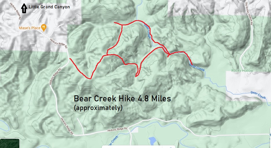
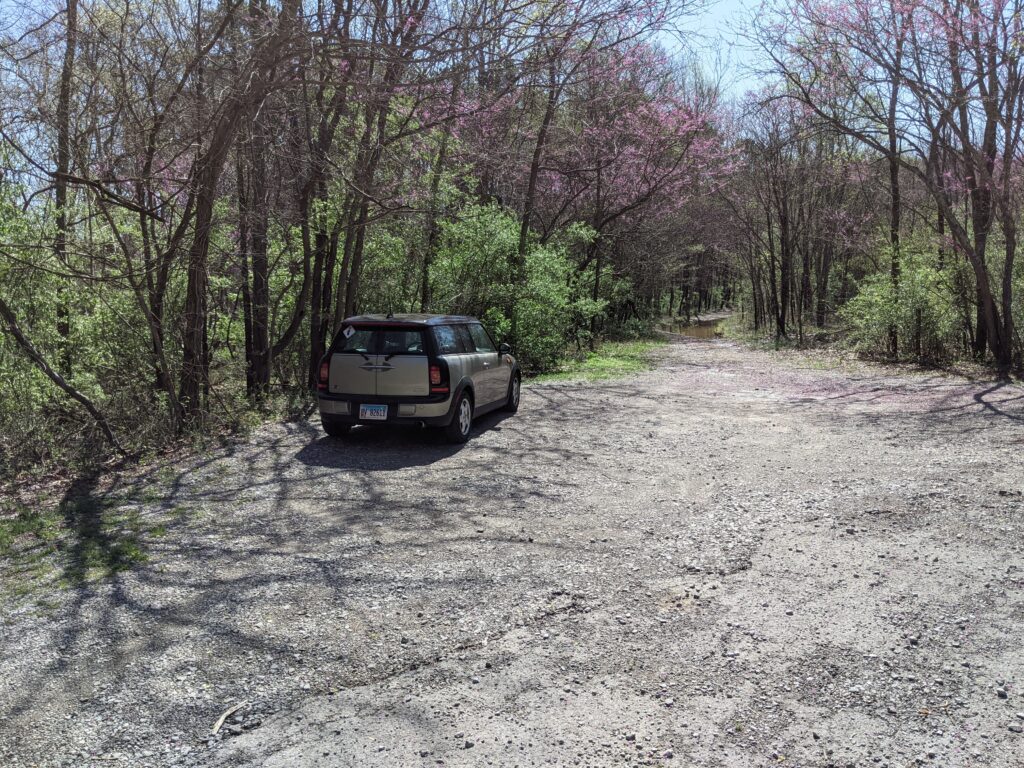
There are no marked trails as such, it is just following creeks for most of the way after you leave the forest service road. There is a pretty wide place to park at the trailhead, but the road in is very rough with a couple huge puddles/ponds to welcome you. There are paths around them.
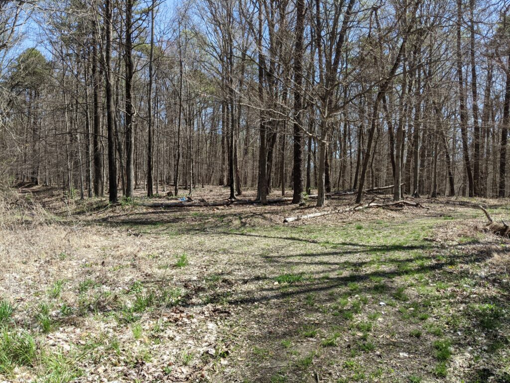
The road turns surprisingly decent for hiking. You will come to a split There is a rusty gate on the left one. That is the one to take.
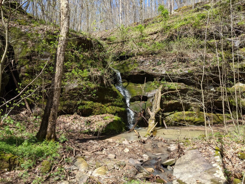
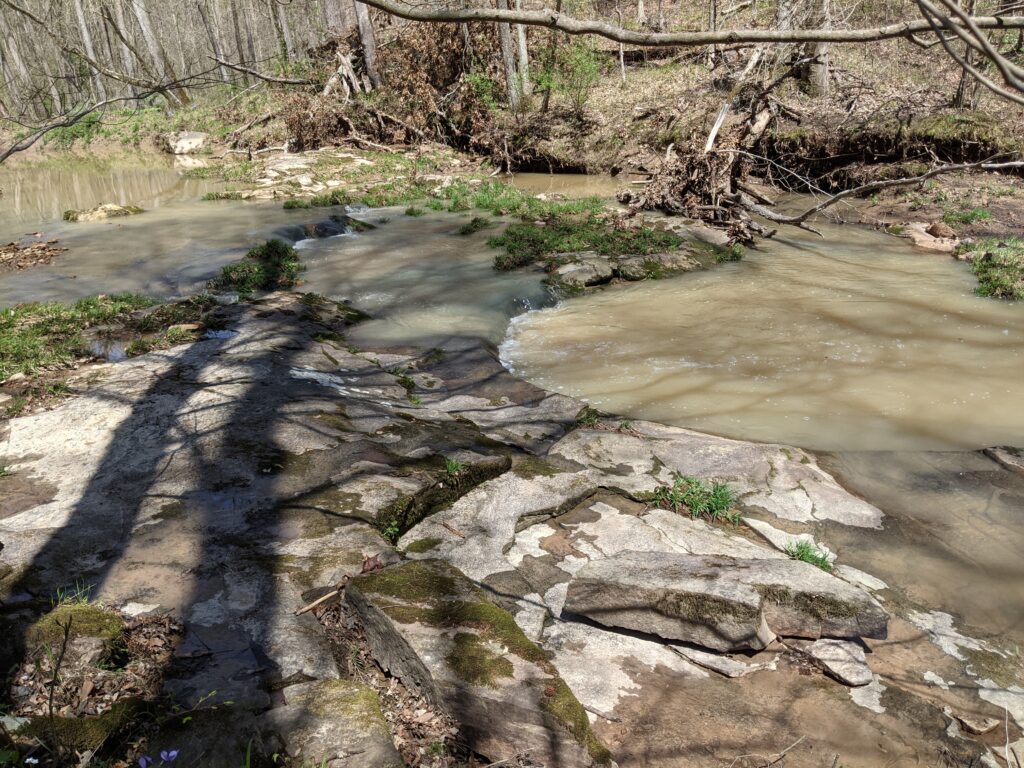
The road will soon go to the right around the head of a ravine. I decided to go down into it and follow it before it got too steep. Then after decending pretty far along the creek, I realized I was coming to the top of a waterfall, and no way down.
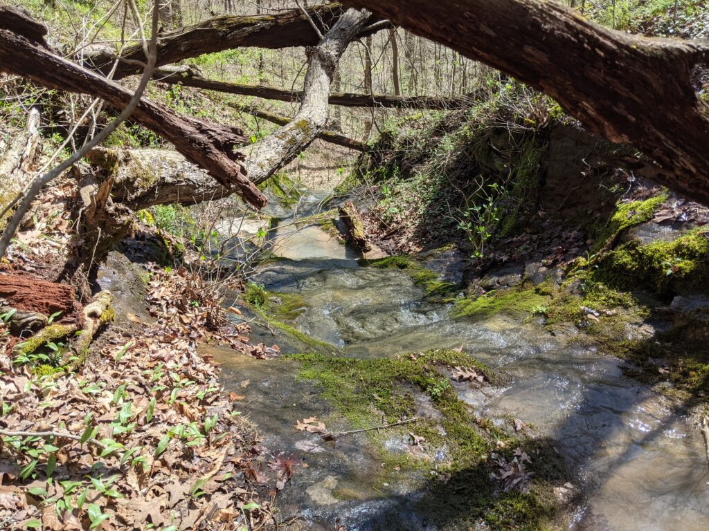
I had to back track and climb back up to the ridge top and make my way past the waterfall, then go down the safer more gradual downstream side and follow the creek back to the falls.
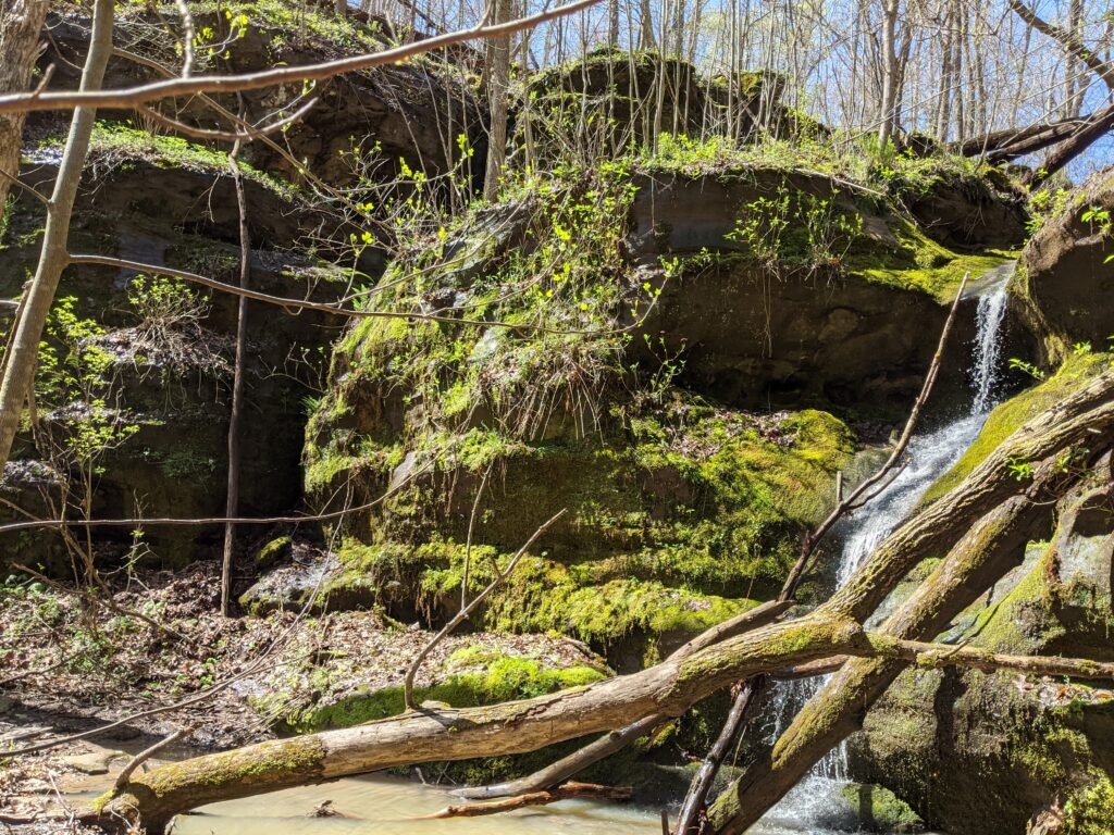
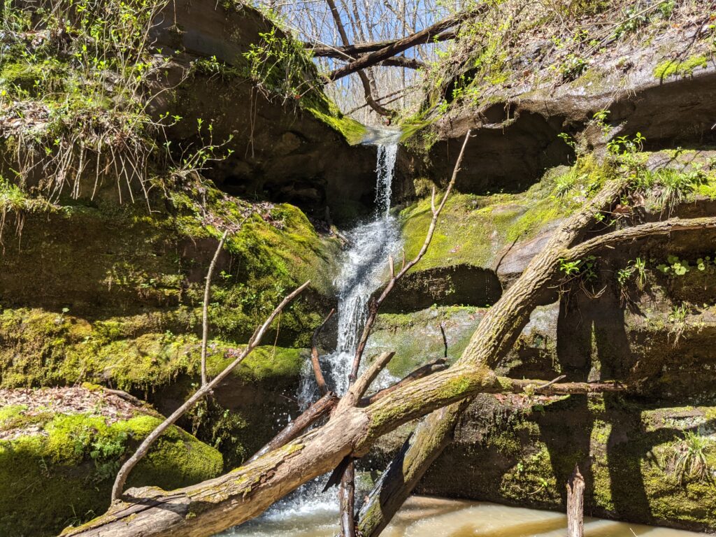
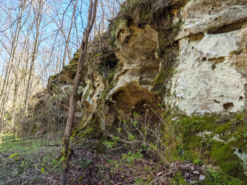
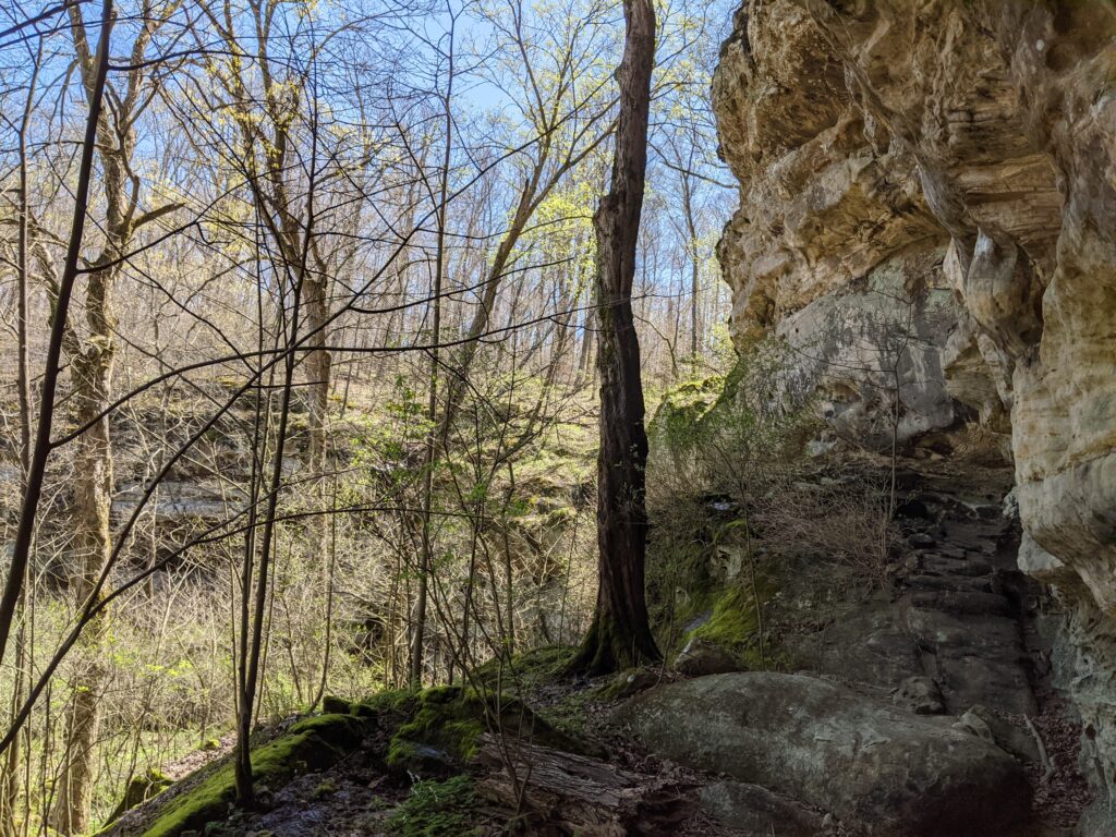
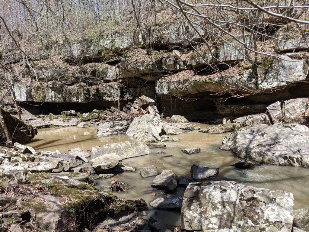
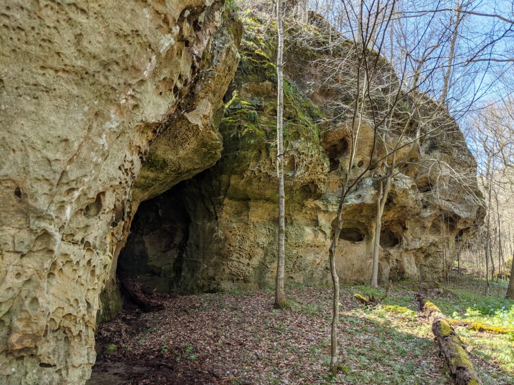
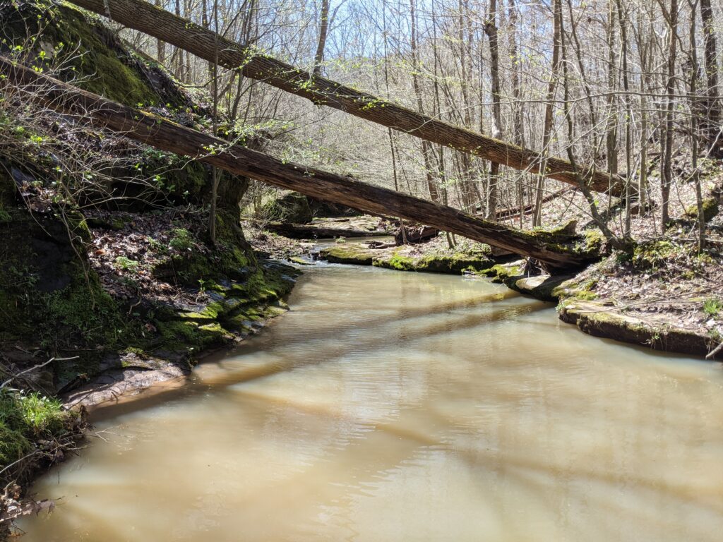
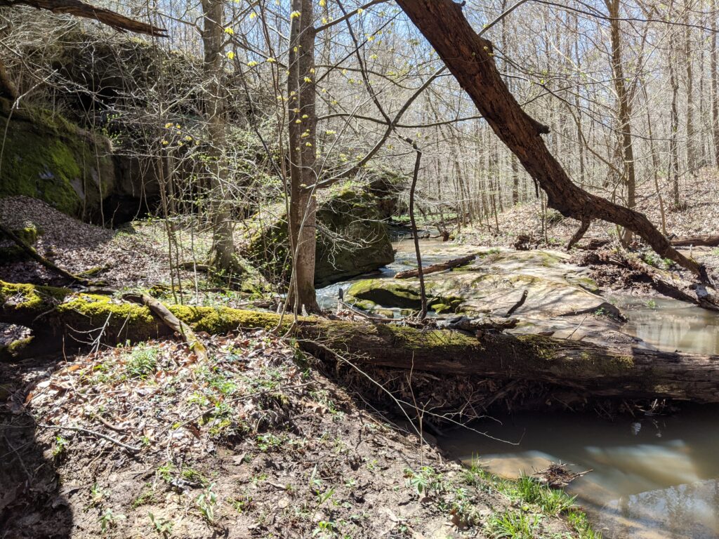
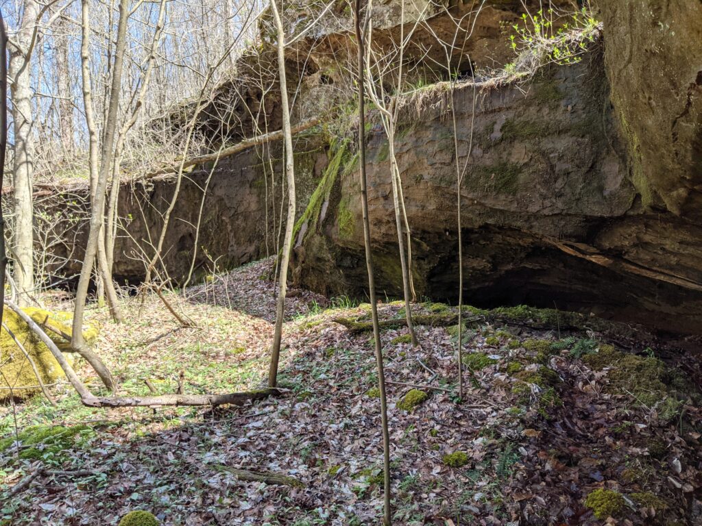
I headed on downstream. There were some cool bluffs along the way.
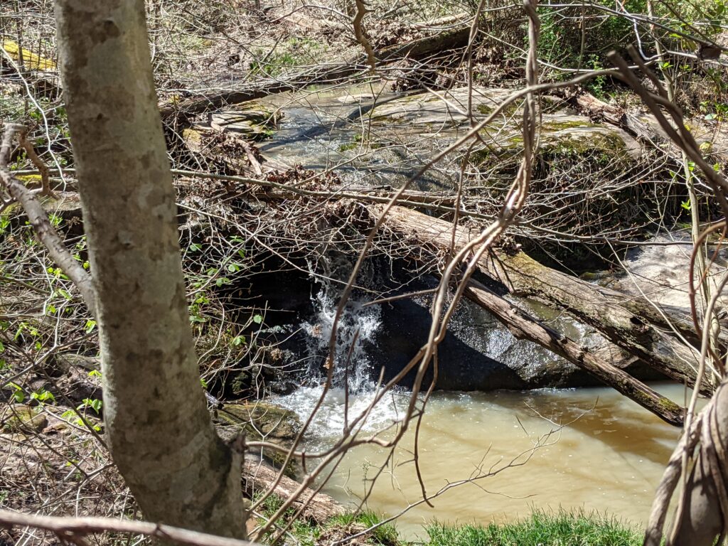
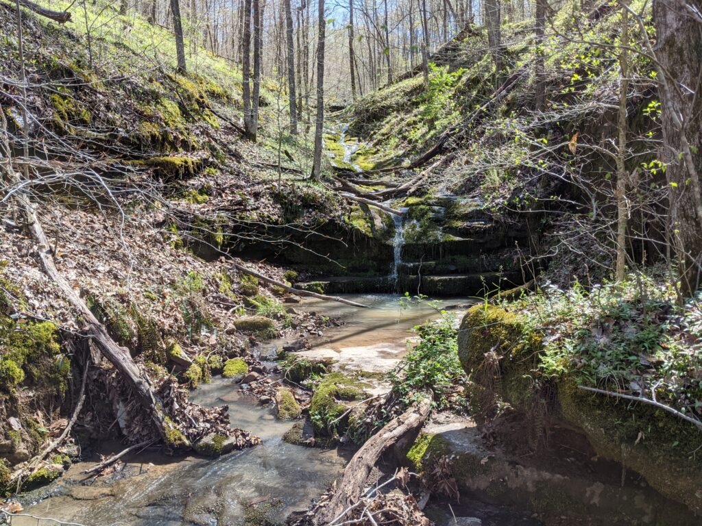
It opened up to another creek and valley to the right, so I headed that way to check it out. It came to a waterfall and interesting bluff.
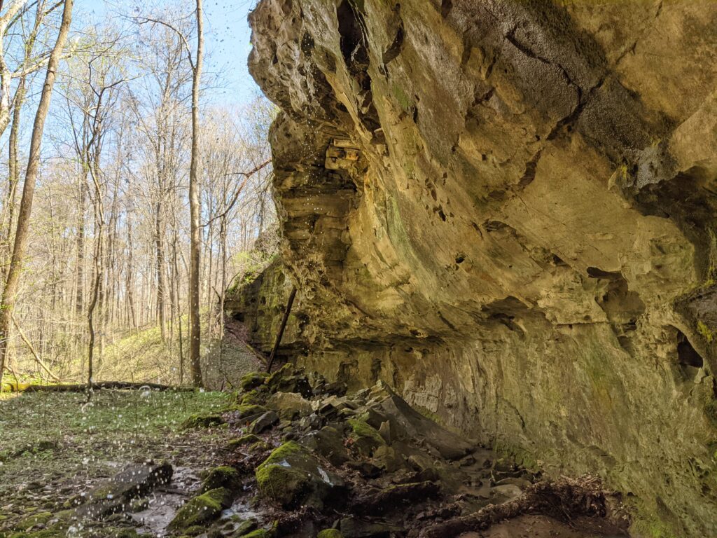
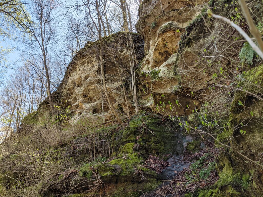
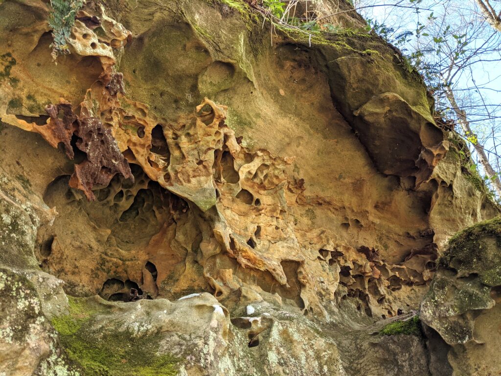
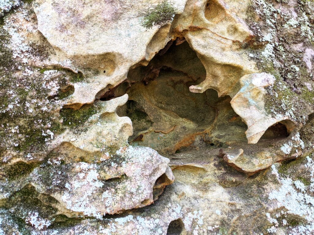
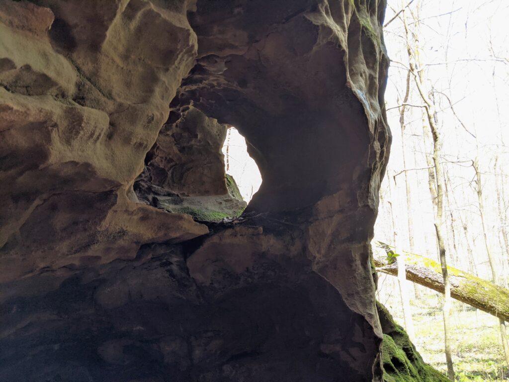
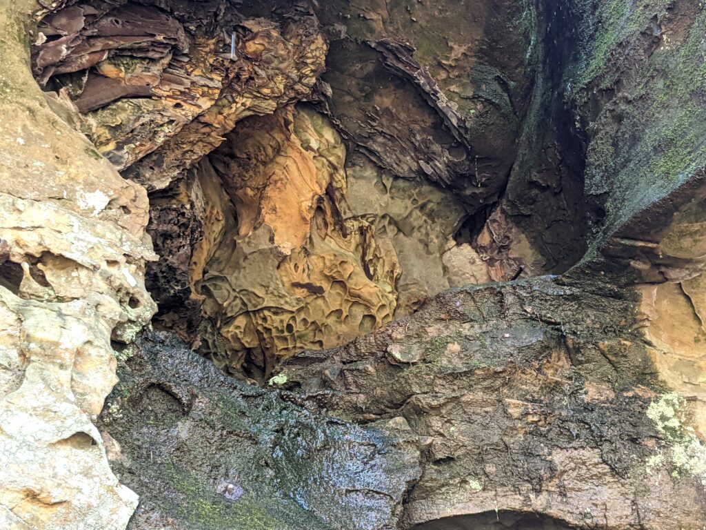
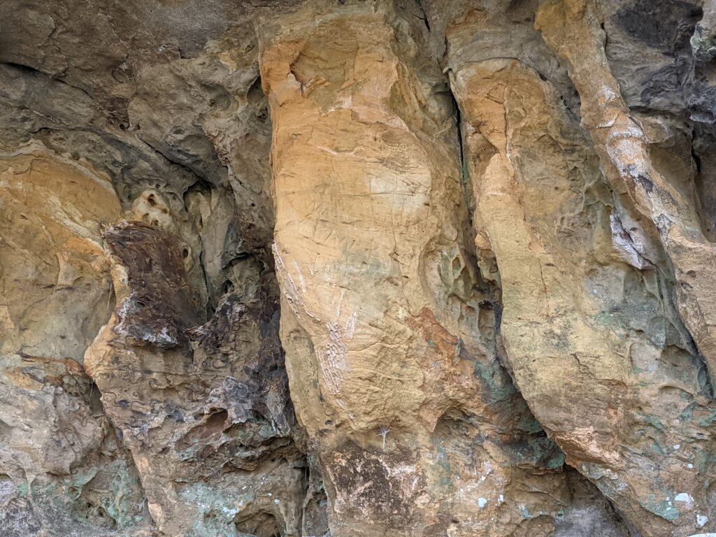
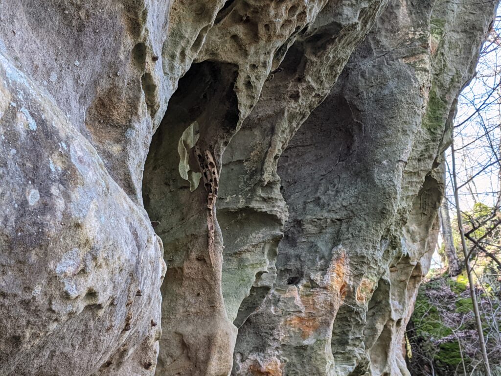
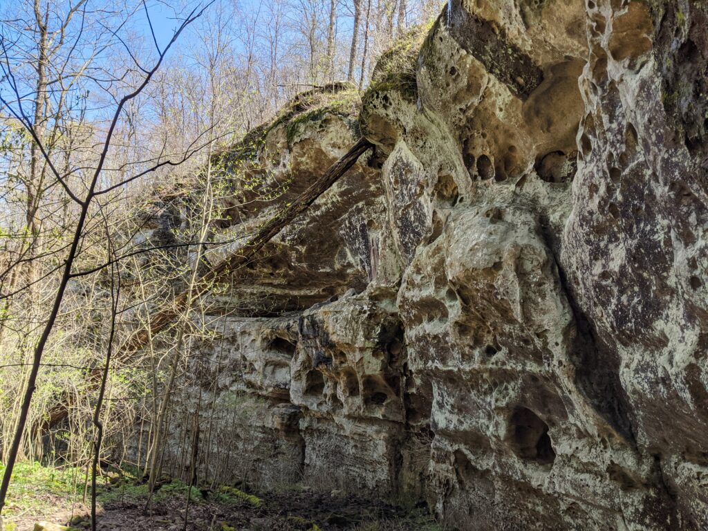
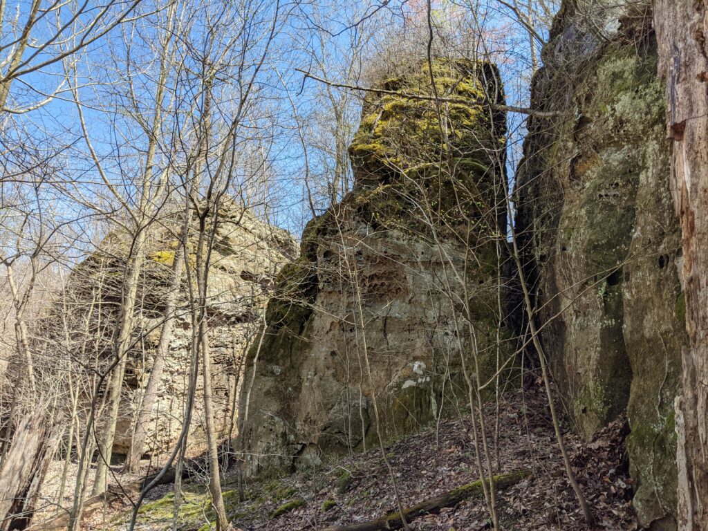
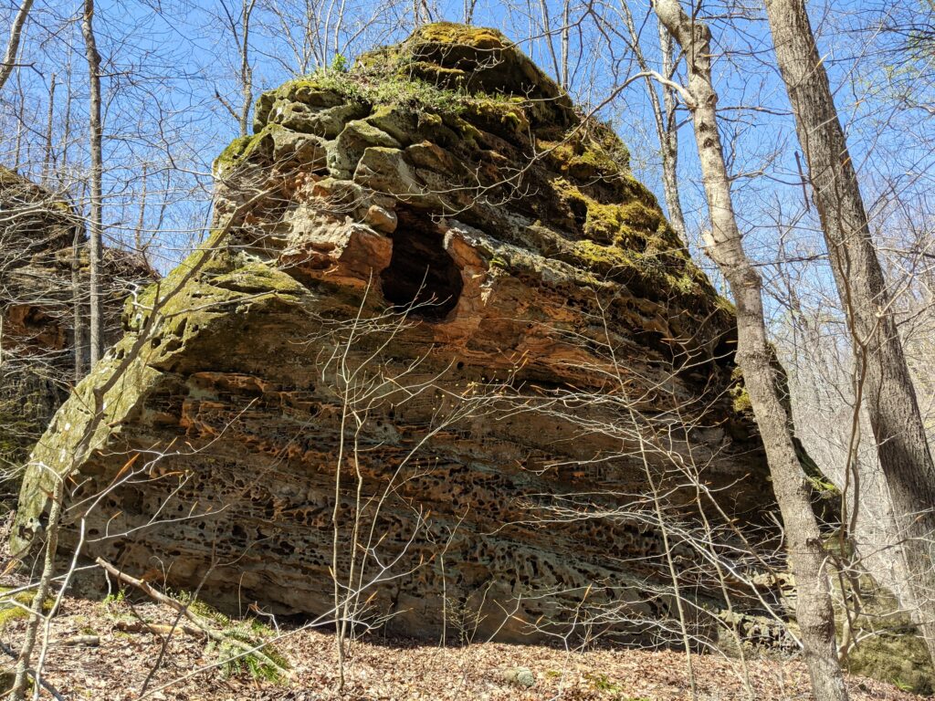
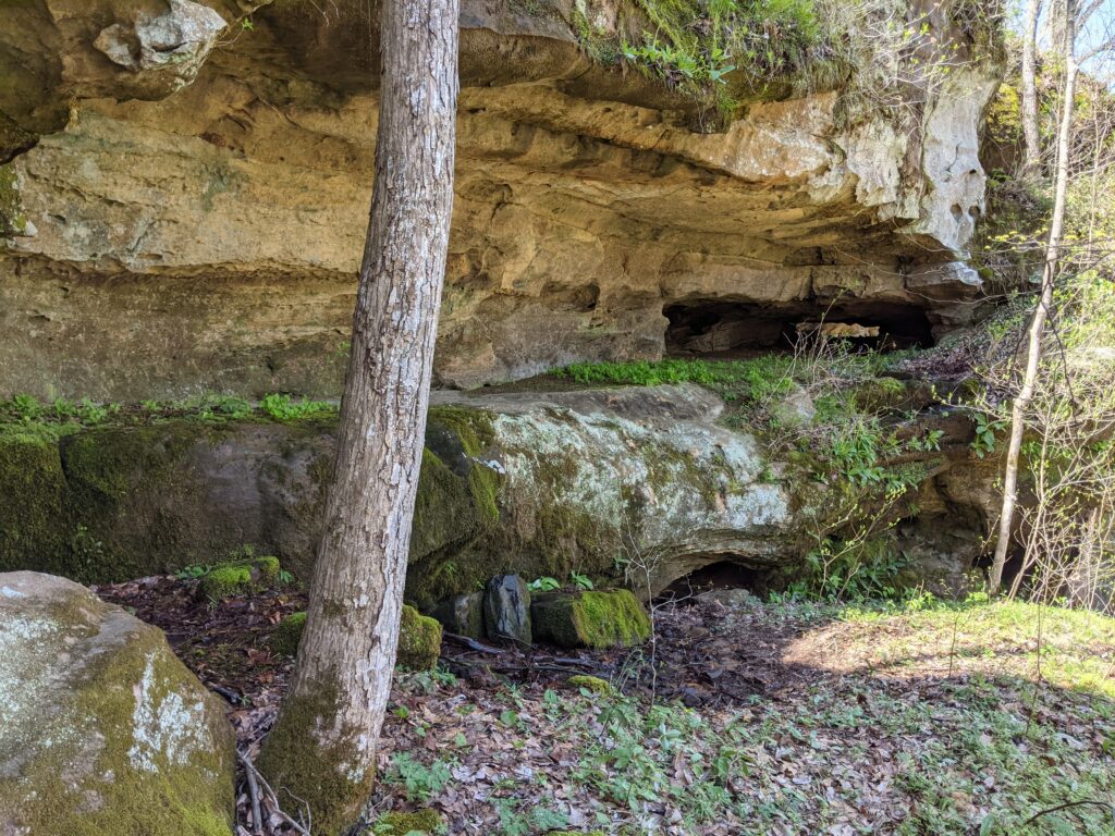
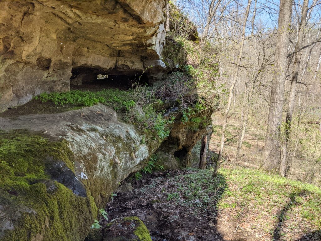
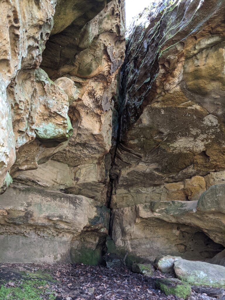
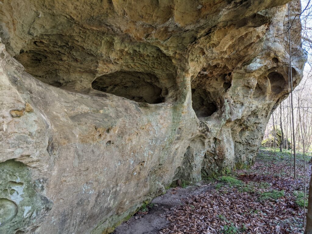
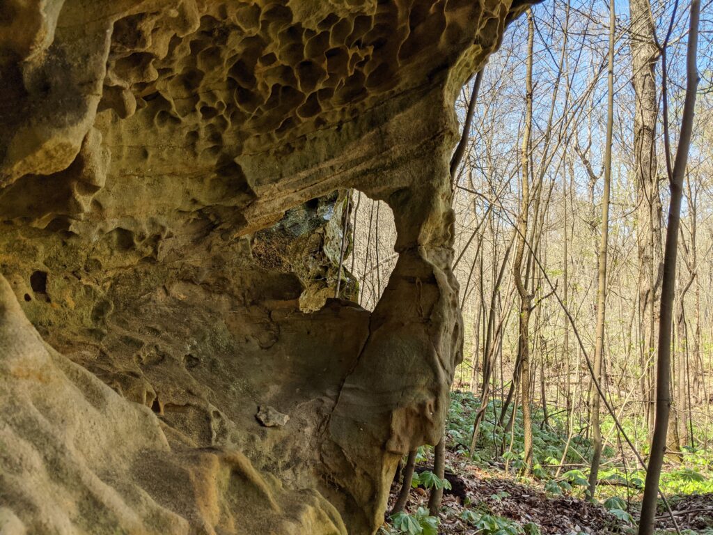
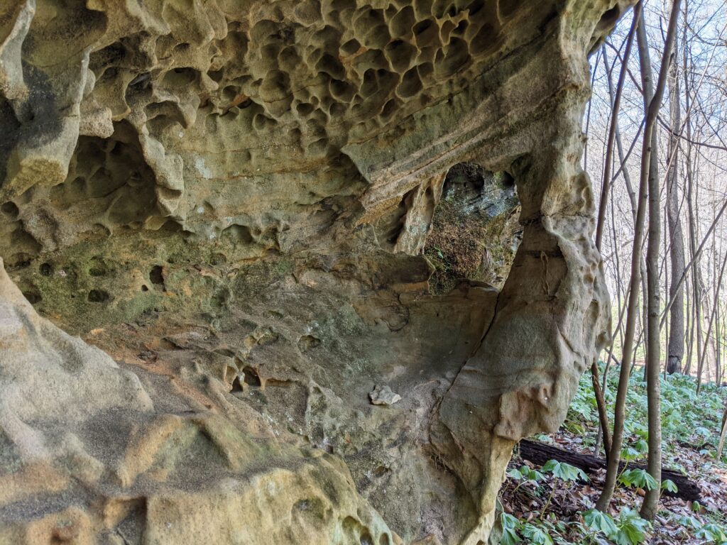
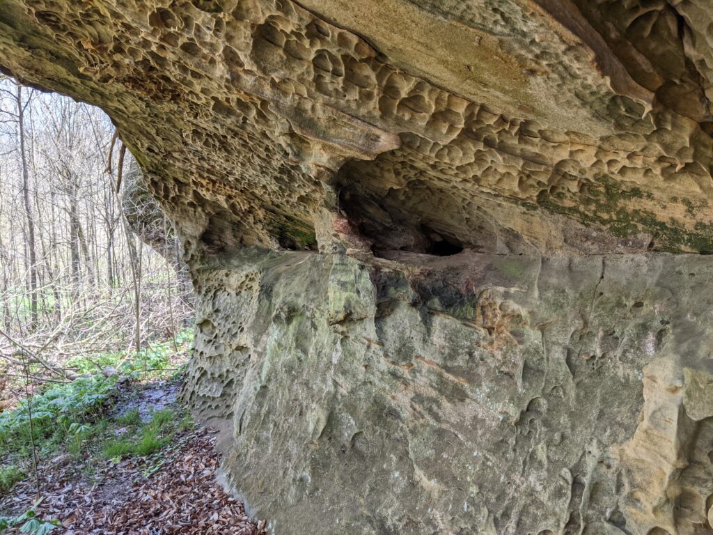
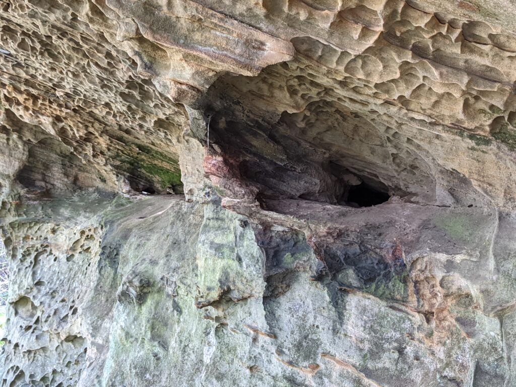
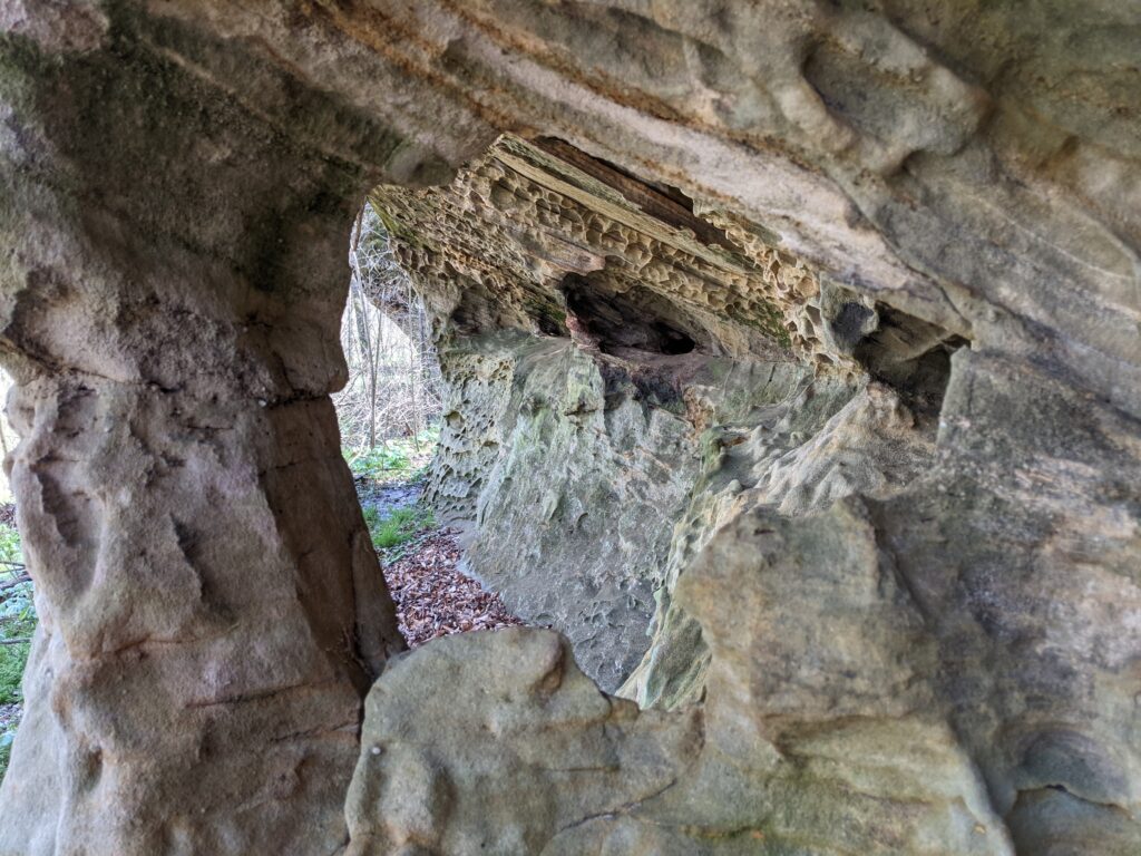
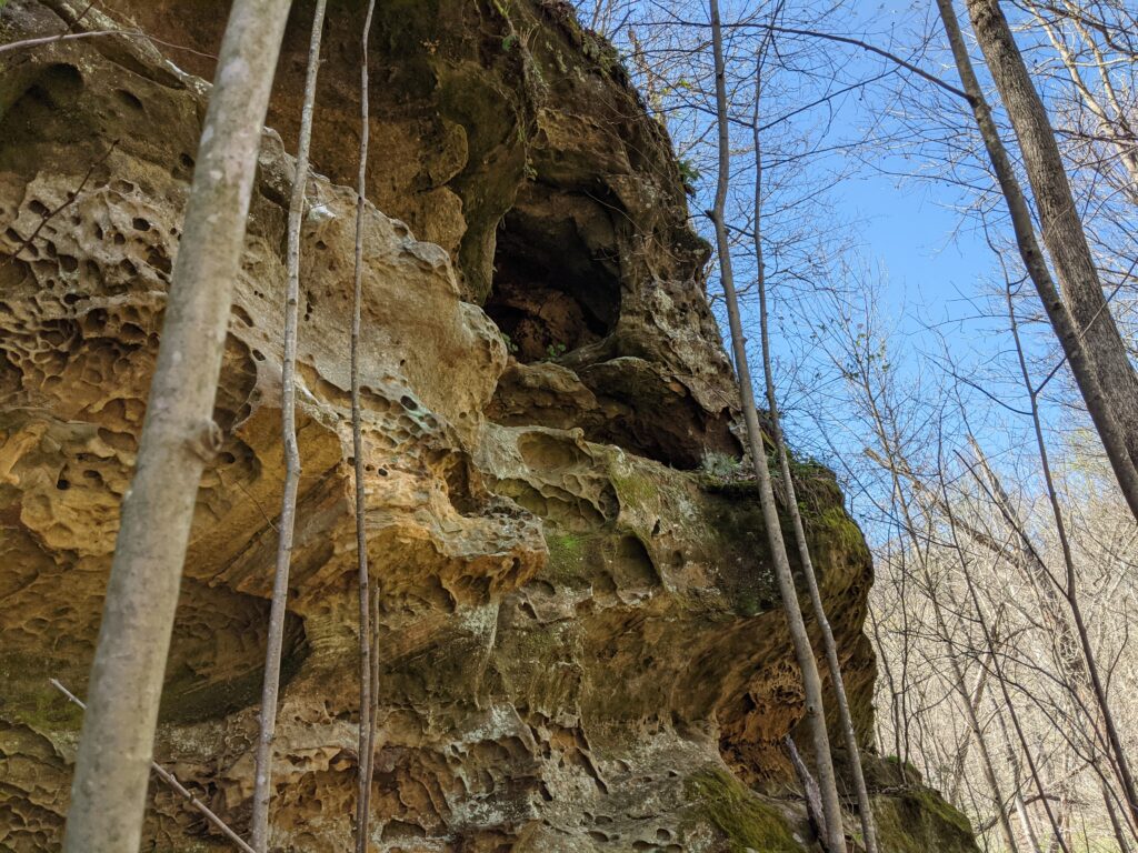
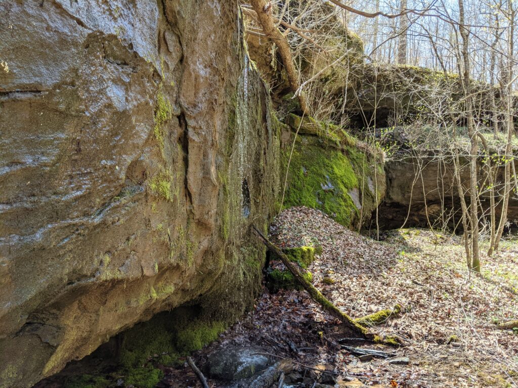
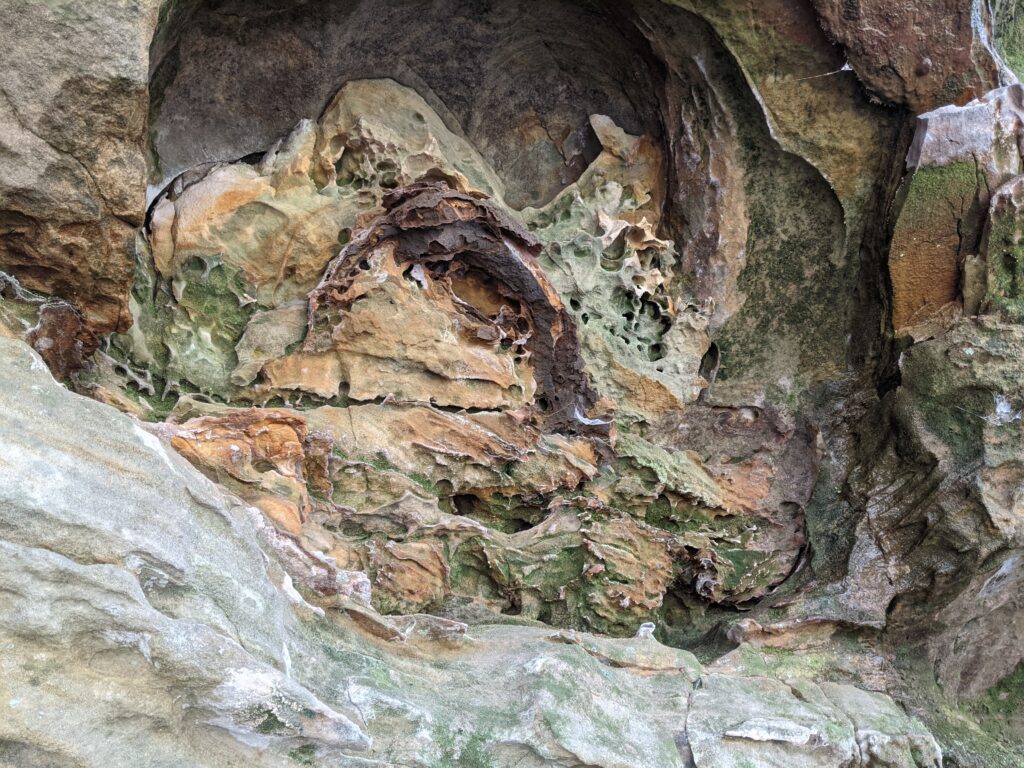
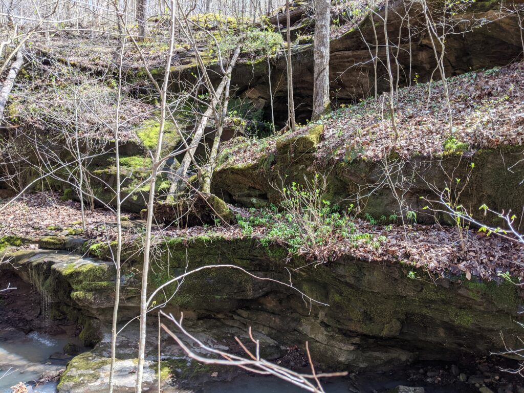
I hiked back out of that valley and followed the bluff to the right. There were a lot of interesting windows and patterns.


I ate my lunch high up on a bluff looking over the forest.
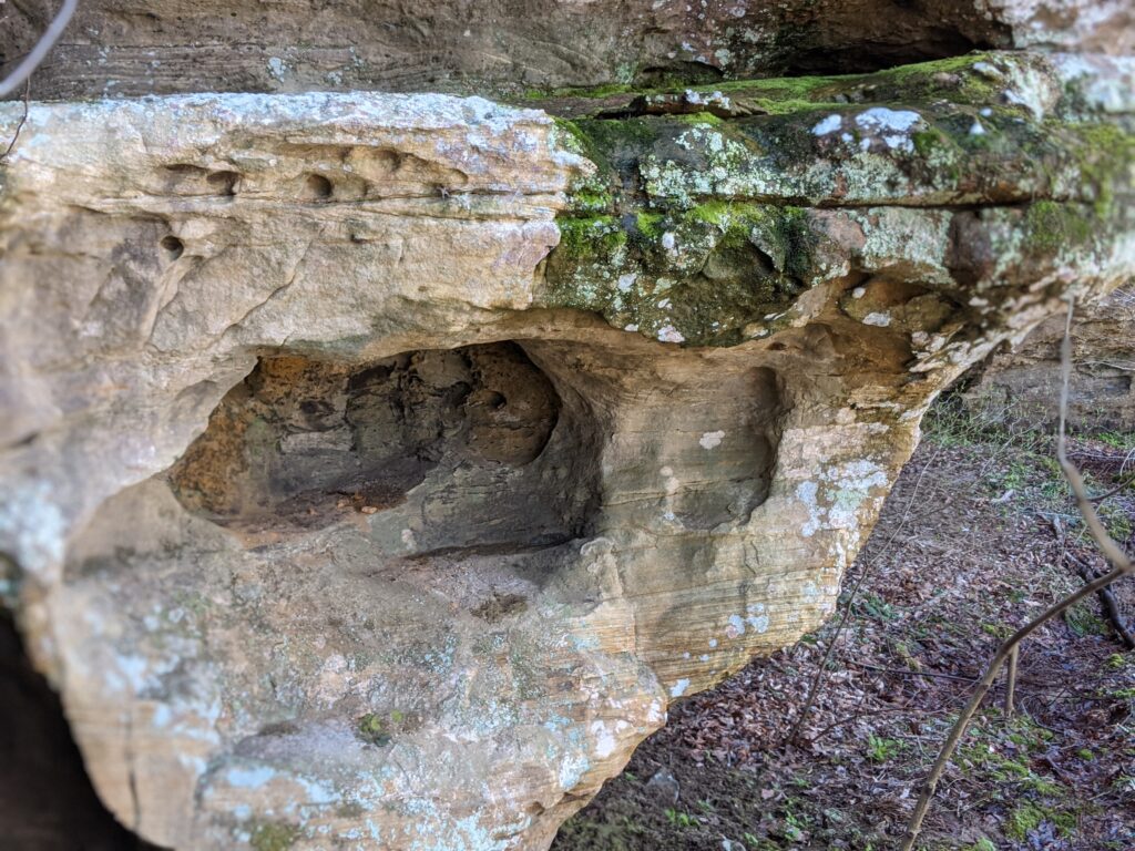
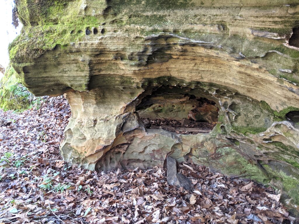
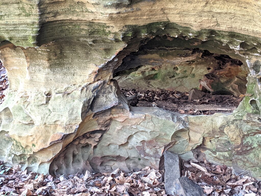
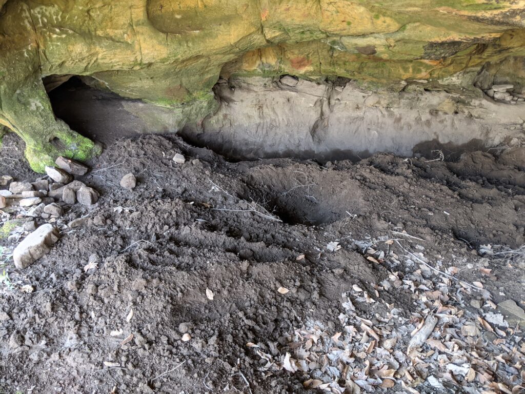
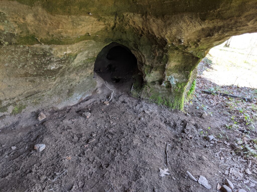
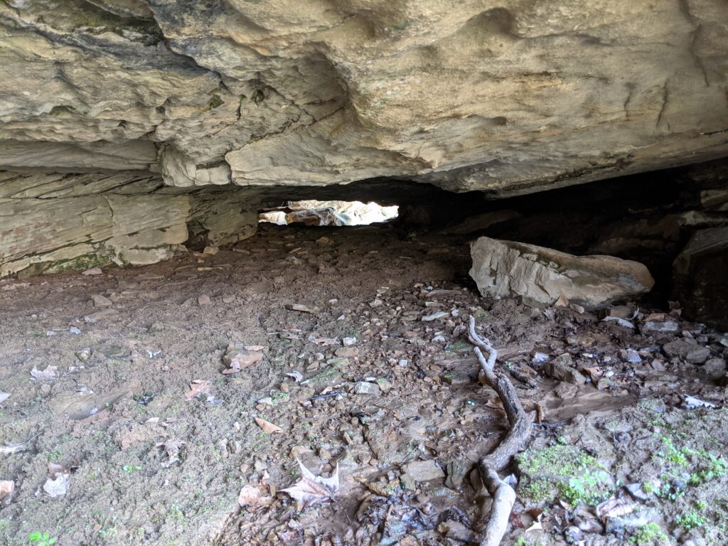
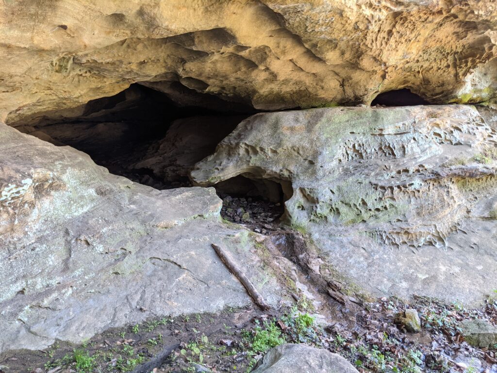
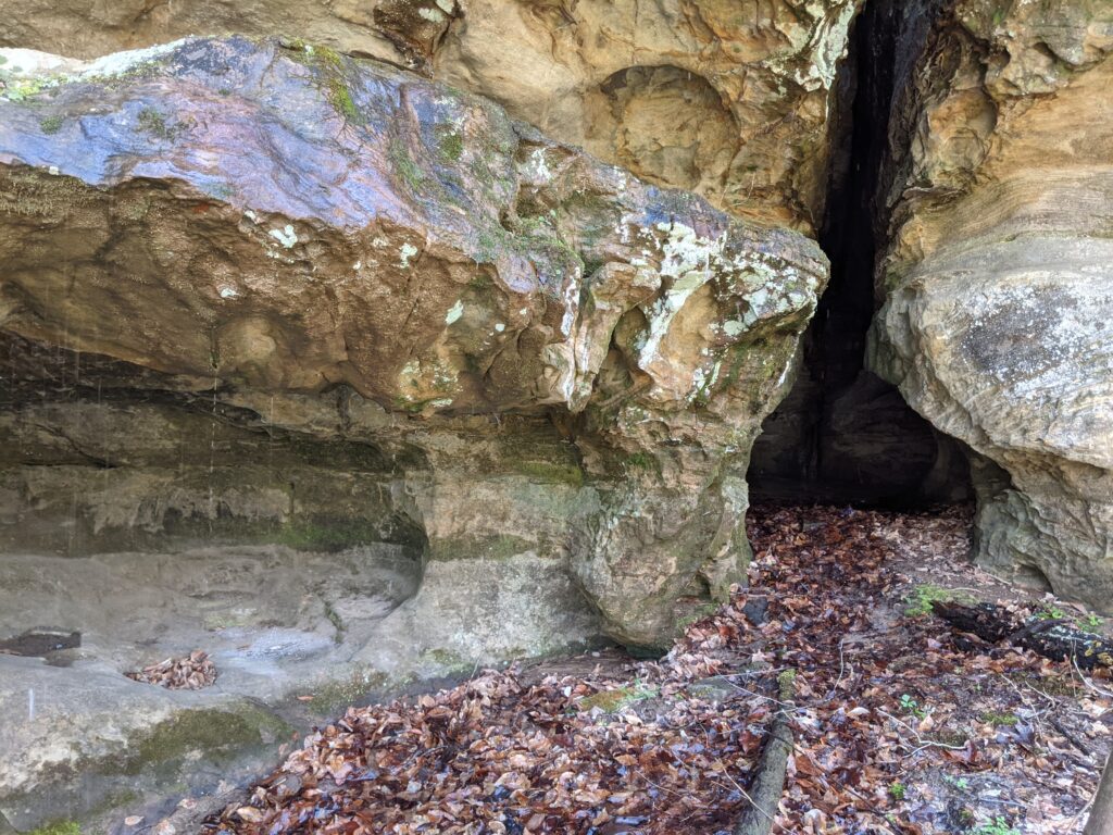
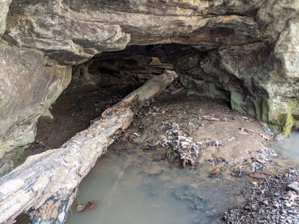
To the West I saw the first low bluff, so I checked it out. Someone has been excavating this small cave. That can only be done legally in a wilderness area by permit. I would have expected to see a notice or something posted nearby.
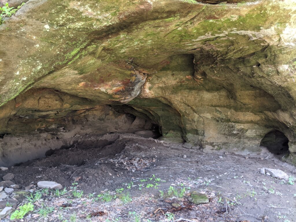
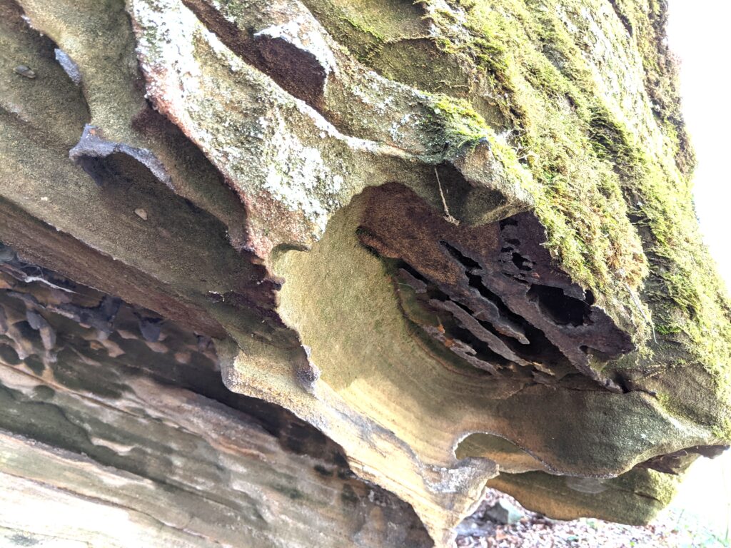
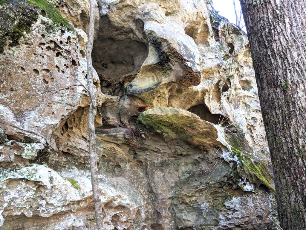
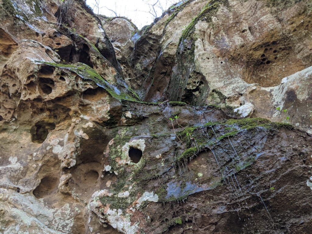
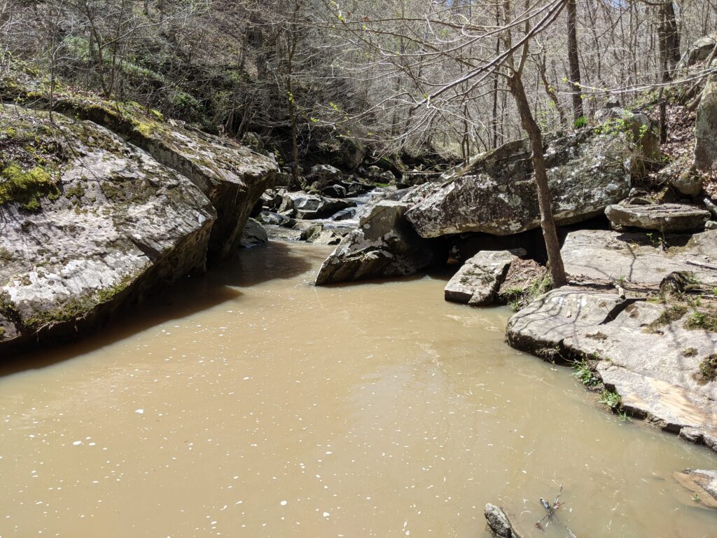
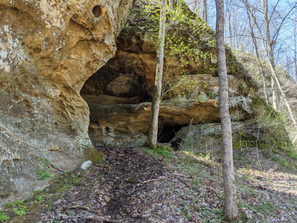
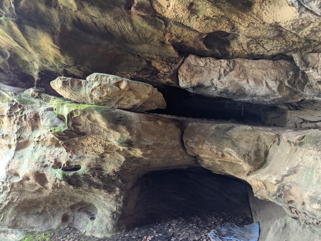
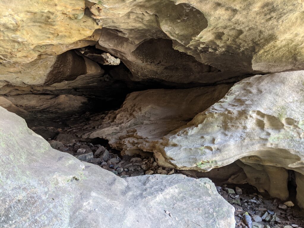
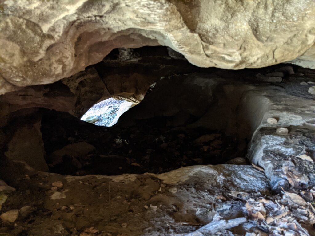
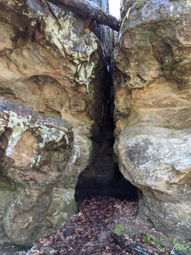
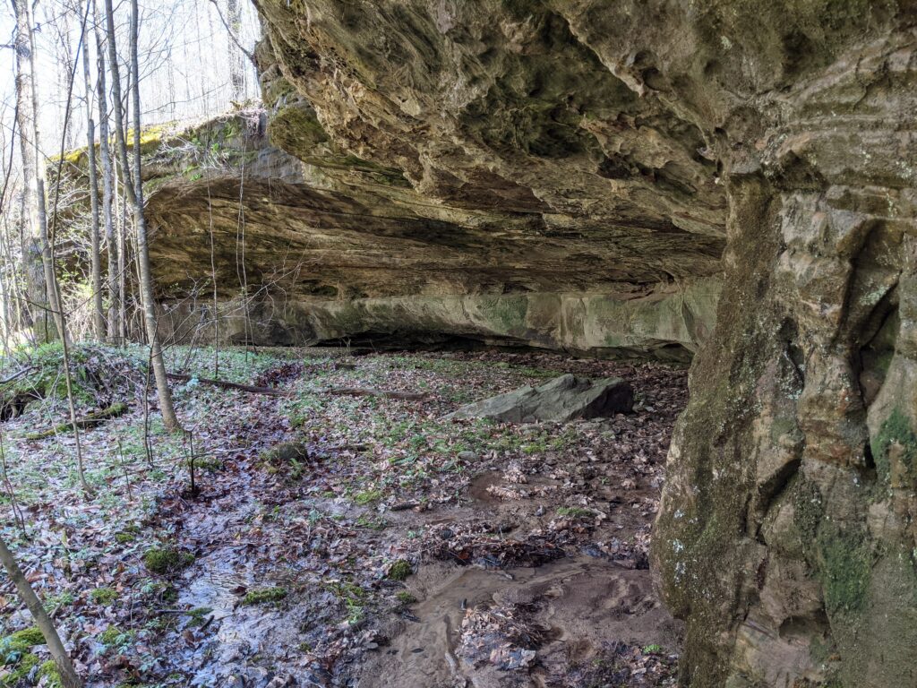
Moving on up the creek, I came across some of the best caves in the Shawnee. Not the biggest but some of the most complex.
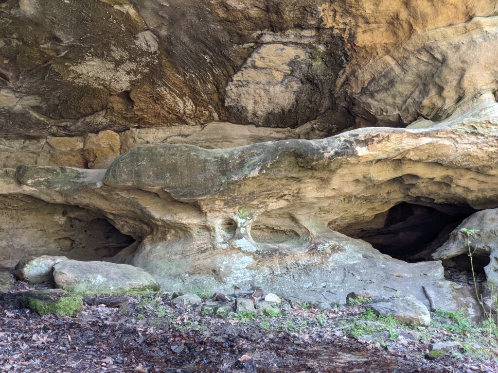

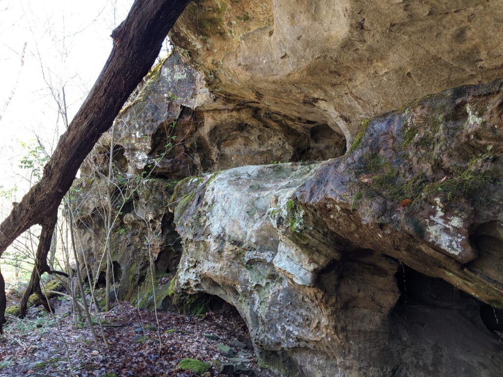
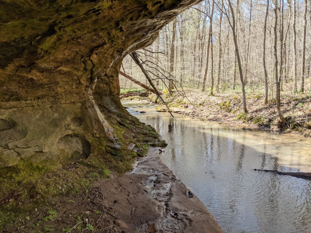
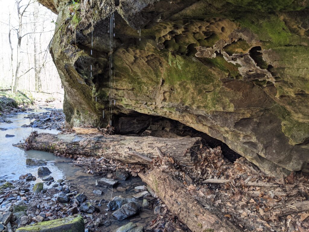
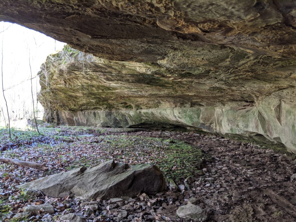
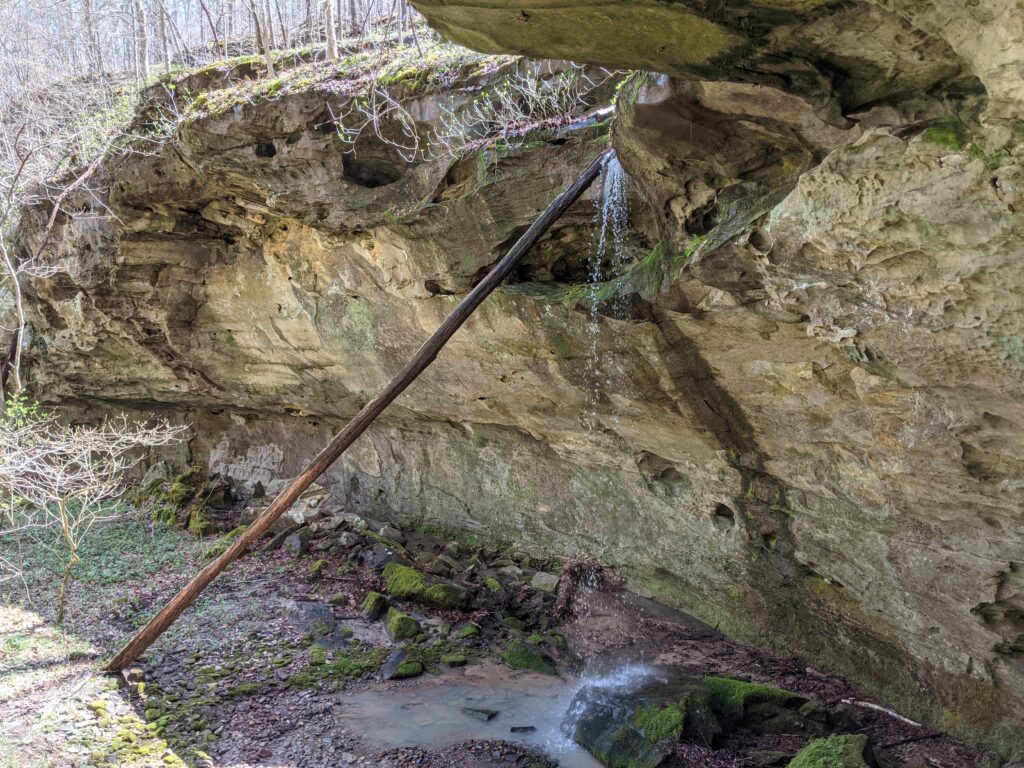
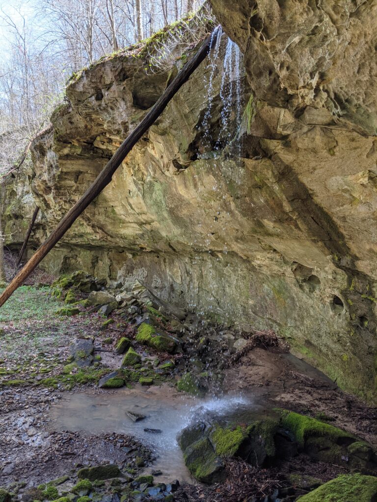
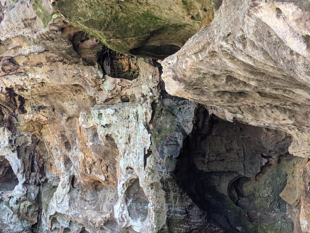
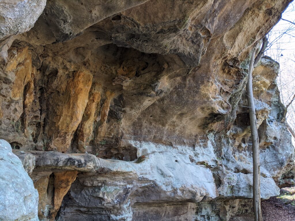
I walked into the biggest shelter cave on the trip. It had a waterfall right in the center of the curve. (Look at the splashing on the floor, not a huge volume but very noisy) This is looking back from the Western end.
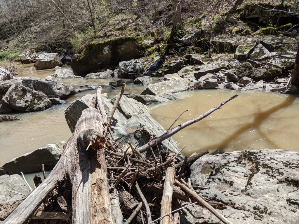
I walked along the creek West some more but nothing particularly interesting. There was a forest road (disused) running parallel to the creek since it crossed about where the cave with the digging was, It turned North and up the valley side that way. I retraced my path back to the last side ravine. I think it was just before the big shelter cave, I was using a map provided by Bill Gilmour and that’s the route they took. There wasn’t much to take pictures of after that. The climb up the creek there is pretty and slippery. I made it to the top and hiked to the left along the ridge back to the road I came in on and turned right back to the car.
It was a great hike. A lot less civilized than Little Grand Canyon, but a lot more caves. I highly recommend it for people who like to get off the path and do a little bushwhacking. I might come back and check out some of the other interesting parts of this area shown on the topo map.