We went back to Little Pakentuck and Indian falls yesterday 3/1/22. This is in Public SNF ground but is just North of Ondessonk. Take a Compass or GPS and try not to trespass on Ondessonk land. There is only a narrow bit of public National Forest on
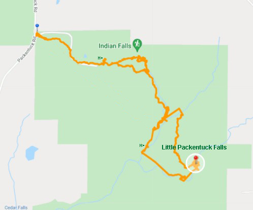
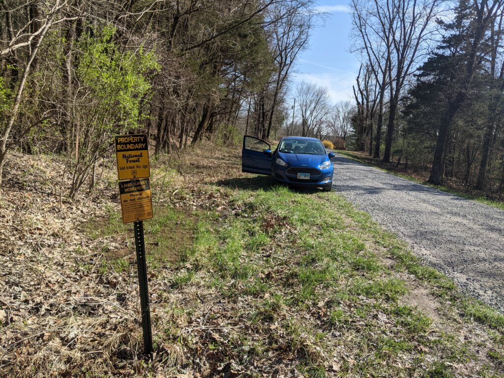
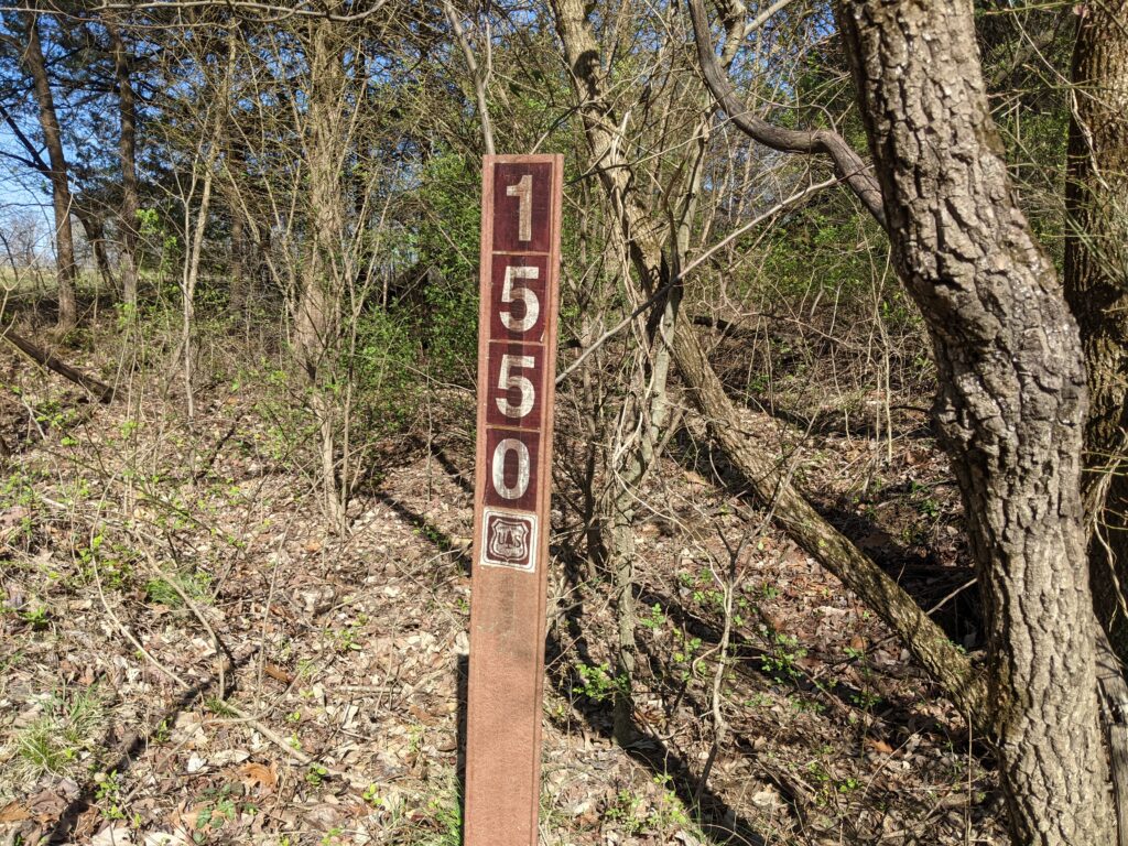
There are no signs or parking area. You travel down Packentuck road a short way until you are approaching the first houses. You will see a post on the left with 2 National Forest Boundary signs on it. This is the trailhead. There is a sign with Forest Road 1550 in it which you can see until the brush leafs out. There are 2 paths into the woods but both merge very quickly. Park off the side of the road but use your best judgement as to where, The shoulder is narrow and soft.
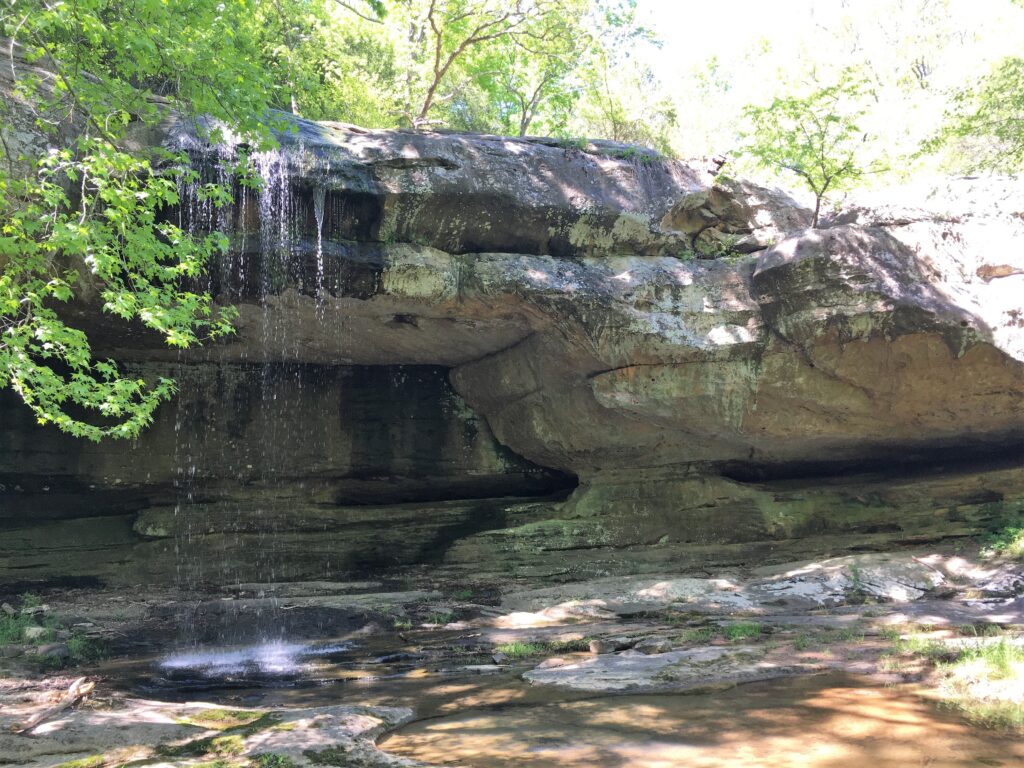
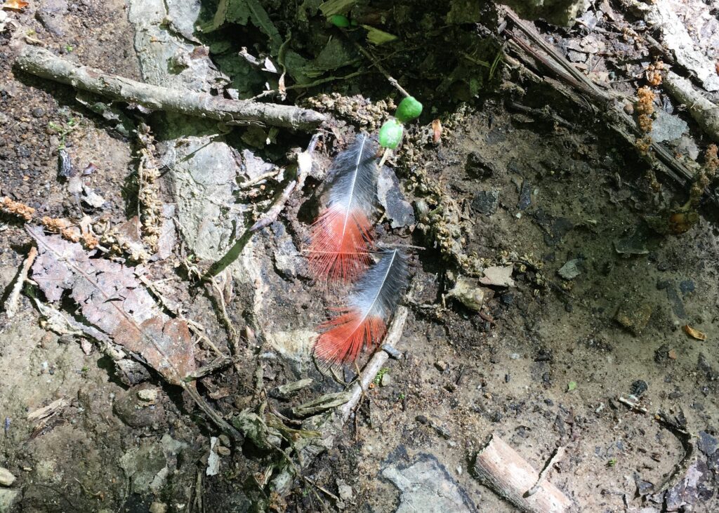
I’m updating an older page and the pictures from yesterday are better but don’t have the greenery of the older photos, so I’m leaving a few of the greener photos.
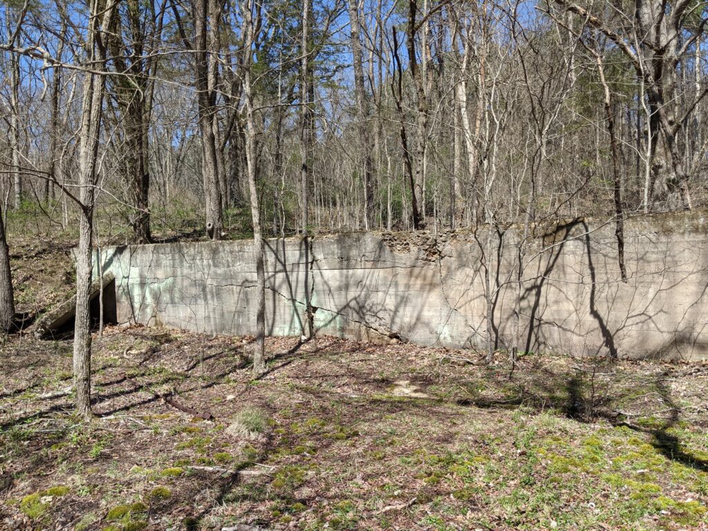
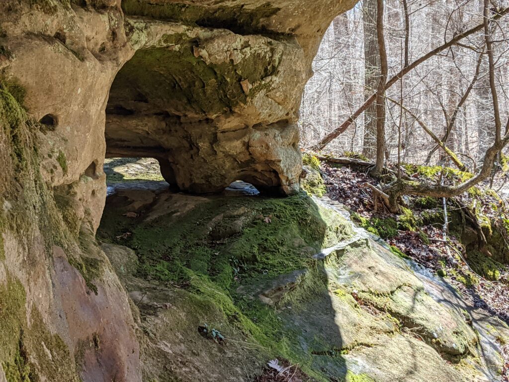
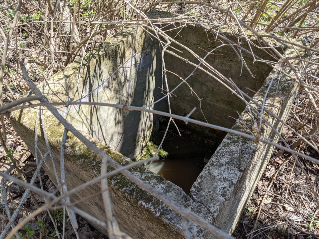
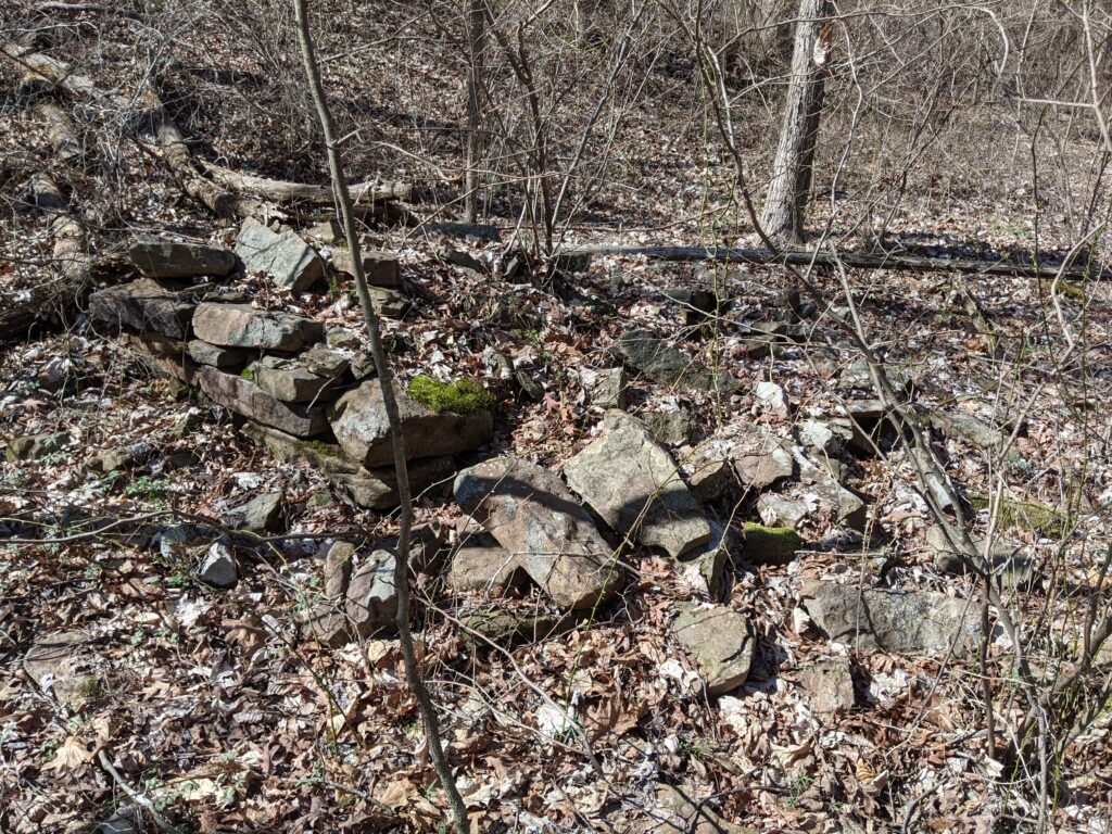
This is an in and out with a loop to Indian falls and a loop at the far end. There are no markers, and there are other trails and roads that connect. The first part is pretty easy to follow. Just stick to the wide trail. After the building foundation on your left, you will come to an unmarked Y. The foundation is hard to miss!
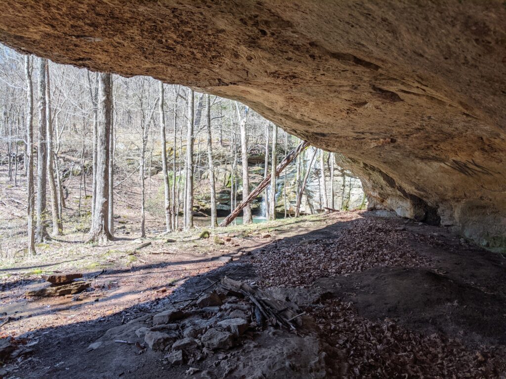
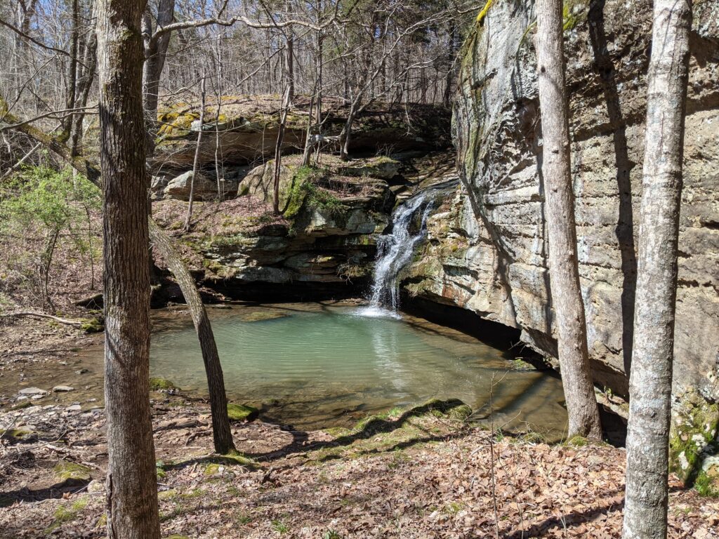
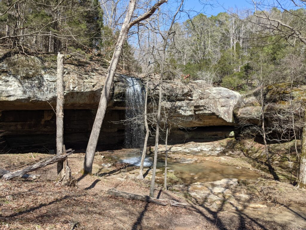
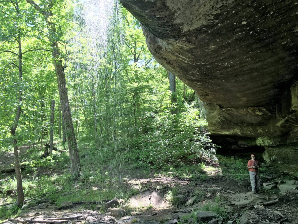
If you go left it will take you to Indian Falls from the upper side. If you go right it will take you past the base of Indian falls, though you will see it and can cross the creek to it.
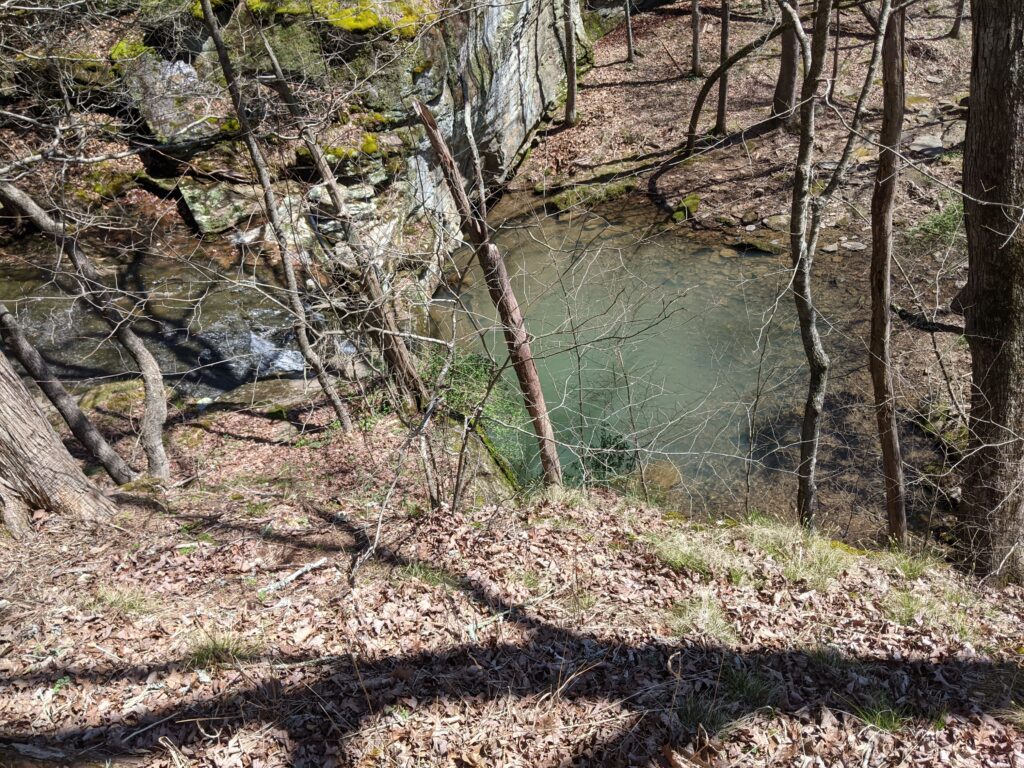
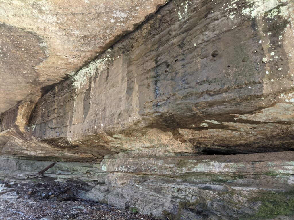
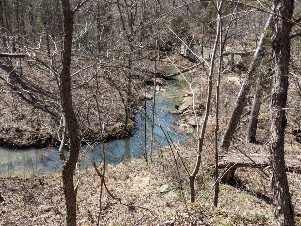
After Indian falls continue down the creek. I traveled the South side part of the time but either side is fine. Towards the lower part above the Junction with the small creek from the north, the North side trail climbs the bluff and disappears. This is probably the best way to go as it is more traveled and is an easier to follow route. It turns North East for a little way before crossing and turning South. If you missed where the North side trail went up you can continue on the narrower right hand side, but where it crosses to go to Little Packentuck falls is not marked and you will probably end up in Camp Ondessonk private land where you need to sign in at the office for permission. You should probably try to hike the Northern side trail to be safe and do the bottom loop clockwise.
If you want to continue the loop, follow the trail on the Northern side of the Creek from the falls. If not, just go back the way you came. The trail will come to a West turn in the creek. The bank rises on a bluff and you will see where some horses cross the deep creek. Backtrack a few feet and you will see the trail turns away from the creek and climbs the bluff around the turn, Nice view from the top.
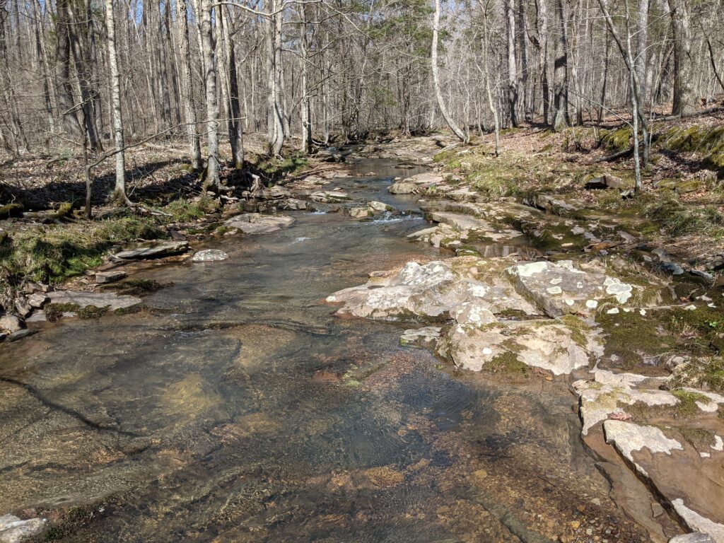
It takes you west and eventually crosses the creek. The creek itself is very pretty.
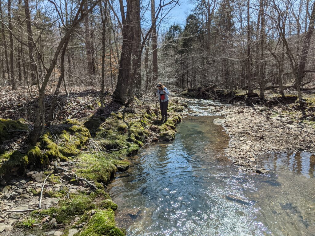
Follow the Creek on the West side and it will turn West and you are back on the trail again heading back the way you came in.
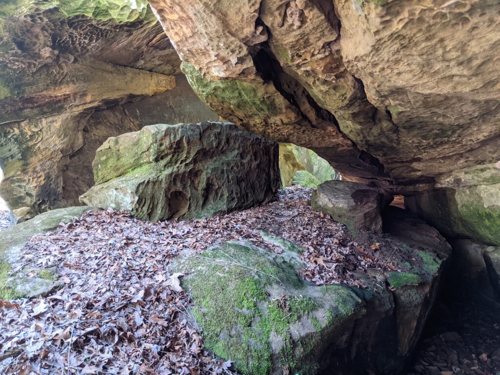
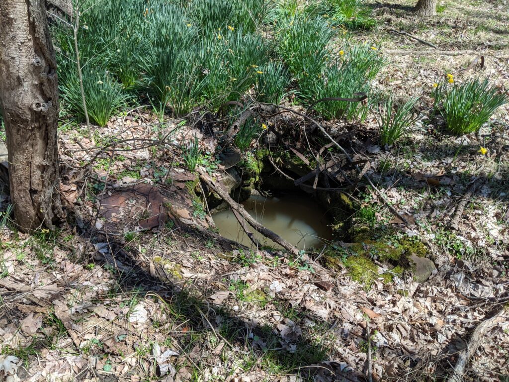
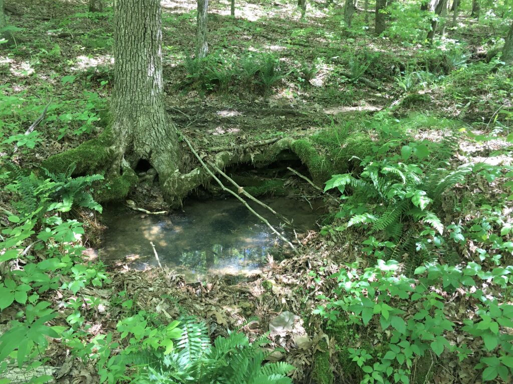
My 2 phones were having fits with Avenza Maps. I may try another App. One is an iphone SE 1st Gen. with the newest IOS. The other is a Pixel 2 with no sim card. Bothe were doing well until they weren’t. The track is mostly the iphones. It said 2.65 miles, but we back tracked a couple of times. I’d hate to pin it down but it’s somewhere along there. A very nice day hike. I like to check out old homestead sites. The Foundation is an obvious one but there is one just before it on the left. Signs of a large clearing and a brick foundation. A cistern and a well both there. Keep a lookout for them if you go looking. Another at the south end of the bottom loop on the West side of the creek. Didn’t see a well there. That is what the 2 H> are on the map.


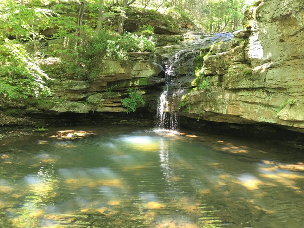
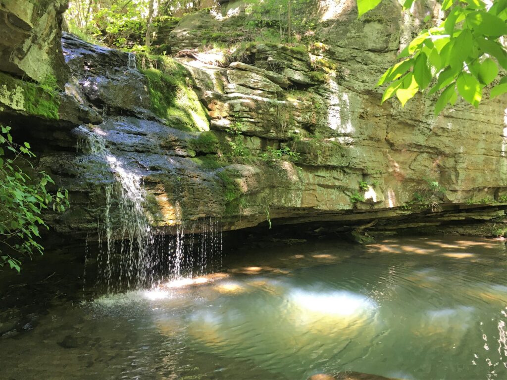
Some older pictures. Nice in the summer with Permethrin.
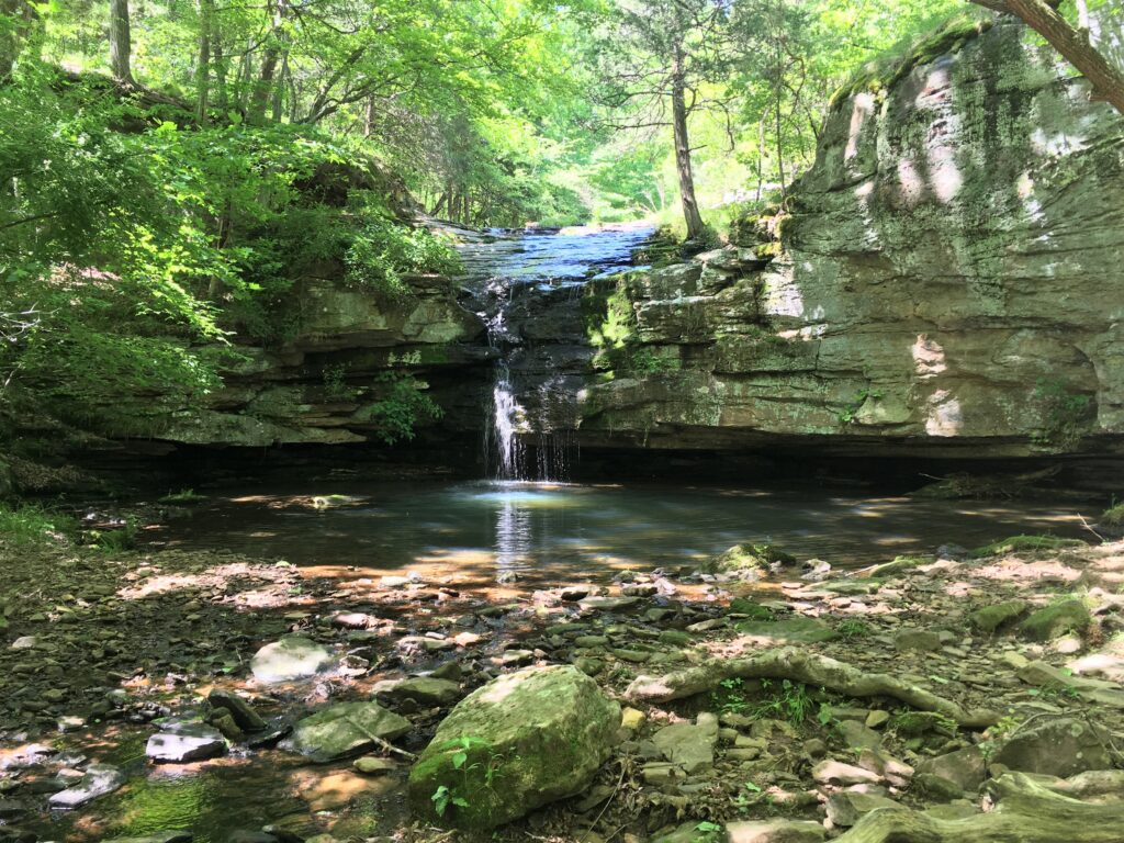
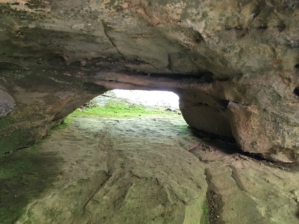
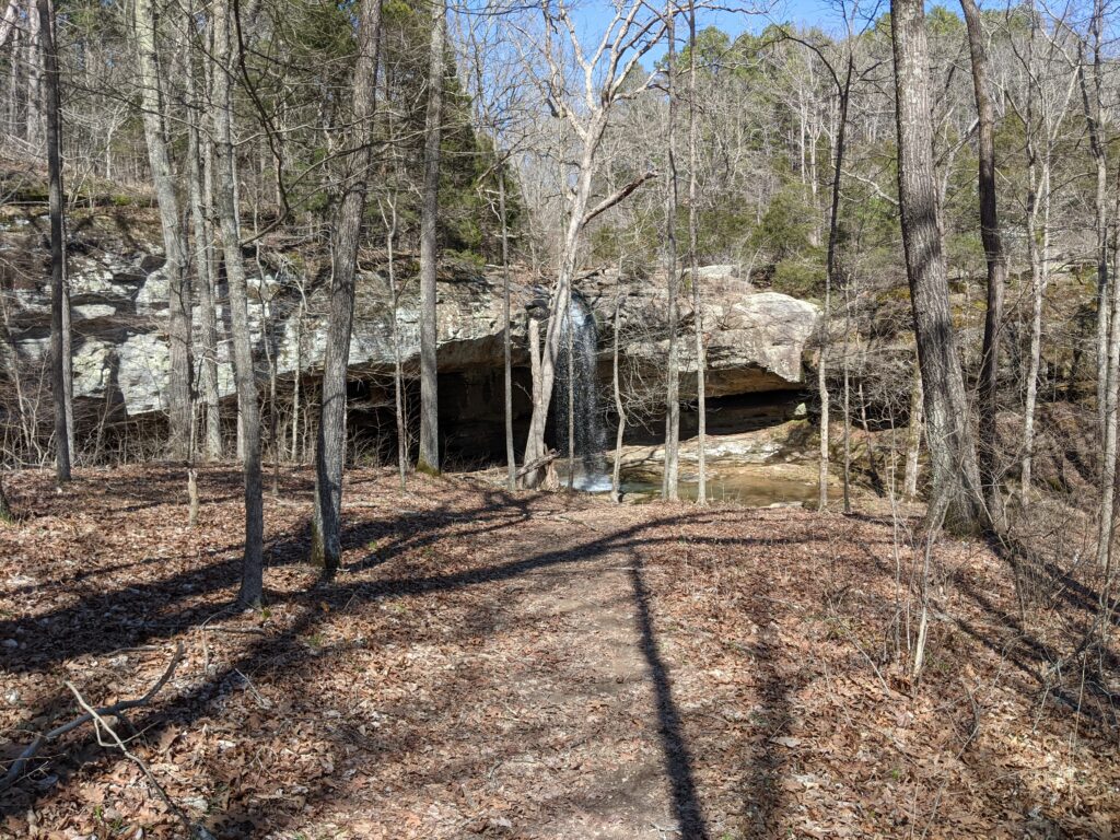
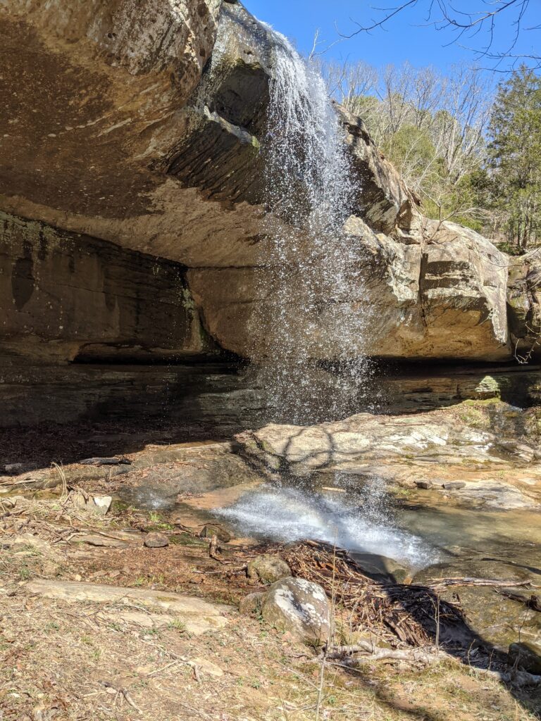
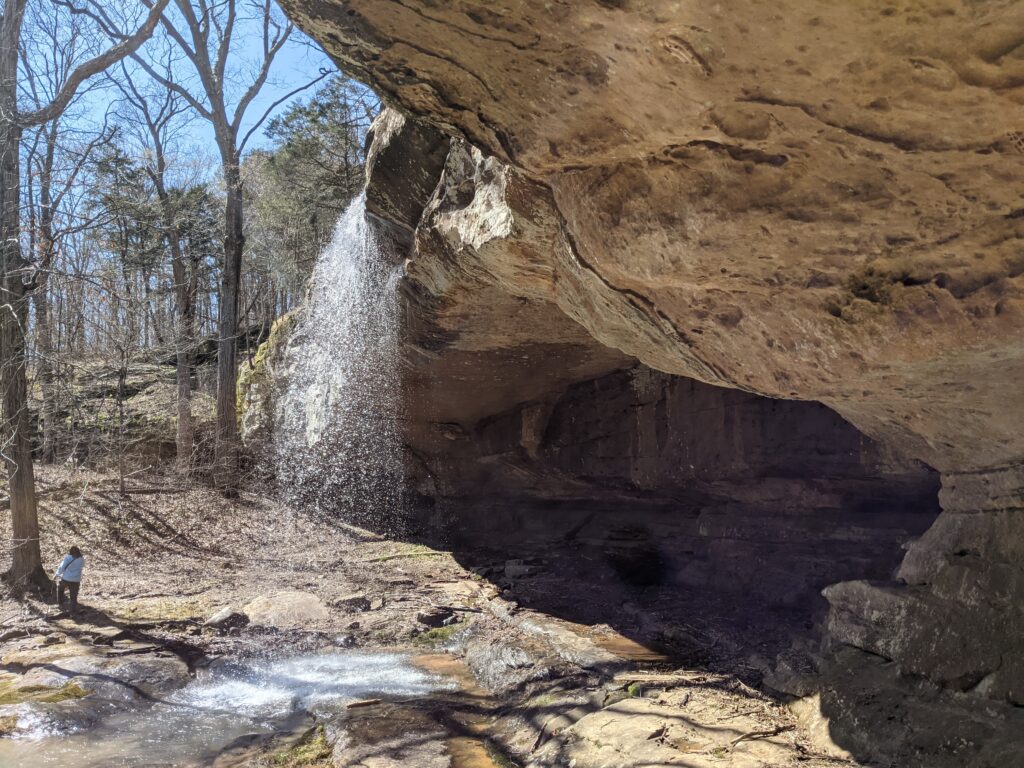
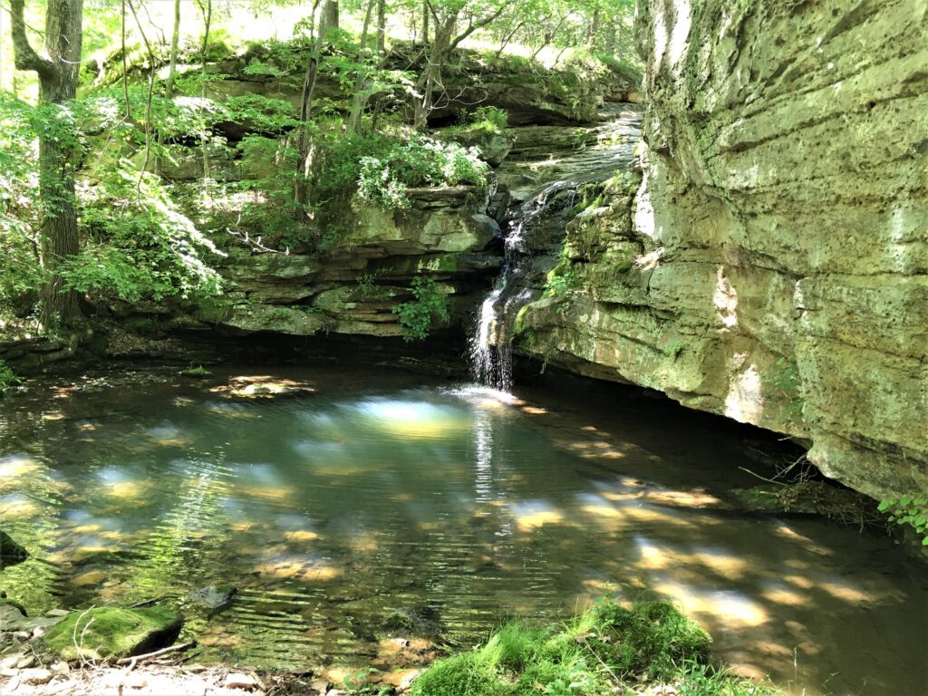
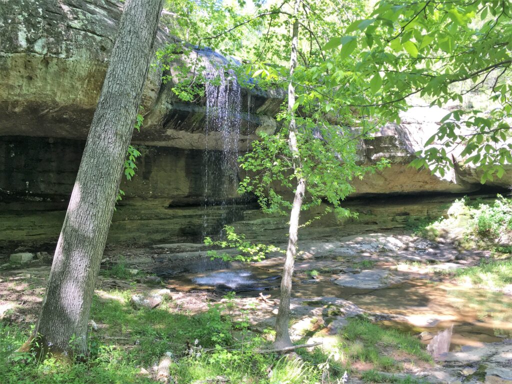
Indian Falls, smaller but beautiful. This is the one to the left across the creek on the way to Little Packentuck, or on the return loop if you keep to the right of the creek on the main trail.
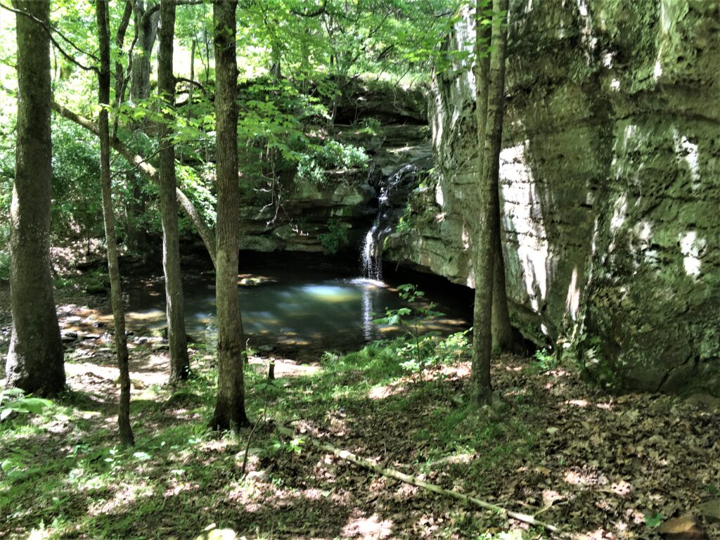
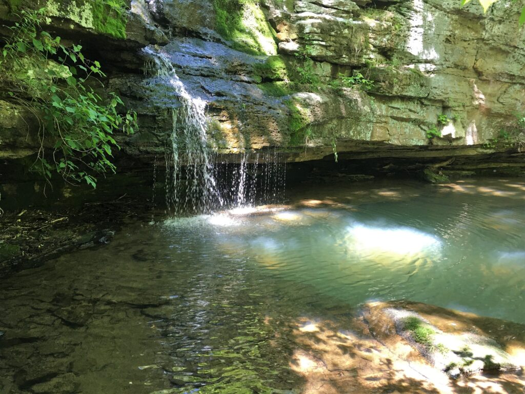
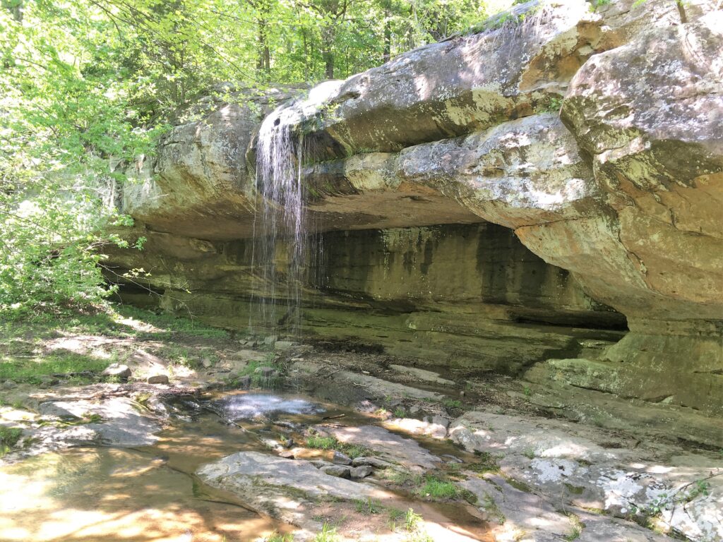
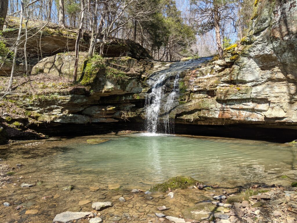
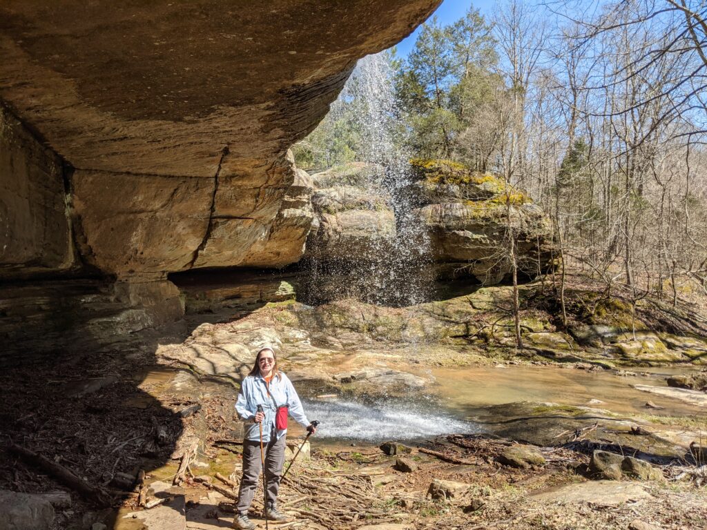
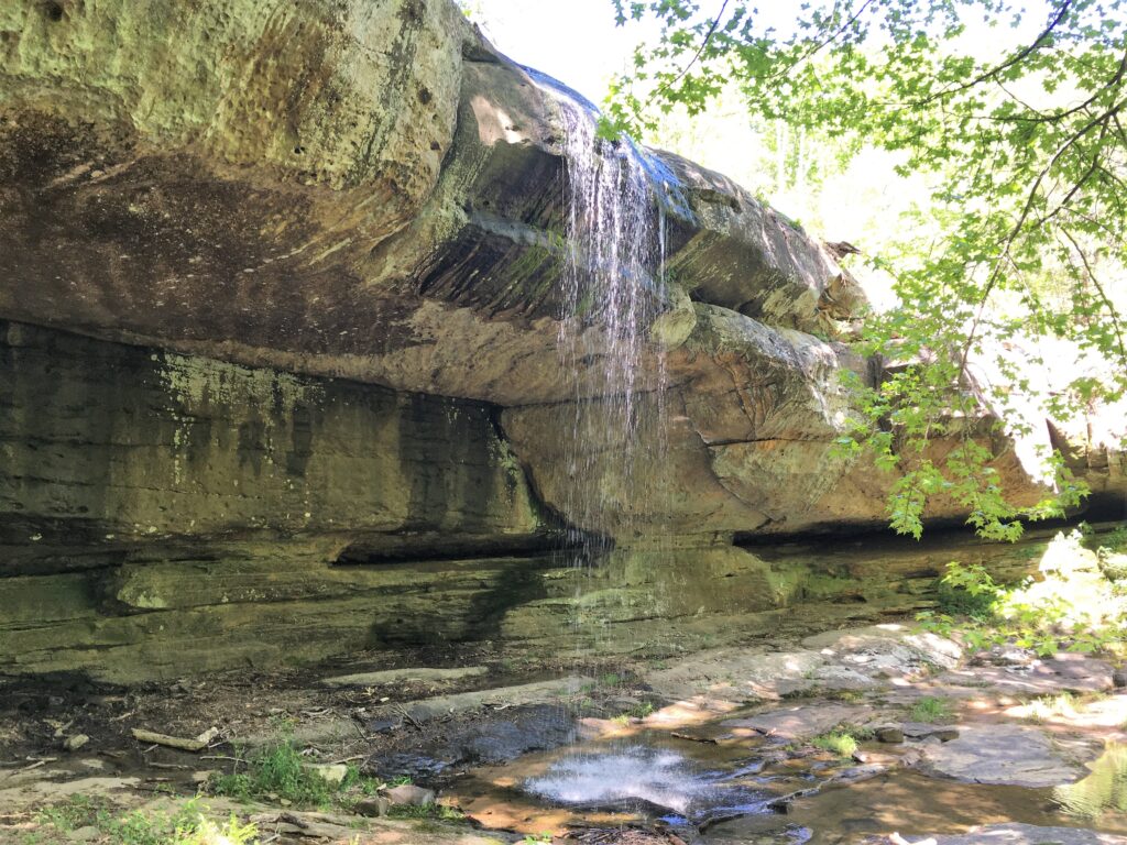
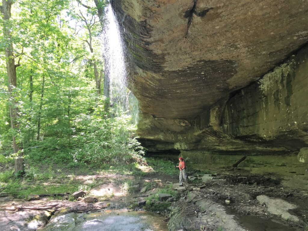
This is Little Packentuck. You can see the resemblance.
Loop back down to Indian Falls and return the way you came in.