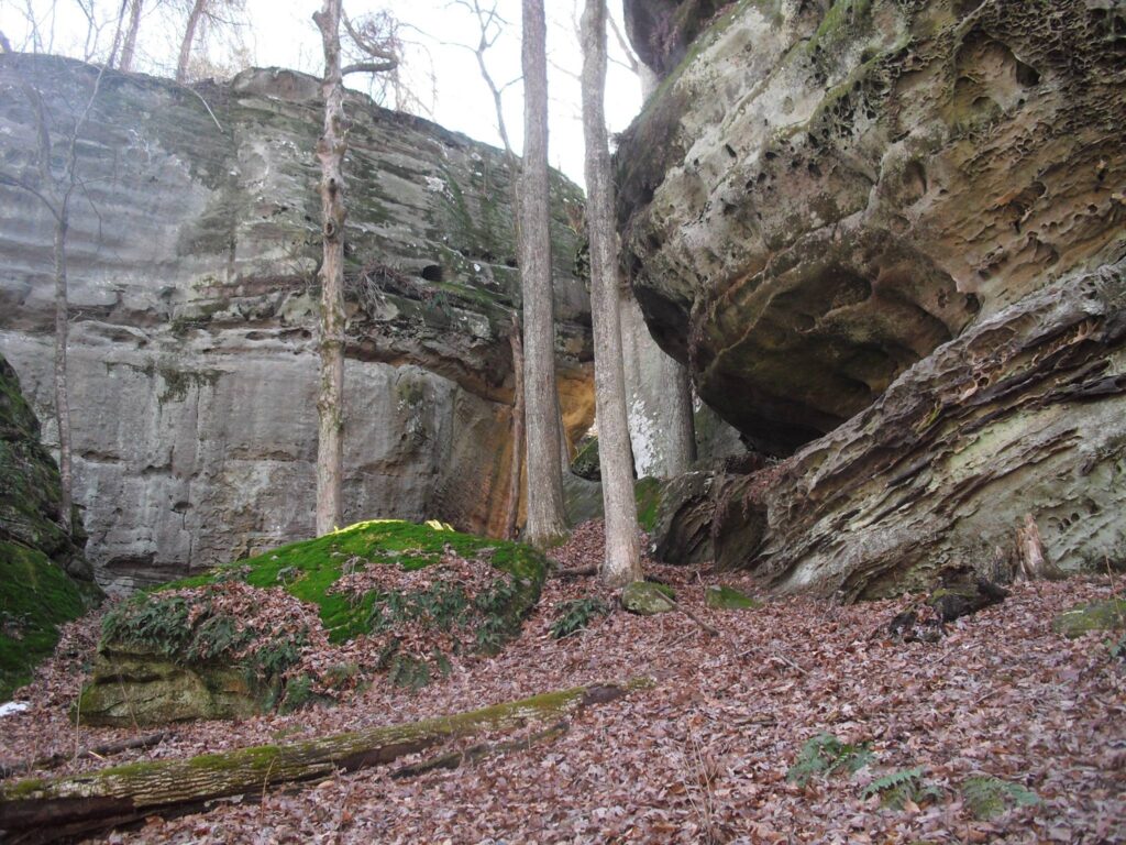
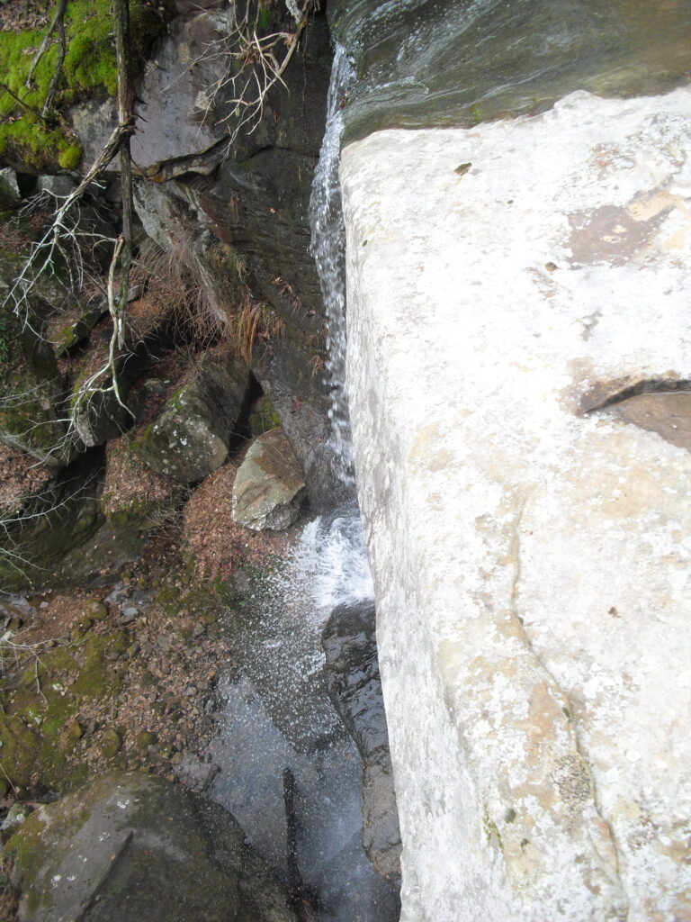
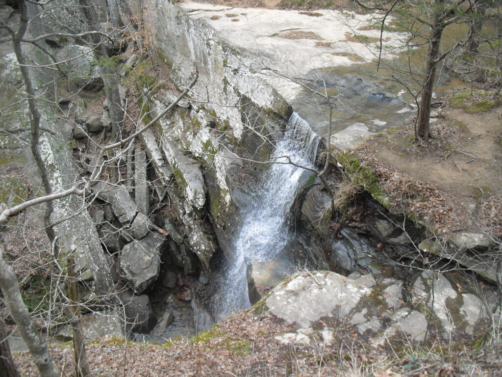
I actually found this one on my own just exploring. A couple of years later, I made a hike with the River to River Trail Society and found outy it was named Splatter Falls. This is an intermittent falls like the one at Cove Hollow. It only flows well after a recent rain because there isn’t a lot of land draining to it, though the 3 times I was there, it was flowing somewhat.
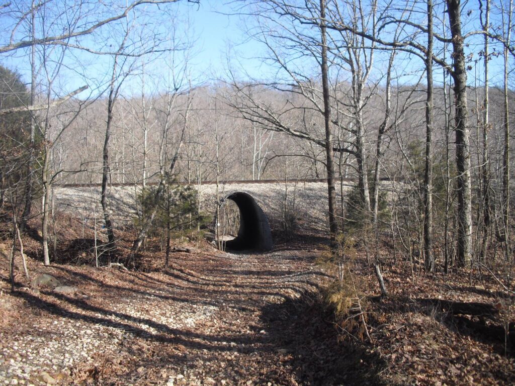
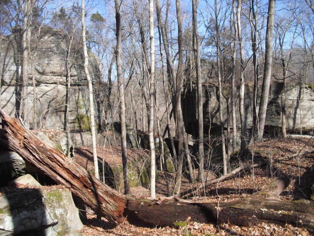
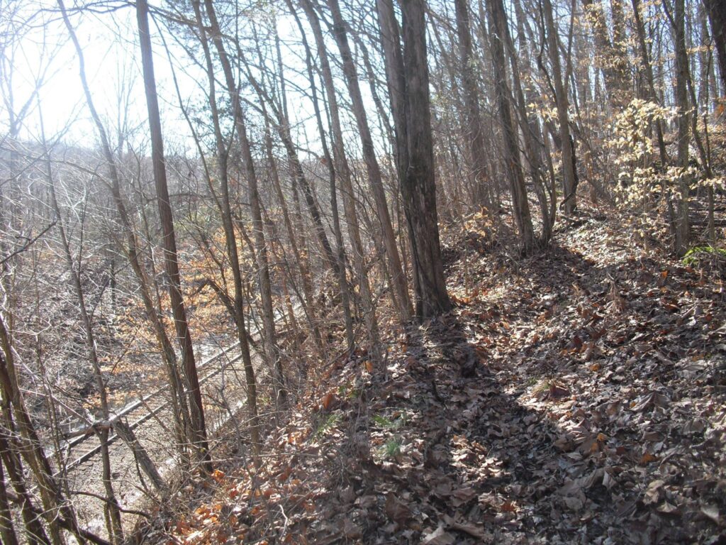
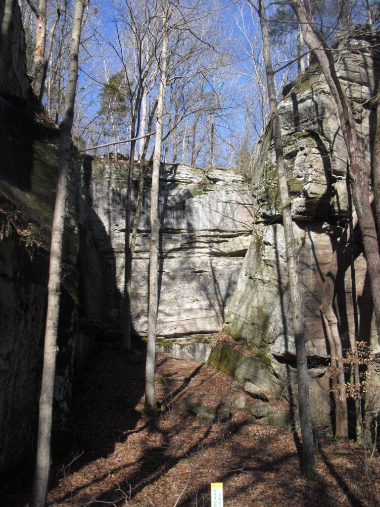
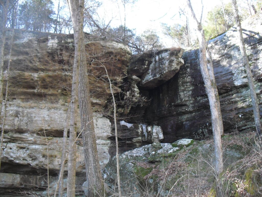
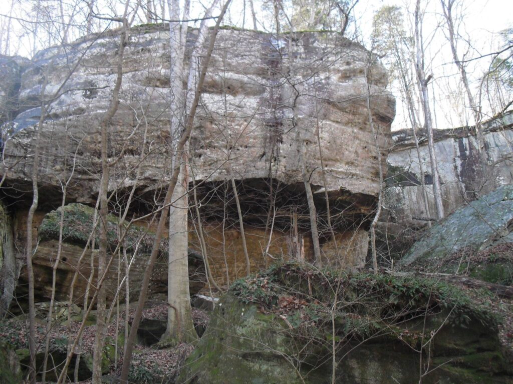
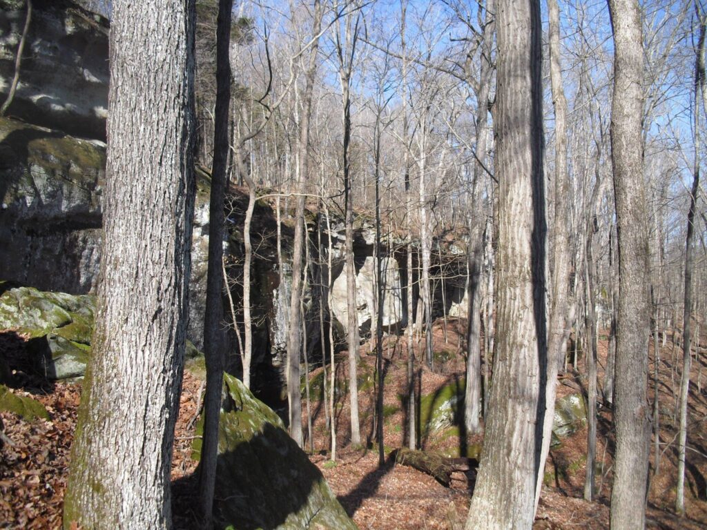
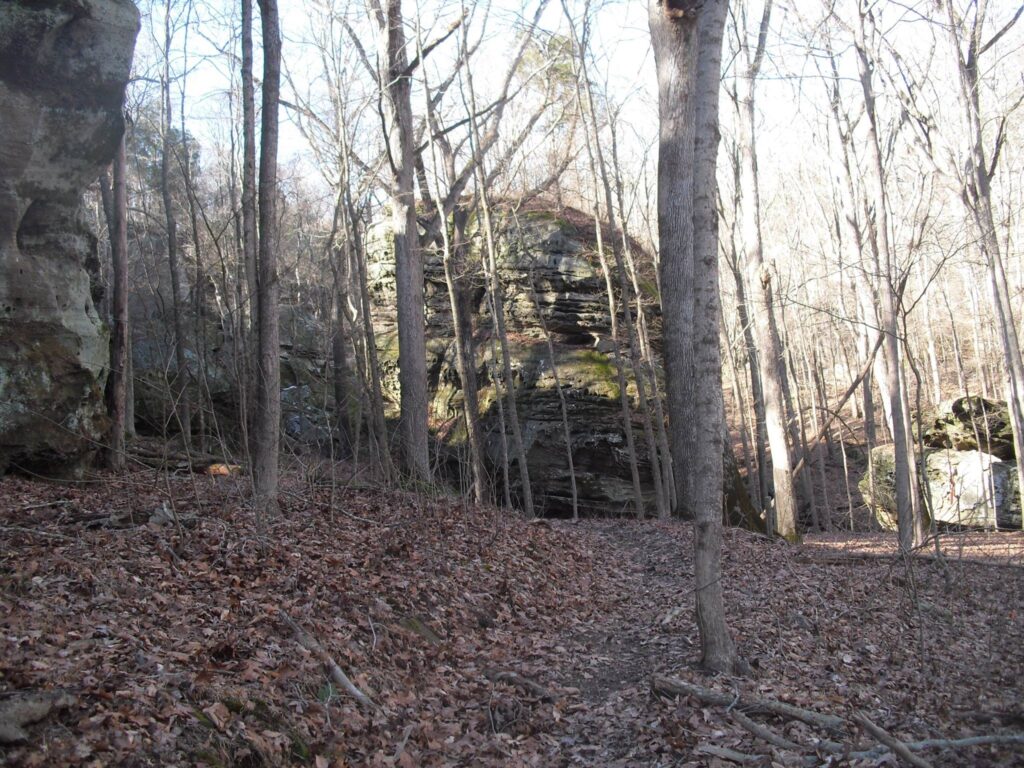
There are lots of nice bluffs and scenery on the way there and it is along with the RailRoad tracks there. You take the most Eastward Cove Hollow trail off the River to River trail just West of the Rail road under pass or “tin whistle” as it is called. Instead of turning West to go to cove Hollow, continue along the tracks at the base of the bluffs. There are plenty of nice formations along the way, and it in the samer region as Jackson Hollow and Cove Hollow so you know its in good company sandwiched between them.
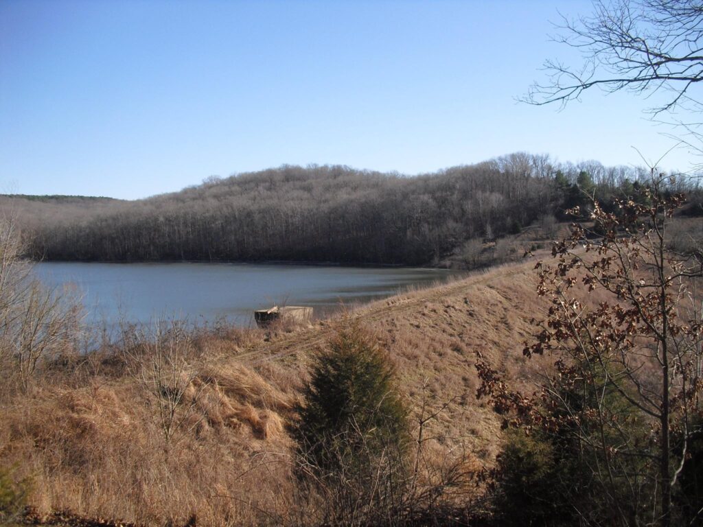
This is a great in and out hike, or turn right on the way back and make a loop around Cove hollow and return on the River to River Trail. The Parking at Millstone lake was great last time I was there, they have really fixed the access road from what it used to be, hopefully it had held up.
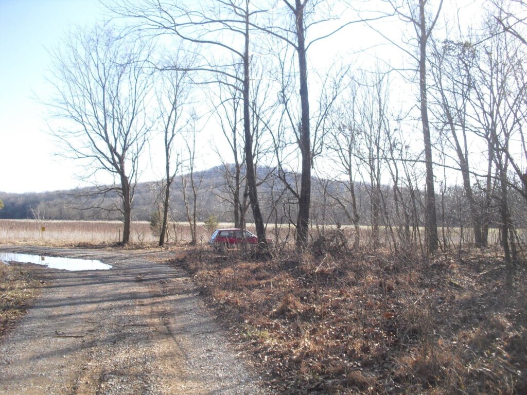
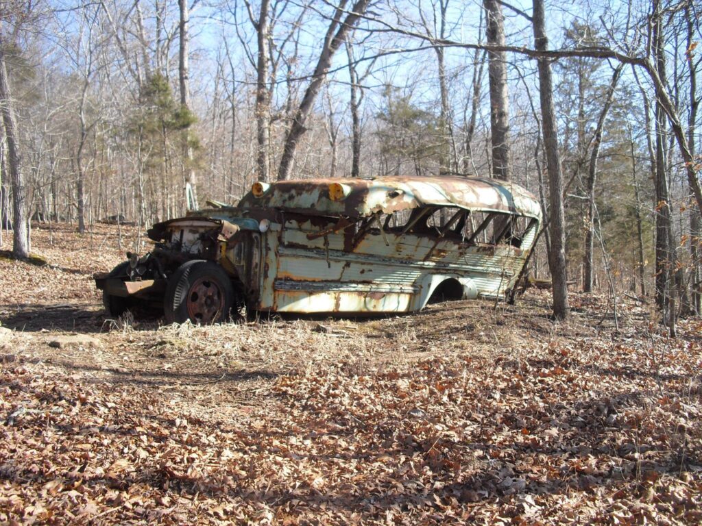
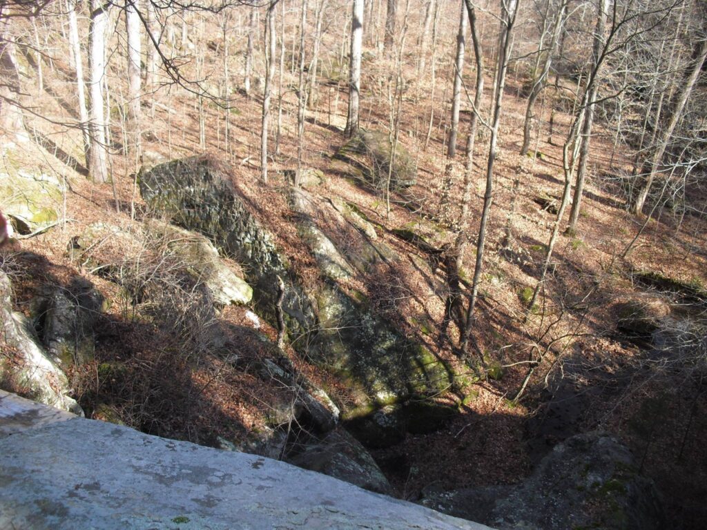
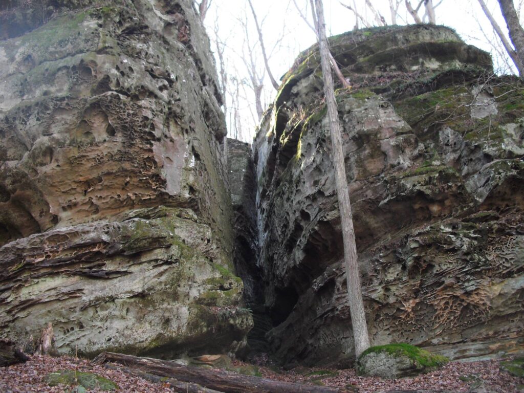
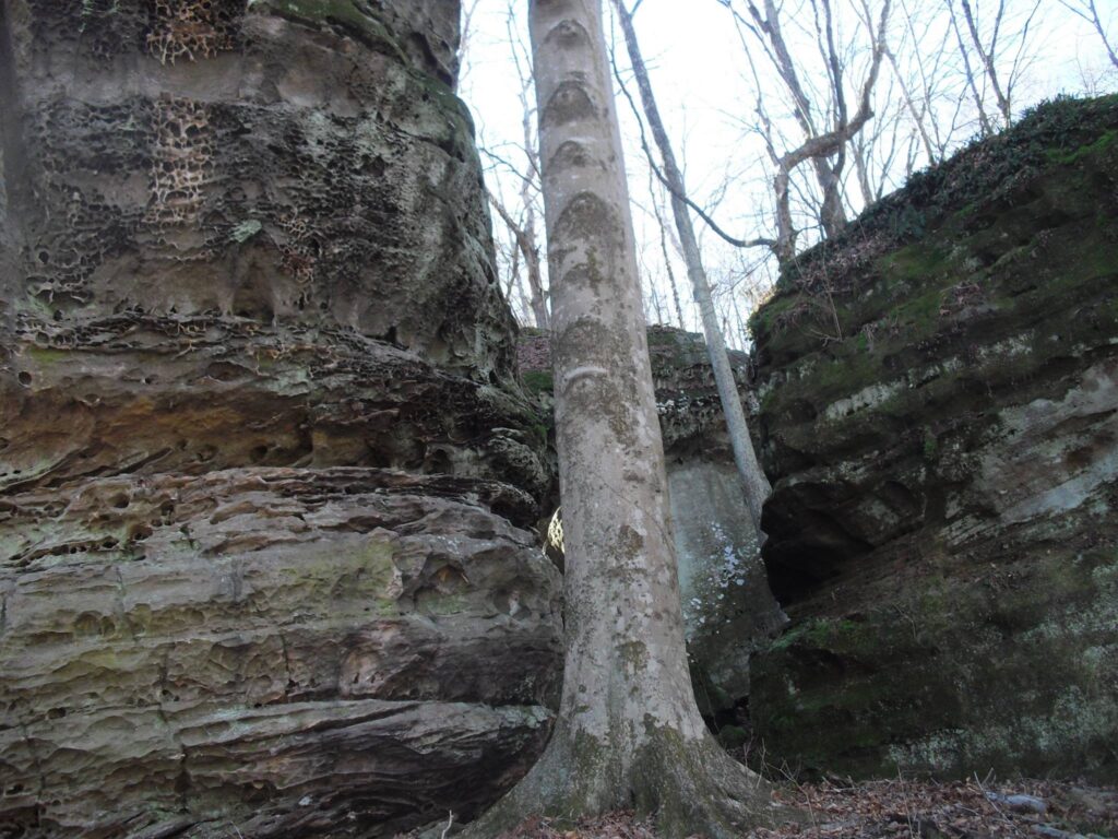
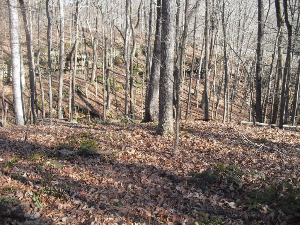
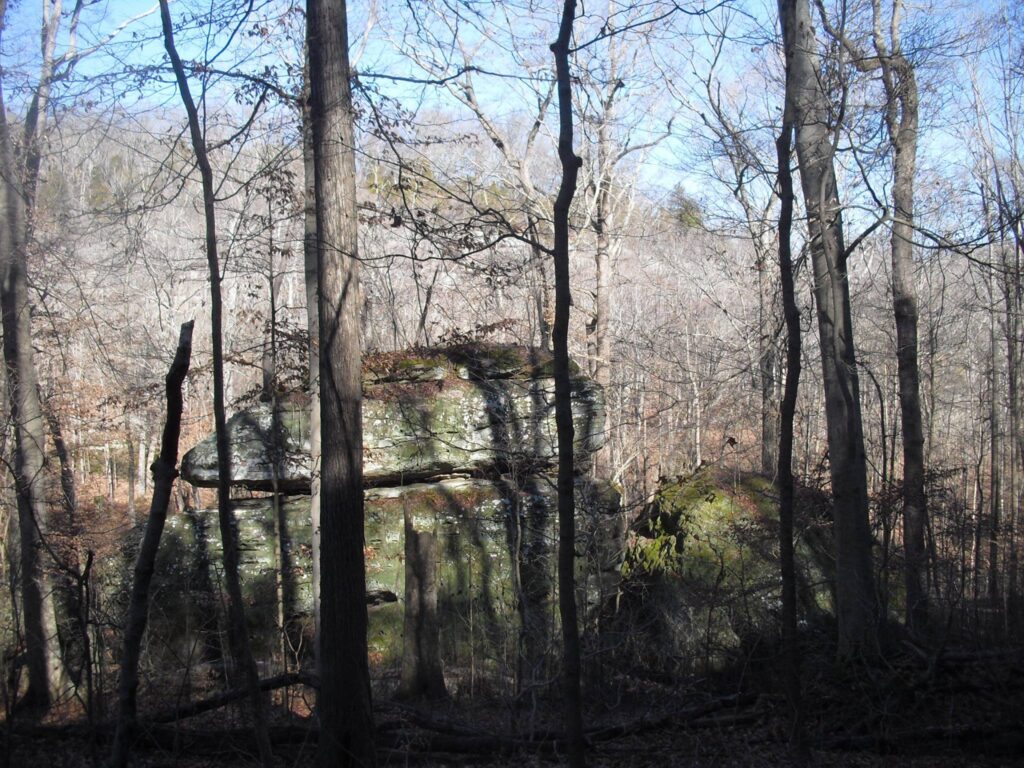
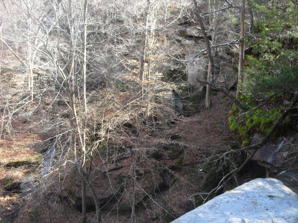
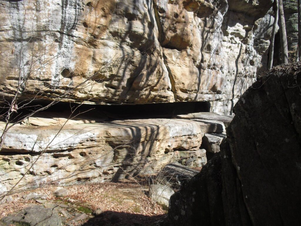
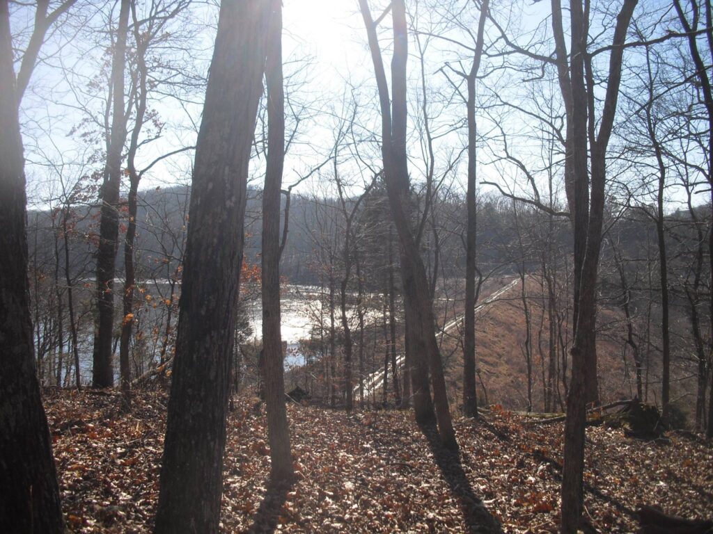
This was taken before they improved the access to the lake and I had to leave my Honda back at the last curve. Millstone Bluff in the background.On the North side of the Dam there is a bluff. On top is a bus, You don’t need to climb it, but take trail 049 West side of bluff. Note: 049 also goes East and eventually North to Jackson Falls. When you see a trail off of it to the creek, take it and up the hill to the whistle under the tracks.The Bus is getting a little rusty. Looking back down at the whistle. This is about where you turn north to the trail parallel with the tracks.The photos may be out of order.Parrallel, but not at the same height.It curves away from the tracks when it gets to the vally the Falls are at.Not much flow that day, only a trickle. It falls on a big rock at the bottom, thus Splatterstone Falls. I’ll update it when I find the better flow photos.I went back down the valley and found a way up behind this bunch of rocks (not highly recommended).There is sortof a step at the top. Good place for lunch if you go through that climbing. Here I had that idea I might ber ther first person to ever climb up. Then I noticed the pile of sunflower shells. Not even the first since it last rained.The View down.Heading backAnother view from the top back at the Dam by the bus.Another quality professional map. This is the older map. The newest Forest Mapsones don’t show that far North.