So I had been doing section hikes of the River to River trail for several years and had about done all of it. I was ready to try and tackle the whole trail at once. I had no one to hike with at the time and was going to do it solo.
It had been the mildest Winter I could remember and the month of February was unseasonably warm with some highs into the upper 60’s and no end in sight. I was worried the bugs were going to be out soon and wildflowere were blooming already.
You can make all the preperations in the world, but you can’t control the weather. So on a Sunday in early March after Church, I had my stuff packed and loaded and My wife was driving me to Elizabethtown. The forecast was continued mild for 10 days, but you know the 10 day forecast is only good for 1 day. It’s always different the next day.
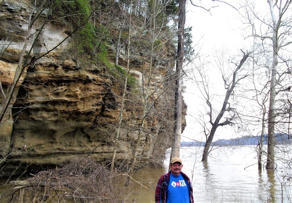
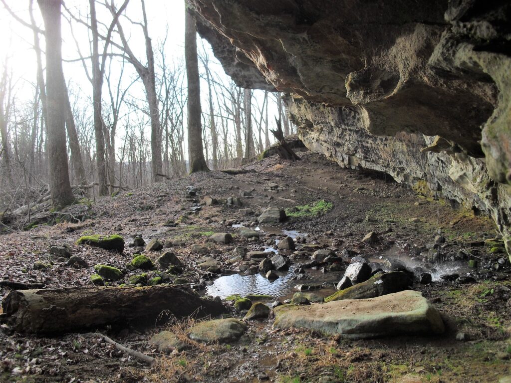
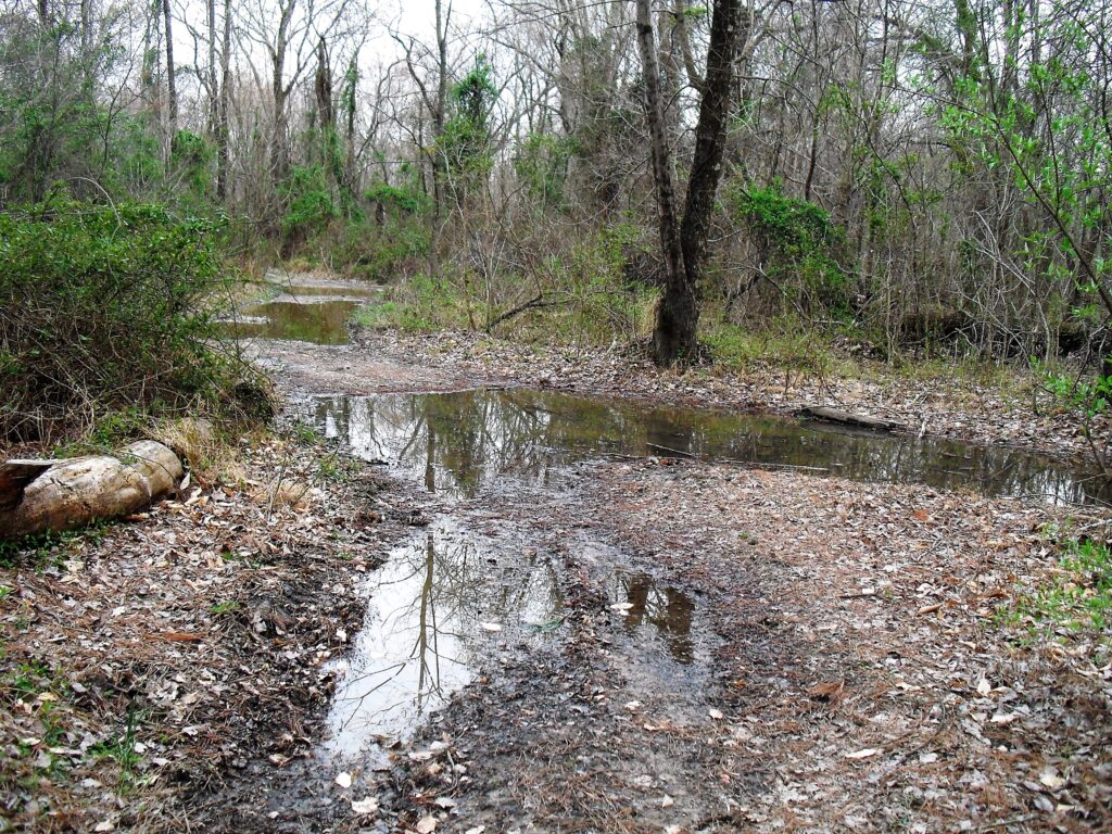
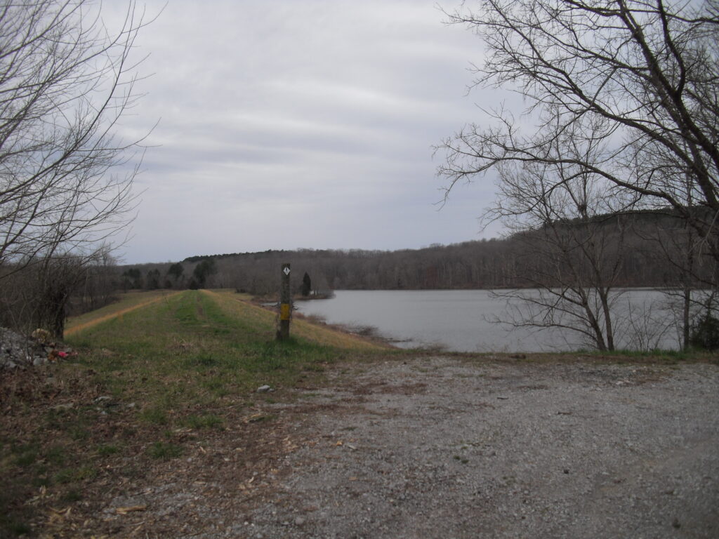
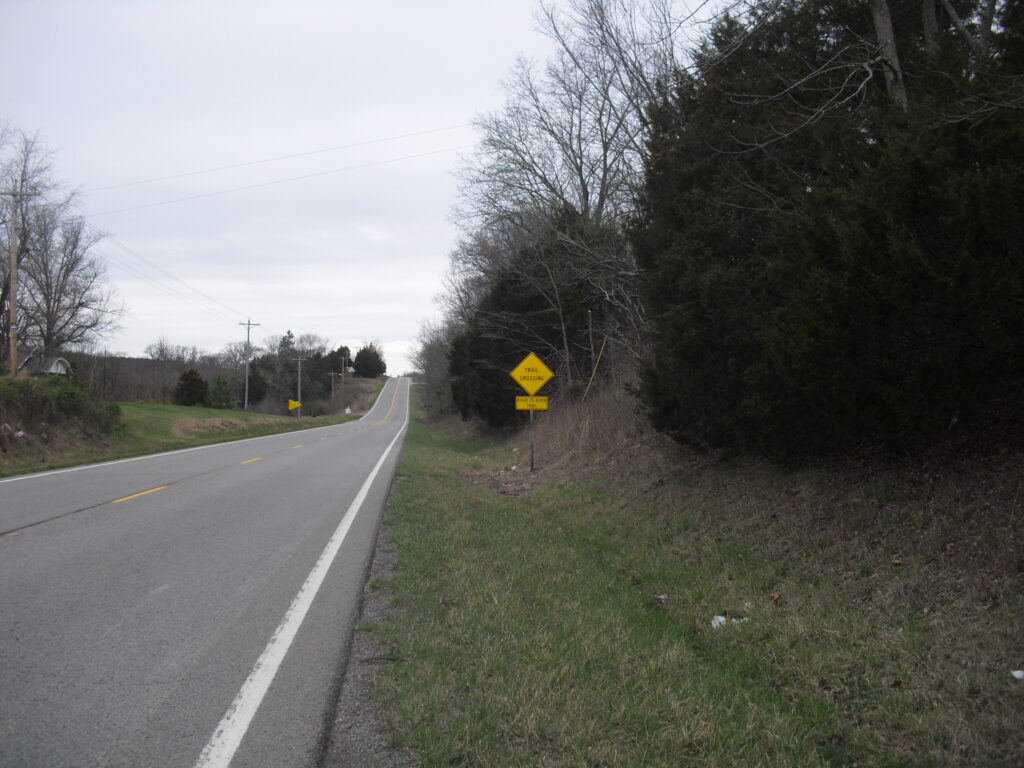
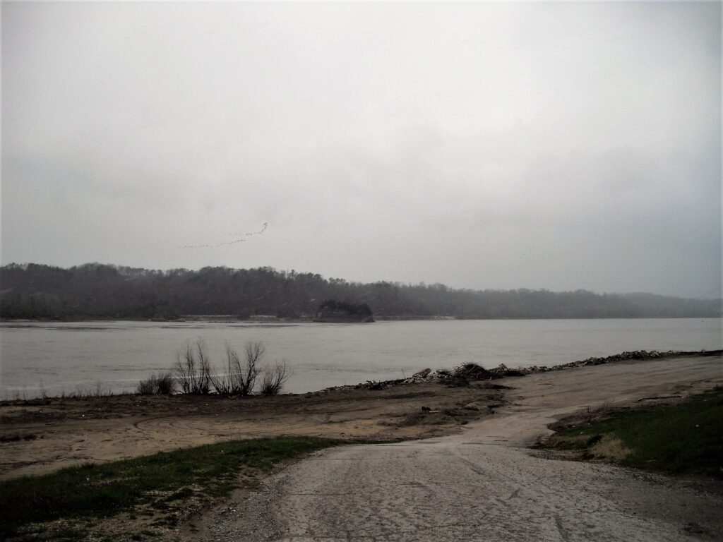
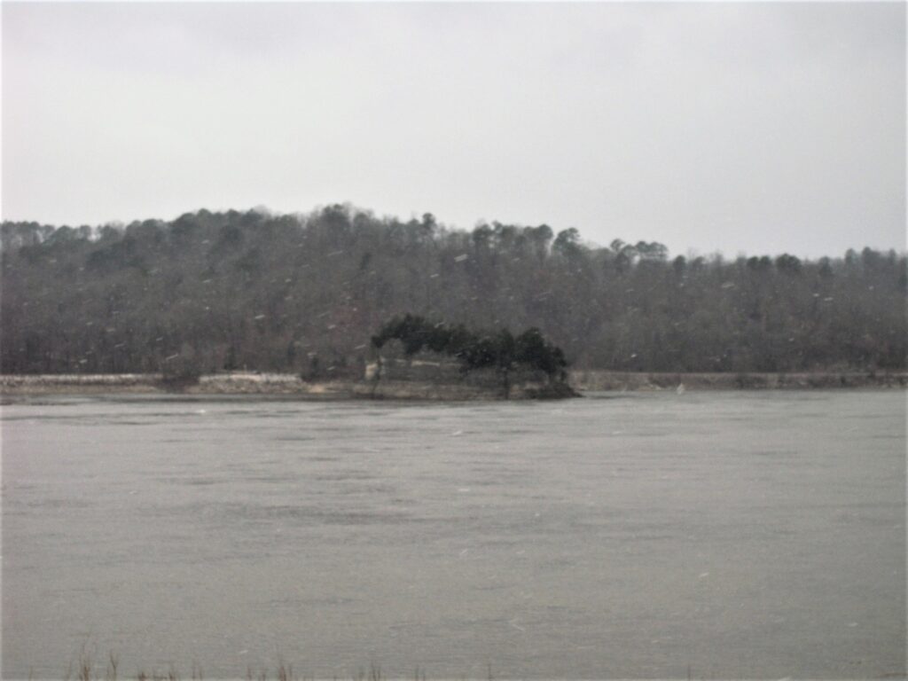
Now it was supposed to rain tonight into tomorrow morning. So on the way down, I changed my mind and decided to start at Battery Rock. The old leg adds about 5 miles, but it makes up for it with more roads. South of Iron Furnace can be a sloppy mess. The rest is always sloppy to some degree. The Ohio river was flooding, so I wasn’t able to start quite as I was figuring on.
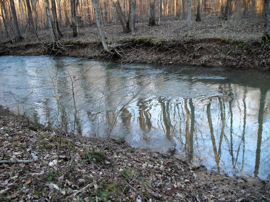
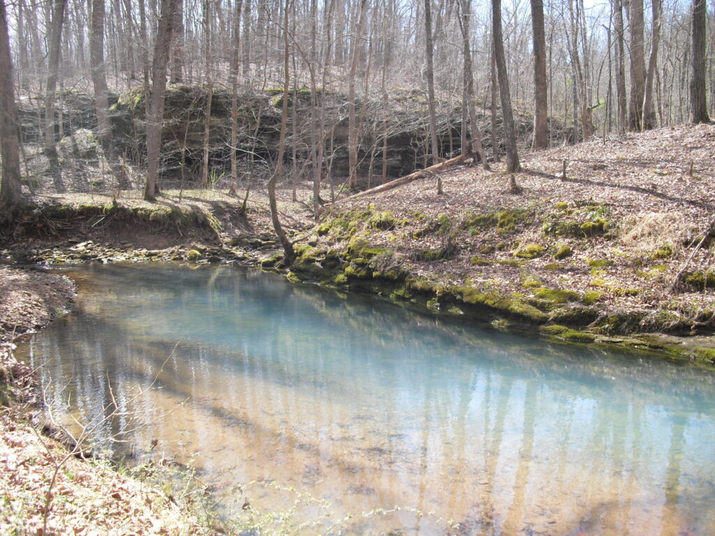
The leaning tree in the water is where the last Marker East is currently at.(Just to the West from the last photo is where Jimmy Stewart was seen escaping from being bushwhacked at Cave in Rock in the Film “How The West Was Won”)There’s Jimmy! Tree and dirt are gone after 60+ years.
So I kiss my wife goodby and start on my way. It’s about 4 pm and I need to get as far as I can. It would have been nice to get into the woods at least, but darkness comes early in March. I don’t normally hike at night.
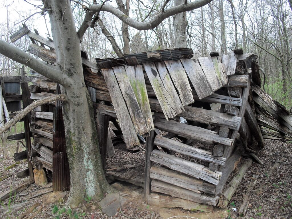
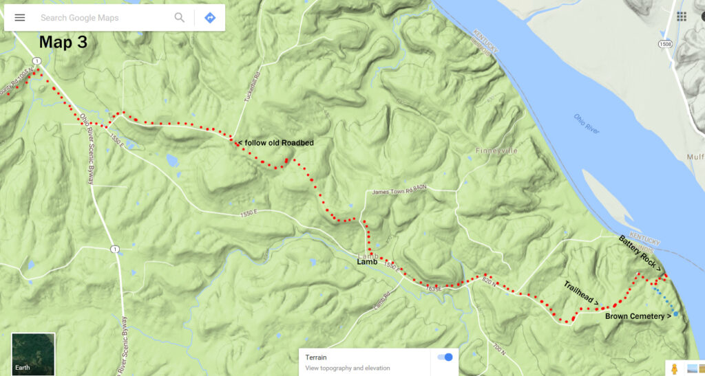
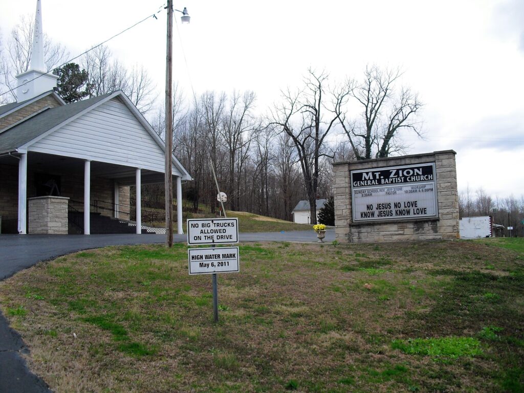
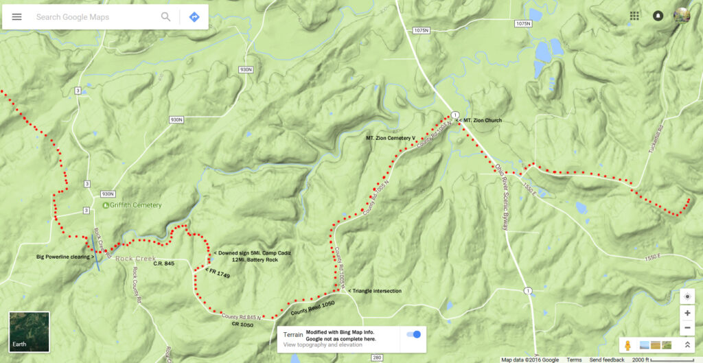
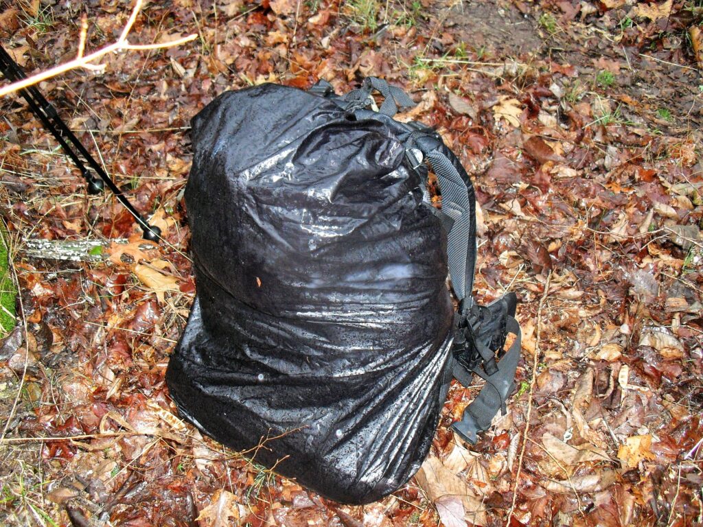
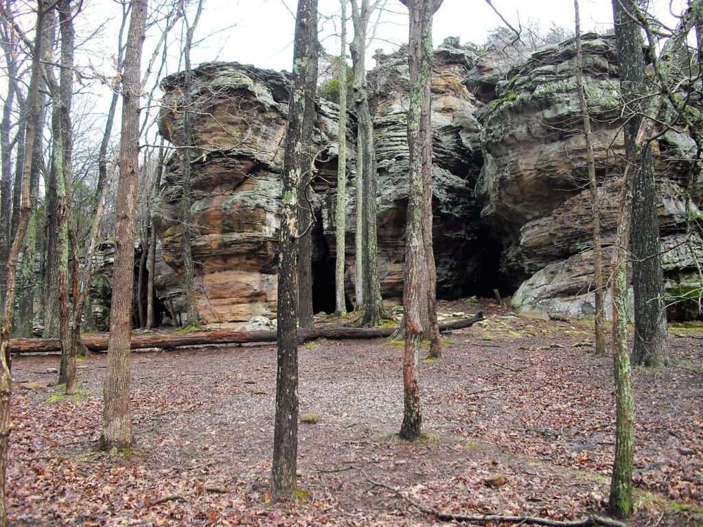
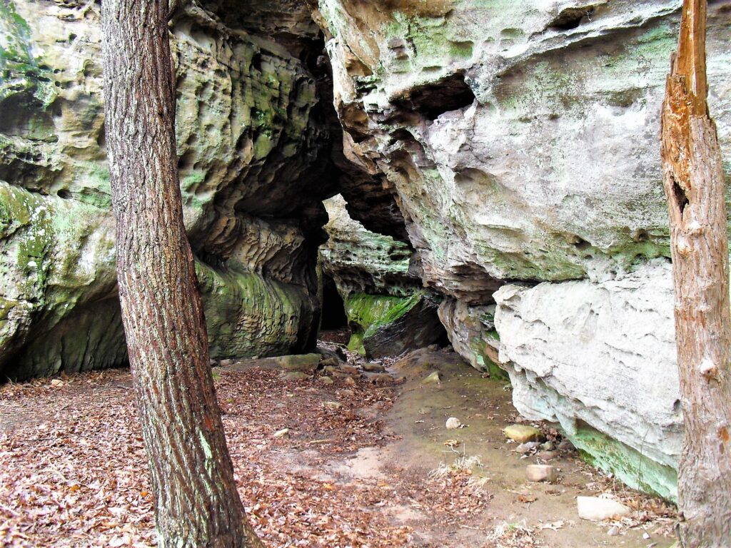
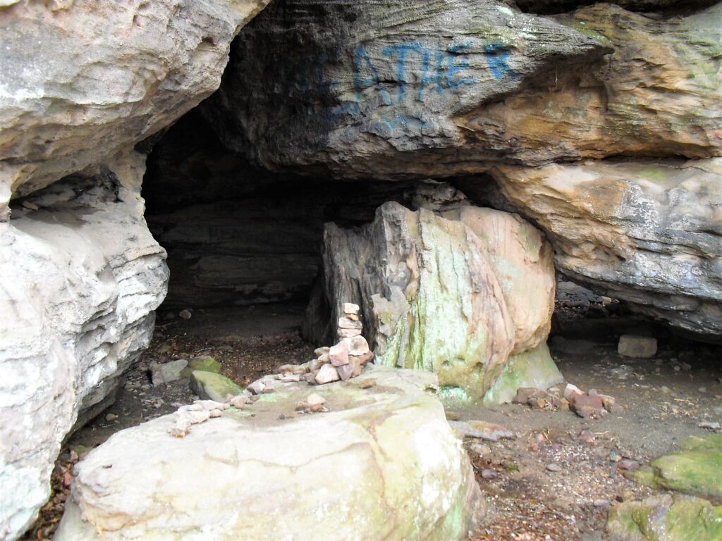
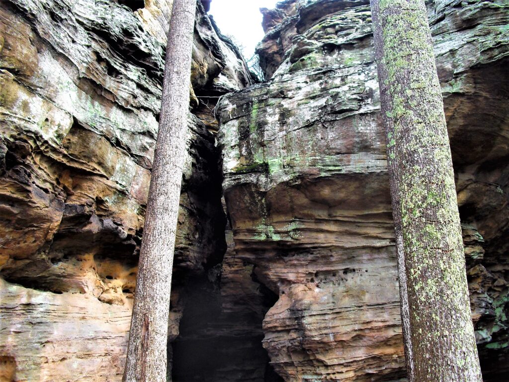
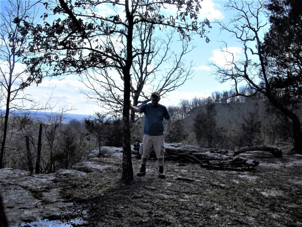
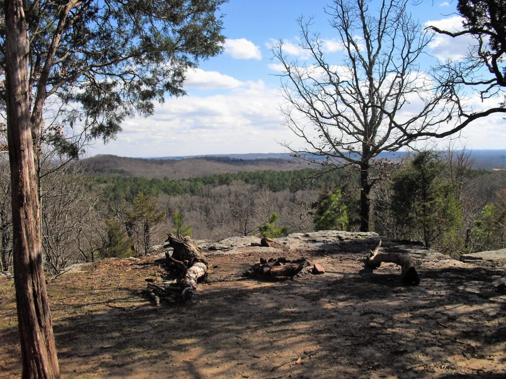
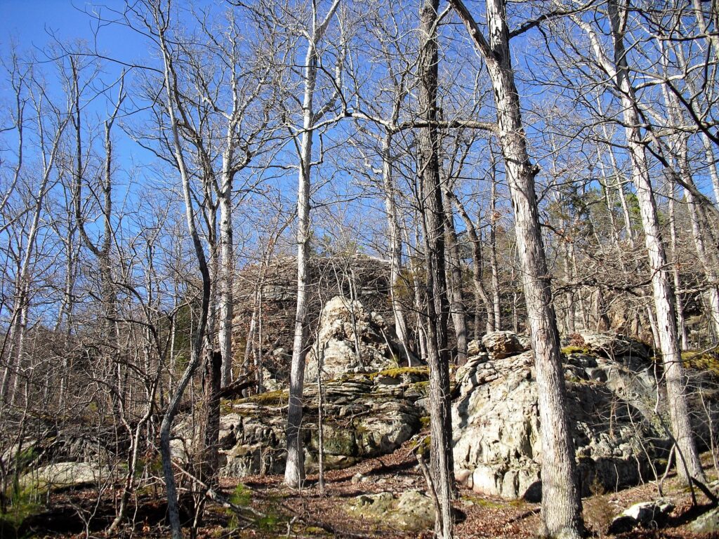
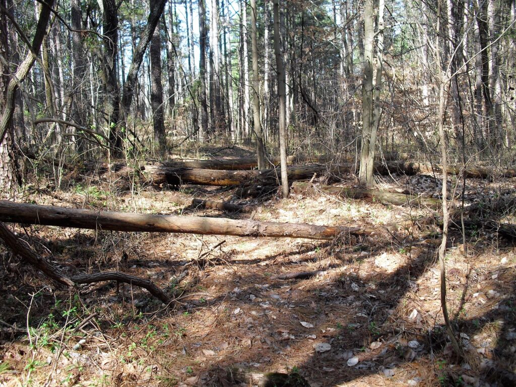
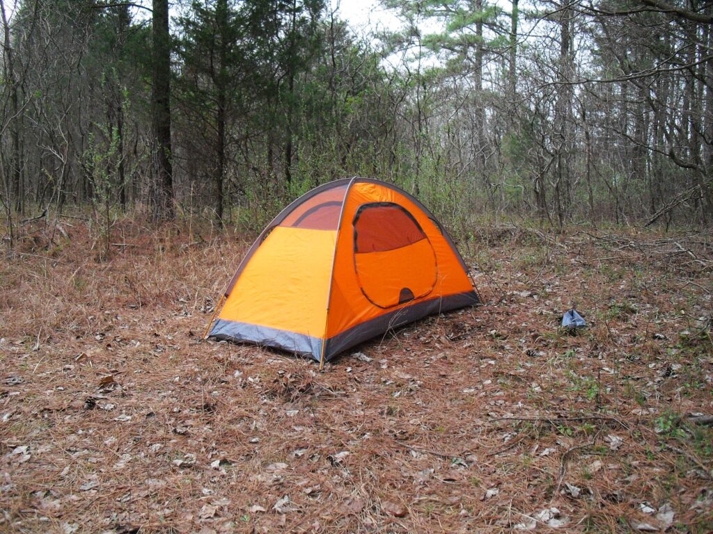
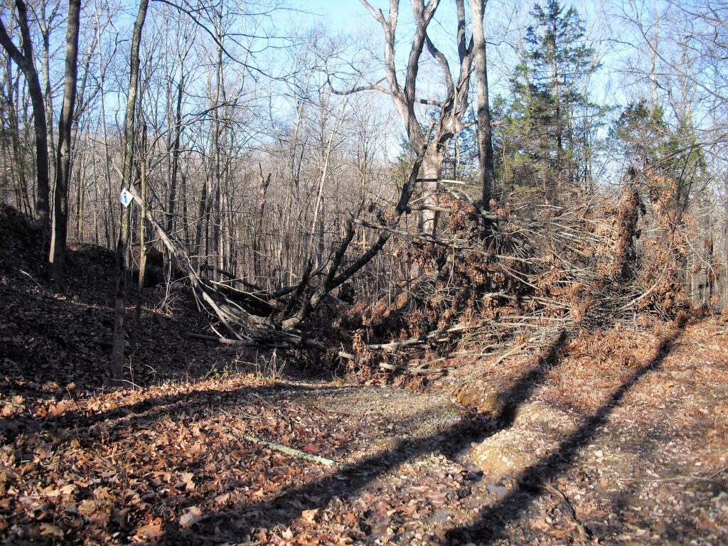
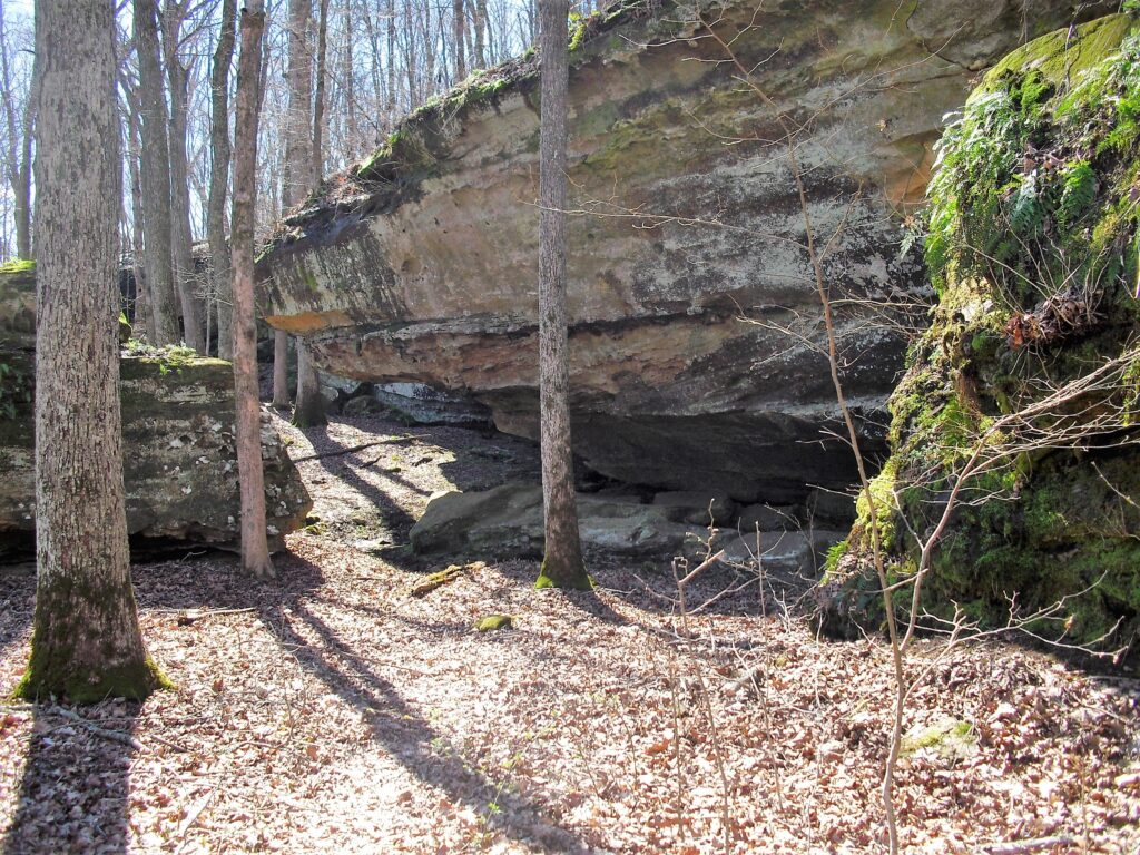
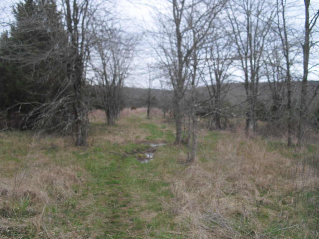
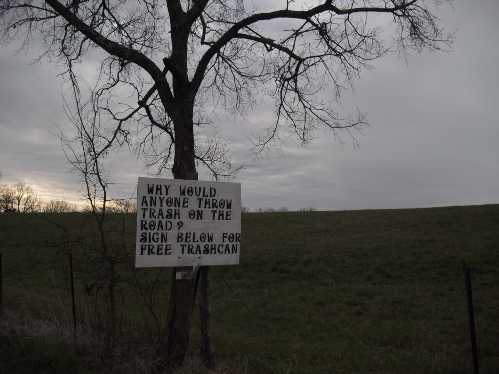
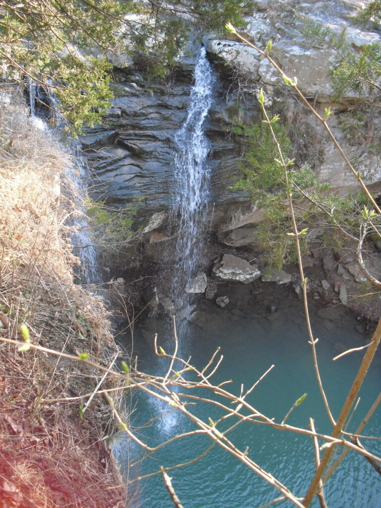
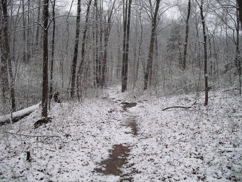
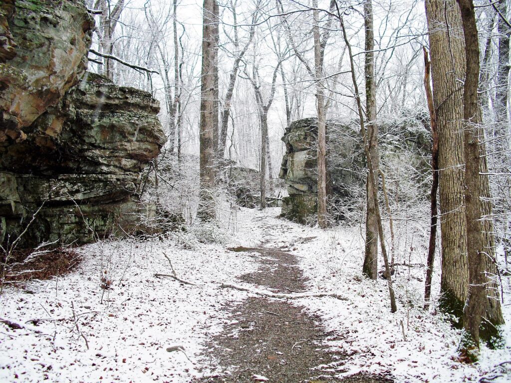
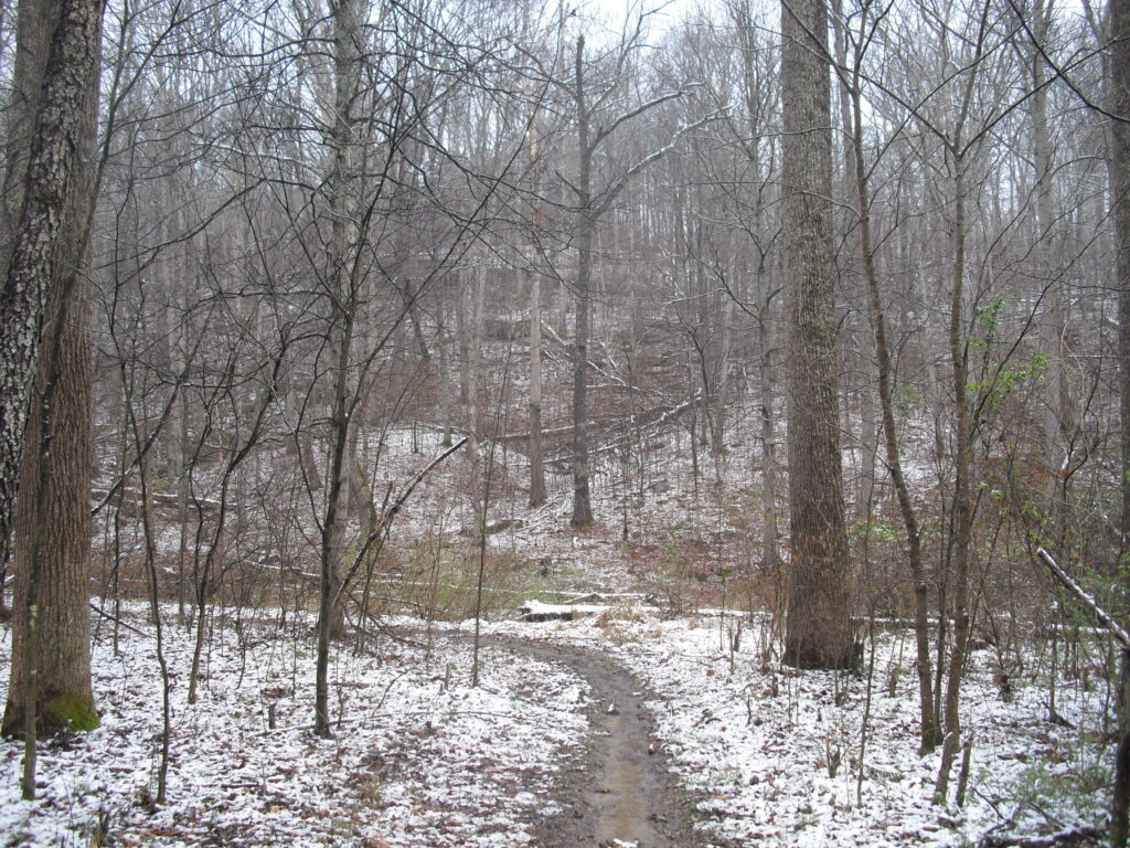
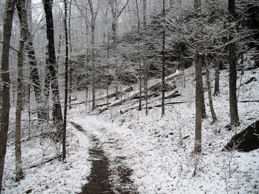
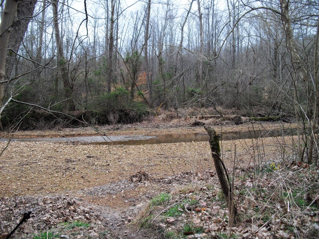
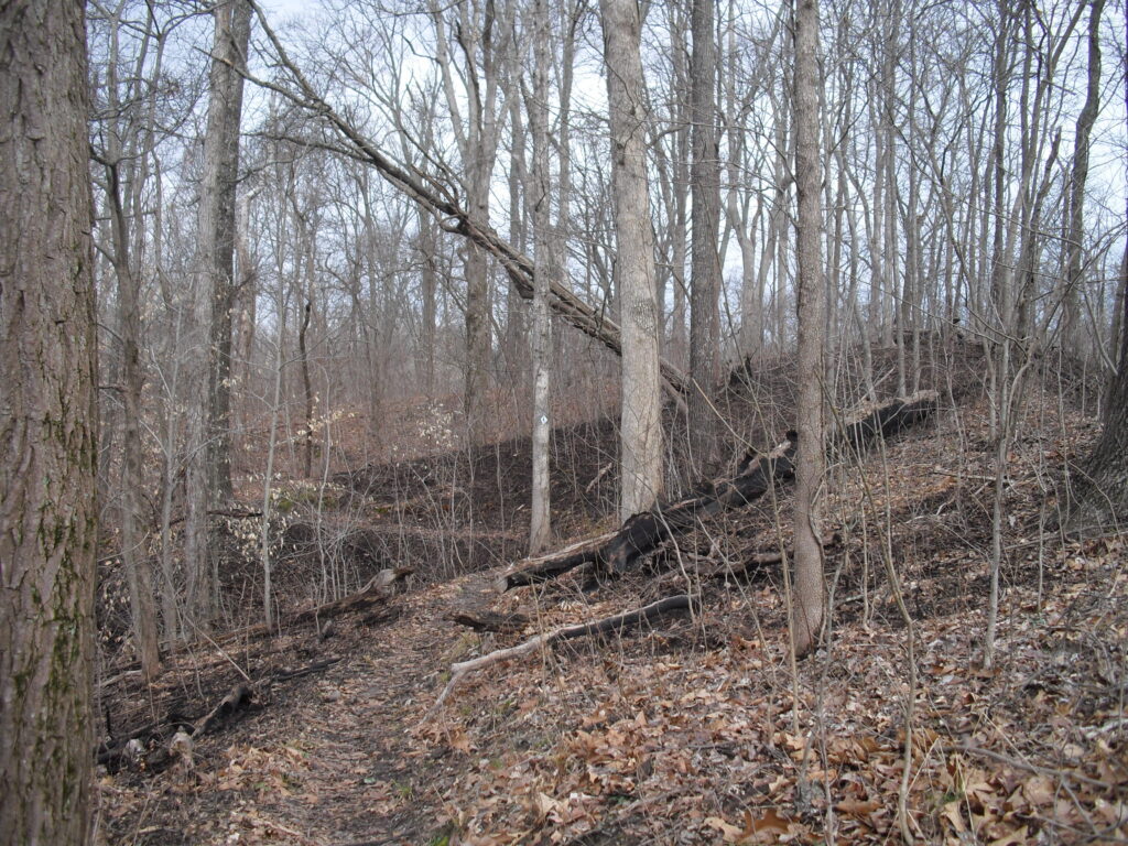
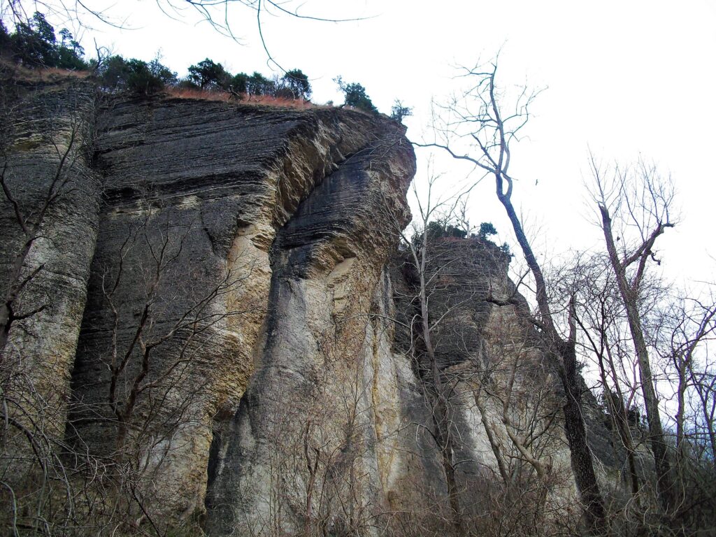
The road into Lamb was really having erosion problems.An old building along the edge of a field West of Lamb before the R2R comes out on Tuckerhill road.I followed Rt 1 north and turned at Mt. Zion Church. Look at that sign! If I had done this in 2011 it would have been a lot shorter!I made it West of the triangle before it got dark and set up my tent in a woods off the road. You have to do what you can. It was private land, and I didn’t have a map to show me I wasn’t all that far from the turn off into the woods. I was gone before light. It had started raining not long after I had set up but had just been mild off and on. It started raining pretty good after I got packed in the morning and continued all day off and on. I used a garbage bag over my back pack and it didn’t seal aroung the straps of course and everything got a little wet. I throw my parka over it ever since and that works well, except I look like a monstrosity coming through the woods.I had lunch with one of the locals. He didn’t budge. I stopped in at the restroom at Camp Cadiz and changed clothes. The only time I wasn’t getting rained on that day on the trail.About the time I was passing the old Cabins, I got ahold of my wife to check with JoJo at High Knob Campground. She wasn’t open but let me stay anyway at the Cowboy Hotel. I got dried out and spent the night in a dry bed. She said it rained 2.5″ in her rain guage that night. Left a big tip. That wasn’t the last time she saved my bacon on the trail and the reason I will always stick up for her.Drying my maps in the cowboy hotel. She let me do my clothes in the laundry. I was out the door when it stopped raining at 9:15am. Chomping at the bit. Stopped at Buzzard Roost for some pictures. Wearing shorts and a t shirt. early march!I can’t remember what they call the horse tie up between GoG and Herod with the superb vista, but here I am blocking the view!It was getting pretty late before I got to Herod, and I prefer high places to low, and didn’t want to camp at the Creek, so I climbed the last bluff before Herod and had a great view in the morning! (yes, that was a small stack of rocks I left dead center very top. I’m so ashamed.) That was the 3rd night if you are keeping track.The Creek past Herod was about knee deep. The water was “Brisk”. Since I had started at Battery Rock, I didn’t have to cross any deep water until then.Approaching One Horse Gap. The trail used to cross westward up there and go over to Benham road That was quite awhile back but I remember a stray blaze still that way. I continued south. and back north to the Cemetery and on to Owl Bluff. One would think…Bbbut..ok, I went the alternate way. How much trouble could it be?Some God forsaken trail that hadn’t been cleared in 20 years and was easier to hike parallel in the woods, and went who knows where. It came to an intersection with another trail with no signs or directions right or left so I chose left since that was the way Lusk Creek was. Silly me.
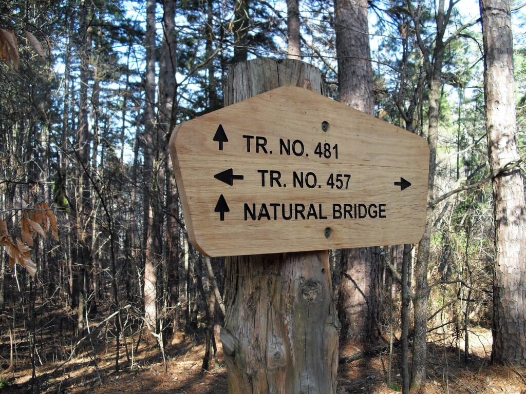
Natural Bridge!!!???? Where am I? I want to go to Eddyville!!! I’m going to have a giant hamburger, the best fries on the planet, and a PEPSI!!! And I’m going to get there while they are OPEN!
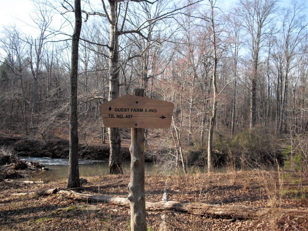
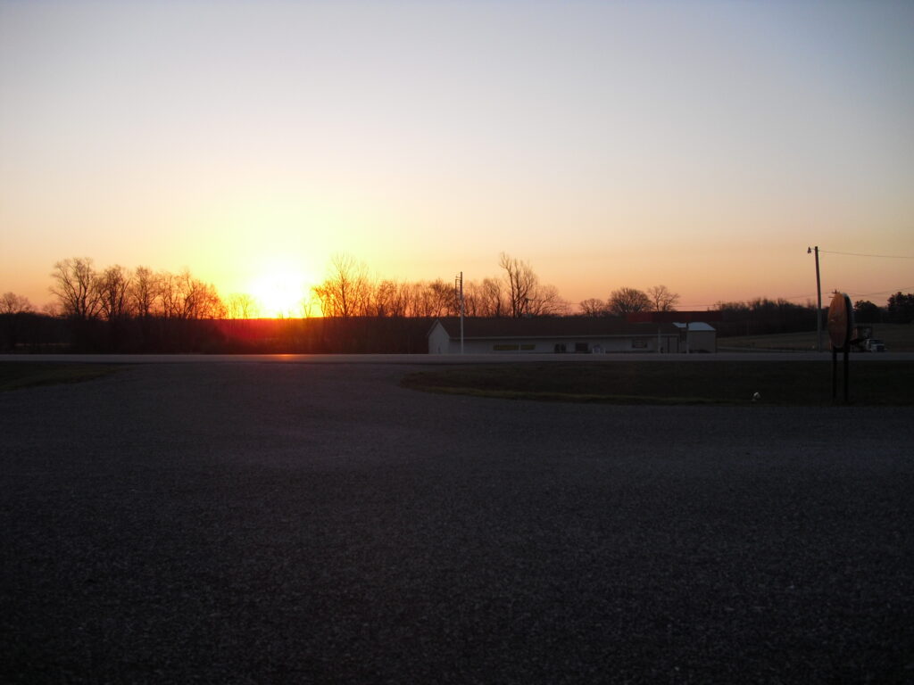
AAAAAHHHH! I’m the most P.O’d Ive ever been on the trail. I should have been to Homestead road hours ago!! I’m hiking double time running on P.O’d adreneline.I was lost in all that spaghetti in the upper right using the old maps that didn’t show it. I somehow got on 483, then 457 and made it back to the R2R then hiked up the trail to homestead with the sun going down and marched up that neverending hill to Eddyville and the Shawnee Lounge sure I would be too late on a weekday to get my hamburger but delighted to find that it was Wednesday and they stayed open to 8pm on Wednesday and I stuffed my face until long after dark and hiked across town to the place with the picnic tables under a pavillion and stealth camped without my tent and digested my food. So there.Suns coming up over the Shawneemart convienience store. I’m sitting on a bench across the highway waiting for them to open. Resupply you know. They are closed now and Shawnee Lounge has new owners. Don’t know about the burgers and fries. Anyway, off to the West!
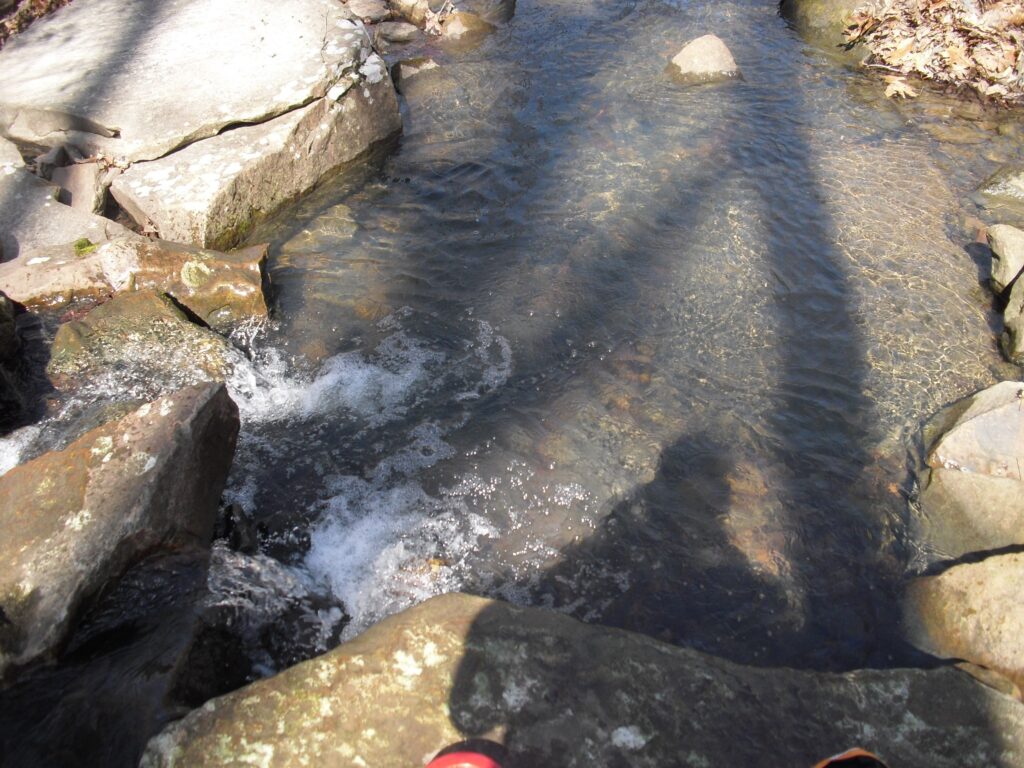
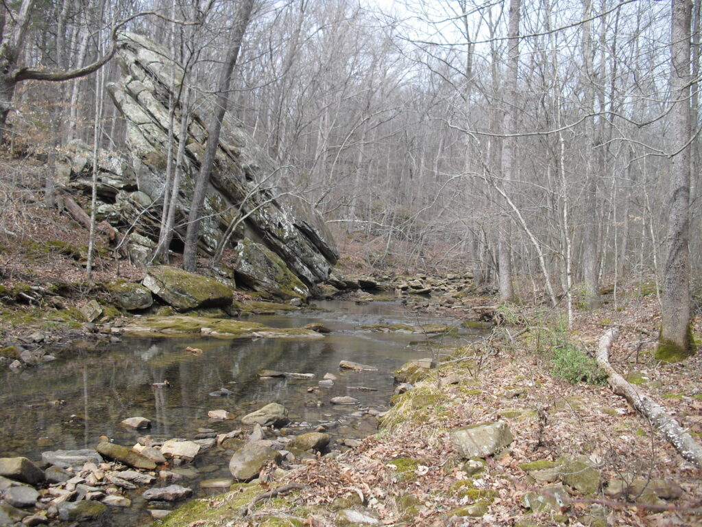
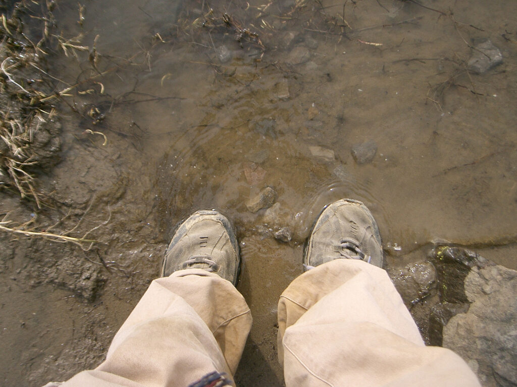
Between Eddyville and Millstone bluff is a small but deep pool with rocky bottom right on the trail with a nice flow of water, Not deep deep but bathtub deep. I hadn’t seen anyone on the trail at all and it was nice and warm and I was getting a little gamey so I thought I’d freshen up. This was one of the biggest mistakes I made.
It was of course cold water and it didn’t take long at ALL to undress, lather up, rinse and dry off and get dressed again in my shorts and t shirt. I then had time to get the pound of mud off my long pants and rinse them out. I was wringing what water I could out of them when I heard a Clip Clop coming down the hill. 2 riders. The said hi and how you doing, fine and whatever while their horses drank my soapy bathwater and pants dirt. I couldn’t very well tell them. So I tied my wet pants to the back pach and headed towards Millstone Lake.
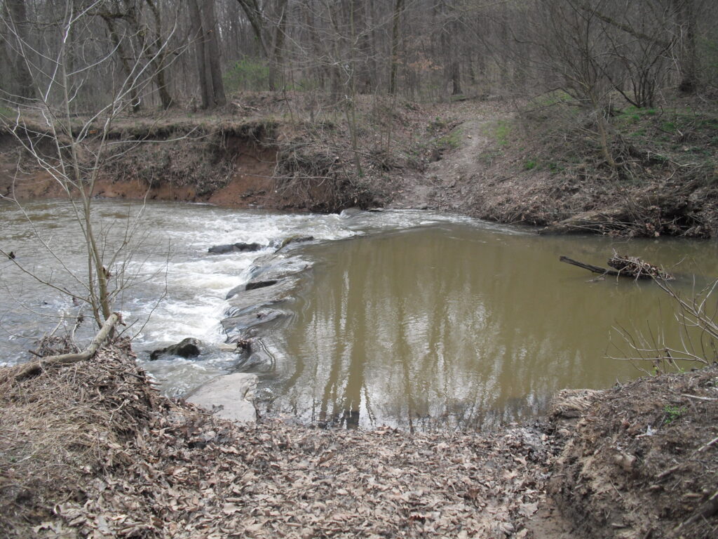
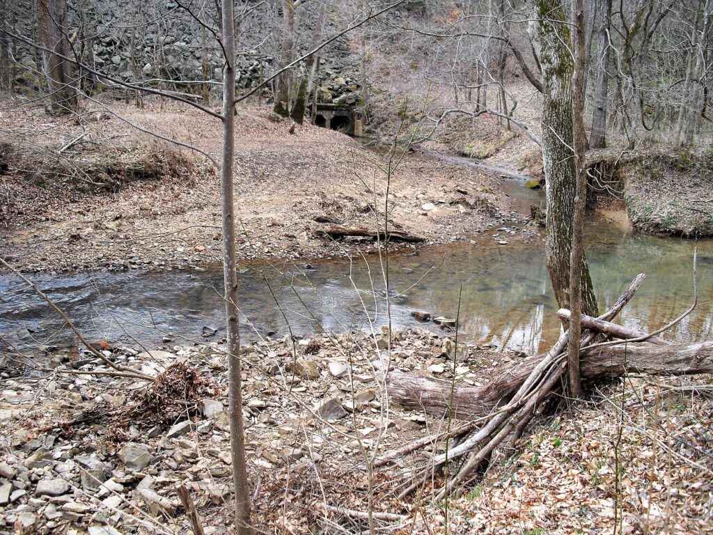
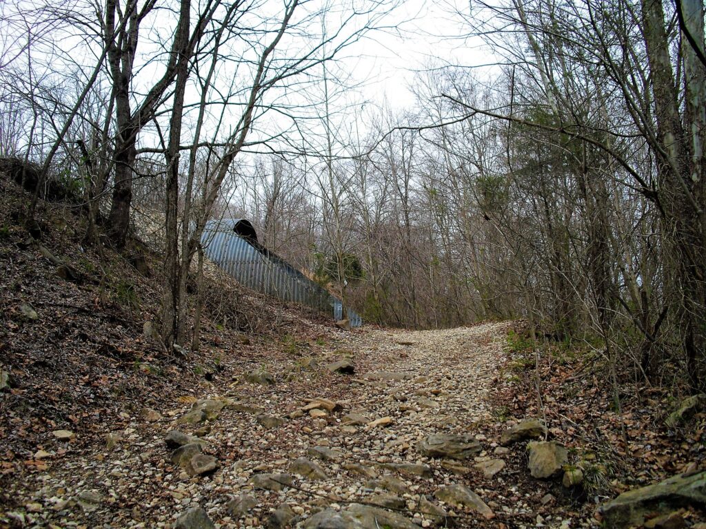
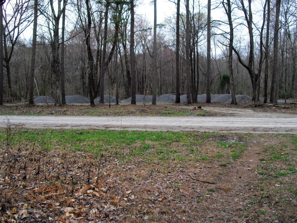
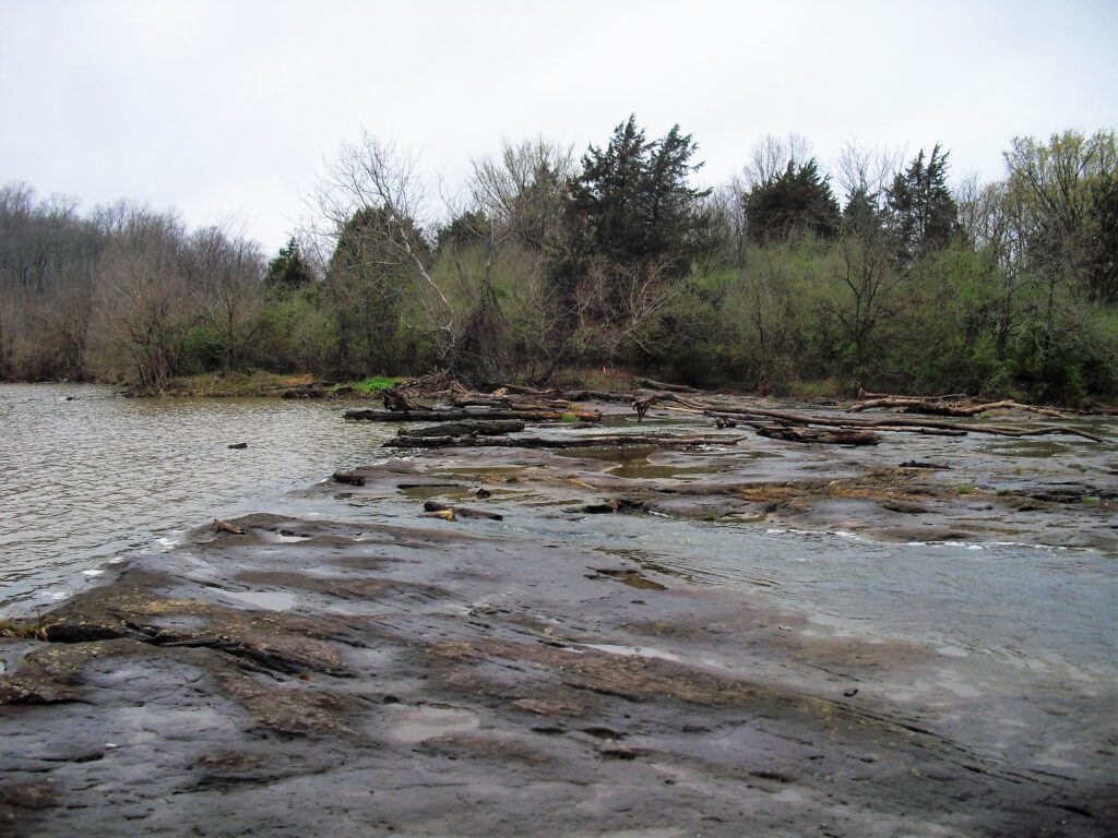
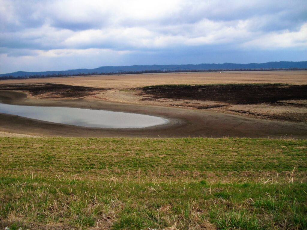
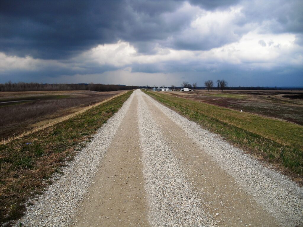
For whatever reason the trail used to cross here. Dangerous when high water, I did it once like this. With a pack. You stepped where it looked like there was a rock and figured out what shape it was while commiting your weight to it. I started recommending people take the dam across to the otherside and bypass all the overflow water filling the creek. Now the trail has been rerouted across the dam to avoid the overflow water. Same creek, same day on upstream side taking trail 049 along the creek until you see the trail that angles down to cross it. Millstone lake isn’t a big deal to get past anymore.The Tin Whistle ok, it’s a big culvert under the RR that they put there to accomodate the hikers, Yay!The trail gets really sloppy after a rain from here to Trigg Trailhead. I was hoping to get at least there tonight.Wow! What’s going on! Are they going to gravel it to the tin whistle? Turns out they were building a lot bigger parking area to accomodat the horse trailers. Well, that’s good too! It was originally just that pullout and whatever you found to the side.I ended up making it to a fire road within hearing of gumsprings road. I had a major problem all of a sudden. The forecast had changed back to Winter, and my wet long pants were still wet! It rained that night and I had to bring my pants inside out of the rain, and in the morning it was 38 degrees!~and so were my pants!
I only had shorts and long pants, 1 each and I was wearing shorts in 38 degrees! I could only do one thing and put my wet 38 degree pants on over my shorts. After I was packed and hiking I actually warmed up ok and the pants dried out fairly fast and after a couple hours I took the shorts off and went long pants only like a regular person.
At Max Creek I took the old trail on past the turn down to the creek and came out at Cedar Lake Campground. Walked to the office and they were not open either, but I got their last can of soda and a pack of planters nuts and had to skip the $4 shower.
My trip was pretty well sunk since my wife said it was now forecast to get down to the 20’s with snow for the next couple of days. My wife could bring me warmer clothes but my sleeping bag was a 3 season bag and 30’s was excruciating roll into the fetal position and shiver time. I wasn’t going to be able to do ’20’s. So I just had to make it to Goddards Crossing and be halfway and throw in the towel…But Paula came up with a plan.
She could bring my warmer clothes and drop me off and pick me up every day, the limit was I’d have to be able to get someplace she could pick me up at. She asked and could get the days off as long as I could be done by Sunday. She was on the way with warmer clothes and going to pick me up at the interstate overpass anyway because if I didn’t want to try it, I was still going to need picked up there. So compromises were made. I was trudging up 45 towards Goddards crossing at the time and I told her I would be at the interstate overpass in an hour.
An Hour? I was going to have to pick up the pace a lot.
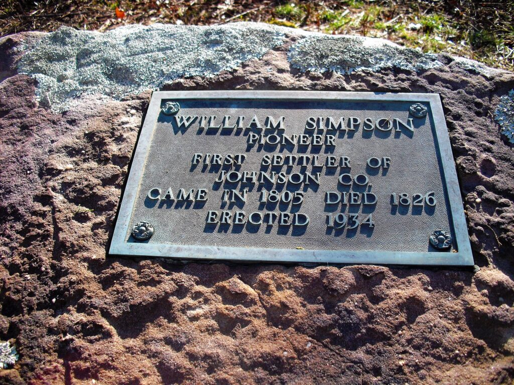
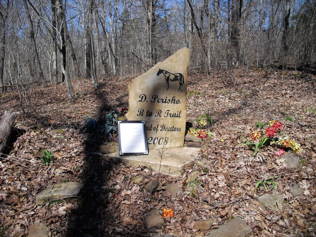
A couple of big trees down didn’t help. Had to go around no big deal but the last time I went they were still there.Nice bluffs before Garfield Road, no time to look them over.The memorial to the R2R co founder Werst of Max Creek on the old R2R trail to Cedar Creek Campground. My captions and photos will catch up to the story soon.Old painted blaze along the trail to Cedar Creek, or back.Max Creek Crossing
I had to get moving after I found out about the forcast and her picking me up at 5pm.
So I managed to get to the end of the trail where it comes out at the curve on the road at the underpass at almost exactly 5:00 though it was not easy. It wasn’t my natural pace. She got us a room at the golf course in Makanda and we went to the clubhouse for steaks. (after a long scalding bath) She dropped me off at the overpass the next morning at dawn because I had to really hoof it to make it by Sunday. Todays goal was Wayside.
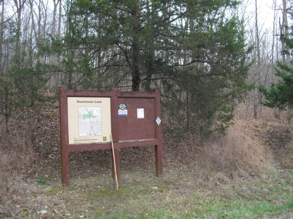
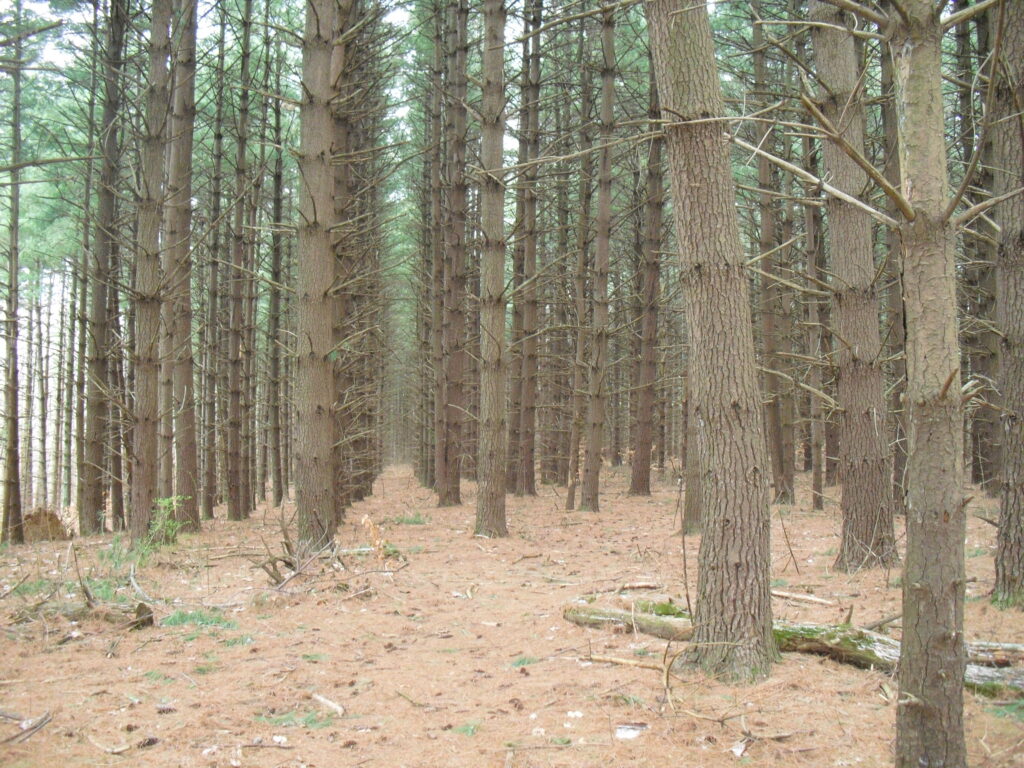
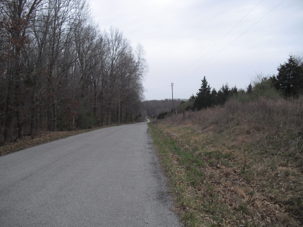
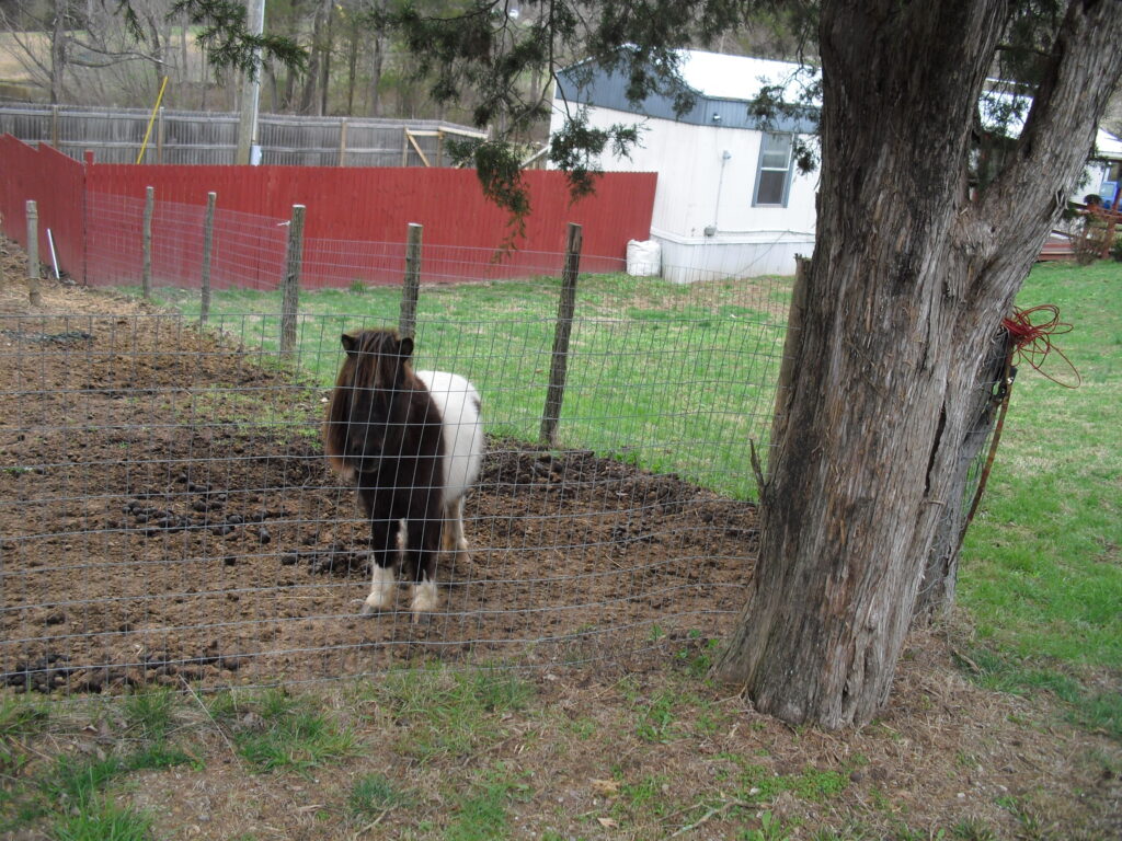
Well, here I am at Dutchman Lake after being dropped off in the morning At the overpass after a dinner with steak. (not my stick) I love this hike all the way to Twinz Lane, then I hate it until Wayside.Blurry is not good. Have I said how much I loved this forrest until the wind damage the next year. I’m glad I got there in time to see it. It had snowed some the night before and the sun was trying to come out, and the wind was making the trees sigh and sparkles were coming down. So far my favorite moments on the trail.Oh my gosh the road walking. Twinz, Tall Trees, Rt37, Raunner Then the endless back mand forth of Ferne Clyffe. They take you one way to see one side of every tree, then come back to see the other side.At least 45 has wide flat shoulders. 37 has narrow angled ones You have to do that wierd side leaning walk for way too far.I actually lost my ferne clyffe photos somewhere. Maybe I forgot to take any? The arch was the best thing about it, almost worth seeing every tree. This was just after coming out on Goreville Road. Headinf West..Pony!This was just coming into Ferne Clyffe. My pictures get scrambled here then repeat. Different cards being uploaded to the same file with overlapping file numbers and me selecting delete duplicates maybe. I had my wife pick me up at The Borks Falls South Lot.
Today started with Borks Falls, but no time to go down and take photos. Just had to take a couple passing the top.
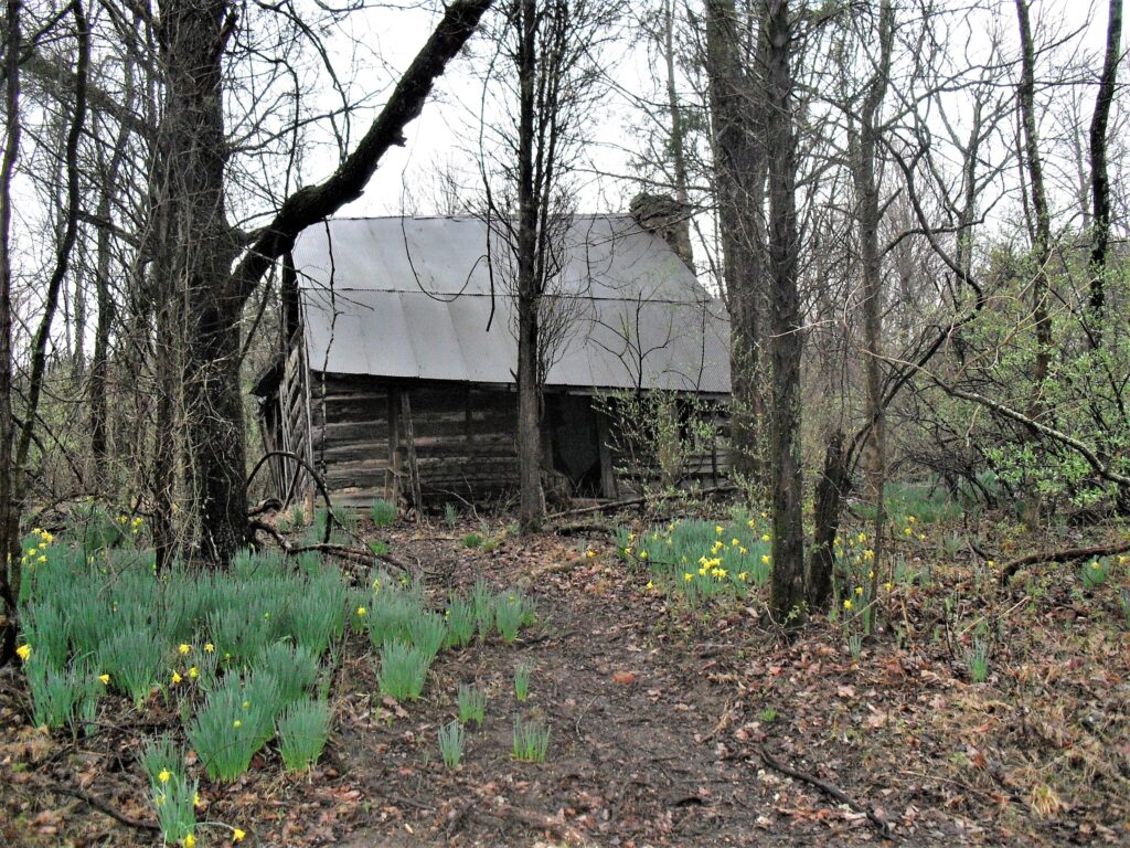
I could walk on country blacktops at home, but its part of the hike.A huge neglected house.Almost to Wayside.Not much time for photos..Got WildernessWhat happens when you don’t maintain your road. Got to make it to Giant City and it’s getting late. Chicken Dinner beckons!The Giant City Lodge Mascot was there to welcome me. I don’t think anyone told him I was coming.
I met my wife in the Lodge Parking lot. I cleaned up a little and sat down and ate too much. Tonight was snow and I had to get to Alto Pass.
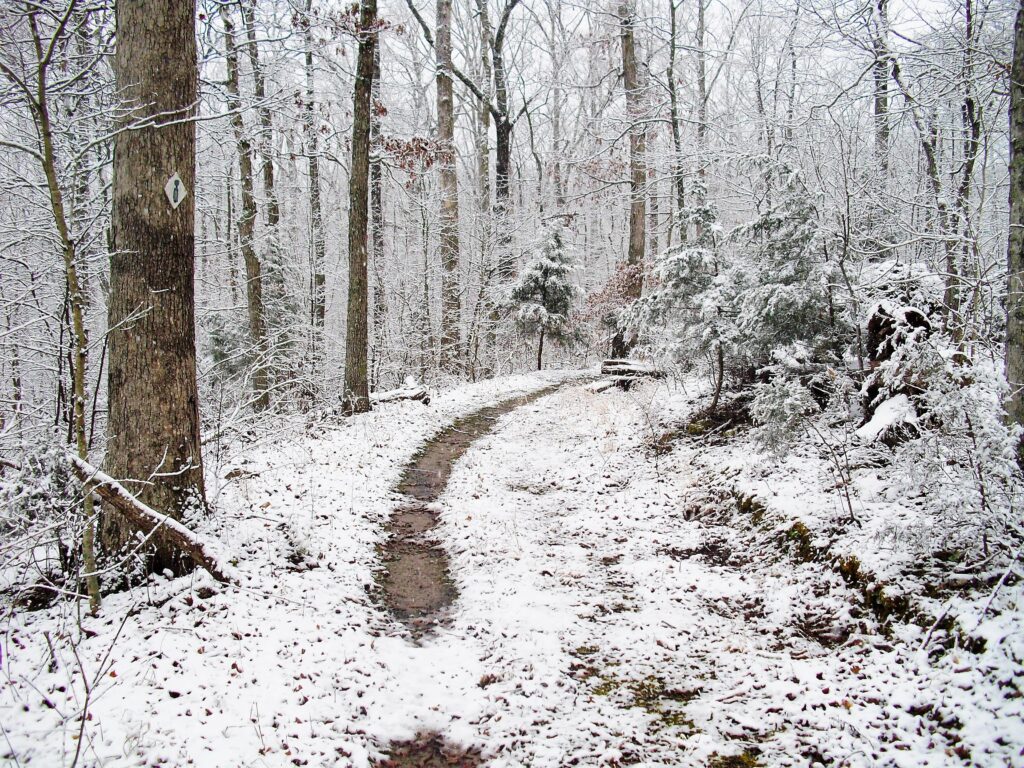
She dropped me off Saturday morning early. The going was great having a light coating of snow made it magical and new looking. The only tracks I was in Giant City were turkey tracks. Everything is more hushed with snow down.
wow.
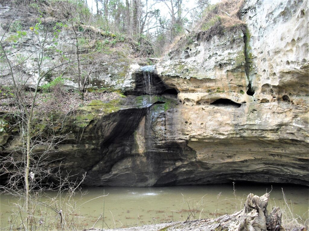
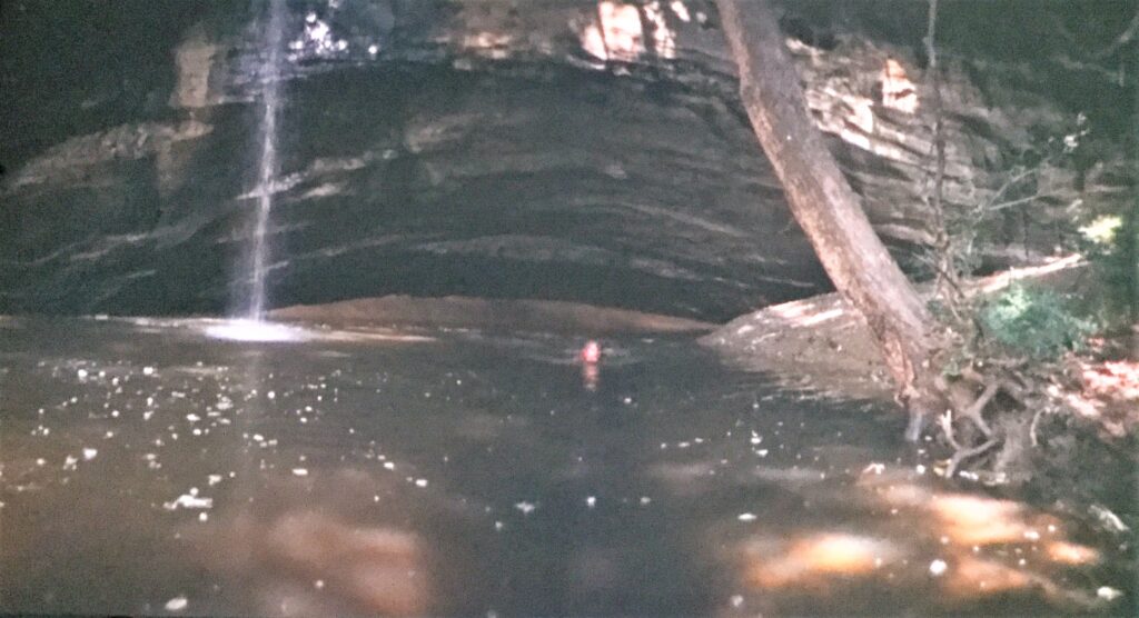
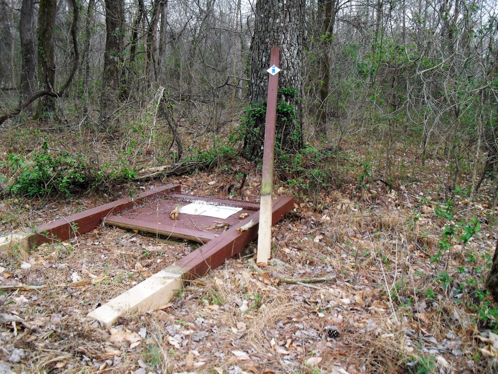
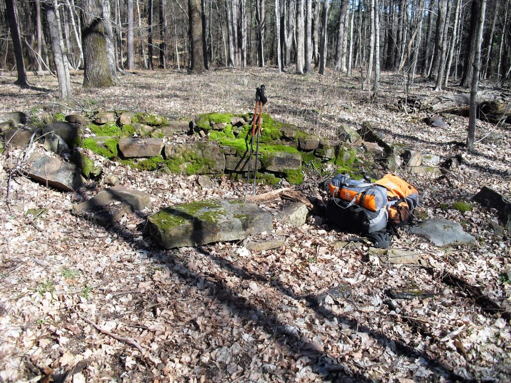
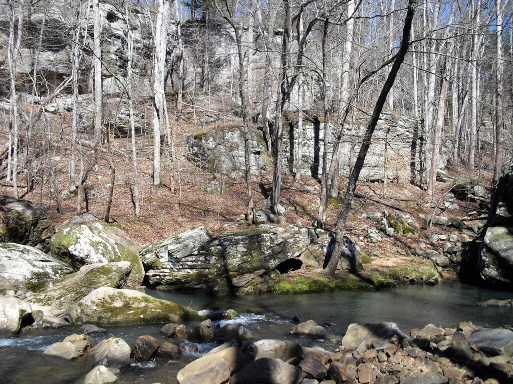
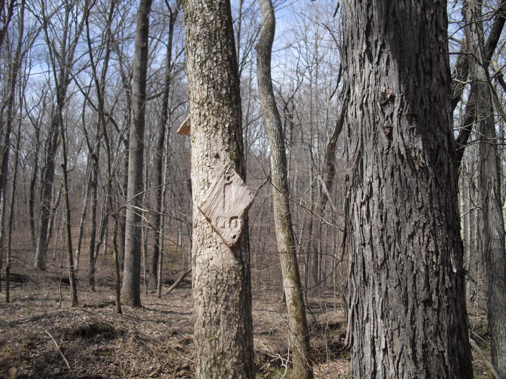
Trail MarkerCedar Lake spillway.
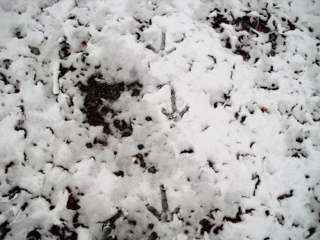
I was following boot tracks from here to Alto Pass. In the afternoon big blobs were falling off the trees and the tracks were stepping on them too so they were recent but I never caught a glimpse of them.
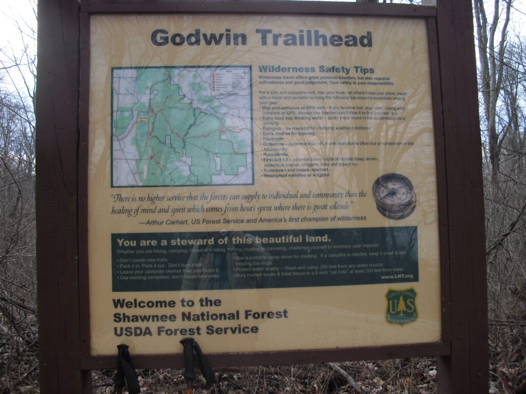
This was all I took Saturday. My wife met me in Alto Pass with Hot coffee and Candy bars. She Picked me up at the Godwin trailhead later. No idea why I didn’t take any more pictures but it was overcast and everything was grey. I didn’t take any on Sunday until I was getting close to Hutchins Creek. The clouds were patchy Sunday but the patches were snowy.
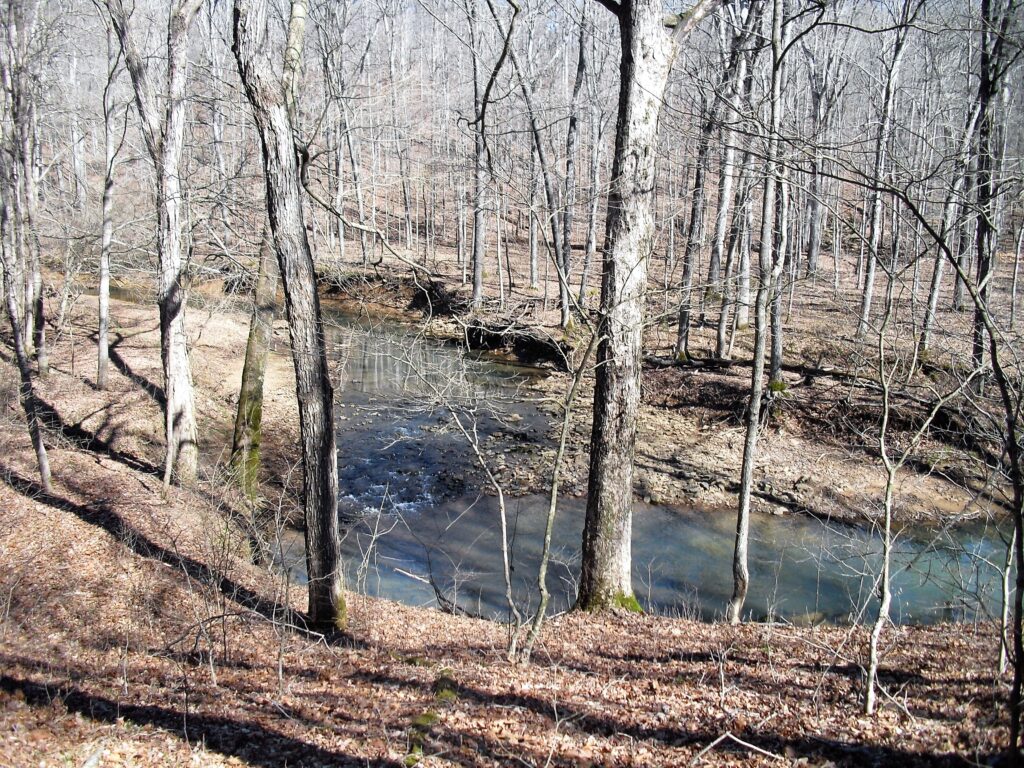
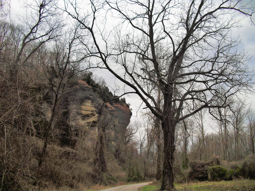
The little creek before Hutchins. Hutchins can flood massively. Been there, crossed it waste high. But it isn’t bad if this creek is this low.I guess I didn’t take the camera out at Hutchins Creek. Today is the day. Grand Tower and Devils Backbone. Made decent time across the 8 miles of Godwin trail.It’s literally downhill from here. I had last nightdss leftovers for lunch here at 11:30. Leftover steak sandwich, she was treating me like a King.I pulled a muscle in a calf on the steep road down but I never felt it again once I got down. Only 11 miles of flat levee to go. I had done it once before and I did it once after this, and I’m telling you, I did it for 2 other people because once in a lifetime is enough. This is the bluff from the bottom Inspiration point on top.Looking back at the bluff line a couple hours later across the flats. You walk and you walk and you come to a turn right. You walk a whole lot more as the hour ticks away and you get to turn left and see another turn an hour away and still no sign of the Missippi. Just the Big Muddy.Oh boy, the dark clouds building to the North the last couple hours are moving closer.Like a little snow is going to stop me. That’s my wife up the road. She stops and parks once in awhile a couple of miles up the levee so we can see what pace I’m traveling at. I get coffee and candy bars (those mini ones) When I get there, then off she goes.A turn off of the levee finally I don’t get to go, but that’s grand tower across the river. Not exactly the Tower of Babylon.Coming down hard again. I see the car and the hill at Devils Backbone St. Park.Past the Gazebo! Just around this hill to the left…(the trail goes right, but thats just an open street)I got my feet wet, I sat down with a sigh of relief and Paula drove home. I did physically make it, but I didn’t carry my sleeping bag or tent the last 4 days, so I had to try it again of course. You don’t ever want to do it again. Until the next time the opportunity comes up. It hurts. Everything hurts every day and you could be doing something productive. All these things go around in your head and when you know you can end it with a phone call the temptation is right there in your pocket. My hardly ever referenced 2nd attempt soon.