I returned to Horseshoe bluff once more from Hagler Road determined to check out the West side and see what I could find and make the whole circle back to Hagler road.
Now what had originally got me here was trying to find traces of the old R2R trail from back when it used to turn North here and cross the bluffs and head across the bottoms South of Cedar Creek and come out.
I used to have a map with both the upper and lower routes. I think it was the second edition trail guide.
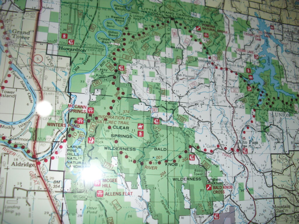
Fortunately, the R2R Society has posted the old trail guide for historical reference. The big map at Harrisburg Ranger station also has a dotted line in the general area. This is what I was working with.
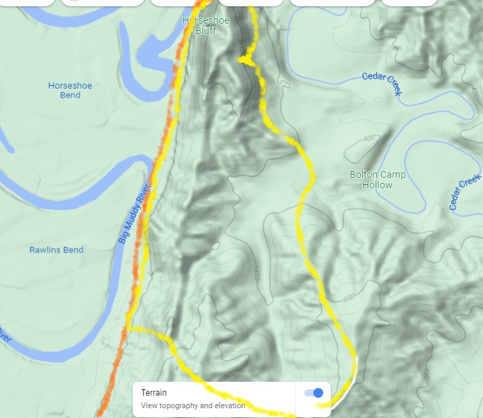
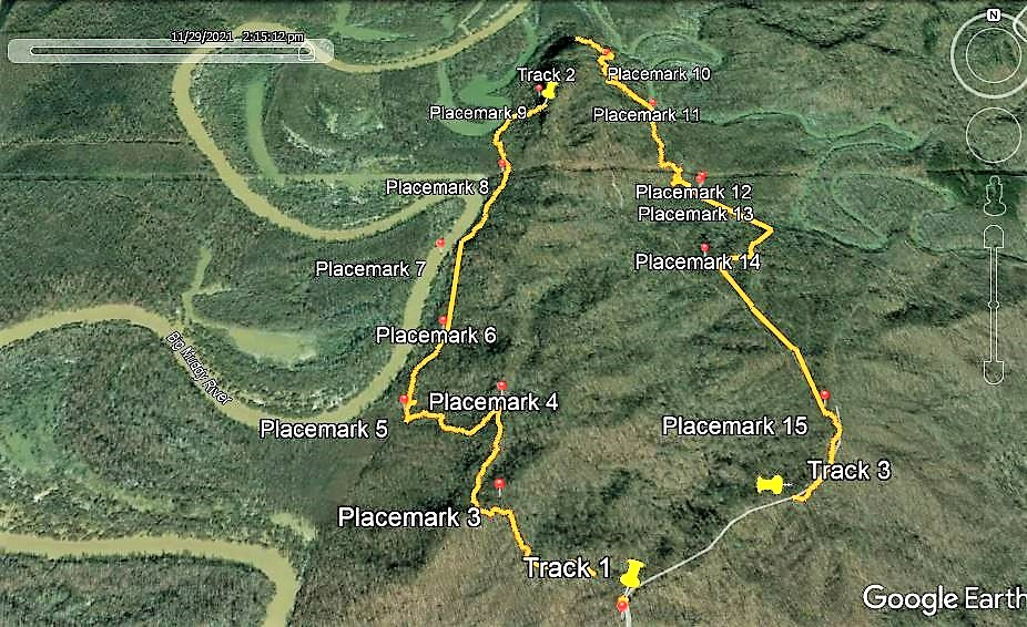
Google maps terrainRiver to River Society First Edition Guide (best source)R2R Society Guide Further East Track of todays circuit hike. I may have found a clue to the route.
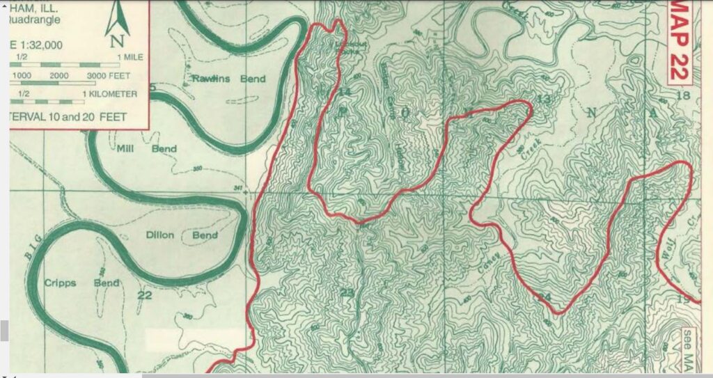
According to Map 22, The trail left the old roadbed at the upper end of Rawlins Bend on the Big Muddy. By a coincidence, this is one of the lowest spots on the ridge and where they crossed with the powerline.
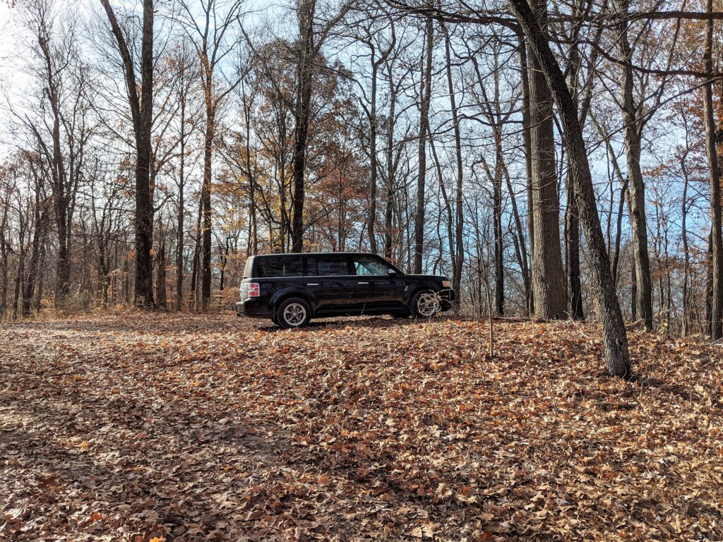
Placemark 1 is the parking at the end of the still open and somewhat maintained road.
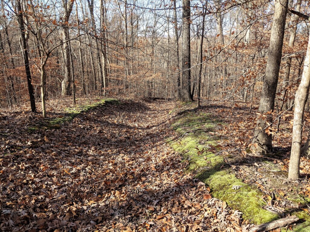
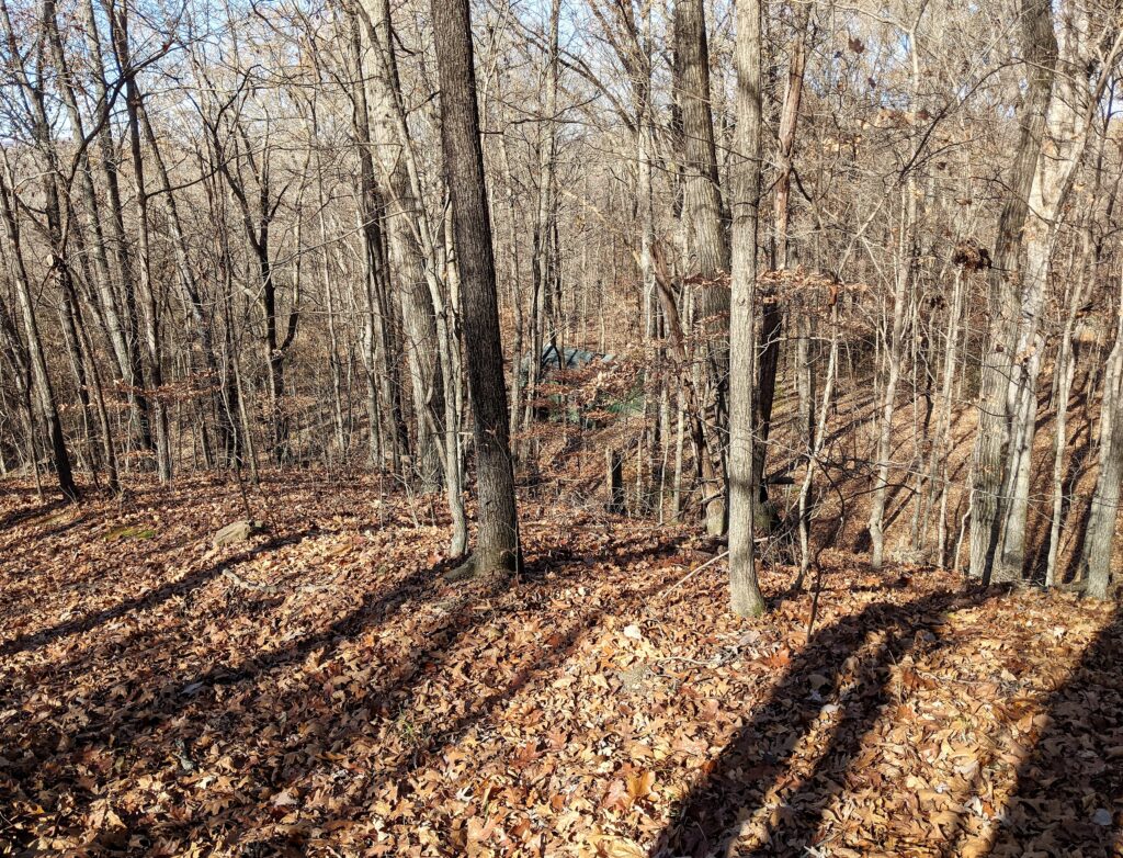
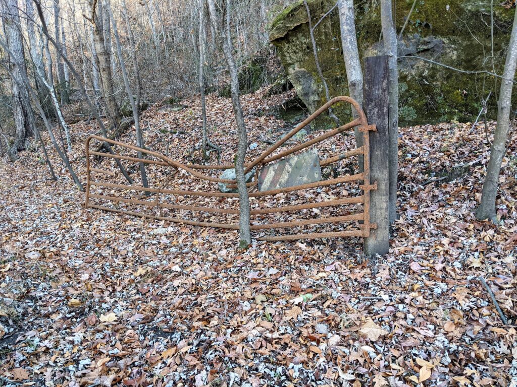
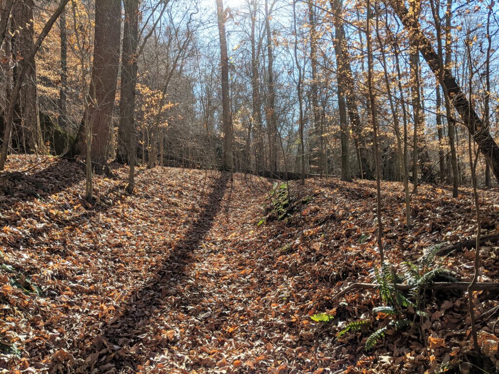
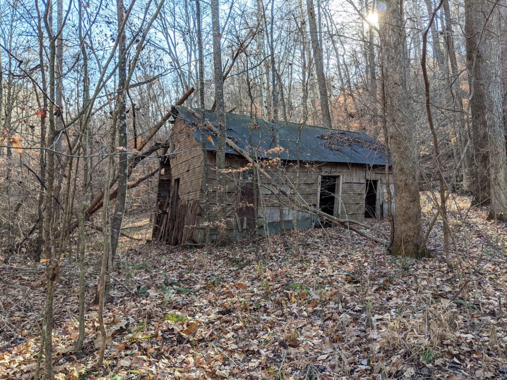
The trail I took clockwise is an old forest road heading West from the parking area. The old unmaintained part of Hagler Road heads North West through a F.S.gate.Placemark 2 didn’t make it, but it was a FS gate halfway to Placemark 3 These roads were closed from season to season by the Forest Service. Placemark 3 was the first place you can see down to the glimpse of the Big Muddy river. The trail makes a sharp turn North to follow the ridge.Place mark 4 is where I took an old roadbed down the West side of the ridge to hopefully intersect with the old roadbed there along the West side of the ridge. ( I drew in red on the Google terrain map)On the way down I see a green roof! I had no idea anything was out here at all from the old days.
I’m pretty sure that at one time the R2R came UP this road (EB) at first because the dotted line on the map at Harrisburg Ranger station shows the turn East at the BOTTOM of Rawlins Bend and then jogging back down South along the old roadbed hashmarks I had come down. So I did find this really old part of the route if the Harrisburg station map is accurate.
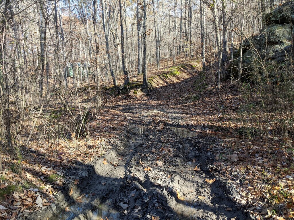
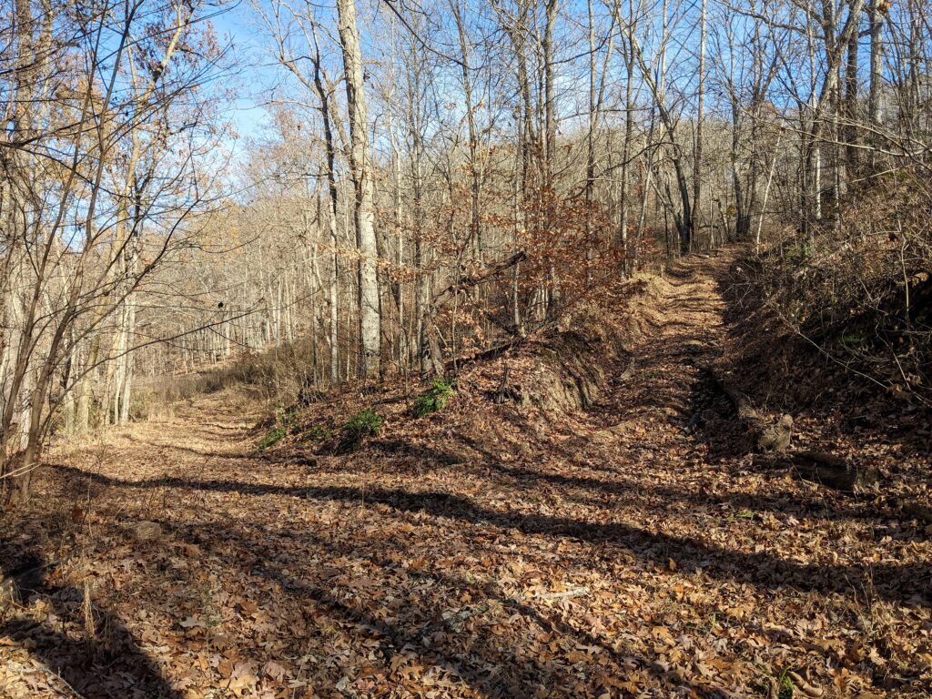
The intersection with the roadbed was a muddy mess. The road is for 4wd high clearance vehicles but is there and easy hiking.
The cabin is intact and on .8 of an acre of private land. It is still owned by the family that built it. (I was able to talk to the owner on facebook) Please respect the privacy of others. I looked it over and headed on North. (Amazed still to see something that wasn’t a ruin..like the next cabin)
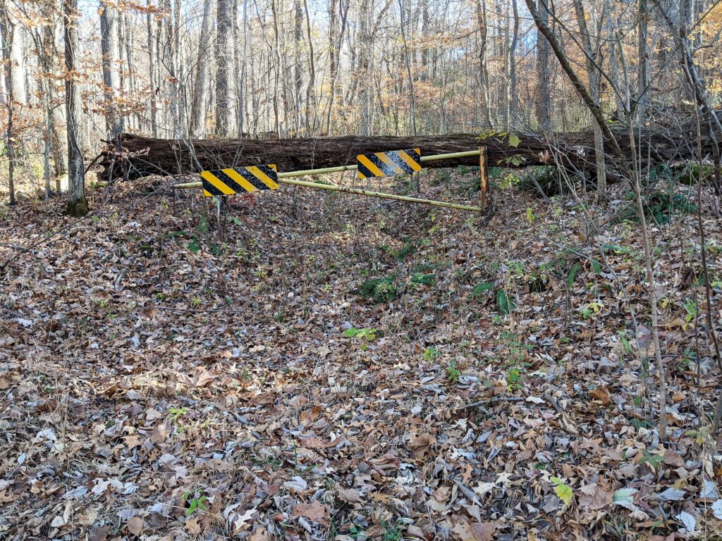
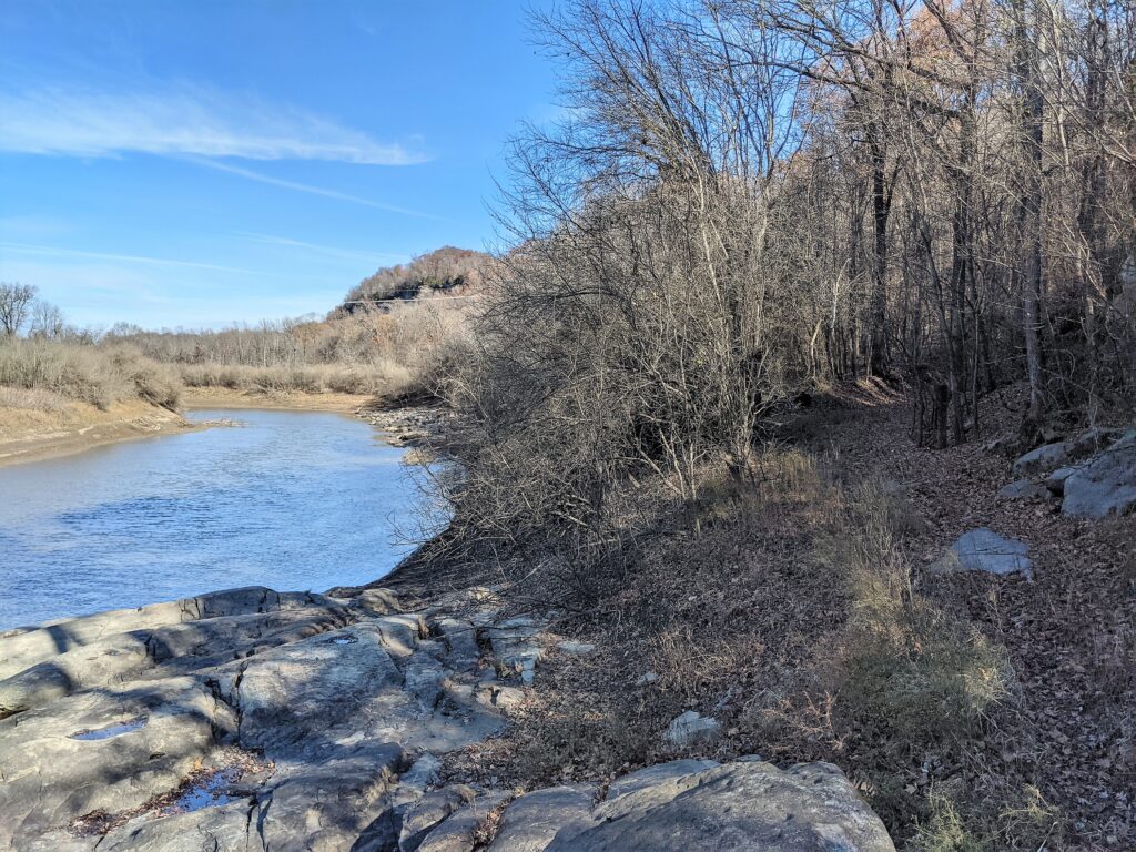
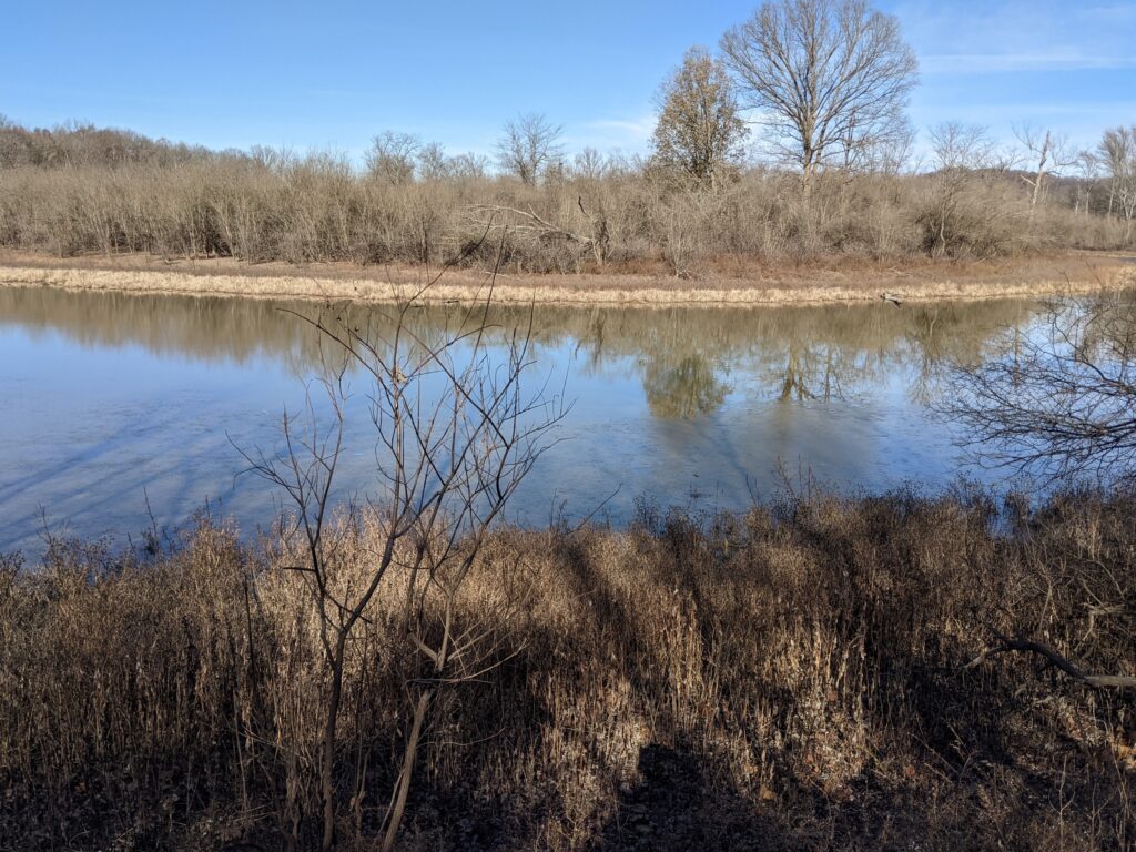
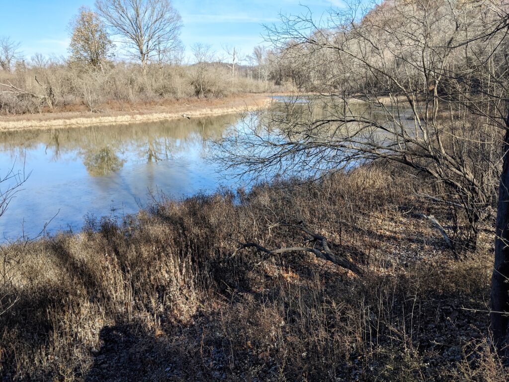
This was placemark #5. Placemark # 6 was this redundant gate. No idea where it went. I hope it wasn’t somewhere amazing.#7 was this gate across this road. Don’t think it will ever close again.Some pictures of the river and some lakes left when the course changed. Very nice hiking along this side of the bluff on the roadbed.Placemark 8 should have been before the powerline because I think it should have been this road heading up the ridge about where the Lookout Rocks are just short of the powerline, I didn’t explore it because I was going around today, but this might have been the further North ridge crossing the page 22 shows the R2R trail taking. I don’t remember seeing where it met with the ridge trail. I might have to check it out someday.
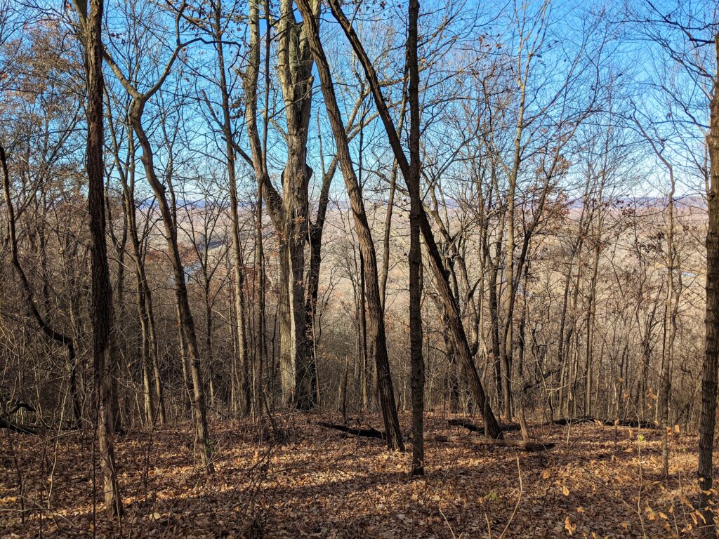
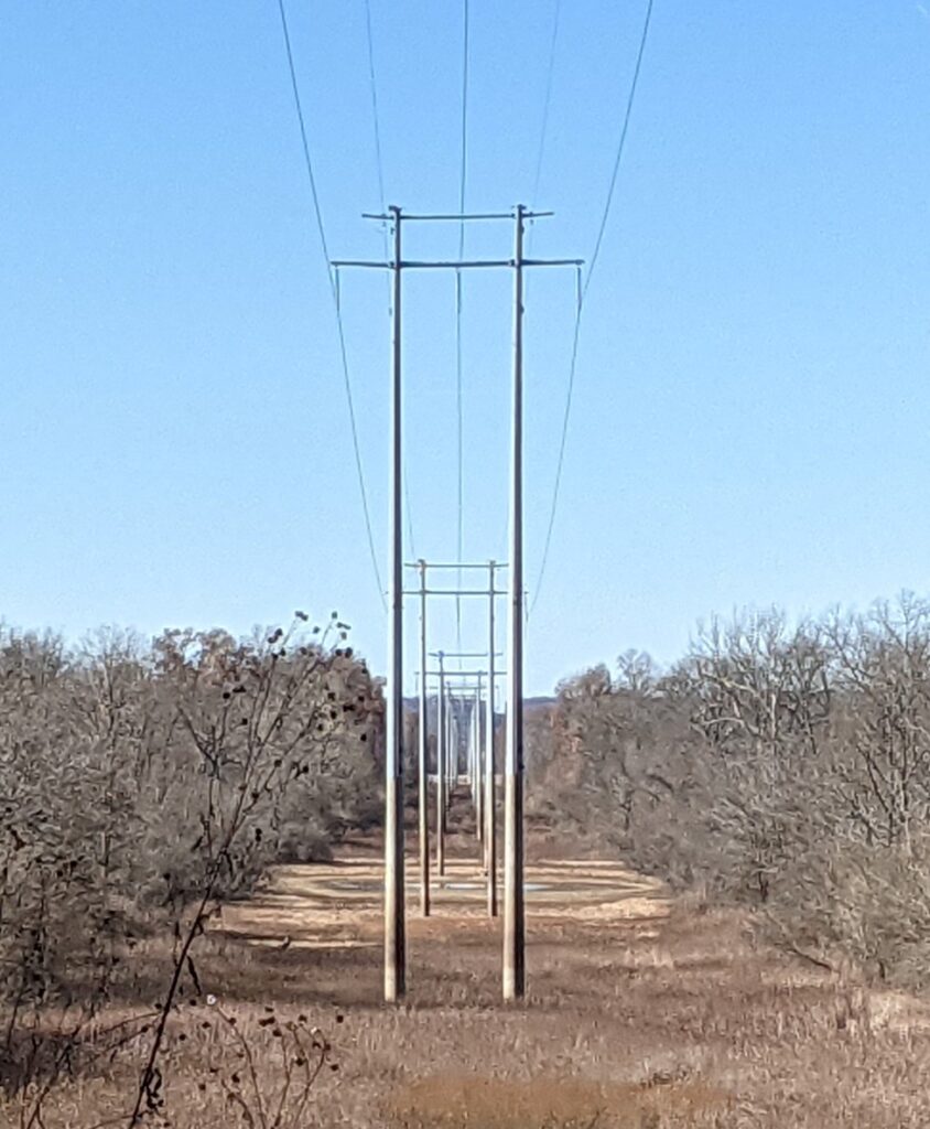
The powerline
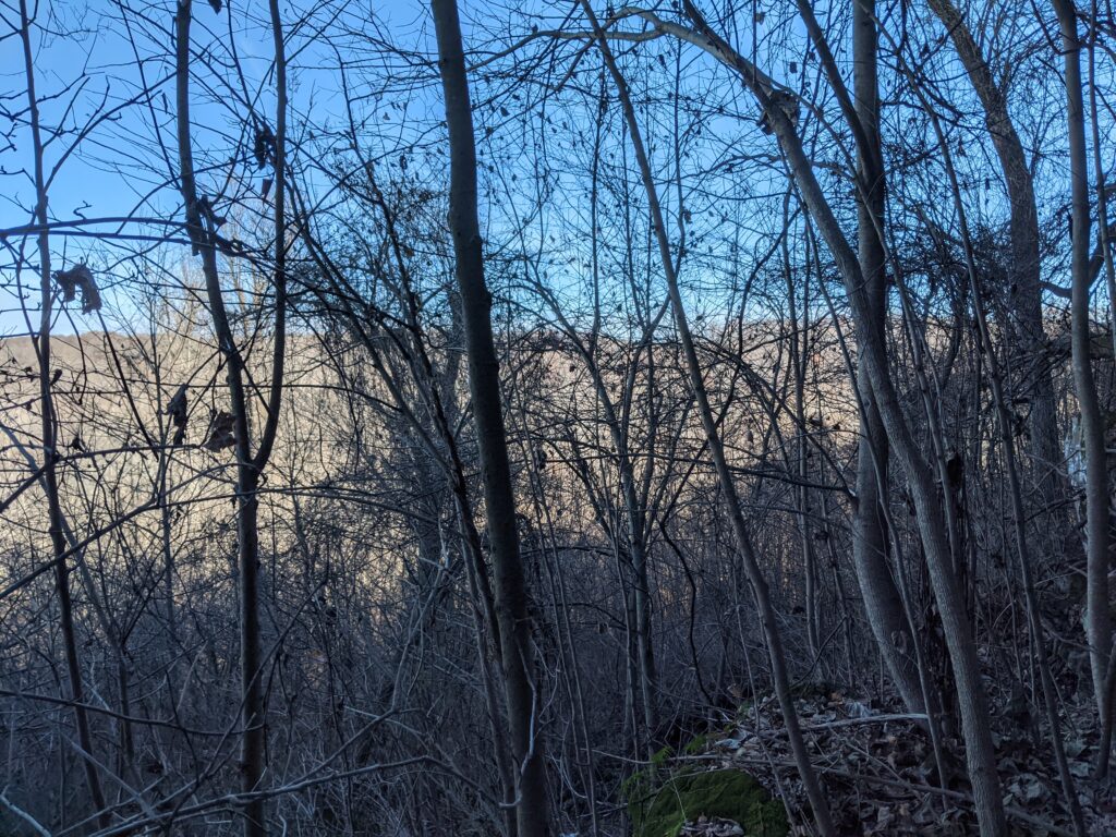
That gap at the top of the far ridge is in Missouri.
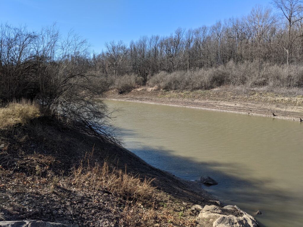
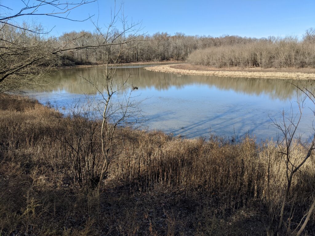
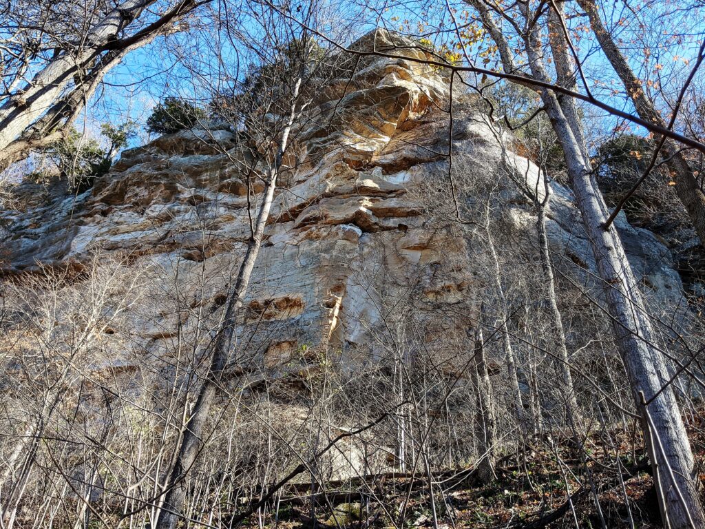
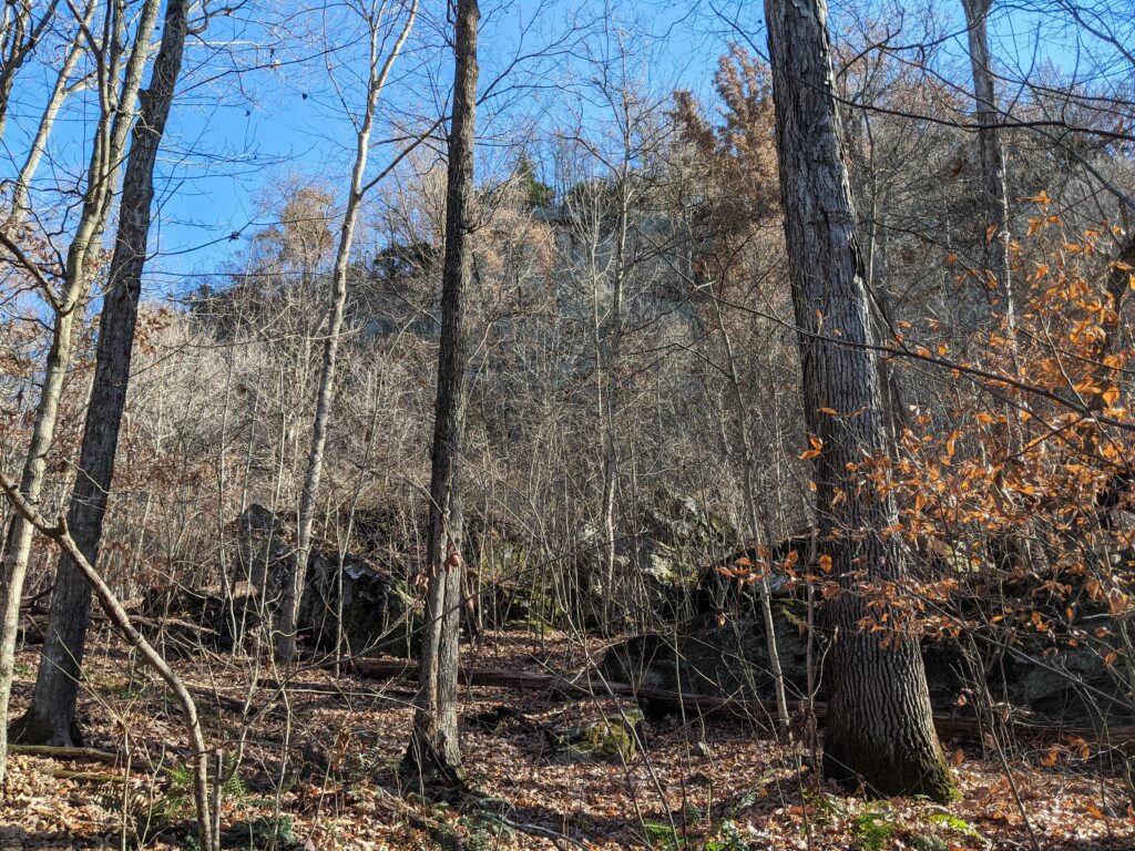
Placemark #9 is at the base of Horseshoe Bluff where the great observation area is on top. The bend is a pond left when the Big Muddy changed its course.
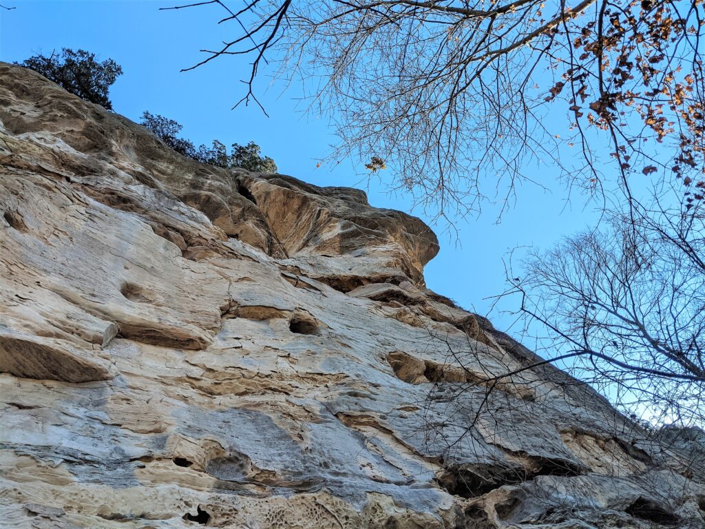
Too close! Took me 3 pictures to get the bend of the pond.Looking up to the overlook. A hard climb to get here.
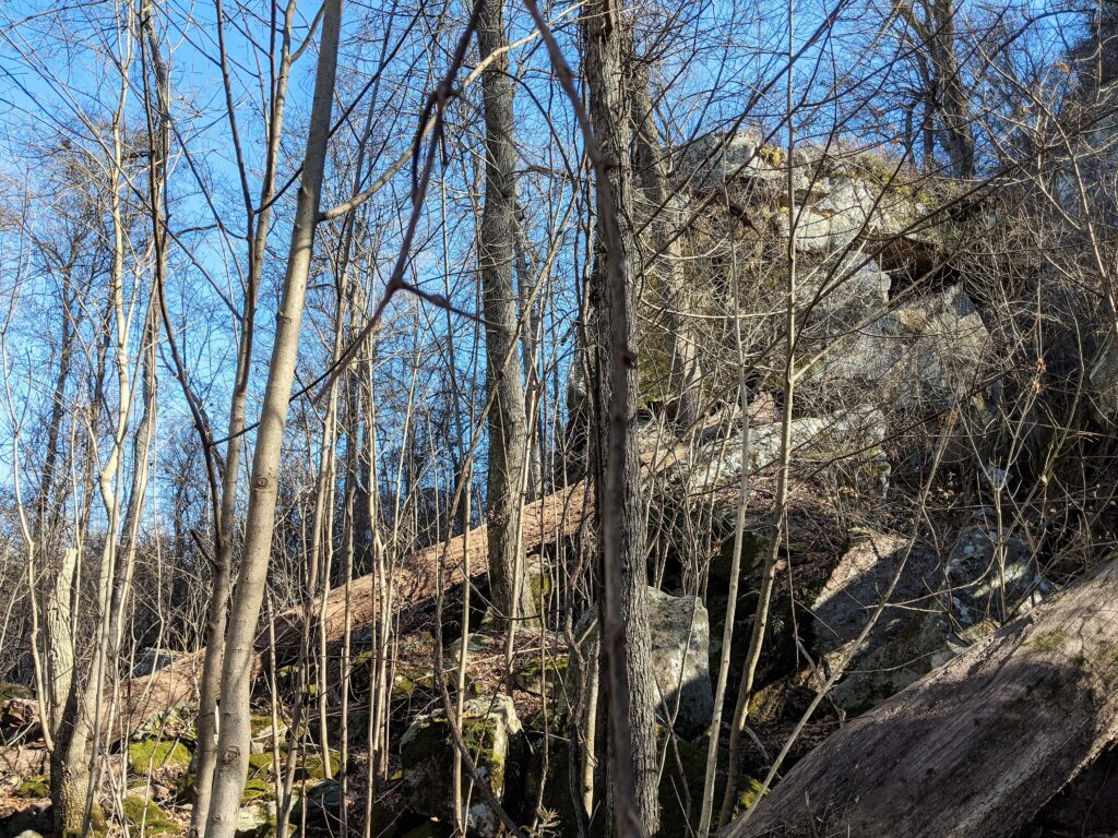
Is it worth climbing up there for this? You don’t know until you do it. No trails, no maps just bushwhacking from here on off the trails. This was at placemark 9. I managed to turn off the tracking accidentally. I turned it back on at the North end of the bluff. The ground got very rough there and I lost track of the road. I THINK it used to go all the way around but I saw roadbeds pretty often and don’t know which one went where. It used to be more developed like the rest of the Shawnee. The history is very interesting.
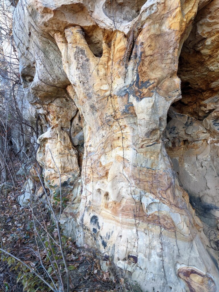
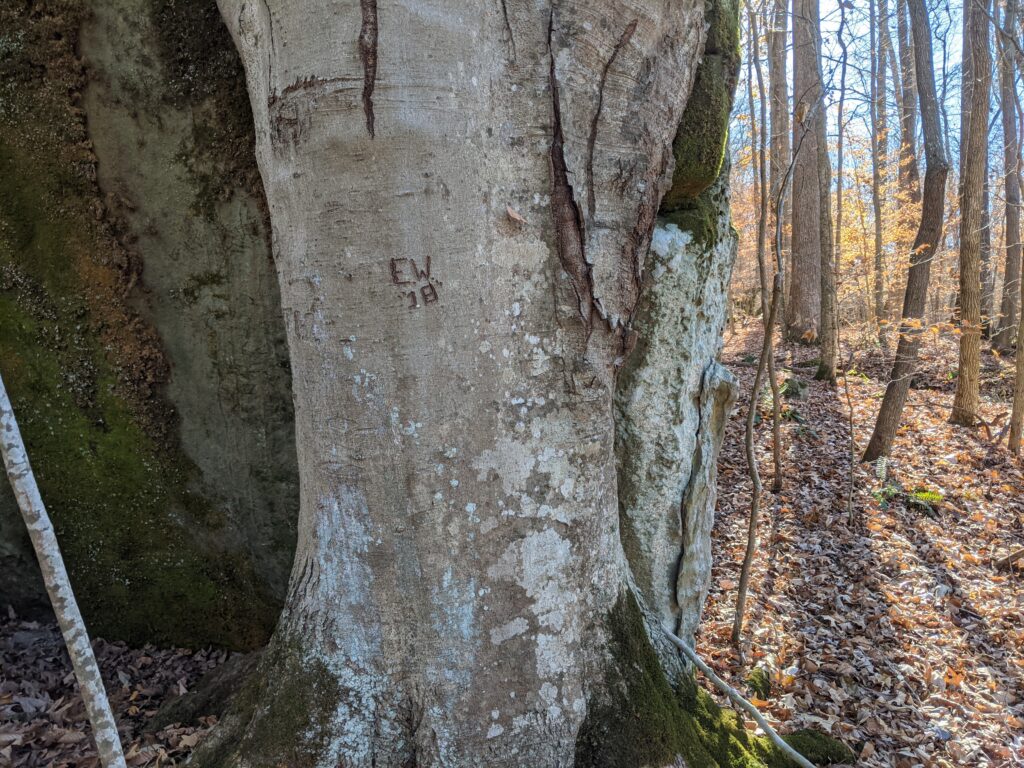
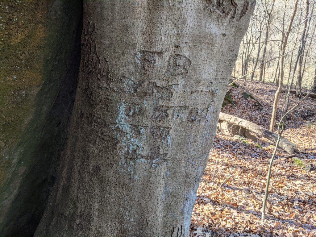
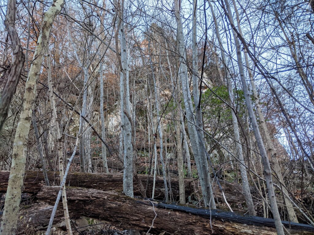
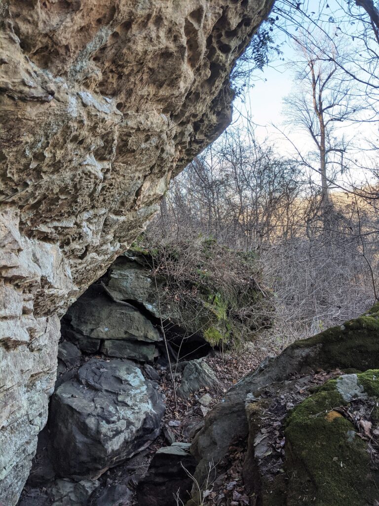
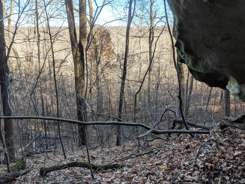
(Looking back ) the roadbed was still pretty easy to follow for the time being. It was very hard to walk through the brush around the base to see any caves or other cool features that I hoped leaf off would allow. I decided to stay back from the undergrowth and follow the road. Some of the R2R Society came and explored this side and found a cave with carvings but I never saw one.Yes, I know there are probably cool things over there, but it was extremely hard penetrating it and I still had a long way to go.I saw this carved tree about where I started recording again at the North point. The other side was carved a lot further back in time.No, I can’t make it out.It was rough enough going out close to Cedar Creek. The Bluff comes pretty close at the top. Maybe the road didn’t go through, but I’ll bet it did when they made it. Maybe there was a rockslide since then.
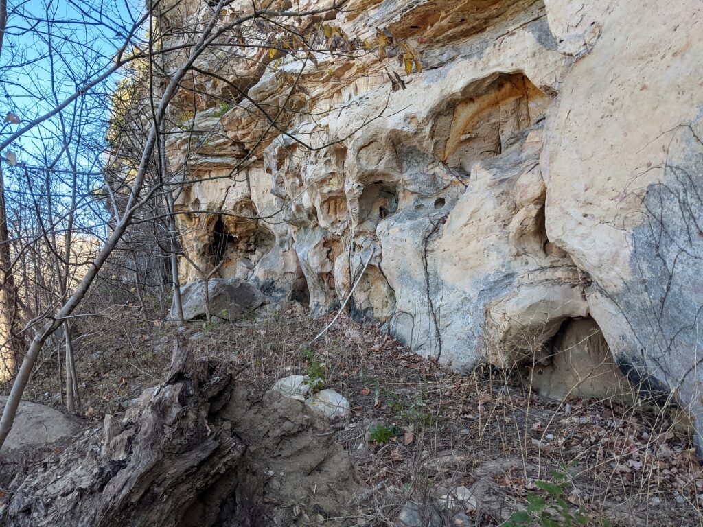
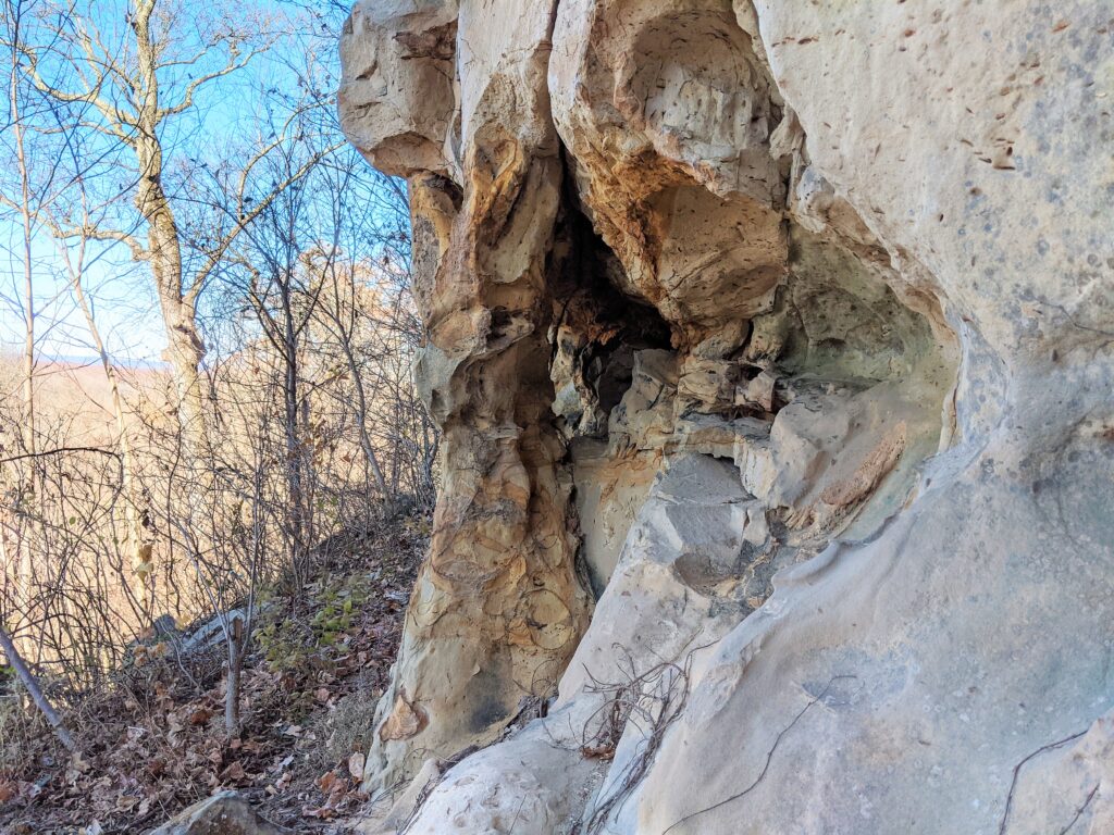
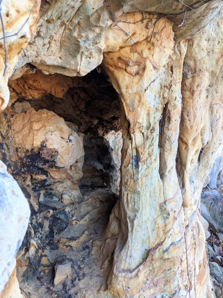
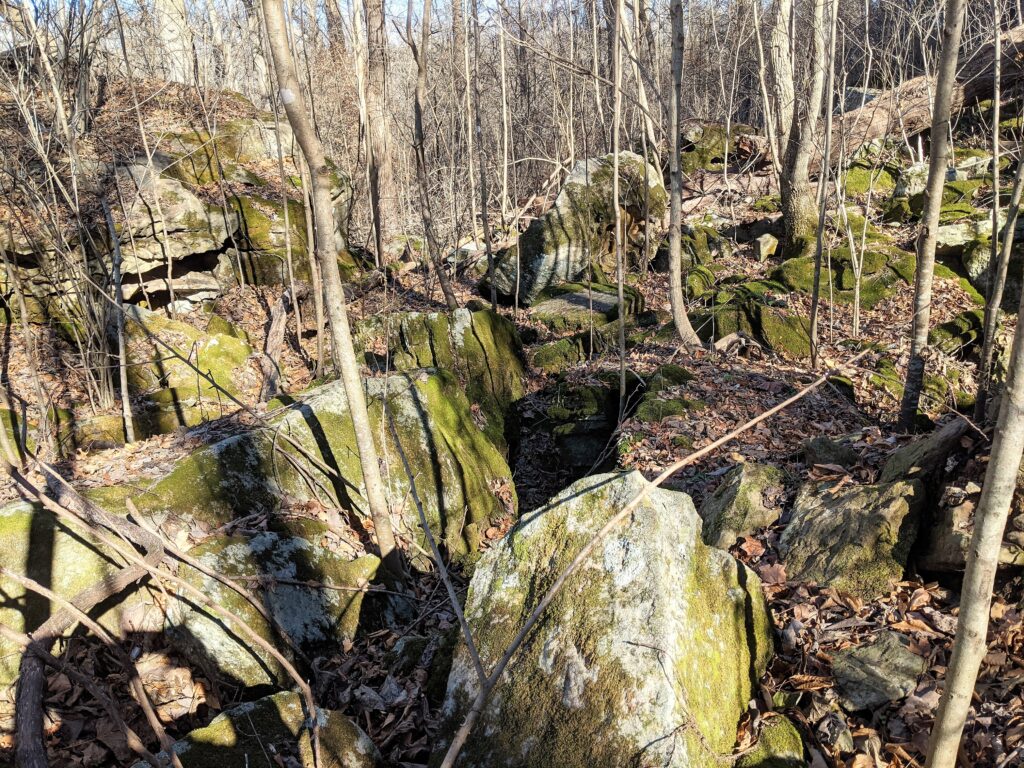
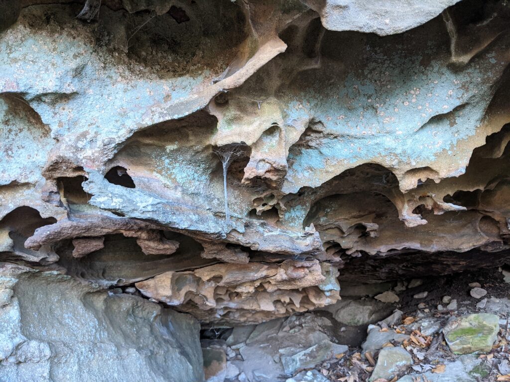
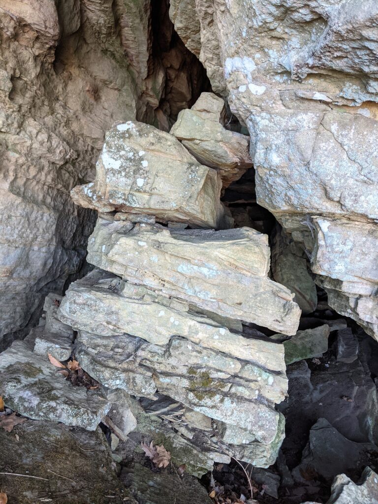
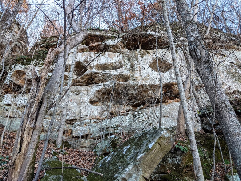
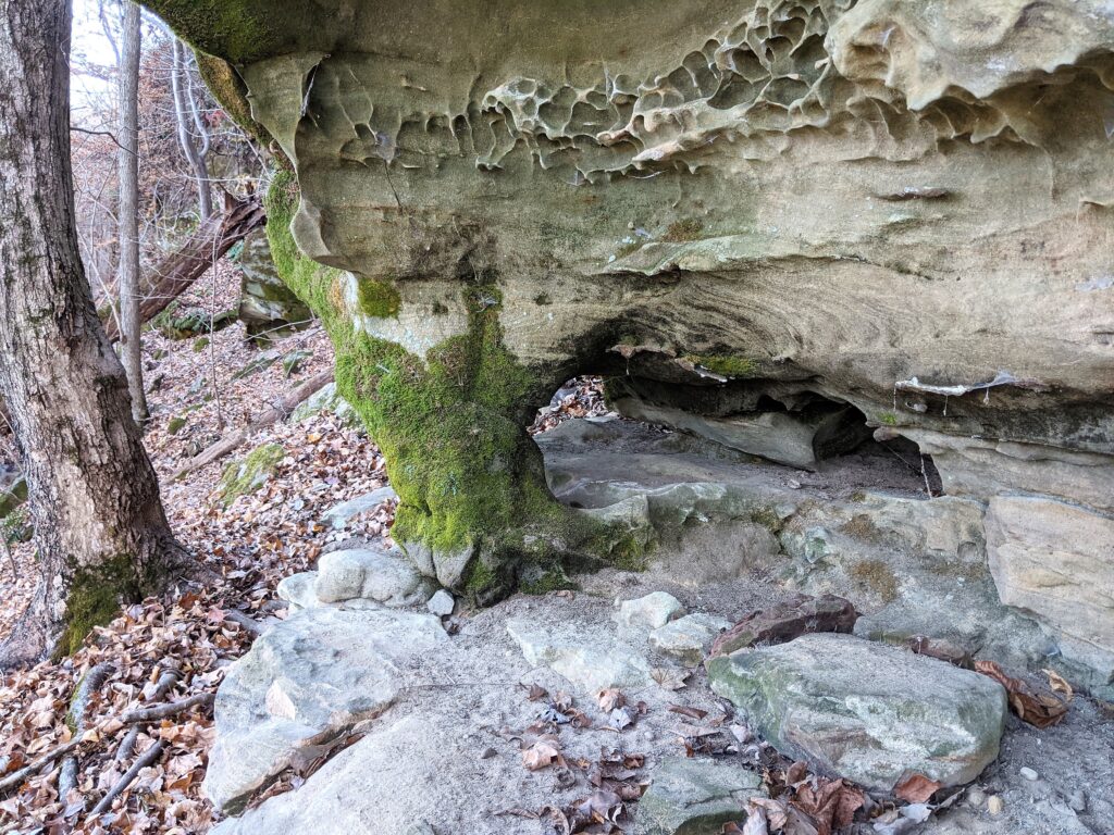
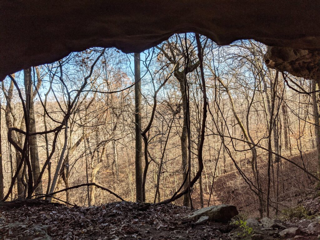
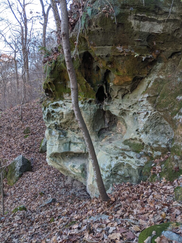
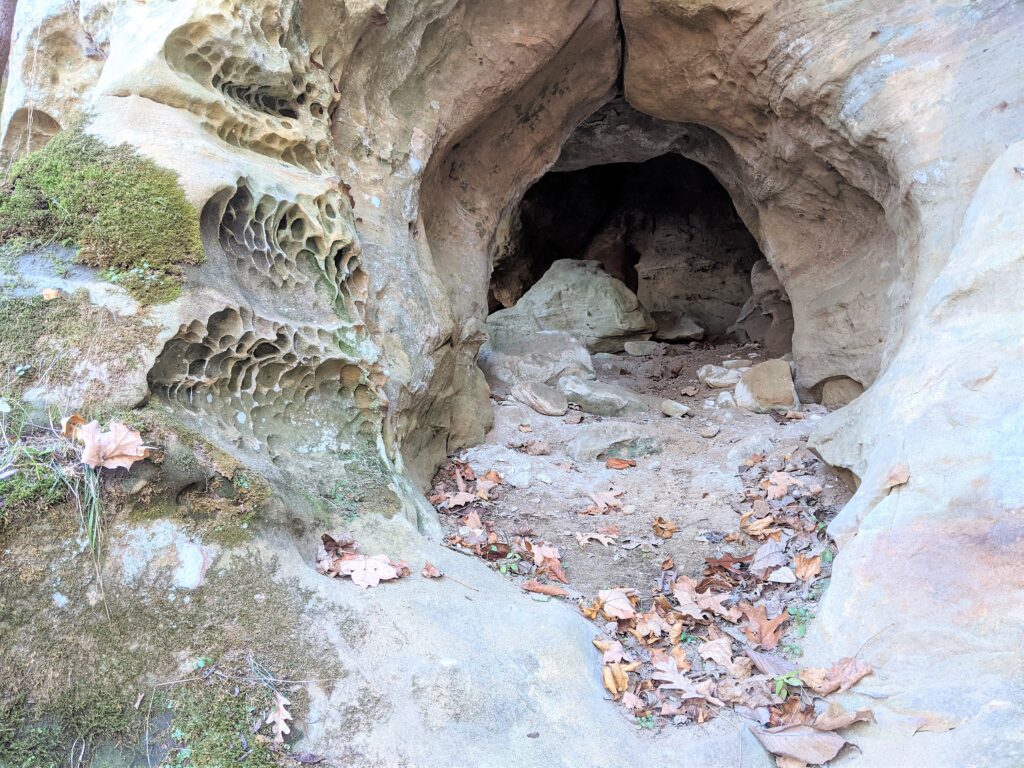
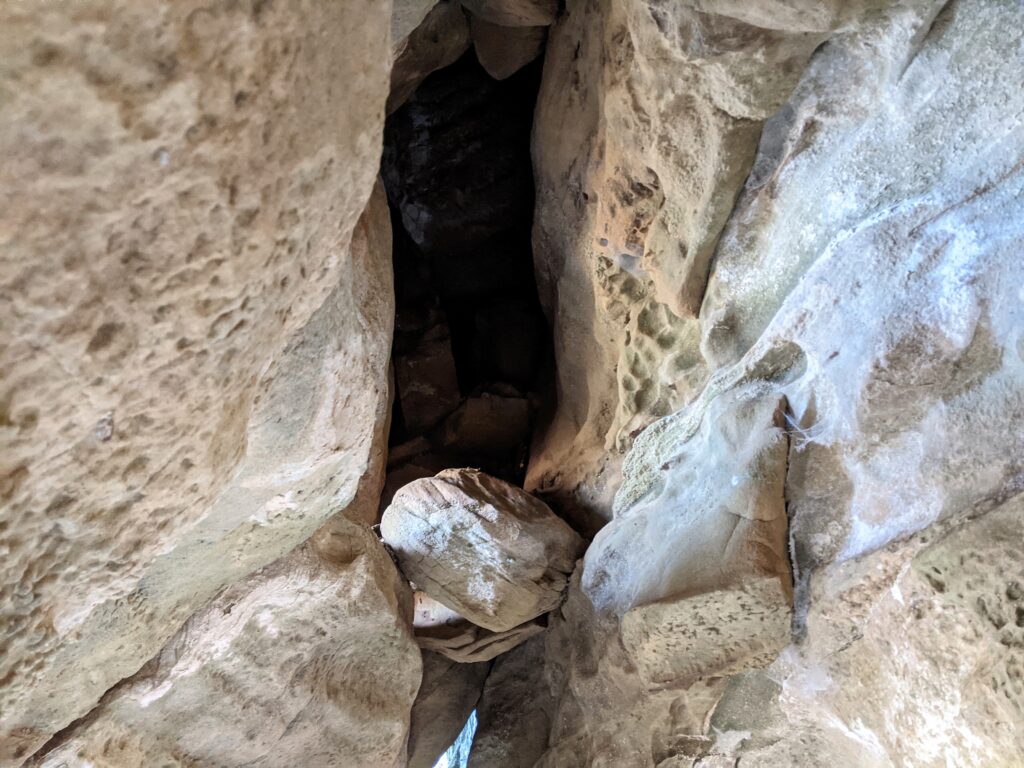
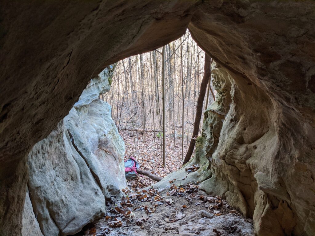
By the terrain I would say the road travelled a long way from the Bluff on the East side. I decided to travel up along the high part of the East side even though it was rough as could be to keep my eyes out for a cave. I had already explored it and found one but didn’t go this far North.A rough roof on this small cave. There is a line of likely cave formations running along the upper part of the side of the bluff but is’s hard to decide which way to go without coming to a drop and having to backtrack. This was in the area of placemark 10.Well there’s a cave behind all that rock. I didn’t enter it.That’s the kind of brush you have to get through. Darned stickers.Nice bluffage up there.A few interesting little caves along there. No inscriptions.Suddenly there it was, the cave I had found before. Not a big entrance but it opens up with some inscriptions from the ’40’s on. This is placemark #11.
I had already been to the South from here, so I went straight down the slope to where it leveled out and headed to the South along the base of the ridge.It’s a lot of up and down close to the base the further out the better.Biggest Burl I’ve ever seen outside of the Redwoods. Probably 4′ thick.
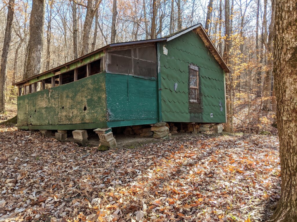
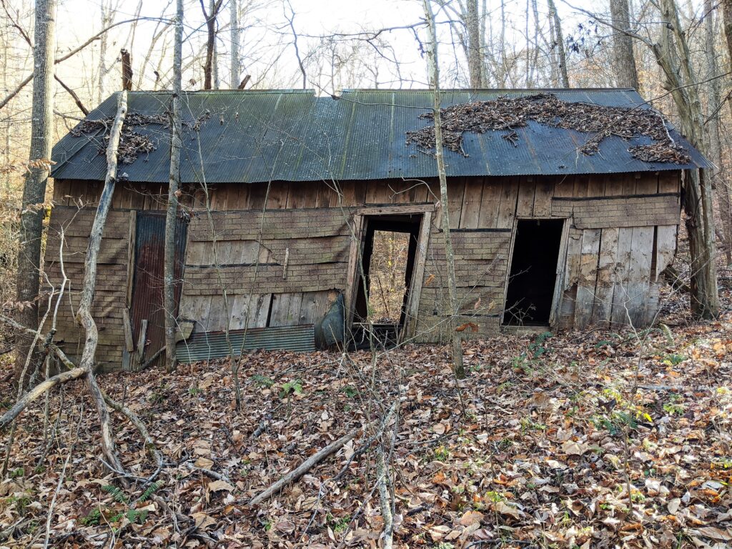
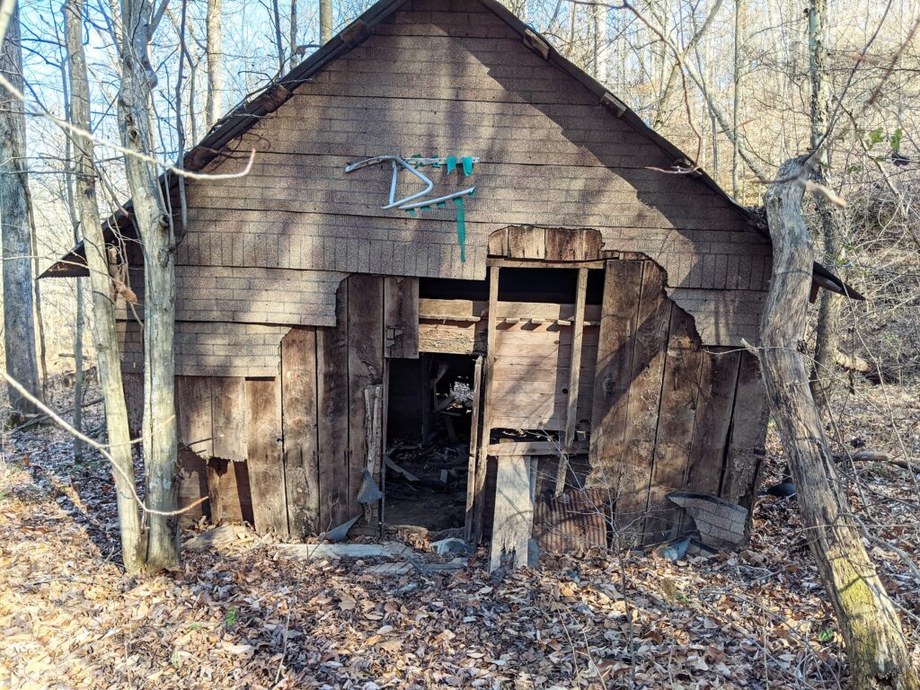
This is called Bolton Camp Hollow, and on one of the maps, One of the roads there is called Bolton Camp Road. I wouldn’t be surprised if this is one of the Cabins from Bolton Camp.
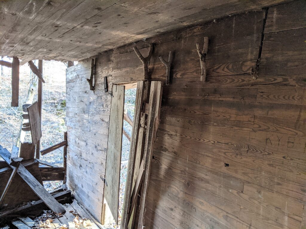
Not the squarest cabin I ever saw, but it’s the best one I’ve seen on this side of the ridge.
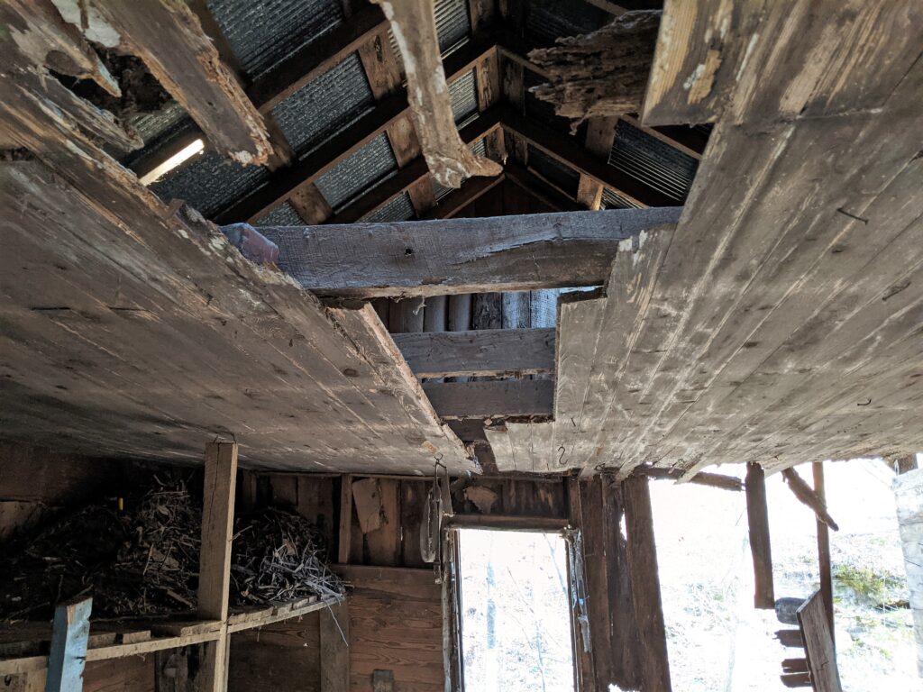
Someone nabbed the floor wood. The wood work was very nice at one time. It would have been a blast to stay here.
The East wall is starting to show signs of water damage. Looks like a slight beaver infestation in the bunks as well.
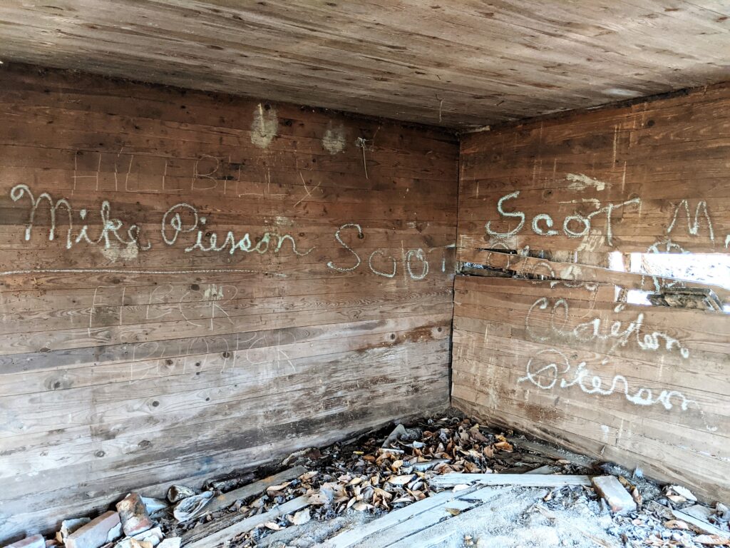
I’ve never met a Scot spelled with one T.Gotta love those hangers.
This is Placemark #12. #13 is the driveway to the road out (Hagler eventually) I just wanted to see which direction I was going on the Avenza Map.
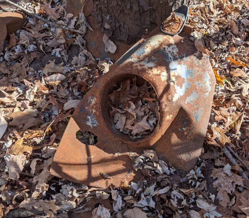
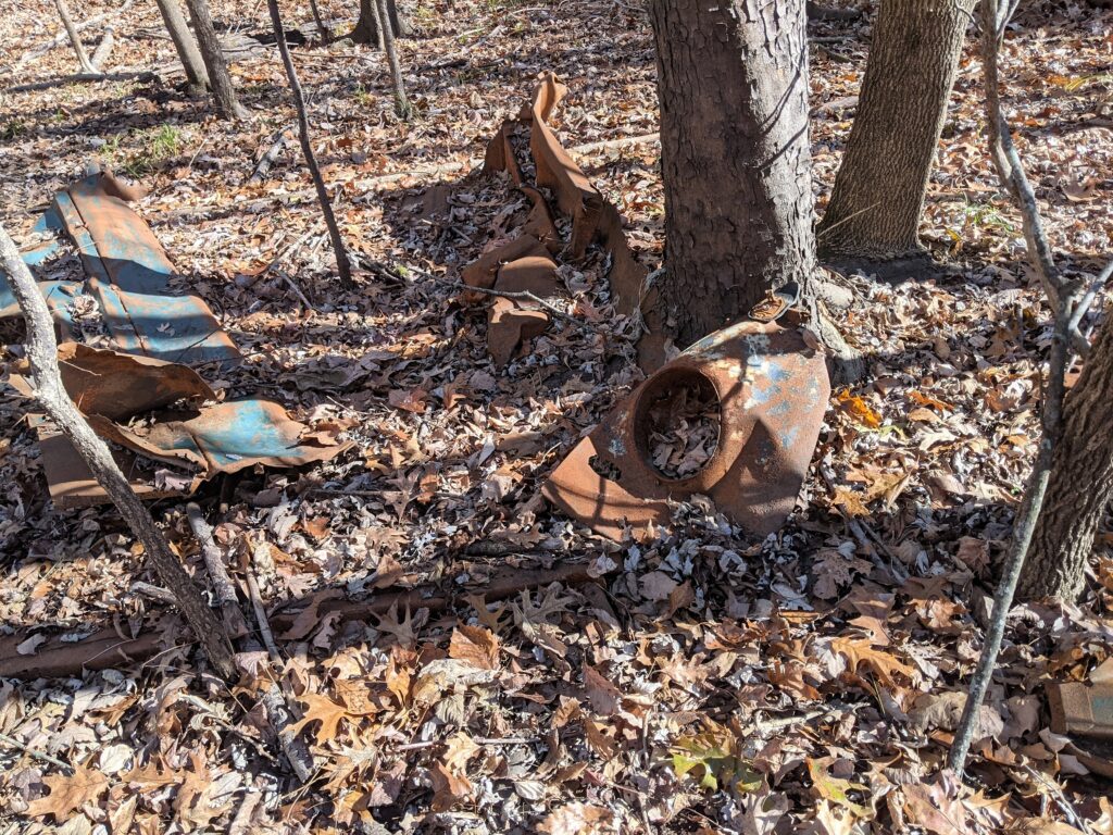
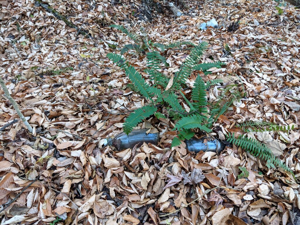
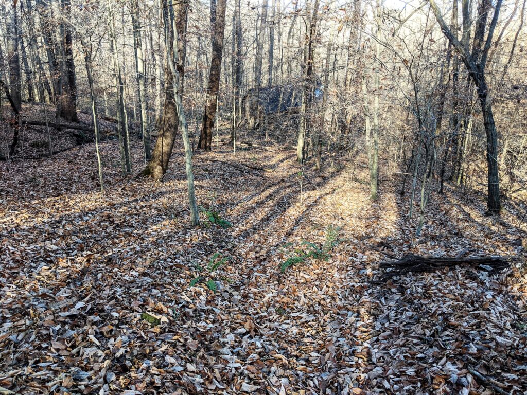
Some people like to research old trash piles. There is one next to the driveway with unbroken bottles so it probably hasn’t been disturbed.You could tell the way the driveway went though it might have been a regular road. It made a hard turn West at the Creek.
I was coming up Hagler road from the left and met this road going to the right. I didn’t follow it, but you can see it on the Google Earth Sat Pic. I’m thinking the really old R2R dotted trail at Harrisburg, passed the parking area and went that way on the trail south of Cedar Creek and over to the East. This was the last placemark #15. I then followed Hagler back to the parking area.