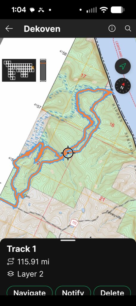
This is a bushwhacking hike. No official trails. On the way in and out there is a faint user made trail. I recommend that you use Avenza Maps on your phone, or a similar app using GPS positioning, cell service is very spotty. I did have a signal at the river.
There is a forest road used to enter the hike. There is room for a very few cars on the shoulder on the West side of the forest road. Apparently I have never written down or photographed the sign. It was something like 142A One of those vertical brown with white lettering signs that are made to be hard to see.
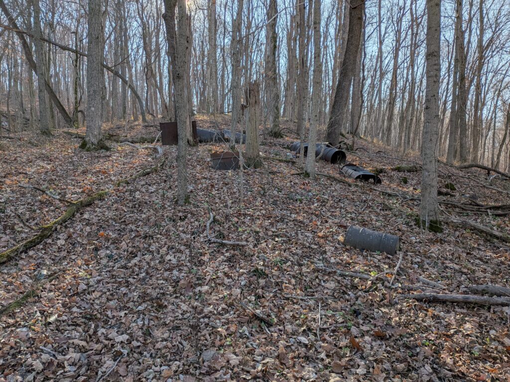
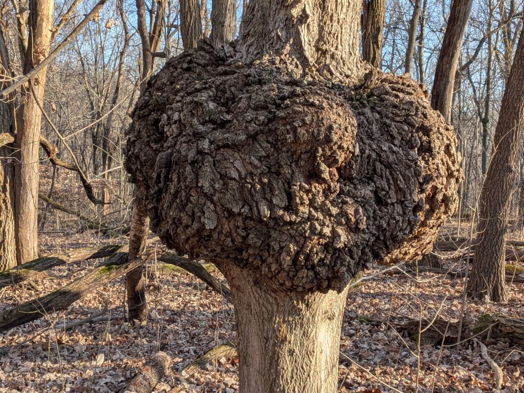
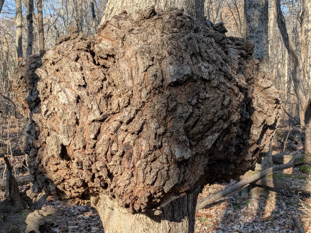
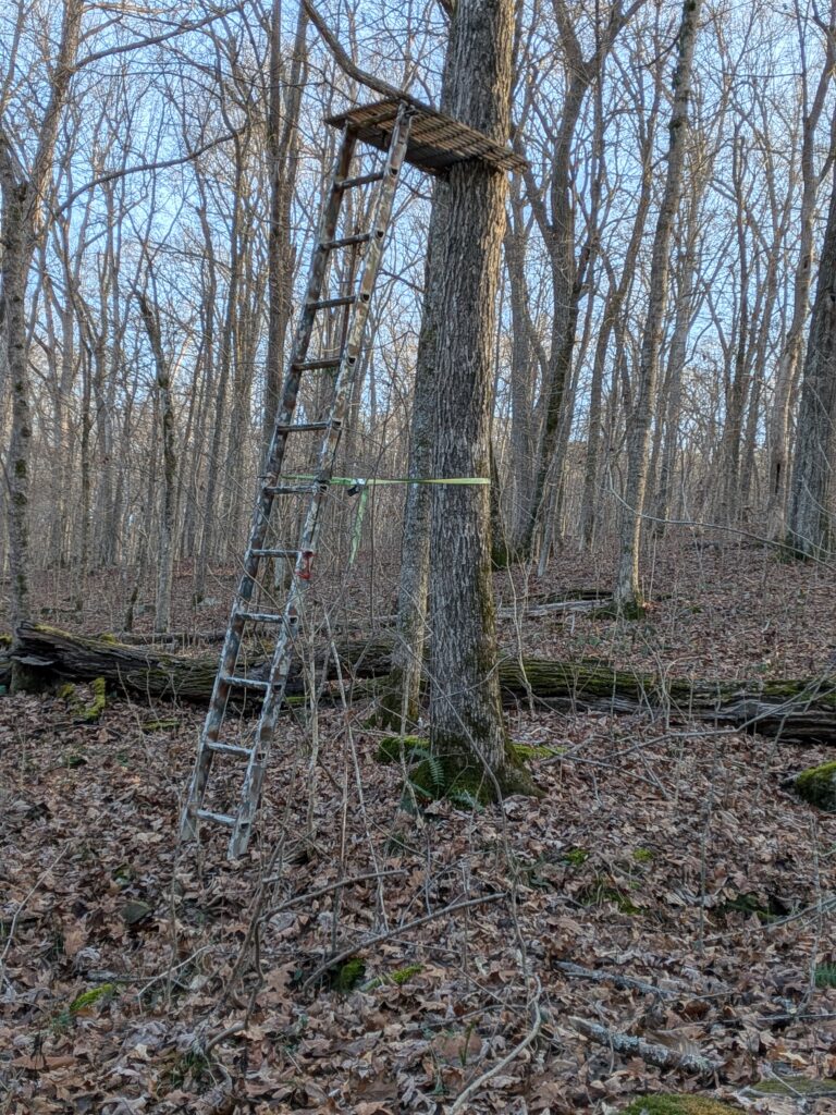
As you walk in there are places that deer hunters park to the right. I found 3 Deer Hunter stands scattered around.
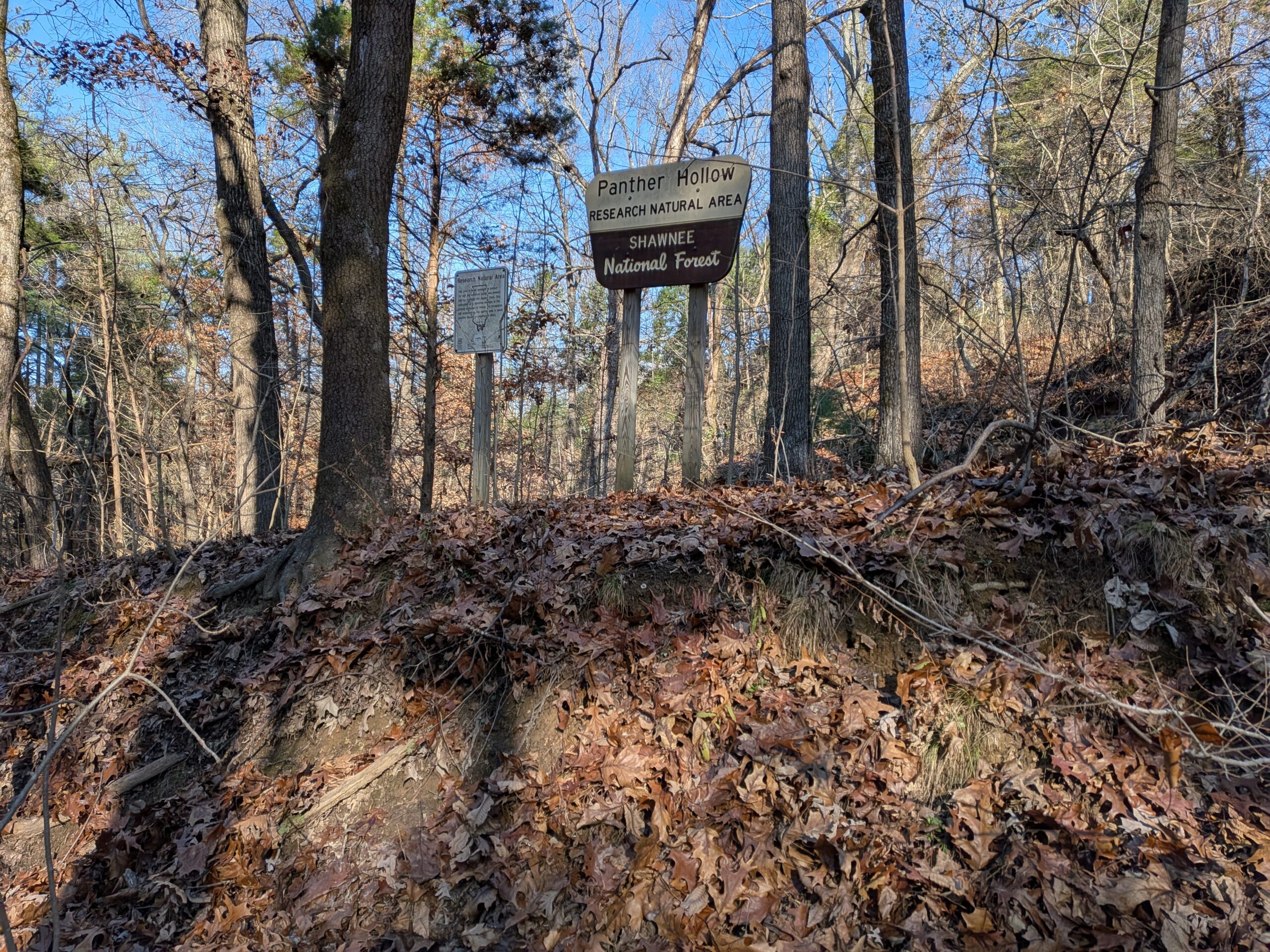
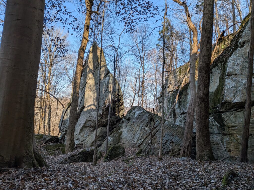
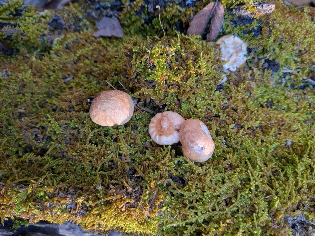
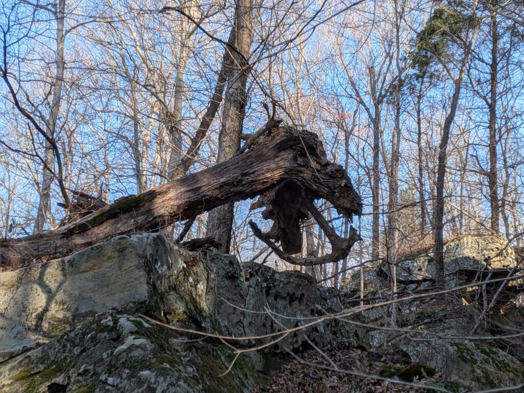
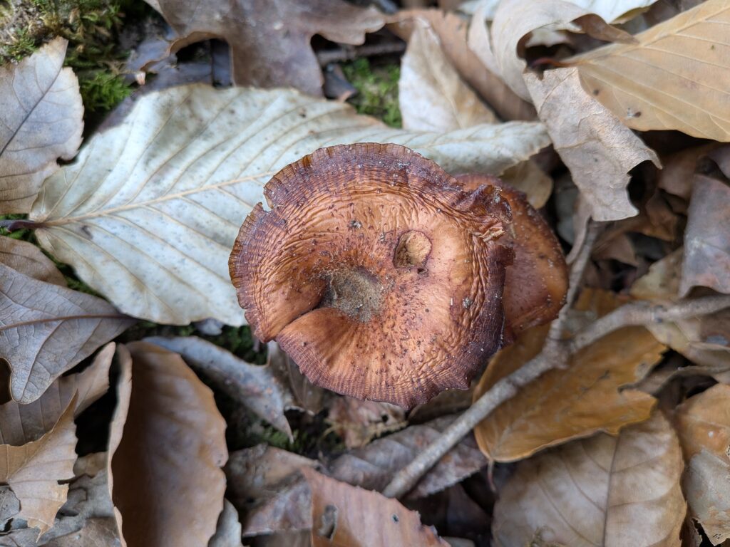
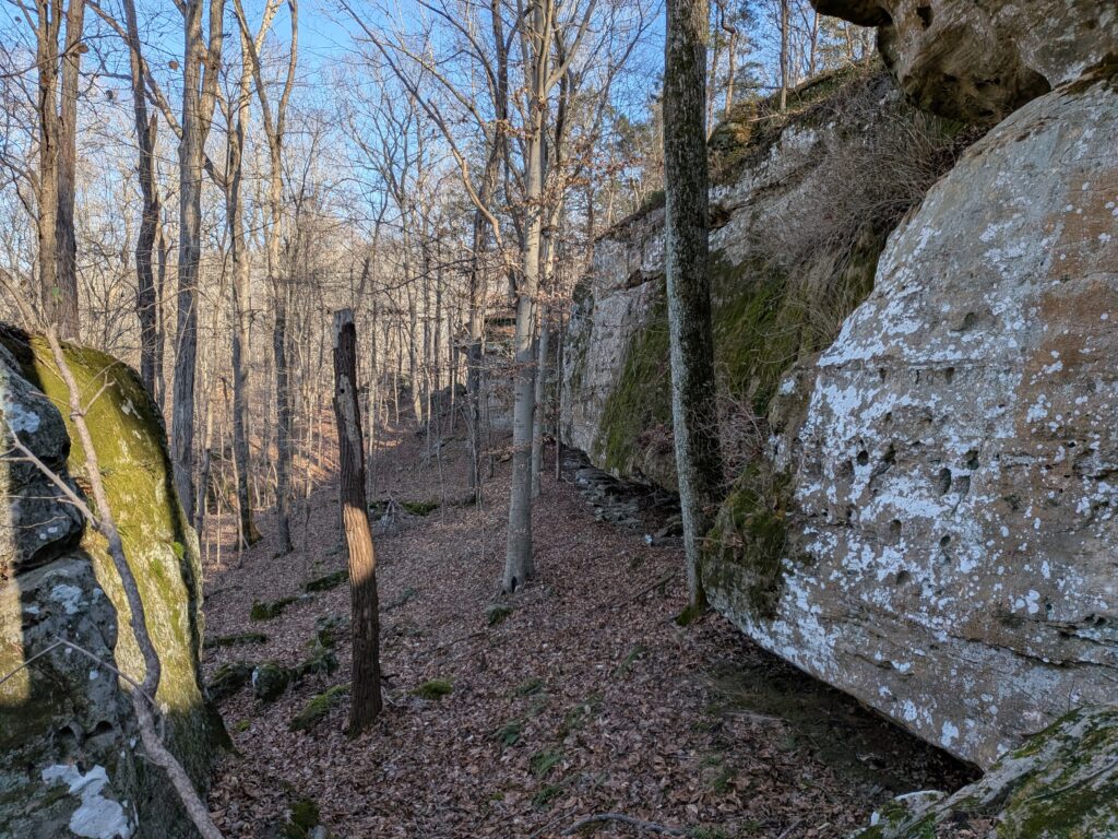
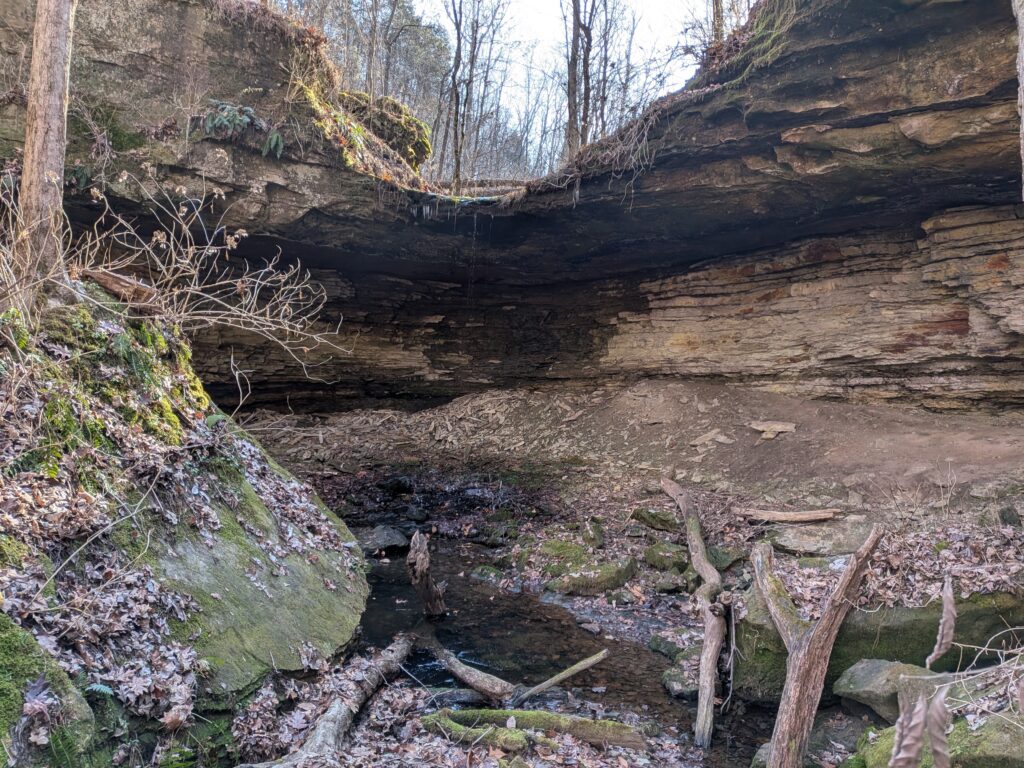
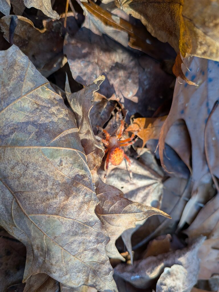
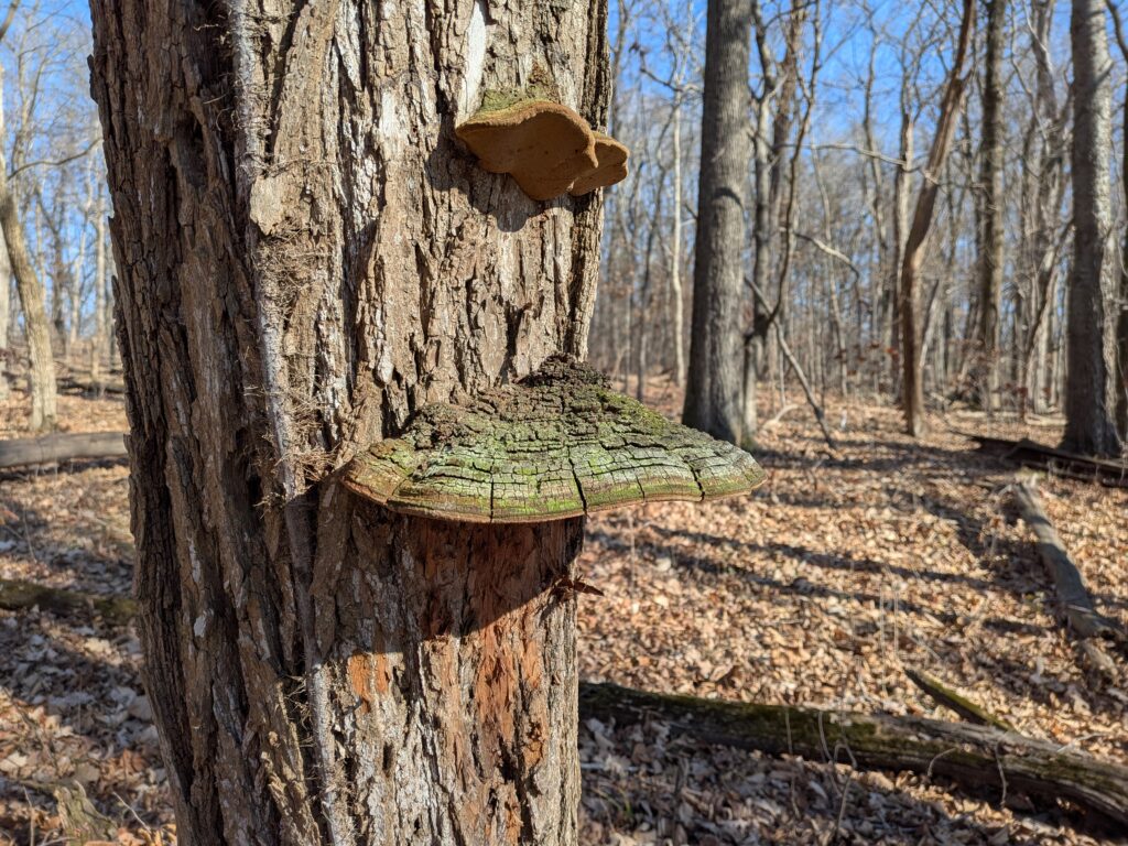
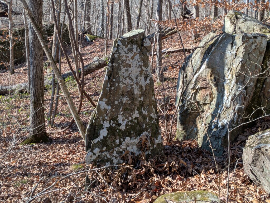
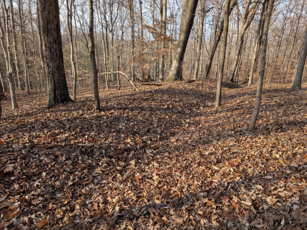
Entering wilderness area 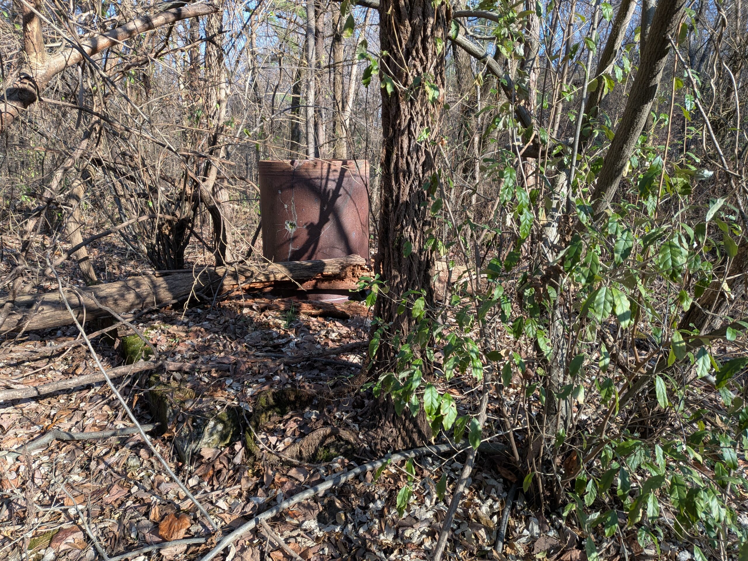
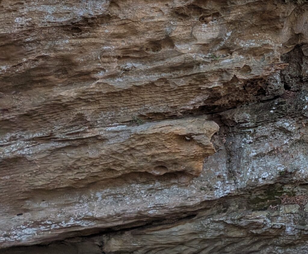
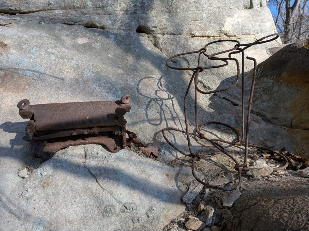
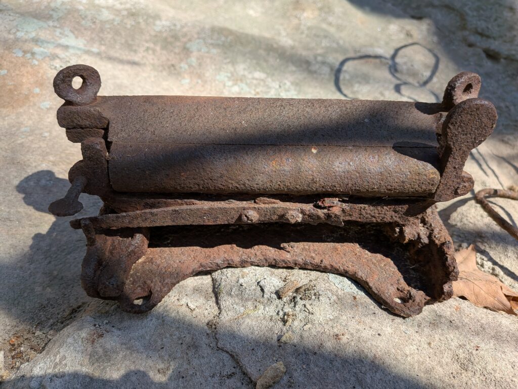
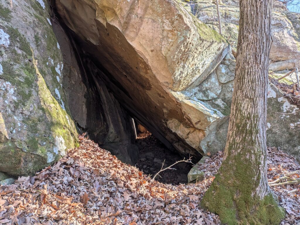
Cistern
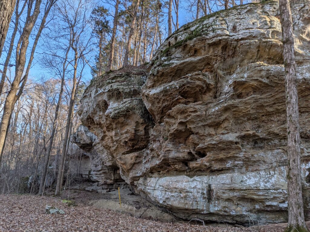
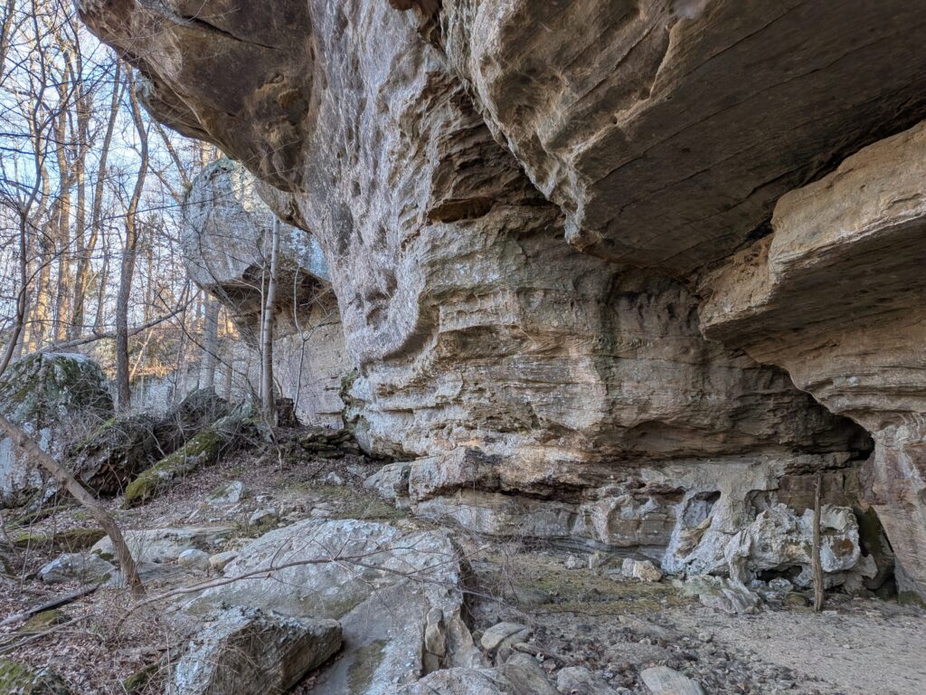
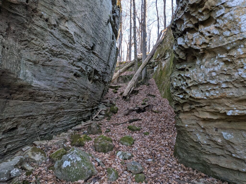
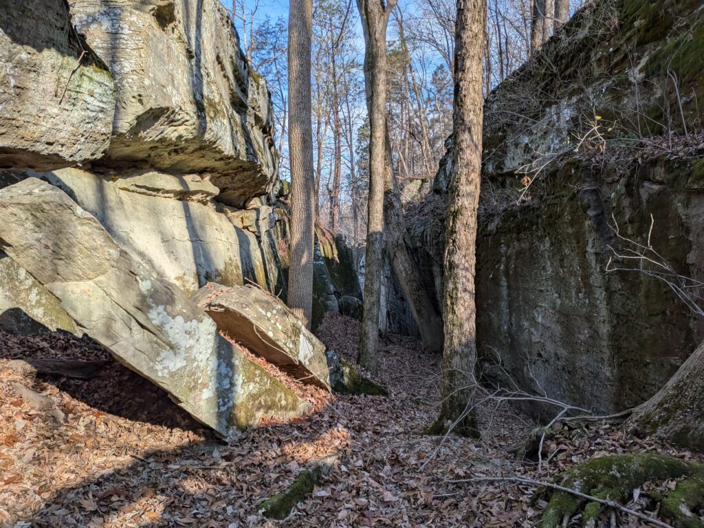
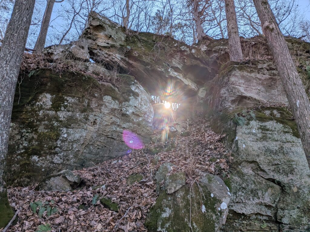
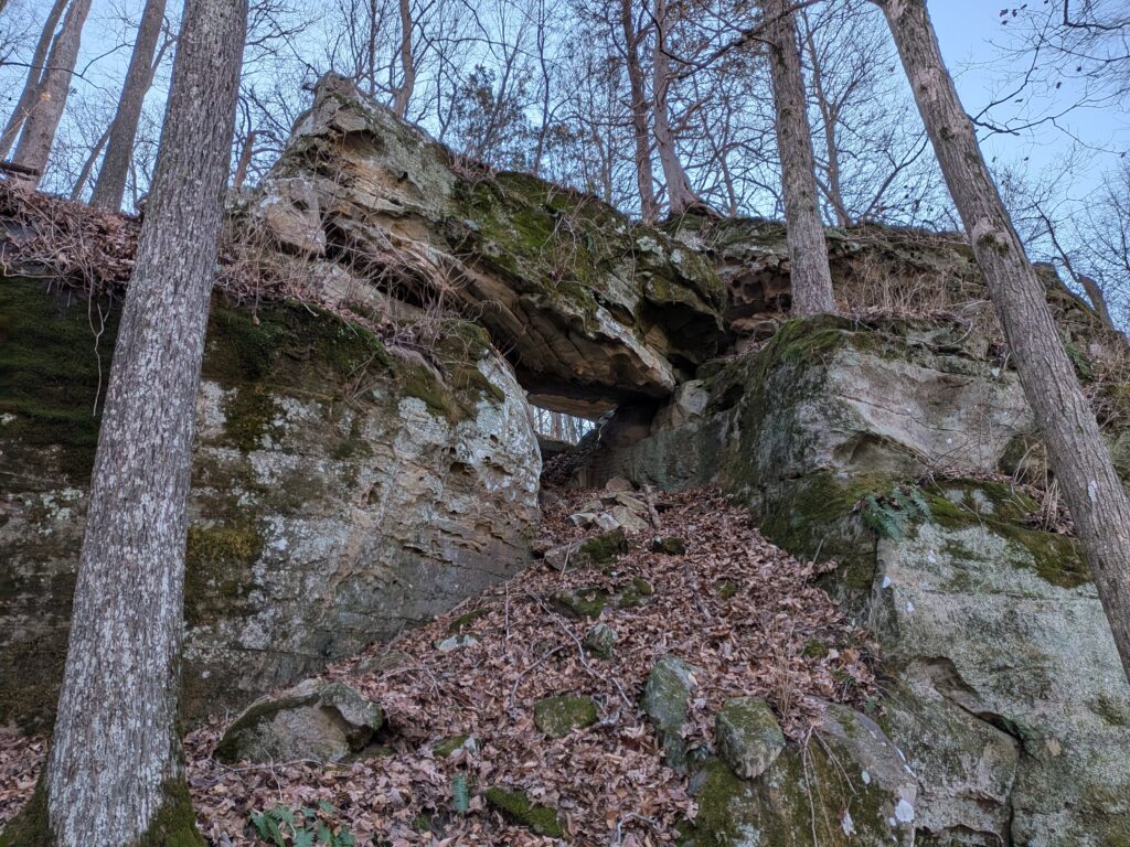
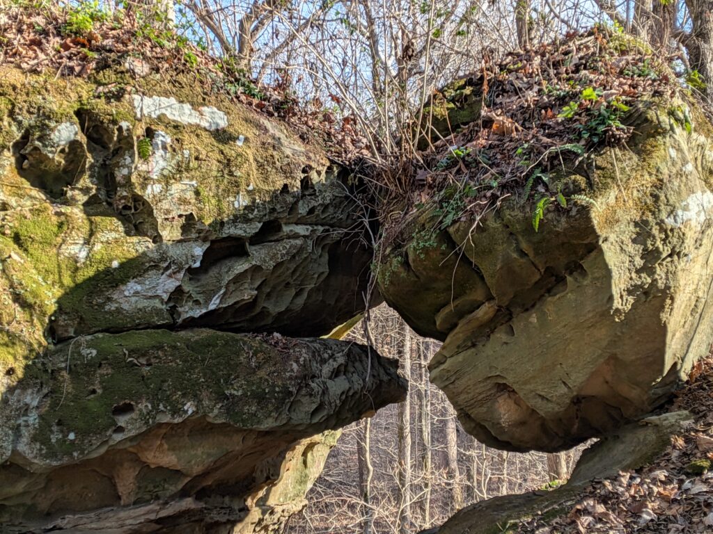
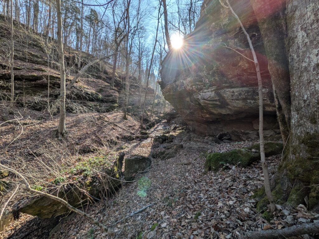
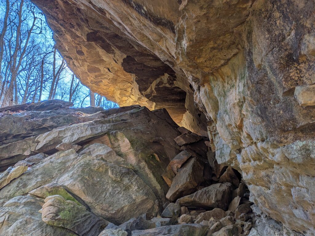
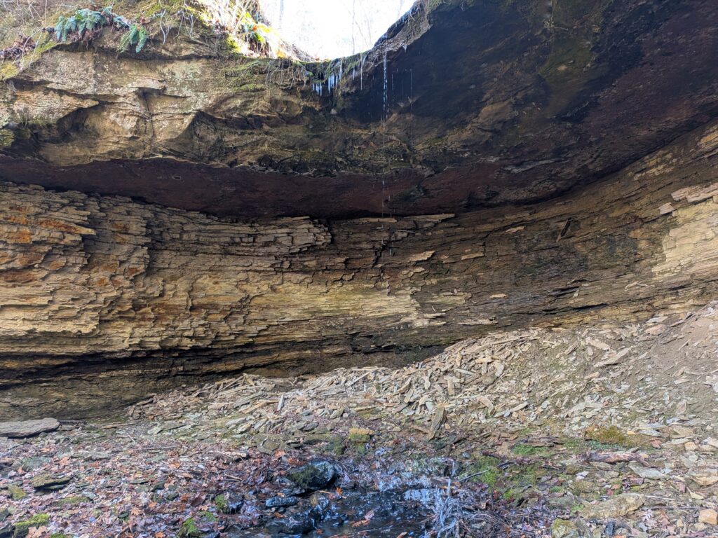
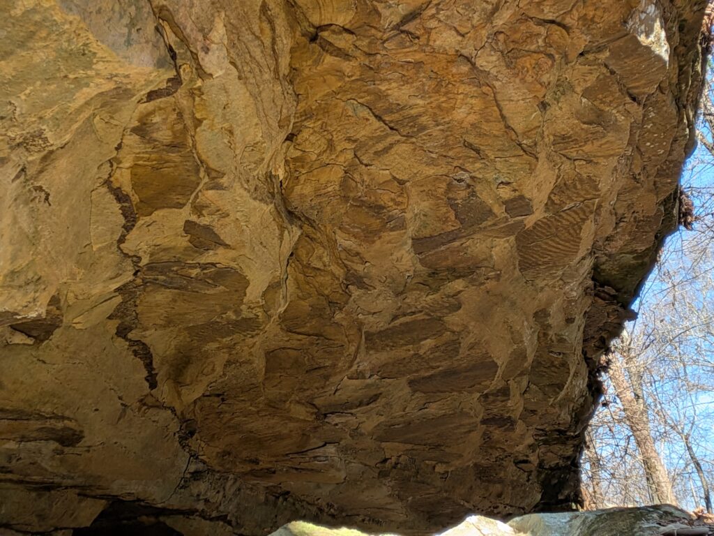
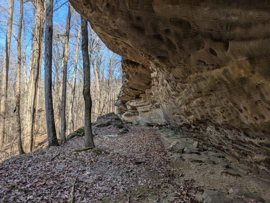
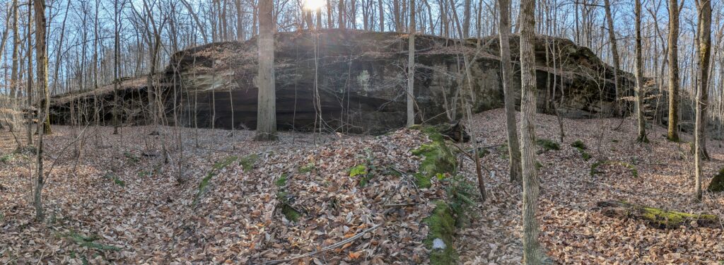
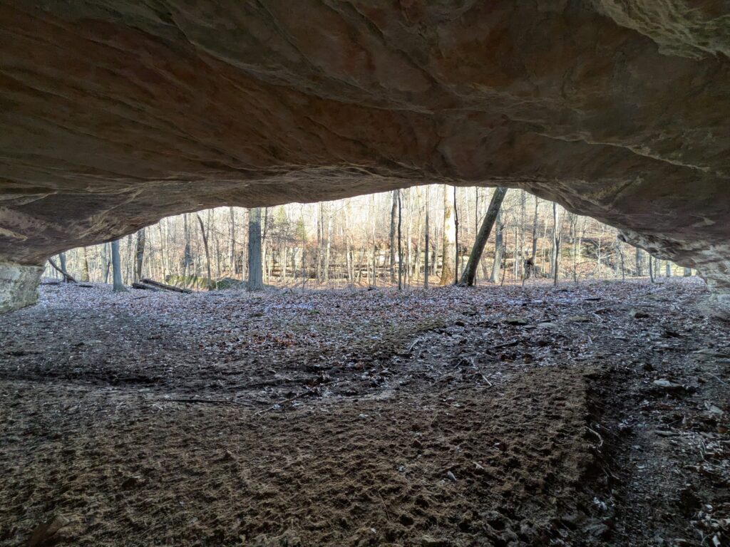
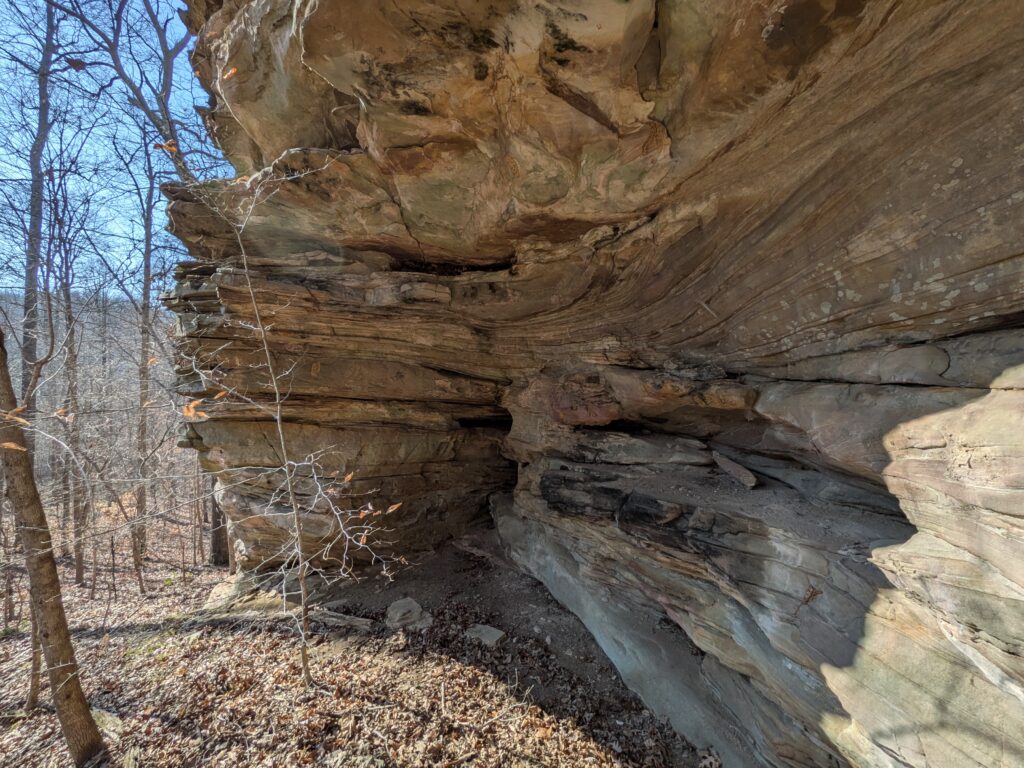
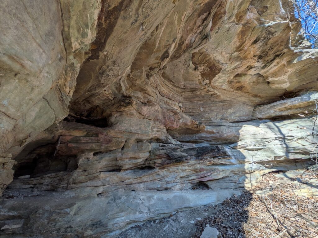
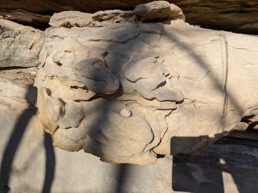
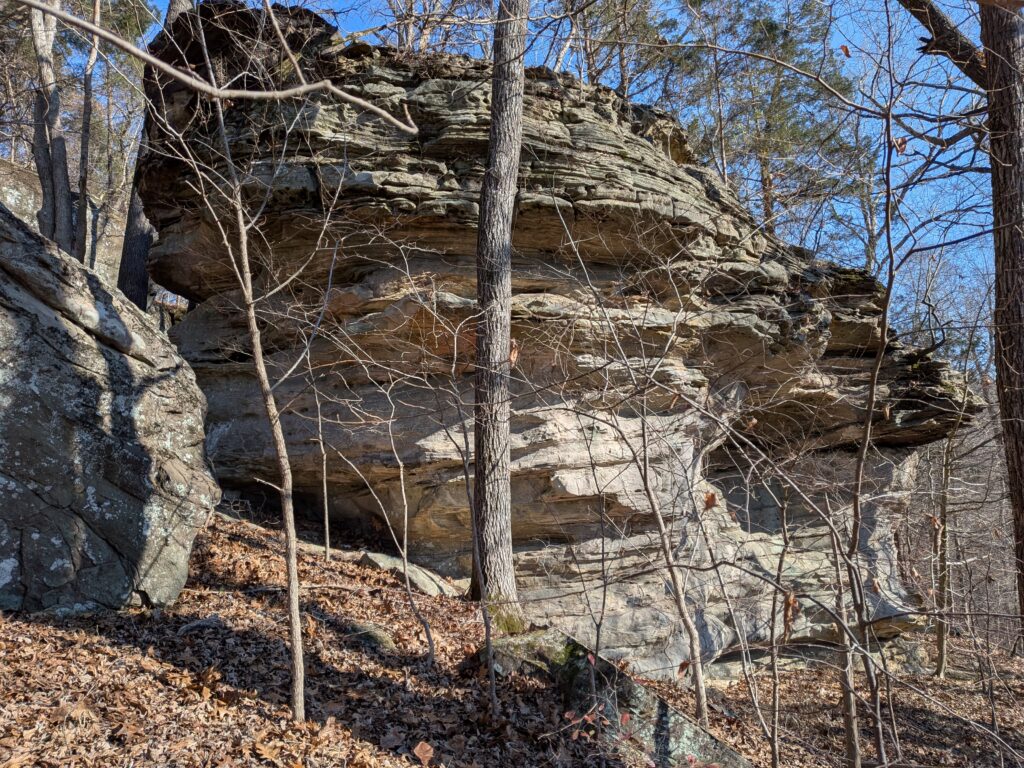
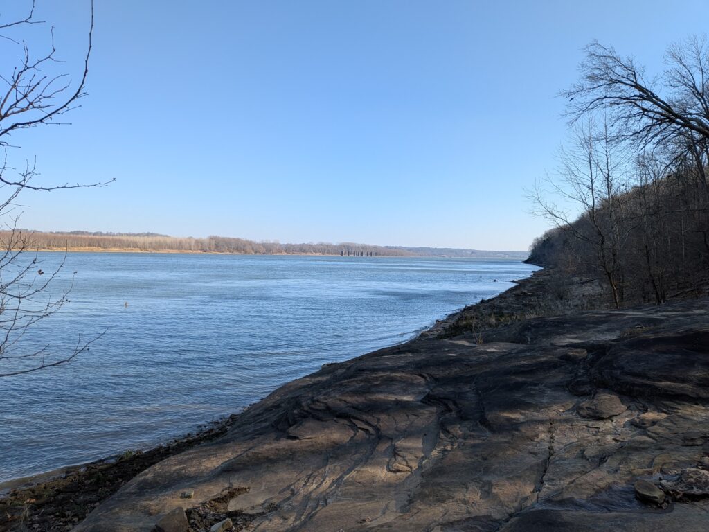
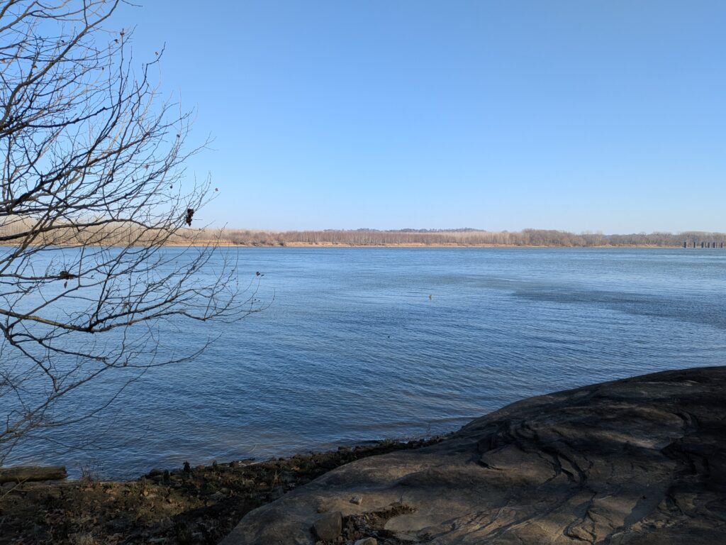
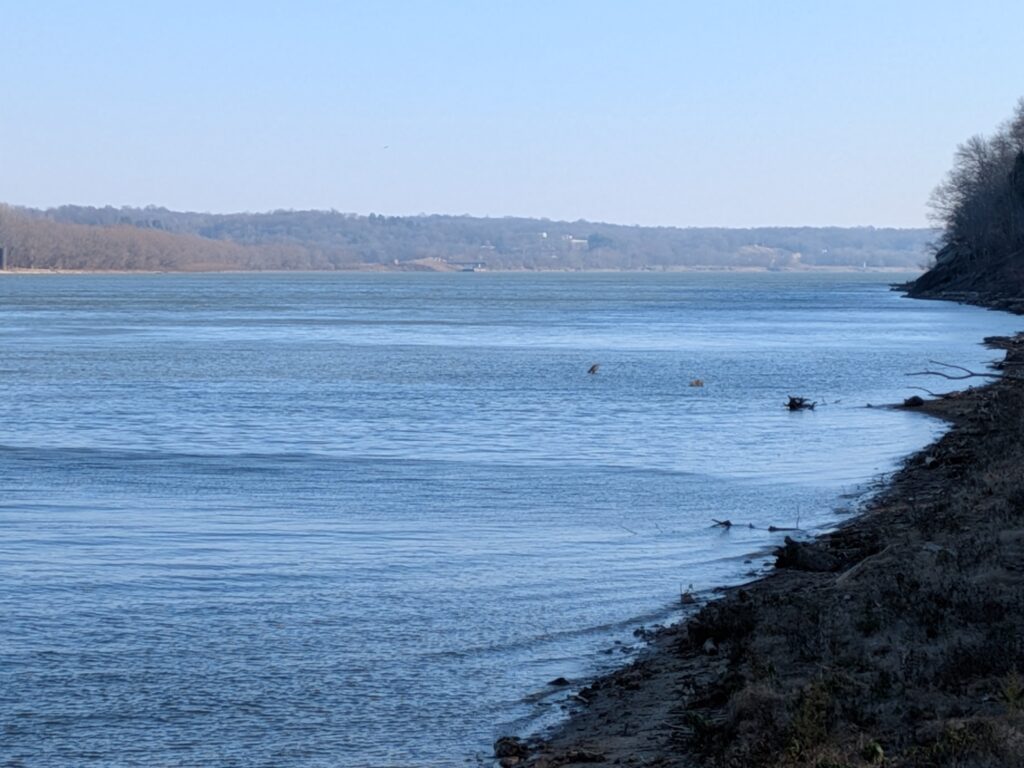
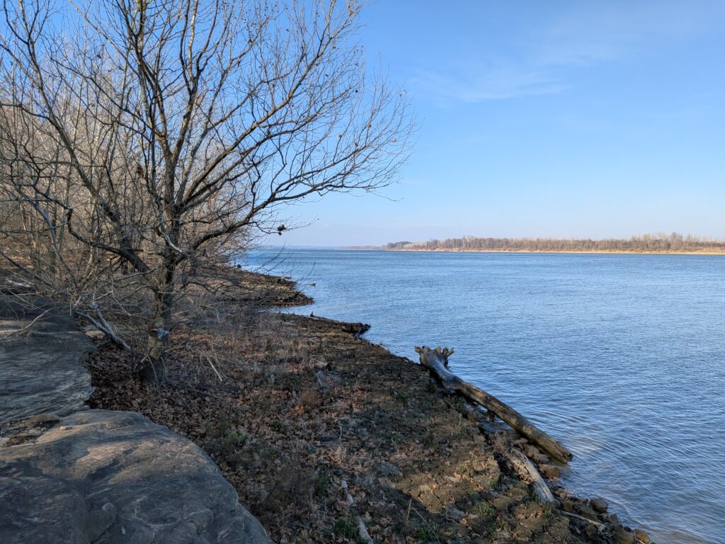
Getting to some bluffs
That’s it!