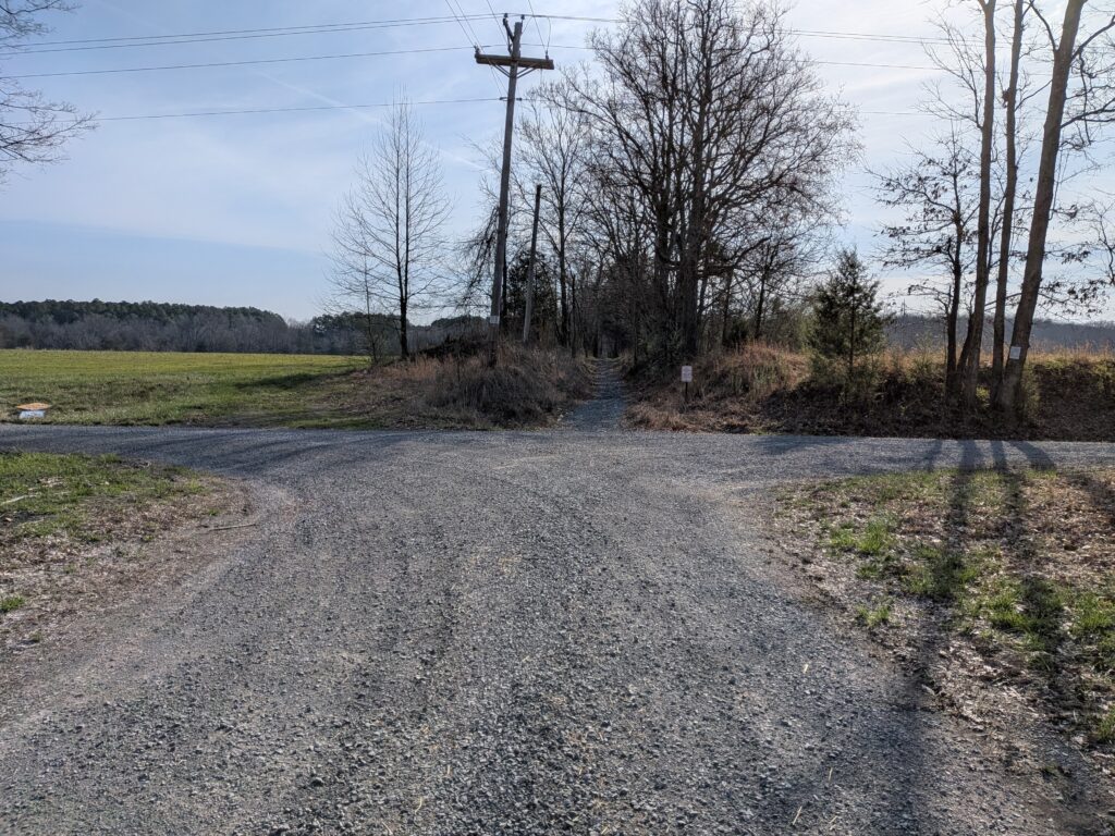
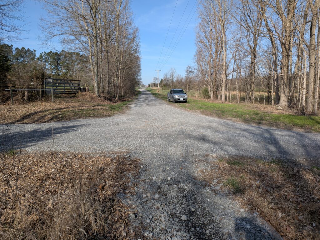
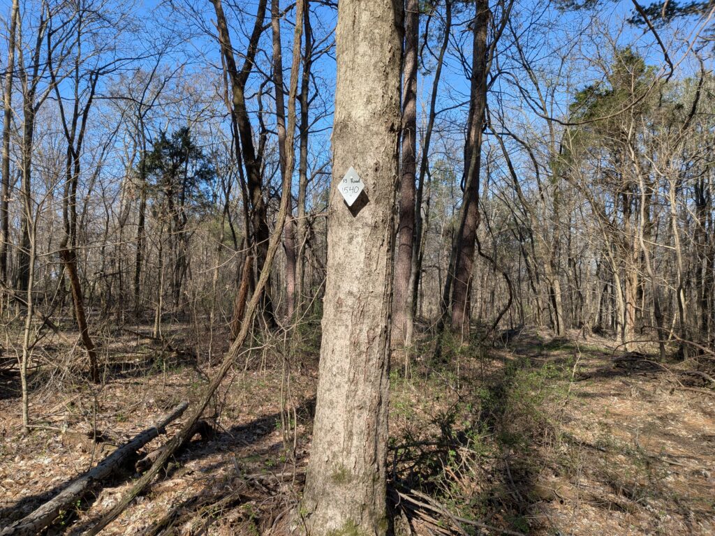
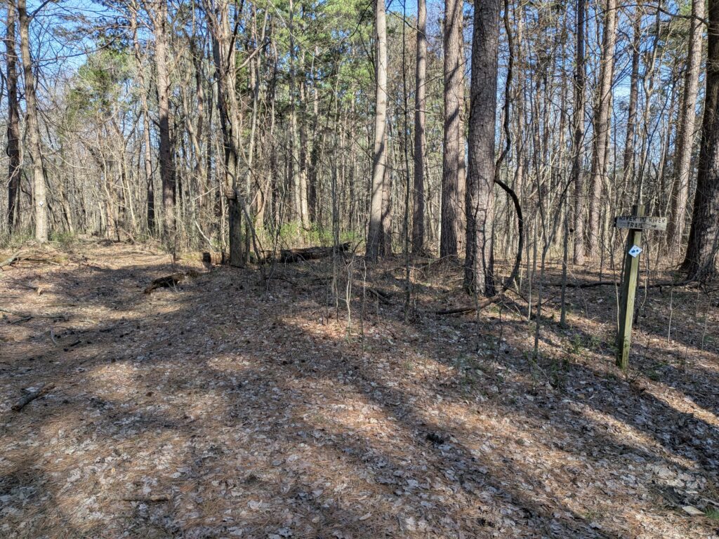
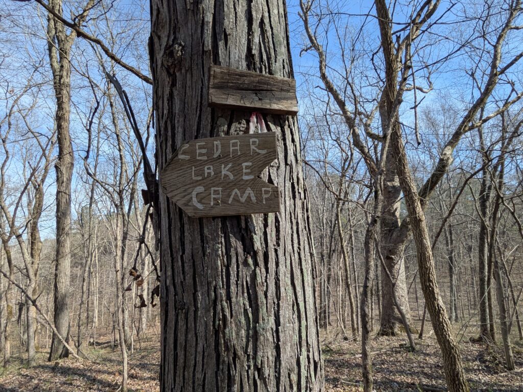
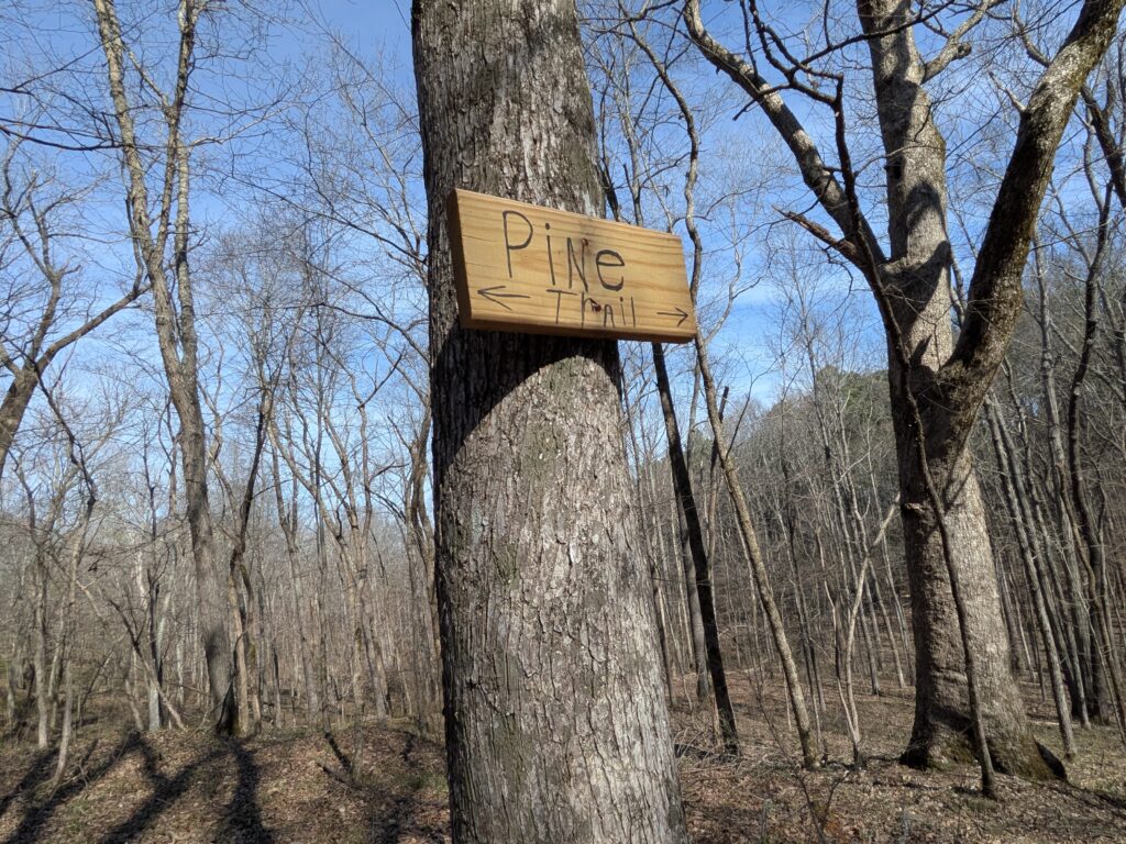
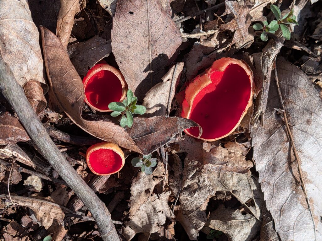
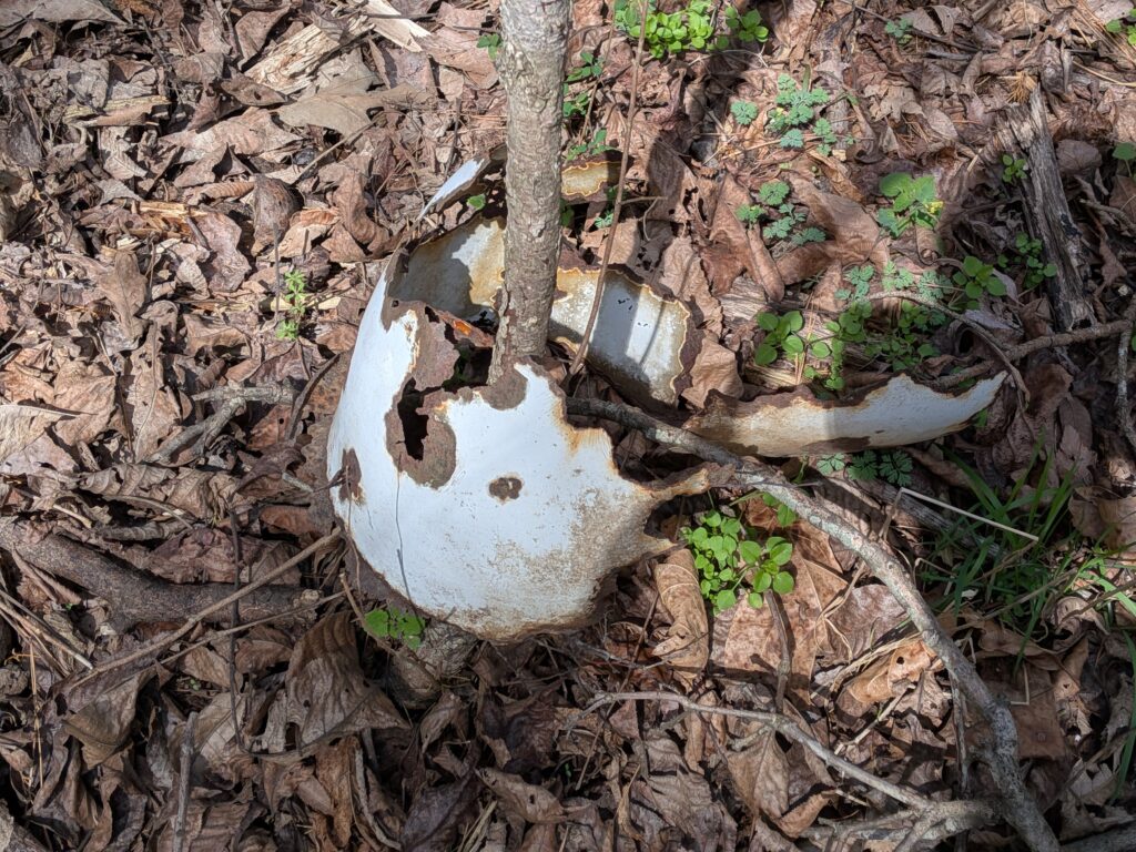
I headed back there a few days ago for Easter Basket Arch around Easter, plus Tall Falls and JD falls. I took an unusual route because awhile back a hiker said he missed the turn south continuing the R2R trail and took the old roadbed This trip takes in by mistake. It is plainly marked FS Road 1540 on a tree just beyond a wooden sign for Cedar Wonders and the River to River blaze. Maybe the signage was updated after that incident, but it’s fine now.

So the best place to enter in my opinion is at the bottom left of this Avenza Maps route I made. Its at the curve just East of Cedar Lake Campground. There is room for a couple of cars to park.

Thanks to whoever cleared this way in a few years ago. It was marked on the maps as a road but it was totally overgrown. It’s decent to the Public land and well marked but pretty mushy sometimes after a rain where they had to stop working on it.
A little waterfall off trail on the way in.
Just the signage at the point on the Avenza Map with the red pindrop It’s actually fine at the intersection.
The River to River trail heads South then West from this intersection. I followed it south until I saw an unmarked horse trail and took it West not wanting to go quite all the way South. It meandered around and hooked up to another one heading back up the valley until I got to Easter Basket Arch. Where I turned off the River to River trail was one of the biggest patches of Vinca Vines I’ve seen. There must have been a homestead around there.
Pine trail. Several user made horse trails around there but I have no map. Maybe you can get one at Cedar Lake Camp. They are hiker friendly and do offer showers for a small fee which is great when you are through hiking. Also some snacks available They aren’t on the trail but pretty close.
enjoying some of the first small wildflowers
Meet my buddy Burl.
Some of these big rocks are covered in Trout lilies. Just a few starting to sprout. It may look a lot yellower in a week or two.
Some nice bluffs to explore.
There it is!
My favorite view of Easter Basket Arch.

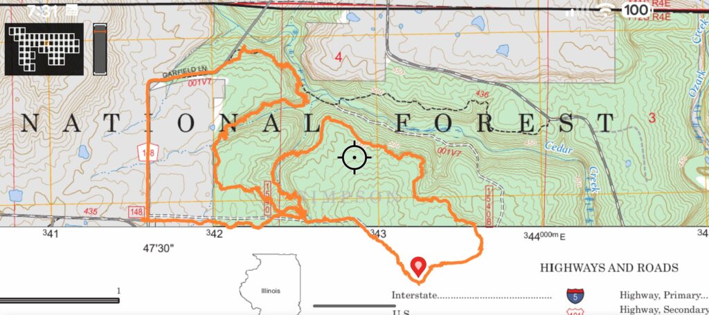
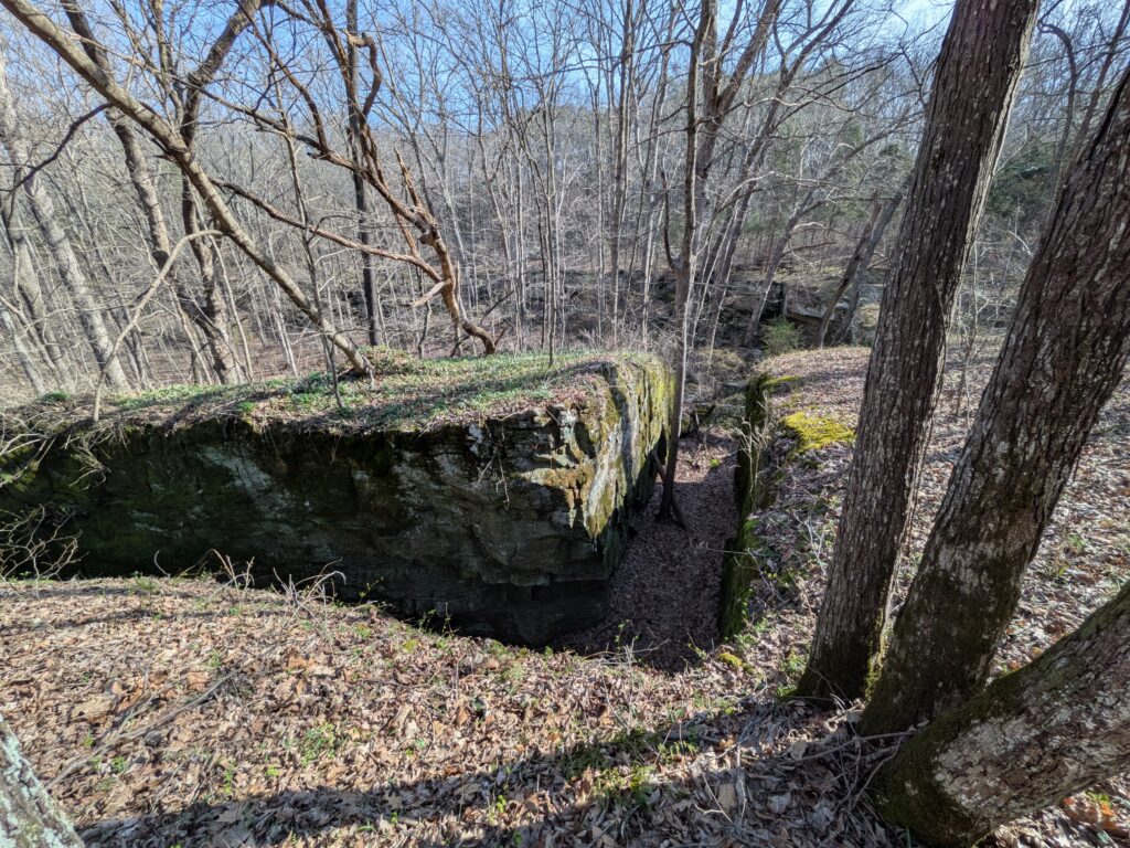
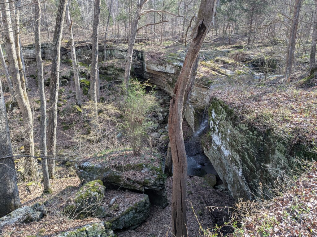
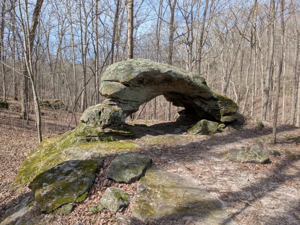
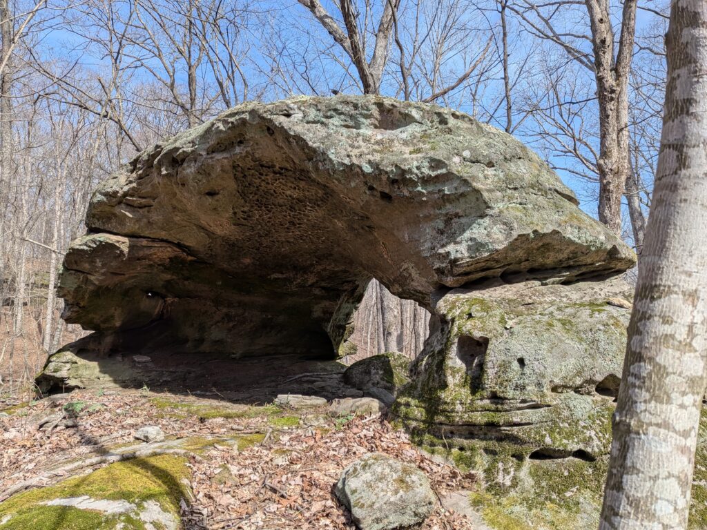
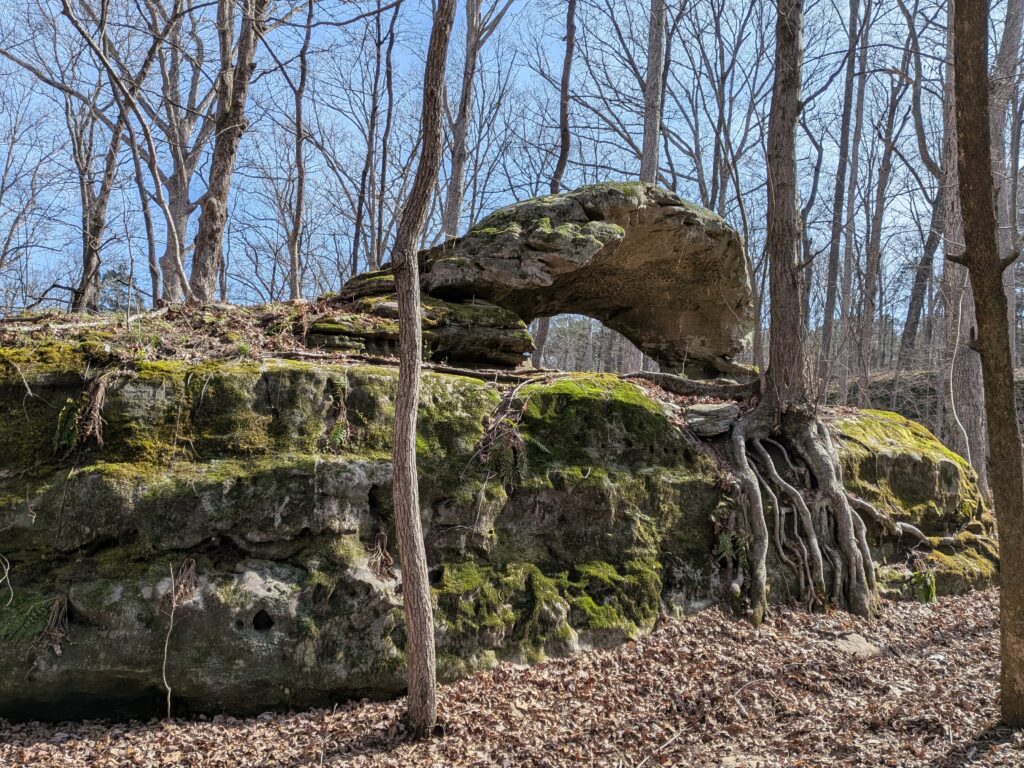
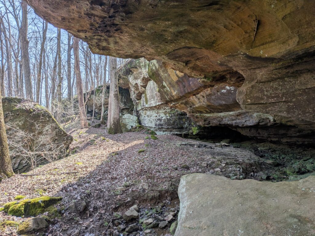
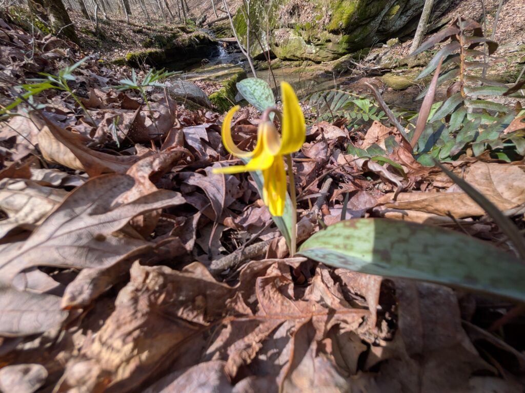
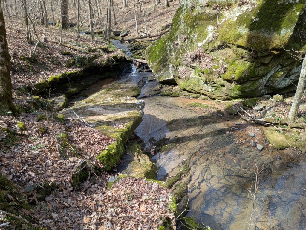
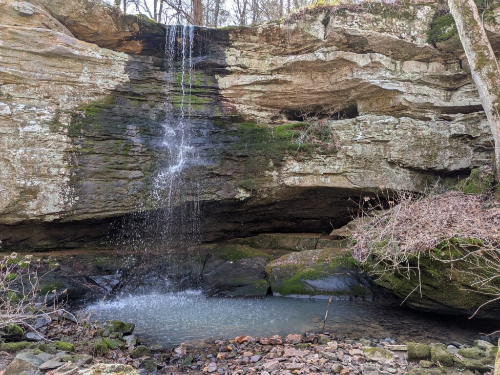
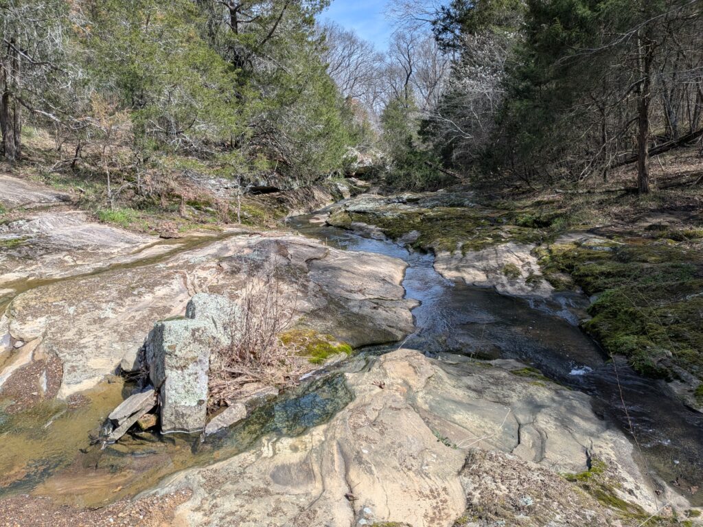
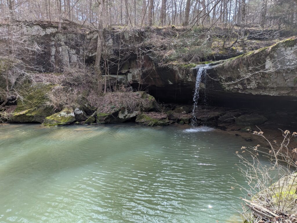
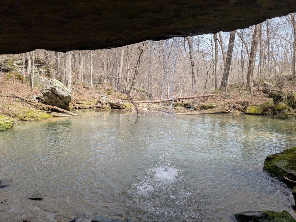
From here I just hiked over to the nearby creek and followed it upstream to Tall Falls. I think Easter Basket Arch is that little notch below the A and L of national on the Avenza map. That intersection that I crossed a couple of times is just on the rim of the valley above Tall Falls. Yes, I could have went down from the Forest road I came in on but I like to Hike.

Trout Lily
Its a nice creek to walk along.
Some interesting bluffs and shelter caves along the creek.
Tall Falls.
If you hike around to the West side and up the faint trail you will find your way to a great view of the falls from the side. You can also hike from the base up there.
My favorite view of Tall Falls. The old Forest road passes by on top.
Instead of going to the top and out I headed on the little trail along the base of the bluffs to the West curving south. You never know what you will find along the trail.
Nice shelter bluff.

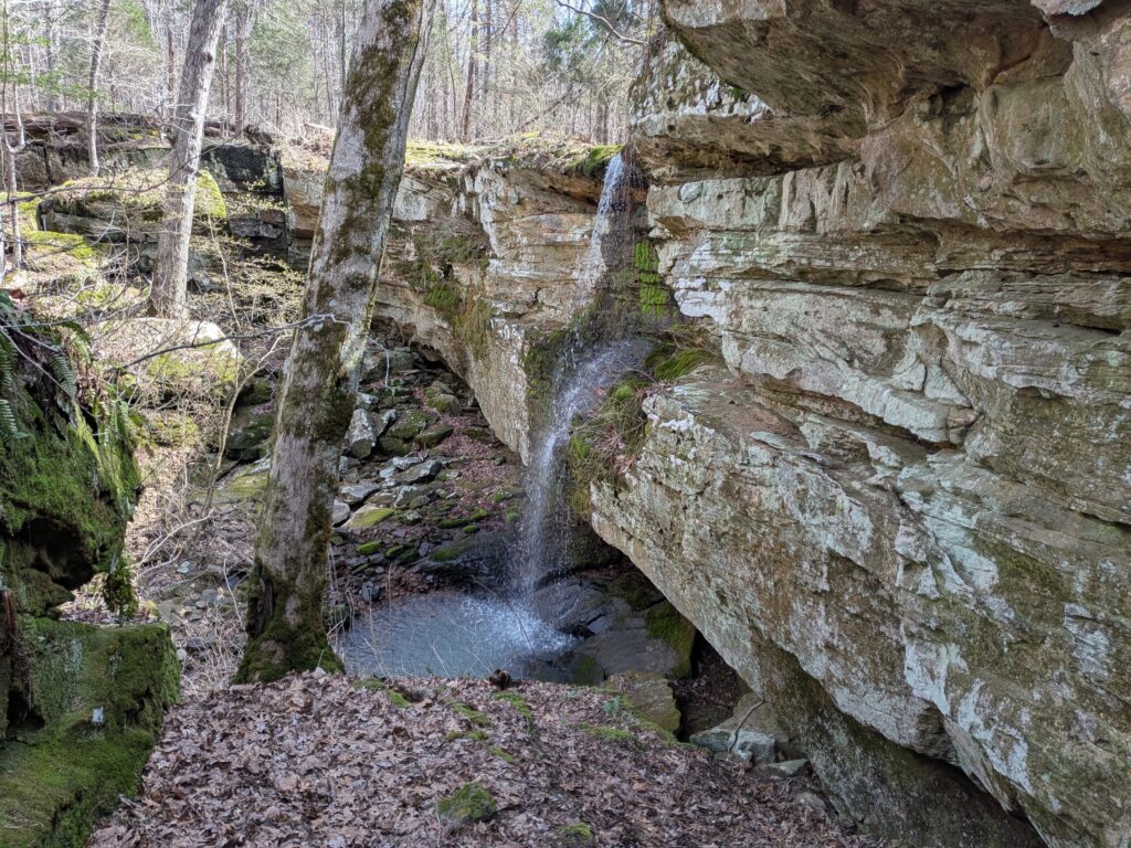
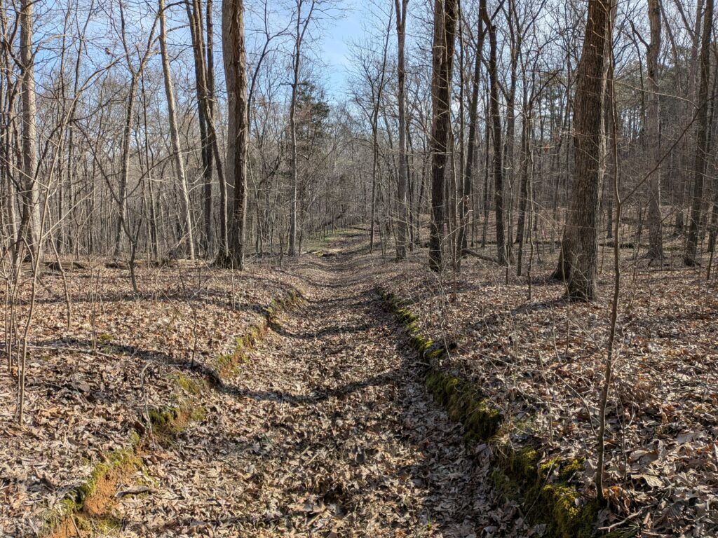
Near the way in, I took a new trail marked with pink ribbons to JD Falls. New to me, it cut straight through compared from another trail that meanders there from Tall Falls. A nice way to go.

An old enameled bucket.
the creek above JD Falls
JD Falls

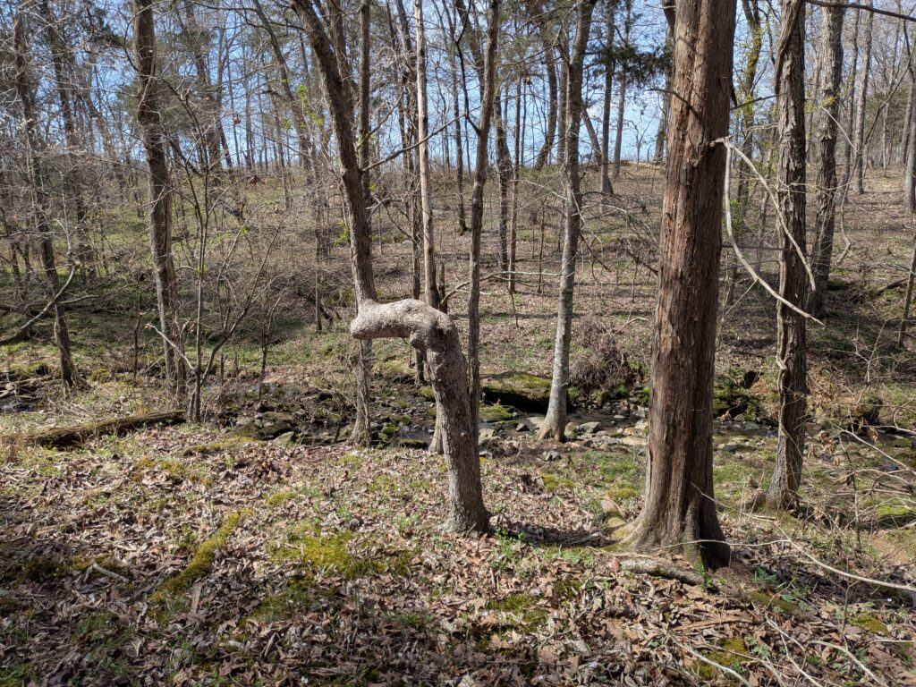
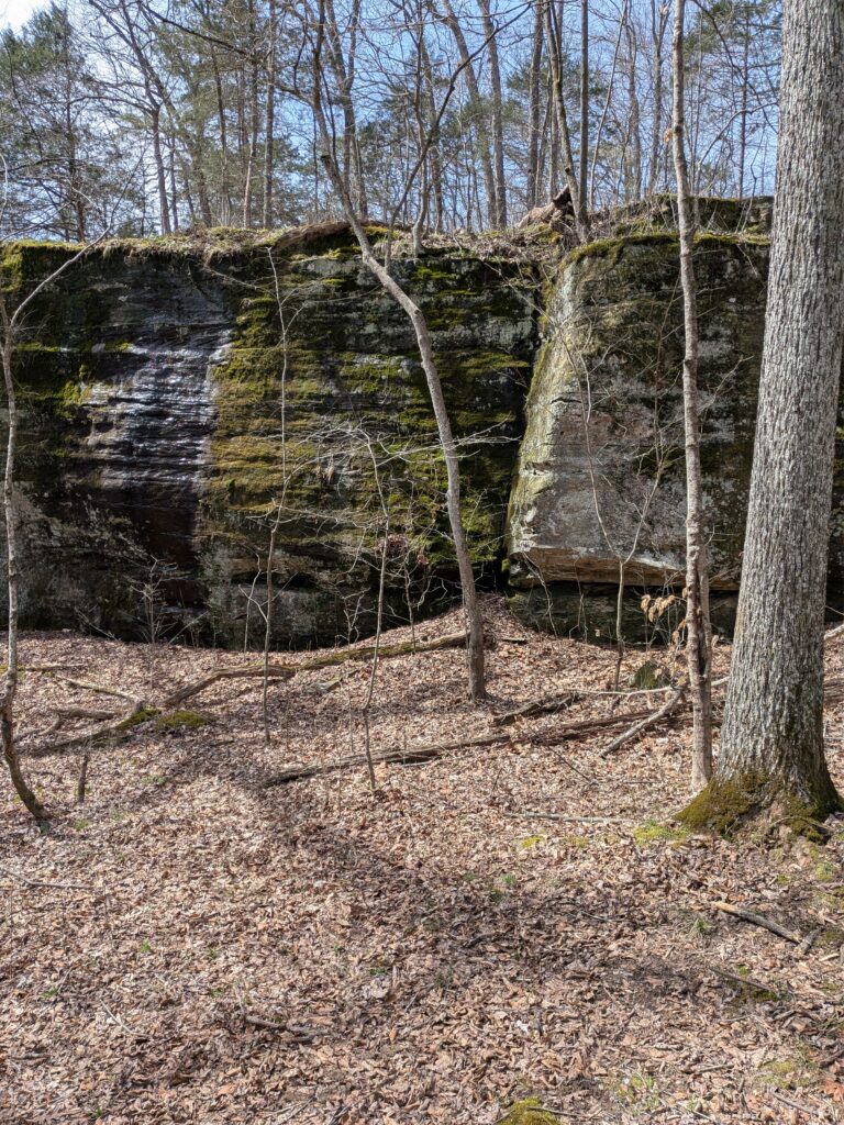
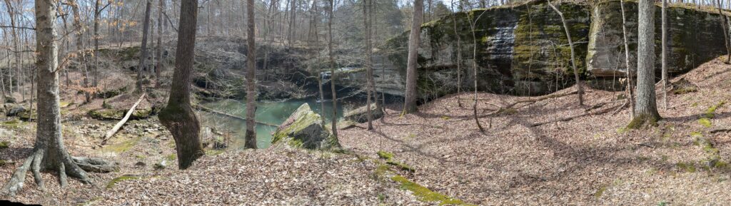
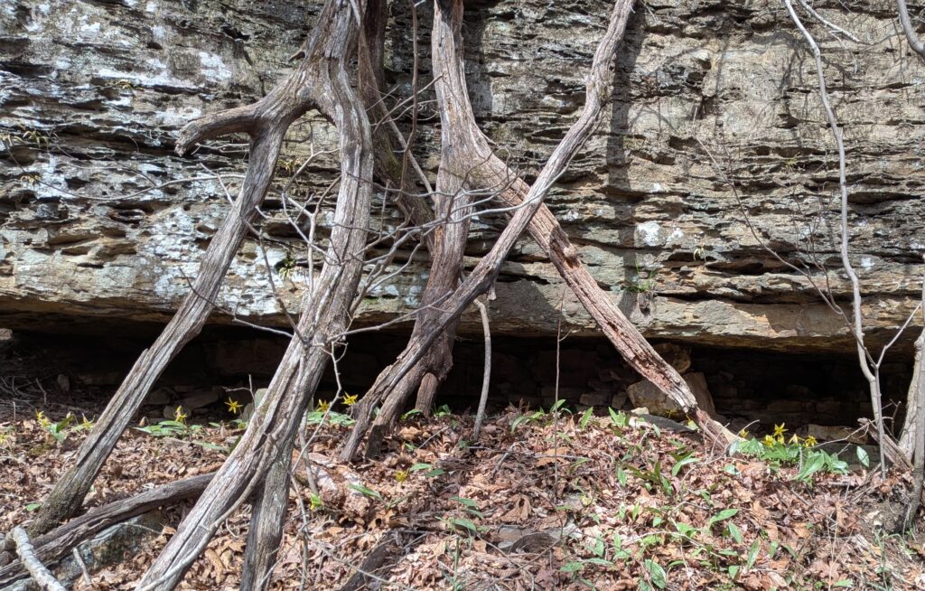
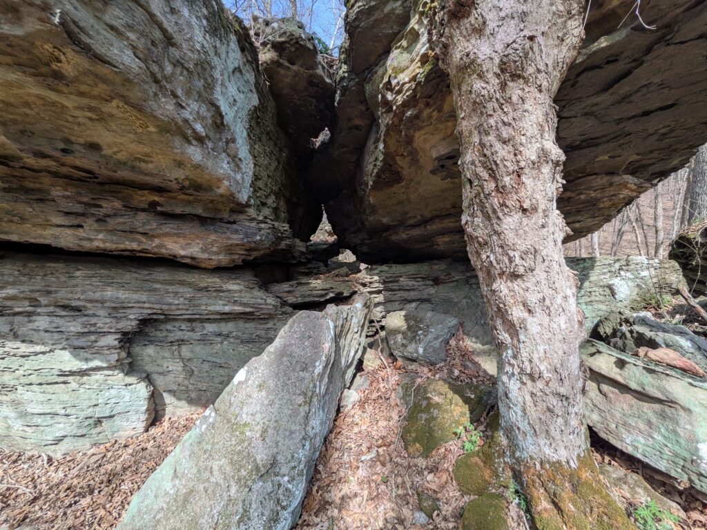
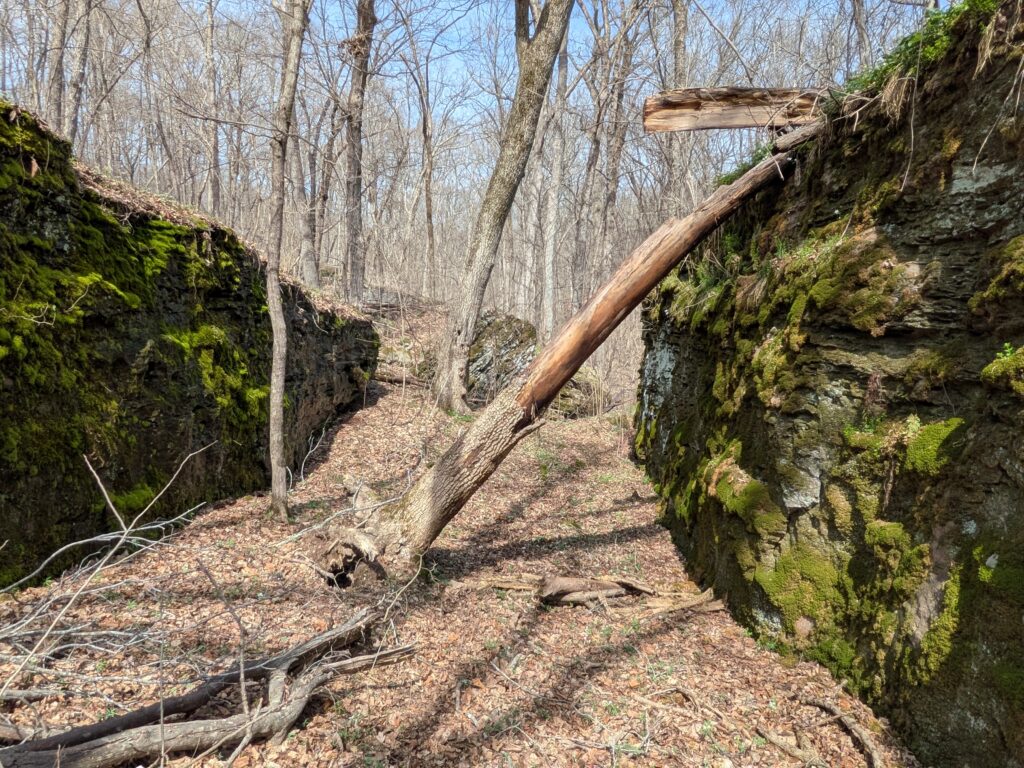
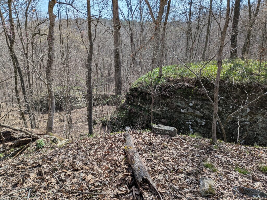
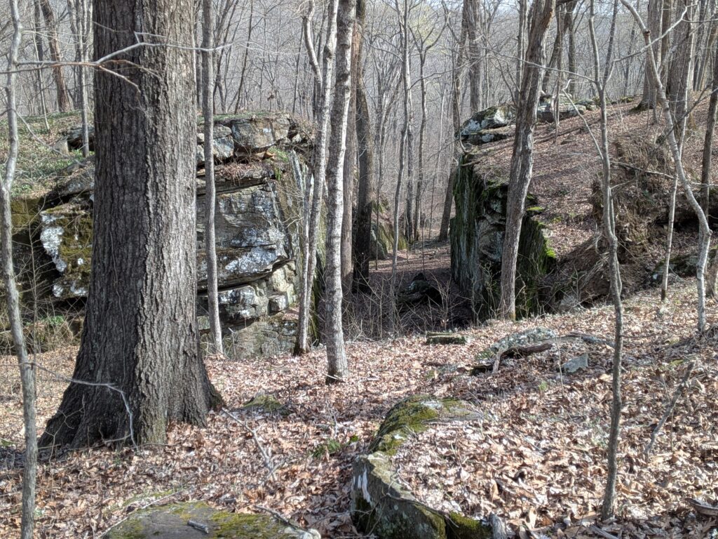
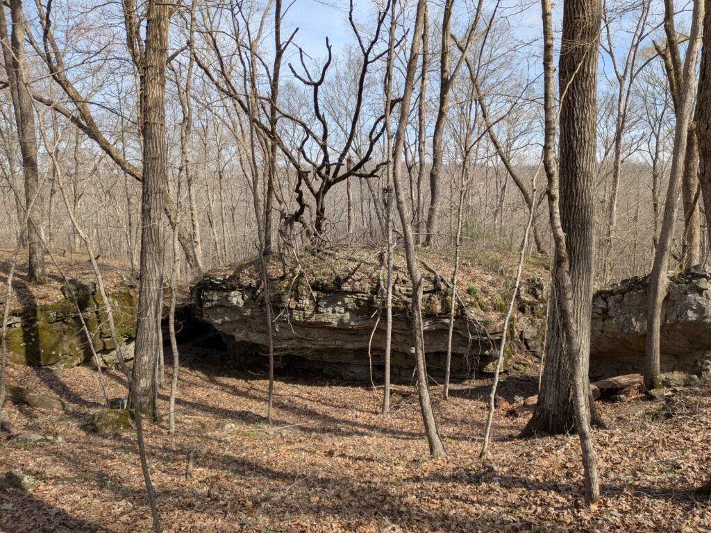
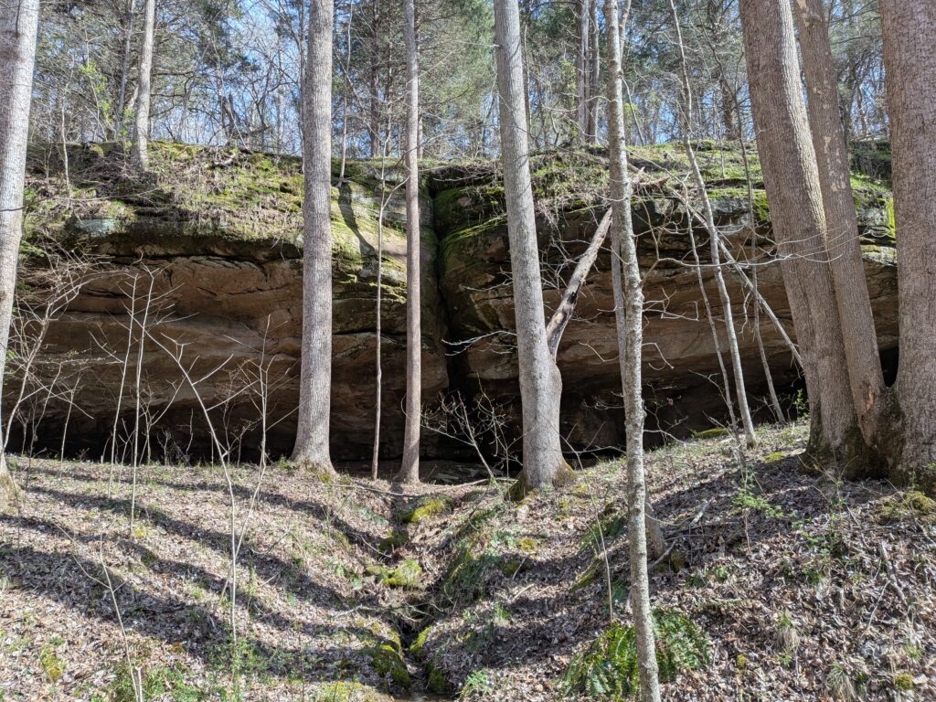
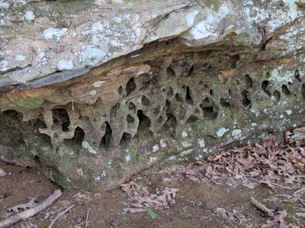
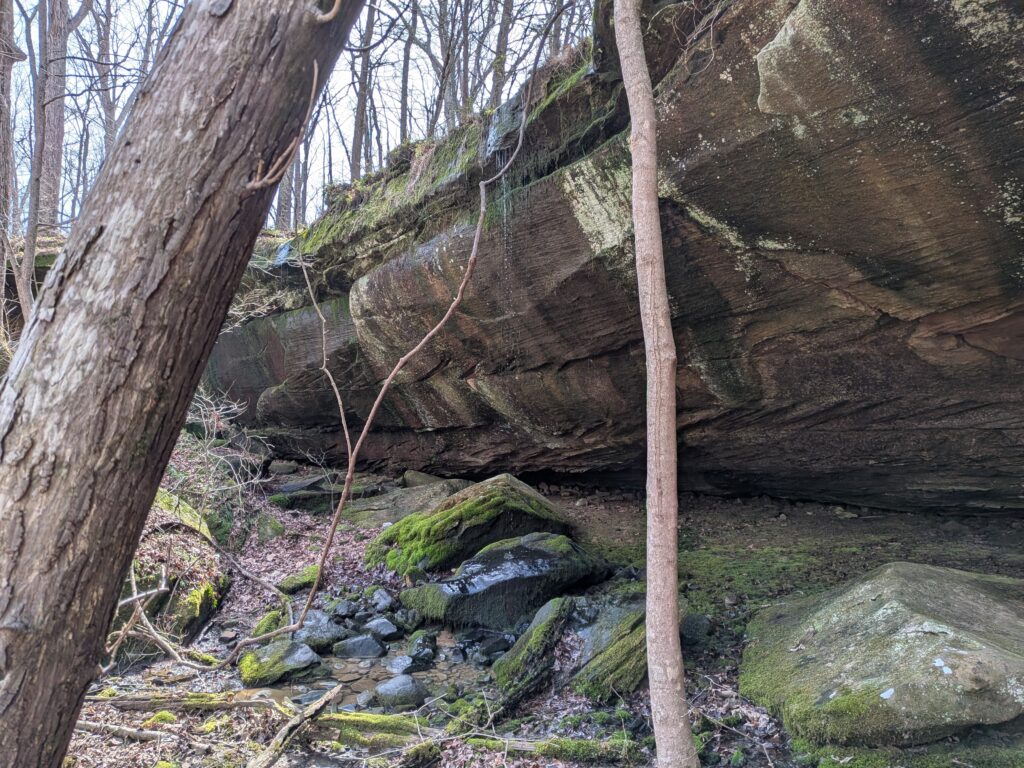
From Here, I continued down the Valley and through some of the many bluff formations along the way down to the south end of the valley where it meets up with the River to River Trail again.

One of the Original old i block painting blazes from the first days of the trail. There are some along trails to the South of Cedar Lake campground from the days when the River to River trail used to pass there. It can be confusing if you aren’t using a map.
The last bluffs before leaving the woods along a powerline right of way.
Onto Garfield Road and back to the truck. My meandering route was 6.8 miles. A great day of hiking.