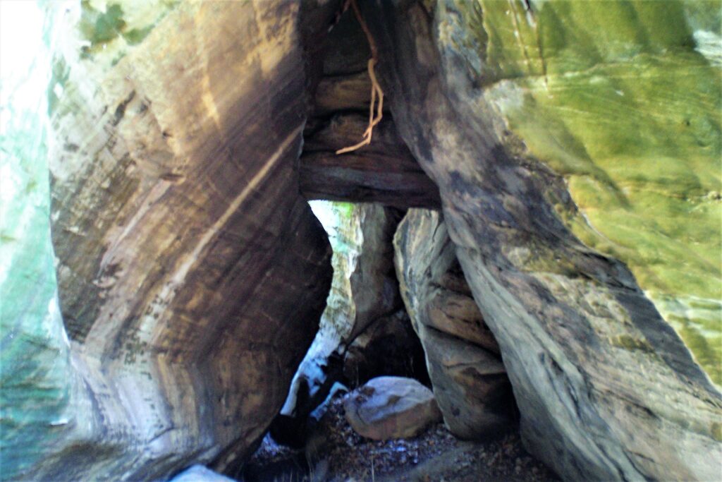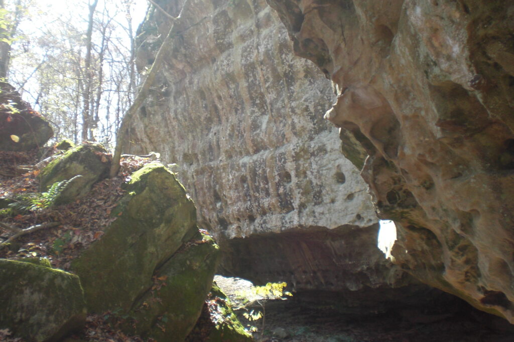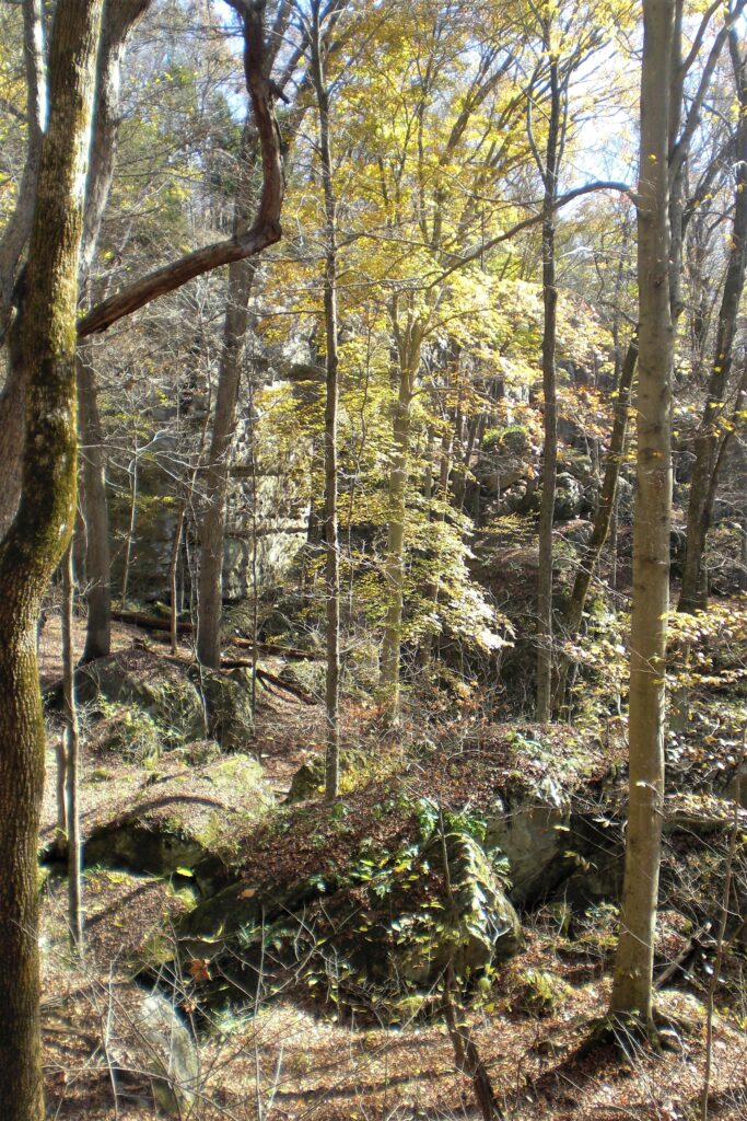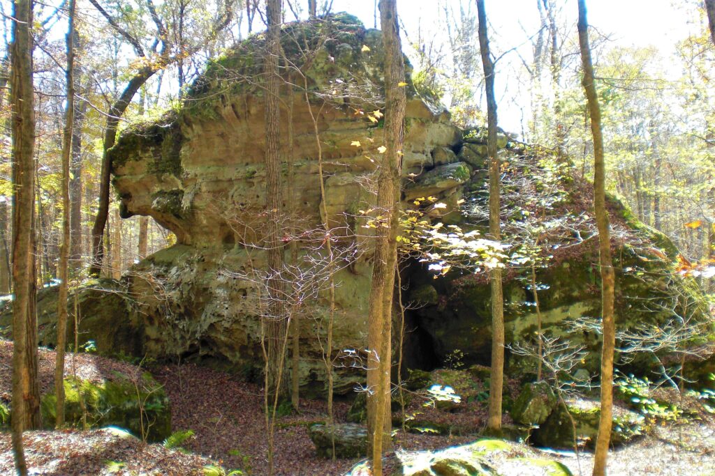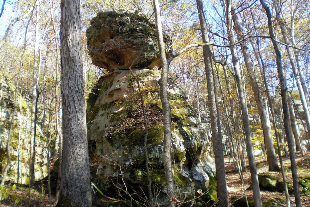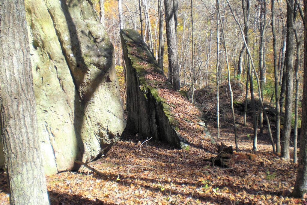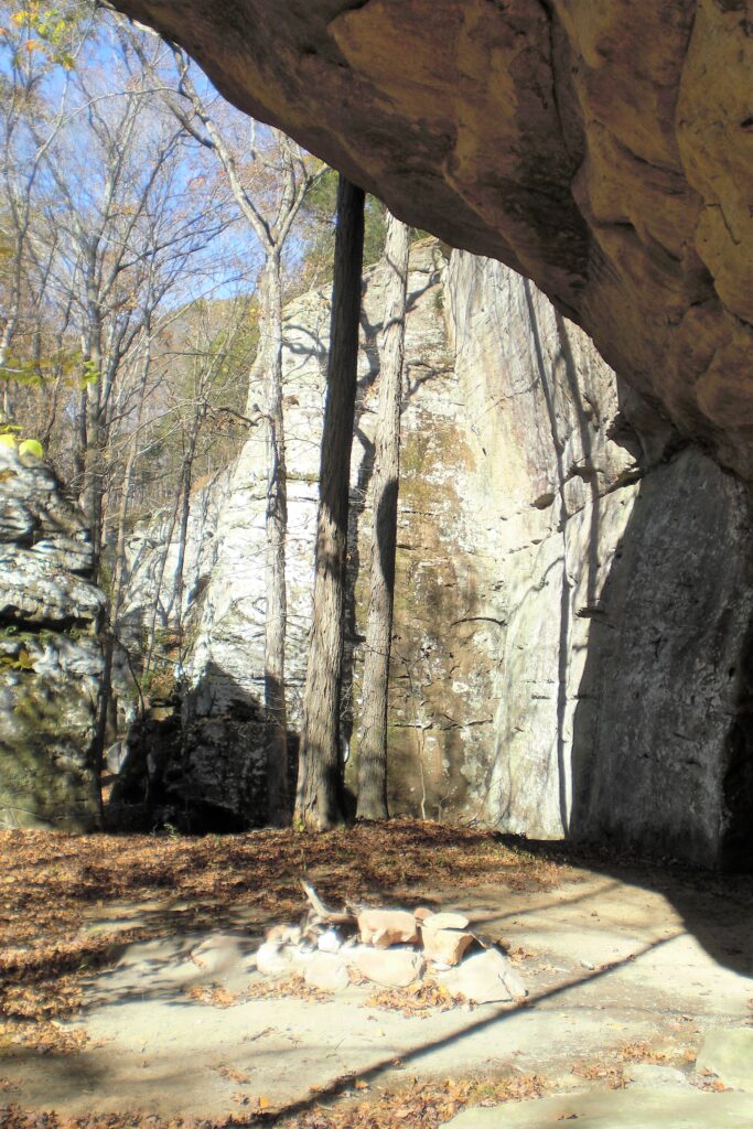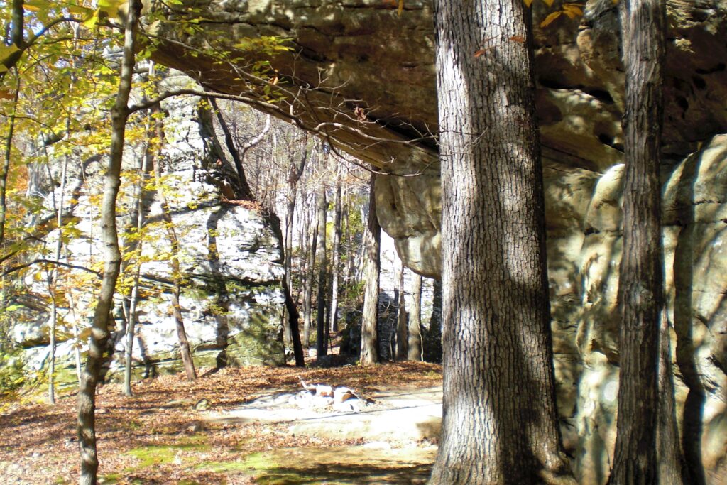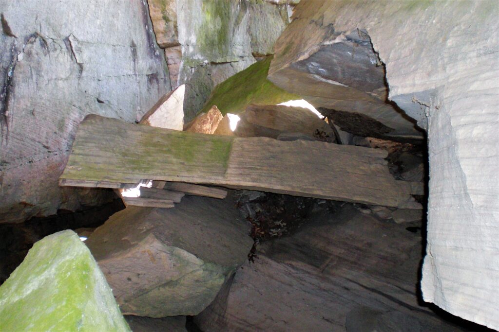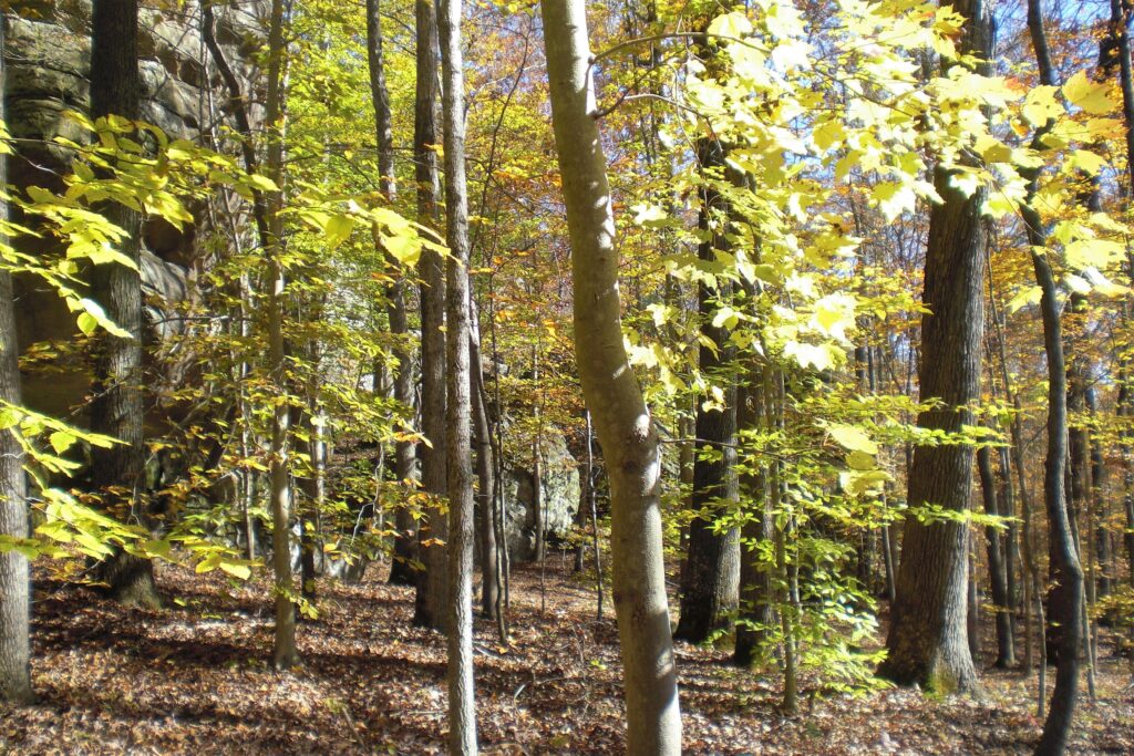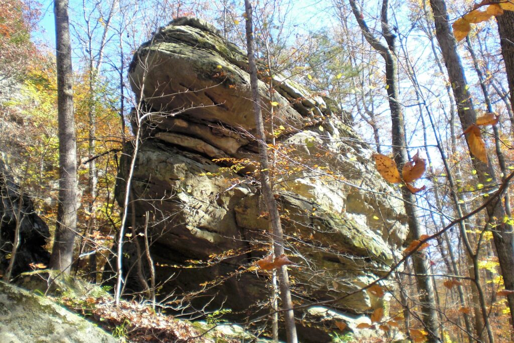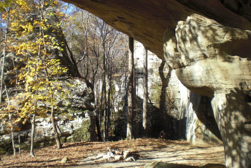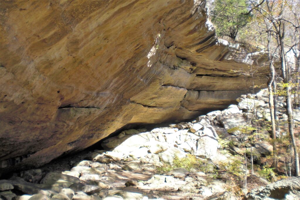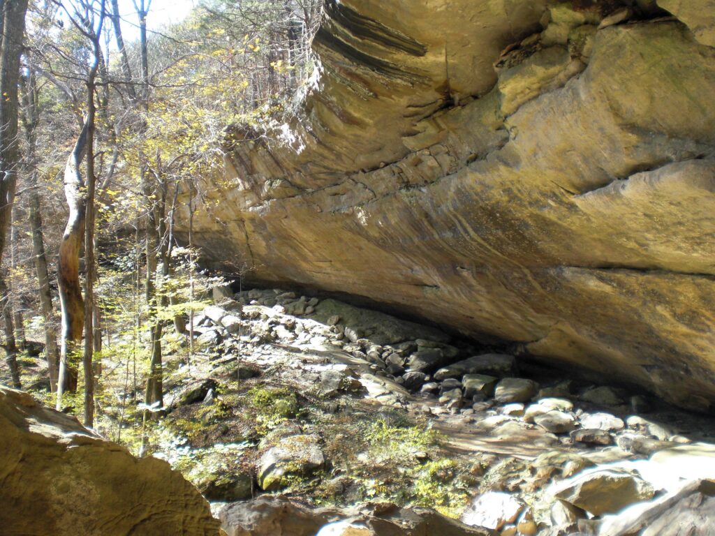
This is the West side of the Jackson Hollow most people go to. It only has faint user made trails along the base of the bluffs.
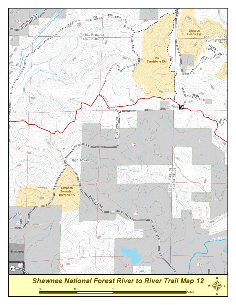
To access it, drive to about a mile North of the East Trigg Trailhead on map 12 of the river to River FS map shown. There will be a small bare rock barren on the East side of the road about where the powerline crosses the road. Just north there is a wide shoulder. Park here. There is no clear trail in. this area is the best way to the creek and it is too steep to enter and climb down ANY further North. Just get to the bottom any way you see fit here and follow the bluff line North West side.
Take the Bluffs until you get to the RR, then follow them along the RR. TONS of never ending massive Bluffs for miles. Explore them all until they start to peter out, the return the way you came. There is a user made trail that heads South to Cove Hollow eventually and you can come out at the R2R and follow it back to the Trigg Trailhead and back up if you get lost. (Not that I ever did that looking for a shortcut) There is private land Between the Trigg road and Cove Hollow if you head too far South so it’s best to just go in and back the way you came.
